An updated version of this hike can be found here: Yellow Trail Loop – Garret Mountain Reservation (2025)
April 14, 2018 – Woodland Park, New Jersey
Difficulty: Easy
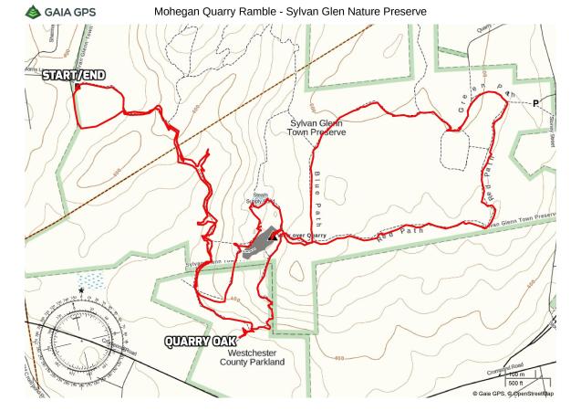
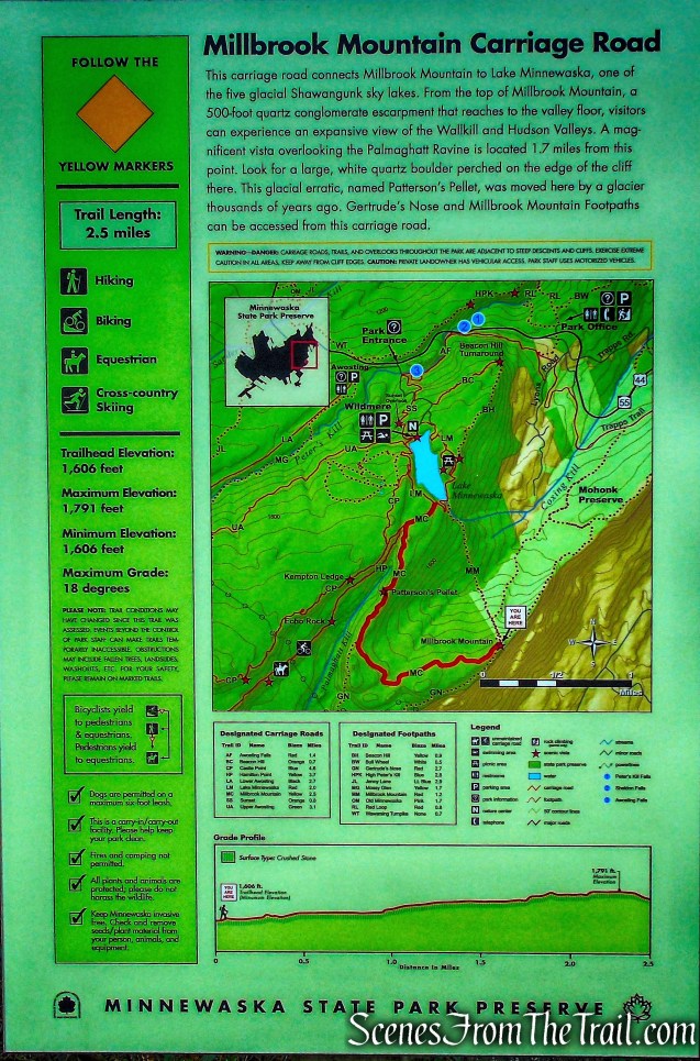
Length: Approximately 3.4 miles
Max elevation: 520 ft.– total elevation gain approximately 321 ft.
Route type: Circuit
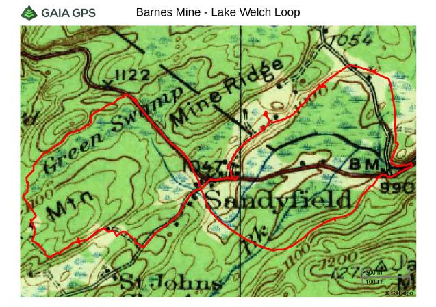
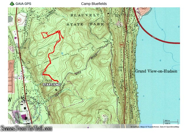
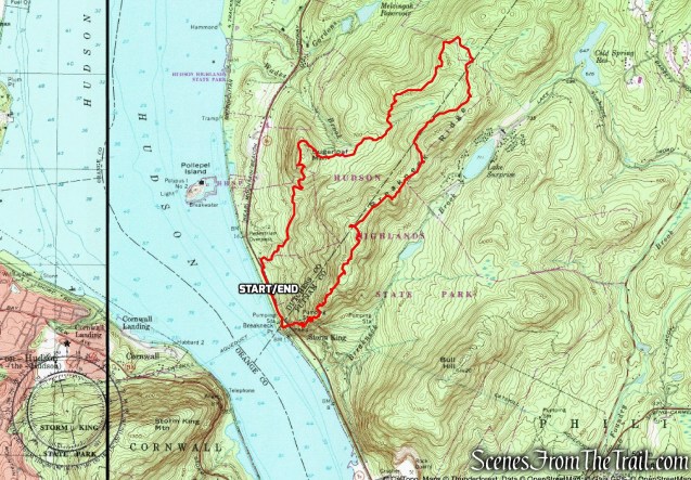
Map: Garret Mountain Reservation map
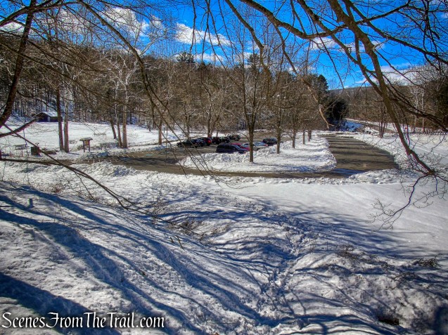
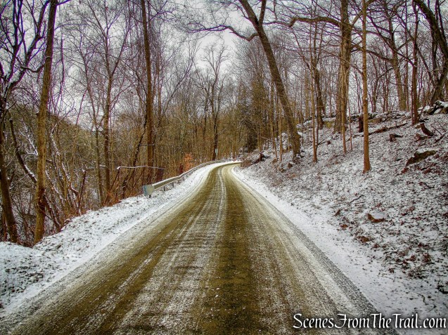
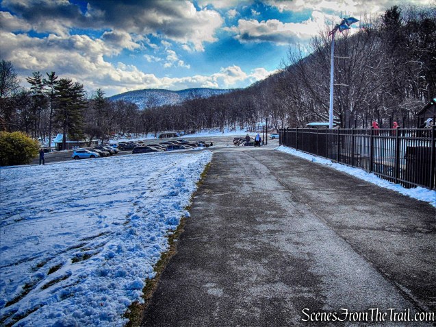
Trailhead parking: Park Rd, Woodland Park, NJ 07424
Garret Mountain, located in Paterson and Woodland Park, is divided into two separate Passaic County parks: Garret Mountain Reservation to the north and Rifle Camp Park to the south.
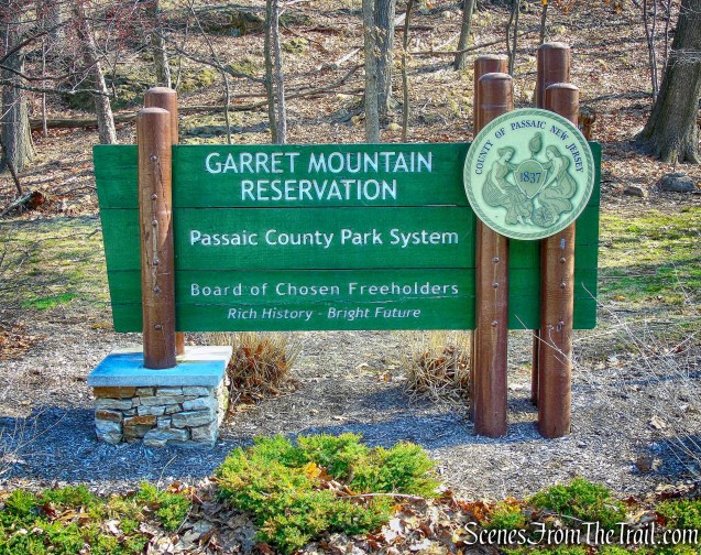
Garret Mountain Reservation
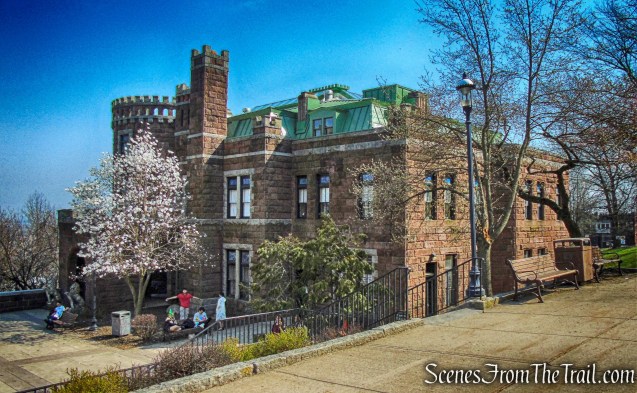
The 575-acre Garret Mountain Reservation includes Lambert Castle, built in 1893 by a wealthy silk manufacturer. The main portion of the park, on the ridge top above the castle, is encircled by a paved drive and has a variety of developed recreational facilities, but it also features two trails that traverse lesser-used areas and offer several panoramic overlooks. The New York City skyline can be seen from several overlooks along the Yellow Trail.
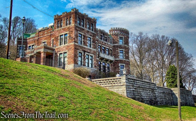
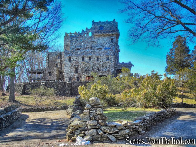
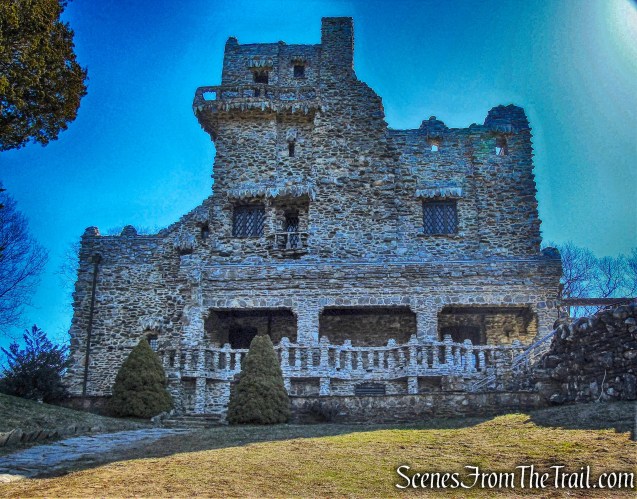
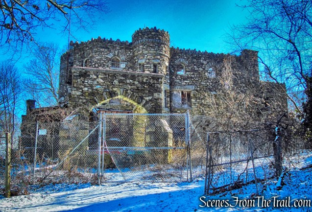
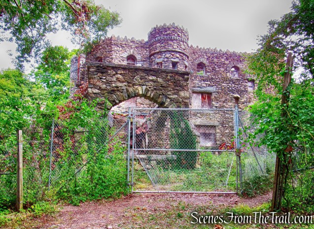
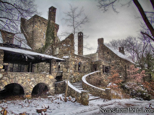
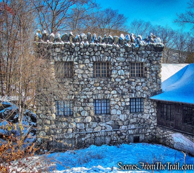
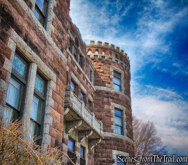
Lambert Castle
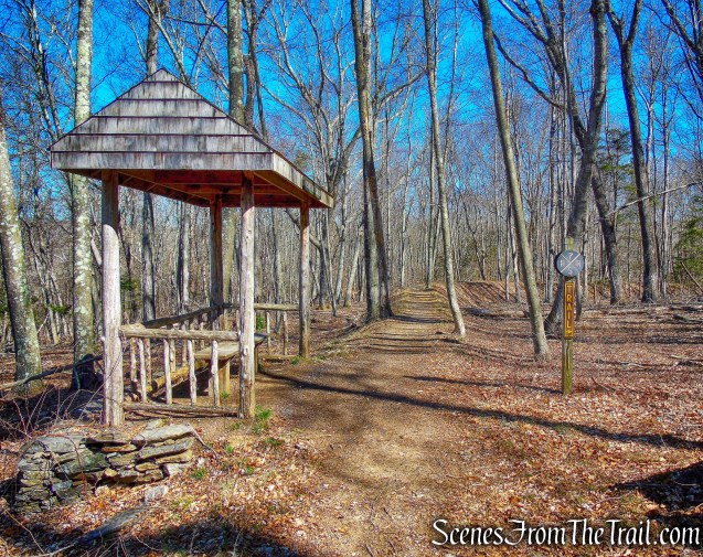
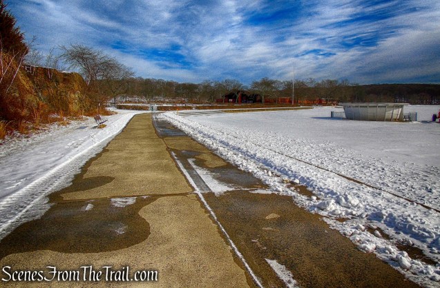
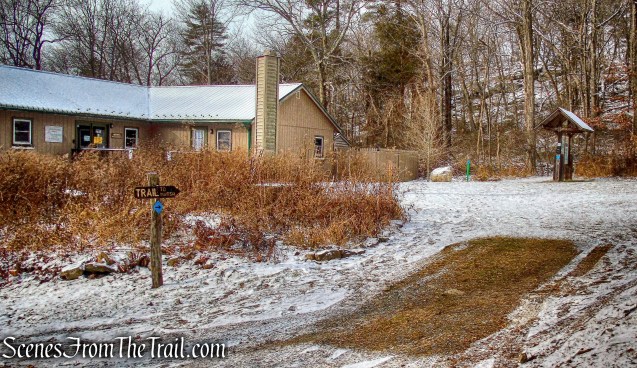
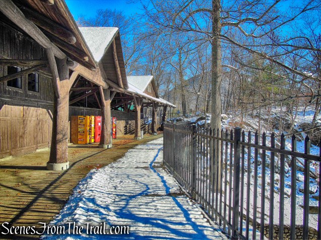
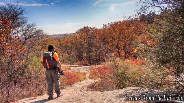
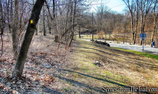
I had planned this hike out regardless of the weather, but when I saw that it was going to be in the high 70’s, I was a little hesitant. Being that this park is Passaic County’s major recreational area, I figured that on the first nice day after a rough winter, it would be crowded. We arrived shortly after 9:00 am and it was already bustling. We parked in the Stoney Brook Picnic Area which had quite a few cars. As it turned out, even though there were quite a few people here, it never felt crowded.

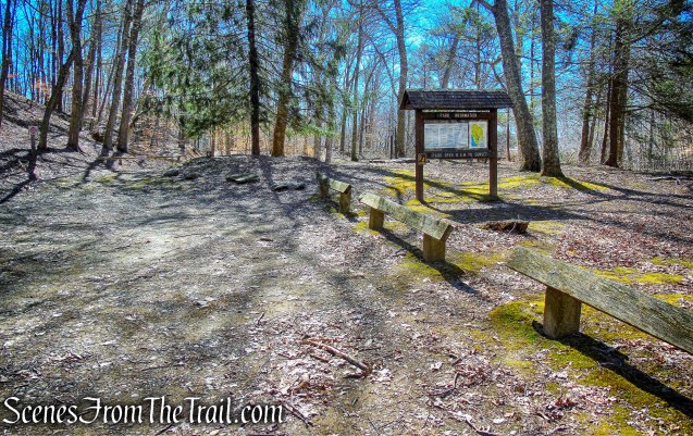
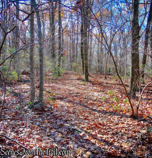
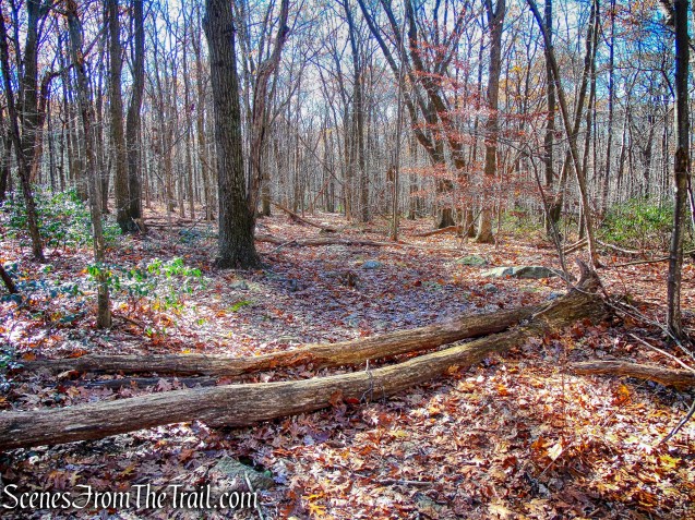
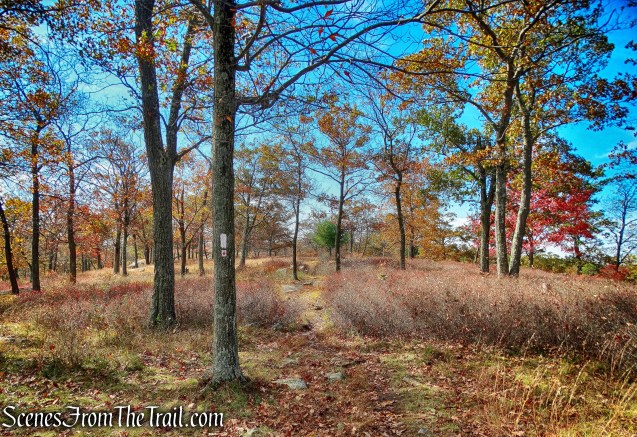
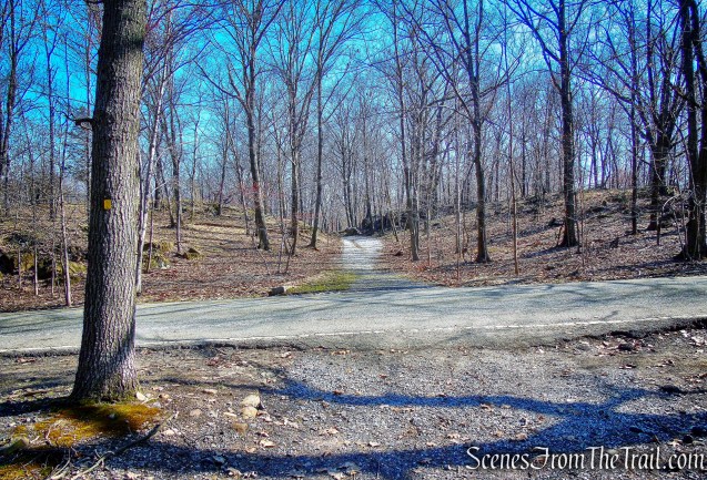
Yellow Trail Loop – Garret Mountain Reservation
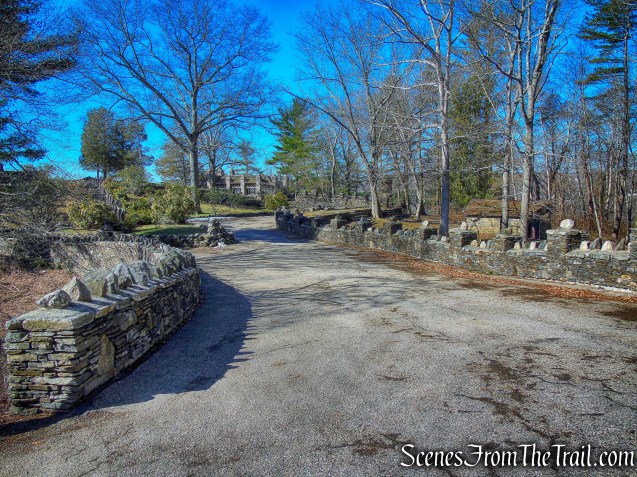
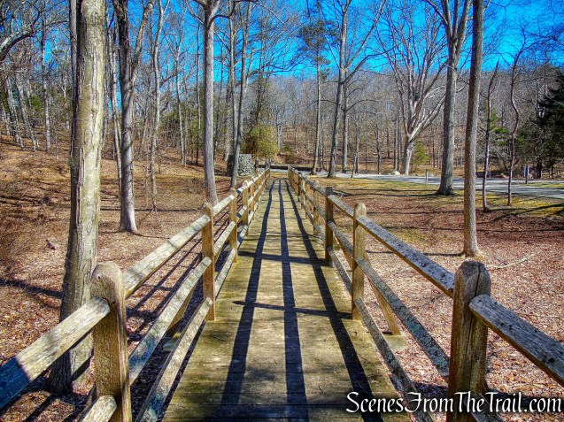
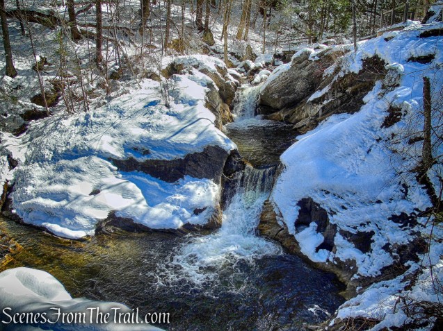
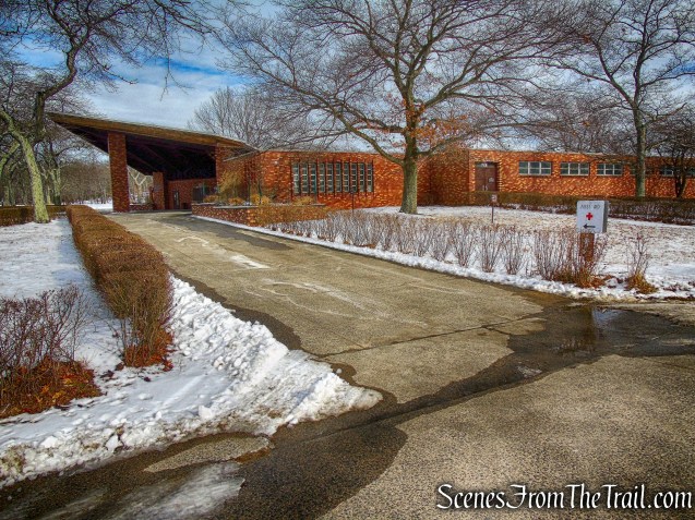
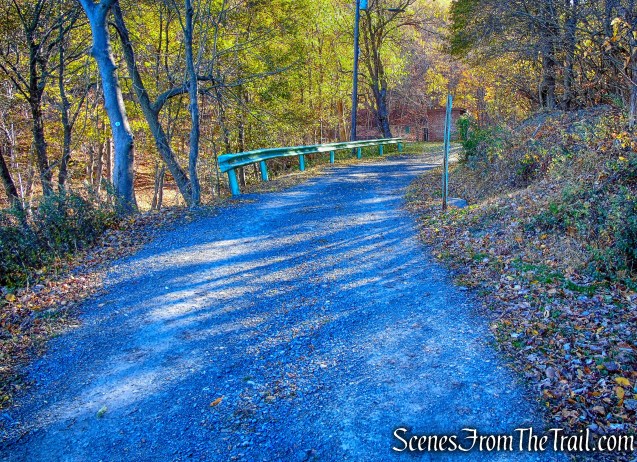
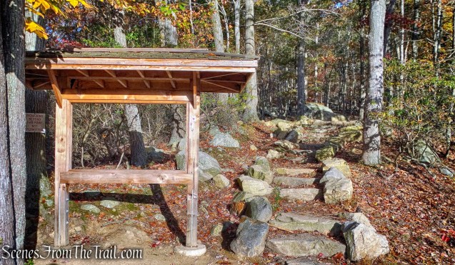
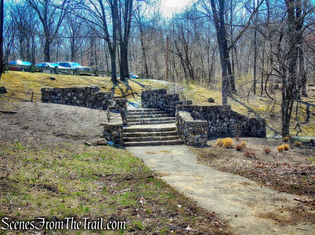
From the parking area, we followed the path downhill to the southern end of Barbour Pond and turned left onto a wide crushed stone path. We passed to the left of two park buildings.
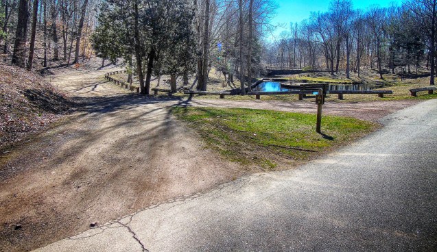
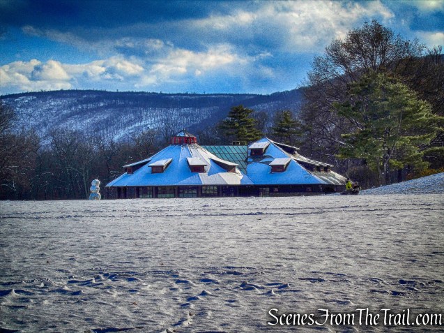
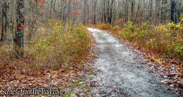
Stoney Brook Picnic Area
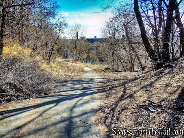
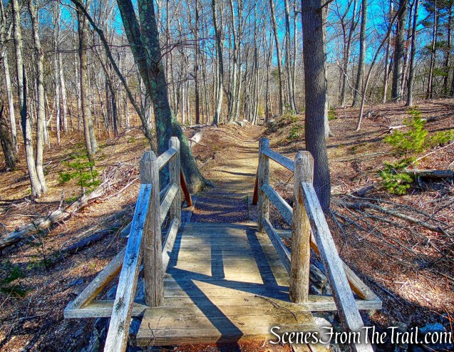
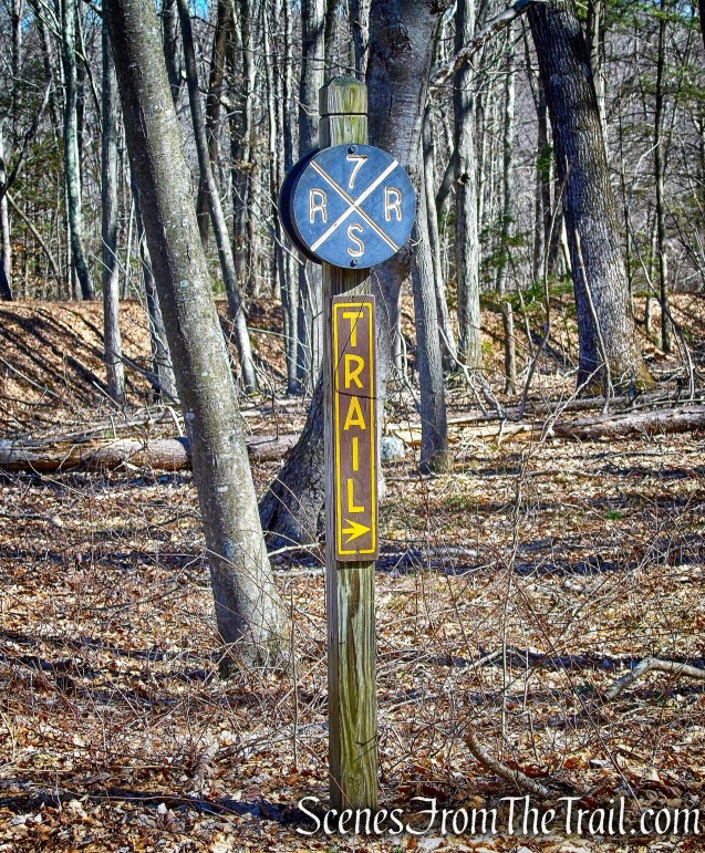
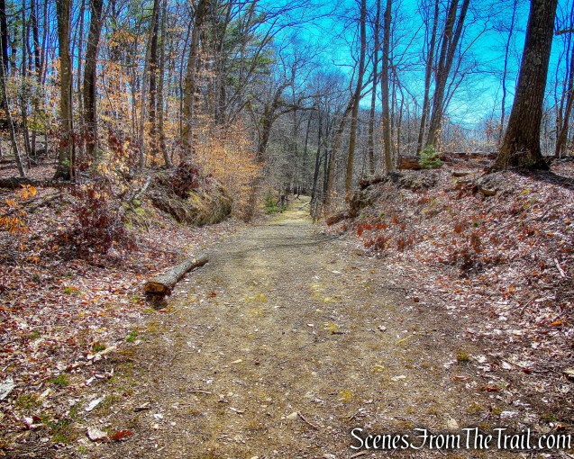
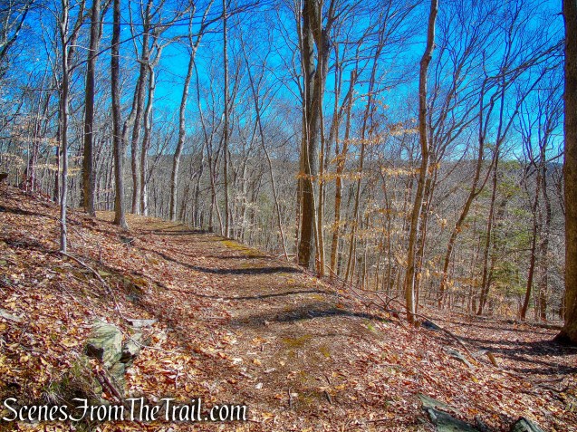
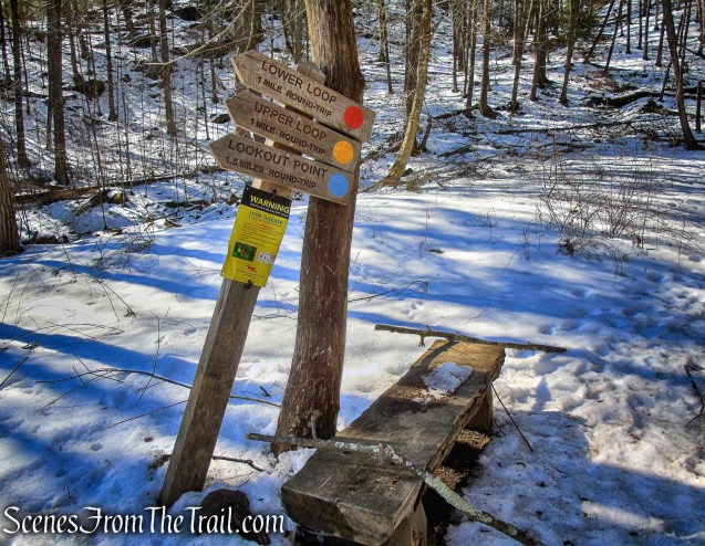
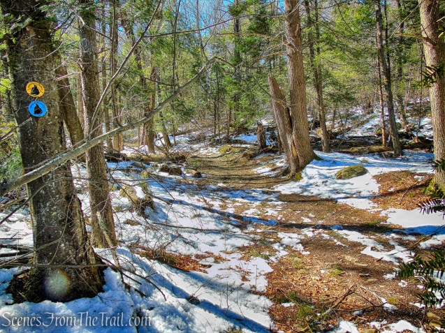
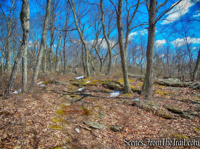
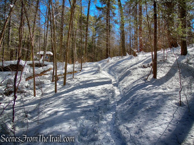
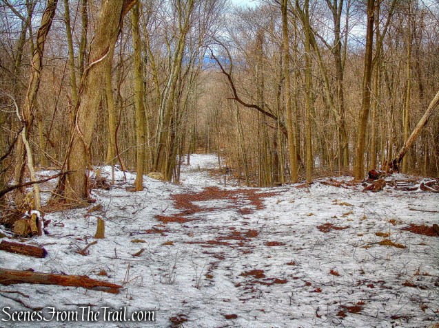
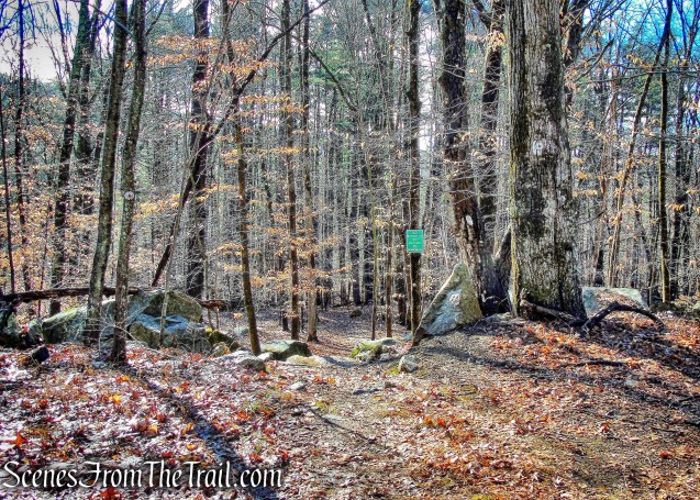
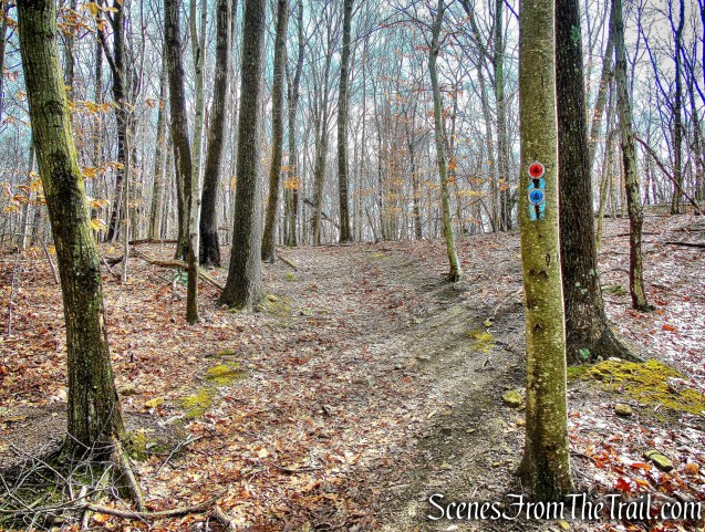
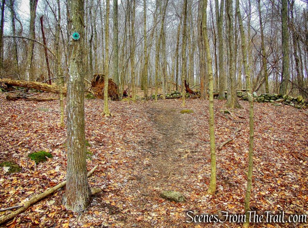
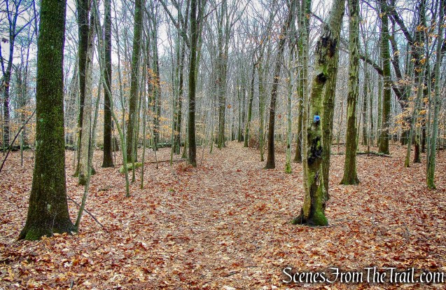
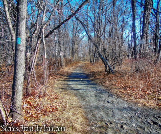
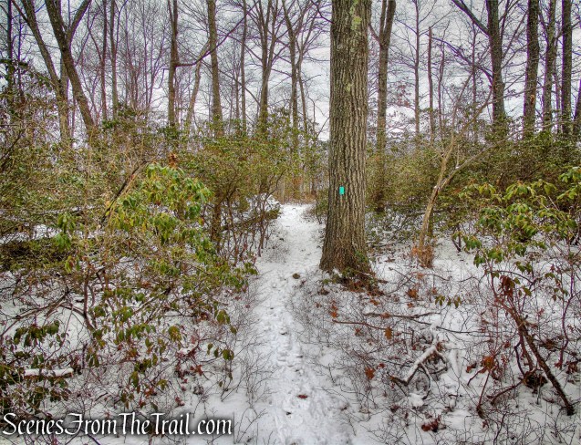
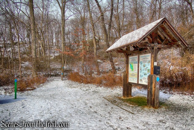
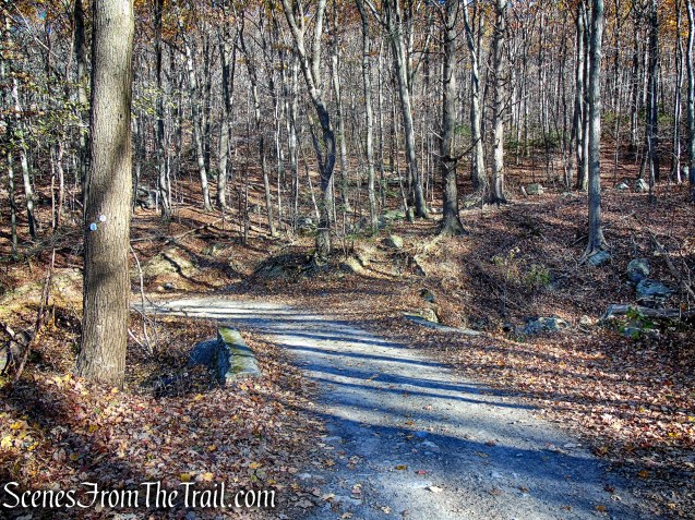
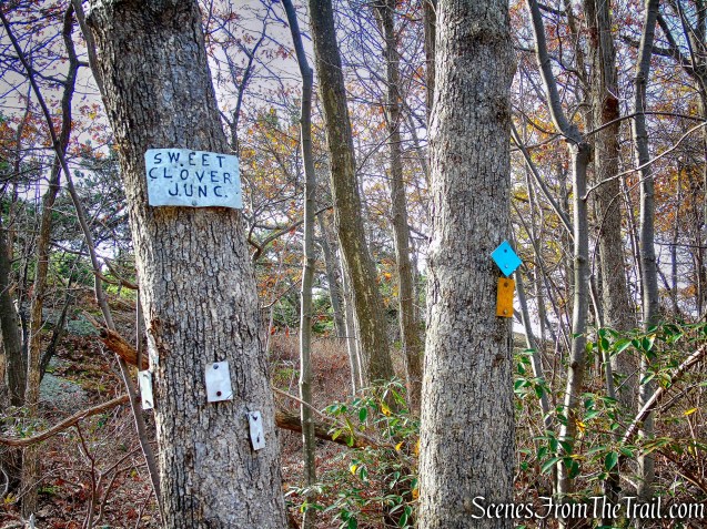
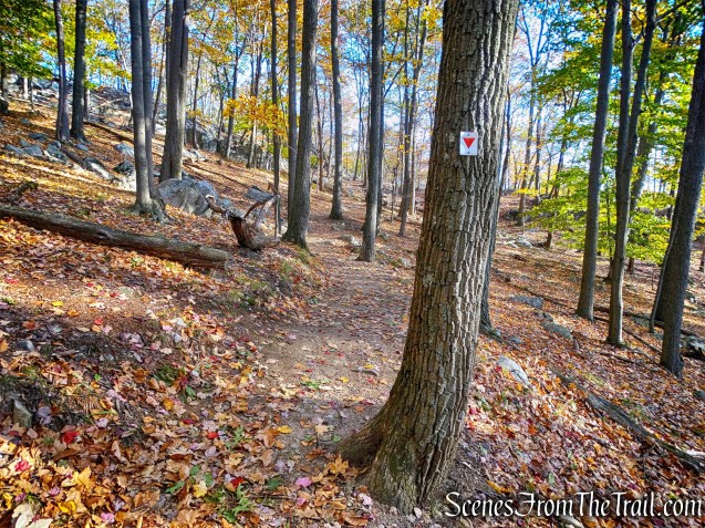
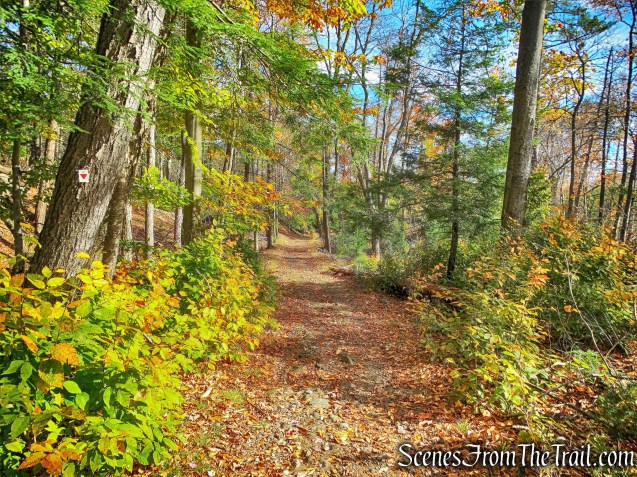
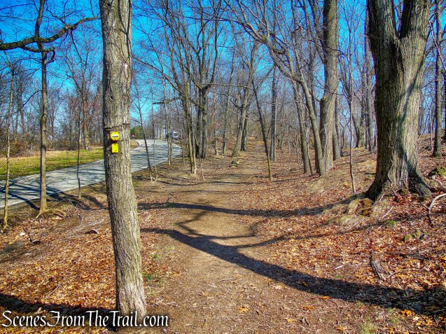
After the entrance to the second building, we reached the Yellow Trail. We turned left on the Yellow Trail, which we would follow for most of the hike.
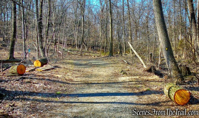
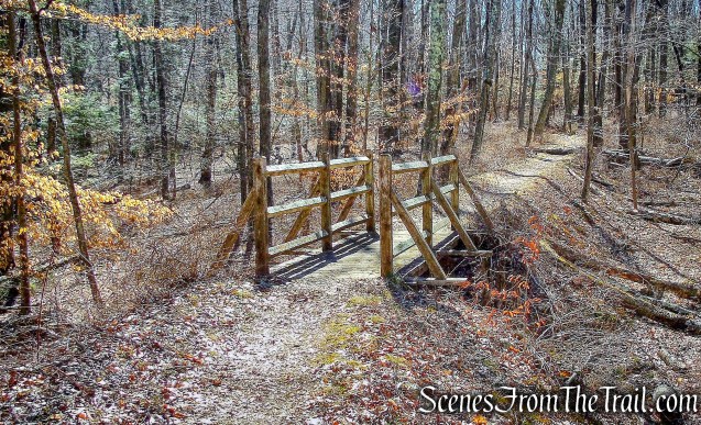
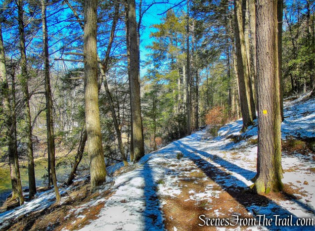
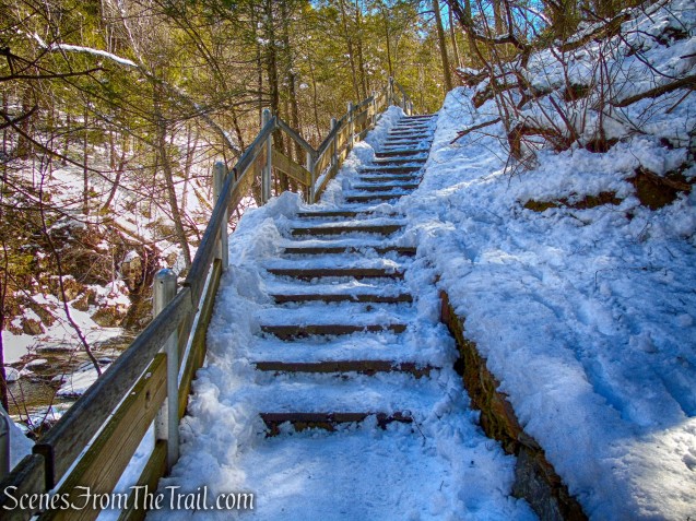
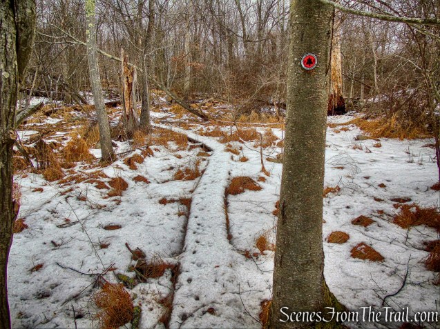
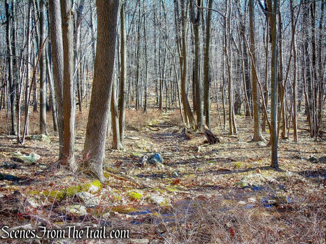
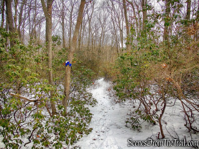
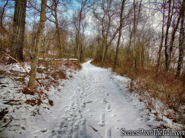
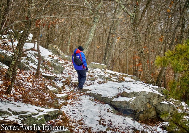
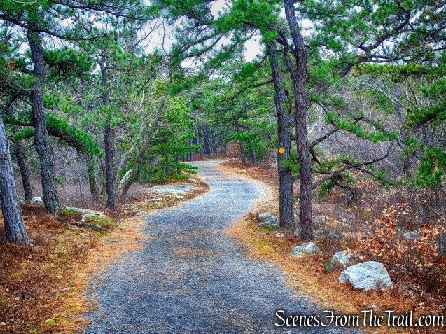
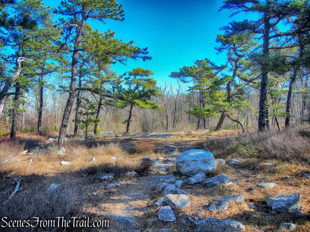
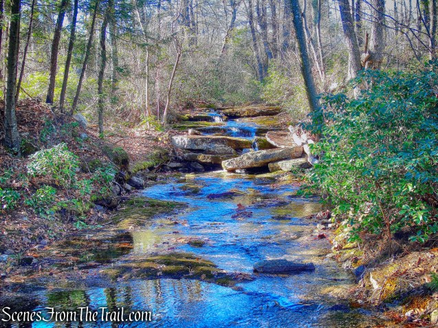
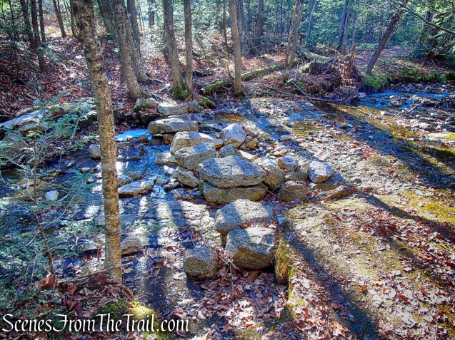
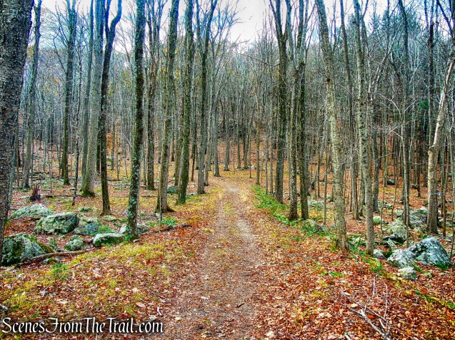
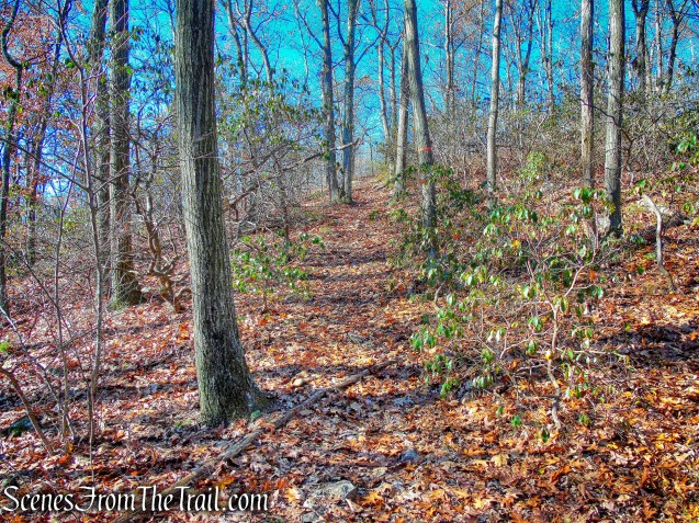
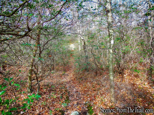
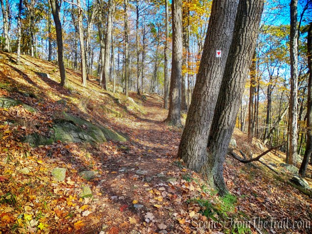
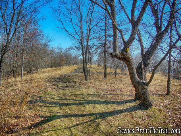
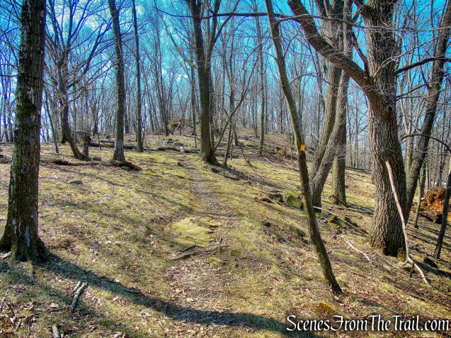
Yellow Trail
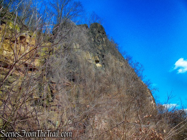
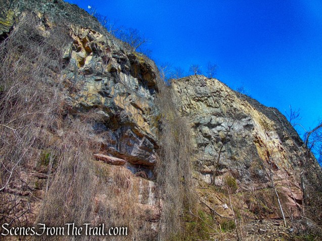
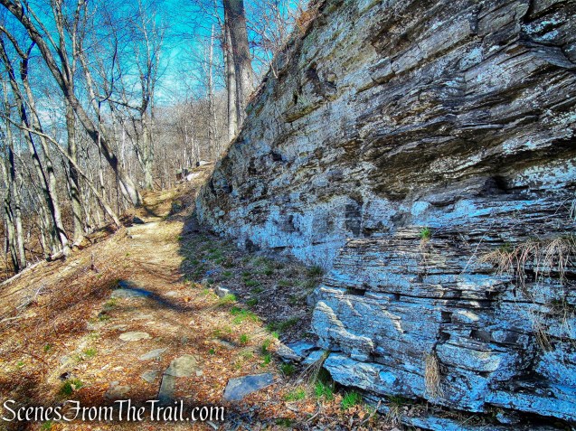
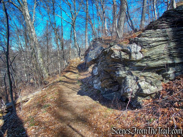
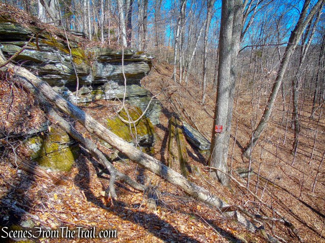
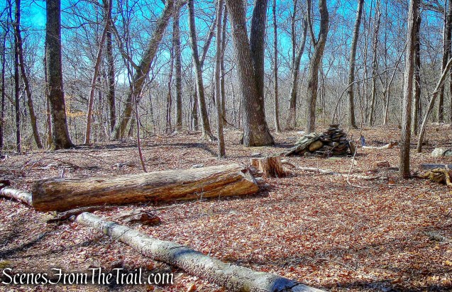
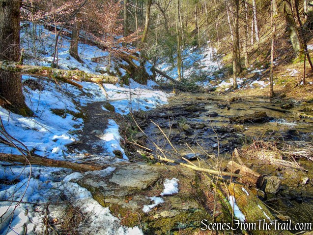
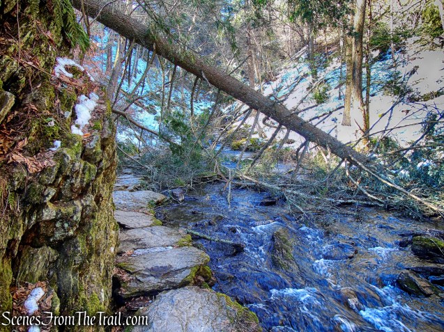
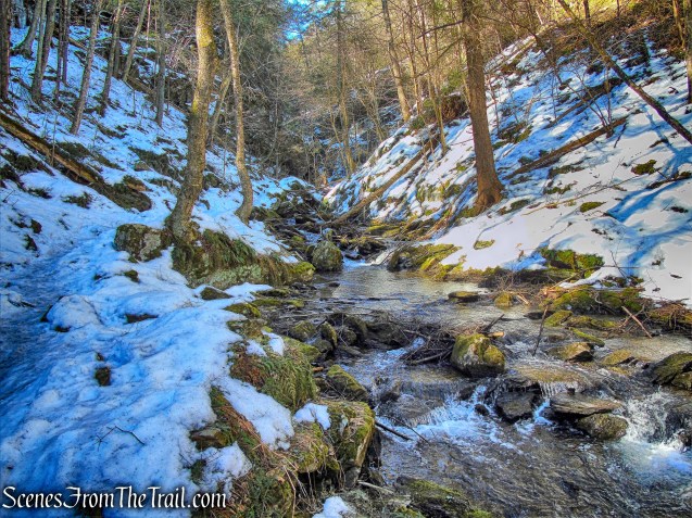
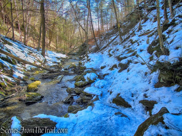
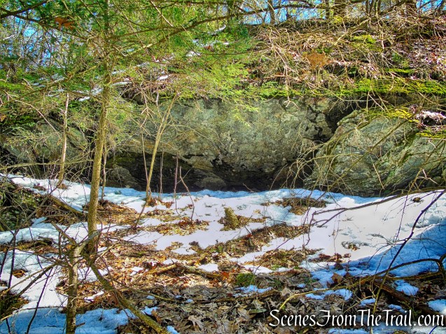
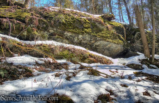
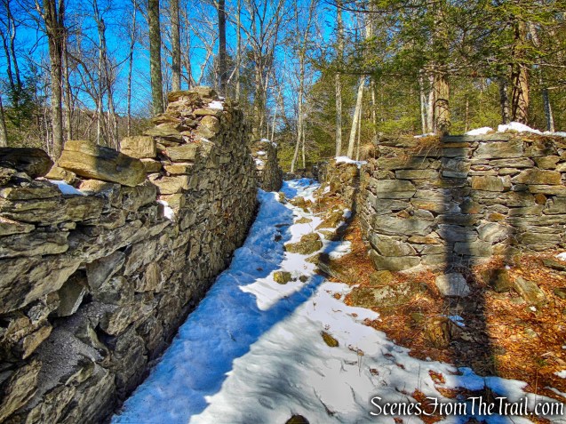
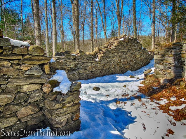
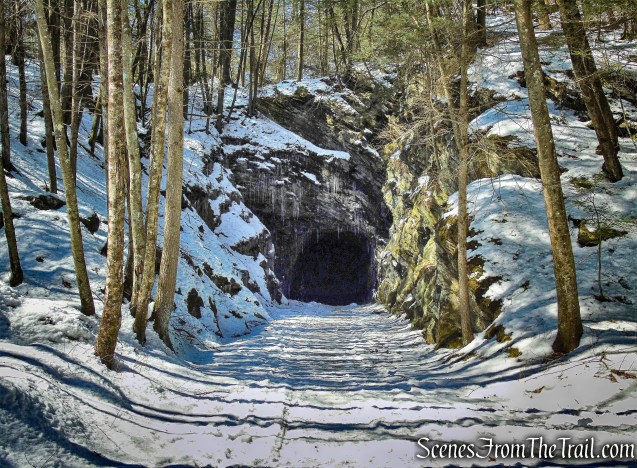
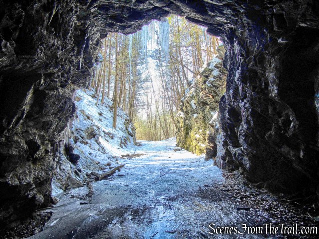
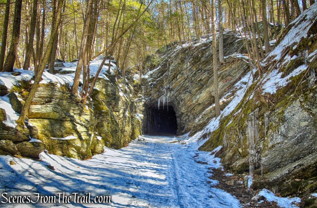
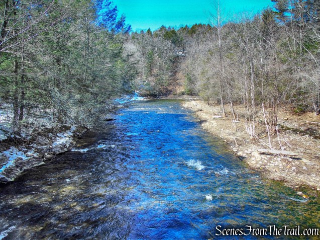
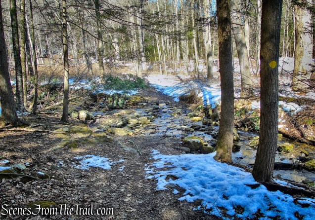
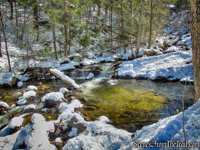
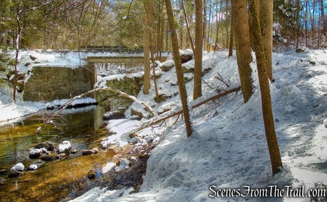
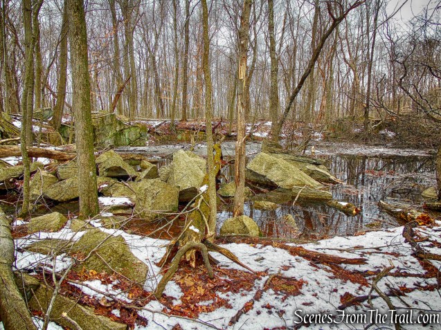
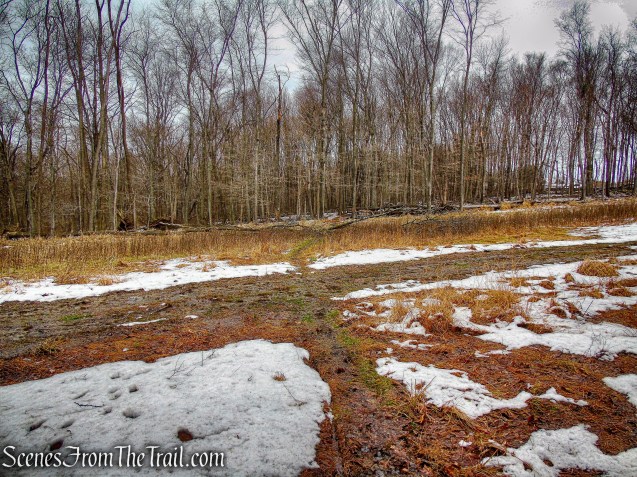
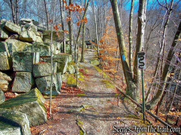
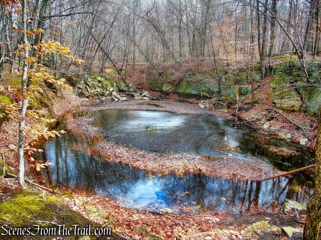
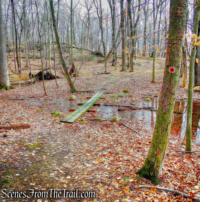
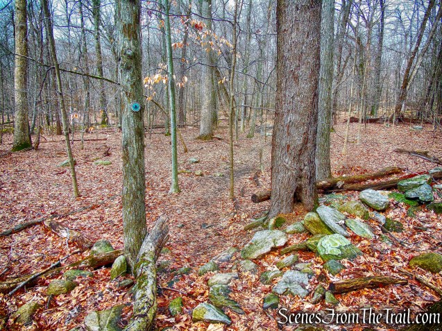
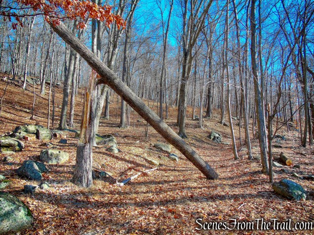
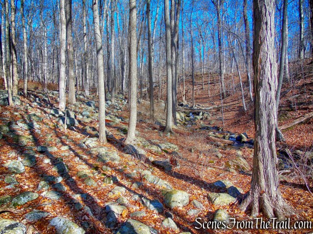
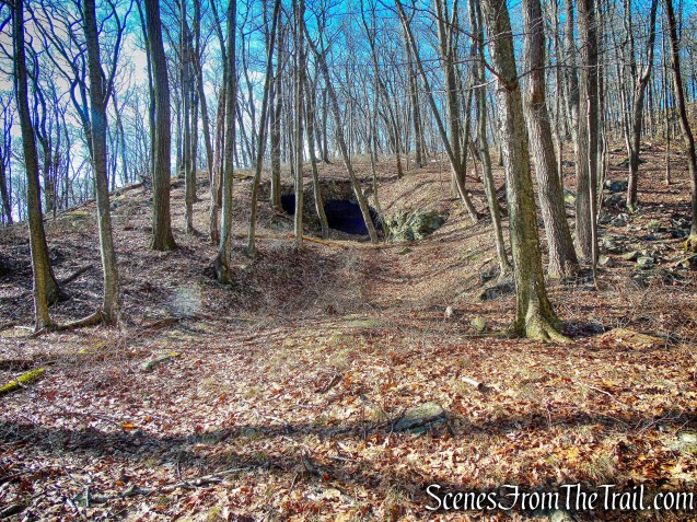
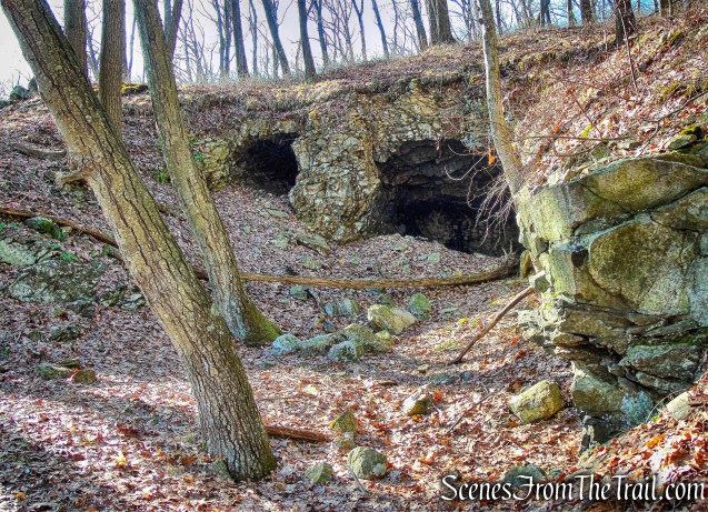
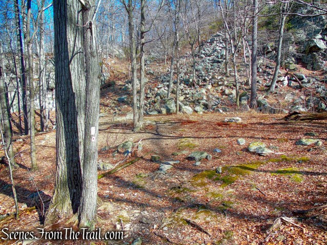
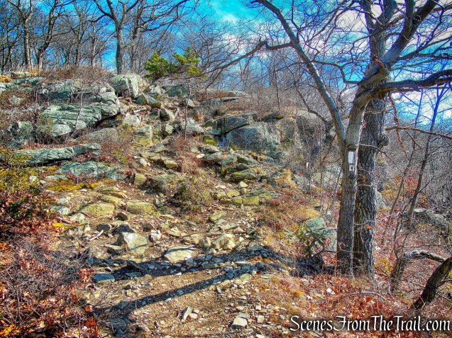
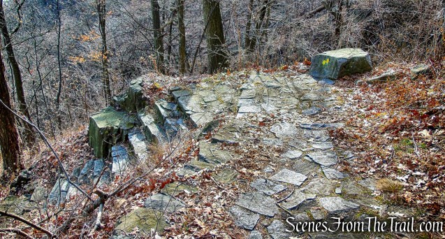
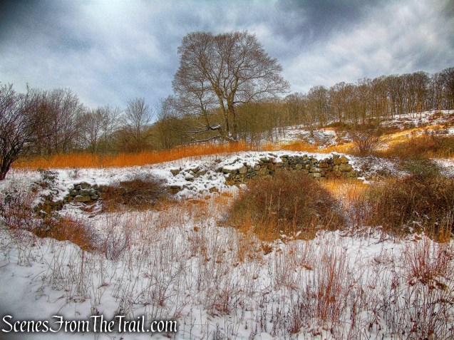
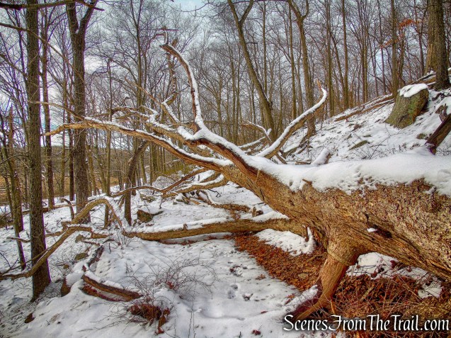
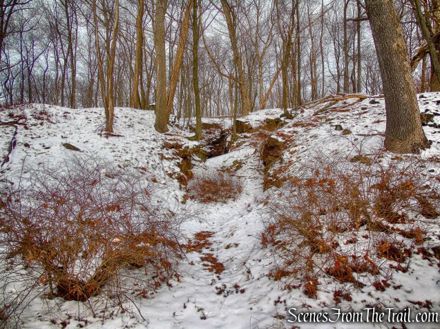
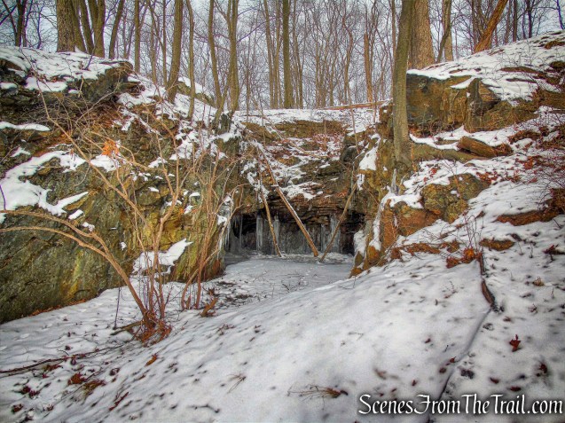
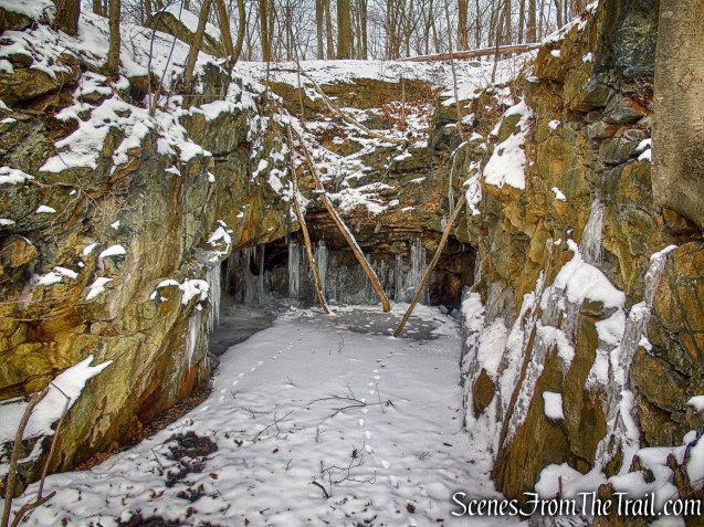
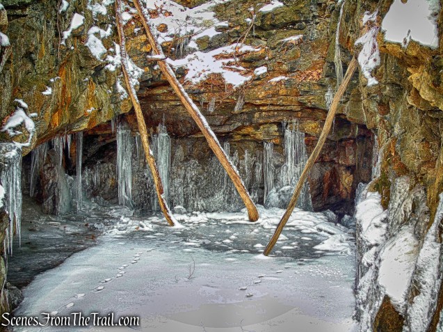
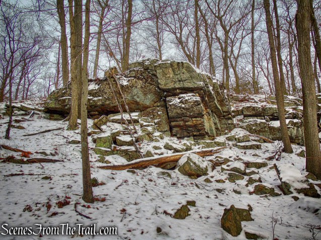
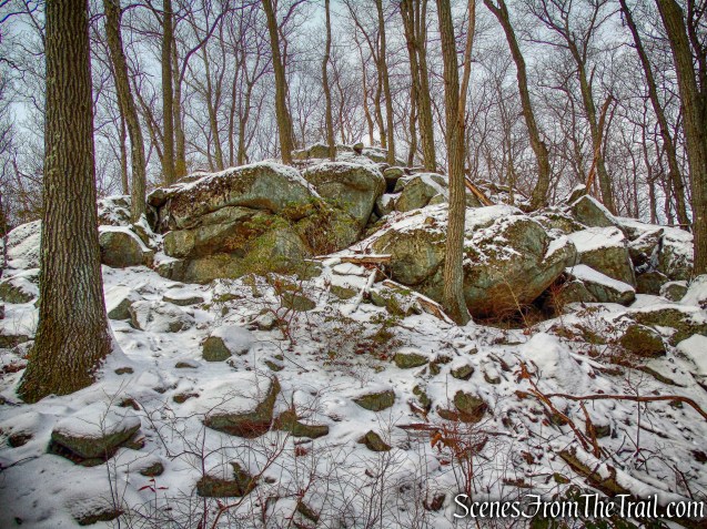
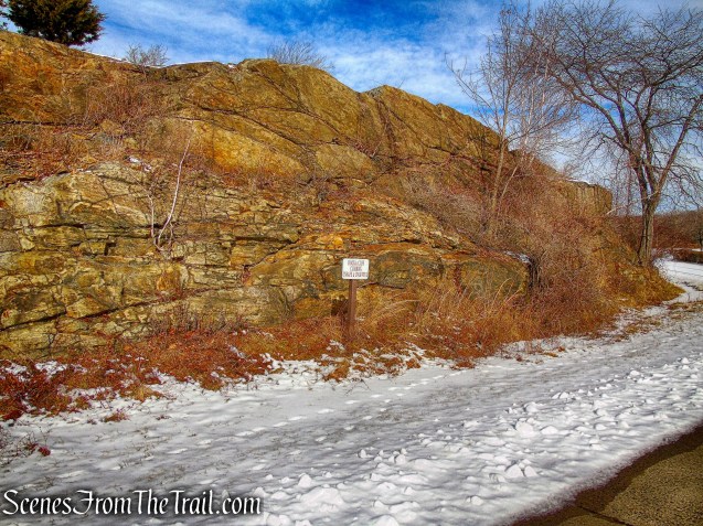
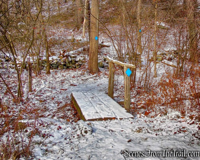
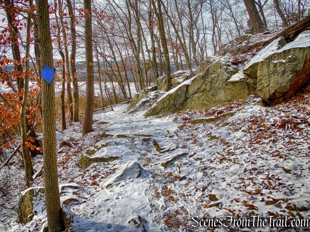
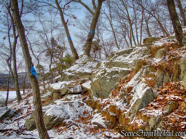
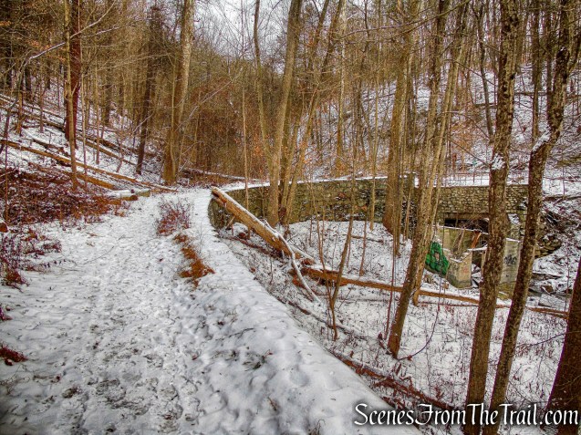
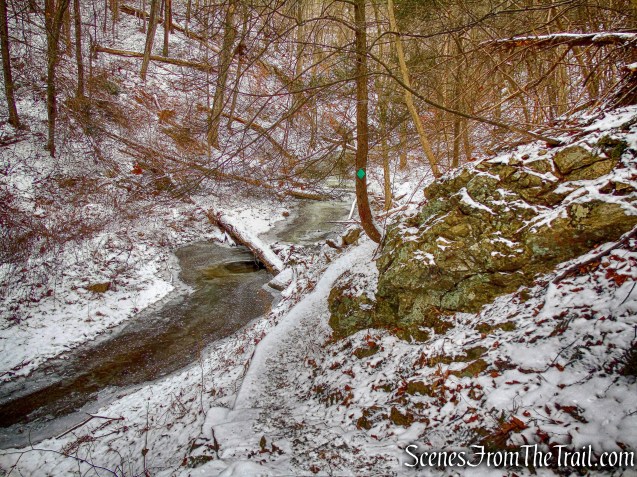
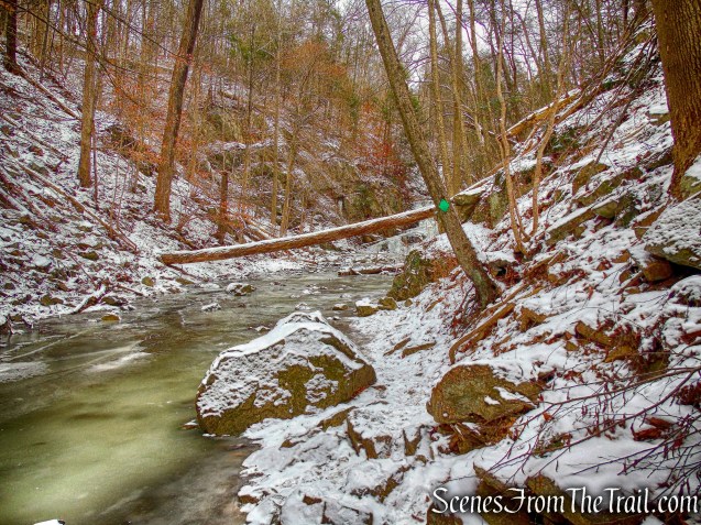
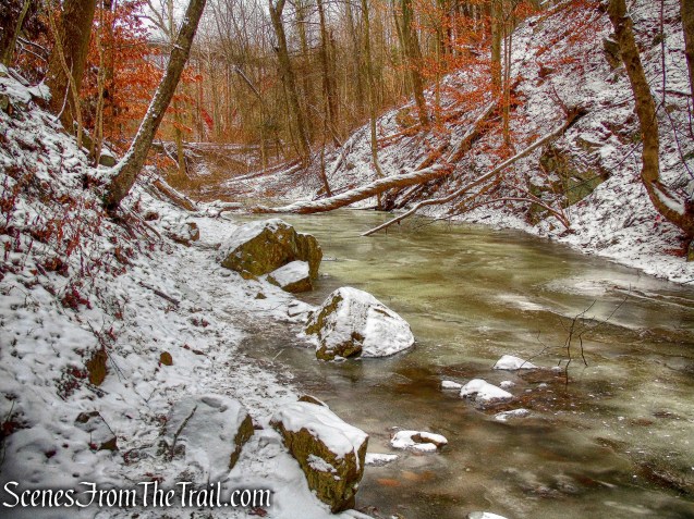
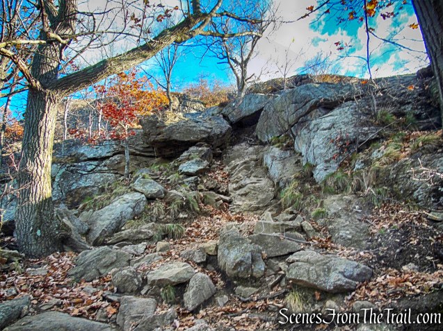
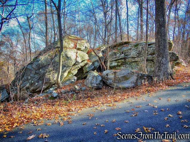
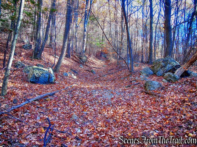
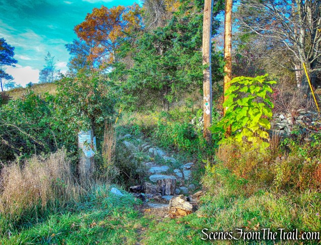
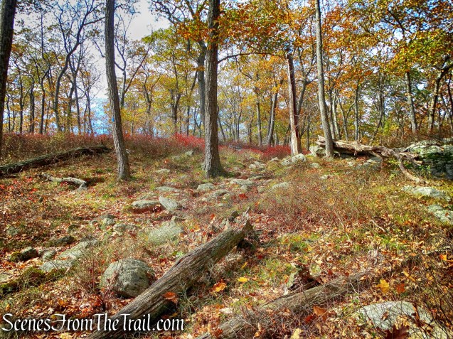
After paralleling a stream on the right, the trail turns left, away from the stream and begins to climb, passing some cliffs that appears to have been quarried.
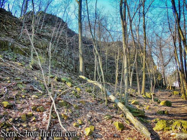
cliffs – Yellow Trail
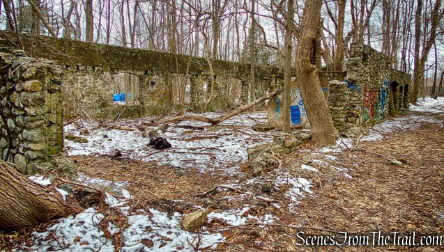
The trail then passes some abandoned concrete picnic tables on the left…….
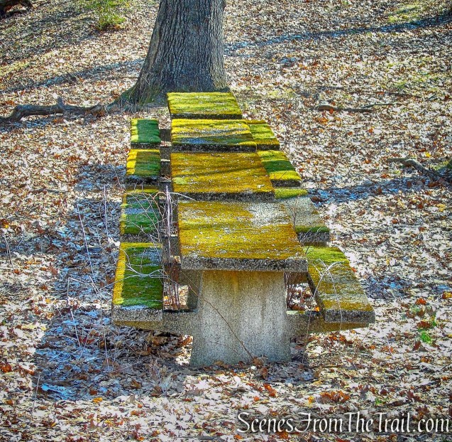
abandoned concrete picnic tables
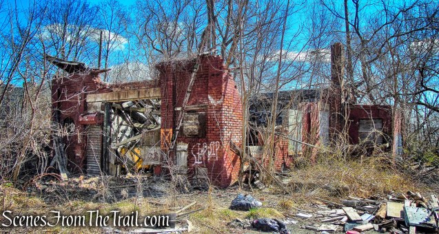
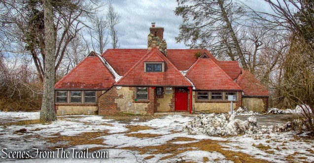
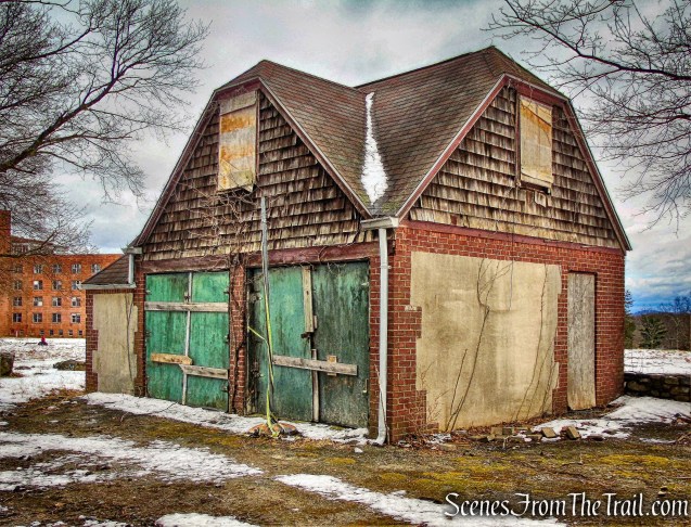
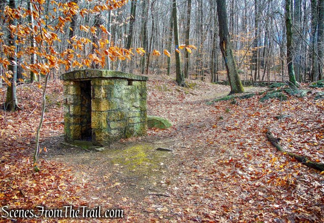
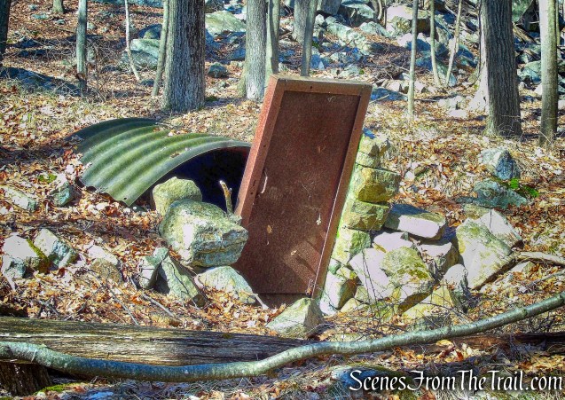
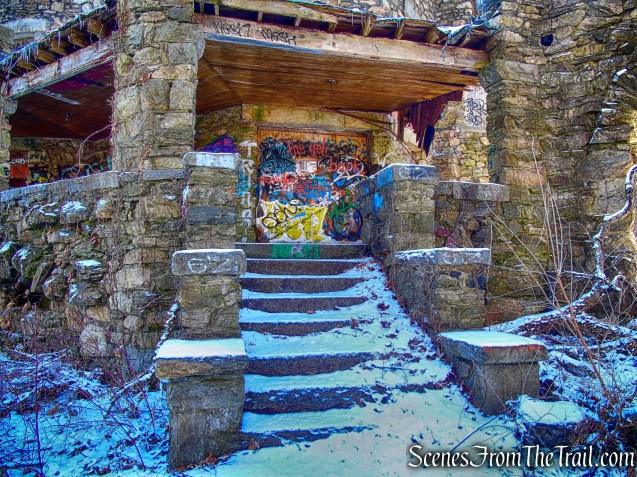
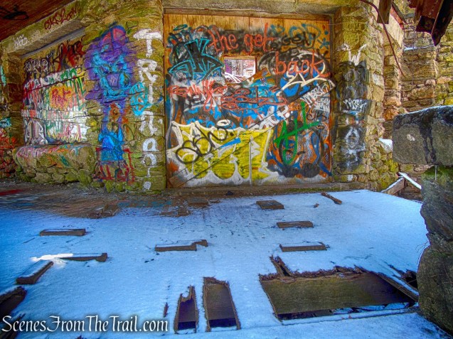
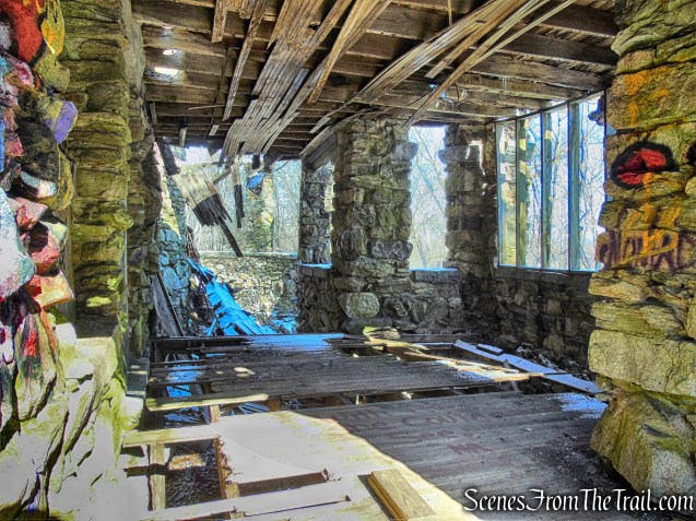
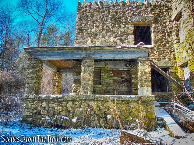
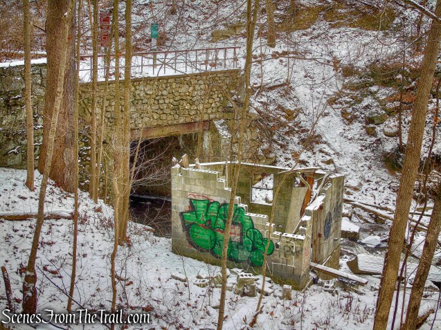
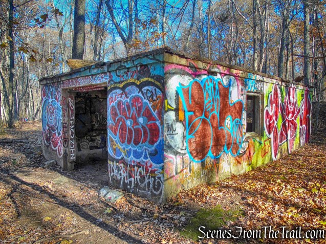
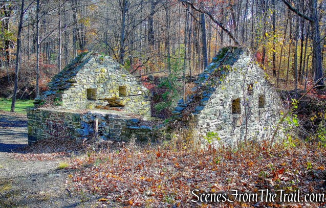
and an abandoned playground and shelter on the right.
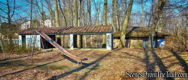
abandoned playground and shelter
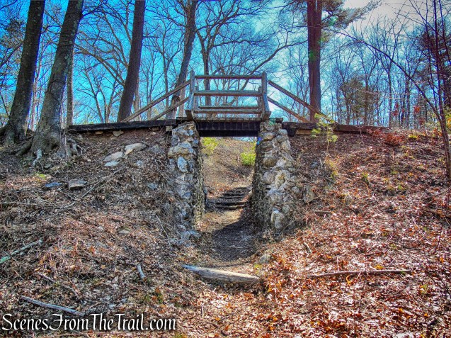
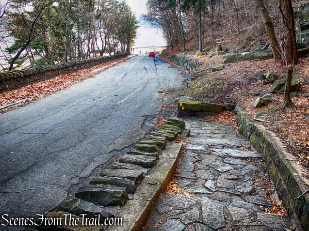
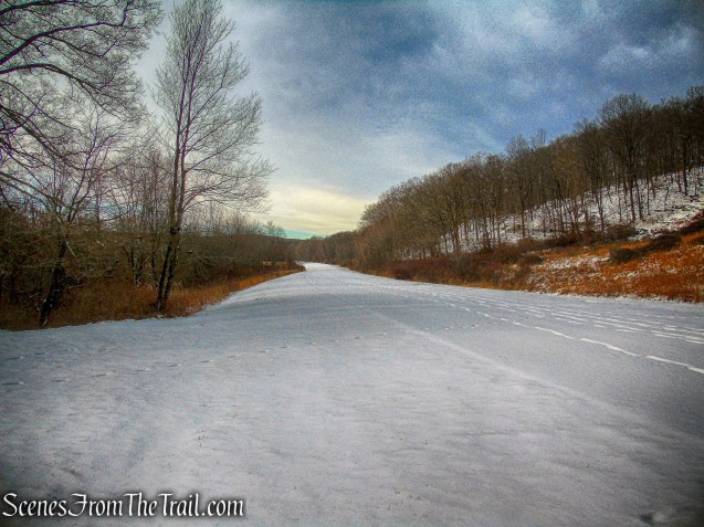
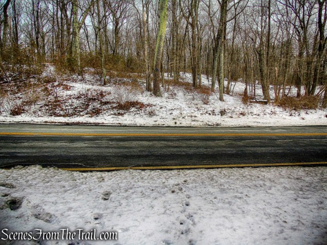
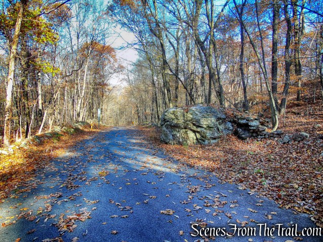
The trail climbs a rise and just before reaching a paved road, turns sharply left and descends to cross Park Road, the road that circles the park.
Park Road – Yellow Trail
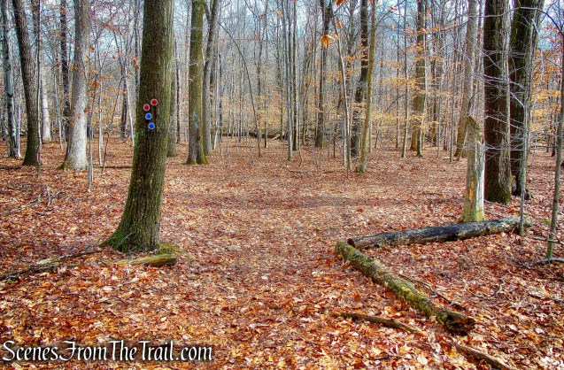
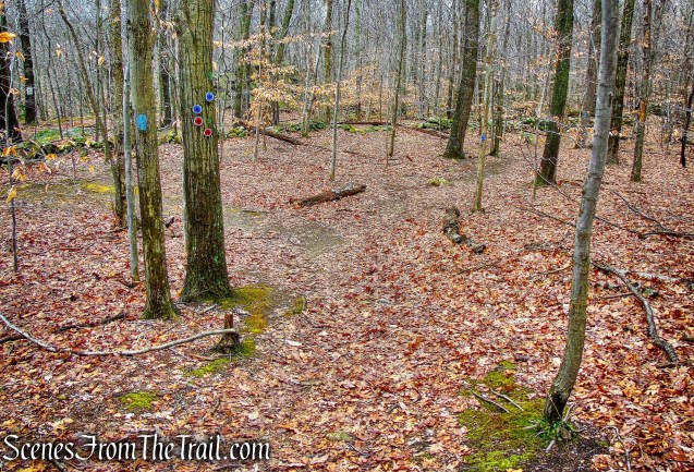
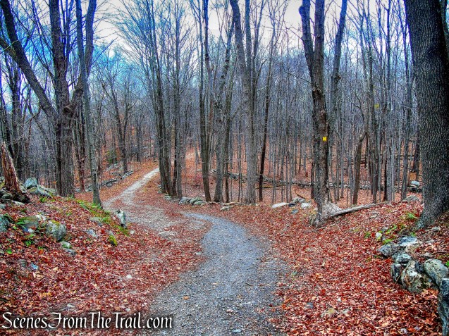
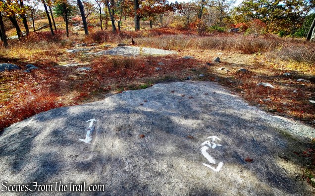
In a short distance, the Yellow Trail reaches a junction with the start of the White Trail. We turned right and continued following the yellow blazes, which turn right on a wide gravel path.

Turn right at the junction
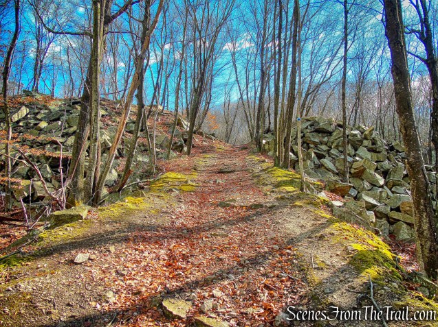
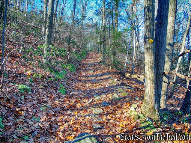
In about 250 feet, the gravel path bears left as the Yellow Trail continues straight ahead, climbing an embankment and crossing the paved road again. The Yellow Trail turns right at the entrance to the Garret Mountain Equestrian Center and runs along the road.
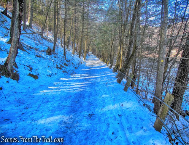
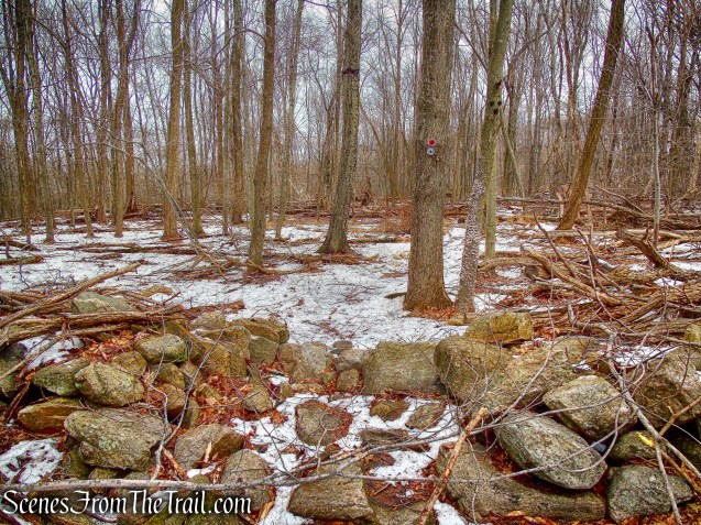
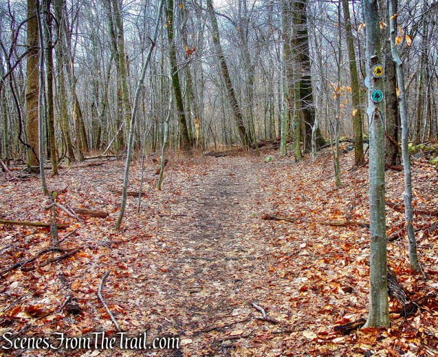
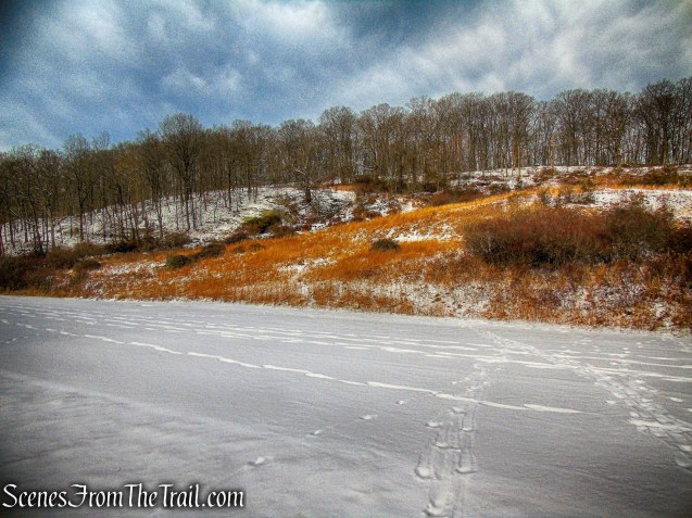
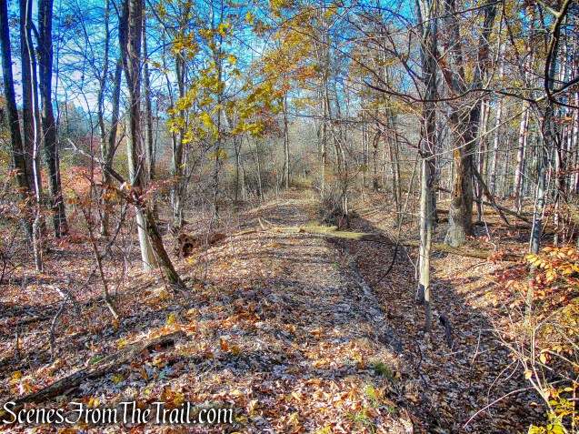
Yellow Trail
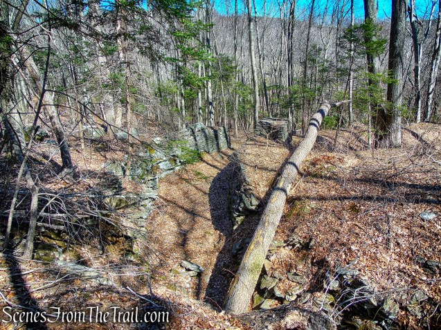
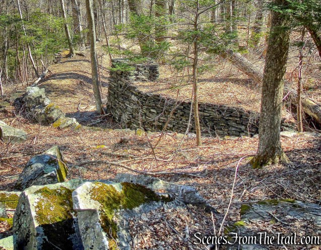
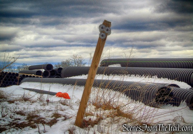
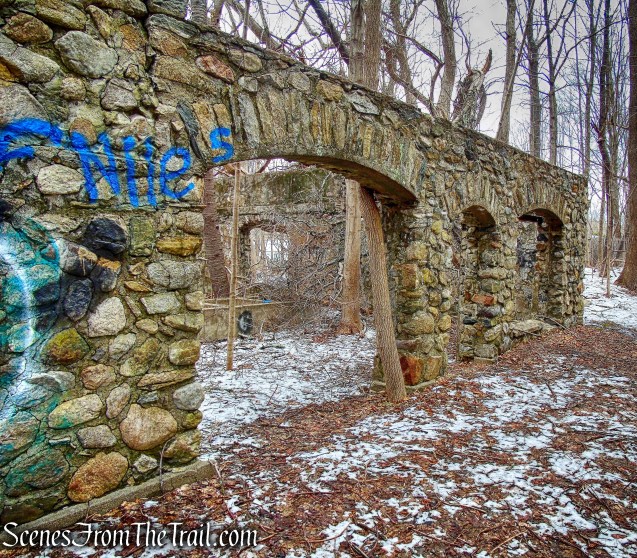
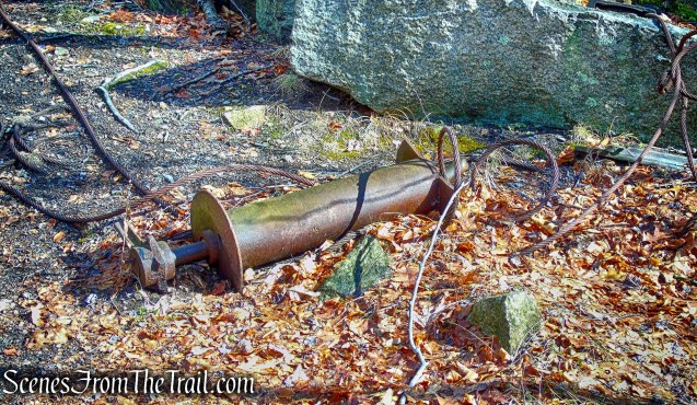
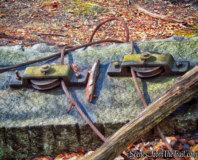
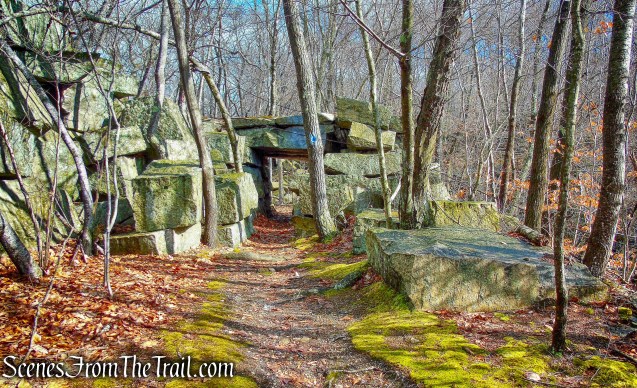
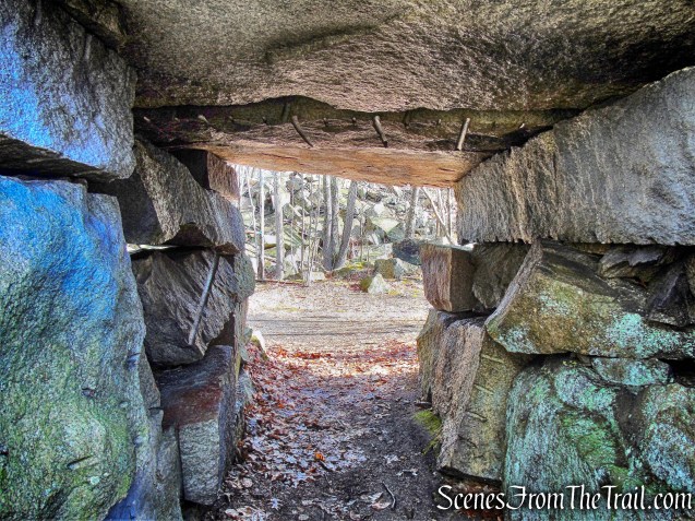
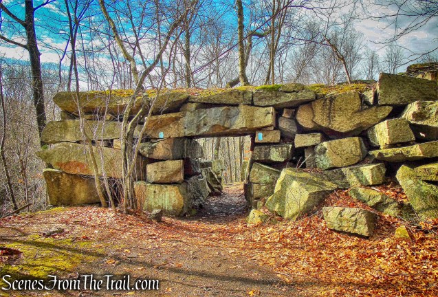
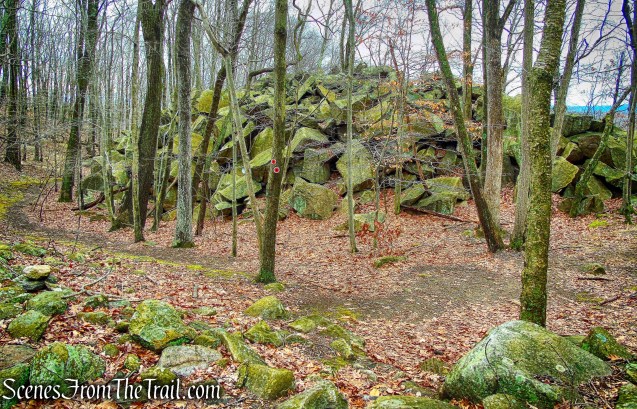
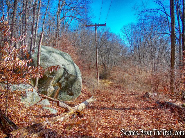
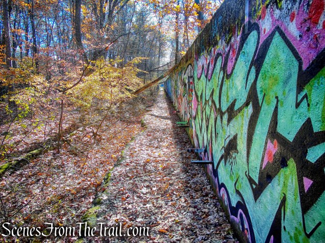
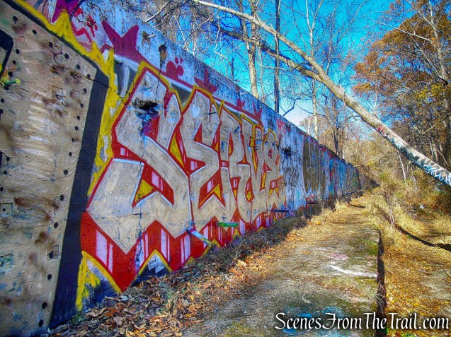
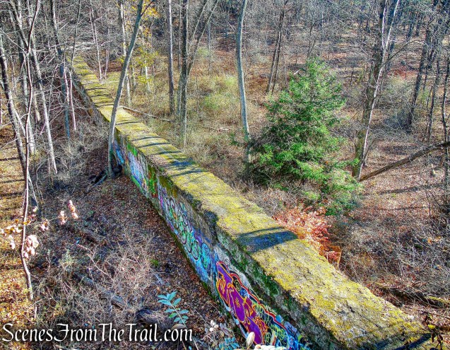
At the next intersection, the trail bears left and continues parallel to the paved Weasel Drift Road. Just before reaching the park boundary, the yellow blazes turn left, leaving the road and ascend into the woods on a footpath. With the access road to the stables visible ahead, the trail bears right and passes between abandoned concrete tank supports.
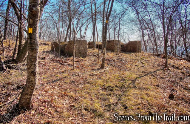
concrete tank supports – Yellow Trail
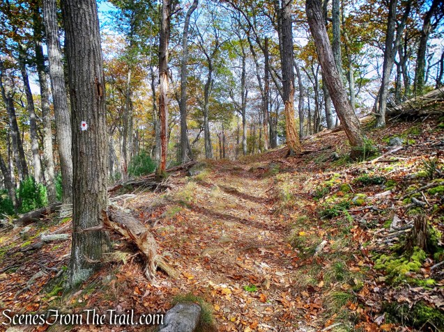
The trail then begins to run along the ridge of Garret Mountain, with the stables to the left.
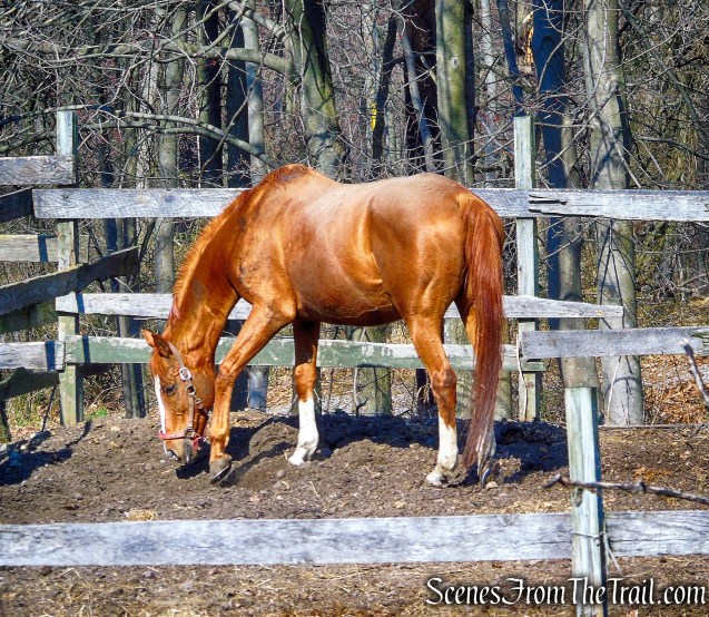
Garret Mountain Equestrian Center
At the end of the stables, the trail bears left then turns right, continuing along the ridge.
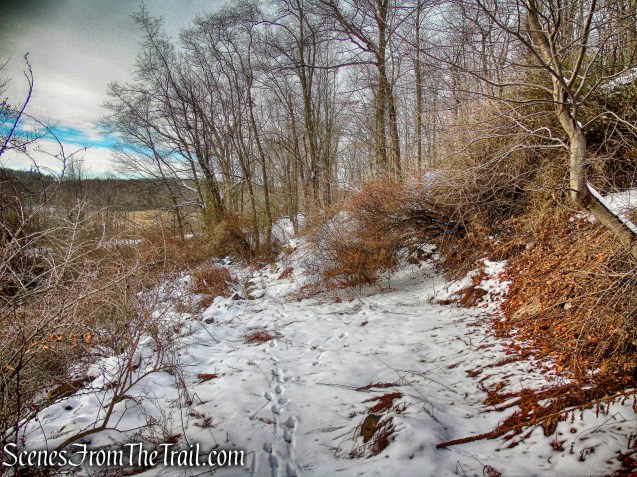
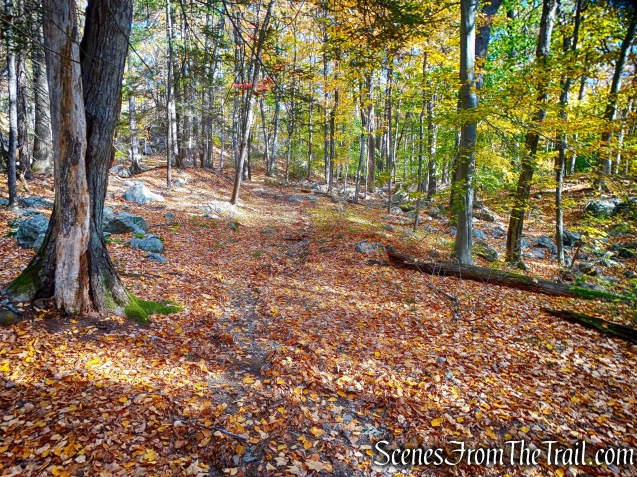
Yellow Trail
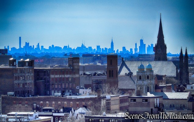
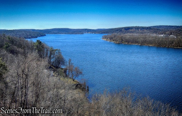
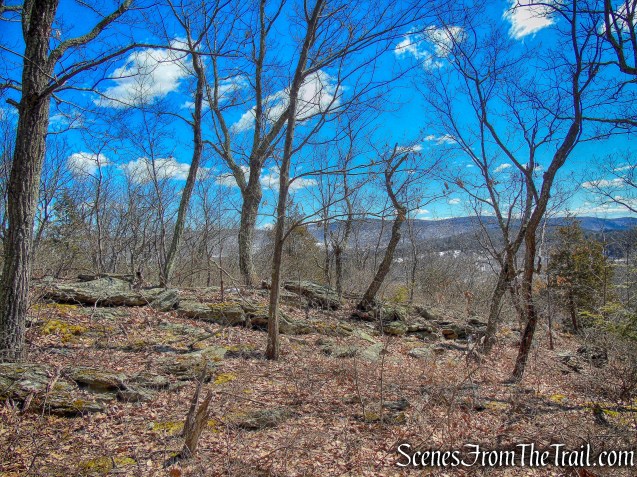
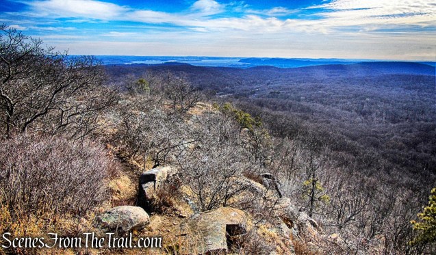
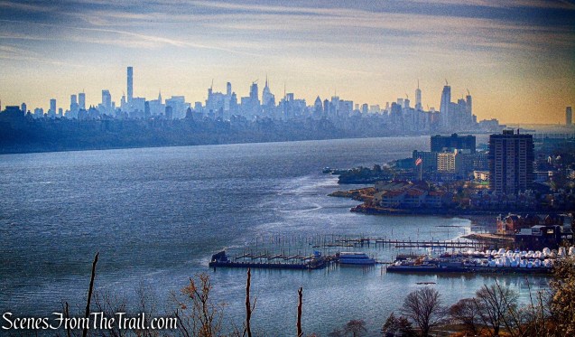
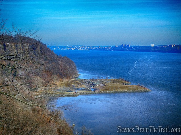
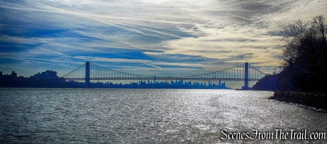
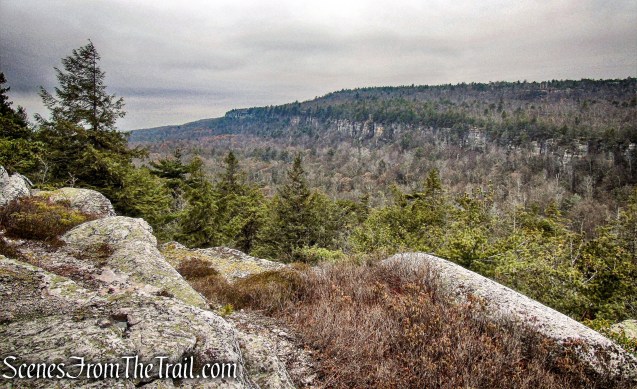
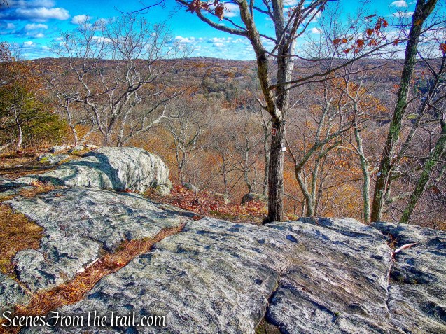
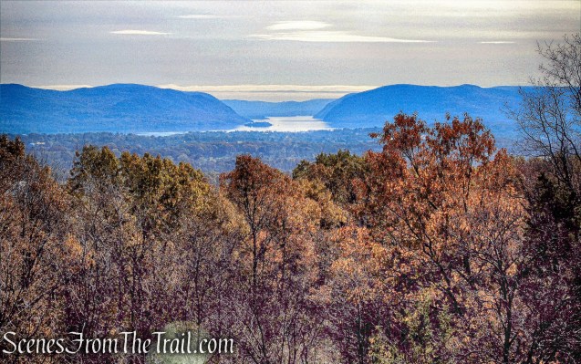
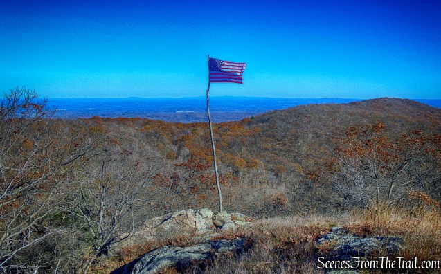
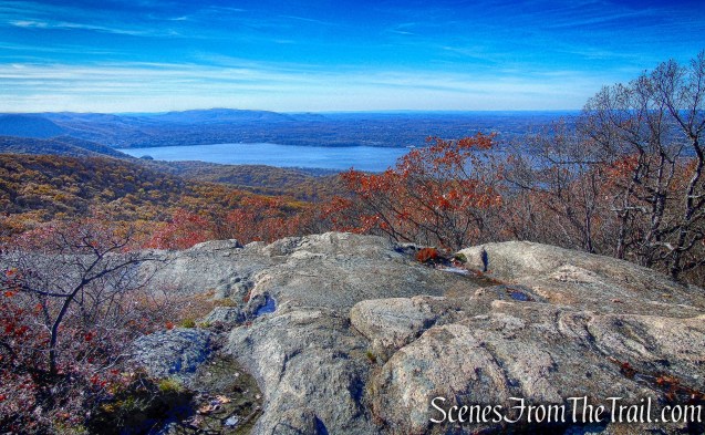
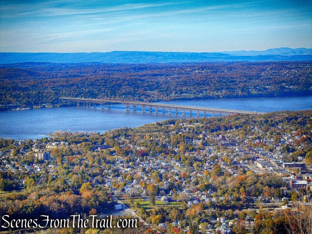
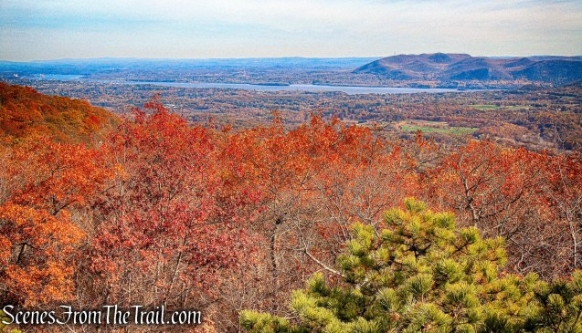
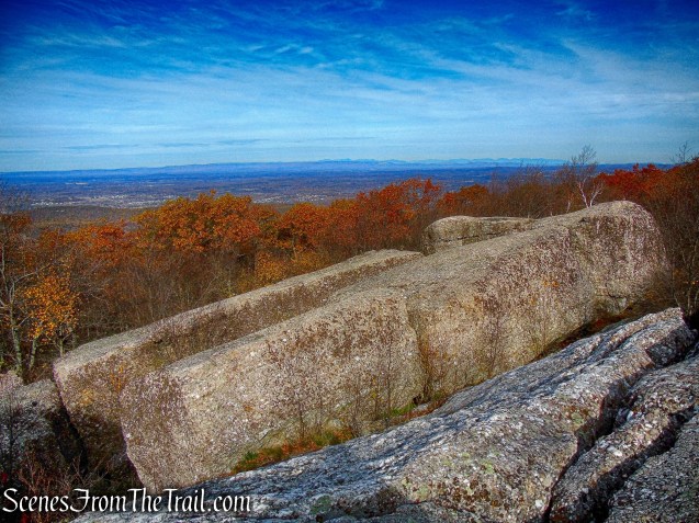
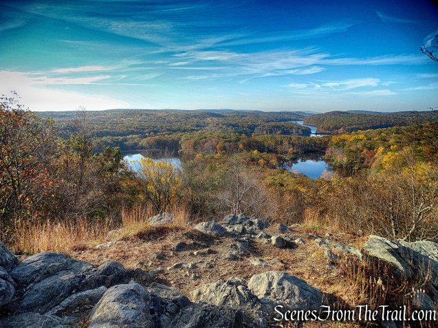
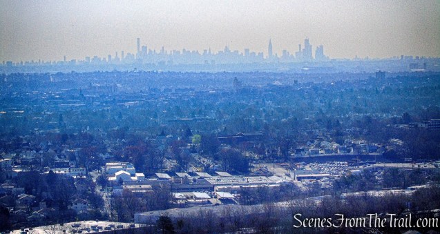
A short distance beyond the stables, the Yellow Trail reaches a viewpoint to the east from the edge of the ridge. Clifton, as well as the southern part of Paterson, may be seen directly below, with much of southern Bergen County beyond and the Manhattan skyline visible in the distance.
view east from the Yellow Trail
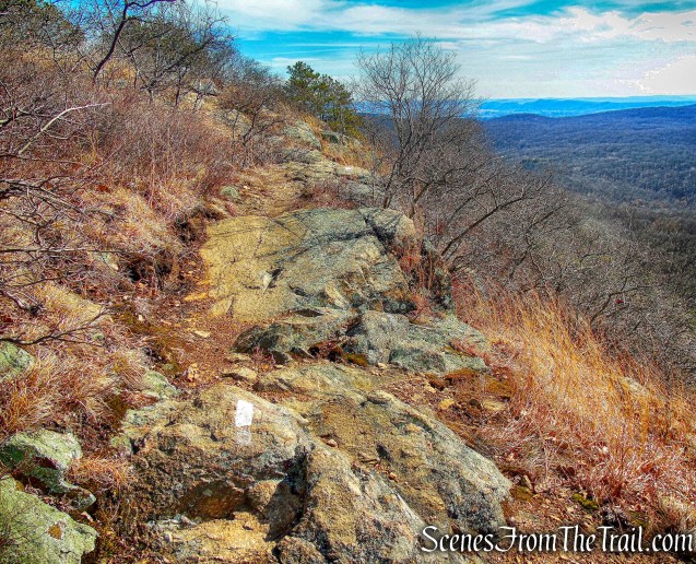
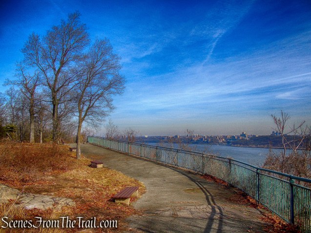
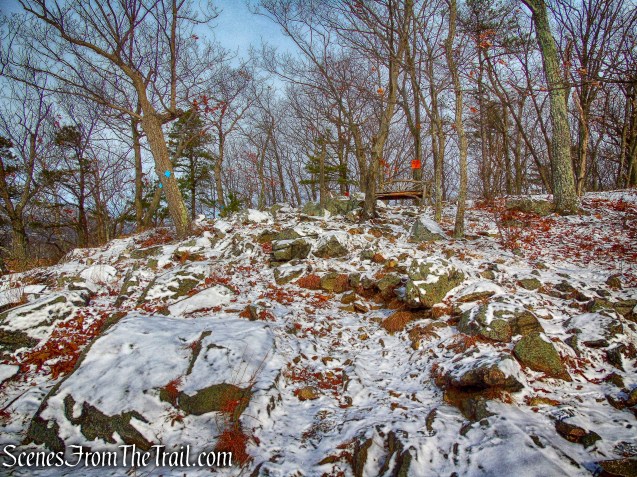
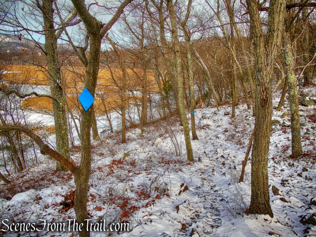
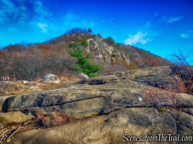
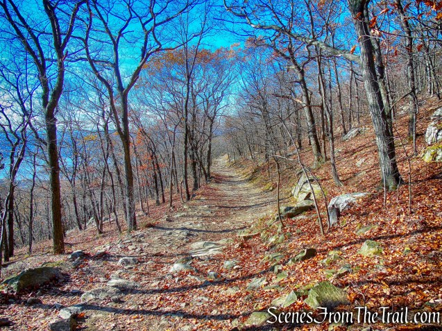
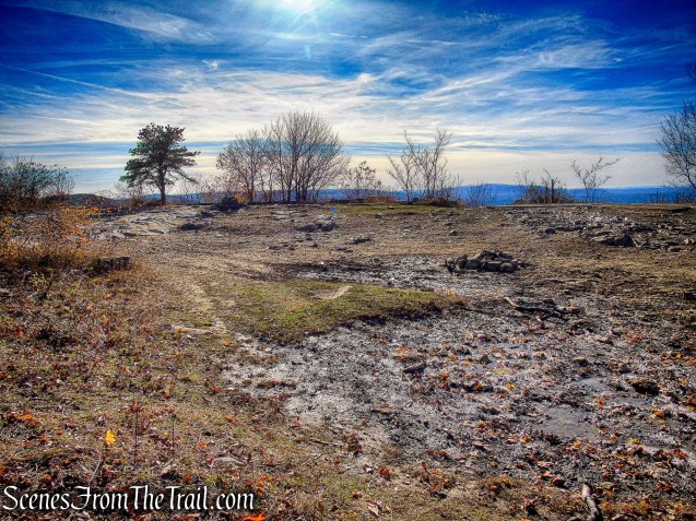
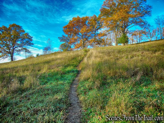
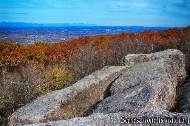
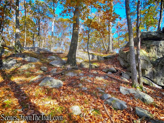
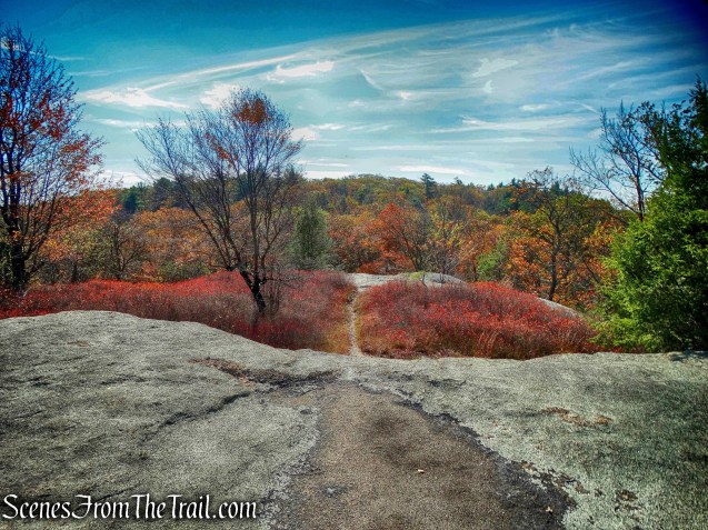
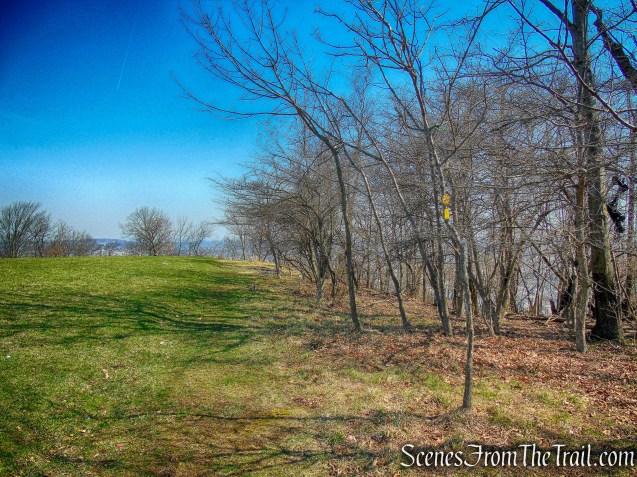
The trail continues north along the ridge, passing several more viewpoints.
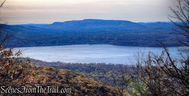
view from the Yellow Trail
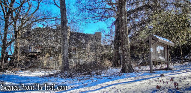
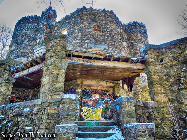
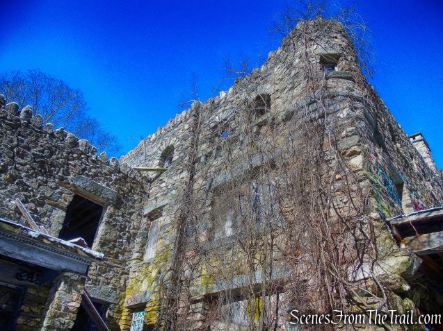
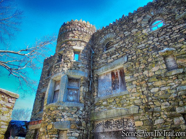
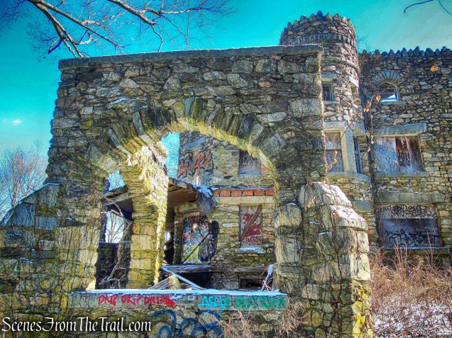
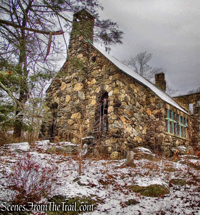
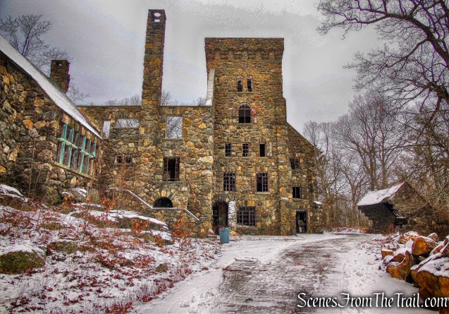
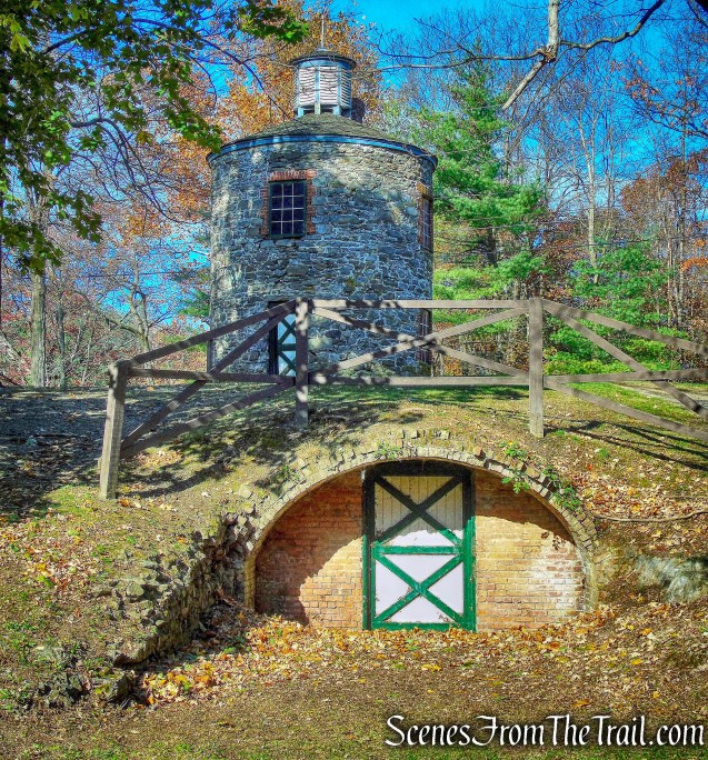
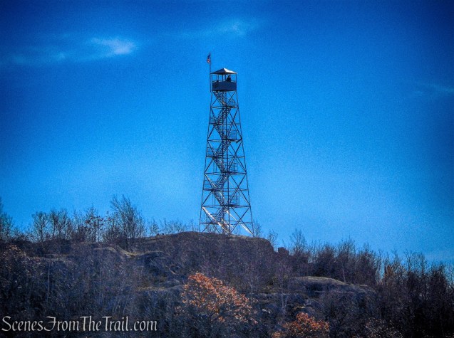
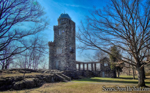
A short distance later Lambert’s Tower comes into view.
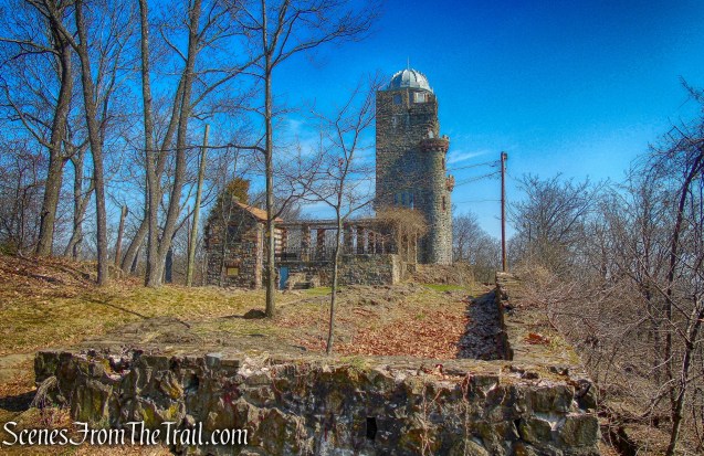
Lambert’s Tower
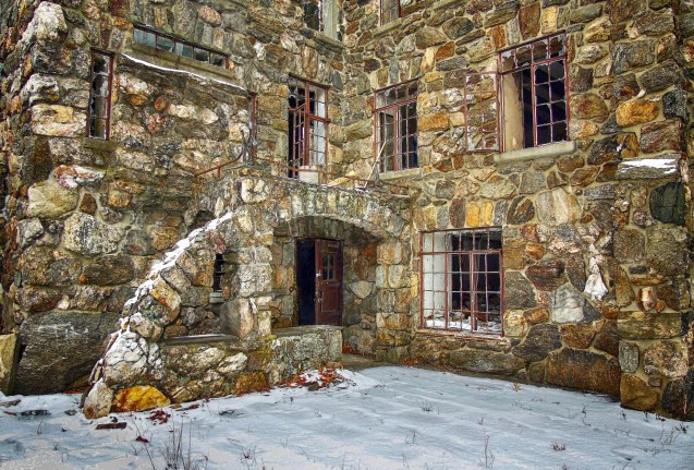
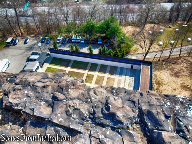
Lambert’s Tower, a 70 foot stone observation tower, was constructed in 1896 by Catholina Lambert. The tower was built on the crest of the cliffs above Lambert Castle, which is visible through the trees below.
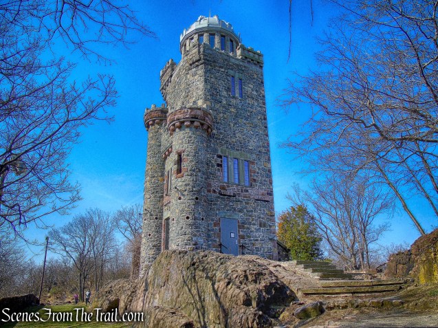
Lambert’s Tower
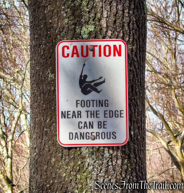
The grounds around the tower and along the 150-foot sheer cliffs are open to visitors of the Garret Mountain Reservation.
Lambert’s Tower
The tower was not open on the day we visited, but the Passaic County Parks website states: It offers stunning views of the area from Bear Mountain NY, to Northern New Jersey, the George Washington Bridge and the New York City skyline all the way to the Verrazano Narrows Bridge and beyond to Sandy Hook, NJ.
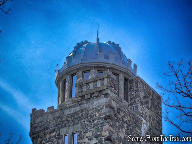
Lambert’s Tower
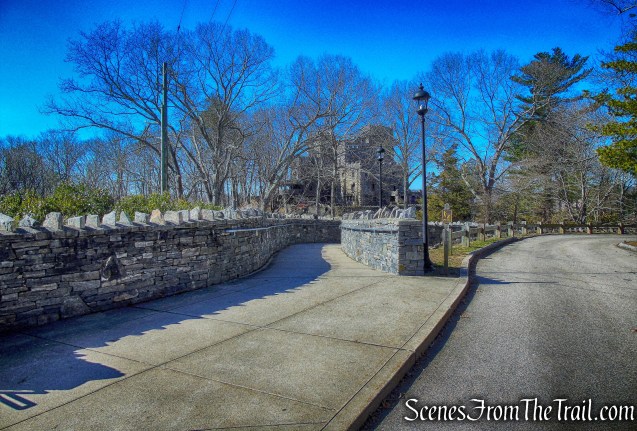
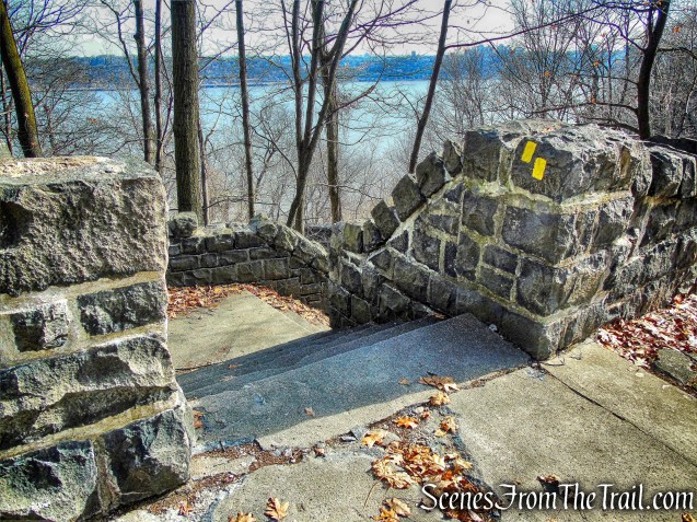
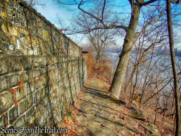
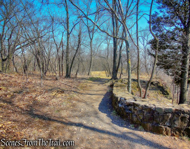
The trail passes to the right of the tower along a stone wall. Just past the tower, the Morris Canal Greenway Trail (marked with canal-boat-logo-on-yellow blazes) joins. We continued to follow both the yellow and the Greenway logo blazes. The crushed stone path at a break in the stone wall leads downhill to Lambert Castle. There were quite a few cars in the in the parking lot of the castle so we decided not to walk down to it.
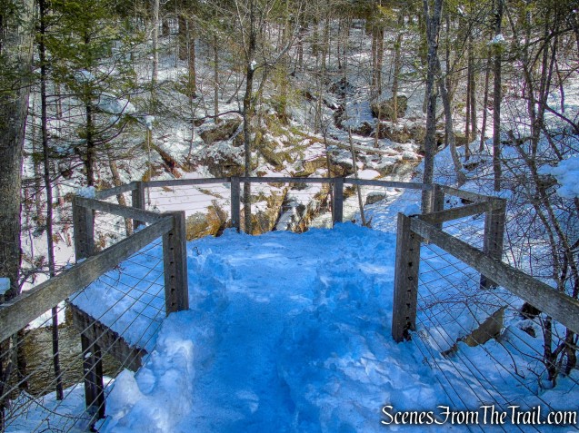
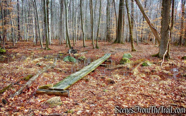
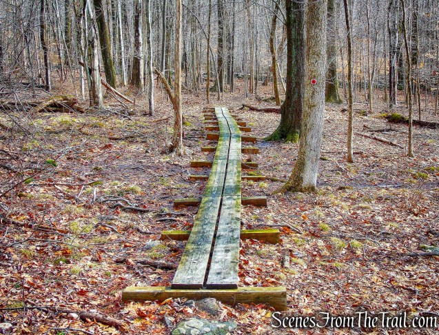
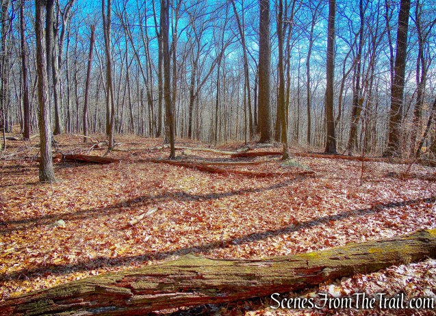
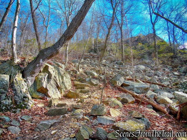
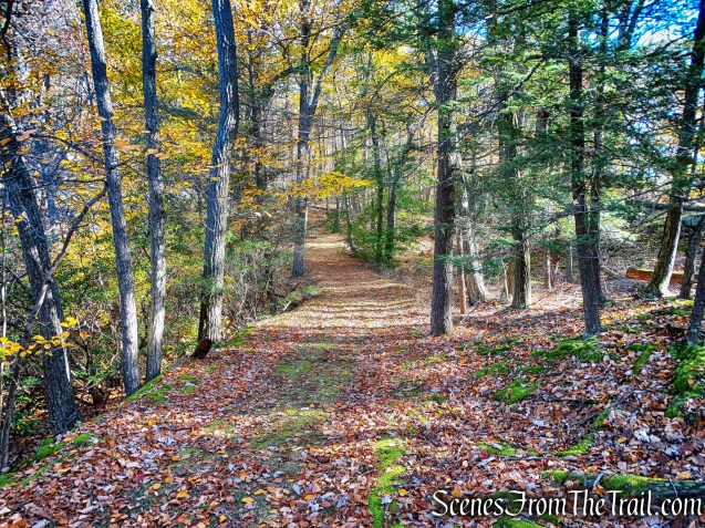
Yellow Trail
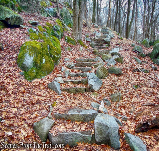
After curving to the right, the trail descends on a rocky path and stone steps, and it briefly parallels the paved park road.
Yellow Trail
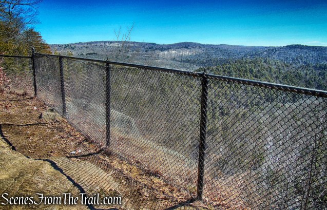
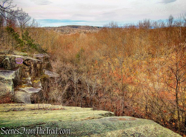
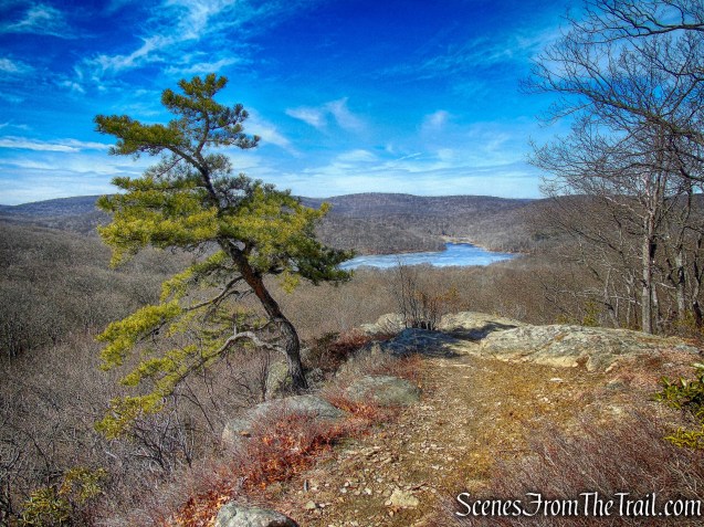
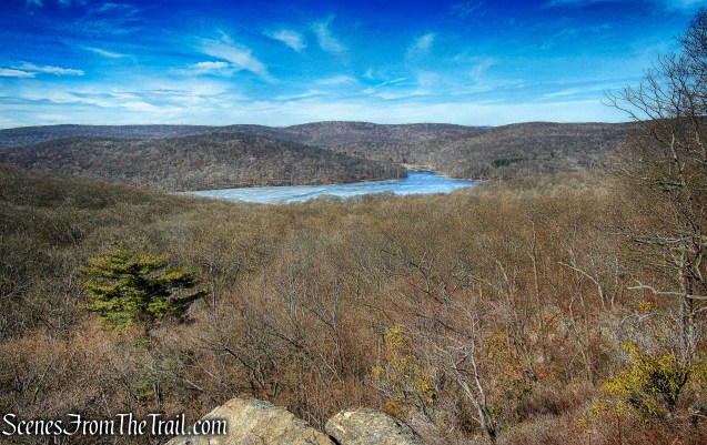
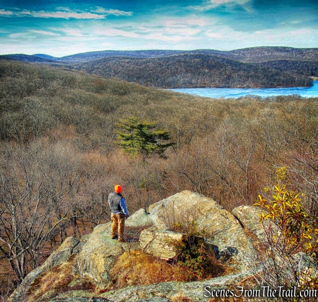
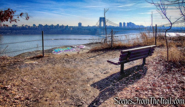
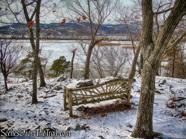
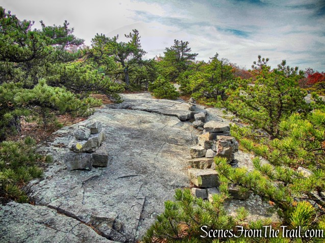
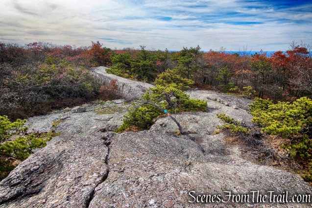
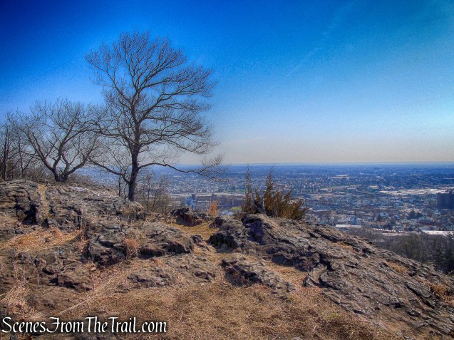
About 0.2 mile from the tower, a side trail to the right leads to another expansive viewpoint to the east from the edge of a cliff.
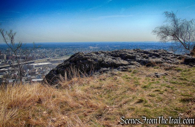
viewpoint – side trail
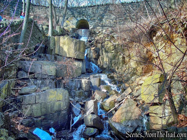
A police firing range is located directly below and we could hear gunshots.
police firing range
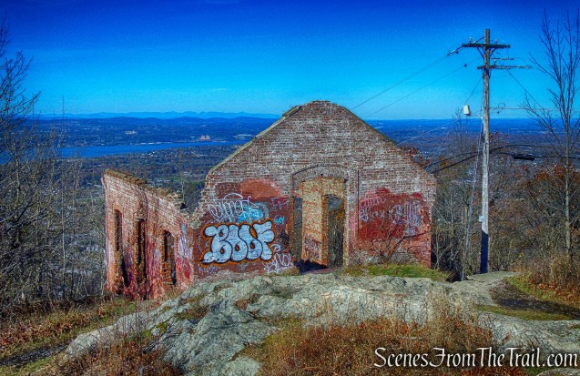
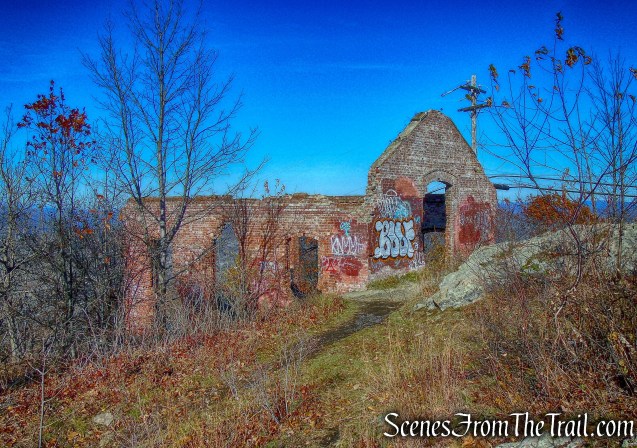
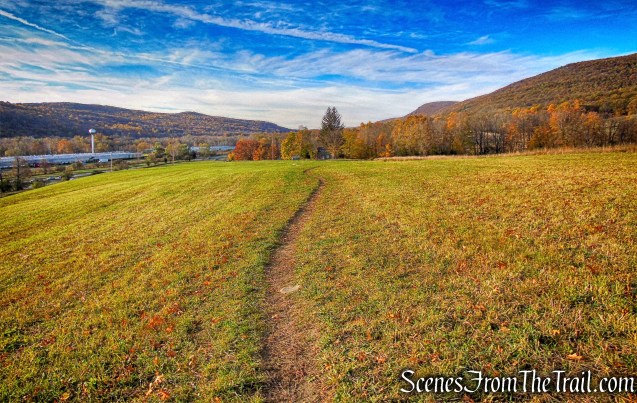
The trail soon passes a small gravel parking area on the left, follows a footpath into the woods, then emerges onto a grassy field and follows along its right side.
grassy field – Yellow Trail
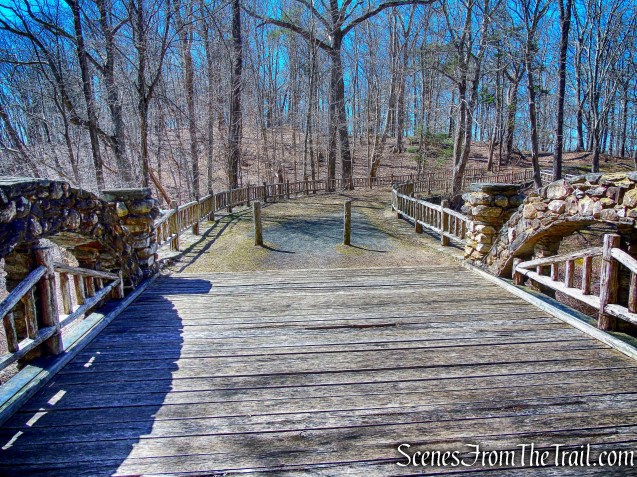
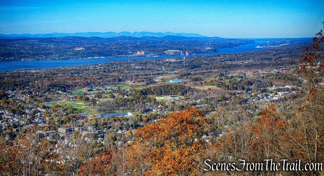
At the end of the field, the Yellow Trail, together with the Greenway Trail, descend on a footpath to the entrance of an overlook. Here, the White Trail and the Greenway Trail leave to the right. The overlook affords a panoramic view over downtown Paterson (directly below) and High Mountain to the north.
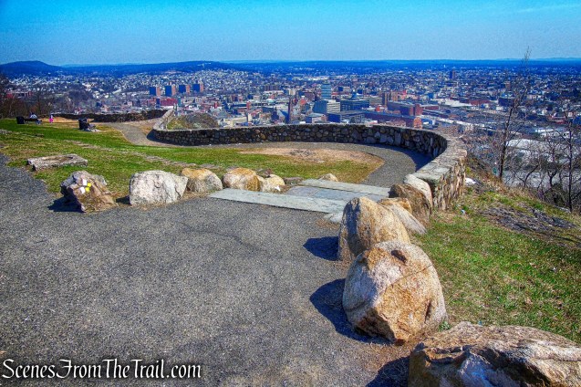
overlook
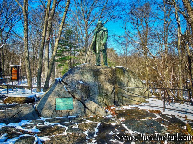
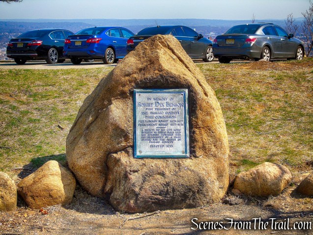
After taking in the view, we continued on the Yellow Trail, which follows Park Road, passing the Benson Memorial which honors the first president of the Passaic County Park Commission.
Benson Memorial
At the next junction, we followed the Yellow Trail as it bears right and climbs along a paved road that leads to Veterans Memorial Point, the site of a communications tower.
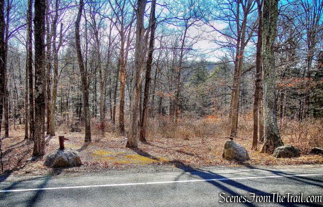
Yellow Trail
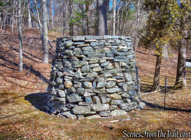
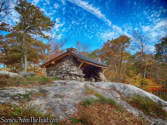
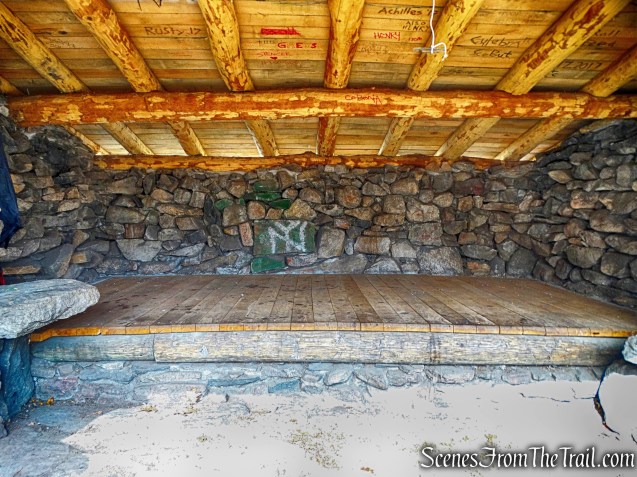
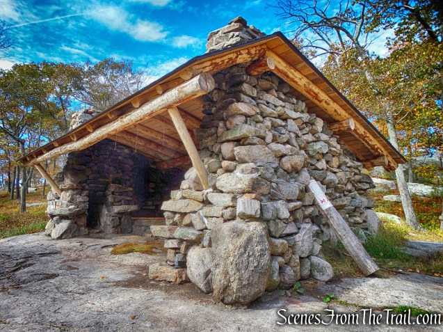
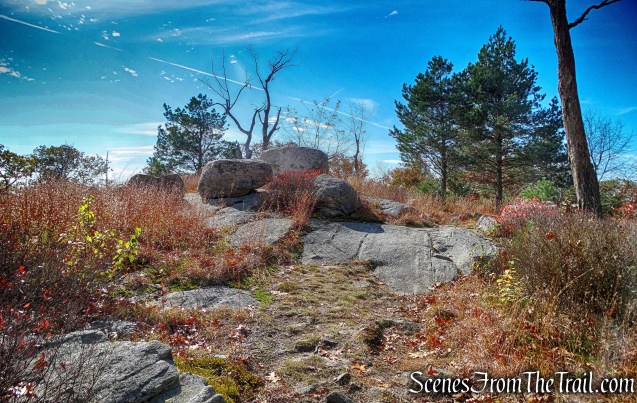
Just to the left of the trail is a round stone platform called the “Crow’s Nest.”
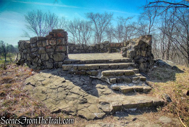
Crow’s Nest
Just beyond a guardrail barrier at the end of the paved road, the trail bears left and descends into the woods. A quarter of a mile beyond, after crossing the White Trail, the Yellow Trail climbs over a small rise.
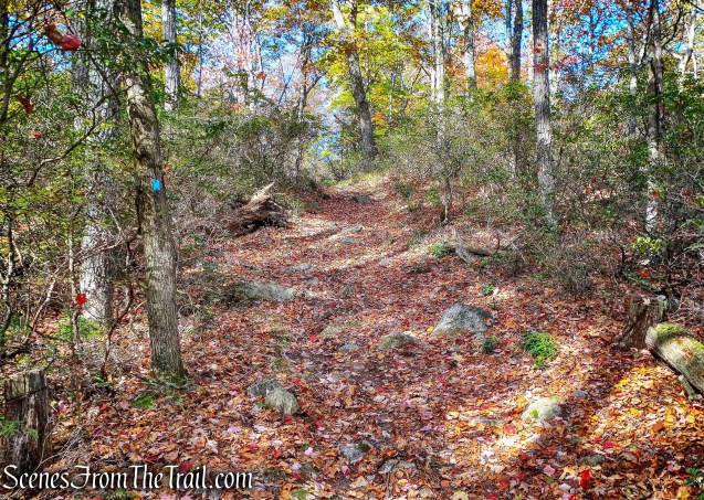
Yellow Trail
The trail then descends, first gradually, then more steeply on switchbacks. At the base of the descent, the trail turns right onto a path, then bears left and crosses the park entrance road. Here is where we lost the trail. The Yellow Trail bears right and travels alongside Mountain Avenue. We stayed to the left and began following a gravel road. At this point it didn’t make any difference. Instead of walking along the west side of Barbour Pond, we walked along the east side.
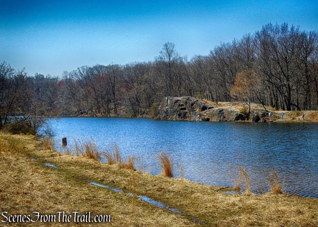
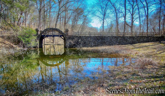
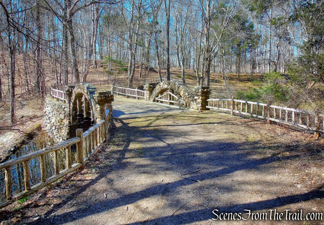
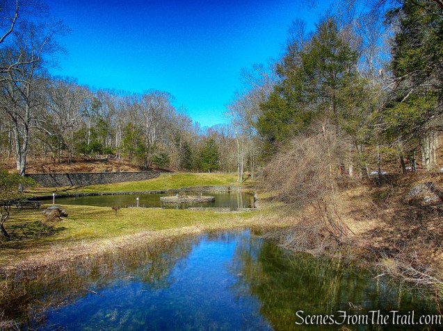
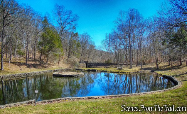
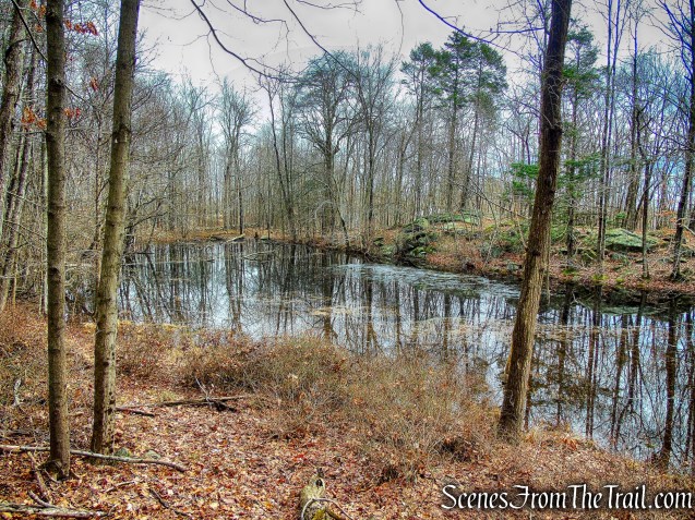
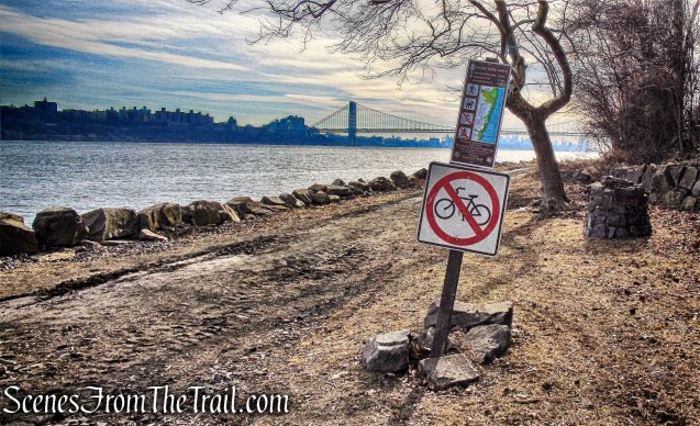
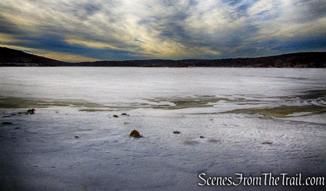
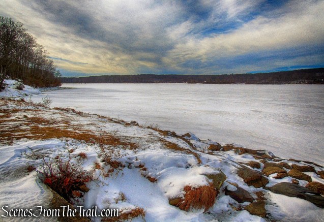
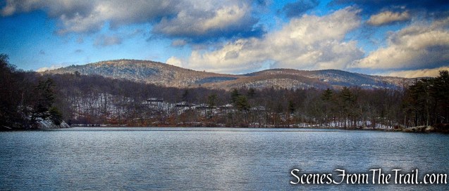
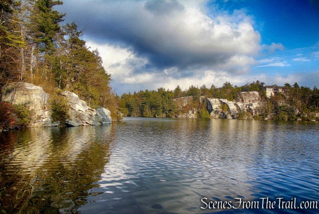
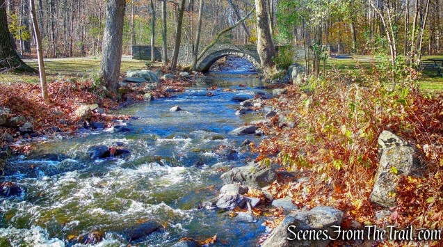
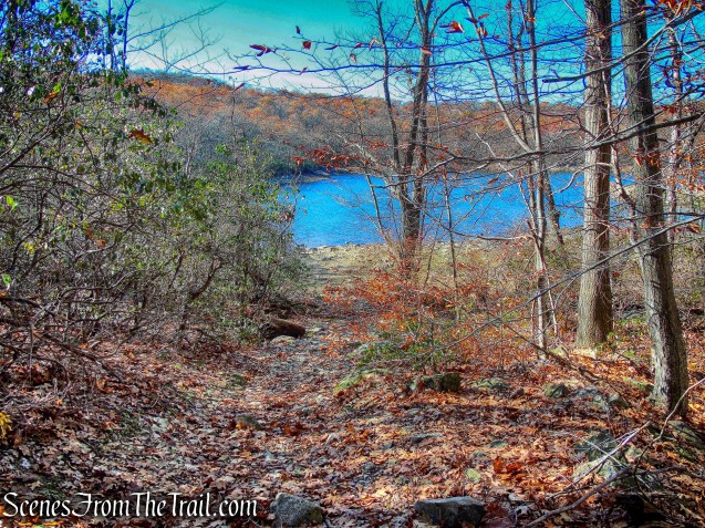
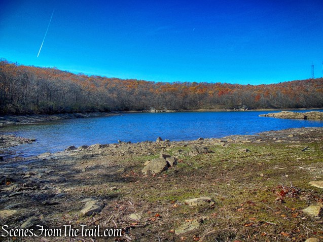
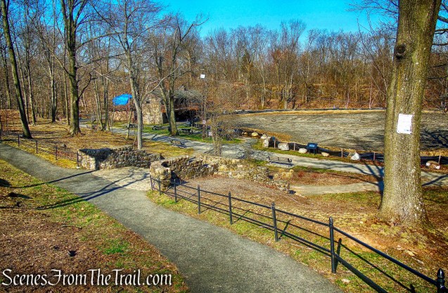
Barbour Pond
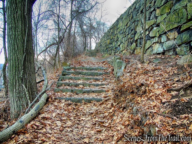
We walked along the pond, stopping occasionally to watch people fish. The pond is supposed to be stocked with fish and we saw a woman that caught a Large Mouth Bass. We then turned left and walked up the stone steps, back to the parking area, where our hike began.
Garret Mountain Reservation
Since we had parked at the Stoney Brook Picnic Area, we were hoping that when we were done with the hike that there would be a table available not too far from the vehicle. Luckily, that was the case and we were able to relax, grill some steaks and enjoy the 76° sunny weather. When we were ready to go, we took a cruise by Lambert Castle.
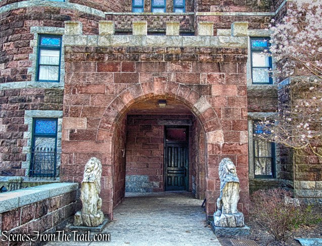
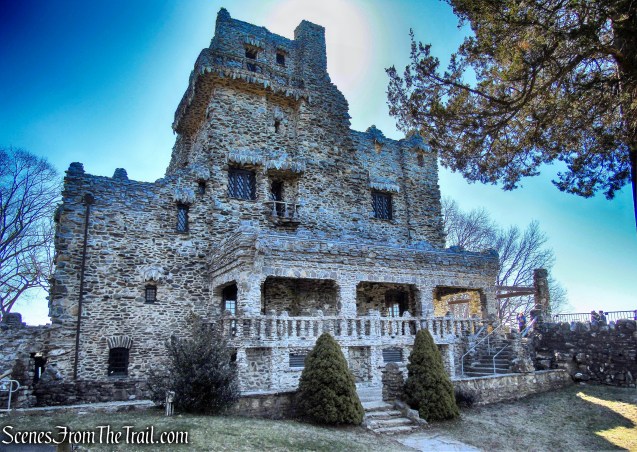
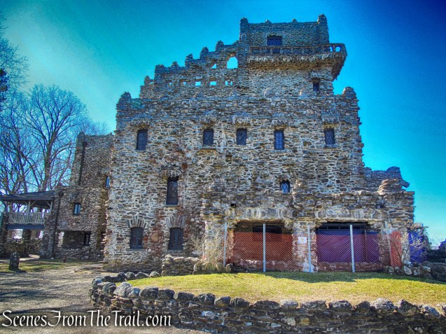
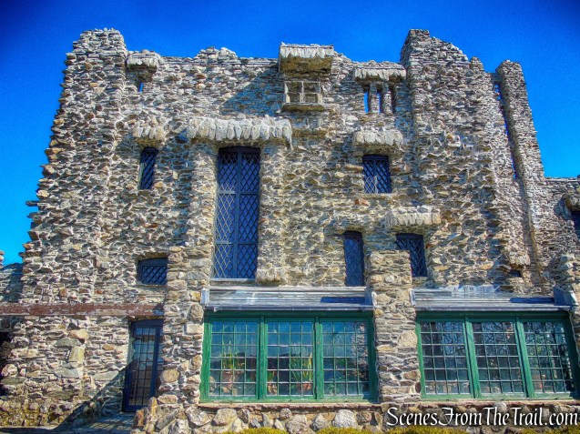
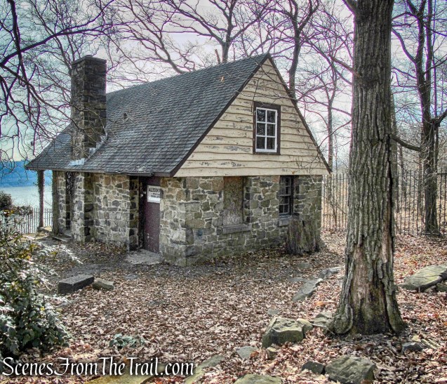
Lambert Castle
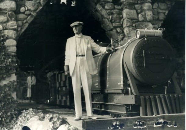
“The Castle,” a well-known landmark in Northern New Jersey, is located on Garret Mountain overlooking the City of Paterson. Once a private residence, the building is fashioned after an English castle. Catholina Lambert, an English immigrant who made his fortune in the silk industry, built the Castle in 1892-93. He named it “Belle Vista.” Many prominent individuals of that era, including President McKinley, visited the Lambert family in their luxurious residence.
Lambert Castle
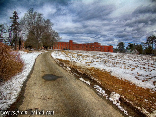
Lambert’s son, Walter, sold the Castle to the City of Paterson in 1925. The city used the building as a Tuberculosis Hospital for several years. In 1928, the title was transferred to the Passaic County Park Commission as part of Garret Mountain Reservation.
Lambert Castle
The New Jersey and National Registers of Historical Places awarded the Castle Landmark Designation in 1976.
Lambert Castle
A nice hike in a very scenic area. Although the place was bustling, it didn’t feel overly crowded. It got a little busy at the points of interest that were near parking areas, but hardly a hiker on the trails. Since this is considered an important bird area, the song birds were serenading us throughout the hike. I doubt that I would return there, but I am glad that I did visit.
Pros: Castle, stone observation tower, scenic views, lots of birds, pond.
Cons: Tower was not open, crowds.

Garret Mountain Reservation
Sources: