November 13, 2016 – Tuxedo, NY
Difficulty: moderate
Length: approximately 6 miles
Route type: circuit
Map: Harriman-Bear Mountain Trails Map
Hogencamp Mountain at an elevation of 1,353 feet, is one of the highest points in Harriman State Park and provides panoramic views of the area. The hike that we decided to do is Iron Mines Loop #1, which I found on the NY/NJ Trail Conference website. This hike leads to interesting remnants of old iron mines and climbs to viewpoints from open rocks. The temperature for this Sunday morning hike started in the low 40’s, but jumped up to about 57 degrees by the afternoon. Perfect hiking weather for November. We arrived at the Lake Skannatati parking area before 9:00 am and there were plenty of parking spots in the lot. Upon our return in the afternoon, the lot was pretty much full. Most parking areas in Harriman State Park fill up quickly, so I always try to get an early jump.
From the northwest corner of the parking area we began following the aqua blazed Long Path alongside of Lake Skannatati.
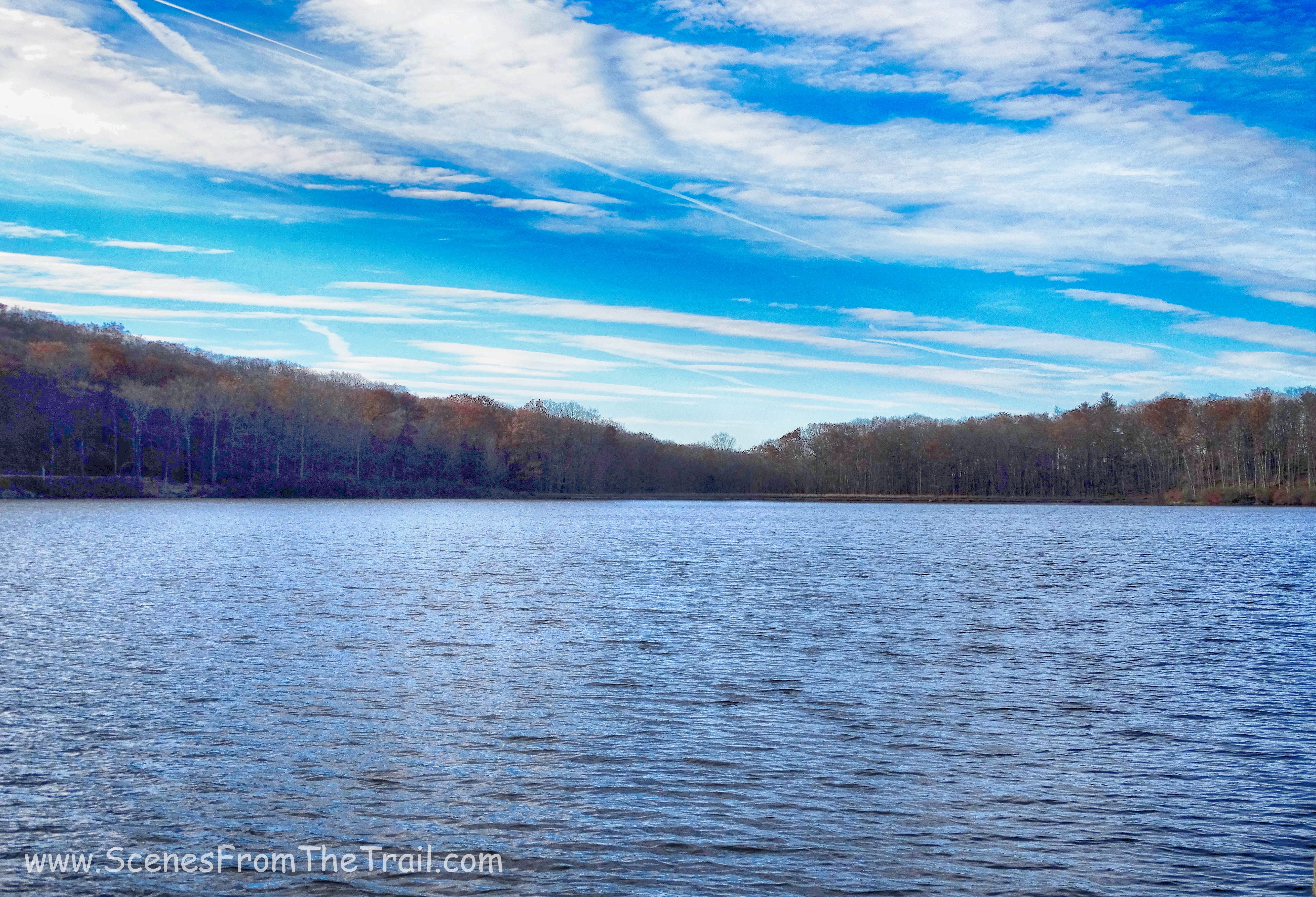
Lake Skannatati
We hiked the Long Path for almost 1.5 miles on a rocky footpath through woods that had some interesting rock formations.
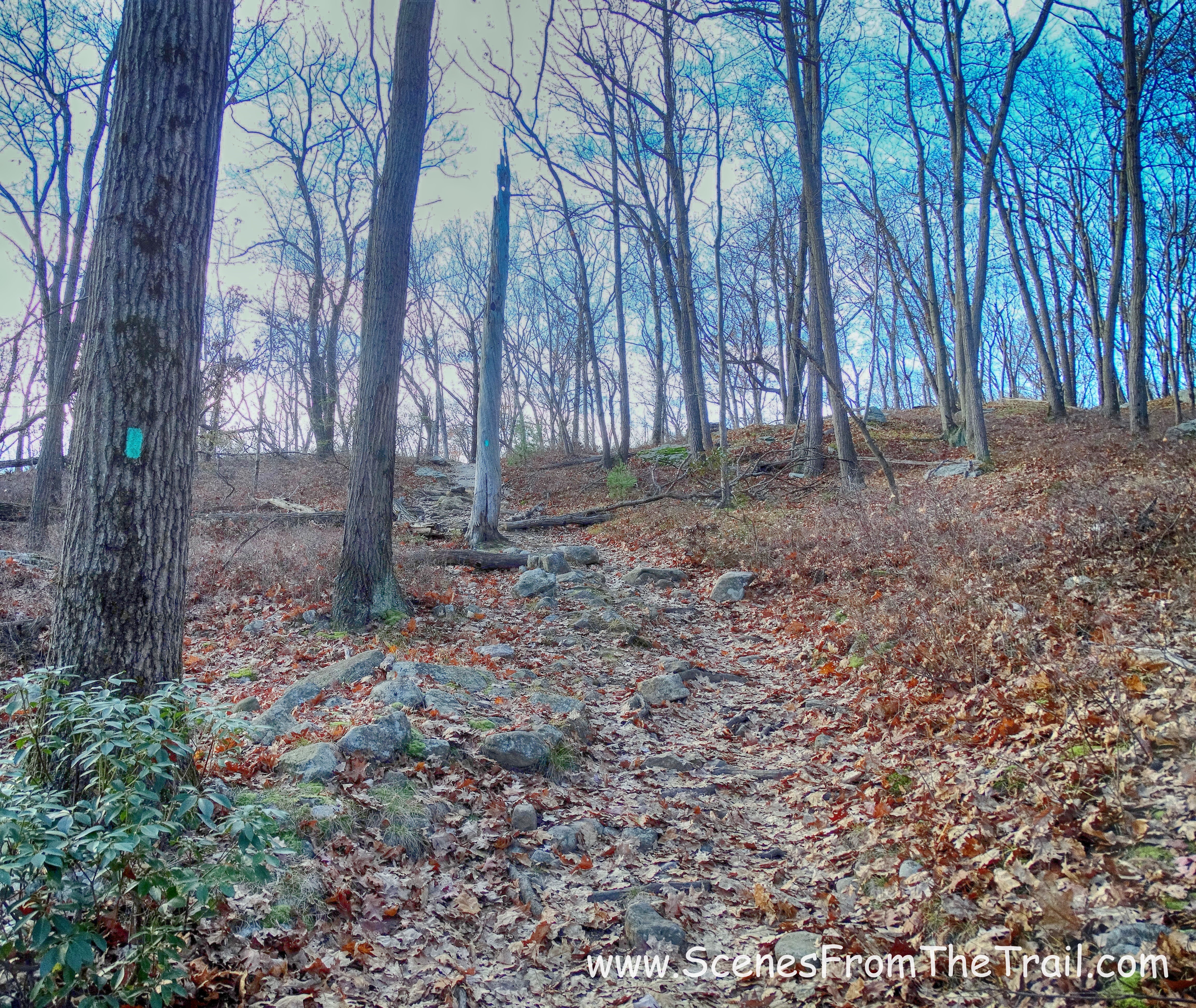
the Long Path
the Long Path
We arrived at a junction with the yellow blazed Dunning Trail and turned left, now following the joint Dunning/Long Path. In a NY minute, we came to a fork where the two trails split and we went left, continuing on the yellow blazed Dunning Trail.
Dunning Trail / Long Path fork
As we hiked on the Dunning Trail, we saw some remnants of mining activity from the Hogencamp Mine which operated from 1870 to 1885. A vertical mine shaft with a pipe sticking out and some foundations that were barely noticeable.
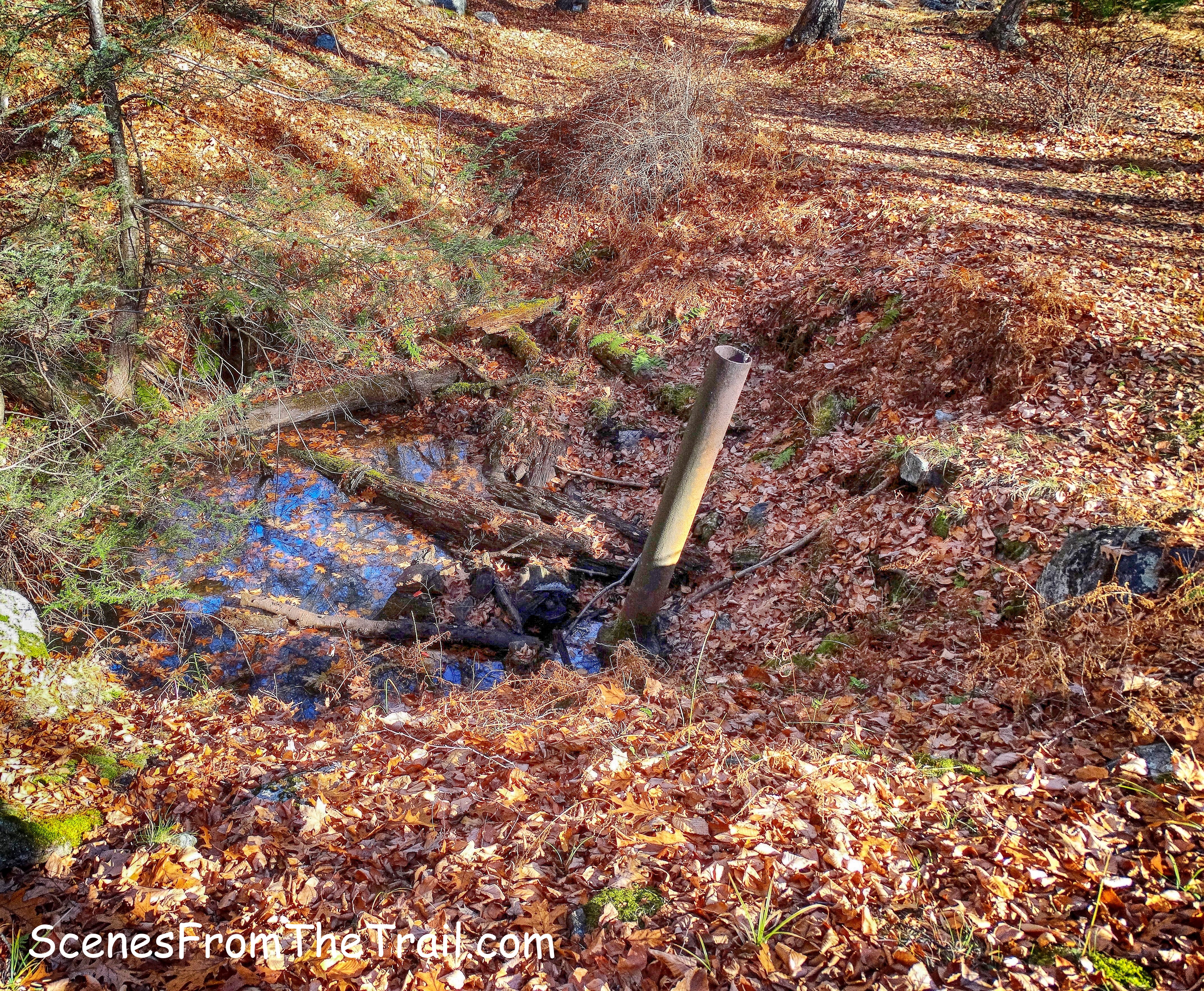
vertical mine shaft
We began to climb again and just off the trail to the left was a viewpoint that overlooked Little Long Pond.
Little Long Pond
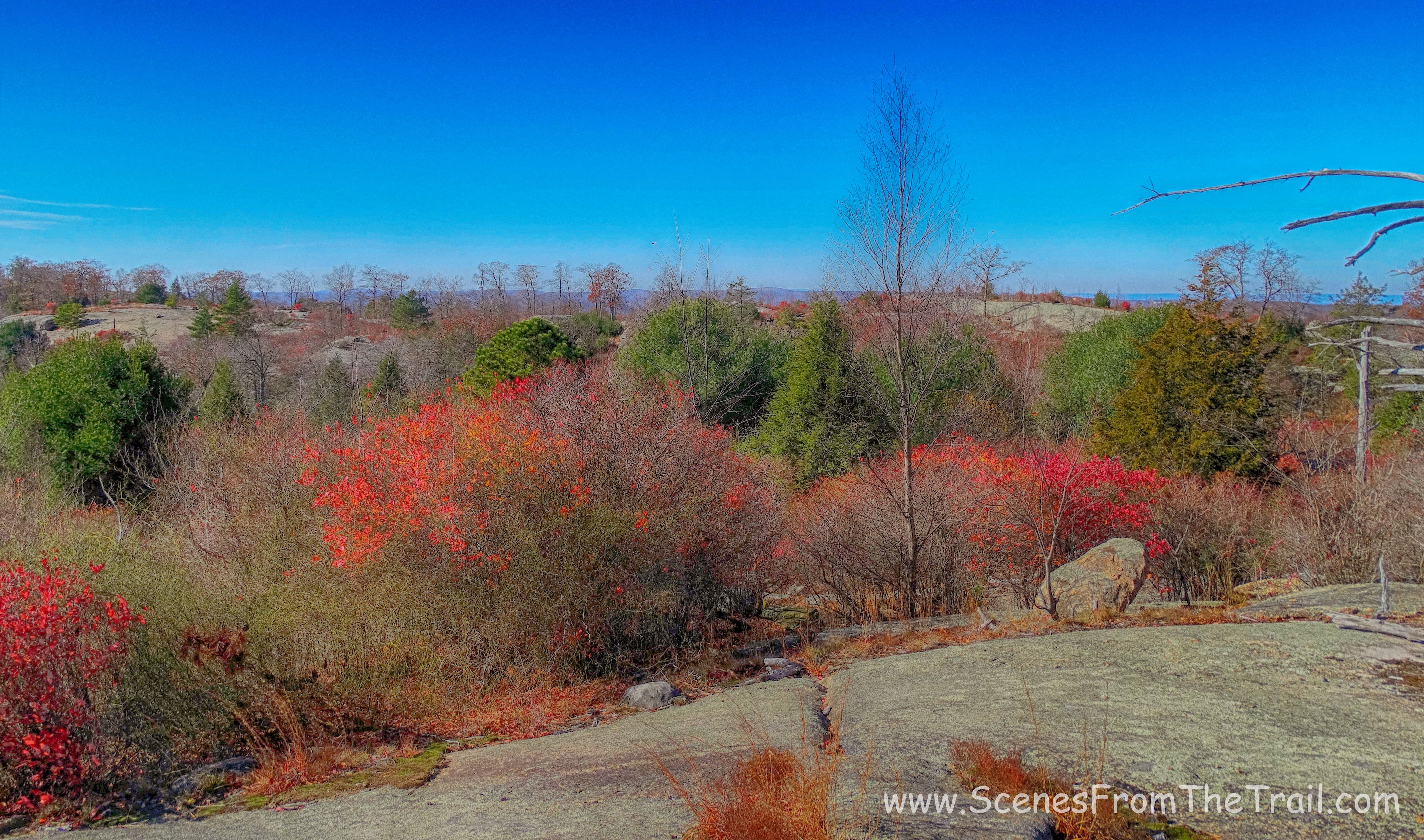
About 2.5 miles into the hike we arrived at an exposed rocky area known as Bowling Rocks. It got its name from the boulders that are scattered along the surface.
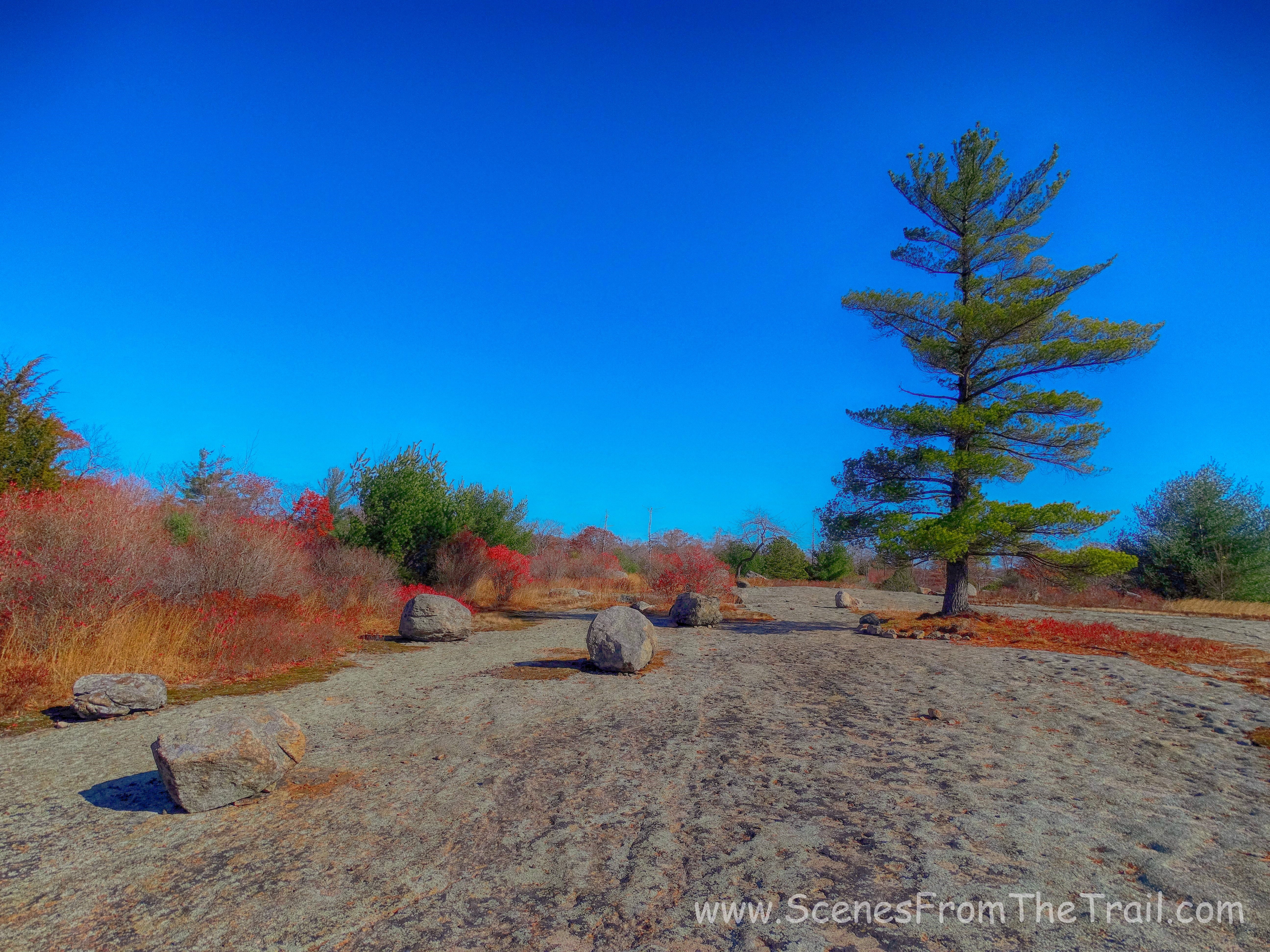
Bowling Rocks
This was a really cool spot so we decided to take a break and enjoy our surroundings. As we were sitting and appreciating this scenic spot, a Red-tailed Hawk flew right by us and landed in a tree close by.
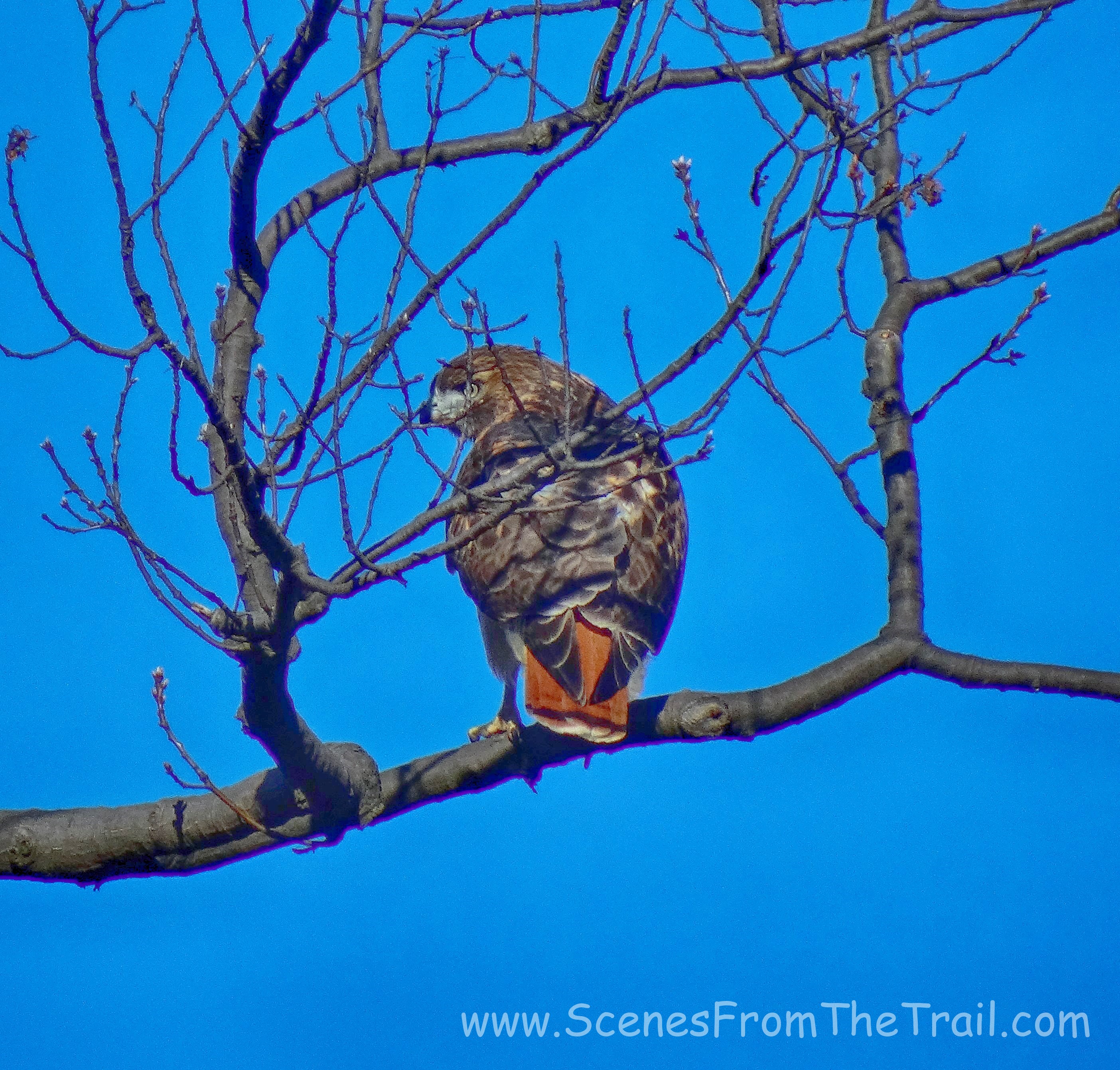
Red-tailed Hawk
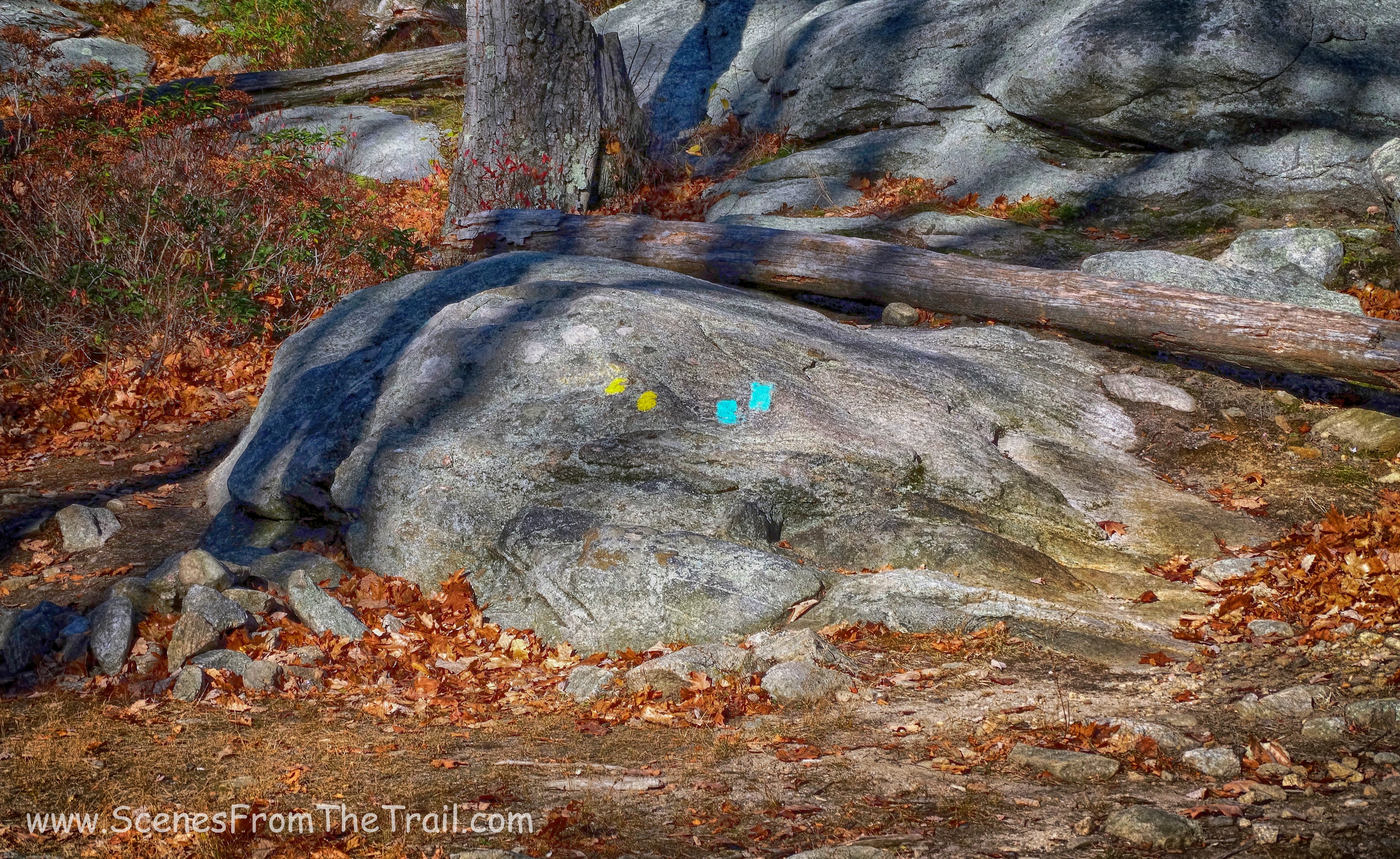
Once the hawk flew off to catch some prey, we took off as well. We continued on the yellow blazed Dunning Trail, but needing to make a right onto the red-dot-on-white-blazed Ramapo-Dunderberg (R-D) Trail. The description of the hike we were following reads: “This junction, which is on the crest of a ridge, is easily missed.” Well folks, we missed it. We actually turned too soon. The trail was not evident until you walked in a bit and picked up the blazes. We turned at what was an unblazed trail, which fit the description of the correct trail pretty closely. After a few back and forths and wandering trails that petered out, we backtracked to the Dunning Trail and continued on until we got to the turn we were supposed to make. This little detour tacked on a little extra mileage to our hike. We were now at about the halfway point of our hike
Ramapo-Dunderberg trail
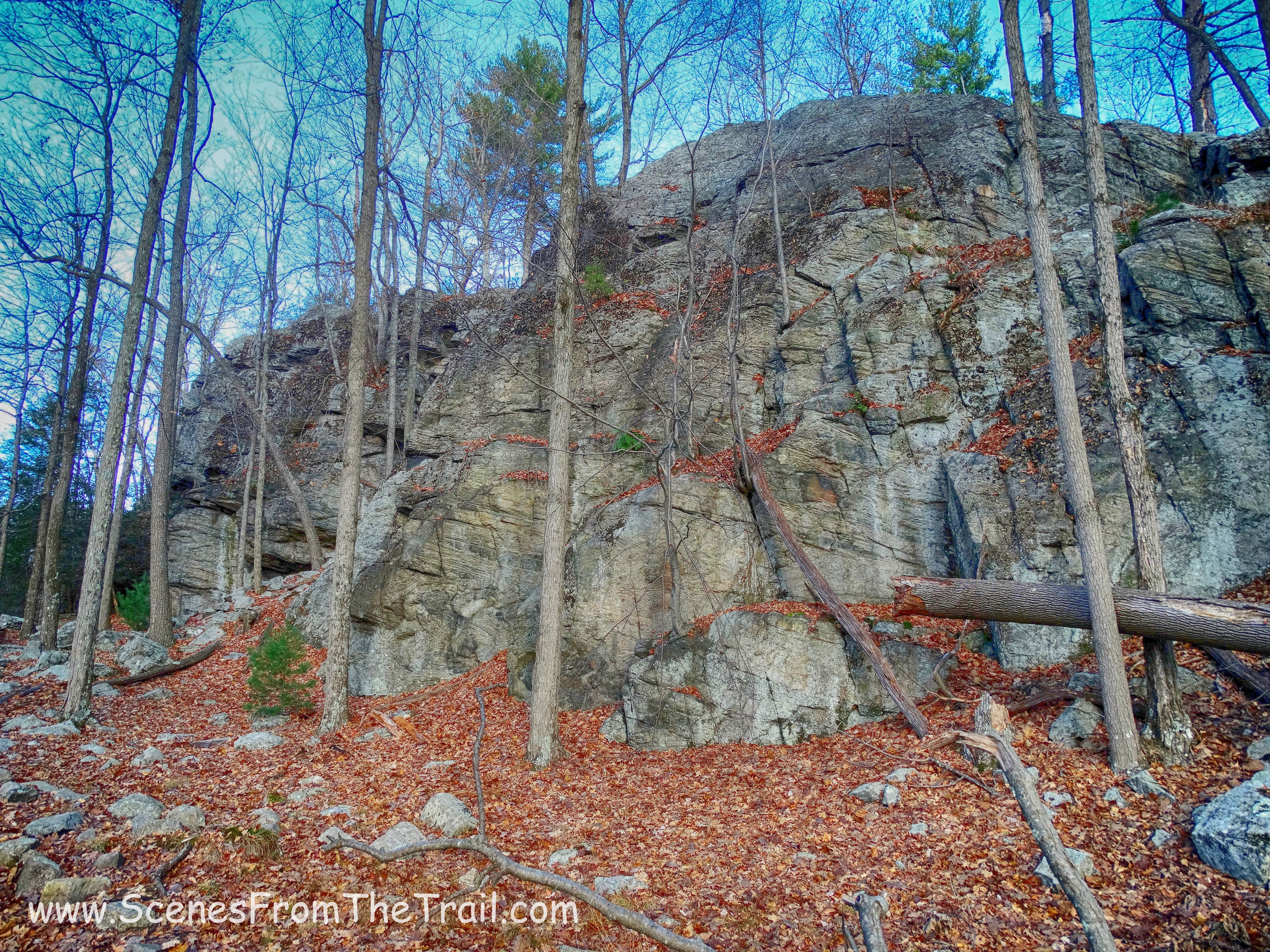
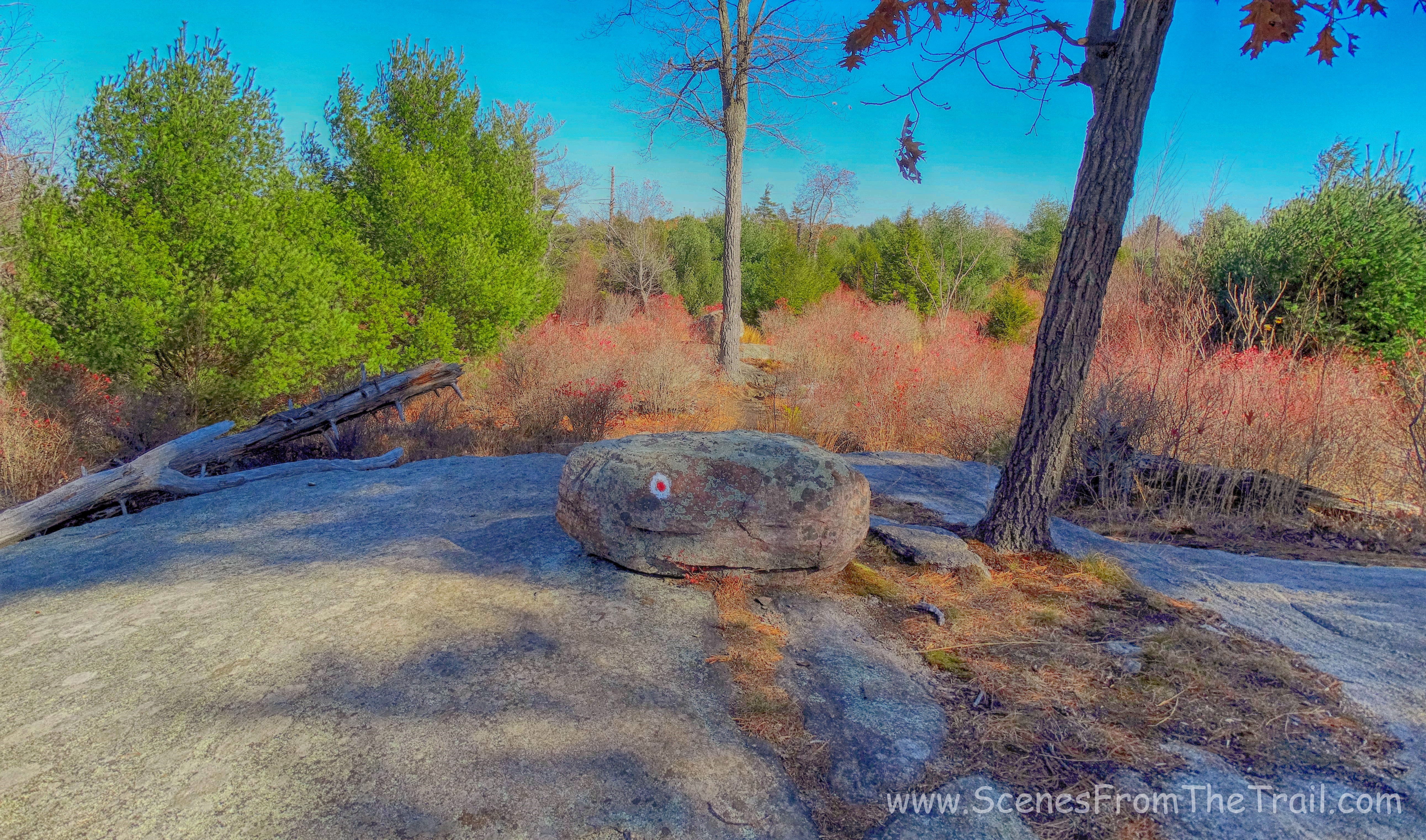
This trail was very enjoyable as it was mostly on exposed rock and the sun felt good on this day. This section of the Ramapo-Dunderberg trail has the blazes painted on the rock surface or on the boulders that dot the trail. This could be a problem if hiked in snow. We crossed a huge open rock surface, known as the Whaleback.
Whaleback
The trail then descended steeply down a rock face and we crossed a stream on a log bridge.
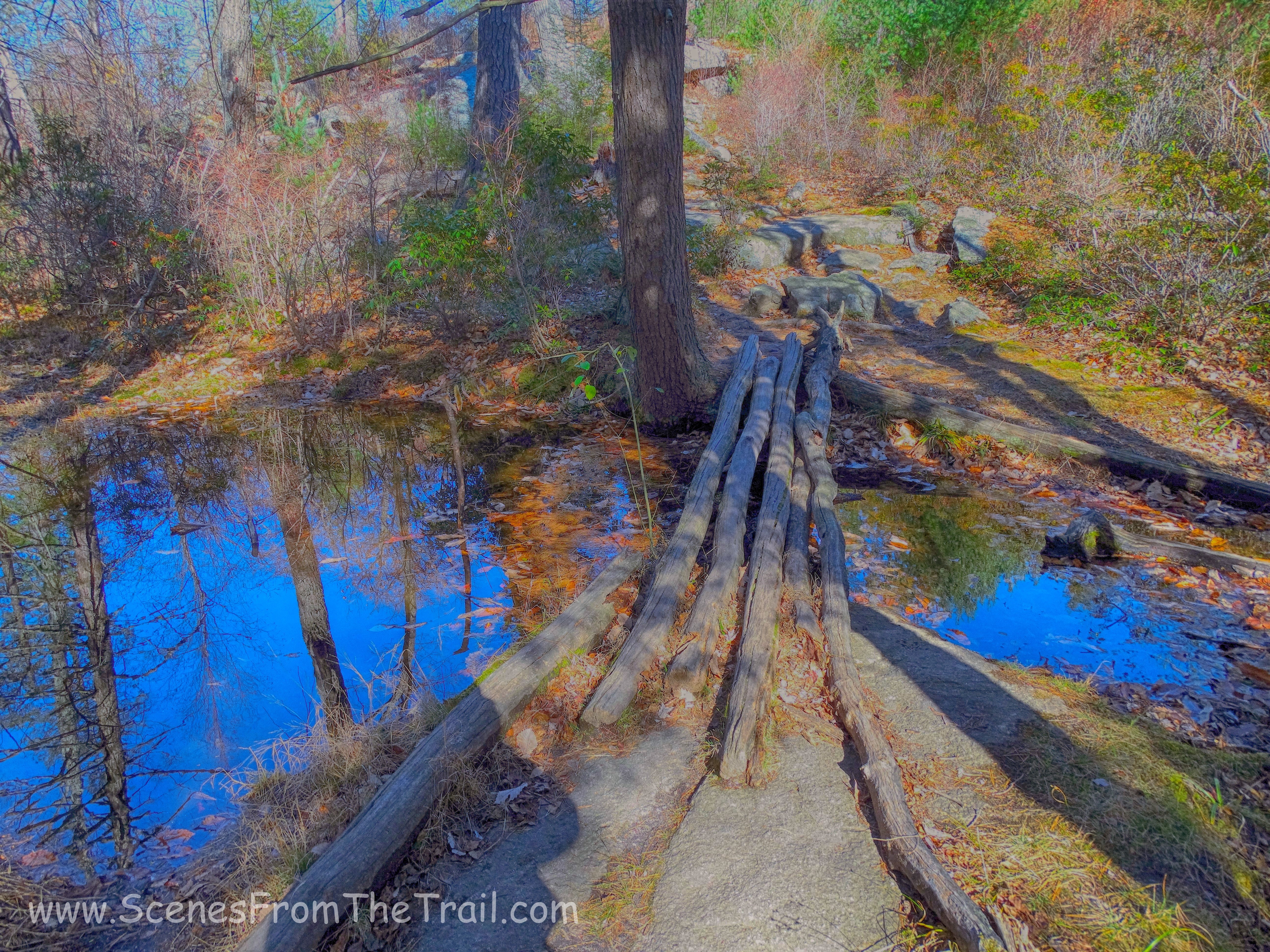
log bridge
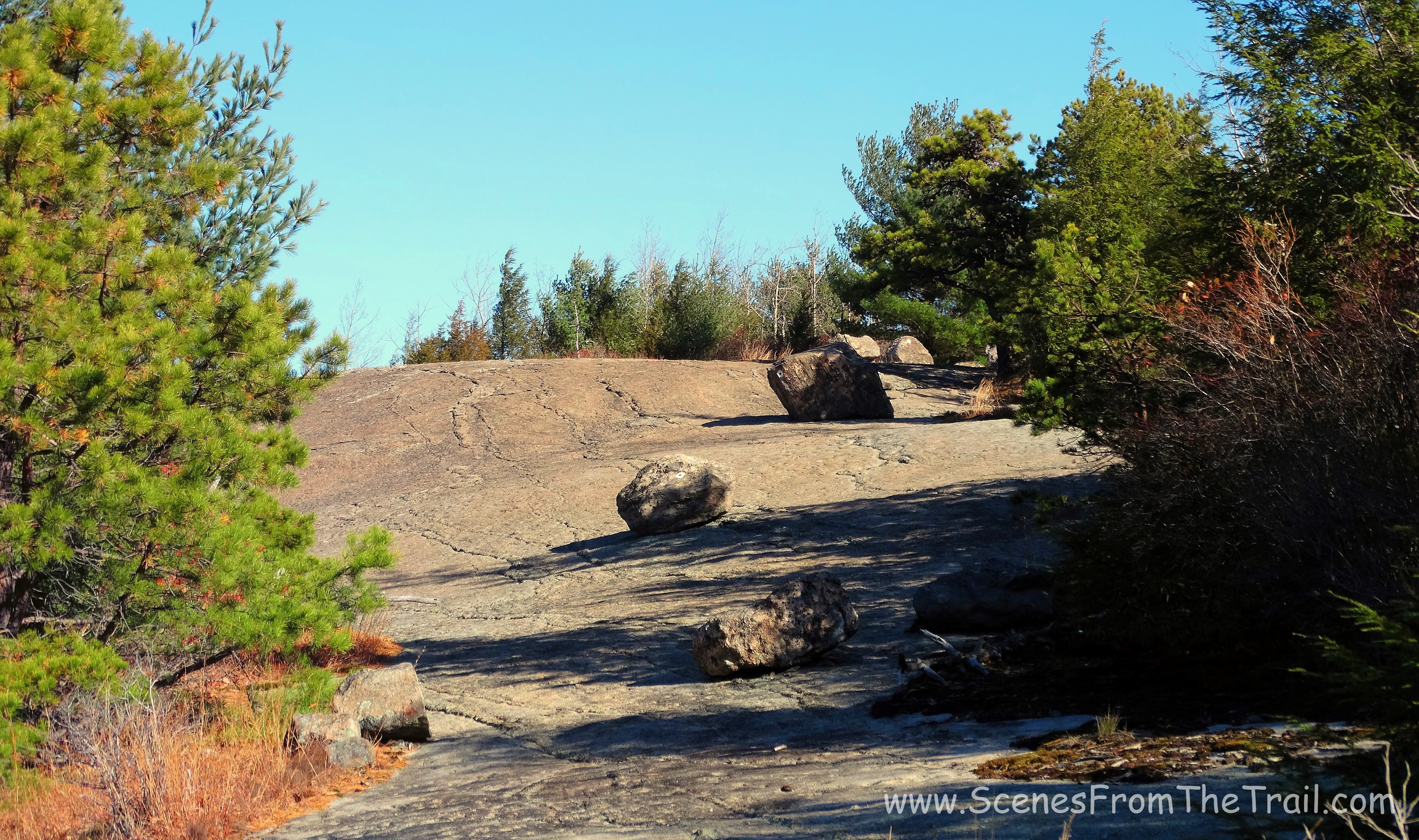
The trail began to climb as we made our way up the open rock surface. We decide that this would be a good place for a break. We sat on the bare rock surface of the Ramapo-Dunderberg trail enjoying this warm sunny day.
Ramapo-Dunderberg trail
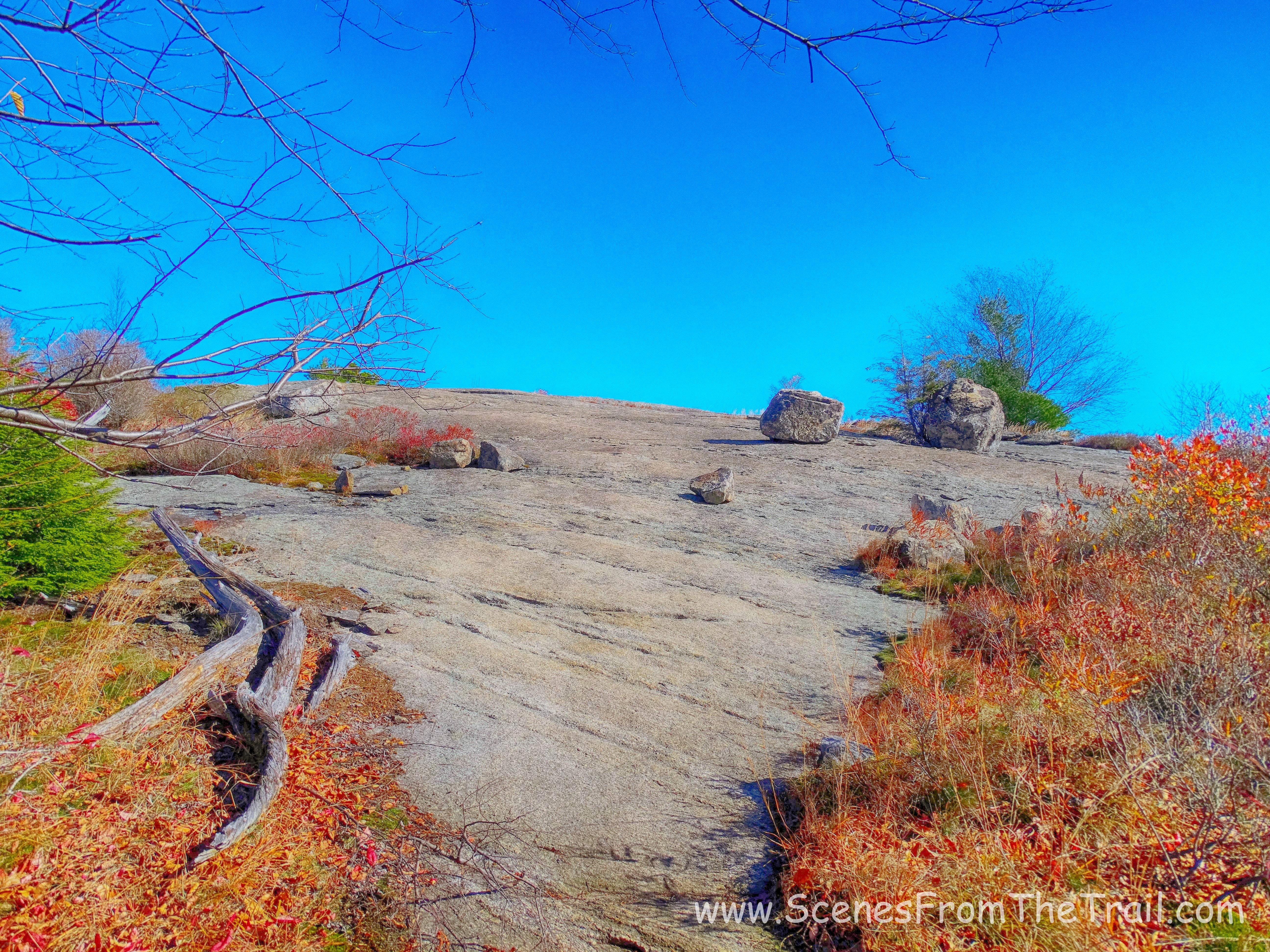
We sat here looking out into the distance with the chilly November breeze cooling us off.
Ramapo-Dunderberg trail
Once break time was over we resumed hiking on the Ramapo-Dunderberg trail and came to a giant boulder along the trail that is known as Ship Rock for its resemblance to the bow of a ship.
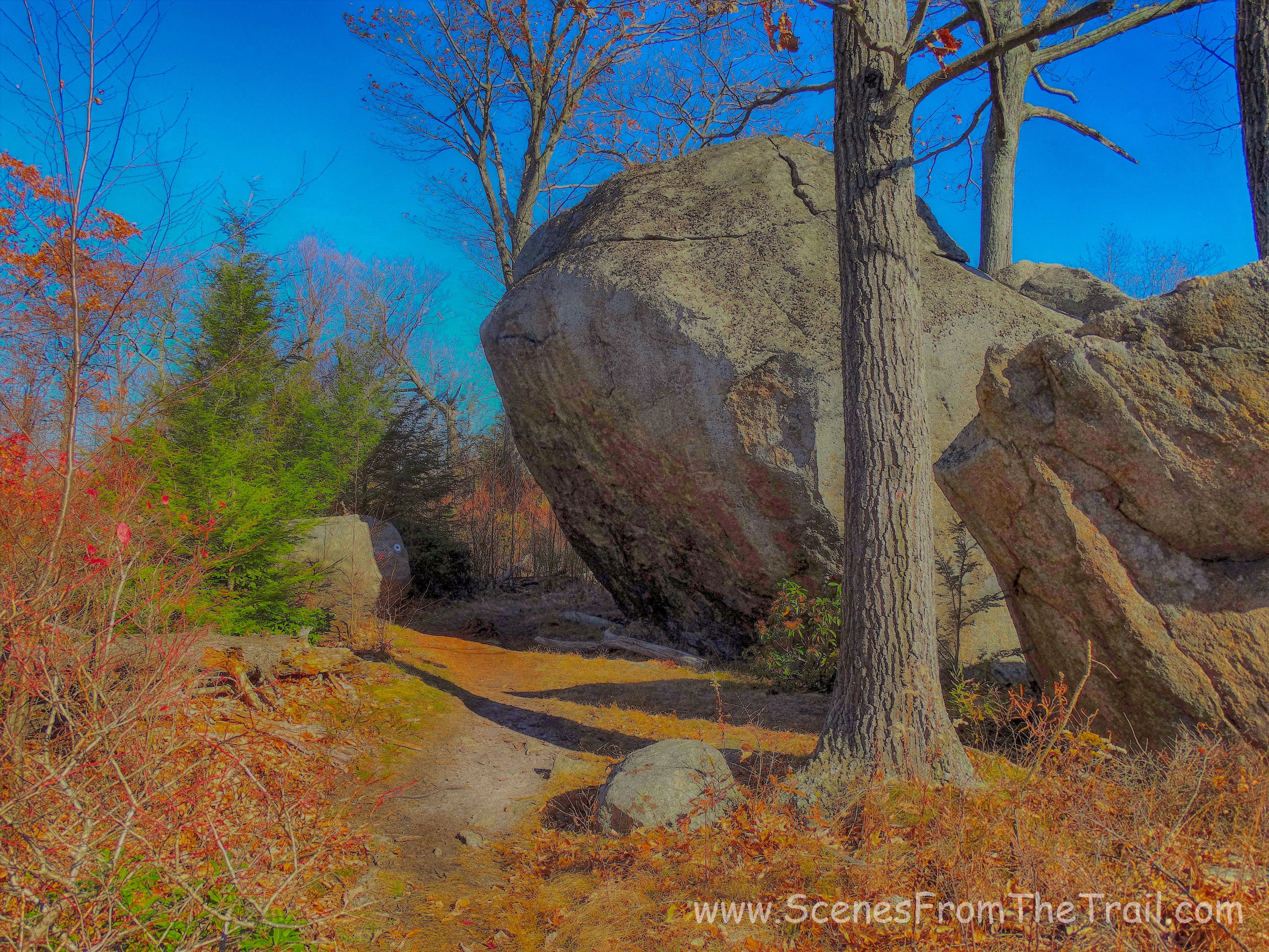
Ship Rock
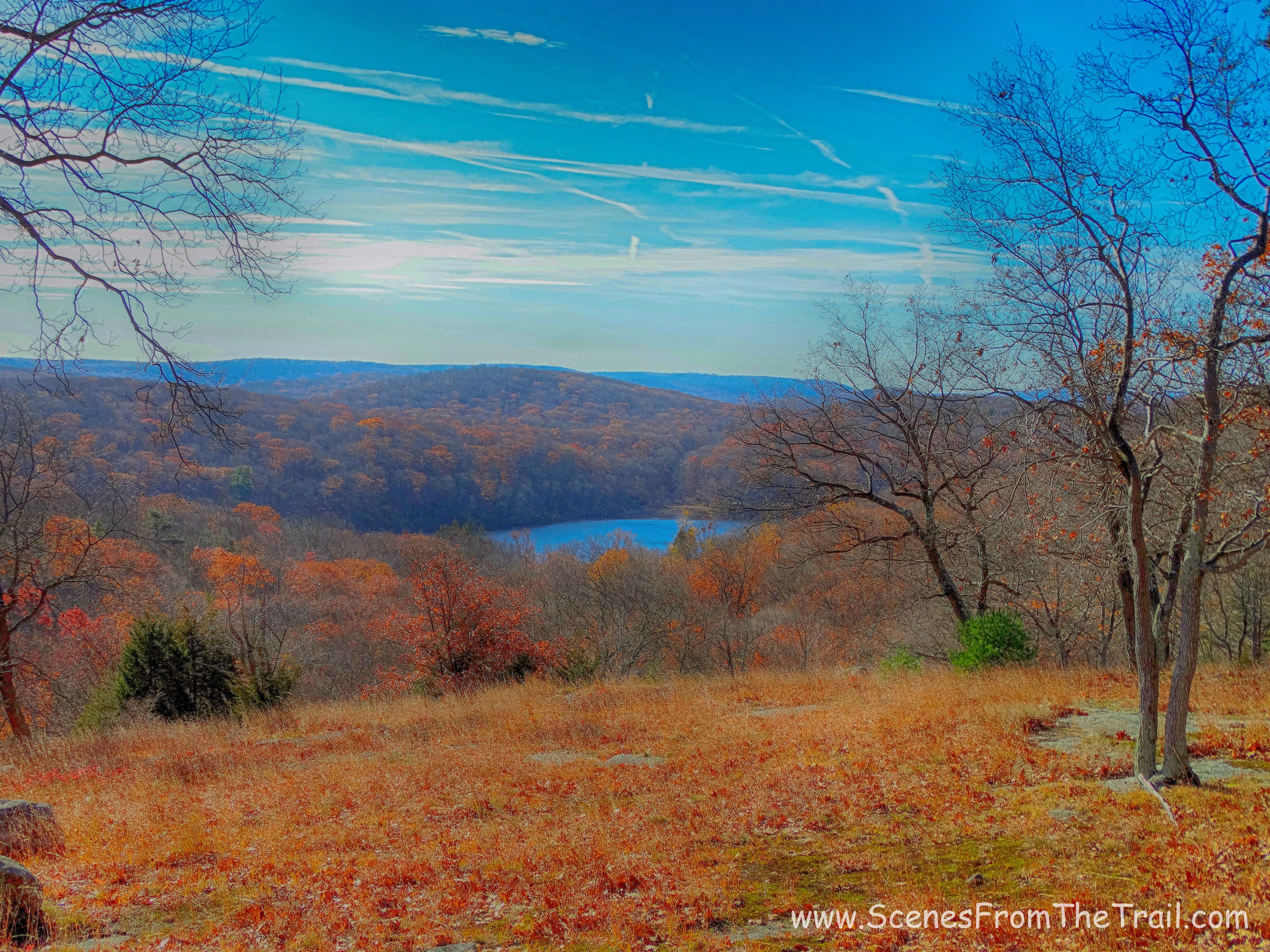
The trail continued to climb up to the bare rock summit of Hogencamp Mountain. One of the prettiest locations in Harriman State Park. At least this week anyway.
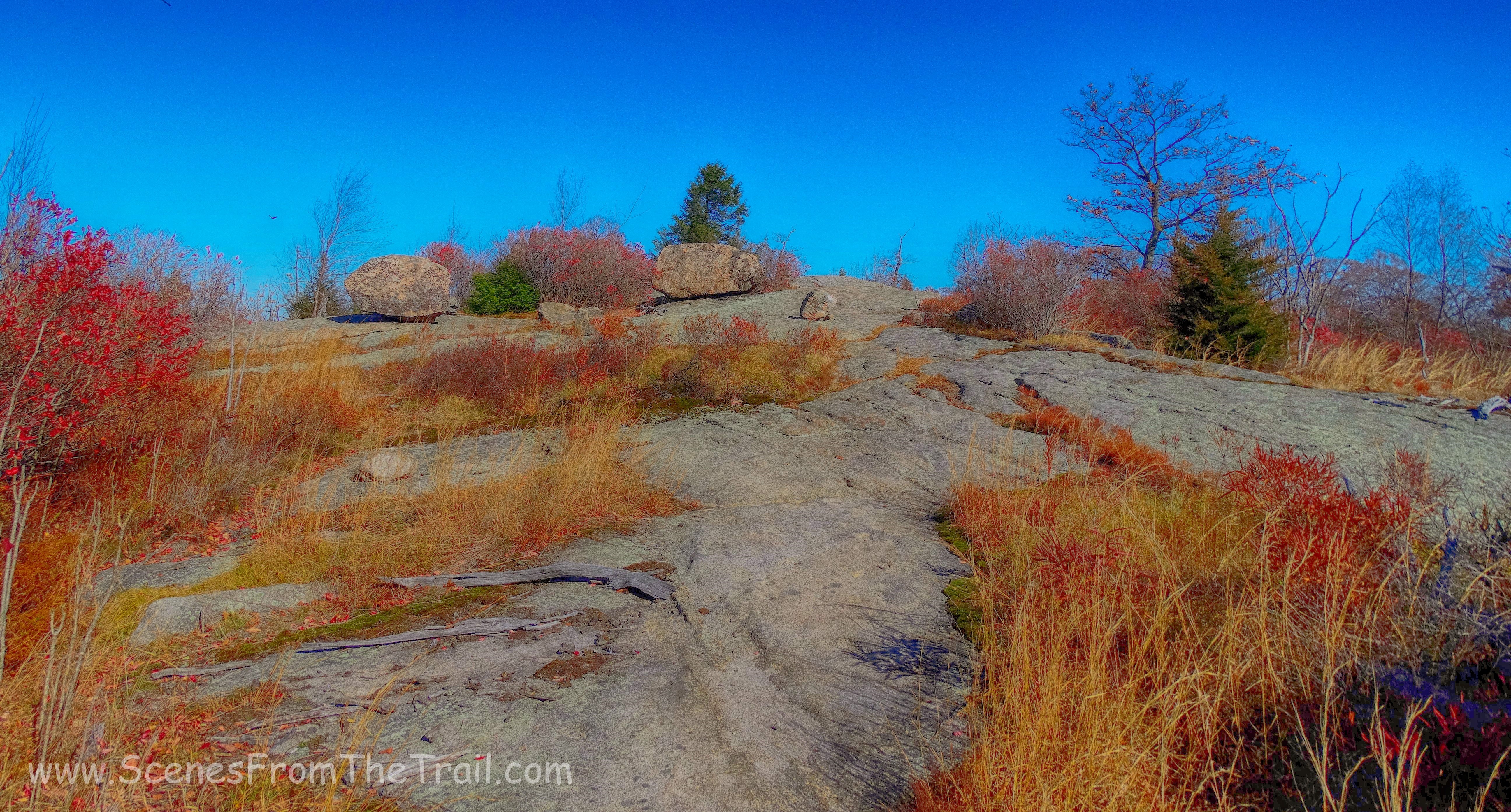
Hogencamp Mountain
Once at the summit, we took in the views while we took another break.
Hogencamp Mountain
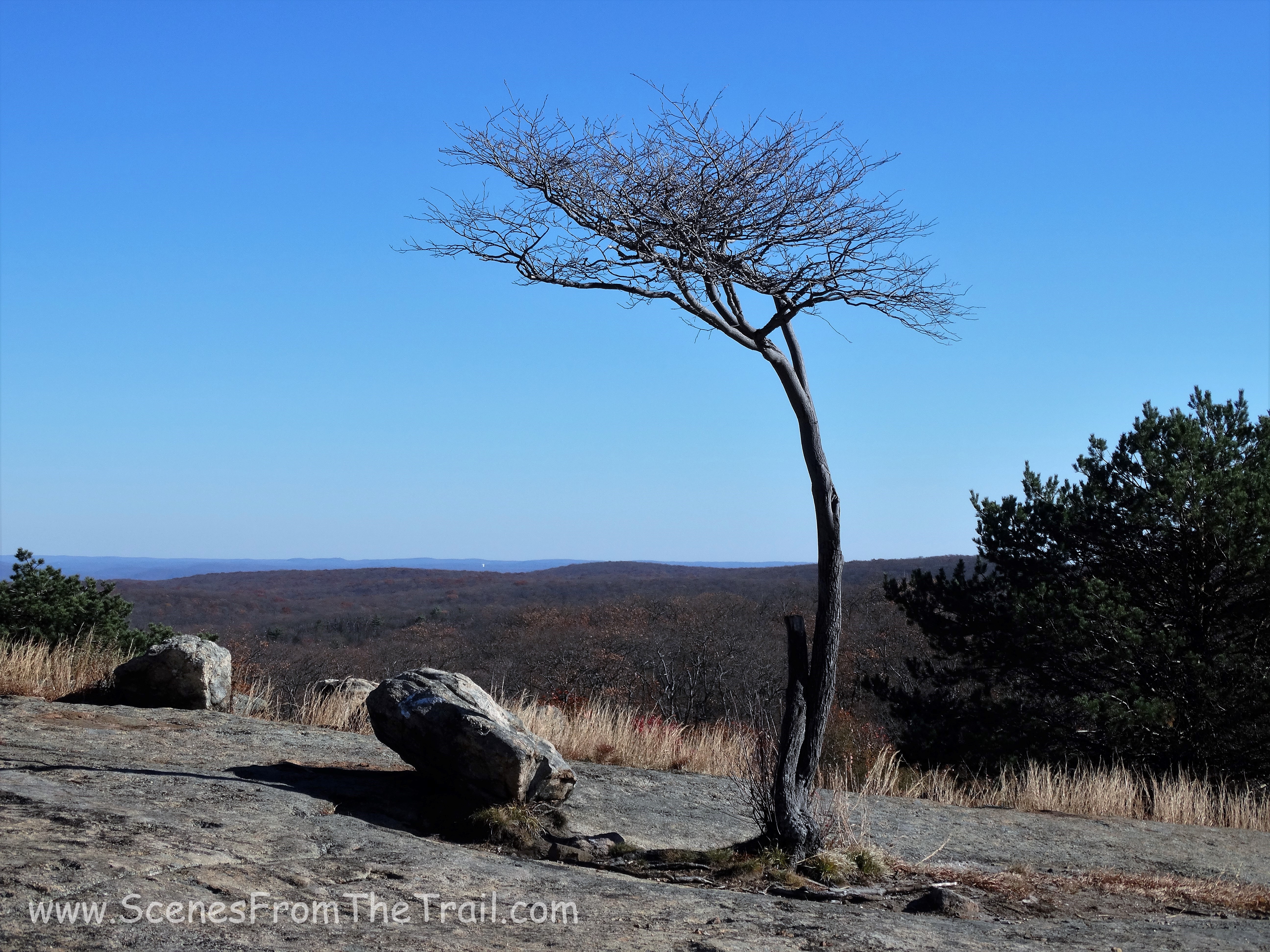
The view from 1,353 feet was just grand. A nice payoff for our efforts.
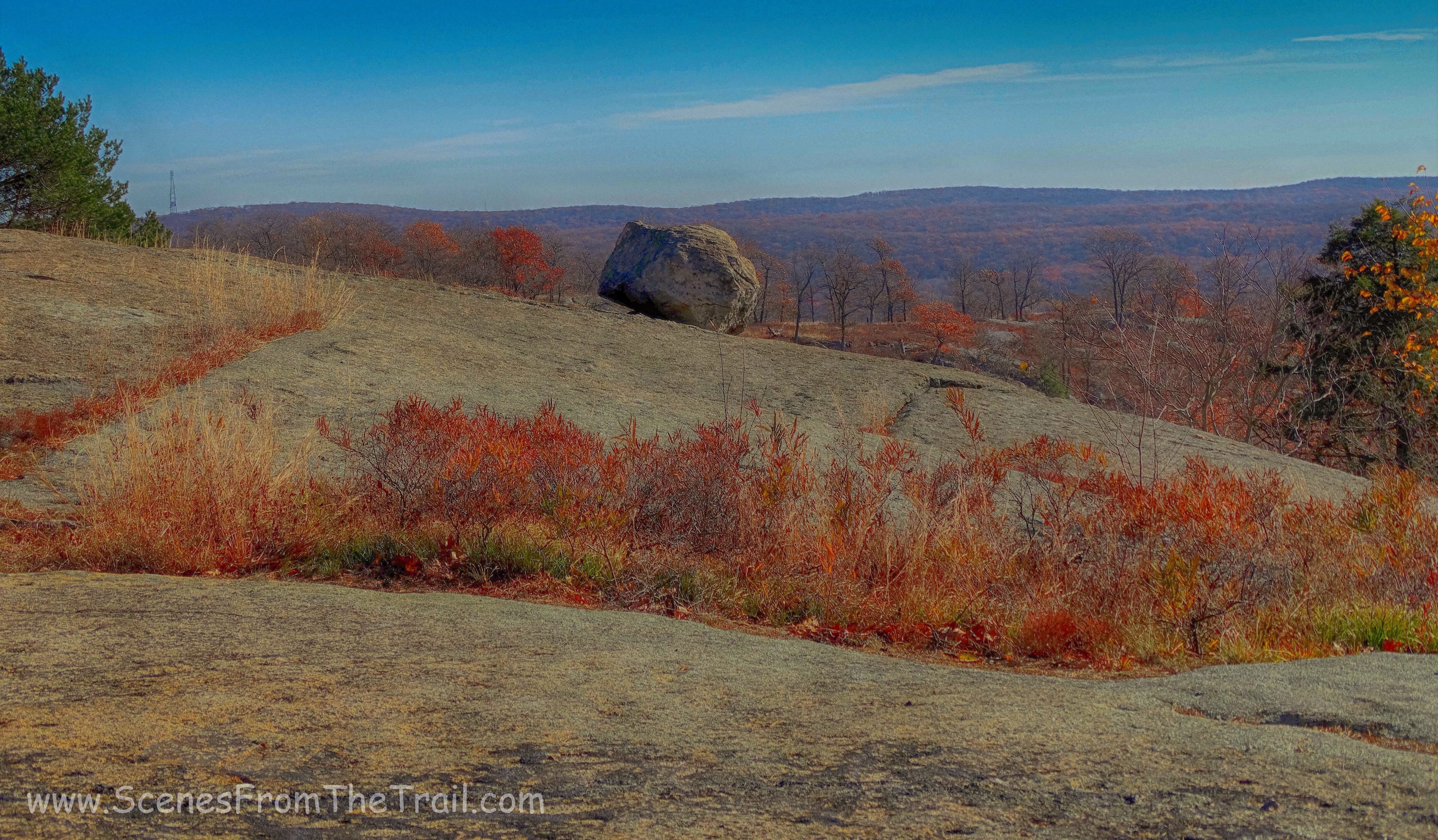
Hogencamp Mountain
We began our descent of the mountain, stopping to capture a few more images.
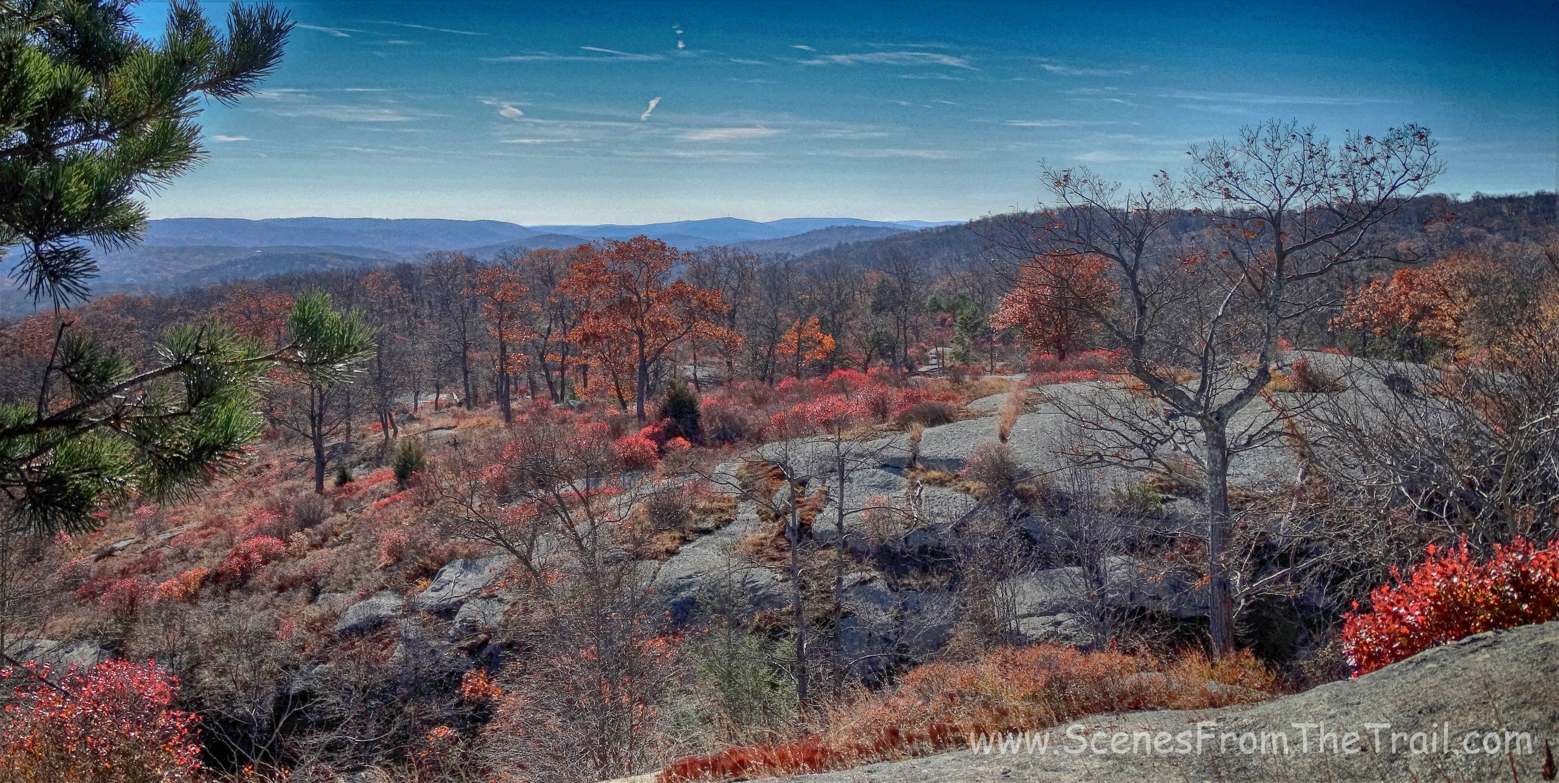
Hogencamp Mountain
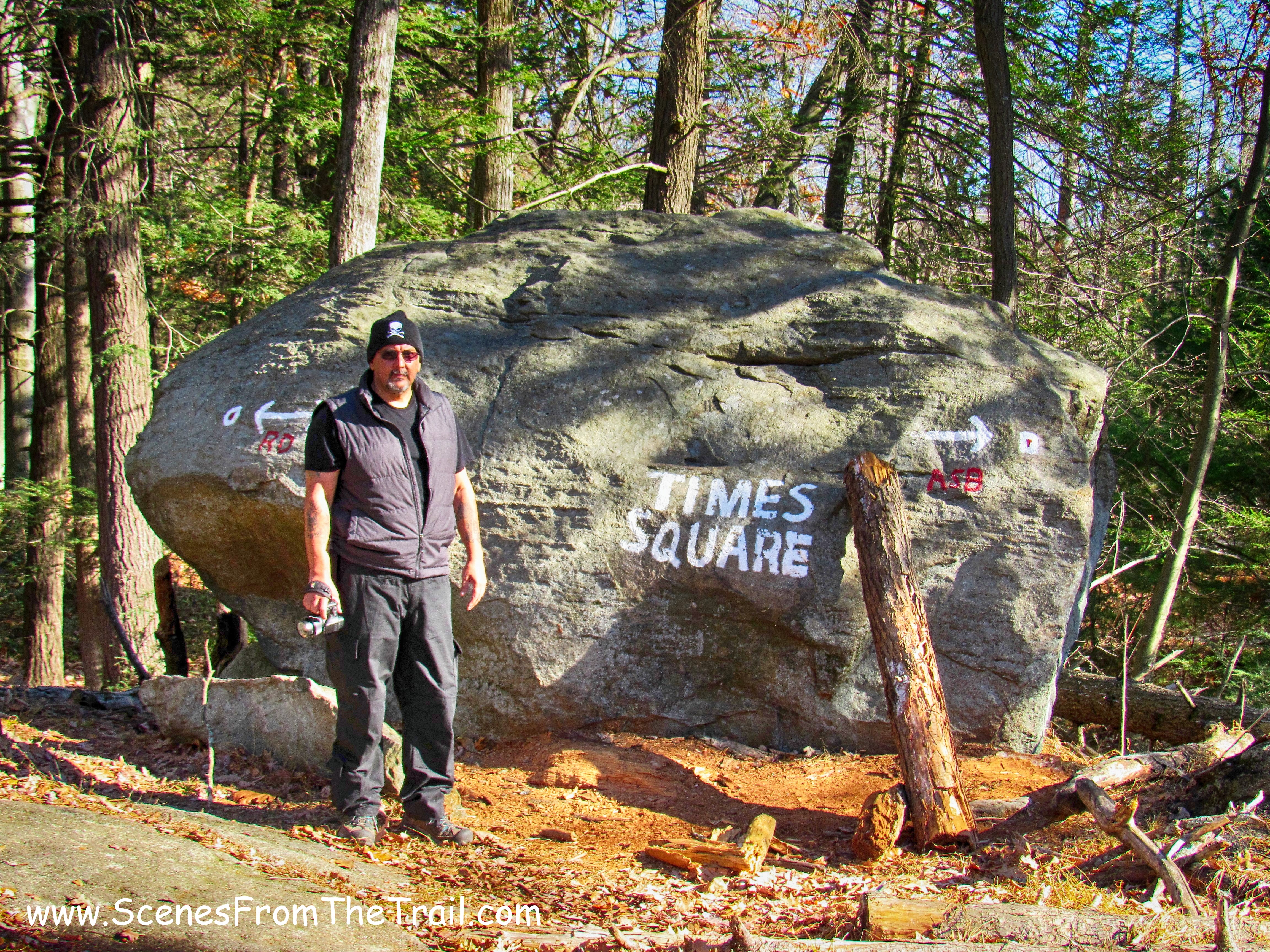
The hike down was rather steep, but the open rock surface had an almost grippy feel to it. In no time we navigated through the Hemlock forest with many downed trees and arrived at Times Square. It got its name because it is located at the junction of three trails and serves as a popular meeting place for hikers.
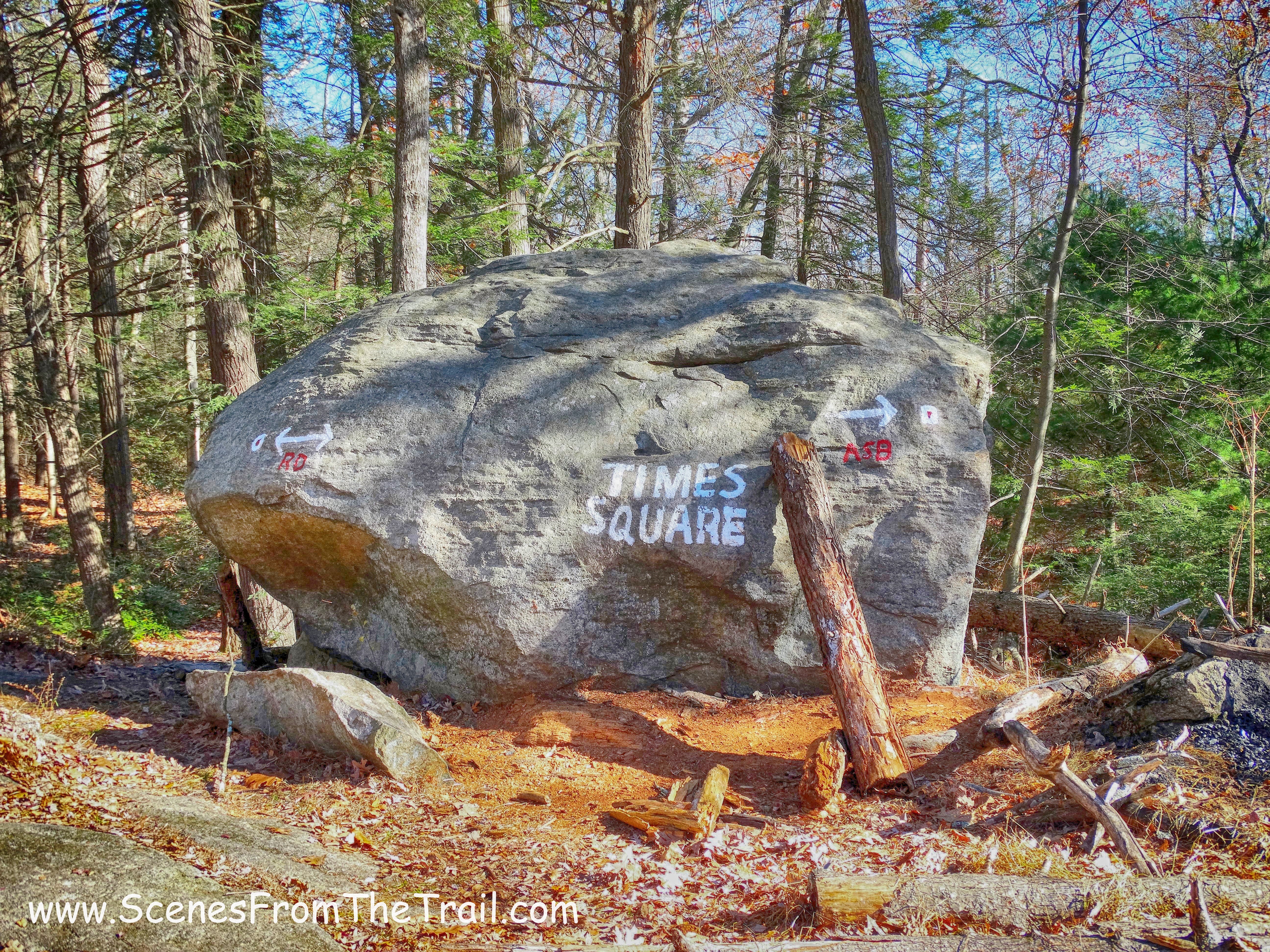
Times Square
We hung out here for a little while as other hikers passed by or stopped for a break. In a few minutes we were off again, now following the Arden-Surebridge (A-SB) Trail, marked by inverted-red-triangle-on-white blazes (to be distinguished from the red-dot-on-white blazes of the Ramapo-Dunderberg Trail).
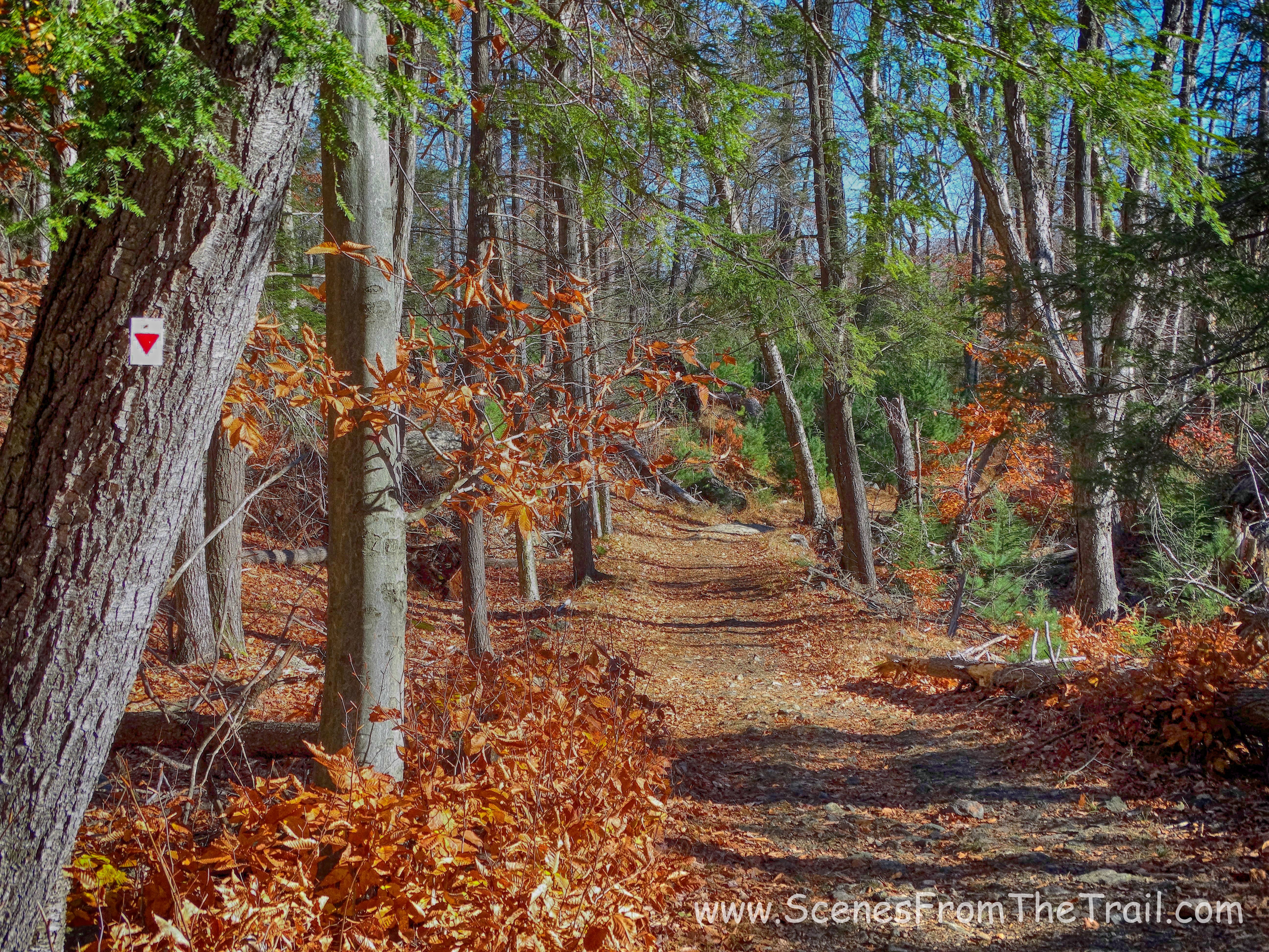
Arden-Surebridge (A-SB) Trail
The trail began to descend on an old mining road and we came to a rock cut that was part of the Pine Swamp Mine. It opened in 1830 and was worked intermittently until 1880.
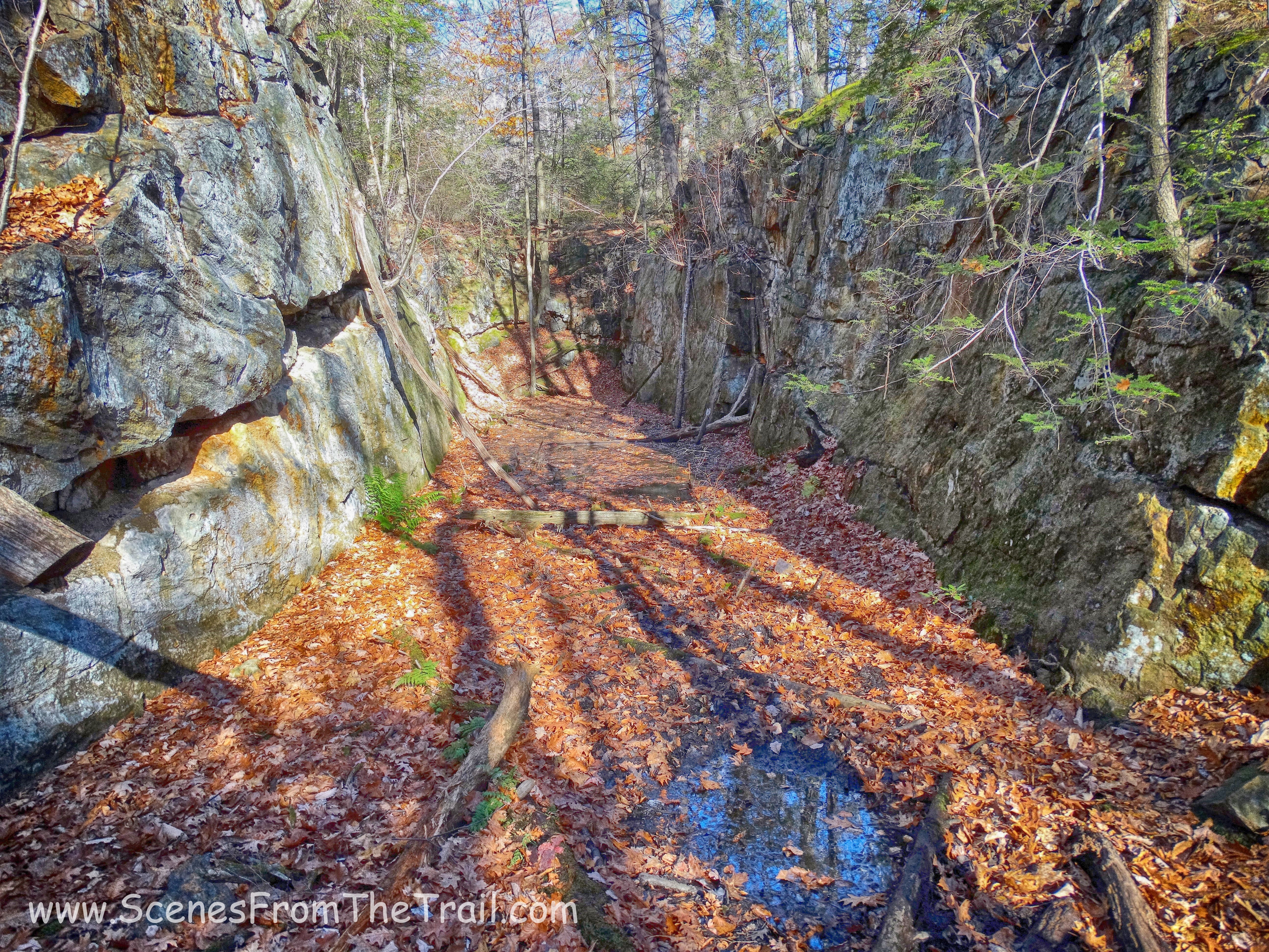
Pine Swamp Mine
There were several other excavations and open pits that were filled with water along the trail. The trail descended into the woods then shortly thereafter ascended to the shoulder of Pine Swamp Mountain, then descended towards the parking area with Lake Skannatati visible through the trees, where we began our hike.
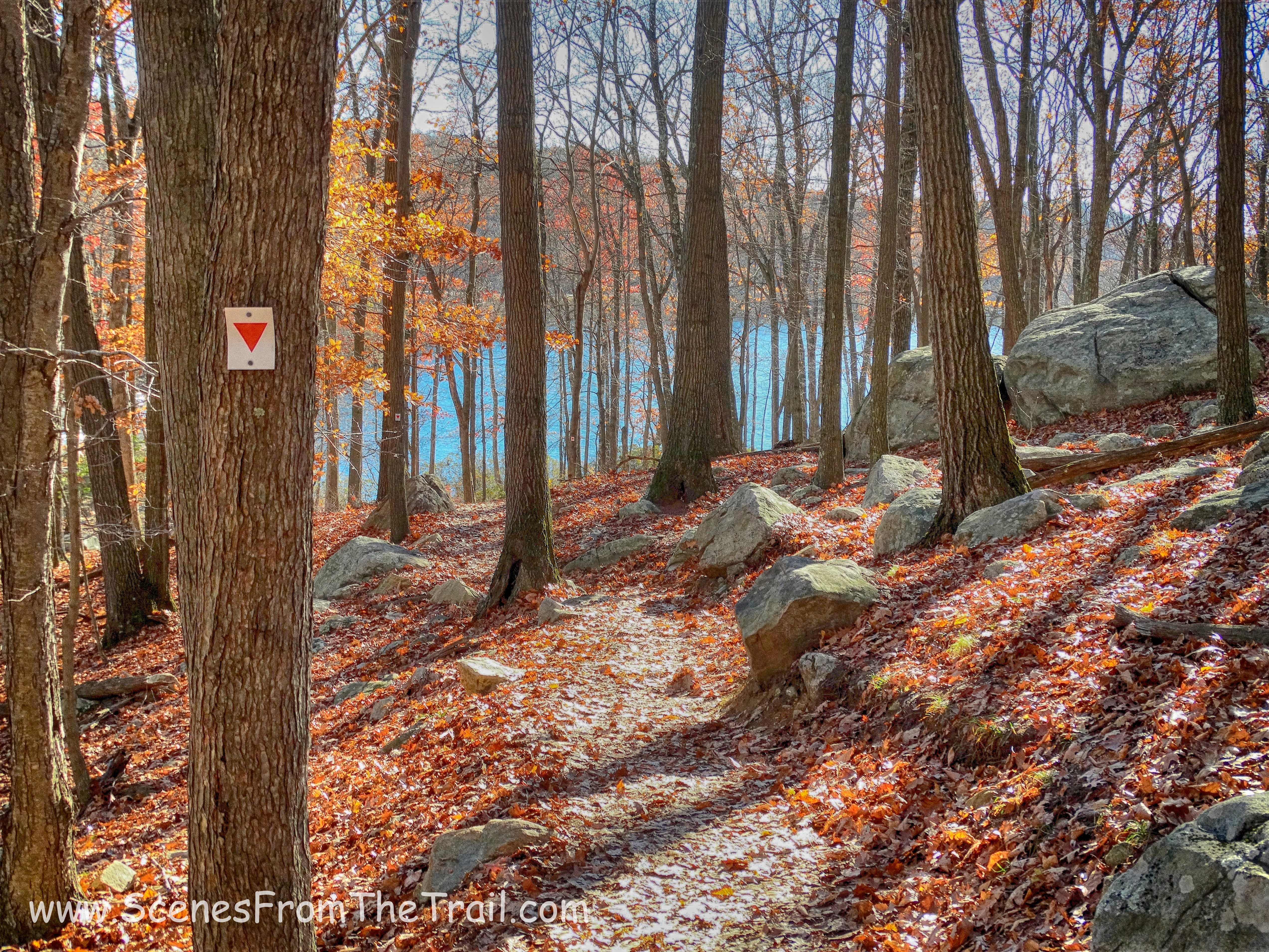
Arden-Surebridge (A-SB) Trail
Although this hike had multiple elevation gains, it wasn’t strenuous at all. It had enough level walking to break up the climbs. It was a really nice hike along some really scenic trails. I Hope that you enjoyed today’s hike and as always, don’t forget to subscribe to my blog and stay up to date on my journeys. So get out there and take a hike!
take a hike!

Thank you for sharing your photos.
LikeLiked by 1 person