September 17, 2023 – Gardiner, NY
Difficulty: Moderate
Length: Approximately 2.5 miles
Max elevation: 1,279 ft.– total elevation gain approximately 430 ft.
Route type: Circuit
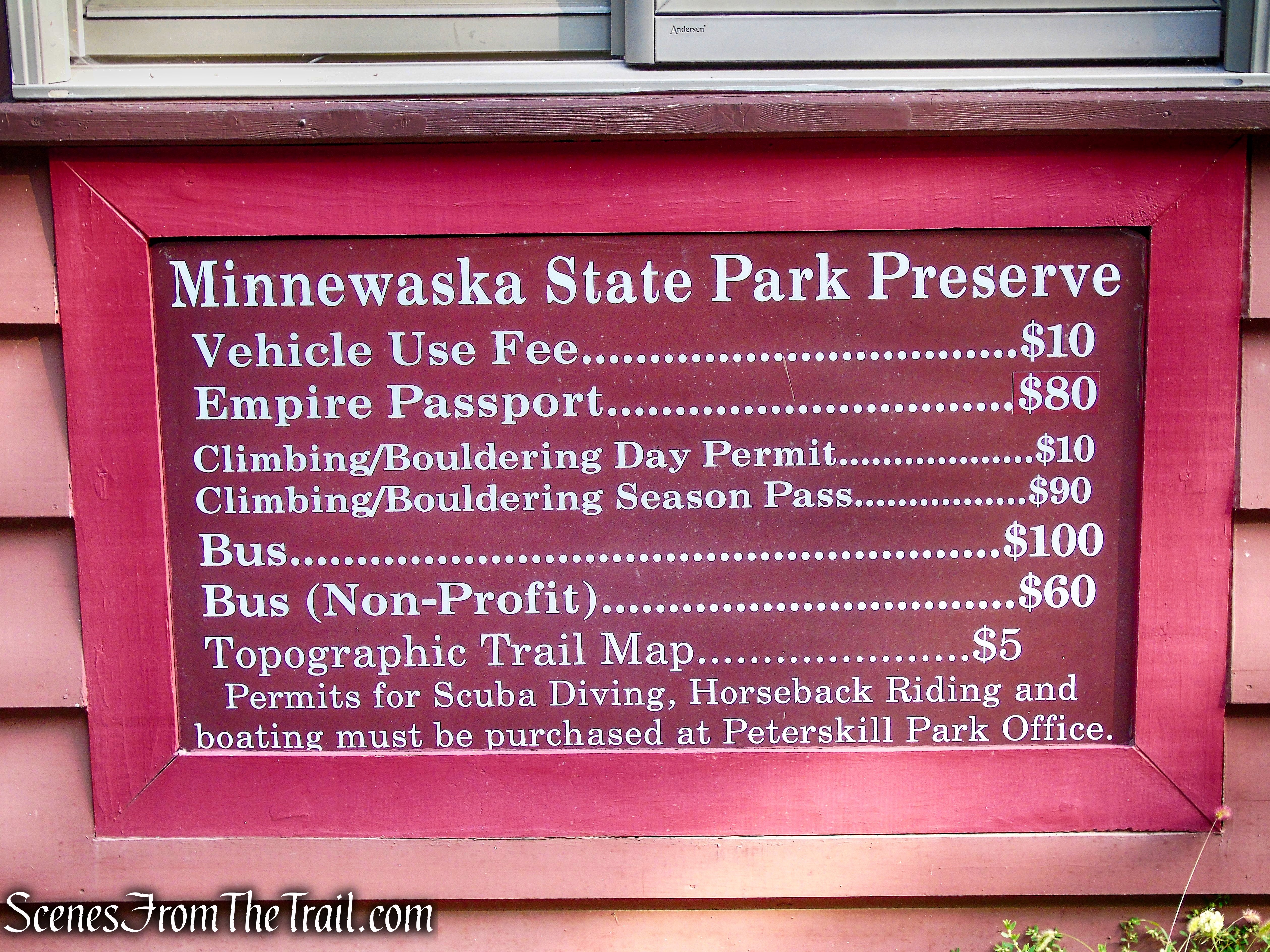
Fee: $10.00 per vehicle – Empire Pass Accepted
Trailhead parking: Peter’s Kill Area – 5080 Route 44-55, Gardiner, NY 12525
The current operating hours are 9:00am to 7:00pm.
Restrooms on site – large paved lot.
This is a carry-in/carry-out New York State Park. Trash receptacles are not provided; you must take your trash out with you.
Park Overview:
Located in Ulster County, NY, Minnewaska State Park Preserve is situated on the dramatic Shawangunk Mountain ridge, which rises more than 2,000 feet above sea level and is surrounded by rugged, rocky terrain. The park features numerous waterfalls, three crystalline sky lakes, dense hardwood forests, incising sheer cliffs and ledges opening to beautiful views, clear streams cut into valleys, world-class rock climbing and 35 miles of carriageways and 35 miles of footpaths on which to bike, walk, hike and simply enjoy. And, all this within an hour and a half drive from New York City.

Minnewaska State Park Preserve
Visitors have twelve potential access points onto Preserve property. The entrance to the Peter’s Kill Area and Preserve office is accessed from Highway 44/55 and provides 120 parking spaces.
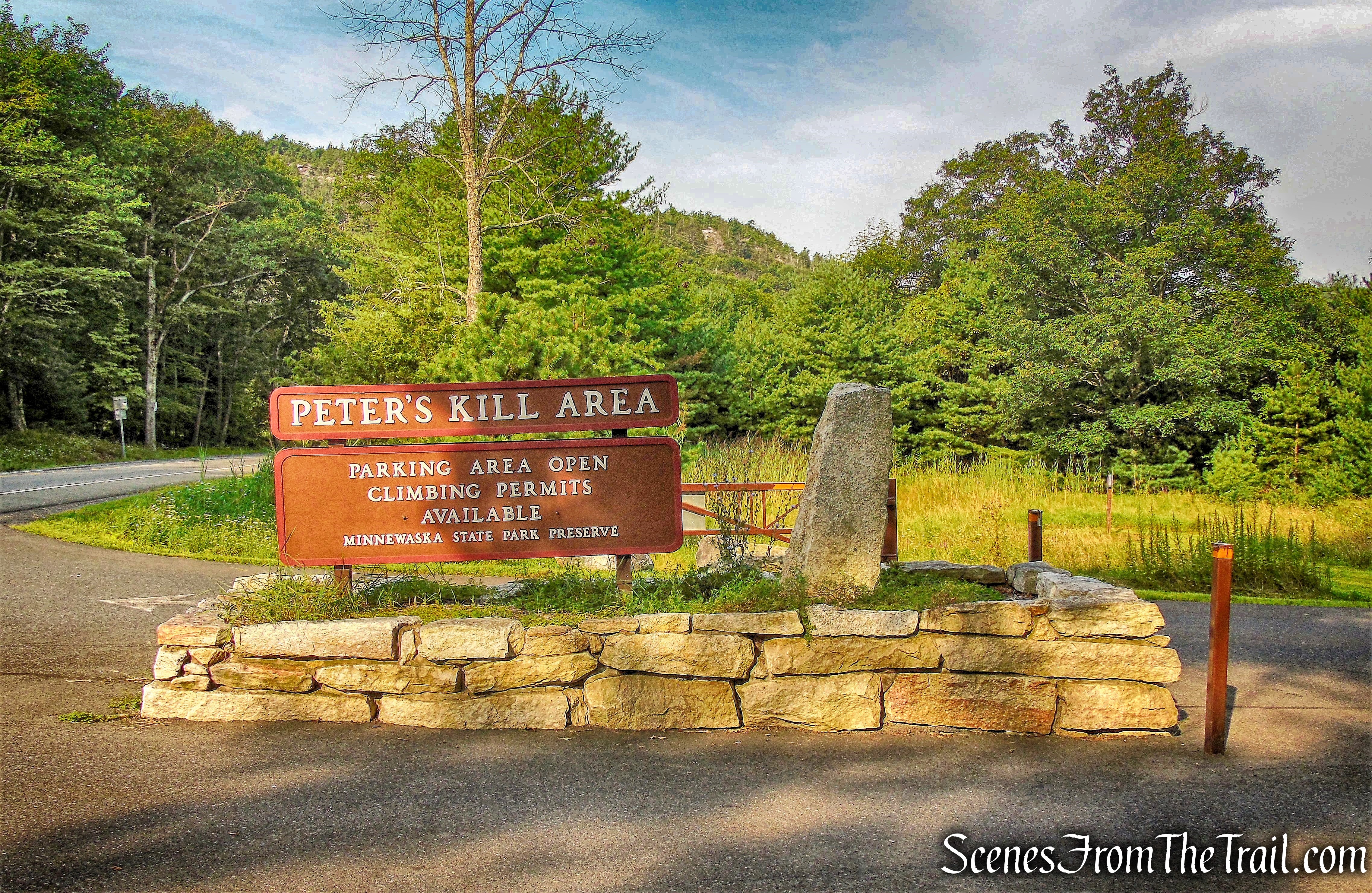
Peter’s Kill Area – Minnewaska State Park Preserve
The Peter’s Kill parking lot is used by visitors accessing the Peter’s Kill climbing area, by hikers heading for the Peter’s Kill Creek and High Peter’s Kill Trail and by visitors wishing to talk with staff.
Peter’s Kill Area – Minnewaska State Park Preserve
The Shawangunks (or “Gunks,” as they are more popularly called) have long been acclaimed as a rock climber’s paradise. The Peter’s Kill Area is a unique and beautiful part of the 23,000 acre Minnewaska State Park Preserve. Rock climbing is permitted here on the Lower Peter’s Kill and Dickie Barre escarpments. This area is home to mixed hardwood forests, pitch pine barrens, wetlands, vernal pools, rock slabs, the Peter’s Kill stream, several waterfalls and the cliffs of the High Peter’s Kill escarpment. In addition to rock climbing and bouldering, hiking, picnicking and snowshoeing are all permitted activities in this area.
Trails Overview:
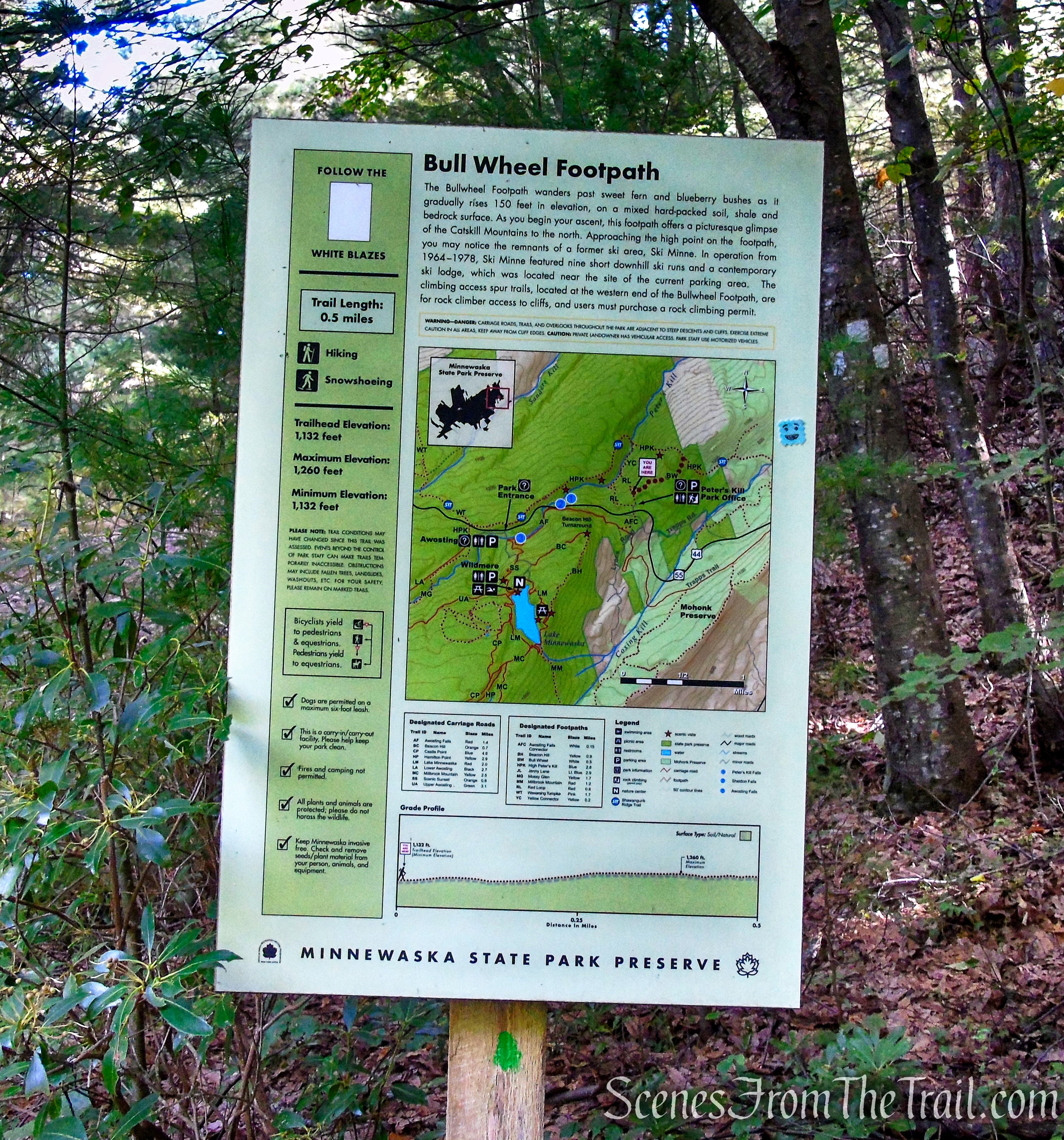
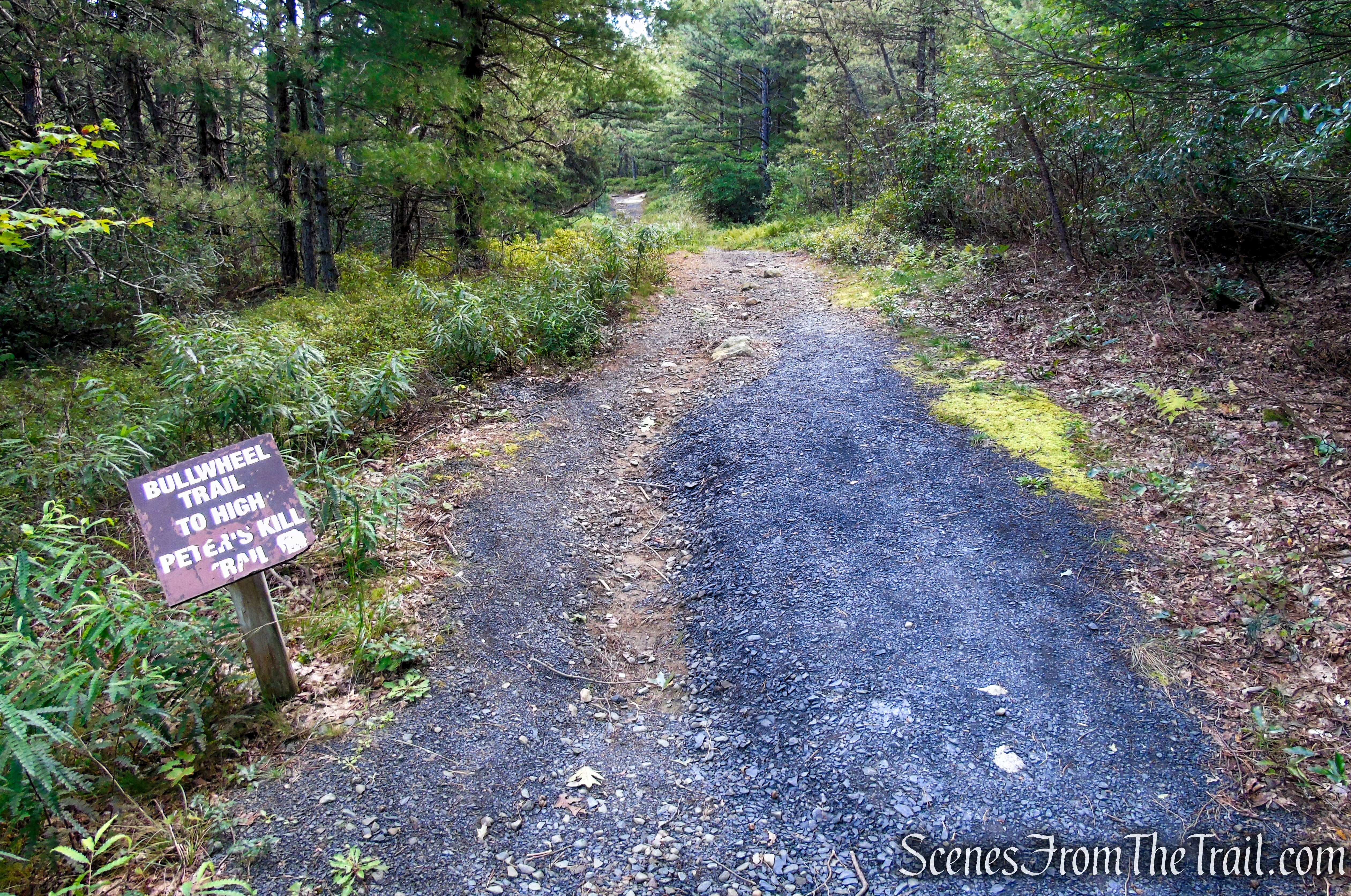
- Bull Wheel Trail (0.6 mile) – This short white blazed trail starts off near the Peter’s Kill parking area and ends at the junction of the High Peters Kill Trail. At a crest of a rise the trail passes a concrete footing, where a tower was anchored that once supported a pulley for a ski lift, part of the Ski Minne downhill ski area, which operated from 1964 to 1978. The pulley is commonly referred to as a “bullwheel.”
- High Peters Kill Trail (0.55 mile) – This blue-blazed trail (also the route of the SRT) traverses around the Dicke Barre Wilderness Area. The trail gains the ridge line and continues through a beautiful section of cliffs. It then descends steeply in places to reach the Peter’s Kill. This trail features the views from High Peters Kill Cliffs.
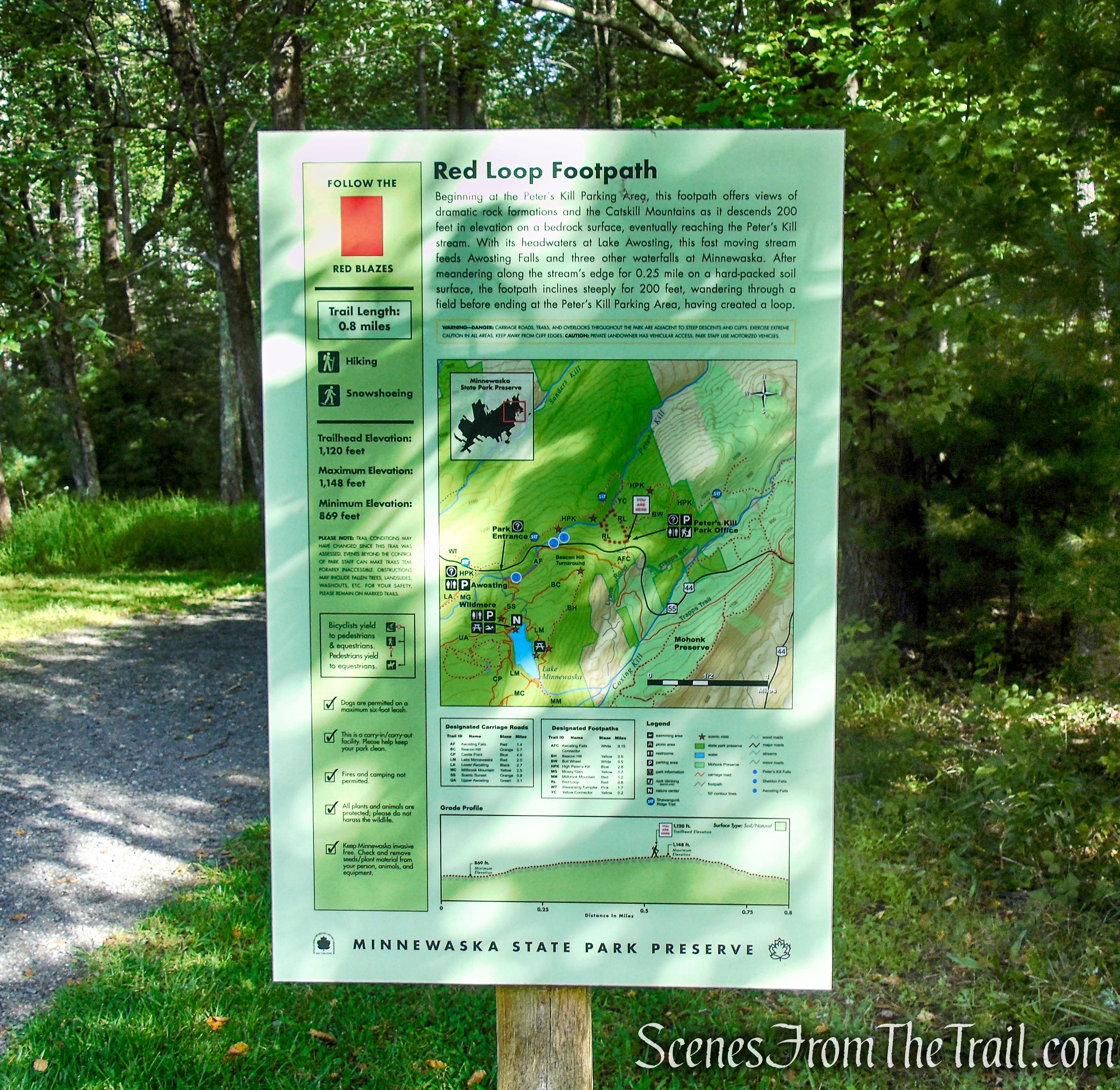
- Yellow Connector Trail (0.25 mile) – This short footpath connects the High Peters Kill Trail with the Red Loop Trail near the parking area.
- Red Loop Trail (0.35 mile) – This trail climbs steeply from the Yellow Connector Trail to the parking area.
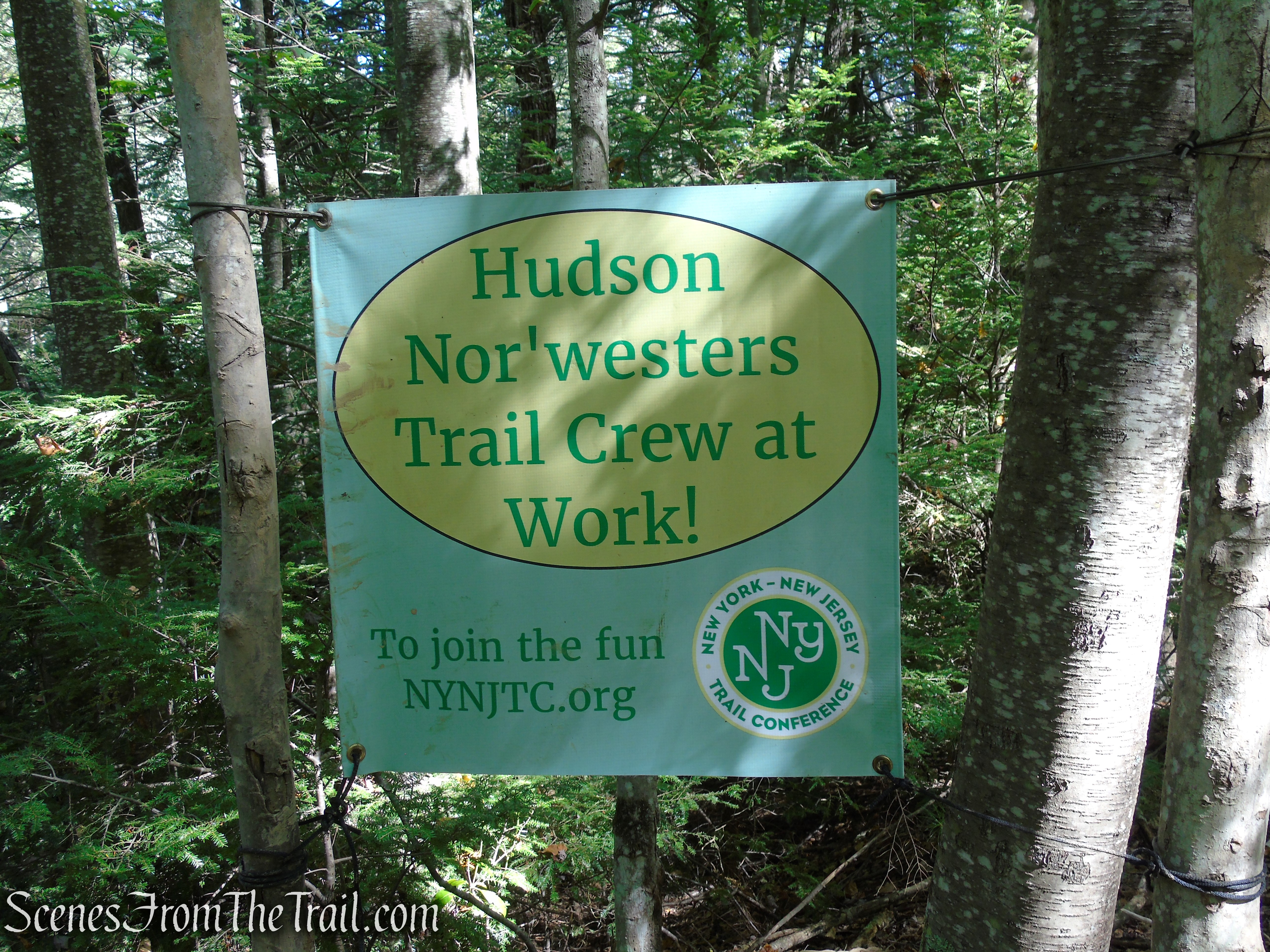
Some sections of the trails have faded blazes or none at all, but we didn’t encounter any issues staying on track. As always, I recommend using the Avenza Maps app and using the official park trail map to stay on course and avoid getting lost. There are numerous rock climber trails and unmarked footpaths that branch off from the main trails.
This hike can be extended by using any of the connecting trails. Please consult an up-to-date trail map if you choose to do a longer hike.
Hike Overview:
Although this hike is relatively short, it offers some very attractive scenery in “The Gunks.” The average hiker should be able to complete this hike in 1-1/2 hours, but you might want to allow extra time to pause and take in the beautiful scenery.
Still not back to my normal self, I have been tackling shorter and less strenuous hikes. This hike has been on my radar for quite some time and now seemed the right time to do it. The trails we followed on this hike had very little foot traffic. We only saw several people at the viewpoint and several more near the end of the hike as we were finishing up.
This hike follows trails that for the most part, are easy to follow. This particular route travels over a lot of rock slabs that would be difficult and possibly dangerous if wet or icy. Please plan accordingly.
We arrived at the Peter’s Kill Area lot approximately 40 minutes before it opened and we were the 3rd vehicle in line. By the time they opened the gate at 9am, there were about 25 cars behind us. The restrooms are located in a building with toilets (not flush toilets) and sinks. On the day that we hiked, a couple of the ladies that I was with, told me that it smelled really bad in there. On the upside, there was toilet paper.
Overall, this was a very pleasant hike. The viewpoint on this hike is really nice and the lack of crowds, as is usually the case at Minnewaska on weekends, makes it a worthwhile hike.
This hike was done counterclockwise.

Bullwheel, High Peters Kill and Red Trails Loop
As shown on the elevation profile below, there is a steep ascent at the tail end of this hike.
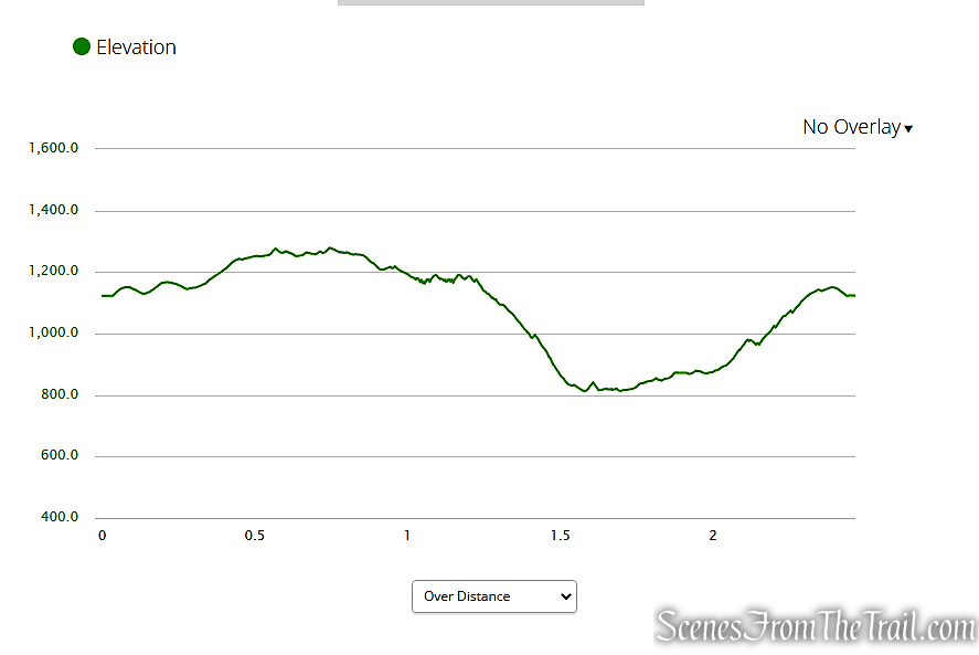
elevation profile – Bullwheel, High Peters Kill and Red Trails Loop
The Hike:
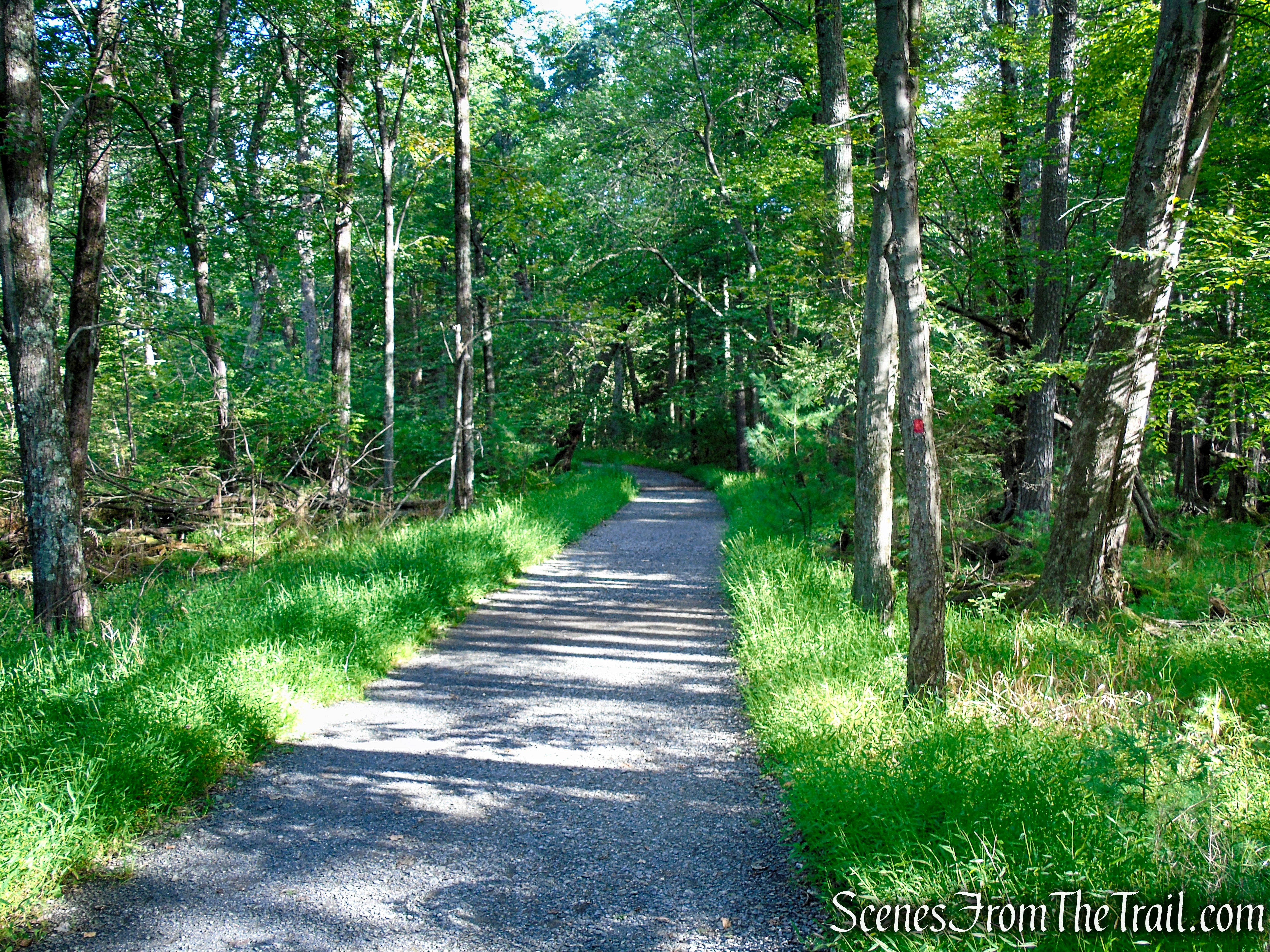
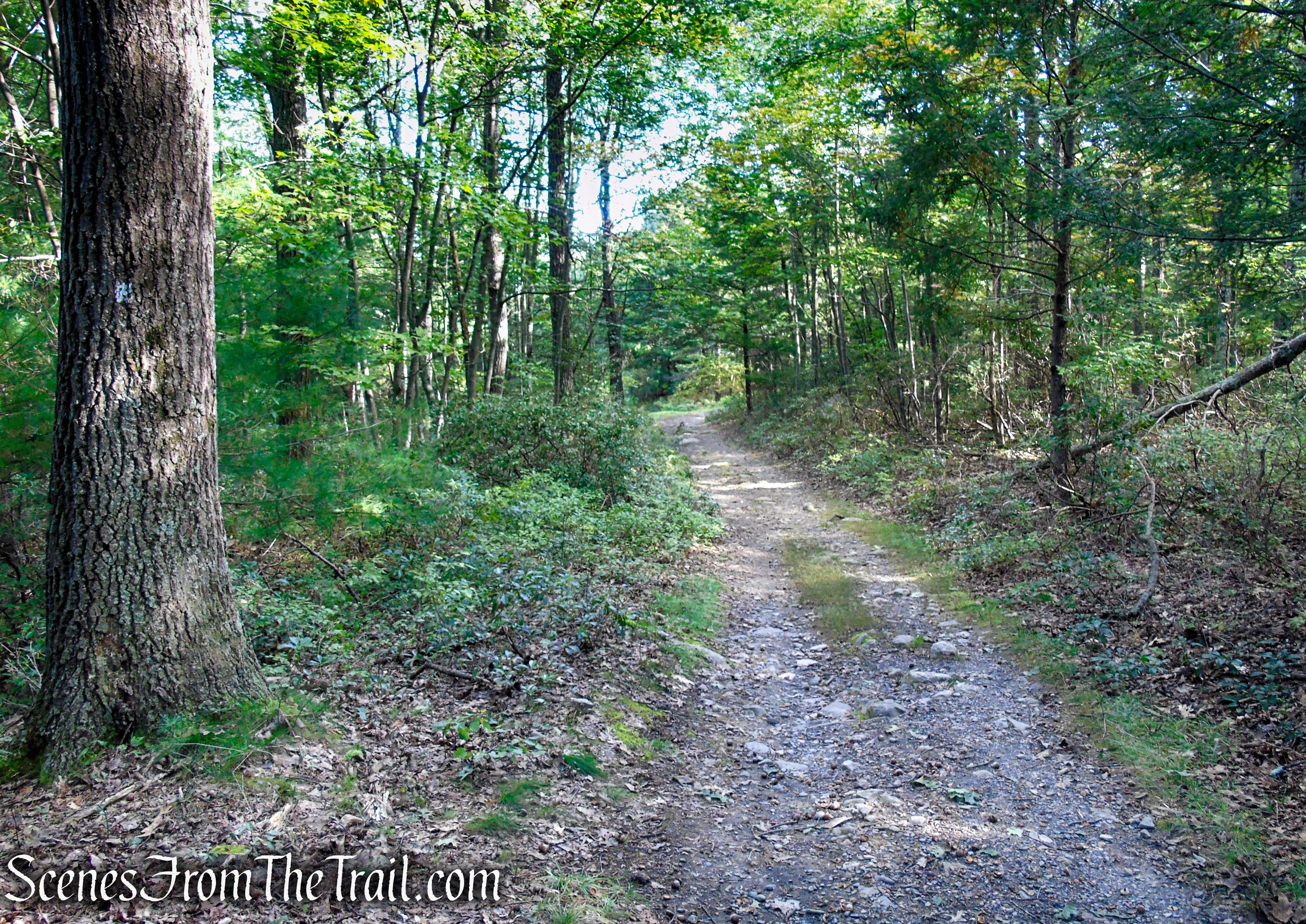
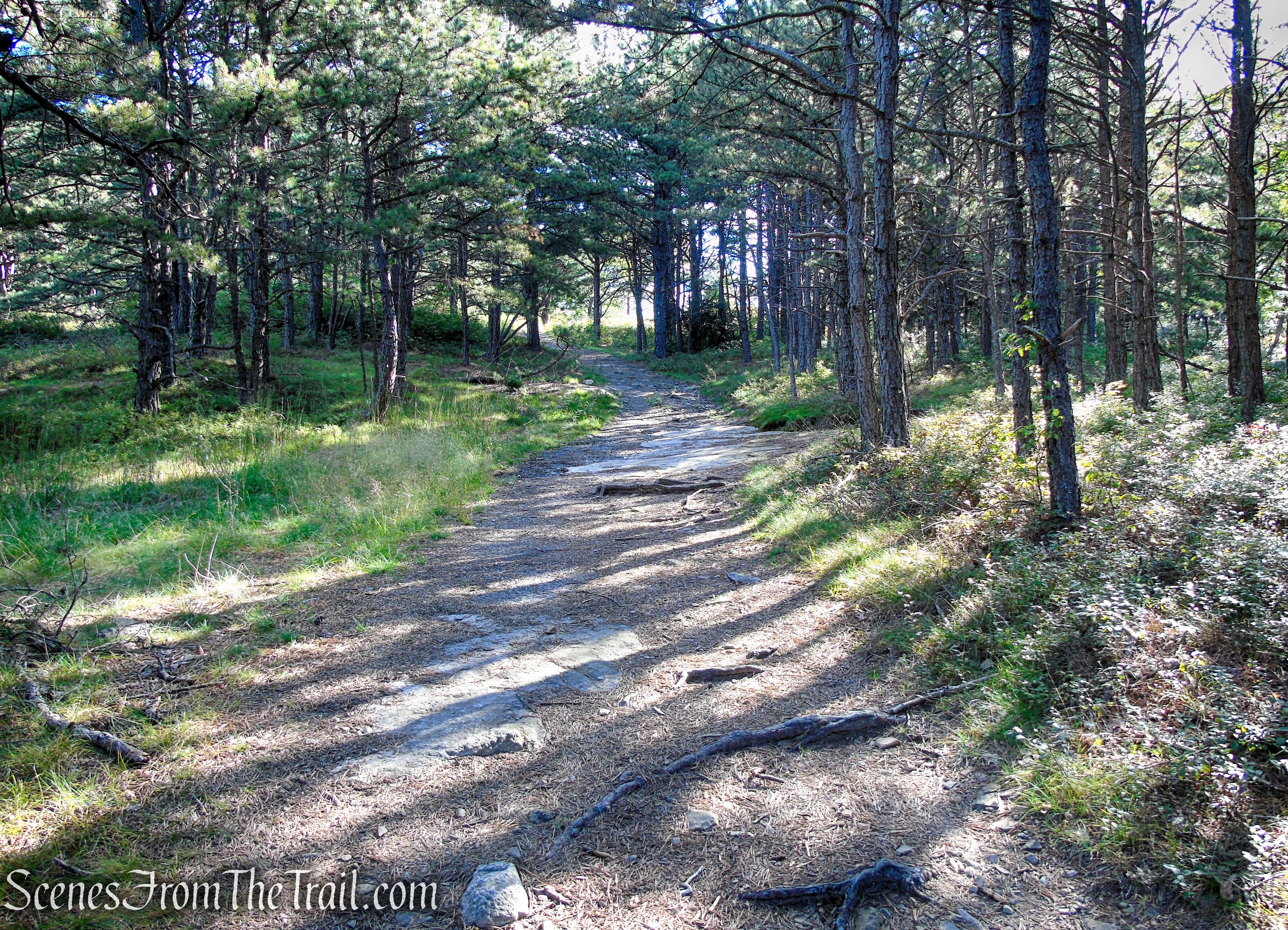
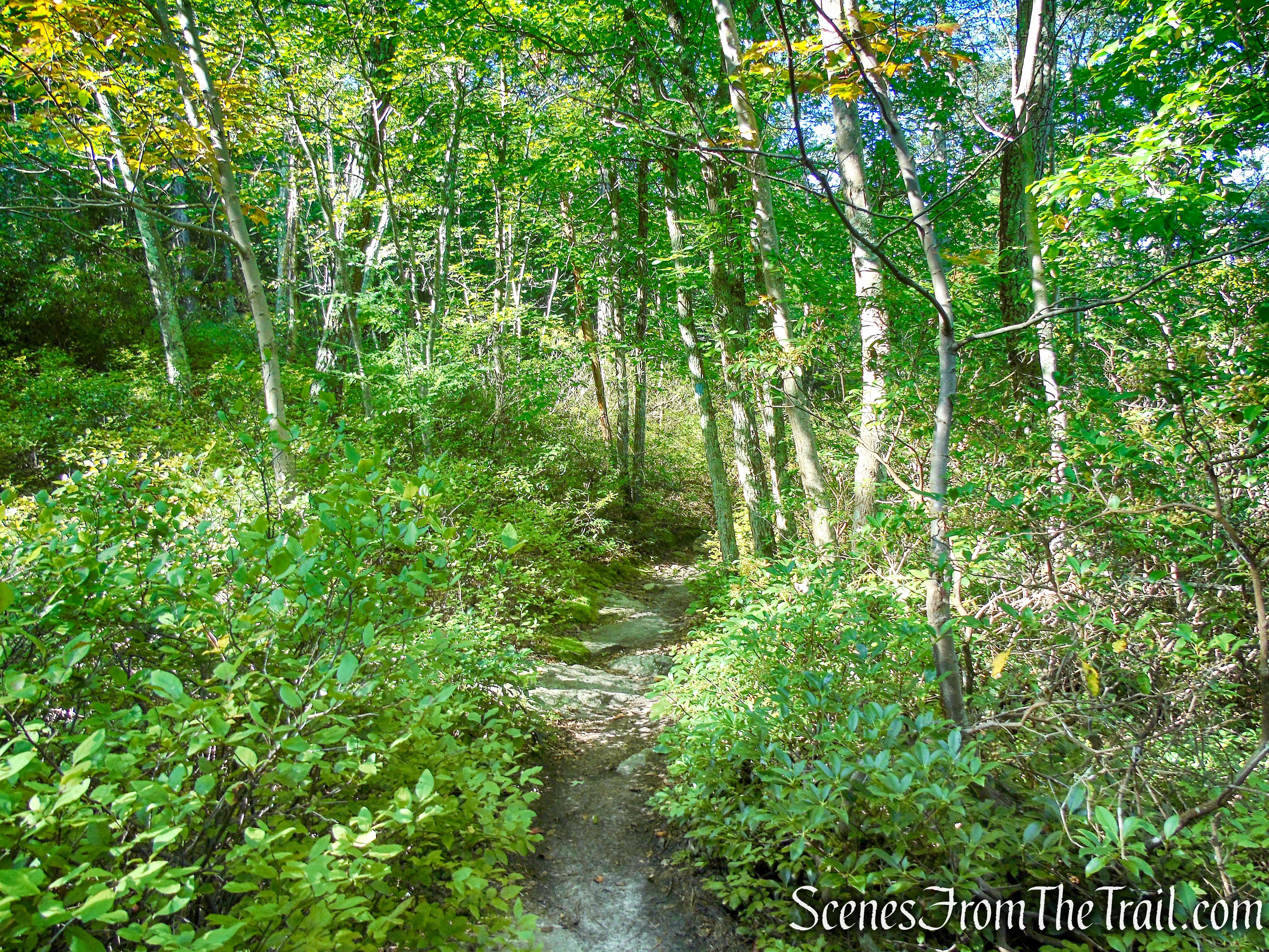
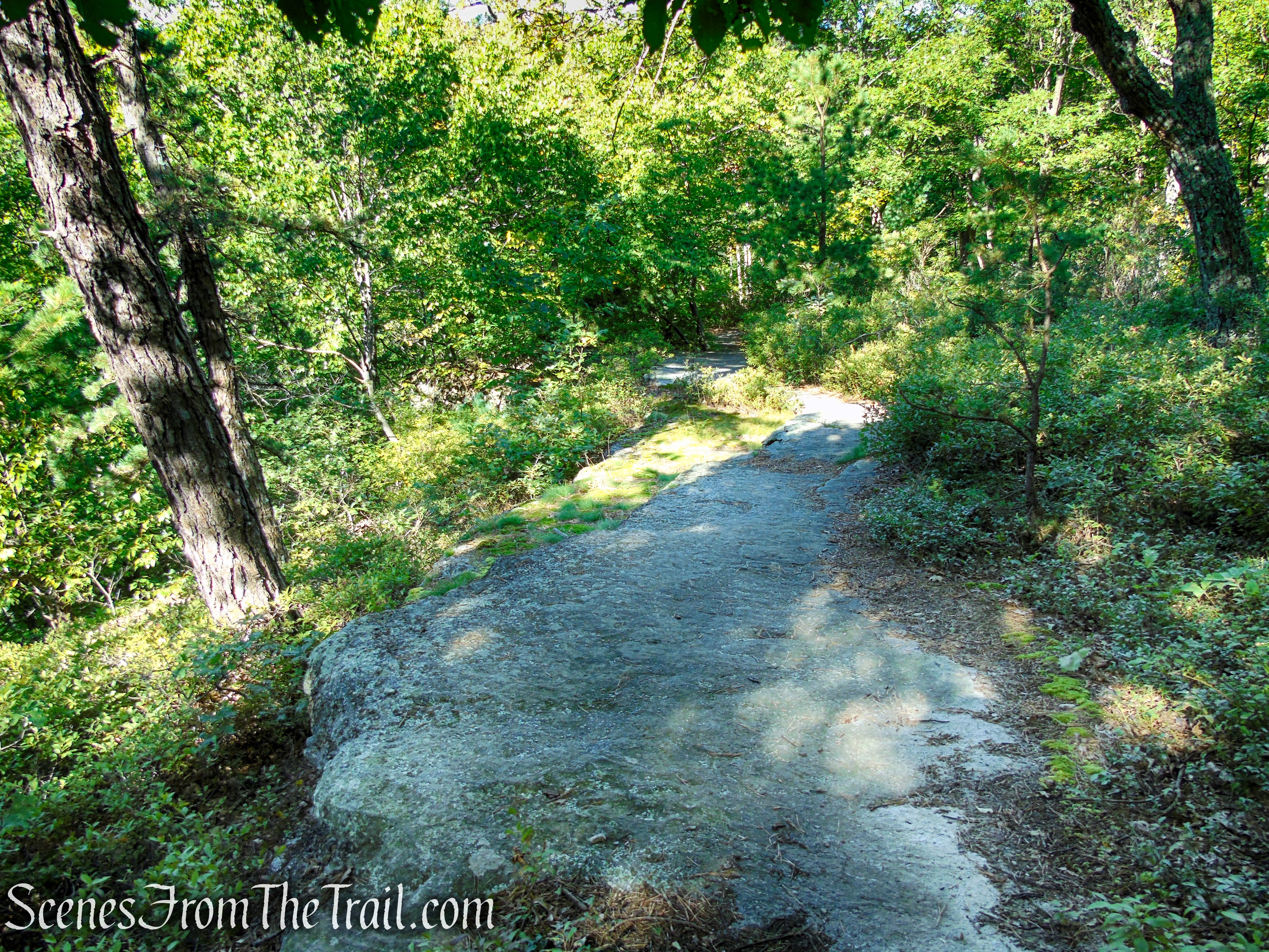
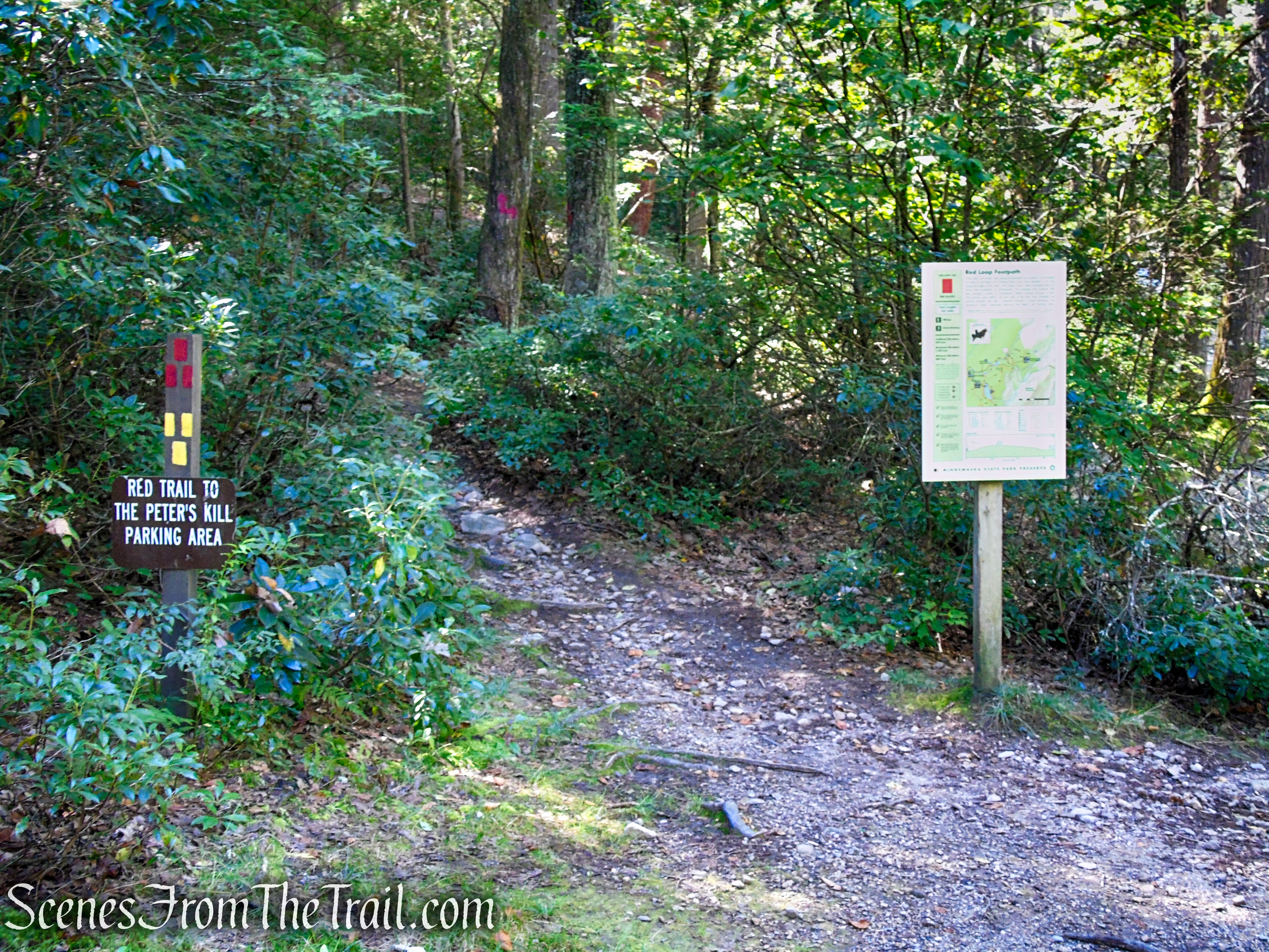
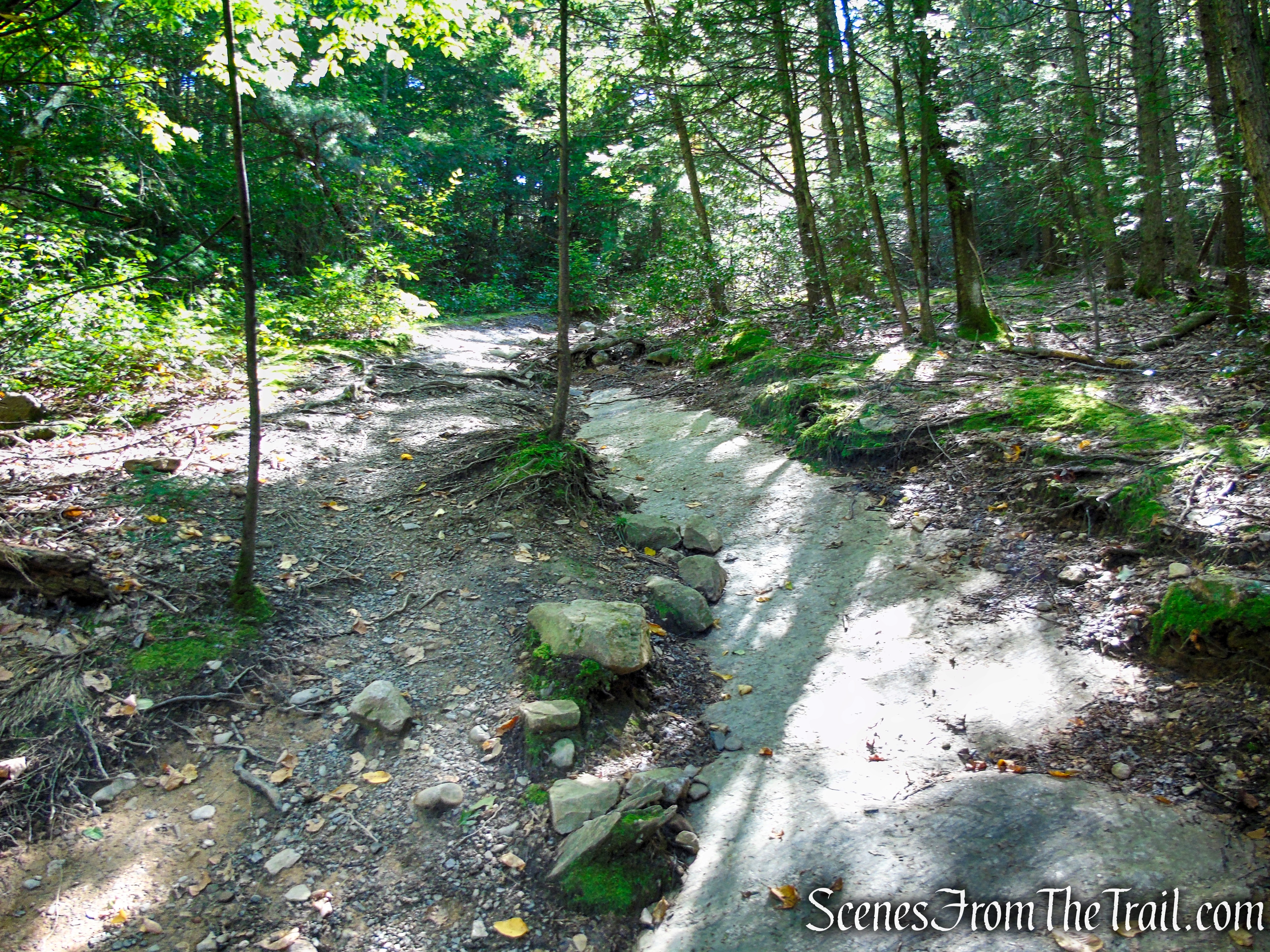
From a kiosk at the western end of the lower parking area, head north (right) on a gravel road, following the Red Loop Trail. At the top of a rise, a sign and a triple-white blaze on a tree to the right, marks the start of the white-blazed Bullwheel Trail. Turn right onto this trail, which climbs gradually on an old carriage road. After a short descent, the trail bears right at a fork and continues to climb on a rougher route.
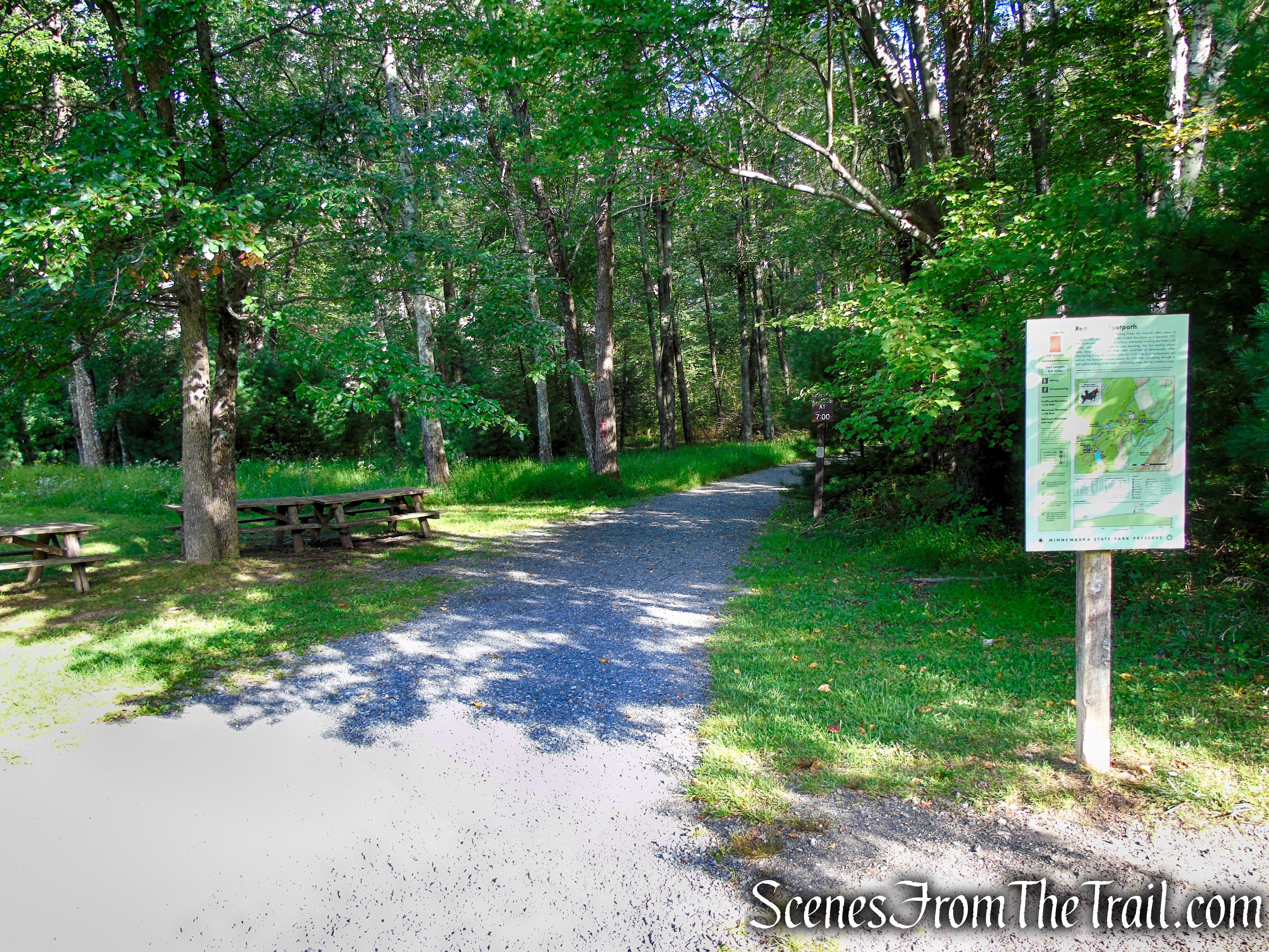
Red Loop Trail – Minnewaska State Park Preserve
Red Loop Trail – Minnewaska State Park Preserve
Red Loop Trail – Minnewaska State Park Preserve

Turn right on Bullwheel Trail
Bullwheel Trail – Minnewaska State Park Preserve
Bullwheel Trail – Minnewaska State Park Preserve
Bullwheel Trail – Minnewaska State Park Preserve
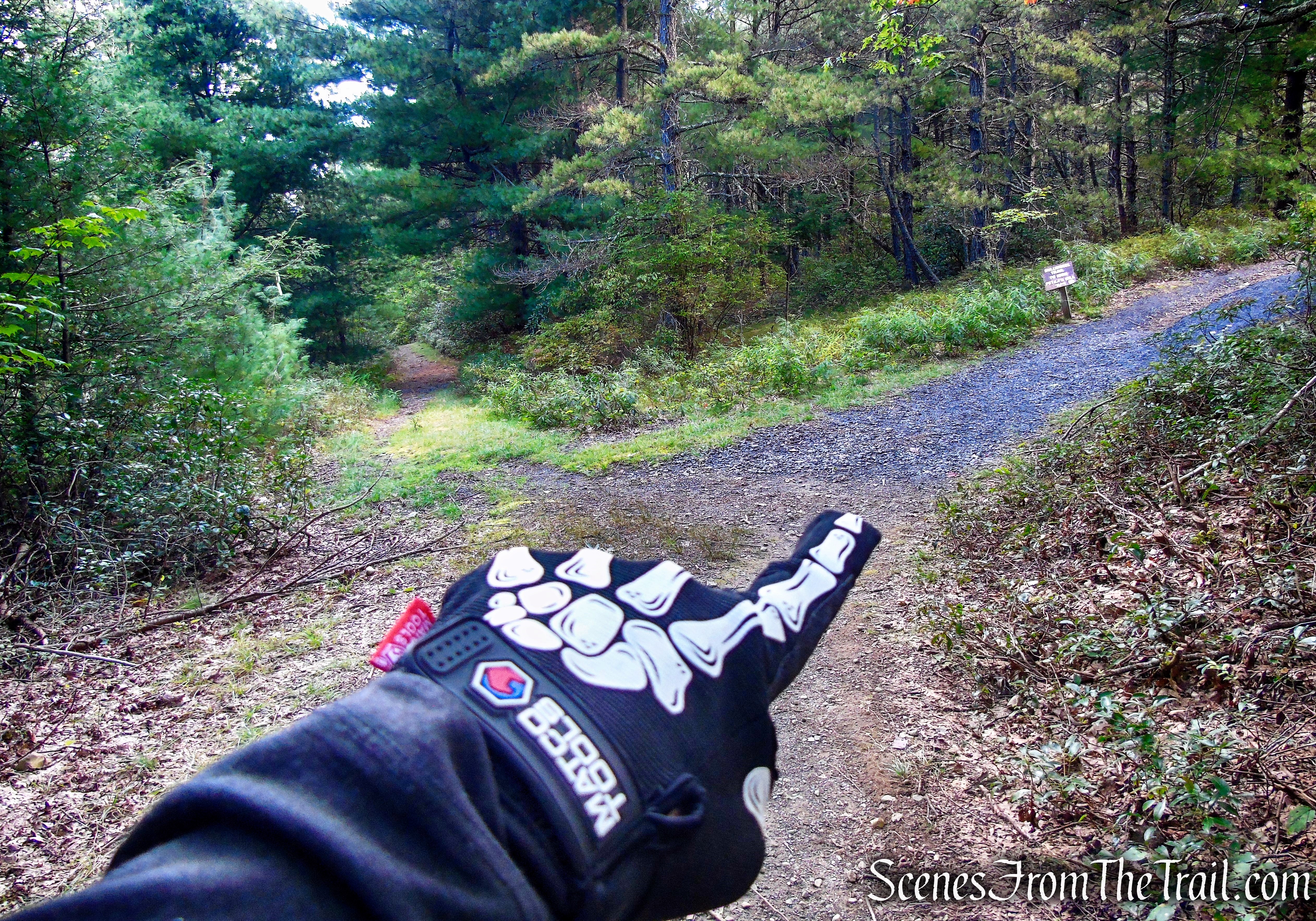
Bullwheel Trail – Minnewaska State Park Preserve
Bullwheel Trail – Minnewaska State Park Preserve
Bullwheel Trail – Minnewaska State Park Preserve
Bullwheel Trail – Minnewaska State Park Preserve
After narrowing to a footpath, the trail reaches the crest of the rise, where it passes a concrete slab, with steel bolts protruding. A tower that was anchored to the slab via the bolts once supported a pulley for a ski lift, part of the Ski Minne downhill ski area, which operated from 1964 to 1978. The pulley is commonly referred to as a “bullwheel” – hence the name for the trail.
Bullwheel Trail – Minnewaska State Park Preserve
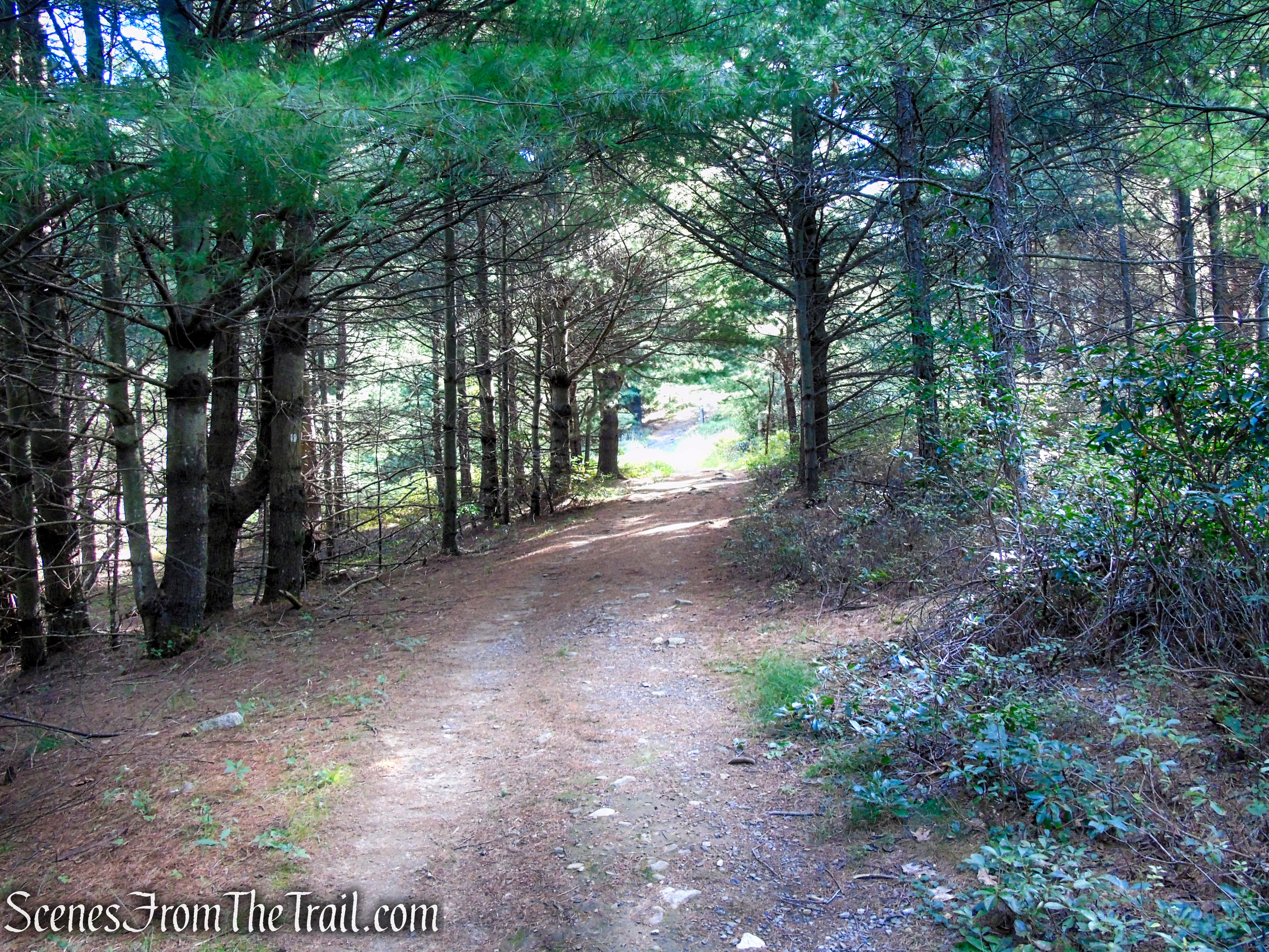
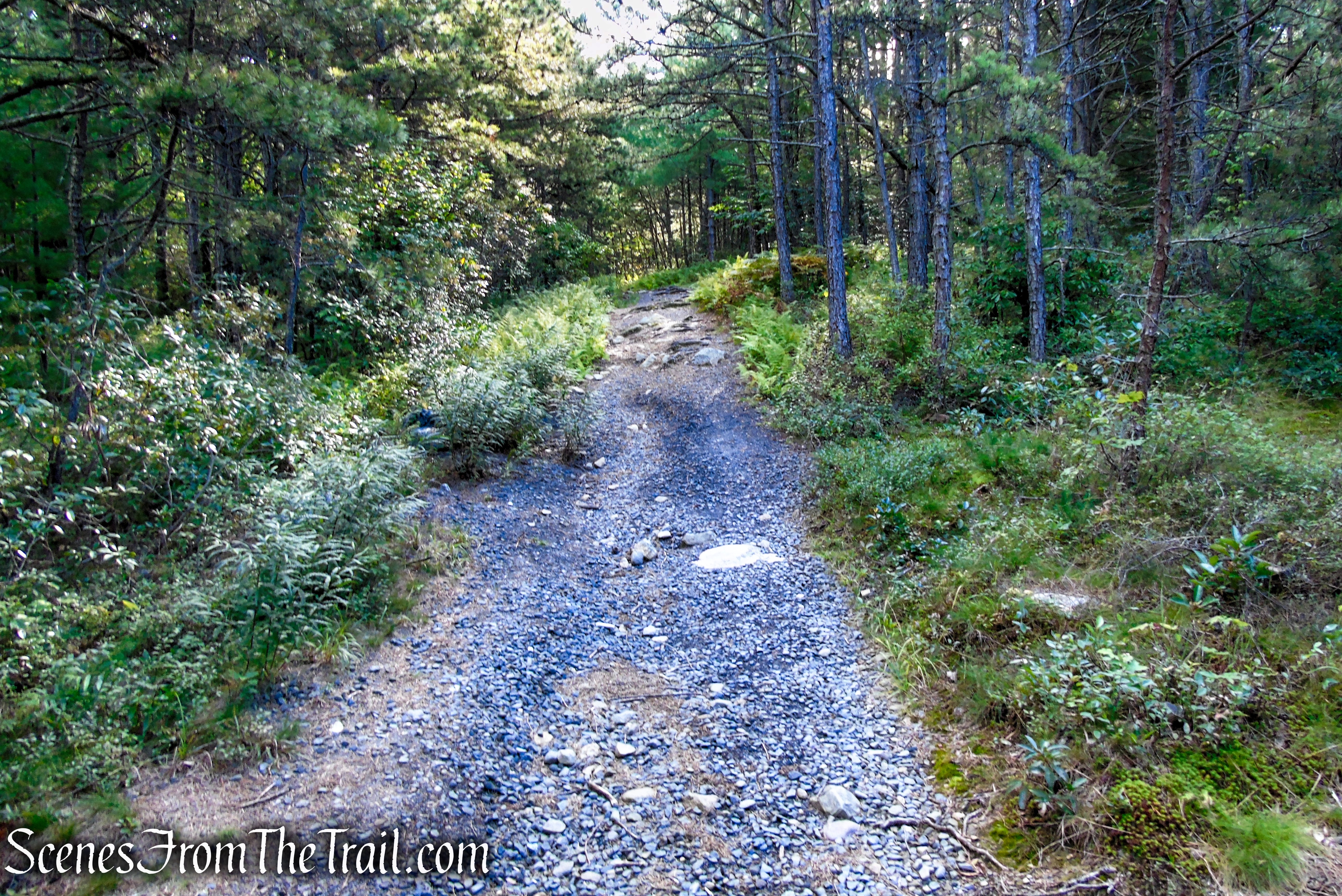
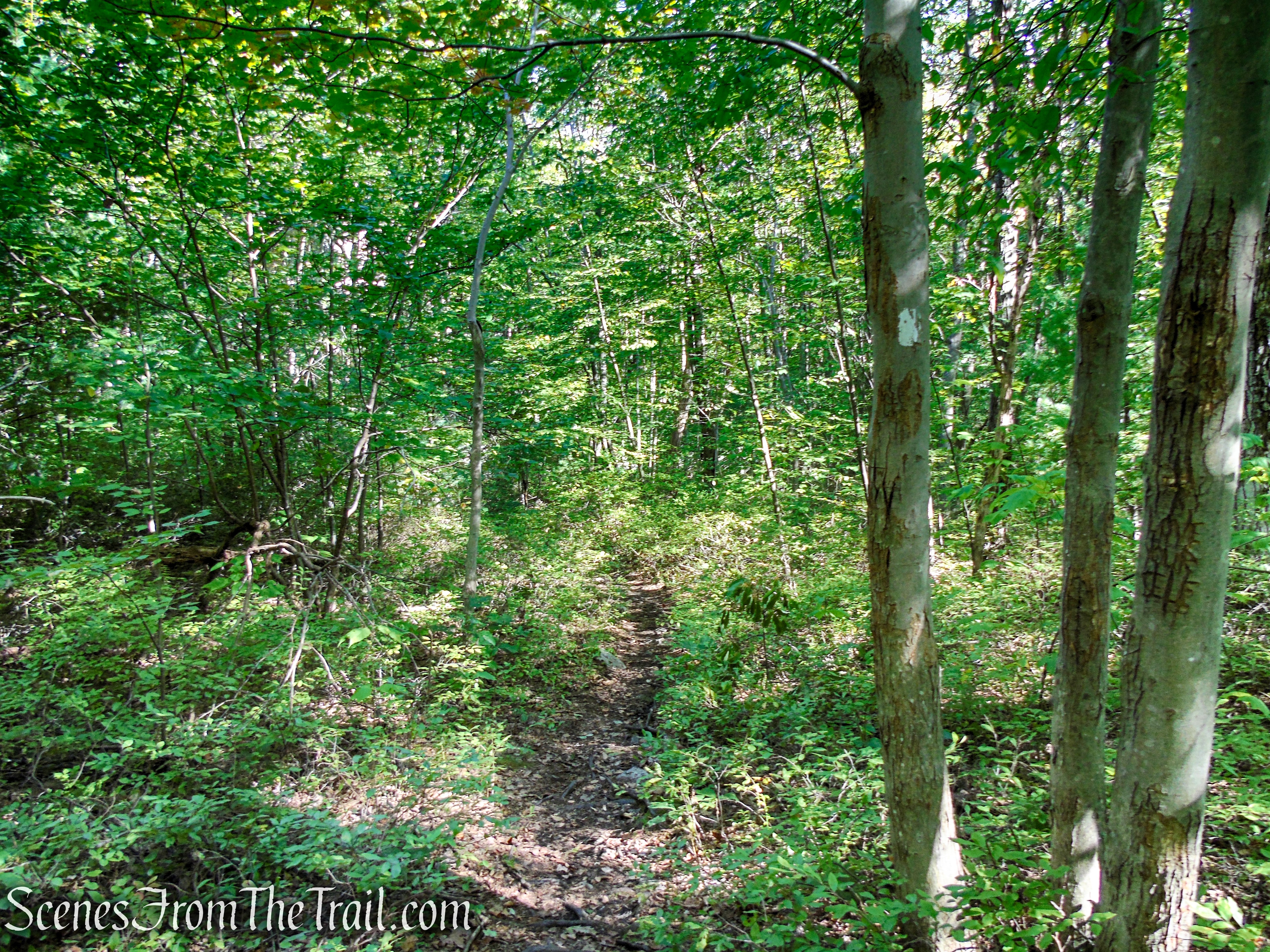
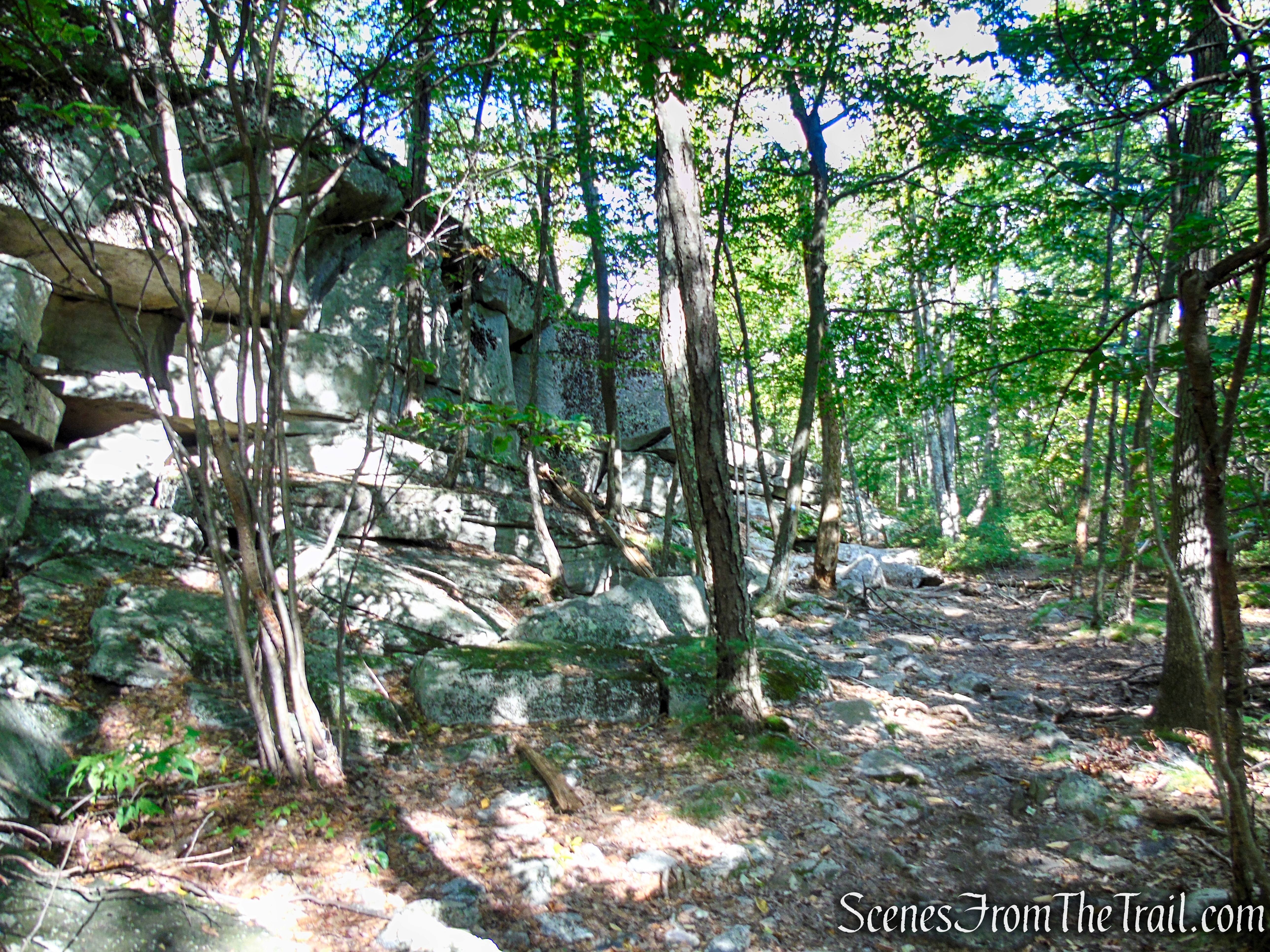
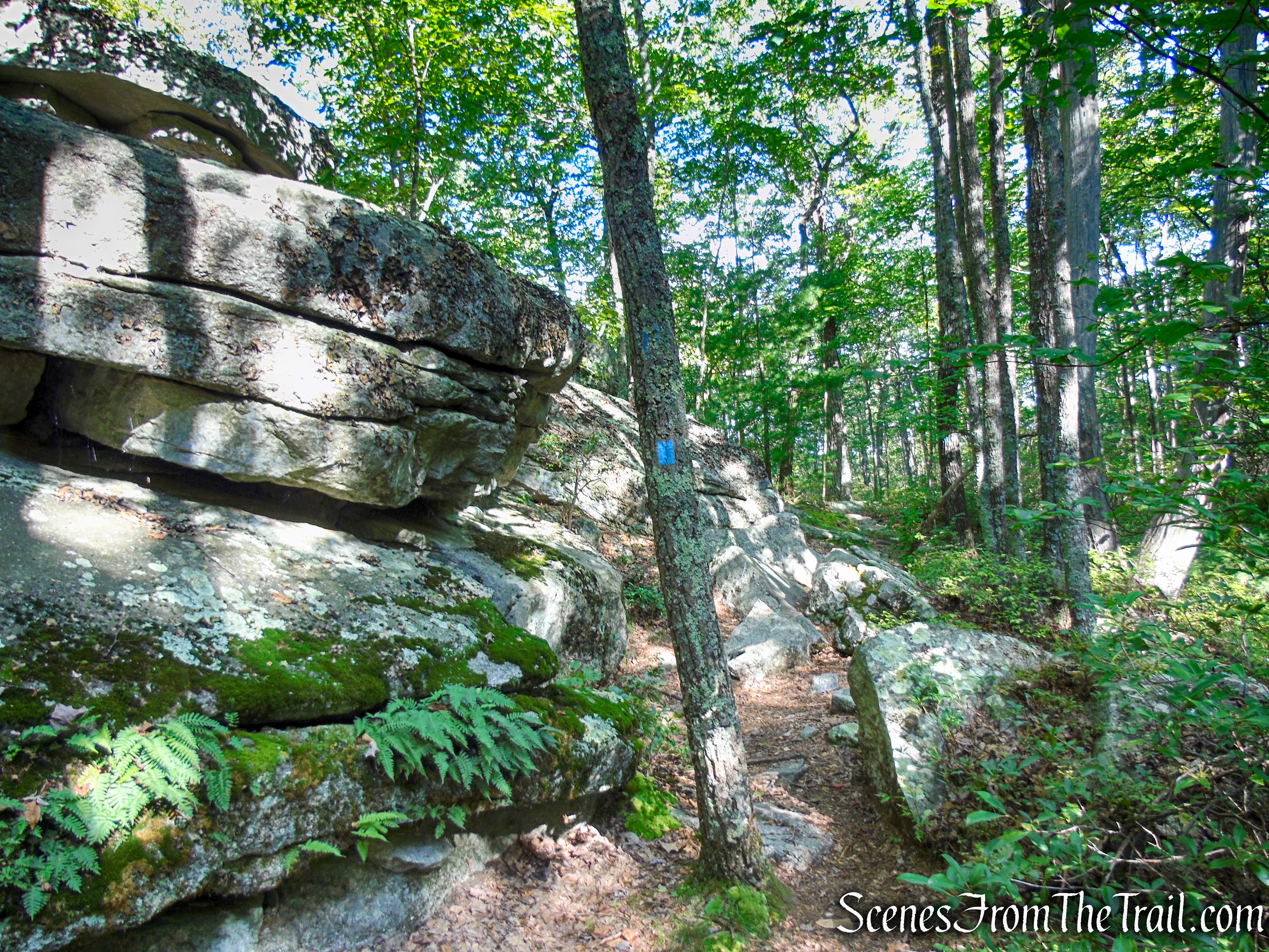
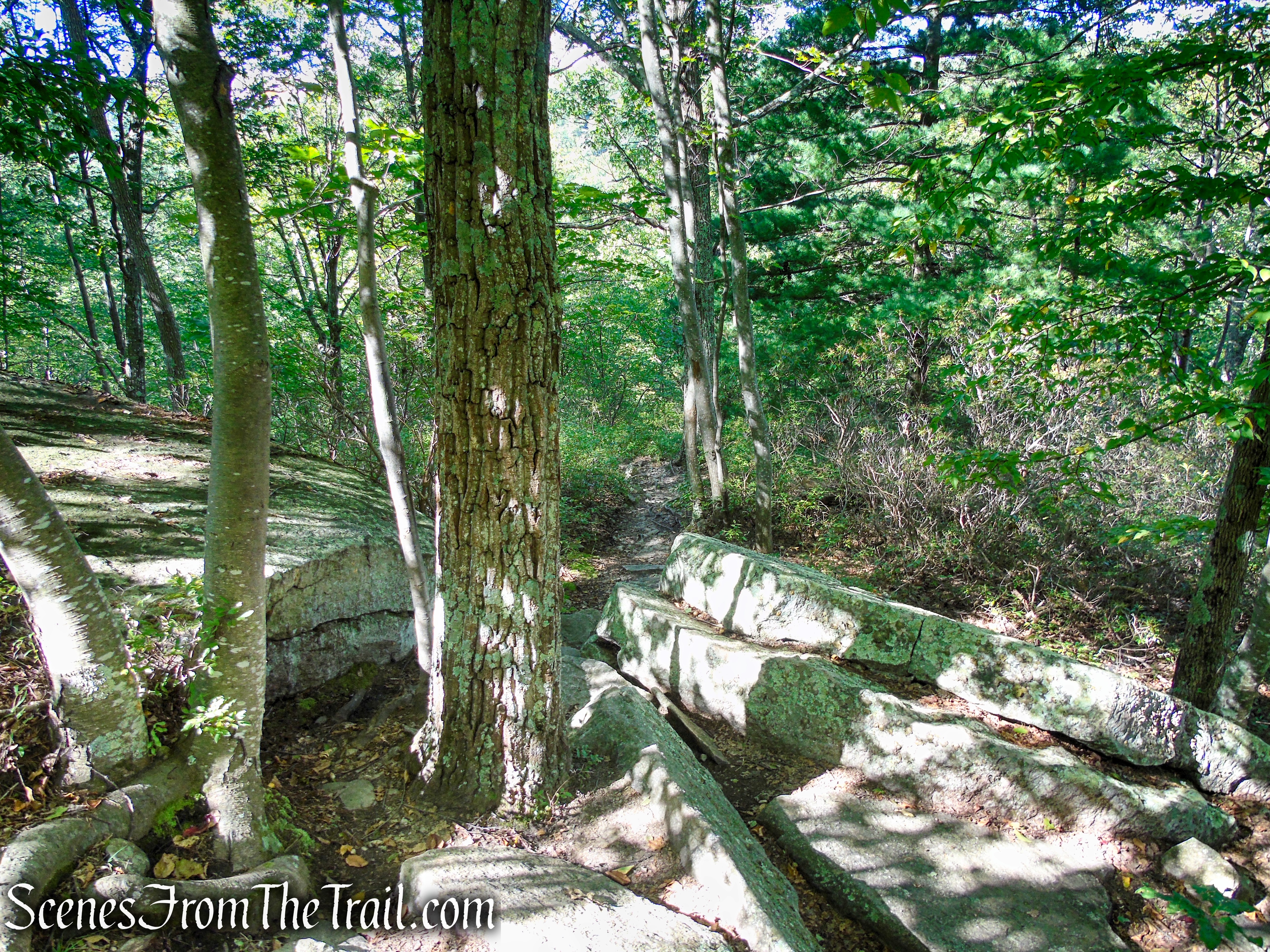
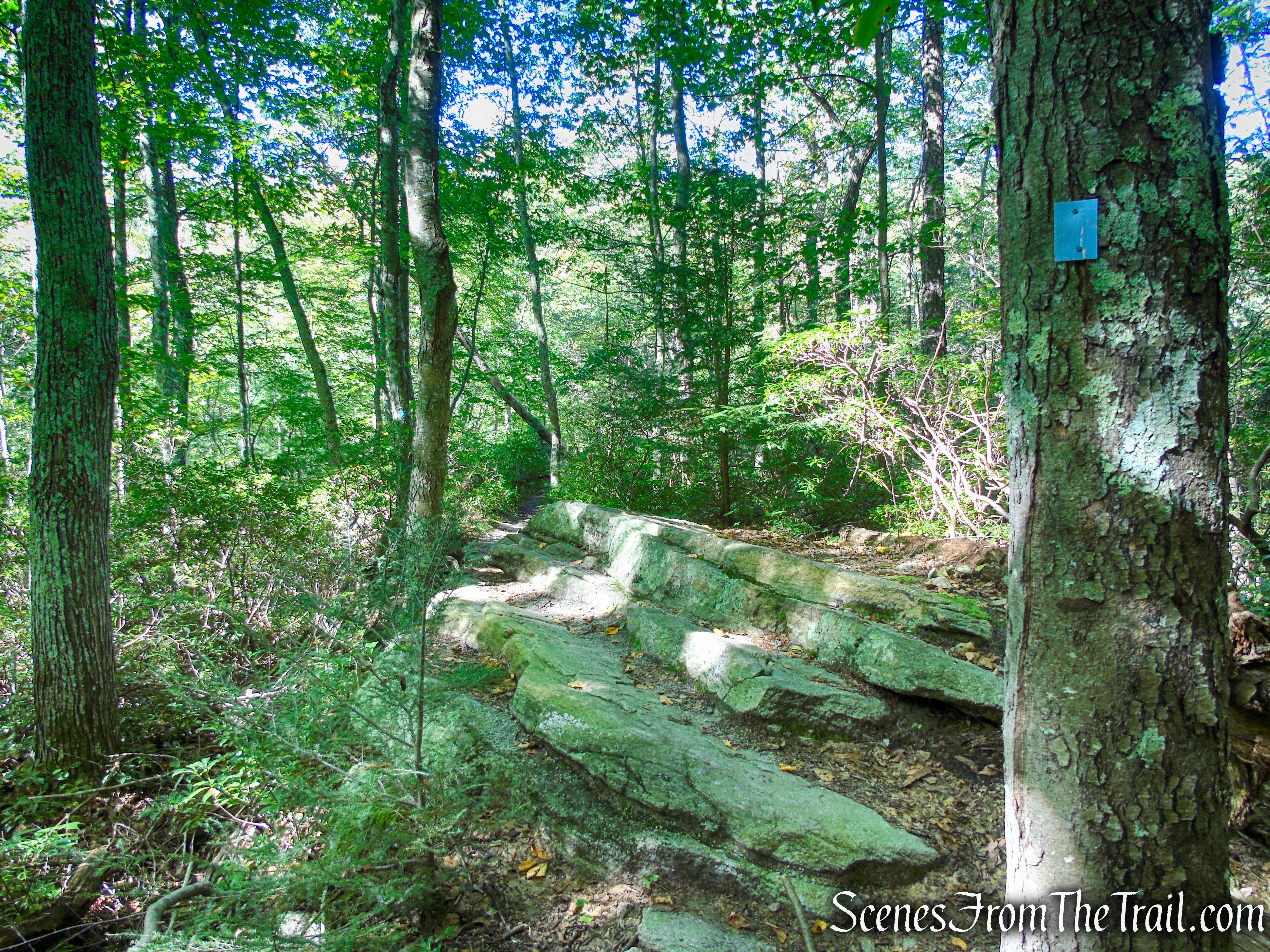
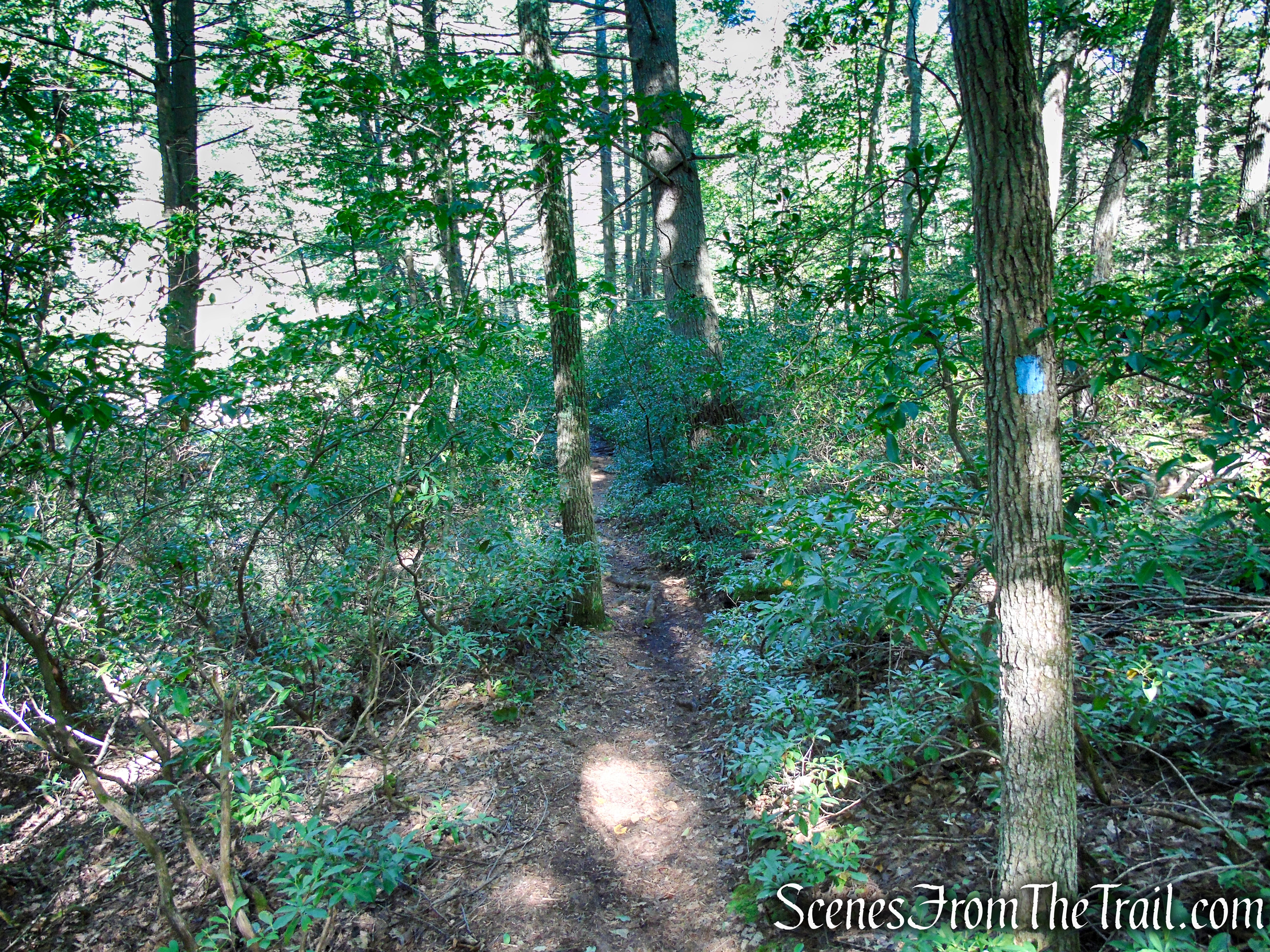
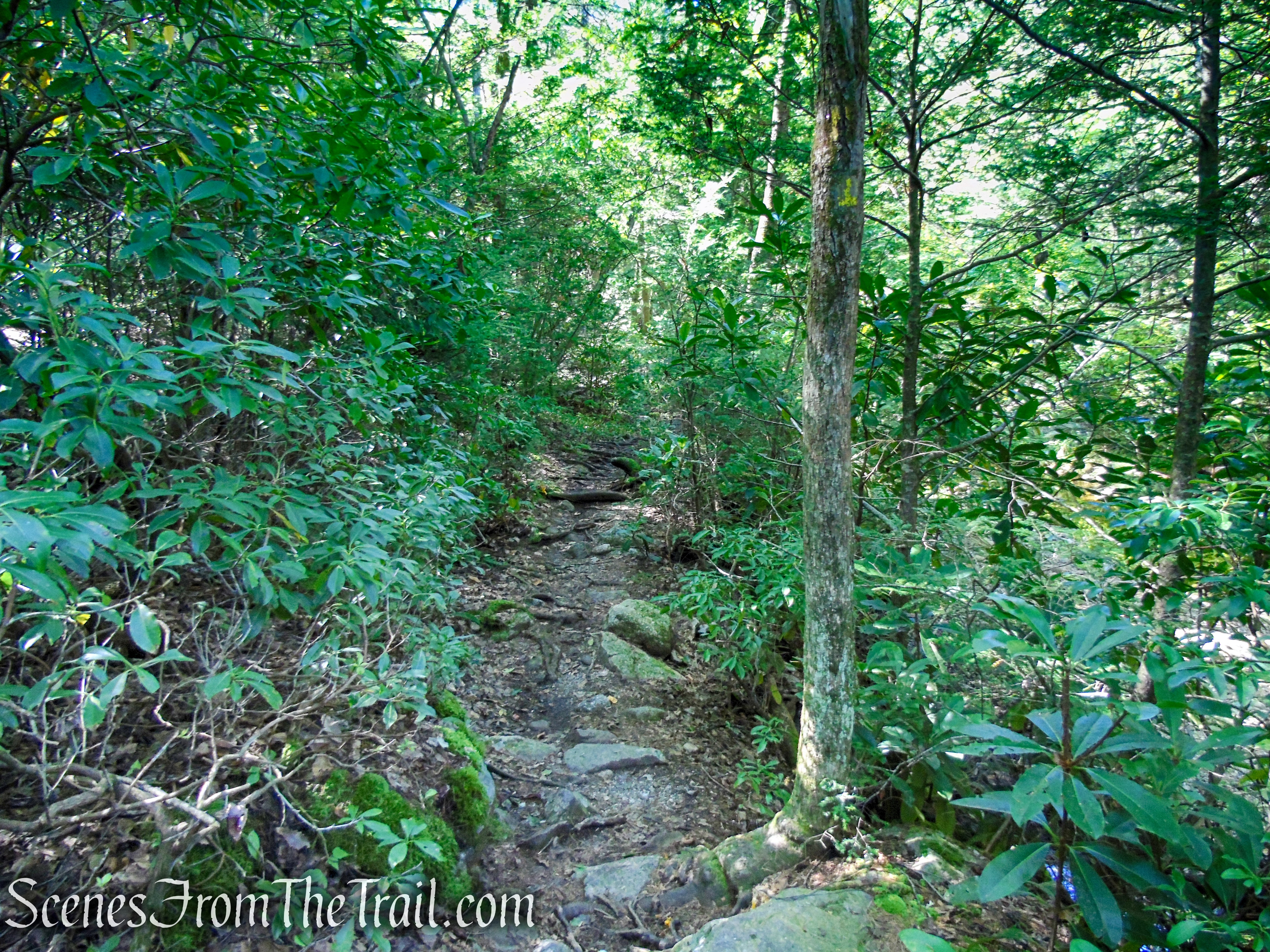
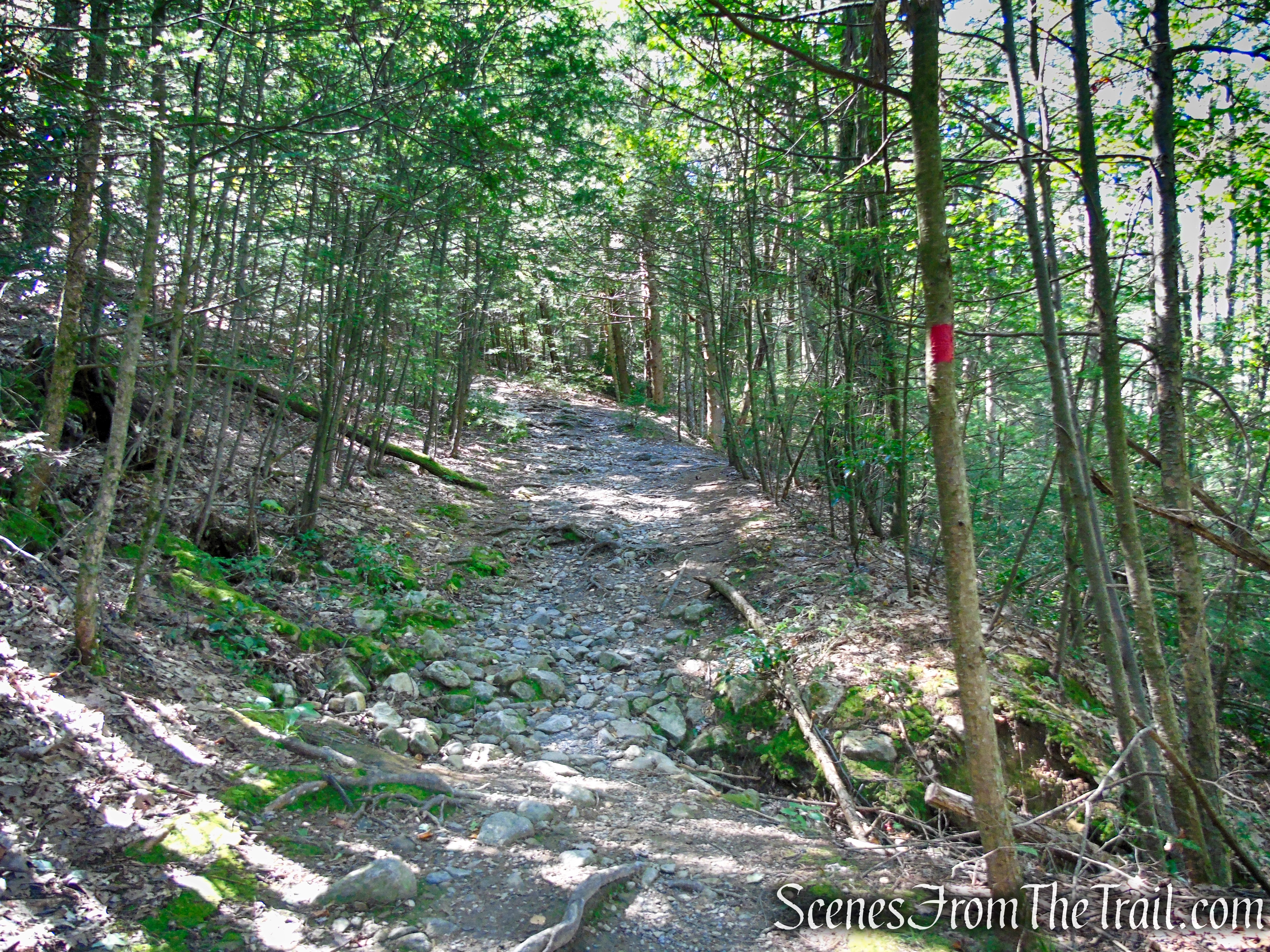
The trail now descends gradually, passing through mountain laurel thickets and blueberry bushes. Several side trails for rock climbers leave to the left. After passing the cliffs of Dickie Barre on the left, the Bullwheel Trail ends at a junction with the blue-blazed High Peters Kill Trail.
Terminus of Bullwheel Trail
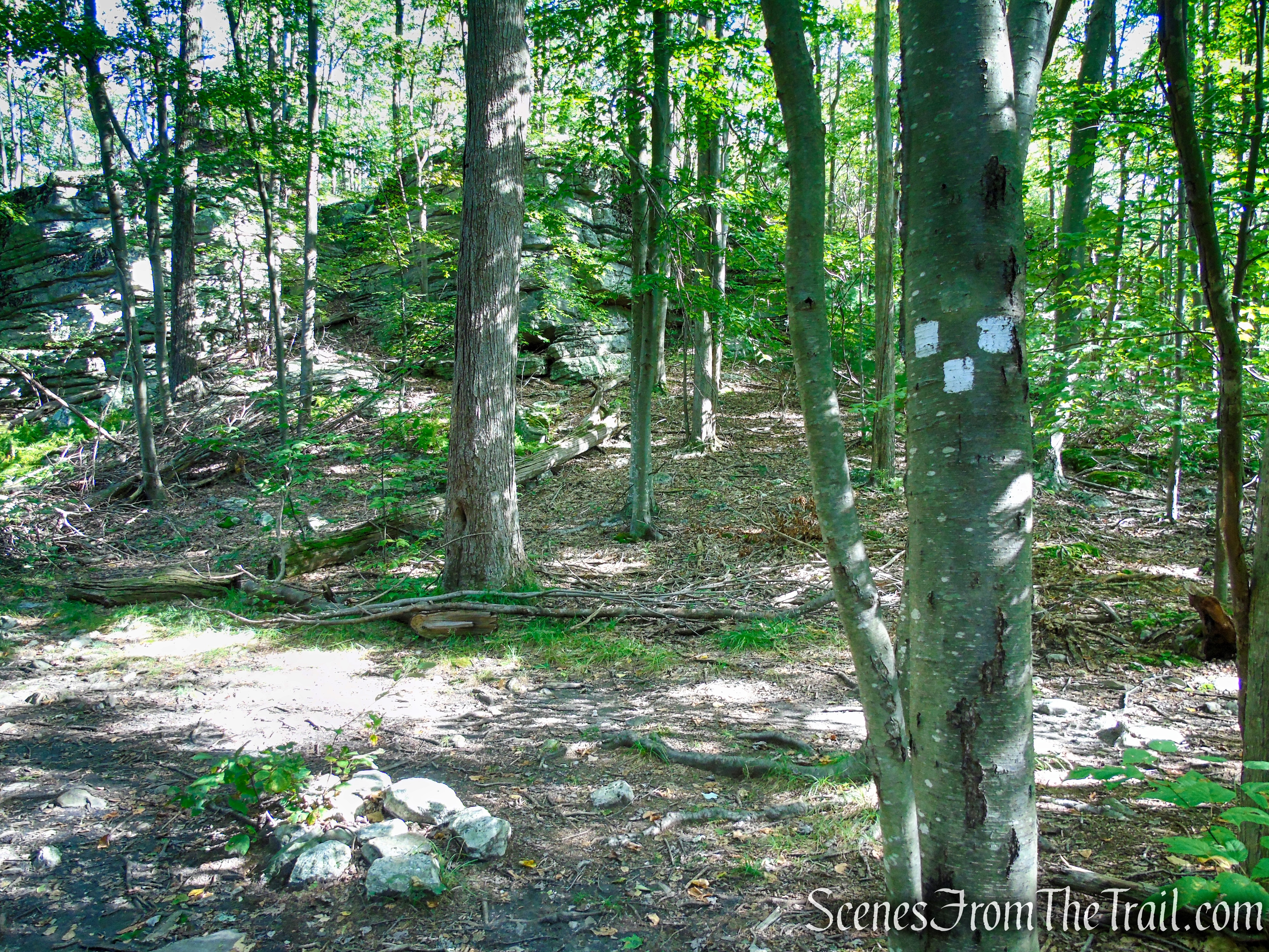
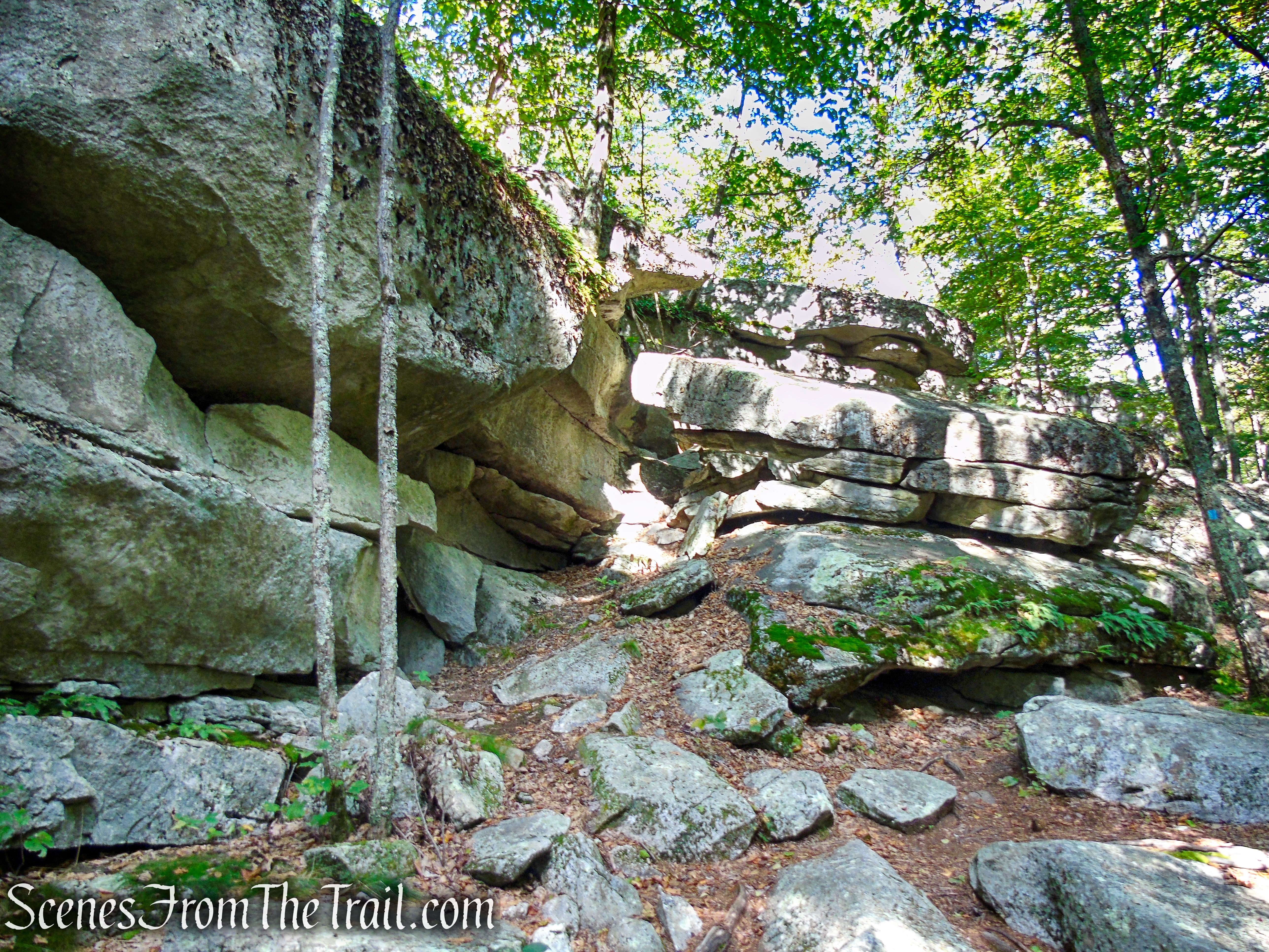
Turn left onto this trail, which climbs briefly to cut through a notch in Dickie Barre (notice the tilted blocks of conglomerate rock on the left), then begins a long, gradual descent through mountain laurel thickets and blueberry bushes to the Peters Kill.

High Peters Kill Trail – Minnewaska State Park Preserve

High Peters Kill Trail – Minnewaska State Park Preserve
High Peters Kill Trail – Minnewaska State Park Preserve
High Peters Kill Trail – Minnewaska State Park Preserve
High Peters Kill Trail – Minnewaska State Park Preserve
High Peters Kill Trail – Minnewaska State Park Preserve
High Peters Kill Trail – Minnewaska State Park Preserve
High Peters Kill Trail – Minnewaska State Park Preserve
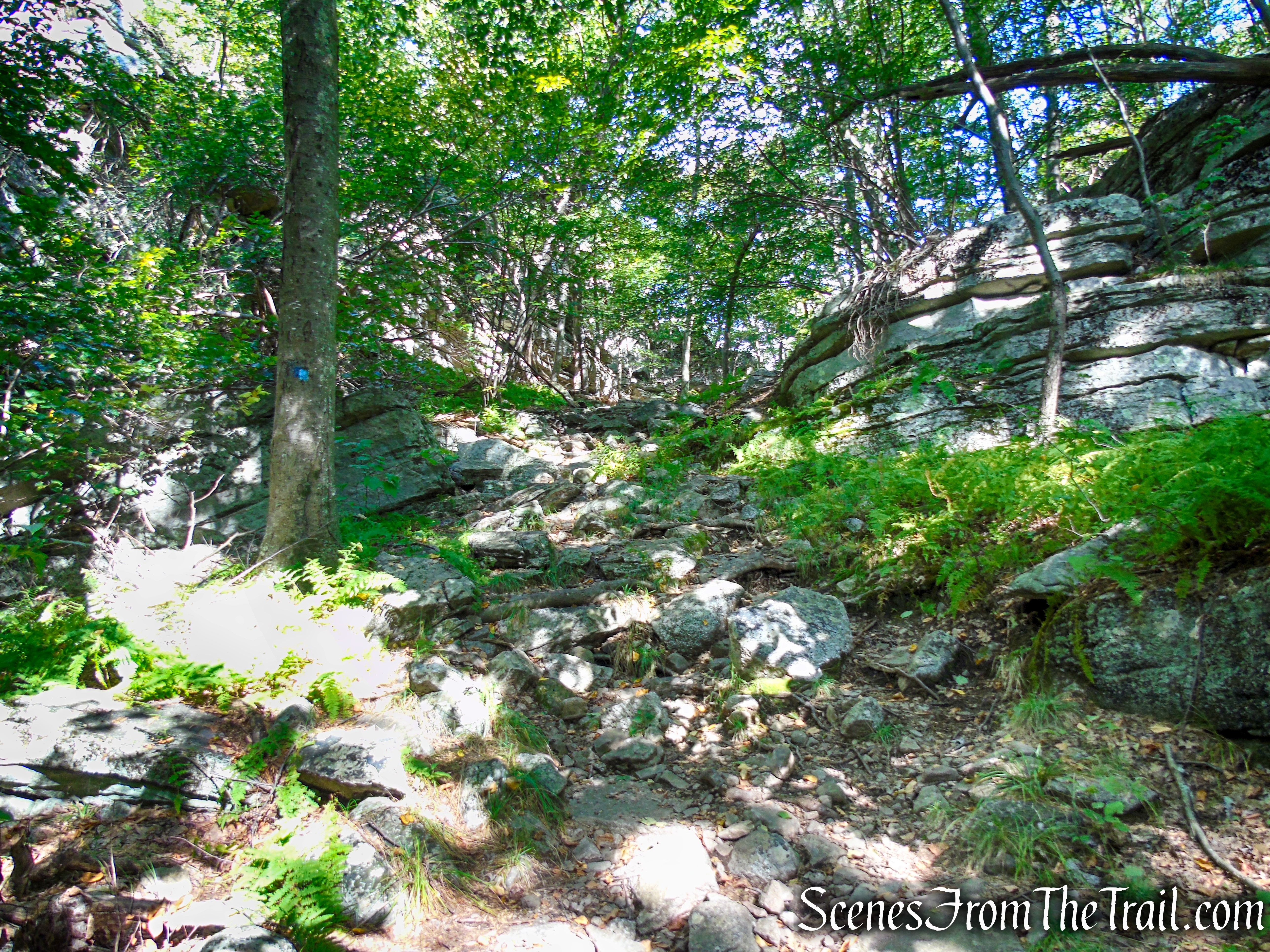
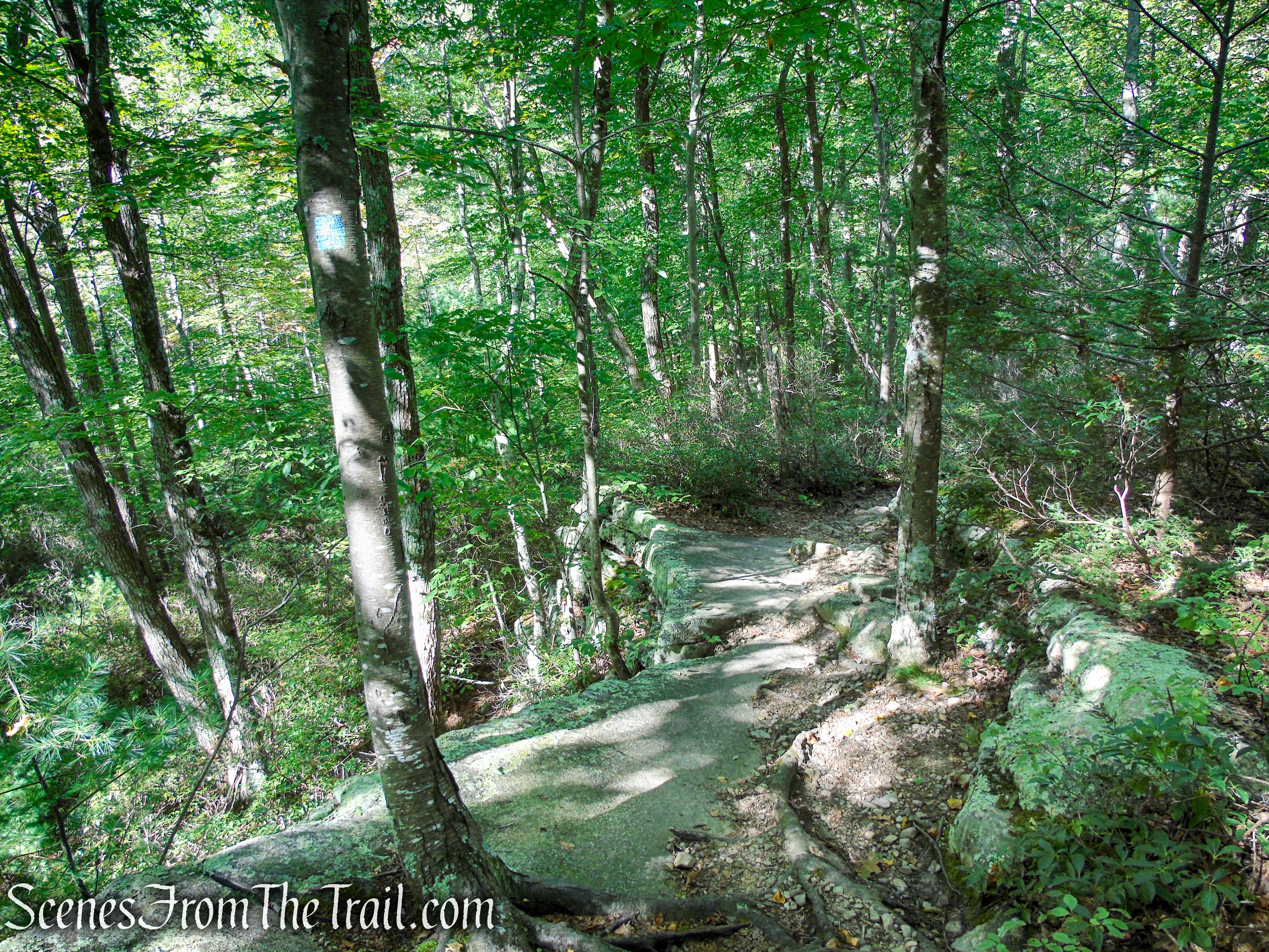
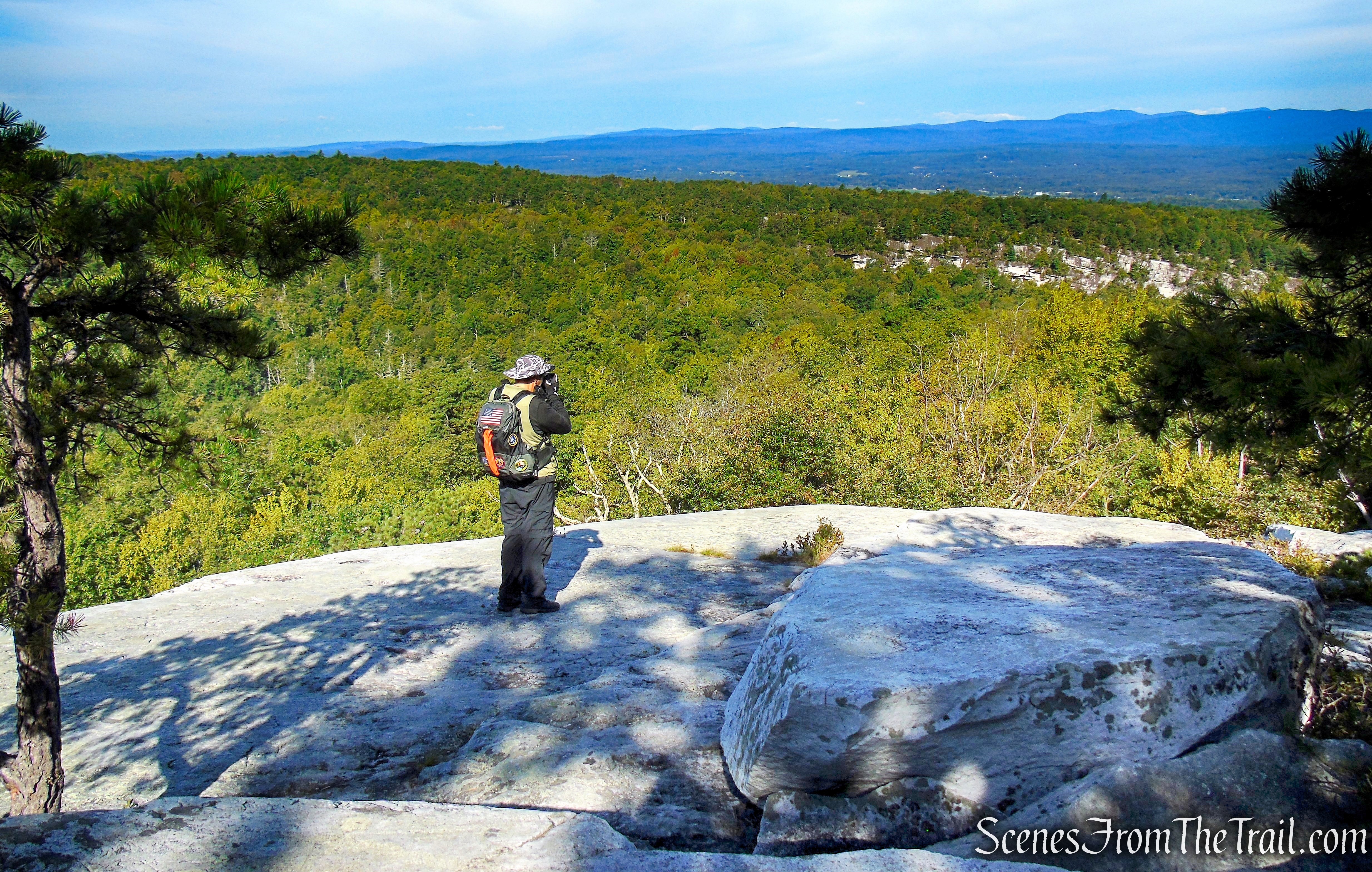
About halfway down, the trail emerges on exposed rock ledges, with pitch pines growing from the bedrock, and bears right. Before continuing ahead, you should bear left and cross the ledges to reach a dramatic viewpoint from the edge of the cliffs, with the Catskills visible in the distance to the right.
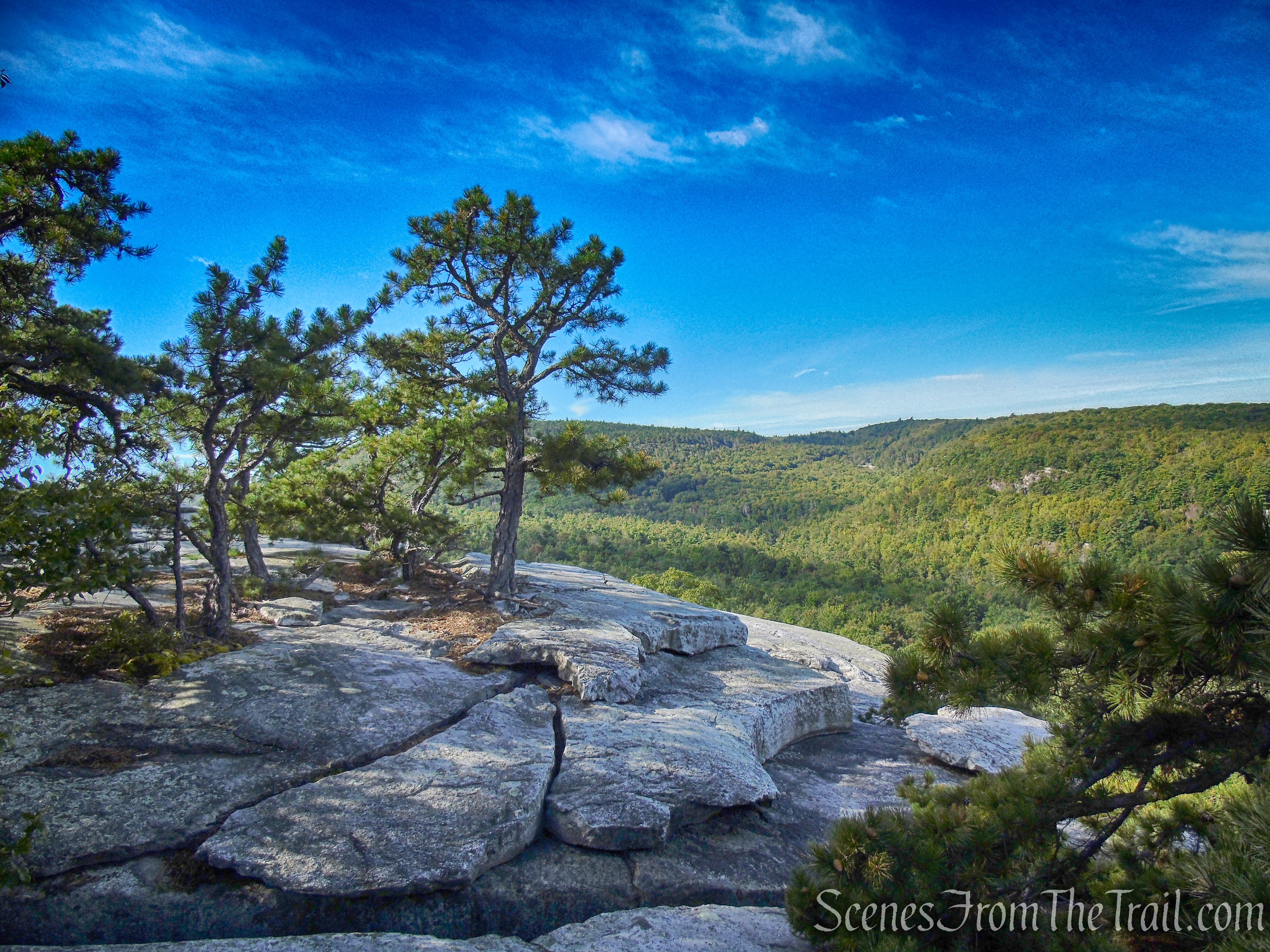
Viewpoint just off the High Peters Kill Trail
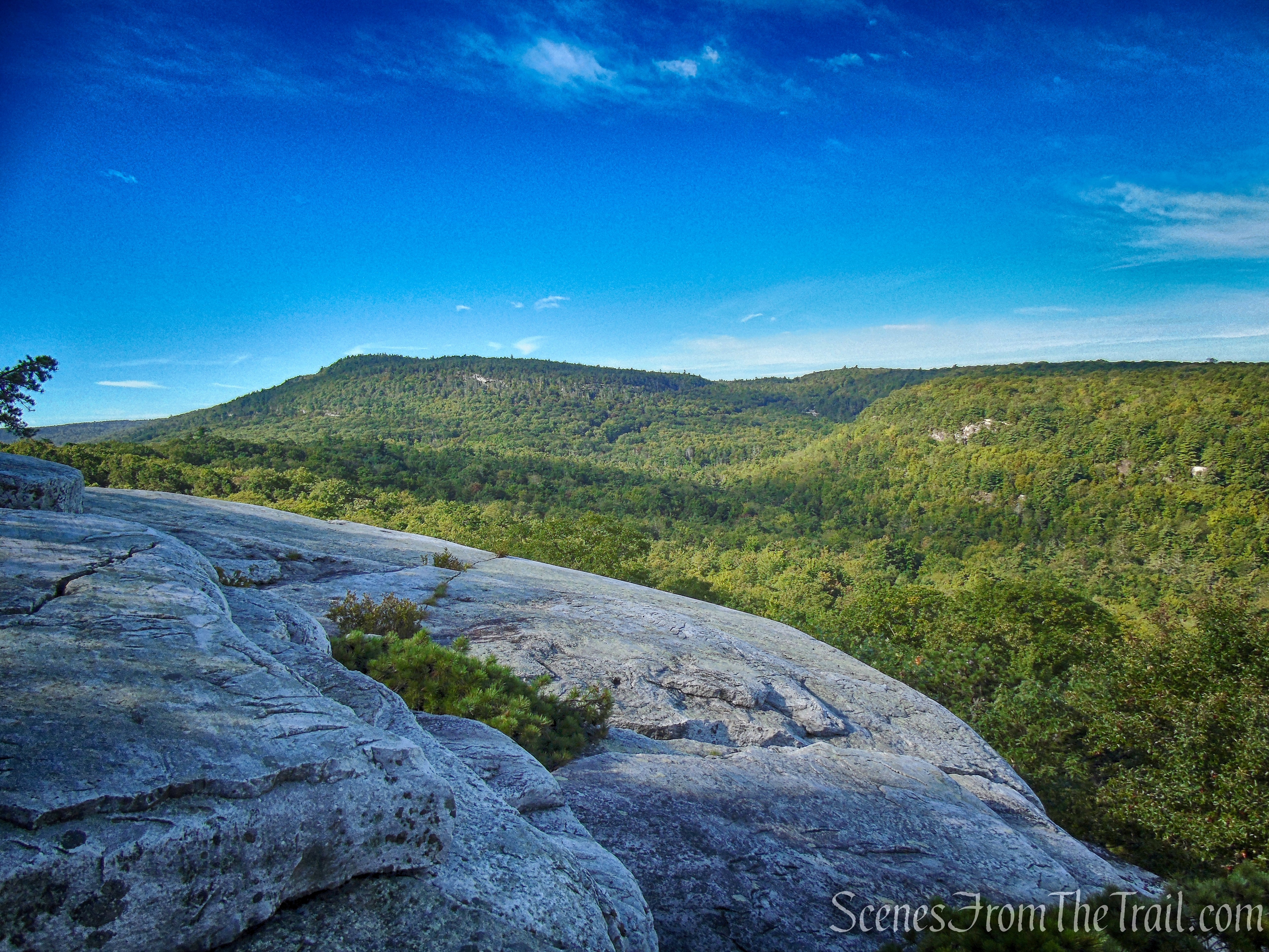
View south just off the High Peters Kill Trail
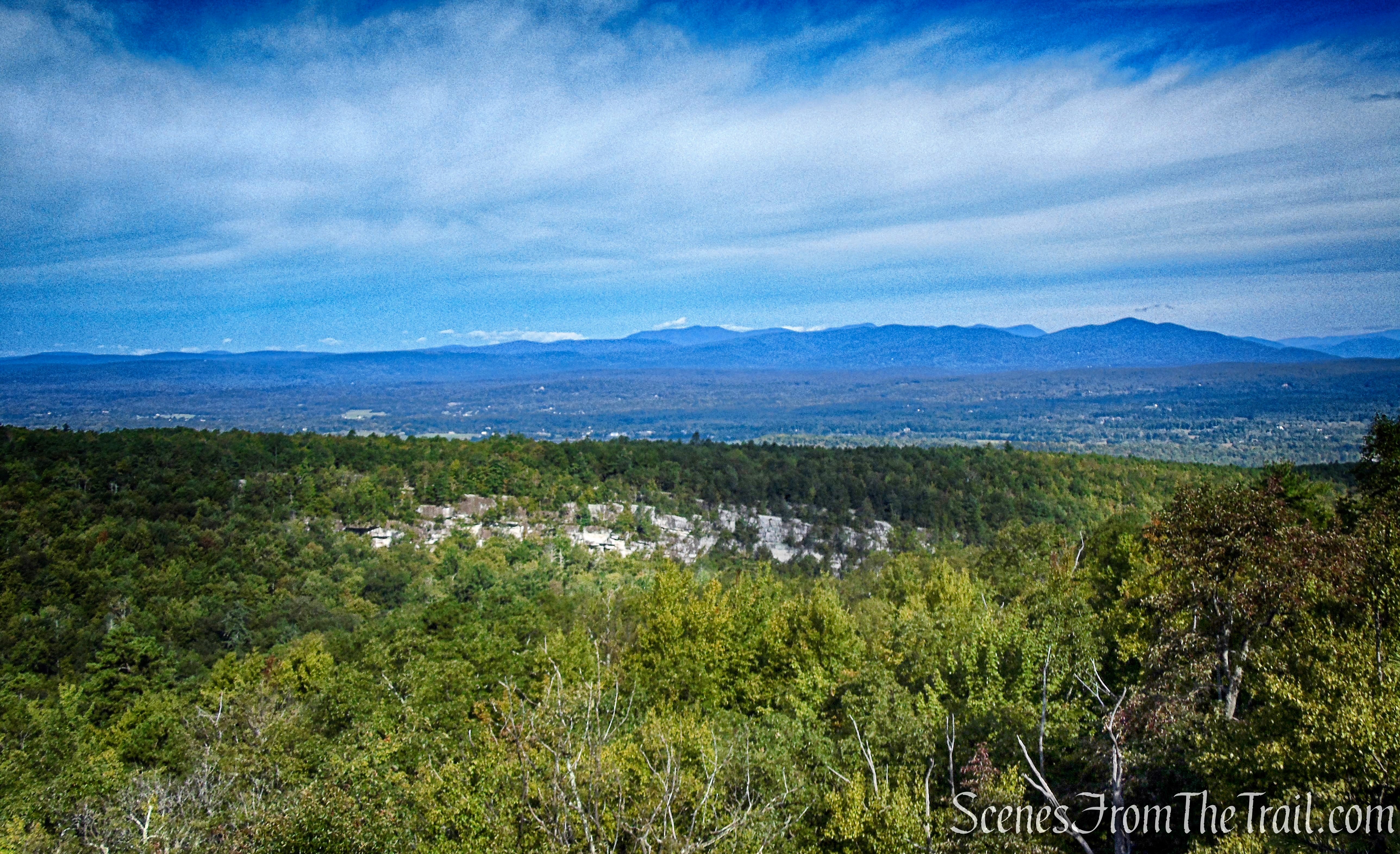
View of the Catskills just off the High Peters Kill Trail
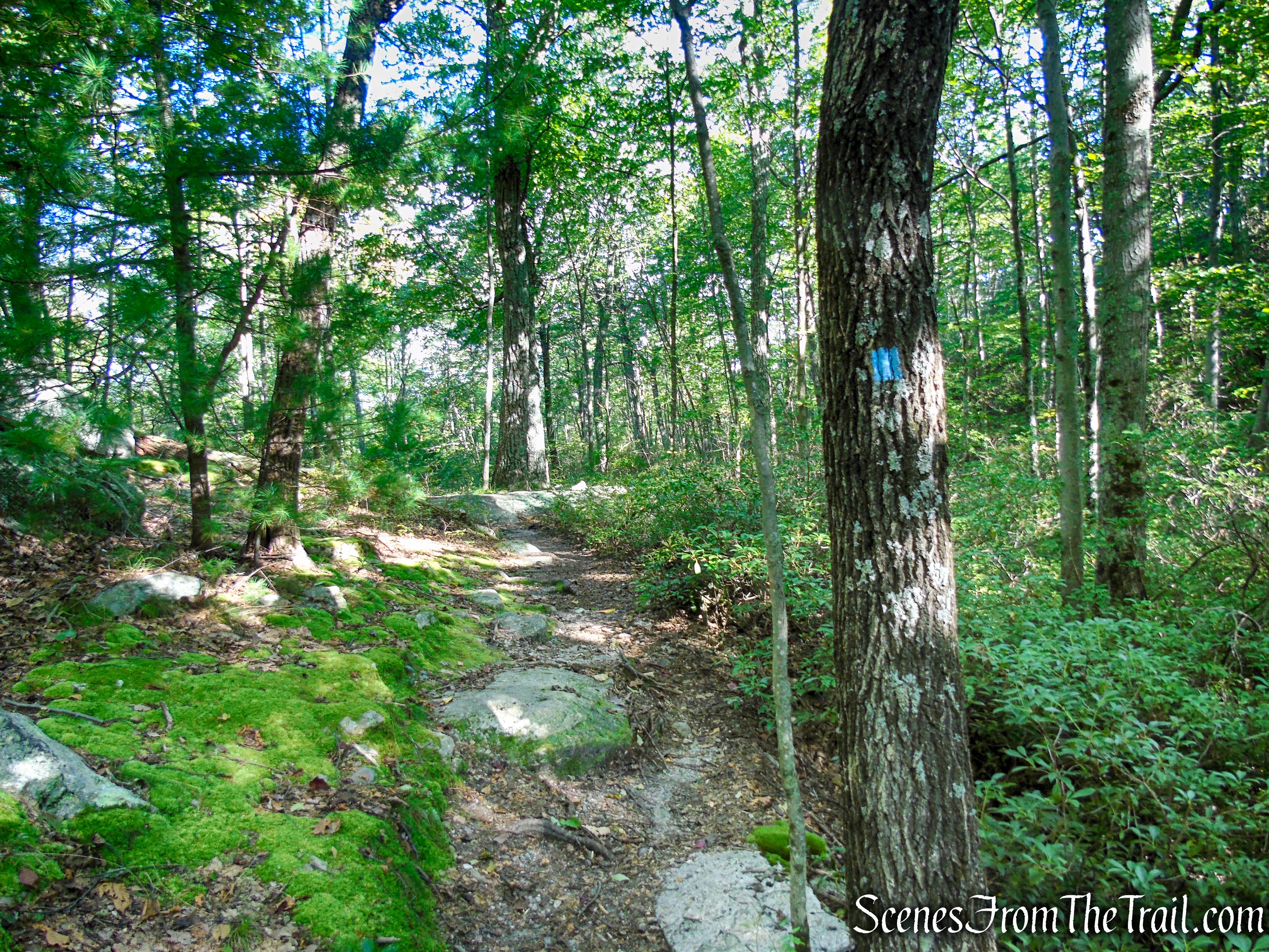
When you are ready to continue, return to the trail, which descends more steeply for a short distance. The grade soon moderates, and the trail runs close to the edge of the escarpment, with sheer drops on the left.

High Peters Kill Trail – Minnewaska State Park Preserve
High Peters Kill Trail – Minnewaska State Park Preserve
High Peters Kill Trail – Minnewaska State Park Preserve
High Peters Kill Trail – Minnewaska State Park Preserve
High Peters Kill Trail – Minnewaska State Park Preserve
High Peters Kill Trail – Minnewaska State Park Preserve
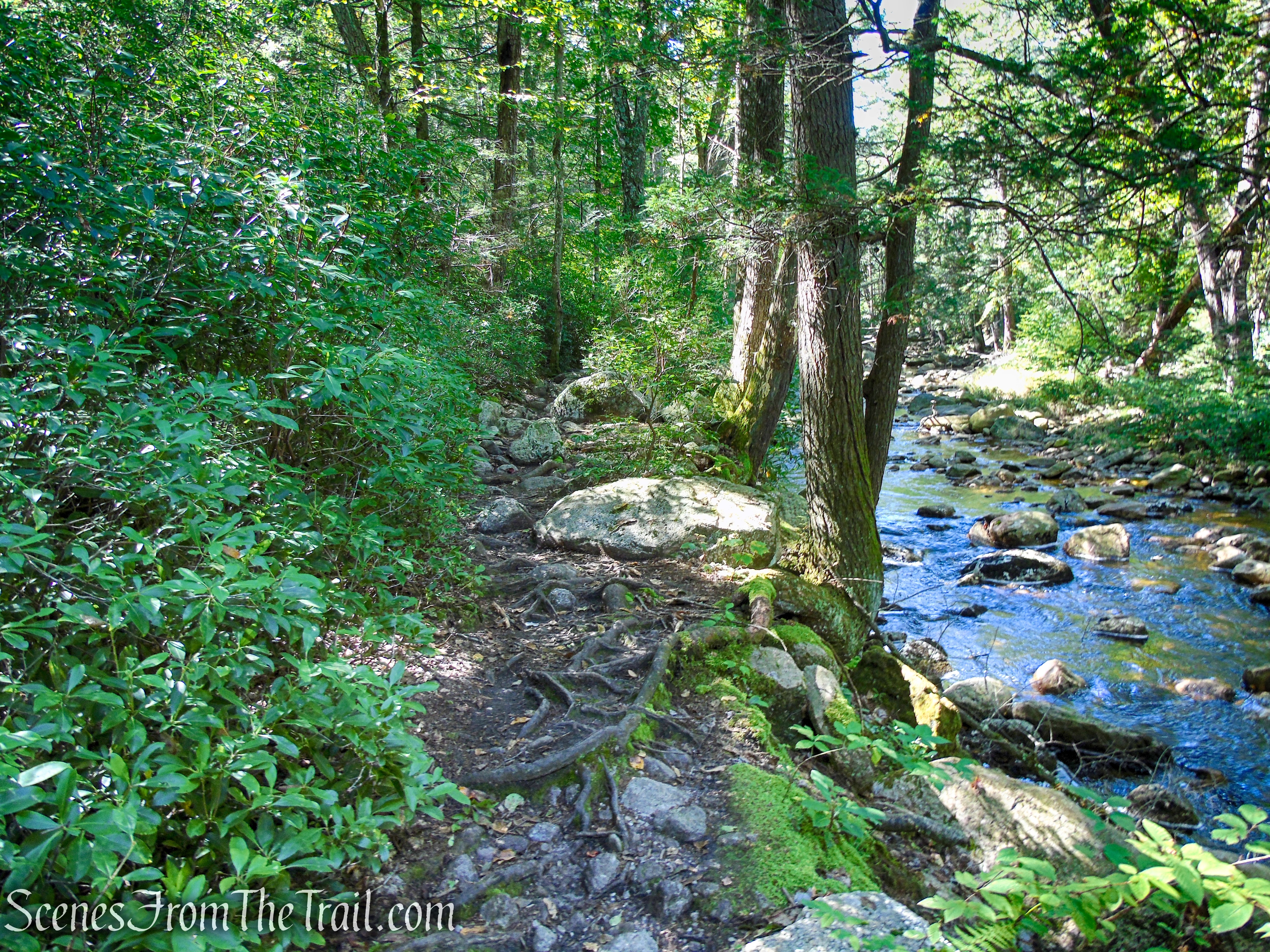
At the base of the descent, just before reaching the Peters Kill, the Yellow Connector Trail begins on the left. Walk straight a short distance to the Peters Kill which flows over rock slabs. This makes for a good spot to take a break.
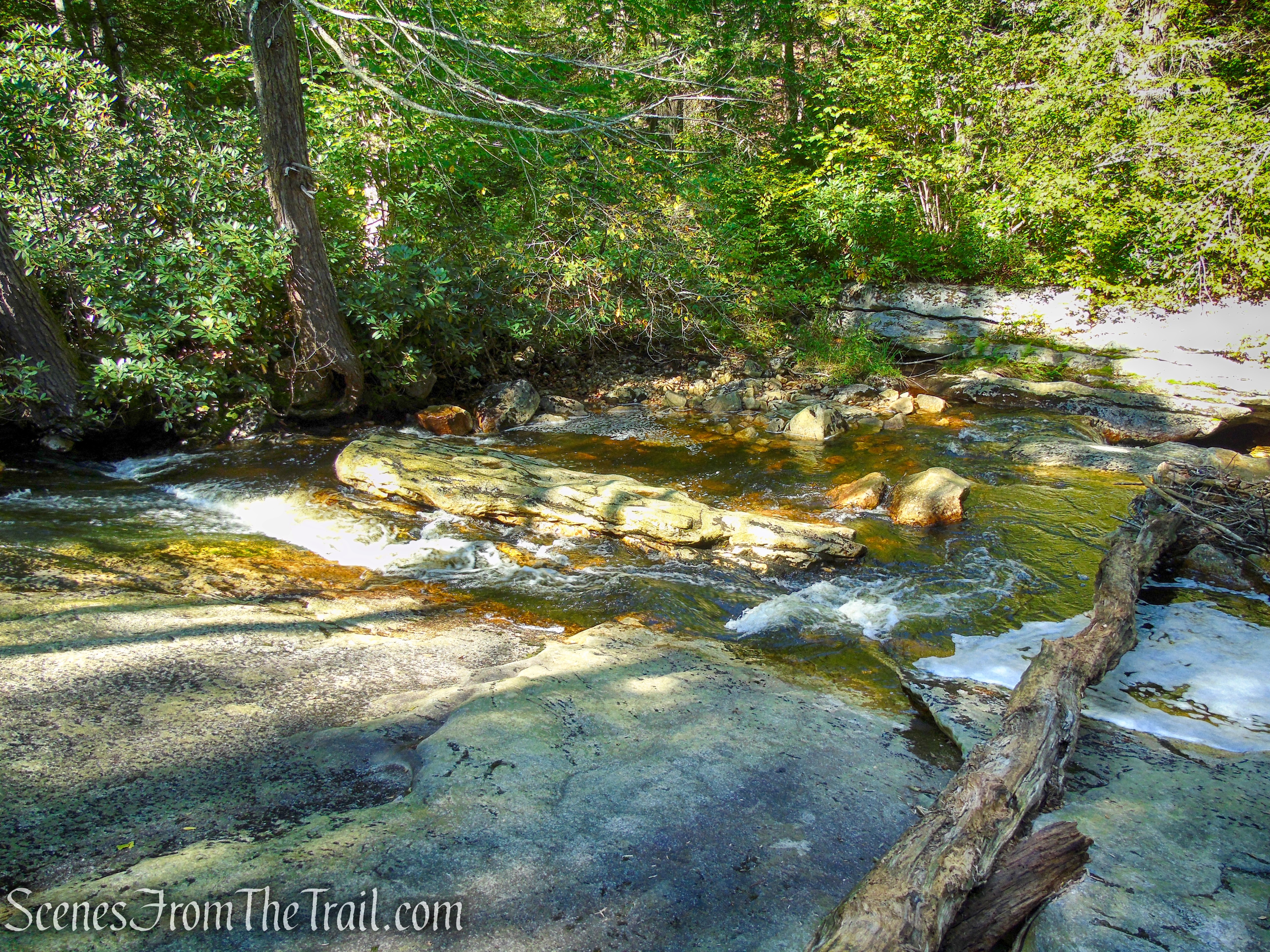
Peters Kill – Minnewaska State Park Preserve
Peters Kill – Minnewaska State Park Preserve
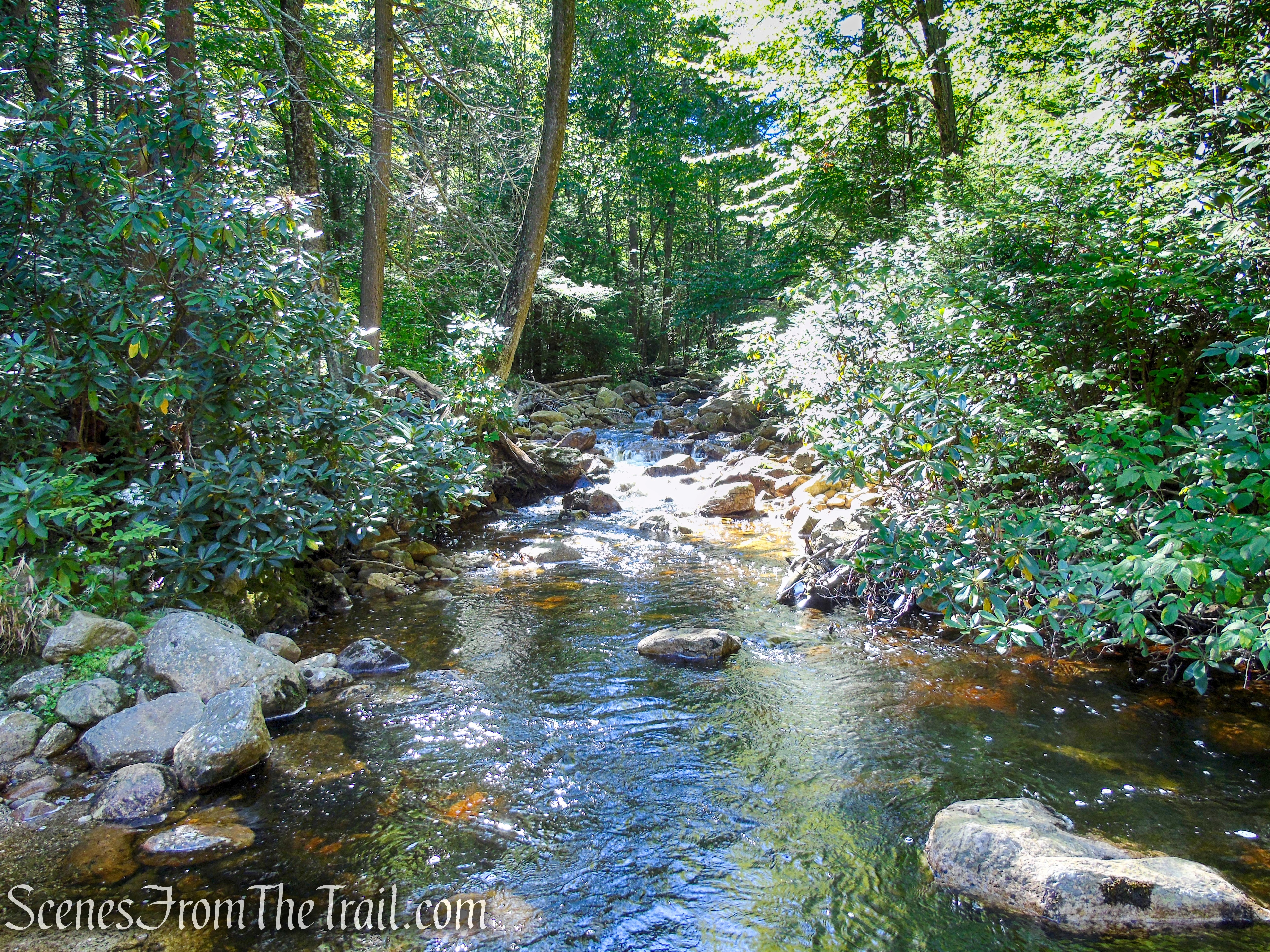
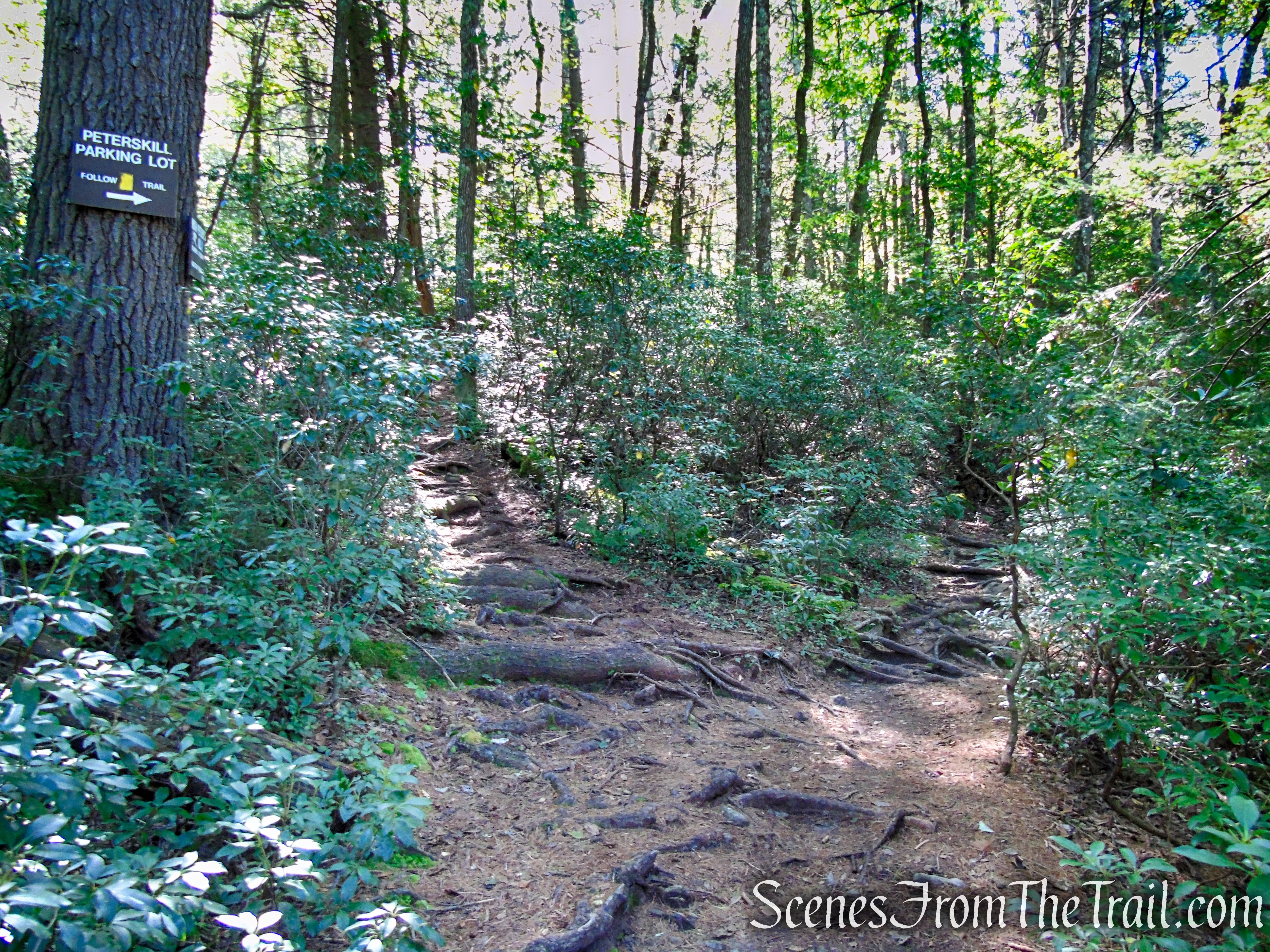
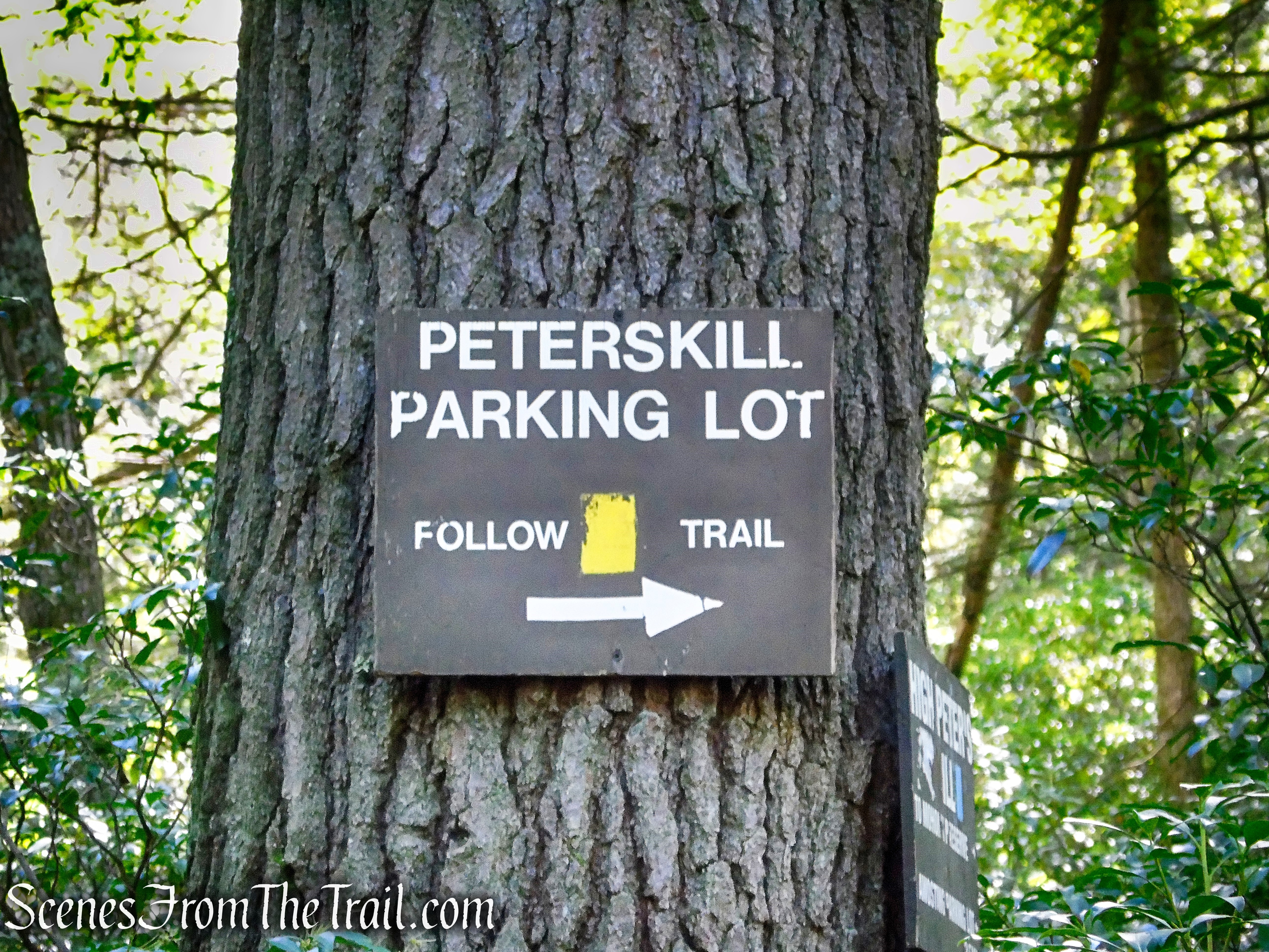
When you are ready to continue, retrace your steps a few feet to the junction with the Yellow Connector Trail and turn right at a sign that reads: “PETERSKILL PARKING LOT.” The trail parallels the picturesque stream amid hemlocks, rhododendron and mountain laurel. After passing an interesting cascade, where the stream flows over slanted rock slabs, the Yellow Trail bears left, away from the stream, and it soon ends at a sign for the Red Trail. You’ll notice nearby another concrete slab with protruding bolts and steel cables along the ground – more remnants of the downhill Ski Minne operation.
Yellow Connector Trail – Minnewaska State Park Preserve
Yellow Connector Trail – Minnewaska State Park Preserve
Yellow Connector Trail – Minnewaska State Park Preserve
Yellow Connector Trail – Minnewaska State Park Preserve
Yellow Connector Trail – Minnewaska State Park Preserve
Yellow Connector Trail – Minnewaska State Park Preserve
Yellow Connector Trail – Minnewaska State Park Preserve
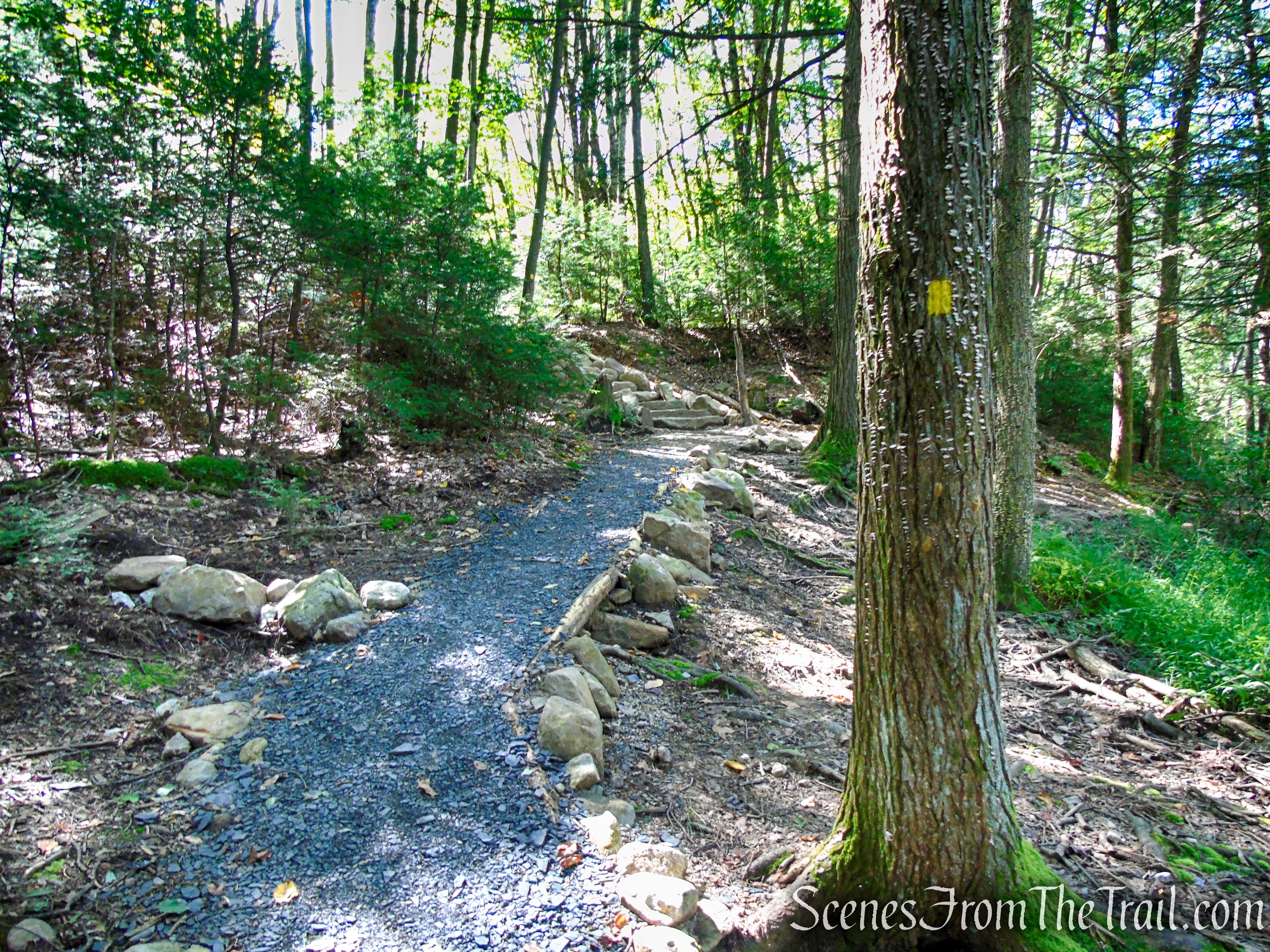
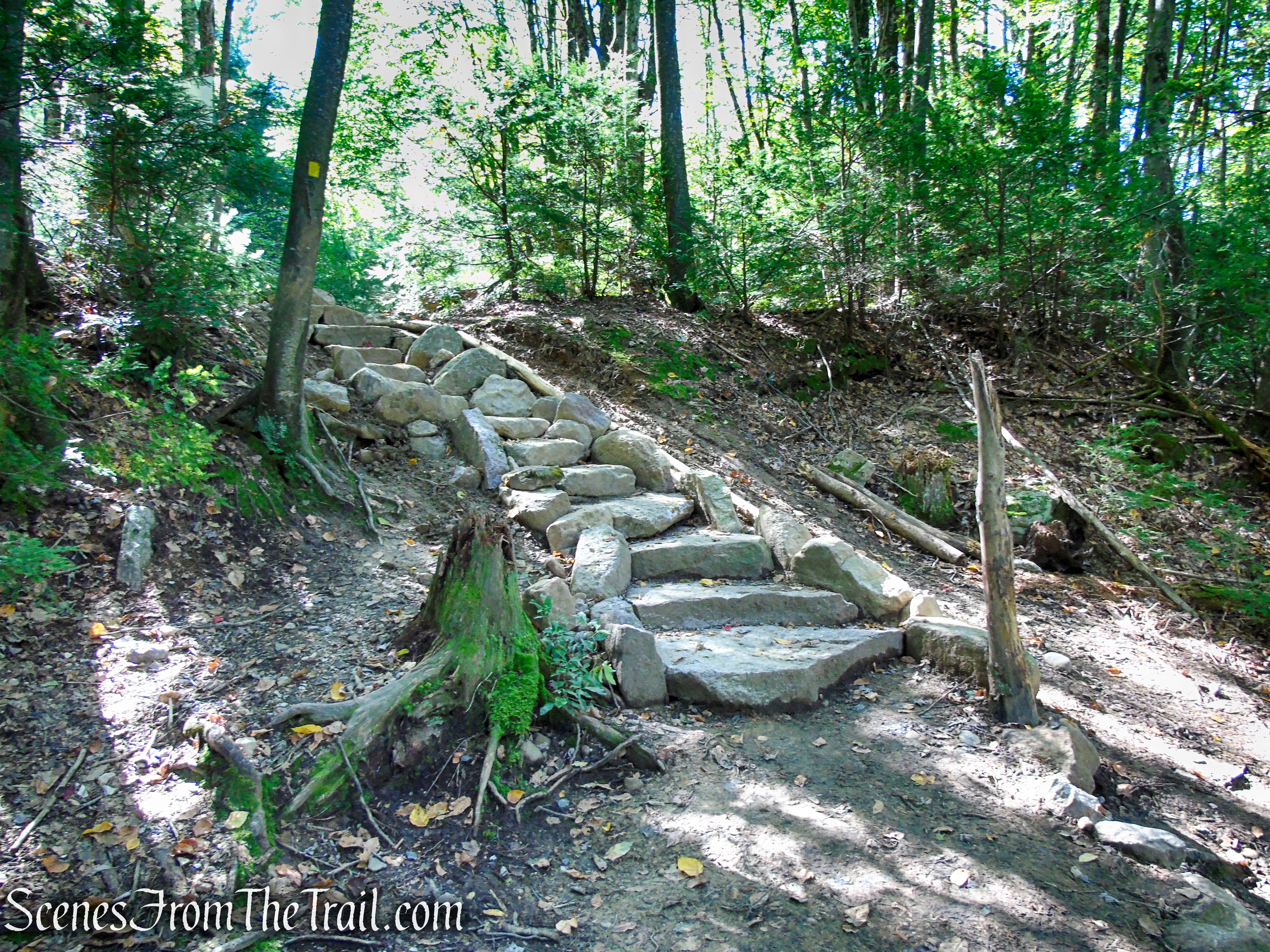
Turn left onto the Red Trail, but in only 20 feet turn right and follow the red blazes parallel to the stream. The Red Trail bears left, leaving the stream, and climbs steeply back towards Route 44/55. At the top of the climb, the trail turns left and follows a gravel path through successional fields, soon returning to the parking area where the hike began.
End of Yellow Connector Trail – start of Red Trail
Red Loop Trail – Minnewaska State Park Preserve
Red Loop Trail – Minnewaska State Park Preserve
Review:
A really pleasant, short hike through a lesser traveled area of Minnewaska. There are better views in the park, but considering that we had the trails mostly to ourselves, this was just perfect. The Peter’s Kill Area is a good place to begin a hike if you want to avoid the hordes of people that flock to the main sections of the park.
Pros:
‘The Gunks,’ lesser traveled area of the park, nice views, easy to follow trails.
Cons:
Faded trail markings could use some fresh paint in certain locations.
Take a hike!
Bullwheel, High Peters Kill and Red Trails Loop – Minnewaska State Park
Sources:
