June 4, 2023 – Tomkins Cove, NY
Difficulty: Moderate
Length: Approximately 4.2 miles
Max elevation: 1,245 ft.– total elevation gain approximately 800 ft.
Route type: Circuit
Buy Map (Paper & Avenza): Harriman-Bear Mountain Trails Map #119
Free Map (Paper & Avenza): Harriman State Park Trail Map
Trailhead parking: Anthony Wayne Recreation Area North Lot, Palisades Interstate Pkwy, Bear Mountain, NY 10911
Large gravel parking lot – bathrooms on site
Please note: From late September to late October, Oktoberfest is held at the Anthony Wayne Recreation Area on Saturdays and Sundays.
Overview:
West Mountain is a peak that is located in both Orange and Rockland County, NY, just east of the Palisades Interstate Parkway. Most of the mountain is within the boundaries of Bear Mountain State Park, but part of it is in Harriman State Park as well. In November 1923, the Palisades Interstate Park Commission decided that “all of the Park lying west of Bear Mountain (later, west of West Mountain) shall be designated Harriman State Park.” The summit is at an elevation of 1,257 ft. and the western ridge (the section that is part of this hike), is about 1.5 miles long. The narrow ridge offers hikers many fine outlooks both to the west and to the east as the trail jogs from one side of the ridge to the other.

Iona Island, with West Mountain in the background as viewed from the Camp Smith Trail – April 17, 2018
West Mountain as viewed from The Timp
Trails Overview:
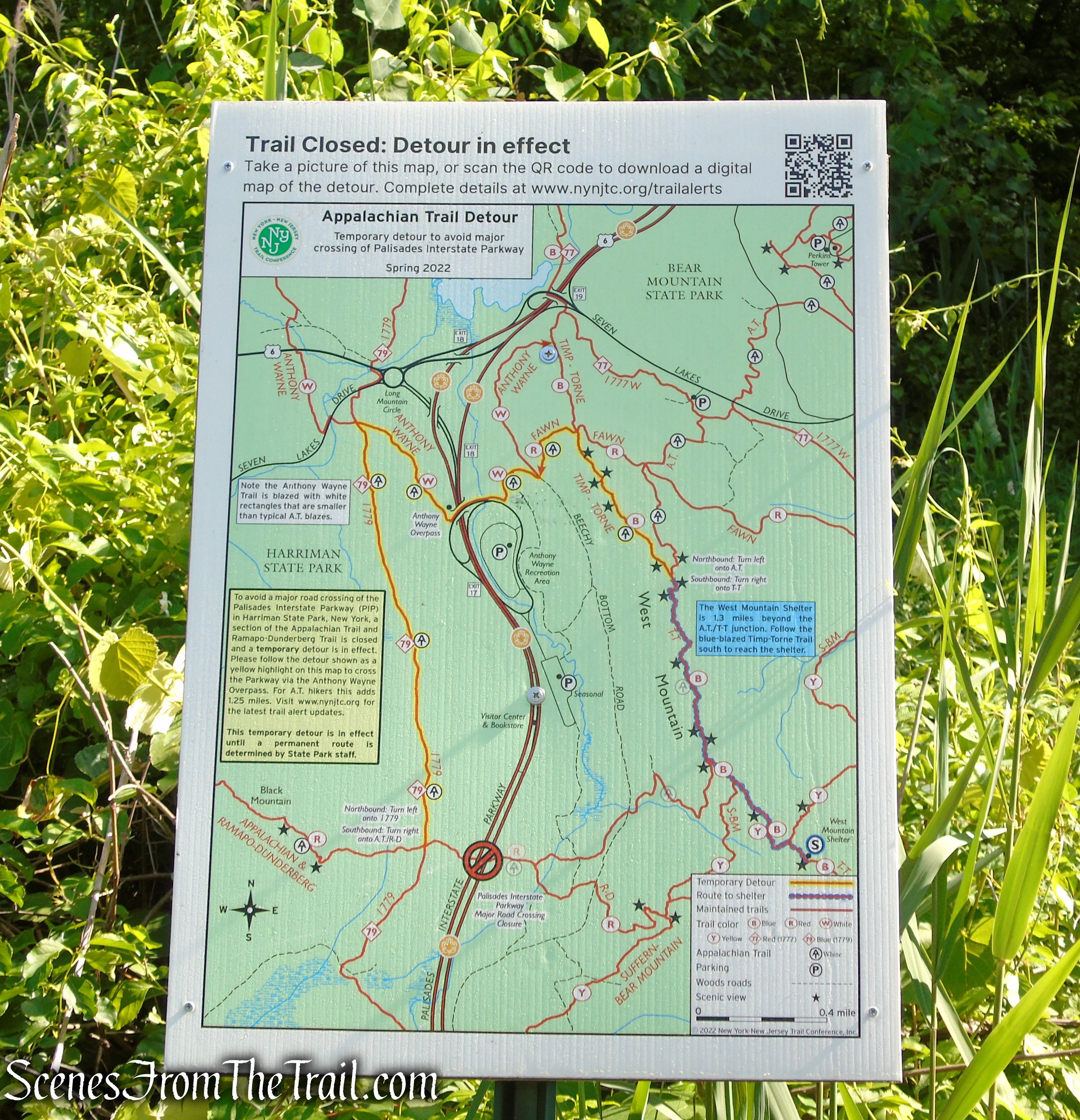
This hike follows trails that were recently rerouted and reblazed over existing trails. An updated map is essential to avoid confusion and/or getting lost. The NY-NJ Trail Conference has released a new 2023 Appalachian Trail Detour Map that reflects the recent trail additions and changes.
The detour of the Appalachian Trail (AT) was implemented in the spring of 2022 to bypass a dangerous road crossing over the heavily trafficked Palisades Interstate Parkway. New for 2023 is the opening of a seasonal potable water source at Anthony Wayne Recreation Area. The route across the overpass is the official AT route until a new permanent crossing is developed.
The detour is fully blazed, and maps of the detour are posted in the surrounding area.
Appalachian Trail – Anthony Wayne Recreation Area
- Appalachian Trail (AT) ~ (1.2 miles) is marked with 2×6-inch white blazes. The AT runs from the Anthony Wayne Recreation Area, coaligned with the Anthony Wayne Trail, the Fawn Trail and the Timp-Torne Trail, before leaving to continue towards Bear Mountain. It climbs the northern slope of West Mountain, steeply in places, then runs south along the ridge before departing to the left.
Appalachian Trail – West Mountain
- Timp-Torne Trail ~ (0.75 mile) is marked with rectangular blue blazes. It runs south along the ridge, passing numerous viewpoints before it meets the West Mountain Trail.

Timp-Torne Trail – West Mountain
- West Mountain Trail ~ (0.70 mile) is marked with orange blazes. This section of trail was formerly part of the AT and was rehabbed in 2018. The white blazes of the AT were overlapped with an orange square, denoting the newly marked trail. This trail descends West Mountain on switchbacks, making the descent less steep. It meets the Ramapo-Dunderberg Trail at Beechy Bottom Road.
West Mountain Trail – Bear Mountain State Park
- Ramapo-Dunderberg (R-D) Trail ~ (1.5 miles) is marked with red-dot-on-white blazes and runs along Beechy Bottom Road, turns left and descends on a gravel road, turning right on a paved sidewalk past the northern parking lot.
Ramapo-Dunderberg Trail – West Mountain
Hike Overview:
I have hiked West Mountain several times and it never disappoints. It’s a great hike to do at any given time and parking is never an issue if you get a late start. Some really nice views can be had from rock outcrops along the ridge. Many different trails can be accessed from the Anthony Wayne Recreation Area, making longer hikes possible.
For this hike, you will want to park in the North Lot. That is the first parking lot that you come to when you enter the Anthony Wayne Recreation Area from Exit 17.
This loop hike was done clockwise from the Anthony Wayne Recreation Area North Lot.
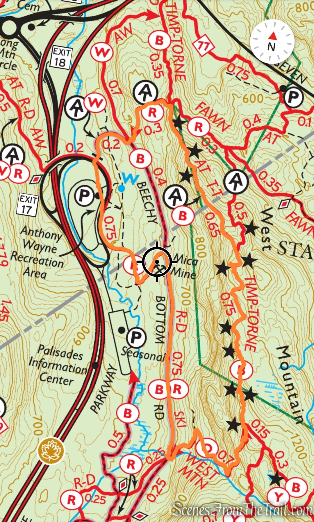
West Mountain Loop – Bear Mountain State Park
The bulk of the elevation is gained in the first two miles, making the 2nd half of the hike, relatively easy.
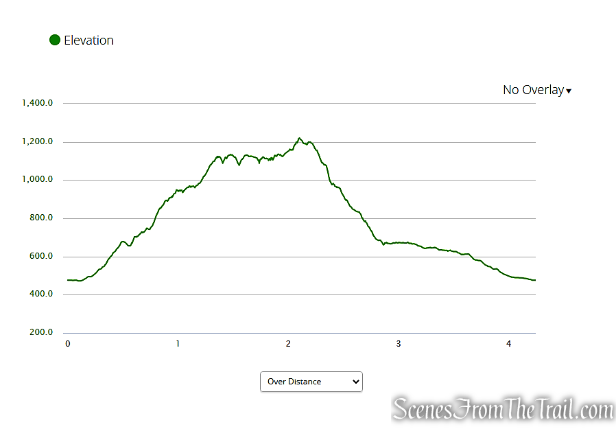
elevation profile – West Mountain Loop
The Hike:
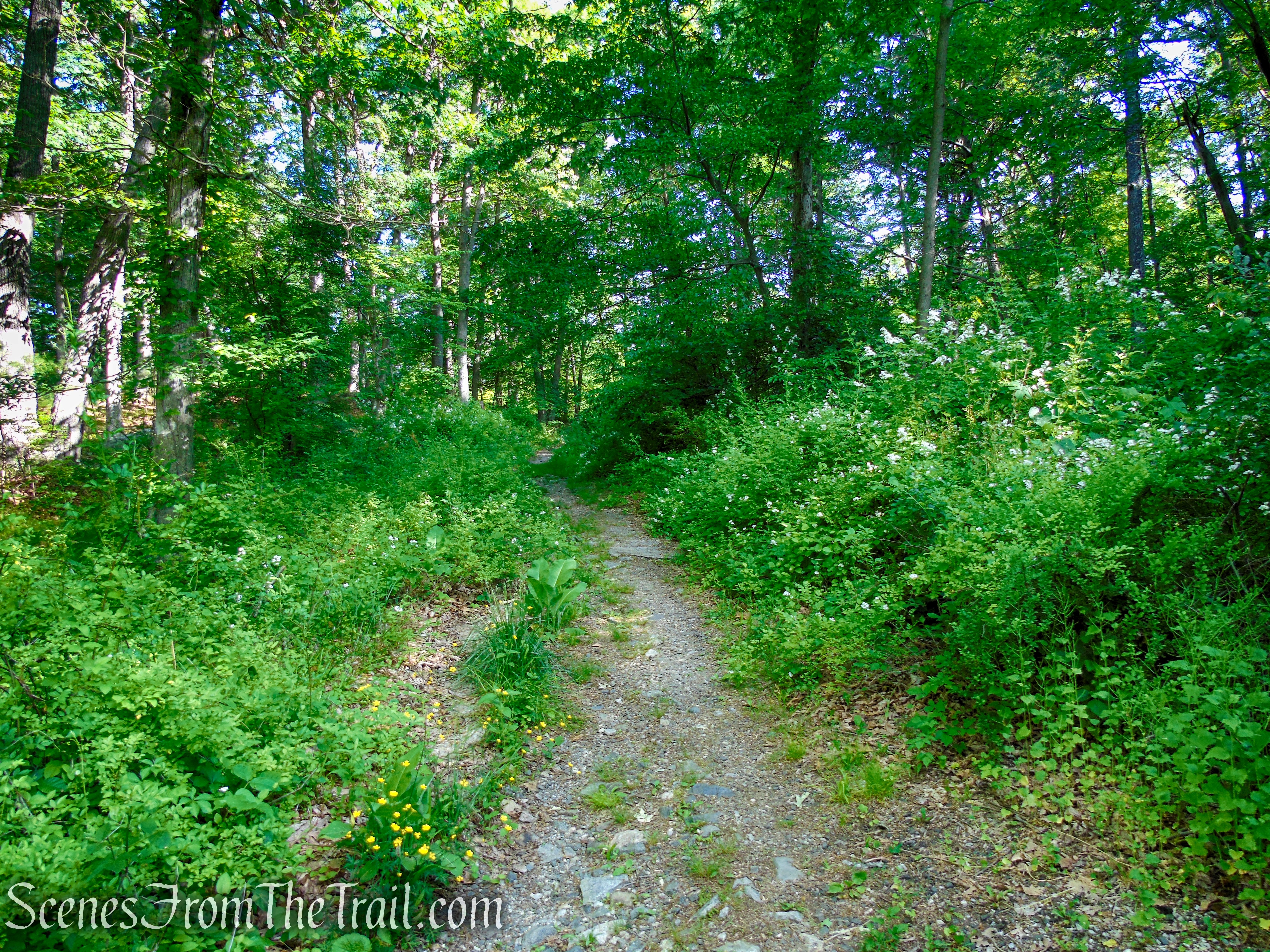
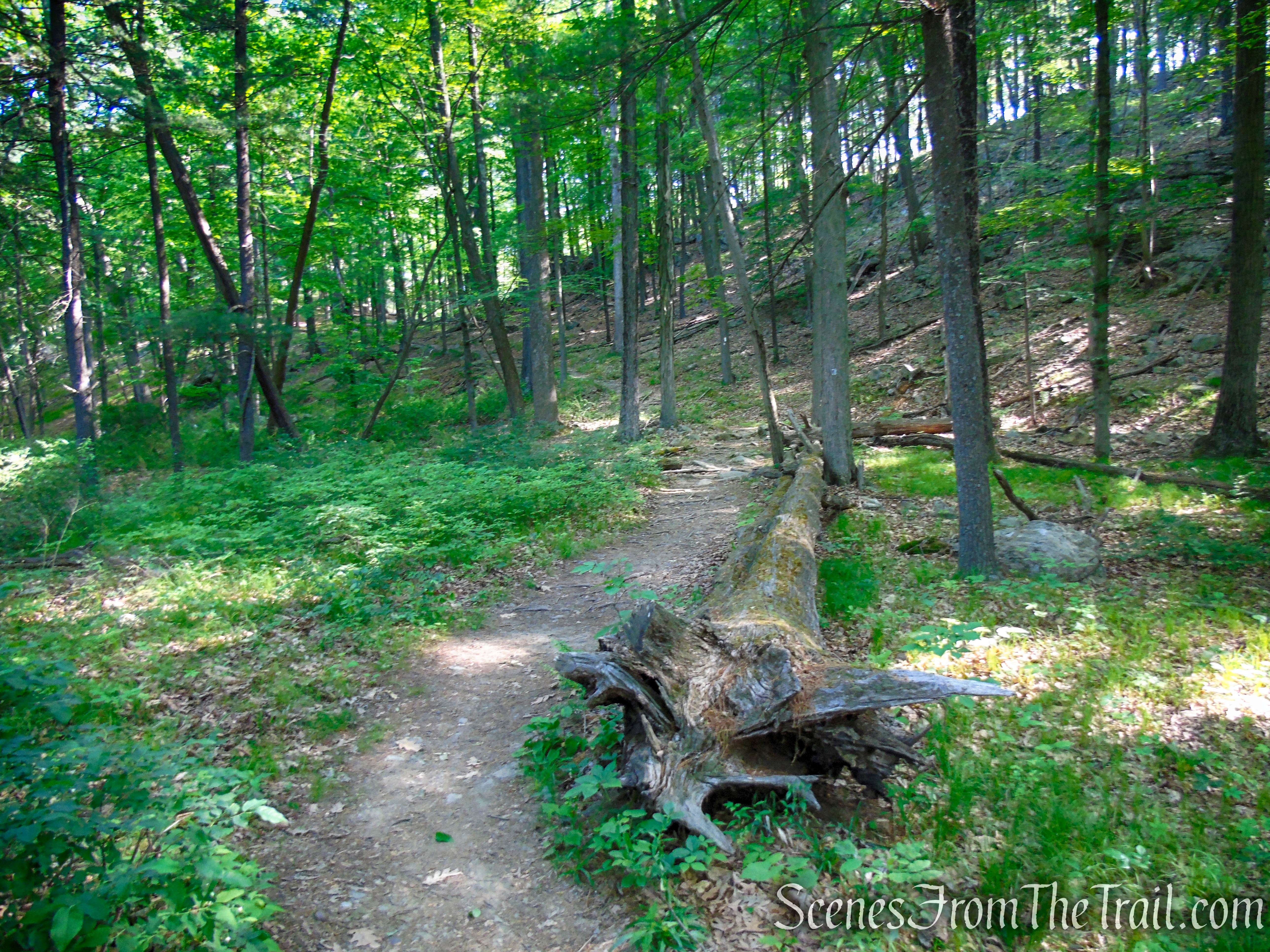
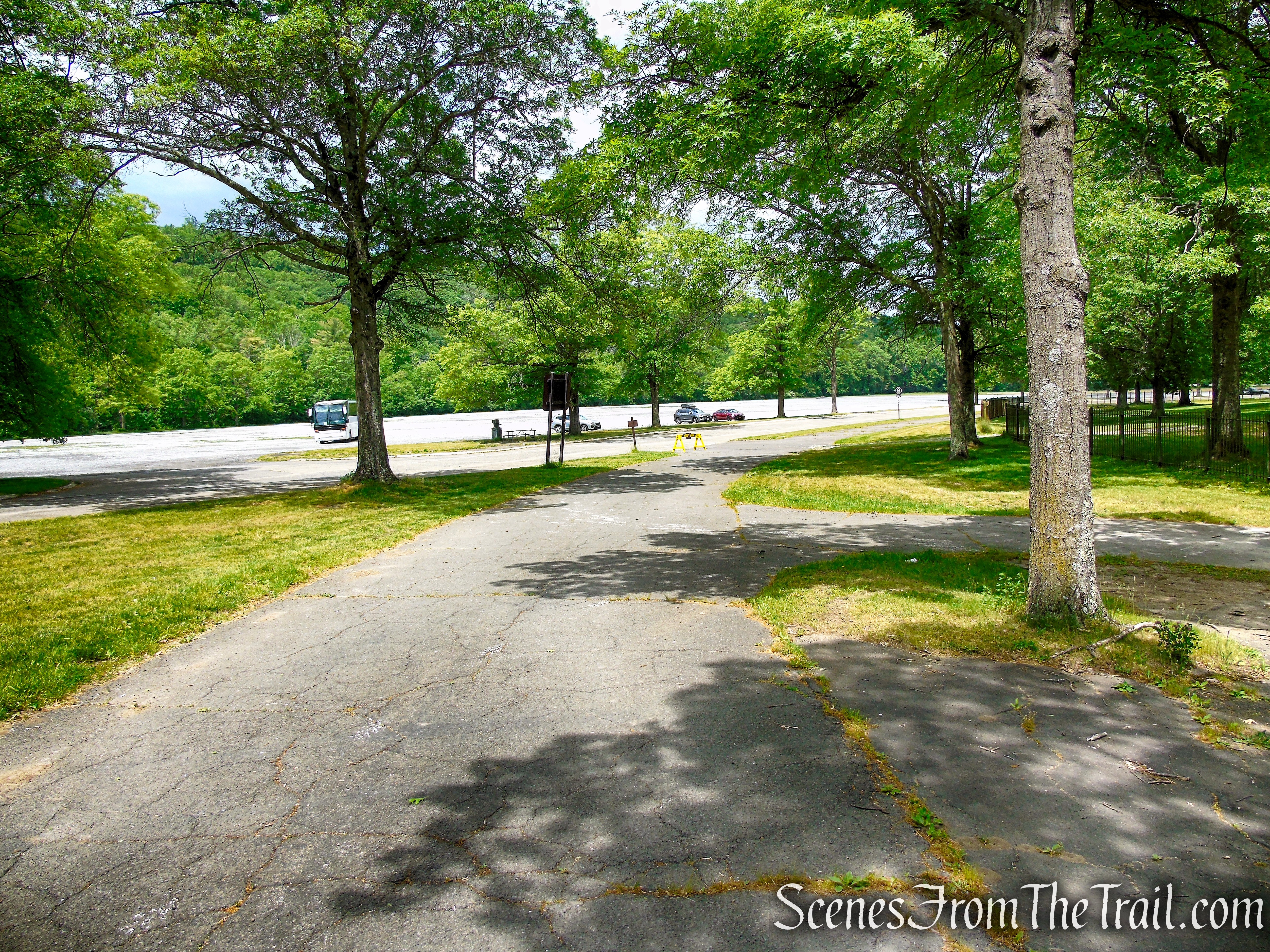
From the parking area, walk back along the entrance road until you reach a gravel road on the right blocked off with a gate. Turn right and follow this road, marked with the white blazes of the Anthony Wayne Trail and 2×6 inch white blazes of the Appalachian Trail (AT). Bear right at the next fork and continue uphill, proceeding ahead across a four-way intersection.
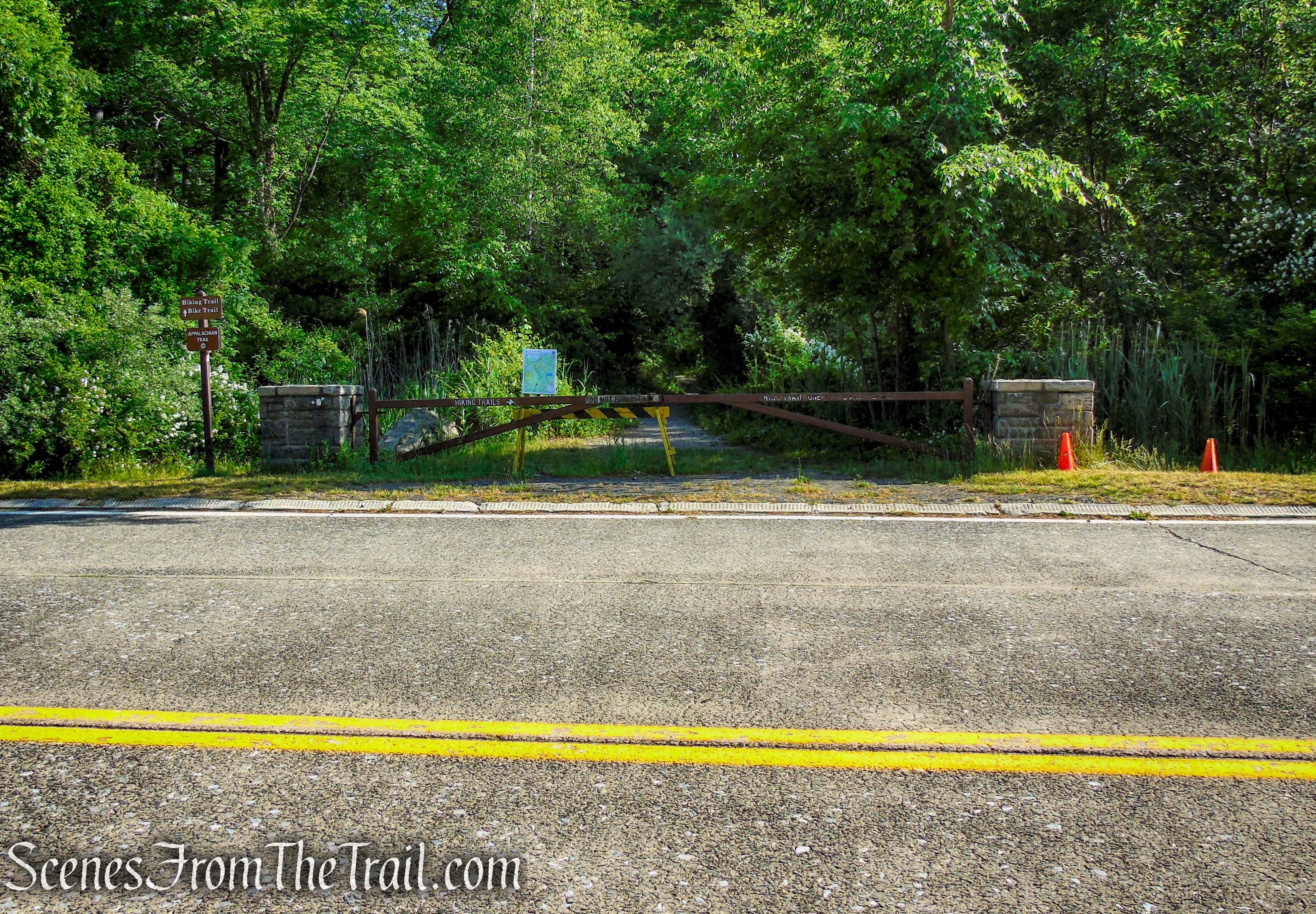
Start of hike – Anthony Wayne Recreation Area

Appalachian Trail – Anthony Wayne Recreation Area
Appalachian Trail – Anthony Wayne Recreation Area
Appalachian Trail – West Mountain

Appalachian Trail – West Mountain

Appalachian Trail – West Mountain
Appalachian Trail – West Mountain
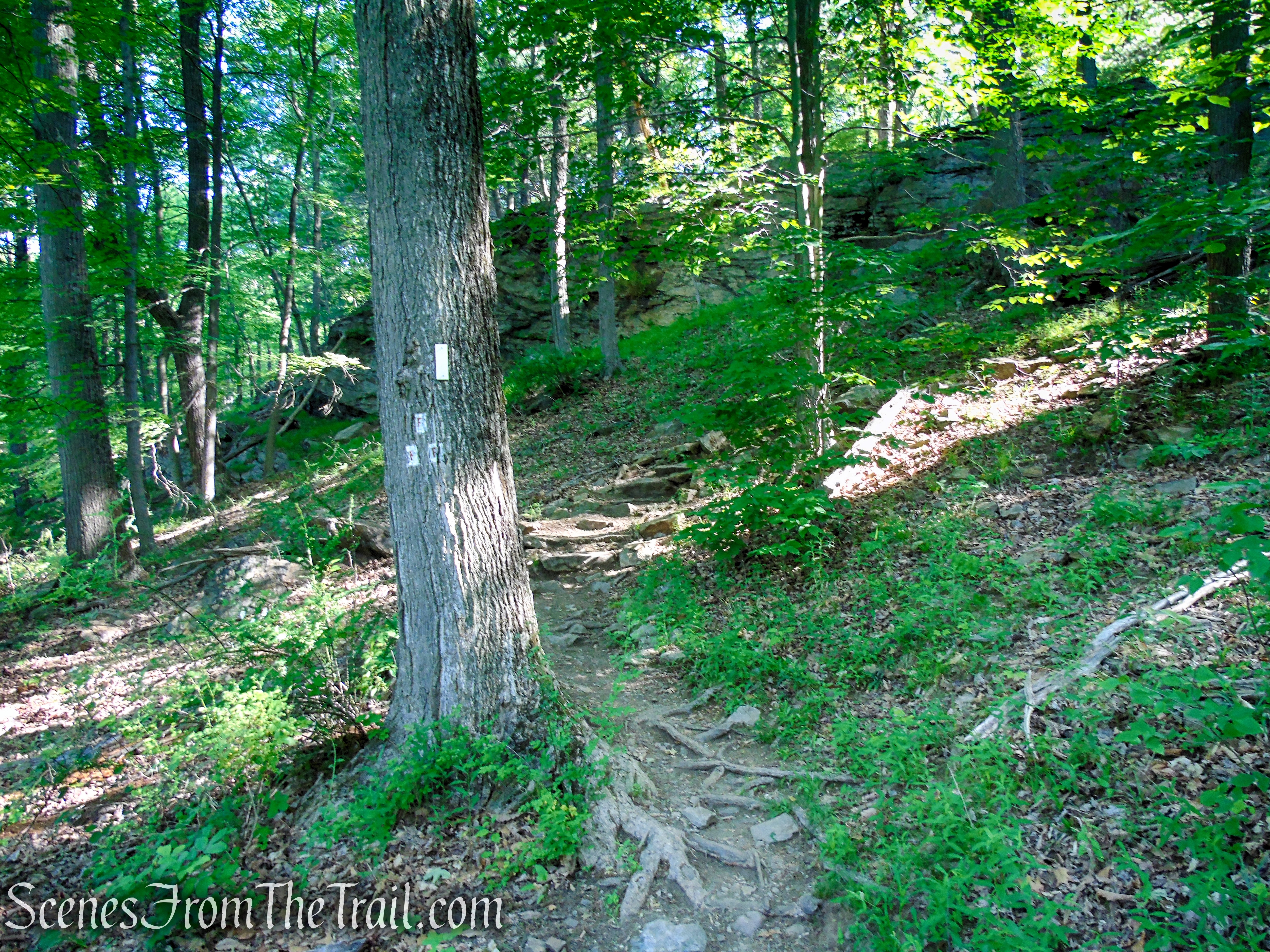
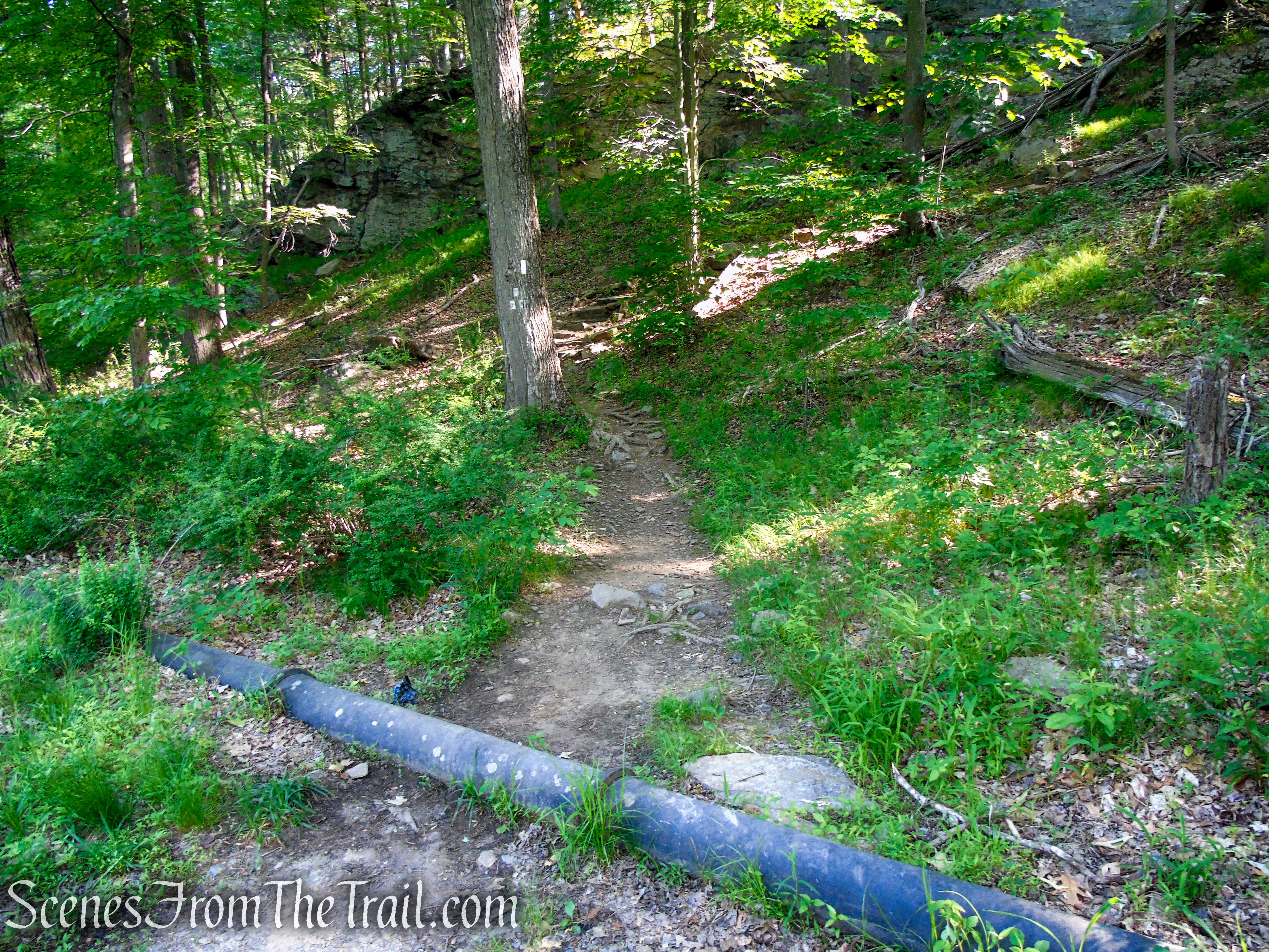
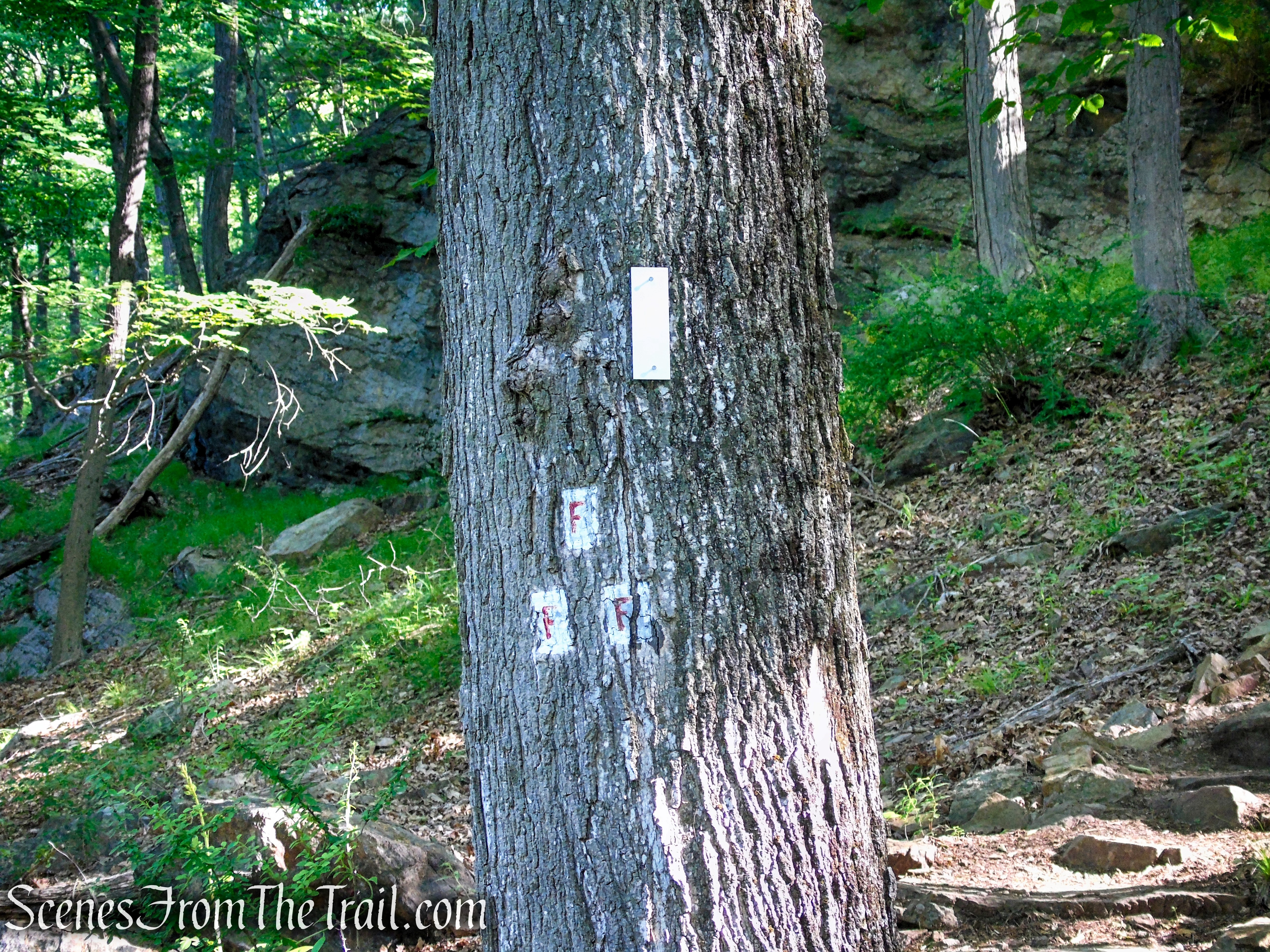
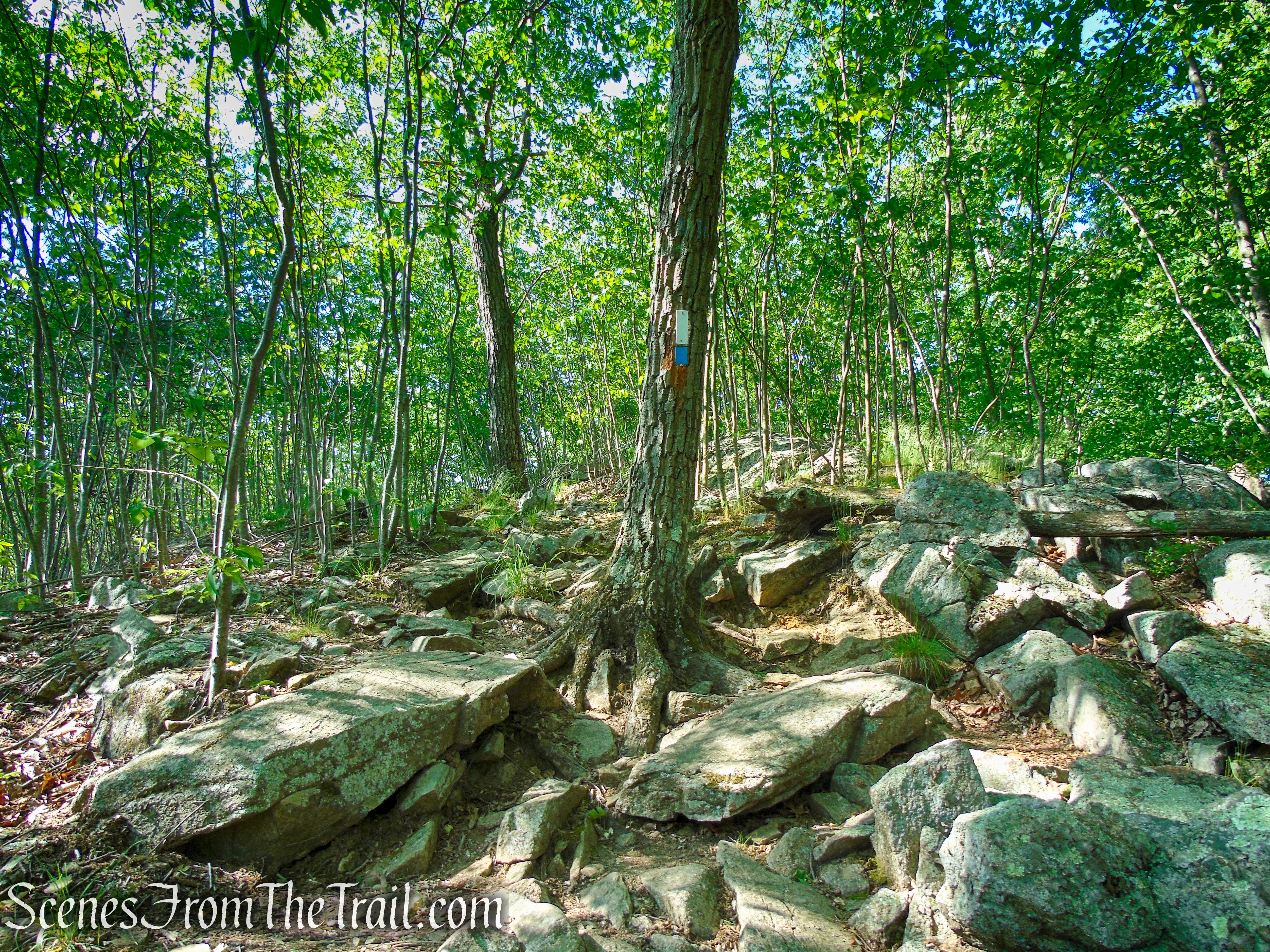
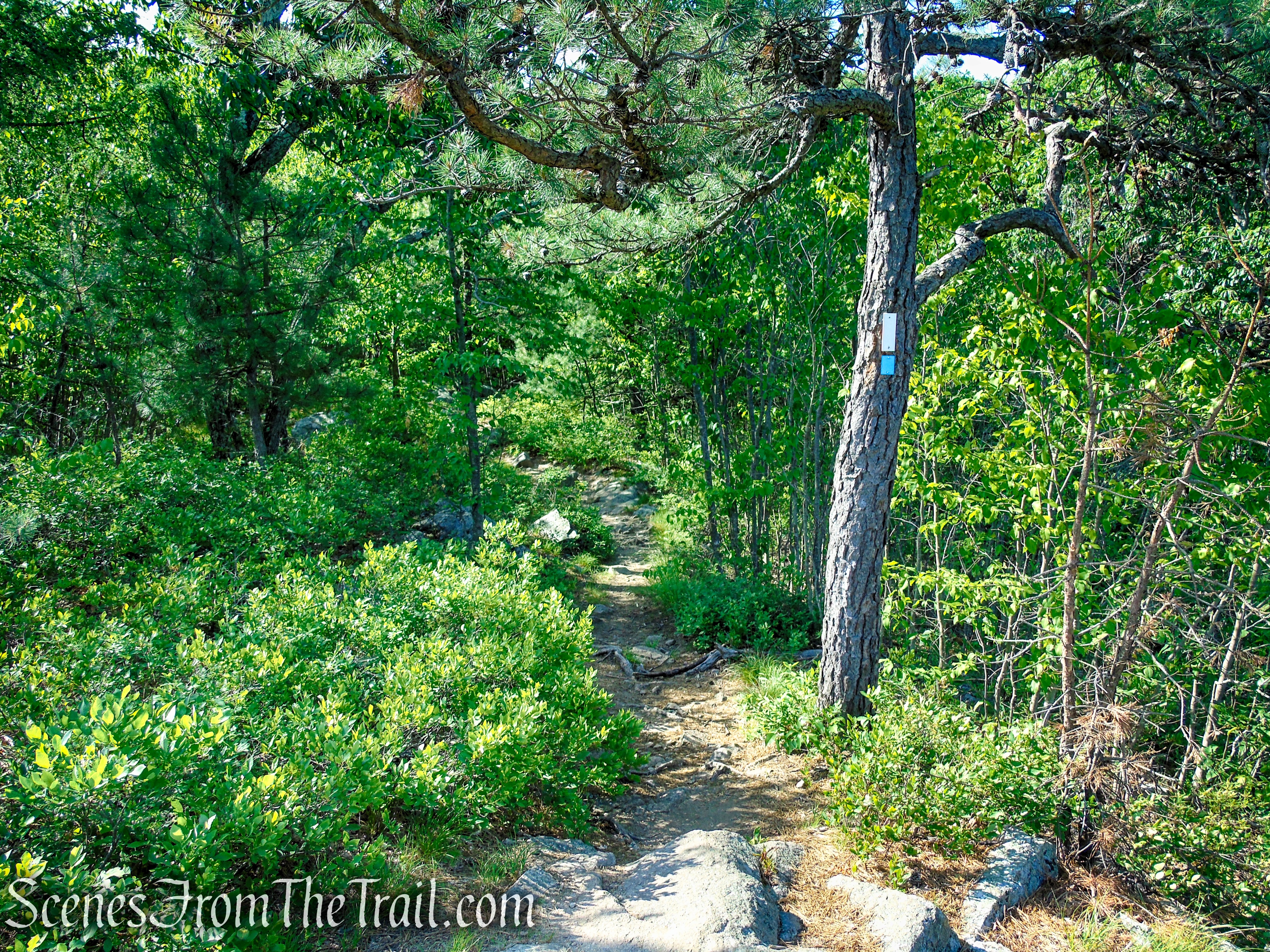
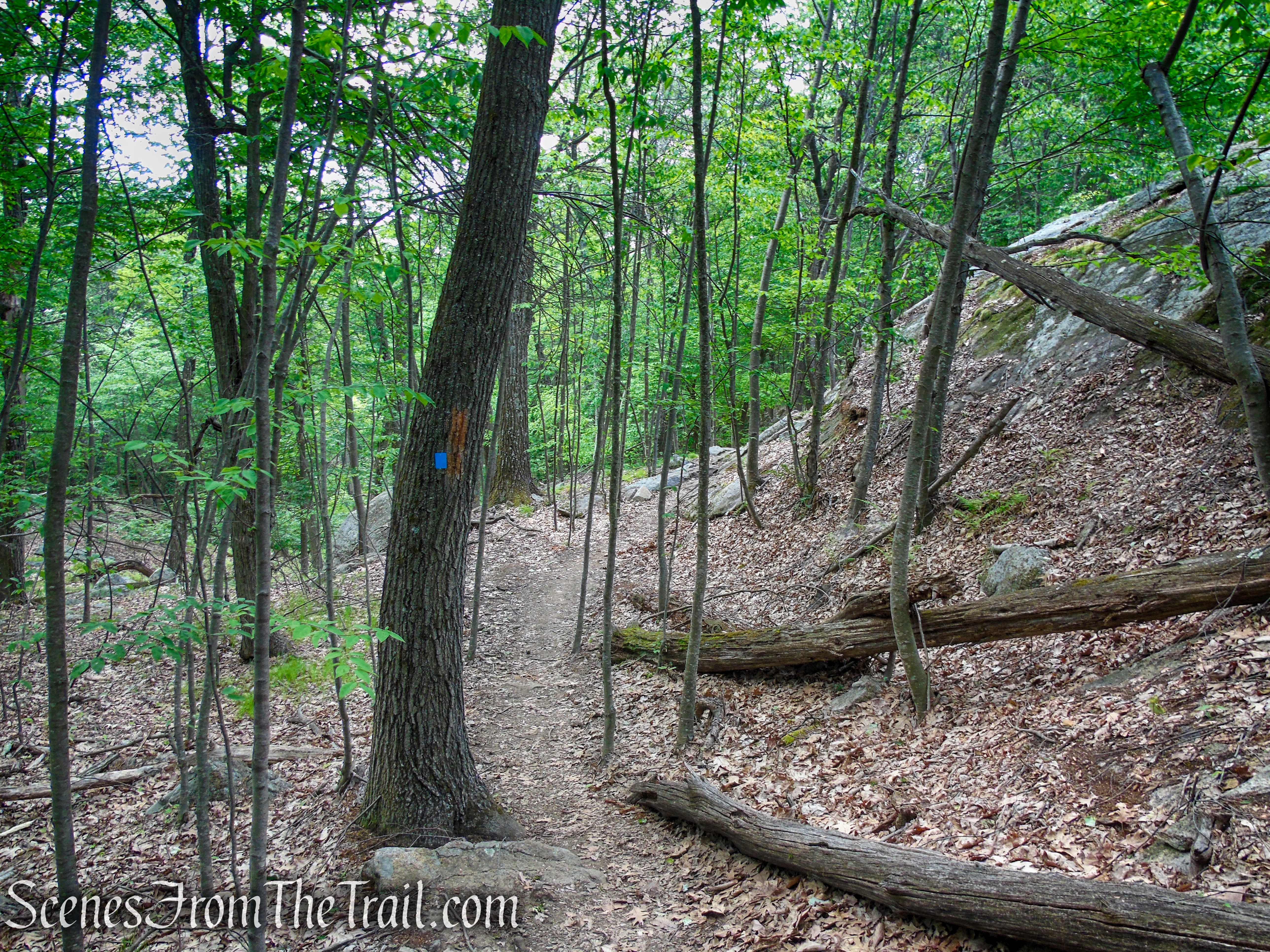
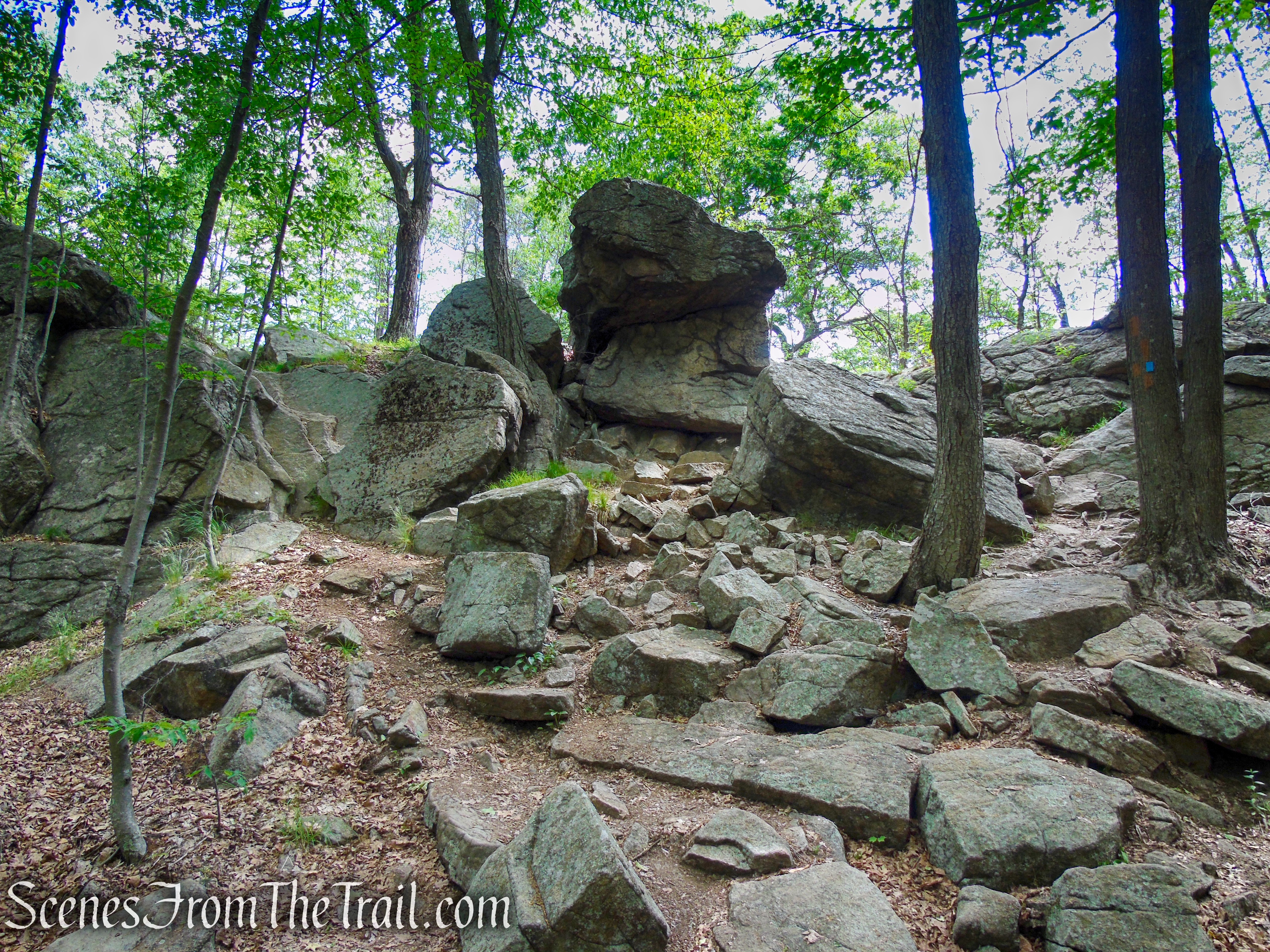
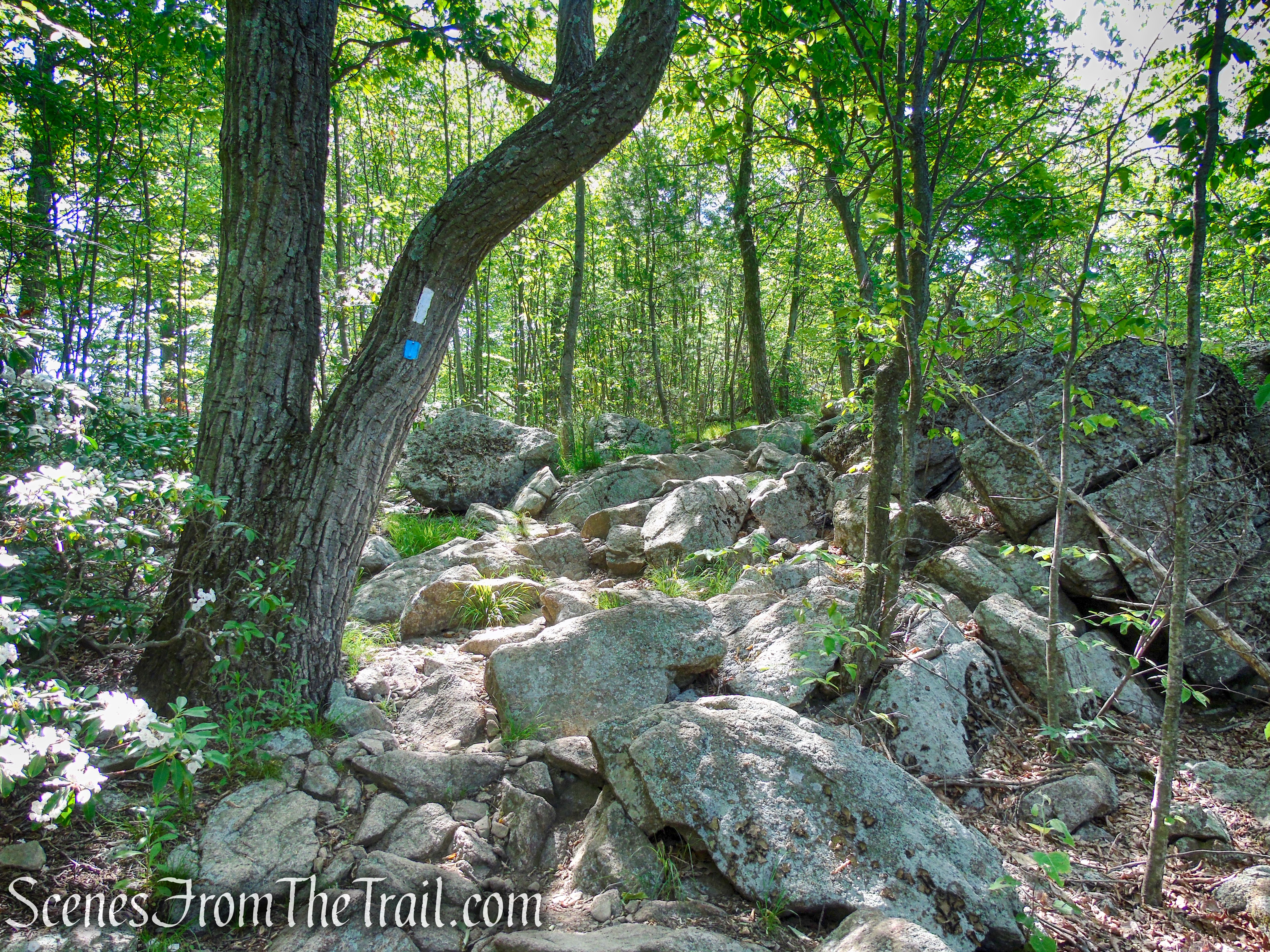
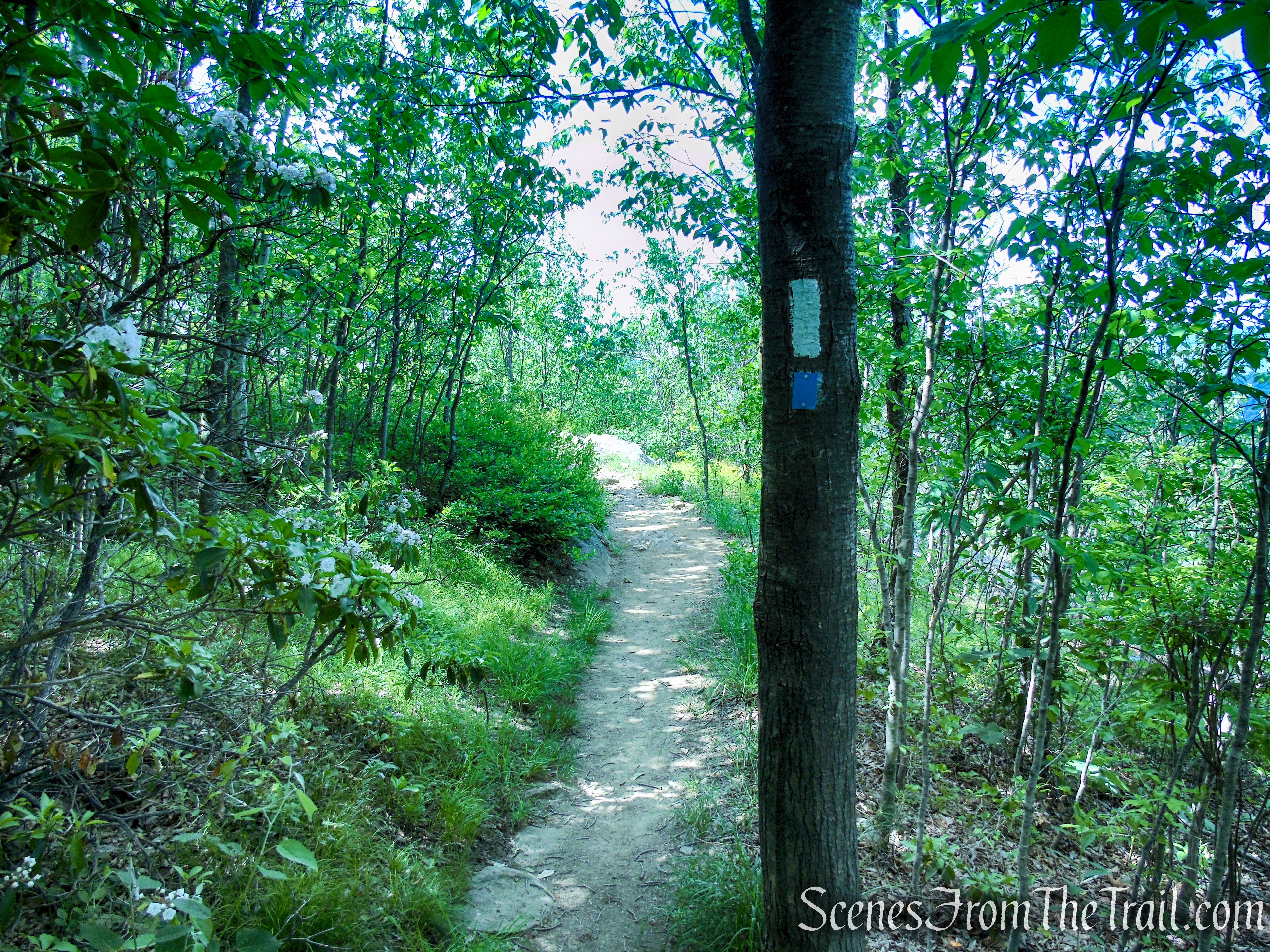
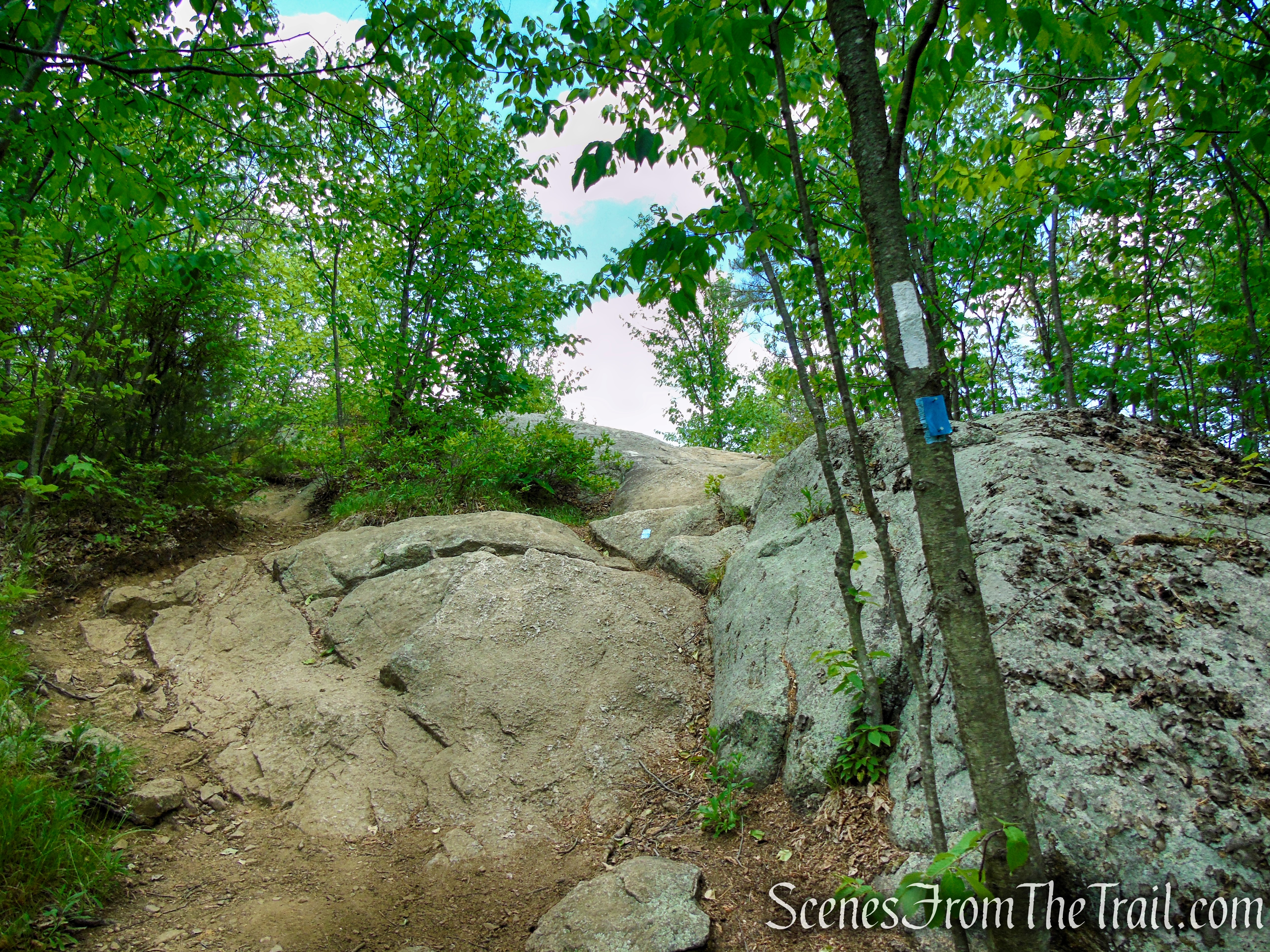
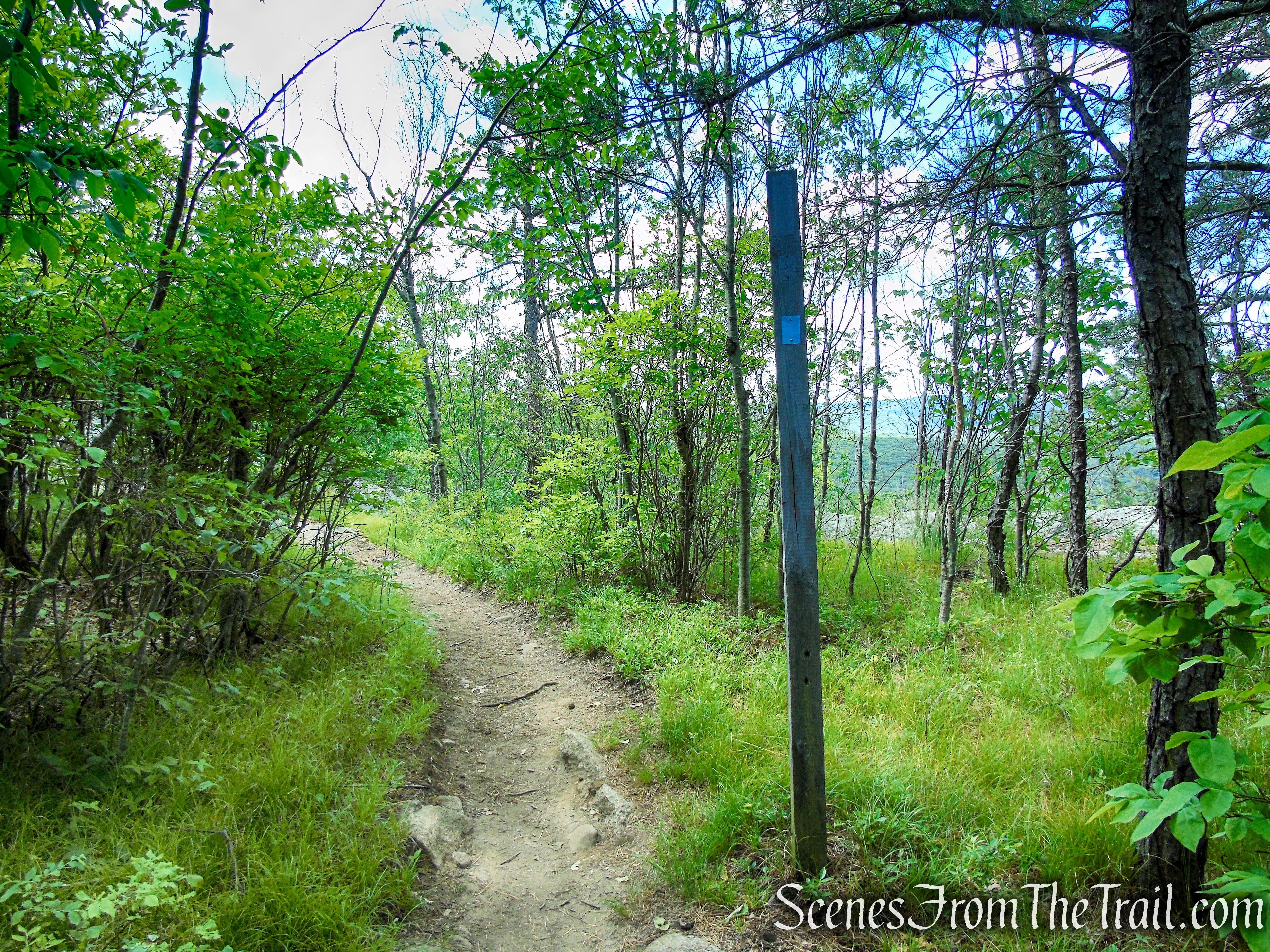
When you reach a T-intersection, turn left. Then, in 25 feet, you’ll notice three red-“F”-on-white blazes (faded) on a tree along with a 2×6 inch white blaze for the AT, which marks the start of the Fawn Trail and the continuation of the rerouted AT. The AT runs jointly with the Fawn Trail for about 0.3 miles before departing to the right. Continue ahead on the joint AT/Fawn Trail, which climbs, using switchbacks and rock steps for part of the way, to reach a junction with the blue-blazed Timp-Torne Trail.
Appalachian Trail – West Mountain
Appalachian Trail – West Mountain
Appalachian Trail – West Mountain
Appalachian Trail – West Mountain
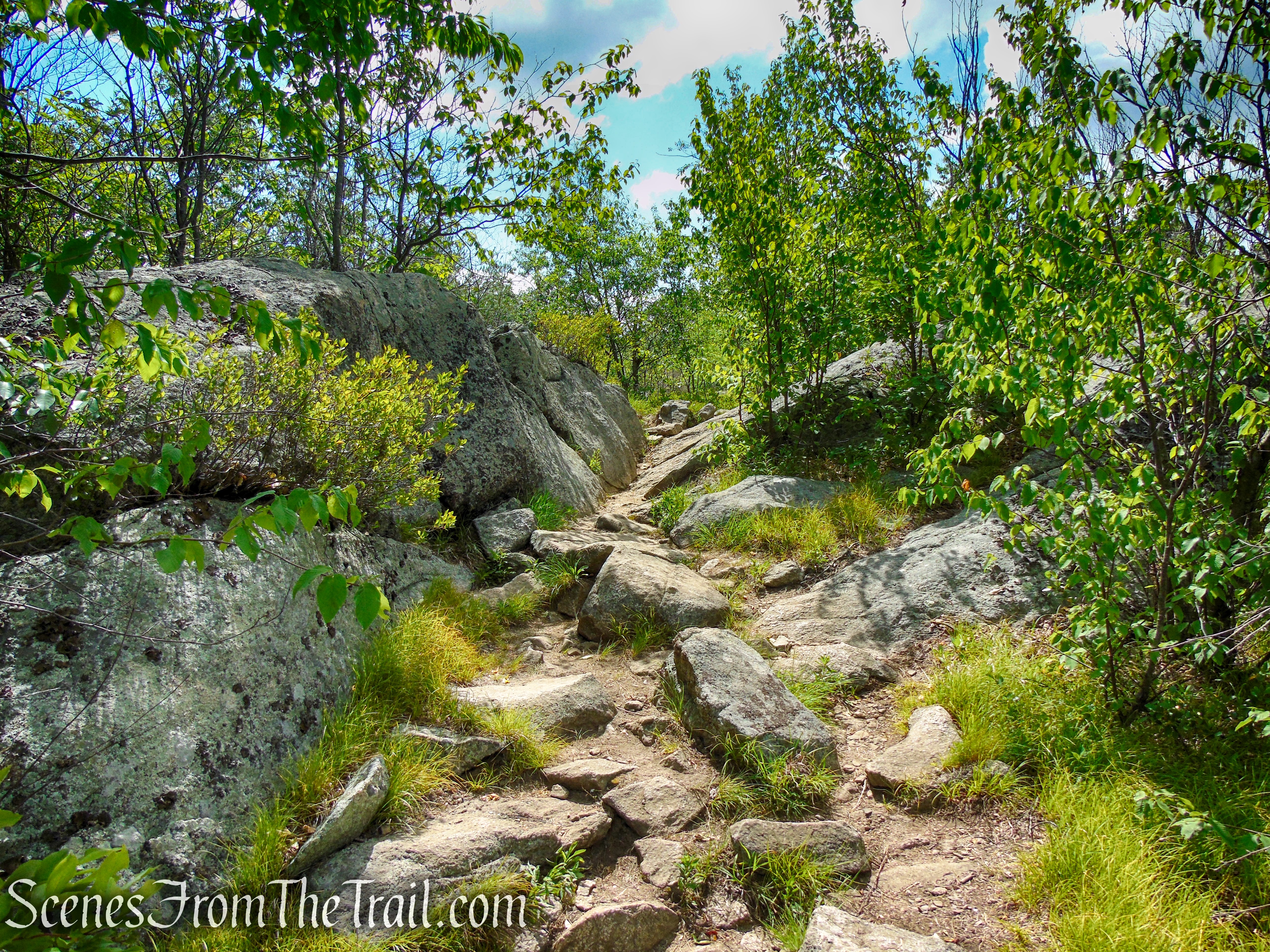
Turn right onto the coaligned AT/Timp-Torne Trails which climb steeply over rocks to reach a viewpoint to the left over Bear Mountain (with the Perkins Memorial Tower visible at the summit). After a short level stretch, the trail continues its steady climb, steeply in places.
Coaligned AT/Timp-Torne Trails – West Mountain

Coaligned AT/Timp-Torne Trails – West Mountain
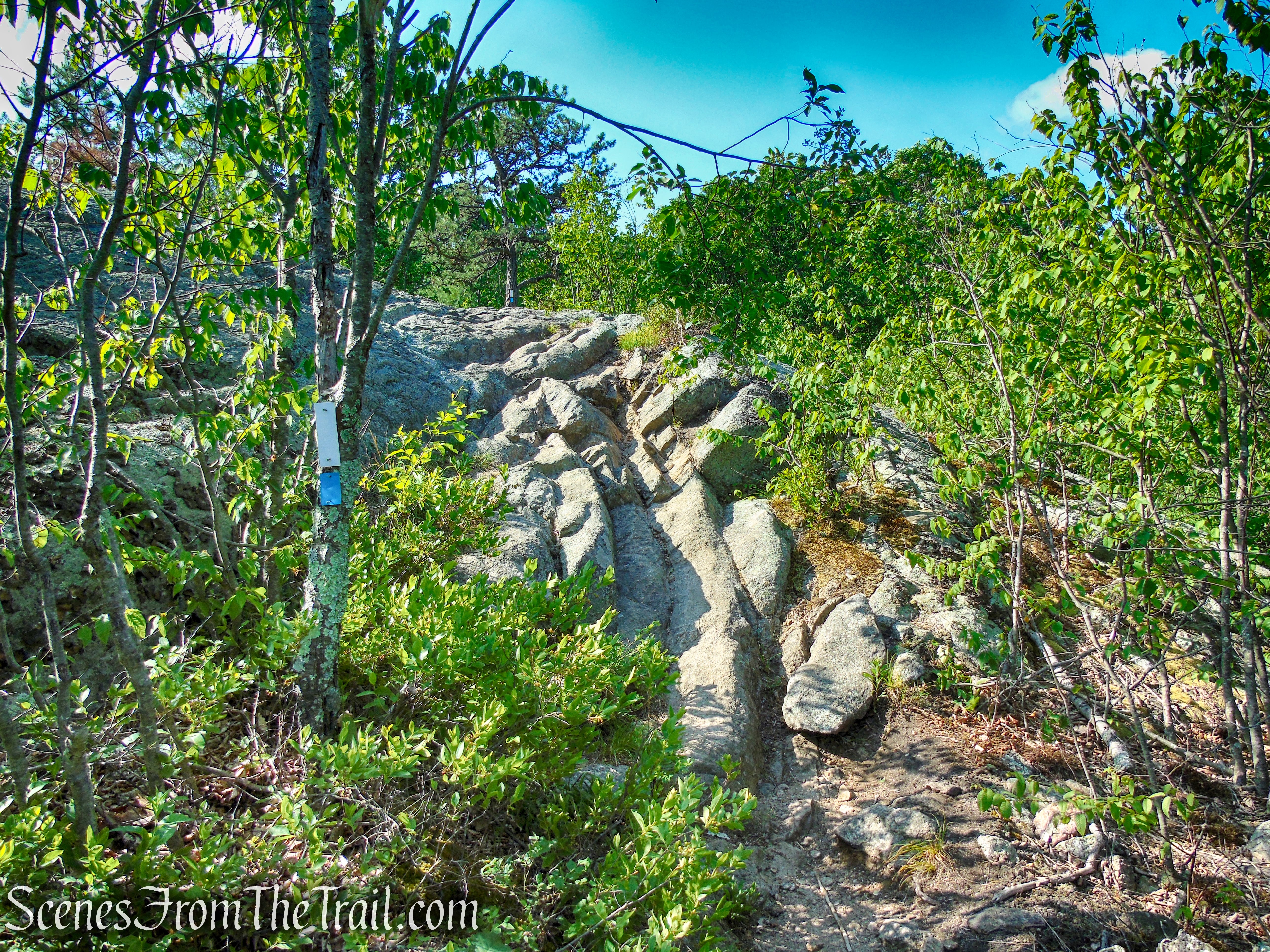
Coaligned AT/Timp-Torne Trails – West Mountain
Perkins Memorial Tower as viewed from West Mountain
Coaligned AT/Timp-Torne Trails – West Mountain
Coaligned AT/Timp-Torne Trails – West Mountain

Coaligned AT/Timp-Torne Trails – West Mountain
Coaligned AT/Timp-Torne Trails – West Mountain
Coaligned AT/Timp-Torne Trails – West Mountain
Coaligned AT/Timp-Torne Trails – West Mountain

Coaligned AT/Timp-Torne Trails – West Mountain
Coaligned AT/Timp-Torne Trails – West Mountain
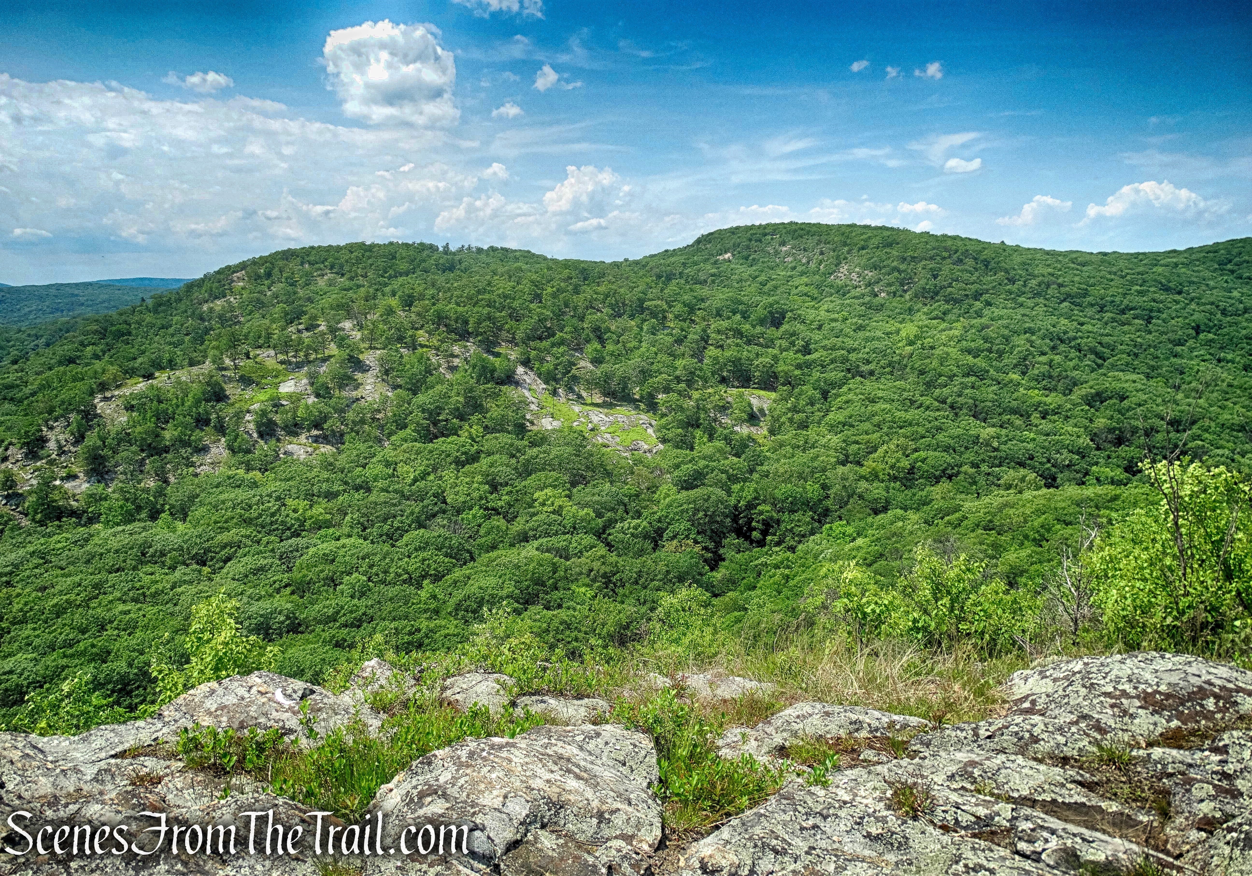
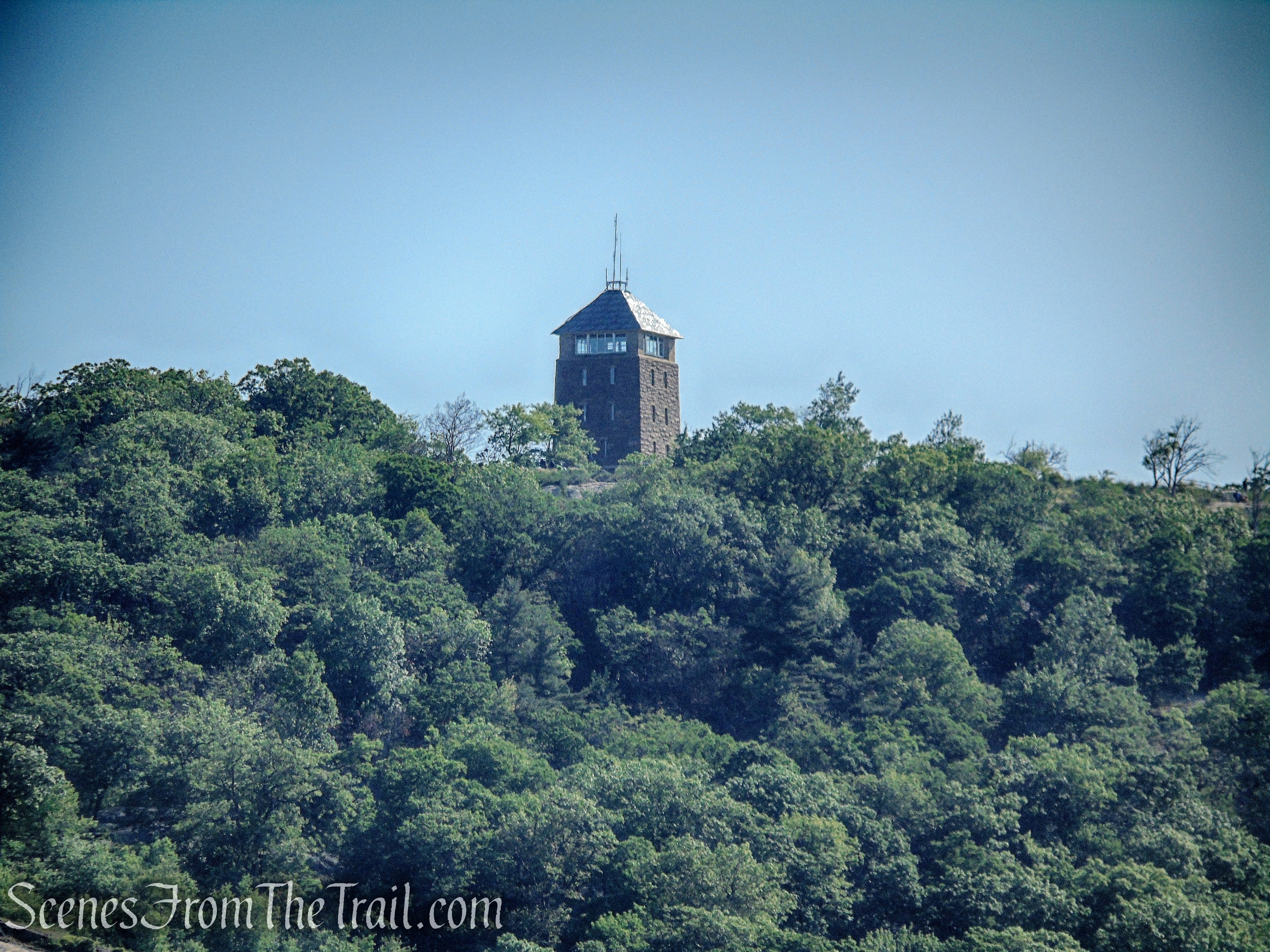
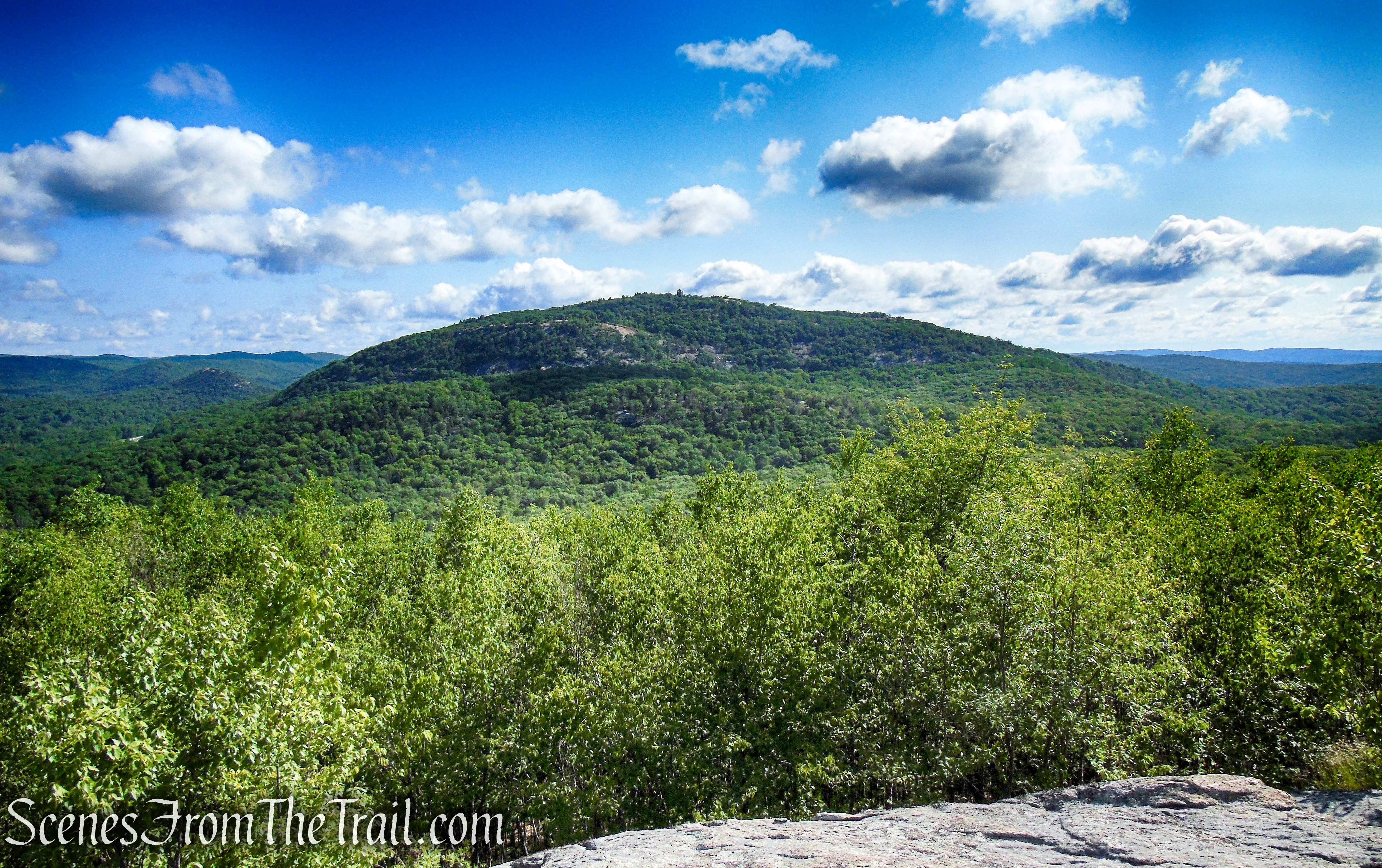
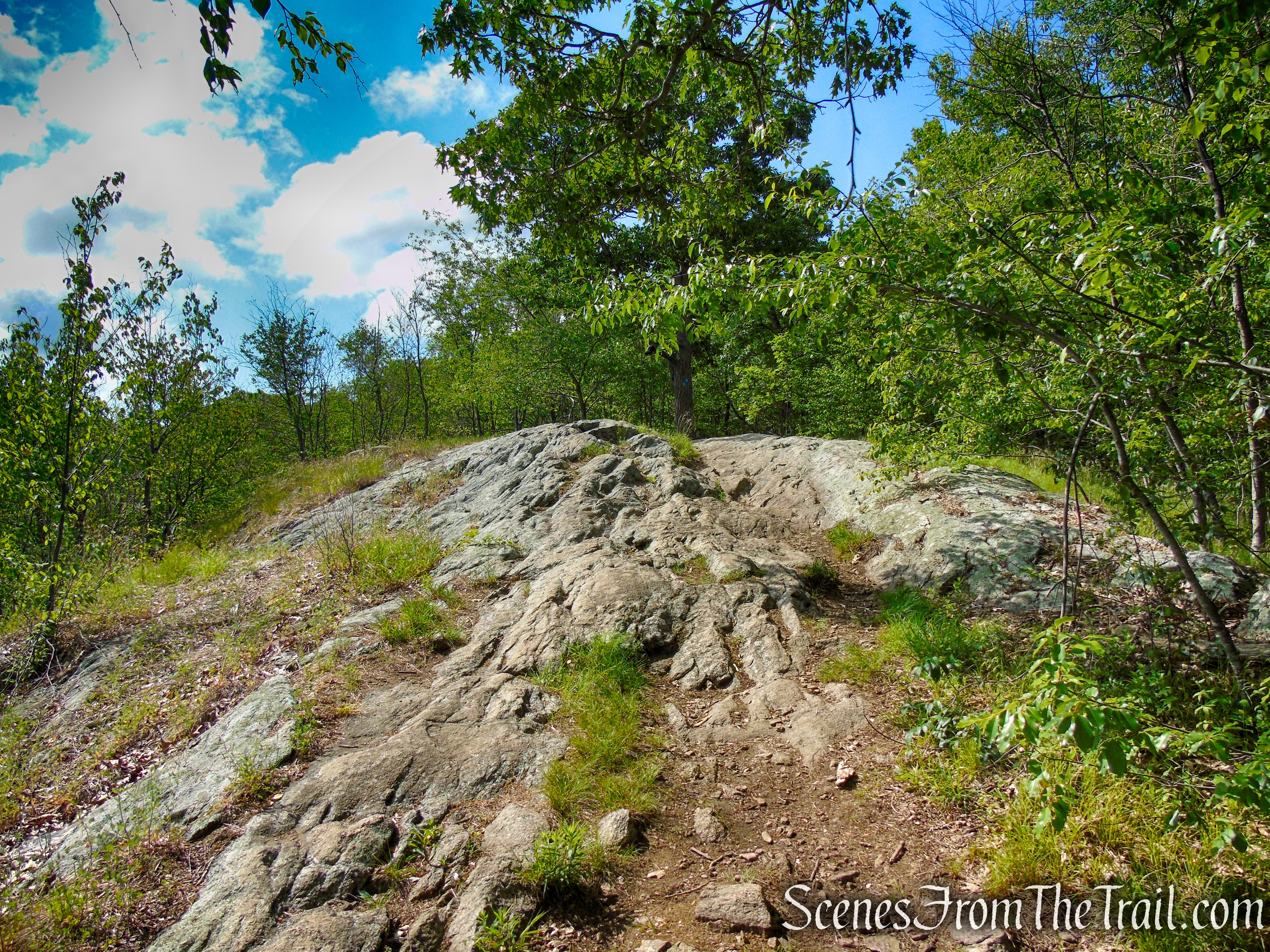
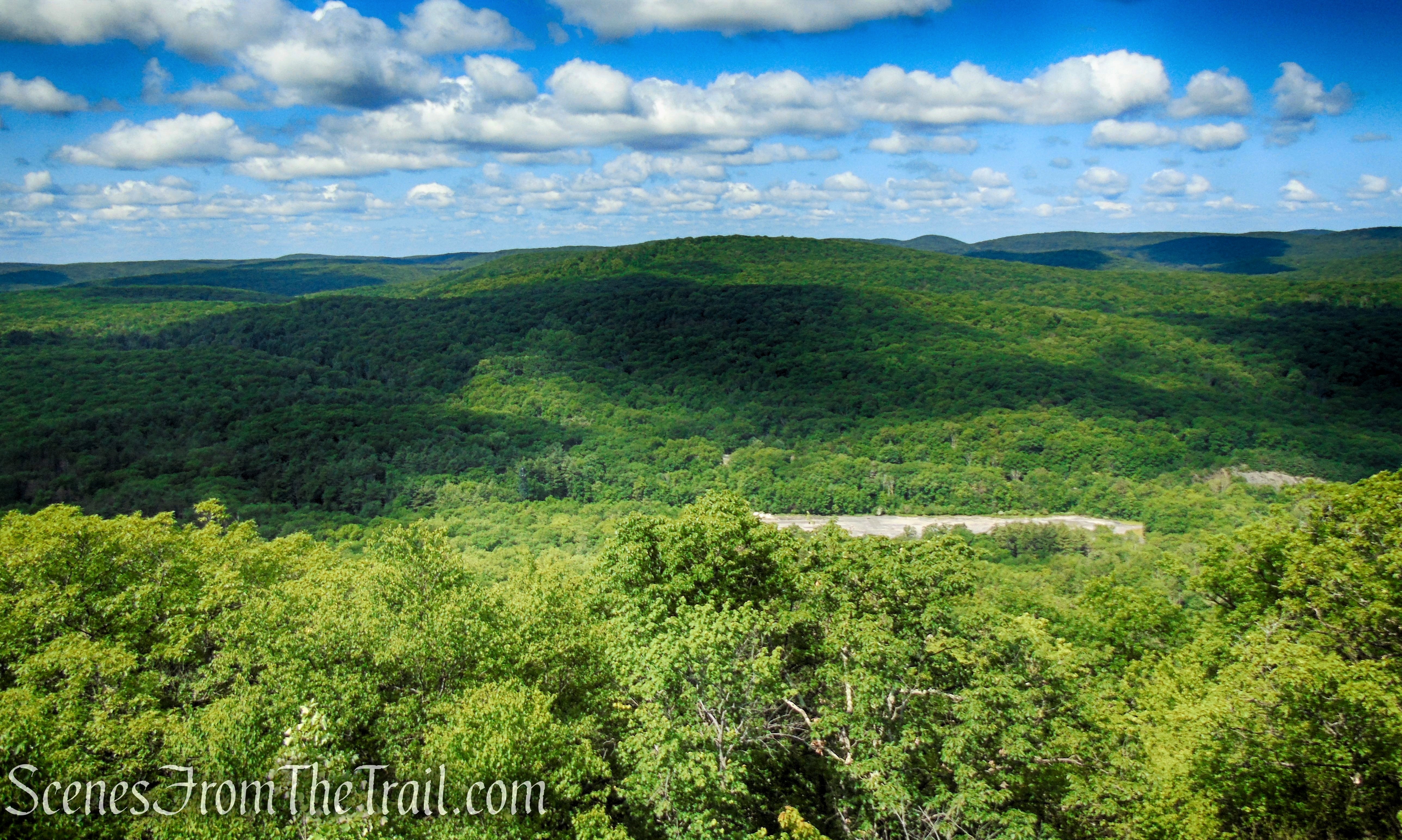
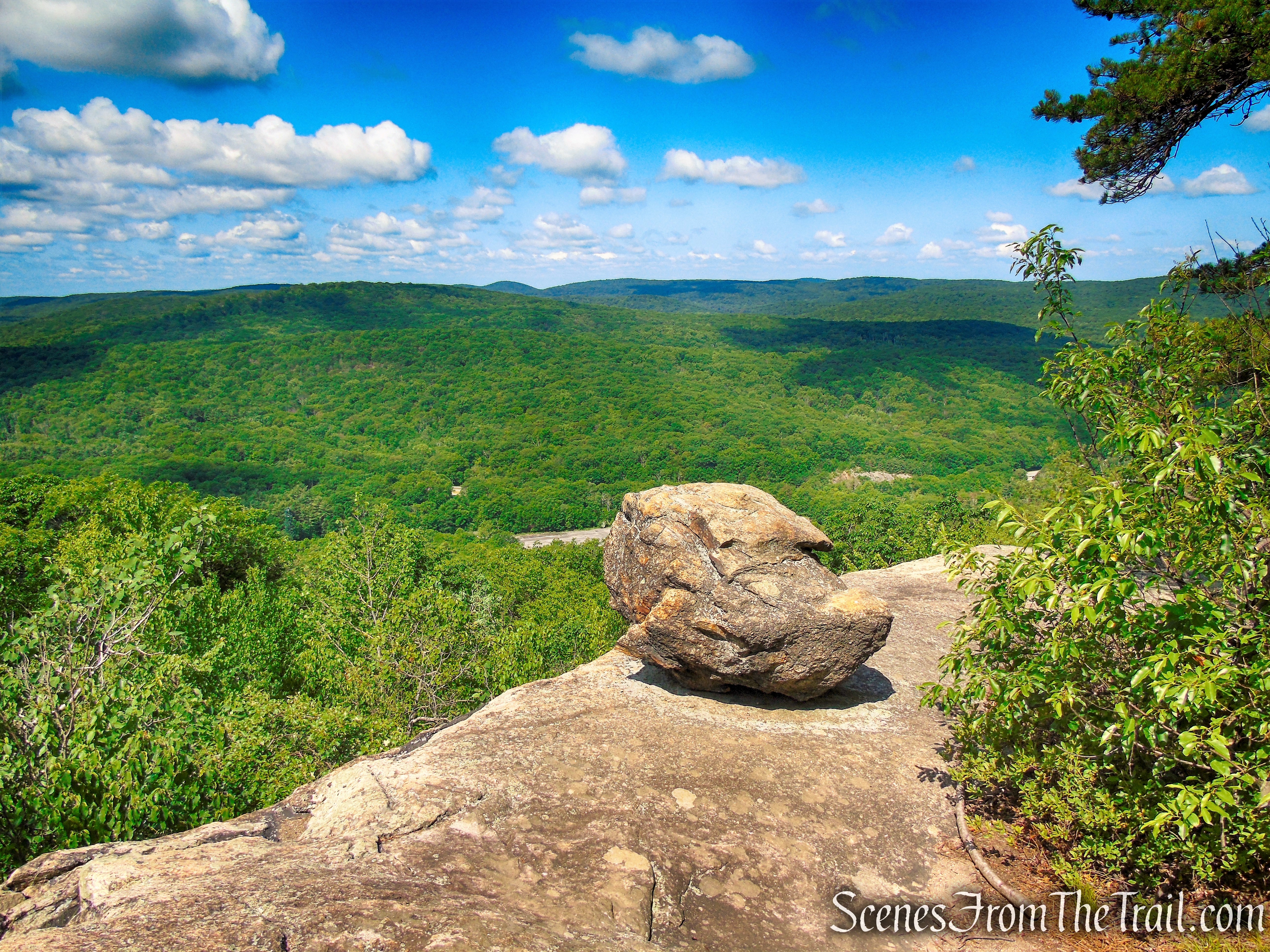
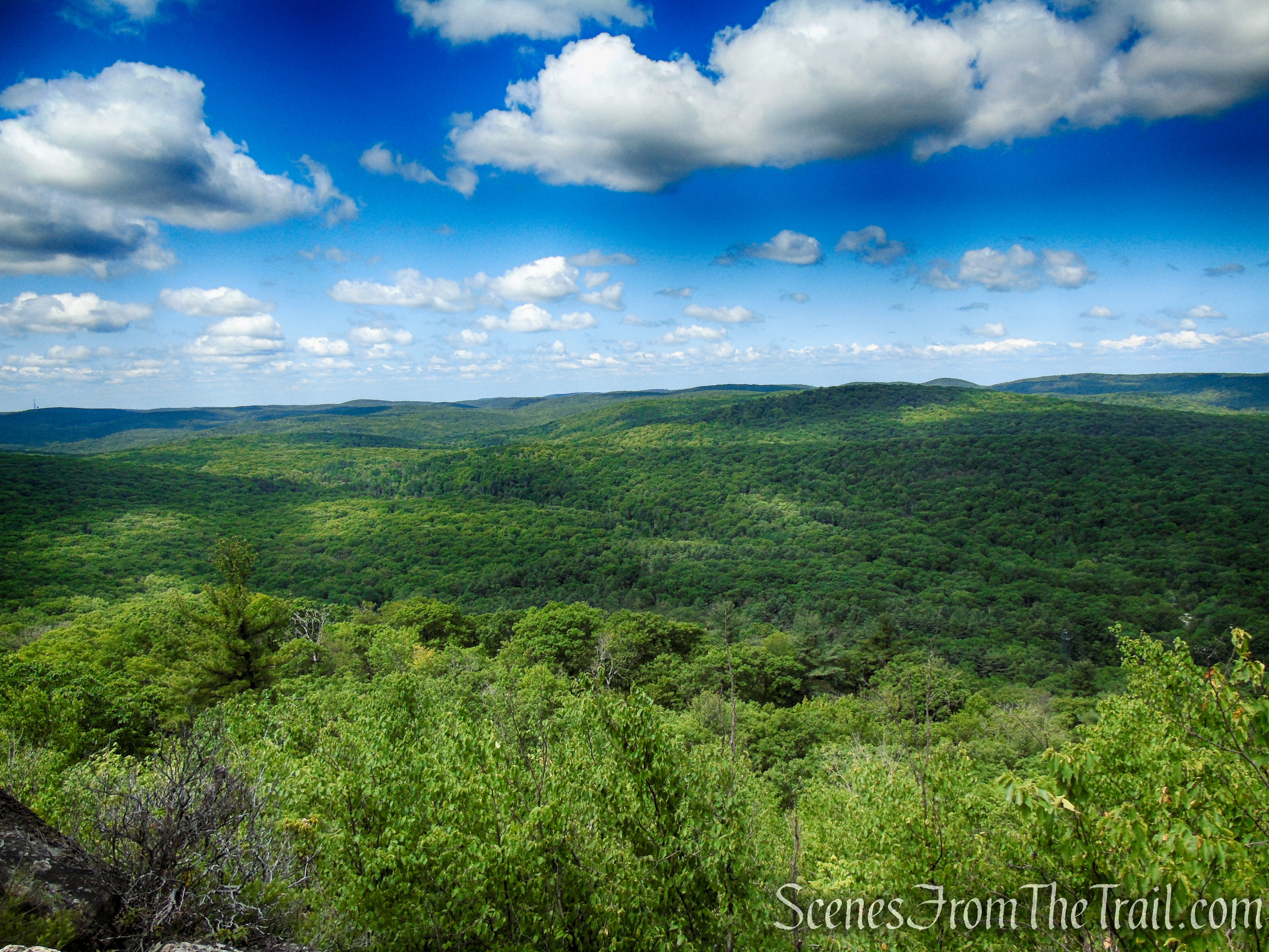
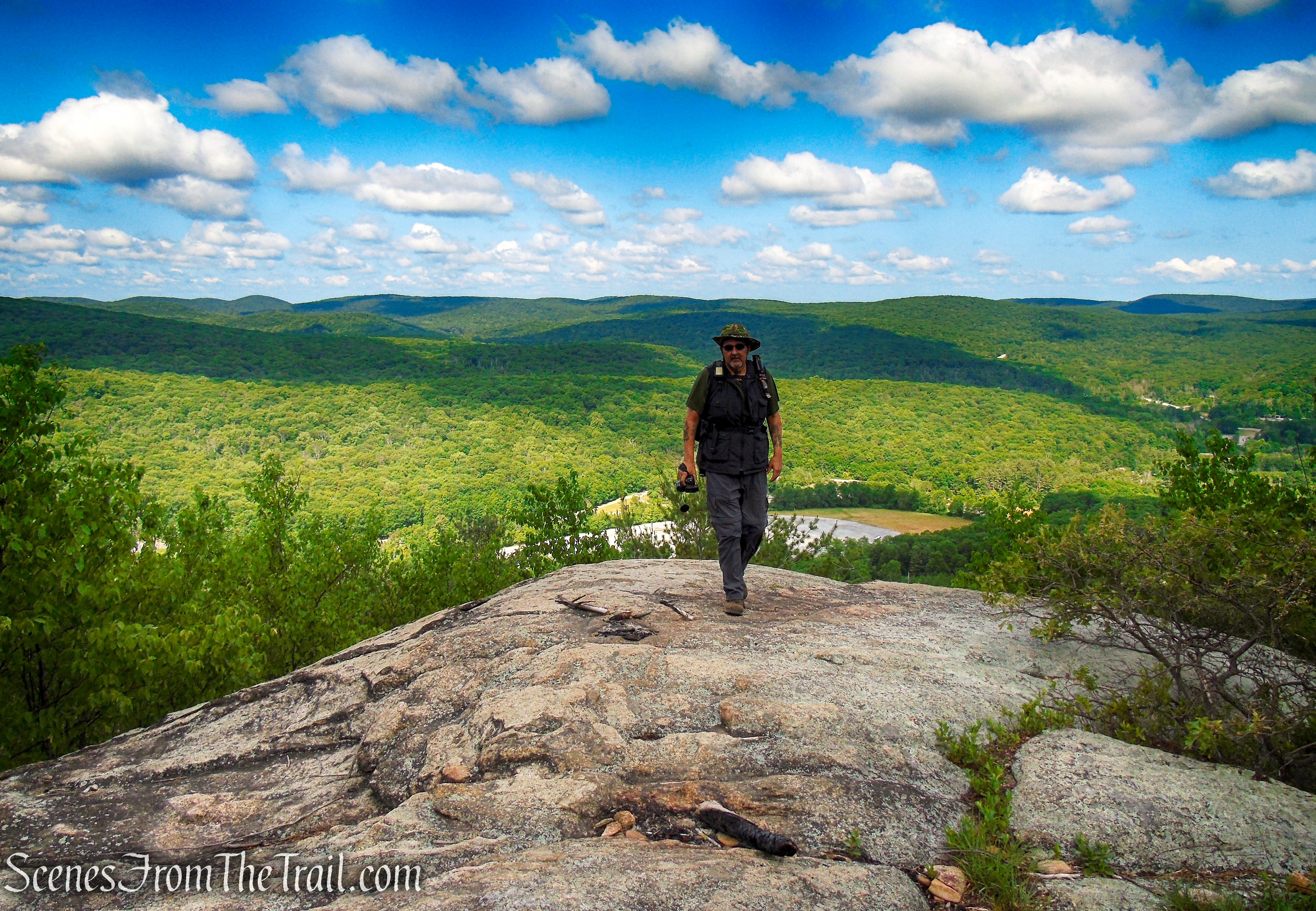
In about a third of a mile, you’ll emerge onto a panoramic viewpoint from an open rock ledge, with Bear Mountain and the Hudson River visible to the left, the north parking area at the Anthony Wayne Recreation Area (where the hike began) below to the right, and Black Mountain in the background.
Coaligned AT/Timp-Torne Trails – West Mountain
Anthony Wayne Recreation Area parking lot below, with Black Mountain just beyond.
Coaligned AT/Timp-Torne Trails – West Mountain
Bear Mountain to the north.
Coaligned AT/Timp-Torne Trails – West Mountain
Perkins Memorial Tower at the summit of Bear Mountain.

Coaligned AT/Timp-Torne Trails – West Mountain
Coaligned AT/Timp-Torne Trails – West Mountain
View west.
Coaligned AT/Timp-Torne Trails – West Mountain
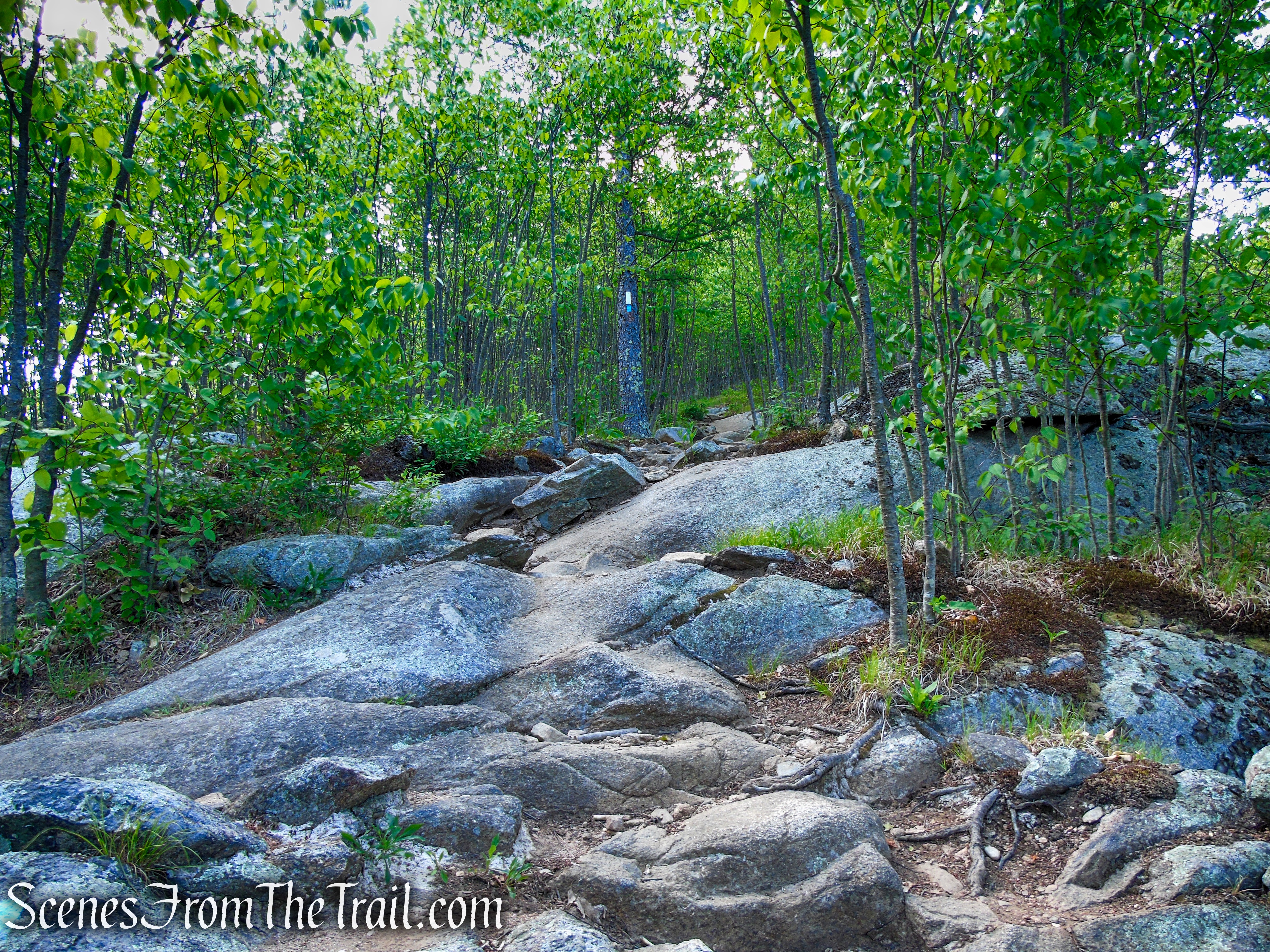
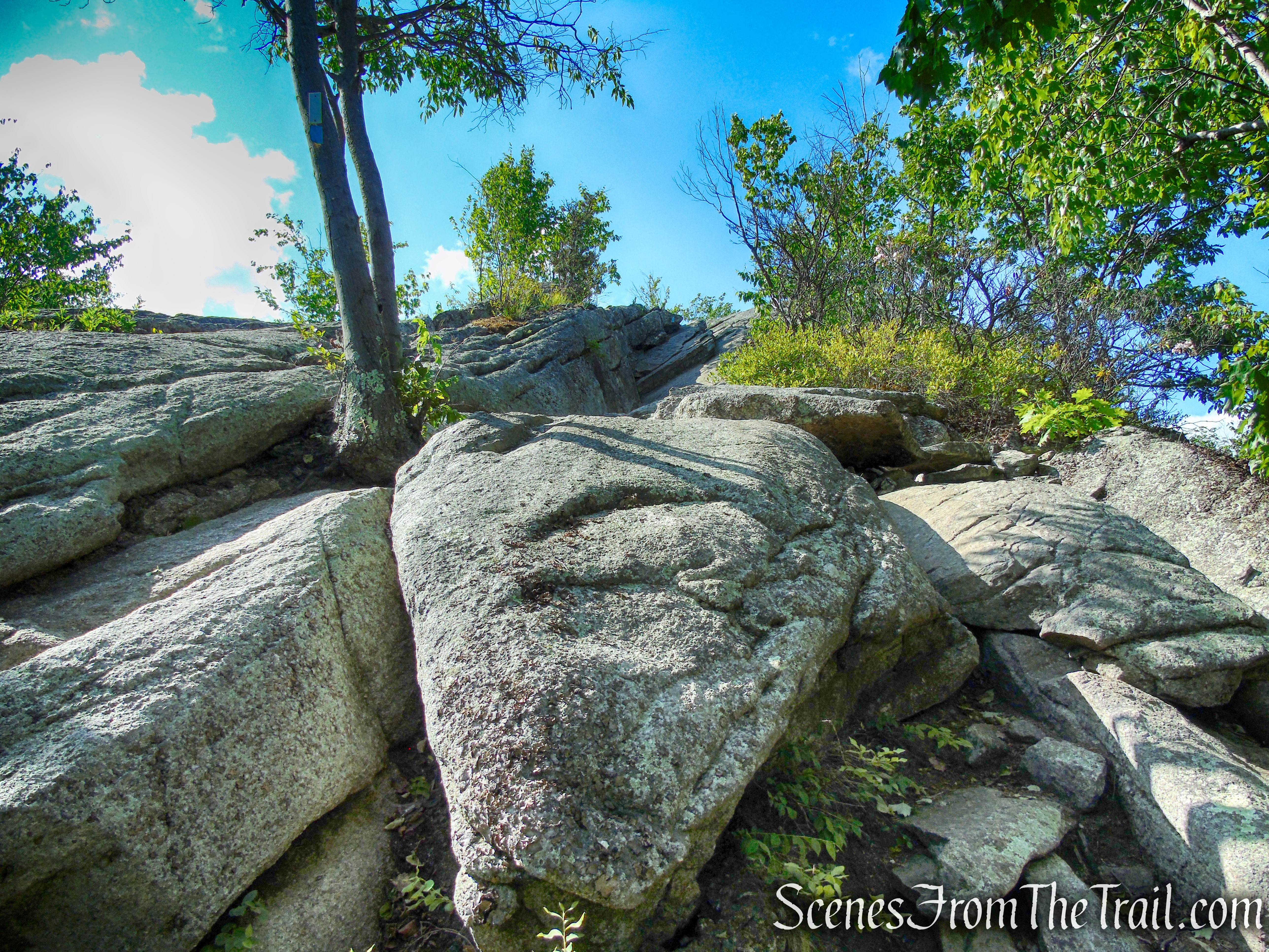
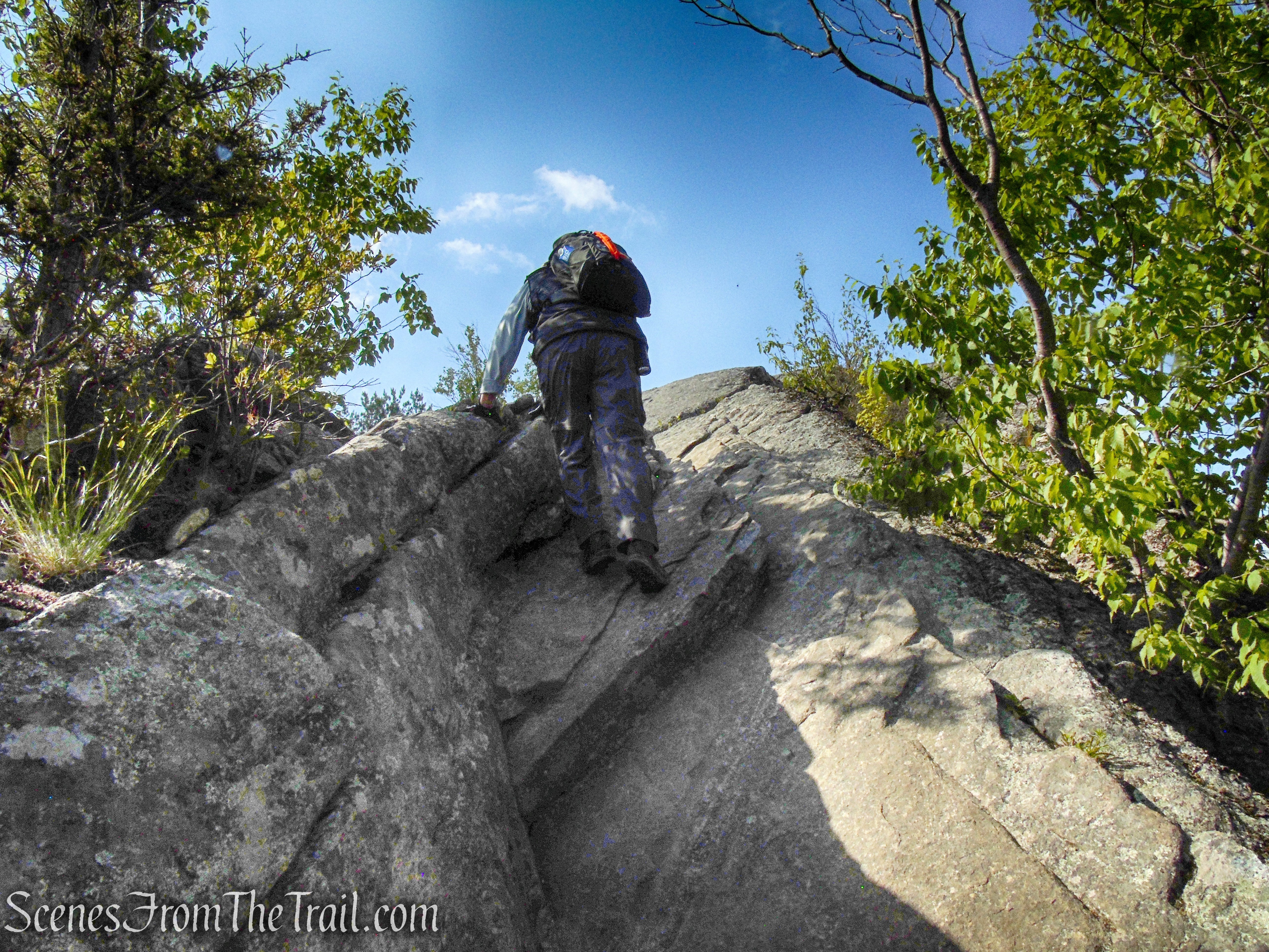
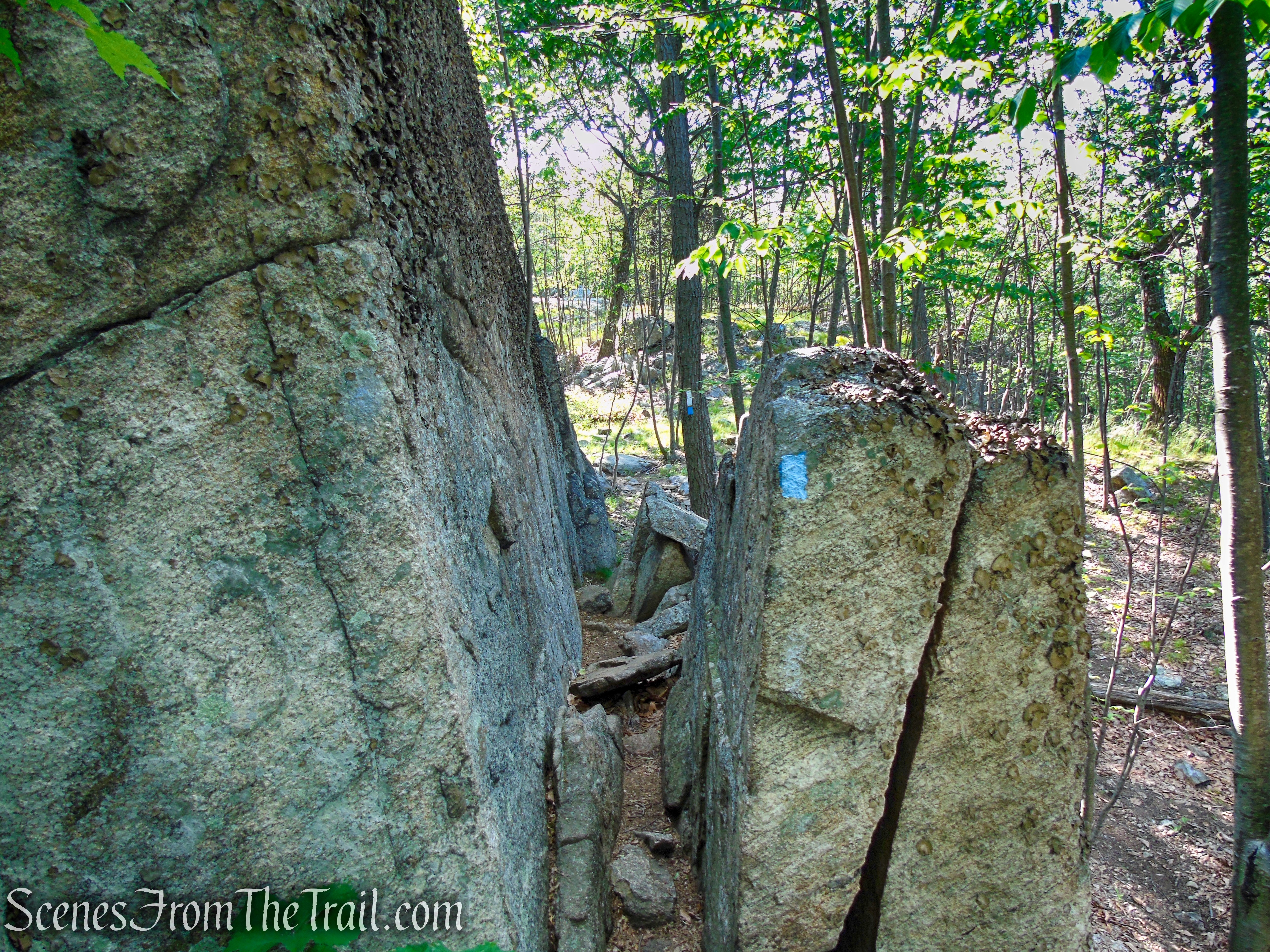
The trail continues south, with some short climbs and descents, sometimes steeply. You may have to use both your hands and feet at times.
Coaligned AT/Timp-Torne Trails – West Mountain

Coaligned AT/Timp-Torne Trails – West Mountain
Coaligned AT/Timp-Torne Trails – West Mountain
Coaligned AT/Timp-Torne Trails – West Mountain
Coaligned AT/Timp-Torne Trails – West Mountain

Coaligned AT/Timp-Torne Trails – West Mountain
Coaligned AT/Timp-Torne Trails – West Mountain
Coaligned AT/Timp-Torne Trails – West Mountain
Coaligned AT/Timp-Torne Trails – West Mountain
Coaligned AT/Timp-Torne Trails – West Mountain
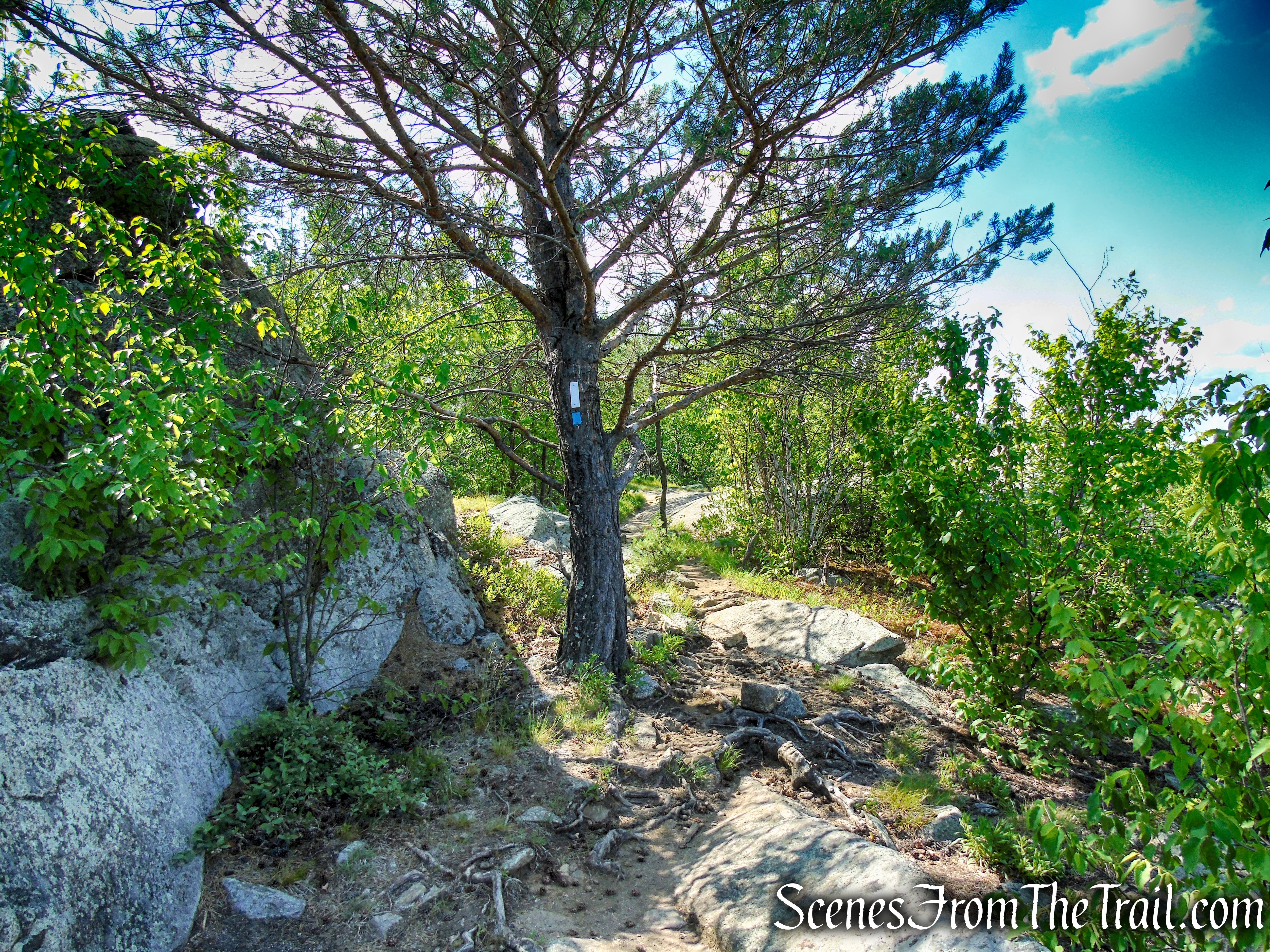
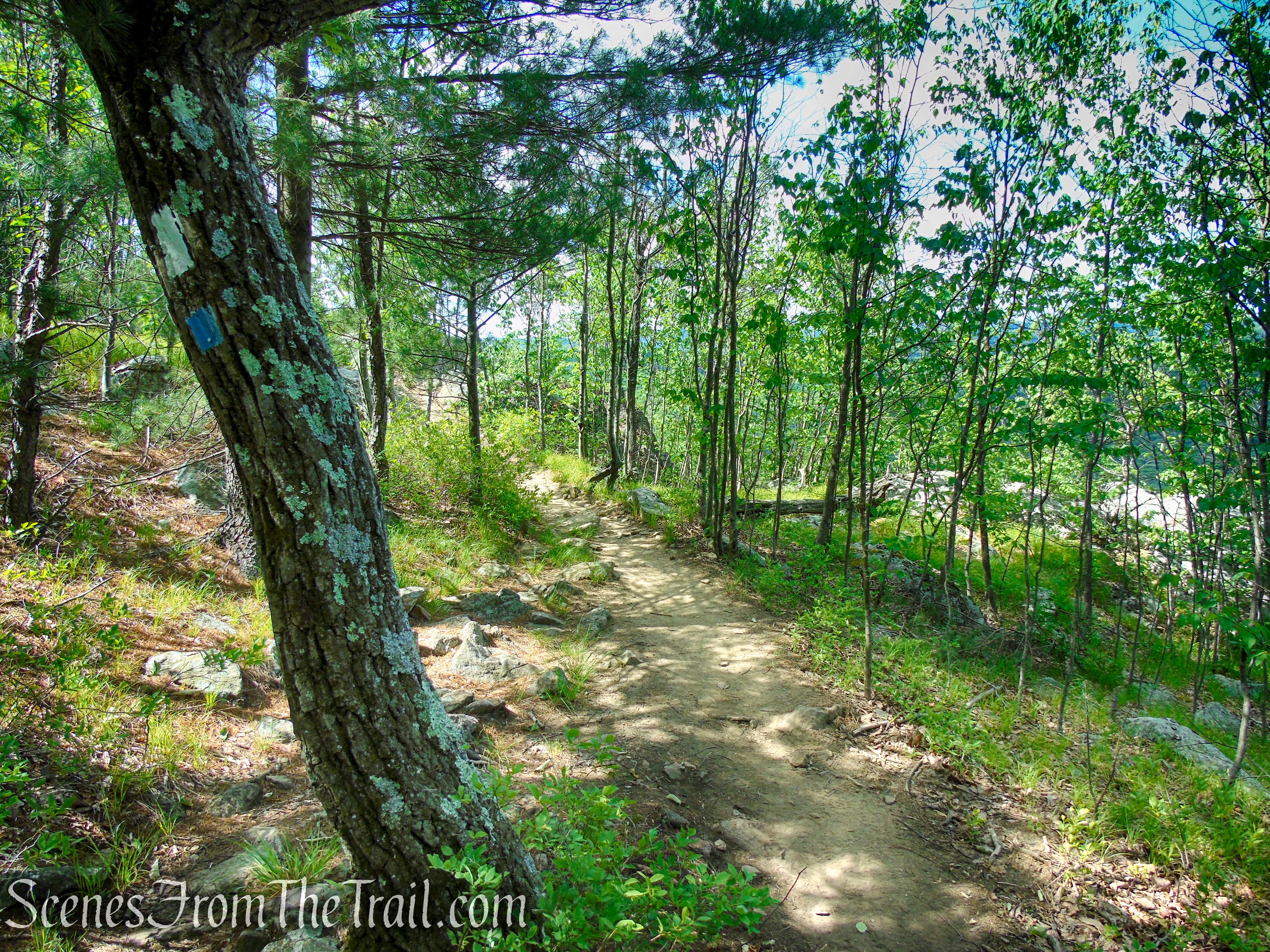
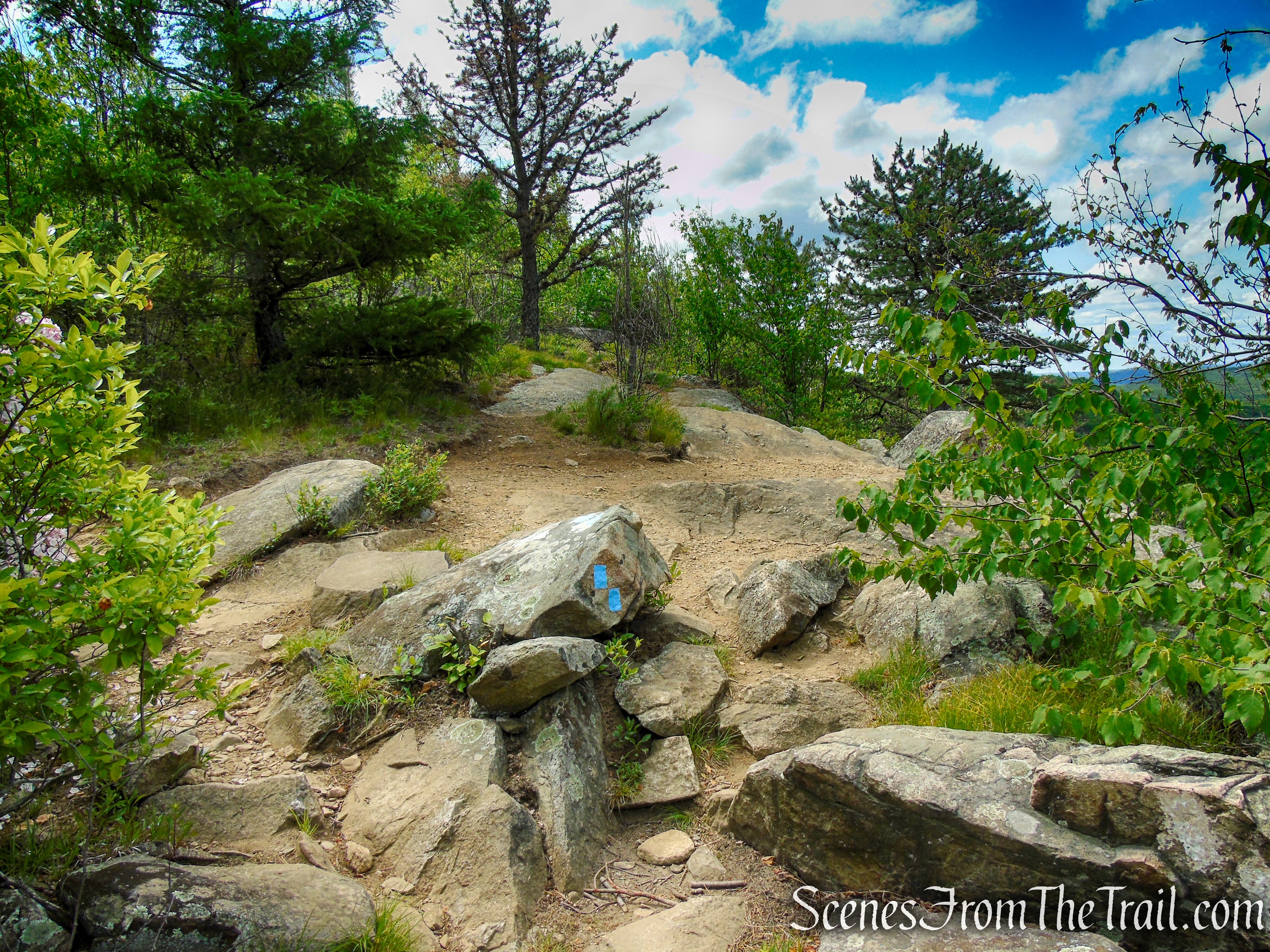
After another relatively level stretch, the Timp-Torne Trail climbs to reach a junction where the white-blazed Appalachian Trail (AT) turns left. Continue ahead, now following only the blue-blazed Timp-Torne Trail. You may still see white blazes on rocks and trees, the old route of the AT, but as long as you see blue blazes, you are on the right track.
Continue ahead on the Timp-Torne Trail
Timp-Torne Trail – West Mountain
Timp-Torne Trail – West Mountain
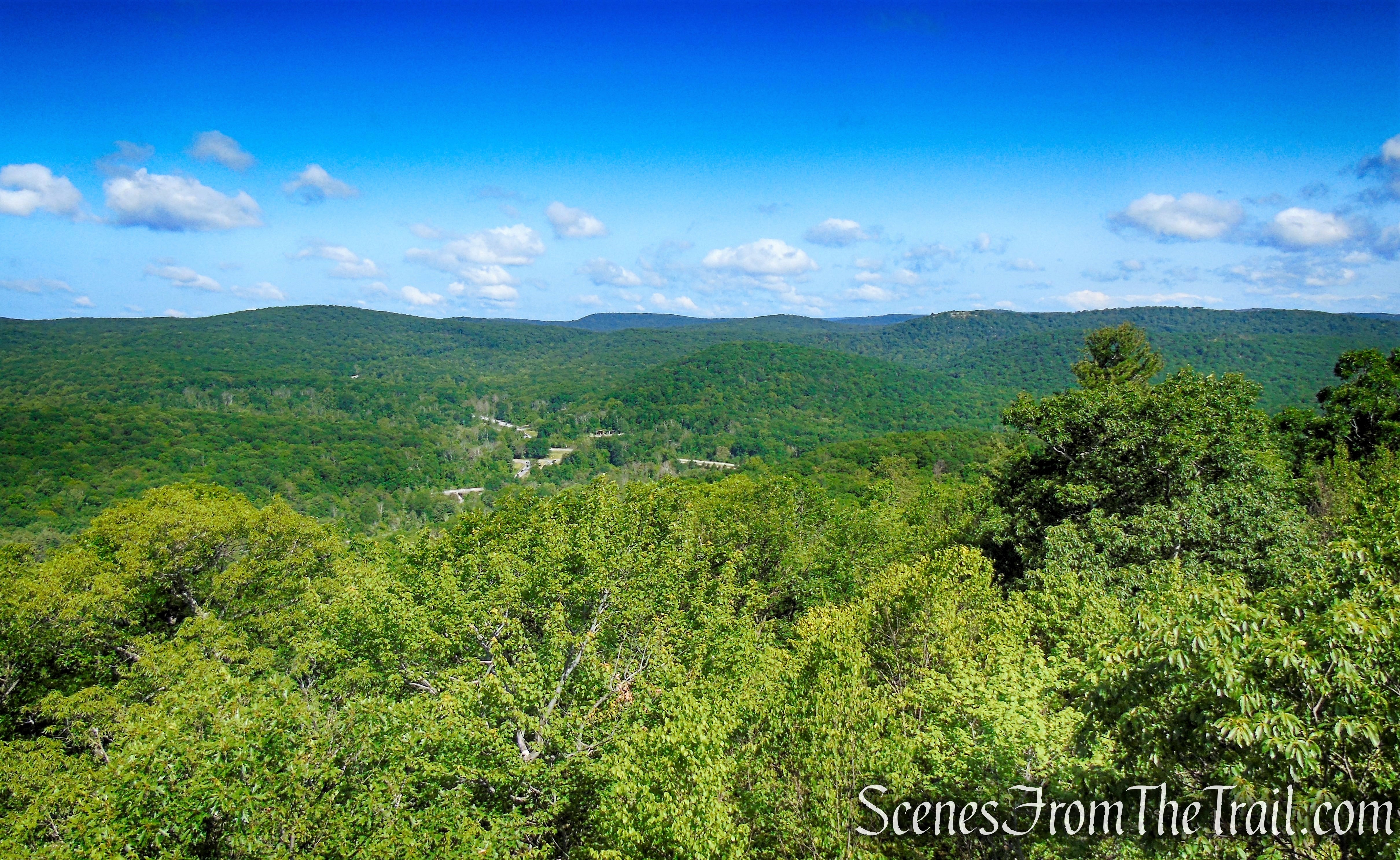
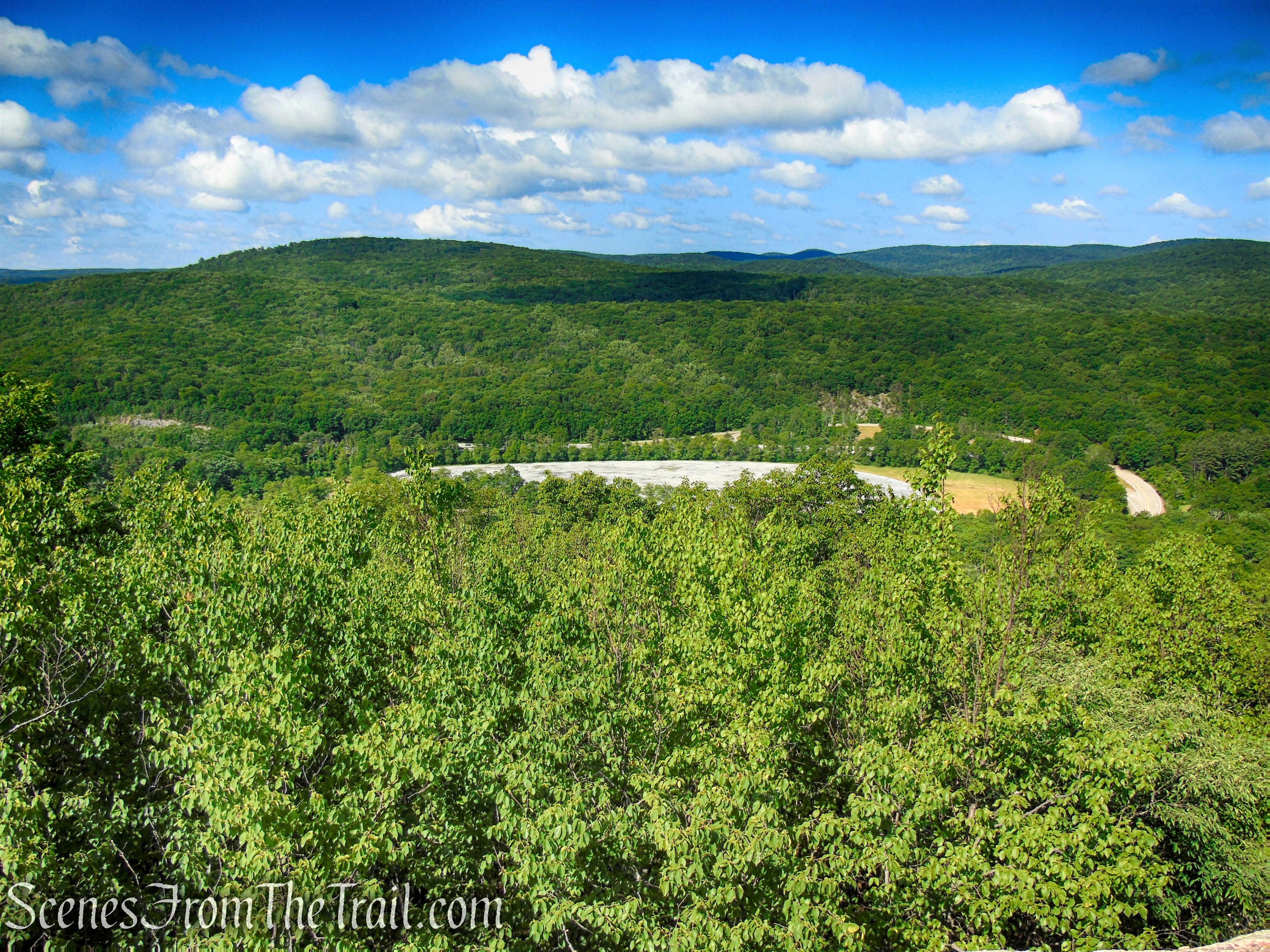
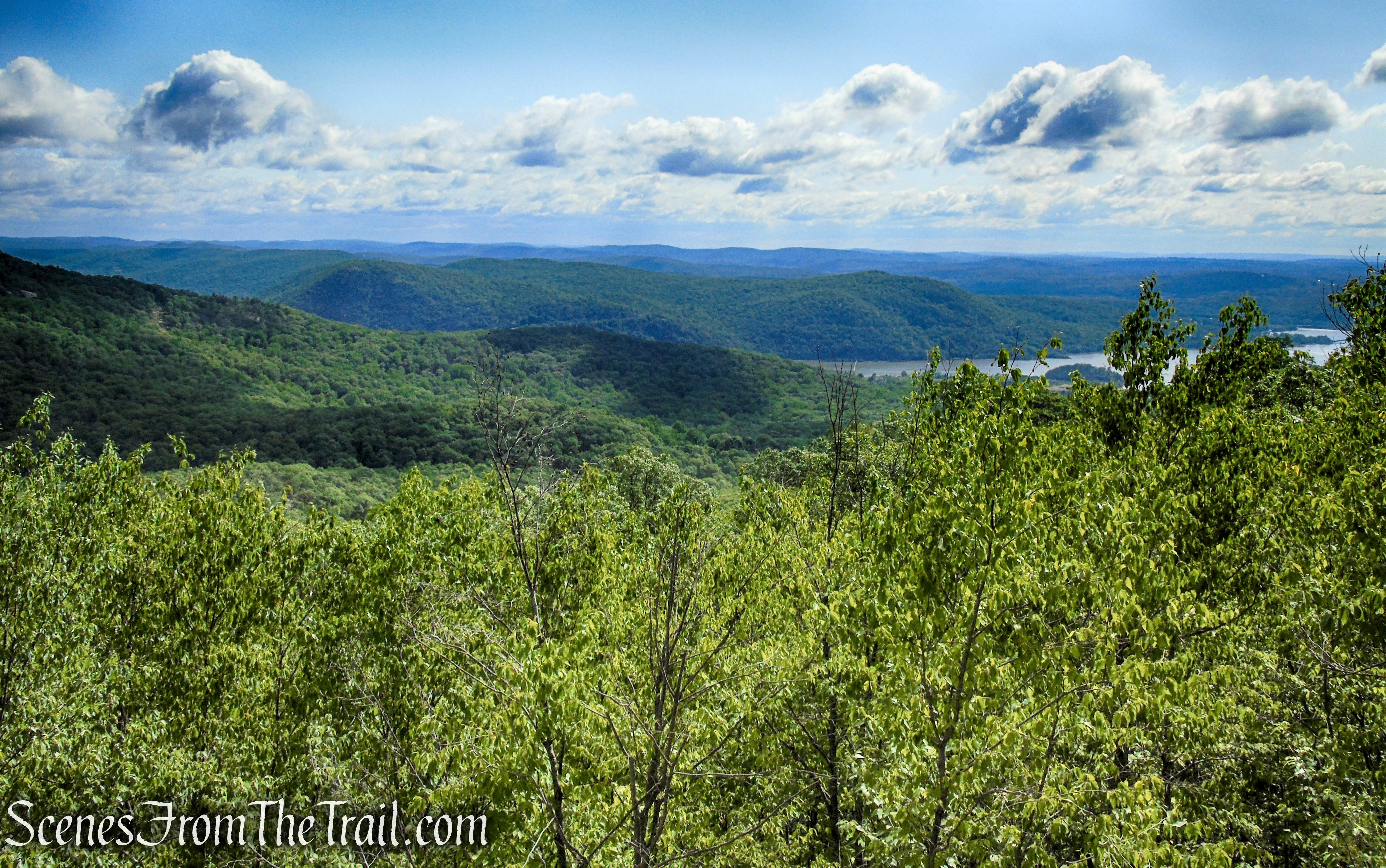
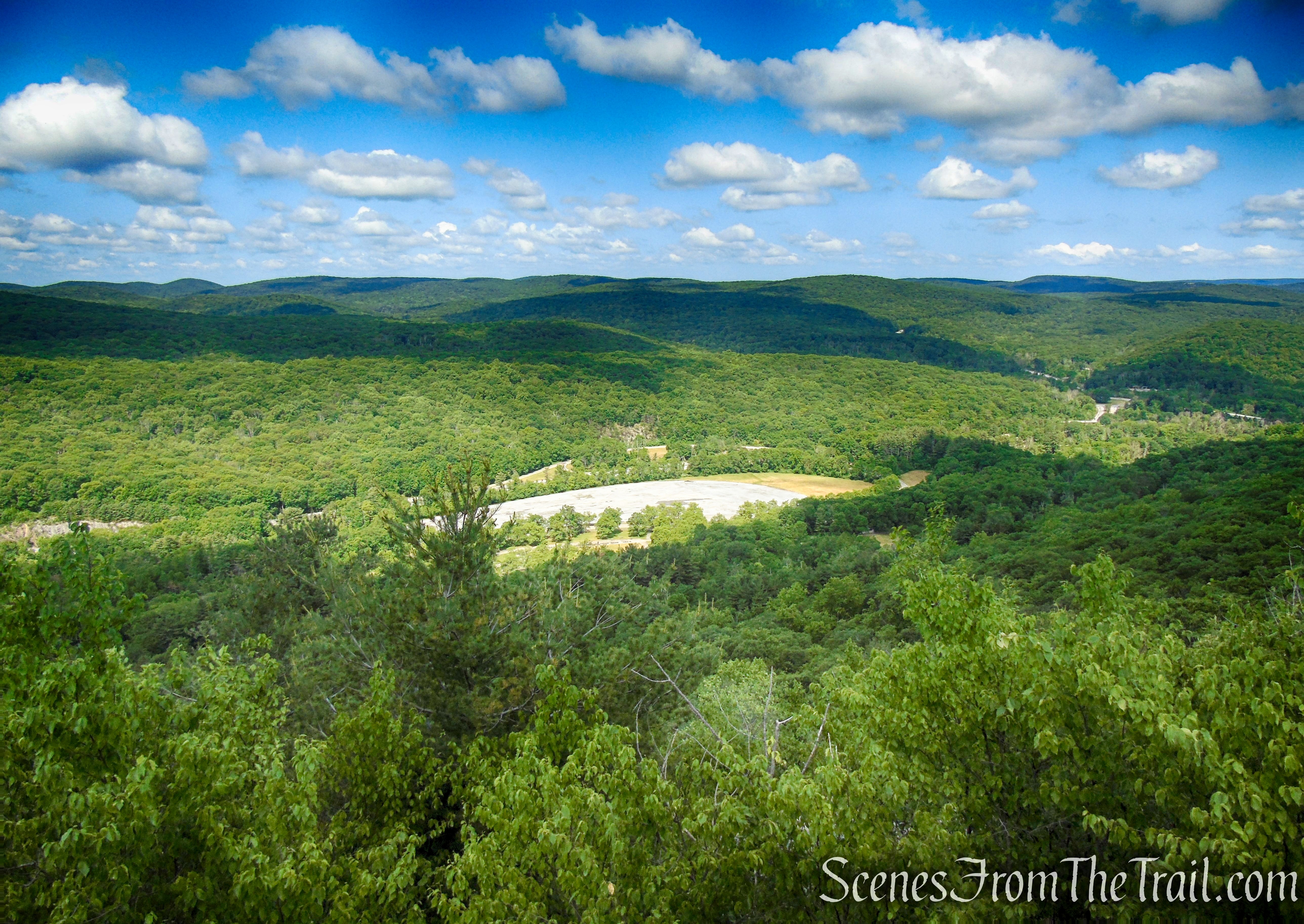
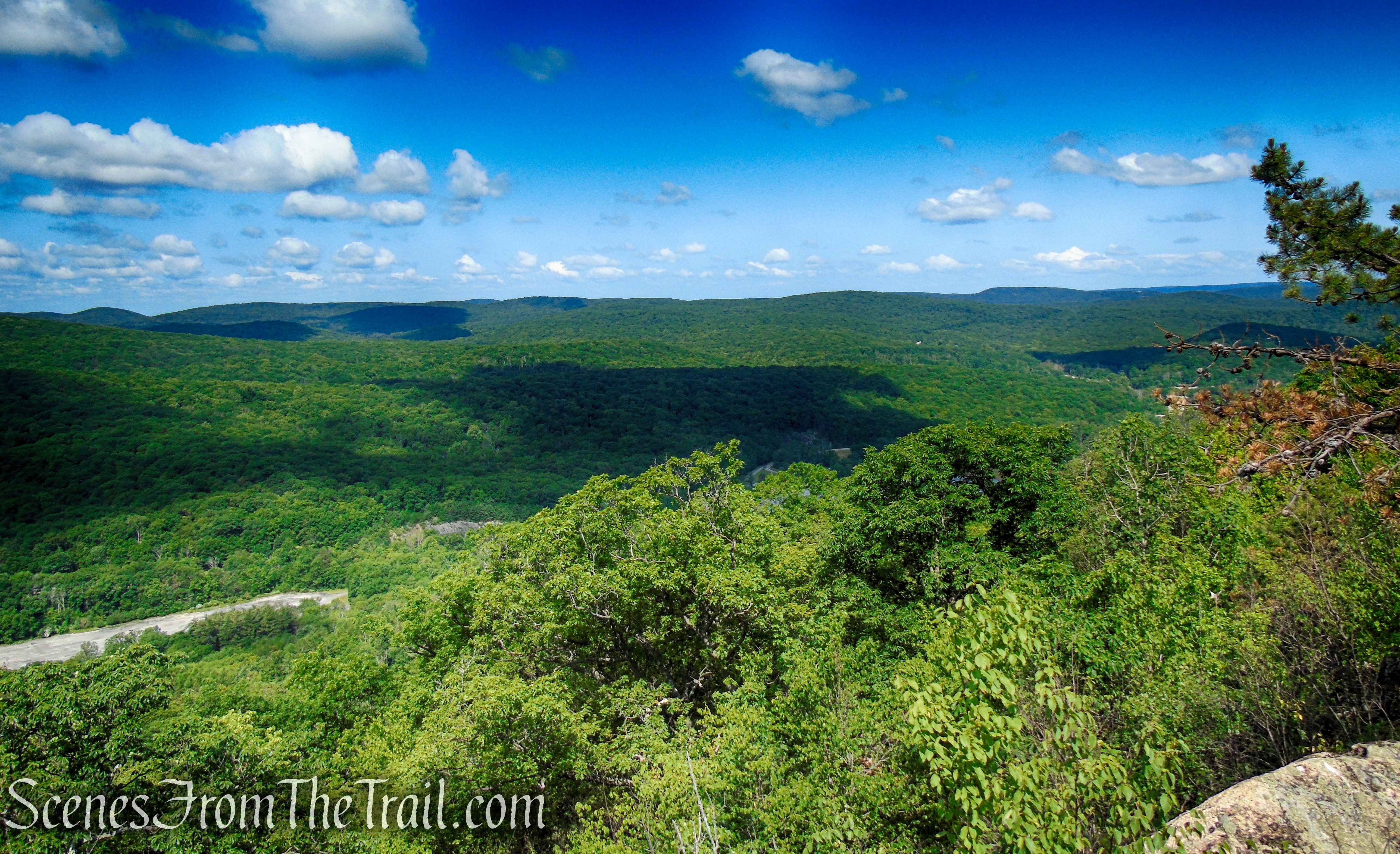
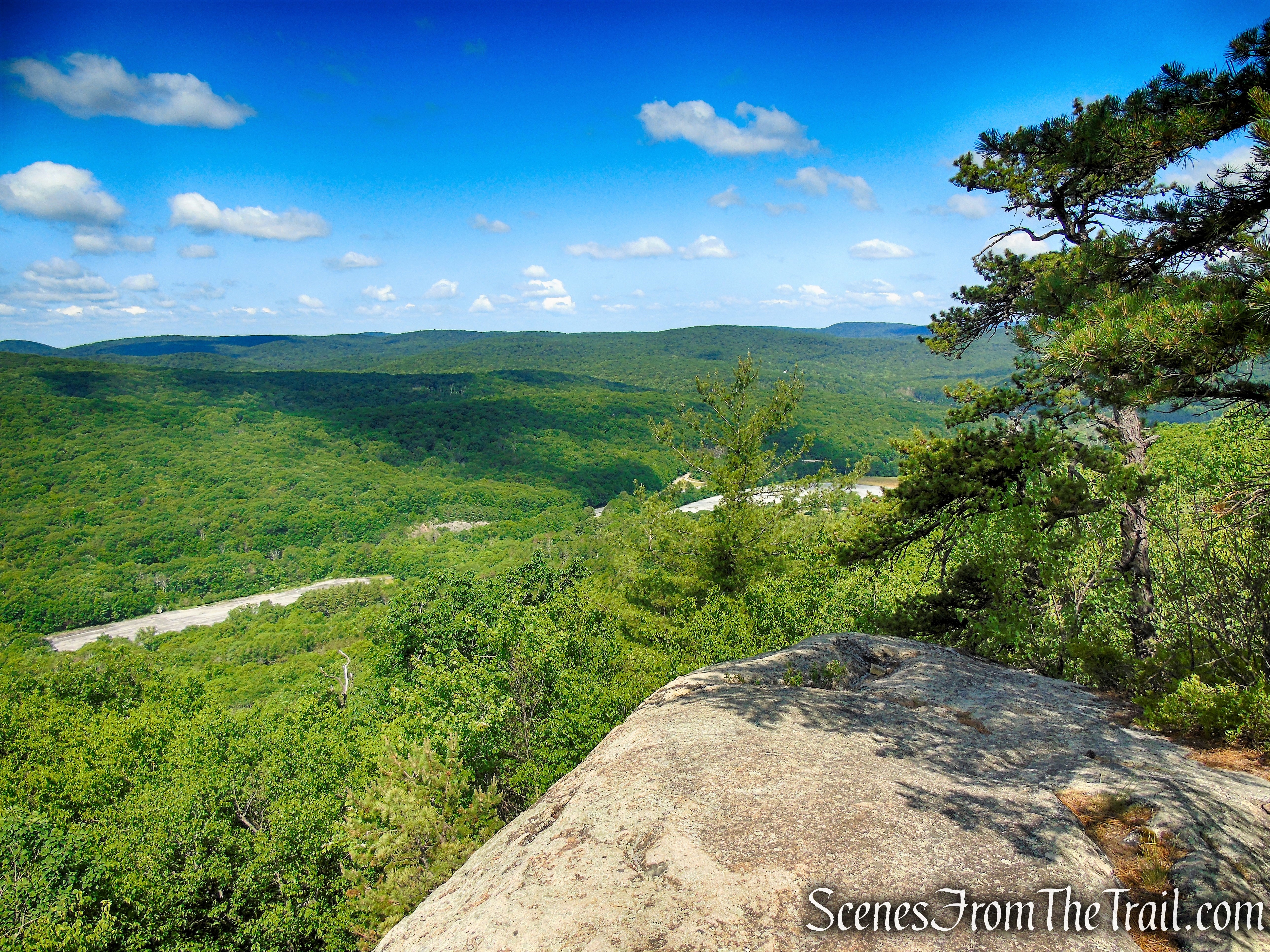
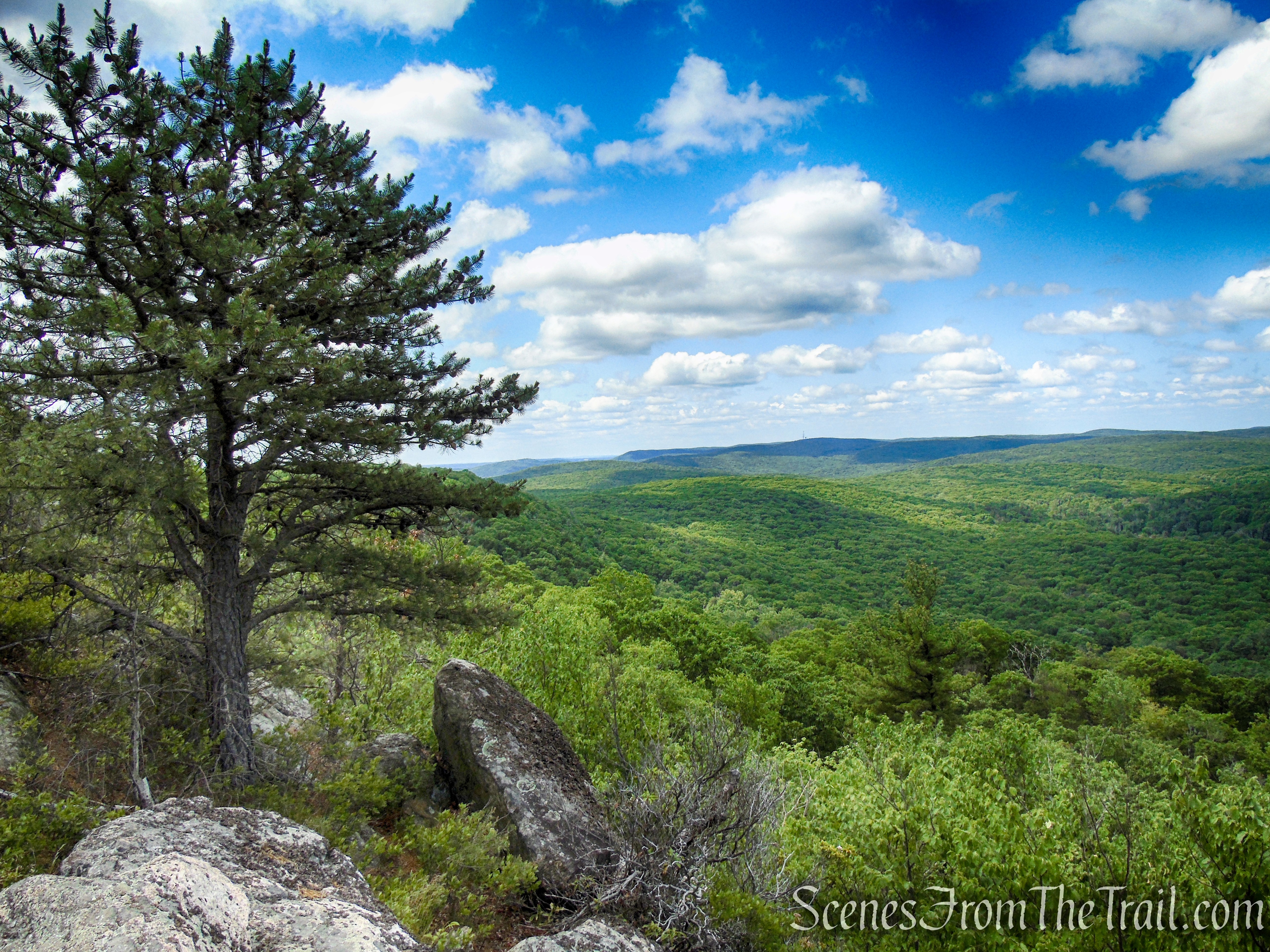
Soon, you’ll reach another viewpoint to the left over Bear Mountain and the Hudson River. The trail now swings to the west side of the ridge and emerges at a west-facing viewpoint over Black Mountain, with the Palisades Interstate Parkway and the two large parking areas for the Anthony Wayne Recreation Area visible in the valley below.

Timp-Torne Trail – West Mountain
Timp-Torne Trail – West Mountain
Timp-Torne Trail – West Mountain
Timp-Torne Trail – West Mountain

Timp-Torne Trail – West Mountain
Looking west over the Anthony Wayne Recreation Area North Lot, with the Harriman Hills just beyond.
Timp-Torne Trail – West Mountain
Looking northwest.
Timp-Torne Trail – West Mountain
View southwest.
Timp-Torne Trail – West Mountain
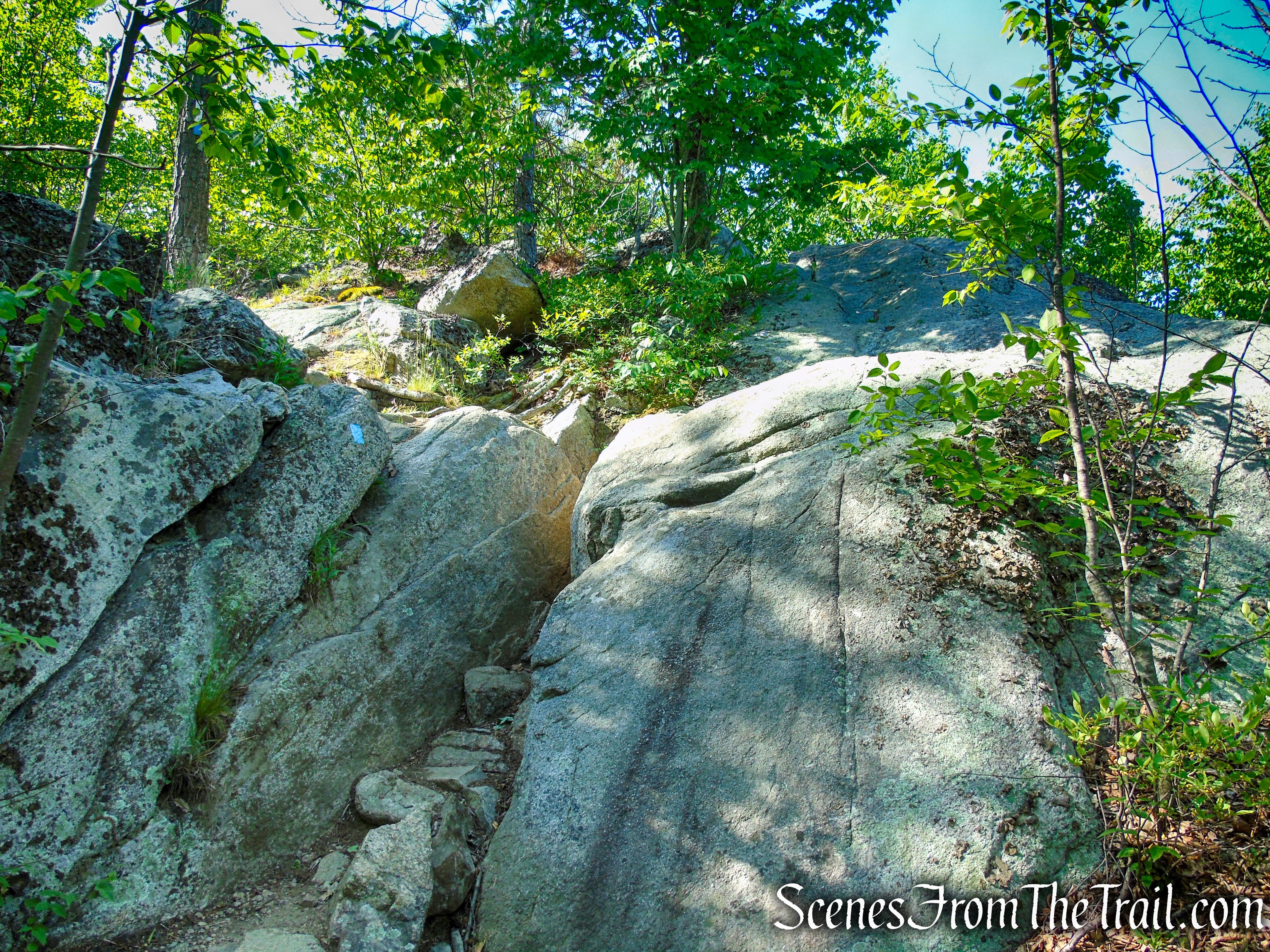
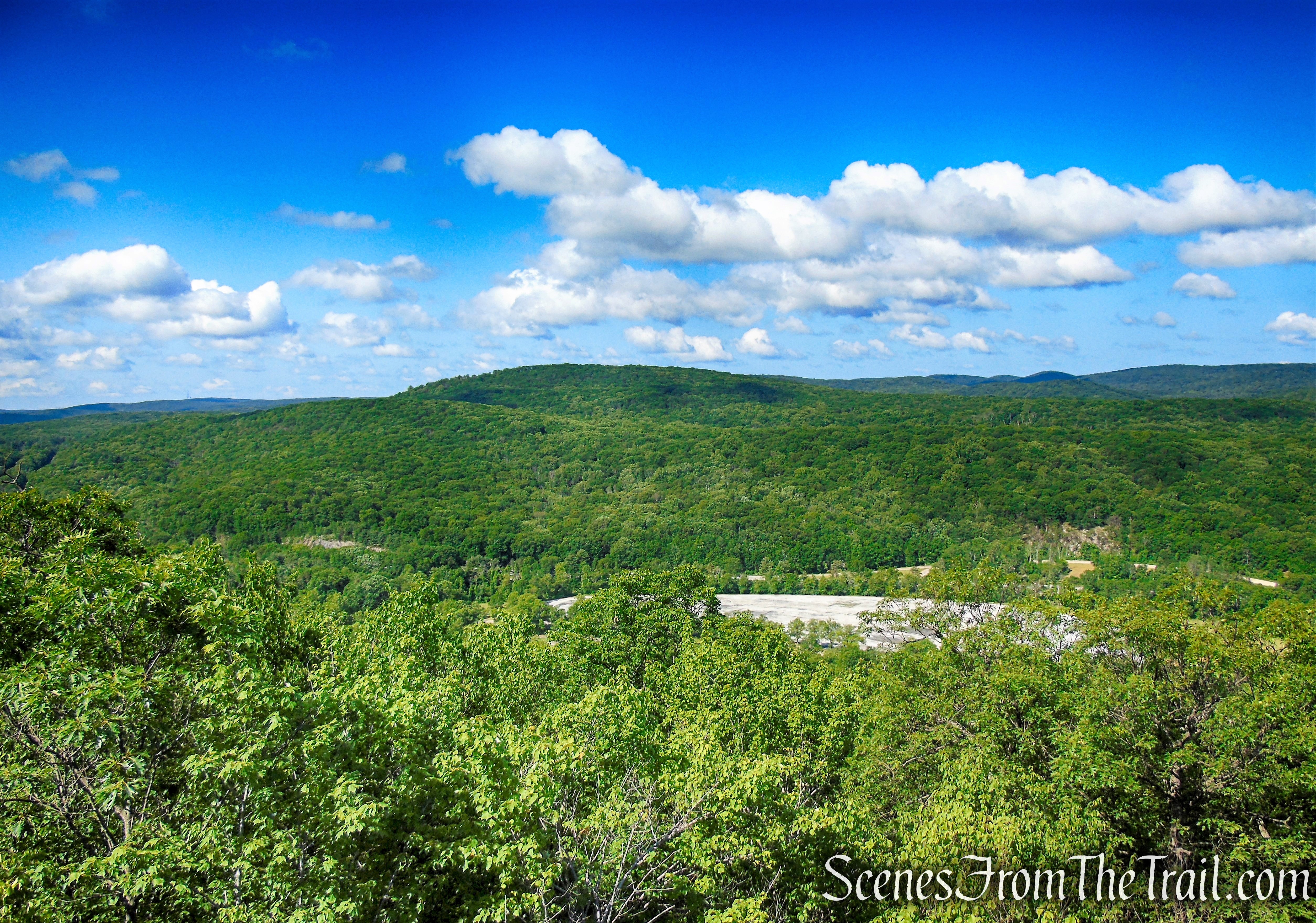
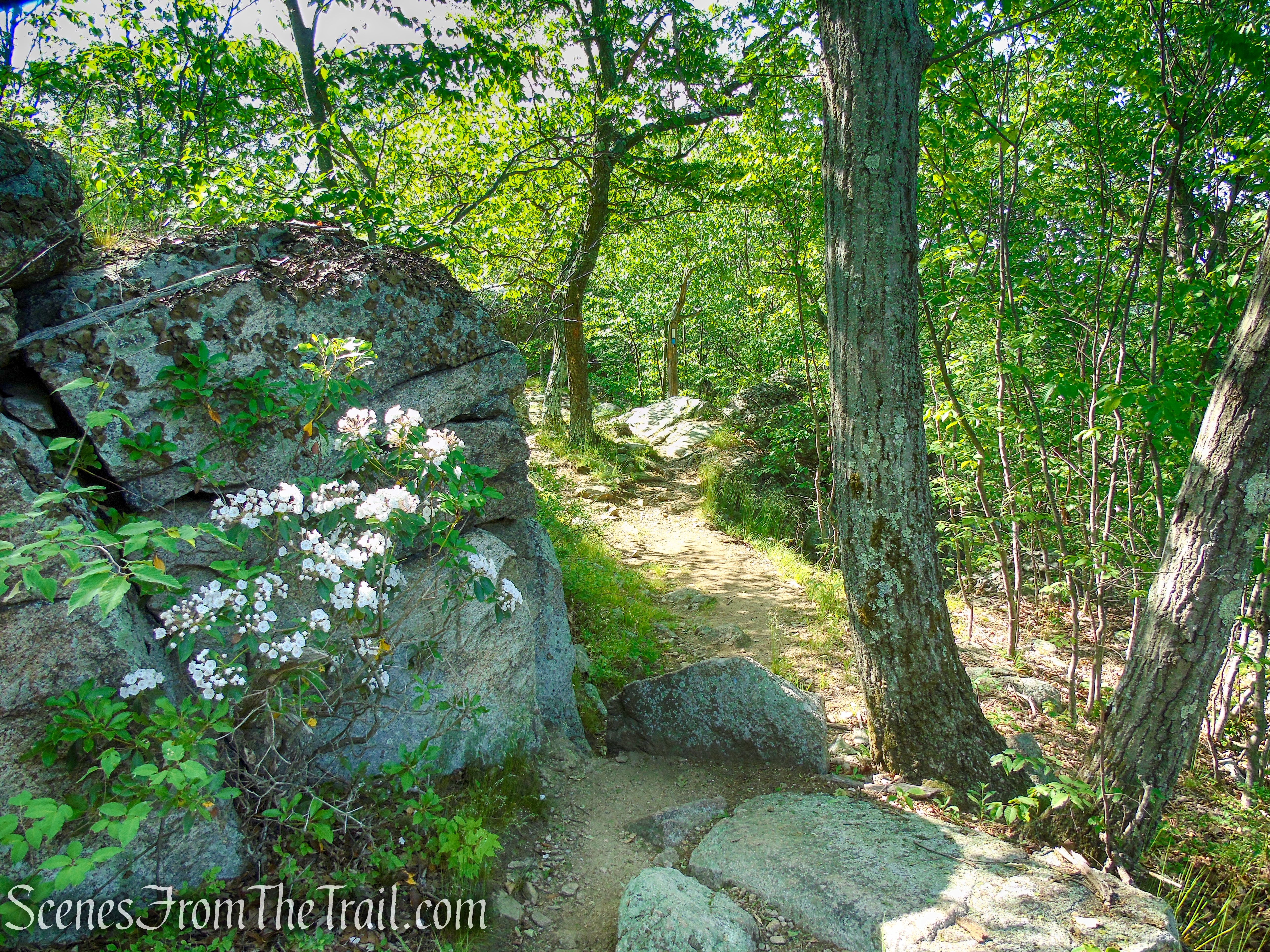
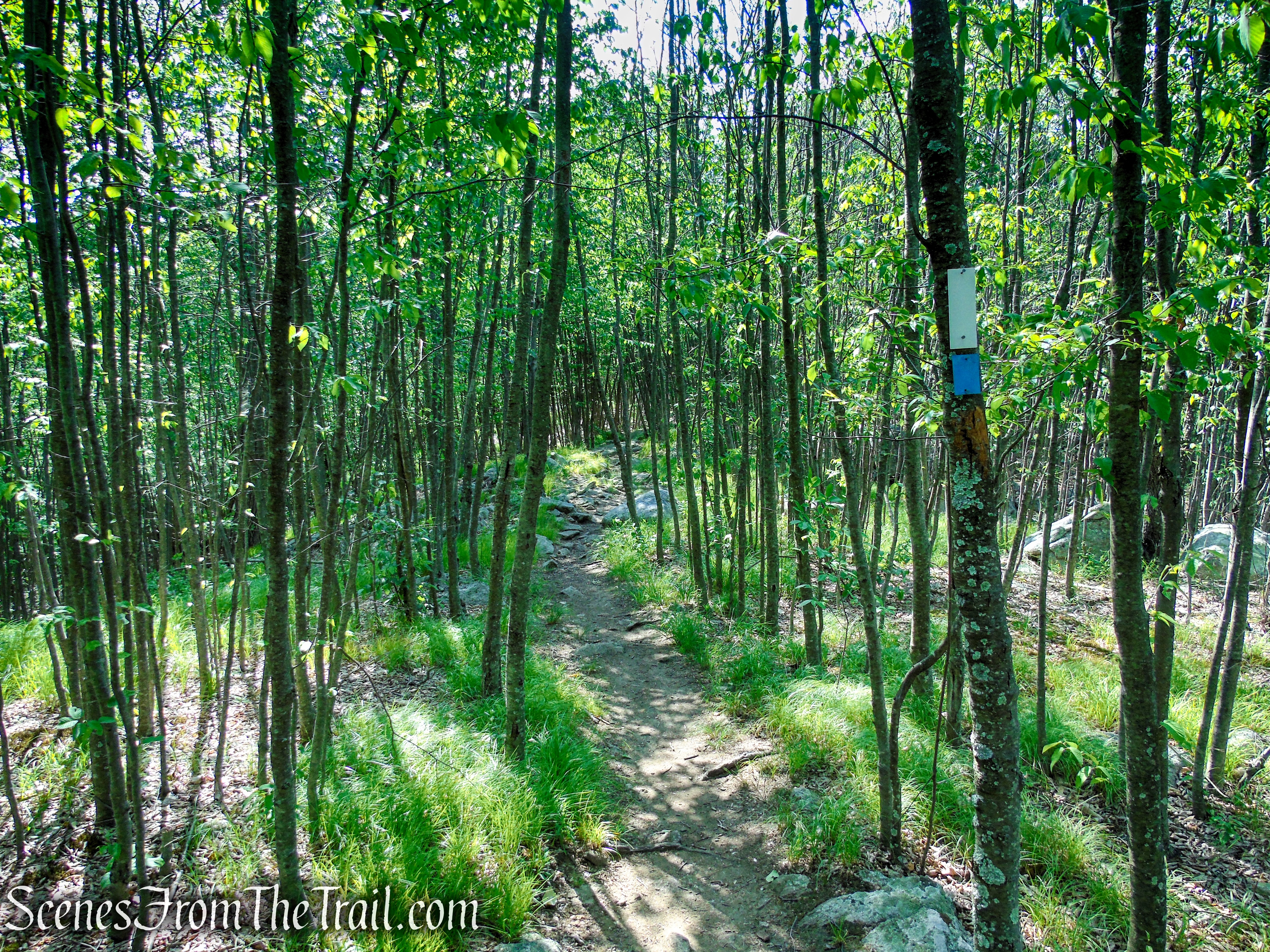
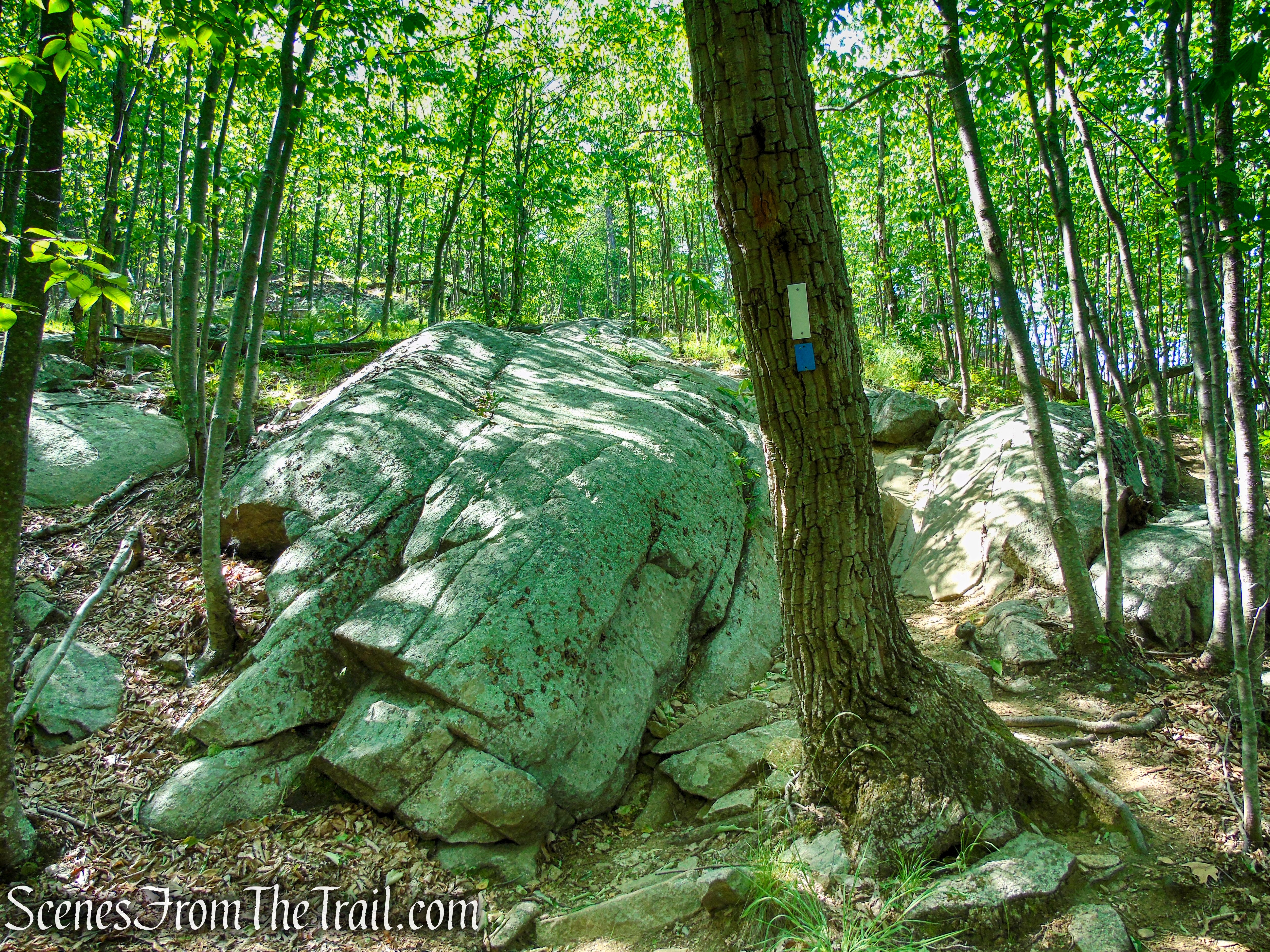
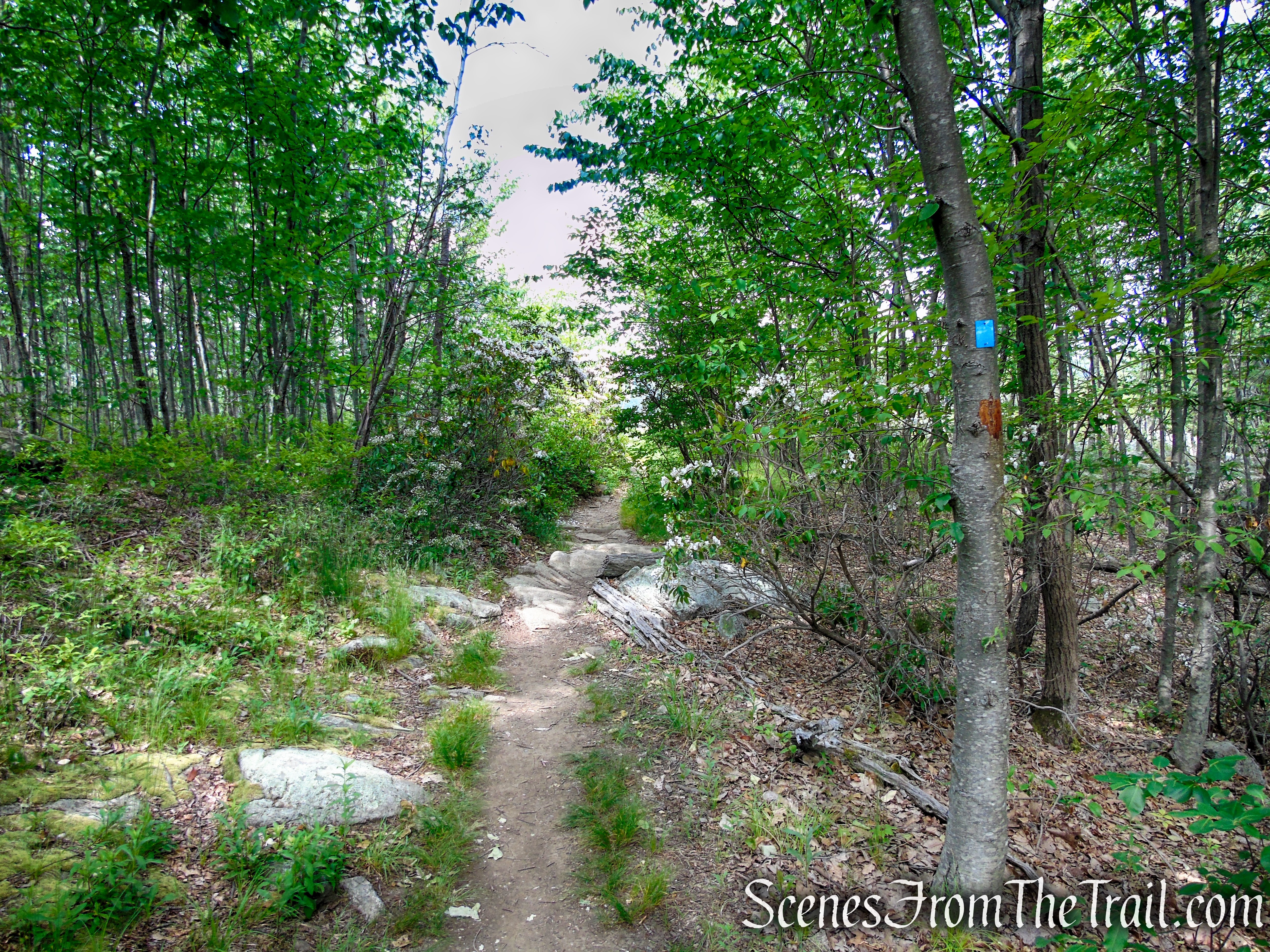
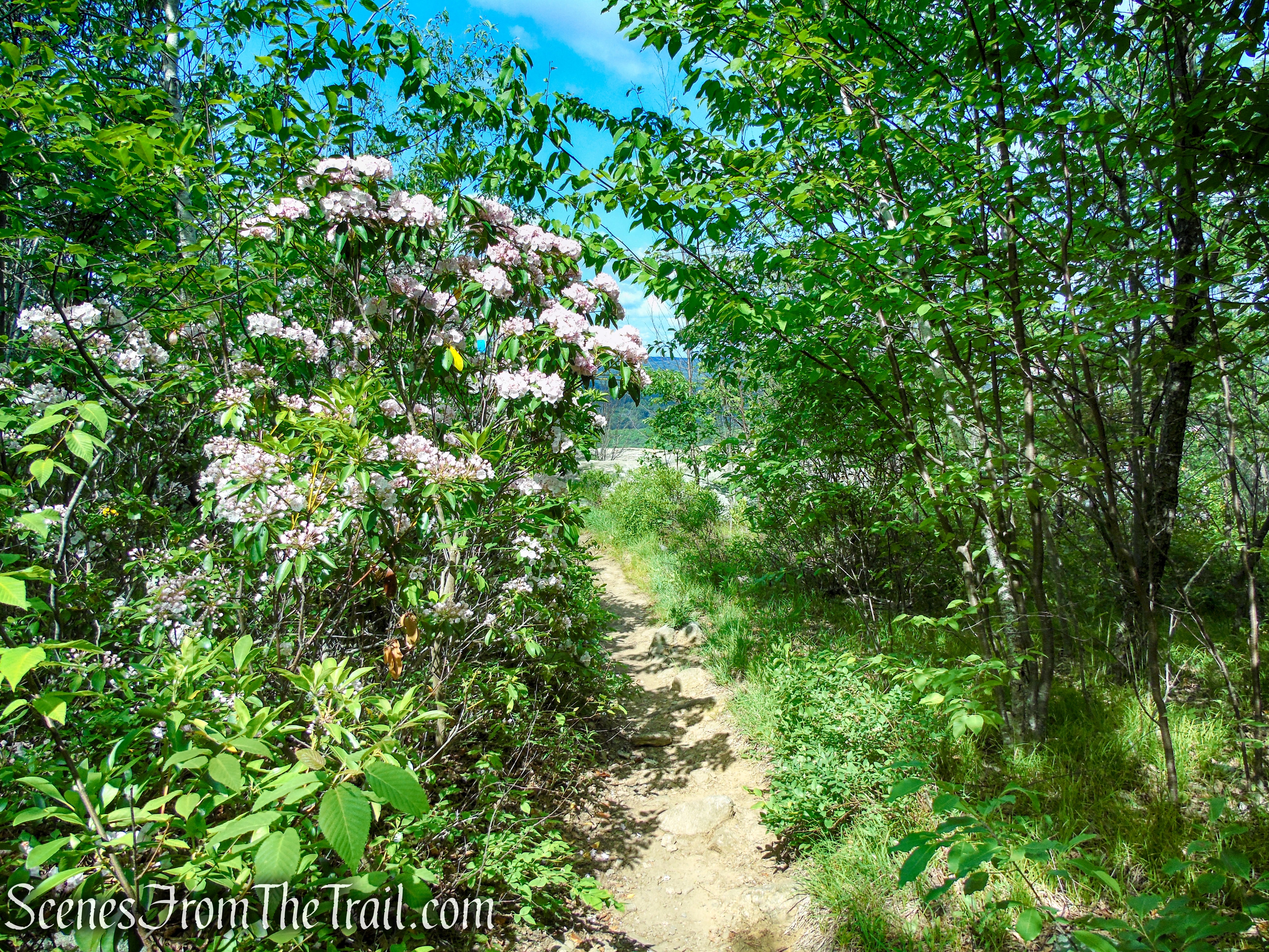
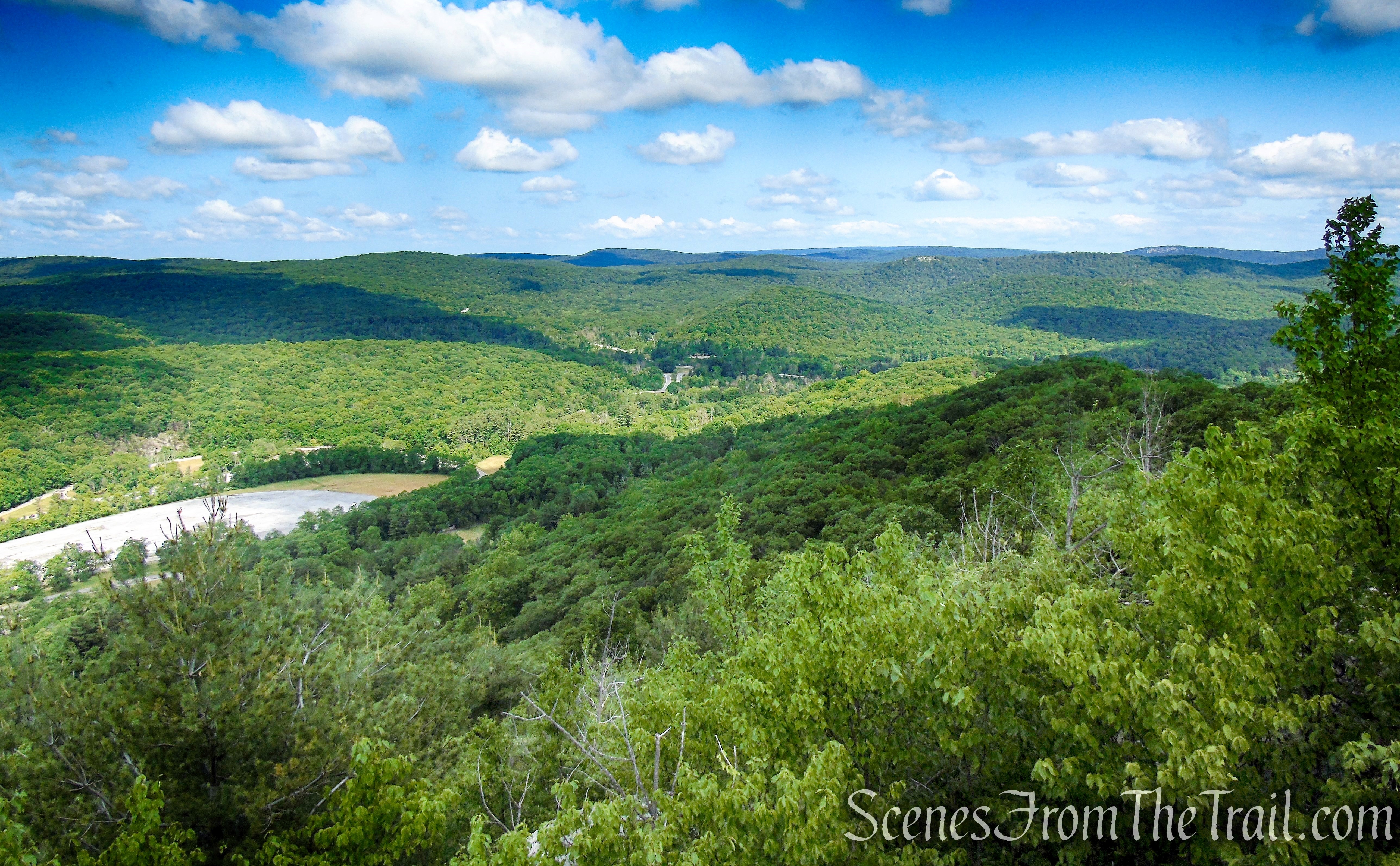
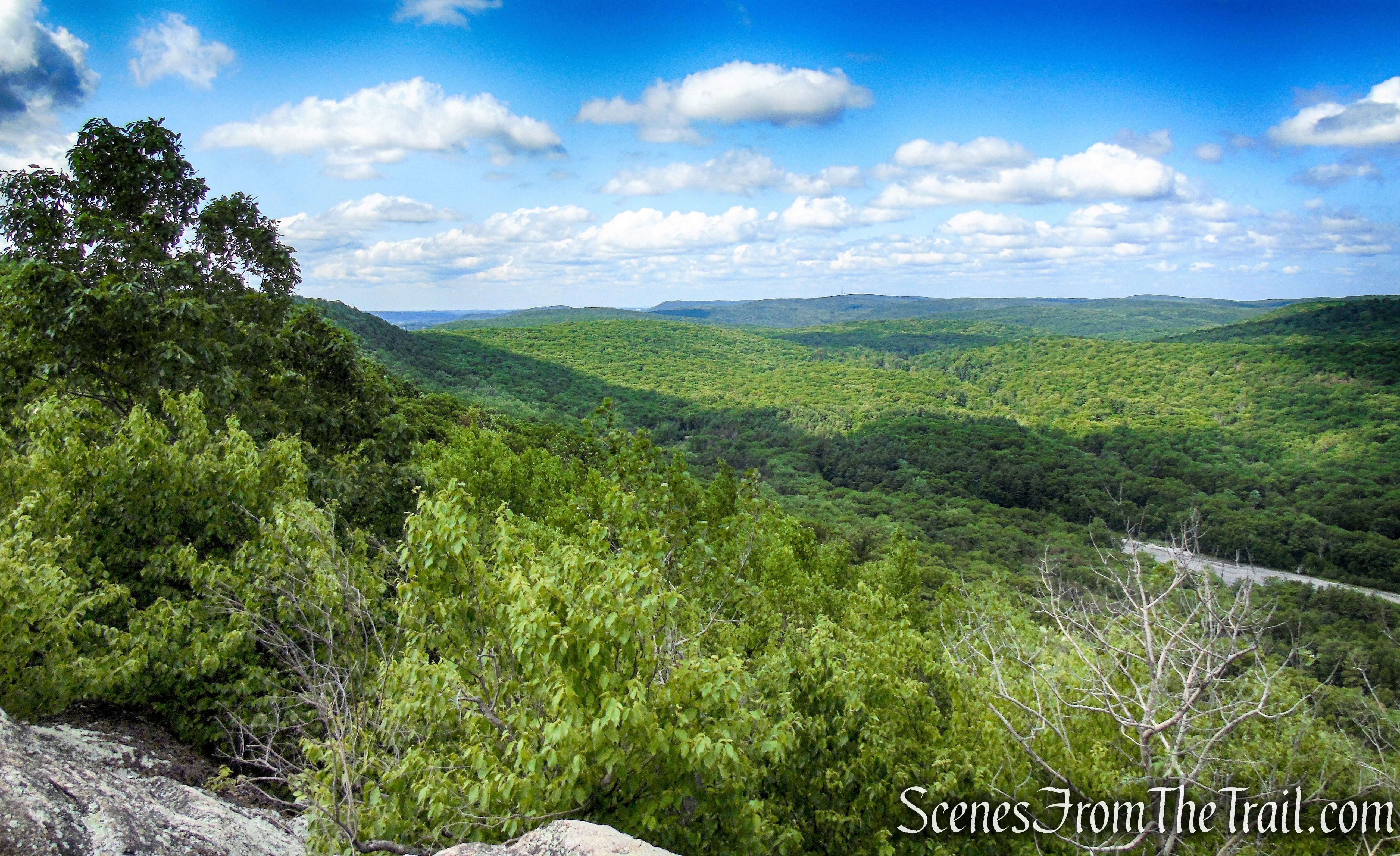
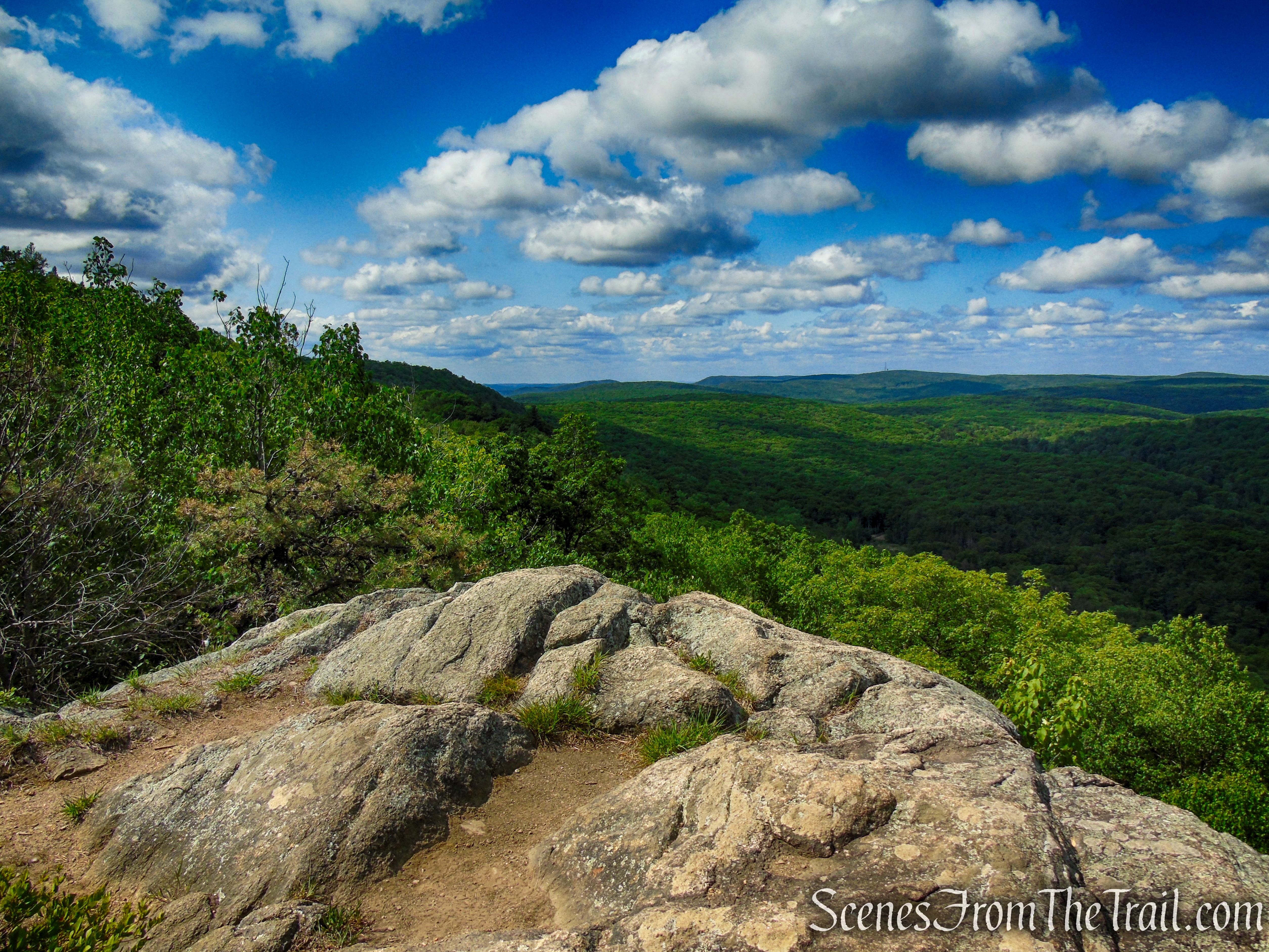
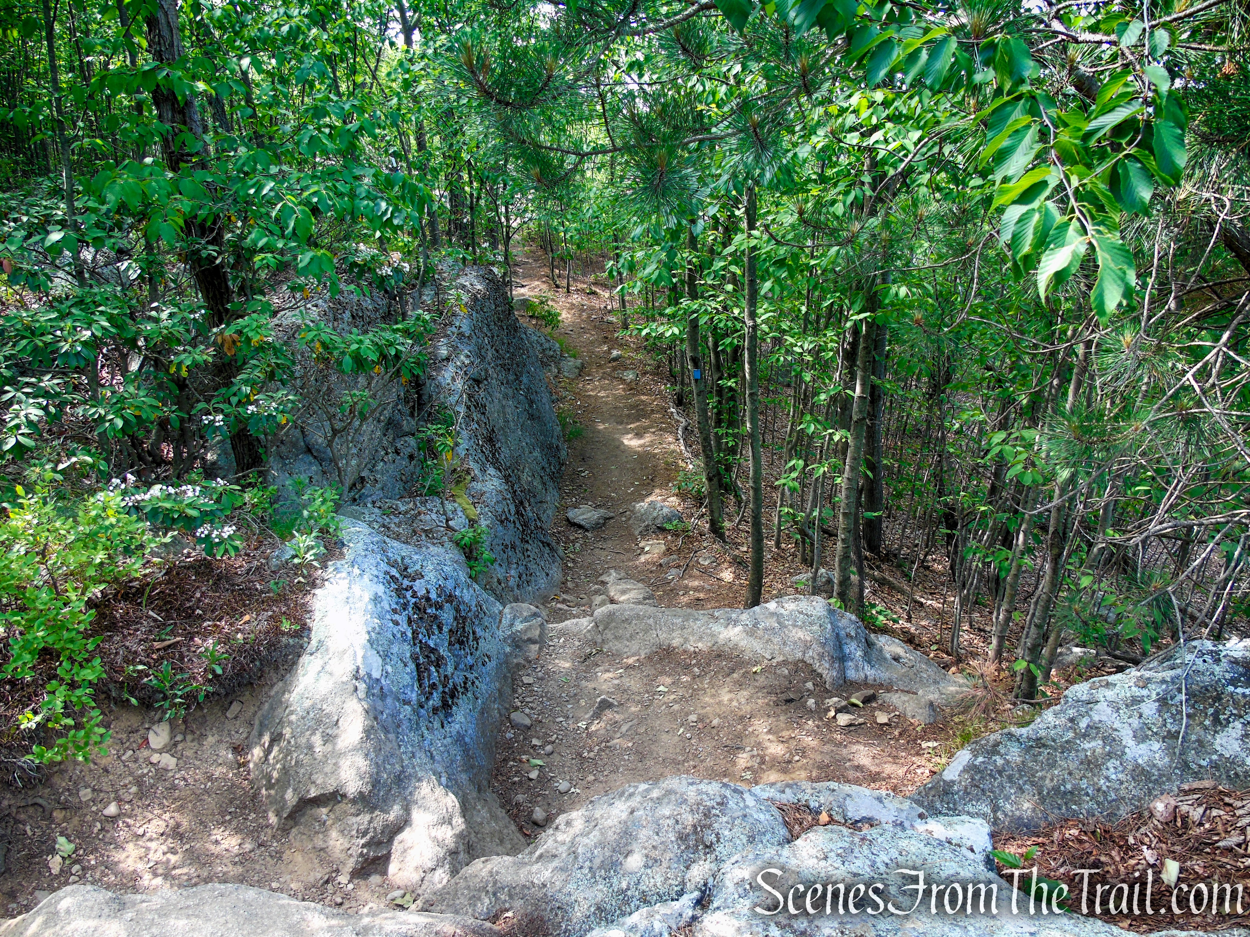
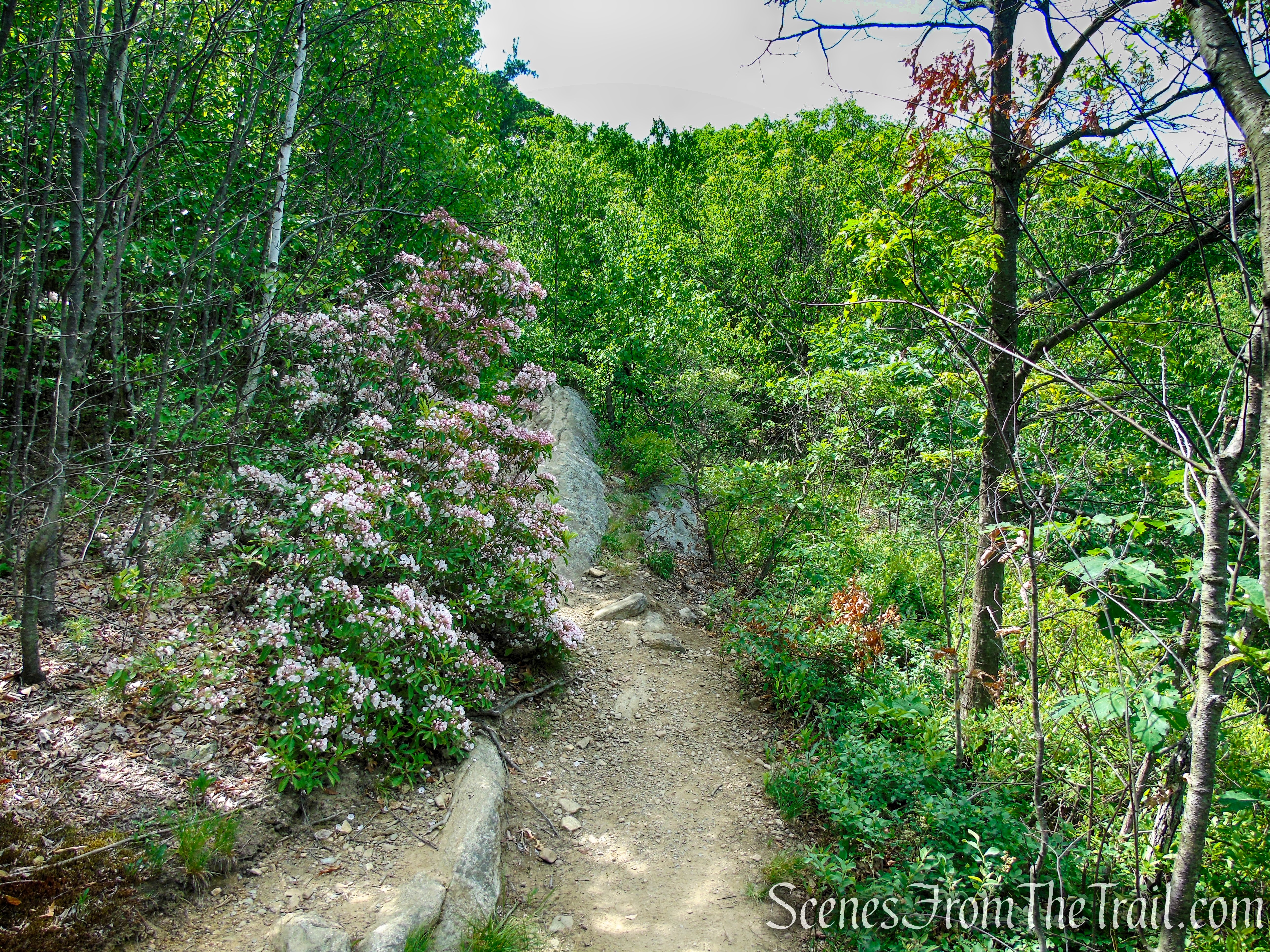
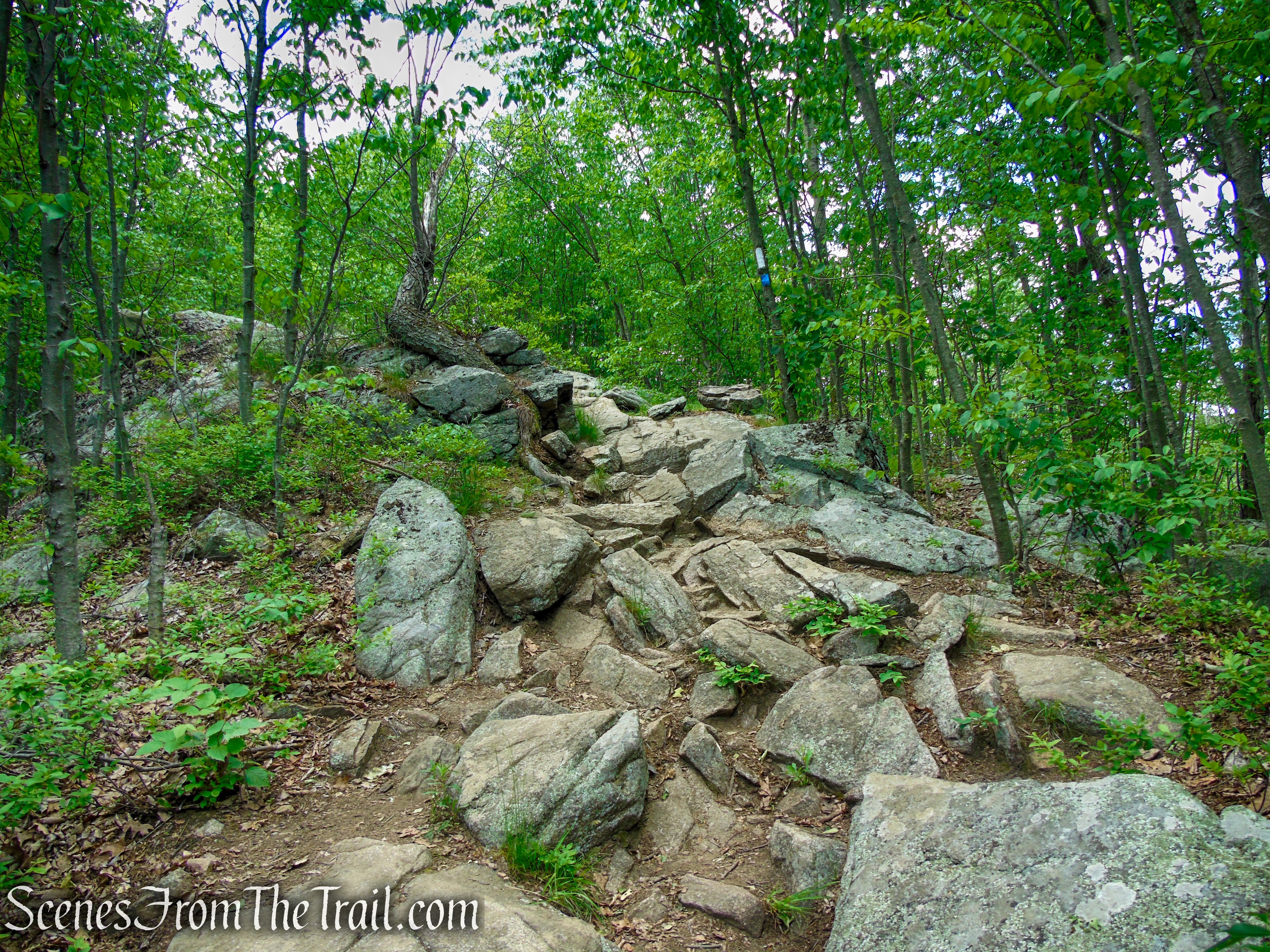
The Timp-Torne Trail proceeds south along the ridge for about two-thirds of a mile, descending and climbing steeply over rocks in certain spots, passing more viewpoints to the west.
Timp-Torne Trail – West Mountain
Timp-Torne Trail – West Mountain
Timp-Torne Trail – West Mountain
Timp-Torne Trail – West Mountain
Looking back after a steep descent.
Timp-Torne Trail – West Mountain
Timp-Torne Trail – West Mountain
Timp-Torne Trail – West Mountain
Looking southwest.
Timp-Torne Trail – West Mountain
Looking northwest.
Timp-Torne Trail – West Mountain
View west.
Timp-Torne Trail – West Mountain
View southwest.

Timp-Torne Trail – West Mountain
Timp-Torne Trail – West Mountain

Timp-Torne Trail – West Mountain
Timp-Torne Trail – West Mountain
Timp-Torne Trail – West Mountain
Looking northwest.
Timp-Torne Trail – West Mountain
Timp-Torne Trail – West Mountain
Timp-Torne Trail – West Mountain

Timp-Torne Trail – West Mountain
Timp-Torne Trail – West Mountain
Timp-Torne Trail – West Mountain
Timp-Torne Trail – West Mountain
Looking southwest.
Timp-Torne Trail – West Mountain
Timp-Torne Trail – West Mountain
Timp-Torne Trail – West Mountain
Timp-Torne Trail – West Mountain

Timp-Torne Trail – West Mountain
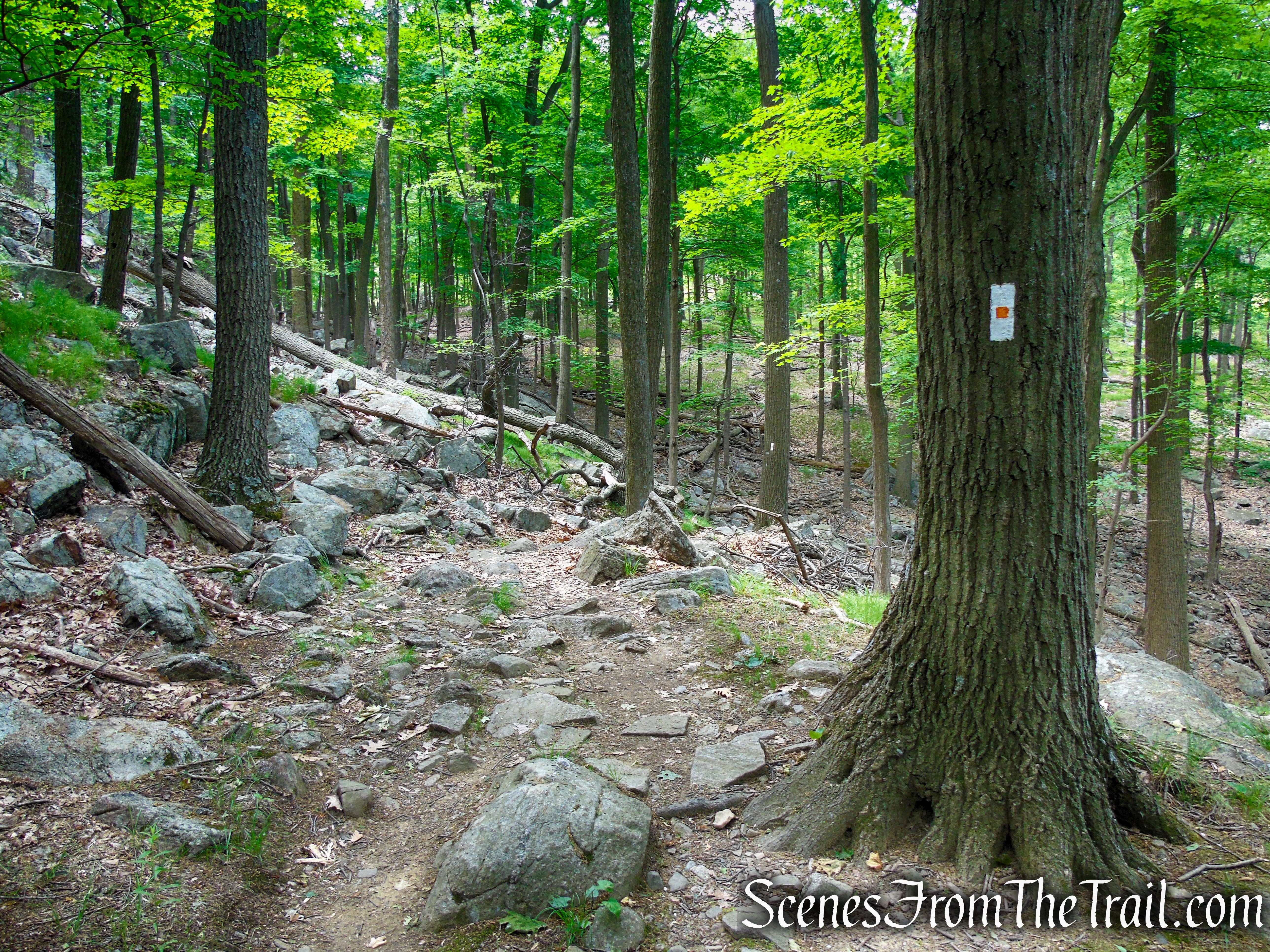
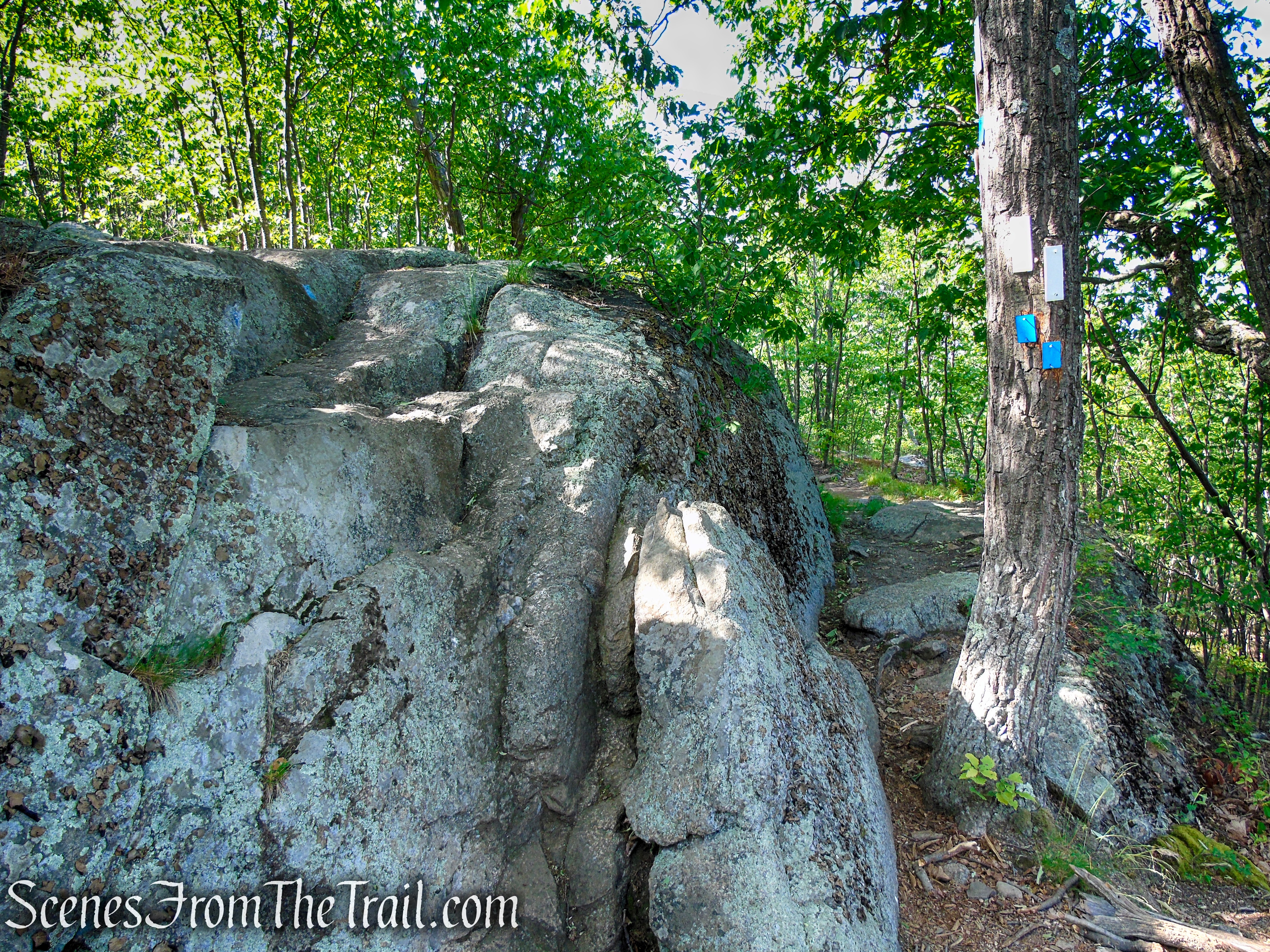
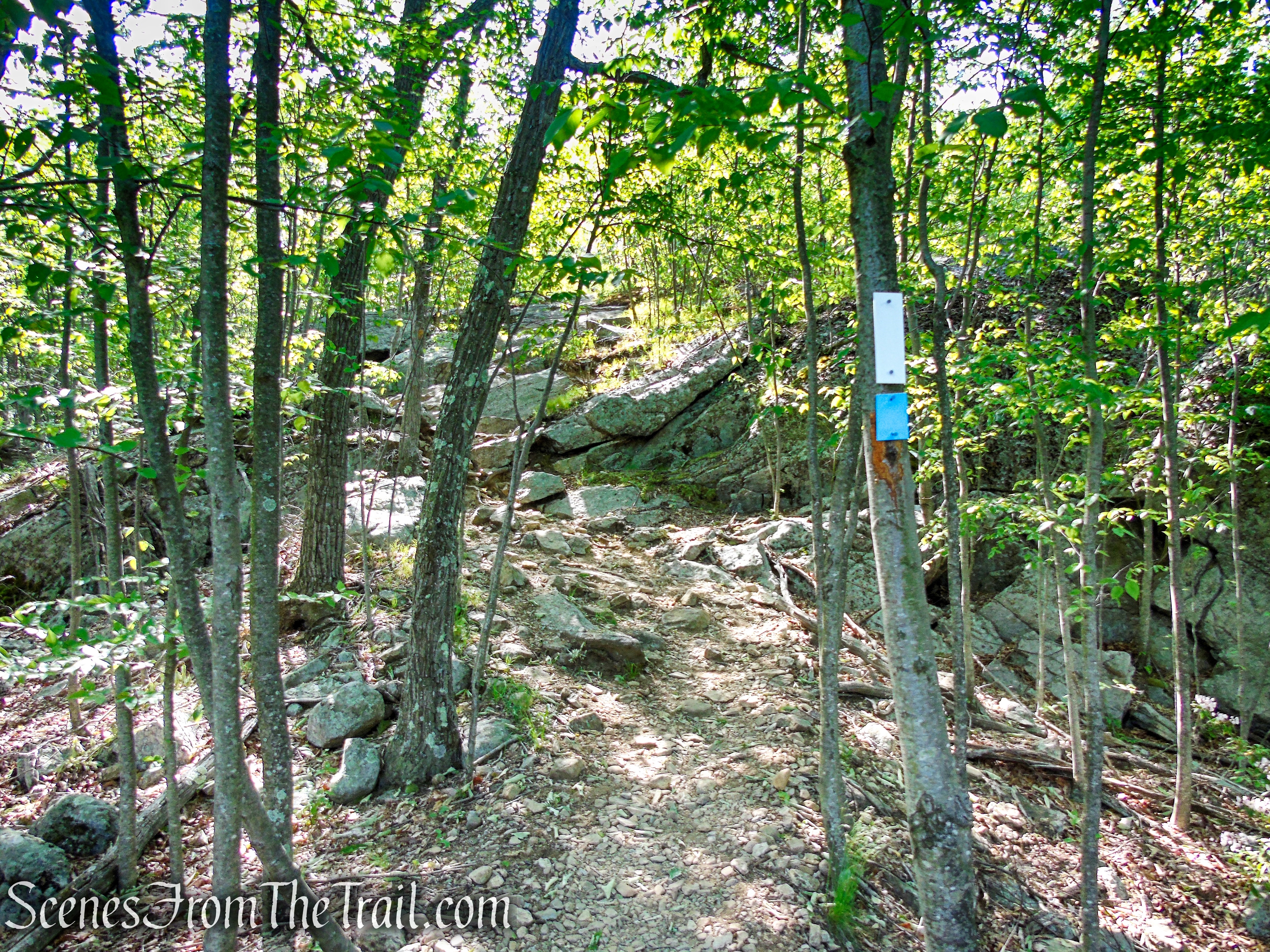
After passing more viewpoints, you’ll come to a junction, marked by a wooden post. Here, the Timp-Torne Trail turns left, but you should continue straight and begin following the orange-blazed West Mountain Trail, which heads southwest, descending the ridge. This “new” trail is the former route of the AT, with the white blazes overlapped with orange. Follow this trail as it descends West Mountain on switchbacks.
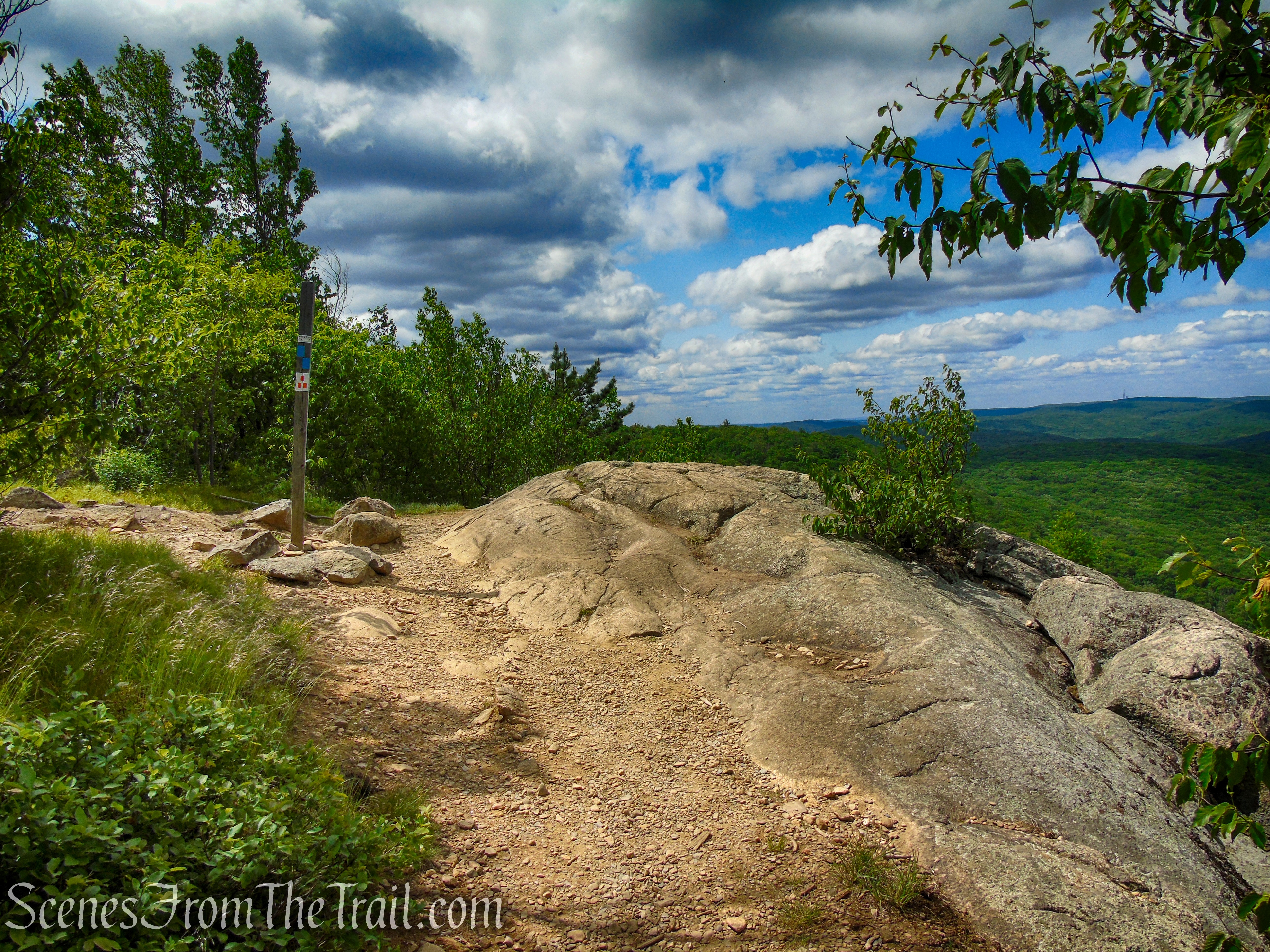
Timp-Torne Trail – West Mountain
Continue straight onto the West Mountain Trail
West Mountain Trail – Bear Mountain State Park

West Mountain Trail – Bear Mountain State Park
West Mountain Trail – Bear Mountain State Park
West Mountain Trail – Bear Mountain State Park
Looking up to the side of the trail.
West Mountain Trail – Bear Mountain State Park

West Mountain Trail – Bear Mountain State Park
West Mountain Trail – Bear Mountain State Park
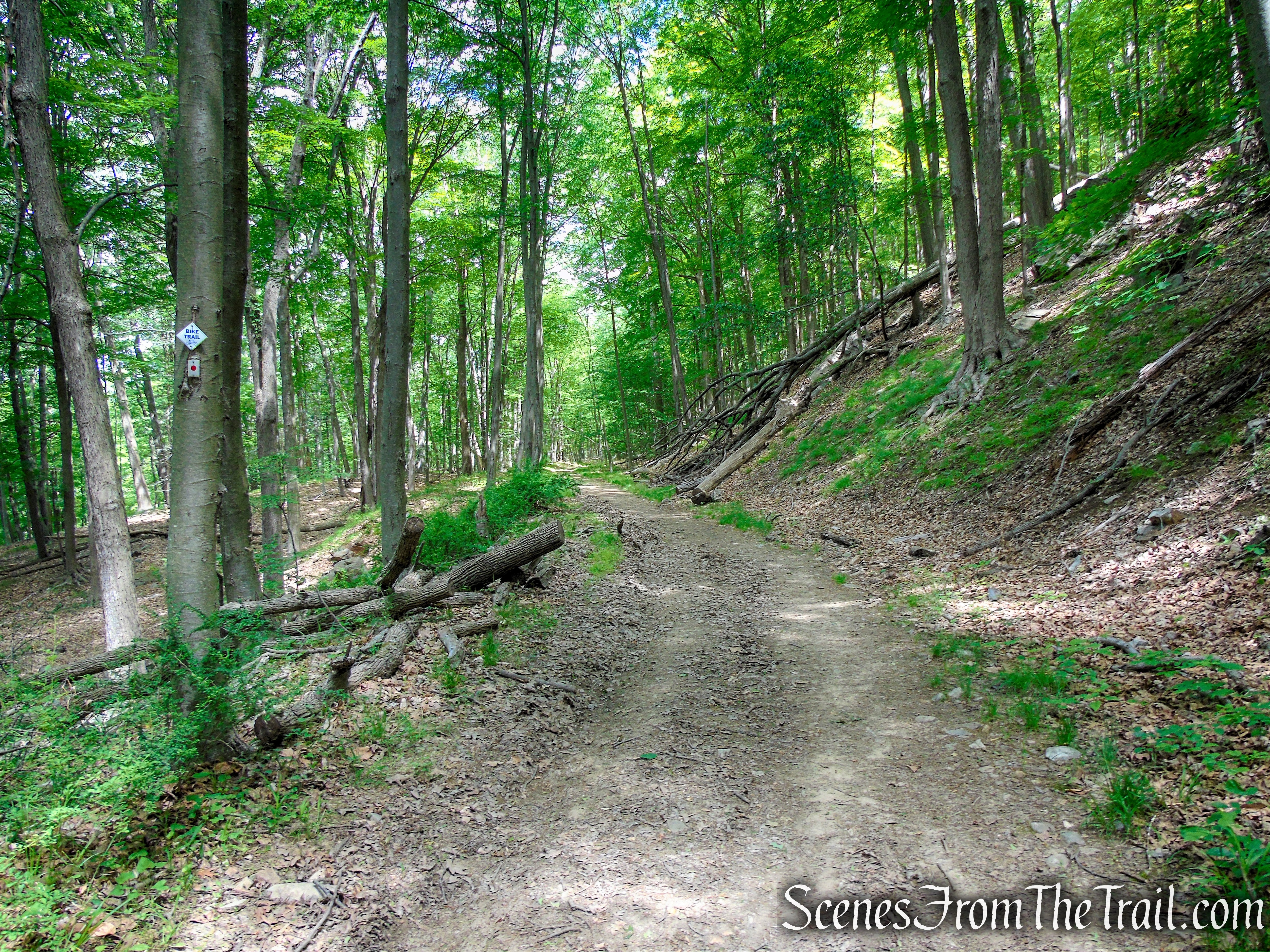
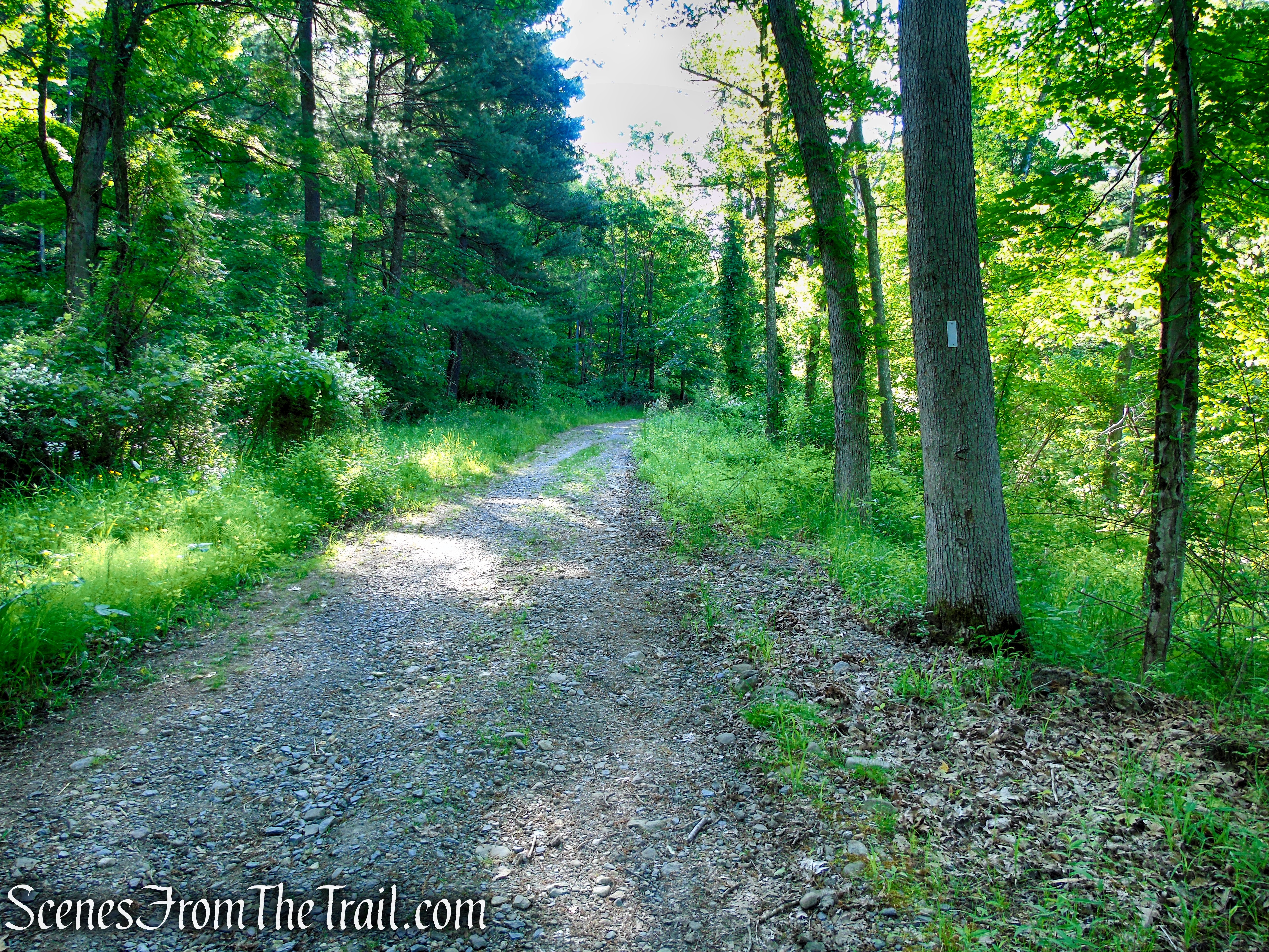
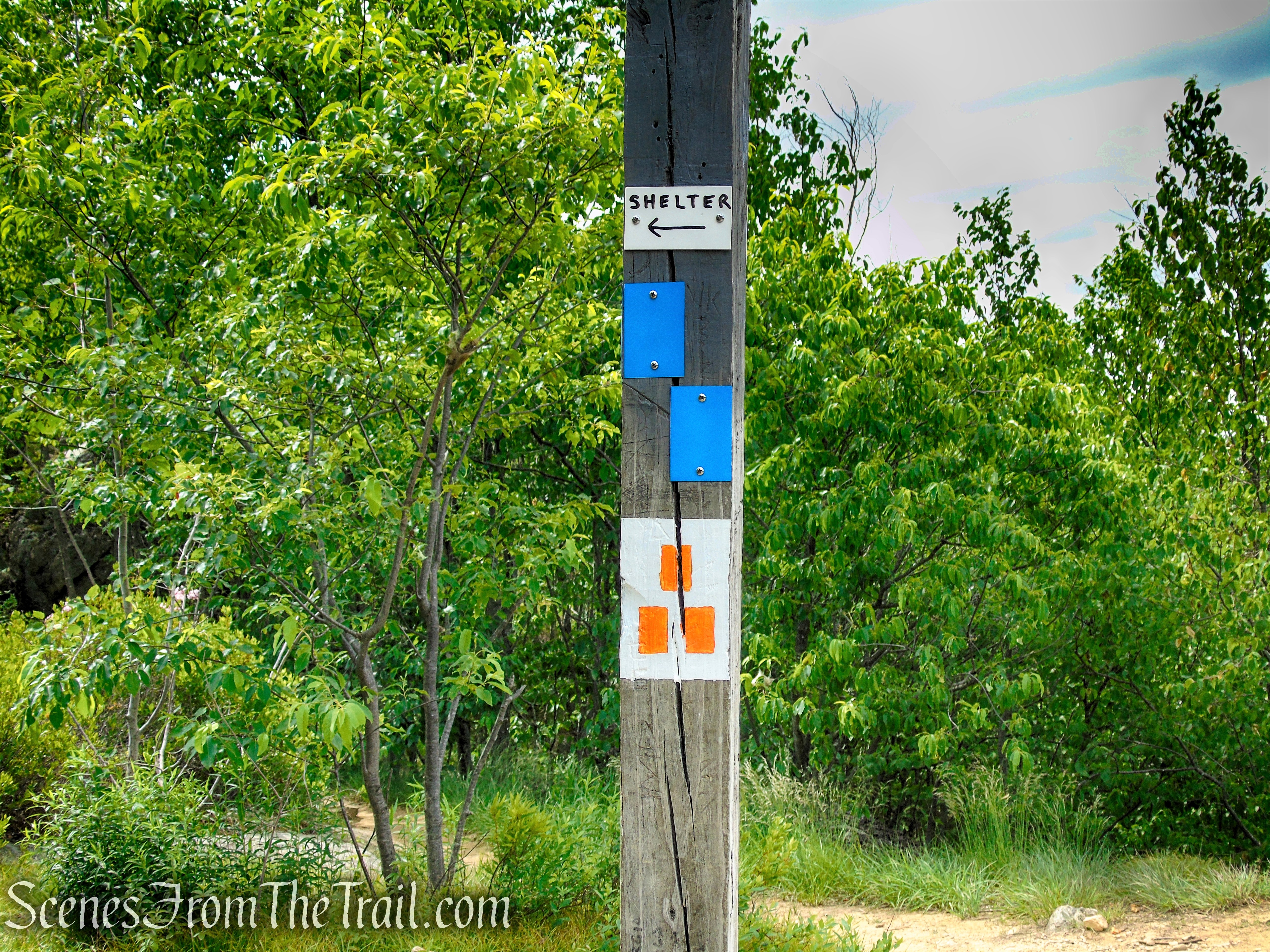
After 0.7 mile, at the base of the descent, the West Mountain Trail reaches the wide Beechy Bottom Road, blazed with blue-on-white Bike Trail markers and red-dot-on-white blazes of the Ramapo-Dunderberg Trail (also rerouted). Turn right onto this pleasant woods road (improved by workers of the Civilian Conservation Corps in 1934), which you will follow gently downhill for the next 1.5 miles.
Ramapo-Dunderberg Trail – West Mountain
Ramapo-Dunderberg Trail – West Mountain
Ramapo-Dunderberg Trail – West Mountain
When you reach a T-intersection, turn left to remain on the R-D Trail, entering the Anthony Wayne Recreation Area.
Turn left to remain on the Ramapo-Dunderberg Trail
Turn left to remain on the Ramapo-Dunderberg Trail

Ramapo-Dunderberg Trail – Anthony Wayne Recreation Area
At the next junction, turn right and follow the R-D Trail down the gravel road, past the restrooms building, to the paved sidewalk and back to the parking lot, where the hike began.
Turn right to remain on the Ramapo-Dunderberg Trail
Turn right to remain on the Ramapo-Dunderberg Trail
Ramapo-Dunderberg Trail – Anthony Wayne Recreation Area
Ramapo-Dunderberg Trail – Anthony Wayne Recreation Area
Ramapo-Dunderberg Trail – Anthony Wayne Recreation Area

Ramapo-Dunderberg Trail – Anthony Wayne Recreation Area
Review:
A splendid hike with multiple viewpoints. The ridge is challenging enough to keep the hike interesting. Someone unfamiliar with the area may get confused with the old AT blazes, especially if hiking with an outdated map. The large lot makes it easy to find a parking spot no matter the time of day. A wonderful hiking experience.
Pros:
Multiple scenic views, Well maintained trails, shaded trails, large parking lot, public restrooms.
Cons:
AT trail blazes where they don’t belong can cause confusion, Some road noise from the parkway.
Take a hike!
West Mountain Loop – Bear Mountain State Park
Sources:

Very informative, and great pictures!
LikeLike