August 2, 2026 – Pleasantville, NY
Difficulty: Easy
Length: Approximately 3.1 miles
Max elevation: 314 ft.– total elevation gain approximately 350 ft.
Route type: Double Lollipop Loop
Free Web Map: Rockefeller State Park Preserve 2025
Buy Map: Westchester Trails Map 2025
Trailhead parking: 125 Phelps Way, Pleasantville, NY 10570
- Vehicle parking: $6 per car (typically collected from April through November)
- Empire Pass: Accepted – ORDER HERE
- Walk-in access: Free
- Hours: The preserve is generally open year-round from dawn to dusk, while the Visitor Center has seasonal operating hours.
Overview:
The Eagle Hill Loop in Rockefeller State Park Preserve is a scenic hike that combines the preserve’s historic gravel carriage roads with peaceful, shaded woodland trails. A dense forest canopy provides welcome shade for nearly the entire route, making it an excellent choice on warm days. Along the way, hikers pass Westchester County’s largest glacial erratic, a massive boulder carried here by glaciers thousands of years ago, before climbing to the summit of Eagle Hill. From the overlook, a keyhole view extends across the Hudson River, the new Tappan Zee Bridge, and the Palisades Cliffs. With its blend of natural beauty, fascinating glacial history, abundant wildlife, and iconic carriage roads, the Eagle Hill Loop is one of Rockefeller State Park Preserve’s most rewarding hikes.

Eagle Hill Trail – Rockefeller State Park Preserve
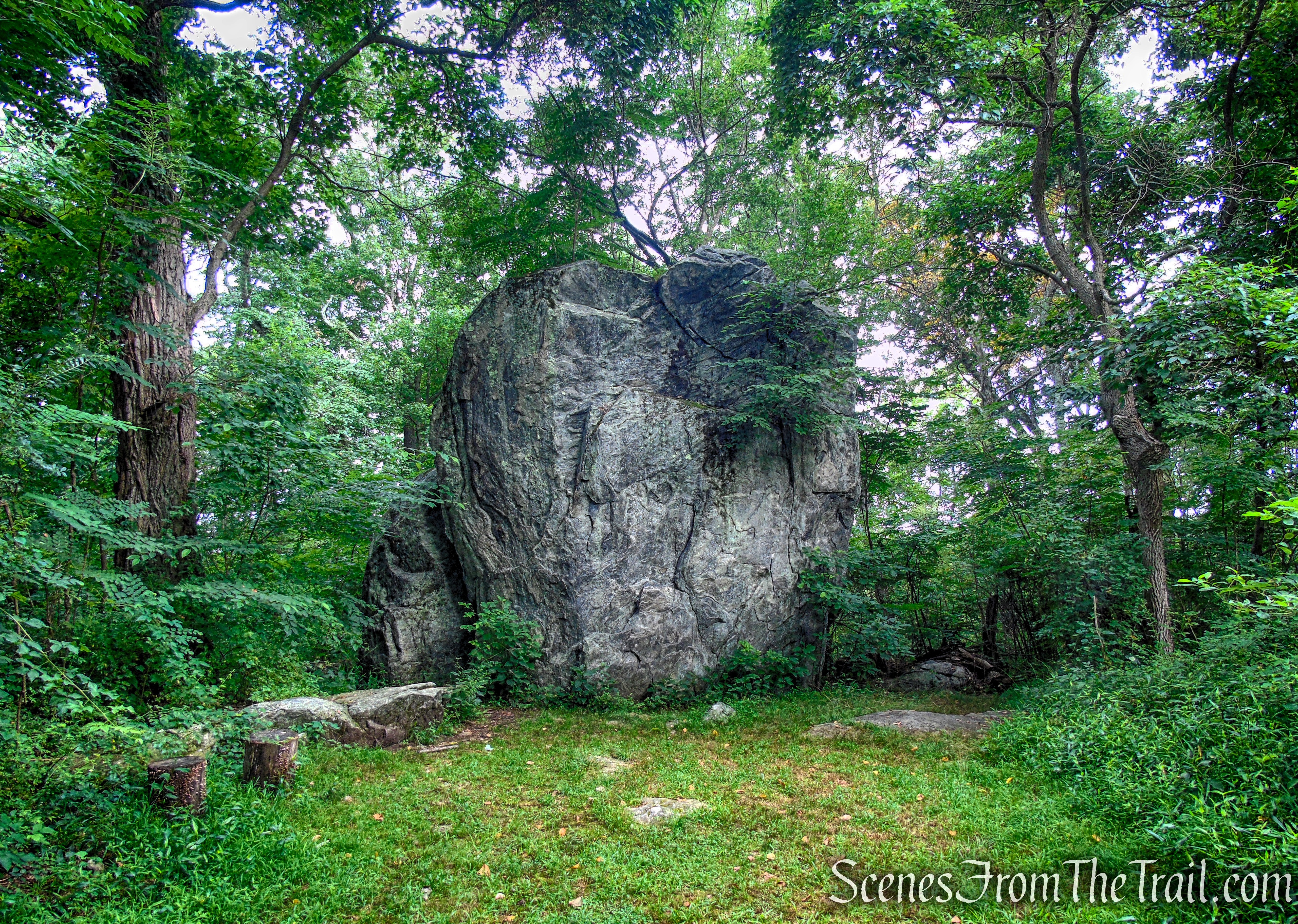
Glacial Erratic Trail – Rockefeller State Park Preserve

Eagle Hill Trail – Rockefeller State Park Preserve
Eagle Hill rises to about 330 feet above sea level, making it one of the higher points within Rockefeller State Park Preserve. Although longtime local residents have historically referred to it as “Eagle Mountain,” its modest elevation and topography classify it as a hill. It is located in the western section of the preserve near Sleepy Hollow, formerly North Tarrytown (until 1996).
Rockefeller State Park Preserve encompasses more than 1,770 acres of forests, meadows, wetlands, and rolling hills in the heart of Westchester County. Best known for its extensive network of more than 50 miles of historic crushed-stone carriage roads, the preserve offers year-round opportunities for hiking, horseback riding, jogging, birdwatching, and cross-country skiing. Designed by John D. Rockefeller Jr. to blend seamlessly with the natural landscape, the carriage roads wind past scenic streams, stone bridges, woodlands, open fields, and Swan Lake, creating one of the Hudson Valley’s most picturesque and accessible outdoor destinations. The preserve is also recognized as an Important Bird Area, supporting more than 200 species of birds and a remarkable diversity of wildlife.

Swan Lake – Rockefeller State Park Preserve
Rockefeller State Park Preserve is owned and managed by the New York State Office of Parks, Recreation and Historic Preservation, which protects and maintains the preserve’s historic carriage roads, woodland trails, diverse habitats, and scenic landscapes for public recreation and conservation.

Rockefeller State Park Preserve

Rockefeller State Park Preserve
The preserve is also supported by the Friends of Rockefeller State Park Preserve, a nonprofit organization dedicated to assisting with trail maintenance, habitat stewardship, educational programs, and the long-term preservation of this remarkable landscape.
History:
The carriage roads of Rockefeller State Park Preserve were built between 1906 and 1913 by John D. Rockefeller Jr. as part of his family’s Pocantico Hills estate. Designed for horse-drawn carriages, the roads were carefully engineered to follow the natural contours of the landscape, with gentle grades, sweeping curves, and durable crushed-stone surfaces. Skilled stonemasons also constructed dozens of picturesque stone bridges, culverts, and retaining walls using locally quarried granite, creating a road network that blended seamlessly with its natural surroundings.
One of the carriage roads’ most distinctive features is the rows of upright granite curbstones known as “Rockefeller Teeth.” These closely spaced stone blocks line the edges of many roads, helping define the roadway, improve drainage, and prevent erosion while adding a signature architectural detail that has become an enduring symbol of the preserve.

Brothers’ Path – Rockefeller State Park Preserve
In 1983, the Rockefeller family donated the core of the Pocantico Hills estate, including its historic carriage road network, to New York State to ensure its permanent protection and public enjoyment. The property was dedicated as Rockefeller State Park Preserve, preserving more than 1,700 acres of forests, fields, wetlands, and scenic landscapes. Today, the preserve remains a living legacy of the Rockefeller family’s commitment to conservation, offering visitors the opportunity to experience the same carefully designed carriage roads and natural beauty that have been enjoyed for more than a century.
Trails Overview:
The trails and carriage roads at Rockefeller State Park Preserve are well maintained and easy to navigate. Intersections are marked with signs displaying the names of the individual carriage roads and footpaths, making it simple for hikers to follow their intended route. Although the preserve’s extensive network of trails can appear complex, the clearly marked junctions, well-defined paths, and available trail maps make exploring the landscape enjoyable and accessible for visitors of all experience levels.
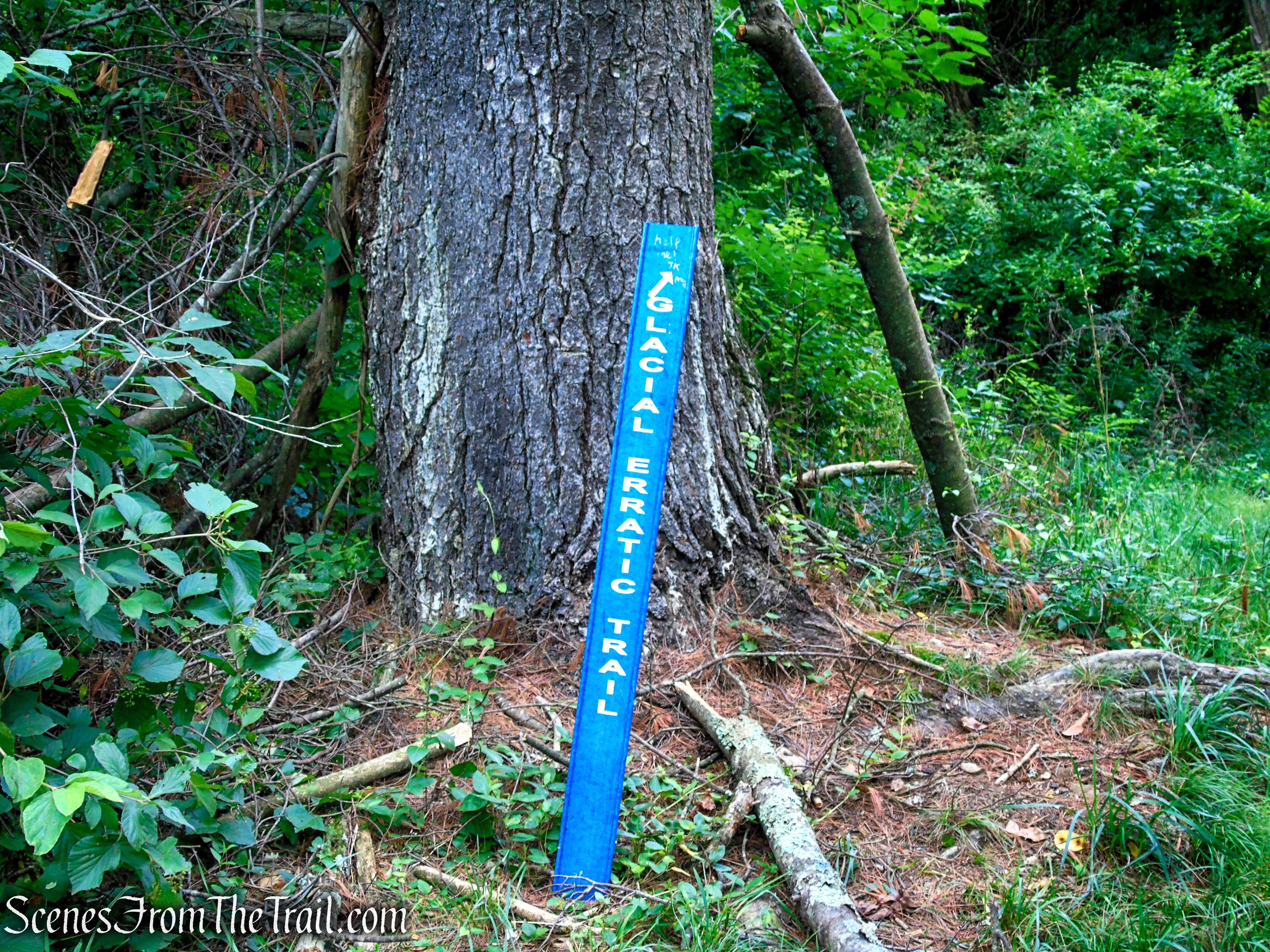
Glacial Erratic Trail – Rockefeller State Park Preserve
Below are brief descriptions of the individual trails and carriage roads traveled on this hike, highlighting the unique features and scenery found along the route.
- Nature’s Way Trail (0.45 mile) is a wide, well-defined woodland path that serves as a connector between the Glacial Erratic Trail and the Old Sleepy Hollow Road Trail. Easy to follow and gently rolling, it winds through a peaceful forest beneath a dense canopy of mature hardwoods, providing a quiet and scenic transition between two of the preserve’s most popular hiking trails.

Nature’s Way Trail – Rockefeller State Park Preserve
- Glacial Erratic Trail (0.05 mile) is a short spur trail that branches off the Nature’s Way Trail and leads to a massive gneiss boulder, widely considered to be the largest glacial erratic in Westchester County.

Glacial Erratic Trail – Rockefeller State Park Preserve
- Old Sleepy Hollow Road Trail (0.64 mile) follows a historic gravel/asphalt road that begins at the Rockefeller State Park Preserve Visitor Center and parking area before descending gently southwest toward the Pocantico River. The trail follows the former alignment of Sleepy Hollow Road, a retired roadway that has been reclaimed as a peaceful hiking path. After approximately 0.55 mile, the trail intersects with the active, modern Sleepy Hollow Road. Hikers should use caution when crossing the road to continue along the route.
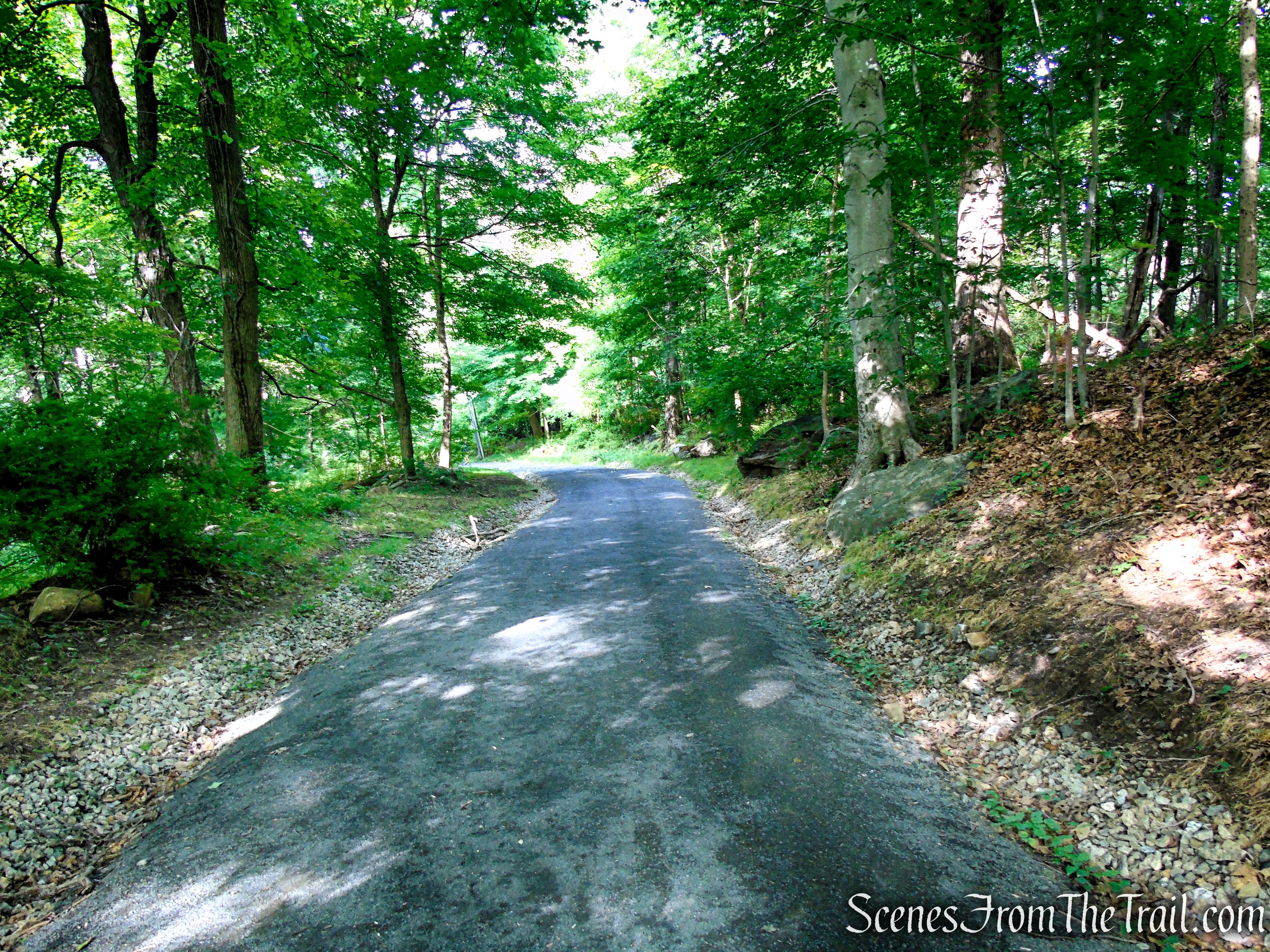
Old Sleepy Hollow Road Trail – Rockefeller State Park Preserve
-
Eagle Hill Trail (0.87 mile) is a scenic carriage road located west of the Pocantico River and Sleepy Hollow Road. Known for its short but steep climb, the trail ascends to one of the higher points within Rockefeller State Park Preserve, reaching an elevation of approximately 330 feet above sea level. The effort is rewarded with views of the Hudson River, surrounding farmlands, and the historic Kykuit estate, which is especially visible during leaf-off seasons.

Eagle Hill Trail – Rockefeller State Park Preserve
Near the summit, the carriage road transitions into a small loop that circles the crest of Eagle Hill before reconnecting with the main trail. Benches at the top provide a perfect spot to pause, enjoy the scenery, and take in one of the preserve’s most scenic overlooks.
Hike Overview:
I completed this exact hike in March 2017, when a blanket of snow covered the ground and the landscape had a completely different character. Returning during the warmer months offered a new perspective, although the expansive views from Eagle Hill are more limited when the surrounding trees are fully leafed out.
This route is an excellent choice on hot, sunny days, as much of the hike travels beneath a dense forest canopy that provides welcome shade. I started relatively early to beat the heat and avoid the larger crowds that arrive later in the day. Aside from the climb up Eagle Hill and the final walk back to the parking area along Old Sleepy Hollow Road Trail, the route is a relaxed and mostly gentle hike, making it an enjoyable outing for hikers of varying abilities.
This 3.1 mile hike follows a double lollipop loop route, featuring a loop at both ends connected by a shared middle section, or “stick,” that is traveled twice. The hike begins and ends at the main parking area near the Rockefeller State Park Preserve Visitor Center, making it a convenient and straightforward route to follow. Along the way, the trail combines several of the preserve’s scenic carriage roads and woodland paths, creating a varied loop that showcases a few of the area’s natural and historic features.

Eagle Hill Loop
With only about 350 feet of total elevation gain, this hike is rated as easy and is suitable for most hikers. However, the route does include two short climbs that require some uphill effort, including the ascent to Eagle Hill and the gradual climb along Old Sleepy Hollow Road Trail on the return to the parking area. These sections are brief, but they add enough elevation to provide a little challenge while still keeping the overall hike relaxed and enjoyable.

Elevation profile – Eagle Hill Loop
The Hike:
This hike begins at the rear of the parking lot, where the Nature’s Way Trail starts as a wide grassy path before transitioning into a dirt road. The trail descends gently through the woods, winding past large rock formations that line the route and provide an early glimpse of the preserve’s unique natural landscape.
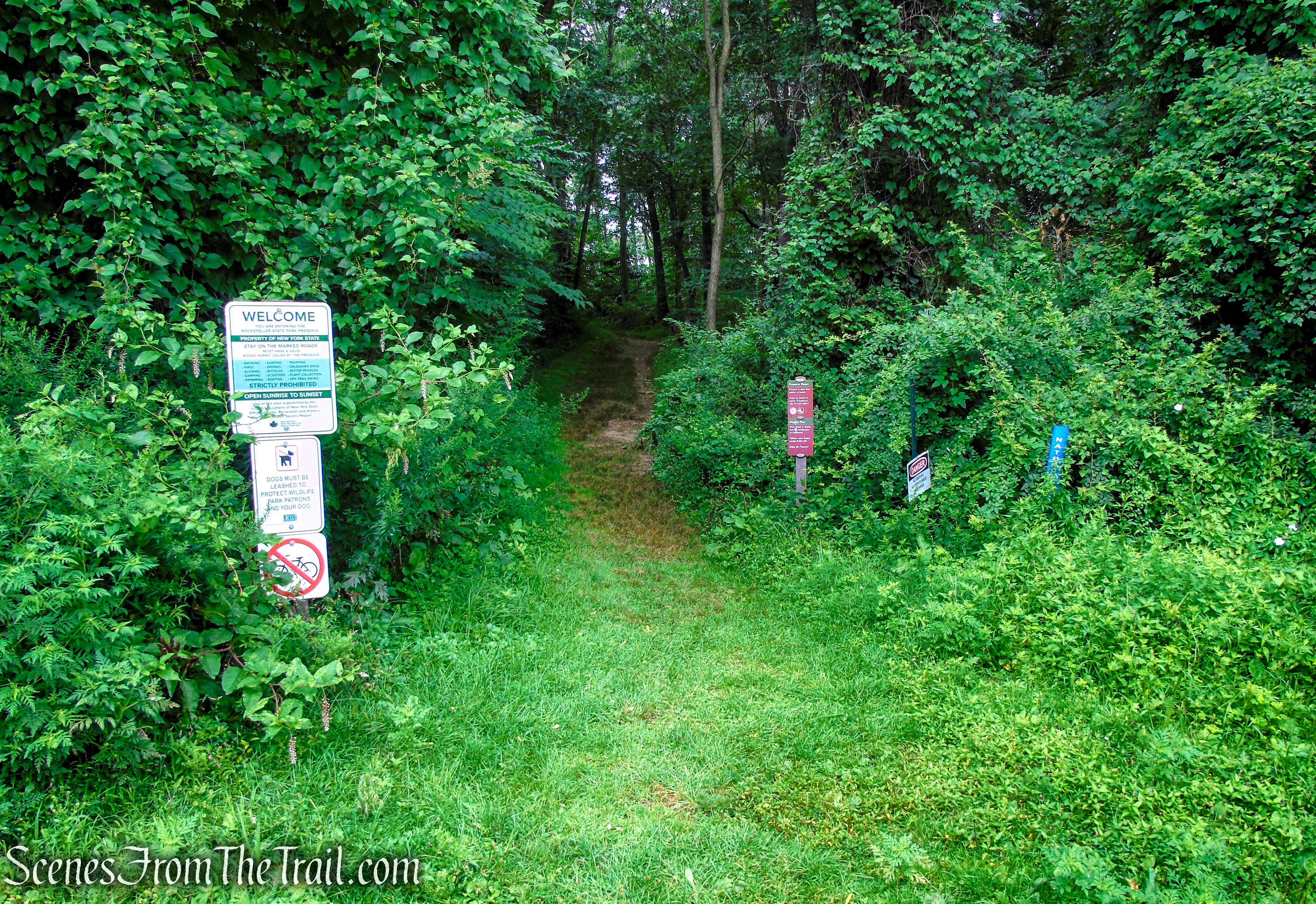
Nature’s Way Trail – Rockefeller State Park Preserve

Nature’s Way Trail – Rockefeller State Park Preserve

Nature’s Way Trail – Rockefeller State Park Preserve
Nature’s Way Trail – Rockefeller State Park Preserve

Nature’s Way Trail – Rockefeller State Park Preserve
After approximately 0.35 mile, the Glacial Erratic Trail branches off to the right. Turn onto this short spur trail and follow it a short distance through the woods to reach Rockefeller State Park Preserve’s massive glacial erratic, a remarkable boulder and one of the preserve’s most unique geological features.

Glacial Erratic Trail – Rockefeller State Park Preserve
Glacial Erratic Trail – Rockefeller State Park Preserve
Glacial Erratic Trail – Rockefeller State Park Preserve
One of the most impressive natural features in Rockefeller State Park Preserve is its massive glacial erratic, a 600-million-year-old gneiss boulder discovered in 1987. Measuring approximately 25 feet high, 30 feet wide, and 65 feet in circumference, this enormous rock was transported many miles from the Hudson Highlands by the Late Wisconsin continental glacier before being deposited in its present location more than 15,000 years ago. Today, the boulder serves as a remarkable reminder of the immense forces of ice and time that shaped the Hudson Valley at the end of the last Ice Age.
Glacial Erratic Trail – Rockefeller State Park Preserve
From one angle, this massive boulder bears a striking resemblance to a hawk—at least in my opinion. Its weathered contours seem to form the profile of a bird of prey, adding a touch of imagination to an already fascinating geological landmark.
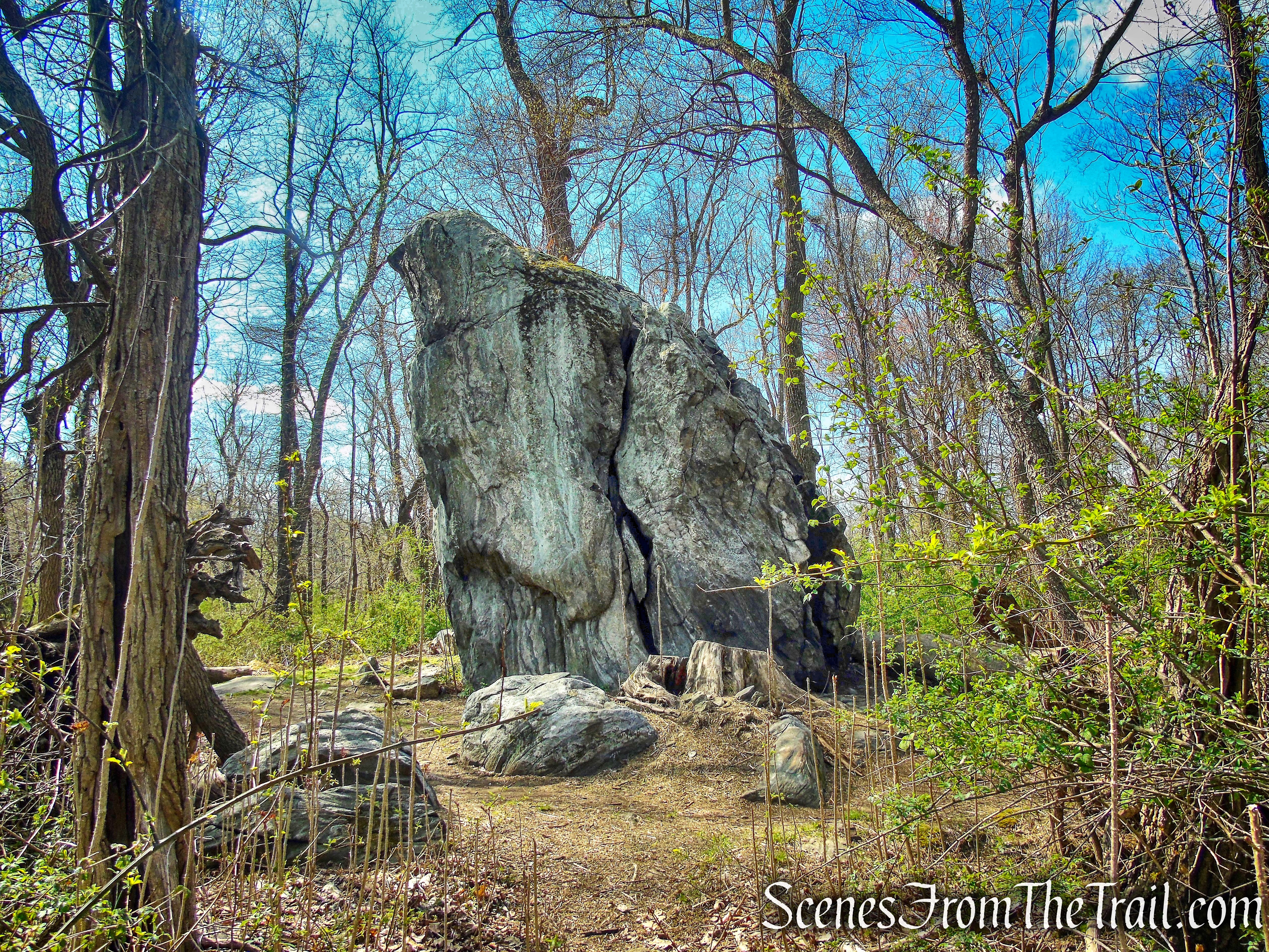
Glacial Erratic – Rockefeller State Park Preserve
Here’s how I see it: the orange line traces the outline of the hawk’s lower body and tail, while the purple lines highlight what appear to be its wings partially spread, as if the bird is preparing to take flight. Whether intentional or simply a product of natural erosion, the resemblance adds a fun and imaginative perspective to this massive glacial erratic.
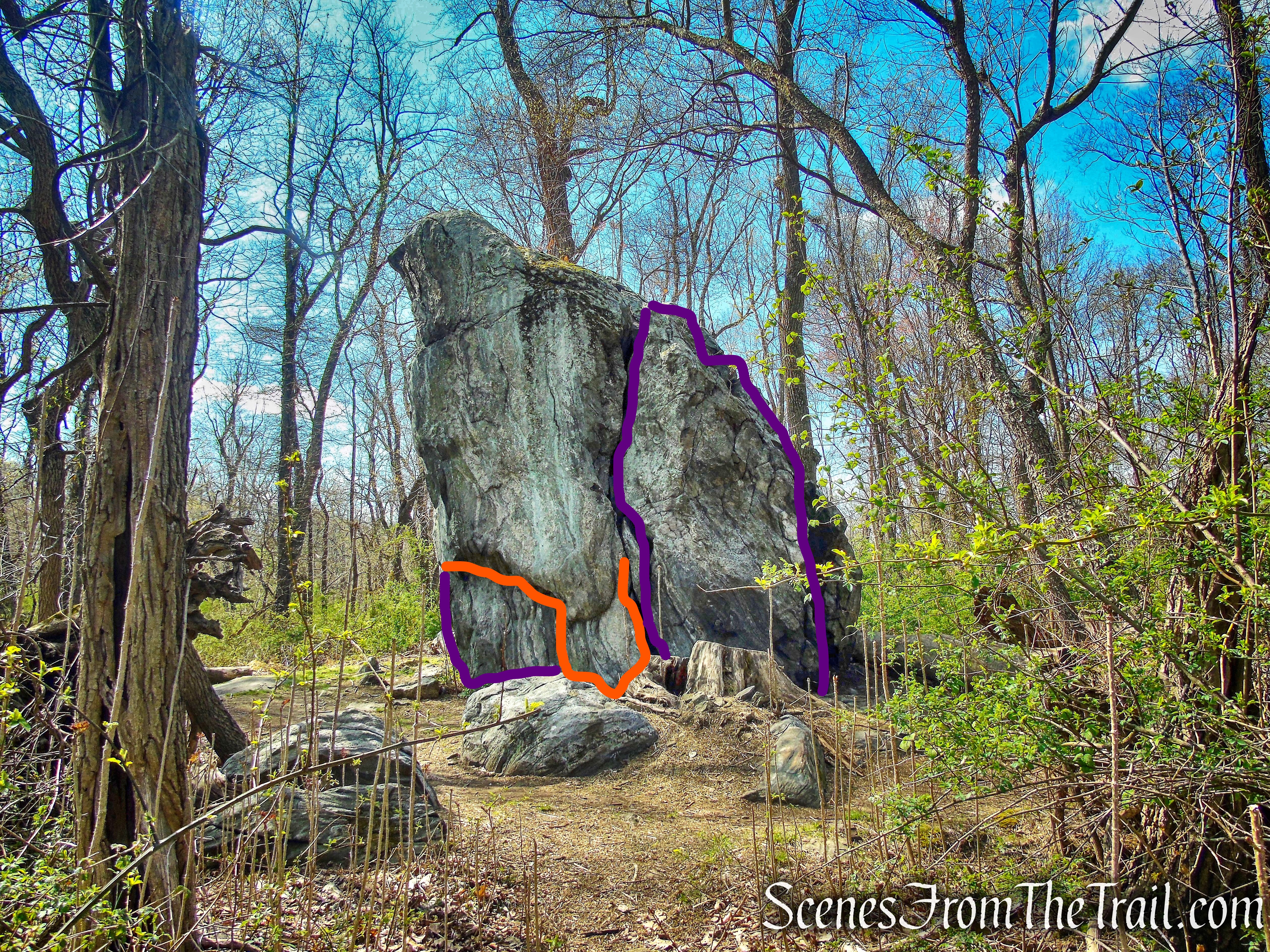
Glacial Erratic – Rockefeller State Park Preserve
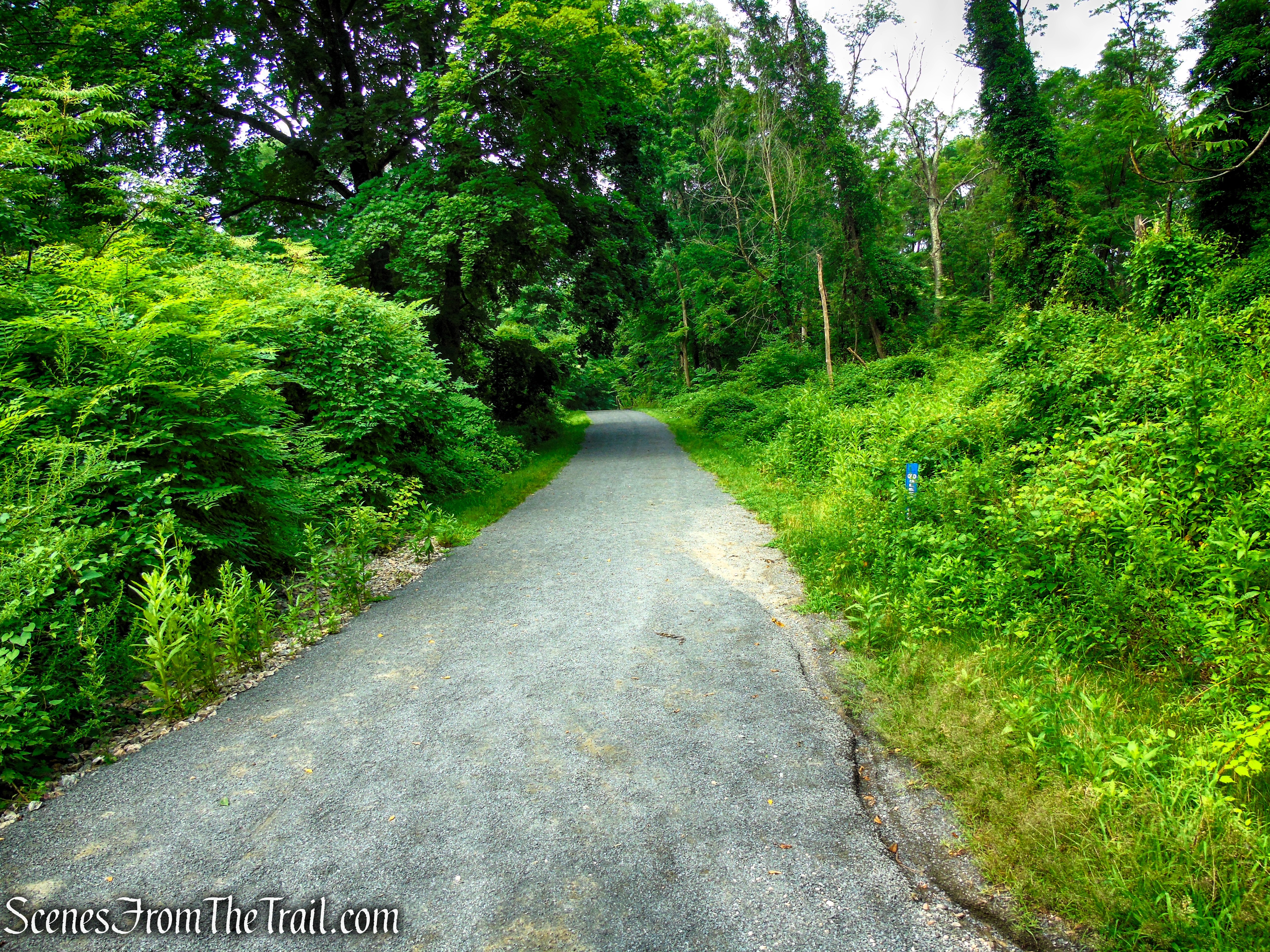
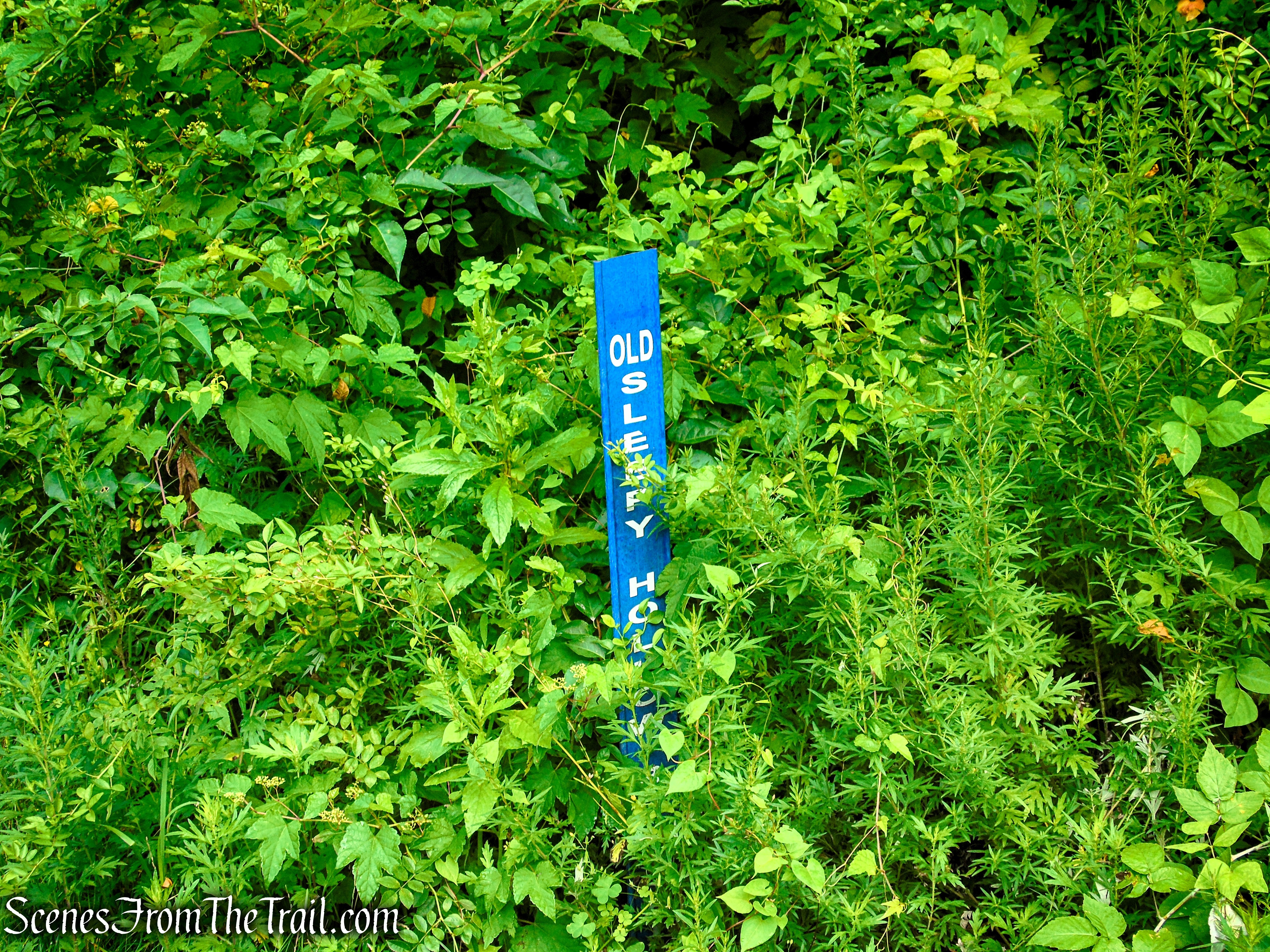
After exploring the Glacial Erratic, retrace your steps back to the Nature’s Way Trail and turn right. Continue a short distance until the trail ends at a T-intersection with the Old Sleepy Hollow Road Trail. Turn right and follow the former asphalt roadway as it gently descends through the woods toward a steel gate marking the continuation of the route.

Nature’s Way Trail – Rockefeller State Park Preserve
Old Sleepy Hollow Road Trail – Rockefeller State Park Preserve
Old Sleepy Hollow Road Trail – Rockefeller State Park Preserve
Old Sleepy Hollow Road Trail – Rockefeller State Park Preserve
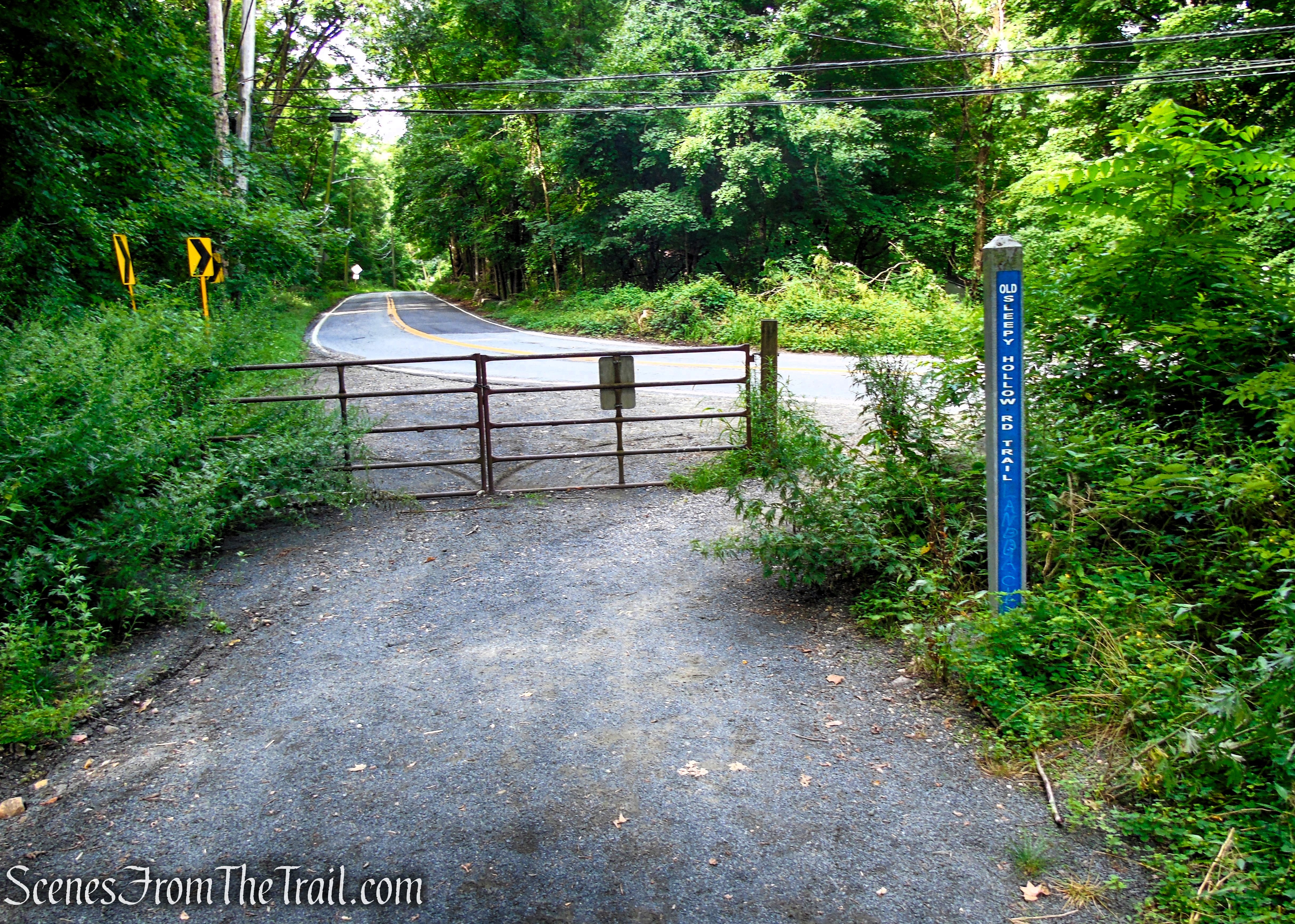
Old Sleepy Hollow Road Trail – Rockefeller State Park Preserve
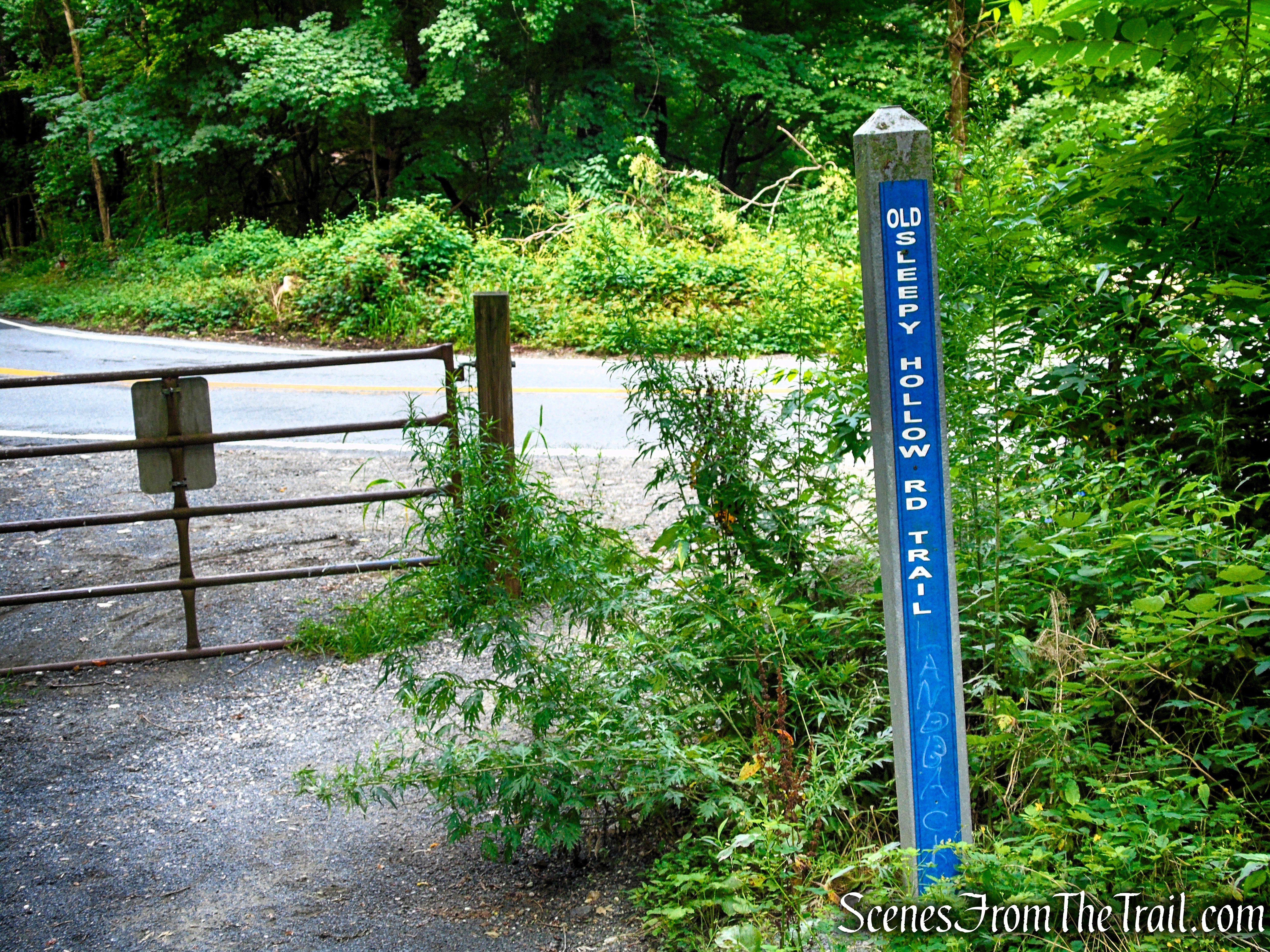
Old Sleepy Hollow Road Trail – Rockefeller State Park Preserve
Carefully cross the active Sleepy Hollow Road to continue the hike. On the opposite side, the Old Sleepy Hollow Road Trail continues past a trail kiosk and across Frog Bridge, a small steel bridge with a wooden plank deck that spans the Pocantico River.
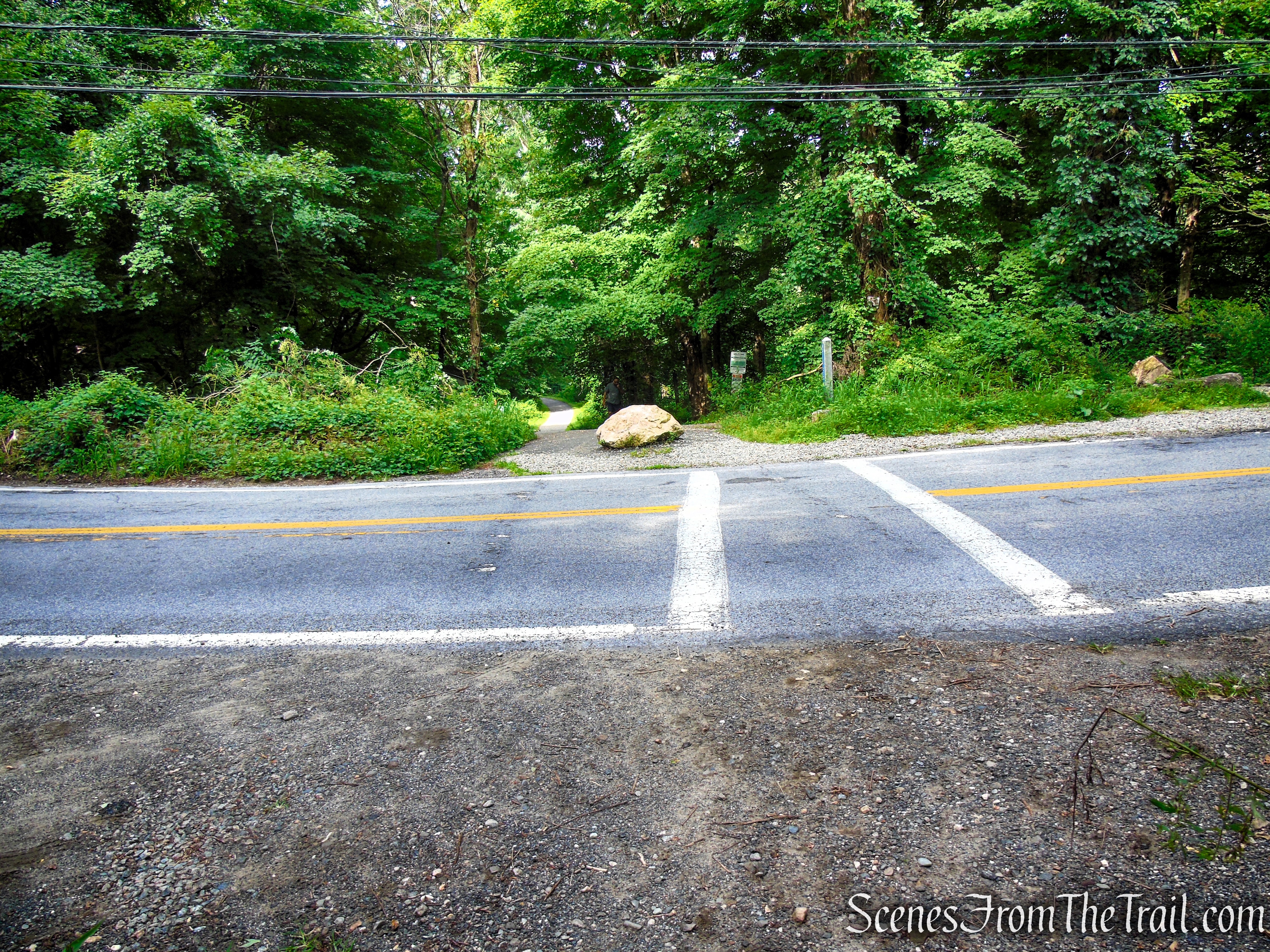
Old Sleepy Hollow Road Trail – Rockefeller State Park Preserve
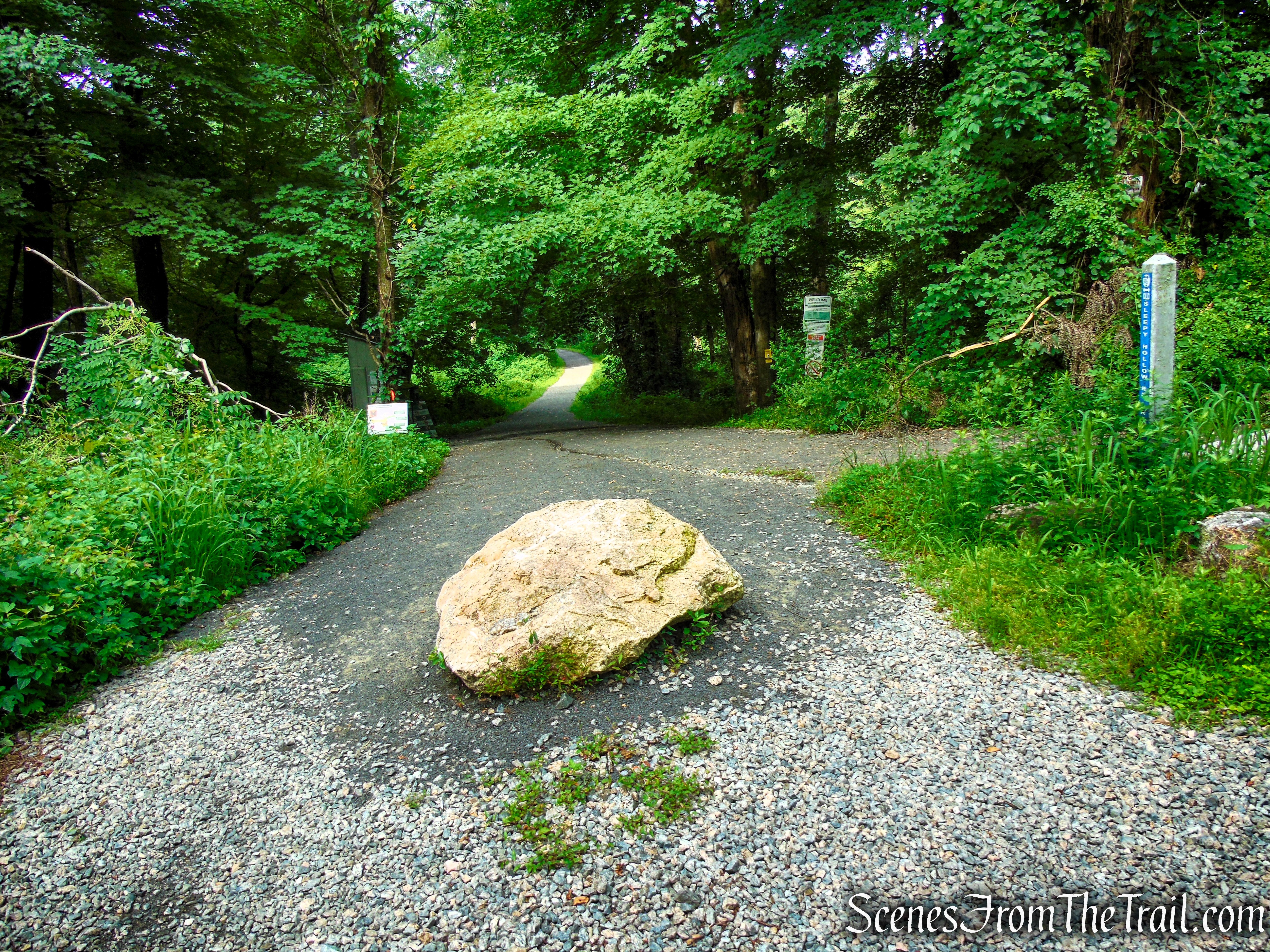
Old Sleepy Hollow Road Trail – Rockefeller State Park Preserve
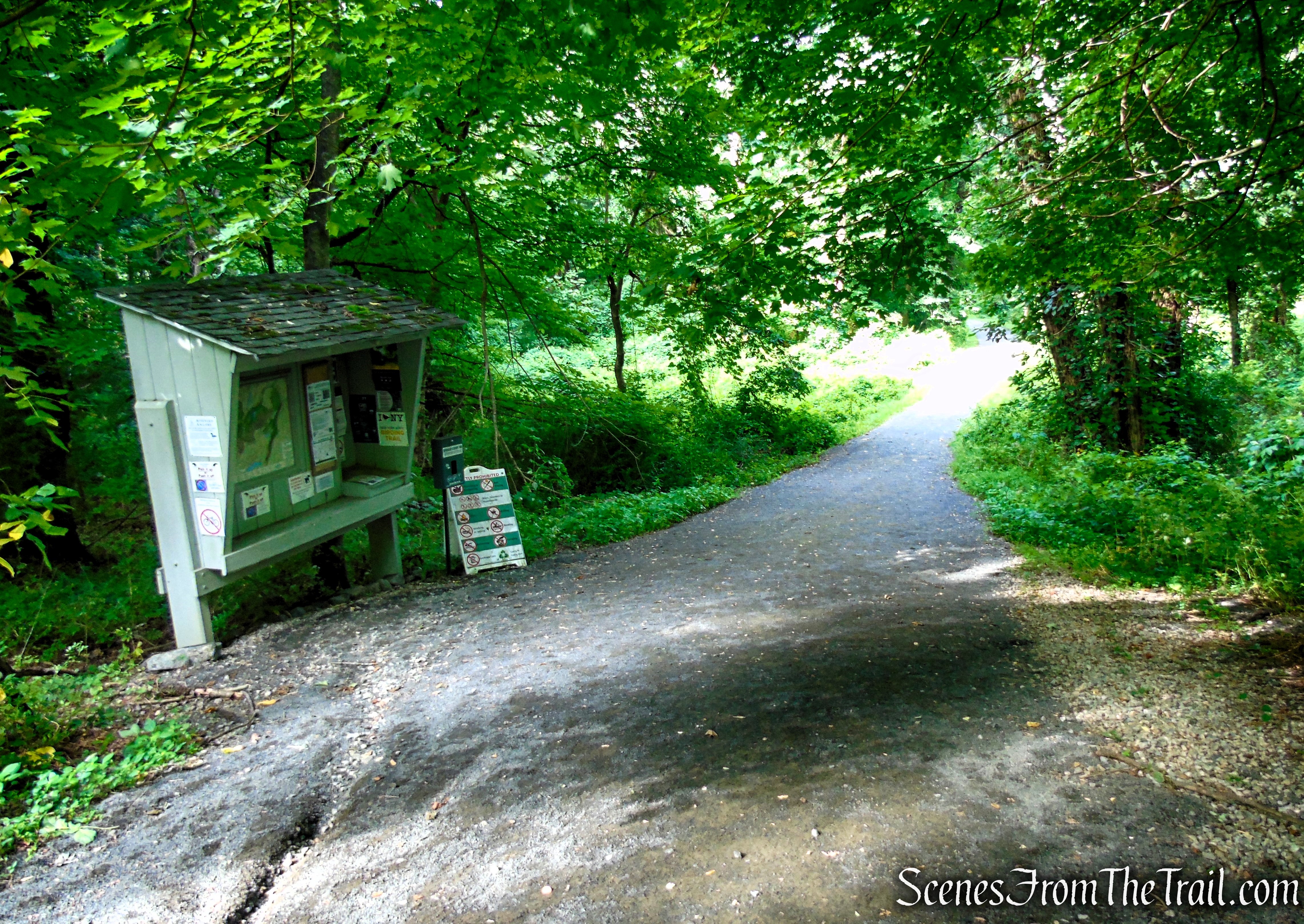
Old Sleepy Hollow Road Trail – Rockefeller State Park Preserve
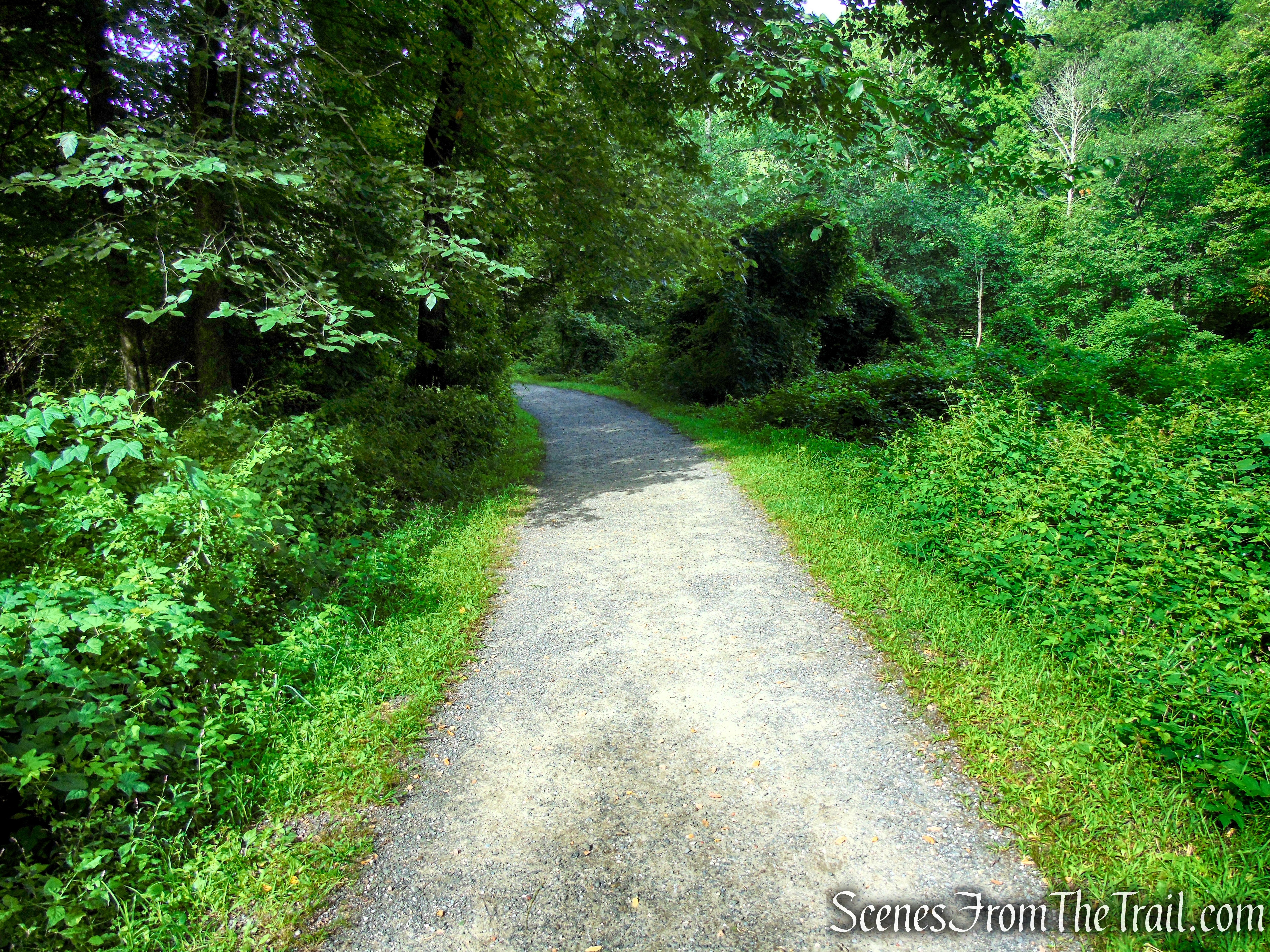
Old Sleepy Hollow Road Trail – Rockefeller State Park Preserve
Frog Bridge gets its name from the area’s abundant amphibian population. The surrounding streams and wetlands provide ideal habitat for bullfrogs, wood frogs, spring peepers, and American toads, which can often be seen or heard near the water. During the spring and summer breeding seasons, the area comes alive with the unmistakable chorus of croaking frogs, making Frog Bridge a unique and memorable feature along the trail.

Old Sleepy Hollow Road Trail – Rockefeller State Park Preserve
After crossing Frog Bridge, turn left onto the Pocantico River Trail, then almost immediately turn right onto the Eagle Hill Trail. The trail begins a gradual uphill climb, following a scenic carriage road as it winds through the forest toward the higher elevations of Eagle Hill.
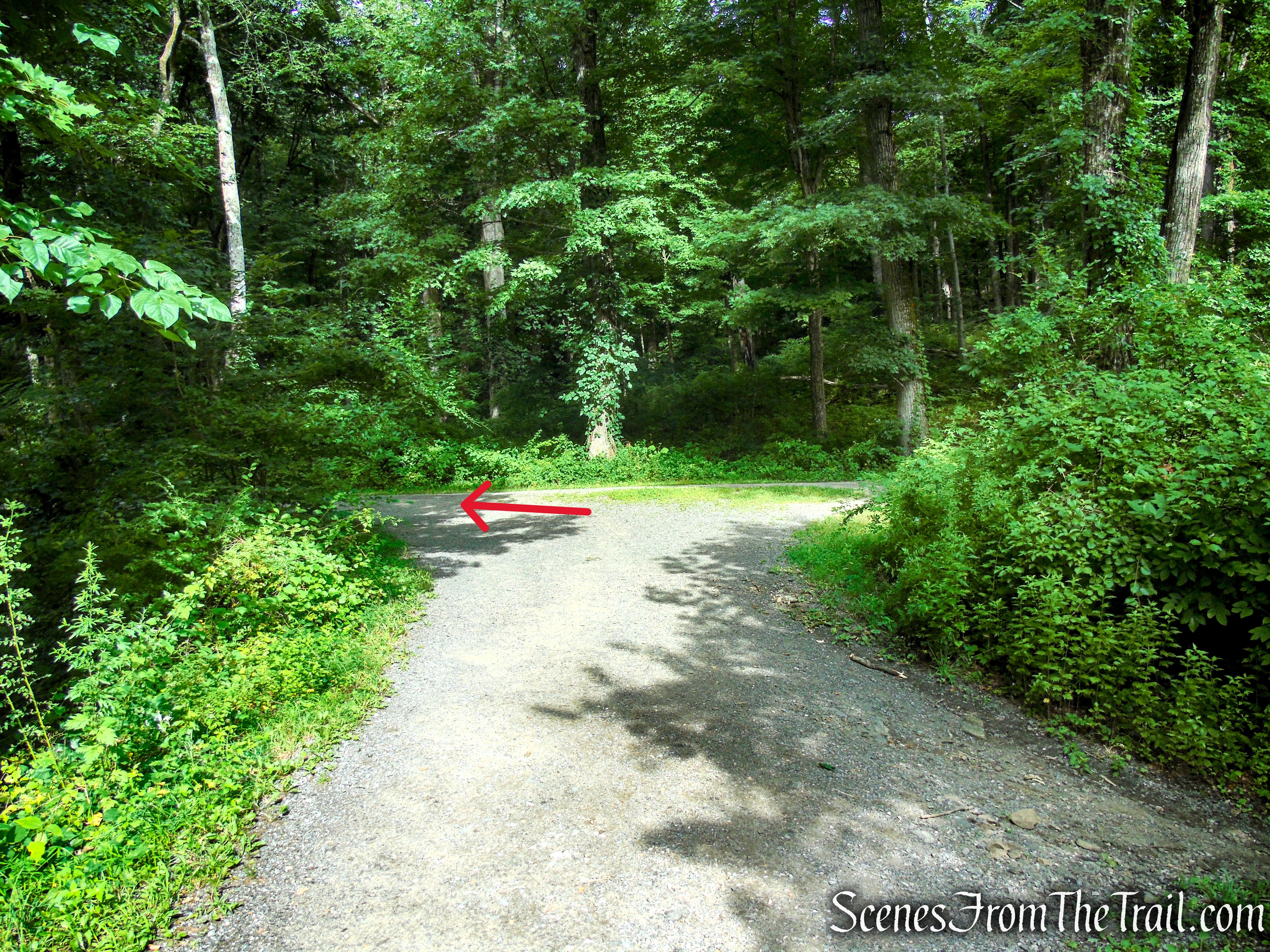
Turn left on Pocantico River Trail
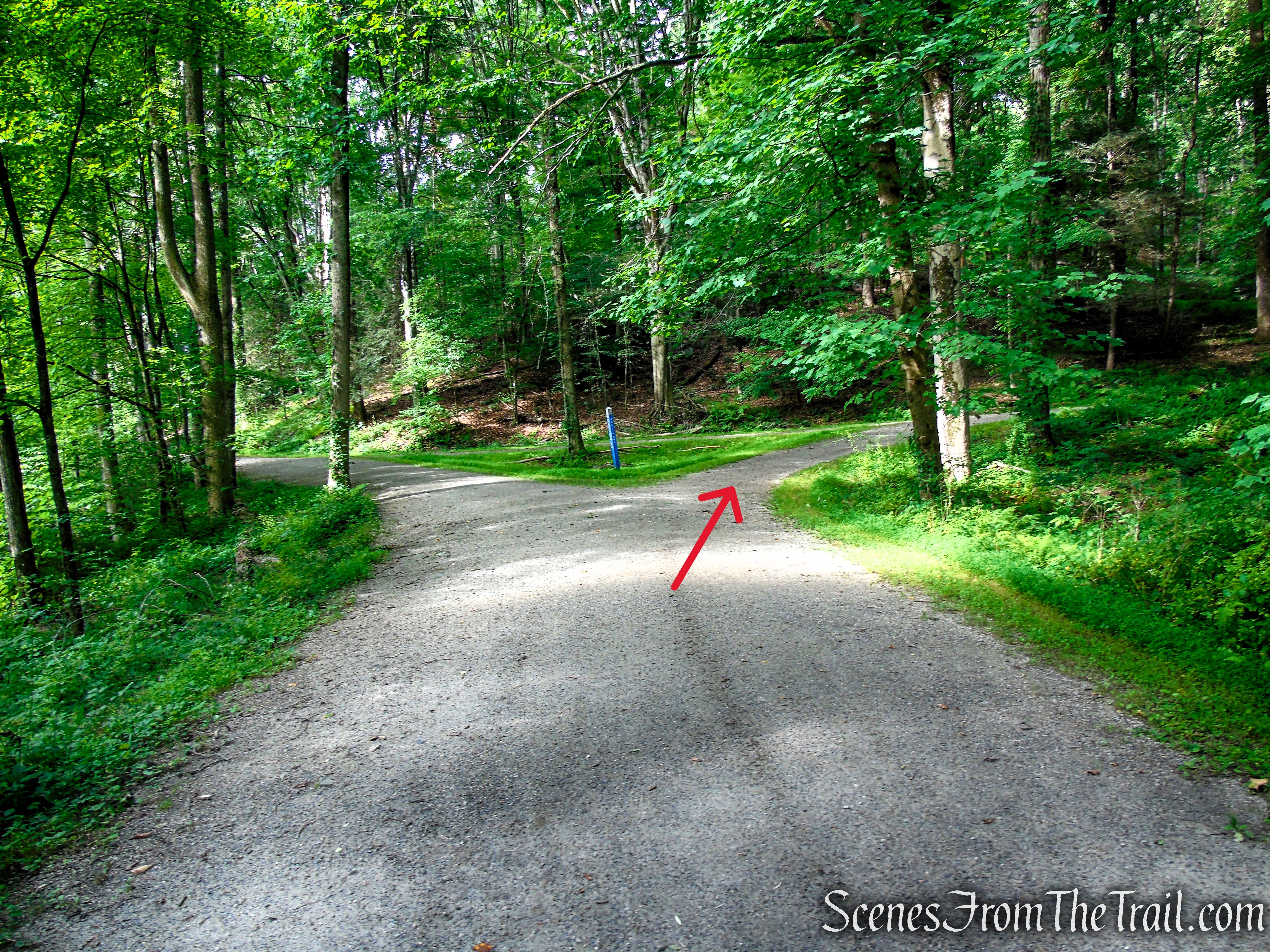
Turn right on Eagle Hill Trail
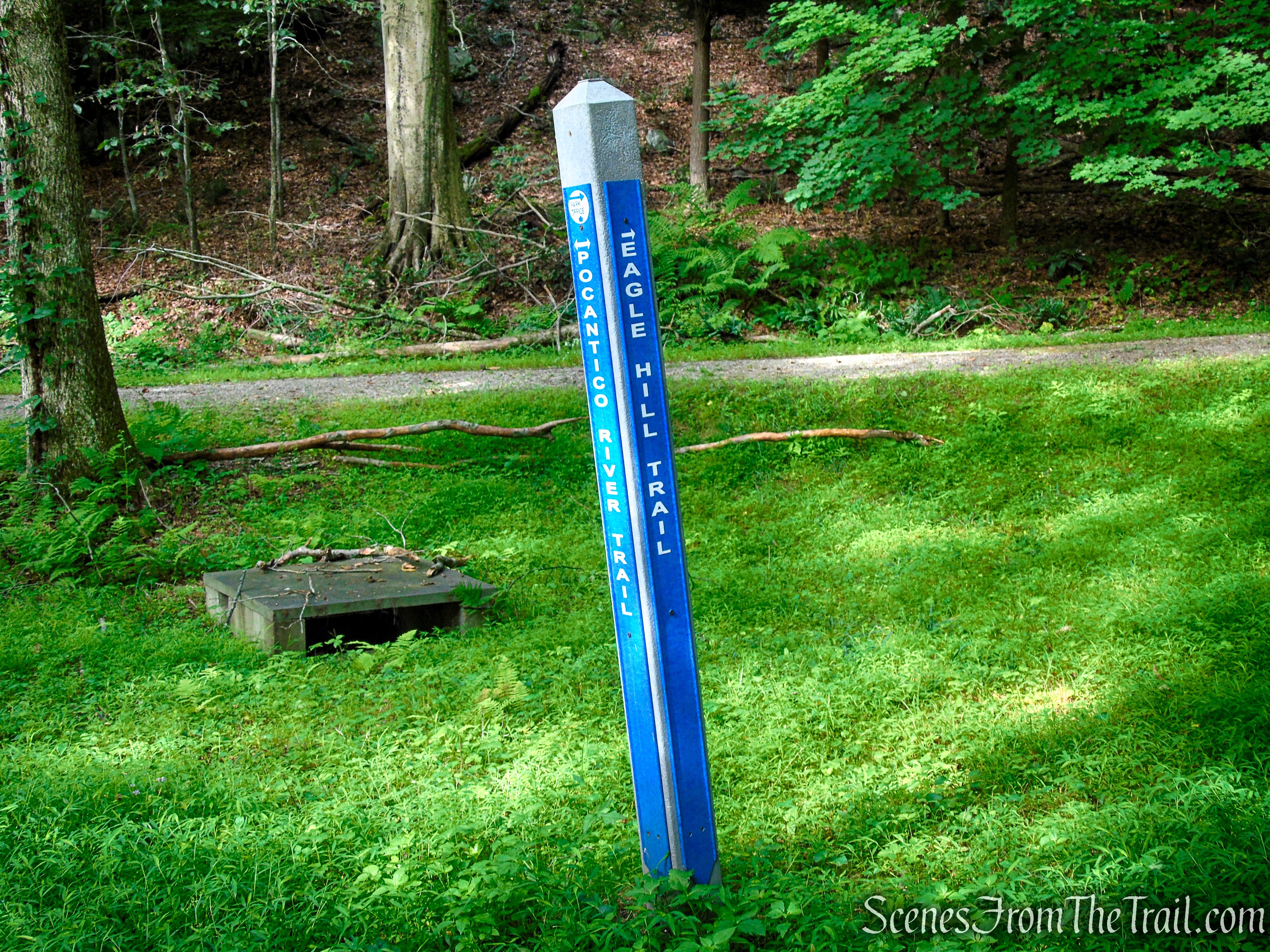
Turn right on Eagle Hill Trail
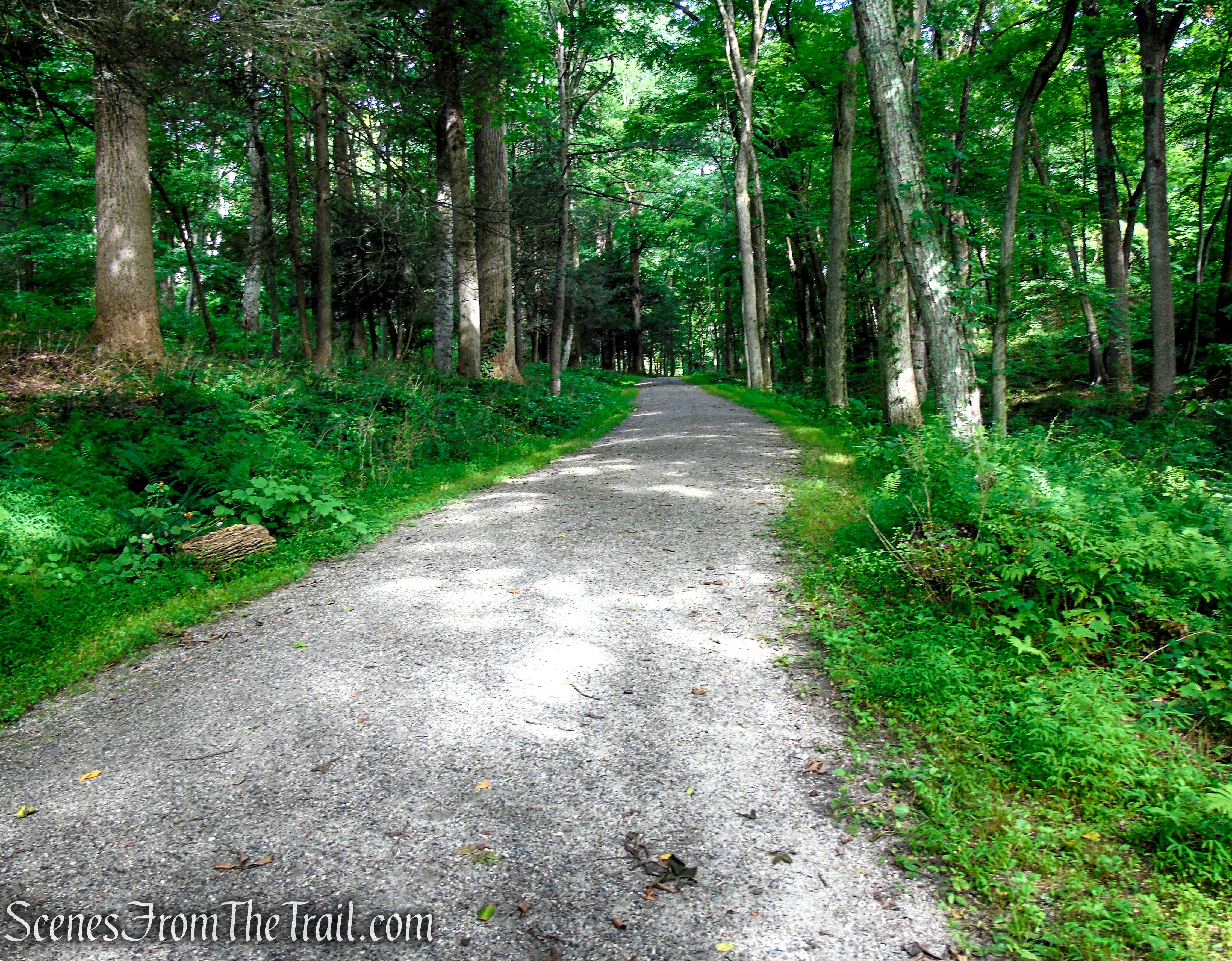
Eagle Hill Trail – Rockefeller State Park Preserve

Eagle Hill Trail – Rockefeller State Park Preserve
Eagle Hill Trail – Rockefeller State Park Preserve
At the four-way intersection with the 13 Bridges Trail, turn left to remain on the Eagle Hill Trail. From here, the carriage road continues its steady ascent through the forest toward the summit of Eagle Hill.
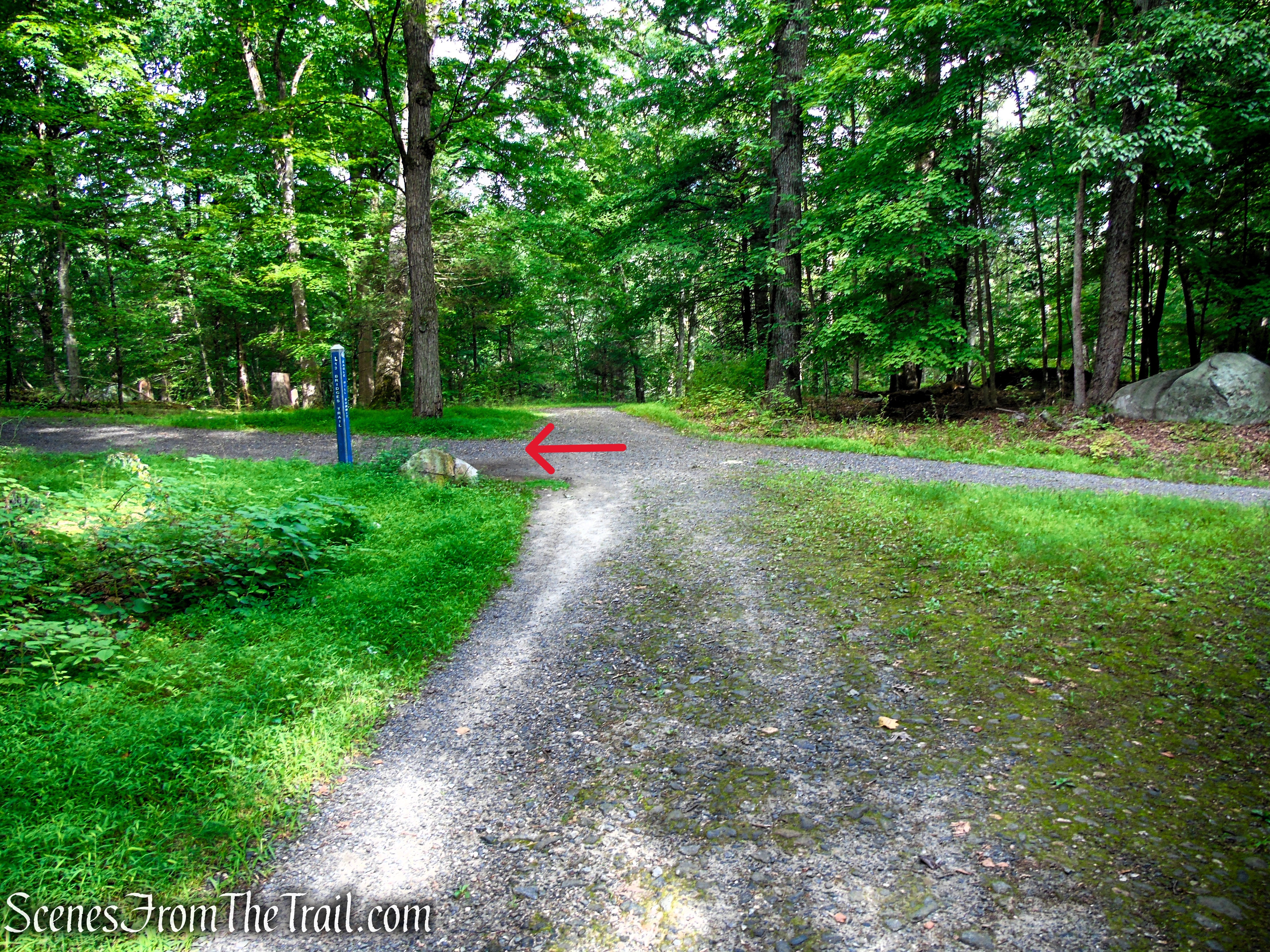
Turn left on Eagle Hill Trail
Eagle Hill Trail – Rockefeller State Park Preserve

Eagle Hill Trail – Rockefeller State Park Preserve

Eagle Hill Trail – Rockefeller State Park Preserve
Near the summit, the Eagle Hill Trail transitions into a small loop that circles the crest of the hill before reconnecting with the main carriage road. Bear left at the fork to complete the loop around the summit; the right fork will be the return route after taking in the views from the top.

Eagle Hill Trail – Rockefeller State Park Preserve
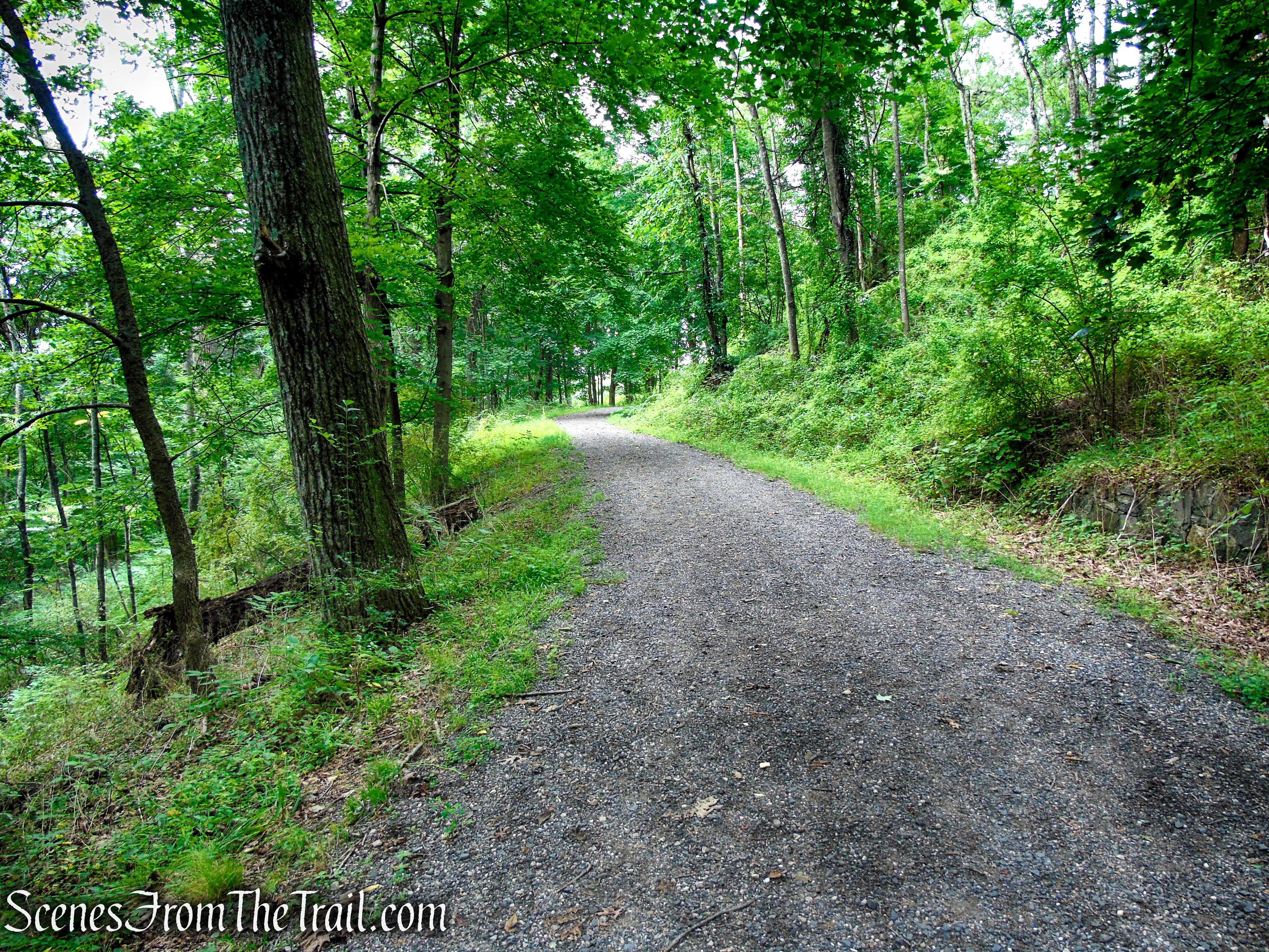
Eagle Hill Trail – Rockefeller State Park Preserve
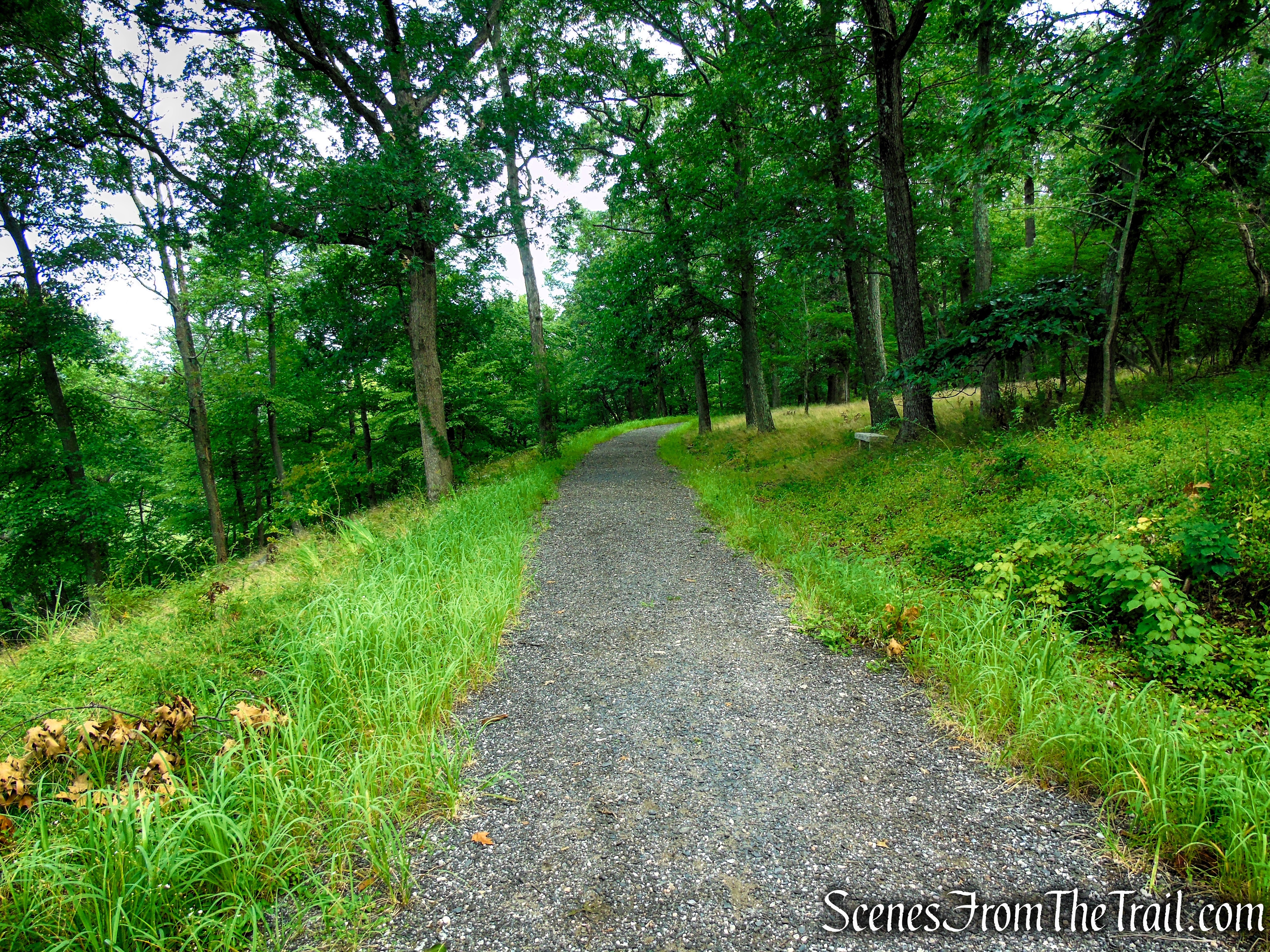
Eagle Hill Trail – Rockefeller State Park Preserve
Once at the summit, a granite bench along the trail provides a perfect spot to pause and take in the surroundings. During the warmer months, the views from Eagle Hill are largely obscured by the dense foliage, but the overlook becomes much more expansive during the leaf-off season when the surrounding landscape is revealed.
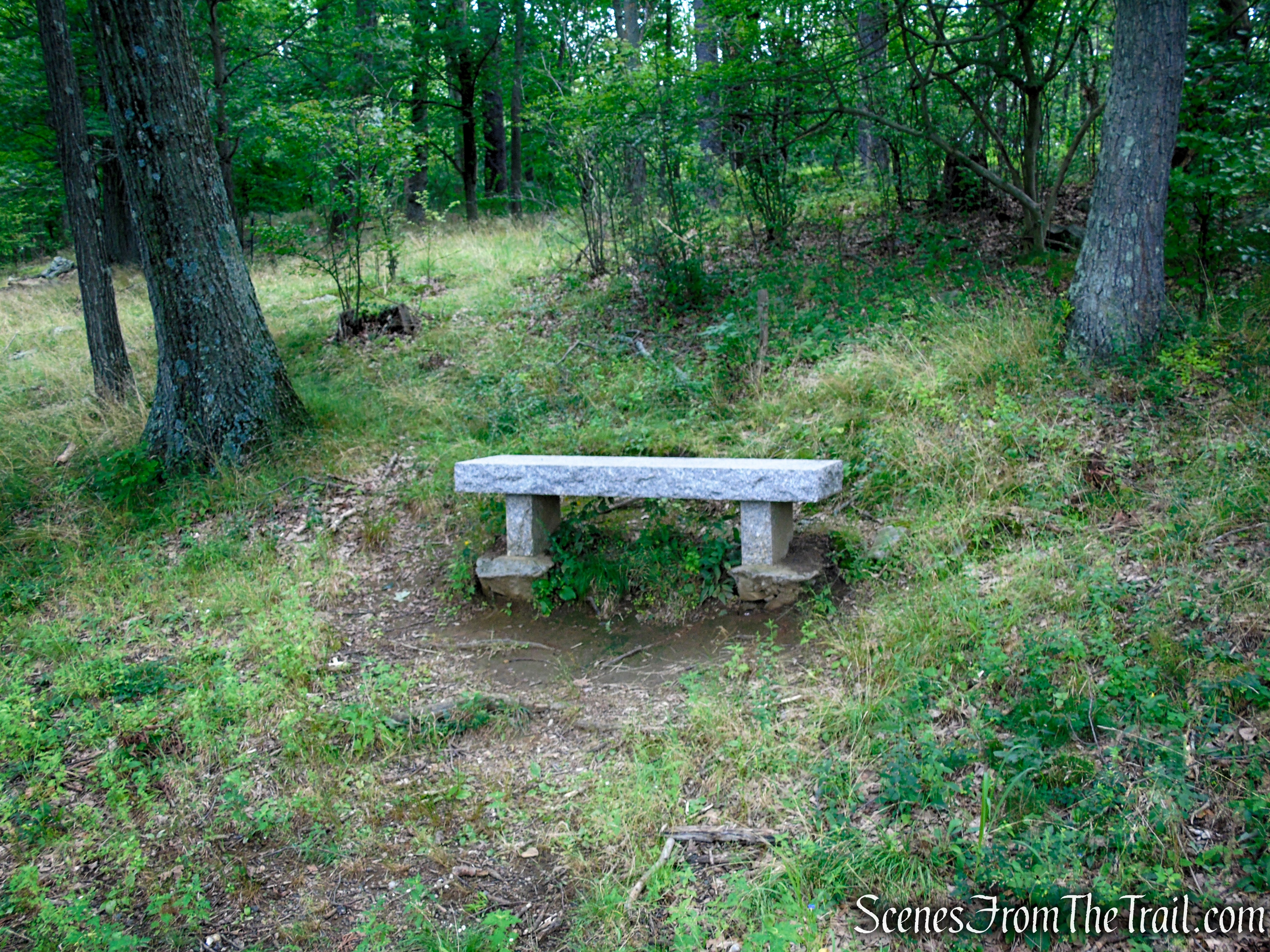
Eagle Hill Trail – Rockefeller State Park Preserve

Eagle Hill Trail – Rockefeller State Park Preserve
Eagle Hill Trail – Rockefeller State Park Preserve
Below is an example of the view from Eagle Hill during the leaf-off season. With the foliage gone, the overlook reveals a much more expansive panorama, including a greater portion of the new Tappan Zee Bridge, the dramatic Palisades Cliffs along the Hudson River, and even Kykuit, the historic Rockefeller estate in nearby Pocantico Hills.
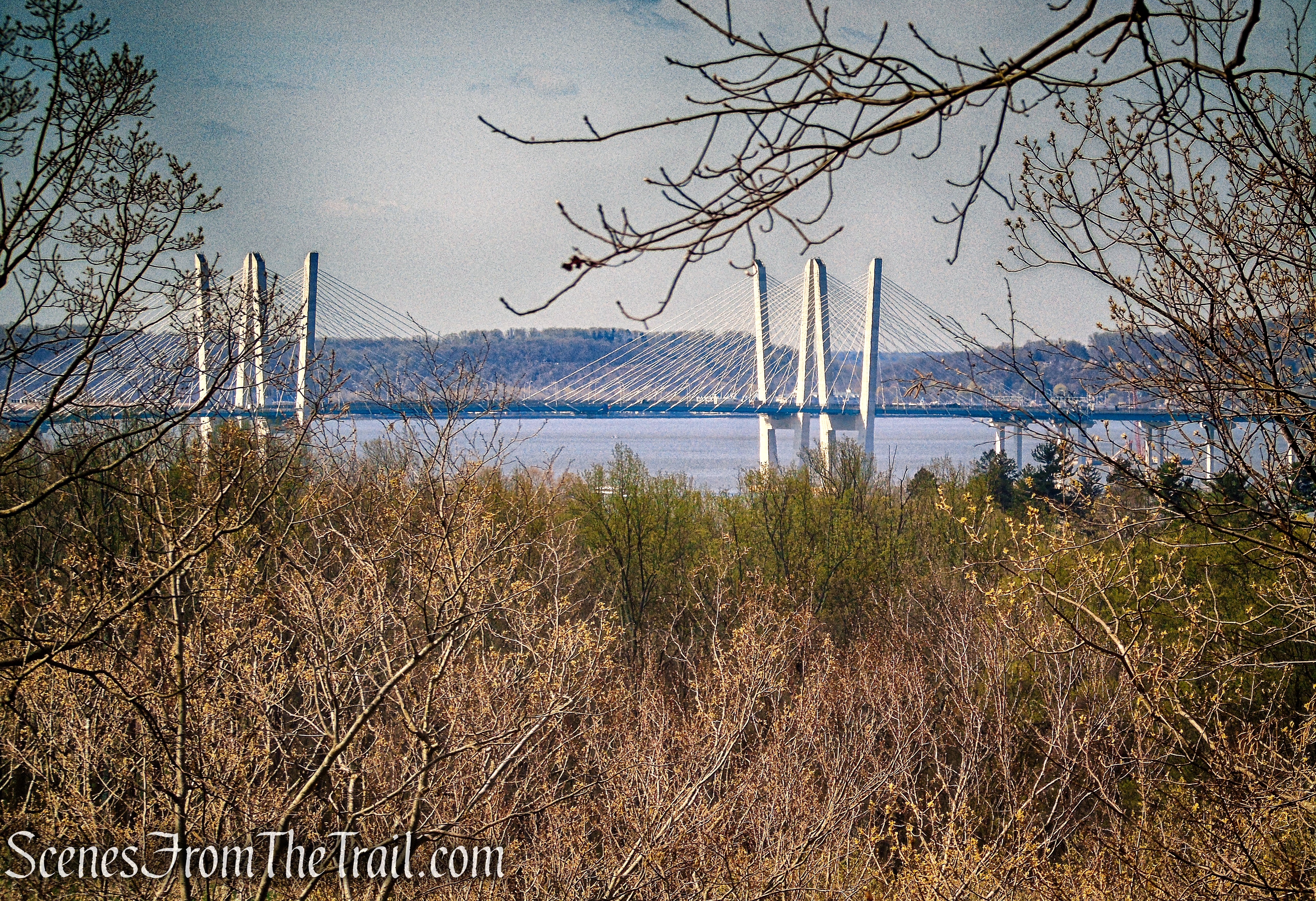
Eagle Hill Trail – Rockefeller State Park Preserve
When you’re ready to continue, follow the Eagle Hill Trail as it circles just below the summit and begins its descent. The carriage road soon completes the summit loop. Turn left at the junction to retrace your steps, continuing downhill along the Eagle Hill Trail toward the junction with the 13 Bridges Trail.
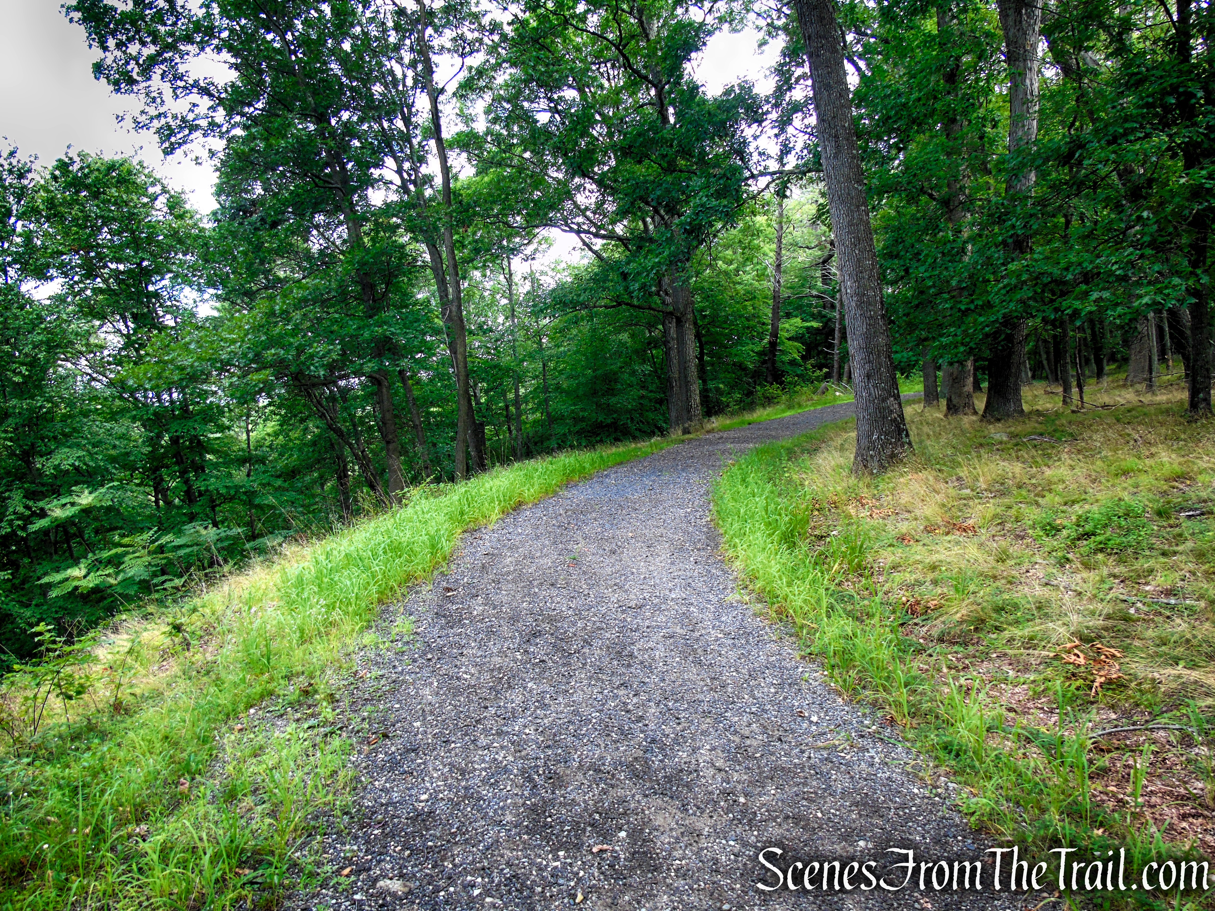
Eagle Hill Trail – Rockefeller State Park Preserve

Eagle Hill Trail – Rockefeller State Park Preserve

Eagle Hill Trail – Rockefeller State Park Preserve

Eagle Hill Trail – Rockefeller State Park Preserve

Eagle Hill Trail – Rockefeller State Park Preserve

Eagle Hill Trail – Rockefeller State Park Preserve
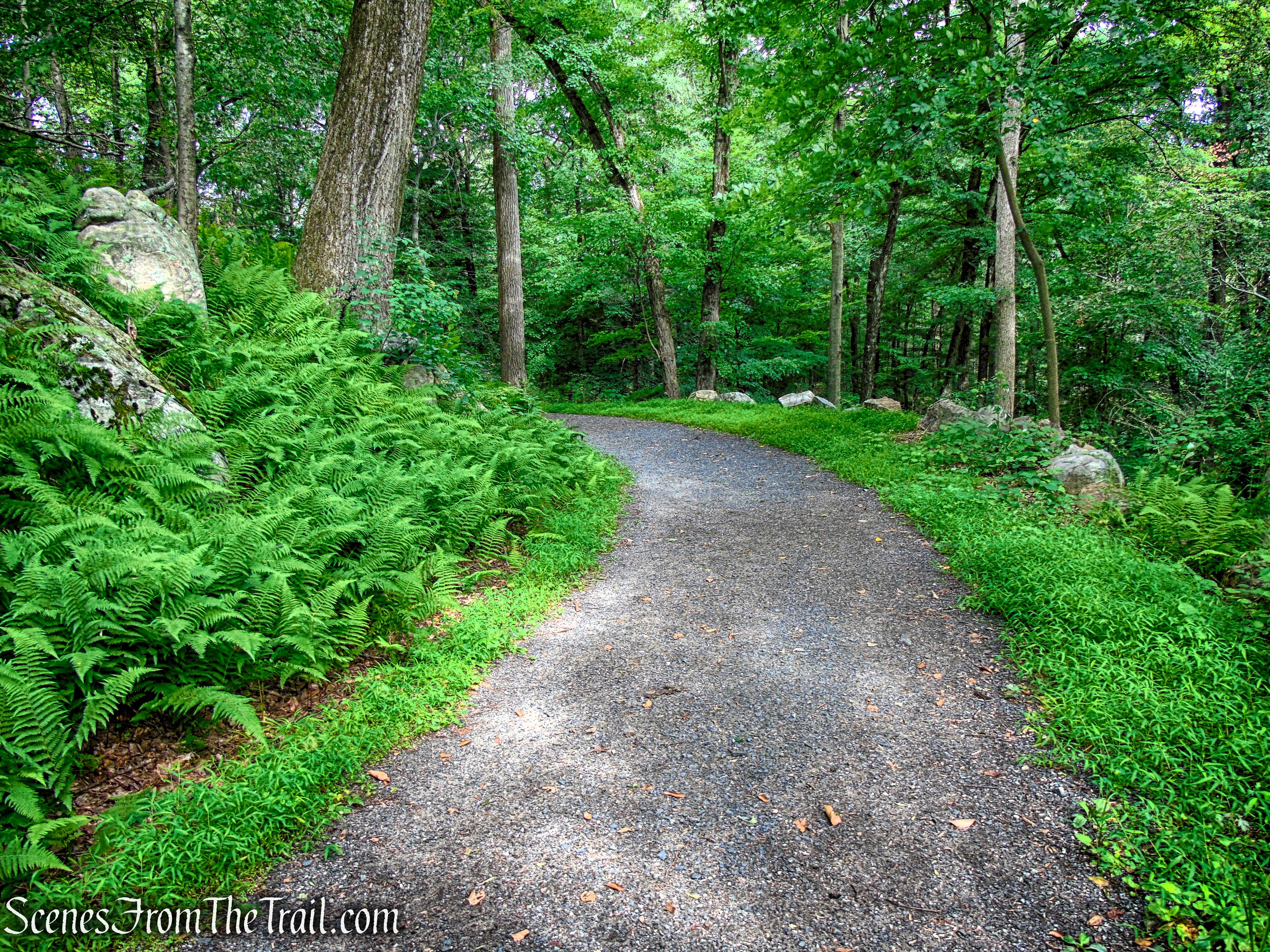
Eagle Hill Trail – Rockefeller State Park Preserve
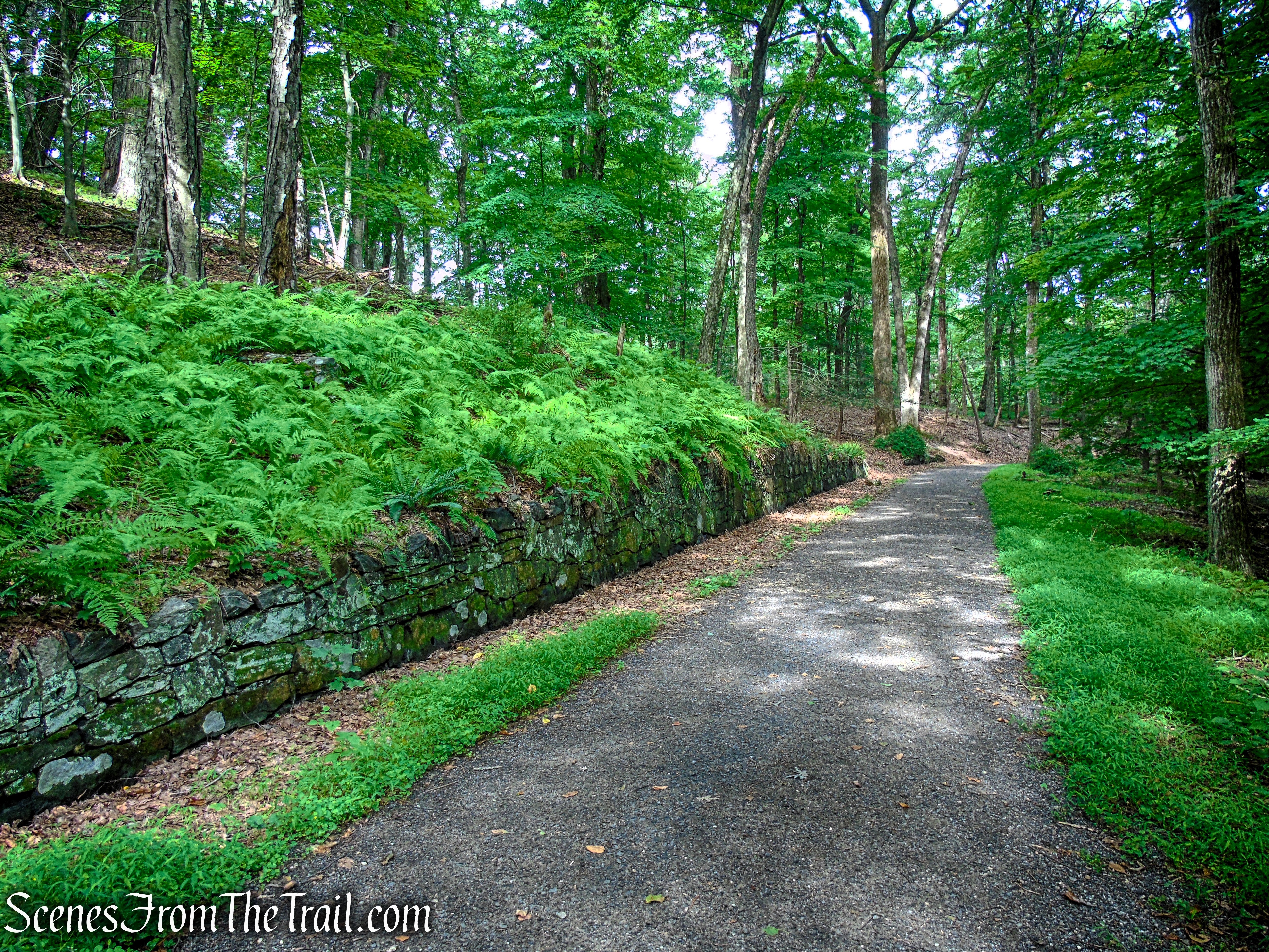
Eagle Hill Trail – Rockefeller State Park Preserve
At the four-way intersection, turn right to remain on the Eagle Hill Trail. From here, the carriage road descends steadily through the forest, making its way back toward the Pocantico River.

Eagle Hill Trail – Rockefeller State Park Preserve

Eagle Hill Trail – Rockefeller State Park Preserve

Eagle Hill Trail – Rockefeller State Park Preserve
Turn left onto the Pocantico River Trail, then almost immediately turn right onto the Old Sleepy Hollow Road Trail and recross Frog Bridge. Continue along the historic roadway to the active Sleepy Hollow Road. After carefully crossing the road, continue on the Old Sleepy Hollow Road Trail as it begins the gradual climb back toward the Visitor Center.
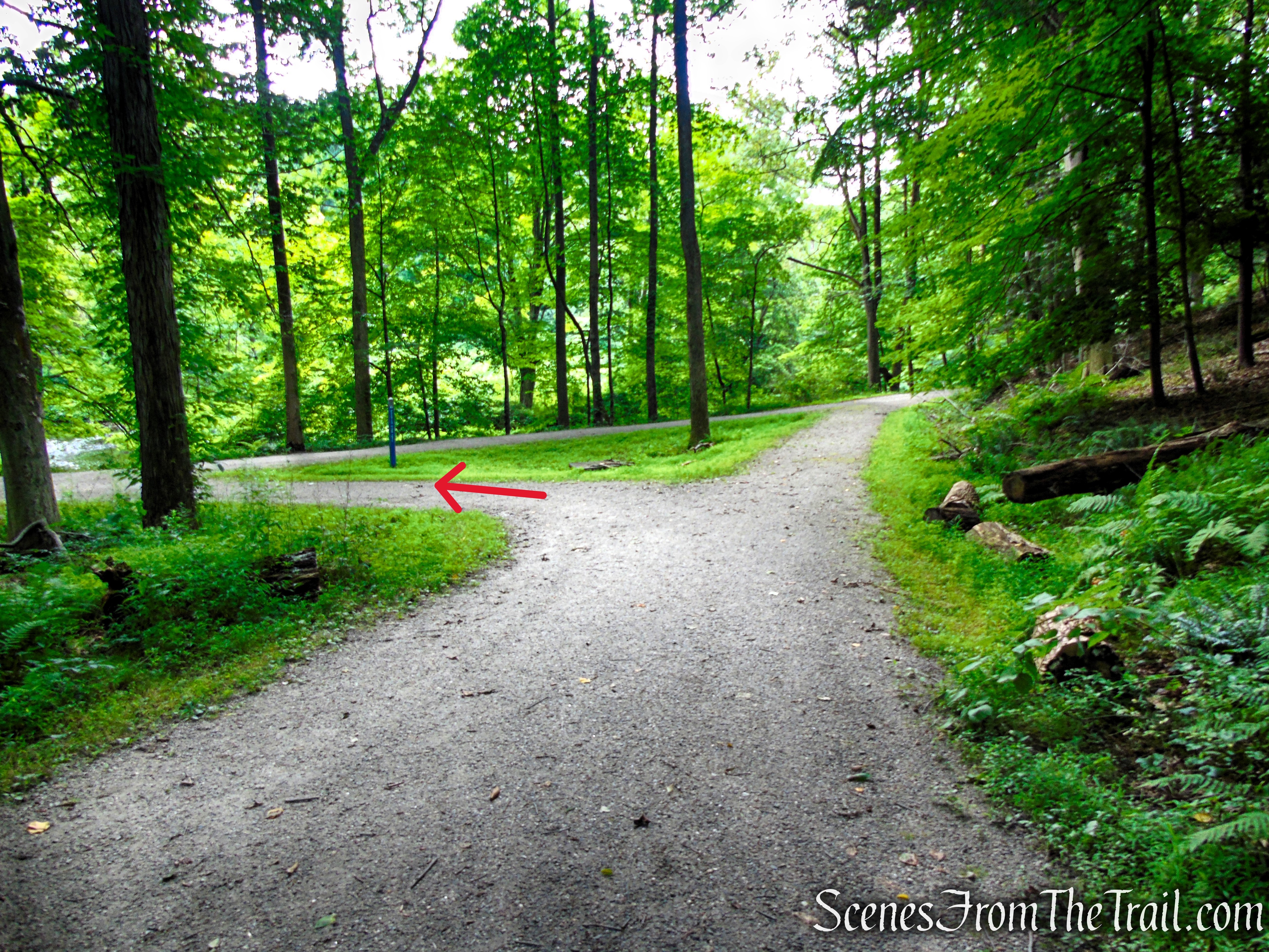
Turn left on Pocantico River Trail

Turn right on Old Sleepy Hollow Road Trail

Old Sleepy Hollow Road Trail – Rockefeller State Park Preserve
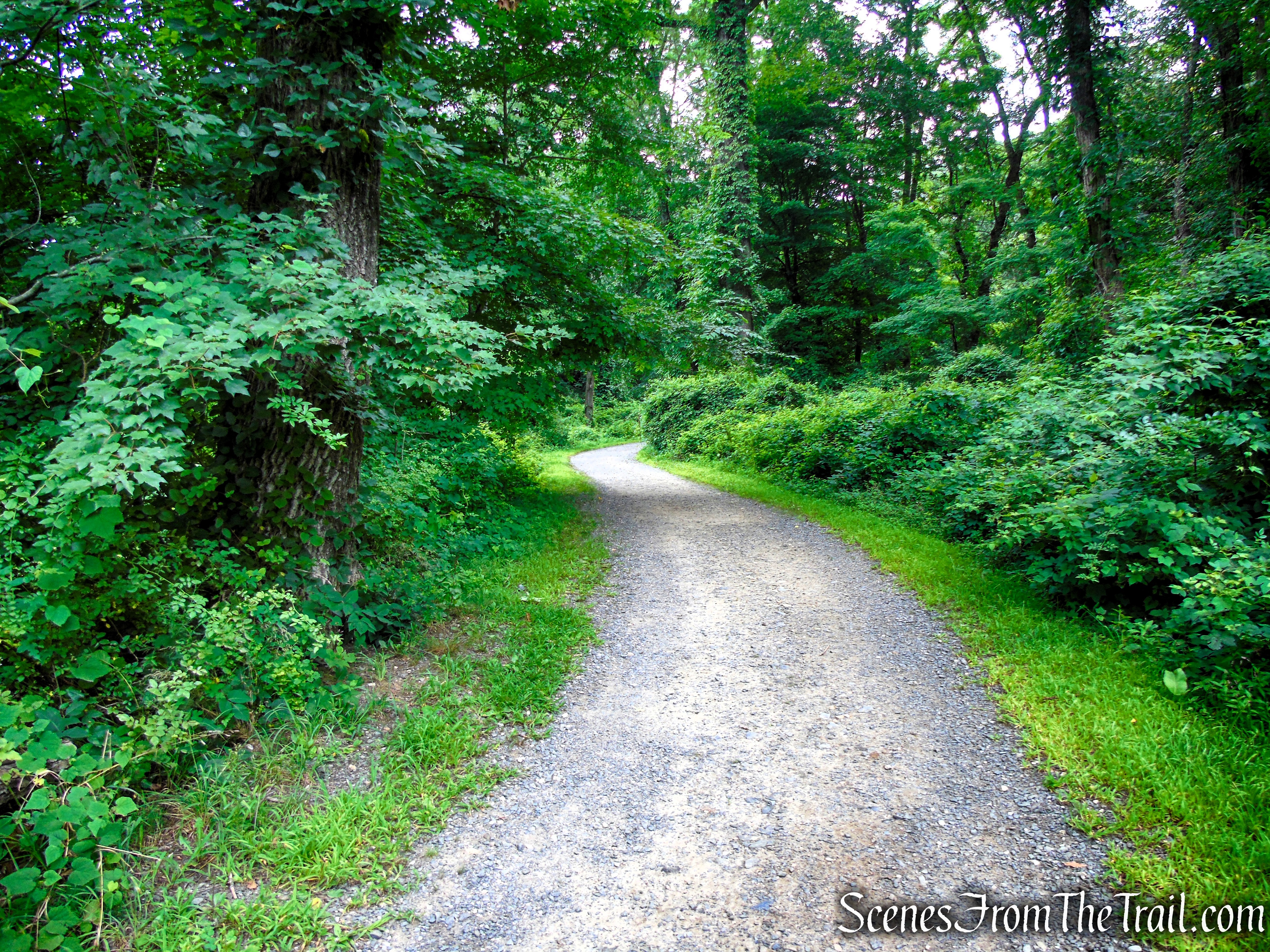
Old Sleepy Hollow Road Trail – Rockefeller State Park Preserve
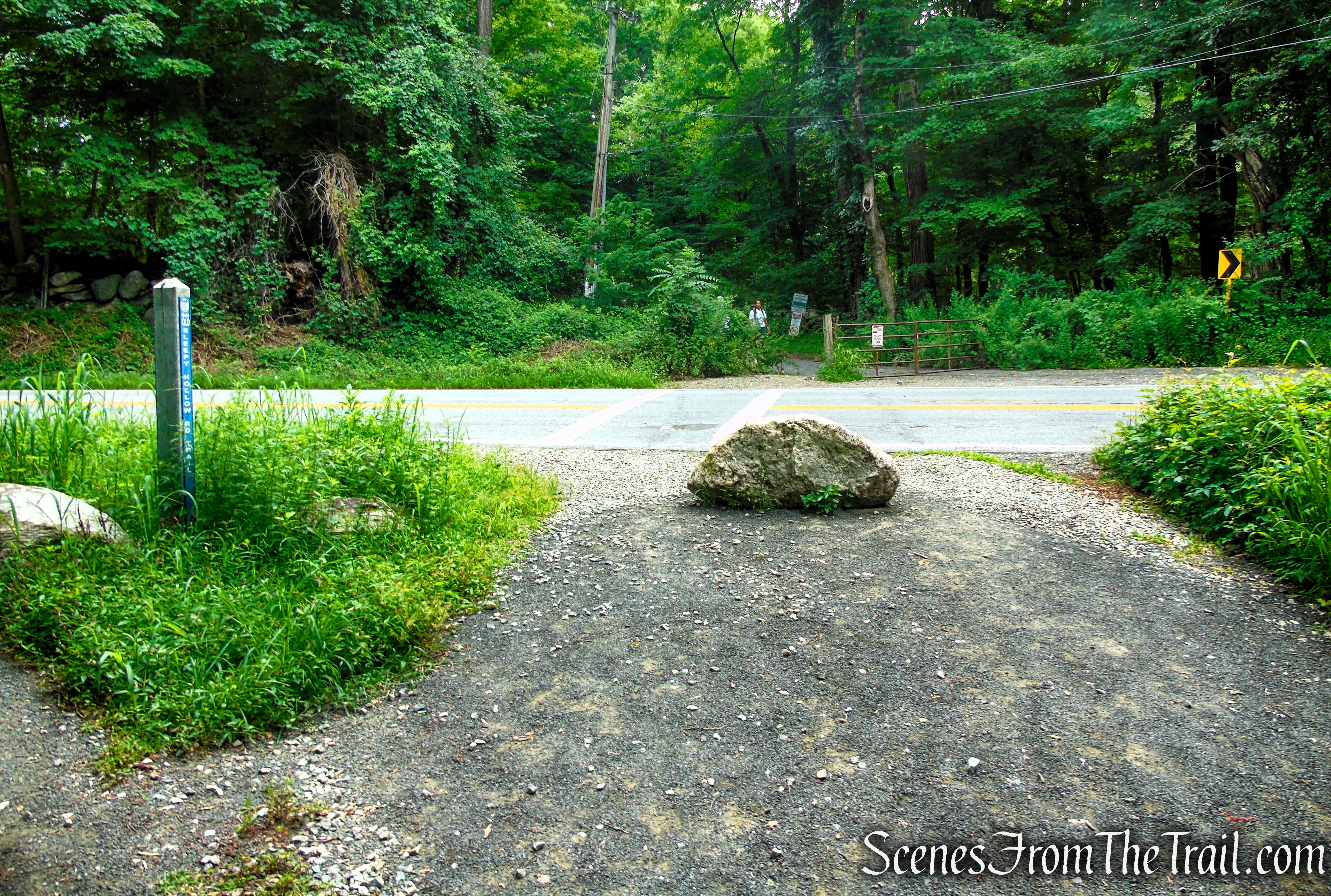
Old Sleepy Hollow Road Trail – Rockefeller State Park Preserve

Old Sleepy Hollow Road Trail – Rockefeller State Park Preserve
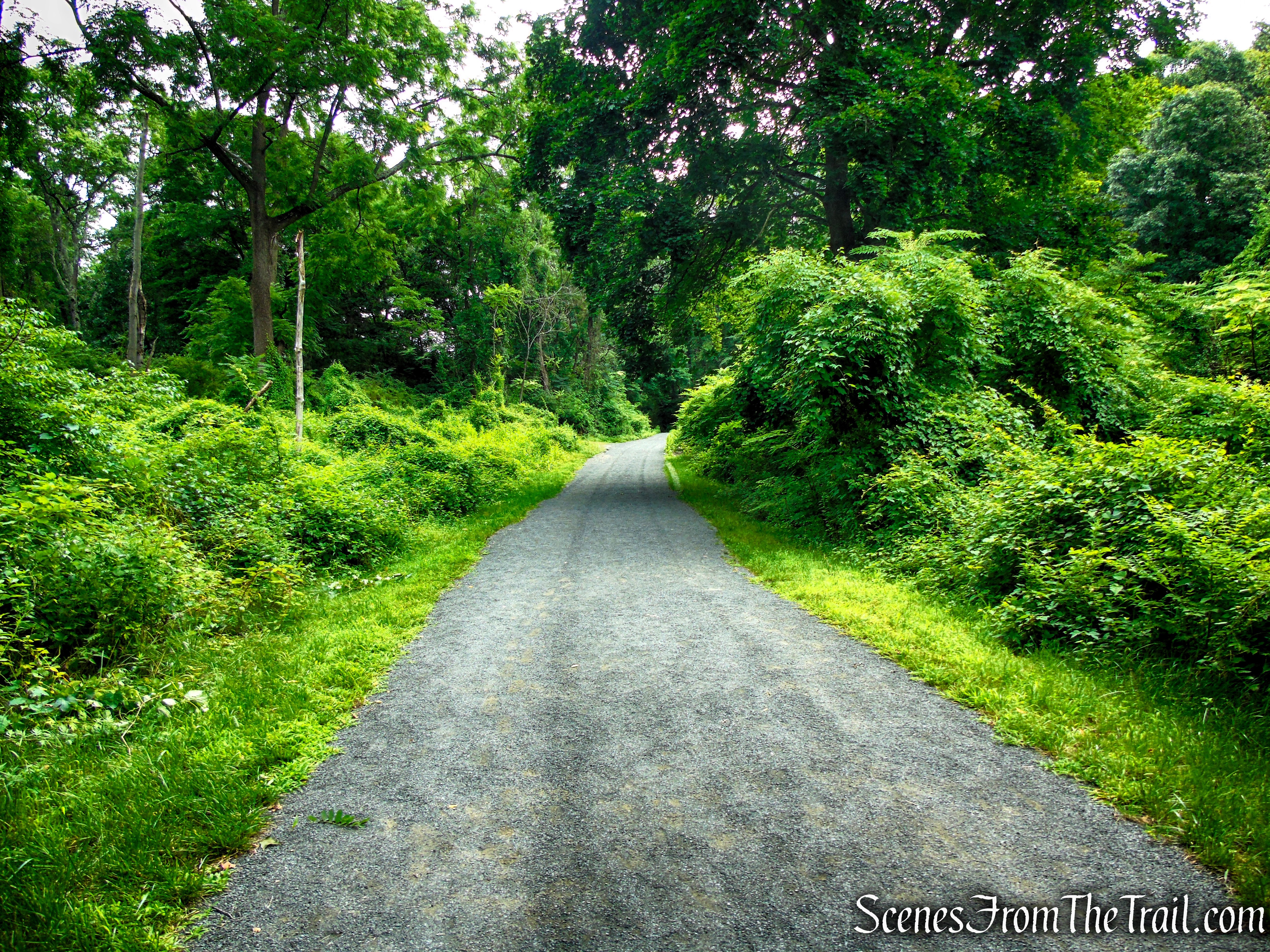
Old Sleepy Hollow Road Trail – Rockefeller State Park Preserve
As the Old Sleepy Hollow Road Trail climbs toward the parking area, it passes the junction with the Nature’s Way Trail on the left, followed shortly by a dirt road on the right. Continue straight on the old asphalt roadway, following it uphill past a metal gate before returning to the Visitor Center parking lot, where the hike began.
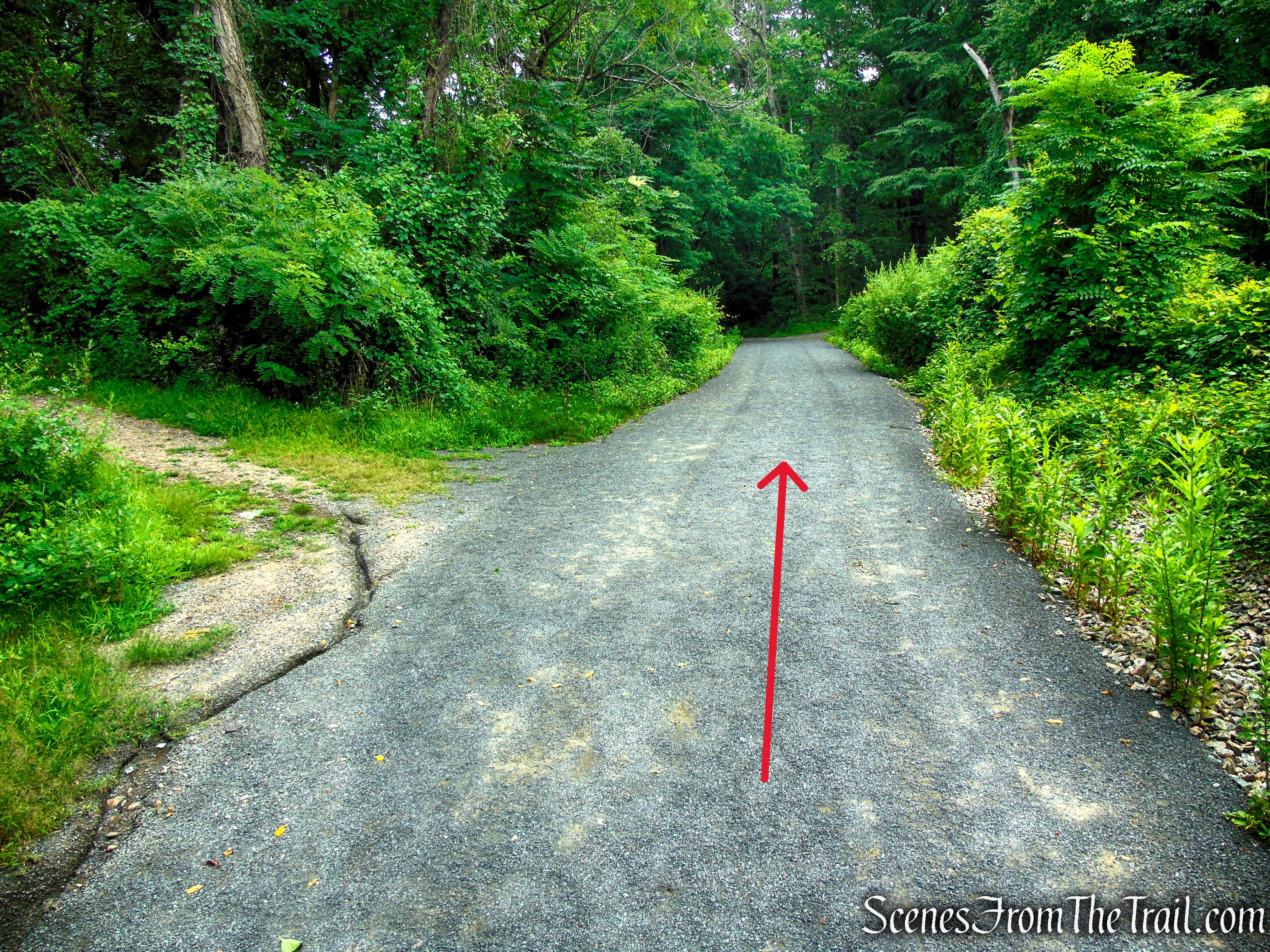
Old Sleepy Hollow Road Trail – Rockefeller State Park Preserve
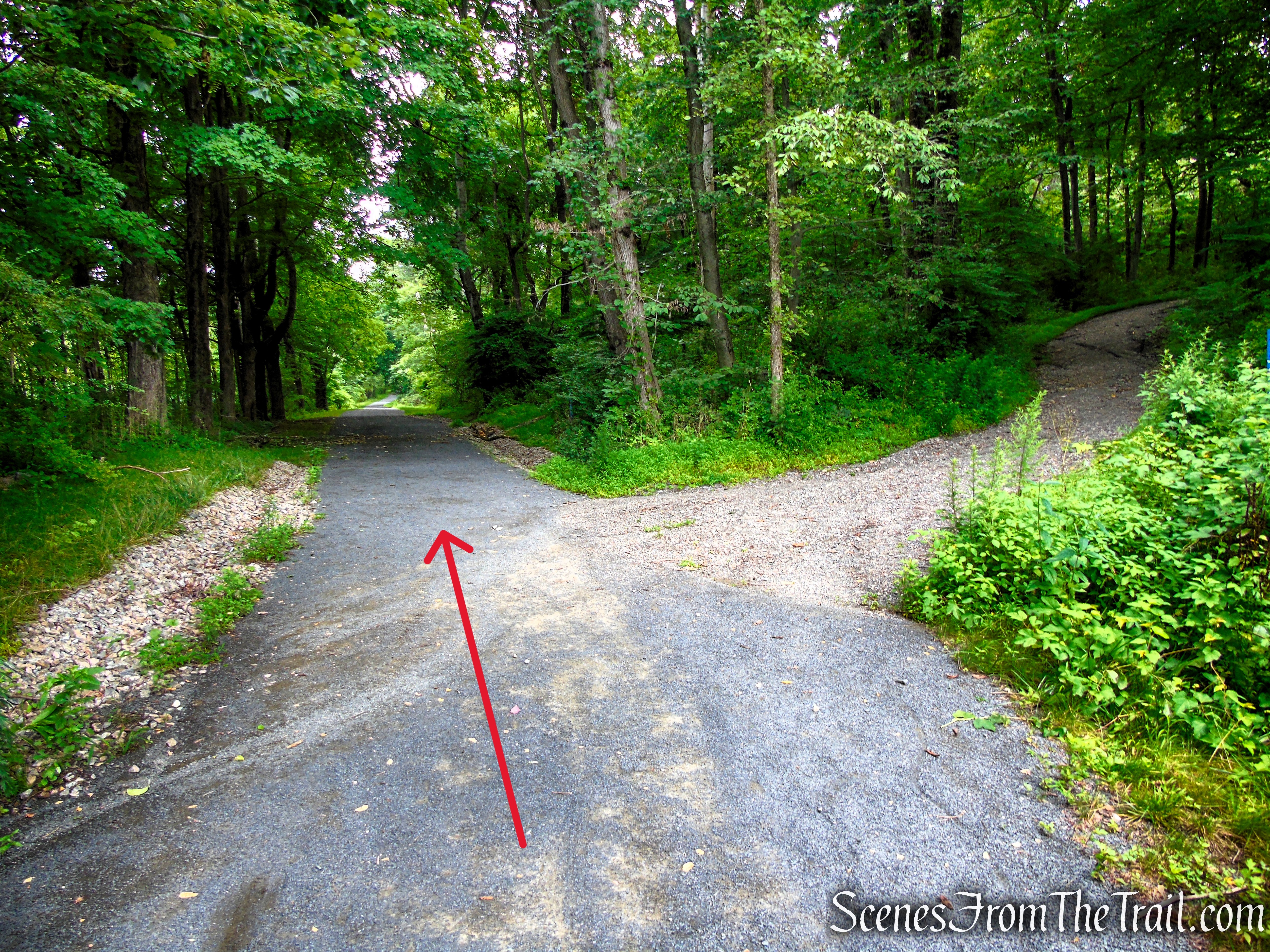
Old Sleepy Hollow Road Trail – Rockefeller State Park Preserve

Old Sleepy Hollow Road Trail – Rockefeller State Park Preserve

Old Sleepy Hollow Road Trail – Rockefeller State Park Preserve

Rockefeller State Park Preserve
Review:
The Eagle Hill Loop is an enjoyable and well-rounded hike that showcases several of the best features of Rockefeller State Park Preserve in just over 3 miles. The route combines historic carriage roads with quiet woodland trails, passes Westchester County’s largest glacial erratic, crosses the scenic Pocantico River, and climbs to the summit of Eagle Hill. While the panoramic views are best during the leaf-off season, the dense forest canopy makes this an excellent warm-weather hike, providing welcome shade for nearly the entire route.
With only about 350 feet of elevation gain, the hike is suitable for hikers of most ability levels, although the short climbs to Eagle Hill and back along Old Sleepy Hollow Road add just enough challenge to keep things interesting. Well-marked trails, peaceful surroundings, and a fascinating blend of natural beauty, geology, and history make this one of the preserve’s most rewarding easy loop hikes. Whether you’re visiting Rockefeller State Park Preserve for the first time or returning to explore another corner of its extensive trail network, the Eagle Hill Loop is a hike that’s easy to recommend.
Pros:
Historic carriage roads, peaceful woodland trails, dense forest canopy, excellent warm-weather hike, easy navigation, Westchester County’s largest glacial erratic, scenic Pocantico River crossing, summit views (especially during leaf-off season), well-maintained trails, suitable for most hikers, convenient Visitor Center parking.
Cons:
Limited summit views during leaf-on season, road crossing at Sleepy Hollow Road, can become busy on weekends and holidays.
Sources:
- Rockefeller State Park Preserve
- Friends of the Rockefeller State Park Preserve
- TRAVELS OF A ROCK – NY Times
 Scenes From The Trail