July 19, 2026 – Kent, Connecticut
Difficulty: Moderate
Length: Approximately 1.5 miles
Max elevation: 766 ft.– total elevation gain approximately 400 ft.
Route type: Out and back
No formal map available
Trailhead parking: Cy Theobald Football Field – Skiff Mountain Rd, Kent, CT 06757
Paved parking lot for more than 30 vehicles in the athletic fields parking lot.
Overview:
Perched high above the Housatonic River Valley in Kent, Connecticut, The Gunn Cross and Numeral Rock are among the most memorable landmarks along this section of the Appalachian Trail. The hike combines rugged terrain, expansive valley views, and a fascinating piece of local history, making it a rewarding destination for hikers seeking more than just a scenic overlook.

The Gunn Cross atop Numeral Rock
Numeral Rock is a dramatic rocky outcrop that offers sweeping views of the Housatonic River, the rolling hills of northwestern Connecticut, and the Kent School campus below. Standing prominently on the ledge is The Gunn Cross, a towering wooden memorial originally erected in 1929 in honor of Charles Berry Gunn Jr., a Kent School student who died during the influenza epidemic of 1928. Recently restored and reinstalled, the cross once again serves as both a landmark and a lasting tribute overlooking the valley.

Numeral Rock view

The Gunn Cross at Numeral Rock
Whether you’re drawn by the panoramic vistas, the historical significance of the memorial, or simply another beautiful stretch of the Appalachian Trail, this hike delivers a memorable experience. The route follows a rocky ridgeline through mature forest before emerging onto the open ledges of Numeral Rock, where the impressive cross and breathtaking scenery make the climb well worth the effort.
History:
The Gunn Cross has been a familiar landmark in Kent for nearly a century. The original 24-foot Celtic-style wooden cross was erected in 1929 in memory of Charles Berry Gunn Jr. Class of ’28, a Kent School student who died during the influenza epidemic of 1928. One of five students lost during the outbreak, Gunn was remembered by his family with a monument that would stand as both a personal memorial and a symbol of remembrance for the entire Kent School community. The cross was designed by architect Roger Bullard, who also designed Kent School’s St. Joseph’s Chapel. It was crafted from teak and carried to the summit piece by piece by students, who also hauled cement, gravel, and water up the steep trail to construct its massive concrete foundation.

Charles Berry Gunn Memorial
After decades of exposure to the elements, the cross gradually deteriorated until only its main upright remained. Around 2020, the remaining beam was removed for safety, leaving Numeral Rock without its iconic landmark for several years. Inspired by alumni and guided by historical photographs and original drawings preserved in the school archives, Kent School undertook an ambitious restoration project. Master carpenter Michael Rost hand-crafted a faithful replica from massive white oak beams over the course of nine months, while the Facilities Department prepared the site for installation. In April 2025, the new cross was transported to the summit and erected on the original foundation, restoring one of Kent’s most recognizable landmarks.

Michael Rost – Gunn Cross
The cross stands on Numeral Rock, a prominent quartzite ledge traversed by the Appalachian Trail. The overlook has long been a destination for hikers and Kent School students alike, offering sweeping views of the Housatonic River Valley, the Kent School campus, and the surrounding hills. It is also home to one of the school’s oldest traditions known as Rock Day, when each spring the Fifth Form class hikes to Numeral Rock to paint its class year on the expansive rock face before ascending to Sixth Form. The colorful numerals, layered over generations, gave the landmark its enduring name.
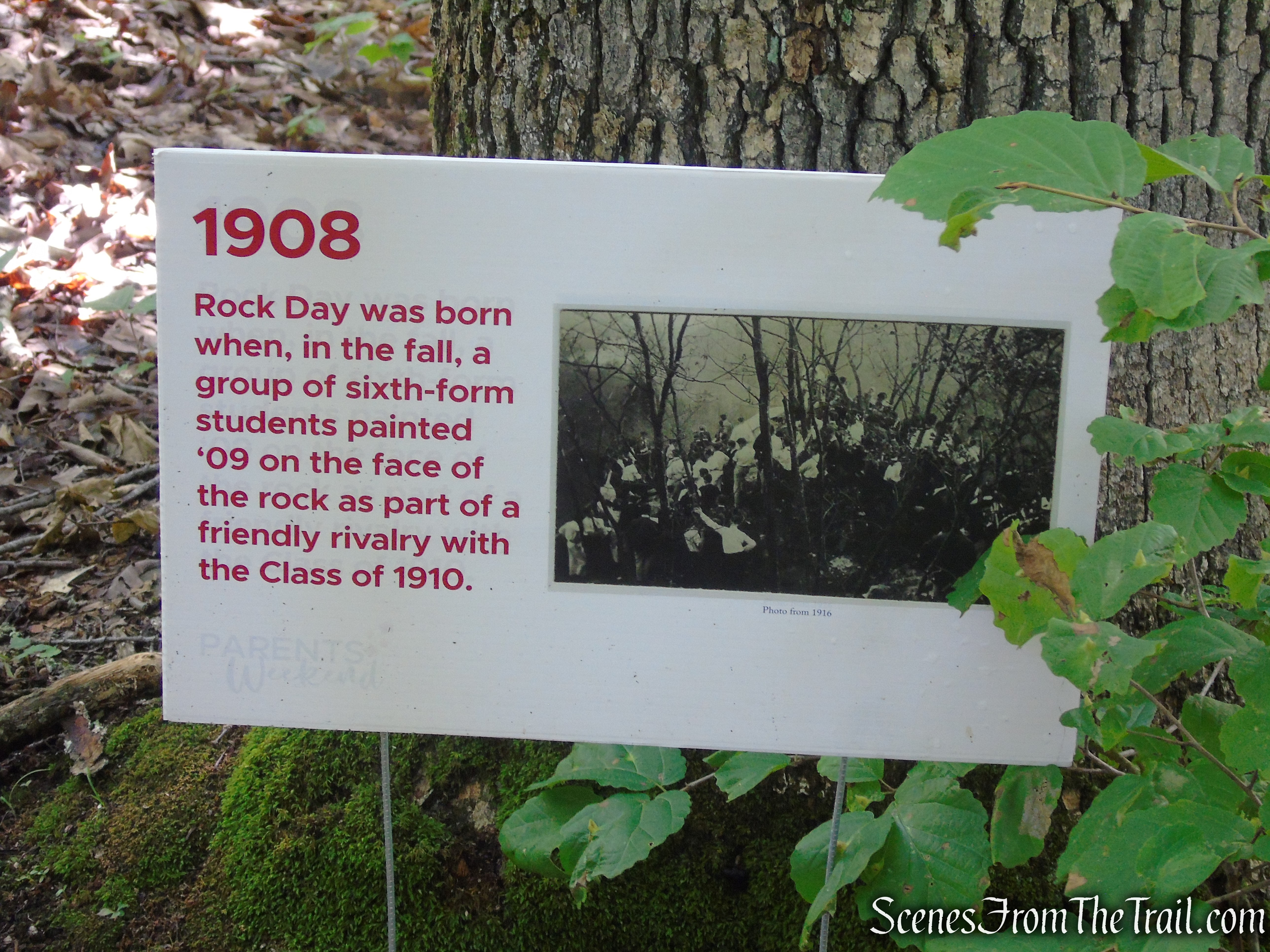
Rock Day – Kent School
Trails Overview:
Trail Update: Following severe storm damage that washed out the Macedonia Brook bridge north of CT Route 341, the Appalachian Trail was rerouted in late 2023. The new route follows much of the original 1930’s Appalachian Trail alignment, climbing steeply past Numeral Rock and The Gunn Cross before rejoining the current trail near Skiff Mountain Road. The reroute will remain in place until the bridge is replaced.
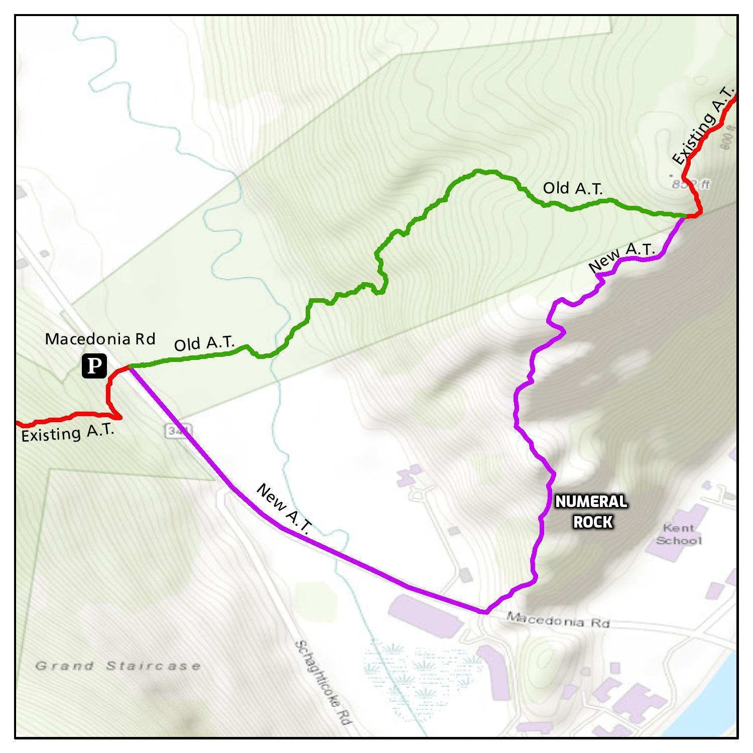
Appalachian Trail alignment 2026
Please Note: Because this reroute was established after severe storm damage in late 2023, some printed maps, guidebooks, GPS apps, and older GPX tracks may still show the Appalachian Trail’s former alignment. Be sure to follow the official white blazes and posted reroute signs rather than relying solely on older maps.
The easiest and most convenient route to Numeral Rock and The Gunn Cross begins at the Kent School athletic fields parking lot. Parking is available for hikers, but visitors should be mindful of school activities and events. The best times to use this lot are when school is not in session and when there are no athletic games or other scheduled activities taking place.
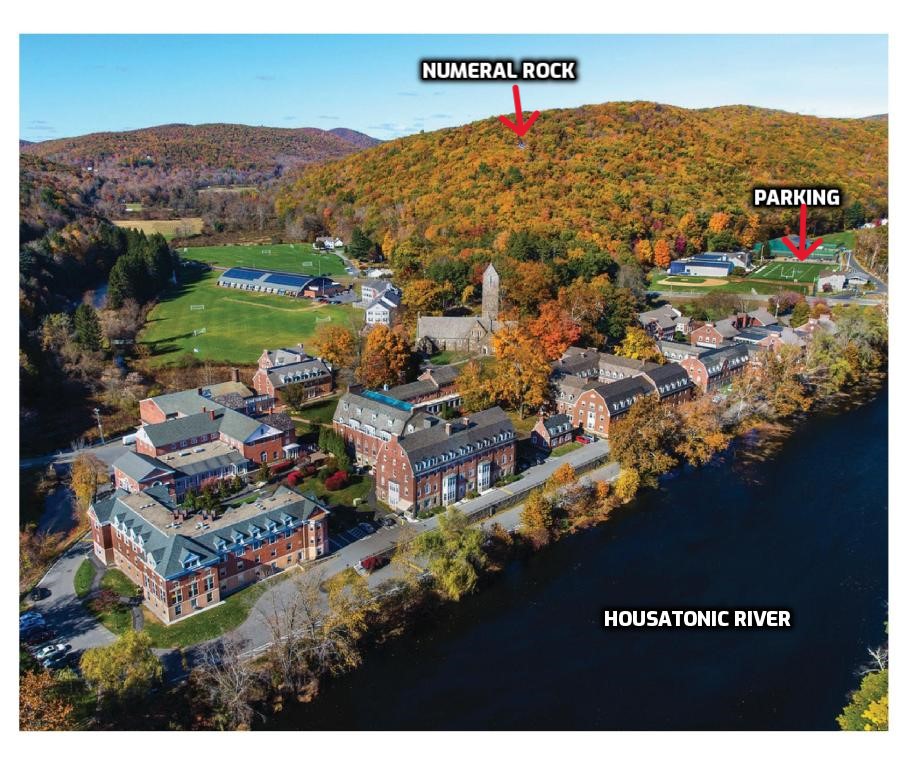
Kent School Campus
This hike follows the Appalachian Trail for nearly its entire length, with only two short exceptions: the walk through the Kent School athletic fields and a brief section of blue-blazed trail that begins near the Route 341 sidewalk before connecting with the current Appalachian Trail alignment. Once the trail reaches the Appalachian Trail, the blue blazes continue alongside the white blazes, marking a co-aligned section of trail all the way to Numeral Rock and The Gunn Cross.
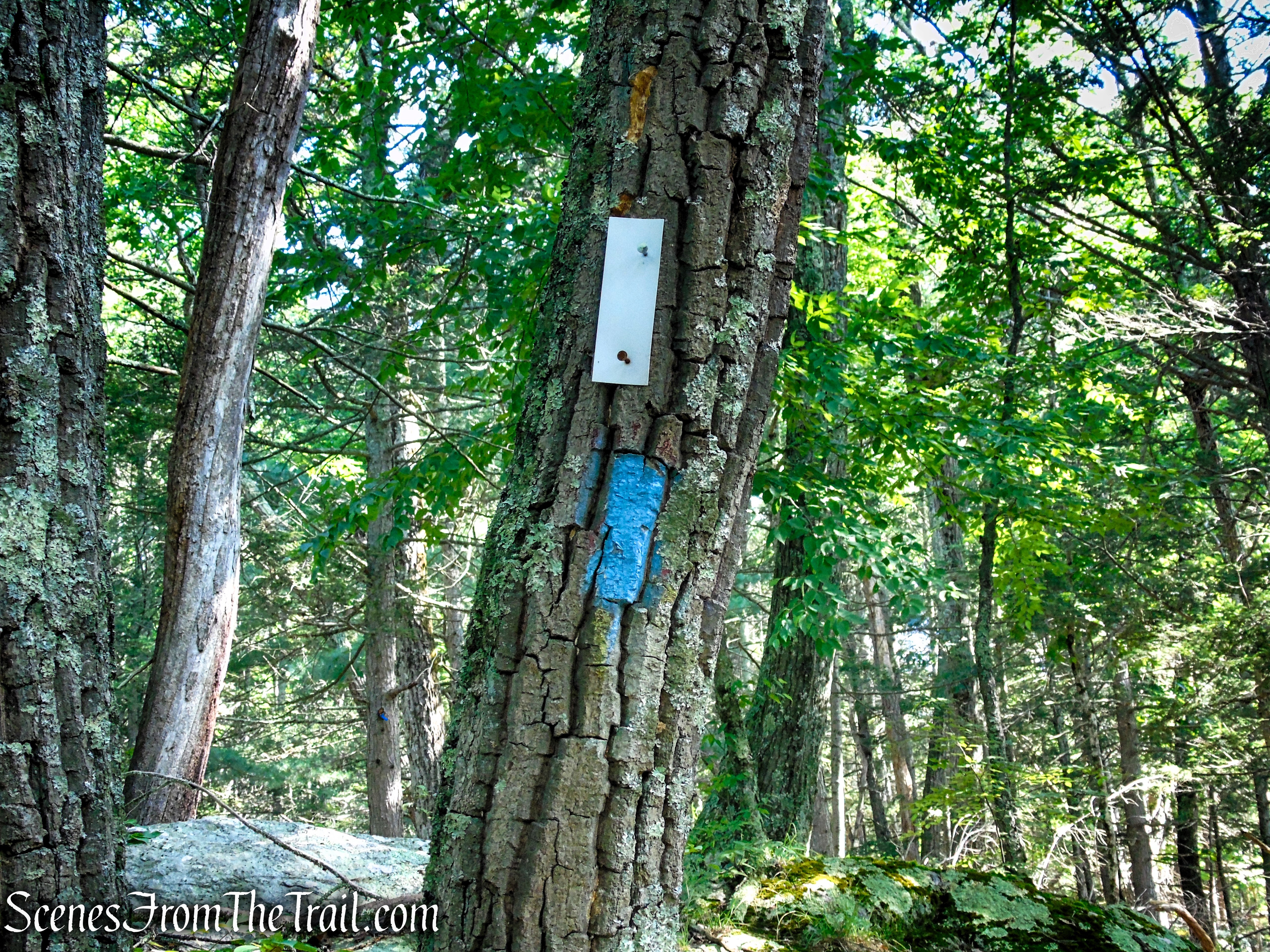
Numeral Rock Trail – Appalachian Trail
The trail is well marked and easy to follow. Although the climb is relatively short—just over one-third of a mile—it is fairly steep, gaining approximately 300 feet in elevation over a rocky, uneven terrain to the Gunn Cross atop Numeral Rock.
Parking & Amenities:
A paved parking lot with space for more than 30 vehicles is available at the Kent School Athletic Fields on Skiff Mountain Road. The lot is located directly across from the main entrance to the Kent School campus, between the football field and the paddle tennis courts, and provides the most convenient access to the trailhead.
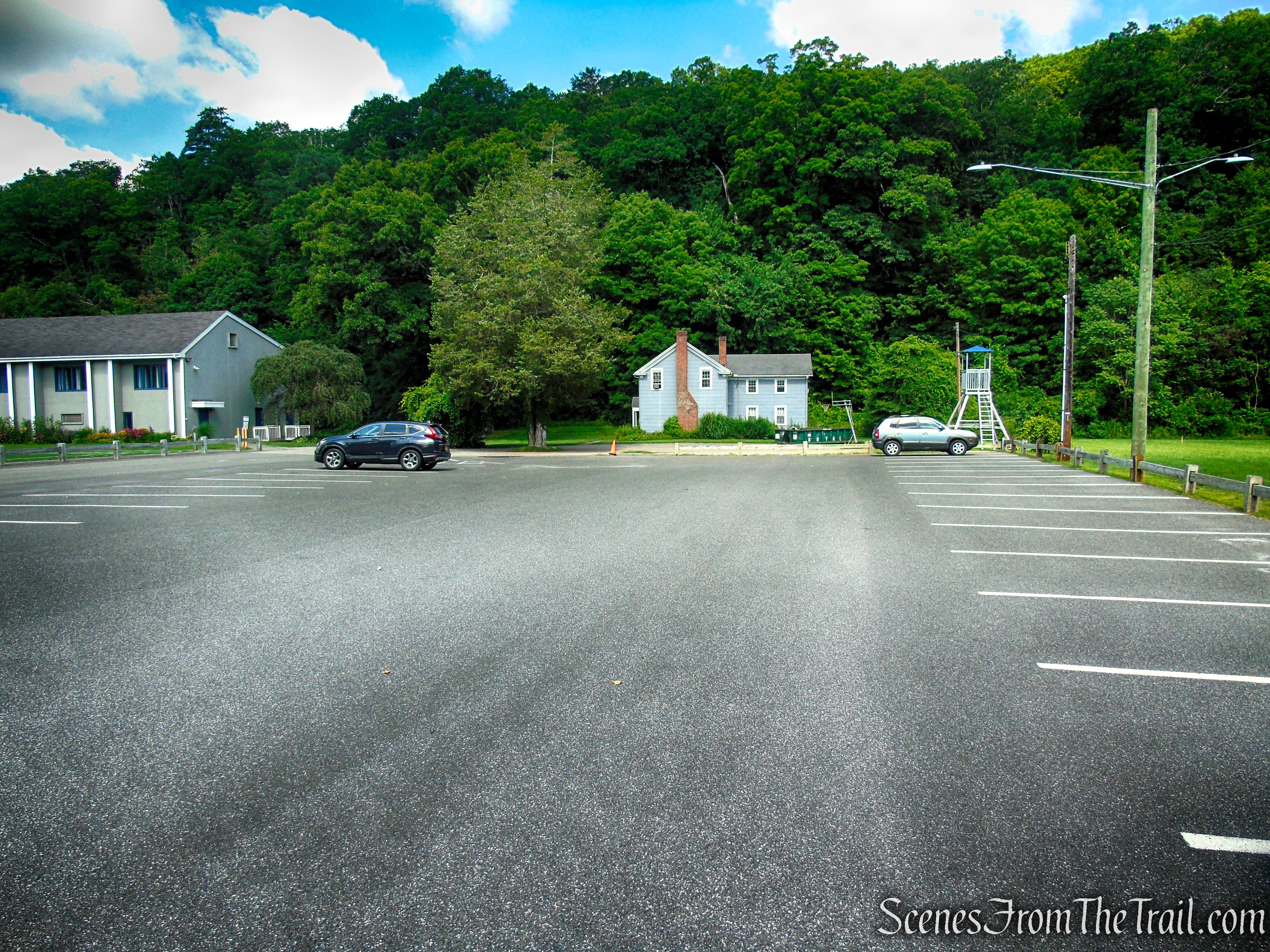
Kent School Athletic Fields parking lot
If the Kent School Gymnasium is open, public restrooms are available inside. Otherwise, there are no restroom facilities along the hike.
Hike Overview:
I first came across a photo of The Gunn Cross on social media and was immediately intrigued by its unique setting atop Numeral Rock. Surprisingly, I couldn’t find any detailed information online explaining how to reach it, which only made me more determined to track it down.
While researching the area, I also learned about Glacier Rock, a large glacial erratic located just off the Appalachian Trail a short distance north of Numeral Rock. Hoping to find it as well, we continued along the trail beyond where it was supposed to be. Unfortunately, despite searching carefully, we came up empty-handed. I hadn’t been able to find any photos of Glacier Rock beforehand, so I had no visual reference, and the dense forest offered few clues to help pinpoint its location.
While researching the route and the best place to park, I discovered that the mapping app I was using still showed the Appalachian Trail’s former alignment, before it was rerouted in late 2023. Following the outdated map, I initially parked where the Appalachian Trail once crossed CT Route 341 near the base of Mount Algo. When I arrived, however, it quickly became apparent that the trail no longer continued across the field on the opposite side of the road. Instead, the reroute follows the sidewalk southeast along Route 341 for about a quarter mile before turning back into the woods. That would have added about 0.8 mile of road walking to this hike.
Since I wasn’t interested in starting and ending the hike with a road walk—even one with a sidewalk—I looked for a better option. I drove to the main entrance of the Kent School campus and asked the gate attendant if there was a suitable place to park for the hike to Numeral Rock. He directed us to the Kent School Athletic Fields parking lot directly across the street, which turned out to be the perfect starting point. From there, we avoided the sidewalk section entirely and enjoyed a much more direct and scenic approach to Numeral Rock and The Gunn Cross.
Although this is a relatively short hike, it can easily be extended by continuing north or south on the Appalachian Trail to create a longer outing. Even as a quick excursion, however, the reward is well worth the effort. The sweeping views from Numeral Rock, coupled with the historic Gunn Cross, make this short hike a memorable destination.
This out and back hike begins and ends at the Kent School Athletic Fields parking lot.
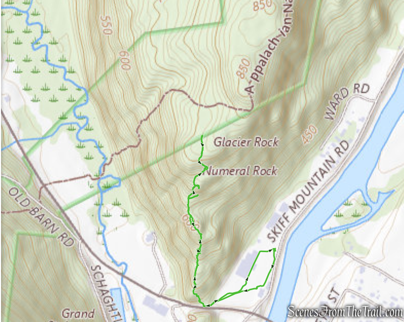
The Gunn Cross at Numeral Rock
This hike includes about 400 feet of elevation gain.

Gunn Cross elevation graph
The Hike:
Because the Blue Trail is co-aligned with the white-blazed Appalachian Trail all the way to Numeral Rock, I’ll refer to this section simply as the “Numeral Rock Trail” throughout this hike description to avoid any confusion.
From the parking lot, follow the paved path alongside the football field. At the far end of the field, near the end zone, continue diagonally to the right across the baseball outfield toward another paved path leading to CT Route 341 (Macedonia Road). Turn right onto the sidewalk and follow it for a short distance to the trail entrance.
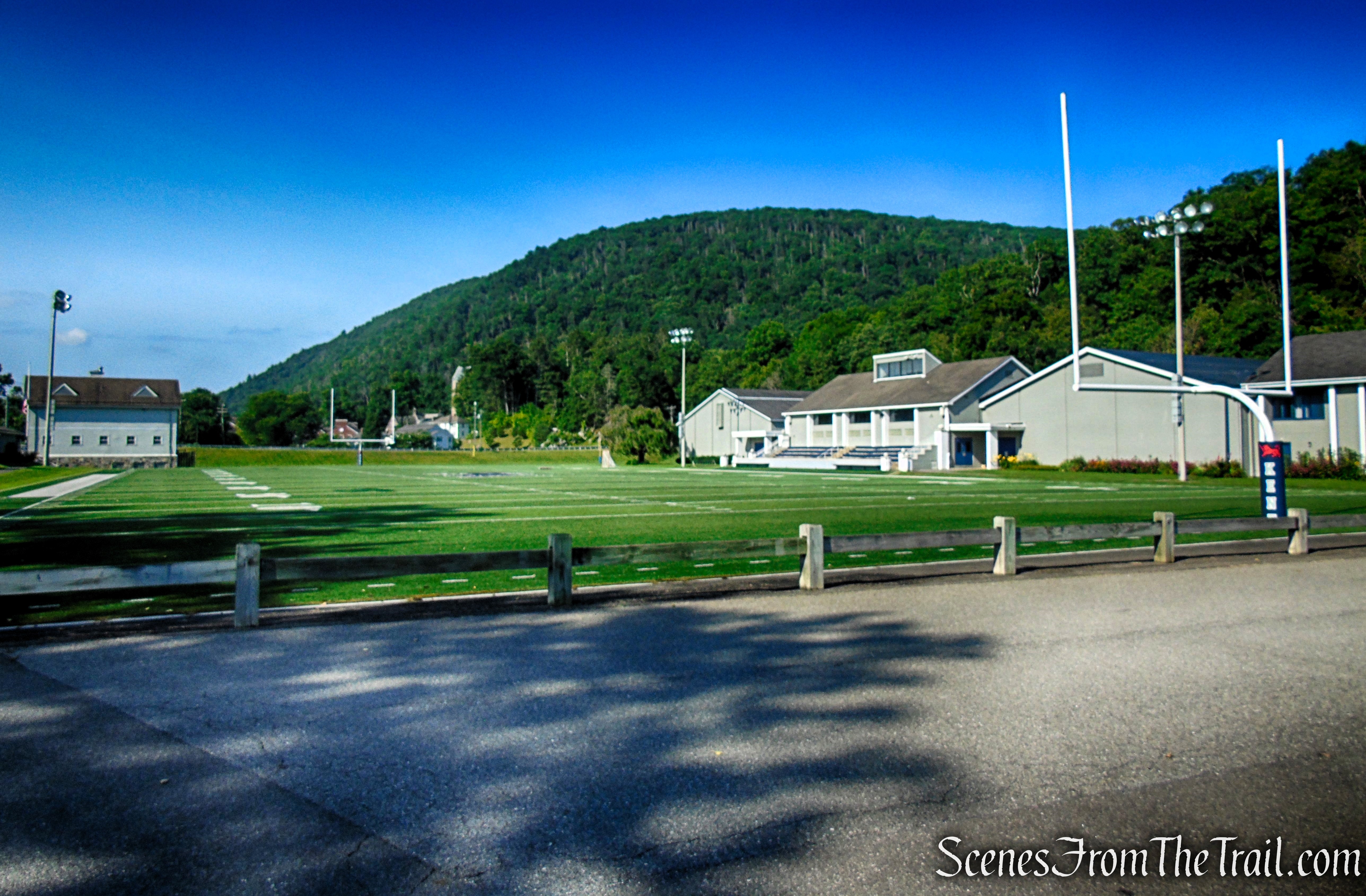
Kent School Athletic Fields

Kent School Athletic Fields
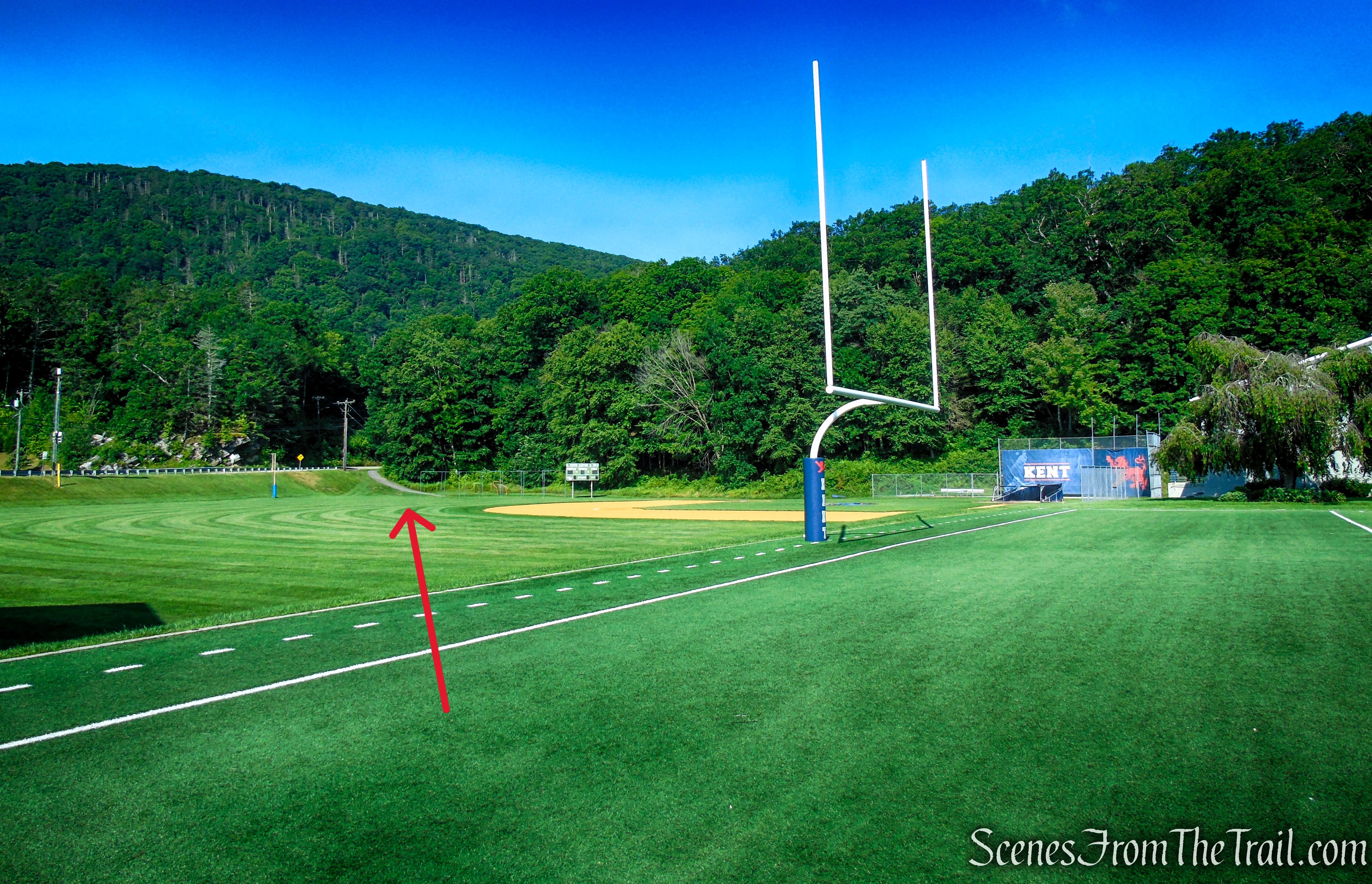
Kent School Athletic Fields

Kent School Athletic Fields

Kent School Athletic Fields

Route 341 – Macedonia Road
On the day of our hike, a temporary sign marked the entrance to the trail. Without it, I likely would have walked right past the trailhead, as the entrance was partially overgrown and easy to miss. If the sign is no longer there and you can’t locate the trail, simply continue along the Route 341 sidewalk for another 500 feet or so. The Appalachian Trail enters the woods from the opposite direction at a much more obvious location, allowing you to pick up the trail from there.
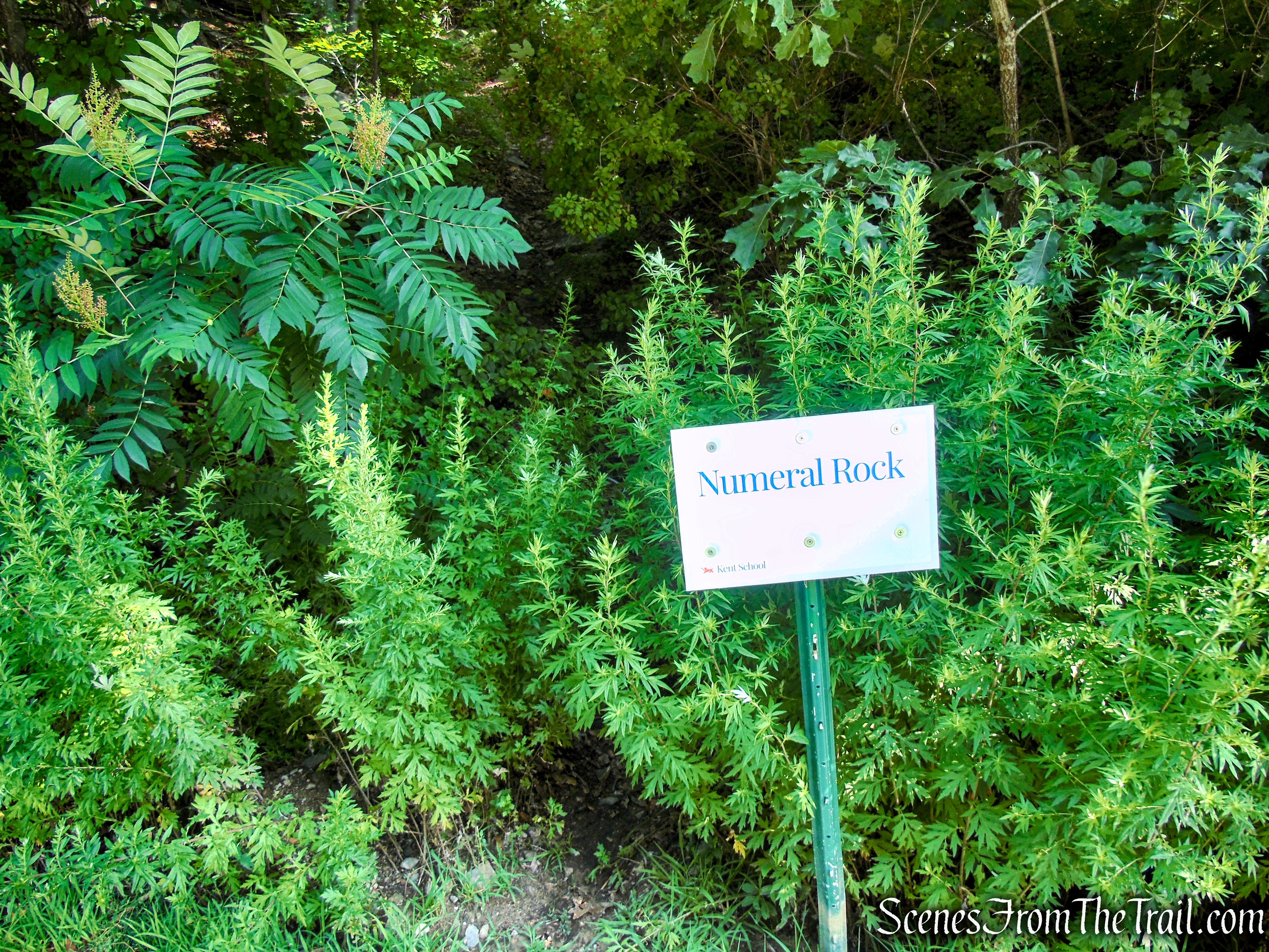
Numeral Rock Trailhead
Once past the overgrown trail entrance, the path quickly becomes well-defined and easy to follow. At first, you’ll see only blue blazes, but after about 225 feet, just beyond a large boulder on the left side of the trail, the white-blazed Appalachian Trail enters from the left and merges with the blue-blazed Numeral Rock Trail. From this point on, both sets of blazes mark the route to Numeral Rock and The Gunn Cross.

Numeral Rock Trail

Numeral Rock Trail

Numeral Rock Trail
Numeral Rock Trail – Appalachian Trail

Numeral Rock Trail
The Numeral Rock Trail begins climbing almost immediately, gaining elevation along a rocky, well-defined footpath. In several places, the route crosses broad rock slabs and threads between scattered boulders, adding to the trail’s rugged character. The ascent is shaded by a mature forest for its entire length, providing relief from the sun as it climbs toward Numeral Rock.

Numeral Rock Trail

Numeral Rock Trail

Numeral Rock Trail
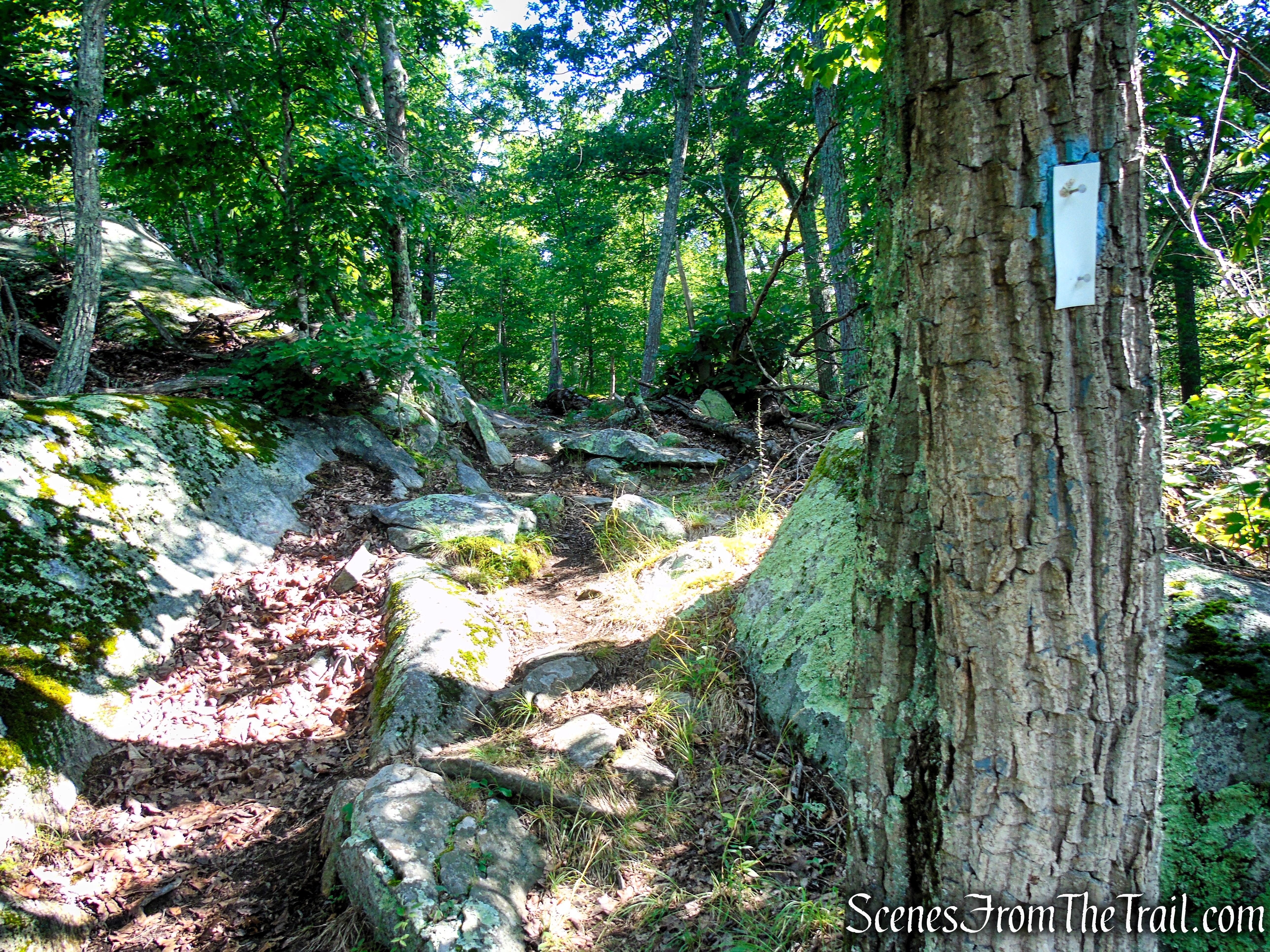
Numeral Rock Trail
The Numeral Rock Trail weaves its way past a variety of interesting rock formations, with rugged ledges, massive boulders, and exposed bedrock lining much of the route, adding scenic interest to the steady climb.

Numeral Rock Trail

Numeral Rock Trail
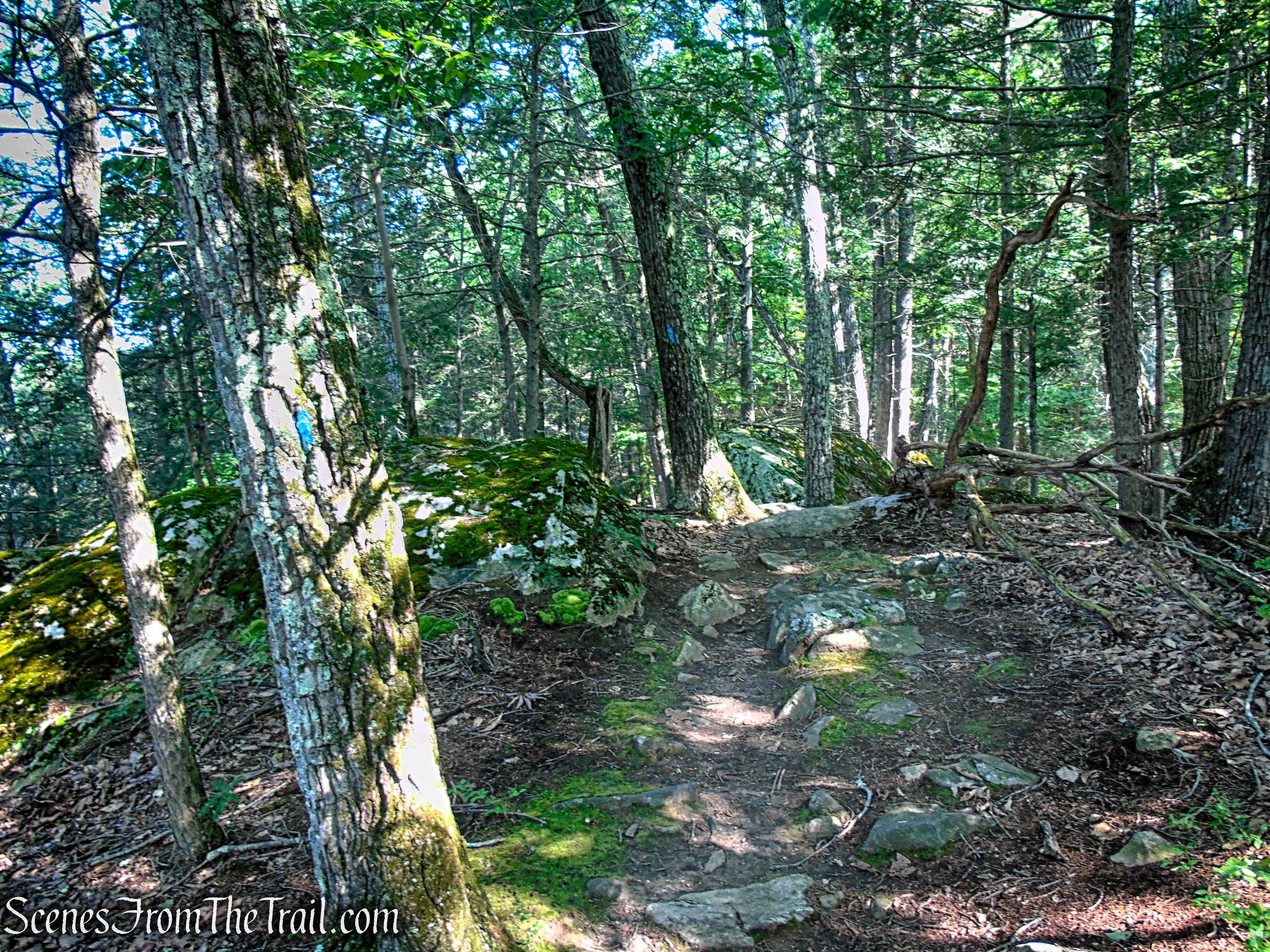
Numeral Rock Trail
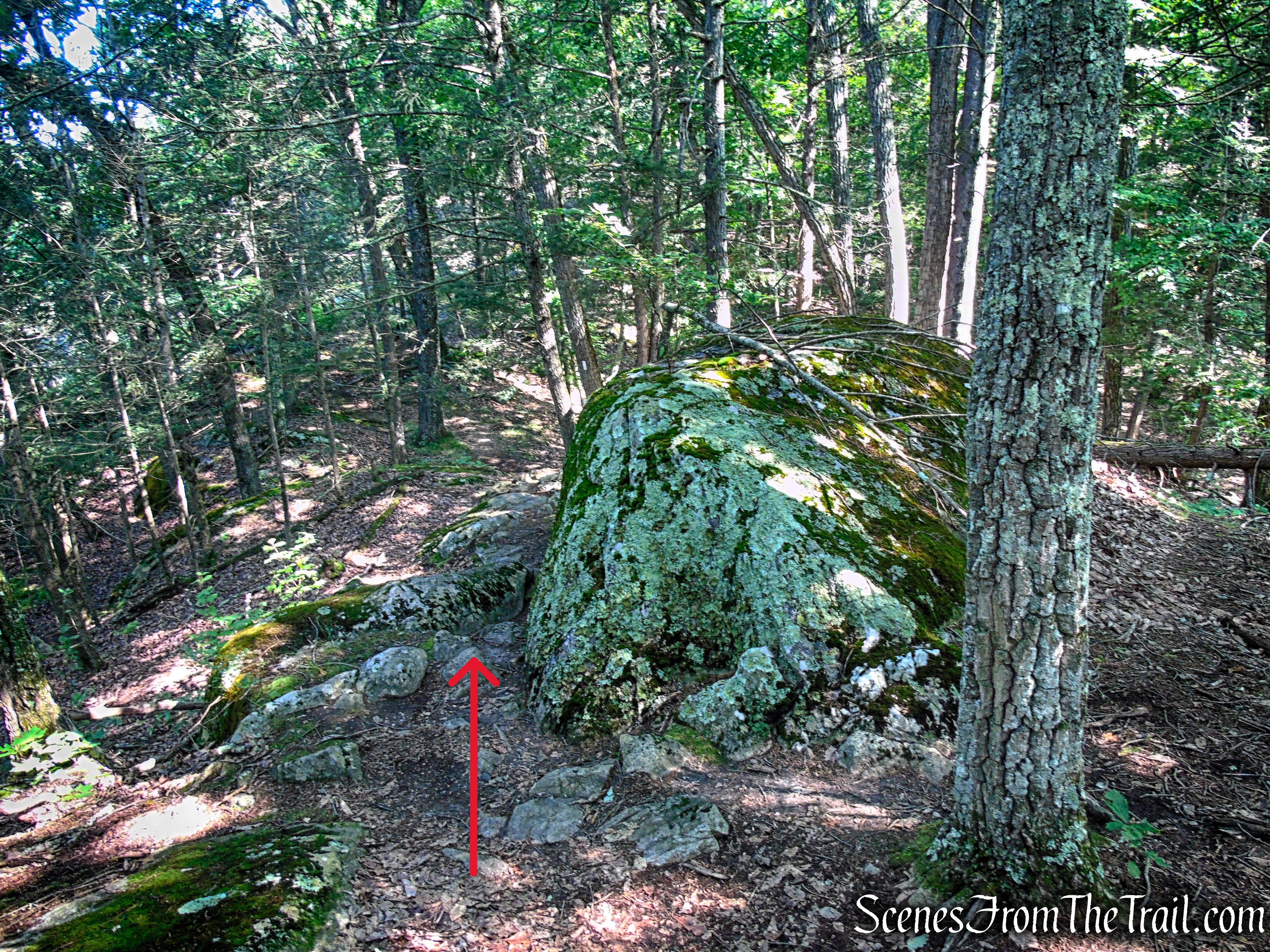
Numeral Rock Trail
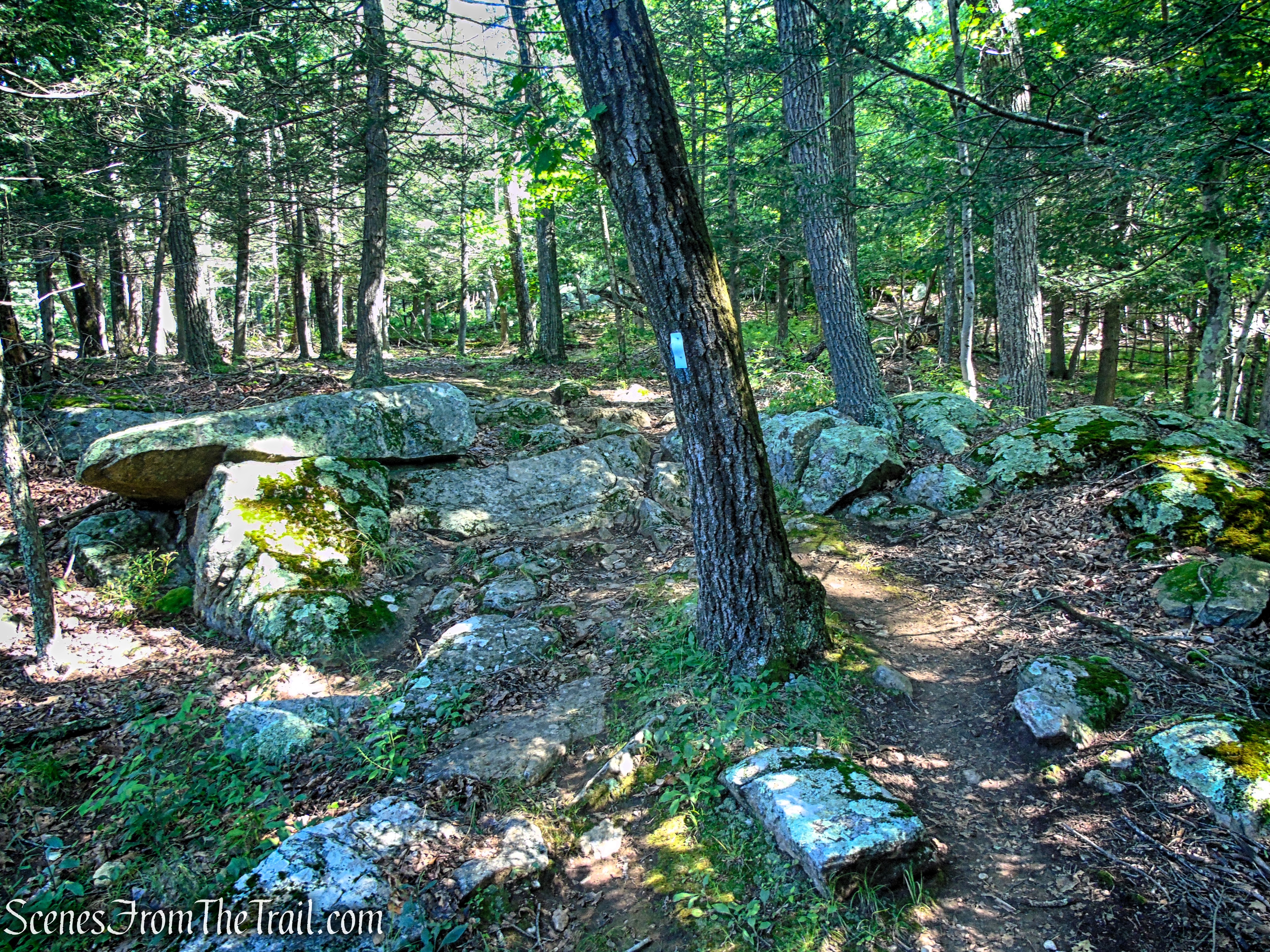
Numeral Rock Trail

Numeral Rock Trail

Numeral Rock Trail
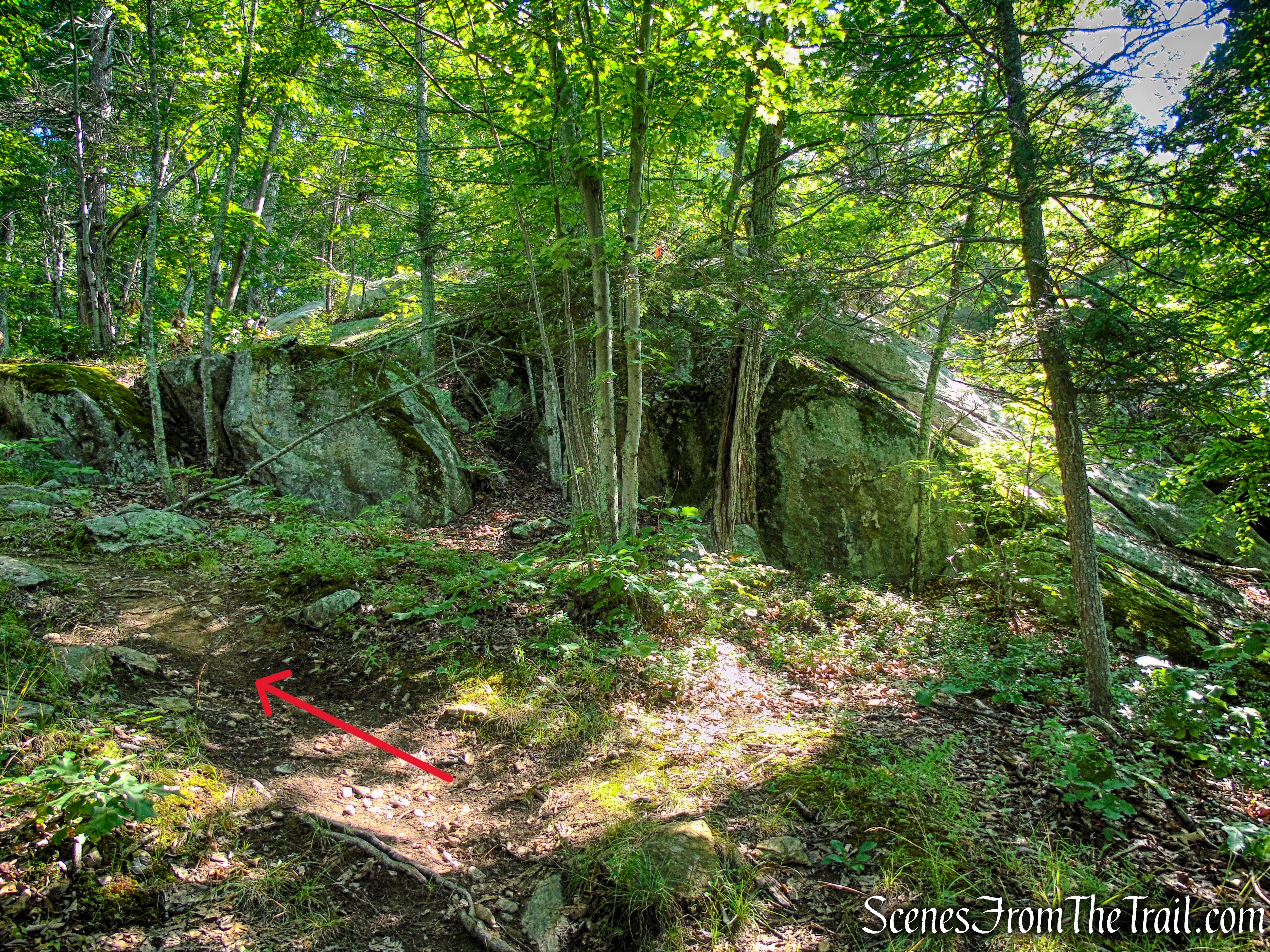
Numeral Rock Trail

Numeral Rock Trail
About 0.6 mile from the parking lot, the Appalachian Trail makes a sharp left turn at the base of a large rock formation. This is Numeral Rock. If you’re in the right place, you’ll likely notice paint on the exposed rock face. Look up through the trees and you may catch your first glimpse of The Gunn Cross, standing atop the rocky cliff above.
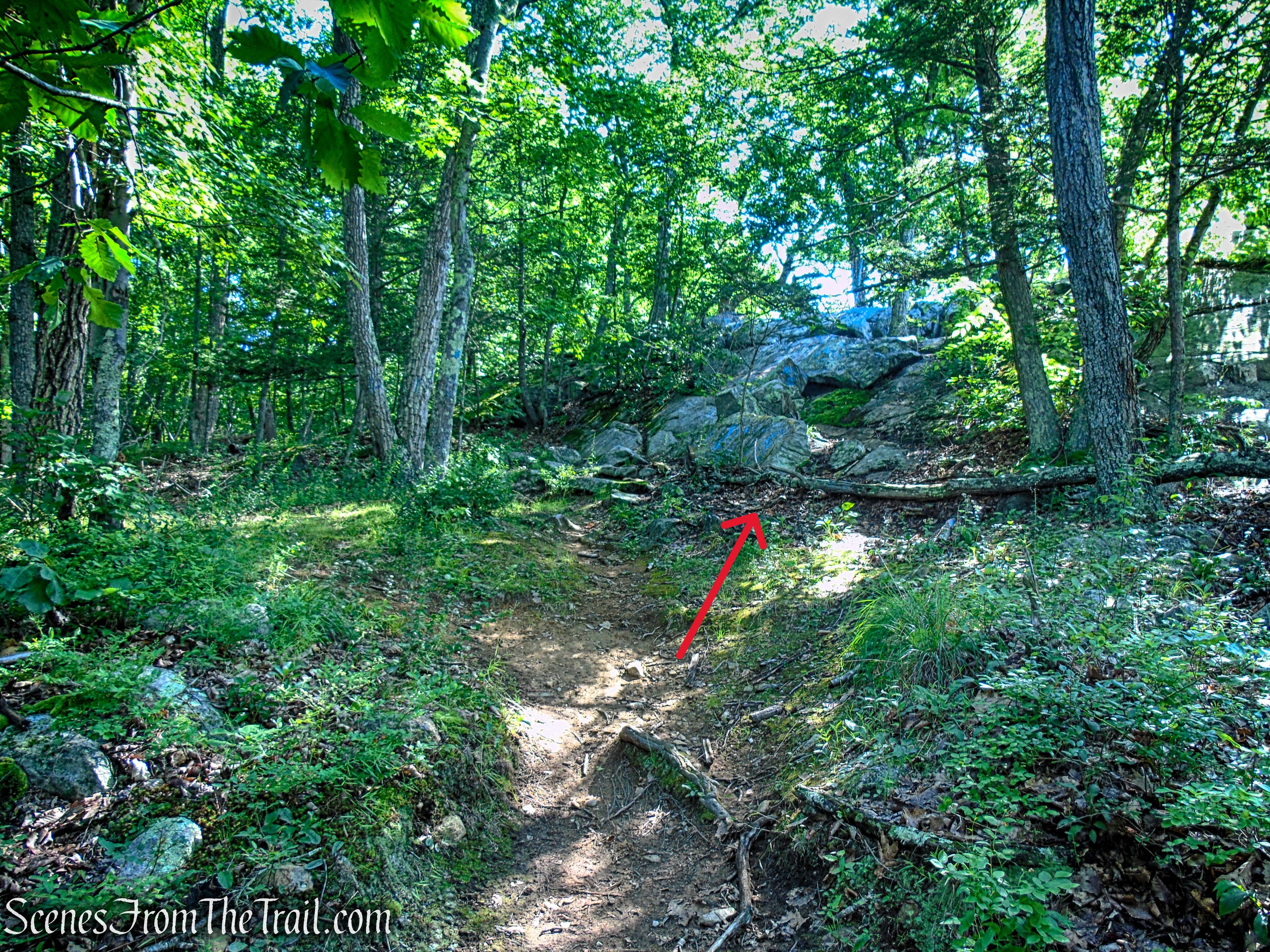
Numeral Rock

The Gunn Cross atop Numeral Rock
From the base of Numeral Rock, carefully make your way up to The Gunn Cross and the overlook. The climb is steep and requires a bit of scrambling over exposed rock, so use caution, especially if the surface is wet. Your effort is rewarded with sweeping views of the Housatonic River Valley and the surrounding hills. A few shade trees near the summit provide a comfortable place to sit, catch your breath, and enjoy the scenery—even on a warm summer day.
The Gunn Cross atop Numeral Rock
From Numeral Rock, the panoramic view stretches to the southwest across the Housatonic River Valley. Mount Algo rises prominently on the right, while farmlands and rolling hills spread out below. On clear days, the view extends well beyond the Connecticut border into neighboring New York.

Numeral Rock view
Numeral Rock view

Numeral Rock view
From the top of Numeral Rock, you can peer over the edge (carefully) to see the large painted “27” below, marking the Kent School Class of 2027. The colorful numerals are visible from U.S. Route 7 on the opposite side of the Housatonic River. It is possible to scramble down to the base of the painted cliff for a better look, but the route is steep, uneven, and somewhat exposed. If you choose to do so, use caution and be sure of your footing.

Numeral Rock
Originally, we set out to visit both The Gunn Cross on Numeral Rock and Glacier Rock, a large glacial erratic located a short distance farther north along the Appalachian Trail. After exploring beyond Numeral Rock for a while, we unfortunately were unable to locate it.
If you decide to search for Glacier Rock yourself and have better luck, I’d love to see it! Send me a photo along with its location, as I was a bit disappointed that we couldn’t find this elusive landmark during our hike.
When you’re ready to return to the parking lot, simply retrace your steps along the Numeral Rock Trail. The route follows the same rocky path back down from Numeral Rock, descending through the shaded forest and returning you to the Kent School Athletic Fields where the hike began.

Numeral Rock Trail
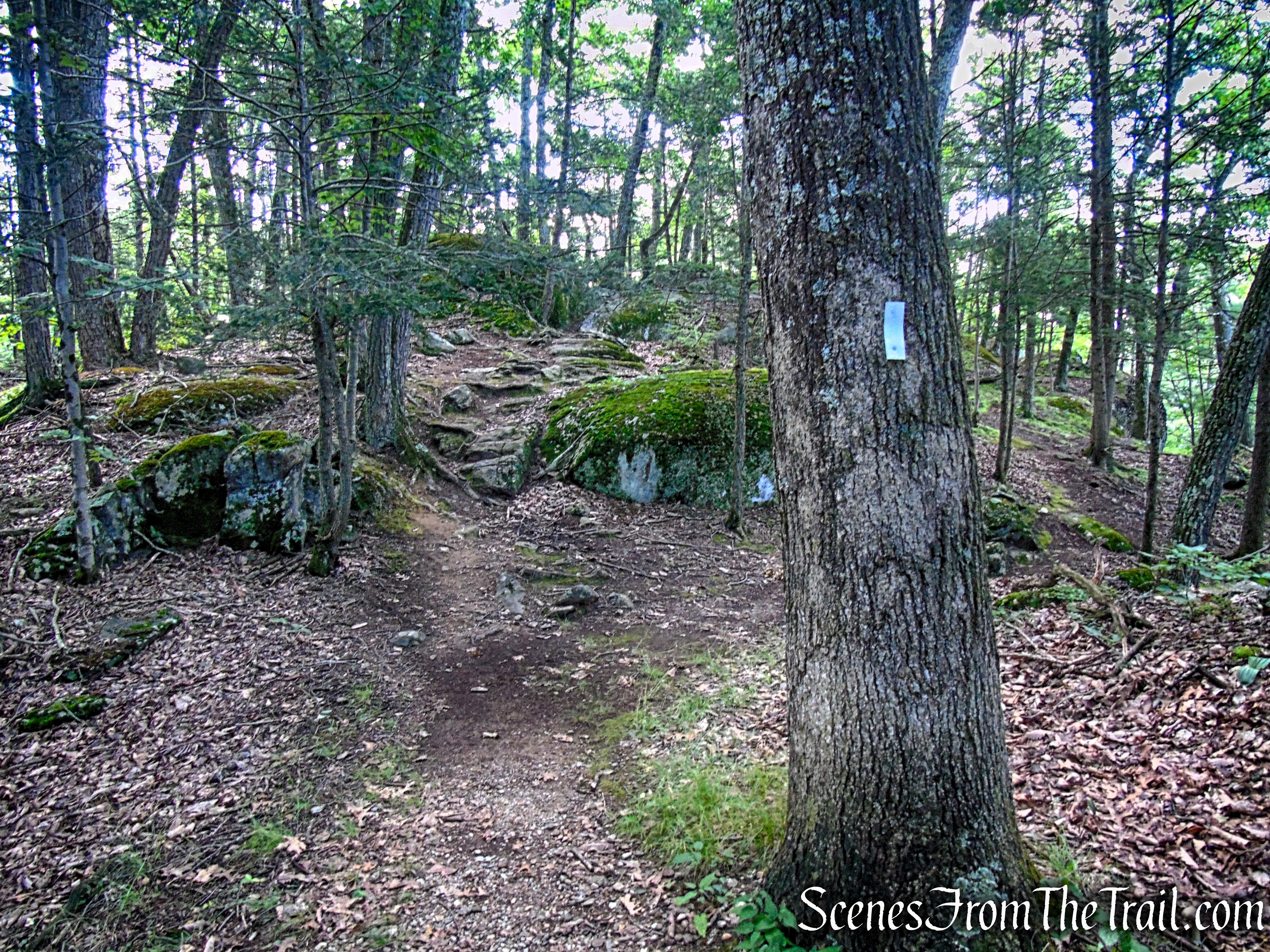
Numeral Rock Trail
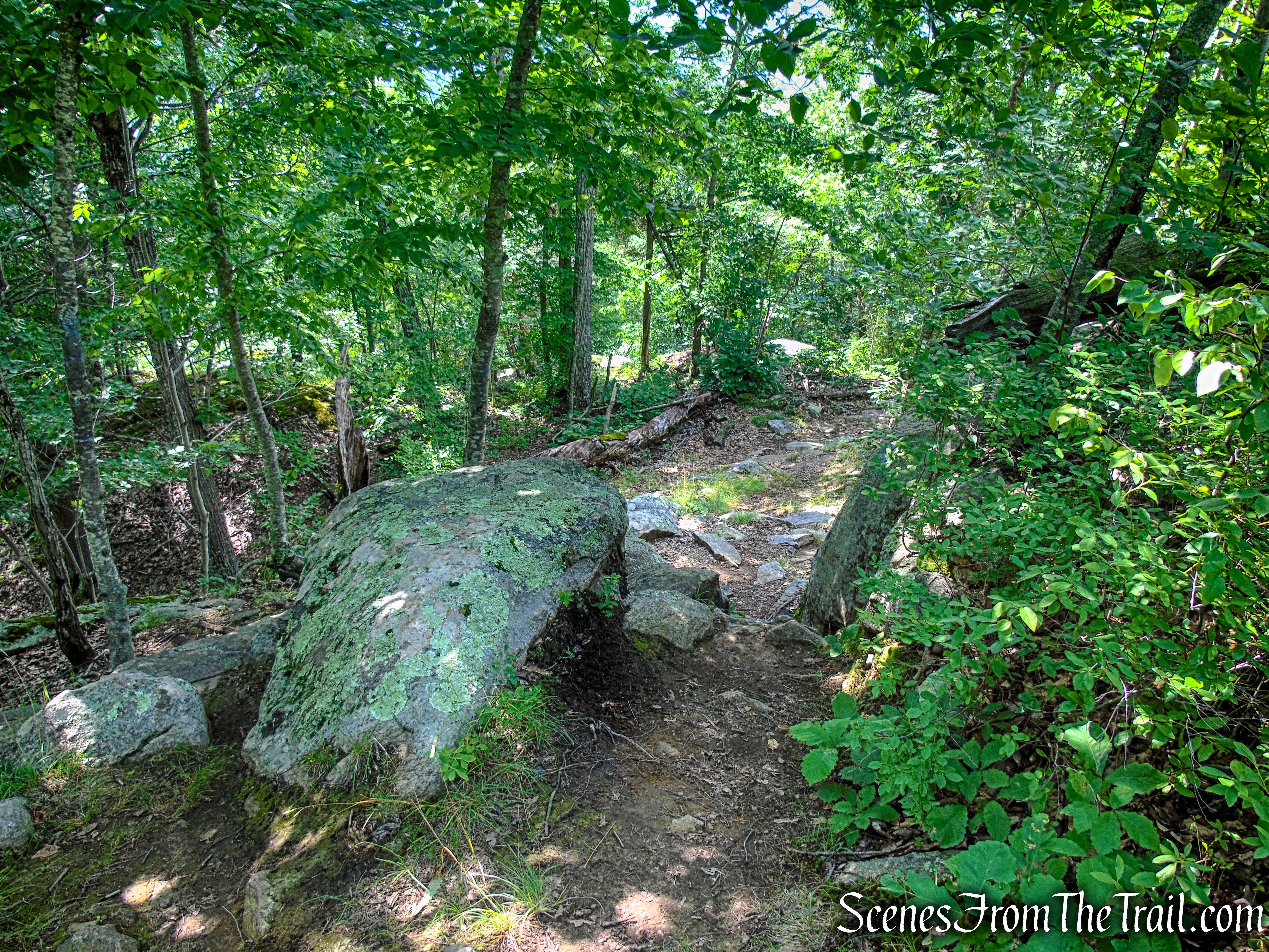
Numeral Rock Trail

Numeral Rock Trail
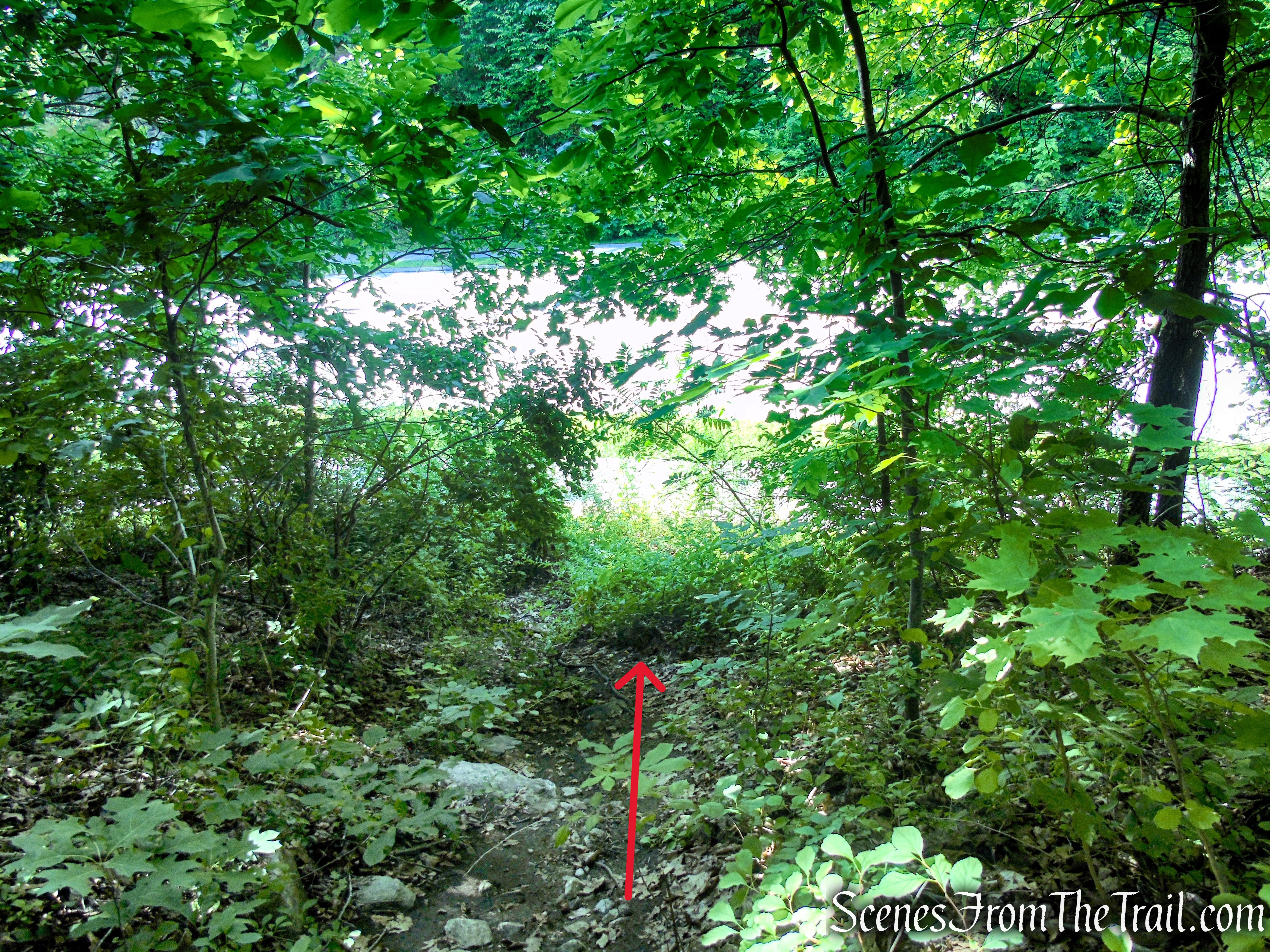
Numeral Rock Trail

Route 341 – Macedonia Road

Kent School Baseball Field

Kent School Football Field
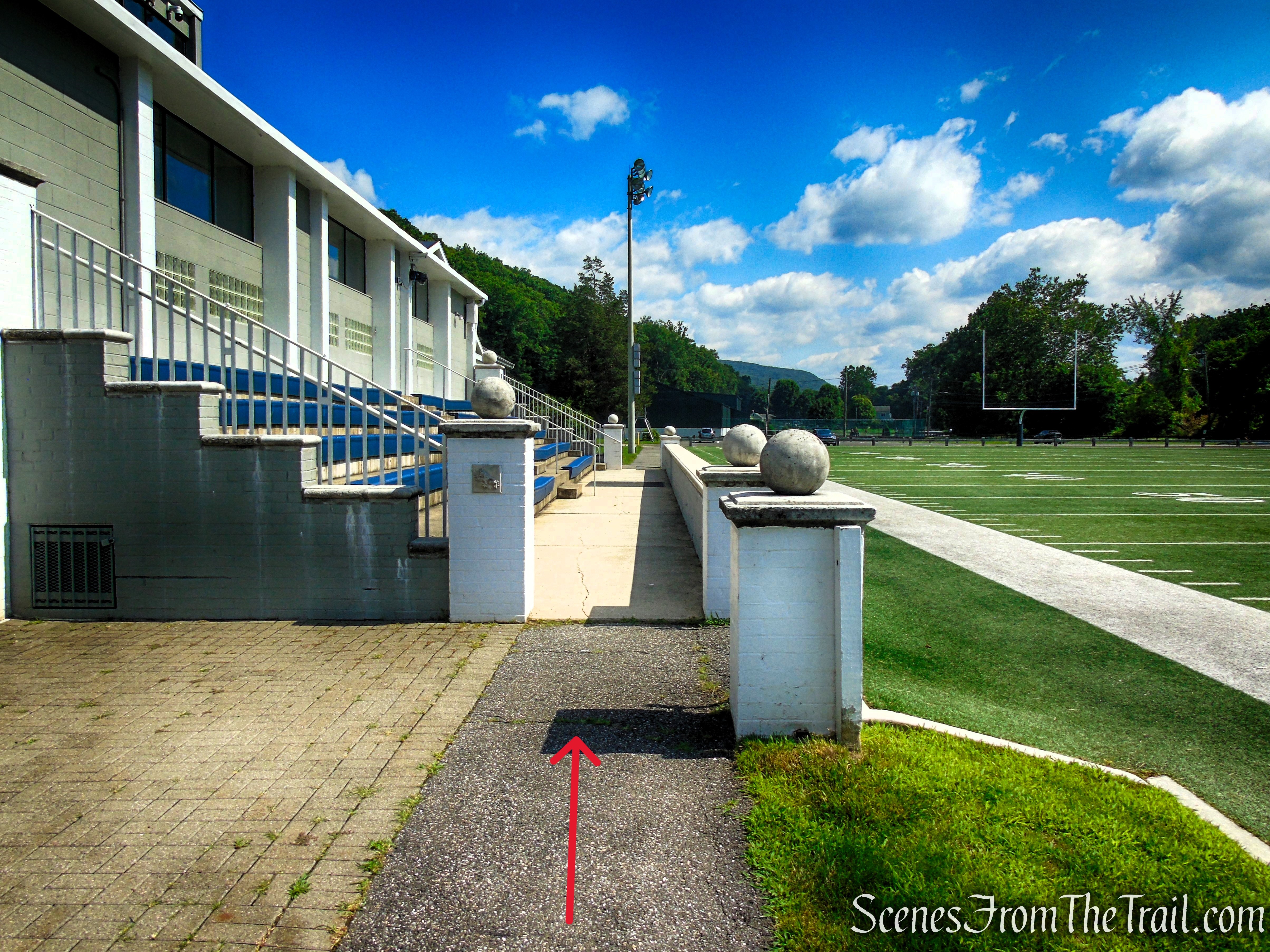
Kent School Football Field

Kent School Athletic Fields parking lot
Review:
This short but rewarding hike is a perfect example of a destination that delivers far more than its mileage suggests. The steady climb to Numeral Rock and The Gunn Cross offers a nice dose of rugged Appalachian Trail terrain, with rocky footing, a scenic overlook, and a fascinating piece of Kent history waiting at the top. While the hike is brief, the panoramic view of the Housatonic River Valley and the unique story behind the cross make this a memorable outing well worth the effort.
Pros:
Short hike with a big payoff, spectacular view of the Housatonic River Valley from Numeral Rock, historic and unique destination featuring The Gunn Cross, well-marked trail that is easy to follow, shaded route, making it enjoyable even on warmer days, easily extendable by continuing along the Appalachian Trail for a longer hike.
Cons:
No official trail map available for this specific route, short hike may feel too brief for some hikers, limited parking options depending on Kent School activities, trail entrance can be easy to miss when overgrown, no views until reaching Numeral Rock, additional searching required if attempting to locate Glacier Rock.
Take a hike!

The Gunn Cross at Numeral Rock
Sources:

