June 26, 2026– Cragsmoor, NY
Difficulty: Easy – Moderate
Length: Approximately 4.3 miles
Max elevation: 2,251 ft.– total elevation gain approximately 603 ft.
Route type: Circuit
Buy Map: Shawangunk Trails #104
Free Map: Sam’s Point Trail Map 2025
Fee: $10.00 per vehicle – Empire Pass Accepted
Trailhead parking: 400 Sam’s Point Road – Cragsmoor, NY 12420
Please Note: The vehicle use fee is $10 per car. Sam’s Point has a small parking facility, with room for 64 cars and 2 buses.
Reservations are required weekends and holidays ONLY, from May 1st through October 31st for the Sam’s Point Area of Minnewaska State Park Preserve.
Overview:
Perched atop the dramatic Shawangunk Ridge in Ulster County, New York, the Sam’s Point Area of Minnewaska State Park Preserve is one of the Hudson Valley’s most extraordinary hiking destinations. It is jointly managed by the New York State Office of Parks, Recreation and Historic Preservation (NYS Parks) and the Palisades Interstate Park Commission (PIPC). This unique landscape is home to sweeping cliff-top vistas, rare pitch pine barrens, fascinating ice caves, and some of the most distinctive geological features in the Northeast.

Minnewaska State Park Preserve – Sam’s Point Area
The preserve offers an extensive network of carriage roads and hiking trails that lead to spectacular overlooks, unique natural landmarks, and fragile ecosystems found nowhere else in New York. Whether exploring the cool depths of the Ice Caves, wandering through the dwarf pine barrens, or taking in the breathtaking views from Sam’s Point itself, visitors are rewarded with a landscape unlike any other in the state.
- Lenape Steps ~ The Lenape Steps at Sam’s Point Preserve are one of the Shawangunk Ridge’s most iconic historic features. Tucked into a narrow rock cleft beneath the cliffs, the stone staircase provides a dramatic ascent from the preserve’s carriage road to the panoramic overlook at Sam’s Point.
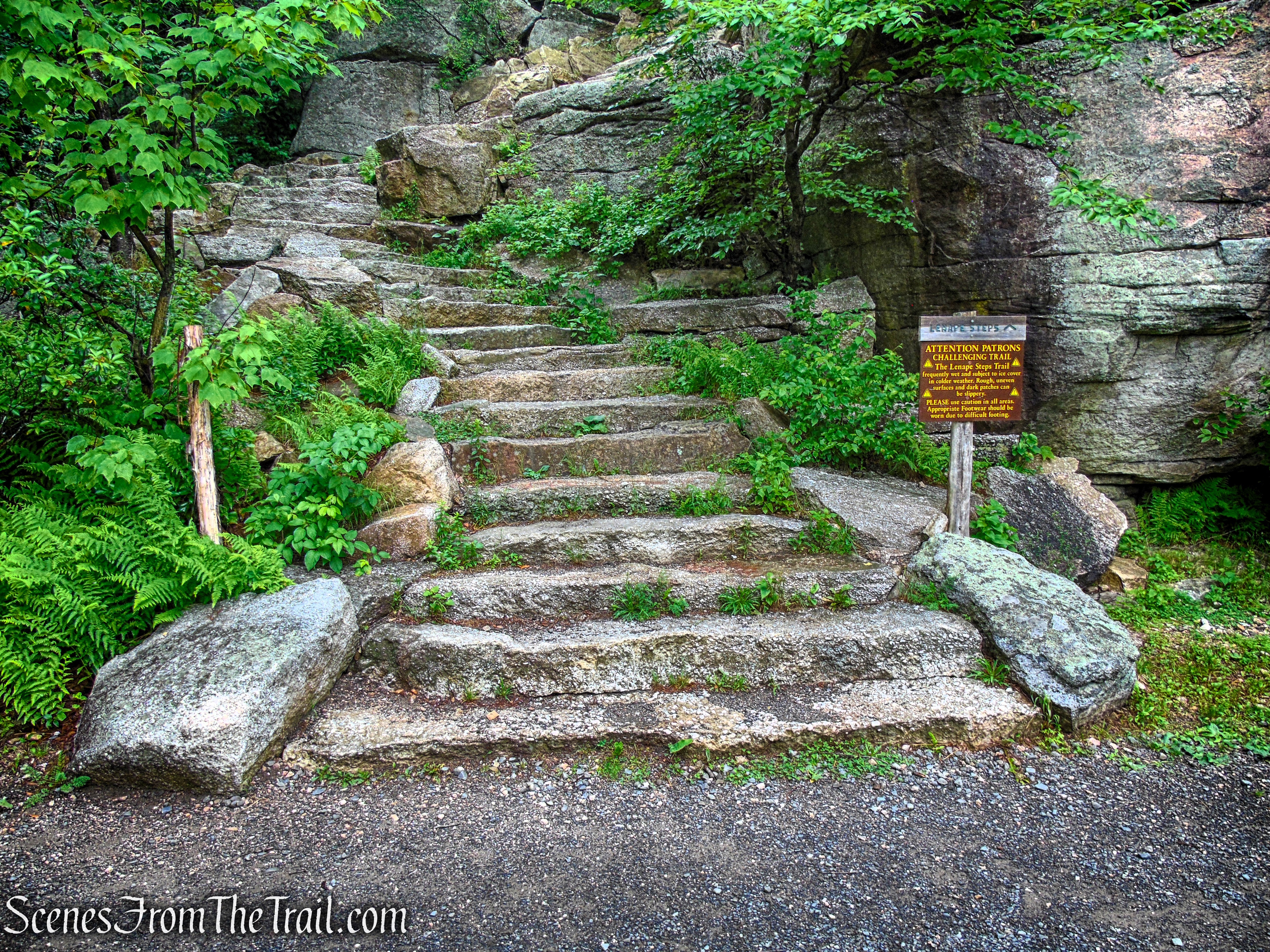
Lenape Steps – Sam’s Point Area
- Sam’s Point Overlook ~
From the cliffs of Sam’s Point Overlook, the views stretch for miles across the Rondout Valley to the Catskill Mountains beyond. On a clear day, the panorama is nothing short of breathtaking, making this one of the most iconic viewpoints in the Shawangunks and a well-earned reward for the short climb up the historic Lenape Steps.
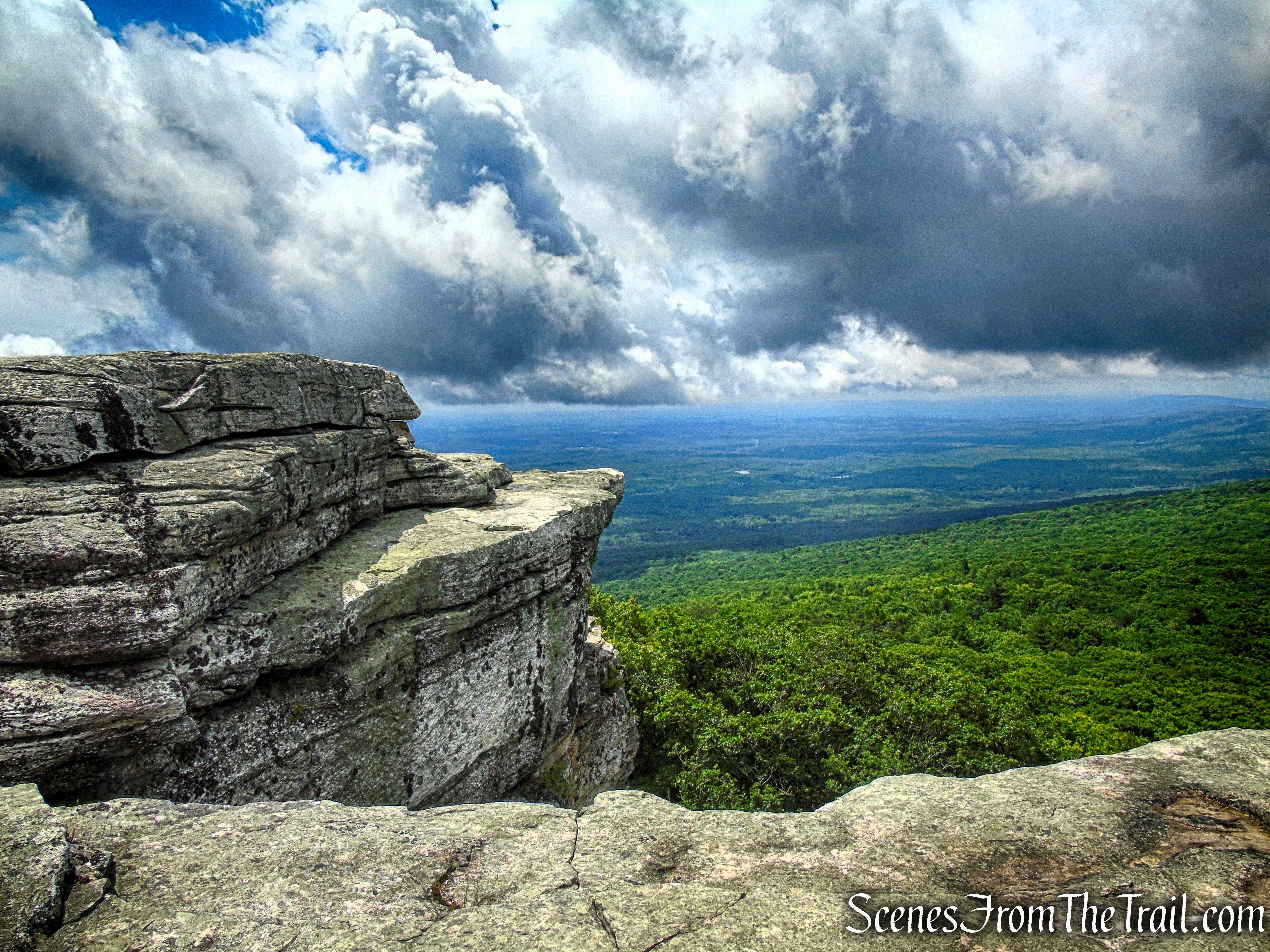
Sam’s Point Overlook
- Ice Caves ~ The Ice Caves at Sam’s Point are one of the preserve’s most popular and unusual attractions. Formed by massive blocks of Shawangunk conglomerate that tumbled from the cliffs thousands of years ago, the deep crevices between the boulders trap cold air, allowing ice to persist well into the summer months. A series of stairways and narrow passageways leads hikers through this cool, shaded labyrinth, where temperatures can be 20 to 30 degrees cooler than the surface above. The Ice Caves are typically open seasonally, usually from late spring through early fall, when conditions are safe for visitors.

Ice Caves Loop Trail – Sam’s Point Preserve
History:
The land that now comprises the Sam’s Point Area of Minnewaska State Park Preserve has a long and varied history. During the late 19th century, Sam’s Point Mountain House and later the nearby Ice Caves attraction drew visitors to the summit for its spectacular scenery, cool mountain climate, and unique geological features. Much of the surrounding property was later acquired by the Village of Ellenville to protect its watershed, while other portions remained privately owned and operated as a tourist destination.
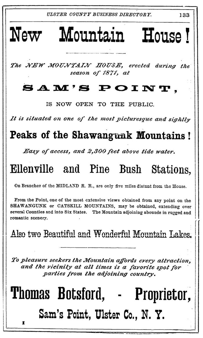
Sam’s Point Mountain House
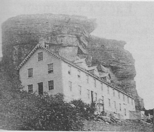
Sam’s Point Mountain House
In the 1980’s, proposals to develop the ridge with hundreds of wind turbines galvanized local conservationists, ultimately leading to the protection of the landscape. In 1996, the Open Space Institute acquired the property with assistance from The Nature Conservancy, which began managing it as Sam’s Point Preserve. Management was transferred to the New York State Office of Parks, Recreation and Historic Preservation and the Palisades Interstate Park Commission in 2015. Today, the preserve protects one of the largest remaining dwarf pitch pine barrens in the world and is recognized as one of New York’s most ecologically significant landscapes.
Lenape Steps ~ The original staircase was constructed in the late 1850’s by Thomas Botsford, who built the nearby Sam’s Point Mountain House to attract visitors to the ridge’s spectacular views. Although the hotel was destroyed by fire just a few years later, the stone steps remained, becoming a beloved landmark for generations of hikers and sightseers. Over more than 150 years, repeated freeze-thaw cycles and erosion gradually left the staircase unstable and unsafe.
Following a painstaking three-year restoration, the Lenape Steps officially reopened in March 2022. Skilled volunteers from the Jolly Rovers Trail Crew recreated the historic staircase using traditional stonework techniques, shaping and placing 89 massive stone steps by hand. More than 7,000 volunteer hours went into the project, with stone sourced from the immediate area to preserve the staircase’s historic appearance and blend seamlessly with the surrounding Shawangunk conglomerate cliffs.
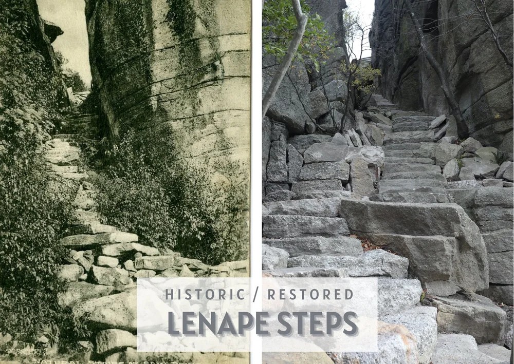
Lenape Steps – Before & After
Today, the restored Lenape Steps once again offer visitors a memorable climb through the narrow rock passage to one of the finest overlooks in the Hudson Valley. From the top, expansive views stretch across the Rondout Valley, the Catskill Mountains, and the unique dwarf pine barrens that make Sam’s Point Preserve one of New York’s most distinctive natural landscapes.
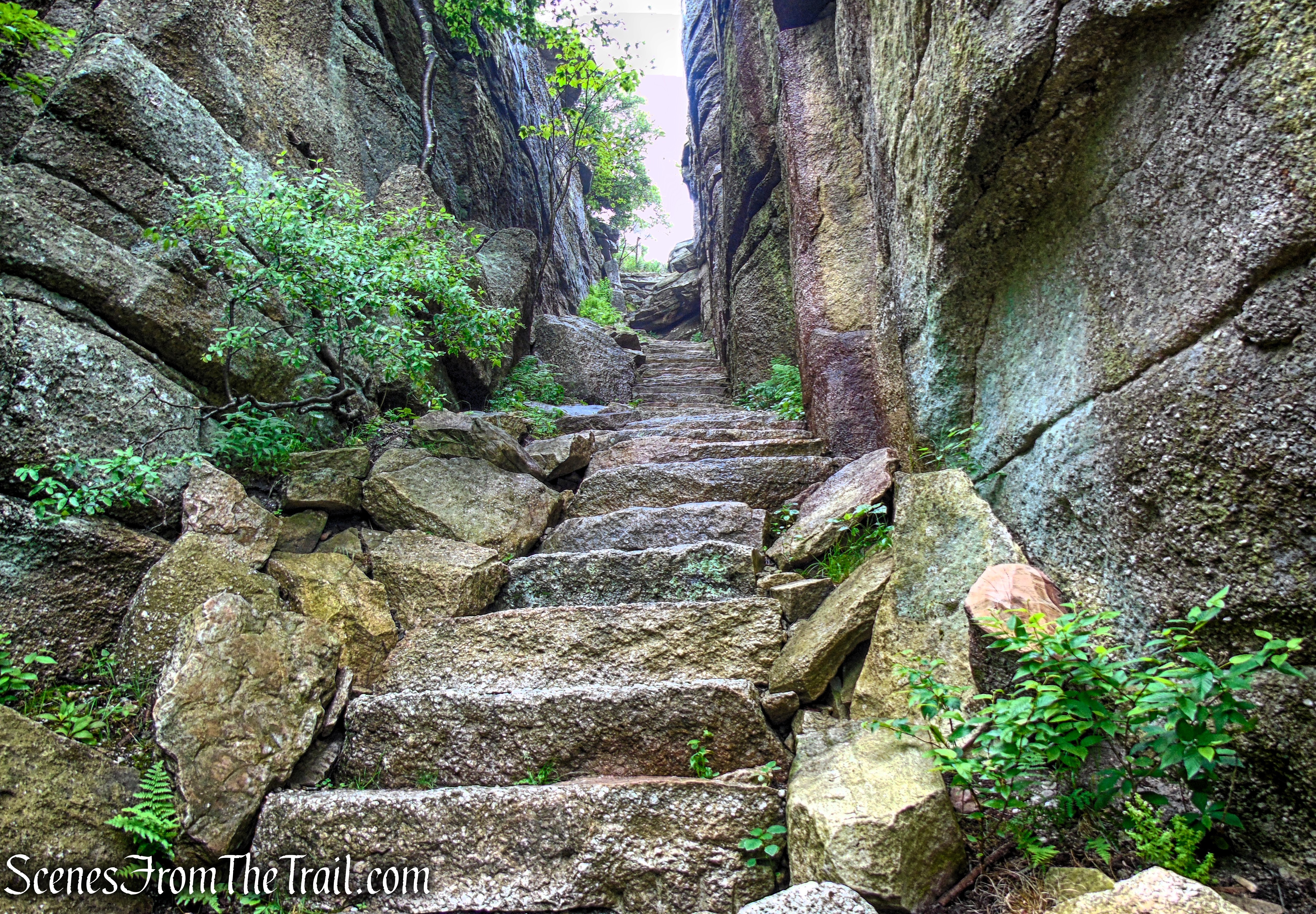
Lenape Steps – Sam’s Point Area
Ice Caves ~ In the late 19th and early 20th centuries, the area around Sam’s Point was often promoted as “Ice Caves Mountain,” reflecting the growing popularity of the caves as a tourist attraction. Advertisements, postcards, guidebooks, and railroad promotions highlighted the remarkable natural refrigeration of the caves, where visitors could find snow and ice long after it had disappeared elsewhere. The name helped distinguish the area from other destinations in the Shawangunks and drew tourists arriving by rail to Ellenville before making the trip to the mountaintop hotels. Although the name gradually fell out of common use, it remains a fascinating reminder of an era when the Ice Caves were among the Hudson Valley’s most celebrated natural attractions.
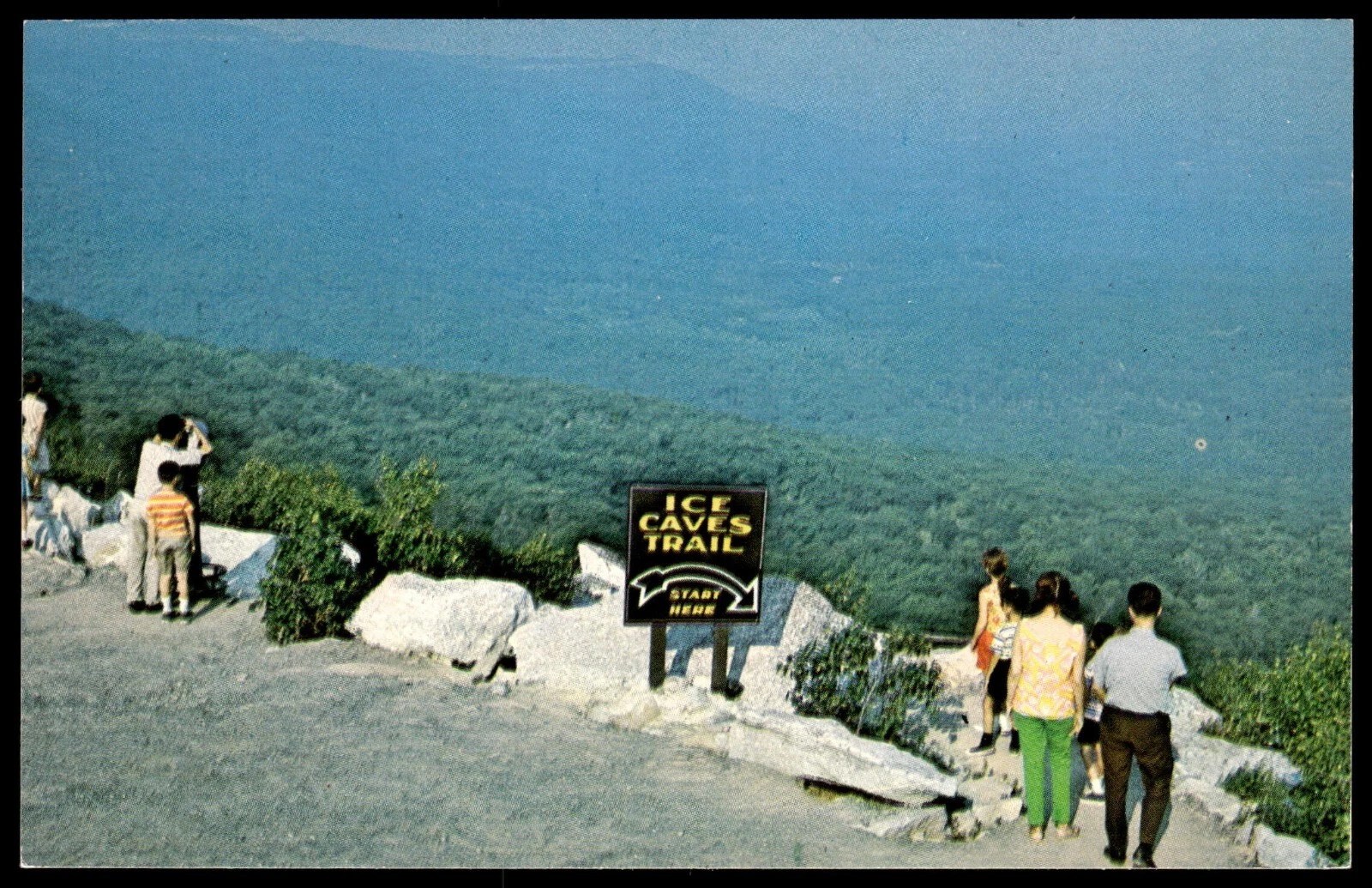
Ice Caves Mountain – Sam’s Point
A glimpse into the Ice Caves Mountain era, when Sam’s Point was promoted as a roadside tourist attraction. Like many popular destinations of the mid-20th century, visitors could pose with a carnival-style face-in-hole photo board, creating a fun souvenir from their visit to the famous ice caves. These playful attractions captured the spirit of the time, when families came to explore the frozen caverns, take in the mountain views, and experience one of the Shawangunks’ most unusual natural wonders.

Ice Caves Mountain – Sam’s Point
Although the Ice Caves were formed naturally thousands of years ago by the collapse of massive Shawangunk conglomerate cliffs, they have fascinated visitors for well over a century. To improve access, stone steps, wooden stairways, and walkways were constructed through the narrow rock passages, allowing visitors to safely explore the cool, ice-filled crevices. Today, the Ice Caves remain one of the most popular destinations in the Sam’s Point Area, offering hikers a rare opportunity to experience a naturally refrigerated landscape that has captivated generations of visitors.
Trails Overview:
- Carriage Roads ~
The carriage roads at Sam’s Point were originally constructed in the late 19th century to provide horse-drawn access to the Sam’s Point Mountain House and the area’s scenic attractions. Today, these wide, gently graded gravel roads serve as the preserve’s primary routes, offering an easy way to explore the mountaintop landscape. They wind through rare dwarf pitch pine barrens, open meadows, and forests while providing access to destinations such as Sam’s Point, the Ice Caves, VerKeerderkill Falls, and numerous hiking trails.
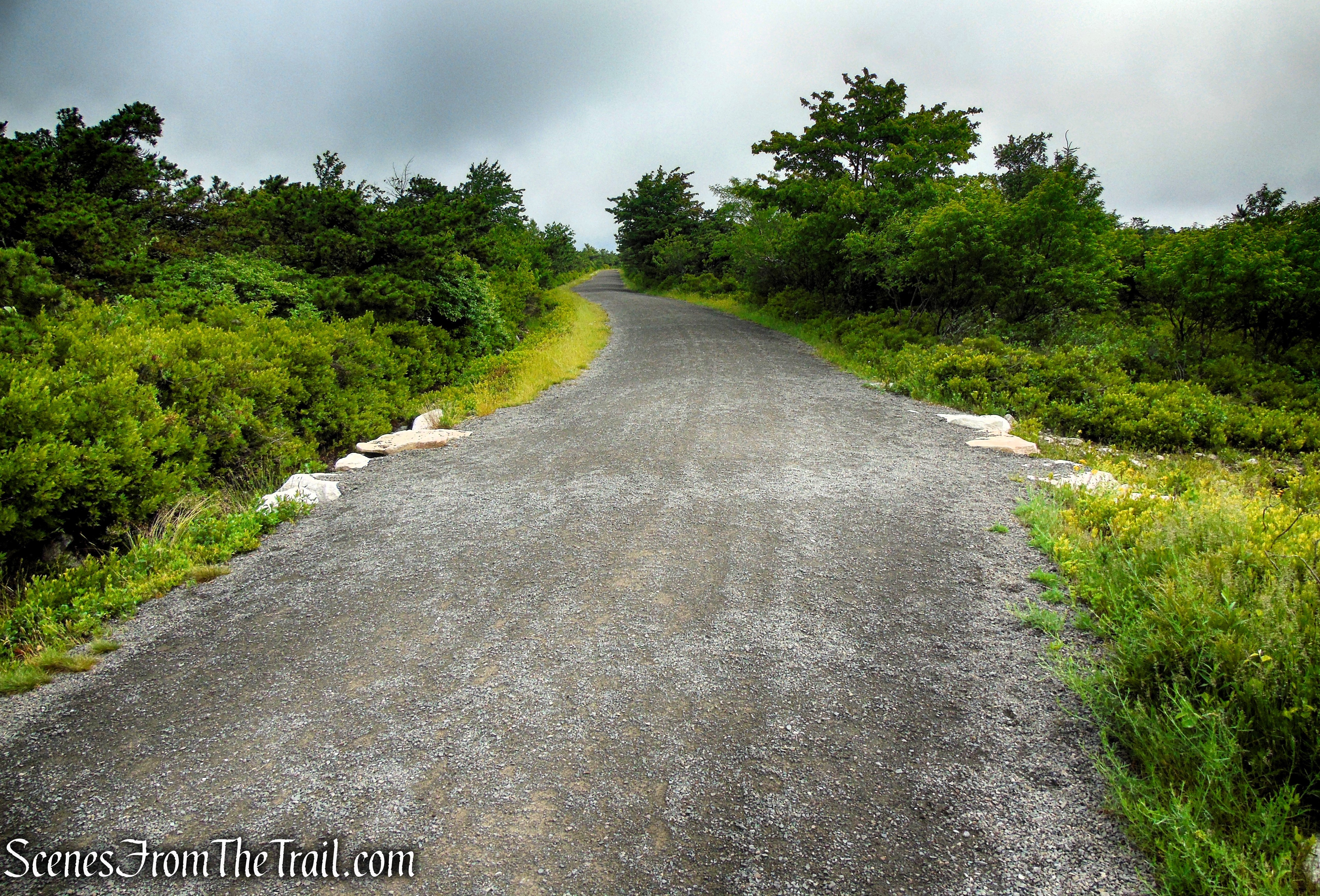
Loop Road – Sam’s Point Area
- Lenape Steps ~
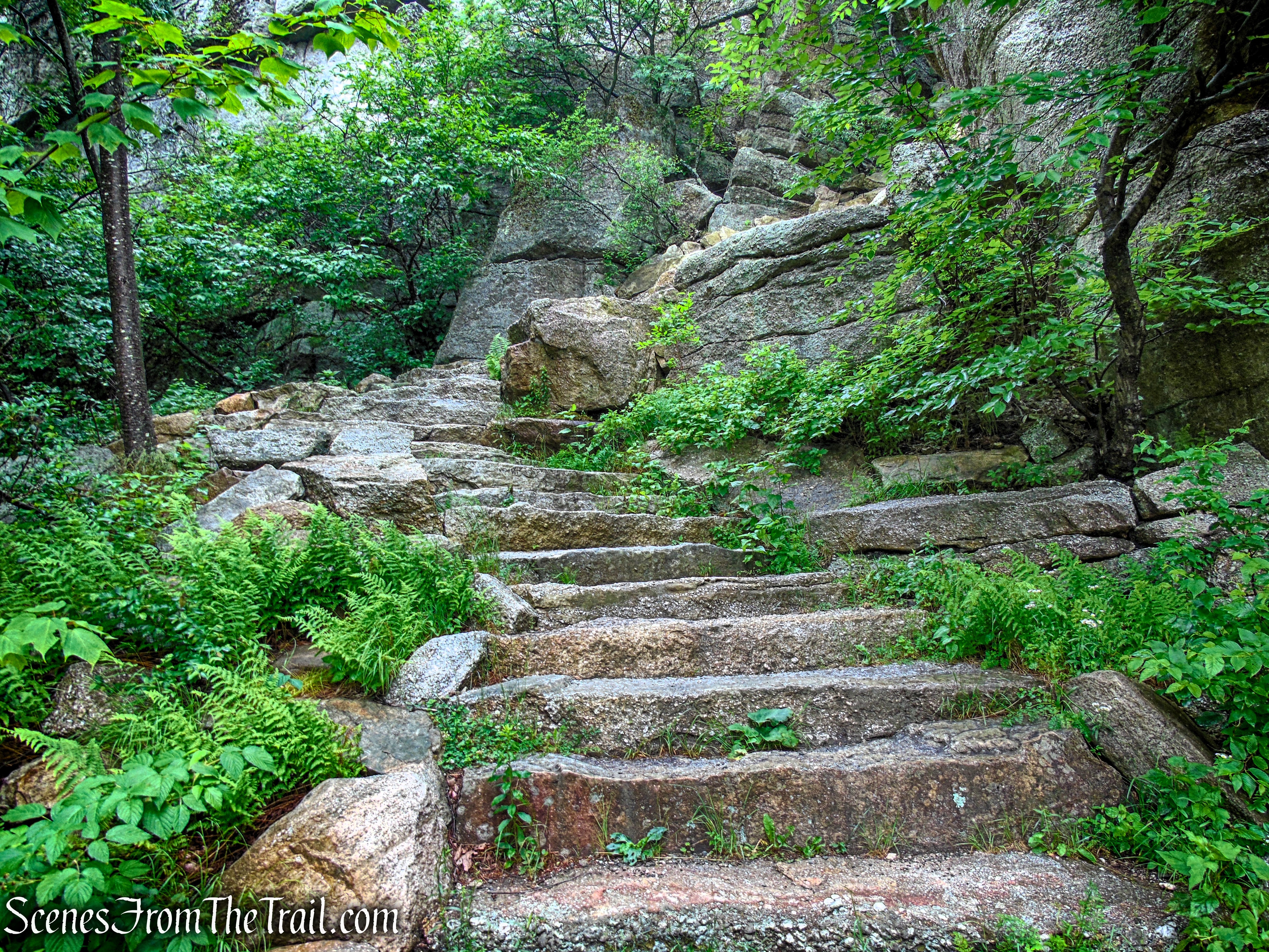
The Lenape Steps are a short but steep connector that climbs through a narrow rock cleft between Loop Road and the summit of Sam’s Point. The historic stone staircase was painstakingly restored and reopened in 2022 after years of deterioration. Although only a fraction of a mile long, the 89 stone steps offers one of the preserve’s most memorable climbs and serves as the gateway to the spectacular views from Sam’s Point.
Lenape Steps – Sam’s Point Area
- Ice Caves Trail ~
The Ice Caves Trail is one of the most unique hikes in New York, leading visitors through a maze of massive boulders and deep rock crevices created by ancient landslides along the Shawangunk Ridge. Wooden stairways, stone steps, and boardwalks descend into the cool passageways, where ice can often be found well into the summer months. The trail forms a one-way loop through the caves and is typically open seasonally, offering hikers an unforgettable journey into one of the preserve’s most remarkable natural features.

Ice Caves Trail – Sam’s Point Preserve
Parking and amenities:
The Sam’s Point Visitor Center is located at 400 Sam’s Point Road in Cragsmoor, NY, where a large paved parking area (64 vehicles) provides access to the preserve. Because Sam’s Point is one of the Hudson Valley’s most popular hiking destinations, parking often fills early on weekends, holidays, and during the fall foliage season.
Advance parking reservations are required on weekends and holidays from mid-April through mid-November, while weekday parking is available on a first-come, first-served basis.
The visitor center offers restrooms, drinking water, exhibits, maps, and information about trail conditions and the preserve’s unique natural history. Seasonal refreshments and a gift shop are also available, making it a convenient place to prepare before heading out on the trails. Picnic tables are located nearby, but there are no overnight camping facilities within the Sam’s Point Area.
Hike Overview:
My last visit to Sam’s Point was in 2019, back when the Lenape Steps were still under construction and closed to the public. It was finally time to return to this spectacular area.
To beat the weekend crowds, we opted for a weekday trip and were welcomed by a warm, but foggy morning on the Shawangunk Ridge. The sun did shine bright later on. Keep in mind that the carriage roads and Sam’s Point itself offer virtually no tree cover, leaving you completely exposed to the sun. The Ice Caves, however, are a different story altogether. They are so cool and damp that the sudden temperature shift fogged up my glasses and camera lens the moment we stepped back outside.
If you want to beat the heat, I highly recommend visiting early in the morning, or planning your trip during the spring or autumn months.
Sam’s Point opens at 9:00 a.m., and we arrived just minutes after the gate opened. Even then, the parking lot already held about a dozen vehicles. Unfortunately, the morning began with dense fog and overcast skies, obscuring the views. Fortunately, the weather gradually improved over the next few hours, and by the time we returned to the Sam’s Point overlook, the skies had cleared enough to reveal the spectacular panorama.
Although the Ice Caves Trail is about a 1/2 mile long, the rugged terrain and numerous stairs make it more strenuous than its distance suggests. There is no vertical scrambling involved, but you may have to climb over a few rocks and boulders, and duck under some low hanging ledges. The rest of the hike is relatively easy, but the Ice Caves are the highlight of the hike, and the main reason for visiting, so I would suggest that if you’re physically able to do it, give it a shot.
This hike covers approximately 4.3 miles and is primarily an out-and-back route, with the exception of the Ice Caves Trail, which is a one-way loop. While this route highlights many of Sam’s Point’s signature attractions, it can easily be extended by continuing along any of the preserve’s connecting trails and carriage roads, offering opportunities to explore additional scenic overlooks and natural features.
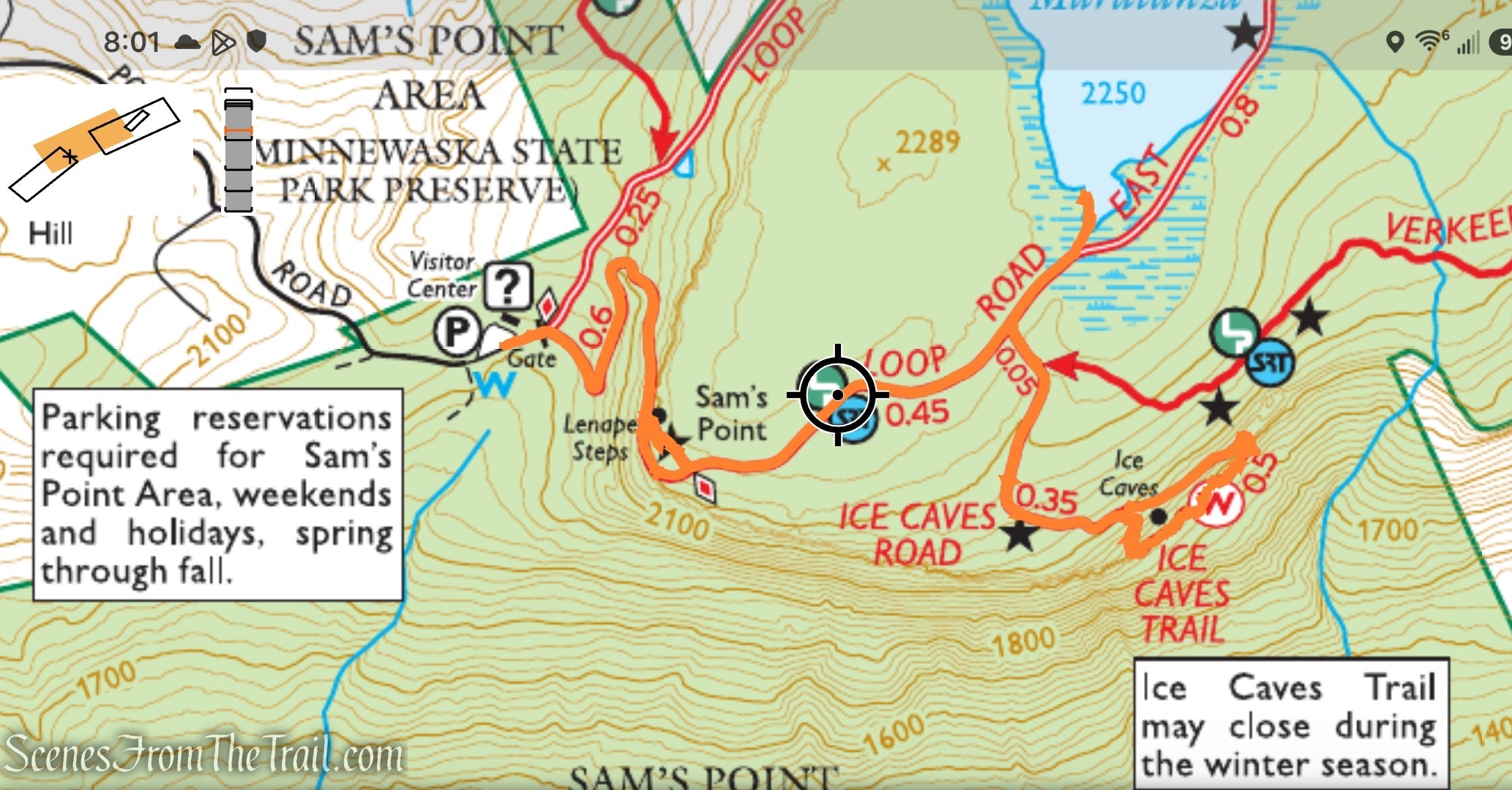
Lenape Steps & Ice Caves – Sam’s Point Area
This hike features approximately 603 feet of cumulative elevation gain. Most of the elevation loss occurs on the descent into the Ice Caves, which means you’ll need to regain that elevation on the return climb. While the grades are generally moderate, the numerous stairs and rocky terrain in and around the caves add to the hike’s overall challenge.
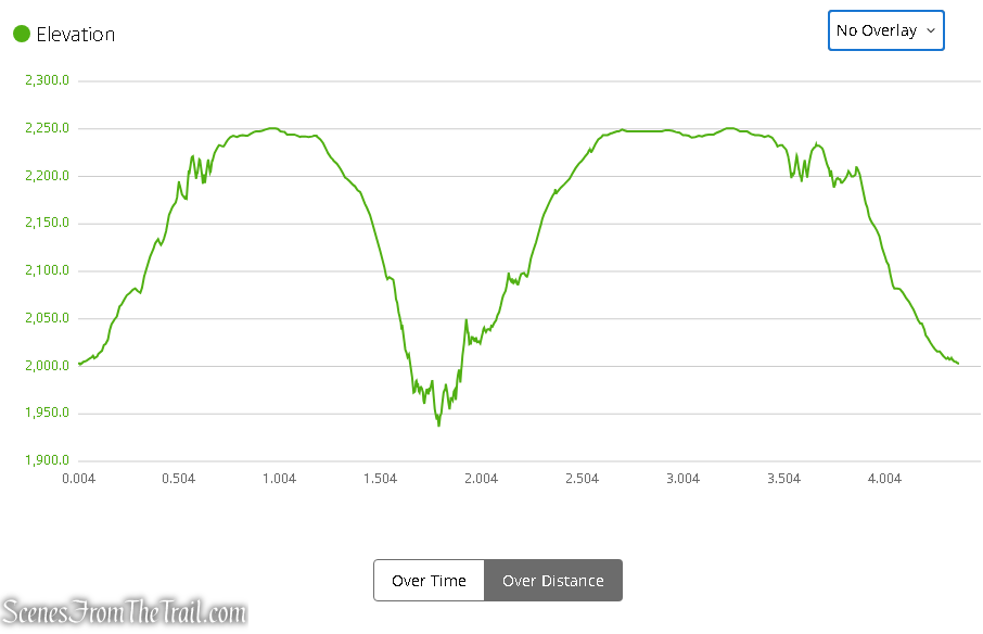
Elevation Profile – Lenape Steps & Ice Caves
The Hike:
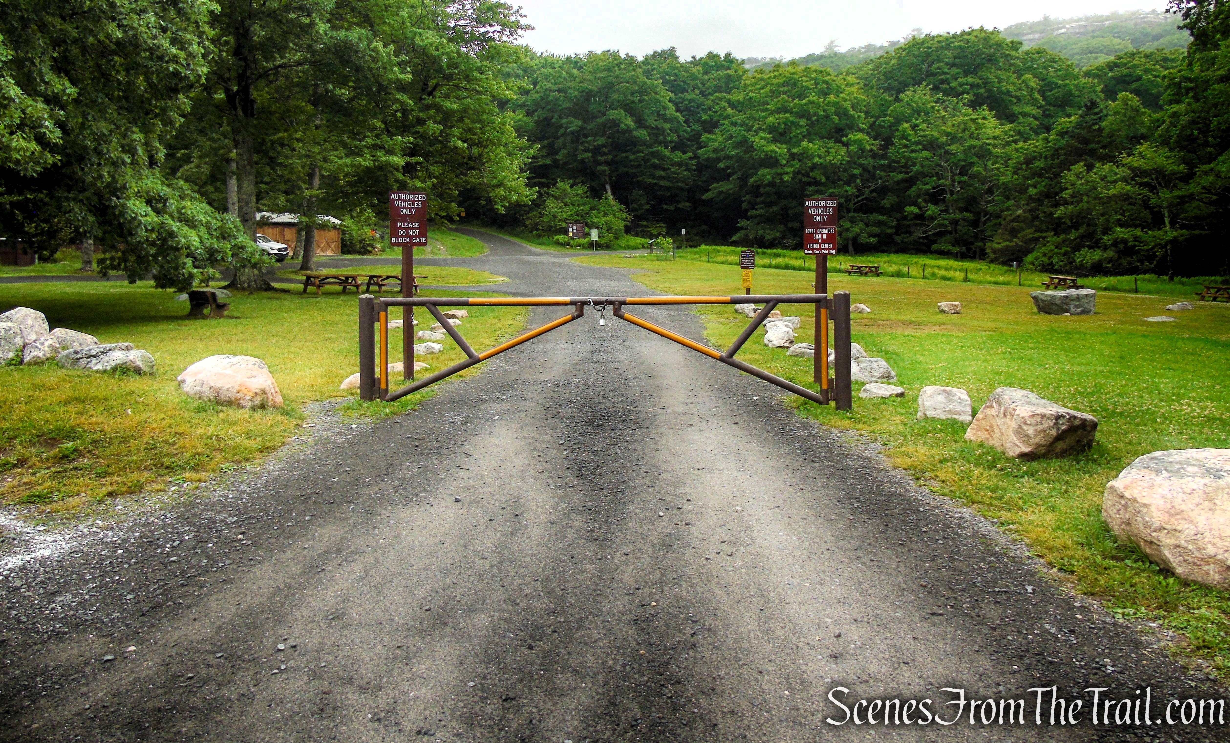
From the parking area, walk around the gate and take the right fork of the Loop Road. Loop Road connects all of the trails at Sam’s Point, and begins and ends near the Visitor Center. Follow the road uphill on switchbacks through a deciduous forest. In about half a mile, you’ll pass dramatic cliffs of Shawangunk Conglomerate on the left.
Loop Road – Sam’s Point Area
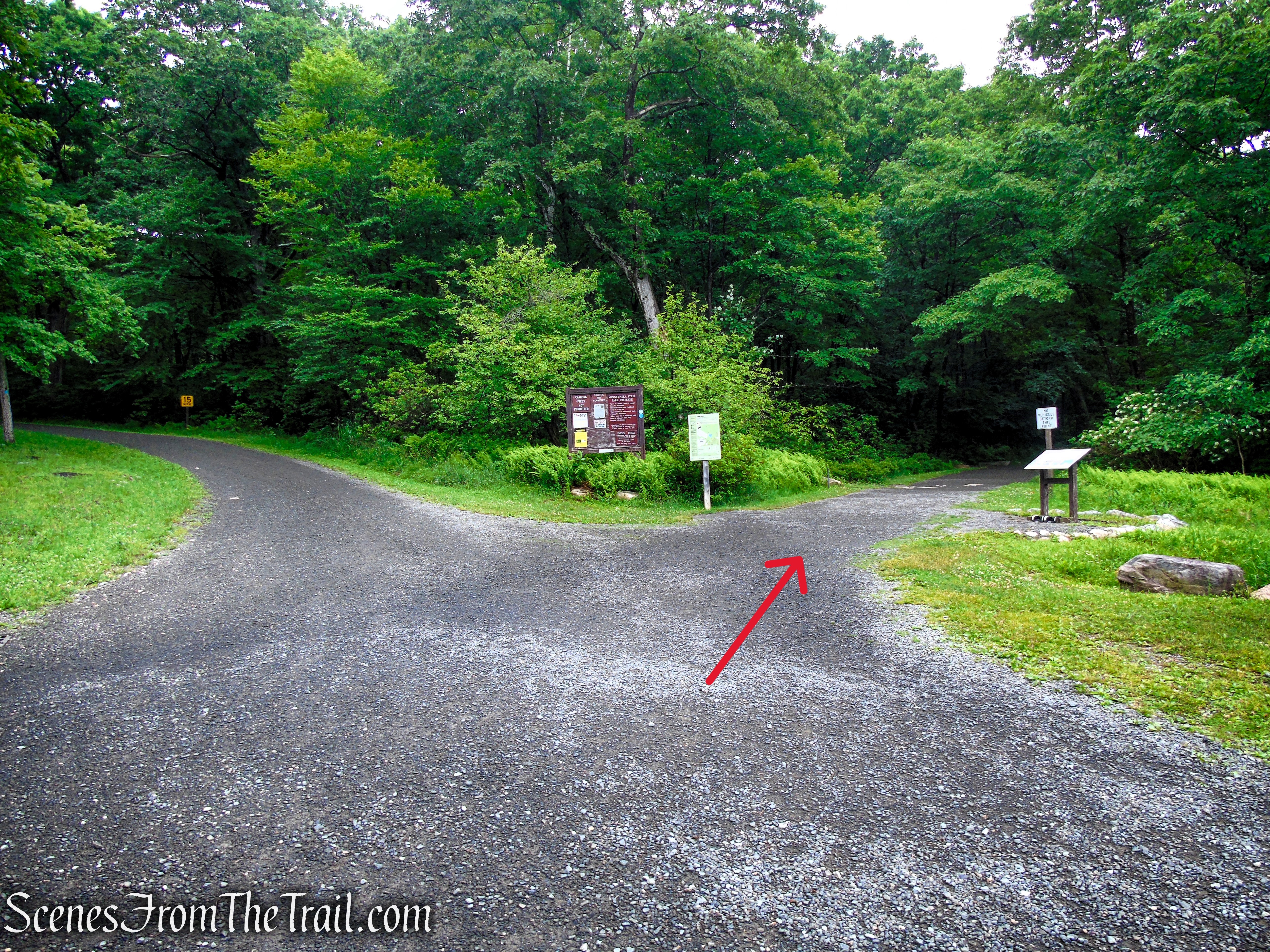
Turn right on Loop Road
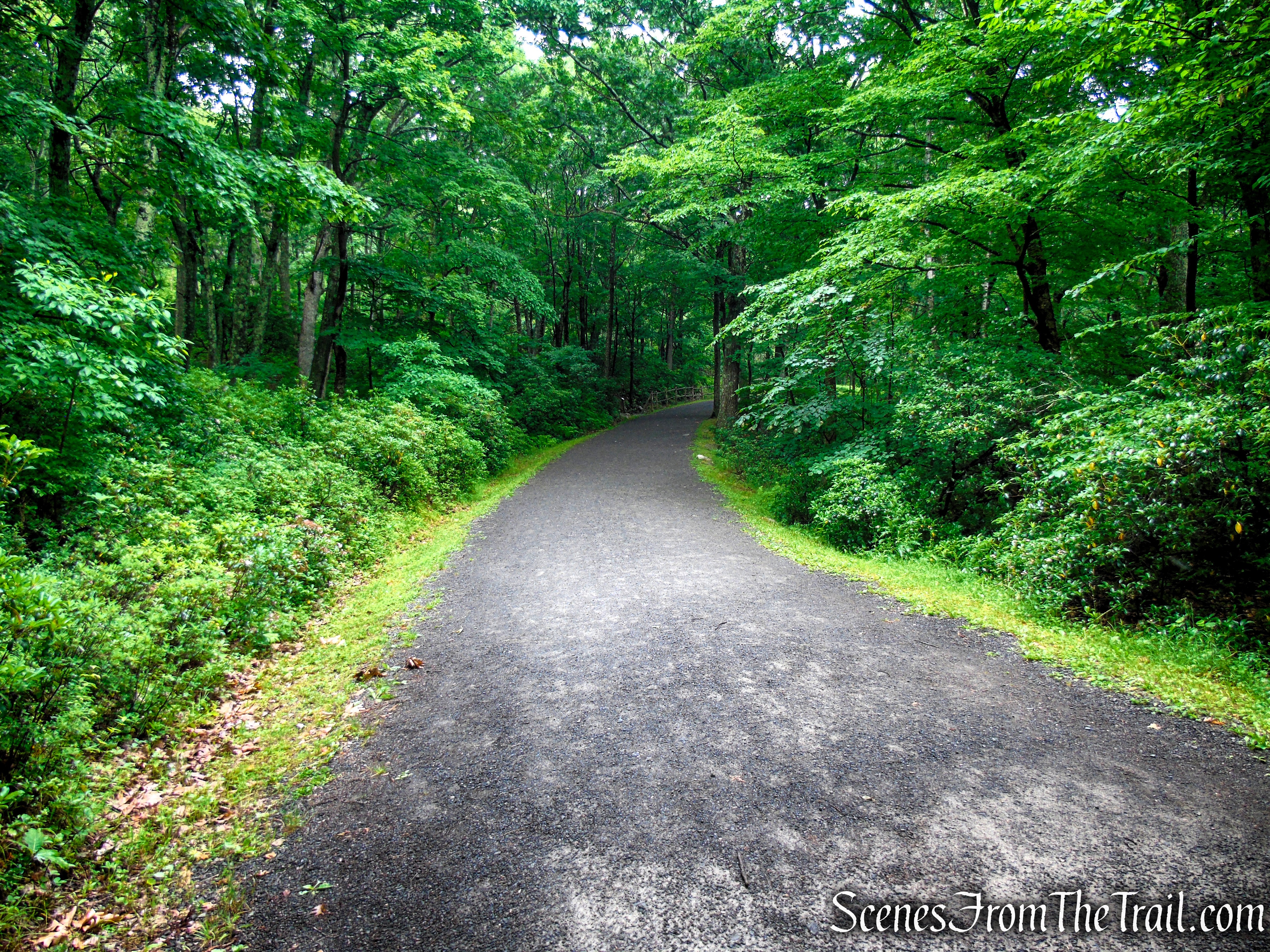
Loop Road – Sam’s Point Area
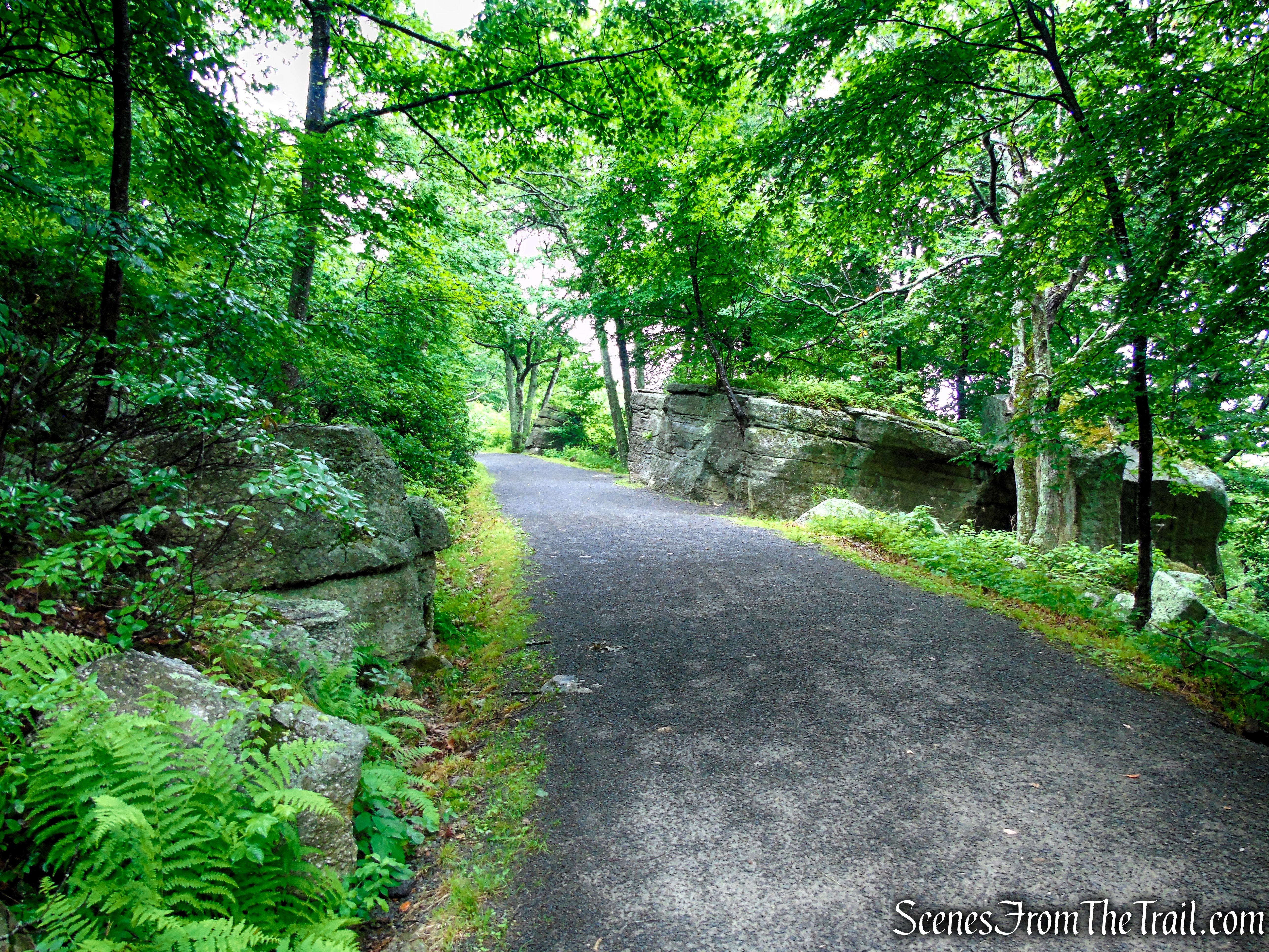
Loop Road – Sam’s Point Area
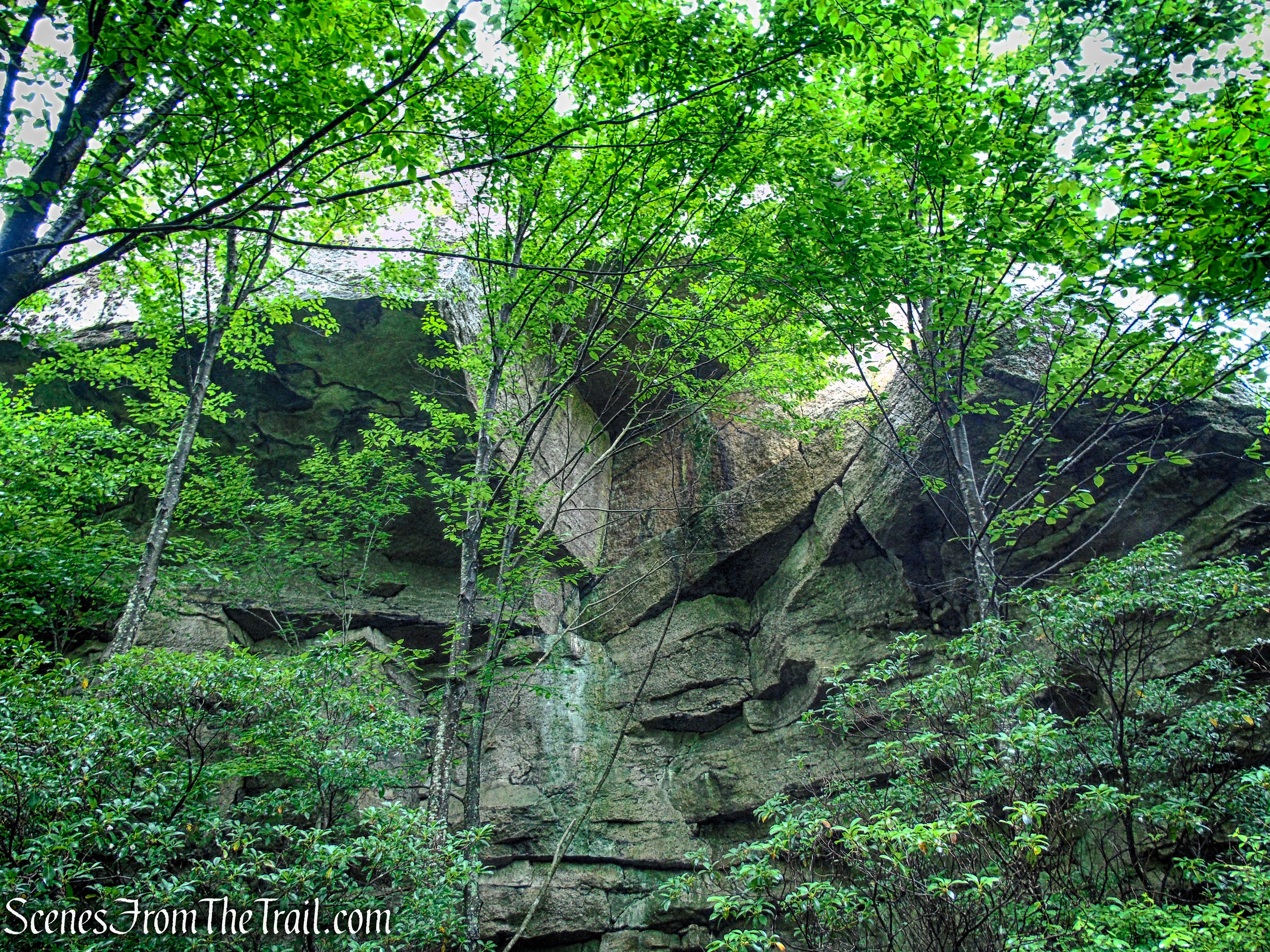
Loop Road – Sam’s Point Area
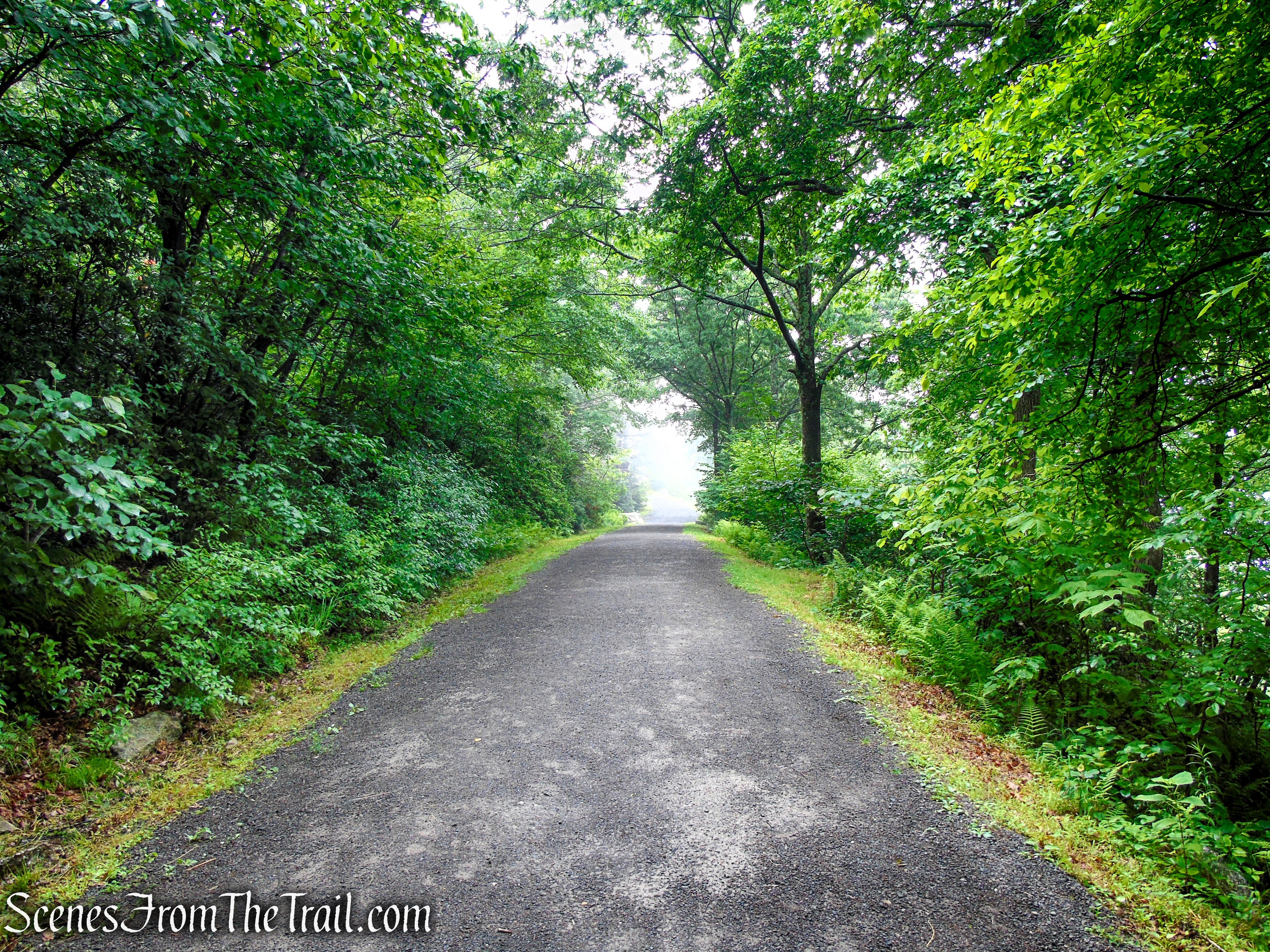
Loop Road – Sam’s Point Area
Just ahead on the left, the cliffs of Sam’s Point rise dramatically above Loop Road. Nestled within a narrow cleft in the rock are the historic Lenape Steps. Turn left and climb the 89 stone steps to reach the Sam’s Point Overlook. If you’d rather avoid the stairs, simply continue straight on Loop Road to the next trail junction and turn left. That route provides a more gradual approach to the overlook.
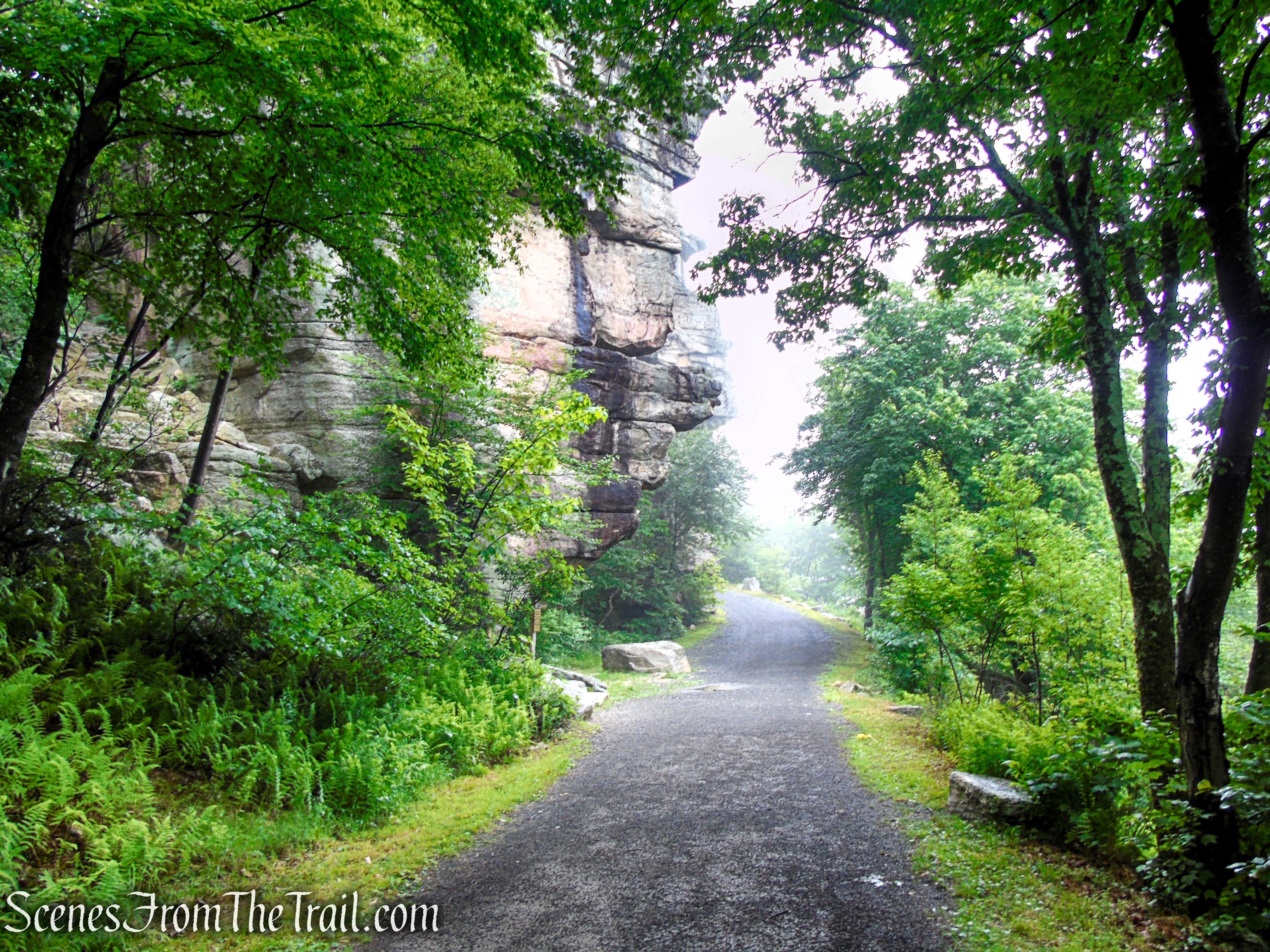
Loop Road – Sam’s Point Area
Carved into a narrow cleft in the Shawangunk cliffs, the Lenape Steps provide one of the most memorable climbs at Sam’s Point. Originally built in the late 1850’s to give guests of the Sam’s Point Mountain House direct access to the overlook, the historic staircase was painstakingly restored and reopened in 2022. Today, hikers ascend the same route that visitors have followed for more than 160 years on their way to the breathtaking views from Sam’s Point.
Lenape Steps – Sam’s Point Area
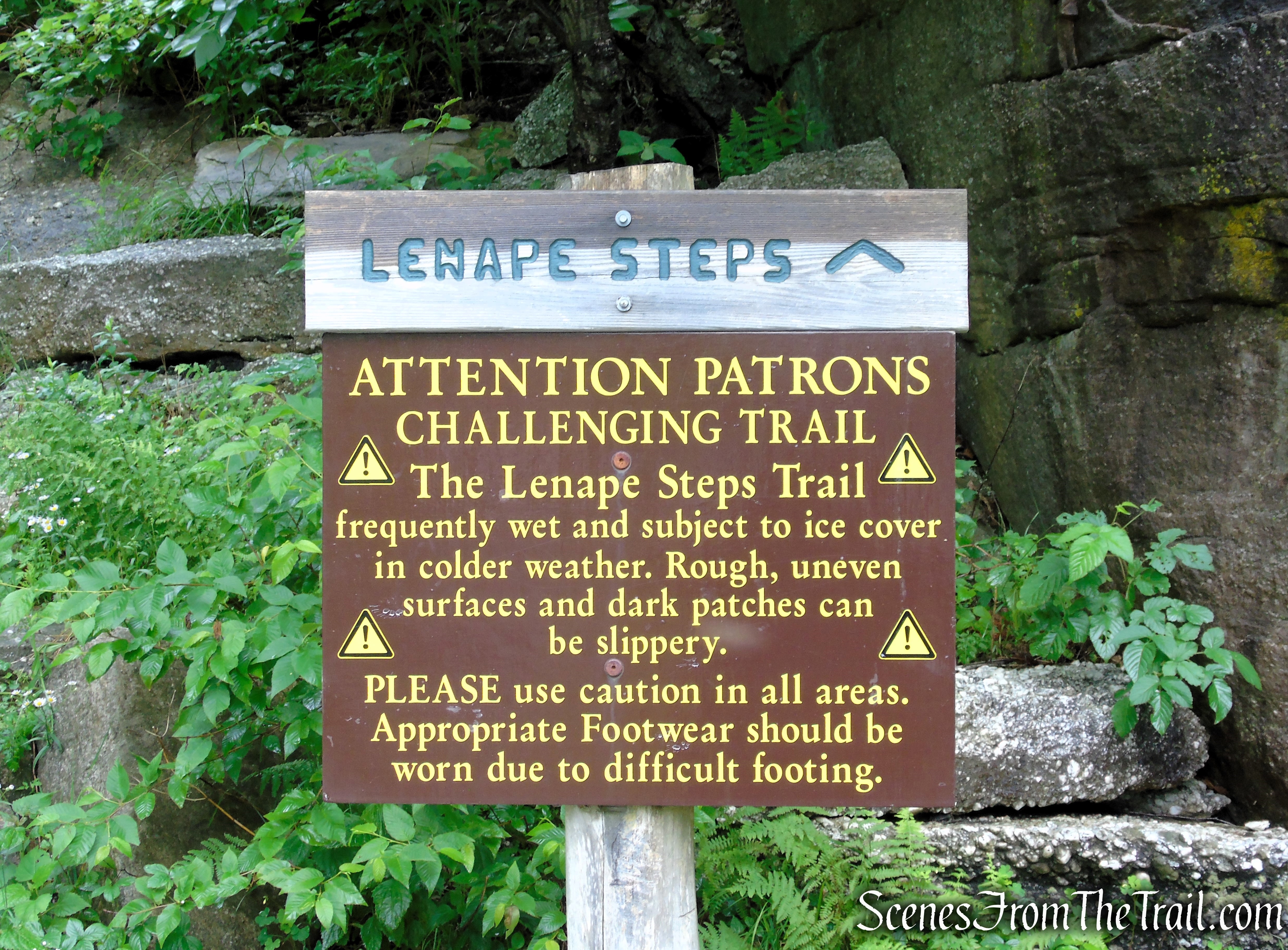
Lenape Steps – Sam’s Point Area
Lenape Steps – Sam’s Point Area
Lenape Steps – Sam’s Point Area
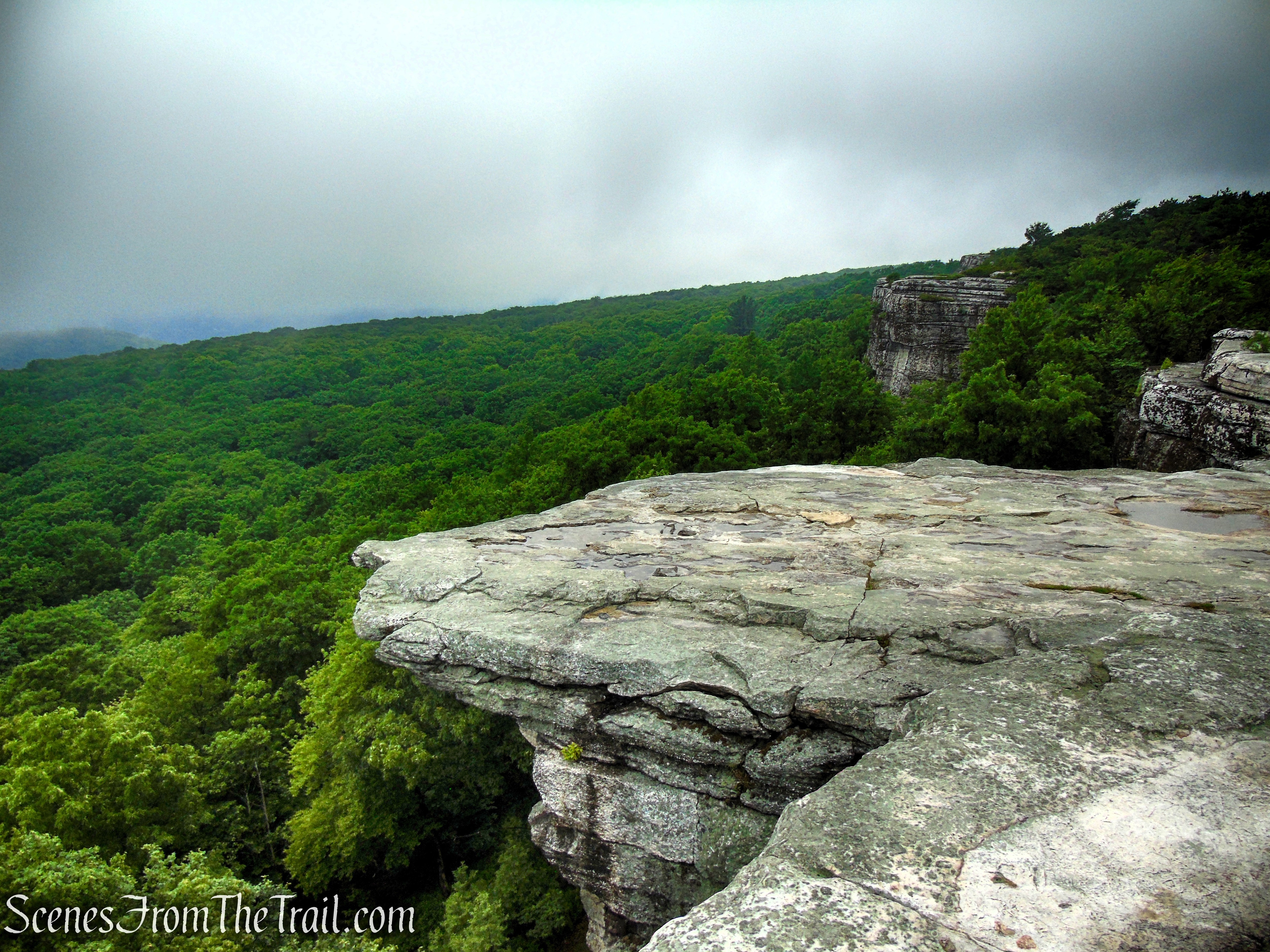
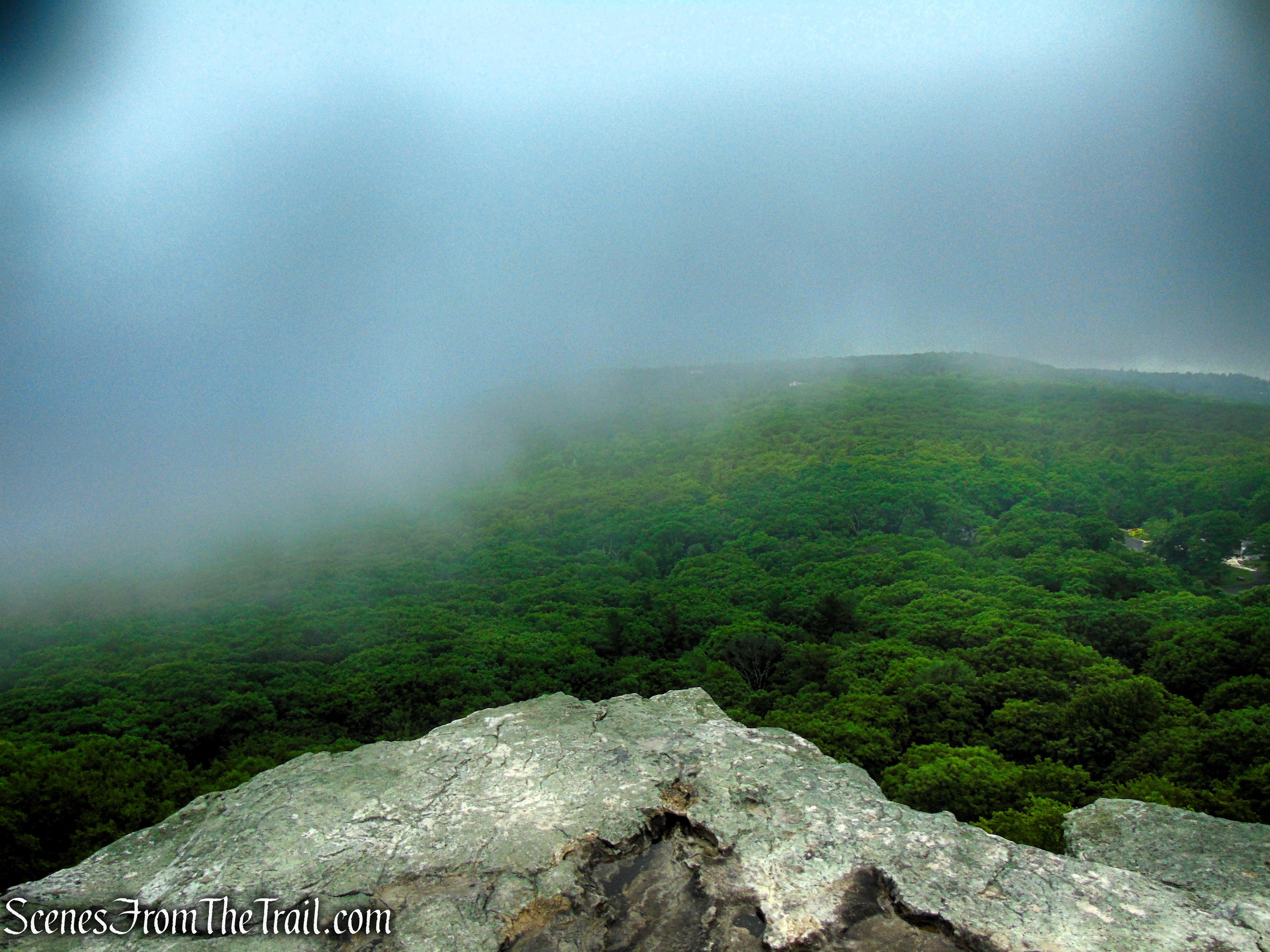
Perched atop the Shawangunk Ridge, Sam’s Point Overlook normally offers sweeping views of the Rondout Valley, the Catskill Mountains, and the surrounding countryside. On this visit, however, dense fog and low overcast skies completely obscured the panorama, transforming the overlook into a quiet, mysterious scene where the dramatic cliffs disappeared into a sea of white. Sometimes the mountains have other plans.
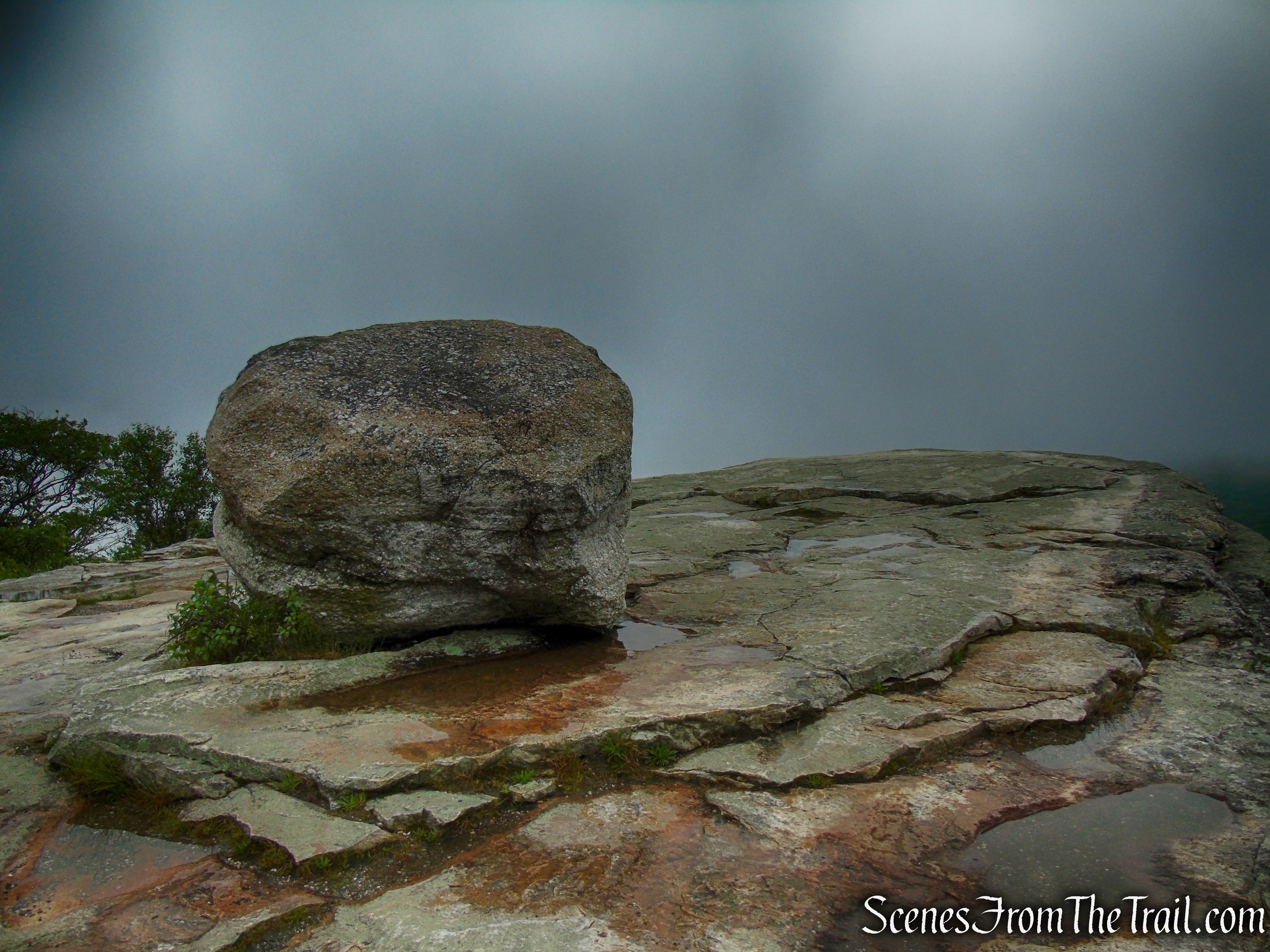
Sam’s Point Overlook
Sam’s Point Overlook
Sam’s Point Overlook
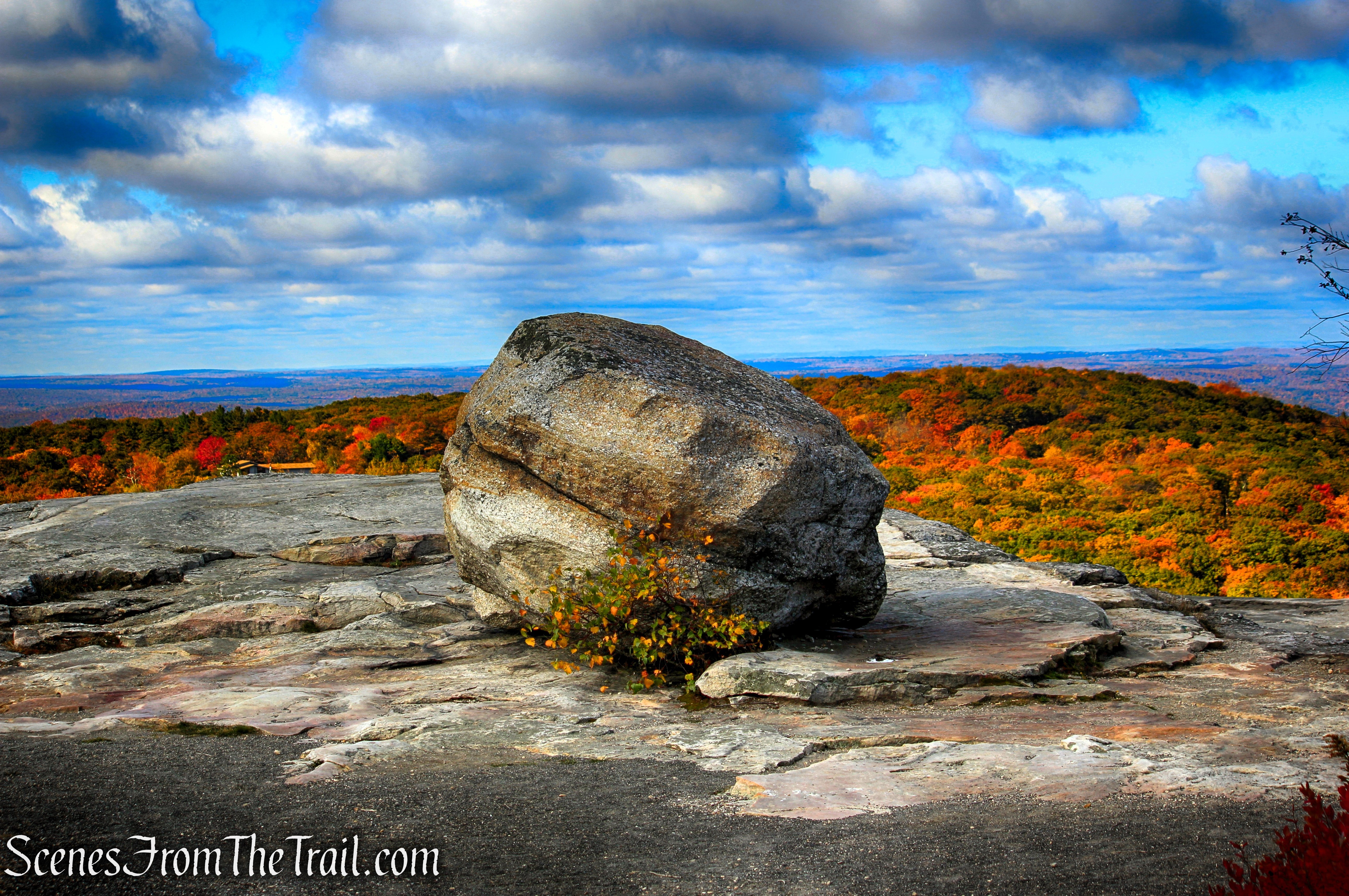
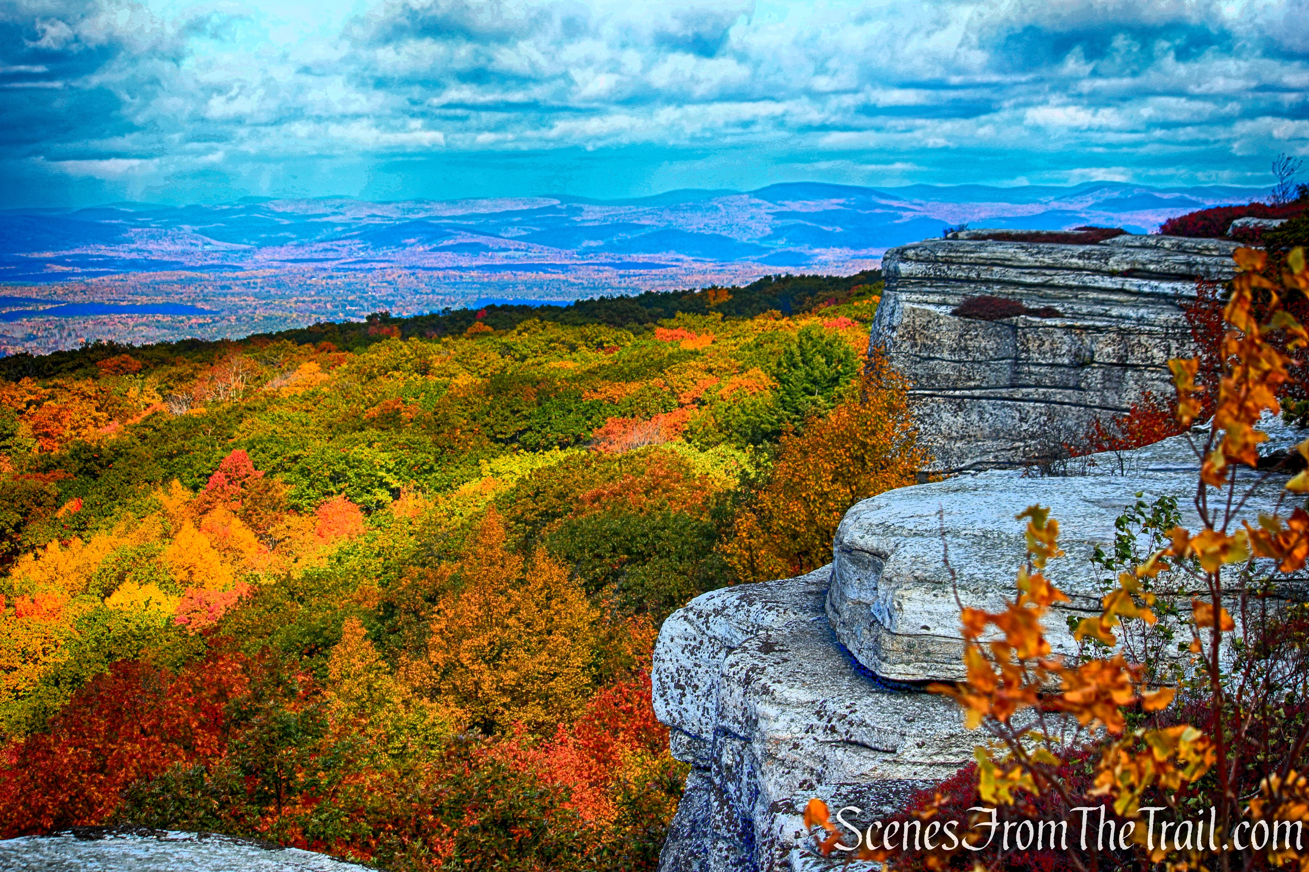
On a clear autumn day, Sam’s Point Overlook delivers one of the Hudson Valley’s most spectacular vistas. The colorful forests of the Rondout Valley stretch to the horizon, while the Catskill Mountains rise in the distance beyond a vibrant patchwork of red, orange, and gold. It’s a breathtaking reward for the short climb and one of New York’s premier destinations for fall foliage.
Sam’s Point Overlook
Sam’s Point Overlook
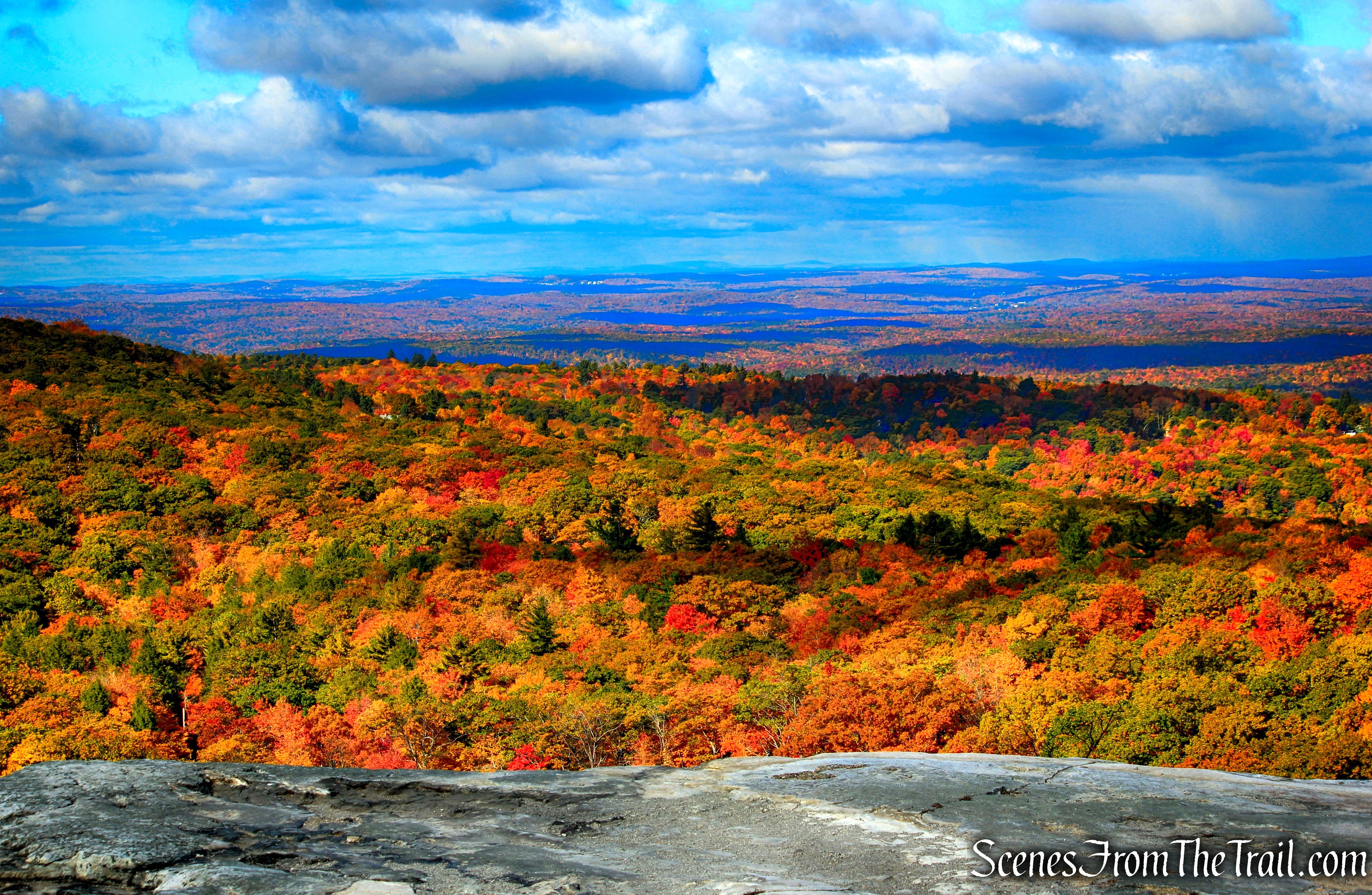
Sam’s Point Overlook
After taking in the views from Sam’s Point, turn around and follow the carriage road to a junction with Loop Road and turn left. Follow the carriage road for approximately 0.5 mile to the next junction. There, turn right onto Ice Caves Road and continue downhill toward the Ice Caves.
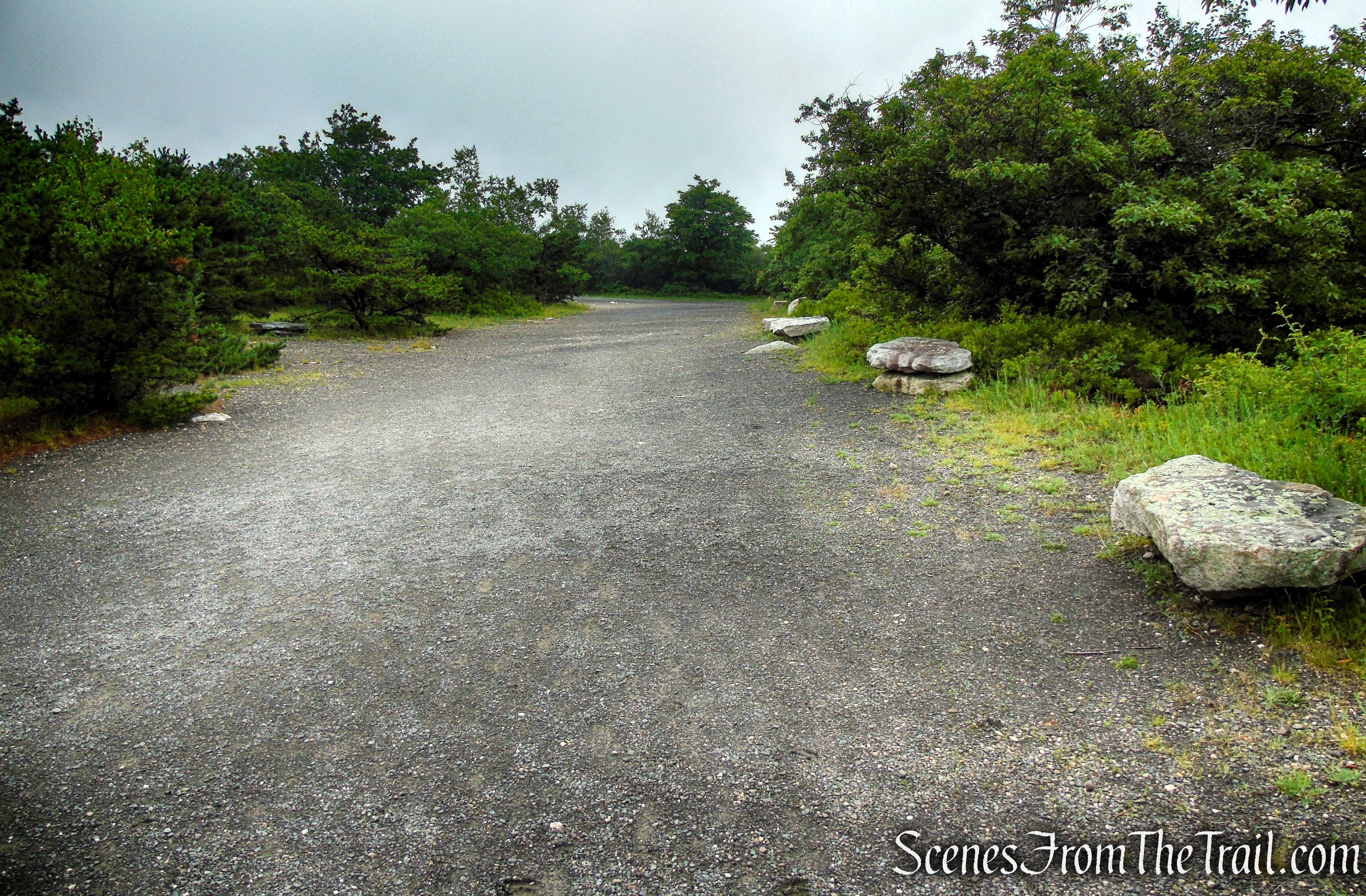
Walk out to Loop Road from the overlook and turn left.
The road levels out, and the landscape undergoes a striking transformation. The hardwood forest gives way to a rare ridgetop dwarf pitch pine barrens, where dense thickets of blueberries and huckleberries blanket the forest floor. Here, many of the pitch pines stand only three to six feet tall—barely rising above the surrounding shrubs—creating one of the most distinctive and ecologically significant plant communities in New York.
Loop Road – Sam’s Point Area
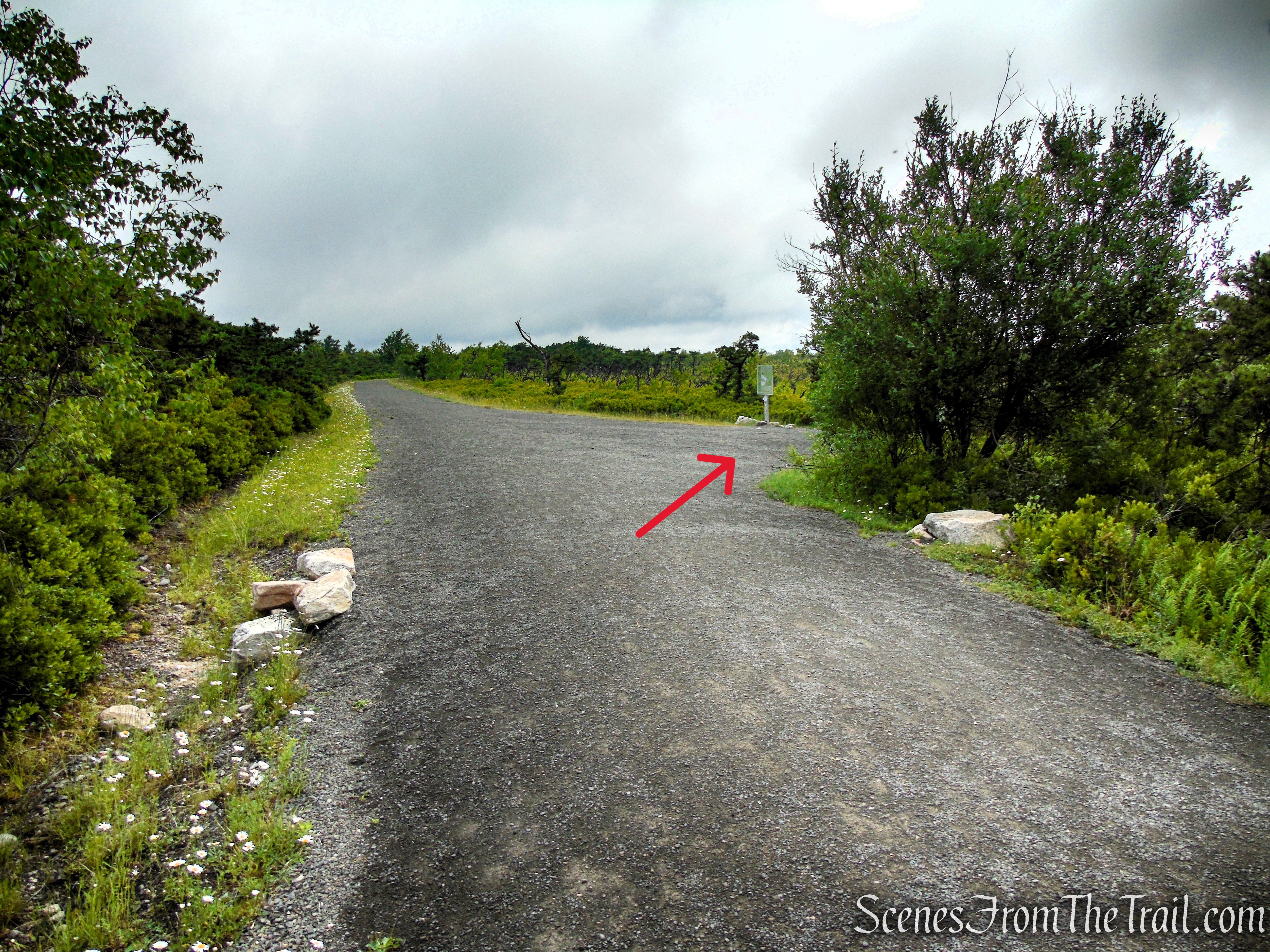
Turn right on Ice Caves Road.
When you get to this turn, make a mental note of this intersection, as you’ll return here later in the hike. Turn right onto Ice Caves Road, following the sign toward the Ice Caves. A short distance farther, you’ll pass the trailhead for the VerKeerderkill Falls Trail on the left. Continue straight on Ice Caves Road as it descends gradually and curves north. Along the way, there are scenic views of the northern Shawangunk Ridge, including Castle Point and Gertrude’s Nose in Minnewaska State Park Preserve.
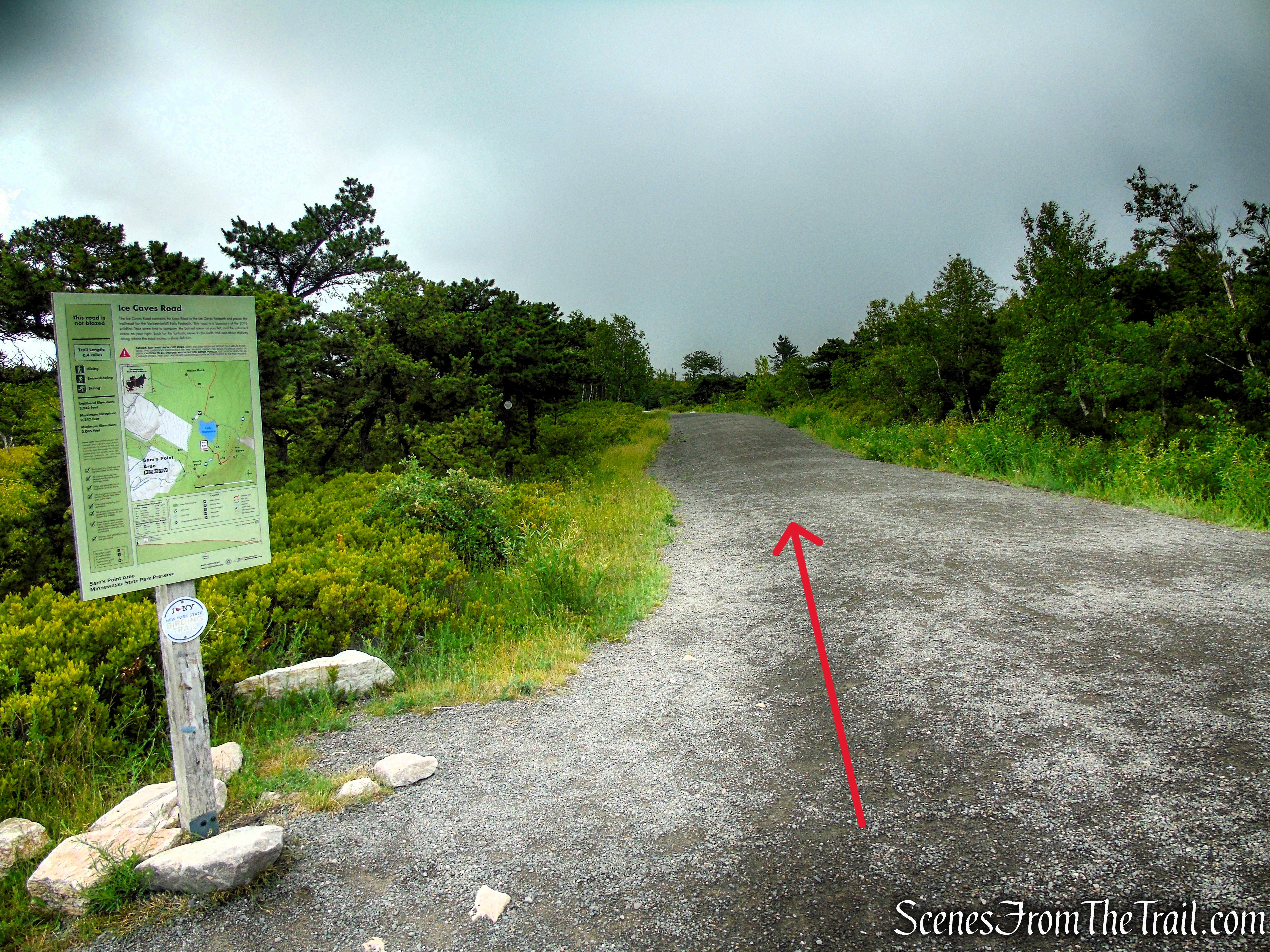
Ice Caves Road – Sam’s Point Area
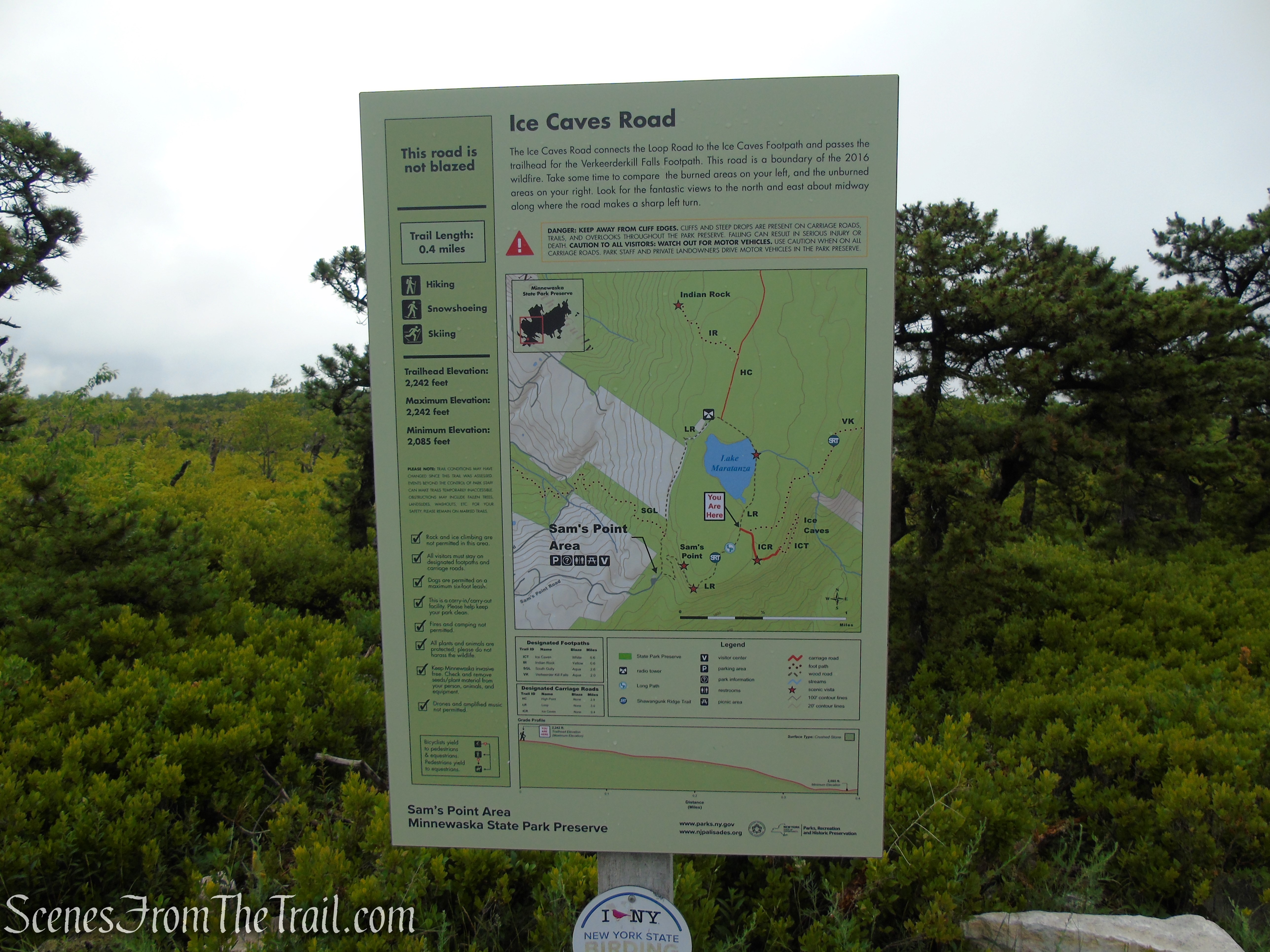
Ice Caves Road – Sam’s Point Area
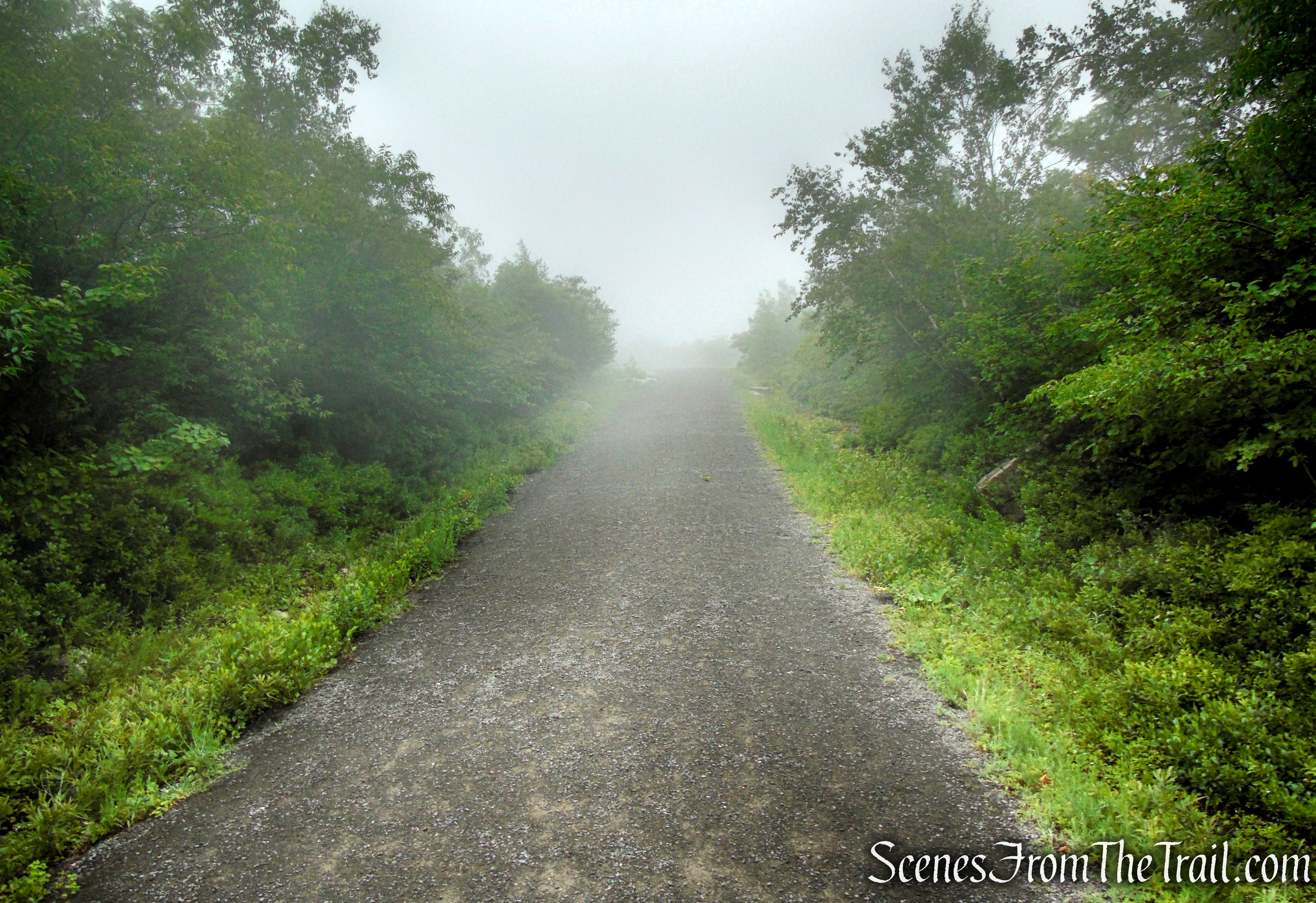
Ice Caves Road – Sam’s Point Area
Dense fog and low overcast skies obscured the views on this visit, so I’ve included photos from a previous autumn hike to show the spectacular scenery visible from this section of the trail when the weather cooperates and the surrounding forests are ablaze with fall color.
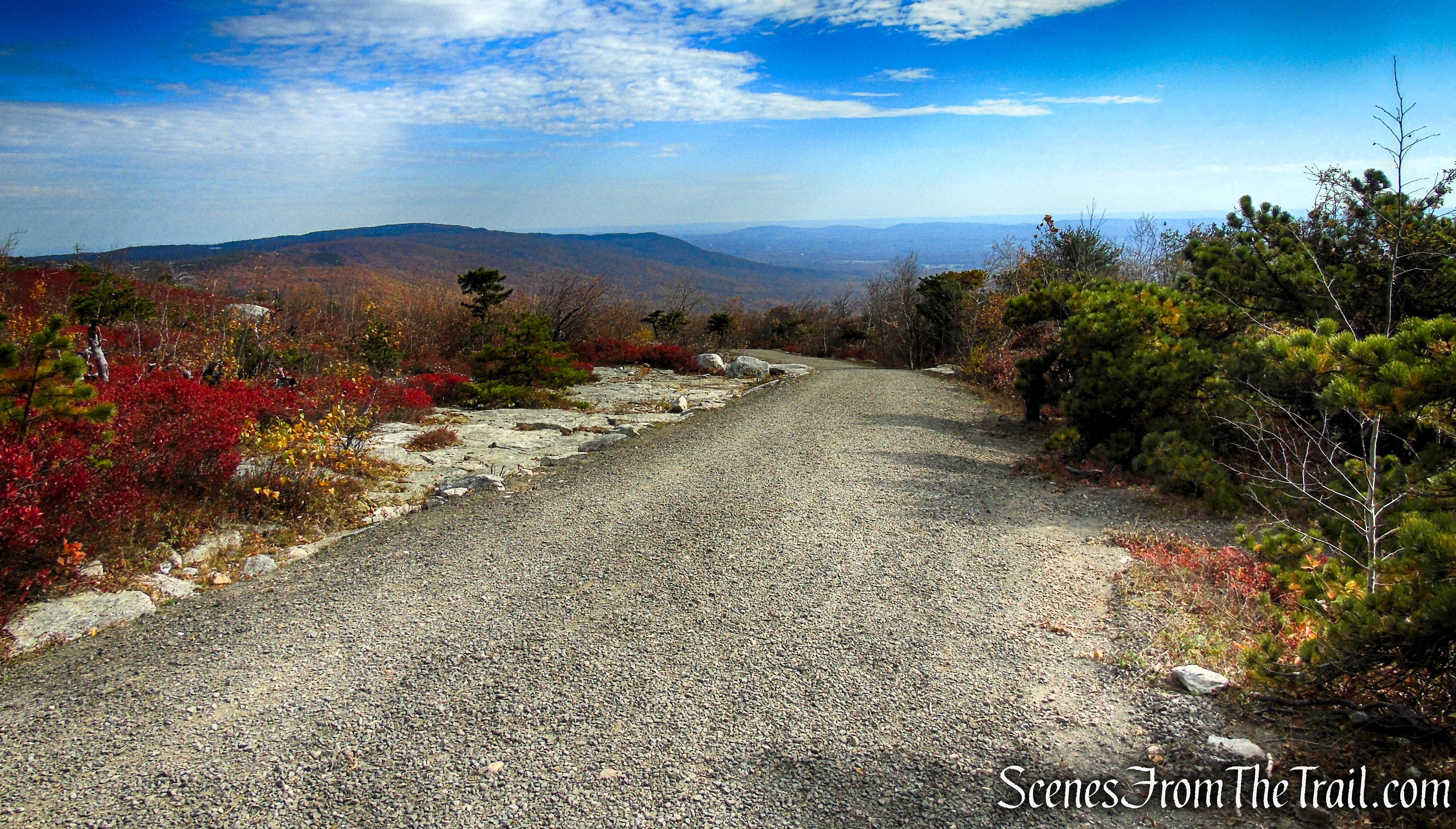
Ice Caves Road – Sam’s Point Area
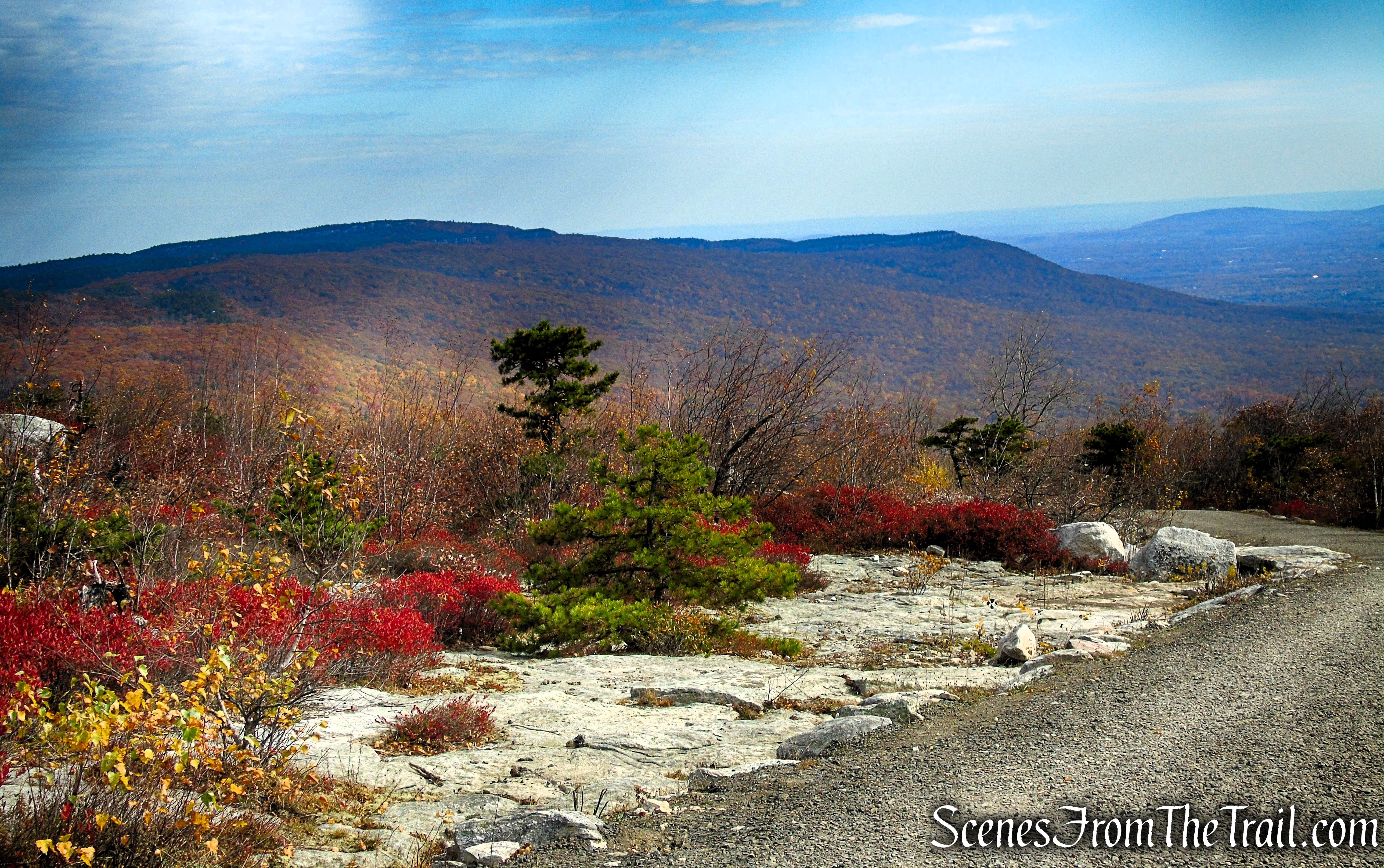
Ice Caves Road – Sam’s Point Area
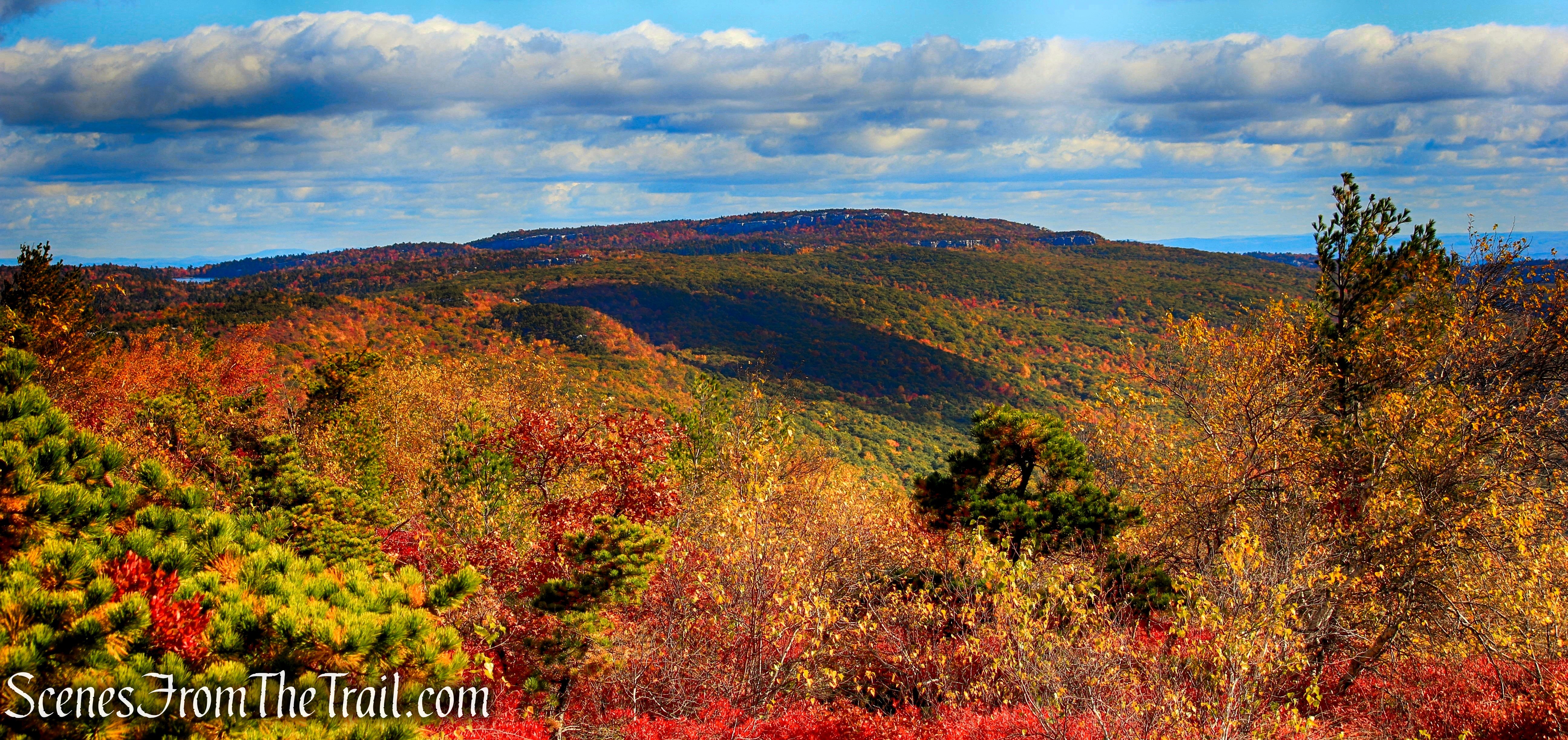
Ice Caves Road – Sam’s Point Area
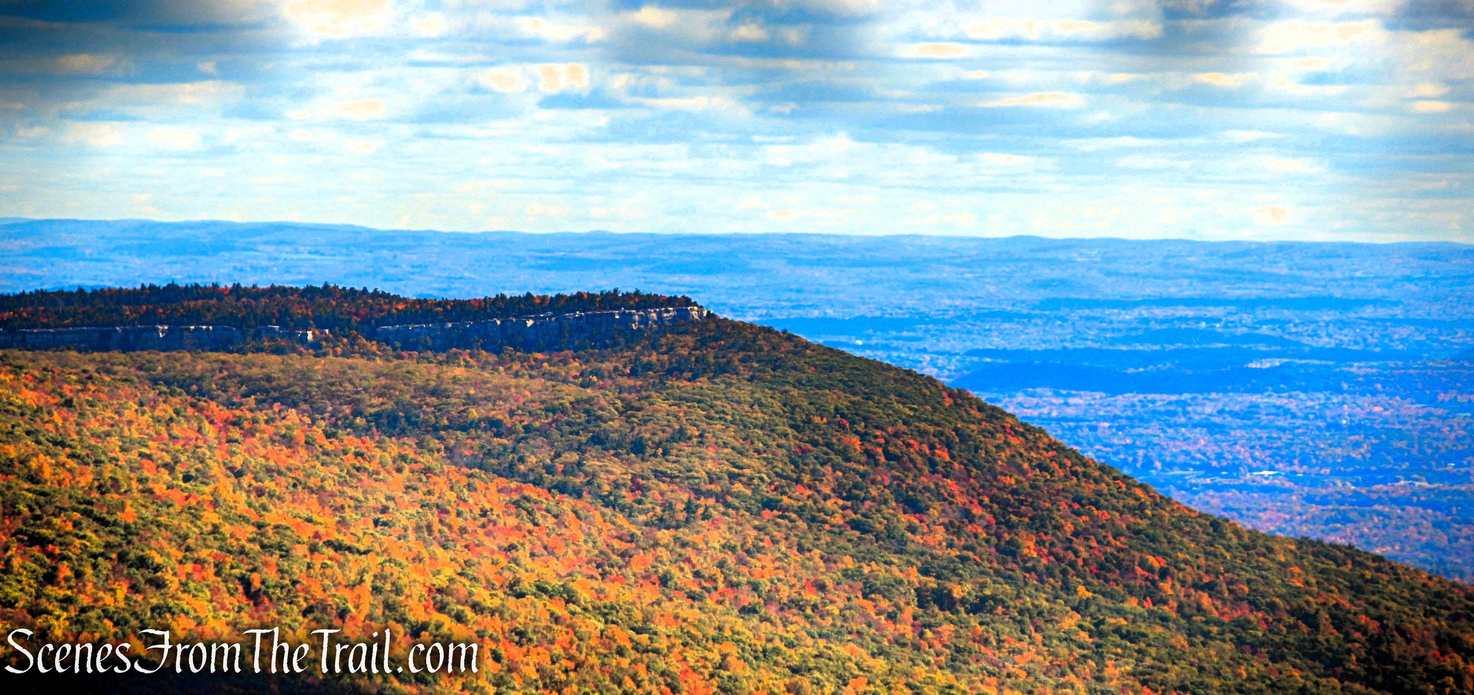
Ice Caves Road – Sam’s Point Area
At the end of Ice Caves Road, you’ll arrive at a large open area that once served as a parking lot when vehicles were permitted to drive this far into the preserve. Near the far end of the clearing, a sign marks the beginning of the Ice Caves Loop Trail. The caves were operated as a private tourist attraction beginning in 1967, complete with man-made enhancements such as colored lighting to enhance the visitor experience. After the property was acquired for conservation in 1996, the attraction was closed and later reopened in 2002 with a renewed emphasis on preserving its natural character. Today, visitors experience the Ice Caves much as nature created them, without the artificial features that were once part of the tour.
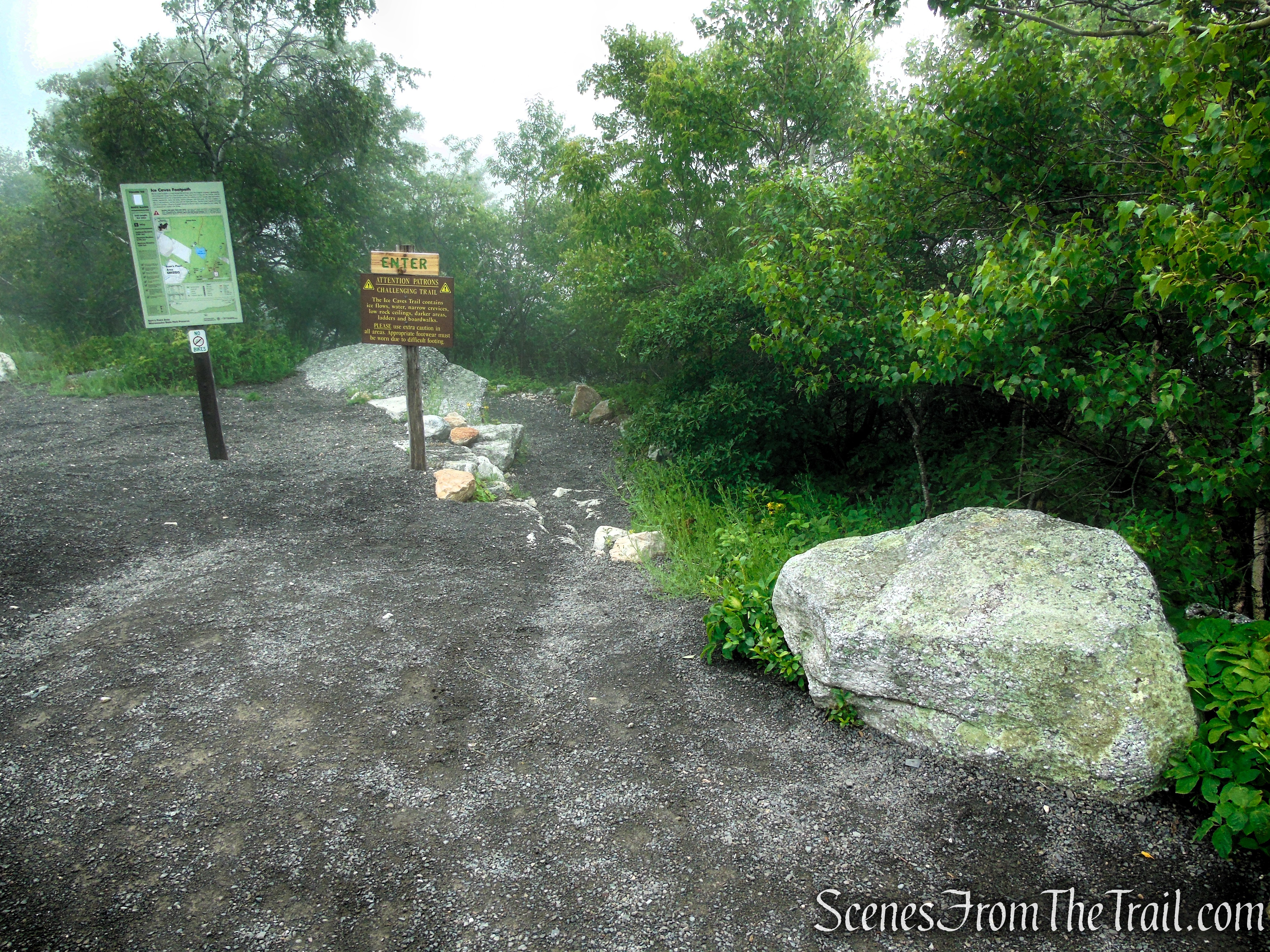
Ice Caves Trail – Sam’s Point Area
Turn right and begin descending the winding Ice Caves Trail. The footpath, equipped with wooden handrails, is steep in several places as it drops toward the maze of boulders below. Before long, you’ll descend a flight of stone steps into a narrow rock crevice, passing beneath a massive chockstone suspended overhead. As you enter the caves, the temperature drops noticeably, offering a welcome reprieve on warm days.
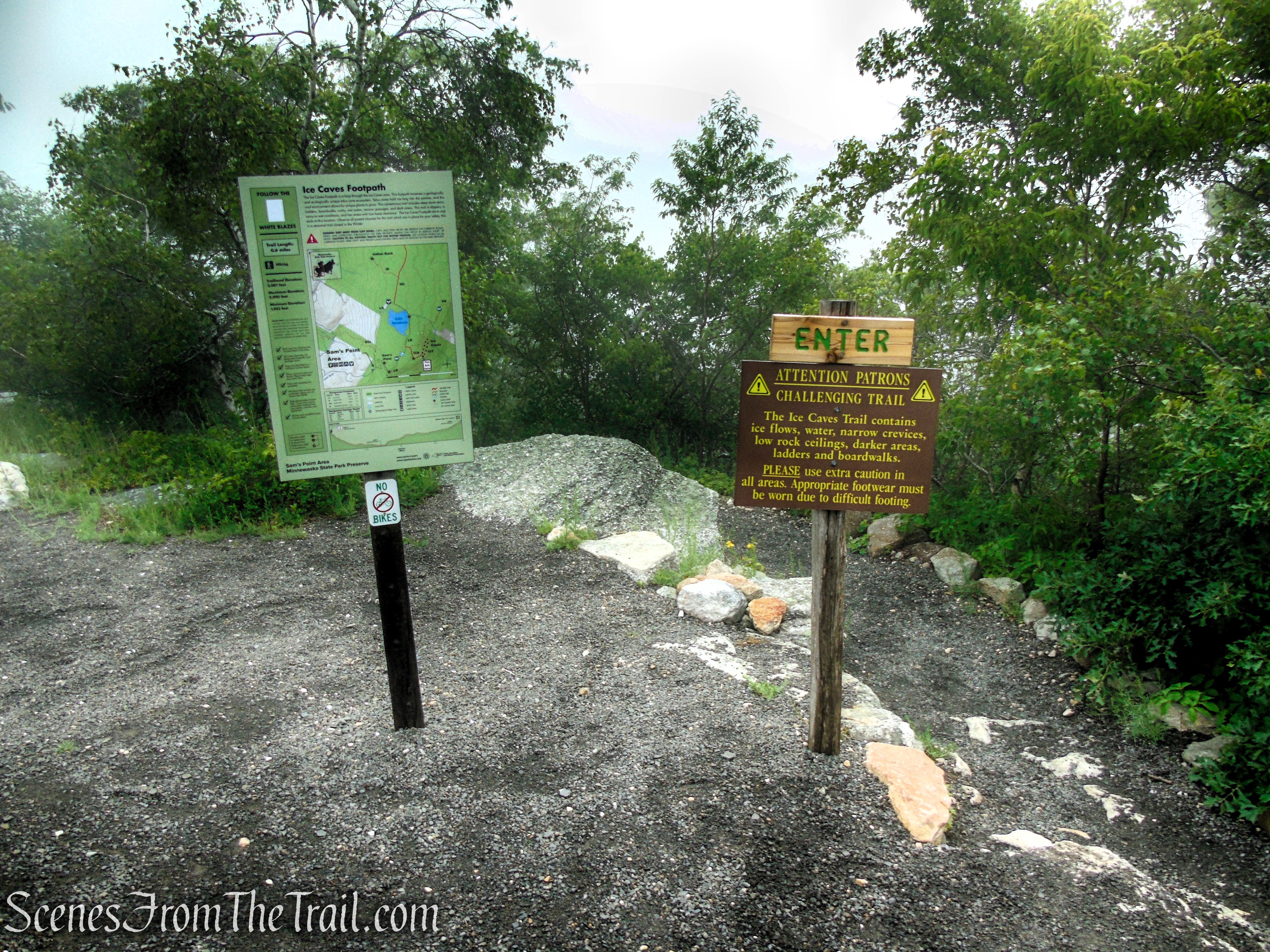
Ice Caves Trail – Sam’s Point Area
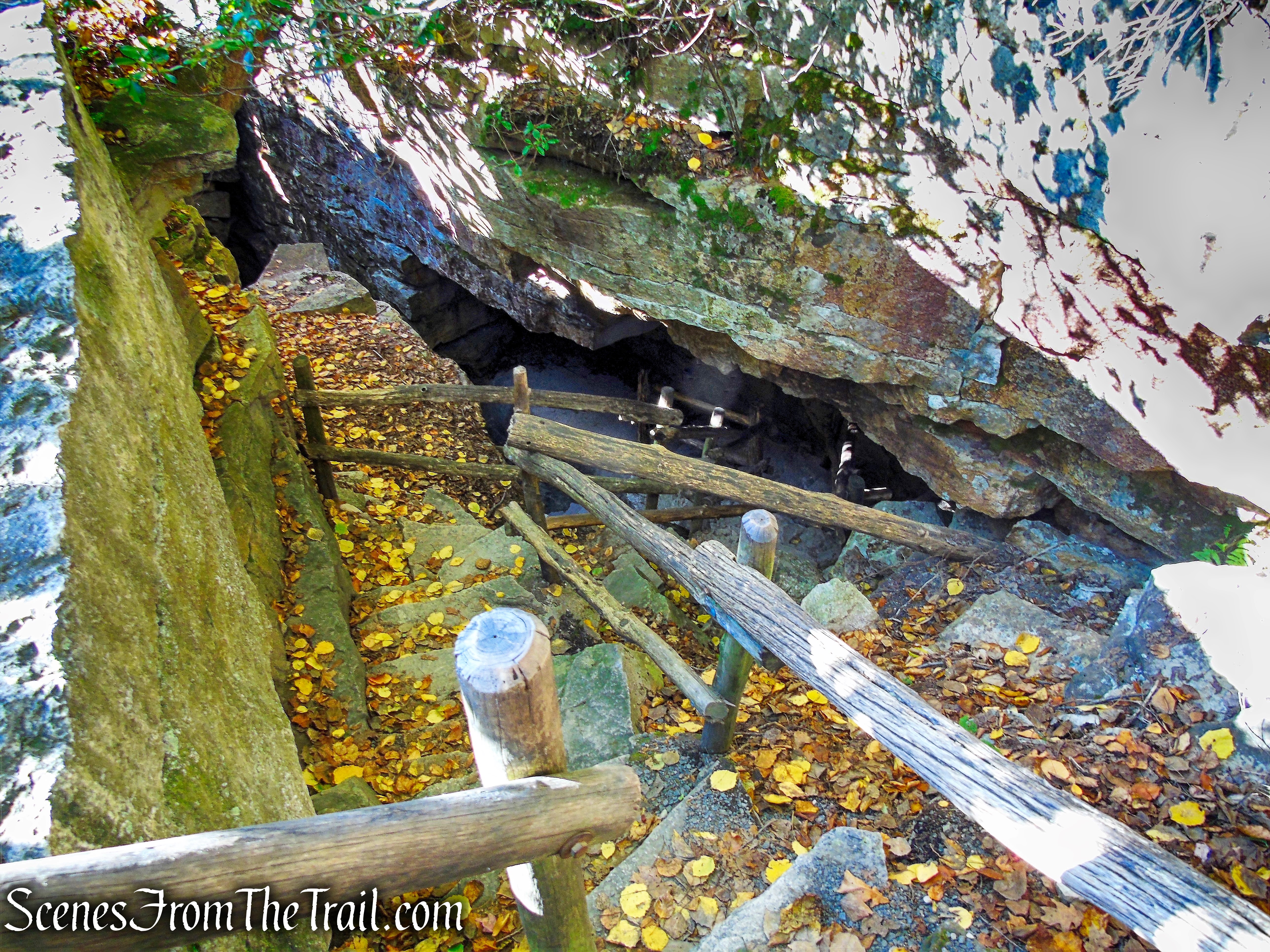
Ice Caves Loop Trail – Sam’s Point Preserve

Ice Caves Loop Trail – Sam’s Point Preserve
The trail then turns left through an even narrower passage before emerging into a more open section of the boulder field. Continue following the white blazes as the route crosses several wooden bridges and winds along the base of towering cliffs, passing beneath impressive overhanging rock ledges. Along the way, you’ll encounter a short wooden ladder that provides access over one of the larger rock obstacles, adding a bit of adventure to this unique hike.

Ice Caves Loop Trail – Sam’s Point Preserve

Ice Caves Loop Trail – Sam’s Point Preserve

Ice Caves Loop Trail – Sam’s Point Preserve
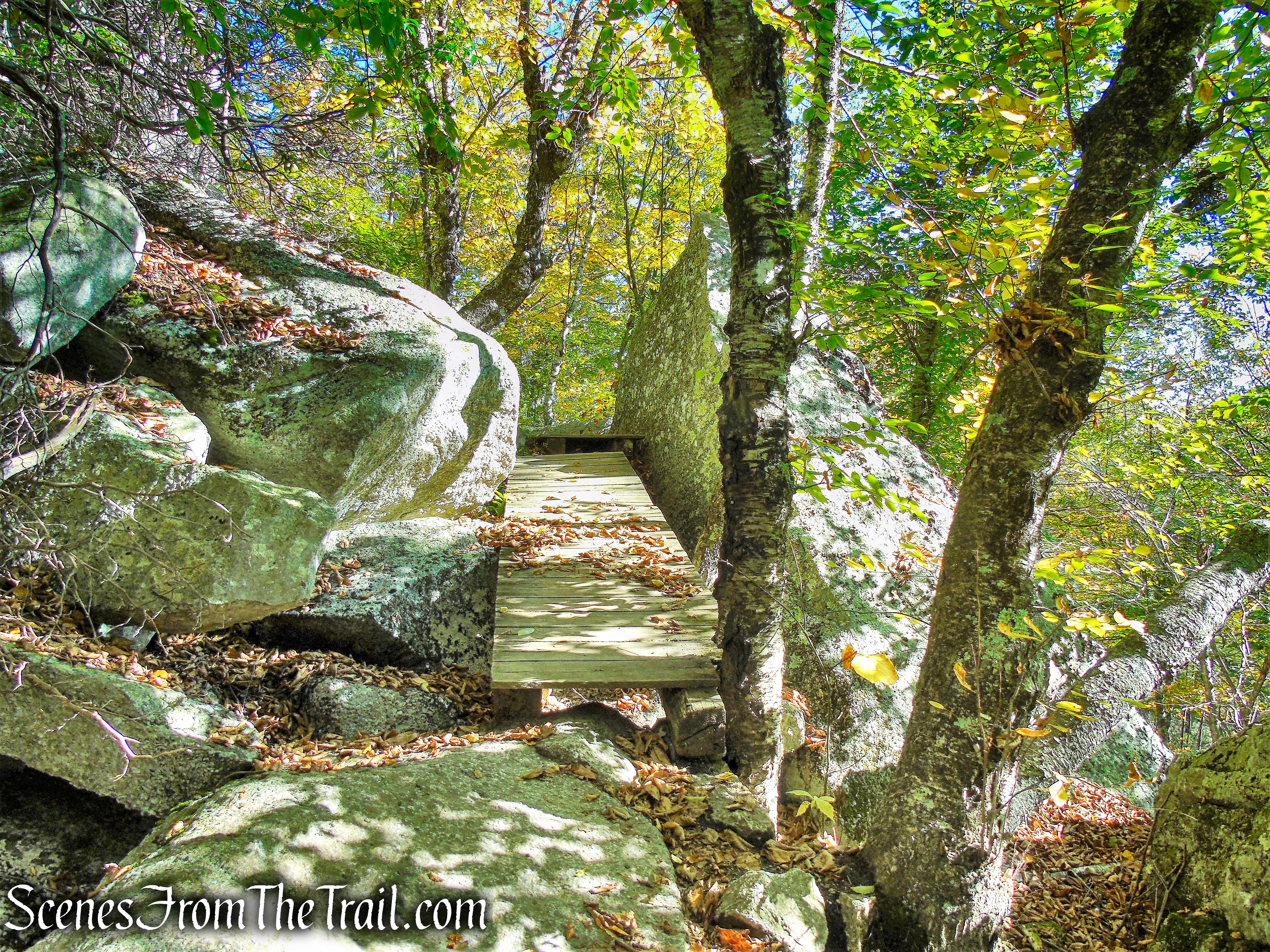
Ice Caves Loop Trail – Sam’s Point Preserve

Ice Caves Loop Trail – Sam’s Point Preserve

Ice Caves Loop Trail – Sam’s Point Preserve
Soon, the trail turns left and continues through a rock crevice deep below the surface. Motion-sensitive lighting has been installed to illuminate your passage through this cool, dark area. When you leave this crevice and again emerge into the open, you’ll descend wooden steps, climb stone steps and a wooden ladder, and continue past more dramatic cliffs and under overhanging rock ledges.

Ice Caves Loop Trail – Sam’s Point Preserve
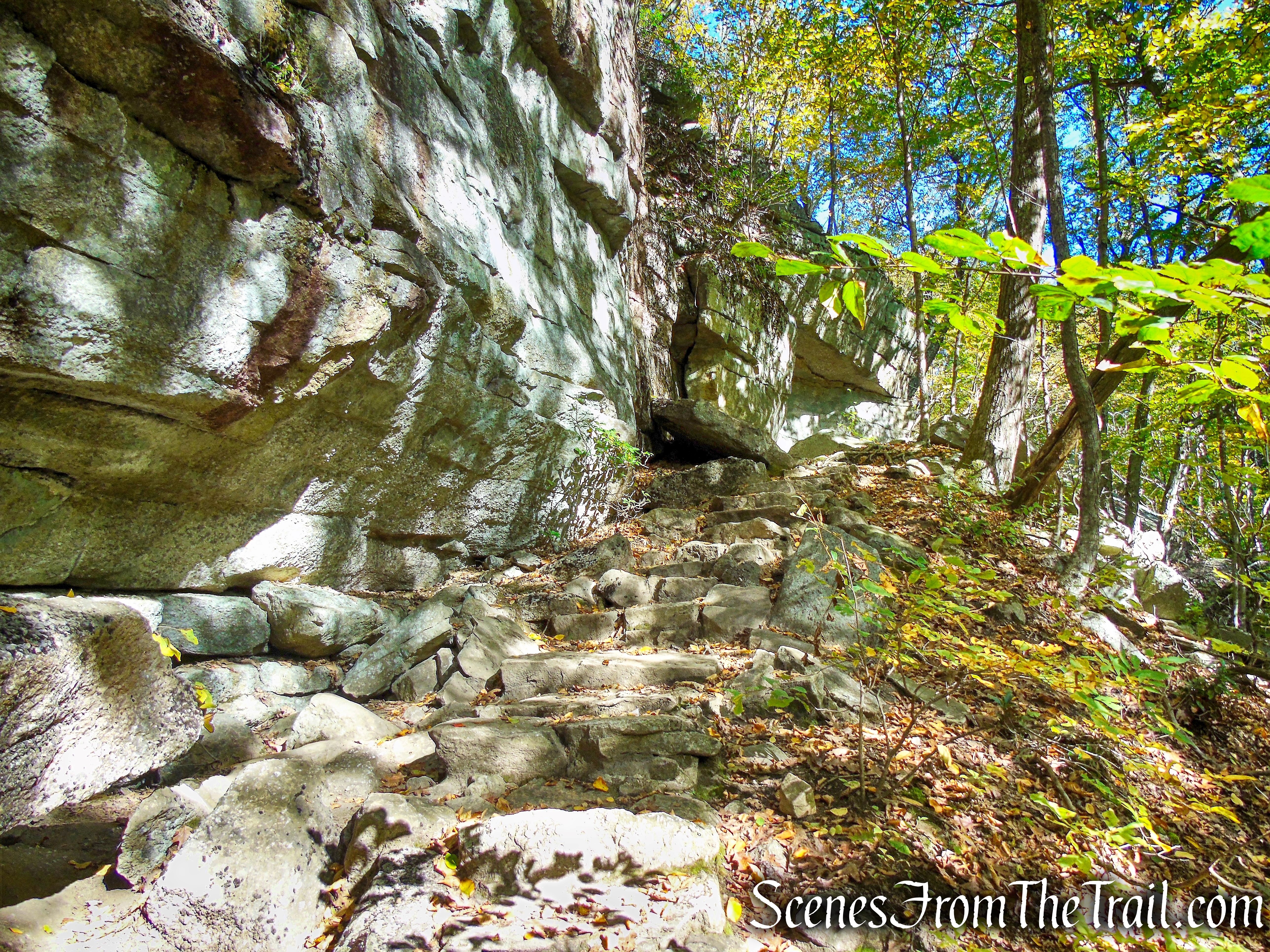
Ice Caves Loop Trail – Sam’s Point Preserve

Ice Caves Loop Trail – Sam’s Point Preserve

Ice Caves Loop Trail – Sam’s Point Preserve

Ice Caves Loop Trail – Sam’s Point Preserve
A short distance ahead, the trail bears left and goes through another narrow crevice on a raised boardwalk. The Ice Caves are named for this spot, where ice and snow can usually be seen even in late summer!
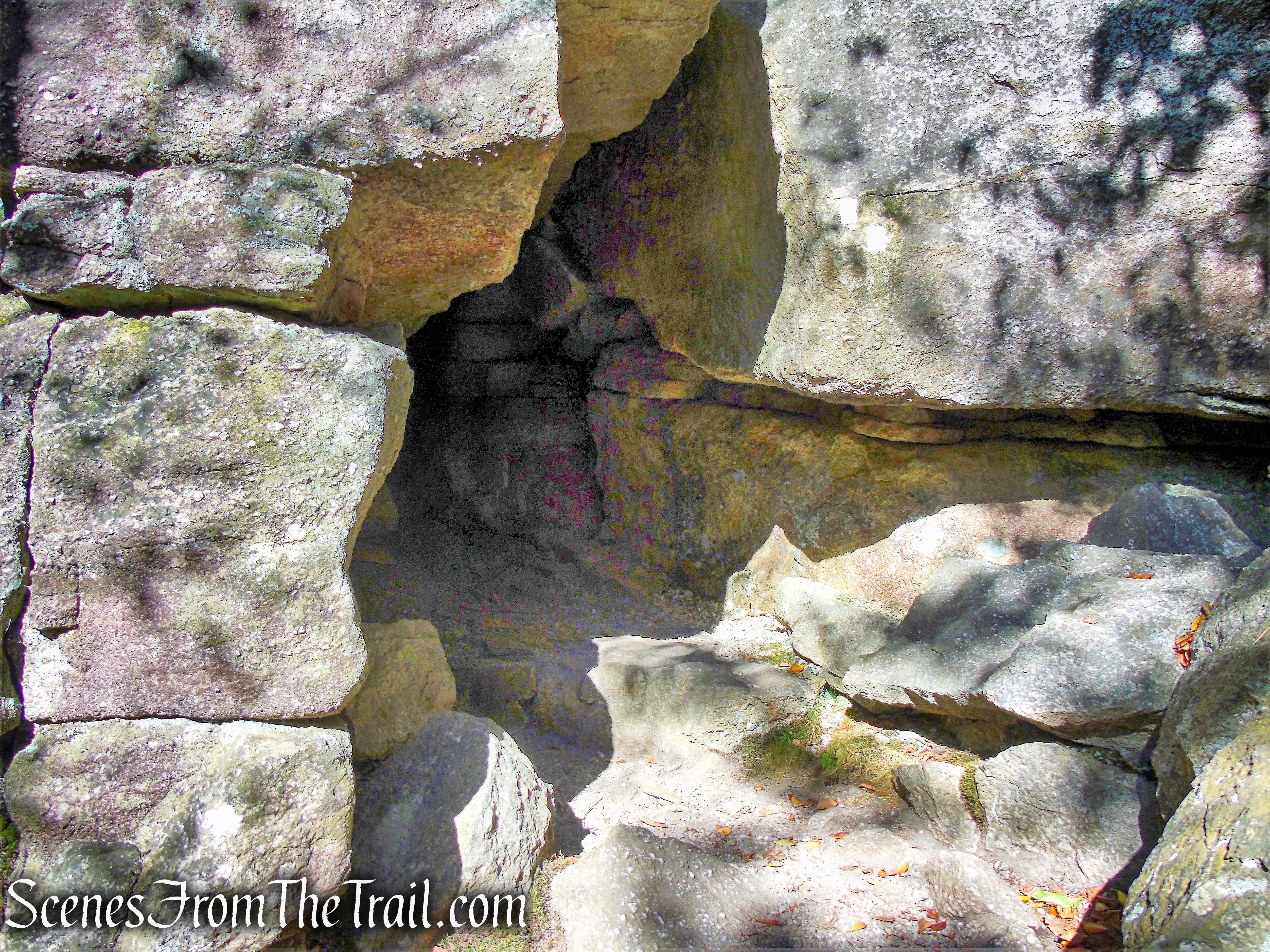
Ice Caves Loop Trail – Sam’s Point Preserve

Ice Caves Loop Trail – Sam’s Point Preserve

Ice Caves Loop Trail – Sam’s Point Preserve

Ice Caves Loop Trail – Sam’s Point Preserve

Ice Caves Loop Trail – Sam’s Point Preserve
Ice Caves Loop Trail – Sam’s Point Preserve

Ice Caves Loop Trail – Sam’s Point Preserve
After leaving the final rock crevice, climb a wooden ladder to emerge onto an open rock outcrop. A small solar panel installed here provides power for the trail lighting within the Ice Caves. This marks the end of your fascinating journey through the caves.

Ice Caves Loop Trail – Sam’s Point Preserve
At this point, the white-blazed trail turns right to complete the loop and return to its starting point. Before heading that way, turn left and walk a short distance to the exposed rock ledges, where expansive views to the north and east provide a fitting finale to your visit to the Ice Caves.

Scenic Vista – Ice Caves Loop Trail – Sam’s Point Preserve

Scenic Vista – Ice Caves Loop Trail – Sam’s Point Preserve

Scenic Vista – Ice Caves Loop Trail – Sam’s Point Preserve
After taking in the views, continue along the white-blazed trail. It soon rises gently and leads back to the open clearing where you began your journey through the Ice Caves, completing the loop. From here, retrace your steps along Ice Caves Road to continue the hike.
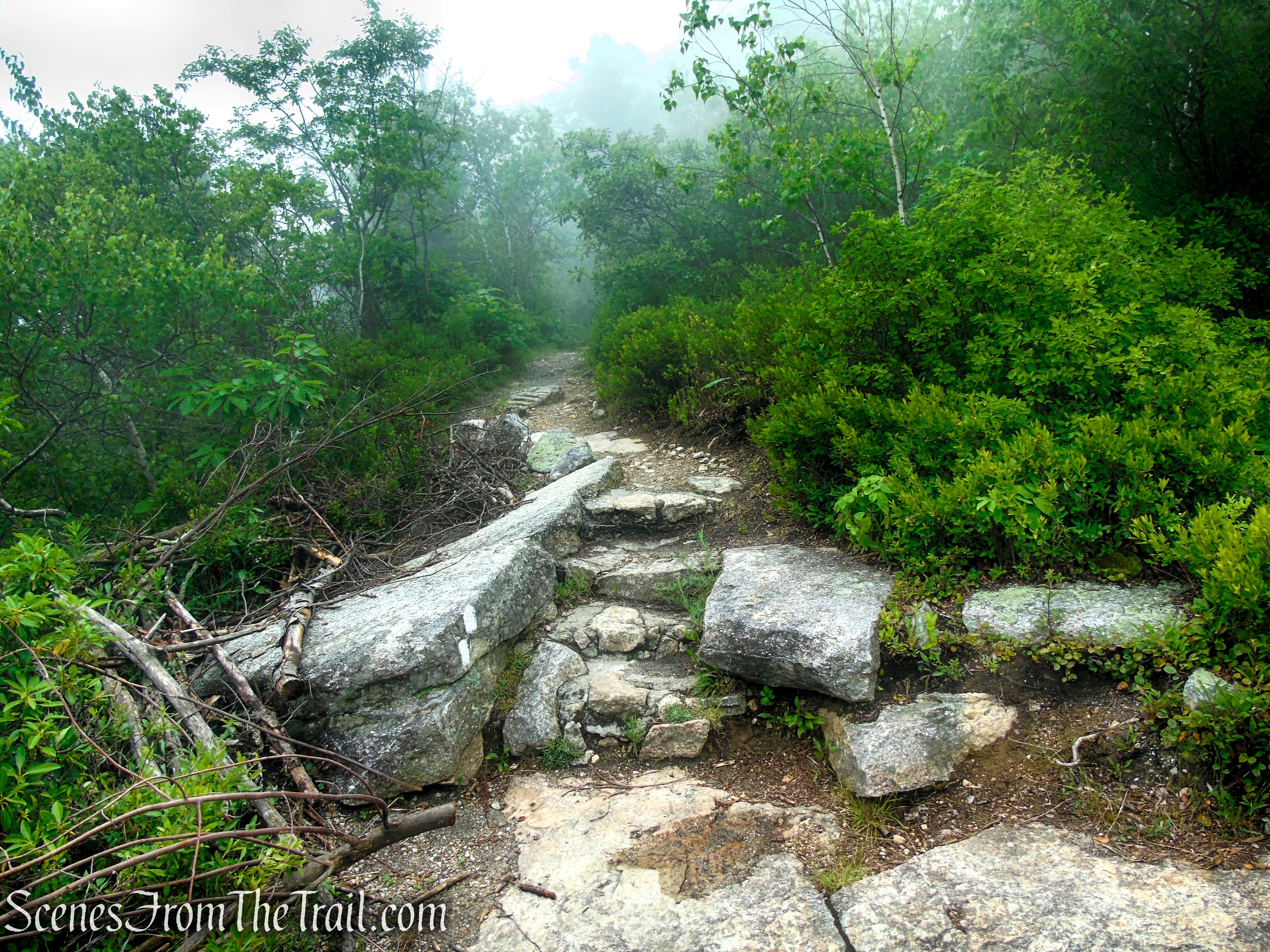
Ice Caves Trail – Sam’s Point Area
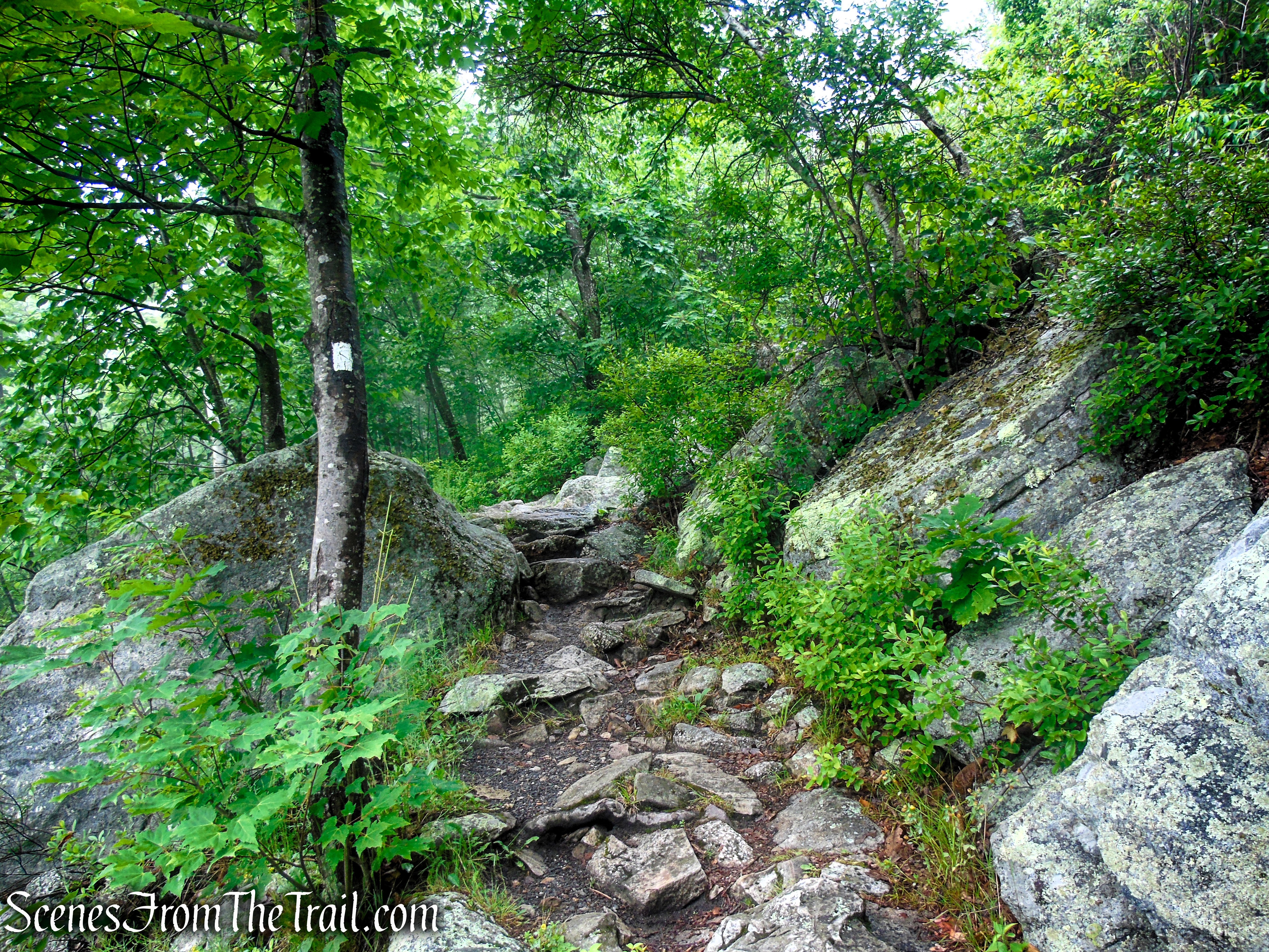
Ice Caves Trail – Sam’s Point Area
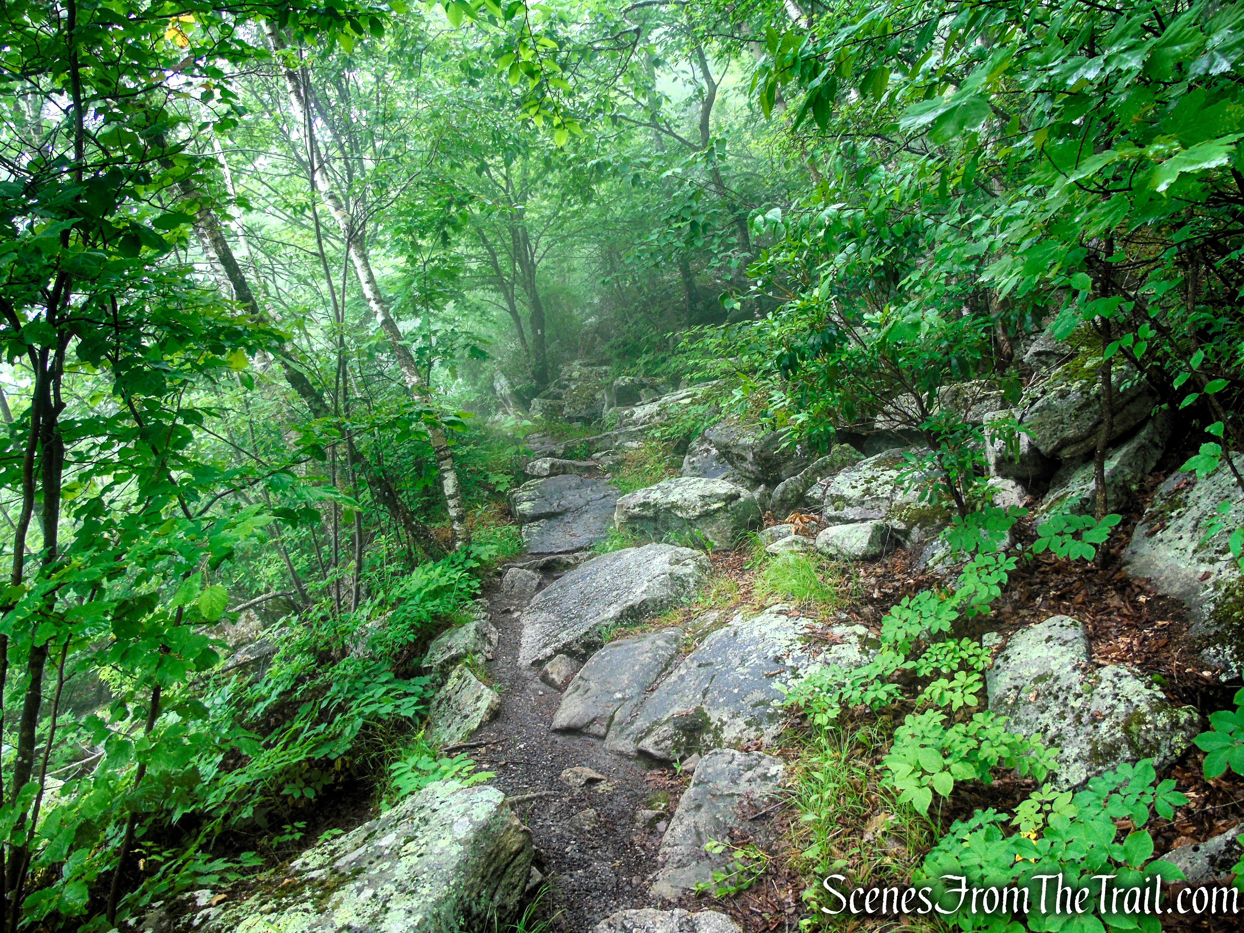
Ice Caves Trail – Sam’s Point Area
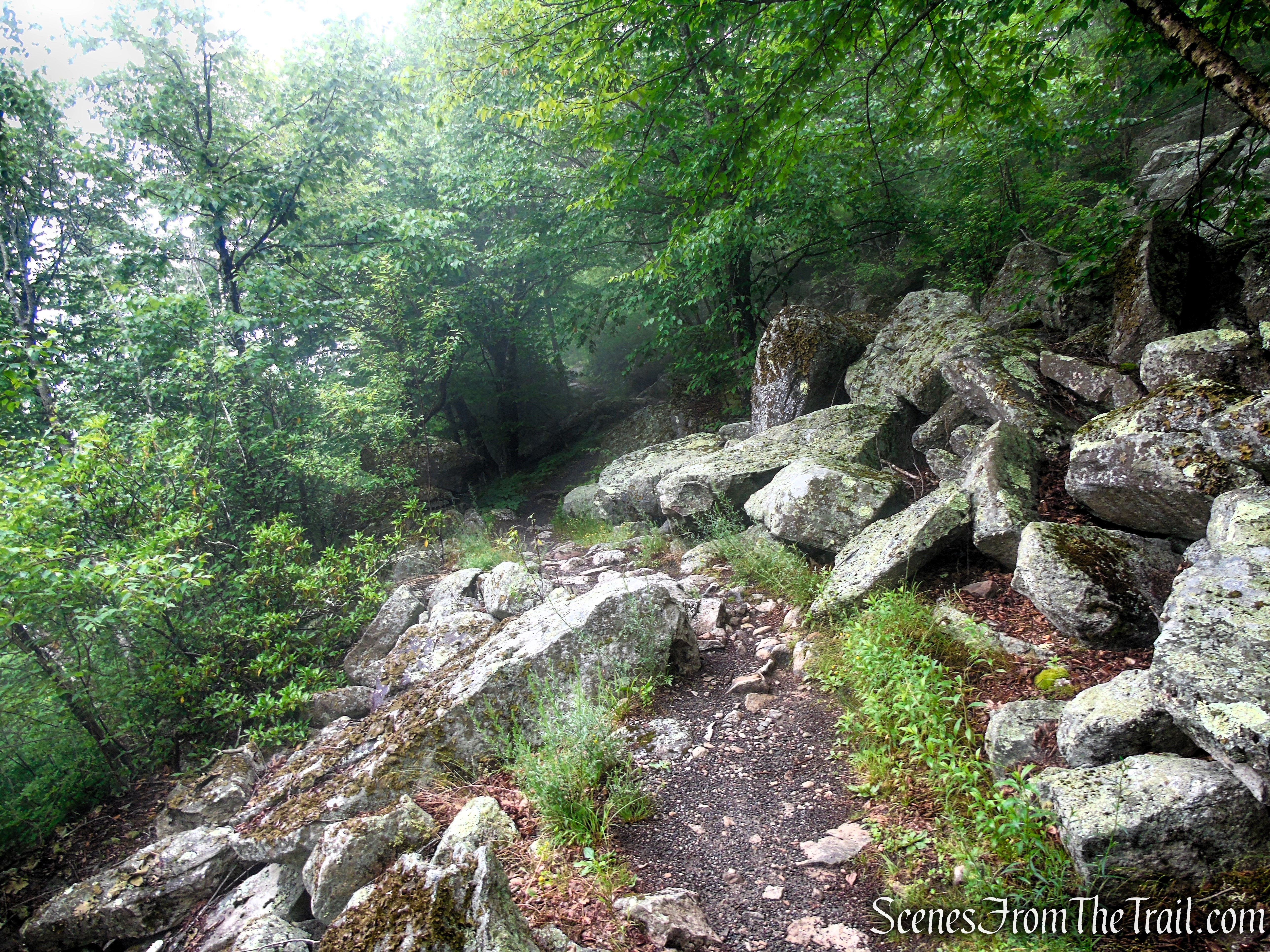
Ice Caves Trail – Sam’s Point Area
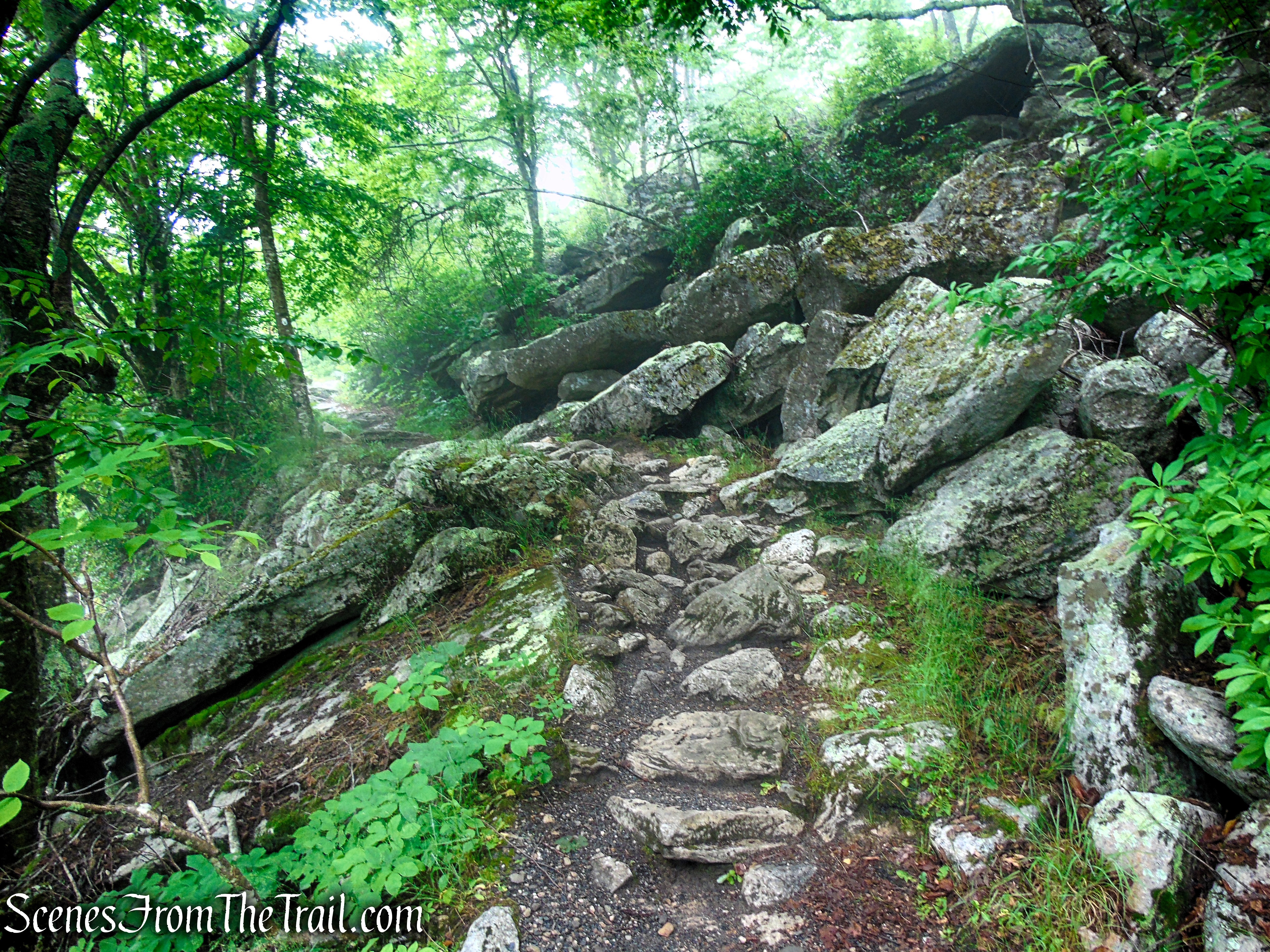
Ice Caves Trail – Sam’s Point Area
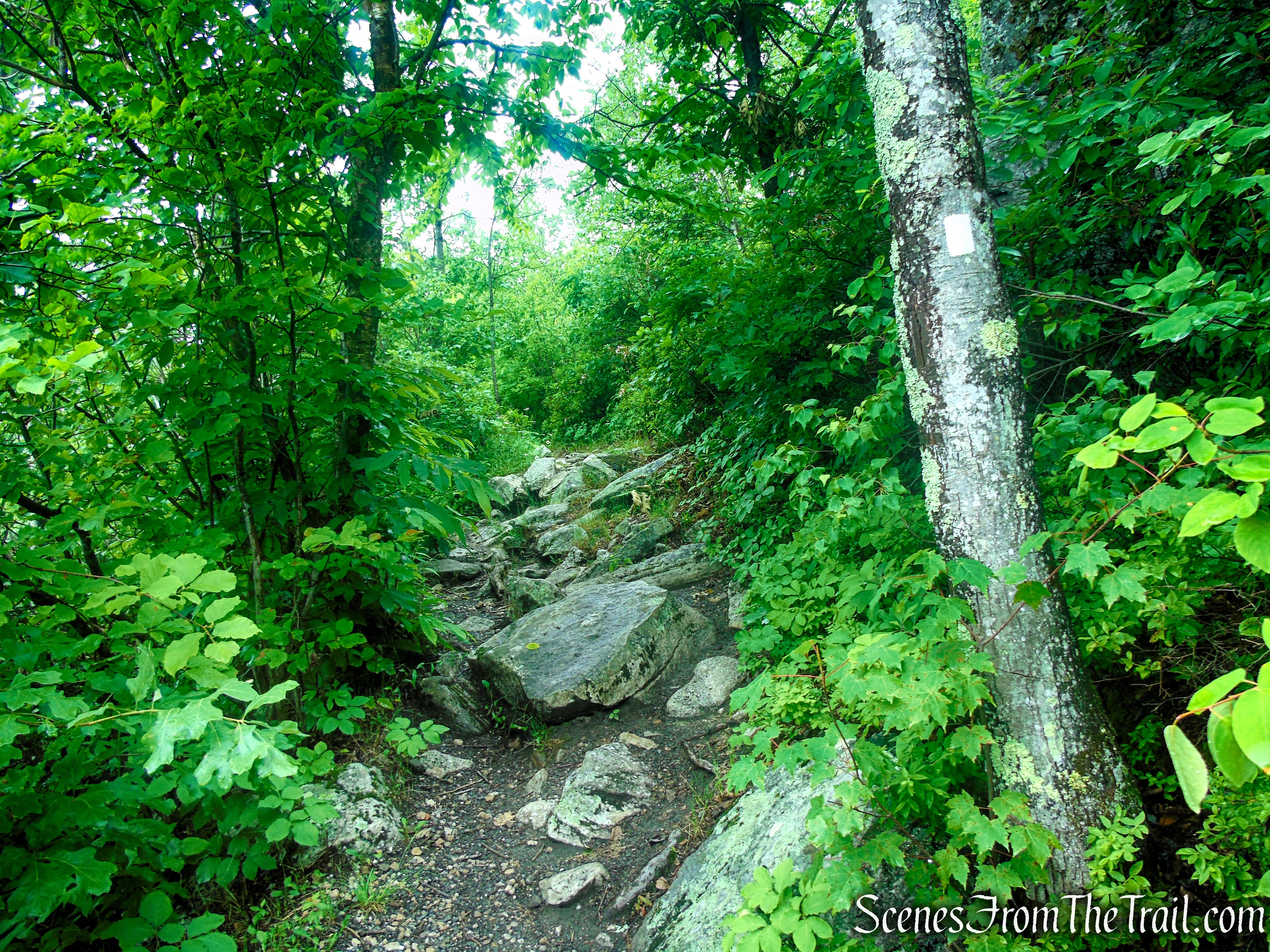
Ice Caves Trail – Sam’s Point Area
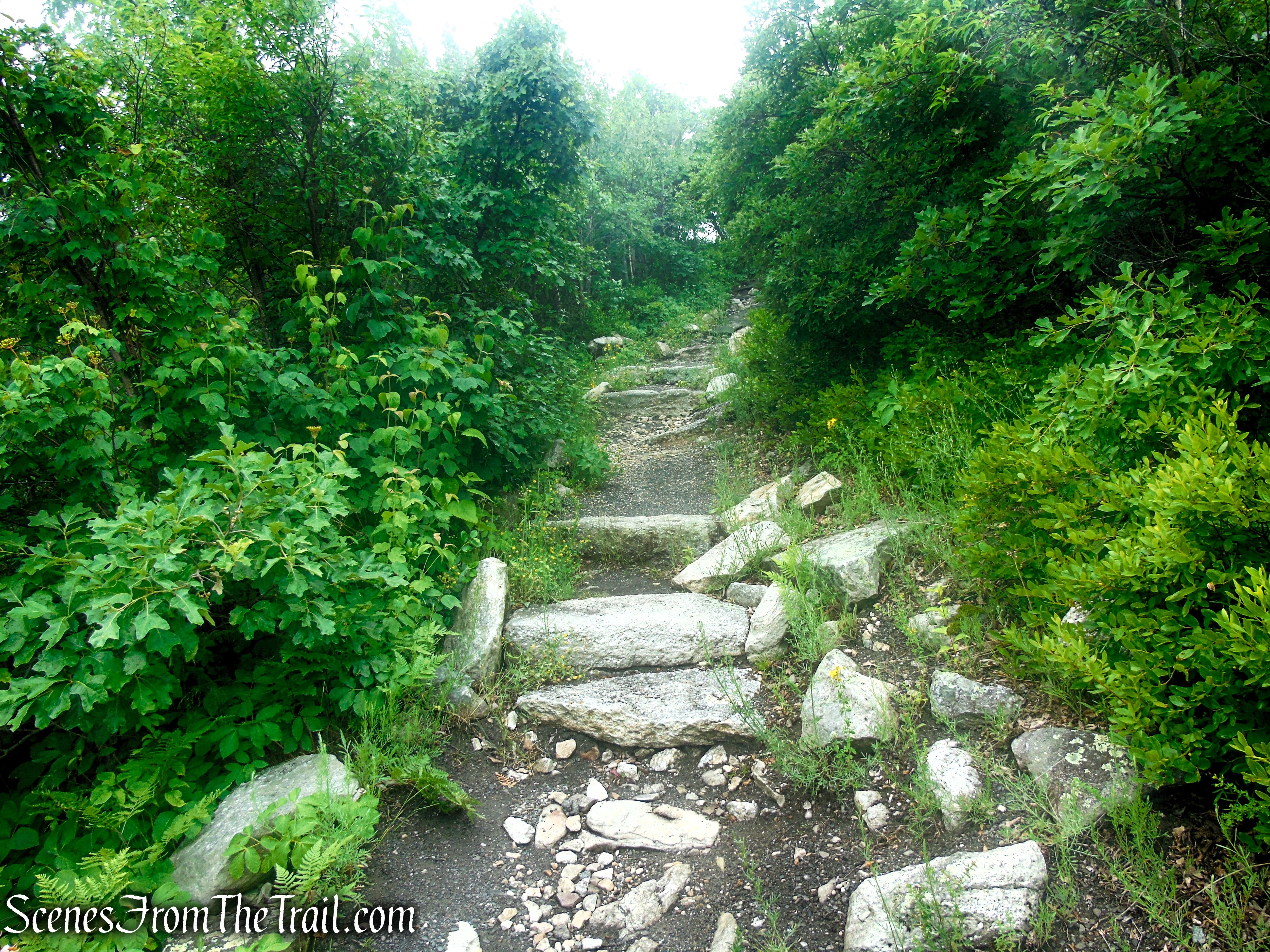
Ice Caves Trail – Sam’s Point Area
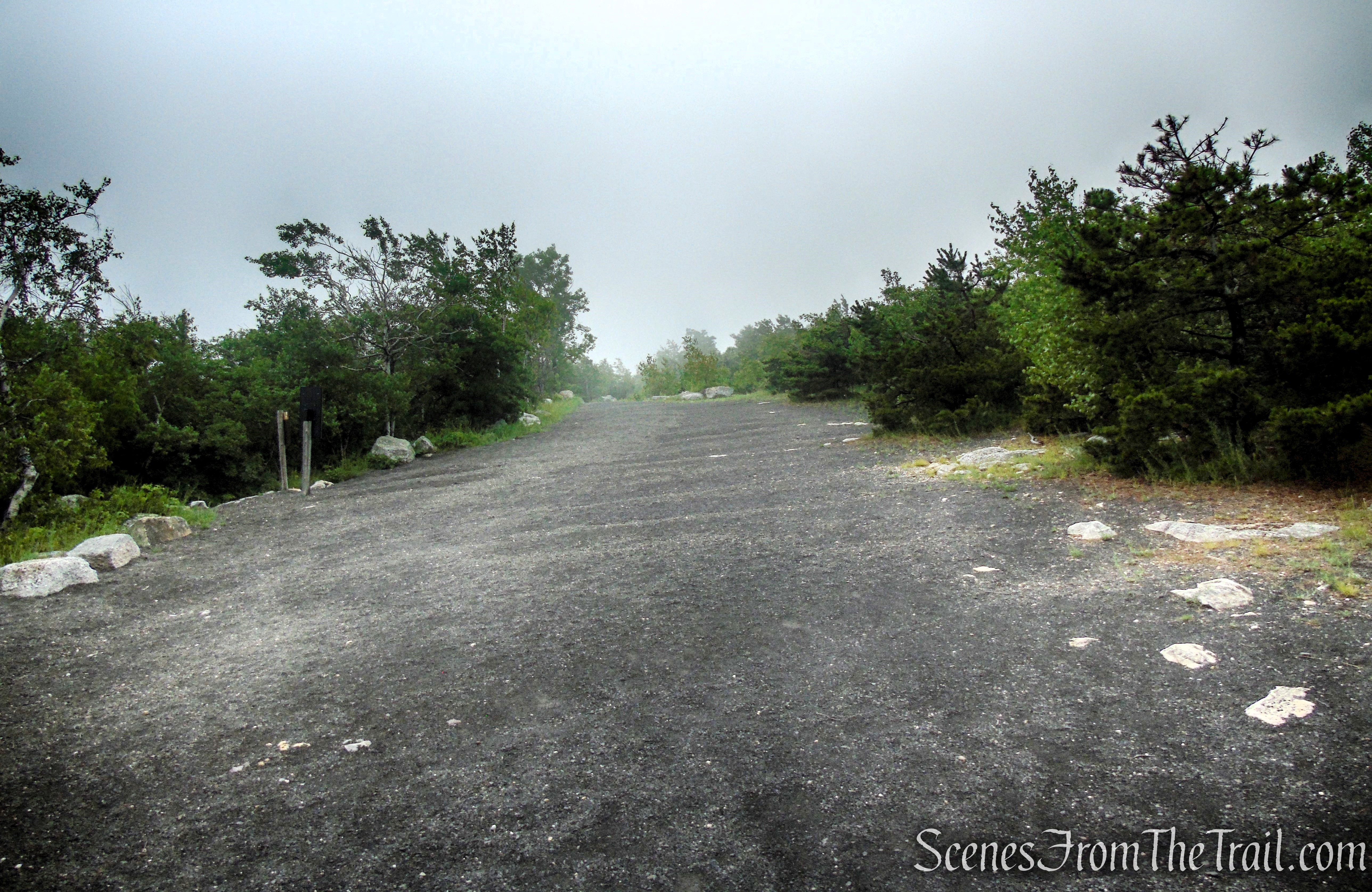
Terminus of Ice Caves Trail
Retrace your steps along Ice Caves Road, passing the junction with the Verkeerderkill Falls Trail, until you reach the intersection with Loop Road. Turn right at the T-intersection and follow the carriage road northeast for a short distance as it heads toward Lake Maratanza.
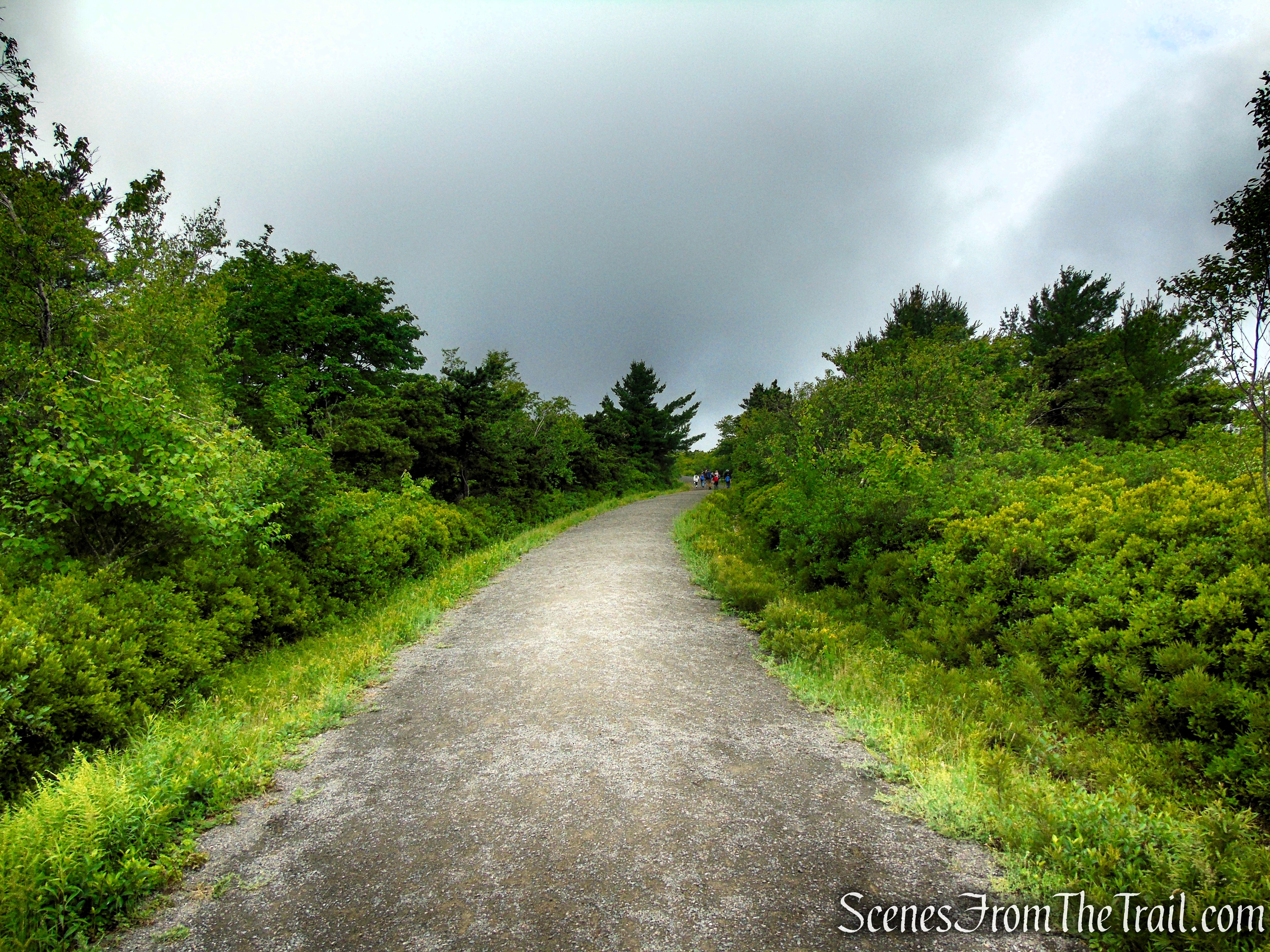
Ice Caves Road – Sam’s Point Area
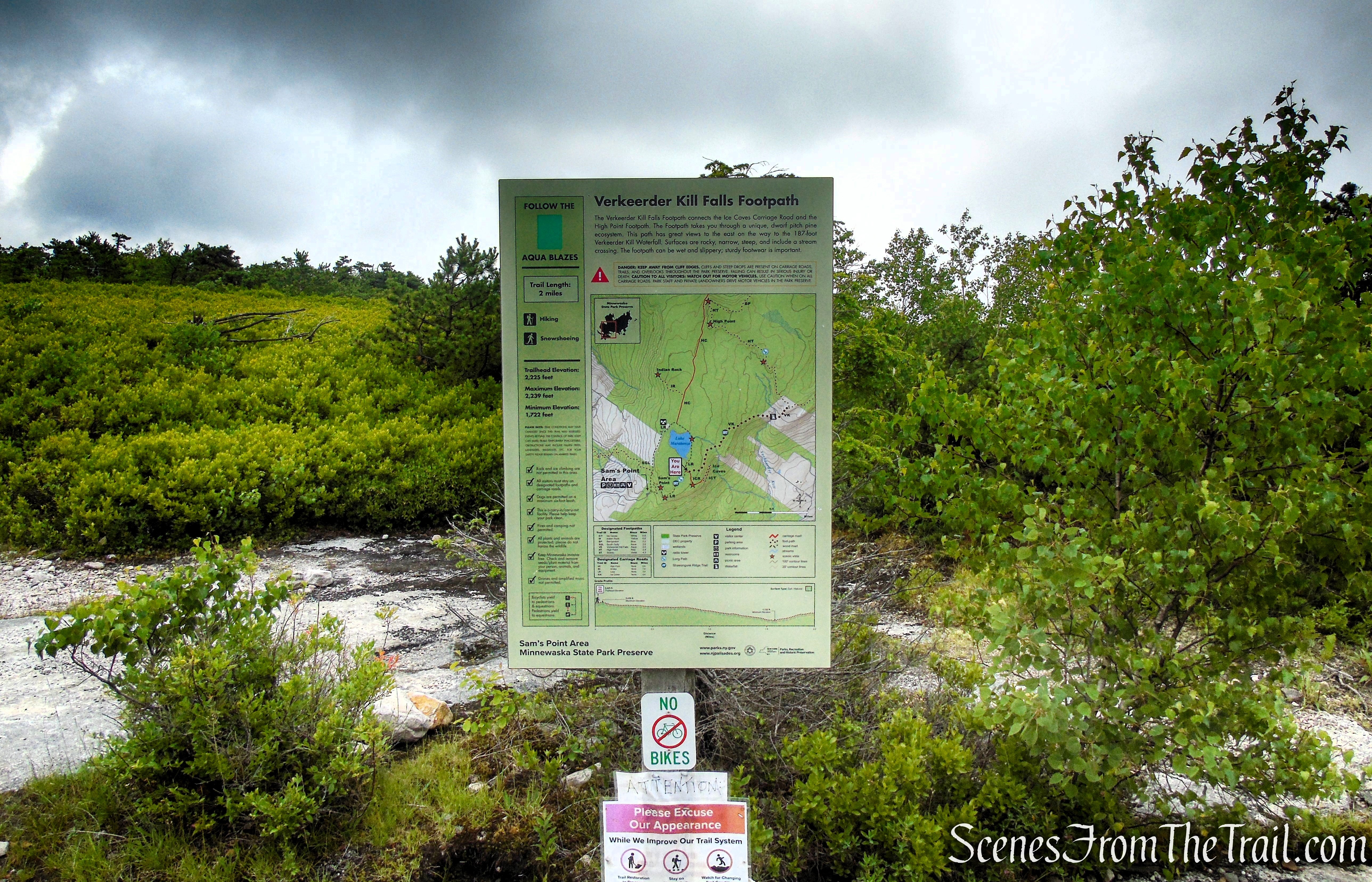
Verkeerderkill Falls Trail – Sam’s Point Area
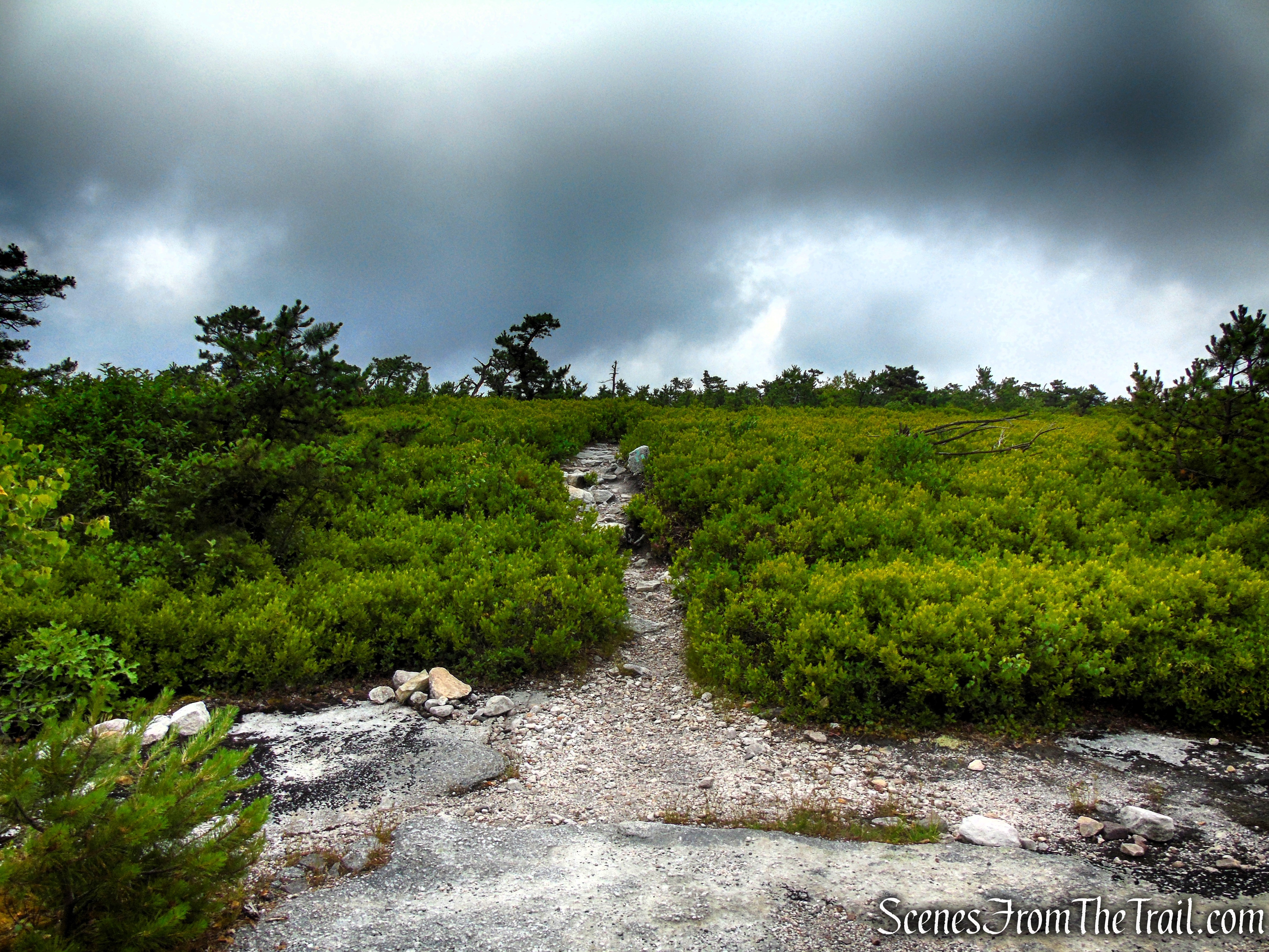
Verkeerderkill Falls Trail – Sam’s Point Area
If you happen to visit in Autumn, consider wandering a short distance along the Verkeerderkill Falls Trail to experience the brilliant red blueberry bushes that line both sides of the path. The trail transforms into a sea of crimson foliage, creating a spectacular display that is well worth the detour.
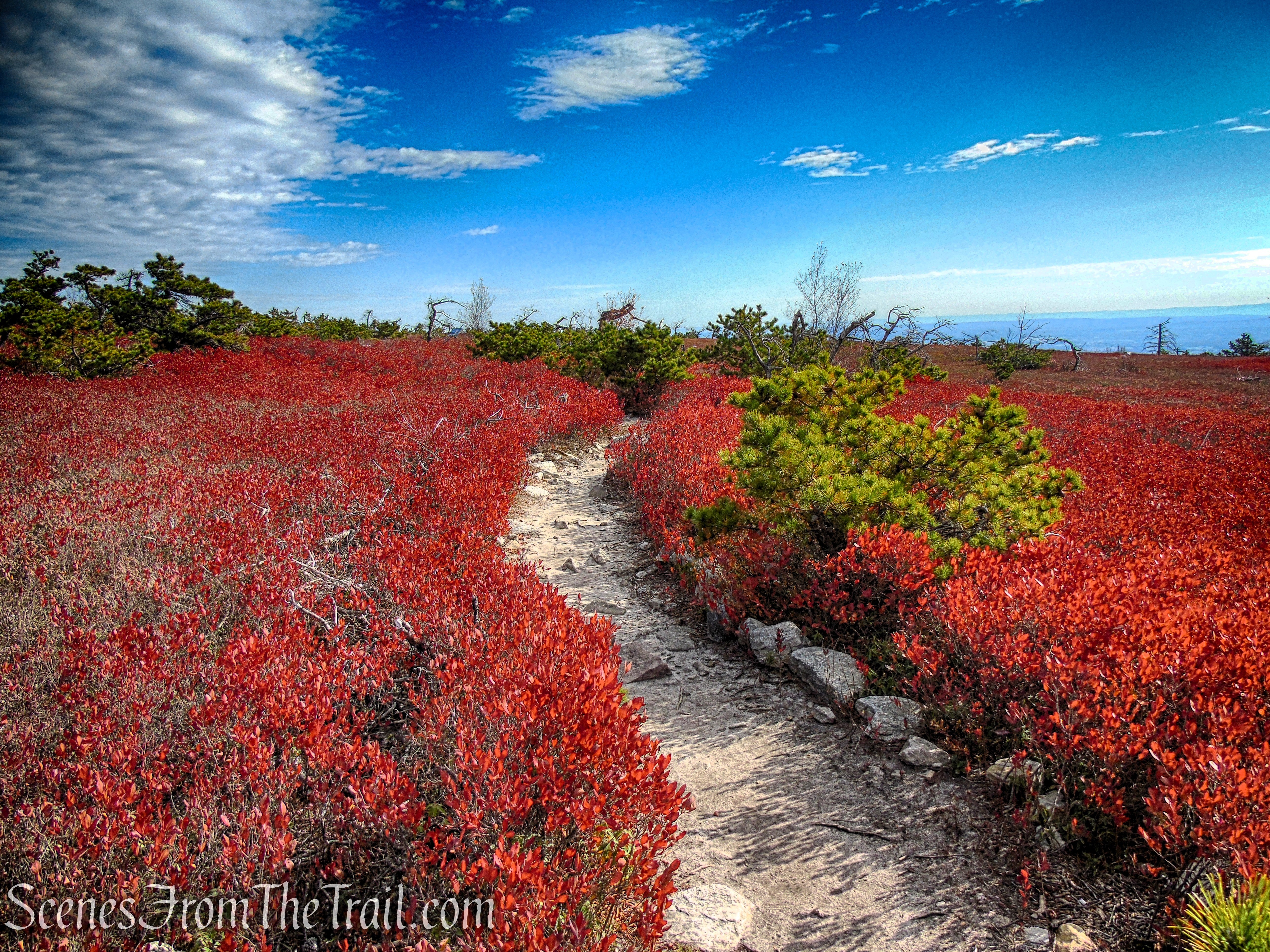
Verkeerderkill Falls Trail – Sam’s Point Area
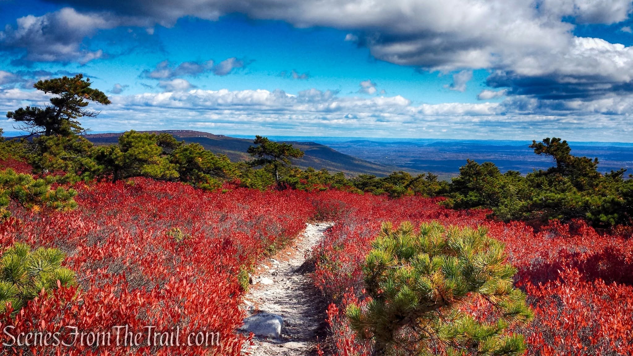
Verkeerderkill Falls Trail – Sam’s Point Area
After turning right onto Loop Road, take a moment to look to your right. Among the underbrush, you may notice the charred remains of trees still standing — a reminder of the devastating wildfire that swept across Sam’s Point in 2016.
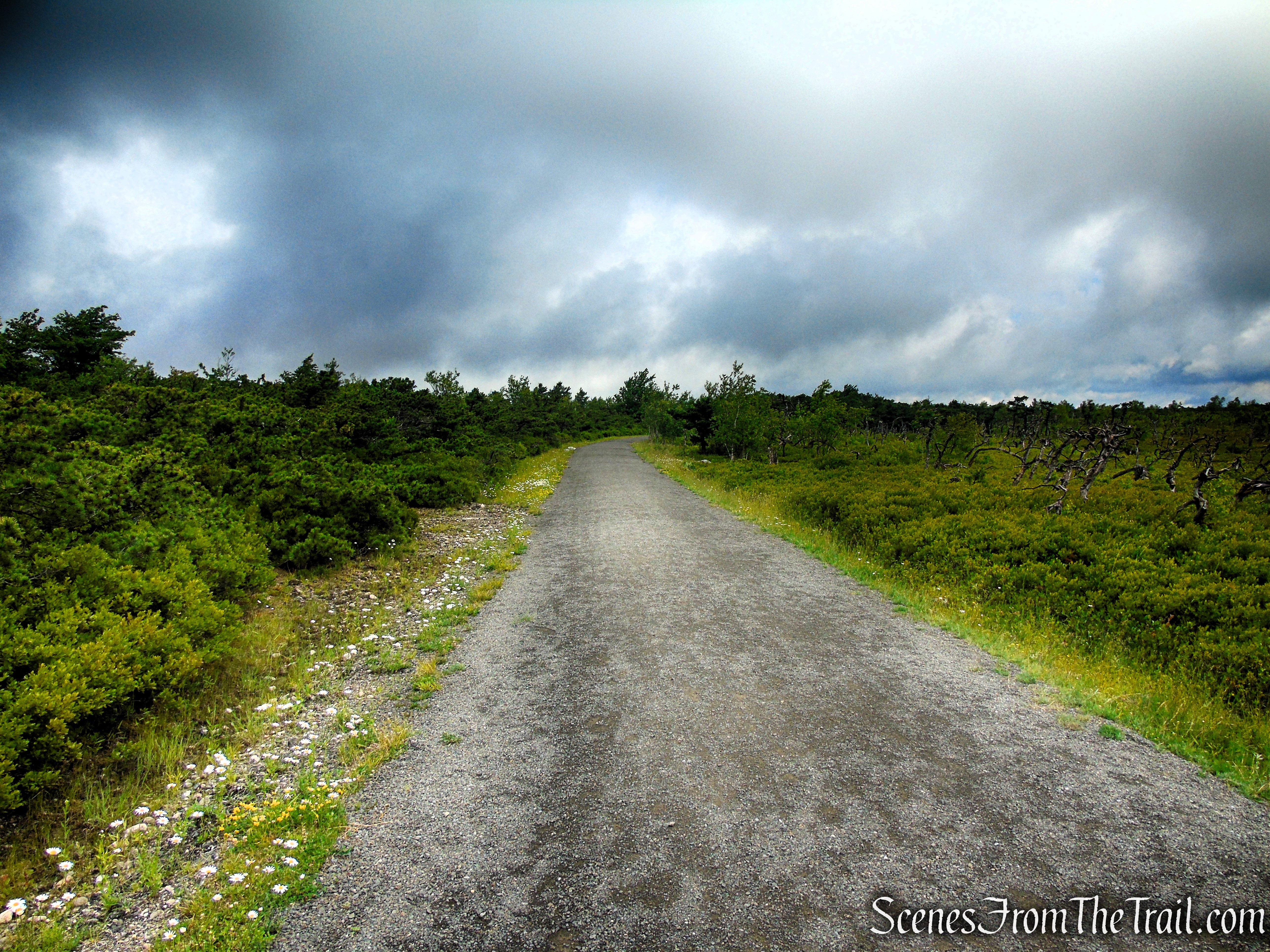
Loop Road – Sam’s Point Area
In May 2016, a wildfire swept across Sam’s Point Preserve, burning more than 2,400 acres of the Shawangunk Ridge, including large portions of the rare dwarf pine barrens. The fire, which was caused by an unattended campfire, dramatically altered the landscape but also became part of the natural cycle that helps regenerate this unique ecosystem. Along Loop Road near Lake Maratanza, visitors can still see the ghostly remains of fire-scarred dwarf pine trees standing among the recovering vegetation — a lasting reminder of the power of fire and the resilience of the ridge.
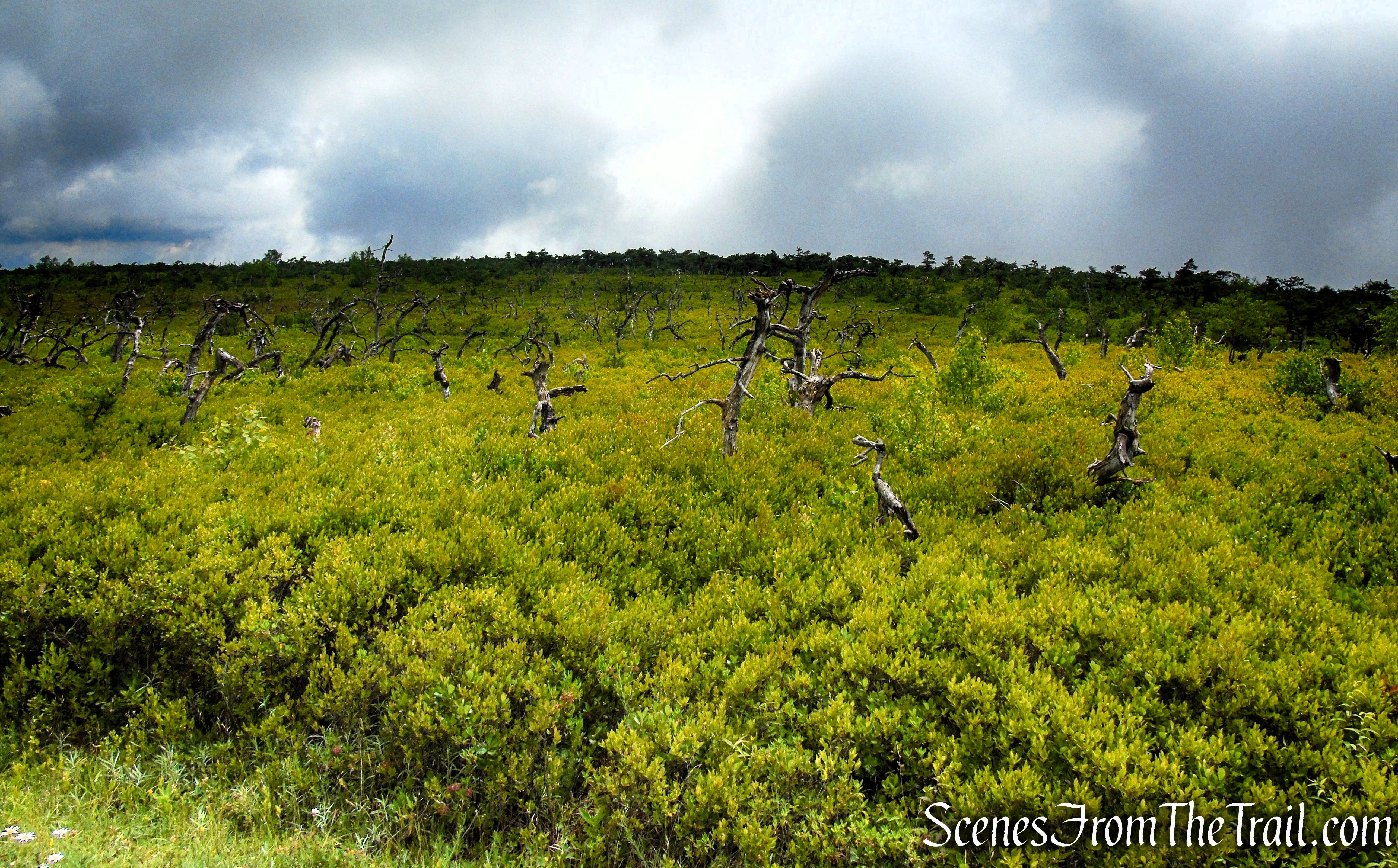
Loop Road – Sam’s Point Area
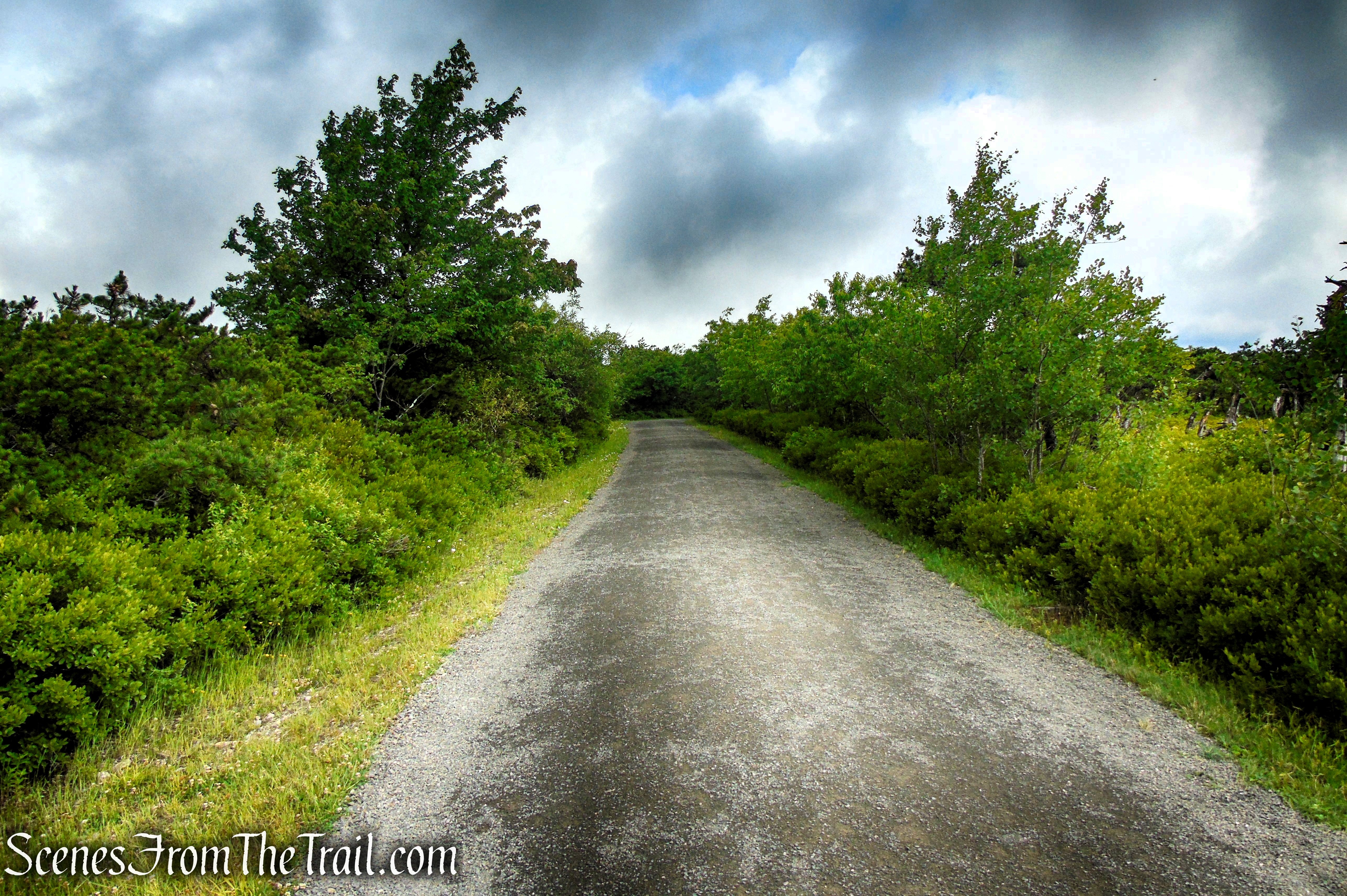
Loop Road – Sam’s Point Area
As you continue along Loop Road, keep an eye out for an unmarked path on your left. This short spur trail leads to the southern end of Lake Maratanza, offering a peaceful glimpse of one of Sam’s Point’s scenic mountain lakes. On this visit, the water level was noticeably low, and the view was not quite as impressive as it has been on previous trips, but it remains a worthwhile side excursion.
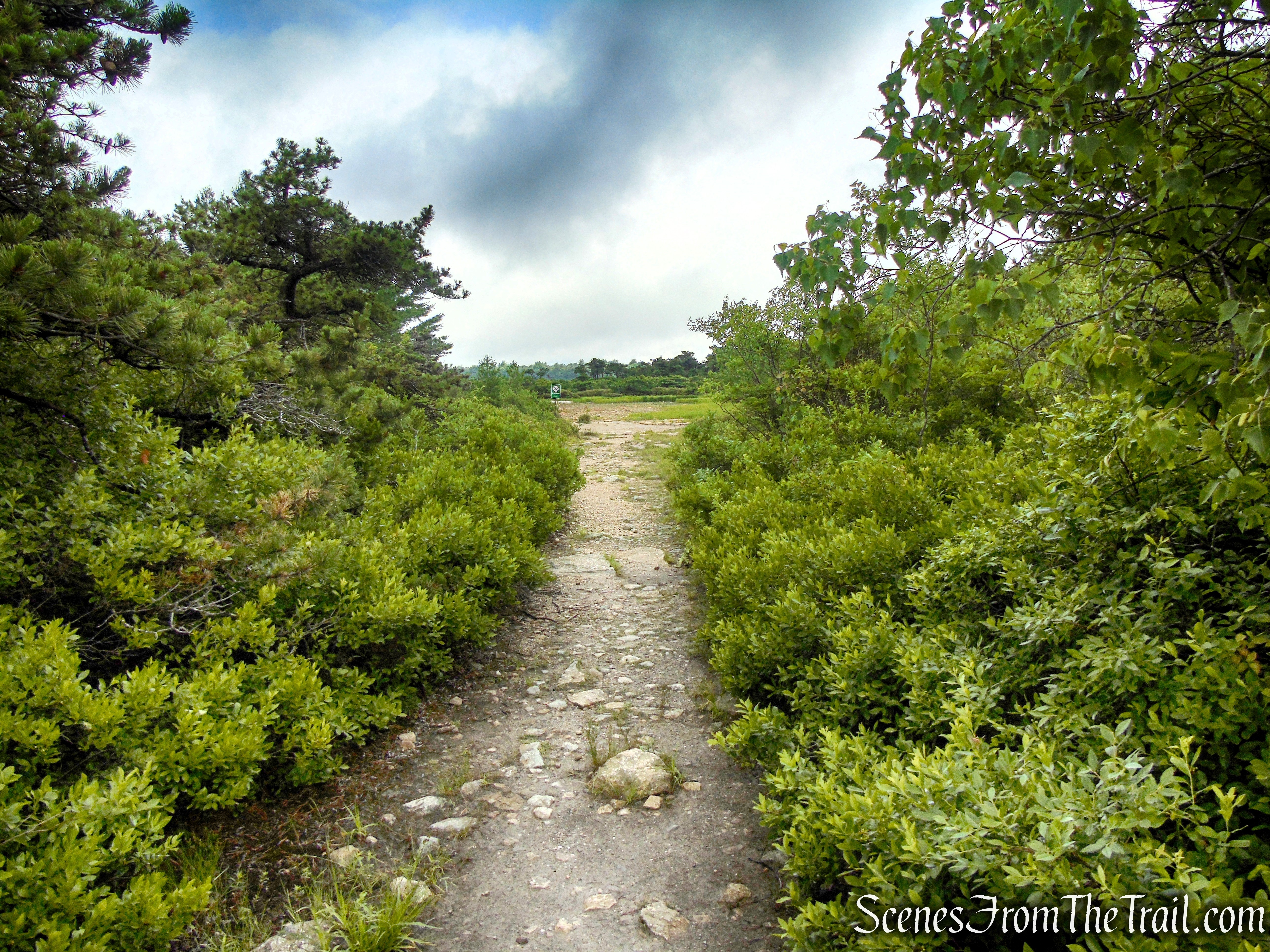
Unmarked path to Lake Maratanza
Lake Maratanza is the highest of the five “Sky Lakes” (the others are Mohonk Lake, Lake Minnewaska, Lake Awosting and Mud Pond) on the Shawangunk Ridge at 2,245 feet above sea level. It receives its water only from rainfall, both directly and as a runoff from the very low slopes around its perimeter.

Lake Maratanza – Sam’s Point Area
As we stood along the shore of Lake Maratanza, the skies began to clear and the sun broke through, quickly turning up the heat. We had originally planned to continue around the lake, but with little shade along the route and the afternoon sun becoming more intense, we started to reconsider. Since we had not yet experienced the expansive views that Sam’s Point is known for — and I was hiking with two companions visiting the preserve for the first time — we decided to head back toward Sam’s Point Overlook and give the views another chance.
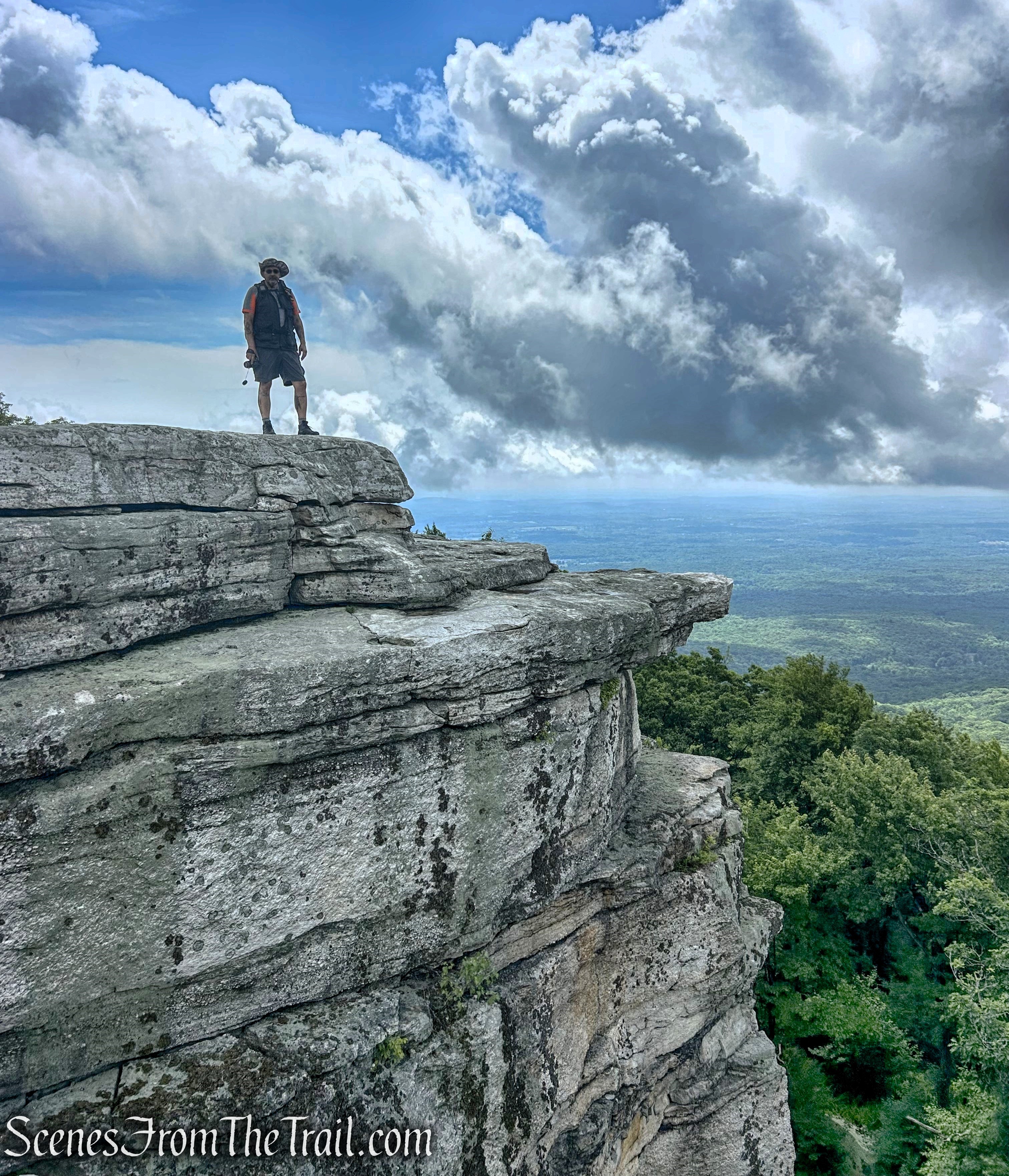
It turned out to be a great decision to return to the overlook. As the clouds continued to break apart, the views opened up, revealing the sweeping panorama we had hoped to see. The expansive vistas across the Shawangunk Ridge and surrounding landscape made the reroute of our hike well worth it, providing the perfect reward after our trek through Sam’s Point.
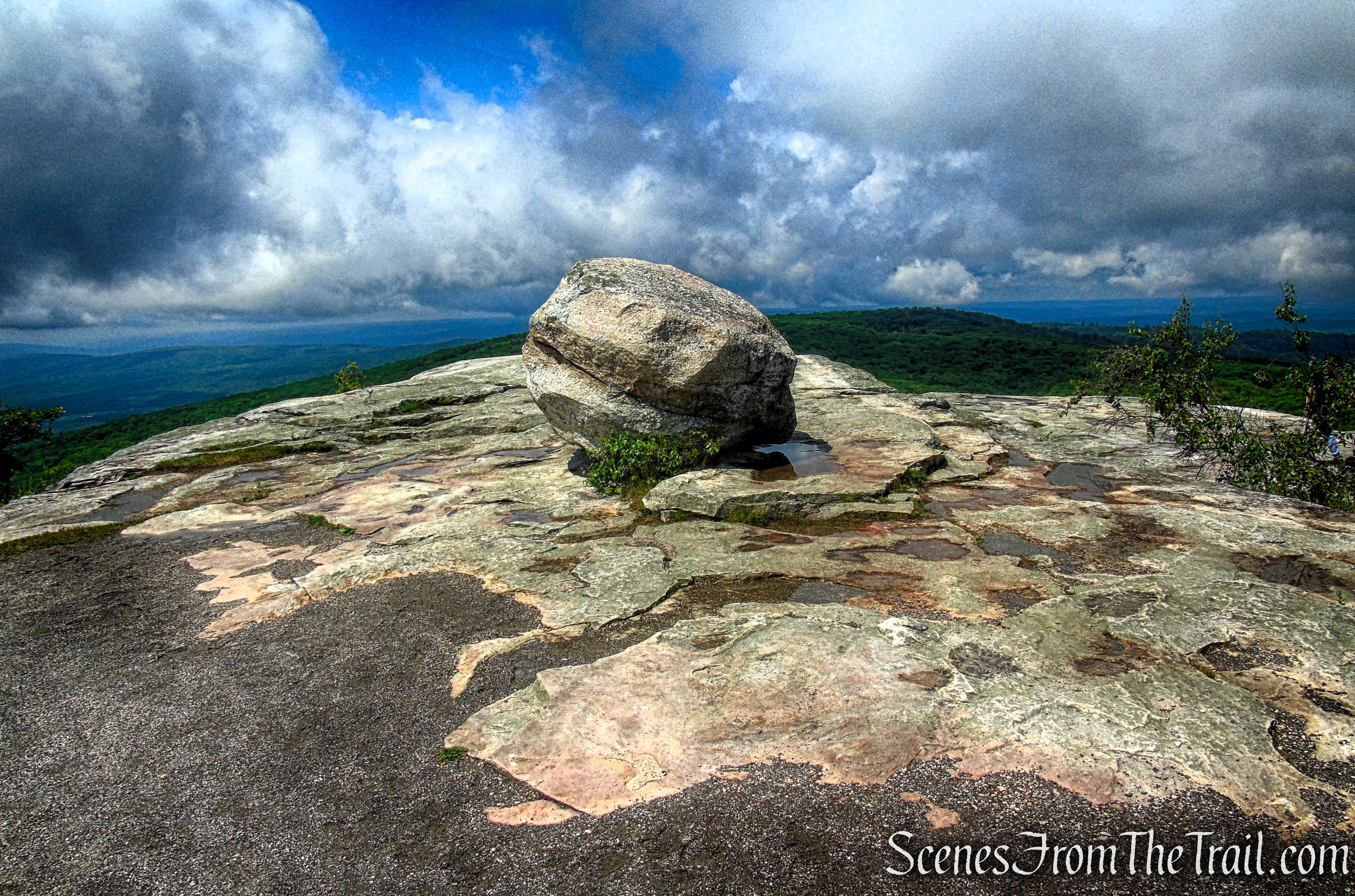
Sam’s Point Overlook
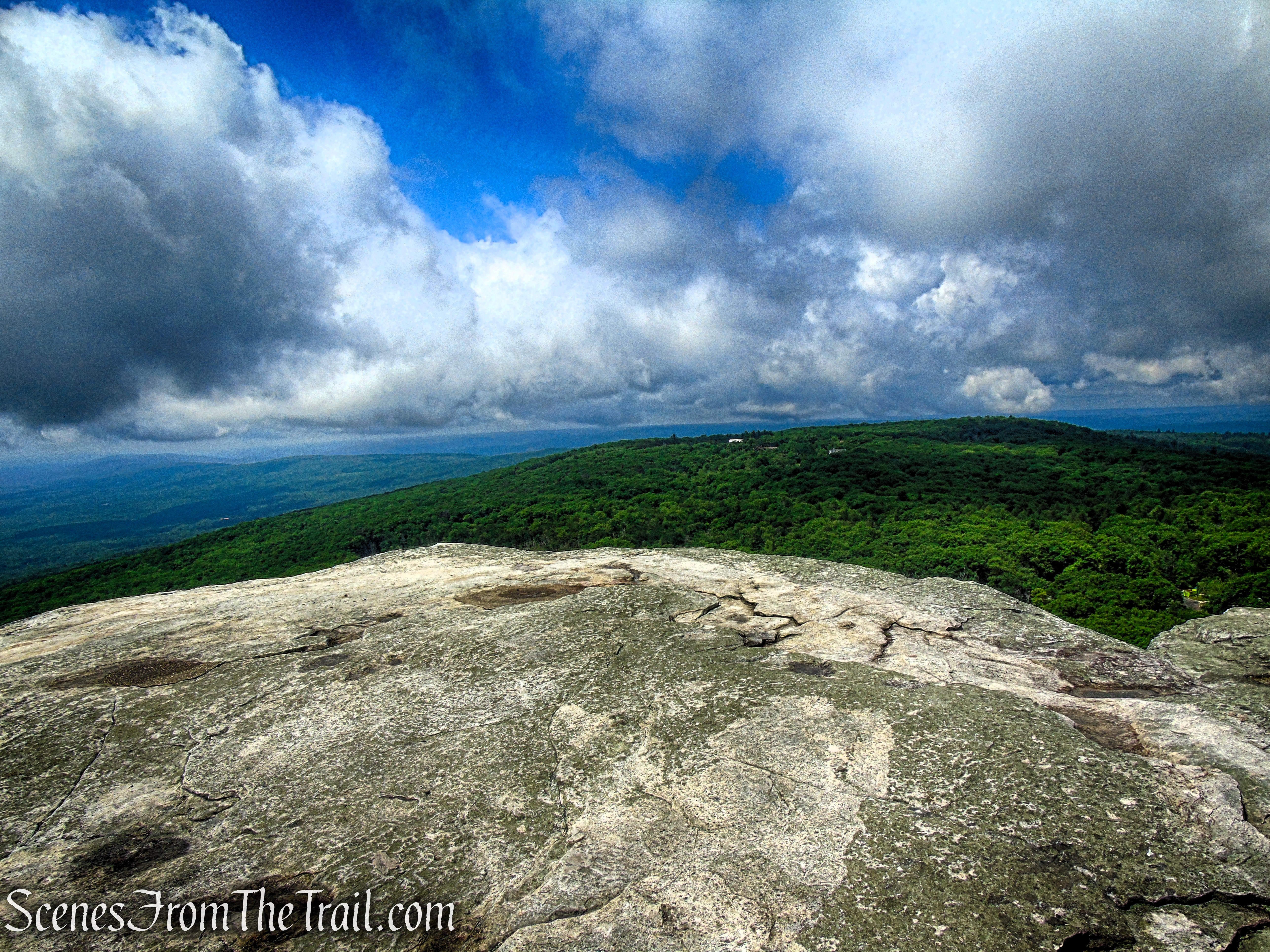
Sam’s Point Overlook
Sam’s Point Overlook
We then retraced our steps back to Loop Road and turned right, continuing our descent toward the parking area. Along the way, keep an eye out for several rocky outcrops on the left side of the road. These natural viewpoints offer sweeping views to the south and southwest, with the open landscape stretching out across the horizon — a reminder of why Sam’s Point is one of the most scenic destinations on the Shawangunk Ridge.
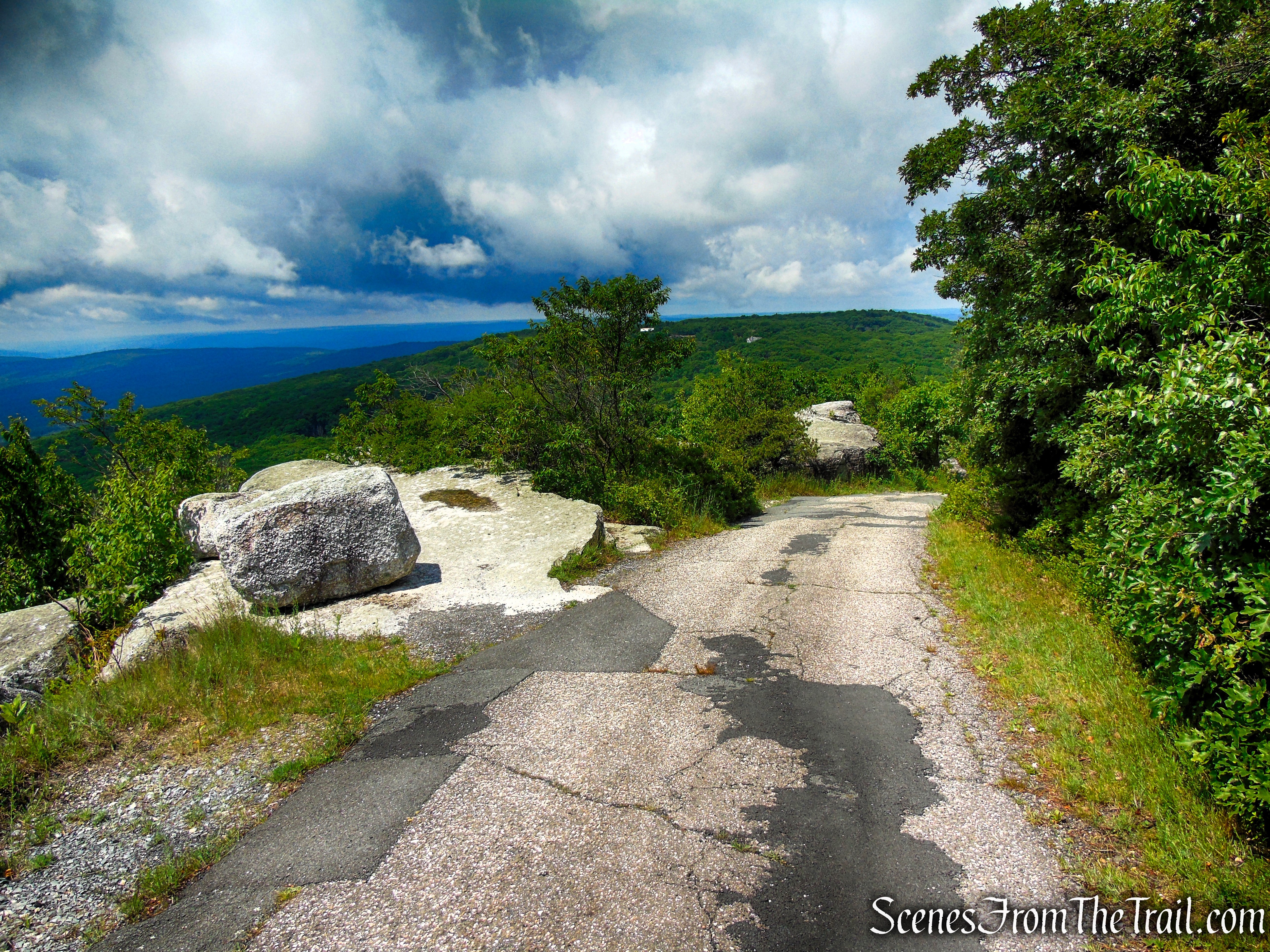
Loop Road – Sam’s Point Area
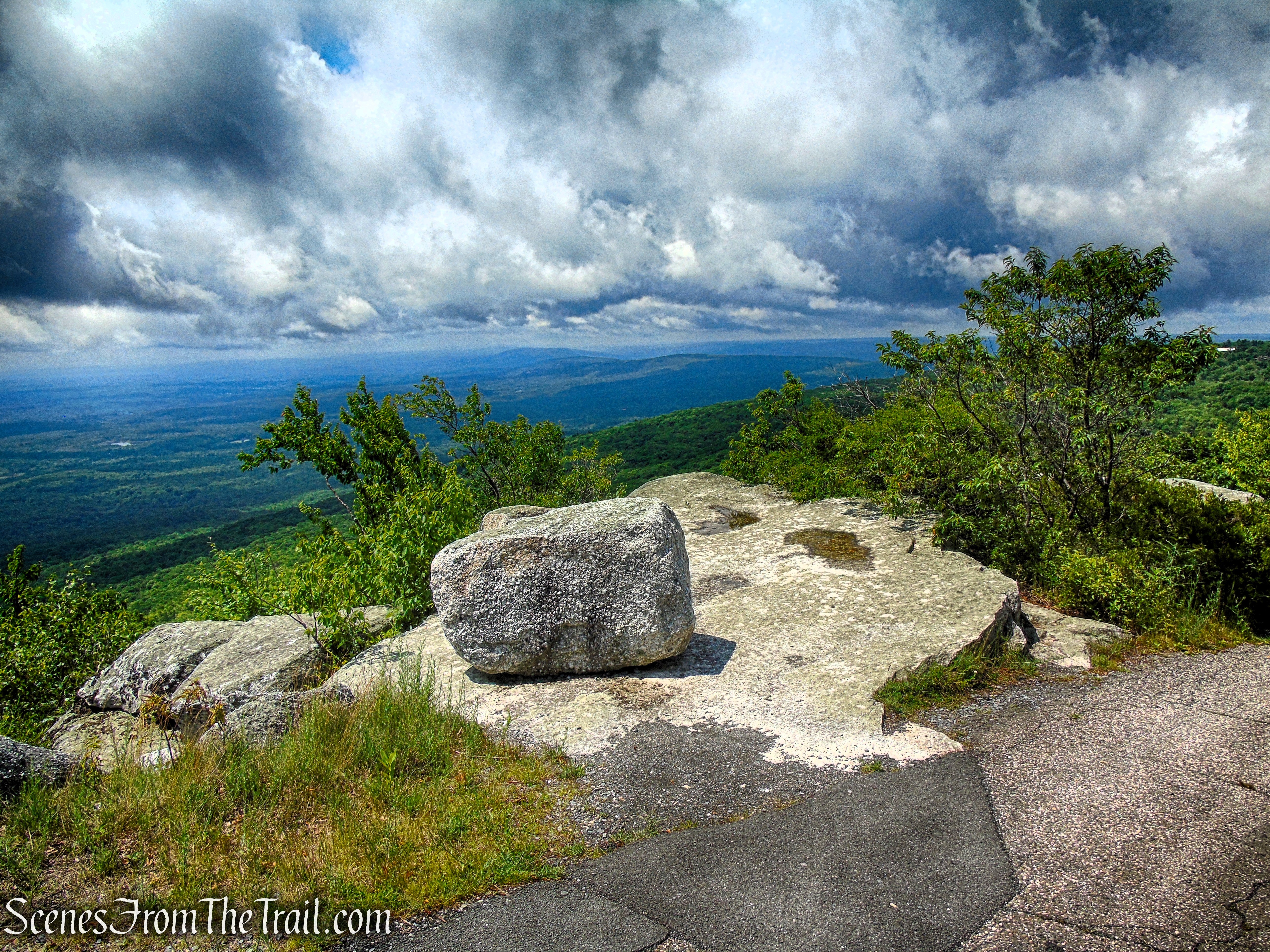
Loop Road – Sam’s Point Area
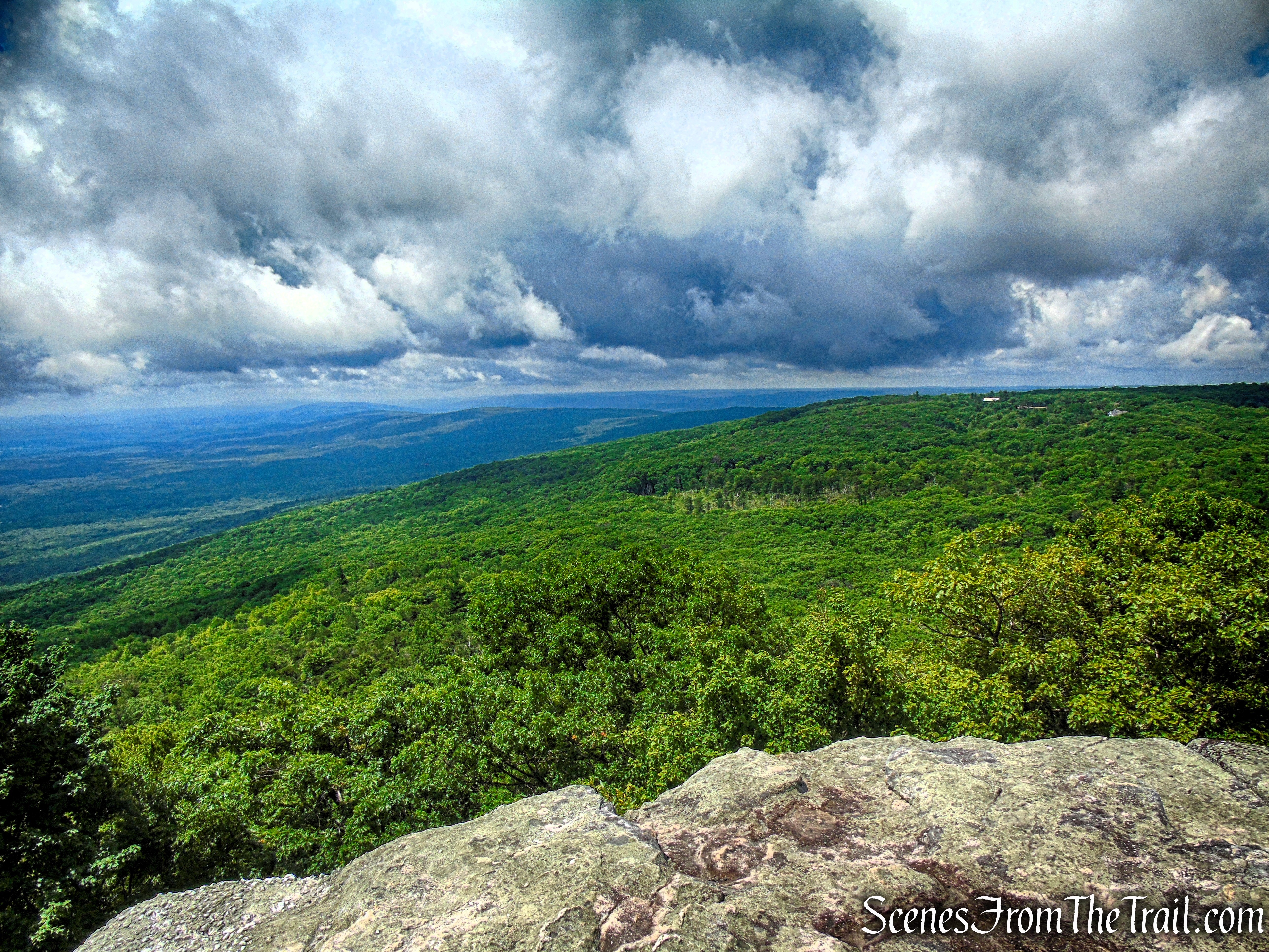
Loop Road – Sam’s Point Area
Beyond the viewpoints, Loop Road begins a gentle descent, winding past impressive rock formations, exposed ledges, and the towering cliffs that support Sam’s Point Overlook above. After passing the historic Lenape Steps, the road descends through a series of broad switchbacks before returning to the visitor center and parking area, bringing this memorable hike to a close.
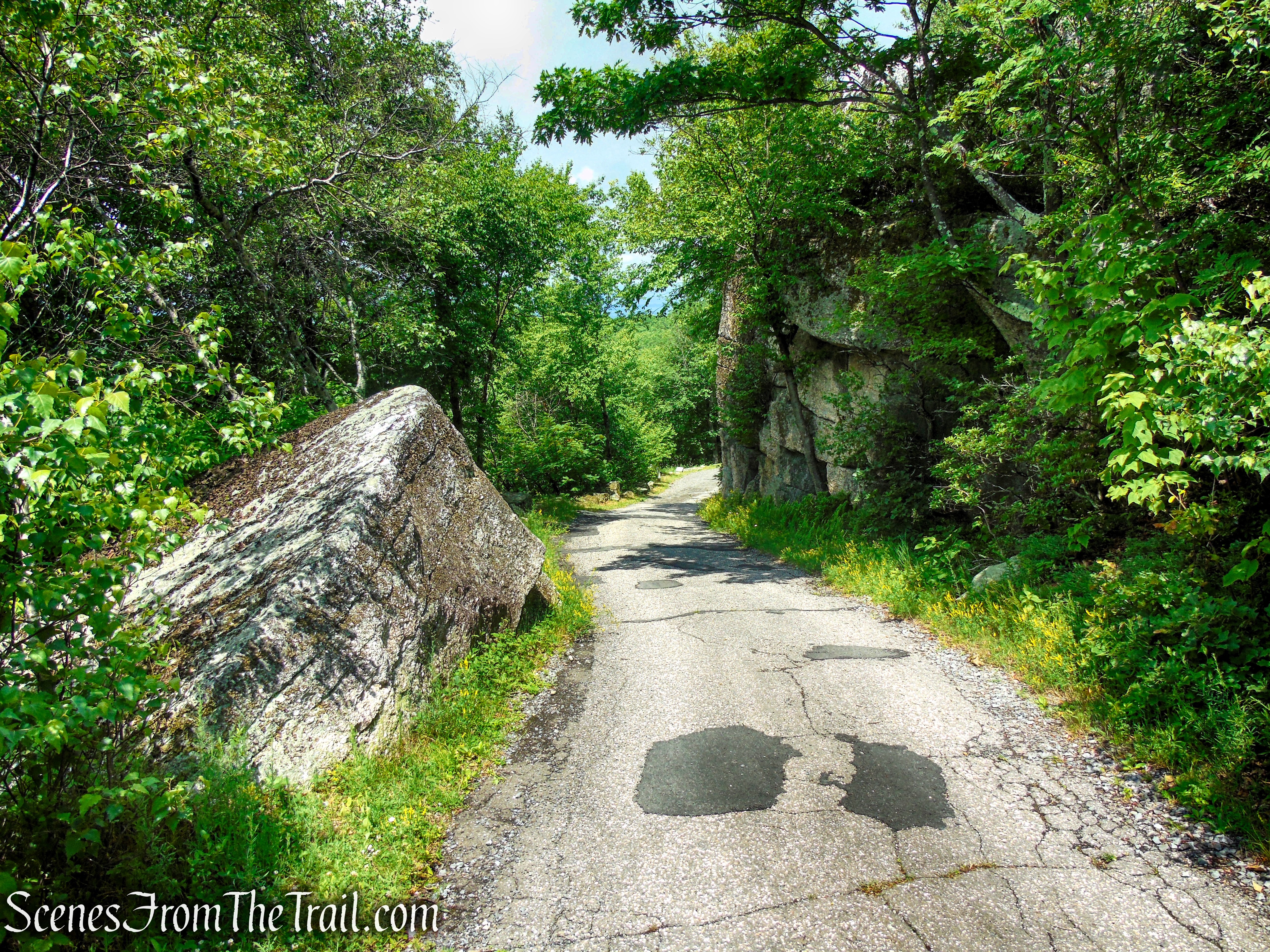
Loop Road – Sam’s Point Area
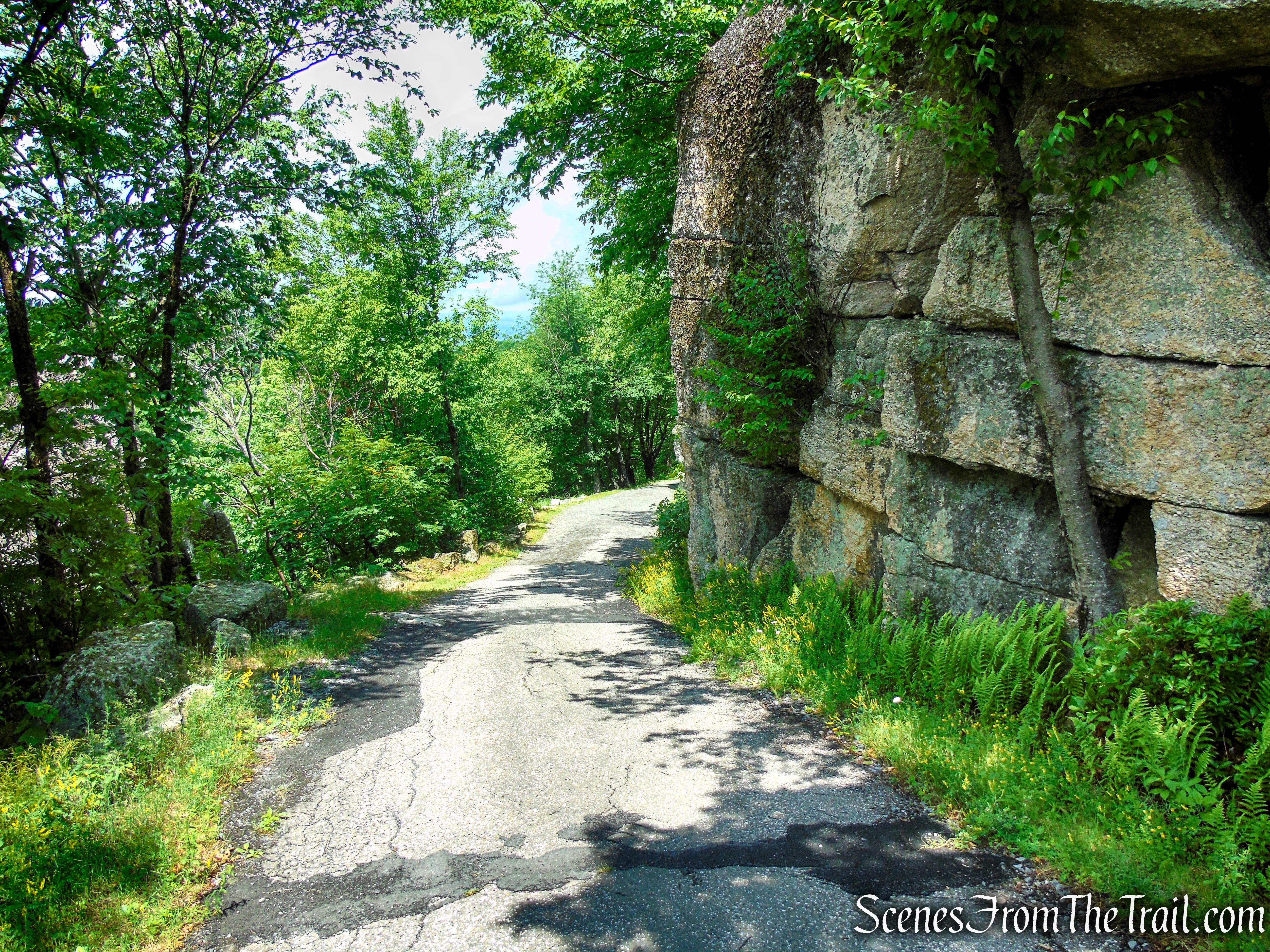
Loop Road – Sam’s Point Area
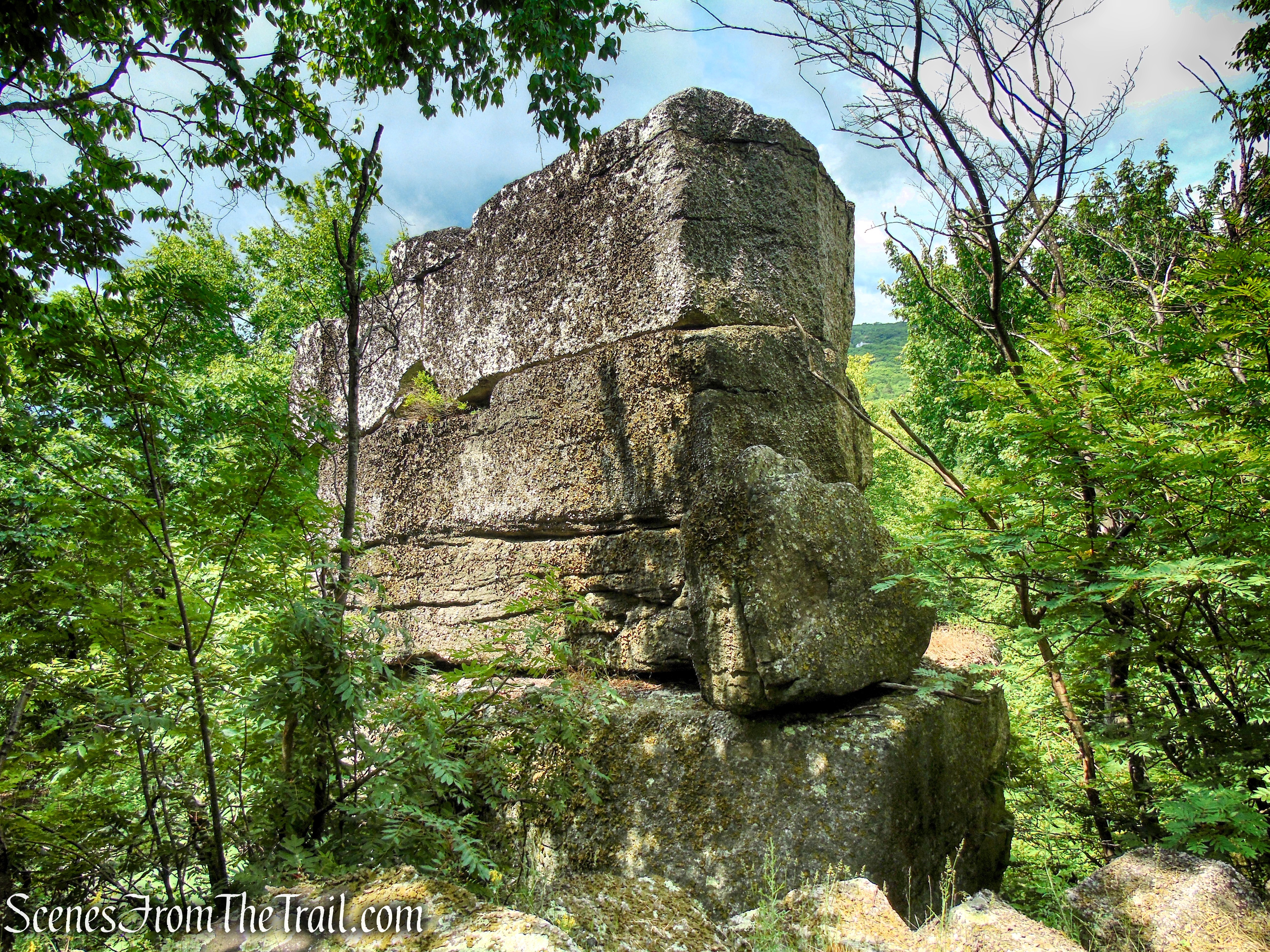
Loop Road – Sam’s Point Area
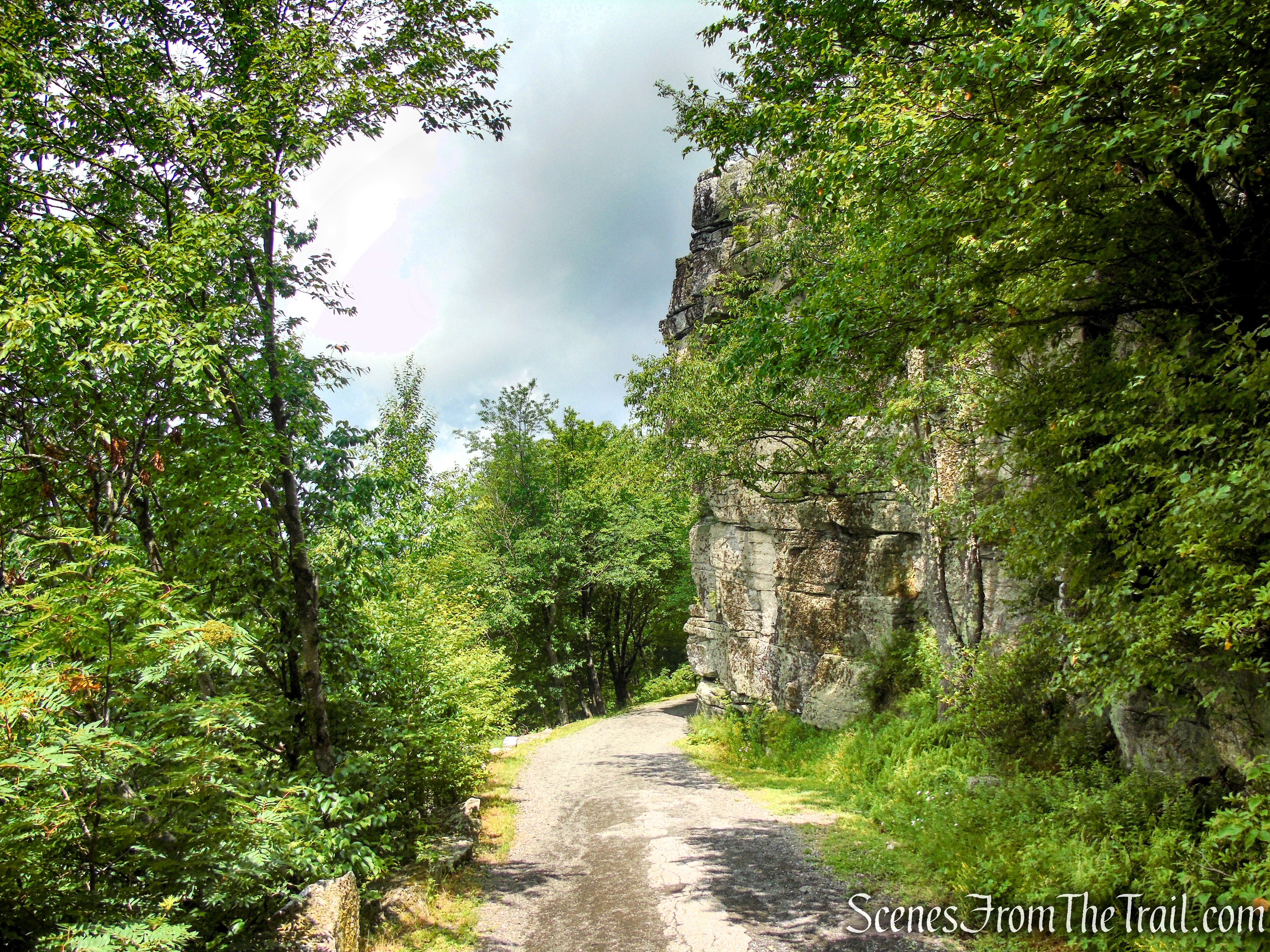
Loop Road – Sam’s Point Area
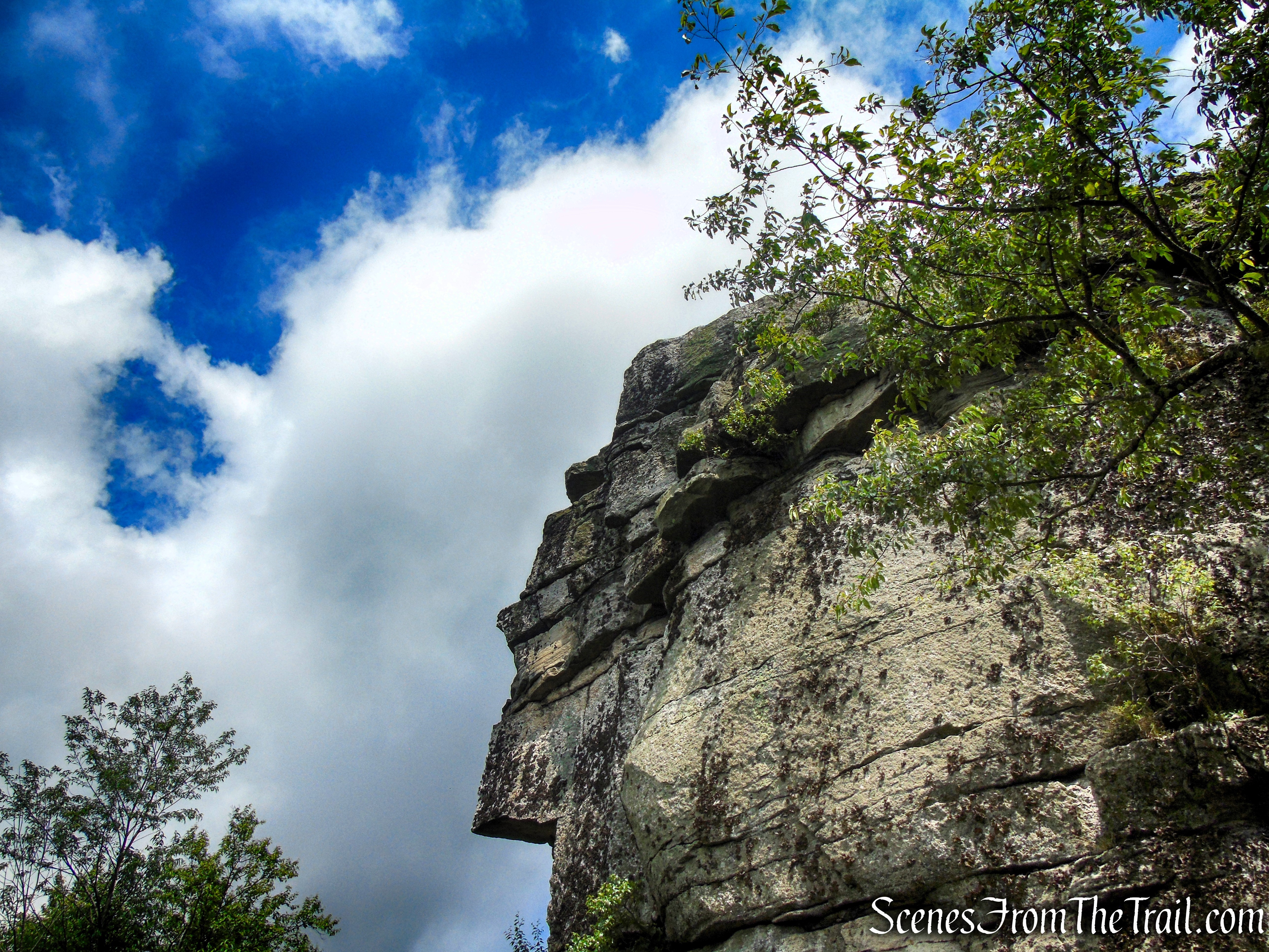
Loop Road – Sam’s Point Area
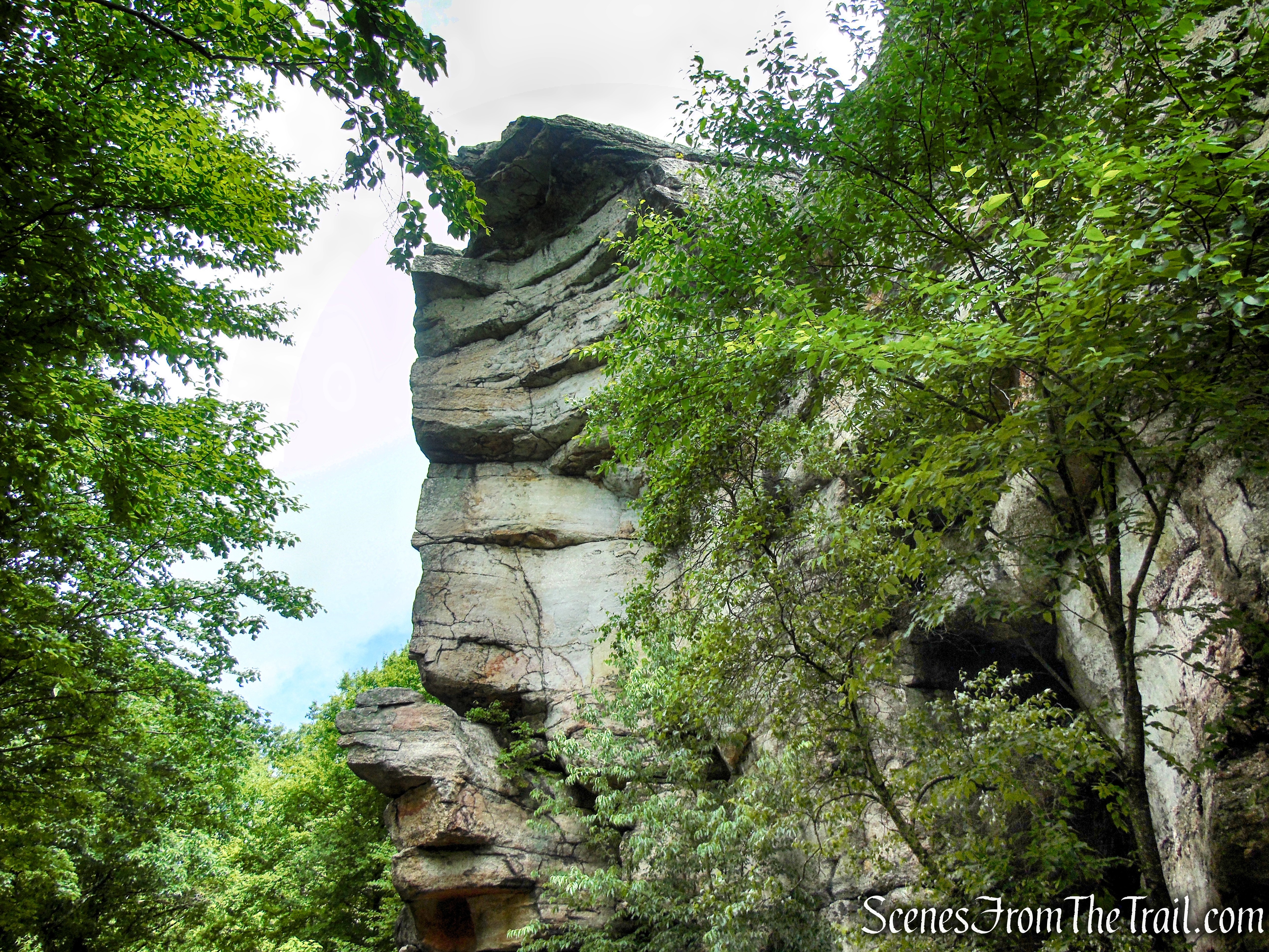
Loop Road – Sam’s Point Area
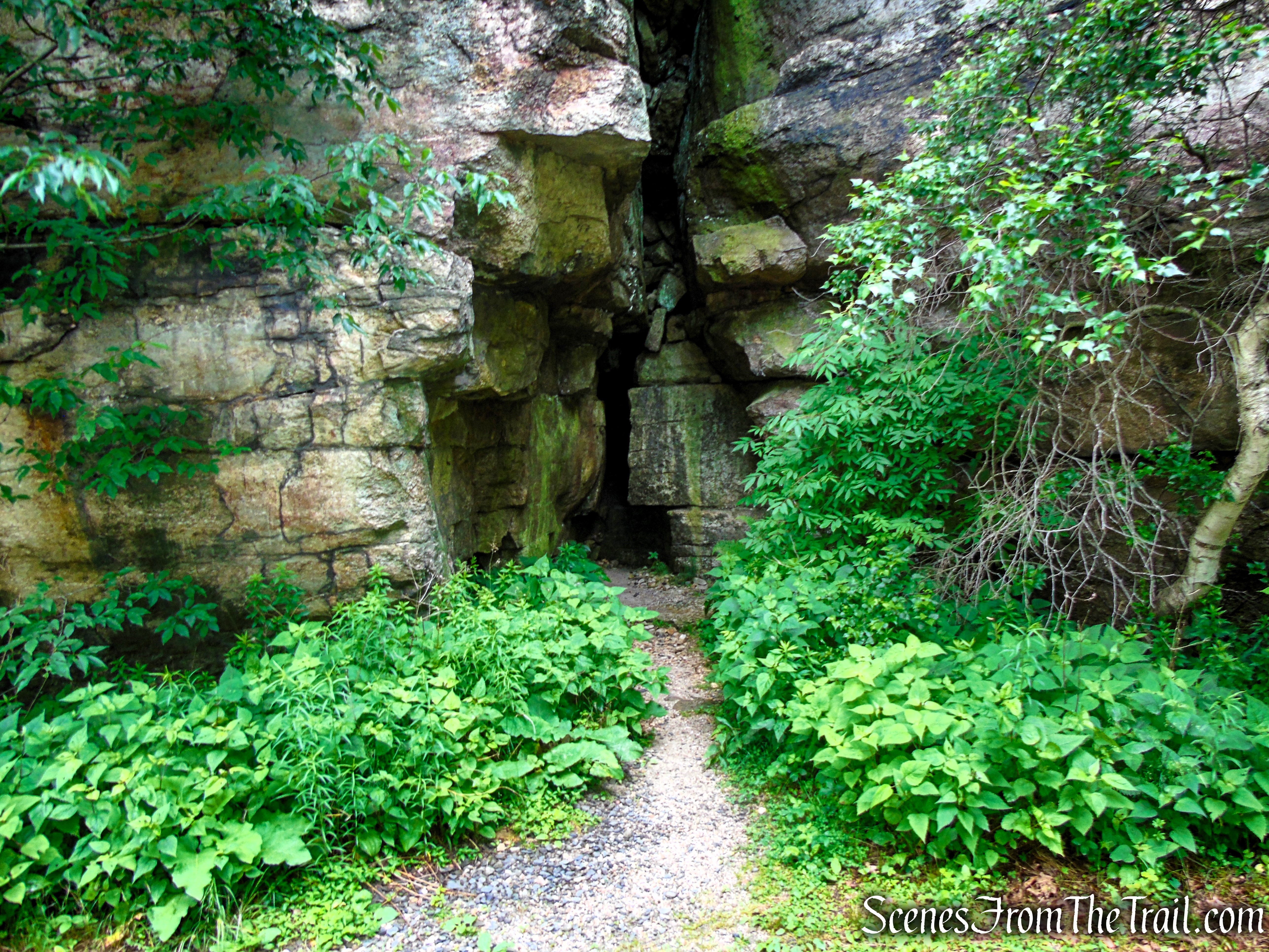
Loop Road – Sam’s Point Area
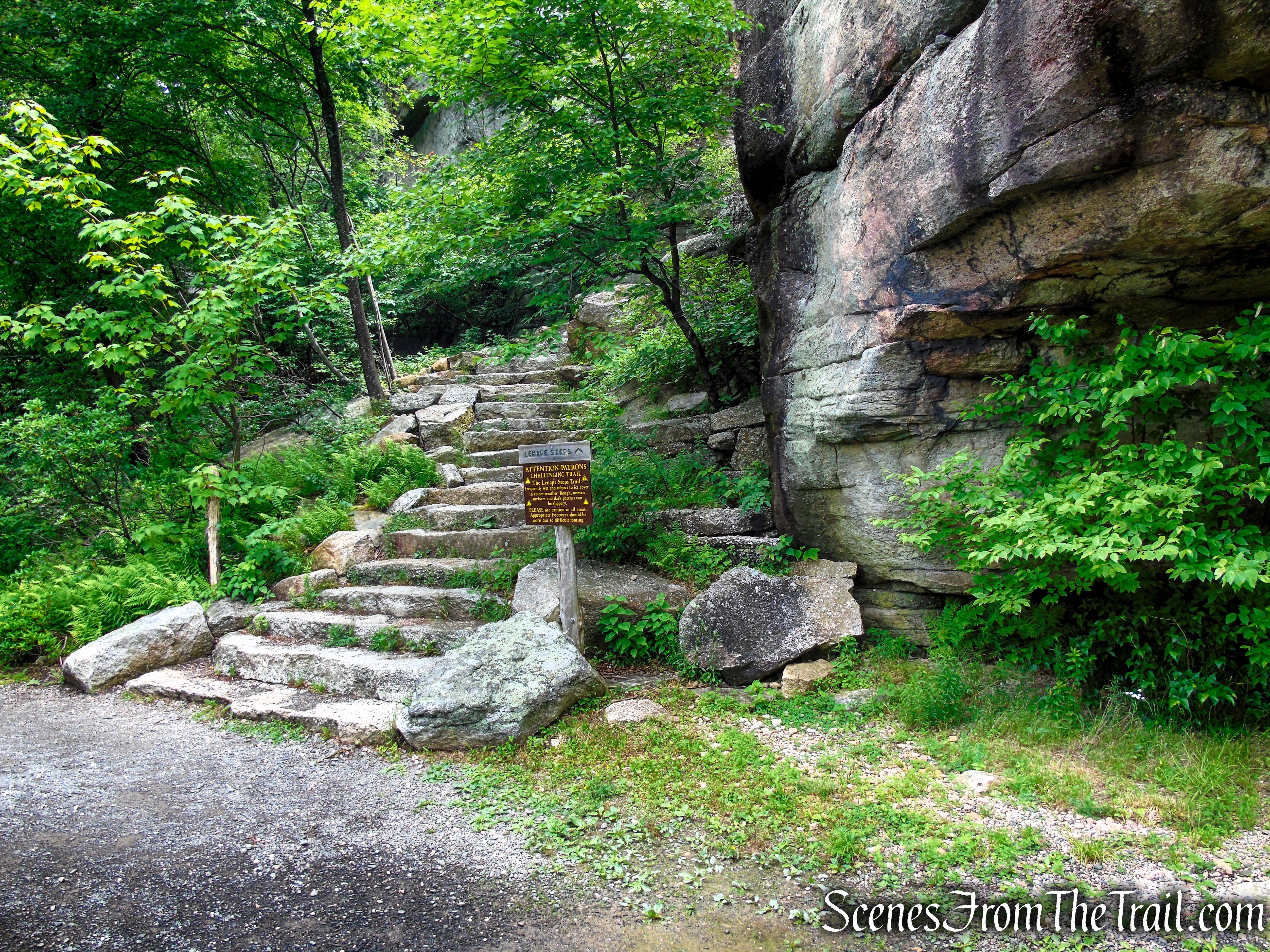
Loop Road – Sam’s Point Area
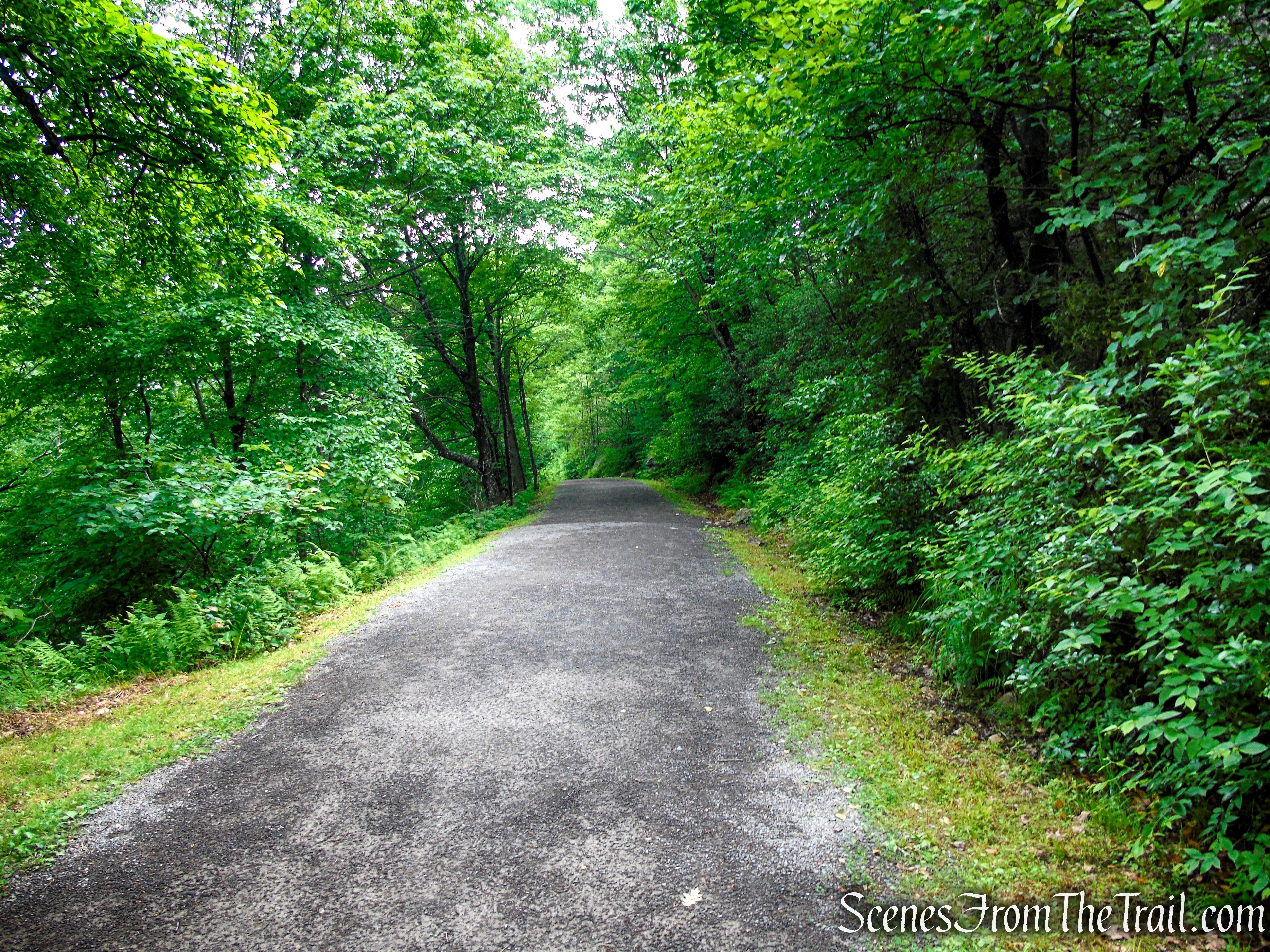
Loop Road – Sam’s Point Area
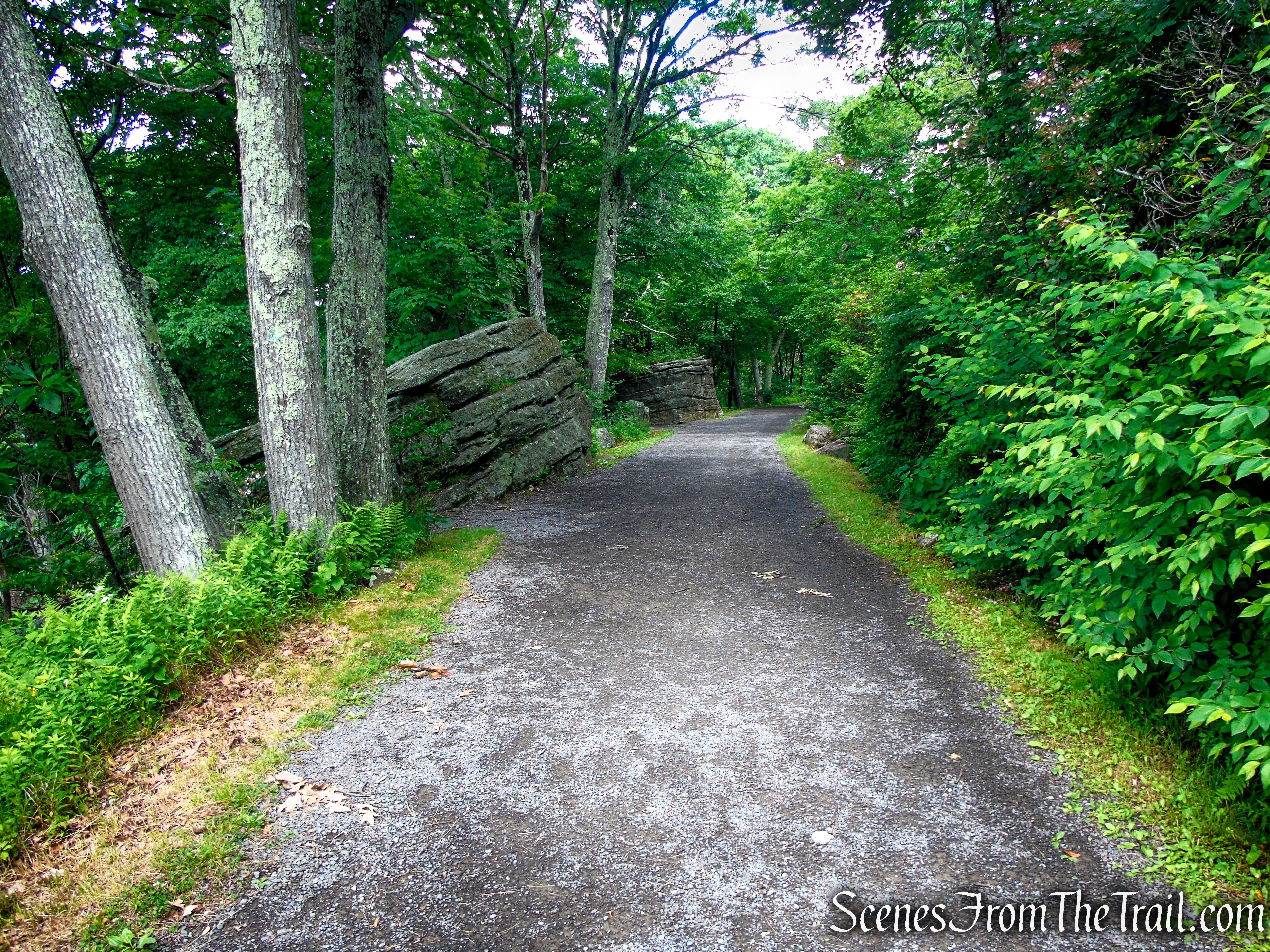
Loop Road – Sam’s Point Area
Review:
This 4.3-mile hike is one of the most rewarding and unique adventures in the Hudson Valley. While the mileage is relatively modest, the route packs an incredible variety of scenery into a single outing. From the historic Lenape Steps and the sweeping views at Sam’s Point Overlook to the fascinating maze of boulders and cool rock passages of the Ice Caves, there’s something memorable around every corner.
The carriage roads make for comfortable walking, while the Ice Caves Trail adds a fun and adventurous element with its stone staircases, wooden ladders, narrow rock crevices, and boardwalks. The dramatic change in landscape—from hardwood forest to the rare dwarf pitch pine barrens and then into the naturally refrigerated Ice Caves—makes the hike feel like several different adventures rolled into one.
Although dense fog hid the famous views during the early part of this visit, the hike was no less enjoyable. The mist added an almost mystical atmosphere to the cliffs and forests, and previous visits have proven just how spectacular the panoramas can be on a clear day. Whether you’re drawn by the history, geology, unique ecosystems, or simply the chance to explore one of New York’s most remarkable natural attractions, this hike delivers on every level.
If you’ve never been to Sam’s Point, this route is an excellent introduction to the preserve and deserves a place on every hiker’s bucket list. It’s a hike you’ll likely find yourself returning to in every season.
Pros:
Spectacular scenery, historic Lenape Steps, panoramic views, unique Ice Caves, rare dwarf pitch pine barrens, fascinating geology, well-maintained trails, scenic carriage roads, rich local history, seasonal variety, excellent trail signage, family-friendly (with caution in the caves), great photography opportunities, diverse landscapes, convenient visitor center amenities, easy to extend the hike if desired.
Cons:
Crowded on weekends and during fall foliage, advance parking reservations required on weekends and holidays (seasonally), parking lot fills quickly, Ice Caves Trail can be slippery when wet, narrow rock passages may be challenging for some, limited views in fog or poor weather, seasonal closure of the Ice Caves, no pets allowed on the Ice Caves Trail, limited cell service in some areas.
Take a hike!
Lenape Steps & Ice Caves – Sam’s Point Area
Sources:

