September 24, 2023 – Medford, Massachusetts
Difficulty: Easy
Length: Approximately 1.8 miles
Max elevation: 231 ft.– total elevation gain approximately 203 ft.
Route type: Figure-8 Loop
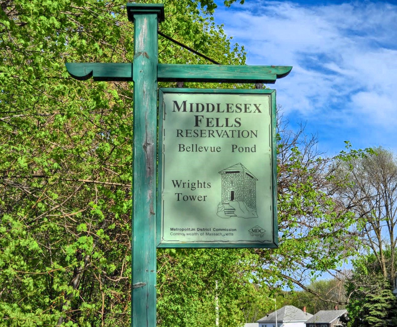
Map: Middlesex Fells Reservation
Trailhead parking: South Border Road, Medford, MA 02155
The current operating hours are sunrise to sunset.
Overview:
Middlesex Fells Reservation, often referred to simply as “The Fells,” is a public recreation area covering more than 2,575 acres in Malden, Medford, Melrose, Stoneham, and Winchester, Massachusetts. The reservation has over 100 miles of trails for hiking, mountain biking, cross-country skiing, and horseback riding. The park is managed by the Massachusetts Department of Conservation and Recreation (DCR) and is part of the Metropolitan Park System of Greater Boston.
Middlesex Fells Reservation
The Middlesex Fells Reservation is an extremely popular destination which experiences high levels of recreational use, particularly trail use. As an “urban oasis,” the Middlesex Fells trail system is used at all times of the day and in all seasons, but it sees especially heavy use after work and on weekends during the Spring, Summer and Fall.
History:
The area was first explored by Governor John Winthrop and his men in the winter of 1632. The land was favored for its timber, granite quarrying, ice industry, and water power for many mills. By the 1890’s preserving open space for public use was gaining interest, the Middlesex Fells Reservation became one of the first preserved public parks and a prototype for urban park systems across the country. Today it’s legacy remains as a green respite six miles north of Boston and among the most mature woodlands in eastern Massachusetts.
Wright’s Tower was constructed in 1937 under the direction of the Works Progress Administration (WPA). The stone tower was named in honor of Elizur Wright (1804-1885), one of the first to advocate for the protection of this land back in the 1800’s. Wright, a member of the Forestry Association, was instrumental in obtaining the Massachusetts Forestry Act of 1882. He initiated and promoted plans for making Middlesex Fells into a public park. Although he did not succeed during his lifetime, the plan was carried out in 1894 and the area became the Middlesex Fells Reservation.
The 1930’s brought the Civilian Conservation Corps and the Works Progress Administration to the Fells, and with them, the planting of over one million trees, and the continued maintenance and development of roads and trails within the Reservation.
Trails Overview:
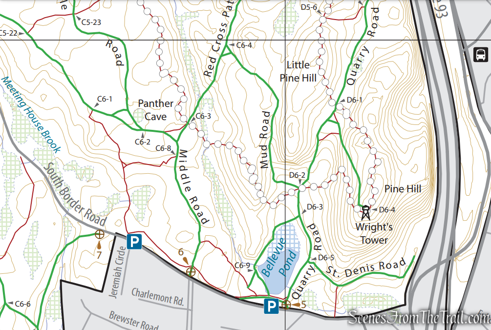
Trail junctions are marked with signs within the park that correspond with those on the Department of Conservation and Recreation (DCR) trail map.
The trails at the Middlesex Fells Reservation include both wide fire roads and narrower single track trails. Many single track trails have steep, rough and rocky sections and may be slippery or muddy at any time of the year. Hikers should use caution and wear appropriate footwear.
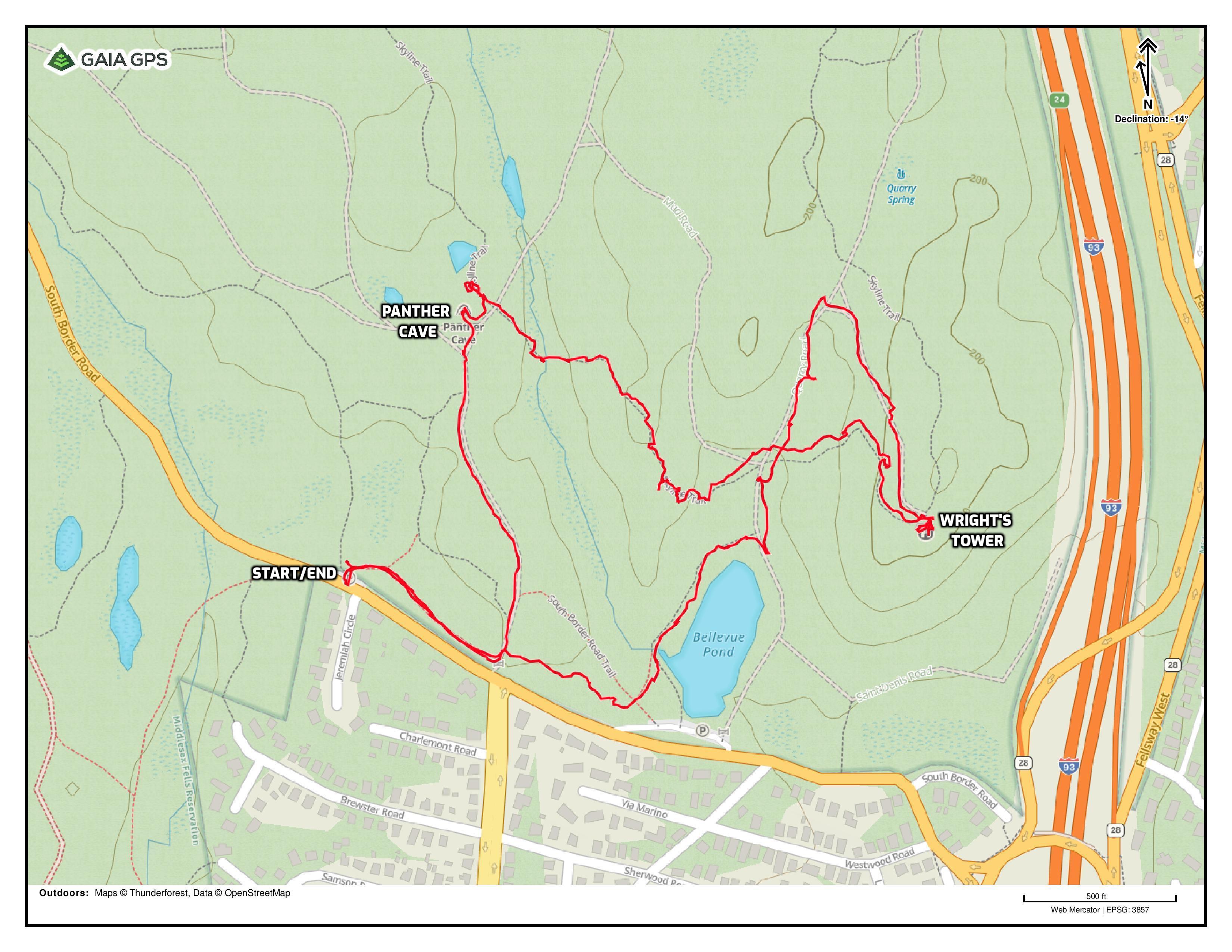
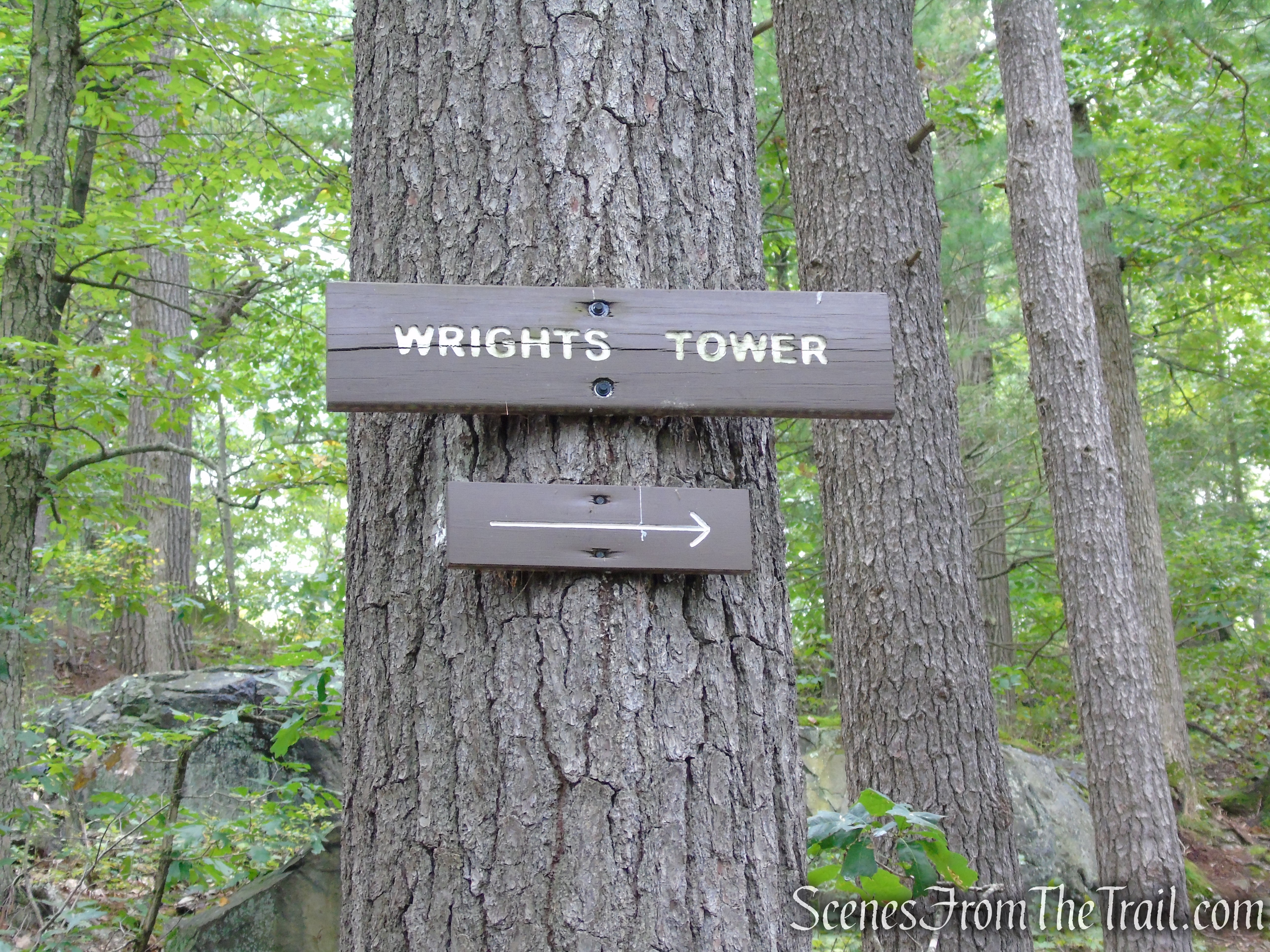
This hike incorporates a combination of woods roads and footpaths to the summit of Pine Hill, the site of Wright’s Tower. There are two small parking lots along South Border Road. The first, located by Bellevue Pond, makes for a shorter hike to the tower. That parking lot was full when we visited. There is another small parking lot about 0.3-mile west, at the intersection of South Border Road and Jeremiah Circle. That is the parking area that we used.
Middlesex Fells Reservation
Hike Overview:
On a road trip to Bar Harbor, Maine, this is one of the stops that I wanted to make to break up the long ride. A short hike in the middle of the day was perfect to help stretch the legs a little. Since the first parking lot was full, we drove about 1/3 of a mile to another lot on the same side of the road.
I didn’t know much about this park, except for the tower. Upon doing research for this writing, I found that Middlesex Fells Reservation has a lot to offer and with sufficient time, should be explored properly.
There is an extensive network of trails that could get confusing for those that are unfamiliar with the area. I used the Gaia GPS app on my phone which helped to keep me on track.
The only slightly challenging portion of the hike is the Skyline Trail which is rocky and a little steep as it nears the tower. This trail can be bypassed by using some of the wider woods roads if one desires.
Wright’s Tower – Middlesex Fells Reservation
The elevation gain is minimal, and mostly on the Skyline Trail.
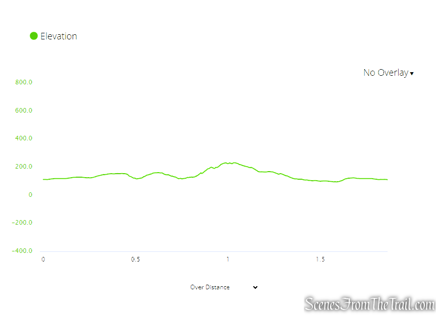
elevation profile – Wright’s Tower
Since this is a short hike, it can be combined with visits to other stone towers in the area. Slayton Memorial Tower is about 7 miles away in Melrose, and High Rock Tower is about 12 miles away in Lynn.
The Hike:
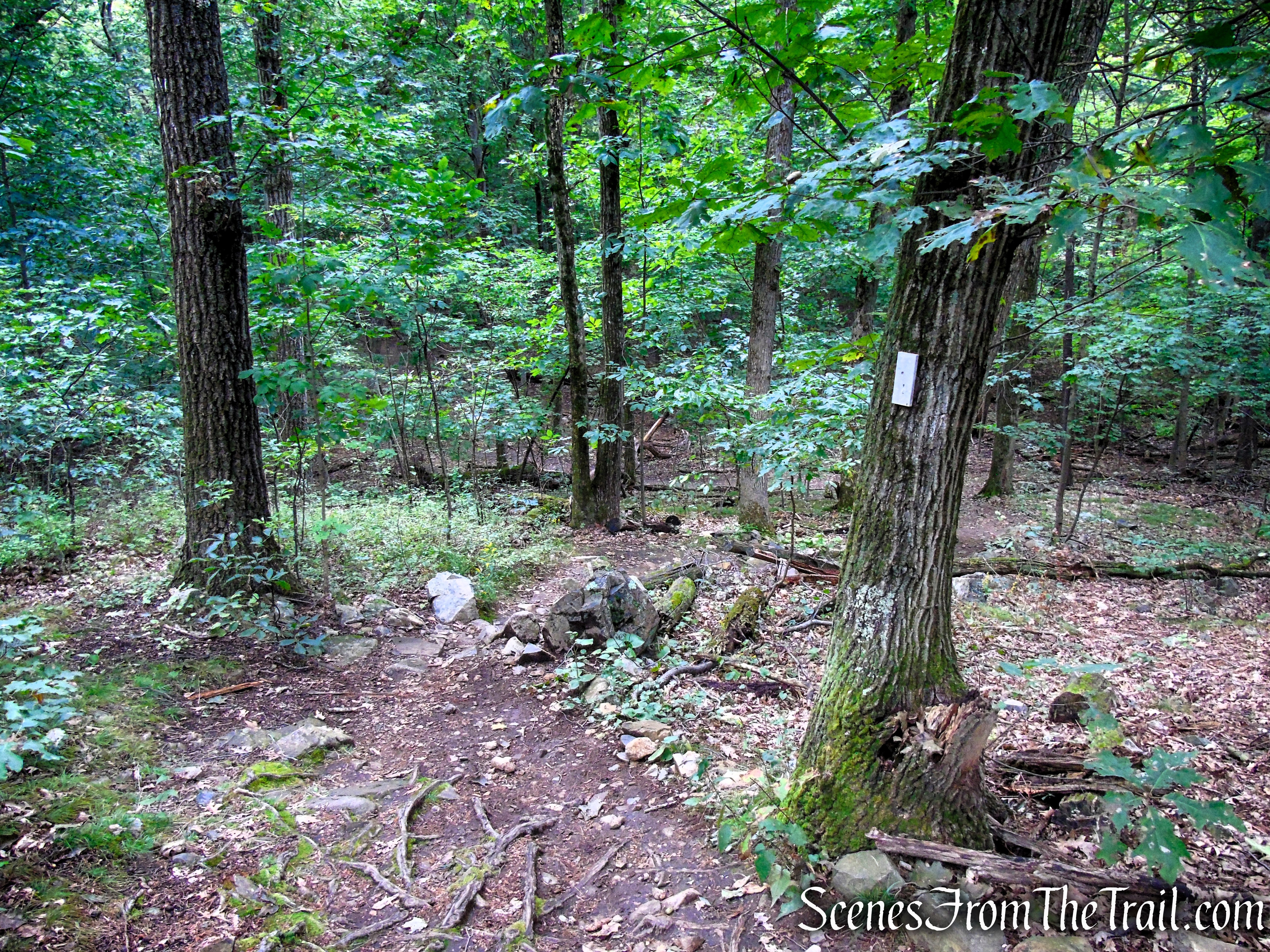
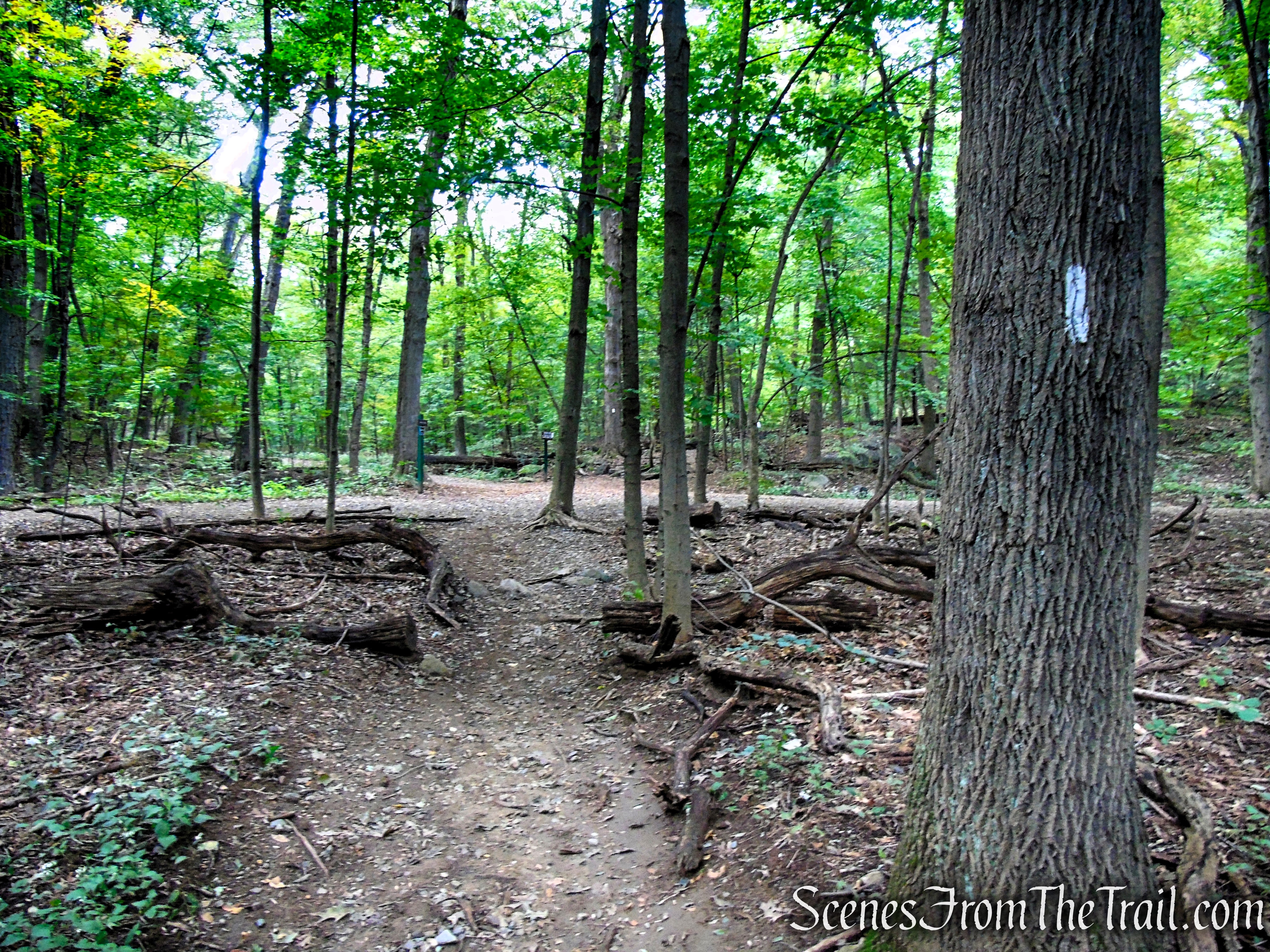
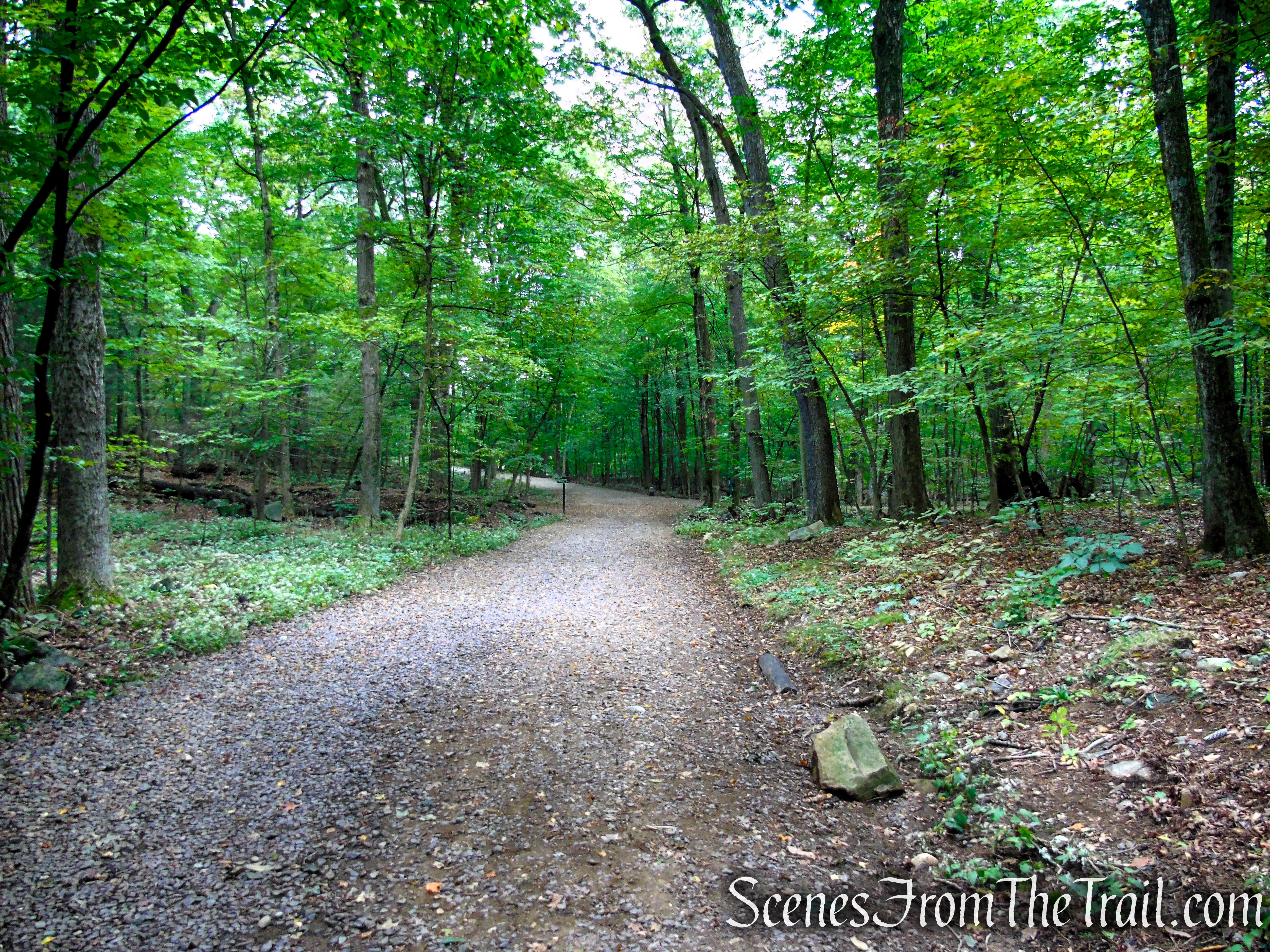
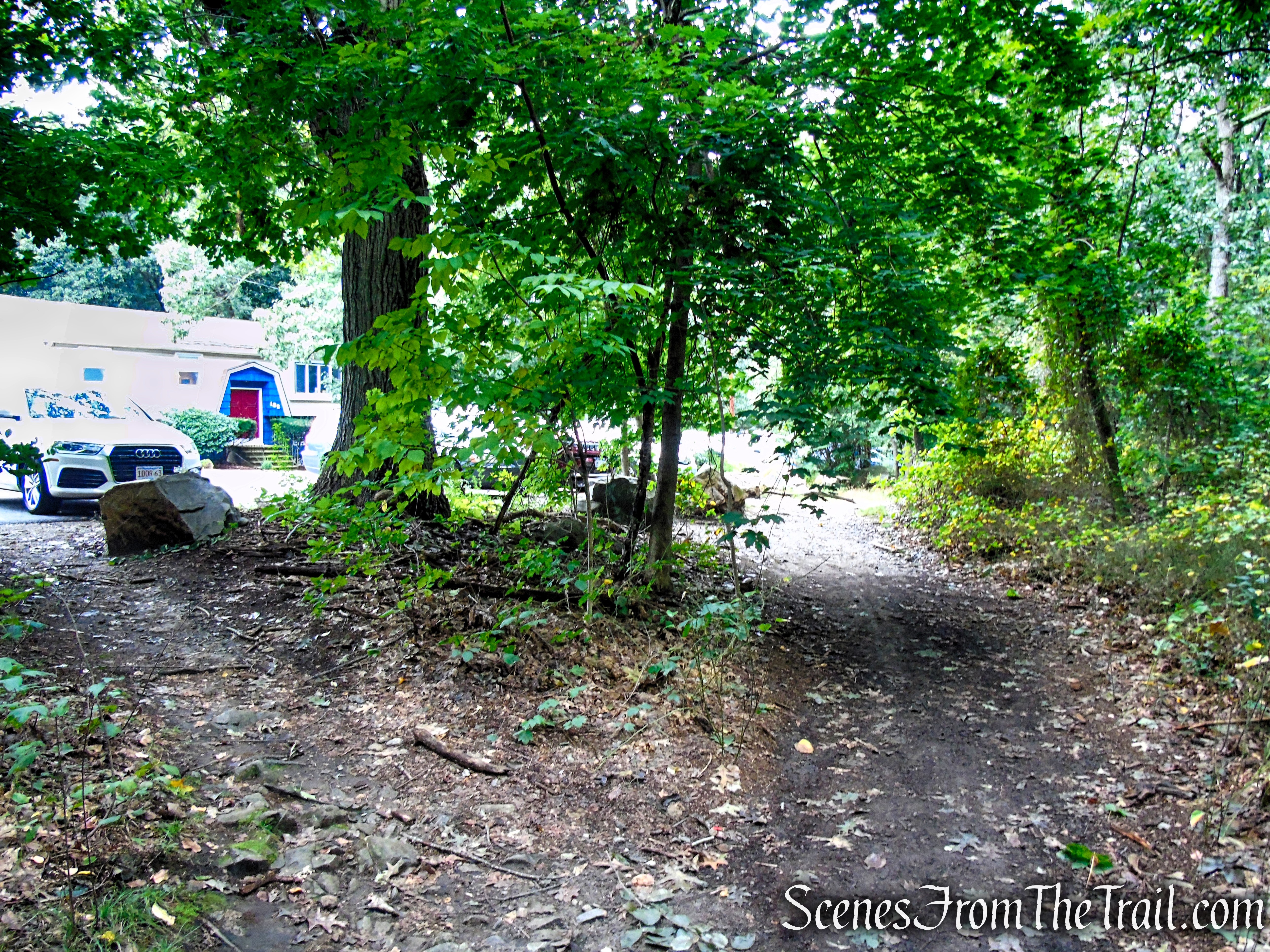
Since we parked down the road from where I originally intended, we followed the unmarked trail along the parking lot east. This short connector trail runs parallel with South Border Road. In about 210 yards, the trail reaches a woods road, marked “Middle Road” on the map. There is a gate on the right that leads out to South Border Road. Turn left on Middle Road and follow it north for about 350 yards,

Unmarked connector trail – Middlesex Fells Reservation
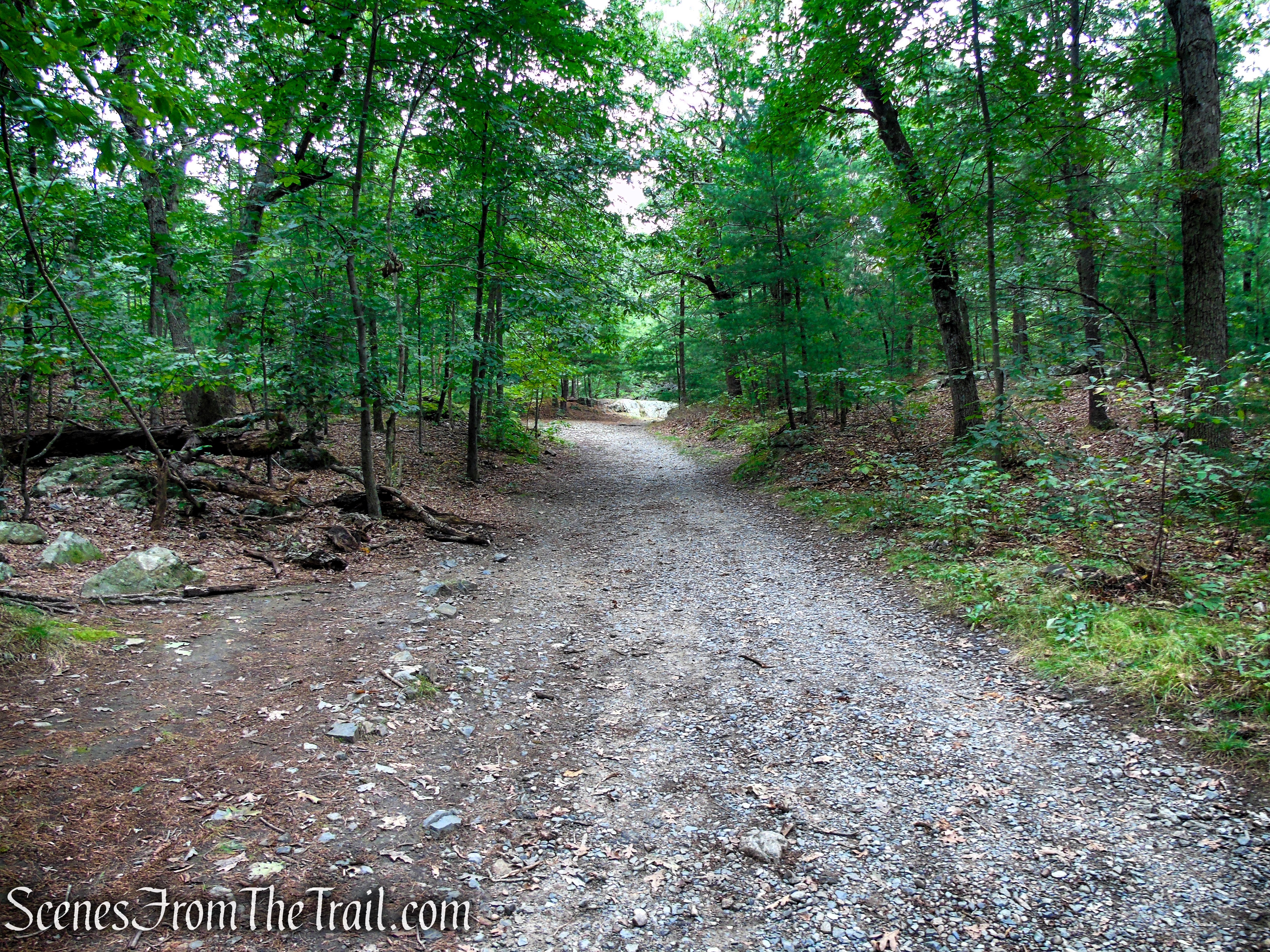
Middle Road – Middlesex Fells Reservation
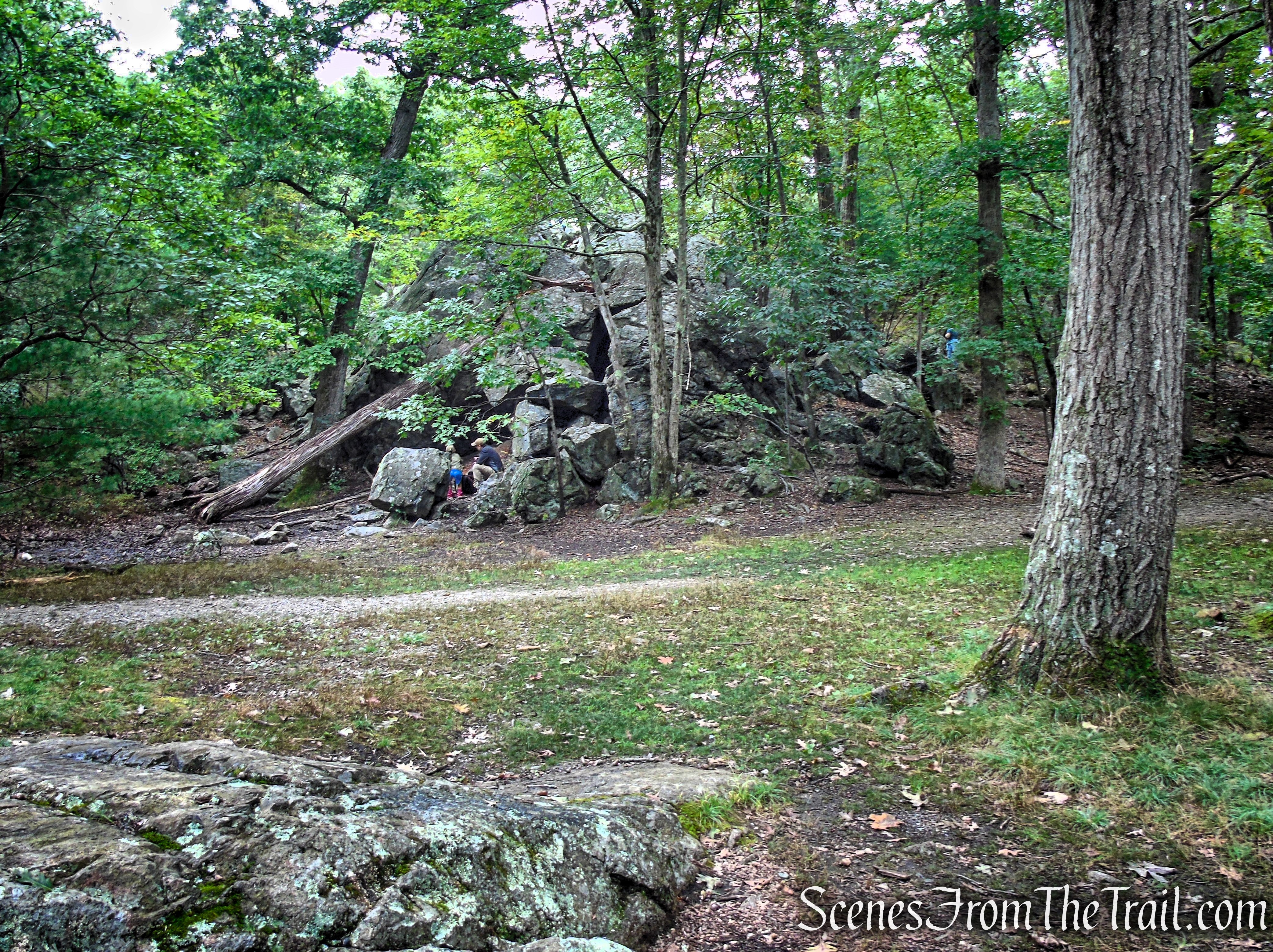
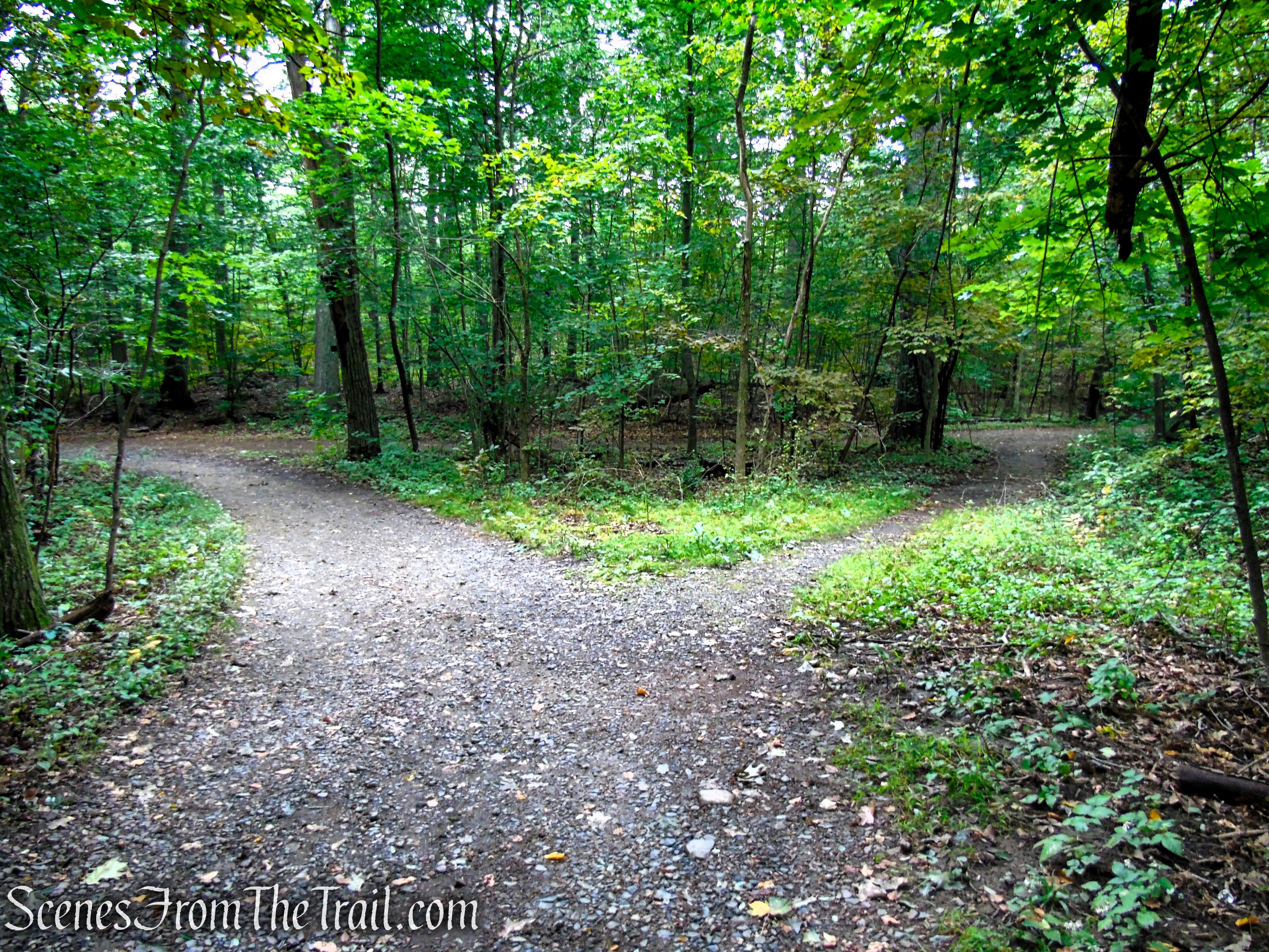
At a major junction, you will see a large rock formation straight ahead. This is marked as Panther Cave on the map.
Panther Cave – Middlesex Fells Reservation
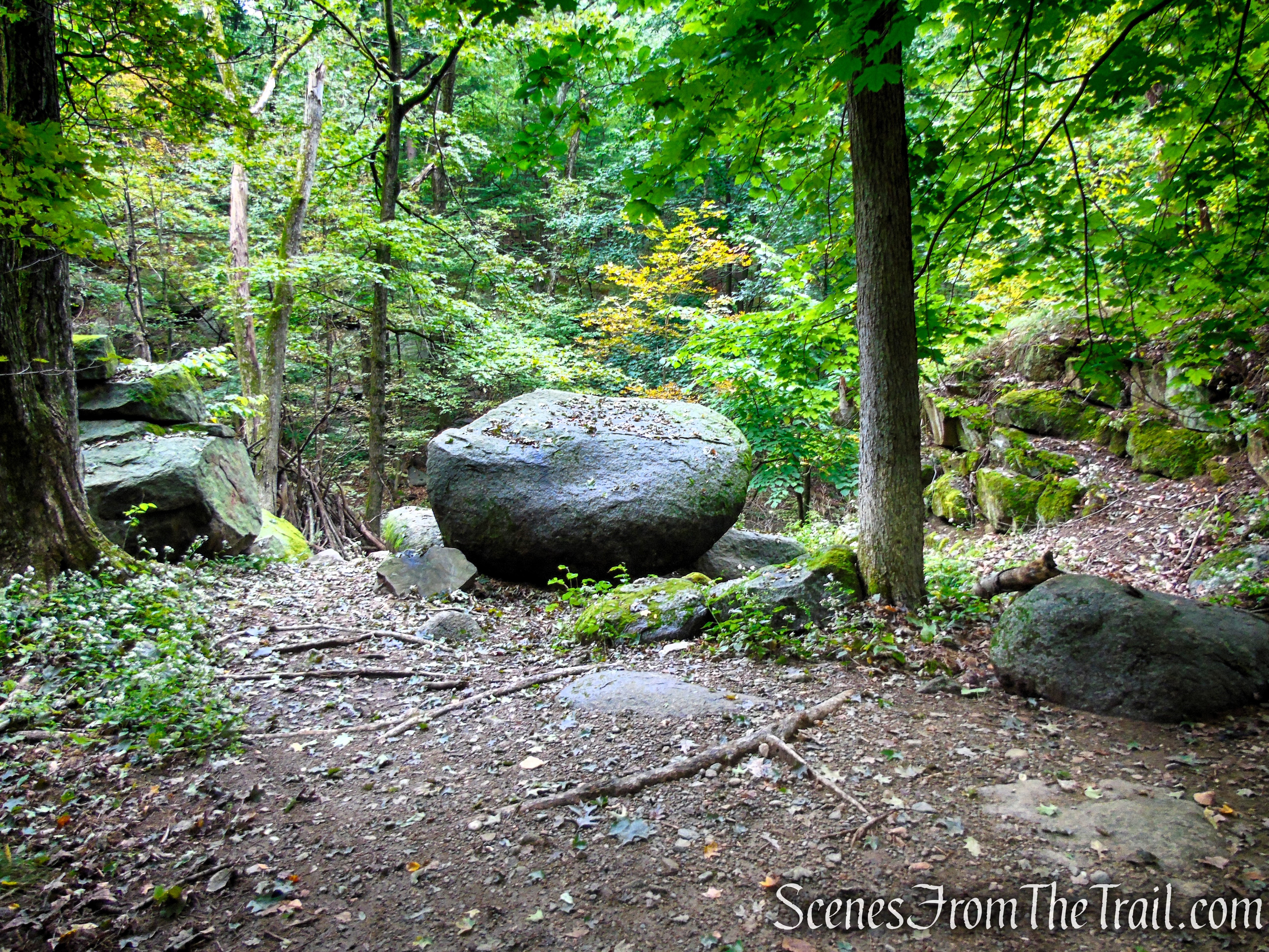
Panther Cave is not really a cave, but rather large boulders piled on top of each other. The boulders were deposited here by the southward movement of glacial ice during the last glaciation.

Panther Cave – Middlesex Fells Reservation
I took a short detour to the top of Panther Cave.
Climbing to the top of Panther Cave
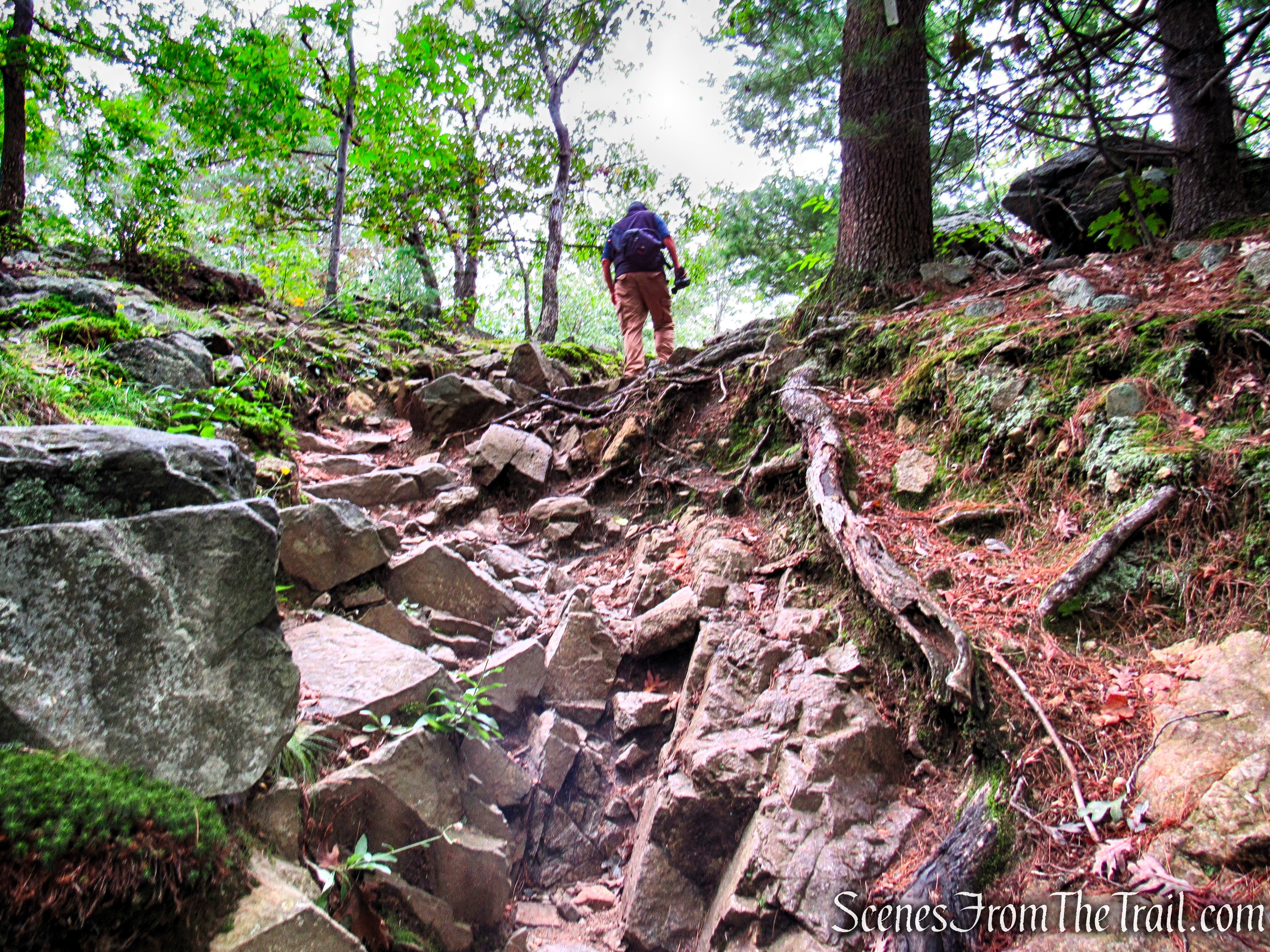
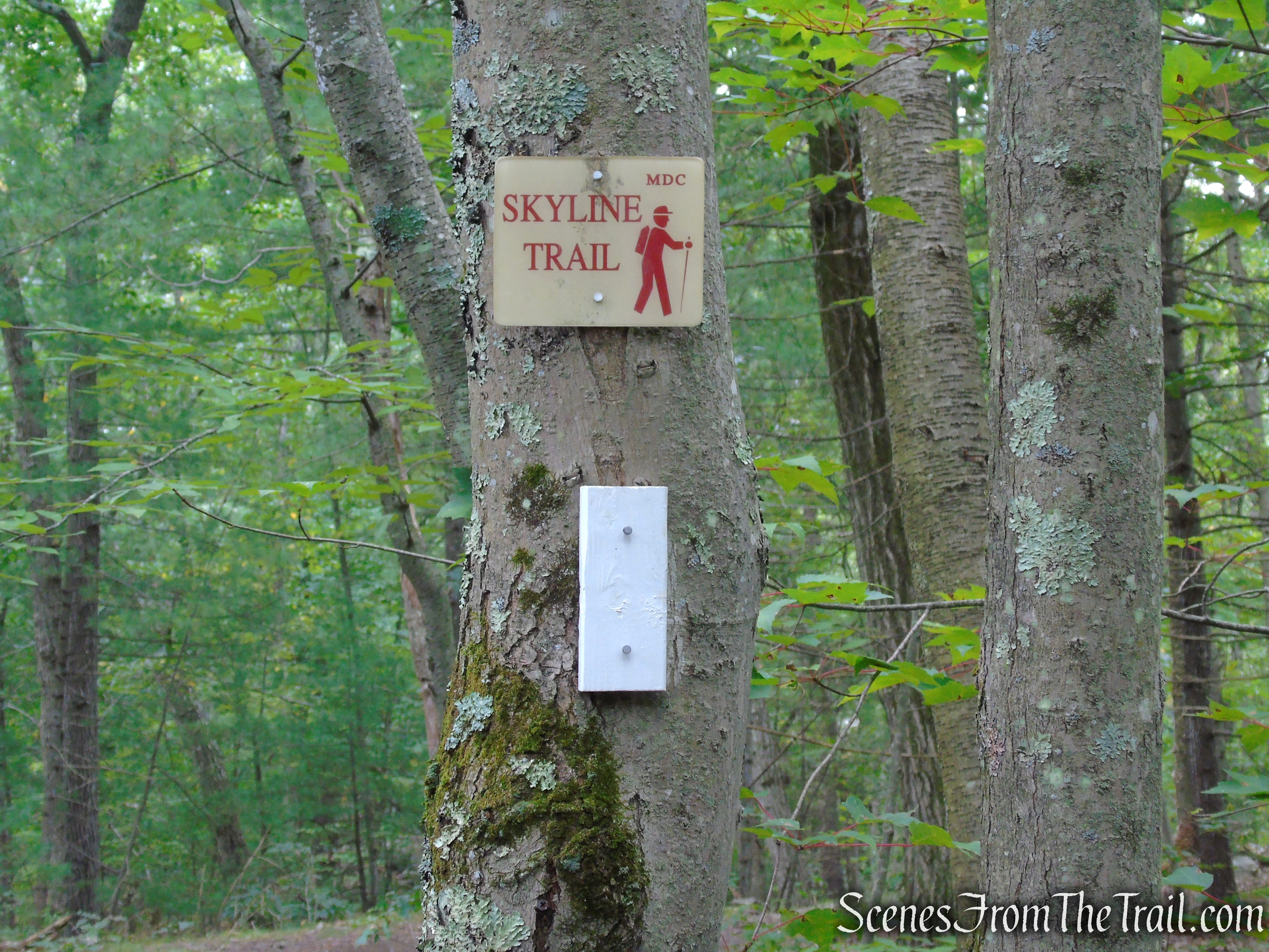
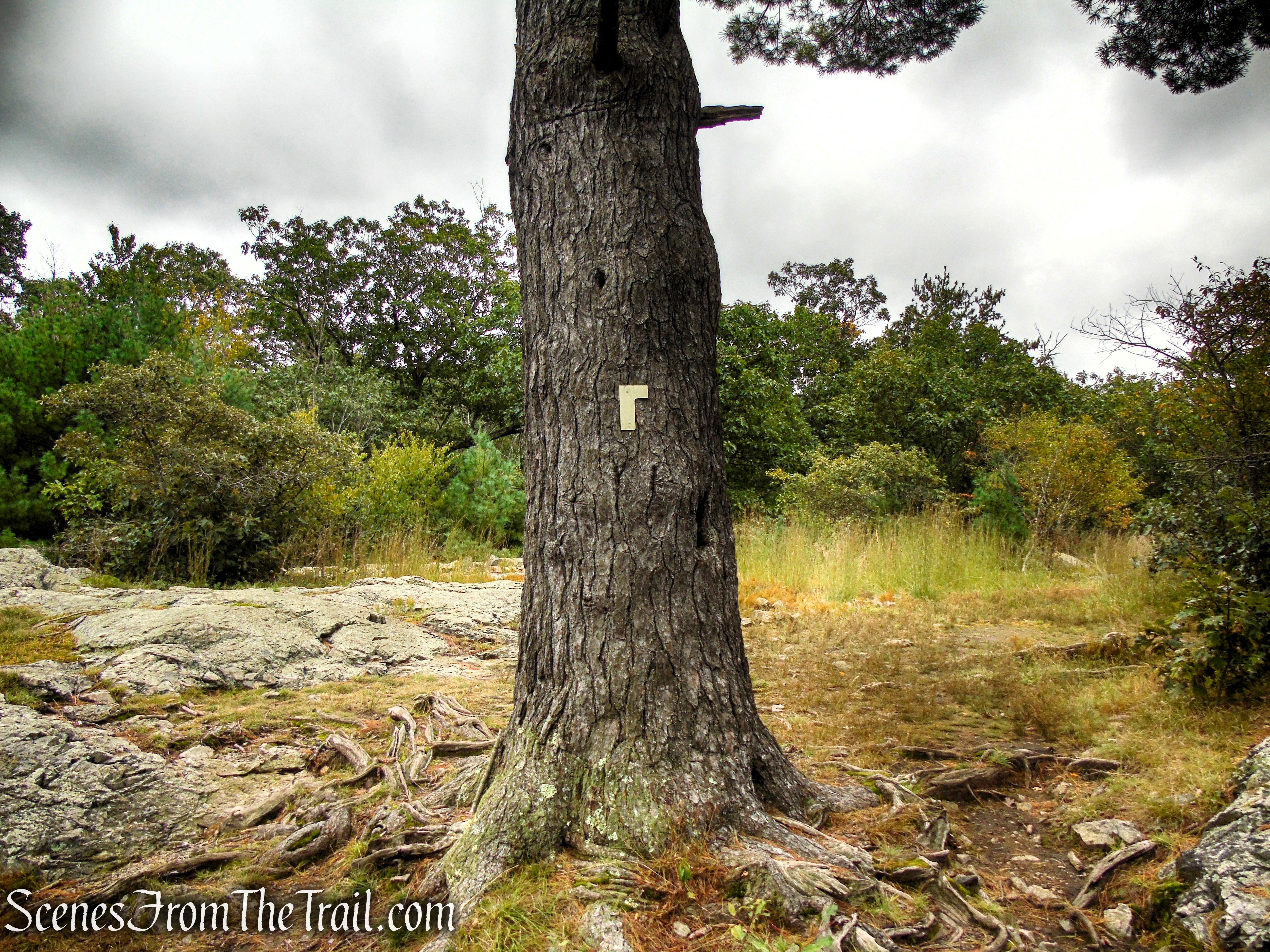
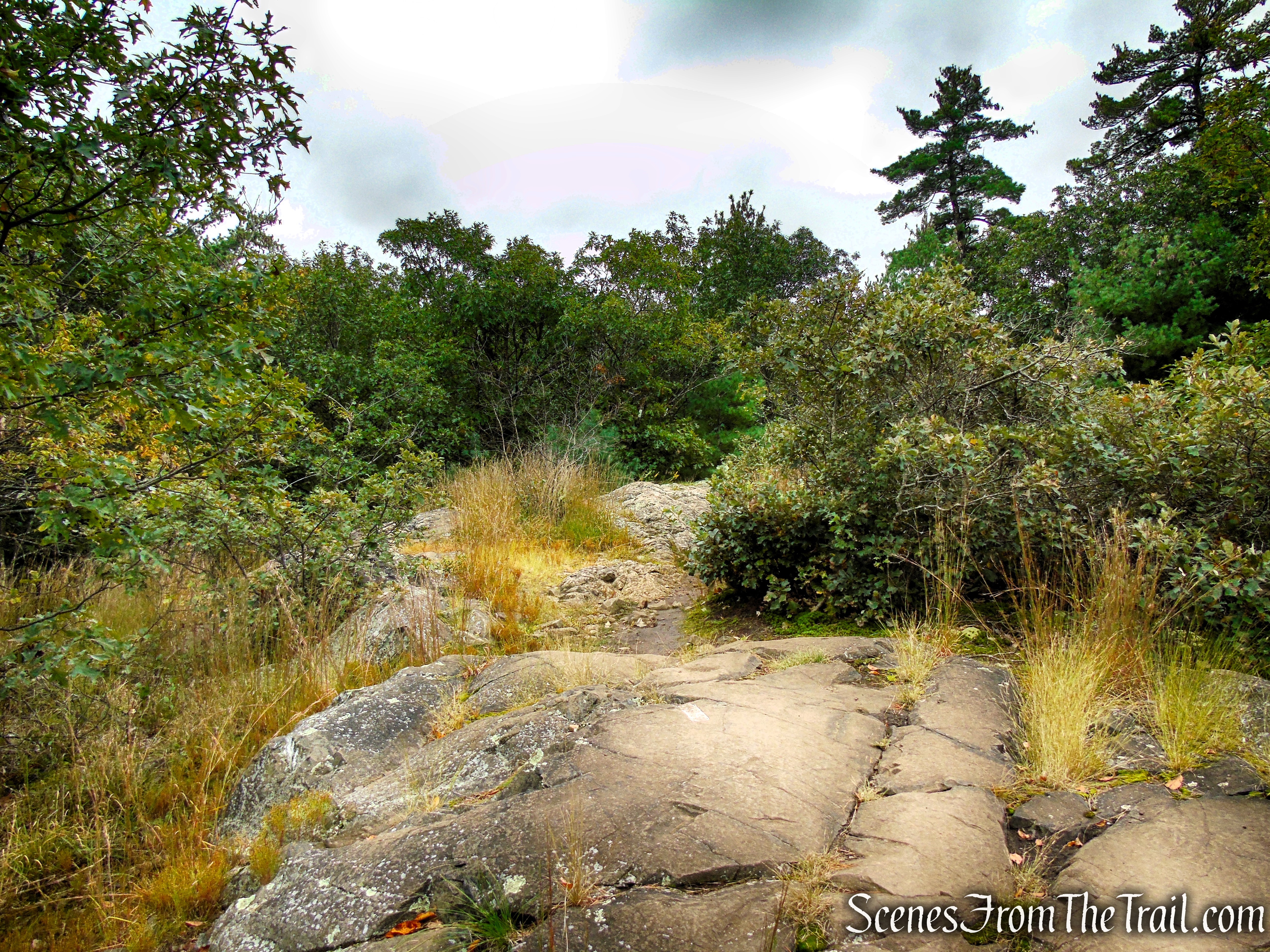
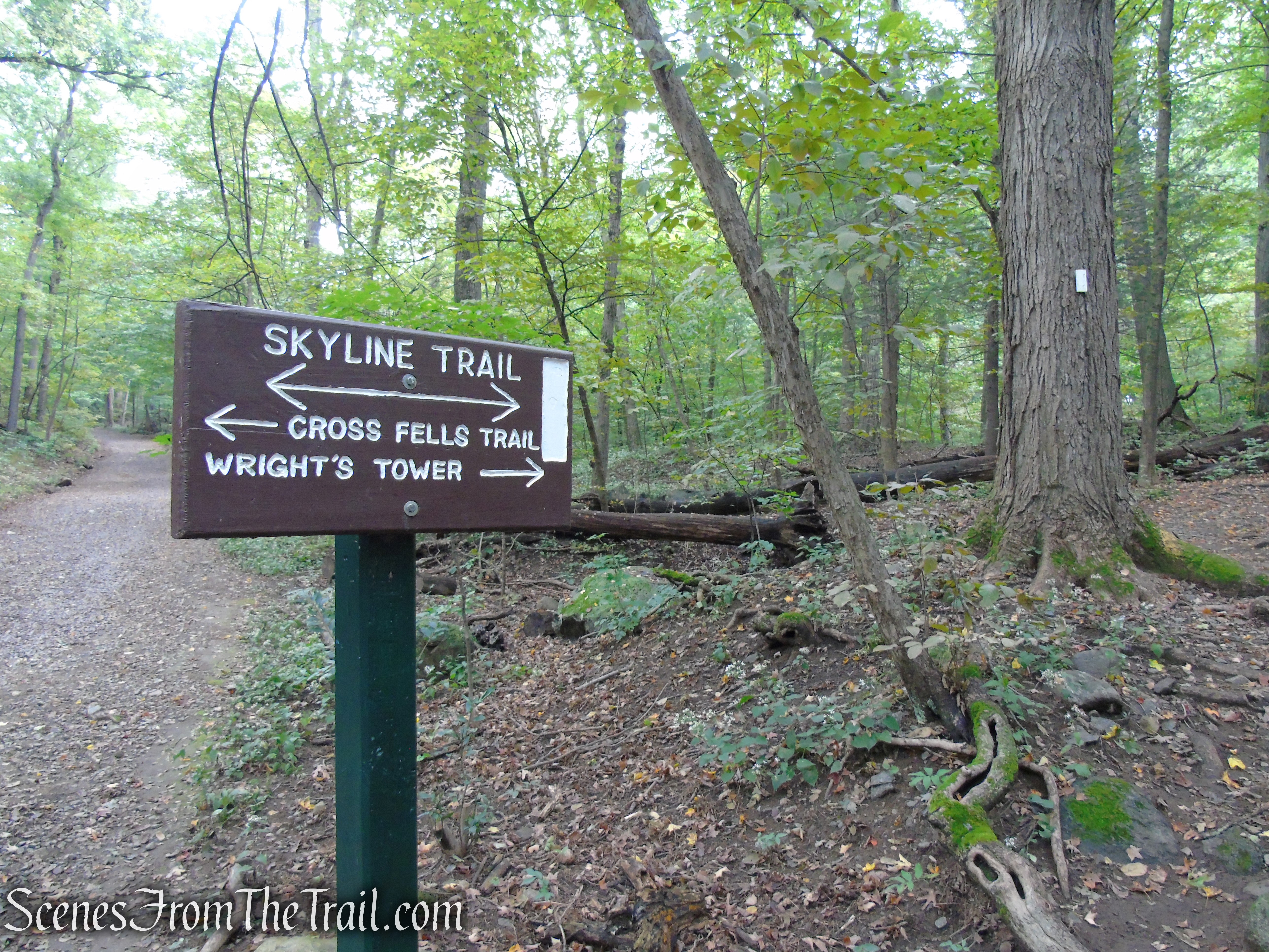
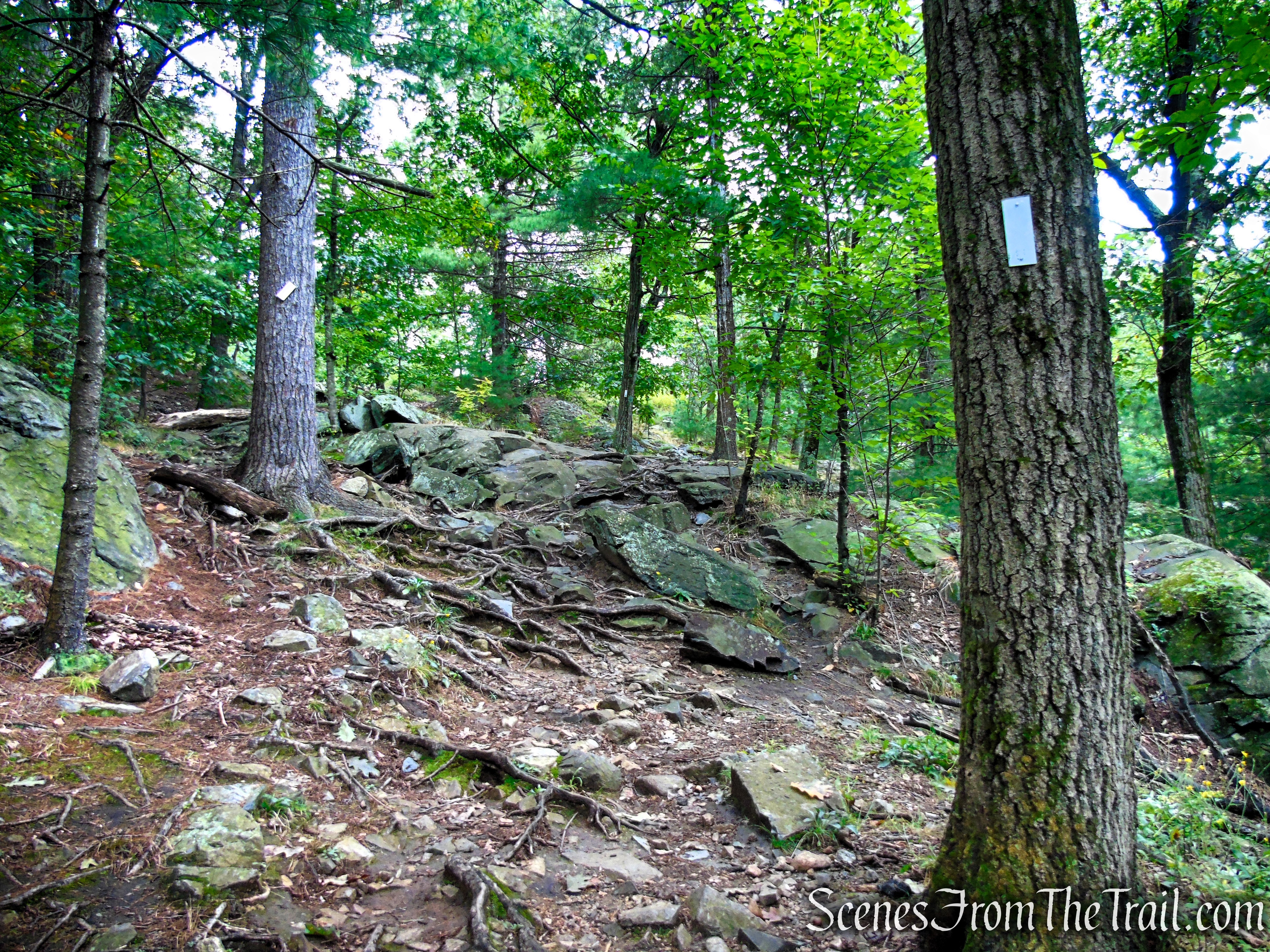
The Skyline Trail crosses over the top of Panther Cave and proceeds east. Turn right at this junction and follow the white blazes over extremely rocky terrain.
Skyline Trail – Middlesex Fells Reservation
Skyline Trail – Middlesex Fells Reservation
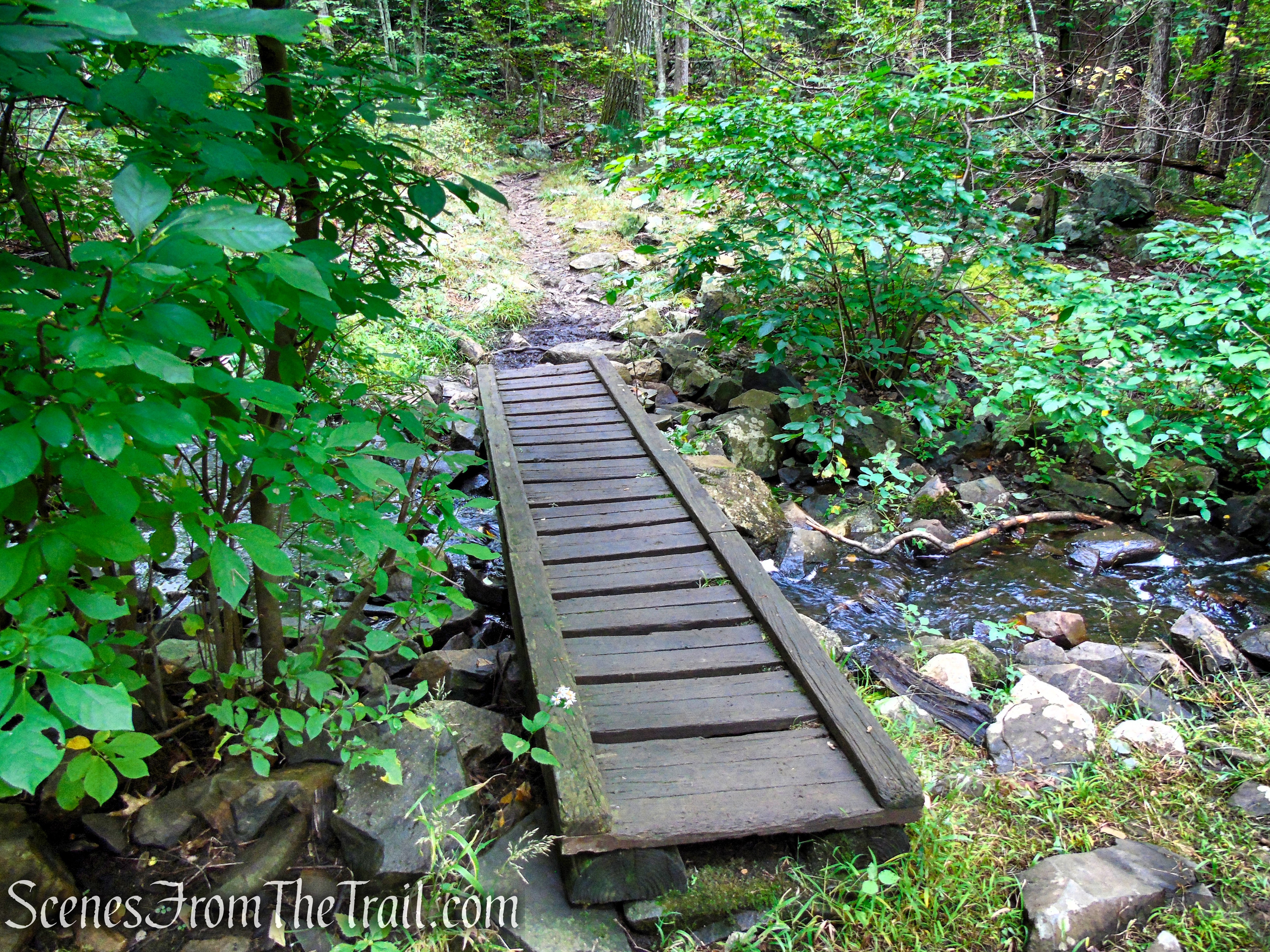
Skyline Trail – Middlesex Fells Reservation
Skyline Trail – Middlesex Fells Reservation

Skyline Trail – Middlesex Fells Reservation
Skyline Trail – Middlesex Fells Reservation

Skyline Trail – Middlesex Fells Reservation
Skyline Trail – Middlesex Fells Reservation
Skyline Trail – Middlesex Fells Reservation
Skyline Trail – Middlesex Fells Reservation
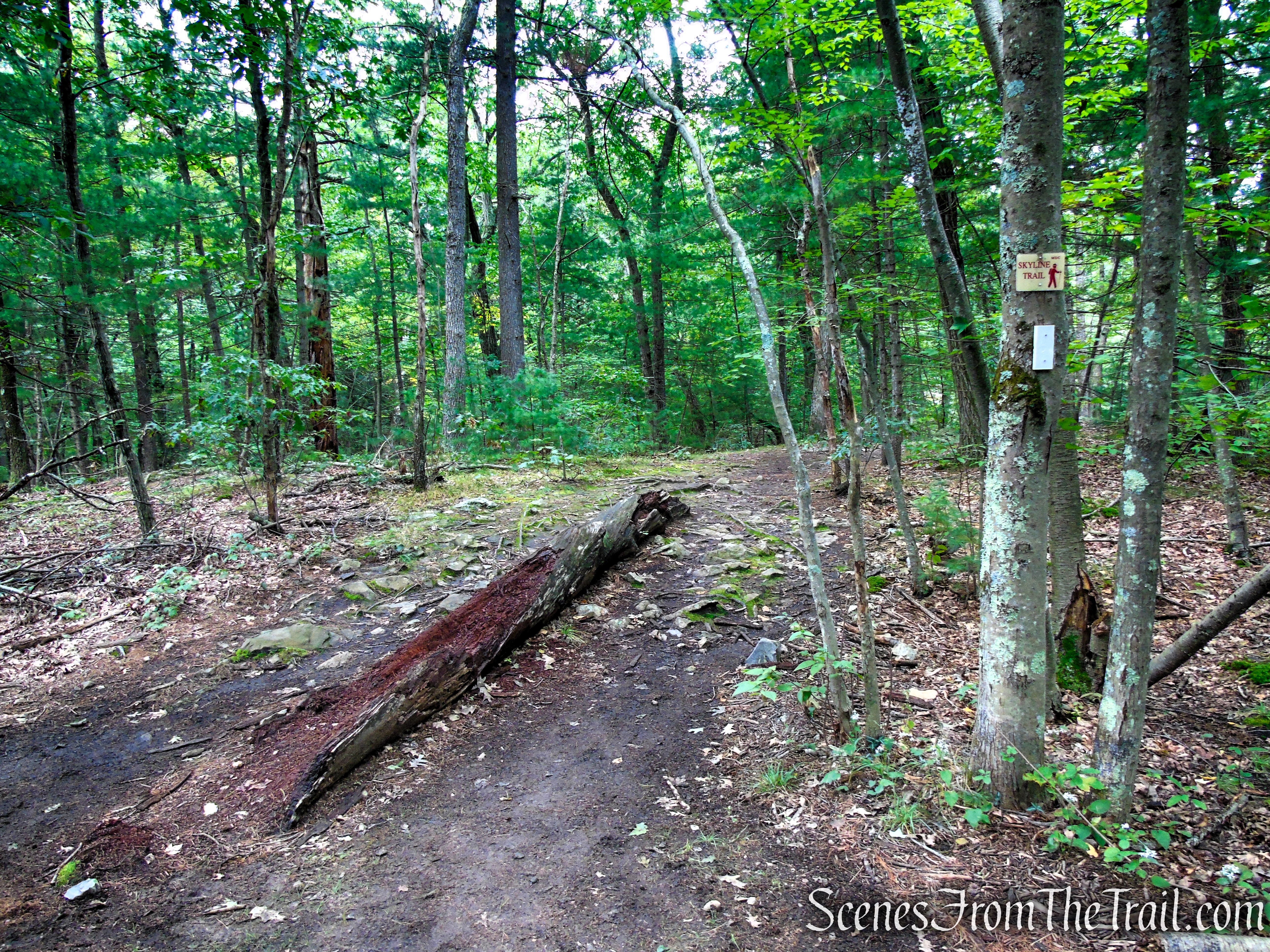
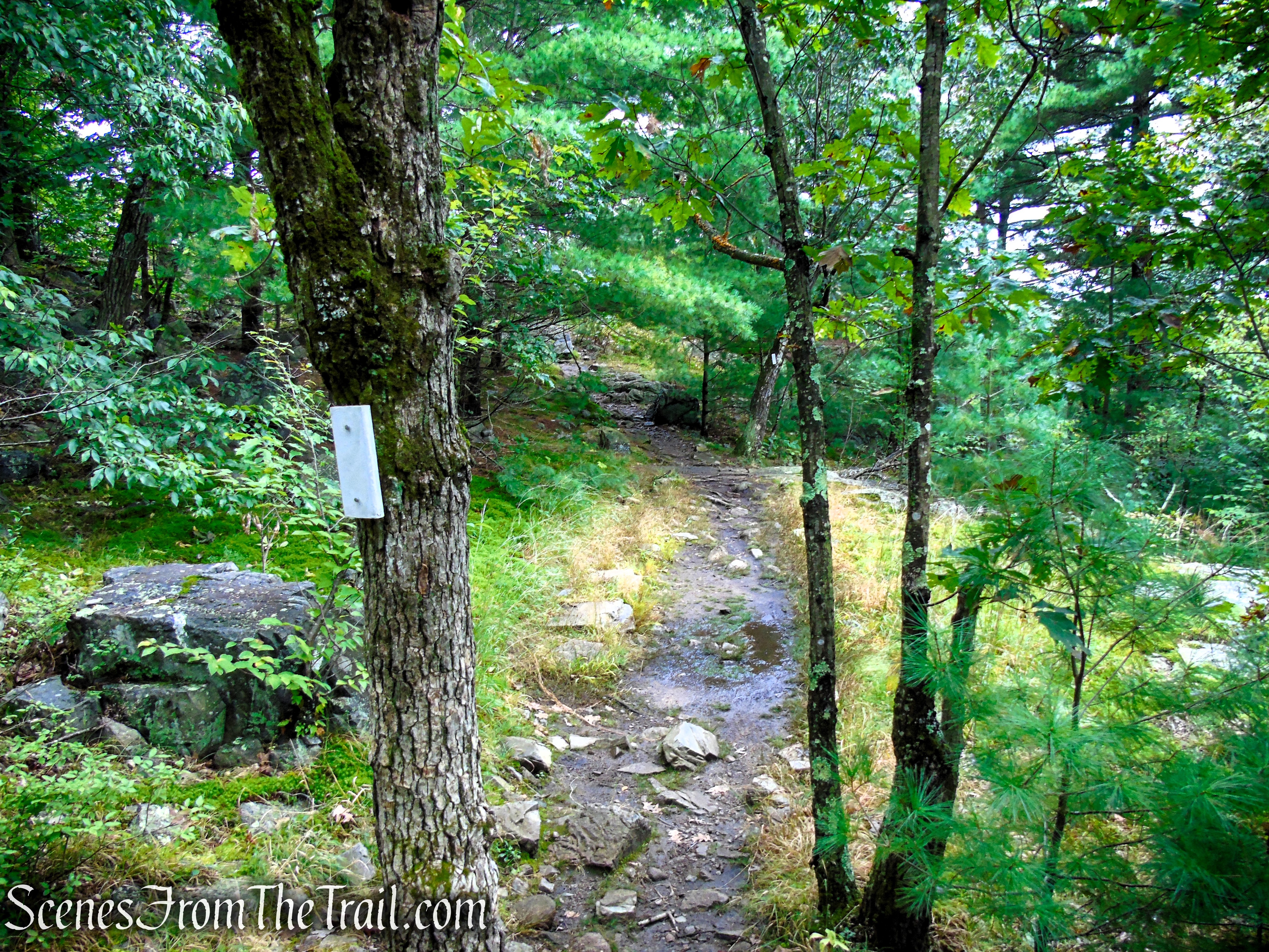
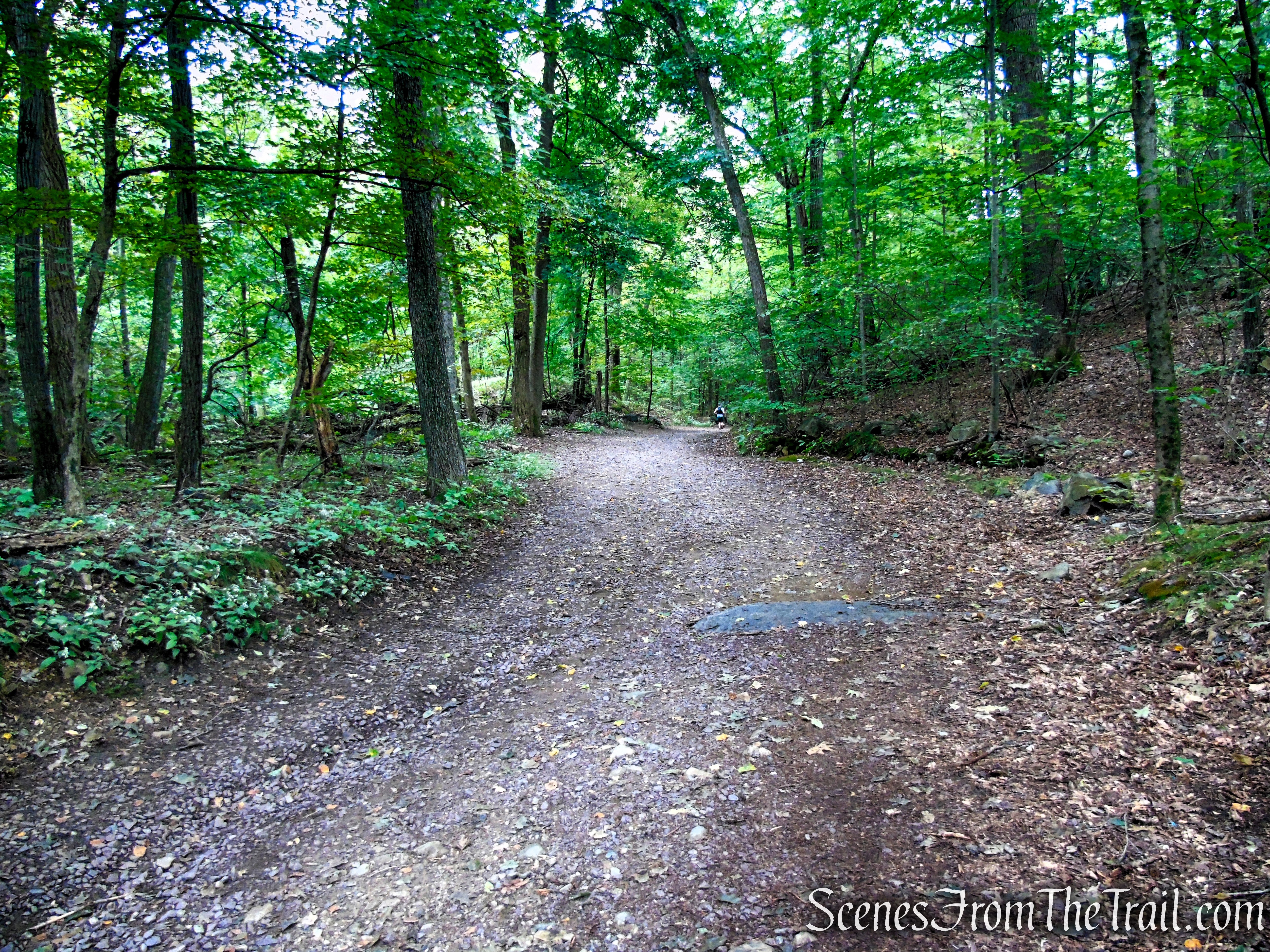
The trail descends steeply for a short distance, then levels off. A short distance later, it reaches junction D6-2 (see map), and crosses Quarry Road. Proceed ahead, still following the white-blazed Skyline Trail.
Skyline Trail – Middlesex Fells Reservation
Skyline Trail – Middlesex Fells Reservation

Skyline Trail as it crosses Quarry Road
Skyline Trail as it crosses Mud Road
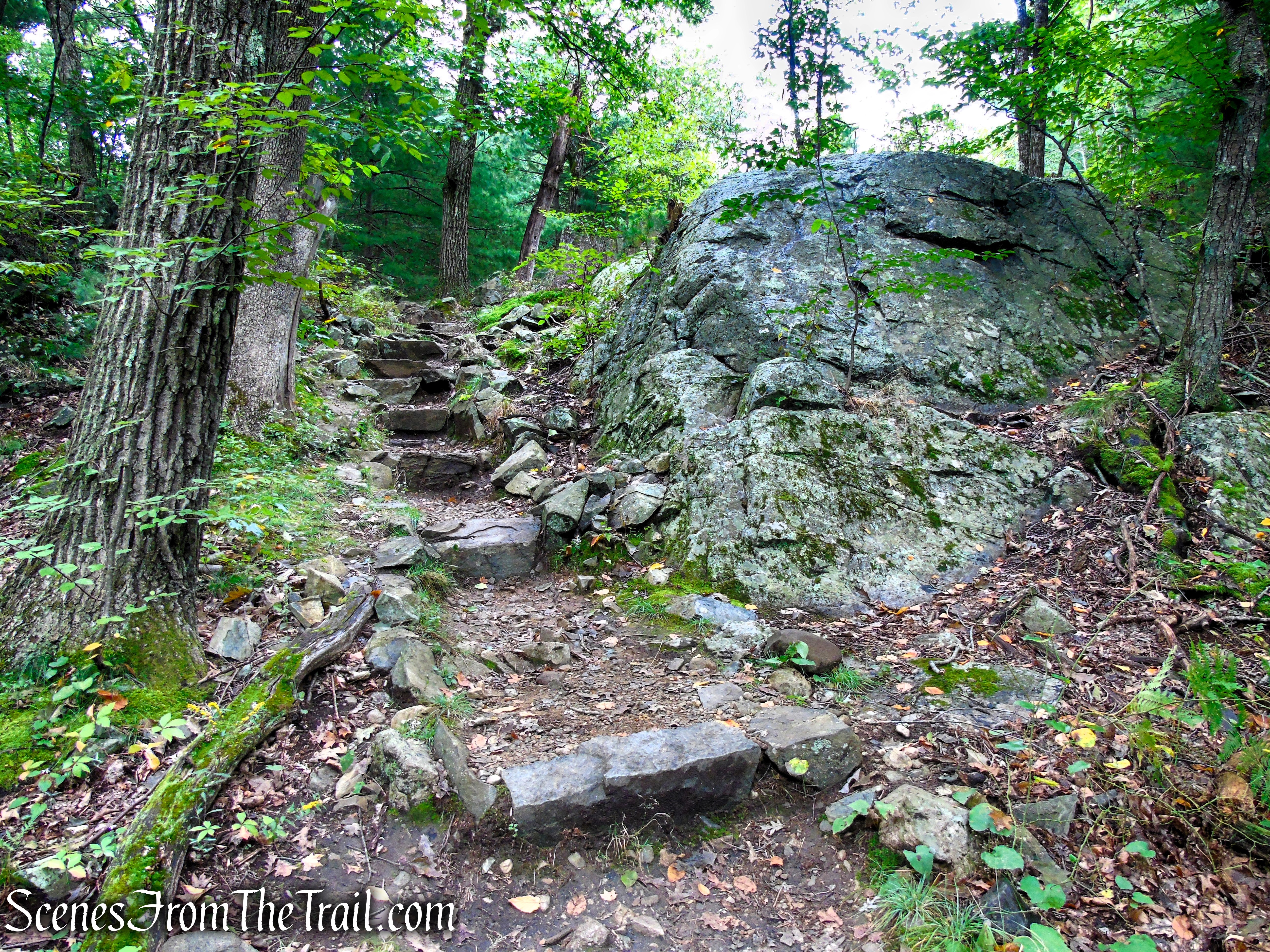
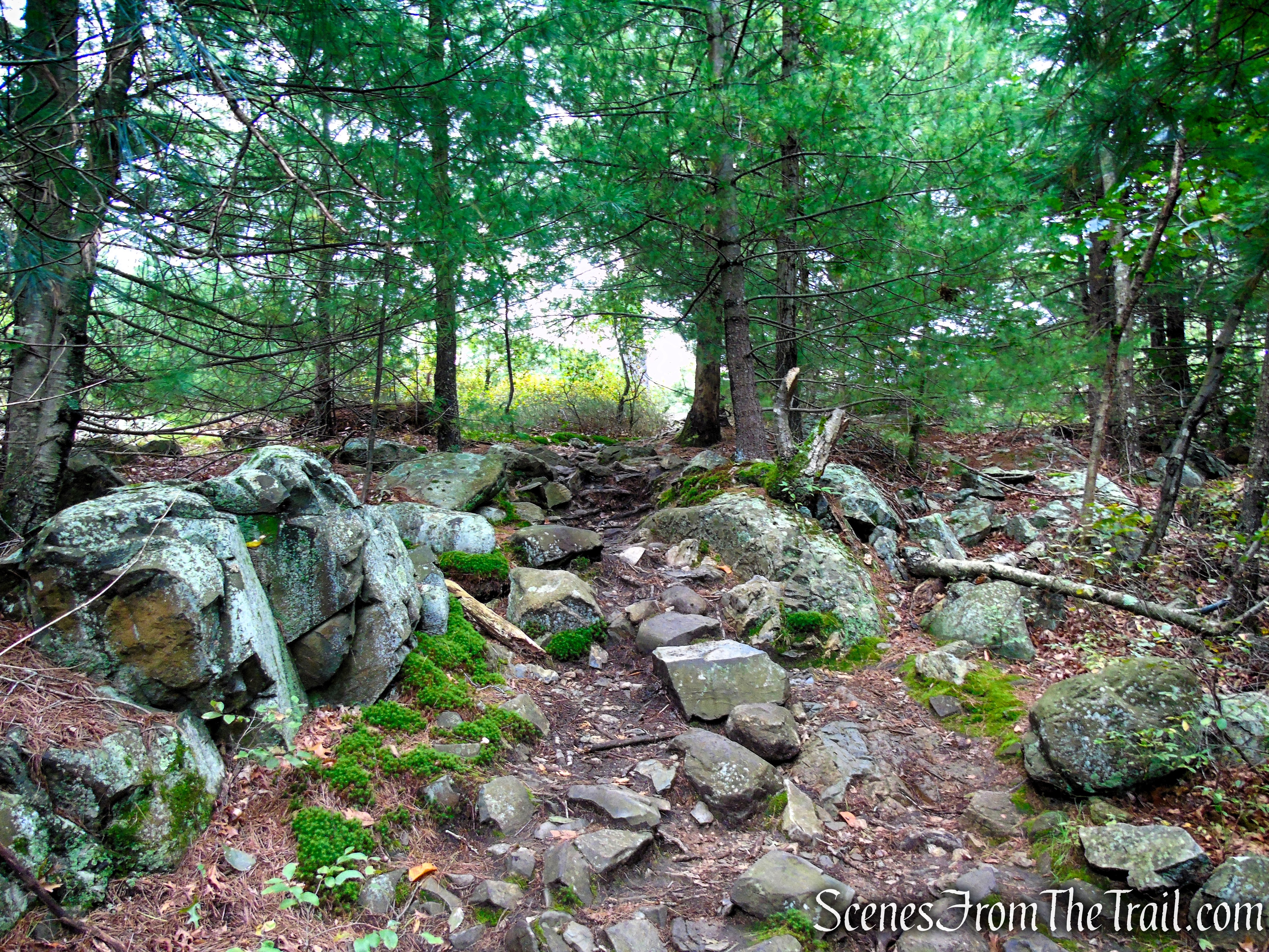
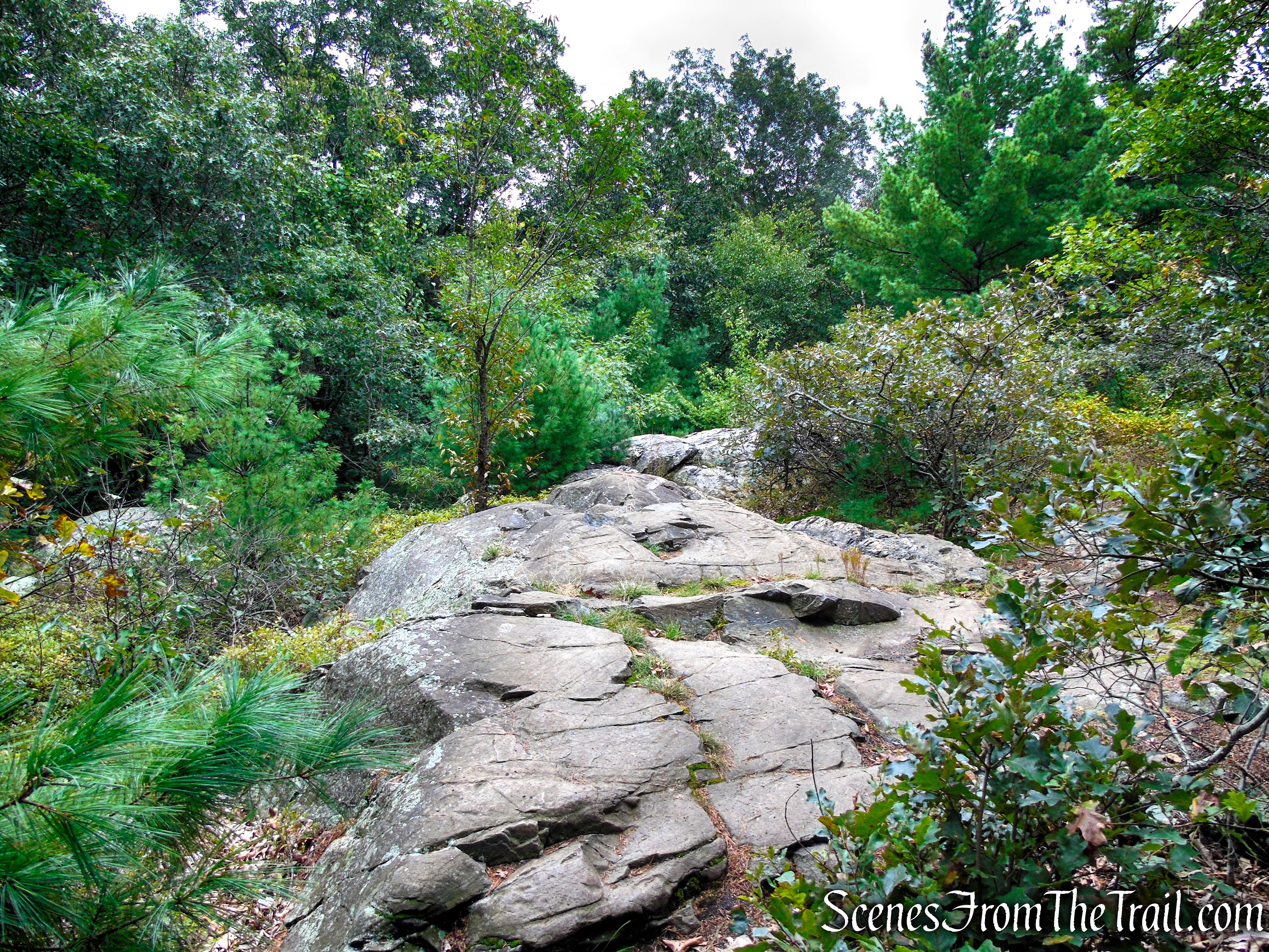
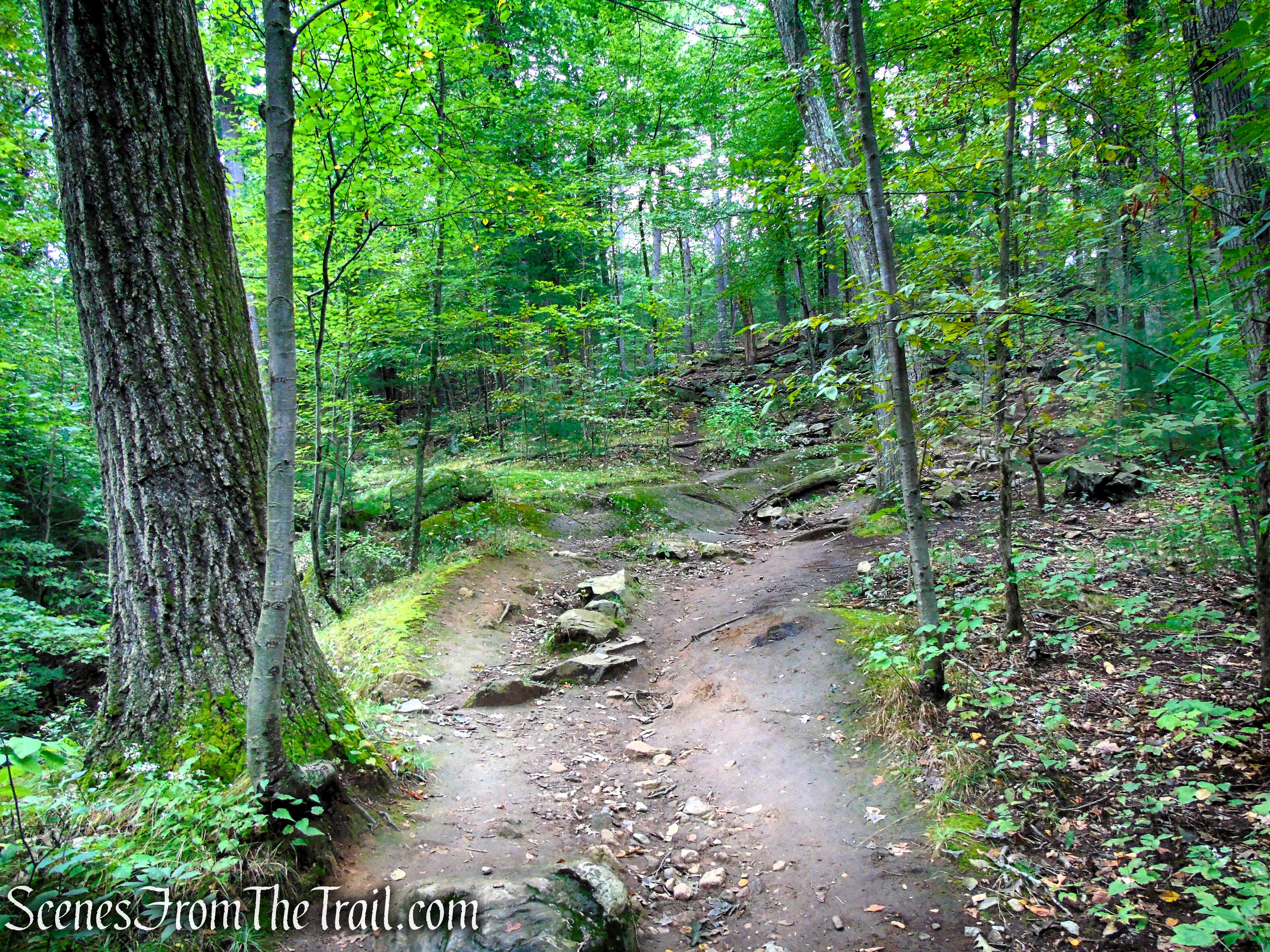
The Skyline Trail now begins a steep ascent as it climbs Pine Hill.
Skyline Trail – Middlesex Fells Reservation

Skyline Trail – Middlesex Fells Reservation
Skyline Trail – Middlesex Fells Reservation
Skyline Trail – Middlesex Fells Reservation
Skyline Trail – Middlesex Fells Reservation
Skyline Trail – Middlesex Fells Reservation
Skyline Trail – Middlesex Fells Reservation
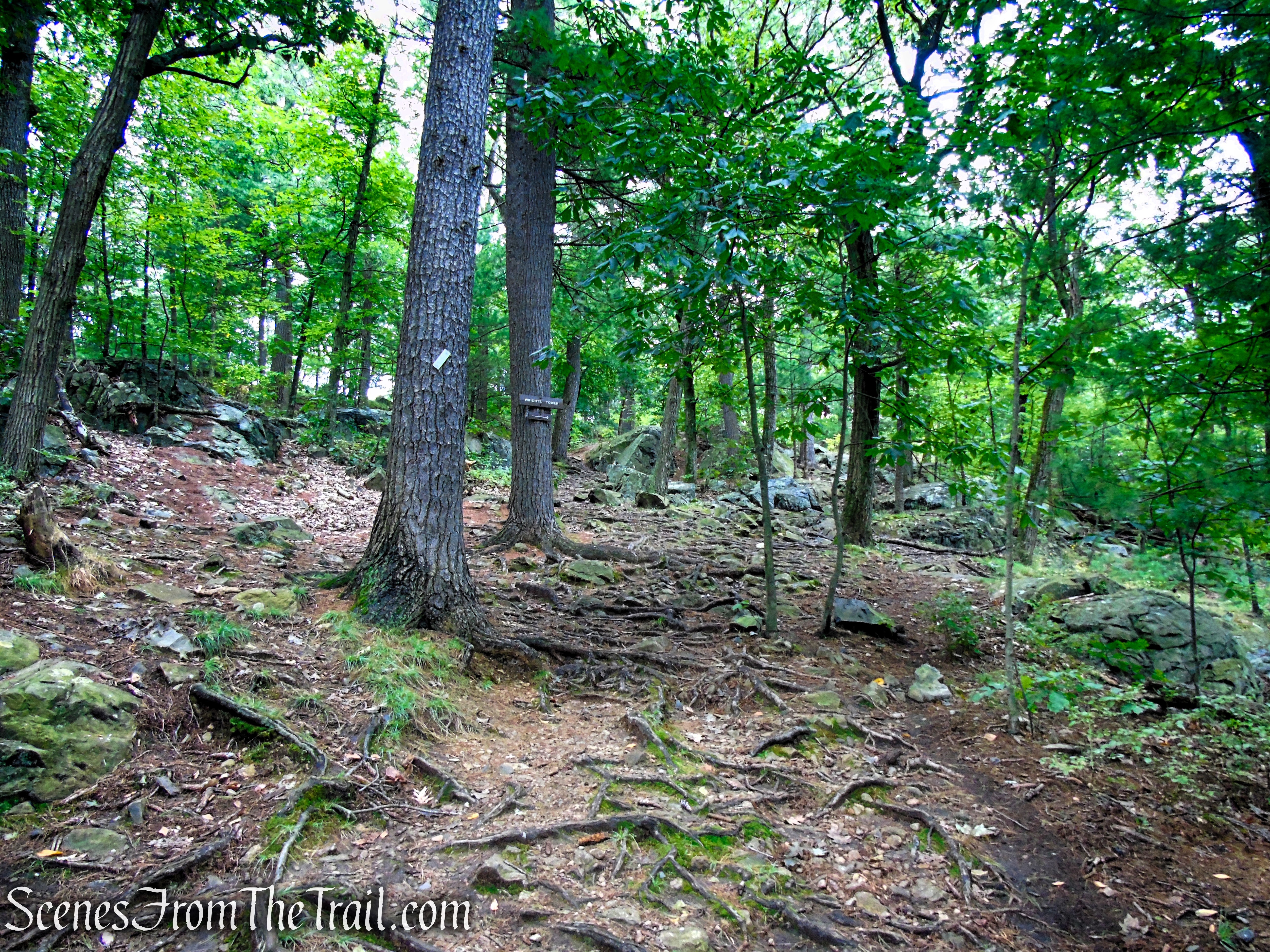
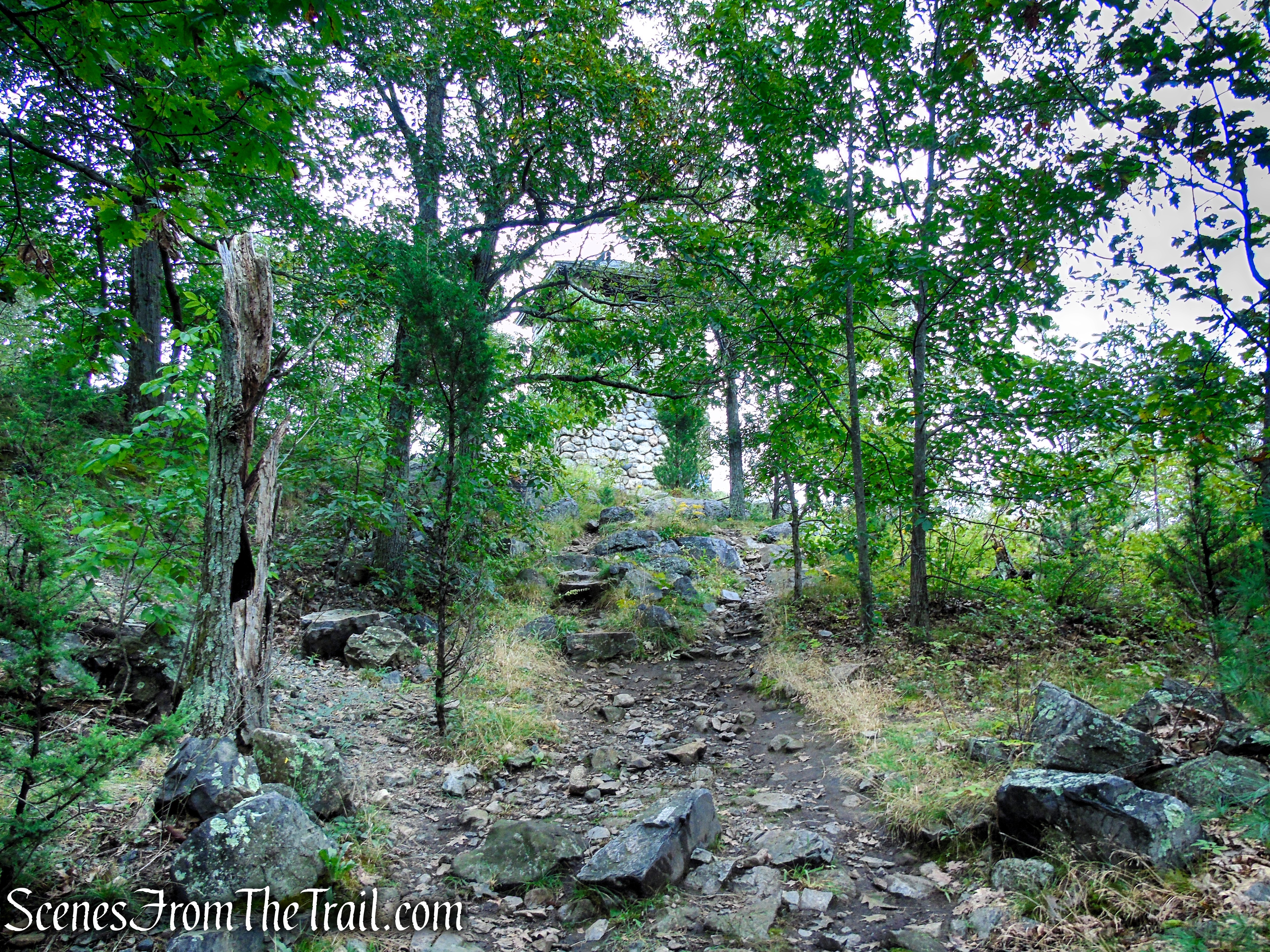
After approximately 260 yards, the Skyline Trail reaches the summit of Pine Hill and Wright’s Tower.
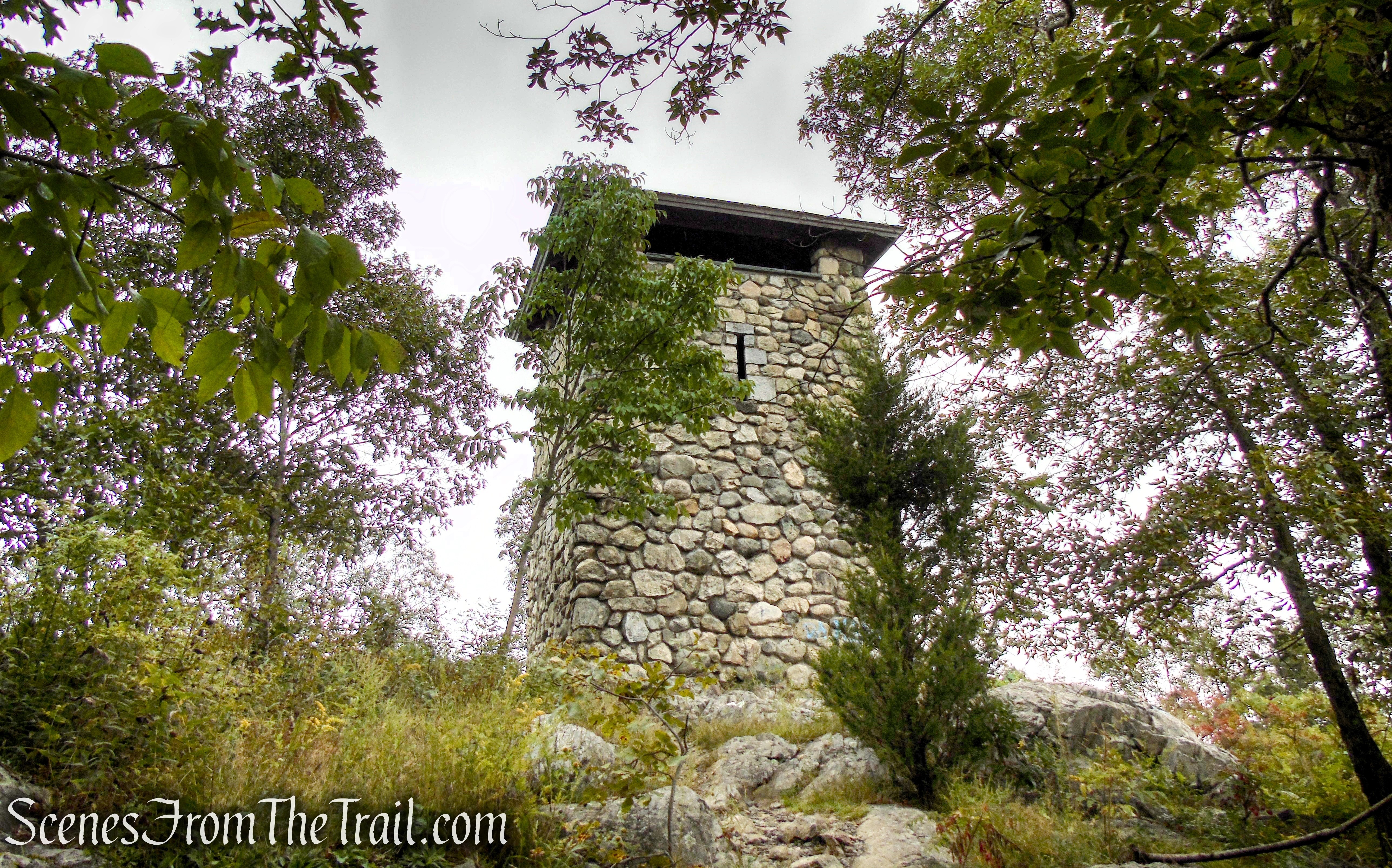
Skyline Trail – Middlesex Fells Reservation
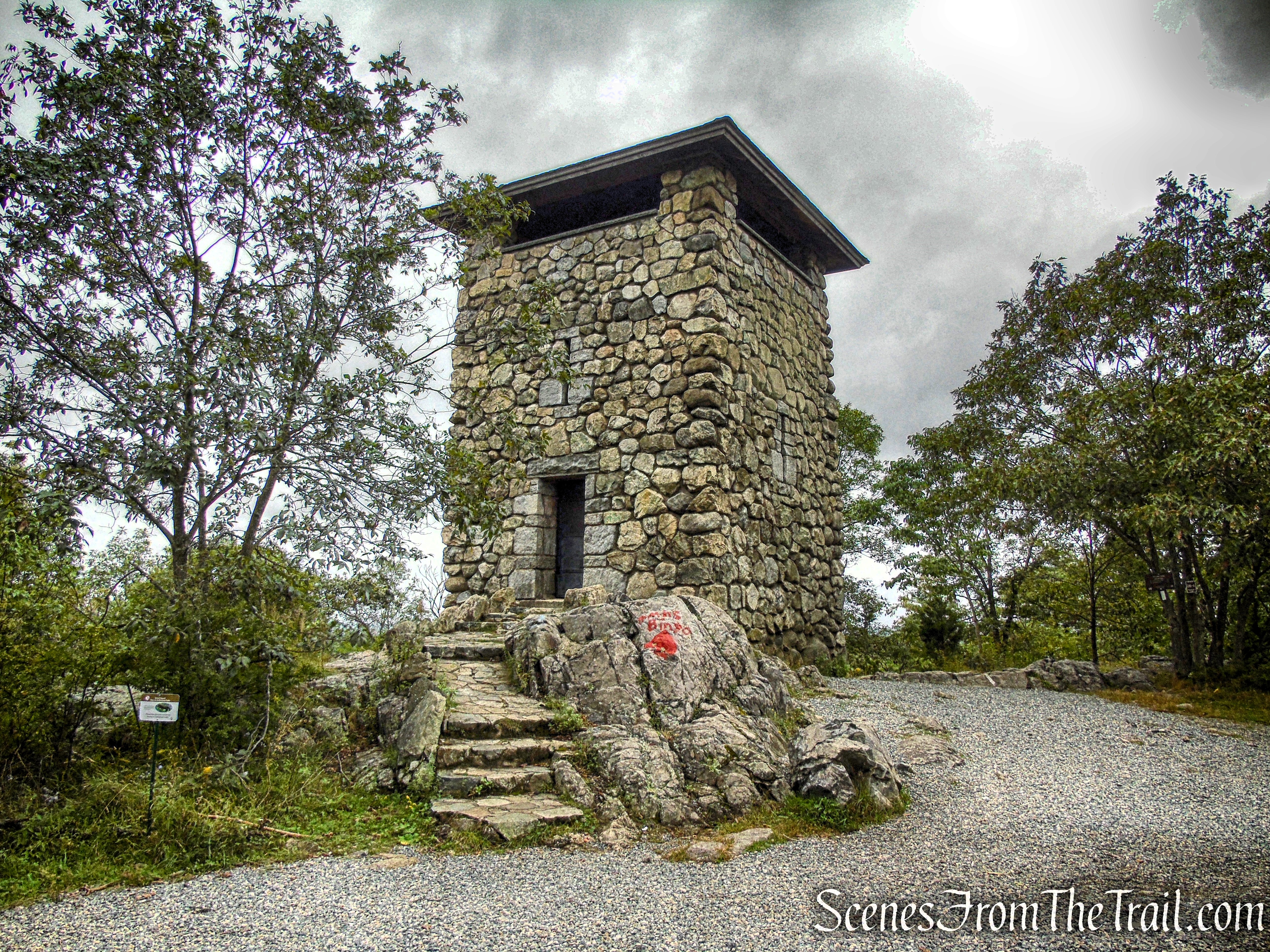
The steel door to the tower was locked on our visit, but from what I read, it is open occassionally.

Wright’s Tower – Middlesex Fells Reservation
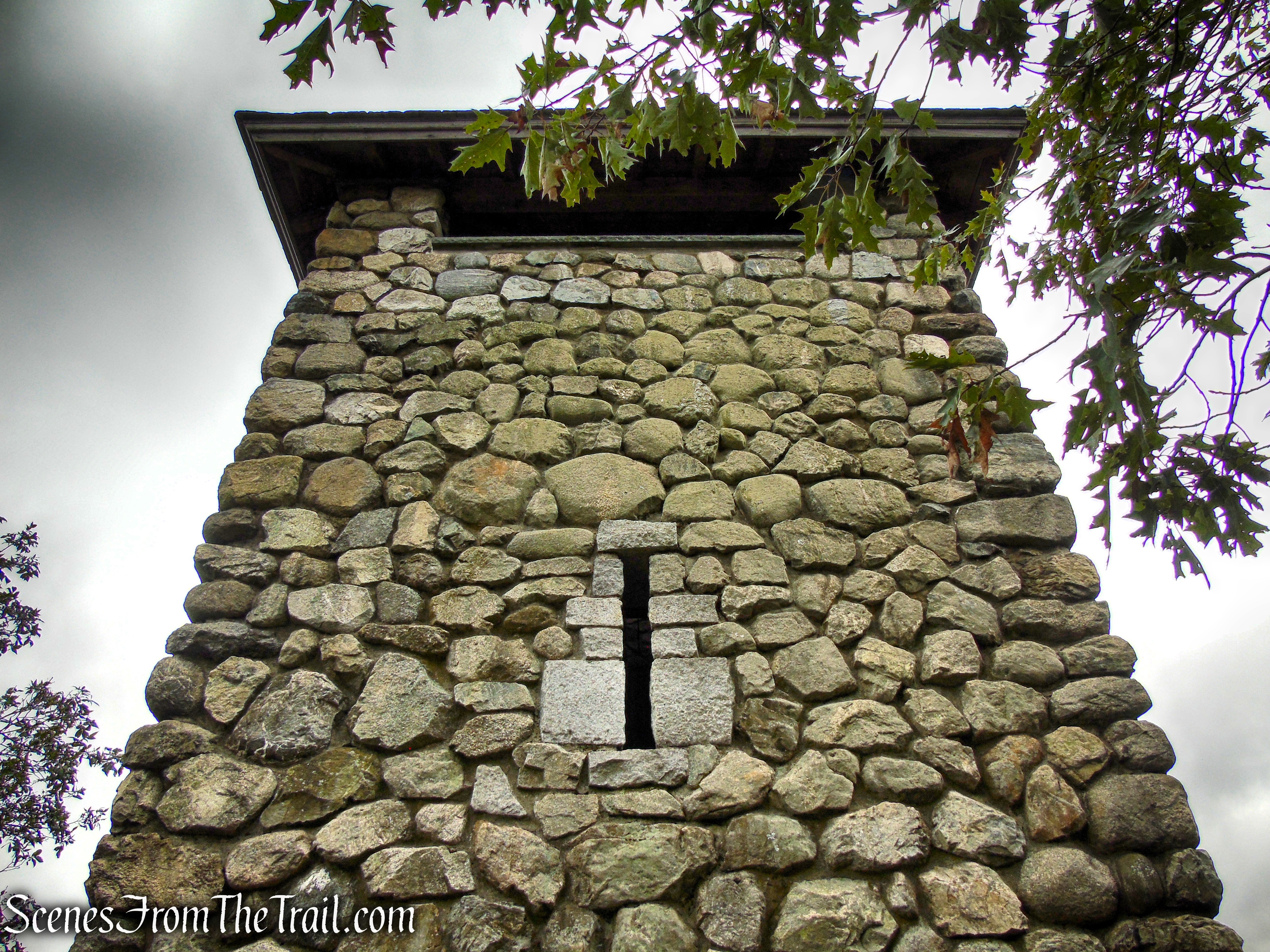
Wright’s Tower provides expansive views to the east, south and west towards metropolitan Boston. This stone structure features a pyramidal slate roof, narrow slit window openings and an observation platform with openings on all four sides. The tower was built by the Works Progress Administration (WPA) in 1937.
Wright’s Tower – Middlesex Fells Reservation
Wright’s Tower – Middlesex Fells Reservation
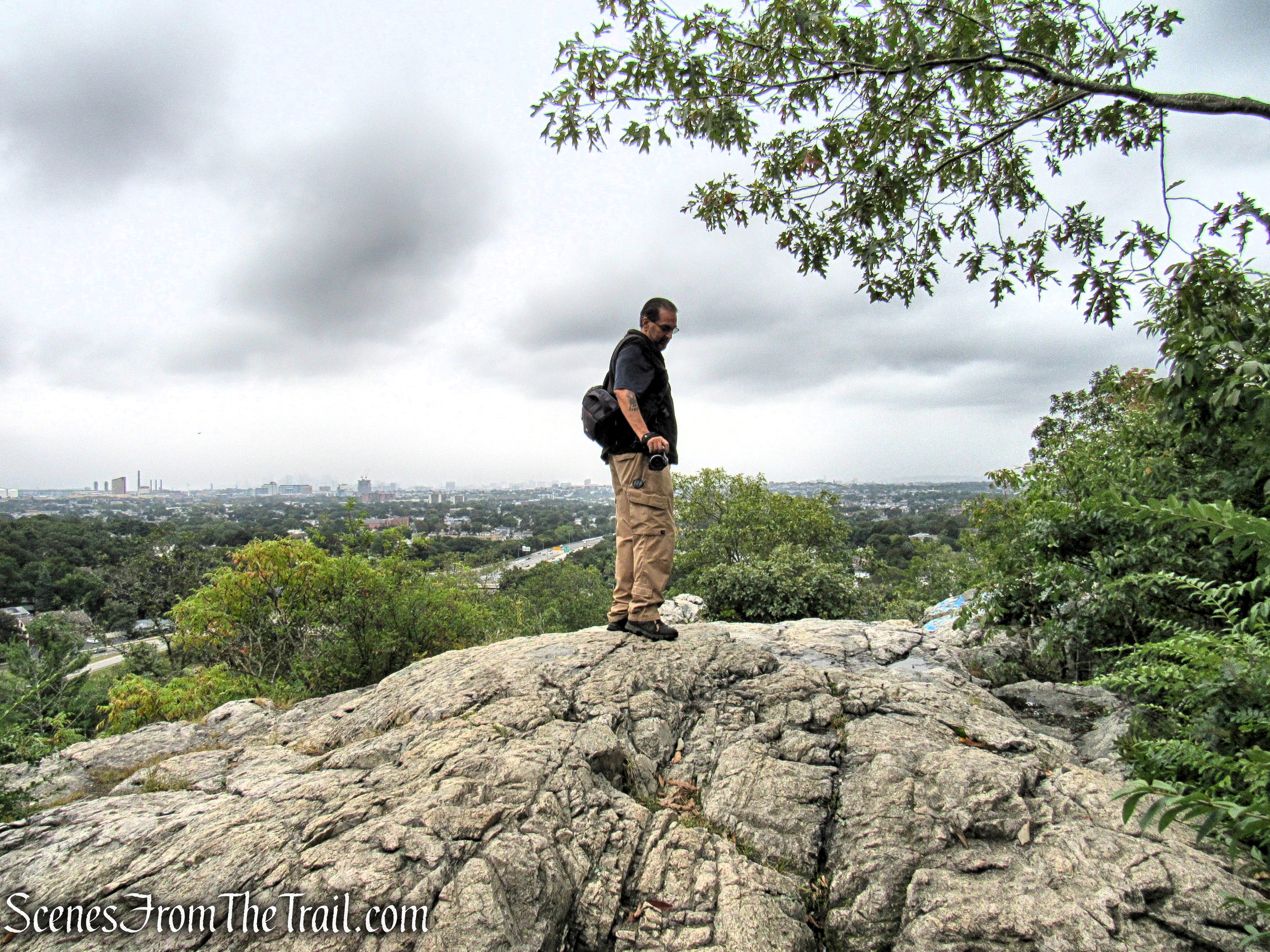
Adjacent to the tower is a rock outcrop with views southeast, and on a clear day, one can see the Boston Skyline in the distance.
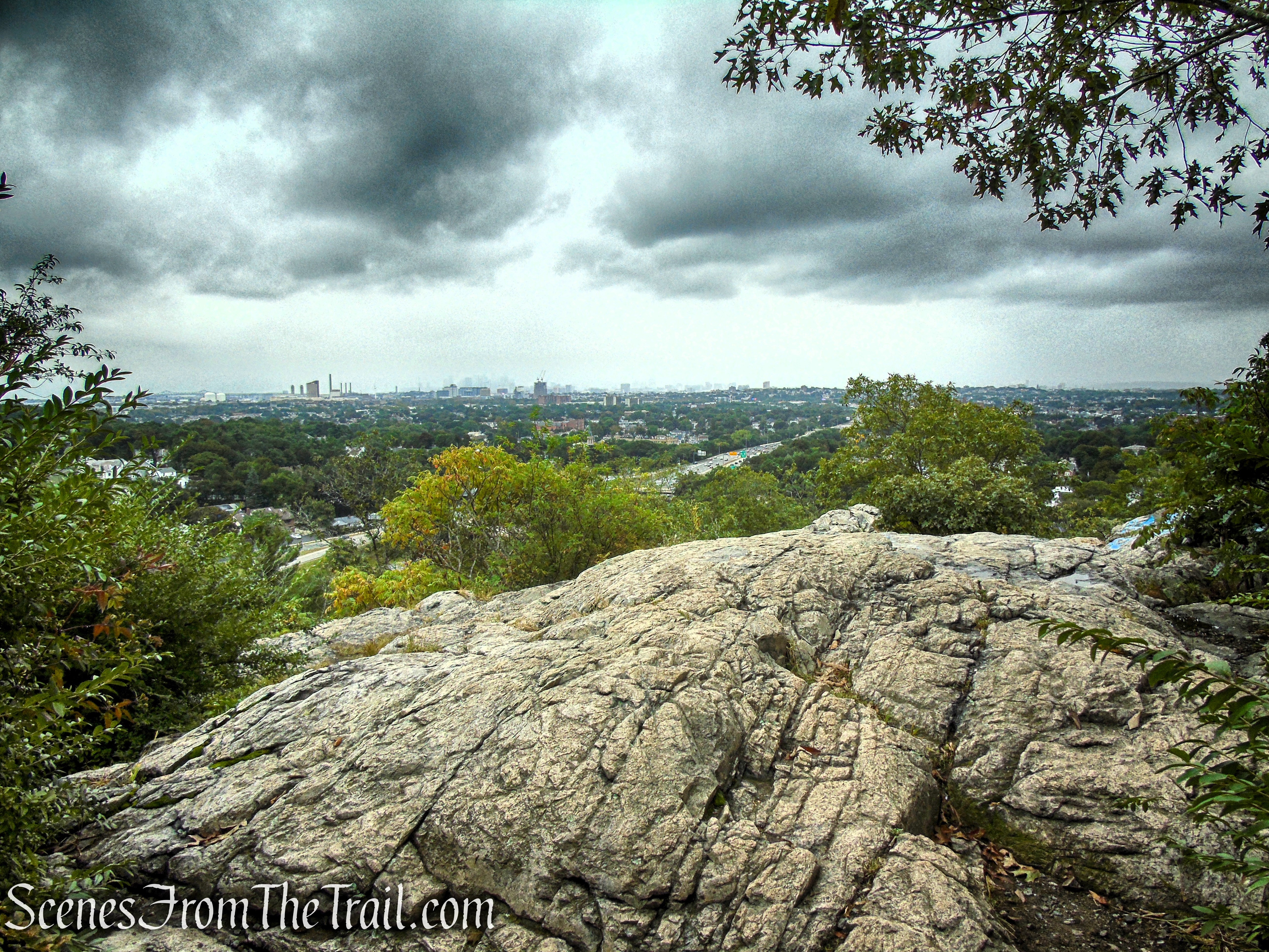
Southeastern Viewpoint from Pine Hill
When you are ready to continue, proceed downhill on the gravel road that leads from the tower. This road is unnamed on the map, but for this guide, I will refer to it as “Tower Road.”

“Tower Road”
At the base of the descent, turn left onto Quarry Road and follow it in a southerly direction.
Turn left at the fork
Quarry Road – Middlesex Fells Reservation
Quarry Road – Middlesex Fells Reservation
Quarry Road – Middlesex Fells Reservation
After another 260 yards or so, you will come to a stone wall with a stone and concrete picnic table in front of it. Turn right just before the wall (junction D6-3 on map), and follow the woods road as it passes along the western side of Bellevue Pond. Bellevue Pond is a seasonal pond and didn’t seem to have any water in it on the day of our visit.
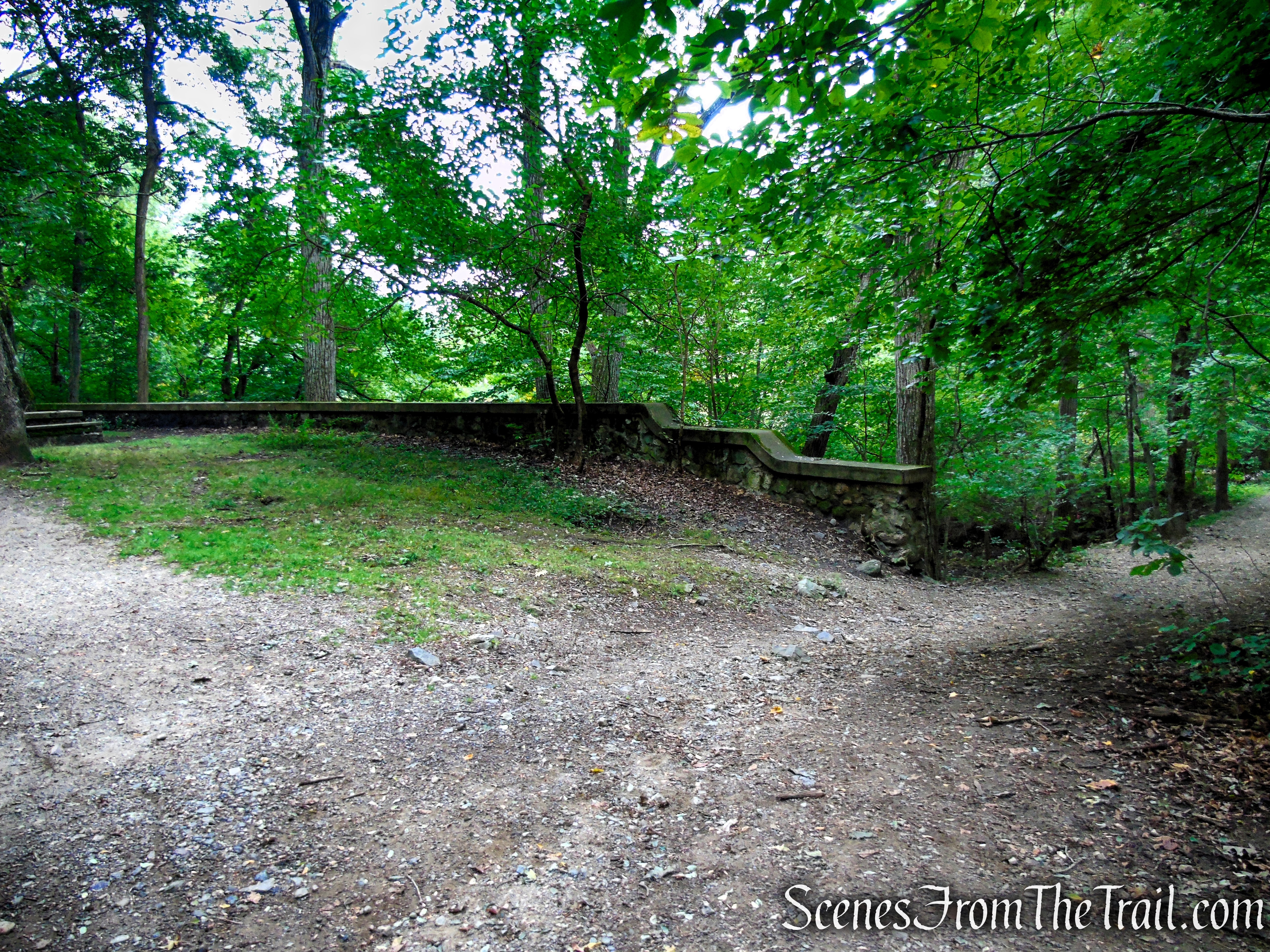
Turn right by the stone wall

Quarry Road – Middlesex Fells Reservation

Unnamed woods road – Middlesex Fells Reservation
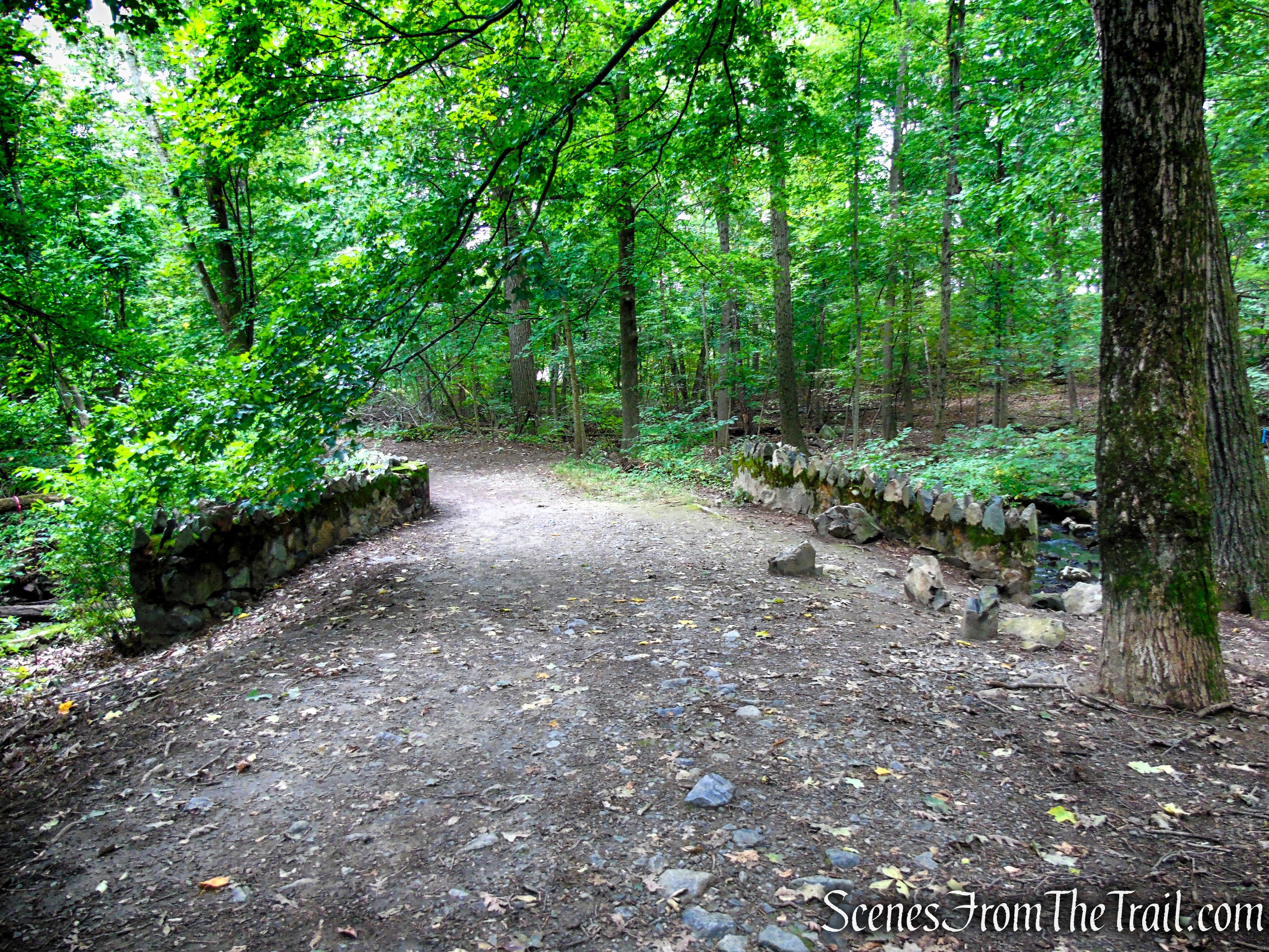
Unnamed woods road – Middlesex Fells Reservation
When you reach a fork, turn right and proceed west (junction C6-9 on map). The left fork will take you to the parking lot in front of Bellevue Pond.

Turn right at the fork
Follow this unmarked footpath, which parallels South Border Road, for about 250 yards, back to the parking area, where the hike began.
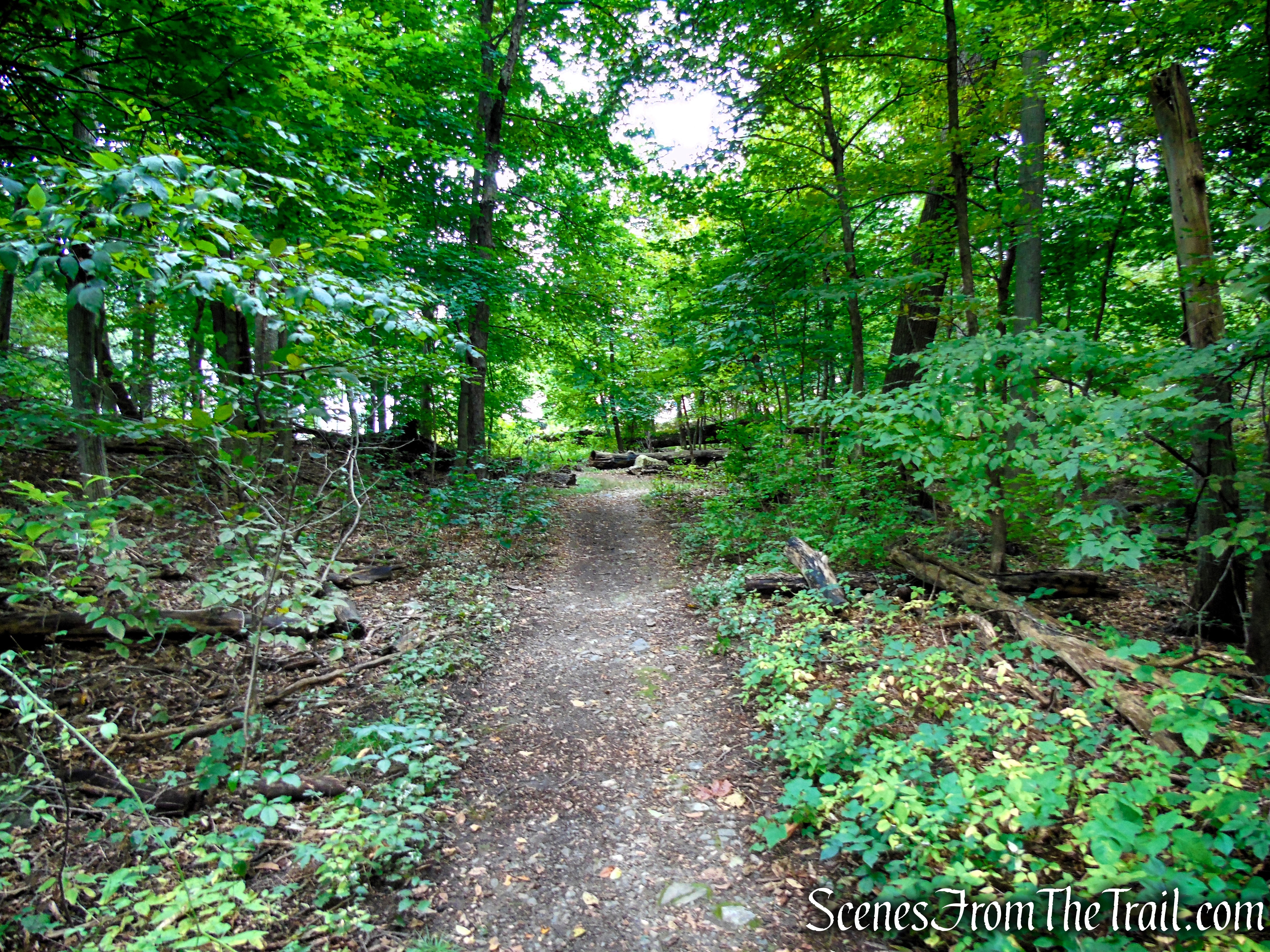
Unmarked connector trail – Middlesex Fells Reservation
Unmarked connector trail – Middlesex Fells Reservation
Review:
A really nice hike through a scenic area. Unfortunately the tower was not open when we visited, but worth checking out nonetheless. Since I was road tripping, this made for a nice break from driving and the short hike was just perfect.
Pros:
Wright’s Tower, picturesque landscape, scenic view from near the base of the tower. Good signage at critcal junctions, Many connecting trails to explore.
Cons:
Parking can be an issue, depending on the time of day.
Take a hike!
Wright’s Tower – Middlesex Fells Reservation
Sources:
