April 4, 2026 – Orange, Connecticut
Difficulty: Easy
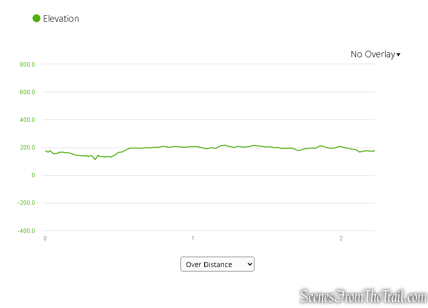
Length: Approximately 2 miles
Max elevation: 215 ft. – total elevation gain approximately 100 ft.
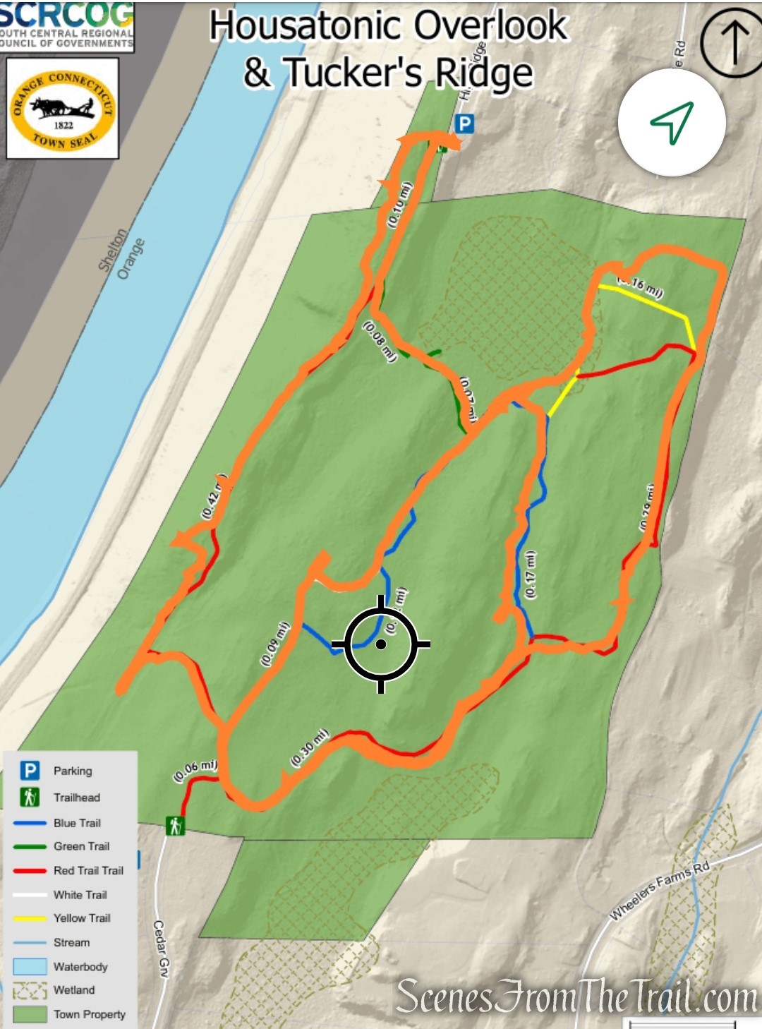
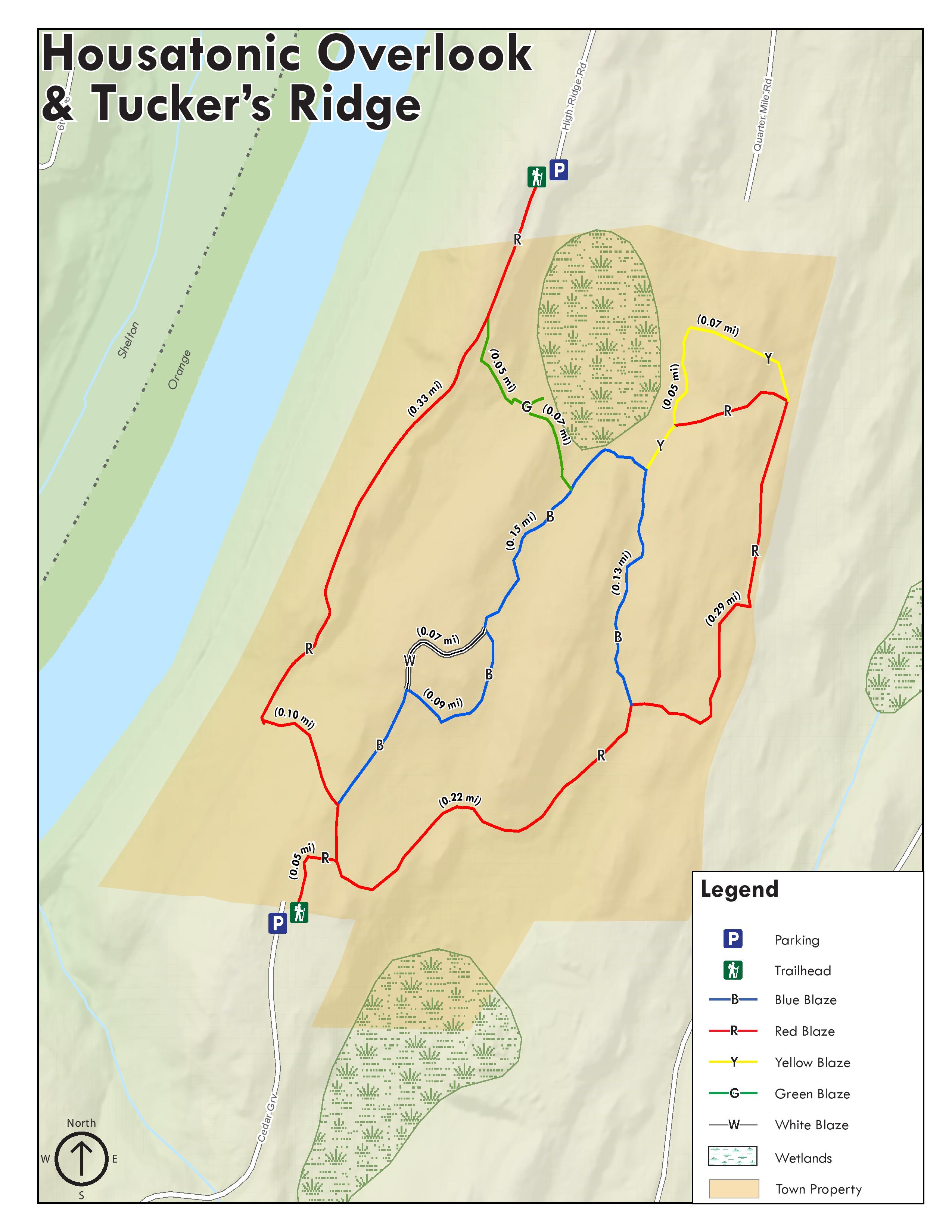
Map: Housatonic Overlook and Tucker’s Ridge – Free Avenza Map
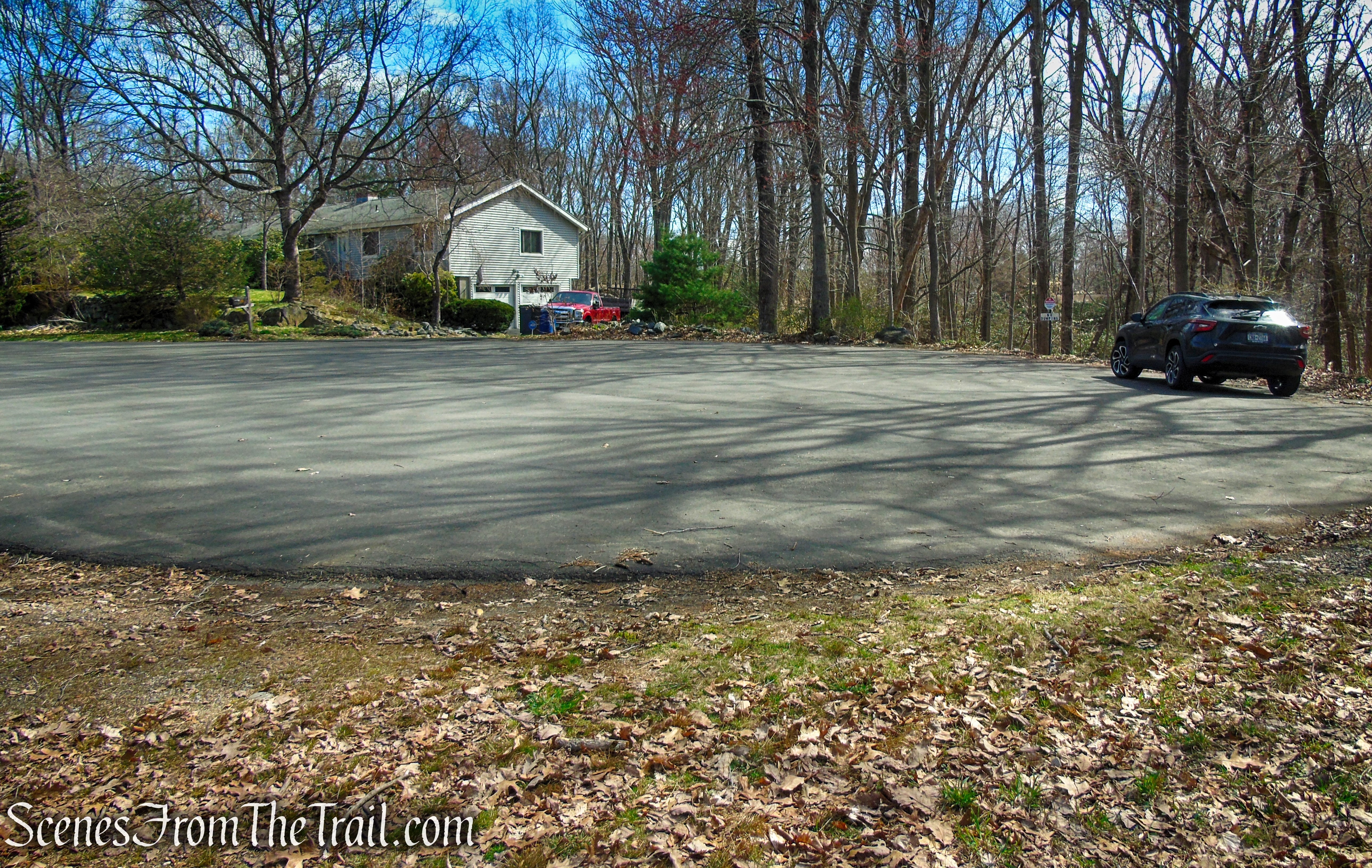
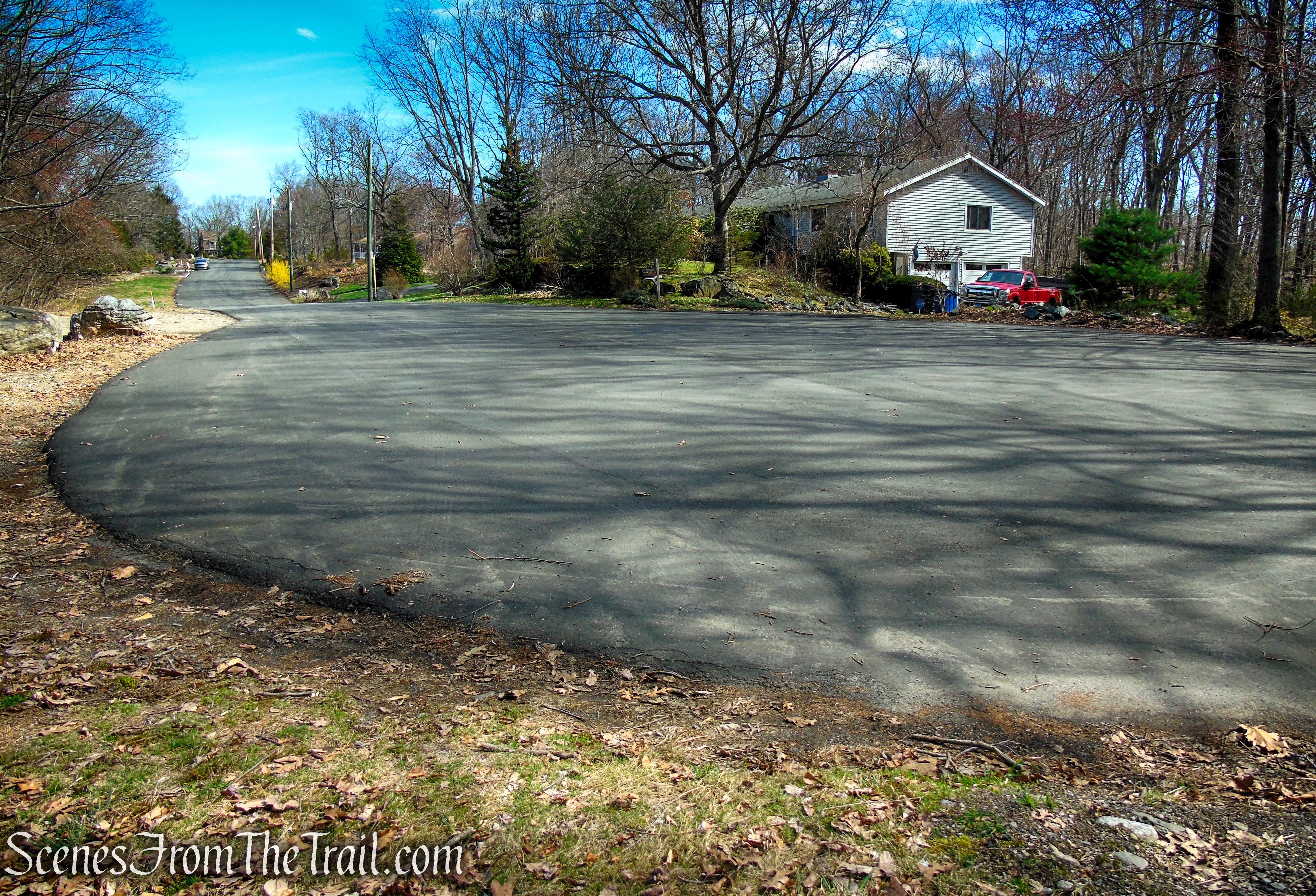
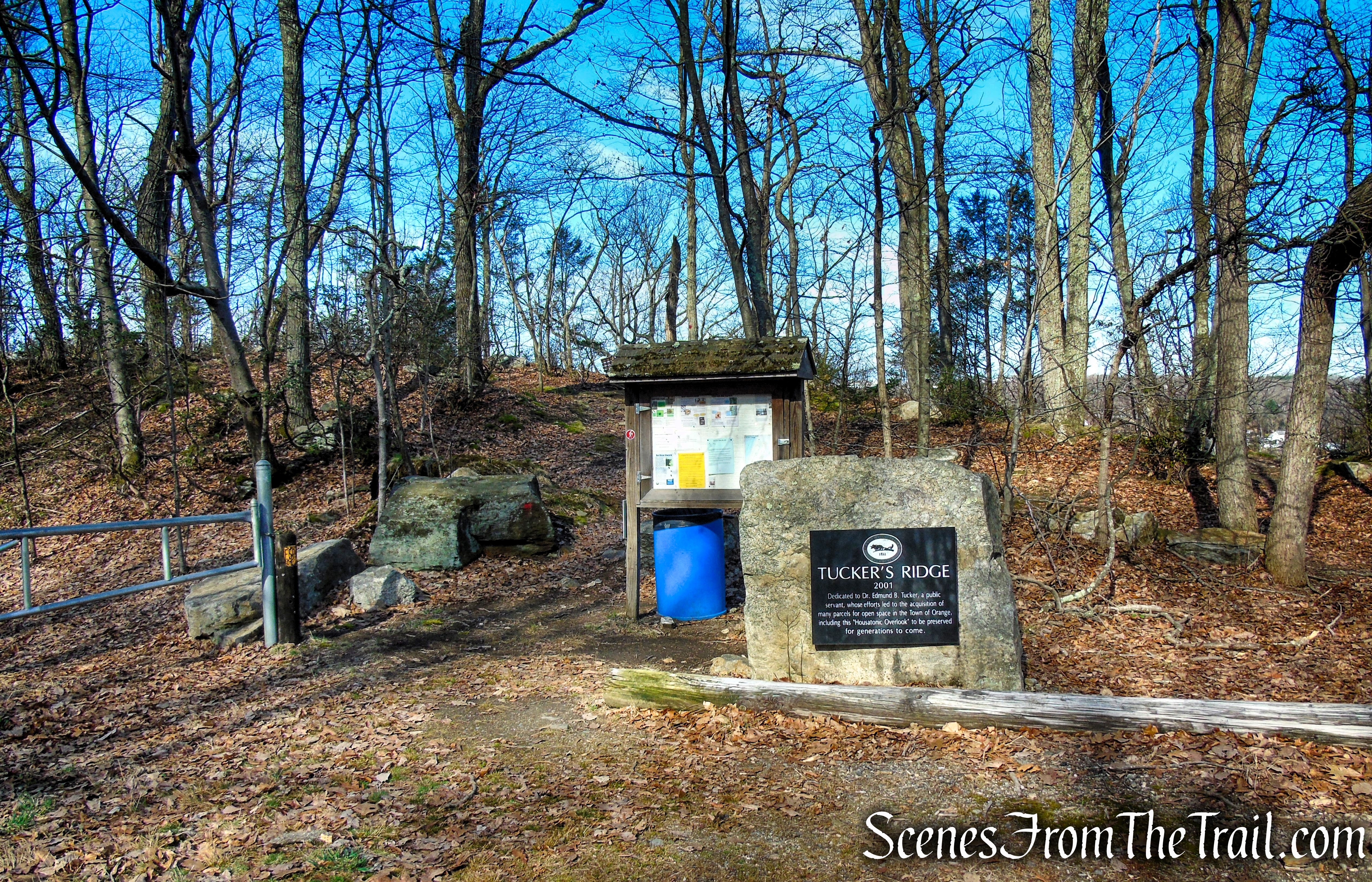
Parking: 668 High Ridge Rd, Orange, CT 06477
Parking area/turn‑around at the end of High Ridge Road – No restrooms on site
Hours: Open Daily, Sunrise – Sunset
Overview:
Housatonic Overlook and Tucker’s Ridge refer to the same compact yet unexpectedly scenic open space along the western edge of Orange—two names that highlight different aspects of a single landscape. “Housatonic Overlook” points to the sweeping river views that draw visitors in, while “Tucker’s Ridge” reflects the wooded, rocky spine of the property that gives the area its character and structure.
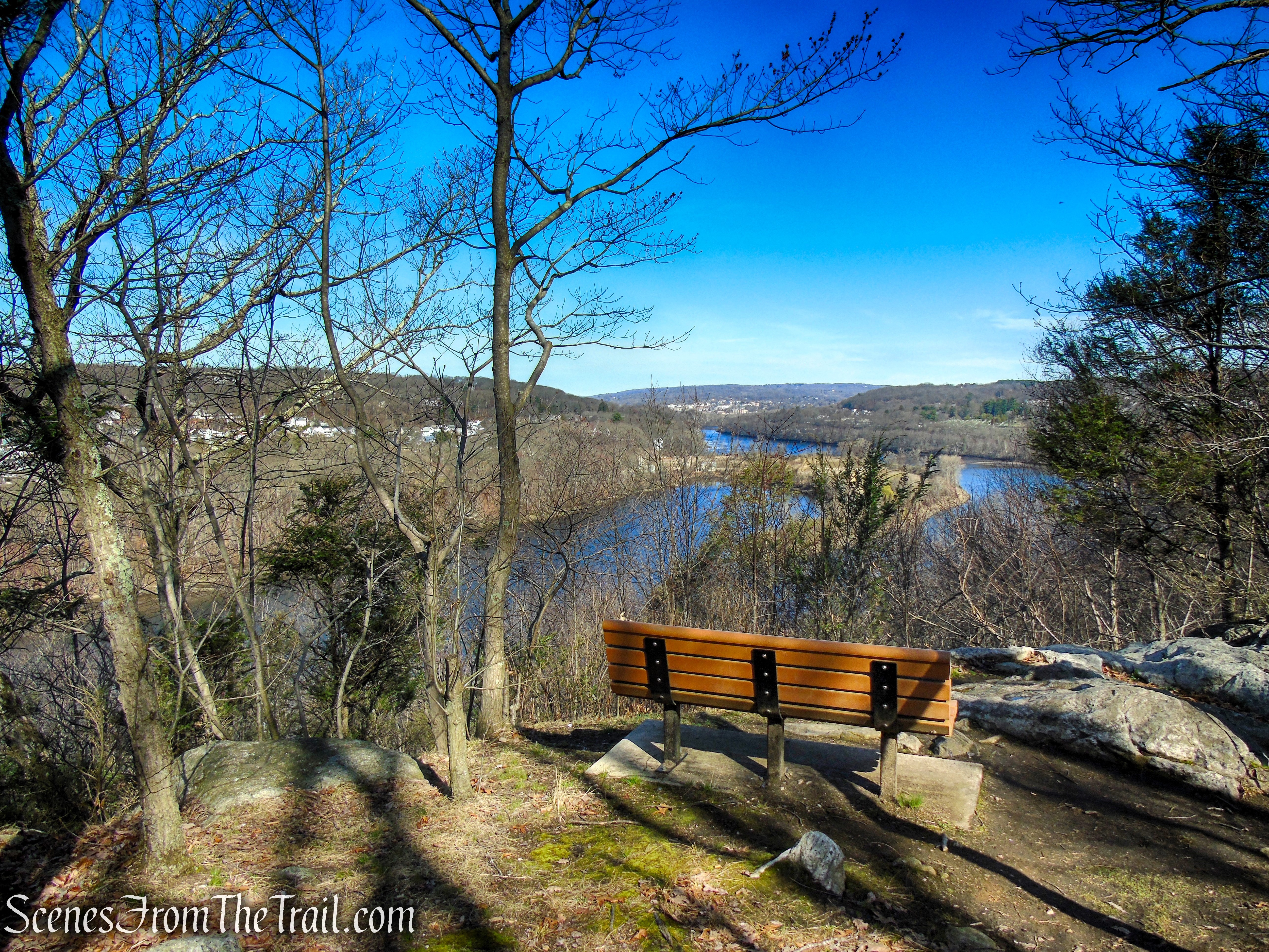
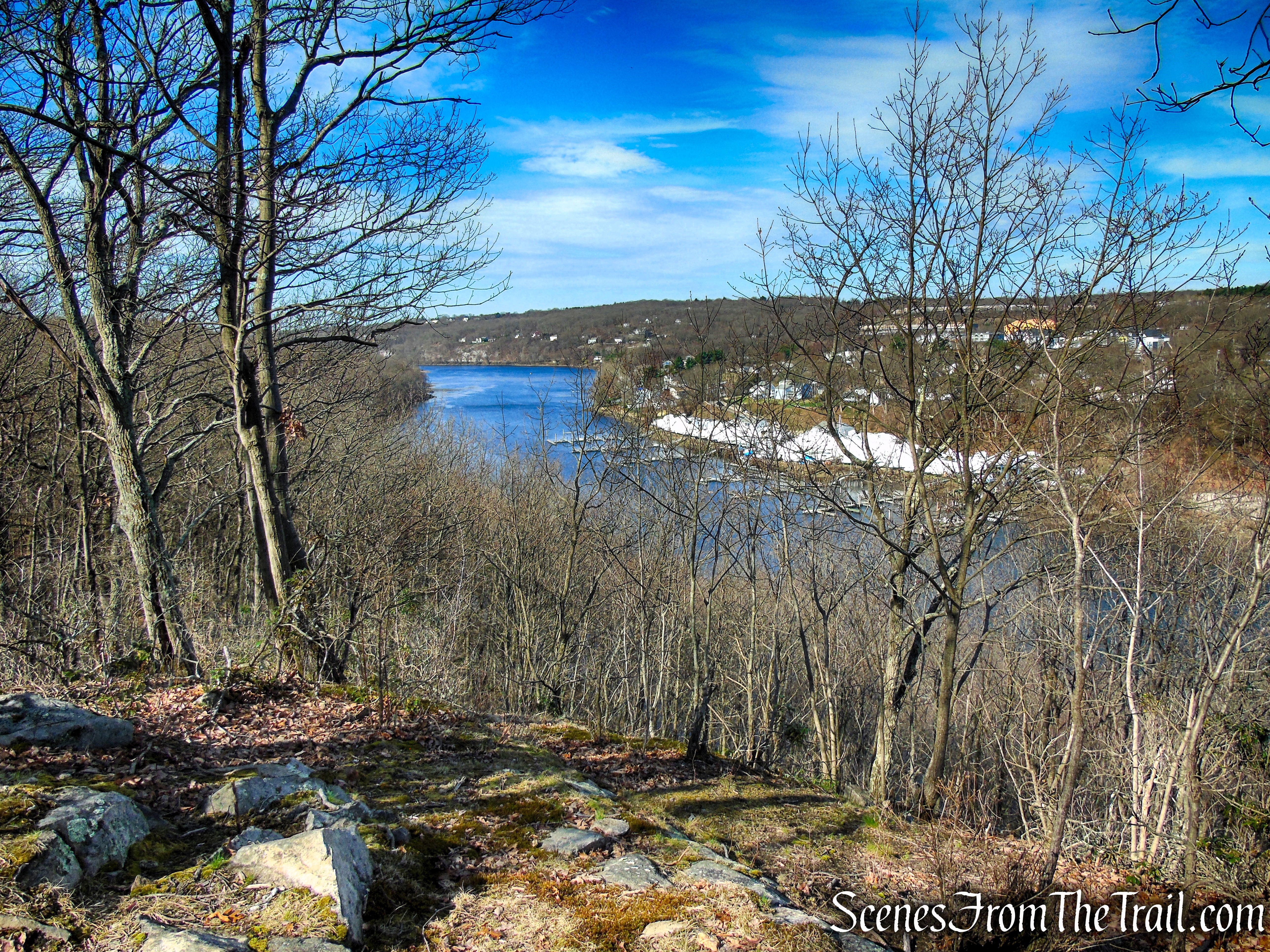
The Housatonic Overlook area offers an inviting and easy-to-reach natural setting, highlighted by sweeping views over the Housatonic River valley. Its main attraction is a striking viewpoint near the northern trailhead at the end of High Ridge Road, where a bench and rocky ledge provide a wide panorama of the river, Two Mile Island, and the neighboring communities of Shelton and Derby.
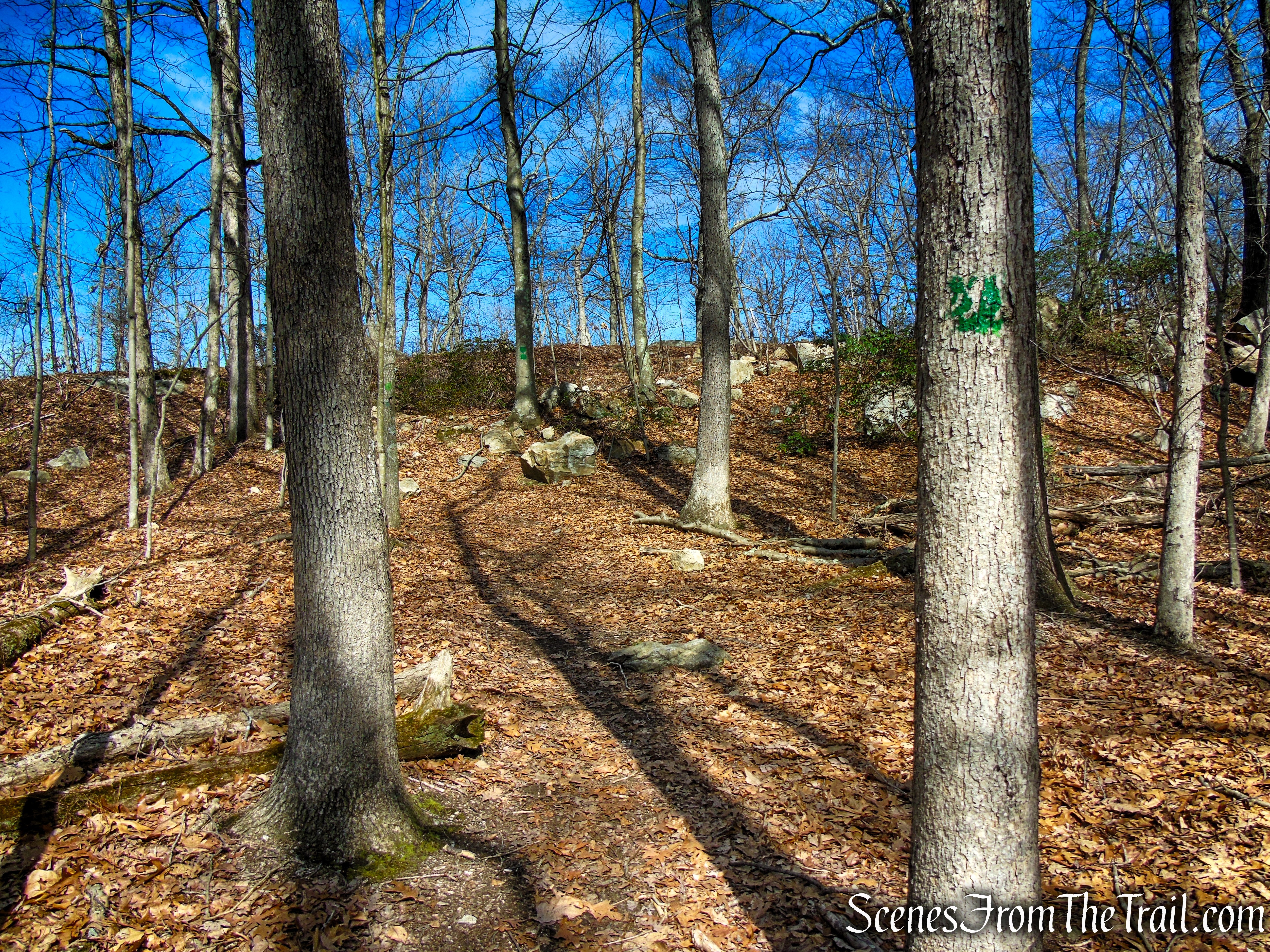
Red Trail – Housatonic Overlook and Tucker’s Ridge
This property is part of the town’s protected open space system, set aside for passive recreation, and is cared for through the combined efforts of the Town of Orange, the Orange Conservation Commission, and local conservation groups such as the Orange Land Trust.
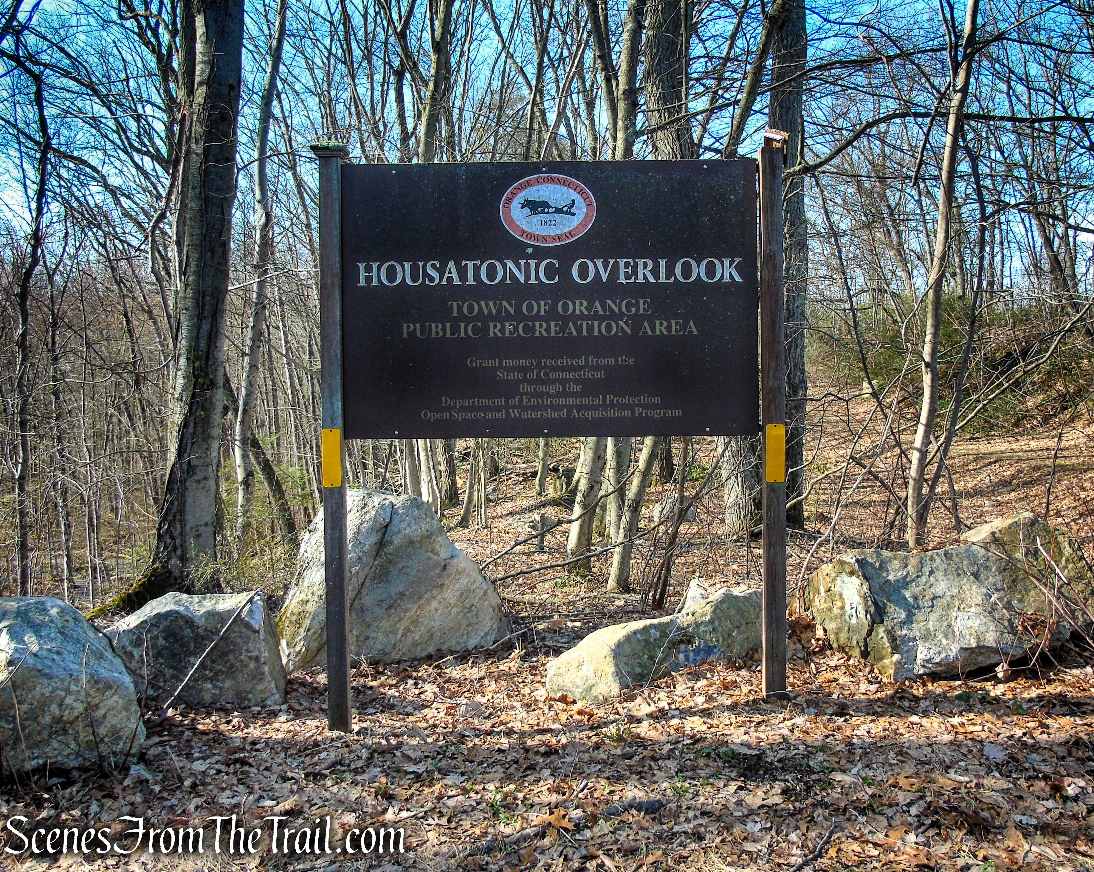
Housatonic Overlook
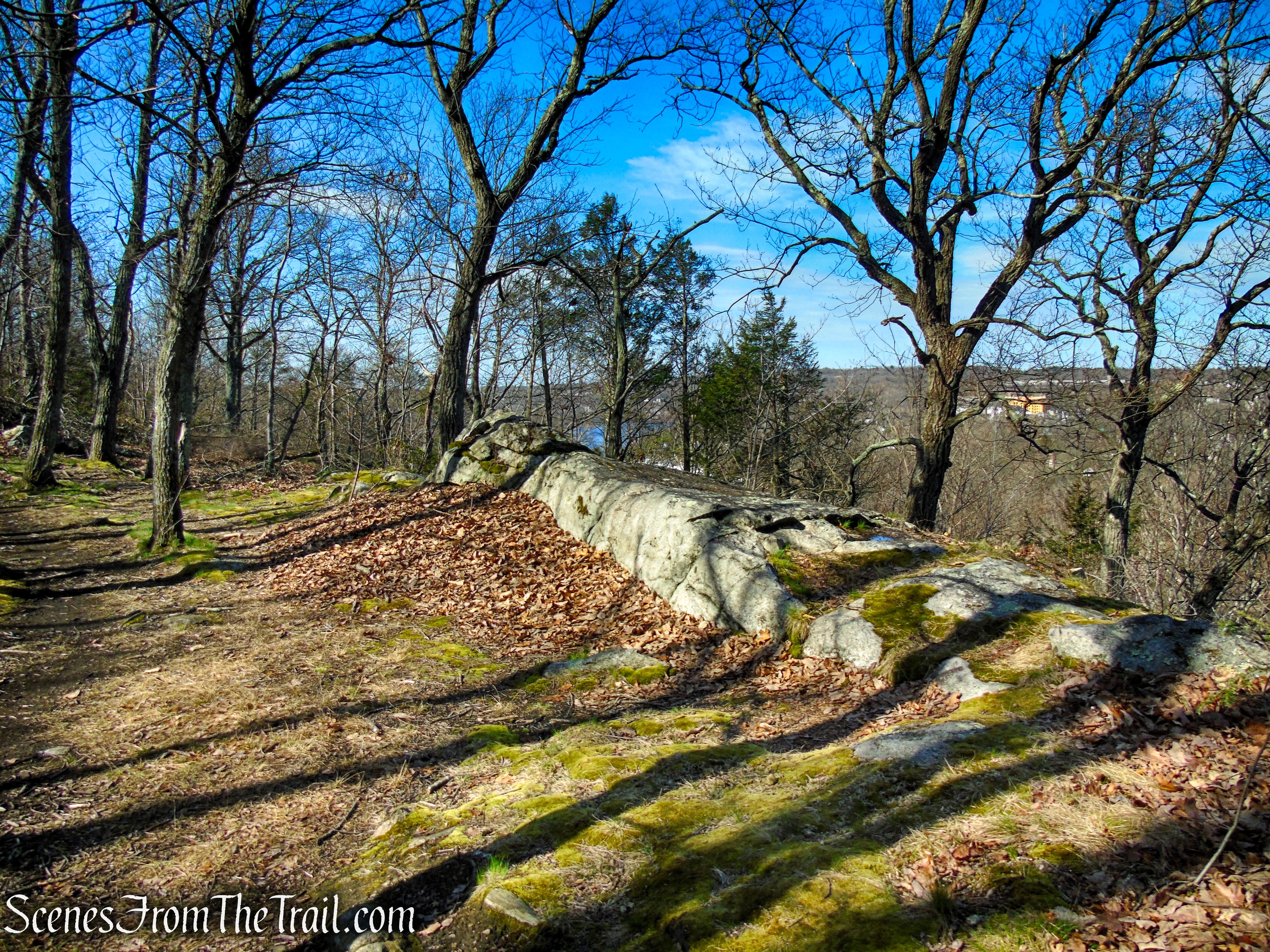
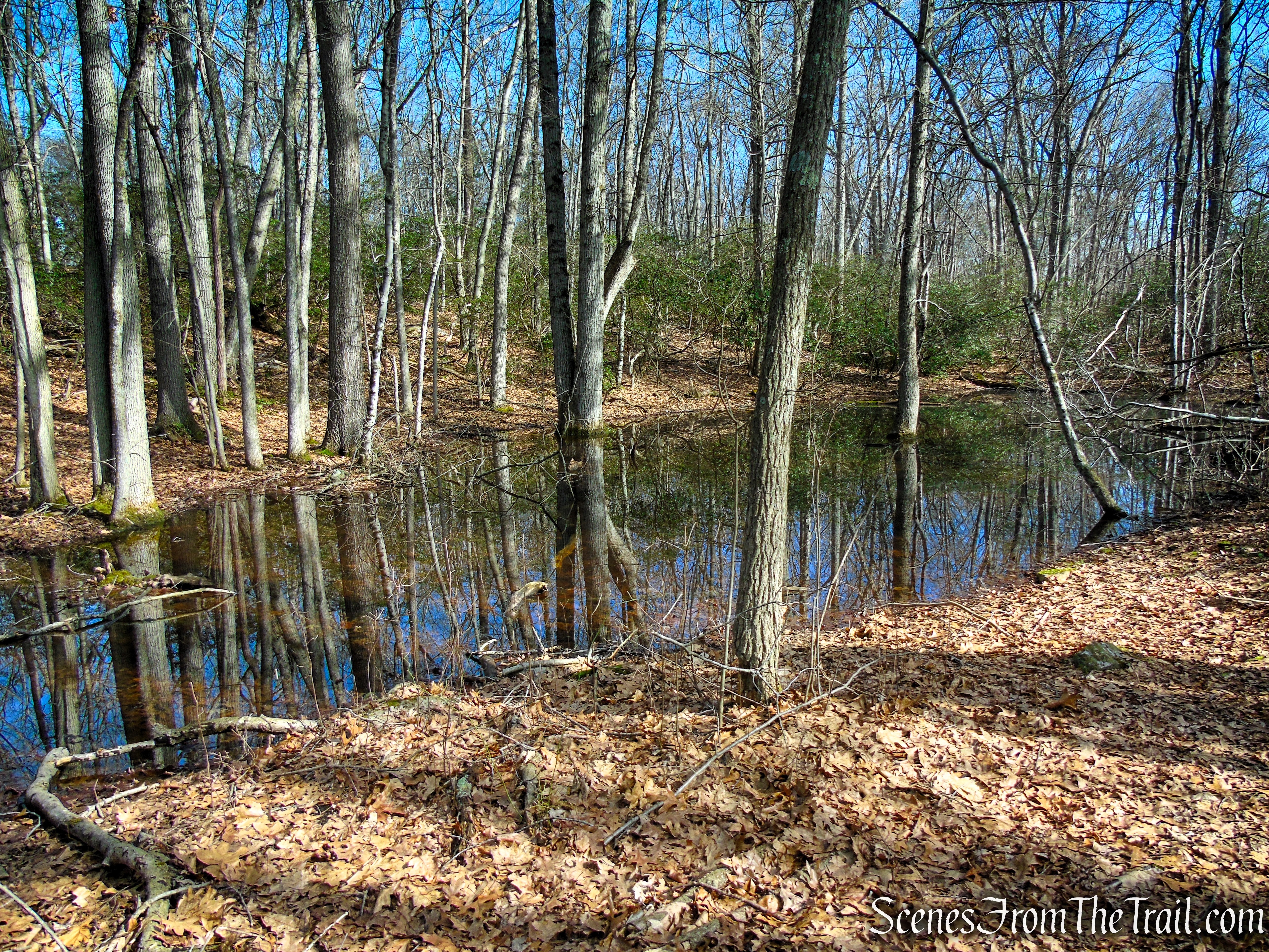
Tucker’s Ridge makes up the elevated backbone of the Housatonic Overlook property and, while often grouped under the same name, stands out for its distinct terrain and local history. Encompassing roughly 33 acres of town-owned open space, it stretches along a rugged ridge above the Housatonic River, where a mix of wooded paths, rocky ledges, and small wetland pockets create a varied hiking experience.
Red Trail – Tucker’s Ridge
Along the trails, you’ll encounter features such as mountain laurel, scattered outcrops, and the occasional glimpse of wildlife. Long used informally by locals, the land was officially acquired by the Town of Orange in 2001. Additional surrounding parcels have since been protected through efforts by the Orange Land Trust, expanding the preserved landscape. Today, Tucker’s Ridge is managed for passive recreation, with stewardship shared between the town’s Conservation Commission and dedicated community volunteers.
Housatonic Overlook
History:
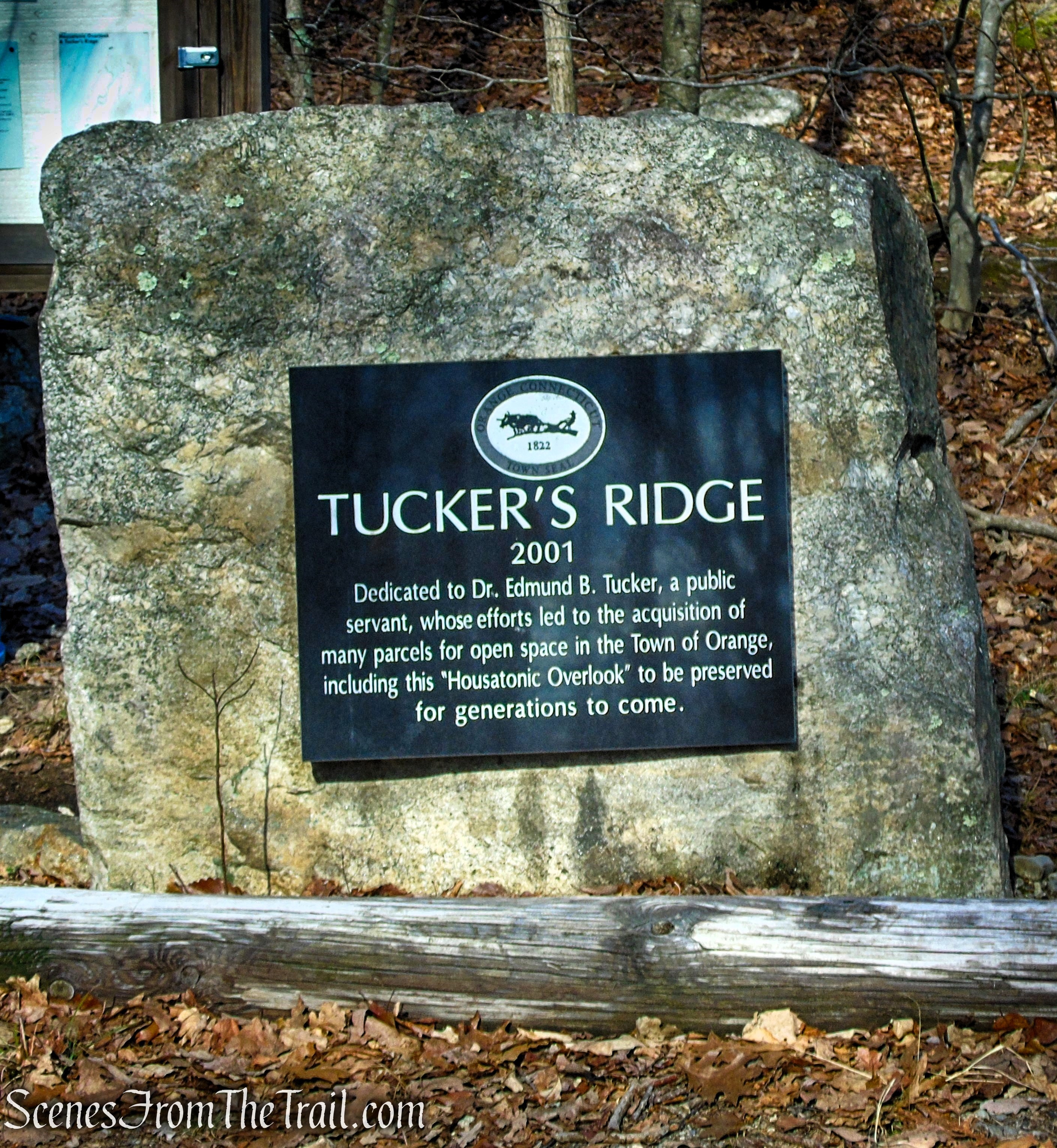
Tucker’s Ridge is named in honor of Dr. Edmund Tucker, a longtime Orange resident (1972–2015) and Yale University graduate who played a pivotal role in preserving the town’s open space. A founding figure of the Orange Land Trust and an active member of the Wetlands Commission, Rotary Club, and Chamber of Commerce, he served as Land Trust president for over 30 years. Through his leadership, Orange secured numerous conservation parcels—via grants, acquisitions, and donated land—helping shape the community’s landscape and earning the naming of Tucker’s Ridge in 2001 in recognition of his lasting impact.
Trails Overview:
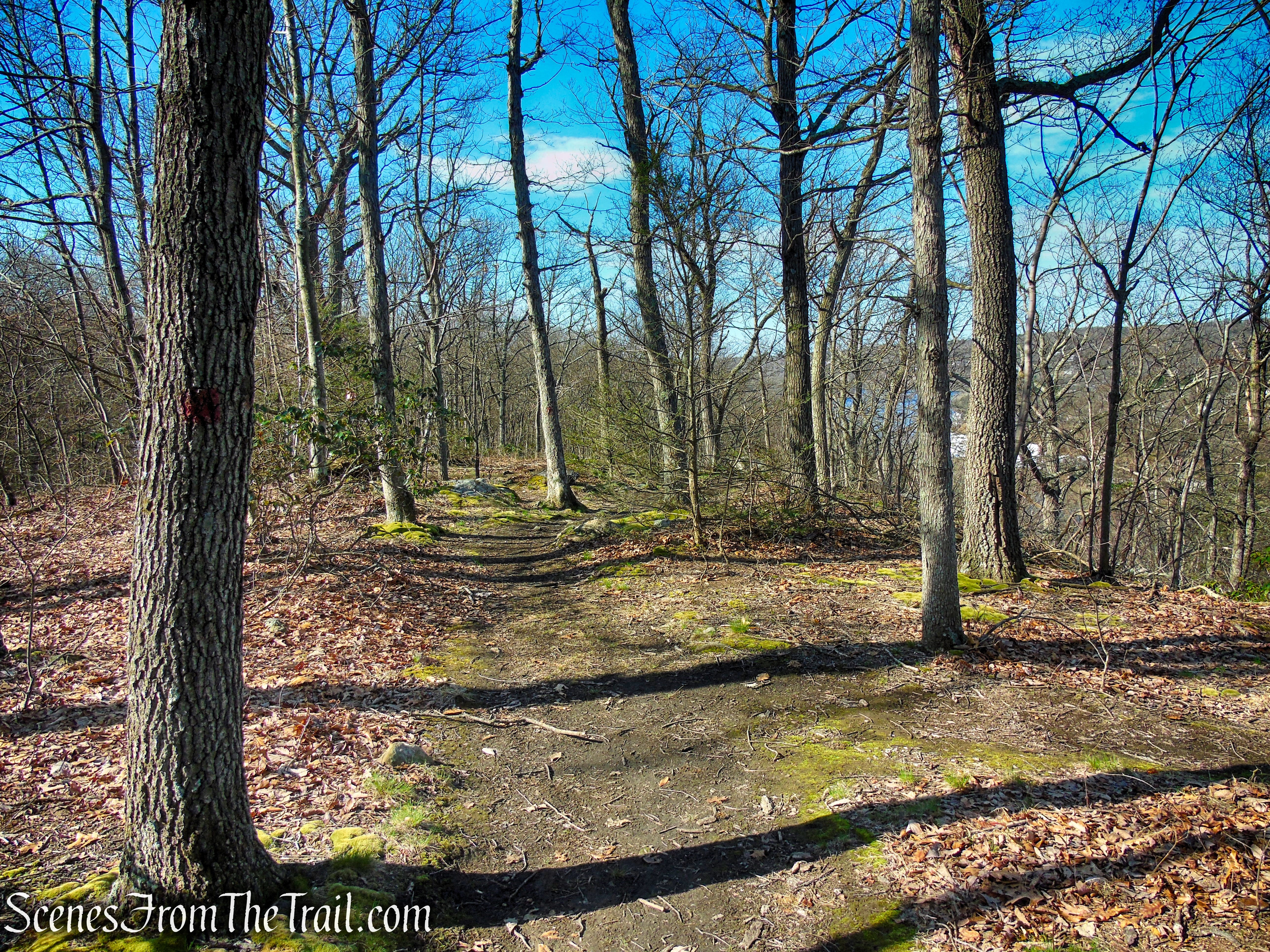
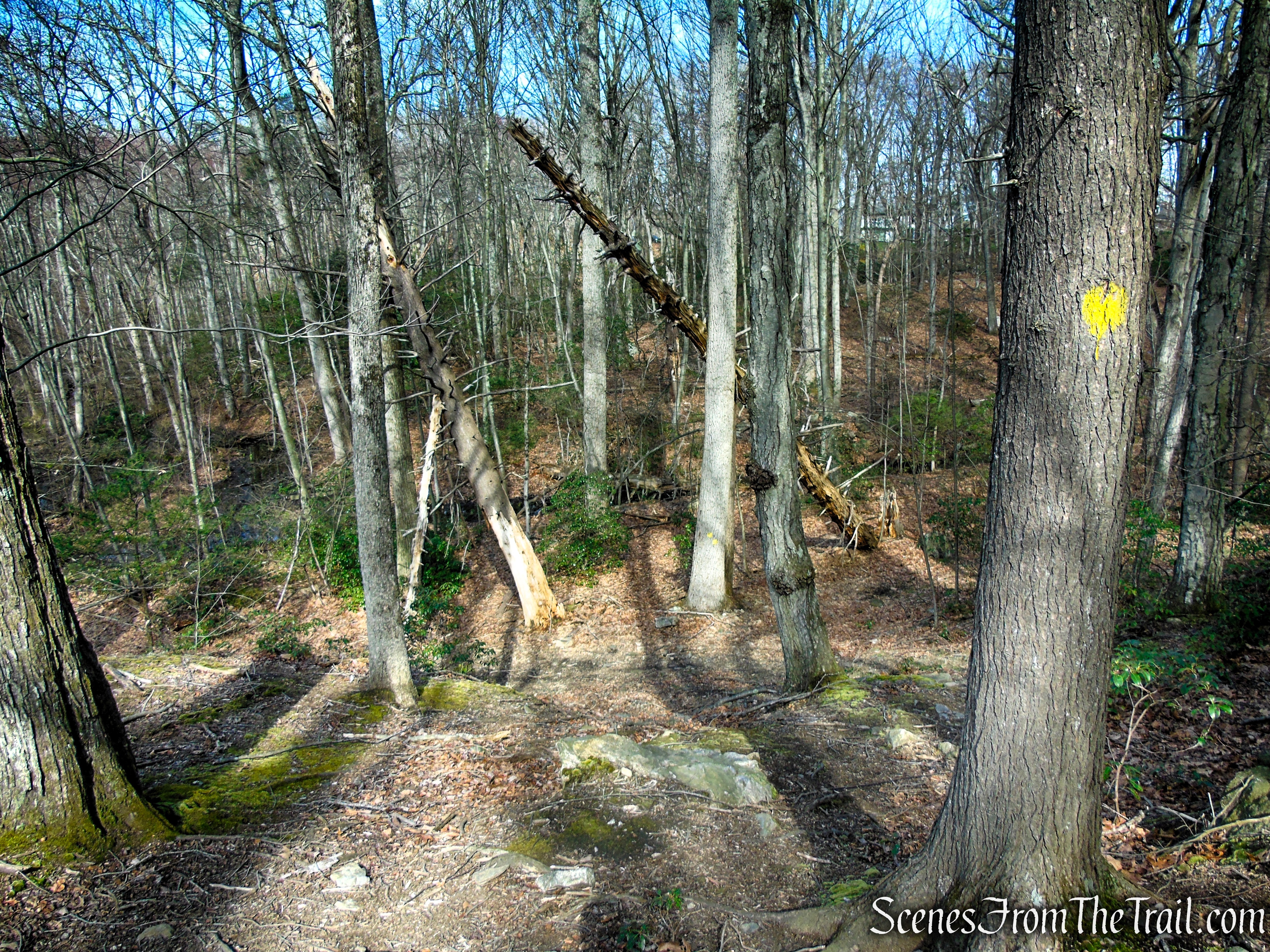
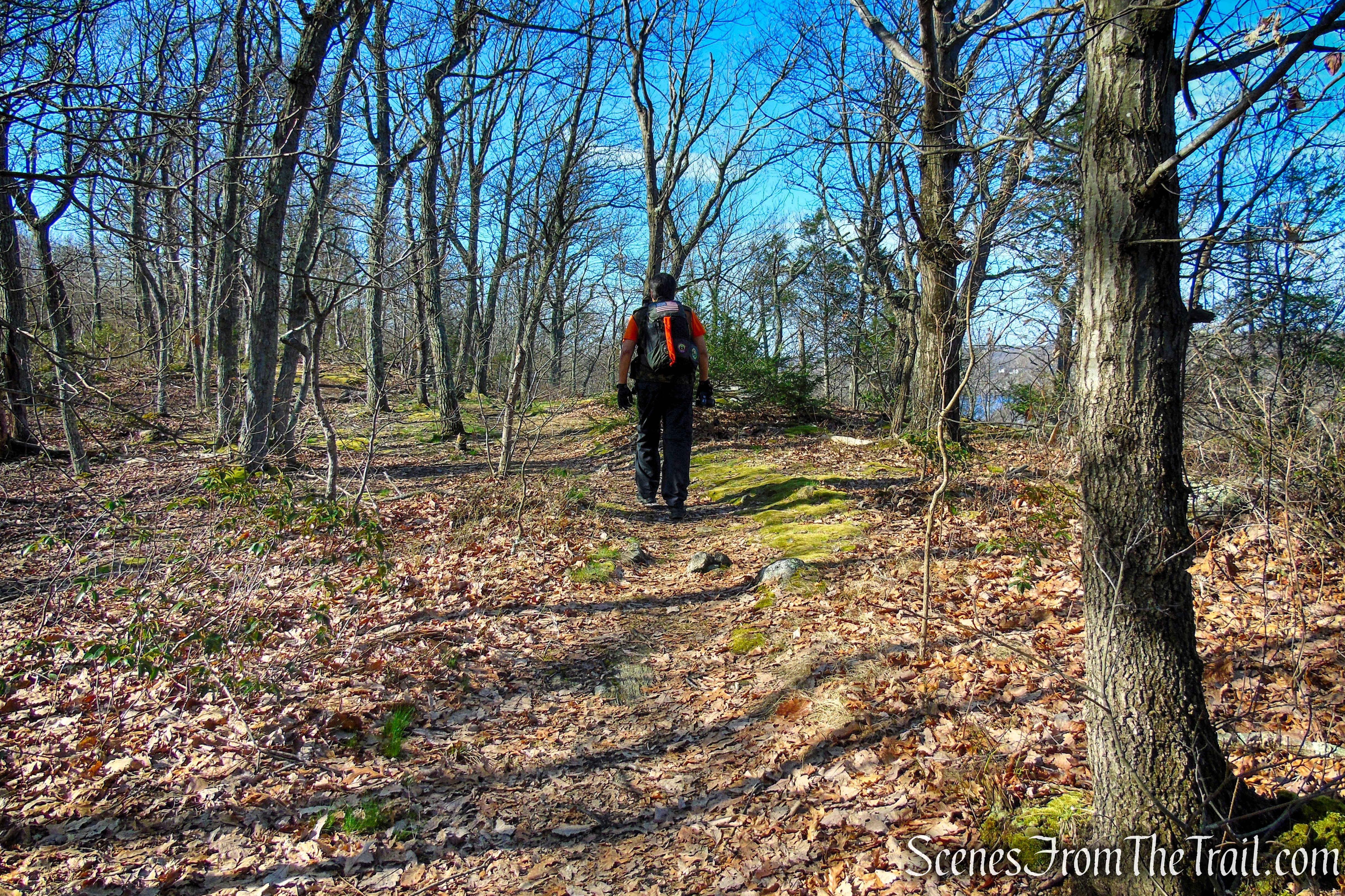
Housatonic Overlook and Tucker’s Ridge offer a compact but varied network of trails that highlight the area’s natural beauty and scenic views. The main loop is roughly 1.5 to 2 miles long, with gentle to moderate elevation changes, making it accessible to most hikers, walkers, and families. Trails wind along the ridge, passing through wooded sections, rocky outcrops, and small wetland areas, with a bench and a viewpoint overlooking the Housatonic River. The paths are relatively well-marked and retain a natural feel, offering a sense of exploration while remaining manageable for a short hike. Overall, the trails provide a rewarding combination of scenic vistas, quiet forested paths, and accessible outdoor recreation.
Housatonic Overlook and Tucker’s Ridge
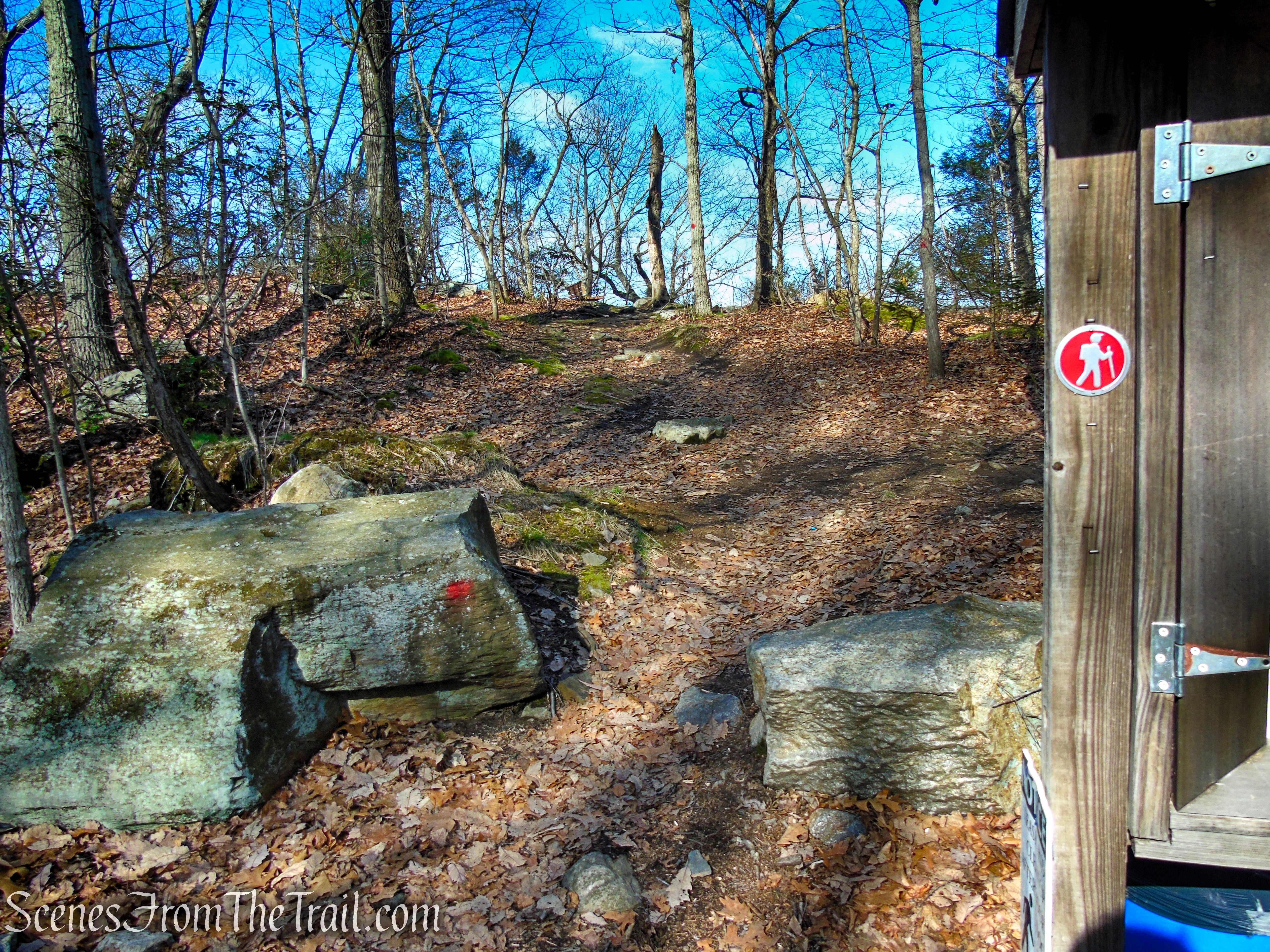
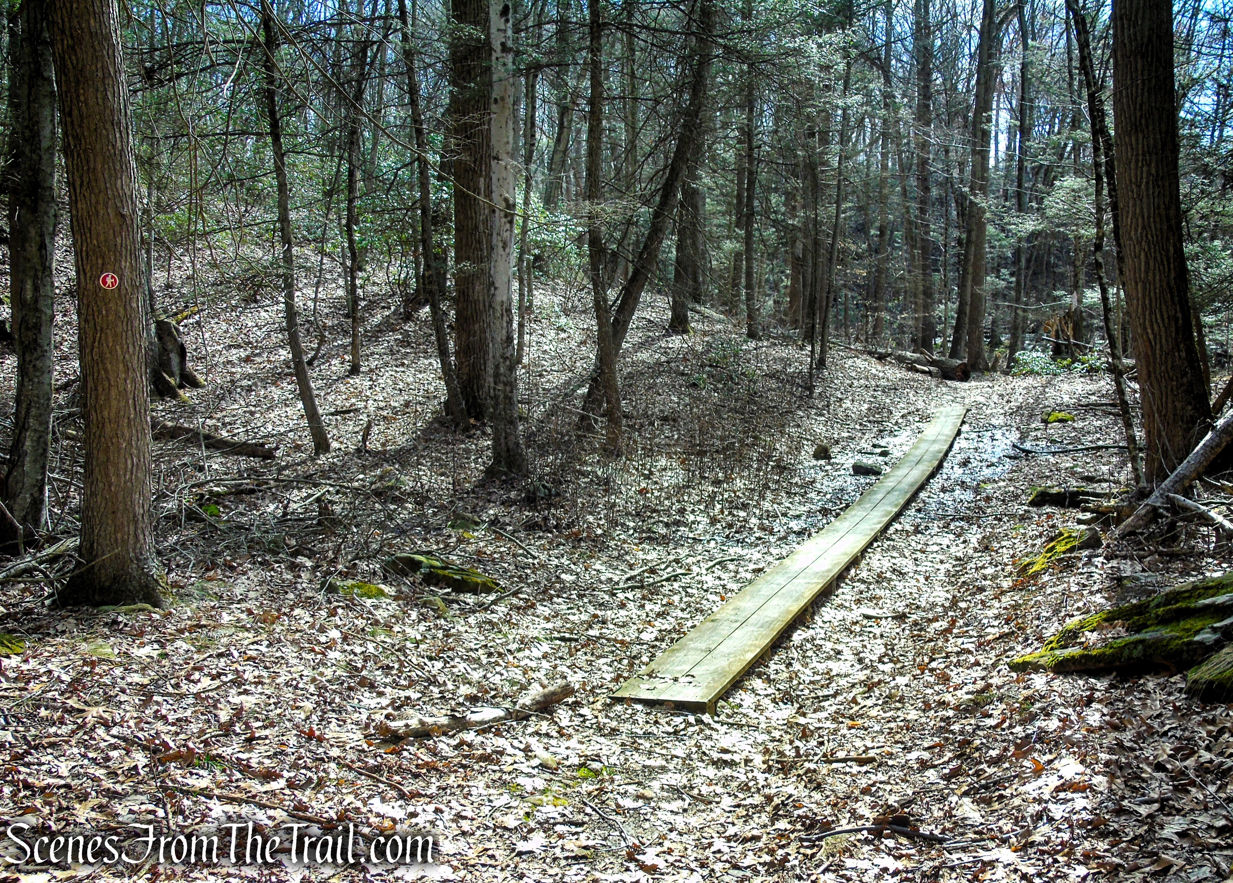
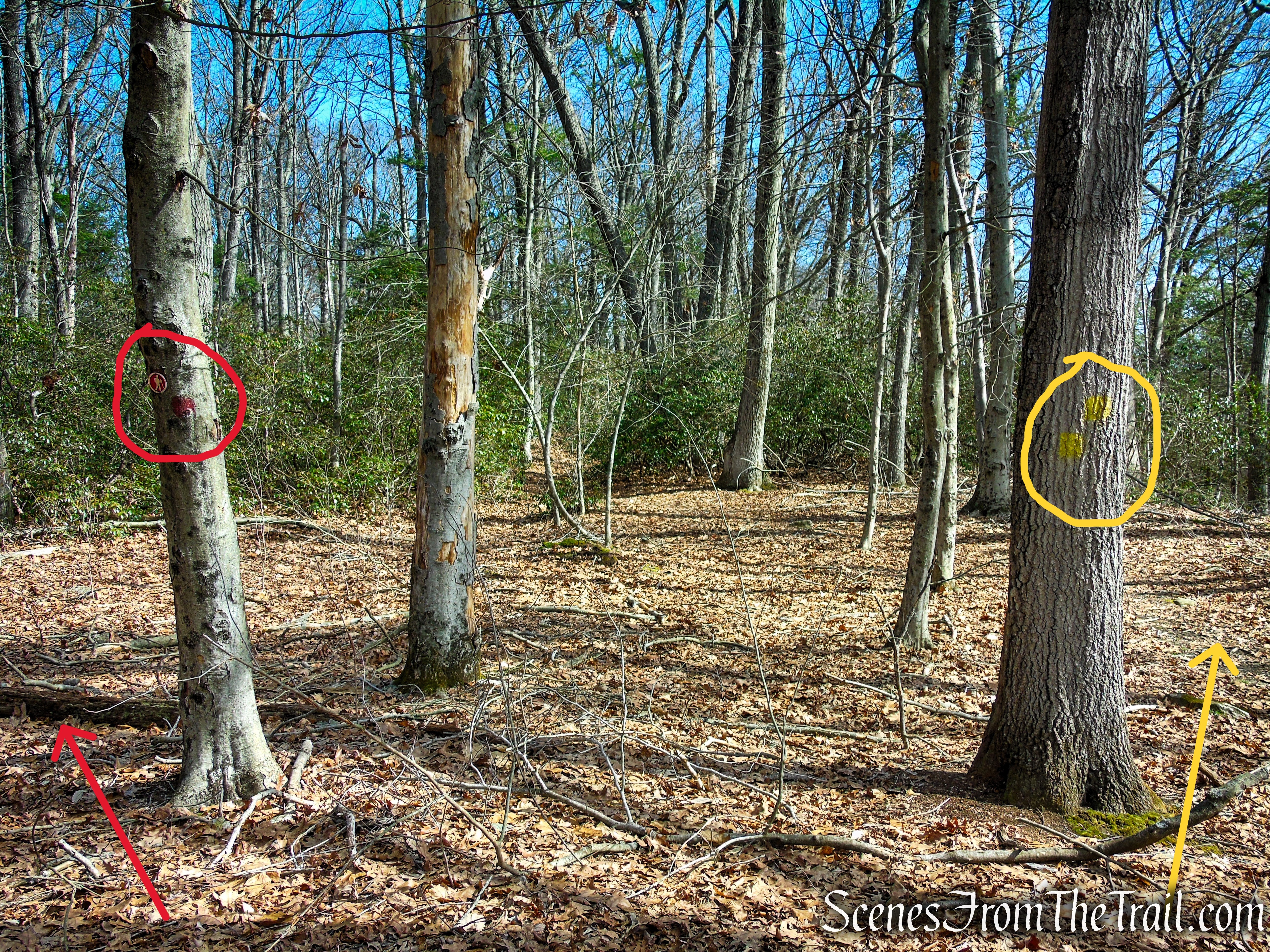
Some trail junctions are poorly marked, and certain paths either lack enough blazes or have faded ones, which can make navigation tricky despite the area’s small size. I found myself relying on the Avenza Maps app several times to confirm my location after taking a few wrong turns or missing a trail intersection.
Hike Overview:
Over the years, I had seen photos of Housatonic Overlook and always wanted to visit this iconic viewpoint. Living about an hour away, it collected dust on my list until I finally made the trip. Unfortunately, the experience was underwhelming. The trees around the two main viewpoints have grown up considerably, and even without leaves, the views were largely obstructed. While the area is a pleasant place to explore for locals, it’s not worth a dedicated day trip. I’m not certain how regularly the town maintains the viewshed, if at all, but when I visited, it was clearly overdue for a trim. For those whose main goal is the overlook, there are currently better viewpoints elsewhere.