April 26, 2026 – Philipstown, NY
Difficulty: Easy – Moderate (Rocky terrain)
Length: Approximately 3 miles
Max elevation: 139 ft. – total elevation gain approximately 251 ft.
Route type: Circuit
Map: East Hudson Trails Map #101
Trailhead parking: Glenclyffe Trailhead – 8 Glenclyffe, Garrison, NY 10524
Dirt parking lot for about 12 vehicles – No restrooms on site
Hours: Open Daily, Sunrise – Sunset
Overview:
The Glenclyffe and Arden Point Loop combines two distinct but seamlessly connected landscapes along the Hudson River into a single rewarding hike. Spanning wooded ridges, rocky bluffs, and quiet riverfront stretches, the trail offers a steady mix of terrain with frequent views across the water toward the Hudson Highlands and West Point.
Arden Point Trail
At roughly 3 miles in length, this easy-to-moderate loop delivers a satisfying balance of natural beauty, historic character, and scenic overlooks without requiring a strenuous climb, making it an ideal exploration of one of the Hudson Valley’s most picturesque riverfront preserves.
Marcia’s Mile Trail
Glenclyffe is a scenic Hudson River property in Garrison, New York, known for its mix of wooded hillsides, rocky outcrops, and river overlooks. The landscape blends natural beauty with layers of history, from its Indigenous Wappinger heritage to its connections with Revolutionary War events. Today, it offers a network of interconnected trails that wind through forested terrain and along dramatic viewpoints above the Hudson, creating a peaceful yet rugged setting just across the water from West Point.
Glenclyffe Loop Trail
Arden Point is a rugged, scenic promontory that juts into the Hudson River, offering a mix of rocky shoreline, wooded slopes, and elevated viewpoints. The area is defined by its exposed ledges, scattered boulders, and moss-covered hillsides, giving it a distinctly wild and natural character. Trails loop around the point, leading to quiet coves and open rock outcrops where the forest gives way to sweeping views of the river and the surrounding Hudson Highlands, including West Point across the water.
Arden Point
History:
The Glenclyffe area lies within the ancestral homeland of the Wappinger people, a Munsee-speaking Indigenous nation who lived throughout the Hudson Valley long before European settlement. The site also carries Revolutionary War history, as it is associated with the route taken by Benedict Arnold during his escape after his plot to surrender West Point to the British was uncovered, adding a layer of historical significance to the landscape.
In 2001, OSI acquired the 93-acre property to protect the land from a controversial proposal that would have resulted in intensive residential and commercial development. Over time, OSI transferred portions of the property to the Town of Philipstown, the Lostand Foundation, and the Garrison Institute, while maintaining conservation easements on the land for permanent protection. In 2019, OSI transferred a northern parcel of the land to New York State Parks as an addition to Hudson Highlands State Park Preserve.
Trails Overview:
The Glenclyffe and Arden Point Loop weaves together a varied network of riverside paths, forested footpaths, and rocky ridge sections into a cohesive 3-mile hike. The route is generally easy to moderate, with about 251 feet of elevation gain spread gradually across rolling terrain and short, gentle climbs. Along the way, hikers pass through shaded hardwood forest, traverse mossy stone outcrops, and follow stretches of trail that open onto dramatic overlooks of the Hudson River and the surrounding Highlands.
The trails are well marked and generally easy to follow, with clear signage and a layout that makes navigation straightforward throughout most of the loop.
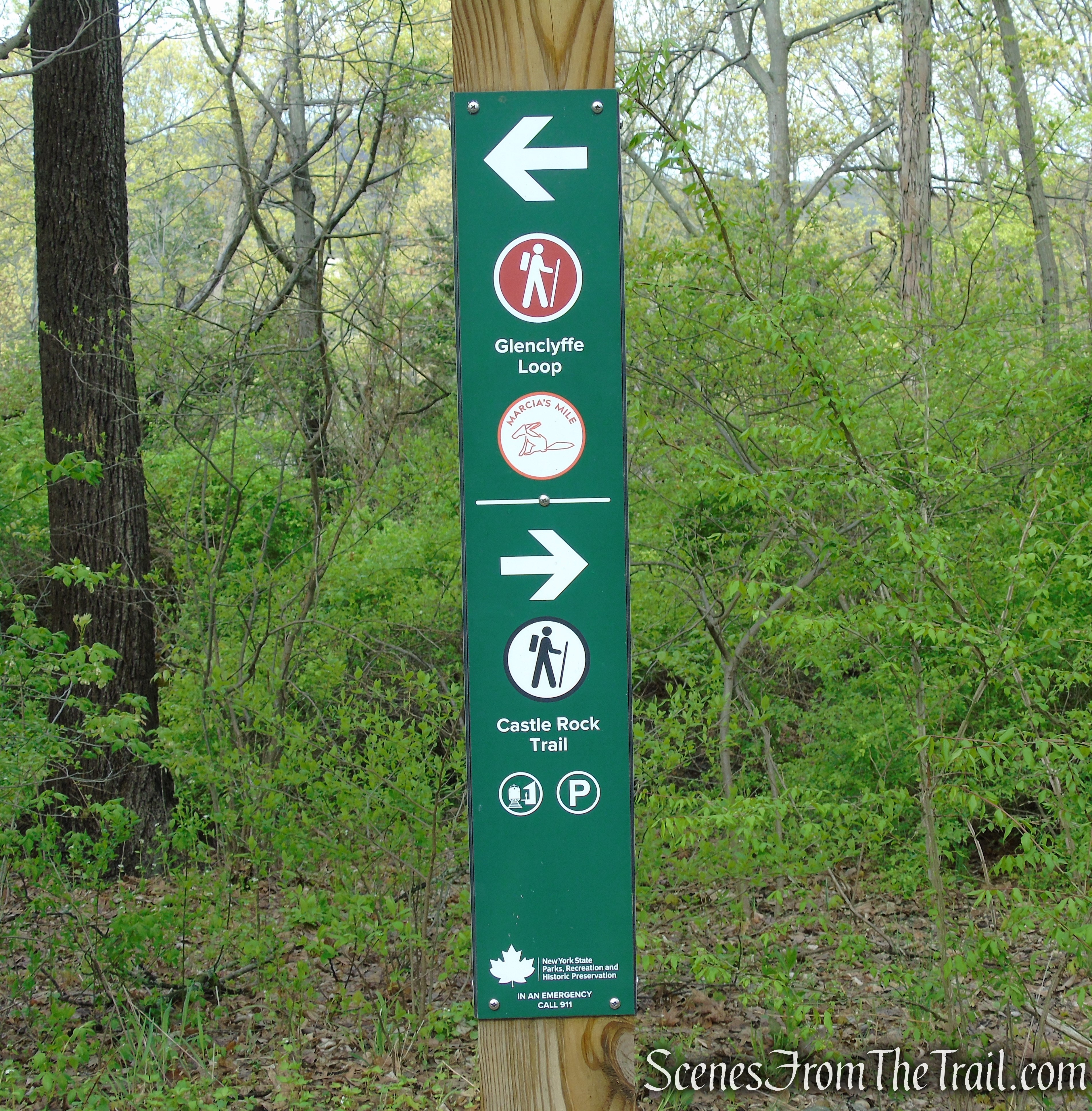
Turn right on Castle Rock Trail
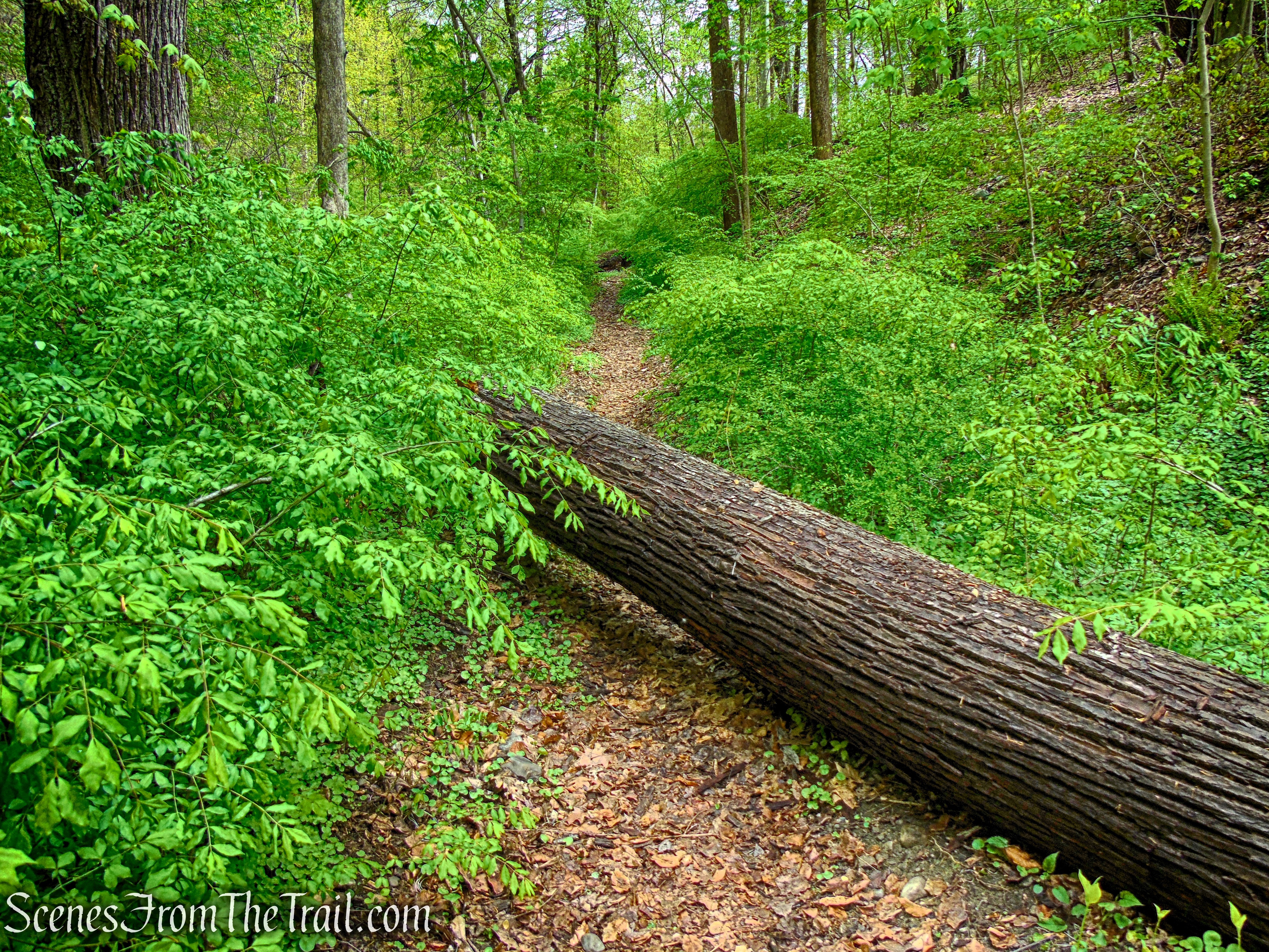
Overall maintenance is good, though a few sections pass through dense bamboo groves where the tread can feel slightly narrowed or overgrown. During our visit, we encountered a single significant blowdown that required climbing over, but otherwise the trail was free of obstructions.
Glenclyffe Loop Trail
Recent rainfall left some of the lower-lying areas muddy and soft underfoot, so conditions can vary depending on weather. A few minor reroutes are also in place, making an up-to-date trail map especially helpful for staying on course.
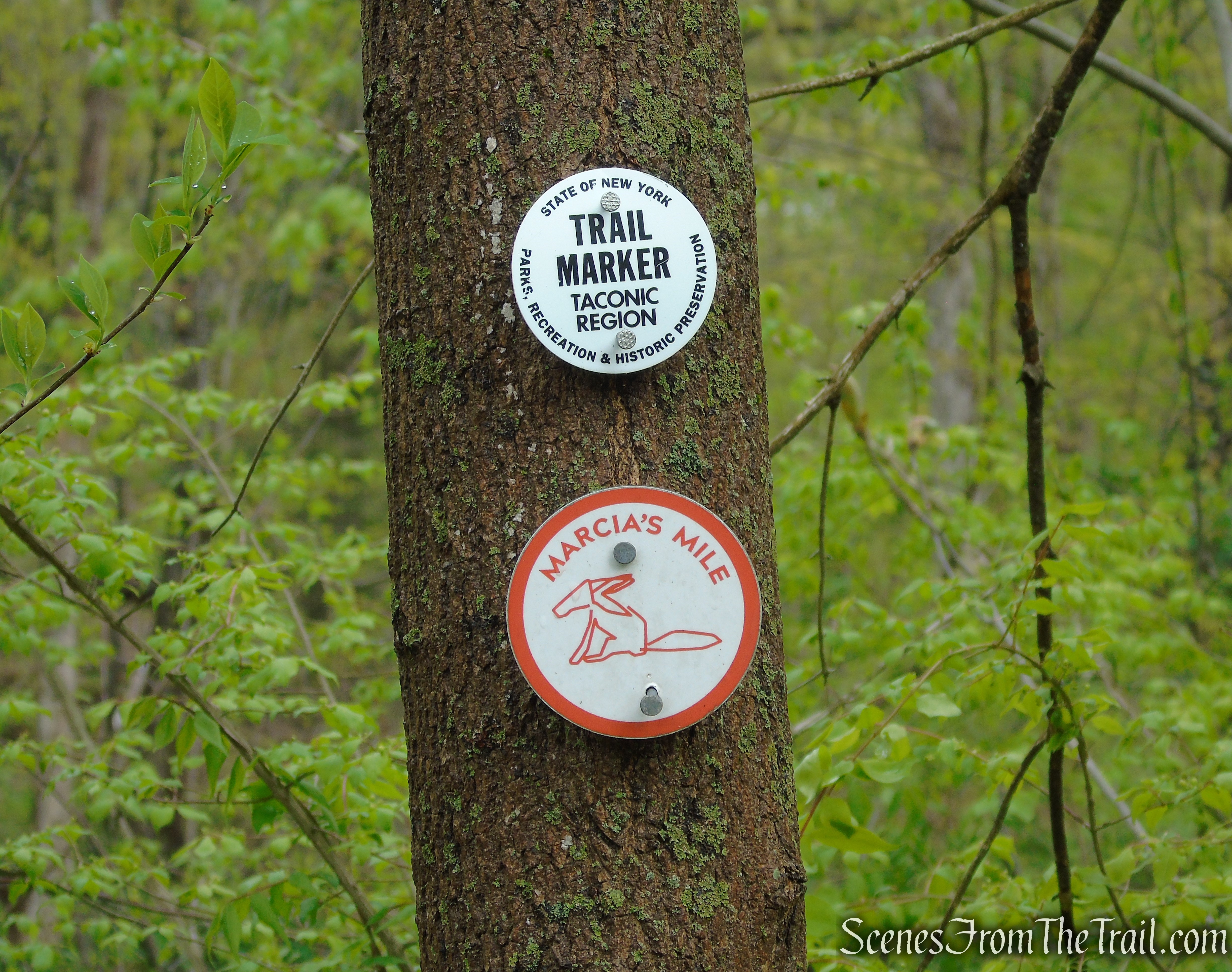
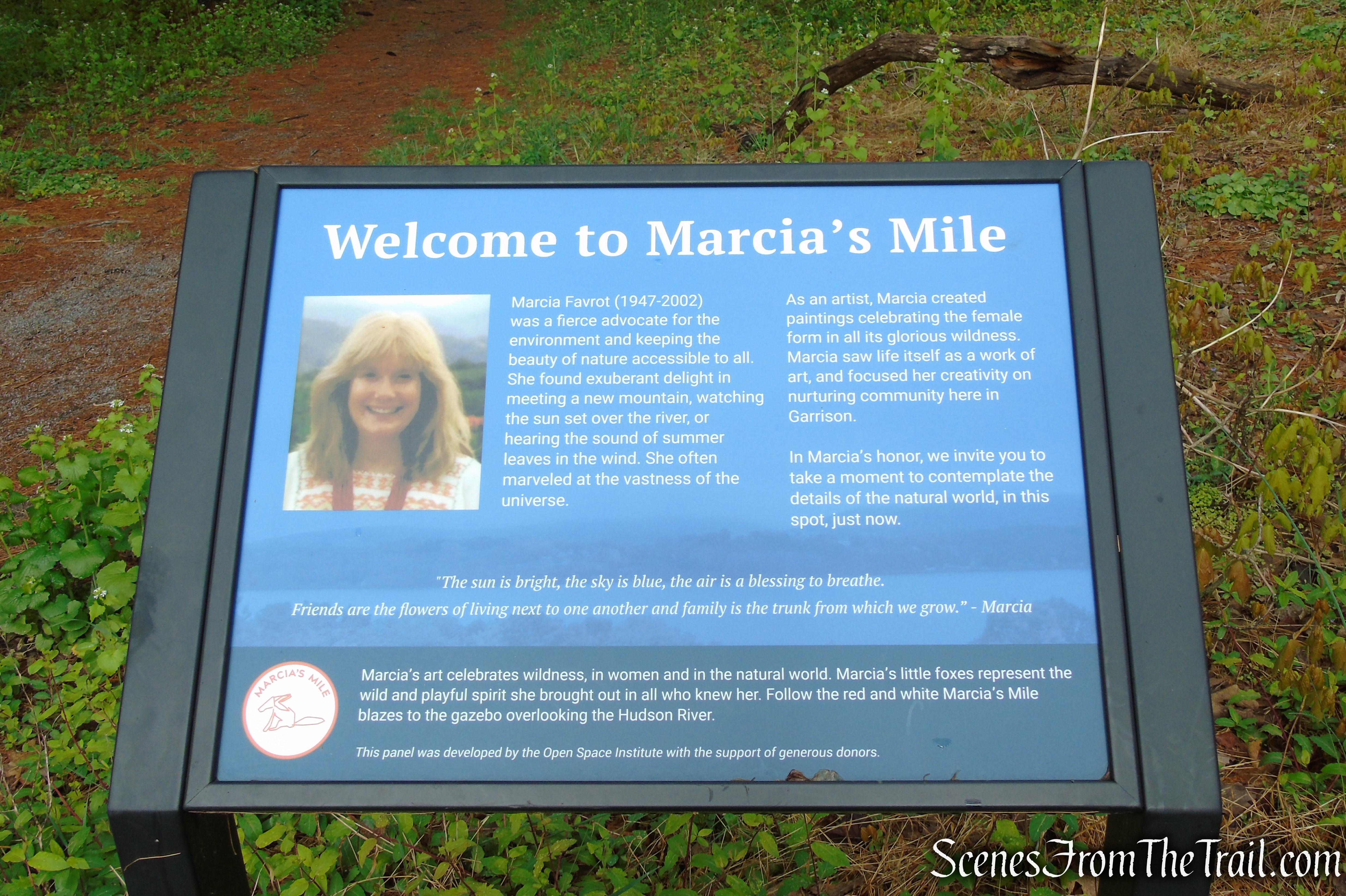
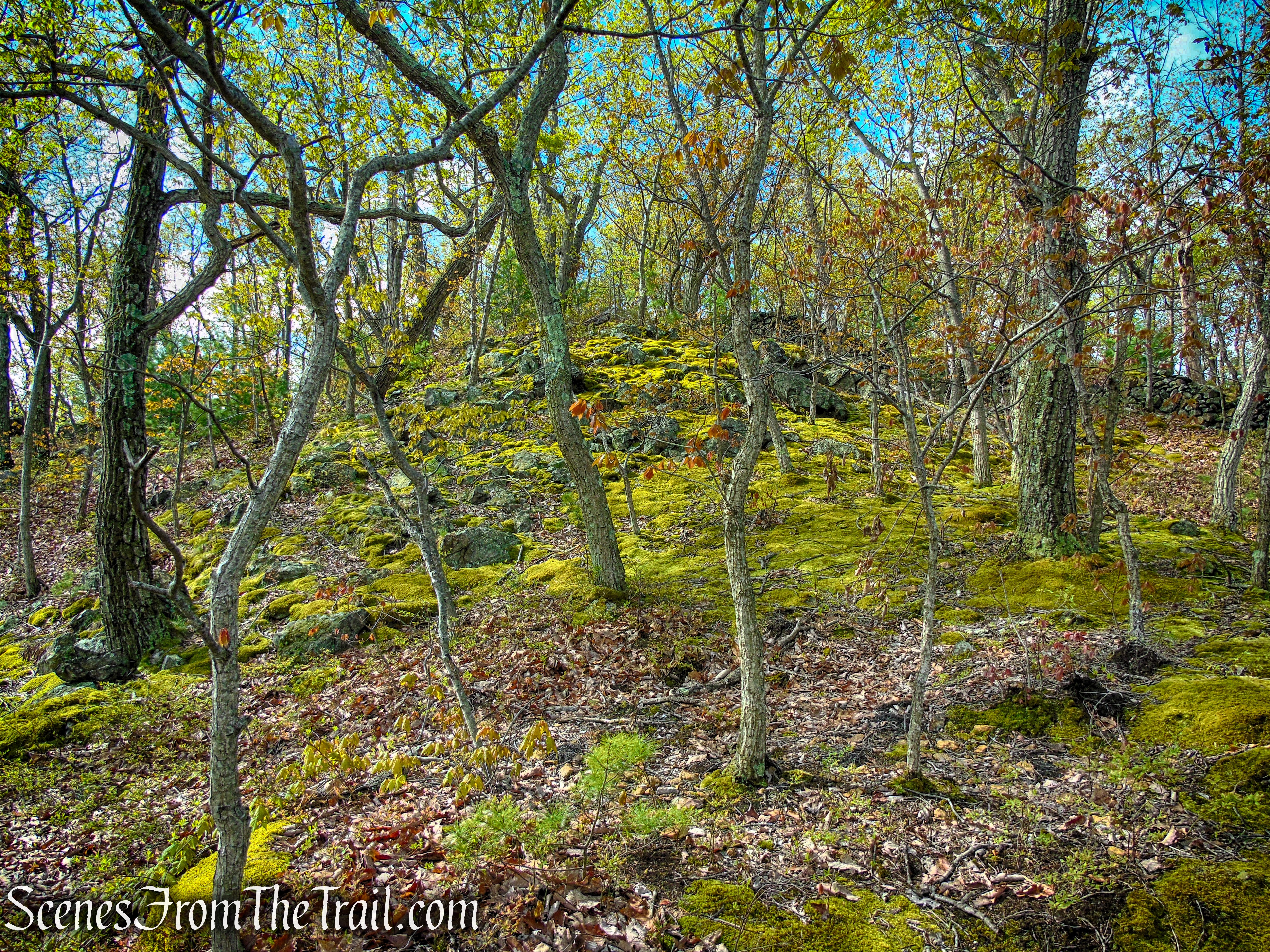
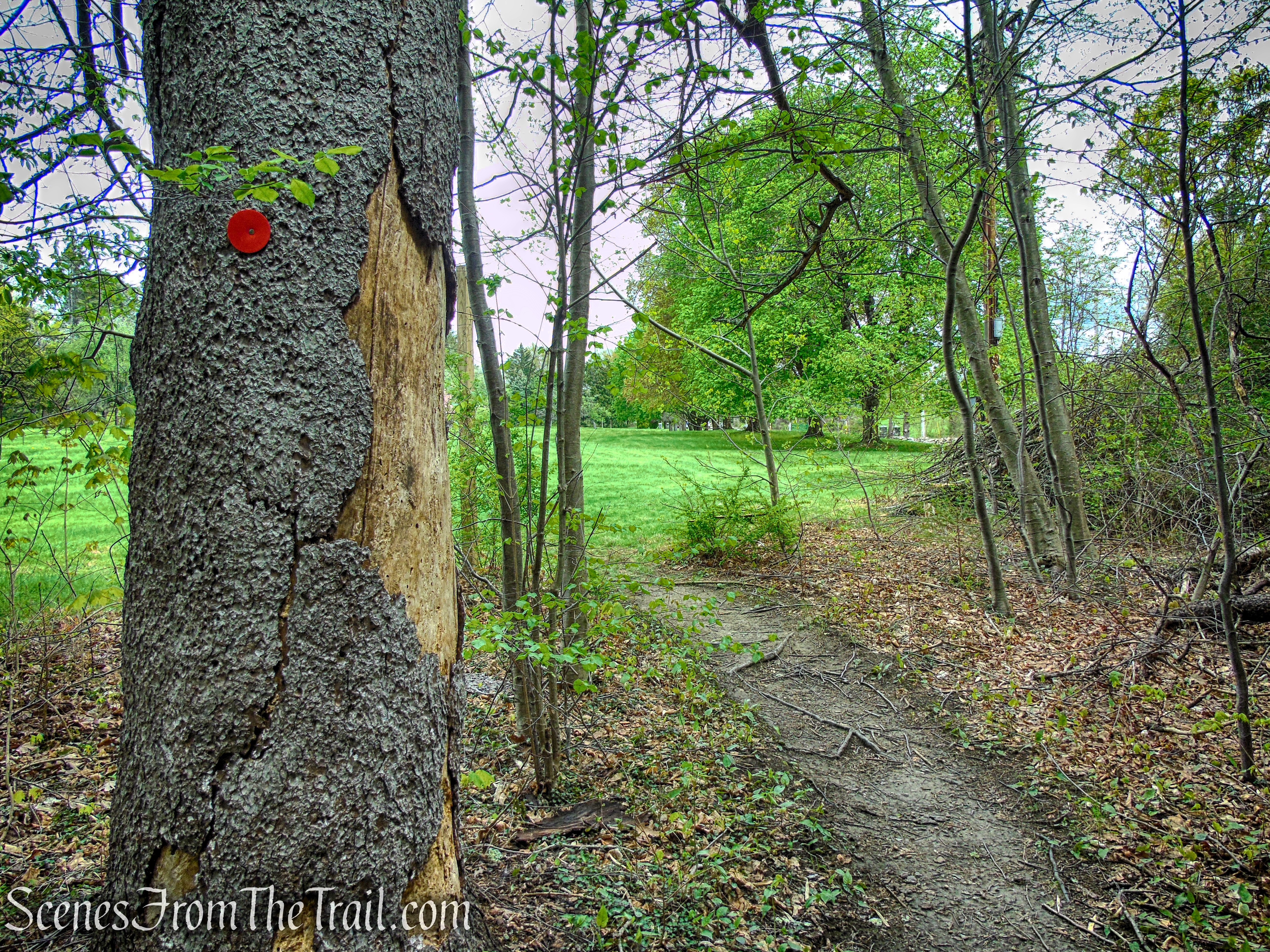
Marcia’s Mile Trail is a scenic, easy-to-moderate 1-mile segment, forming part of the larger Glenclyffe Loop Trail near the Hudson River. This co-aligned section of trail features distinctive red fox blazes, originally designed by Marcia Favrot, adding a unique and memorable character to the route as it winds through the landscape. At the start of the hike, Marcia’s Mile is co-aligned with the white-blazed Castle Rock Trail for 0.4 mile. The remaining 0.6 mile runs is co-aligned with the red-blazed Glenclyffe Loop Trail.
Marcia’s Mile Trail
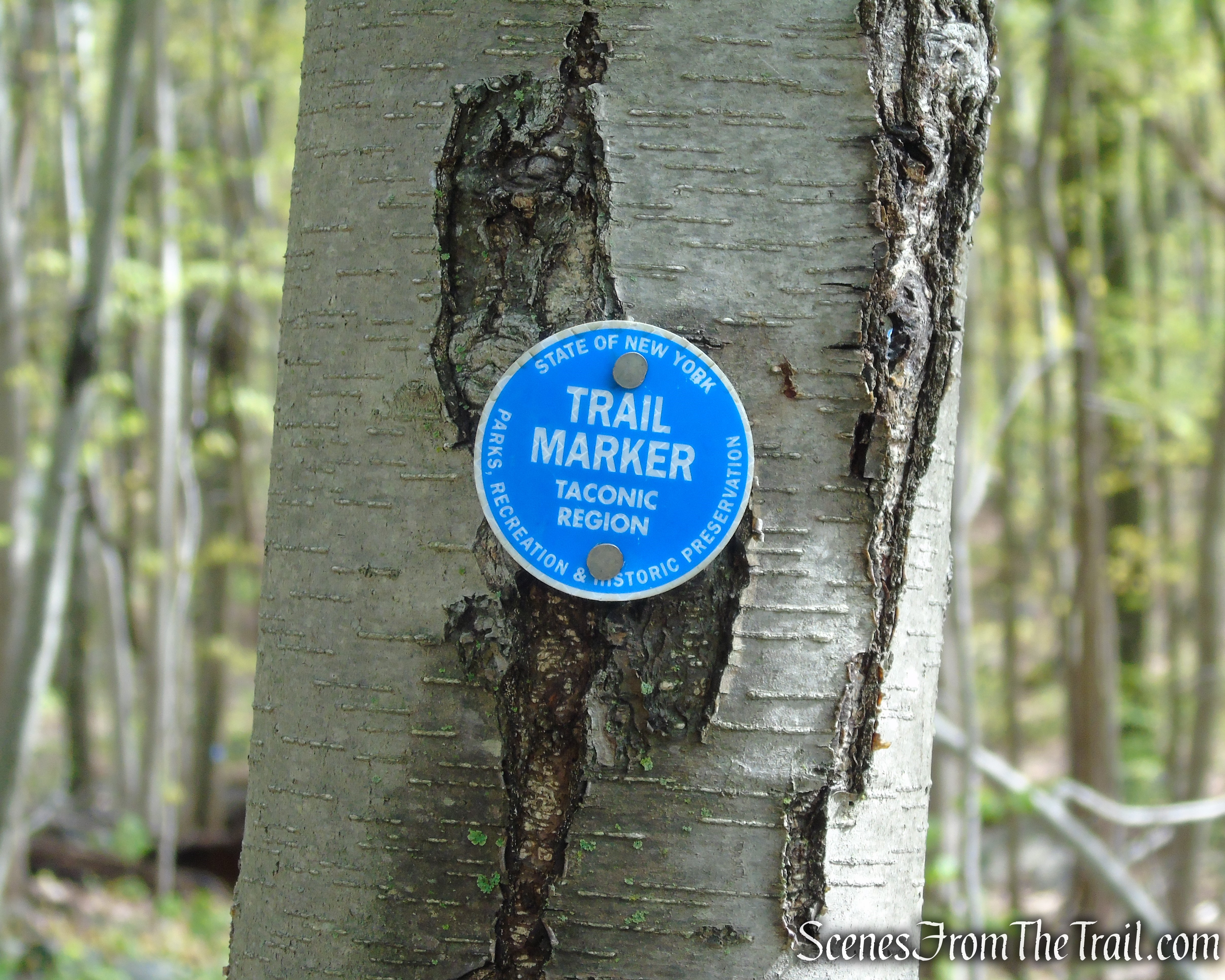
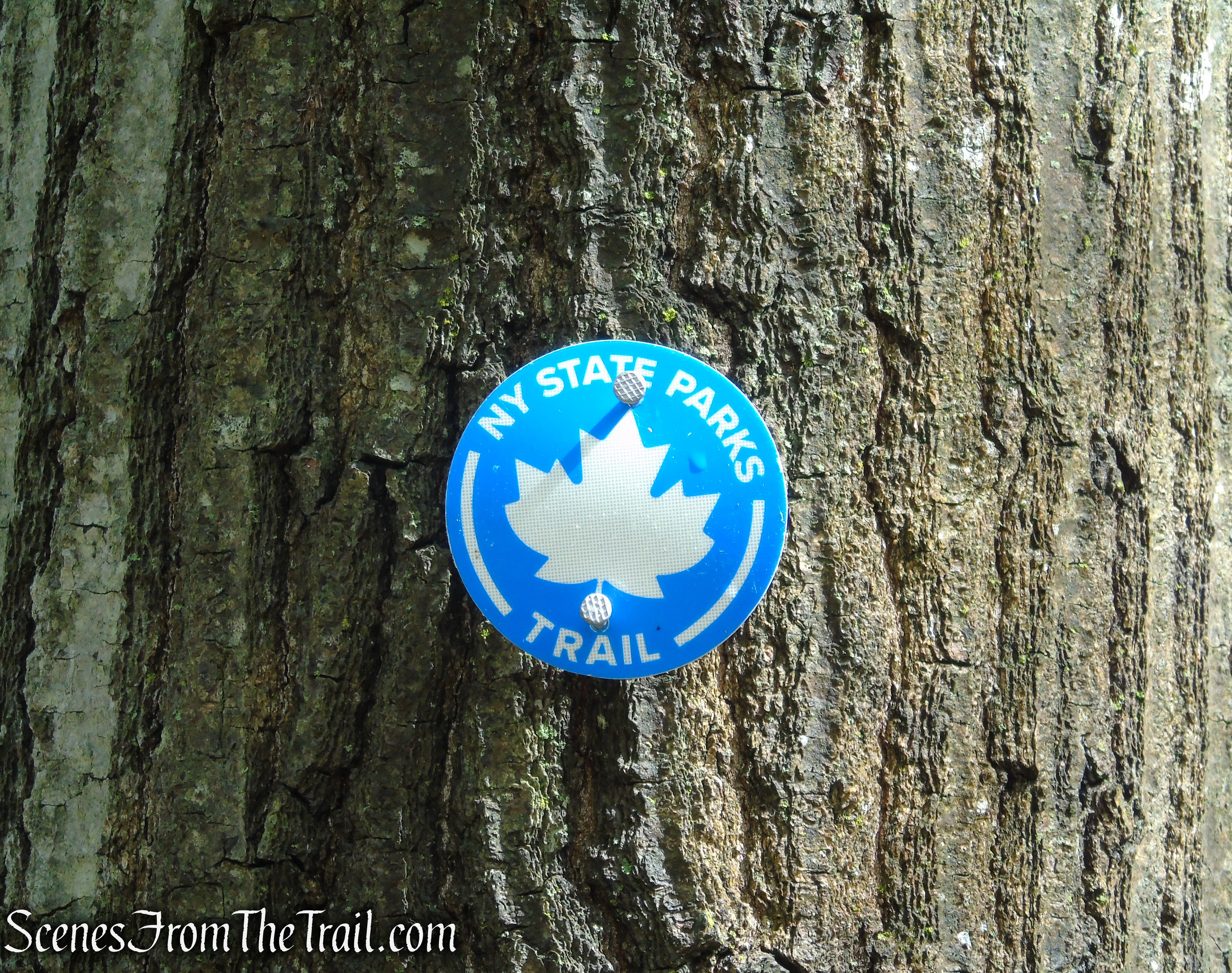
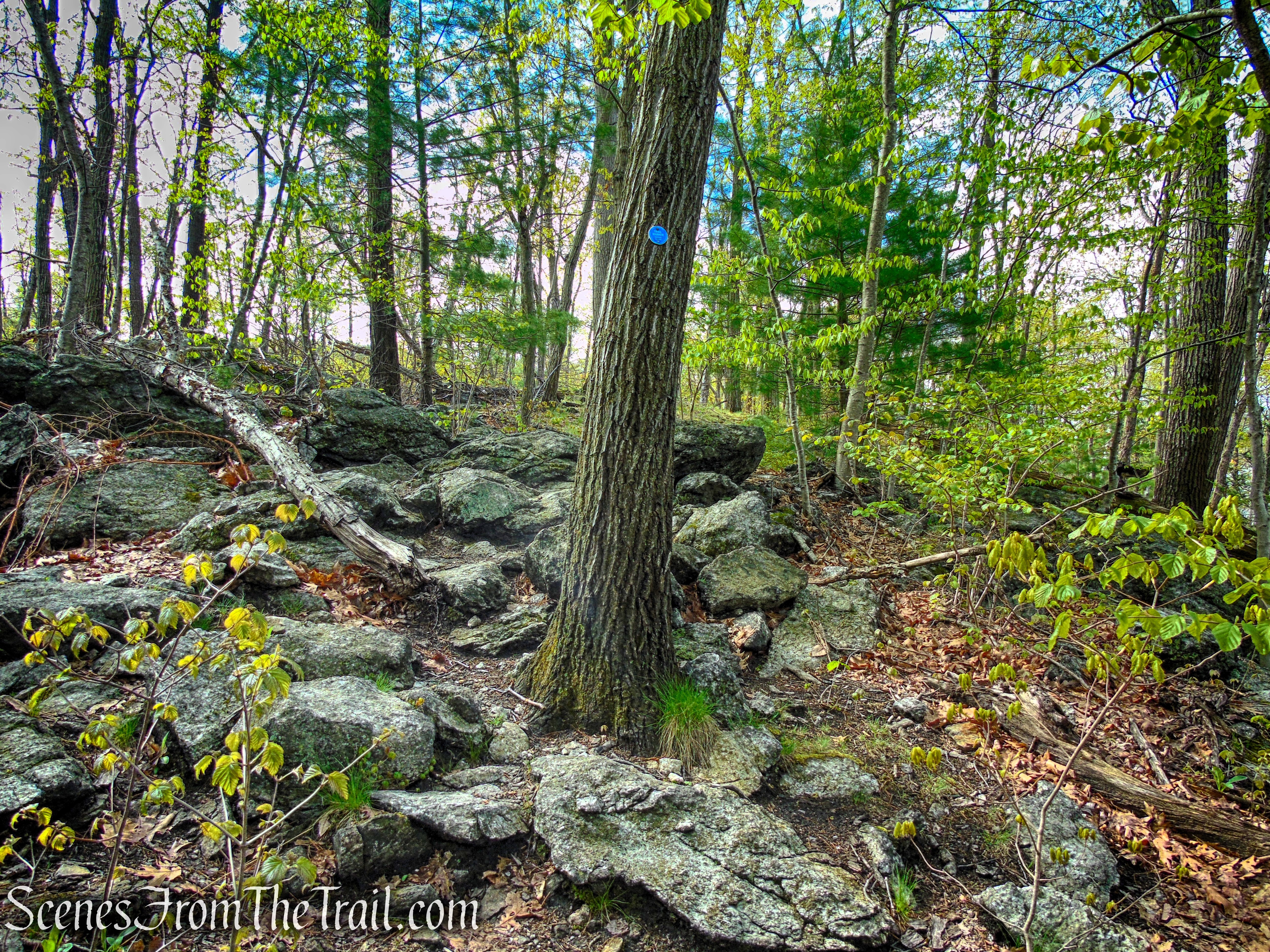
The blue-blazed Arden Point Trail forms a 0.8-mile loop around the perimeter of the rocky, but scenic promontory that juts into the Hudson River. There are two types of round plastic discs that are used. The older Taconic Region and the newer NY State Parks plastic discs, adorned with a leaf.
Arden Point Trail
Arden Point Trail
The red-blazed Glenclyffe Loop Trail, combined with the co-aligned Castle Rock/Marcia’s Mile trails, forms a roughly 2-mile loop around the property, creating a well-connected route that links together its varied terrain and scenic viewpoints.
Parking:
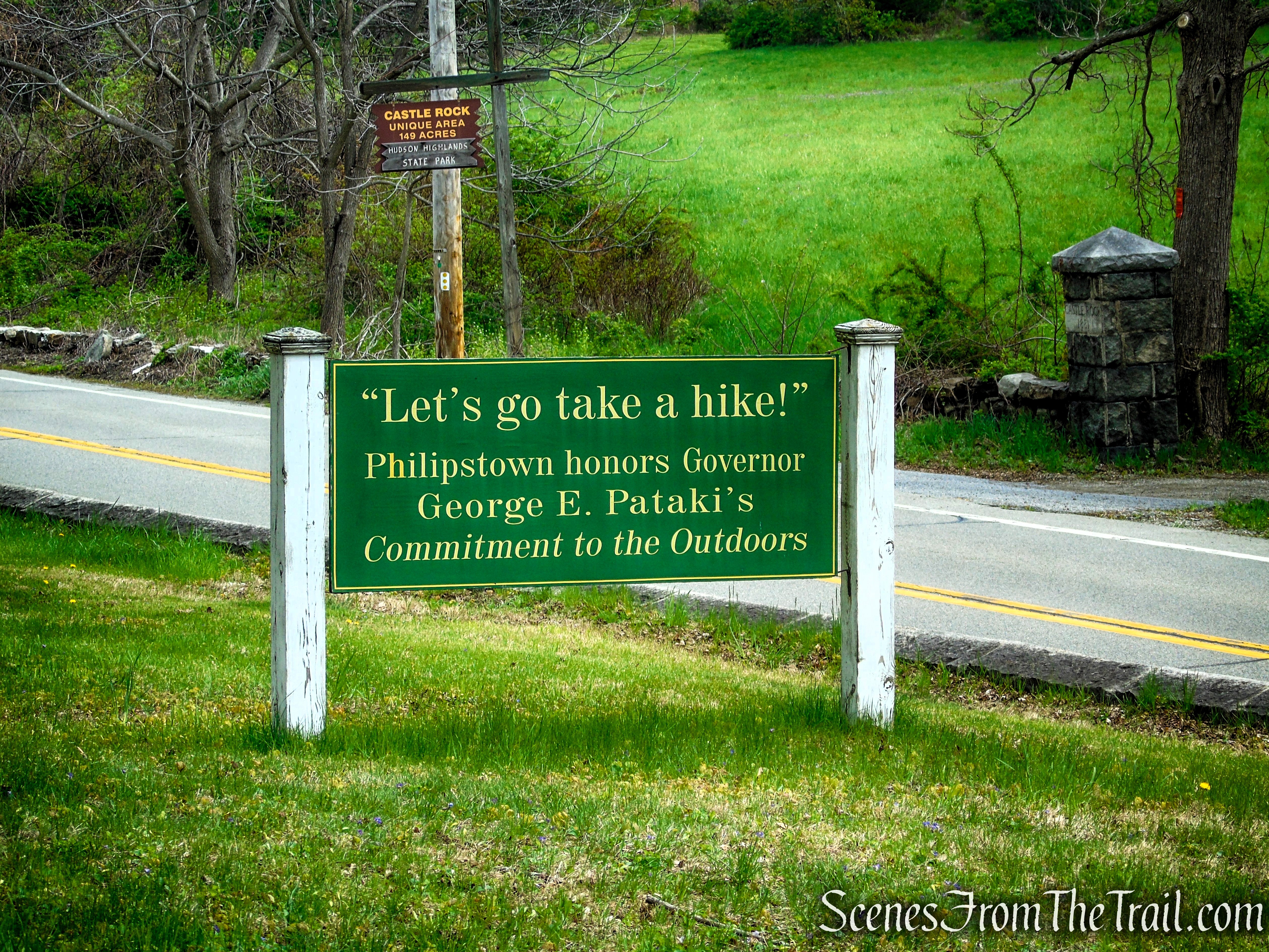
The parking area for the trailhead can be easy to miss when driving along Route 9D. It sits just beyond the entrance to the Garrison Institute, tucked discreetly off the road. Keep an eye out for the posted signage (see below) alongside the road.
Philipstown Community Center
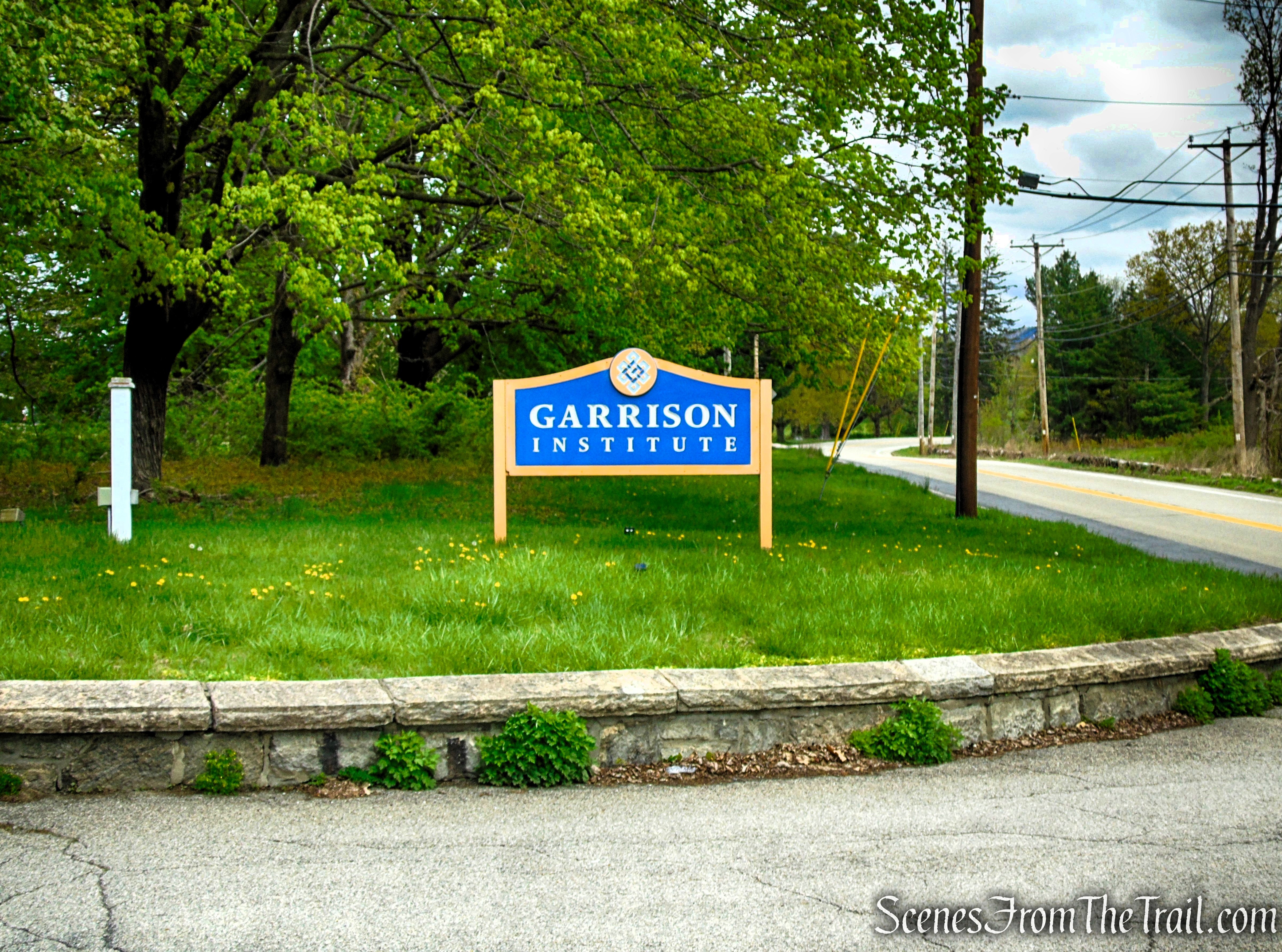
Garrison Institute
Right after the entrance, just past the stone columns, there is a green sign which signals the turnoff into the small dirt parking lot.
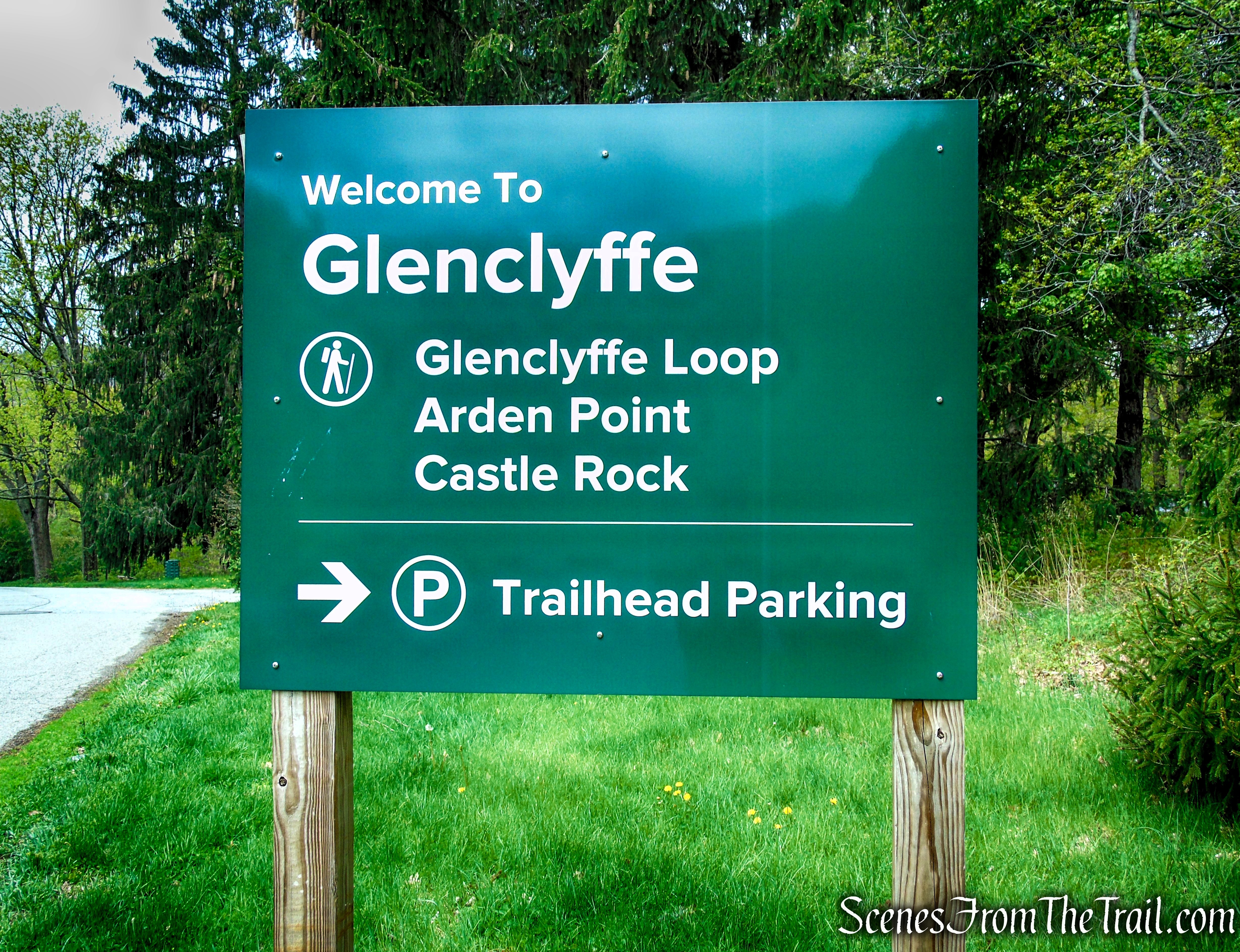
Glenclyffe Trailhead parking
The 12-vehicle trailhead parking area is a small, compact dirt lot that serves as the primary access point for the Glenclyffe Loop Trail. While modest in size, it provides direct entry to the trail system, helping concentrate visitor access in a designated area. The unpaved surface blends naturally with the surrounding landscape, maintaining a low-profile presence that fits the character of the preserve while accommodating a limited number of cars.
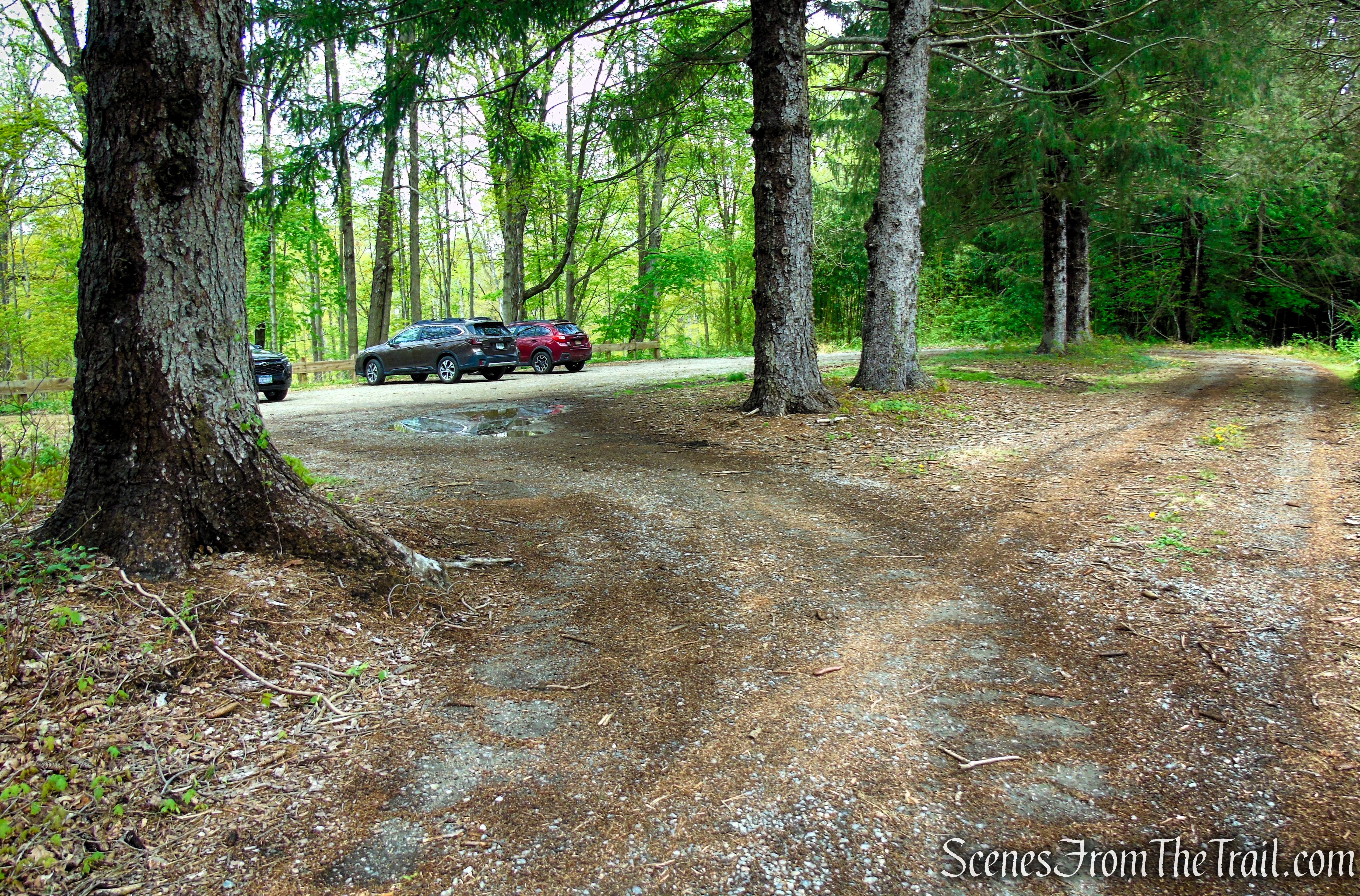
Glenclyffe Trailhead parking
Hike Overview:
I first hiked a similar route back in 2016, starting from the Garrison Metro-North Station, where weekend parking was available at no cost. At that time, there was no dedicated Glenclyffe trailhead parking, which wasn’t added until the 2021 improvements established a more formal and convenient access point. The new parking area and rerouted trail segments have since reshaped the experience, giving the hike a slightly different flow and feel compared to my earlier visit. While parts of the route run close to the railroad tracks, and passing trains are occasionally audible, the setting remains peaceful overall. It’s still a beautiful area to spend a few hours immersed in the varied landscapes and sweeping Hudson River views.
This hike is rated easy to moderate, though it leans more toward easy overall. The rocky terrain and occasional tree roots along the tread can make footing uneven in a few spots, so a bit of attention is helpful while hiking. It’s an excellent choice for those who enjoy Hudson River views and quieter, less-traveled trails. During our visit, we only encountered a small group of runners and dog walkers, along with a couple of other hikers. Aside from the occasional train passing nearby, the area remained peaceful throughout, making for a very enjoyable outing.
We began at the Glenclyffe Trailhead and headed west toward the river, following a counterclockwise loop around Arden Point before reconnecting with the Glenclyffe Loop Trail and continuing south. From there, the trail circles the southern portion of the property, then turns north and returns to the parking area.
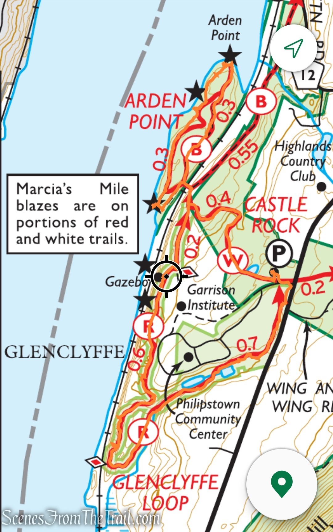
Glenclyffe and Arden Point Loop
The elevation profile below shows the gentle, rolling pattern of small ascents and descents you’ll encounter throughout the hike.
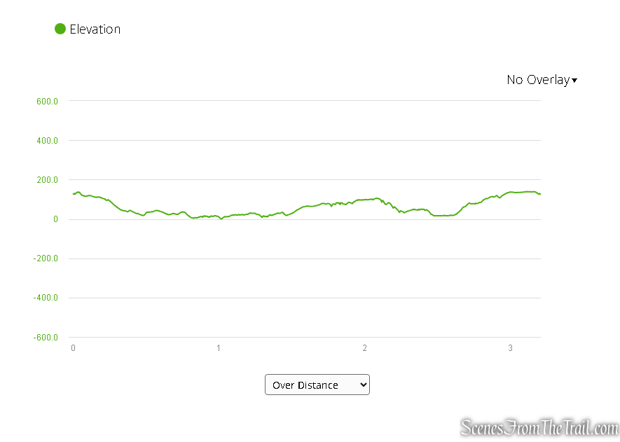
Elevation profile – Glenclyffe and Arden Point Loop
The Hike:
Before setting out, take a moment to review the trail map at the kiosk—snapping a quick photo is a smart backup if you don’t already have one. There’s also a QR code available to download a GPS-enabled map if you prefer digital navigation. While you’re there, it’s worth spending a minute reading up on the history of the land you’ll be exploring.
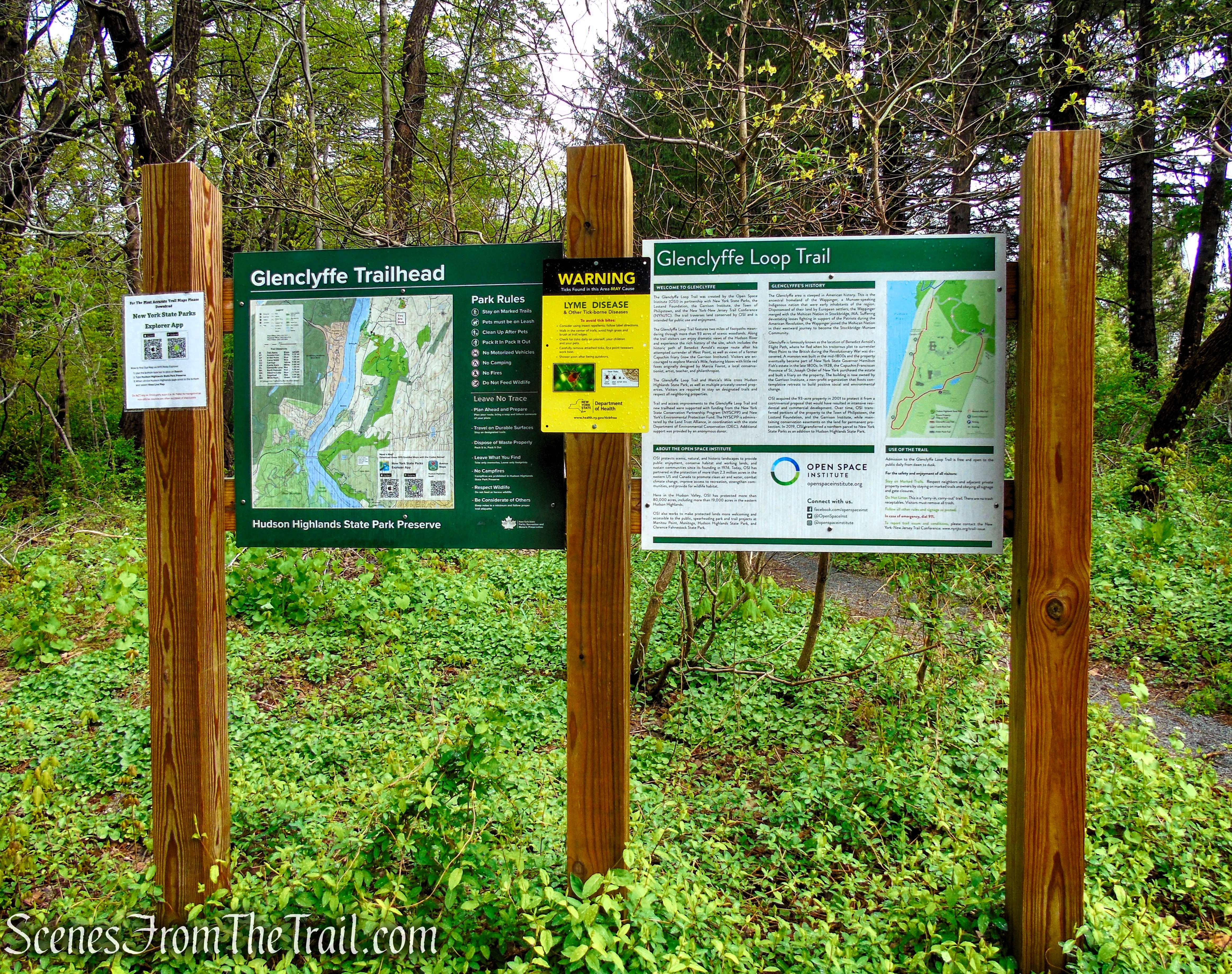
Glenclyffe Trailhead
Marcia’s Mile Trail is a scenic, easy-to-moderate 1-mile segment that forms part of the larger Glenclyffe Loop Trail near the Hudson River. This co-aligned section features distinctive red fox blazes, originally designed by Marcia Favrot, giving the route a unique and memorable character as it winds through the landscape. At the start of the hike, Marcia’s Mile runs co-aligned with the white-blazed Castle Rock Trail for about 0.4 mile, before continuing for the remaining 0.6 mile in alignment with the red-blazed Glenclyffe Loop Trail.
Marcia’s Mile Trail
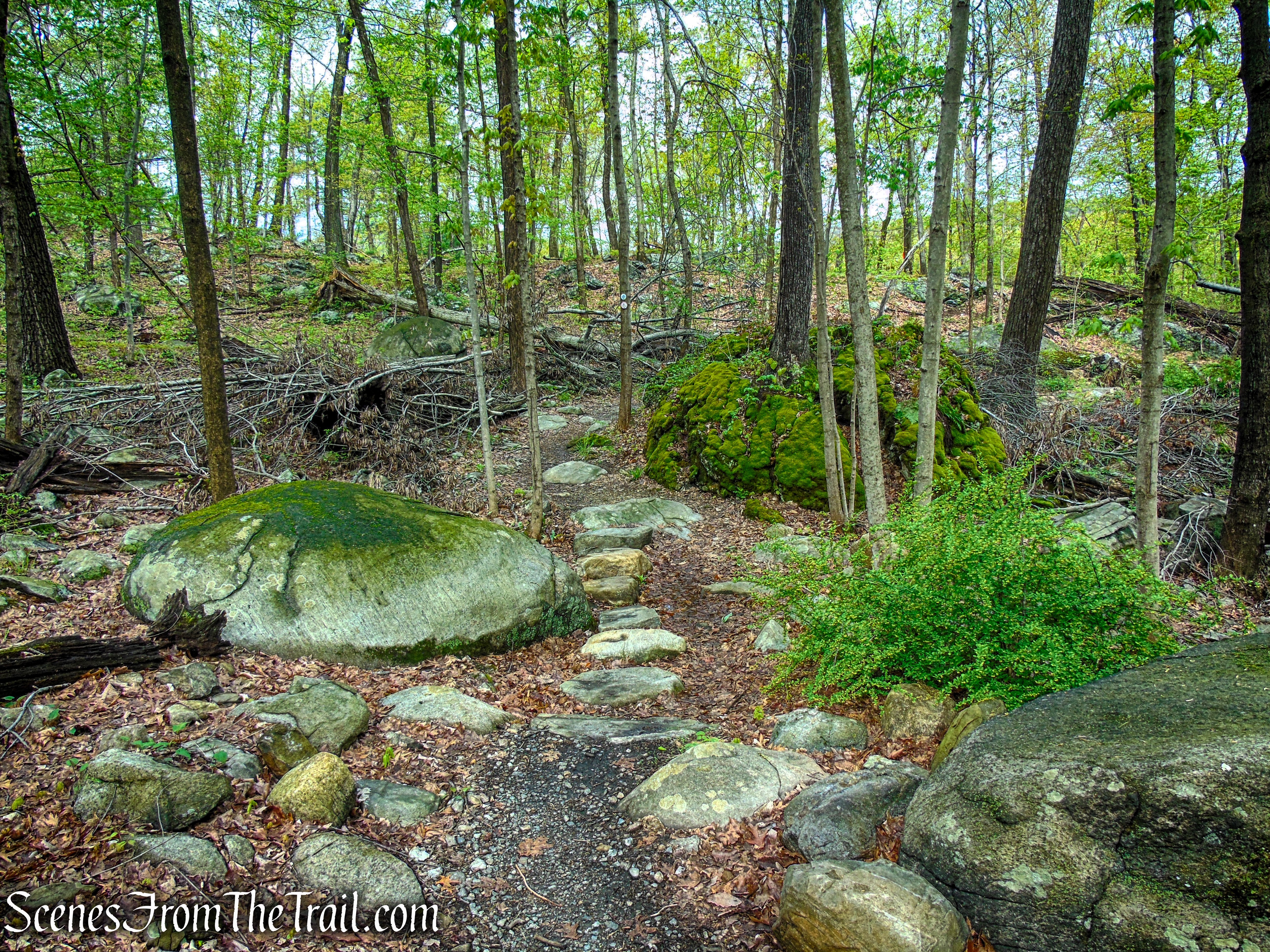
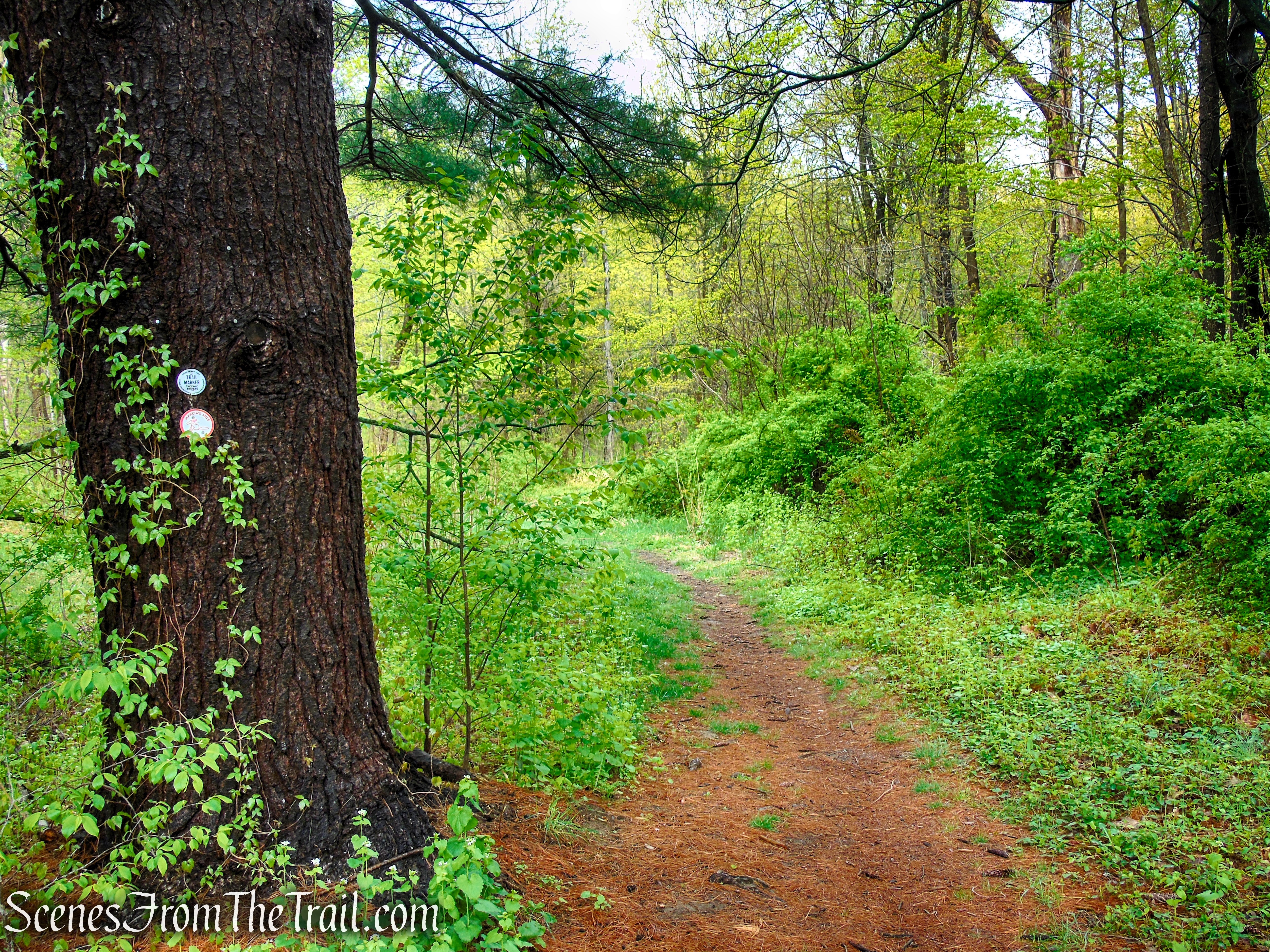
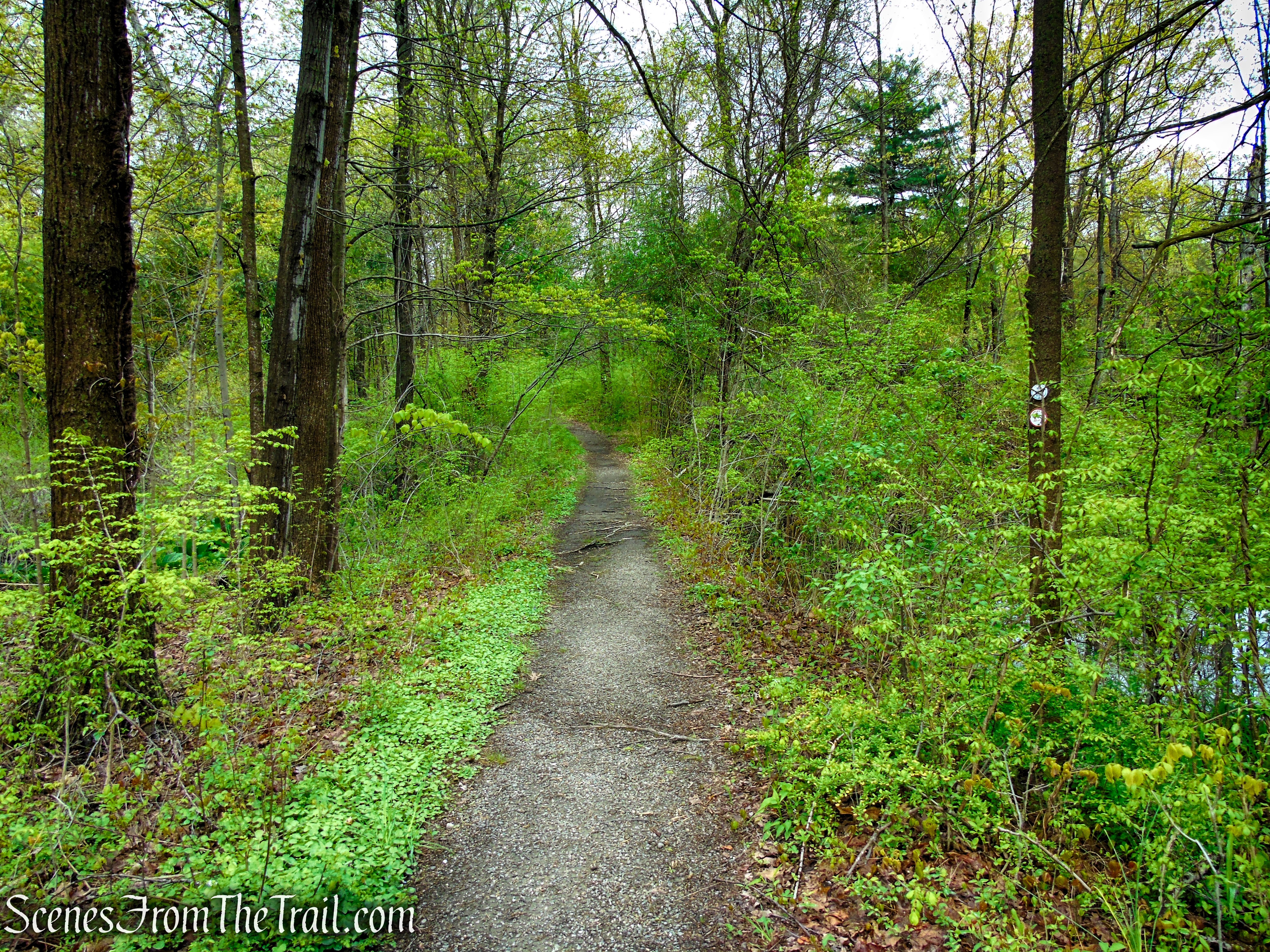
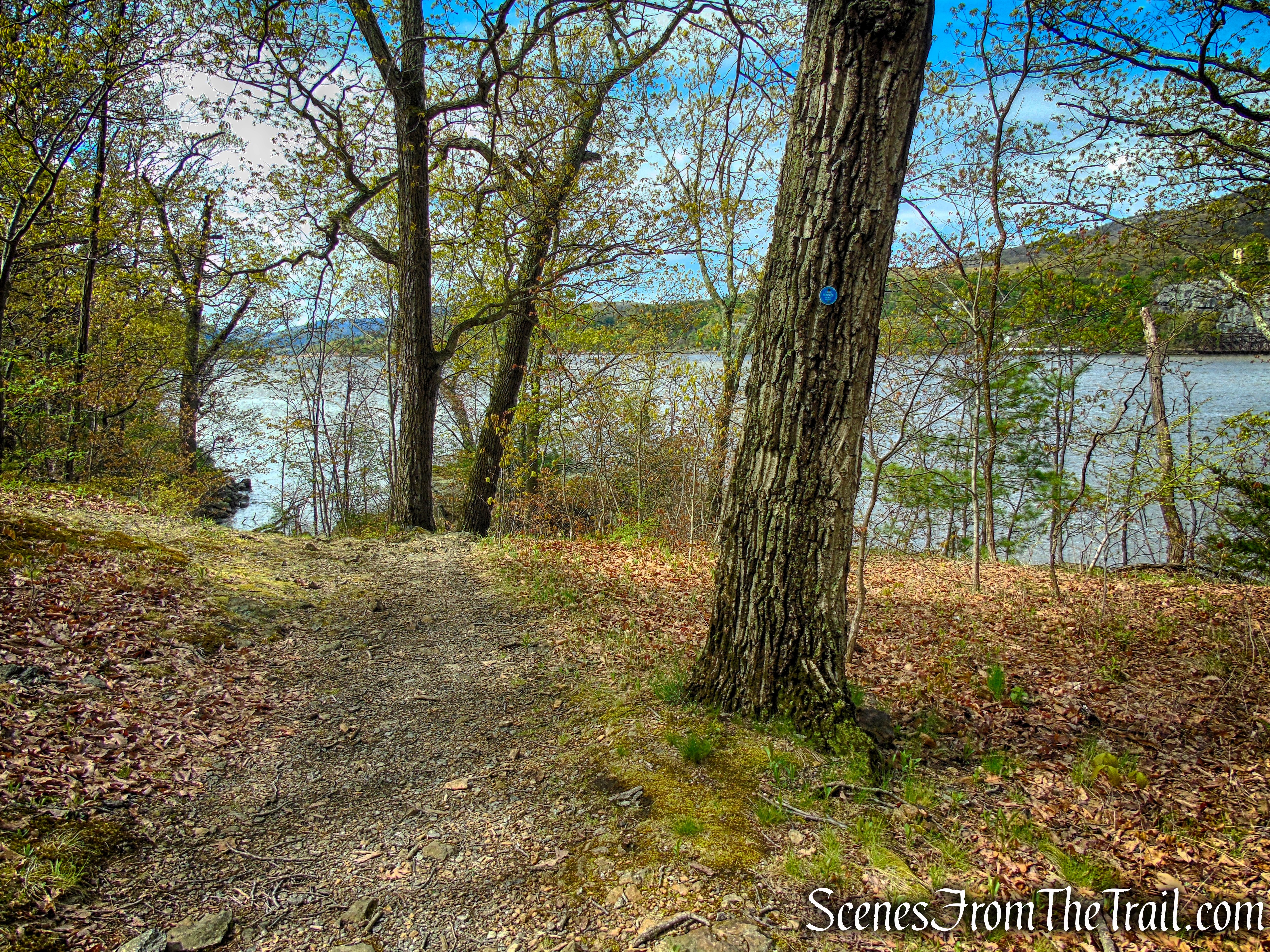
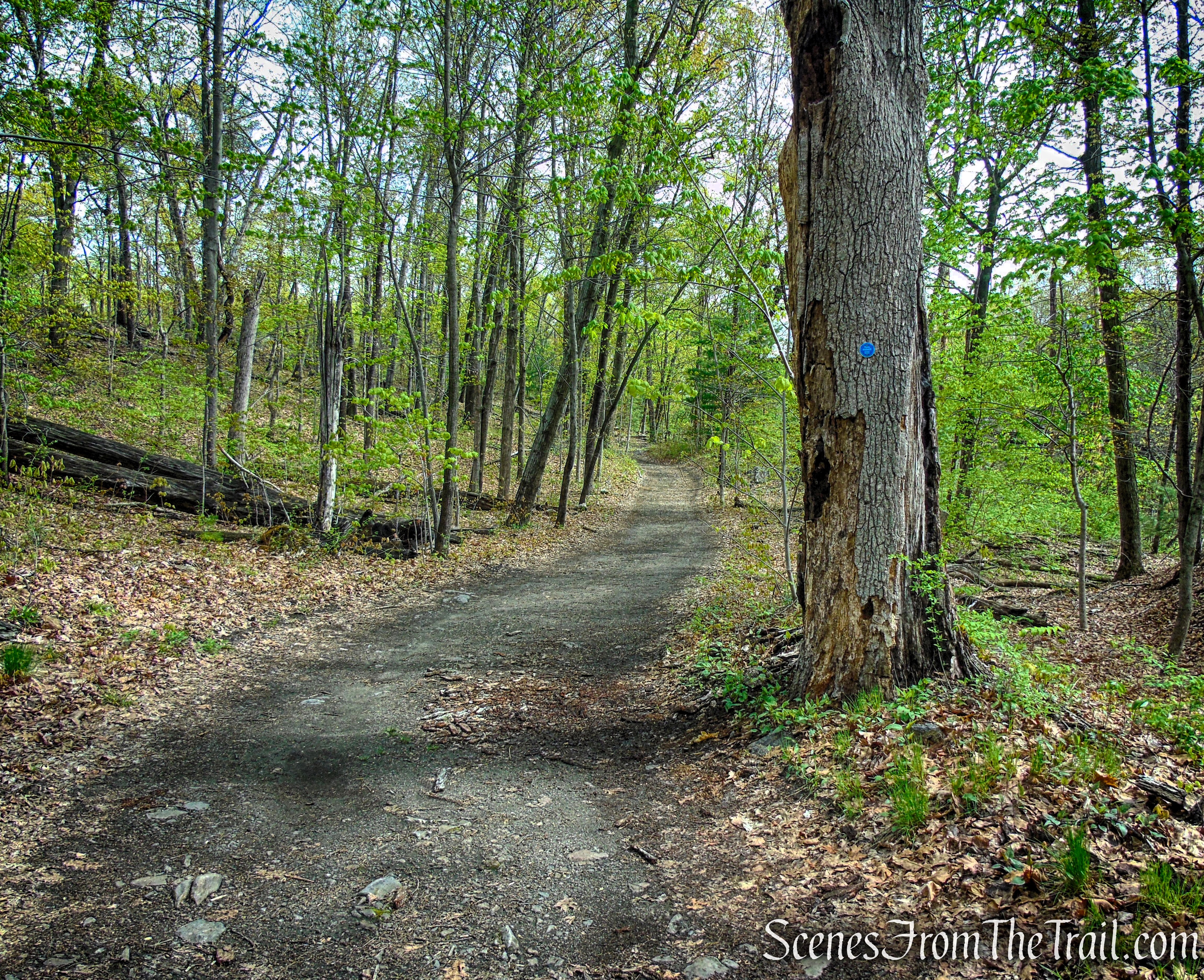
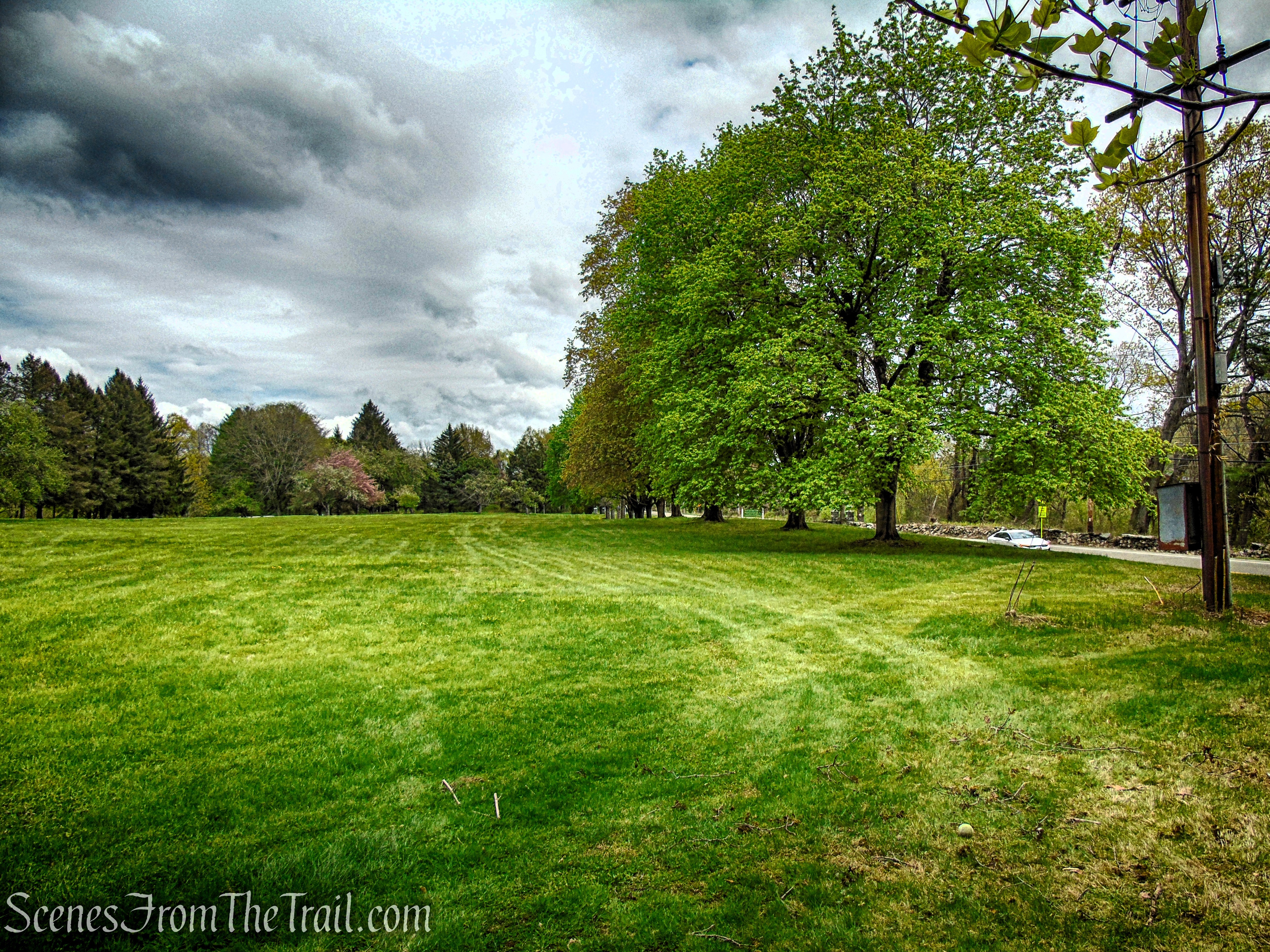
Begin the hike heading west along the co-aligned Castle Rock and Marcia’s Mile Trails, marked with white and red fox blazes, respectively. The route descends a grassy knoll and follows a woods road, passing a small pond on the right before crossing an open meadow and reentering the forest. From there, the trail moves across gently rolling terrain, turning right onto a narrower footpath that gradually descends. Just before reaching a stone wall, it turns left again, continuing downhill alongside the wall for a short stretch.
Marcia’s Mile Trail
Marcia’s Mile Trail
Marcia’s Mile Trail
Marcia’s Mile Trail
Marcia’s Mile Trail
Marcia’s Mile Trail
Marcia’s Mile Trail
Marcia’s Mile Trail
Marcia’s Mile Trail
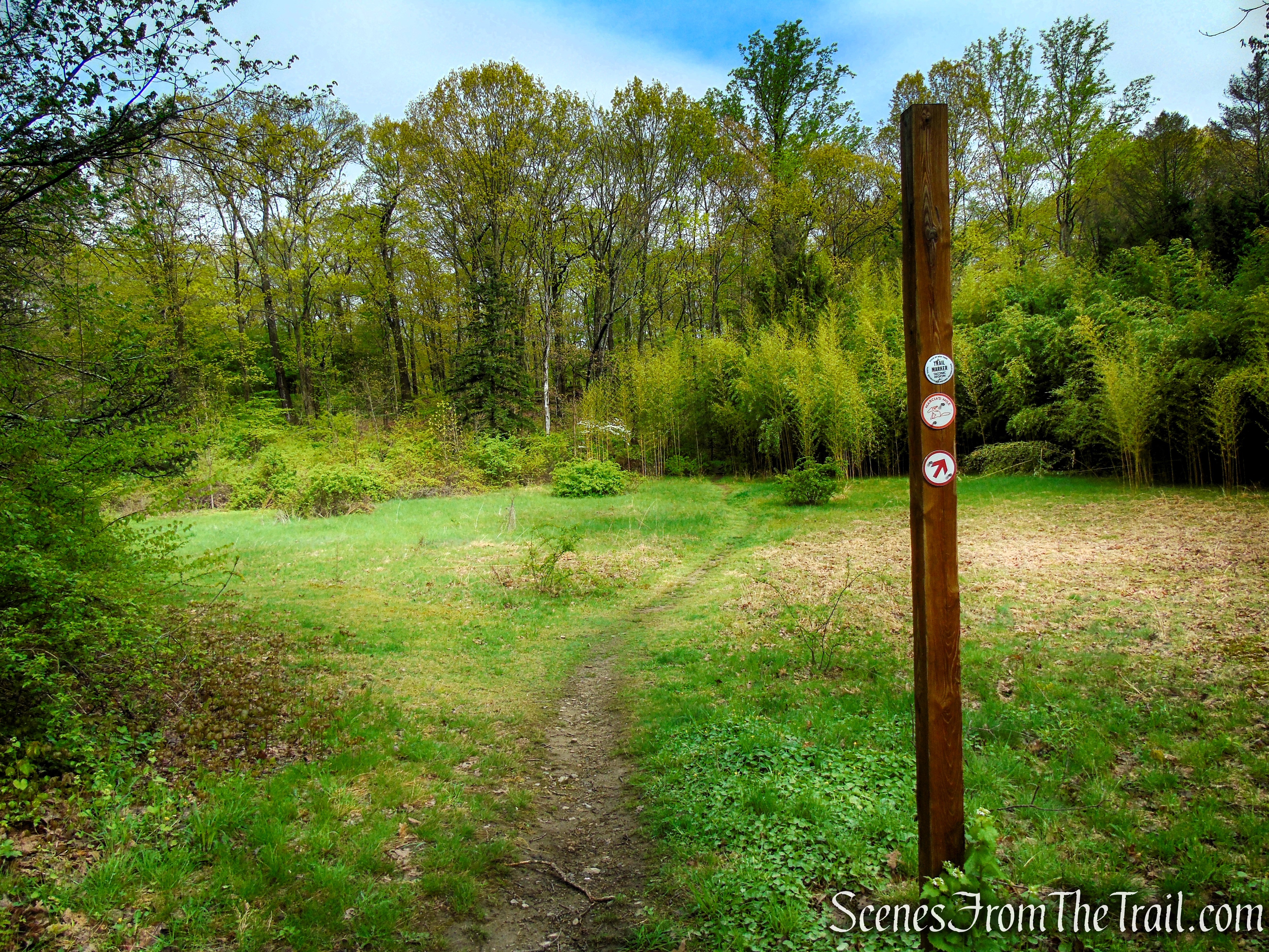
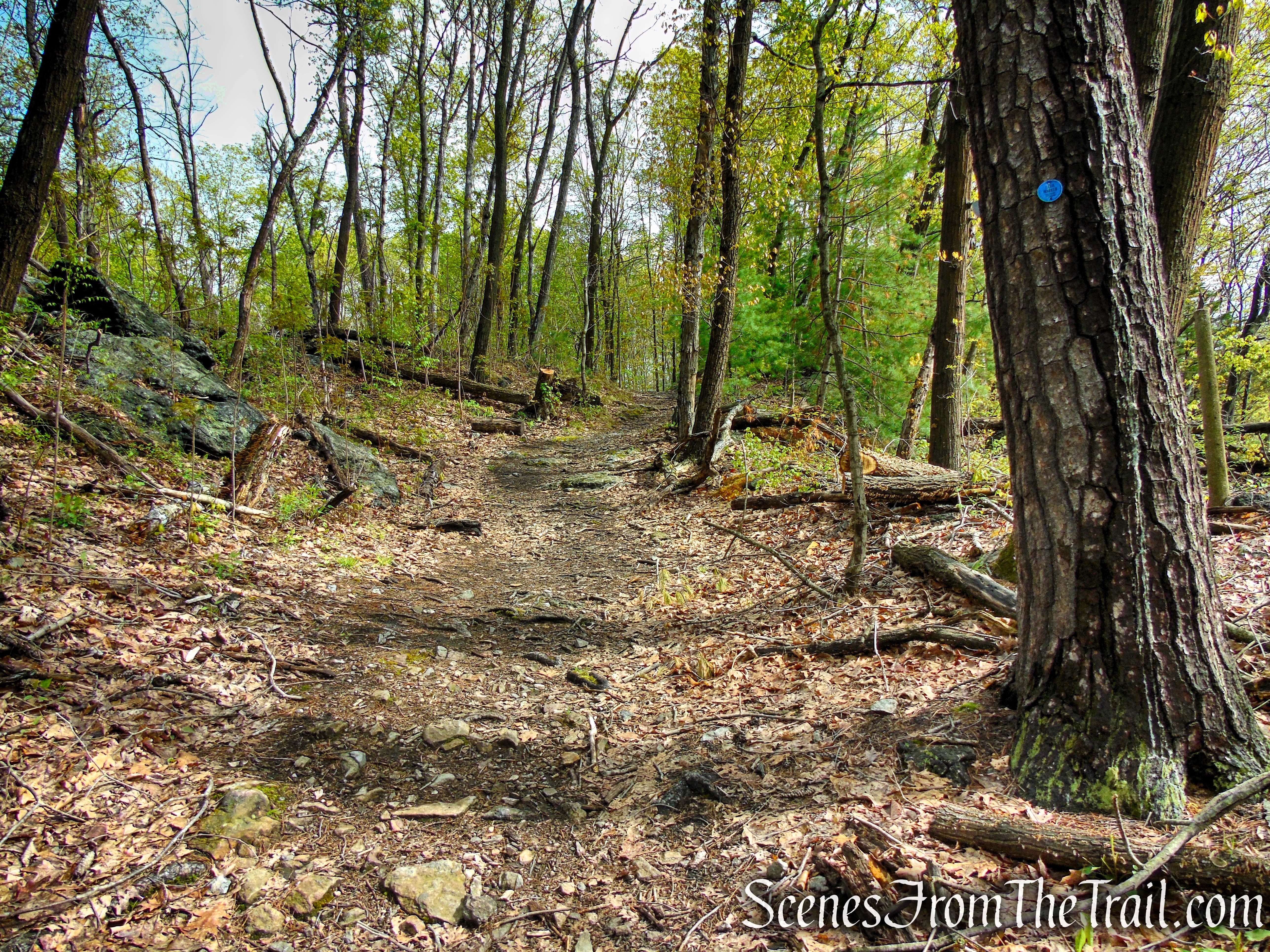
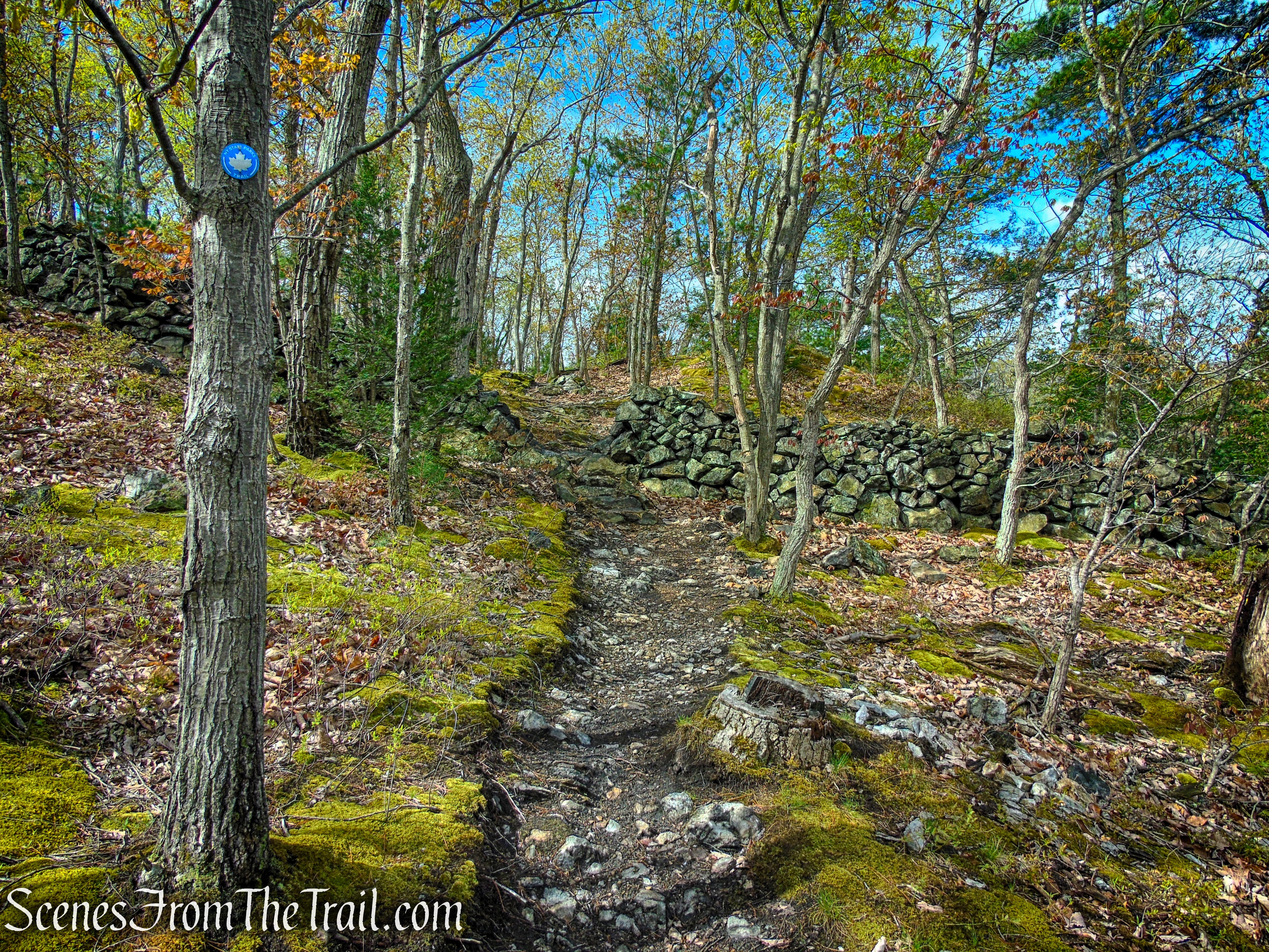
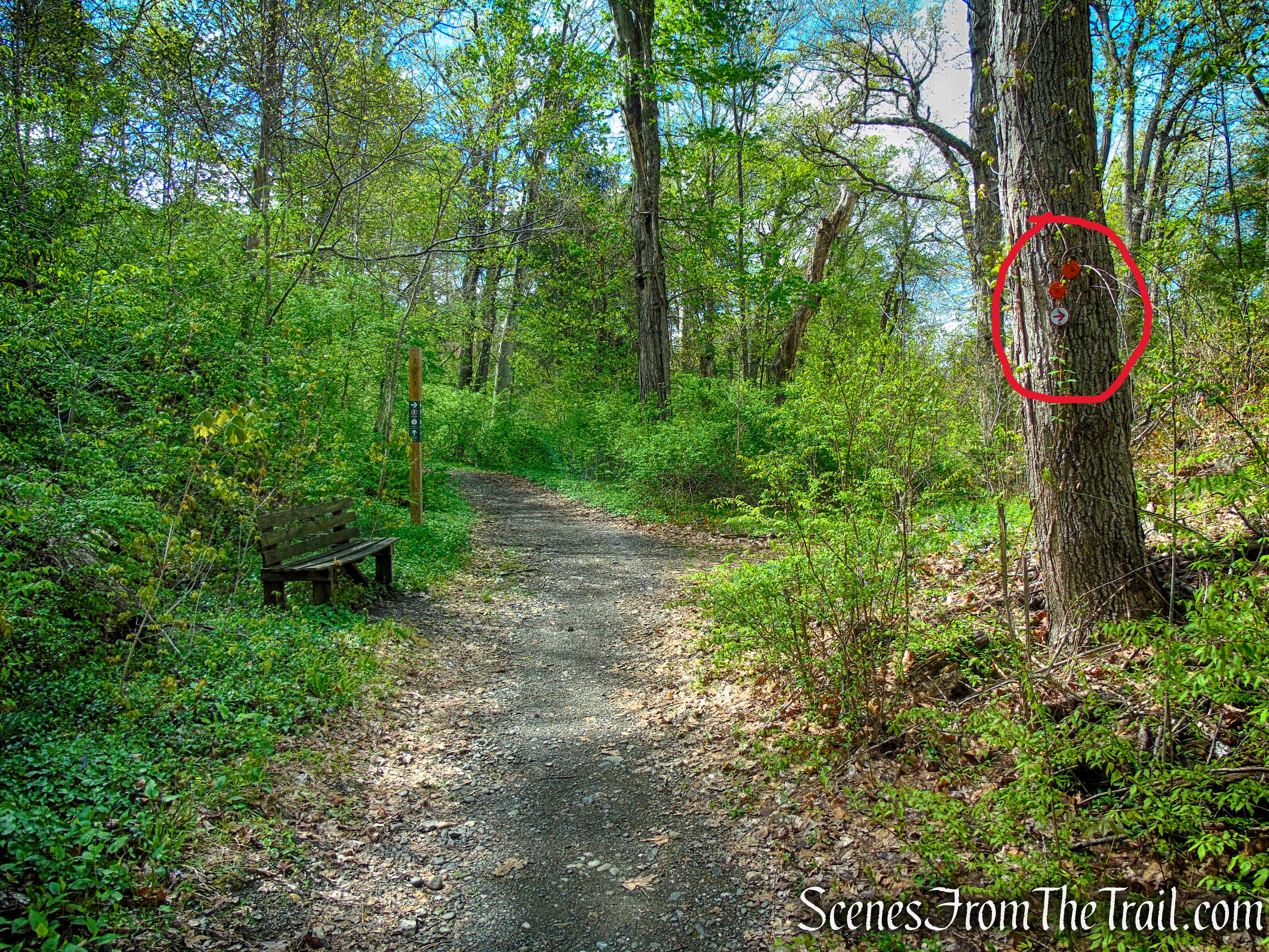
After a short level stretch, the trail arrives at a T-intersection where Marcia’s Mile continues left and the Castle Rock Trail turns right. TURN RIGHT HERE onto the woods road, staying with the white blazes of the Castle Rock Trail. After a brief distance, it ends at a junction with the blue-blazed Arden Point Trail.
Marcia’s Mile Trail
Turn right on Castle Rock Trail
Castle Rock Trail
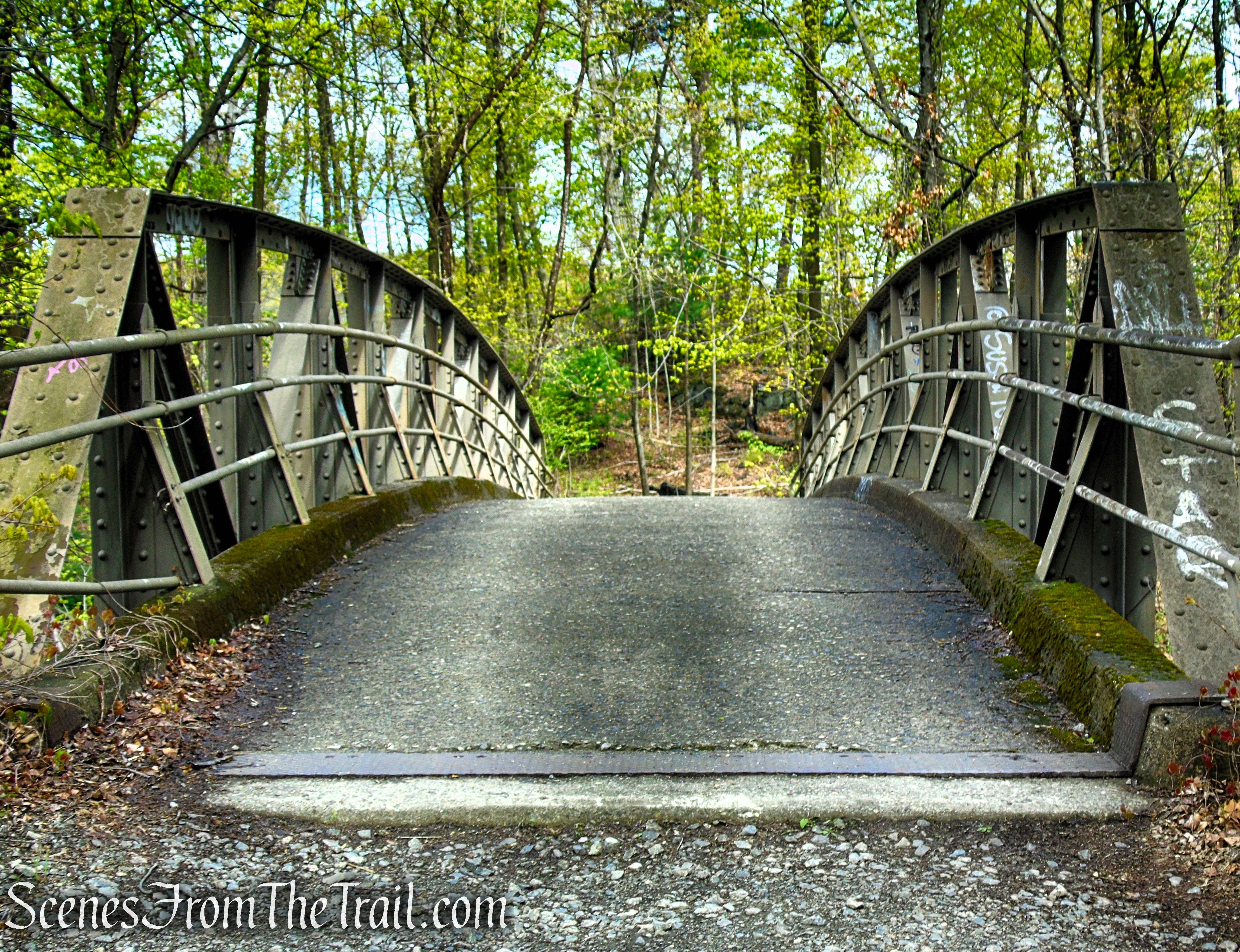
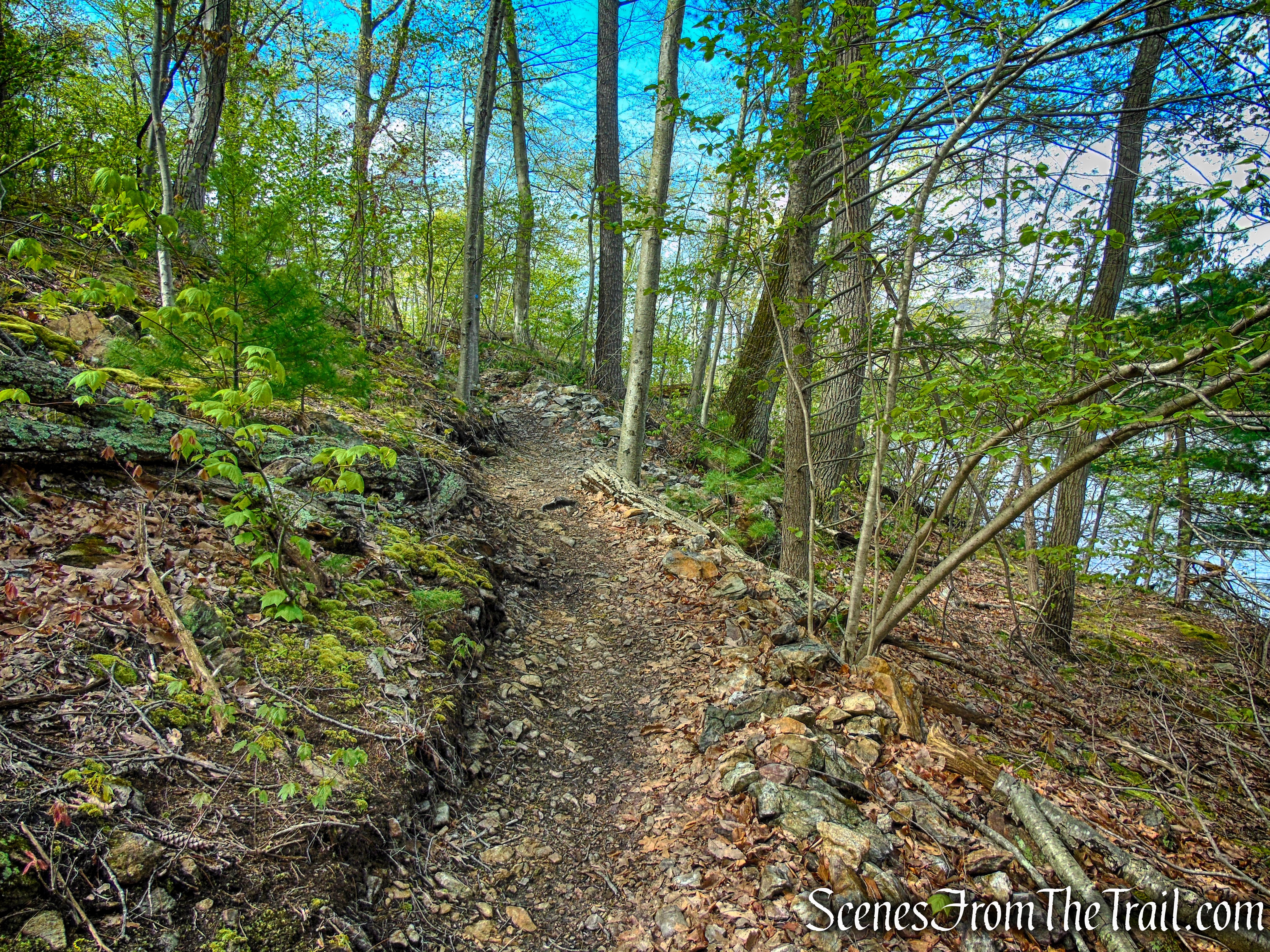
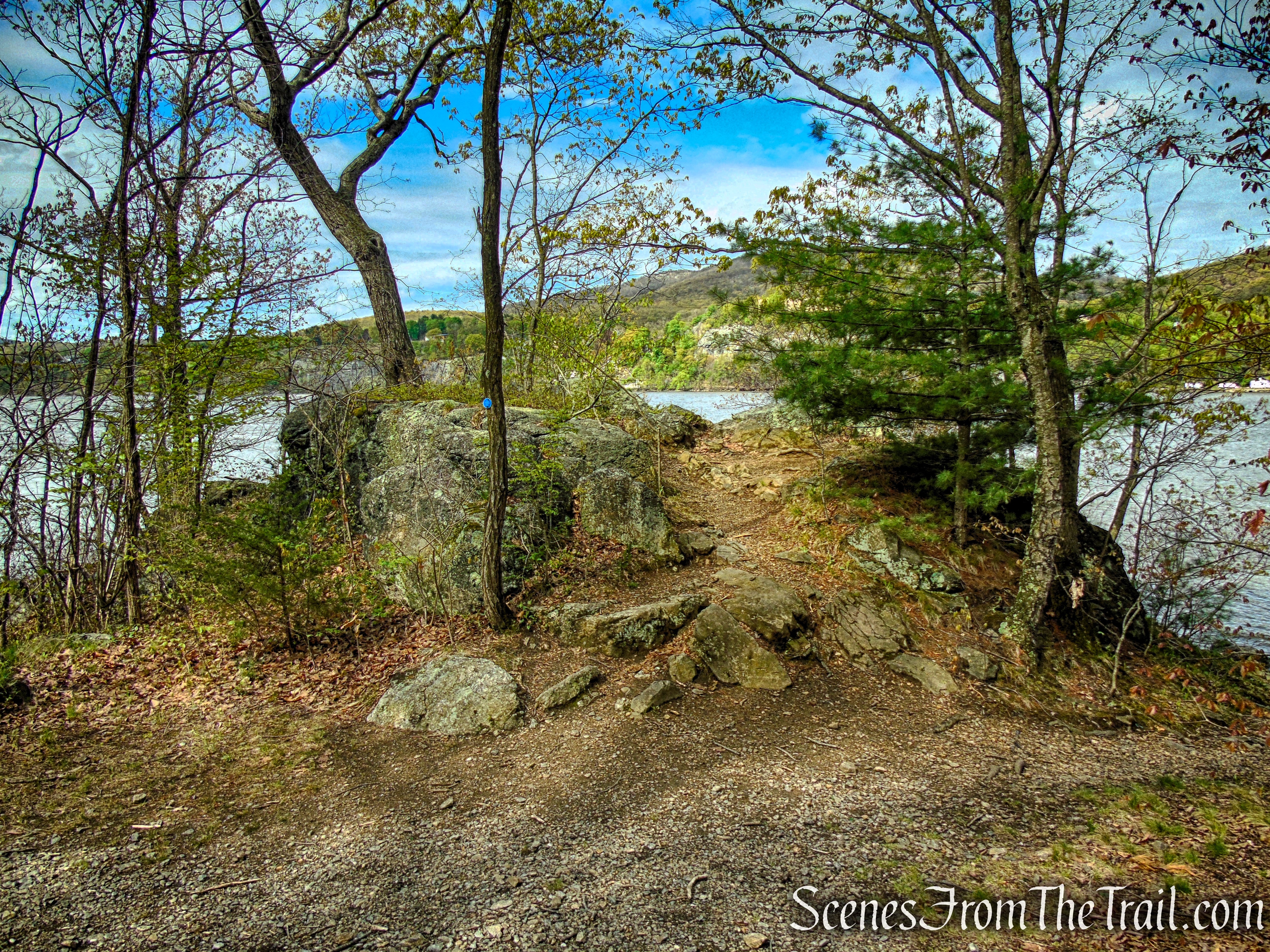
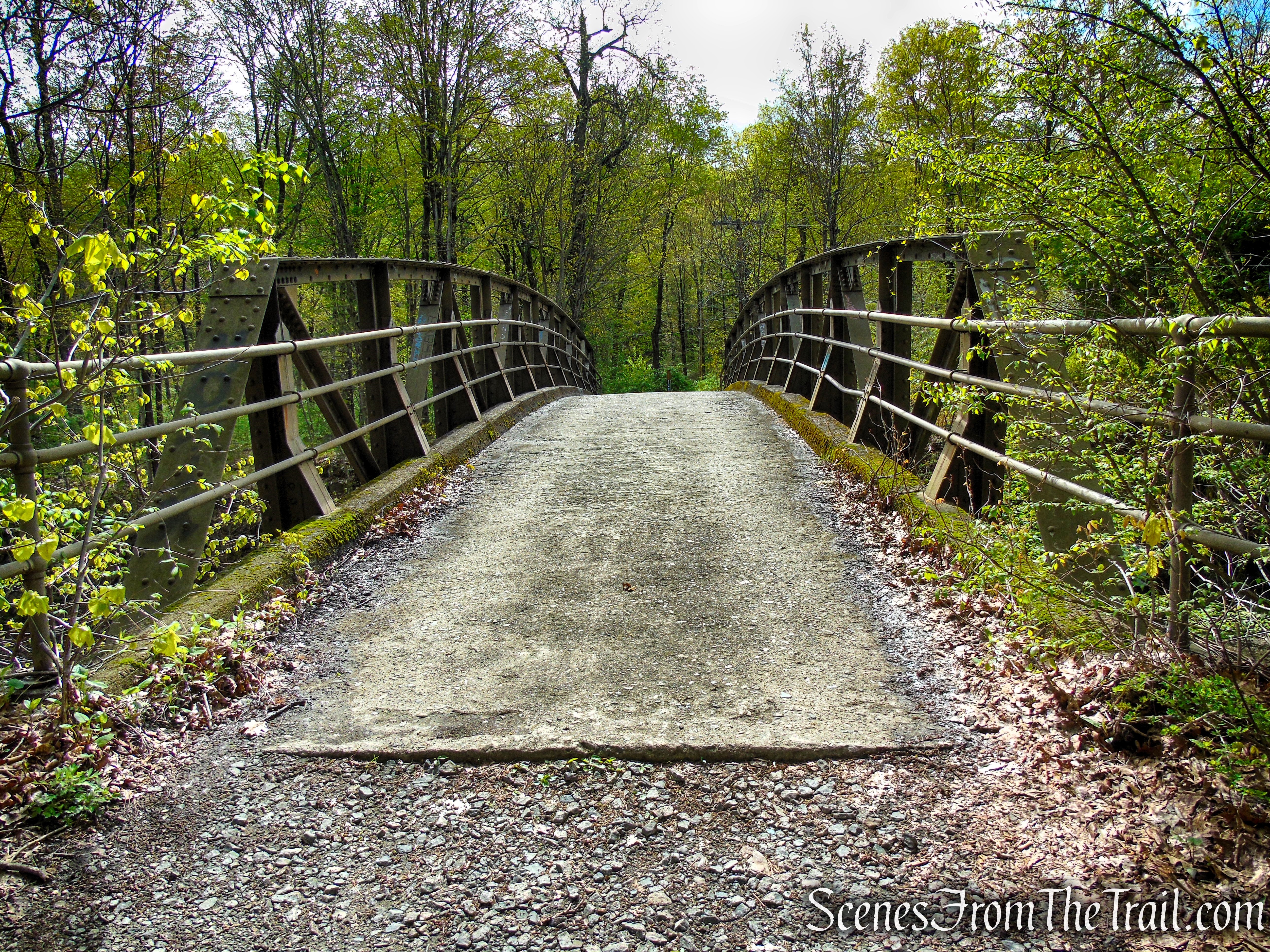
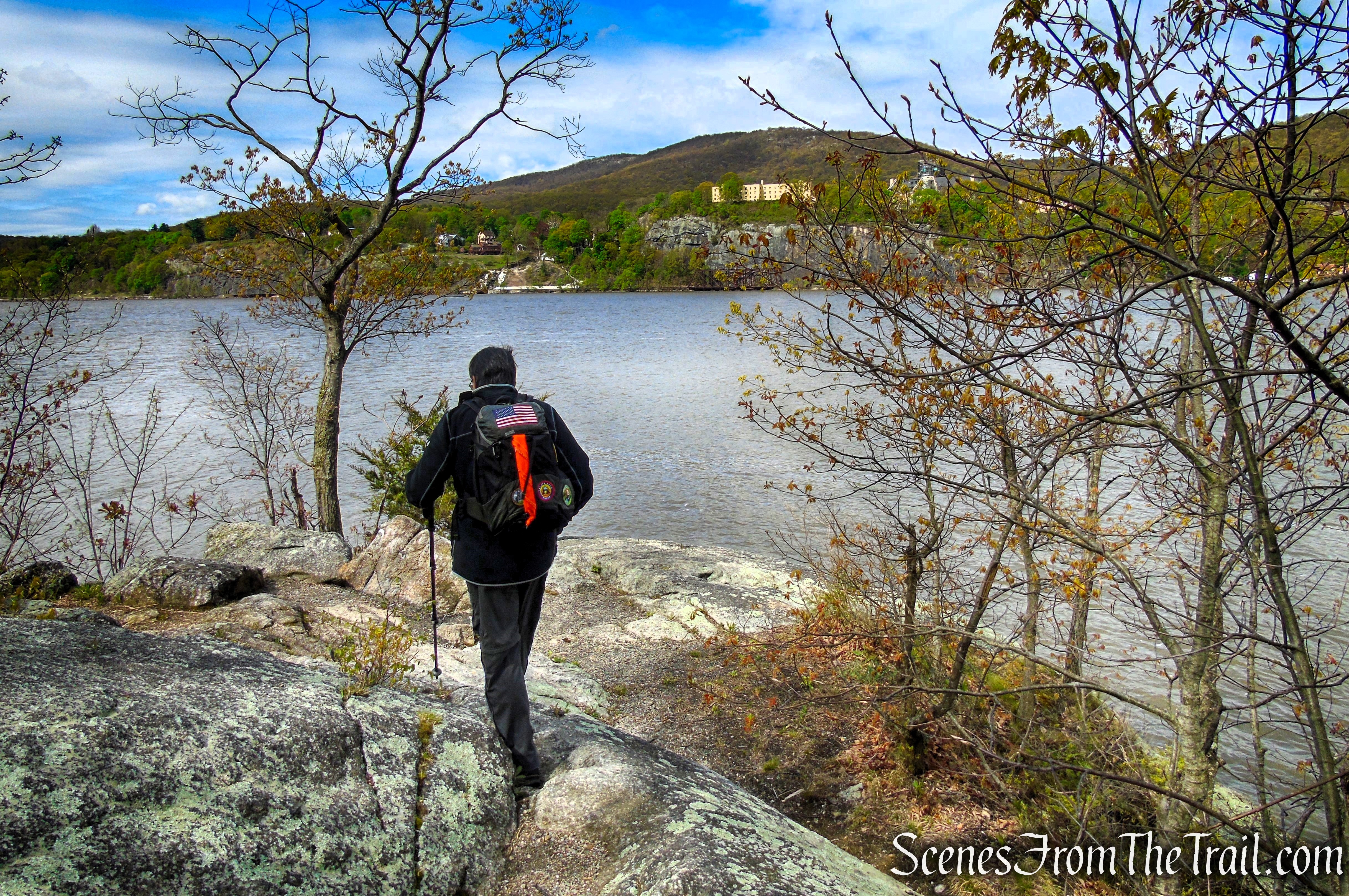
The white-blazed Castle Rock Trail ends at a junction with the blue-blazed Arden Point Trail near a one-lane steel truss bridge that crosses over the railroad tracks. From here, turn left and cross the bridge toward Arden Point. Immediately after crossing, the blue-blazed trail reaches a T-intersection; turn right onto a woods road that quickly narrows into a footpath. This 0.8-mile loop circles Arden Point before returning to the bridge, completing the loop.
Turn left on Arden Point Trail
Turn left here. Continuing straight on the Arden Point Trail for about a half mile will bring you to the Garrison Metro-North Station.
Turn left on Arden Point Trail
Arden Point Trail
Arden Point Trail
Arden Point Trail
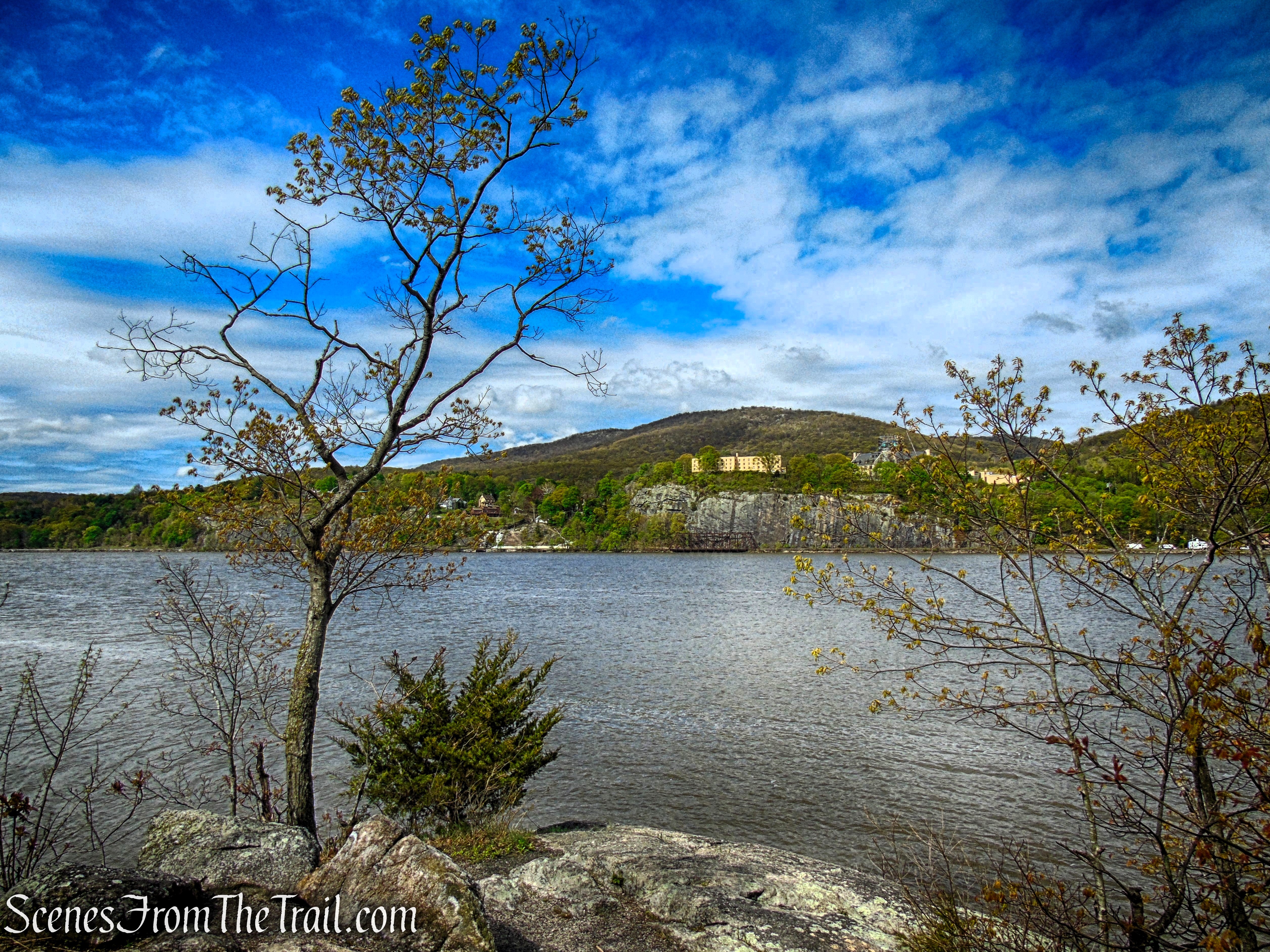
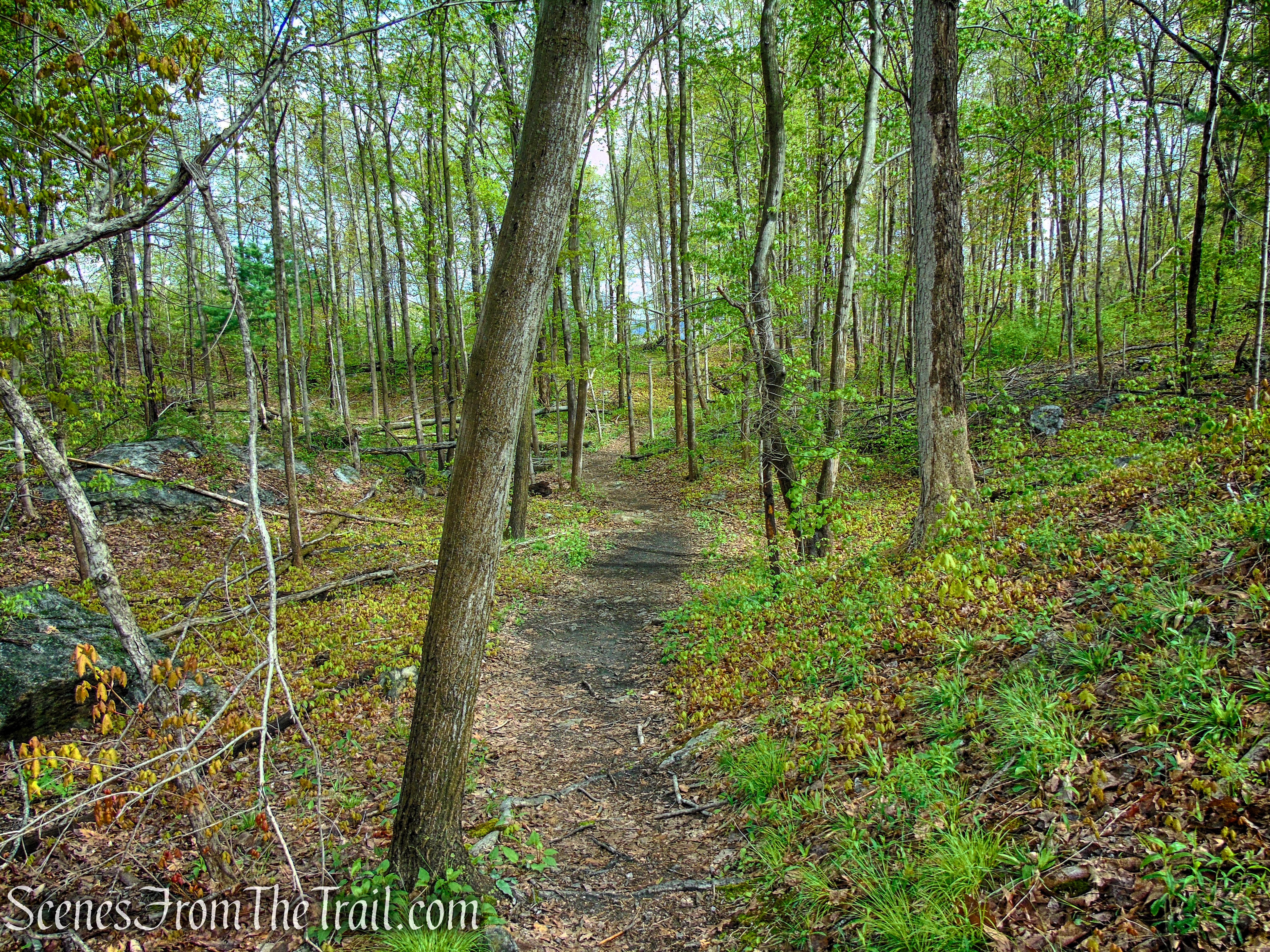
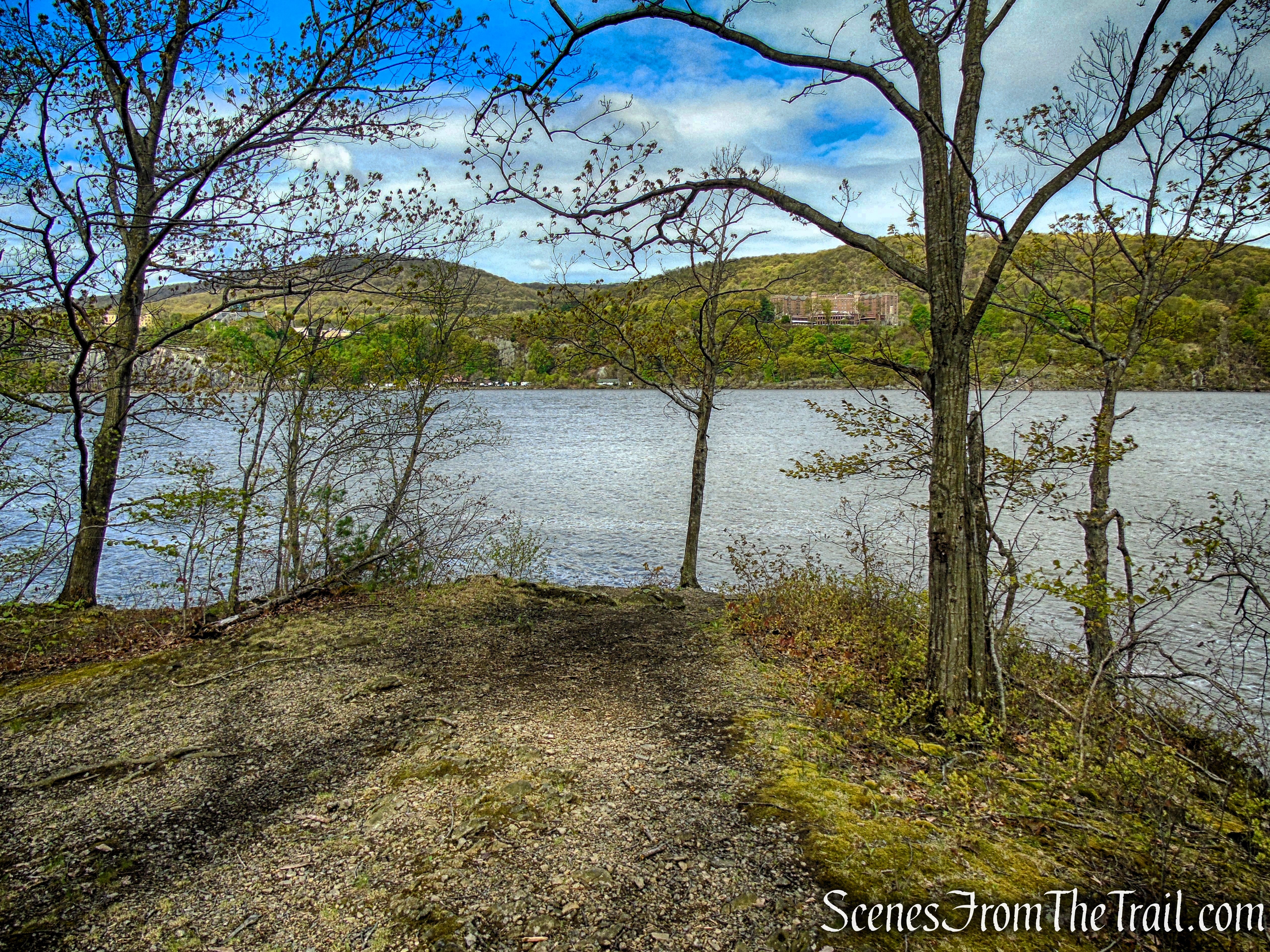
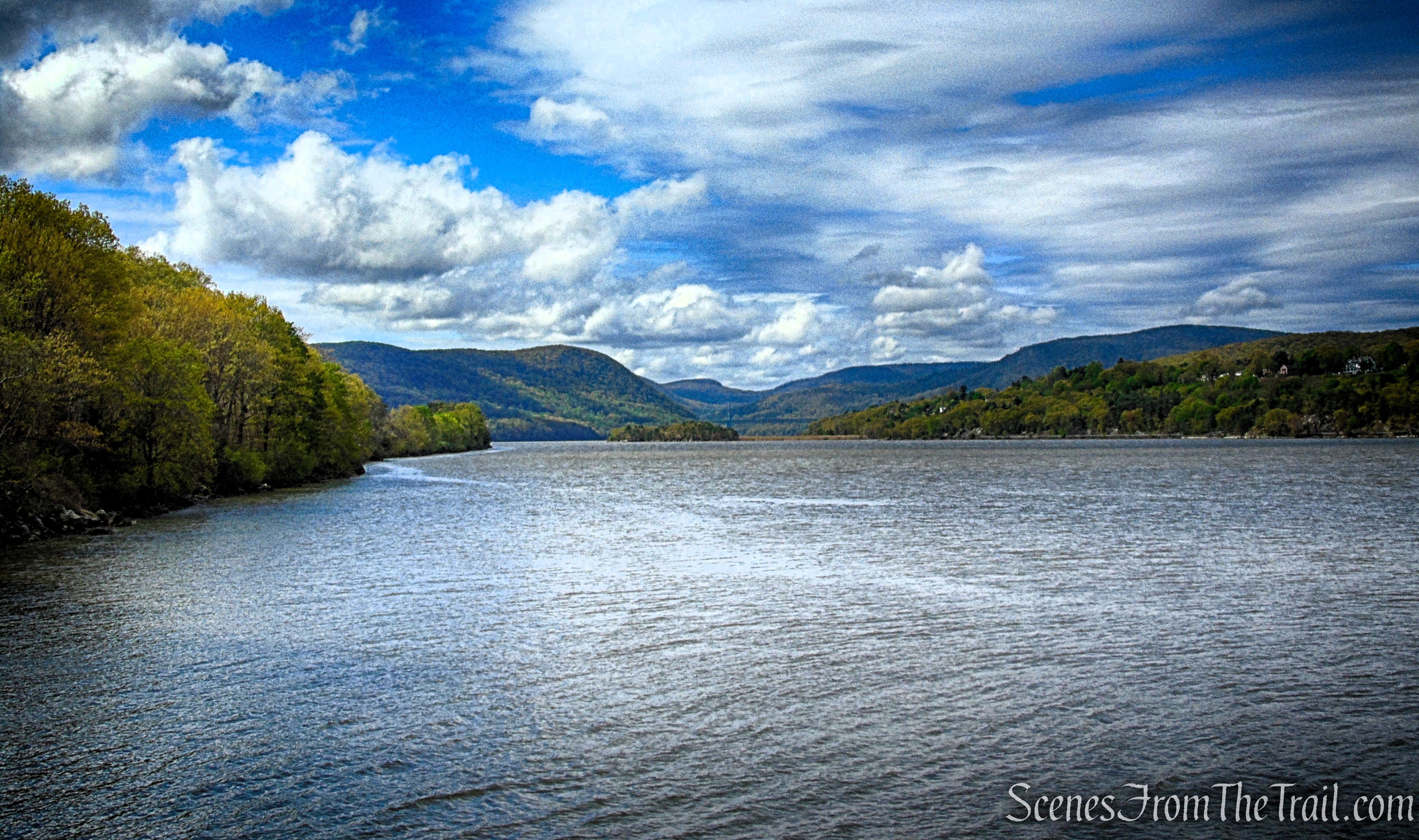
Follow the blue-blazed trail as it winds through the scenic landscape. After roughly 0.4 mile, it passes through a break in an old stone wall and descends to the shoreline at the northern tip of Arden Point. From here, expansive views open up to the north along the Hudson River, with the U.S. Military Academy at West Point visible on the west bank to the left and Bull Hill rising in the East Hudson Highlands beyond.
Arden Point Trail
Arden Point Trail
Arden Point Trail
Arden Point
Arden Point
Arden Point
Arden Point
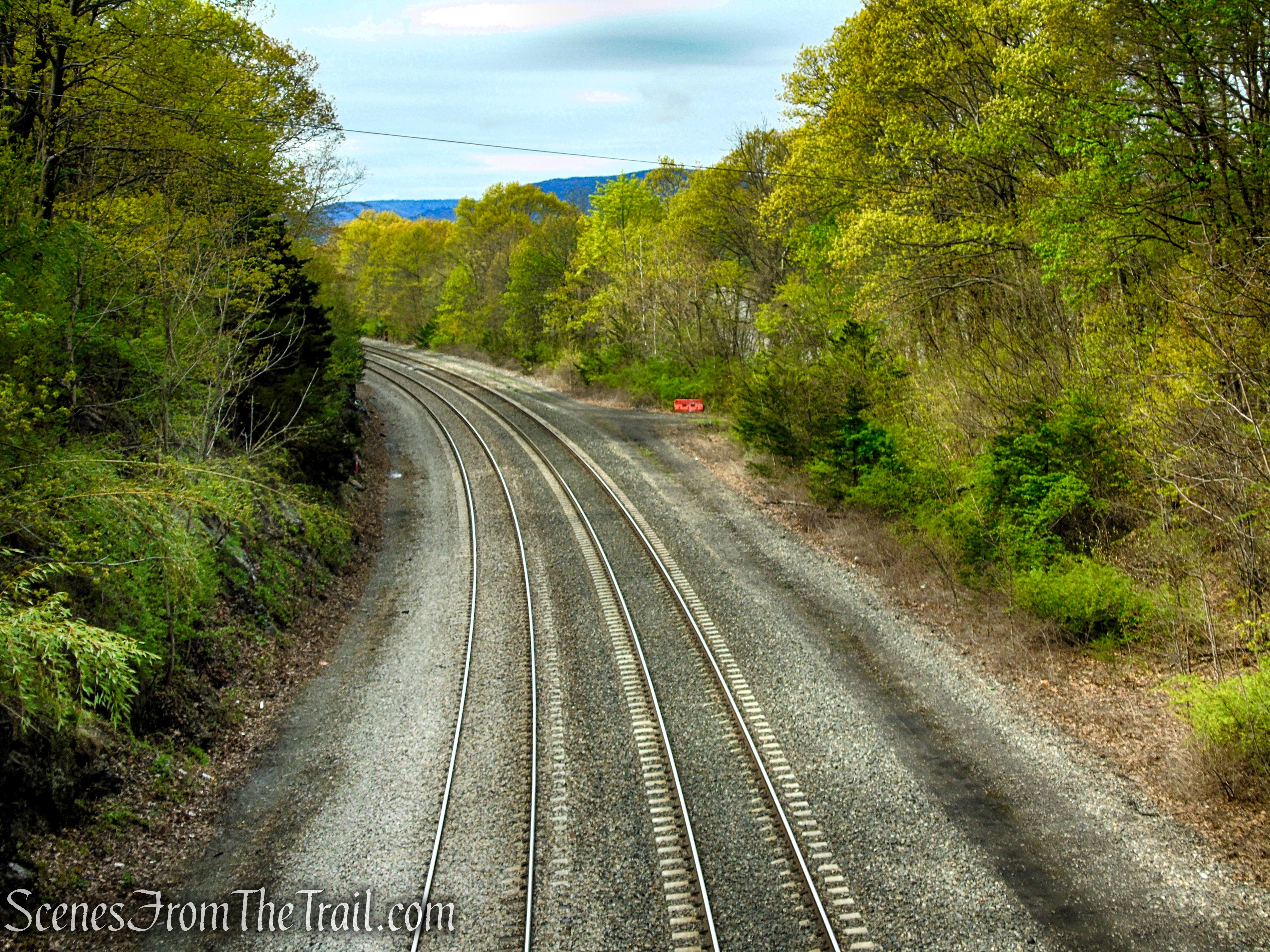
After taking in the view, continue south on the blue-blazed trail. Shortly ahead, a short spur on the right leads to a west-facing overlook of the Hudson River. Directly across the water stands the large red-brick Hotel Thayer at West Point, while the West Shore Railroad—constructed in 1883—follows the river’s edge below. Now operated by CSX for freight service, the line is often active, and it’s not uncommon to see long freight trains winding along the shoreline as they move through the valley.
Arden Point Trail
Arden Point Trail
Arden Point Trail
Arden Point Trail
Arden Point Trail
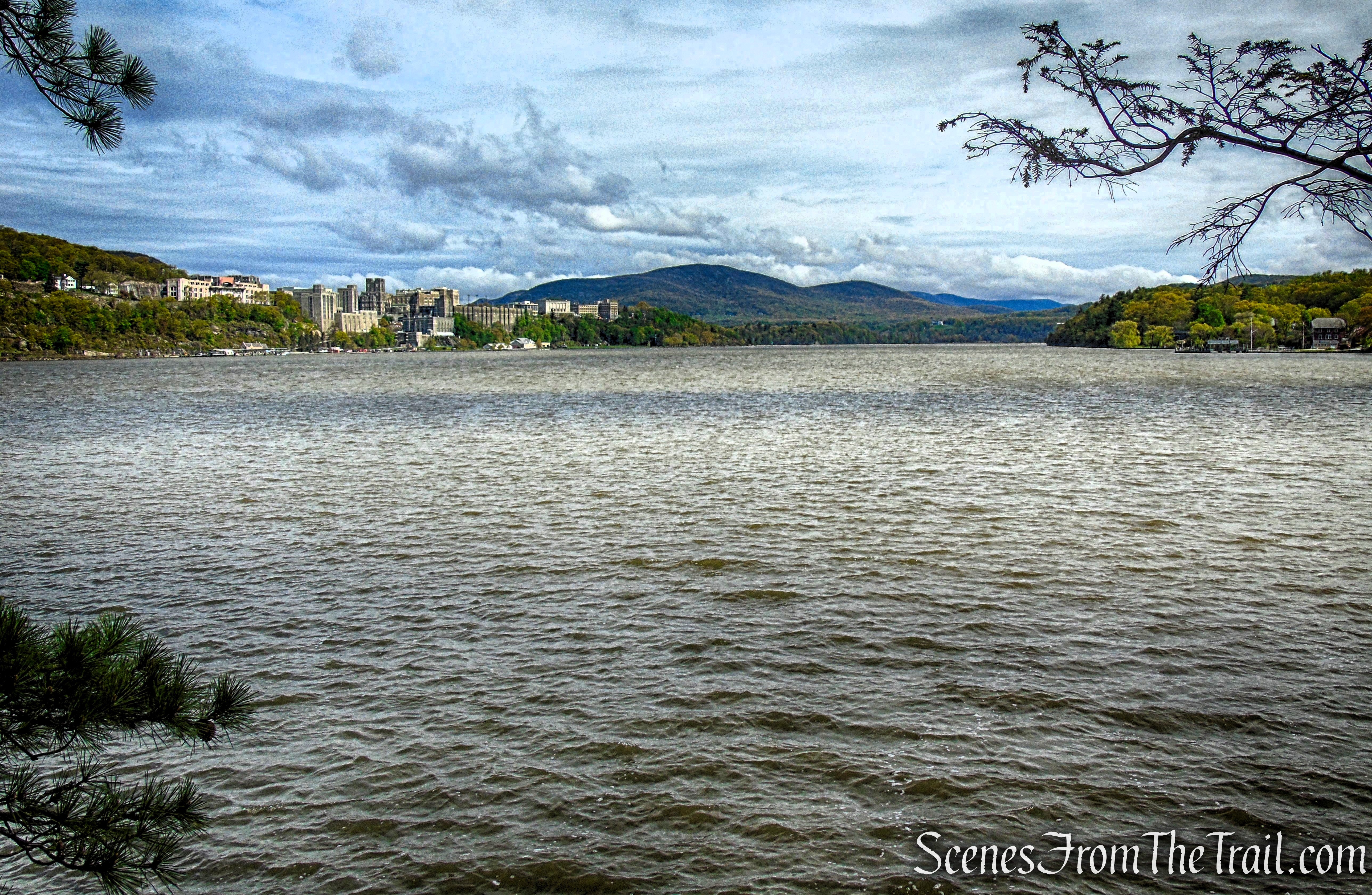
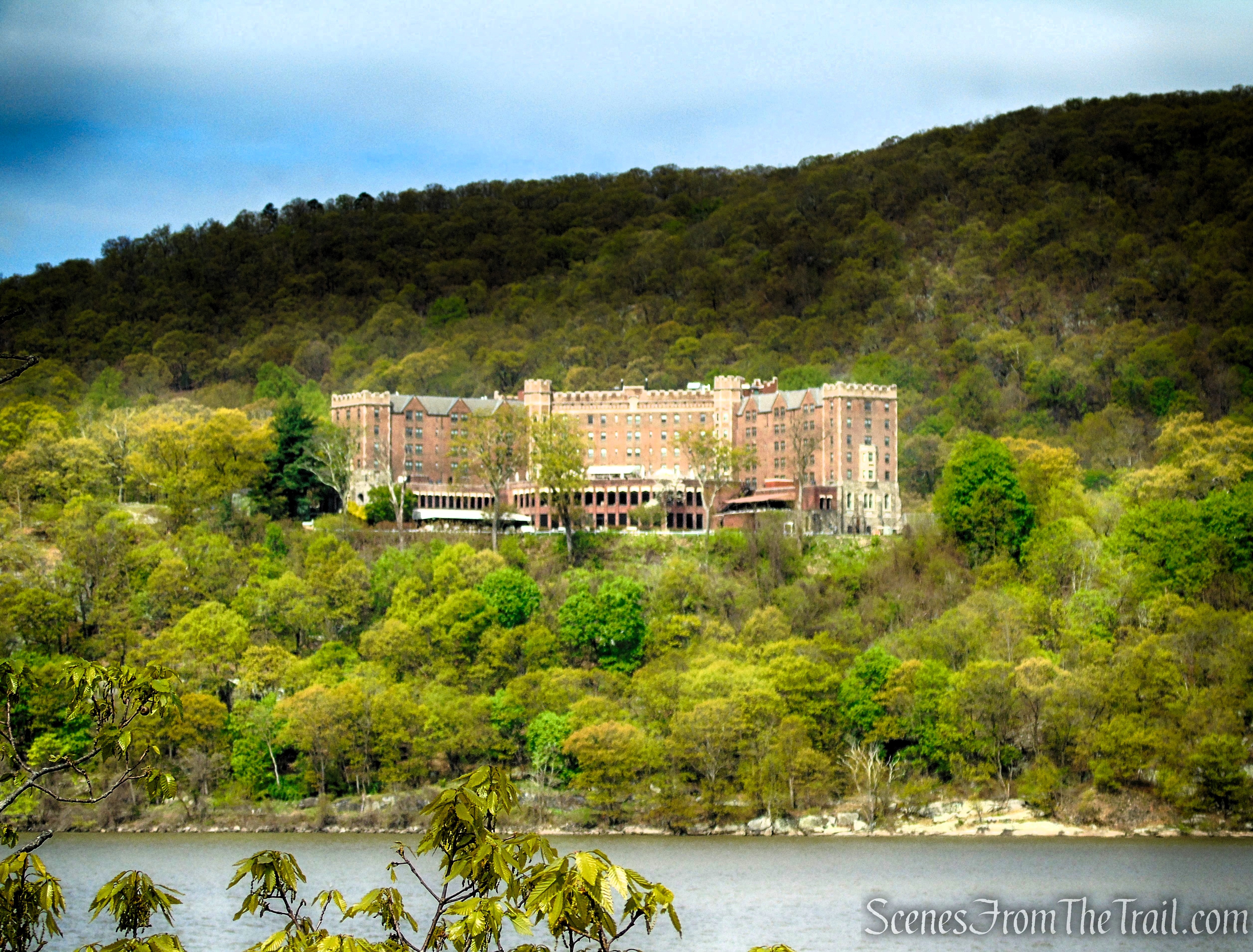
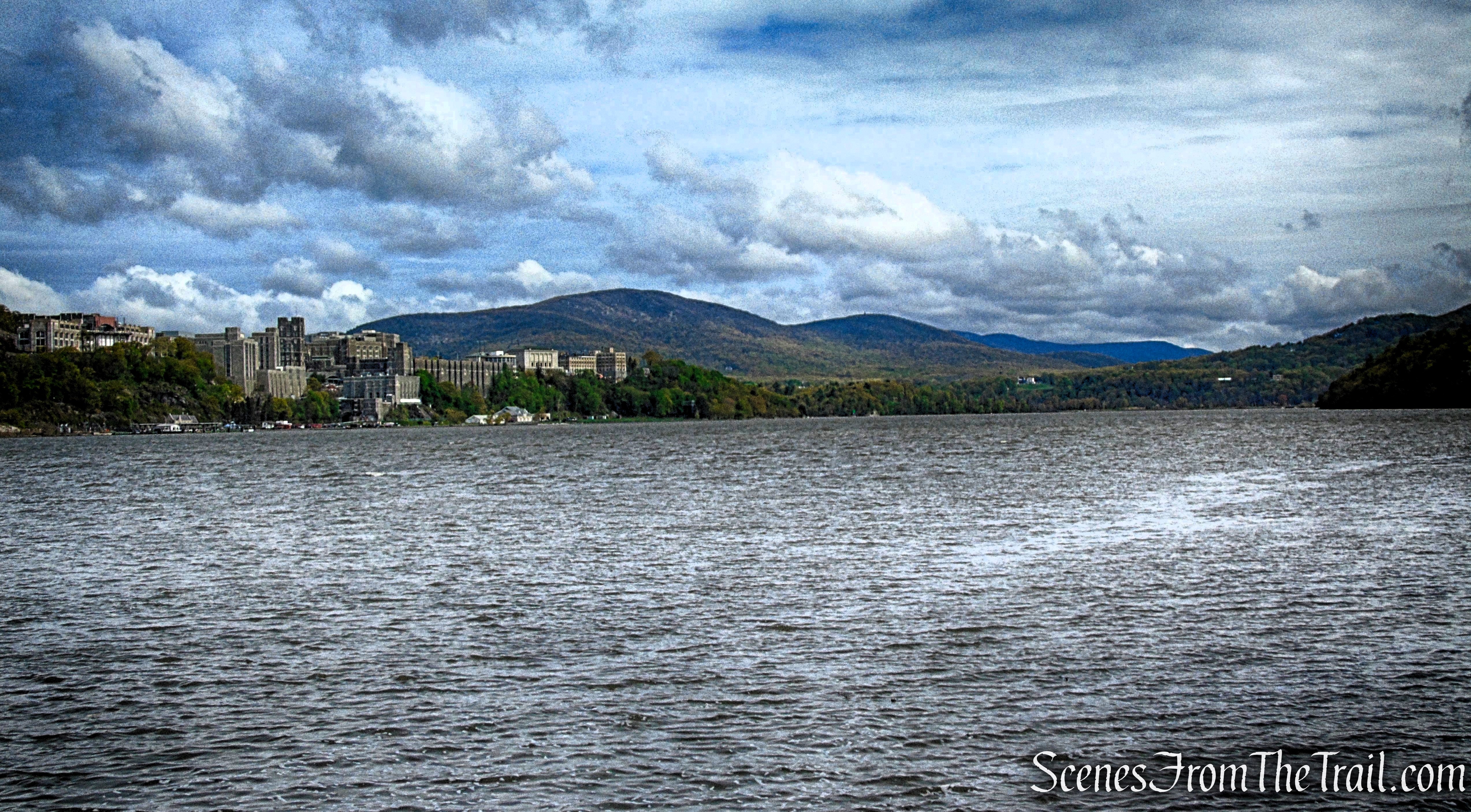
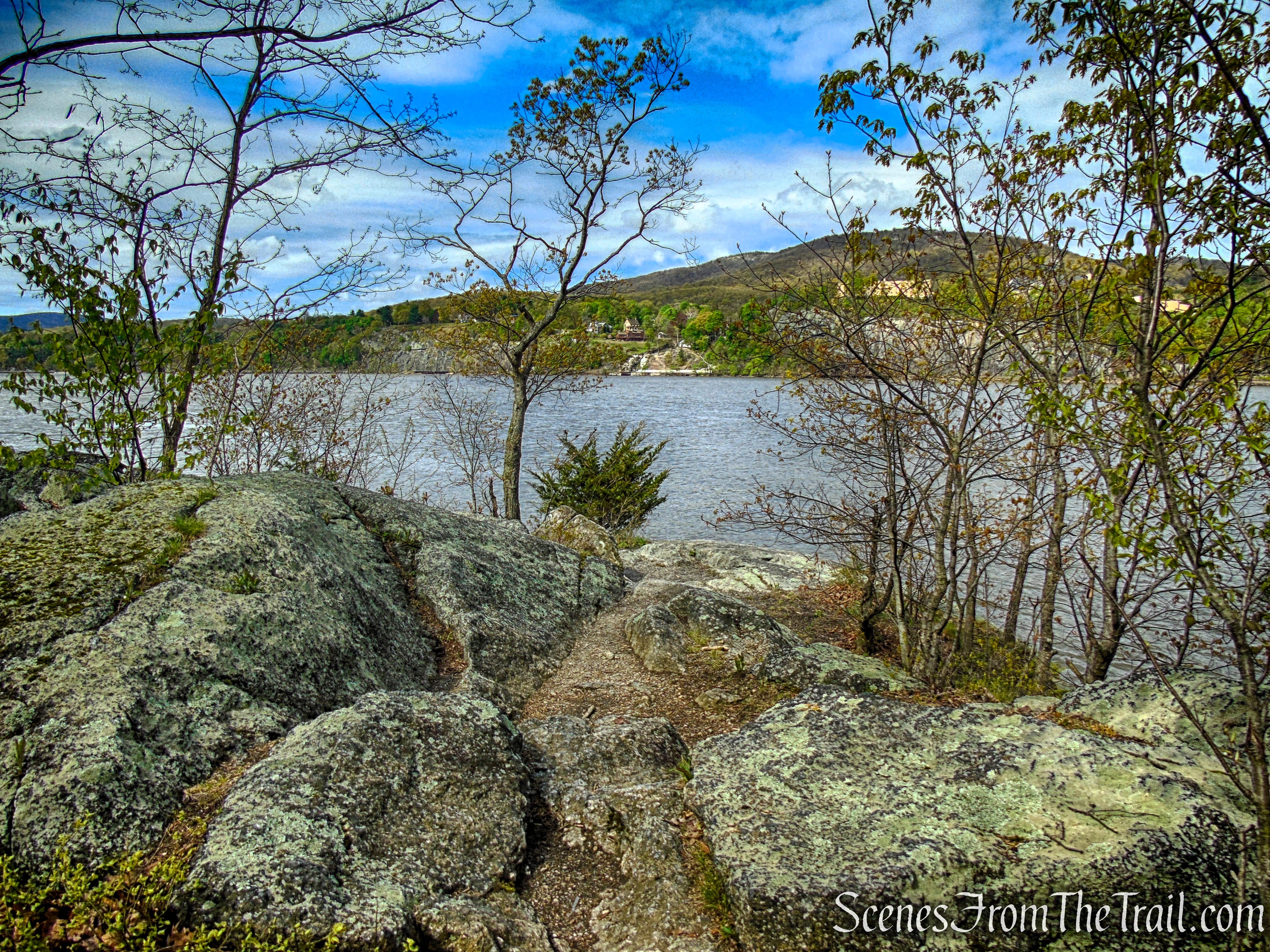
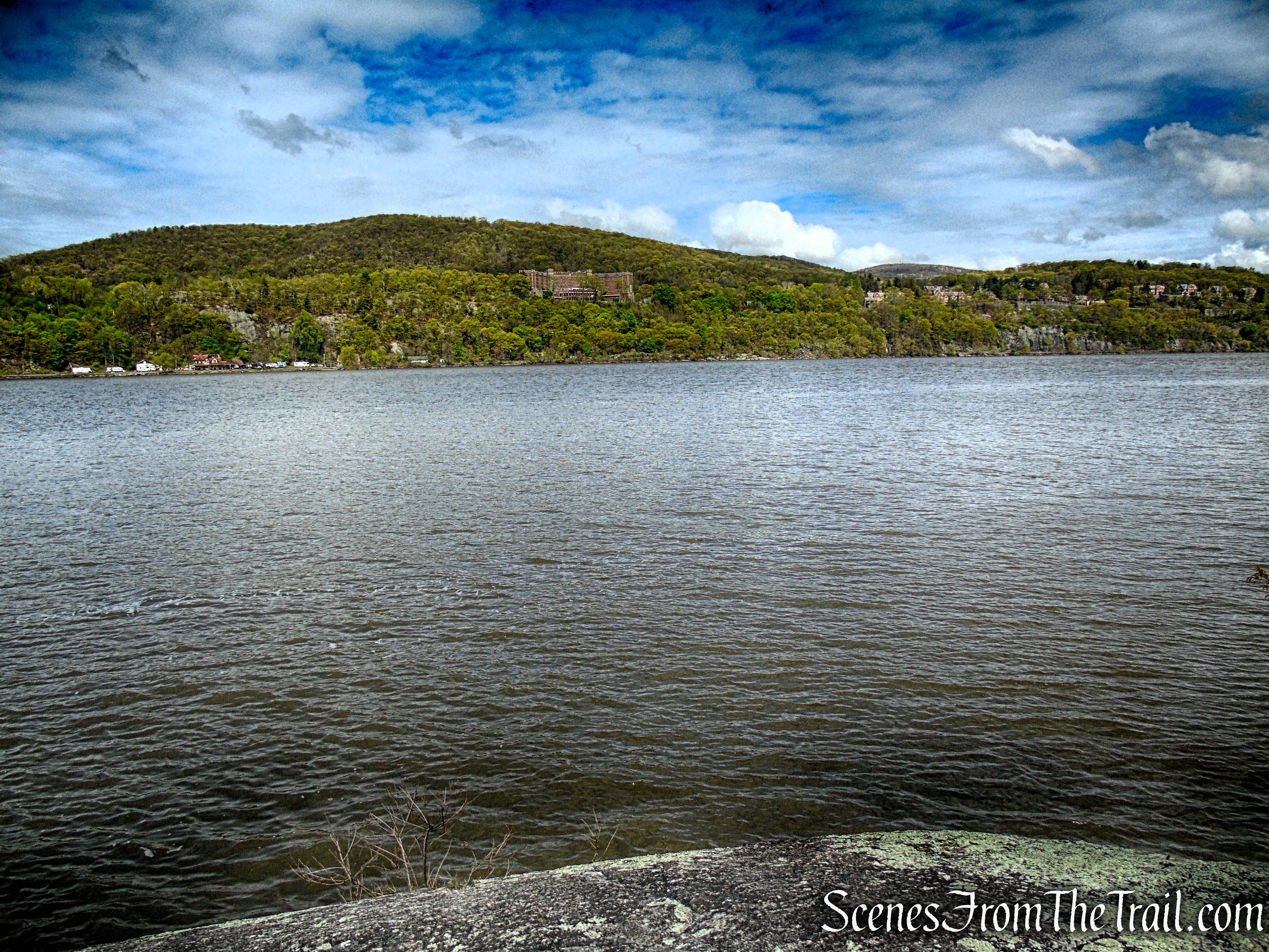
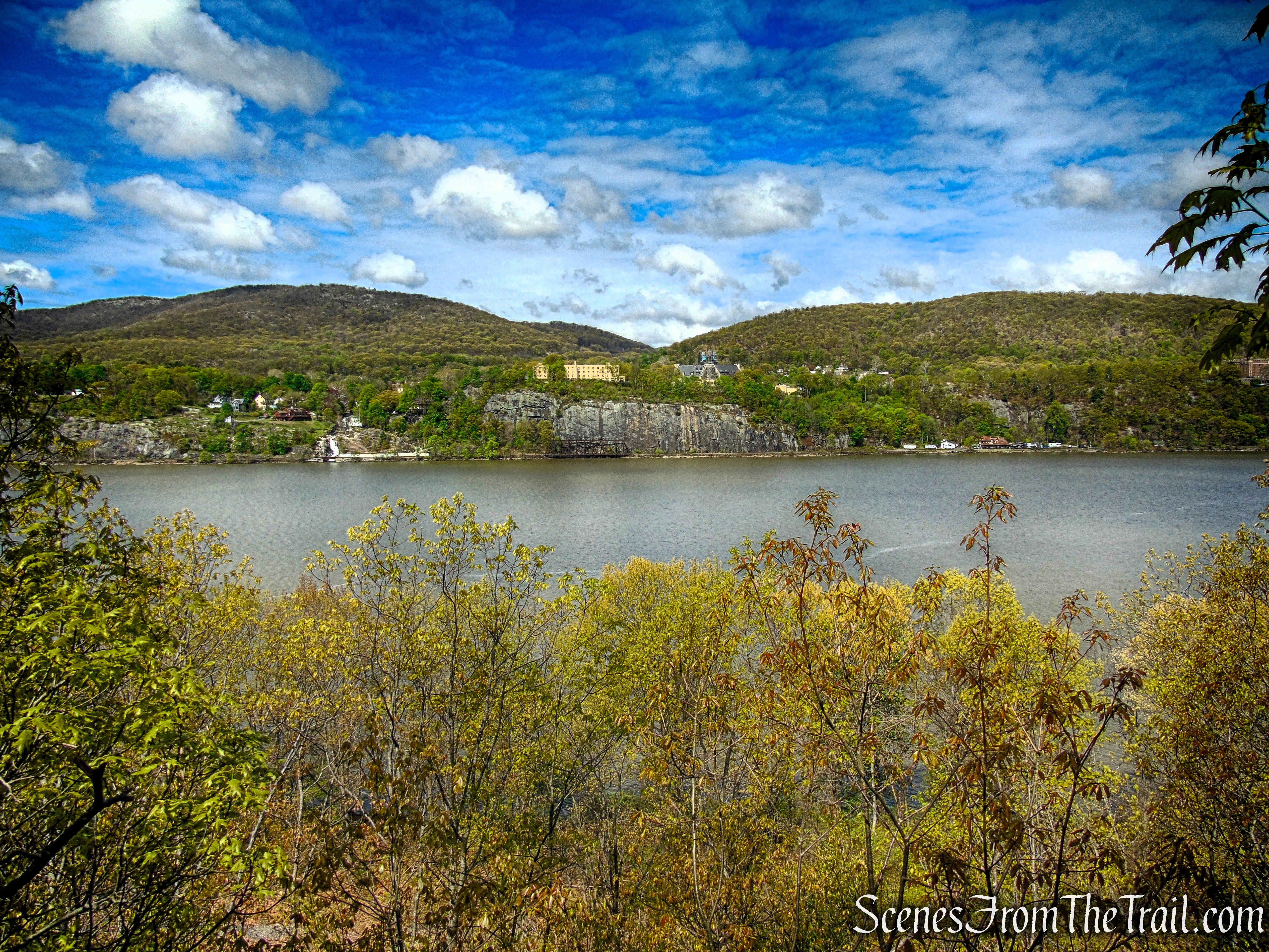
Continue south on the blue-blazed Arden Point Trail. Near the southern end of the point, the trail makes a sharp left turn—at this junction, bear right and follow a path out to a rocky outcrop at the tip of the peninsula. From here, a broad south-facing panorama opens across the Hudson River, with the Bear Mountain Bridge visible in the distance. On the west shore, the yellow brick buildings house the West Point Museum and Visitor Center, established in 1989 on the former site of Ladycliff College.
Arden Point Trail
Arden Point Trail
Arden Point Trail
Arden Point Trail
Arden Point Trail
Looking west across the Hudson River, the view opens toward the rolling, forested landscape of West Point, where steep hills and historic grounds rise above the shoreline in a sweeping Hudson Highlands backdrop.
Arden Point Trail
Looking northwest across the Hudson River, the view takes in the rugged shoreline and wooded heights leading up to West Point, where the river narrows and the surrounding hills rise in a series of green, rolling layers.
Arden Point Trail
The view south from Arden Point opens wide over the Hudson River, where the water winds toward the Bear Mountain Bridge. Rolling, forested hills rise on both sides of the river, creating a layered landscape of green ridgelines that fade into the distance and frame the sweeping river corridor.
Arden Point Trail
After taking some time to enjoy this view, retrace your steps to the blue-blazed trail and bear right, now heading north on the trail, which ends at the bridge over the tracks. Bear right, recross the bridge, and turn right (south) onto the white-blazed Castle Rock Trail, which follows a woods road.
Arden Point Trail
Arden Point Trail
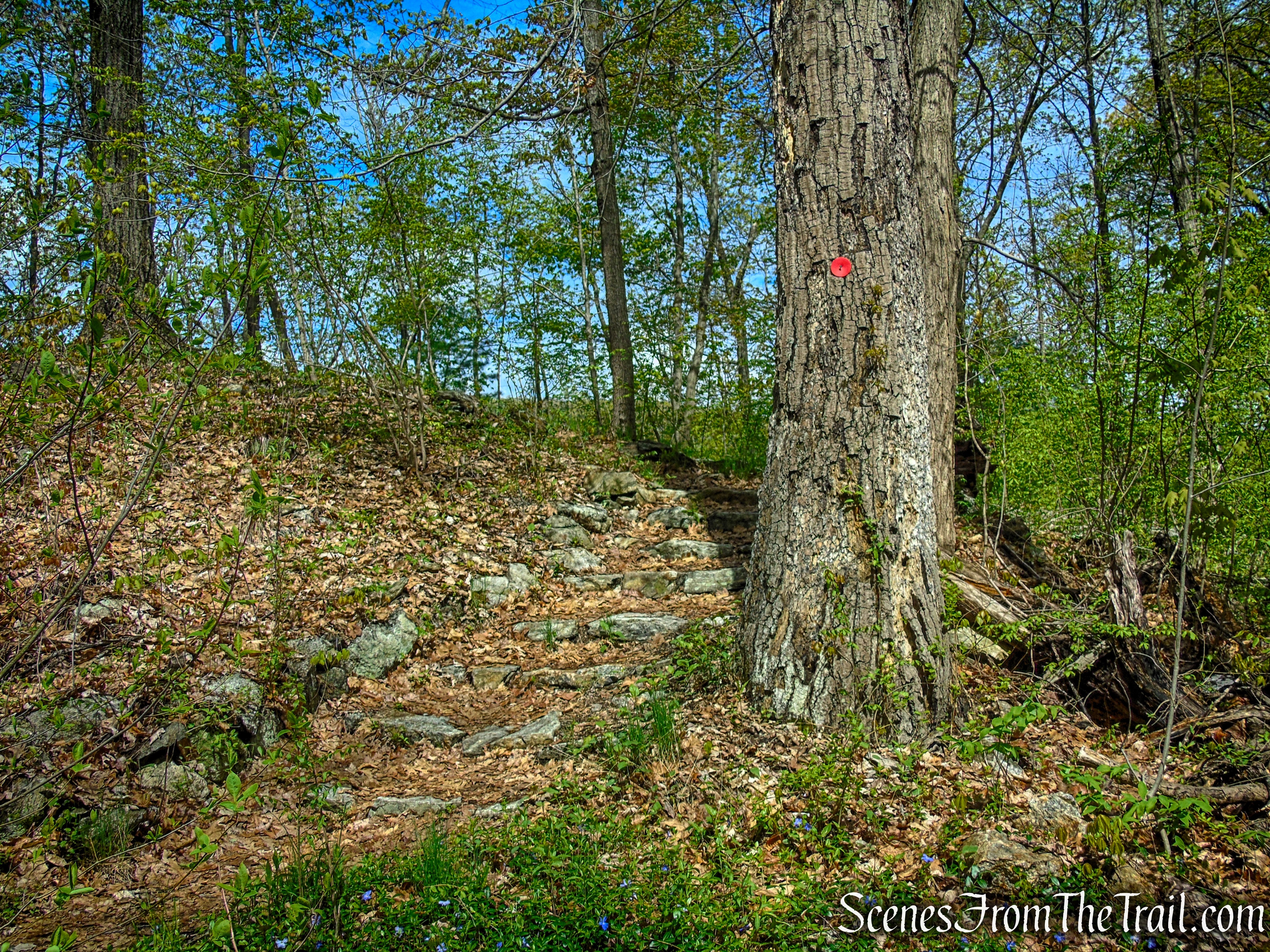
Just ahead, the Castle Rock Trail turns left off the woods road, but continue straight ahead on the same woods road, marked with solid red circular blazes.
Glenclyffe Loop Trail
Glenclyffe Loop Trail
Glenclyffe Loop Trail
Glenclyffe Loop Trail
Glenclyffe Loop Trail
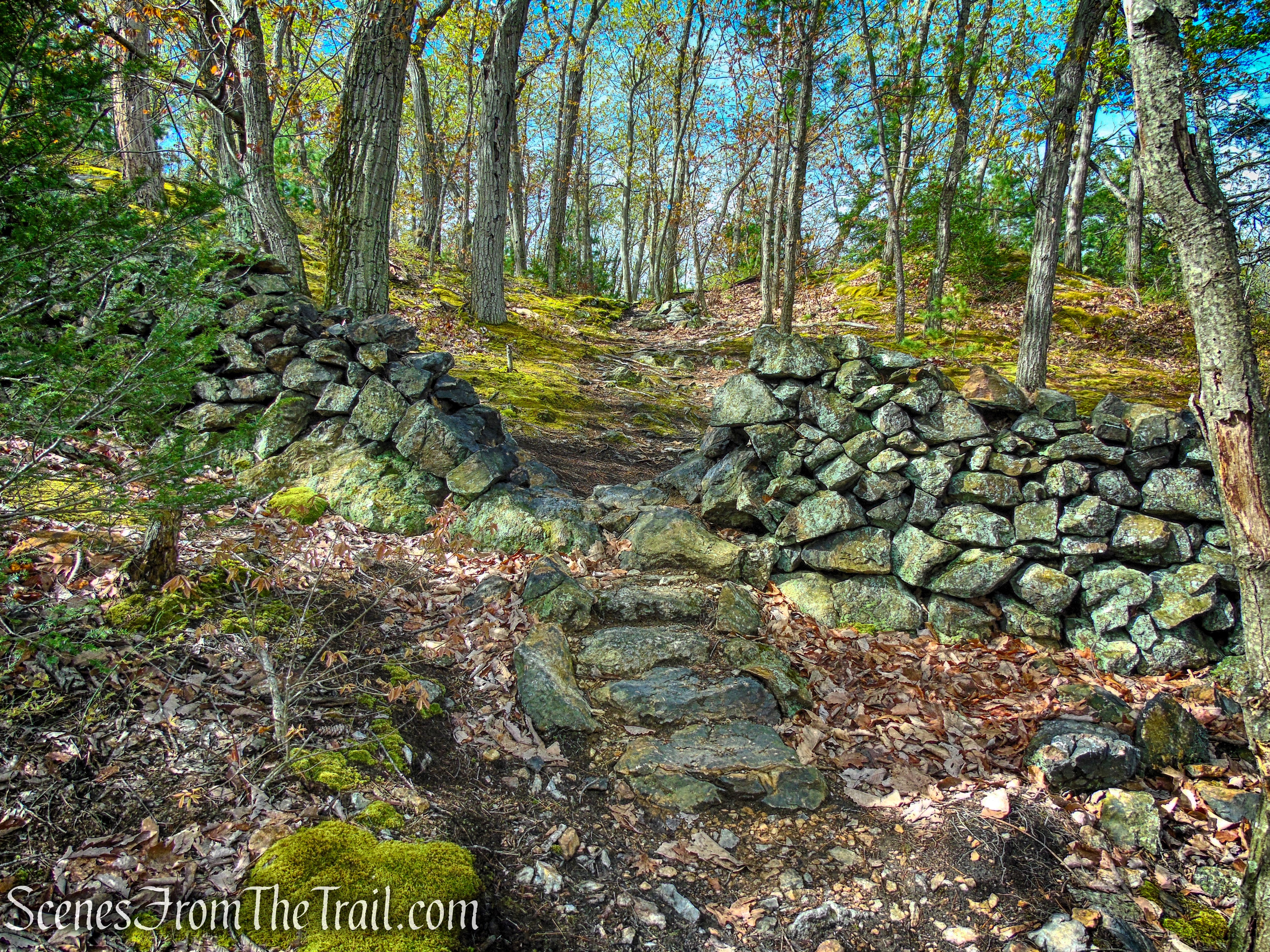
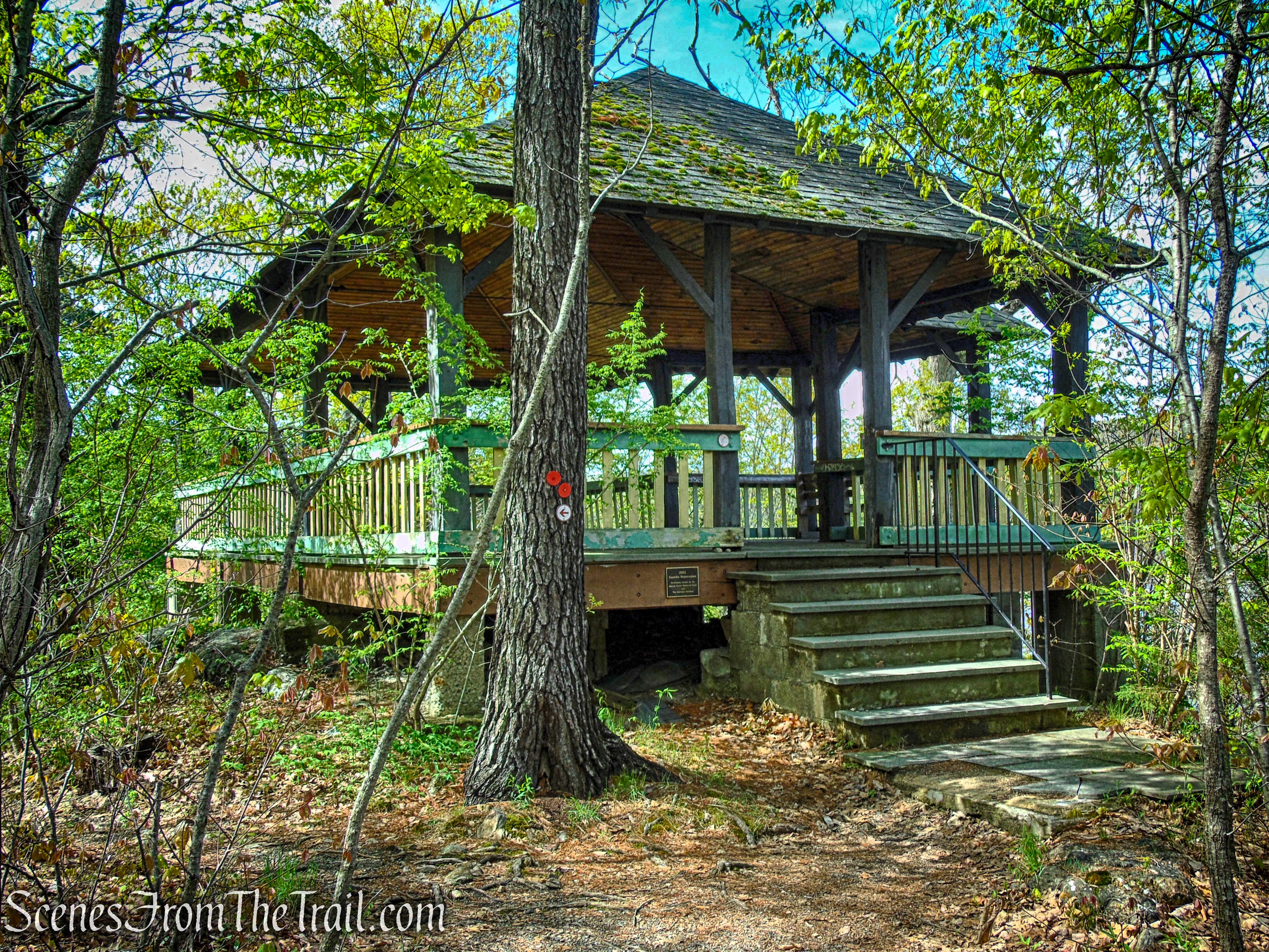
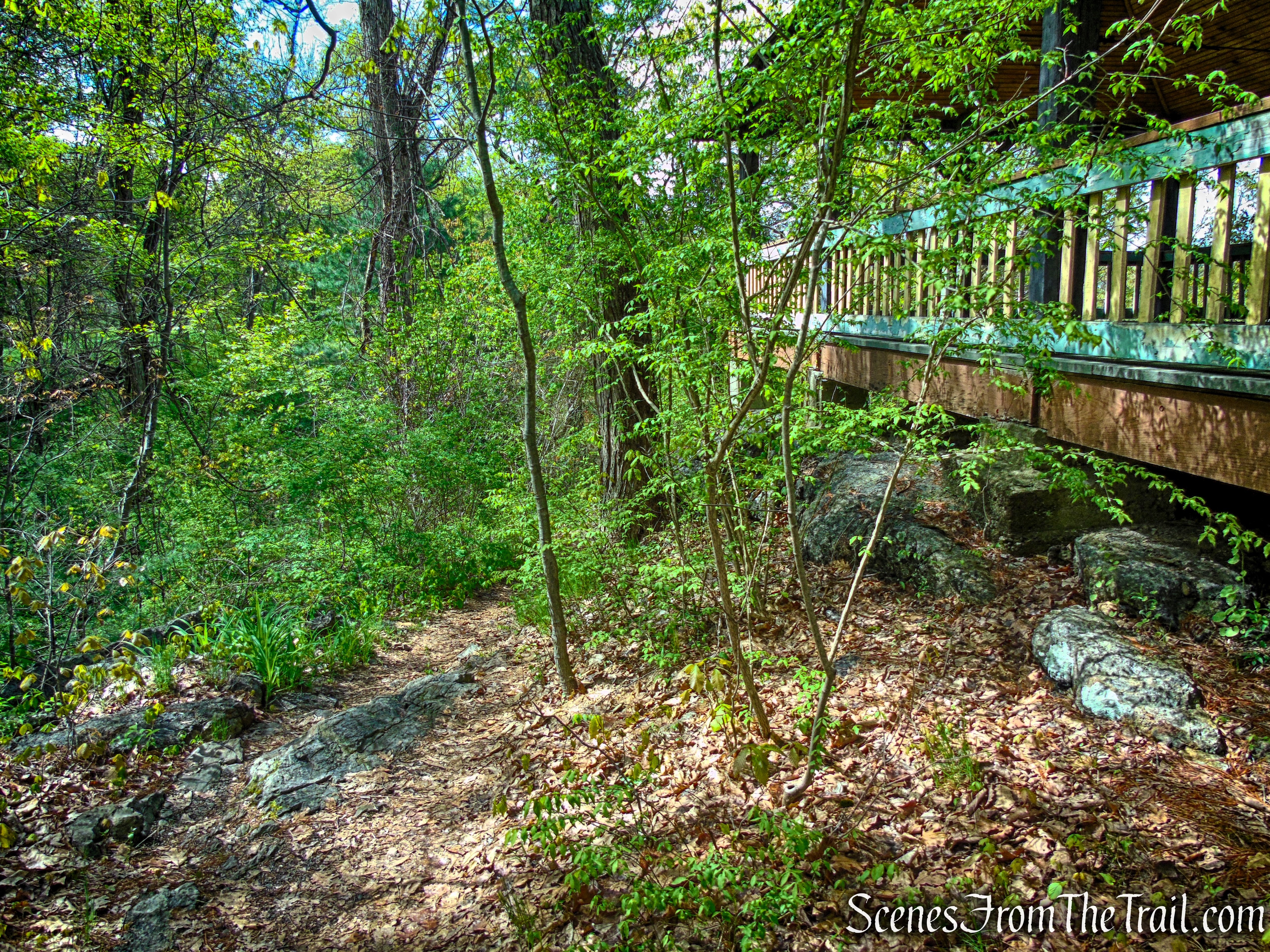
In about a quarter mile, you’ll arrive at a junction marked by a bench and a signpost. From here, turn right and climb the stone steps uphill to stay on the red-blazed Glenclyffe Loop Trail, which circles the Glenclyffe property. Just ahead, a large gazebo comes into view, offering a scenic overlook of the Hudson River.
Glenclyffe Loop Trail
Glenclyffe Loop Trail
Glenclyffe Loop Trail
Glenclyffe Loop Trail
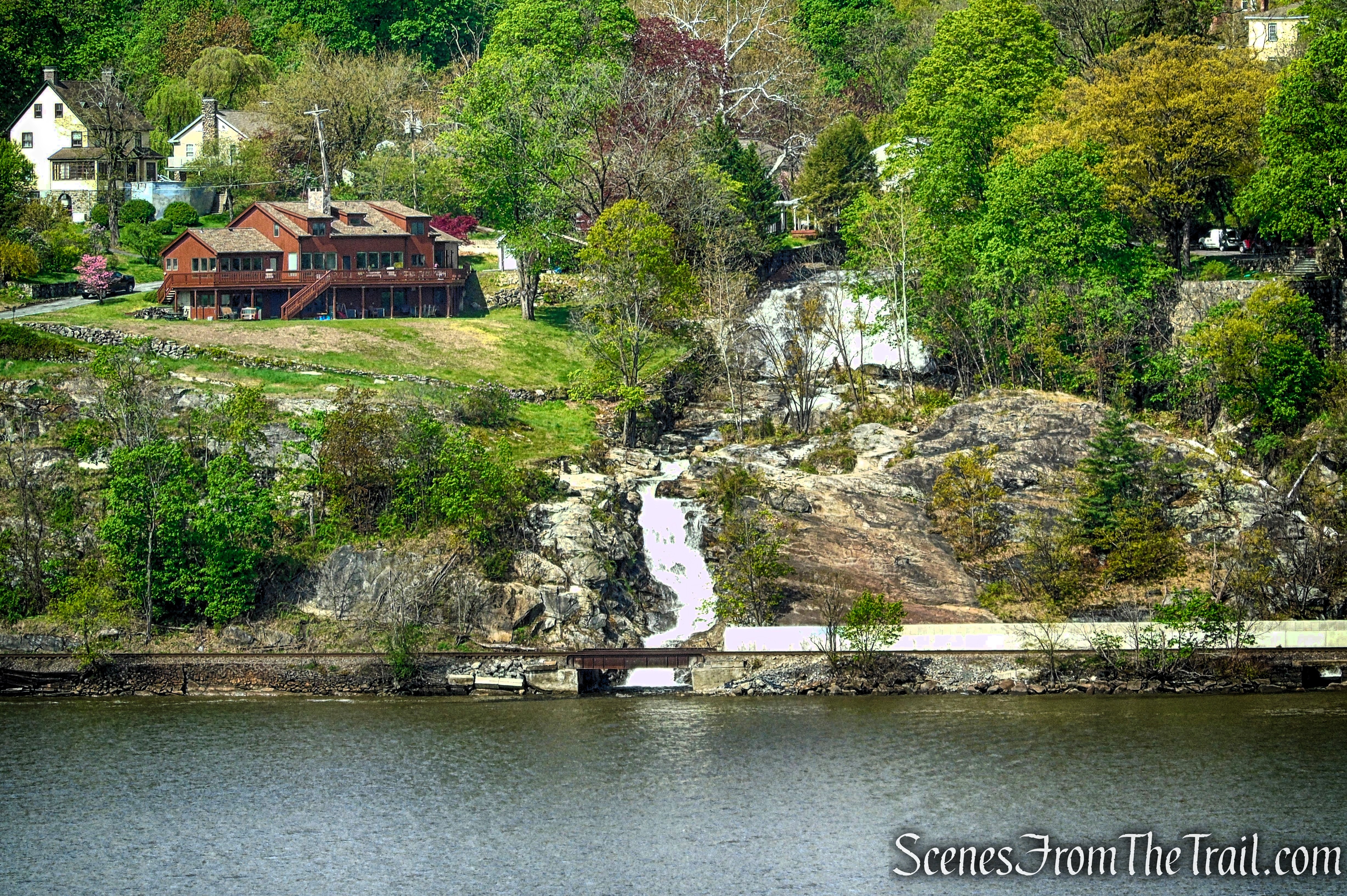
From the gazebo, views stretch across the Hudson River to Highland Falls.
Glenclyffe Loop Trail
A view of Buttermilk Falls in Highland Falls, NY. It is a historic cascade that once helped give the village its early name before it became Highland Falls. It’s a small, steep drop on a local stream descending toward the Hudson River near present-day West Point.
Glenclyffe Loop Trail
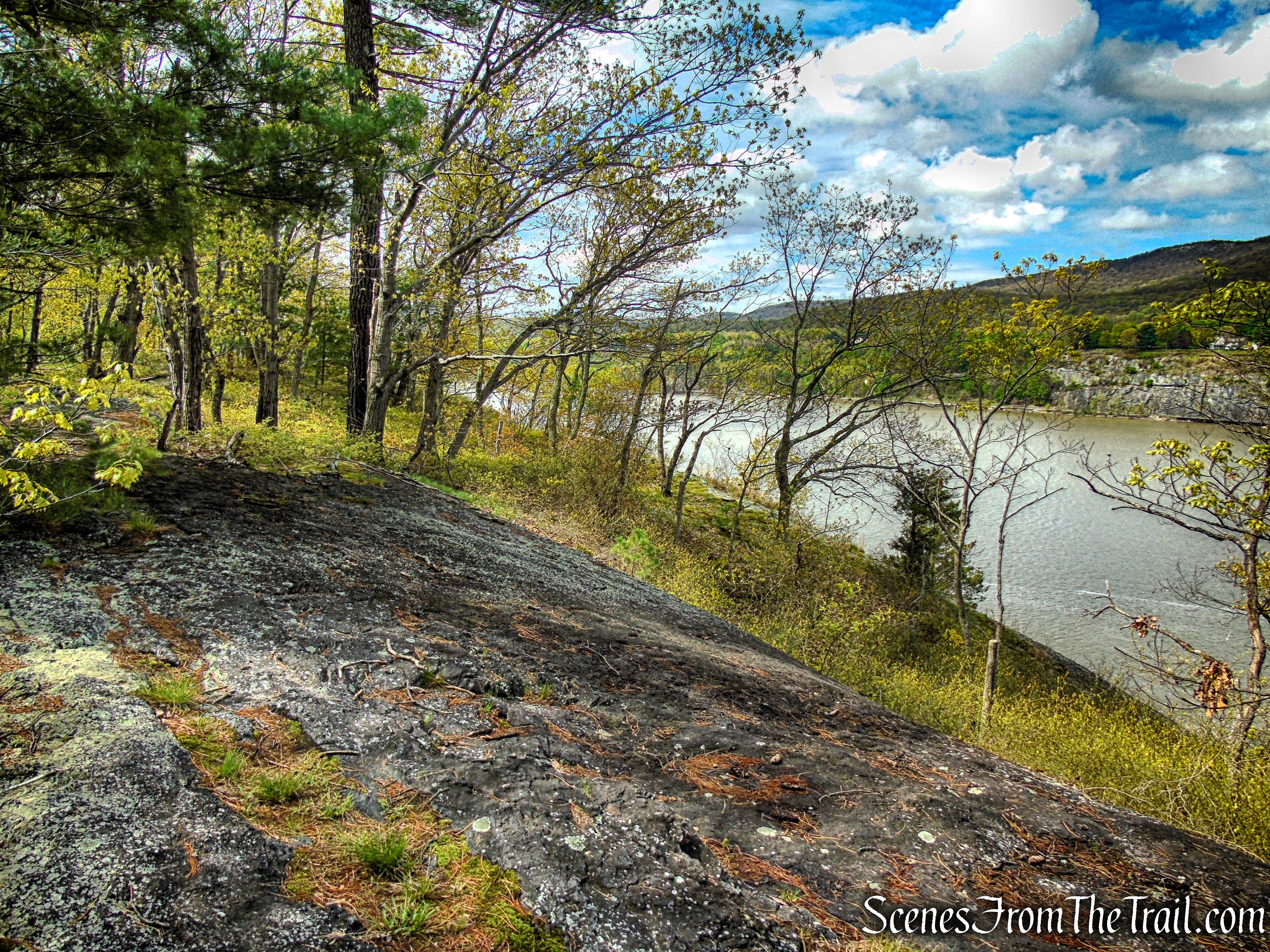
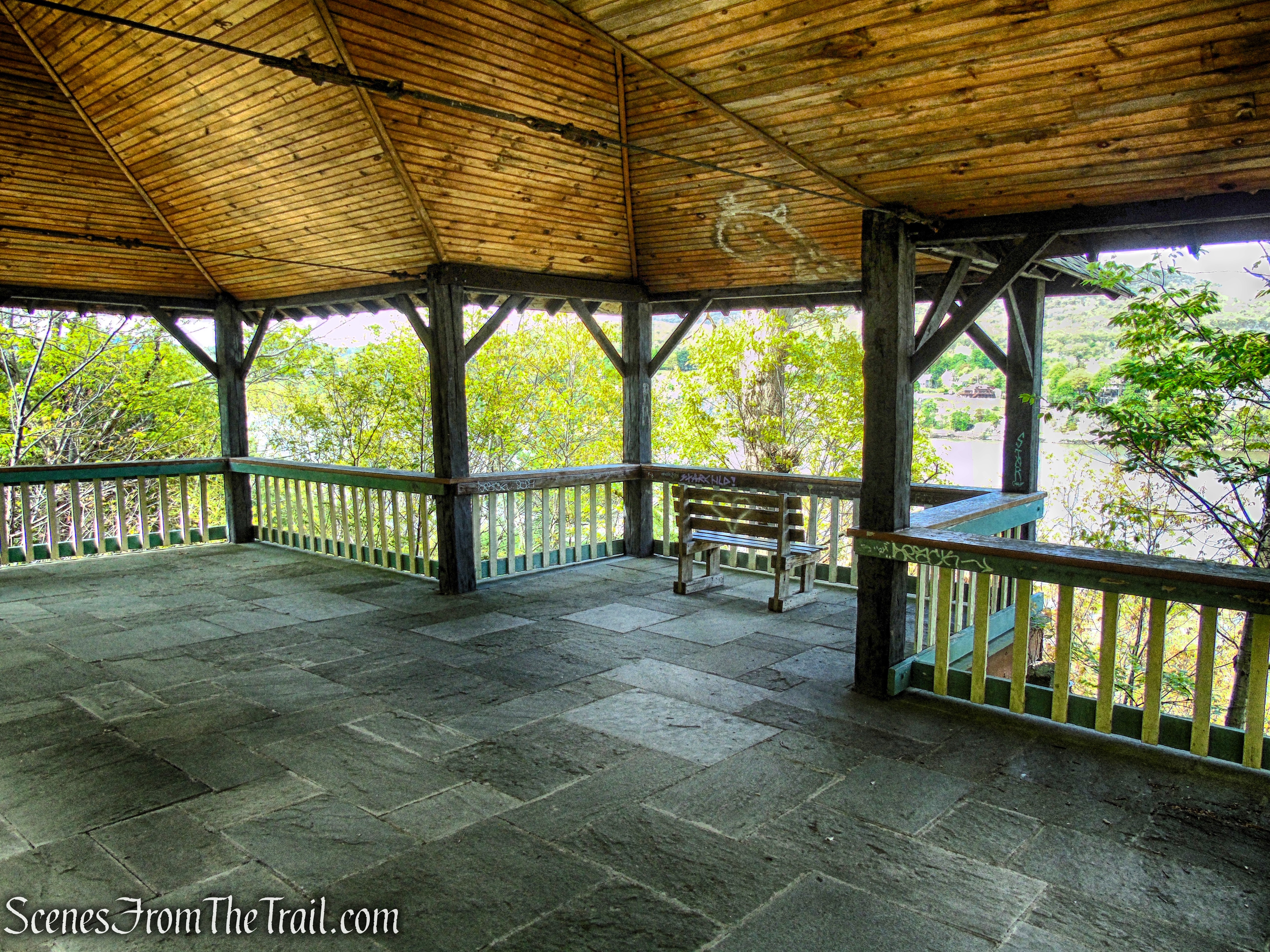
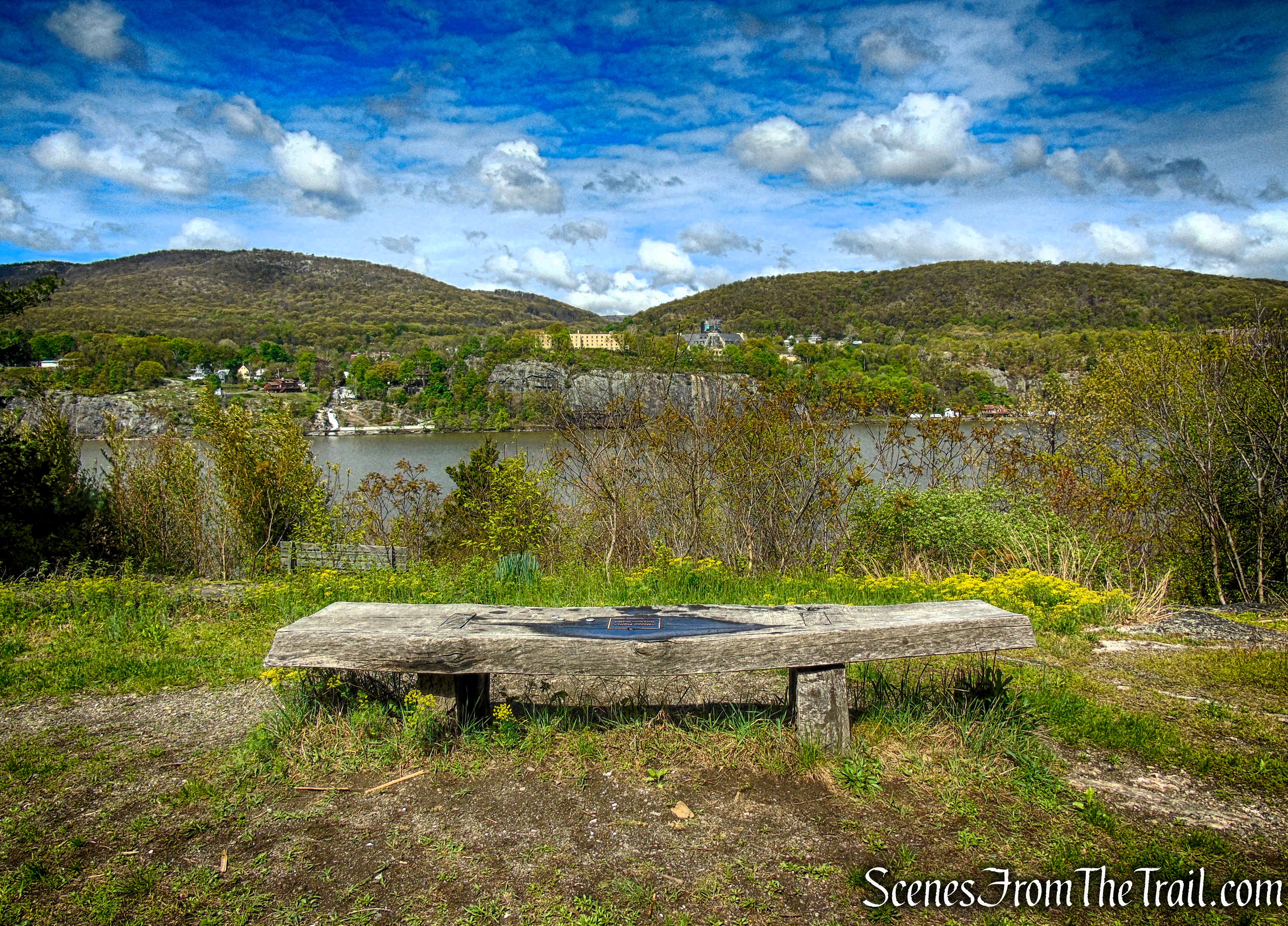
The trail passes to the left of the gazebo and continues south, running parallel to the Hudson River. Shortly ahead, it opens into a wide, scenic overlook with expansive river views, where two benches sit at the edge of the clearing. Below, a stone patio with a wooden bench adds a rustic gathering spot tucked into the slope beneath the viewpoint.
Glenclyffe Loop Trail
Glenclyffe Loop Trail
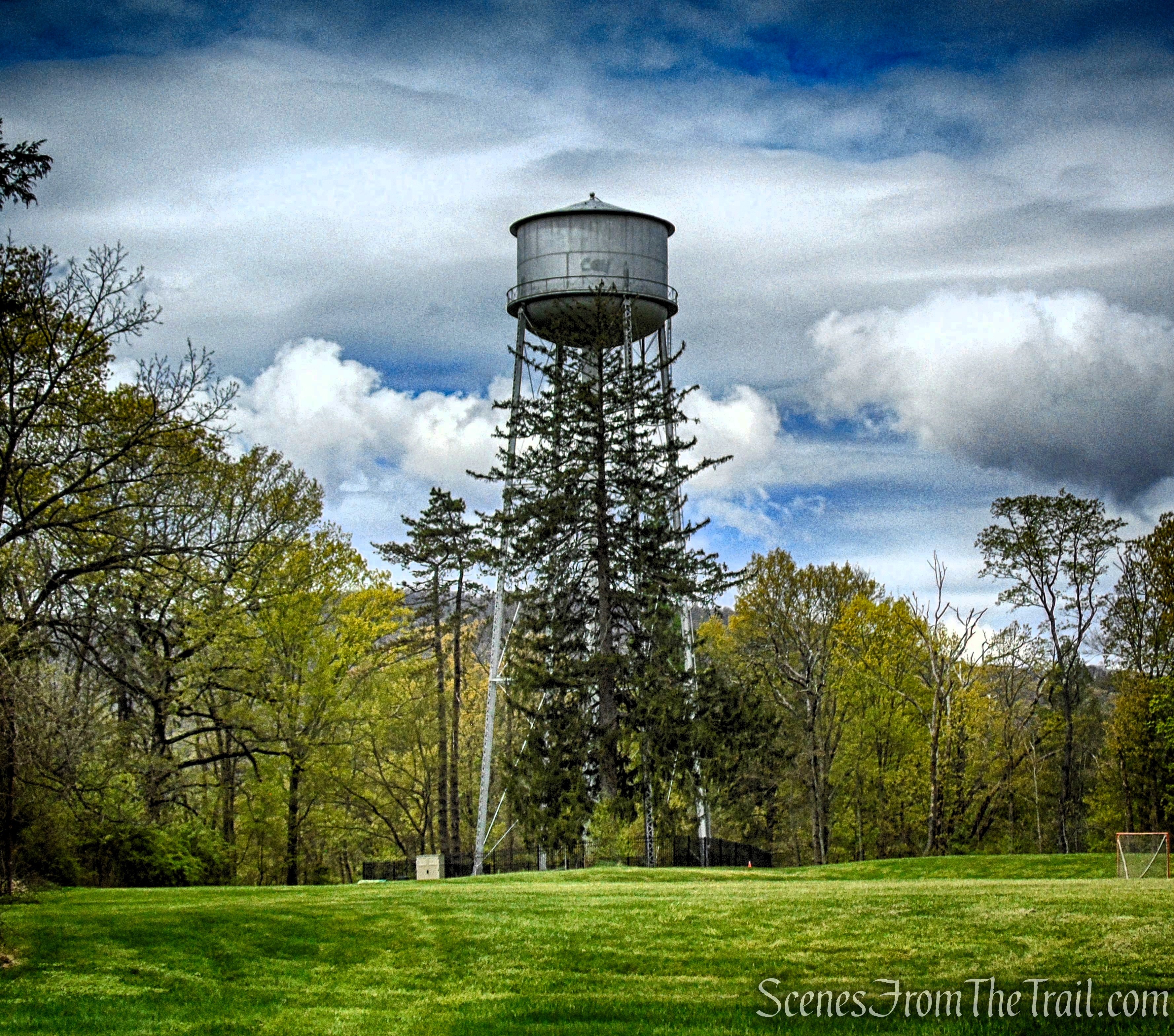
Soon the trail bears left and begins a gentle descent. Just ahead, it swings right and continues south, running parallel to the river with views of the river through the trees. It passes over a small grassy area and a water treatment facility before bending right again at a dense bamboo thicket. In this stretch the path can feel a bit overgrown, and you may need to duck to navigate through the thick bamboo grove.
Glenclyffe Loop Trail
Glenclyffe Loop Trail
Glenclyffe Loop Trail
Glenclyffe Loop Trail
Glenclyffe Loop Trail
Glenclyffe Loop Trail
Glenclyffe Loop Trail
Glenclyffe Loop Trail
Shortly, the red-blazed trail reaches the rim of a ravine. It bears right and descends before continuing forward, running parallel to the river.
Glenclyffe Loop Trail
Glenclyffe Loop Trail
Glenclyffe Loop Trail
Glenclyffe Loop Trail
Glenclyffe Loop Trail
Glenclyffe Loop Trail
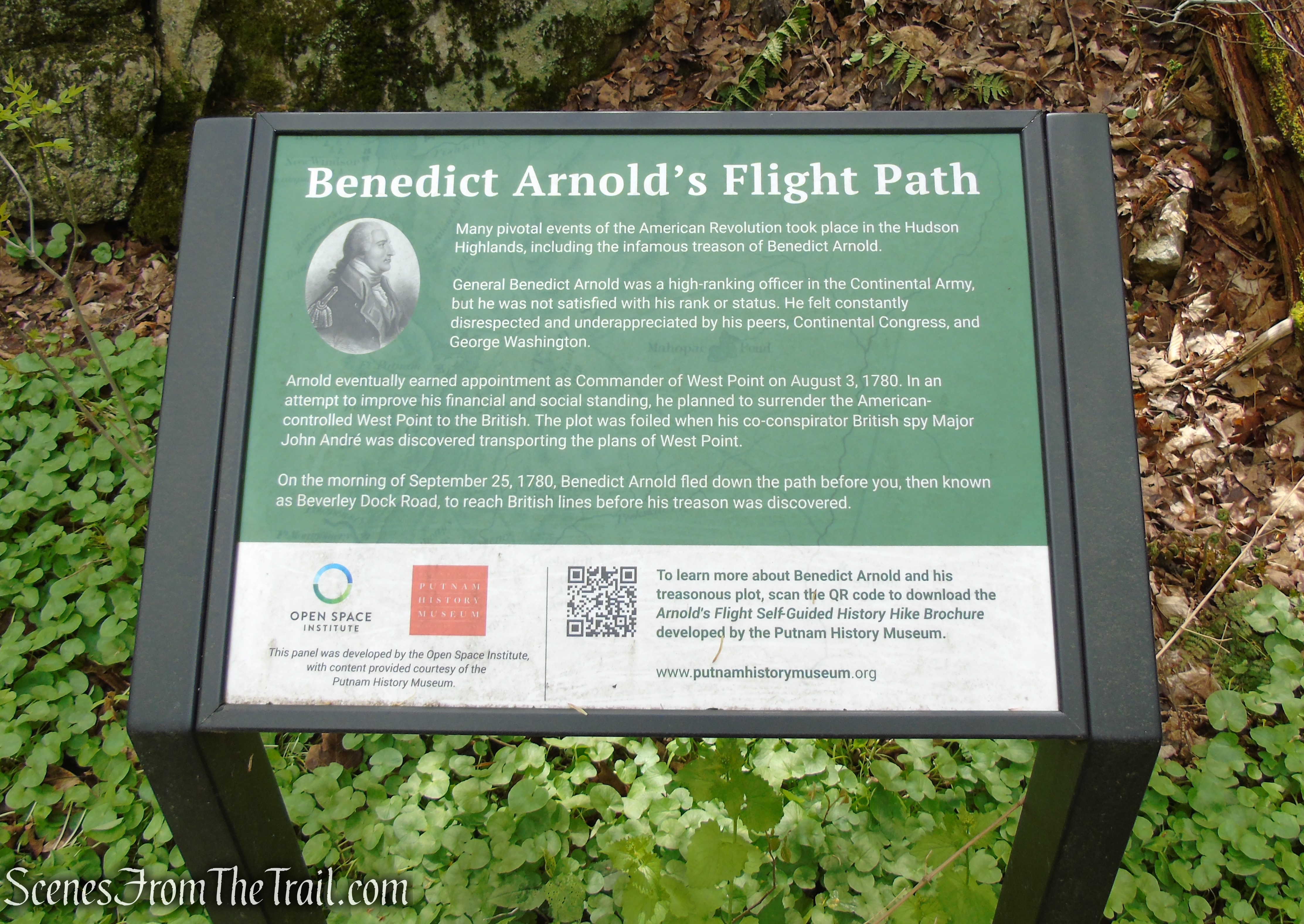
After a short climb followed by another descent, the trail turns sharply left and drops into the ravine, where it follows an old woods road that has narrowed into a footpath. This historic route, known as Beverly Dock Road, is traditionally associated with Benedict Arnold’s 1780 flight after his treason was uncovered.
Glenclyffe Loop Trail
Glenclyffe Loop Trail
Glenclyffe Loop Trail
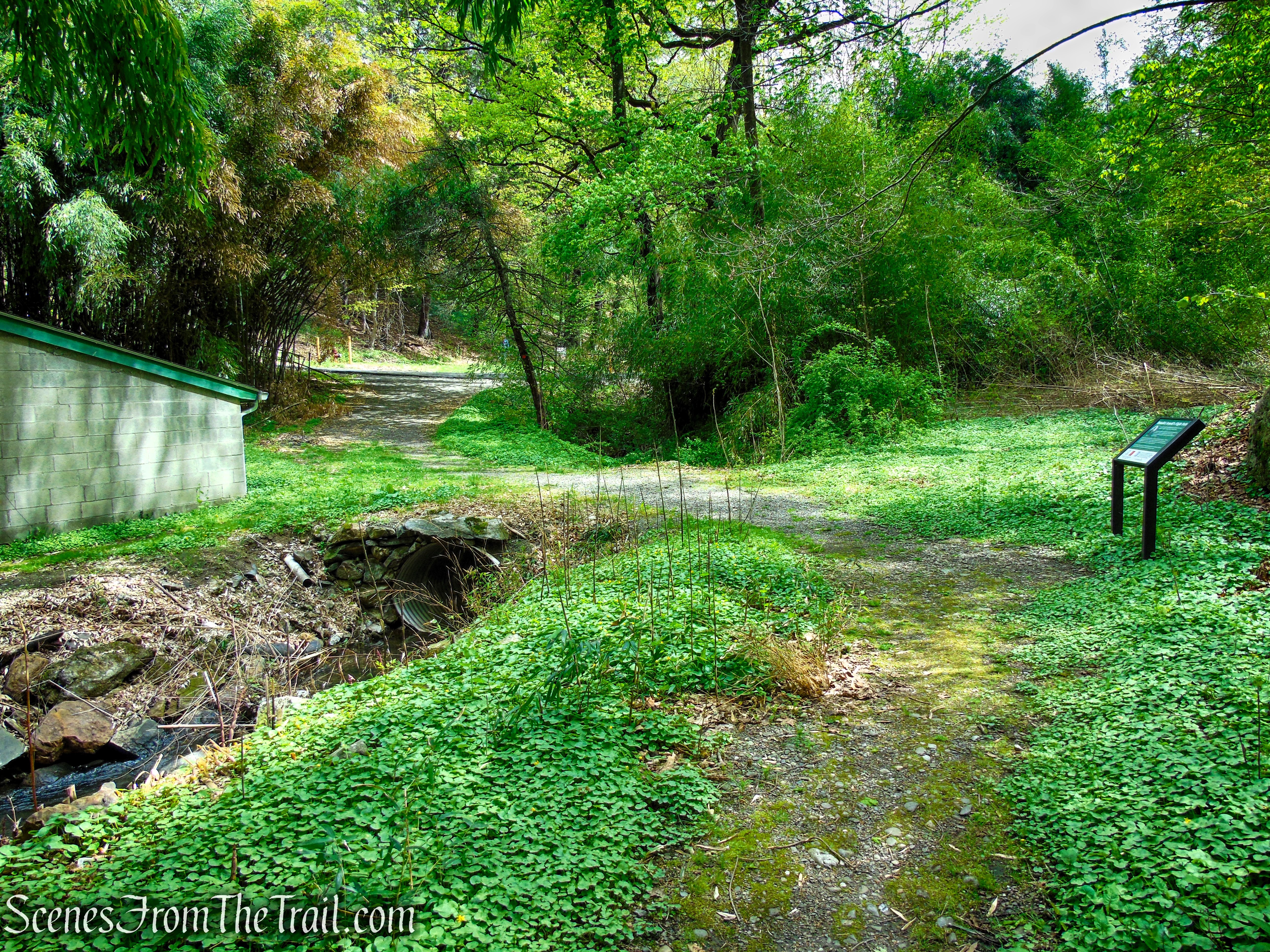
The trail crosses a stream on a large metal culvert and climbs gently, with the stream on the left. After bearing right at a small dam and bamboo thicket, the trail passes to the right of a small pond (largely obscured by the bamboo thicket).
Glenclyffe Loop Trail
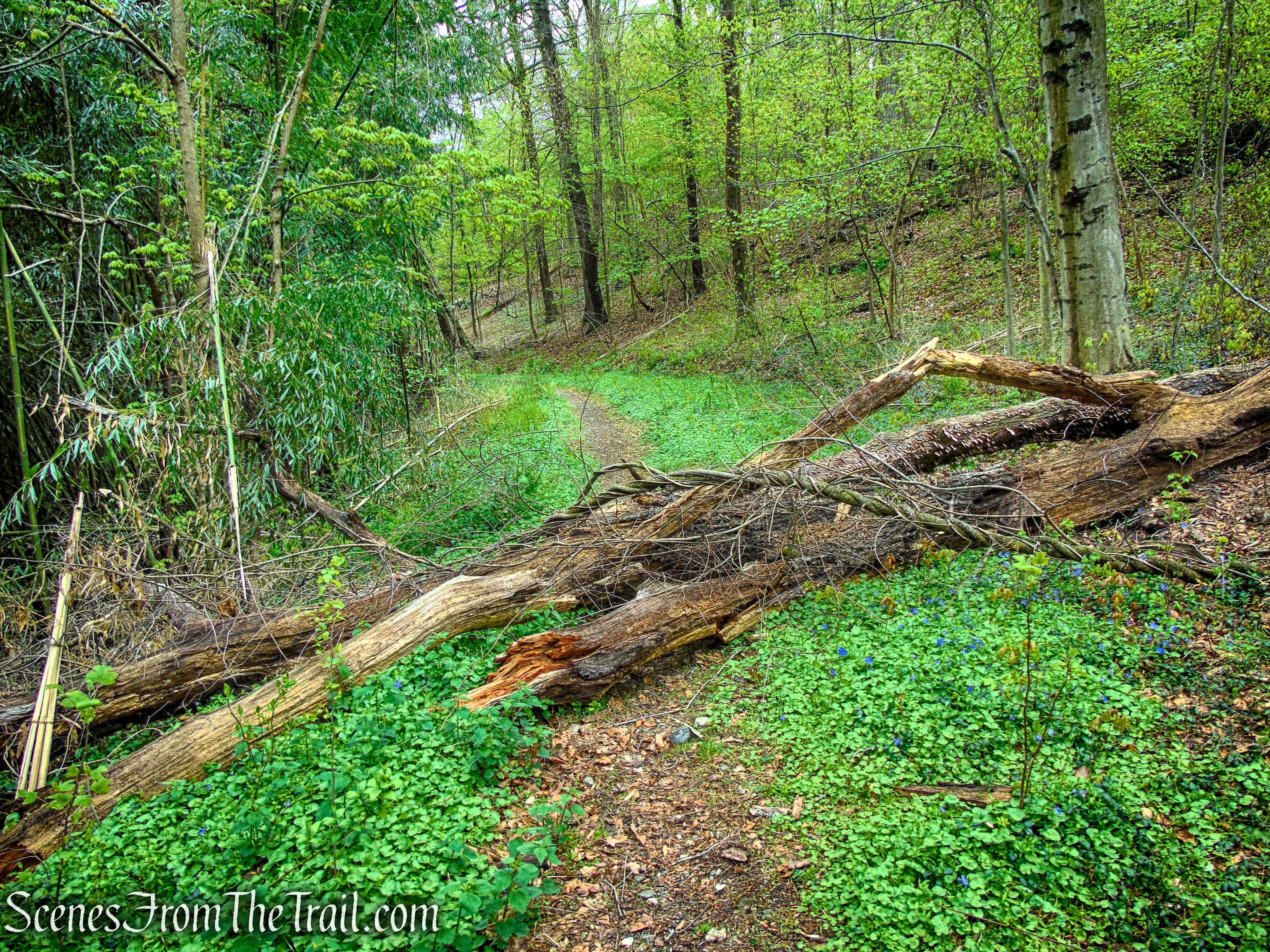
This was the only obstacle we encountered that required us to climb over.
Glenclyffe Loop Trail
Glenclyffe Loop Trail
Glenclyffe Loop Trail
Glenclyffe Loop Trail
Glenclyffe Loop Trail
Just beyond, the trail turns left, recrossing the stream on another culvert and passing a cinder-block building. An interpretive panel on the right relates the story of the escape of Benedict Arnold along this road during the Revolutionary War. It immediately turns right, passing to the left of a second pond.
Glenclyffe Loop Trail
Glenclyffe Loop Trail
Glenclyffe Loop Trail
Glenclyffe Loop Trail
Glenclyffe Loop Trail
The Glenclyffe Loop Trail soon passes through another bamboo thicket, and as it approaches Route 9D, it climbs steeply before emerging onto a wide open grassy field.
Glenclyffe Loop Trail
Glenclyffe Loop Trail
Glenclyffe Loop Trail
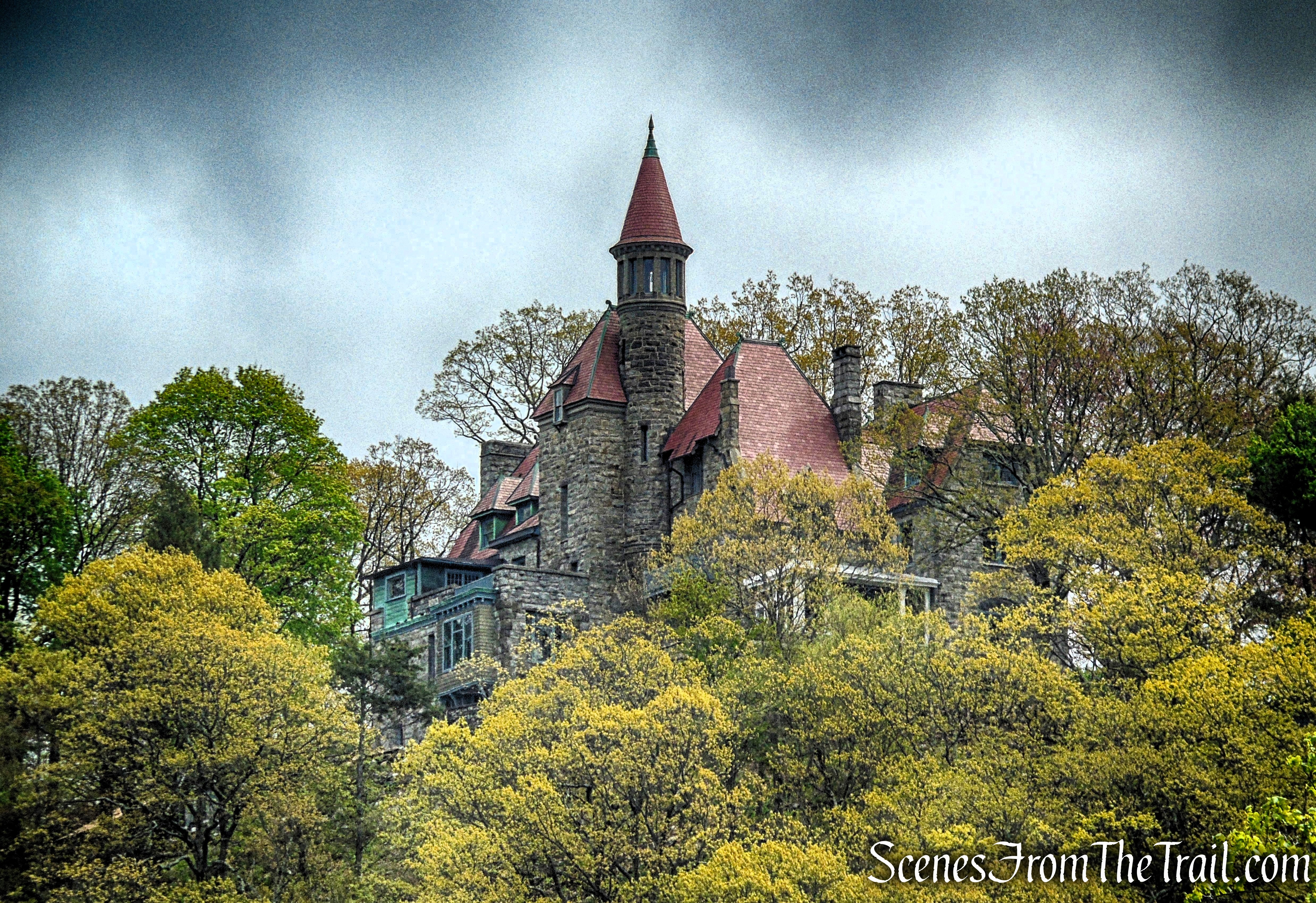
The trail runs along a tree line parallel to the road, with Castle Rock rising into view on the hilltop to the east.
Glenclyffe Loop Trail
Glenclyffe Loop Trail
Glenclyffe Loop Trail
Glenclyffe Loop Trail
Castle Rock aka Osborn Castle, is a historic stone mansion perched high above the Hudson River in the Hudson Highlands. Built in the early 20th century for railroad executive William Henry Osborn, it was designed to resemble a European-style castle, complete with turrets and sweeping river views. Though now in ruins, its dramatic perch still offers one of the most striking overlooks in the region.
Glenclyffe Loop Trail
Glenclyffe Loop Trail
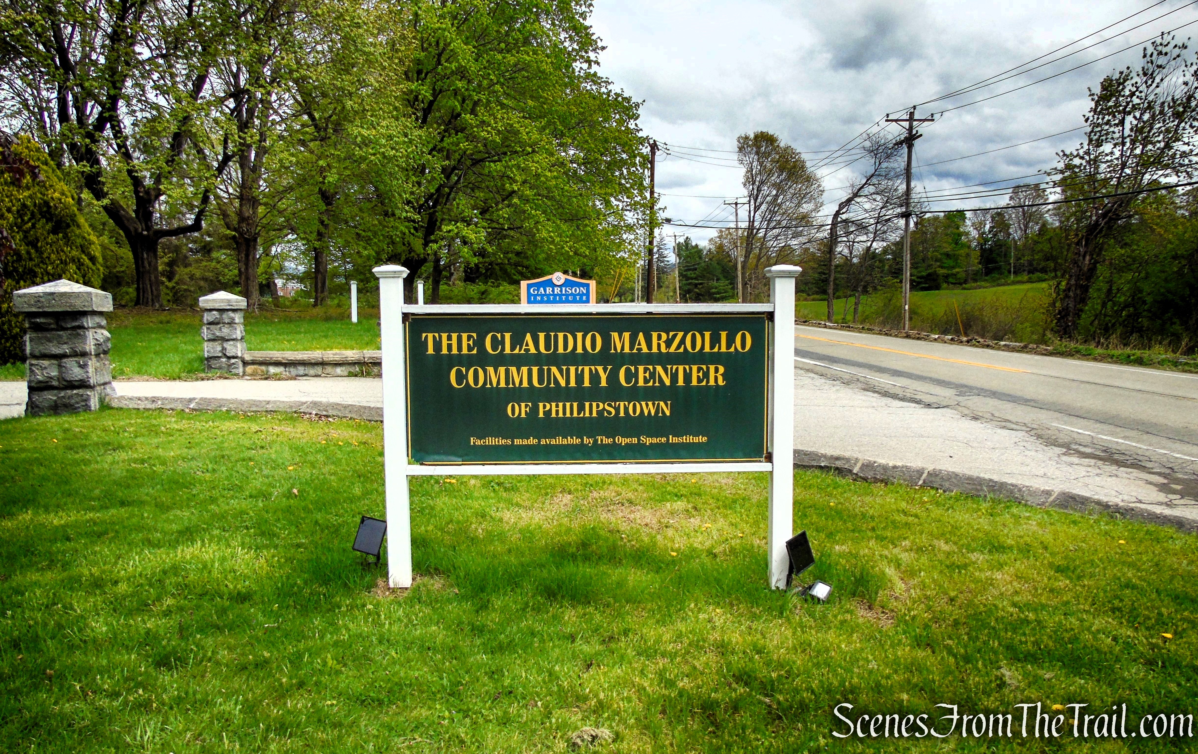
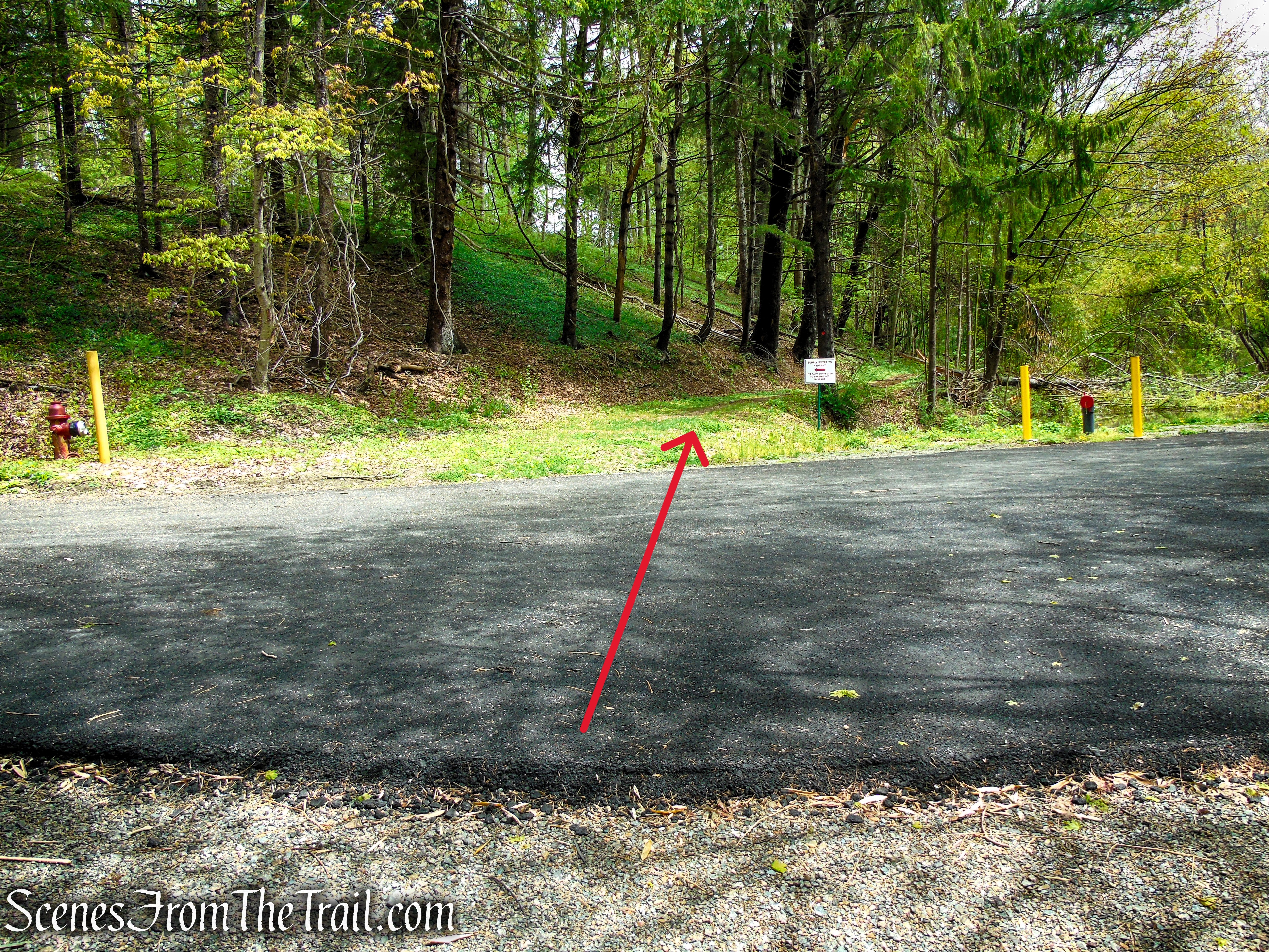
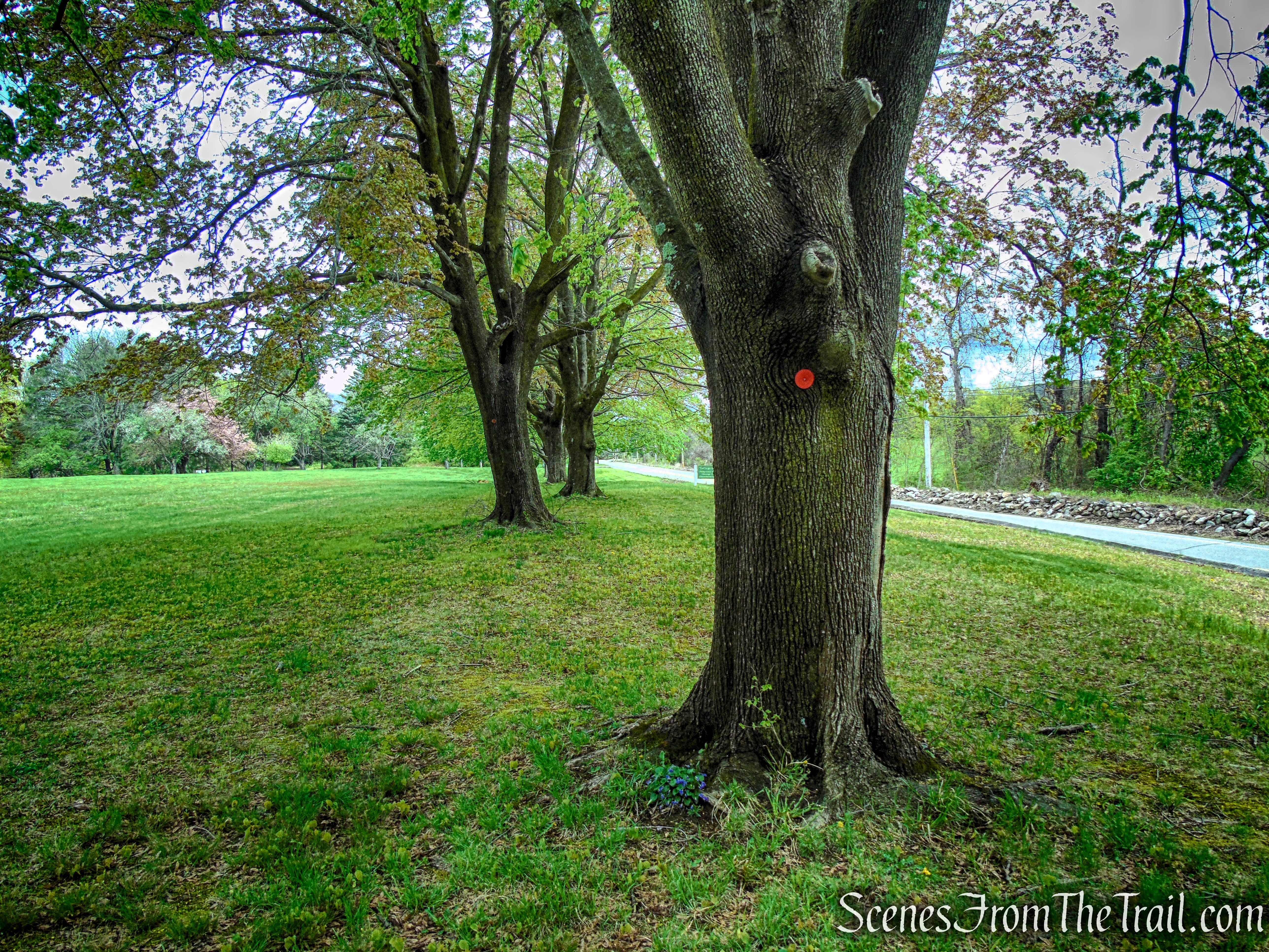
At the sign for the Claudio Marzollo Community Center of Philipstown, turn left onto the paved entrance road. Just ahead on the right, beyond the Glenclyffe Trailhead parking sign, you’ll find the parking lot where the hike began.
The Claudio Marzollo Community Center of Philipstown
Glenclyffe Trailhead parking
Glenclyffe Trailhead parking
Review:
The roughly three-mile loop at Glenclyffe is an easy-to-moderate hike that packs a lot into a short distance. The trail winds through quiet woods and open areas with countless Hudson River views, while gentle climbs add just enough challenge without feeling strenuous. With its peaceful setting and subtle historic character, it’s a rewarding, well-rounded hike that’s perfect for a quick escape. I would definitely recommend this hike.
Pros:
Scenic Hudson River views, quiet wooded trails, scenic landscape, peaceful atmosphere, well marked trails.
Cons:
N/A
Take a hike!
Glenclyffe and Arden Point Loop
Sources:
- Glenclyffe History
- Open Space Institute Sells Glenclyffe Friary 2003
- Garrison Institute – Nearby Hiking Trails
- Opening of the Newly Improved Glenclyffe Loop Trail
- Glenclyffe Loop Trail
