May 22, 2019 – Garrison, NY
Difficulty: Moderate – Strenuous
Length: Approximately 4 miles
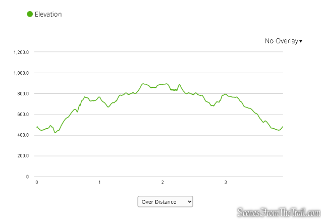
Max elevation: 910 ft. – total elevation gain: approximately 773 ft.
Route type: Out and back (partial loop)
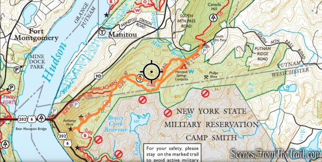
Map: East Hudson Trails Map #101 – Free Map
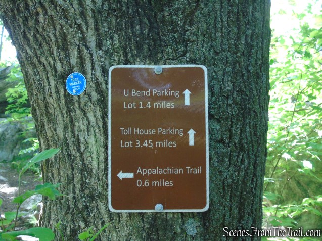
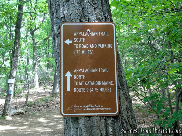
Trailhead parking: 94 South Mountain Pass Road – Garrison, NY 10524 (A 3-4 car lot and a wide shoulder is available for parking where the AT crosses South Mountain Pass Road).
Details on hikes to Anthony’s Nose via different routes:
- Camp Smith Trail
- Anthony’s Nose via Military Road
- Anthony’s Nose Rock Scramble
- Anthony’s Nose from Route 9D
- Anthony’s Nose from Route 202
- Anthony’s Nose from South Mountain Pass (snow) 2019
Please Note ~ This hike is adjacent to the Camp Smith Military Reservation, and hikers must stay on the marked trail at all times.
Overview:
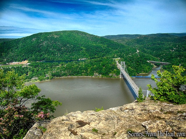
Anthony’s Nose is one of the most iconic and recognizable peaks in the Hudson Highlands, rising prominently above the eastern shore of the Hudson River by the Bear Mountain Bridge. Known for its dramatic rocky overlooks and sweeping river views, the mountain has become one of the most popular hiking destinations in the Lower Hudson Valley. From its exposed ledges, hikers are rewarded with expansive panoramas of the Hudson River, the Bear Mountain Bridge, Bear Mountain State Park, and the surrounding forested ridges of the Highlands.
Several trails lead to Anthony’s Nose, including routes via the Appalachian Trail, the Camp Smith Trail, and shorter approaches from Route 9D. While some routes are relatively short, the terrain is often rugged and rocky, featuring steep climbs, exposed bedrock, and uneven footing characteristic of the Hudson Highlands. The mountain’s open rock outcrops and dramatic elevation above the river create a sense of exposure rarely found so close to New York City.
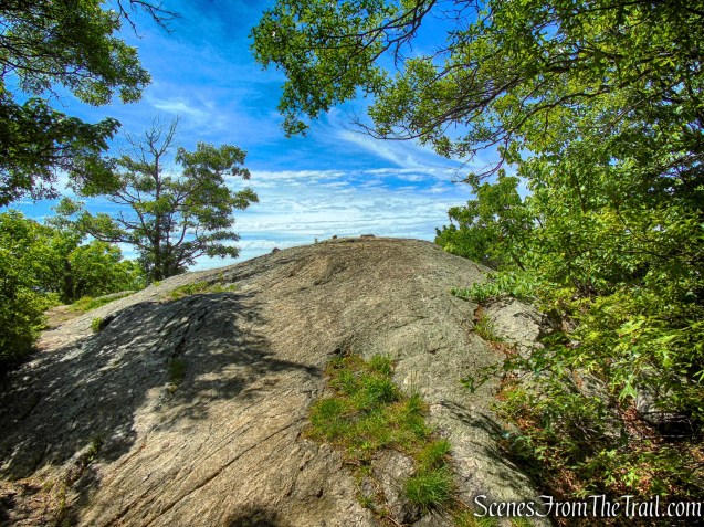
The summit area consists of broad slabs of exposed stone dotted with low vegetation, adding to the mountain’s rugged character. Whether approached as a quick scenic hike or as part of a longer traverse through the Highlands, Anthony’s Nose offers some of the finest and most memorable views in the region.
History:
Anthony’s Nose has a long history tied to the early settlement and folklore of the Hudson Valley. The mountain’s unusual name is commonly believed to date back to the Dutch colonial era, when early settlers supposedly named the prominent rocky peak after a man named Anthony whose nose was said to resemble the mountain’s rounded profile. One popular legend attributes the name to “Anthony Hogan,” a Dutch sailor associated with the nearby Hudson River, though several variations of the story exist and the true origin remains uncertain.
Because of its commanding position high above the Hudson River, Anthony’s Nose has long served as a natural landmark for travelers moving through the narrow Hudson Highlands corridor. During the colonial period and the American Revolution, the surrounding Highlands were strategically important because control of the Hudson River was vital to transportation and military operations between New England and the rest of the colonies. Nearby locations such as West Point and Fort Montgomery played major roles in the defense of the river.
In the late 19th and early 20th centuries, the Hudson Highlands became increasingly popular with hikers, tourists, and outdoor clubs drawn by the dramatic scenery overlooking the river. Trails were gradually established across the mountain, eventually becoming part of larger trail systems including the Appalachian Trail and the Camp Smith Trail network. The construction of the nearby Bear Mountain Bridge in 1924 further increased accessibility to the area and helped establish Anthony’s Nose as one of the Hudson Valley’s best-known scenic overlooks.
Today, Anthony’s Nose remains one of the most visited hiking destinations in the Lower Hudson Valley, valued both for its panoramic views and for its place within the long cultural and natural history of the Hudson Highlands.
Trails Overview:
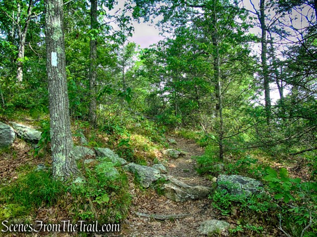
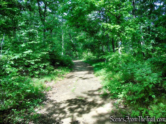
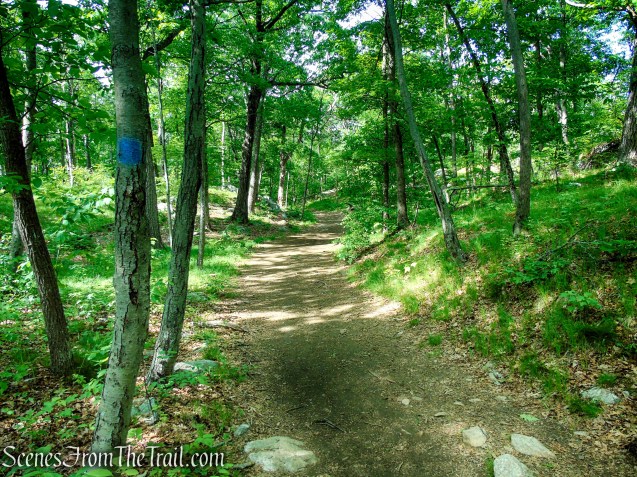
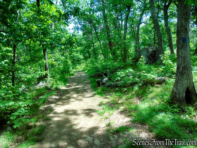
- Appalachian Trail (1.85-mile) ~ This white-blazed trail is well marked and easy to follow. The AT features several short but steep descents and climbs, though it is generally a slightly easier approach than the route from Route 9D. It is still a rugged hike, however, with rocky and uneven terrain throughout. Between the woods roads, the trail narrows to a traditional footpath that winds through the forested mountainside.
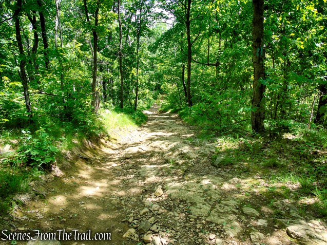
- Camp Smith Trail (1.3 miles) ~ This blue-blazed trail is well marked and follows a wide woods road. The road is extremely eroded and quite rocky.
- Military Road (1 mile) ~ is an unmarked rocky woods road that heads north toward South Mountain Pass, passing through a quiet, wooded corridor between Anthony’s Nose and Mine Mountain. Today, it serves as a rough, lightly maintained access route used by hikers and Camp Smith personnel. Its gentler grades and wider tread make it a more moderate return route following an otherwise rugged hike.
Parking:
There is a small gravel lot (fits 3-4 cars) and available shoulder parking along the south side of South Mountain Pass Road, right where the Appalachian Trail crosses the road.

There is a porta-potty located by the parking area.
Hike Overview:
I first did this hike in February 2019, with snow covering the trails and the Hudson Highlands locked in winter stillness. Seven years later, I finally returned to revisit the route, experiencing the same rugged terrain and sweeping views under entirely different conditions.
This is a lesser-used route than the more popular approach from Route 9D, though it is not significantly easier. While the grades are somewhat more moderate overall, the rugged terrain, rocky footing, and repeated elevation changes still make for a challenging hike.
With parking limited at the South Mountain Pass Road trailhead, the northern end of this hike tends to see fewer hikers, offering a quieter and more secluded experience compared to the more popular Route 9D approach.
This moderately strenuous hike is nearly 4 miles long, with approximately 800 feet of elevation gain.
As shown in the elevation profile below, this 4-mile hike features frequent ups and downs throughout, with repeated climbs and descents that add to its rugged character.
The Hike:
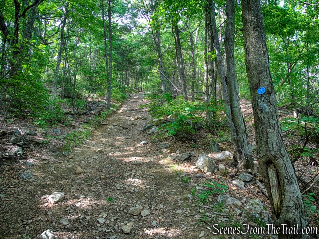
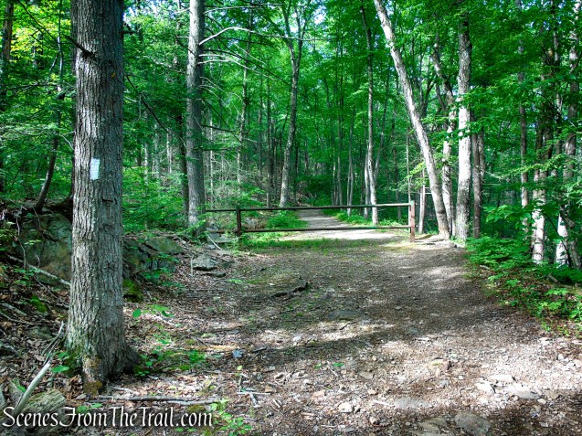
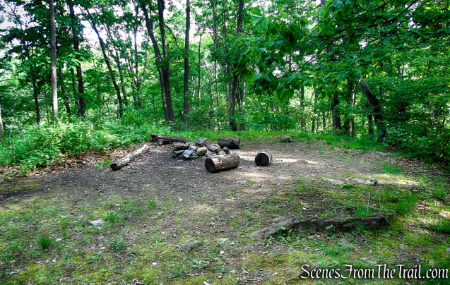
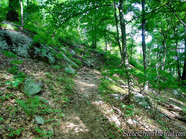
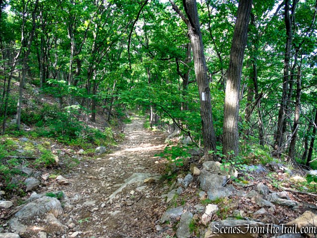
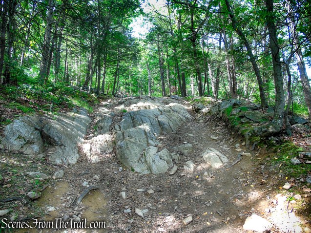
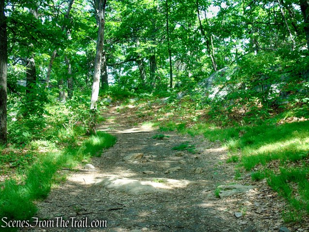
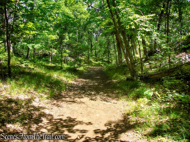
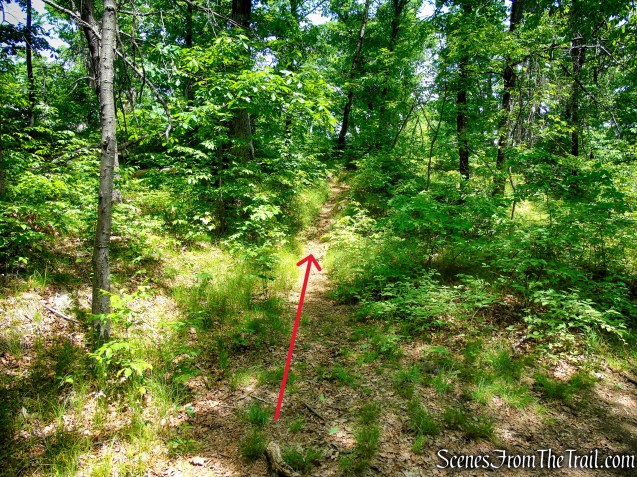
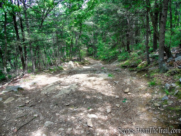
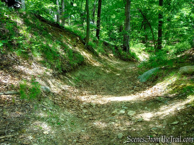
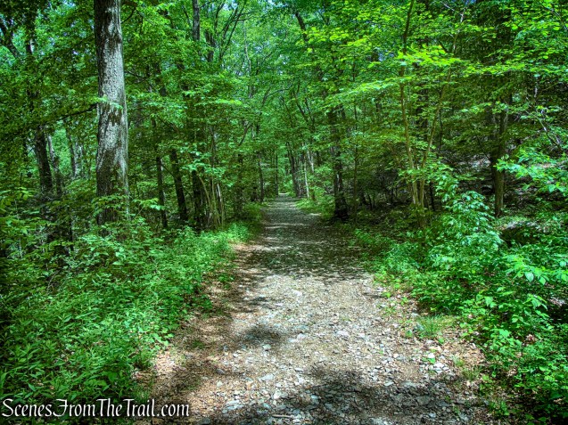
From the parking area, walk west a short distance and look for the white blazes marking the Appalachian Trail crossing on South Mountain Pass Road. Turn left and head south on the AT as it follows a woods road past a gate. After roughly 1,000 feet, the white-blazed trail turns right at the Hemlock Springs Campsite, leaving the woods road behind. Continue following the Appalachian Trail as it descends steeply into the wooded clove between Anthony’s Nose and Mine Mountain.
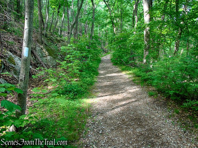
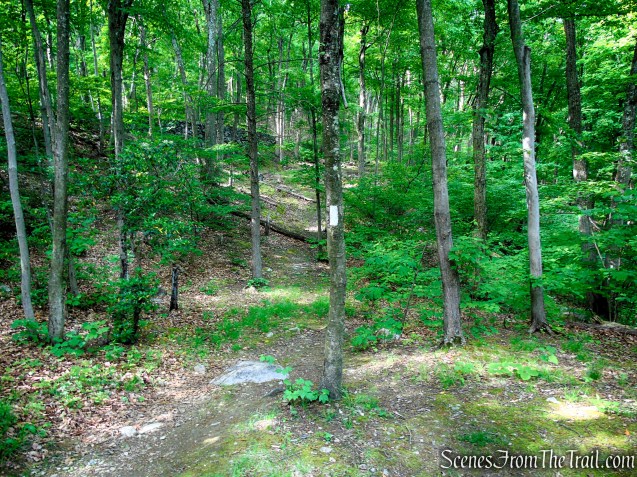
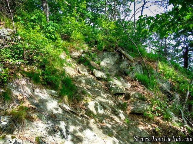
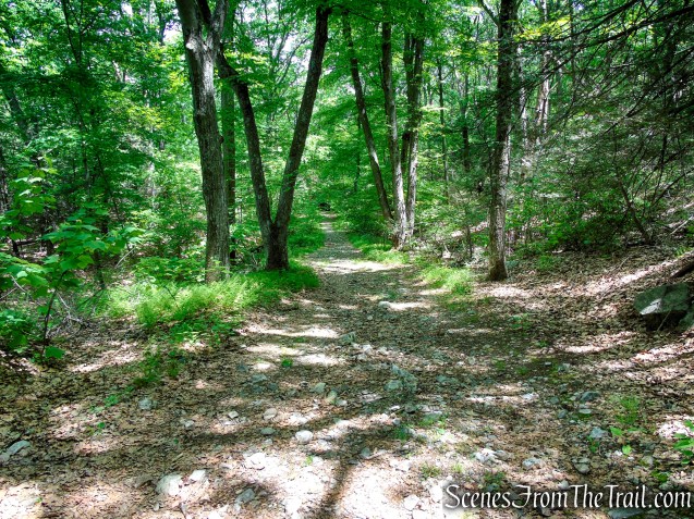
The Appalachian Trail soon begins climbing the north face of Anthony’s Nose on a moderate grade before gradually steepening as it ascends the rugged mountainside. After a brief leveling section, the trail resumes its climb over rocky and uneven terrain. Along this stretch, the narrow footpath winds through dense thickets of mountain laurel, whose glossy evergreen leaves frame the trail and create a sheltered woodland corridor beneath the forest canopy.
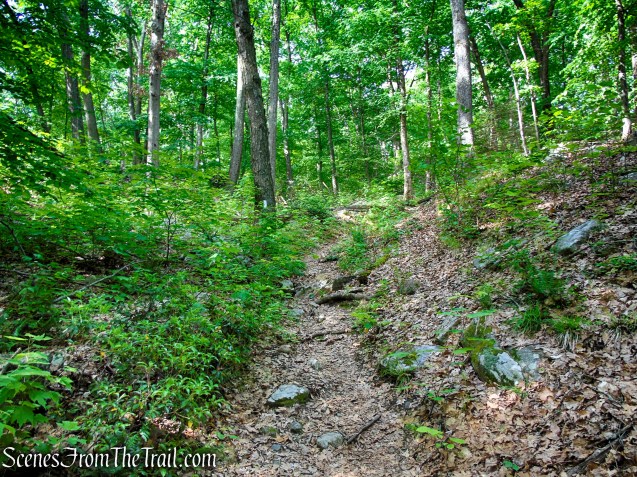
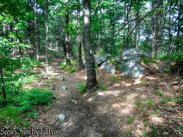
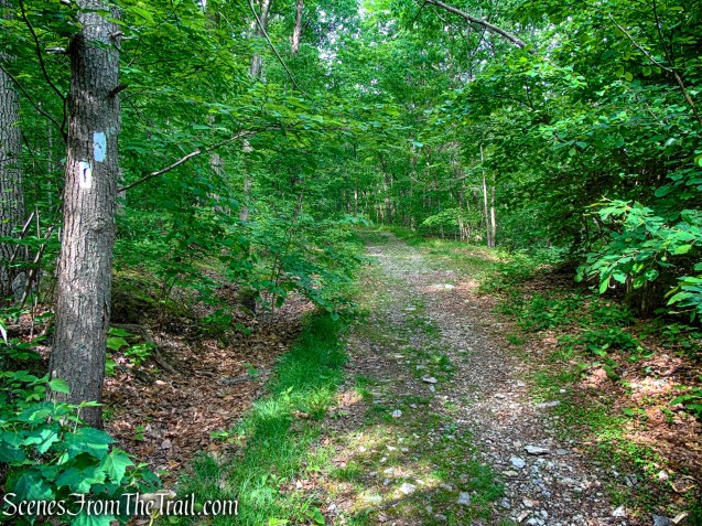
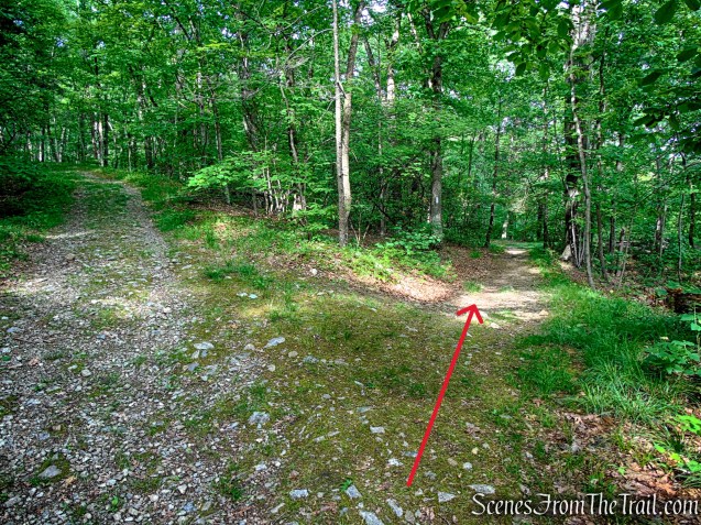
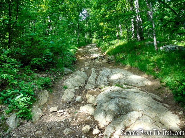
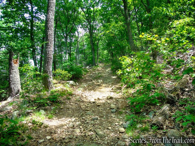
After nearly a mile, the trail turns sharply right onto an old woods road and begins a fairly steep descent. About 350 yards later, the white-blazed Appalachian Trail leaves the woods road on the right and drops steeply toward Route 9D through rugged, rocky terrain.
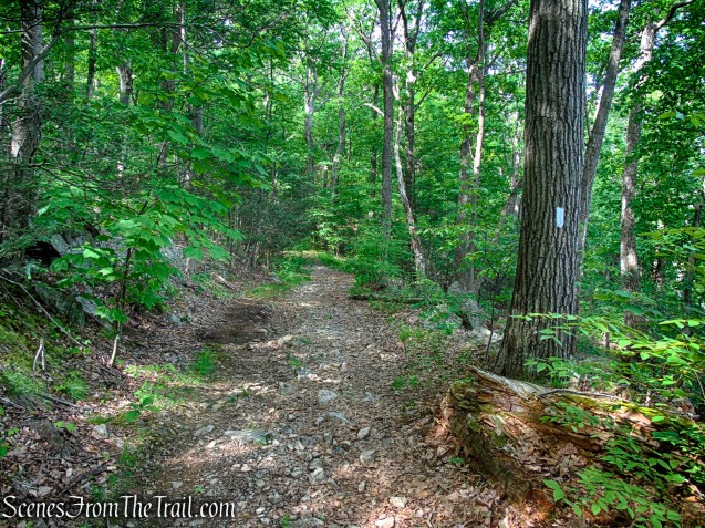
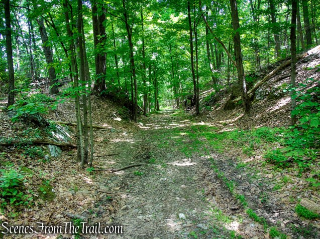
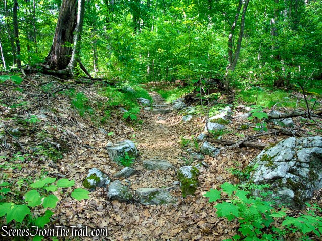
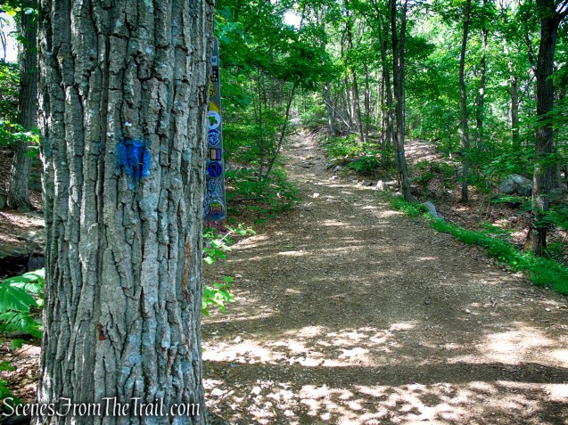
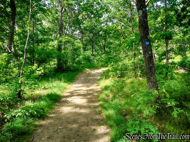
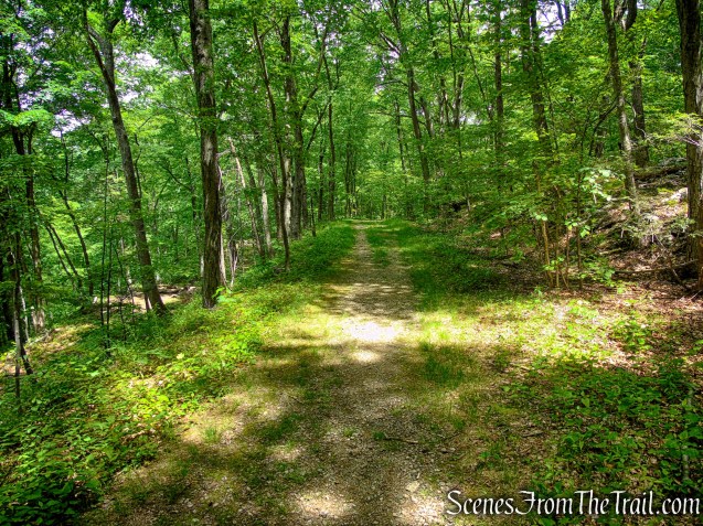
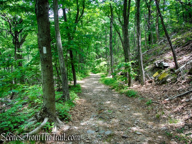
When the white-blazed Appalachian Trail turns right, continue straight ahead on the woods road, now following the blue blazes of the Camp Smith Trail as it continues along the same rocky, eroded roadway.
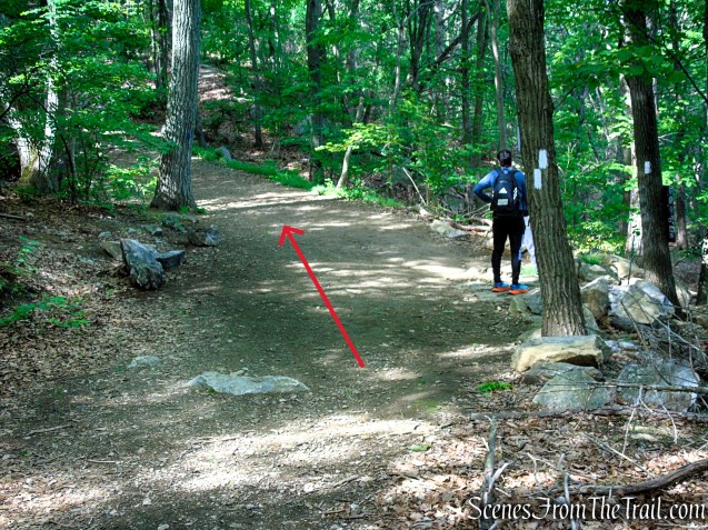
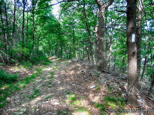
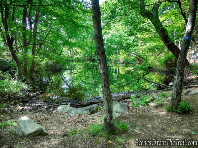
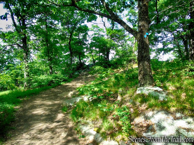
The blue-blazed Camp Smith Trail climbs at a moderately steep grade, though not quite as aggressively as the earlier section of the Appalachian Trail. After a short ascent, the trail briefly levels off as it passes a small pond on the left. Beyond the pond, the Camp Smith Trail resumes its steady climbs over rocky terrain as it continues south toward the main viewpoint atop Anthony’s Nose.
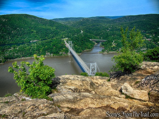
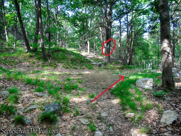
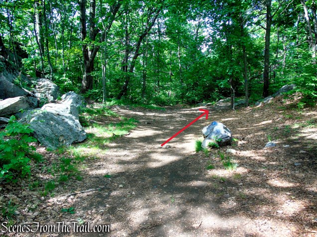
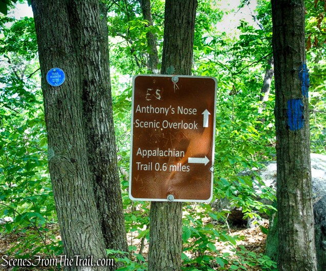
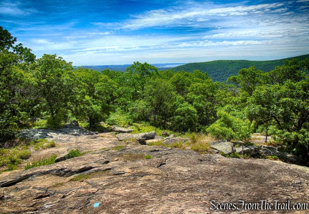
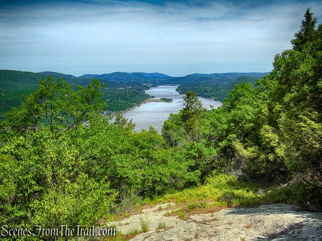
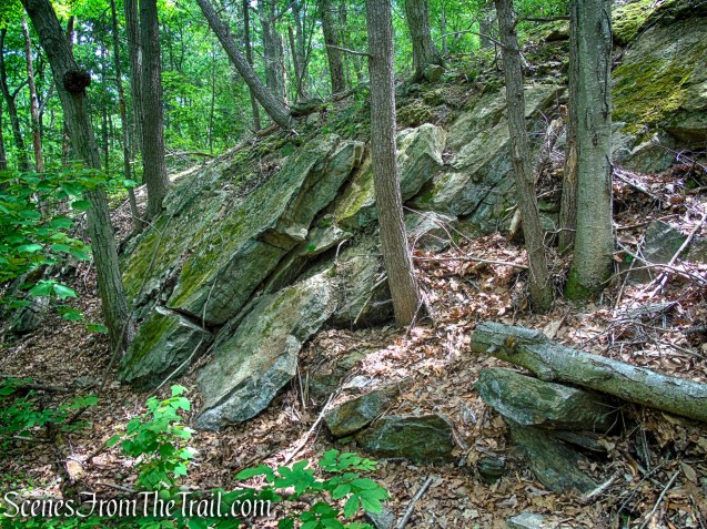
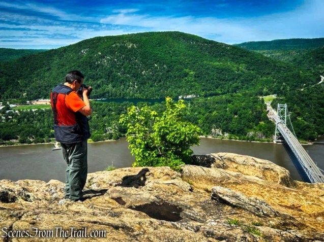
Continue following the blue blazes and, about 0.6 mile from the junction with the Appalachian Trail, the blue-blazed Camp Smith Trail turns left and climbs a short rocky cliff. Here, turn right and continue along the woods road toward a large exposed rock outcrop that offers panoramic views of the Hudson River, the Bear Mountain Bridge, and the rugged hills of Bear Mountain State Park and Harriman State Park.
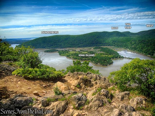
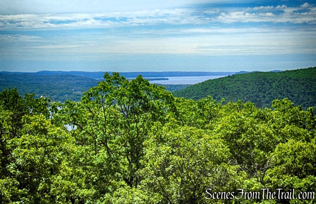
From Anthony’s Nose, the view southwest stretches across the Hudson River toward Iona Island and the rolling, forested hills of Bear Mountain State Park, where layered ridgelines rise beyond the river in classic Hudson Highlands scenery.

Looking west, the massive slopes of Bear Mountain dominate the landscape beyond the Hudson River, while Hessian Lake rests quietly at the foot of the mountain far below.
Looking northwest, the Route 9W Popolopen Creek Bridge and the Popolopen Creek Footbridge span the dramatic chasm of Popolopen Gorge, also known as Hell Hole. Beyond the gorge rise the rugged northern hills of Bear Mountain State Park and the historic grounds of West Point along the western shore of the Hudson Highlands.
Southwest view from Anthony’s Nose, with several peaks and ridgelines of Bear Mountain State Park labeled across the Hudson River.
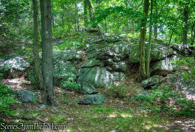
Anthony’s Nose is composed predominantly of Canada Hill Granite, a durable medium-to coarse-grained granite that forms the mountain’s rugged cliffs, exposed ledges, and rocky summit outcrops. Thriving in the mountain’s thin, acidic soils, dense patches of mountain laurel line many of the trails, and at the viewpoint. Their glossy evergreen leaves and seasonal blooms creating a striking contrast against the weathered granite of the Hudson Highlands.
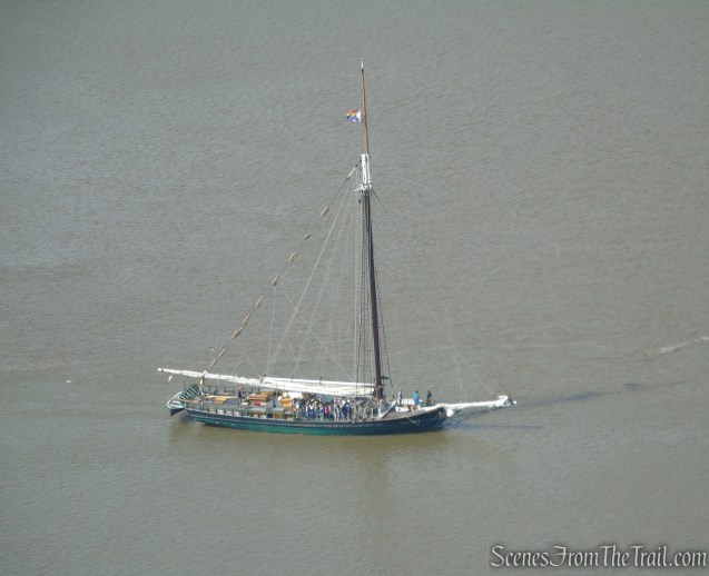
The historic Hudson River Sloop Clearwater rested peacefully on the river with its tall wooden masts rising above the water. A short time later, it raised its sails and glided beneath the iconic Bear Mountain Bridge, creating a timeless scene against the backdrop of the Hudson Highlands.

When you are done enjoying the views, retrace your steps, crossing the woods road that you took up here and follow the blue blazes as they climb a rock ledge to the summit of Anthony’s Nose. From the summit there are both seasonal and year-round views from open rock slabs.
The true summit of Anthony’s Nose.
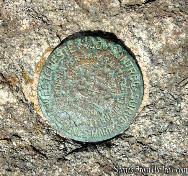
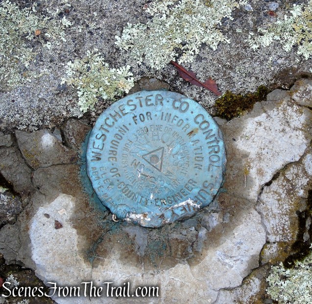
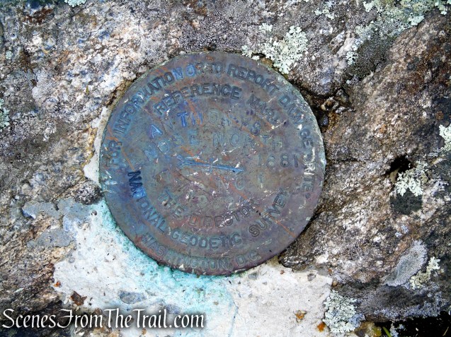
A Westchester County Control Survey Reference Marker sits near the 910-foot summit of Anthony’s Nose, quietly marking a precise geodetic point atop the rocky Hudson Highlands peak.
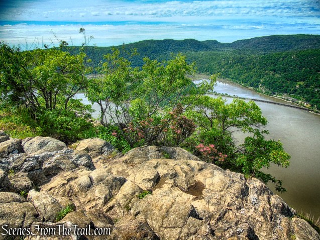
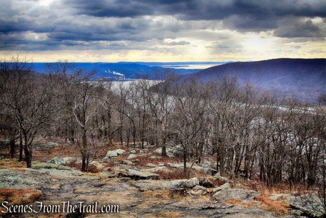
Partial and seasonal views south down the Hudson River from the true summit of Anthony’s Nose.
During leaf-off season, the south-facing view from the summit of Anthony’s Nose improves significantly, offering filtered but extended sightlines down the Hudson River valley. While not as expansive as the main lookout, it provides a glimpse past Dunderberg Mountain and farther along the winding river corridor.
When you are done checking out this view, retrace your steps back towards the first lookout, but turn right on the woods road (Camp Smith Trail), now heading northeast. In about 400 feet or so, look for an unmarked footpath on the left. This trail leads to the site of an old Airway Beacon that once stood guard on Anthony’s Nose. The concrete footings along with two survey markers are still there.
An airway beacon once stood near the summit of Anthony’s Nose. During the 1920’s and 1930’s, before the advent of modern radar and advanced navigation systems, the U.S. government constructed thousands of these illuminated beacon towers across the country to guide early airmail pilots flying at night. Positioned on prominent mountaintops and ridgelines, the rotating lights served as visual navigational markers, helping pilots follow designated air routes through difficult terrain and poor weather. The concrete footings that once anchored the heavy steel legs of the tower are still firmly embedded in the ground.
Proceed past the concrete footings for a short distance to a broad, slanted rock slab, where open views unfold to the north over the Hudson River and surrounding Hudson Highlands.
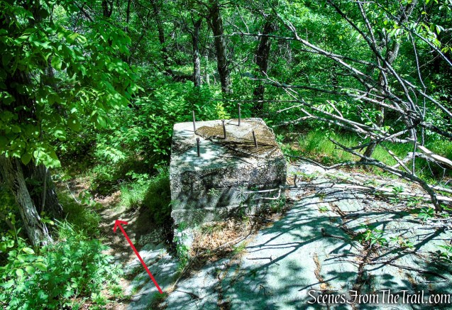
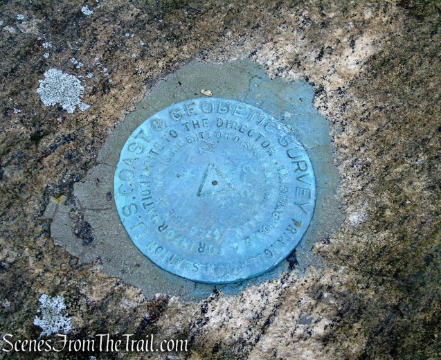
Hikers can spot official geodetic survey markers embedded directly into the concrete and nearby rock slabs.
At this viewpoint, the Hudson River stretches north in a long, winding corridor flanked by rolling, forested hills on both sides. The layered ridgelines fade into the distance, creating a sense of depth and quiet expansiveness as the river threads its way through the Highlands.
This marker is at the viewpoint. There are several other survey markers in the area of this viewpoint.
When you are finished enjoying the viewpoint, retrace your steps along the unmarked footpath back to the blue-blazed Camp Smith Trail and turn left. Follow the woods road as it descends, retracing your route back toward the Appalachian Trail.
Continue following the blue blazes for about another half-mile, where the Camp Smith Trail ends at its junction with the Appalachian Trail. From here, CONTINUE STRAIGHT ahead and follow the white blazes of the Appalachian Trail heading north as it soon climbs steeply uphill.
At the top of the rise, the Appalachian Trail turns left and leaves the woods road, but you should bear right instead, leaving the AT and continuing along the woods road.
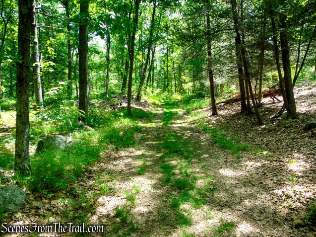
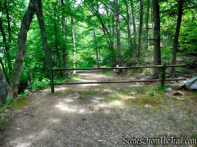
The woods road soon curves to the right bordering Camp Smith, then the road turns left (north) passing an entrance road to the NYS Military Reservation, with a locked gate (DO NOT GO BEYOND THE GATE). Bear left and continue on the unmarked woods road as it begins to descend.
After about 0.8 mile with the junction with the Appalachian Trail, the AT rejoins Military Road from the left. Continue following the white blazes for another 350 yards back to South Mountain Pass Road, where the hike began.
Review:
A rewarding 4-mile hike on Anthony’s Nose that delivers far more scenery than its mileage suggests. The route is consistently engaging, with rocky woodland trails, steady climbs, and just enough elevation change to keep things interesting without being overwhelming. Expect a mix of shaded forest paths, rugged footing, and well-placed viewpoints overlooking the Hudson River. The highlight, of course, is the sweeping views—some of the finest in the Lower Hudson Valley. From the exposed rock outcrops, hikers are treated to expansive views of the Hudson River Valley.
Pros:
Scenic Hudson River views, rugged and varied terrain, rewarding overlook, manageable 4-mile distance, quiet northern approach, shaded forest sections, excellent payoff for effort, well marked trails.
Cons:
Limited parking at South Mountain Pass Road, can get extremely crowded at the main viewpoint.
Take a hike!
Sources:
- Hudson Highlands State Park Preserve
- Hudson River Chain, Anthony’s Nose, and the American Revolution
