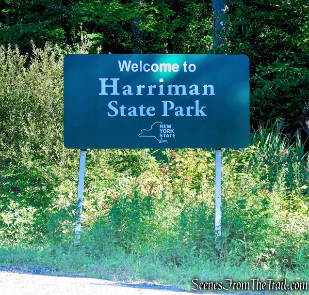
May 17, 2026 – Southfields, NY
Difficulty: Easy – Moderate
Length: Approximately 3 miles
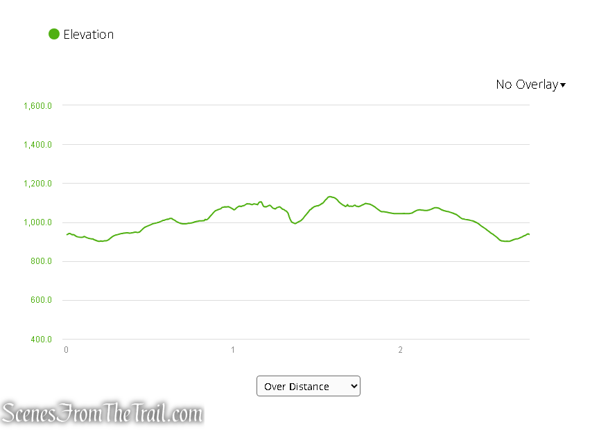
Max elevation: 1,131 ft. – total elevation gain approximately 338 ft.
Route type: Circuit
Buy Maps (Paper & Avenza): 2023 Harriman-Bear Mountain Trails Map #119
Free Web Map: Harriman State Park Trail Map 2023
Free Avenza App Map: Harriman State Park Trail Map 2017
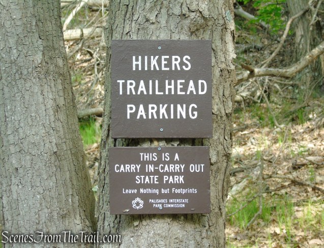
Trailhead parking: 1369 Kanawauke Rd, Southfields, NY, 10975
Gravel parking lot – no bathrooms on site
Overview:
Harriman State Park is New York’s second-largest state park, encompassing more than 47,000 acres of rugged mountains, dense forests, scenic lakes, and miles of streams in the Hudson Highlands. Located just north of New York City, the park features over 200 miles of hiking trails, including sections of the Appalachian Trail, along with numerous lakes, campgrounds, historic sites, fire roads, and panoramic overlooks. Known for its diverse recreational opportunities, Harriman attracts hikers, backpackers, anglers, paddlers, and nature enthusiasts year-round, while its rich history includes remnants of old iron mines, abandoned settlements, and early conservation efforts that helped preserve this vast wilderness landscape.
With more than 20 known mines scattered throughout Harriman State Park, these historic sites make fascinating hiking destinations. The Boston Mine lies within a magnetite-rich zone known as the Greenwood group of mines. It is located along the Dunning Trail, roughly three-quarters of a mile north of County Route 106, just east of the old woods road called Island Pond Road. Historian James M. Ransom noted that the mine was active around 1880, and the iron ore extracted there was transported to the Clove Furnace in Arden for smelting.
Trails Overview:
Please Note: Trail distances denoted below are in relation to this hike only and not the total distance of the trails.
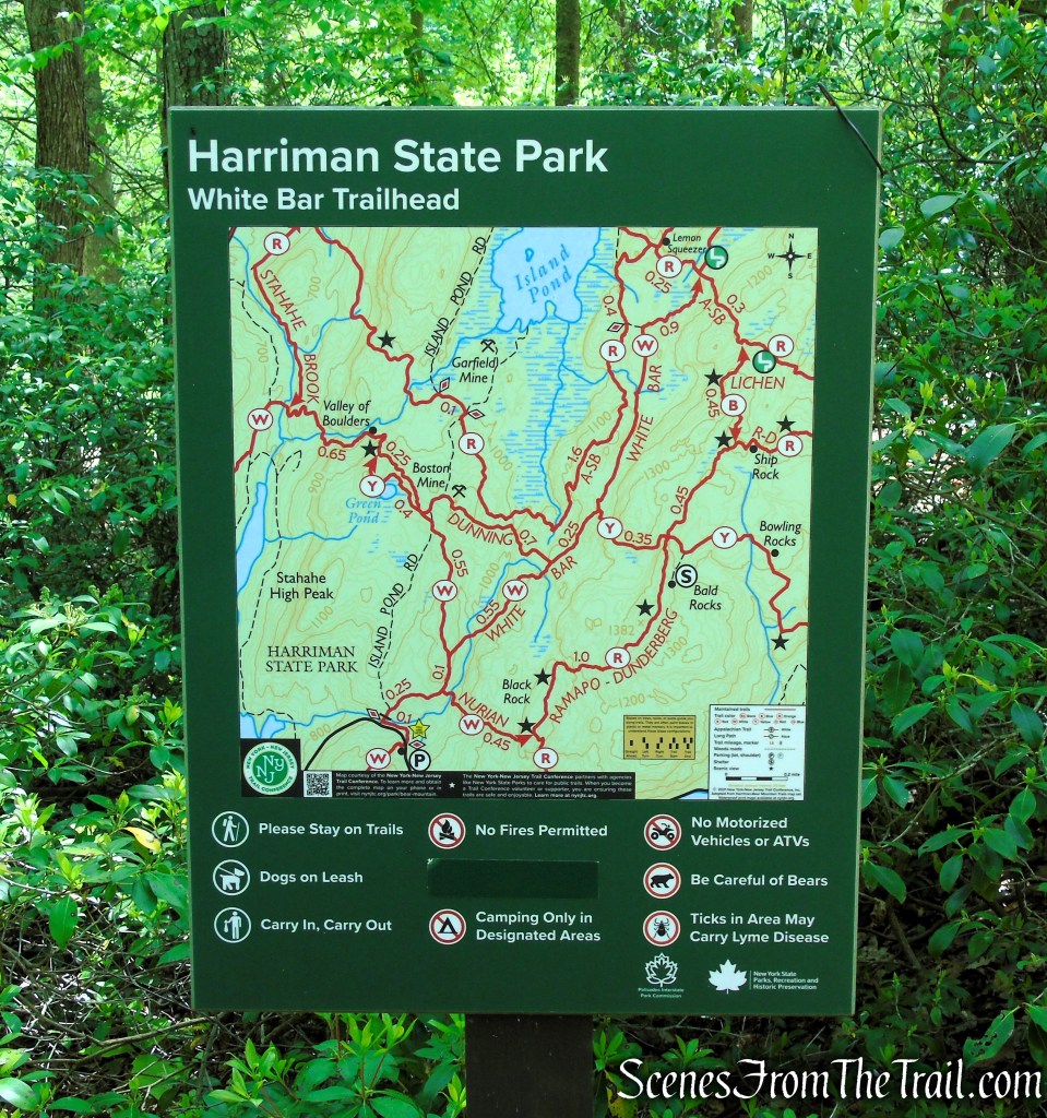
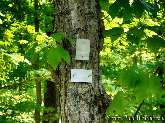
A trail map of the area north of the parking lot is posted just across the road at the start of the White Bar Trail.

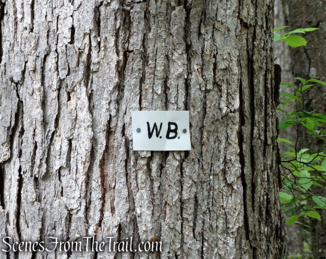
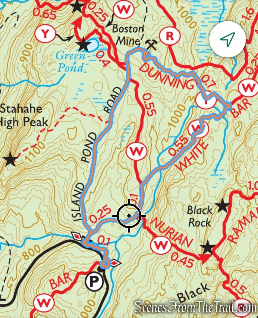
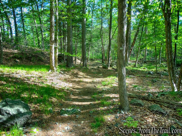
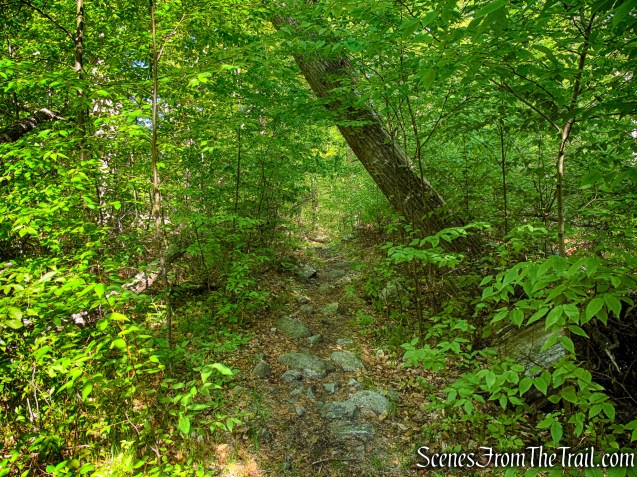
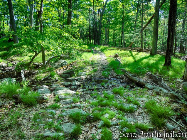
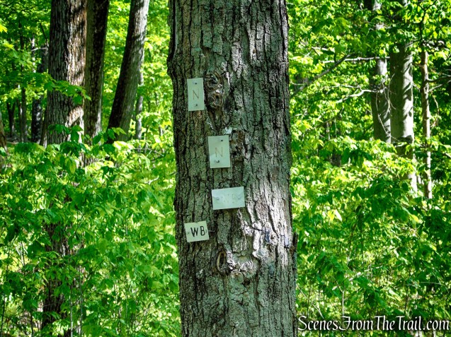
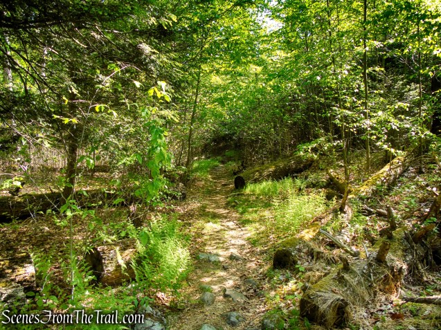
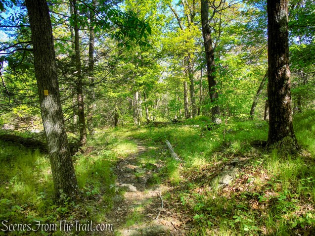
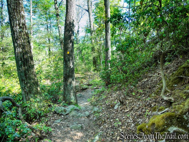
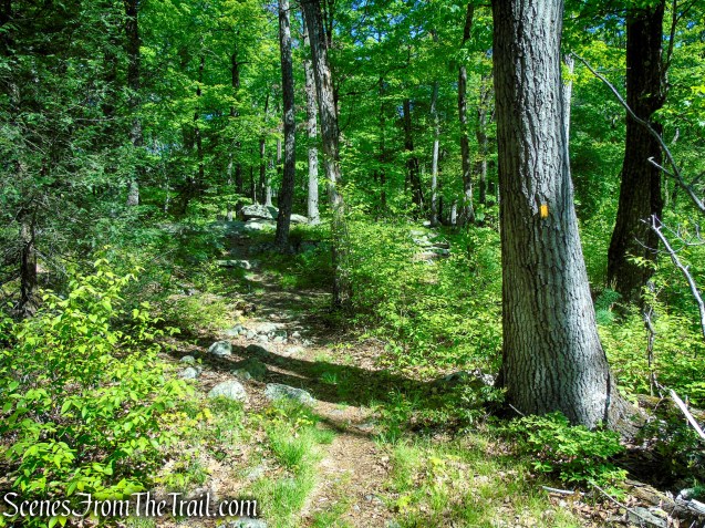
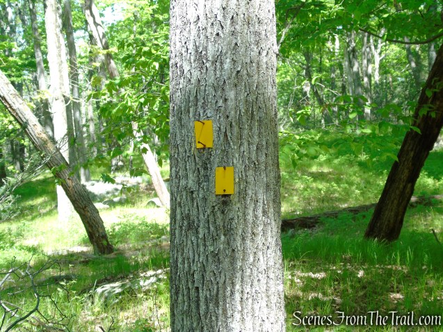
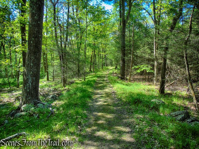
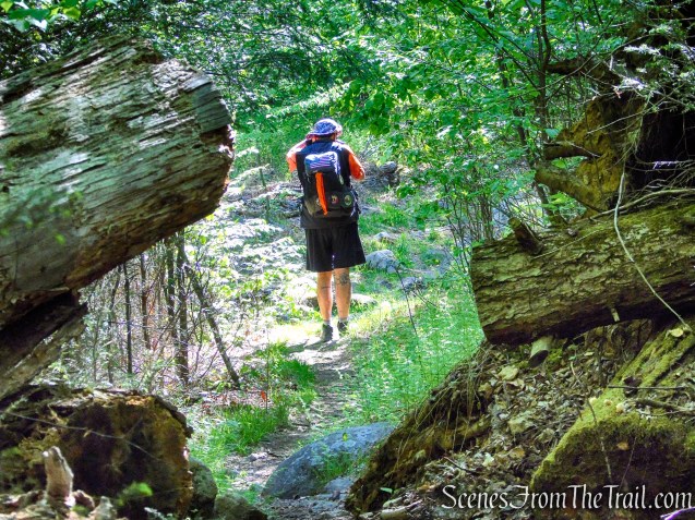
- White Bar Trail (horizontal white bar – 1.1 miles) ~ The White Trail descends from Car Pond Mountain and travels through the Hikers Parking Lot on CR 106, crosses the road and heads north through a wide valley. The trail runs primarily along an old woods road that narrows to a footpath in certain places. In areas where the trail becomes extremely narrow, it is slightly overgrown. The trail is well marked with the horizontal white bars and some of the older blazes have “W-B” written on them.
- Dunning Trail (yellow – 0.62 mile) ~ The Dunning Trail runs southeast to northwest, connecting the White Bar Trail to Island Pond Road. The trail runs over undulating terrain, soon descending to the left of the Boston Mine just before reaching Island Pond Road. The trail is well marked in most places.

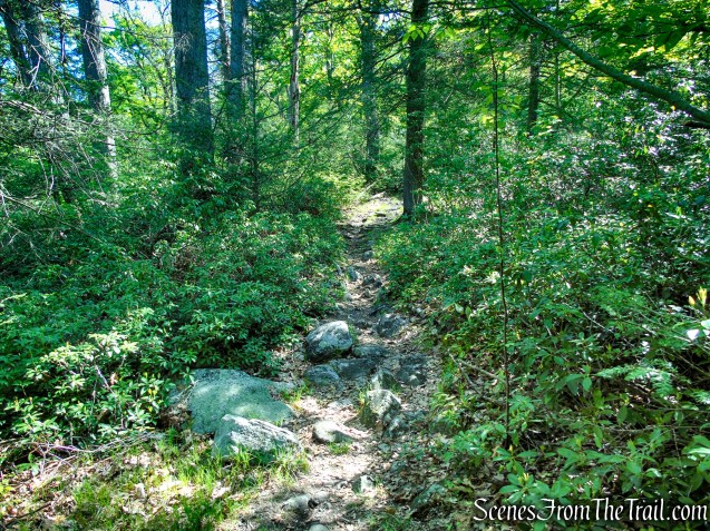
- Island Pond Road (unmarked – 0.8 mile) ~ South of the Dunning Trail, descends gradually through a quiet section of Harriman State Park toward County Route 106. Once used as a woods road serving the area’s mining and logging activity, the route now provides hikers with an easy, gently graded walk through mixed hardwood forest.
Parking:
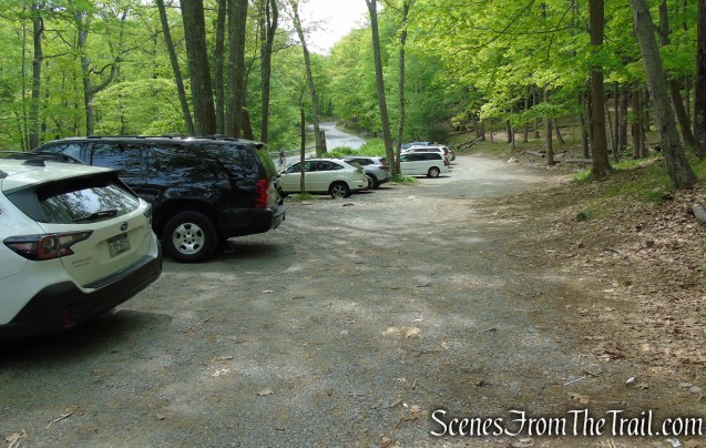
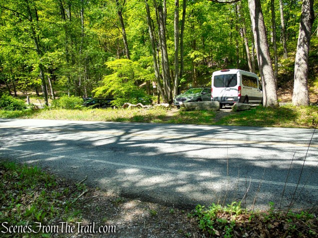
The White Bar Trailhead parking area, located along County Route 106 (Kanawauke Road), is a gravel hiker lot that serves as a starting point for several trails and old woods roads, including the White Bar Trail, Nurian Trail, and routes leading toward Island Pond, Black Rock Mountain, and the Boston Mine. The parking area is fairly spacious, accommodating approximately 20–30 vehicles, though capacity can vary depending on how cars are parked. As a popular access point for hikers, the lot often fills up on weekends and during peak hiking season, particularly in warmer months, so arriving early is usually the best option.
I’ve seen this parking lot completely packed, with vehicles lined along the right side, making it difficult for others to maneuver out of their spaces. If possible, it’s a good idea to back into a parking spot when you arrive, as backing out later can be challenging when the lot is full.
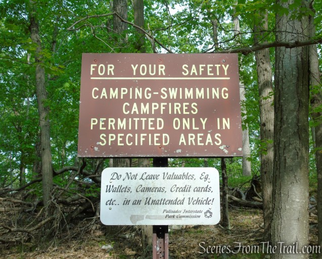
I’m not sure if they have issues with theft here, but I have parked here numerous times and haven’t had any problems. Nevertheless, use common sense when parking anywhere that you’ll leave your vehicle unattended.
Hike Overview:
With temperatures expected to climb close to 90°, I opted for a variation of a hike I did in 2022. The route is relatively easy, with minimal elevation gain and plenty of shade beneath the forest canopy, making it a good choice for a hot day. The network of connecting trails and old woods roads in the area also offers numerous options for adjusting the distance, difficulty, and route along the way. In the end, I played it by ear based on the heat and settled on a moderately easy 3-mile loop featuring a peaceful walk through the woods with a brief stop at the historic Boston Mine.
We began the hike around 9am on a Sunday morning. When we arrived at the trailhead, there were only a couple of cars in the lot. When we returned to the lot at about 11am, there were about 1/2 a dozen vehicles parked there. Normally this lot fills up, so I was surprised that it wasn’t when we returned to our vehicle.
This hike was completed as a counterclockwise loop beginning at the Hikers Trailhead parking area on County Route 106 (Kanawauke Road). The route followed the White Bar Trail to the Dunning Trail, with the return leg utilizing Island Pond Road.
This hike involves some minor ups and downs, but is relatively easy.
The Hike:
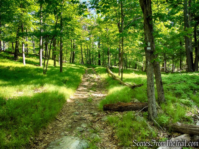
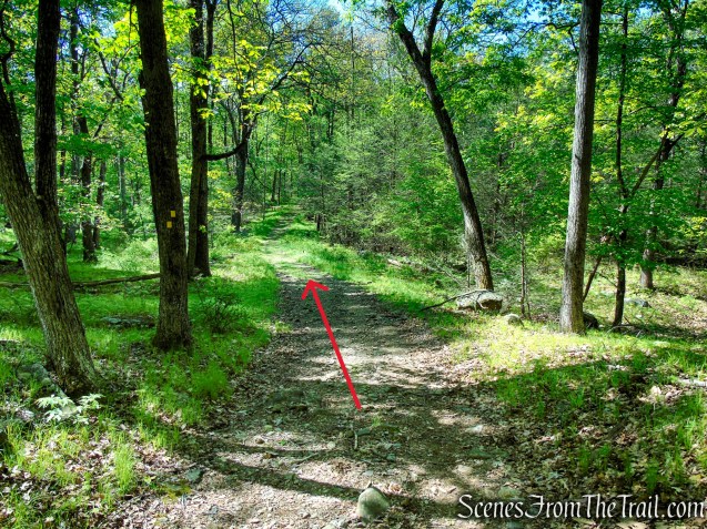
From the parking area, cross the road to enter the woods on the White Bar Trail. The trail angles across the roadway and is marked with white horizontal blazes, some labeled “W-B.” It then runs roughly parallel to the road for about 500 feet before turning right, crossing a stream via a metal culvert, and continuing along an old woods road. A short distance farther on, it bears right at a fork—the left fork is Island Pond Road, which serves as the return route—but for now, stay to the right and continue to follow the white blazes.

The White Bar Trail was first marked in 1921-22 by the Boy Scouts.
The White Bar Trail soon crosses an intermittent stream on rocks, and about a quarter mile from the start, the white-blazed Nurian Trail joins from the right. Although both trails use white blazes, the Nurian Trail is marked with vertical blazes, while the White Bar Trail uses horizontal ones. Continue ahead on the woods road for roughly 500 feet to the point where the two trails diverge. The Nurian Trail veers left, but remain to the right to stay on the White Bar Trail as it continues along the woods road.
In 1922, this area was the site of the Boy Scouts’ Camp Deerslayer, a part of their White Bar Trail system. In 1926, Camp Deerslayer was moved to Parker Cabin Hollow.
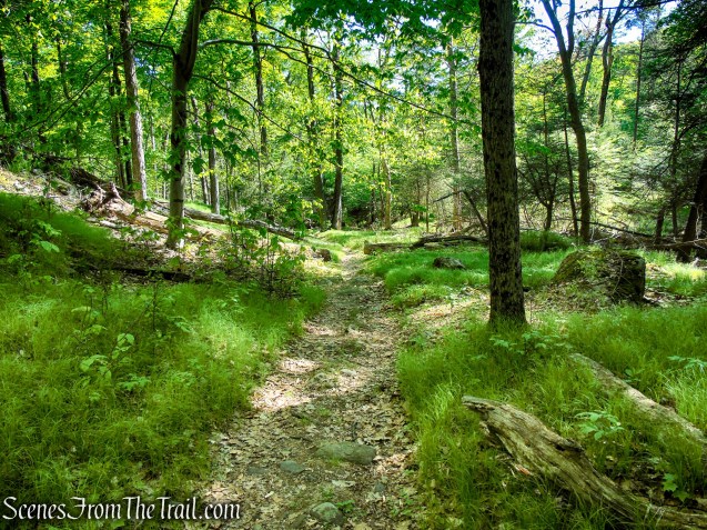
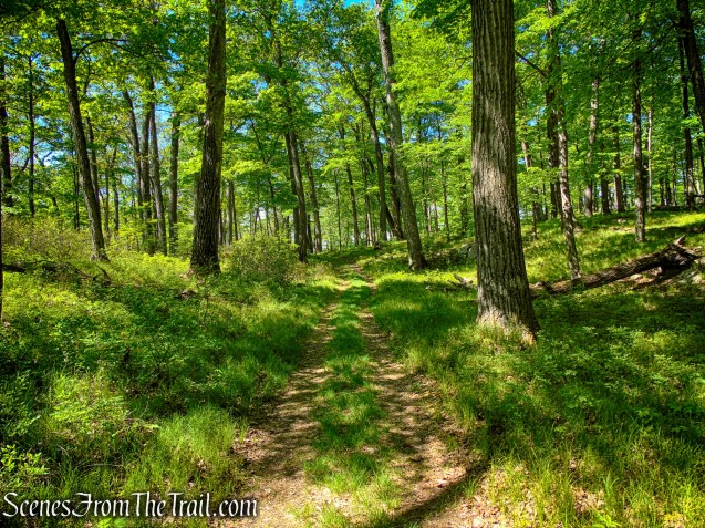
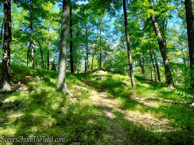
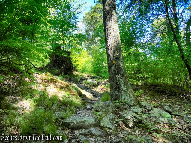
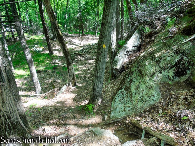
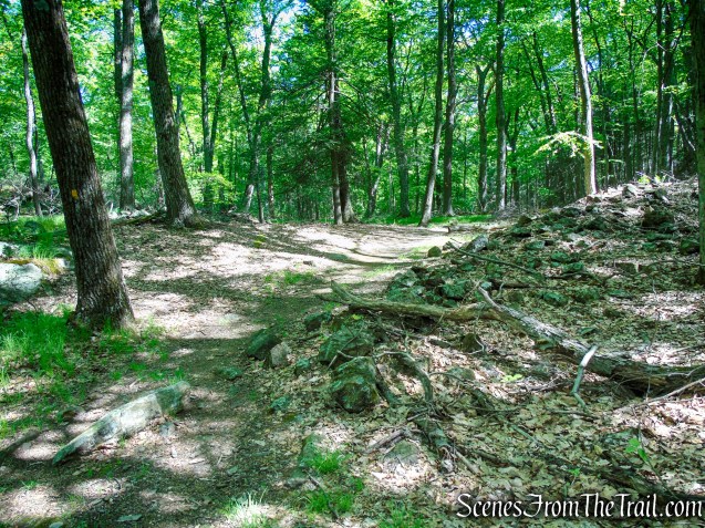
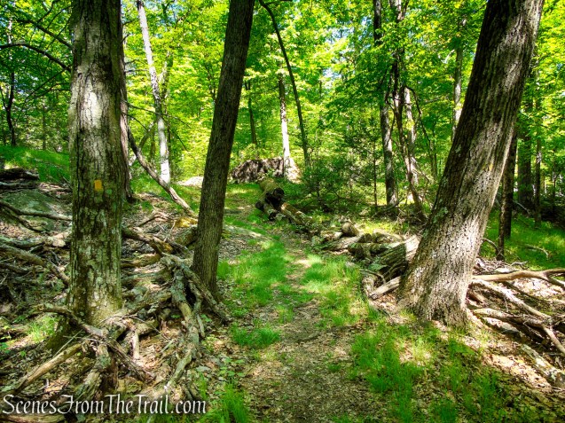
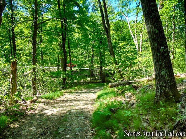
The White Bar Trail heads north through a broad valley, alternating between an old woods road and narrower footpaths. In a few sections, the trail becomes quite narrow and slightly overgrown. After crossing another intermittent stream on rocks, the trail climbs gently for a short distance before leveling off.
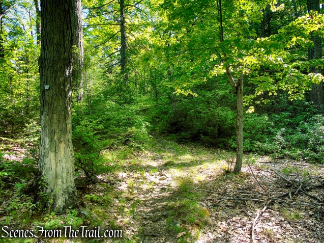
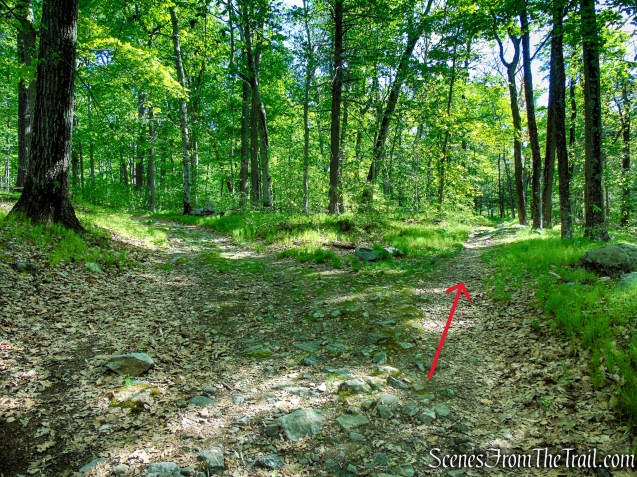
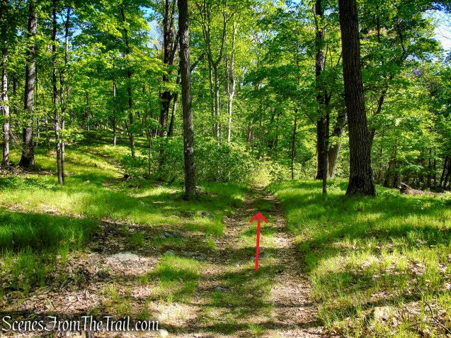
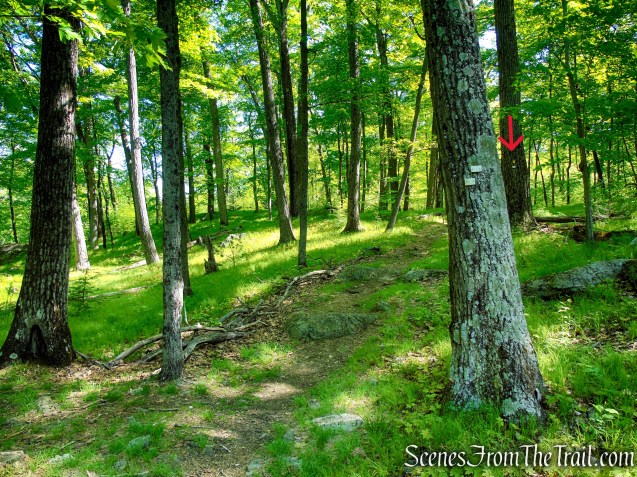
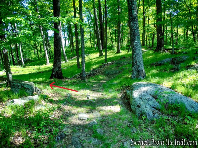
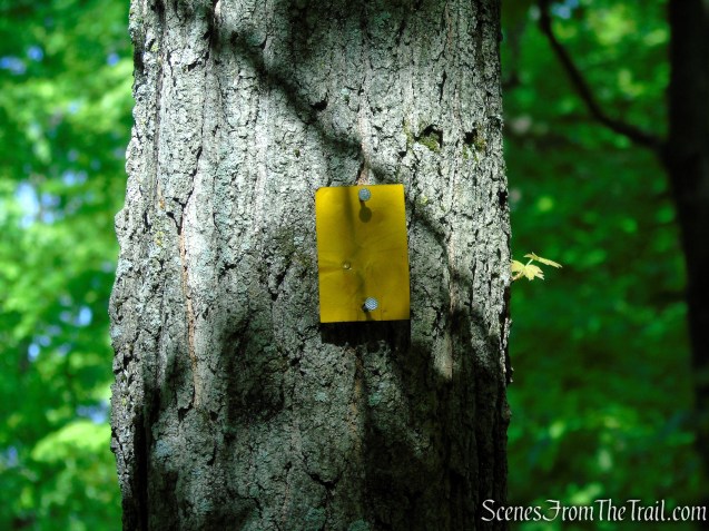
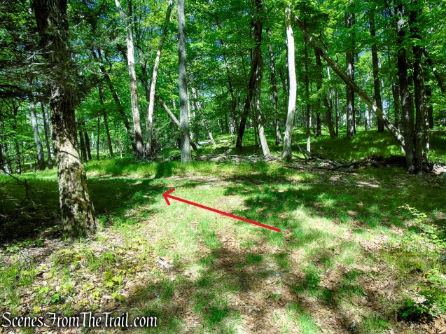
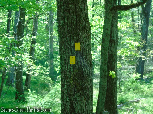
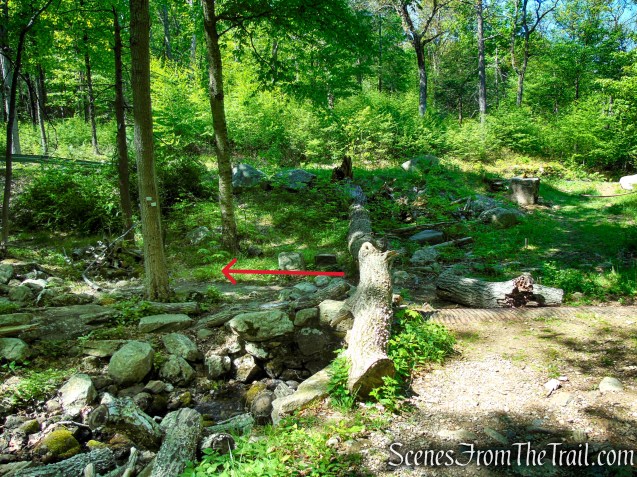
Approximately 1.1 miles from the trailhead, as the White Bar Trail turns right, it reaches a T-intersection with the yellow-blazed Dunning Trail, which comes in from the left. Turn left here and follow the yellow blazes in a westerly direction.
Please note: This junction is easy to miss if you are not paying close attention.
If you see a yellow blaze over a white blaze, you went too far (see red arrow).
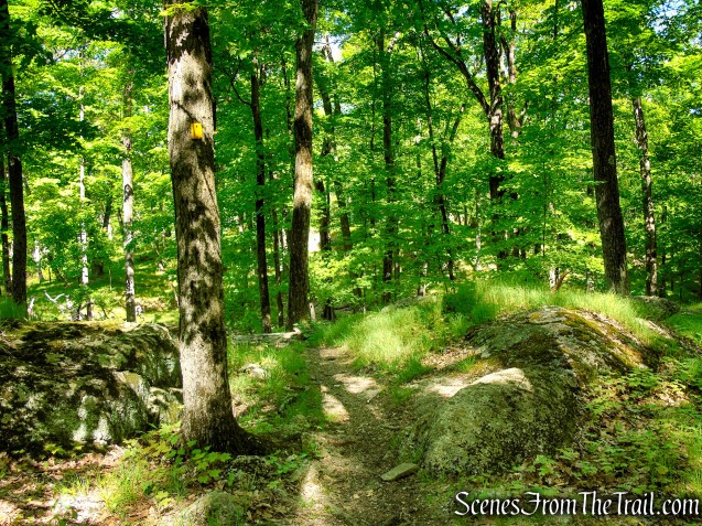
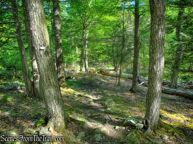
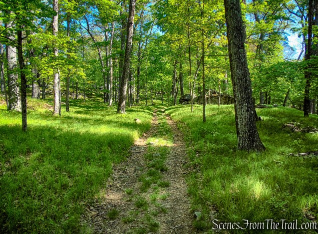
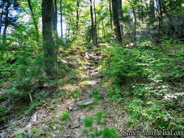
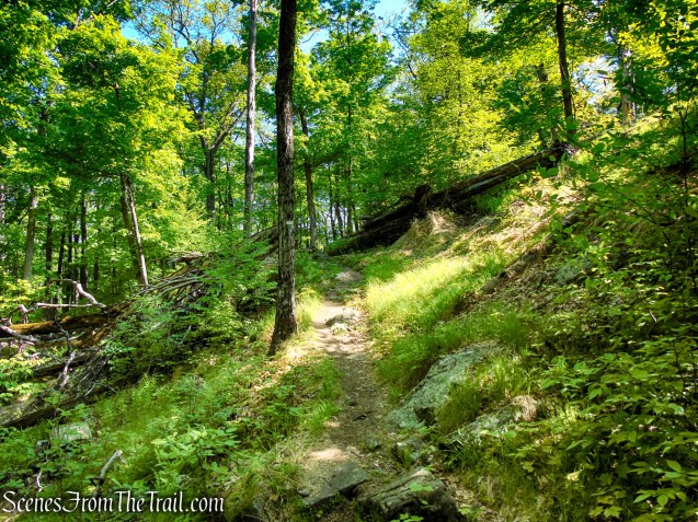
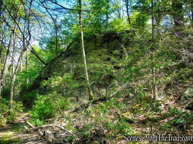
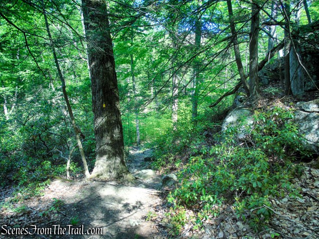
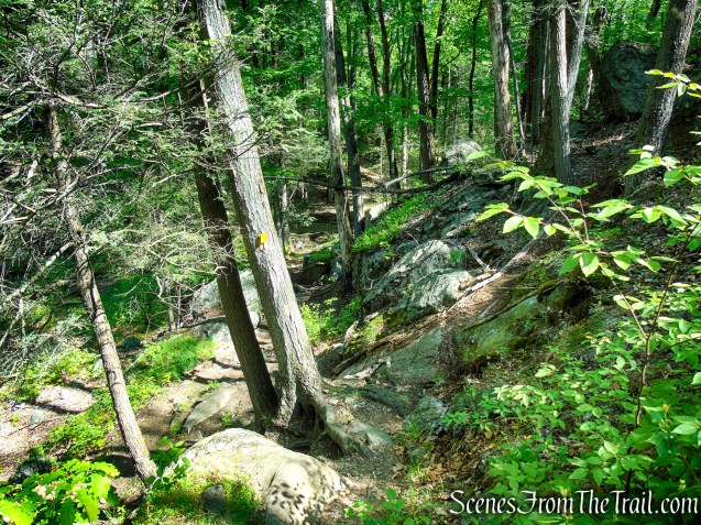
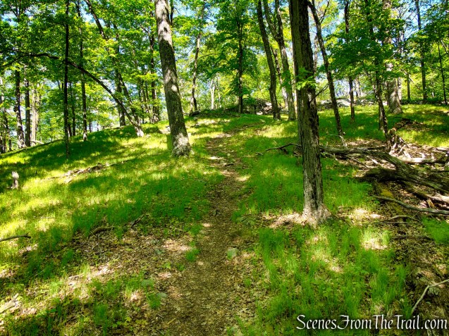
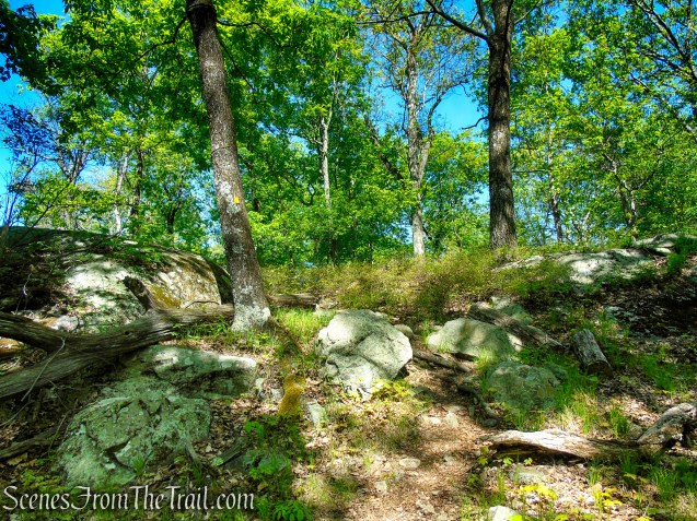
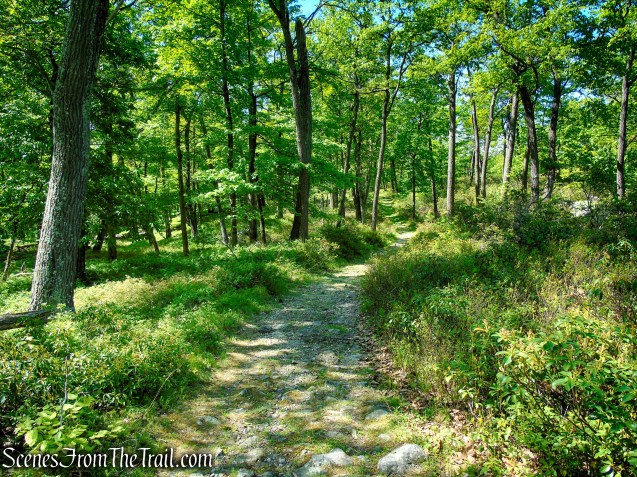
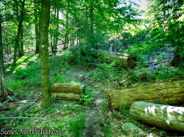
The Dunning Trail soon descends into a valley on a narrow footpath before climbing again. Along this stretch, the trail features several short ups and downs as it winds through scenic woodlands dotted with scattered boulders.
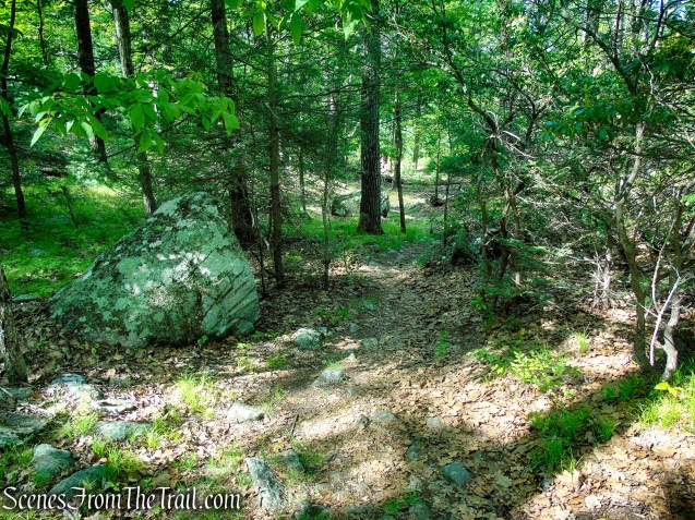
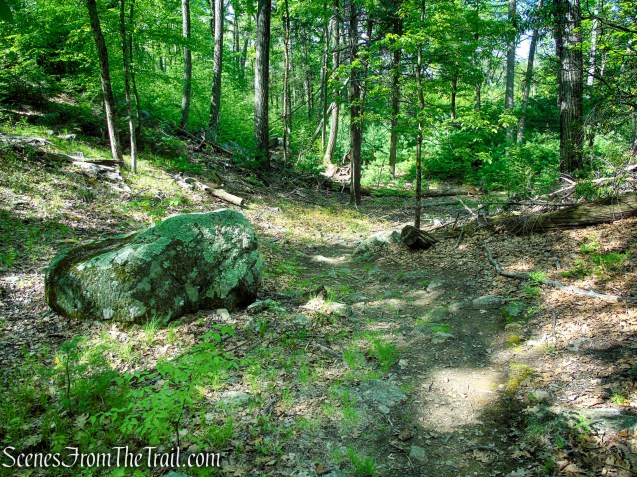
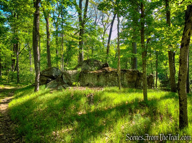
Farther along, the trail curves around the base of a large cliff, adding a rugged and picturesque feel to the hike.
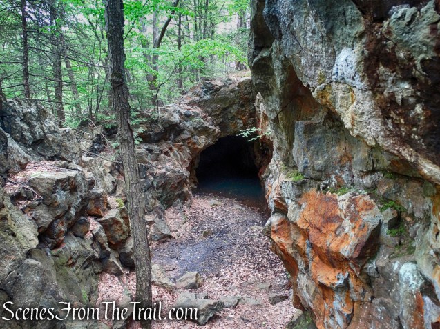
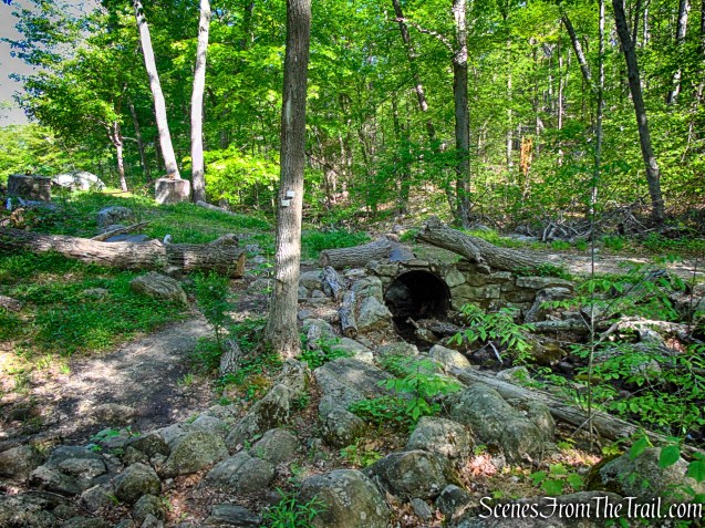
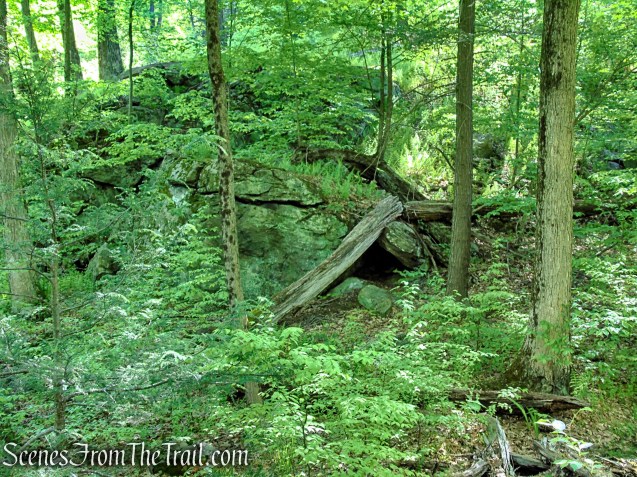
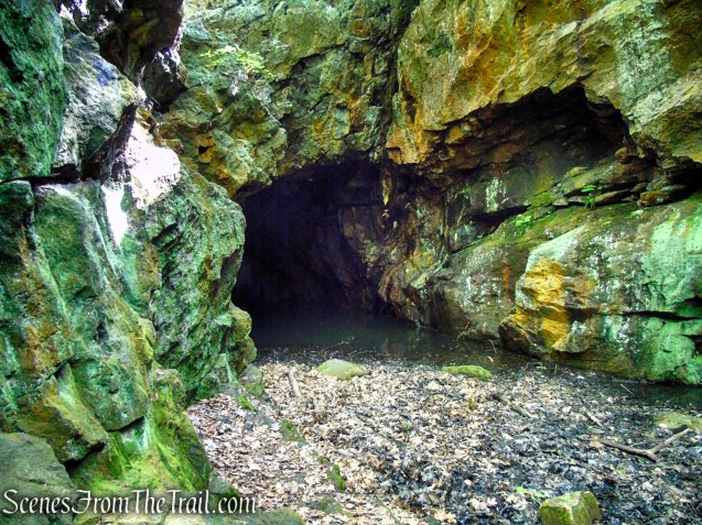
The trail then climbs to a ridge before descending to the base of the Boston Mine. Near the mine entrance, an ore dump can be seen to the right of the trail, a remnant of the area’s historic mining activity.
An ore dump from the Boston Mine alongside the Dunning Trail.
One can enter the open cut by means of an entrance near its southwestern side, but the northern end and shaft are water-filled and dangerous. The mine entrance is usually quite wet, and extreme caution should be exercised. (Do not approach the water-filled pit.)
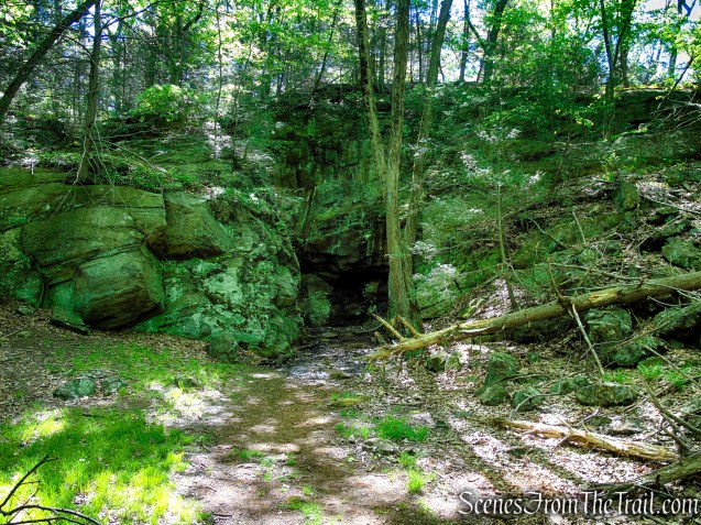
The mine opening consists of a large open cut, about 100 feet long, which extends north to south within a low ridge. At its northern end, the open cut becomes a shaft which extends into the rock ridge for about 30 feet.
According to historian James M. Ransom, the Boston Mine was worked around 1880. The ore extracted from this mine was sent to the Clove Furnace at Arden, New York to be smelted.
When you are ready to continue, resume following the yellow-blazed Dunning Trail, which continues directly across from the mine cut.
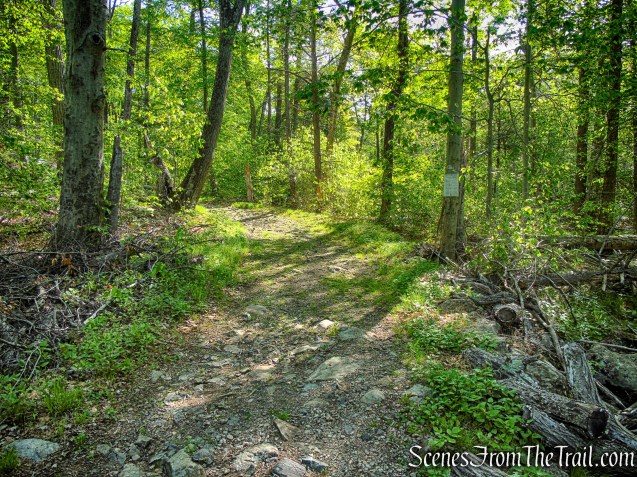
In a few feet, the Dunning Trail reaches a T-intersection with Island Pond Road and turns left. Follow the yellow blazes along the wide woods road for a short distance.
The Dunning Trail soon departs to the right, and shortly afterward the white-blazed Nurian Trail briefly joins before veering off to the left. Continue straight ahead to remain on the unmarked Island Pond Road as it continues south.
There are no blazes to guide you along this stretch of the road, but the route is clear and unmistakable.
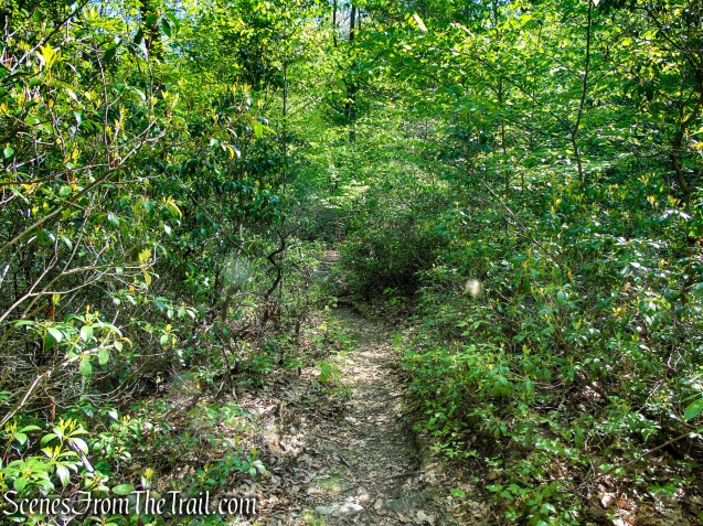
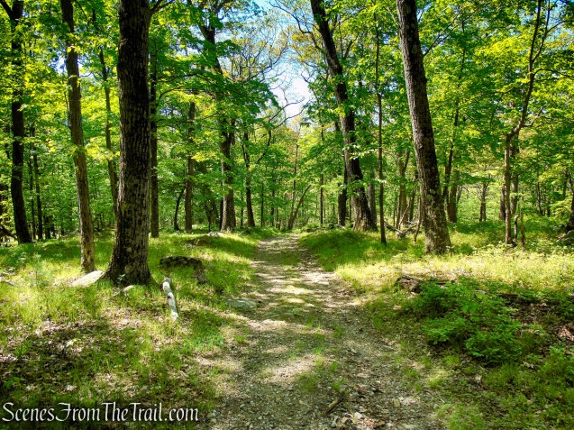
As Island Pond Road continues south, an unmarked trail branches off to the right toward Stahahe High Peak. The woods road then descends gently beneath the forest canopy, following a wide, easy grade with only minor elevation changes. This quiet stretch makes for a relaxing and pleasant walk back toward Kanawauke Road (CR 106).

About 0.8 mile beyond the Boston Mine, the White Bar Trail joins from the left, marking the start of the retrace back toward the trailhead. A short distance later, Island Pond Road ends at a gate along Route 106. Here, the White Bar Trail turns left, parallels Route 106 for about 0.15 mile, then crosses the road and returns to the parking lot at the White Bar Trailhead, completing the hike.
Review:
This moderately easy loop hike is a great way to experience both the natural beauty and history of Harriman State Park. The route travels through a peaceful forest with plenty of shade, making it especially enjoyable on warmer days. The trails are well marked and easy to follow, with only gentle elevation changes along the way. One of the highlights is the historic Boston Mine, a fascinating reminder of the park’s iron-mining past tucked away in the woods along the Dunning Trail. Combined with quiet scenery, varied terrain, and a sense of local history, this loop offers a relaxing and rewarding hike suitable for most skill levels.
Pros:
Well-marked trails that are easy to follow, mostly shaded route ideal for warm-weather hiking, scenic forest setting with peaceful surroundings, historic Boston Mine adds unique historical interest, multiple connecting trails offer longer route options, enjoyable mix of footpaths, woods roads, and stream crossings, suitable for hikers of varying skill levels.
Cons:
No viewpoints, some narrow and slightly overgrown sections of trail, parking lot can become crowded on busy weekends, minor muddy areas possible in wetter conditions, historic mine area is easy to miss without paying attention to the trail route.
Take a hike!
Sources:
- Lenik, Edward J.. Iron Mine Trails . New York – New Jersey Trail Conference. Kindle Edition.
- Myles, William J.; Chazin, Daniel. Harriman Trails: A Guide and History . New York – New Jersey Trail Conference. Kindle Edition.
- Harriman State Park
