February 23, 2019 – Garrison, NY
Difficulty: Moderate
Length: Approximately 4 miles
Max elevation: 910 ft. – total elevation gain: approximately 773 ft.
Route type: Out and back
Map: East Hudson Trails Map #101 – Free Map
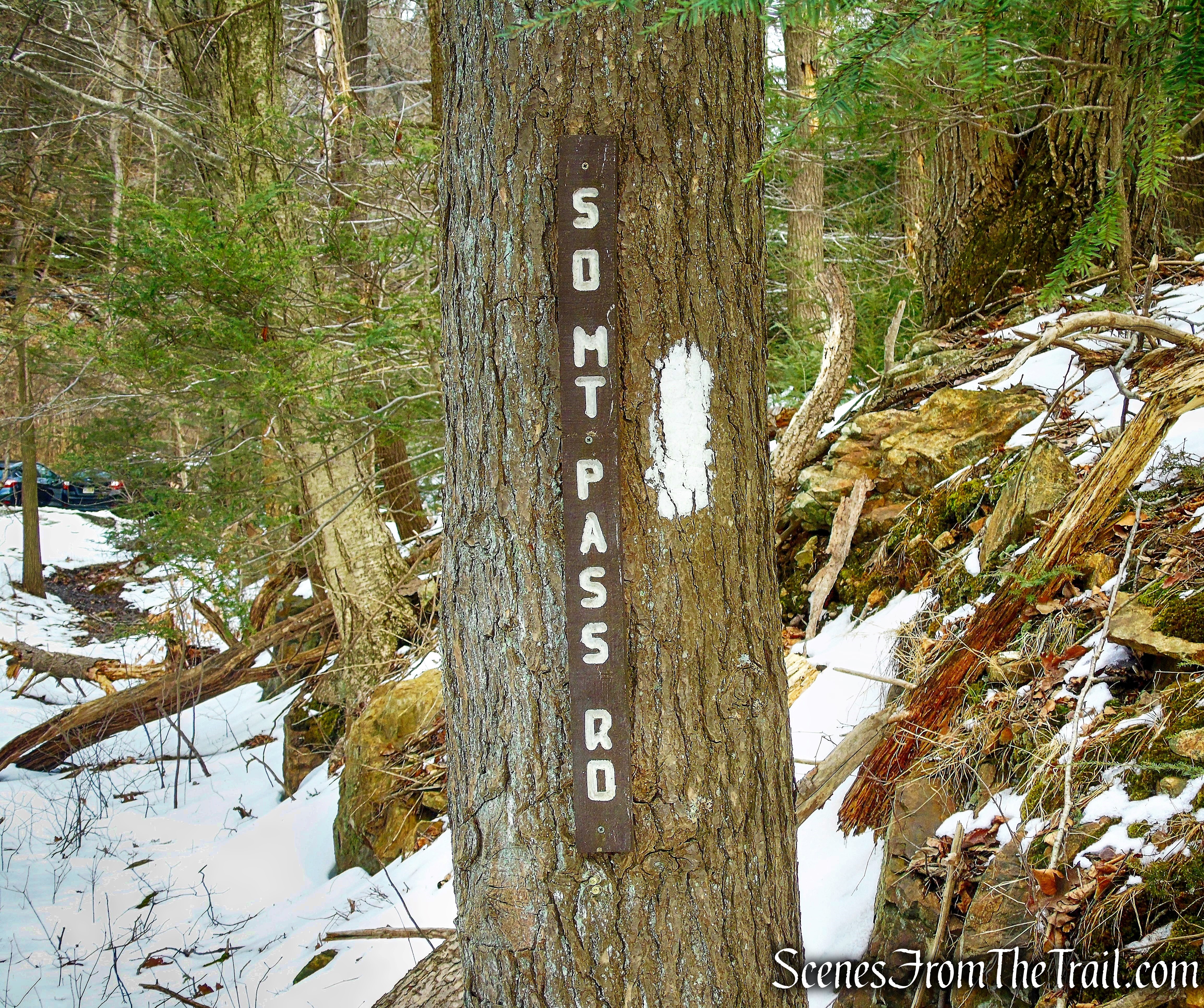
Trailhead parking: South Mountain Pass Road – Garrison, NY 10524 (A 3-4 car lot and a wide shoulder is available for parking where the AT crosses South Mountain Pass Road).
Details on hikes to Anthony’s Nose via different routes:
- Camp Smith Trail
- Anthony’s Nose via Military Road
- Anthony’s Nose Rock Scramble
- Anthony’s Nose from Route 9D
- Anthony’s Nose from Route 202
- Anthony’s Nose from South Mountain Pass – 2026
Overview:
Anthony’s Nose is a peak along the Hudson River at the north end of Westchester County, New York. Together with Dunderberg Mountain, it comprises the South Gate of the Hudson Highlands. The 910 ft. peak has been known as Anthony’s Nose since at least 1697, when the name appears on a grant patent. Pierre Van Cortlandt, who owned this mountain, said it was named for a pre-Revolutionary War sea captain, Anthony Hogan. This captain was reputed to have a Cyrano de Bergerac type nose.
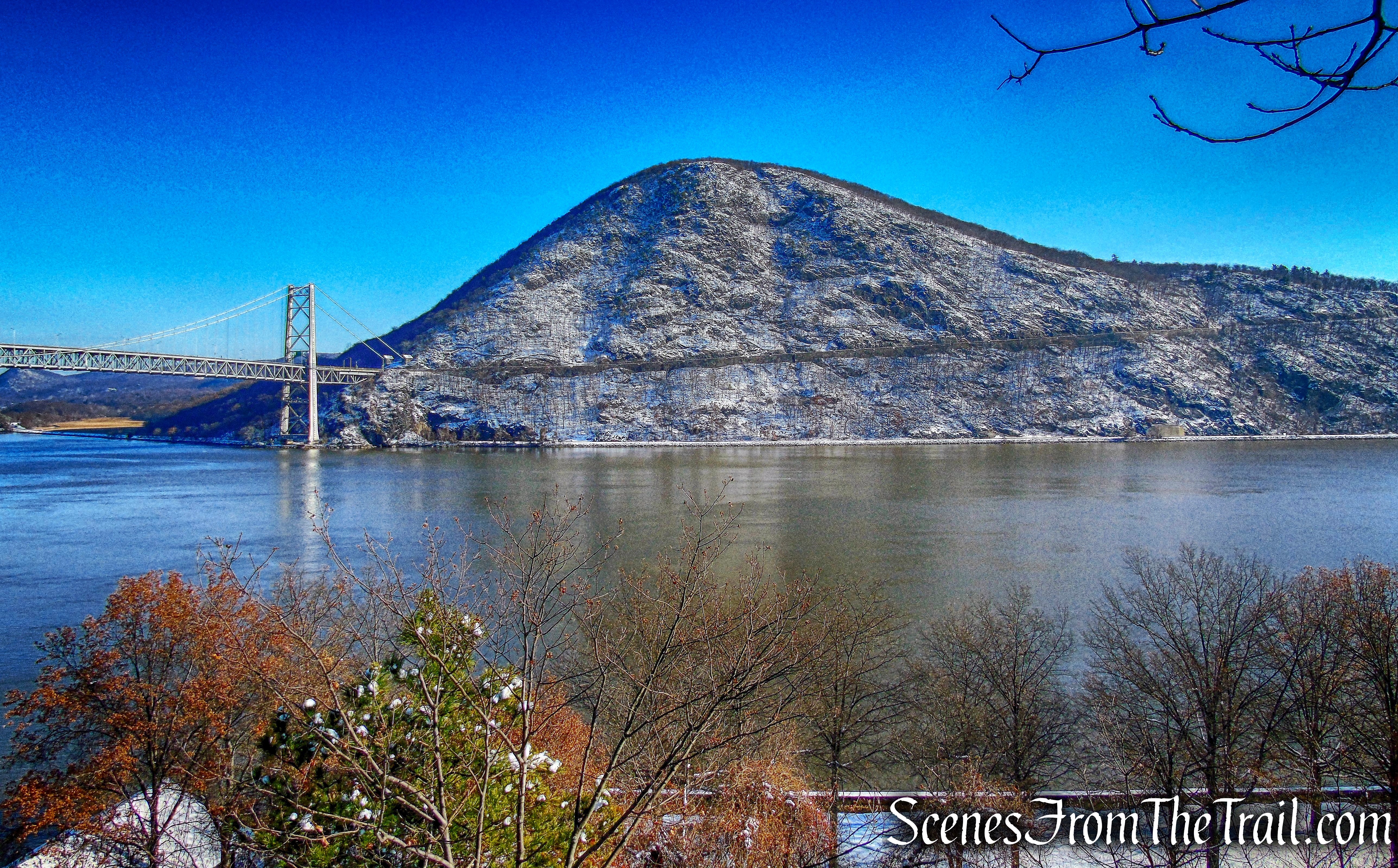
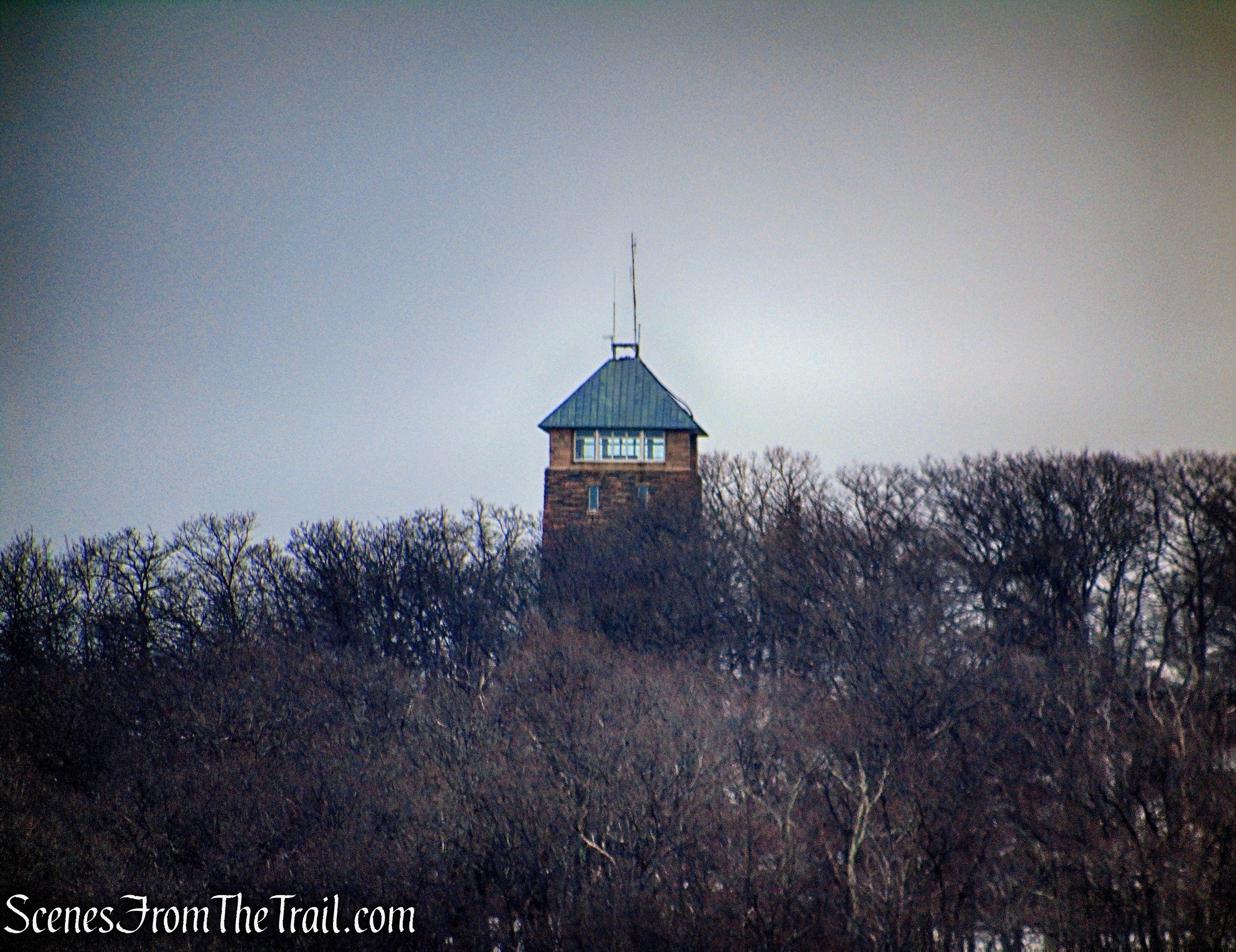
Anthony’s Nose as viewed from Trailside Museums and Zoo
Anthony’s Nose is part of the mostly undeveloped Hudson Highlands State Park Preserve. With over 8,000-acres, this park encompasses the region’s most spectacular and popular trails. With broad views up and down the Hudson River, Anthony’s Nose is one of the more popular day hikes in the area. On weekends, the cars are lined up along Route 9D as a testament to its popularity.
Hike Overview:
This hike follows the Appalachian Trail from South Mountain Pass Road to the Camp Smith Trail to Anthony’s Nose. Once at Anthony’s Nose, we visited three different viewpoints that afforded expansive views of the Hudson River Valley. The return route was entirely on a woods road.
This is a lesser used route than the route from 9D via the Appalachian Trail. Nevertheless, don’t expect solitude near the main viewpoint (by the flag). This hike is better done on a weekday to avoid the crowds.
Please note: There is a pull-off (4 cars) on the south side of the road.
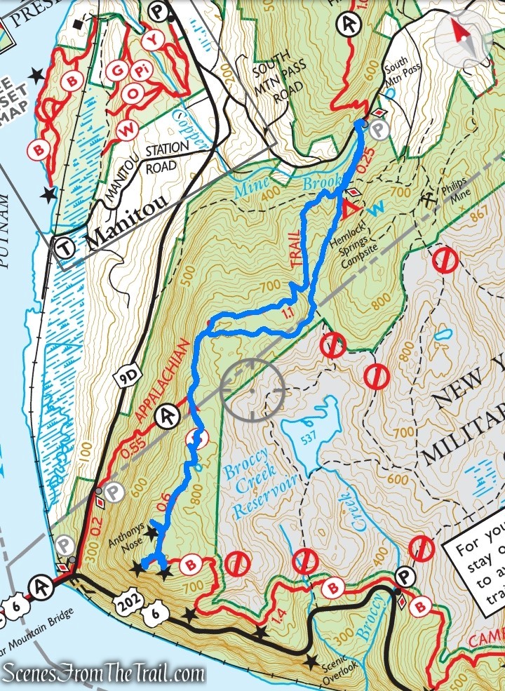
Anthony’s Nose from South Mountain Pass
The Hike:
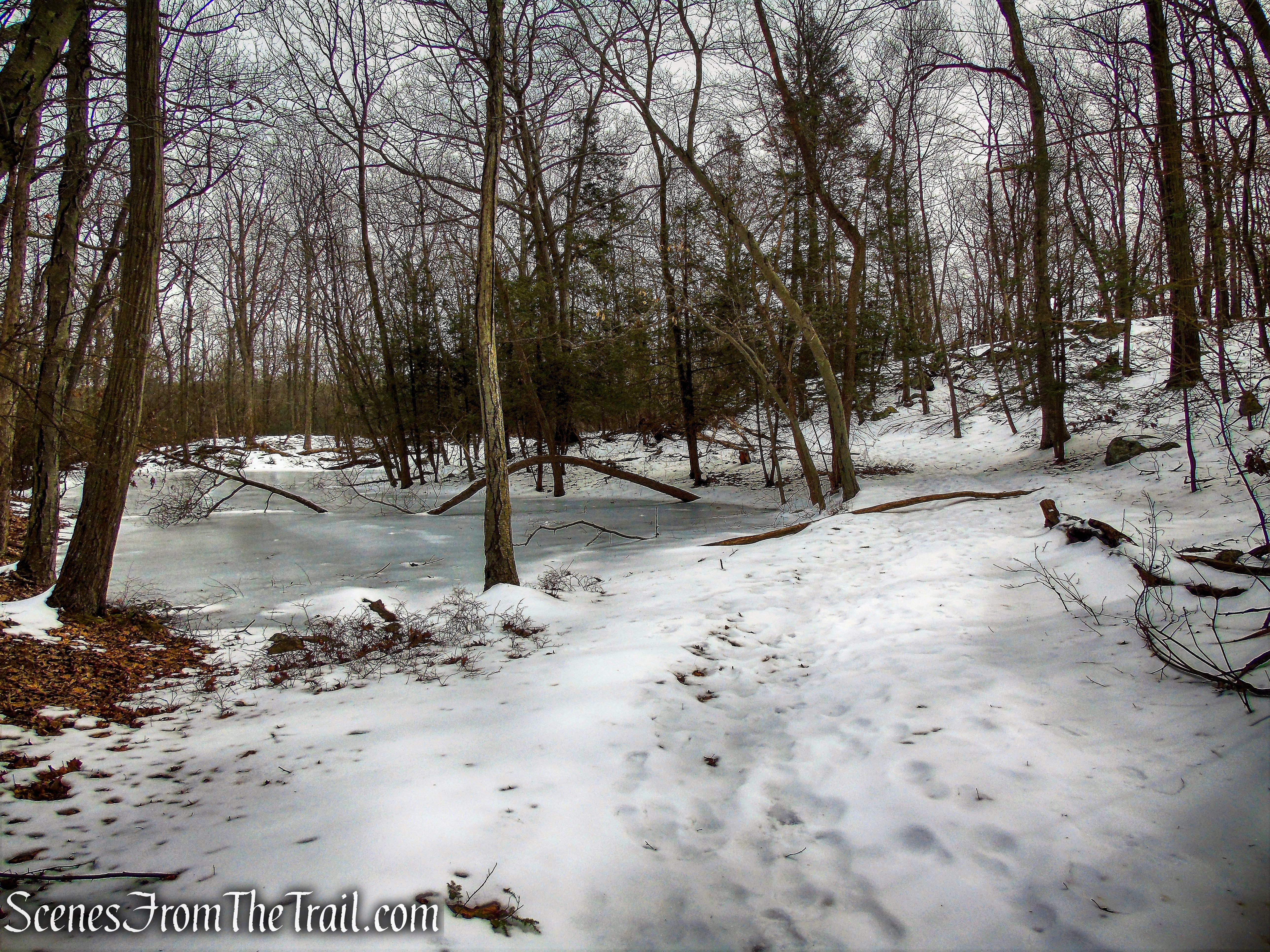
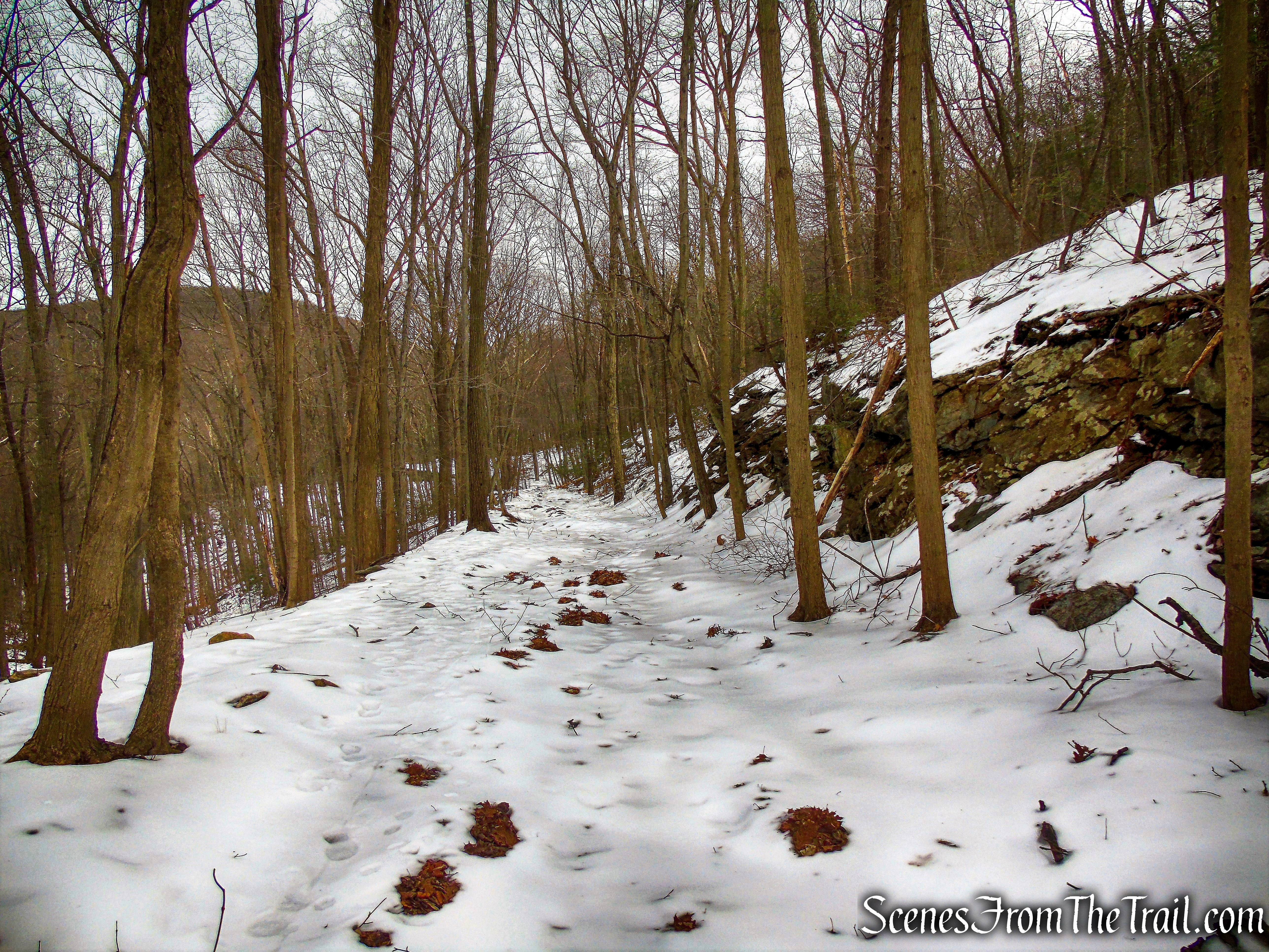
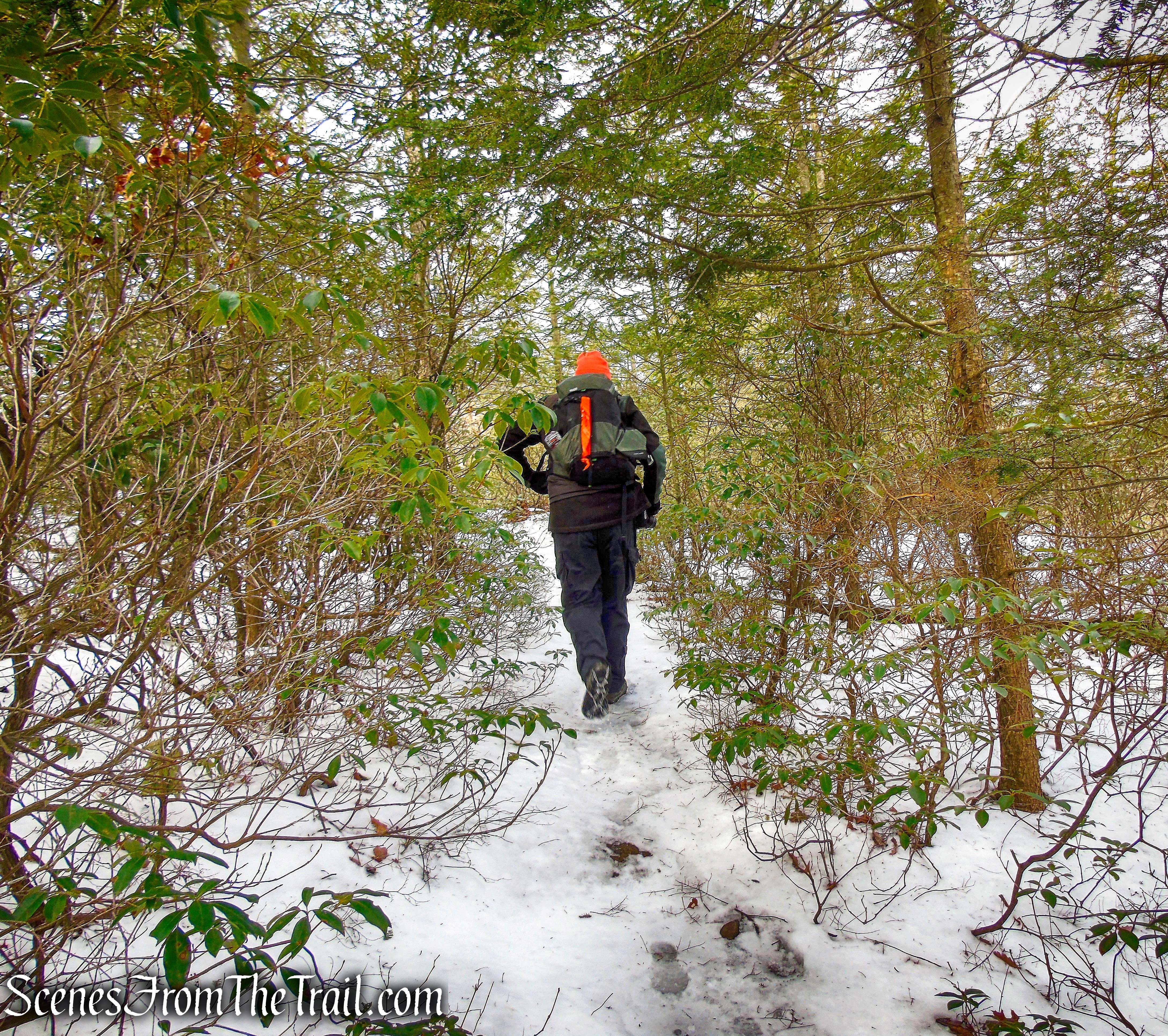
From the parking area, walk west a few feet and look for white blazes on a tree. This is where the Appalachian Trail crosses South Mountain Pass Road. Turn left and head south along the AT as it travels on a woods road, past a gate. In about 1000 feet, the AT turns right as it reaches the Hemlock Springs Campsite, leaving the woods road. Follow the white-blazed Appalachian Trail as it descends steeply into the clove between Anthony’s Nose and Mine Mountain.
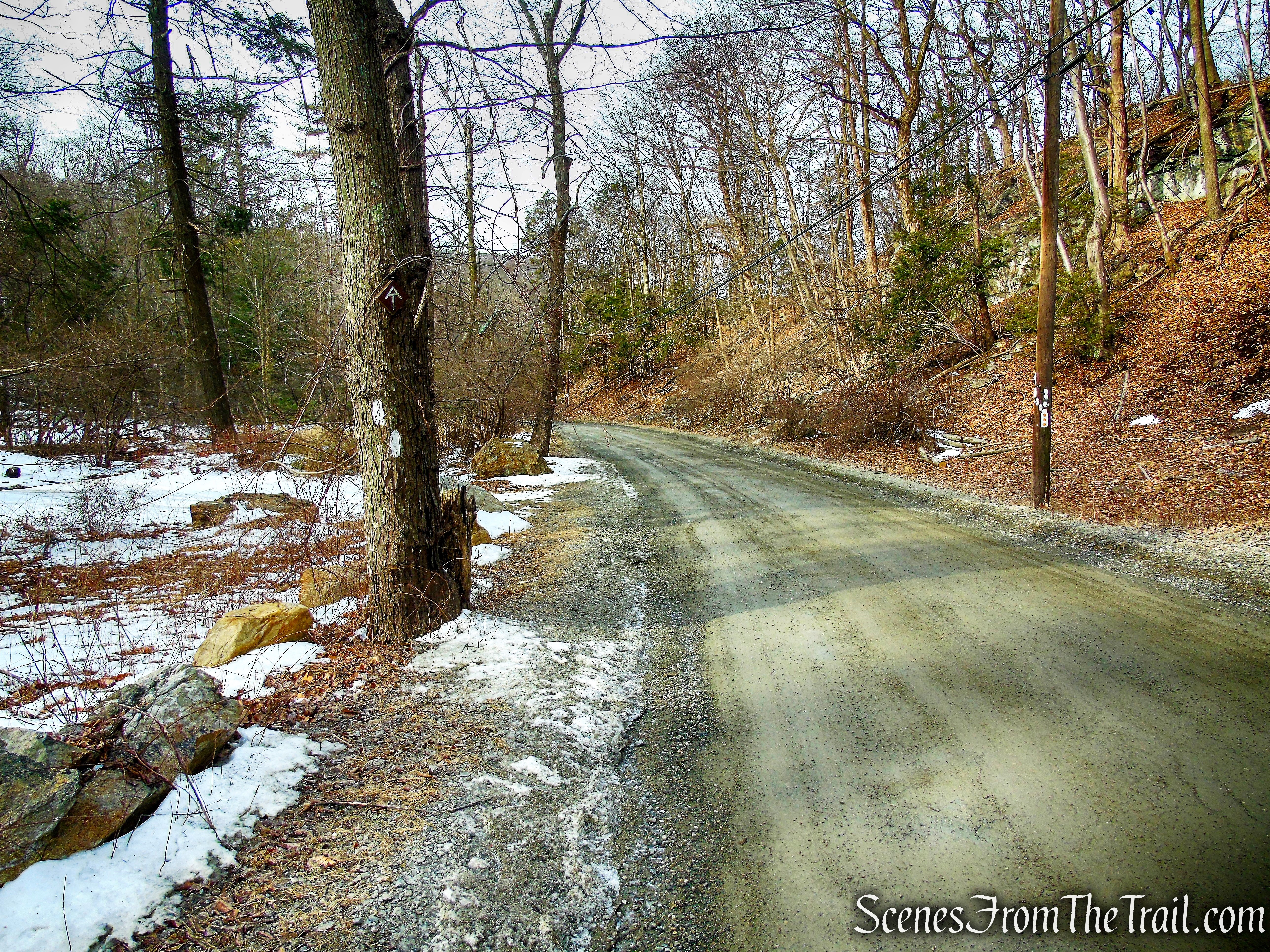
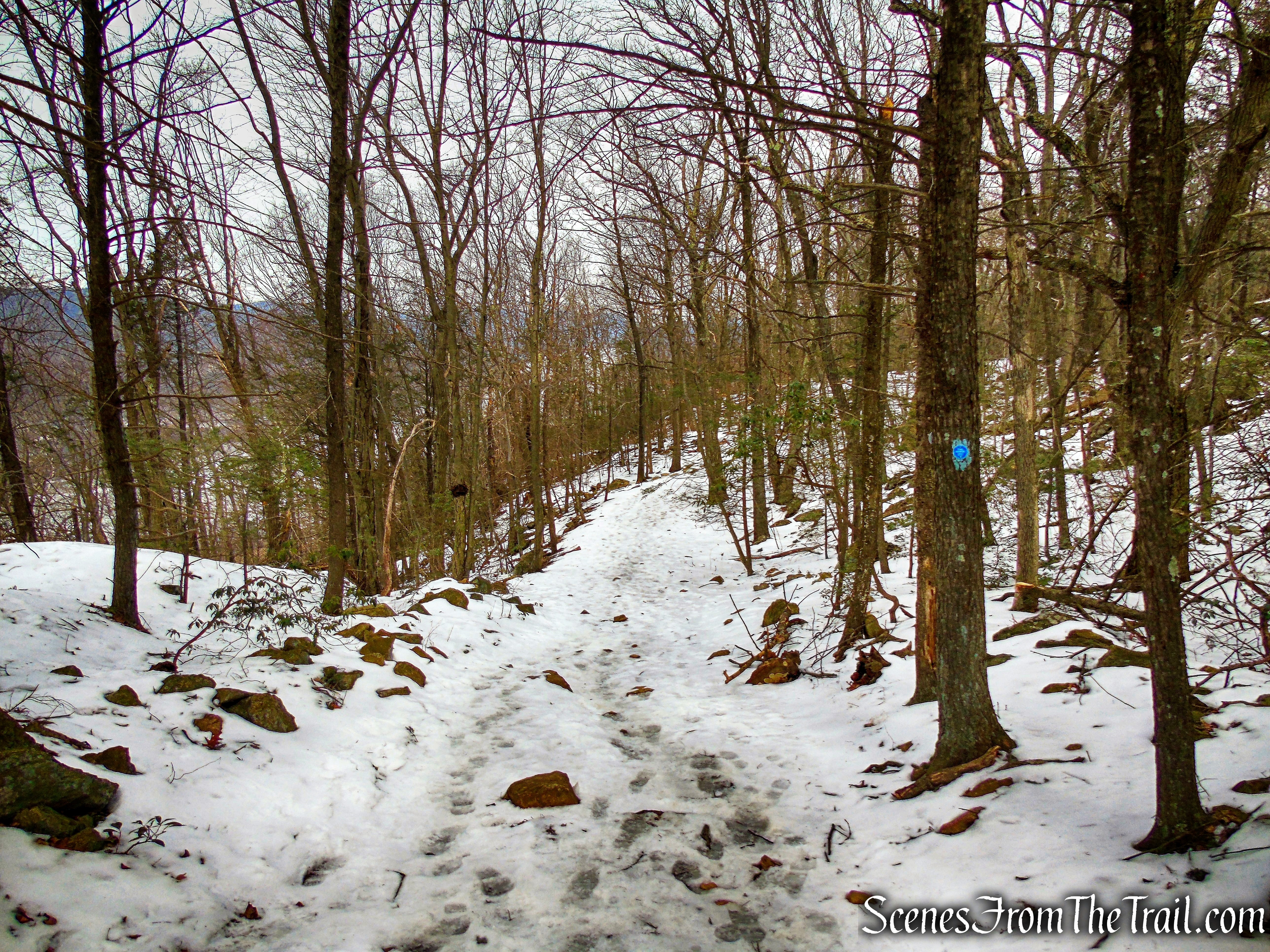
Appalachian Trail – South Mountain Pass Road
Appalachian Trail
Appalachian Trail
Appalachian Trail
Appalachian Trail leaves to the right
Appalachian Trail
Appalachian Trail
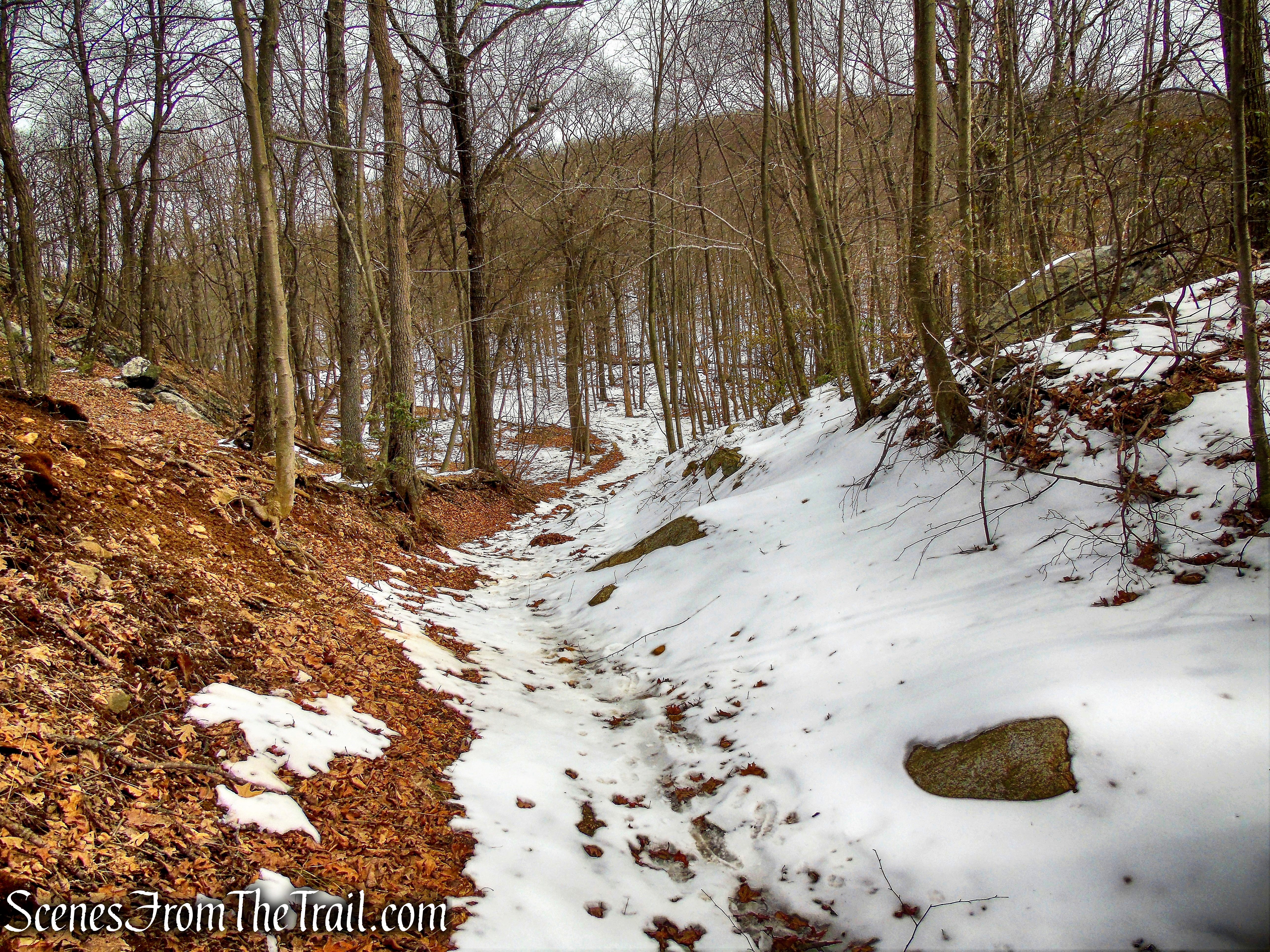
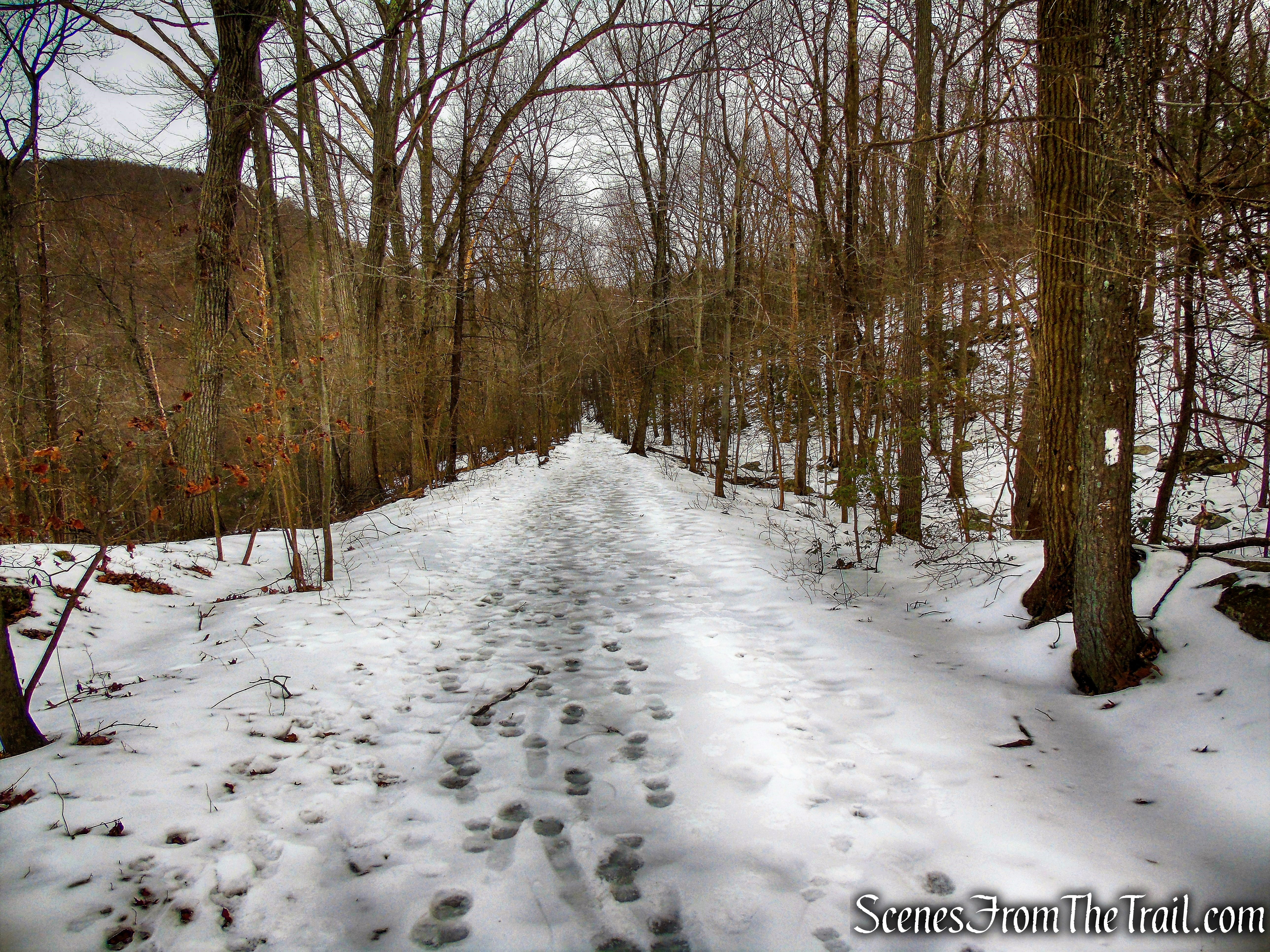
The AT soon begins to climb the north face of Anthony’s Nose on a moderate grade, then steepens. The trail levels off briefly then continues to climb. After nearly a mile, the trail turns right, joining a woods road and descending rather steeply. In another 350 yards, the Appalachian Trail turns right, leaving the woods road and descends steeply to Route 9D. Continue straight on the woods road, now following the blue blazes of the Camp Smith Trail.
Appalachian Trail
Appalachian Trail
Appalachian Trail
Appalachian Trail
Appalachian Trail
Appalachian Trail
Appalachian Trail
Appalachian Trail
Appalachian Trail
Appalachian Trail
Appalachian Trail
Appalachian Trail
Appalachian Trail
continue on to Camp Smith Trail as AT turns right
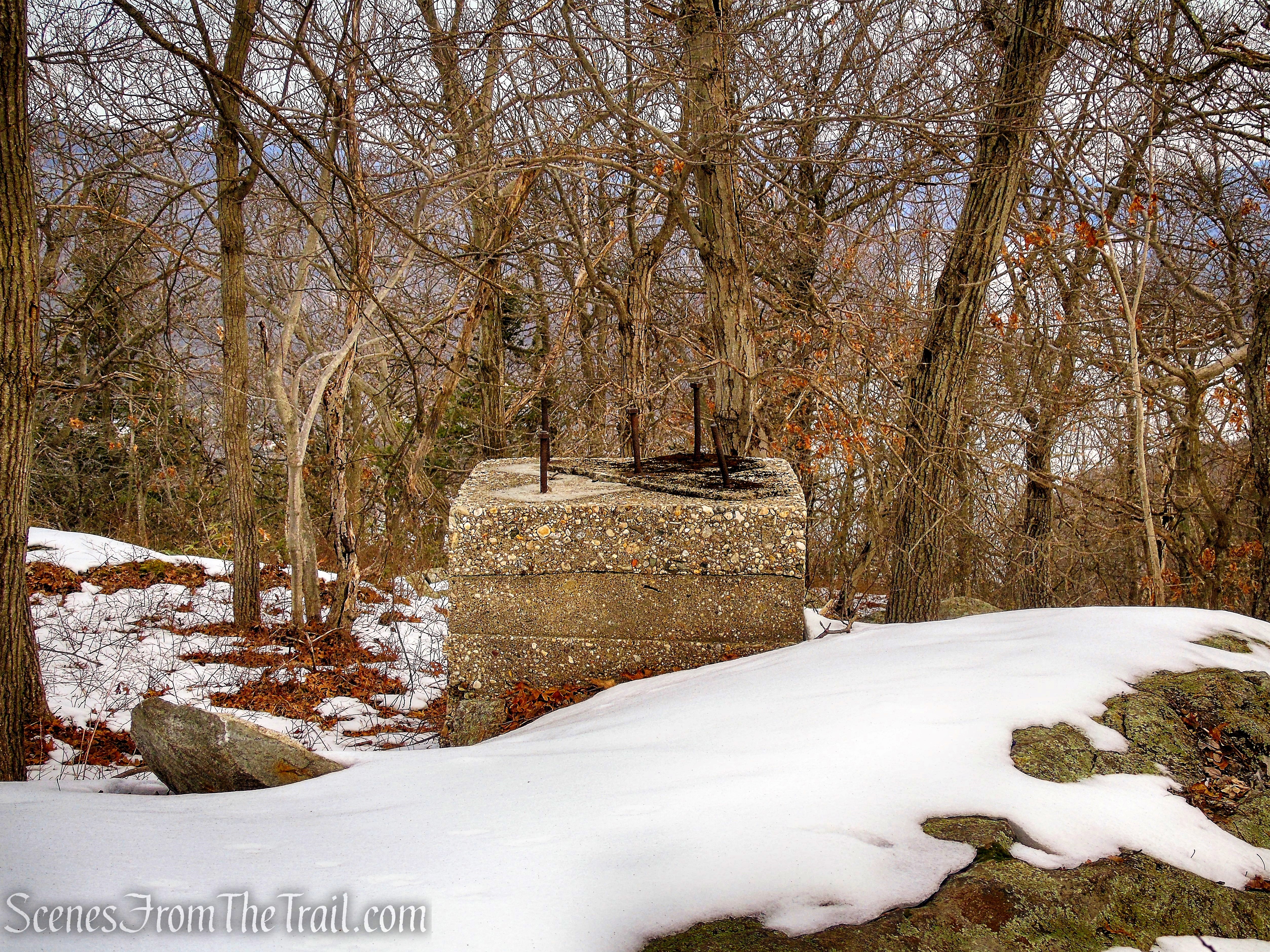
Continue ahead on the blue-blazed Camp Smith Trail as it ascends on the same woods road that you have been following. The trail levels off briefly, passing a pond to the left of the trail. The Camp Smith Trail then climbs again and in just under 1/2 mile, look for an unmarked footpath on the right. This footpath leads to the concrete footings of an airway beacon that once stood guard on Anthony’s Nose.
Camp Smith Trail
Camp Smith Trail
Camp Smith Trail
Camp Smith Trail
turn right on unmarked footpath
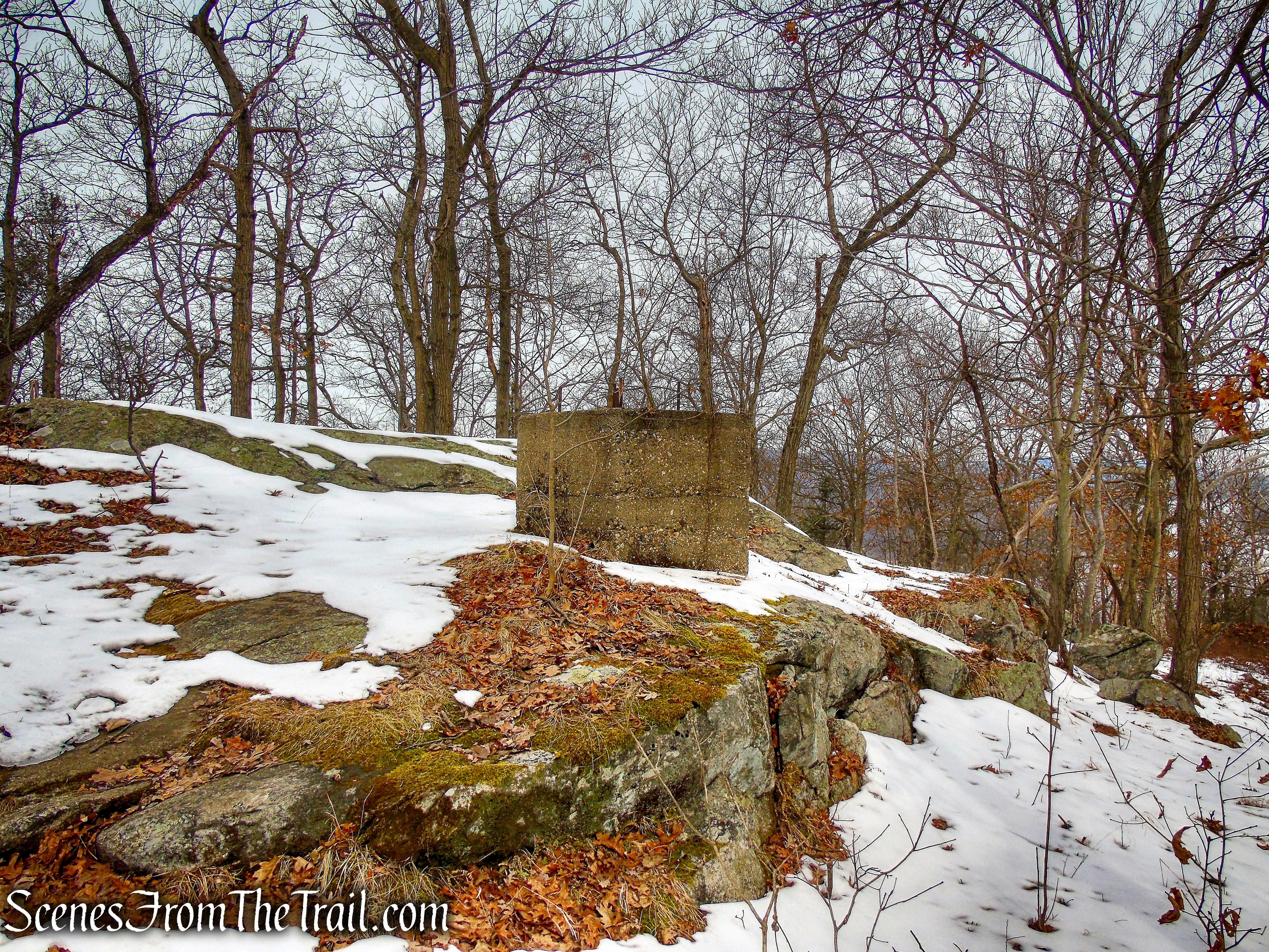
concrete footing for airway beacon
Continue past the concrete footings a short distance to a large slanted rock slab with views to the north of the Hudson River. This is a good spot to take a break and enjoy the view.
concrete footing for airway beacon
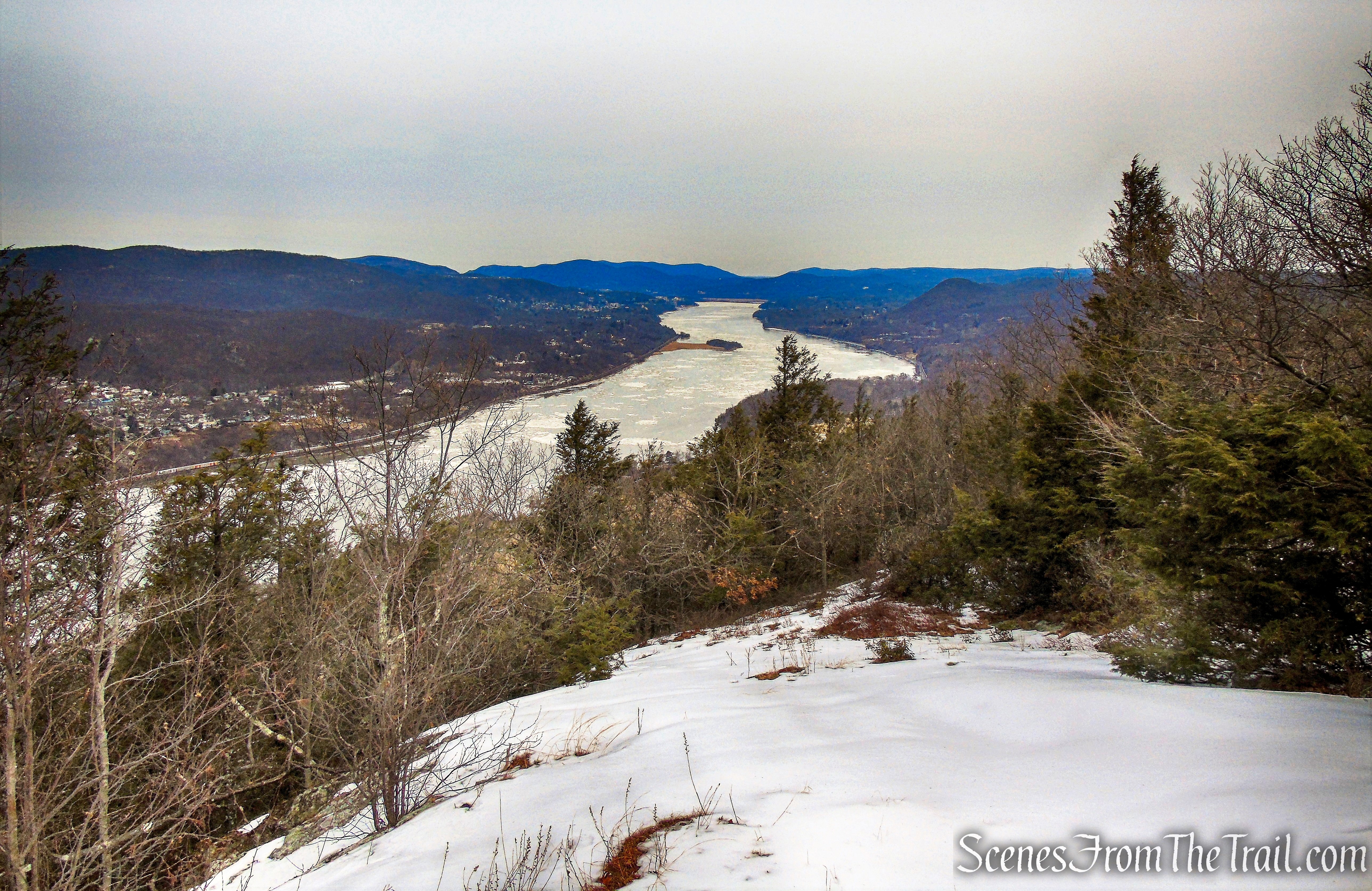
north-facing viewpoint – Anthony’s Nose
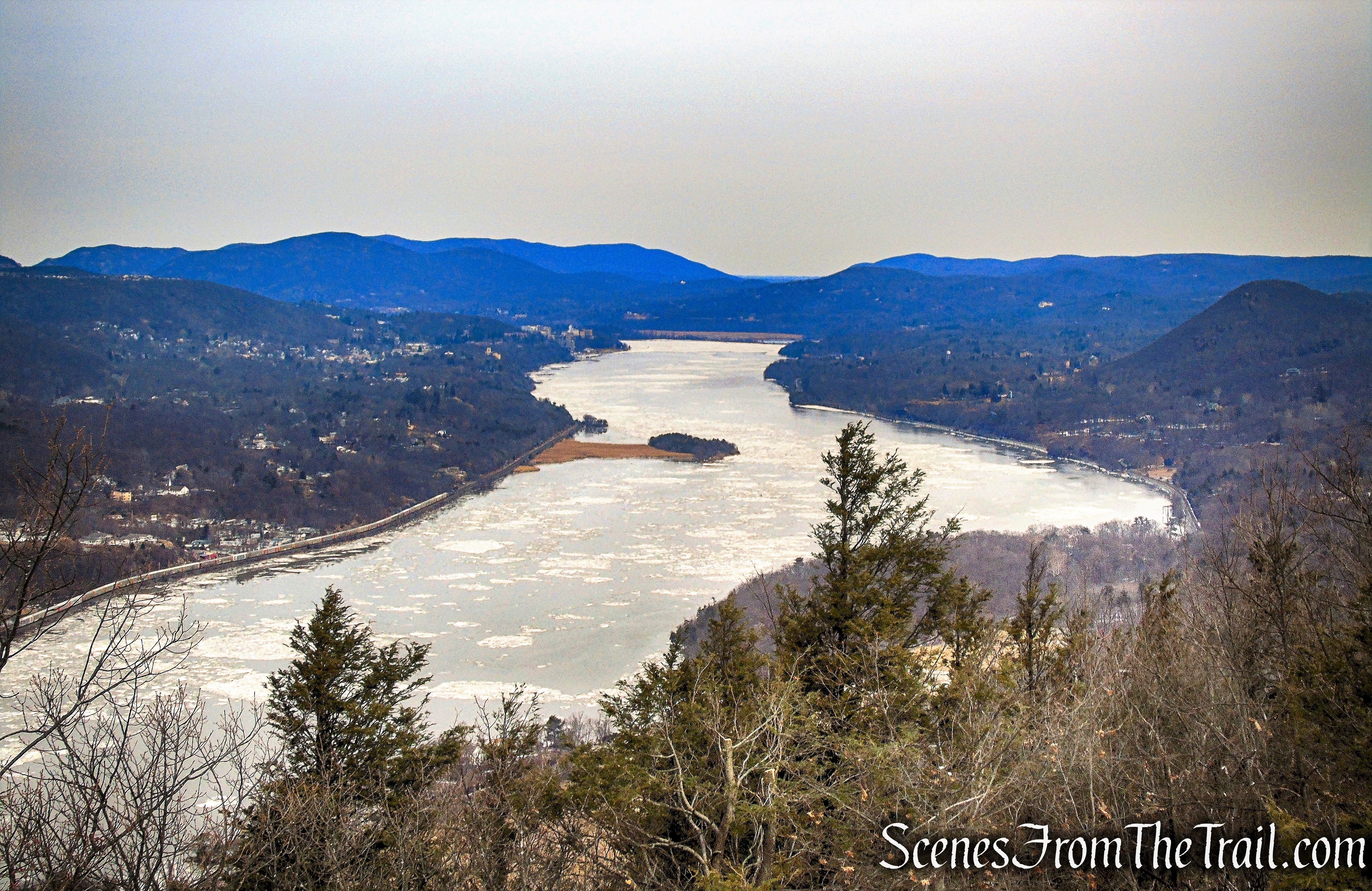
north-facing viewpoint – Anthony’s Nose
When you are ready to continue, retrace your steps to the Camp Smith Trail and turn right (south). Follow the blue blazes and in about another 120 feet, turn right towards a large rock outcrop with panoramic views of the Hudson River, the Bear Mountain Bridge, and Bear Mountain-Harriman State Park
Camp Smith Trail
Camp Smith Trail
view west – Anthony’s Nose
Bear Mountain as viewed from Anthony’s Nose
Perkins Memorial Tower as viewed from Anthony’s Nose
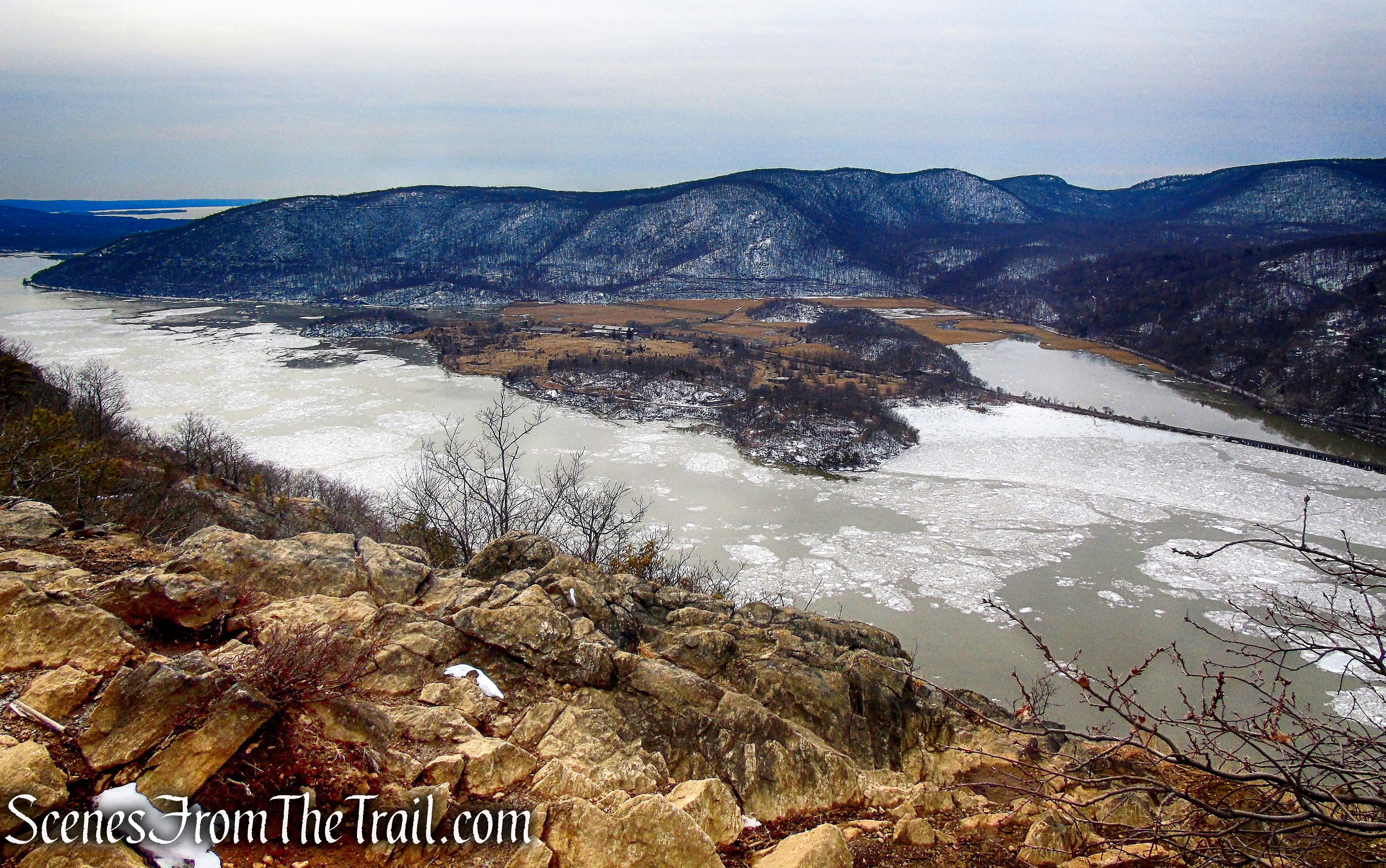
view southwest – Anthony’s Nose
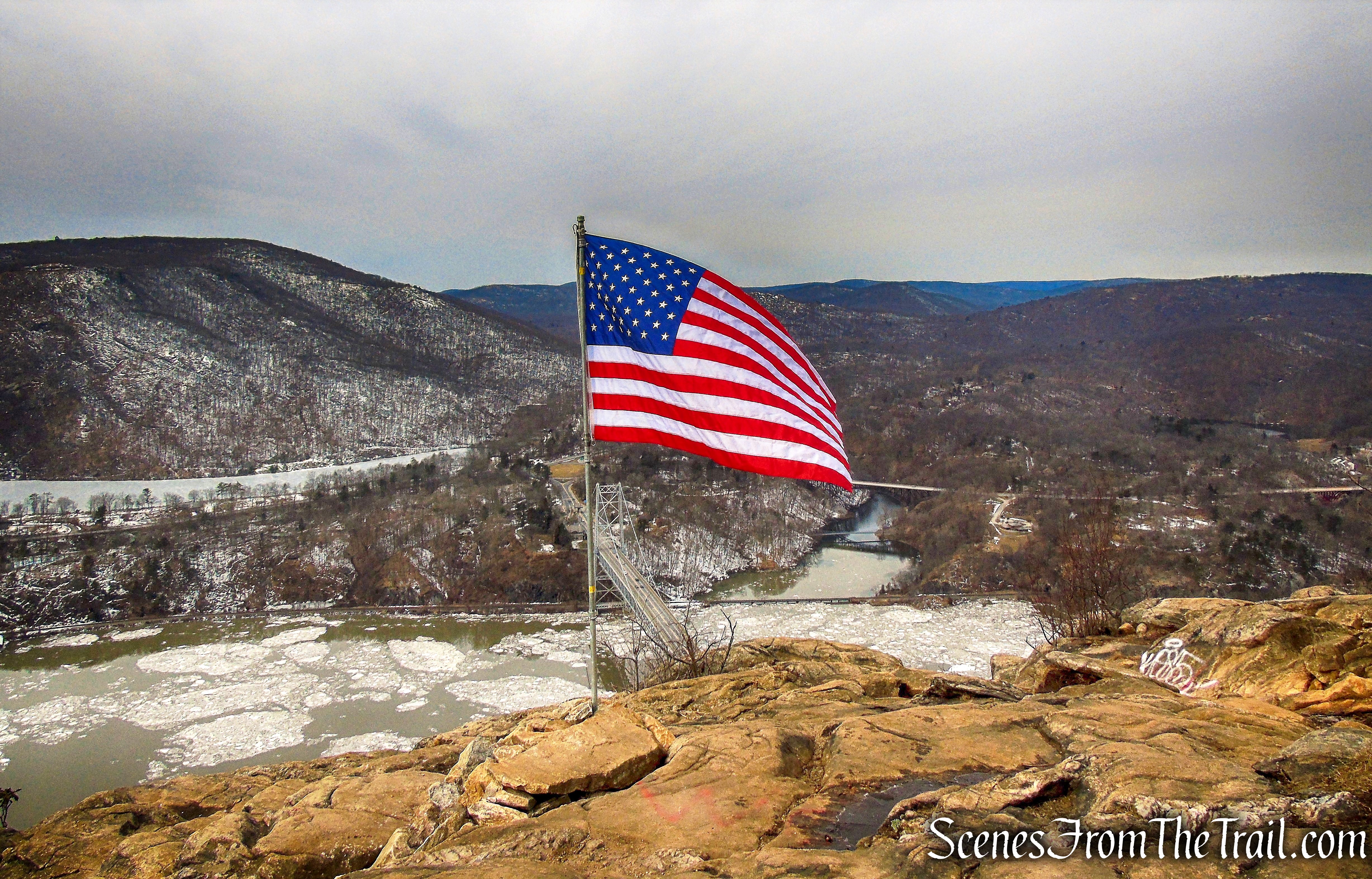
American Flag – Anthony’s Nose
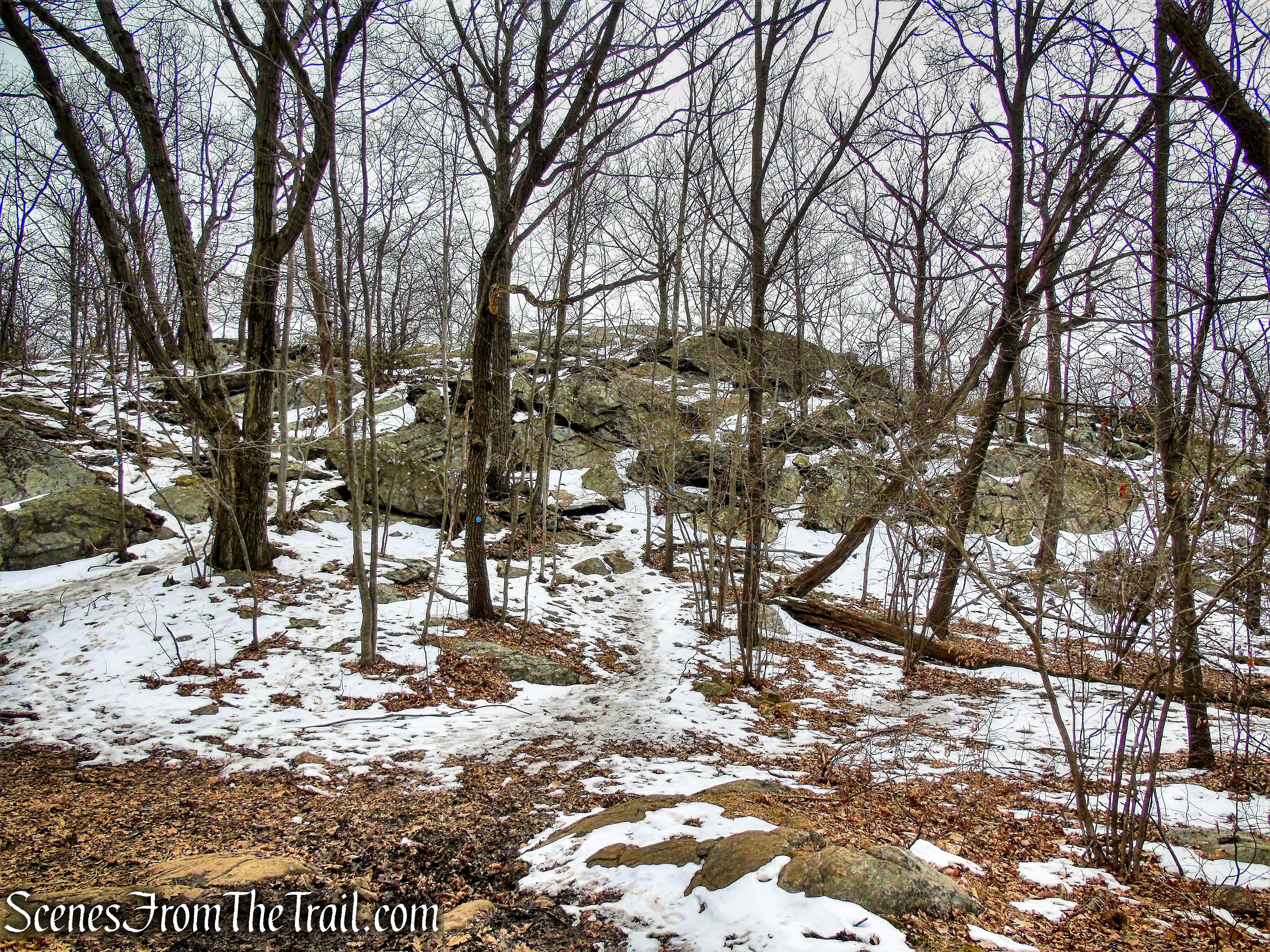
Retrace your steps, crossing the woods road that you took up here and follow the blue blazes as they climb a rock ledge to the summit of Anthony’s Nose. From the summit there are there are both seasonal and year-round views from open rock slabs.
Camp Smith Trail
view south – Camp Smith Trail
When you are ready to continue, retrace your steps as the the trail drops down off the summit to join the woods road that you previously walked. Follow the blue blazes of the Camp Smith Trail north, now retracing your steps. Follow the Camp Smith Trail until it’s terminus at the junction with the white-blazed Appalachian Trail. Continue ahead on the AT, which follows the same woods road, as it ascends rather steeply.
Camp Smith Trail
Camp Smith Trail
rock formations – Camp Smith Trail
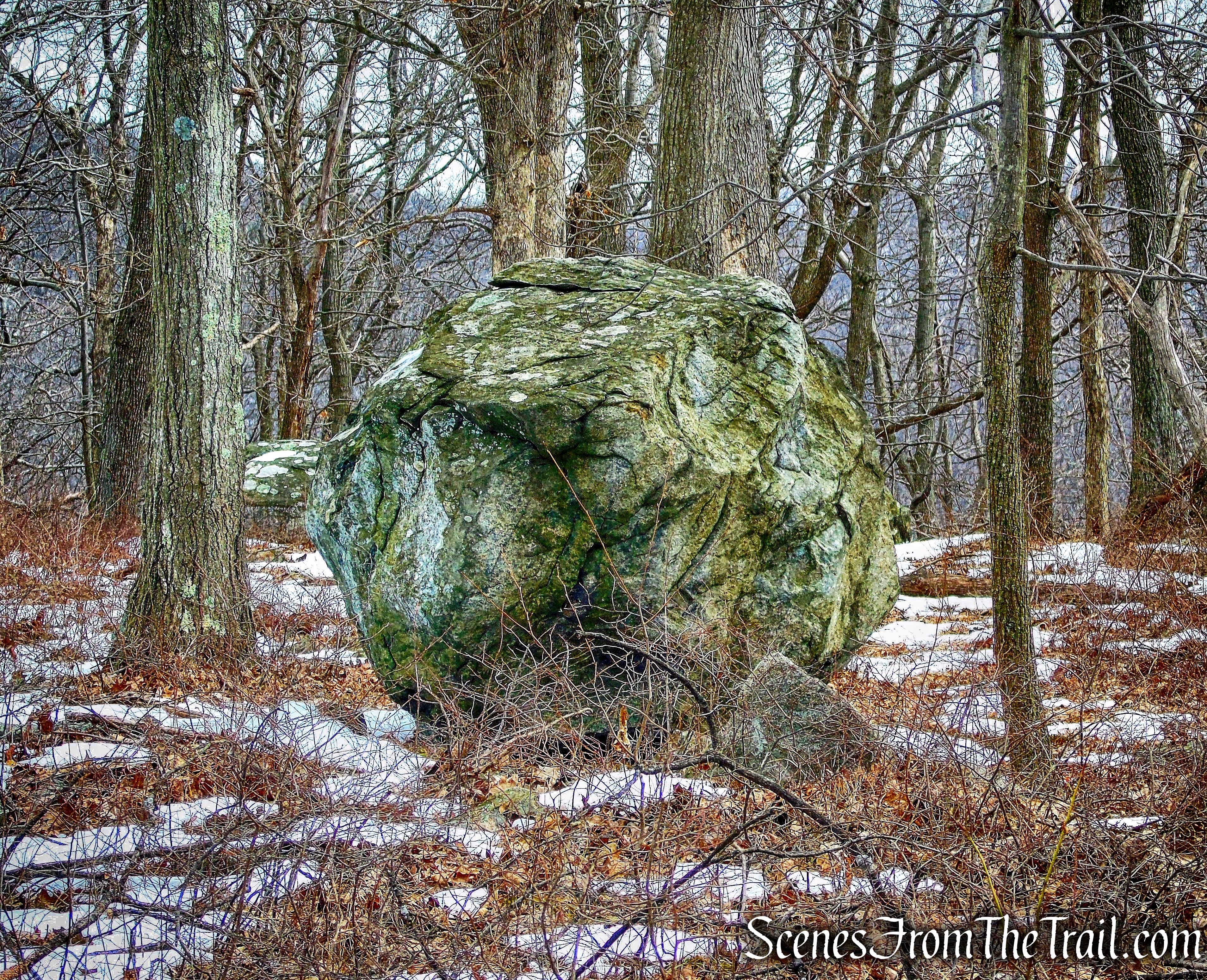
boulder – Camp Smith Trail
Camp Smith Trail
terminus of Camp Smith Trail
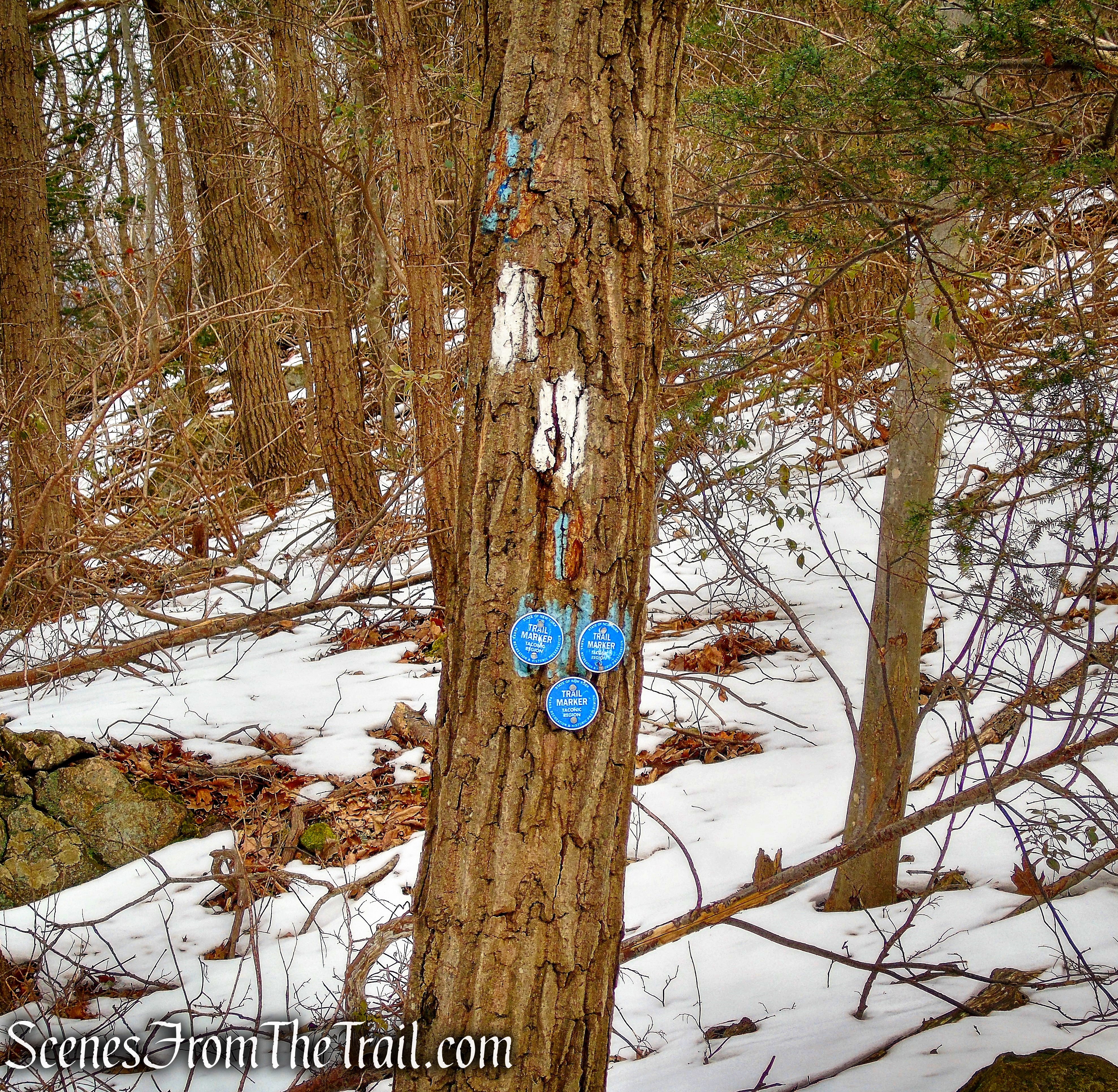
terminus of Camp Smith Trail
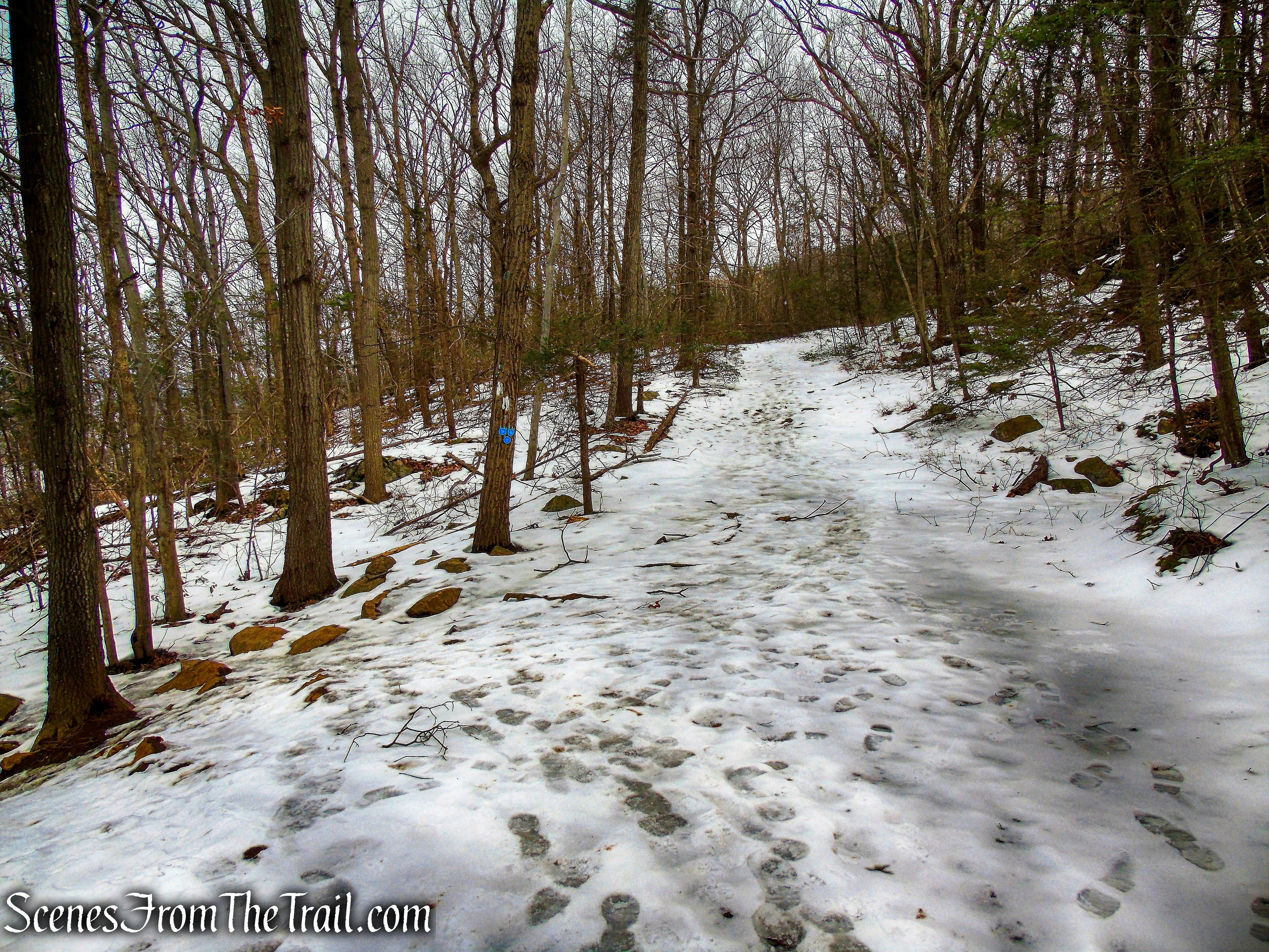
Appalachian Trail
Appalachian Trail
Appalachian Trail
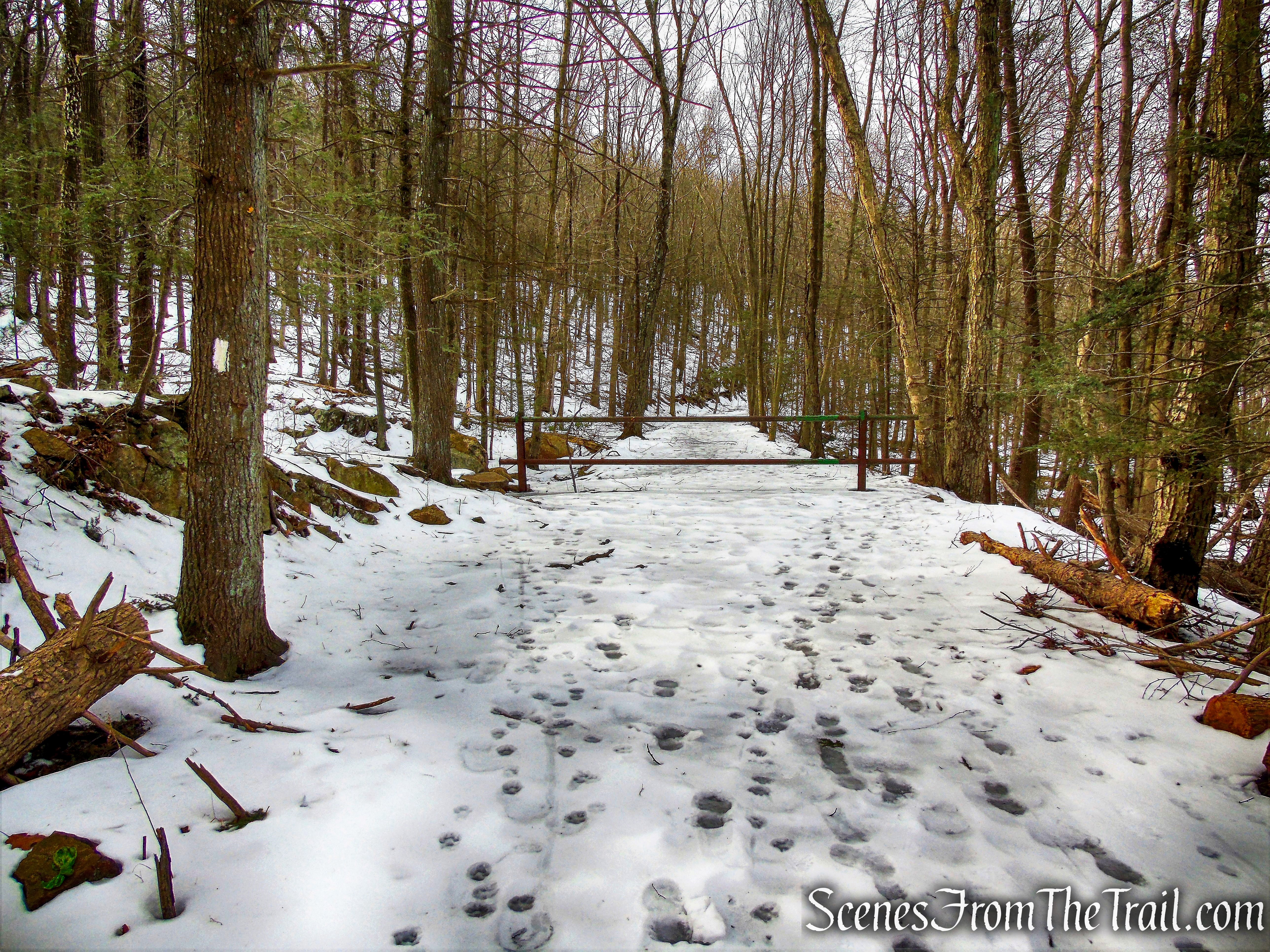
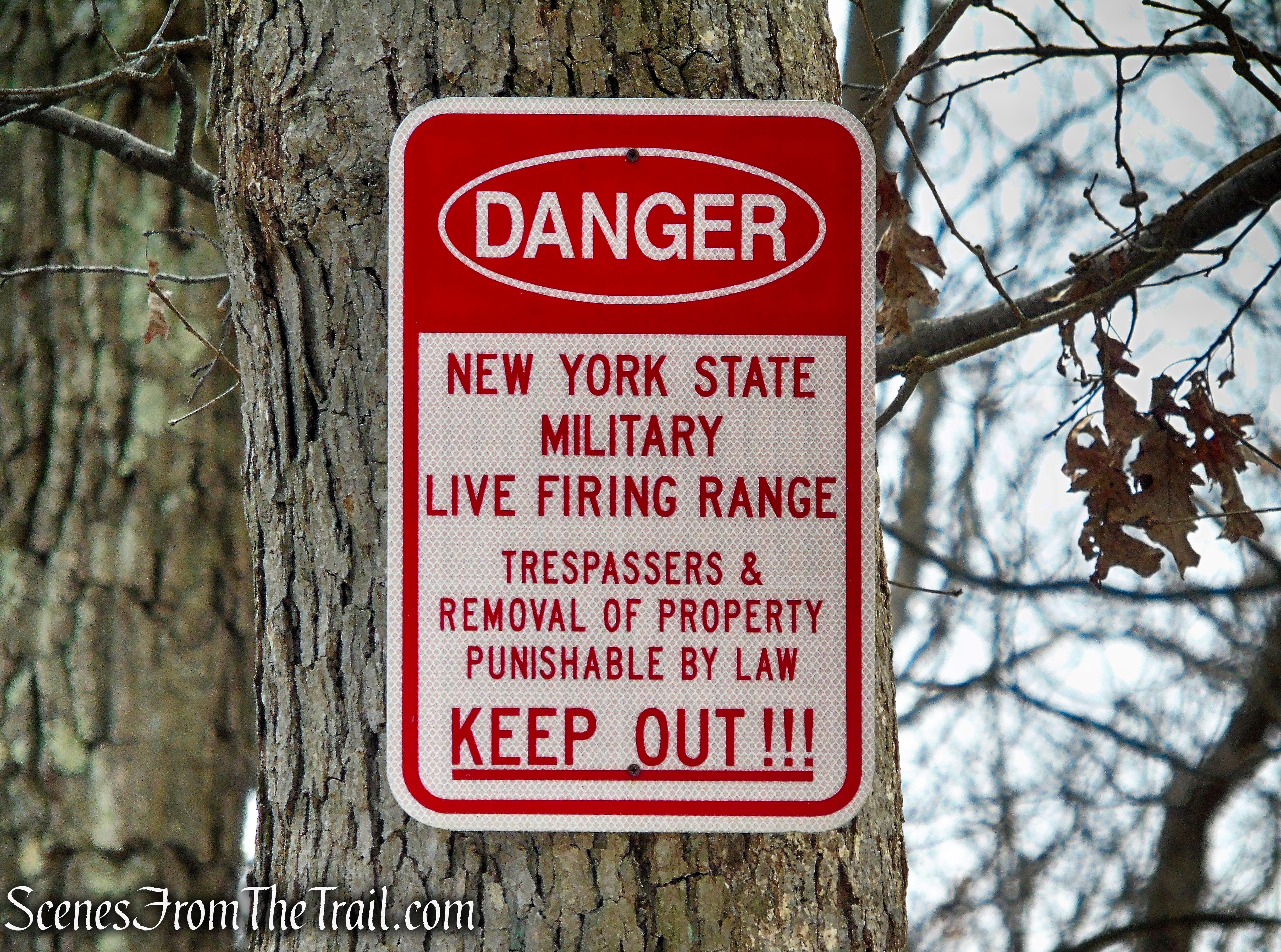
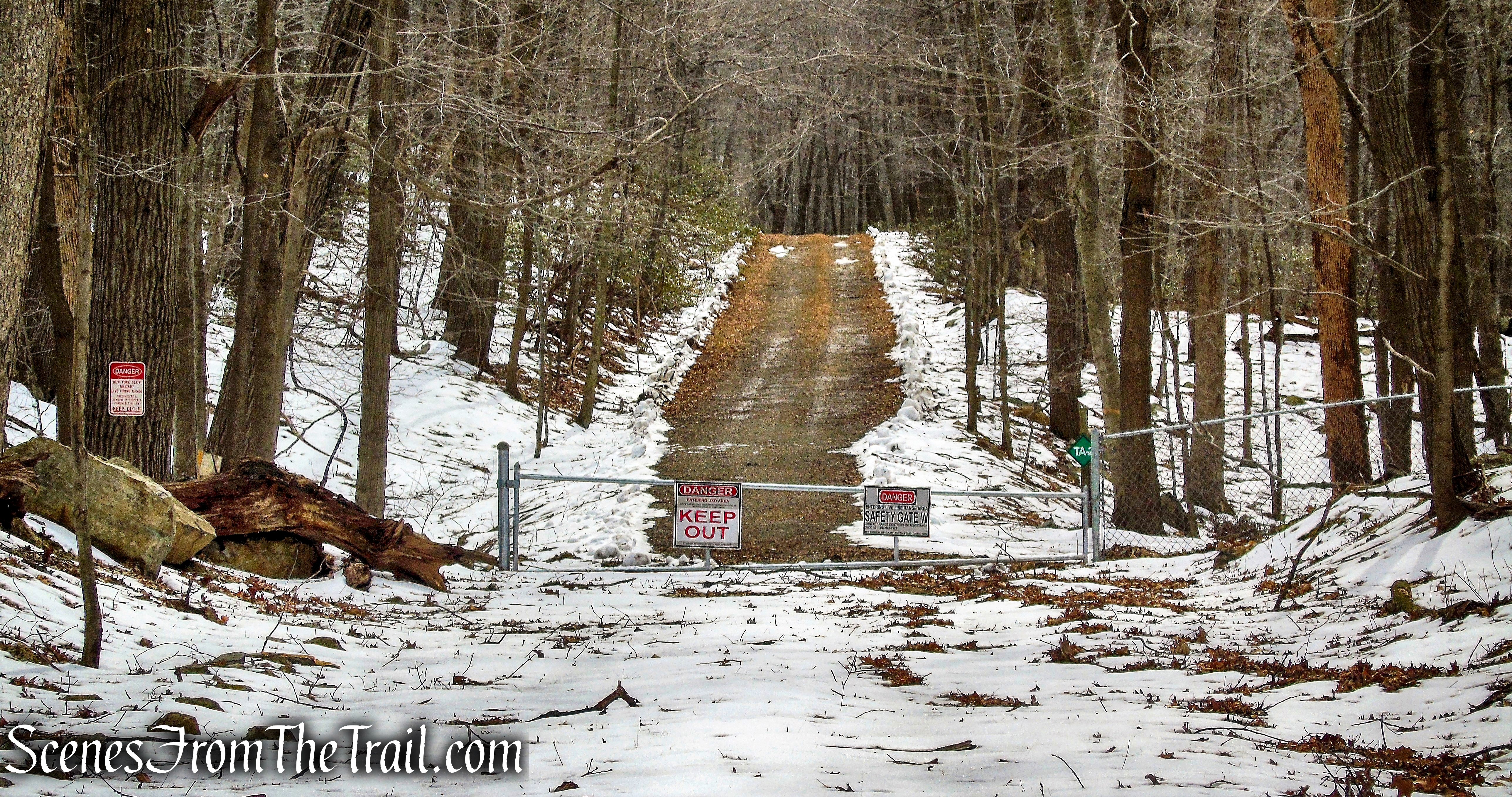
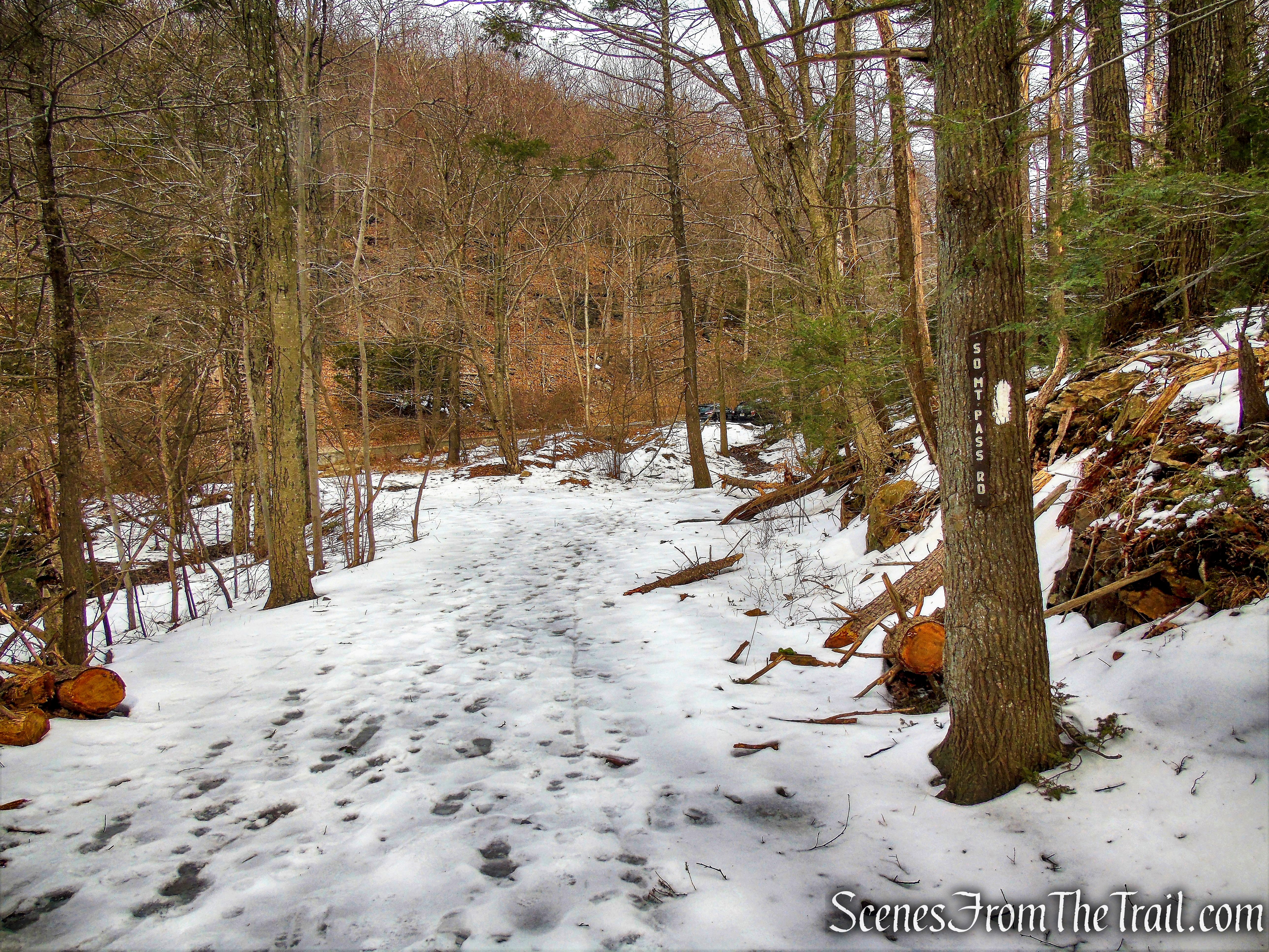
When the Appalachian Trail turns left, leaving the woods road, continue on the woods road as it curves to the right bordering Camp Smith. Soon the road turns left (north) passing an entrance road (Military Road) with a locked gate (DO NOT GO BEYOND THE GATE). Bear left and continue on the unmarked woods road as it begins to descend.
continue on woods road as Appalachian Trail leaves to the left
Military Road
Military Road
Military Road
Military Road
Military Road
Follow the woods road past the Hemlock Springs Campsite as the white-blazed Appalachian Trail comes in from the left. Continue ahead (north) and in a short distance, the AT reaches South Mountain Pass Road, where the hike began.
Military Road/AT
South Mountain Pass Road
South Mountain Pass Road
Review:
A hike to Anthony’s Nose is always a good one. A great winter hike as most fair weather hikers stay away this time of year. Don’t get me wrong, there were still plenty of people up by the flag, just nowhere nearly as much as in the warmer months. At one point, we actually had the lookout to ourselves for more than 20 minutes, until we left. The AT from South Mountain Pass Road is fun to hike with its many ups and downs. The return route, after the the AT leaves the woods road, is all downhill. The views are some of the best in the area and it’s cool to look out at all the Bear Mountain and Harriman hills that I have climbed.
Pros: Great Hudson River Valley views.
Cons: Some of the blazes on the AT are faded and difficult to see.
Take a hike!
Anthony’s Nose from South Mountain Pass
Source:
