March 3, 2019 – Pleasantville, NY
Difficulty: Easy – Moderate
Length: approximately 6.7 miles
Max elevation: 689 ft. – total elevation gain: approximately 653 ft.
Route type: Circuit
Map: 2018 Rockefeller State Park Preserve map *New Trail Name and Marker Transition; Formerly unnamed trails now have names. This new map has been made available before the new trail makers have been installed.
Trailhead parking: North County Trailway Parking Lot – Pleasantville, NY 10570
Park Overview:
Rockefeller State Park Preserve offers quiet countryside walks of all lengths through forested hills and valleys surrounding sunlit pastoral fields. Managed by New York State Office of Parks, Recreation, and Historic Preservation, the Preserve is open to the public year-round, sunrise to sunset. The trails of the Preserve are crushed stone carriage roads laid out by John D. Rockefeller Sr. and Jr. in the first half of the 20th century. Designed to compliment the landscape, the 55 miles of scenic carriage roads are wide and easy to walk. Popular for walking, riding, jogging, and carriage driving, combinations of trails lead through varied landscapes and past natural and historical features, such as Swan Lake, the Pocantico River with its wood and stone bridges, gurgling streams, colonial stone walls and rock outcroppings. The carriage roads are the constant feature in what is otherwise a diverse and complex natural landscape of seemingly innumerable characteristics.
Bicycles, mechanized vehicles, drones, metal detectors, snowmobiling, camping, and open fires are strictly prohibited. Dogs must be leashed.
Please note: The carriage roads are not blazed and only have signs at most intersections. I would recommend downloading Avenza Maps and the Rockefeller State Park Preserve map. Both are free and will make navigating through the preserve much easier. I have been using the FREE version for several months now and it is a great navigational tool out on the trail.
Rockefeller State Park Preserve
Legend:
Nestled in a far corner of the Rockefeller estate is a massive rock formation known as Raven Rock. Local historians Jeff Canning and Wally Buxton describe three ghostly associations with this spot in their book, History of the Tarrytowns. It is far enough off the beaten path that its location has remained obscure even for most locals.
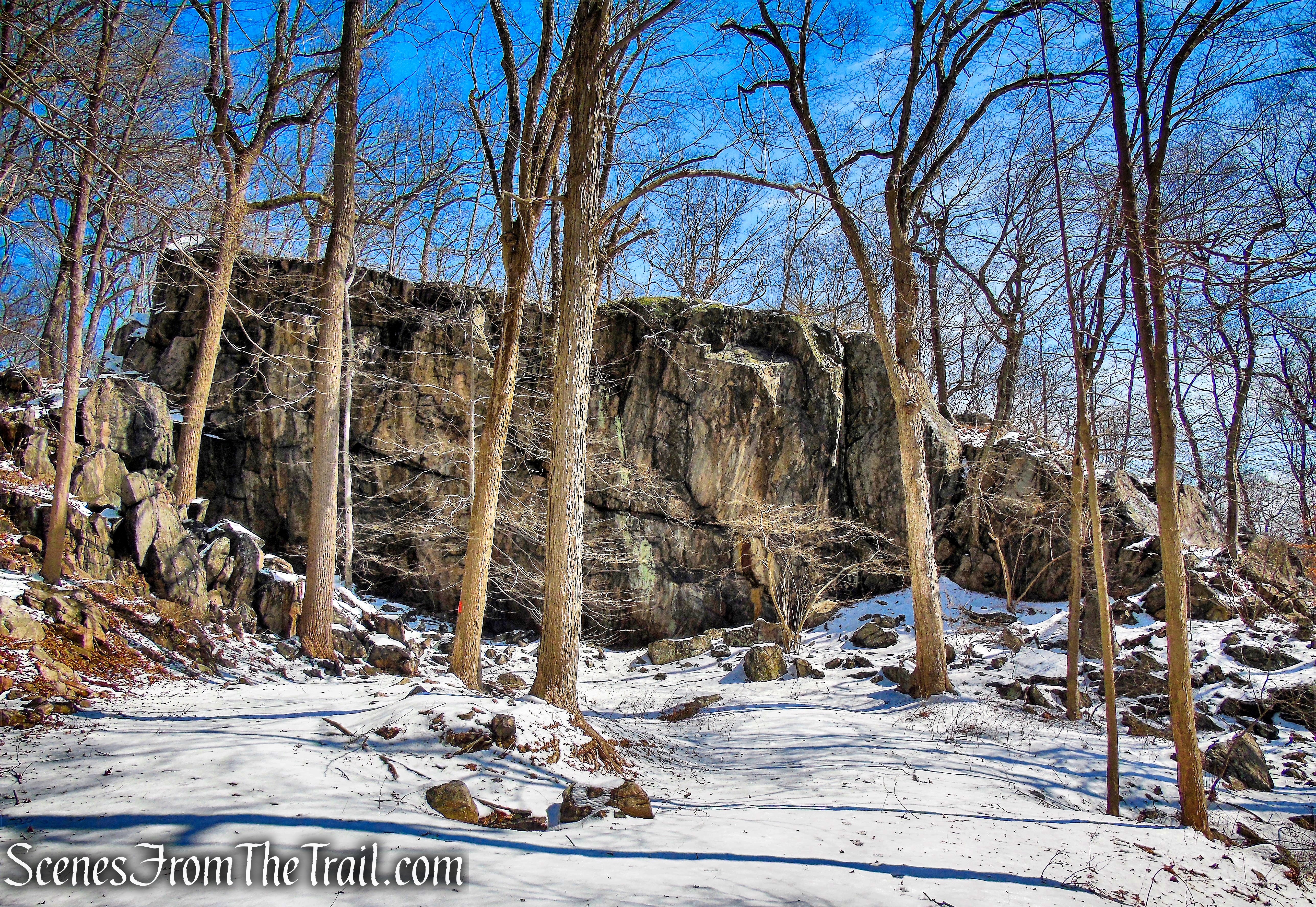
Raven Rock – Rockefeller State Park Preserve
Raven Rock and one of its legendary ghosts make an appearance in “The Legend of Sleepy Hollow:” “Some mention was made also of the woman in white, that haunted the dark glen at Raven Rock, and was often heard to shriek on winter nights before a storm, having perished there in the snow.” ~ The Legend of Sleepy Hollow
Jeff Canning and Wally Buxton’s History of the Tarrytowns, gives some more details:
“Raven Rock is part of Buttermilk Hill in the northern reaches of the Rockefeller estate near the old Hawthorne Traffic Circle. Legend tells us that three ghosts, not just Irving’s lady in white, roam the area.
- The lady in white was a girl who got lost in a snowstorm and sought shelter from the fierce wind in a ravine by the rock. The snow drifted in and she perished during the night. It is believed that the spirit of the lady meets the wanderer with cries that resemble the howling of the wind, and gestures that remind one of drifting snow, warning all to stay away from the fatal spot.
- A more ancient legend tells of an Indian maiden who was driven to her death at Raven Rock by a jealous lover. Her spirit is believed to roam the area, lamenting her fate.
- The third spirit is that of a colonial girl who fled from the attentions of an amorous Tory raider during the Revolution and leaped from the rock to her death.”
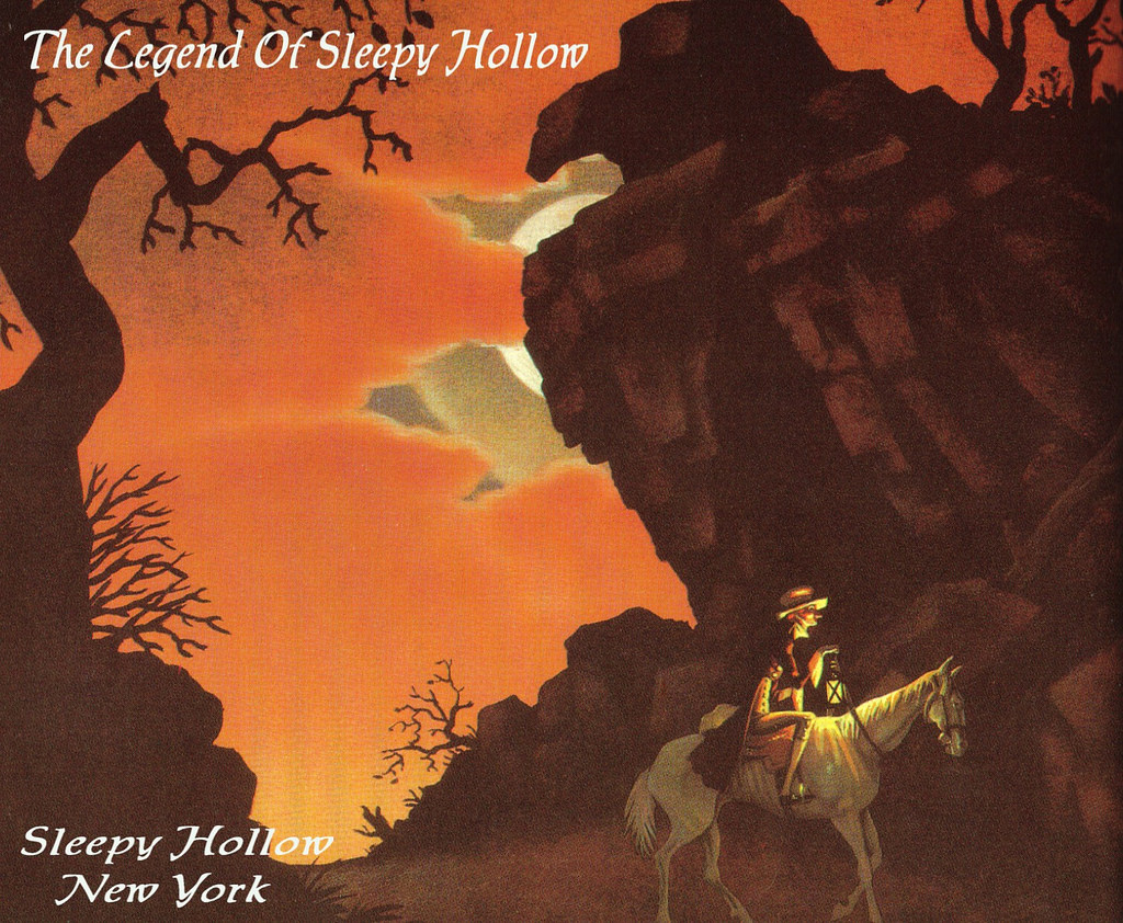
Ichabod Crane riding past Raven Rock – illustration by Robert Van Nutt
Hike Overview:
Rockefeller State Park Preserve is my go to spot for winter hikes after a recent snowfall. The wide carriage roads and moderate hills make for an easier trek when the ground is covered with snow. After several inches of snow the previous day, it was decided that we would pay a return visit to Raven Rock. Although the landscape is quite scenic anytime of the year, there is a lot less foot traffic in the colder months.
The eastern section of Rockefeller State Park Preserve, which this hike covers, is characterized by a pronounced escarpment that rises above the Saw Mill River and follows the eastern boundary of the preserve. A segment of the carriage road system traverses that area, culminating at its northeastern extreme at Buttermilk Hill, which rises 700’ above sea level. The Buttermilk Hill Trail (formerly Laurance’s Ridge) and the Goat Trail both traverse the eastern escarpment. The vicinity of Raven Rock, is among the more remote parts of the carriage road system and the Rockefeller State Park Preserve landscape.
The return route is along the North County Trailway, part of the former Putnam Division of the New York Central Railroad. If so desired, one can remain in the preserve and follow any one of the many carriage roads back to the start.
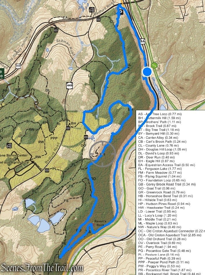
Raven Rock Loop – Rockefeller State Park Preserve
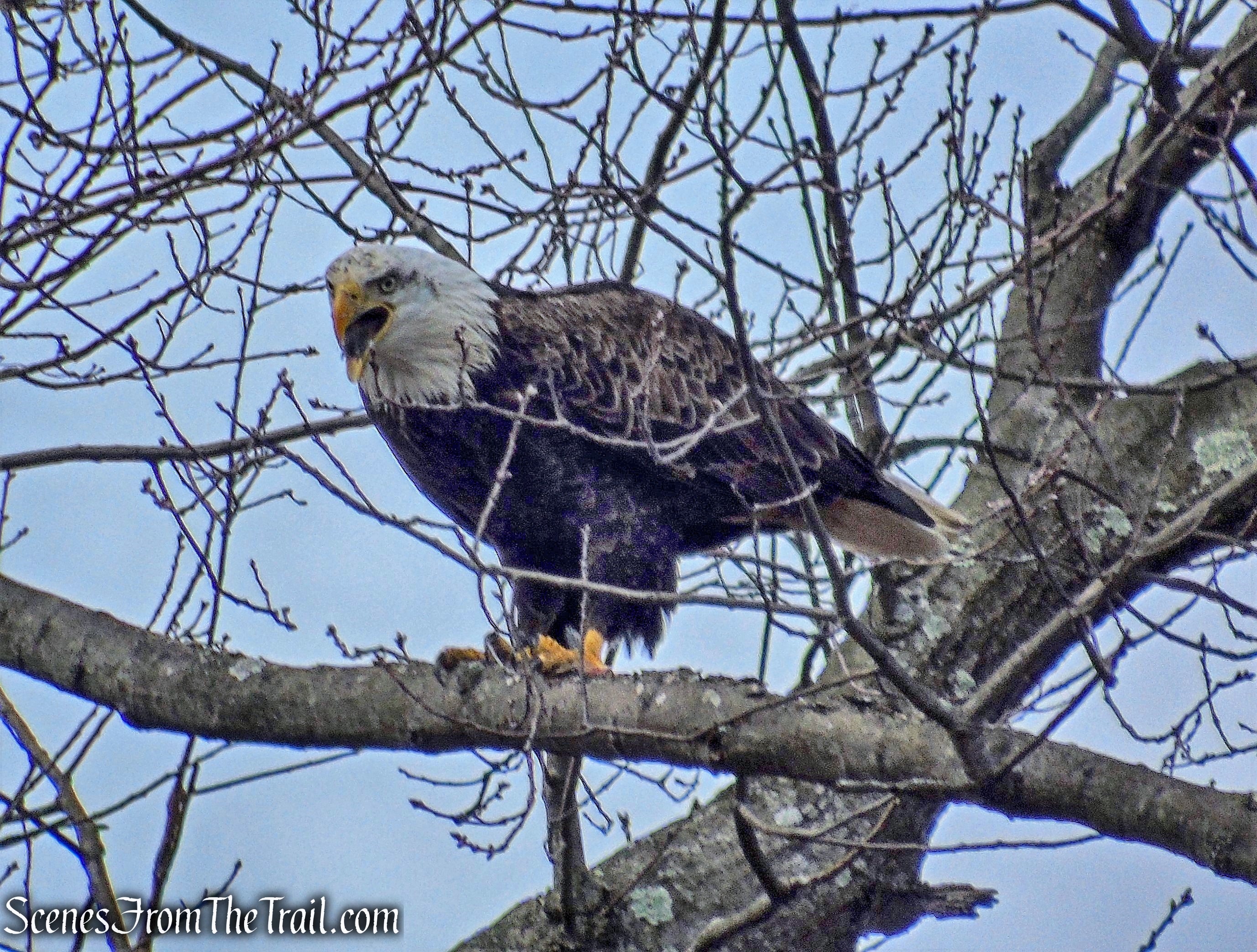
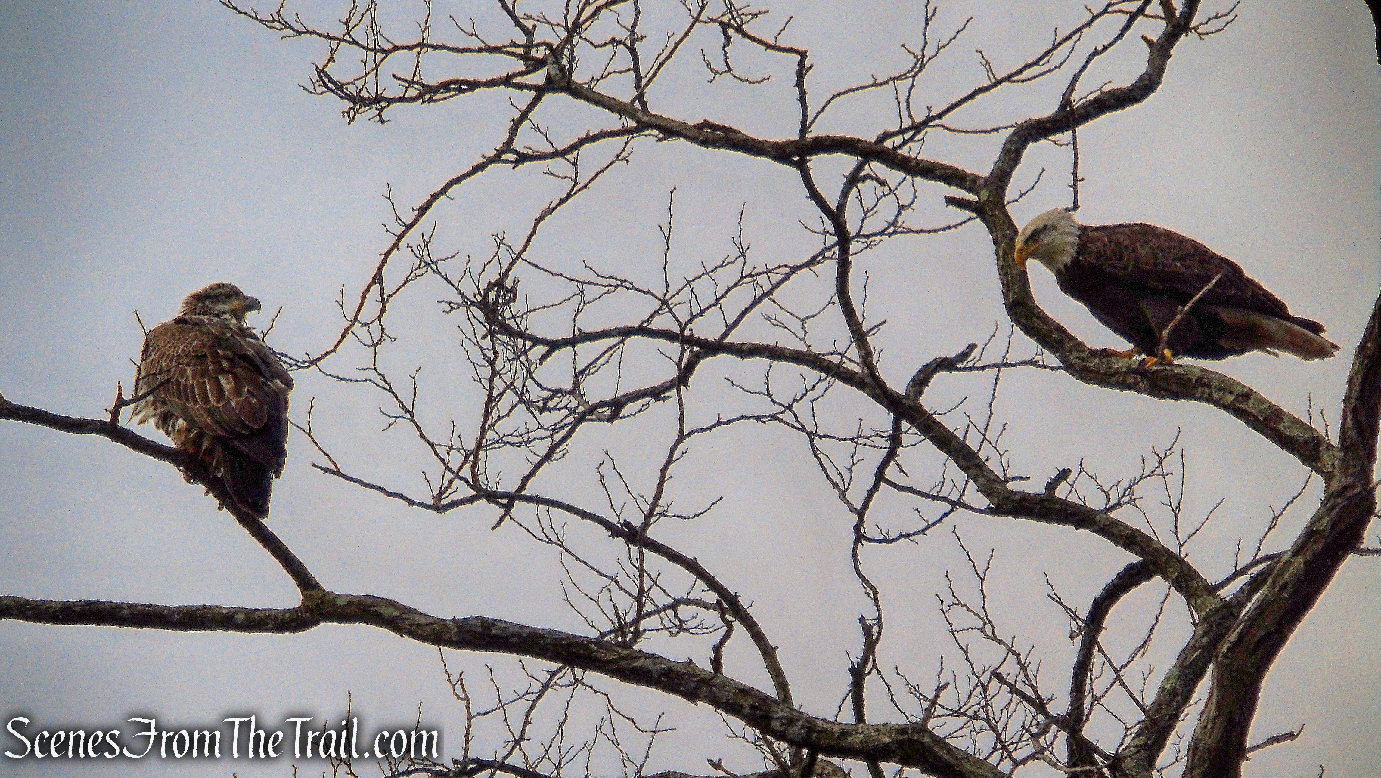
On the way to the hike, we drove by the Tarrytown Lakes and I spotted a Bald Eagle sitting in a tree. I pulled over and was able to capture some images of the majestic raptor.
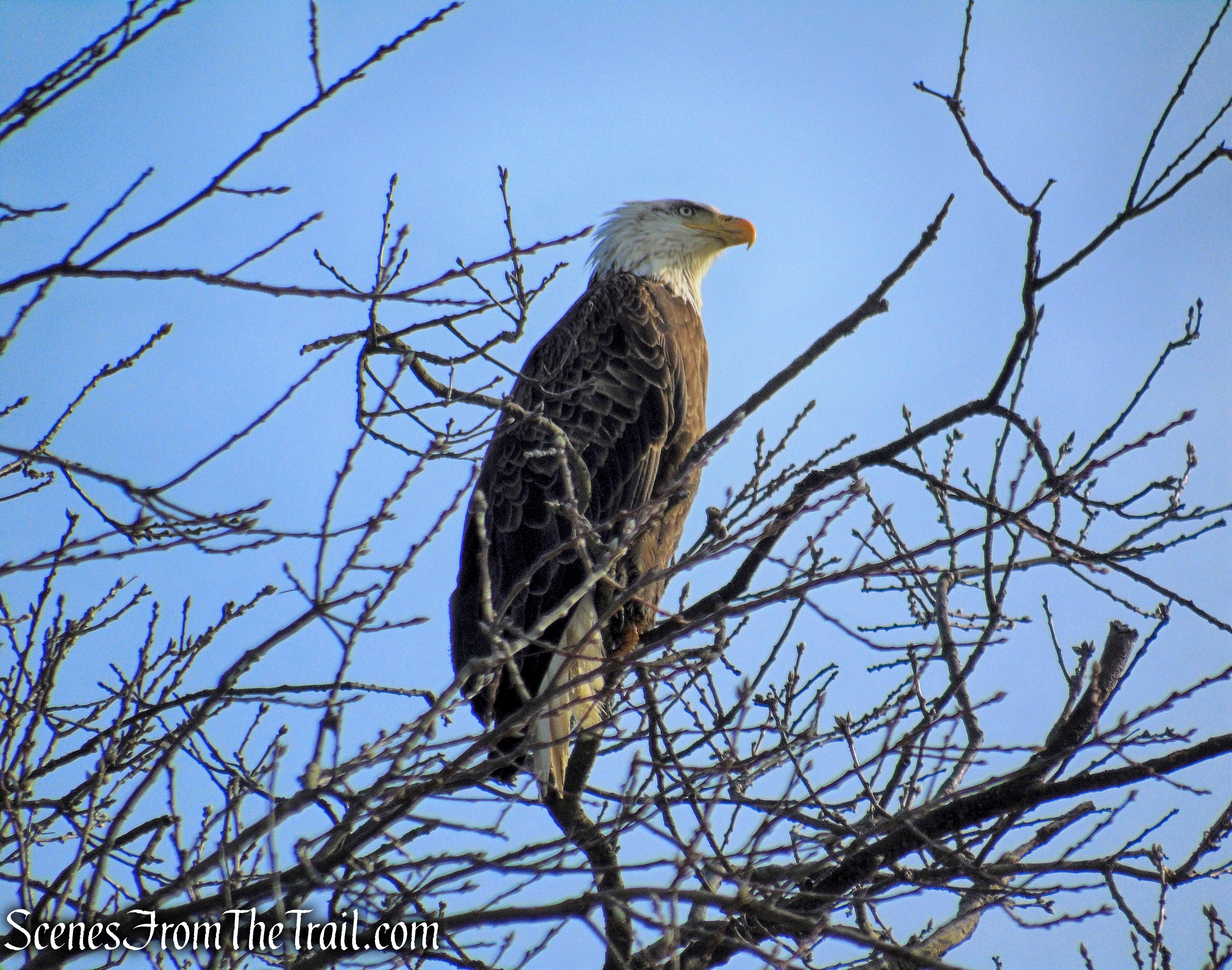
Bald Eagle – Tarrytown Lakes
Bald Eagle – Tarrytown Lakes
The Hike:
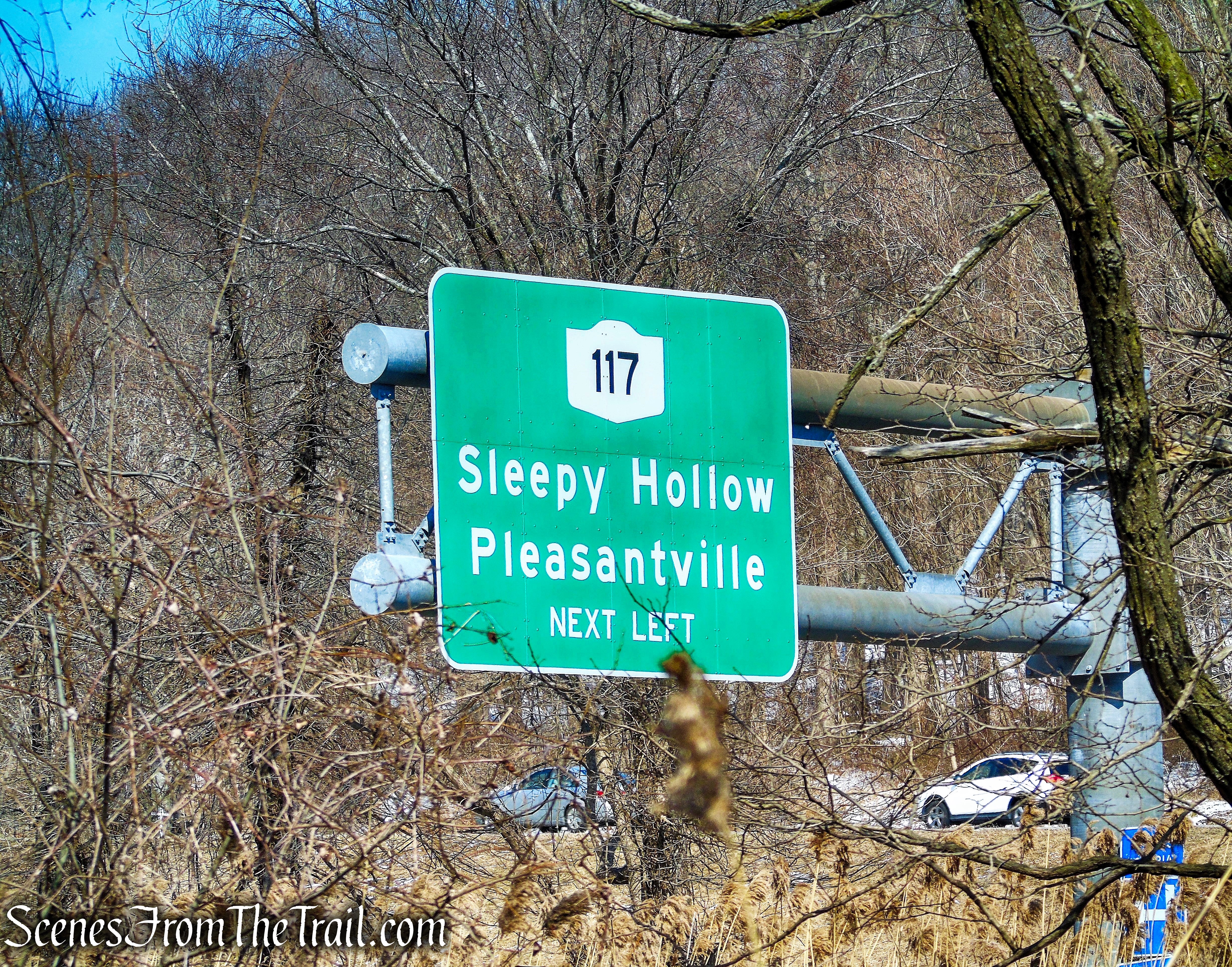
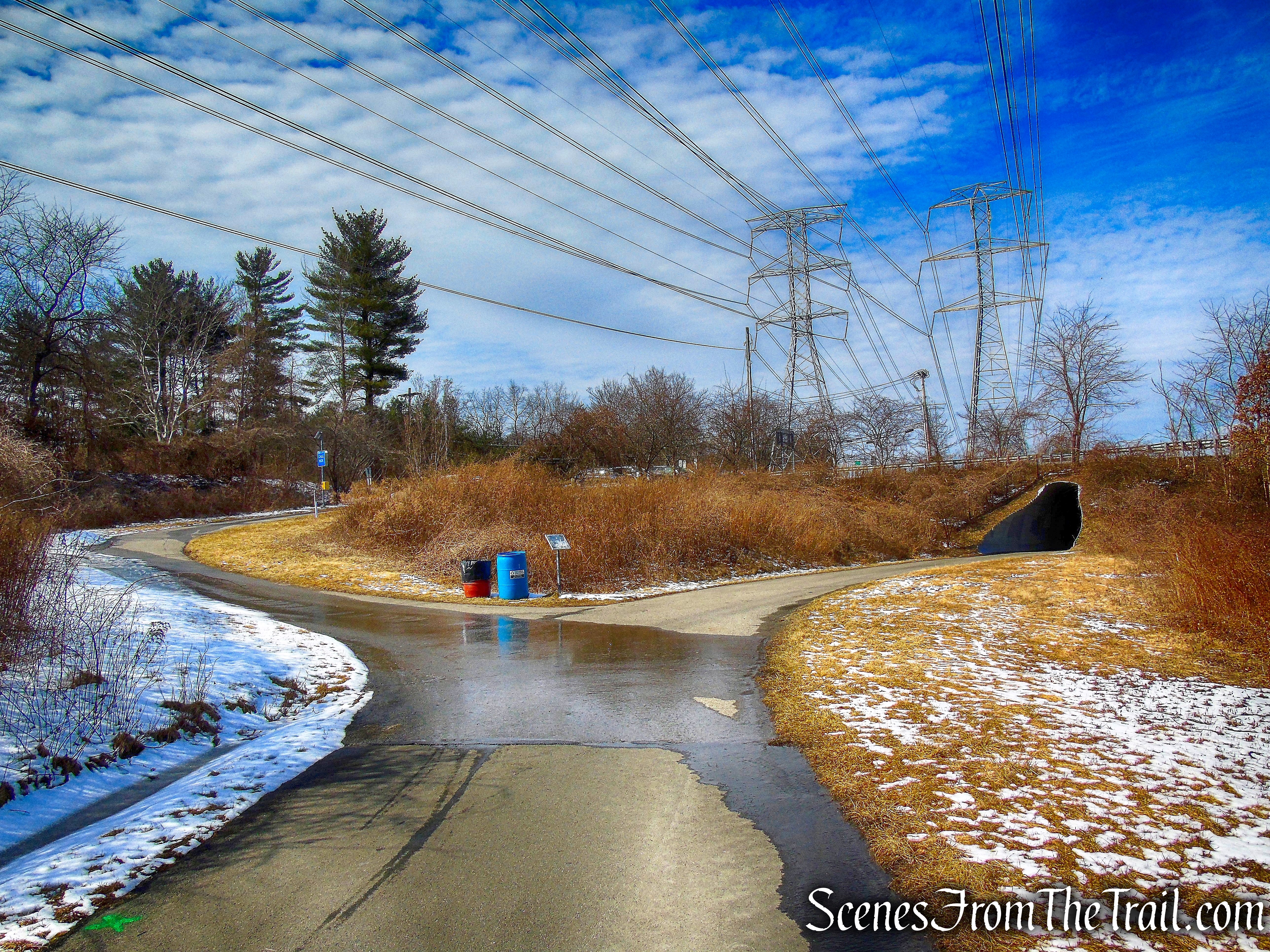
We parked in the lot for the North County Trailway which is on Route 117 in Pleasantville, just before reaching the interchange with Route 9A and the Taconic State Parkway (heading northeast). The lot offers ample parking, and on this day there was only one car in the lot when we arrived at about 9:30 am.
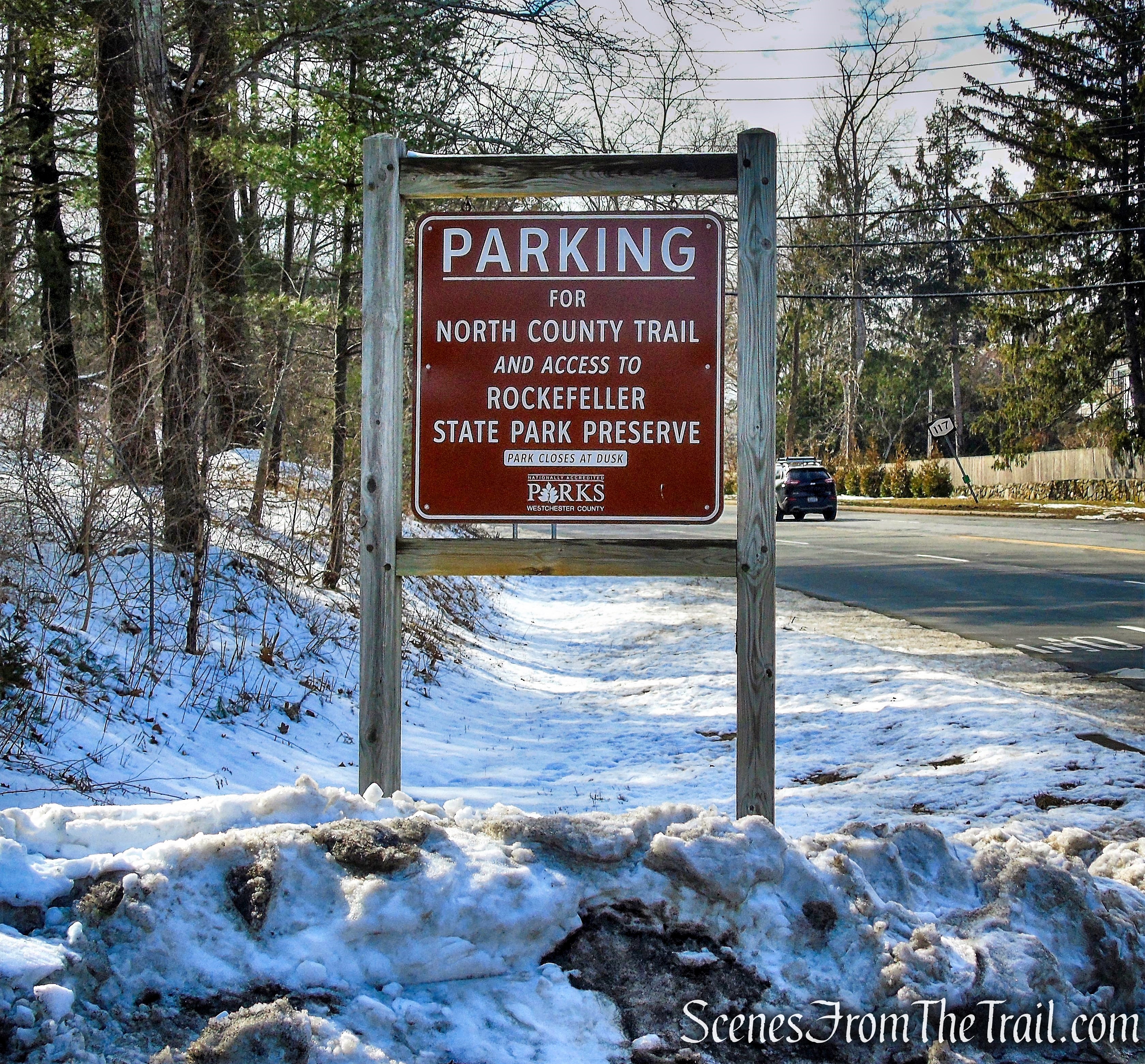
North County Trailway Parking lot
While doing the write up on this hike, I discovered that some of the trail names have changed on the new map. The old signs were still up at the time of this hike and should be replaced soon. I will use the new names of the trails, but include the old signs as they were, when I visited the preserve. The Avenza Maps app has the new map available for free and is a big help.
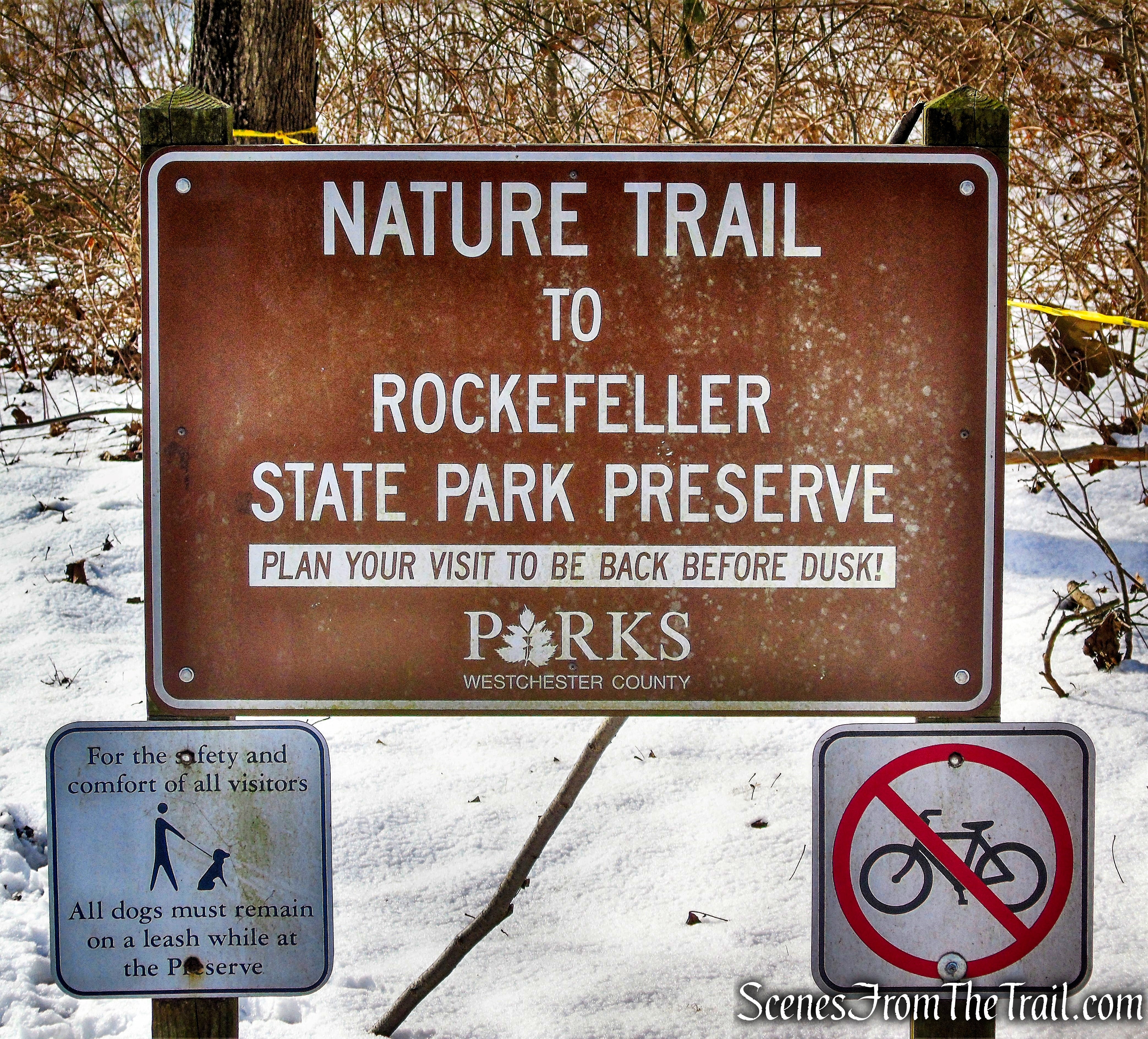
The hike begins at the southwest area of the parking area, marked by a sign for the Nature Trail. The footpath heads south a short distance, passes through an opening in a fence and ends at a T-intersection with a carriage road.
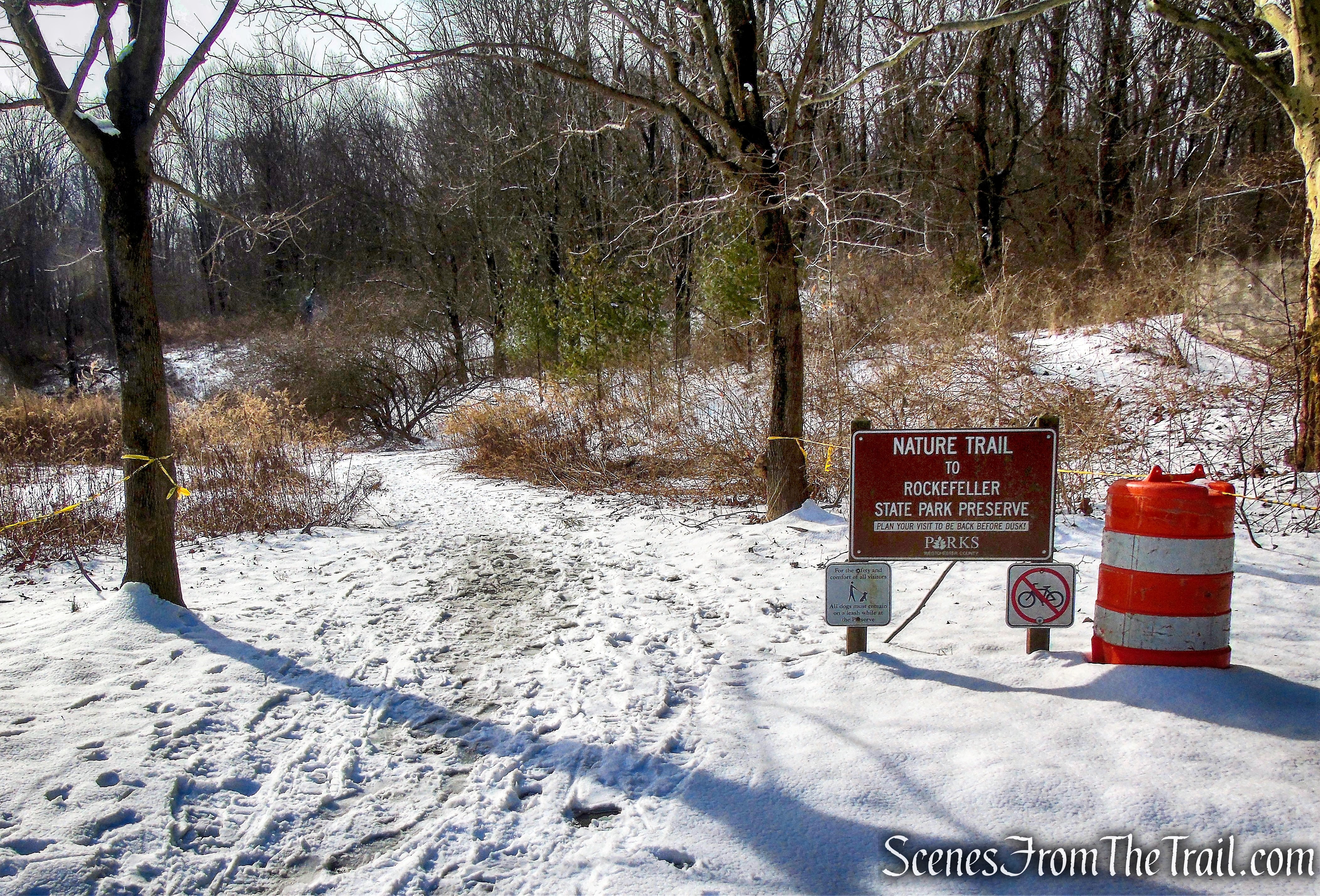
Nature Trail – Rockefeller State Park Preserve

Nature Trail – Rockefeller State Park Preserve
Nature Trail – Rockefeller State Park Preserve
Nature Trail – Rockefeller State Park Preserve
turn left on County Lane
County Lane (old trail name is Lucy’s Loop) begins to the left which is the route we took. To the right, the carriage road leads back out to Route 117.
County Lane
County Lane climbs gradually as it heads south near the eastern edge of the preserve. The trail turns right and descends a little and in about 0.6 mile, ends at a T-intersection with Lucy’s Loop, where we turned left. Lucy’s Loop heads southwest and gradually climbs, passing another leg of Lucy’s Loop, where we stayed left. Soon, Lucy’s Loop turns left and comes out into an open field with views of the surrounding countryside.

County Lane
keep left on Lucy’s Loop
Lucy’s Loop
keep left on Lucy’s Loop
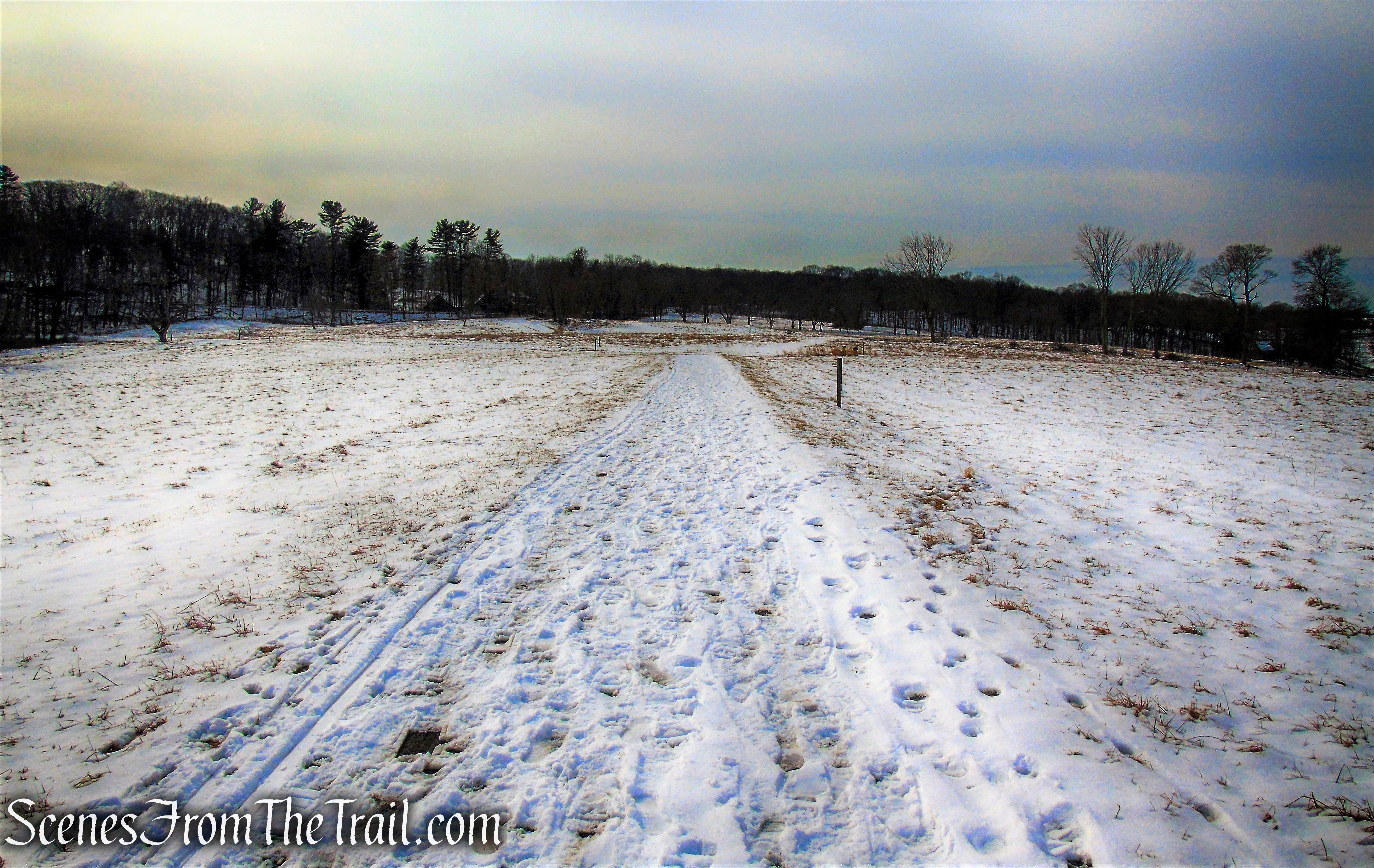
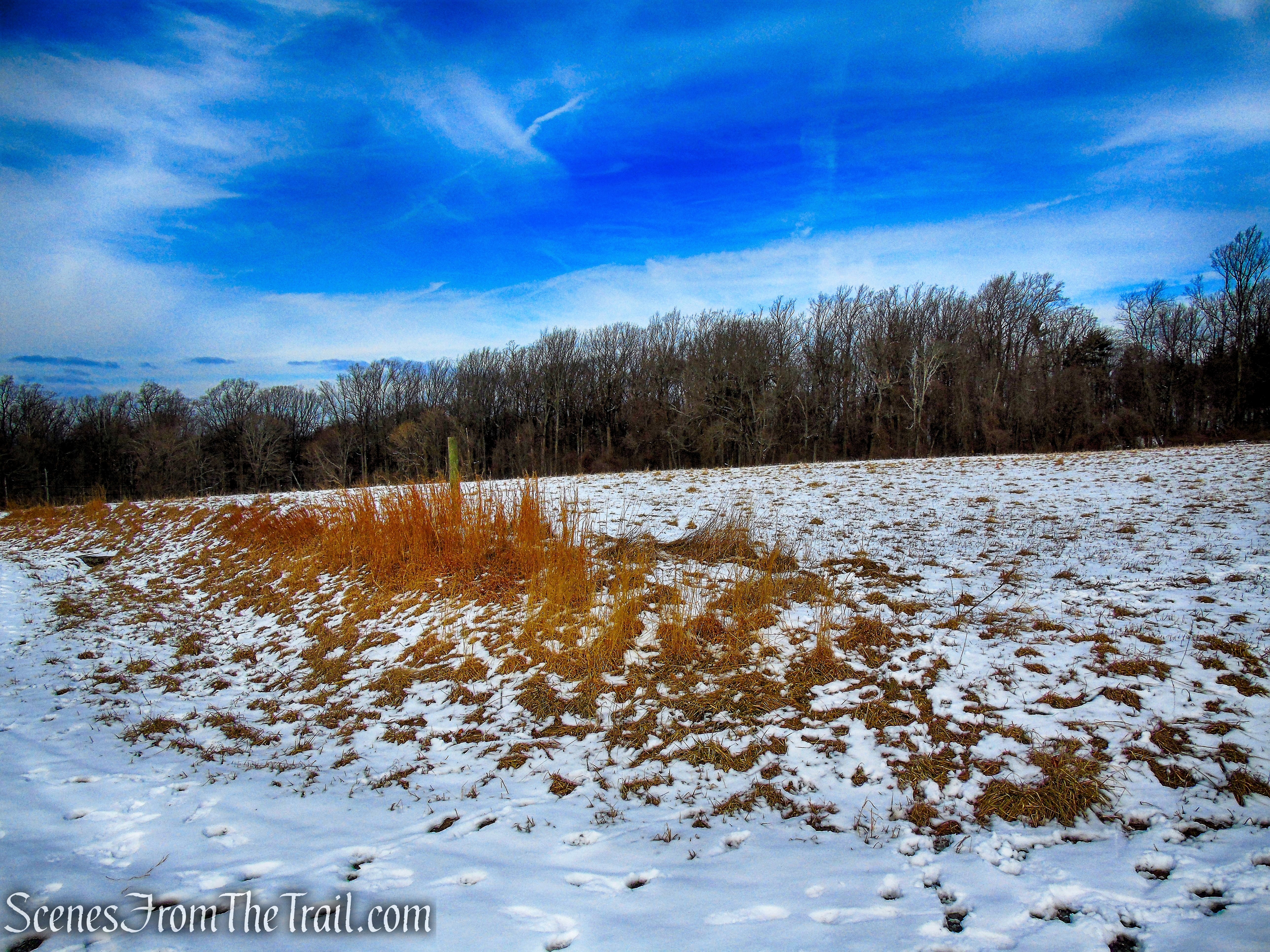
head south through field
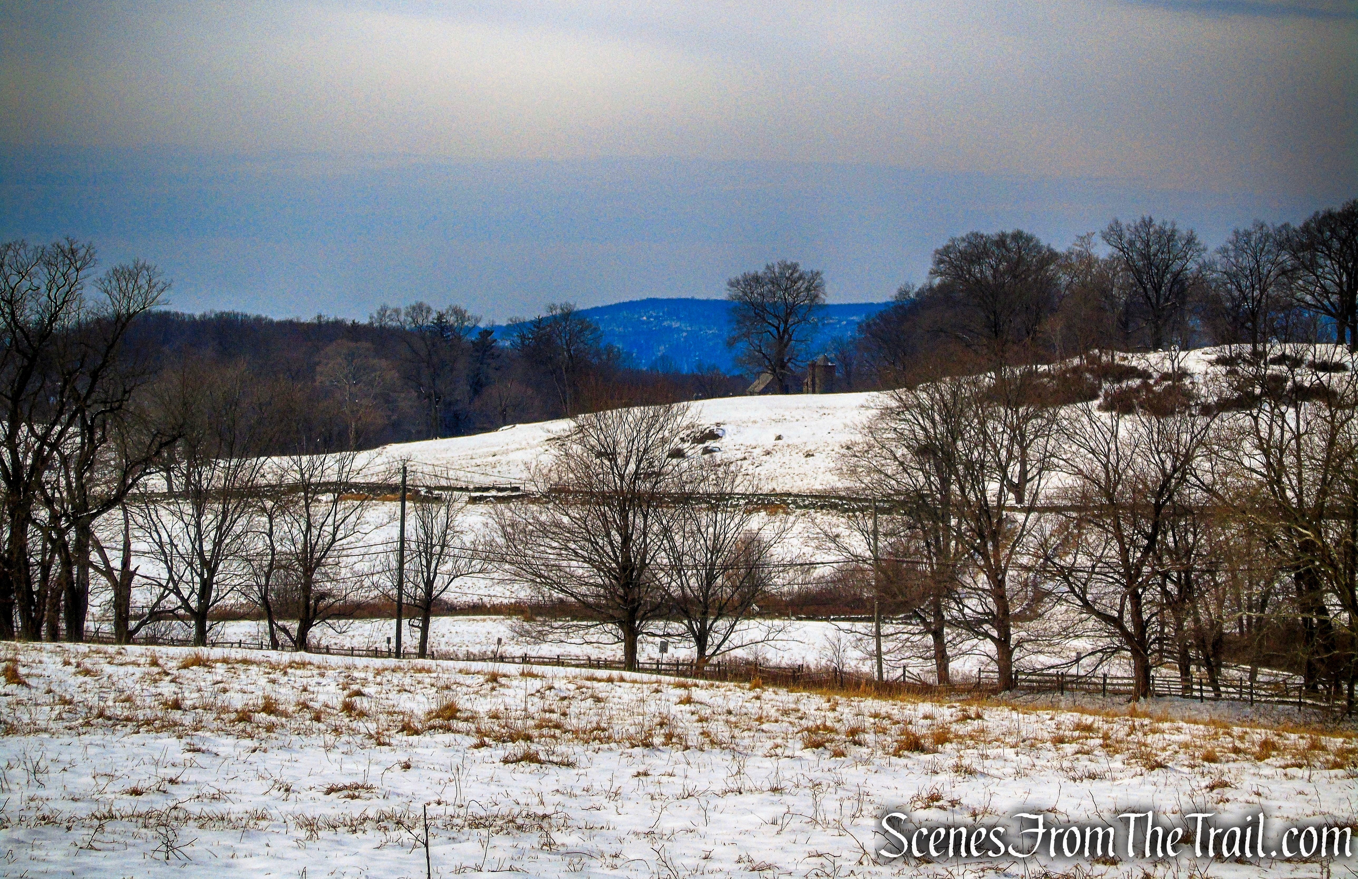
view west from field
view west from field
Lucy’s Loop crosses the open field and ends at a T-intersection with the Buttermilk Hill Trail. We turned left and began heading east. As the road reaches the base of Buttermilk Hill, it turns left and begins to snake its way up on a moderate grade. At the top of the rise, there is a road that goes off to the right. That road leads to the true summit of Buttermilk Hill, but unfortunately there is no view.
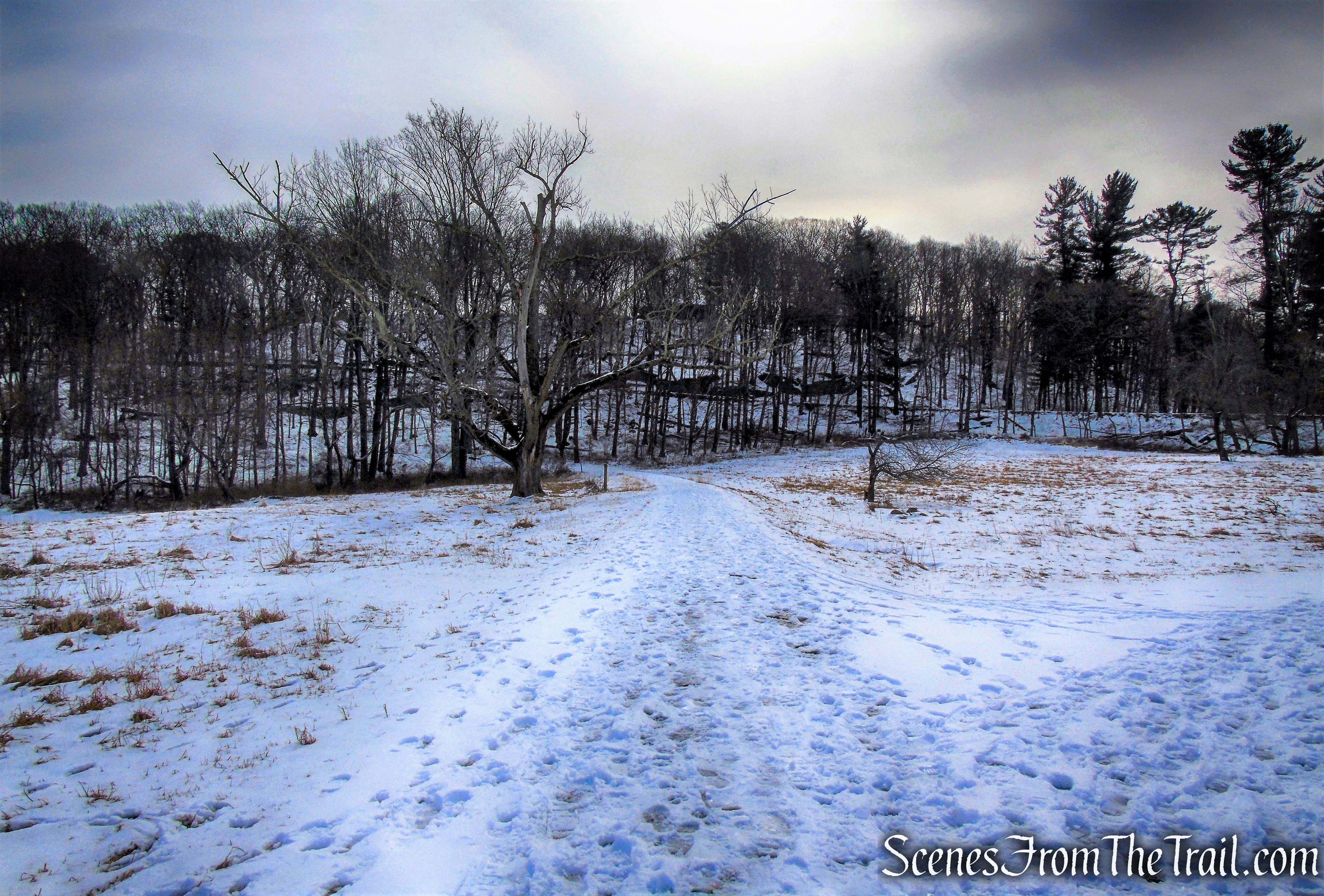
head east towards Buttermilk Hill
turn left on Buttermilk Hill
turn left on Buttermilk Hill
Buttermilk Hill
Buttermilk Hill
stay left at Y-intersection
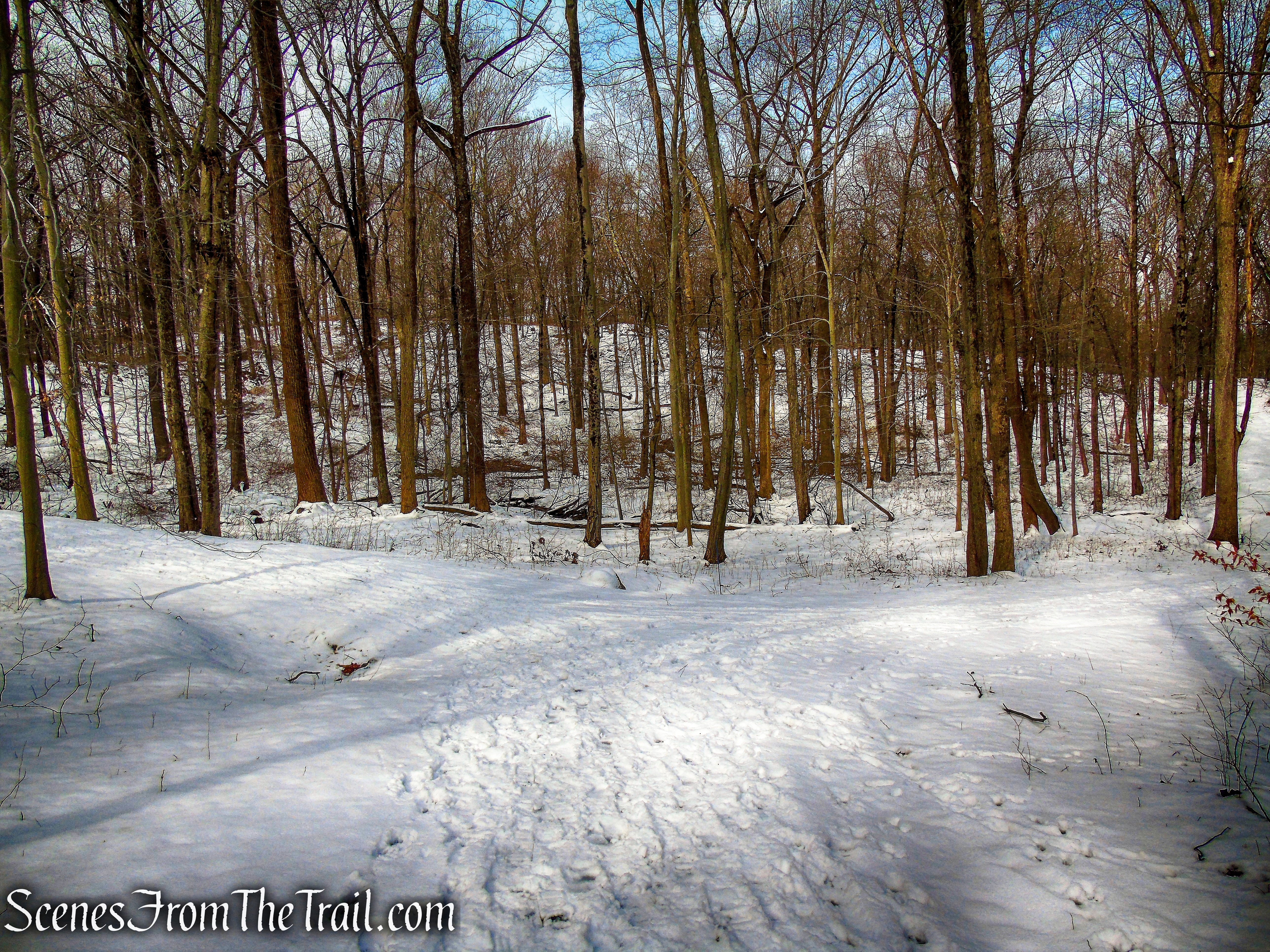
The Buttermilk Hill Trail (previously ended here and Laurance’s Ridge began) levels off briefly, then continues along the escarpment with views through the trees to the east. The trail begins a steady descent as it heads south along the escarpment.
Buttermilk Hill Trail
Buttermilk Hill Trail
Buttermilk Hill Trail
view east from Buttermilk Hill Trail
Buttermilk Hill Trail
Buttermilk Hill Trail
Buttermilk Hill Trail
Buttermilk Hill Trail
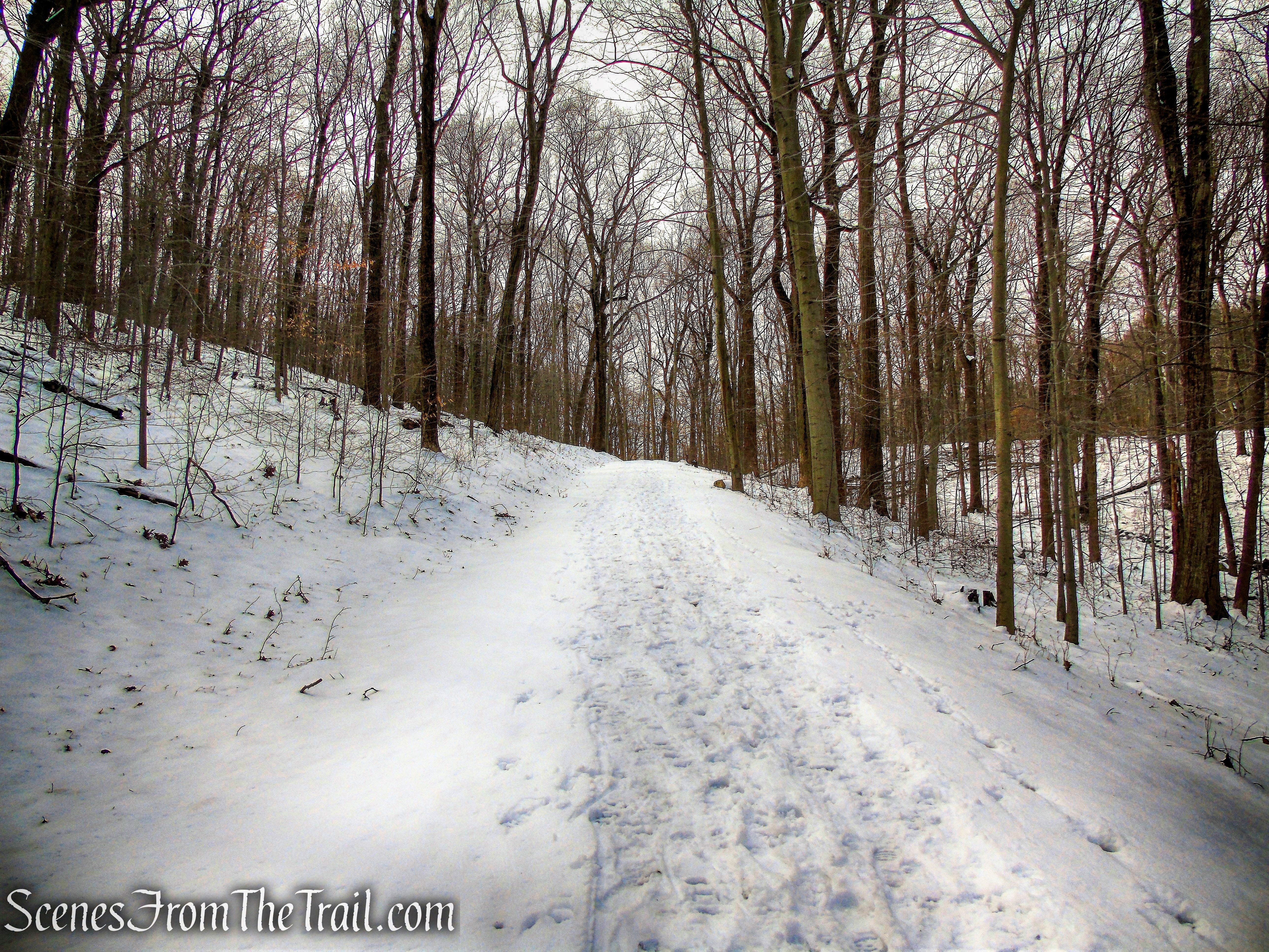
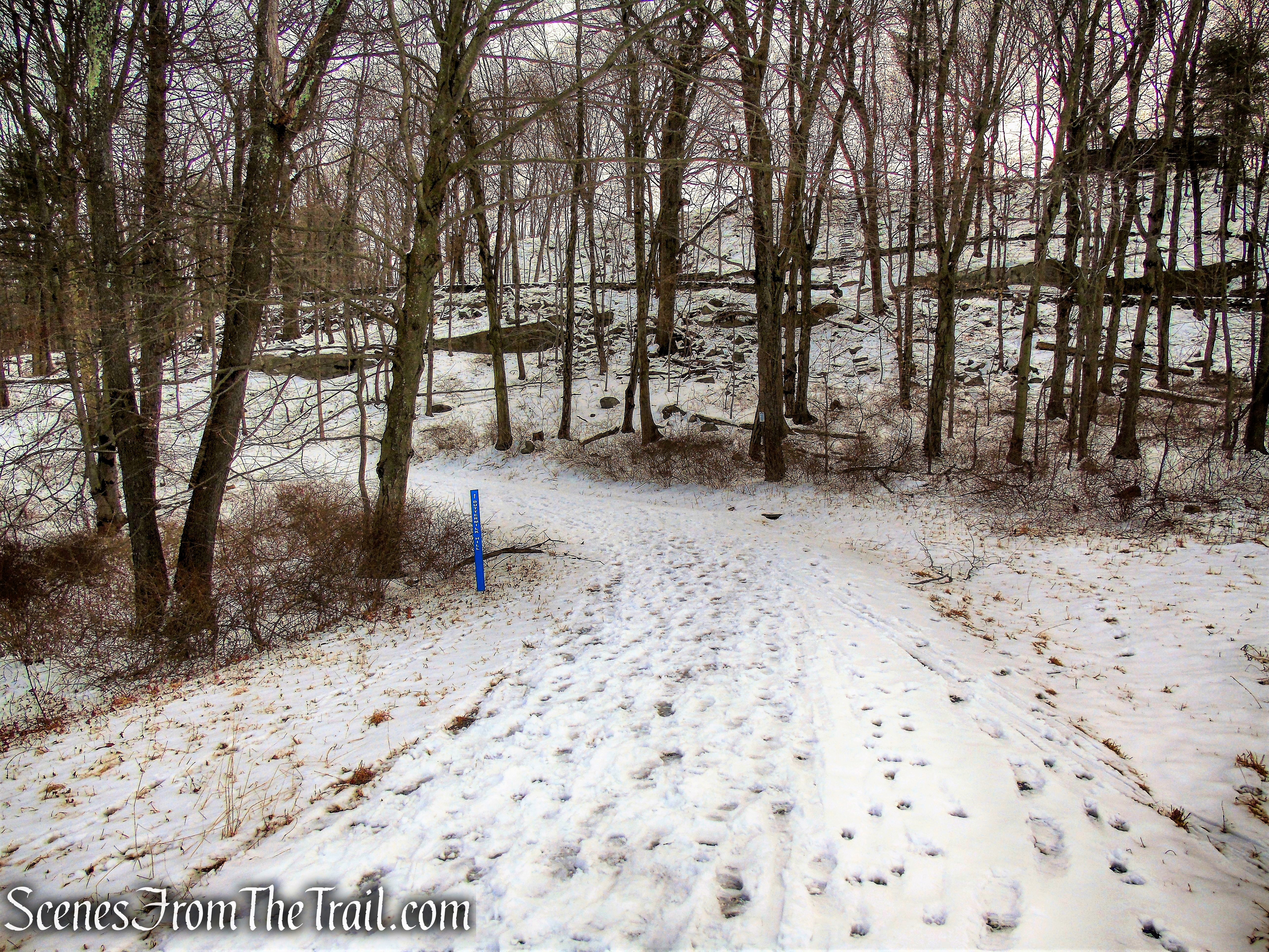
The Buttermilk Hill Trail comes to a junction with the Goat Trail where we turned left.
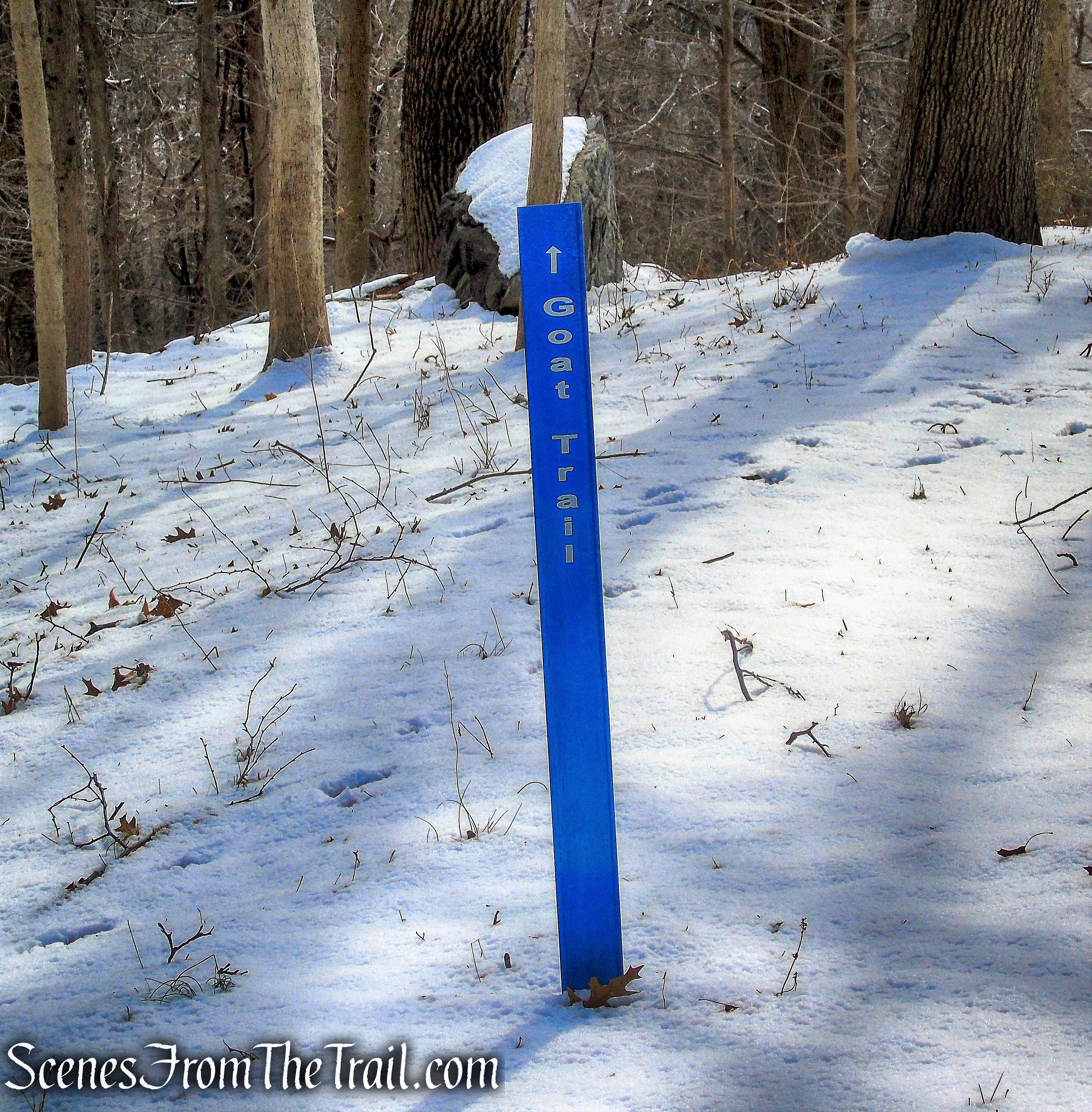
turn left on Goat Trail
The Goat Trail descends gradually along the escarpment, with views through the trees to the east.
Goat Trail
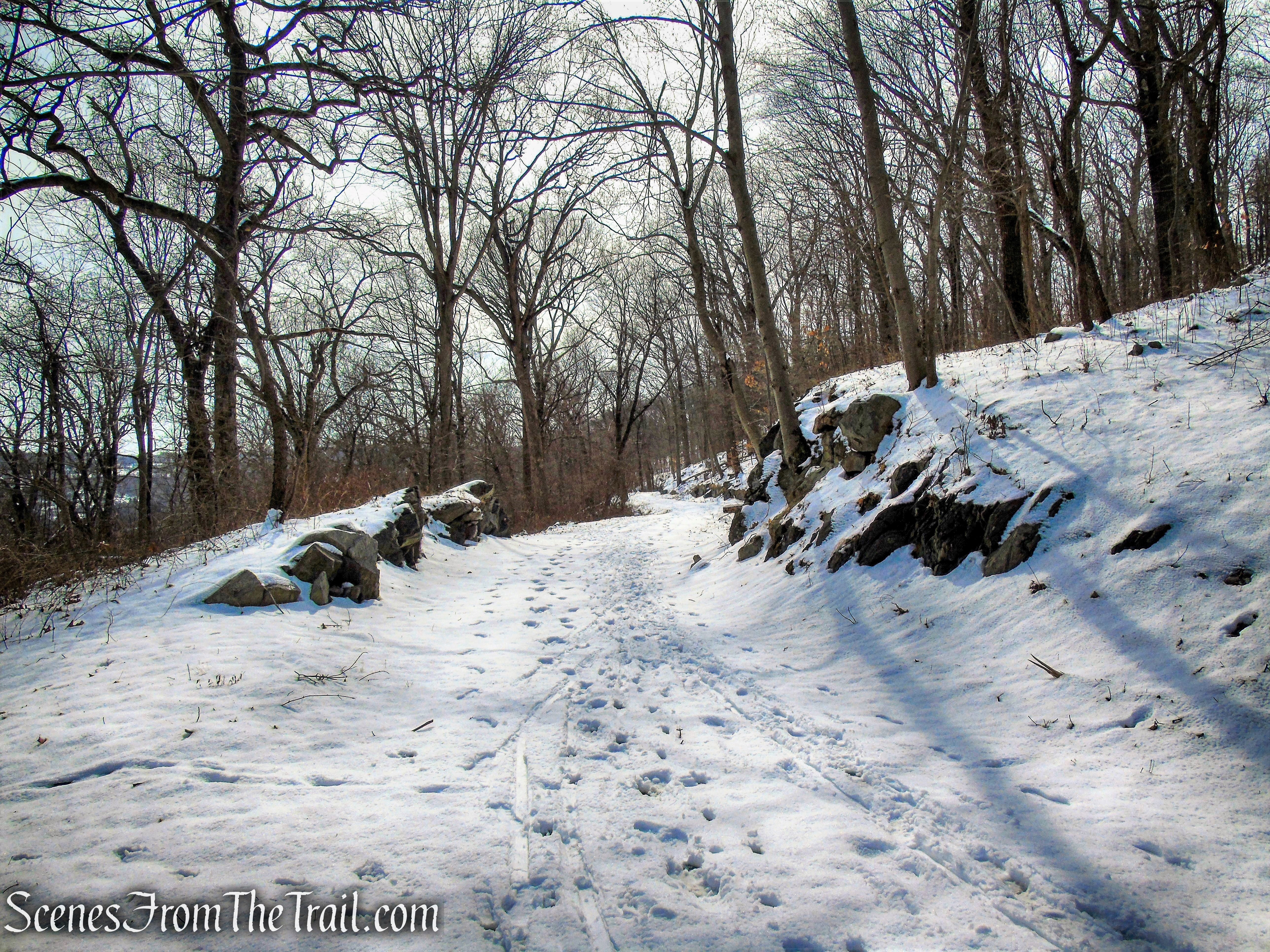
The landscape is dense, consisting of mature hardwood trees and dense undergrowth, and the margins of the road are less manicured in this area than at other points within the preserve. Notable among the features of this road is the extensive section of retaining wall which borders the roadway on its east side and which is crowned with “Rockefeller Teeth,” which guard the steep drop-off on that side.
Goat Trail
Goat Trail
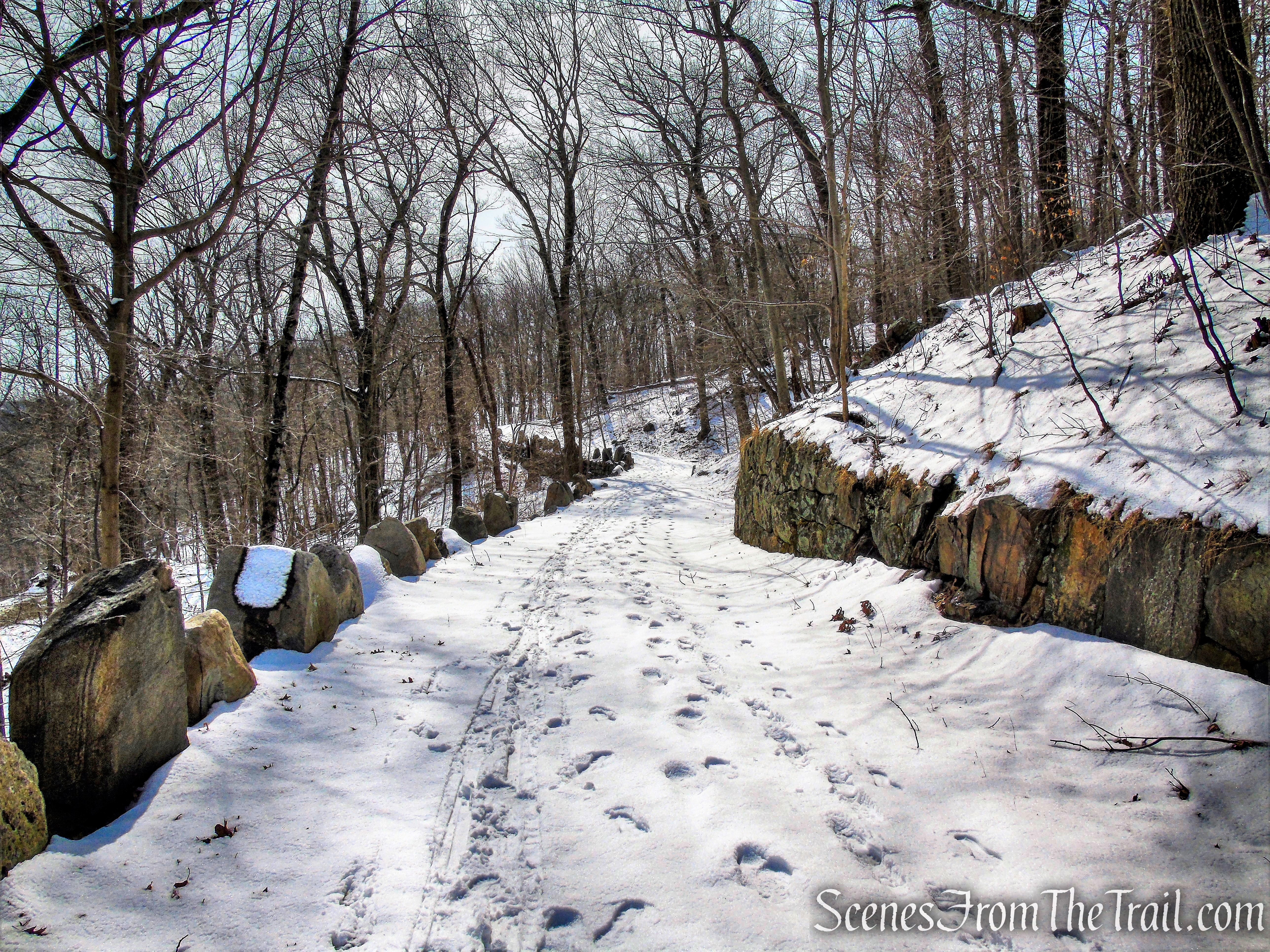
After a left turn at a T-intersection, the Goat Trail continues along the escarpment ridge, gently rising before descending slightly as it passes a large stone outcrop to the west, the eastern downhill side protected by “Rockefeller Teeth” at a number of points.
Goat Trail
Goat Trail
Goat Trail
Goat Trail
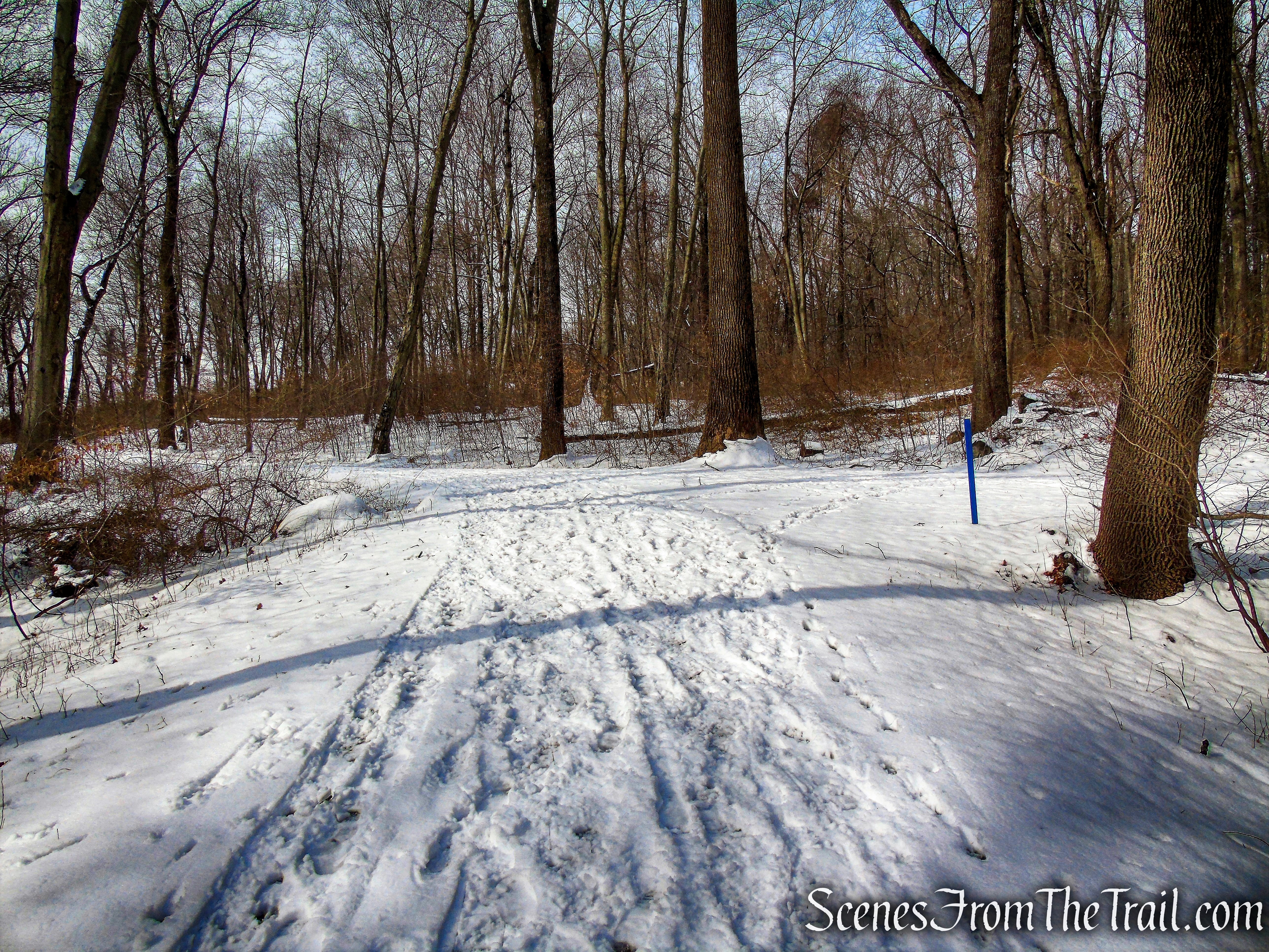
At the base of the descent, just prior to a junction with Perry Road, the Raven’s Rock Trail begins on the left and heads north, just below and parallel to the Goat Trail.
turn left on Raven’s Rock
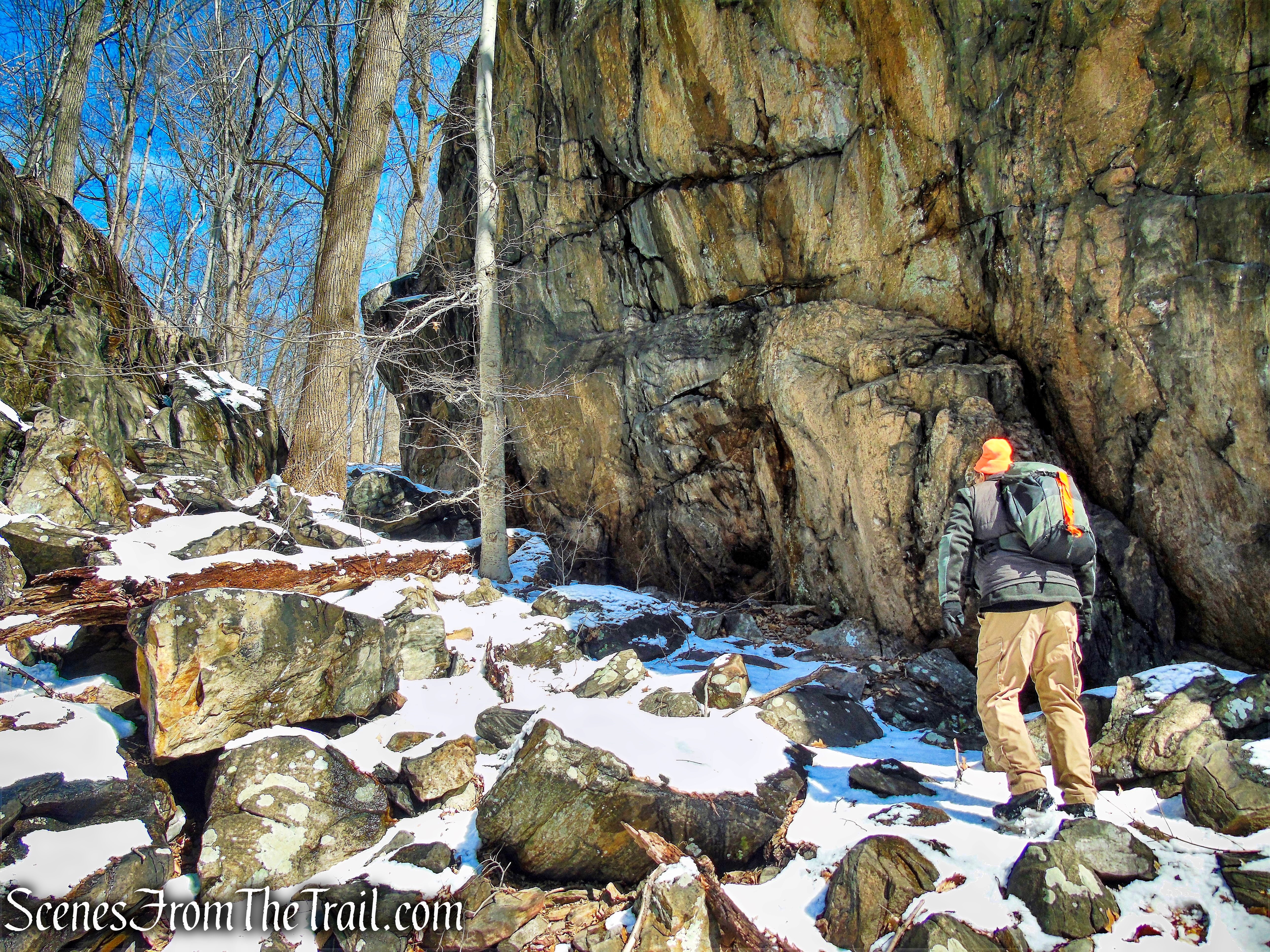
Raven’s Rock provides a link with one of the more remote areas of the preserve, it being a roadway which leads to an isolated location below the high point of the escarpment, which the Goat Trail traverses. The road leads downward from its intersection with the Goat Trail, through a largely unkempt landscape characterized by dense unchecked growth and considerable deadfall.
Raven’s Rock
Raven’s Rock
The Raven’s Rock Trail runs north for almost 1/2 mile, with the North County Trailway visible through the trees below. Road noise can be heard from the Saw Mill River Parkway and Route 9A.
Raven’s Rock
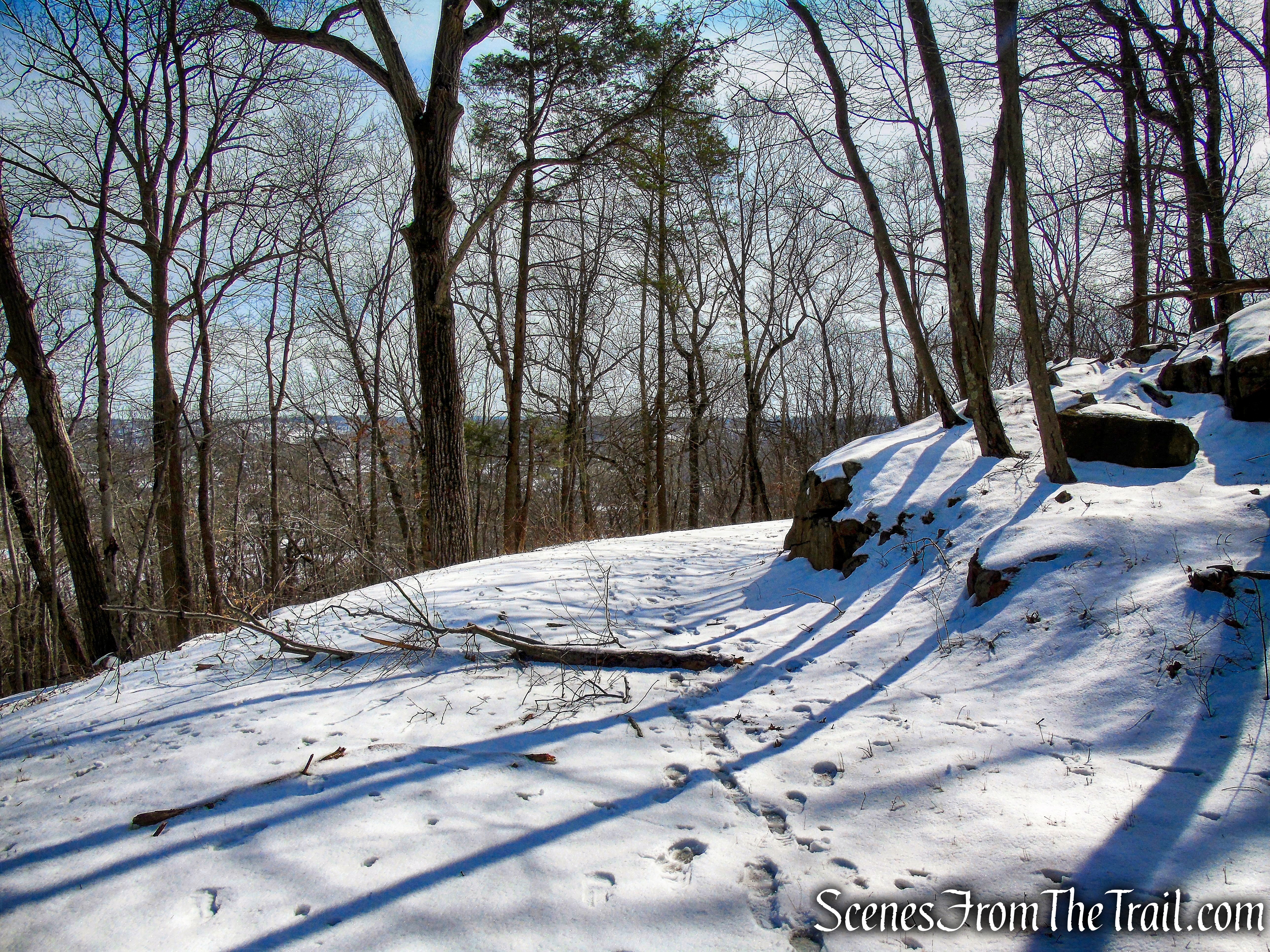
The trail ends at Raven Rock, a massive rock formation which is bordered to the immediate west by the tall wooded and rock-strewn eastern face of the escarpment. The roadway approaches the southern face of this natural feature, in front of which is a turnaround.

Raven Rock
Raven Rock
From the top of Raven Rock, there are views of White Plains and Hawthorne through the trees.
Raven Rock
We stopped here for a break, waiting for any ghosts to make their presence known. The temperature rose enough so that the soft snow was balling underneath my microspikes. While stomping my feet to break up the clumps of snow, I turned my ankle and took a tumble. Was it a spirit that knocked me over? I’m not sure, but that put a damper on the rest of the hike. My intention was to loop around Fergusons Lake and then return via carriage roads back to the start. With my ankle starting to swell and aching, we decided to bushwack a short distance down the steep hillside to the North County Trailway.
Turning left on the North County Trailway, we began heading north along the bike path.
head north on North County Trailway
The bike path is level and parallels the Saw Mill River Parkway and Route 9A, at times coming close to the roadway.
North County Trailway
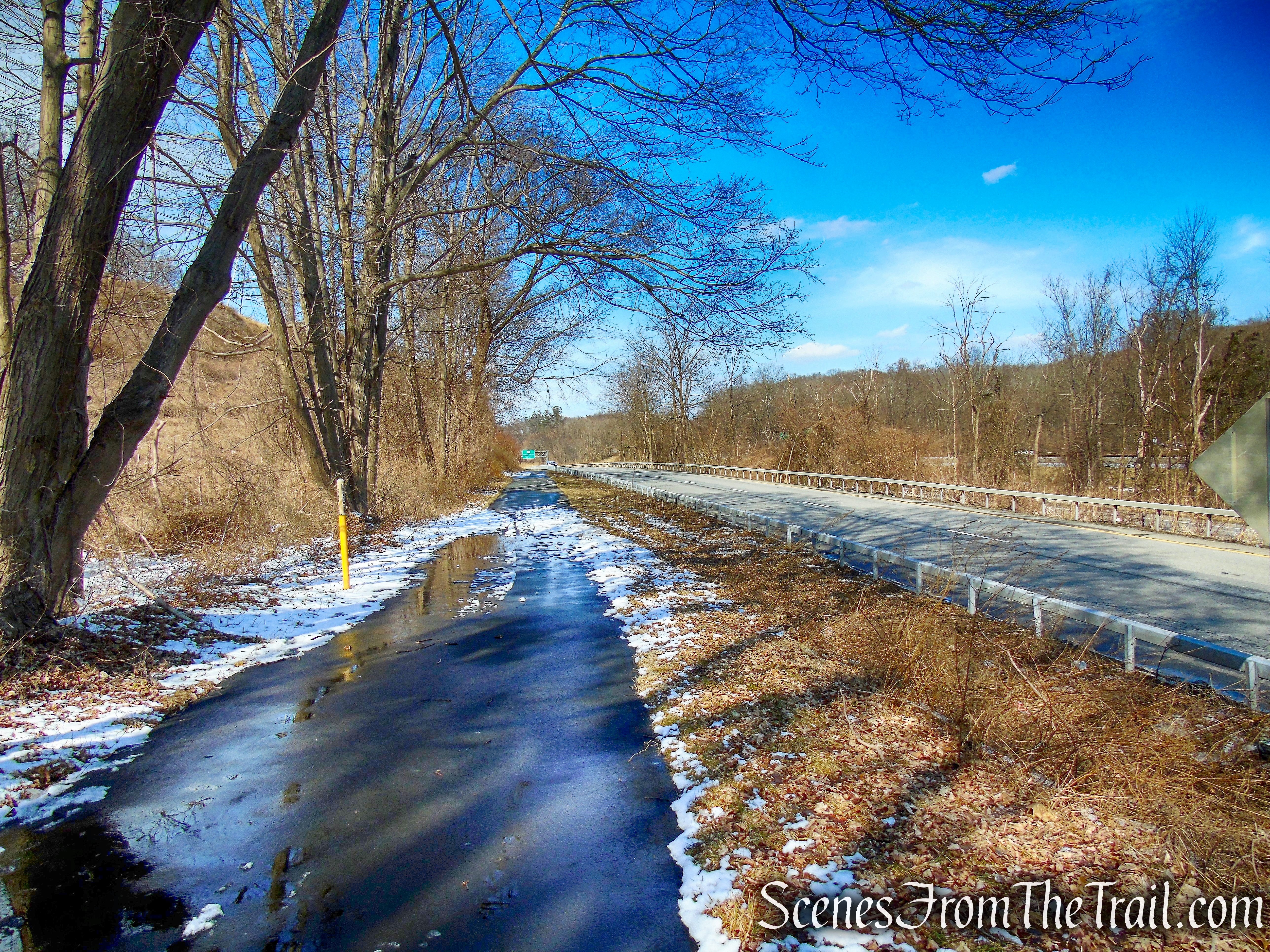
North County Trailway
North County Trailway
After approximately 2.2 miles of walking on the North County Trailway, we veered left towards the parking area on Route 117, where the hike began.
turn left into parking area for North County Trailway
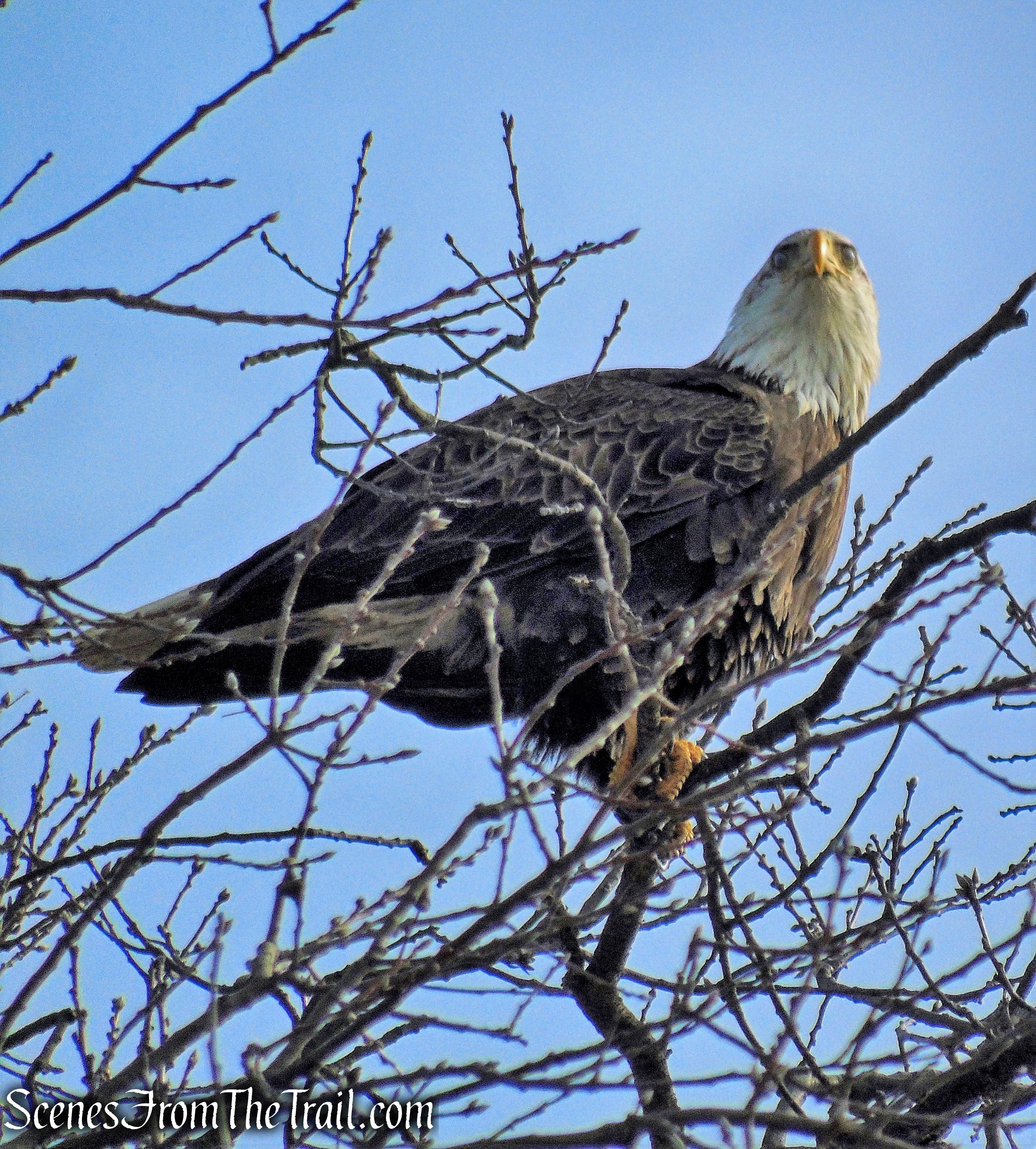
After the hike, we decided to drive by the Tarrytown Lakes to check for eagles. I spotted an adult Bald Eagle (probably the same one from earlier) land in a tree and eat a fish.
Bald Eagle – Tarrytown Lakes
That same eagle then flew over to another tree to where a Juvenile Bald Eagle was sitting. A perfect ending to a good day.
Bald Eagles – Tarrytown Lakes
Review:
This was a really good hike through a more remote and extremely picturesque area of the preserve. We only encountered two pairs of hikers along the trails. Rockefeller State Park Preserve is famous for its well kept carriage roads, but the escarpment along Buttermilk Hill has a more rugged feel to it. I would have preferred to return back through the preserve instead of the North County Trailway. The bike path is level and somewhat boring, but made for a shorter and more direct route back to the parking lot.
Pros: Scenic area, rock formations, escarpment, Raven Rock, little foot traffic.
Cons: North County Trailway is rather boring.
Take a hike!
Raven Rock Loop – Rockefeller State Park Preserve
Sources:
- Rockefeller State Park Preserve
- Friends of Rockefeller State Park Preserve, Inc.
- Legend Landmarks – Sleepy Hollow
- North-South County Trailway
- Raven Rock – Archive Sleuth
- History of the Tarrytowns
