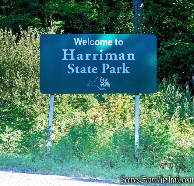
June 2, 2026 – Southfields, NY
Difficulty: Easy – Moderate
Length: approximately 3.7 miles
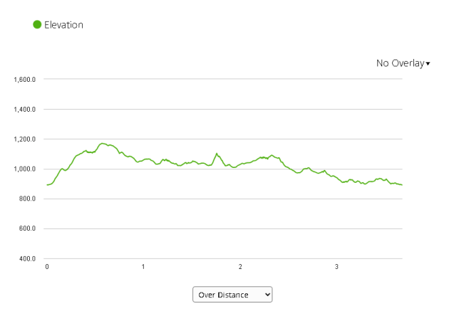
Max elevation: 1,180 ft.– total elevation gain 522 ft.
Route type: Circuit
Map: Harriman-Bear Mountain Trails Map #119
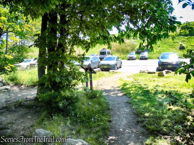
Trailhead parking: Lake Skanatati Parking – Southfields, NY 10975
Click here to see Trail Alerts for Bear Mountain-Harriman State Parks
Please note: Hikers should use caution in the vicinity of the mines, as their deep, water filled pits and unstable overhanging rocks can be dangerous.
Overview:
Harriman State Park is one of New York’s largest and most rugged parks, covering more than 47,000 acres of rolling ridges, dense hardwood forest, and more than 200 miles of hiking trails. Just an hour from New York City, it feels a world away, offering quiet lakes, rocky summits, and a vast network of historic footpaths that weave through the Hudson Highlands. Established in the early 20th century through generous land donations, the park was designed to preserve open space and provide public access to some of the region’s most beautiful natural landscapes. Today, it remains a favorite destination for hikers, backpackers, and nature lovers seeking both challenging terrain and peaceful escape.
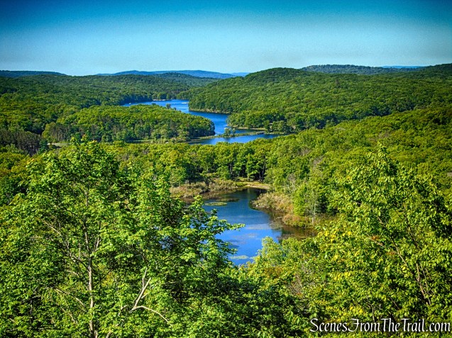
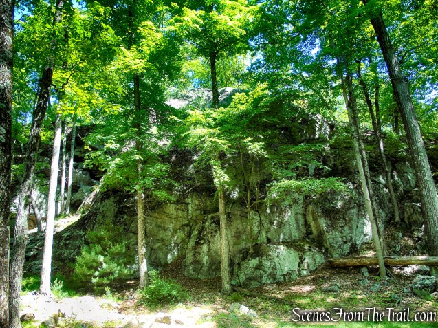
Pine Swamp Mountain is a lesser-known summit in the western section of New York’s Harriman State Park. Rising to approximately 1,180 feet above sea level, it is surrounded by dense hardwood forest, rocky ridges, wetlands, and remnants of the area’s mining history. While much of the summit is wooded, a nearby rock outcrop along an unmarked trail opens to far-reaching views across the surrounding hills and valleys, offering a quiet and unexpected vantage point in the heart of the park’s backcountry.
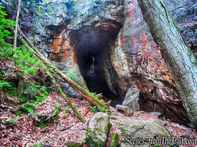
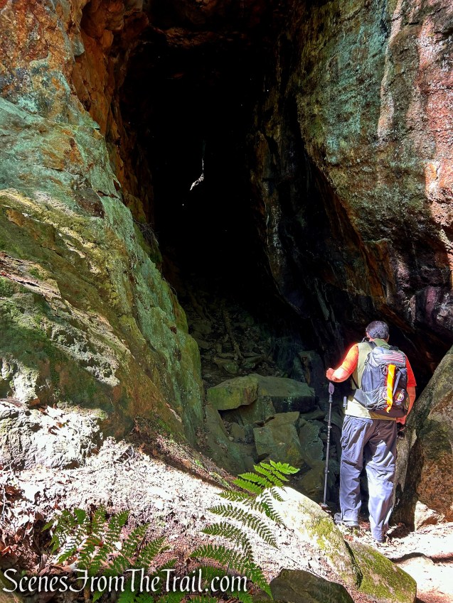
The Pine Swamp Mine is among the most dramatic old mining complexes in Harriman State Park, and gets its name from the adjacent wetland. It consists of a complex of features, including open cuts, pits, and shafts. The largest and most spectacular opening in this complex is located on the hillside above the Dunning Trail. There is a horizontal passage that extends some 125 feet into the hillside. This passage slopes upward, and above its far end is an air shaft opening to the surface. On a sunny day, light pours through this rock-bound skylight, illuminating the long passage.
Trails Overview:
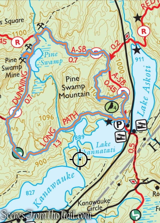
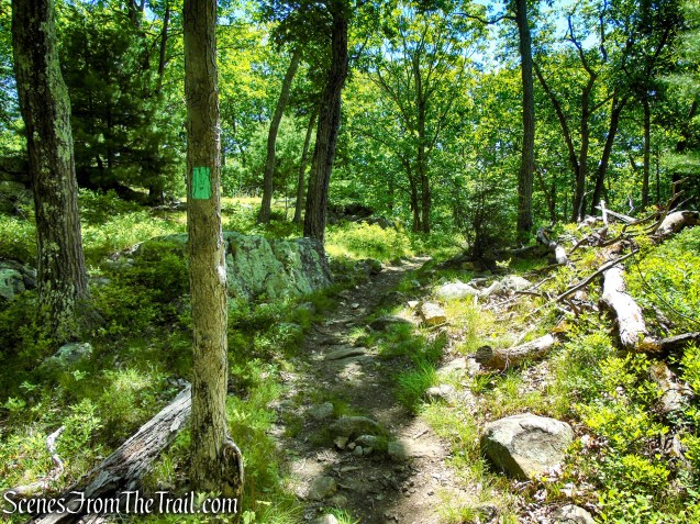
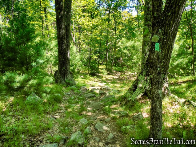
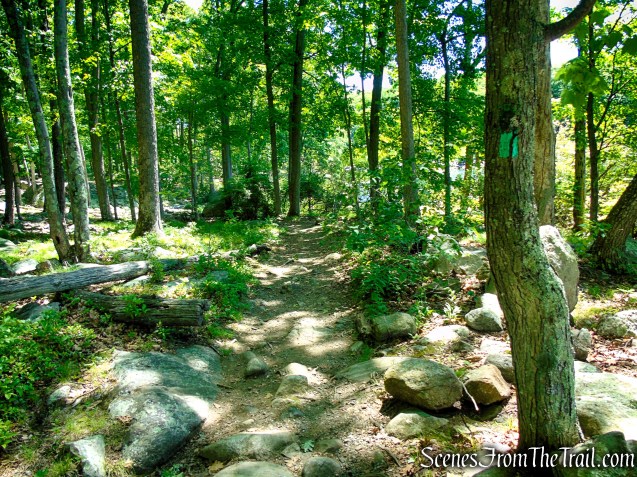
The inverted-red triangle-on-white Arden-Surebridge (A-SB) Trail ascends and descends the shoulder of Pine Swamp Mountain. It passes the historic Pine Swamp Mine Complex, which dates back to the region’s 18th and 19th-century iron mining boom. This trail is well blazed and easy to follow.
An unmarked footpath just off the A-SB Trail, leads to a fantastic view west over Lake Skannatati, Lake Kanawauke, and the western Harriman Hills. This trail, although not blazed is somewhat easy to follow. Those who are not confident of their route-finding ability might wish to skip this portion of the hike.
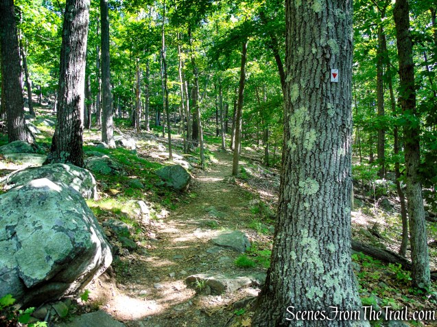
The yellow-blazed Dunning Trail runs southwest on fairly level ground. It runs along the west side of Pine Swamp and passes the Pine Swamp Mine to the right. Shortly after Pine Swamp Mine, the trail reaches an area that has been flooded by Beaver activity. There is a short detour (unmarked) that rises onto higher ground to avoid the wet section. This trail is well marked and easy to follow.
The Long Path descends gradually as it winds south through quiet forest, where a series of small stream crossings add variety to the route but were easily manageable on this day. It then curves left and begins trending east, following gentle terrain through mixed hardwoods. As the trail continues, it gradually approaches Lake Skannatati, offering intermittent filtered views through the trees and occasional open glimpses from near the shoreline.
Parking & Amenities:
The Lake Skannatati parking area is one of the primary trailheads in the western section of Harriman State Park, providing convenient access to numerous hiking trails, including the Arden-Surebridge Trail, Long Path, and several popular loop routes. The lot is relatively large by Harriman standards and can accommodate well over 100 vehicles, although it often fills early on weekends, holidays, and during peak fall foliage season. Experienced hikers generally arrive early to secure a parking spot.
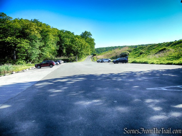
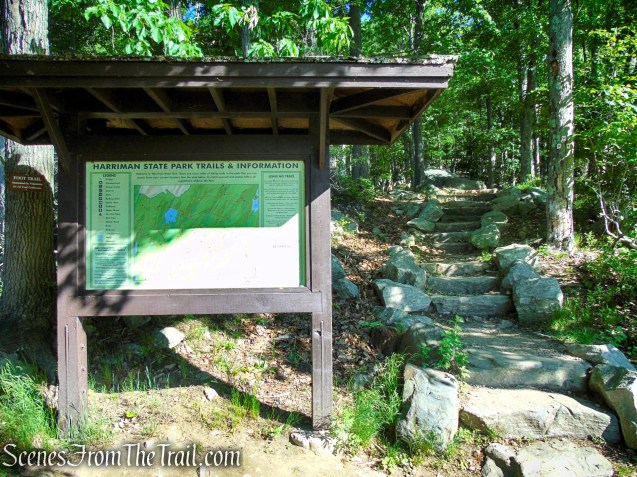
Amenities at Lake Skannatati include a large paved parking area, informational kiosks, a boat launch, fishing access, benches, and seasonal restroom facilities during the summer months. The lake also serves as a popular destination for kayaking, canoeing, fishing, and birdwatching.
Hike Overview:
One of the advantages of this loop is that it remains largely shaded for most of its length, thanks to the dense forest canopy that covers much of the route. On hot, sunny days, the shade provides a welcome respite from the heat, making the hike noticeably more comfortable than many exposed ridge trails in the park.
I last hiked this route back in 2018, when the trails were still blanketed in snow, giving the landscape an entirely different character. Having explored this area extensively over the years, it had been quite some time since I last returned. Coming back felt like rediscovering familiar ground all over again—an opportunity to reconnect with these winding forest paths and the quiet sense of wonder hidden throughout the woods.
With that being said, not much has changed over the years, aside from the detour on the Dunning Trail. On earlier visits, the flooded section often turned into a careful balancing act across wet ground and slick footing—not always with dry results. Today, that stretch is no longer passable directly, and hikers have formed a short detour that bypasses the saturated area on higher, more stable ground.
This counterclockwise loop begins and ends at Lake Skannatati. I prefer hiking this loop in a counterclockwise direction because it tackles most of the elevation gain early in the hike. The route then transitions into a more relaxed journey, ending with an enjoyable walk on the Long Path as it follows the shores of Lake Skannatati back to the trailhead.
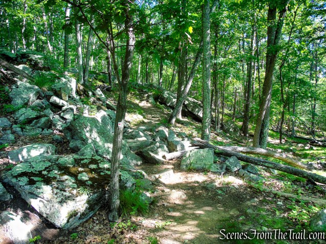
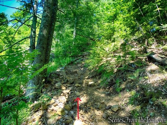
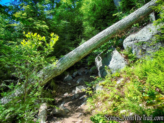
The hike begins with a somewhat steep ascent, but beyond that initial climb, the terrain generally settles into a more moderate rhythm, with only a few short steep sections breaking up an otherwise manageable route.
The Hike:
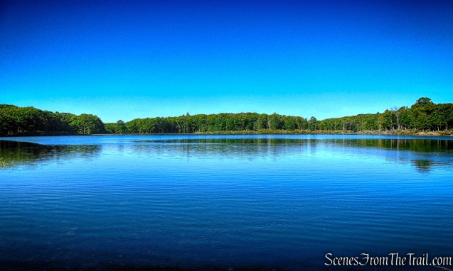
Starting and ending this loop at Lake Skannatati, with the calm shoreline serving as both the launch point and the final reward. From the first steps into the forest to the return along its waters, the lake bookends the journey with a steady, scenic anchor in the heart of Harriman State Park.
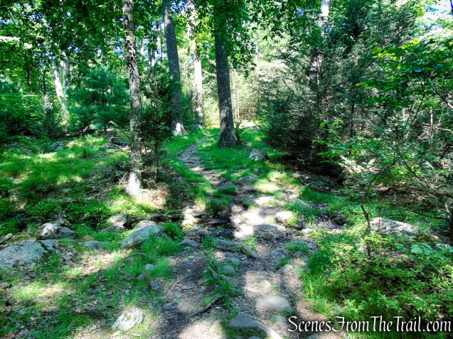
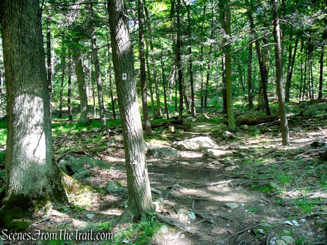
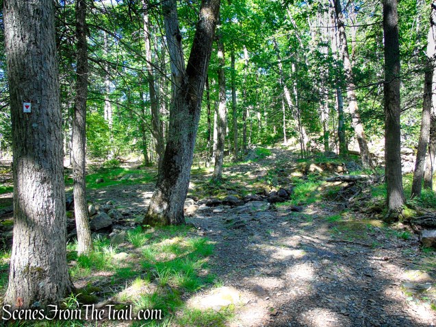
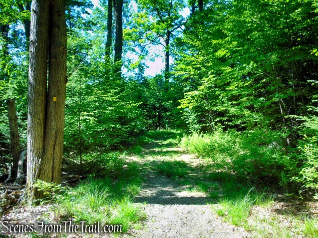
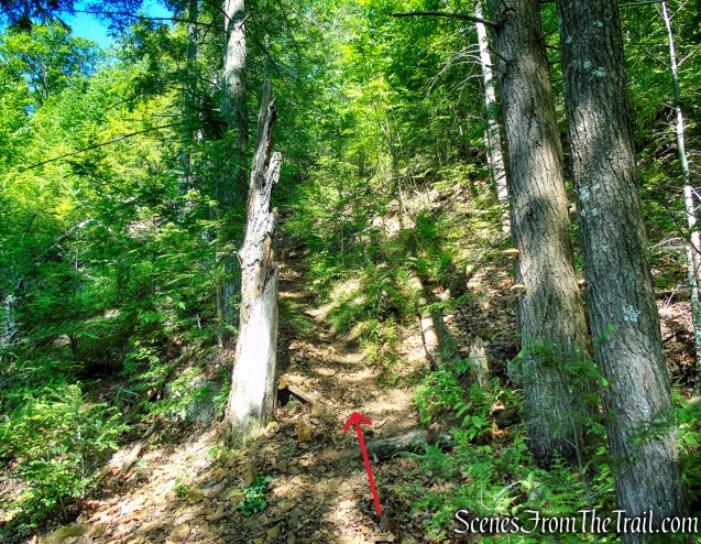
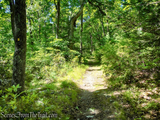
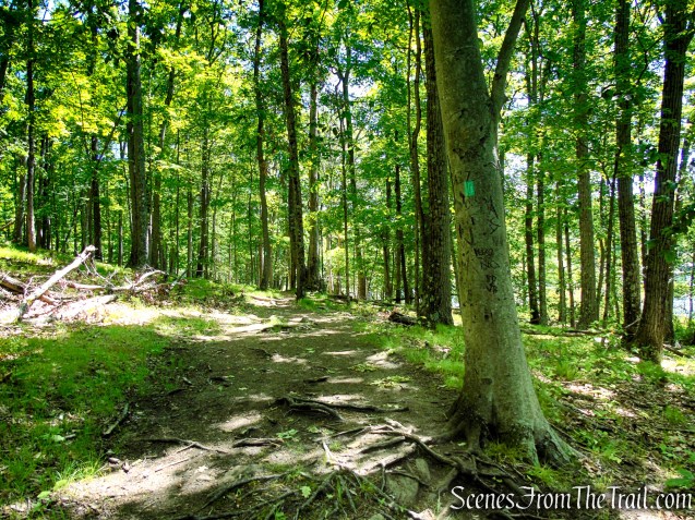
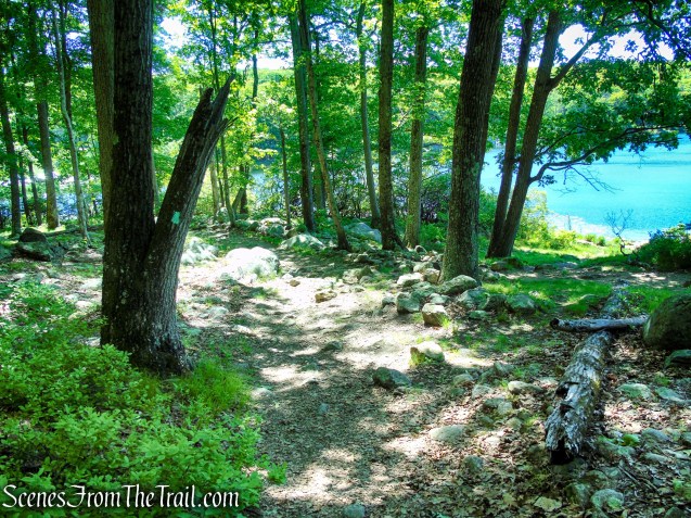
From the kiosk at the northwest corner of the parking lot, bear right and pick up the inverted red triangle-on-white Arden-Surebridge (A-SB) Trail as it begins its ascent along the eastern flank of Pine Swamp Mountain. The route immediately climbs on a rocky footpath, steadily gaining elevation as it leaves the lakeshore behind and enters the quieter, forested slopes of the mountain.
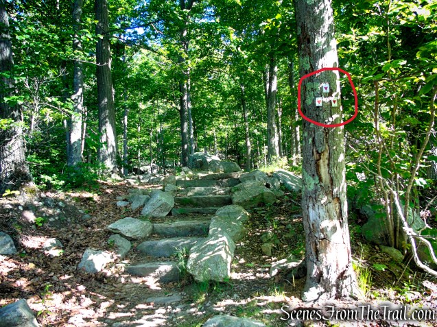
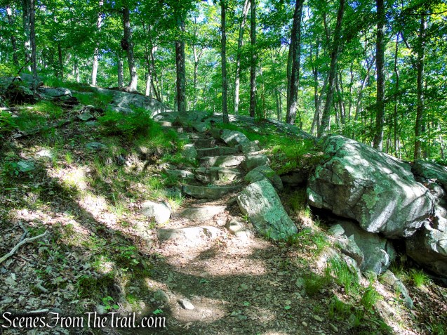
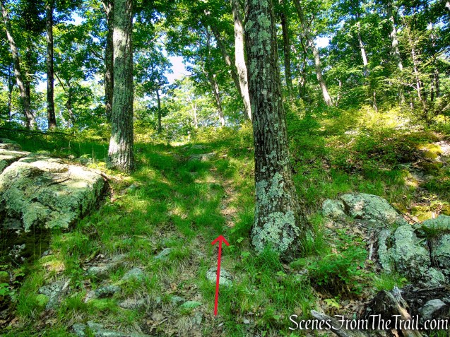
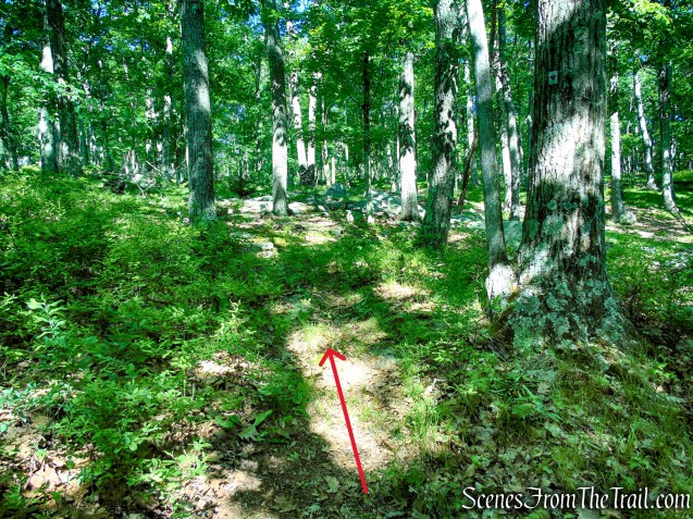
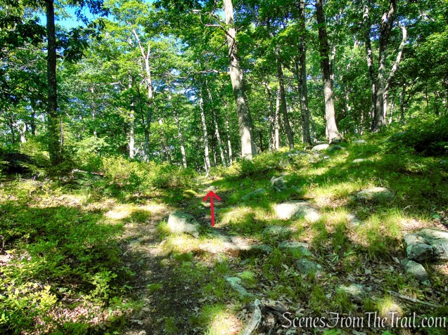
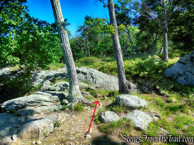
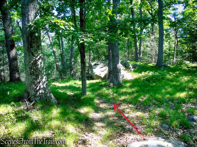
After about 0.3 mile, just beyond a short climb up stone steps, watch for a flat rock slab on the ground. The unmarked path begins between this slab and the next tree bearing an Arden-Surebridge (A-SB) Trail marker. Turn left here, leaving the A-SB Trail, and follow the faint footpath as it heads west before gradually curving north into the woods as it climbs Pine Swamp Mountain.
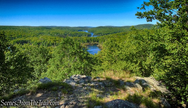
Please Note: If you’re unsure of your navigation skills, you can easily skip this section and continue along the Arden-Surebridge (A-SB) Trail. However, doing so means bypassing the hike’s only true mountaintop viewpoint, a quiet reward tucked just off the main route.
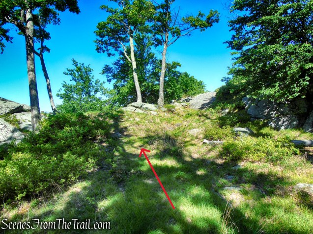
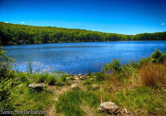
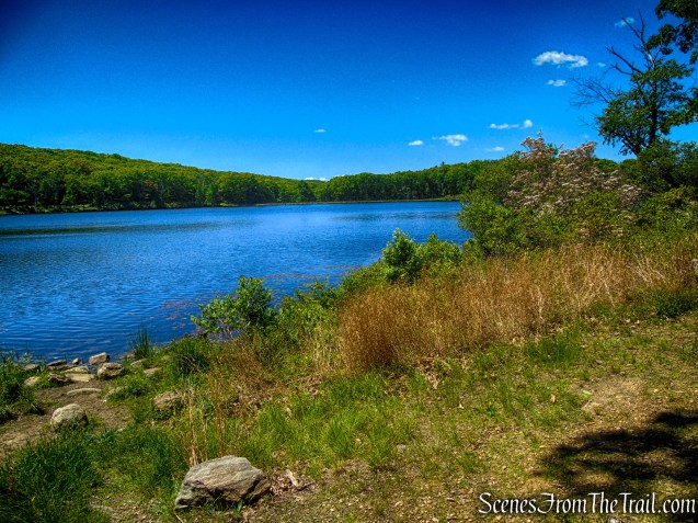
The unmarked trail leads to this southwest-facing viewpoint atop Pine Swamp Mountain. Hikers are rewarded with a long reaching view, that includes Lake Skannatati shimmering in the foreground and Lake Kanawauke nestled among the forested ridges in the distance. The layered landscape of lakes, hills, and woodlands creates one of Harriman’s most impressive vistas.
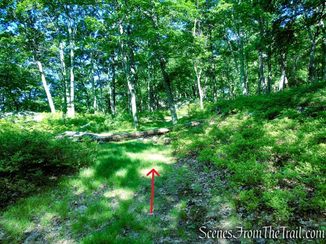
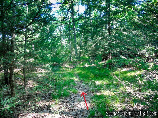
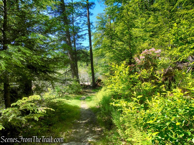
When you’re ready to leave this fabulous viewpoint, continue north on the unmarked trail. The footpath becomes fainter and can be difficult to follow in places, but the open forest makes navigation relatively straightforward. If you lose the trail, simply continue heading generally north, then gradually veer east, and you should have little trouble reconnecting with the Arden-Surebridge (A-SB) Trail.
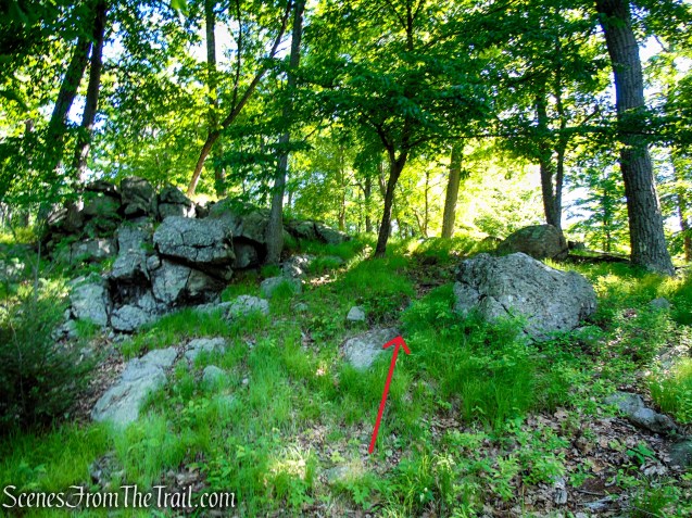
Please Note: During this hike, I lost the faint unmarked trail and ended up bushwhacking approximately 520 feet east through open woods to reconnect with the Arden-Surebridge Trail. I used the Avenza Maps app to confirm my location and navigate back to the marked route. Hikers attempting this side trip should be comfortable with off-trail travel and carry a reliable map and navigation tool.
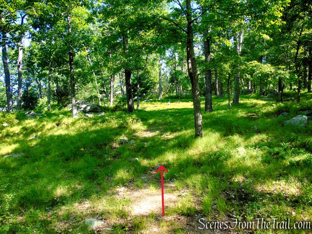
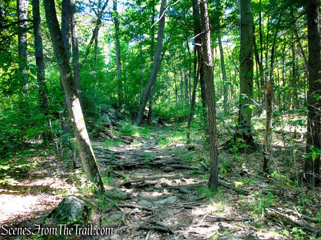
Once back on the A-SB Trail, the route descends around the northern flank of Pine Swamp Mountain, gradually losing elevation as it works its way toward lower ground.
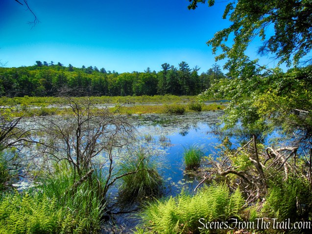
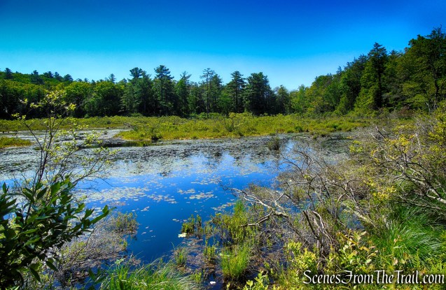
After crossing a small stream, the trail passes along the northeastern edge of Pine Swamp, where the expanding wetland is visible through the trees.
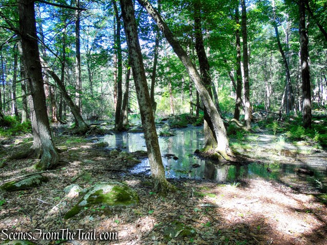
Over the years, beaver activity at Pine Swamp has gradually expanded the boundaries of the wetland beyond its historic limits. The impounded water has slowly pushed northward toward the mine complex, flooding low-lying areas and transforming sections of the surrounding forest into marshy habitat.
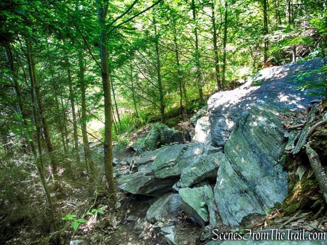
Beyond the swamp, the A-SB Trail follows the course of an old mine road, a reminder of the area’s industrial past.
A little farther along the trail is a large open trench, fifty-five feet long and eleven feet wide, which contains several drilling holes. Two water-filled shafts — one thirty feet by sixteen feet, with a stone retaining wall at one end, and the other ten and one-half feet by ten and one-half feet — are on the north side of the road just east of the trenches, while a test pit and large piles of tailings may be seen on the south side of the road.
When this mine was active, there was a small village nearby, with homes, barns, stores and a saloon. The foundations of some of these structures can still be seen along the A-SB Trail
About 200 feet farther along the A-SB Trail is another larger open trench. It is a large rectangular cut on a low hilltop that is 118 feet long and twenty-nine feet wide, with vertical rock walls that are about twenty-two feet deep. This open cut is presently filled with water.

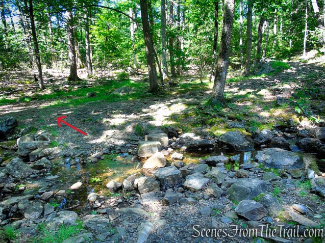
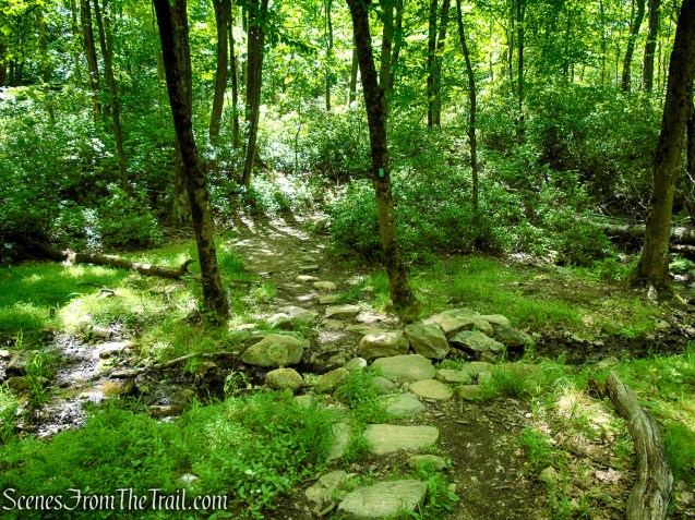
In about 100 feet, the Arden-Surebridge Trail crosses a stream on rocks just below an attractive cascade that is especially scenic after periods of rain. After crossing the stream, the A-SB Trail turns right, but you want to TURN LEFT.
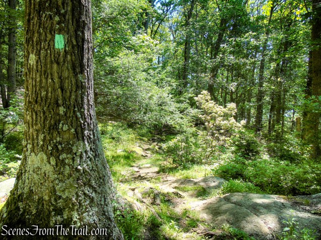
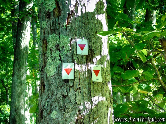
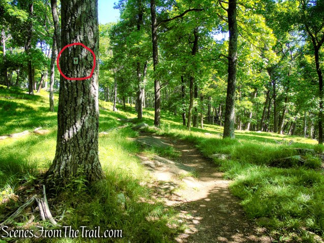
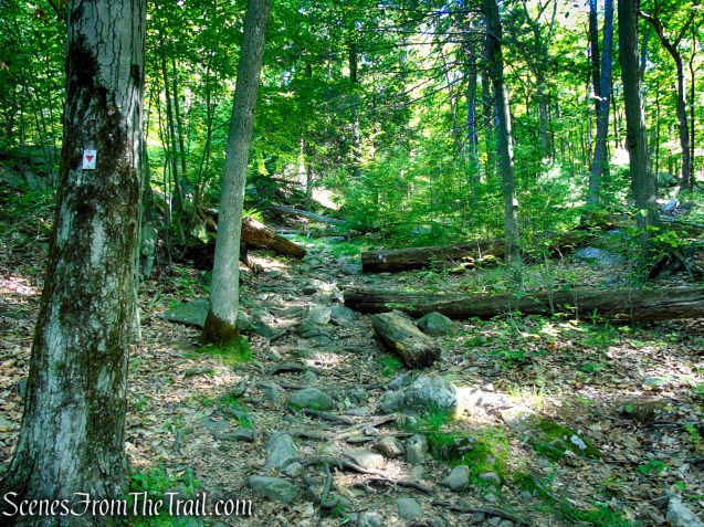
Immediately beyond the crossing, look for three yellow blazes on a tree marking the start of the Dunning Trail, which branches left. These blazes can be easy to miss, as they are positioned to be most visible to hikers traveling downhill on the A-SB Trail from the opposite direction.
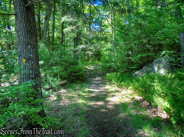
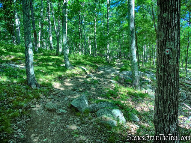
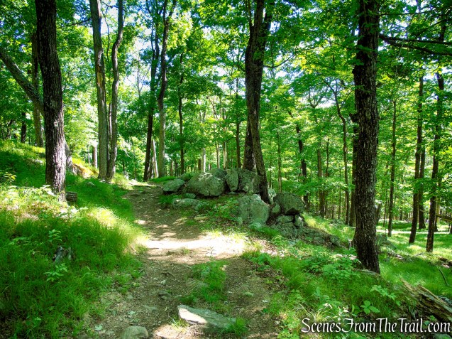
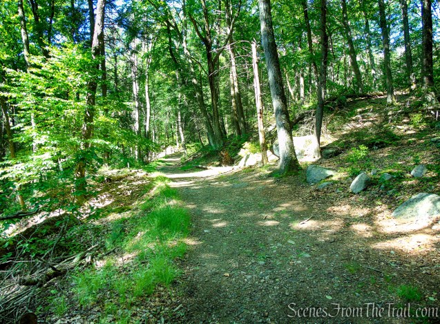
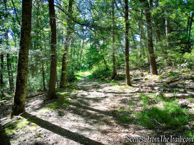
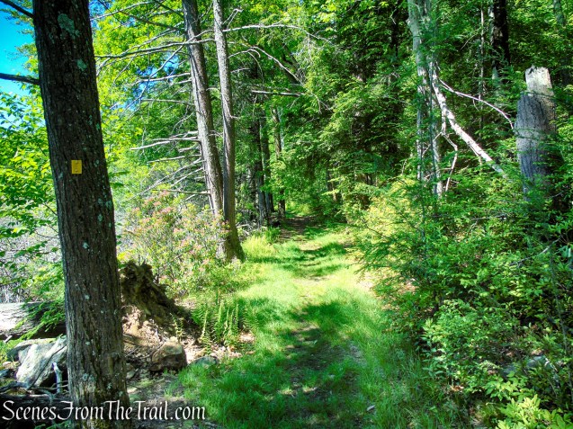
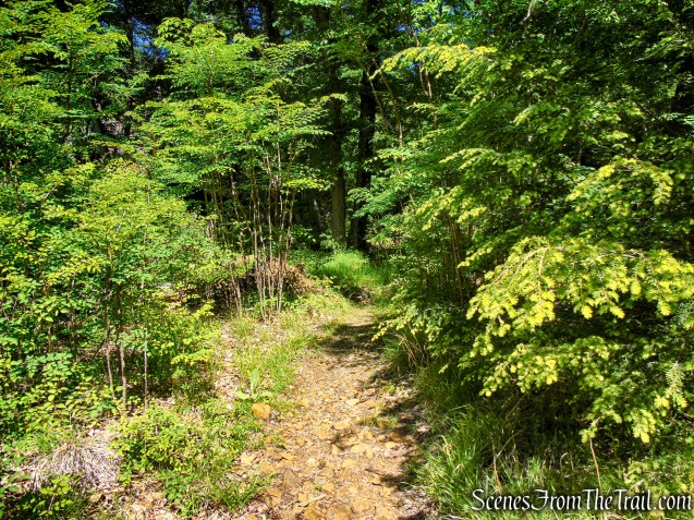
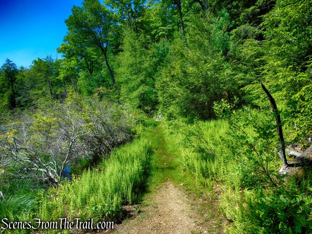
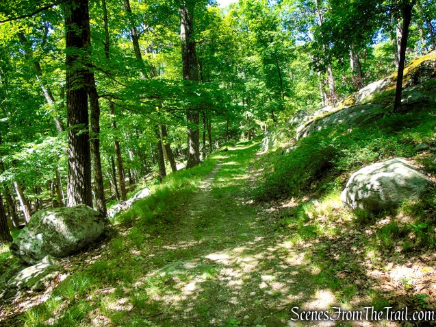
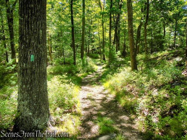
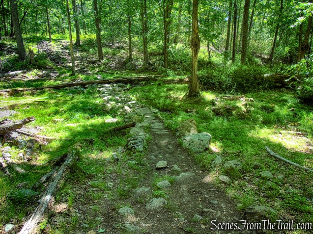
Now on the yellow-blazed Dunning Trail, the route follows an old woods road as it skirts the western edge of Pine Swamp. The broad, easy-to-follow path passes through quiet forest and wetlands, offering occasional glimpses of the swamp through the trees as it winds gently through this remote corner of the park.
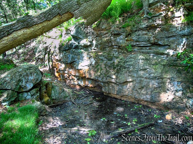
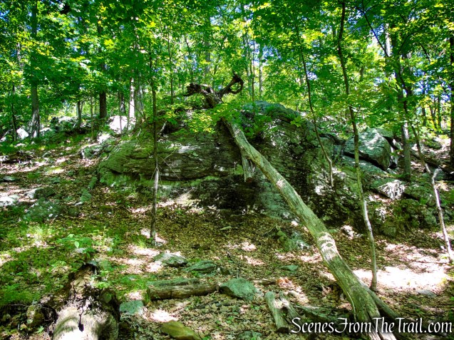
After about 900 feet from the intersection with the A-SB Trail, there is an unmarked footpath to the right of the trail, by a broken tree. A large mine dump of rock or tailings rises steeply about fifty feet up the trail, and the mine is up the hillside nearby. The largest and most spectacular opening in this mine complex is located on the hillside above the Dunning Trail.
Pine Swamp Mine is a large open cut about 100 feet long and forty feet wide, with vertical walls seventy-five feet high. Drill holes are visible on the rock walls, along with square and horizontal notches. The notches were probably seats for timber bracing. A rectangular water-filled shaft containing the remains of timbers is located along the bottom of the west wall of the open cut.
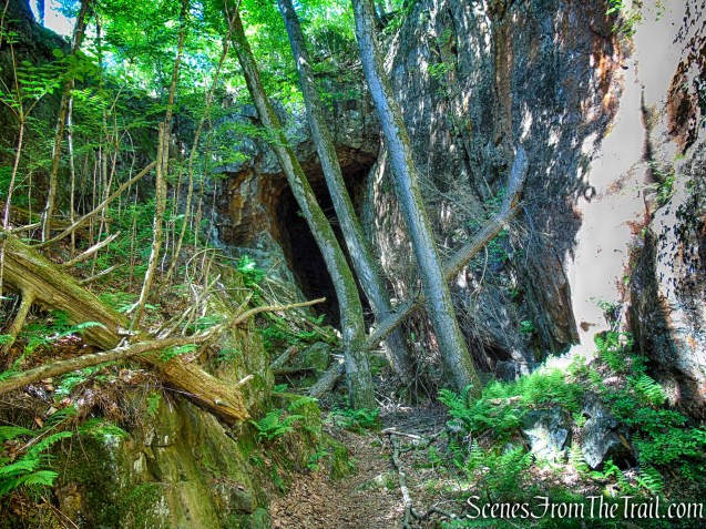
At the southern end of the cut is an adit or opening to a horizontal passage that extends some 125 feet into the hillside. This passage slopes upward, and above its far end is an air shaft opening to the surface. On a sunny day, light pours through this rock-bound skylight, illuminating the long passage.
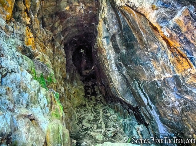
The Pine Swamp Mine, part of the Greenwood group of mines, was opened around 1830 and worked intermittently until 1880. The mine was owned by Robert and Peter Parrott, and the ore was brought to Clove Furnace in Arden, New York for smelting.
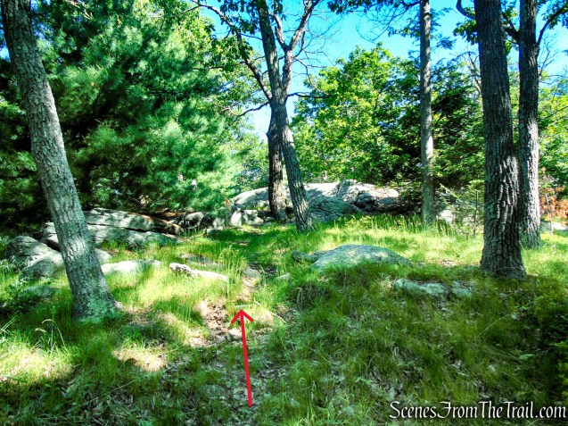
After exploring Pine Swamp Mine, retrace your steps along the unmarked footpath back to the yellow-blazed Dunning Trail and turn right.
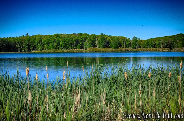
Pine Swamp is a dynamic wetland in Harriman State Park, bordered by dense forest and rocky ridges. In recent years, beaver activity and seasonal flooding have expanded its boundaries, gradually reshaping nearby woods into marsh and influencing surrounding trail conditions.
In about 140 feet, the old woods road becomes impassable where the swamp has taken over the treadway, but a short detour—roughly 175 yards—routes hikers onto higher, rockier ground. This bypass briefly climbs above the wettest section before rejoining the original trail alignment beyond the saturated area.
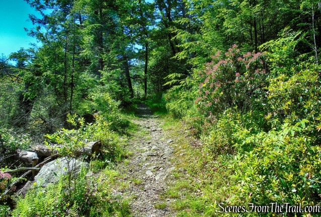
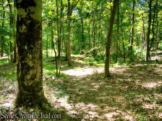
The Dunning Trail climbs gradually along a wide, old woods road, winding through quiet forest and gently gaining elevation as it leaves the wetter lowlands behind. In just under half a mile, the route reaches a junction with the aqua-blazed Long Path. Here, turn left to continue the loop along the Long Path.

This junction with the Long Path can easily be missed if you are not paying attention. If you start seeing Aqua and Yellow blazes (the two trails are co-aligned briefly), you went too far.

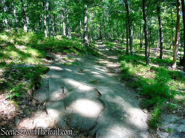
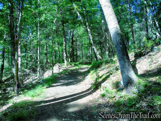
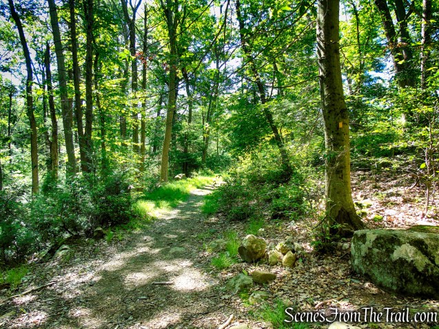
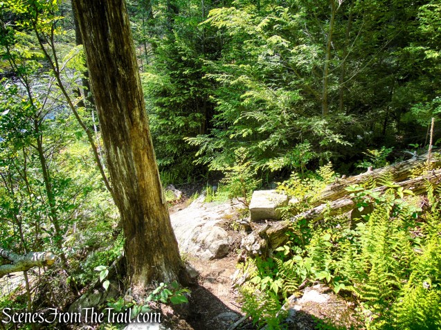
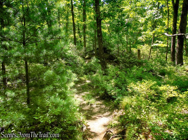
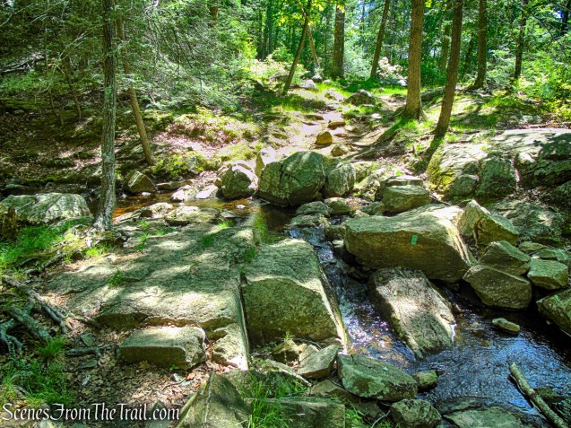
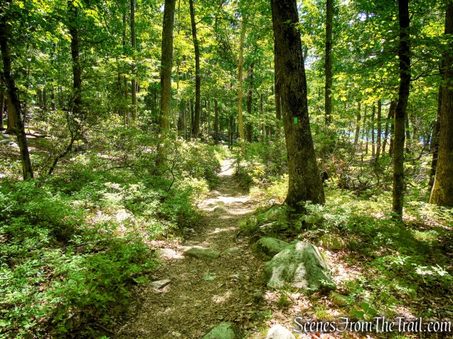
The Long Path descends gradually on a rocky footpath, as it winds south through quiet forest, following a gentle, rolling grade beneath a dense canopy of trees. Along the way, it crosses several small streams, which are typically easy to navigate and add a pleasant rhythm to this otherwise tranquil section of trail.
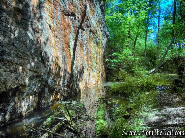
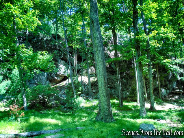
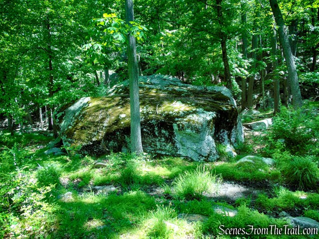
To the left of the trail, a towering cliff face rises above the forest floor, its weathered rock riddled with crevices, cracks, and small openings that appear to provide shelter for a variety of woodland creatures.
The trail then crosses Pine Swamp Brook by stepping across a series of large rocks before continuing east through the forest. Not long after, it begins to ease toward Lake Skannatati, where glimpses of the surrounding landscape start to reappear through the trees.
The Long Path then emerges into a small open area along the shore of Lake Skannatati, offering a natural pause point to take in the view. It’s a peaceful spot where the forest briefly gives way to open water, making it an ideal place to stop and enjoy the scenery before continuing on.
A short distance later, the Long Path emerges from the forest into the Lake Skannatati parking area, bringing the hike full circle back to where it began along the lakeshore.
Review:
This is a fantastic loop hike in Harriman State Park that offers a great mix of everything—rocky climbs, quiet forest roads, wetlands, and rewarding views from Pine Swamp Mountain. The route is well-balanced, with a challenging start that eases into a peaceful walk along the Long Path by Lake Skannatati to finish.
Highlights include the rugged feel of the Arden-Surebridge Trail, the interesting history around Pine Swamp Mine, and the ever-changing landscape shaped by water and wildlife. Despite its variety, much of the hike is shaded and comfortable, making it especially enjoyable on warm days. The counterclockwise direction works perfectly, getting the climbing out of the way early and ending on a relaxing note by the lake.
Pros:
Pine Swamp Mine, well marked and maintained trails, wooded and shaded for most of the route, rewarding ridge and lake views, interesting historic mine features, quiet and less crowded sections, well-balanced elevation gain, pleasant shoreline finish at Lake Skannatati.
Cons:
Navigation challenges on faint unmarked path, occasional wet or flooded trail areas, some detours required due to swamp expansion.
Take a hike!
Sources:
- Lenik, Edward J.. Iron Mine Trails . New York – New Jersey Trail Conference. Kindle Edition.
- Myles, William J.; Chazin, Daniel. Harriman Trails: A Guide and History . New York – New Jersey Trail Conference. Kindle Edition.
- Harriman State Park
