April 8, 2018 – Paterson, New Jersey
Difficulty: Easy
Length: Approximately 4.5 miles
Max elevation: 184 ft.– total elevation gain approximately 257 ft.
Route type: Circuit
Map: NPS Pictorial Map
Trailhead parking: 28 McBride Ave, Paterson, NJ 07501
Disclaimer: Exploring abandoned and/or ruined structures can be dangerous and you could be trespassing. Should you choose to enter the property of any of the places featured on this site, do so legally.
The Great Falls of the Passaic River is a 77 ft. high waterfall on the Passaic River in the city of Paterson, New Jersey. The falls and surrounding area are protected as part of the Paterson Great Falls National Historical Park, administered by the National Park Service. The Congress authorized its establishment in 2009.

Great Falls
Paterson Great Falls National Historical Park is site to one of the nation’s largest waterfalls. The Great Falls of the Passaic River and the surrounding historic buildings and raceways are the foundation for stories of Alexander Hamilton, the Industrial Revolution, the labor movement and the important contributions of immigrants to the making of America. Hamilton envisioned Paterson, with its water power provided by the Great Falls, as America’s counterpart and response to the industrial revolution occurring in England during the same period.
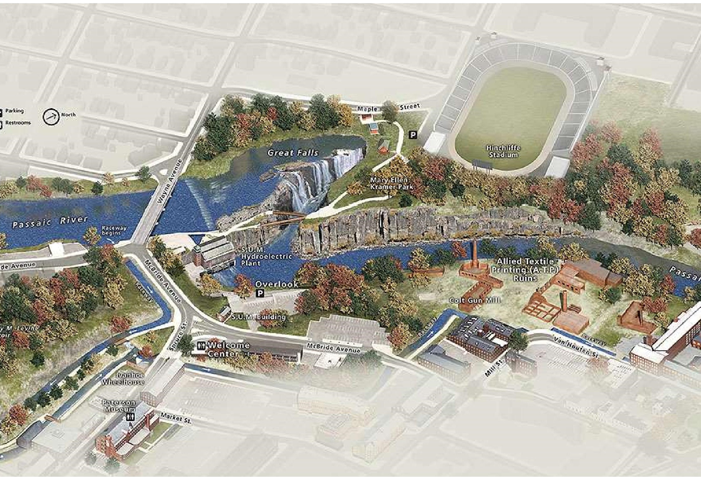
Paterson Great Falls National Historical Park
The various projects encompassed by the overall Great Falls Park plans, includes the redesign of Overlook Park, rehabilitation of Hinchcliffe Stadium and reuse of the ATP Quarry Lawn. The Quarry Lawn was known as Mount Morris in the 19th Century. The hill was quarried, leaving a 50-foot tall basalt wall that naturally enclosed a flat open space along the river, where textile dying mills sprouted on the small plateau in the early 20th Century. The site, now known as the Allied Textile Printing site (ATP) eventually became covered with mill buildings. The site now holds the ruins of many of those mill buildings, including the Colt Gun Mill.

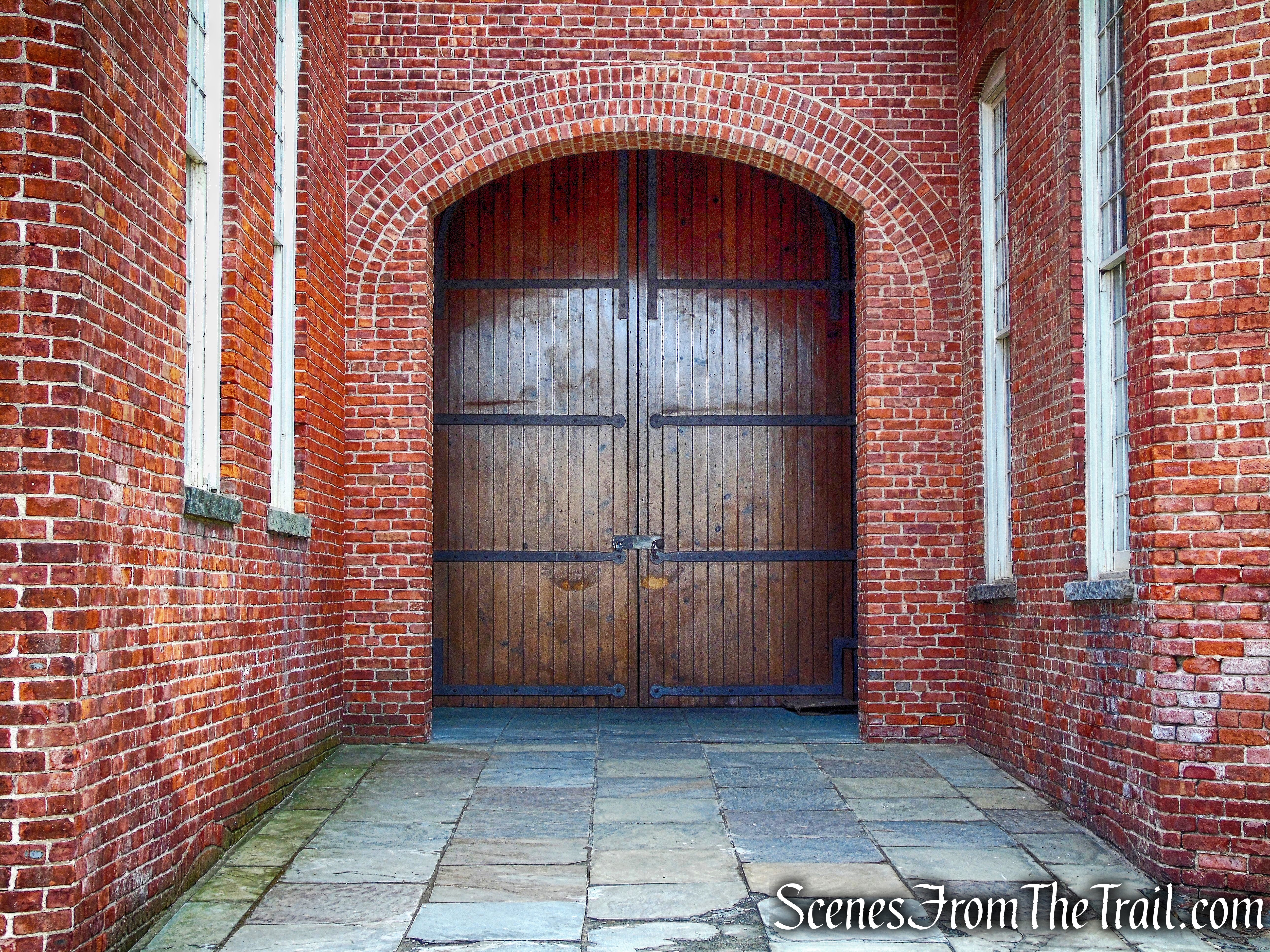
Colt Gun Mill
With all the work being done to rehabilitate the decaying area around the falls, I wanted to pay it a visit and explore the ruins before they are demolished further and/or restored. The area around the falls is of great historic significance which makes it that much more interesting to explore. There is a lot to see and photograph on this “urban hike” so I will describe the route and include some images, but will also do separate posts to further illustrate the history and include more images. We arrived at the parking area at approximately 9:00 am on a chilly Sunday morning and eagerly began our hike.
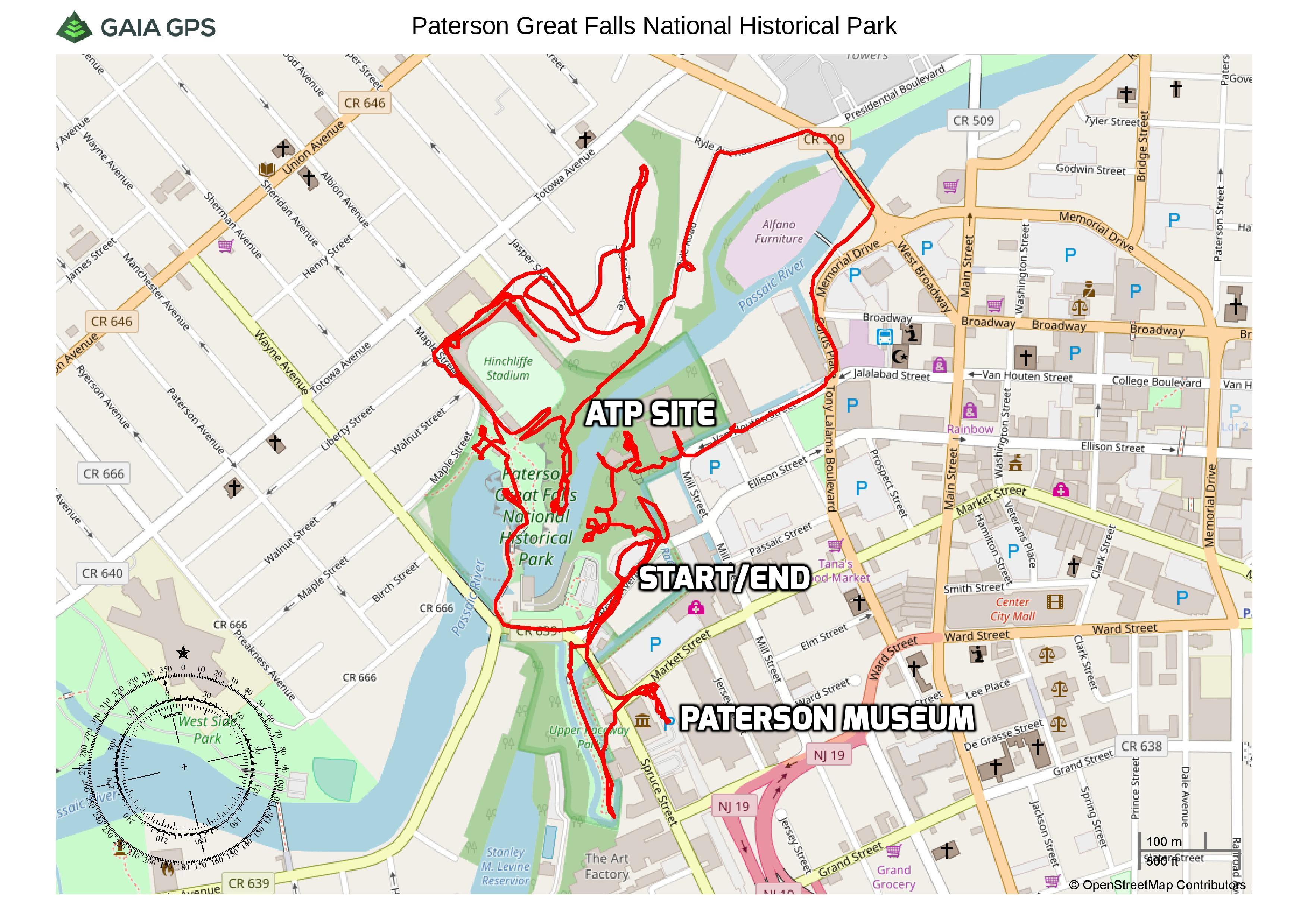
Paterson Great Falls National Historical Park – Urban Loop
Check out the Google Earth Fly-Through video of the hike below.
Overlook Park, probably the best spot to view the falls, is currently fenced off during construction. The falls can be viewed from the sidewalk, but not as desirable as from the park. I knew that going in, but I had visited this spot in the past and was more interested in the surrounding area. Below is an image that I captured in March of 2015 from Overlook Park.
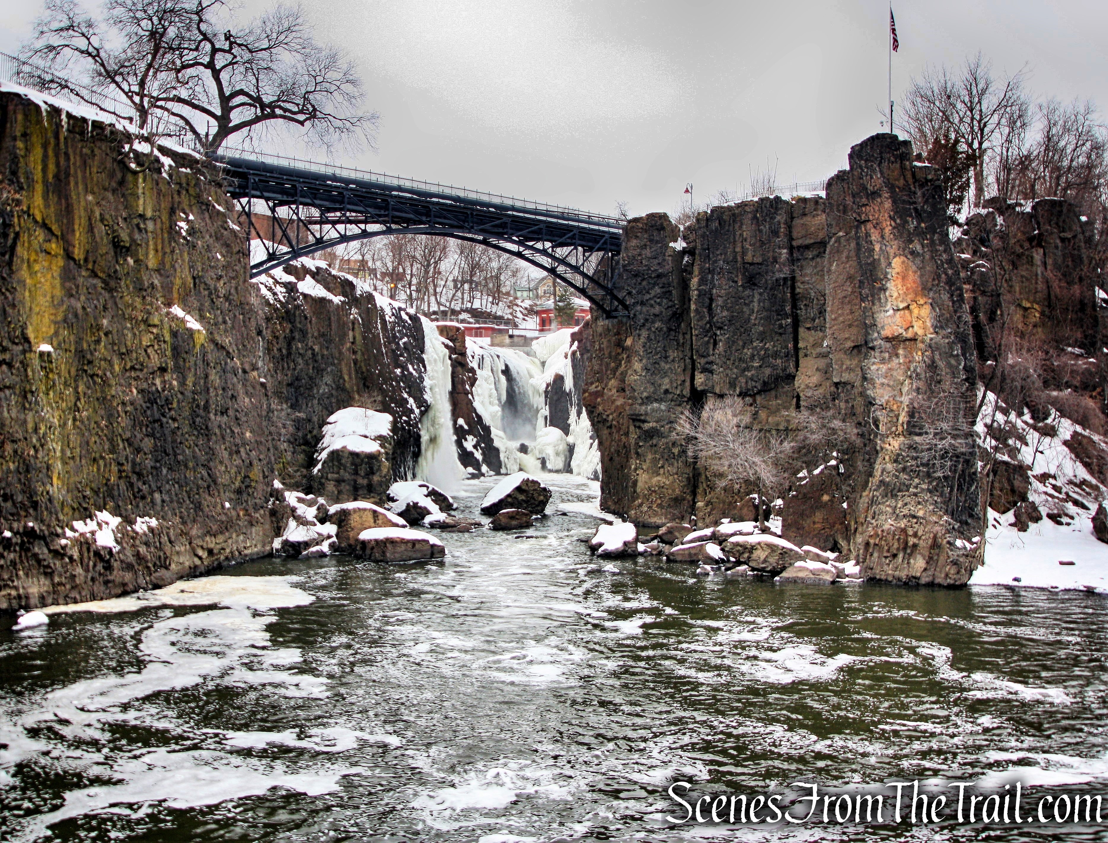
Great Falls of the Passaic River – March 7, 2015
We walked southwest along the sidewalk on McBride Avenue past the clock.
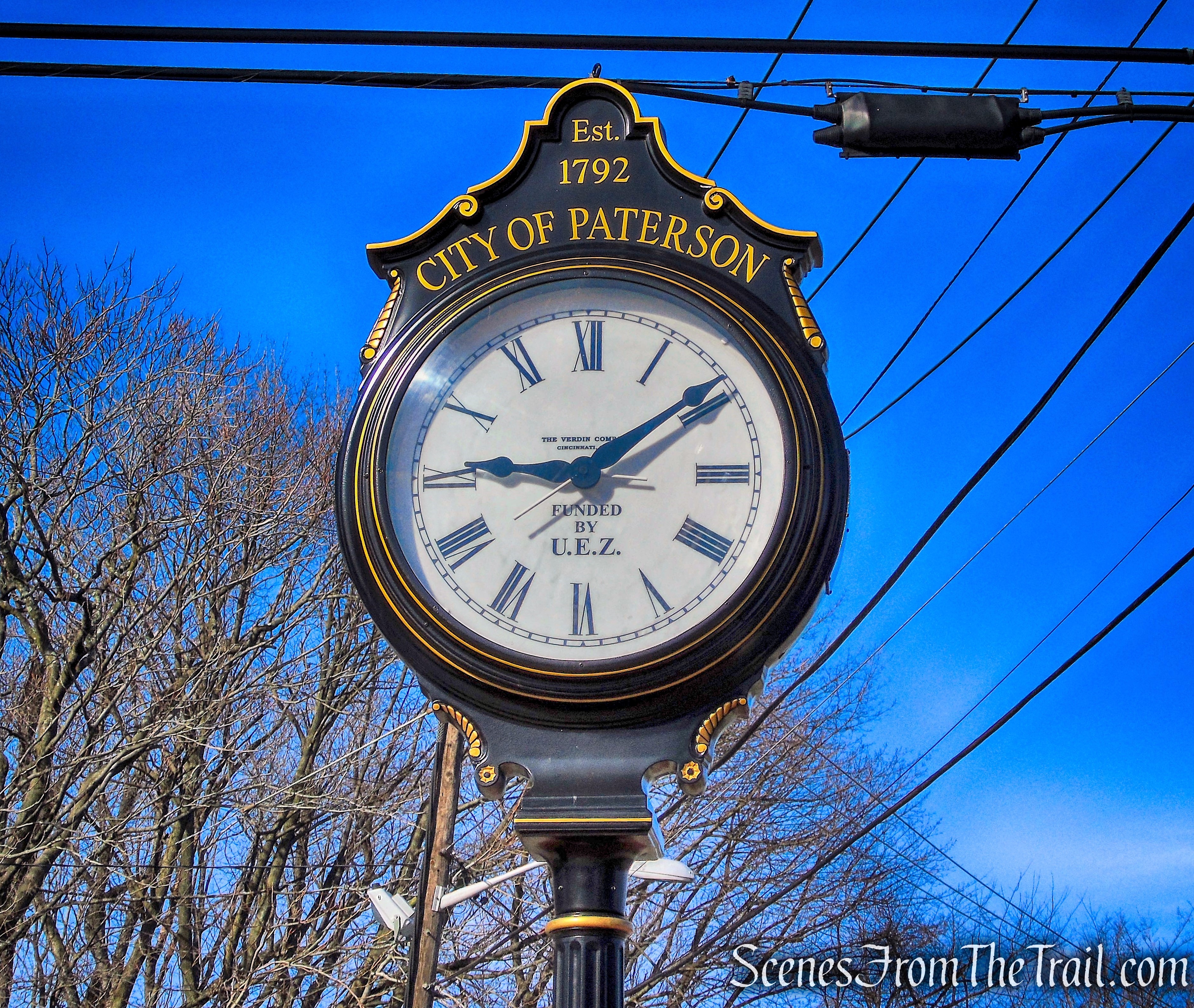
clock – McBride Avenue
Located near the base of the falls is the Great Falls Hydroelectric Station. When electricity replaced waterwheels, Paterson built a hydroelectric plant opposite the Great Falls.
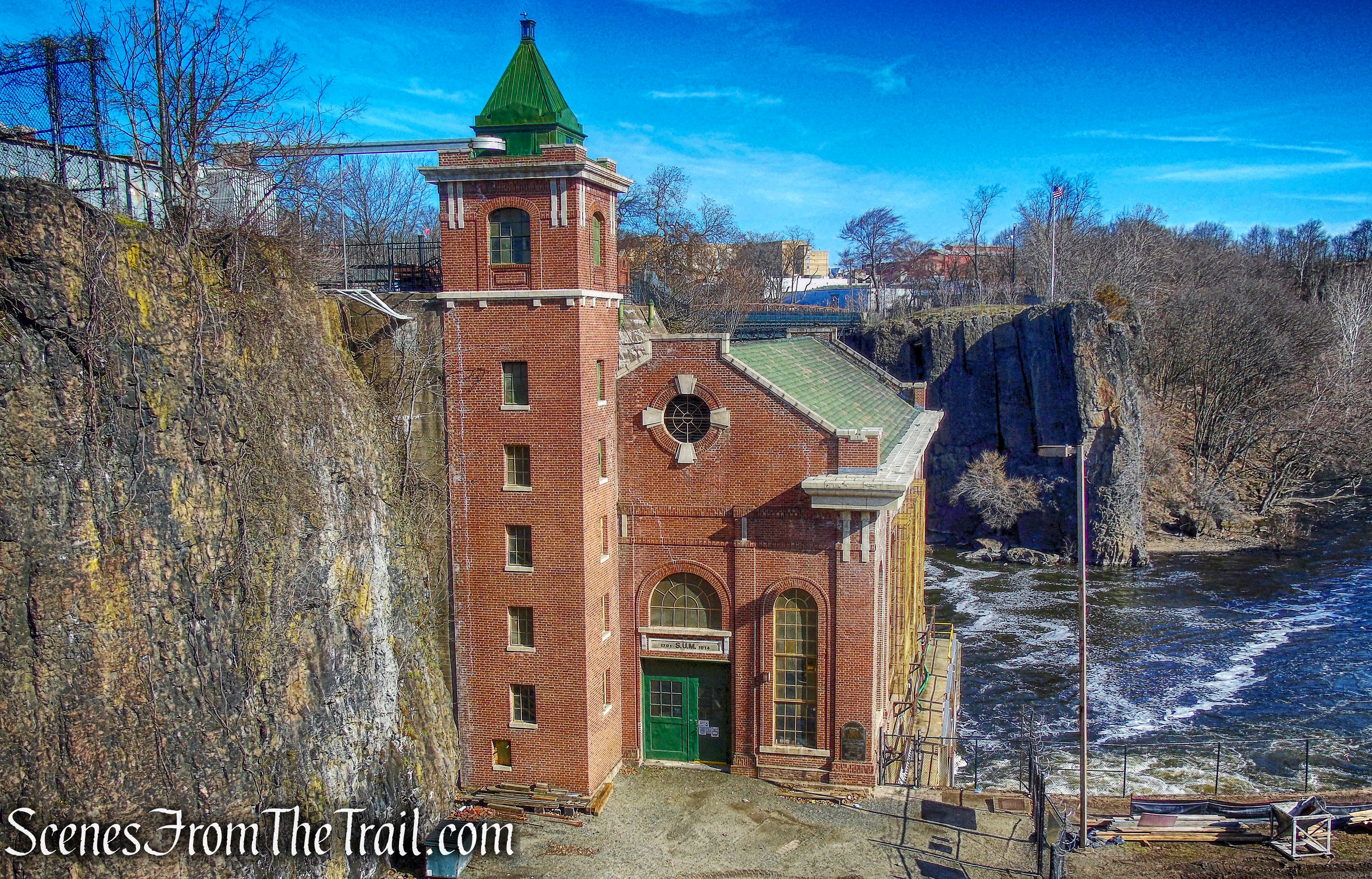
Great Falls Hydroelectric Station
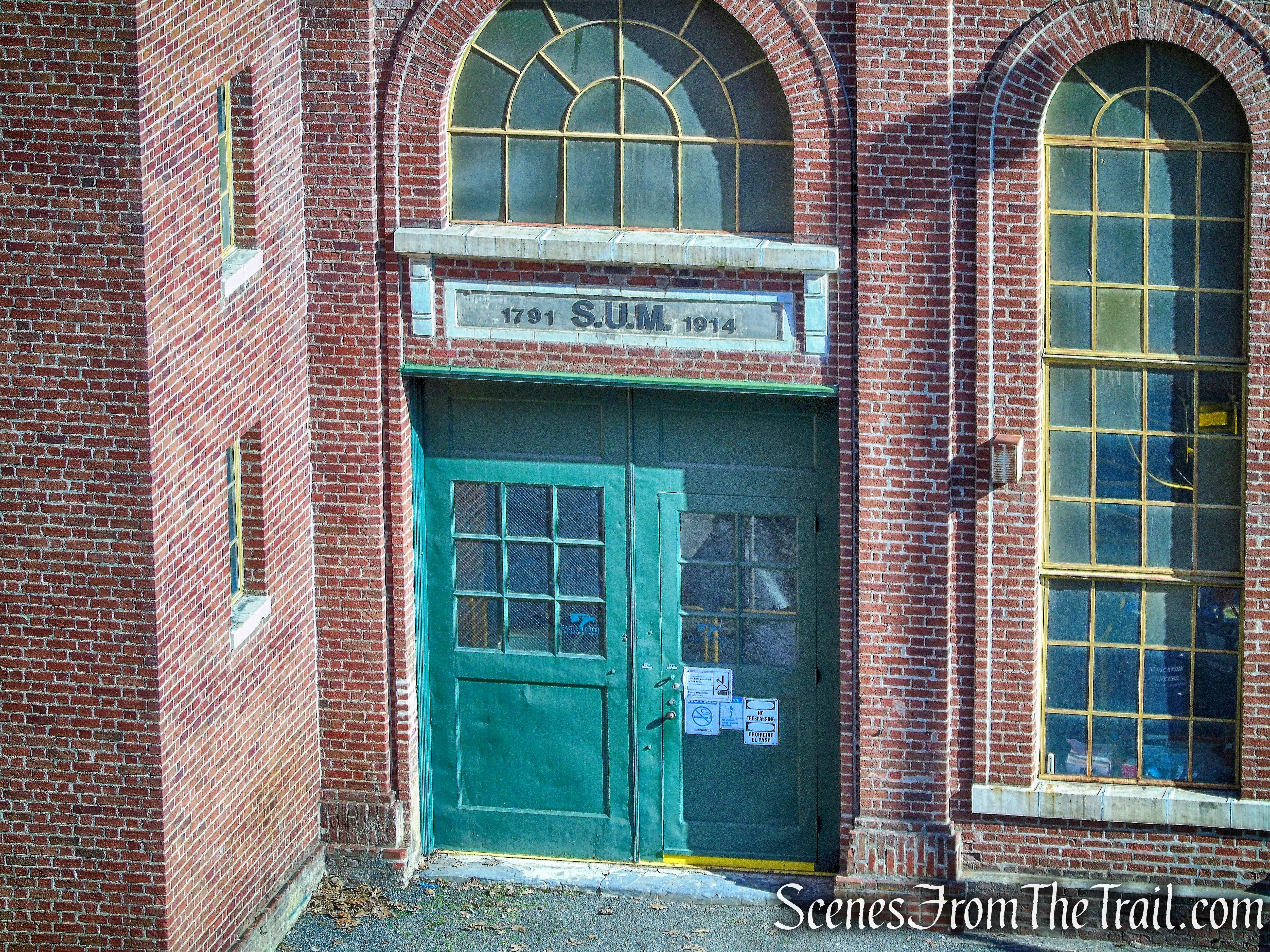
Above the door of the power plant are the initials “S.U.M.” and the dates 1791 and 1914. S.U.M. stands for the Society for Establishing Useful Manufactures. The S.U.M. built the plant in 1914, but the S.U.M. was established in 1791 during George Washington’s presidency to develop the power potential of the Great Falls.
Great Falls Hydroelectric Station
After passing the Hydroelectric Station, we turned right into a small parking area for the plant. We then proceeded across a catwalk that spans a section of the Passaic River.
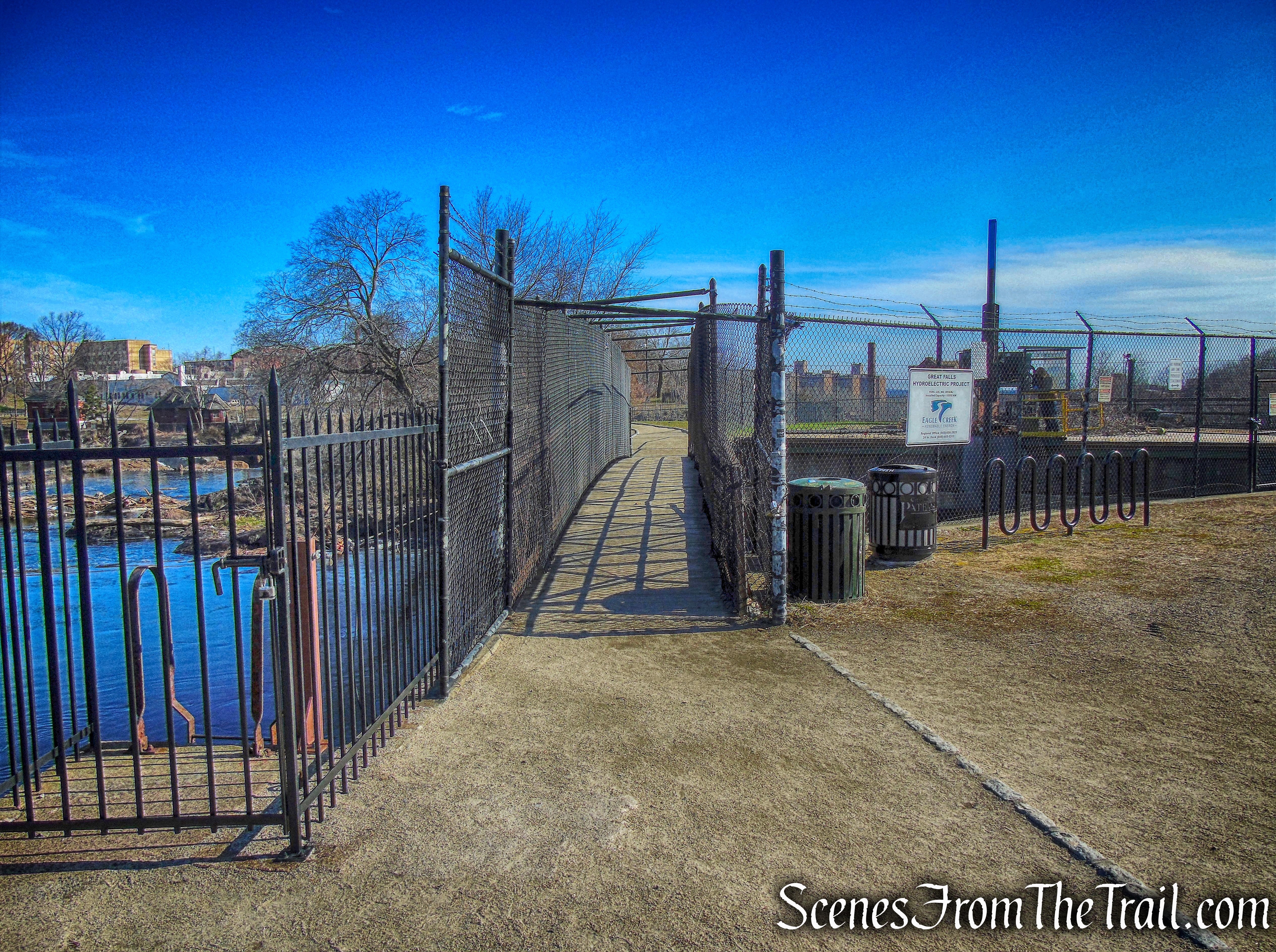
catwalk
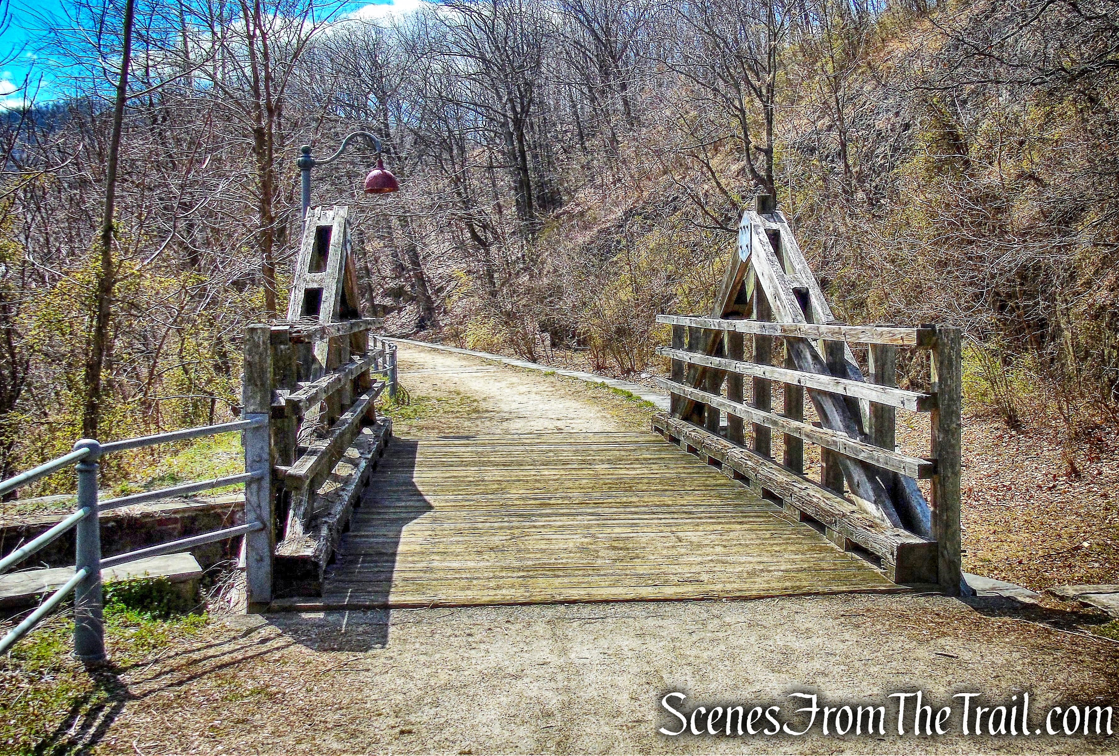
The catwalk leads to a paved walkway that in turn leads to the Great Falls Bridge.
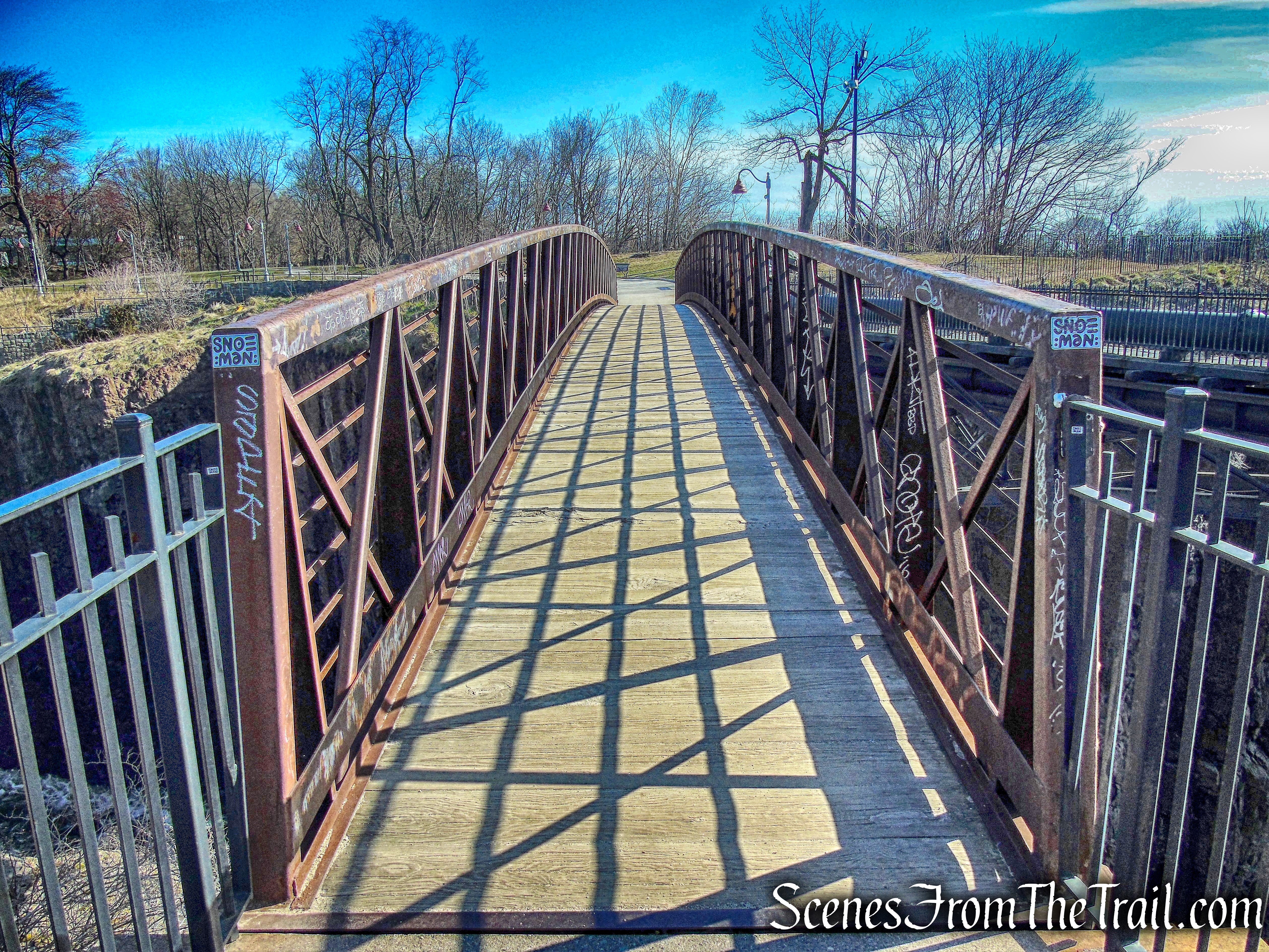
Great Falls Bridge
The Great Falls Bridge spans the gorge, providing a great view and allows one to witness the power of the Great Falls.
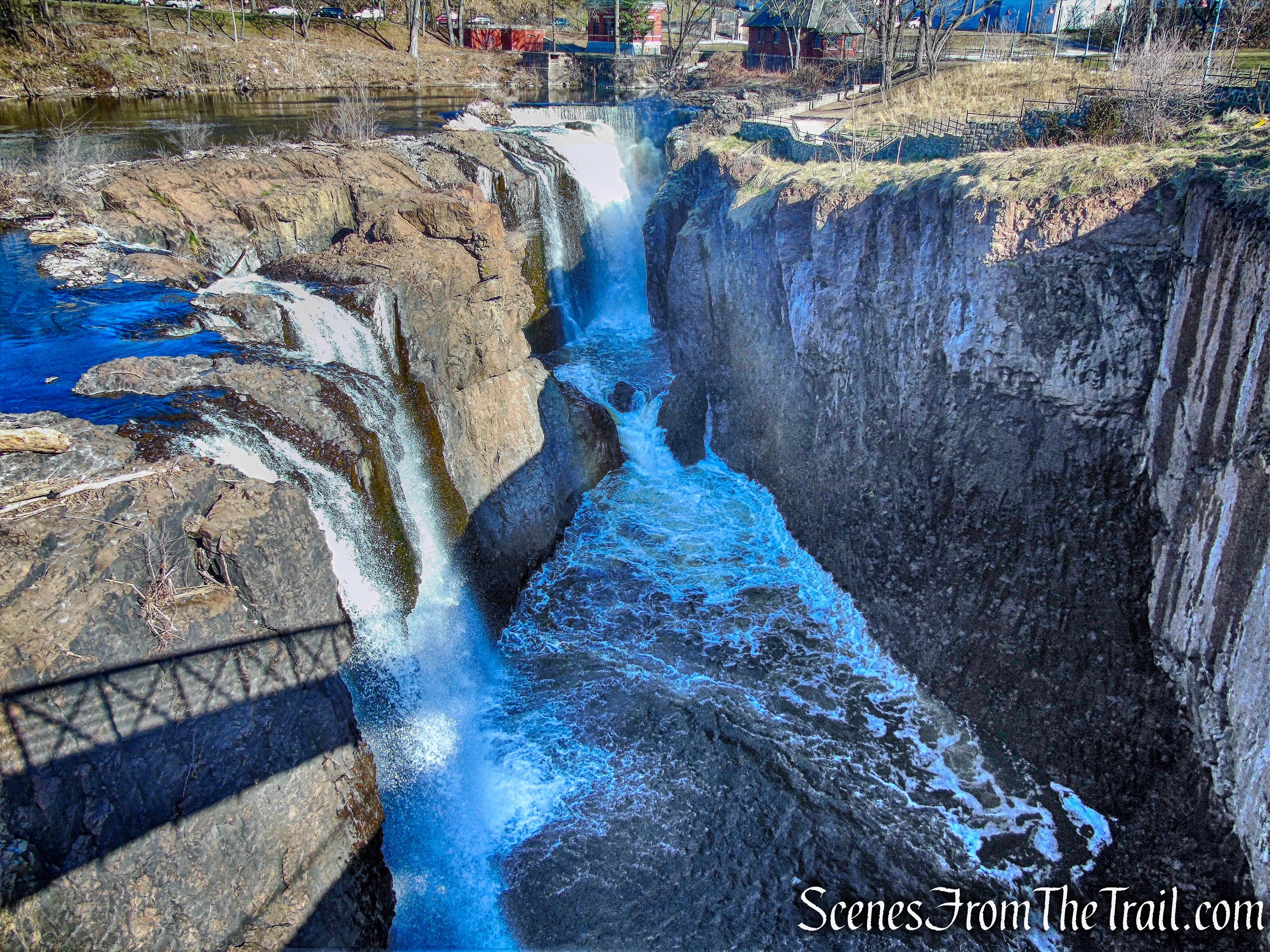
view from Great Falls Bridge
On the other side of the bridge is Mary Ellen Kramer Park. This park is named after Mary Ellen Kramer, preservation activist and wife of former Paterson mayor Pat Kramer. In the 1970’s she launched the campaign to protect and restore the city’s historic district.
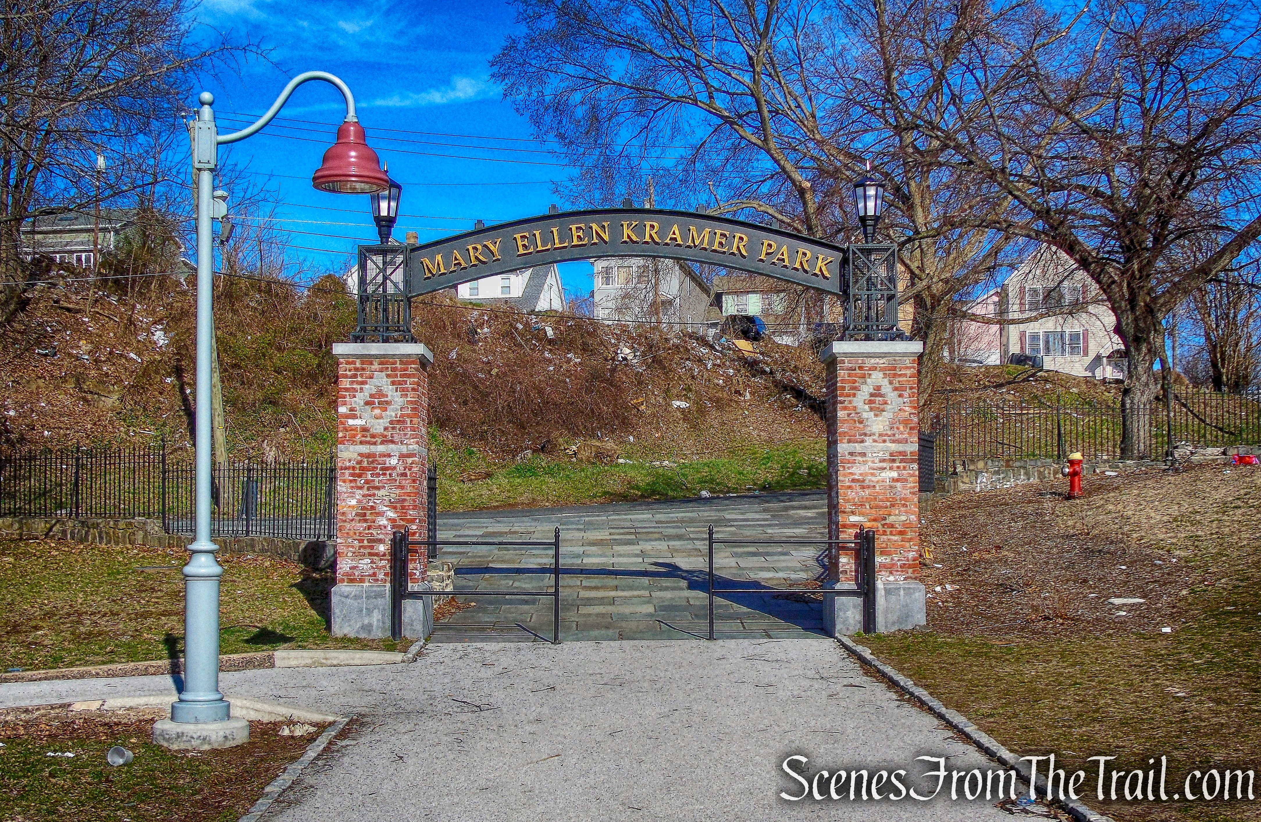
Mary Ellen Kramer Park
In 2015, the city completed a $2 million renovation on the Mary Ellen Kramer Park section of the Paterson Great Falls National Historical Park, that provides close-up views of the second largest waterfall east of the Mississippi River.
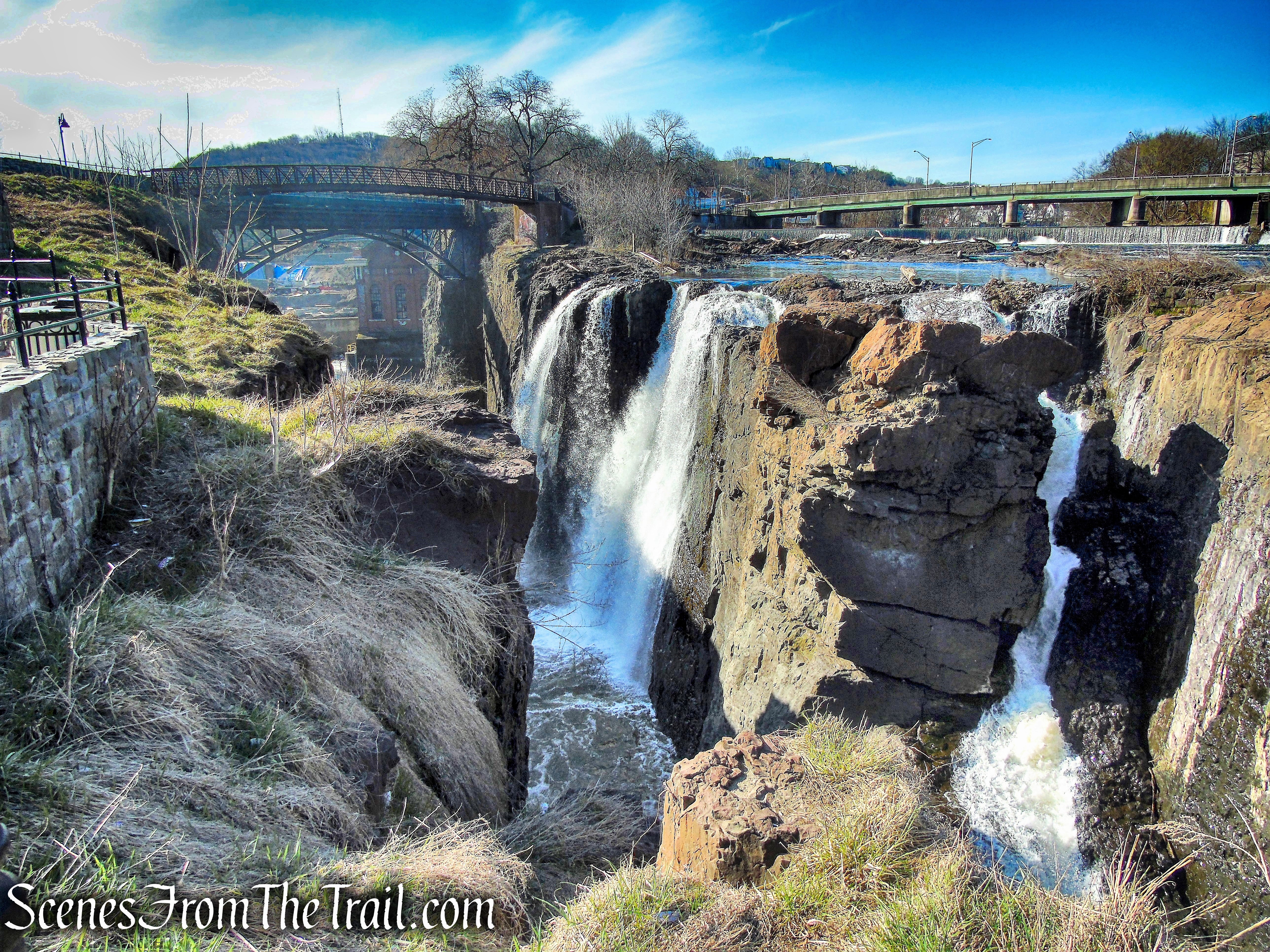
view of falls from Mary Ellen Kramer Park
On July 10, 1778, a young Alexander Hamilton picnicked on cold ham, tongue and biscuits here with General George Washington and the French General the Marquis de Lafayette. It was then that Hamilton became acquainted with the setting of his future industrial city, one that would be powered by water and churn out everything from textiles and paper to locomotives and guns.
view of falls from Mary Ellen Kramer Park
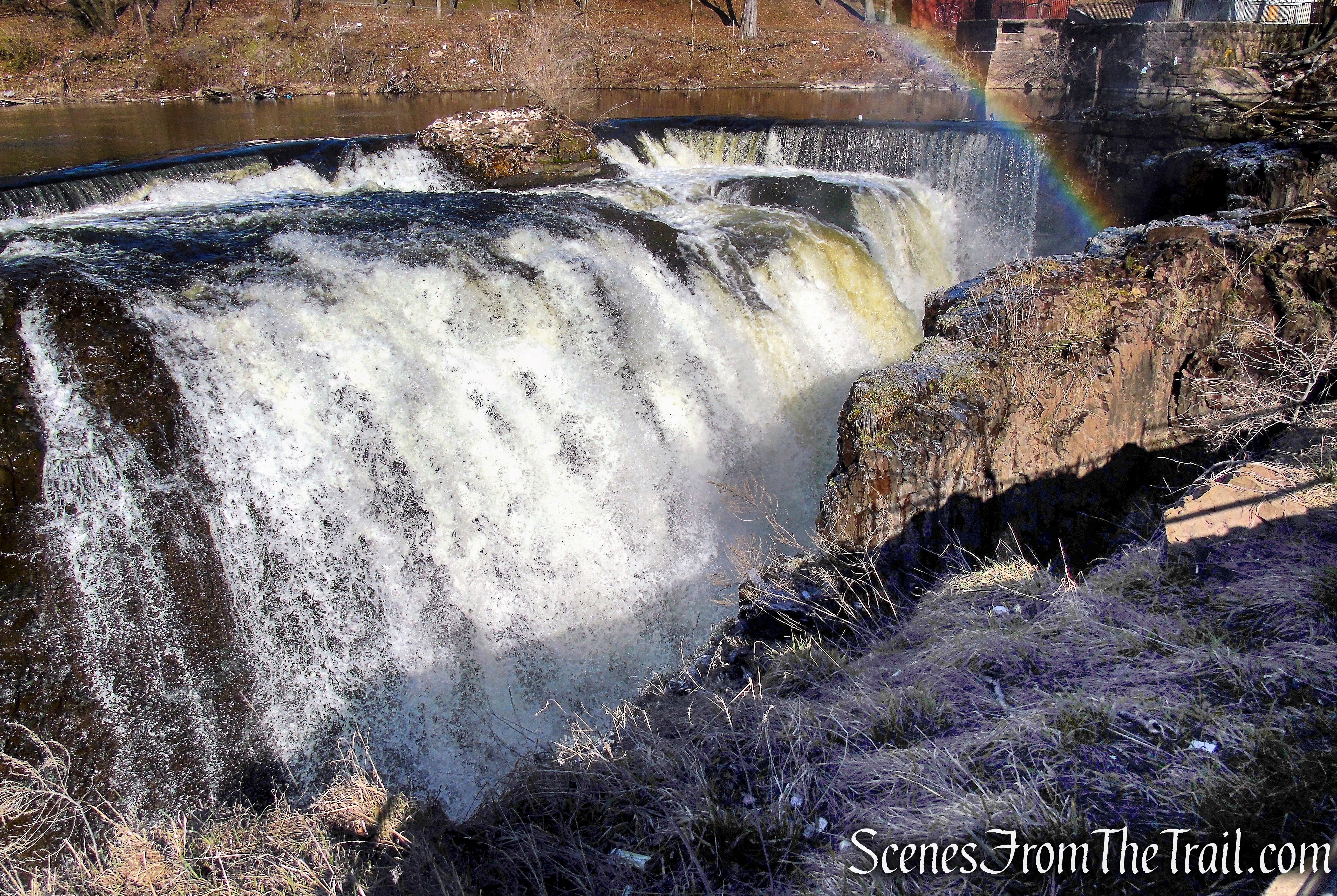
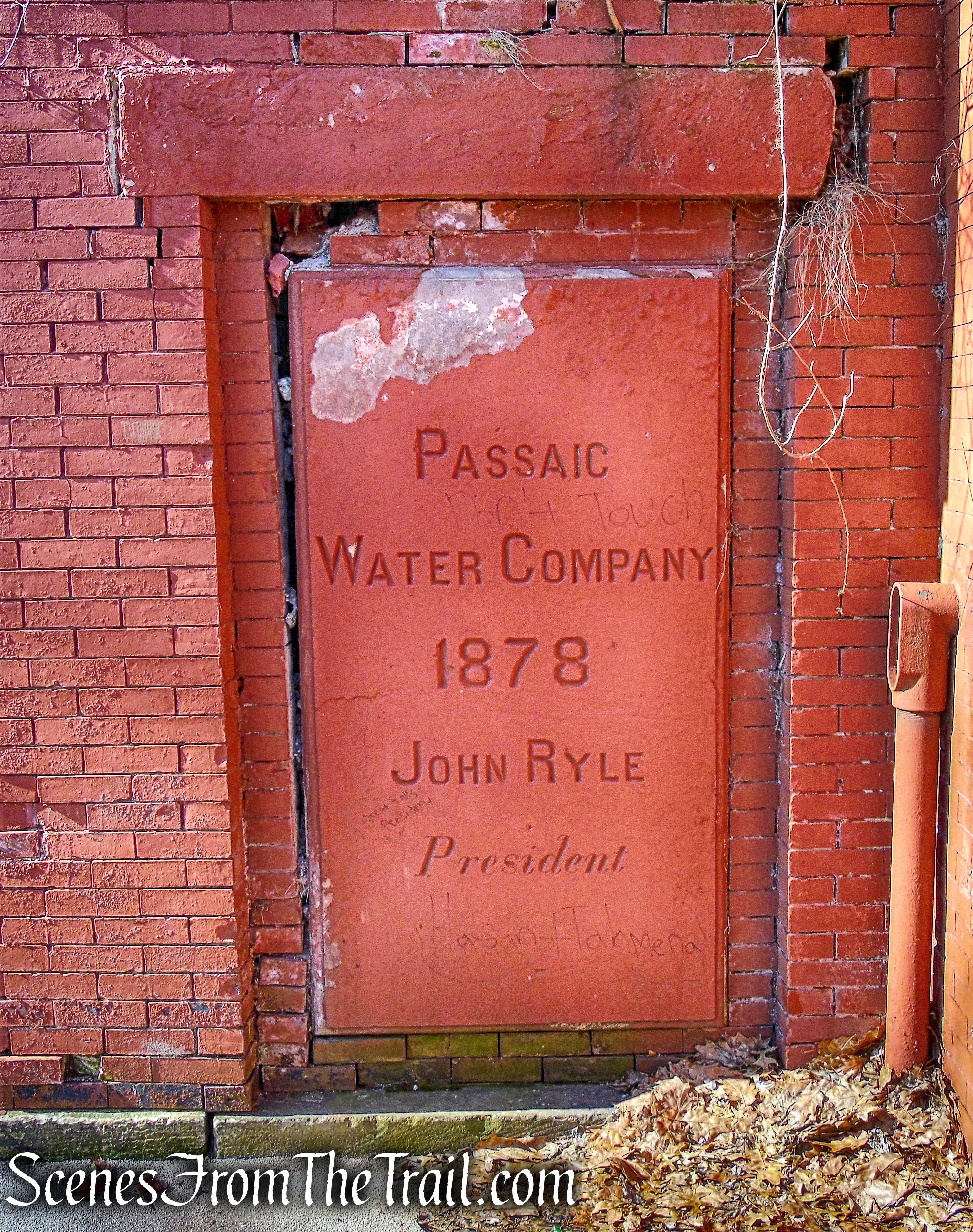
Although the land was used as a public park and for leisure visits to the waterfall since the 1770’s, it was closed during World War II for strategic reasons and remained closed until the 1970’s. Several brick structures in the park date back to the Passaic Water Company which was incorporated in 1849.
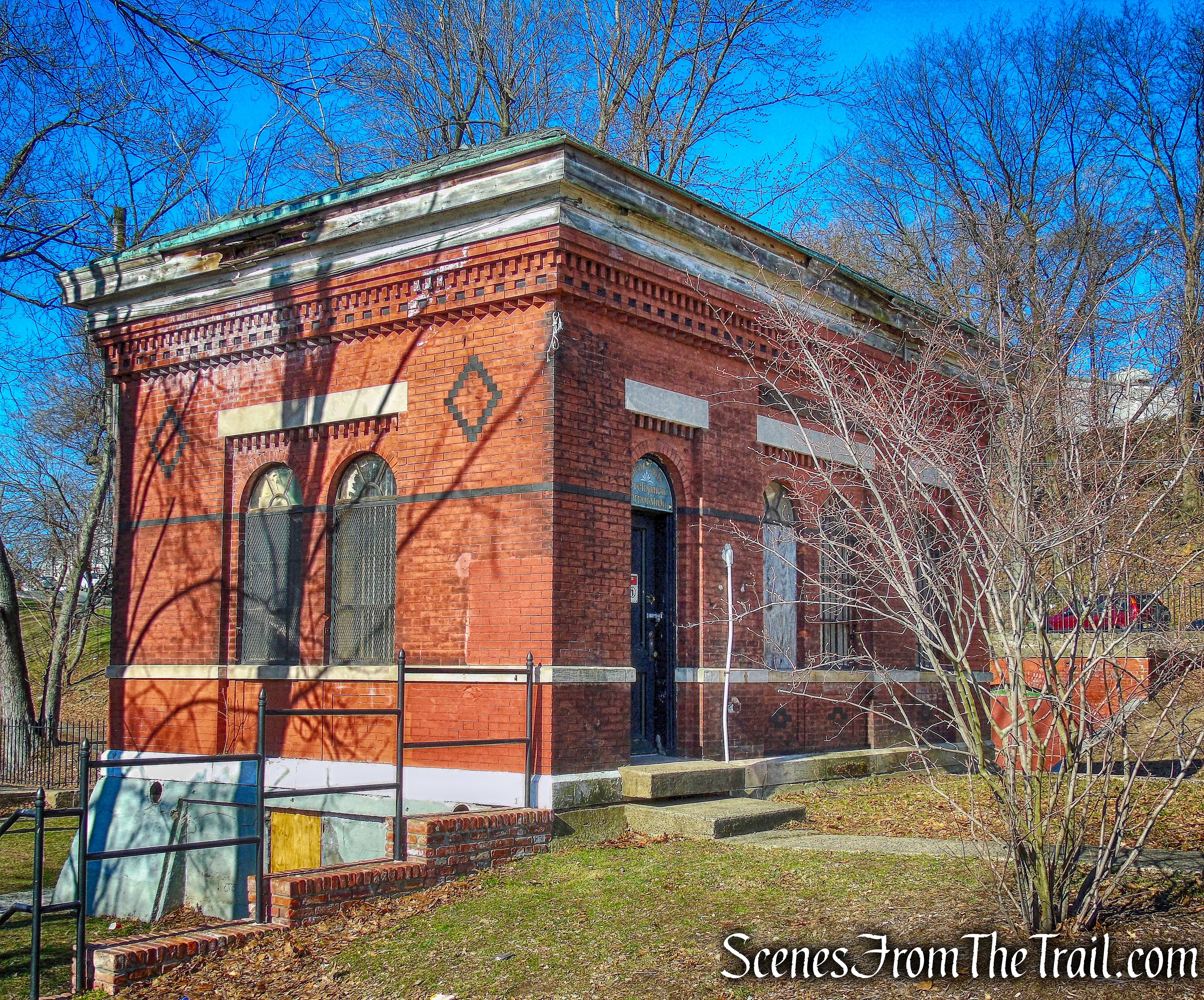
Mary Ellen Kramer Park
Mary Ellen Kramer Park
Adjacent to Mary Ellen Kramer Park is Hinchliffe Stadium, which was dedicated in 1932 and structurally completed in 1934. Hinchliffe Stadium served as the home field for the New York Black Yankees between 1933 and 1937, and then again from 1939 to 1945. Hinchliffe is possibly the sole surving regular home field for a Negro League baseball team in the Mid-Atlantic region.
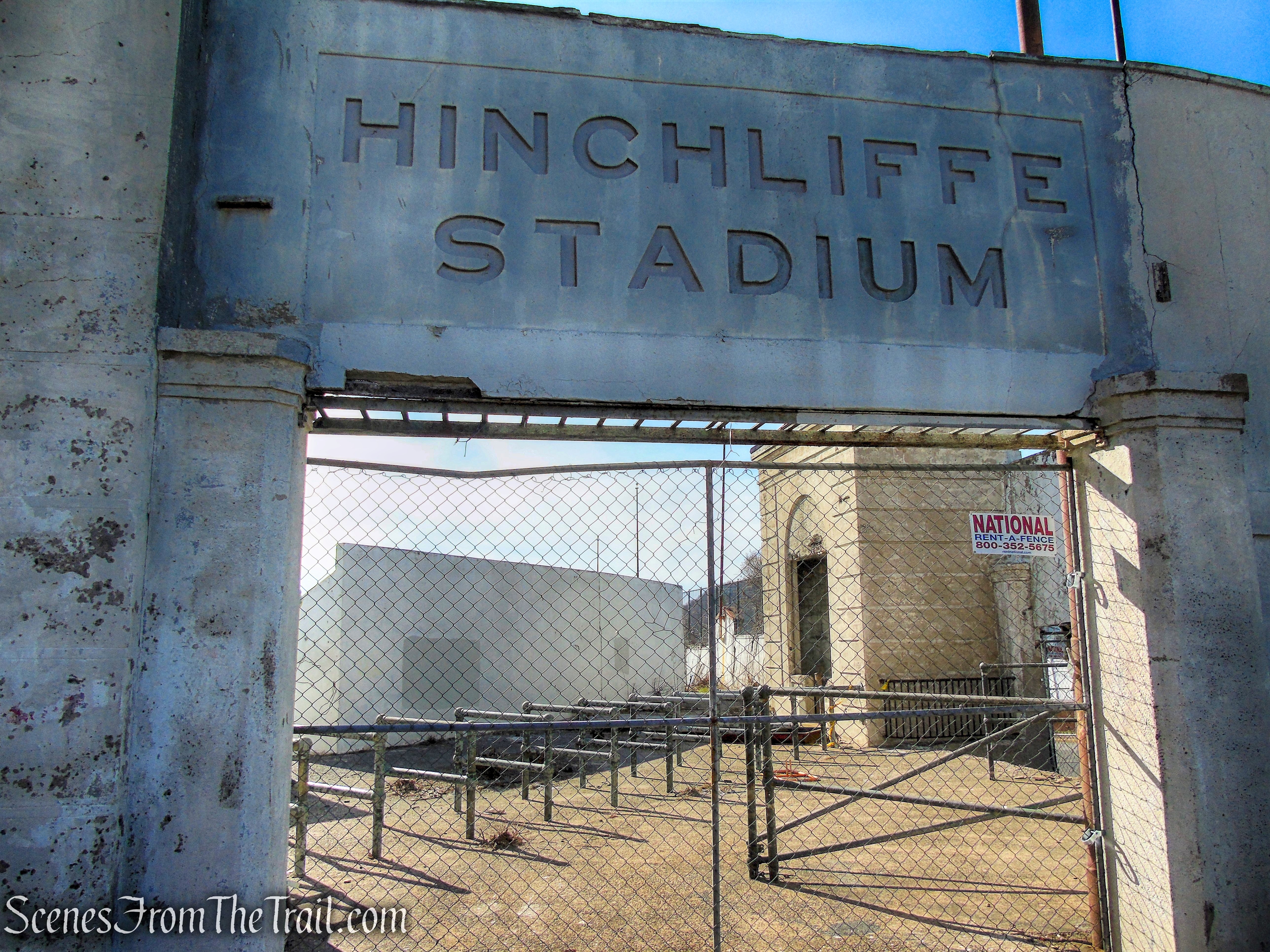
Hinchliffe Stadium
The stadium was named after former Paterson City Mayor, John V. Hinchliffe, who served during planning and construction of the stadium between 1929 and 1932. The stadium was designated a National Historic Landmark in March 2013 and a Paterson Historic Landmark in May 2013. In December 2014 legislation passed in the United States Congress to include the stadium in the Paterson Great Falls National Historical Park.
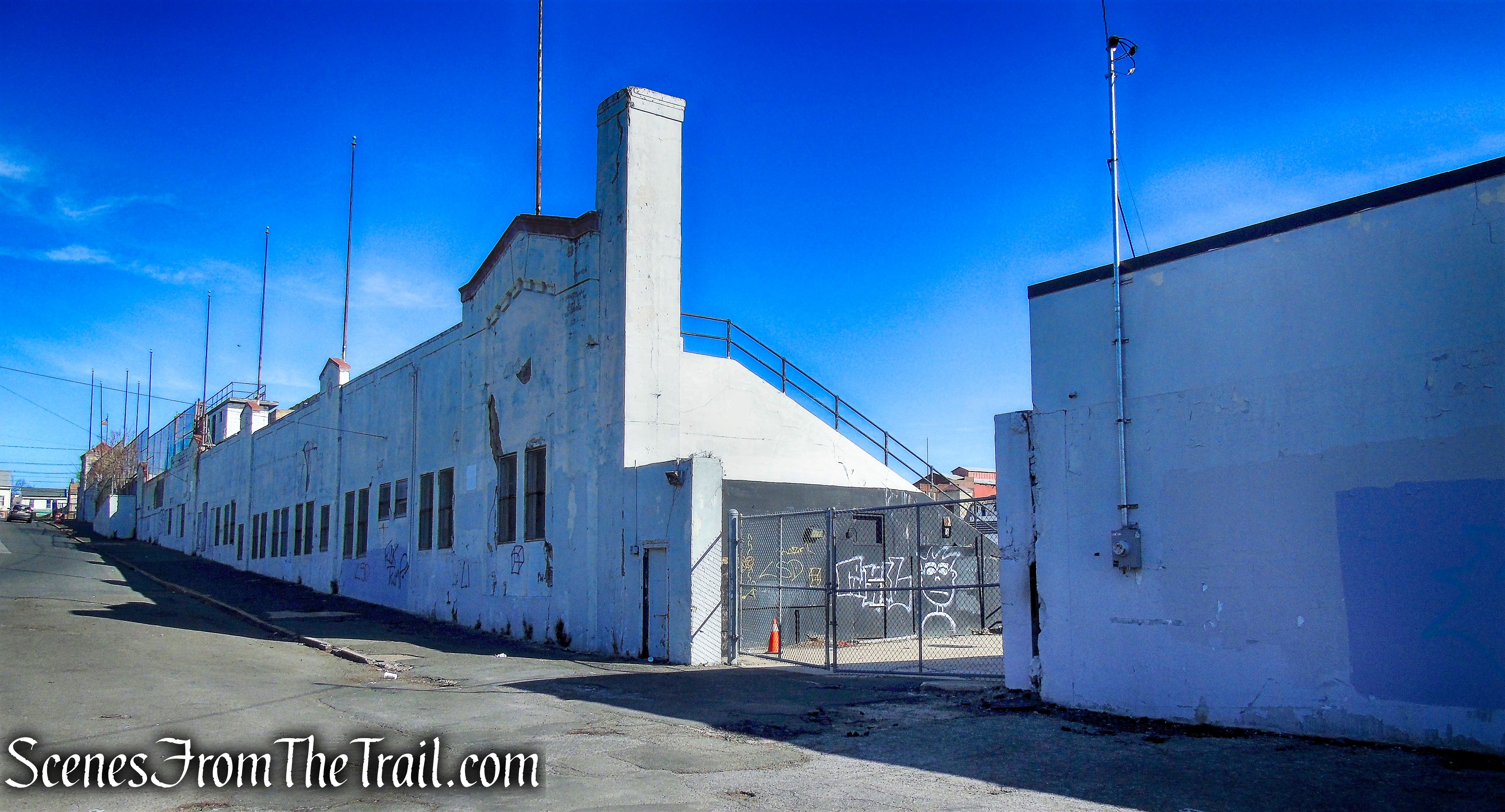
Hinchliffe Stadium
We walked around the perimeter of the stadium, down Maple Street and then a right on Liberty Street. A separate post about Hinchliffe Stadium with interior and exterior images can be seen here. We then walked past the community garden and turned right on Jasper Street, which is closed off to vehicular traffic.
Jasper Street
Since I wanted to make a loop of this hike, I was hoping that this road would lead us around and over the Passaic River.
Jasper Street
Developers intended to construct 13 buildings containing 156 housing units called “The Vistas at the Great Falls” on this property. The state stepped in and purchased the 8.5-acre site for $5.7 million and plan to add it to the Great Falls National Historical Park. This property sits on a ridge 100 feet above the Passaic River providing a breathtaking view of the Great Falls Historic District below. Just across the river are the ruins of the ATP site and the mountain in the distance is Garret Mountain Reservation.
view from Jasper Street
The New York City skyline is visible in the distance.
Manhattan skyline
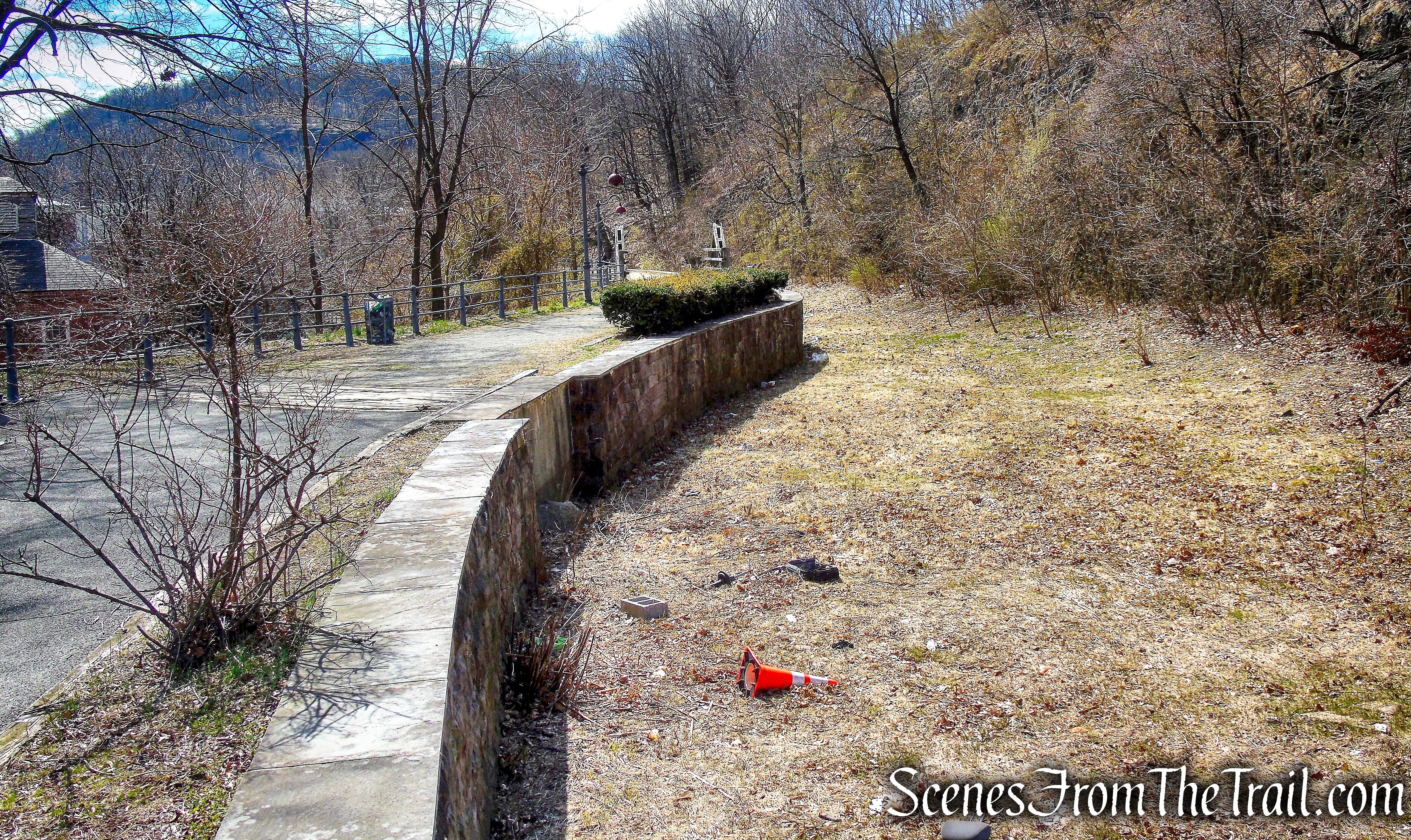
As it turns out, there is no way down to the street from up there that doesn’t include a very steep descent or climbing fences. We retraced our steps back to Mary Ellen Kramer Park and turned left on a paved park road that heads northeast and parallels the Passaic River.
Mary Ellen Kramer Park
A short distance down the road, we turned right and descended some railroad tie steps that lead to the edge of the river.
Mary Ellen Kramer Park
Now down in the Valley of the Rocks, we found a nice spot to sit and took a short break.
Valley of the Rocks
From here the ATP site ruins are visible and that was where I wanted go.
ATP site ruins
We walked back up to the park road which at some point turns into Ryle Road. We then passed some impressive cliffs, which happen to be where we were standing a short time earlier with the Manhattan views.
cliffs overlooking Ryle Road
cliffs overlooking Ryle Road
We then passed a dog pound and some ruined buildings alongside the road.
ruined building – Ryle Road
This road is desolate and I wouldn’t recommend walking this area alone. I saw some unsavory looking characters and evidence of squatters in the abandoned and ruined buildings.
Ryle Road
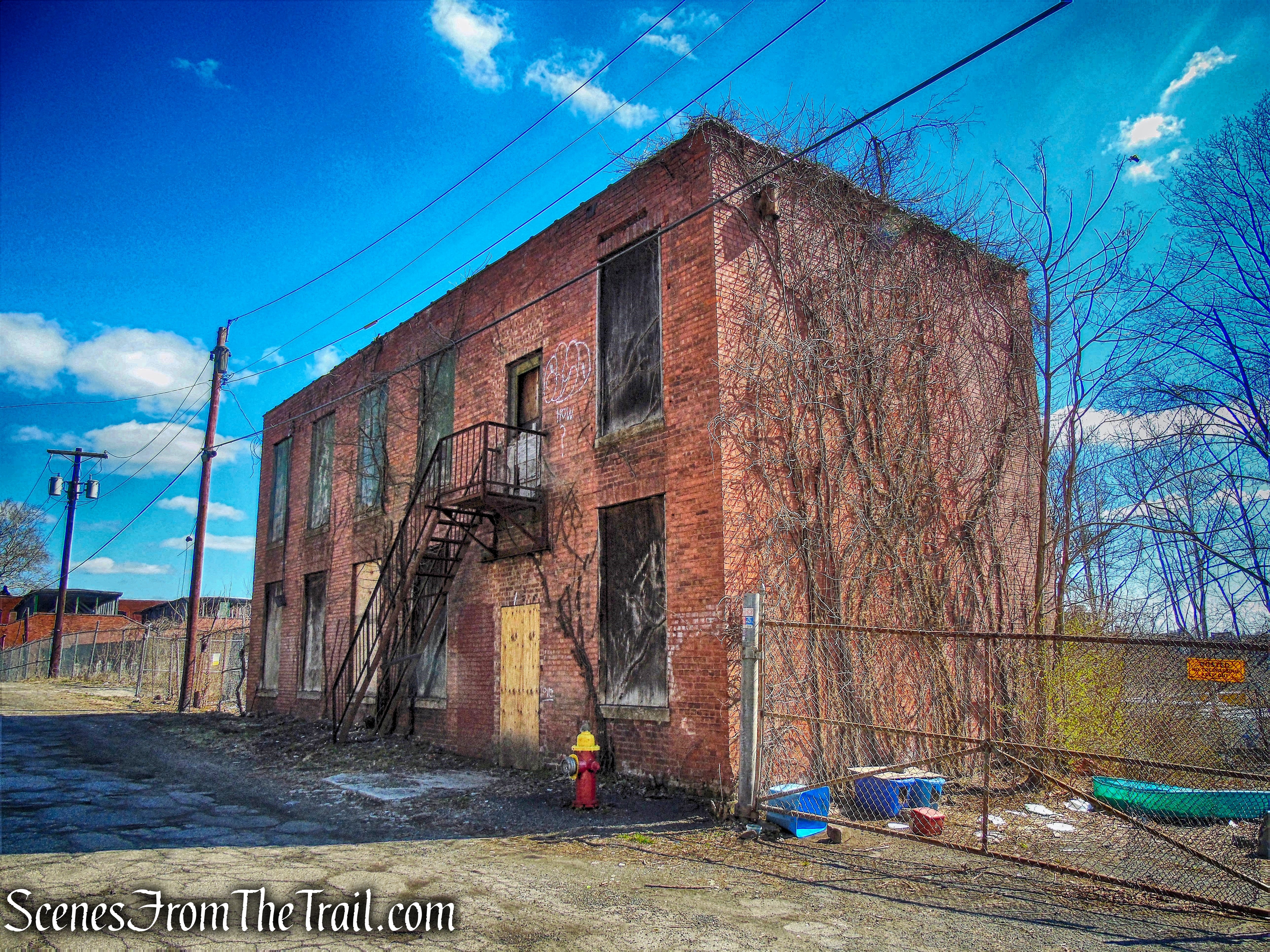
Ryle Road
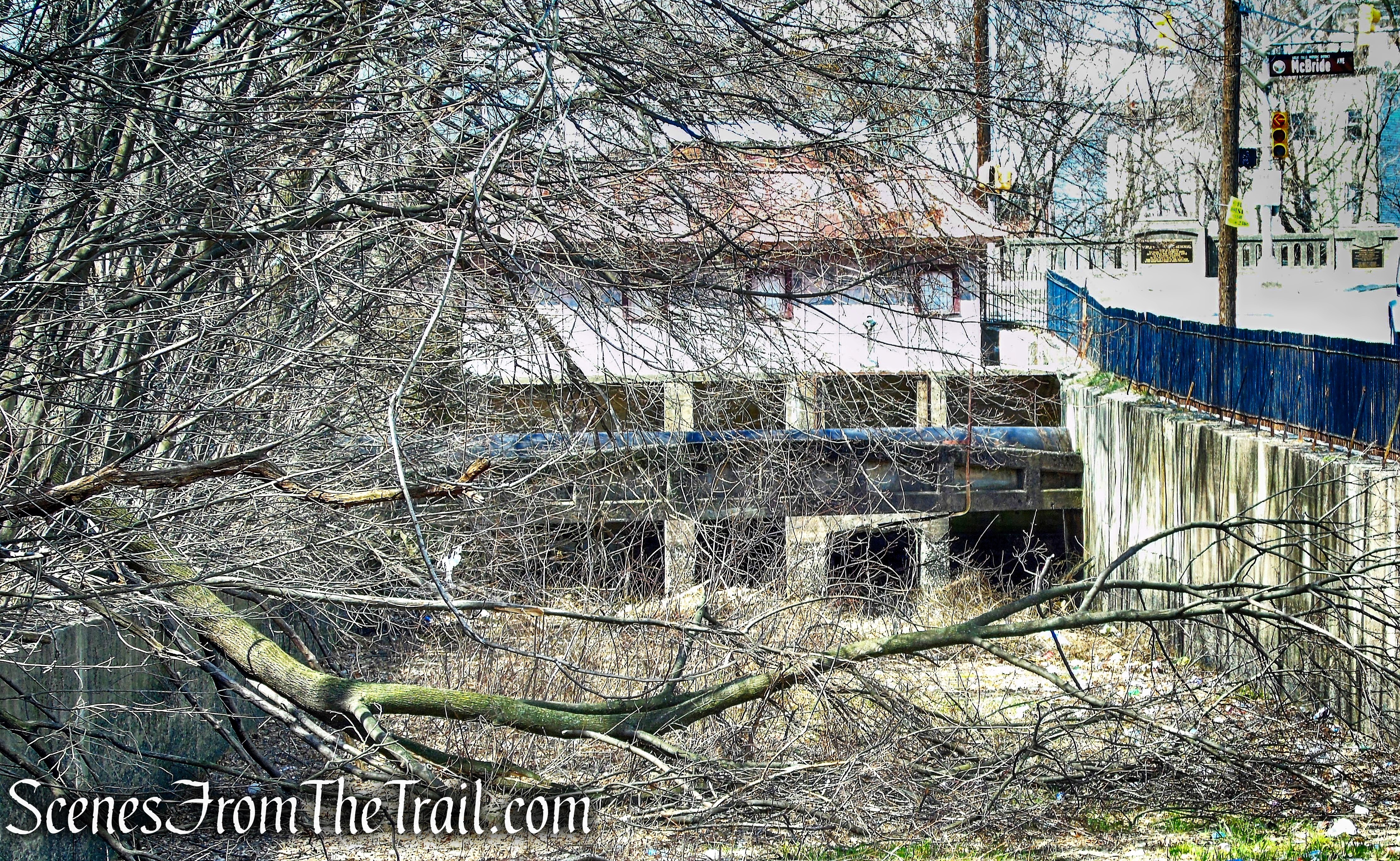
After passing several more abandoned buildings, we walked to the end of Ryle Road and turned right onto West Broadway. There we crossed the road bridge which spans the Passaic River.
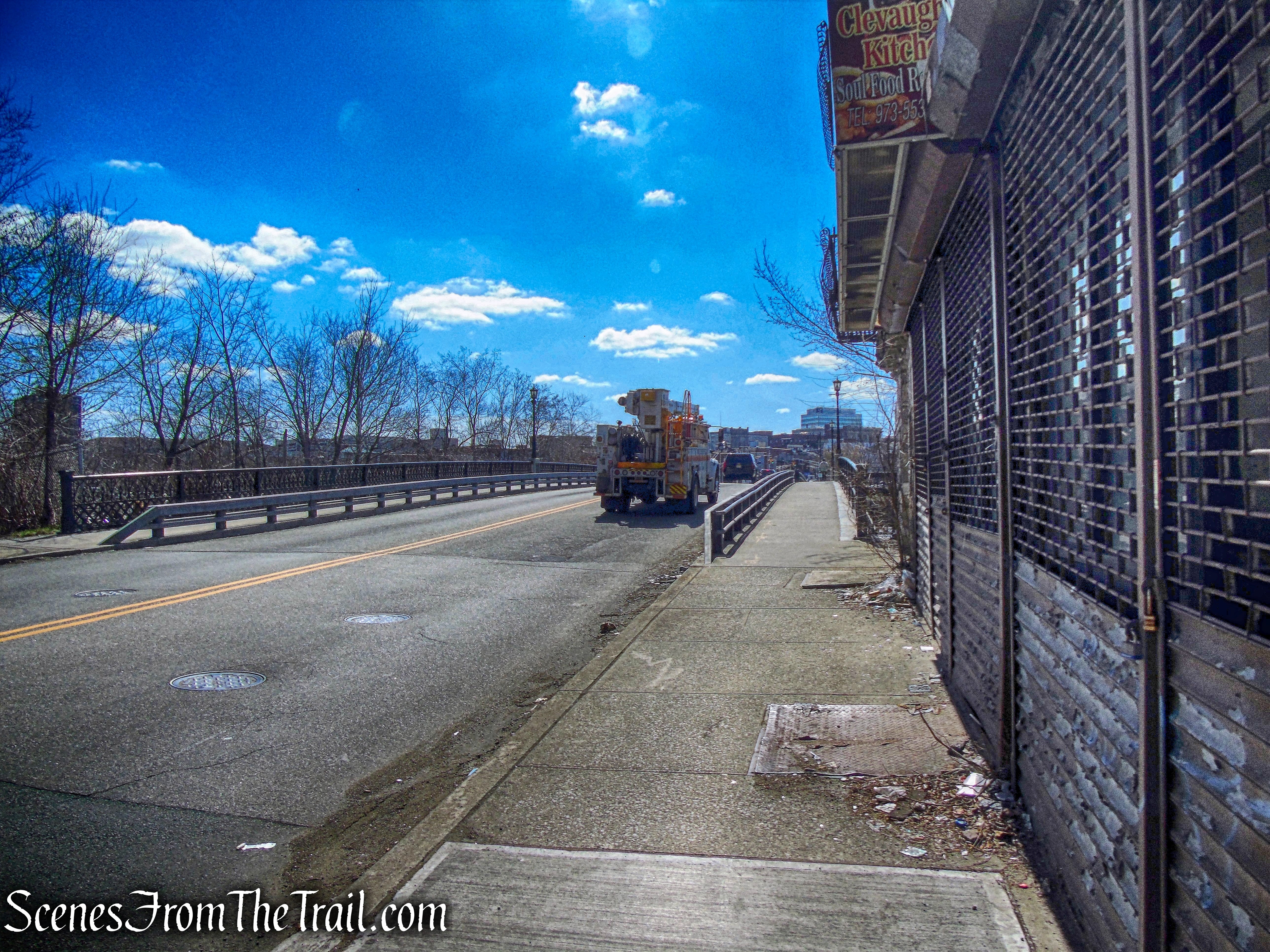
West Broadway
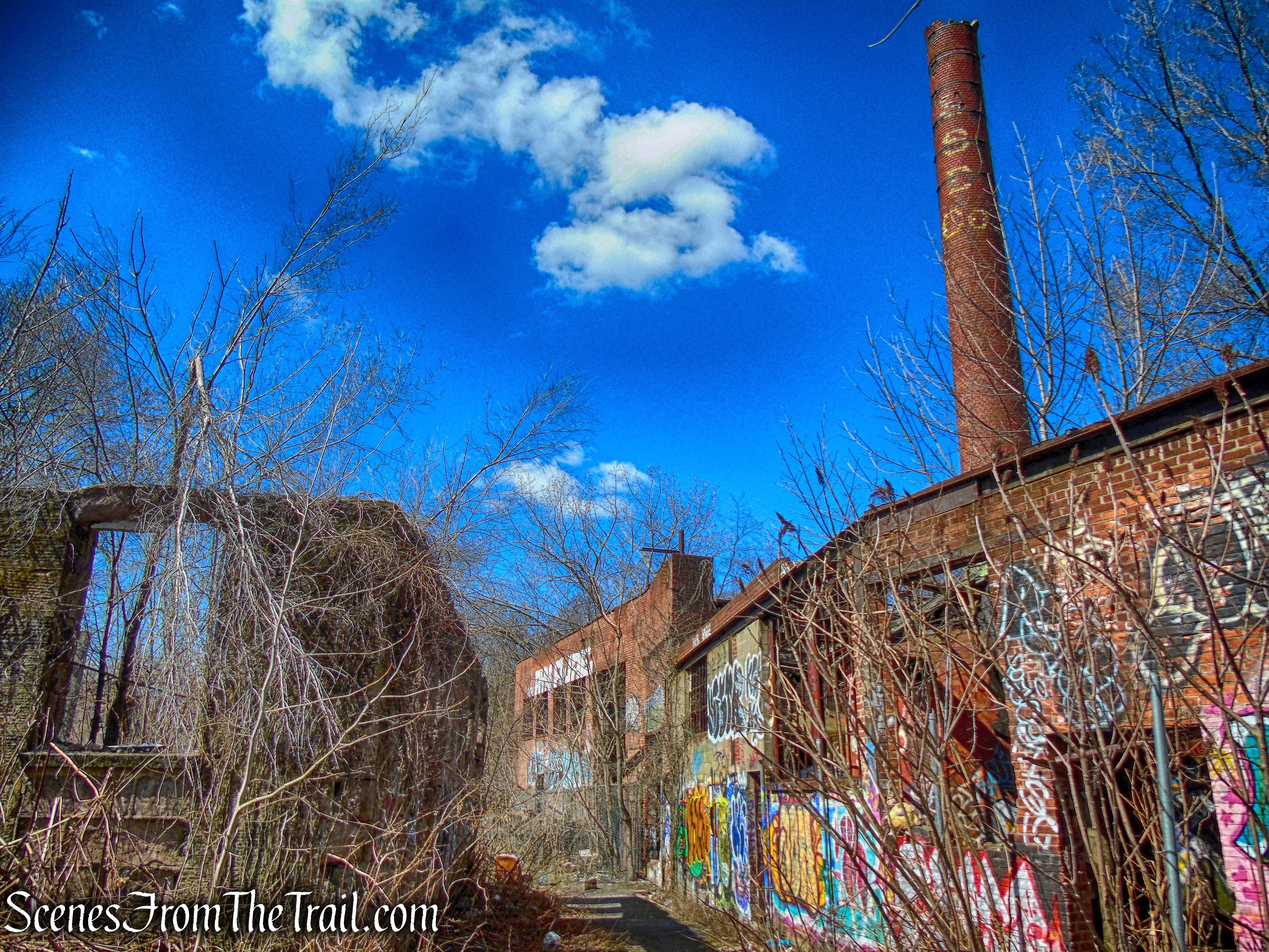
After crossing the bridge, we turned right on Mulberry Street which is closed off to vehicular traffic.
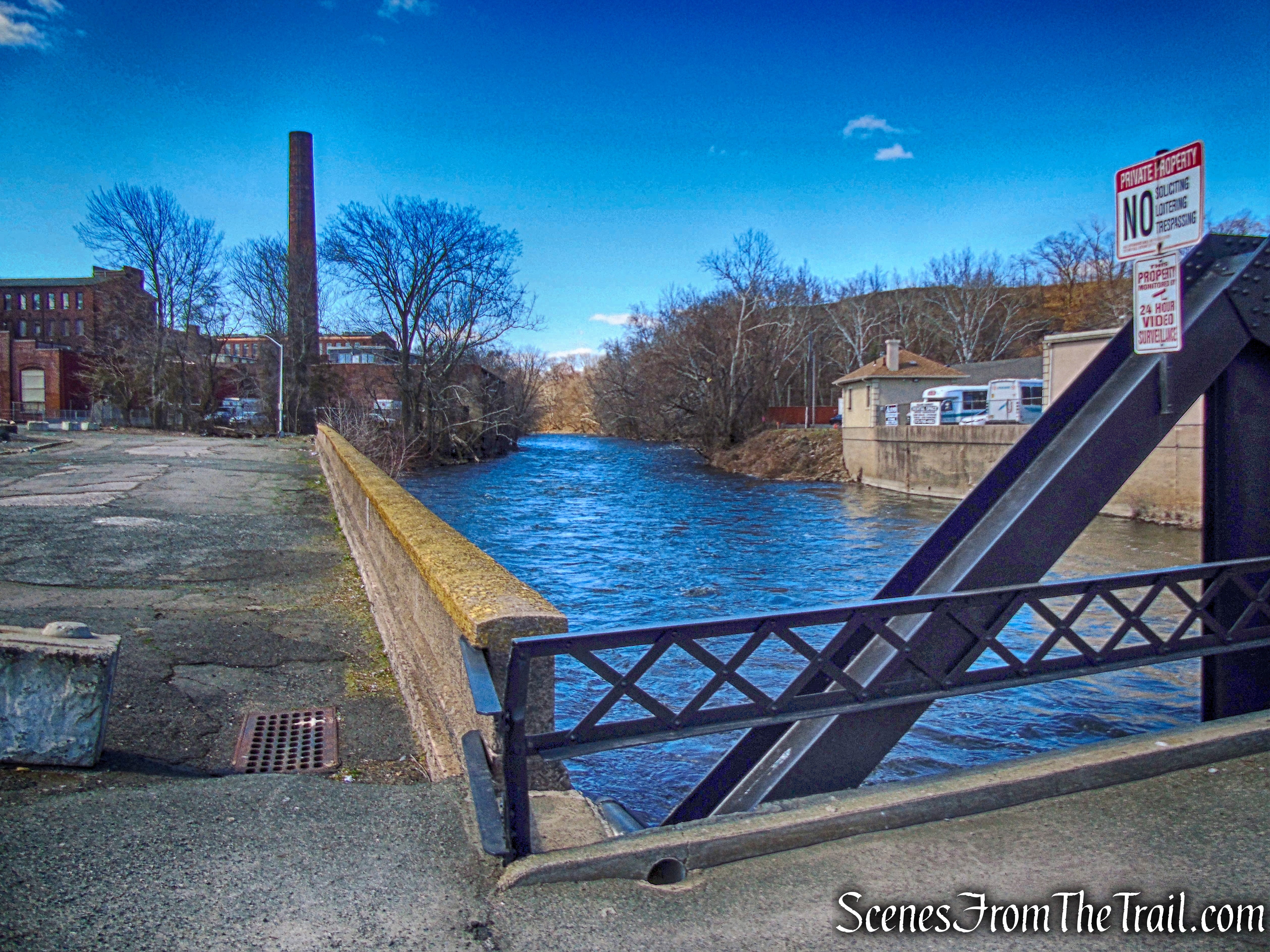
Mulberry Street
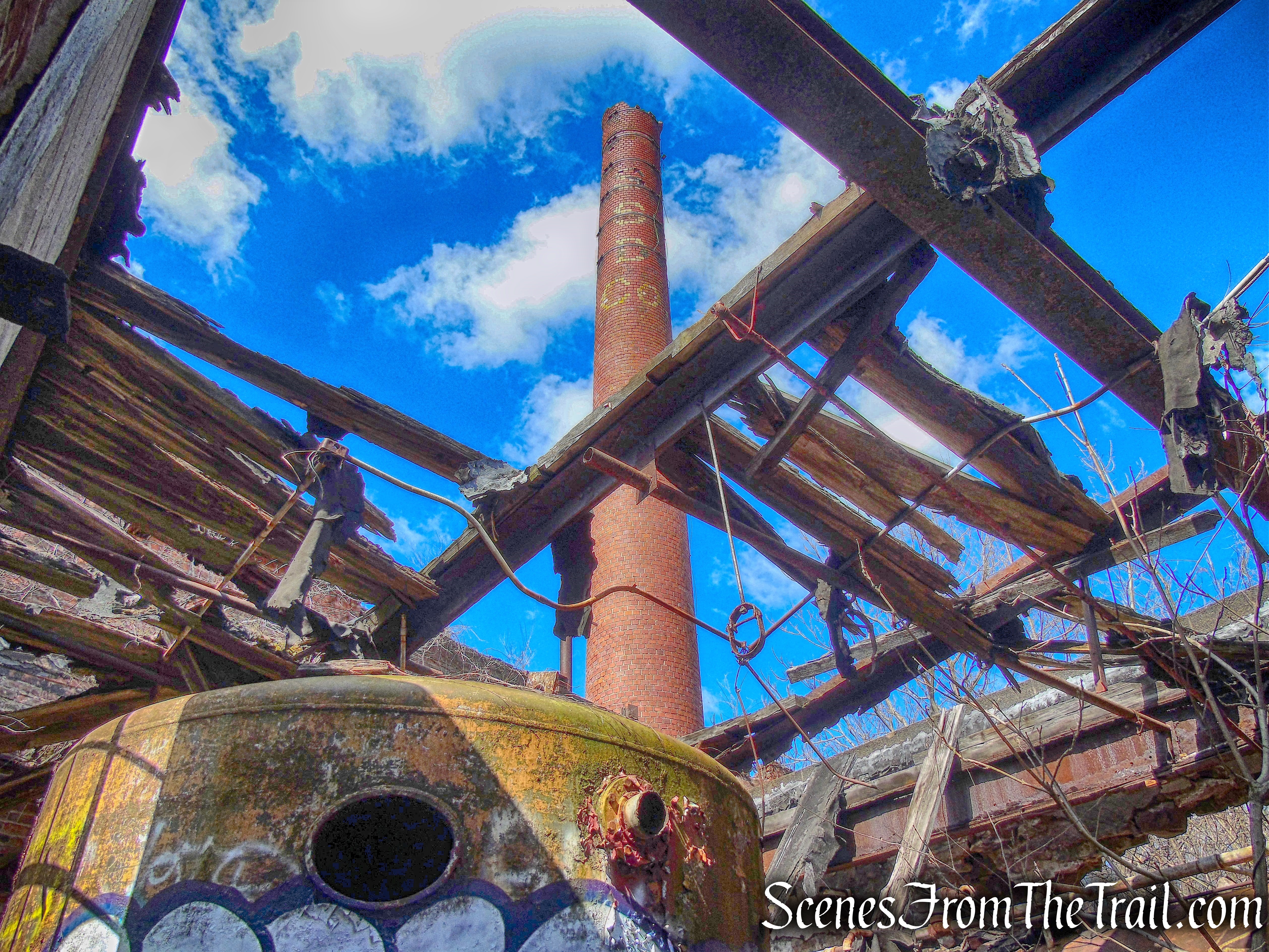
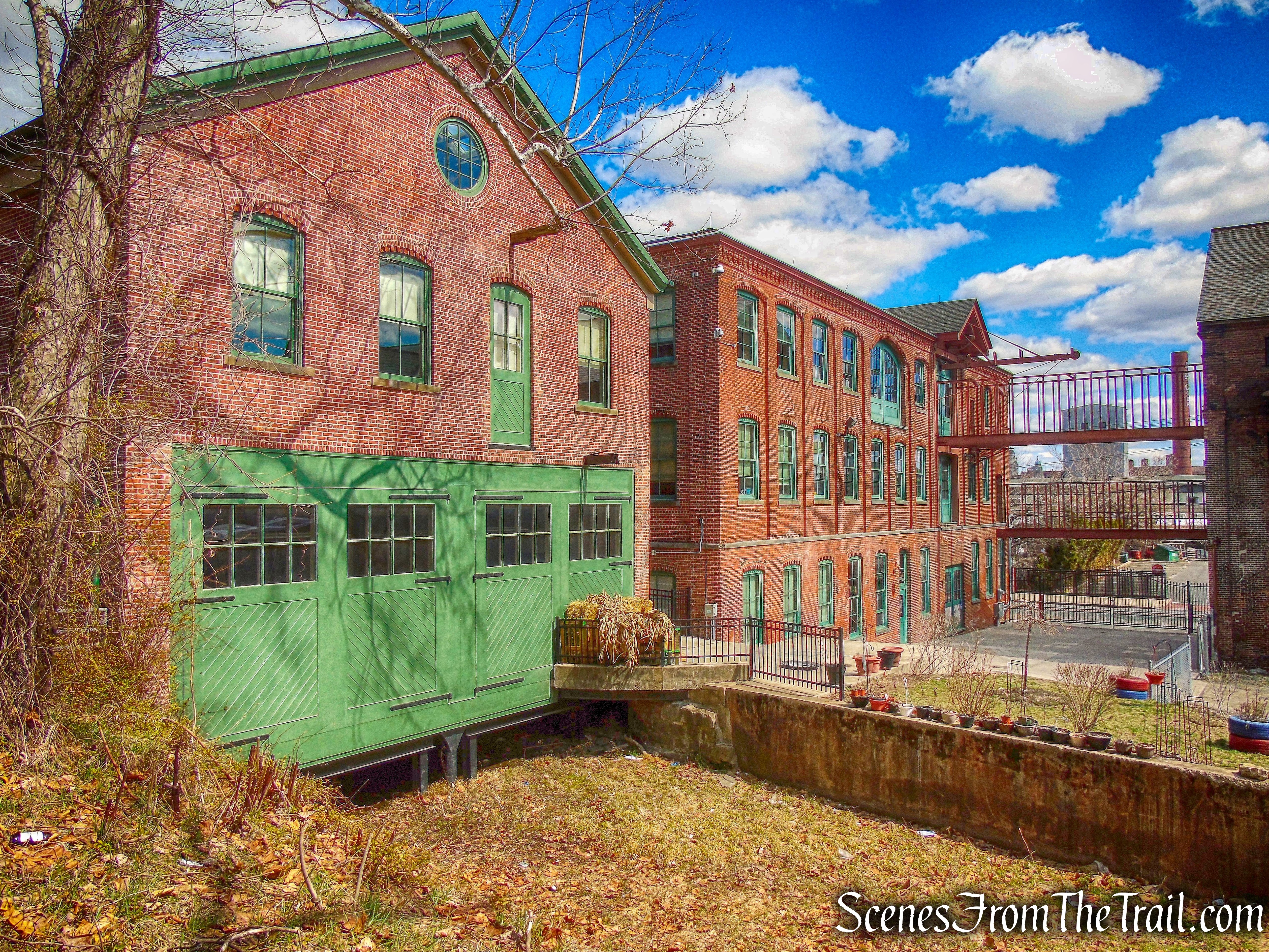
We walked alongside a 3–story brick building that at one time housed massive electrical generators which harnessed the rushing waters of the Passaic River’s Great Falls. It was the source of power for the entire city and beyond. Today, that same building now houses the Salvation Army’s Adult Rehabilitation Center (ARC).
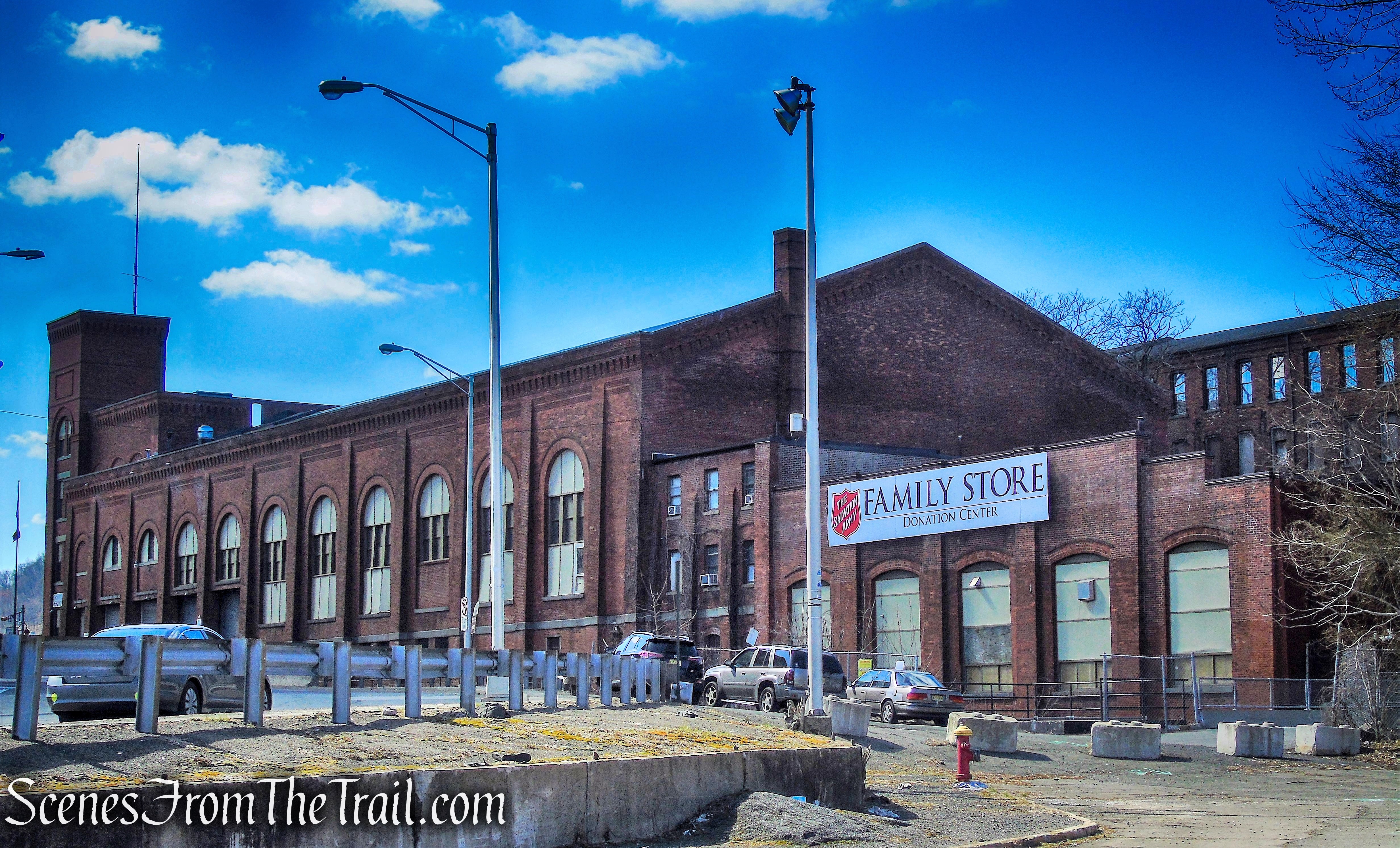
Salvation Army
We then turned right on Van Houten Street looking for a way to gain access to the ATP site which was between us and the river. We came to a couple of unlocked gates and went in. We couldn’t go too far in as the pile of rubble made it unsafe to climb over.
ATP site ruins
We continued on the sidewalk and came to an open gate.
ATP site ruins
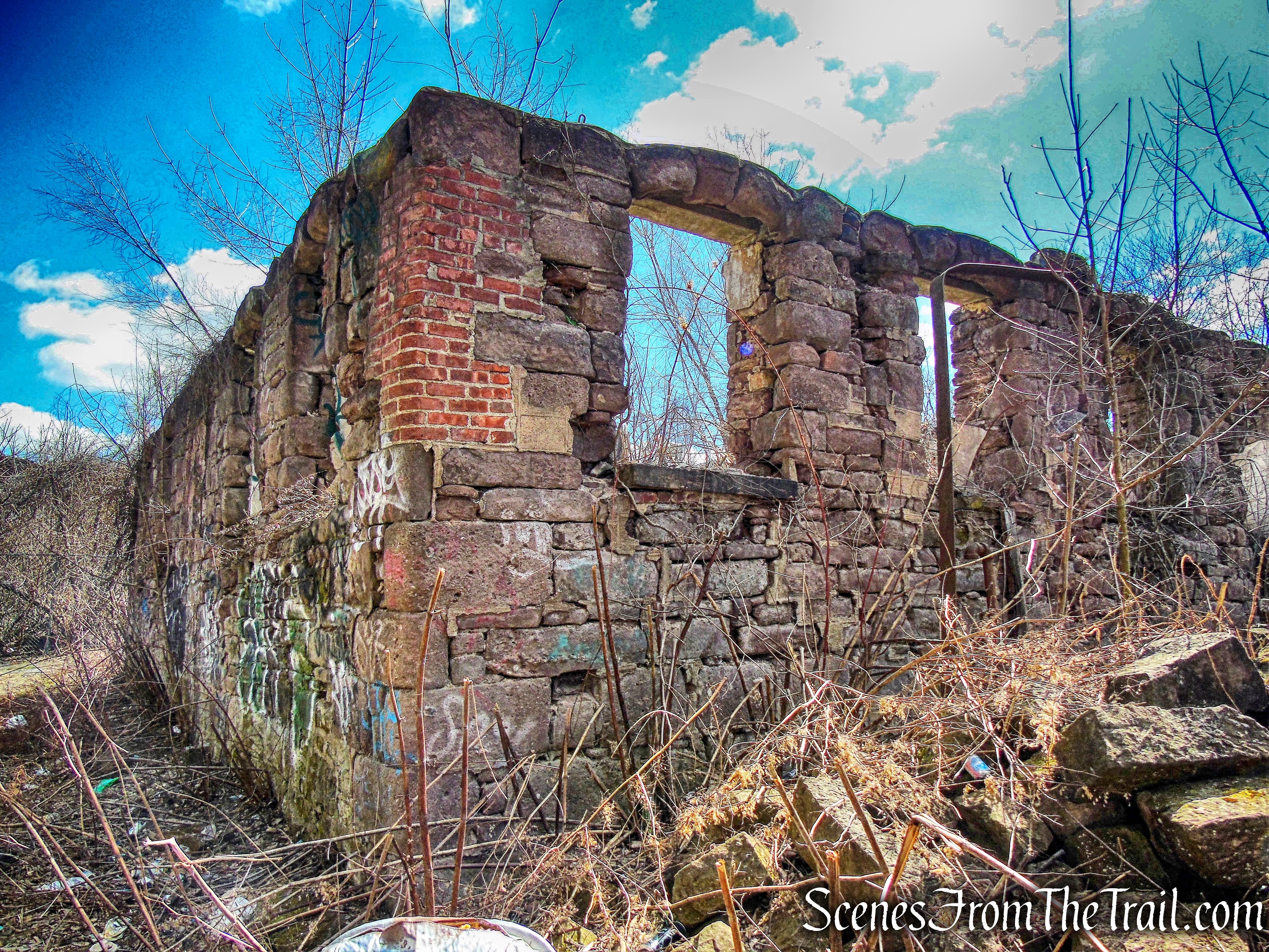
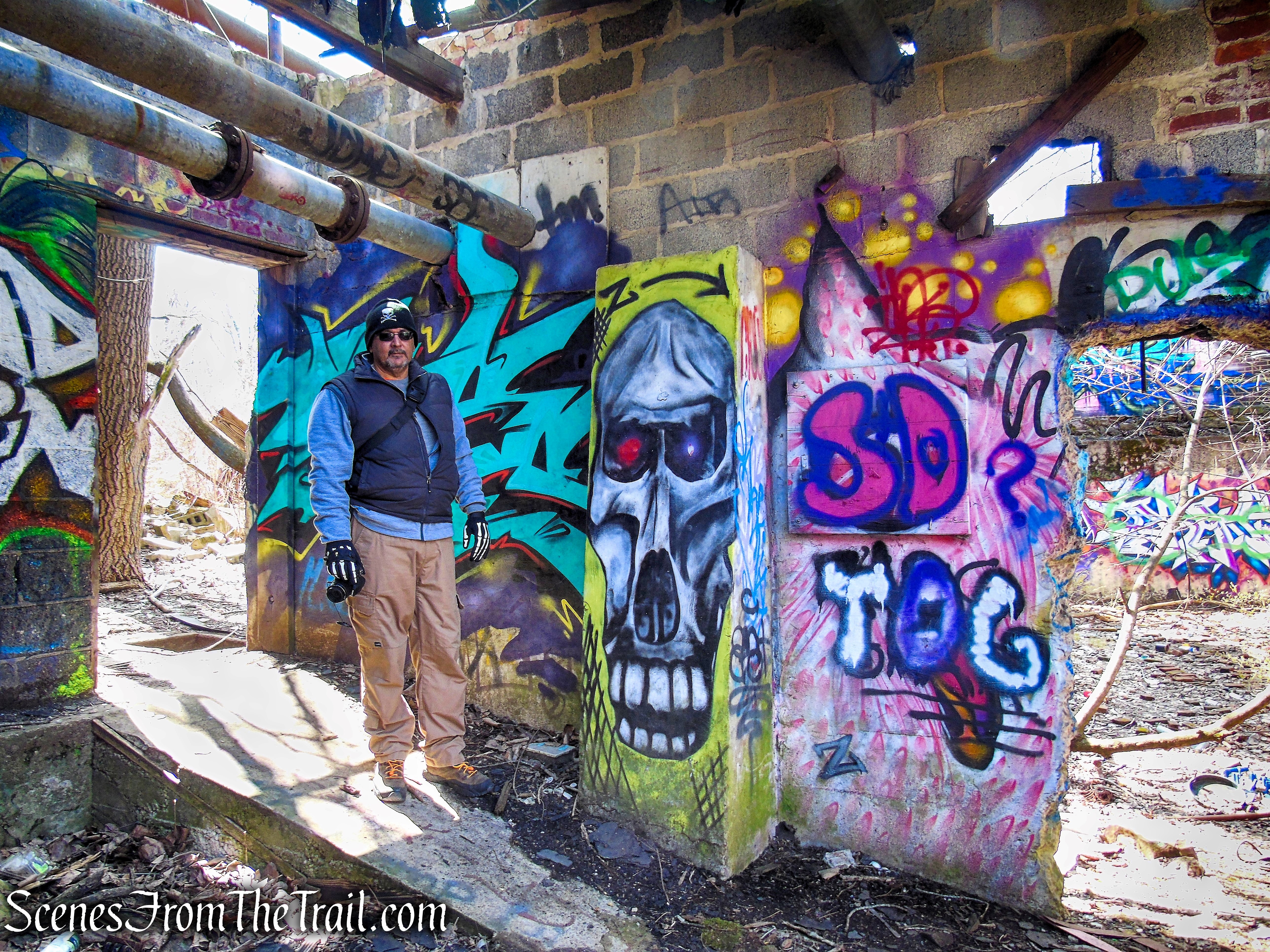
The ruins here are quite extensive and definitely not a safe place to be alone or at night. It is a haven for squatters and I saw quite a few people coming and going. I spoke to a man who lives there and he told me where the majority of the squatters live so we avoided that area.
ATP site ruins
We wandered around the maze of ruins and came to the Colt Gun Mill.
Colt Gun Mill
One of Paterson’s most famous industries was the Patent Arms Manufacturing Company, begun by Samuel Colt. In 1836, the Colt Gun Mill, a magnificent four-story brownstone building, was built on an area directly below the waterfalls. Here, Colt first manufactured his newly patented repeating firearm, the revolver, with mother of pearl handles, which were essential in securing the American frontier. Between 1836 and 1841, approximately 5,000 muskets rifles, and revolvers were made here.
Colt Gun Mill
The Gun Mill was a four-story brownstone structure, with a central projecting stair tower. A weathervane in the shape of a gun capped the bell tower, and encircling the factory was a picket fence, in which each picket was shaped like a wooden gun.
Colt Gun Mill
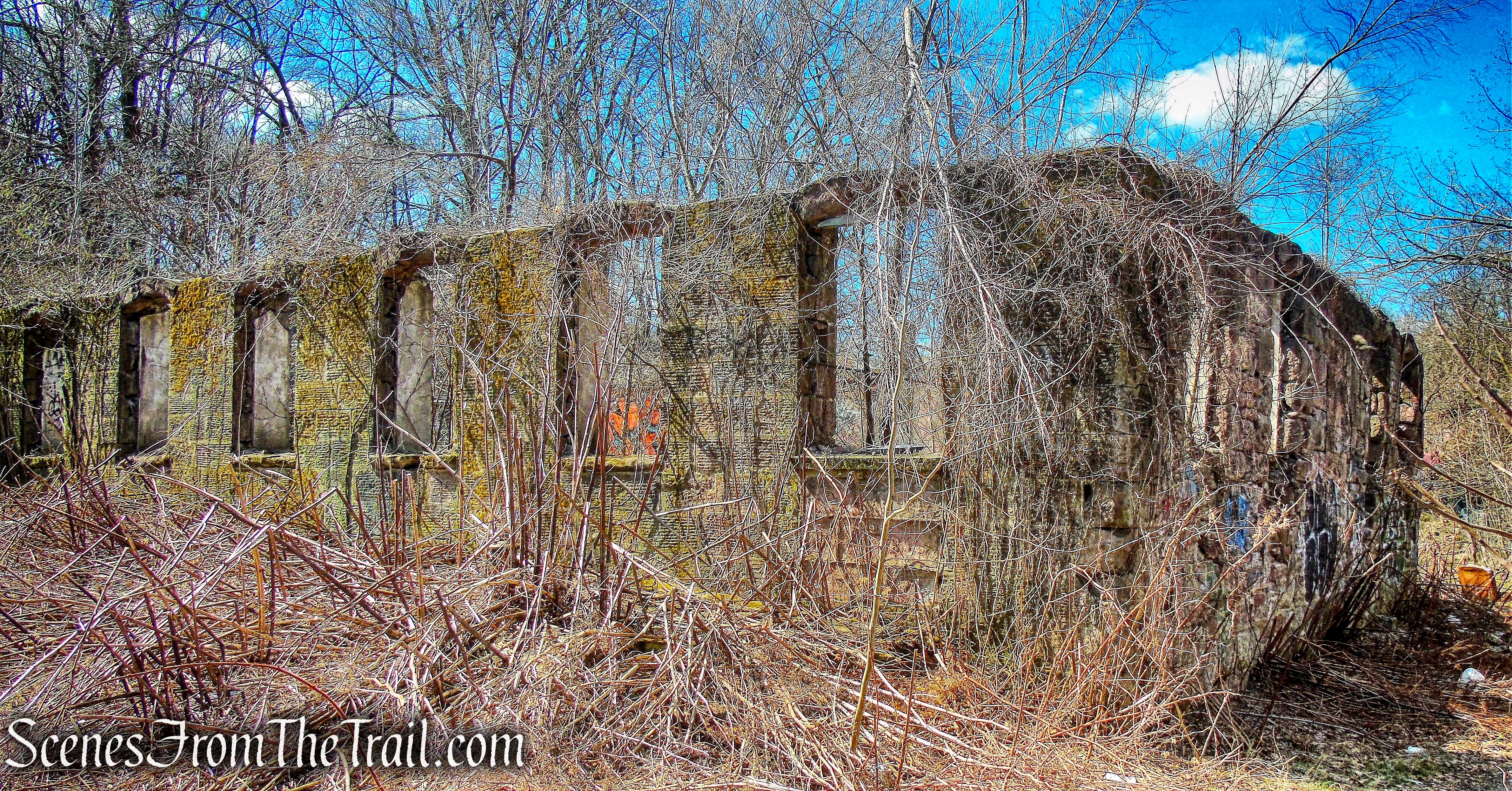
A series of fires began in 1983 devastating the area around the Colt Mill on the ATP site. These buildings have been reduced to decaying brick shells. Demolition by neglect has been a tragic theme in Paterson, and in particular, the Great Falls Historic District.
ATP site ruins
The ATP site ruins stretch out over 7-acres and some are in worse shape than others. I will include another post dedicated to these ruins.
ATP site ruins
After exploring the ruins for quite some time, we continued southwest through the ATP site and came to a locked gate. This gate leads to Overlook Park which is closed off during construction. Not wanting to backtrack, I decided to climb the steep hillside that leads to the parking lot where the vehicle was located. Once at the car, we took a short break. Just across from the parking lot is an old wooden water tower.
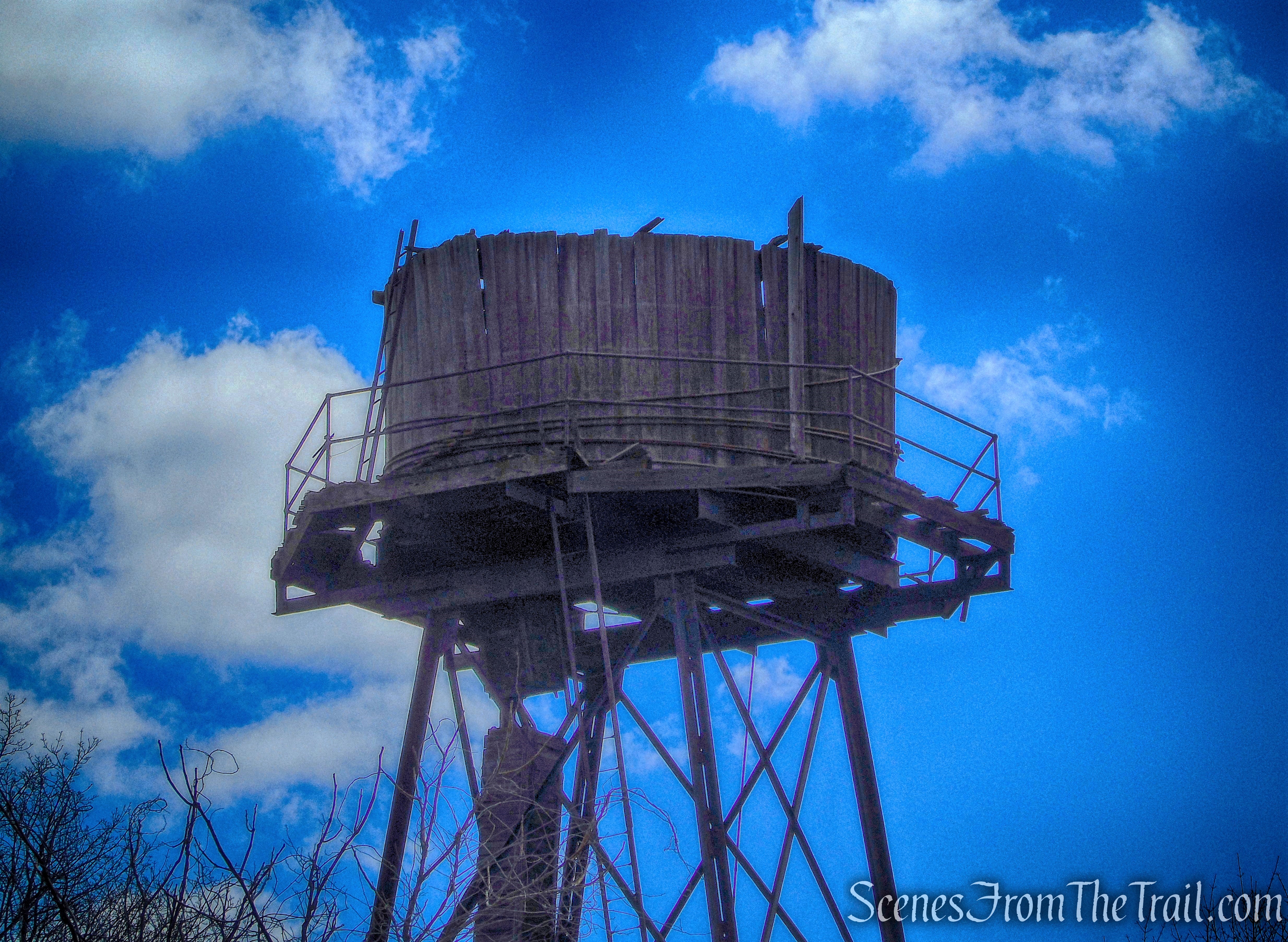
old wooden water tower
I then headed to Raceway Park which is located diagonally across the street from Overlook Park, at the intersection of McBride Avenue and Spruce Street. Raceway Park is where the raceway system begins and travels throughout the Great Falls Historic District. The raceway brought water to each of the mills that housed waterwheels and turbines. The gatehouse regulates the amount of water from the Passaic River into the raceway.
gatehouse – Raceway Park
The raceway is a three-tiered system that began in 1792 as a single canal and expanded into a complex system by 1838 as industry in the mill area grew. In the image below, the water would run to the right of the wall.
Upper Raceway
A king post truss bridge over the spillway on the Upper Raceway.
king post truss bridge – Raceway Park
Between the tiers there are spillways that allow water to travel to the next level. This spillway leads to the raceway that travels under Spruce Street.
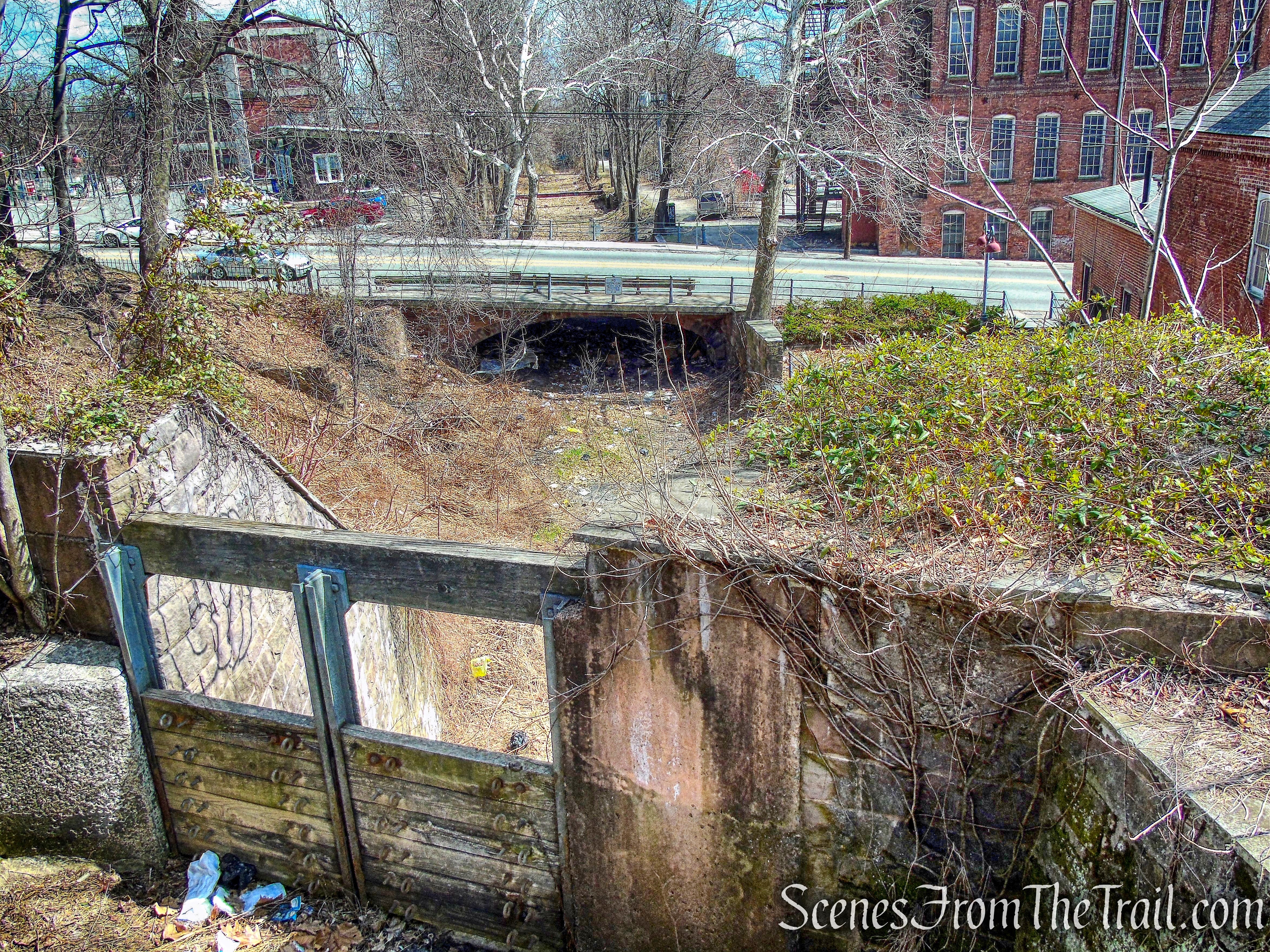
spillway – Raceway Park
The Rogers Millwright Shop was built in 1869, partly with materials from its predecessor on the site, the Passaic Paper Mill. Millwright Shop built and maintained the machinery used in locomotive production. Originally built as almost a duplicate of the erecting shop, it took on its present appearance after a fire in 1879.
Rogers Millwright Shop
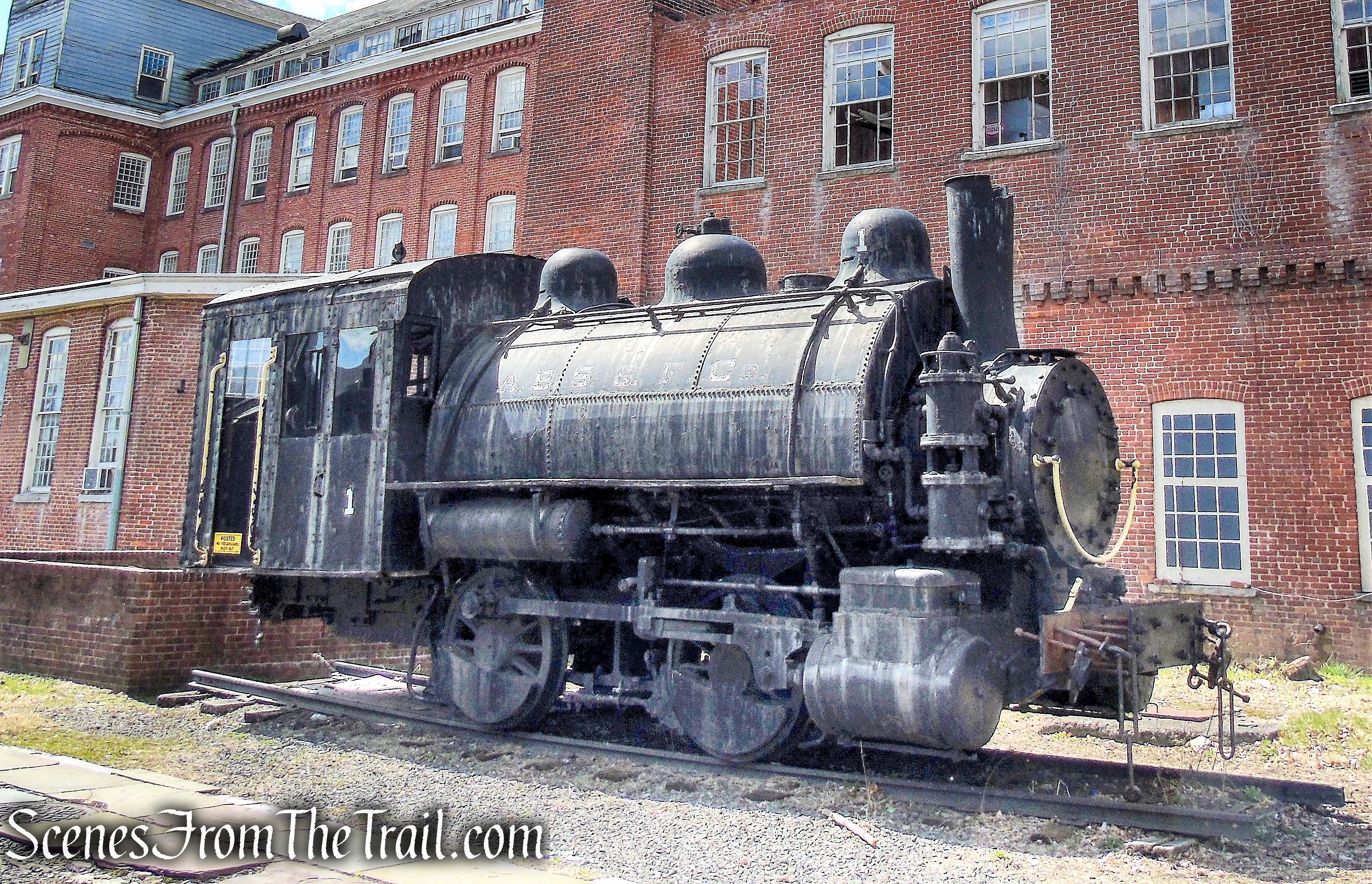
After crossing another king post truss bridge over the middle raceway, I headed towards Spruce Street and turned left. I then turned right on Market Street and stopped at the Paterson Museum. Since 1982 the museum has been housed in the Thomas Rogers Building on Market Street, the former erecting shop of Rogers Locomotive and Machine Works, a major 19th-century manufacturer of railroad steam locomotives.
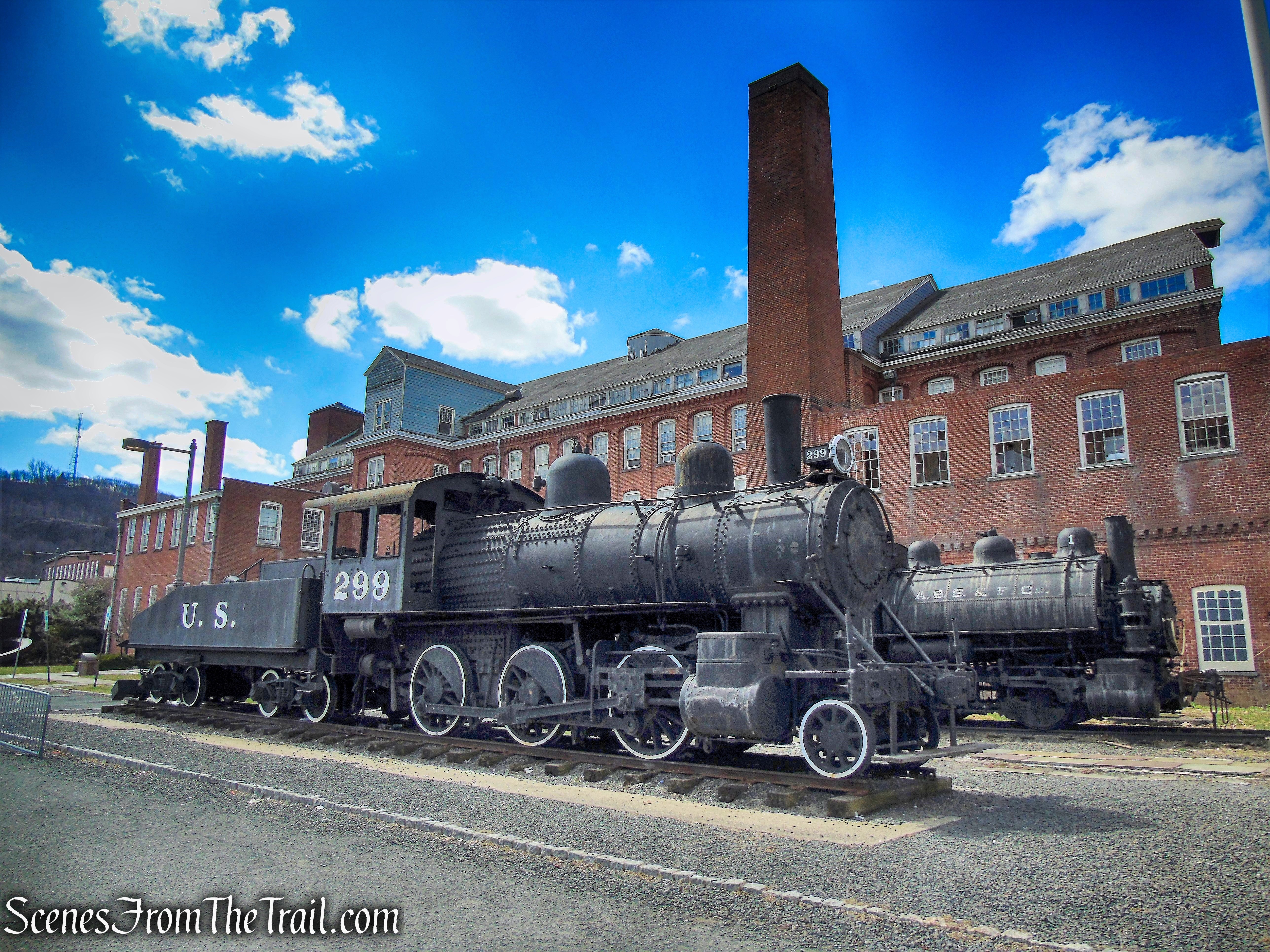
Paterson Museum
Exhibits detail Paterson’s role as the nation’s first planned industrial city. A photograph collection of 200,000 negatives and prints, locomotive, rock and mineral specimens, art exhibits, the first practical submarine, Colt Firearms, silk. Paterson is remembered in history as the “Silk City.”
Paterson Museum
The museum opens at 12:30 on weekends and was not yet open when I was there.
Paterson Museum
From there, I walked back out to Spruce Street, turned right on McBride Avenue and crossed the street back to the parking lot where the hike began. It wasn’t a long hike, but as I stated at the beginning, there was a lot to see and photograph. It was a nice change of pace from the usual woods hike and packed with history.
Pros: Historical features, waterfall, baseball stadium, ruins, ruins, ruins.
Cons: Not the best part of town.
Now get out there and explore!
ATP site ruins
Sources:
- Greater Paterson Chamber of Commerce
- Mill Mile self-guided walking tour
- Friends of HInchliffe Stadium
- Hamilton Partnership for Paterson
- Paterson Friends of the Great Falls
- Paterson Great Falls National Historical Park

Absolutely unbelievable!!!! and I thought I did a lot of hiking / exploring out here in Montana, Wyoming and North & South Dakota. You got me beat. Out here things / places are far apart so driving a 100 miles a day is a piece of cake. No big deal. In fact, years ago when I was dating my wife she lived 90 miles away. But of course our highways are not crowded like yours back east. Out here you can average 80 miles an hour with no trouble. And cover a-lot of ground in no time.
LikeLiked by 1 person