October 28, 2017 – Southfields, NY
Difficulty: Moderate
Length: Approximately 6.2 miles
Max elevation: 1,354 ft.– total elevation gain approximately 1,005 ft.
Route type: Circuit (Lollipop Loop)
Map: Harriman-Bear Mountain Trails Map #119
Trailhead parking: Lake Skannatati Parking, Southfields, NY 10975
I love hiking in Harriman State Park, but tend to avoid the area during Octoberfest, which is held at the Anthony Wayne Recreation Area. I’m not a big fan of sitting in traffic after spending the day on the trails. With that being said, I decided to hike an area of the park that that I have been in before and throw in some sections of trails that I haven’t hiked.
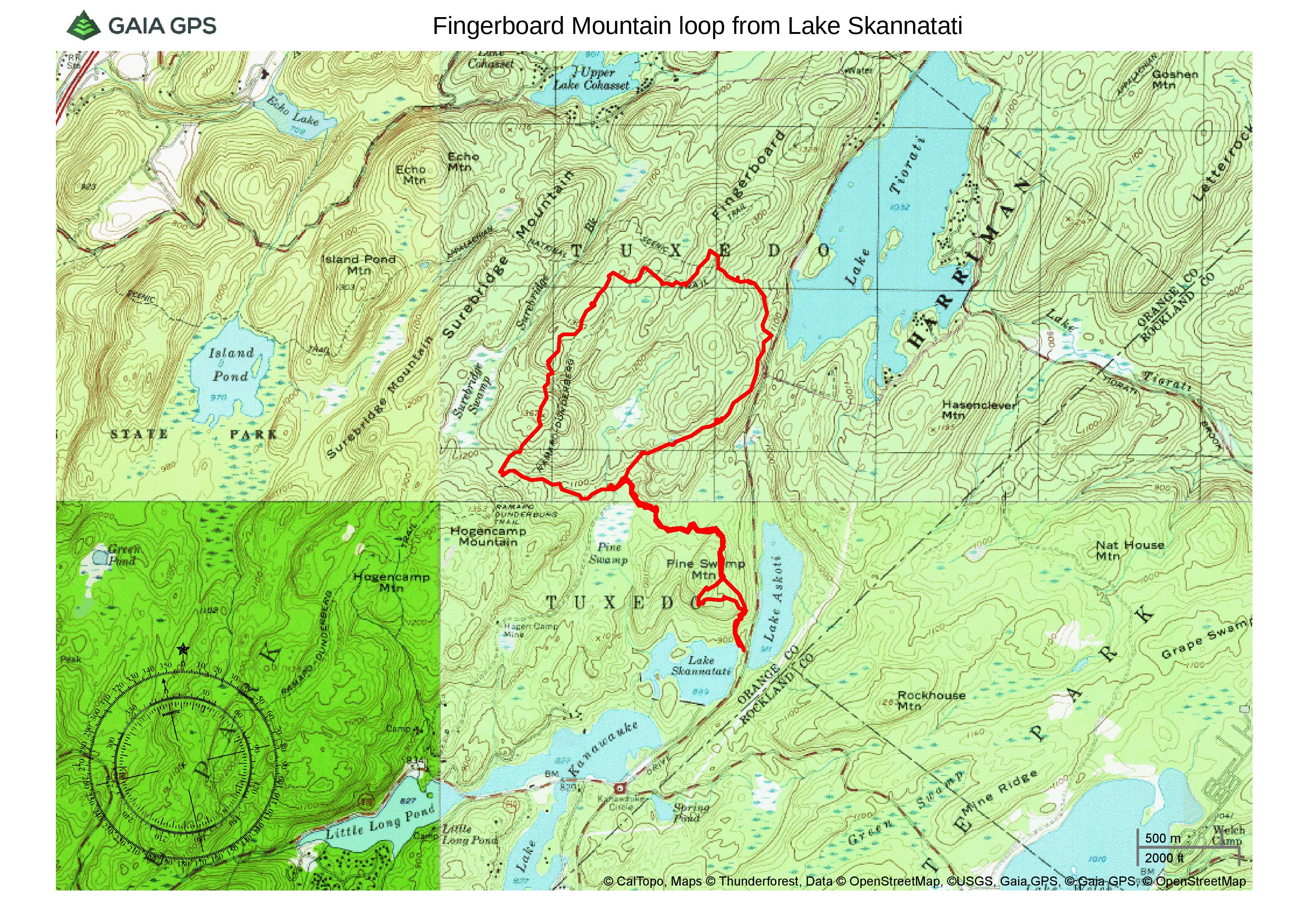
Fingerboard Mountain loop from Lake Skannatati
Check out the Google Earth Fly-Through video of the hike below.
Lake Skannatati is quite scenic and attracts lots of visitors throughout the seasons. The parking area fills up quickly on weekends and getting there early ensures a parking spot and not running into too many people on the trails.
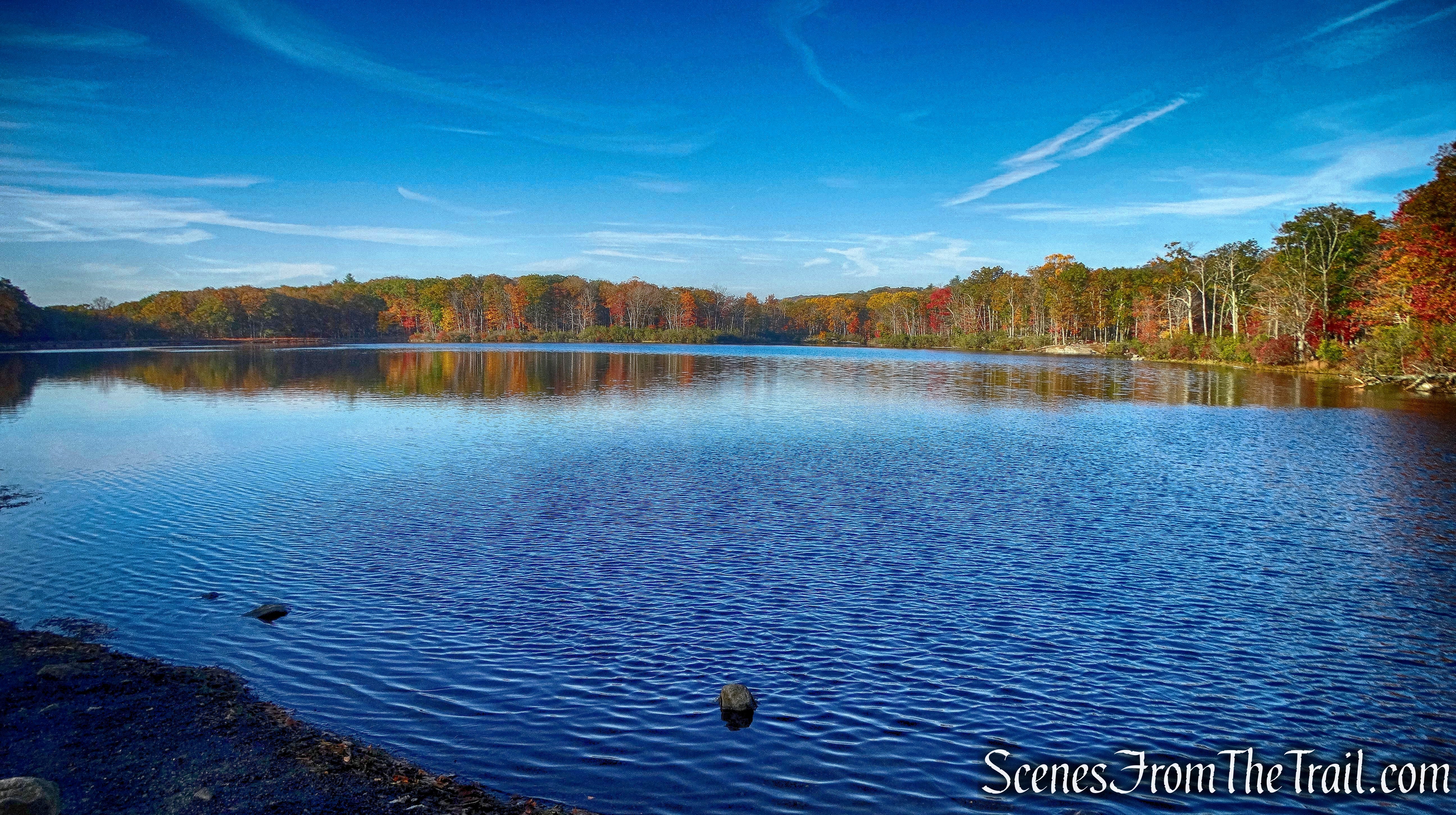
Lake Skannatati
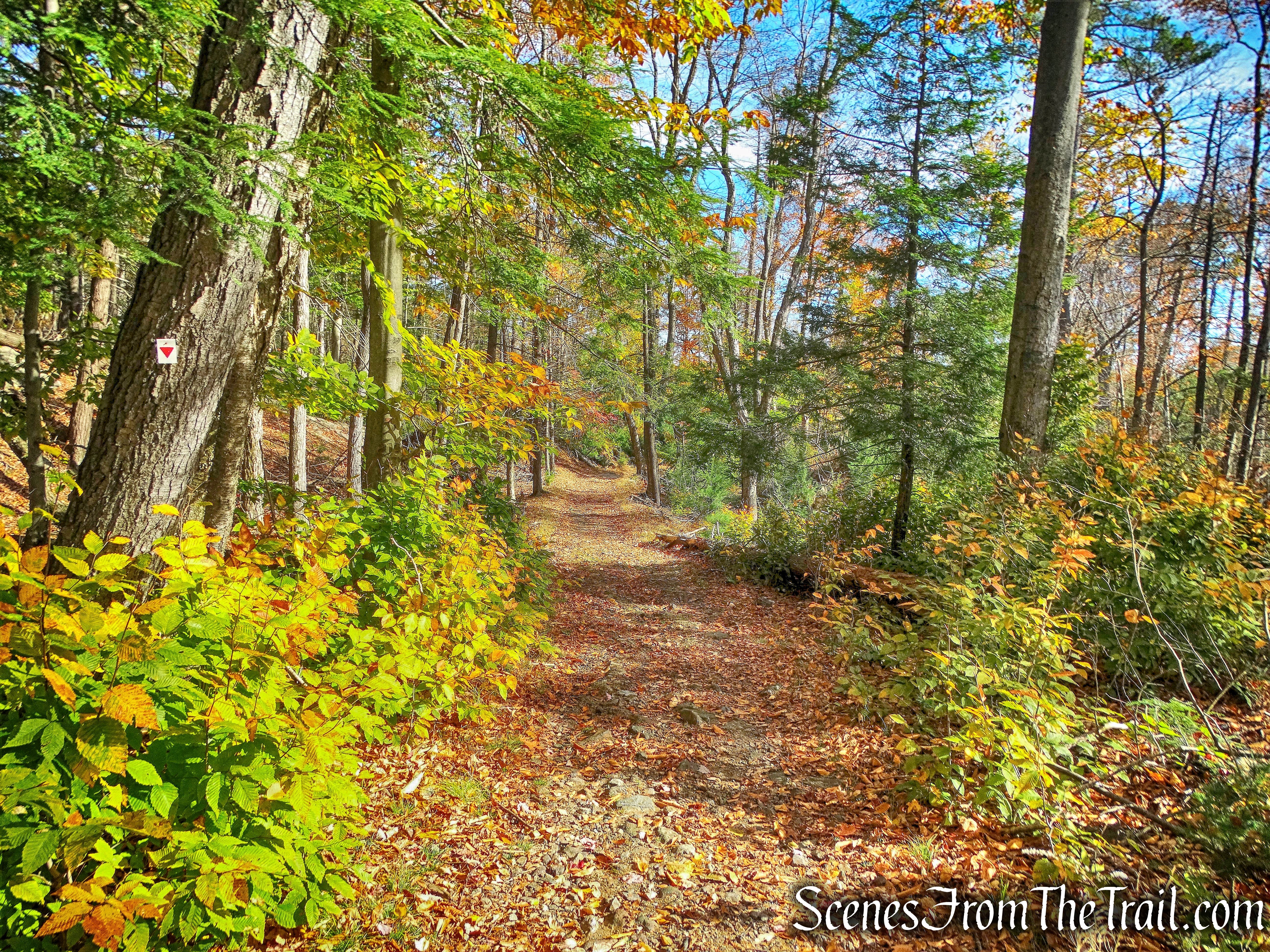
Arriving shortly before 9:00 am, the lot had quite a few cars there already. At the northwest end of the parking area, to the right of the kiosk, is the start of the inverted-red-triangle-on-white blazed Arden-Surebridge (A-SB) Trail.
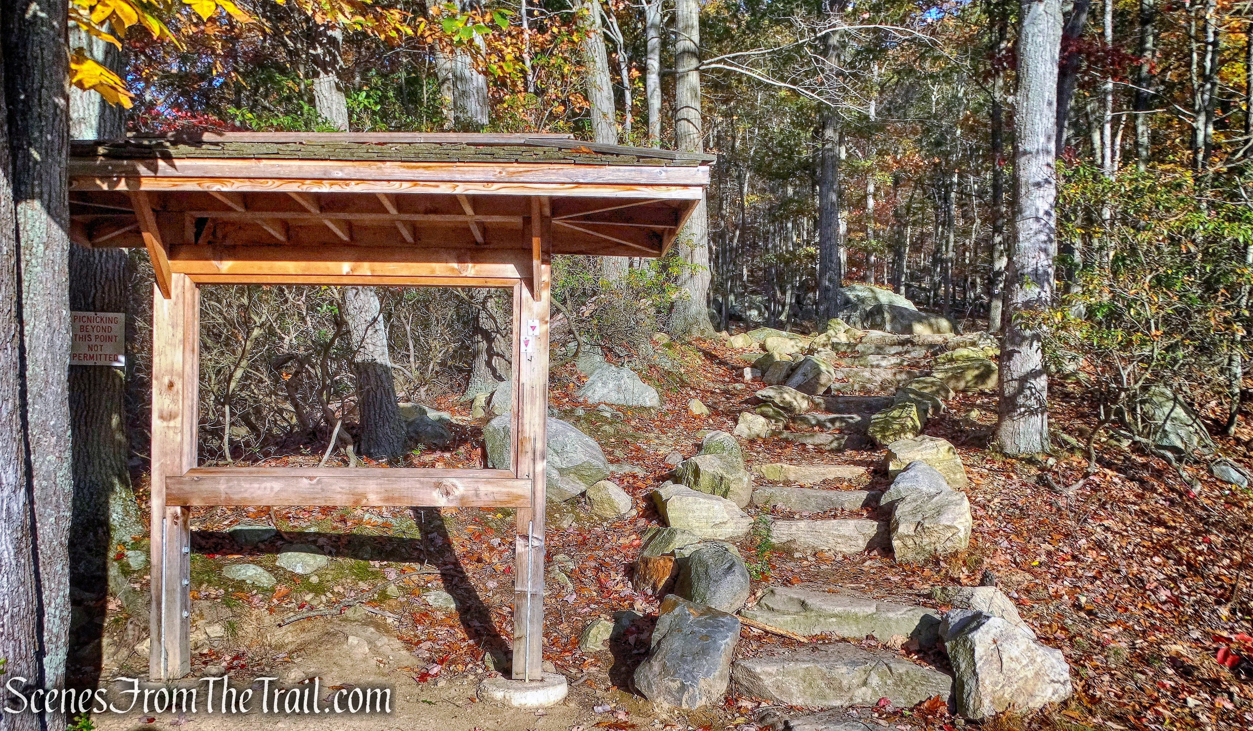
Start of the Arden-Surebridge (A-SB) Trail
The A-SB Trail begins a rather steep climb of Pine Swamp Mountain.
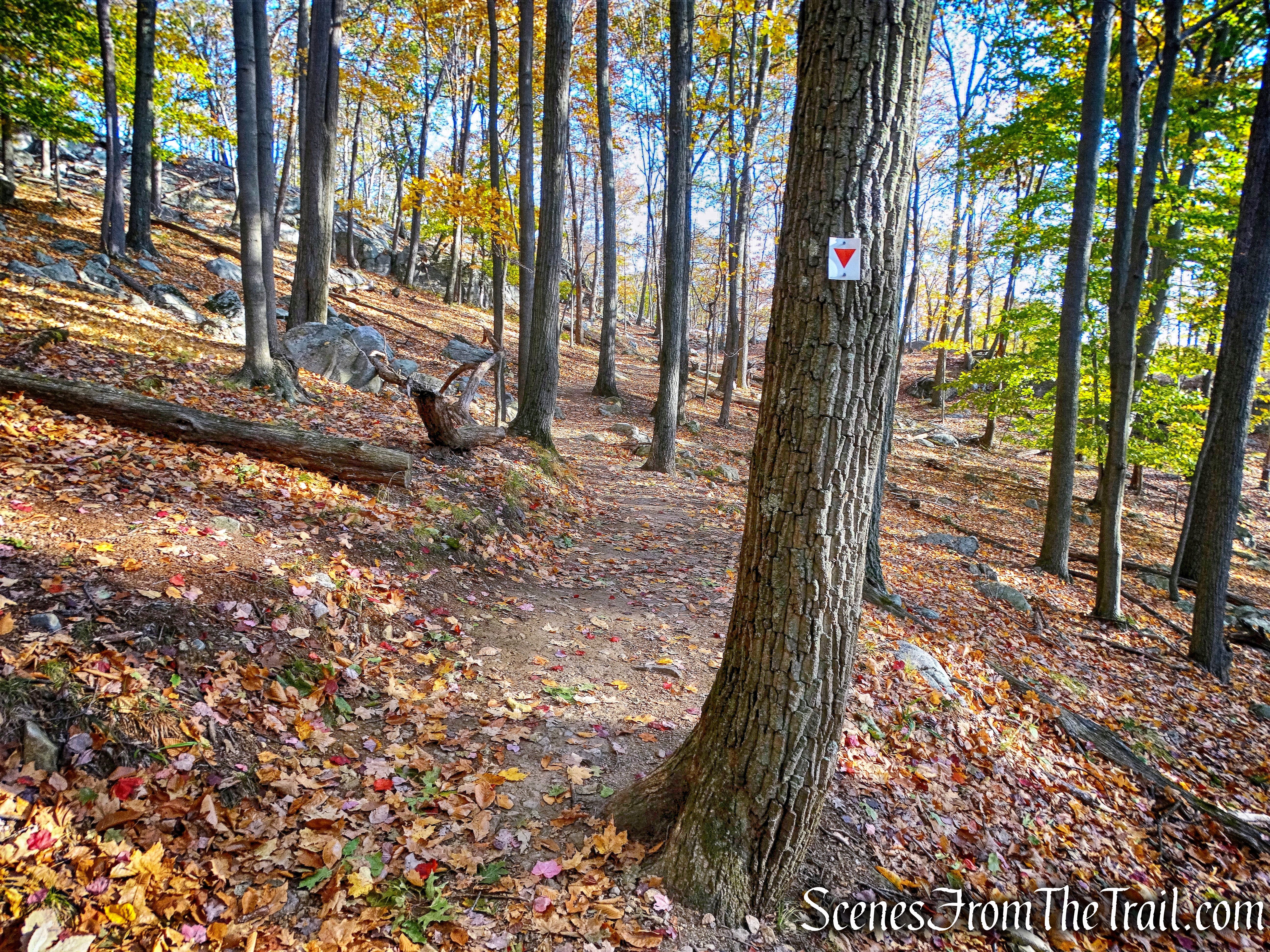
Arden-Surebridge (A-SB) Trail
In about 300 yards, after passing some large rock formations on the left, there are some stone steps on the trail. Just prior to reaching those steps, we left the trail and began to bushwack west, up Pine Swamp Mountain.
Pine Swamp Mountain
The Arden-Surebridge Trail was first blazed during the summer of 1921 by J. Ashton Allis. In December of 2014 the trail was rerouted from the summit, to the shoulder of Pine Swamp Mountain to alleviate erosion and ongoing impacts to sensitive habitats. The trail no longer passes a rock outcrop at the summit with a great view. It’s an easy bushwack up the mountain, heading west.
Pine Swamp Mountain
In about 400 yards, we arrived at a rock outcrop with a west facing viewpoint. Lake Skanatati and Lake Kanawauke from the summit of Pine Swamp Mountain.
Lake Skanatati and Lake Kanawauke from the summit of Pine Swamp Mountain.
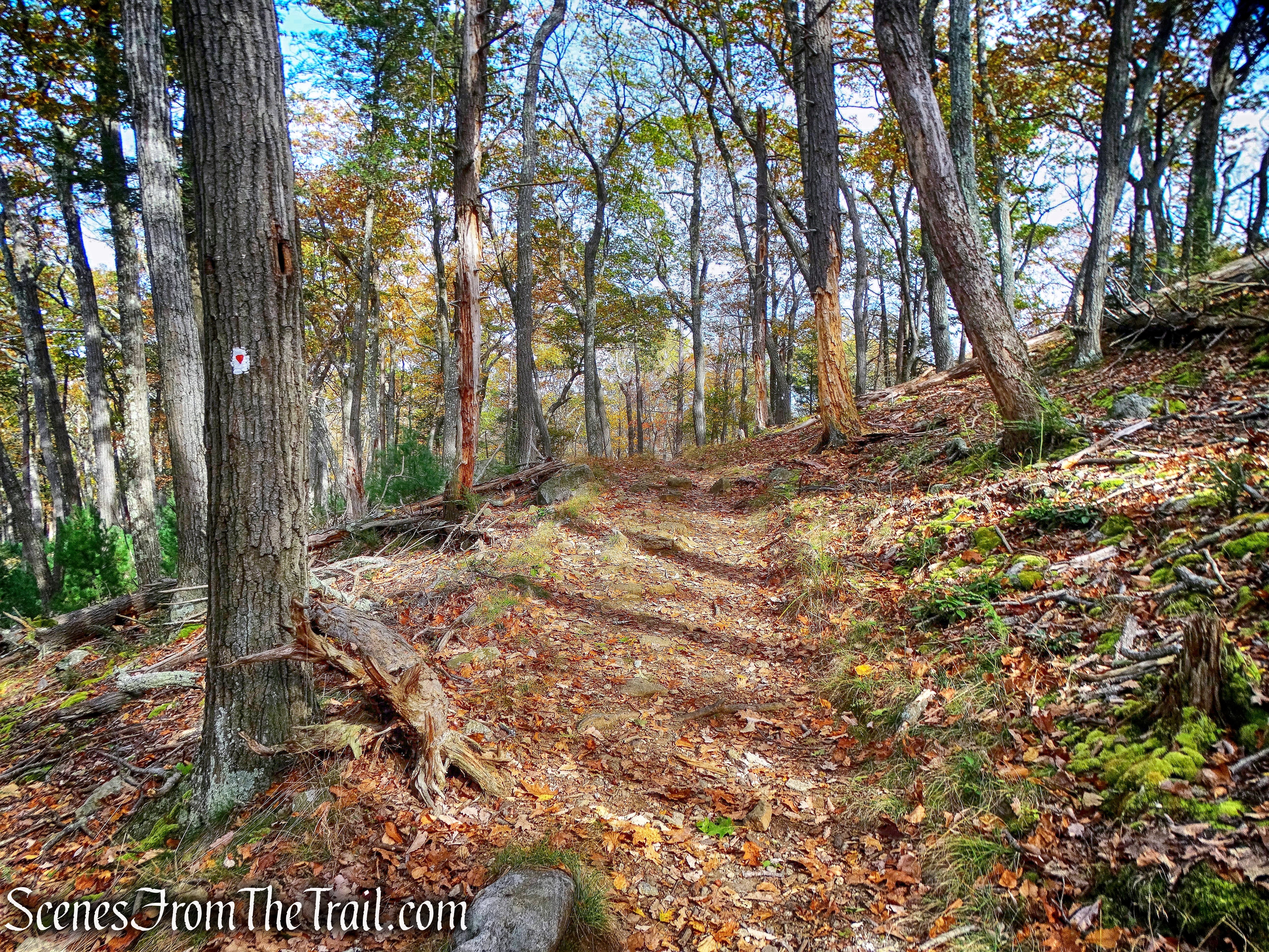
After taking in the view, we bushwacked northeast until we caught up with the A-SB Trail and then continued heading north. The trail continues climbing, then descends Pine Swamp Mountain.
Arden-Surebridge (A-SB) Trail
Approximately 0.7 miles after rejoining the A-SB Trail, there is a an old fire road on the right. We passed the fire road and continued about 400 feet to a large rectangular cut in the hillside that is 118 feet long and twenty-nine feet wide, with vertical rock walls that are about twenty-two feet deep. This excavation is part of the Pine Swamp Mine complex. There are other workings in the immediate vicinity of this mine complex and we took a little time to explore them.
Pine Swamp Mine complex
We then retraced our steps 400 feet back to the fire road we passed just moments earlier and turned left. This road can be easily missed if you’re not looking for it.
fire road
The fire road is heavily eroded and quite rocky at first, as it heads uphill. Once it levels off, it becomes much easier to walk on.
fire road
The road less traveled, my favorite kind. We saw a couple of hikers walk past as we sat and took a short break. Other than that it was quiet and peaceful.

fire road
Just before the fire road ends at Seven Lakes Drive, we turned left onto the blue-blazed Hurst Trail.
Hurst Trail
The Hurst Trail was first blazed in November 1922 by Haven C. Hurst, a member of the Green Mountain and Sierra Clubs. The trail is only 0.5 miles long and climbs Fingerboard Mountain on a moderate grade.
Hurst Trail
In a short distance the Hurst Trail reaches the Fingerboard Shelter, which was built in 1928.
Fingerboard Shelter
The Fingerboard Shelter is equipped with two fireplaces, one on each side wall, and sleeps roughly 8 people.
Fingerboard Shelter
Fingerboard Shelter
There have been repeated bear sightings at this shelter in the past year and a sign warns hikers.
Bear warning – Fingerboard Shelter
We didn’t spend too much time at the shelter because we didn’t want to run into any bears. We continued on the Hurst Trail as it climbs to the ridge of Fingerboard Mountain. It ends at a T-intersection with the joint Appalachian/Ramapo-Dunderberg Trails.
Terminus of the Hurst Trail
We turned left and began heading southwest on the joint Appalachian/Ramapo-Dunderberg Trails.
joint Appalachian/Ramapo-Dunderberg Trails
In about 400 feet, the two trails split. We stayed left, now following the red-dot-on-white blazes of the Ramapo-Dunderberg (R-D) Trail.
Veer left to stay on Ramapo-Dunderberg (R-D) Trail
The Ramapo-Dunderberg Trail (R-D) was the first trail in Harriman State Park to be built by the New York hiking clubs, organized in October 1920 as the Palisades Interstate Park Trail Conference.
Ramapo-Dunderberg Trail
There are numerous interesting features along the trail, including this tree squeezing through a rock formation.
Ramapo-Dunderberg Trail
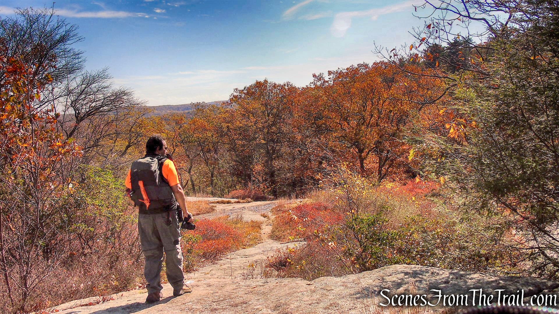
The R-D Trail is 23 miles long and traverses the park from west to east. It is one of my favorite trails in the park. It climbs and descends rock ledges and travels over open rock, with an abundance of color throughout the trail.
Ramapo-Dunderberg Trail
After approximately 1.5 miles and numerous ups and downs on the R-D Trail, we arrived at Times Square. Times Square got its name because it is located at the junction of three trails and serves as a popular meeting place for hikers.
Times Square
We then took the inverted-red-triangle-on-white blazed Arden-Surebridge (A-SB) Trail, that is just to the right of the Times Square boulder. This section of the A-SB Trail runs on an old mining road, called Surebridge Mine Road.
Arden-Surebridge (A-SB) Trail
Now heading southeast, in about 0.5 miles, we arrived at the cut in the hillside, which is part of the Pine Swamp Mine Complex, from earlier in the hike. From this point on we would be walking the “stick” of our lollipop loop. For the next 1.2 miles, the trail climbs Pine Swamp Mountain, levels off a little and then descends towards the parking area where our hike began.
Arden-Surebridge (A-SB) Trail
This was another great hike in Harriman State Park. We encountered very few people along the trails and it was a beautiful October day in the woods. I highly recommend this hike to one and all, just be careful of the bears near the Fingerboard Shelter if you stop there for lunch.
Take the virtual hike below, with additional images added.
Take a hike!
Ramapo-Dunderberg Trail – Fingerboard Mountain loop from Lake Skannatati
