March 17, 2018 – Washington Depot, Connecticut
Difficulty: Moderate
Length: Approximately 5.7 miles
Max elevation: 776 ft.– total elevation gain approximately 742 ft.
Route type: Circuit
Trailhead parking: 2 Tunnel Road, Washington Depot, CT
Overview:
The 998-acre Steep Rock preserve offers hiking trails which follow the banks of the Shepaug River and provide access to the hillsides above. The Shepaug Valley Railroad which ran from 1872 to 1948, wound through the preserve alongside the river. After the railroad ceased operation, the 235-foot curved railroad tunnel became a section of a trail, a rough arch cut through a rock ledge.
I visited this place in January of 2016, prior to beginning this blog. I really enjoyed the area and decided to pay it a return visit. An 80 minute drive from Westchester County, but totally worth it. With over 20 miles of trails in the preserve, one can create any number of loop hikes. A map and a compass is strongly suggested since the vast network of trails and its numerous intersections can be confusing at times. I tried to incorporate as many points of interest as possible into this hike. We started by checking out the Holiday House ruins, which we missed on our prior visit, the train tunnel, the suspension bridge and the summit, in a clockwise fashion.
Steep Rock Preserve Loop
The Hike:
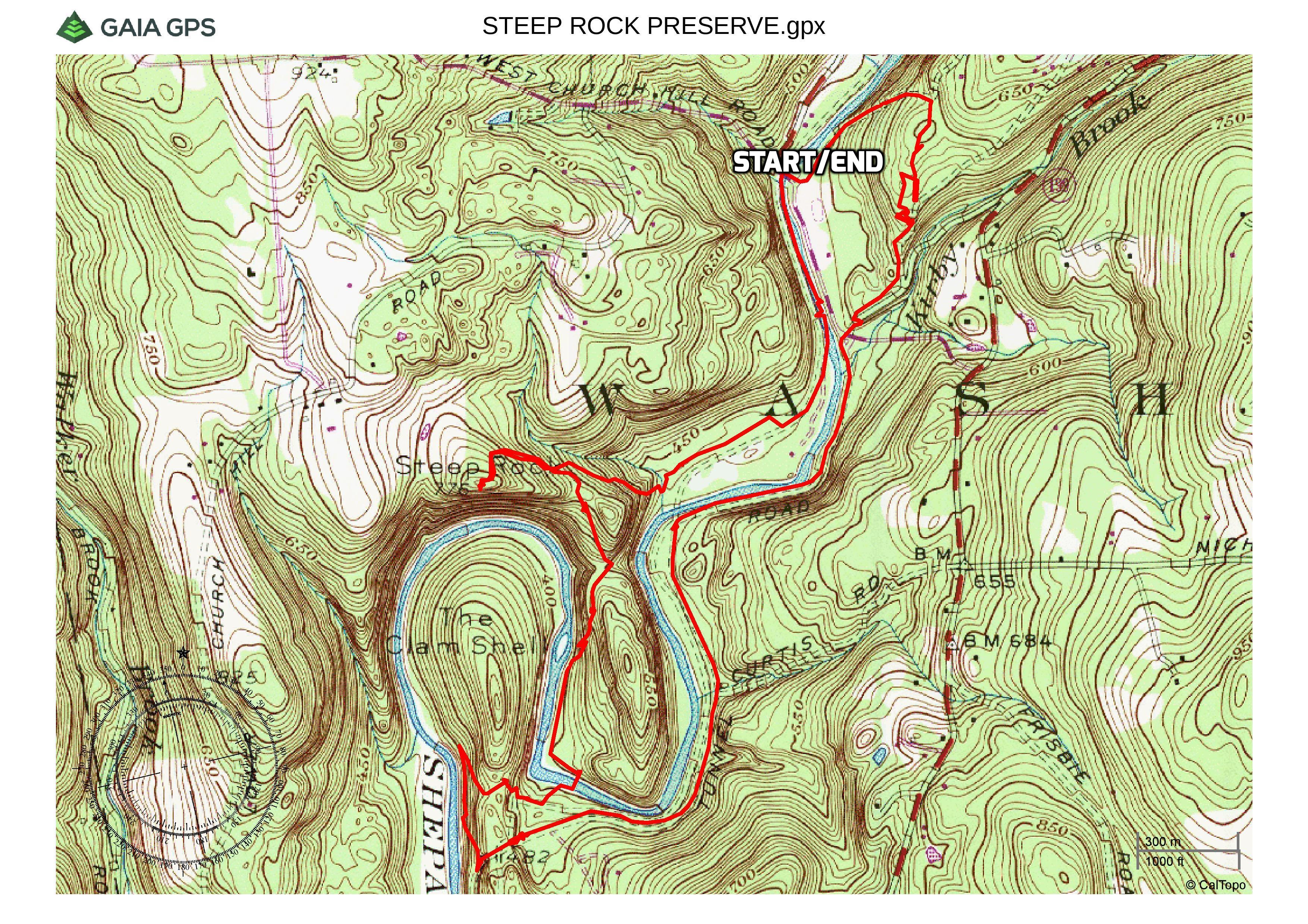
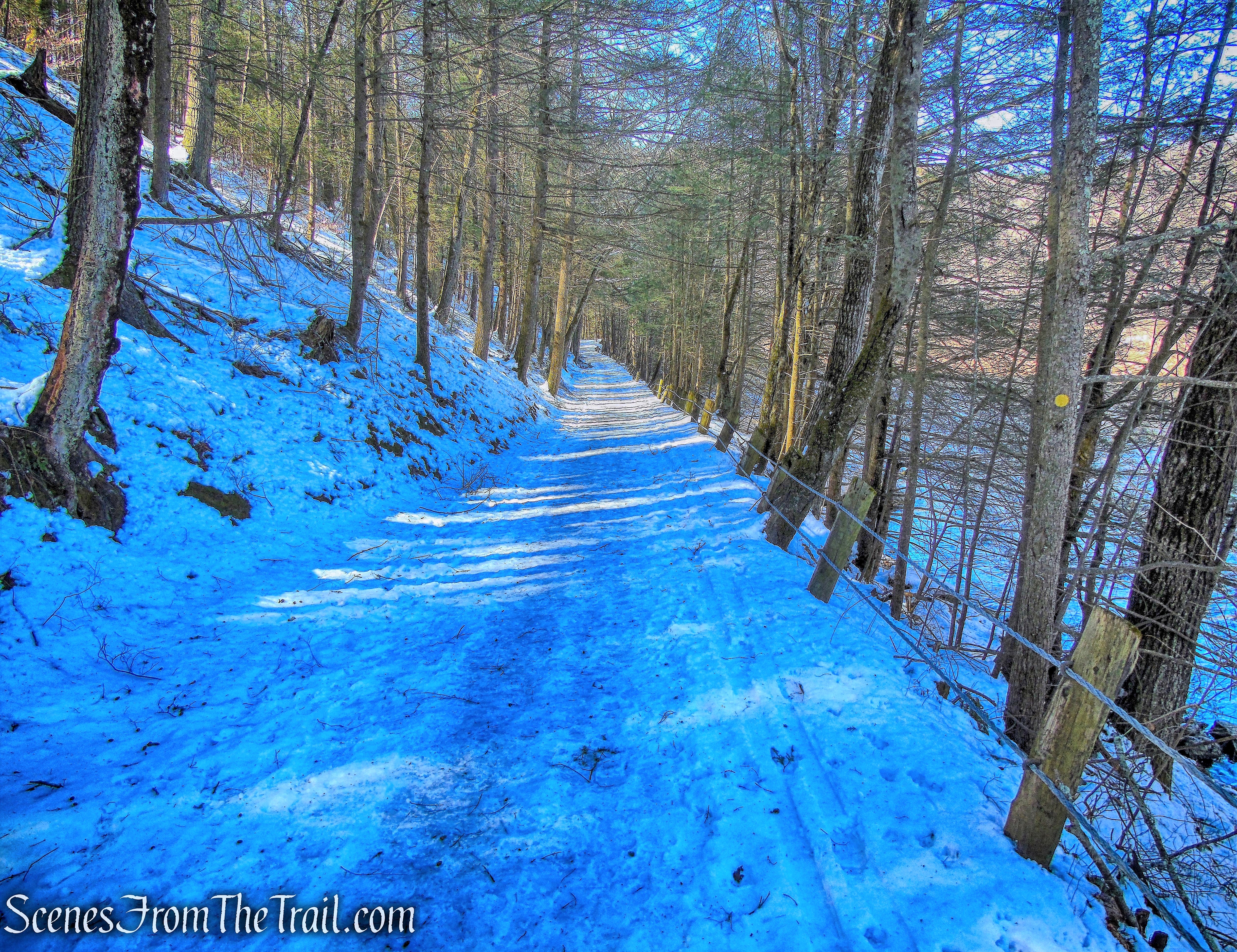
We parked in the riding ring parking area which is just over the the bridge that carries Tunnel Road over the Shepaug River. We began the hike by starting out on the orange-circle-blazed Northern Loop Trail. It starts out on a level woods road and parallels the Shepaug River as it heads northeast.
Northern Loop Trail
Soon the trail begins to climb and comes to a fork. The orange-circle-blazed Northern Loop Trail veers left and leaves the woods road, but we stayed to the right, now following the White Diamond Trail. The white-diamond-blazed trails are connector trails and are seen throughout the preserve.
take the right fork
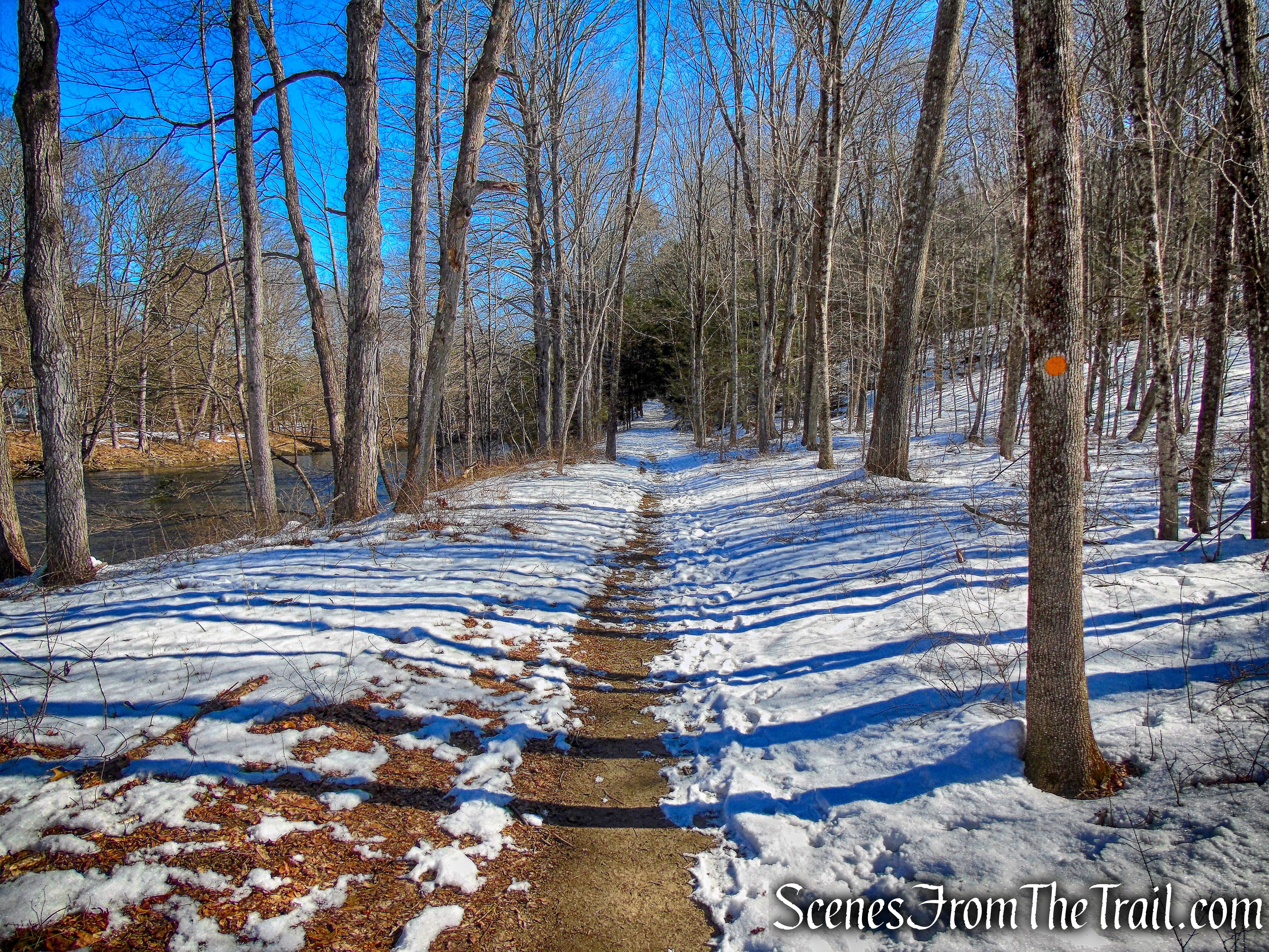
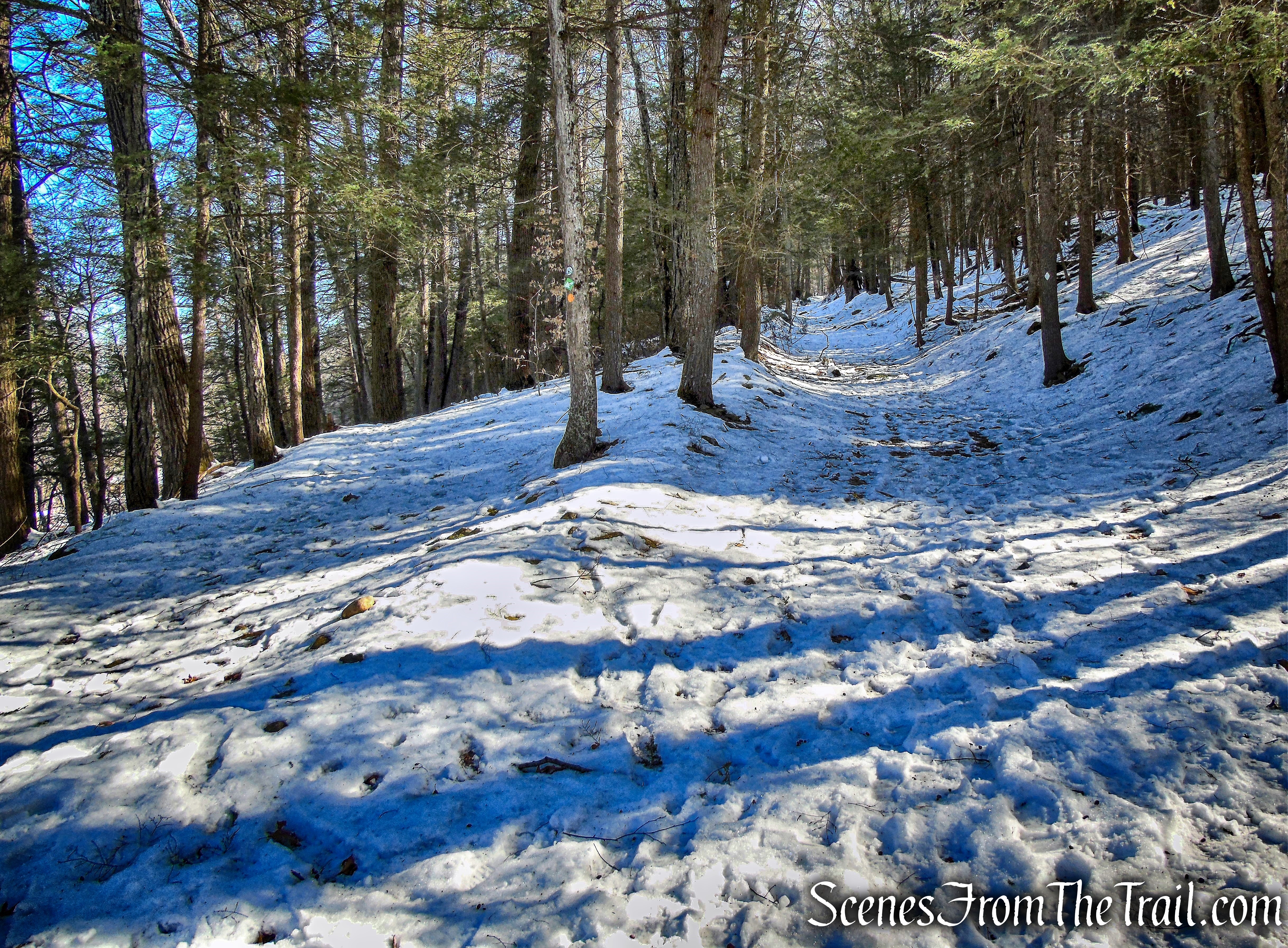
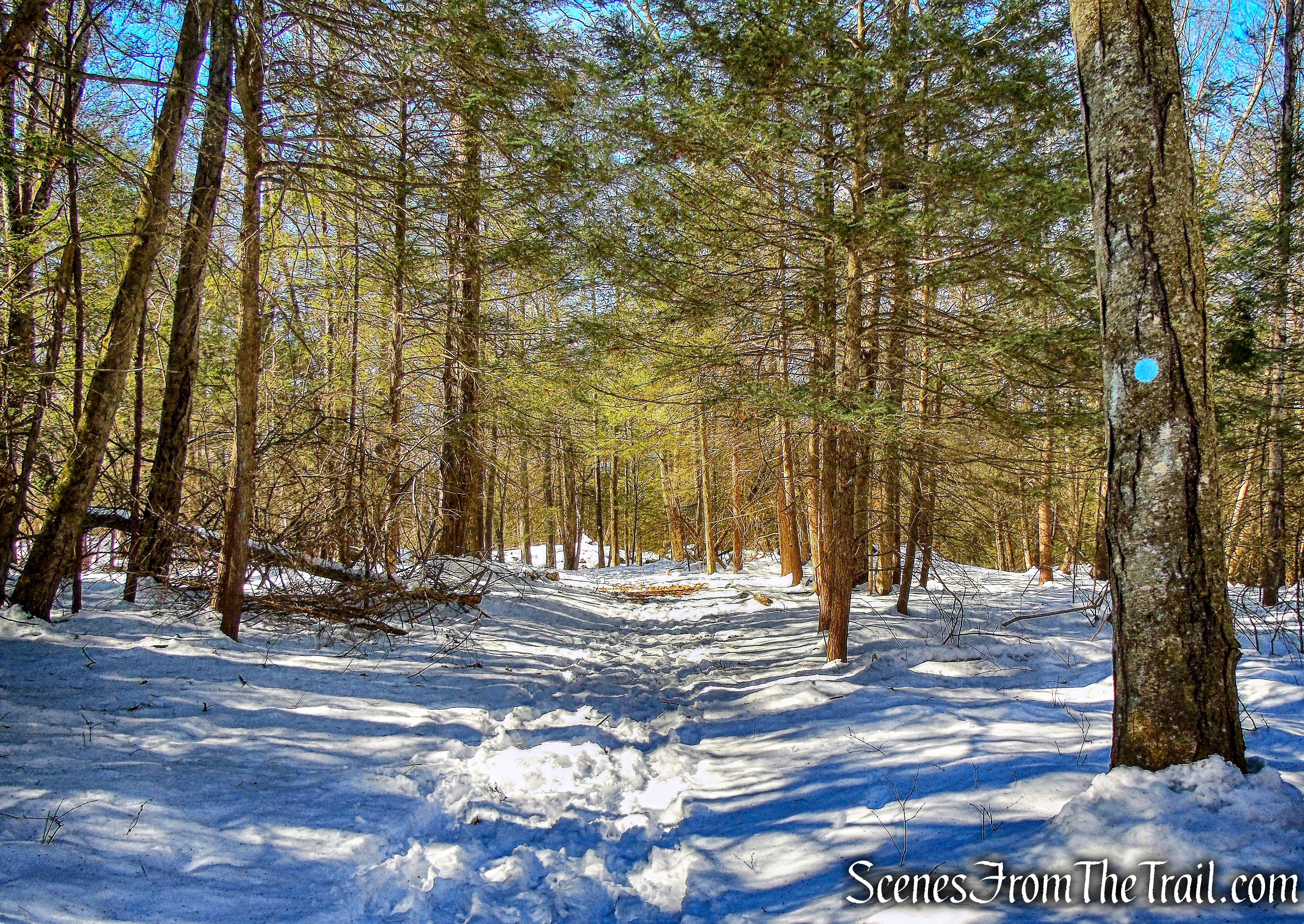
The White Diamond Trail continues its steady ascent through a forest of pine trees.
White Diamond Trail
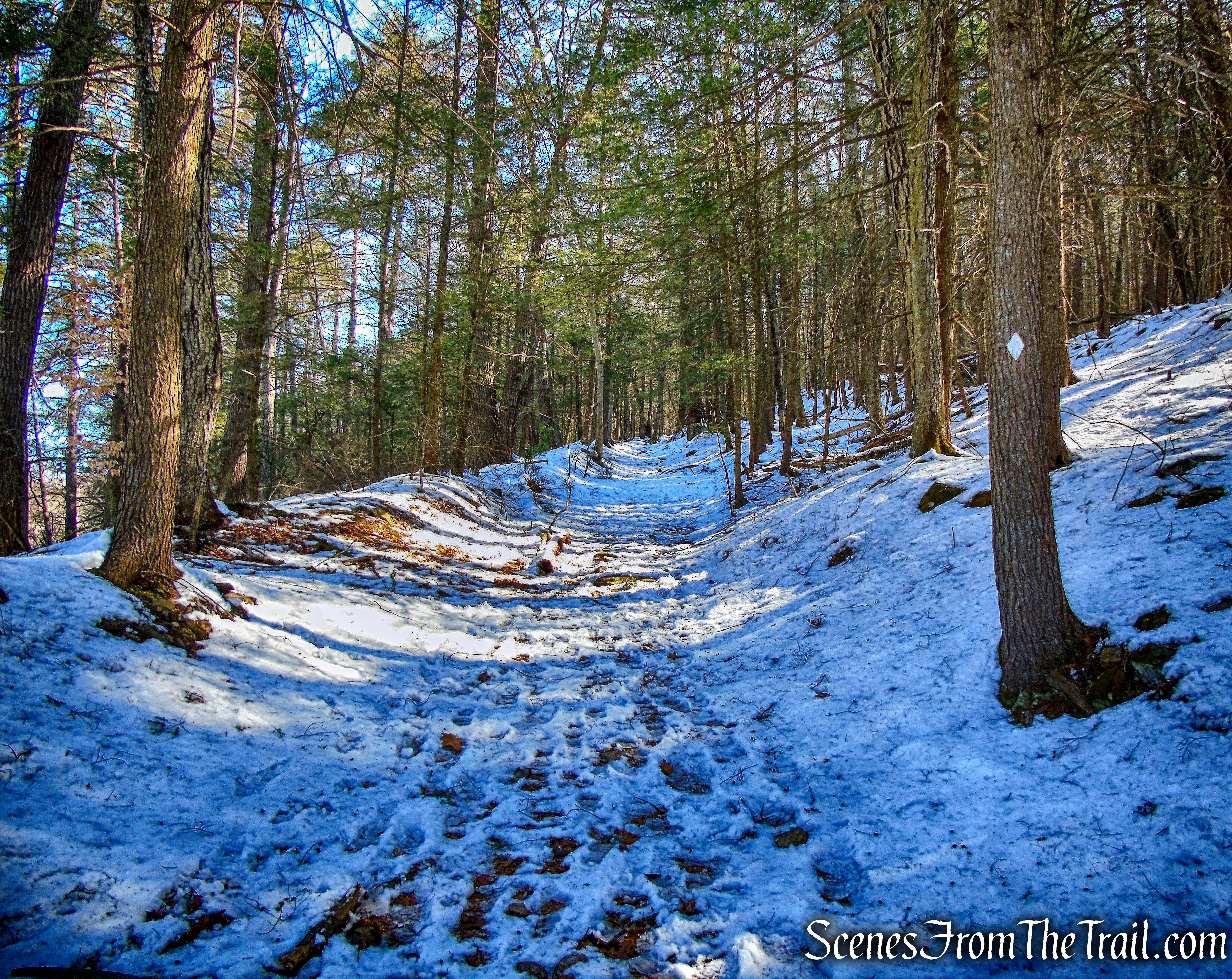
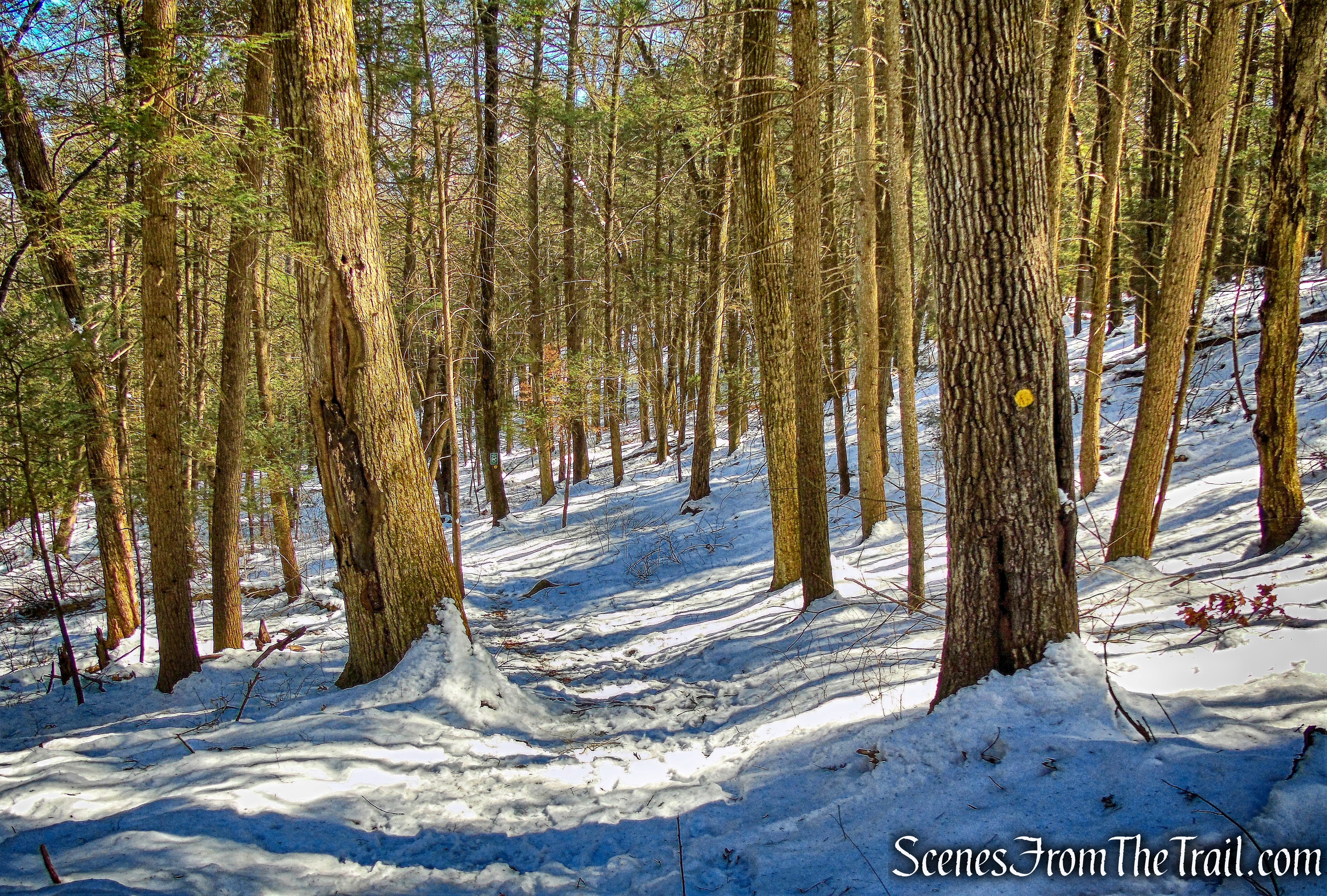
Near the top of the rise, the trail makes a sharp right turn and levels off. It then ends at a T-intersection with the blue-circle-blazed Holiday House Trail, which also travels on a woods road. We turned right, now following the blue circles and heading south.
Holiday House Trail
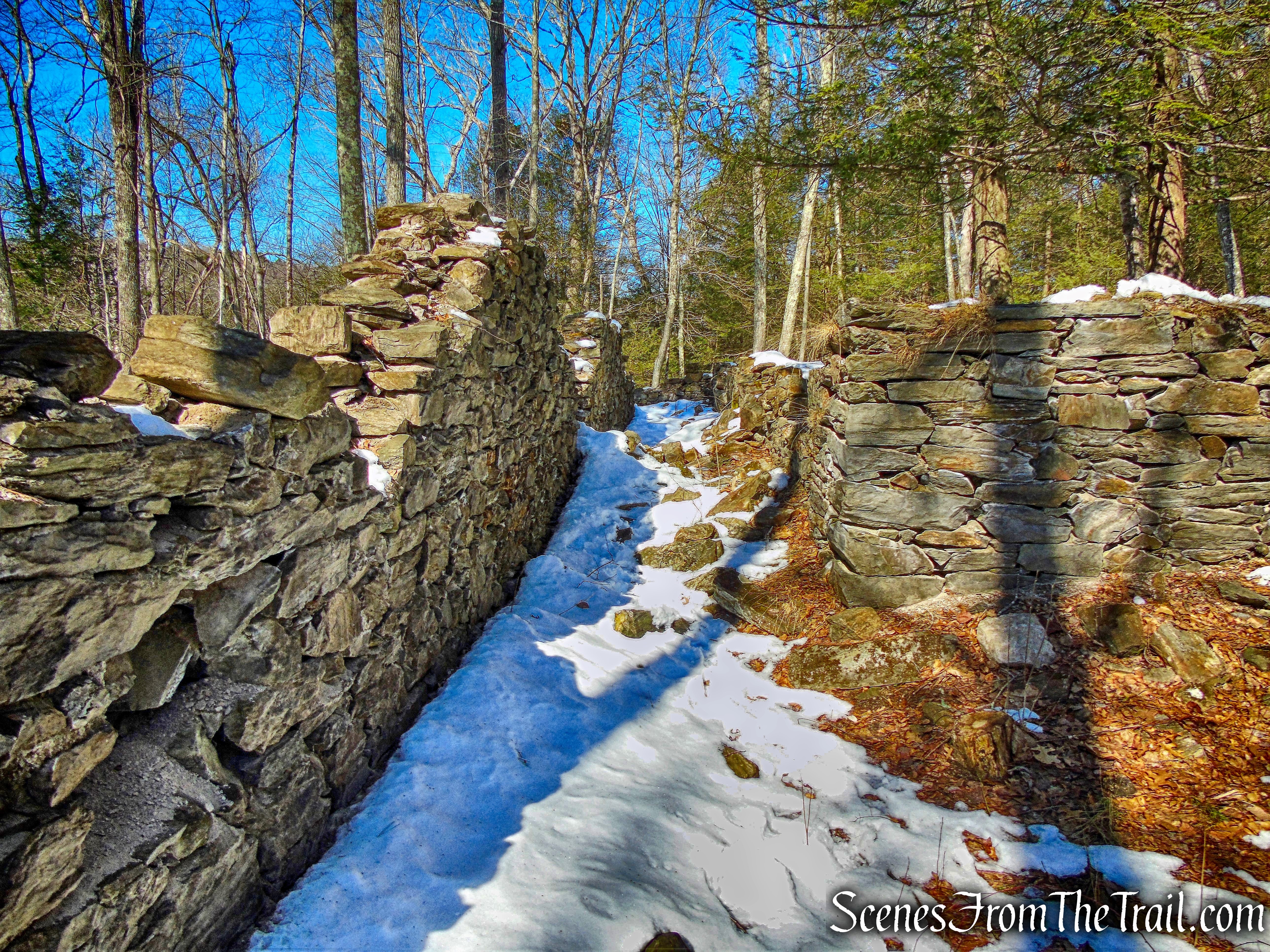
The trail descends gently and passes a stone foundation, cellar hole and stone walls on the left.
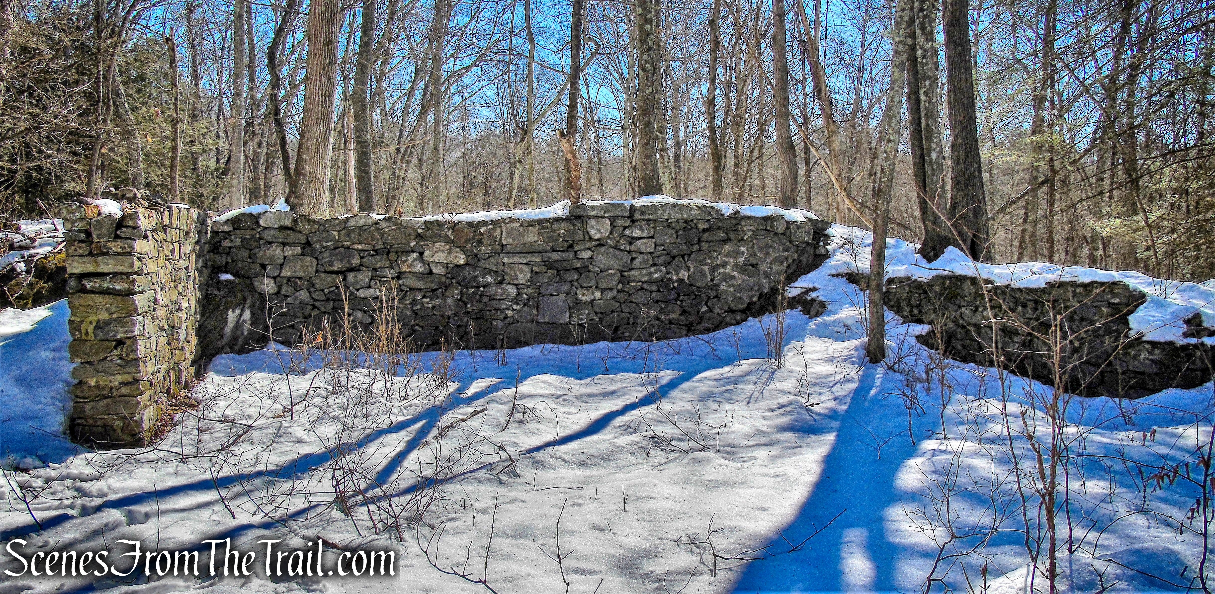
stone walls
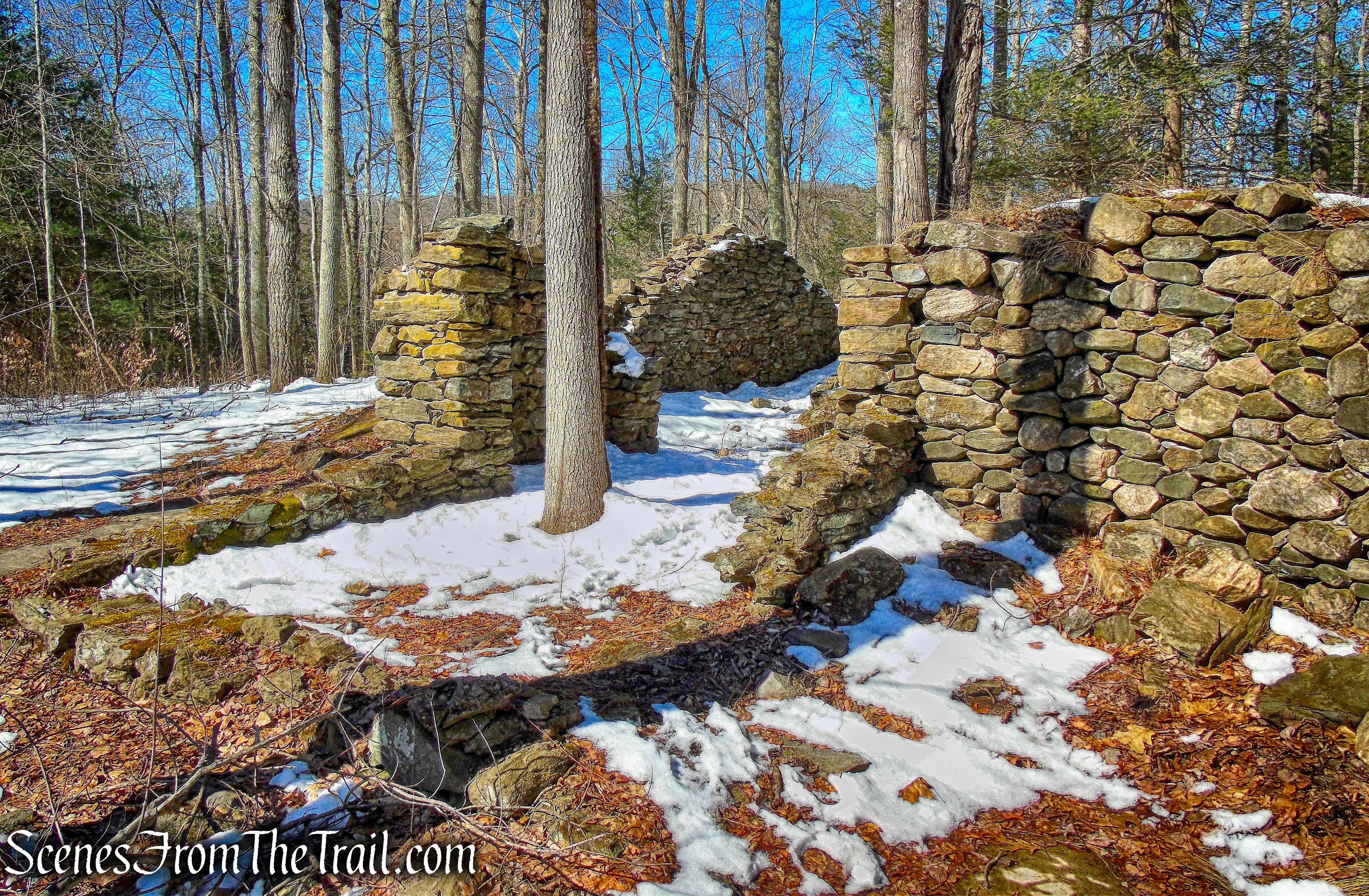
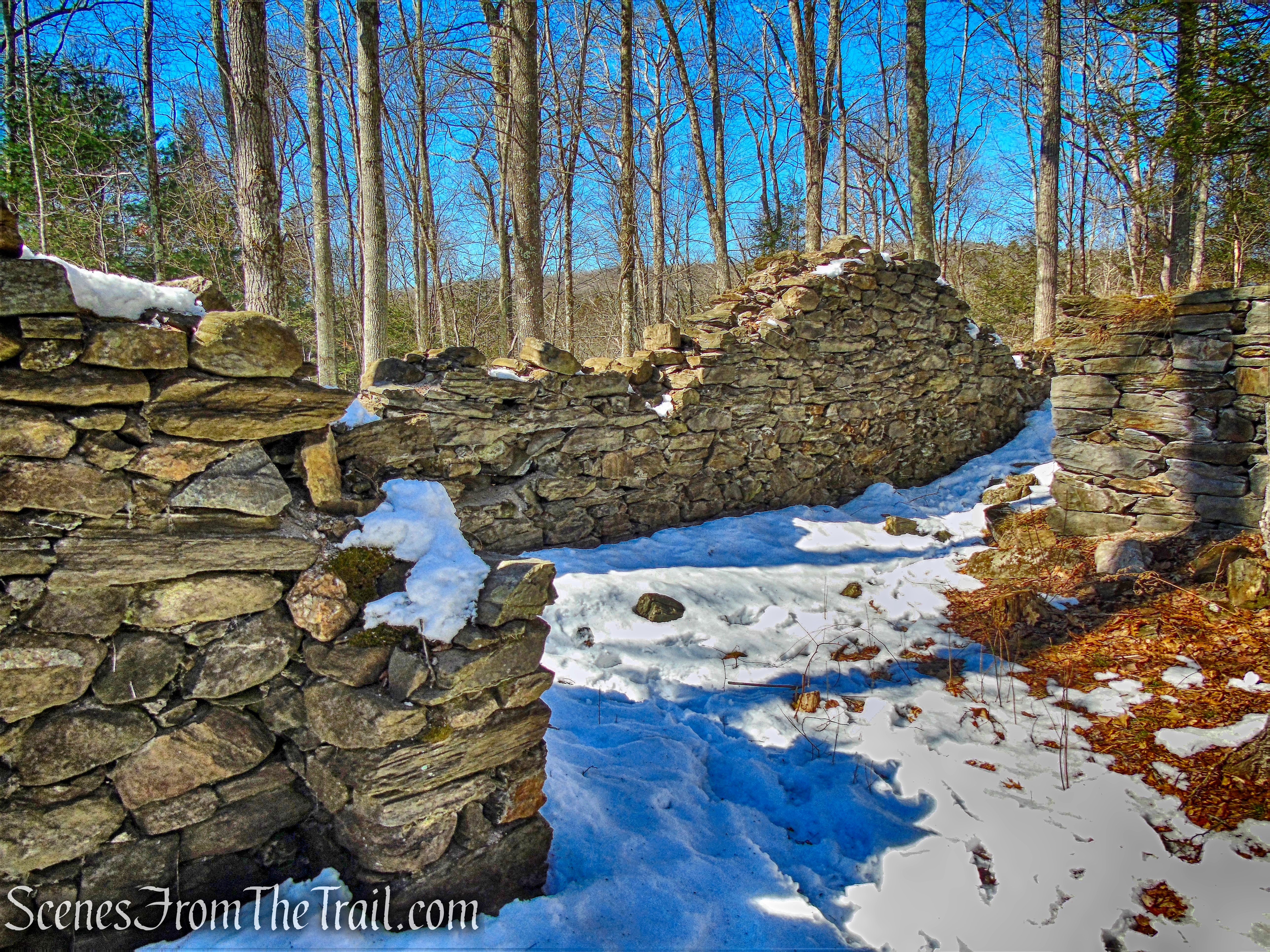
A little further down the trail are the ruins of the Holiday House. According to the Steep Rock Association, the hotel was built in 1893 by Edward Van Ingen, a wool importer. Van Ingen built the hotel as a memorial to his daughter, who had recently died of scarlet fever.
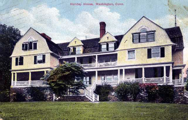
Holiday House – From the Collection of the Gunn Memorial Library and Museum
Completed in 1893, Holiday House was conceived as a vacation retreat for working-class women. Since there were no labor laws or protection against exploitation, the Van Ingens wanted to provide a space for gracious and simple living for these women to enjoy life and leave their sweatshop jobs behind for a few weeks”
Holiday House ruins
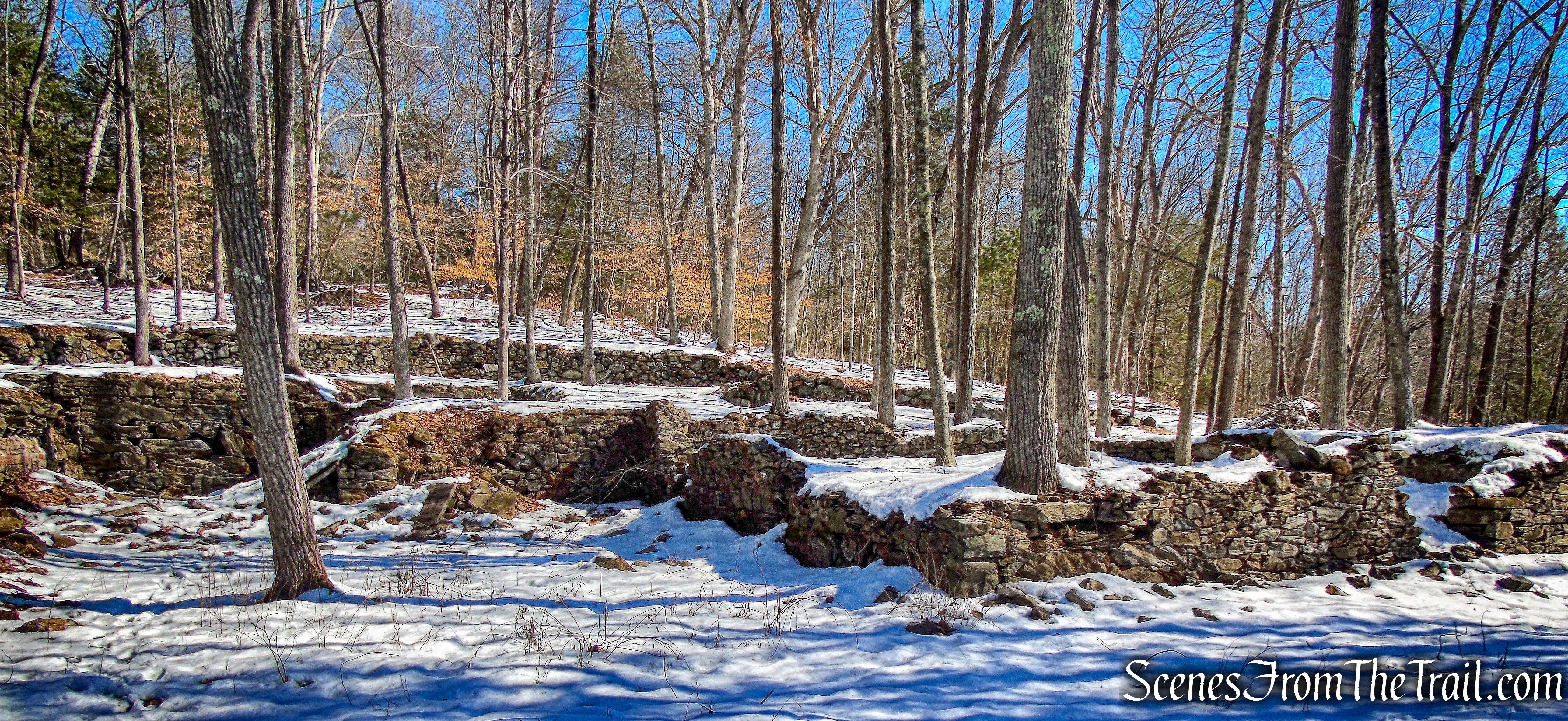
After World War I, the family could no longer afford the upkeep of this summer getaway and closed the doors in 1918. Unable to sell or donate the building, the family chose to dismantle the house and donate the building parts and furnishings to the townspeople.
Holiday House ruins
All that now remains on-site is the foundation of the original building.
Holiday House ruins
The ruins of the Holiday House are quite extensive and we explored them for a while, visualizing this grand hotel that once stood on the hillside overlooking the Shepaug River.
Holiday House ruins
We then continued walking downhill and reached a 4-way junction with the white-circle-blazed Trail. We turned left, now following the white circles, heading south.
White Circle Trail
The trail continues to descend and just before reaching Kirby Brook Road, makes a right turn, now heading southwest. The trail passes a fireplace and what looked like some stone benches, where we took a brief rest.
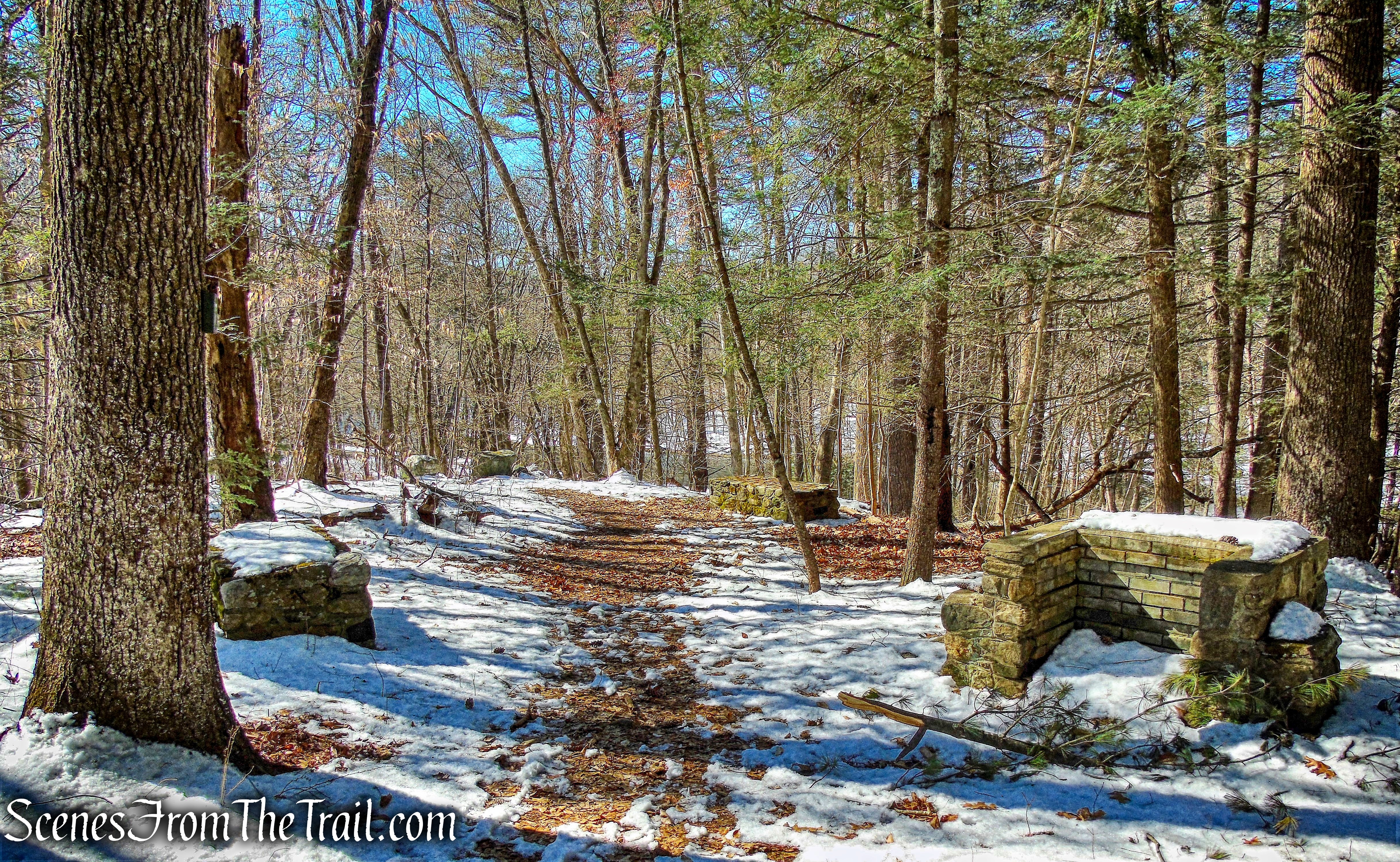
White Circle Trail
The trail ends at the junction with the yellow-circle-blazed Steep Rock Loop Trail and Kirby Brook Road. We walked onto the Steep Rock Loop Trail and turned left, now heading south, with the Shepaug River to our right.
Steep Rock Loop Trail
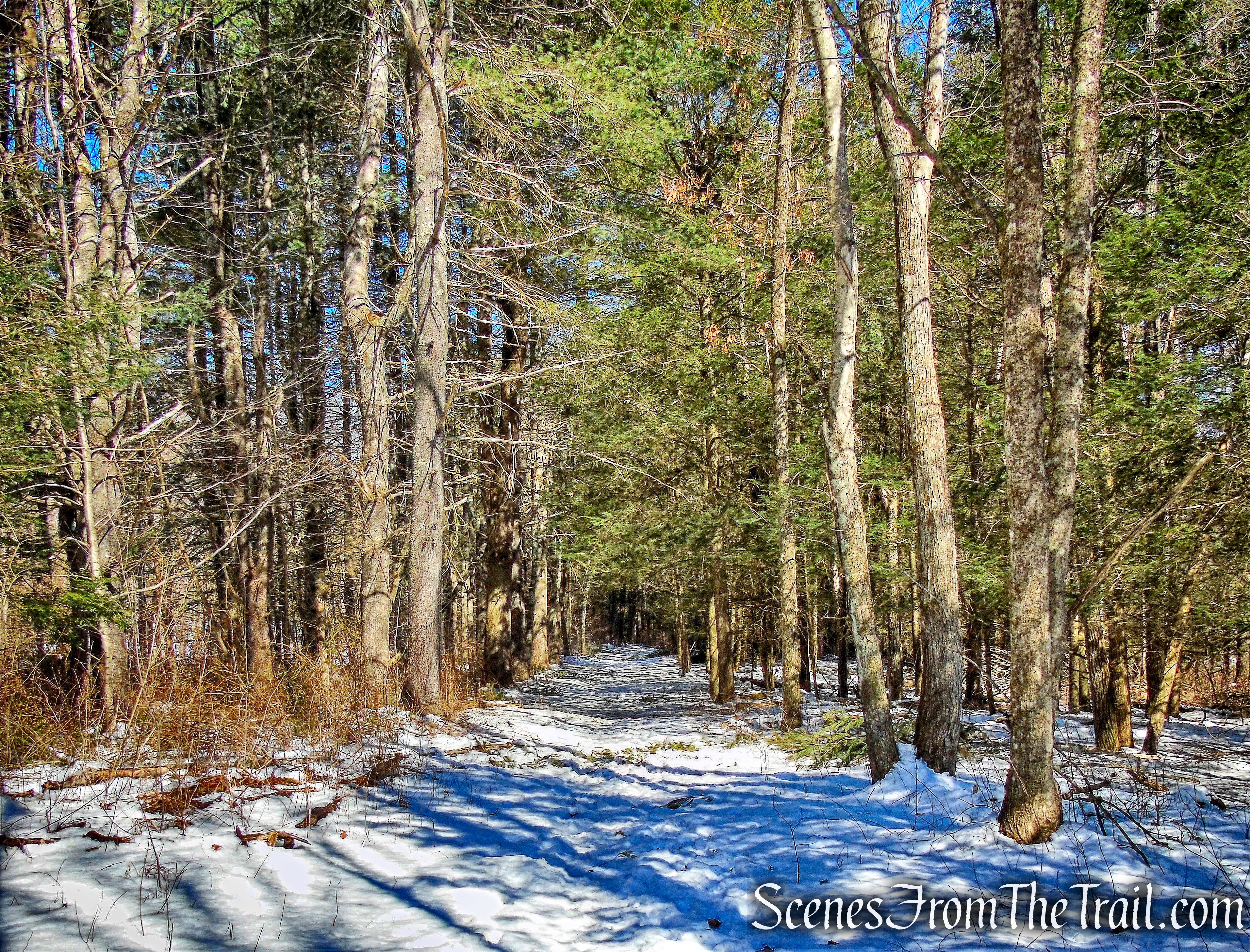
The Steep Rock Loop Trail travels along the edge of the river on a mostly level grade. After just over 0.5 mile of walking alongside the Shepaug River, we left the Steep Rock Loop Trail and turned left onto the blue-square-blazed Pinney Loop Trail, a 2.4 mile loop trail that begins on a former rail bed.
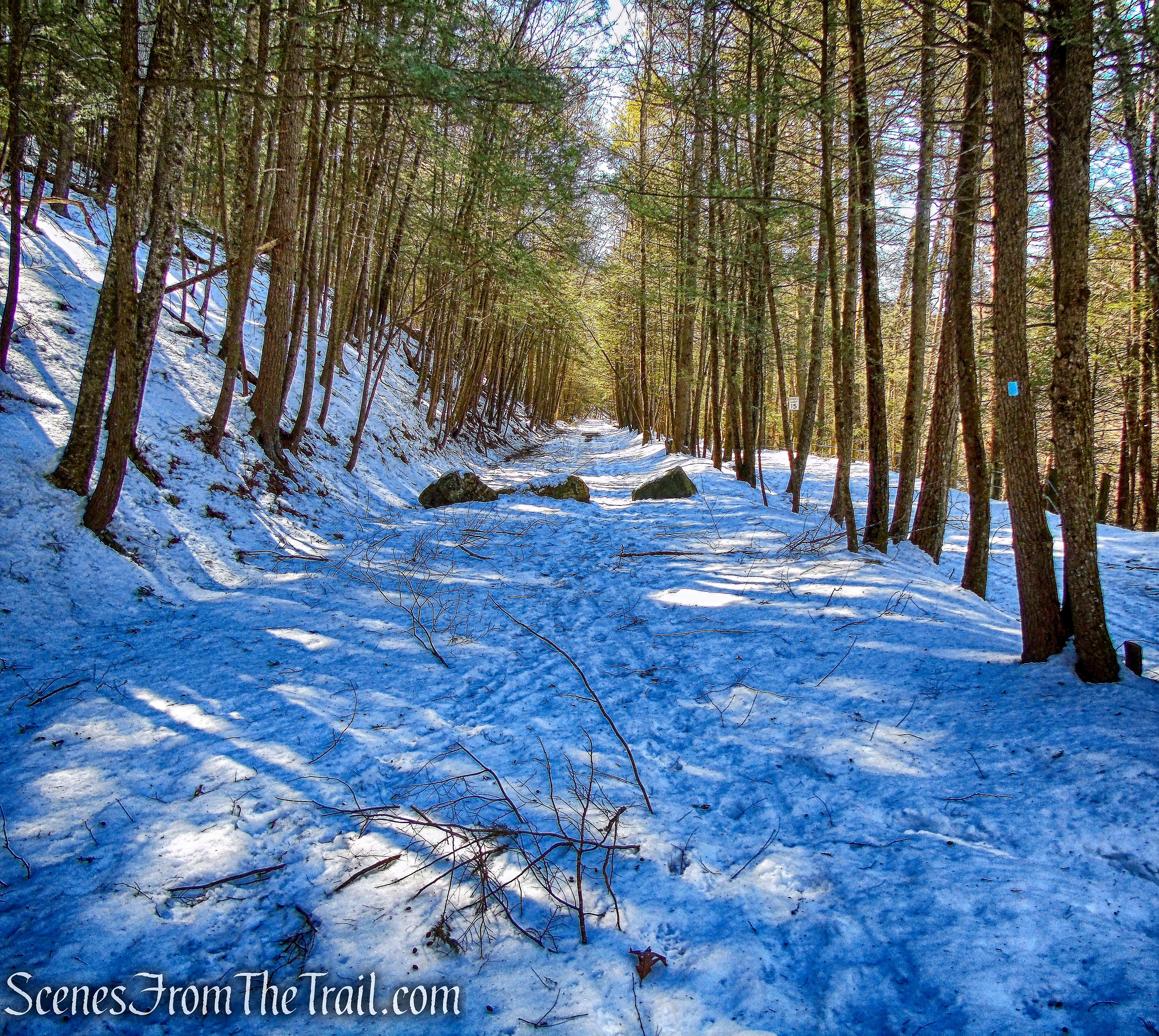
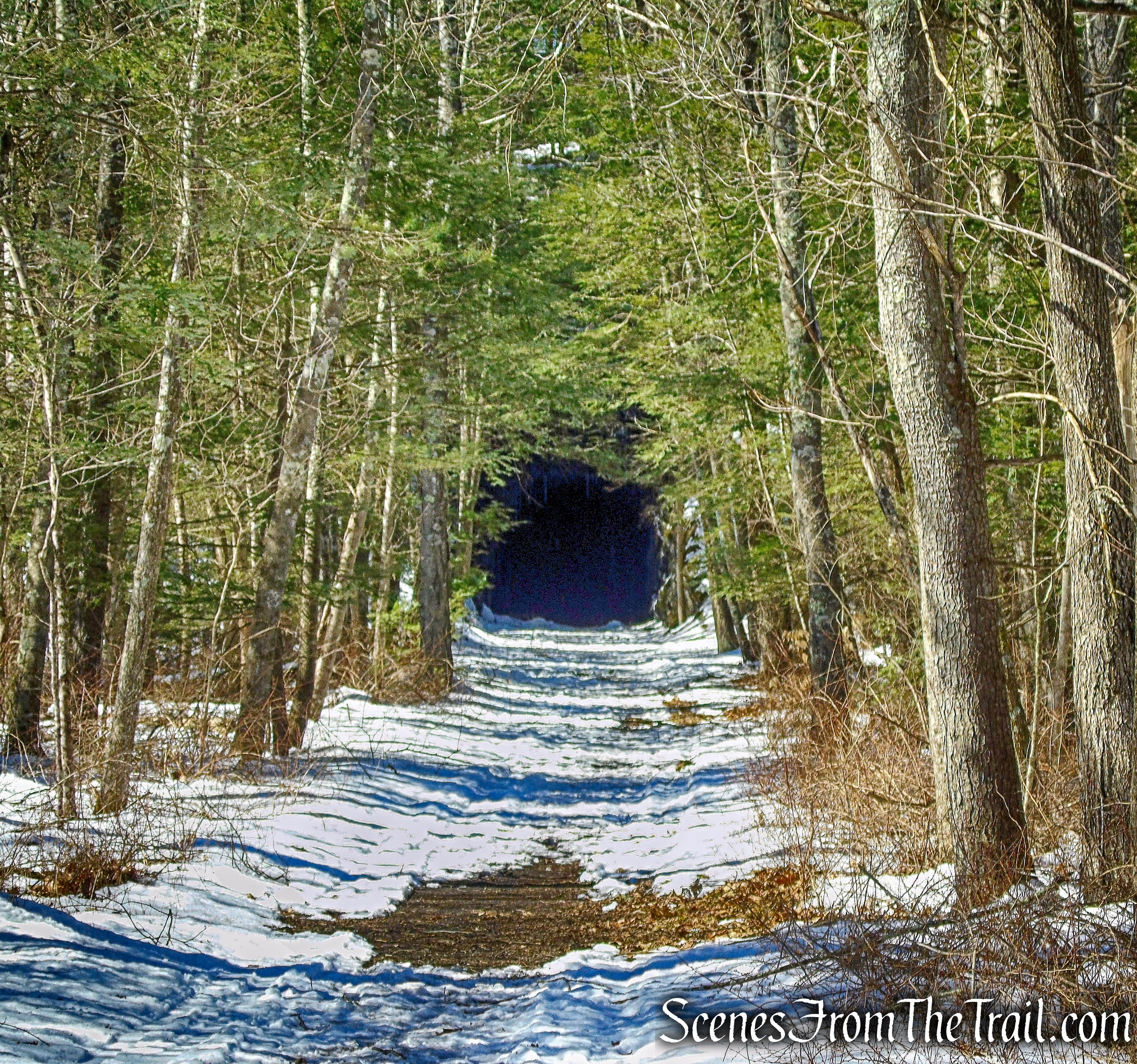
Pinney Loop Trail
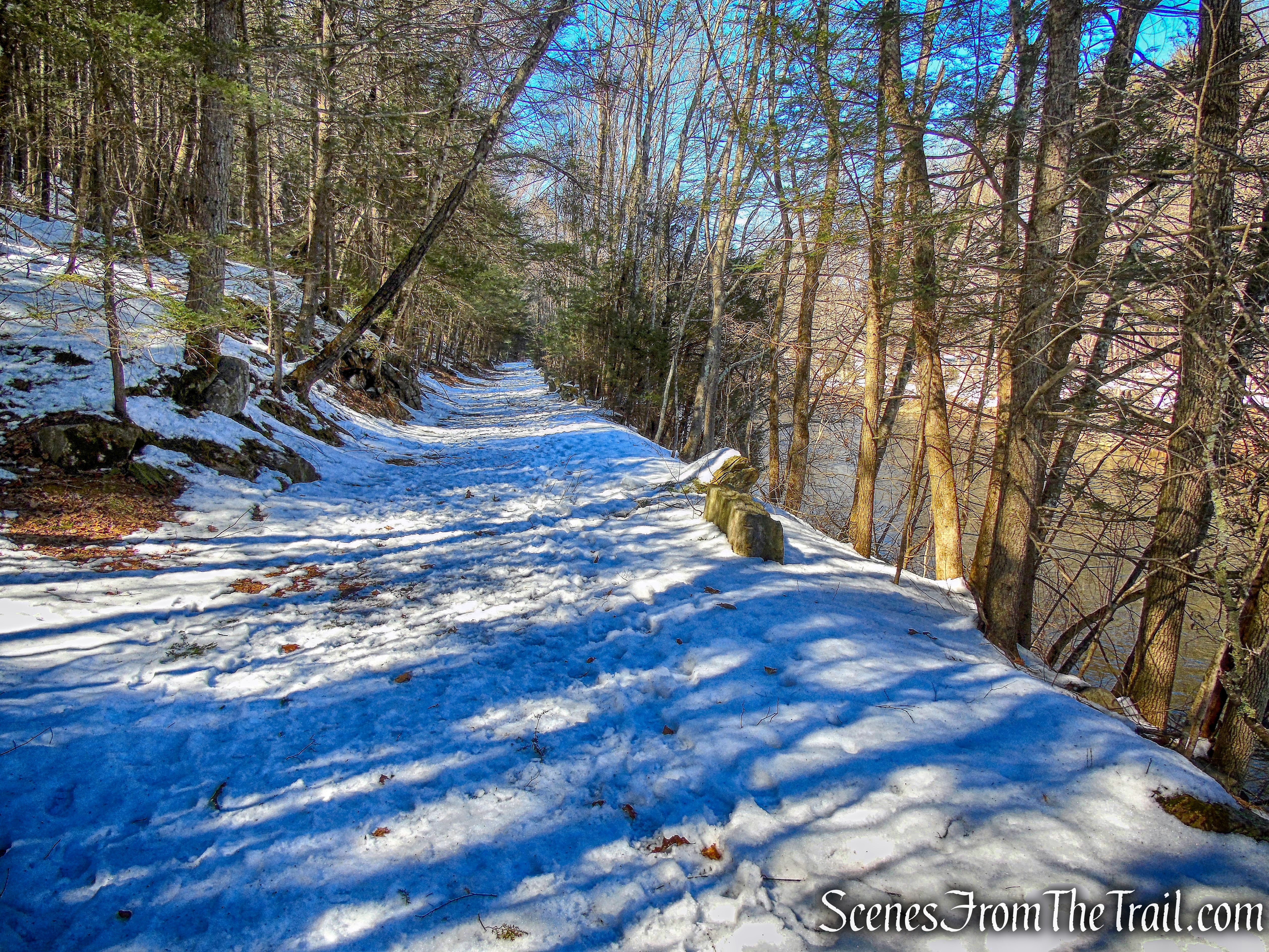
The Pinney Loop Trail veers away from the river at first, but then travels mostly parallel to the Steep Rock Loop Trail. It then curves slightly southwest as it approaches the train tunnel. The trail then begins a straight run towards the tunnel which becomes visible in the distance. It’s about 0.9 mile to the tunnel from the start of the Pinney Loop Trail.
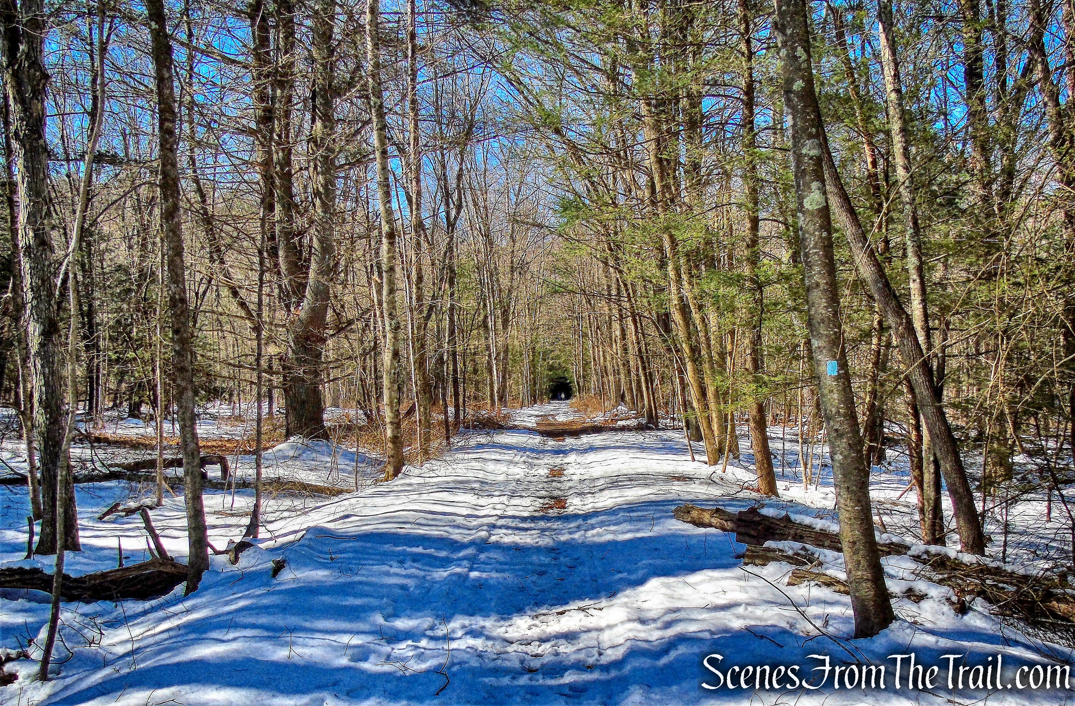
Pinney Loop Trail
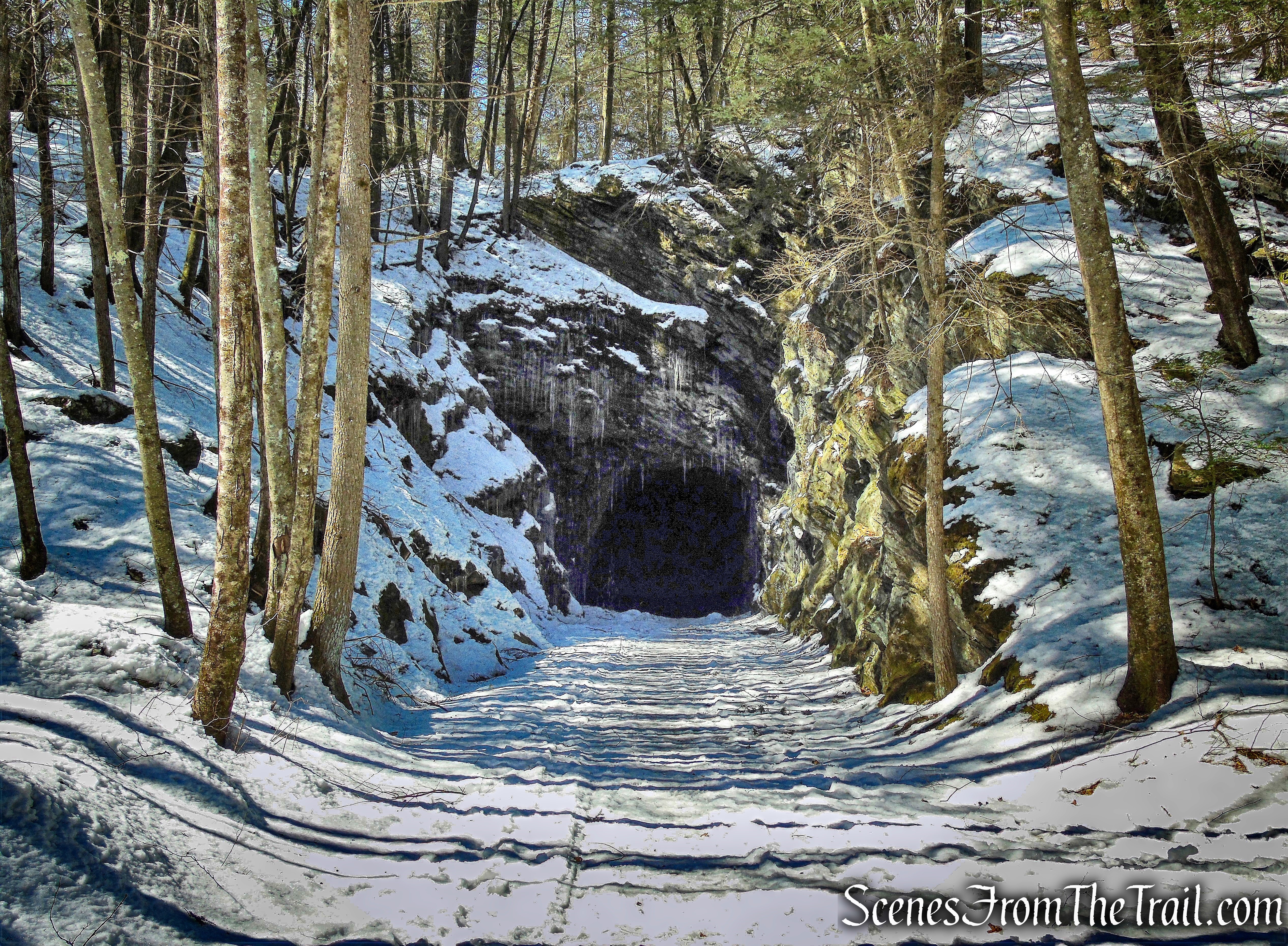
The tunnel was carved in 1871 to accommodate the Shepaug Valley Railroad. The Shepaug, Litchfield and Northern Railroad was a short independent railroad in western Connecticut that was chartered as the Shepaug Valley Railroad in 1868 and operated from 1872 to 1891 when it was taken over by the Housatonic Railroad.
railroad tunnel – Pinney Loop Trail
The Shepaug Valley Railroad was renowned for its labyrinthine route. It was said that the line took 32 miles of track to travel a distance of only 18 miles.
railroad tunnel – Pinney Loop Trail
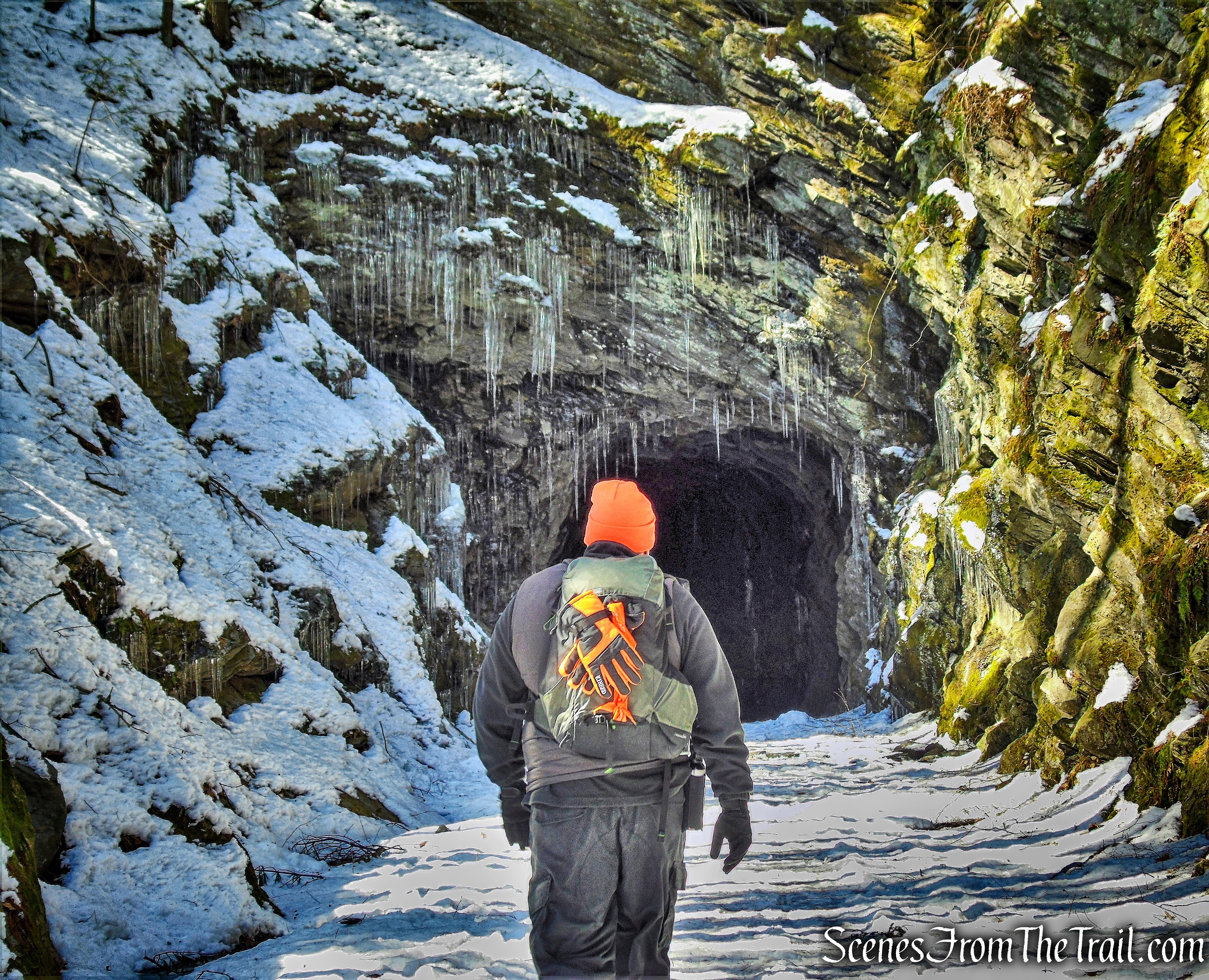
As far as I’m concerned, this was the highlight of the hike. The Pinney Loop Trail travels right through the tunnel, which makes it even more interesting. We entered through the north end of the tunnel.
railroad tunnel – Pinney Loop Trail
The 235 ft. long curved tunnel was cut through rock southwest of Washington Depot and is now part of the Pinney Loop Trail. A crew of coal miners from Pennsylvania constructed it over nine months between 1871 and 1872. The crew often worked by hand using picks and also employed dynamite and nitroglycerin to blast through the ridge.
railroad tunnel – Pinney Loop Trail
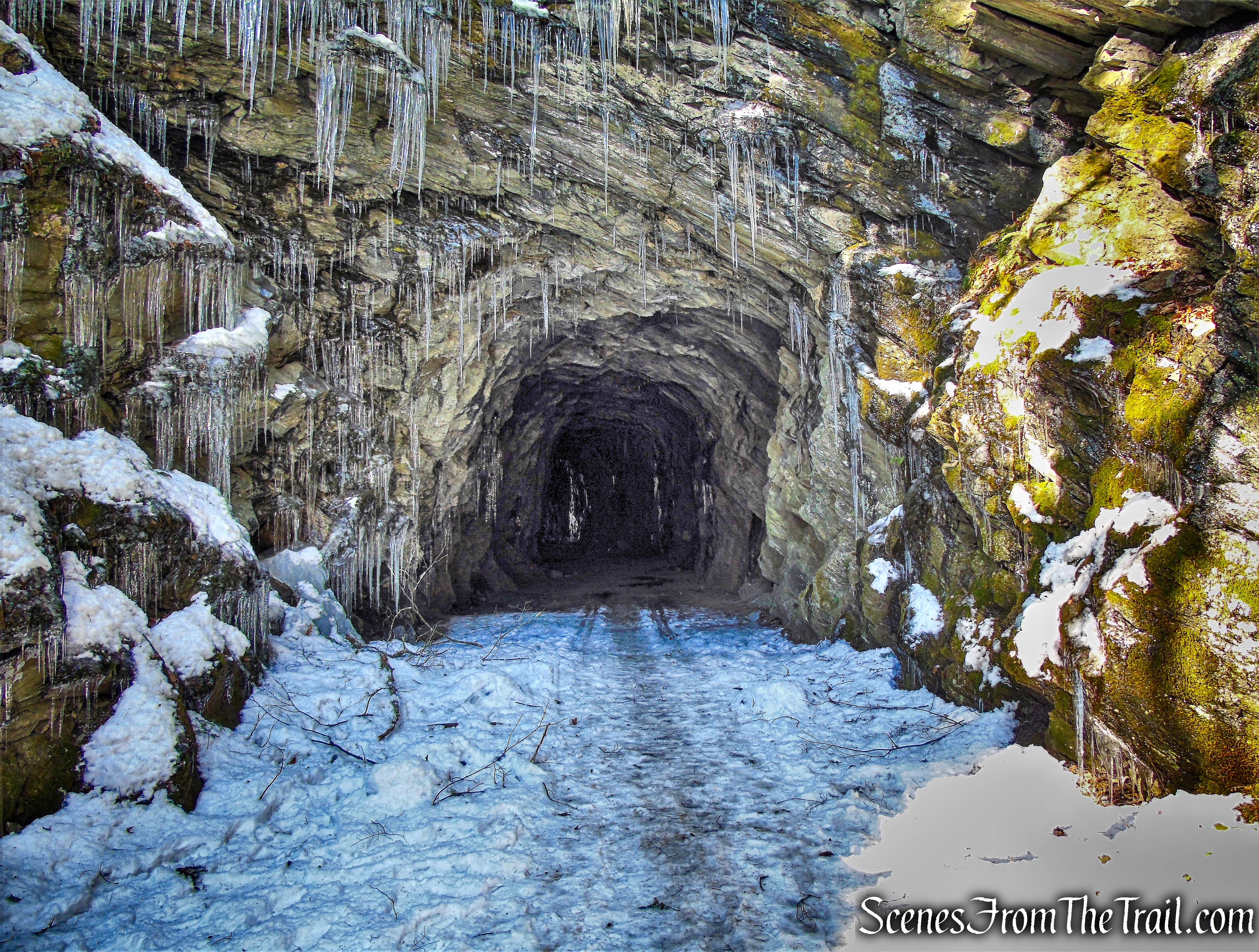
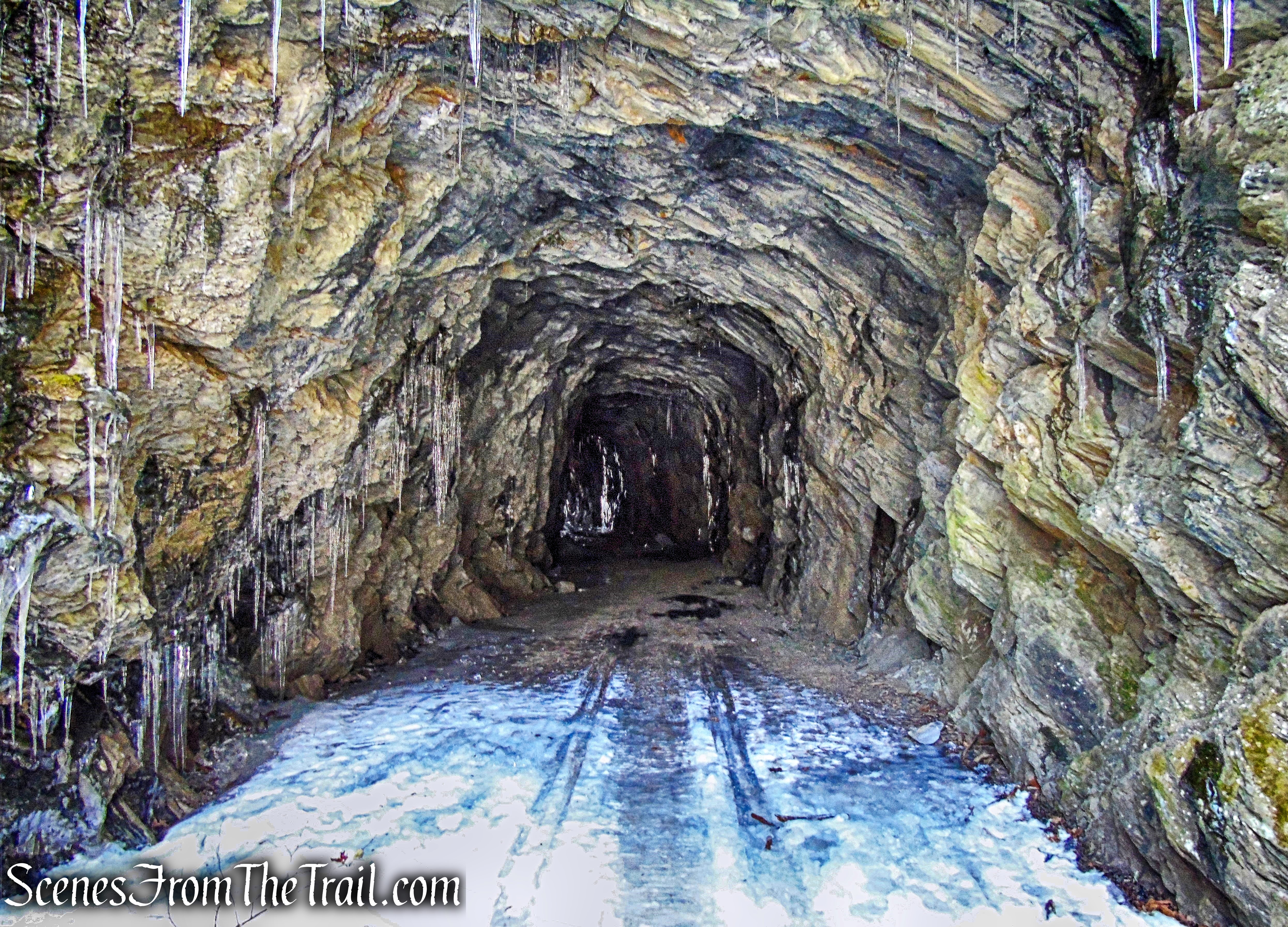
In the winter time, large ice stalactites form on the ceiling, some reaching all the way to the floor creating thick ice columns.
railroad tunnel – Pinney Loop Trail
The light at the end of the tunnel.
railroad tunnel – Pinney Loop Trail
The view from the other end of the tunnel (southern end).
railroad tunnel – Pinney Loop Trail
It was at this time that we saw two adult Bald Eagles through the trees, flying over the river.
railroad tunnel – Pinney Loop Trail
After exiting the tunnel, we had the option of continuing on the Pinney Loop Trail which proceeds straight ahead on the abandoned railbed then turns left and travels over the top of the tunnel or take the shorter route by turning right just past the tunnel and taking the orange-square-blazed Trail. We opted for the shorter route. The Orange Square Trail descends towards the river and the “clam shell” section (named for the land’s clam-like appearance). The trail parallels the river as it heads towards the clam shell section. It was in this area that we saw a large bear print in the snow.
Orange Square Trail
When we came to a junction with the White Diamond Trail, we made a hard right and ascended the hillside. We then came to a 5-way intersection which was confusing and I had to stop and consult both my map and compass to make sure we were on the correct route. Since the trails are near the double oxbows (where the river loops south, north, and then south again), using the river as a guide will not work here. We turned right, still following the White Diamond Trail which then ended at a T-intersection with the blue-square-blazed Pinney Loop Trail. We turned left and walked a short distance until we saw the yellow-circle-blazed Steep Rock Loop Trail on the left.
yellow-circle-blazed trail Steep Rock Loop Trail
The trail heads towards the river then turns right. In a short distance the Hauser footbridge comes into view.
Hauser footbridge
The Hauser footbridge, a wood and cable suspension bridge, was built in 1991 across the Shepaug River.
Hauser footbridge
The Steep Rock Loop Trail crosses the bridge.
Hauser footbridge
The suspension bridge shook slightly as we walked on it and it affords a delighful view from the center, of the Shepaug River. Deriving its name from the Mohegan word for “rocky water,” the Shepaug River extends for 26 miles across northwestern Connecticut.
Shepaug River
The Shepaug River, is a serpentine waterway that twists through on its way from the Mohawk State Forest and the Shepaug Reservoirs to the Housatonic River.
Shepaug River
After crossing the bridge, we turned left on the Green Circle Trail which heads west on a woods road along the river then turns right and heads north, just across the river from the clam shell section. This is a scenic section of trail with numerous spots along the river to relax.
Green Circle Trail
The Green Circle trail then leaves the woods road and continues on a footpath, which climbs gradually at first, then more steeply.
Green Circle Trail
In about 700 feet, which seemed longer, the Green Circle Trail joins the Steep Rock Loop Trail, on a woods road. We stopped briefly to catch our breath and resumed our ascent towards the summit.
joint Green Circle/Steep Rock Loop Trails
In a short distance, the two trails split, with the Steep Rock Loop Trail turning left to continue ascending the mountain. It is only 0.4 mile to the summit from here, but it felt like much longer. They don’t call it Steep Rock for nothing.
Steep Rock Loop Trail
As I was approaching the summit, several hikers were on their way down. When I got there, I had it all to myself for several minutes before I was joined by others.
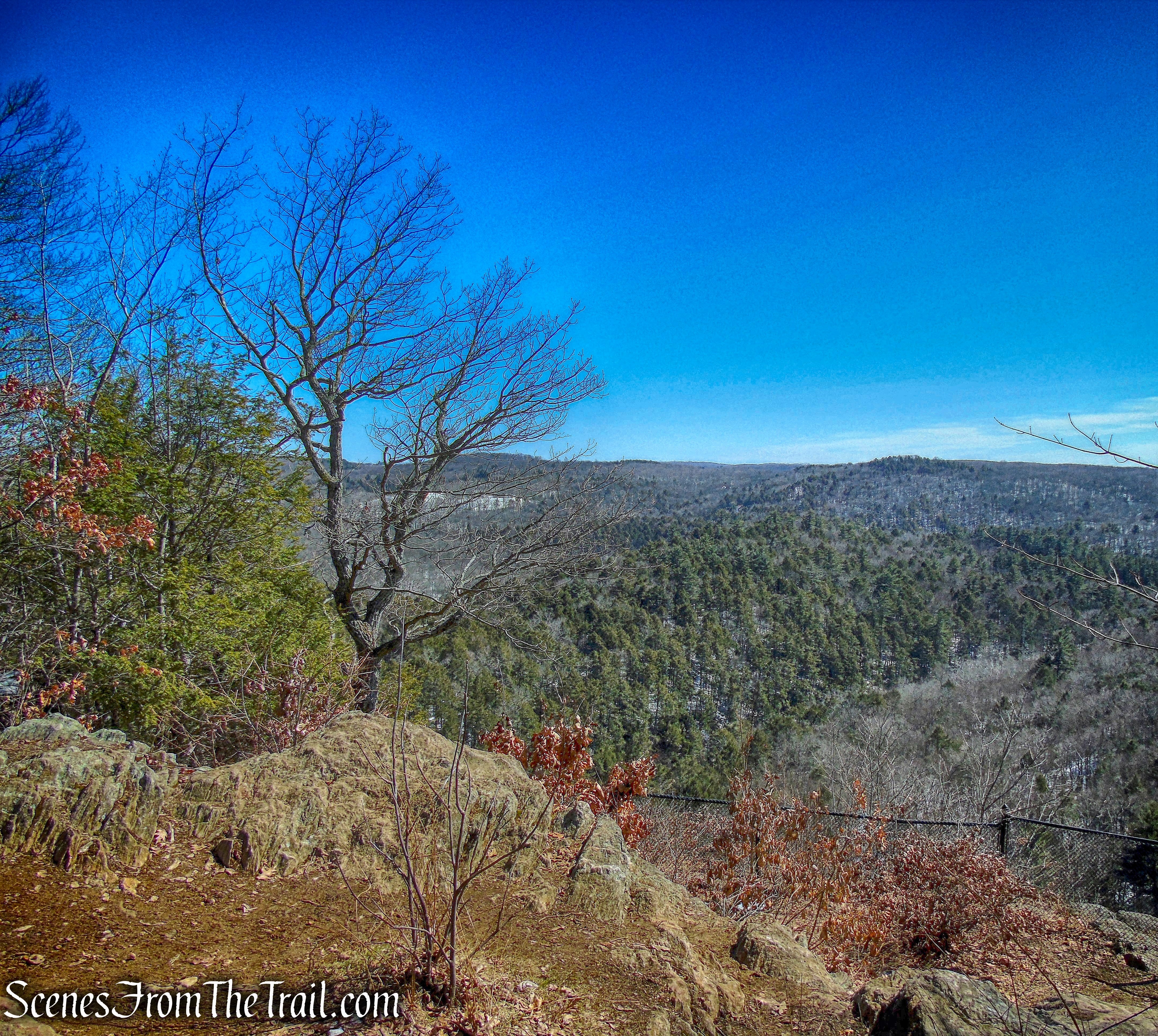
Steep Rock summit
At an elevation of 776 feet, Steep Rock Summit provides visitors with a picturesque view of the Clam Shell section of the Shepaug River Valley. The Turkey Vultures use the valley and ride the thermals up into the sky.
view of clam shell from Steep Rock summit
The plaque at the summit, from 1930, commemorates the gift of this land. In 1925 architect Ehrick Rossiter donated the land, which included the Steep Rock overlook, to a carefully chosen group of trustees, thus ensuring its preservation. Four years later the trustees purchased the area known as the Clam Shell, and in doing so preserved the view from Steep Rock.
plaque – Steep Rock summit
There is another plaque from 1963, memorializing a child who lost his life from falling off the cliff.
plaque – Steep Rock summit
Since that accident, a fence has been erected at the summit, allowing hikers to get a great view while staying safe.
Steep Rock summit
Enjoying the view and a snack while contemplating the rest of the hike, I was extremely pleased that the rest of the hike was all downhill from here.
Steep Rock summit
We then retraced our steps on the Steep Rock Loop Trail for about 1,000 feet until we came to a fork. At this point the Steep Rock Loop Trail goes south (the way we came up) and also heads east and diagonally back towards the parking area (to the left). We veered left at the fork and began a steady descent.
Steep Rock Loop Trail
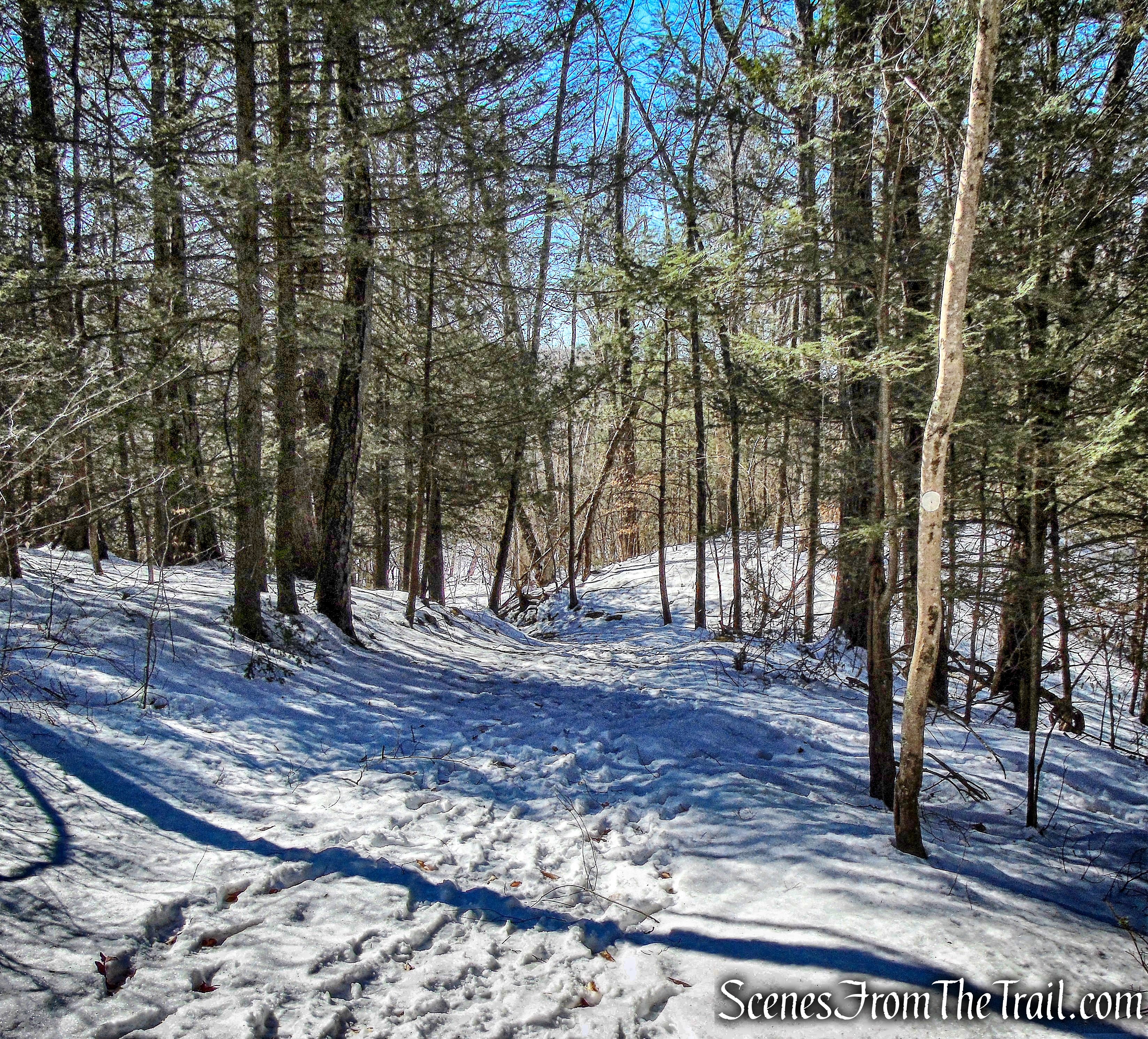
This trail runs along the western slope of the mountain as it descends through a pine forest. I found this trail to be very tranquil and pleasant to travel on. Near the base of the descent, we crossed a stream.

Steep Rock Loop Trail
The trail then levels off and travels on a woods road.
Steep Rock Loop Trail
We passed an entrance to a campsite and in a short distance we took a short spur trail that leads to the Green Circle Trail and closer to the river. I wanted to conclude the hike with a nice scenic walk along the edge of the Shepaug River. Turning left and now heading north, this trail runs on a section of the abandoned railbed.
Green Circle Trail
There are stone foundations for a pedestrian suspension bridge that allowed train passengers to disembark and make their way to the Holiday House just across the river.
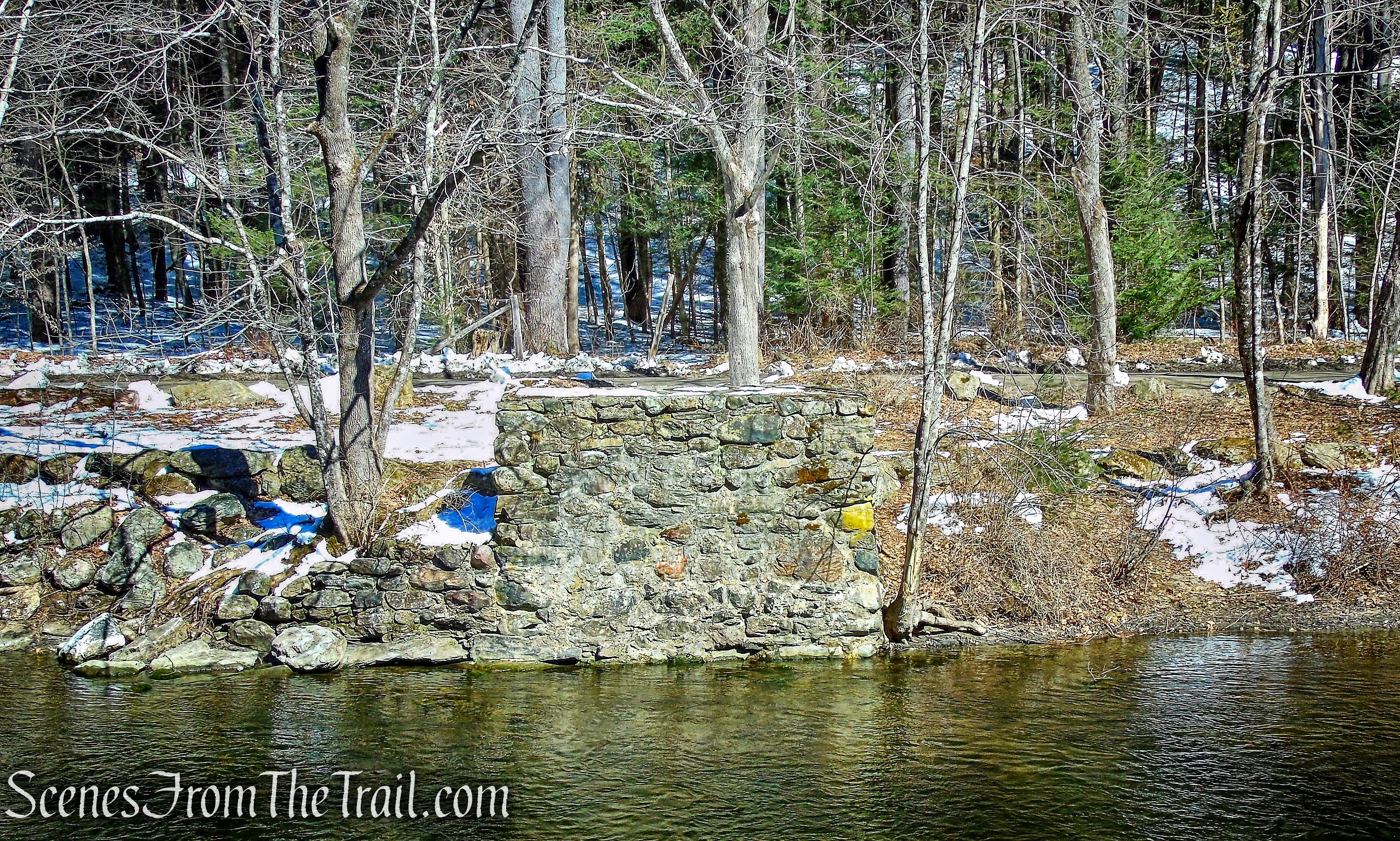
stone foundations for a pedestrian suspension bridge
An old image of the Railroad stop and suspension bridge for passengers destined for the grand Holiday House.
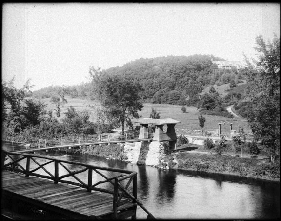
Railroad stop and suspension bridge – From the Collection of the Gunn Memorial Library and Museum
After a nice leisurely walk along the river, the Green Circle Trail ends at a kiosk by the bridge on Tunnel Road, that we drove over when entering the preserve. We crossed the bridge and made our way back to the parking area where our hike began.
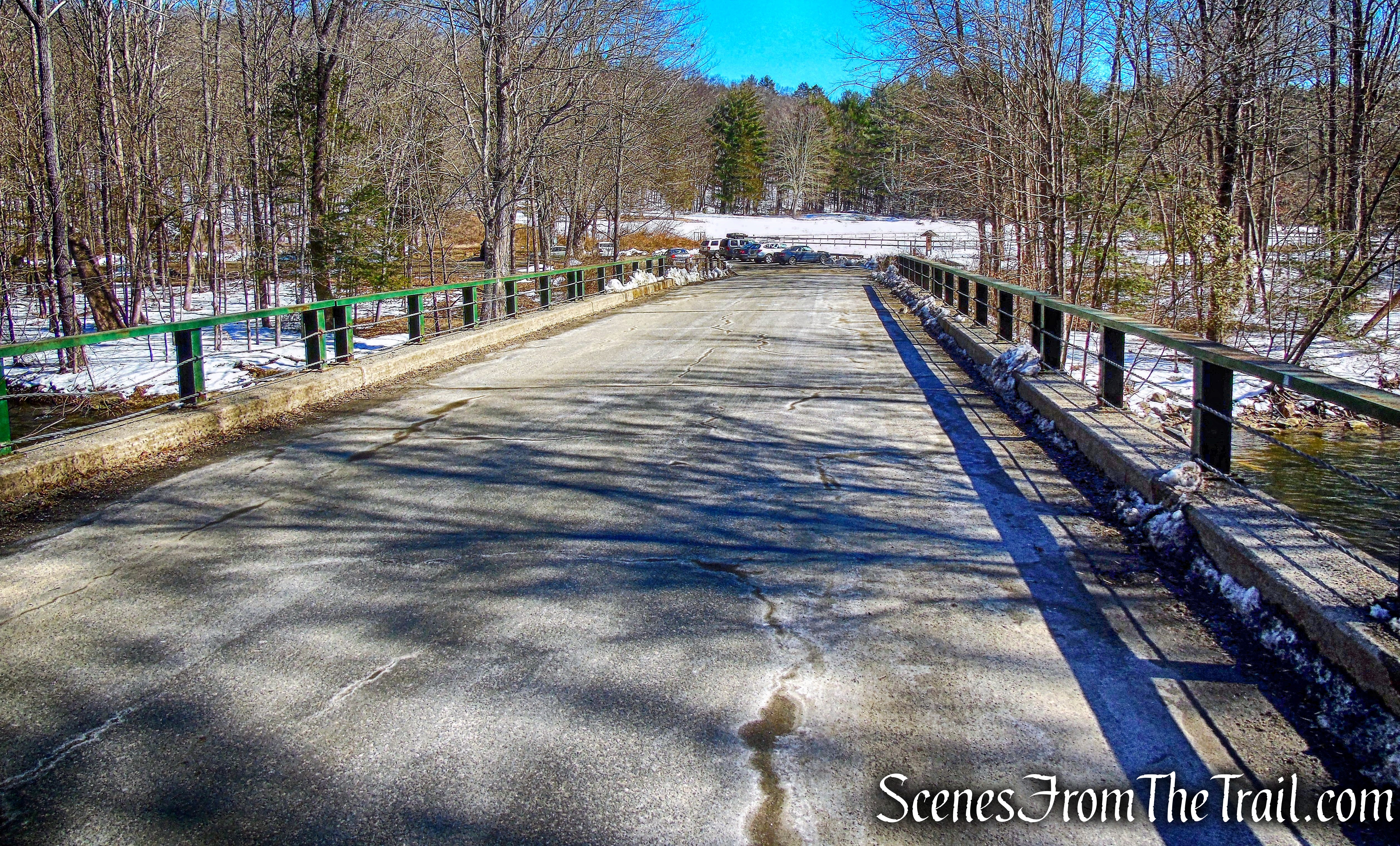
Tunnel Road
An excellent hike that had many points of interest and was scenic throughout. I highly recommend this hike to everyone. You can follow the route that we took or create your own. From what I read, this is a popular place in the warm weather so don’t expect solitude if visiting. We started our hike at about 10:30 am and ran into about a 1/2 dozen people or so. With no snow on the ground I could only imagine that it would have been considerably more.
Pros: Historical features, train tunnel, ruins, views, Shepaug River, suspension bridge, scenic area, wildlife.
Cons: Long drive from Westchester (80 minutes).
Take a hike!
Steep Rock Preserve Loop
Source:
