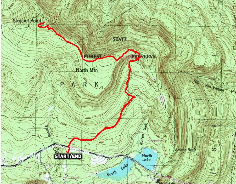
October 27, 2017 – Kerhonkson, NY
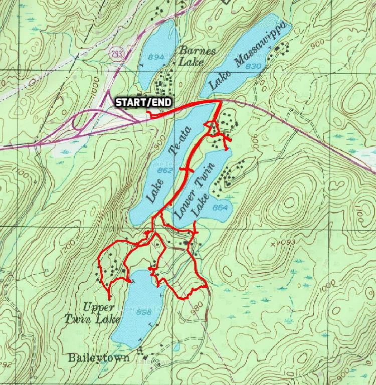
Difficulty: Easy to moderate
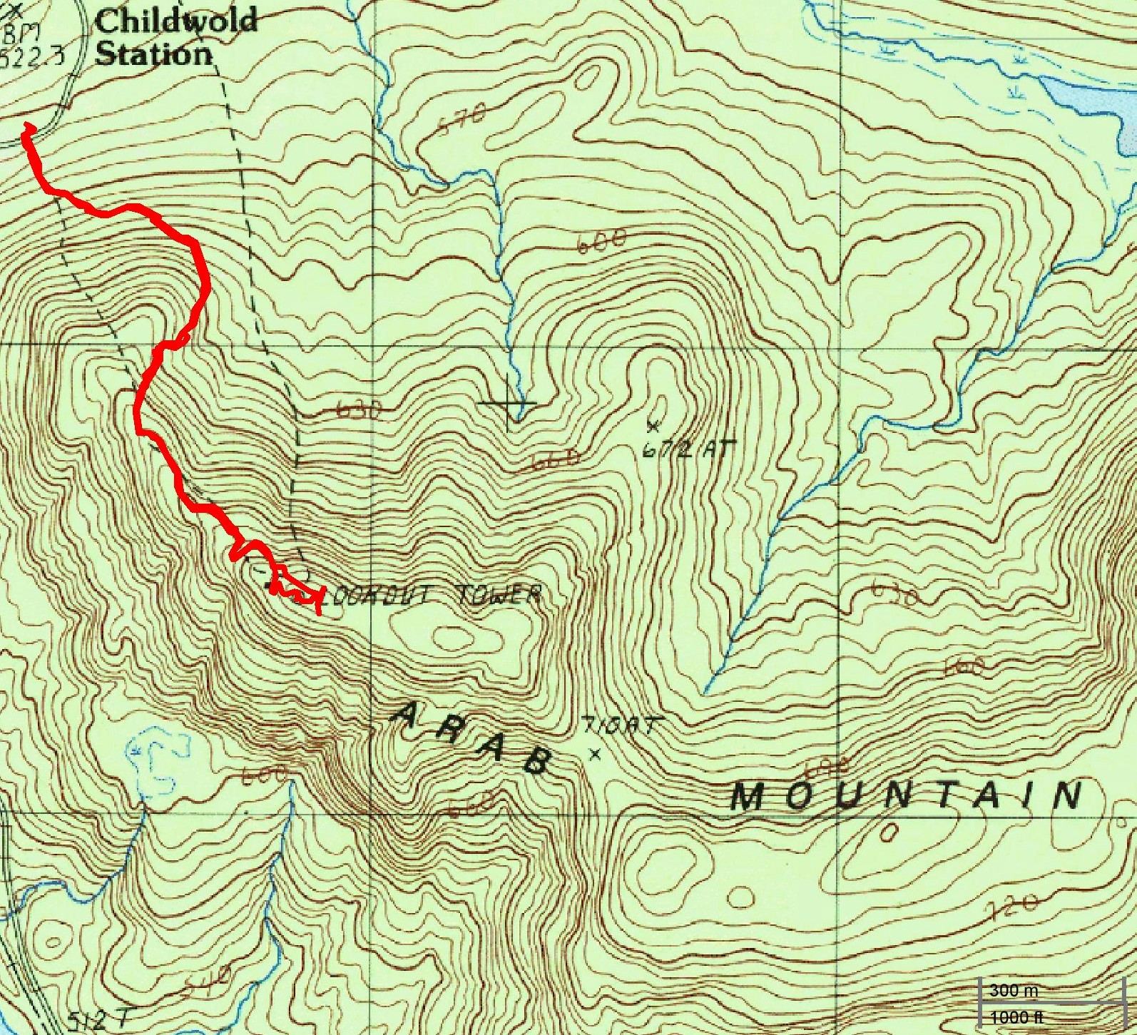
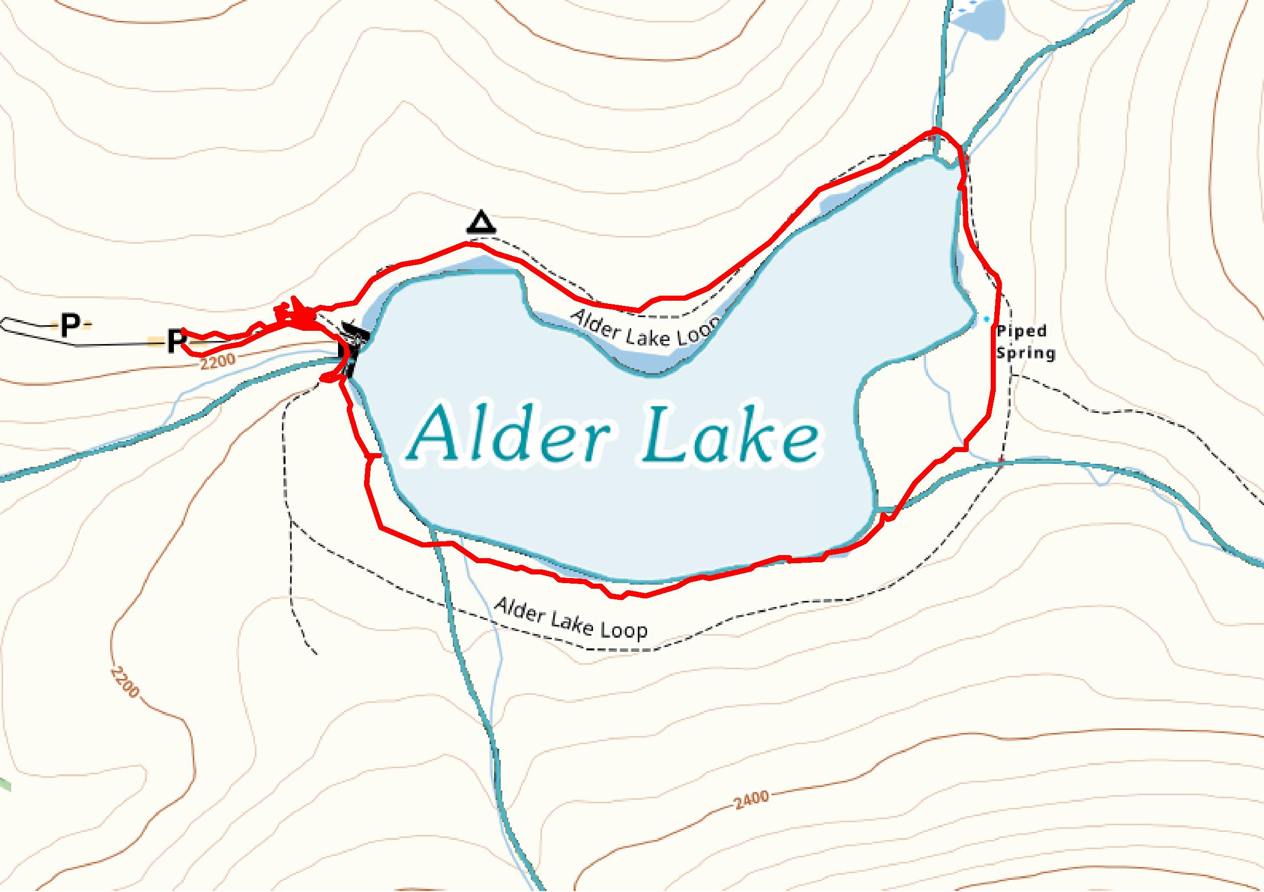
Length: Approximately 3.2 miles
Max elevation: 1,768 ft.– total elevation gain approximately 443 ft.
Route type: Circuit
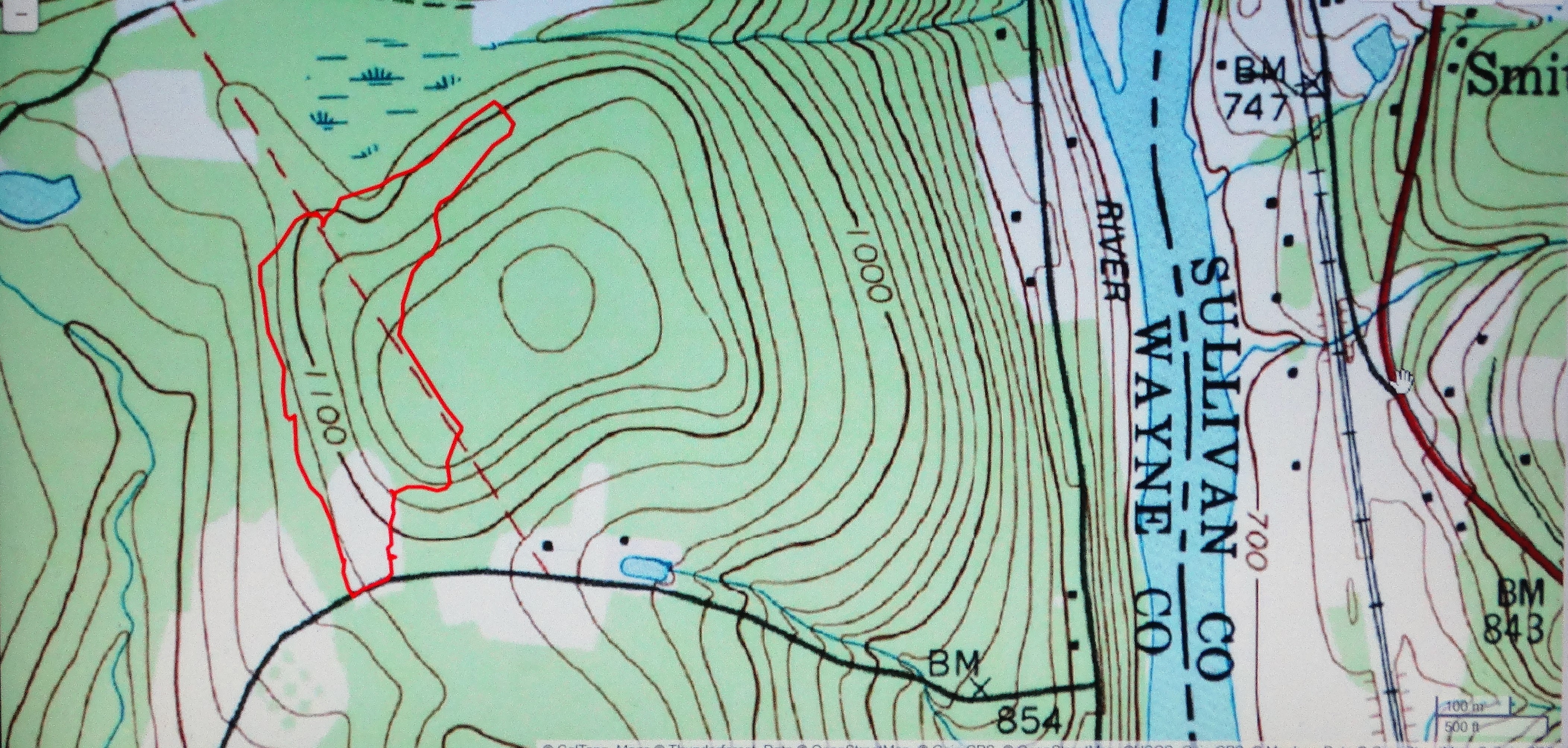
Map: Shawangunk Trails
Fee: $10.00 per vehicle – Empire Pass Accepted
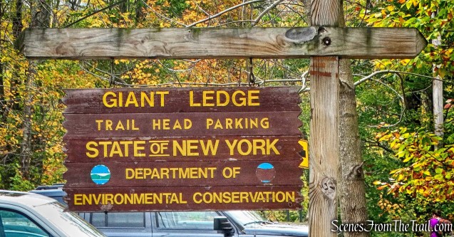
Trailhead parking: 5281 Route 44-55, Kerhonkson, NY 12446
Minnewaska State Park Preserve was once the site of two mountaintop hotels, the last one closing in 1979. Many of the scenic trails and historic carriageways on the 22,275-acre preserve, wind their way around two “sky lakes.” A sky lake is a pristine and often unusually clear lake that is fed only from rain water. Lake Minnewaska and Lake Awosting are the centerpieces of the park preserve, from which most other scenic attractions can be reached. Both lakes are set into white conglomerate cliffs and encircled with carriageways that provide ready access to many views.
Lake Minnewaska
The Beacon Hill Carriage Road is 0.7 miles long and ends at a scenic view from a rock outcrop. This old road gives hikers access to the Beacon Hill Trail. The Beacon Hill Trail is just under a mile long and is one of the most scenic short hikes in the immediate area of Lake Minnewaska. The Lake Minnewaska Carriage Road is 1.9 miles long and loops around the lake. It provides cliff top views of the Gunks and the Catskills. I combined the three to form a short loop with outstanding views for the majority of the hike.
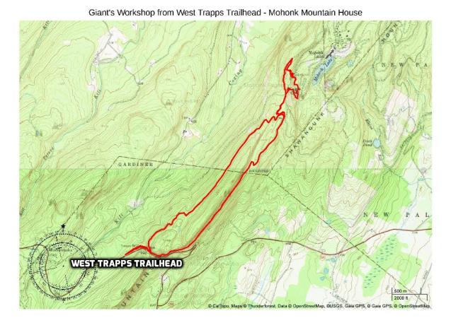
Beacon Hill/Lake Minnewaska Loop – Minnewaska State Park Preserve
View the Google Earth Fly-Through video of the hike below.
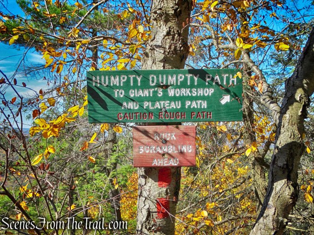
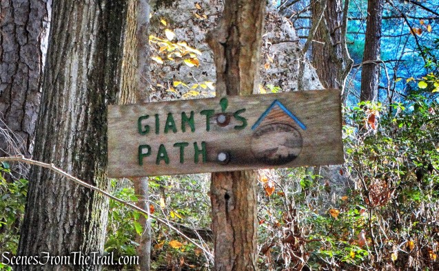
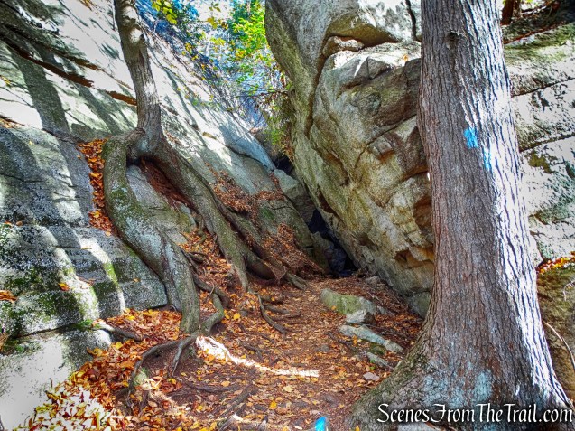
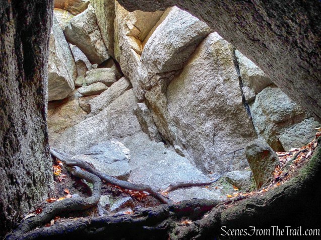
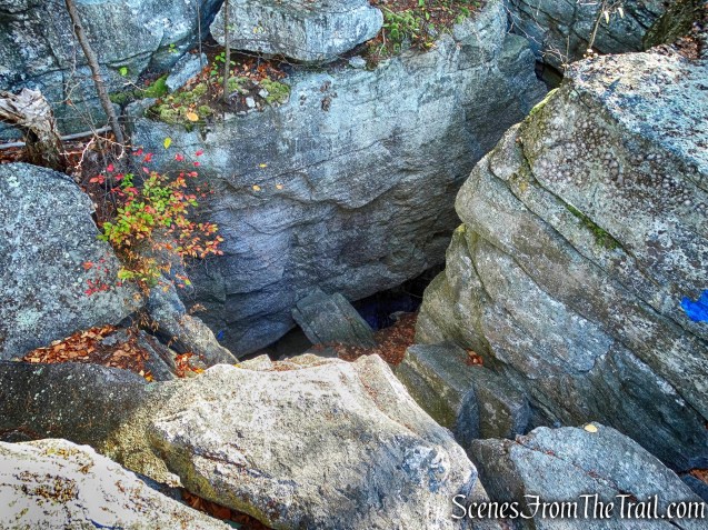
Having just hiked Giant’s Workshop the past weekend, I wanted to do a short hike in the same area on a weekday when it would be less crowded. After a little research, I decided on Minnewaska State Park Preserve for a few reasons. The parking areas at most trailheads fill up early, it can get expensive if you don’t have an annual pass and there aren’t many short hikes in the Gunks. Minnewaska has a large parking area, accepts the Empire Pass and has perhaps the best short hike in the Gunks.
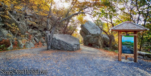
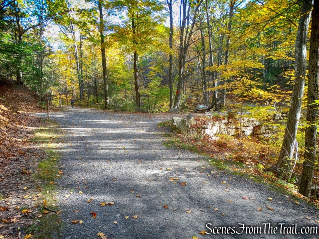
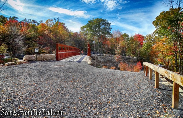
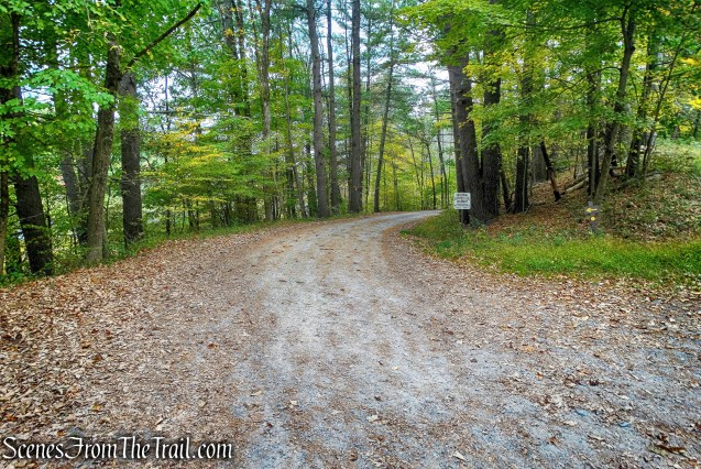
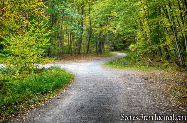
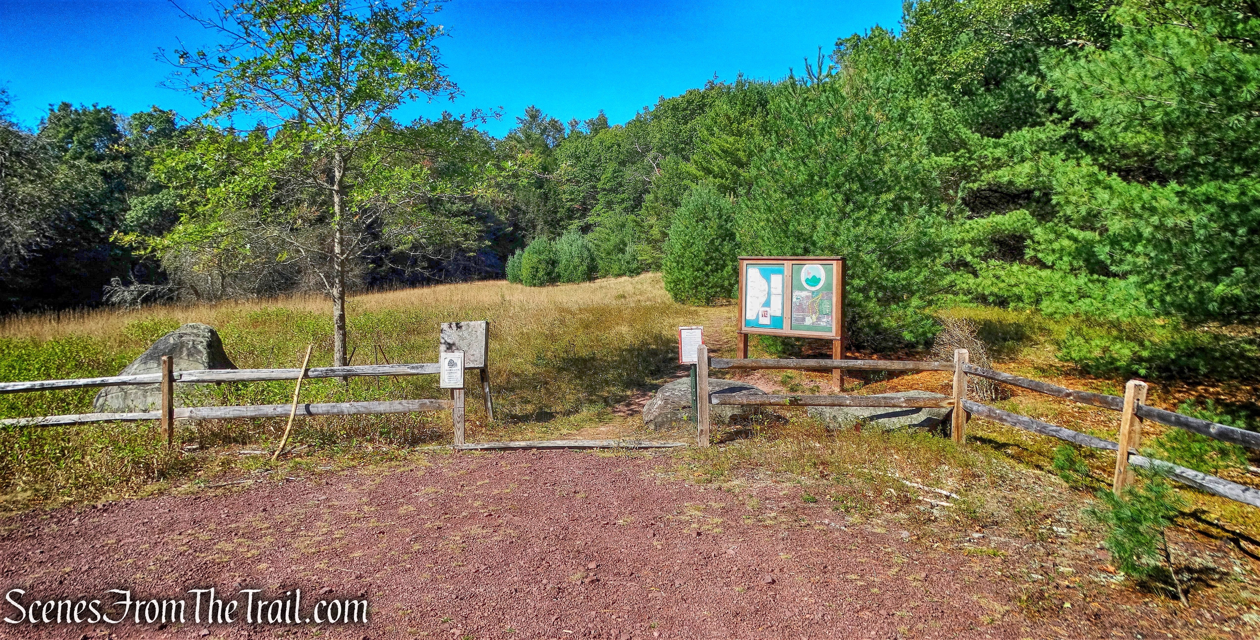
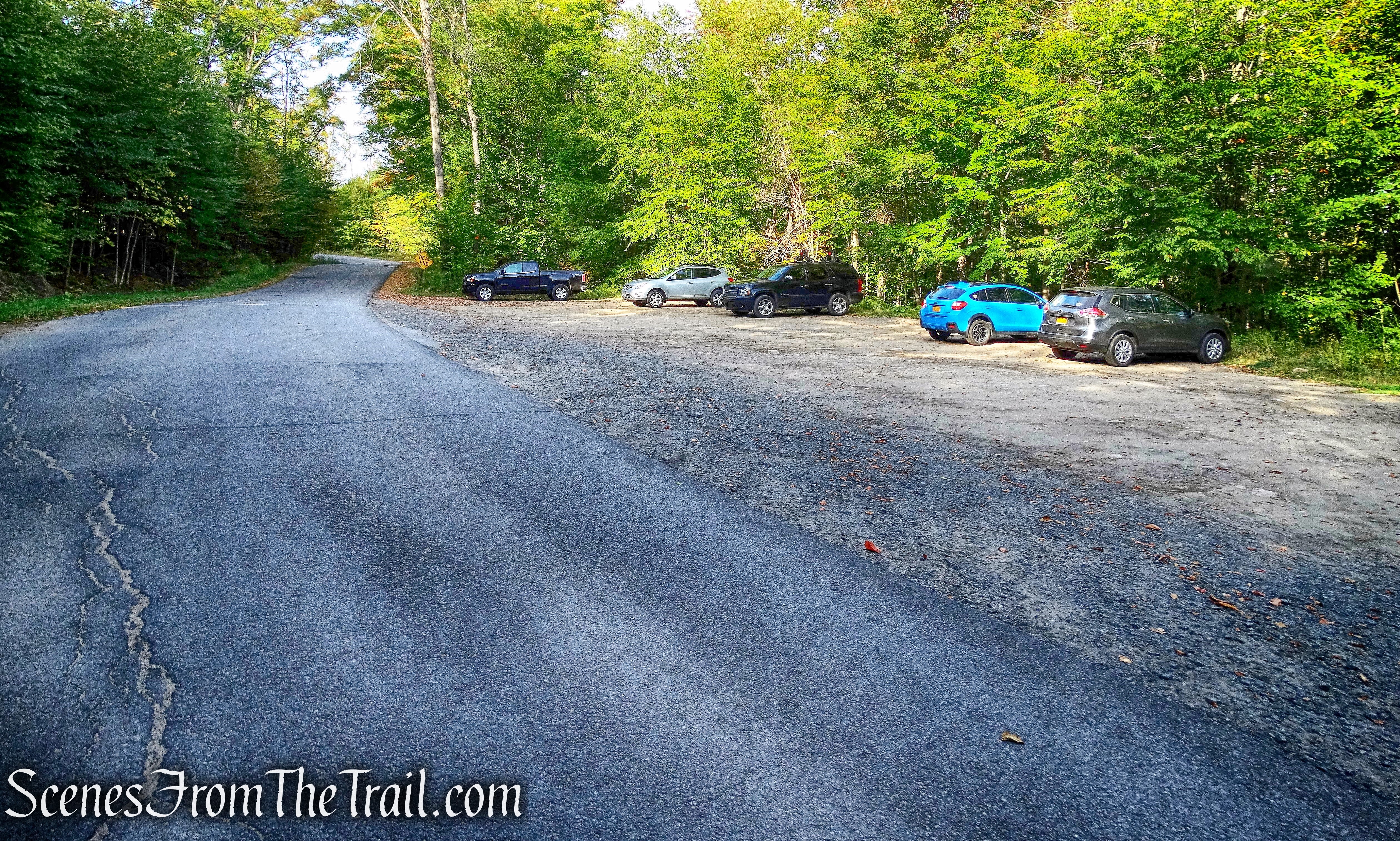
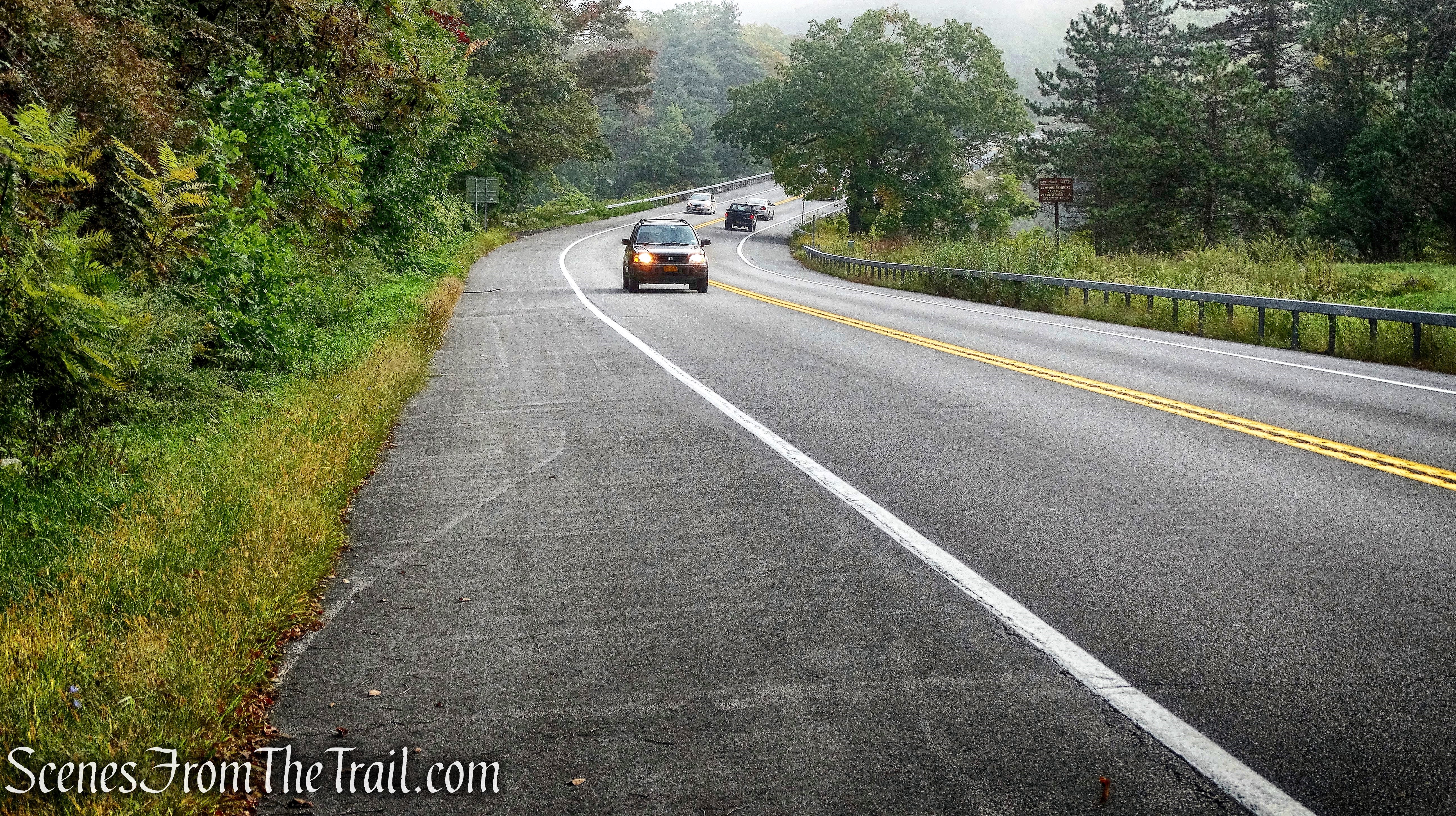
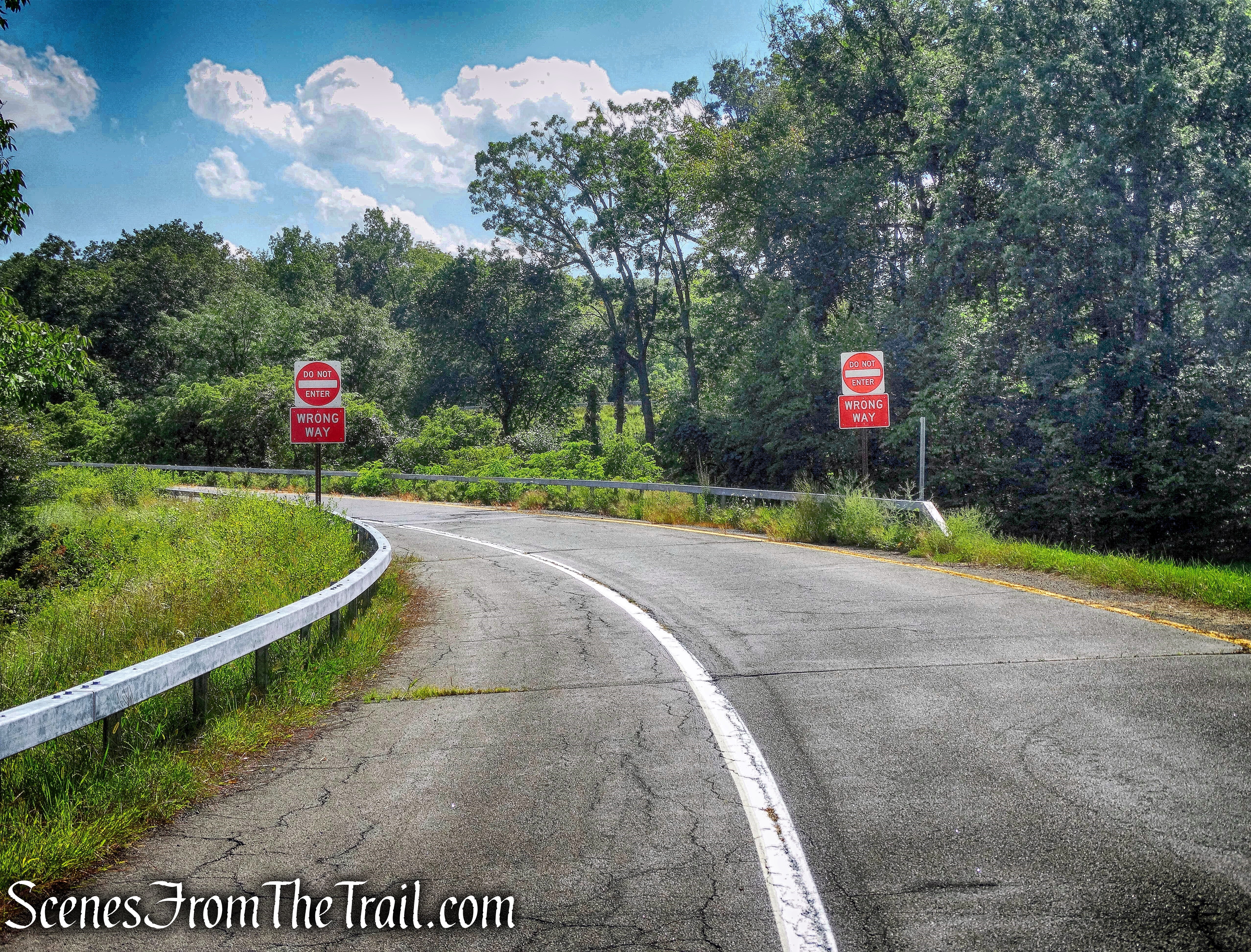
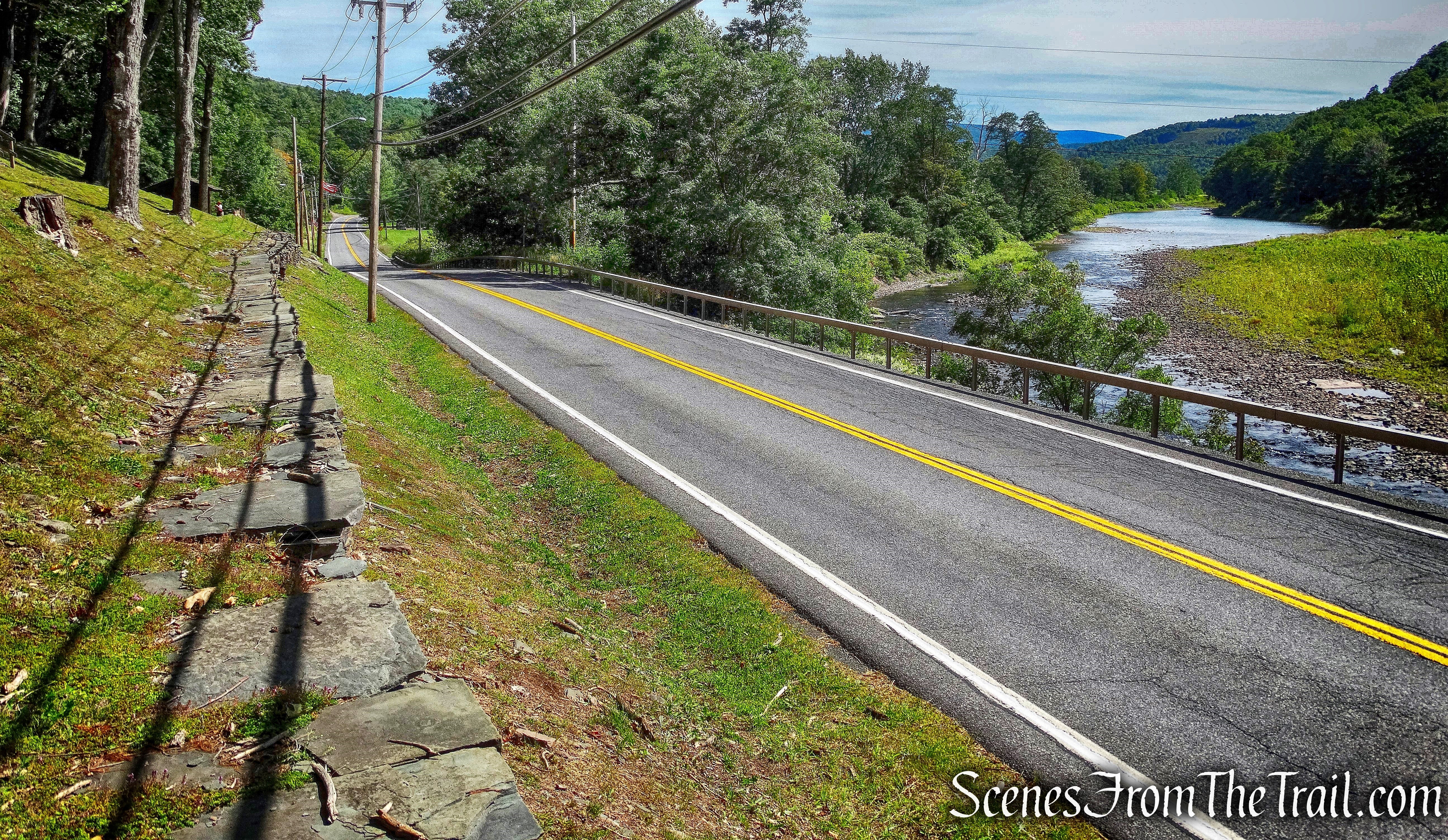
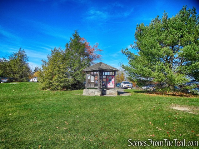
Normally I like to do weekday hikes on Monday or Tuesday, but I elected to wait until Friday hoping for more fall foliage color. After a 1-1/2 hour drive, we arrived around 9:00 am. We parked in the lot by Lake Minnewaska and there were quite a few cars already there on a chilly 40° October morning. We headed out hoping for some tranquility on the trails. We walked back down the road we drove up on and past the park maintenance center for about 0.1 mile.
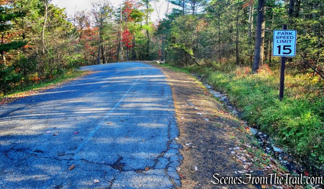
entrance road – parking area at Lake Minnewaska
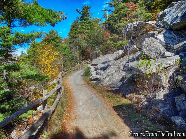
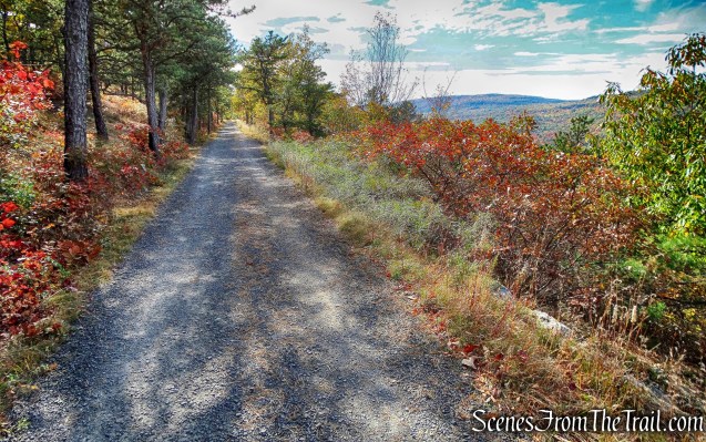
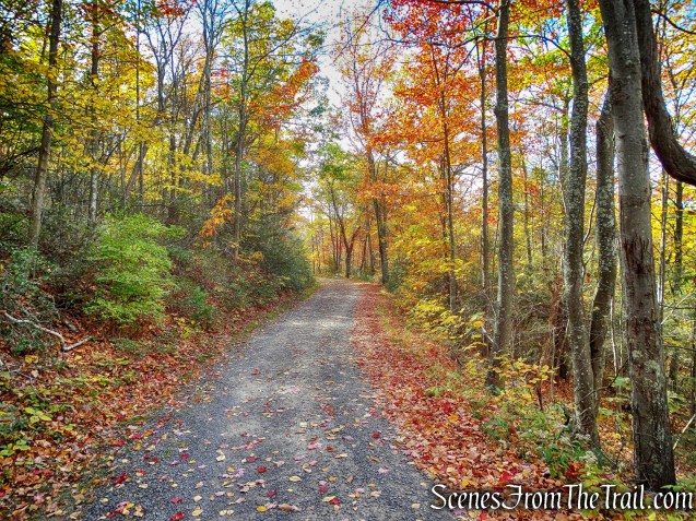
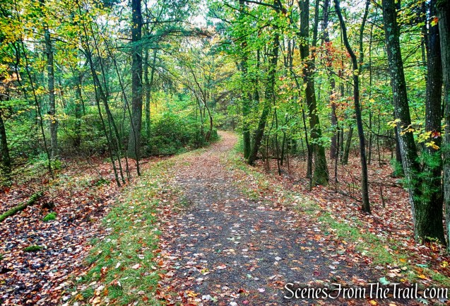
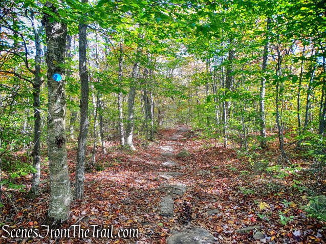
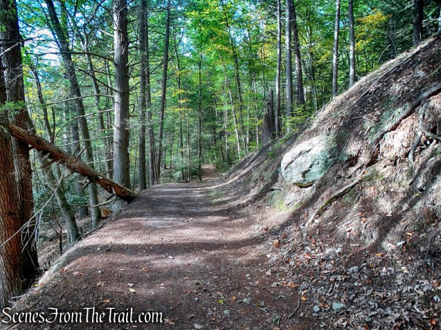
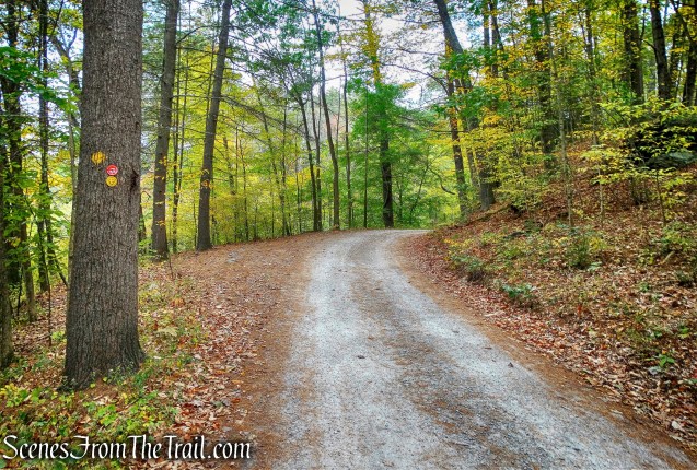
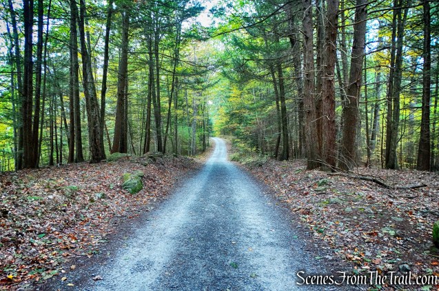
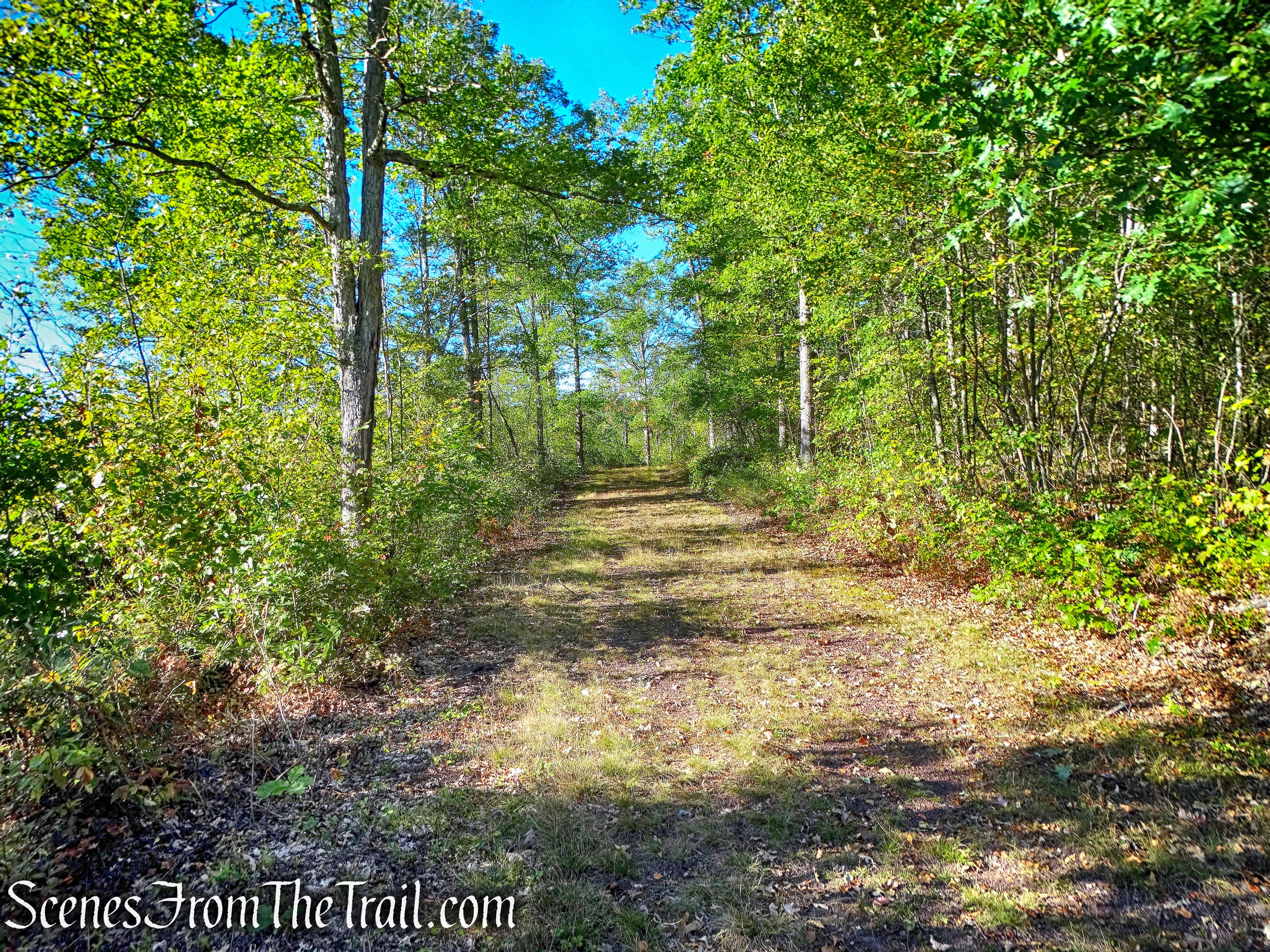
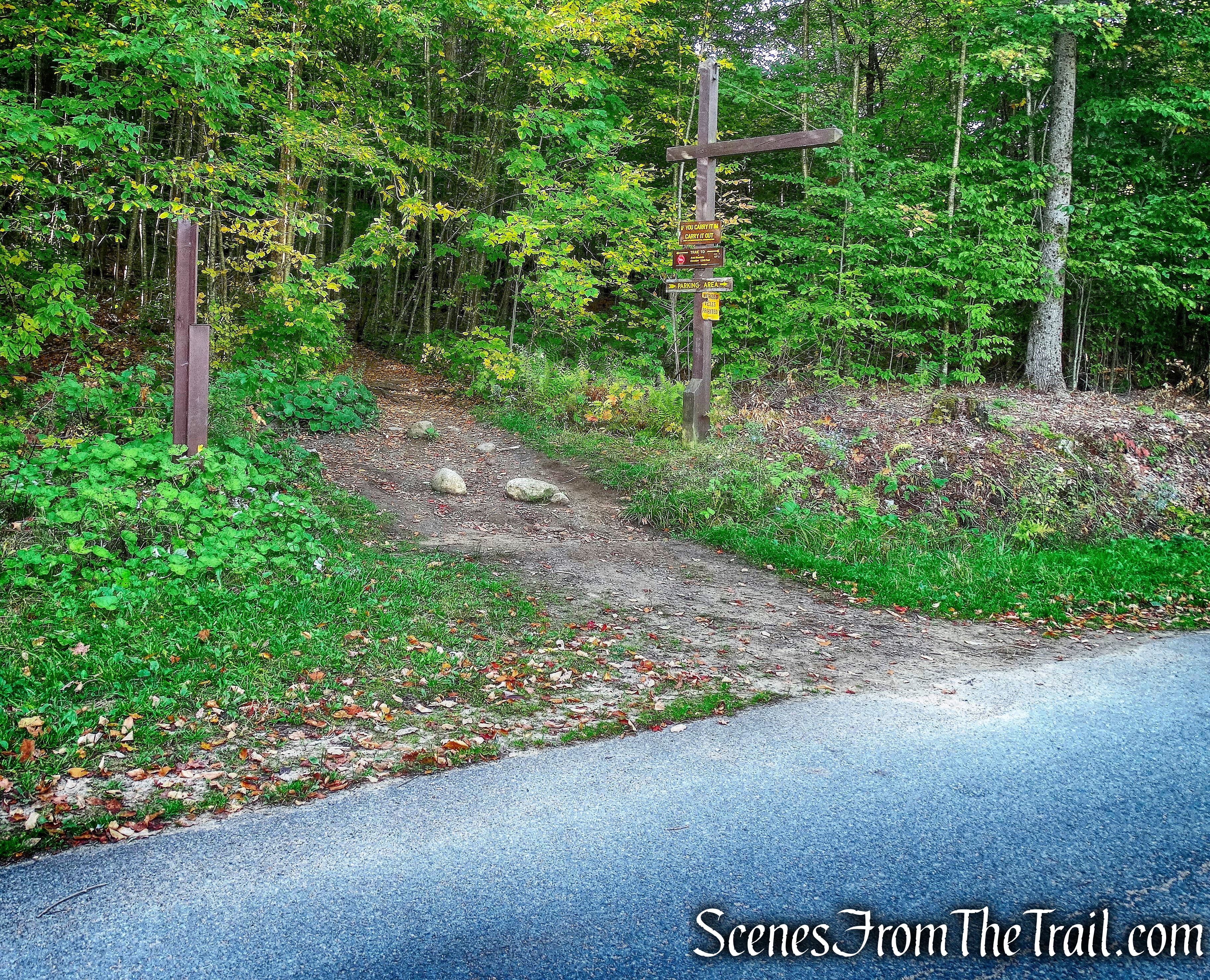
On the right side of the road is the start of the Beacon Hill Carriage Road.
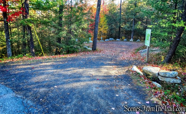
Beacon Hill Carriage Road
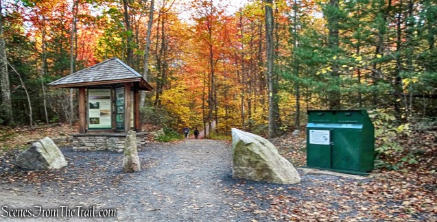
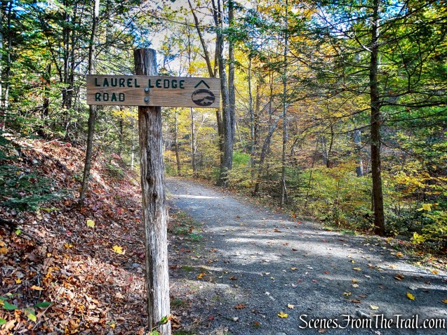
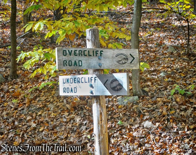
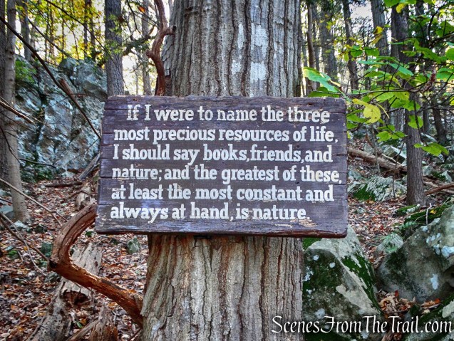
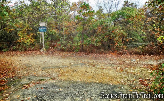
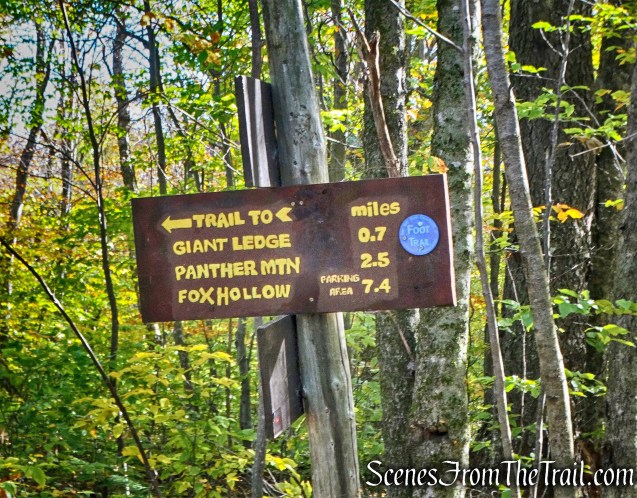
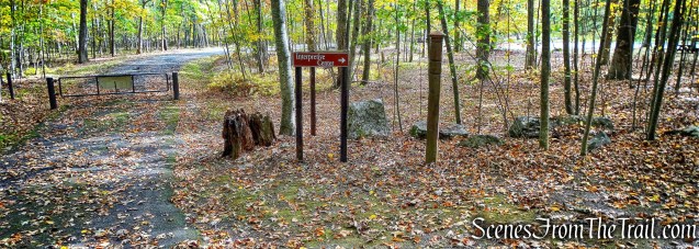
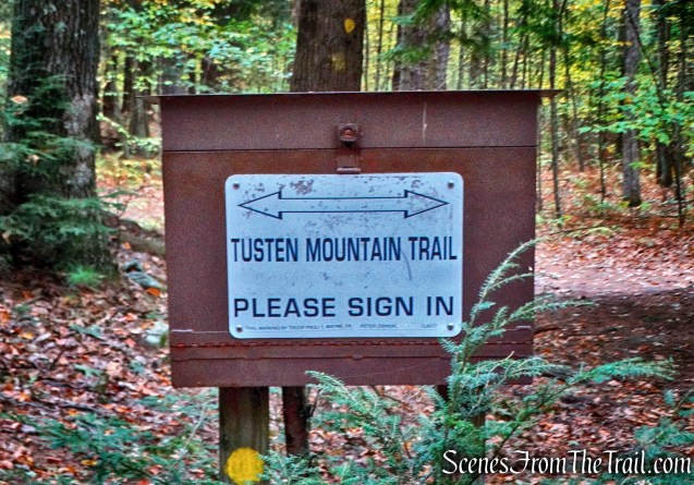
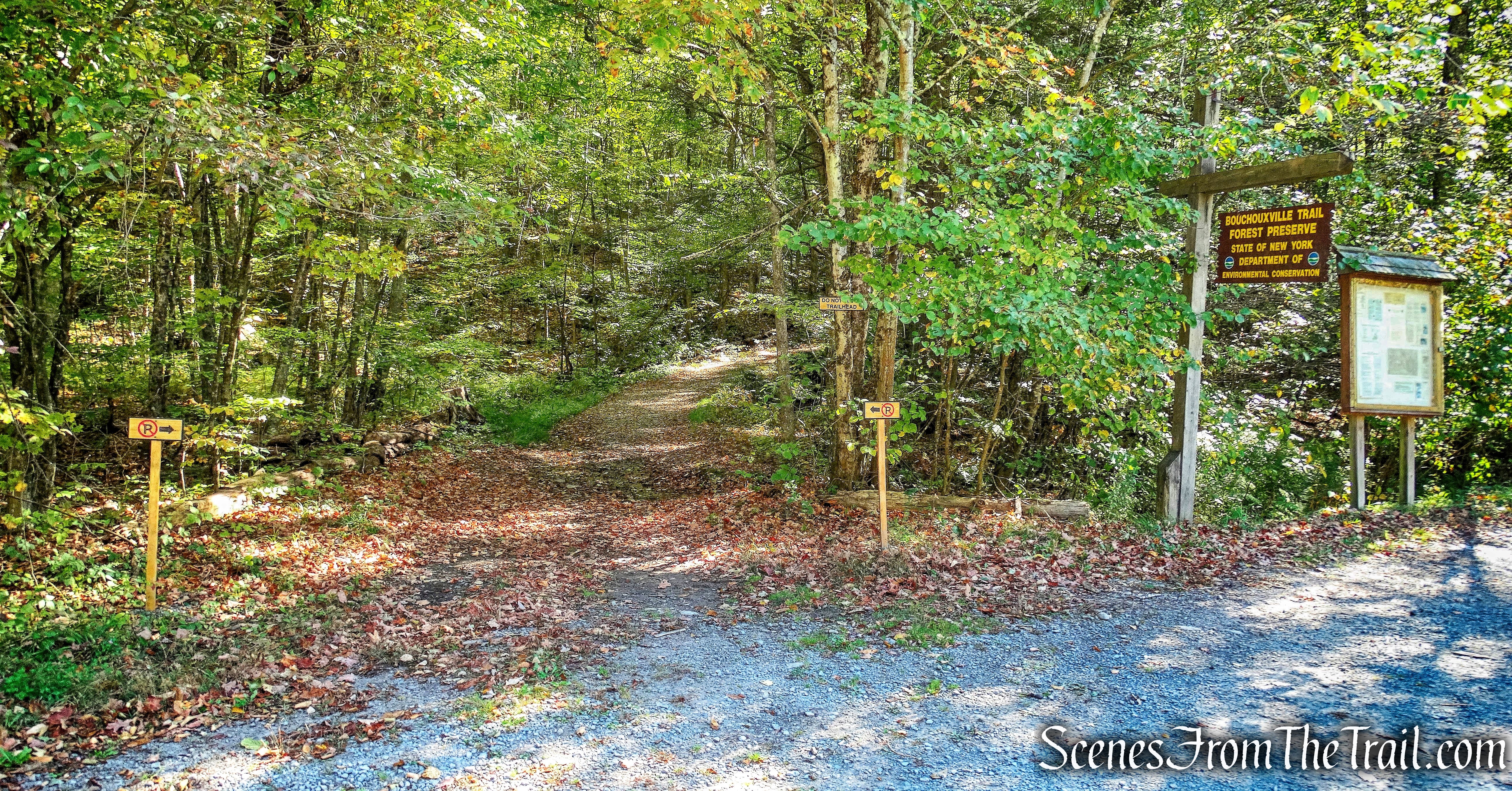
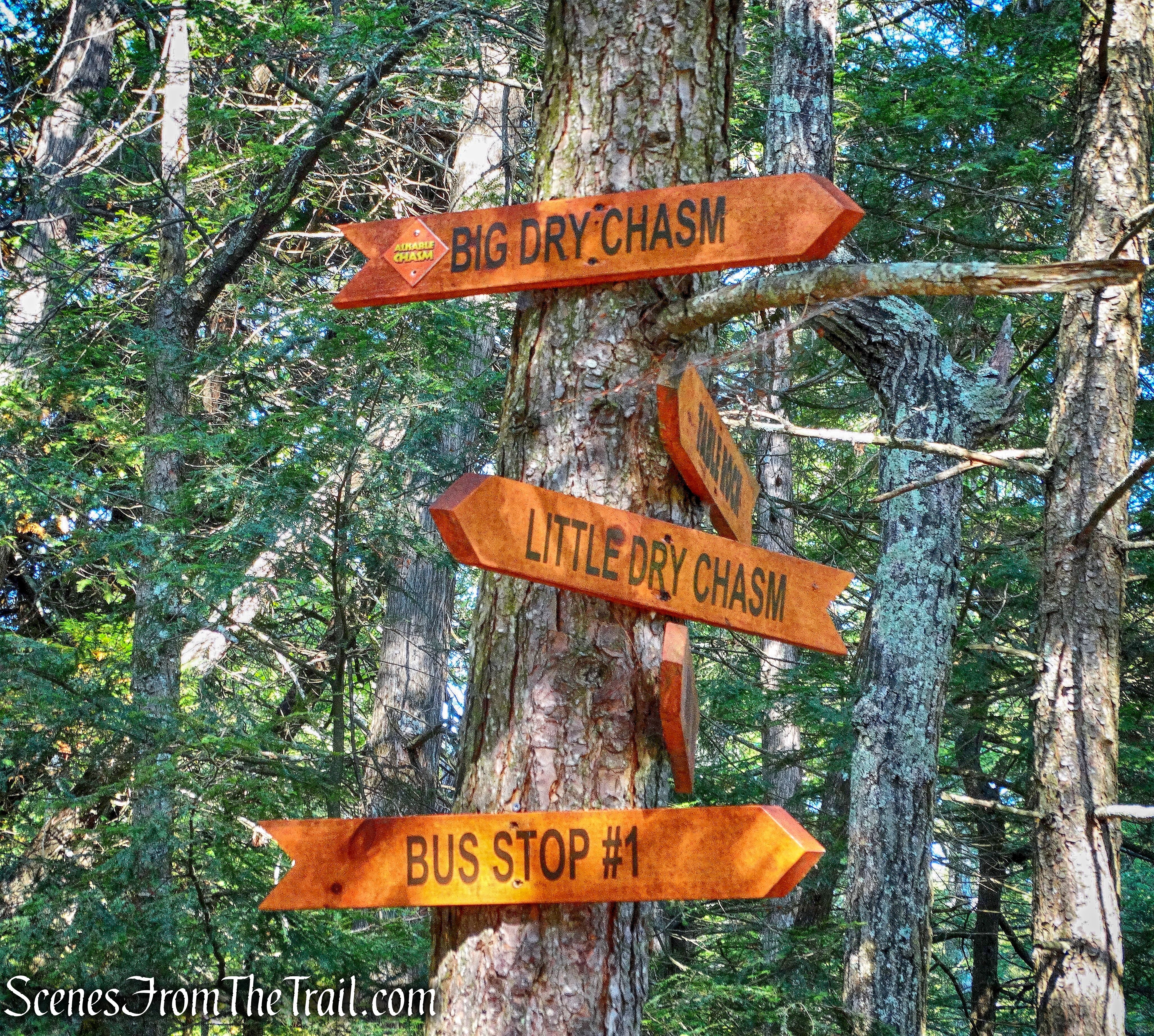
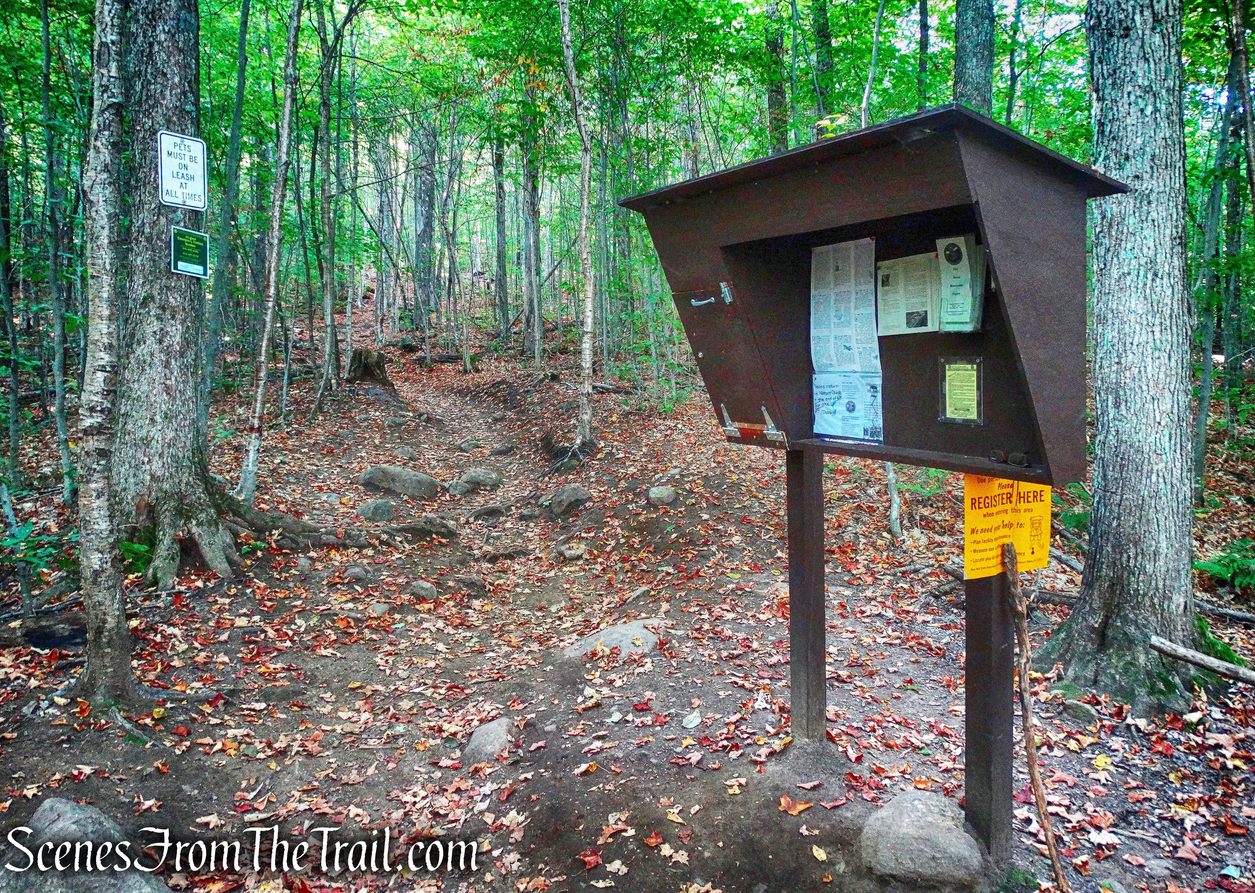
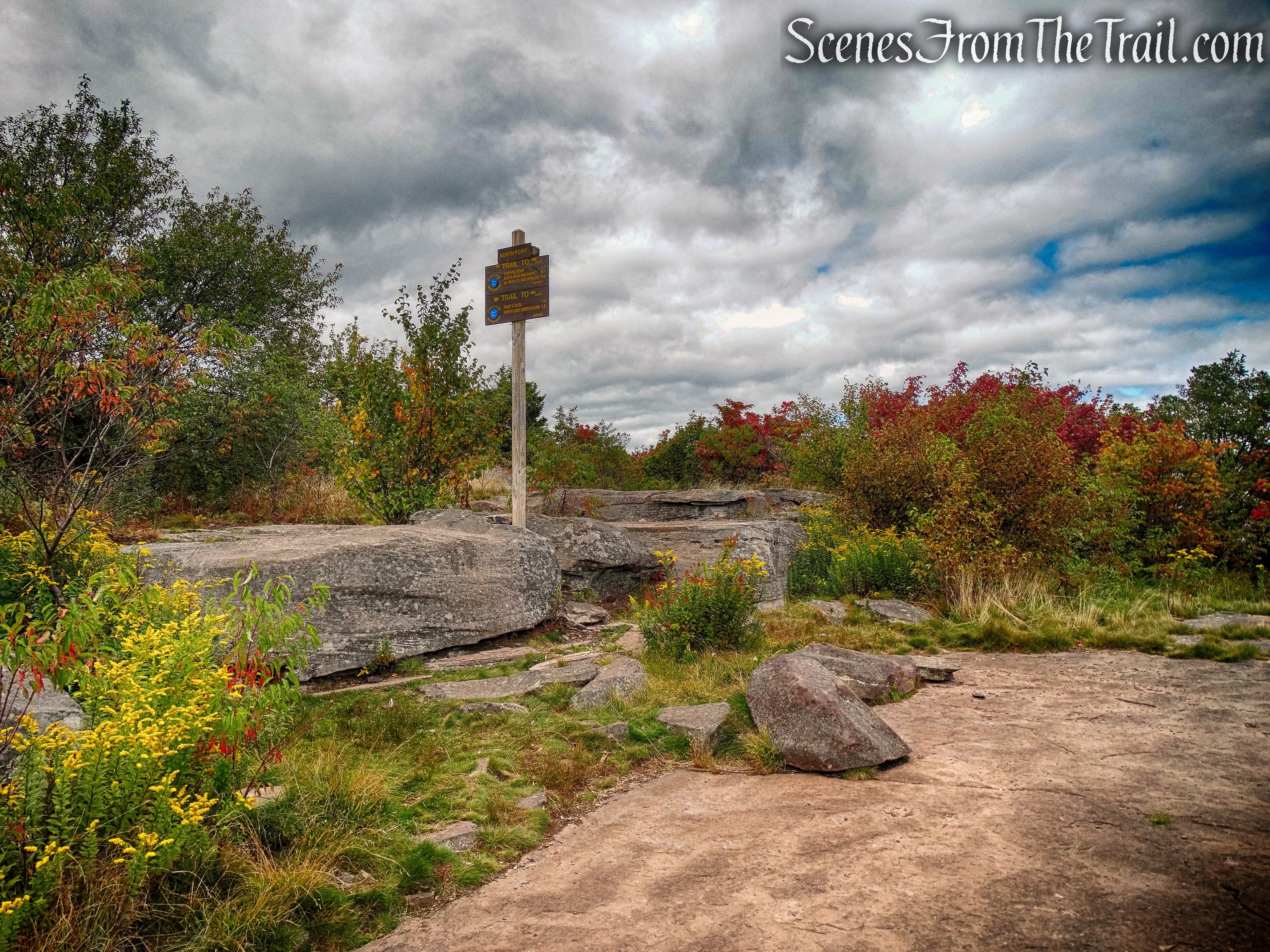
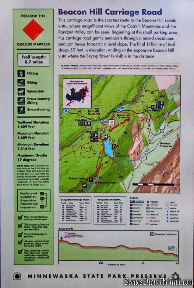
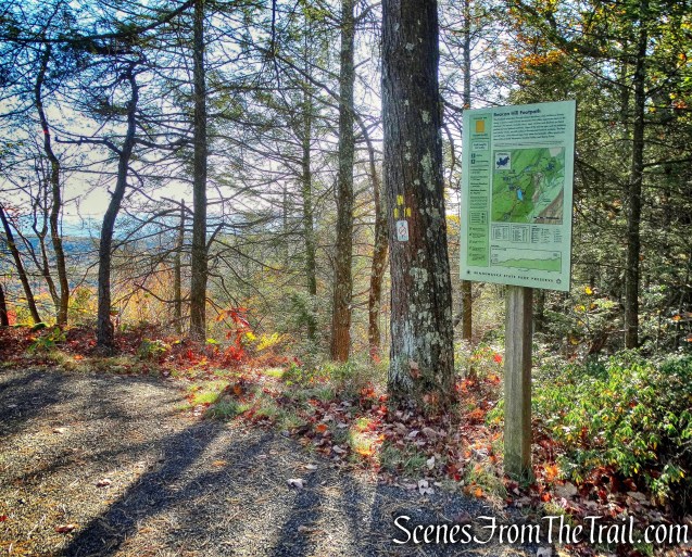
At the start of the trails and carriage roads, there are signs with a map and useful information.
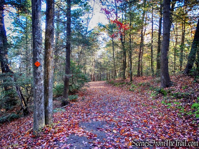
Beacon Hill Carriage Road
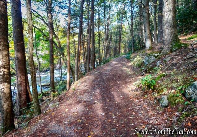
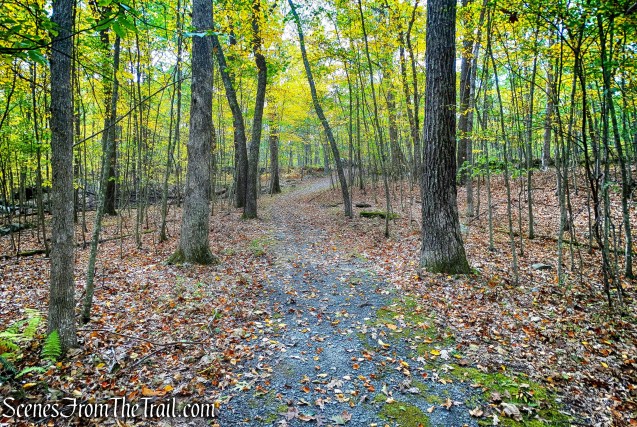
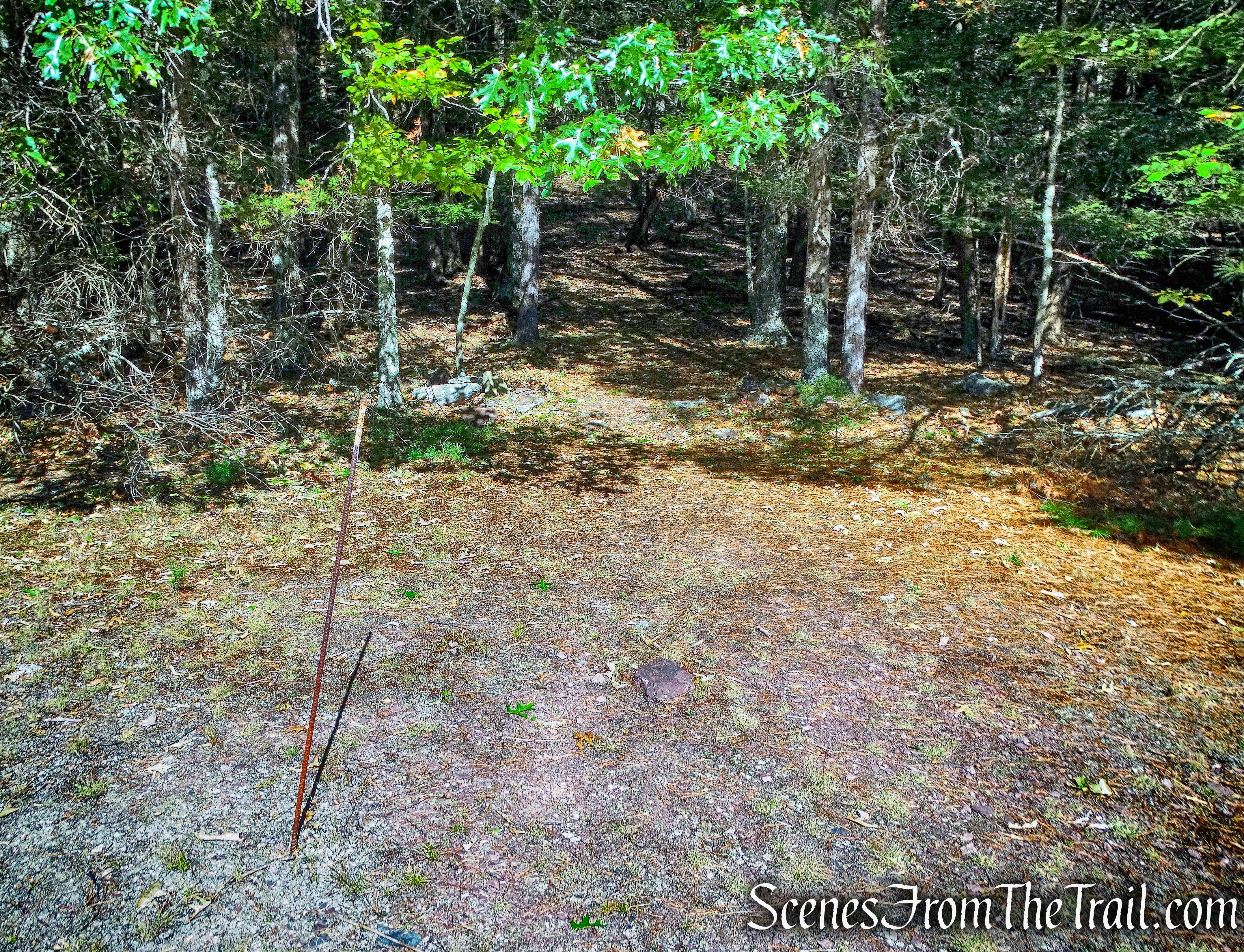
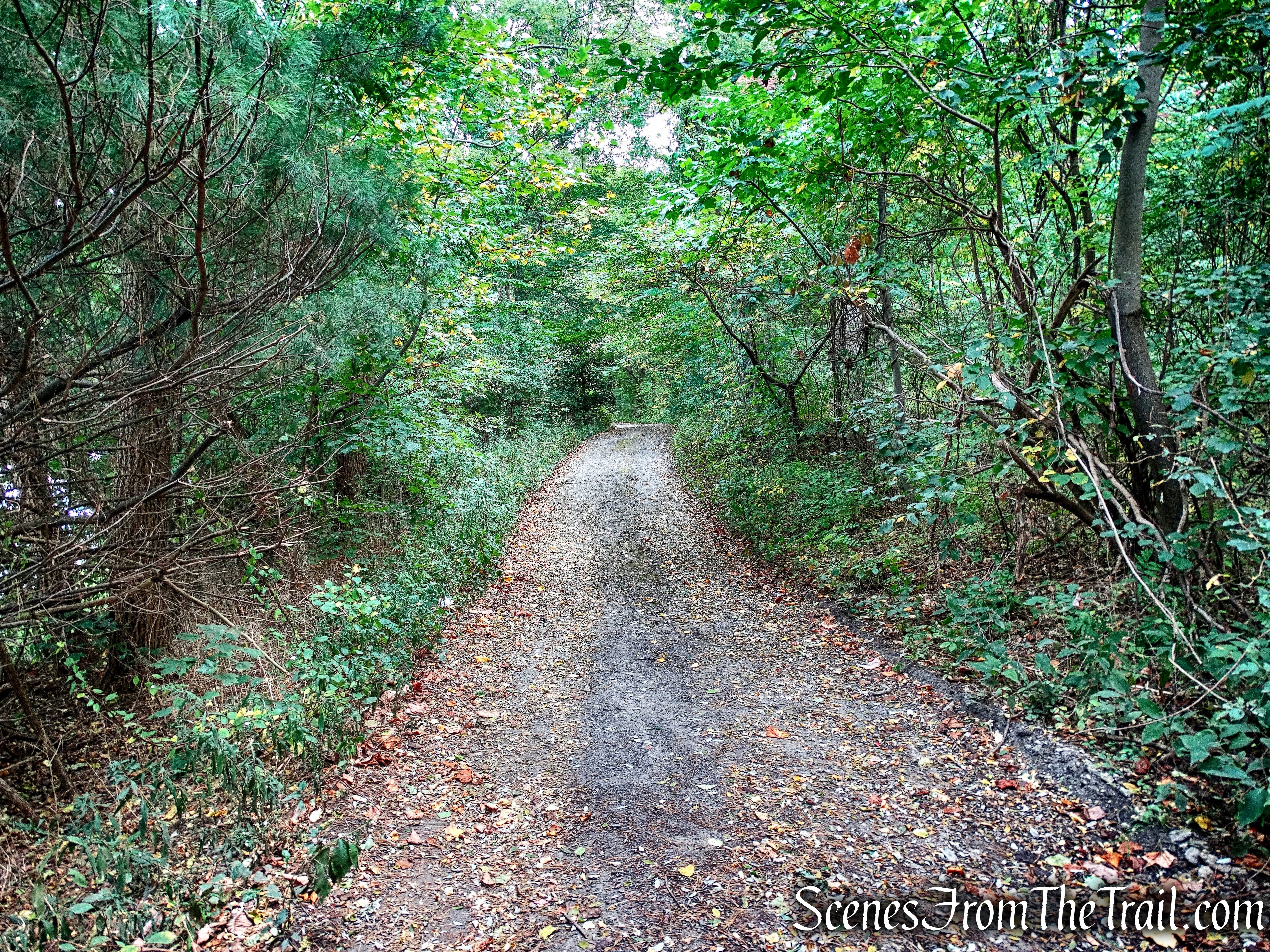
There are no views along this easy walking carriage road, but it is a scenic road in the Autumn.
Beacon Hill Carriage Road
The road ends at a rock outcrop after 0.7 miles.

Beacon Hill Carriage Road
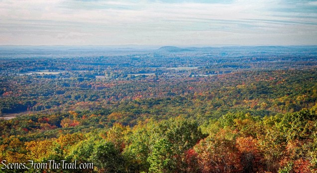
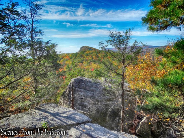
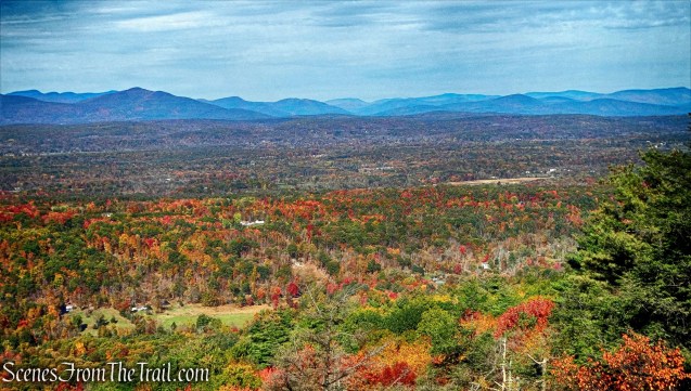
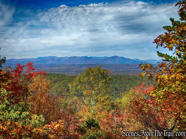
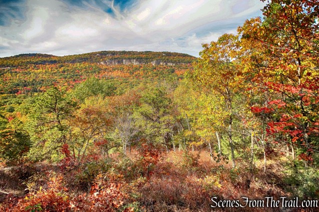
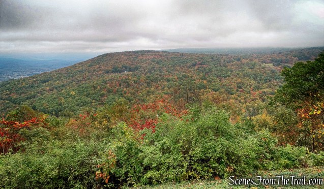
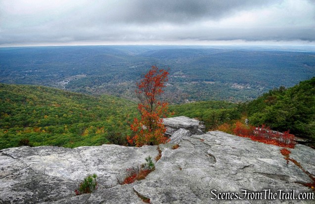
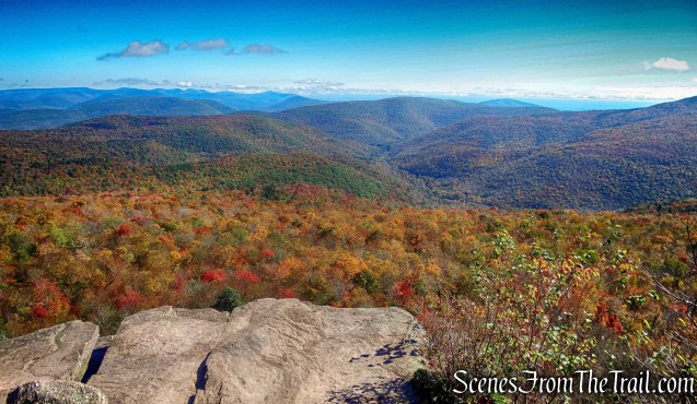
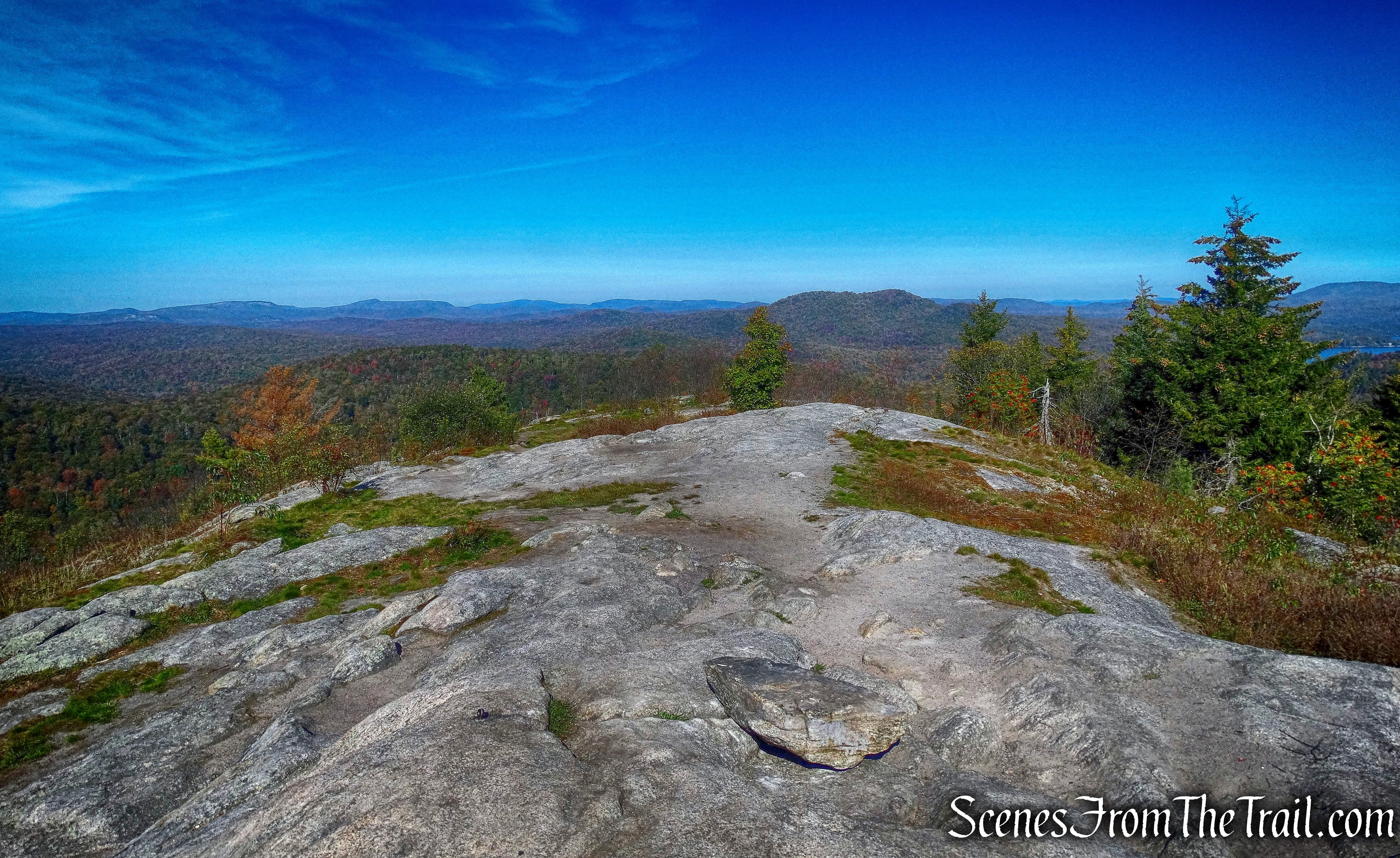
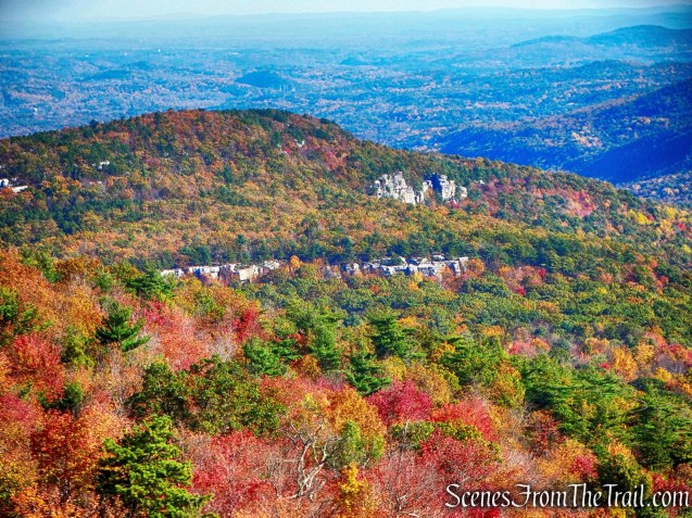
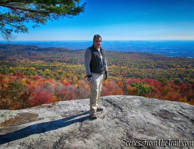
After very little effort, we were treated with our first views of the day.
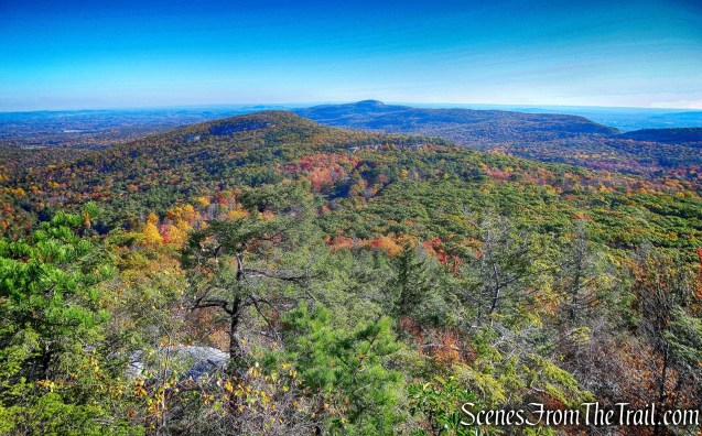
View from Beacon Hill Carriage Road
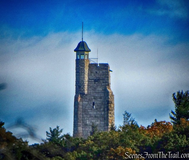
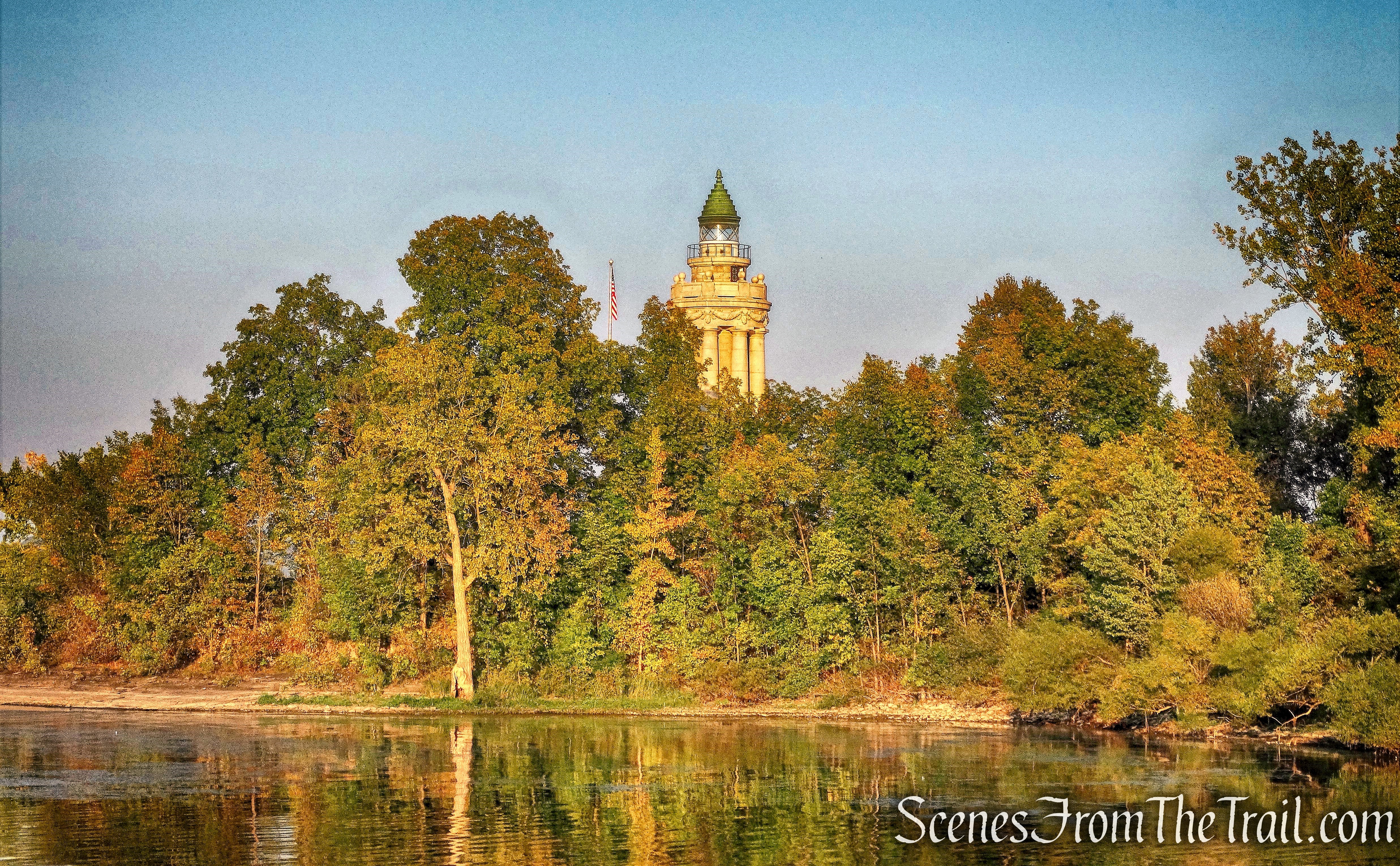
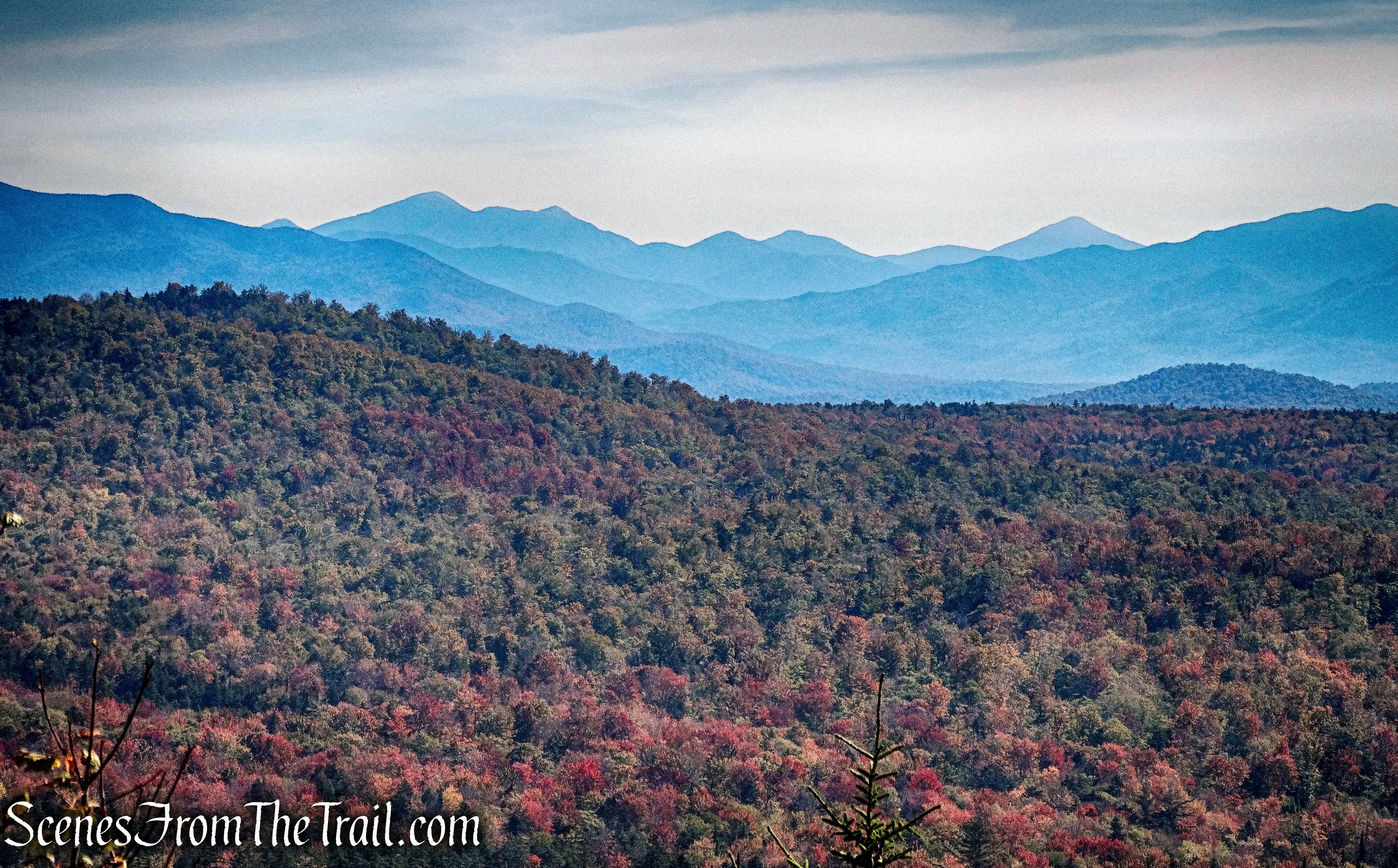
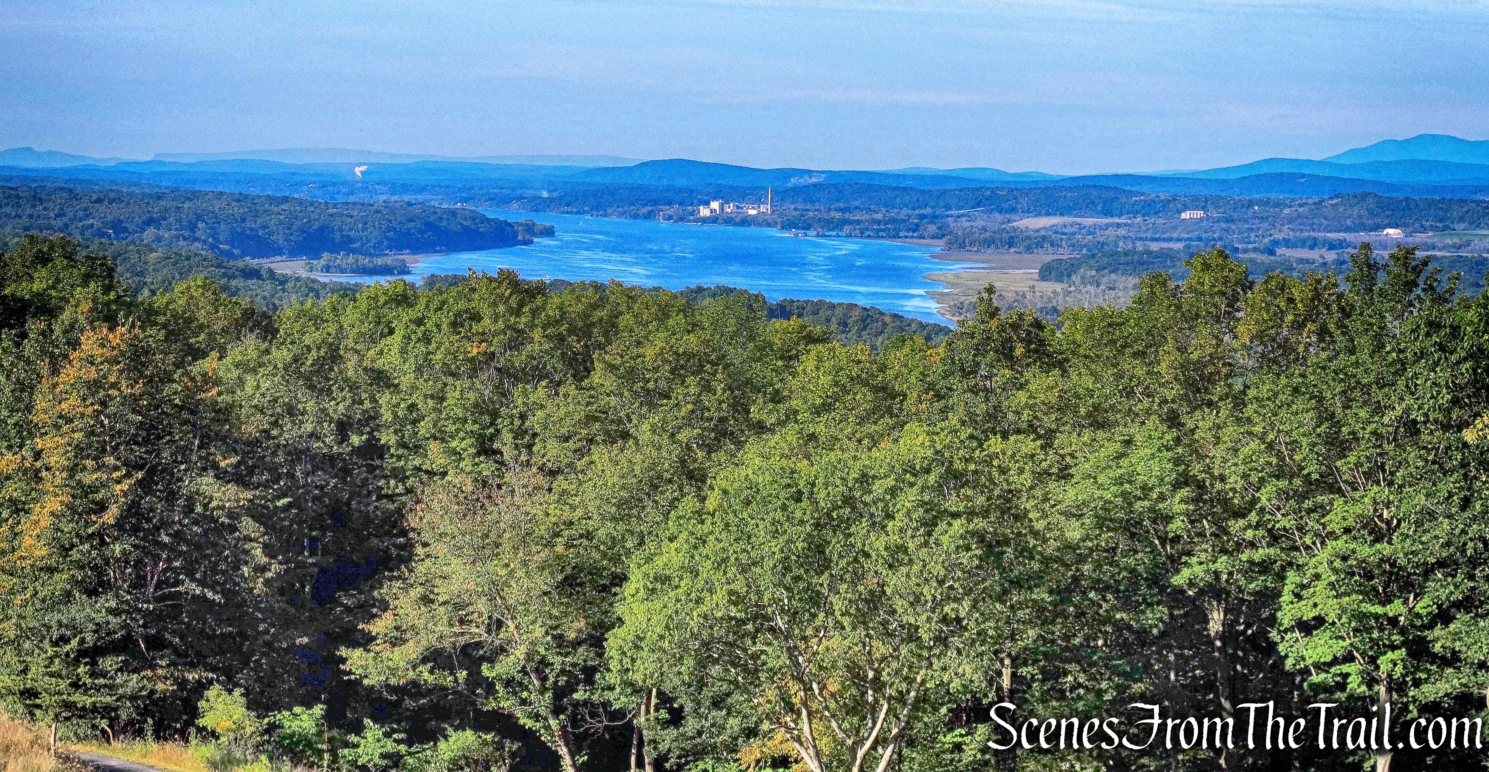
In the distance, the Albert K. Smiley Memorial Tower is visible on Skytop Cliff at the Mohonk Mountain House property.
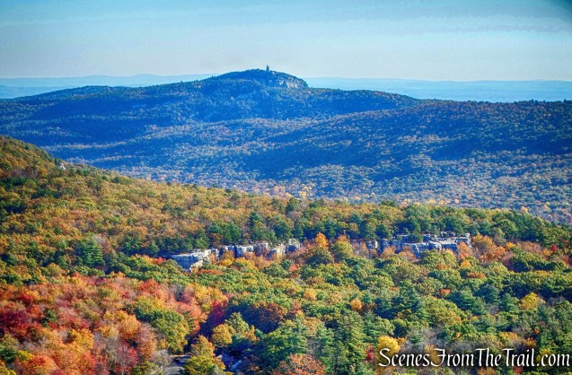
View from Beacon Hill Carriage Road
The Catskills are also visible in the distance to the left.
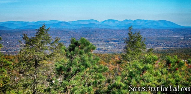
View from Beacon Hill Carriage Road
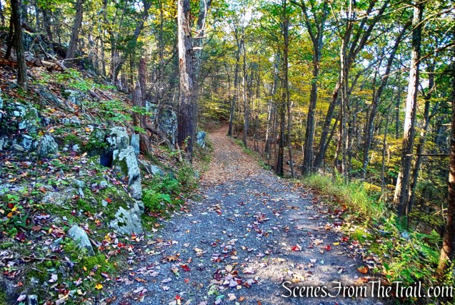
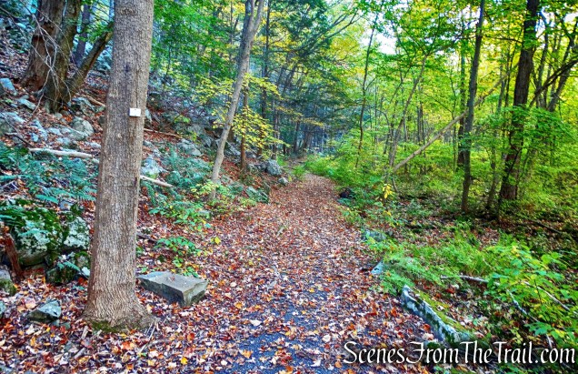
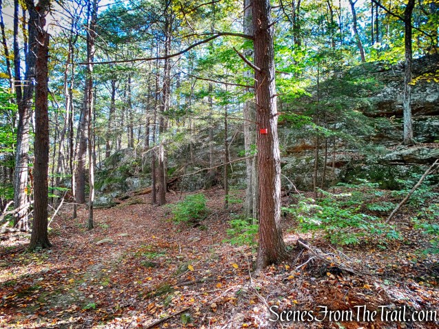
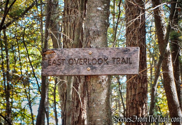
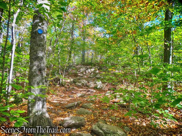
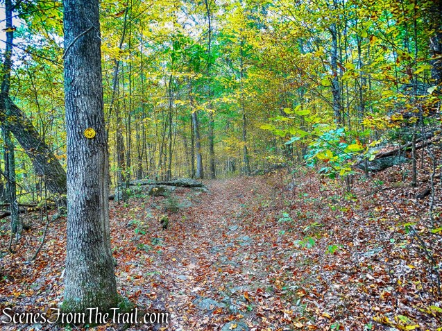
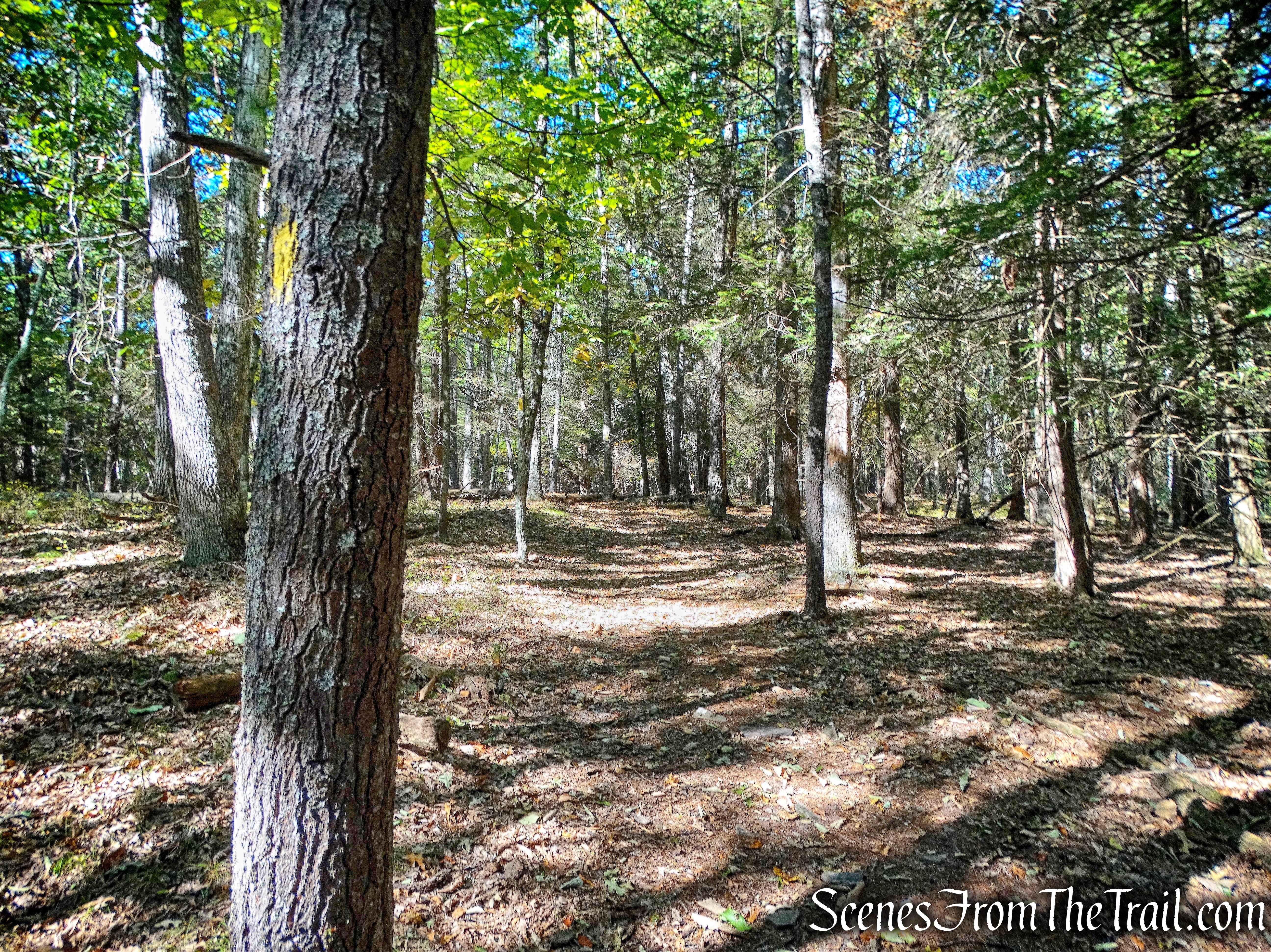
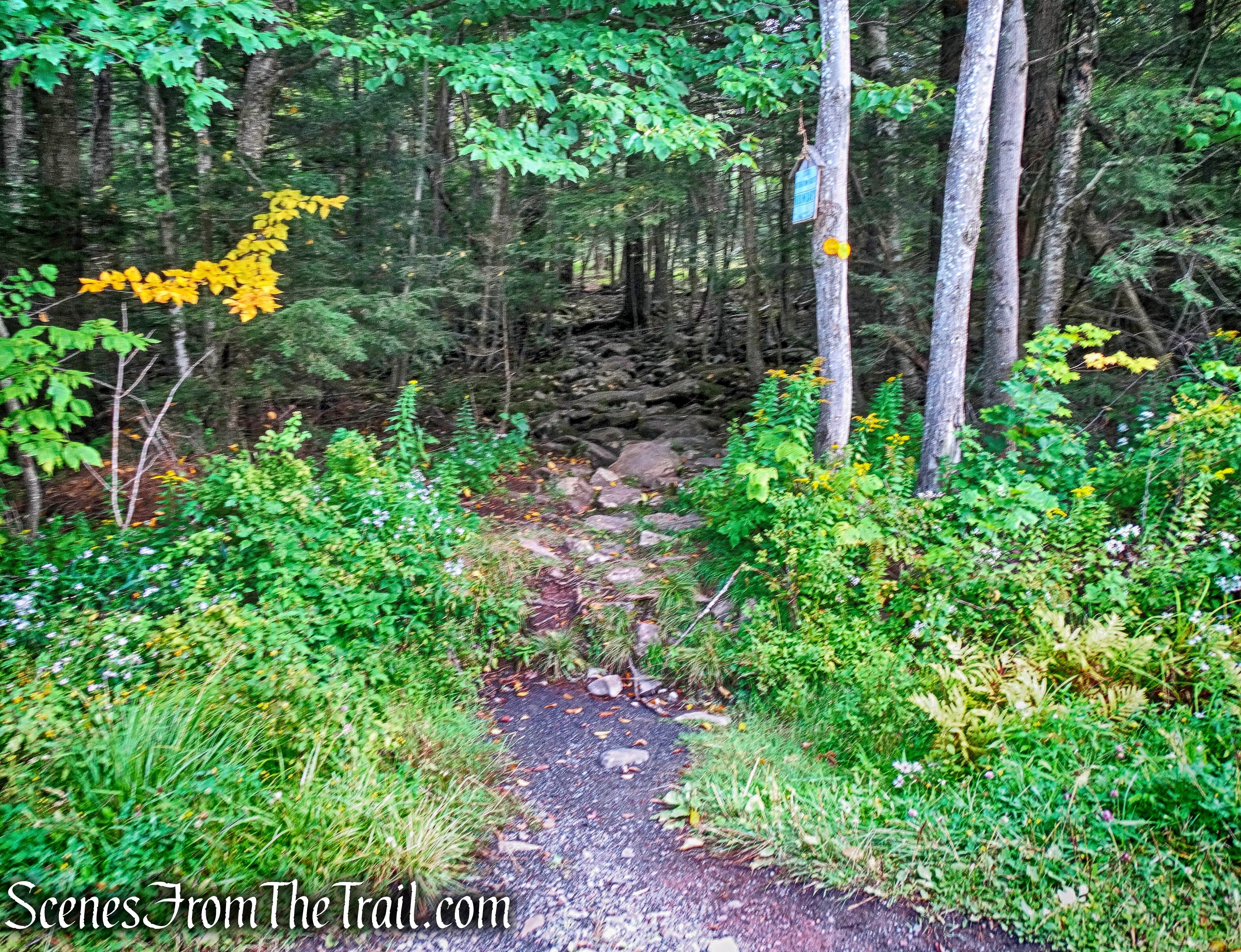
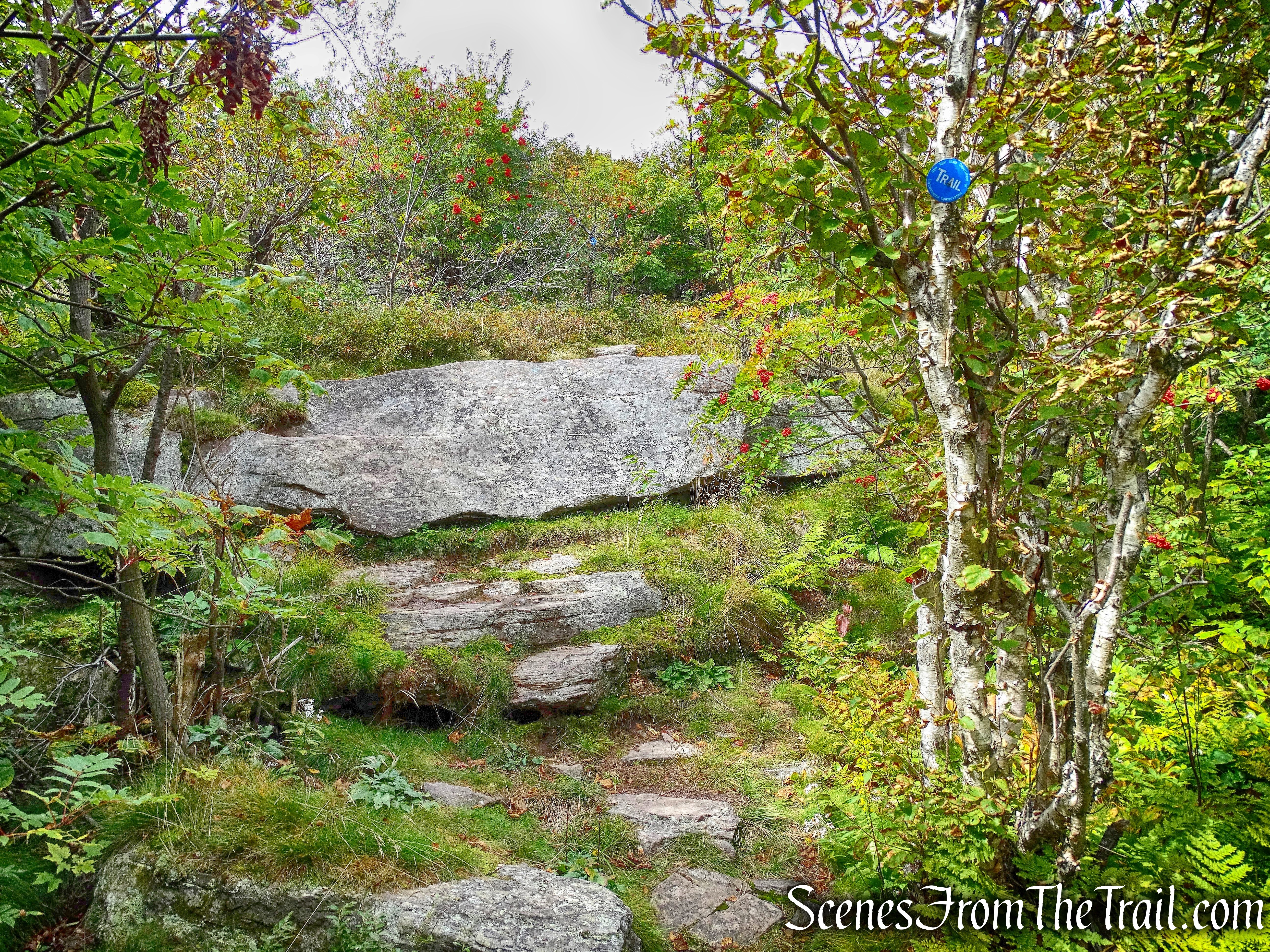
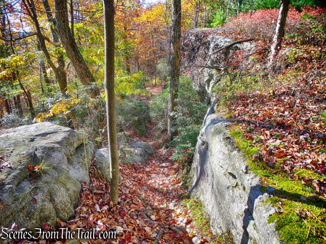
After taking in the views, we proceeded onto the Beacon Hill Trail which is marked with yellow blazes.
Beacon Hill Trail
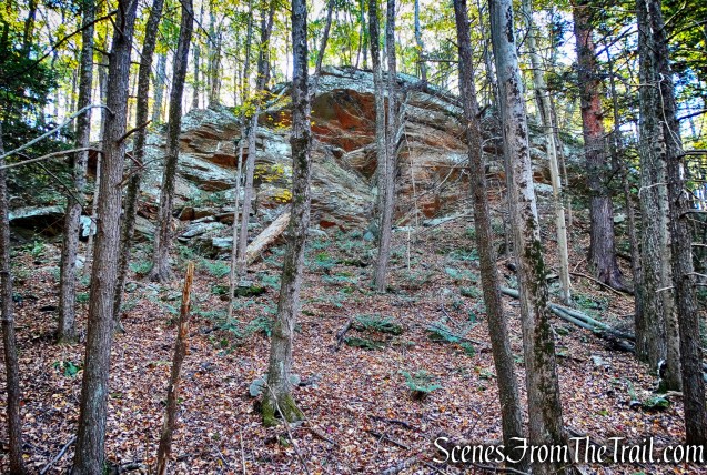
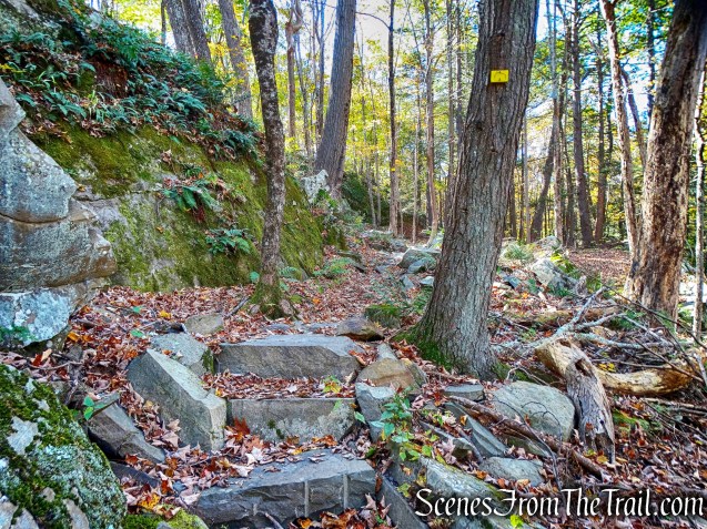
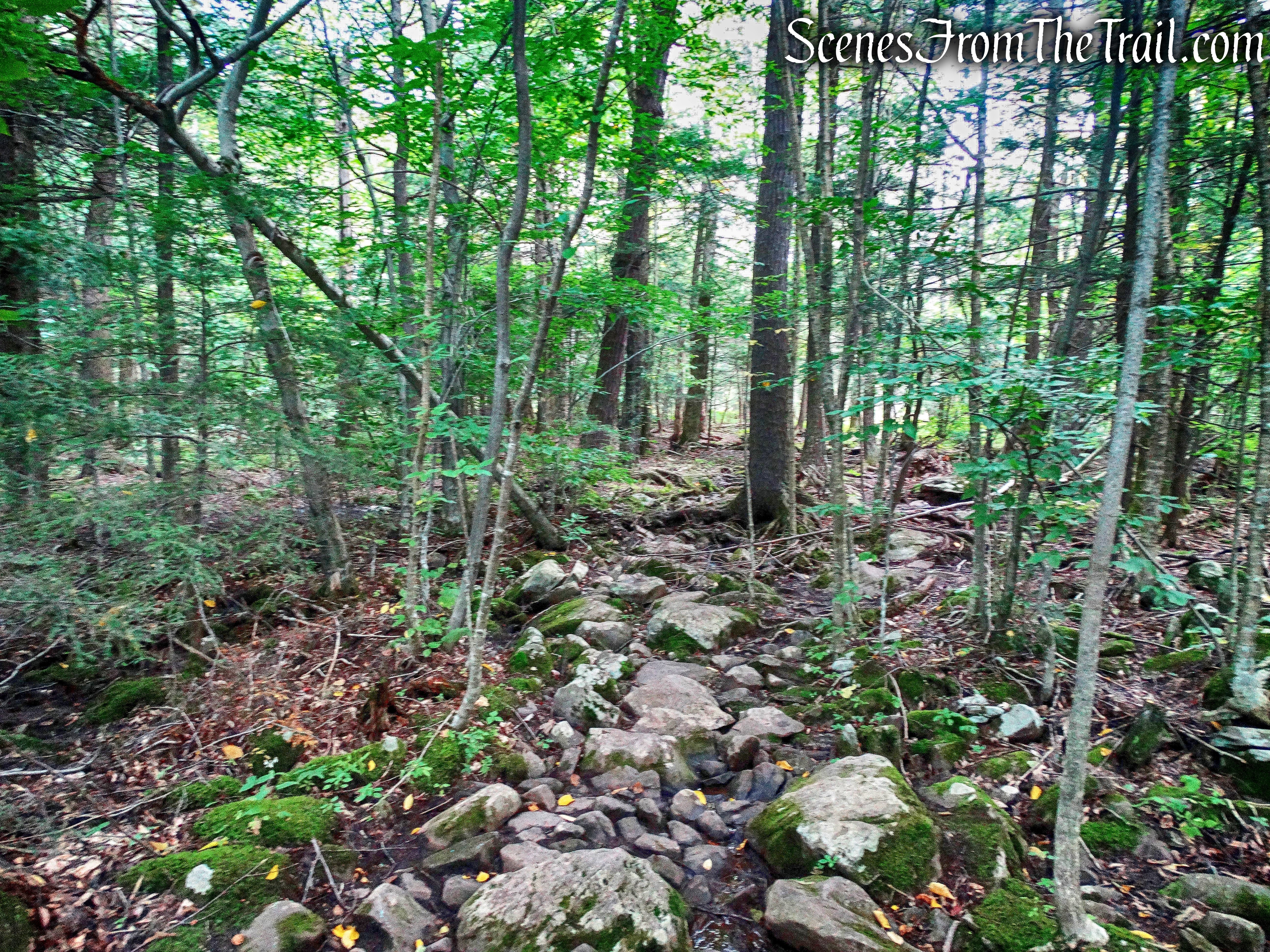
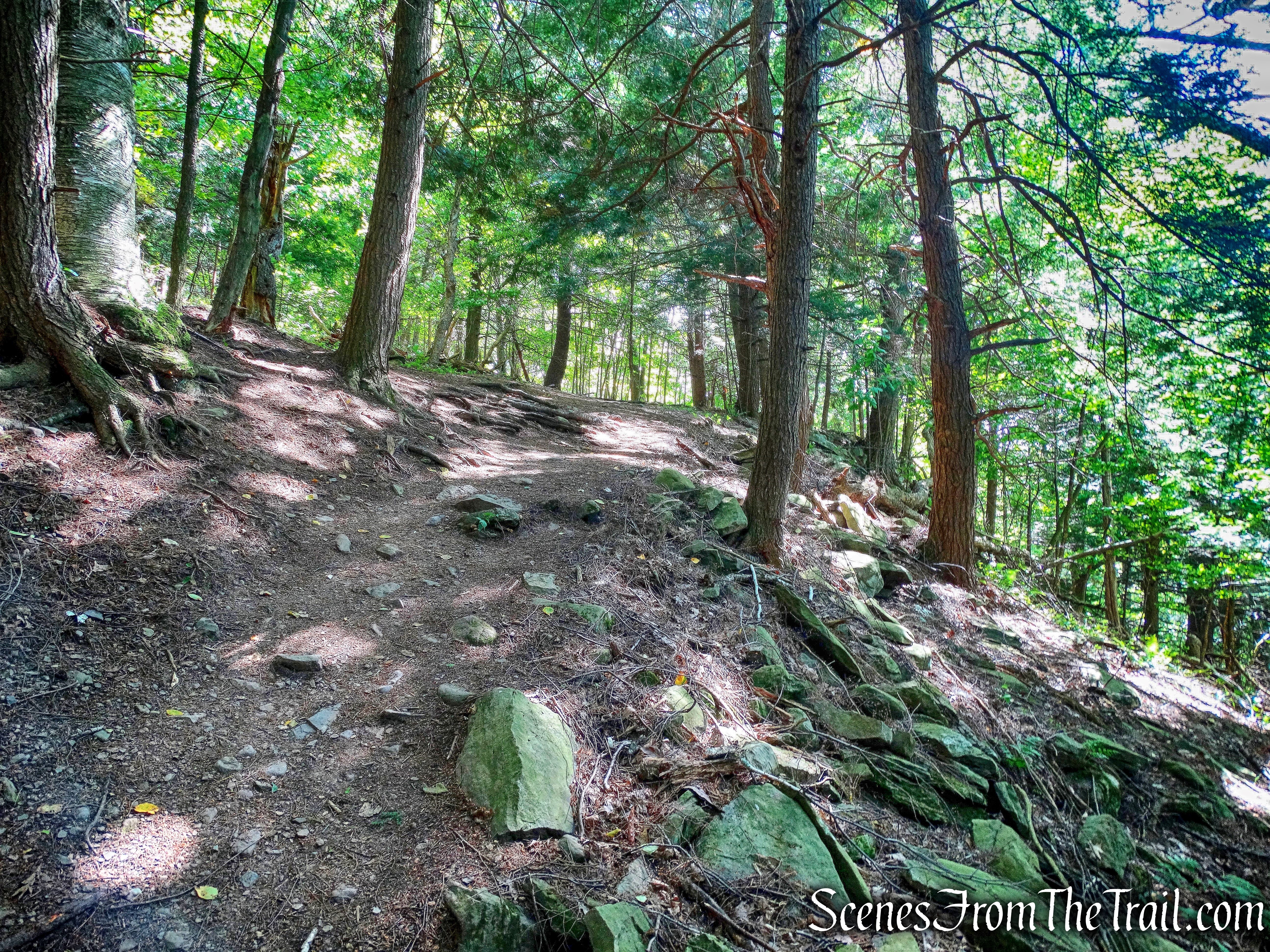
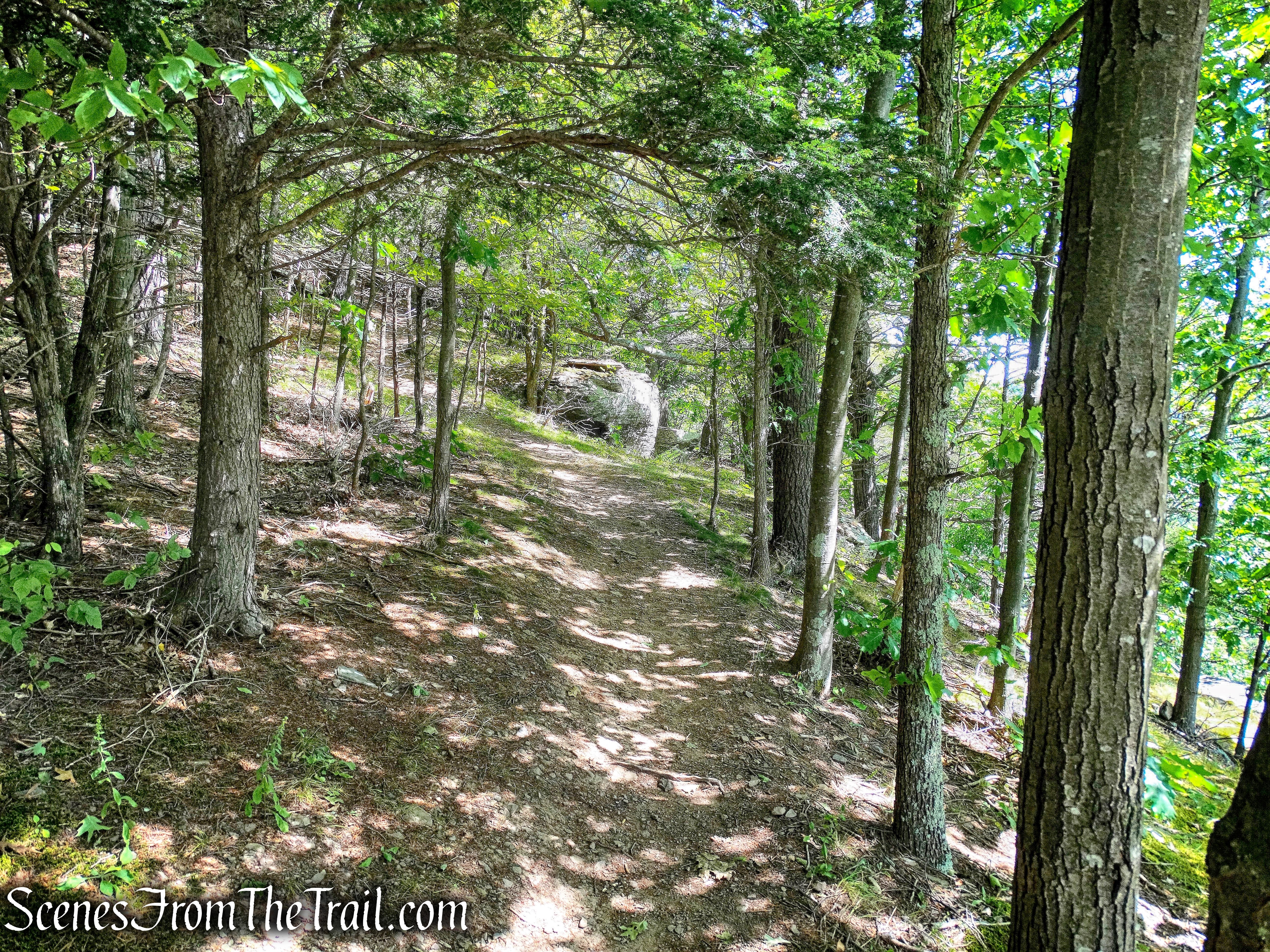
The trail descends slightly to cross a seasonal stream, then begins a steady ascent. It continues through the woods, climbing gradually.
Beacon Hill Trail
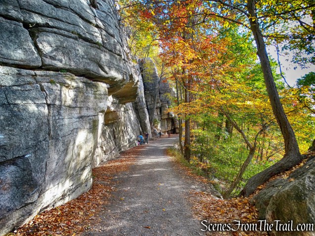
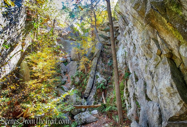
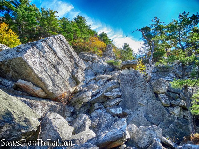
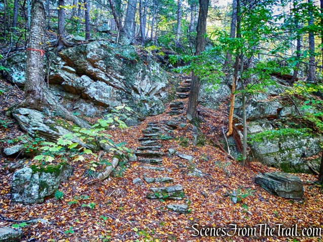
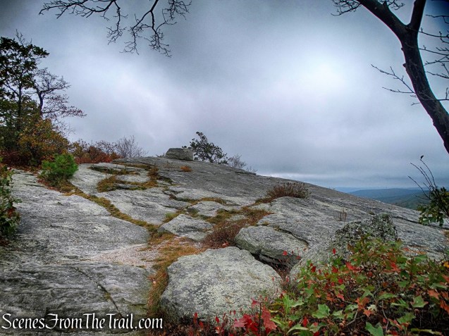
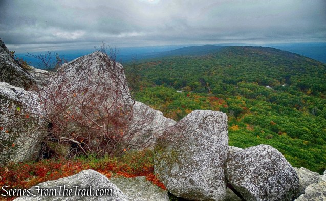
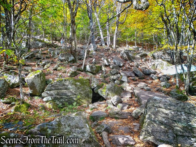
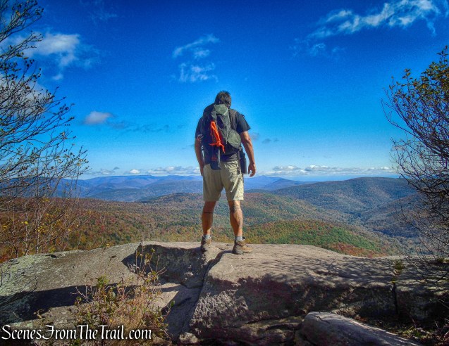
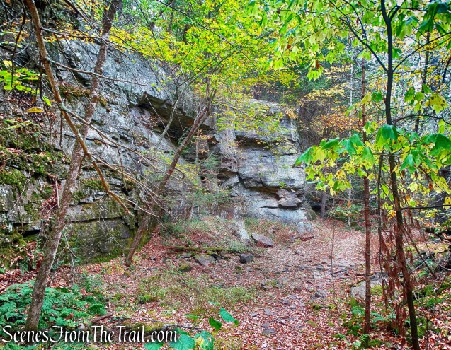
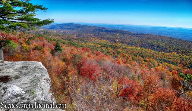
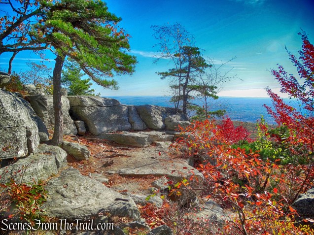
After a steeper climb, it comes out on rock ledge.
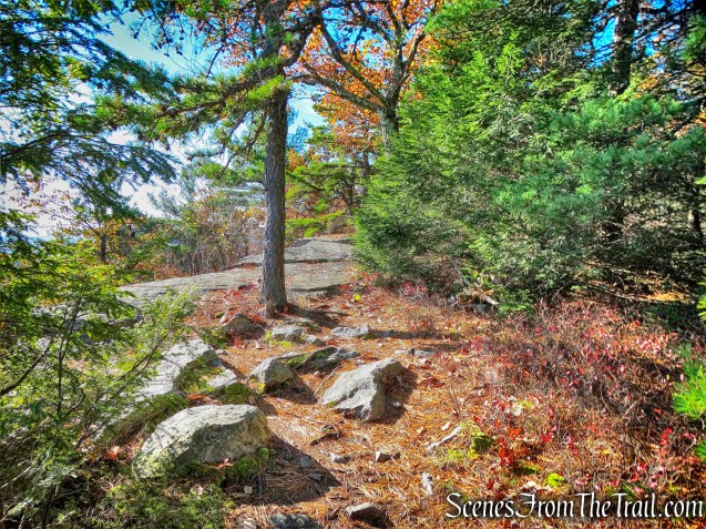
Beacon Hill Trail
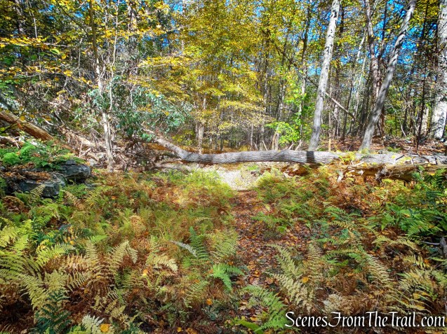
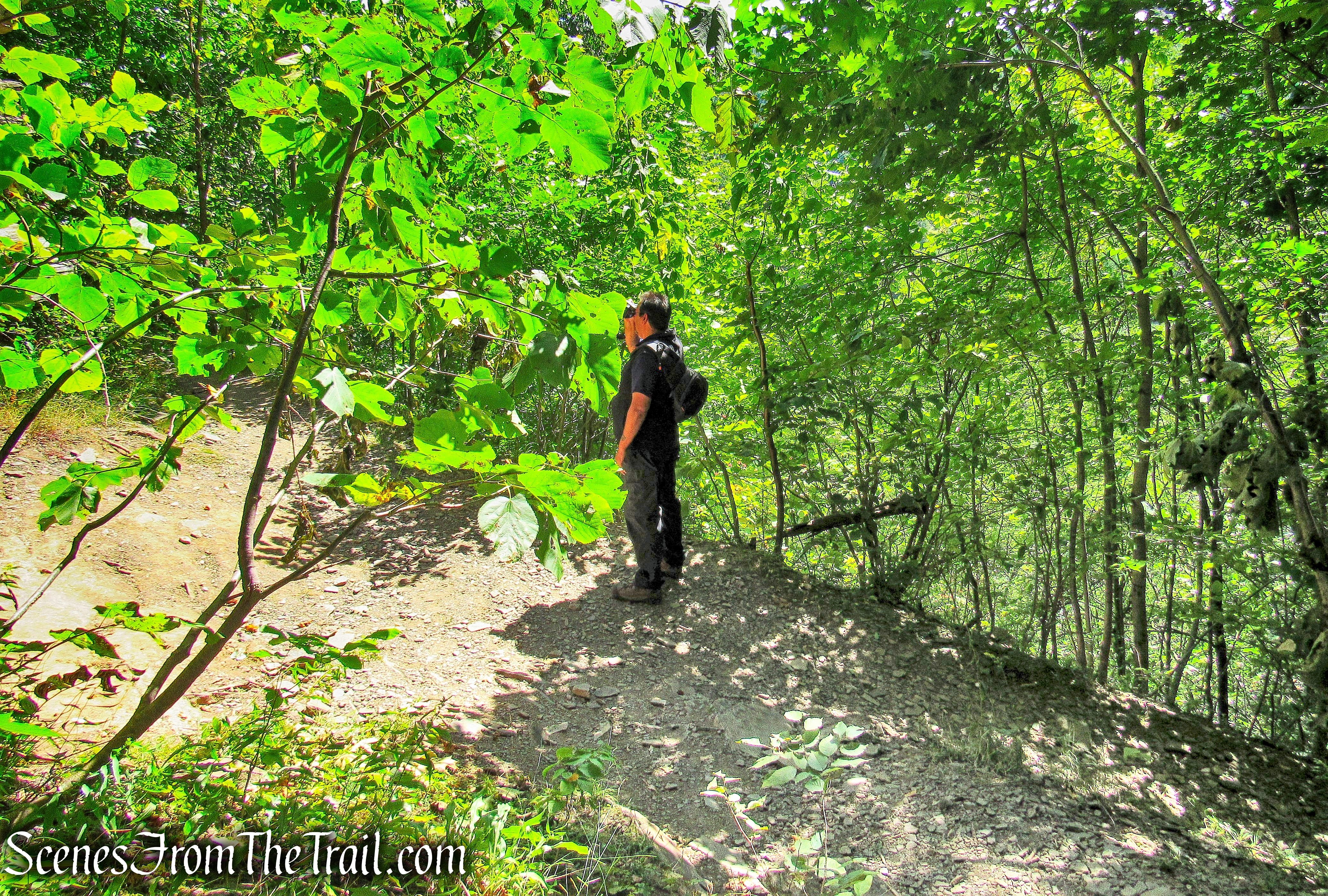
There are partially obstructed views through the trees, but this is a beautiful section of trail and we found ourselves alone the entire time we were on it.

Beacon Hill Trail
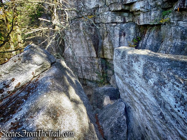
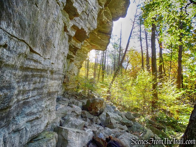
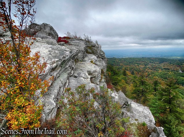
The trail continues along the edge of the cliffs for a while…..
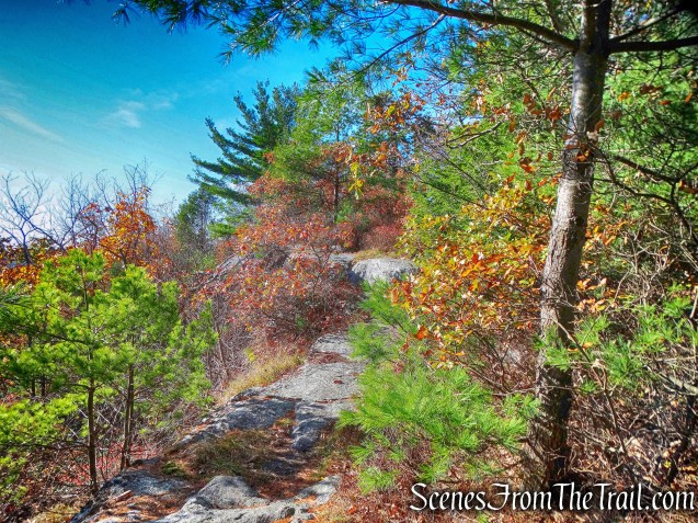
Beacon Hill Trail
with views of the surrounding hills and countryside along the way.
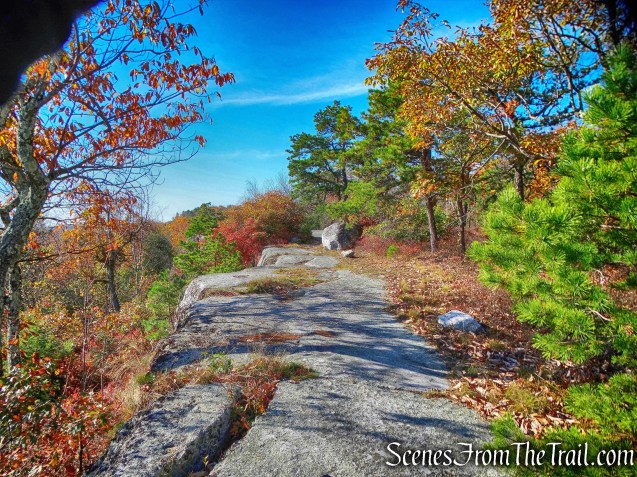
Beacon Hill Trail
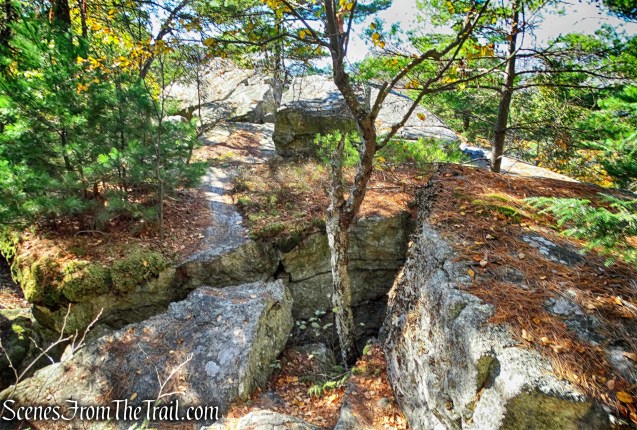
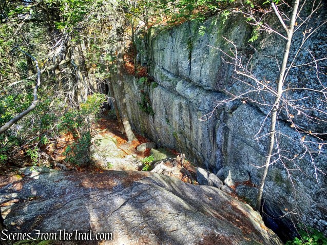
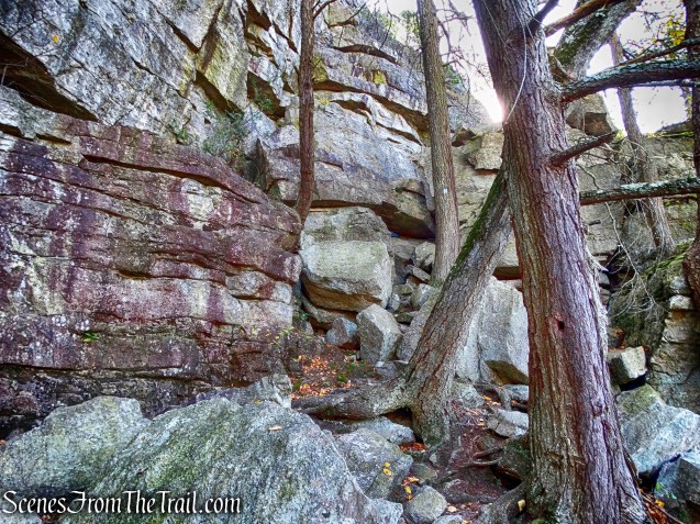
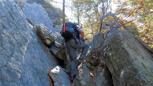
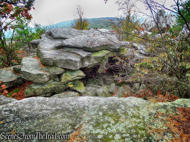
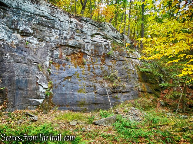
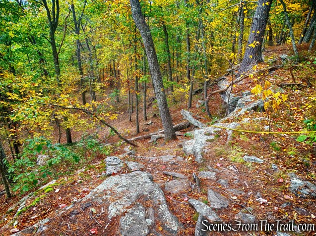
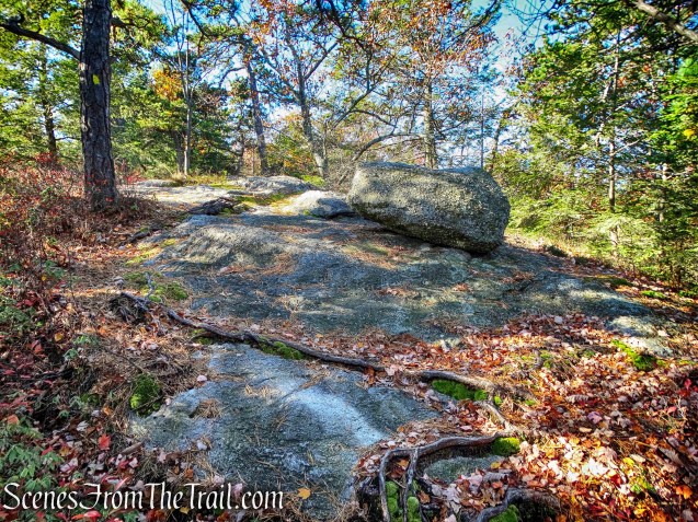
The Beacon Hill Trail descends through a split in the rock and passes a cliff on the right.
Beacon Hill Trail
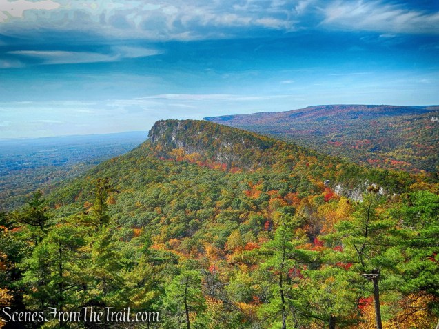
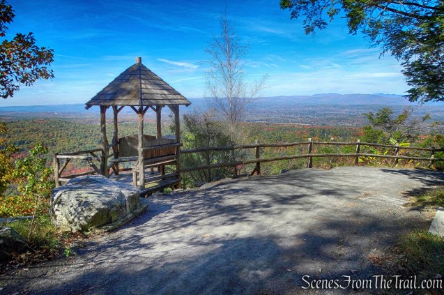
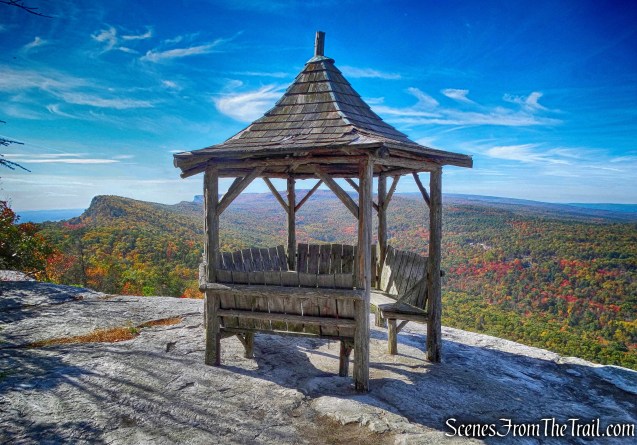
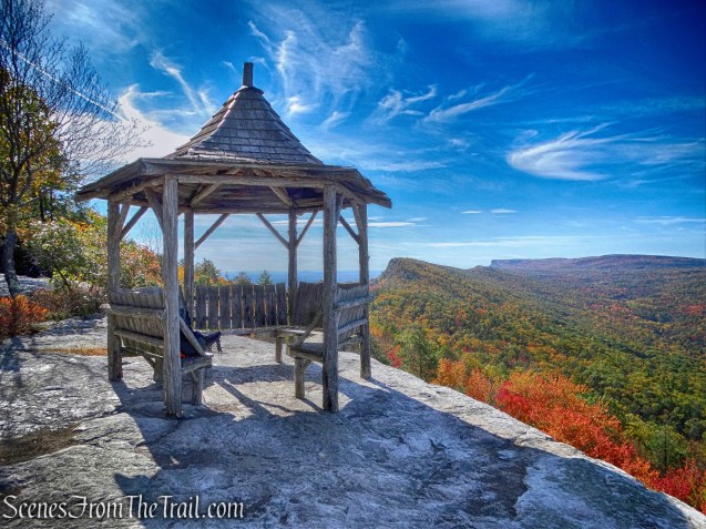
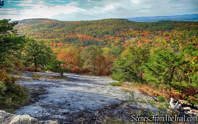
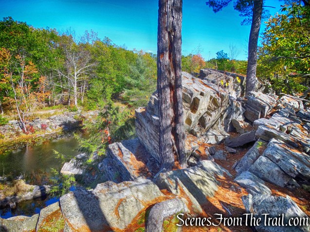
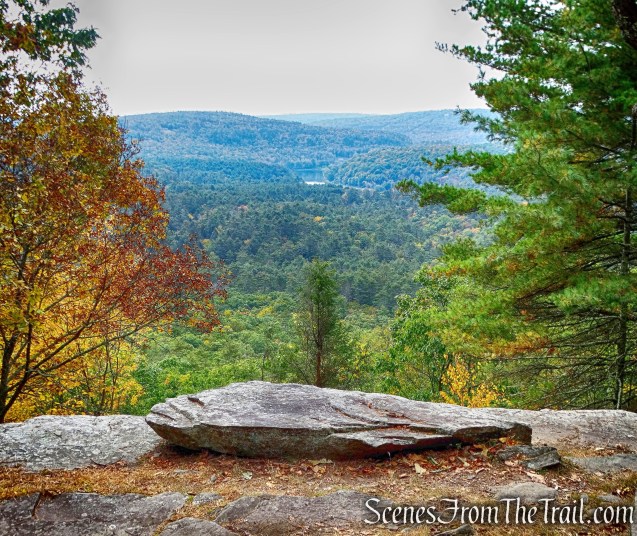
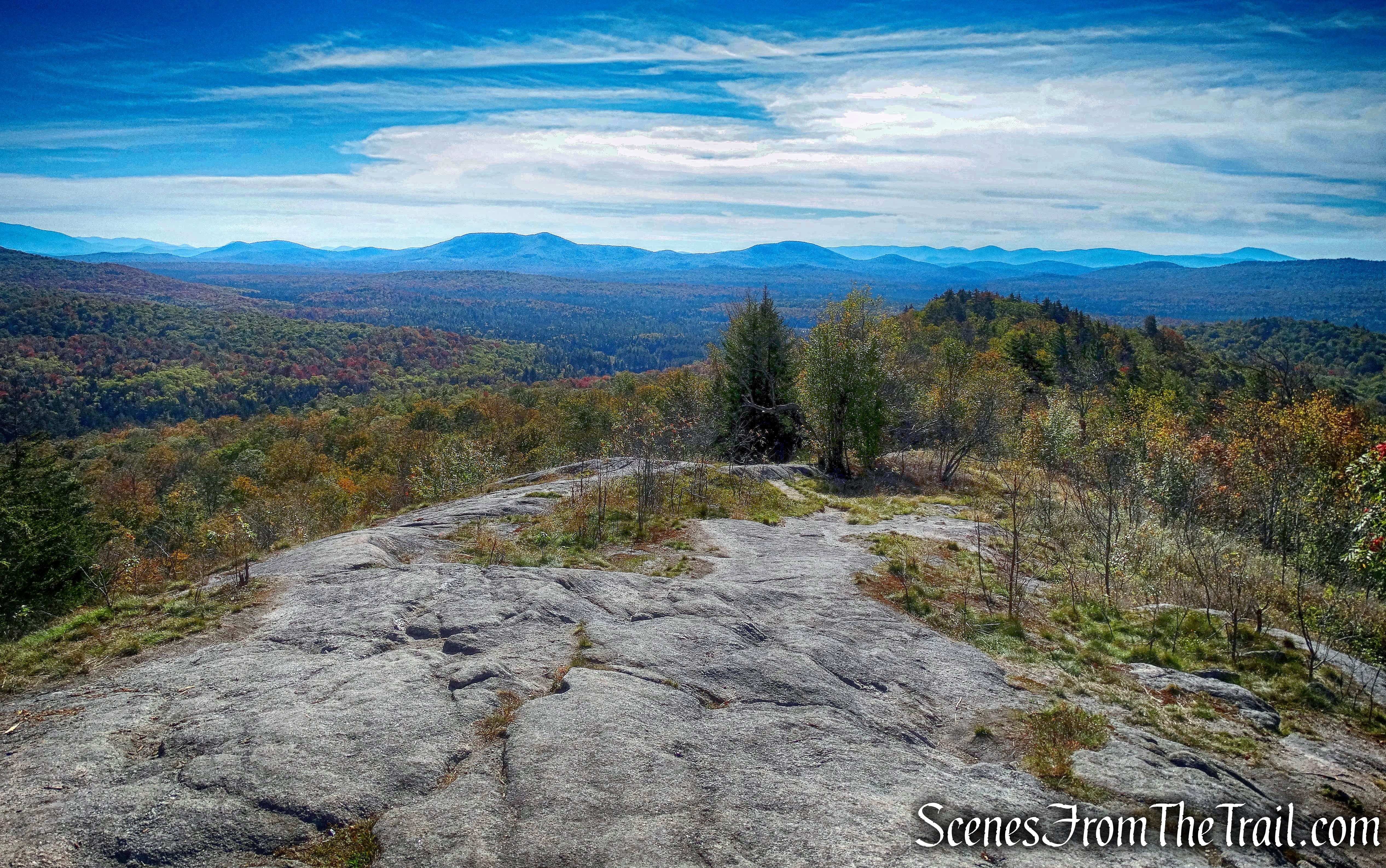
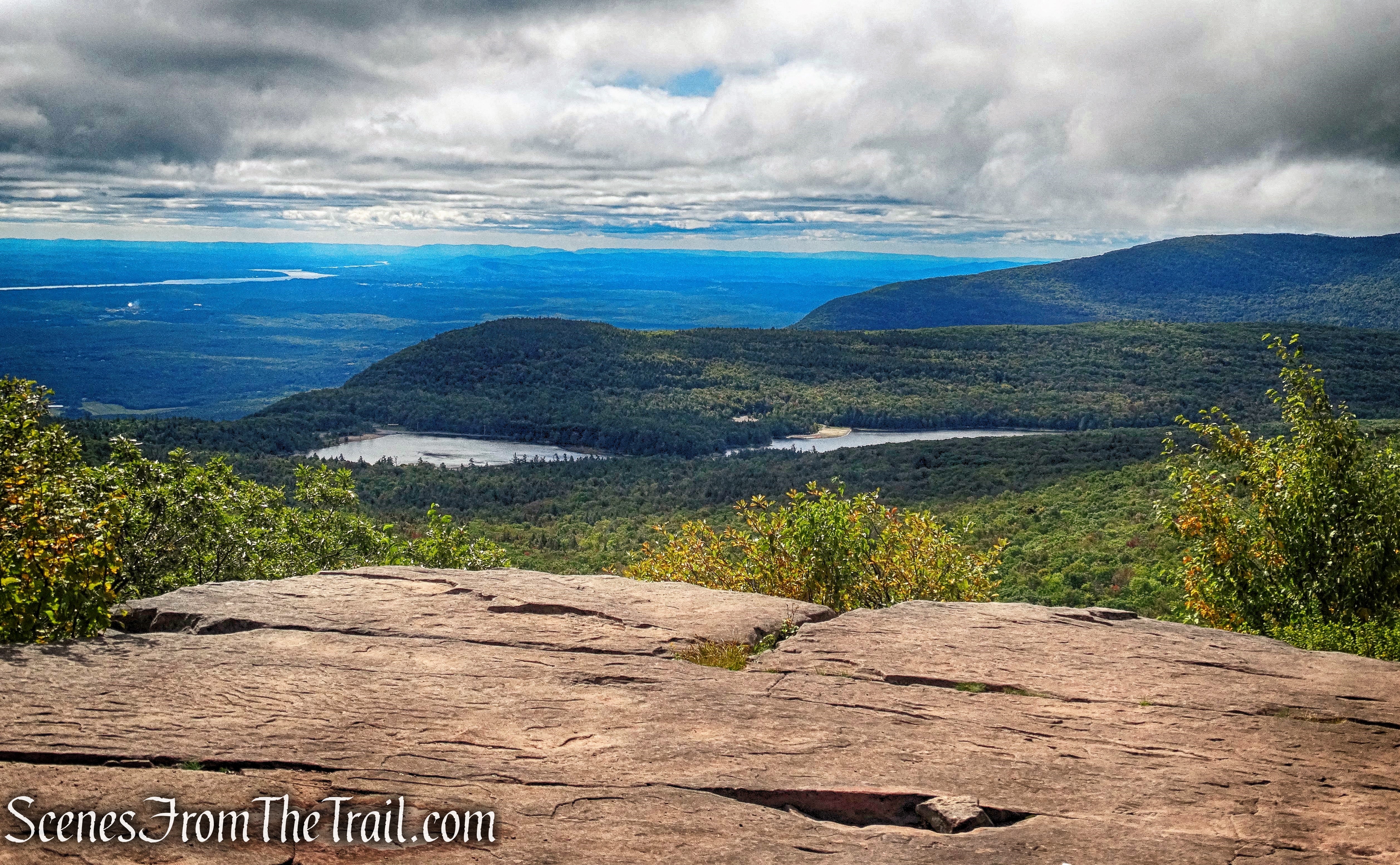
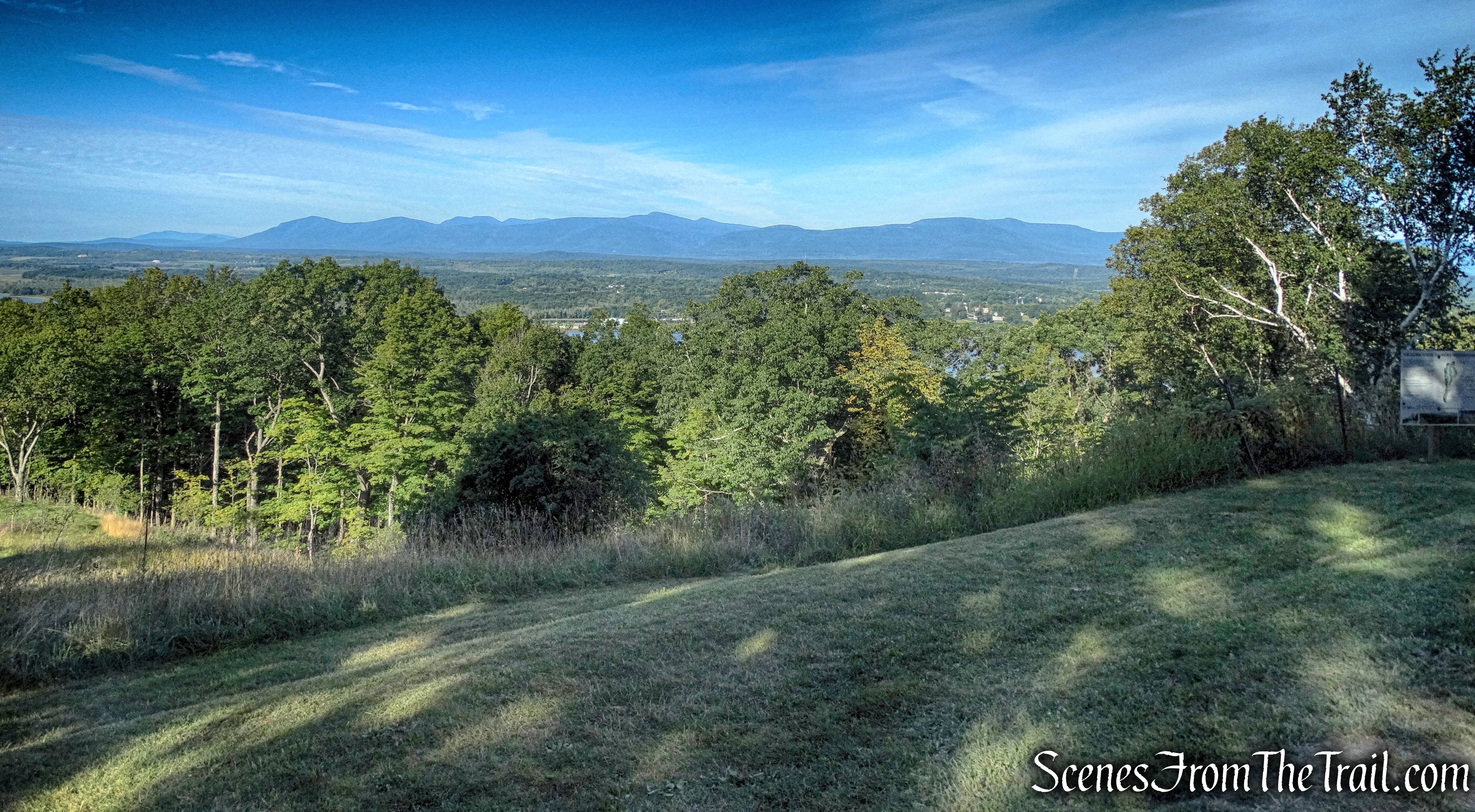
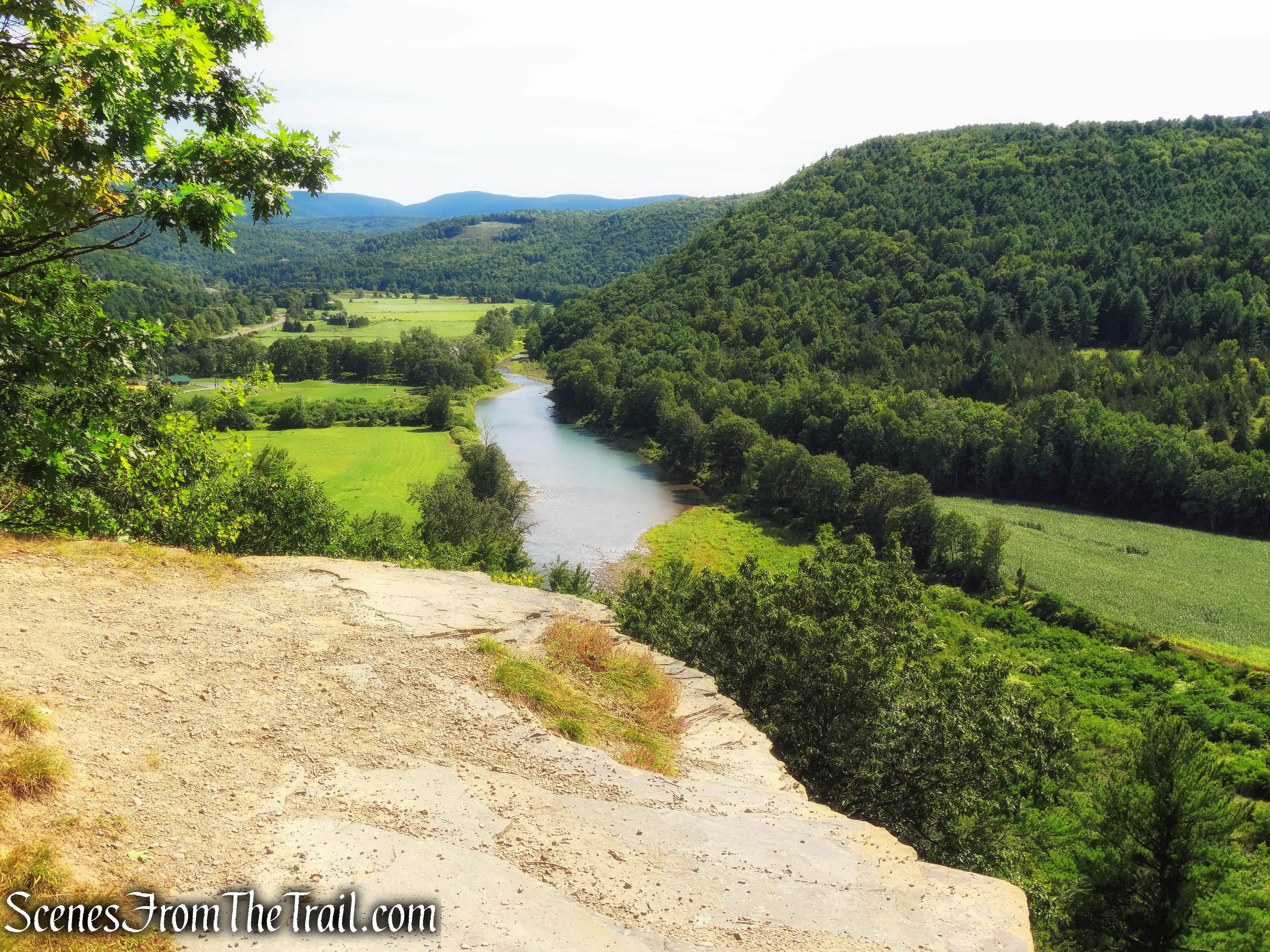
The Beacon Hill Trail passes a massive boulder near the edge of the cliff then ends at a grassy field/picnic area. To the left, there are several unmarked spur trails that lead to a rock ledge with an east-facing viewpoint.
east-facing viewpoint
This is a good place to take a break and enjoy the view.
east-facing viewpoint
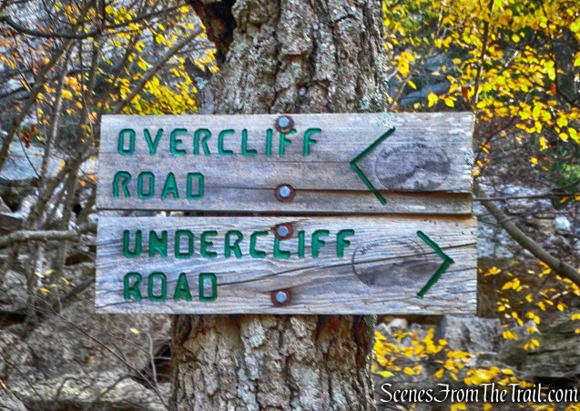
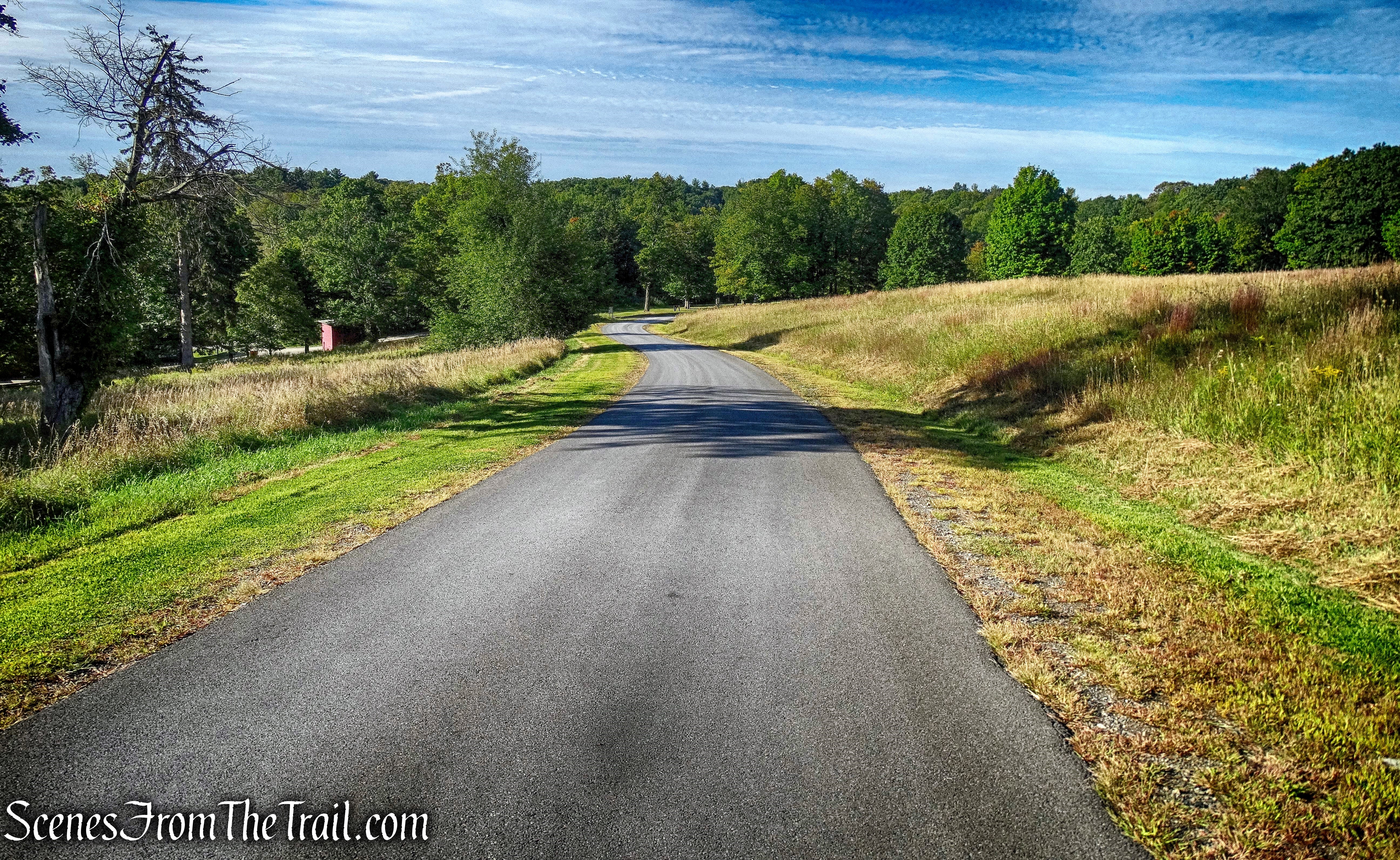
We then crossed the field and turned left on a gravel road. This is the red-diamond-blazed Lake Minnewaska Carriage Road.
Lake Minnewaska Carriage Road
At a T-intersection, we turned left and followed the road as it begins to head downhill. Just to the left of the trail is a rock ledge…….
Lake Minnewaska Carriage Road
with more fantastic views.

rock ledge – Lake Minnewaska Carriage Road
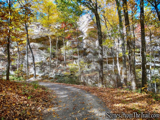
The Lake Minnewaska Carriage Road continues downhill to the southern end of Lake Minnewaska.
Lake Minnewaska Carriage Road
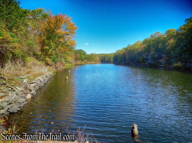
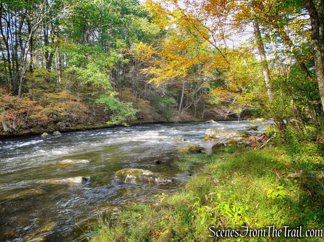
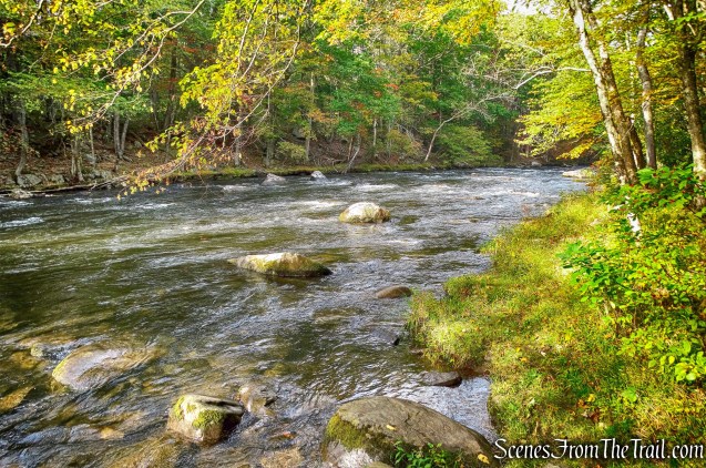
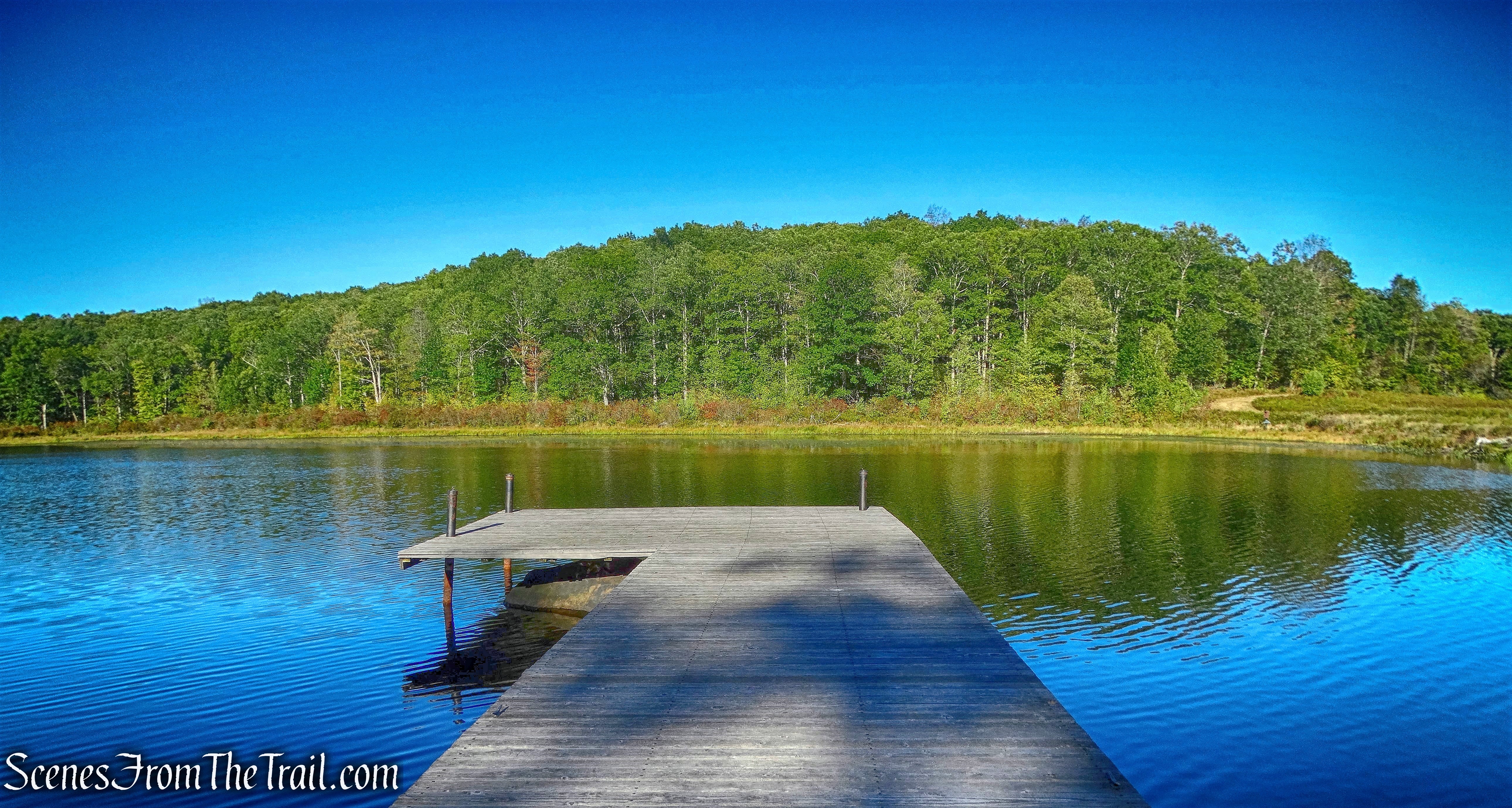
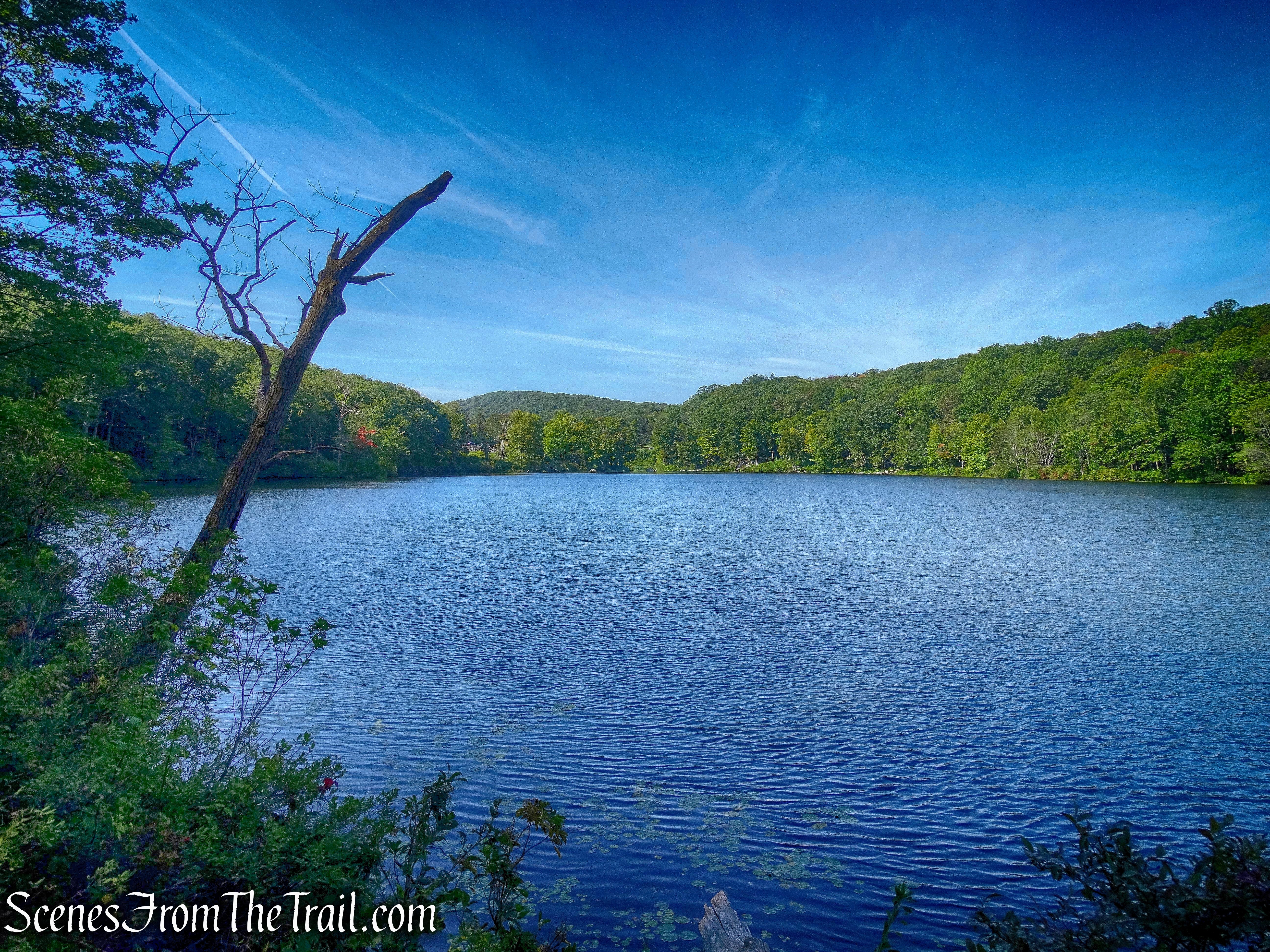
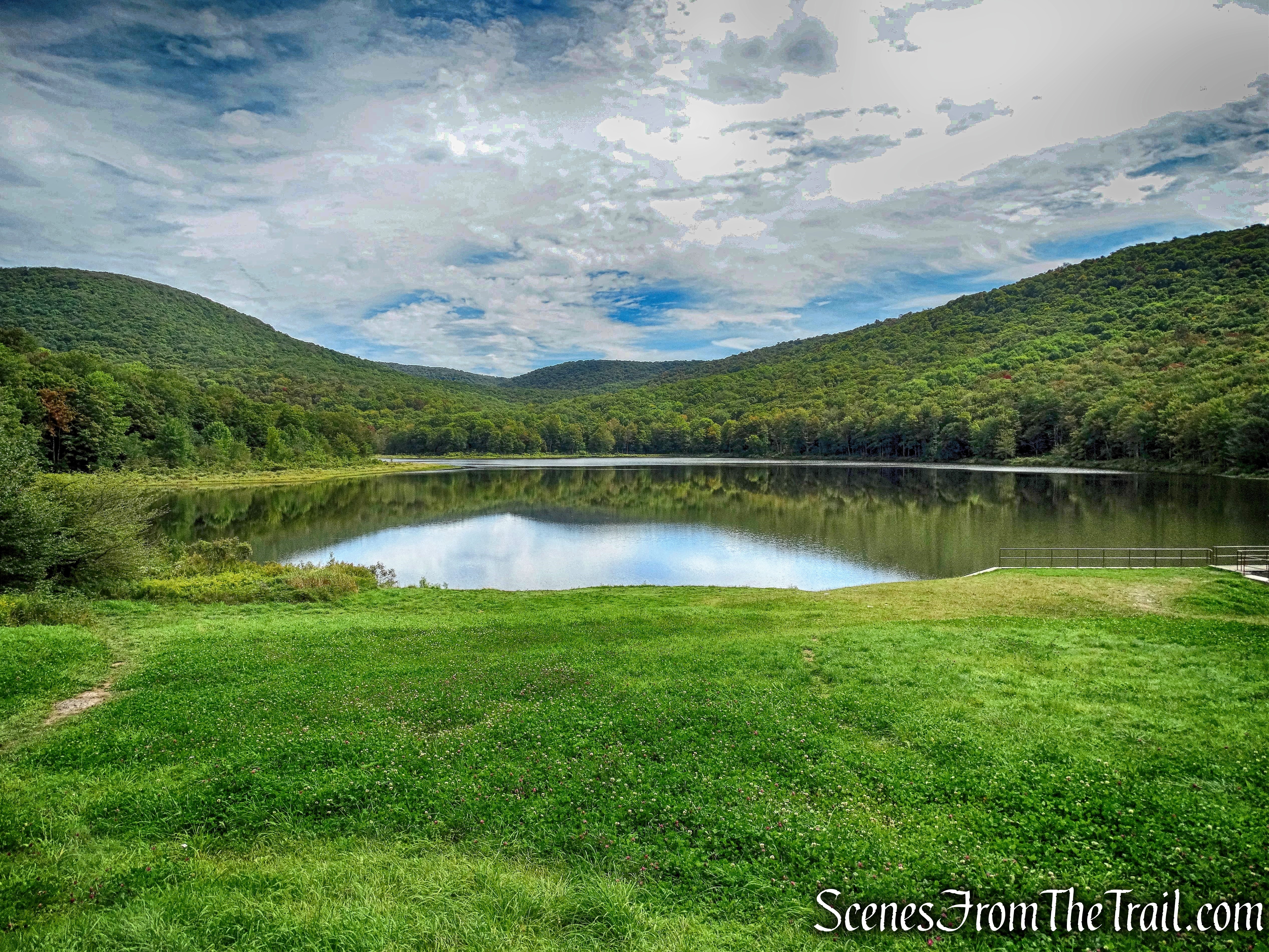
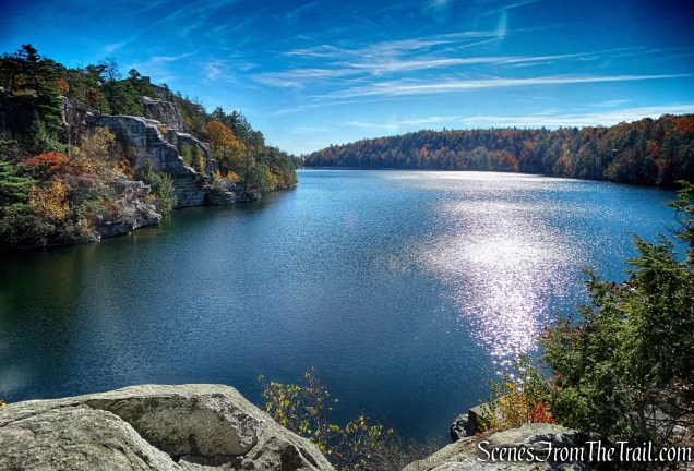
Lake Minnewaska
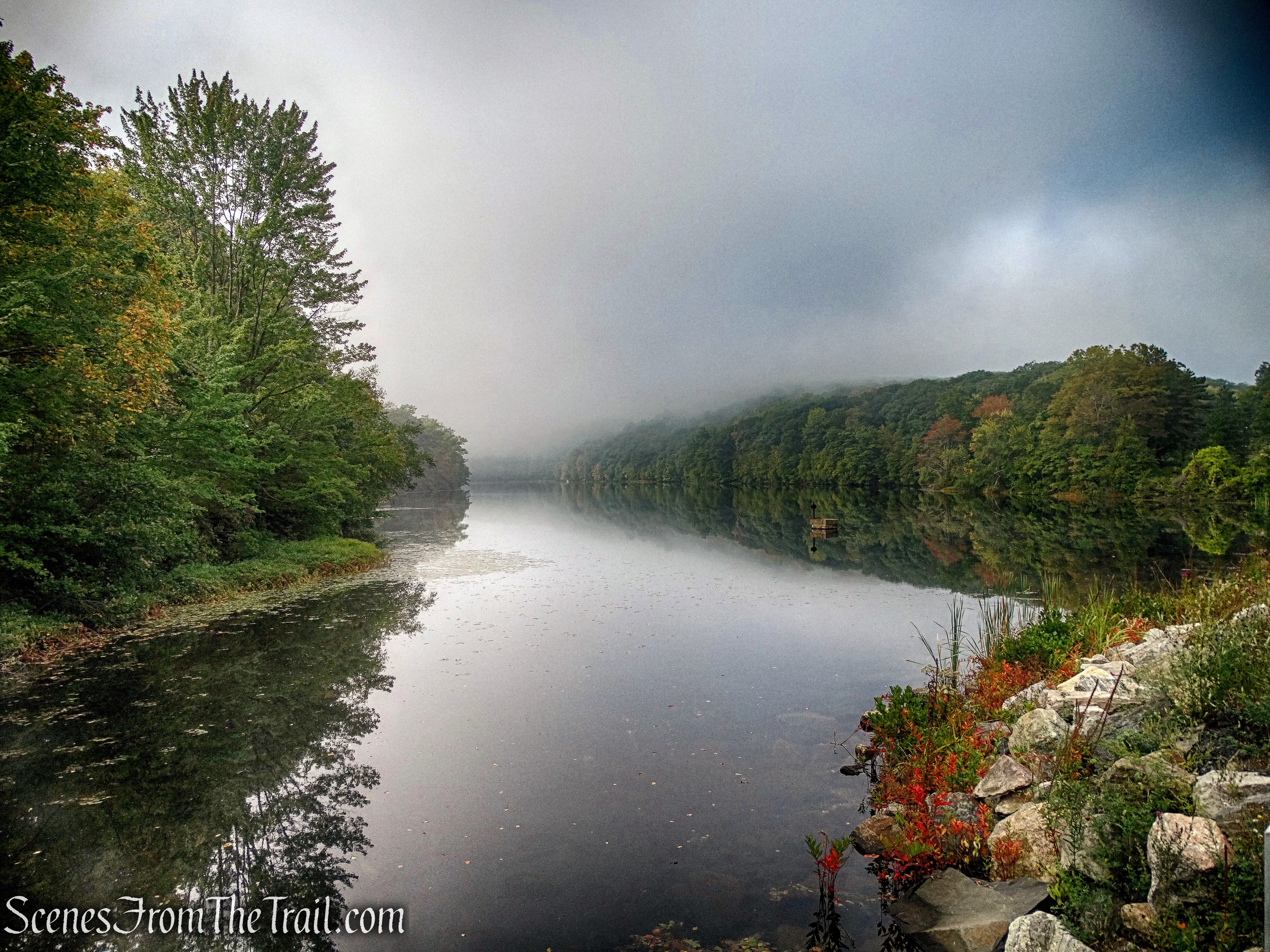
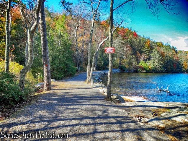
The Lake Minnewaska Carriage Road climbs a little as it parallels the western side of the lake. The road then descends and comes to a small beach area with views of the lake.

Lake Minnewaska
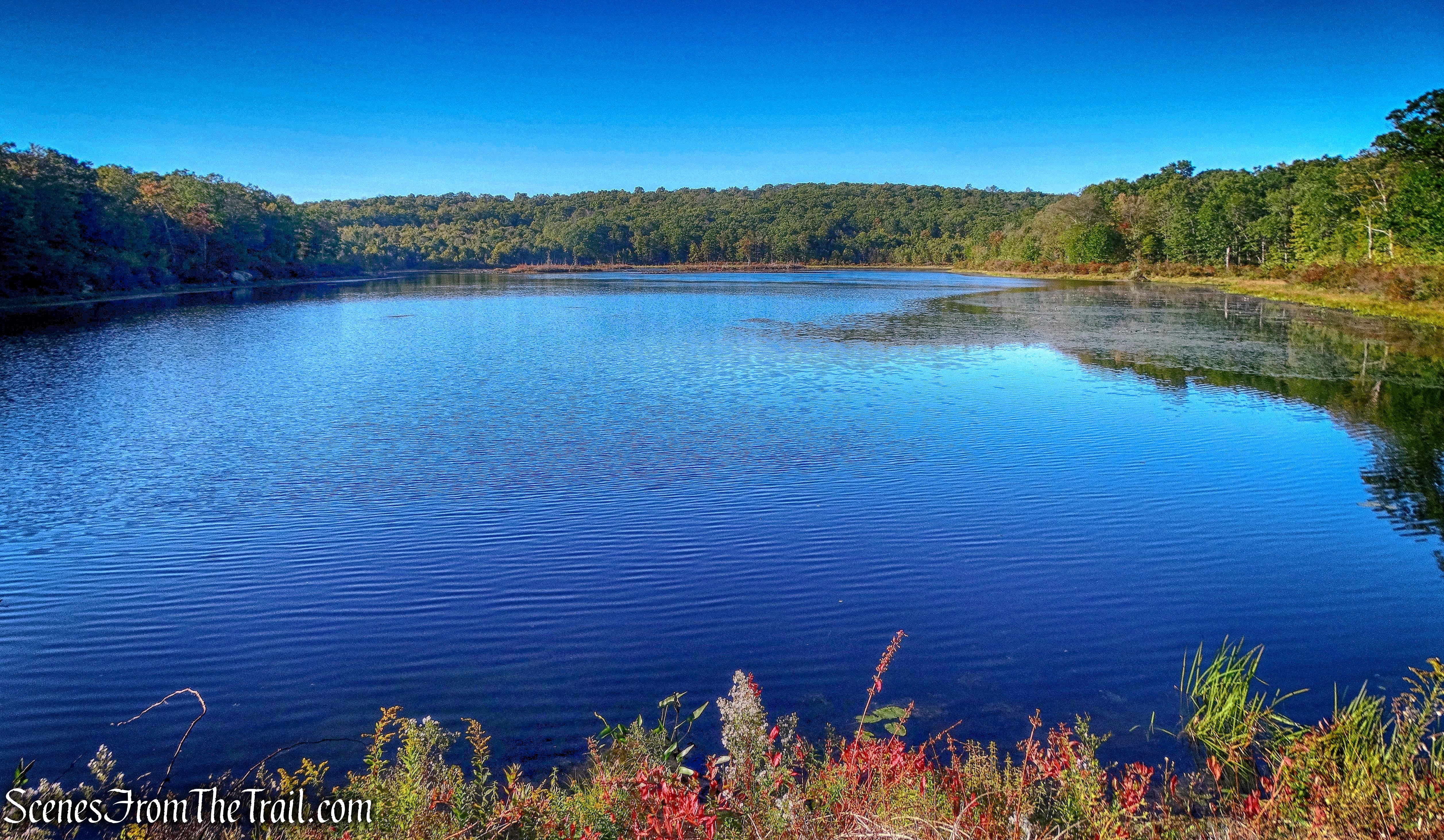
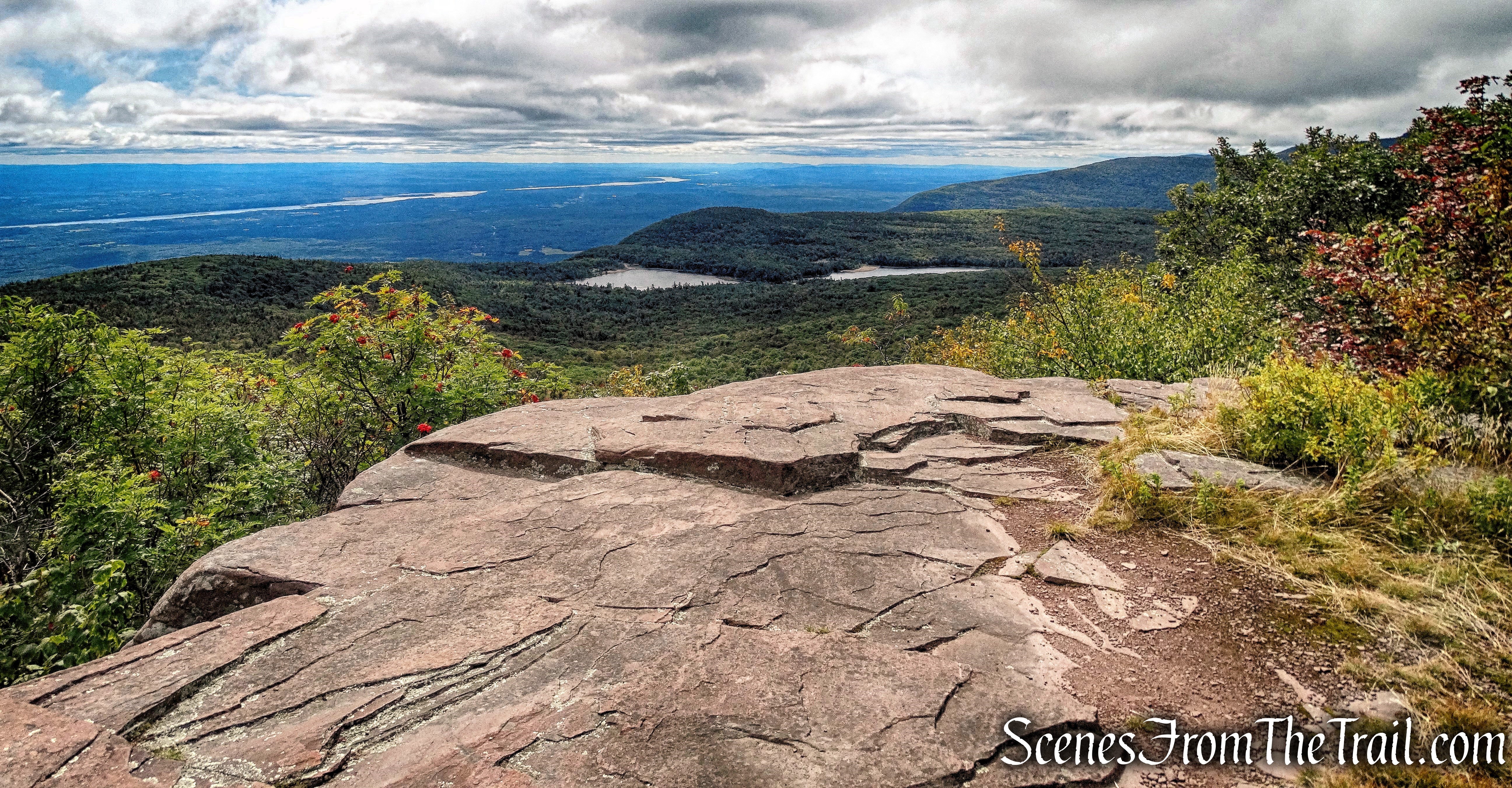
The road then climbs again and just off the trail, there is a rock outcrop with nice views of the cliffs across the lake.
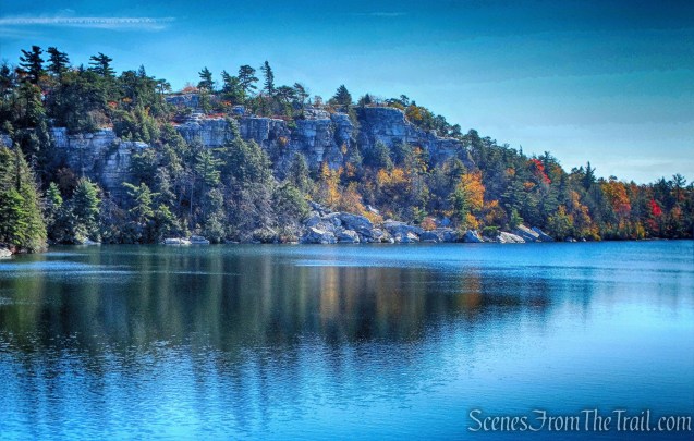
View from rock outcrop – Lake Minnewaska Carriage Road
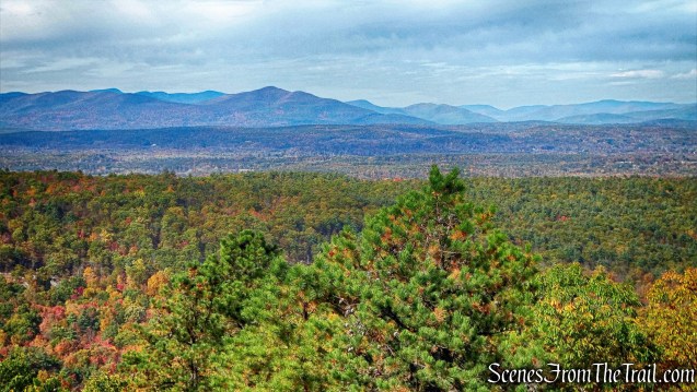
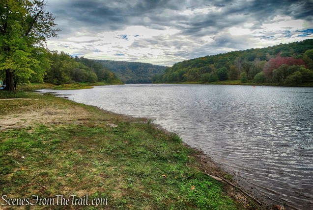
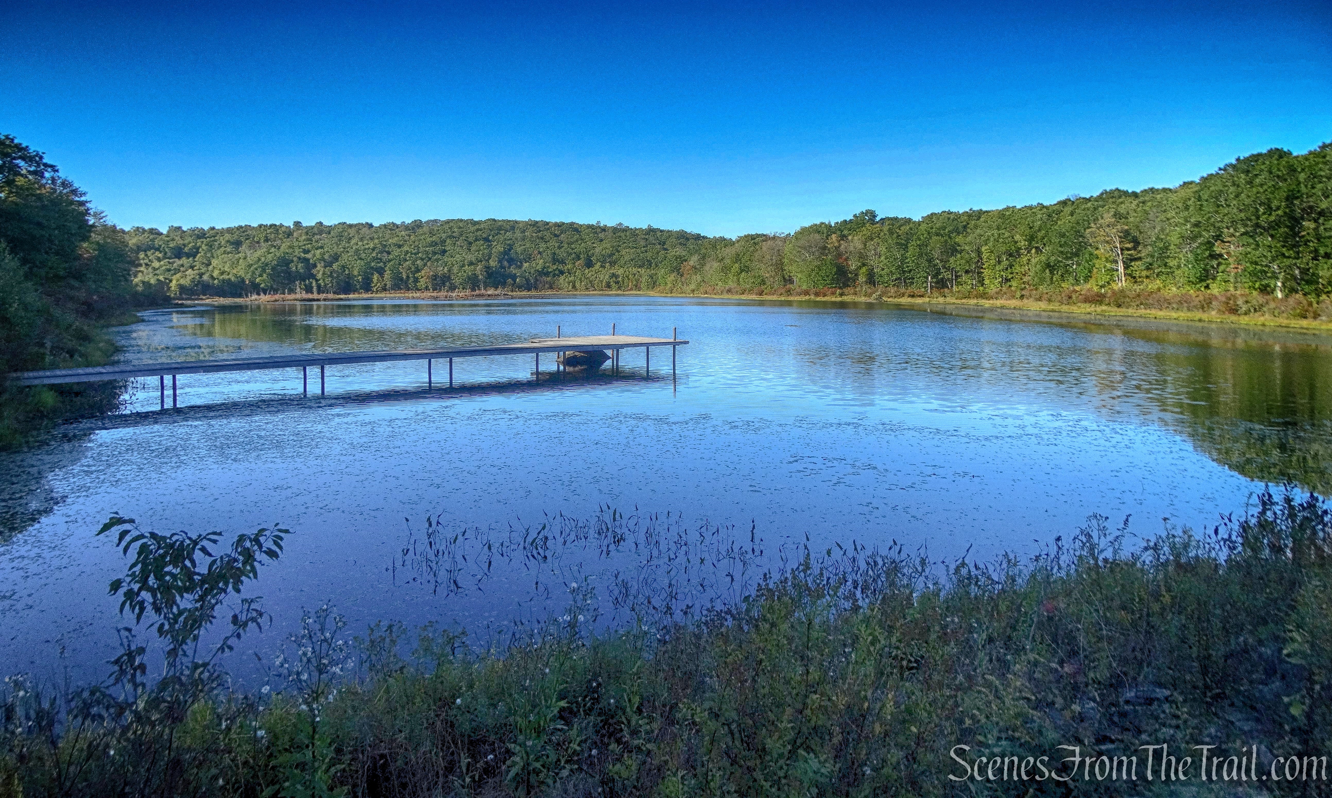
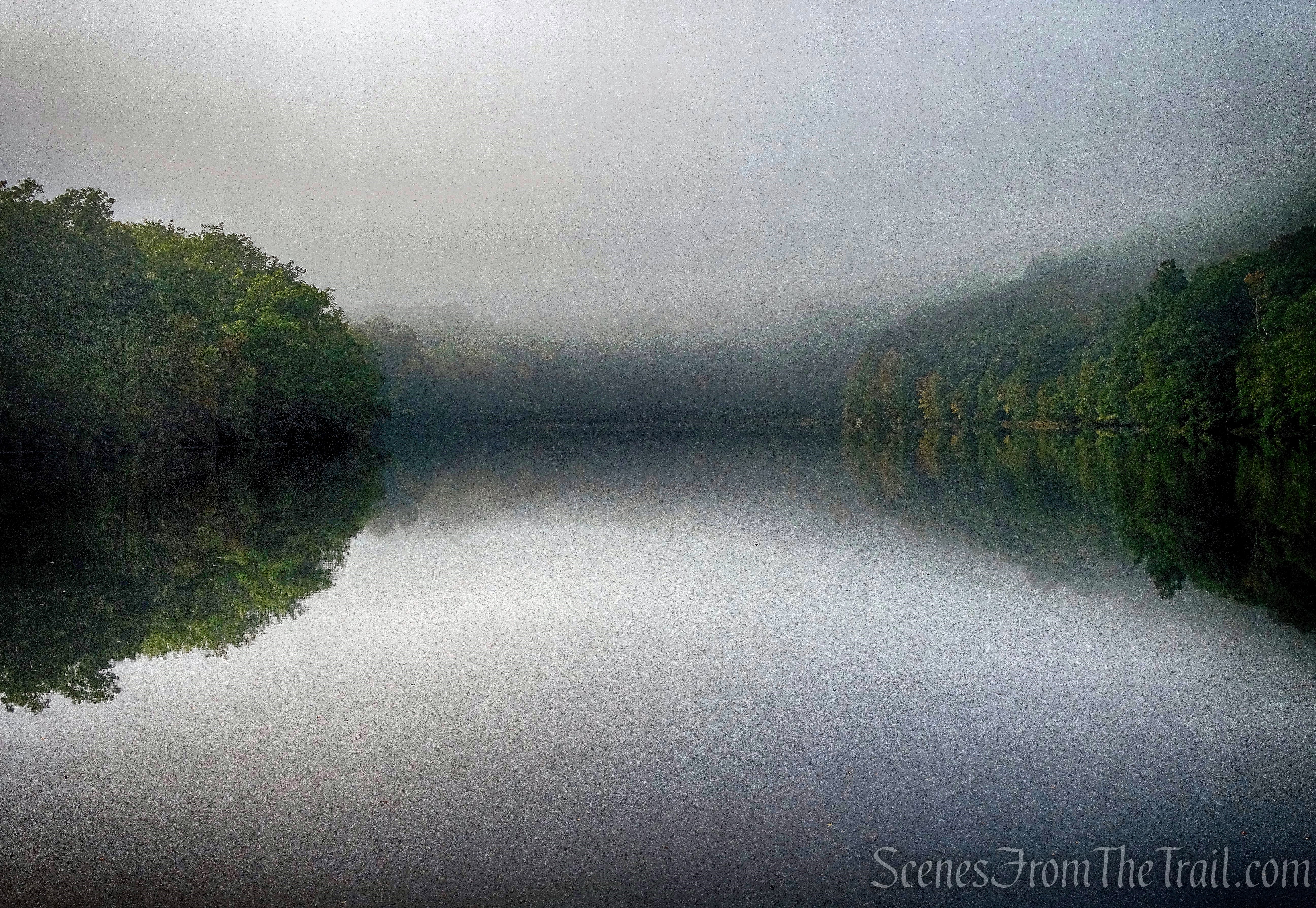
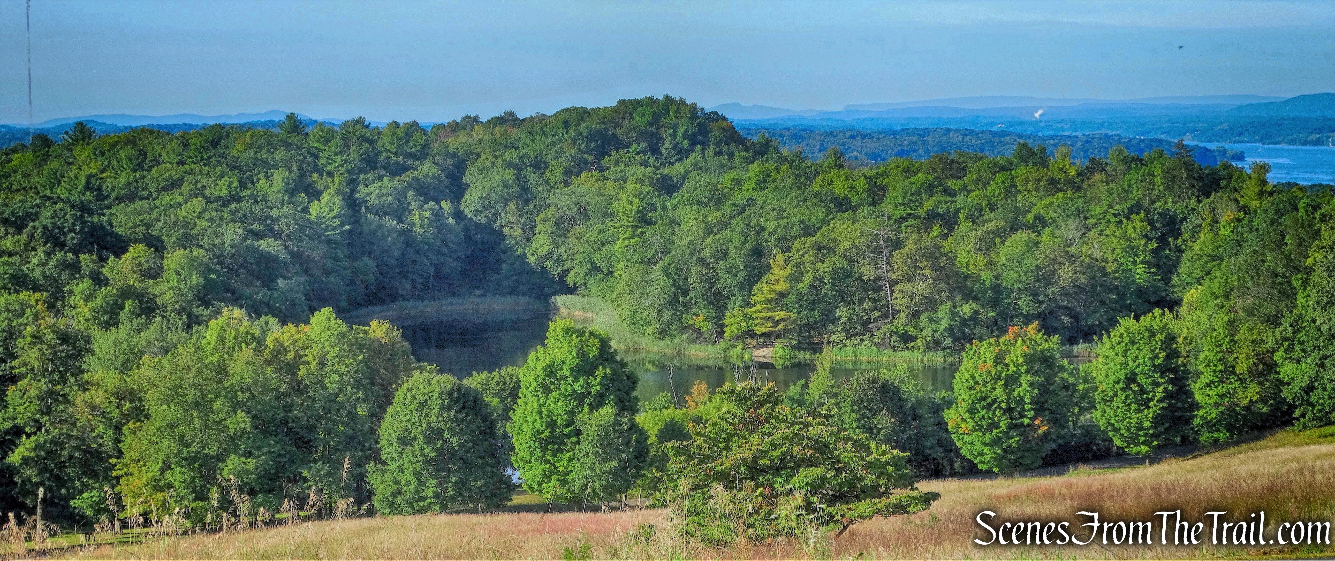
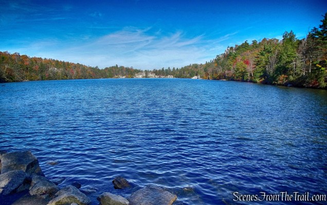
The Lake Minnewaska Carriage Road continues towards the parking area at the northern end of the lake.

View from northern end of Lake Minnewaska
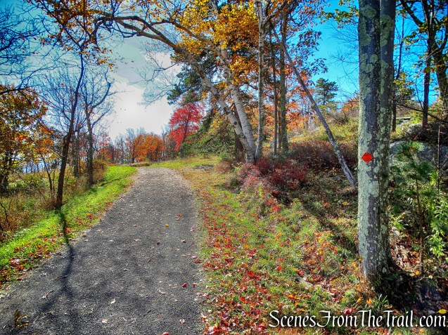
We then left the Lake Minnewaska Carriage Road, crossed a grassy picnic area and back to the parking area, where our hike began.
Lake Minnewaska parking area
A short but delightful hike on a Friday in October. I recommend this hike be done on an early weekday morning to avoid the crowds. We didn’t encounter any other hikers/walkers until we reached the rock ledge at the end of the Beacon Hill Trail. After that, it was more frequent as we walked on the Lake Minnewaska Carriage Road and near the lake. Nevertheless, it was scenic throughout and I would definitely hike it again. For those that prefer a simpler hike, the red-diamond-blazed Lake Minnewaska Carriage Road circles the lake makes for an easy walk around the lake. The trails can also be combined with any number of trails and/or carriage roads that intersect, to form a longer hike.
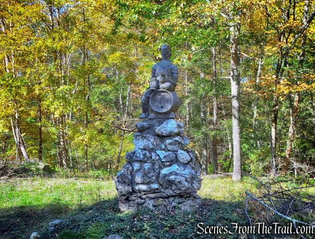
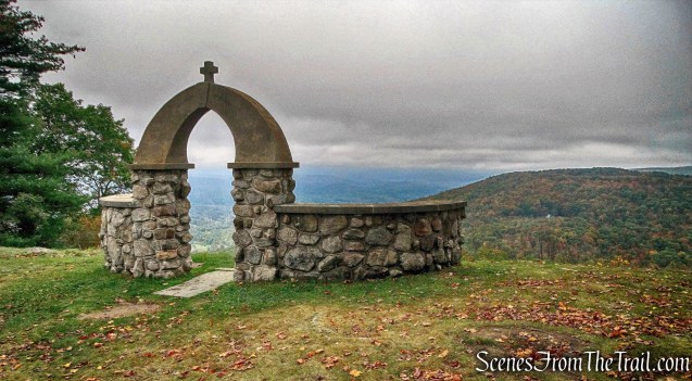
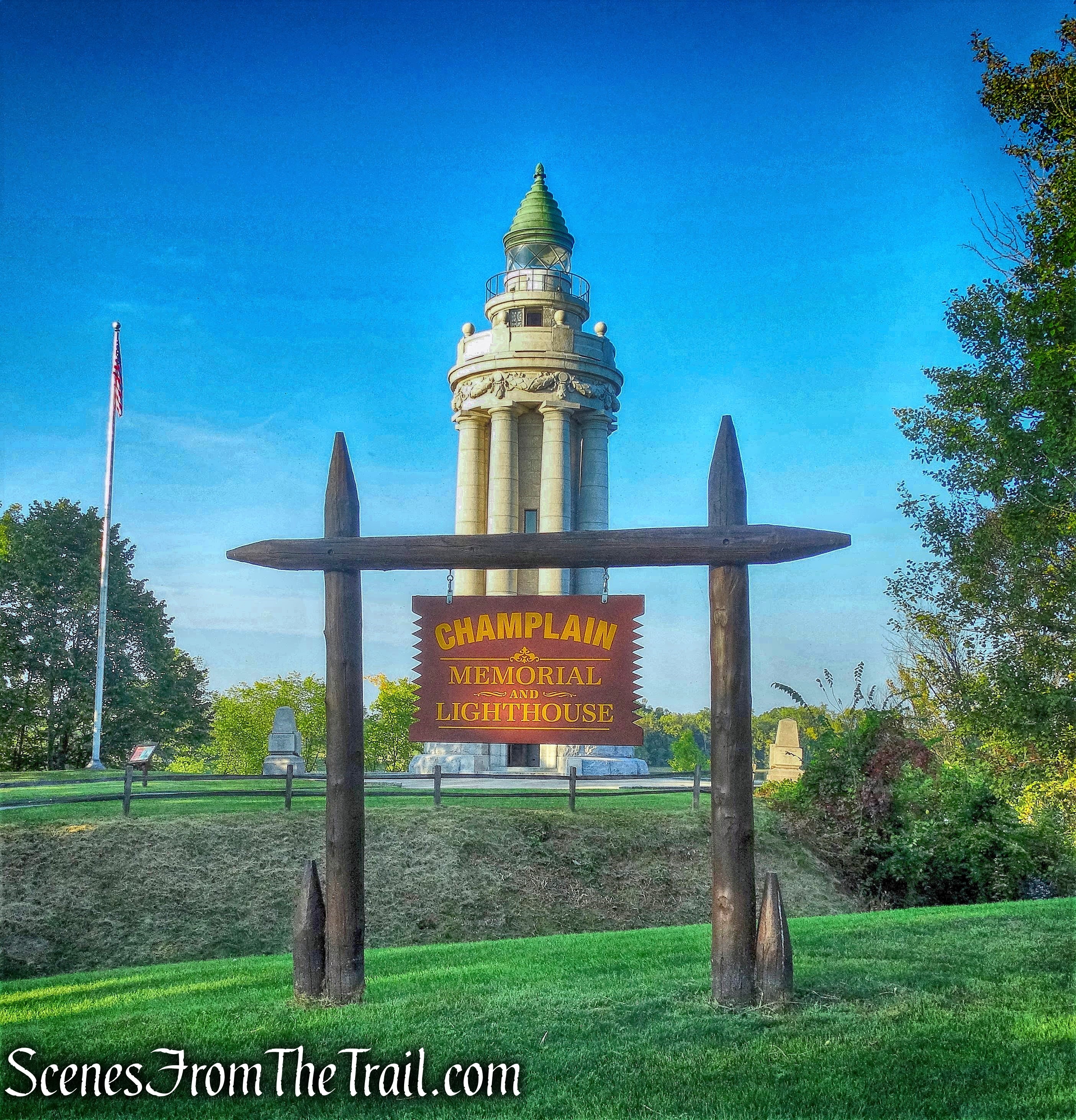
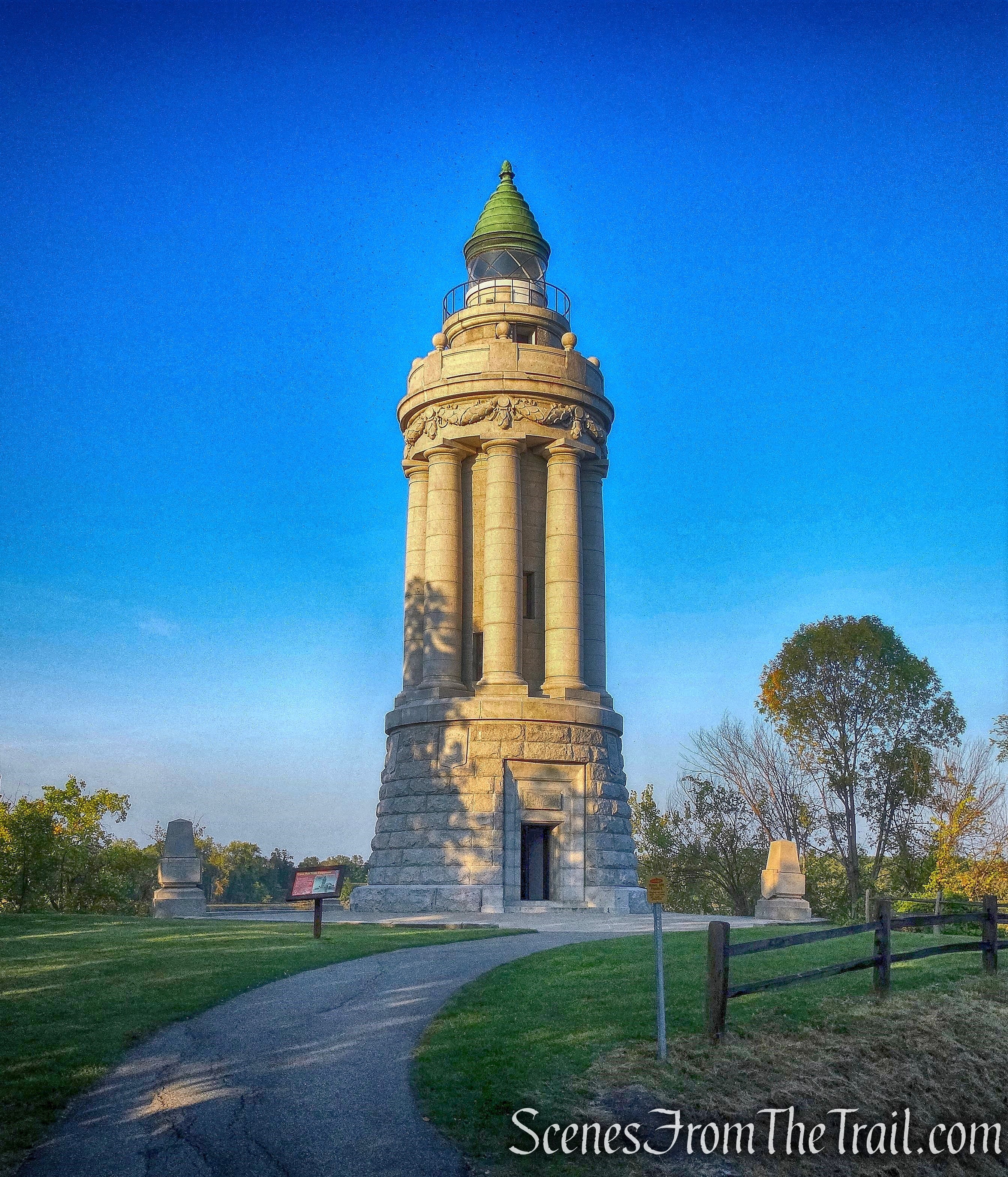
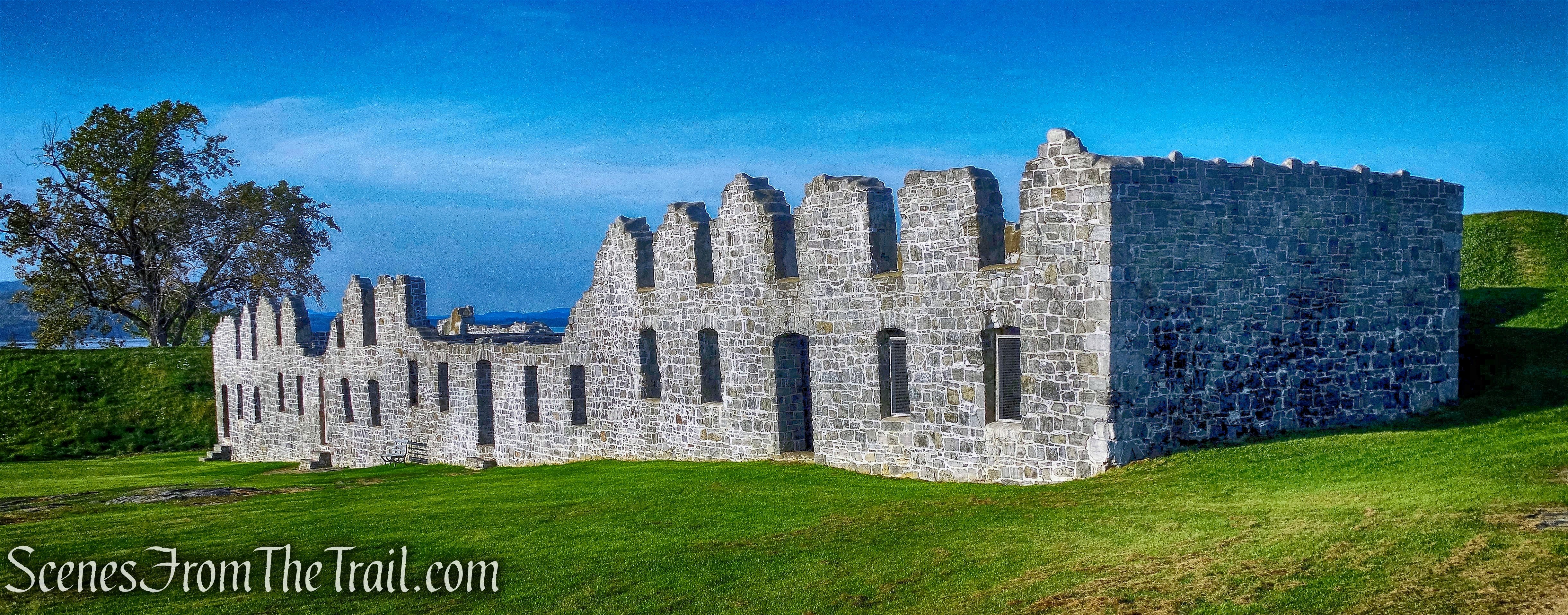
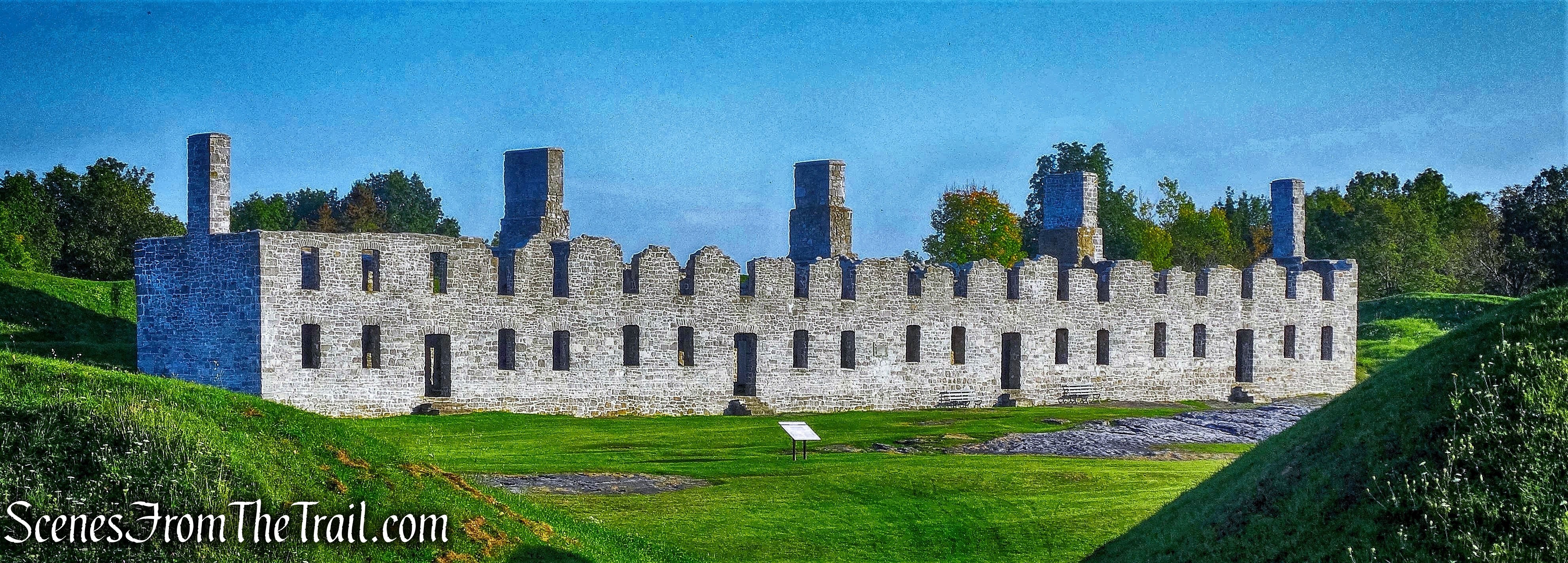
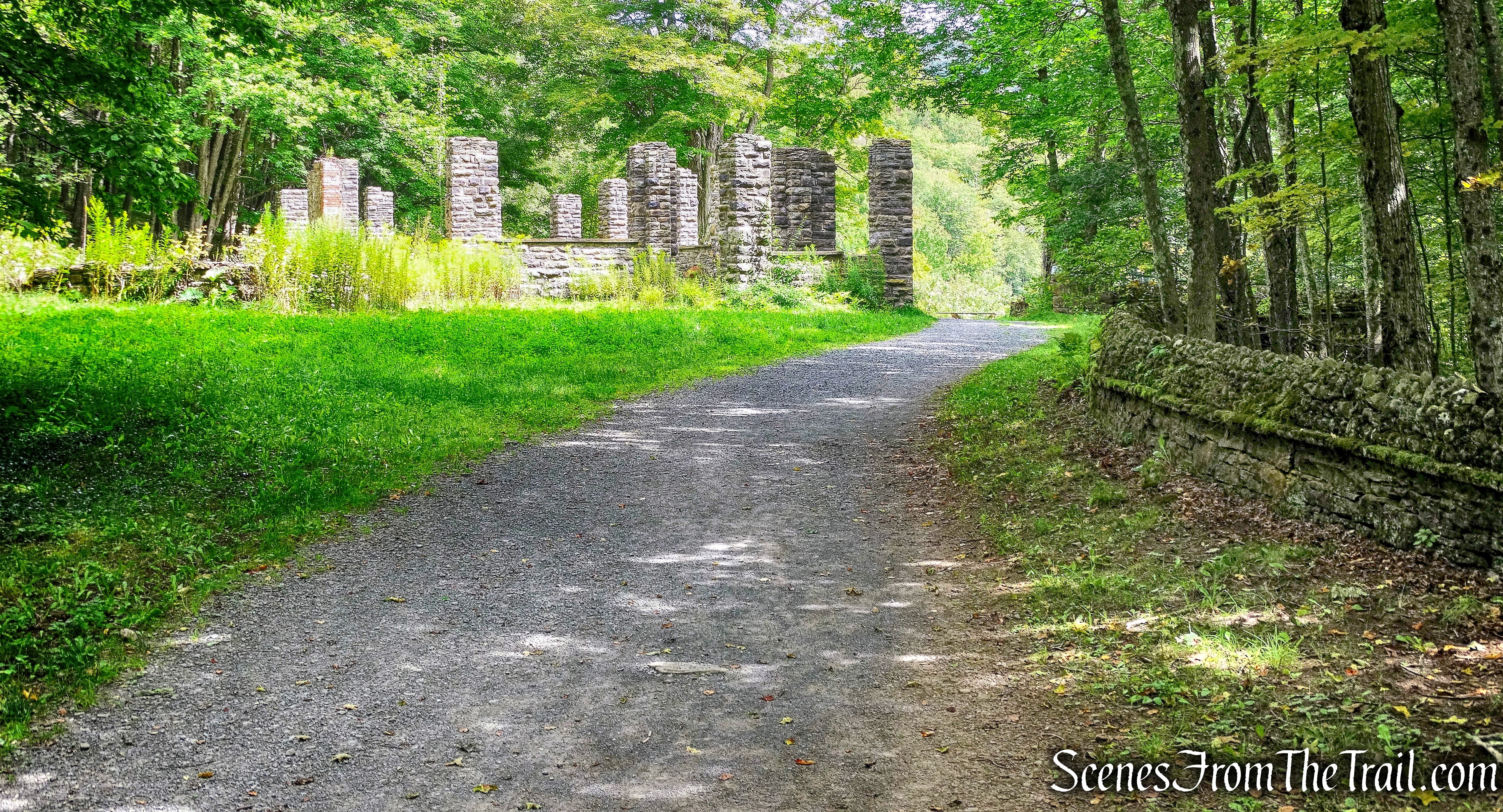
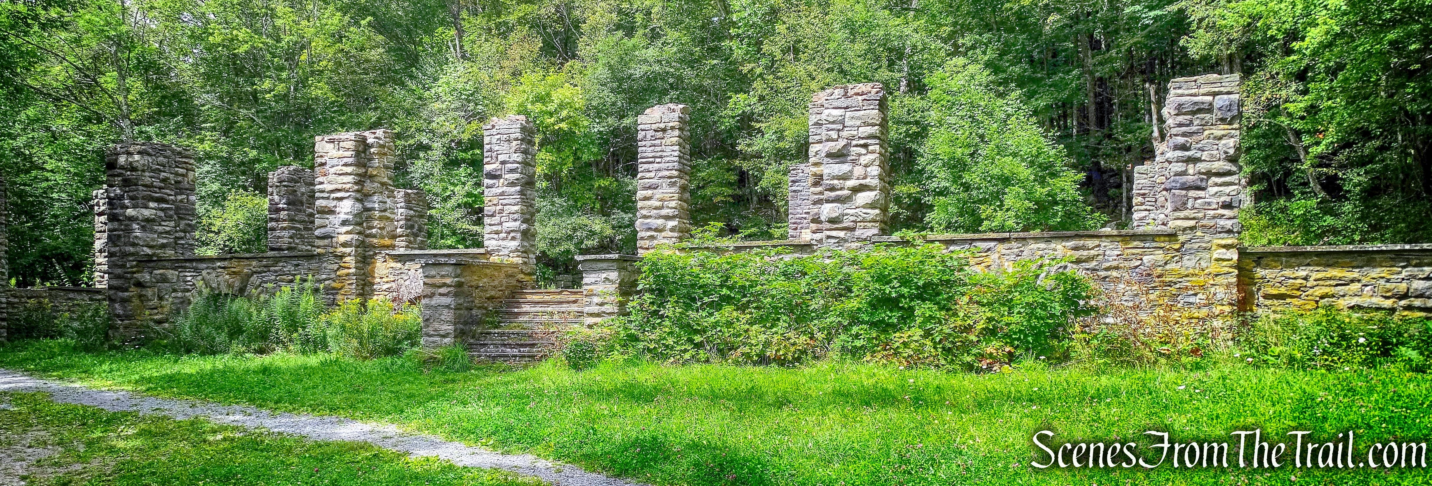
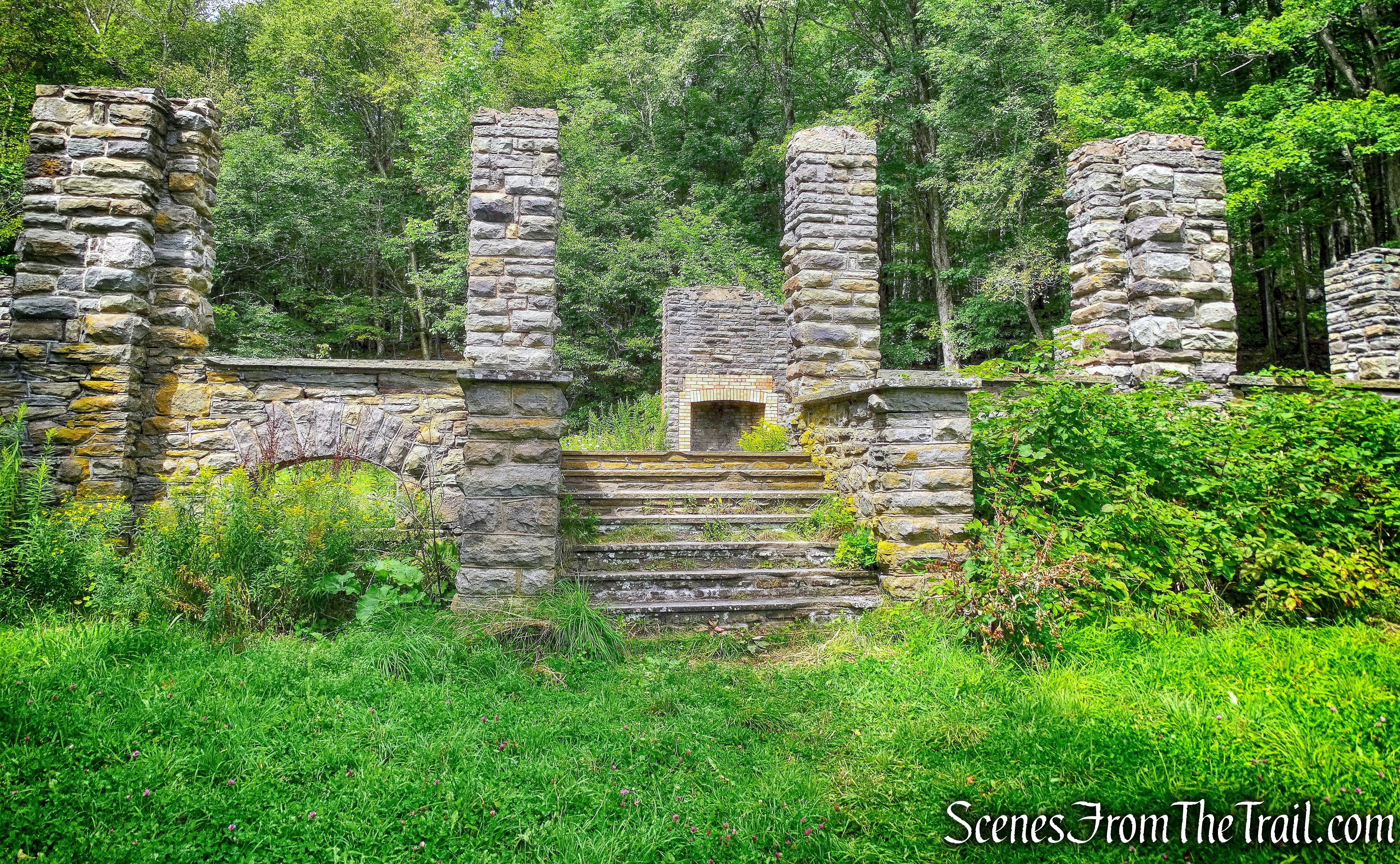
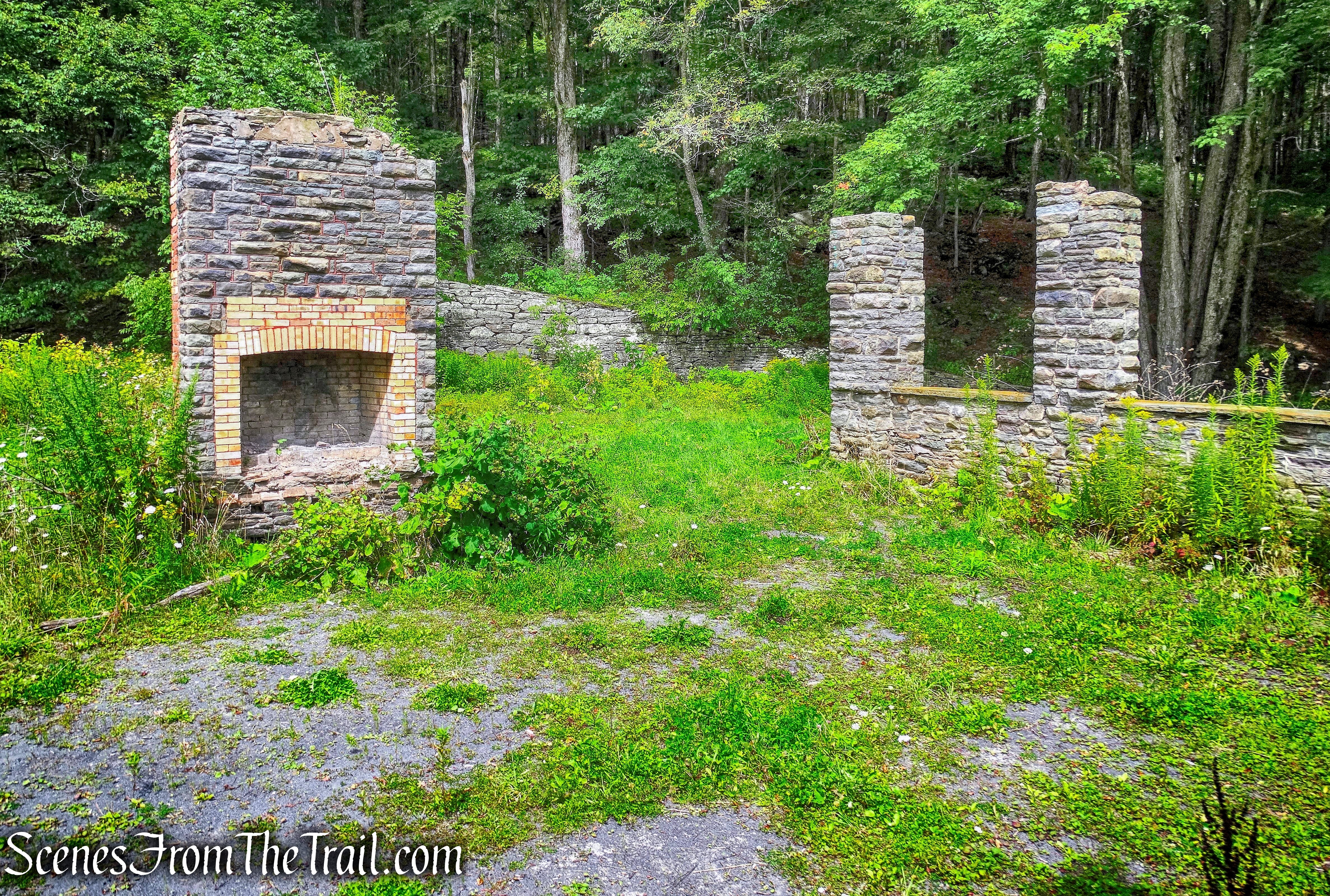
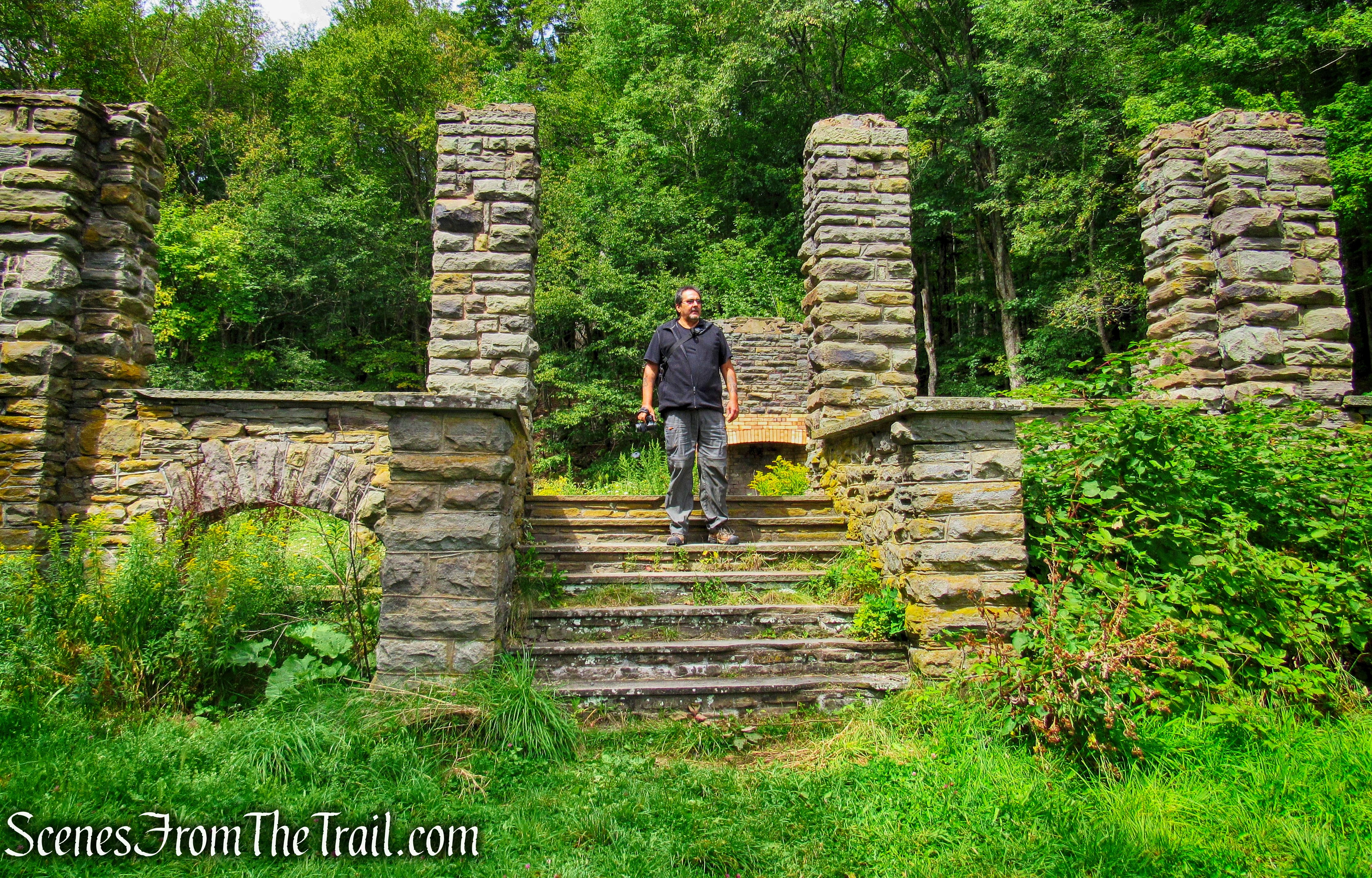
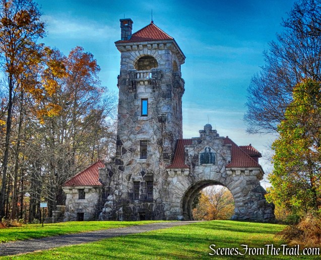
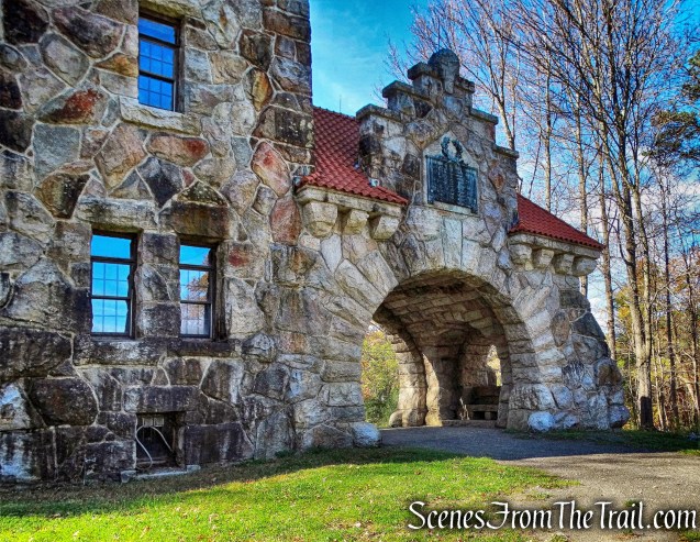
After some lunch, we headed out and decided to stop by the Mohonk Testimonial Gateway.
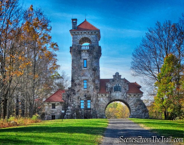
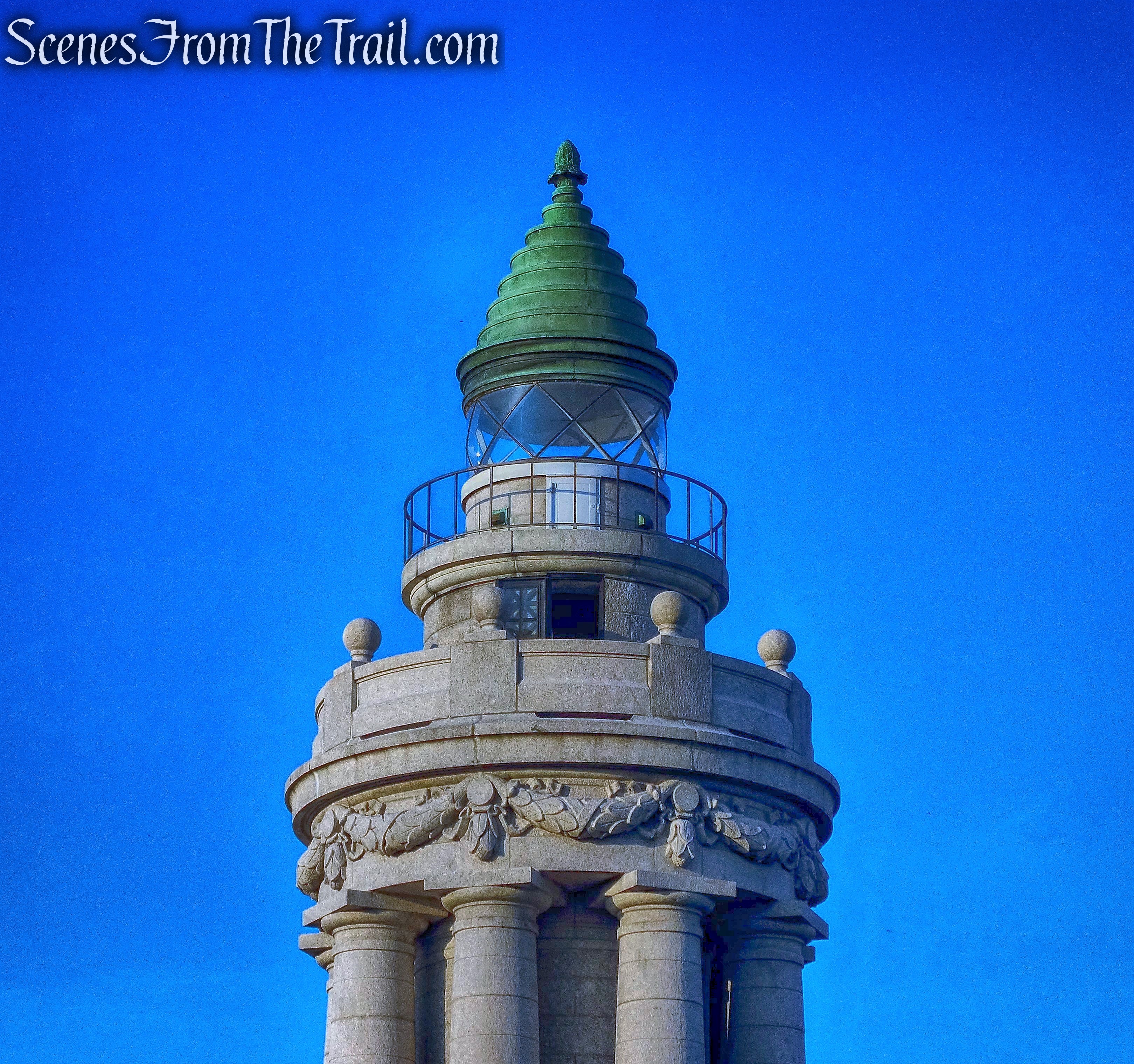
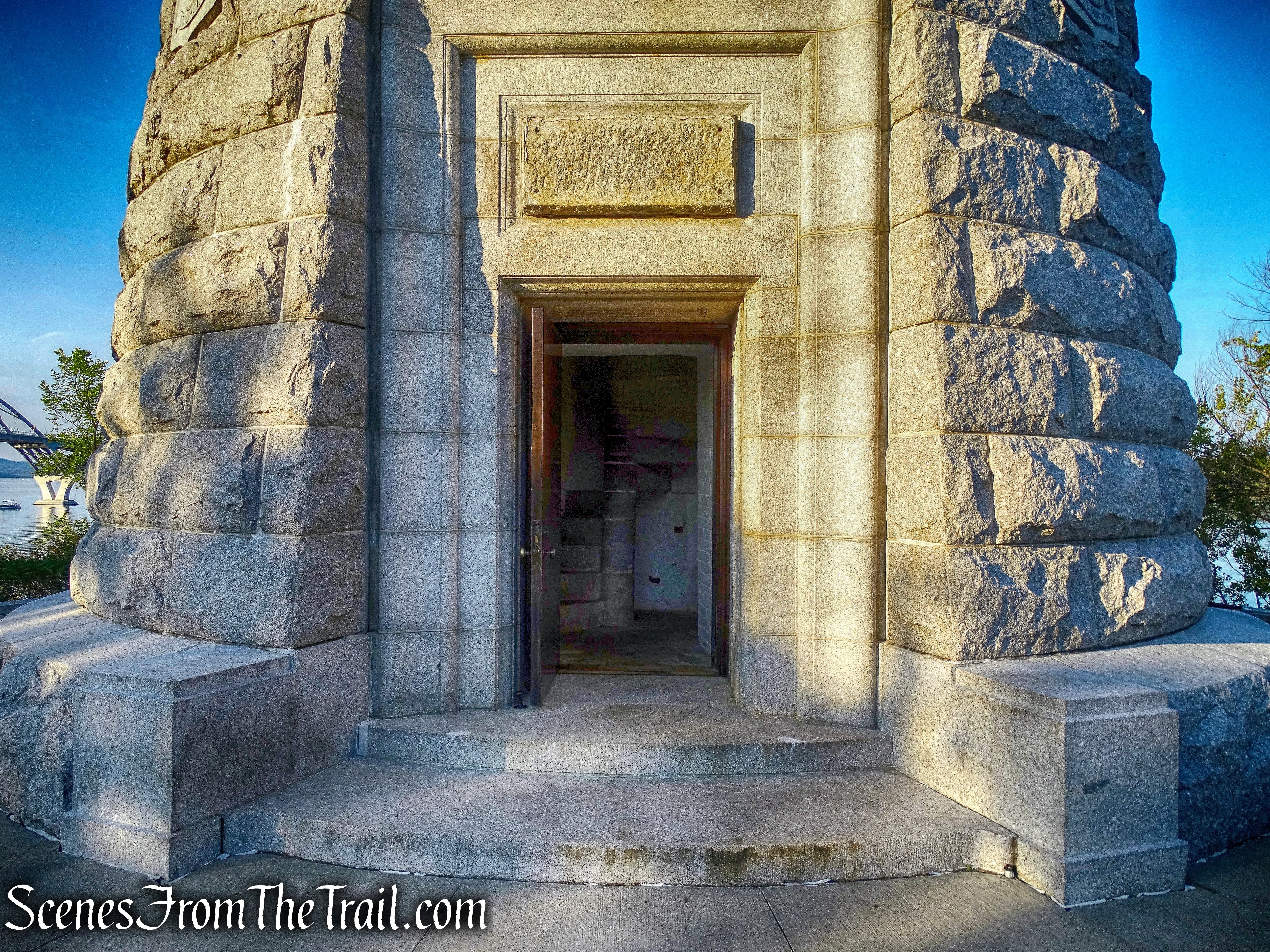
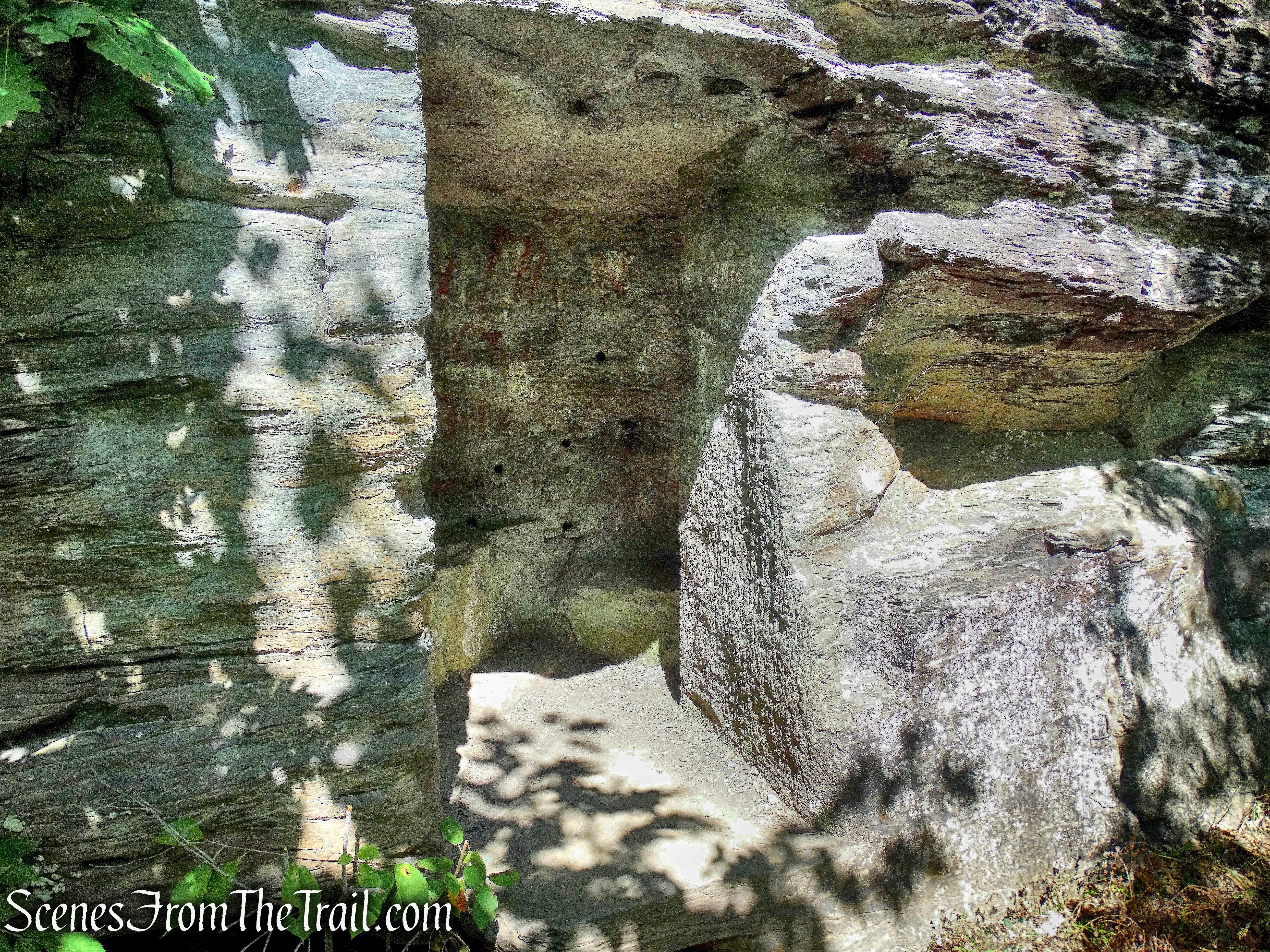
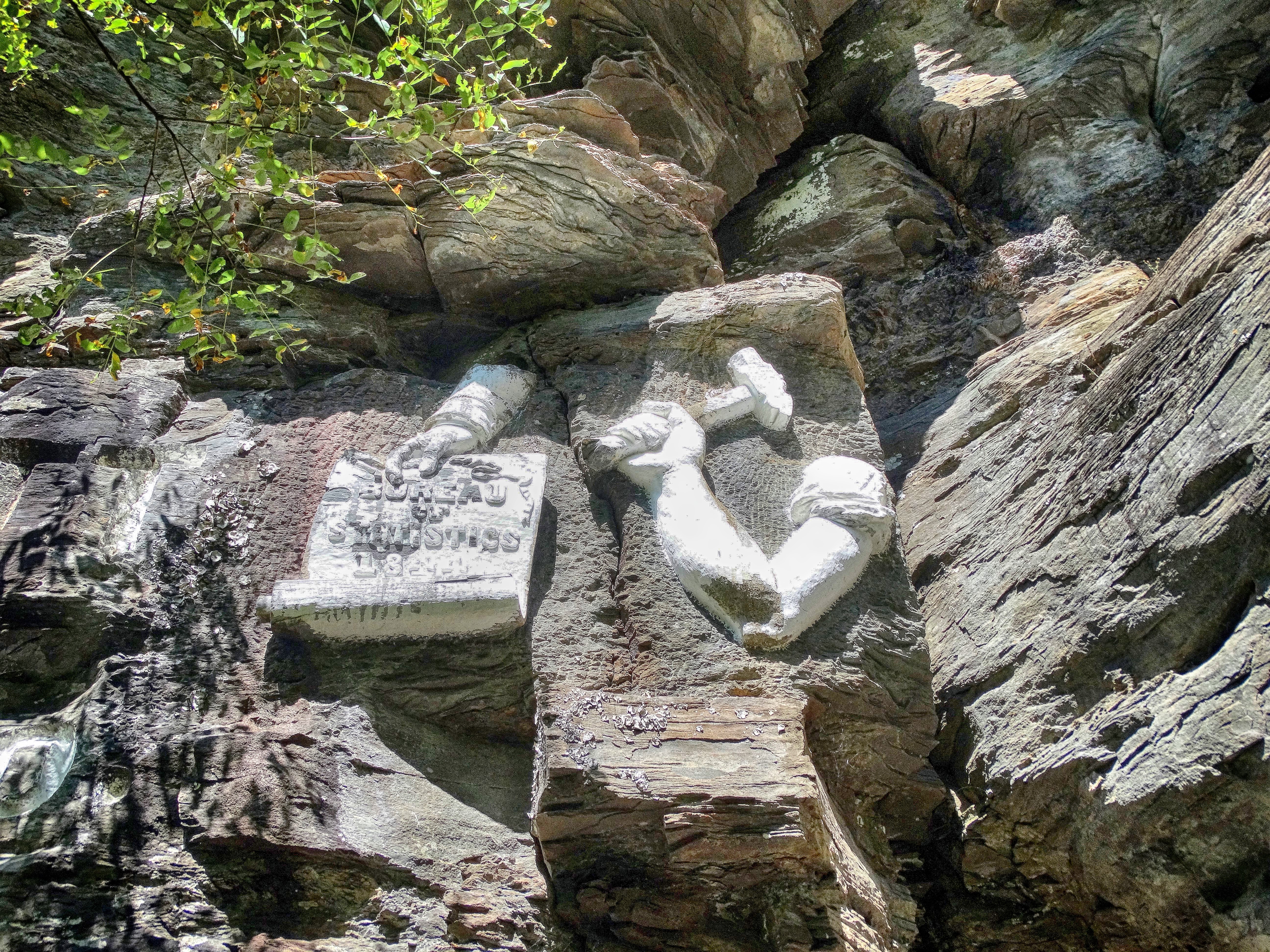
Mohonk Testimonial Gateway
Located between Route 299 and Gatehouse Road in New Paltz, it served as the formal entrance to Mohonk Mountain House from 1908 to 1935.
Mohonk Testimonial Gateway
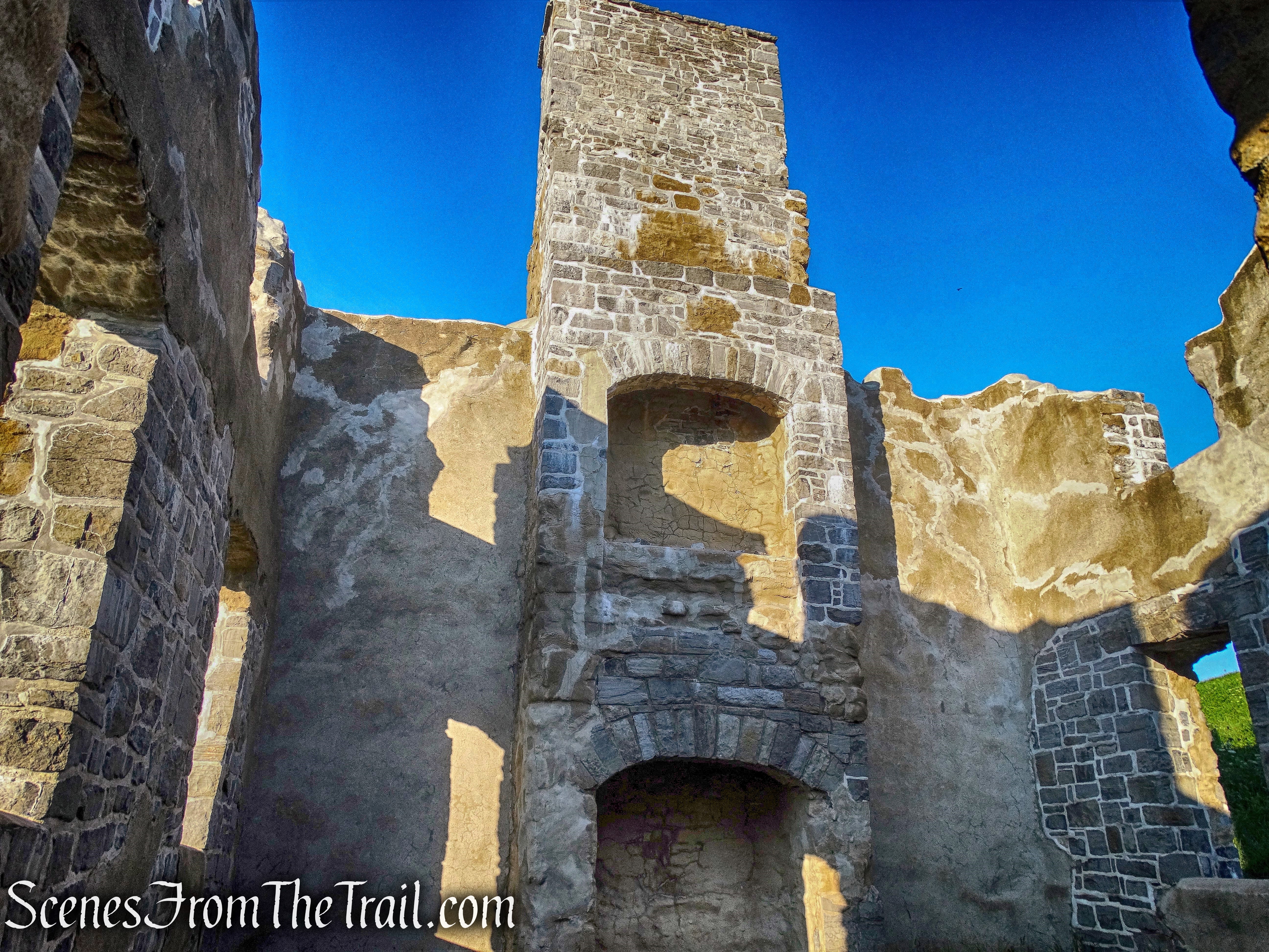
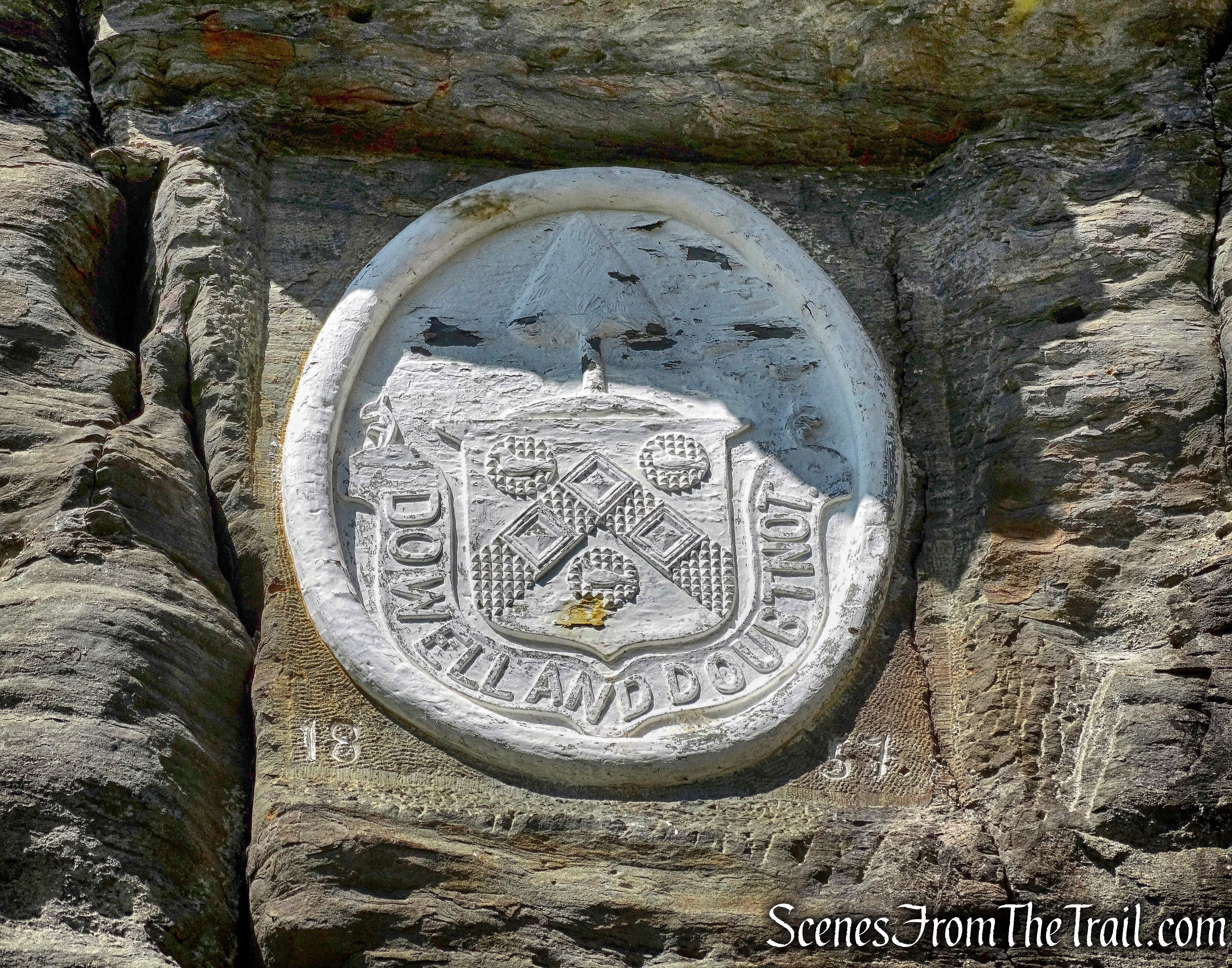
Originally called the Smiley Memorial Gateway, it was built in 1908 to honor the 50th wedding anniversary of Albert and Eliza Smiley, founders of Mohonk Mountain House.
Mohonk Testimonial Gateway
The gateway was built with the contributions of 1200 friends of the couple.
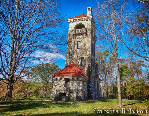
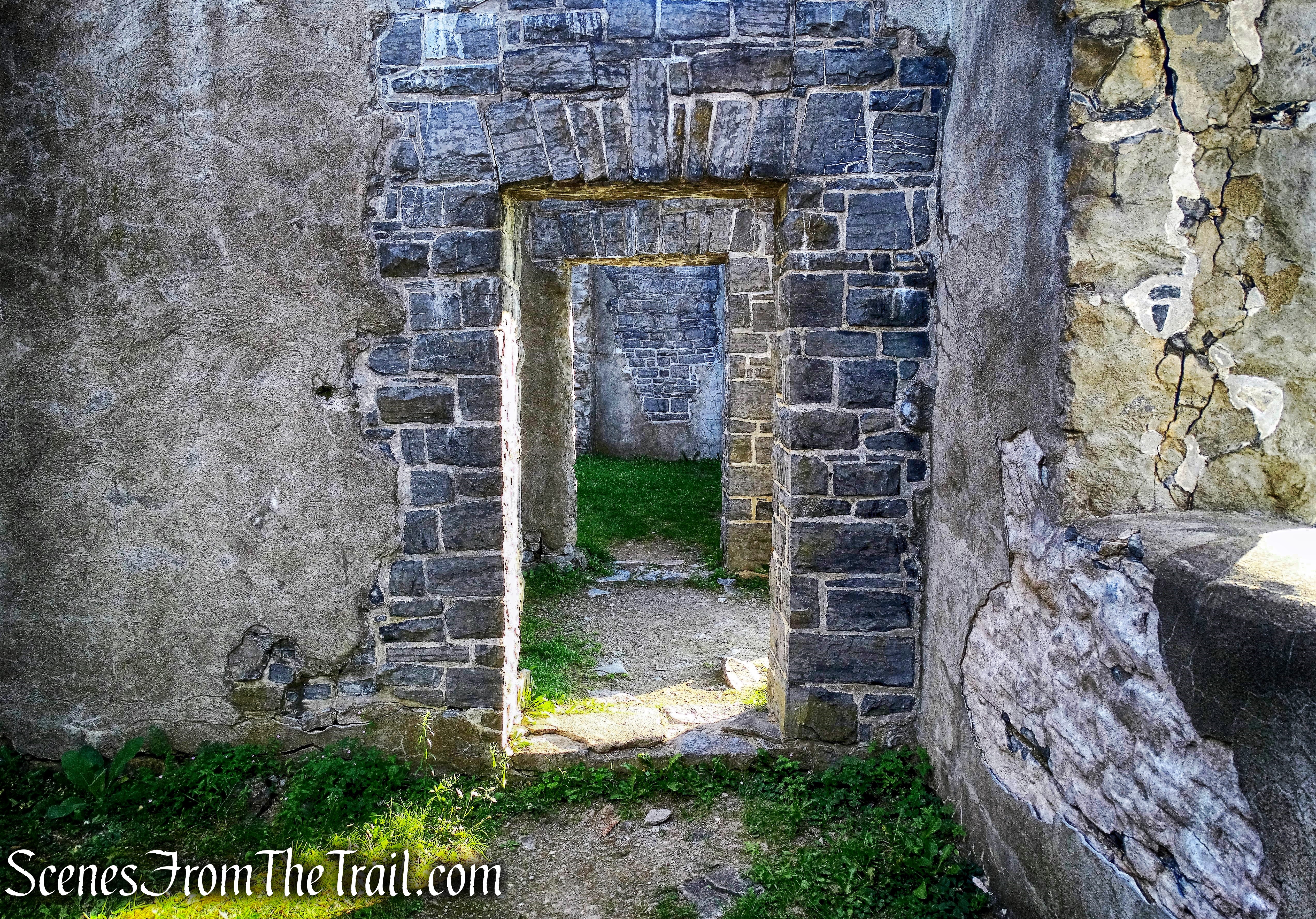
Mohonk Testimonial Gateway
“Its lofty tower and massive gateway are supremely attractive. It is to be built of Shawangunk grit, one of the hardest stones in existence, firmly cemented together and fitted to endure the storms of innumerable ages.” ~ Albert Smiley
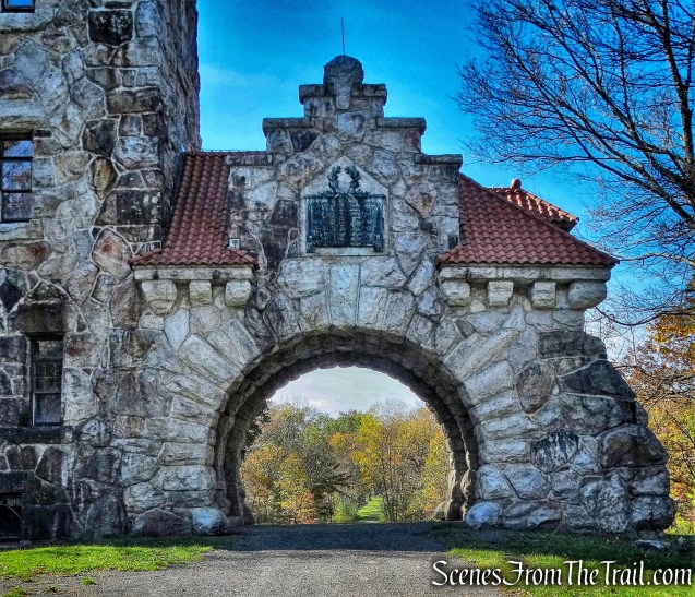
Mohonk Testimonial Gateway
It is an impressive tower and worth a visit if you happen to be in the area. While there, we saw two Bald Eagles and a Red-tailed Hawk.
View the virtual hike below, with additional images added.
Pros: Scenic trails and carriage roads, fantastic views, Lake Minnewaska.
Cons: Can get crowded on weekends.
Take a hike!
Beacon Hill