July 29, 2018 – Marbletown, NY
Difficulty: Moderate
Length: approximately 6 miles
Max elevation: 1,096 ft. – total elevation gain: 679 ft.
Route type: Circuit
Map: Shawangunk Trails Map #106
Trailhead parking: Spring Farm Trailhead parking – Marbletown, NY 12440
Fees: $15.00 per hiker day use fee (Non-Member) – Purchase Membership
Overview:
With over 8,000 acres on the Shawangunk Ridge, Mohonk Preserve is the largest member and visitor-supported nature preserve in New York State. The Mohonk Preserve is a private land conservation organization established to protect the Shawangunk Ridge, it is not public land funded by the government. Therefore, there is a day use fee to use the preserve which funds its maintenance and programs.
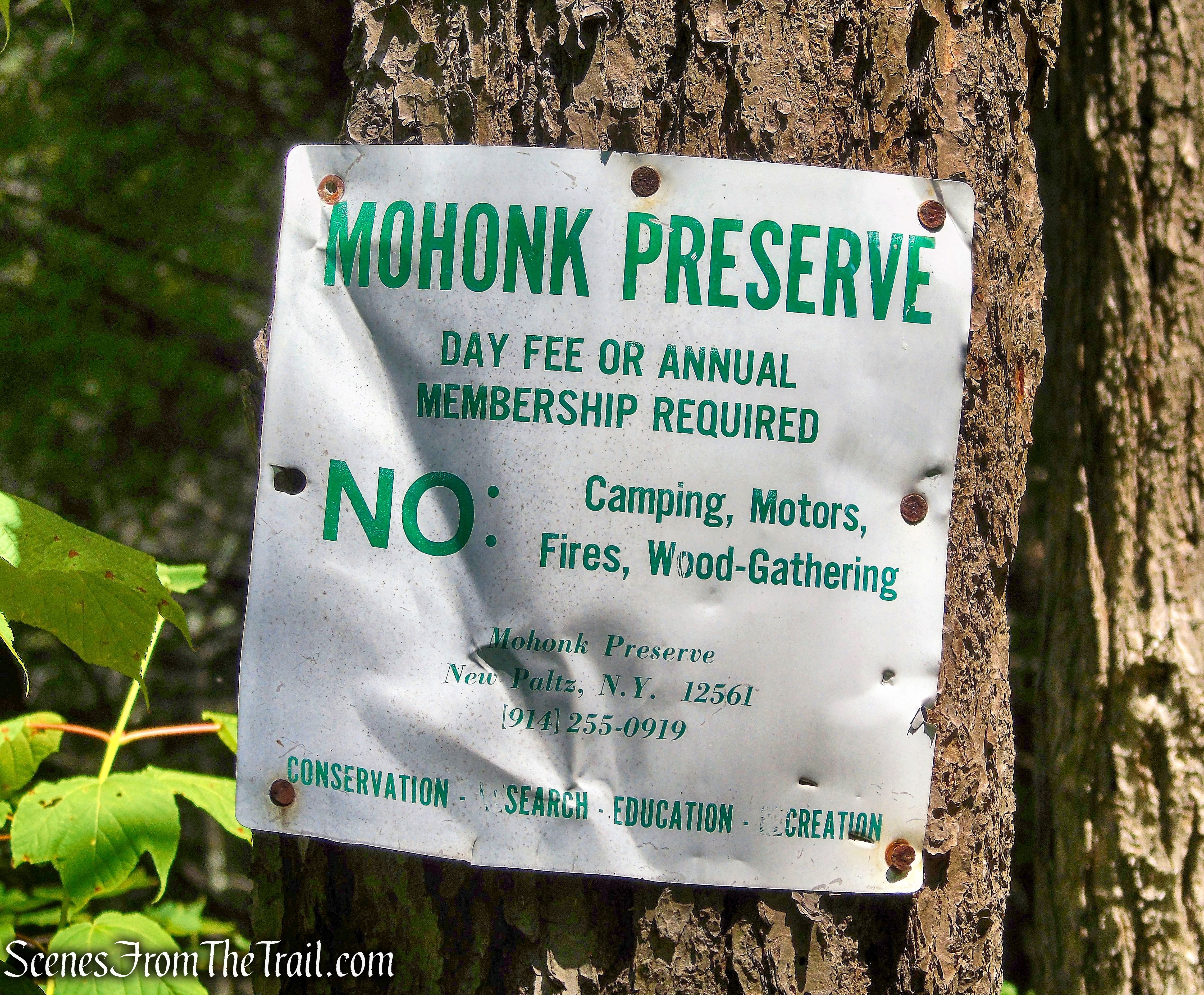
Mohonk Preserve
The Mohonk Mountain House property consists of 1,325 acres, and much of it is landscaped with meadows and gardens. It adjoins the Mohonk Preserve, which is crisscrossed by 85 miles of hiking trails and carriage roads. The Mohonk Mountain House charges $22.00 Monday-Friday and $27.00 weekends/holidays for a day hiking pass. A hiking pass does not include access to the interior of the house or lake swimming. The Mohonk Preserve (non-profit nature preserve) and the Mohonk Mountain House (resort hotel) are two separate places. The Mohonk Preserve charges $15.00 for a day pass (annual memberships available) which also allows access to the Mohonk Mountain House property. The only drawback is that you have to hike a couple of miles in order to get to the Mountain House grounds. That normally adds about five miles to any hike unless you pay to park on their property.
Although Mohonk is famous for its Lemon Squeeze, which lies within the Labyrinth rock scramble. There are other notable hikes that involve rock scrambles, agility, and the use of hands as well as feet, including Arching Rocks Path, Cathedral Path, Giant’s Workshop, Humpty Dumpty Path and Rock Rift Crevices. I have done several of them and along with being challenging, they are also quite enjoyable.
This hike focuses on the Rock Rift Crevices, which is mostly a horizontal rock scramble and is fun to explore. It is a great introduction to rock scrambling for those that want a thrill without requirement of any real advanced skills. The rock scramble on this hike is less than a 1/2 mile long, but it feels much longer. It involves a lot of twisting and squirming through rock crevices and climbing over rock formations and boulders. The key is to keep an eye on the blazes as there seem to be numerous routes in which to go. This 6 mile loop also uses easy walking carriage roads to reach the crevices, a brief detour onto Mohonk Mountain House property to some magnificent views and returns on different carriage roads.
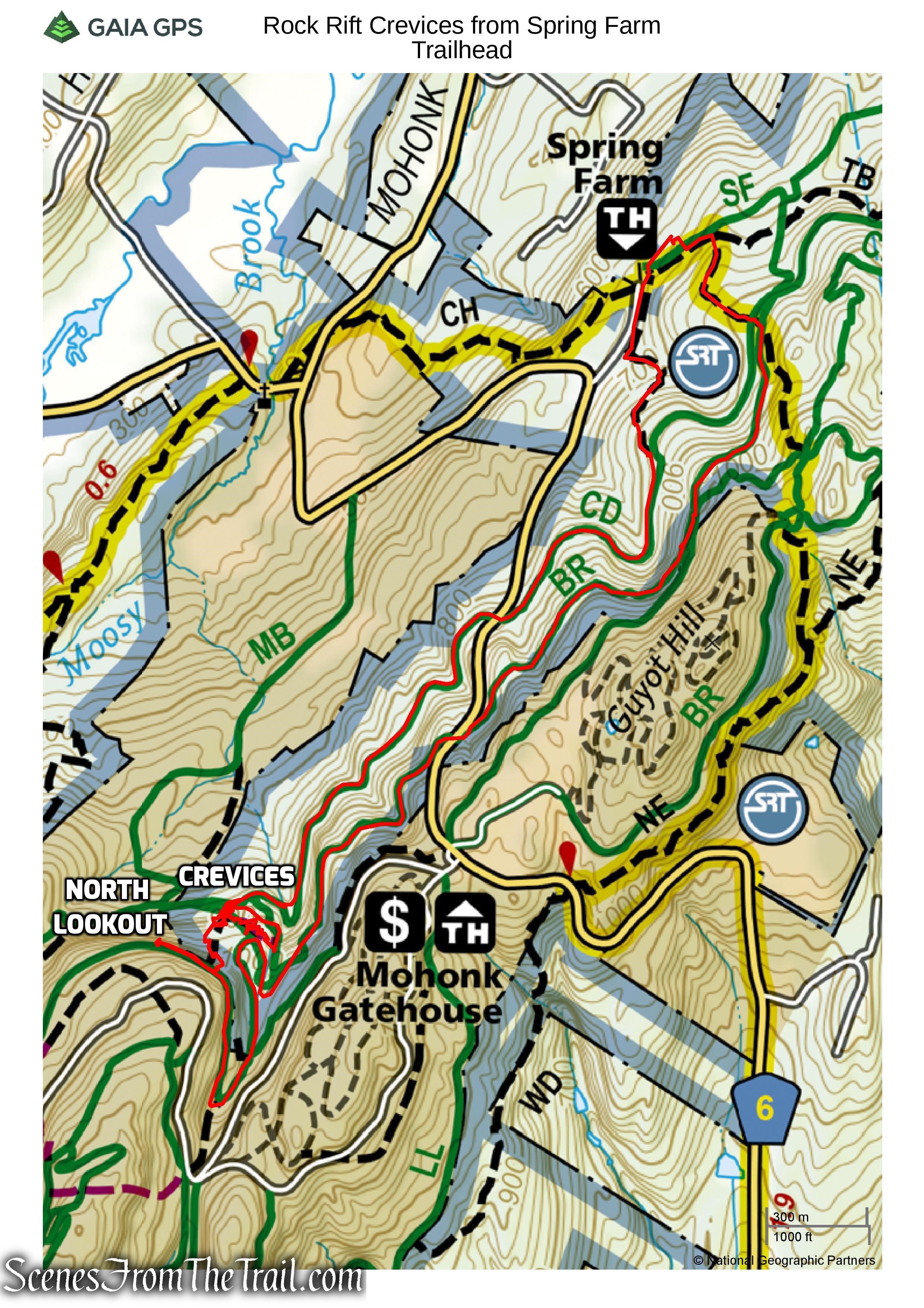
Rock Rift Crevices from Spring Farm Trailhead
The hike:
We began the hike on the Northwest Trail, which is located directly across from the booth where you stop to pay or show your membership card.
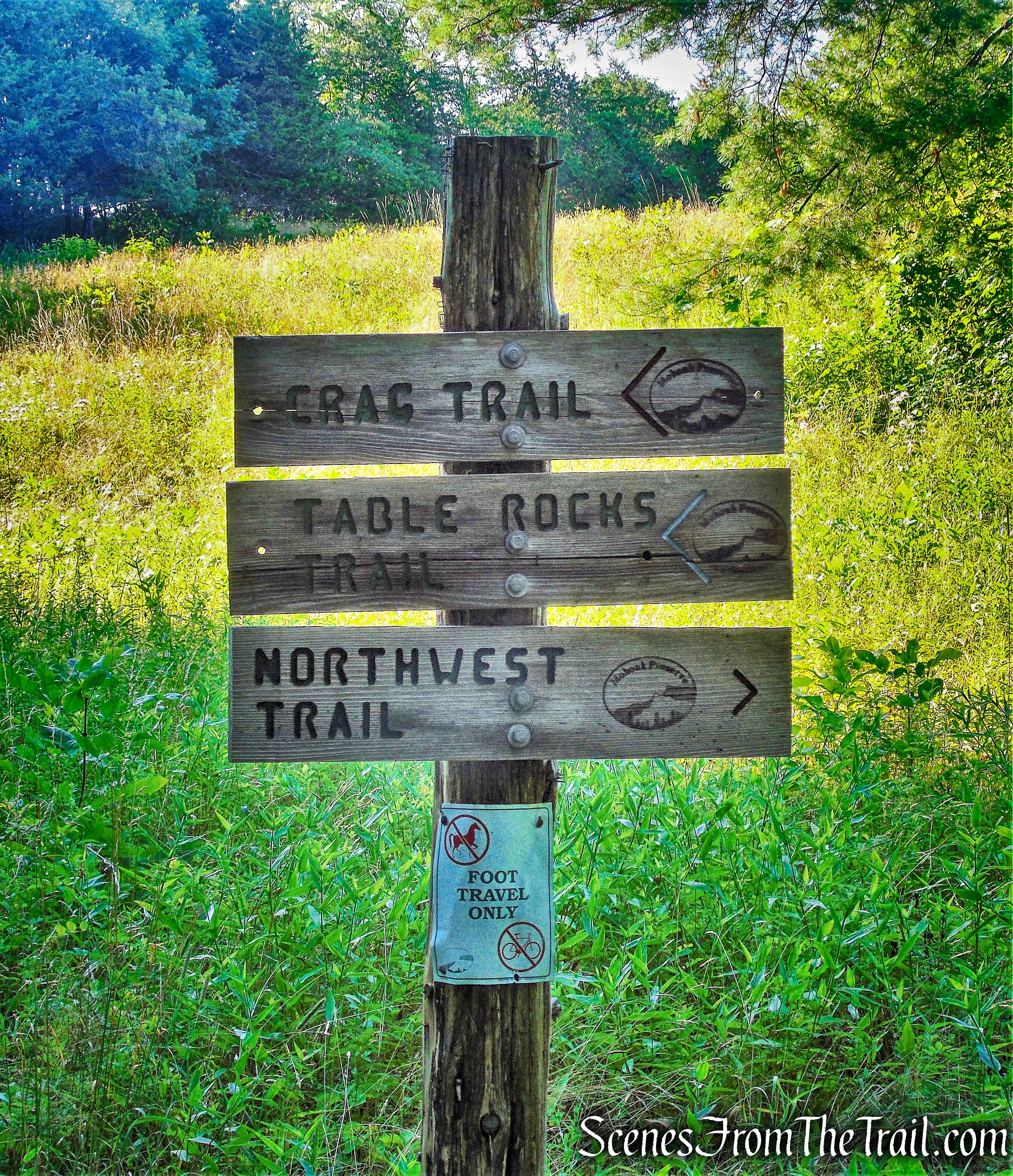
Northwest Trail
We headed south on the Northwest Trail, on a mowed path along the edge of a field.
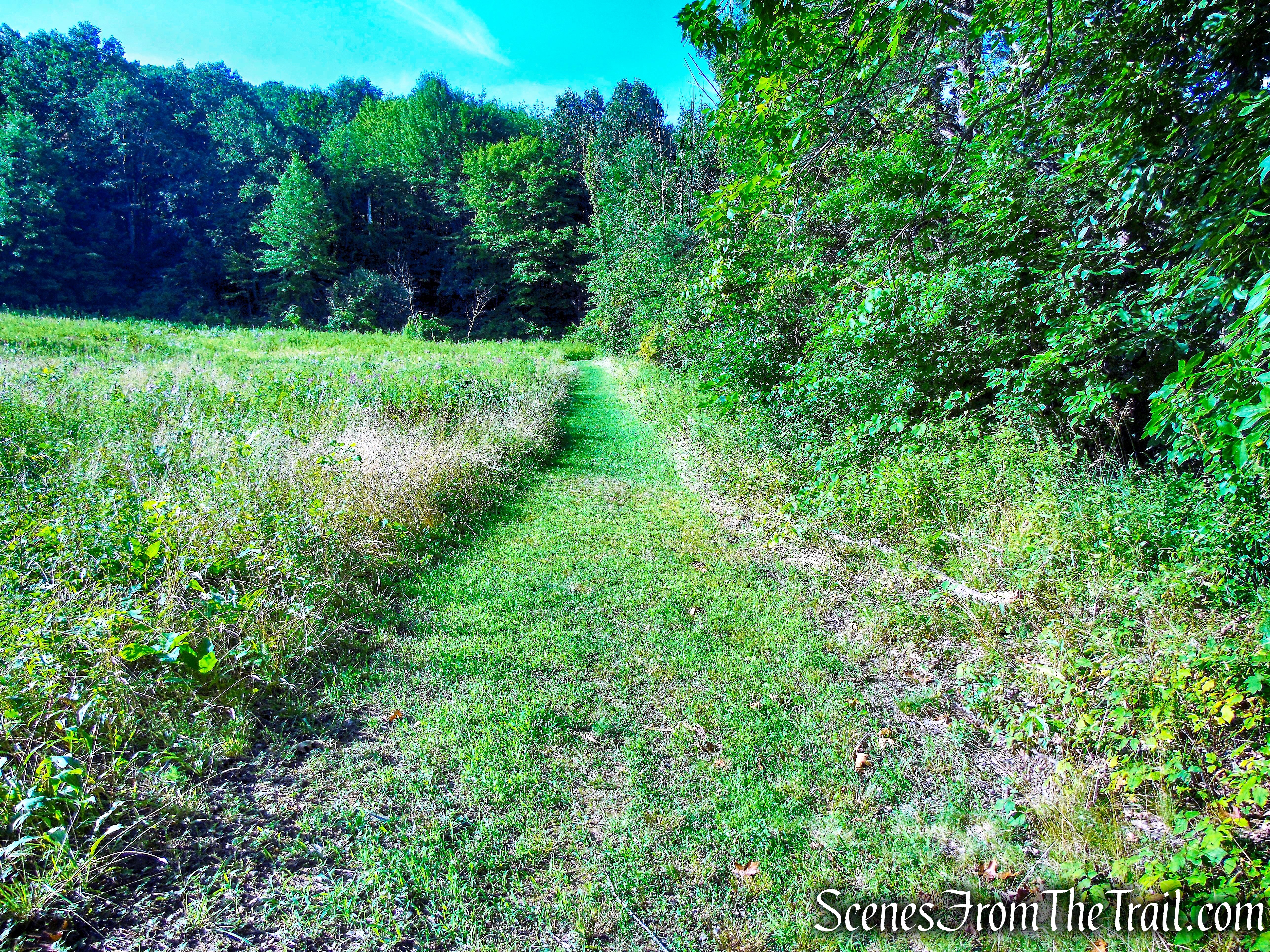
Northwest Trail
The trail then plunges into the woods, crosses a small stream and begins to climb on a footpath, gradually at first. The trail reaches a collapsed stone wall, briefly parallels it then crosses through it. The trail then steepens as it climbs the hillside. The trail is not well marked, but easily discernible. I did spot an occasional red blaze along the way.
Northwest Trail
After about 1/2 mile and approximately 160 feet of elevation gain, we reached Cedar Drive and turned right, now heading southwest. Cedar Drive is one of several broken-stone carriage roads that connects the Spring Farm Trailhead area to the Mohonk Mountain House property.
Cedar Drive
In approximately 0.6 mile, we came to the Cedar Drive Carriage Road Bridge. The original rustic stone and wood bridge that crossed Mohonk Road was removed in the 1960’s when the public roadway was widened.
Cedar Drive Carriage Road Bridge
This new span, installed in 2011 once again links the historic carriage roads north of Mohonk Road to the remainder of the network on the southern side. The prefabricated steel pedestrian bridge with wooden decking is similar in appearance to the Trapps Bridge.
Cedar Drive Carriage Road Bridge
We crossed the bridge and continued walking on Cedar Drive. In approximately 0.7 mile, we reached the Cedar Drive Bridge.
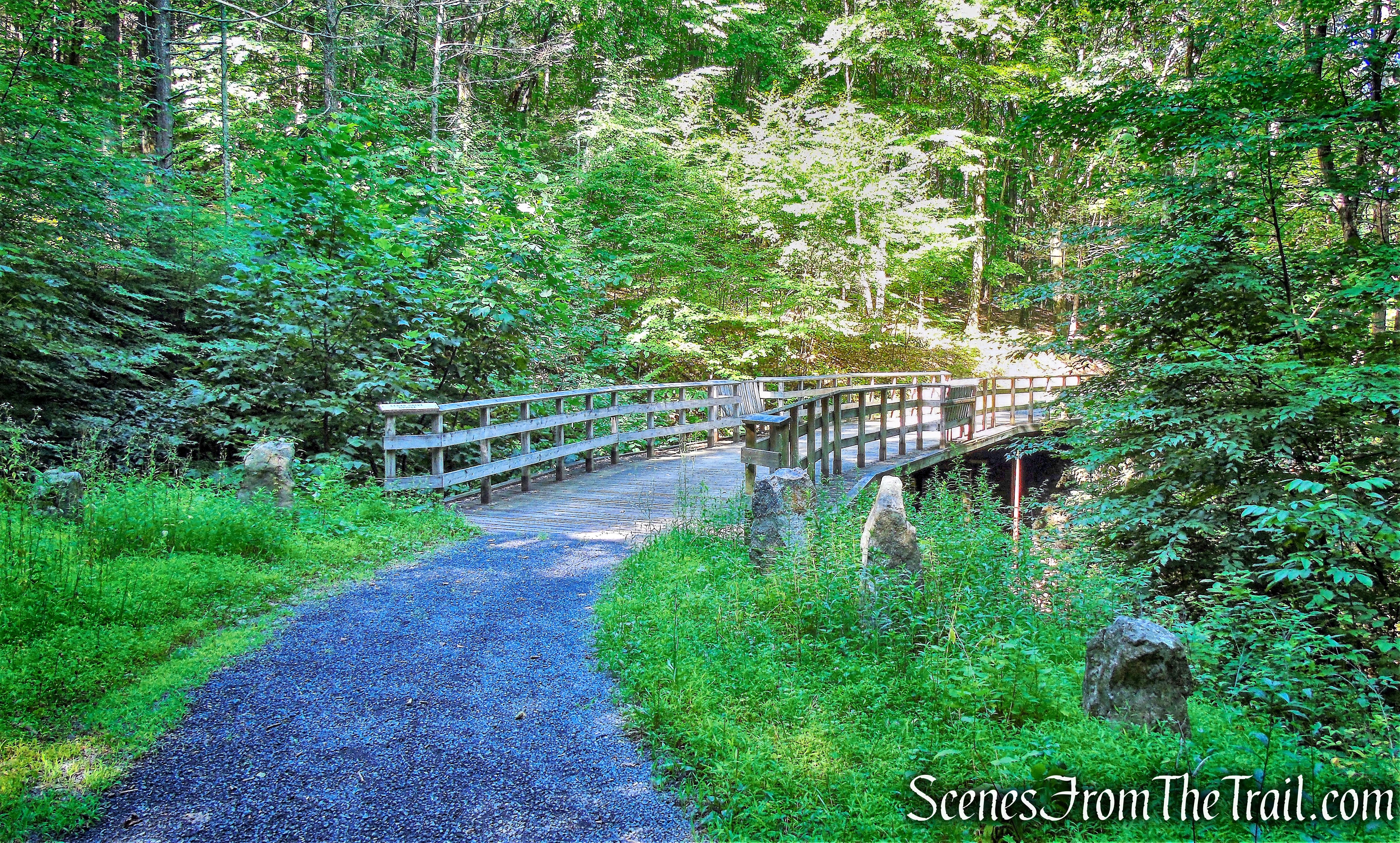
Cedar Drive Bridge
This wide wooden bridge spans Mossy Brook and is very solidly built.
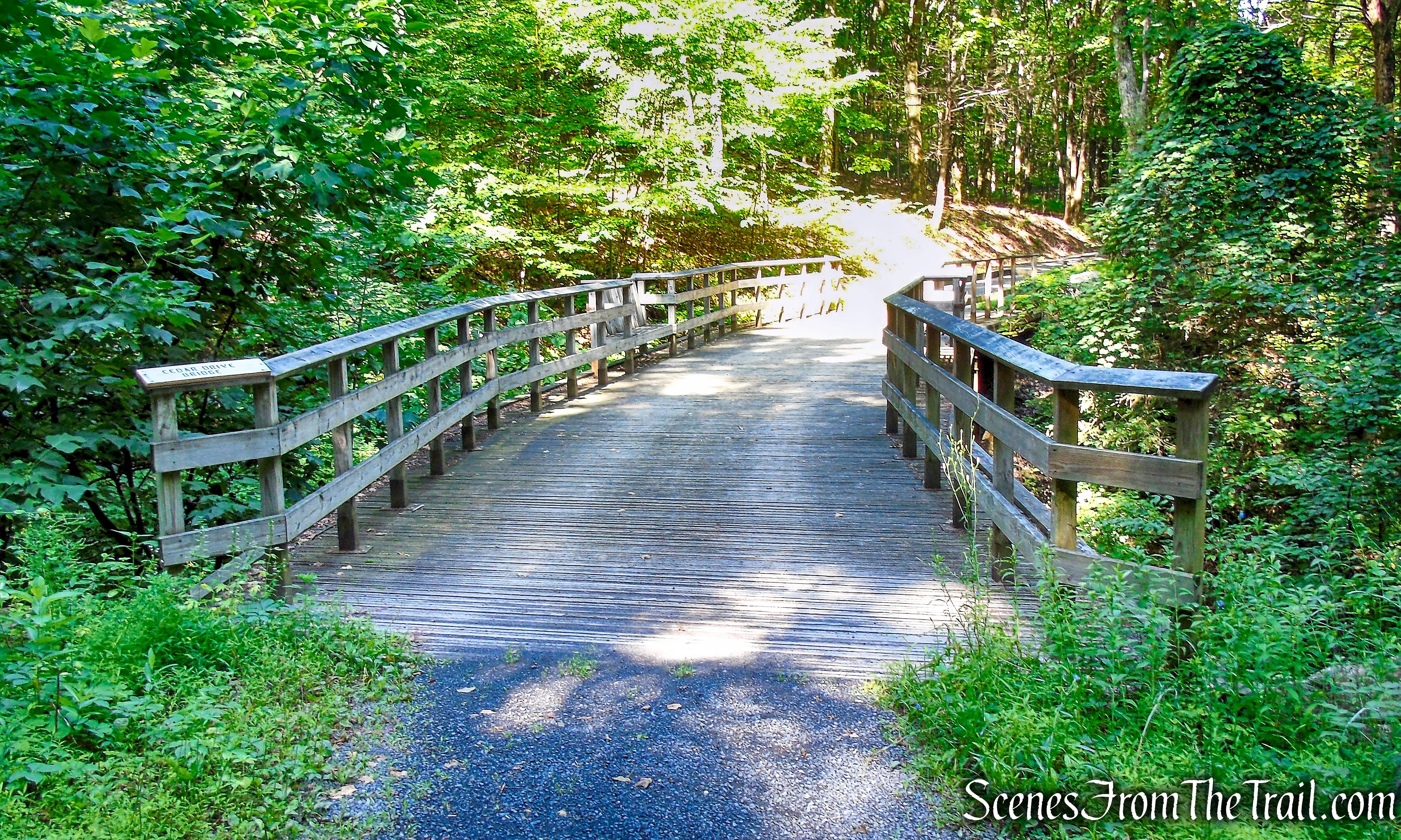
Cedar Drive Bridge
After crossing the bridge, we walked about another 500 feet and reached Glen Anna Road and turned left.
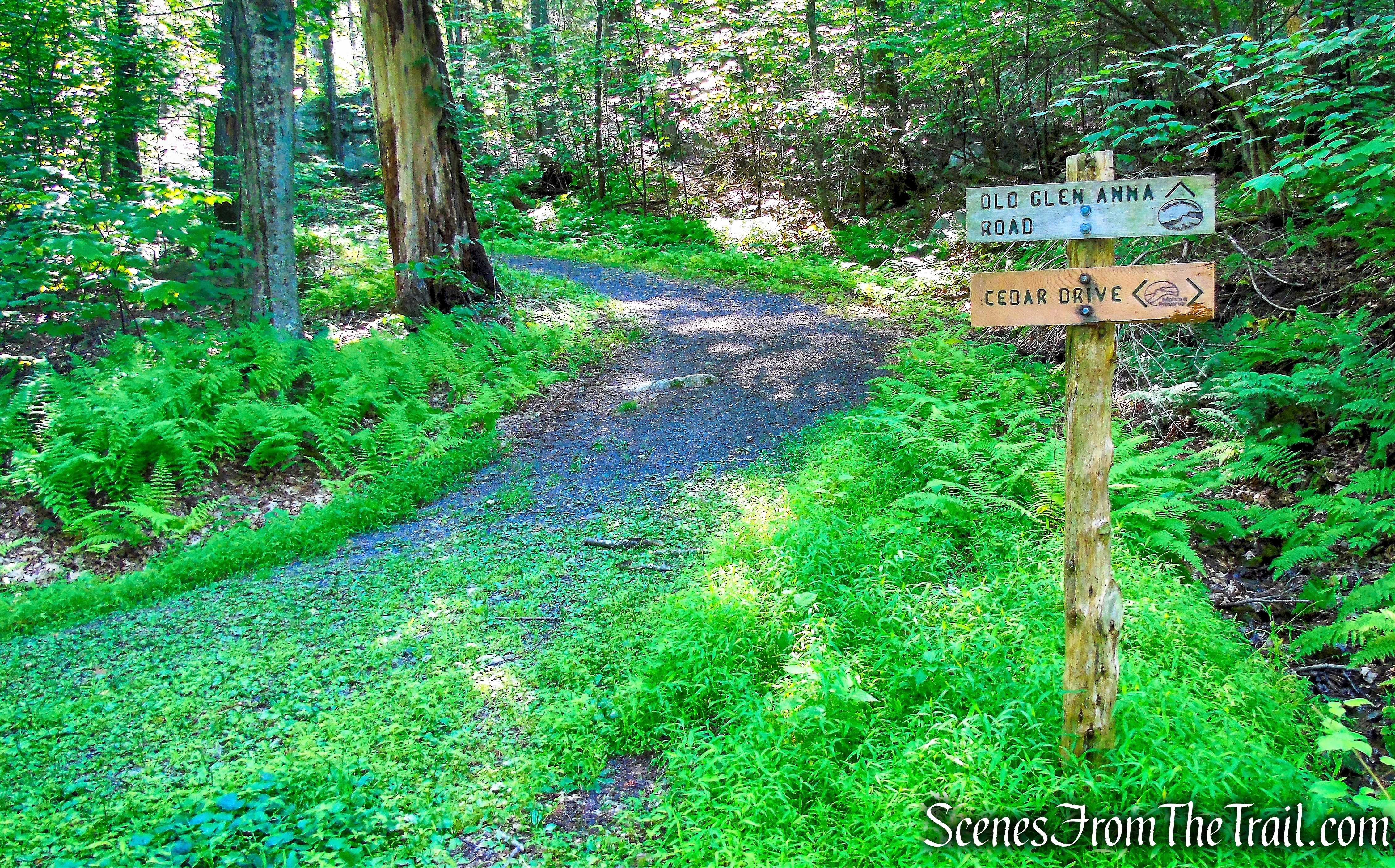
turn left on Glen Anna Road
Glen Anna Road snakes its way up the hillside…..
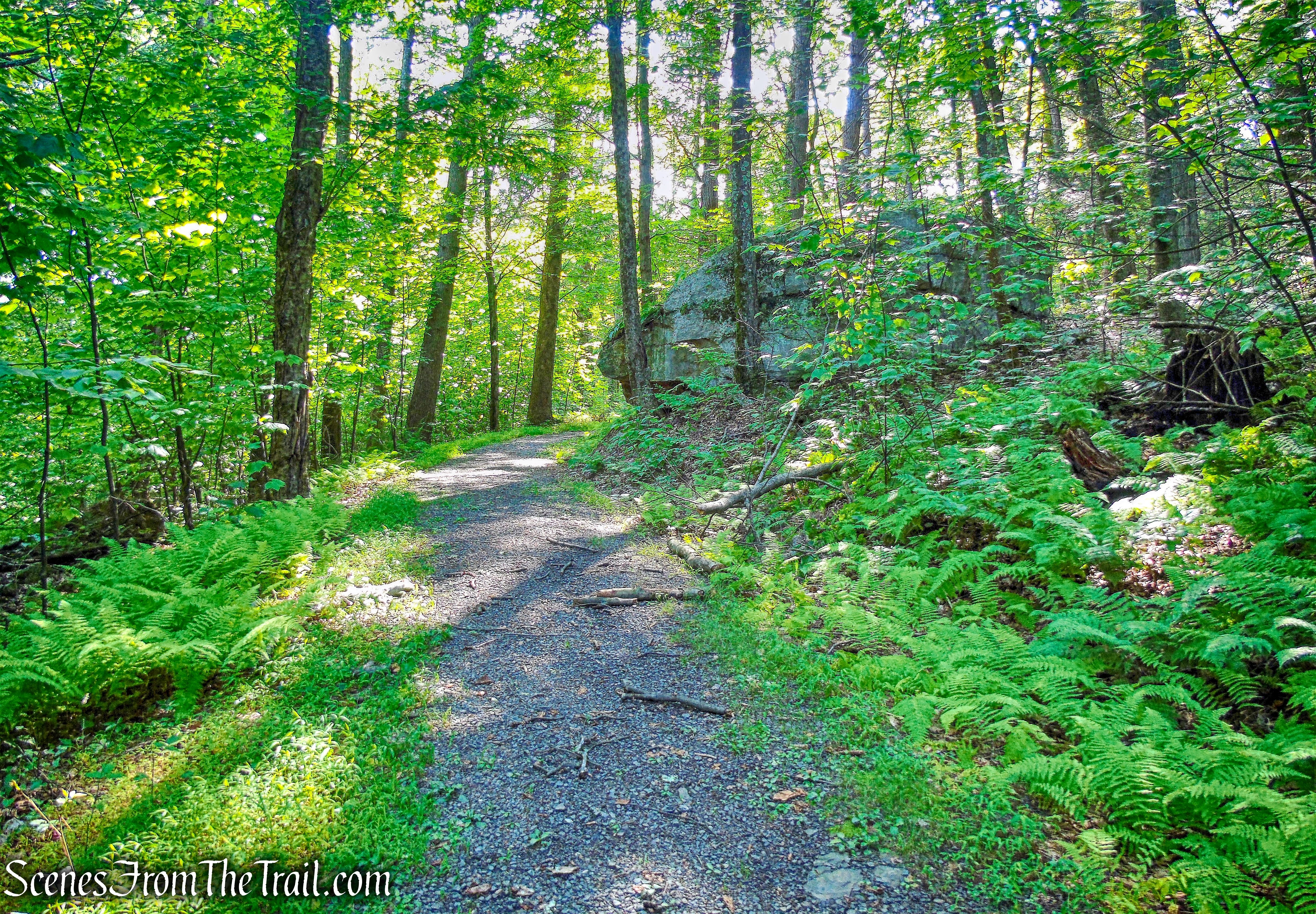
Glen Anna Road
then arrives at a junction with the red-blazed Rock Rift Trail.
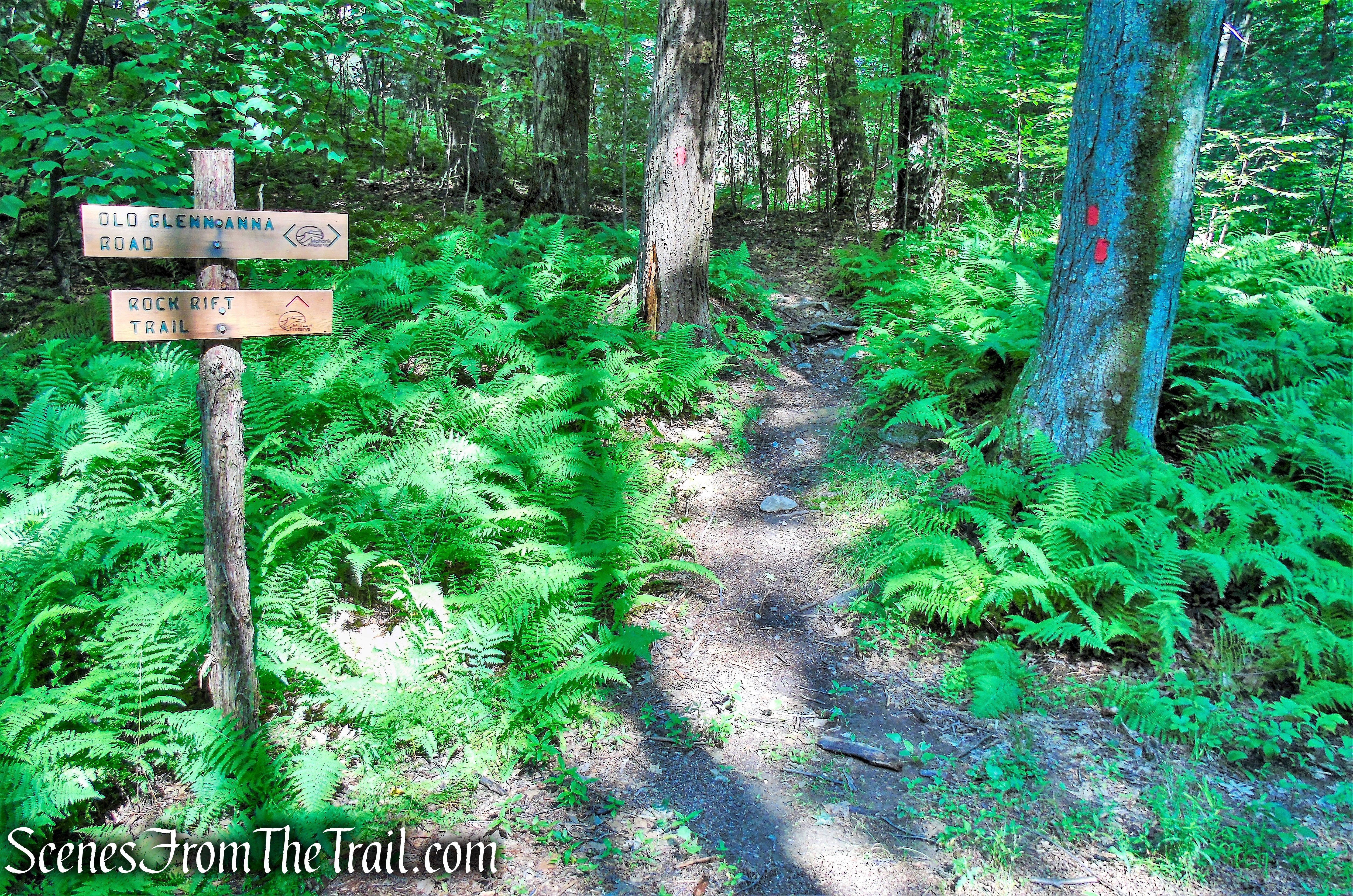
Rock Rift Trail
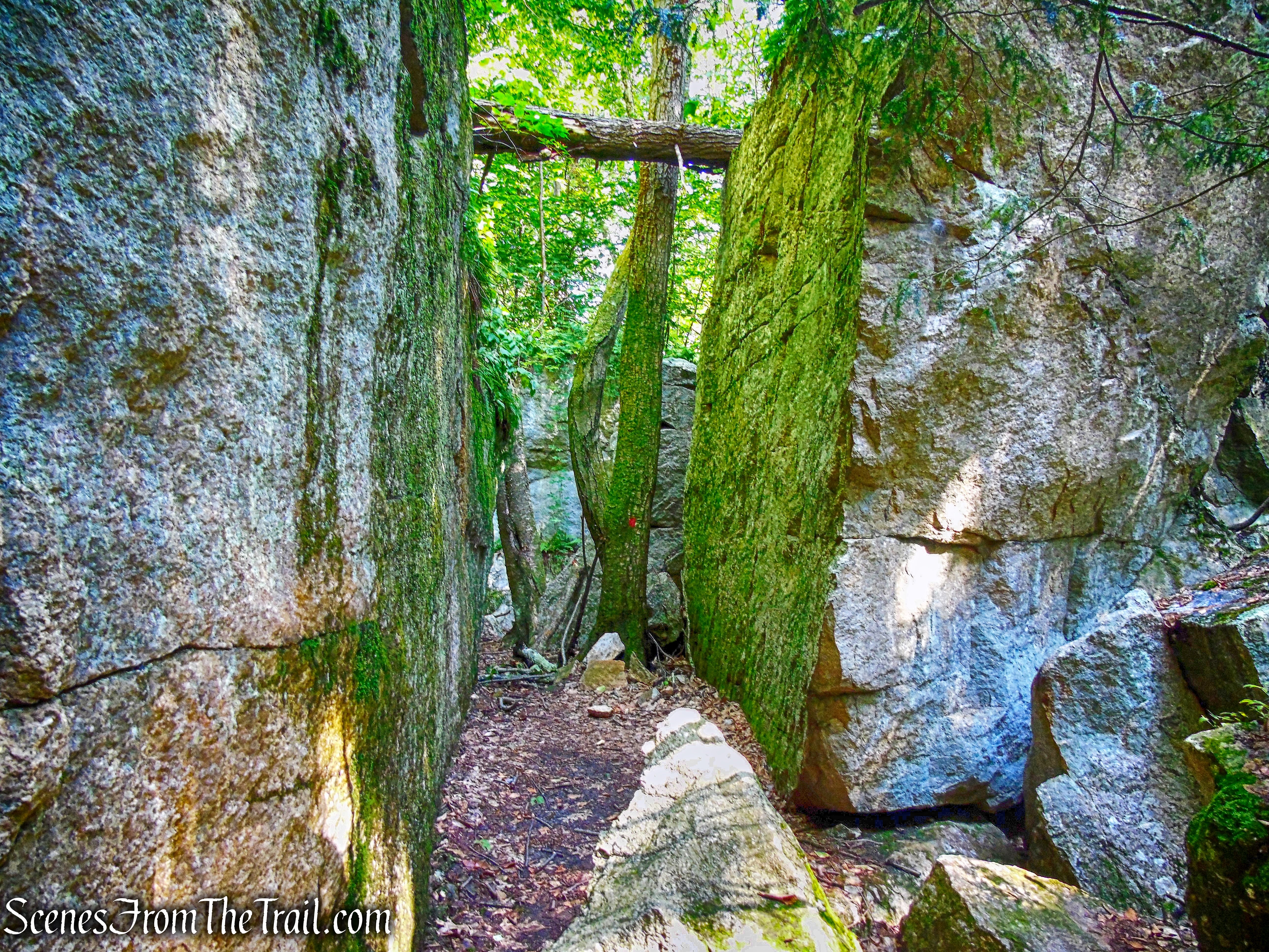
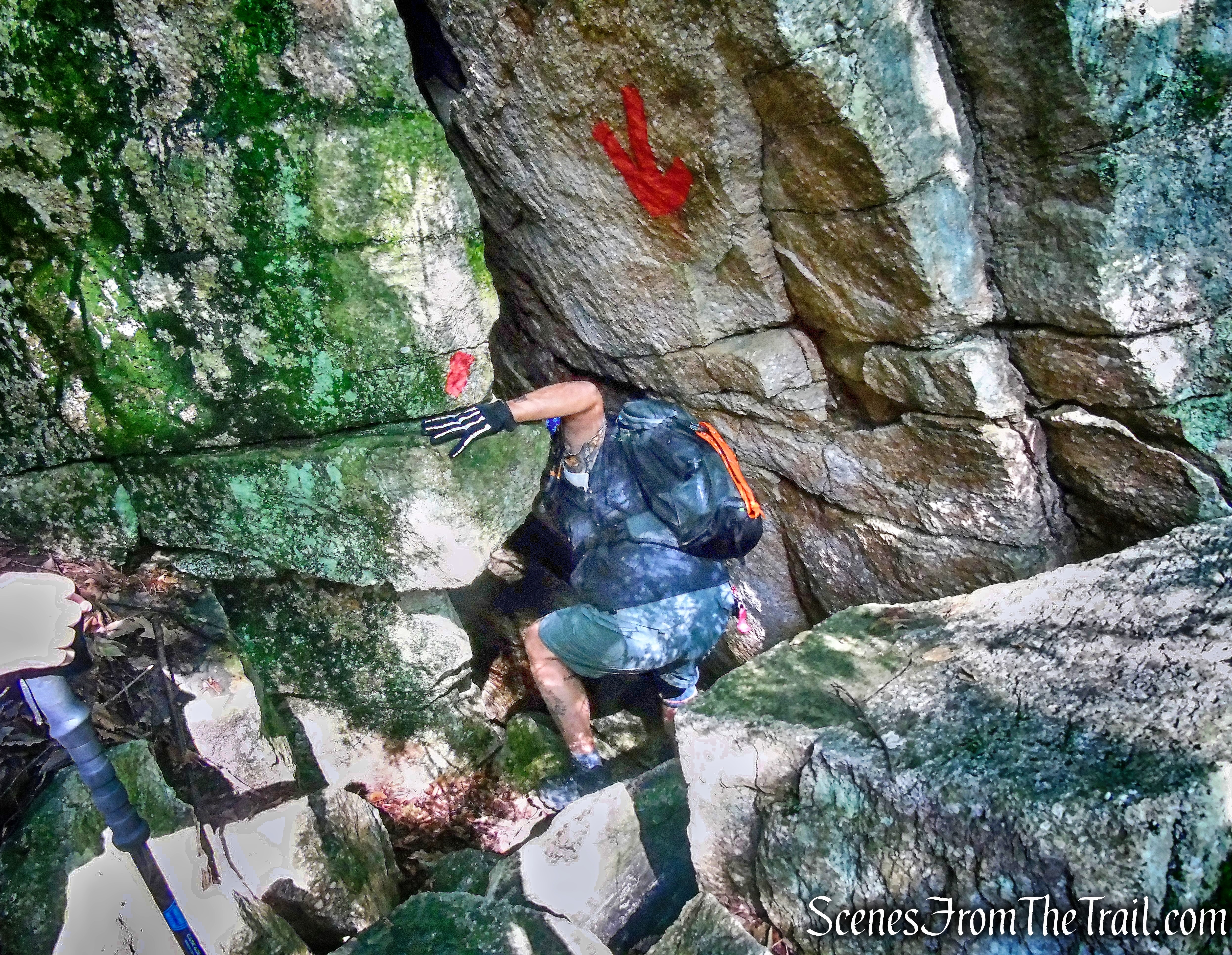
We turned right onto the Rock Rift Trail and began following the red blazes and arrows. A short walk on the footpath leads to the start of the rock scramble.
Rock Rift Trail
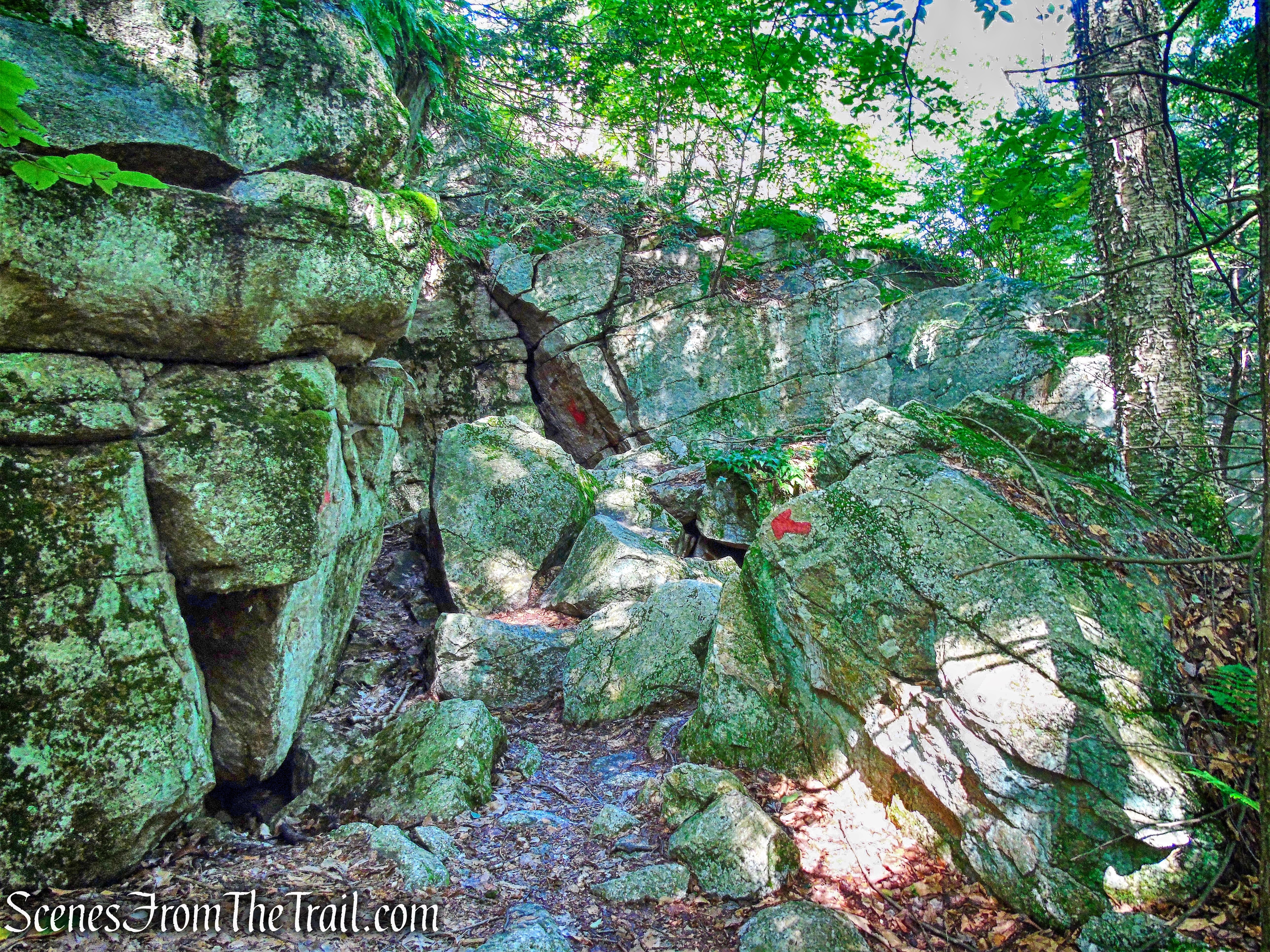
The arrows point in which direction to go, otherwise it would be hard to figure out with so many crevices and rock formations.
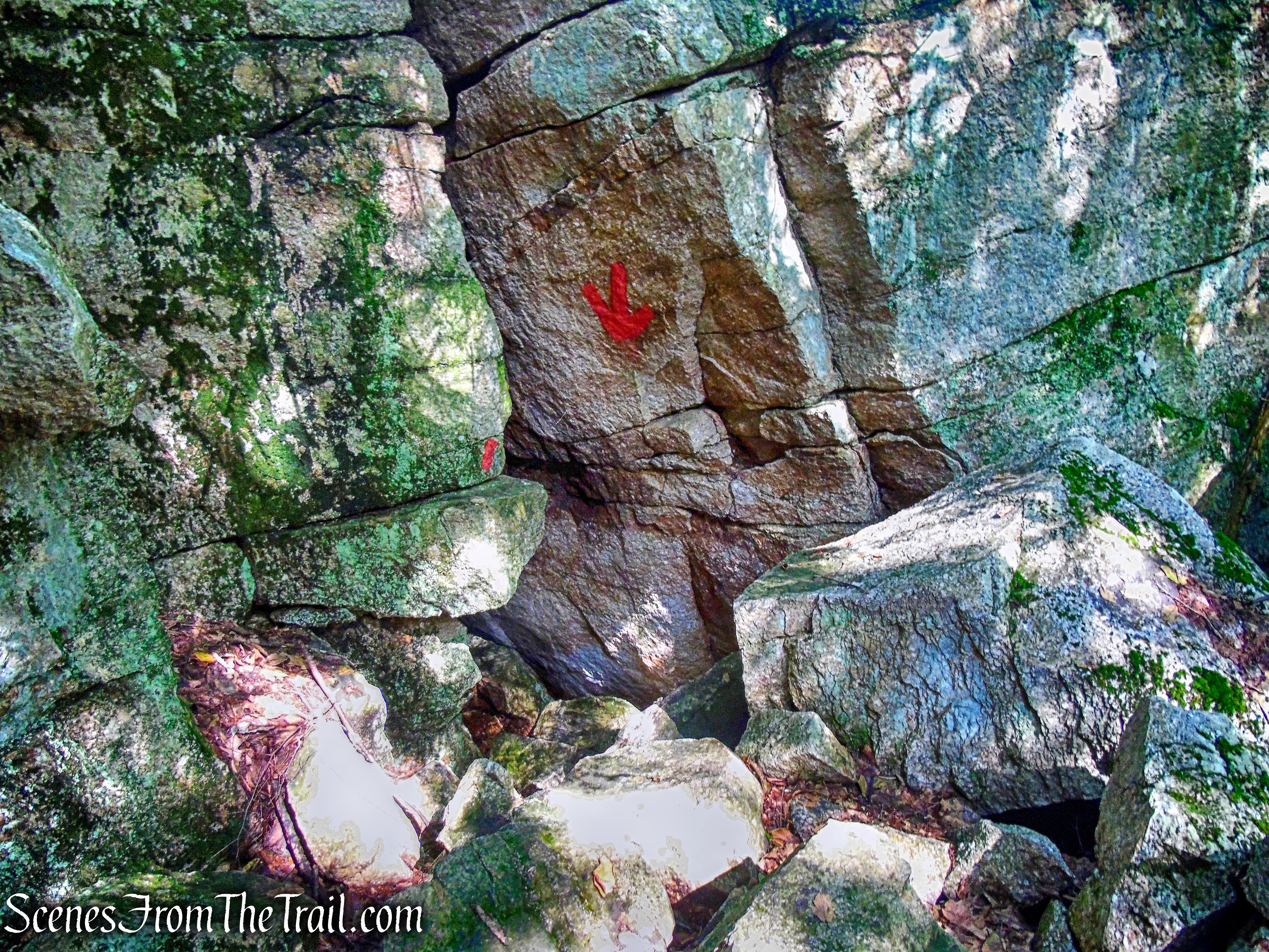
Rock Rift Trail
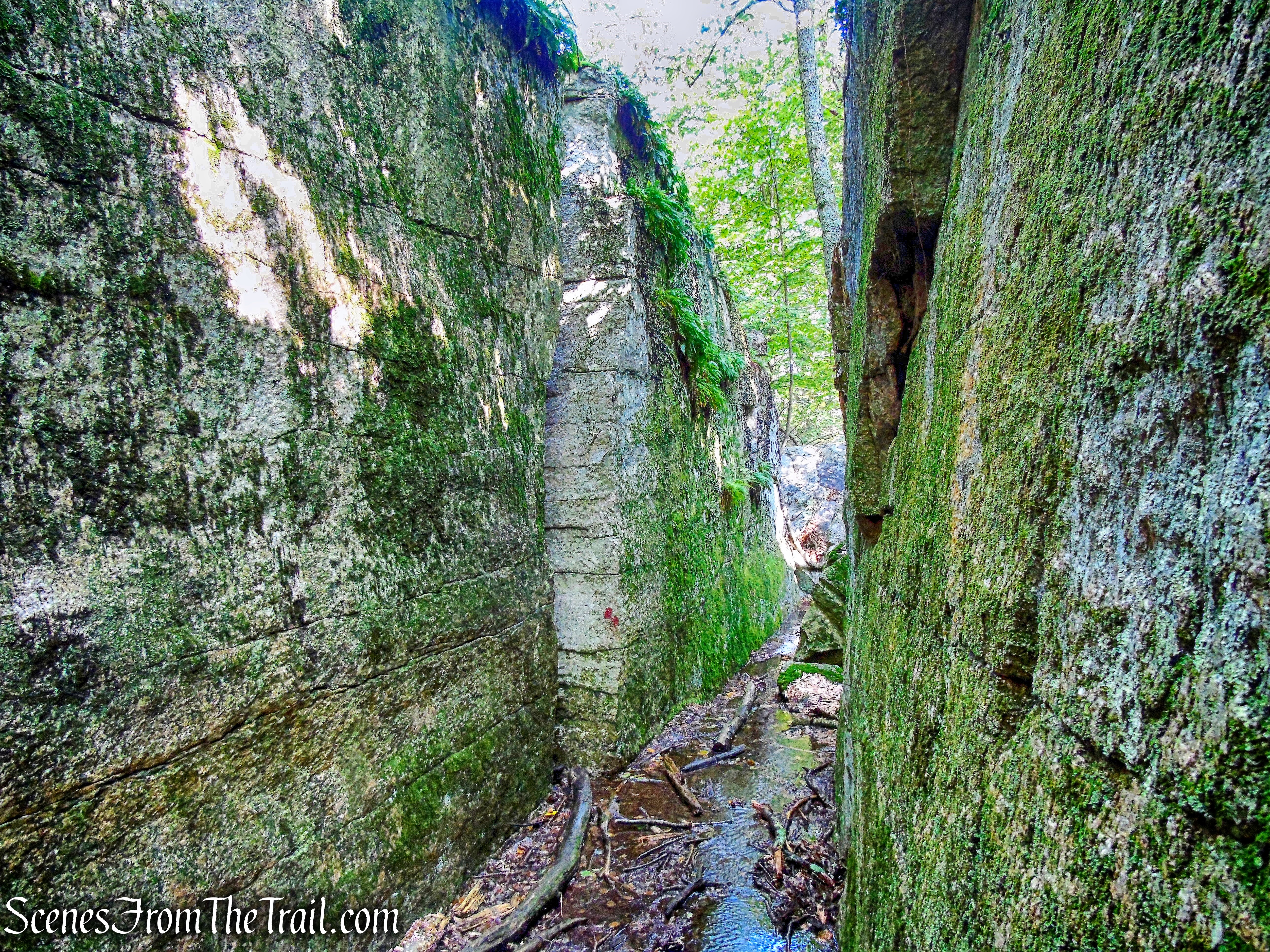
Some of the crevices are tighter than others, but they are all doable. I am 6′ and 220 lbs. and although I had to remove my backpack at times to fit through the tighter squeezes, there were no spots where I had too much difficulty.
Rock Rift Trail
The trail twists and turns through a maze of jumbled boulders and a labyrinth of high rock walls.
Rock Rift Trail
Yes, I was able to squeeze through there.
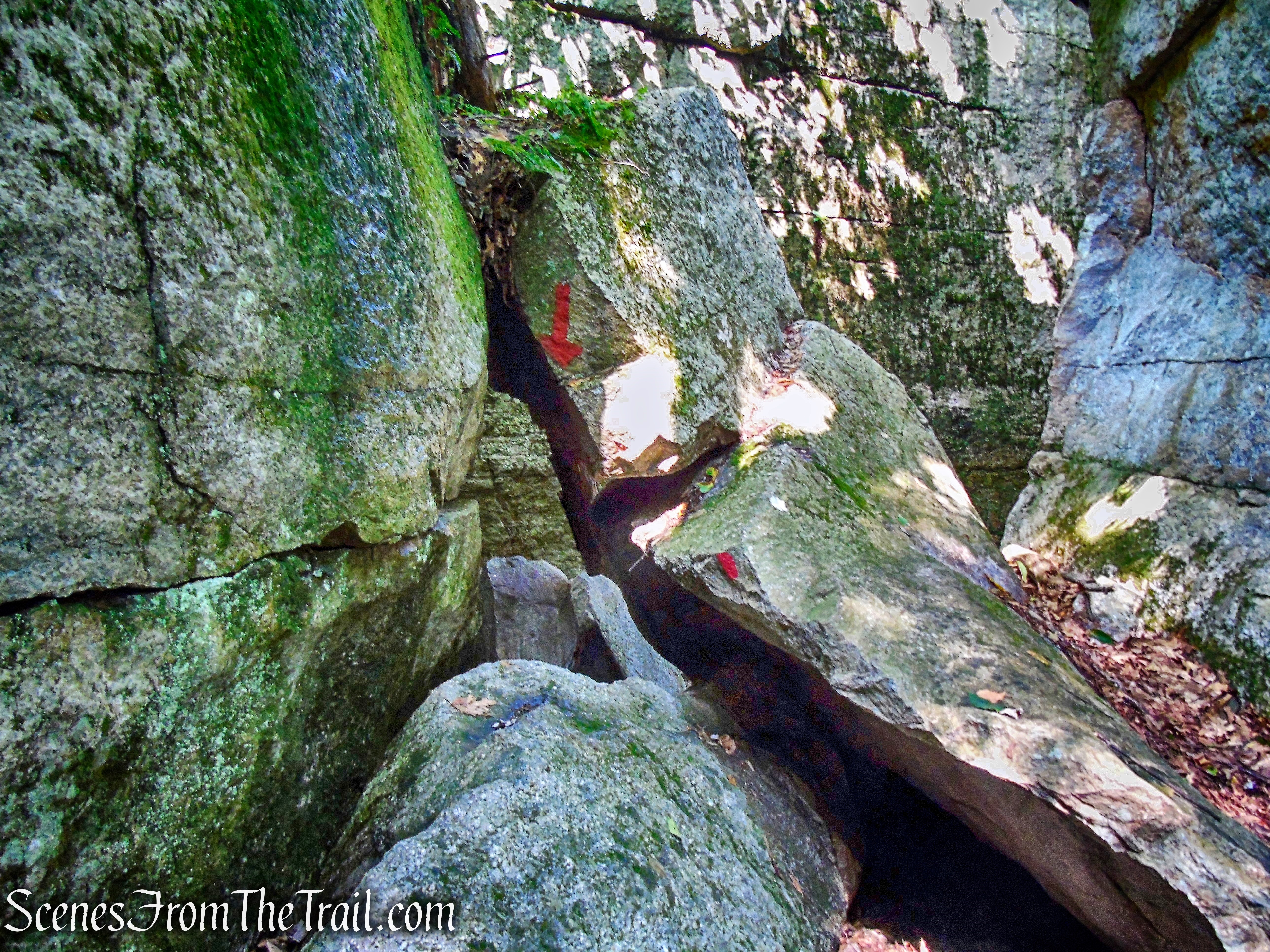
Rock Rift Trail
There isn’t much elevation gain on this trail, although we did work up a sweat.
Rock Rift Trail
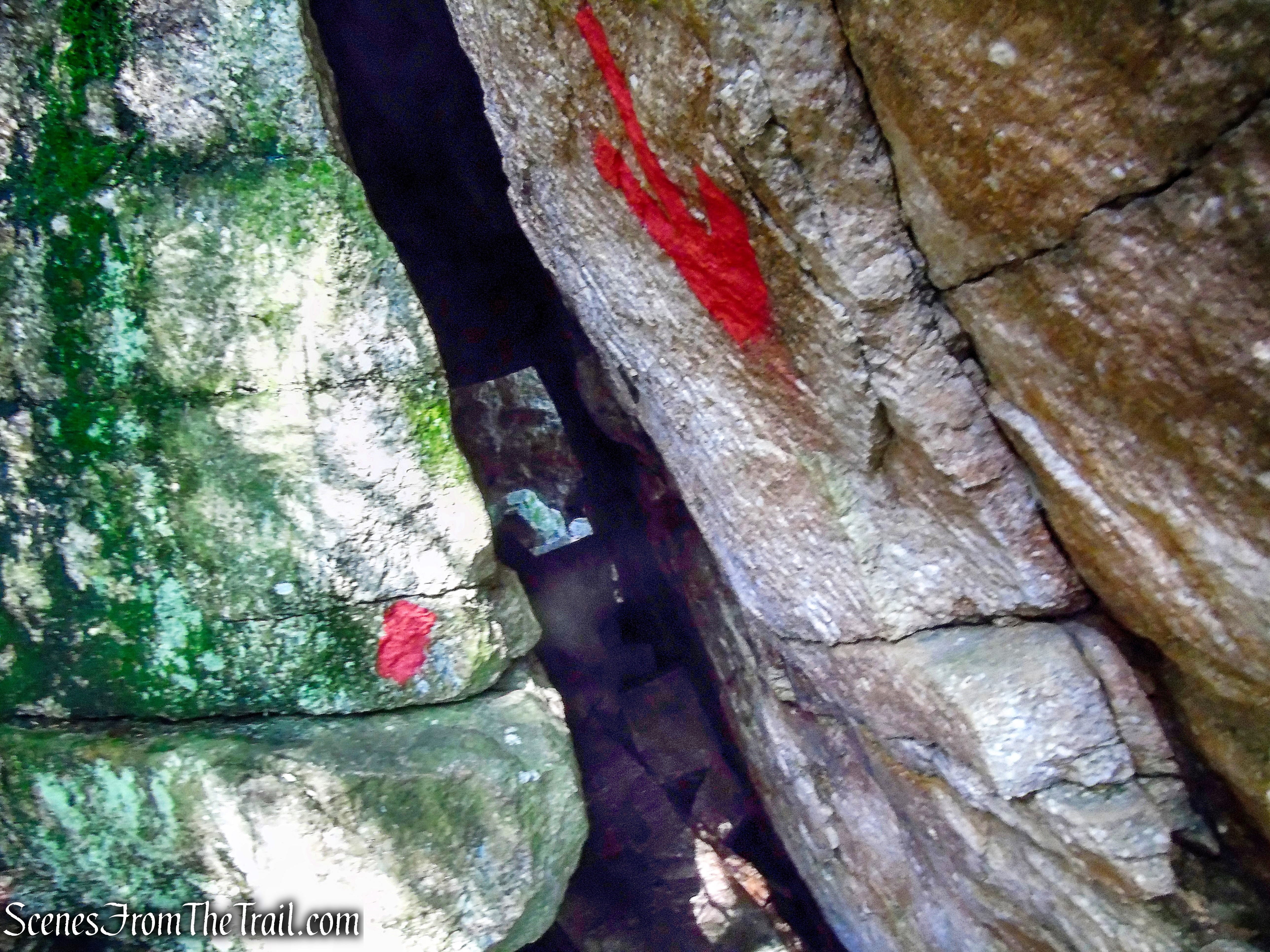
Some of the enclosed areas are very dark, but I had my trusty flashlight with me to help light the way.
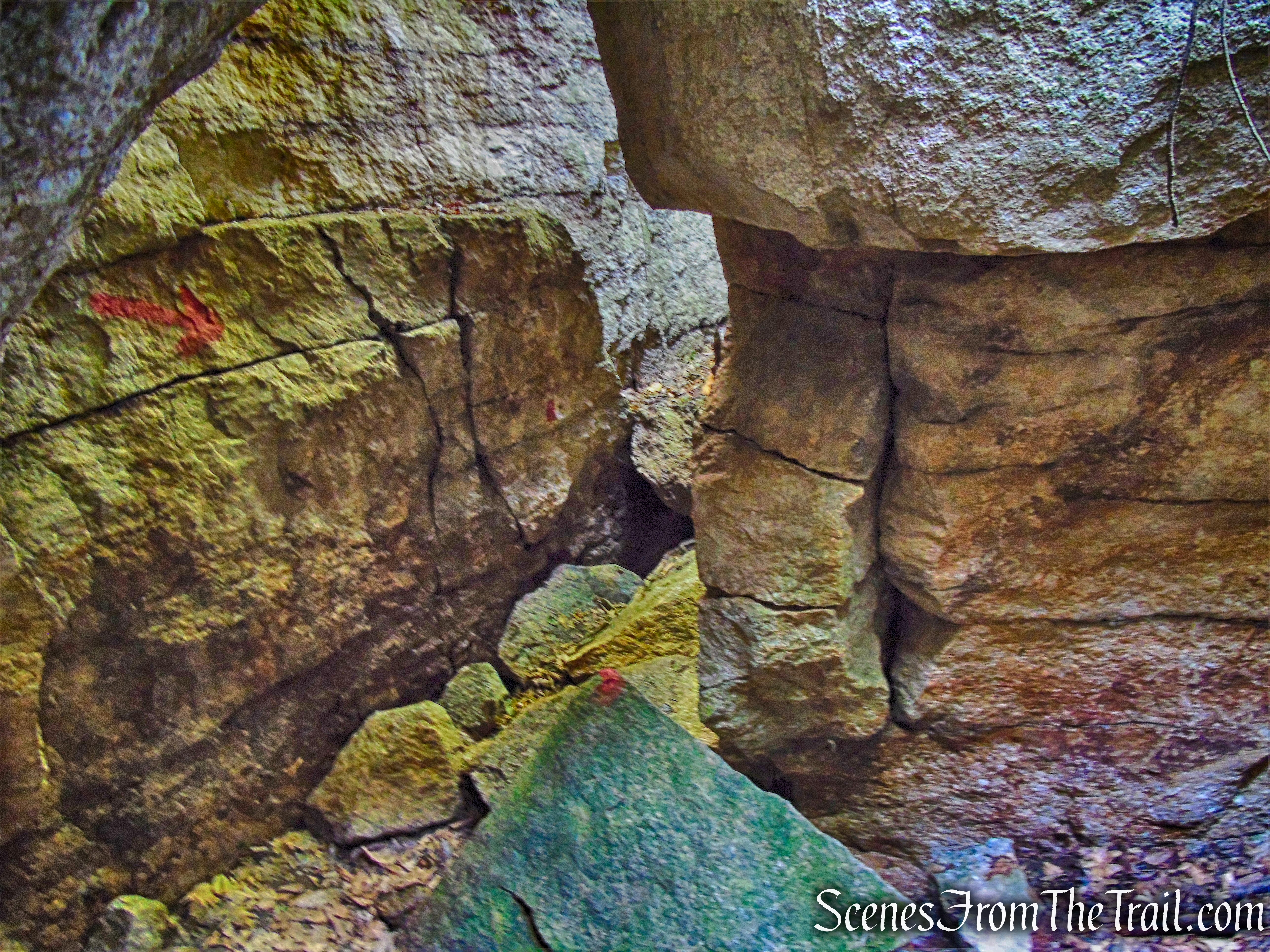
Rock Rift Trail
Rock Rift Trail
We only encountered a lone female hiker going in the same direction as us. Near the end, we passed two male hikers going in the opposite direction.
Rock Rift Trail
With no other hikers breathing down our necks, we were able to go at our own pace. Although one of my fellow hikers commented later that we should have gone slower in order to further enjoy the beauty of this area.
Rock Rift Trail
Rock Rift Trail
Hiking this trail was like being in the Land of the Lost.
Rock Rift Trail
It rained heavily the two days before we did this hike and the rocks were slick in some areas.
Rock Rift Trail
There was one dark, cave like crevice where we had to walk about 25 feet in 12 inches of water. Luckily, I always carry spare socks in my pack.
Rock Rift Trail
This is a really fun trail and I truly enjoyed hiking it.
Rock Rift Trail
Rock Rift Trail
Surprisingly, this trail is not well-known. It travels inside caves and tunnels and is challenging, but at the same time, very rewarding.
Rock Rift Trail
This passageway, near the end of the crevices, was a little tight. My shoulders scraped against the sides, but I was able to squeeze through.
Rock Rift Trail
The Rock Rift Trail leads out to Rock Rift Road, where we took a short break and reflected on the wondrous adventure we had just undertook.
Junction of Rock Rift Trail and Rock Rift Road
After our brief moment of reflection, we continued on our journey. The Rock Rift Trail continues ahead on the other side of the road, where the path now becomes a maintained trail rather than a scramble.
Rock Rift Trail
The trail steeply climbs the hillside on switchbacks, making this the steepest ascent of the day.
Rock Rift Trail
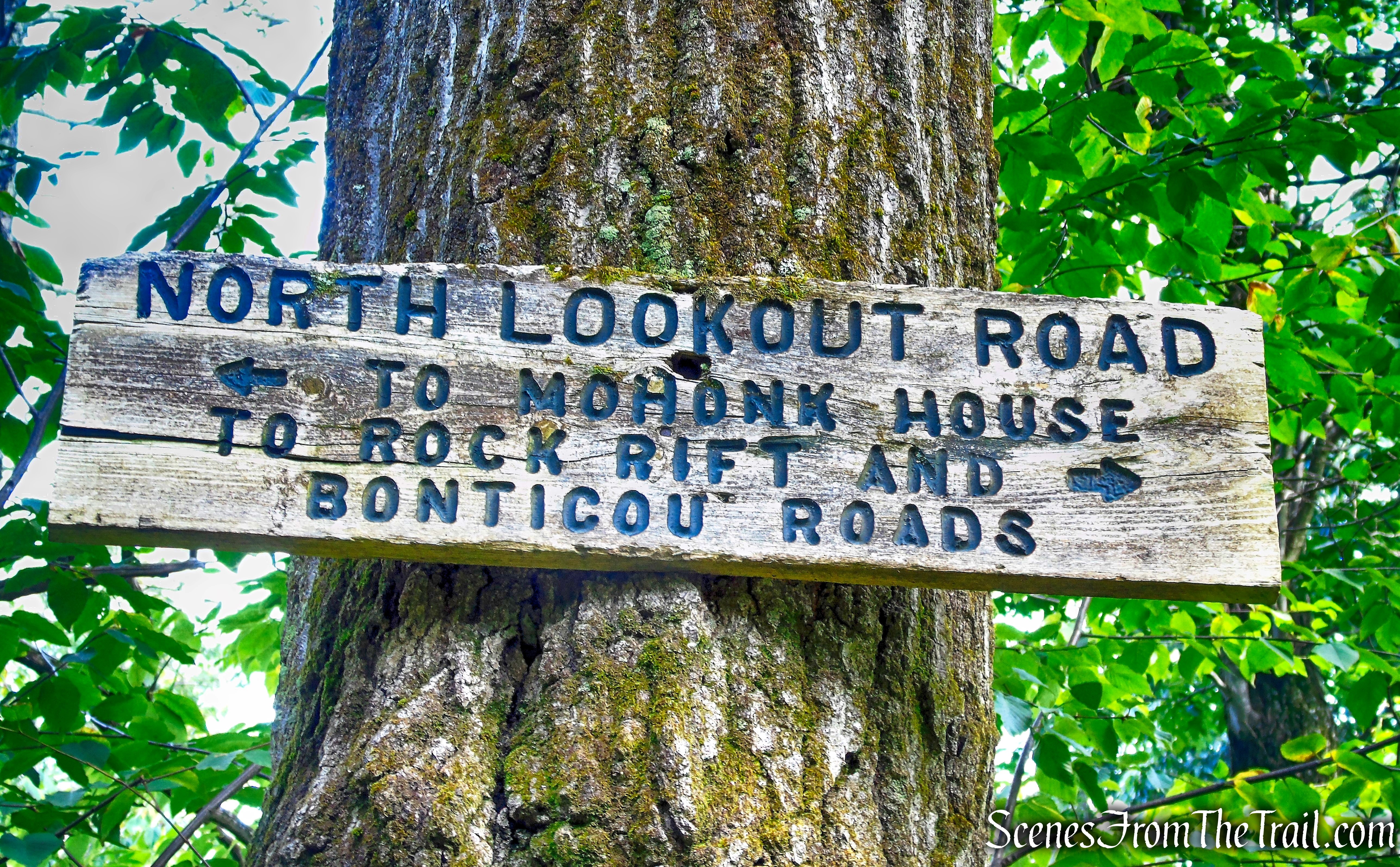
In about 800 feet, the Rock Rift Trail ends at North Lookout Road, leaving the Mohonk Preserve and entering Mohonk Mountain House property. We decided to turn right in search of some views.
North Lookout Road
We didn’t have that far to walk. In about 600 feet, we reached North Lookout.
North Lookout Road
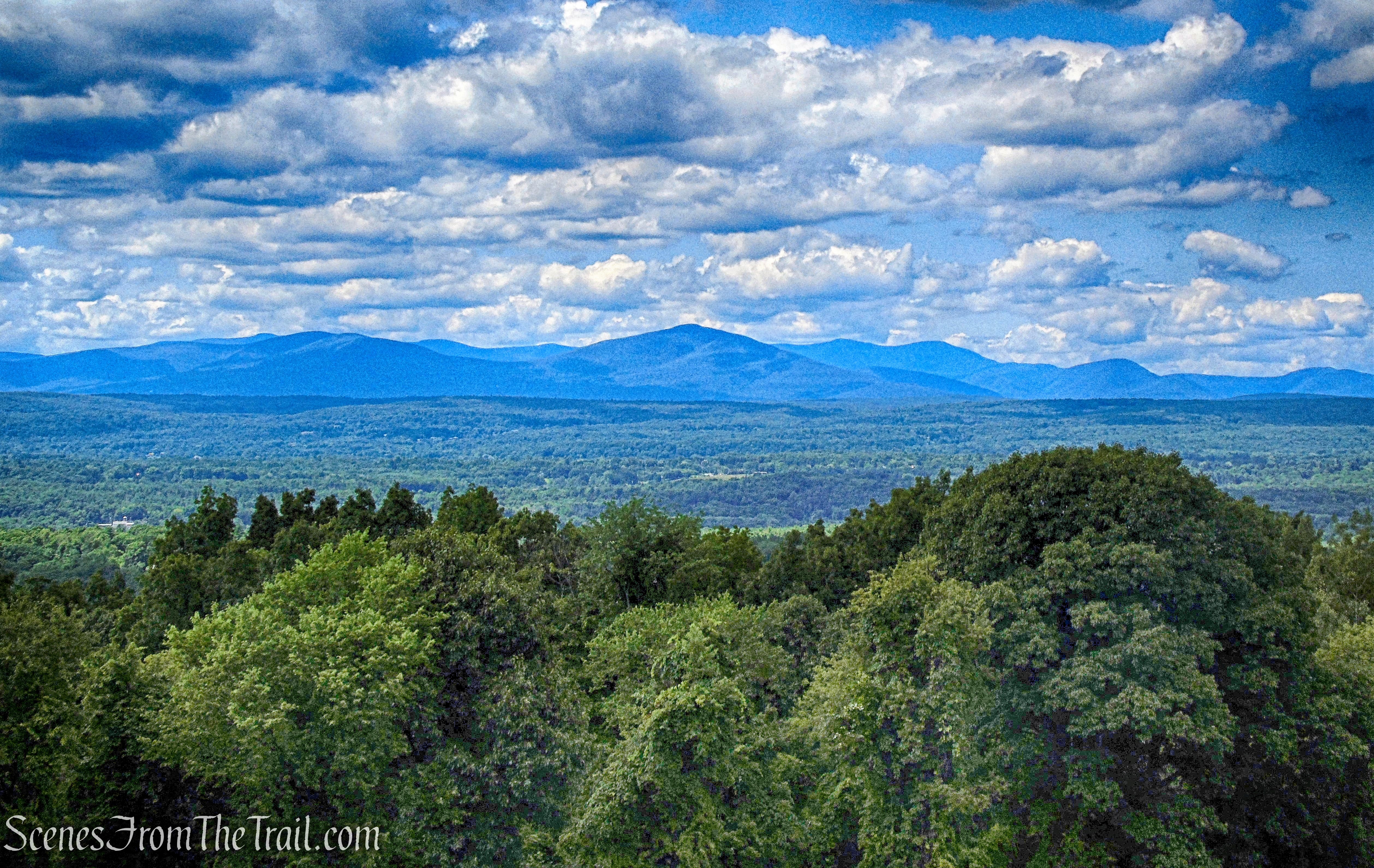
A gazebo, known as a “Summer House” on Mohonk property, marks the North Lookout. It offers a spectacular viewpoint over the Rondout Valley, with the Catskills in the distance.
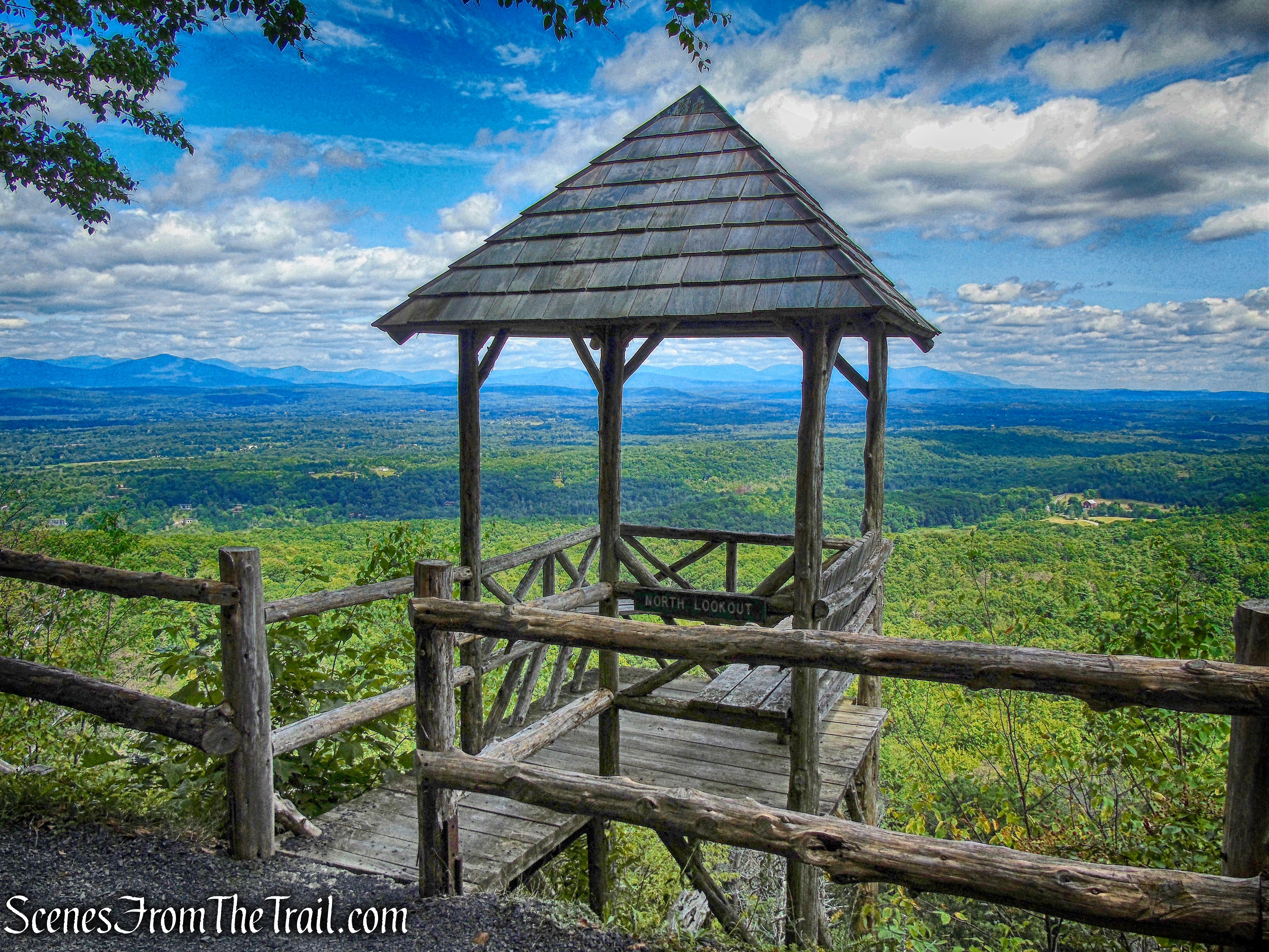
North Lookout
We took a lunch break here while enjoying the magnificent view. I took this opportunity to remove my wet boots and socks and let my feet air out. Those fresh socks I had in my pack felt like heaven. While there, a group of horseback riders came by and asked me to take their photographs with their phones, and I obliged.
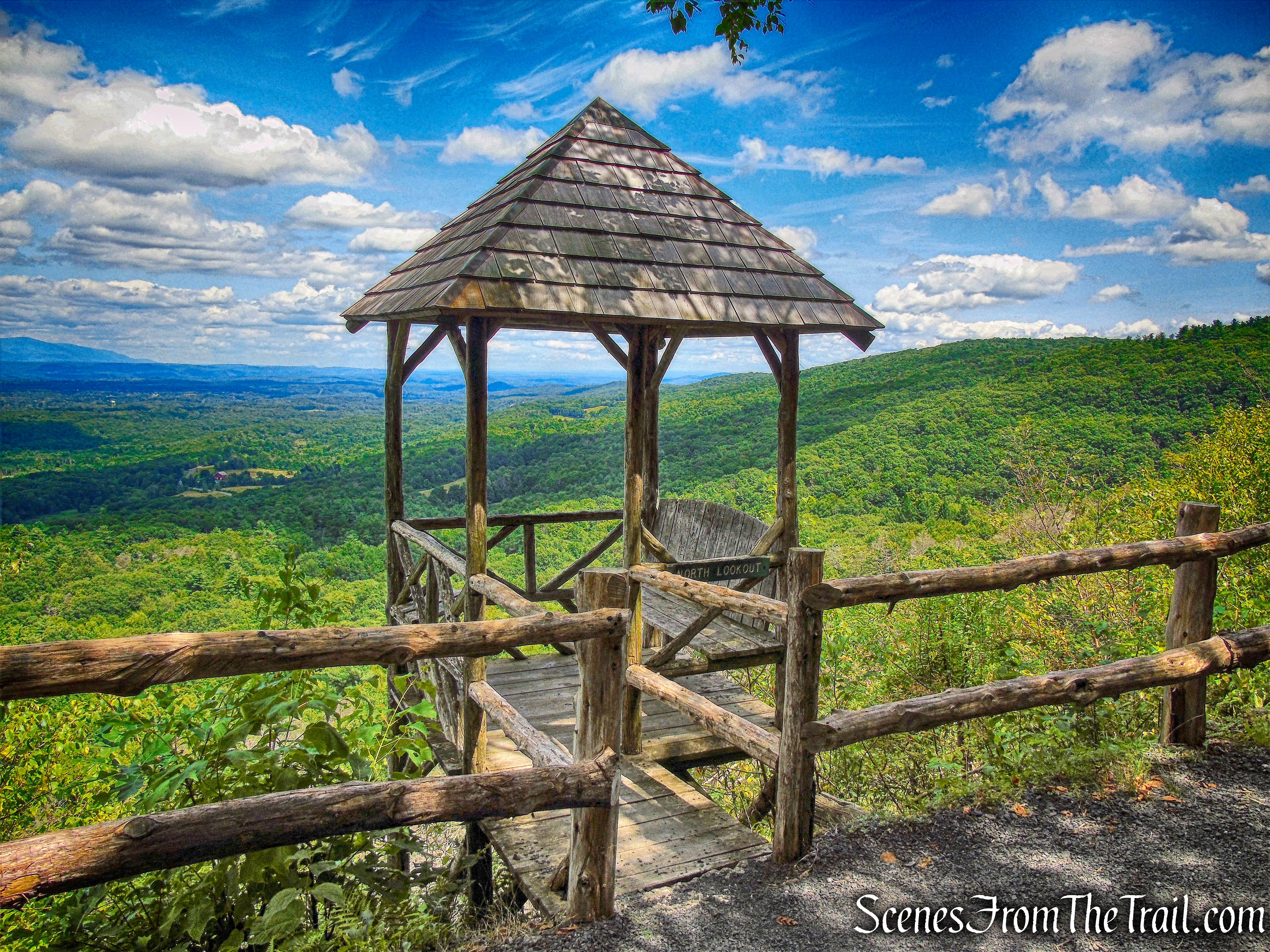
North Lookout
After a lengthy break, we tore ourselves from this splendid spot and retraced our steps on North Lookout Road, past the junction with the Rock Rift Trail.
North Lookout Road
As we continued on North Lookout Road, we were looking for a shortcut trail that cuts down the hillside, but we weren’t paying attention and missed it. No worries though, North Lookout Road wraps around and we stayed left to remain on it.
stay left to continue on North Lookout Road
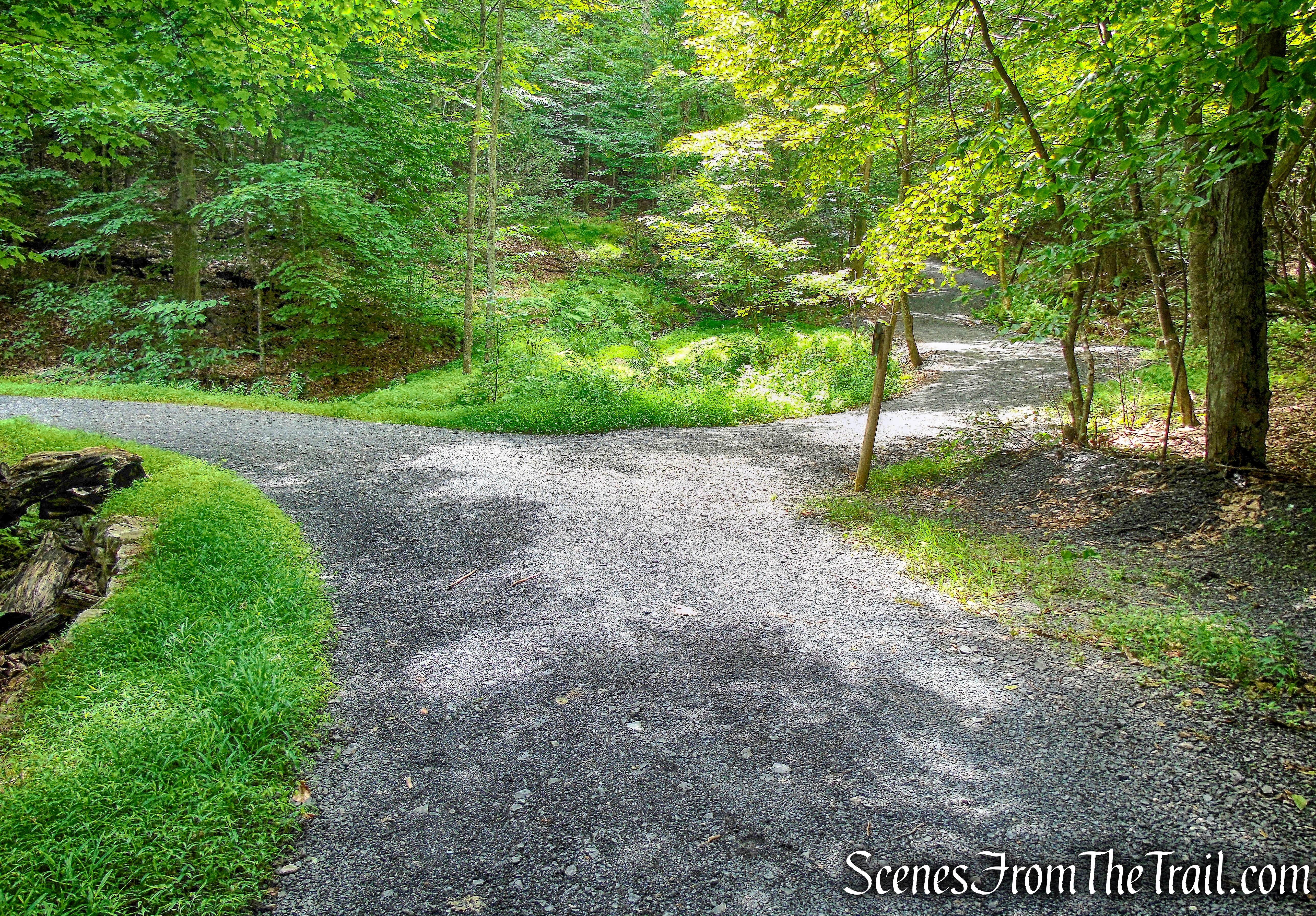
We then came to a junction with the shortcut trail (the one we missed) on the left and Whitney Road on the right. This junction is a little confusing because it is not clearly labeled, but I consulted my map and continued ahead on North Lookout Road, now re-entering the Mohonk Preserve. A short distance ahead, we came to a three way junction that was easier to decipher. Here, we turned right onto Bonticou Road.
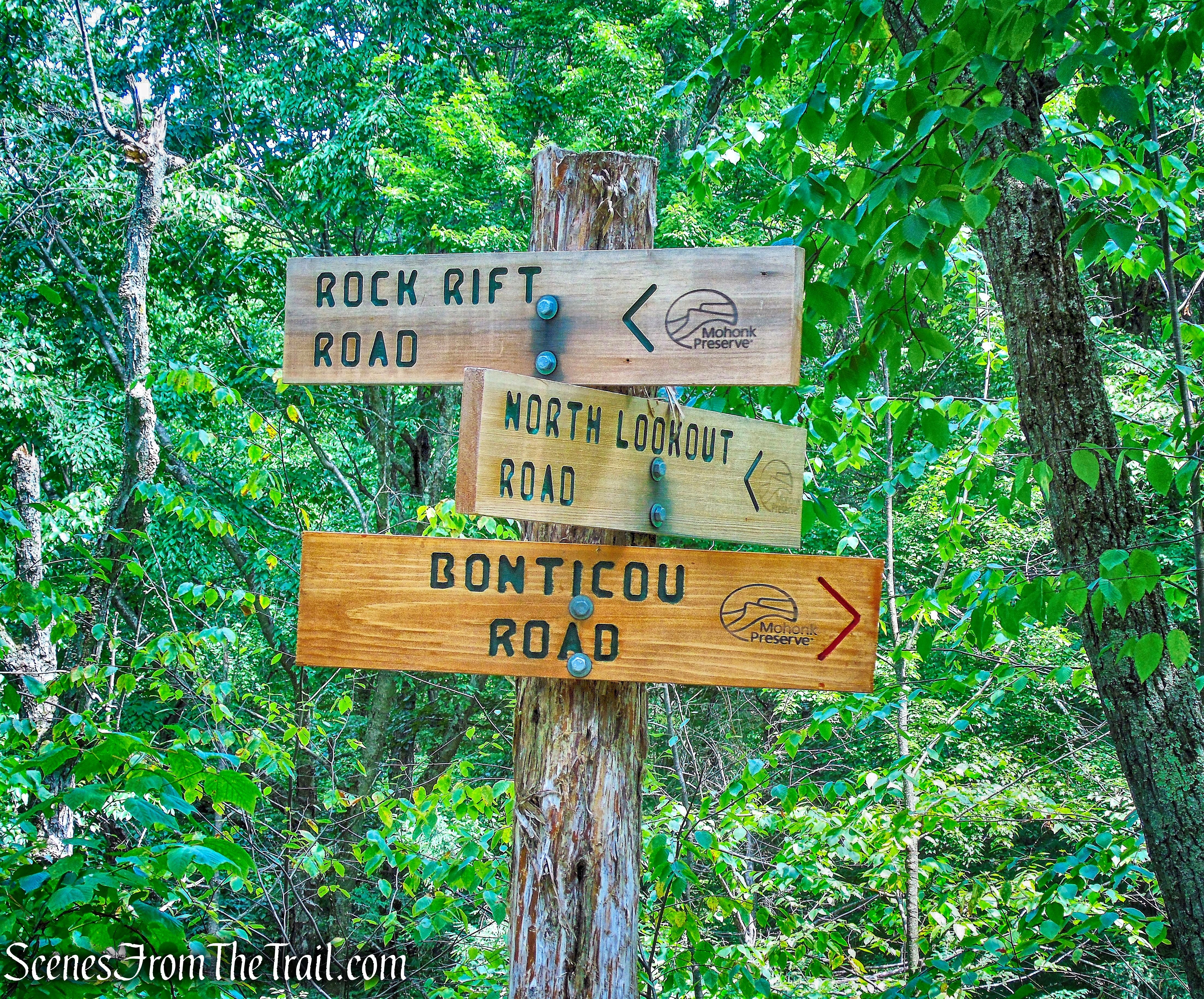
turn right on Bonticou Road
We walked northeast on Bonticou Road for about 0.8 mile, arriving at the paved Mohonk Road and crossed the street to continue on Bonticou Road.
Bonticou Road
We stayed on Bonticou Road for approximately another 0.6 mile and turned left onto Spring Farm Road.
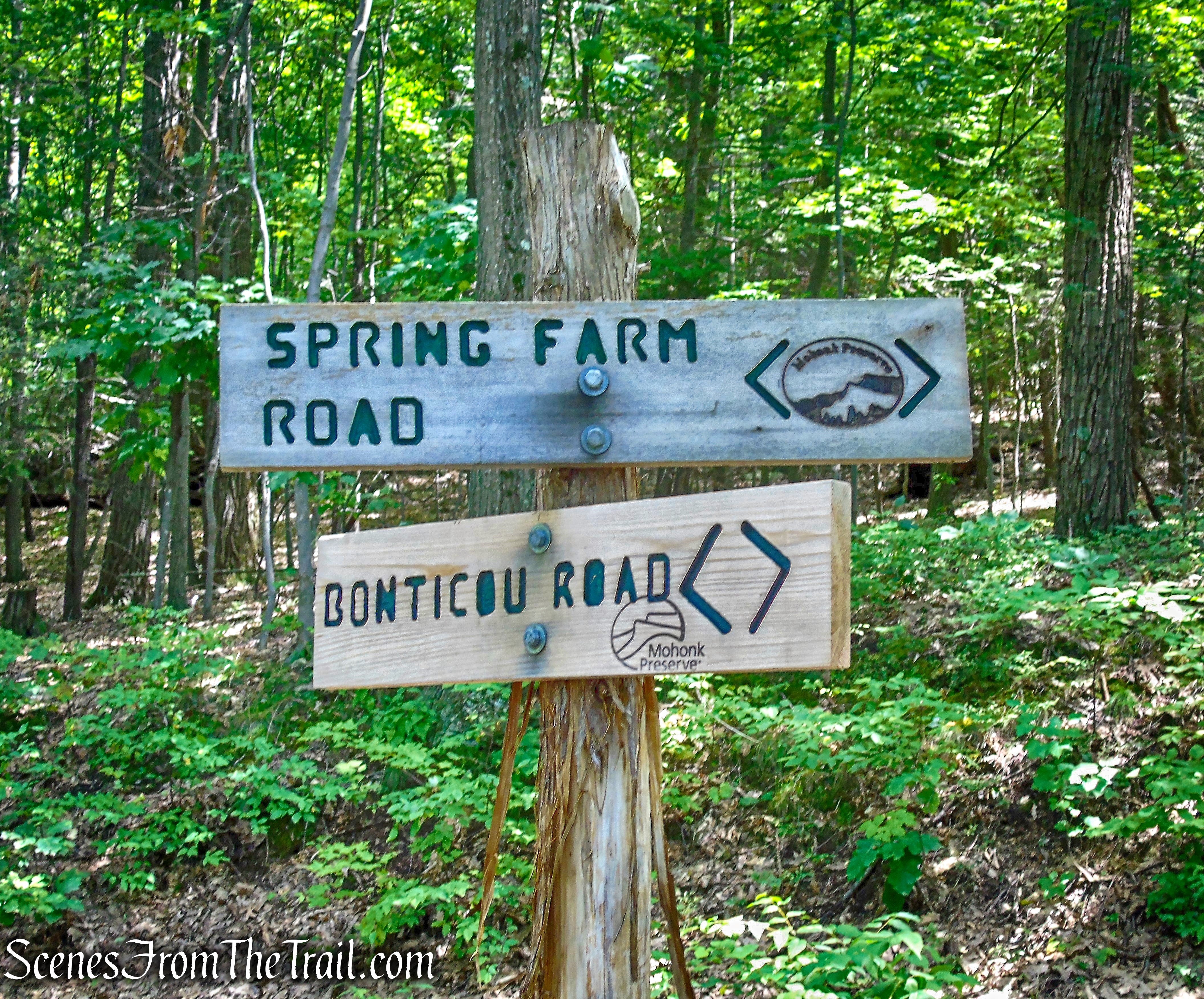
turn left on Spring Farm Road
With the vast network of carriage roads that seem to intersect each other, a lot of the junctions can at times be a little confusing. From here it was made easier by the signs posted on the trees pointing us in the right direction.
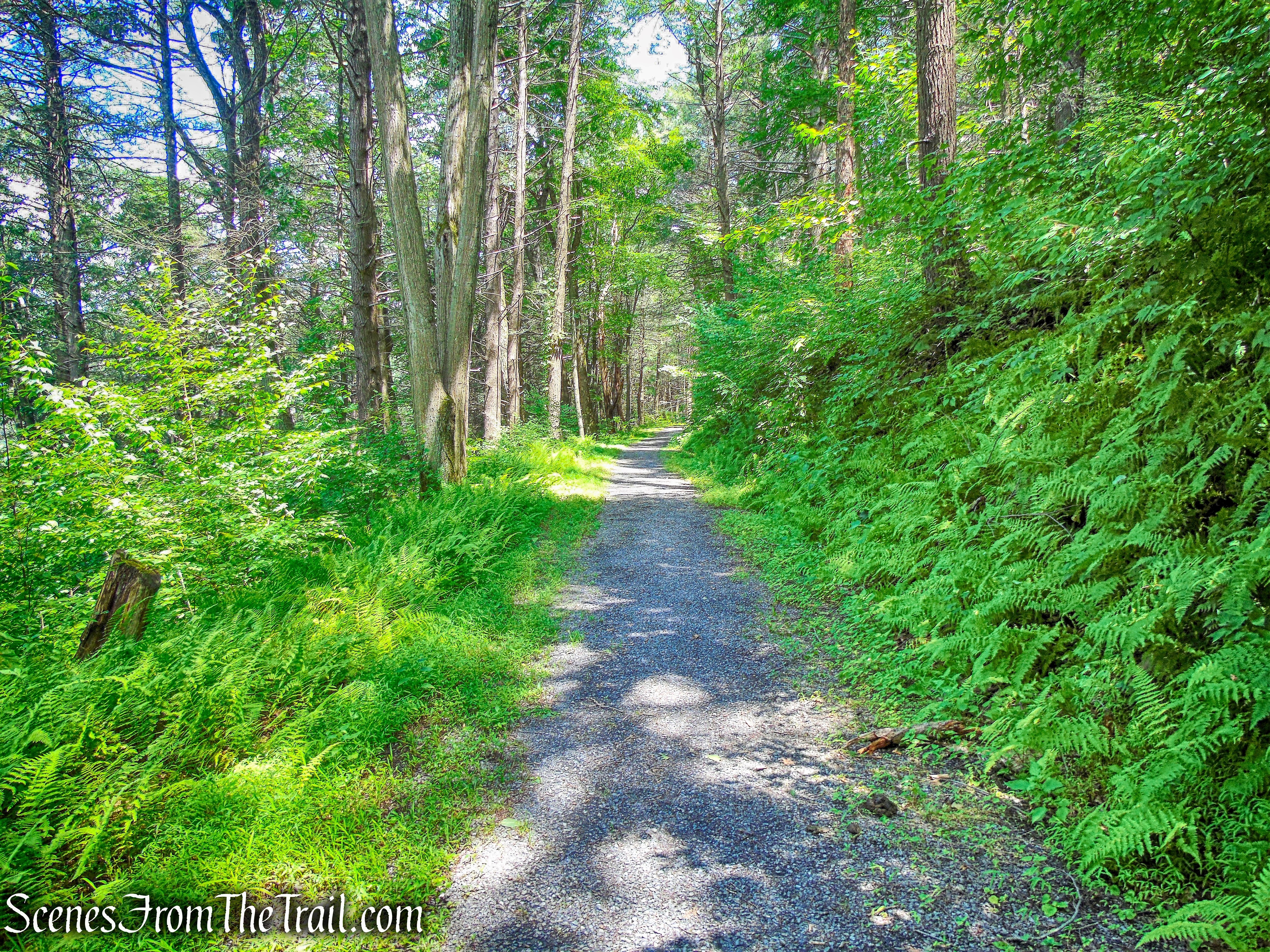
Spring Farm Road
We stayed on Spring Farm Road for just under 1/2 mile as it led us downhill.
Spring Farm Road
We then turned left onto the red-blazed Crag Trail.
turn left on Crag Trail
The Crag Trail heads northwest on a footpath.
Crag Trail
The Crag Trail is also the route of the Shawangunk Ridge Trail (SRT).
Crag Trail
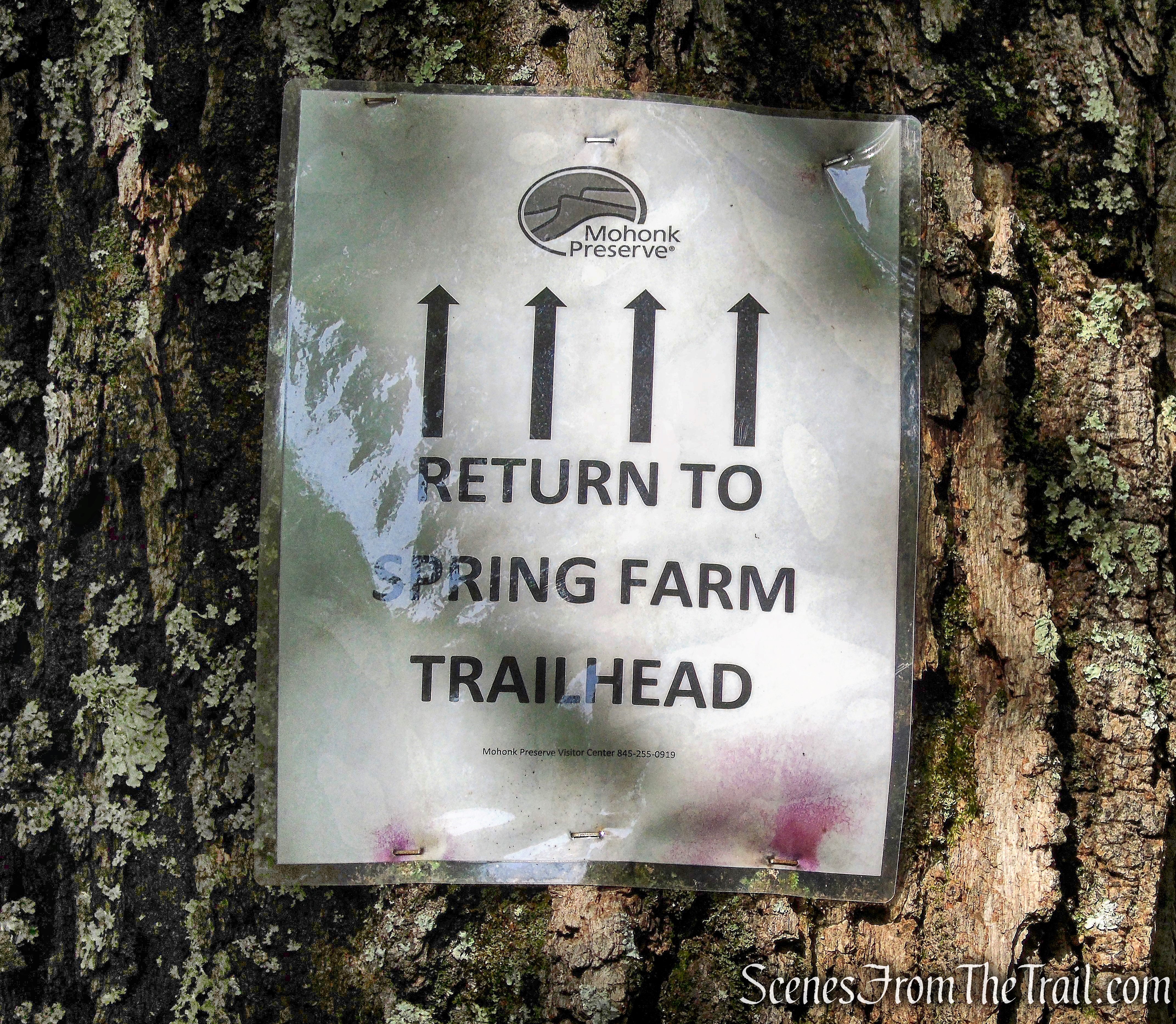
I didn’t see any more red blazes, but kept following the blue ones and the paper signs attached to the trees.
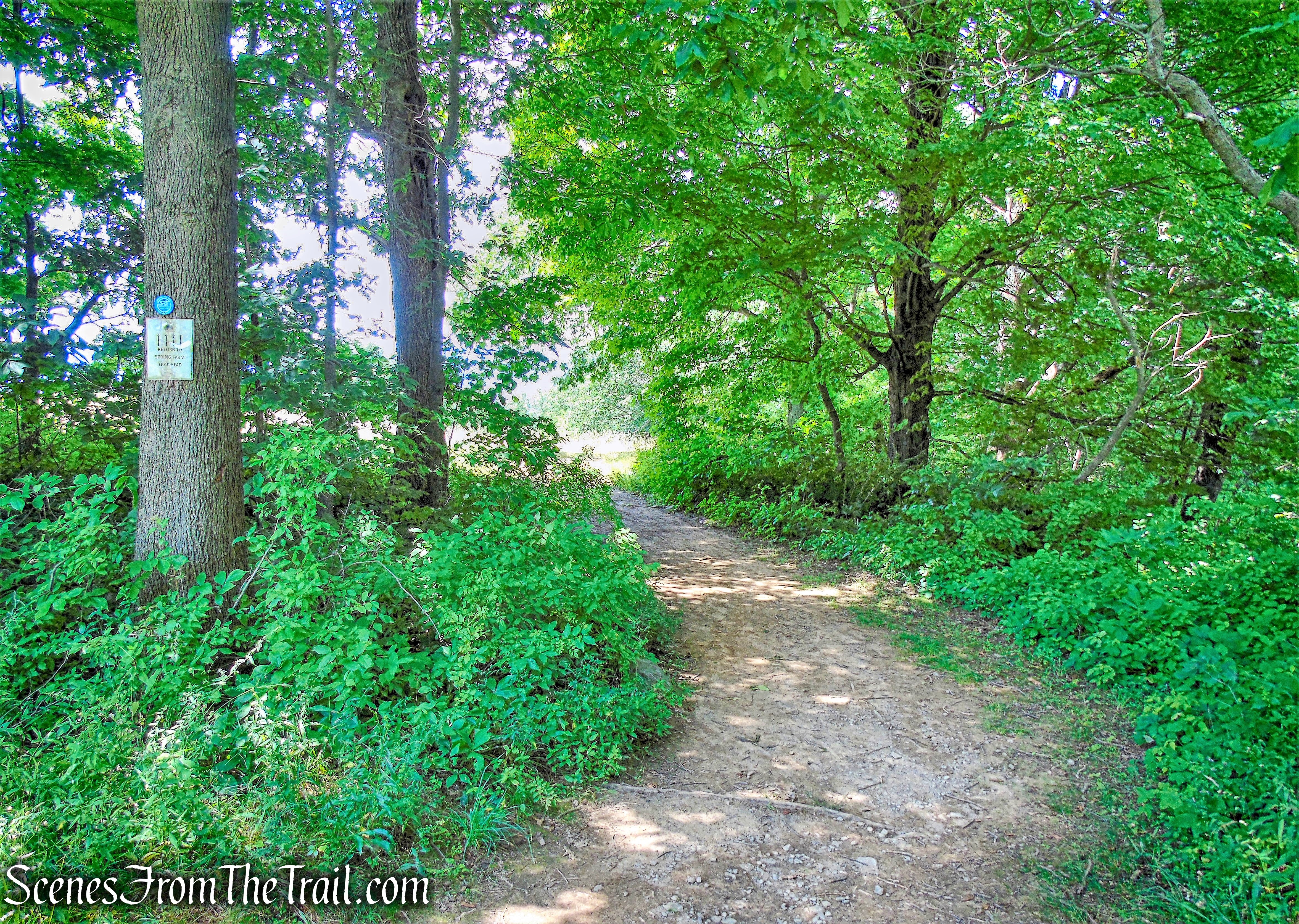
Crag Trail
In about 500 yards after turning onto the Crag Trail, we arrived back at the parking area, where the hike began.
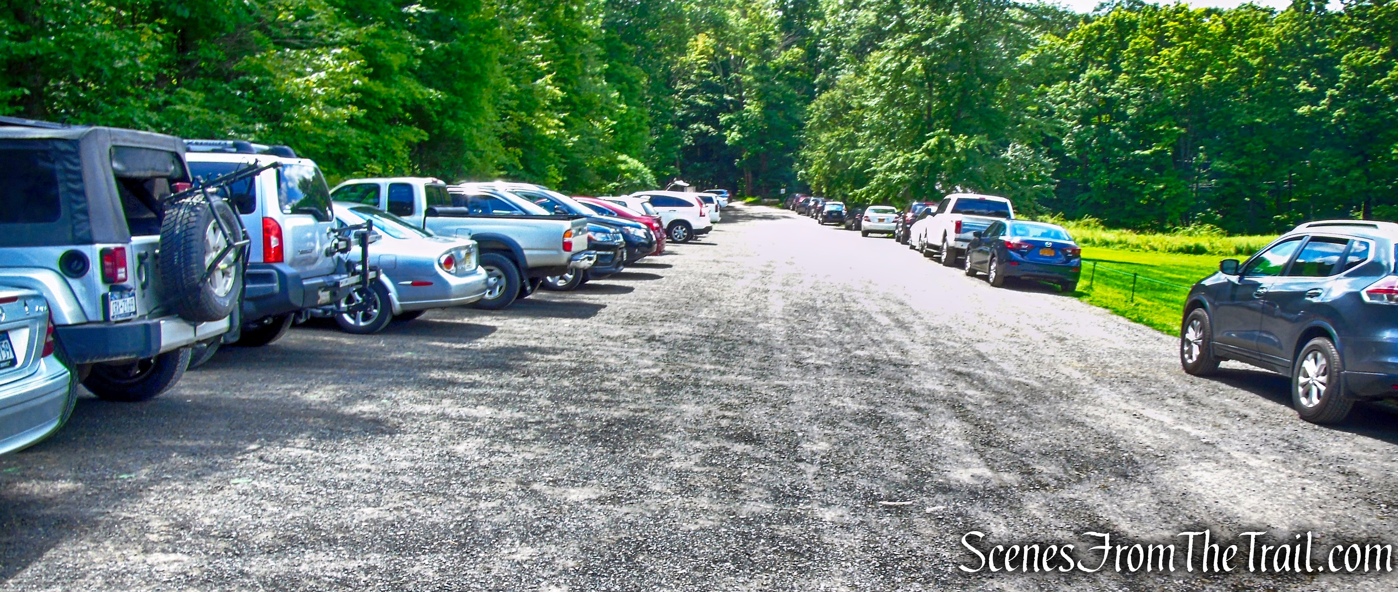
Spring Farm Trailhead parking
We took a brief rest then headed up a short distance from the parking area, to what is referred to as “The Million Dollar View.”
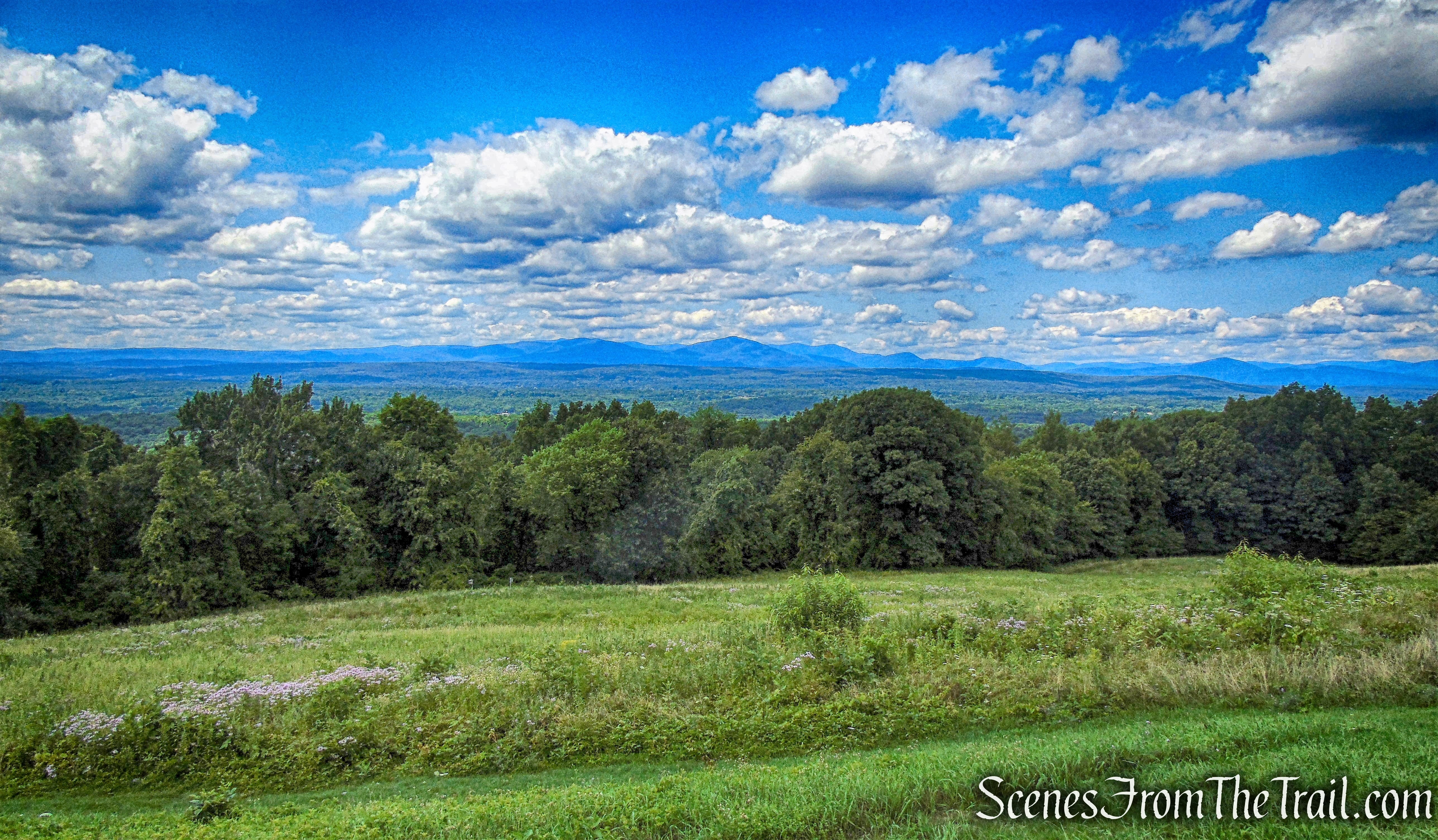
Million Dollar View
This was a perfect way to end another great hike in “The Gunks.”
Million Dollar View
Review:
This was a truly great hike and the carriage roads were nicely shaded throughout, which was a bonus. The Rock Rift Crevices are about as much fun as one can have on a hike. This hike took place on a Sunday and we only ran into a handful of people on the trails/carriage roads. An all around good day on the trails with perfect weather to boot. I hope that you enjoyed the hike and will be inspired to hit the trails. Don’t forget to subscribe to my blog and get notified whenever I publish a new post. Now get out there and take a hike!
Pros: Rock Rift Crevices, scenic views, mostly shaded trails, well maintained carriage roads, The Gunks.
Cons: Junctions along carriage roads can be confusing.
Rock Rift Crevices from Spring Farm Trailhead

Thanks so much for posting these “tips for the trails”. We just visited Mohonk for the first time today and I can’t wait to go back. The trails are a little confusing though and surprisingly the website doesn’t offer any detailed maps other than the parking areas. So thanks again for taking the time to create this helpful guide. You rock!
LikeLike
I suggest using the free version of the Avenza Maps app and you can purchase the Shawangunk Trails Map for Avenza from the NY/NJ Trail Conference, which is highly detailed. The combination will help to keep you on the right trail and will help guide you to all the points of interest. I have been using the app for several years now and I highly recommend it, especially for a place with unmarked or poorly marked trails. Always carry a paper map and compass as well. Batteries die and electronics sometimes fail.
https://www.avenzamaps.com/
https://www.nynjtc.org/maps/shawangunk-trails-map
LikeLike
Thanks for the advice on Avenza maps. I haven’t found the All Trails app very helpful overall.
LikeLiked by 1 person
This was super helpful for us planning our hike. Thank you.
LikeLiked by 1 person
You’re welcome, thanks for reading.
LikeLike