November 17, 2017 – Cold Spring, NY
Difficulty: Strenuous
Length: Approximately 6.5 miles
Max elevation: 1,240 ft.– total elevation gain approximately 2,166 ft.
Route type: Circuit
Map: East Hudson Trails Map #102
Trailhead parking: Breakneck Ridge Trailhead – Cold Spring, NY 10516
Breakneck Ridge is a mountain along the Hudson River between Beacon and Cold Spring, straddling the boundary between Dutchess and Putnam counties. Until the early 20th century, the mountain was also known as St. Anthony’s Face or Turk’s Face, after a facelike stone formation on the southern cliffs that was destroyed by quarrymen in 1846. It has several summits, the highest, some distance inland, reaching approximately 1,260 feet above sea level. The southern face of the peak is remarkable for its striking cliffs, the result of quarrying in past years.

Breakneck Ridge as viewed from Storm King Mountain
Sugarloaf is one of several mountains in the state of New York with that name. It is located in the town of Fishkill near the Hudson River and Breakneck Ridge. It is part of the Hudson Highlands and its summit is 900 feet above sea level. The summit provides views up and down the Hudson River.
Breakneck Ridge is considered one of the best and toughest day hikes in the country. The steep ascent up its western face involves climbing over rock ledges, using both hands and feet. This rock scramble attracts hikers from all over and is one of the most popular hikes in the region. With popularity comes overuse and to some extent abuse. Litter, graffiti and broken glass are a common sight on Breakneck. As of January 1, 2018, the Breakneck Ridge trailhead and train stop will close temporarily to allow for restoration of the trails and construction of new safety measures along the road. It is not scheduled to reopen until mid 2019 and I wanted to hike it before it closed.
Update: December 2, 2017 – “The bids for the Breakneck Connector project came in higher than anticipated and the project is reviewing next steps. Our advice is to stay tuned to website info (NYNJTC or Hudson Highlands Fjord Trail or NYS Parks – Fahnestock/Hudson Highlands) as to when the construction project may temporarily close the access trailheads and parking in the vicinity of Breakneck Ridge. The whole trail is not closing just the areas around the construction activity for the duration of the project, whenever it begins.”
Update: March 2018 – The Trail Conference and our partners behind the Breakneck Connector project can confirm that Breakneck Ridge is open and will remain open through the 2018 hiking season. When the project is set to begin, we will provide ample notice regarding any closures or changes to the trails. Project improvements include the creation of a shared-use path connecting the Breakneck train stop and parking area to the Breakneck Ridge trailhead. It will also add new train platforms, pave the parking area, and add a new welcome center. Find more info at hudsonfjordtrail.org.
I did the 3 mile loop hike in July of 2015 and it kicked my ass. With many more miles under my boots, I wanted a do-over, and hopefully fare better. I was feeling ambitious and planned a longer hike that included Sugarloaf Mountain as well. There are several bailout options along the way, so energy level and exhaustion would determine the actual length of the hike.
Trails followed: white-blazed Breakneck Ridge Trail, blue-blazed Notch Trail and yellow-blazed Wilkinson Memorial Trail
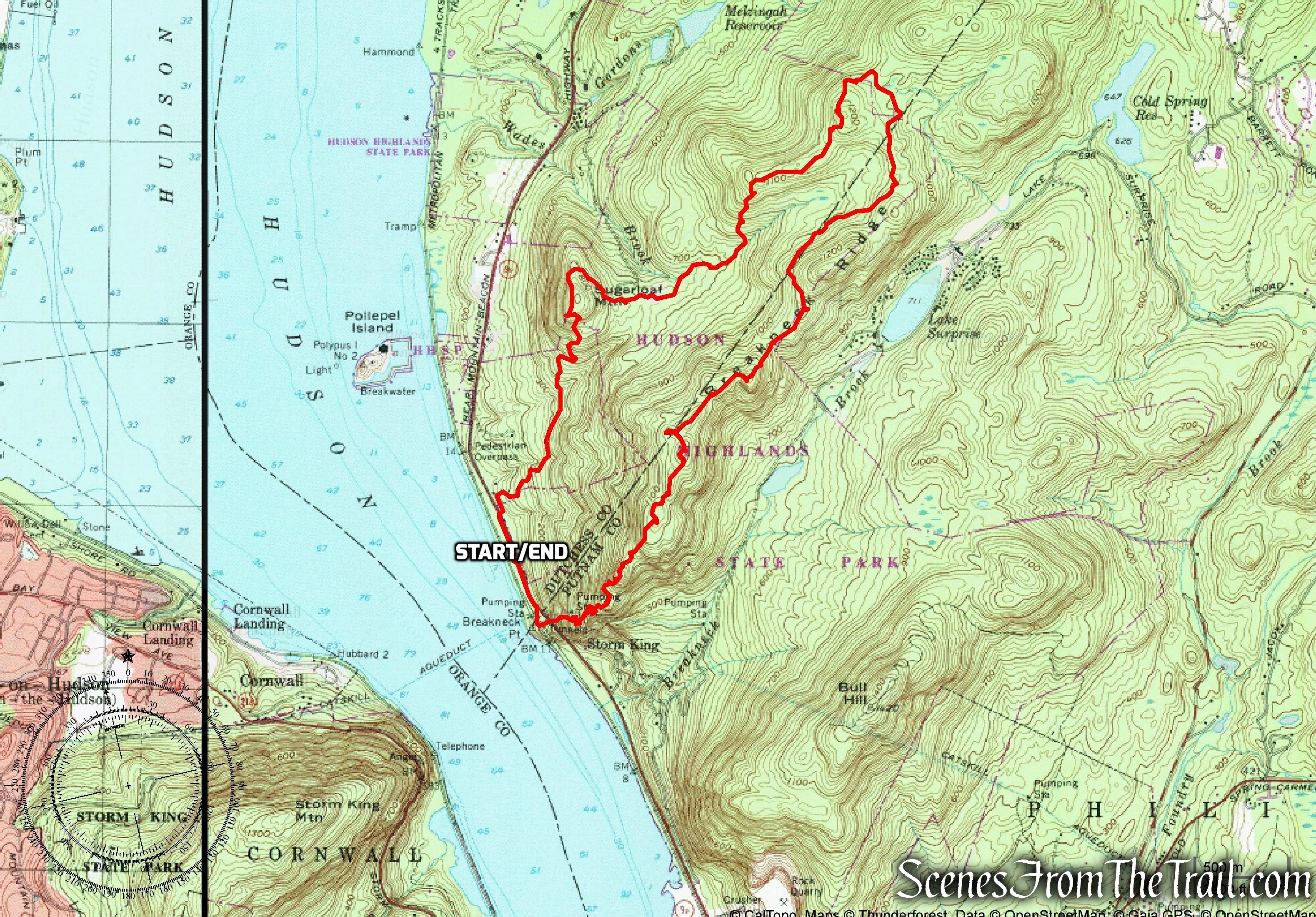
Breakneck Ridge and Sugarloaf Mountain Loop
This place gets so crowded on weekends, so we decided to hike it on a Friday. It just so happens that it was “National Take A Hike Day.” Trying to beat the crowds, we arrived before the train rolled in on a chilly and breezy morning. I was pleasantly surprised that there were only a few cars there and we did not waste any time to get our hike on. We walked south along Route 9D towards the trailhead, eager to begin our climb.
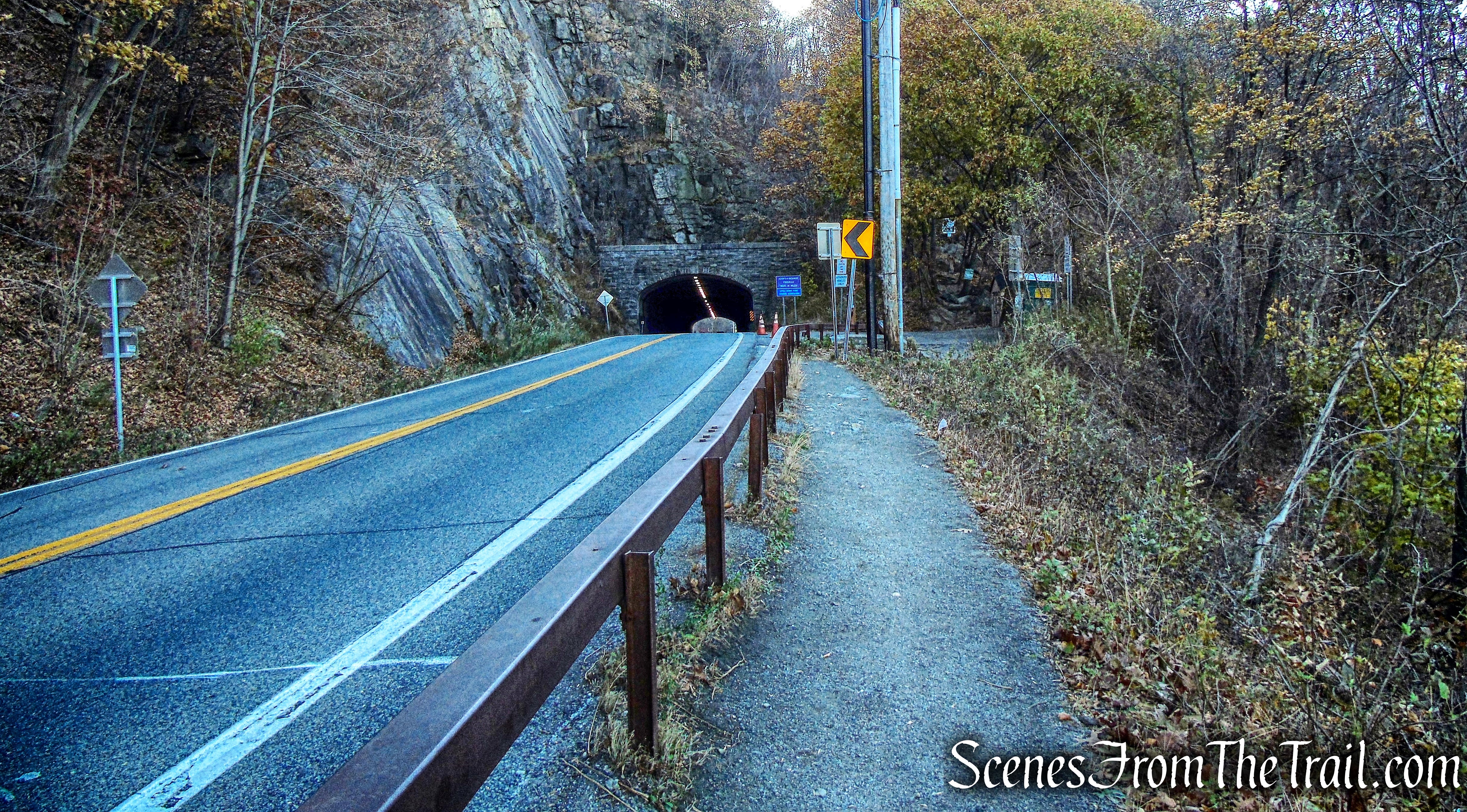
Walking south on Route 9D towards the Breakneck Ridge Trailhead
The white-blazed Breakneck Ridge Trail begins just north of the tunnel.
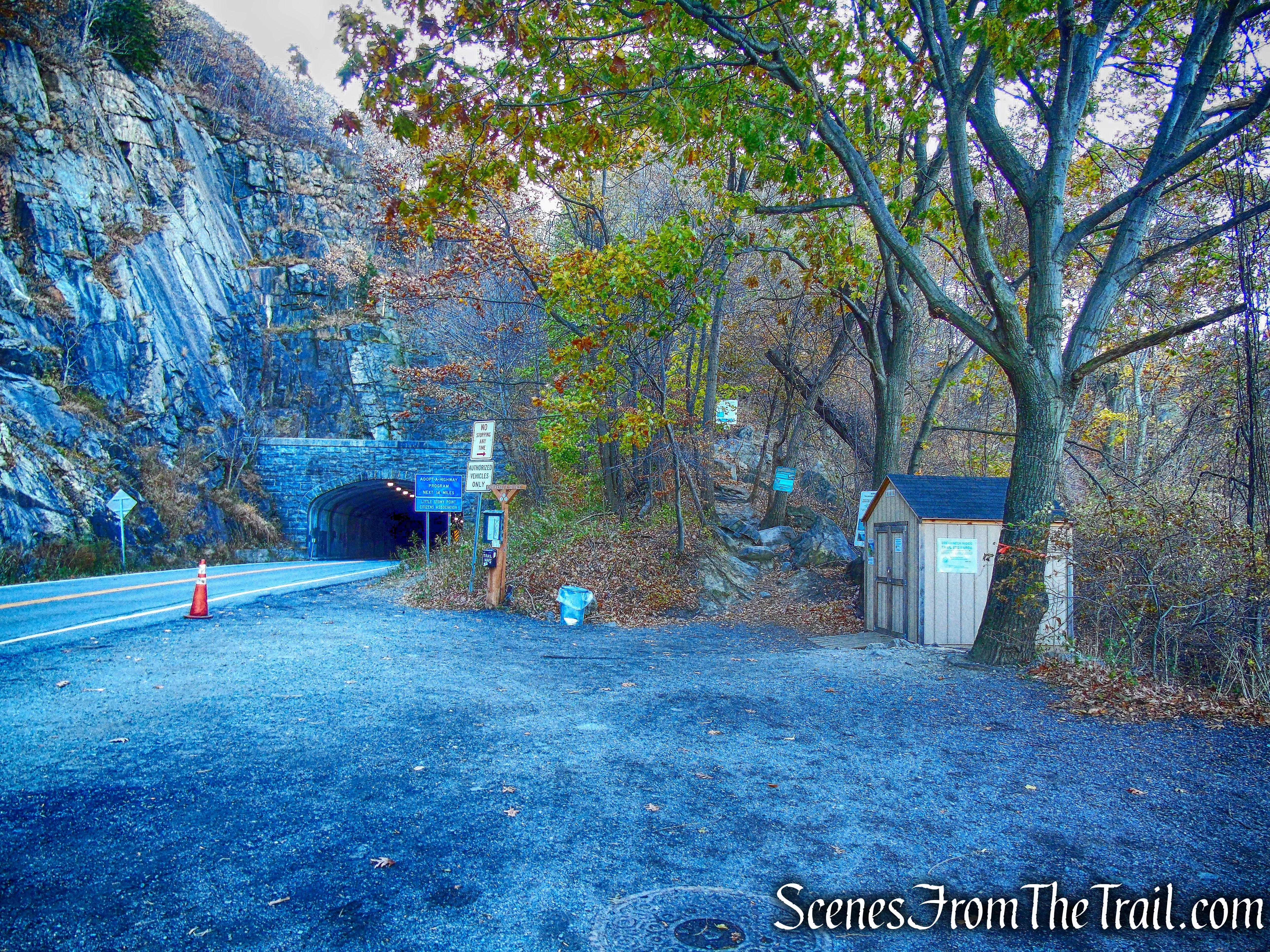
Breakneck Ridge Trailhead
Breakneck Ridge Trailhead
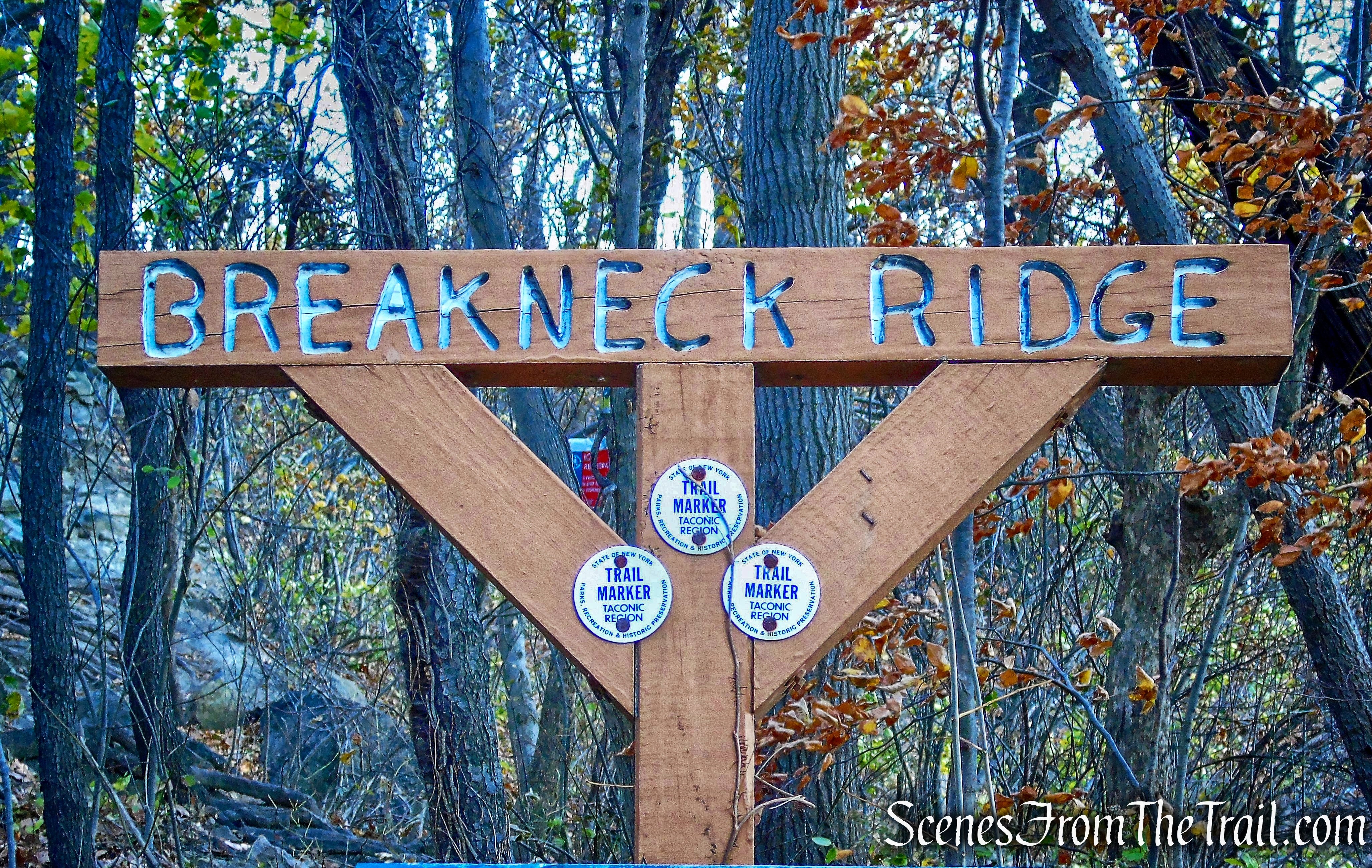
The Breakneck Ridge Trail heads south then turns left as it heads east and begins a steep climb. Using both hands and feet, we scrambled up the ridge. The trail is well marked, with arrows painted on rocks directing the way.
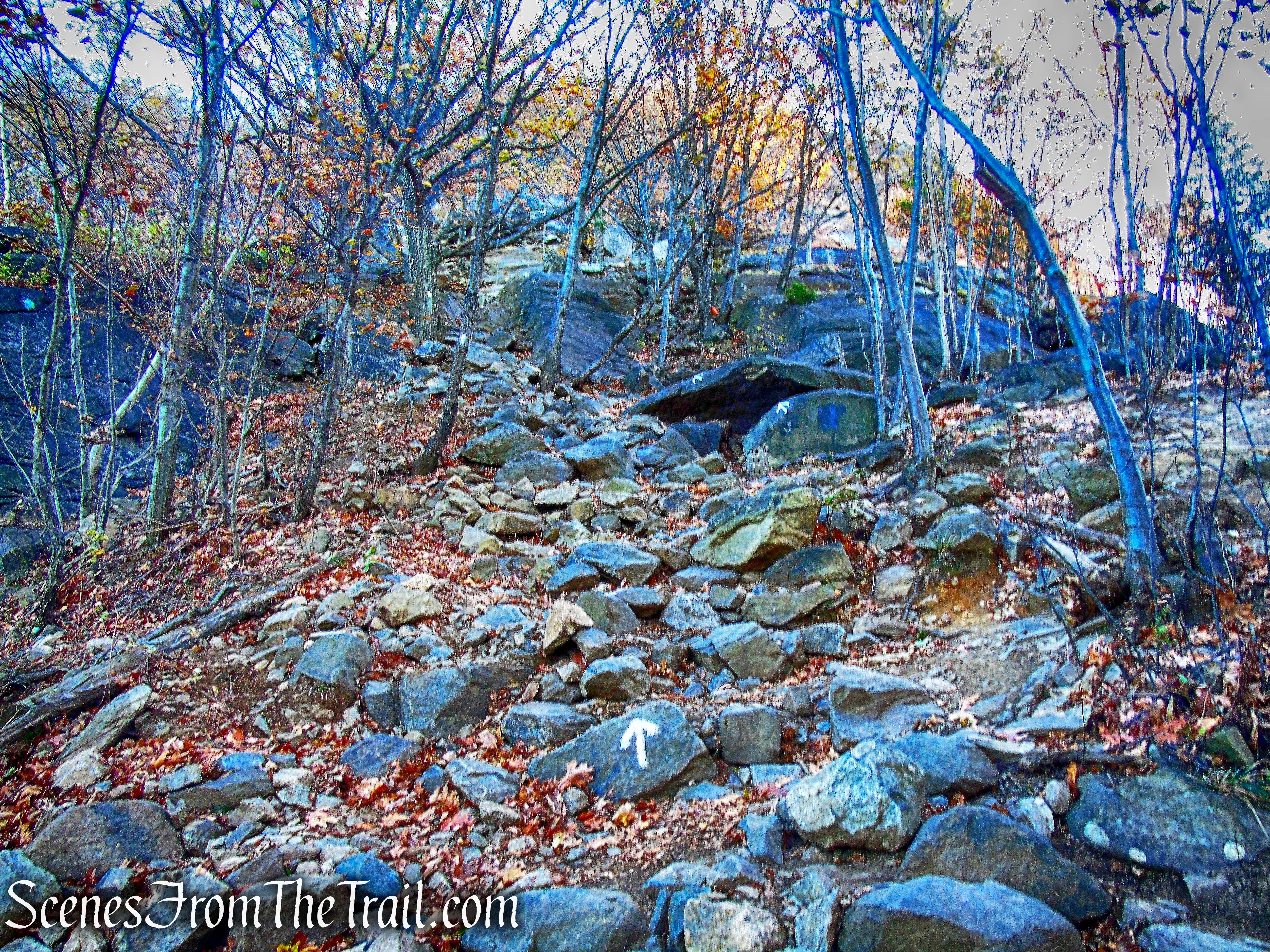
Breakneck Ridge Trail
On the way up there are views of the Hudson River from the rocks.
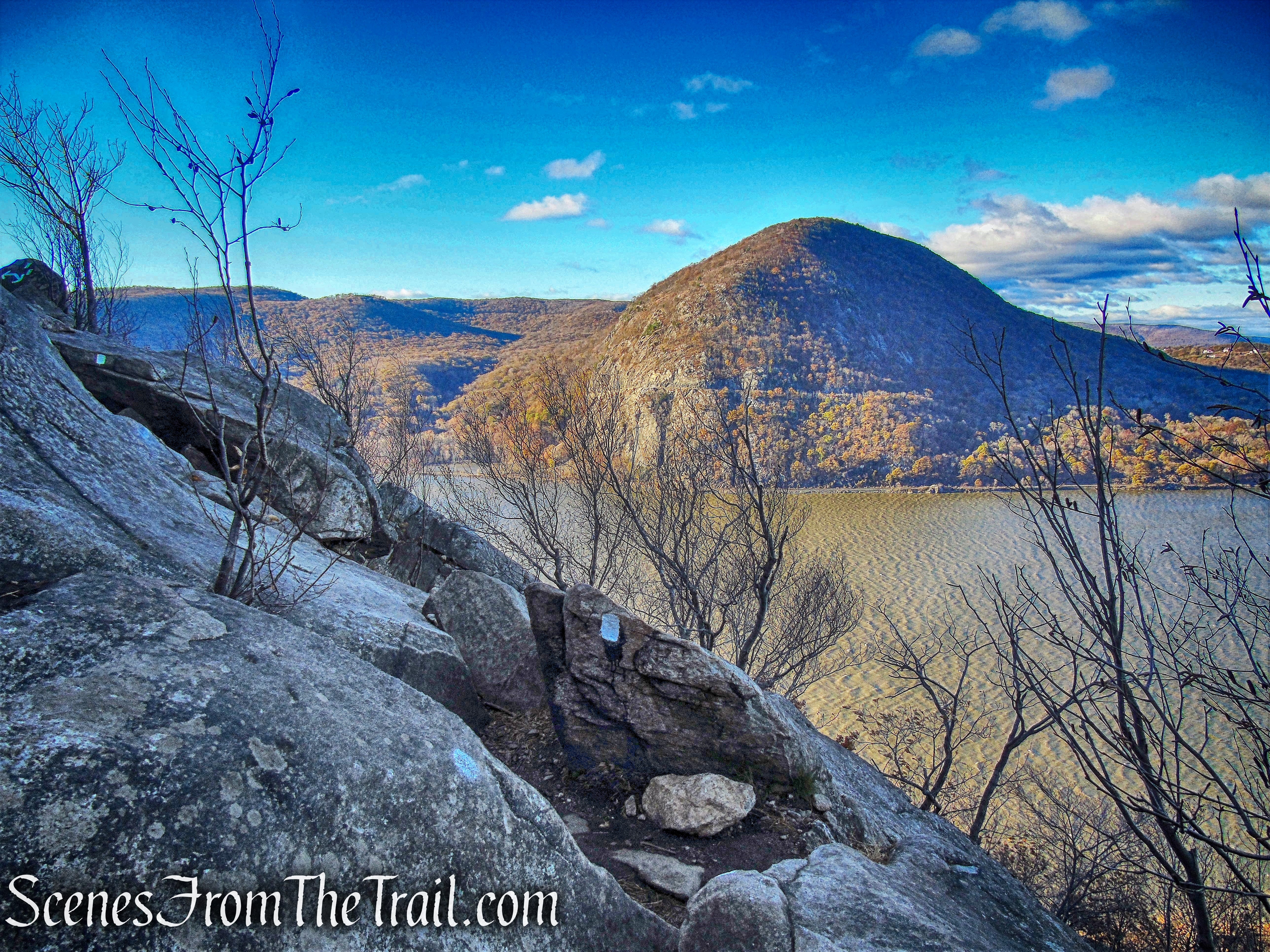
Storm King Mountain and Hudson River as viewed from the Breakneck Ridge Trail
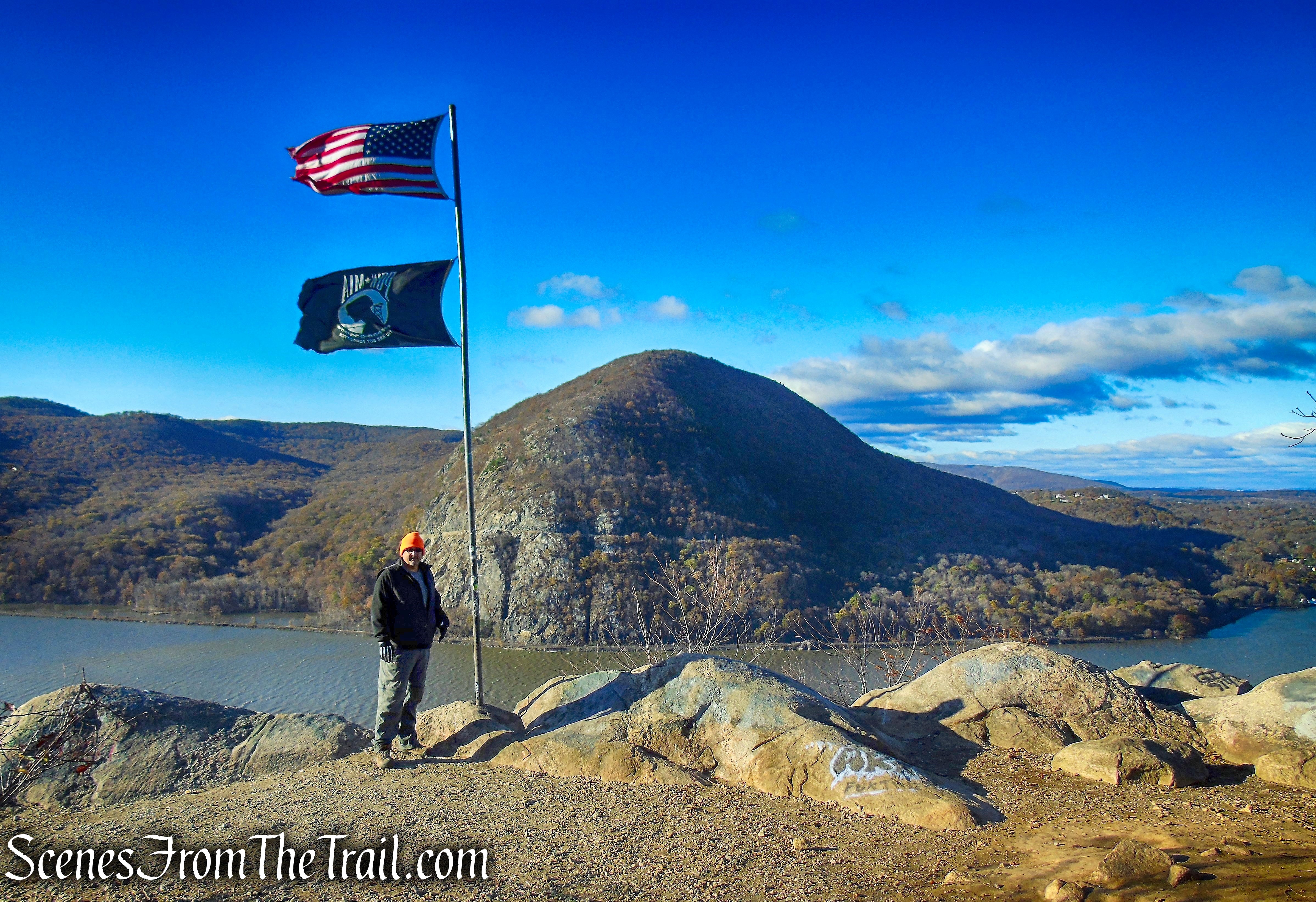
After climbing steeply up the rocky face, we came to a rock ledge with a flagpole.
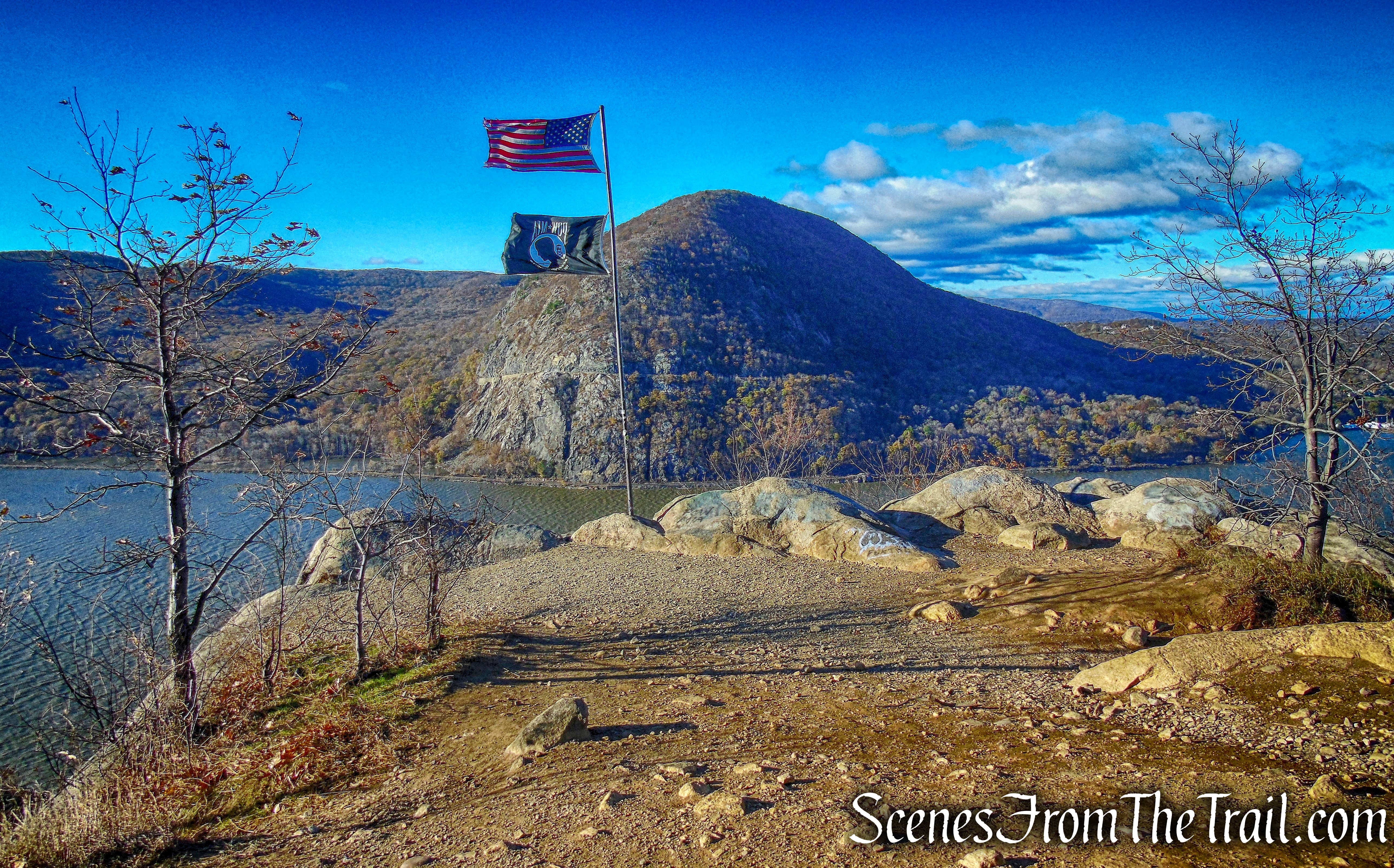
Breakneck Ridge
I was pleased with myself at this point. Two years previous, I was pretty much worn out by the time I reached this section. I did this hike in July of 2015 on one of the hottest and most humid days of the year and now it was a cold and breezy November morning. On this day, I felt good and was ready for some more. Since we got an early start, along with it being a Friday and quite brisk, we had the ridge all to ourselves. The view is quite nice and we earned it.
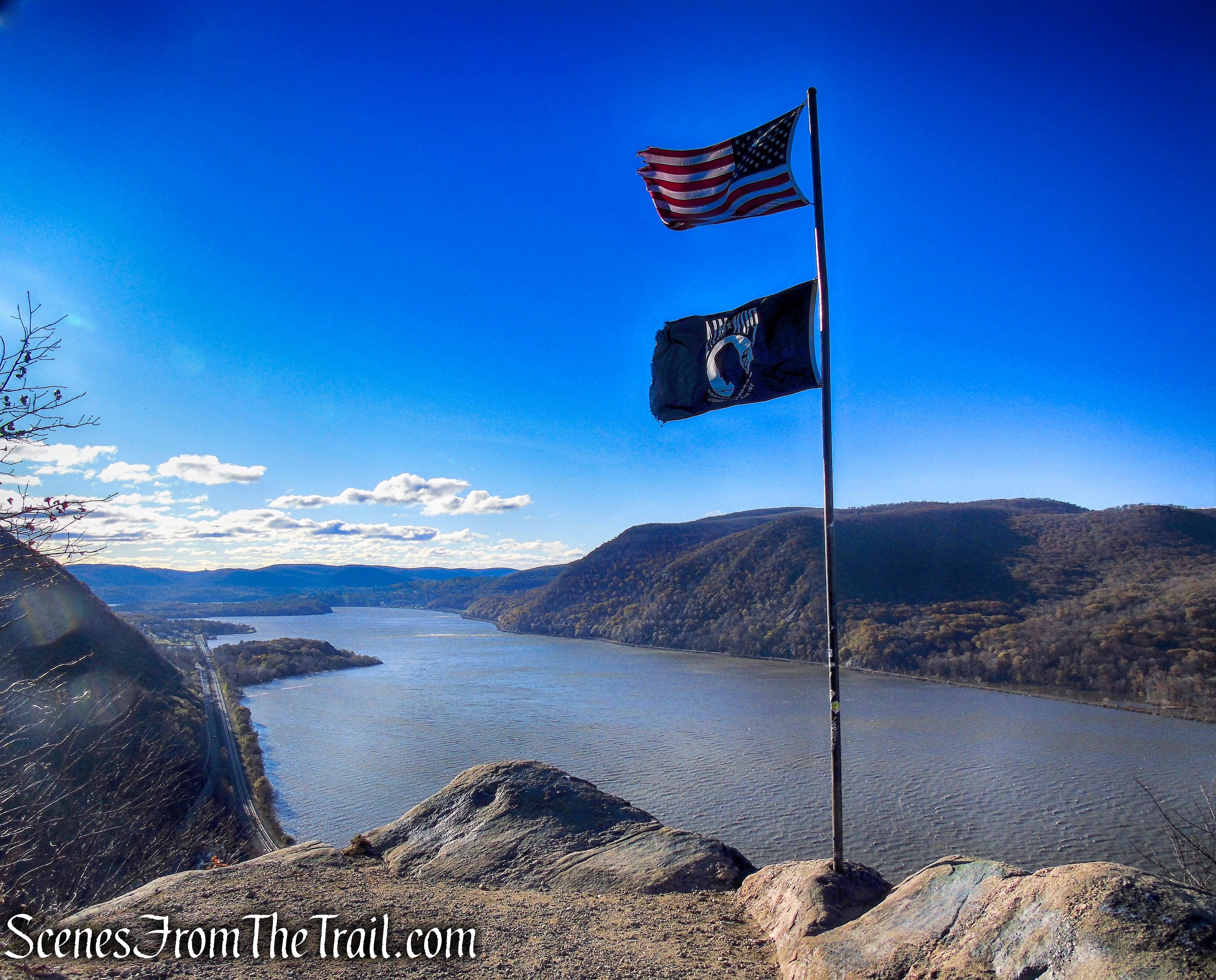
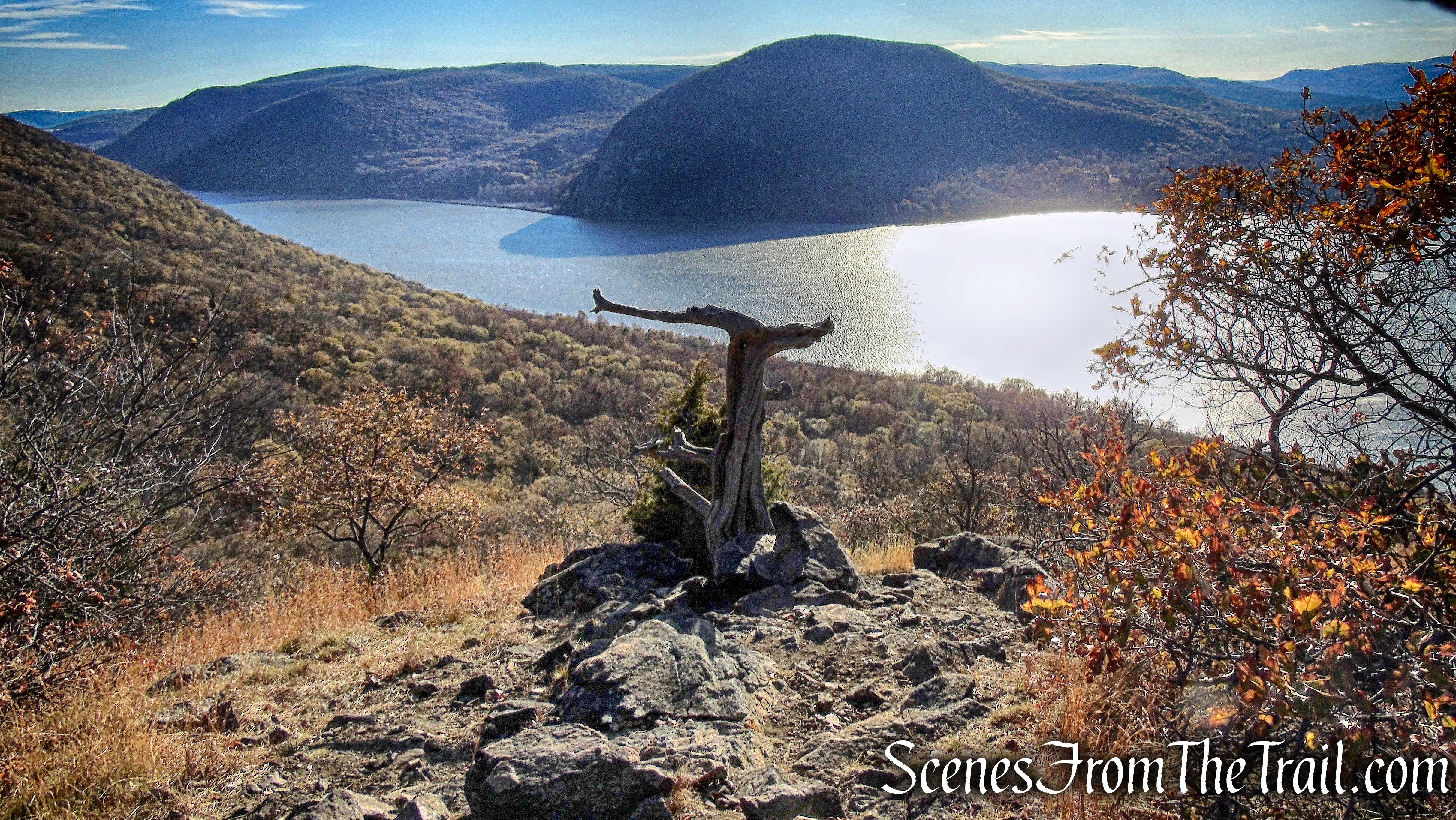
Looking south from Breakneck Ridge
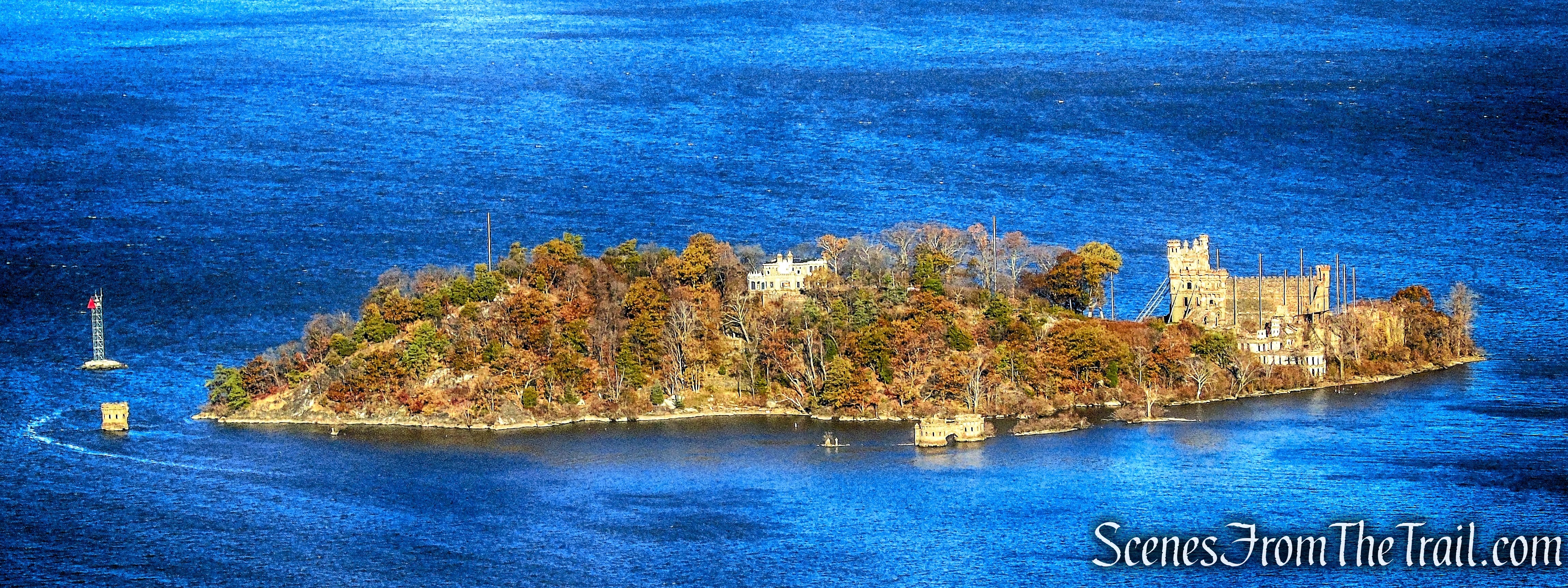
Pollepel Island
After admiring the view for a short while, we continued our ascent of Breakneck. We were far from done and still had quite a bit of climbing to do.
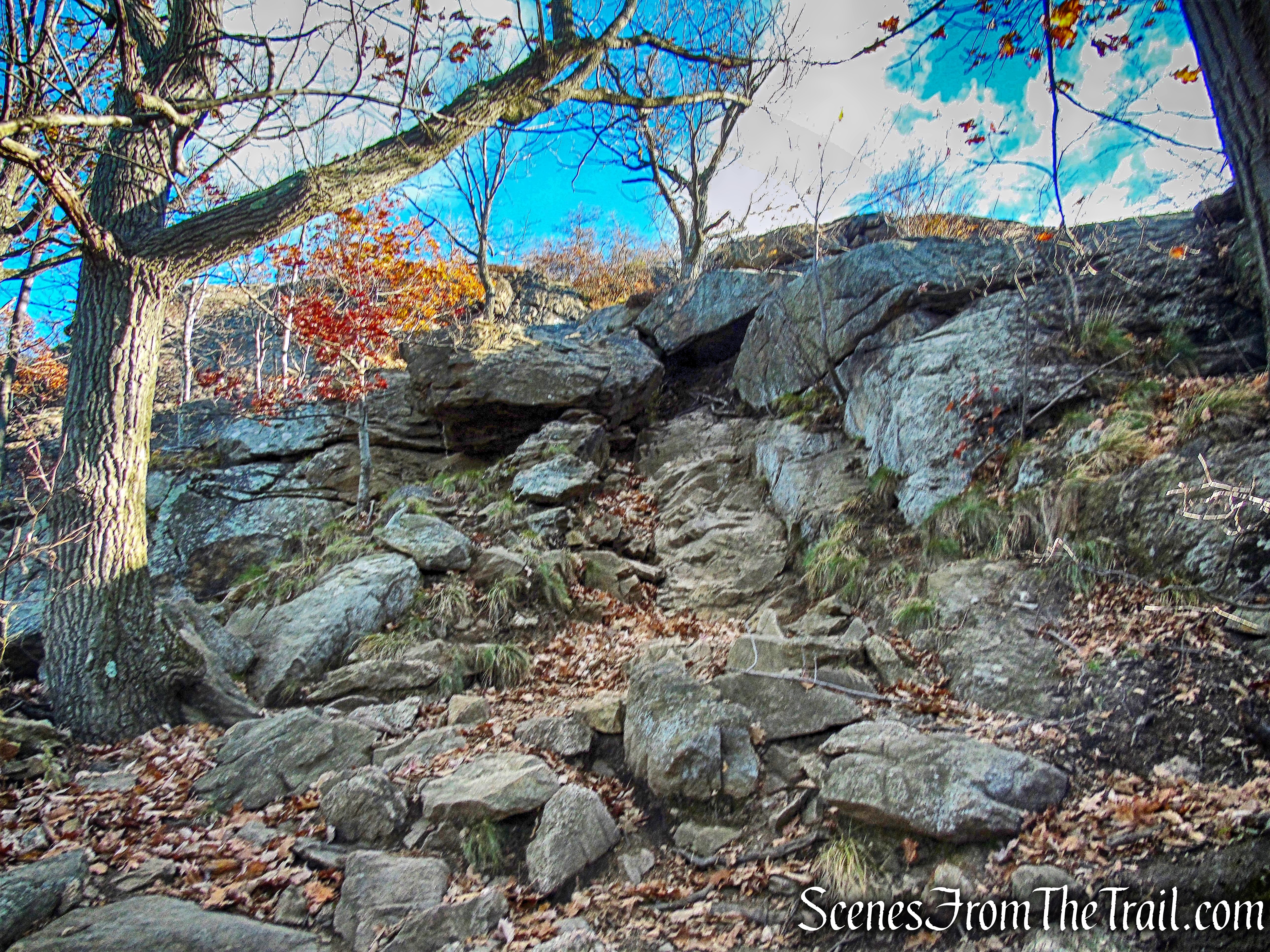
Breakneck Ridge
Breakneck Ridge
We continued up the white-blazed Breakneck Ridge Trail, passing junctions for the yellow-blazed Undercliff Trail and the red-blazed Breakneck Bypass Trail, both of which can be used as a bailout option. There are numerous views throughout, up to this point. As we continued walking the ridge, the blue-blazed Notch Trail (another bailout option) comes in from the right and and joins the white-blazed Breakneck Ridge Trail. I imagined the ridge as a somewhat level walk, but I was mistaken. There are numerous ups and downs with some more rock scrambling.
Joint Breakneck Ridge and Notch Trails
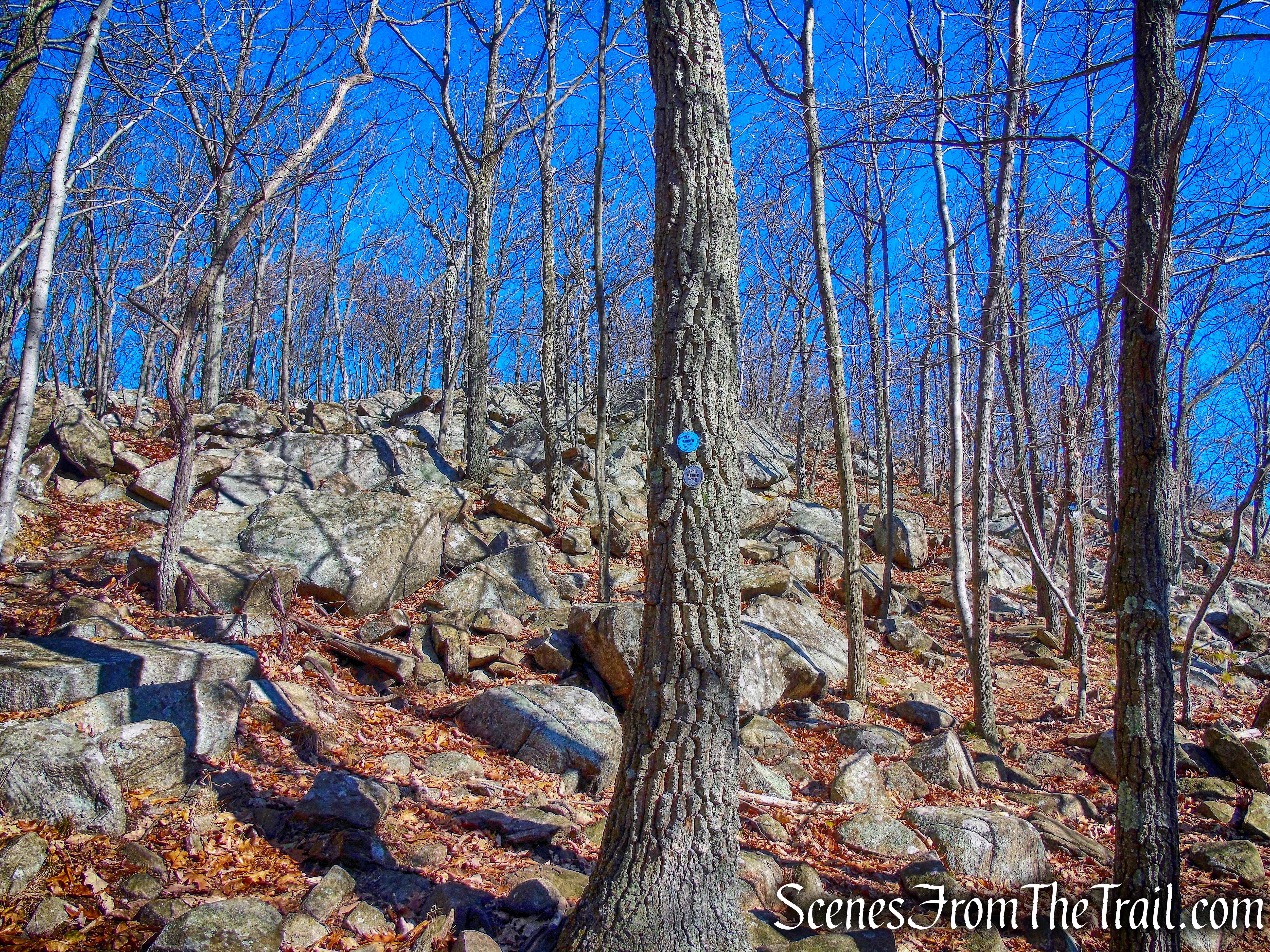
The Notch Trail then leaves to the left as the Breakneck Ridge Trail continues northeast towards the Mount Beacon Fire Tower. We turned left and followed the blue blazes for about .25 miles. In a short distance, the yellow-blazed Wilkinson Memorial Trail joins the Notch Trail briefly. We then came to a Y-intersection where the blue blazes veer right and the yellow-blazes veer left.
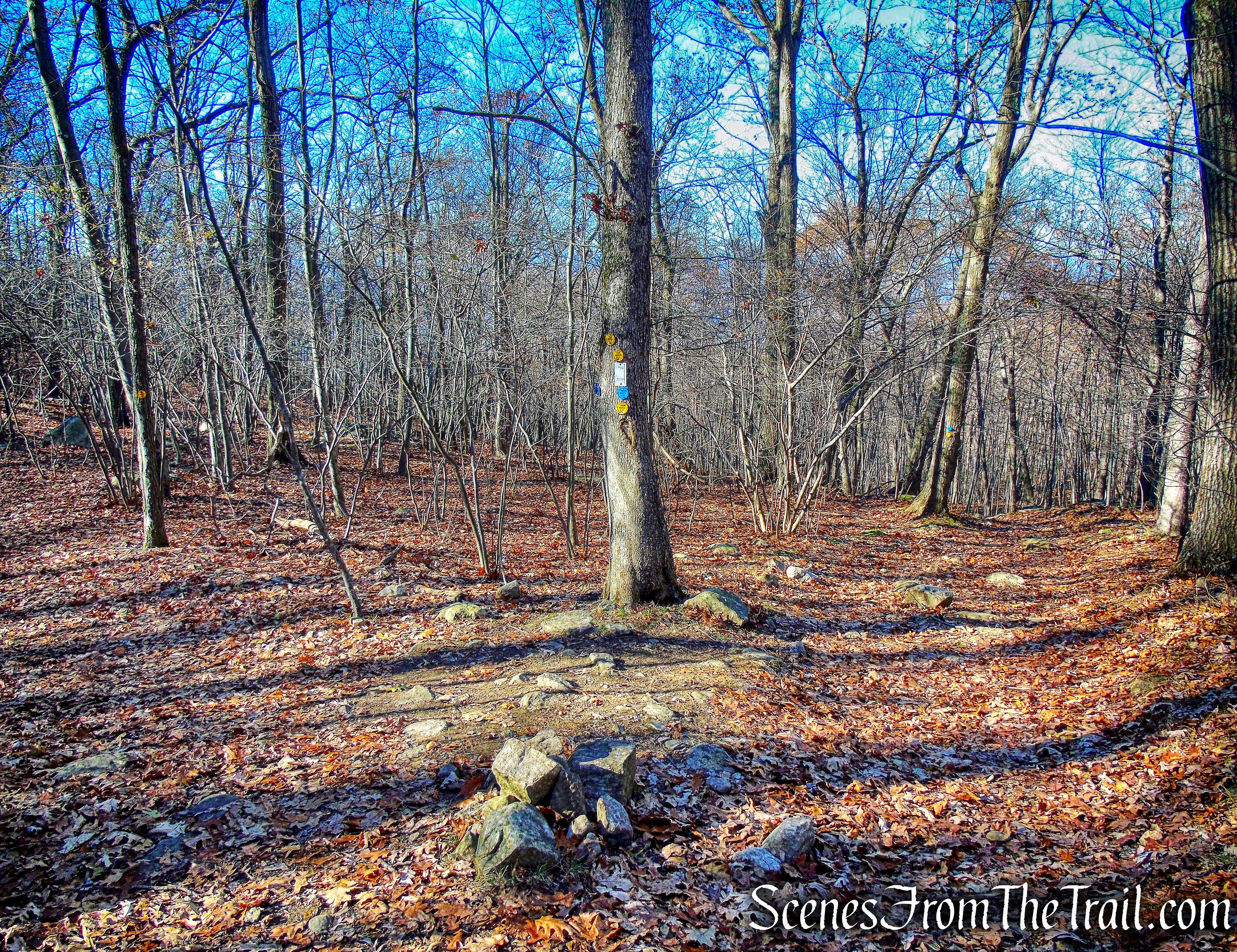
Y-intersection
There are several views along the way, but at this point we were tired and just wanted to complete the hike. The climb up Sugarloaf Mountain wasn’t too bad, but we were feeling it nonetheless. We arrived at the summit and took a short break to enjoy the view with the sun in our faces.
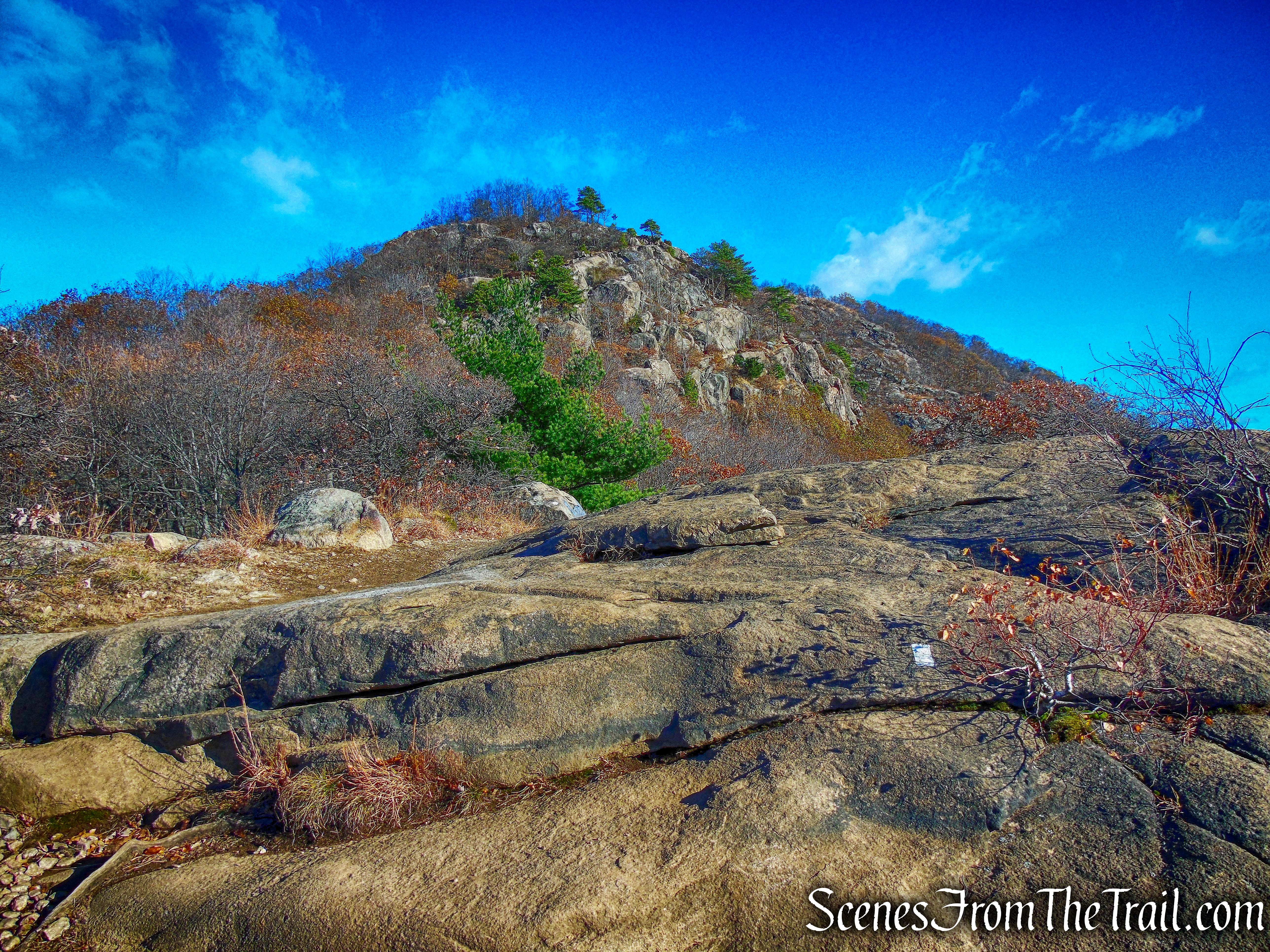
Sugarloaf Mountain
The climb down Sugarloaf on the Wilkinson Memorial Trail, is very steep. A little downward scrambling over loose rocks and dirt, but manageable. The Wilkinson Memorial Trail ends on Route 9D and just down the road from where we parked. At this point we were all exhausted and glad it was over. This is the most total elevation gain of any hike I have ever done and I was quite proud of myself. It was a tough and challenging hike, but it was also very rewarding. I felt that I had redeemed myself and that felt pretty good.
To get a better idea of what the hike is like, view the short video below.
Pros: Rock scrambling, great Hudson Valley views, challenging hike.
Cons: Breakneck gets overcrowded on weekends.
Take a hike!
Breakneck Ridge

Great Photos. Nicely done.
LikeLiked by 1 person
Thank you.
LikeLike