April 12, 2020 – Irvington, NY
Difficulty: Moderate
Length: Approximately 5 miles
Max elevation: 474 ft. – total elevation gain: approximately 650 ft.
Route type: Circuit
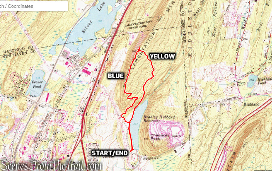
Map: Irvington Woods Trail Map – Full Perimeter Loop Map
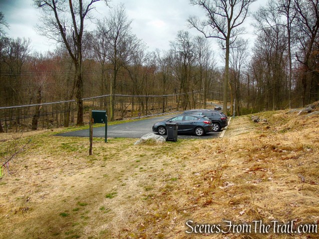
Trailhead parking: Cyrus Field Rd, Irvington, NY 10533
Park Overview:
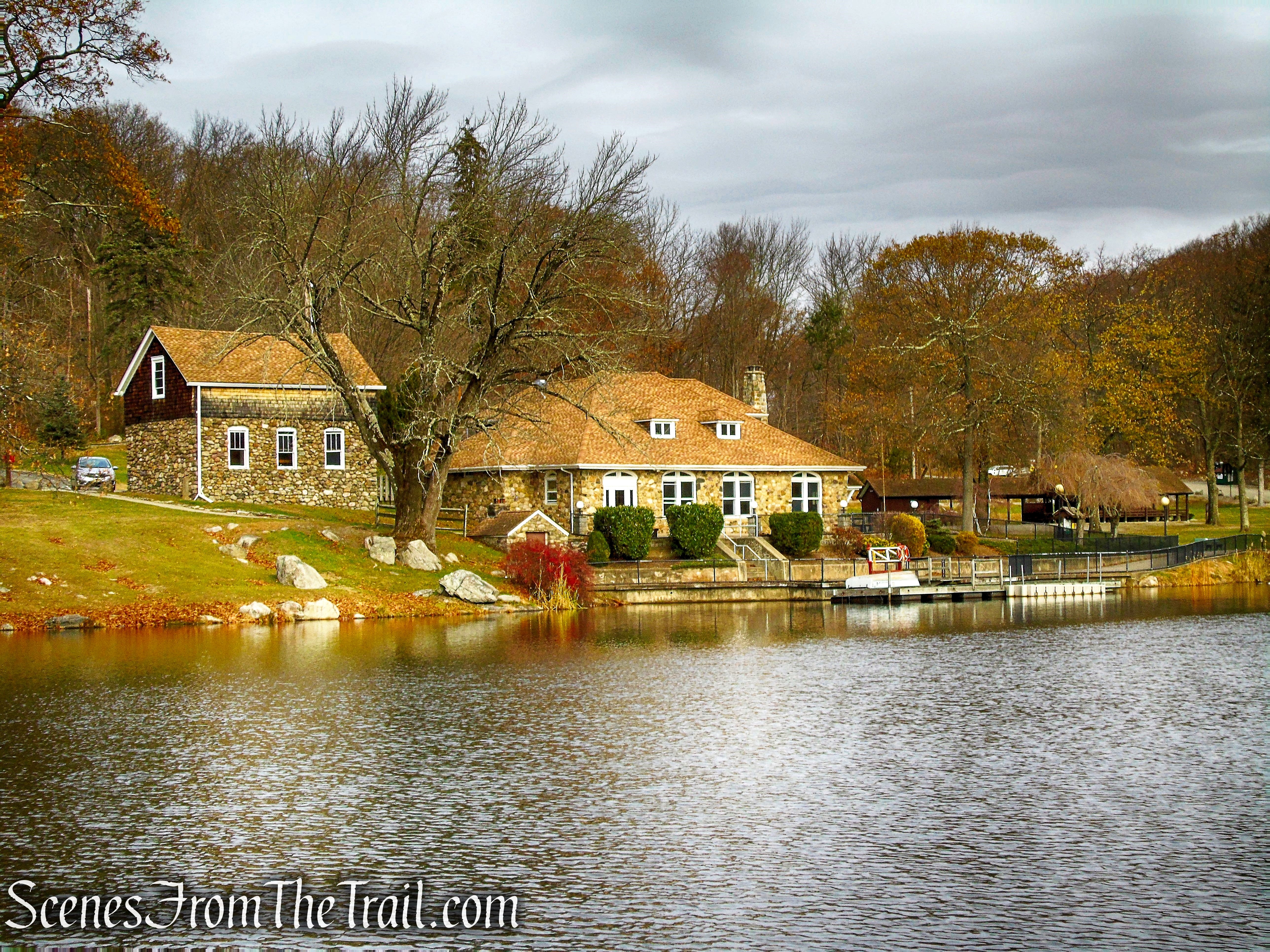
The Irvington Woods is home to the O’Hara Nature Center, the Peter K. Oley Trail Network and the Irvington Reservoir.
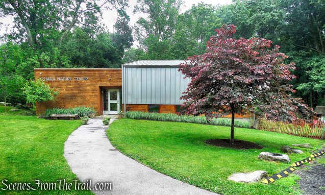
O’Hara Nature Center
At 400 Acres, the Irvington Woods is one of the largest forested areas in Southern Westchester and possesses tremendous ecological value. As part of one of the largest continuous corridors of open space in the New York City Metropolitan area, it provides sanctuary for diverse wildlife, and includes the largest fresh water wetlands in Southern Westchester County.
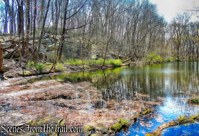
Marshall Pond
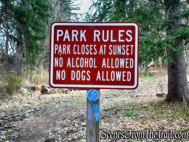
It’s extensive trail way system is accessible from several trailheads for hiking and biking. The trails in the Irvington Woods provide for everything from leisurely strolls to moderate hikes. The Irvington Woods Trails are open dawn to dusk.
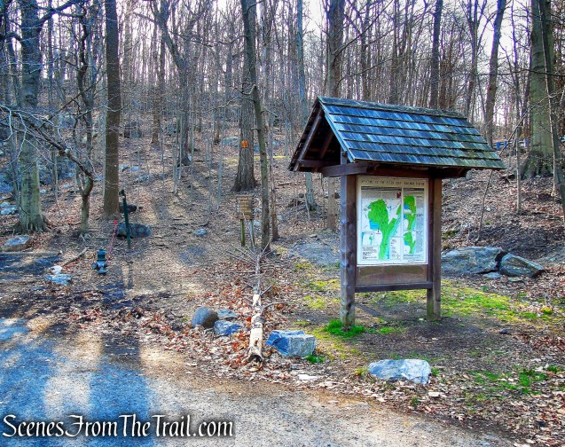
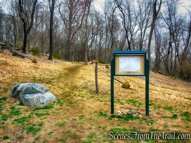
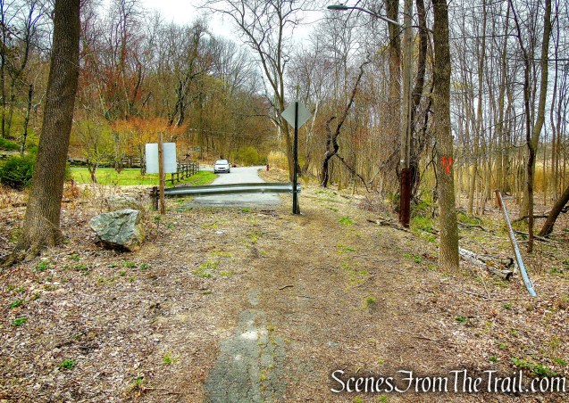
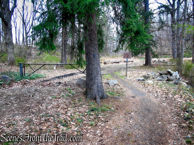
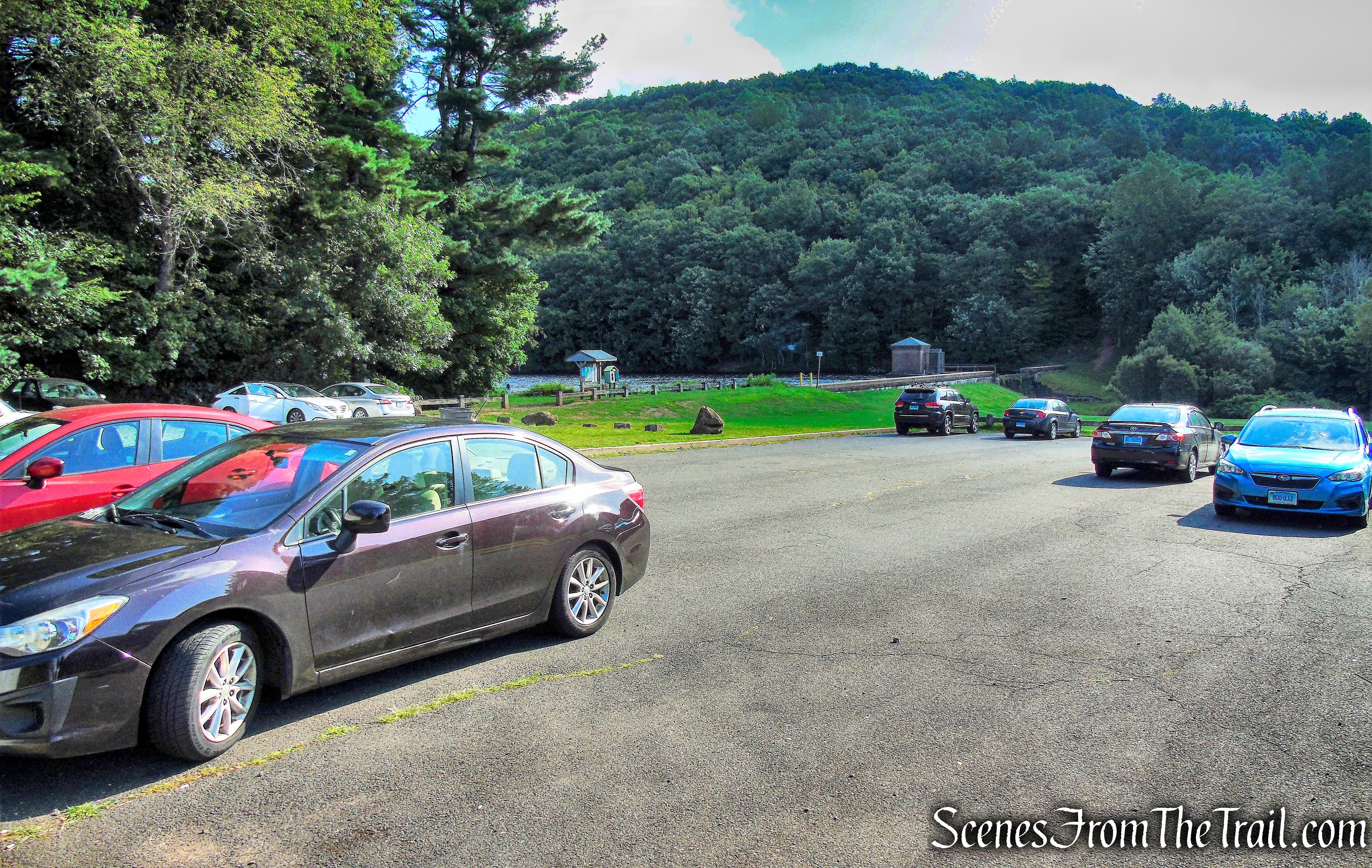
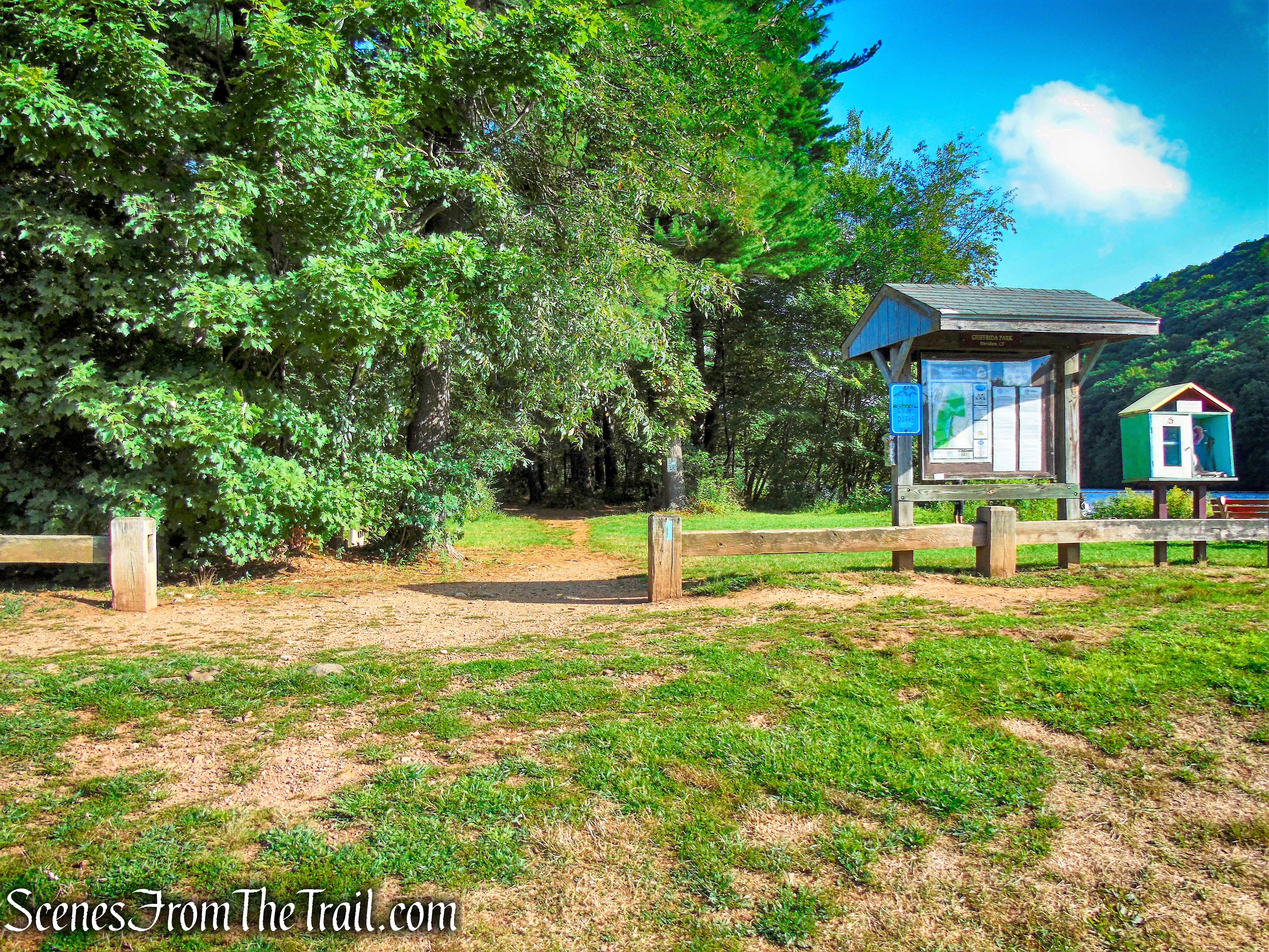
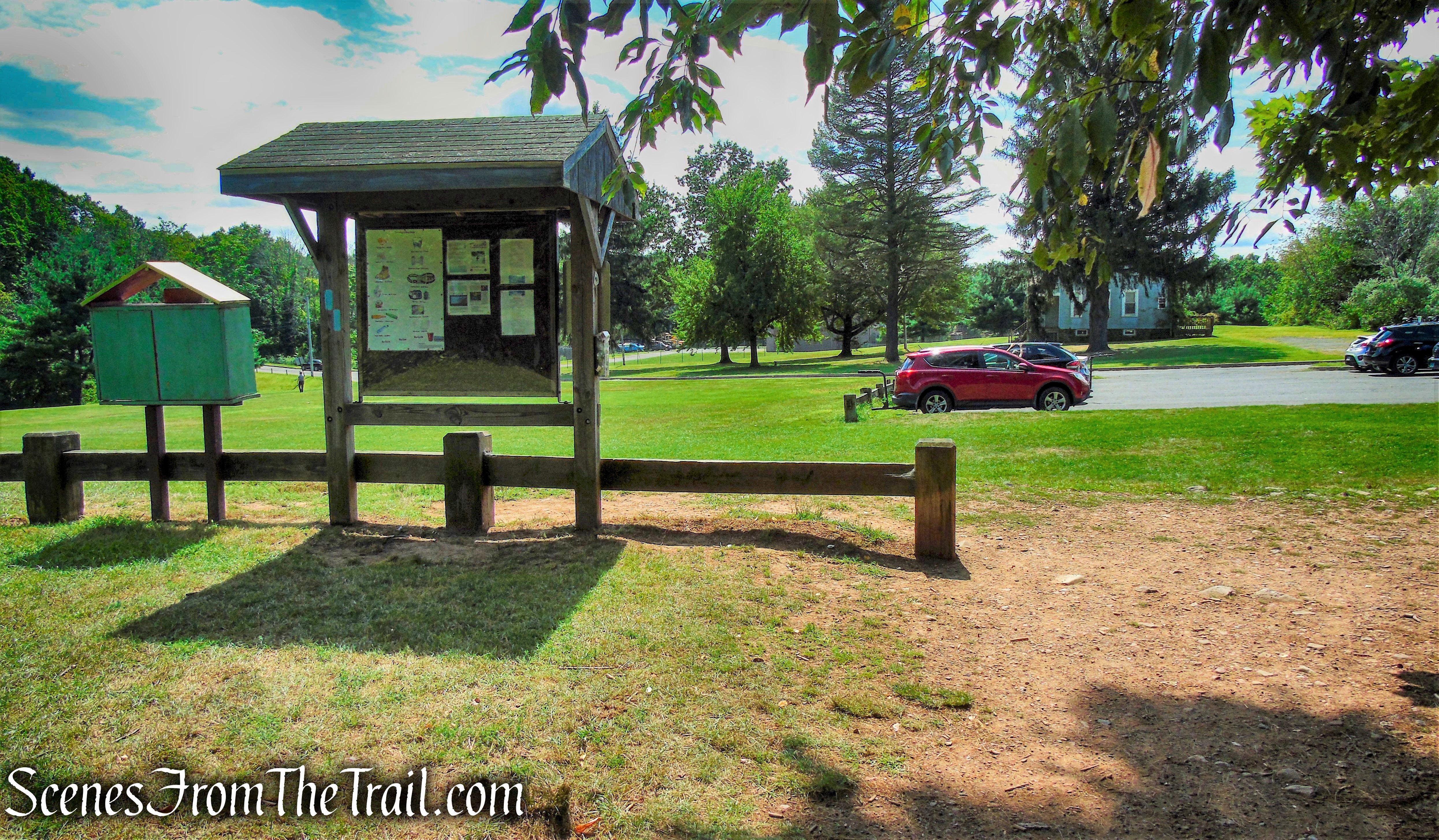
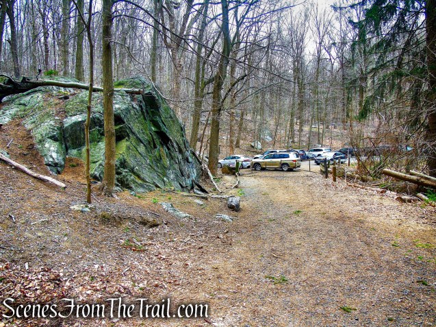
Cyrus Field Road Trailhead
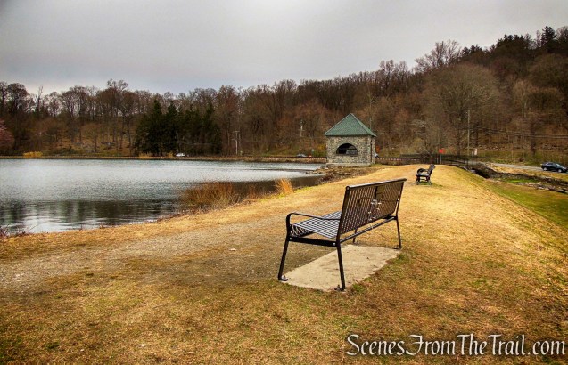
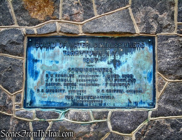
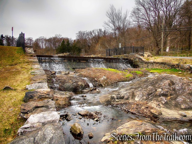
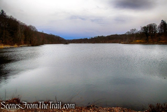
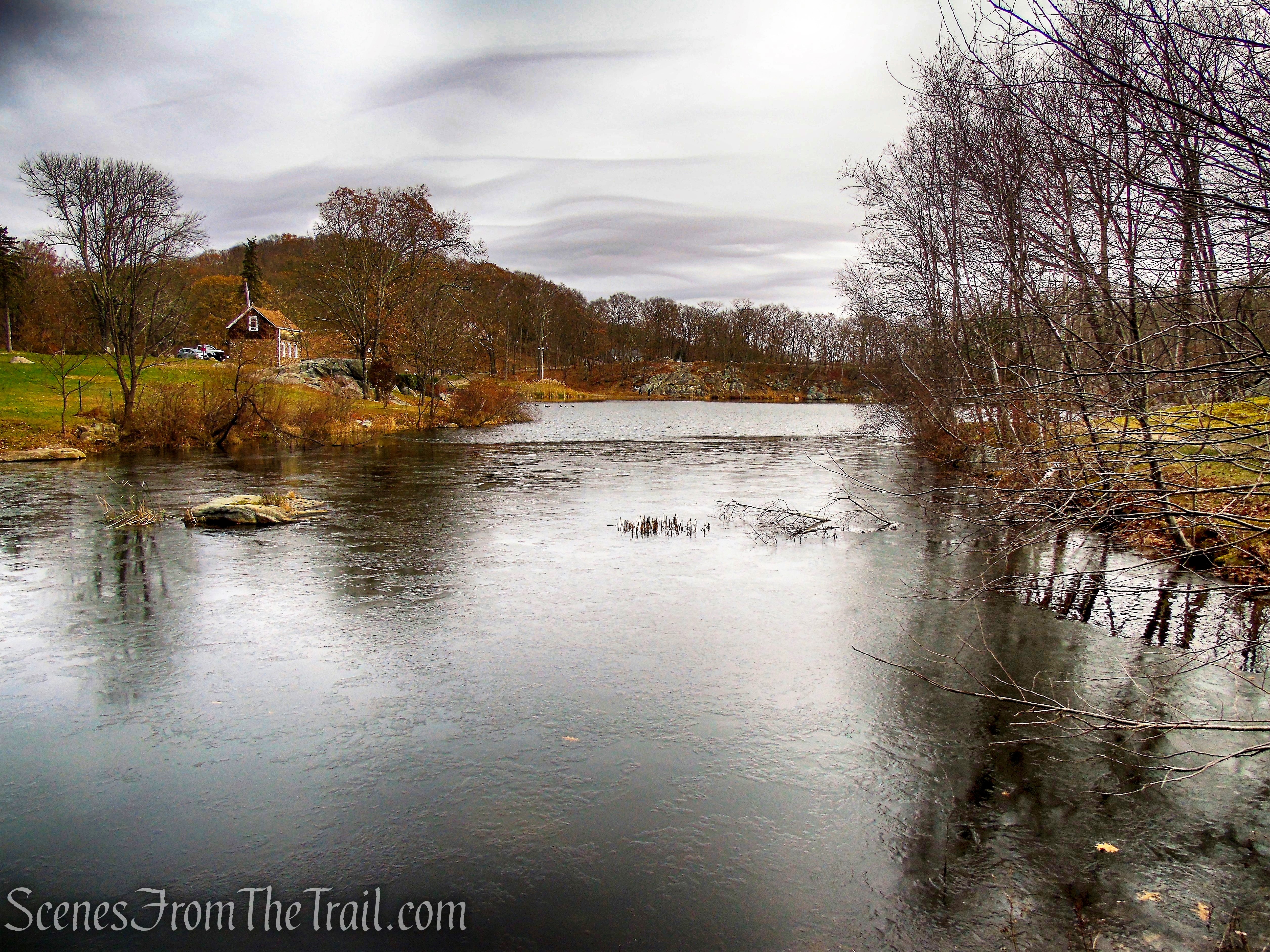
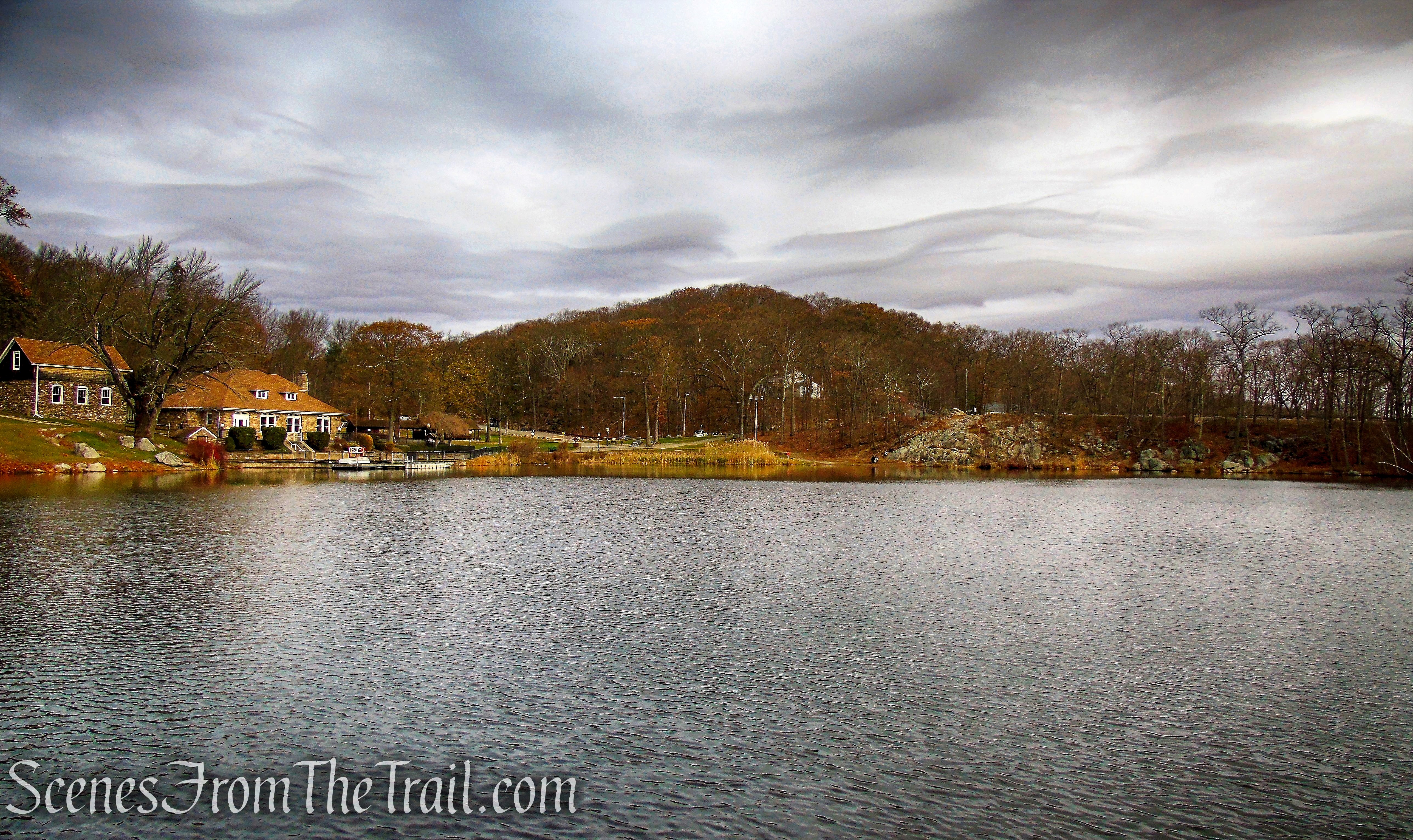
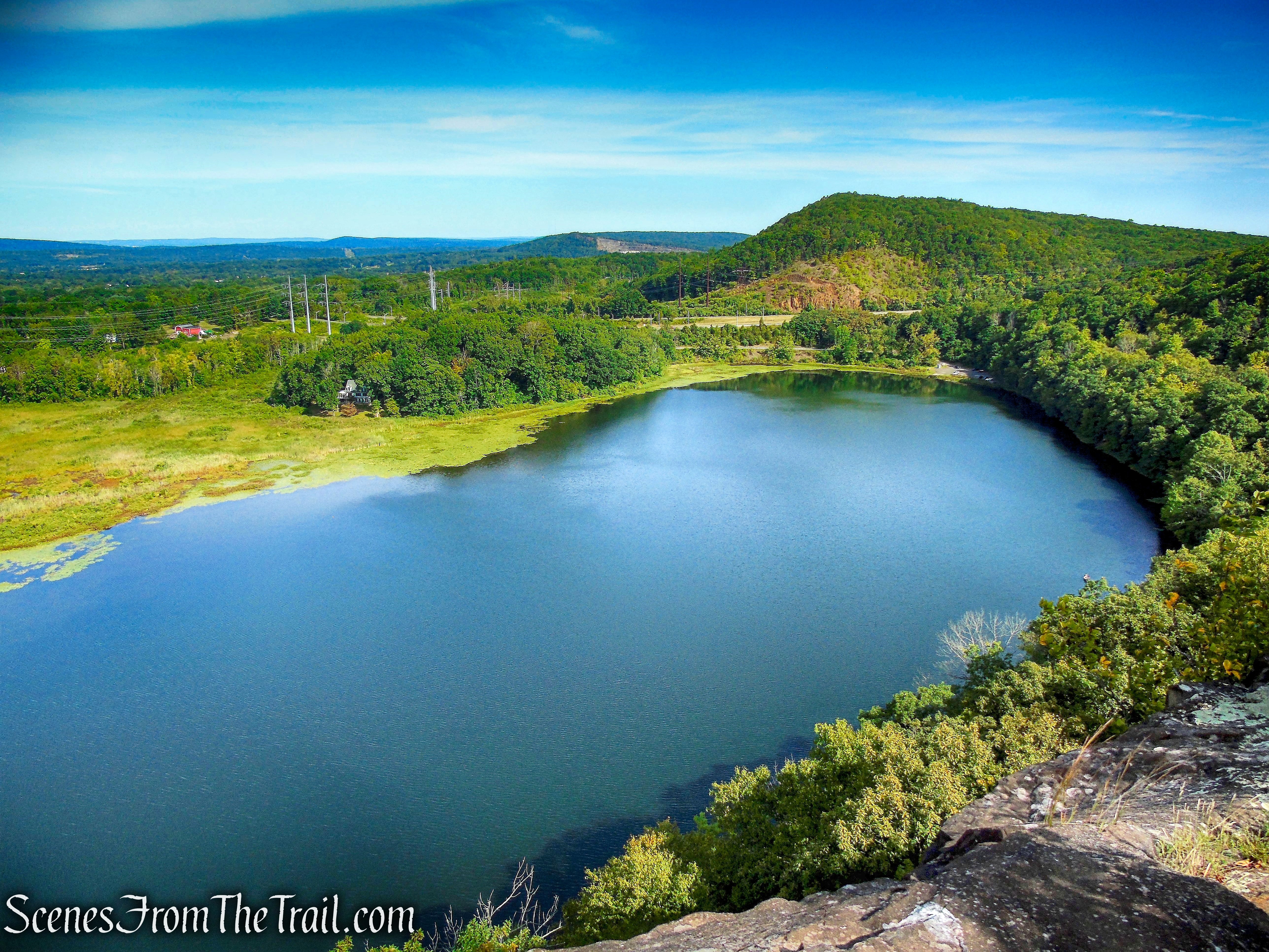
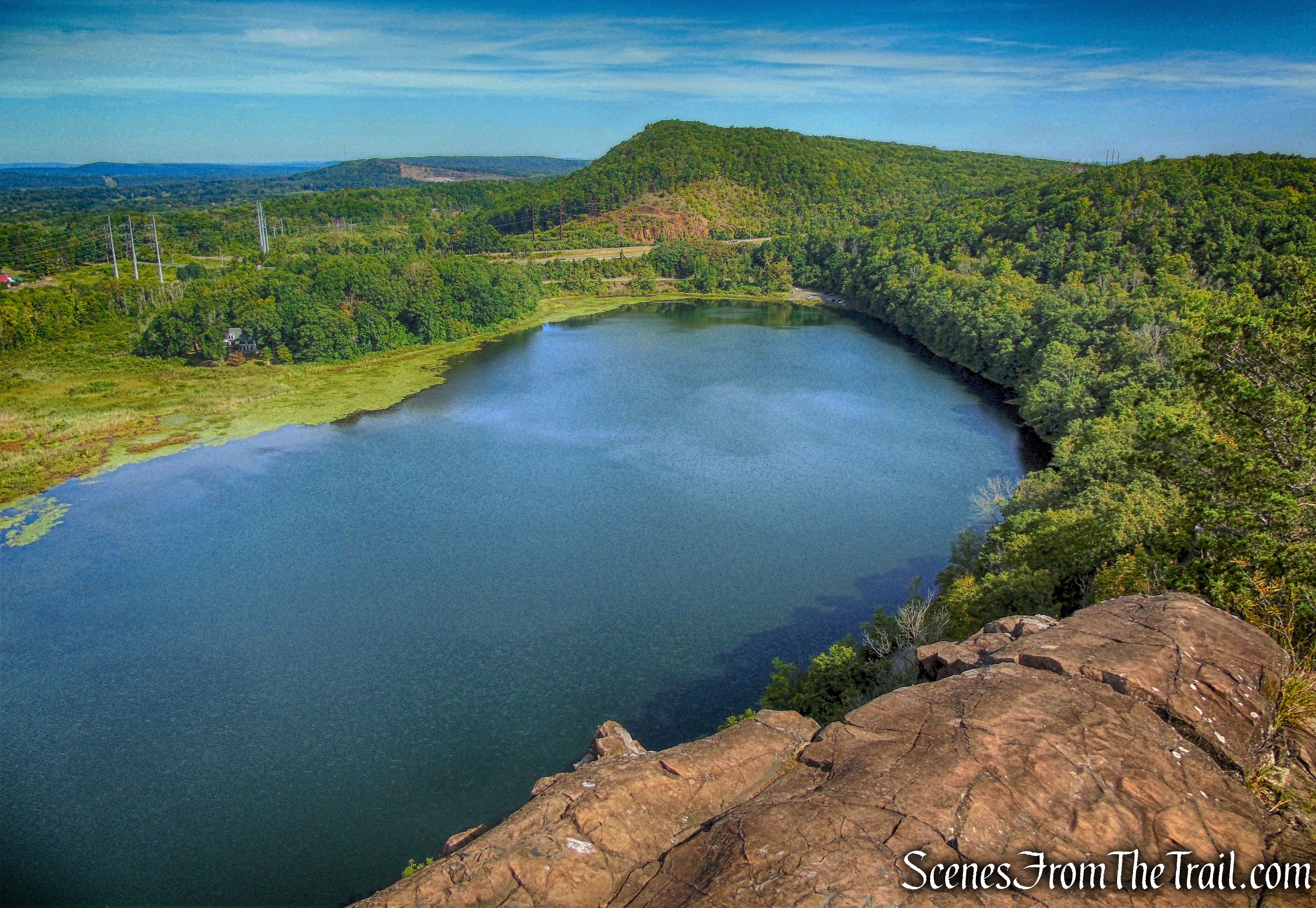
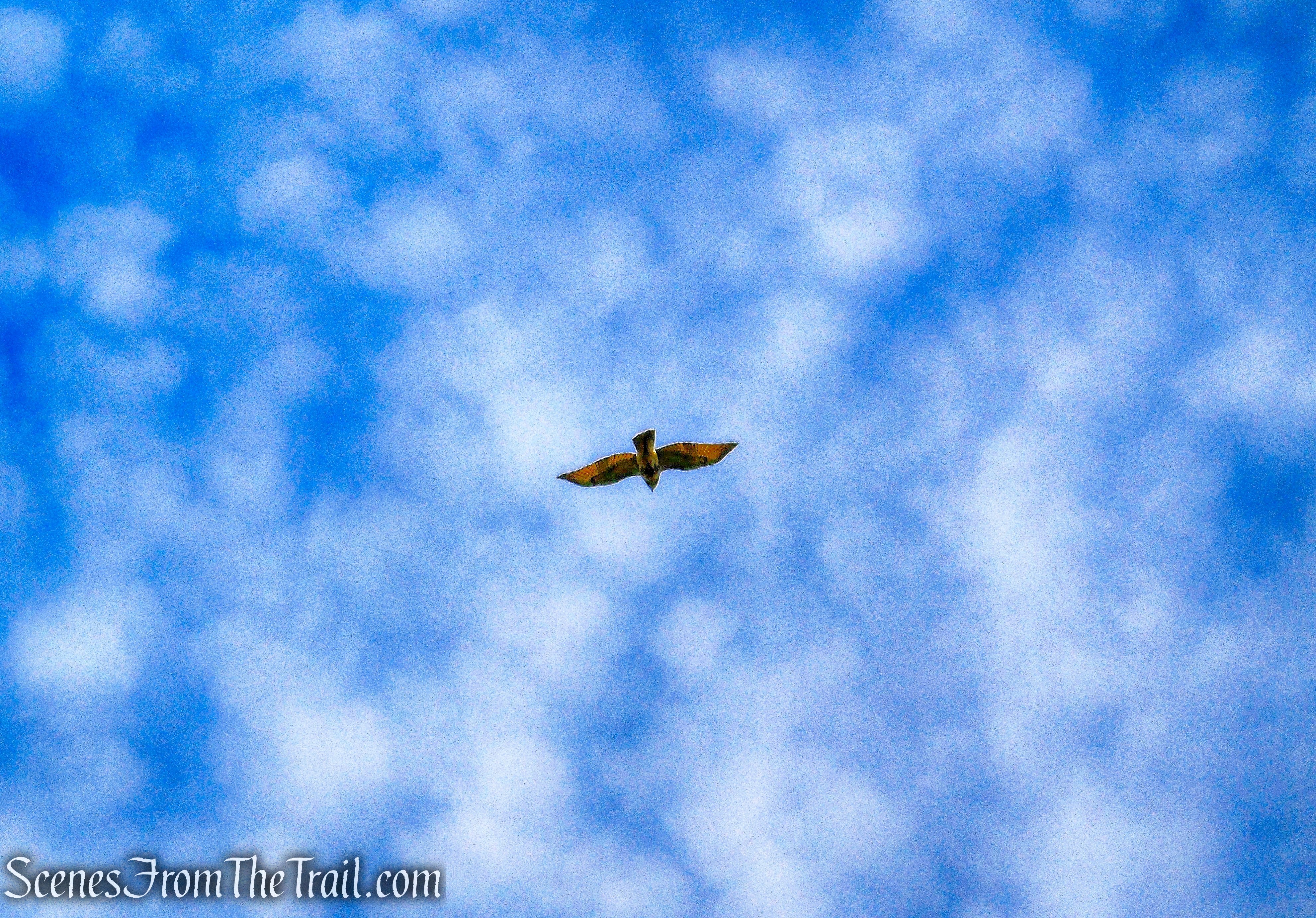
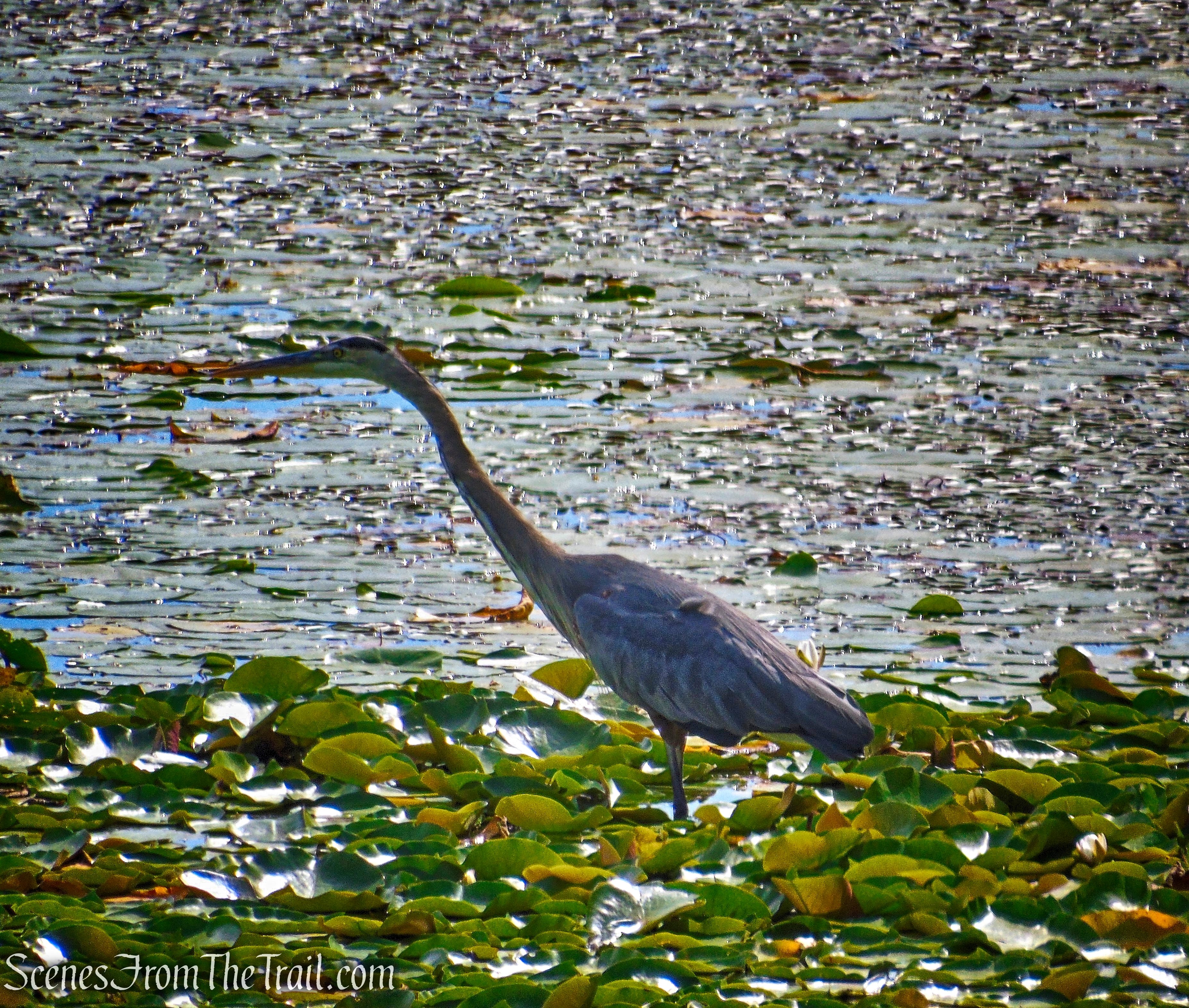
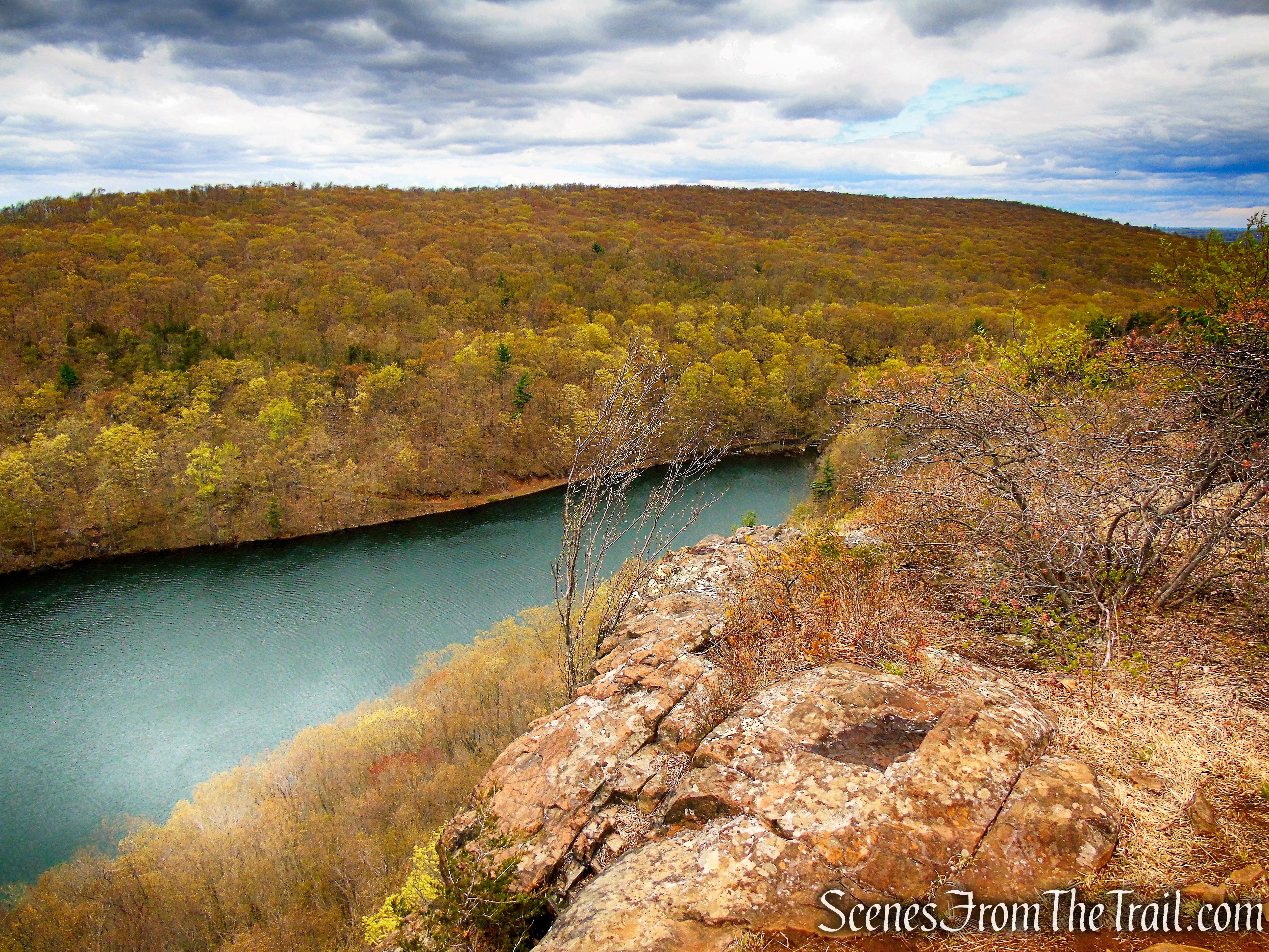
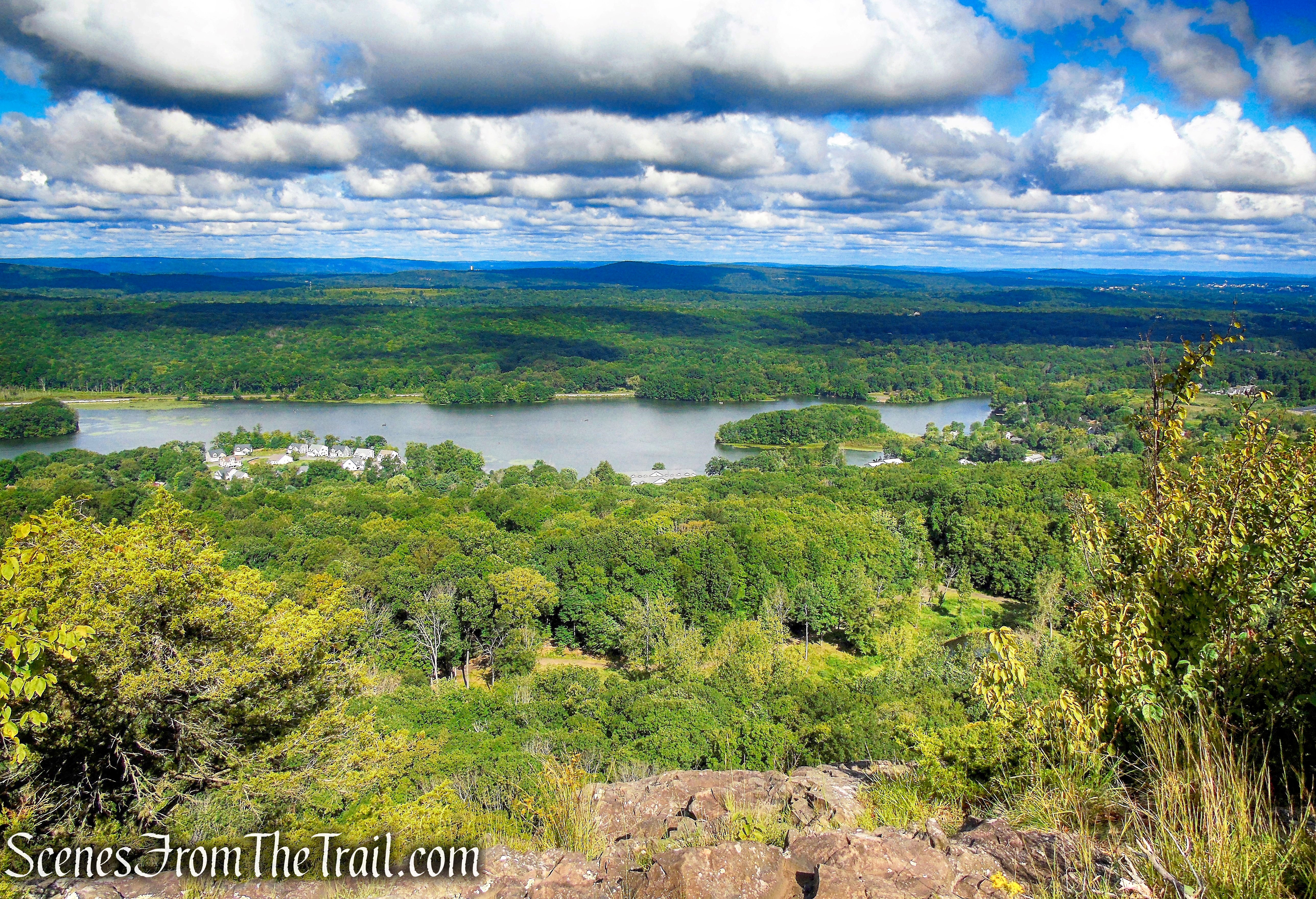
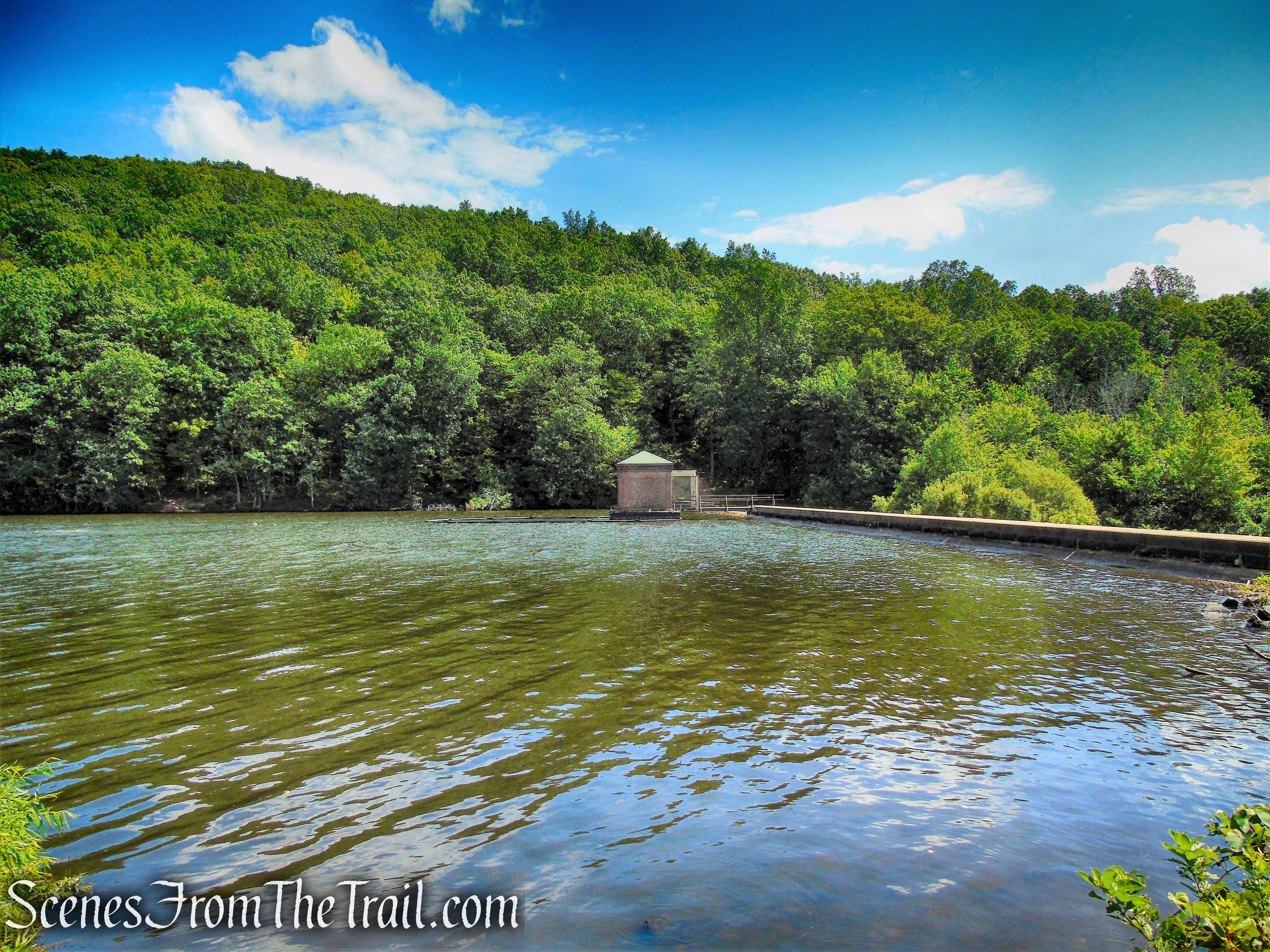
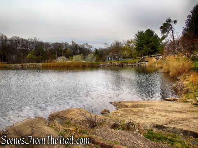
The Irvington Reservoir (also called the Harriman Road Reservoir) is a 12.4-acre man-made water body that was completed in 1900 to provide drinking water for village residents. The reservoir, now a backup water supply, is home to a wide variety of migratory and all-season birds, including Red-tailed Hawks, Loons, and Great Blue Herons.
Irvington Reservoir
History:
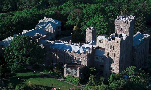
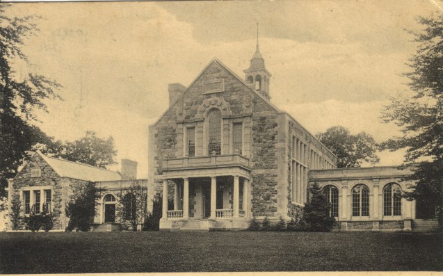
Parcels of land from several 18th and 19th century estates can be found in the Irvington Woods. They include the homes of Cyrus W. Field, a successful businessman and financier who created the Atlantic Telegraph Company and laid the first telegraph cable across the Atlantic Ocean in 1858; Philip Schuyler, a Revolutionary War general and kinsman of Alexander Hamilton; and Isaac Stern, one of three brothers who founded Stern Brothers Department Store in 1868 in New York City. Throughout the woods are remnants from these estates, including stone terraces, benches, steps and walls. Several of the trails within the system were initially carriage roads for these estates.
In the late 1970’s, some of the property was originally slated for development as a residential subdivision, but due to the poor economic conditions in the early 1980’s, it was donated to the Village of Irvington. Subsequent land purchases with significant funding from the County of Westchester, Scenic Hudson and the Open Space Institute, was joined with other Village lands and property owned by Westchester County, to form the largest such preserve south of I-287 in Westchester.
Trails Overview:
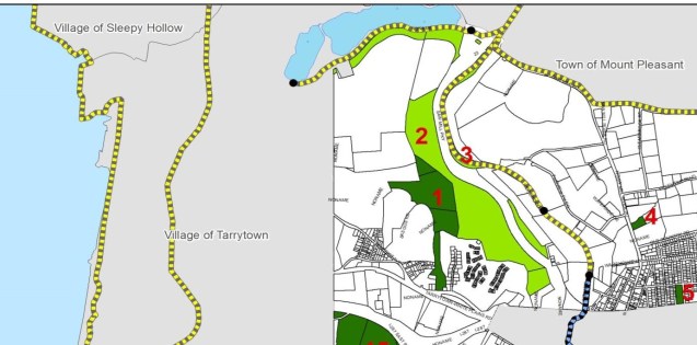
The Peter Oley Trailways System is a marked system of trails In Irvington Woods. The red numbers on the map correspond to numbered trail markers at junctions within the woods. Village emergency services uses the number system on the map to identify locations. There are a number of marked trails accessible from several trailheads.
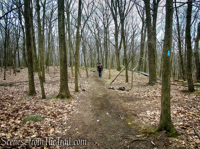
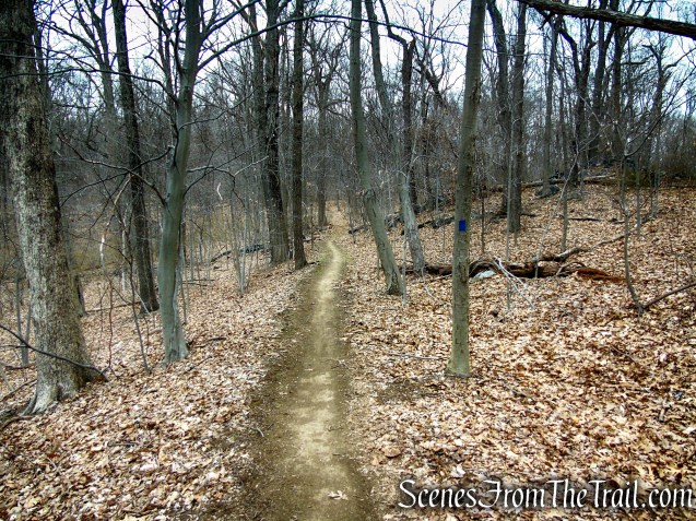
Irvington Woods Trails
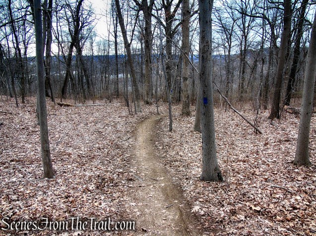
The trails are well groomed, but navigating them is at times confusing. They are absent of markers in critical areas and some of the wooden posts at junctions are missing or have been removed and tossed aside, away from the trail.

Irvington Woods Trails
There are countless unmarked trails and woods roads on the Irvington Woods property. There are numerous junctions that don’t have the numbered wooden posts or blazes. At times the blazes don’t appear until some distance past the junction. During our hike, we ran into a couple that was lost and needed a little help. I also spoke to several hikers near the trailhead and they mentioned that they got lost on their previous visit. On my first visit here several years ago, I had a little difficulty trying to navigate the route I had planned.
Irvington Woods is bordered by the Irvington Reservoir and Cyrus Field Road to the west, the Saw Mill River Parkway to the east, and Mountain Road (also called Peter Bont Road) to the north. This helps with trying to navigate the trails. This is a good place to practice your navigational skills using a map and compass.
Hike Overview:
This hike begins at the South Parking Lot on Cyrus Field Road, by the Irvington Reservoir. It can also be done by starting at the O’Hara Nature Center as well. We did one of their suggested hikes that is listed on their website, the “Full Perimeter Route.” They have this listed as 3 miles with about 200 feet of elevation gain. I found this to be inaccurate. Although we did several short detours (as is suggested), my GPS mapped it as approximately 5 miles with about 650 ft. of elevation gain.

Cyrus Field Road Trailhead
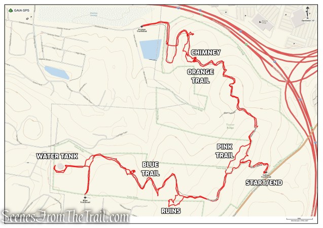
First off download a copy of both maps from the links supplied at the top of this page. The full trail map has the red numbers on it that indicate the junctions. The route map for this hike does not, but it has the route that you will take highlighted in red.
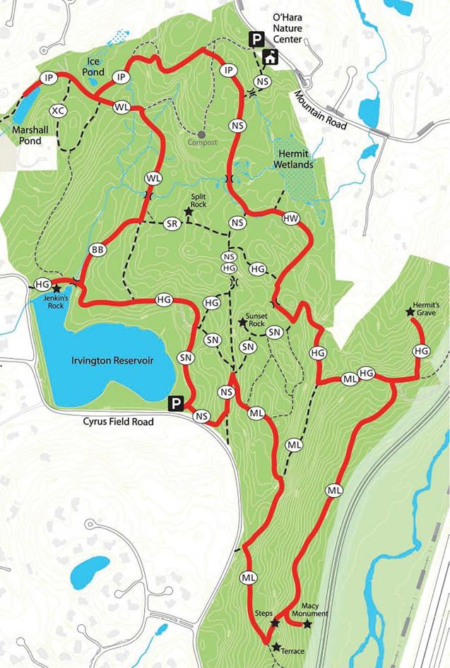
Irvington Woods – Full Perimeter Loop
I consulted both maps constantly throughout this hike before making any turns at junctions where I was unsure. Looking at the red number on the main map and the red line on the route map. I didn’t make any wrong turns, but there were times when I didn’t know that until I was some distance past the junction and a blaze appeared on a tree. You shouldn’t feel hesitant about doing this hike as you will probably run into others along the trails and you are never that far away from civilization. This is a beautiful place to explore and on your return visit you will probably help others find their way.
The Hike:
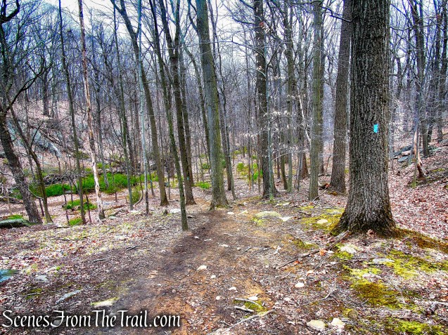
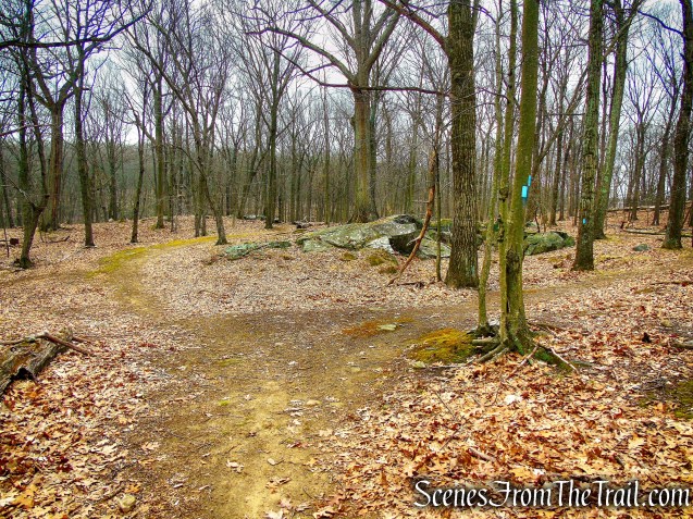
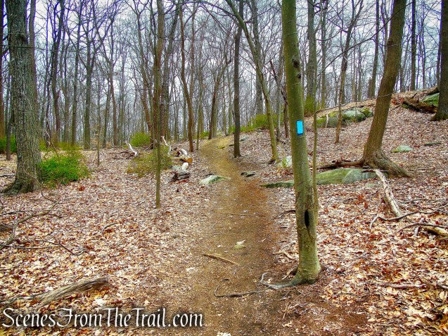
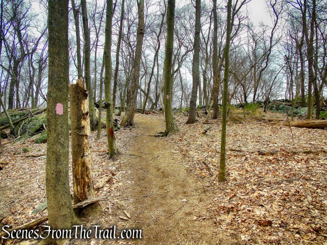
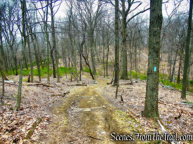
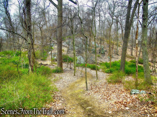
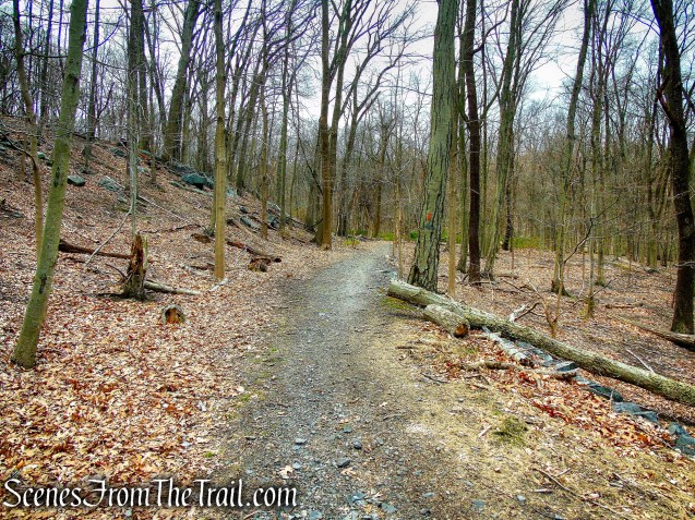
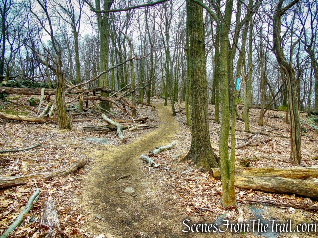
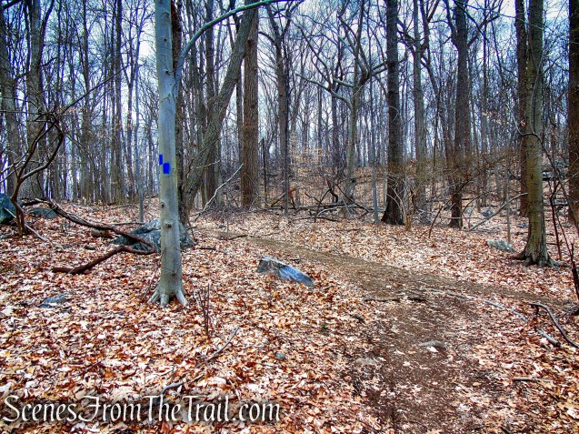
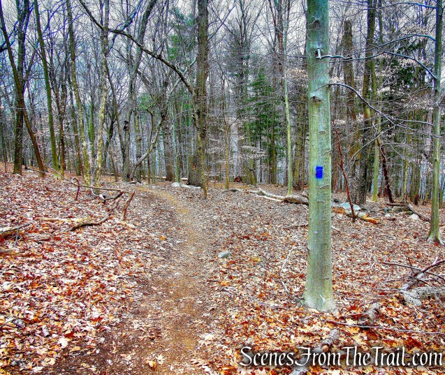
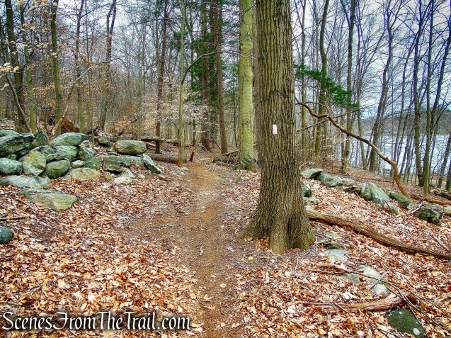
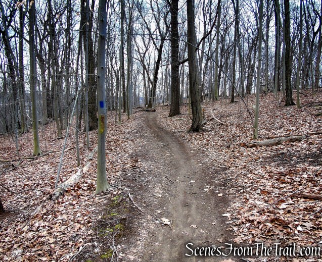
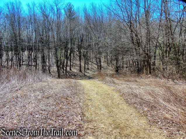
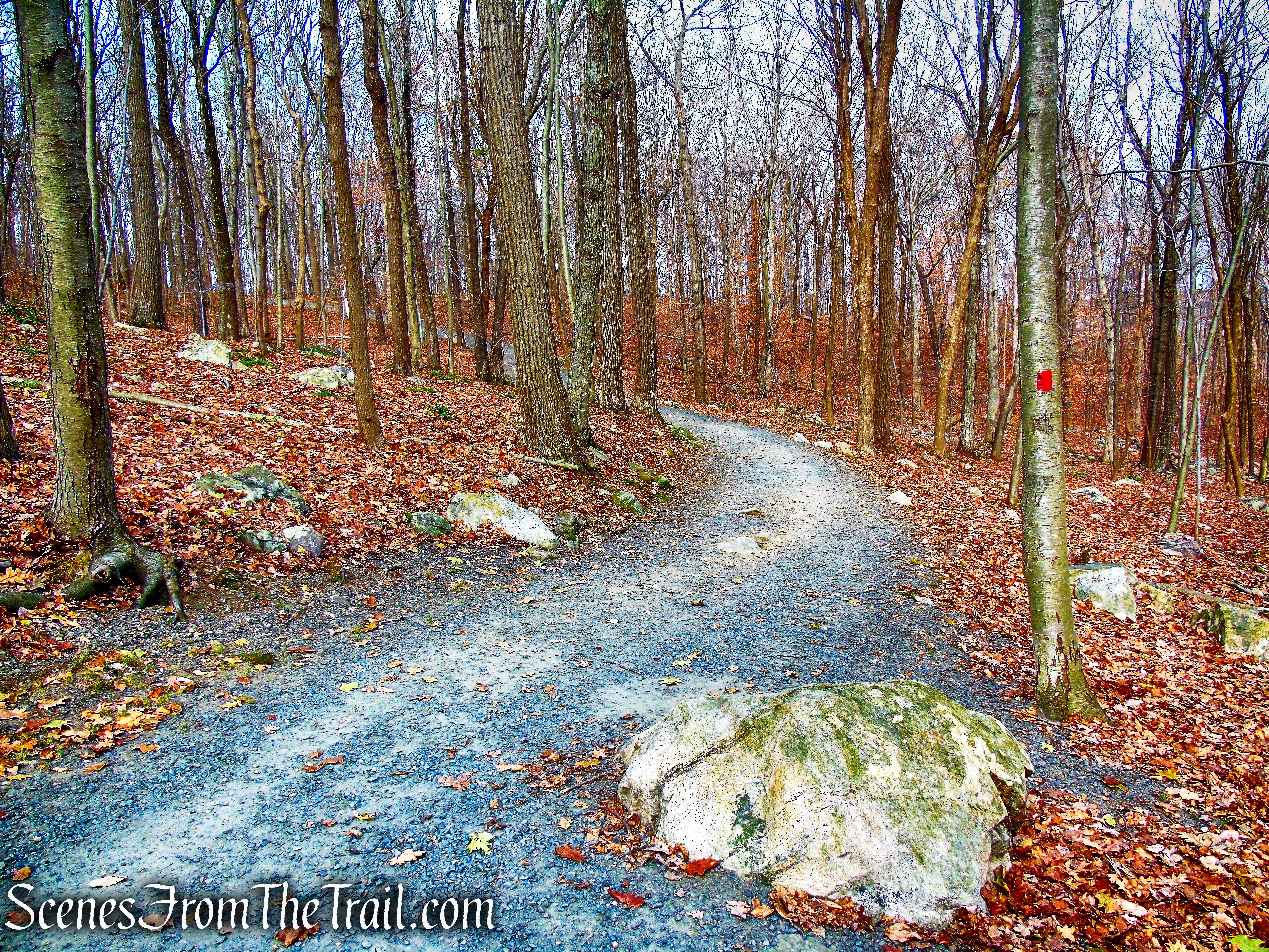
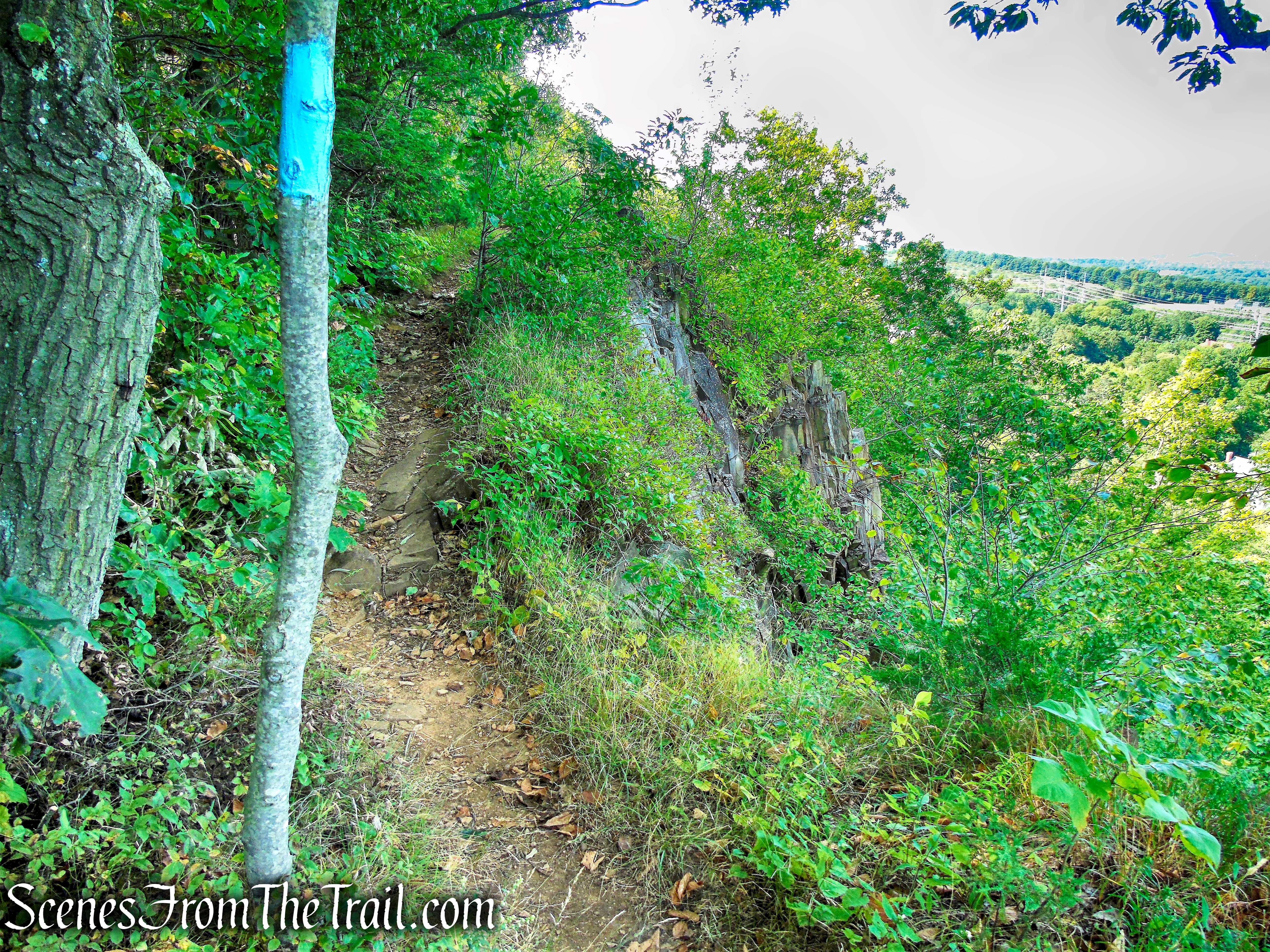
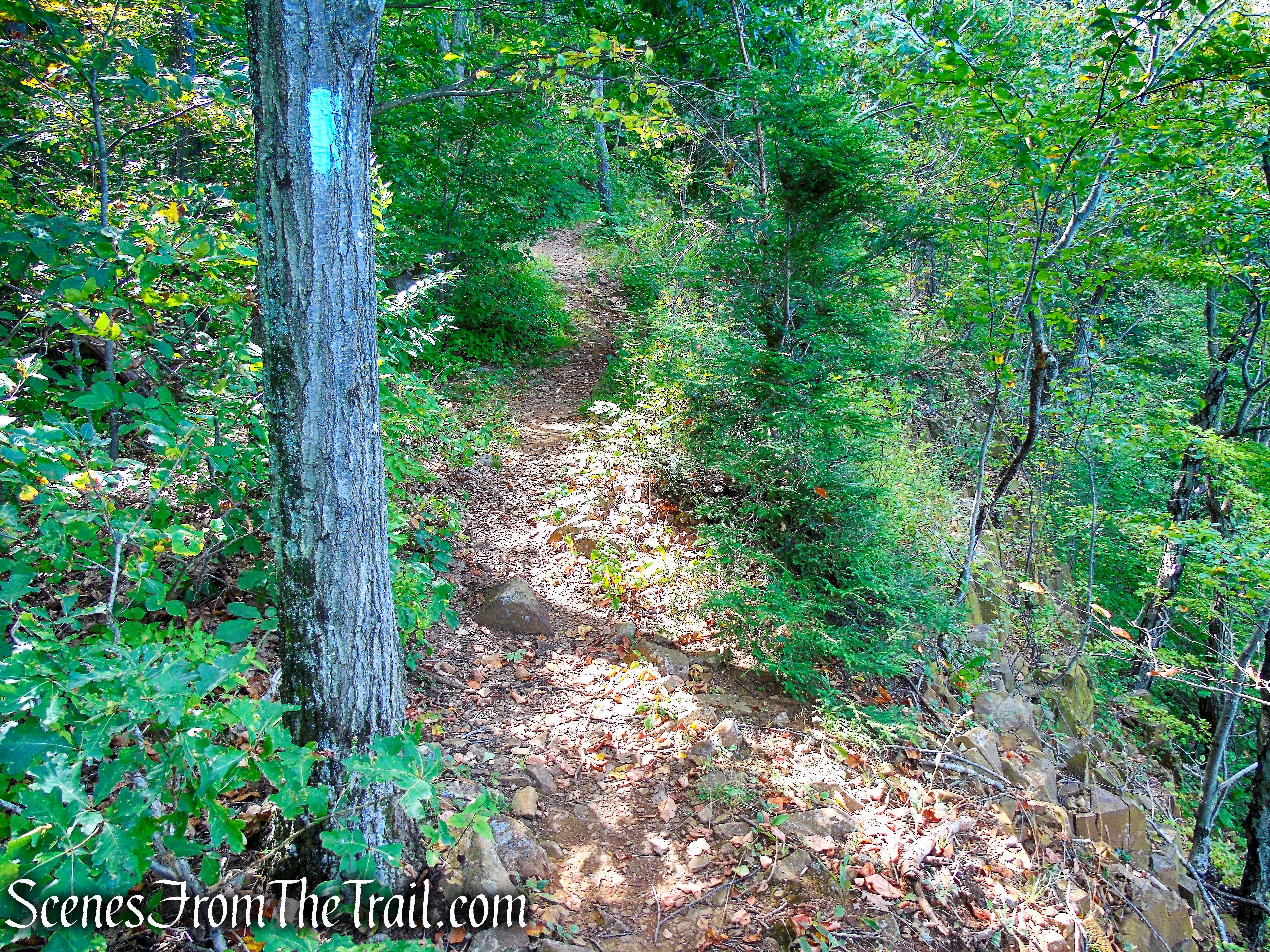
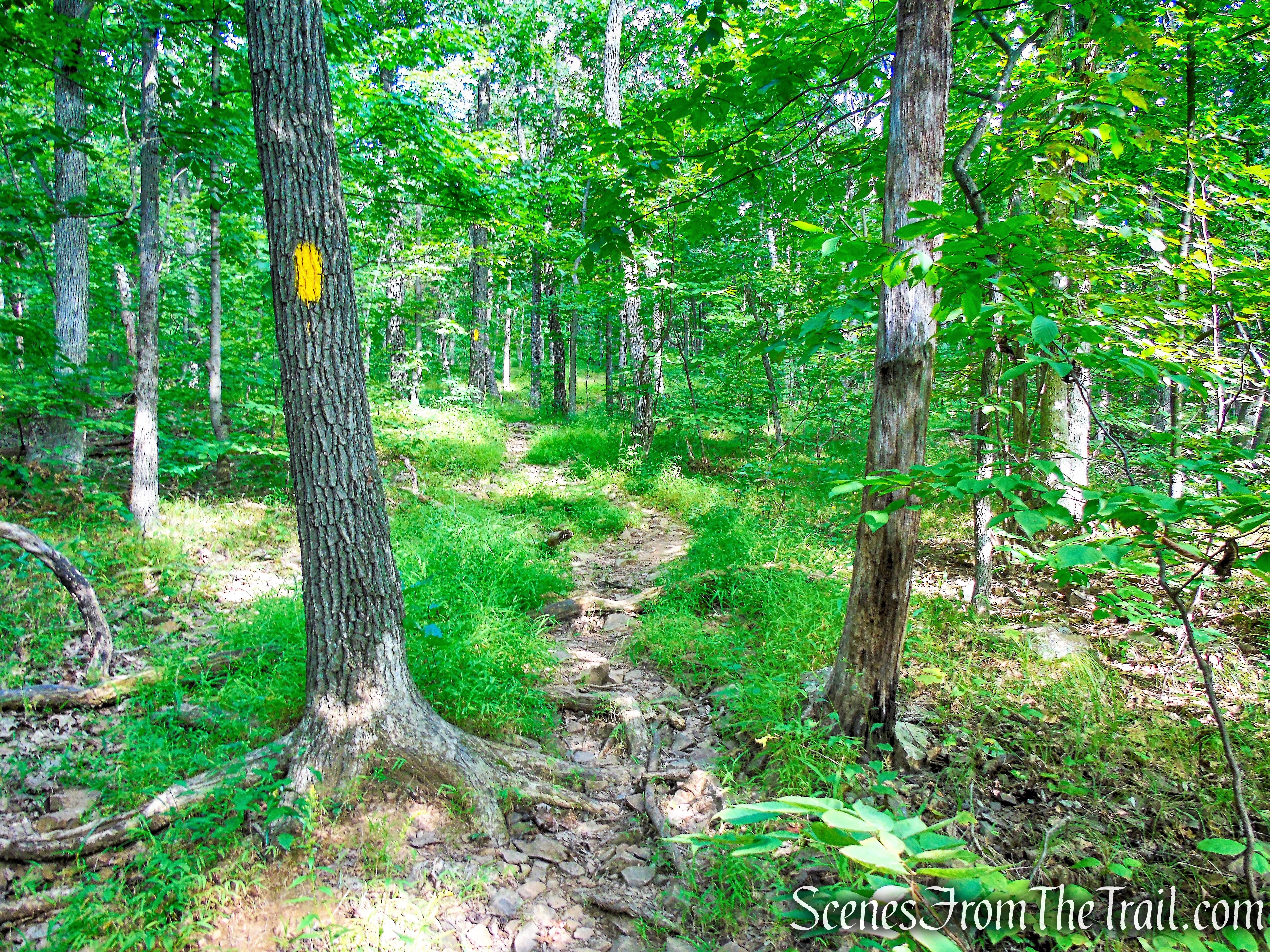
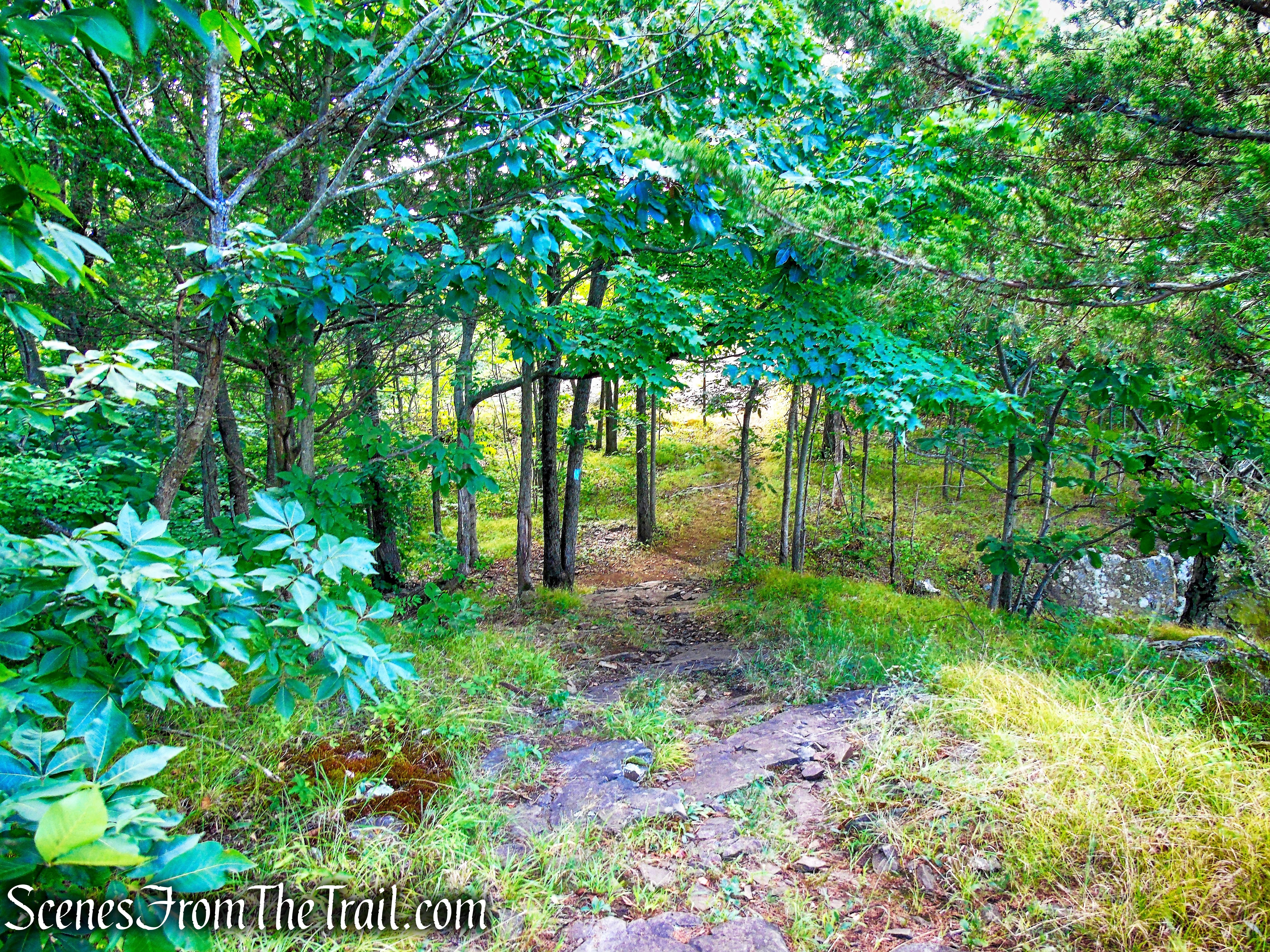
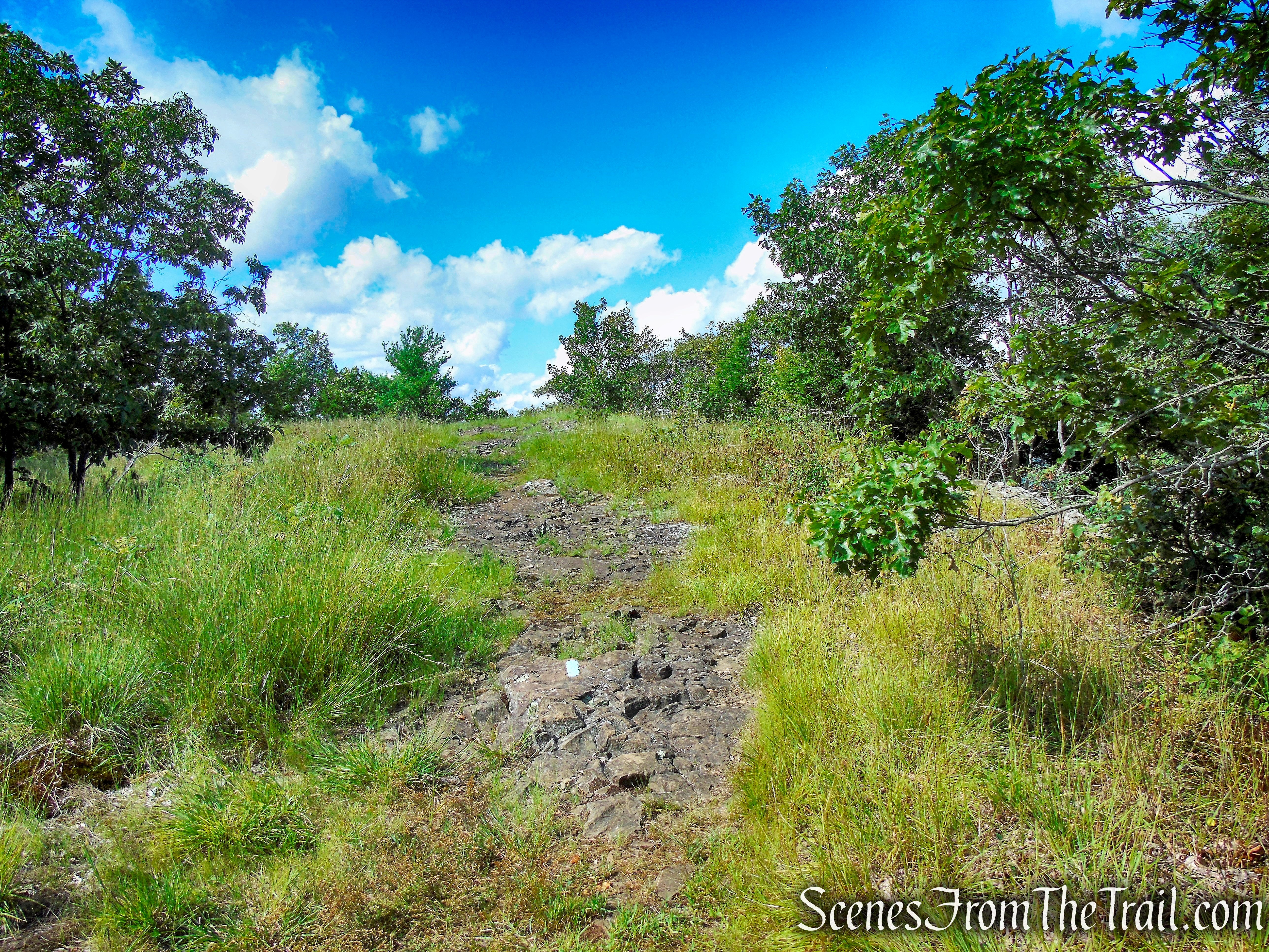
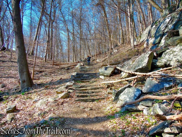
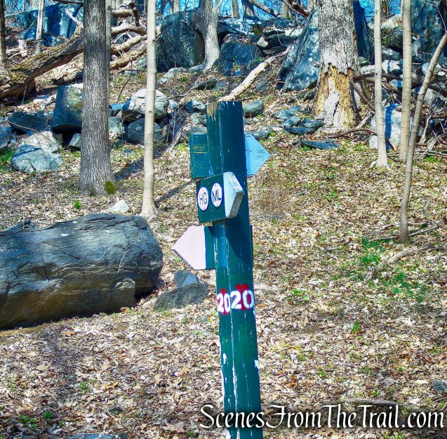
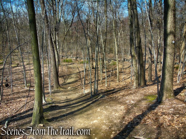
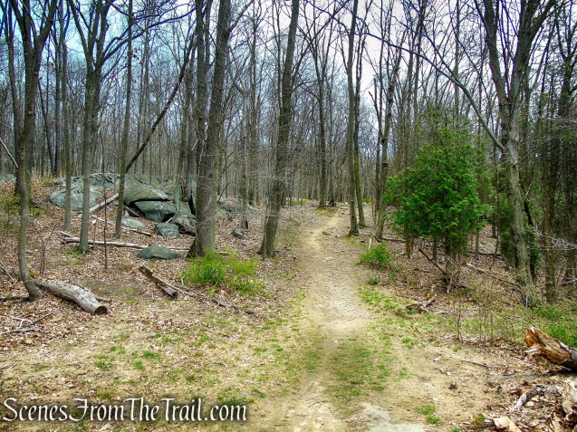
From the Cyrus Field Road Trailhead, the NS Trail (North-South Trail) heads uphill. At a woods road it turns left and at 0.2 mile joins a woods road and turns left again. The SN Trail (Sunset Rock Trail) crosses it and leads uphill. The ML Trail (Monument Loop Trail) begins to the right and also heads uphill. If you choose to bypass Sunset Rock, turn right on the ML trail, otherwise follow the SN Trail up towards Sunset Rock.
Cyrus Field Road Trailhead

Cyrus Field Road Trailhead
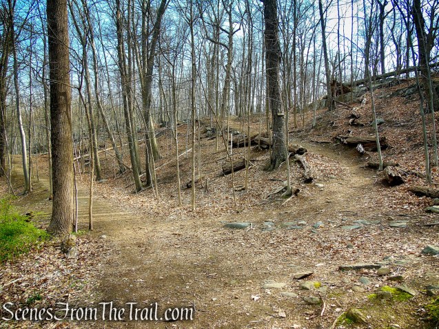
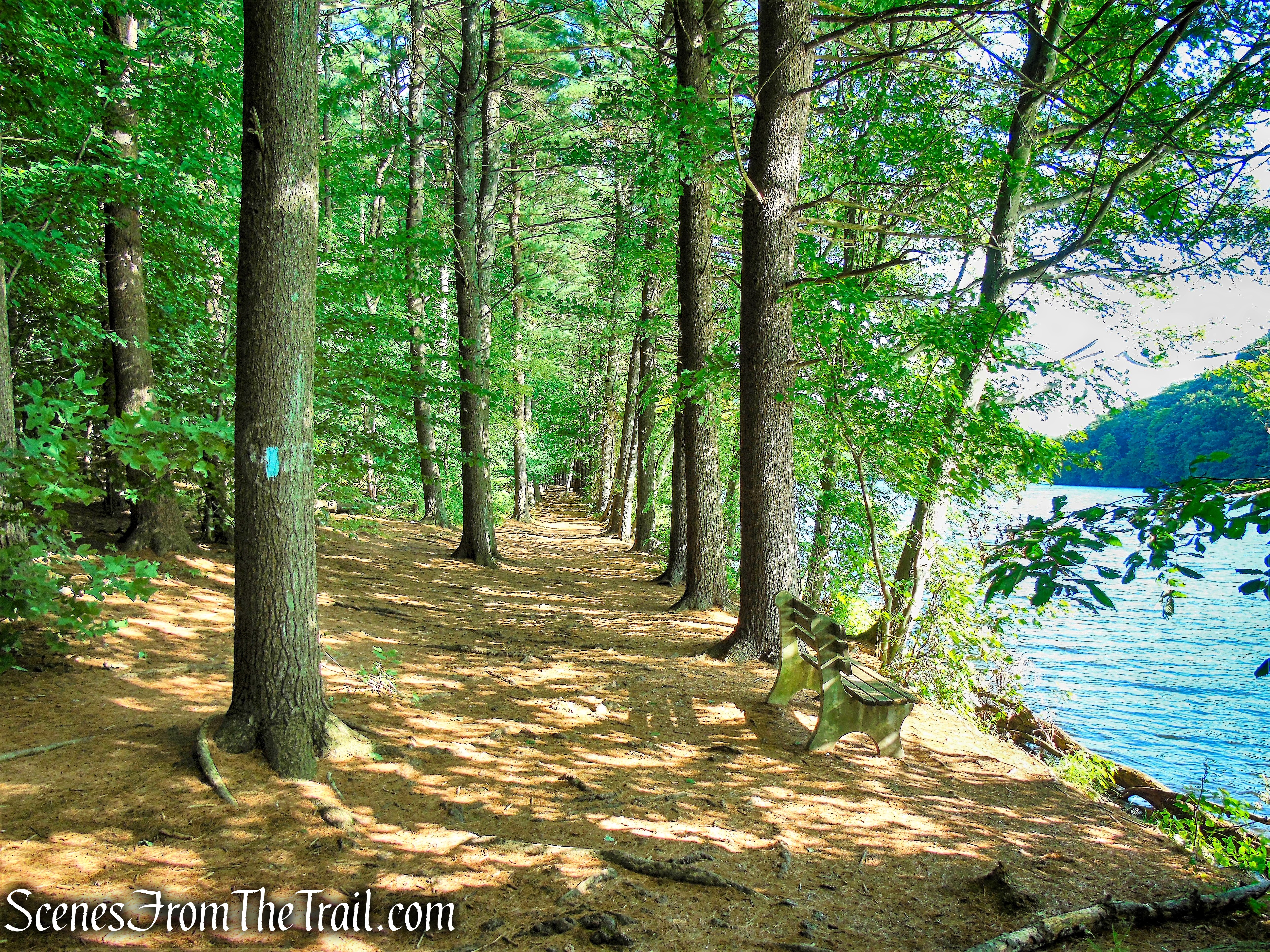
cross the road and take the SN Trail uphill

SN Trail
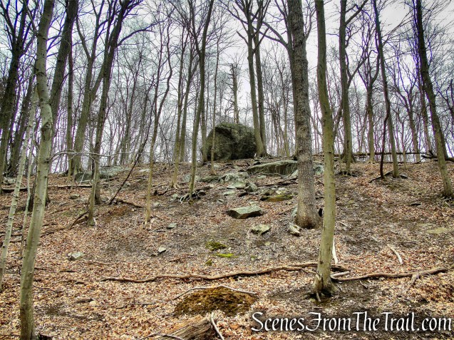
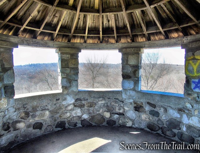
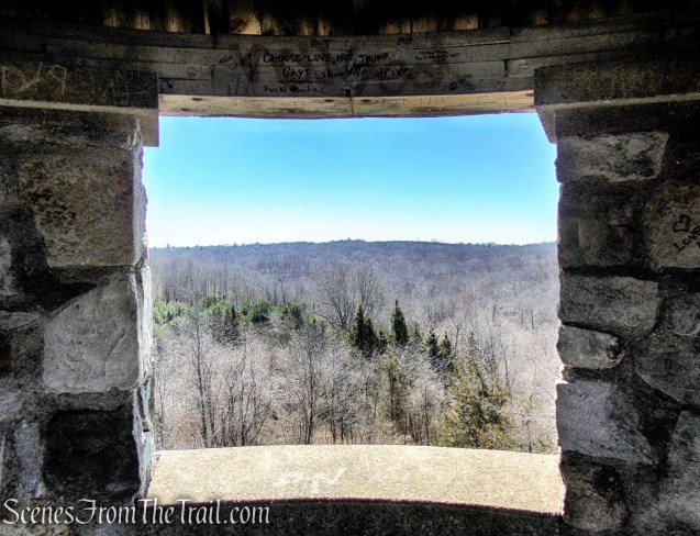
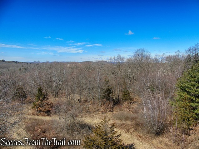
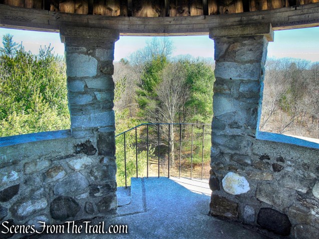
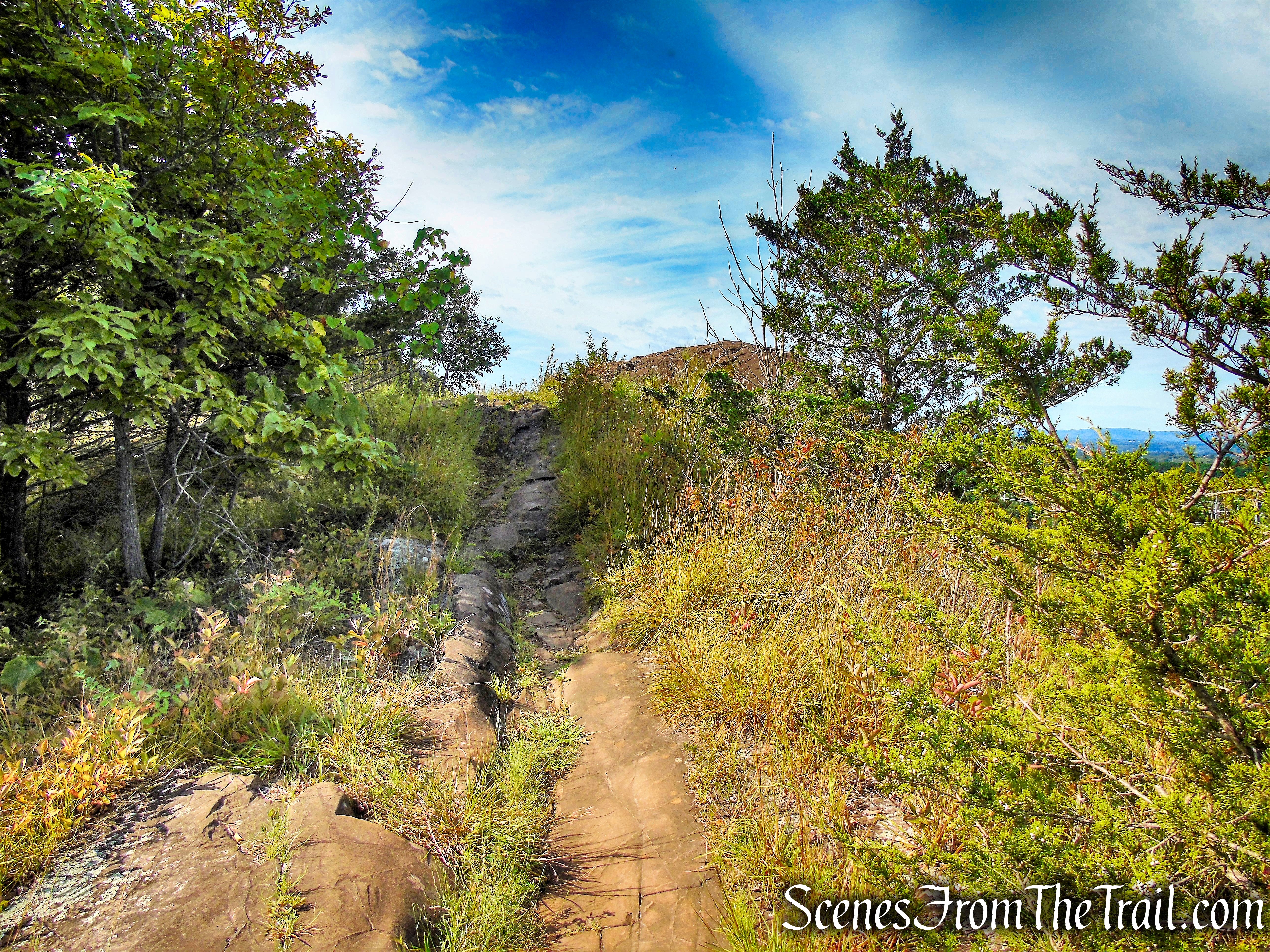
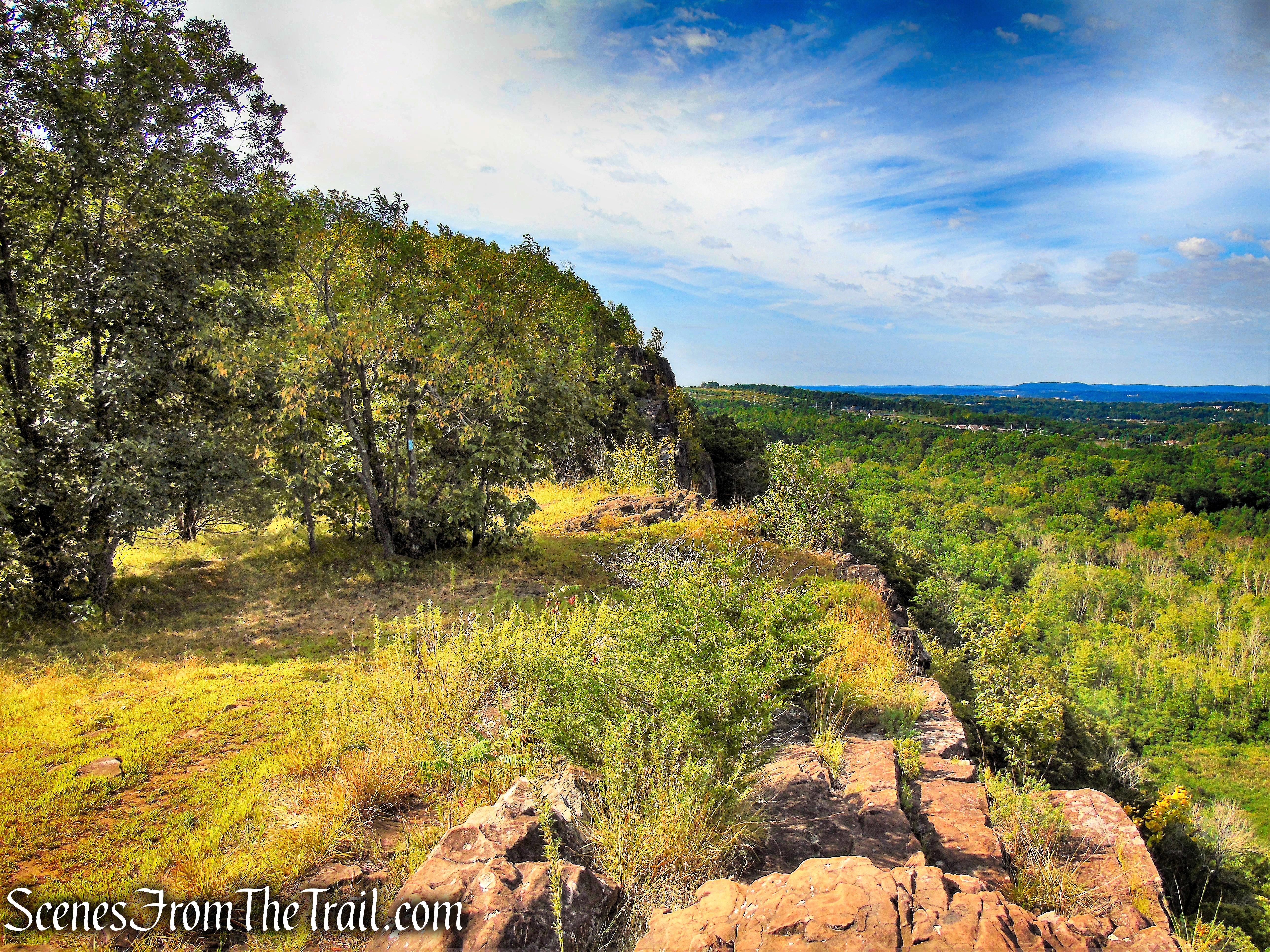
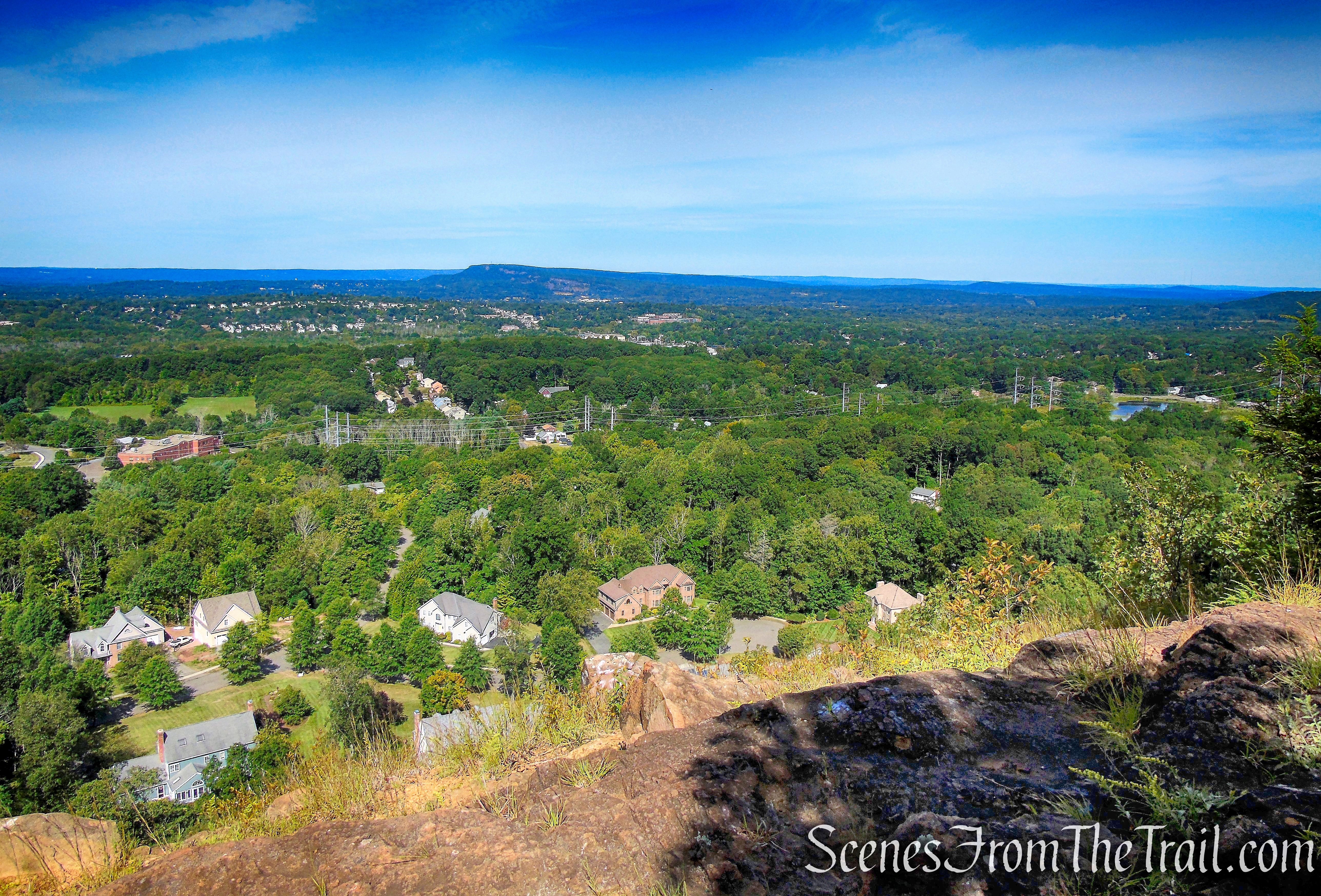
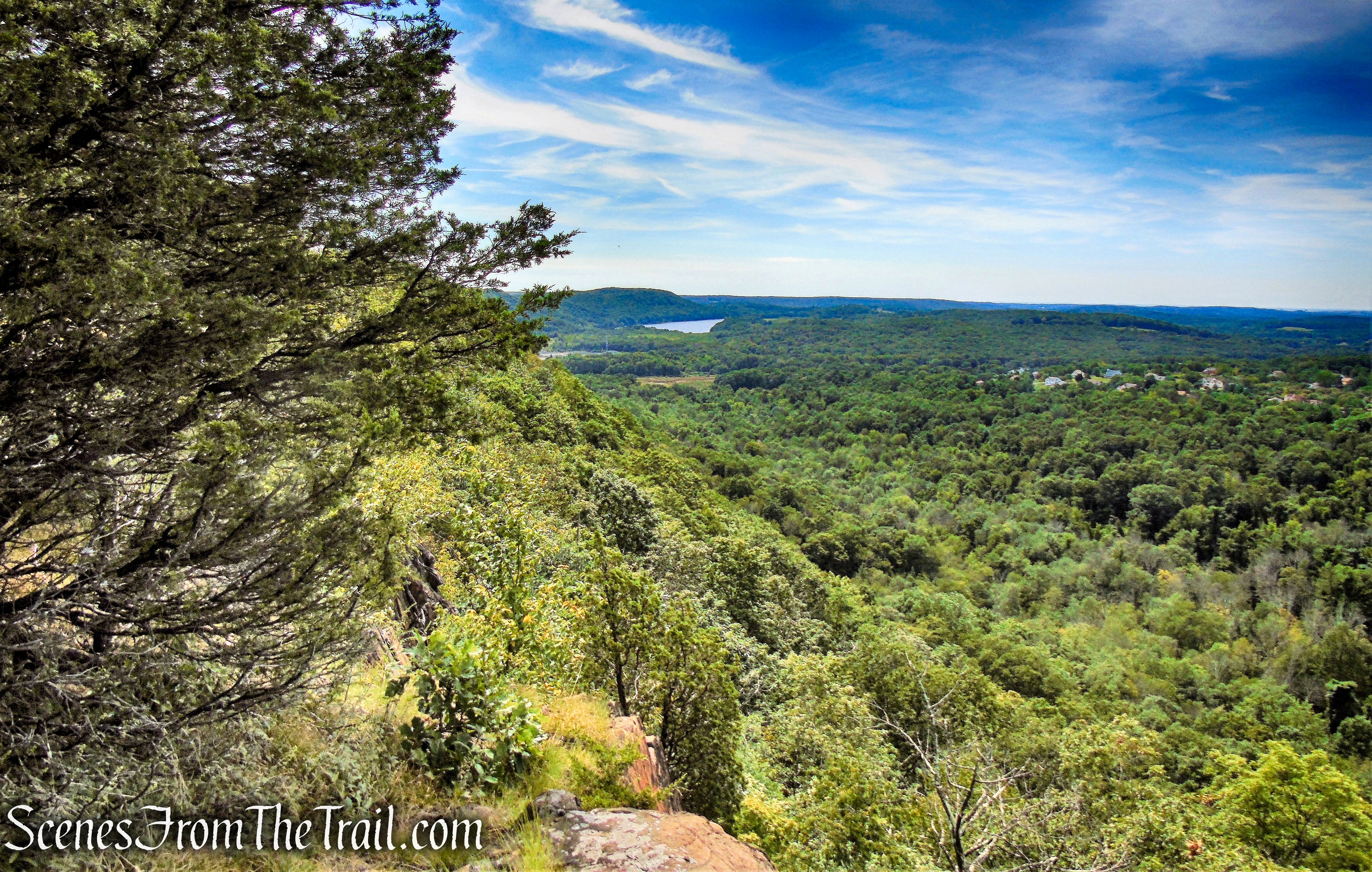
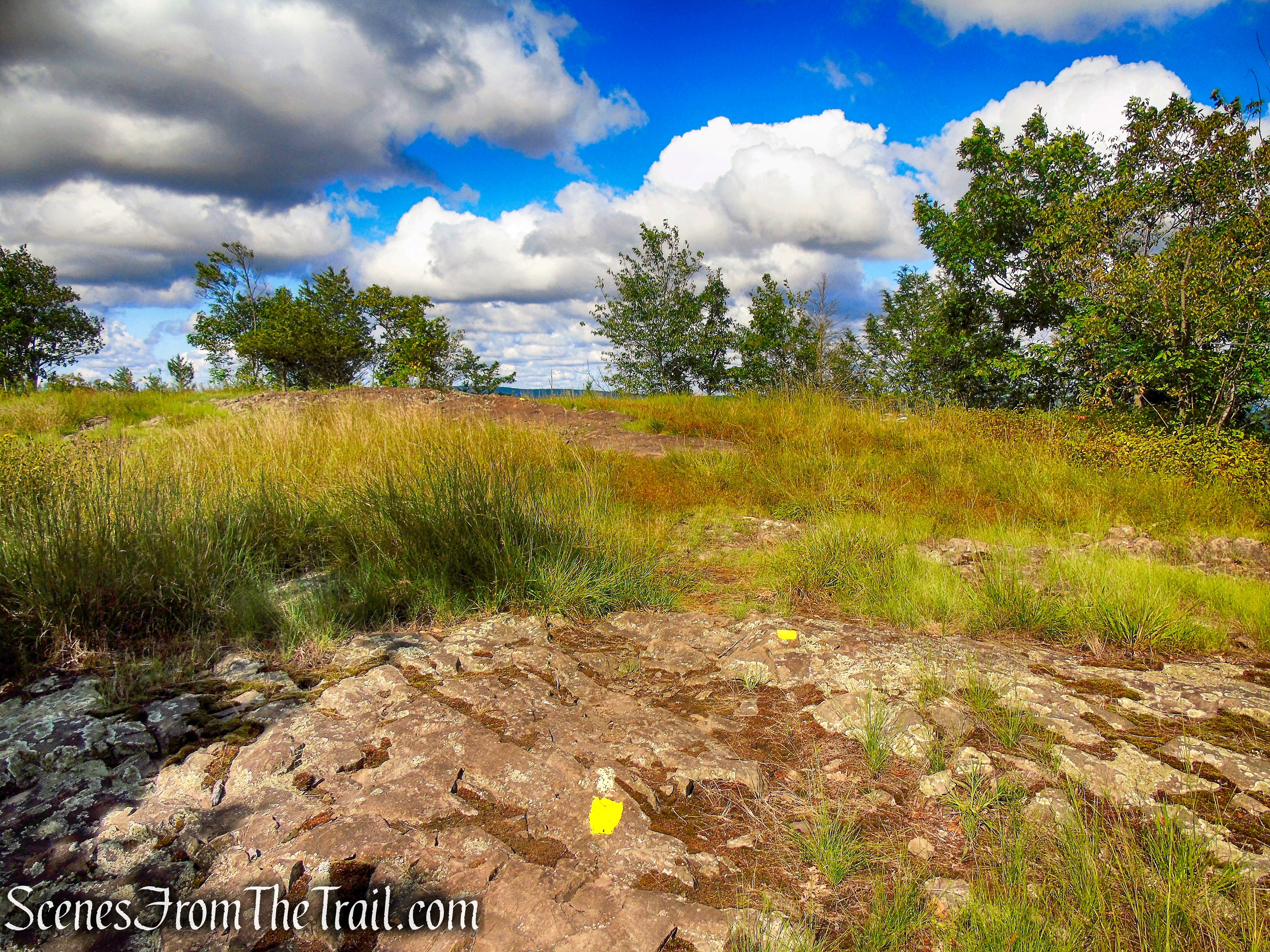
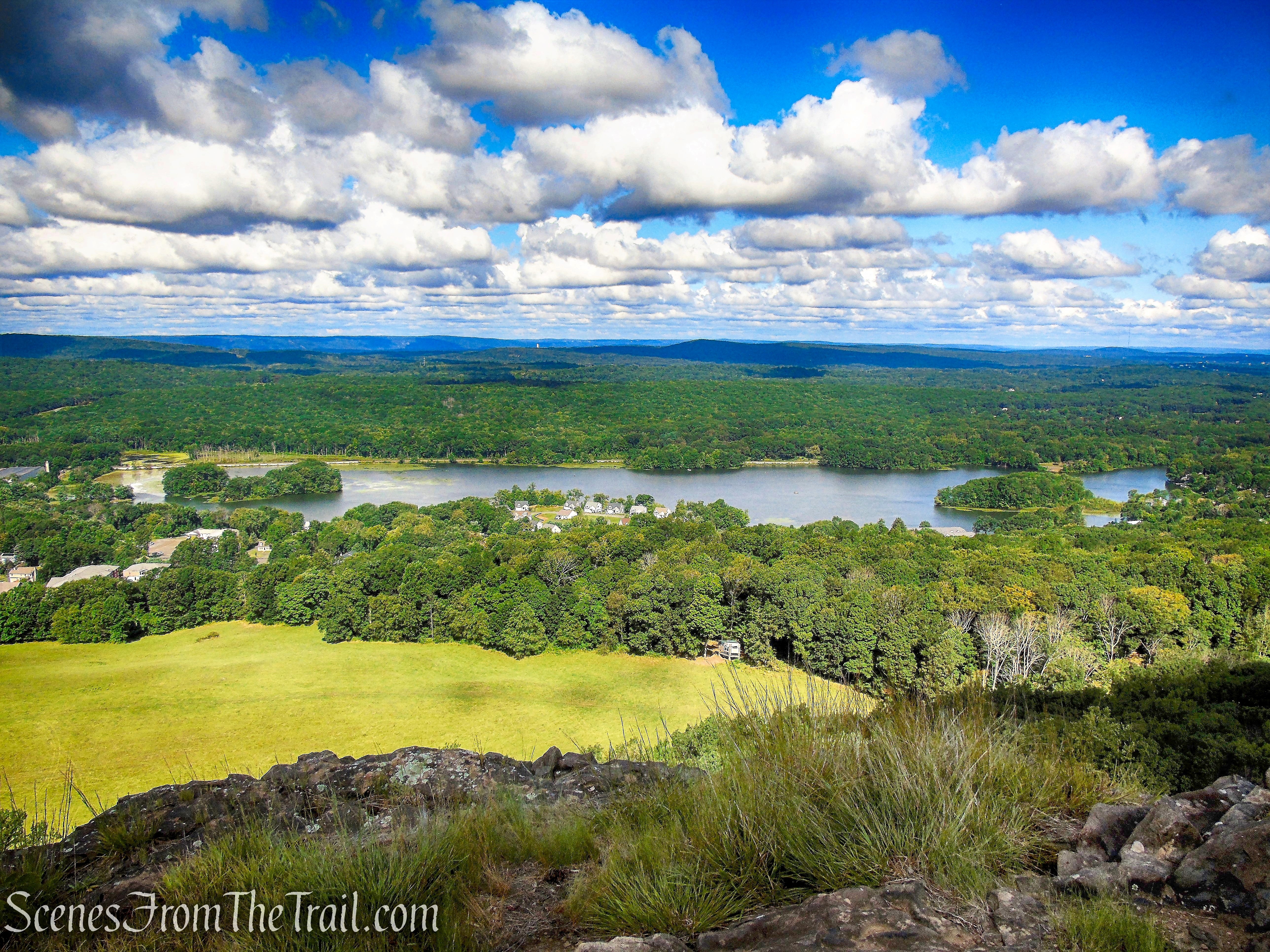
From their website: “This site at the top of a ridge is named for its striking sunset views of the Hudson River. Early birds will appreciate its wondrous sunrises overlooking the Saw Mill River Valley.”

Sunset Rock
There are no views west from this spot, as the image below demonstrates, but still a worthwhile stop if only to hit a point of interest on the map and lengthen the hike slightly.
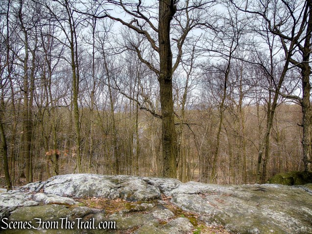
Sunset Rock
Sunset Rock
A Pileated Woodpecker a short distance away, making quite a racket in the morning.

Pileated Woodpecker
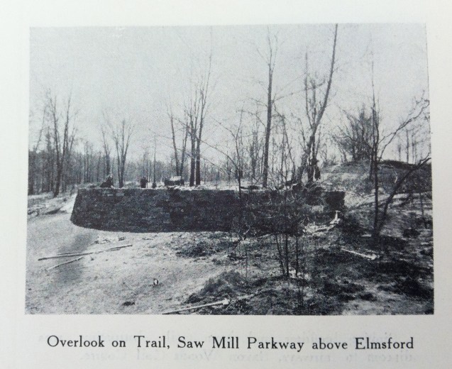
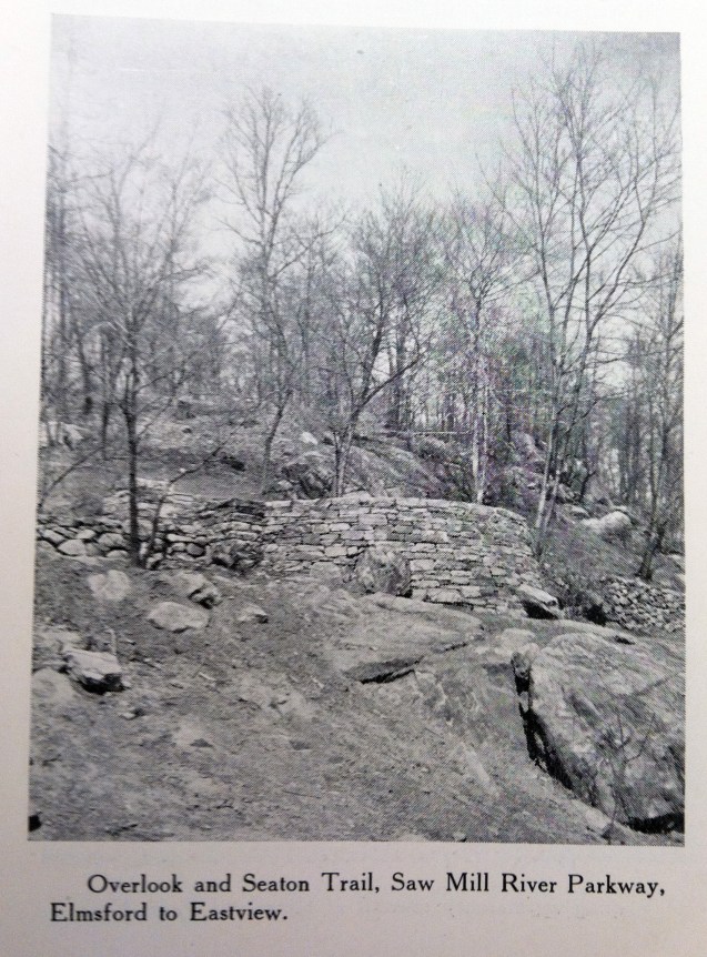
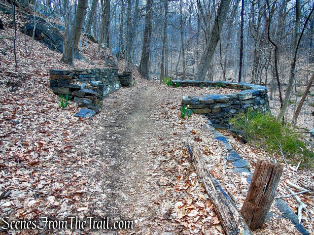
The Terrace:
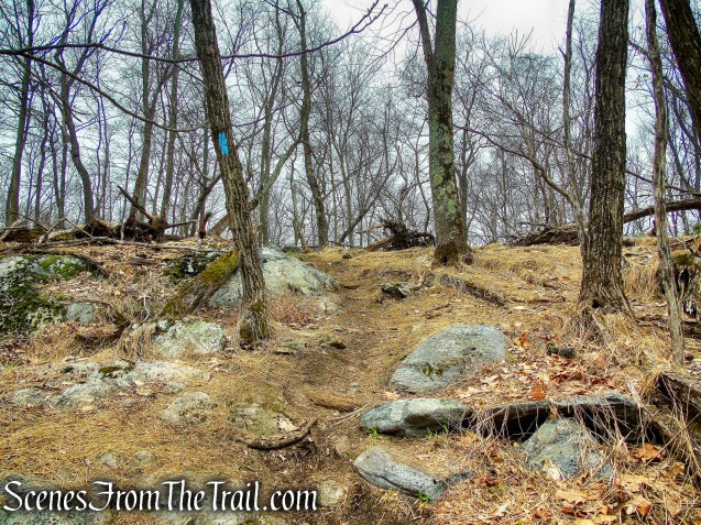
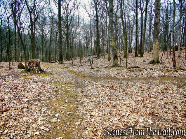
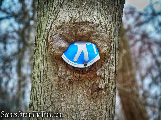
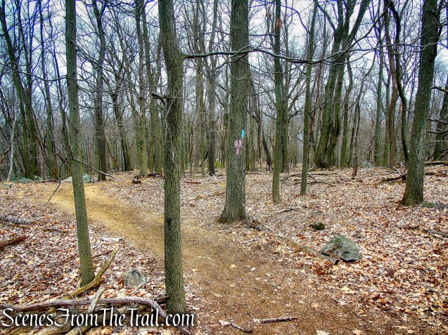
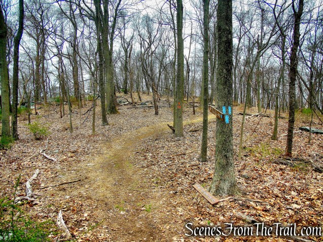
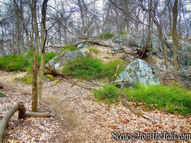
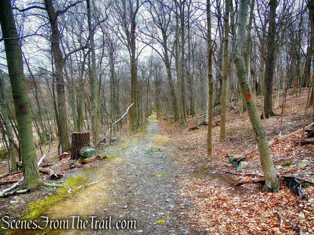
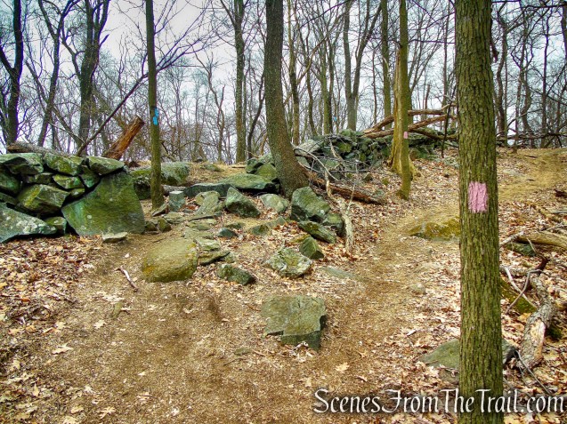
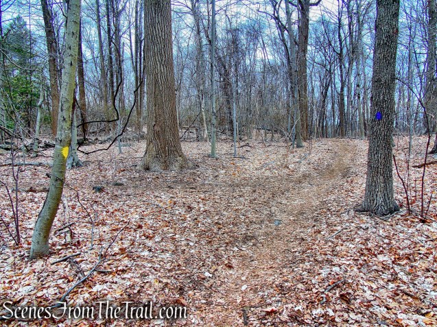
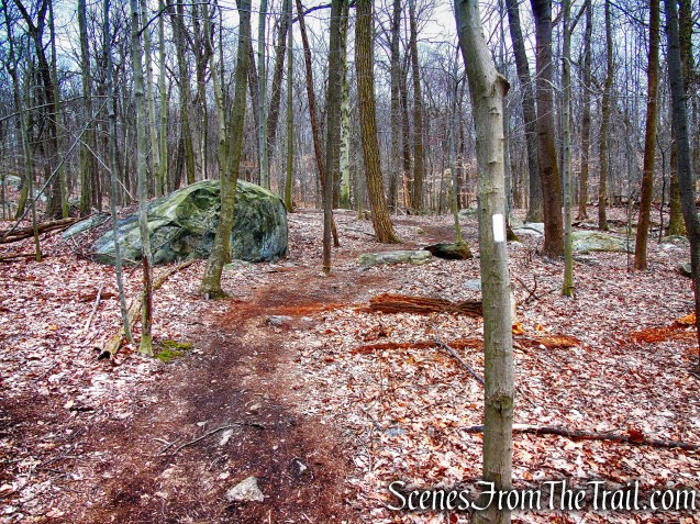
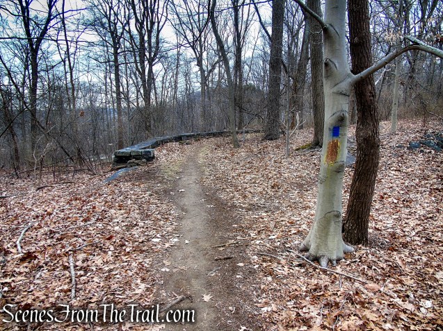
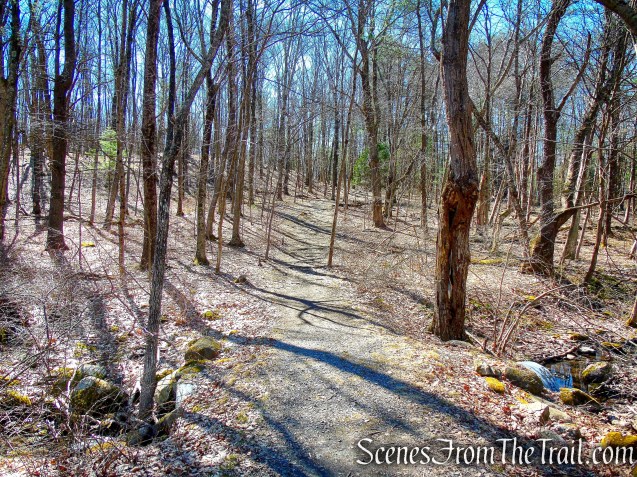
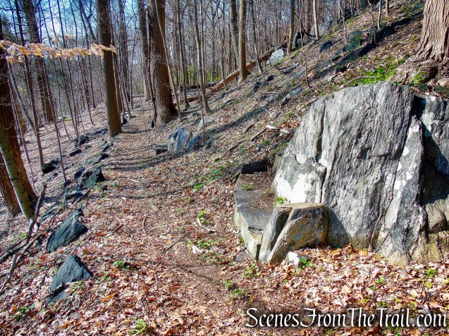
Retrace your steps from Sunset Rock and turn left at about the point you reach the wide woods road you crossed earlier. The ML Trail is well defined, but you may not see a trail marker right away. Follow the ML Trail as it climbs to the top of the ridge, levels off then comes to a T-intersection at post #21. Turn right here and follow the trail as it descends.
ML Trail – post #21
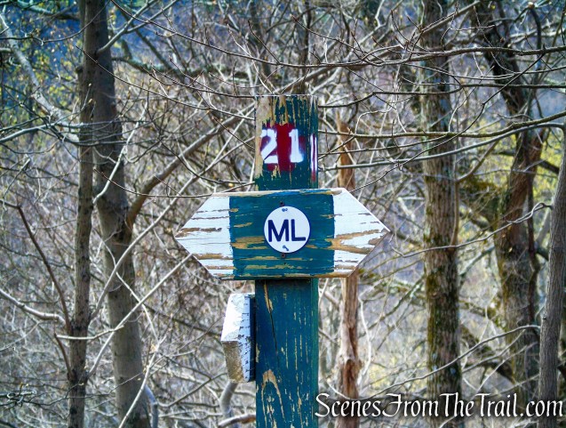
ML Trail – post #21
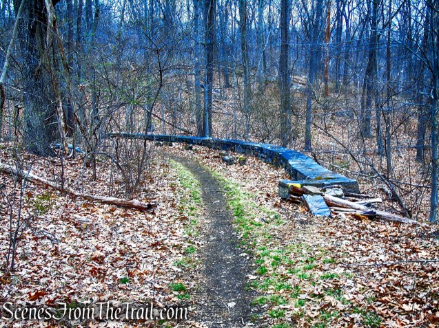
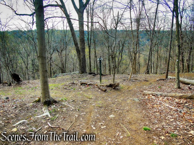
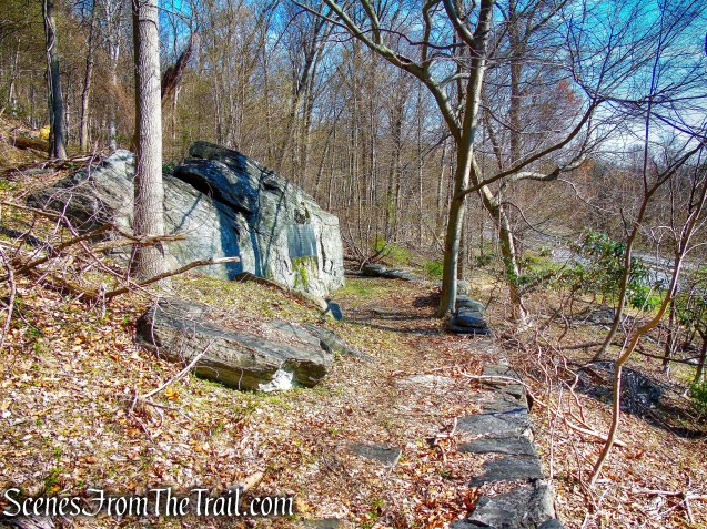
When the ML Trail reaches post #23 and the trail turns left, walk past the wooden post and up the five stone steps to “The Terrace.”
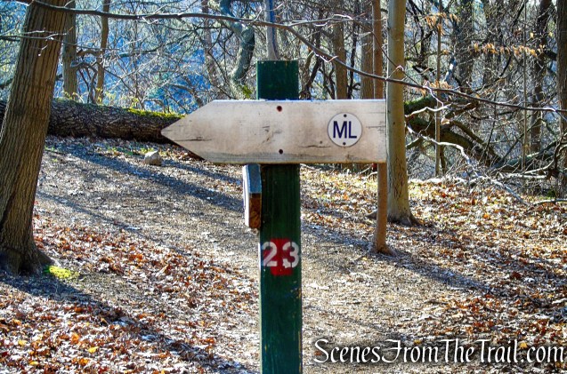
ML Trail – post #23
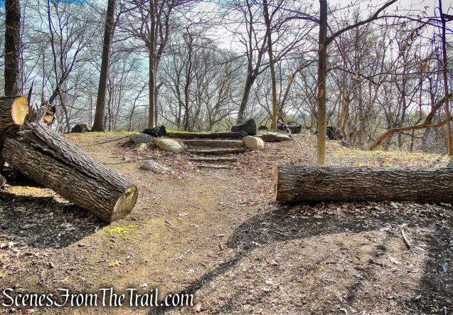
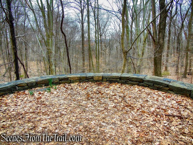
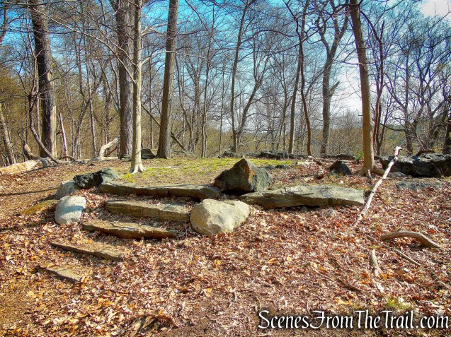
The Terrace
There are no views here either, but one can imagine the view over the Saw Mill River Valley when this terrace was first built. If the leaves are down you can see the Saw Mill River Parkway down below. If possible, look down below for a large granite rock, slightly to the left of the terrace. That is where the Macy Monument is located.

The Terrace
The Terrace
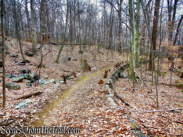
The Steps:
Retrace your steps back to the ML Trail and turn right, descending the stone steps.
The Steps
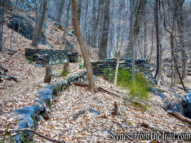
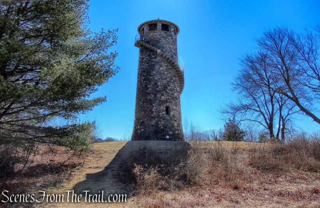
Macy Monument:
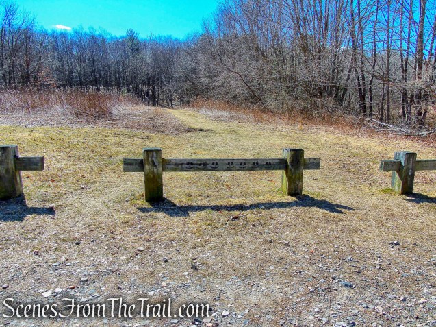
At the base of the stone steps is post #24. Take the unmarked woods road that travels below the terrace as it heads in a southerly direction. Macy Monument is located just below this road, but you should follow this road a short distance to see the stone benches. Once you pass the second stone bench, turn around and begin retracing your steps, looking for the large granite rock which is just below.

ML Trail – post #24

White-Tailed Deer
stone bench

stone bench
There may be a faint path visible that descends a little right by a large tree that is laying across the road.
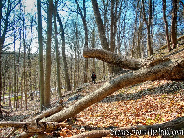
retrace steps to fallen tree
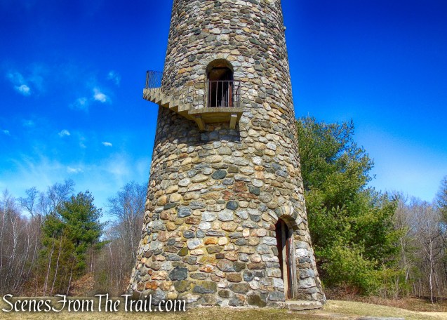
A walkway leads to a large granite rock with a plaque honoring V. Everit Macy, 1871-1930. V. E. Macy was the first Commissioner of Public Welfare and President of the Westchester County Park Commission. A portion of the 172-acre Macy Park, bisected by the Saw River Parkway and NY State Thruway, lies within the Irvington Woods trailway system.
Macy Monument – Irvington Woods
The bronze plaque measures 5′ 9.75″ x 2′ 9.25″ and the memorial was completed in June of 1933.
The plaque reads: “V. Everit Macy was a great citizen of Westchester County. He gave generously not only of his wealth, but of himself. His Countless private benefactions and deeds of kindness were never heralded, but his constructive achievement as Superintendent of the Poor, Commissioner of Public Welfare, and Preseident of the Westchester County Park Commission were widely known. In recognition of these services this park had been named for him and this tablet erected by his friends. MDCCCLXXI – MCMXXX”

Macy Monument – Irvington Woods
The path continues past the monument and climbs the hillside back to to the road right behind post #24. Turn right and continue heading north on the ML Trail.

Macy Monument Trail – Irvington Woods
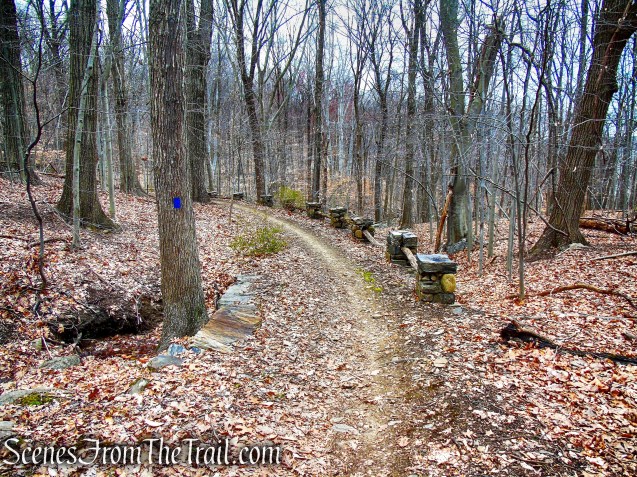
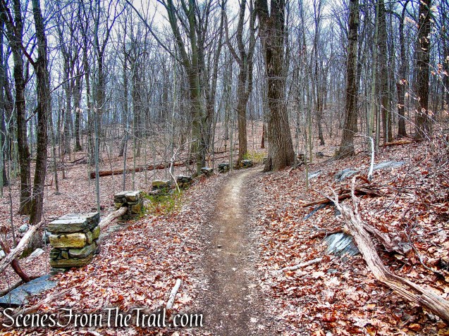
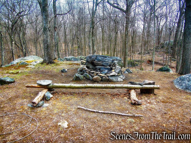
More Stone Benches:
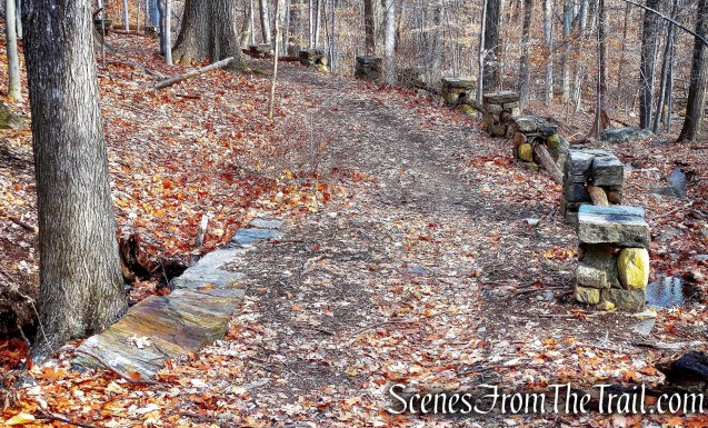
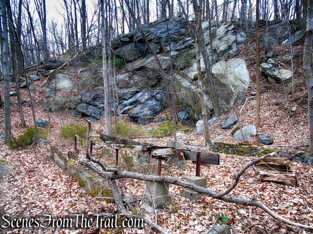
The ML Trail proceeds north, parallel to the Saw Mill River Parkway and utilizes drywall roads to cross wet areas and benches, which have been cut out of the huge boulders.
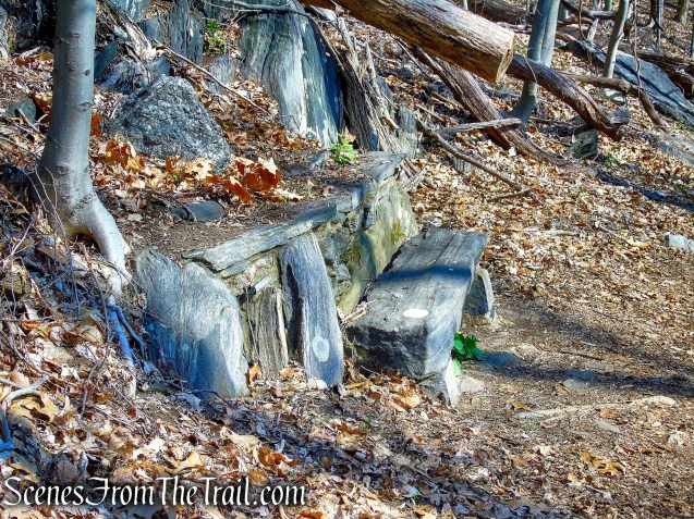
stone benches – Irvington Woods
stone benches – Irvington Woods

stone benches – Irvington Woods
ML Trail – Irvington Woods
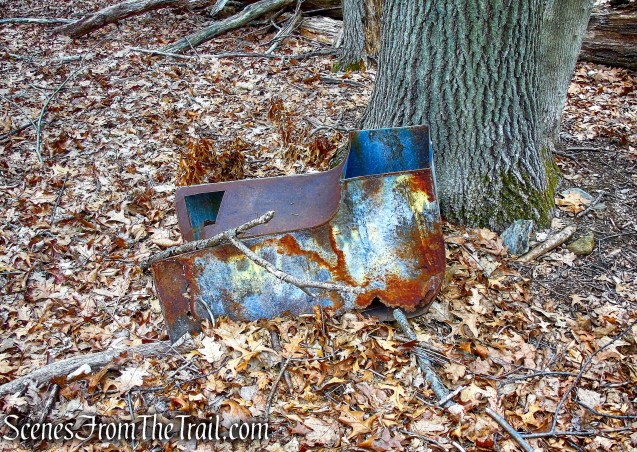
Abandoned Sam Mill River Parkway Exit:
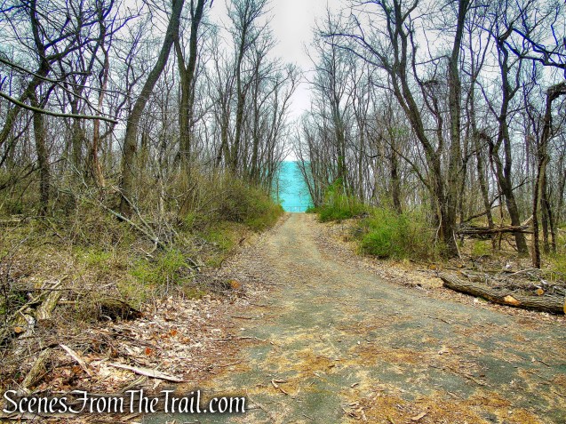
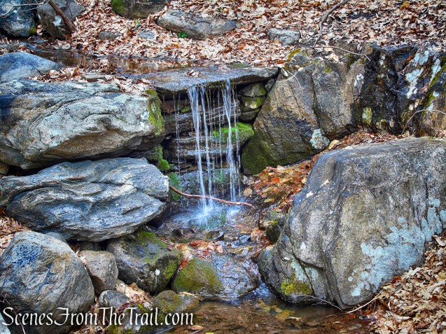
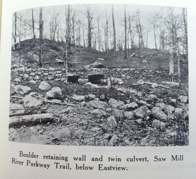
Just before the trail veers away from the parkway, ahead on the right is a massive stone retaining wall. which supports the abandoned section of the concrete road. The trail turns left, continues uphill and reaches post #25, where you’ll turn right on the HG Trail (Hermit’s Grave Trail).

ML Trail – post #25
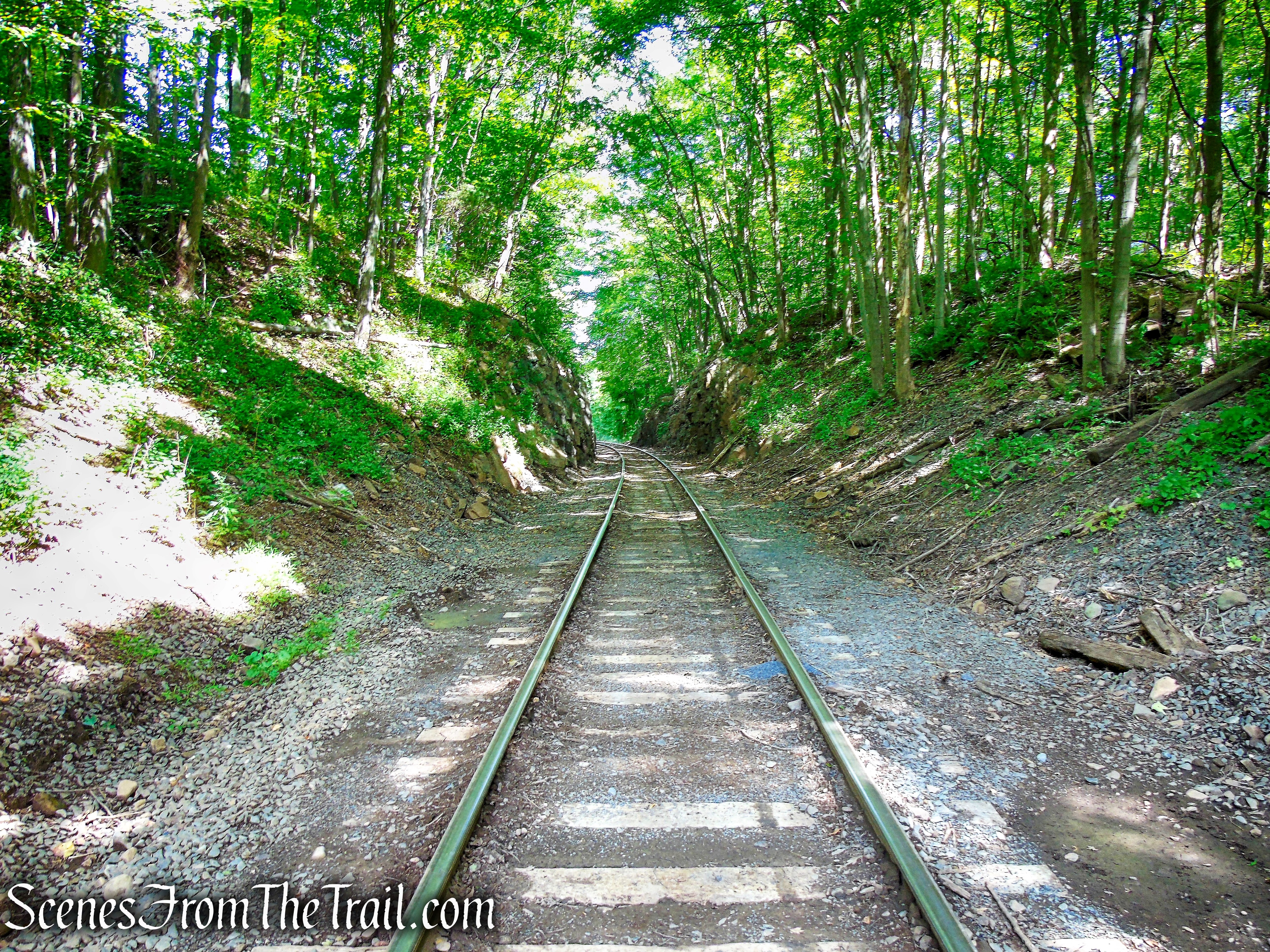
A few steps in you will see a concrete curb across the trail. Turn right, leaving the trail and walk along the concrete road as it descends down to the parkway. This abandoned road was built in 1928 and was possibly an exit that was to lead into the park.

Abandoned Sam Mill River Parkway Exit
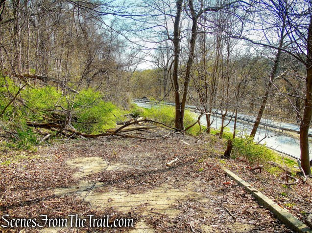
Abandoned Sam Mill River Parkway Exit
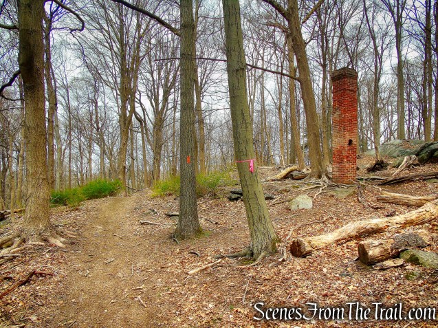
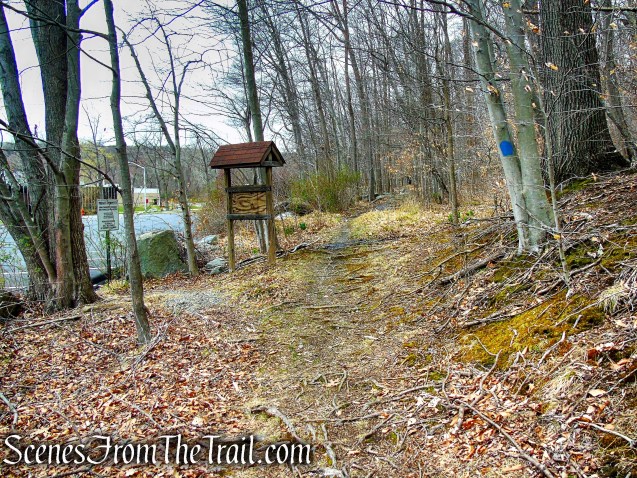
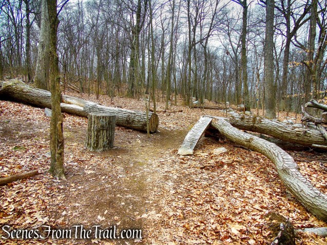
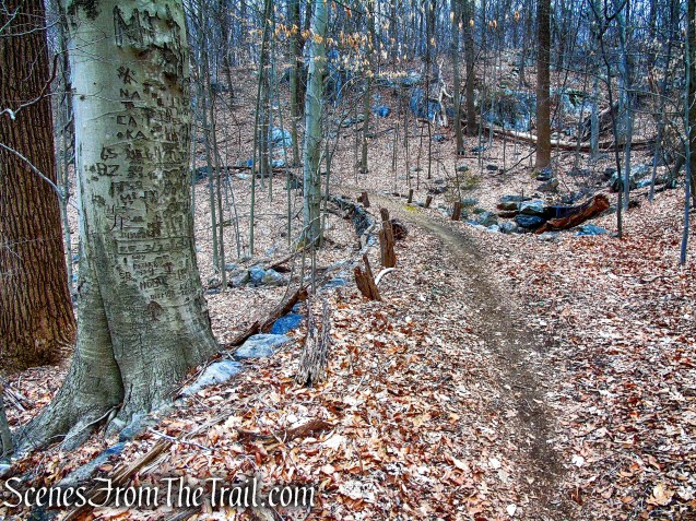
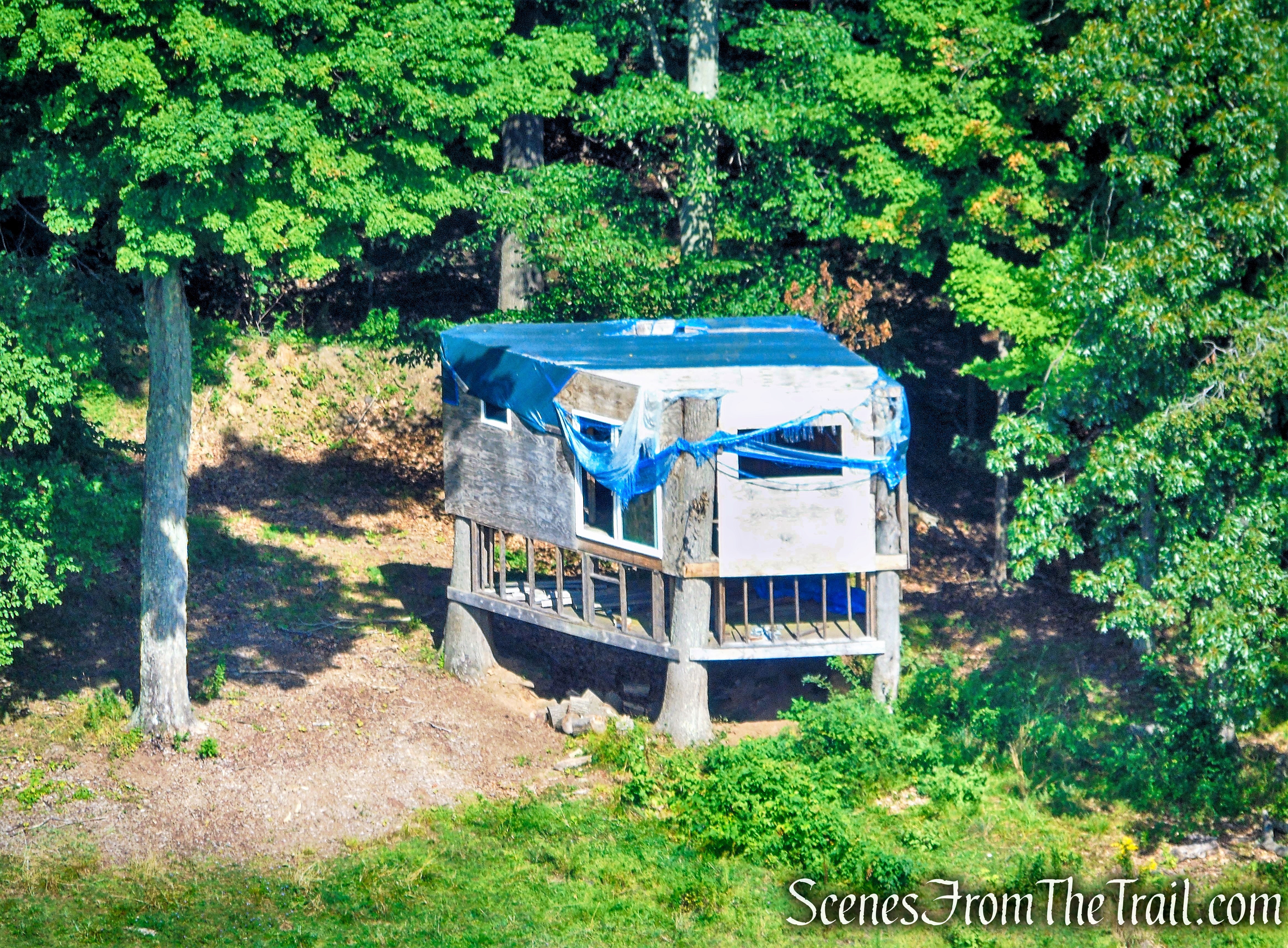
Hermit’s Grave:
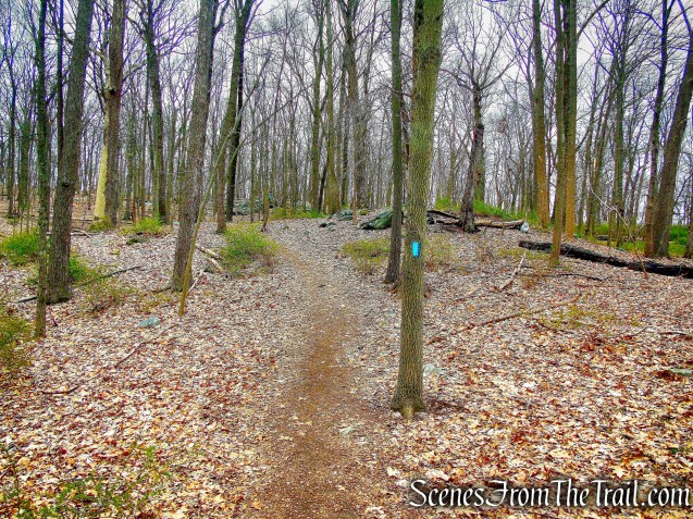
Retrace your steps from the abandoned road, turn right and follow the HG Trail up a short steep hill to the Hermit’s Grave.
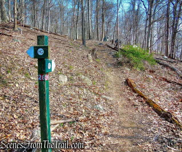
HG Trail – post #26
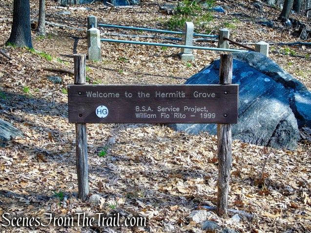
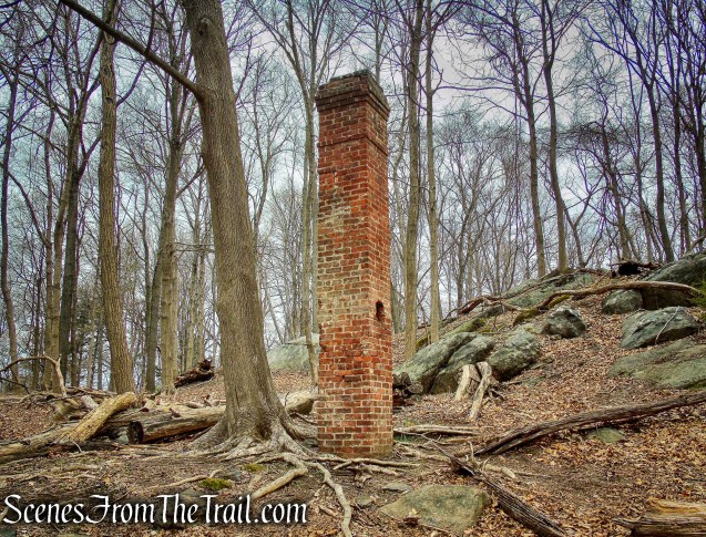
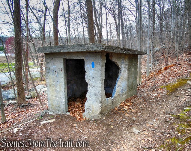
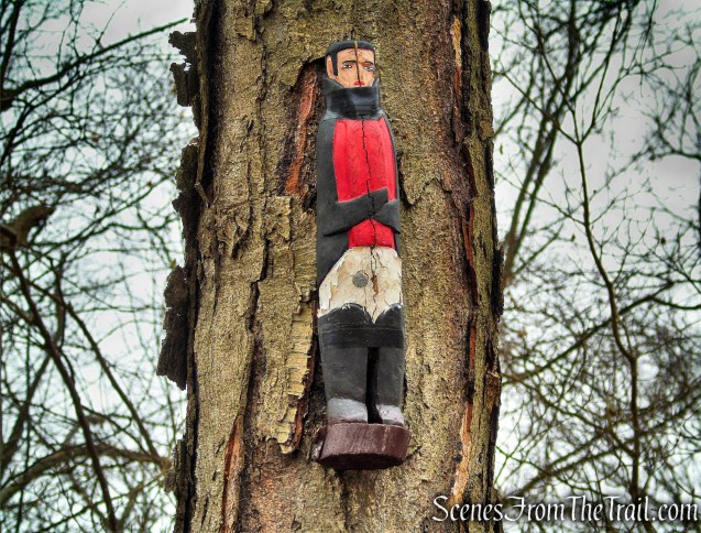
Hermit’s Grave – Irvington Woods
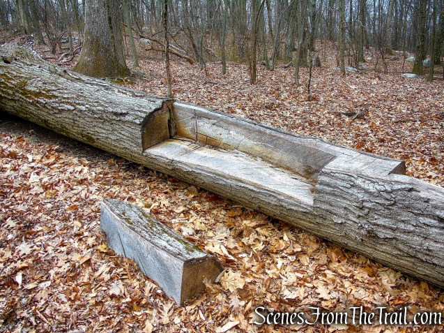
In 1810 Johann Wilhelm Stolting was born in Heligoland (Germany) in the North Sea. He was well educated and spoke German, Greek, French and Hebrew. Although he was a teacher, linguist, scientist and landowner; at the end of his days he became a recluse, making buttons on a homemade lathe to support his few needs. The eccentric Stolting roamed the streets and woods and bathed in the Saw Mill and Hudson Rivers. In a small shed on his land overlooking the Saw Mill River valley, he slept in his own coffin made of local chestnut wood. Stolting was a fascinating figure, and became known as the Hermit of Irvington.

Hermit’s Grave – Irvington Woods
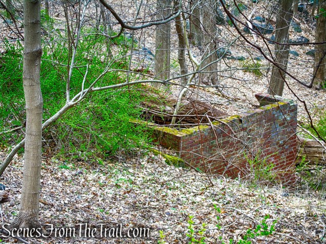
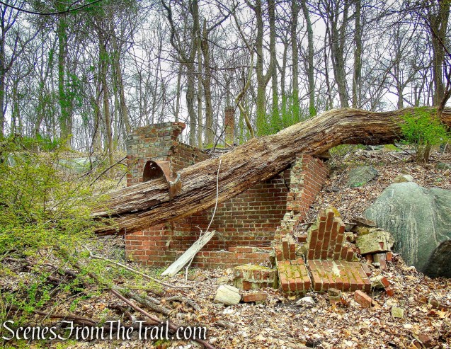
He died in Irvington on January 10, 1888. His is the only marked grave in the village.

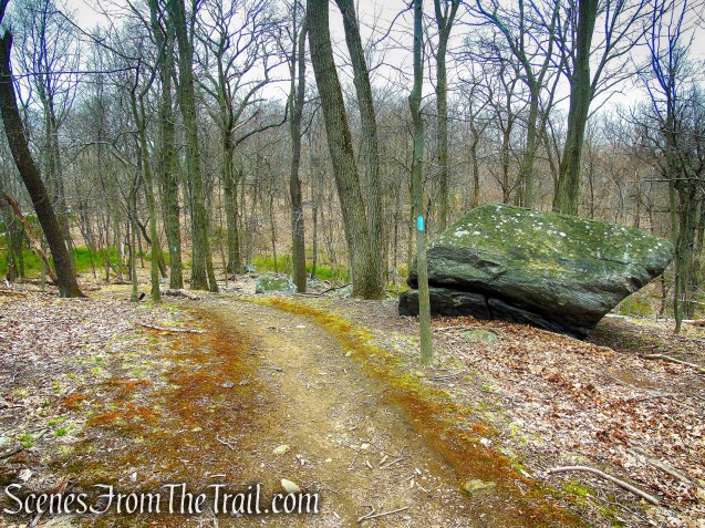
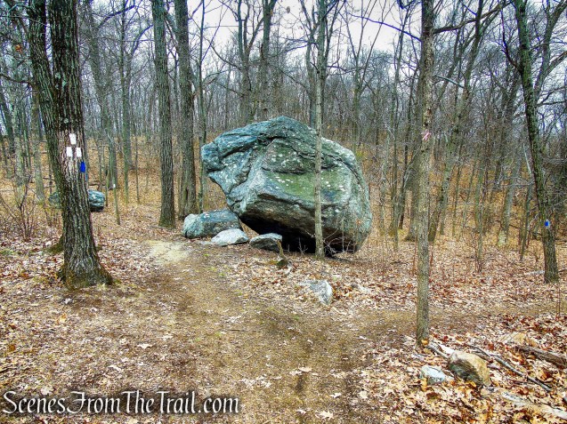
Hermit’s Grave – Irvington Woods

perched boulder – Hermit’s Grave Trail
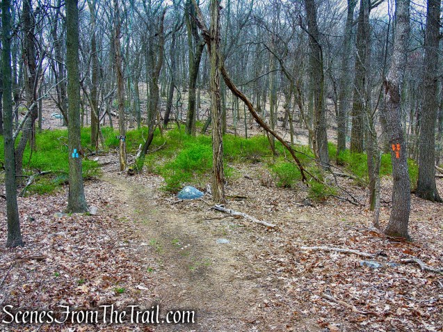
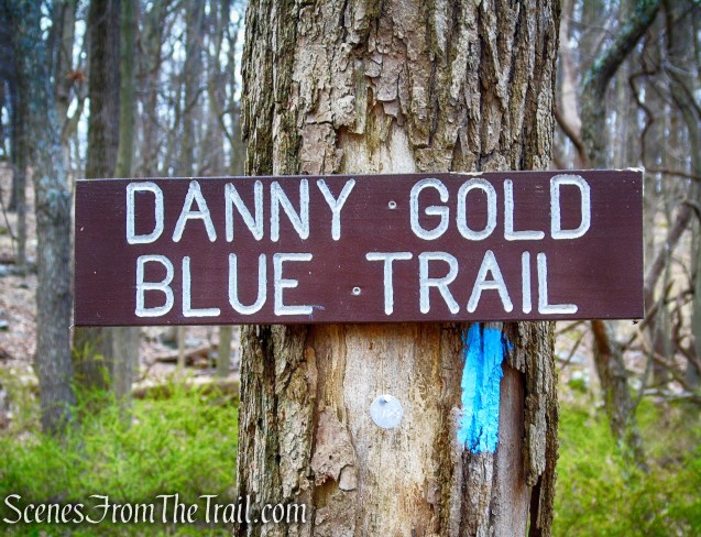
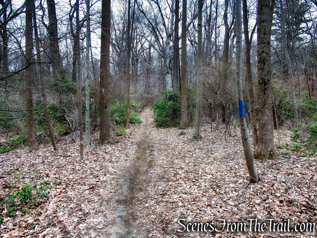
Hermit’s Wetlands:
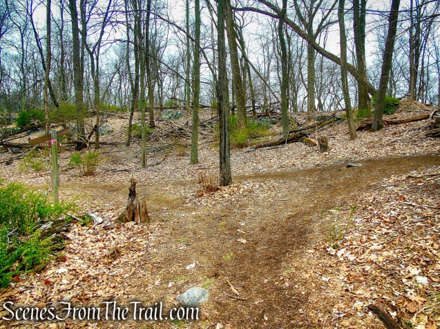
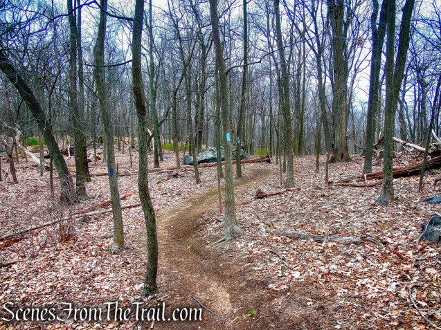
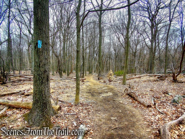
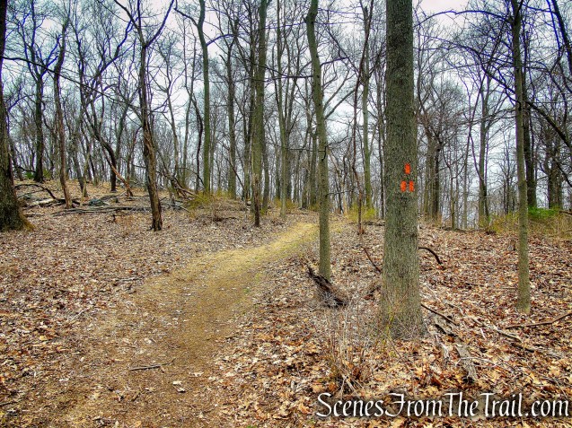
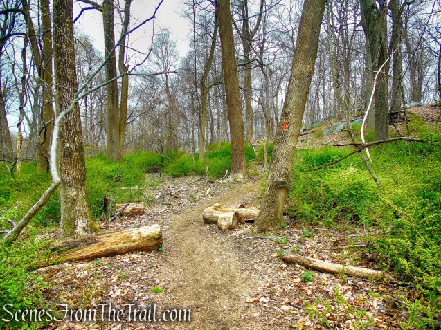
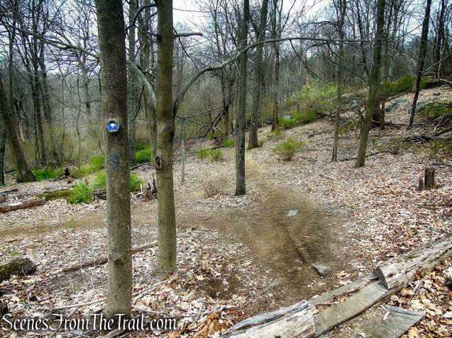
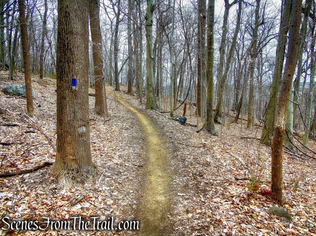
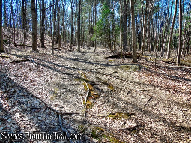
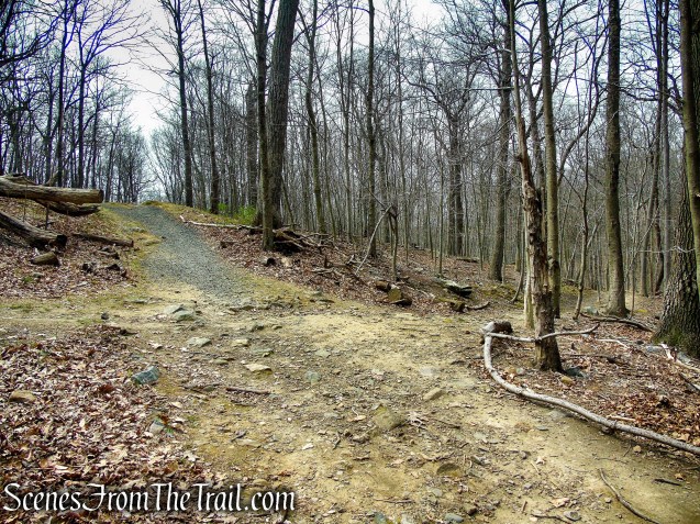
Retrace your steps back to post #25 and walk past it, now following the co-aligned ML/HG Trails. Follow this trail uphill to post #20, where the trails split. Turn right and follow the HG Trail north as it continues uphill.
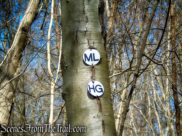
co-aligned Monument Loop/Hermit’s Grave Trails
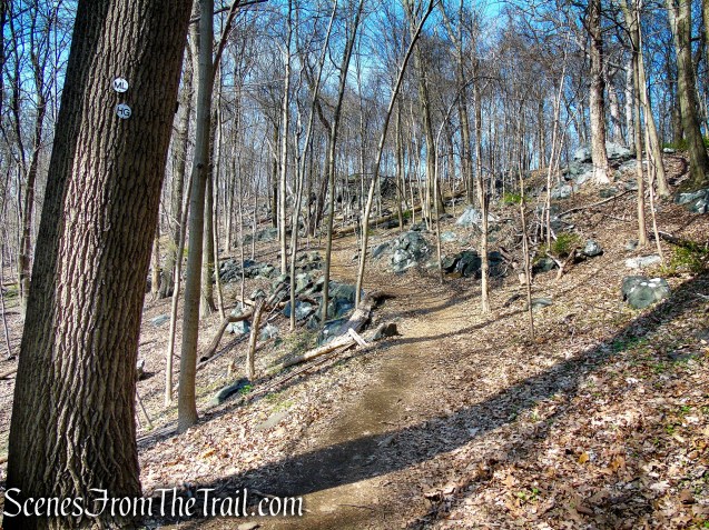
co-aligned Monument Loop/Hermit’s Grave Trails
post #20
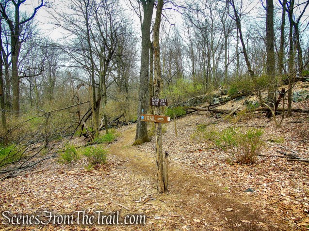
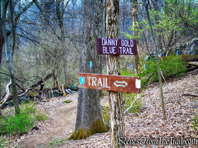
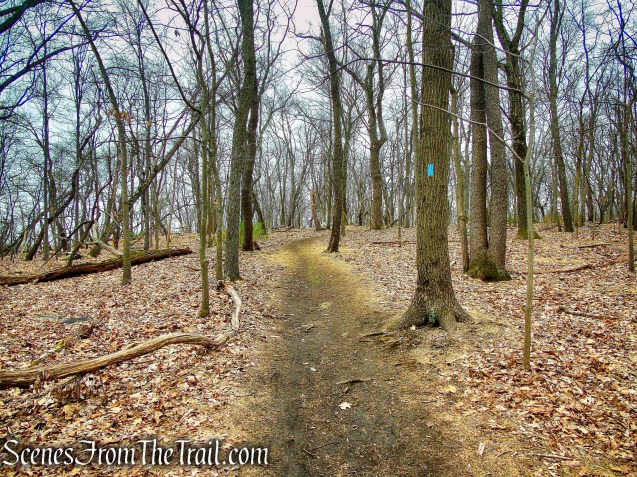
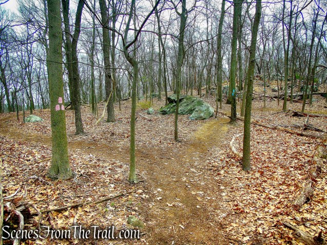
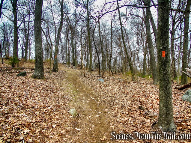
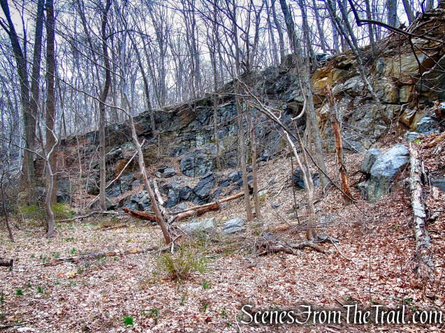
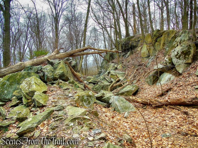
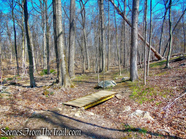
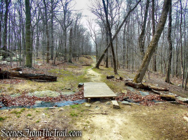
At post #17A, in front of a massive rock formation, turn left and follow the trail as it wraps around the rock formation then turns left again. At post #17 turn right (turning left leads to Sunset Rock) and in a short distance you’ll cross a small wooden footbridge. At the next junction (post #16 is missing) bear right on the HW Trail (Hermit Wetland Trail) (you’ll have to walk a little to see the first blaze) as the HG Trail leaves to the left.

turn left at post #17A

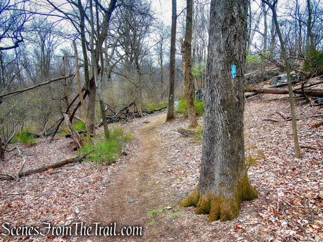
rock formation on HG Trail
HG Trail – Irvington Woods
There is an unmarked footpath that leads deeper into the Hermit’s Wetlands to the right, we bypassed it. The largest remaining wetlands in southern Westchester, this area is home to many migratory and all-season resident birds, as well as a variety of turtles, reptiles and other water creatures
Hermit’s Wetlands – Irvington Woods
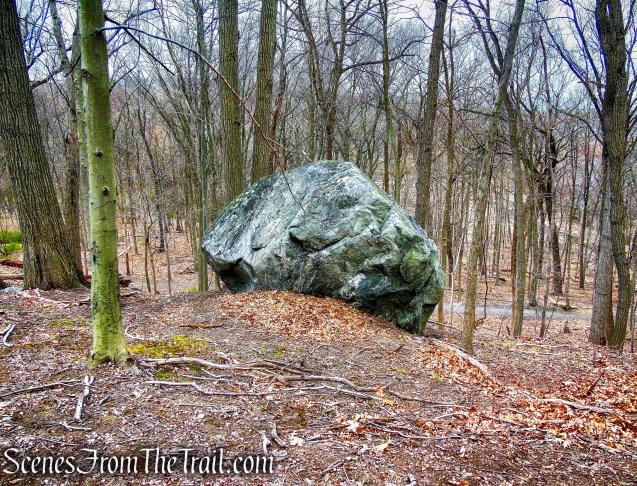
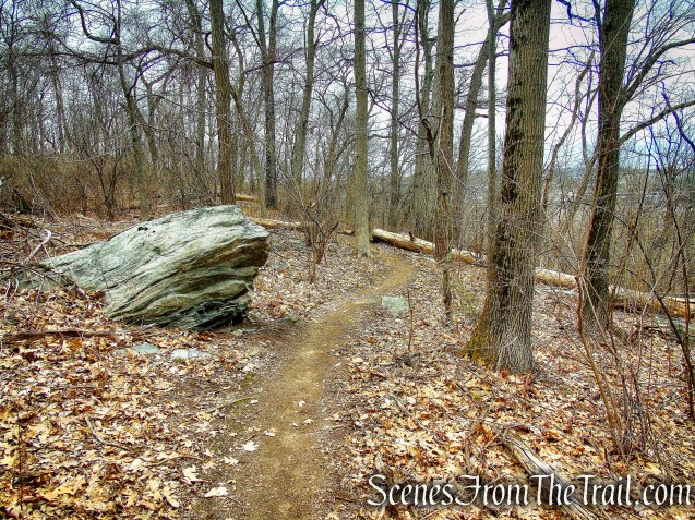
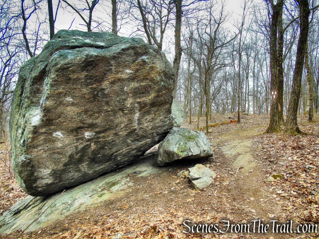
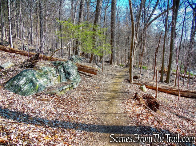
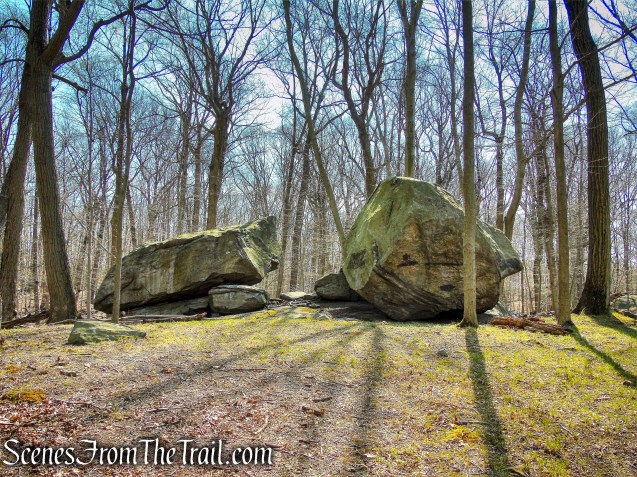
Split Rock:
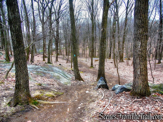
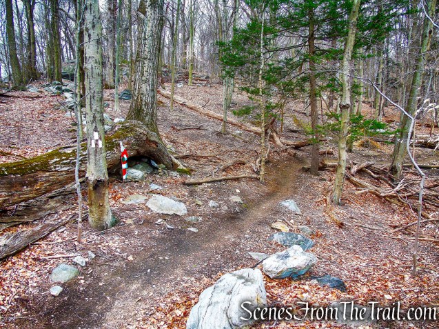
Soon you will come to a confusing junction (post #9 is missing) where you should bear left. We were confused because of the lack of blazes and no signage at this junction, but I happened to see Split Rock through the trees a short distance away. We left the trail and bushwacked to the glacial erratic.
HW and NS Trails junction
This striking glacial erratic was carried miles to its present resting place by a glacier. It is said that writer Washington Irving composed some of his works here.
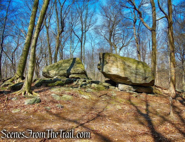
Split Rock – Irvington Woods
Split Rock – Irvington Woods
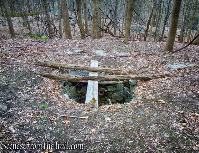
Ice Pond:
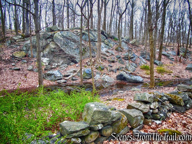
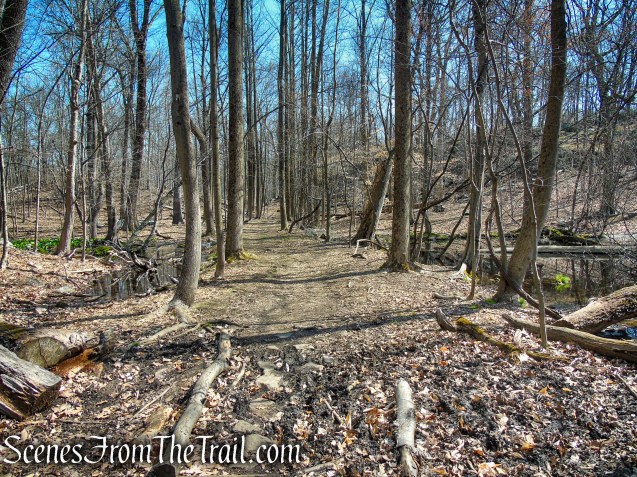
We bushwacked back to the trail, crossing a small stream near an attractive rock formation. Now following the NS Trail (North-South Trail) which leads to the O’Hara Nature Center. As the NS Trail turns right towards the nature center, the IP Trail (Ice Pond Trail) continues ahead (post #6 was missing).
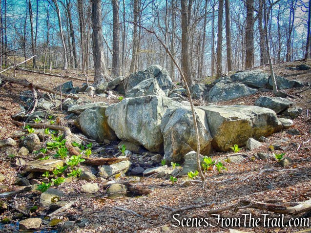
rock formation – Irvington Woods
The IP Trail soon crosses a gravel access road (post #5 was laying on the ground to the left after crossing the road), descends and turns left onto a woods road. It then turns left, leaving the woods road, descending more steeply then turning left again, rejoining the woods road. It parallels a stone wall and soon reaches the Ice Pond which is on the right.
post #5
post #5 – Irvington Woods
IP Trail – Irvington Woods
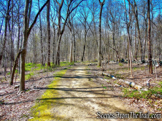
IP Trail – Irvington Woods
This man made pond is a part of the Barney Brook watershed. Ice Pond was used to harvest ice for storage in the icehouses on the nearby estates. Before refrigeration, the ice was needed to preserve perishable foods.
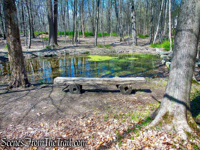
Ice Pond – Irvington Woods
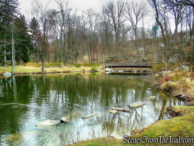
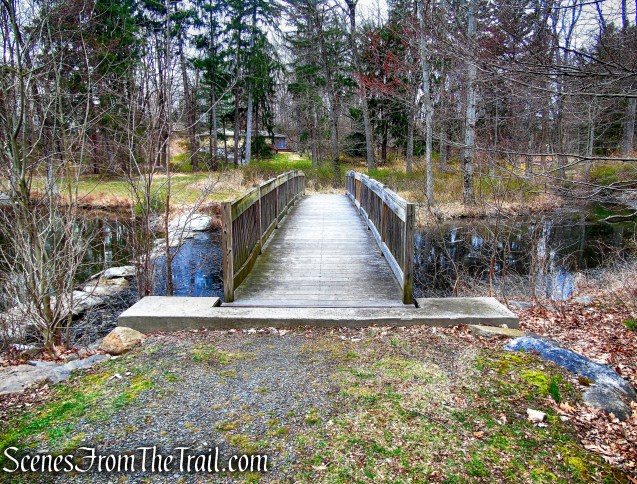
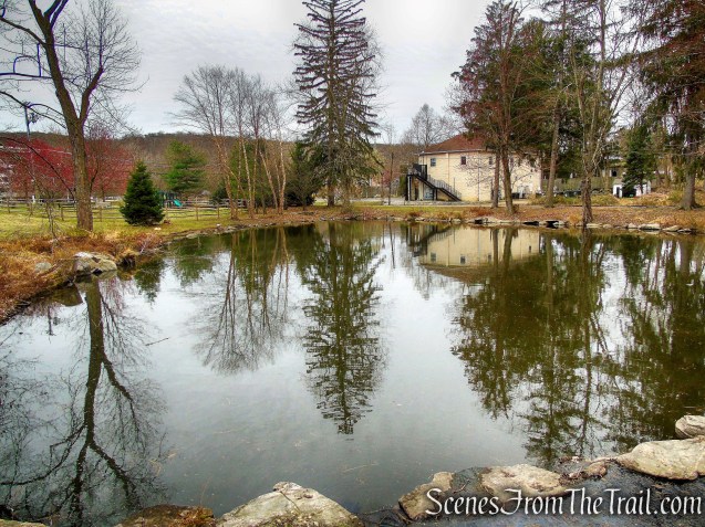
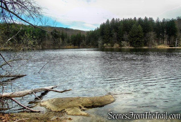
Marshall Pond:
A short distance away, at a T-intersection, the IP Trail turns right and passes post #2. Soon after, it comes to Marshall Pond.
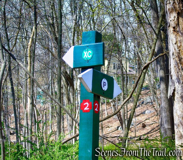
post #2 – Irvington Woods
This man-made pond is a part of the Barney Brook watershed.
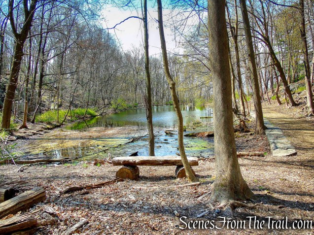
Marshall Pond – Irvington Woods
You may want to walk to the far end which borders Irvington High School property, for a nice view of the pond.
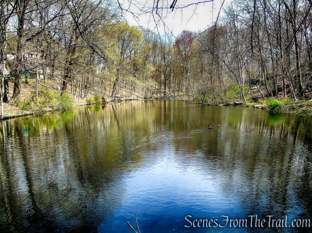
Marshall Pond – Irvington Woods
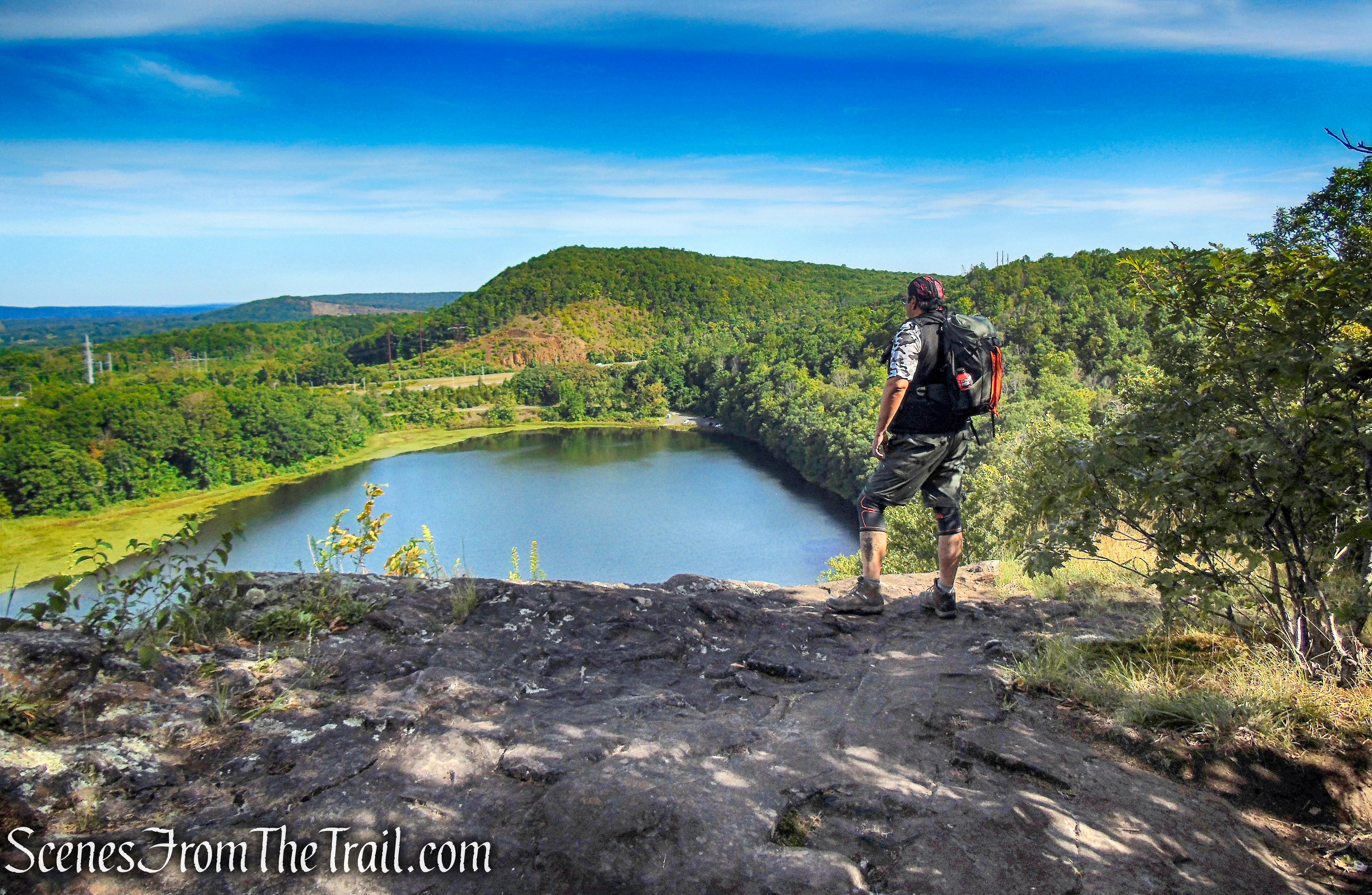
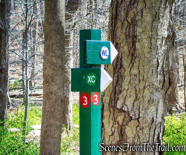
Jenkin’s Rock at Irvington Reservoir:
Retrace your steps past post #2 and continue ahead on the woods road past the junction that leads to the Ice Pond. You will walk past post #3, and are now following the WL Trail (Water Line Trail). At the next junction (post #4 was missing), bear right and head in a southerly direction. This section of the trail had no blazes and looks like a service road. Follow the road, crossing a small wooden footbridge and soon the BB Trail (Barney Brook Trail) leaves to the right.

post #3 – Irvington Woods

WL Trail – Irvington Woods
WL Trail – Irvington Woods
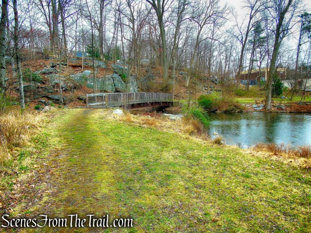
Turn right onto this trail which descends and parallels Barney Brook. The trail ends at a concrete bridge at the northern end of the Irvington Reservoir. Turn right and cross the bridge and you will have arrived at Jenkin’s Rock.
turn right on BB Trail
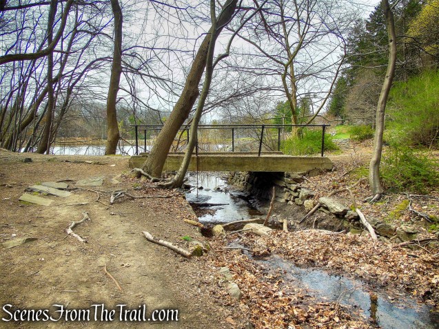
BB Trail – Irvington Woods
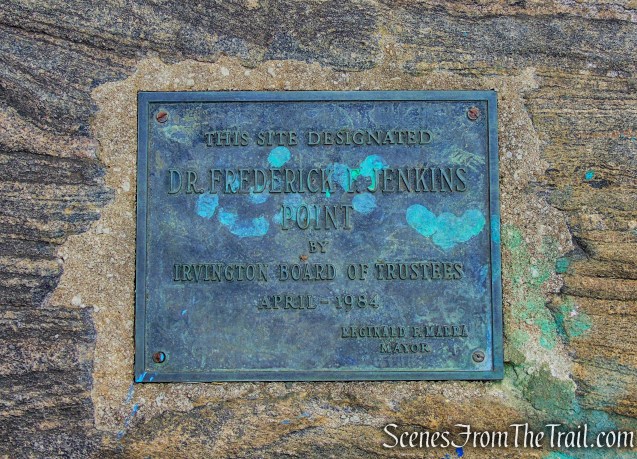
On the northern shore of the reservoir is a beautiful rock dedicated in 1984 to the Rev. Dr. Frederick Jenkins. While Pastor of the Irvington Presbyterian church from 1959-1984, he held Easter Sunday sunrise services overlooking the reservoir.

Jenkins Rock – Irvington Reservoir
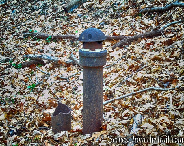
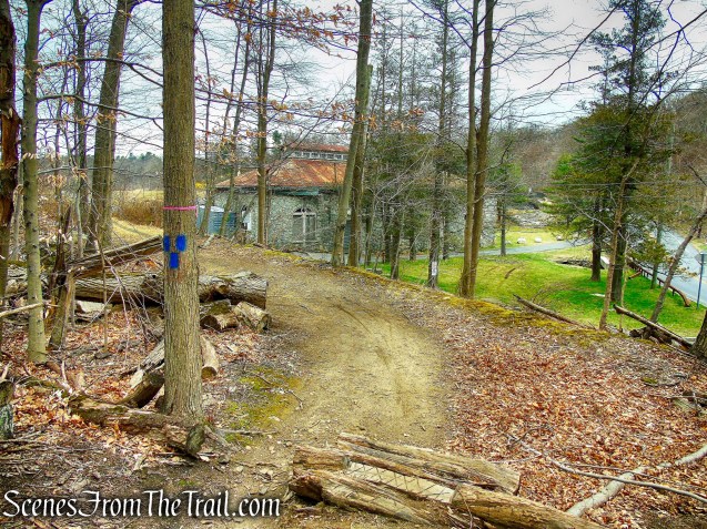
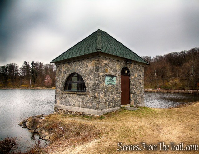
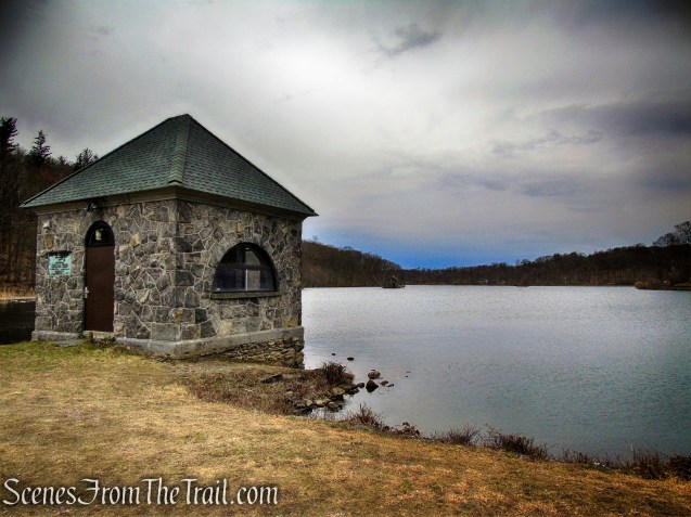
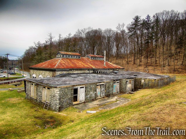
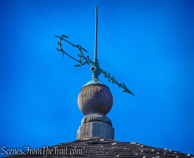
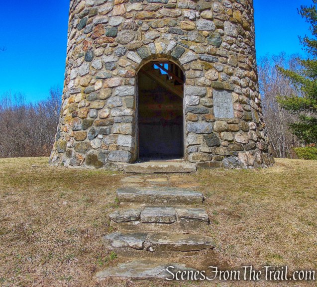
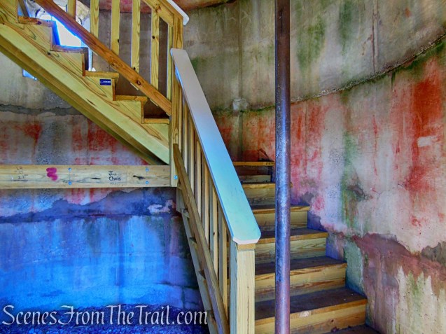
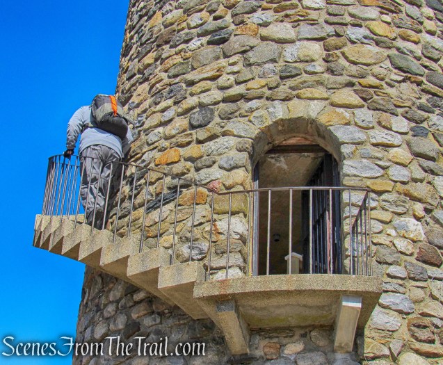
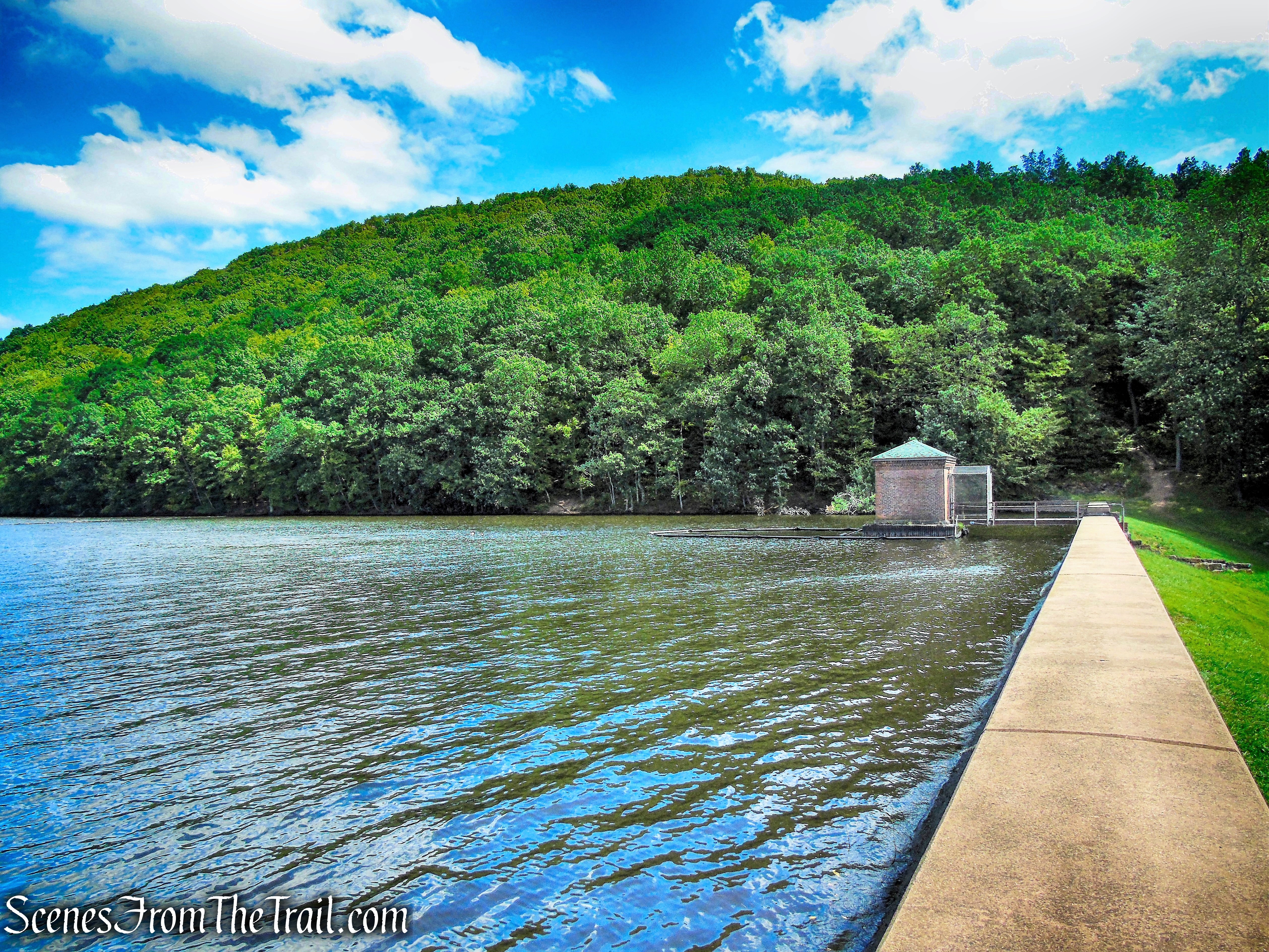
The stone gatehouse was constructed circa 1900.
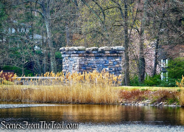
stone gatehouse – Irvington Reservoir
Jenkins Rock – Irvington Reservoir
Jenkins Rock – Irvington Reservoir
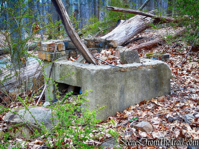
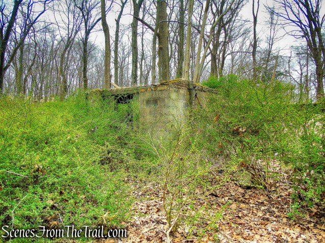
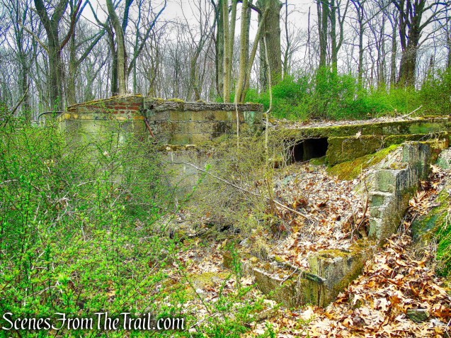
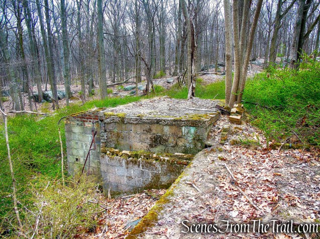
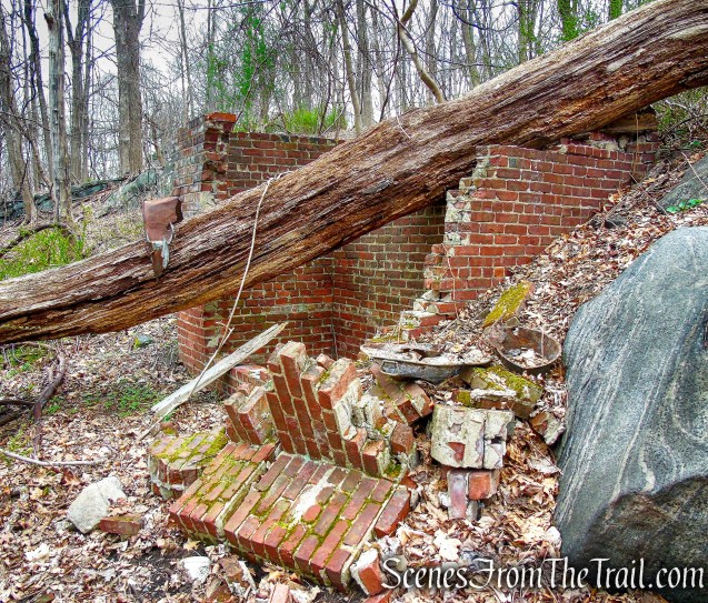
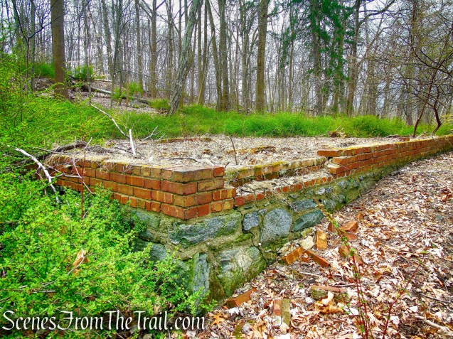
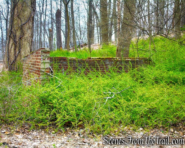
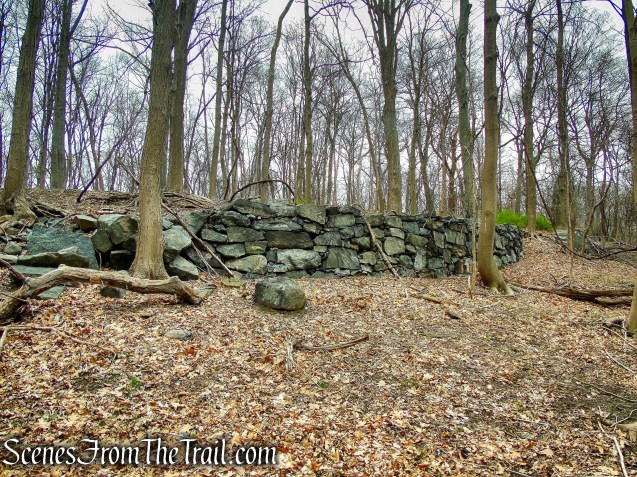
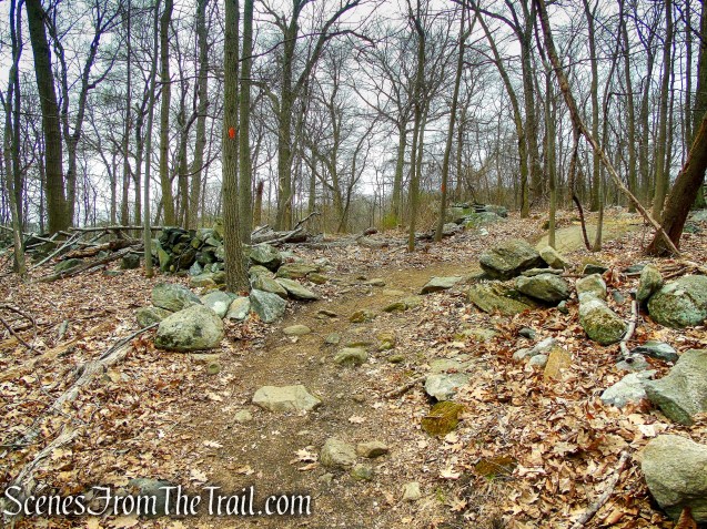
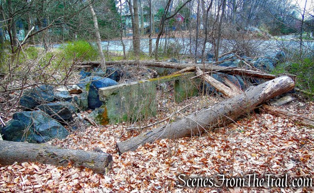
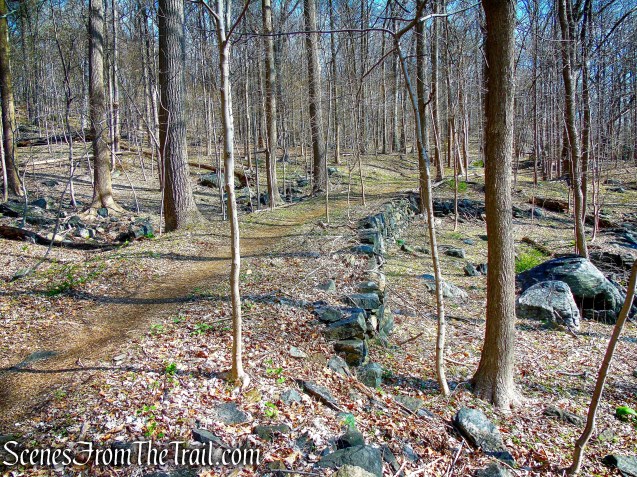
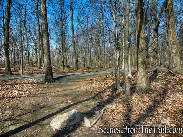
Completing the Loop:
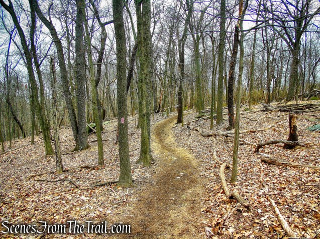
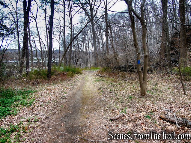
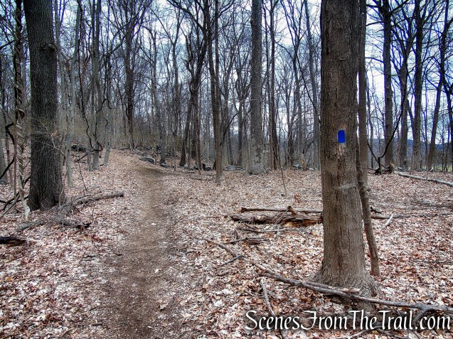
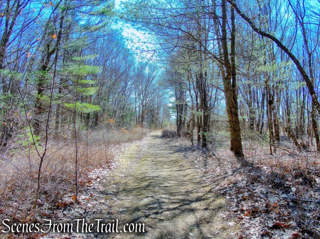
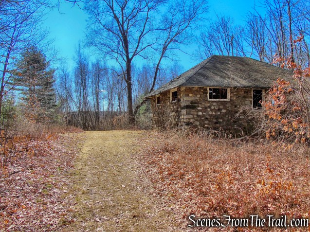
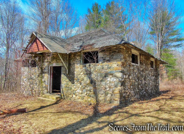
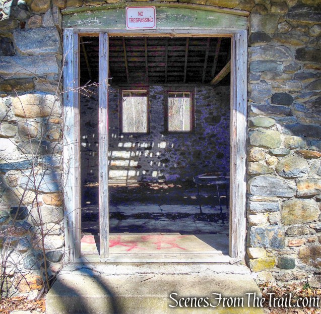
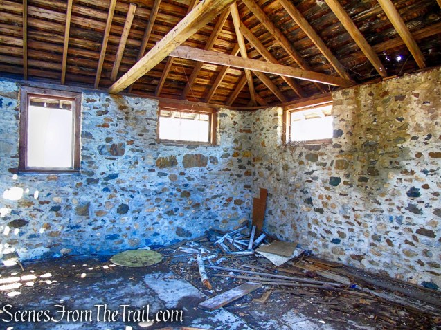
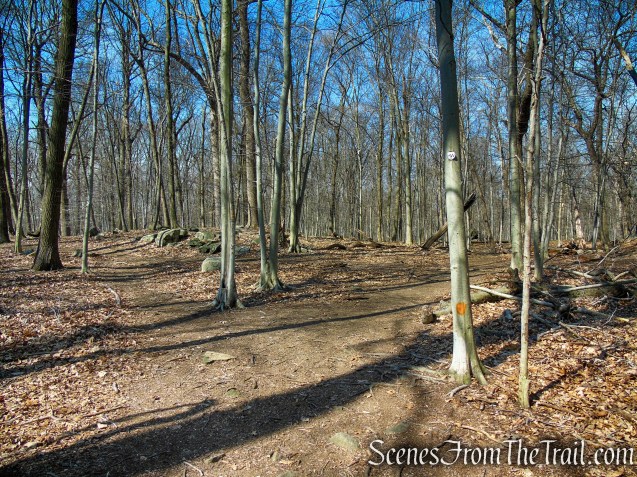
Recross the concrete bridge and proceed ahead on the HG Trail. Almost immediately you’ll pass the stone ruins of an old structure on the left. Proceed ahead on the HG Trail as it heads east with the reservoir visible through the trees on the right. When you come to a T-intersection, turn right as the trail now heads south.

stone ruins – HG Trail
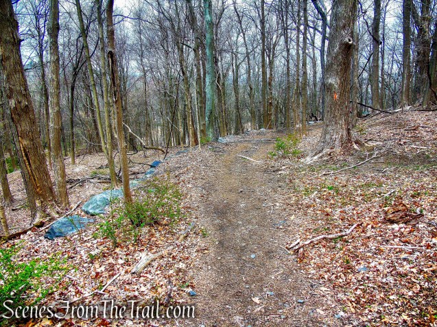
HG Trail – Irvington Woods

bear right at T-intersection
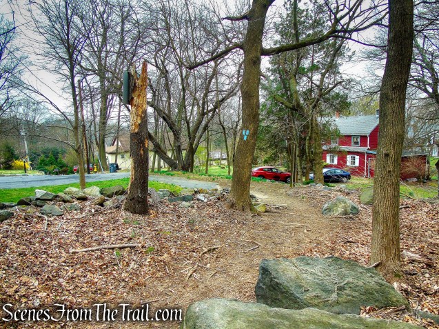
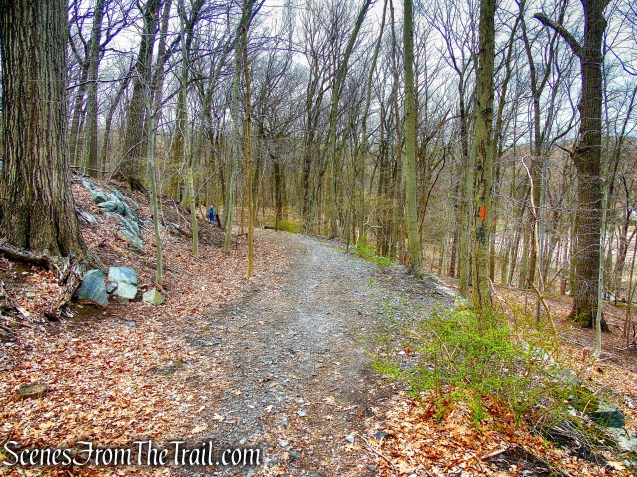
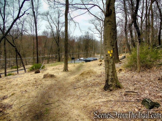
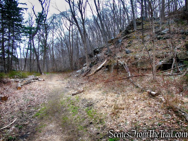
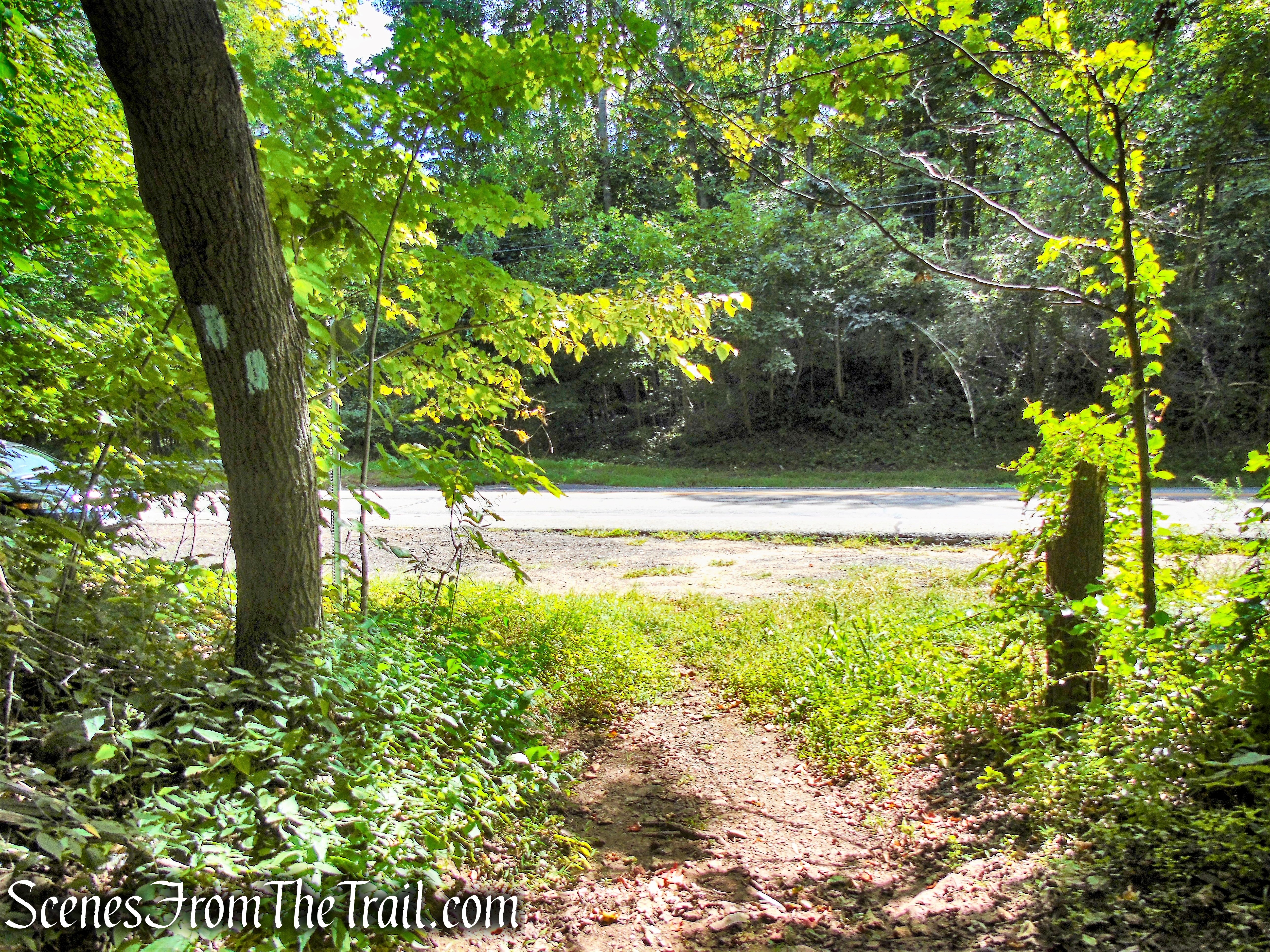
When you reach post #14, continue ahead on the SN Trail on the fairly level woods road (DO NOT turn left and go uphill). A short distance later you will return to the Cyrus Field Road Trailhead, where the hike began.

continue past post #14
Cyrus Field Road Trailhead
Review:
A really good hike for locals that offers more than just a walk in the woods. The numerous points of interest give the hiker something to look forward to while navigating the sometimes confusing trails. The trails are mostly woods roads or old ATV trails, but the landscape is rugged and quite scenic, giving one an almost deep woods experience. There is some road noise along the ML Trail when it parallels the parkway, but otherwise an overall good hike.
Pros:
Scenic landscape, historical features, glacial erratics, well groomed trails, many points of interests.
Cons:
Wooden posts and blazes missing at some junctions, making trails somewhat confusing.
Take a hike!

Irvington Woods – Full Perimeter Loop
Sources:
- The Irvington Woods
- Walkable Westchester: A Walking Guide to Westchester County, NY – by Jane and Walt Daniels