October 26, 2019 – Southfields, NY
Difficulty: Moderate
Length: Approximately 3.5 miles
Max elevation: 1,149 ft.– total elevation gain approximately 560 ft.
Route type: Circuit
Map: Harriman-Bear Mountain Trails Map #119
Trailhead parking: Lake Skannatati Parking – Southfields, NY 10975
Park Overview:
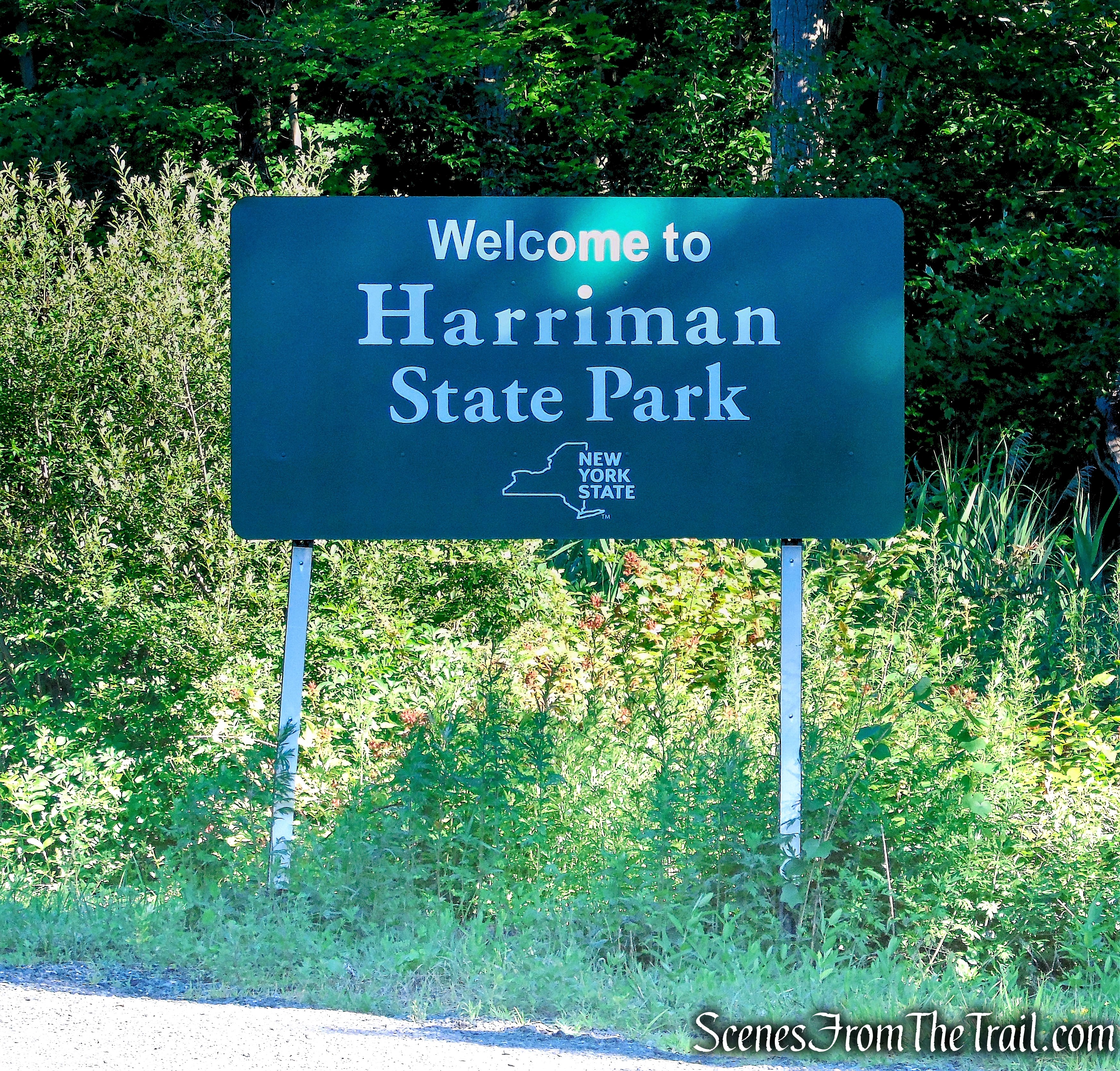
Harriman State Park, located in Rockland and Orange counties, is the second-largest park in the NYS parks system, with 31 lakes and reservoirs, 200 miles of hiking trails, two beaches, two public camping areas, a network of group camps, miles of streams and scenic roads, and scores of wildlife species, vistas and vantage points.
Harriman State Park
Besides the marked hiking trails, Harriman-Bear Mountain State Parks feature an extensive network of woods roads. There are over 50 miles of woods roads. Some are maintained by the Park as fire roads, while others are not formally maintained. Except for the Horn Hill Bike Trail (and several other roads which are used for part of their length by marked hiking trails), these woods roads are not blazed. They can, however, be readily followed by hikers equipped with a map, and they may be combined with the marked trails to form interesting and varied loop hikes.
Hike Overview:
This short loop hike follows both marked trails and an unblazed woods road around Lake Askoti, with a short bushwack to a viewpoint from Pine Swamp Mountain. The parking area at Lake Skannatati does fill up quickly on nice days, but the route of this hike does not see much foot traffic. This hike was done clockwise beginning on the Arden-Surebridge (A-SB) Trail.

Lake Askoti Loop – Harriman State Park
Helpful Hint: My advice is to print out the trail map (always carry a paper map) and download the Avenza Maps app (FREE). You can then download the free Harriman-Bear Mountain Trails Map through the app or purchase the NY-NJ Trail Conference Map for Avenza (more detailed), which can be purchased as a set or just a single map. This will tell you exactly where you are on the trail and you can record your track and mileage. I have found that this is a great resource when hiking on unmarked trails by avoiding wrong turns and missing points of interest.
The Hike:
At the northwest corner of the parking area, you will see three inverted-red-triangle-on-white blazes that mark the start of the Arden-Surebridge (A-SB) Trail. Follow this trail as it begins a rather steep climb of Pine Swamp Mountain. After a very steep pitch near the top of the climb, the trail levels off.

Arden-Surebridge Trailhead – Lake Skannatati

Arden-Surebridge Trail – Harriman State Park

Arden-Surebridge Trail – Harriman State Park
After about 300 yards from the start, turn left, leaving the trail and bushwack in a westerly direction. You should run into a footpath that leads to a rock ledge with an outstanding view. If you don’t see the footpath, continue in a westerly direction towards the escarpment and turn right and follow along the escarpment until you come to the rock outcrop with views over Lake Skannatati and Lake Kanawauke.

bushwack – Pine Swamp Mountain

bushwack – Pine Swamp Mountain
At the southwest facing viewpoint, Lake Skanatati (foreground) and Lake Kanawauke (background) can be seen from the summit of Pine Swamp Mountain. In December of 2014 the trail was rerouted from the summit, to the shoulder of Pine Swamp Mountain to alleviate erosion and ongoing impacts to sensitive habitats. The trail no longer passes this rock outcrop at the summit with a great view. Keep your eyes open for Rattlesnakes in this area.

viewpoint – Pine Swamp Mountain
Whe you are done enjoying the view, bushwack east, back to the Arden-Surebridge Trail and turn left.

bushwack – Pine Swamp Mountain
Just ahead, to the right, you’ll see a triple red-cross-on-white blaze. This marks the start of the Red Cross Trail, turn right here and follow the trail downhill as the Red Cross Trail descends to Seven Lakes Drive, which it crosses.

Arden-Surebridge Trail – Pine Swamp Mountain

turn right on Red Cross Trail

Red Cross Trail – Pine Swamp Mountain

Red Cross Trail crosses Seven Lakes Drive
On the other side of the paved road, the trail crosses the inlet stream of Lake Askoti. Leave the trail and head towards Lake Askoti to a rock outcrop with views south over the lake.

Red Cross Trail – Harriman State Park

Lake Askoti – Harriman State Park

Lake Askoti – Harriman State Park
When you are ready to proceed, continue on the Red Cross Trail that begins a steady climb through dense mountain laurel, with views over the lake through the trees to the right. Soon, the trail bends sharply to the left and continues to climb gradually. At the top of the ascent, a rock outcrop to the left offers views of Fingerboard Mountain, to the northwest.

Red Cross Trail – Harriman State Park

Red Cross Trail – Harriman State Park

Red Cross Trail – Harriman State Park

Red Cross Trail – Harriman State Park

Red Cross Trail – Harriman State Park

Red Cross Trail – Harriman State Park

Red Cross Trail – Harriman State Park

Red Cross Trail – Harriman State Park
The Red Cross Trail now levels off and passes under a power line. Soon, the trail bears right and begins to descend on an old woods road. After crossing a wooden bridge over a stream, the trail turns left onto a wider woods road.

Red Cross Trail – Harriman State Park

Red Cross Trail – Harriman State Park

Red Cross Trail – Harriman State Park

Red Cross Trail – Harriman State Park

Red Cross Trail – Harriman State Park

Red Cross Trail – Harriman State Park
After crossing the small wooden footbridge, leave the Red Cross Trail and turn right onto an old woods road. This old road was once the route of the Red Cross Trail and more or less follows the county line.

turn right on woods road after crossing footbridge
This old woods road is mostly a footpath from the Red Cross Trail to the junction (0.35 mile) with the Rockhouse Mountain Trail. After that it opens up to look more like a woods road until it reaches the Long Path, about 0.8 mile to Seven Lakes Drive at the southern end of Lake Askoti.

woods road – Rockhouse Mountain

woods road – Rockhouse Mountain
In about 0.5 mile from the wooden footbridge, the woods road comes to a fork. Take the left fork and continue heading southwest. The right fork leads towards Lake Askoti, but according to the map, ends just shy of the lake. We did not walk down that way.

veer left at fork
In another 0.35 mile, the woods road reaches a power line service road, turns left and almost immediately turns right and heads down to the shore of Lake Askoti, with open views of the lake.

woods road – Rockhouse Mountain

power line road – Lake Askoti

woods road – Lake Askoti
Looking west towards Pine Swamp Mountain.

Lake Askoti – Harriman State Park
Looking southwest.

Lake Askoti – Harriman State Park
Continue southwest on the woods road as it hugs the shoreline. Soon the woods road joins the power line service road and as the road nears Seven Lakes Drive, the Long Path comes in from the left.

woods road – Lake Askoti
Follow the road (aqua-blazed Long Path now) until it reaches Seven Lakes Drive, carefully cross the road, climb over the guard rail where you see the aqua blazes and follow the blazes a short distance to the Lake Skannatati parking area, where the hike began.

Long Path – Lake Askoti

Long Path – Lake Skannatati

Lake Skannatati Parking

Lake Skannatati – Harriman State Park

Lake Skannatati – Harriman State Park
Review:
A really good short loop hike if you’re looking to spend several hours in the woods. Although the Lake Skannatati parking area tends to fill up early in the day, an early start will help to avoid the crowds that tend to stay near the area of the lake. We started the hike at approximately 8:45 am on a Saturday morning in October and did not run into any people until we returned to the parking area. The parking area was just about at capacity at 11:50 am when we returned. The view on Pine Swamp Mountain is one of the best in the park. Lake Skannatati and Lake Askoti are quite picturesque and worth a visit. Hiking at a leisurely pace, stopping frequently to snap some photos and enjoy the scenery, this hike took about 3 hours.
Pros:
Lake Askoti, Lake Skannatati, Pine Swamp Mountain view, less traveled trails, scenic landscape.
Cons:
Lake Skannatati parking area is very popular and fills up early.
Take a hike!

Lake Askoti Loop – Harriman State Park
Source:
