May 26, 2018 – Highland Falls, NY
Difficulty: Moderate – Strenuous (1 steep climb, 1 steep descent and several ups and downs)
Length: Approximately 4.5 miles
Max elevation: 942 ft.– total elevation gain approximately 1,000 ft.
Route type: Double-lollipop
Map: Harriman-Bear Mountain Trails Map #119
Trailhead parking: Brooks Lake Park – Firefighters Memorial Drive, Highland Falls, NY 10928
Another version of this hike can be found here.
Popolopen Torne, officially called “The Torne,” is a small mountain with a relatively sharp and bald peak, part of the Hudson Highlands, with a summit 942 feet above sea level. It is located in Bear Mountain State Park and has 360° views, with the Hudson River and the Bear Mountain Bridge to the east, the hills of the West Point Military Reservation to the west and Bear Mountain to the south.
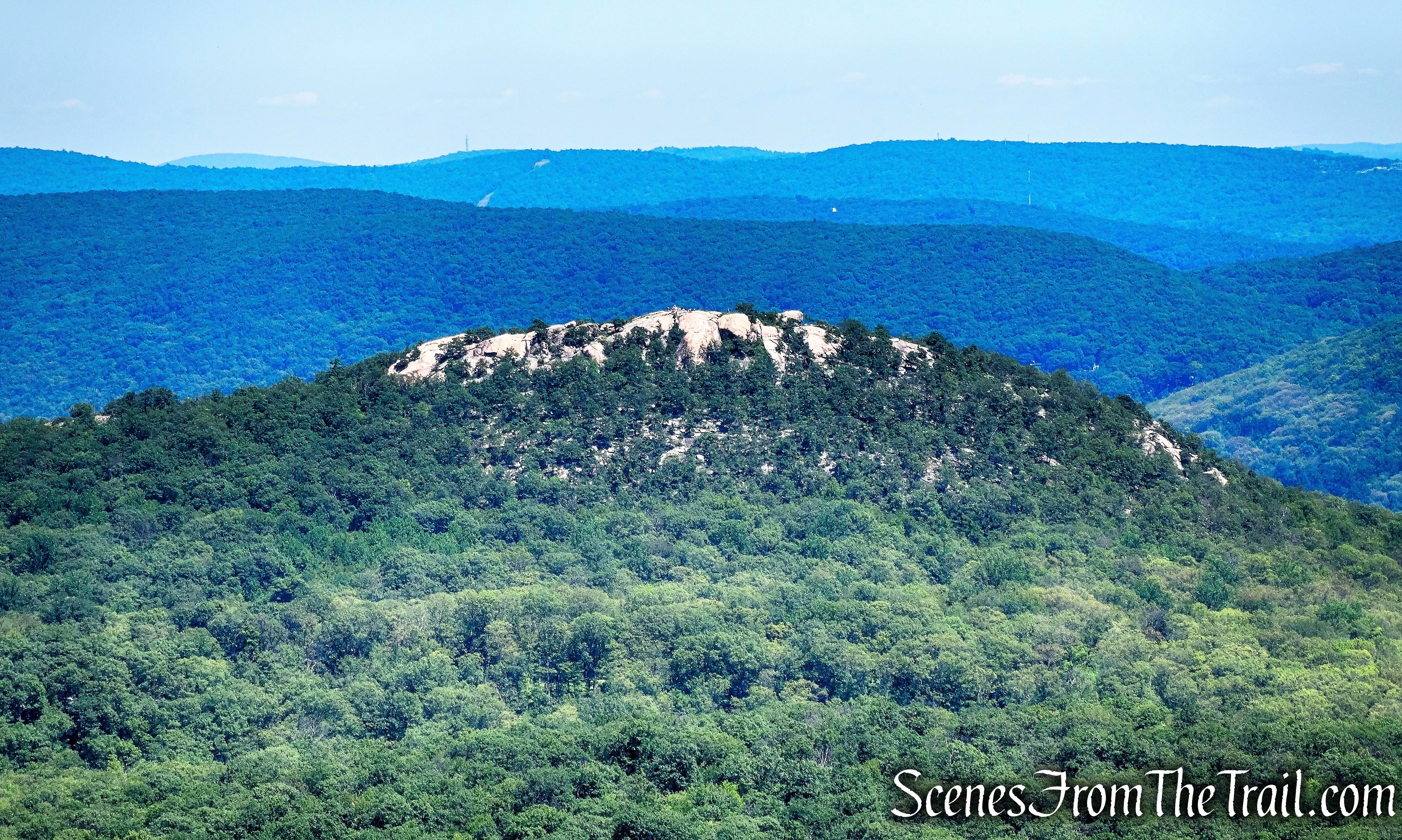
The Torne as viewed from Long Mountain
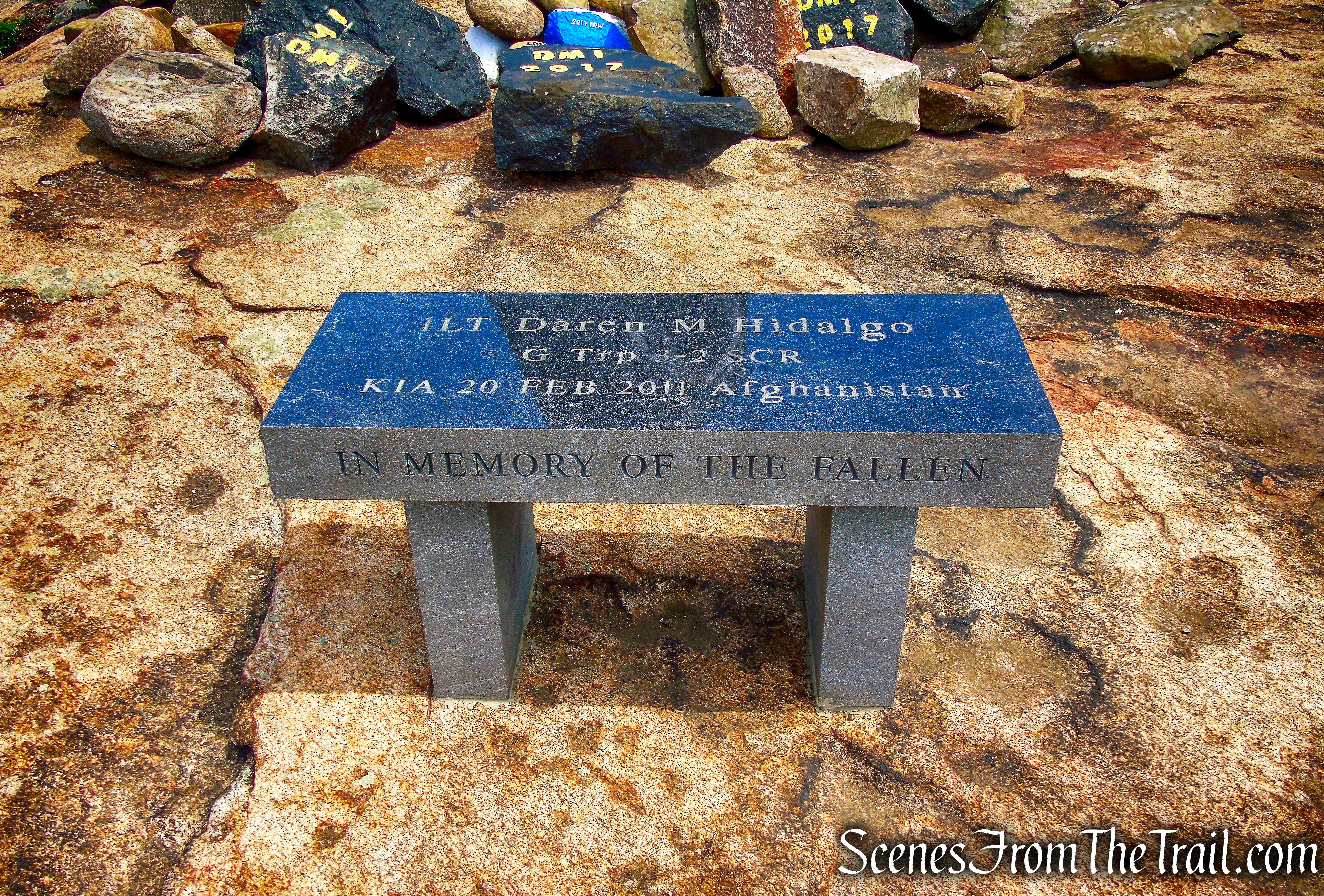
A memorial for fallen soldiers sits at the summit of The Torne and since this was Memorial Day weekend, I wanted to pay my respects to all the men and women that paid the ultimate sacrifice to defend and protect the freedoms that we are able to enjoy.
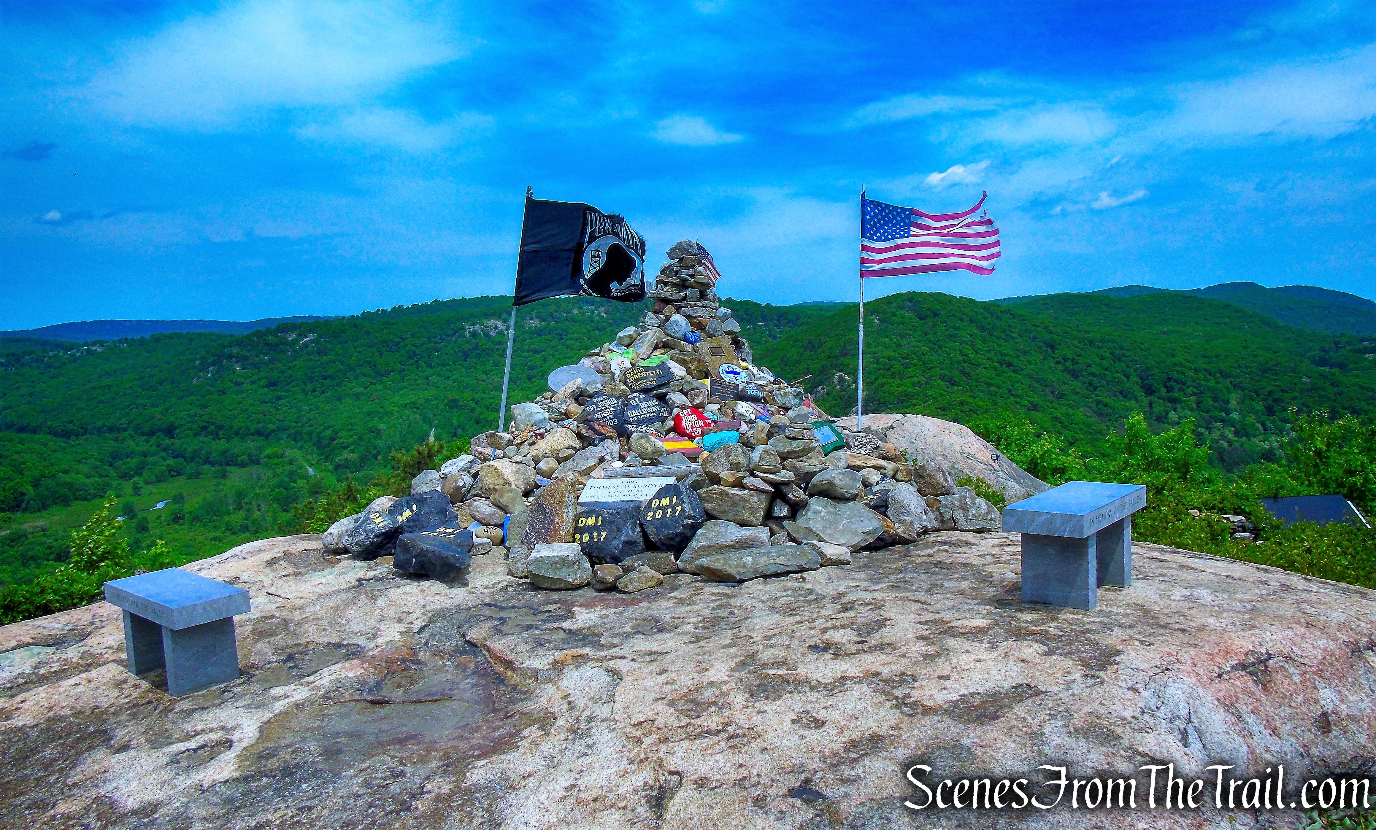
Fallen Soldiers Memorial – The Torne
Since I had hiked The Torne before, I wanted to change it up a little. The previous hike was longer and included more elevation gain as well. I decided that this hike would begin and end at Brooks Lake since I have never been there. The hike is a double-lollipop, with the stem in the middle.
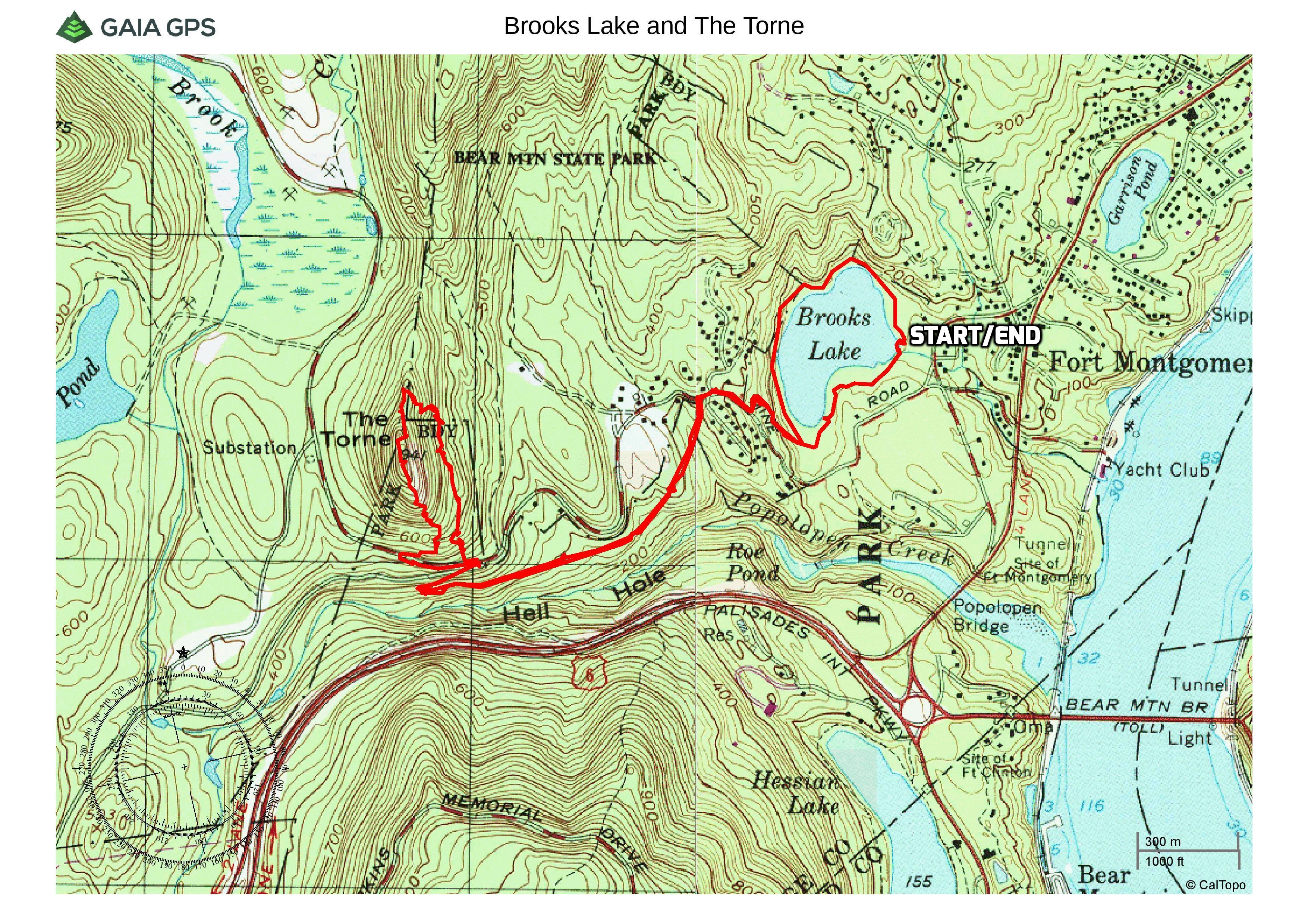
Brooks Lake and The Torne
A new feature that I have added is the Google Earth Fly-Through. It follows the path that we hiked and it gives you a good idea of the terrain, layout, amount of parking etc. Check it out, it’s pretty cool.
View the Google Earth Fly-Through video of the hike below.
Arriving at Brooks Lake at approximately 9:00 am on a beautiful Saturday morning, the parking area was nearly empty. This was the warmest day of the year thus far and on the drive to the trailhead, I received a poor air quality alert, but paid it no mind. I have struggled in the past on just such days, but they occurred in July during extreme heat.
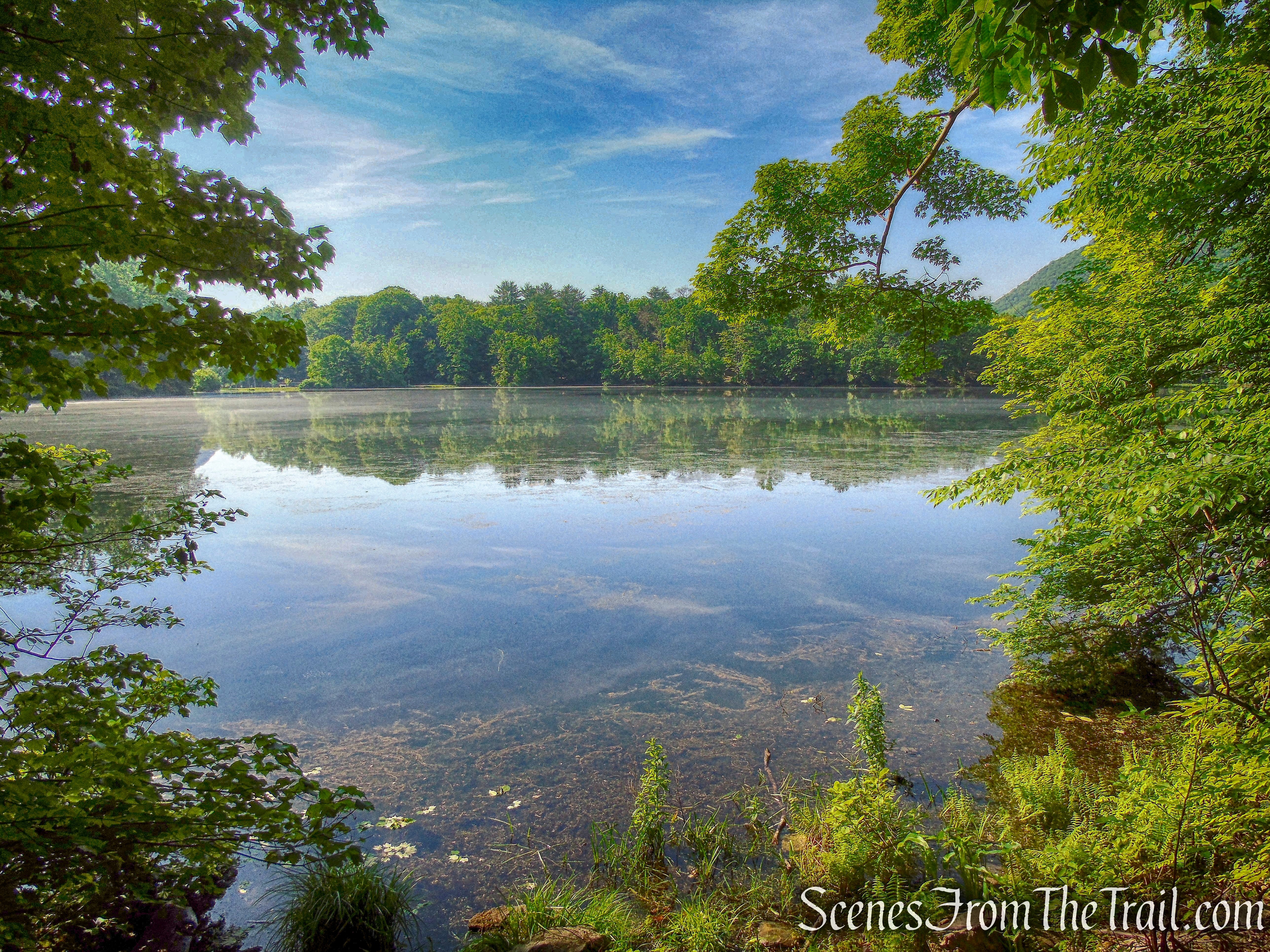
Brooks Lake and about 100 acres to the north were acquired by the Park in 1918 from the heirs of Eliza Brooks. In 1925, there were five camps at Brooks Lake. The area around the lake was improved in 1934 for camping, bathing and picnicking.
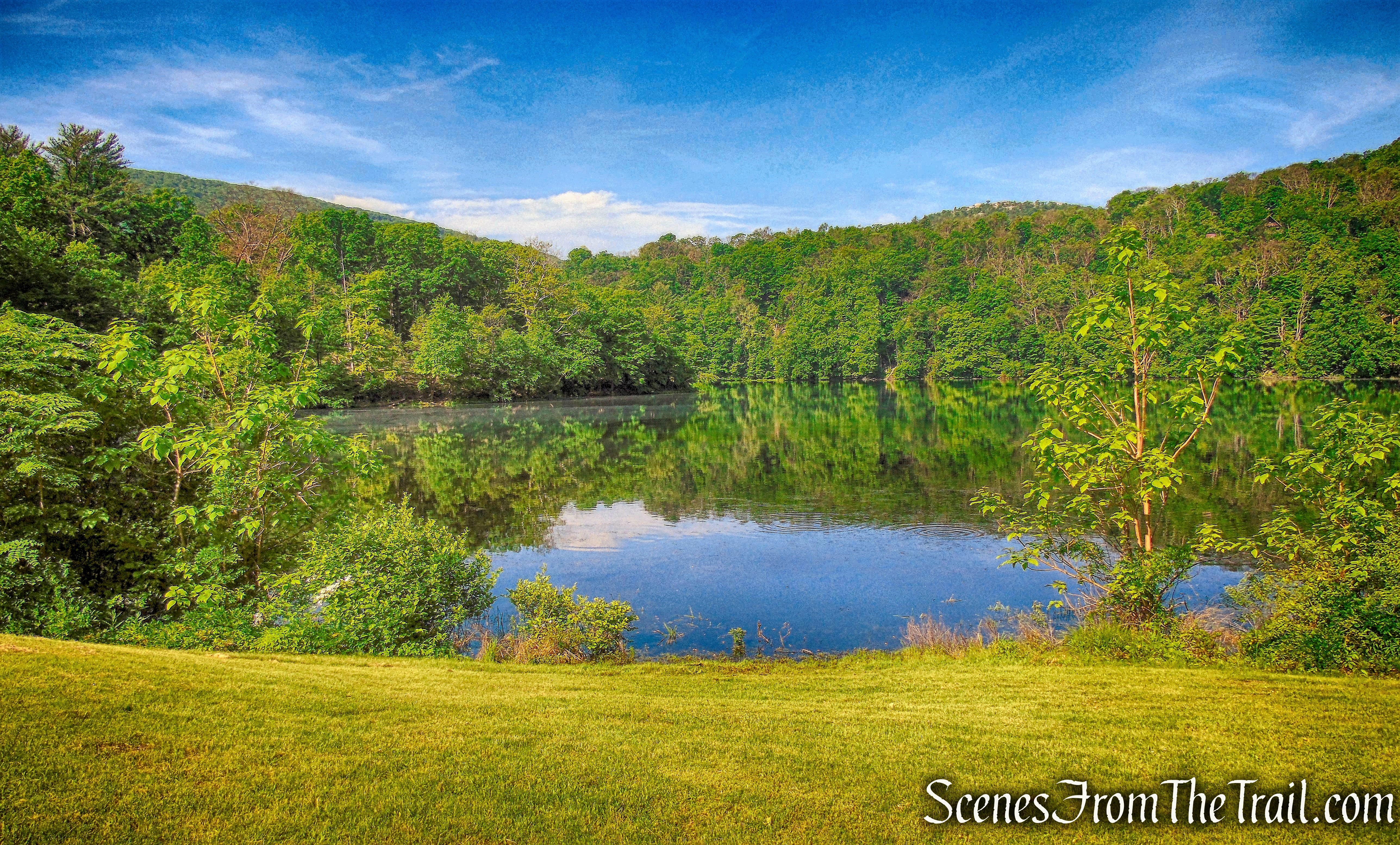
Brooks Lake
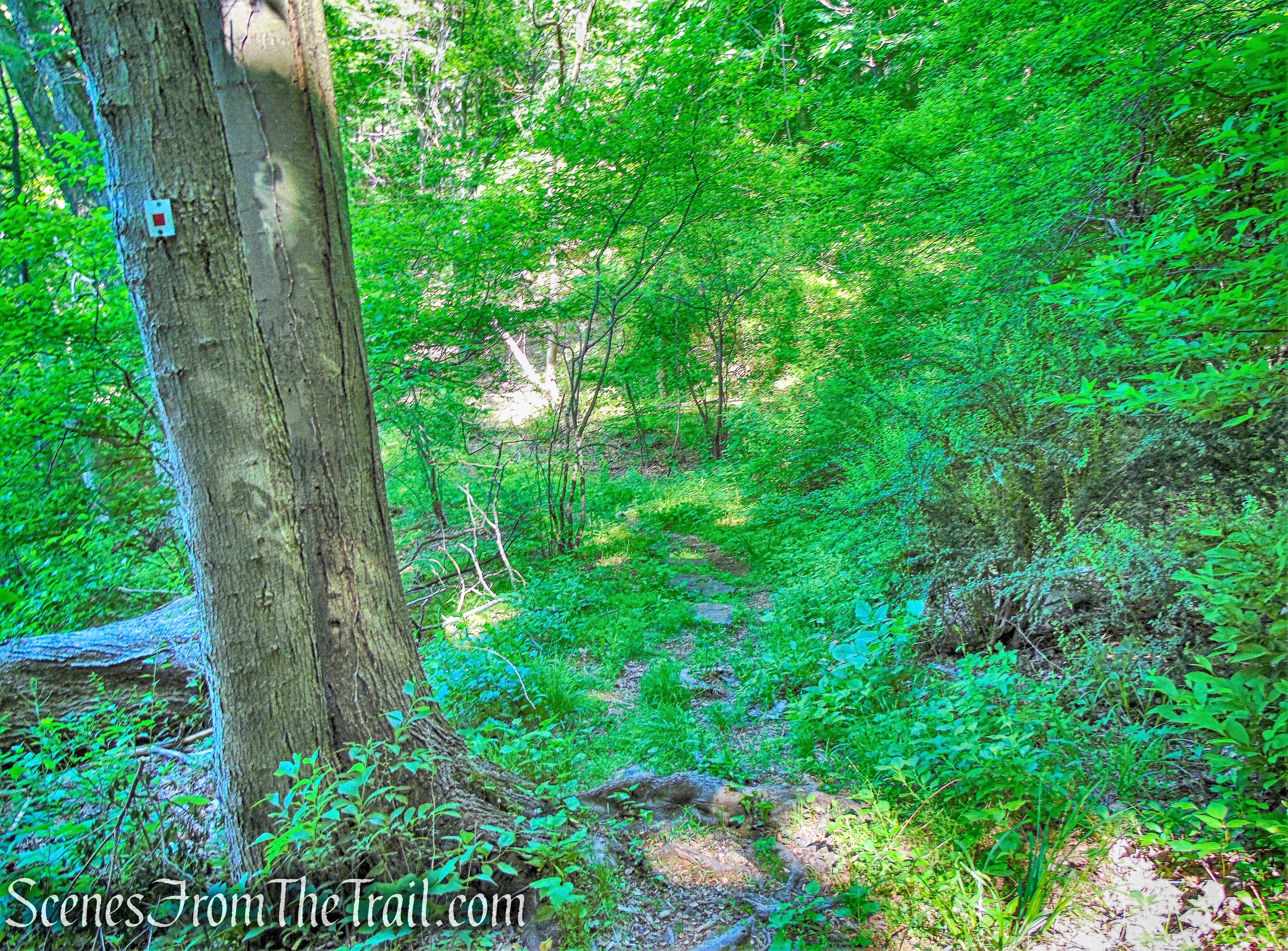
We began our hike by proceeding counter clockwise on the red-square-on-white blazed Brooks Lake Trail. The Brooks Lake Trail was established in 2004 at the suggestion of local residents. The construction was financed with a grant from the New York Recreational Trails program.
Brooks Lake Trail
The Brooks Lake Trail crosses a grassy field with a wooden picnic pavilion on the left. It then enters the woods and at approximately 0.4 mile, crosses a stream on rocks.
Brooks Lake Trail
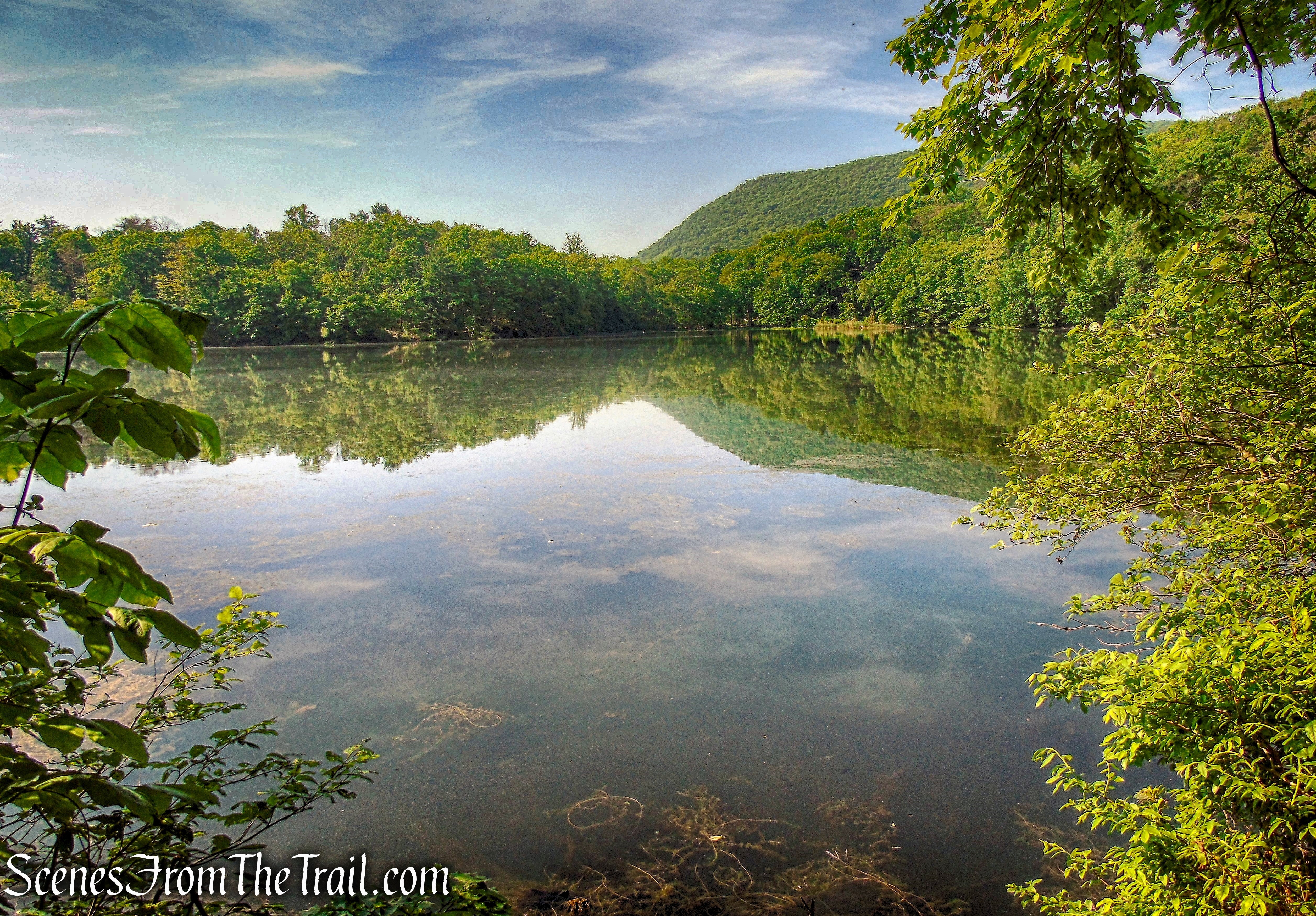
The trail is well marked and there are large cliffs to right of the trail, with the lake on the left. There are several viewpoints over the lake along the way.
Brooks Lake
Looking southwest, Bear Mountain can be seen in the distance.
Brooks Lake
The trail is very scenic and with the exception of a female hiker and her dog, we didn’t encounter anyone else along this stretch. The Brooks Lake Trail is well marked and easy to follow. For the most part it travels near the edge of the lake with several stream crossings (they were dry on this day) and just the right amount of ruggedness to keep it interesting.
Brooks Lake Trail
We came a cross a Garter Snake that was coiled up on the leaves.
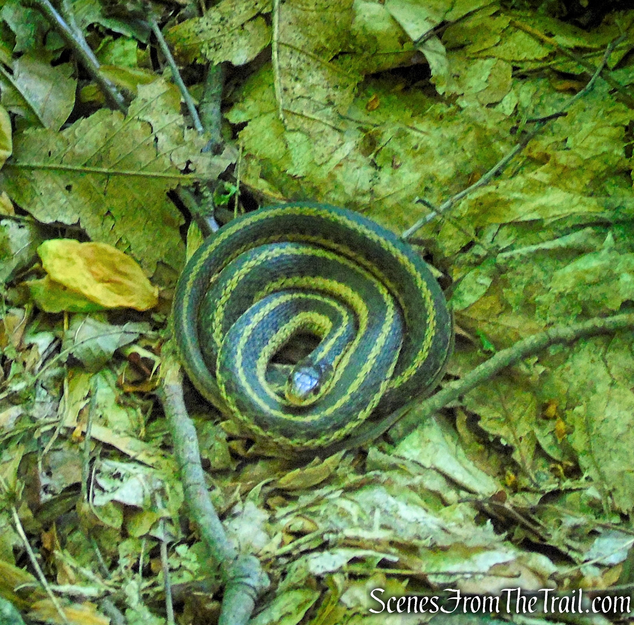
Garter Snake – Brooks Lake Trail
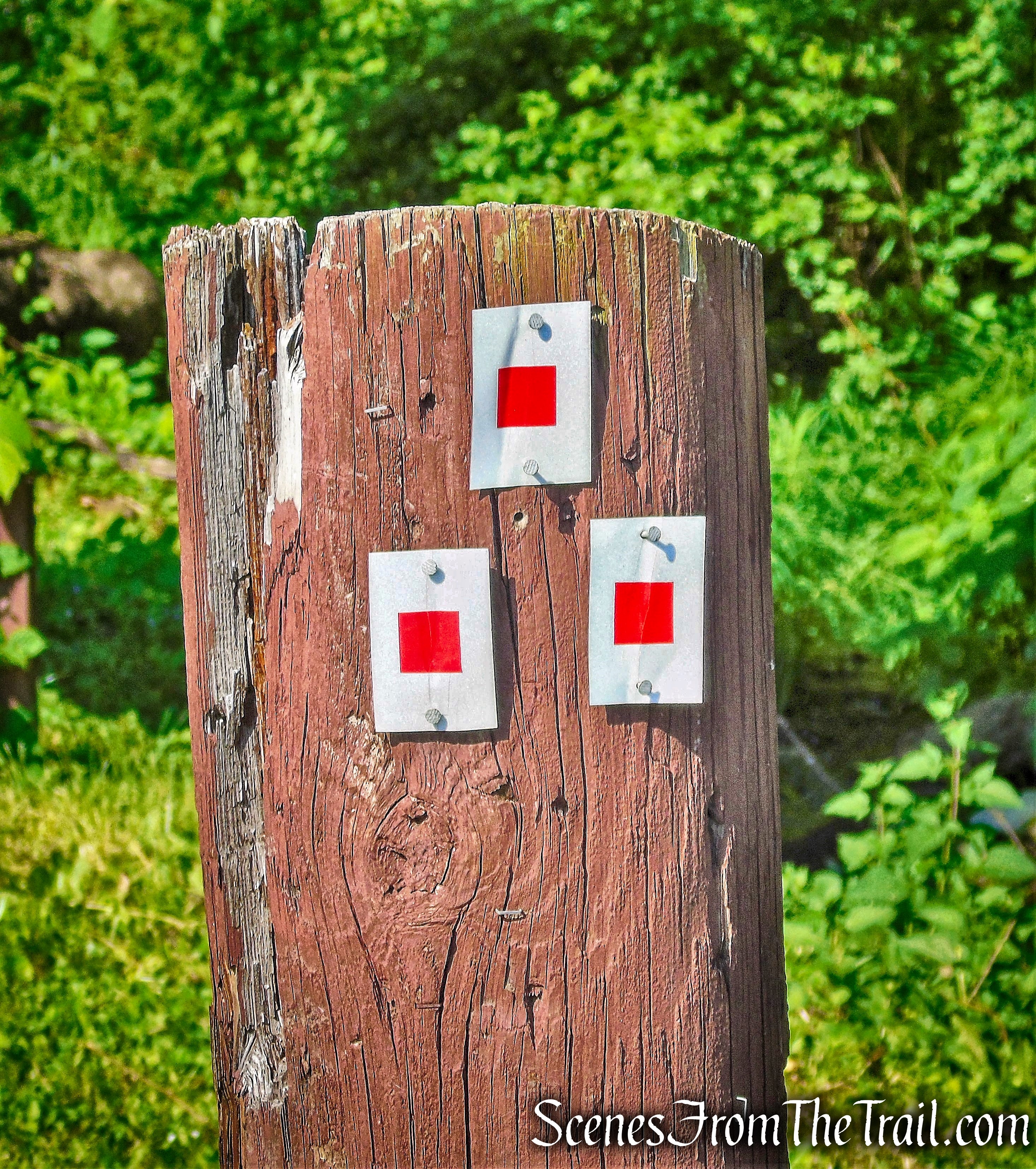
At the southern end of the lake, we came to a junction of three co-aligned trails: the 1777W and 1779 Trails (which commemorate Revolutionary War events) and the blue-blazed Timp-Torne Trail.
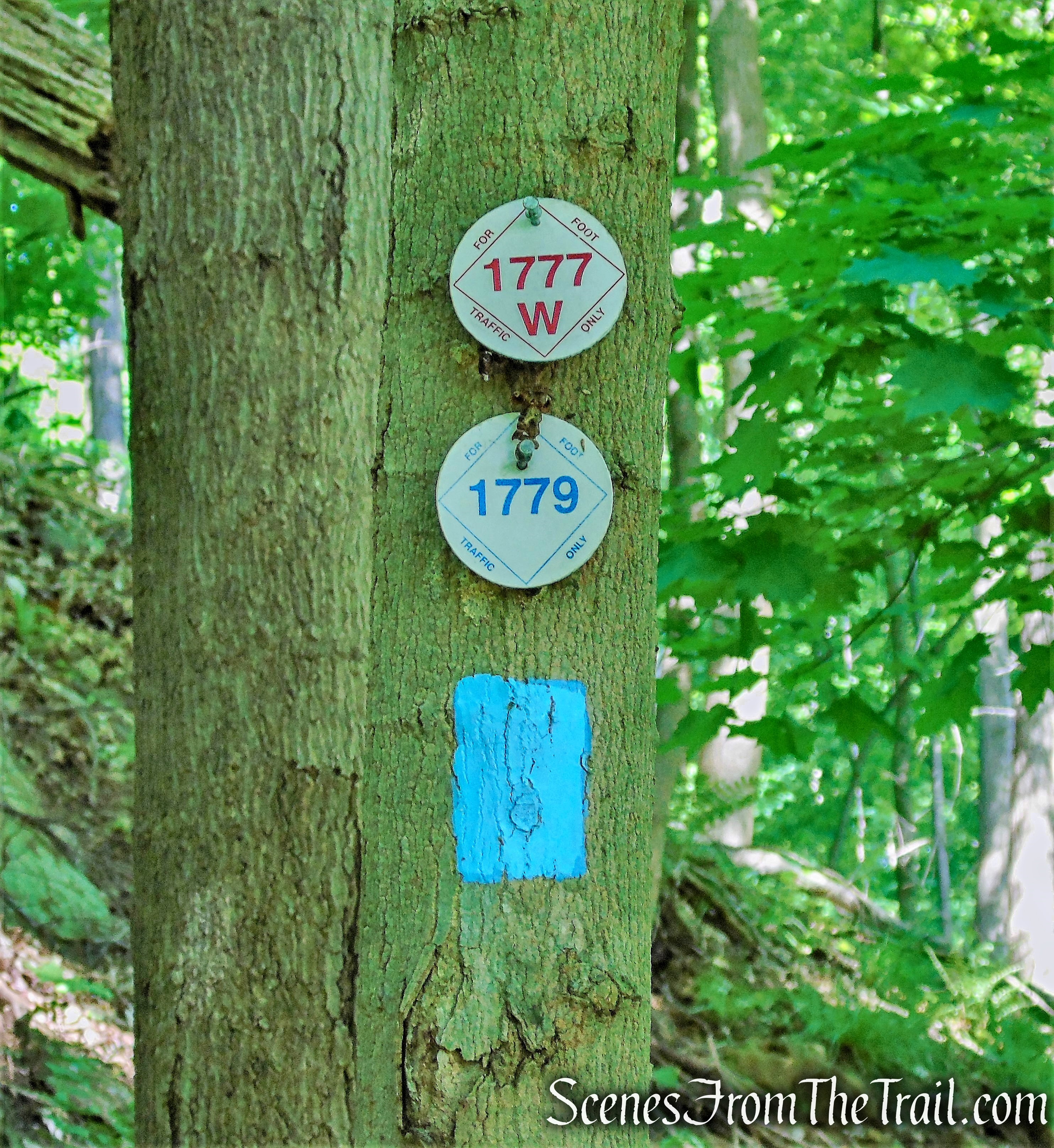
1777W, 1779 and Timp-Torne Trails
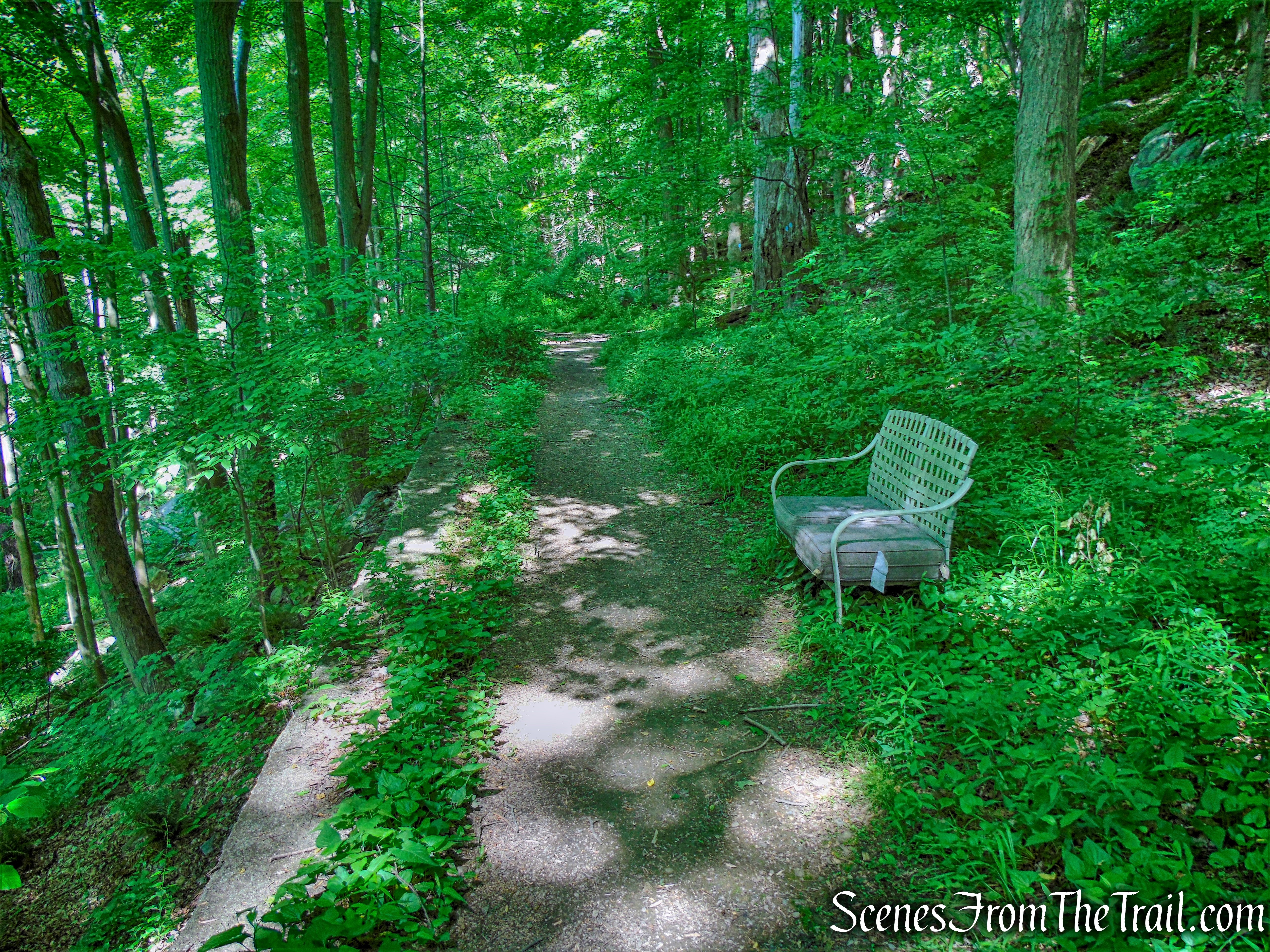
We turned right and climbed the hillside with Brooks Lake visible through the trees below on the right.
Timp-Torne Trail
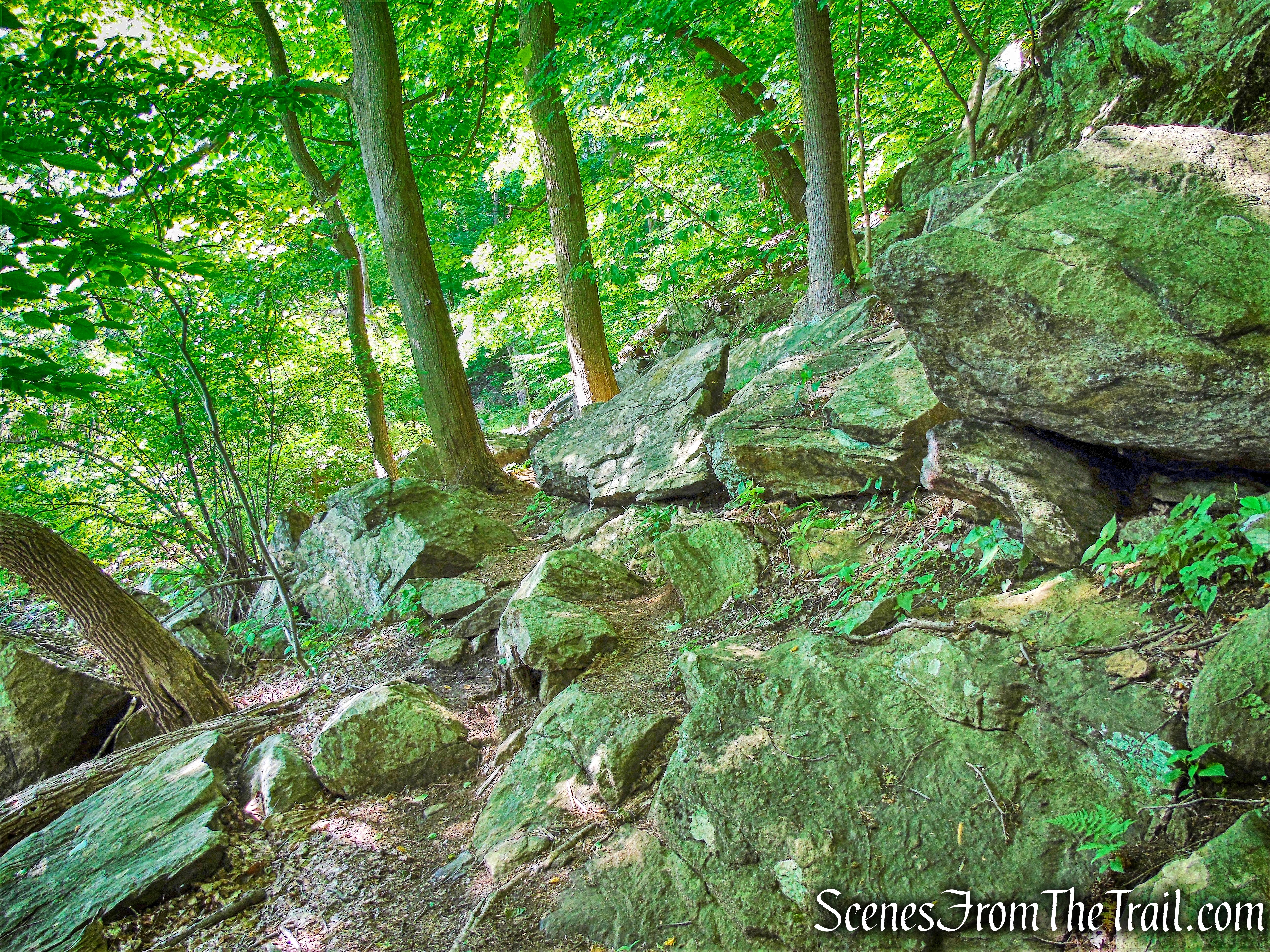
Although the three trails run together, we only concerned ourselves with the blue-blazed Timp-Torne Trail, which eventually breaks off from the other two and climbs The Torne. The trail levels off as it passes through the woods, then turns left and comes out onto Mine Road, where we turned right. There are blazes painted on the telephone poles to point the way.
Mine Road
In approximately 500 feet, immediately after Wildwood Ridge, the three trails go off to the left and reenter the woods.
Wildwood Ridge
Wildwood Ridge
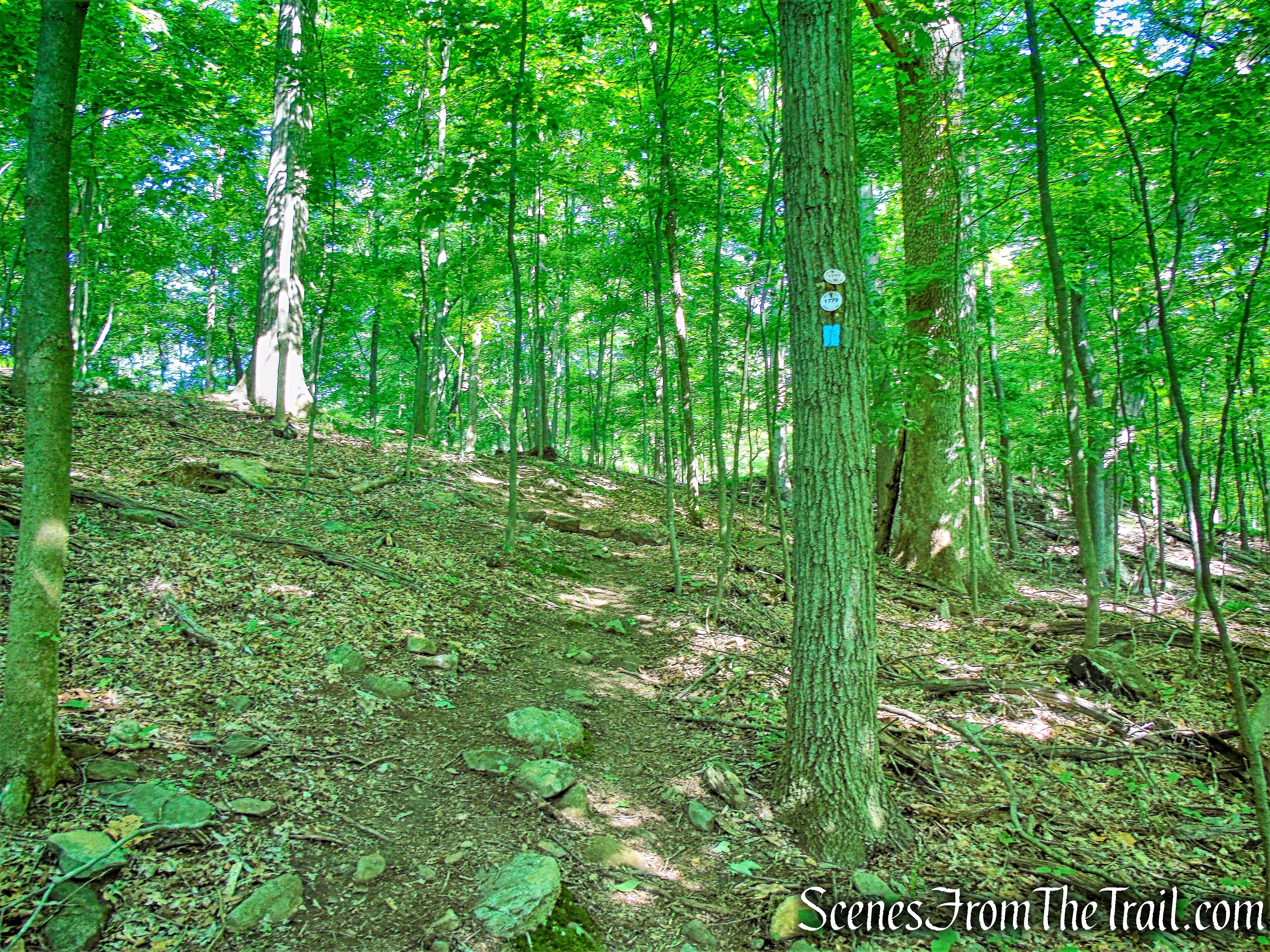
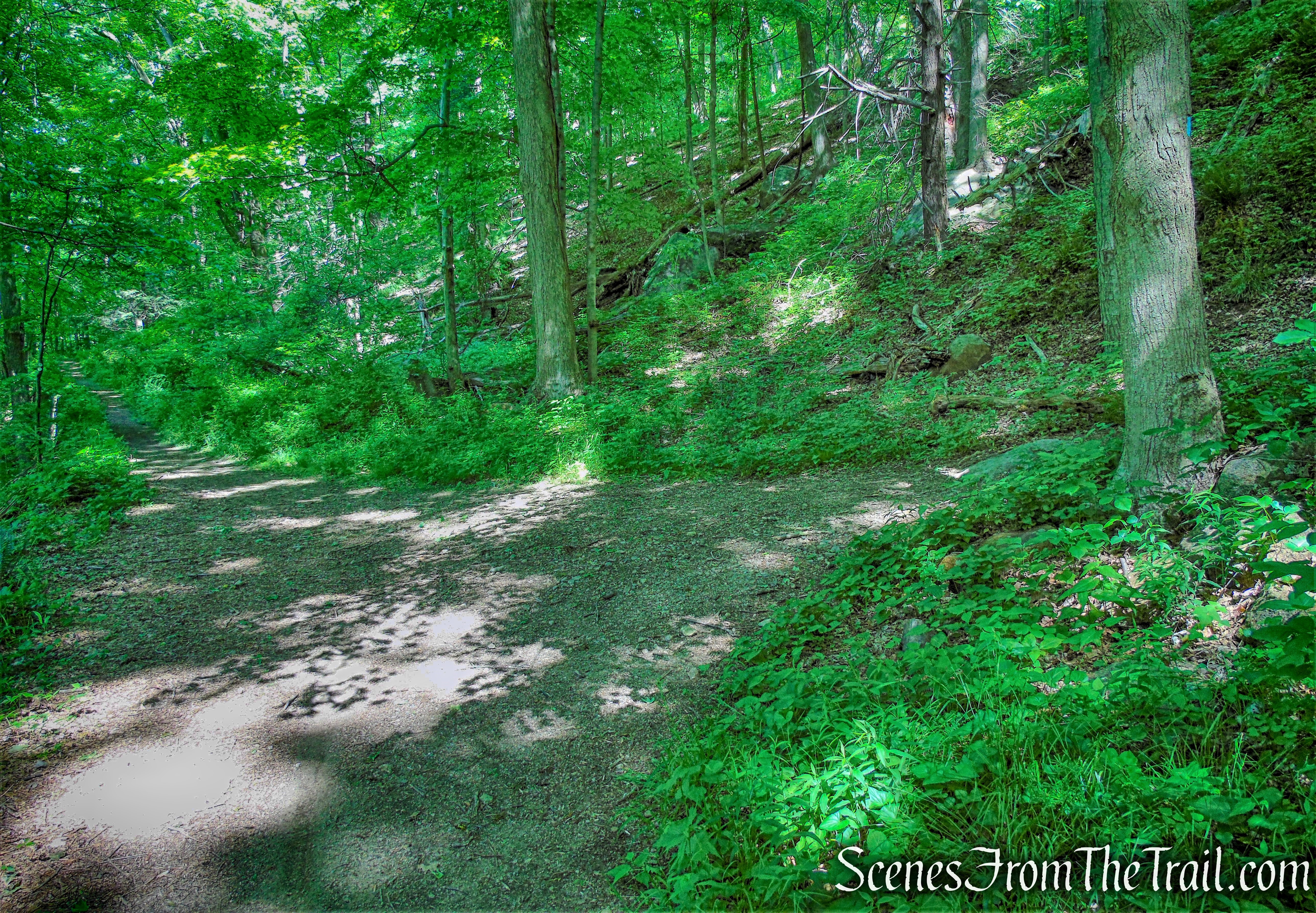
The trails soon cross a stream on rocks and joins a wide woods road, the route of the West Point Aqueduct, built in 1906. At first, the route climbs steeply, then descends and eventually levels off. The trails begin to parallel Popolopen Gorge, with the rushing waters of Popolopen Creek visible in places through the trees on the left. We saw what appeared to be a Red Fox just off the trail, but no one was able to capture a good image of it.
1777W, 1779 and Timp-Torne Trails
After reaching a bench along the West Point Aqueduct, just ahead is a trail junction. The 1777W and 1779 Trails continue ahead, following the aqueduct.
1777W, 1779 and Timp-Torne Trails
Here the blue-blazed Timp-Torne Trail turns sharply right and leaves the aqueduct.
Timp-Torne Trail
The Timp-Torne Trail climbs gradually on a woods road and comes out to a small parking area on Mine Road.

Timp-Torne Trail
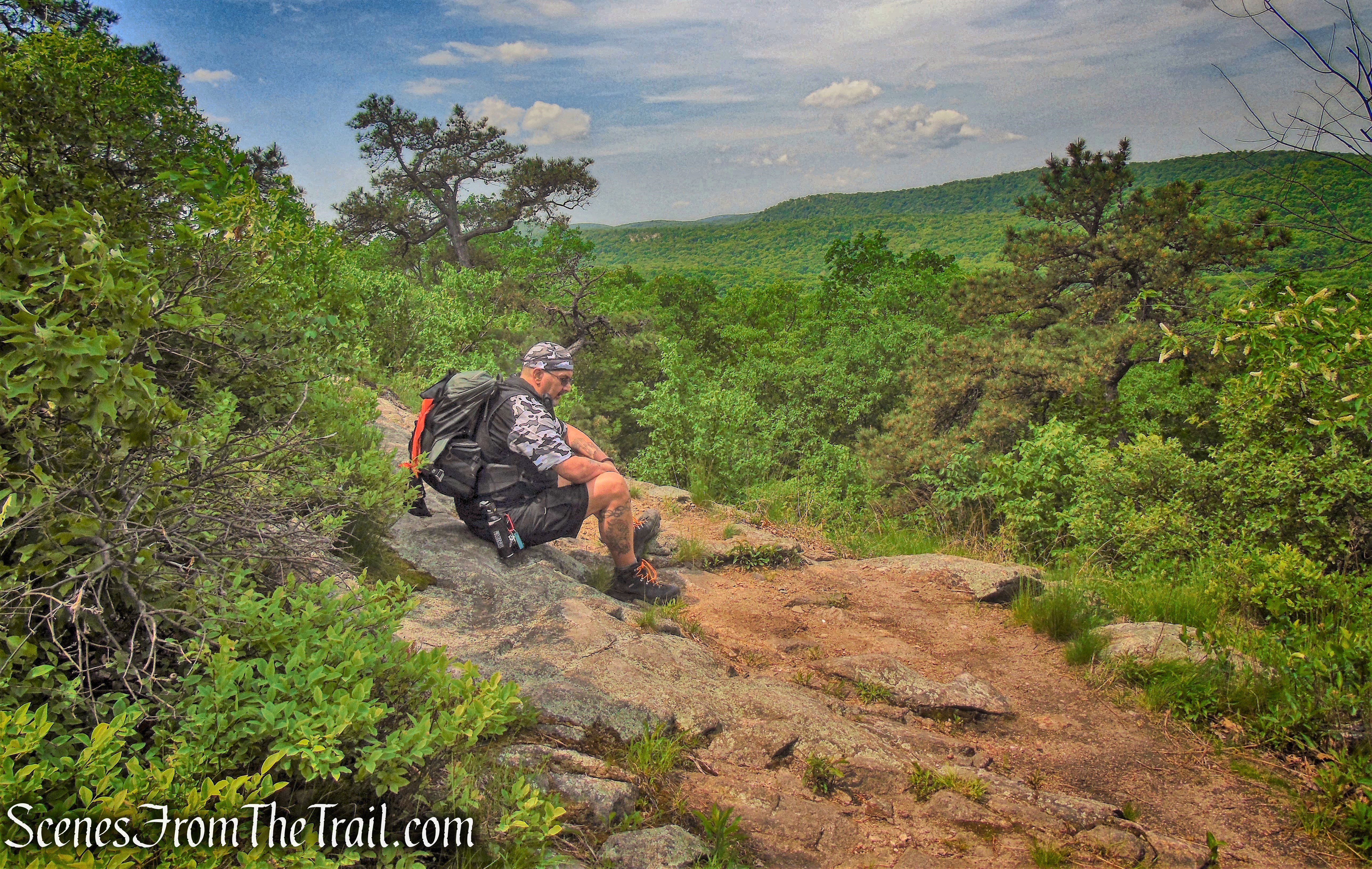
We rested for a few moments in the parking area before we tackled the tough climb up to the summit of The Torne. For a really short hike, you can park in this pullout (limited parking available) and begin the hike here. Leaving the parking area, we turned left and and walked a short distance uphill on Mine Road.
Timp-Torne Trail
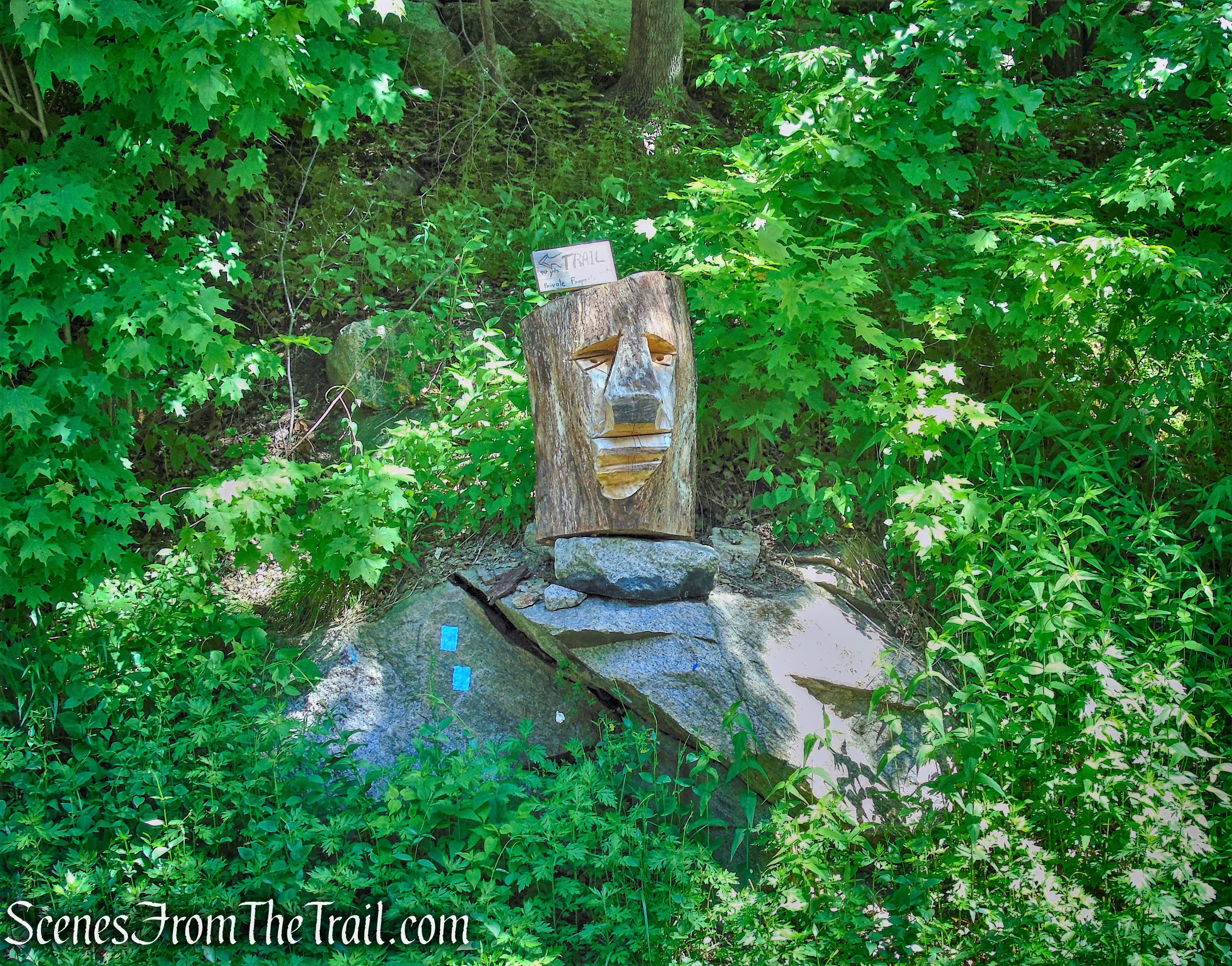
A short distance ahead, the Timp-Torne Trail leaves the road at a wooden kiosk.
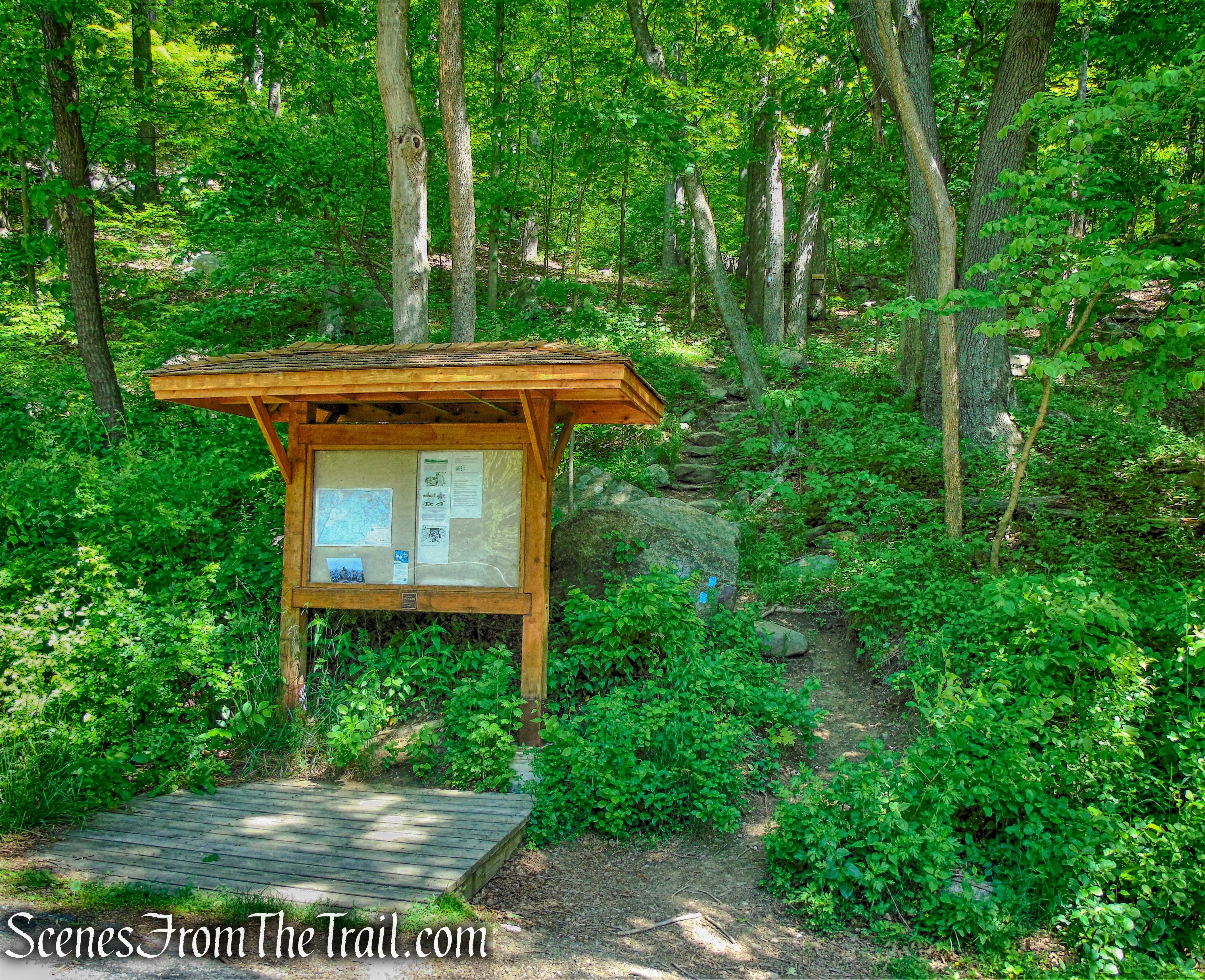
Timp-Torne Trail
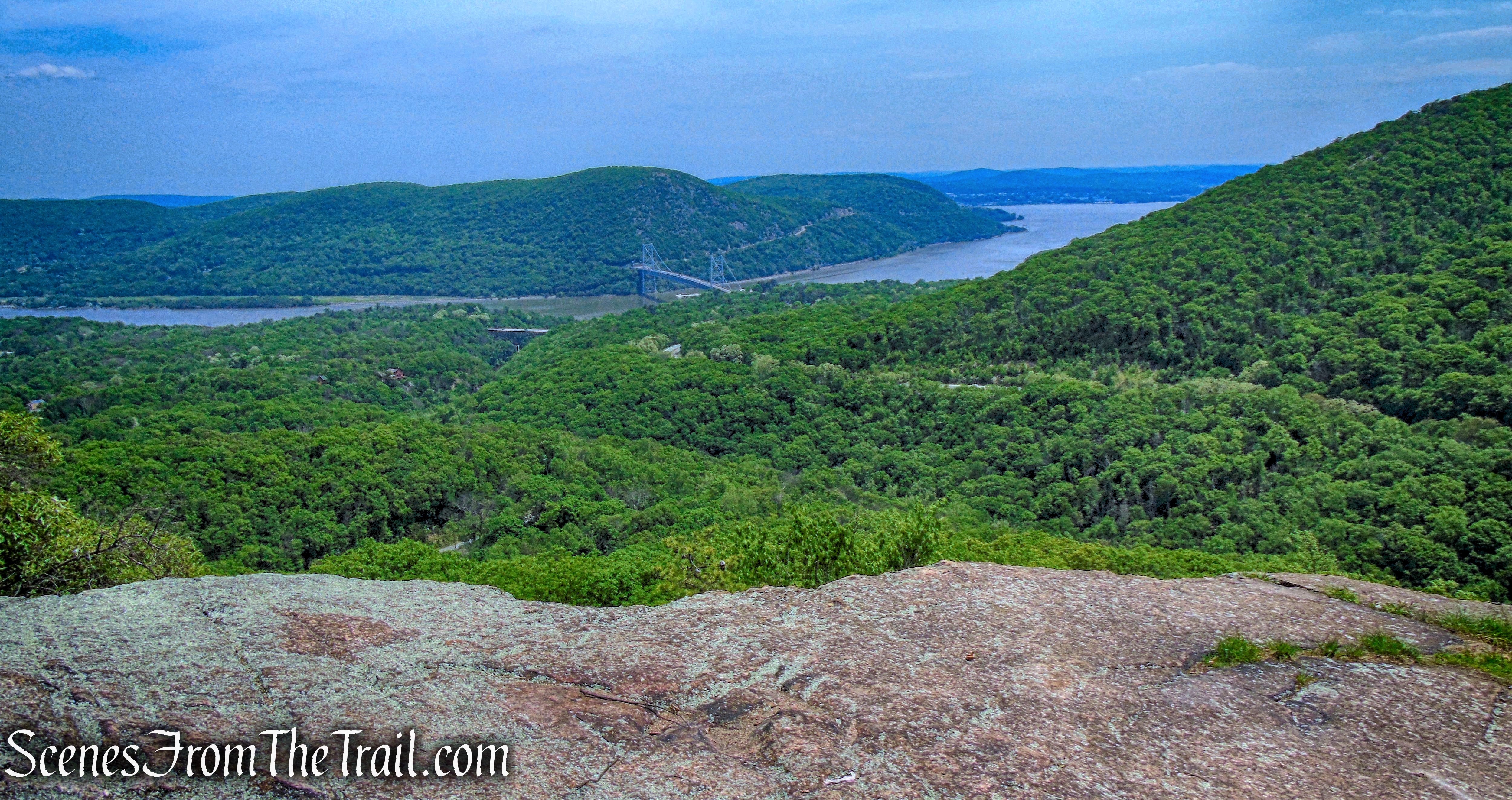
From here the trail climbs more than 500 feet in just under 0.6 mile. It’s the toughest stretch of the hike, but it is manageable. Almost immediately upon entering the woods and beginning the climb up, I started to feel weak. I attributed my lack of strength and energy to numerous factors, including having skipped breakfast (dumb move) and the poor air quality. I knew I was going to have some difficulty making it to the summit, but I was determined and was not about to quit. We stopped frequently to rest and catch our breath, but eventually came out to an east facing viewpoint. The Hudson River, Bear Mountain Bridge and Anthony’s Nose are clearly visible from a rock outcrop alongside the trail.
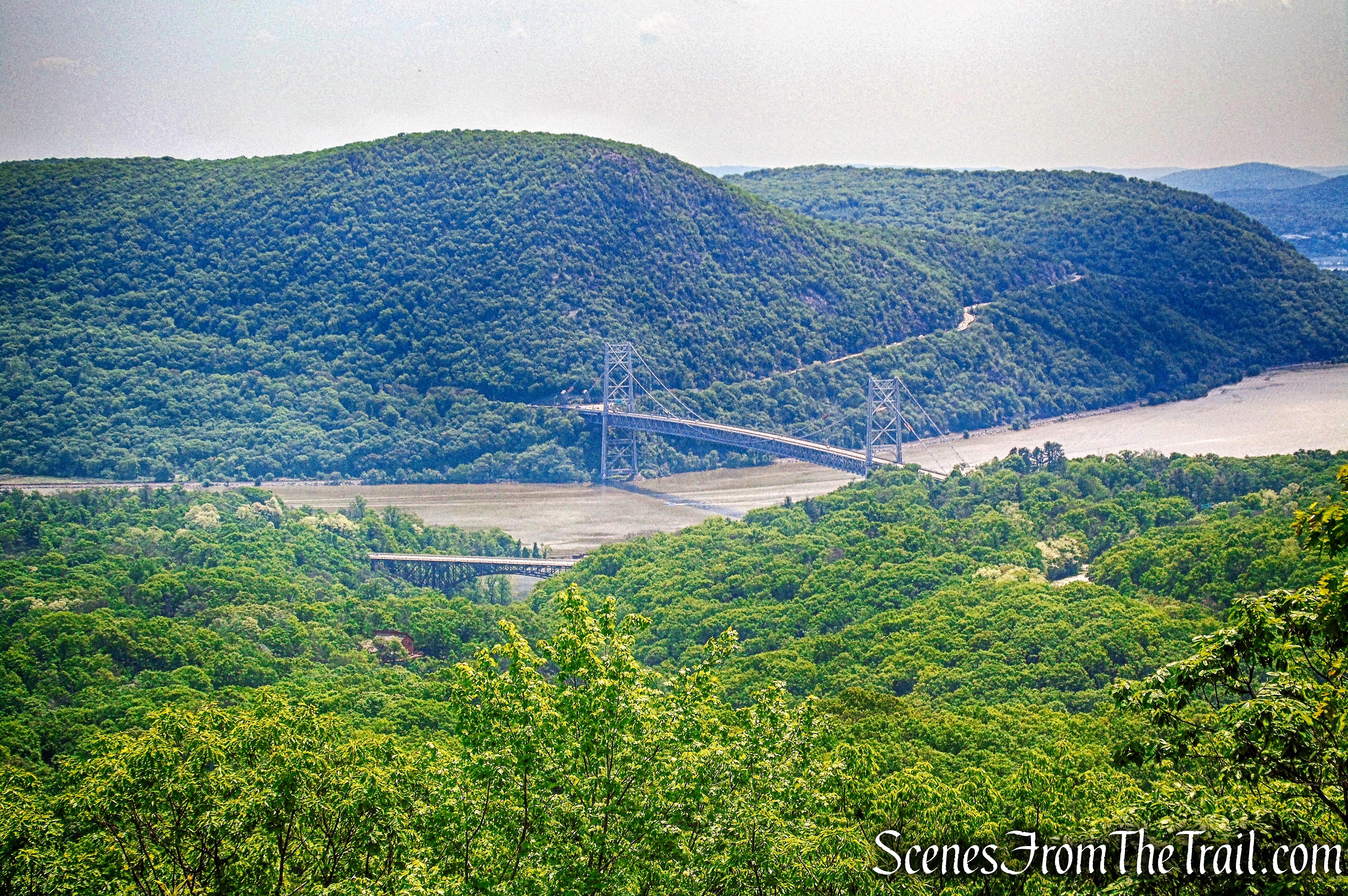
east facing viewpoint – Timp-Torne Trail
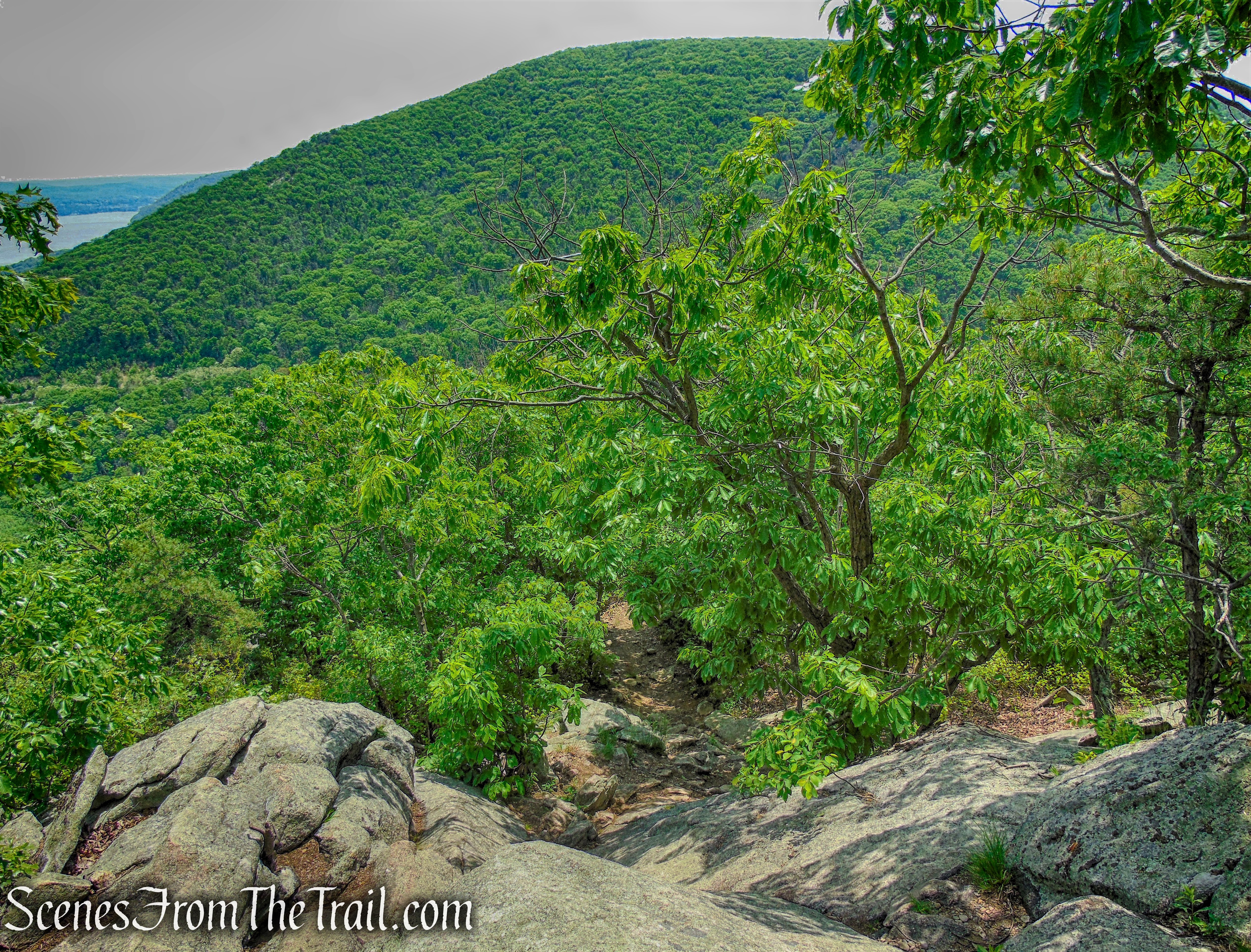
We continued ahead on the trail, which makes a sharp bend to the south and continues to climb over rock ledges.
Timp-Torne Trail
Reaching the summit, there were quite a few people there already. I stopped at the fallen soldiers memorial and paid my respects to all that gave their lives defending our freedoms.
Fallen Soldiers Memorial – The Torne
Looking south, Bear Mountain is visible close by.
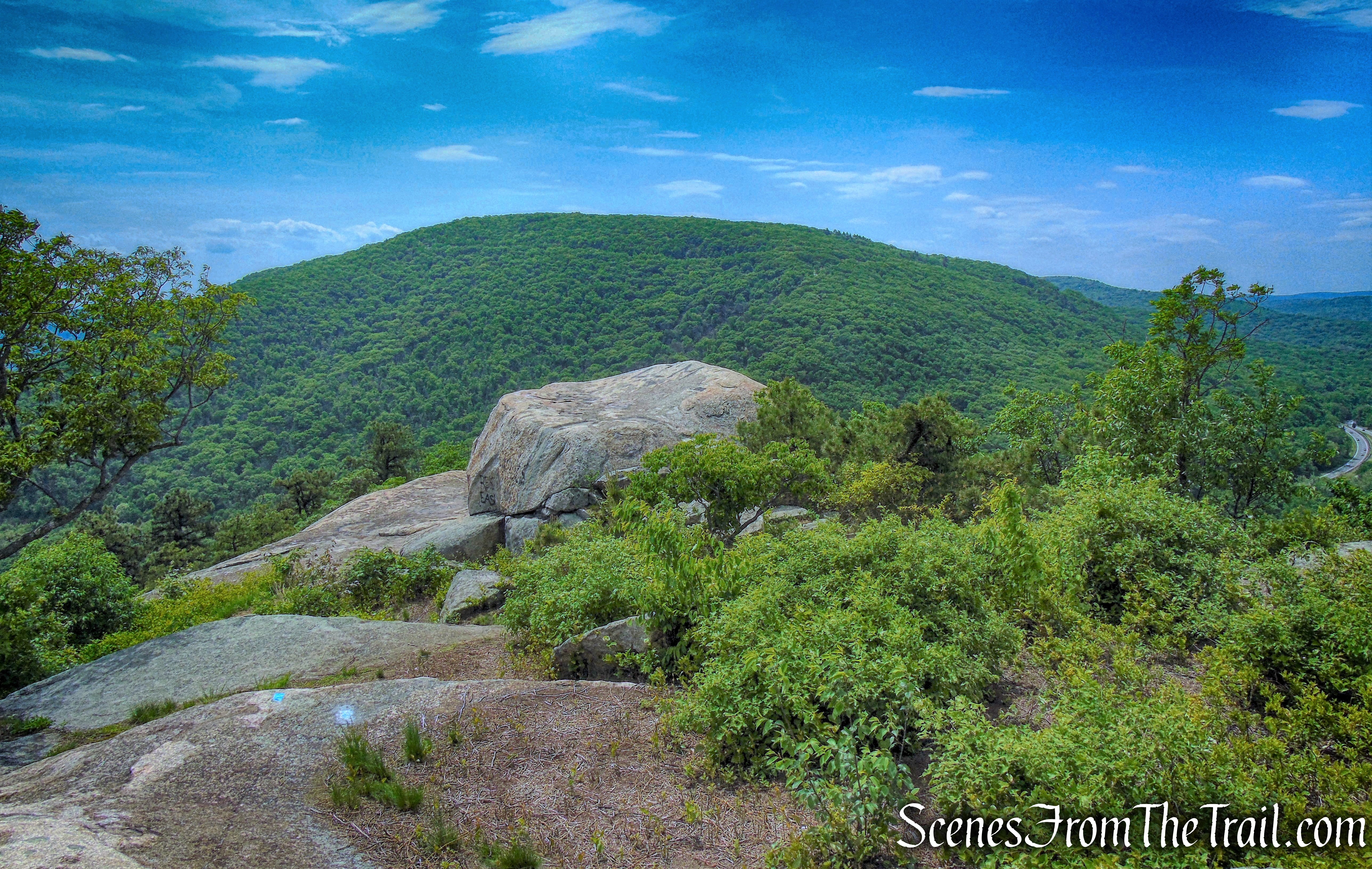
view south from The Torne
This is one of my favorite spots in the Hudson Valley. The summit has some of the best views around. Even on a hot and hazy day, the view of the Hudson River was impressive.
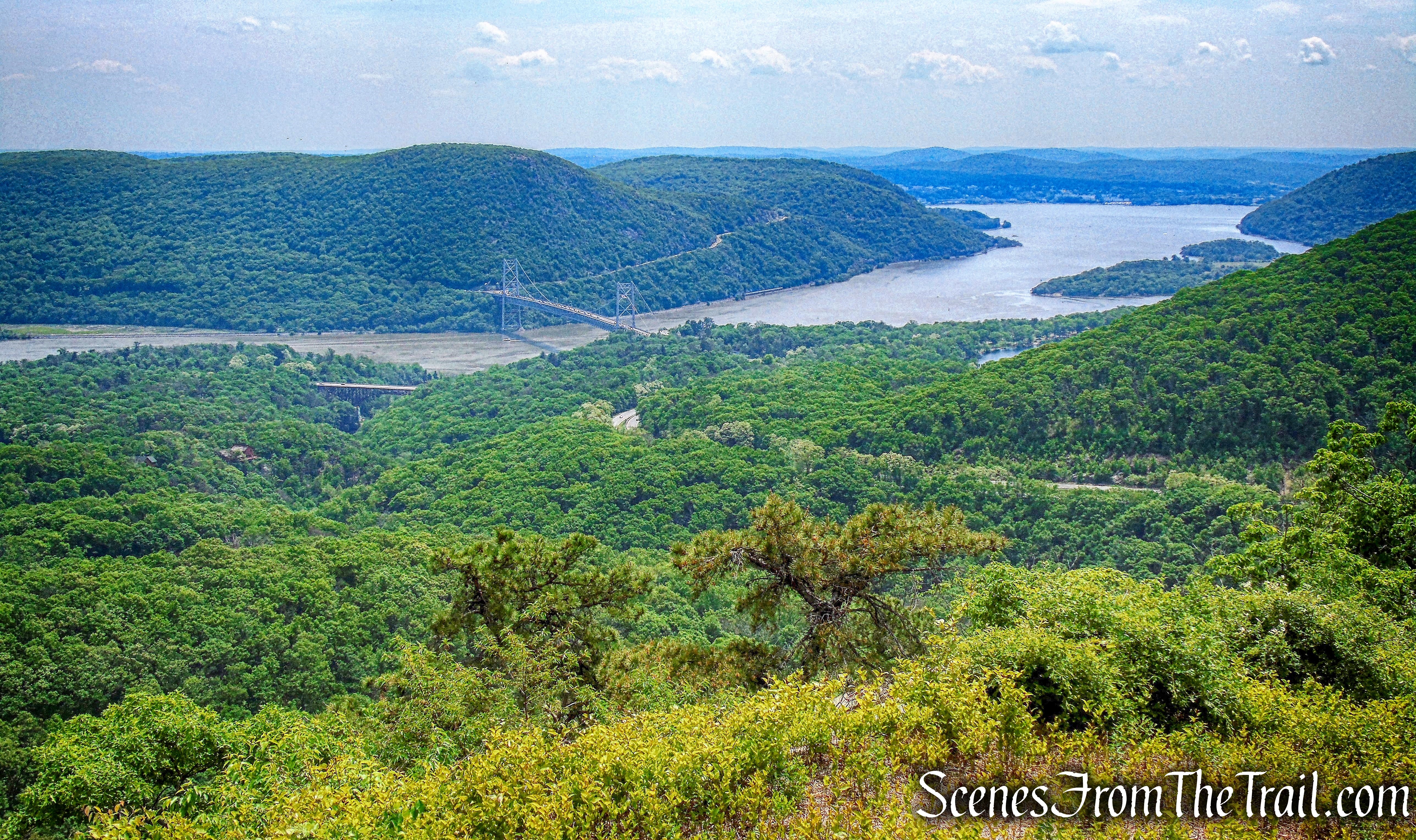
Looking southeast from the summit of The Torne
The 360° views are spectacular, but don’t expect much shade up here.
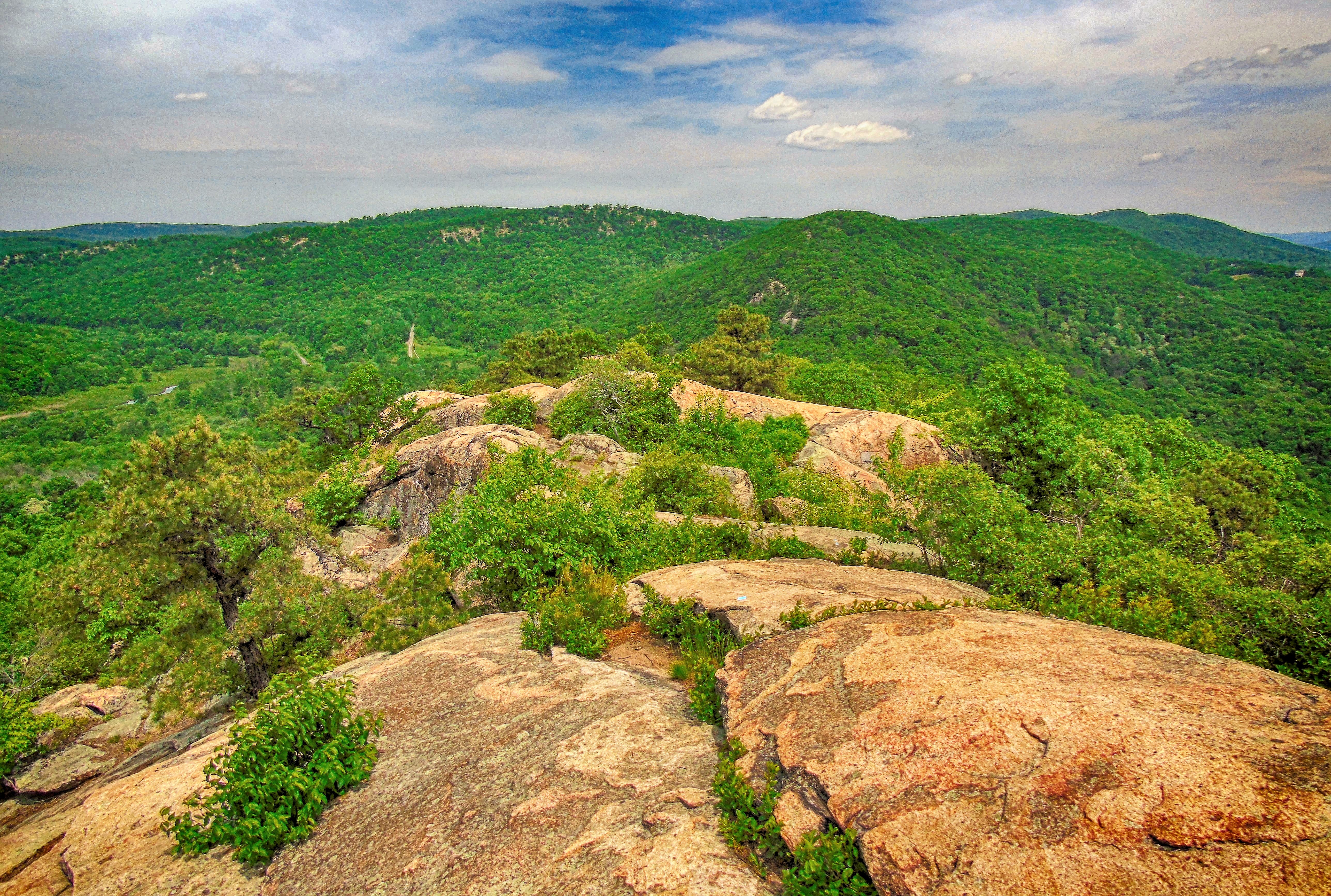
Looking north from the summit of The Torne
Looking northwest, Turkey Mountain is visible in the center, with Long Mountain to the left.
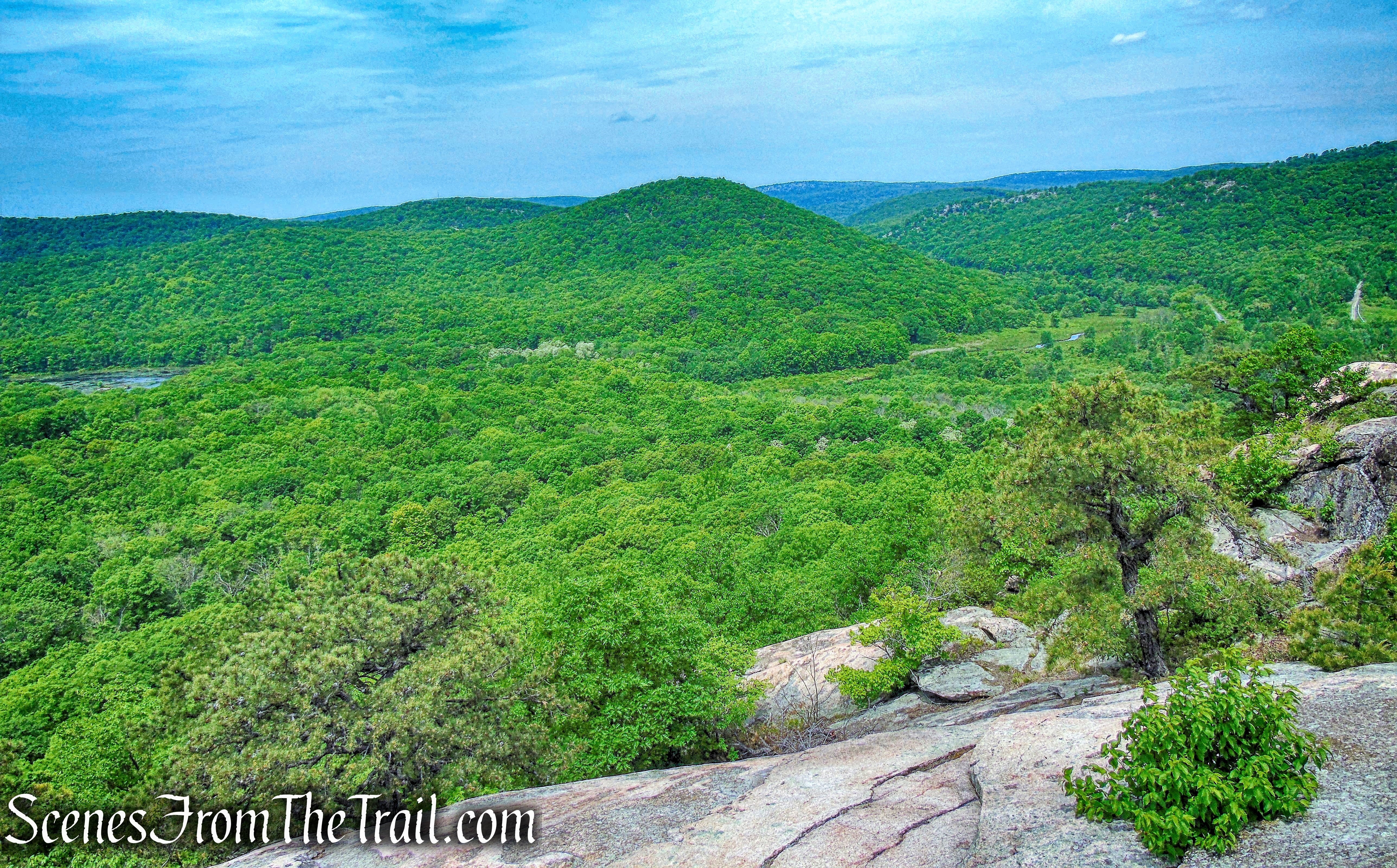
Looking northwest from the summit of The Torne
No matter how grand the view, the best part of this hike is seeing the memorial for fallen soldiers. The 400 lbs. benches that were placed here, were part of an Eagle Scout project.
Fallen Soldiers Memorial – The Torne
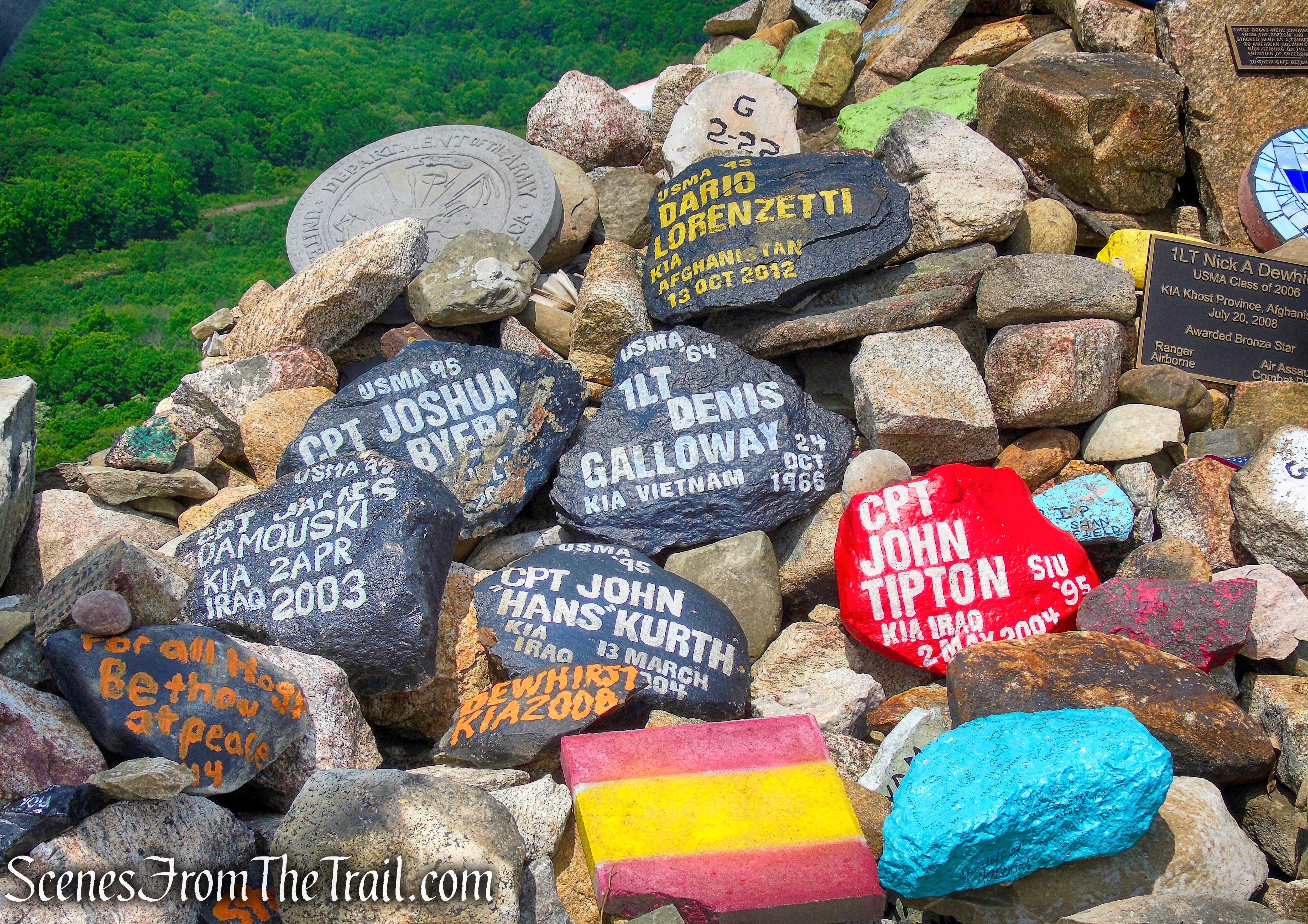
Known as the “Trail of the Fallen,” Every rock that has been placed here has been carried up from the base of The Torne. Some as heavy as 200 lbs.
Fallen Soldiers Memorial – The Torne
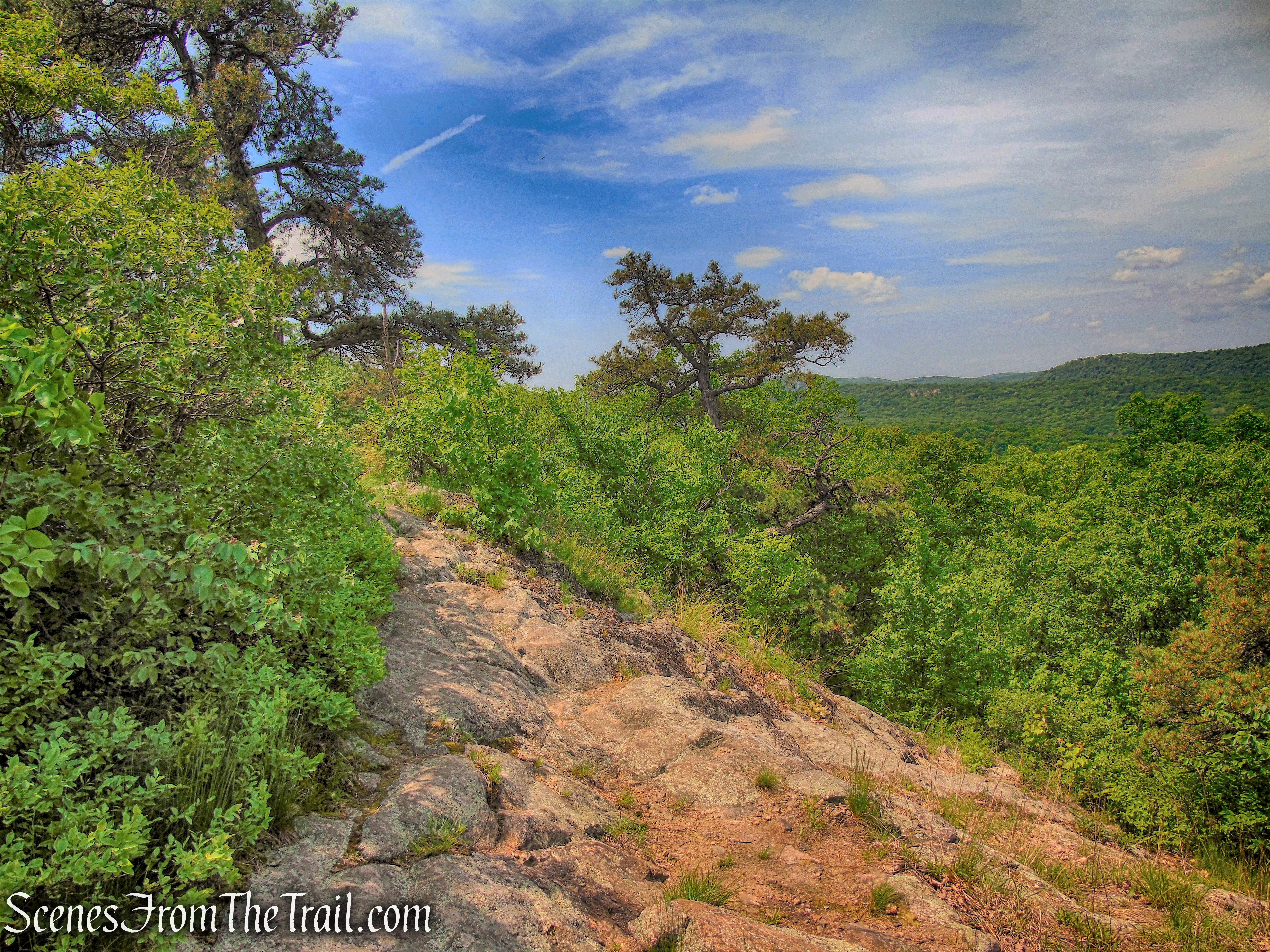
After spending quite some time at the summit, we began our descent. The trail steeply descends the mountain on rock ledges. The descent is much steeper than the climb and we had to use both our hands and feet in places. It is only 0.3 mile to Mine Road, but it felt like much longer.
Timp-Torne Trail
We saw several hikers ascending from this side as we made our way down. Although it is much shorter going this way, it appears to be more difficult to ascend. There were plenty of lizards out and about on the rocks.
Timp-Torne Trail
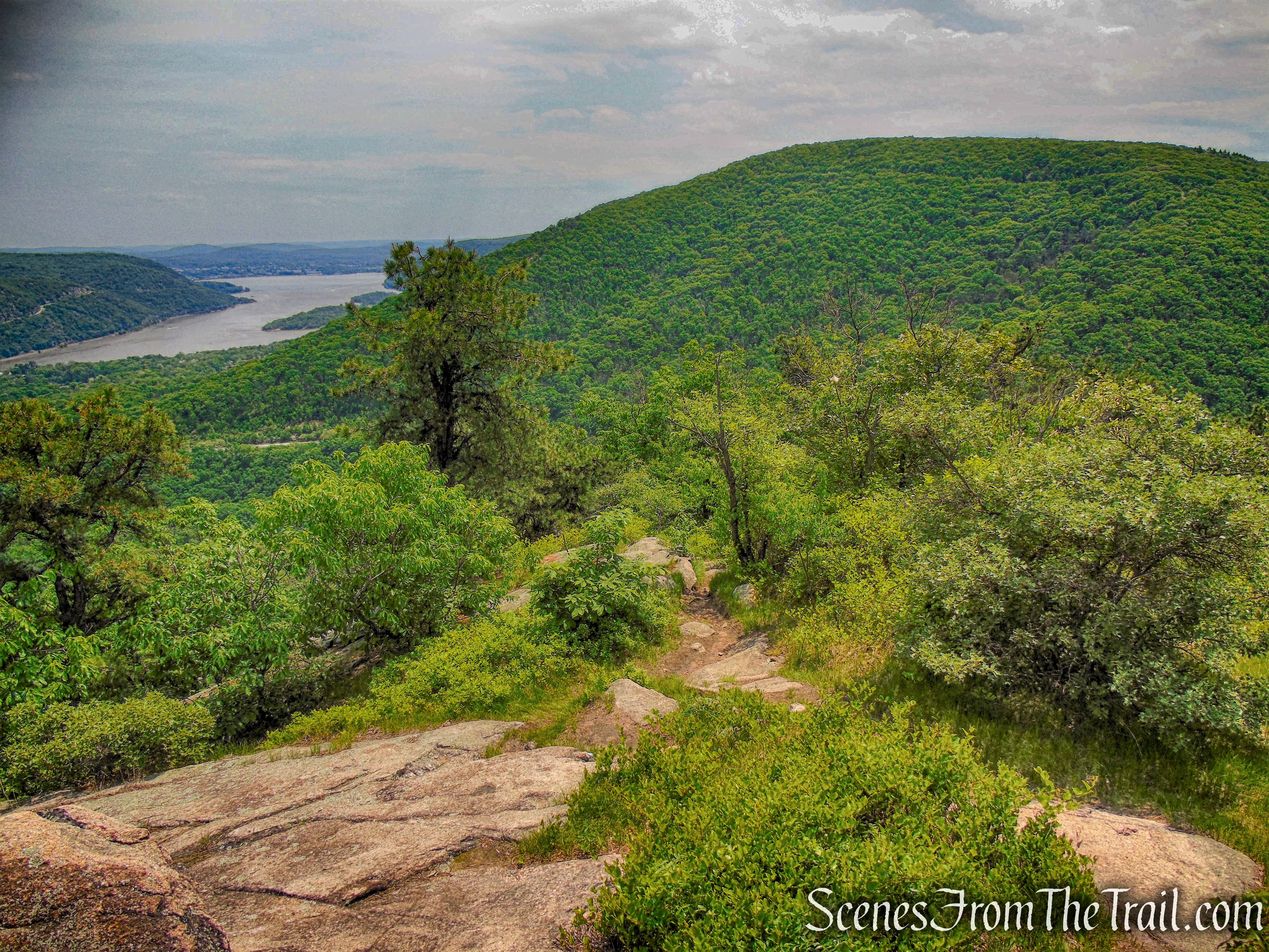
On the way down there is one last view from a rock ledge along the trail.
Timp-Torne Trail
About halfway down, the trail reenters the woods and continues to descend more moderately on stone steps and switchbacks. We came out on Mine Road where the Timp-Torne Trail crosses the road and goes over the guard rail and descends to rejoin the 1777W and 1779 Trails at the West Point Aqueduct. I was pretty much done at this point so we walked on the road, back to the small parking area on Mine Road. From there we walked down to the three co-aligned trails on the West Point Aqueduct and retraced our steps back to the Brooks Lake Trail and completed the loop around the lake and back to the parking area, where our hike began. I stopped taking photographs because I was out of gas and just wanted to concentrate on not tripping. This wasn’t that difficult of a hike, but the way I was feeling, it was a major accomplishment to complete it. I definitely plan on doing this hike again, but I will probably try climbing up the steeper side. This is a hike that everyone should do at least once.
Pros: Fallen soldiers memorial, views galore, slight rock scrambling, wildlife.
Cons: Short road walk, traffic noise from Palisades Interstate Parkway.
Take a hike!
The Torne
Sources:
- New York-New Jersey Trail Conference
- Trail of the Fallen
- Myles, William J.. Harriman Trails: A Guide and History – Kindle Edition

Hi, I did this hike today. Excellent directions, beautiful hike with amazing views. I recommend doing the rock scramble on the way up, much more fun and easier to go down on the other side of the loop. Thanks for the excellent directions.
LikeLike
Thanks for reading, I was planning to do it in the direction that you describe, the next time I do that hike. That bald summit offers some excellent Hudson Valley views and I like to pay my respects to those that died protecting our freedoms.
LikeLike