March 28, 2020 – Tarrytown, NY
Difficulty: Easy – moderate
Length: Approximately 5 miles
Max elevation: 420 ft. – total elevation gain: approximately 600 ft.
Route type: Lollipop Loop
Map: None available
Trailhead parking: 629 Old White Plains Rd, Tarrytown, NY 10591
Park Overview:
Although Glenville Woods Park Preserve and Buttermilk Ridge County Park are connected, they are quite different. Glenville Woods is a former quarry and nursery that was saved from development and Buttermilk Ridge is a linear path on a ridge that parallels the Saw Mill River Parkway.
Glenville Woods Park Preserve consists of 44.7 acres of woods, wetlands, steep slopes and rock escarpments, nestled in the Saw Mill River valley in Greenburgh, NY. It is home to nearly 100 species of birds, 26 reptile species, 43 plant species and 63 different types of trees. The land is part of a 580-acre strip of unbroken forest. The existing trail system affords access to the North County Trailway and the Tarrytown Lakes Trails.
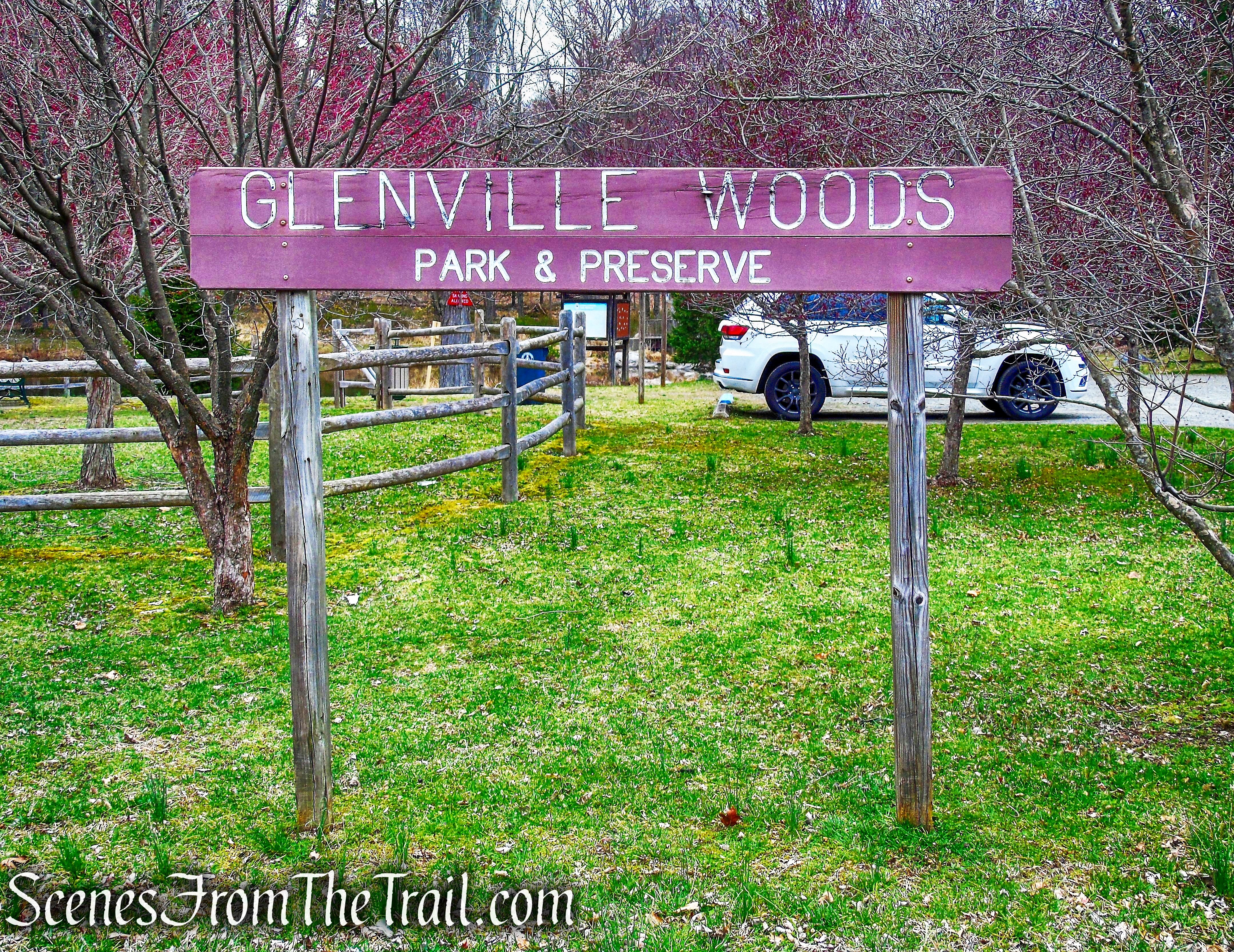
Glenville Woods Park Preserve
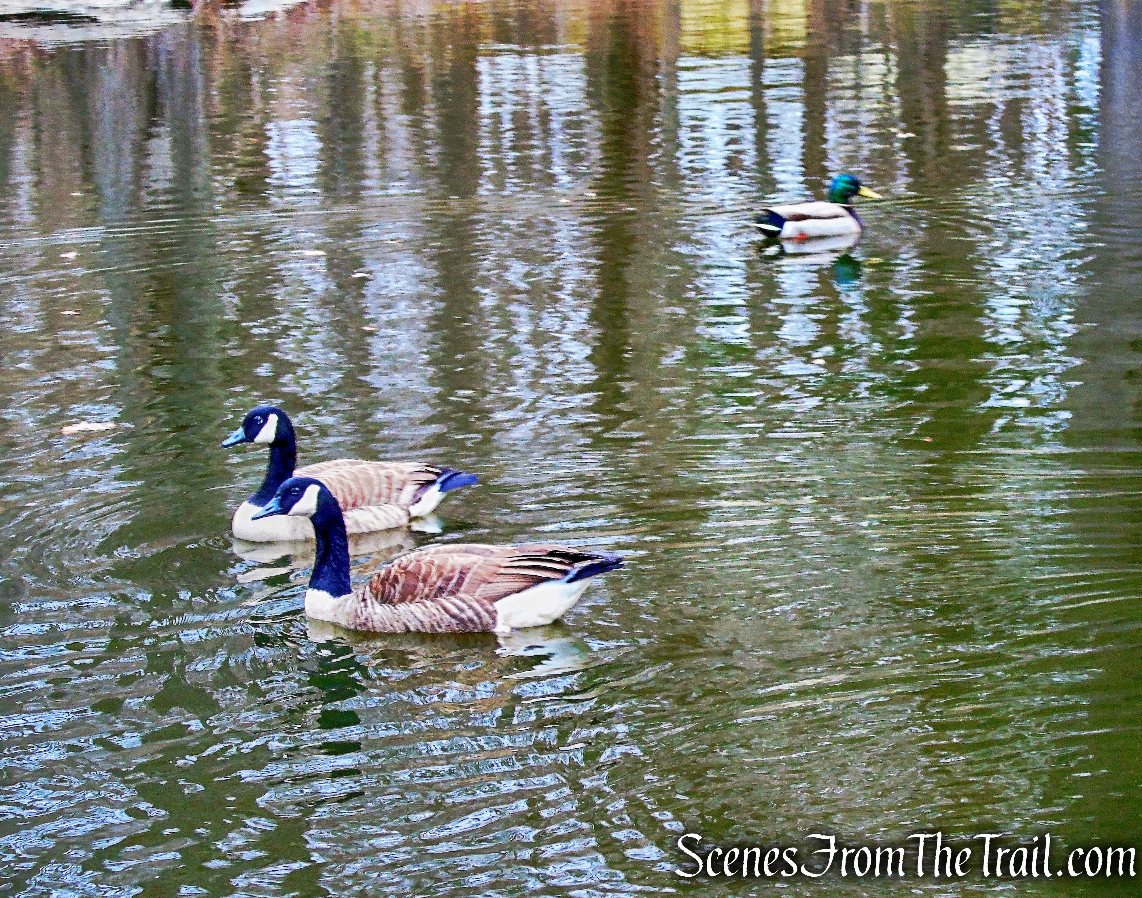
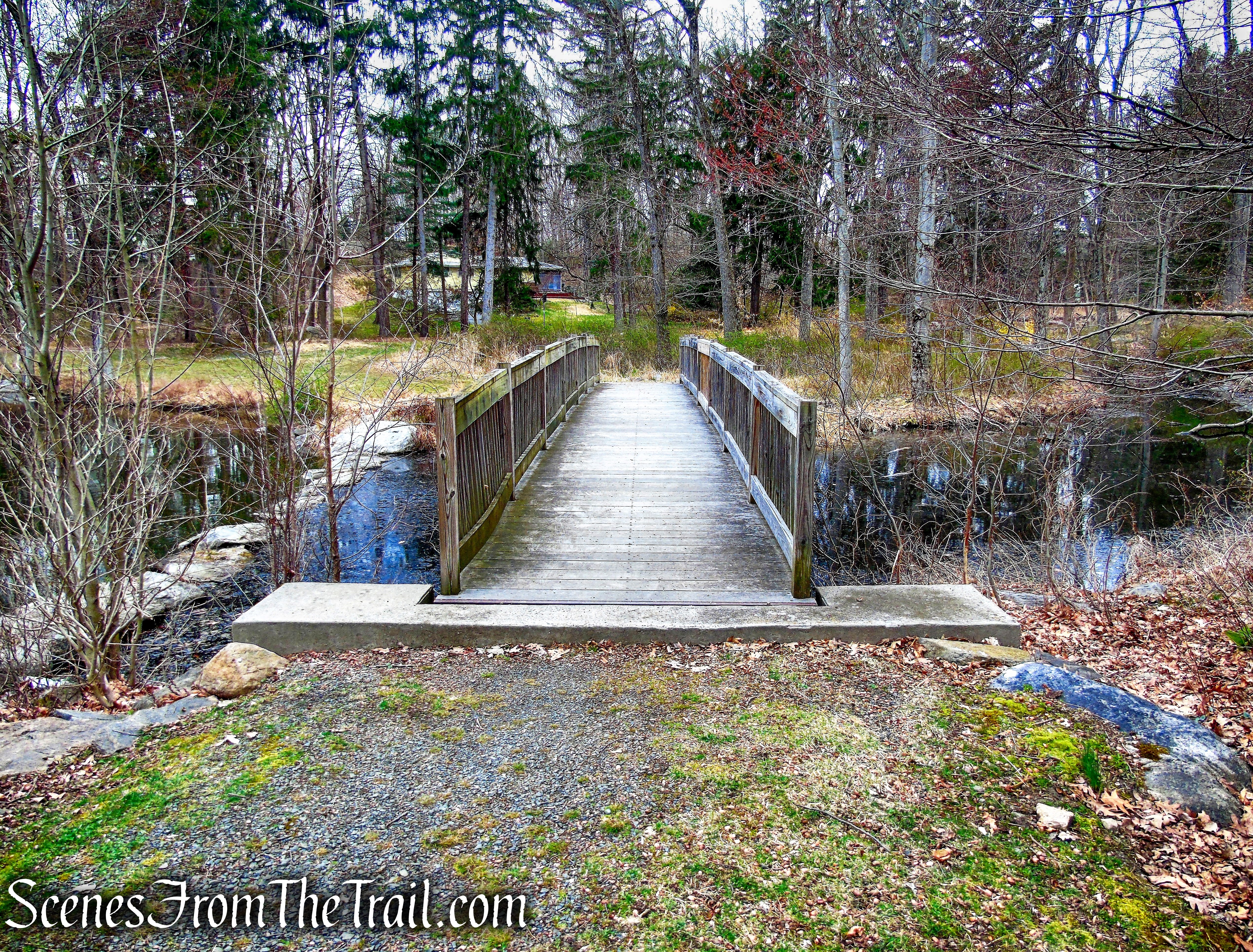
Adjacent to the parking area at Glenville Woods Park Preserve, there is a small playground, a lovely pond and a wooden footbridge.

Glenville Woods Park Preserve
Glenville Woods Park Preserve
Connecting to Glenville Woods is the long and narrow Buttermilk Ridge County Park. The park was established in 1924 and stretches from Elmsford to Eastview, but there is no mention of it online as an existing park in the present day, but the book “Walkable Westchester” describes it as 114-acres. At some point some of Buttermilk Ridge may have been absorbed by Glenville Woods and/or Tarrytown Lakes Park. It is designated “open space.” The term “open space” is generally synonymous with undeveloped land. There is a built-to-grade road/trail that runs north to south that has extensive stone retaining walls along the steep hillside. This work was done in the early 1930’s by the Emergency Work Bureau of Westchester County during The Great Depression.
Buttermilk Ridge County Park
Below is a diagram of the park boundaries from 2016. Number 1 is Glenville Woods and Number 2 is Buttermilk Ridge, with the Tarrytown Lakes pictured at the top.

Glenville Woods – Buttermilk Ridge
History:
During the mid nineteenth century, workers at the S.J. Sackett quarries established the hamlet of Glenville in the area just north of Route 119. At its peak, there were 97 dwellings and 103 households. Glenville, a wild upheaval of ridges, ravines and woods that took its name from the beautiful glen in which it lay, reaches from Hackley Hill, at the eastern edge of Tarrytown, to the western limits of Elmsford. The hamlet was wedged between White Plains Road (Route 119) and Benedict Ave.
At that time, several granite quarries were located on a ridge leading from Hackley Hill in Tarrytown eastward toward the village of Elmsford. Many of the stones from these quarries were used for walls along White Plains Road (Route 119) and at the entrances to many local estates.
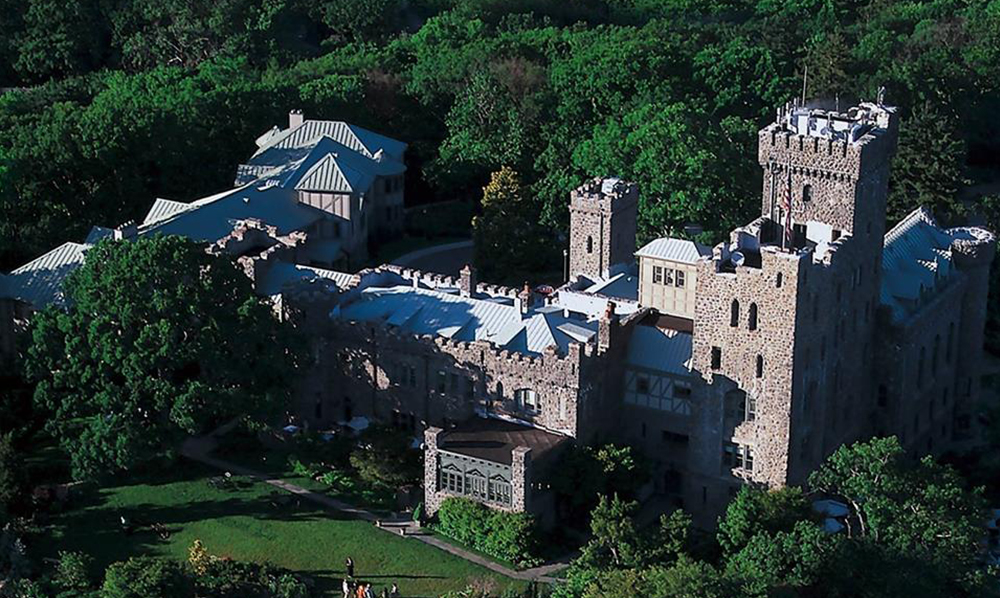
- At Carrollcliff (later Axe Castle, now The Castle Spa), much of the stone used in the building was quarried from the site itself and from Sackett’s Quarry.
The Castle
- Hackley School’s Goodhue Memorial Hall was one of the first two buildings constructed at Hackley (completed in 1902), funded by Mrs. Frances Hackley’s good friend and fellow philanthropist Sarah Goodhue and designed by the Boston architectural firm of Wheelwright and Haven. The stones were quarried locally in Sackett’s Quarry and hauled to Hackley by oxcart.
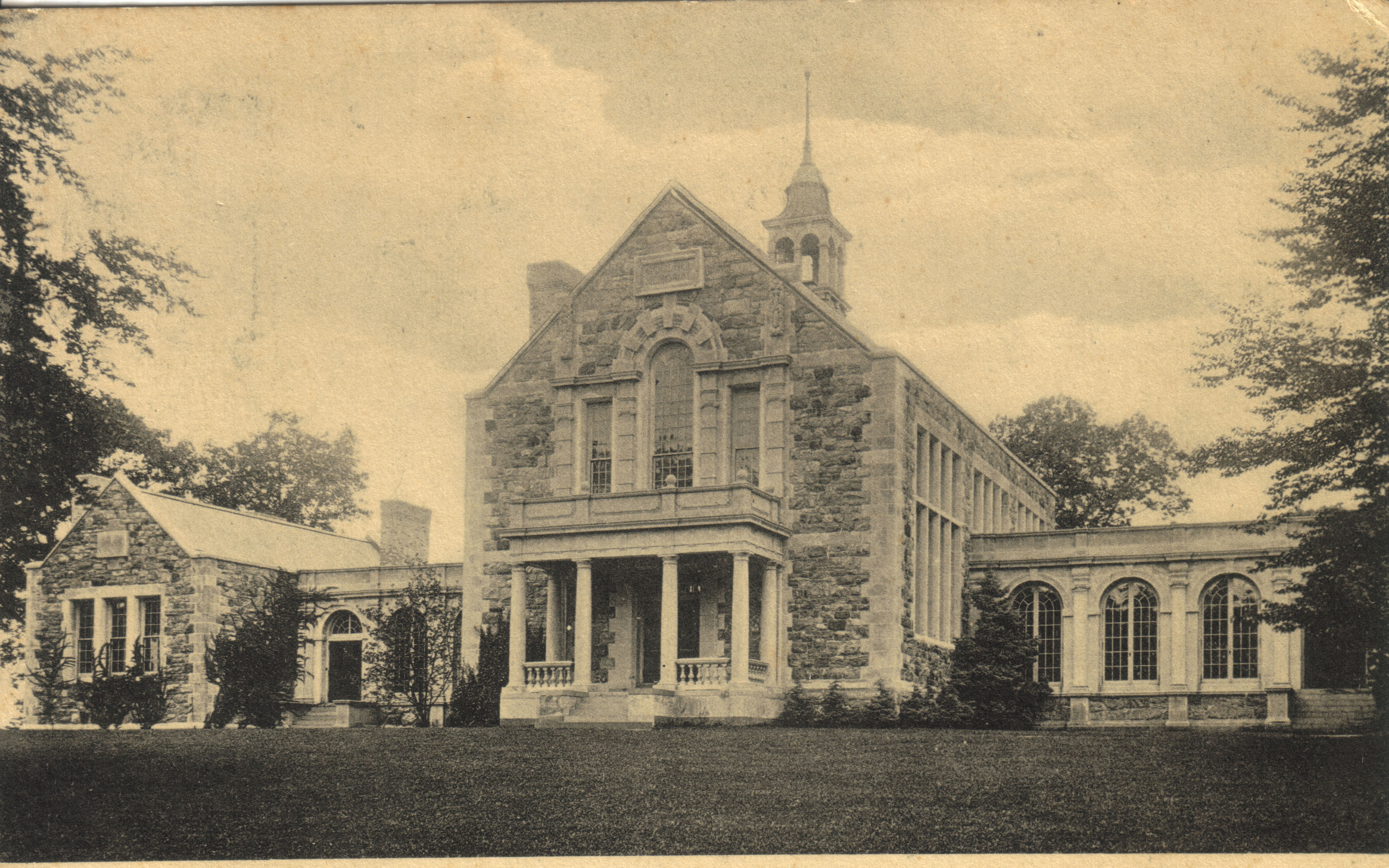
Goodhue Memorial Hall
By 1900, Julian Detmer, a wealthy industrialist, purchased extensive acreage to construct an arboretum. He called his grounds “Evergreens” and constructed miles of paved roads for visitors to view the extensive plantings, which represented various flora from around the world. The property eventually became a nursery, catering to estates in the area, but its driveways were accessible to the public. Much of what was once “Evergreens” is now part of Glenville Woods.
The stone quarry at Glenville known as Sackett’s Quarry was sold to Milo Hastings of NYC in 1923. Mr. Hastings, an American inventor, author, and nutritionist, intended to open a summer camp there. There were 4-acres in the plot.
In 2001, after an eight-year protection effort, the Open Space Institute (OSI) and the Trust for Public Land (TPL) partnered with the Town of Greenburgh and Westchester County to protect 44 acres of critical forested and wetland habitat from development, creating the Glenville Woods Park & Preserve. In 2016 OSI’s donation of its 18.3-acre portion gave the town complete management and ownership of the entire preserve.
Trails Overview:
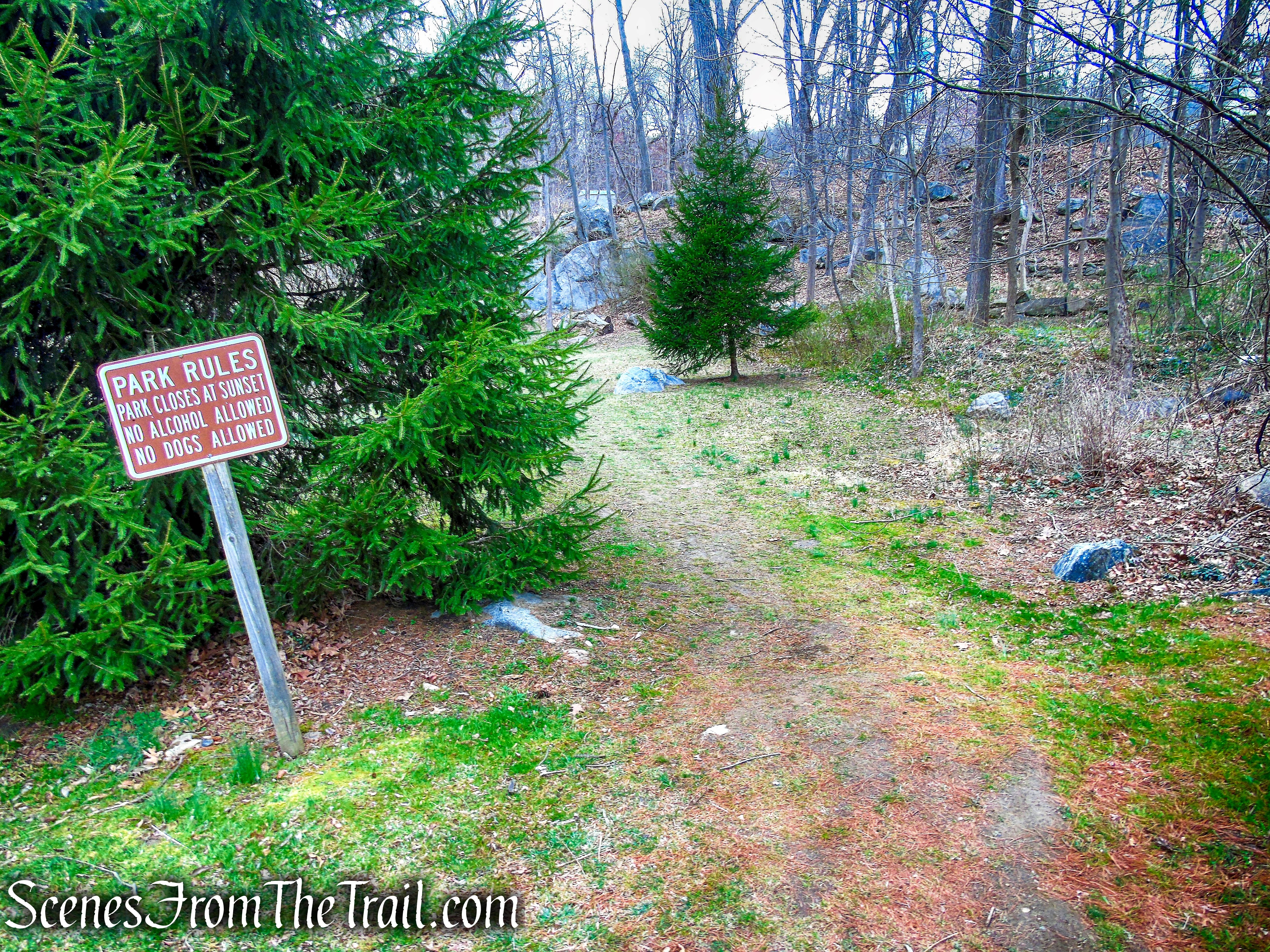
Please note: The trails are maintained by the mountain bikers (non-motorized) that use these trails. The trails are very well kept and litter free. Let’s help to keep it that way. The bikers that we encountered on this hike were very courteous and stopped to allow us to pass.
Although presently there are no up-to-date maps available, there is a map located on a kiosk at the entrance to the park. This map is not accurate and some of the trails have been reblazed different colors and rerouted in certain areas. With that being said, the trails are well blazed and easy to follow.
This hike follows the Blue Trail all the way to its terminus at the old Eastview Pumping Station, at the eastern end of the Tarrytown Reservoir. After a brief stop by the Tarrytown Lakes, We made our return on the White Trail, which begins right by the end of the Blue Trail, to its terminus alongside a huge boulder, where it connects to the Blue Trail. From there it’s just a matter of retracing steps back to the parking area. There is a Yellow Trail that leads west towards Hackley School and a Green Trail that serves as a connector between the Blue and White Trails near Eastview, as well as several unmarked footpaths throughout the area that one can explore, but we stuck to the Blue and White Trails.

Glenville Woods Park Preserve
The Hike:
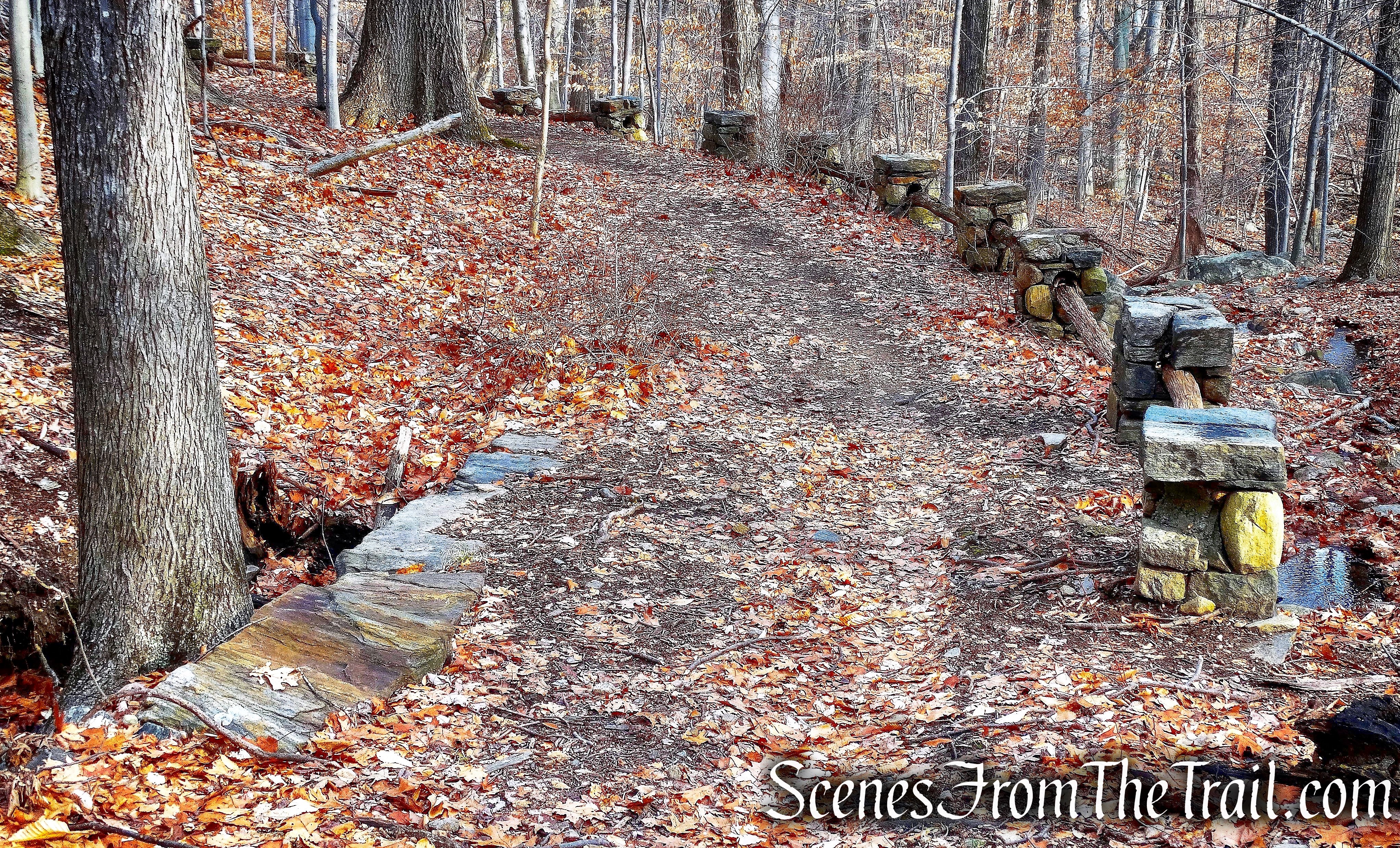
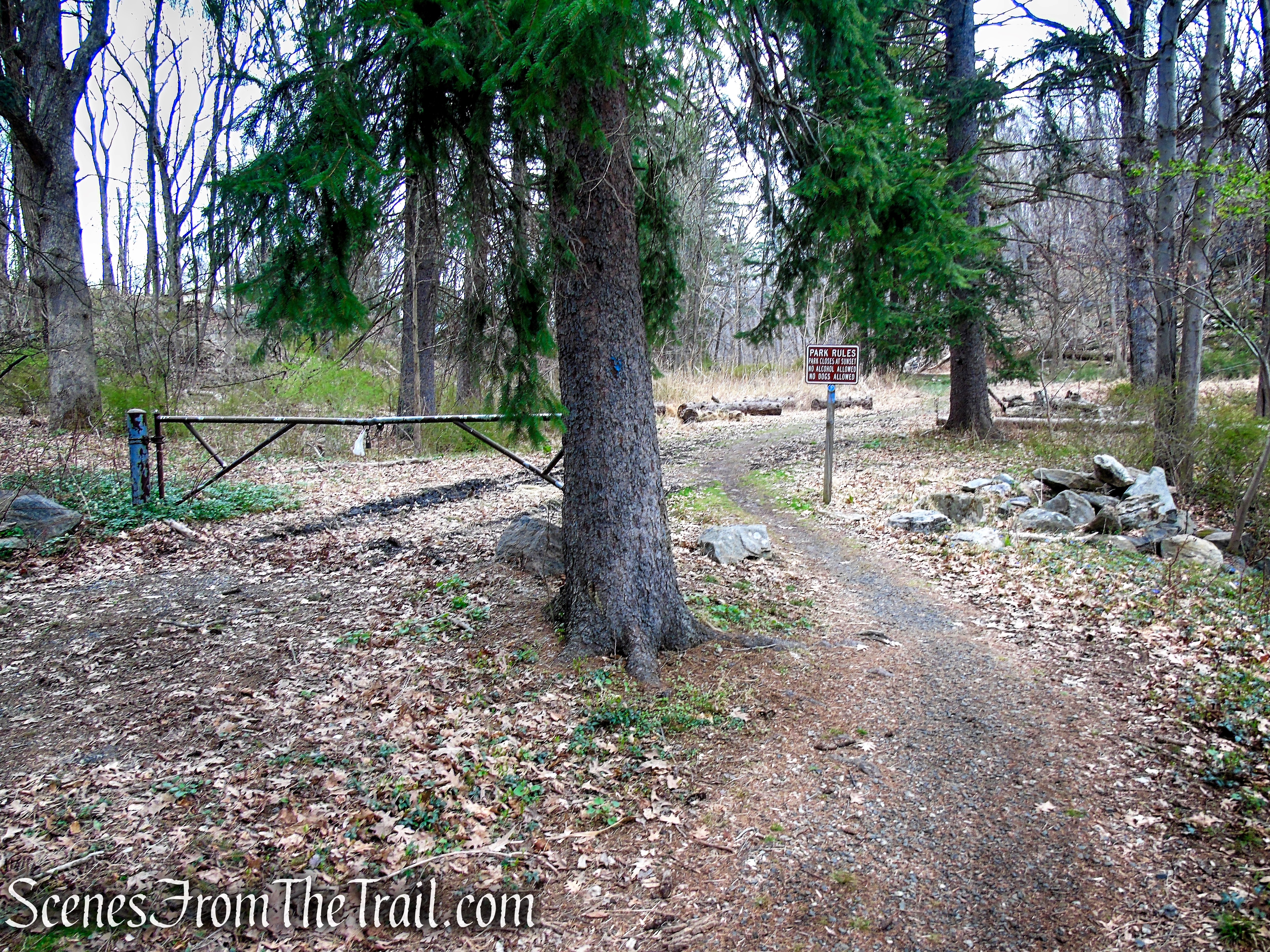
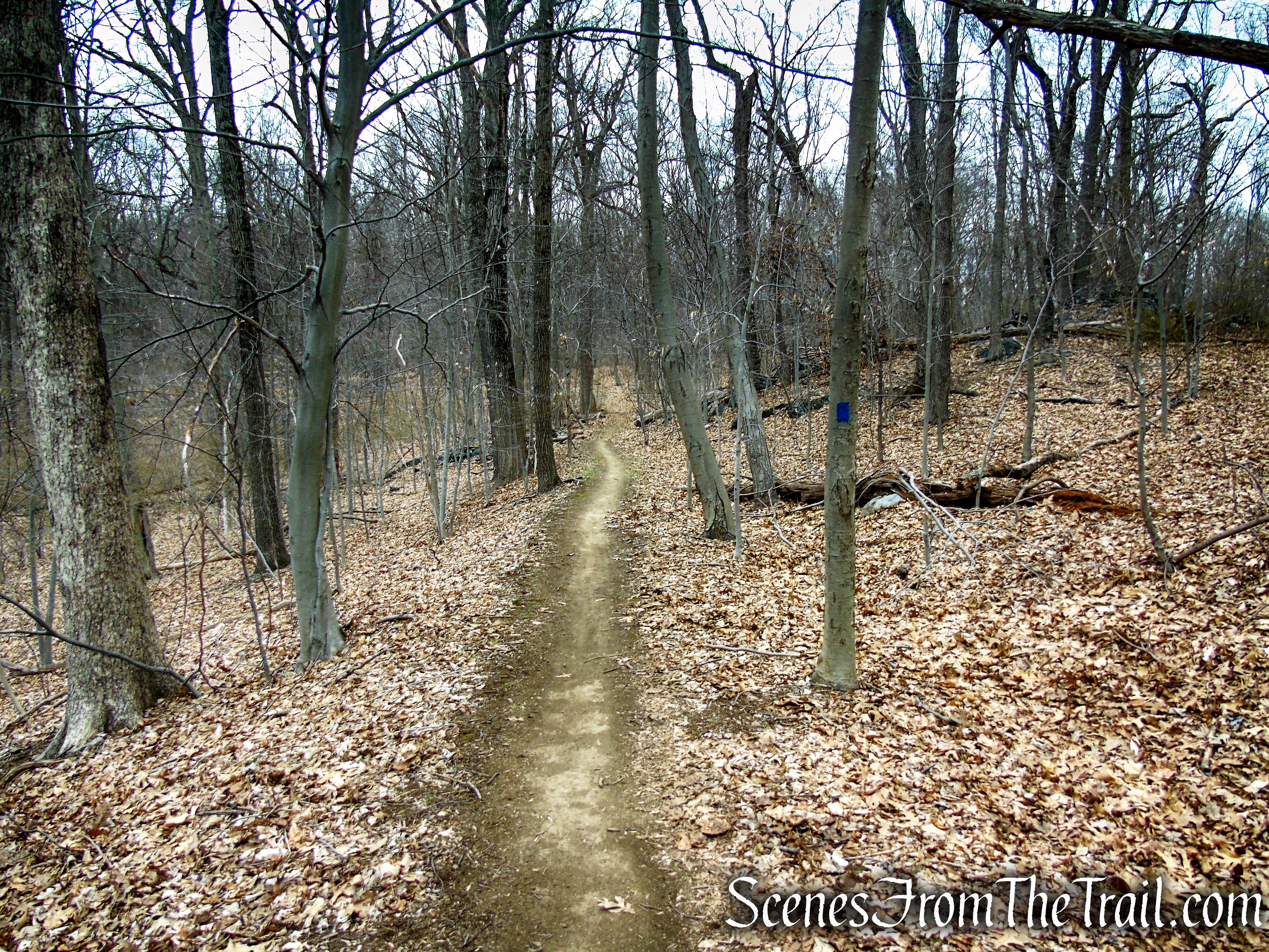
From the back of the parking area, proceed past the pond and cross the Glenville Woods Bridge. Continue ahead, veering right along a gravel road, soon coming to a gate across the road. On the tree just before the gate, you may notice a faded blue marker. Just past the gate is a wooden signpost with more blue markers. This is the start of the Blue Trail. You will be following the blue blazes for the first 2 miles of this hike.
Glenville Woods Park Preserve
Glenville Woods Park Preserve

Glenville Woods Park Preserve
Blue Trail – Glenville Woods Park Preserve
Blue Trail – Glenville Woods Park Preserve
In a short distance, the Blue Trail travels through the old Sackett Quarry site. The scarred rock faces stand as a testament to its past. There are more remnants of the old quarry operations on either side of the trail. Soon the trail passes a kiosk by the parking lot of Siemens Healthcare Diagnostics. The entrance and parking area at this location is for employees only. The Blue Trail begins a gradual ascent as it veers away from the Siemens property and passes by a concrete gunpowder shack that was used to store explosives when the quarry was operational.
Blue Trail – Glenville Woods Park Preserve
Blue Trail – Glenville Woods Park Preserve
Blue Trail – Glenville Woods Park Preserve
Blue Trail – Glenville Woods Park Preserve
Blue Trail – Glenville Woods Park Preserve
Blue Trail – Glenville Woods Park Preserve
Blue Trail – Glenville Woods Park Preserve
Blue Trail – Glenville Woods Park Preserve
After crossing a stream on a culvert, the Blue Trail begins to head in a northeasterly direction uphill through the former nursery, on an old paved road. Soon the trail turns right and then immediately left, joining a dirt road that comes in from the right. It is at this point that the trail leaves Glenville Woods and enters Buttermilk Ridge County Park. The Blue Trail passes a junction with a yellow-blazed trail that begins on the left as it heads in a northerly direction.
Blue Trail – Glenville Woods Park Preserve
Blue Trail – Glenville Woods Park Preserve
Blue Trail – Glenville Woods Park Preserve
Blue Trail – Buttermilk Ridge County Park
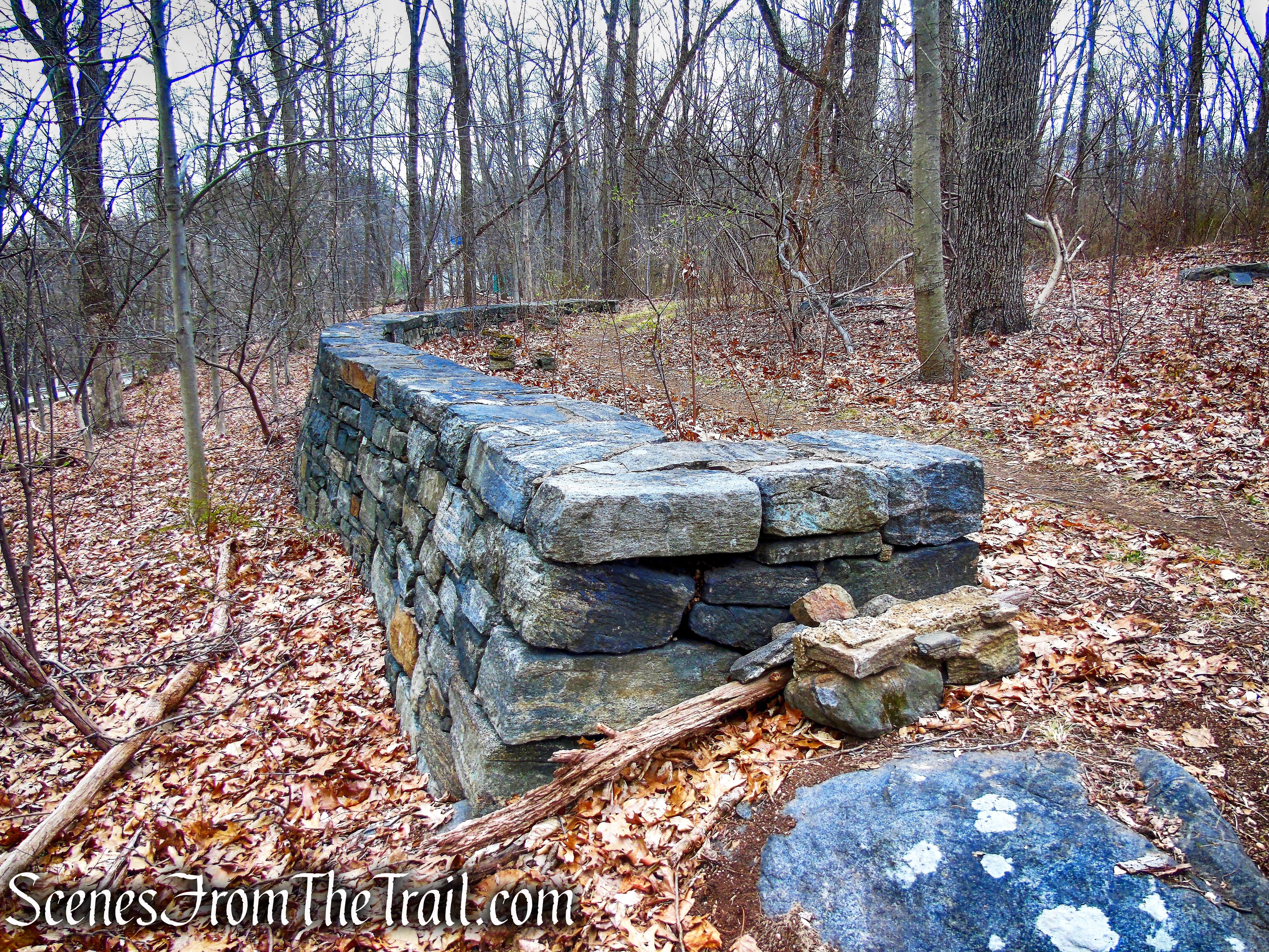
Continue following the blue blazes along a well graded dirt road. In a short distance, the trail reaches a short stone wall that curves around the hillside on the graded road bed.
Blue Trail – Buttermilk Ridge County Park
Blue Trail – Buttermilk Ridge County Park
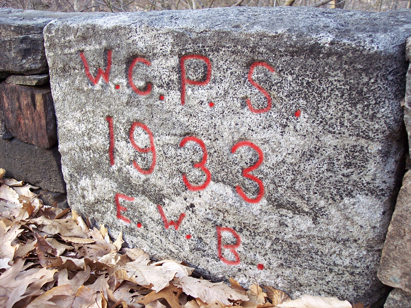
At the center of the wall is a faded engraving with “WCPS 1933” (Westchester County Park System). To the left and right of the center stone are two stones carved with groups of faded initials.
Blue Trail – Buttermilk Ridge County Park
The engraving on the stone, highlighted in red.
Blue Trail – Buttermilk Ridge County Park
This work was performed by the Emergency Work Bureau of Westchester County, which was created by an act of the NYS legislature in 1931 (commonly called the Wick’s Law) to provide relief for thousands of newly unemployed workers in every city & county in the state during The Great Depression. This curved stone wall served as an overlook when it was first built.
Blue Trail – Buttermilk Ridge County Park
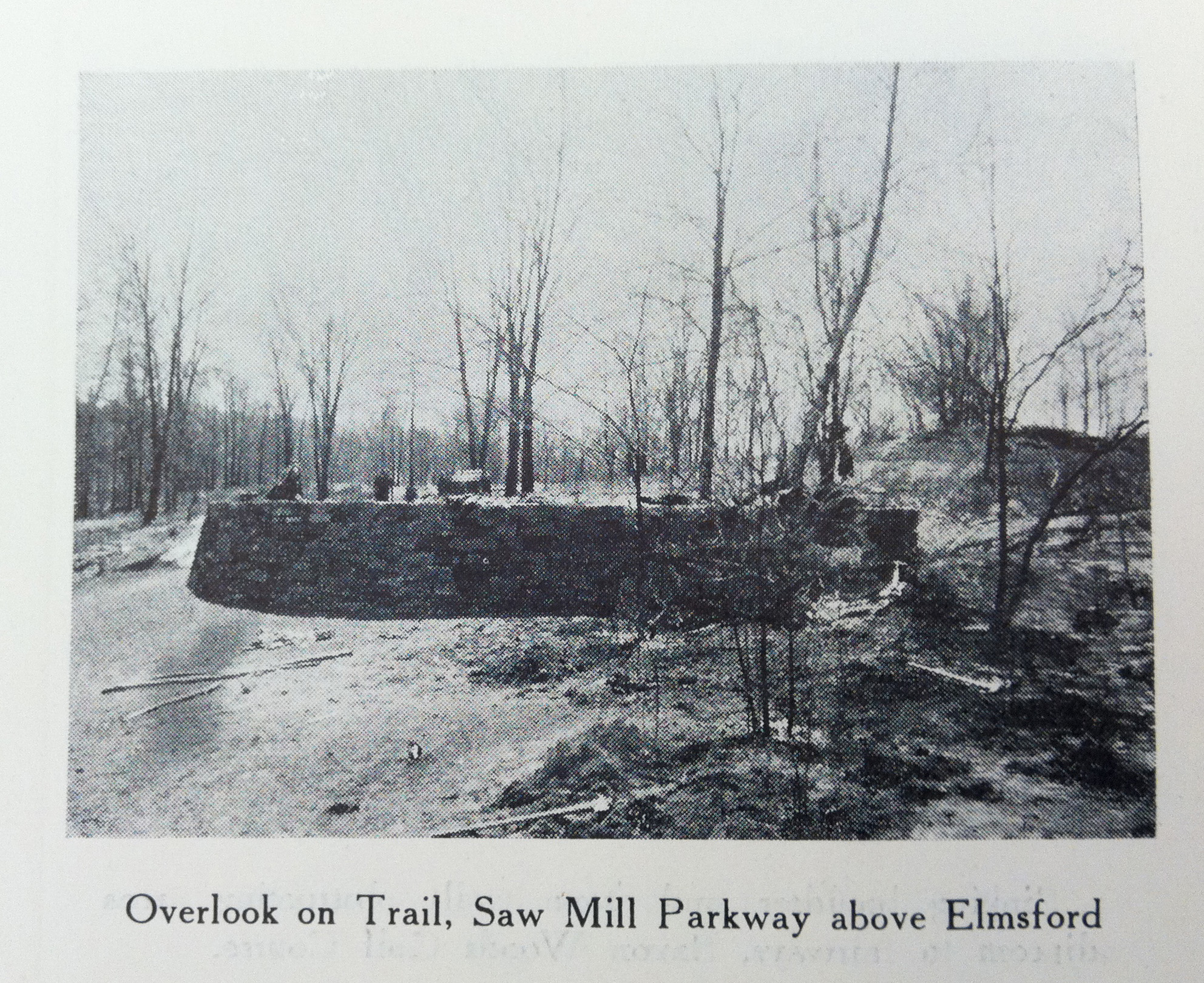
The same overlook as it appeared after construction in 1933.
stone overlook – Buttermilk Ridge County Park
The Blue Trail continues in a northerly direction and on another well graded section of the trail, there are stone & wood guardrails, with some of the wood having rotted away. Here there is a more ornate overlook.
Blue Trail – Buttermilk Ridge County Park
Blue Trail – Buttermilk Ridge County Park
Blue Trail – Buttermilk Ridge County Park
The stone overlook as it appeared after construction in 1933.

stone overlook – Buttermilk Ridge County Park
Blue Trail – Buttermilk Ridge County Park
The Saw Mill Parkway started construction in 1926. By 1930, it had reached Route 119 in Elmsford. Possibly this was built to overlook the newly built parkway which is just below.
Blue Trail – Buttermilk Ridge County Park
The Blue Trail descends along the well graded road bed and soon travels over twin culverts with a lovely cascade that flows beneath the road, as it reaches Eastview.
Blue Trail – Buttermilk Ridge County Park
Blue Trail – Buttermilk Ridge County Park
Blue Trail – Buttermilk Ridge County Park
Blue Trail – Buttermilk Ridge County Park
Twin culverts shortly after construction in 1933.
twin culverts – Buttermilk Ridge County Park
The Blue Trail climbs gradually, and soon turns left and ascends around and over a rock ledge. A short distance later, the Blue Trail comes to a Y-intersection with the White Trail at a large boulder. The White Trail is your return route, for now, bear right and continue following the blue blazes. You have now hiked approximately 2 miles.
Blue Trail – Buttermilk Ridge County Park
Blue Trail – Buttermilk Ridge County Park
Blue Trail – Buttermilk Ridge County Park
The Blue Trail snakes its way through the woods, coming close to the Saw Mill River Parkway which is to the east, and some road noise may be audible. As the trail bends west, The Tarrytown Reservoir may be visible through the trees (when the leaves are down). A fallen tree that has been carved out into a bench is a good place to take a break.
Blue Trail – Buttermilk Ridge County Park
Blue Trail – Buttermilk Ridge County Park
Blue Trail – Buttermilk Ridge County Park
Blue Trail – Buttermilk Ridge County Park
The trail continues in a westerly direction and soon passes a rock cut to the right of the trail (east). This rock cut was the departure point of the 80-foot-high trestle bridge that ran across the valley, about where the Tarrytown Lakes Dam is now.
Blue Trail – Buttermilk Ridge County Park
Blue Trail – Buttermilk Ridge County Park
The railroad’s initial path in the area, then known as Swampy Brook Valley, went over a wobbly 80-foot-high trestle bridge at East View, which so frightened passengers that a portion of the rail line was relocated closer to Rockefeller’s estate in Pocantico Hills. Because of the dangers of crossing the trestle, which often required that trains slow down to a crawl, the line was rerouted west around that valley in 1881. The trestle was torn down in 1883 and the valley became the Tarrytown Reservoir.
East View Trestle
A short distance past the rock cut, the Blue Trail ends just before reaching a gate by the old Eastview Pumping Station, at the eastern end of the Tarrytown Reservoir.
Blue Trail – Buttermilk Ridge County Park
terminus of Blue Trail – Buttermilk Ridge County Park
You may want to take in the view on a bench along the dam of the Tarrytown Lakes. The Tarrytown Lakes Dam is of earthen construction and approximately 18 feet in height and 315 feet in length.
Tarrytown Reservoir – Lower Lake
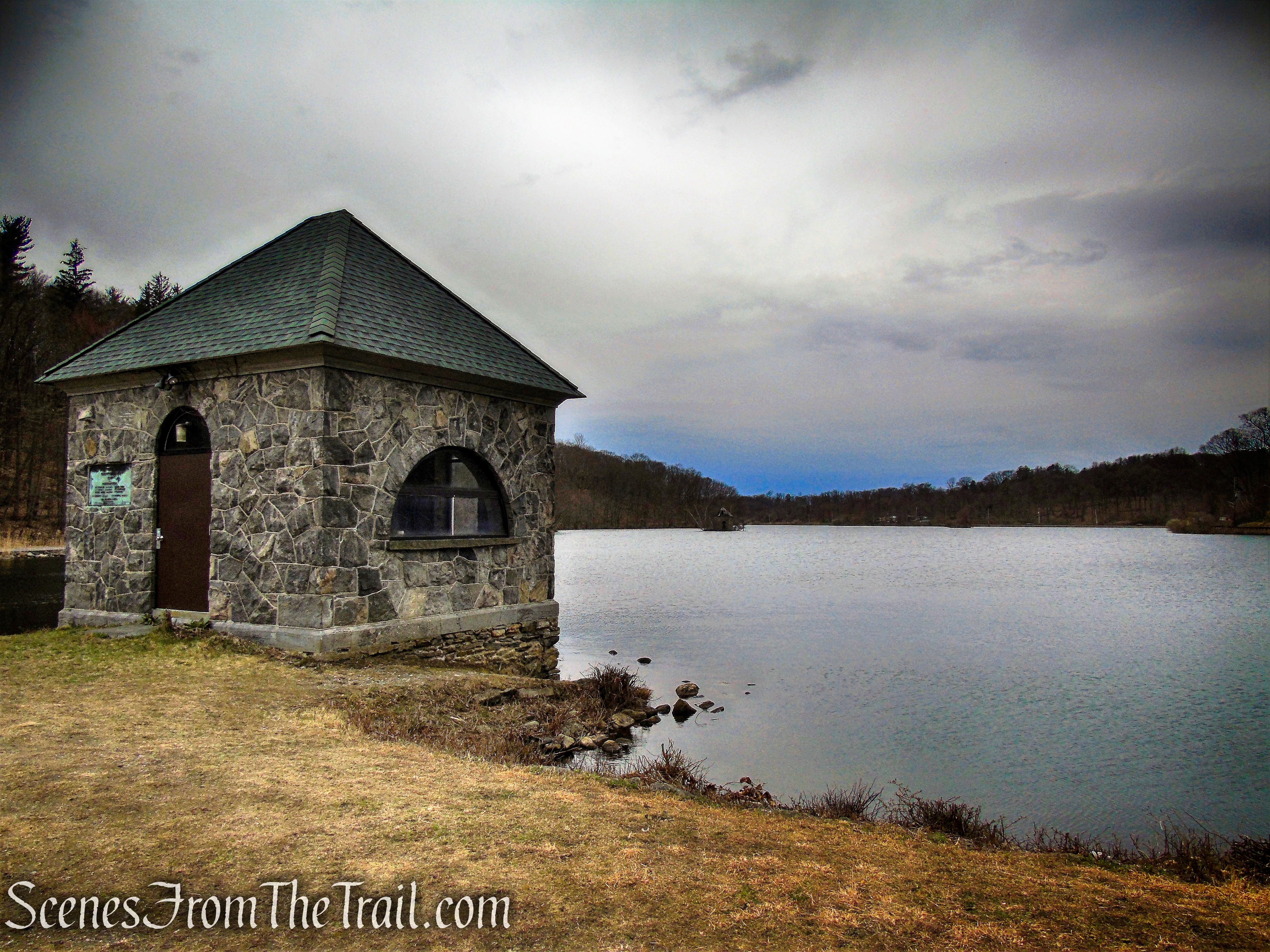
The 18×16-ft. stone masonry gatehouse that sits atop the dam.
gatehouse – Tarrytown Reservoir
The village created the Tarrytown Lakes in 1897 as drinking water reservoirs for Tarrytown. As Tarrytown villagers required more water than the lakes provided, they were decommissioned as a drinking water source in 1993. Now this area, together with the 60-acres surrounding it, comprise the Tarrytown Lakes Park.
gatehouse – Tarrytown Reservoir
The park encompasses two man-made reservoirs, the large Lower Lake (pictured below) and smaller Upper Lake. They once provided water to the village, but the lakes are “retired” now, and serve as habitat for flora and fauna, and a place for accessible recreation.
gatehouse – Tarrytown Reservoir
The Eastview Pumping Station, which was built around 1897, stands on the eastern-most point of Tarrytown. It was used until 1993 to clean and move the village’s drinking water. Today Tarrytown relies solely on the New York City Catskill and Croton Aqueducts for its drinking water.
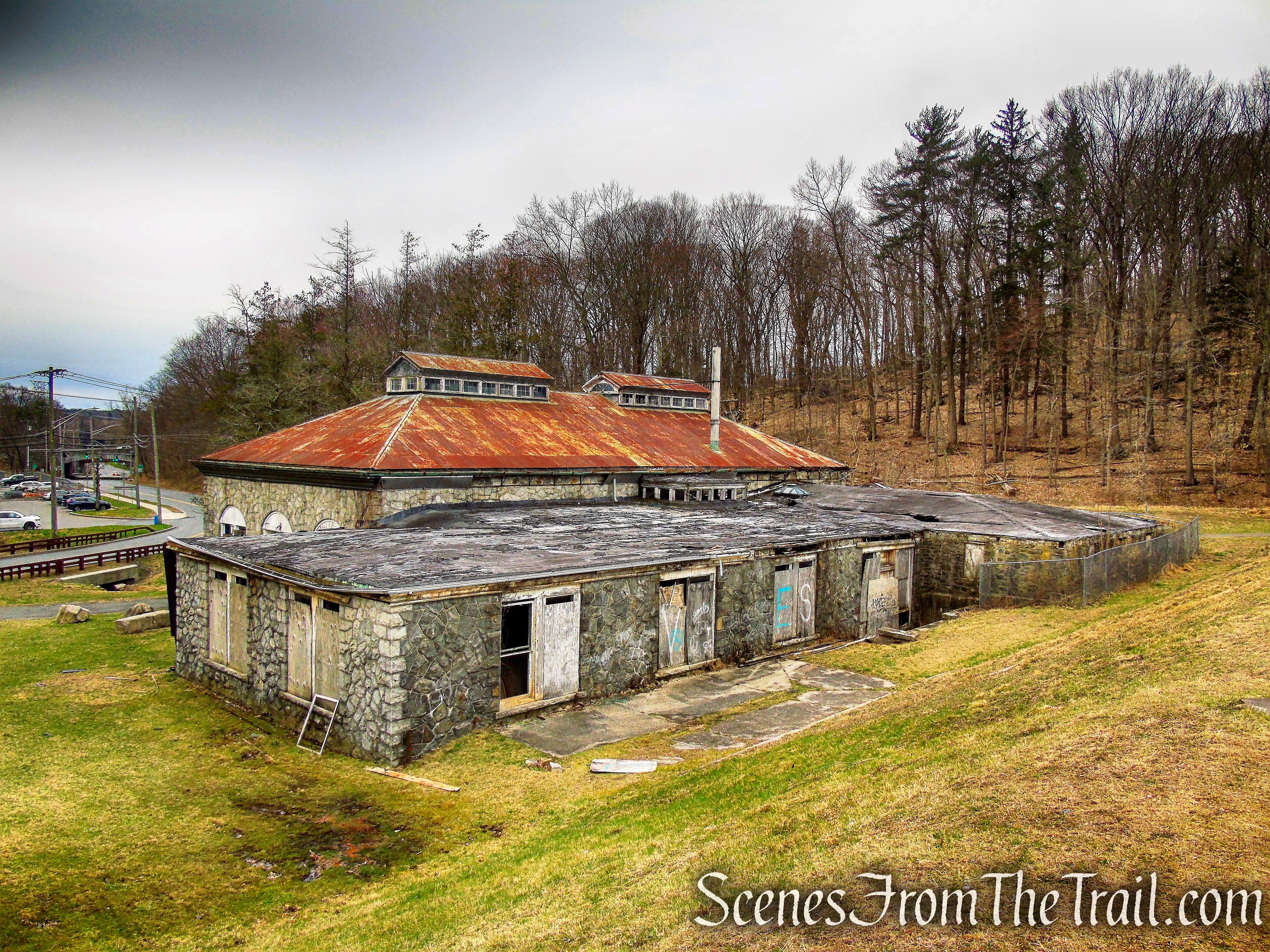
old Eastview Pumping Station
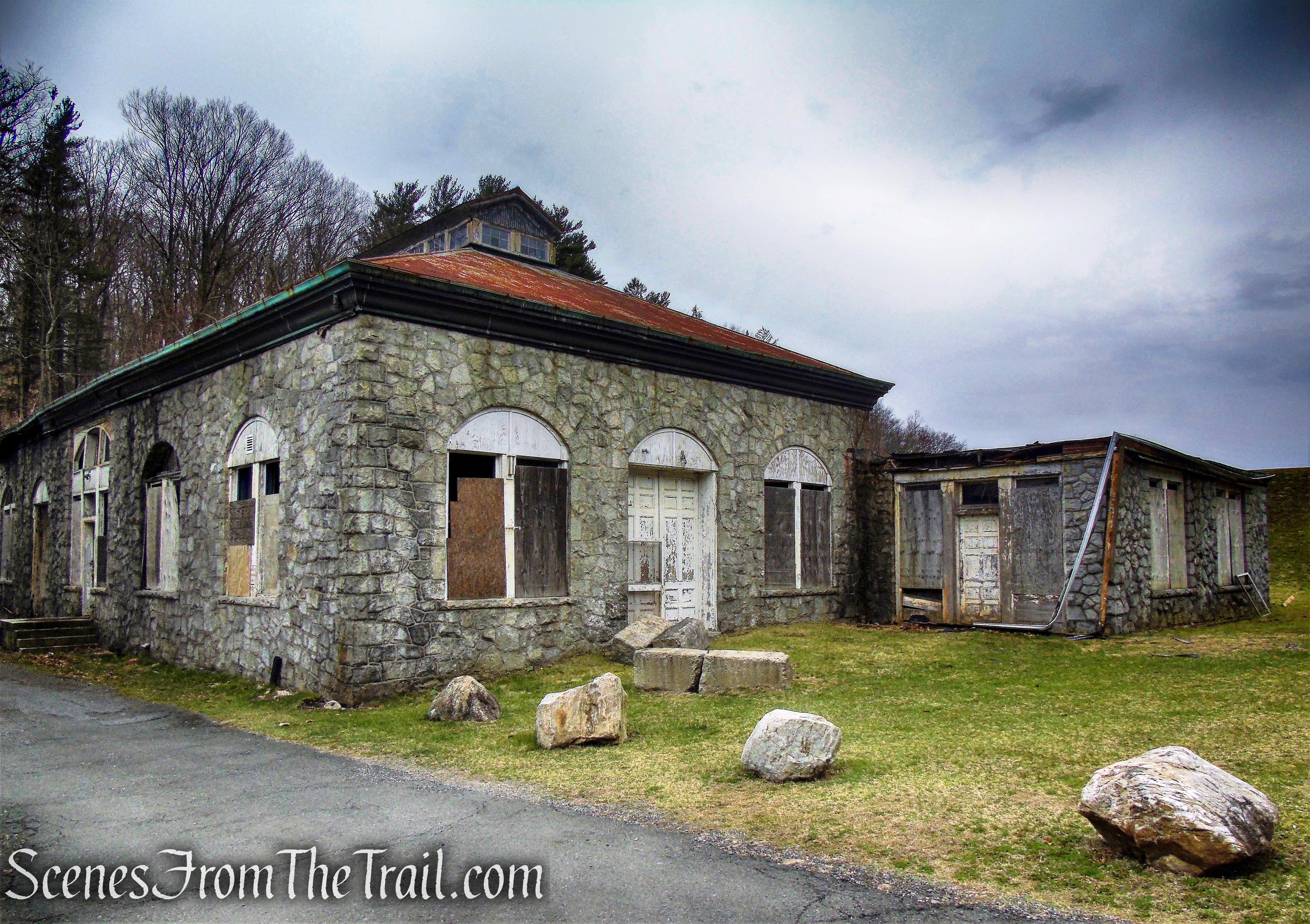
old Eastview Pumping Station
Tarrytown Waterworks Dam Spillway.
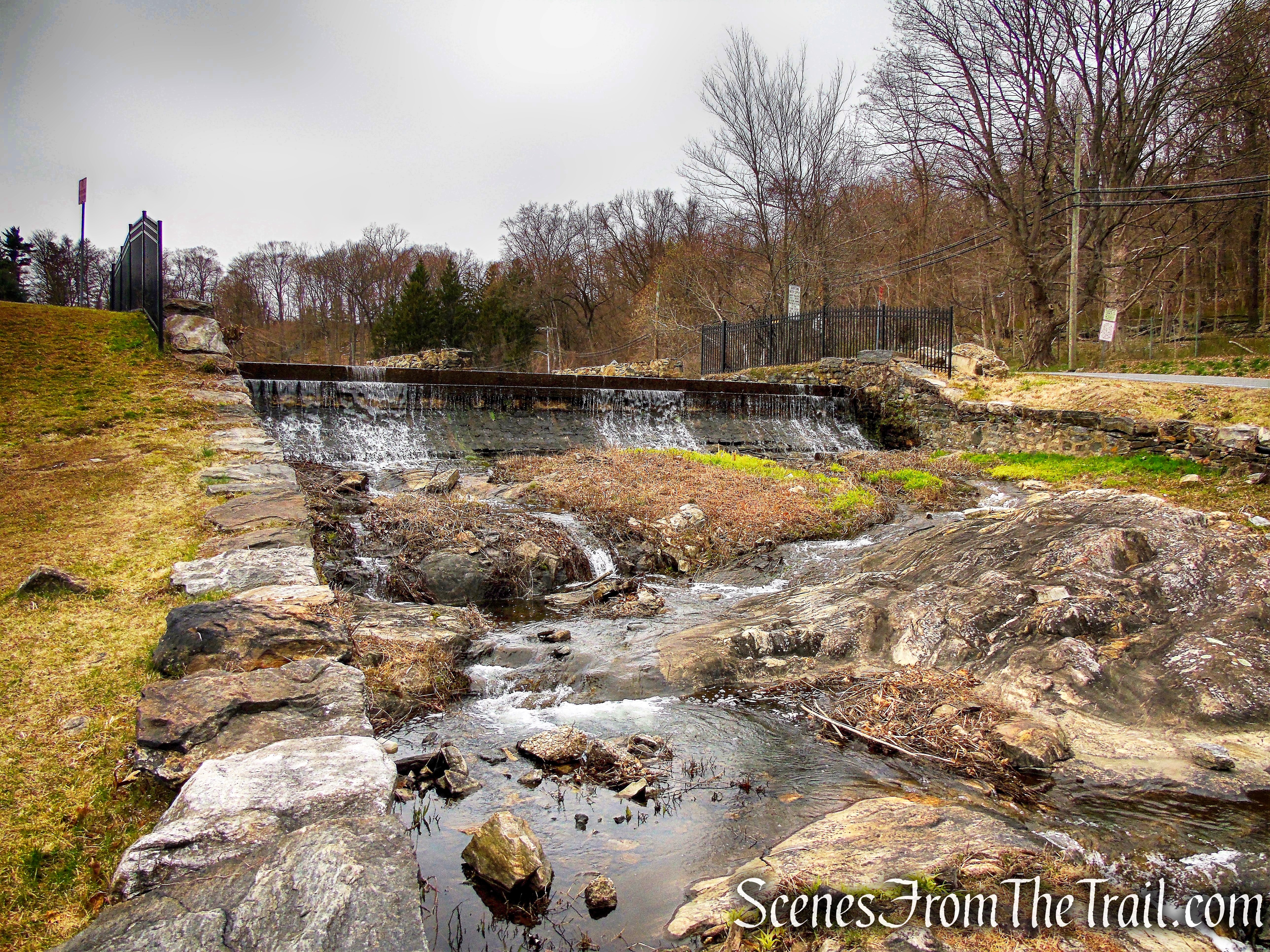
Tarrytown Waterworks Dam Spillway
A view of the Tarrytown Reservoir from the Tarrytown Waterworks Dam. Two large lakes were created when the Tarrytown Reservoir was constructed. The water covered portions of the farms and roads in the small valley.
Tarrytown Reservoir – Lower Lake
When you are ready to continue, retrace your steps back towards the gate, where you left the Blue Trail. Look for three white blazes on a tree to the right. Turn right and follow the white blazes as they first head west parallel to the lake, then climb the hillside on big sweeping switchbacks.
start of White Trail
White Trail
White Trail
White Trail
The trail borders Hackley School property as it climbs the hillside.
White Trail
White Trail
In about 0.7 mile, the White Trail ends by the boulder at the junction with the Blue Trail. Continue ahead, now following the blue blazes and retracing your steps from earlier in the hike.
terminus of White Trail
Blue Trail – Glenville Woods Park Preserve
Blue Trail – Glenville Woods Park Preserve
Blue Trail – Glenville Woods Park Preserve
Blue Trail – Glenville Woods Park Preserve
Blue Trail – Glenville Woods Park Preserve
Blue Trail – Glenville Woods Park Preserve
In about two miles from the junction with the White Trail, the Blue Trail ends by the gate. Walk around the gate, through the small grassy field along the pond, cross the wooden footbridge and return back to the parking area where the hike began.
Glenville Woods Park Preserve
Glenville Woods Park Preserve
Review:
This is a really nice hike for locals that just want to spend a few hours in the woods. The marked trails have plenty of blazes and are well groomed. There are other unmarked footpaths for one to explore, if so inclined as well. The undulating terrain is manageable by most adults and children alike. At Eastview, one can connect to the Tarrytown Lakes Trails, the North County Trailway or even Rockefeller State Park Preserve, for a longer hike.
Pros:
Well blazed trails, well groomed trails, lesser traveled area, scenic landscape, historical features.
Cons:
No ridgetop views.
Take a hike!
Sources:
- History of the Tarrytowns, Westchester County, New York, from ancient times to the present – Jeff Canning, Wally Buxton
- Walkable Westchester: A Walking Guide to Westchester County, NY – by Jane and Walt Daniels
