July 14, 2018 – Tomkins Cove, NY
Difficulty: Moderate – strenuous
Length: approximately 4.4 miles
Max elevation: 1,223 ft.– total elevation gain: 849 ft.
Route type: circuit
Map: Harriman-Bear Mountain Trails Map #119
Trailhead parking: Anthony Wayne Recreation Area South Lot
This hike follows trails that were recently rerouted and reblazed over existing trails. An updated map is essential to avoid confusion and/or getting lost. The NY-NJ Trail Conference has released a new 2023 Appalachian Trail Detour Map that reflects the recent trail additions and changes.
Alternate routes from the same starting point:
Please note: From late September to late October, Oktoberfest is held at the Anthony Wayne Recreation Area on Saturdays and Sundays.
Overview:
West Mountain is a peak that is located in both Orange and Rockland County, NY, just east of the Palisades Interstate Parkway. Most of the mountain is within the boundaries of Bear Mountain State Park, but part of it is in Harriman State Park as well. In November 1923, the Palisades Interstate Park Commission decided that “all of the Park lying west of Bear Mountain (later, west of West Mountain) shall be designated Harriman State Park.” The summit is at an elevation of 1,257 ft. and the western ridge (the section that is part of this hike), is about 1.5 miles long. The narrow ridge offers hikers many fine outlooks both to the west and to the east as the trail jogs from one side of the ridge to the other.
West Mountain as viewed from The Timp
This is one of my favorite spots in the Harriman-Bear Mountain State Park area. It’s a great hike to do at any given time and parking is never an issue if you get a late start. Some of the best views in the area can be had from the West Mountain ridge and many different trails can be accessed from the Anthony Wayne Recreation Area, making longer hikes possible. I have hiked the ridge previously via different routes and plan to be back. This loop hike was done clockwise from the Anthony Wayne Recreation Area South Lot.
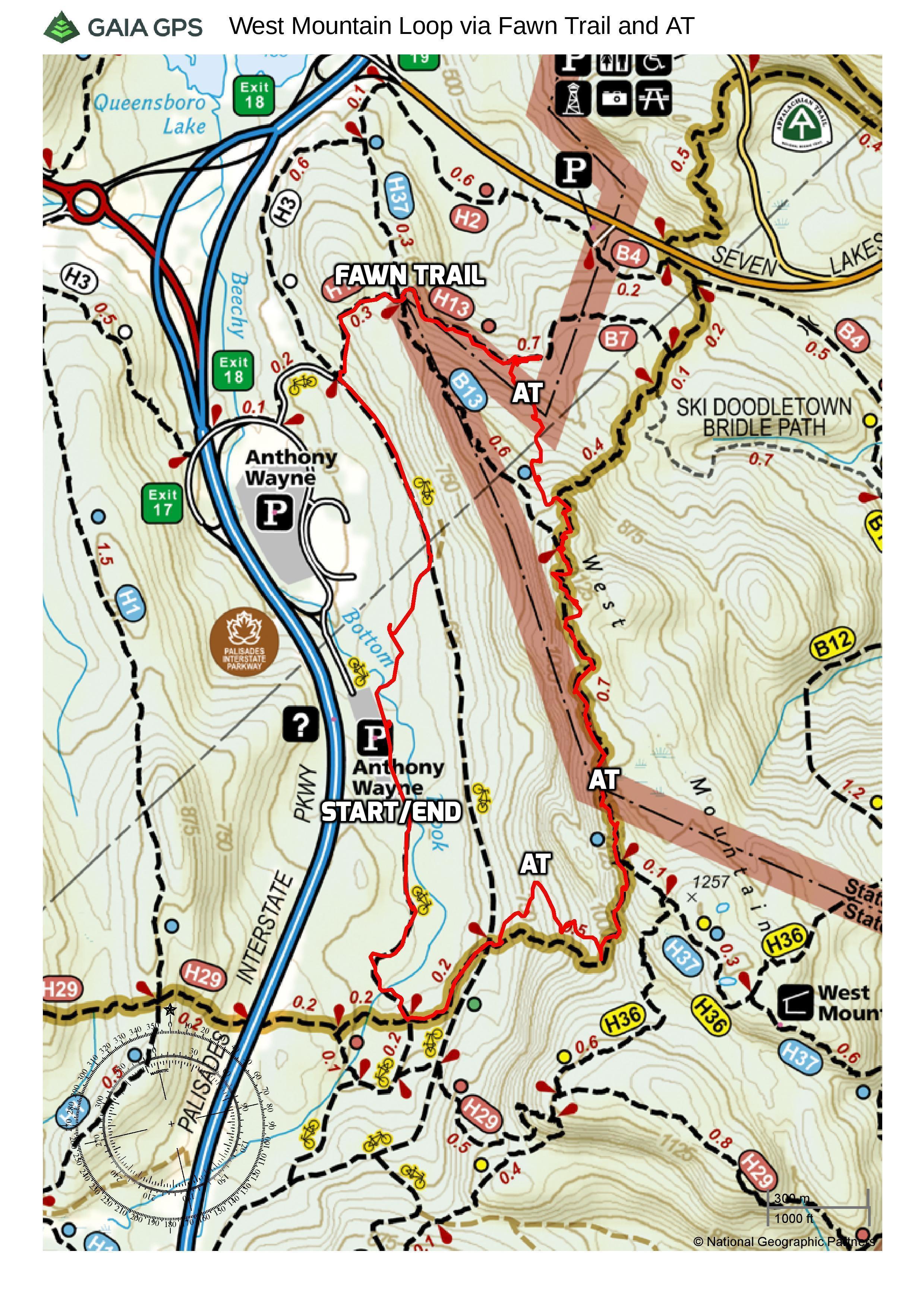
West Mountain Loop via Fawn Trail and AT
Normally an early riser on hike day, we arrived at the parking area at around 9:30am. There was one other car in the south lot when we began the hike by heading north along the sidewalk.
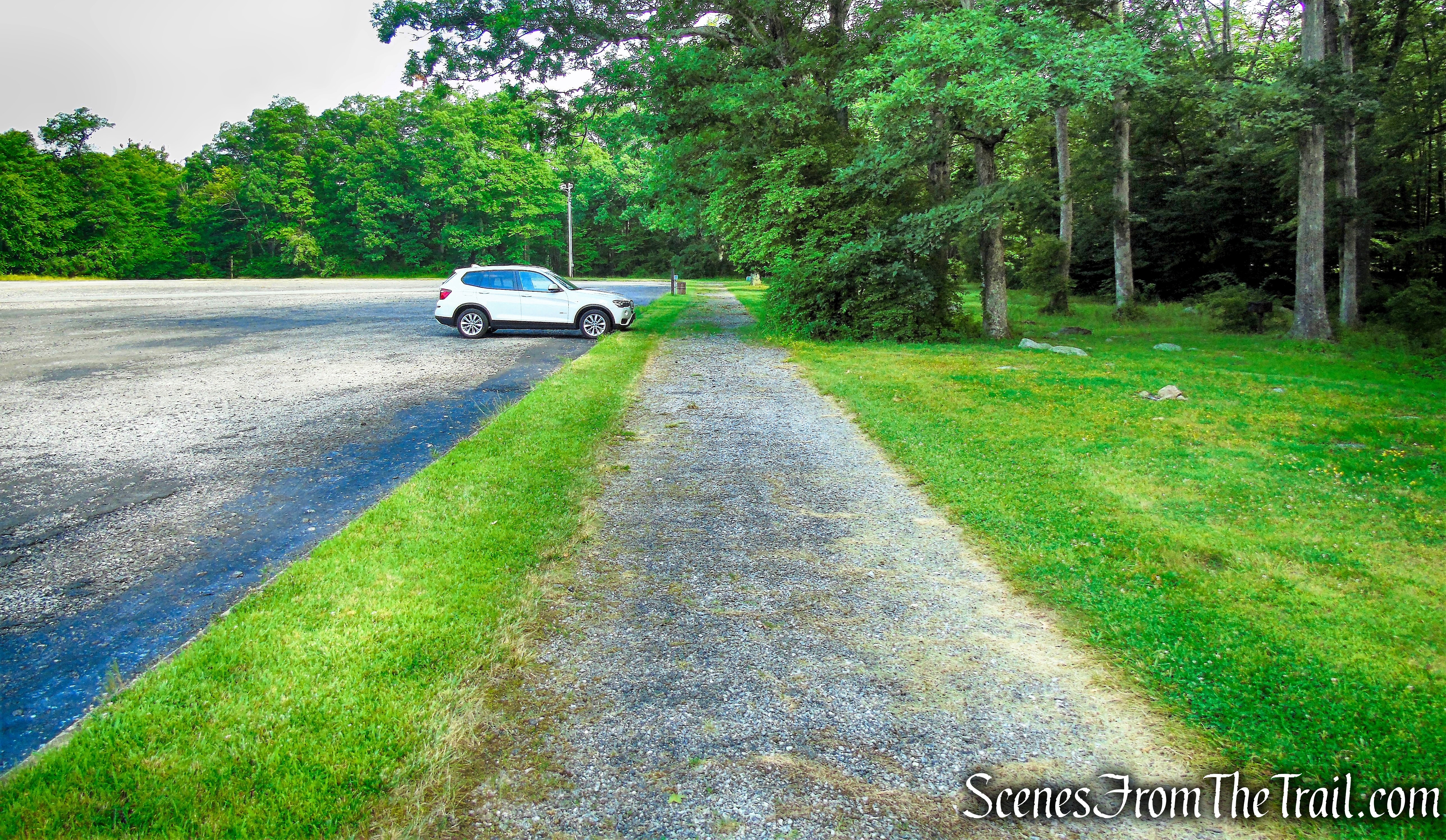
Anthony Wayne Recreation Area South Lot
We turned right near the northern end of the lot, walked past a gate and crossed the bridge over Beechy Bottom Brook.
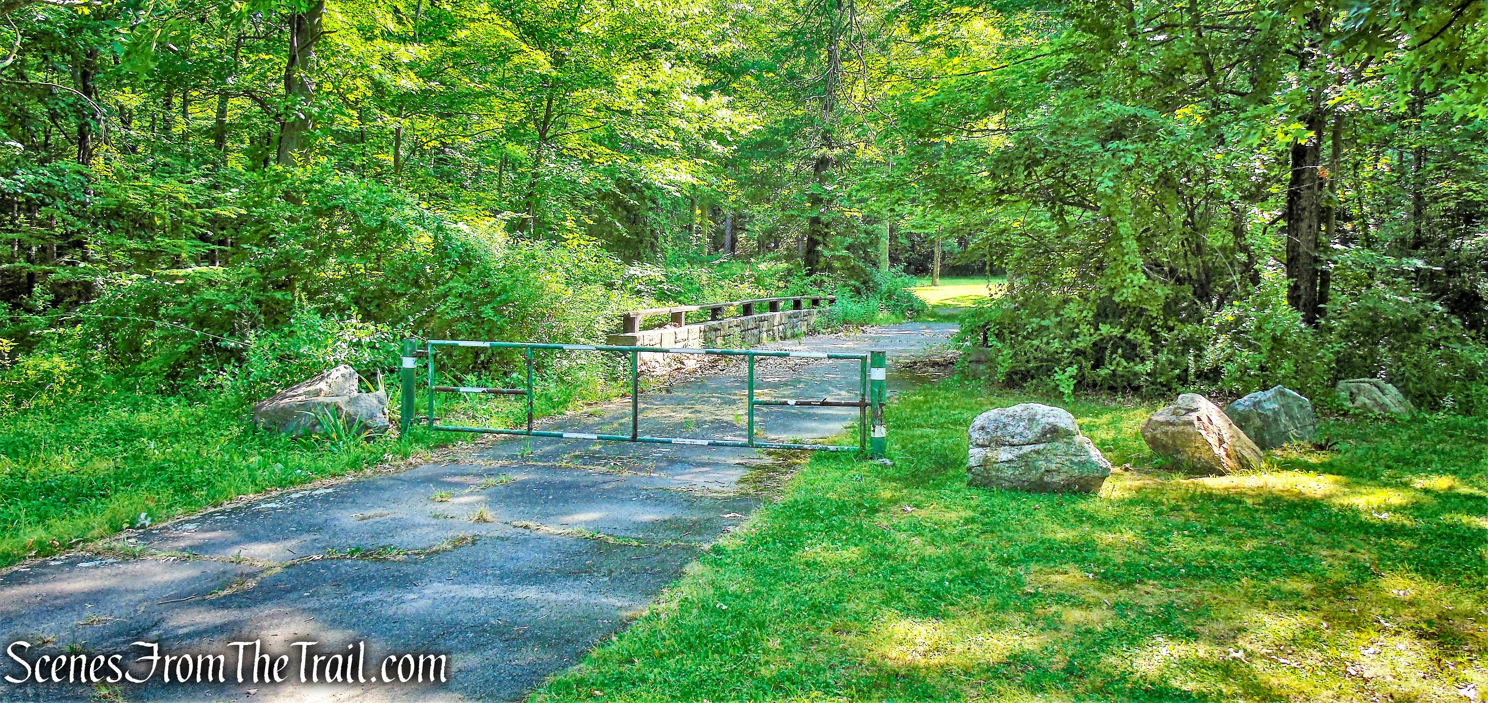
Anthony Wayne Recreation Area
We then turned left and continued heading north through a picnic area.
Anthony Wayne Recreation Area
At the northeast end of the picnic area, we jumped on a gravel park road and continued north.
park road – Anthony Wayne Recreation Area
In a short distance, the gravel road heads away from the parking areas and leads uphill. The road then turns right at a Y-intersection with a grassy road and heads steeply uphill. We left the gravel road and continued straight, now following the blue-on-white-diamond-blazed Horn Hill Loop Mountain Bike Trail.
stay left at junction to Horn Hill Loop Mountain Bike Trail
The 4.8 mile Horn Hill Loop Mountain Bike Trail, forms a figure-eight loop. It is the only trail in Harriman-Bear Mountain State Parks on which bicycles are permitted.
Horn Hill Loop Mountain Bike Trail
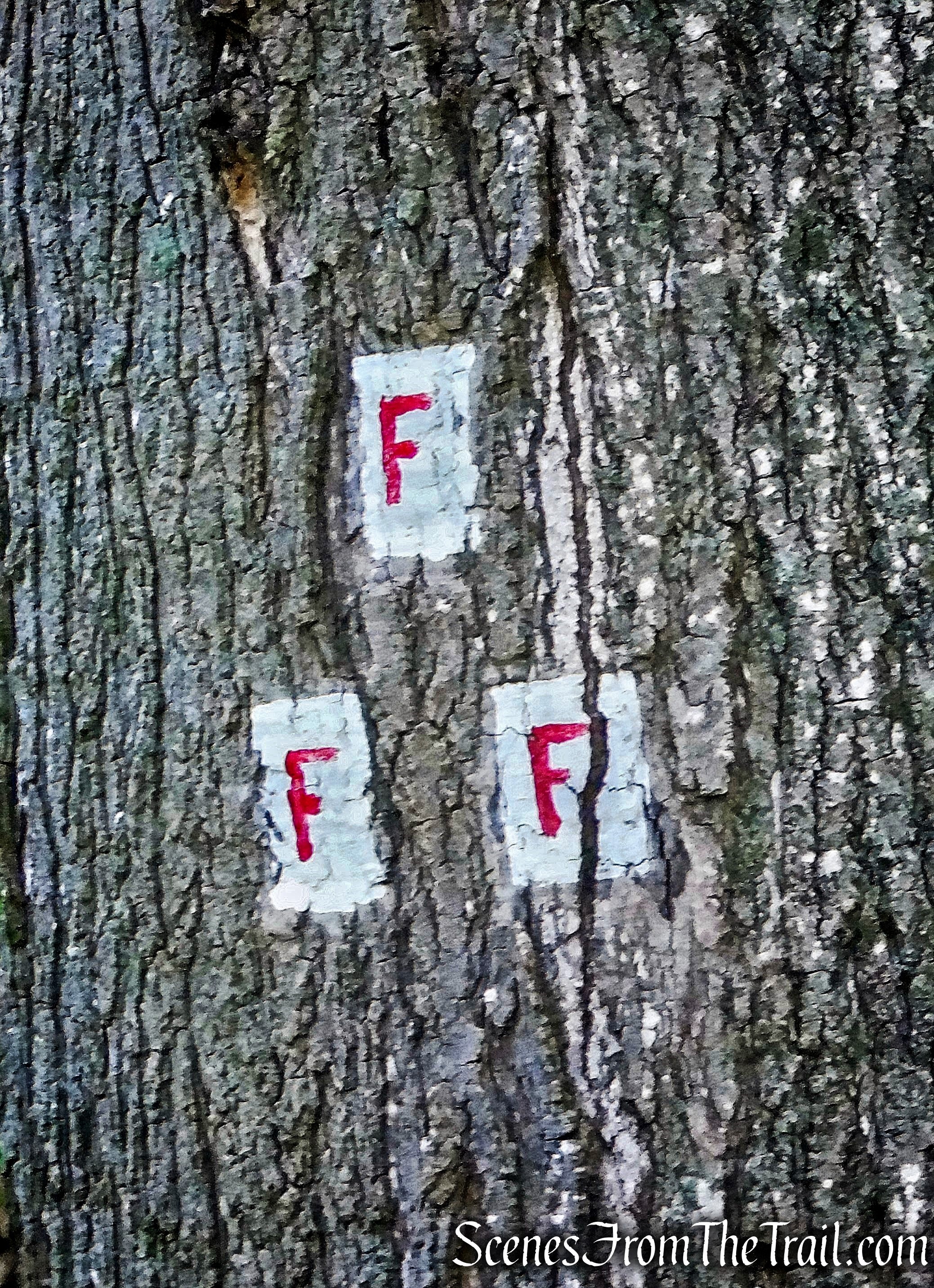
Soon the trail comes to a junction with the white-blazed Anthony Wayne Trail, which continues straight and left. To the right is the start of the red-“F”-on-white blazed Fawn Trail, which ascends stone steps.
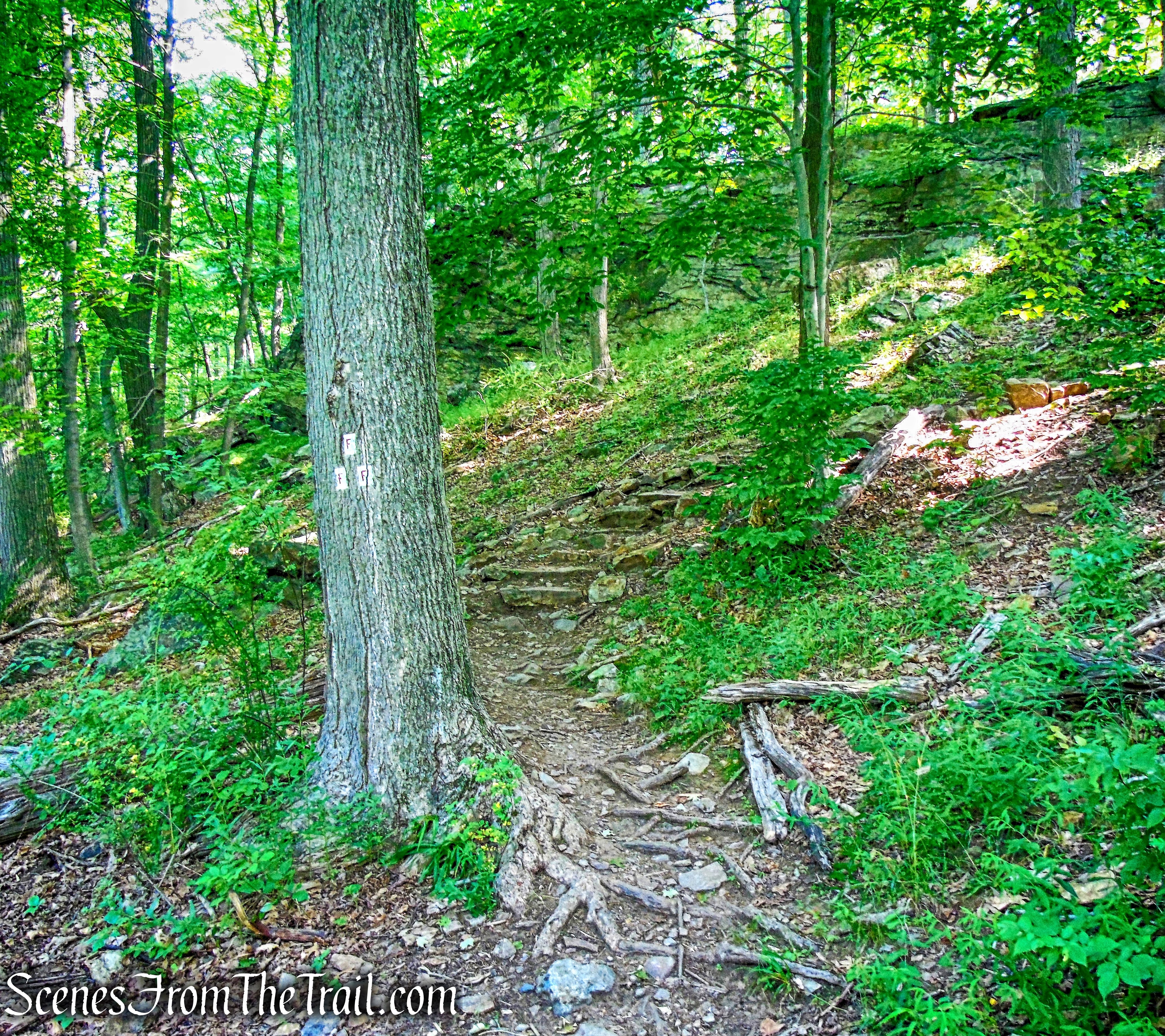
Fawn Trail
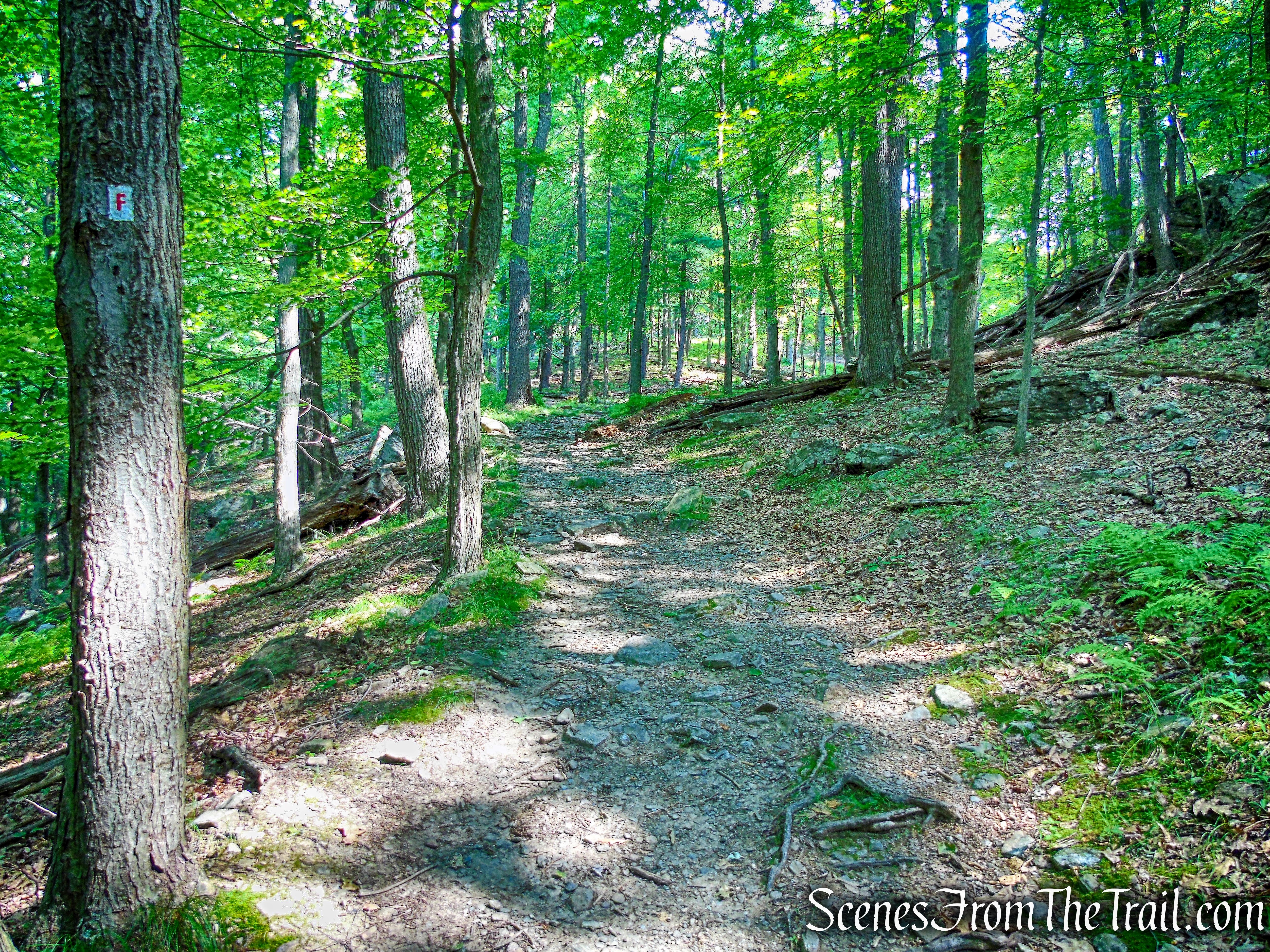
The Fawn Trail was shown on the first Park trail map in 1920. The Fawn Trail provides an easy route from the Appalachian Trail (AT) and Doodletown Road to the Anthony Wayne Recreation Area on the other side of West Mountain. It is a fairly level trail, and in June it passes through masses of laurels in bloom.
Fawn Trail
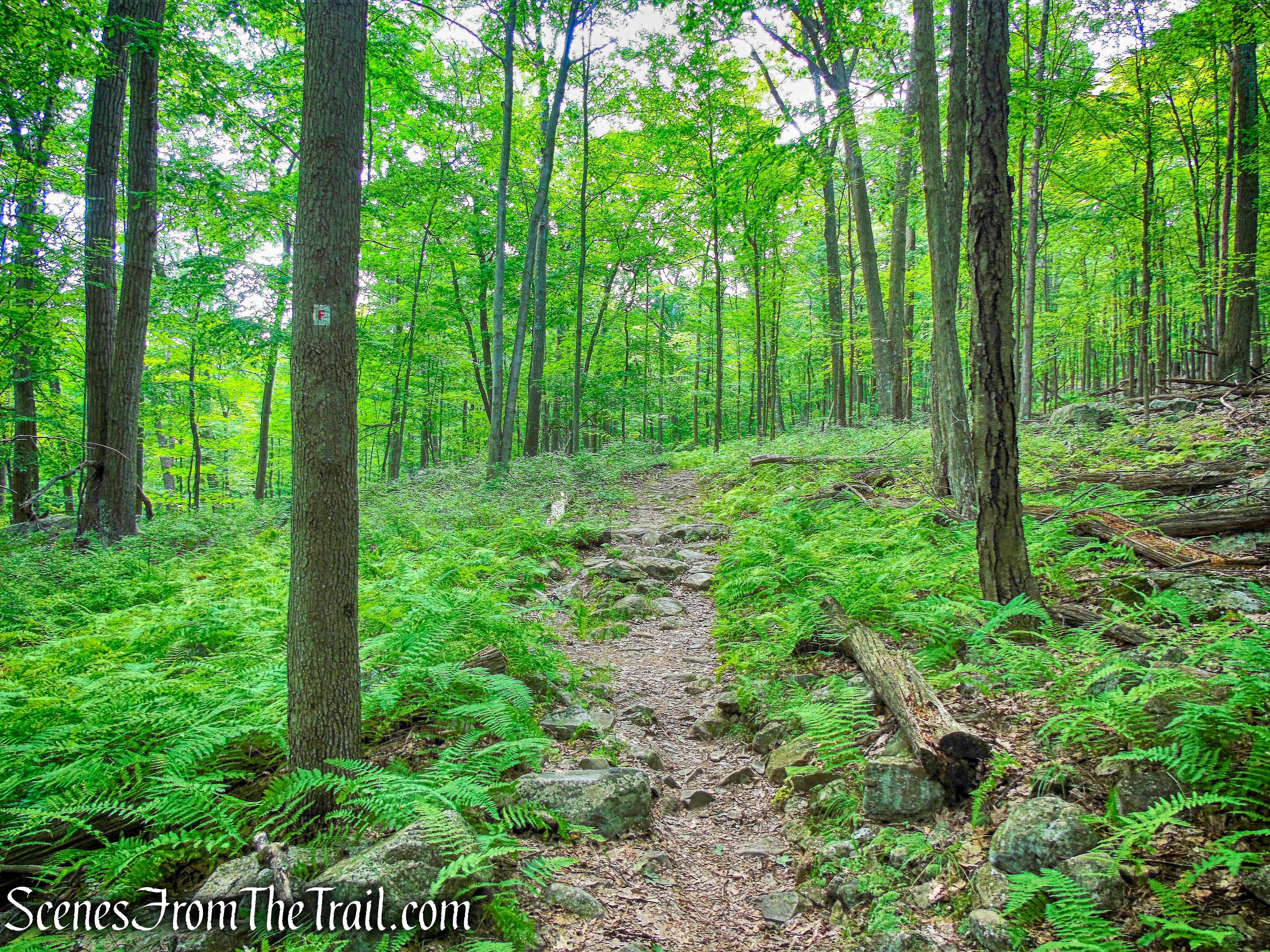
The Fawn Trail climbs using switchbacks and rock steps for part of the way, and crosses a junction with the blue-blazed Timp-Torne Trail.
Fawn Trail
It then passes around the northern end of West Mountain and turns towards the southeast.
Fawn Trail
After approximately 0.6 mile from the start of the Fawn Trail, we reached a junction with the Appalachian Trail and turned right, now following the white blazes. This junction is easy to miss and we walked past it. I stopped and checked my map and even while writing this post, the map and the actual trail don’t seem to match up. I have an older map (2015) and it’s possible that one of the trails were re-routed.
Appalachian Trail
The AT begins a steady climb up the eastern face of West Mountain.
Appalachian Trail
The section of the Appalachian Trail that passes through Harriman and Bear Mountain State Parks is the oldest section of the trail, completed in 1923.
Appalachian Trail

Appalachian Trail
Near the top, there is an outstanding viewpoint to the left over Bear Mountain,
view of Bear Mountain from West Mountain
Iona Island and the Hudson River.
Iona Island and the Hudson River – Appalachian Trail
The stone building on the summit of Bear Mountain is the Perkins Memorial Tower.
Perkins Memorial Tower from West Mountain
After a brief descent to a valley, the AT climbs steeply up to the ridge of West Mountain.
Appalachian Trail
Appalachian Trail
Appalachian Trail
The AT reaches a junction with the blue-blazed Timp-Torne Trail, which comes in from the right. We turned left, now following the joint AT/Timp-Torne Trail, as it heads south.
Appalachian Trail
The trail passes another viewpoint to the left over Bear Mountain, Iona Island and the Hudson River.
view of Bear Mountain from West Mountain
The trail now swings to the west side of the ridge and soon reaches a west-facing viewpoint over Black Mountain.

Appalachian Trail
west-facing viewpoint – Appalachian Trail
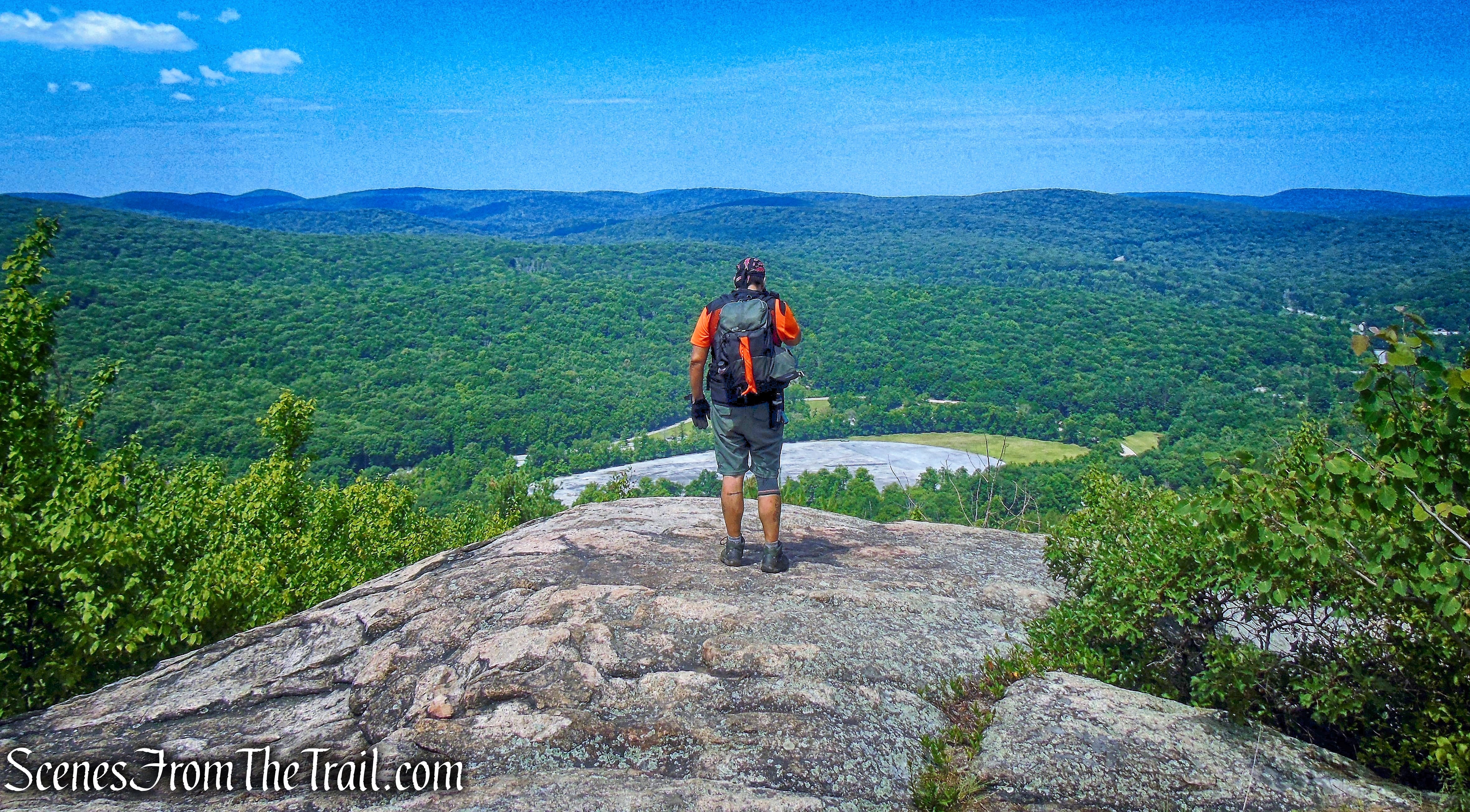
The Palisades Interstate Parkway and two large parking areas for the Anthony Wayne Recreation Area are visible in the valley below.
west-facing viewpoint – Appalachian Trail
The joint AT/Timp-Torne Trail continues south along the ridge and dips into the woods.
Appalachian Trail
The trail traverses an open rock ledge,

Appalachian Trail
then descends steeply…..
Appalachian Trail
Appalachian Trail
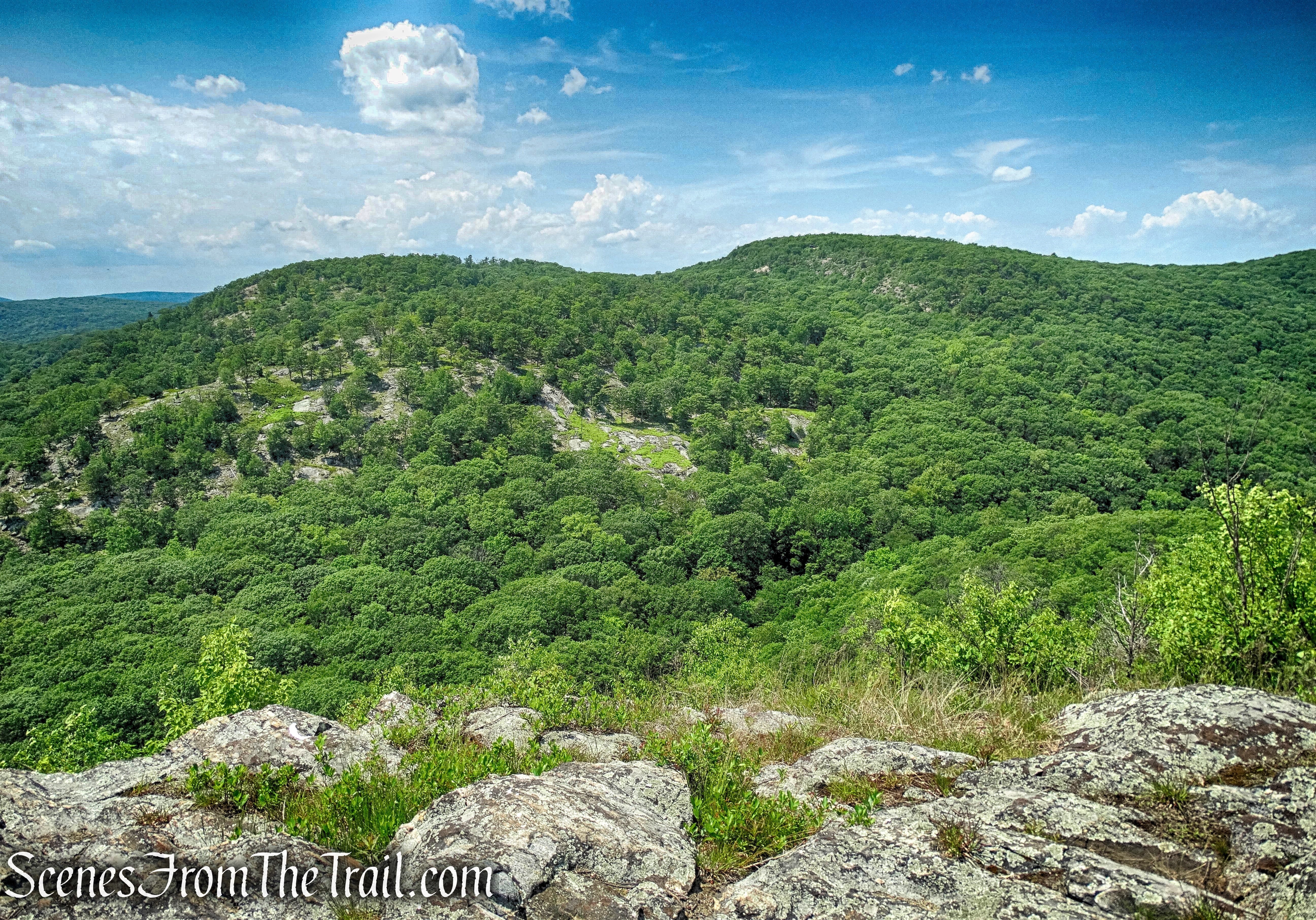
and crosses back to the west side of the ridge, soon passing more viewpoints to the west.
view southwest from West Mountain
Appalachian Trail
Balancing Rock – West Mountain
Appalachian Trail
Appalachian Trail
After reaching another east-facing viewpoint, Bear Mountain is visible to the northeast.
view of Bear Mountain from West Mountain
A Black Vulture posing.

Black Vulture – West Mountain
A short distance later, we came to a junction, marked by a post. Here, the AT continues ahead as the blue-blazed Timp-Torne Trail turns left. We continued ahead still following the white blazes.
continue straight on Appalachian Trail
A rock outcrop at the junction affords hikers a great west-facing view.
view southwest from West Mountain
The AT descends steeply on stone steps that were recently added by NY/NJ Trail Conference’s Long Distance Trails Crew.
Appalachian Trail
The LDTC have relocated some sections of the heavily eroded trail and have installed switchbacks to eliminate some of the steeper sections in this area.
Appalachian Trail
Appalachian Trail
The AT crosses Beechy Bottom West Road (also part of the Horn Hill Loop) and then comes to a junction with the Horn Hill Loop Mountain Bike Trail, marked by a sign.
Appalachian Trail junction
We turned right and began heading north, now following the blue-on-white-diamond-blazes.
Horn Hill Loop Mountain Bike Trail
The trail continues through the woods and crosses several bridges.

Horn Hill Loop Mountain Bike Trail
Horn Hill Loop Mountain Bike Trail
Horn Hill Loop Mountain Bike Trail
In approximately 1/2 mile from the junction with the AT, the trail reaches the south lot of the Anthony Wayne Recreation Area. We walked along the sidewalk and returned to our vehicle, where the hike began.
Anthony Wayne Recreation Area South Lot
Another outstanding hike in Bear Mountain State Park. This hike has views galore and varied terrain to keep it interesting. This approach of West Mountain is less steep than the other two hikes I have done here. Surprisingly, the ridge didn’t have that much foot traffic for a gorgeous Saturday in July. There is also enough tree cover along the ridge to keep from baking in the sun.
Pros: Views galore, Appalachian Trail, plenty of parking, shaded trails except for some sections along the ridge.
Cons: September – October the Anthony Wayne Recreation Area is used for Oktoberfest.
Take a hike!
West Mountain Loop via Fawn Trail and AT
Sources:
- New York-New Jersey Trail Conference
- Long Distance Trails Crew
- Myles, William J.. Harriman Trails: A Guide and History – Kindle Edition
