December 28, 2019 – Wayne, NJ
Difficulty: Moderate
Length: Approximately 4.5 miles
Max elevation: 880 ft.– total elevation gain approximately 472 ft.
Route type: Circuit
Map: Jersey Highlands Trails Map (Central North Region) #128 – High Mountain Park Preserve Trail Map
Trailhead parking: Red Trail Parking Lot, University Dr, Wayne, NJ 07470
Park Overview:
High Mountain Park Preserve is a protected area of the Preakness Range of the Watchung Mountains in Wayne, New Jersey. Established in 1993, it is comprised of 1,260 acres of woodlands and wetlands owned and managed by Wayne Township, The Nature Conservancy and the State of New Jersey.

High Mountain Park Preserve
A natural oasis amid urban sprawl, unique High Mountain Park Preserve with its rolling and often steep terrain, provides 12.3 miles of often-challenging hiking trails. Panoramic vistas include stunning views from High Mountain’s summit, where you can see New York City and much of northern New Jersey.

High Mountain as viewed from Franklin Lakes Nature Preserve
History:
Several rock shelters in the Franklin Clove section of the nature preserve have been determined to be sites of prehistoric human habitation. Native Americans of the Lenape tribe wintered in the Clove during the 1600’s.
It is also said that when Henry Hudson sailed to America in 1609, the first land he sighted above the horizon as he approached New York Harbor was the summit of High Mountain. During the American Revolution, when General Washington was headquartered nearby, colonial troops reportedly used High Mountain’s summit to monitor British troop movements in and around New York Harbor.
Trails Overview:
High Mountain has been a popular hiking destination for more than a century. The New York-New Jersey Trail Conference has been active at High Mountain since the 1940’s, creating and maintaining the trails.
The park preserve has five trails (12.3 total trail miles) ranging from 1.80 to 2.59 miles, plus a short Waterfall Spur. The trail network, which can be viewed by using the Web Map link on this site, facilitates planning loop or lollipop hikes.
- The Woodland Trail [red blaze; 2.23 miles] begins at a trailhead on the campus of William Paterson University [see Directions to Trailhead]. It is also accessible at its northern end from Franklin Lakes Nature Preserve, identified as “Haledon Reservoir” on the trail map, where a 0.3-mile segment along Reservoir Road connects the two parks.
- The Summit Trail [yellow blaze; 2.54 miles], which branches off the Woodland Trail, features views from High Mountain.
Please Note: There are numerous unmarked woods roads and footpaths that branch off of the main trails. It is important to pay attention to the blazes to avoid getting lost.
Hike Overview:
This lollipop loop hike follows the the red-blazed Woodland Trail to the junction of the yellow-blazed Summit Trail, which climbs to views of North Jersey and the Manhattan skyline (on a clear day). After descending the summit on the Yellow Trail, turn left on the Woodlands Trail (red) and head south along the old woods road and back to the parking area.
This lollipop loop was done counter-clockwise from the College Road Trailhead which has room for 13 cars.

High Mountain Park Preserve
The Hike:
From the kiosk near the entrance to the parking lot, follow a gravel path across an open area that heads northeast, parallel to University Drive. At the edge of the woods, you will notice a double red blaze on a fallen tree, which marks the start of the red-blazed Woodland Trail. Follow the trail into the woods. The trail soon reaches a T-intersection, where it turns left onto a woods road. At a huge boulder on the left, the Red Trail turns left onto another woods road.

College Road Trailhead
gravel path – College Road Trailhead

Woodland Trail – High Mountain Park Preserve
bear left on Woodland Trail – High Mountain Park Preserve
Woodland Trail – High Mountain Park Preserve

Woodland Trail – High Mountain Park Preserve

Woodland Trail – High Mountain Park Preserve
Woodland Trail – High Mountain Park Preserve
In another half a mile, you’ll reach a high point on the trail where a triple-yellow blaze on a tree marks the start of the Summit Trail (this point is also marked by a green sign as Location 2). Turn right onto the Yellow Trail, which descends to cross a small stream on rocks. The trail turns left at a sign for Location 3 and heads north, passing just west of the low ridge known as Mt. Cecchino.
Woodland Trail – High Mountain Park Preserve
turn right on Summit Trail
turn right on Summit Trail
Summit Trail – High Mountain Park Preserve
Summit Trail – High Mountain Park Preserve
Summit Trail – High Mountain Park Preserve
Summit Trail – High Mountain Park Preserve

Summit Trail – High Mountain Park Preserve

Summit Trail – High Mountain Park Preserve
In about two-thirds of a mile along the Yellow Trail, the trail crosses a small stream and begins a steady climb to the summit of High Mountain along a rocky woods road. Near the top, the trail bears left onto a footpath, bypassing an eroded section of the road.

Summit Trail – High Mountain Park Preserve
Summit Trail – High Mountain Park Preserve
Summit Trail – High Mountain Park Preserve
Summit Trail – High Mountain Park Preserve
Summit Trail – High Mountain Park Preserve
Just below the summit, the footpath rejoins the woods road. Here, on the right, there is a panoramic east-facing viewpoint. On the horizon, beyond the suburban sprawl of northeastern New Jersey, you can see the New York City skyline, the Verrazano-Narrows Bridge and even a corner of the Atlantic Ocean.

Summit Trail – High Mountain Park Preserve

Summit Trail – High Mountain Park Preserve
Continue up to the summit, which resembles a grassy southern bald, with a few large exposures of basaltic bedrock. From the summit, both the New York City skyline to the east and the eastern end of the ridge of the Watchung Mountains to the south are visible.

Summit Trail – High Mountain Park Preserve

Summit Trail – High Mountain Park Preserve

Summit Trail – High Mountain Park Preserve

Summit Trail – High Mountain Park Preserve

Summit Trail – High Mountain Park Preserve
When you’re ready to continue, head northwest across the broad summit, following the yellow blazes on rocks, and continue downhill on the Yellow Trail. Be sure to follow the yellow blazes, as several paths and woods roads lead down the mountain. The Yellow Trail crosses a secondary summit, levels off, and then descends steeply on an eroded woods road.
Summit Trail – High Mountain Park Preserve
Summit Trail – High Mountain Park Preserve

Summit Trail – High Mountain Park Preserve

Summit Trail – High Mountain Park Preserve
Summit Trail – High Mountain Park Preserve

Summit Trail – High Mountain Park Preserve
Summit Trail – High Mountain Park Preserve
Near the base of the descent, be alert for a sharp left turn (Location 7) where the yellow blazes leave the woods road and enter the woods on a footpath. Continue along the Yellow Trail, which descends to a stream, bears left to parallel it, and then crosses it.

Summit Trail – High Mountain Park Preserve
Summit Trail – High Mountain Park Preserve

Summit Trail – High Mountain Park Preserve
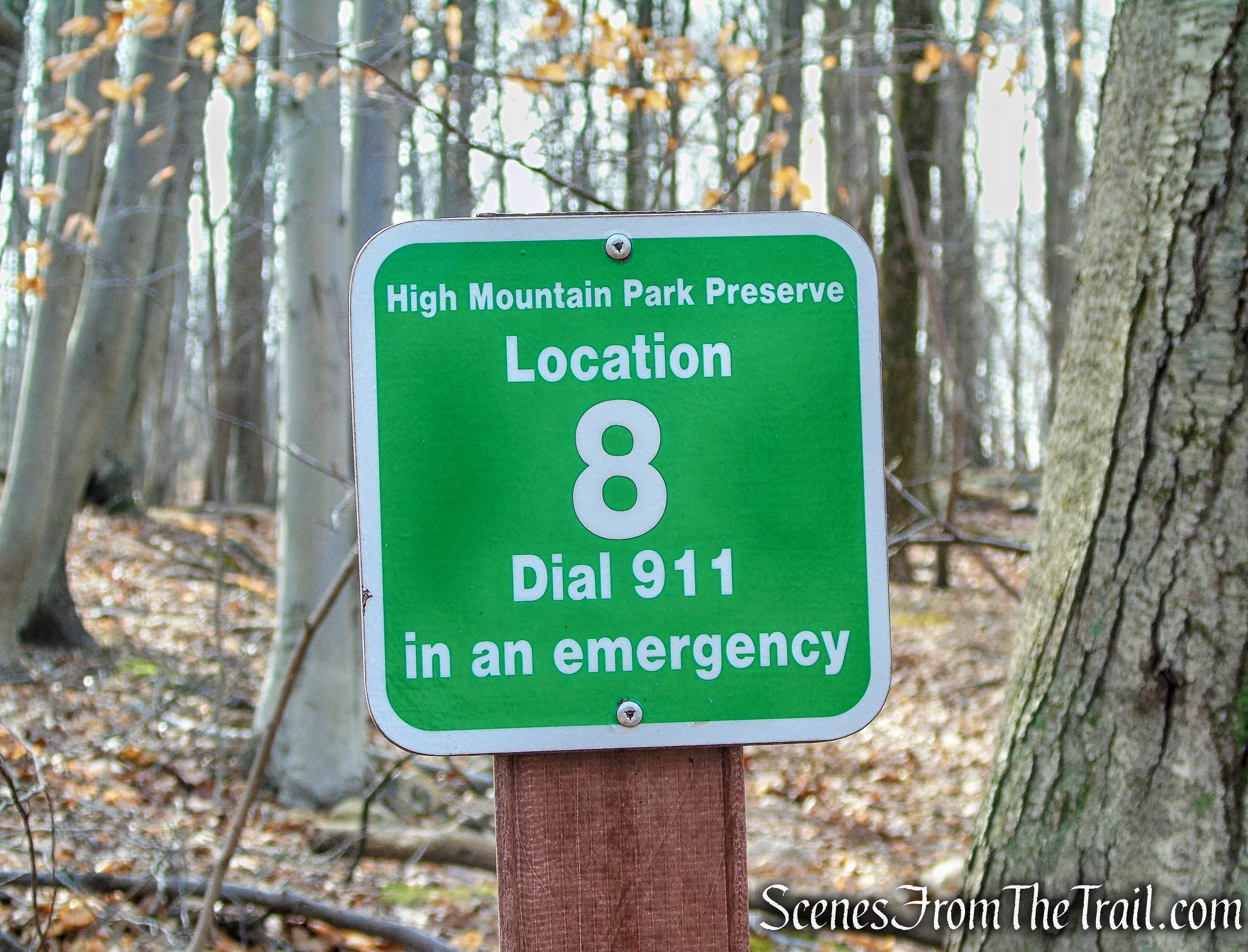
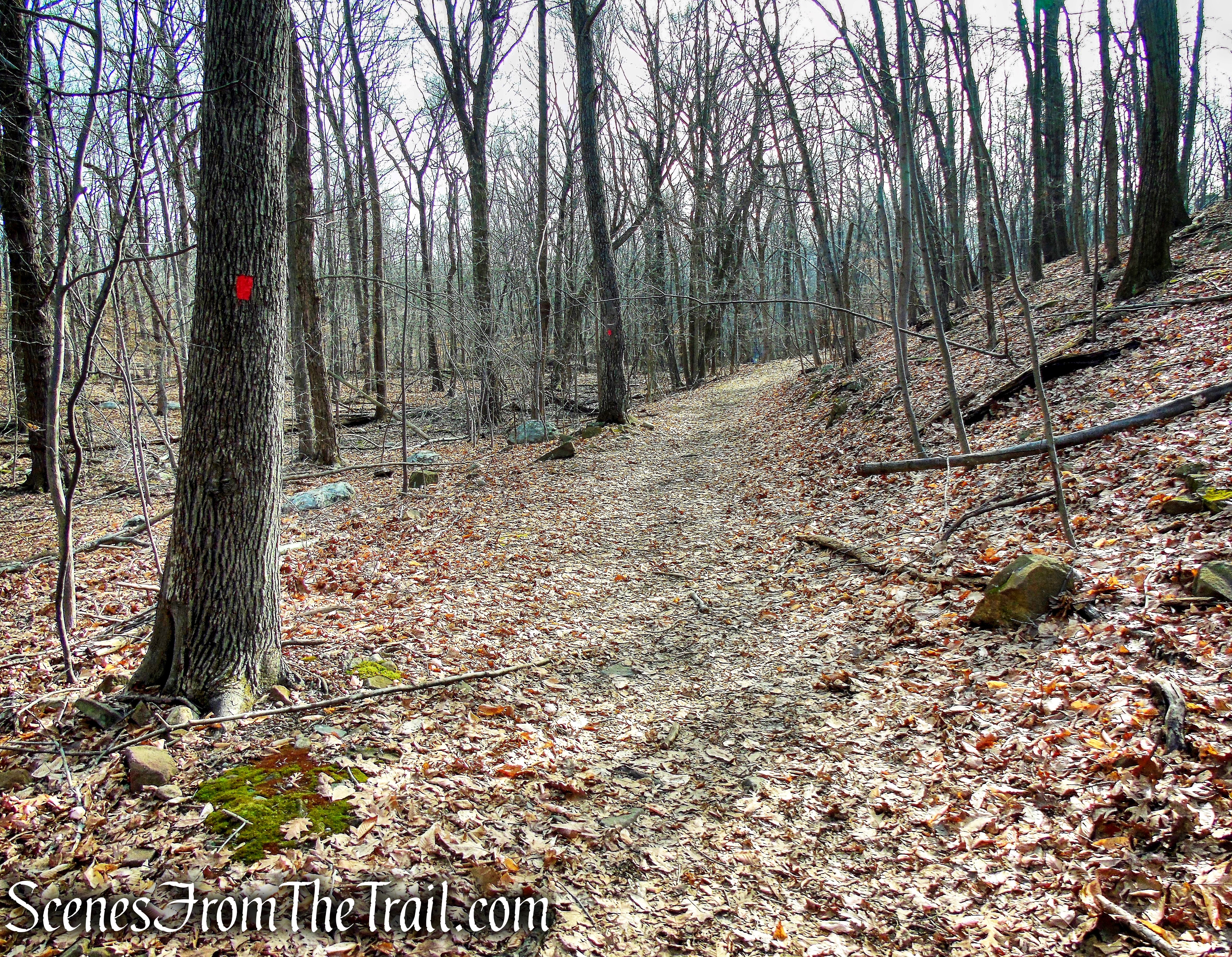
About 250 feet beyond the stream crossing, you’ll reach a woods road (with a green sign marking Location 8). Turn left onto the road, the route of the Red Trail, and head south. You’ll pass through an area which is often wet, but after a woods road branches off to the left, the trail route becomes drier. Further down the road, the trail passes several clusters of cedar trees, and it descends over slabs of exposed basalt.
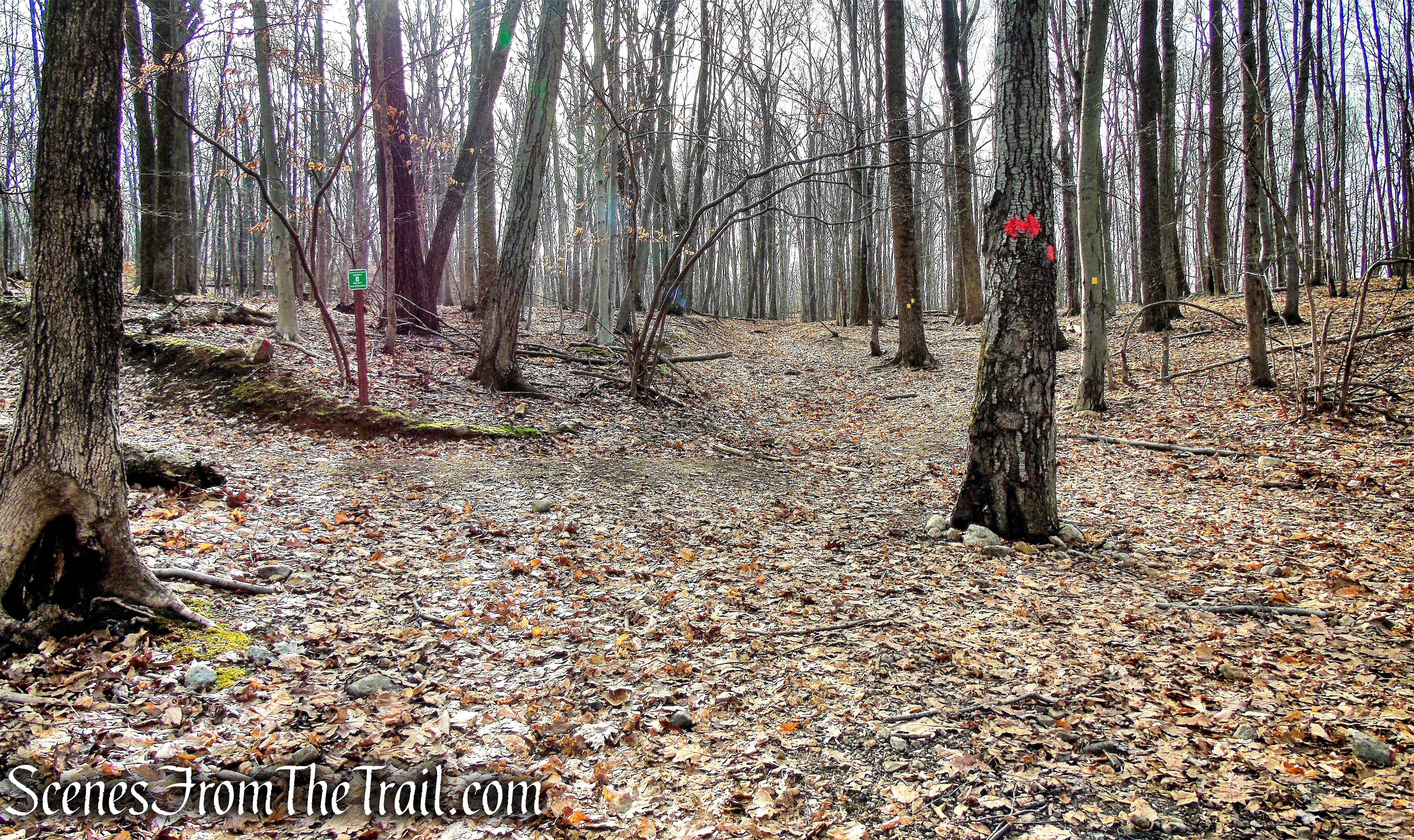
turn left on Woodland Trail

turn left on Woodland Trail
turn left on Woodland Trail

Woodland Trail – High Mountain Park Preserve

Woodland Trail – High Mountain Park Preserve
Woodland Trail – High Mountain Park Preserve

Woodland Trail – High Mountain Park Preserve
After about a mile on the Red Trail, the White Trail begins to the right at Location 12, but proceed ahead on the Red Trail. Then, in another 500 feet, you’ll reach the junction with the Yellow Trail that you encountered earlier in the hike. Continue ahead on the Red Trail (now retracing your steps) and follow it back to the parking lot where the hike began.

College Road Trailhead
If interested, before exiting the woods onto the gravel path, you can make a slight detour through the woods, to the site of an abandoned car. It sits near the edge of the woods and is visible from the trailhead (when the leaves are down). It is less than 300 feet west from the trail and appears to be a 1964 Chevy II (Nova).

abandoned car – High Mountain Park Preserve
Review:
A truly enjoyable loop hike with several stream crossings and views of the Manhattan skyline. The American flag, painted on the rock slab at the summit, makes for a worthwhile destination to have lunch and relax. The trails were mostly deserted on the day of our hike, but with warmer weather, school in session (William Paterson University) and ease of access, this area probably sees more foot traffic.
Pros:
Stream crossings, NYC views, quiet area to hike, not much foot traffic, trails and junctions are mostly well blazed.
Cons:
Summit Trail can use some more yellow blazes in certain locations.
Take a hike!

Summit/Woodland Trails Loop – High Mountain Park Preserve
Sources:
