July 4, 2022 – Oakland, NJ
Difficulty: Moderate
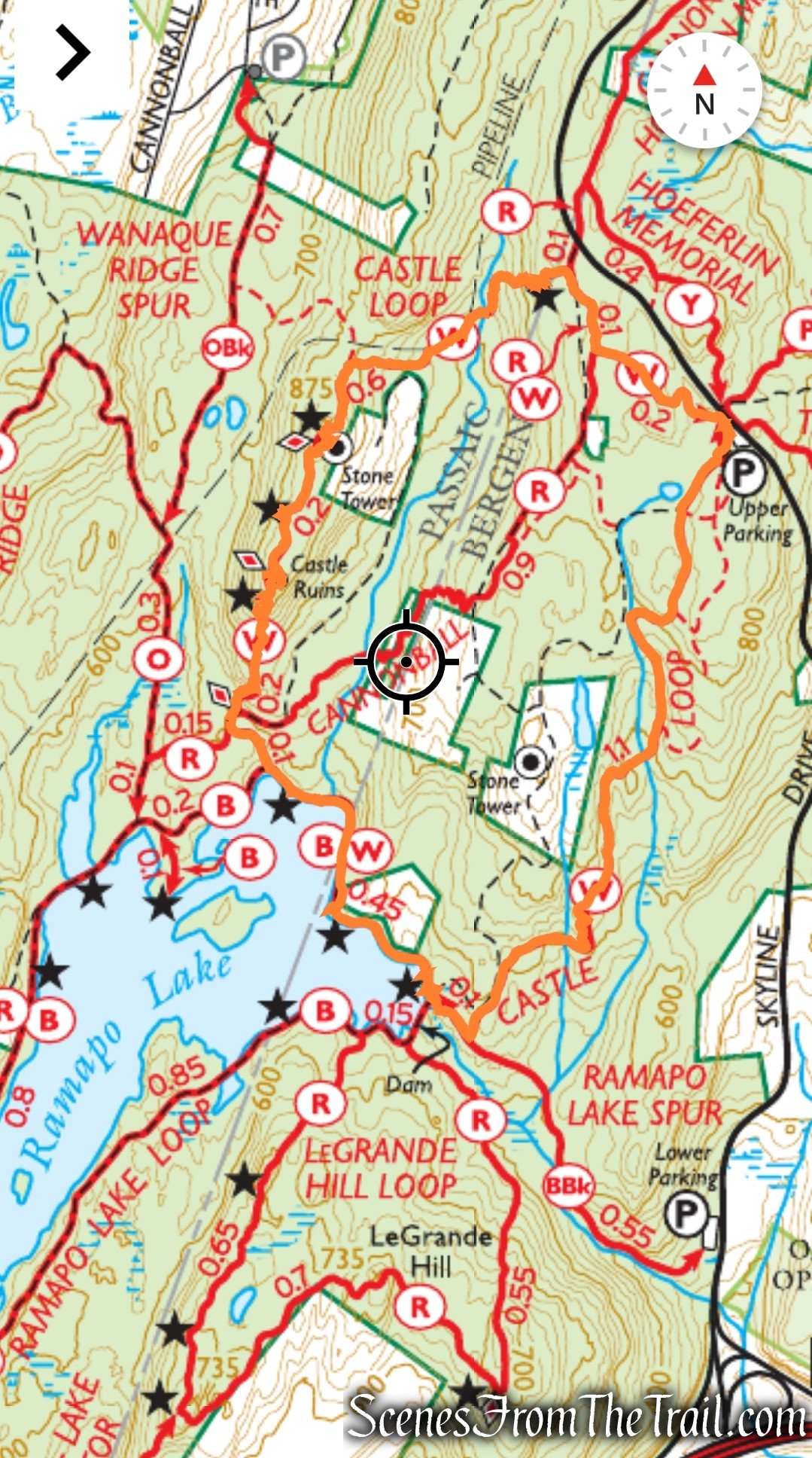
Length: Approximately 3.2 miles
Max elevation: 879 ft.– total elevation gain approximately 550 ft.
Route type: Circuit
Buy Map: Northern New Jersey Highlands Trails Map 2021
Free Map: Ramapo Mountain State Forest Map 2021
Avenza Maps: Northern New Jersey Highlands (#150 Ramapos Only) 2021
Trailhead parking: Upper Parking Lot – 265 Skyline Drive, Oakland, NJ 07436
Park Overview:
A rugged 4,269-acre area, Ramapo Mountain State Forest, with elevations ranging from about 200 to 1,100 feet, is a sanctuary for wildlife. Birders are attracted to the forest for its ponds, streams, marshes and one fairly large lake that provide the perfect habitat for bird and other wildlife species. The Ramapo Mountain State Forest, which includes wild lands in the municipalities of Oakland (Bergen County), Pompton Lakes, Ringwood and Wanaque, borders Ringwood State Park and the Ramapo Valley County Reservation, a part of the Bergen County Park System.
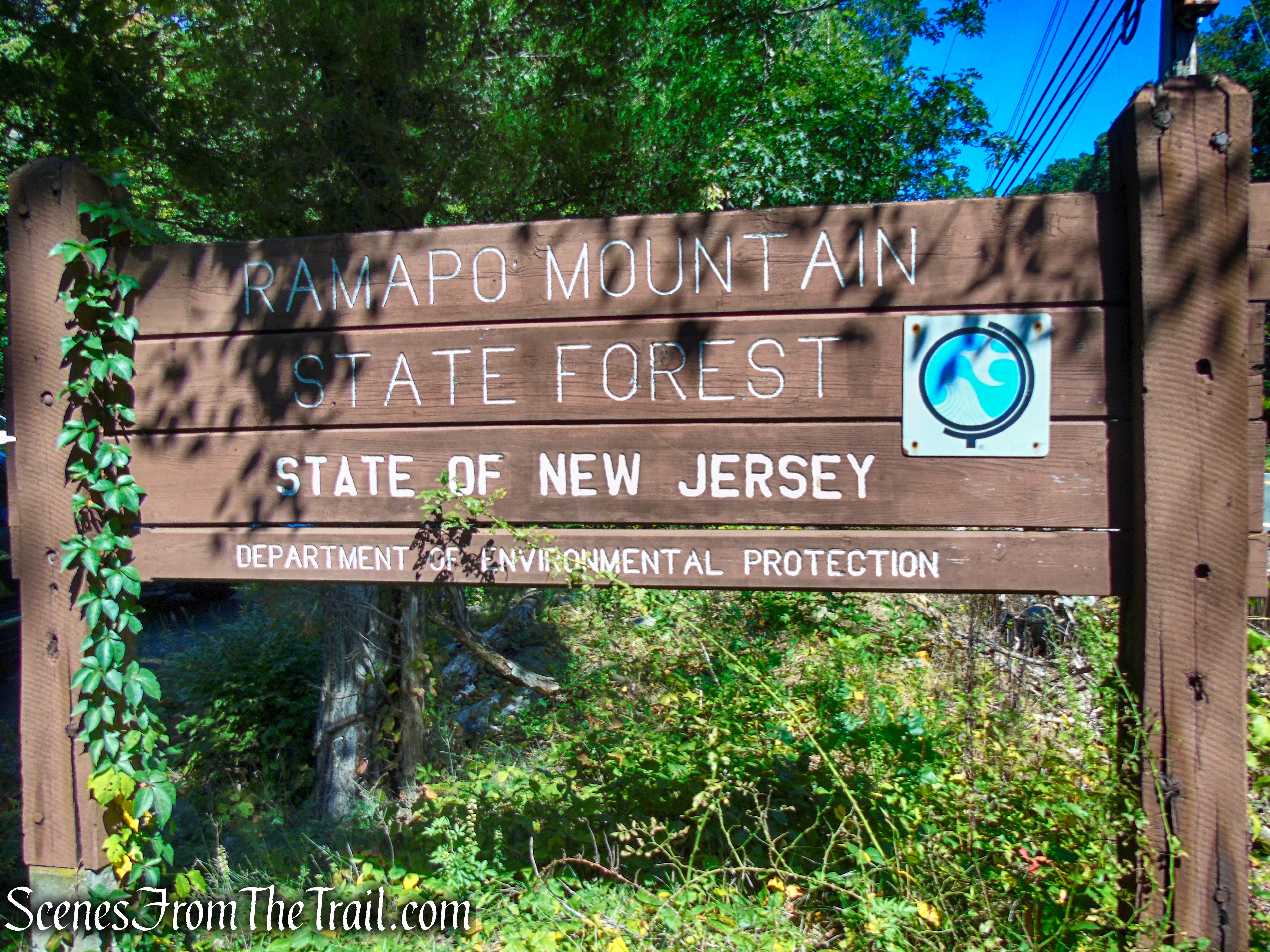
Ramapo Mountain State Forest
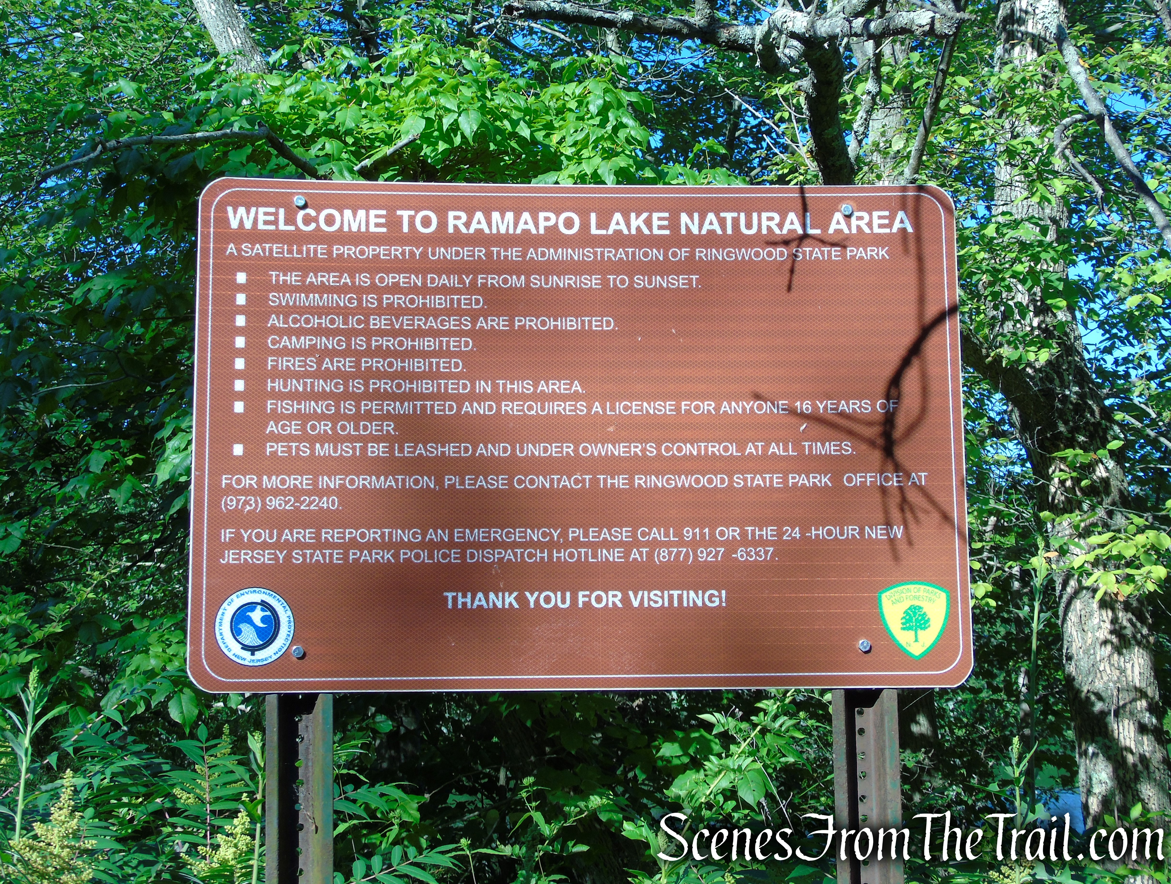
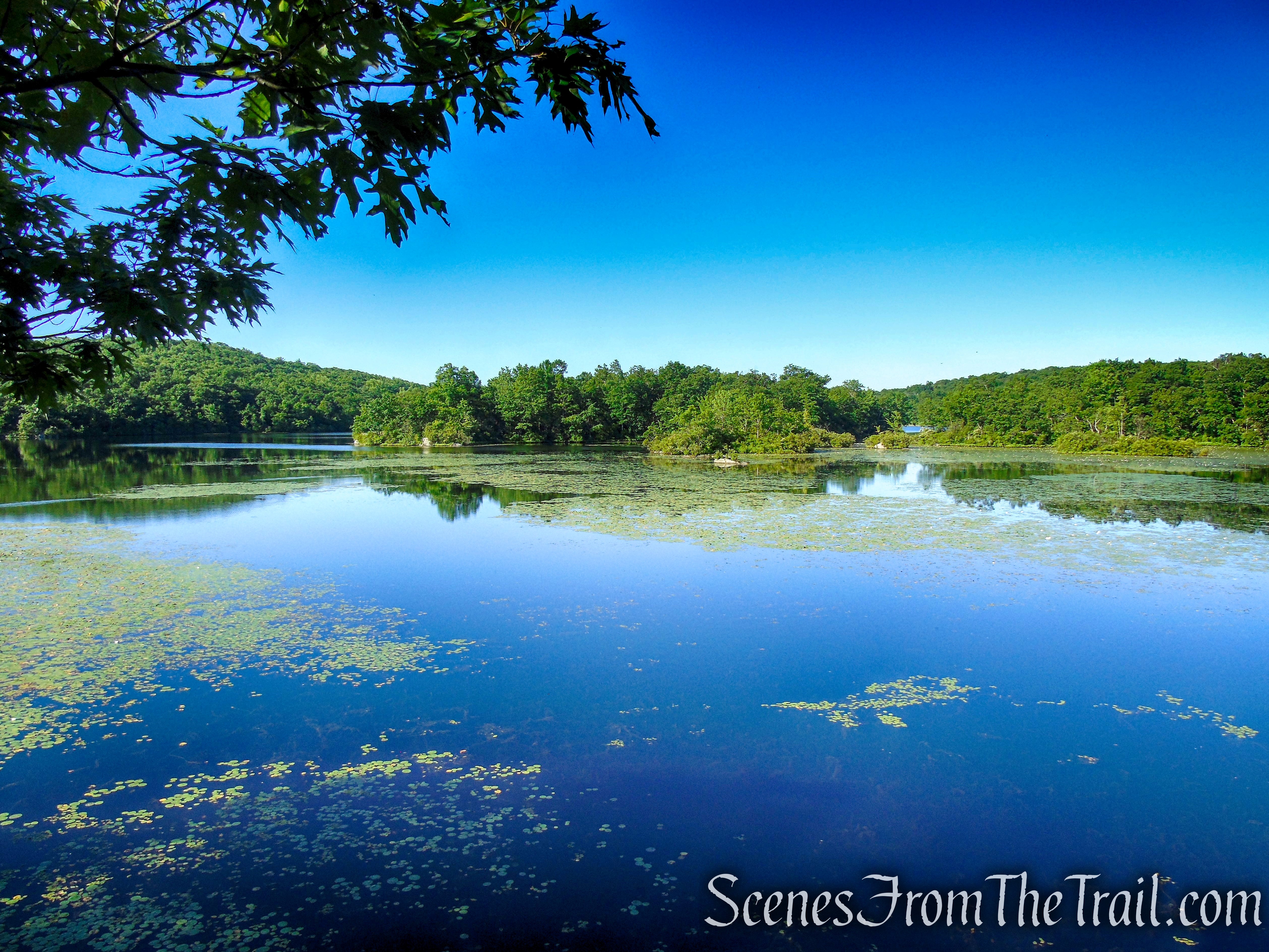
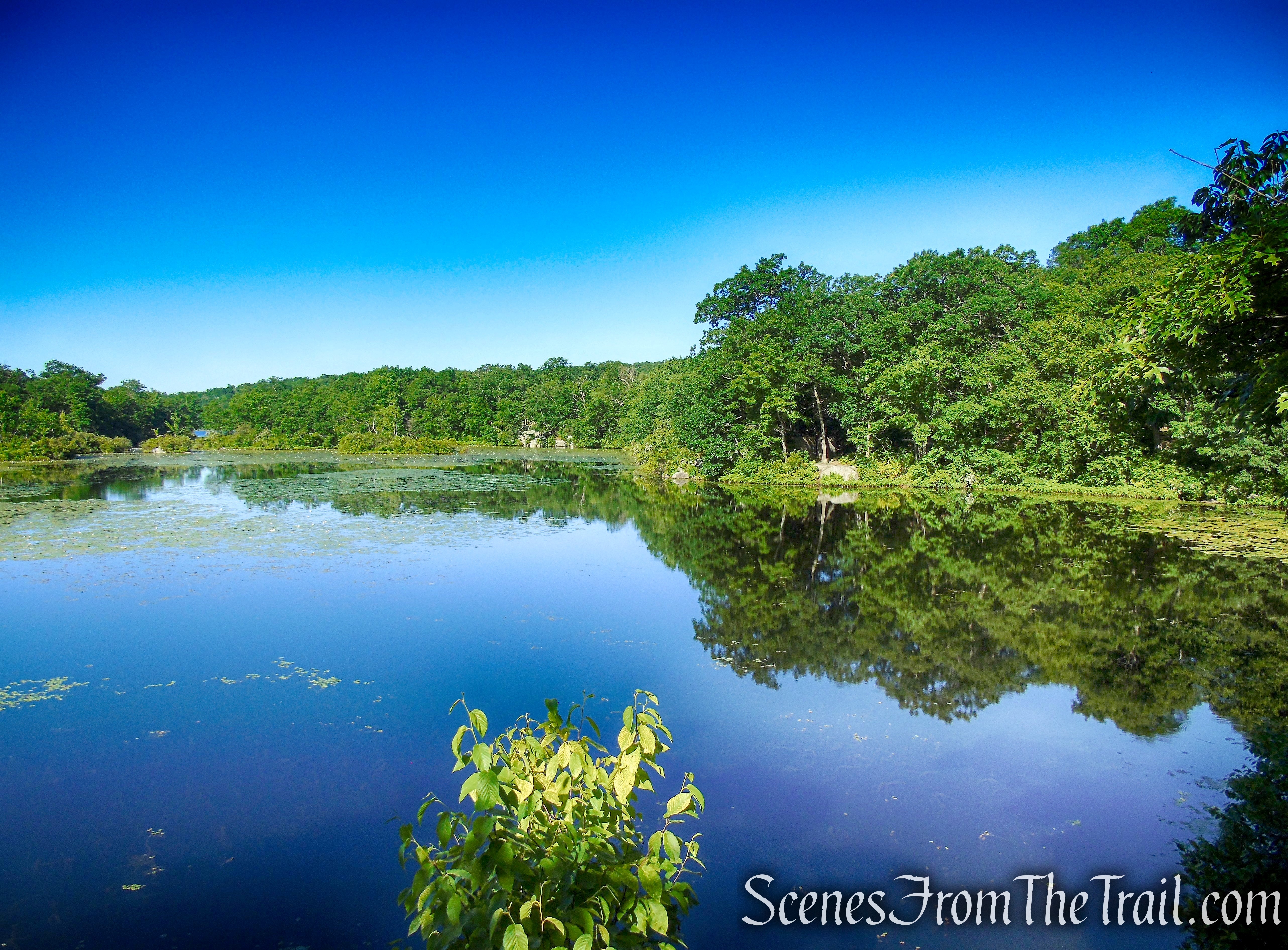
The 1,417-acre Ramapo Lake Natural Area within the park, offers spectacular views from numerous rock outcroppings and ledges, and rewards those who accept the challenge of the winding hiking trails and rocky terrain that comprise most of the site. A 120-acre clearwater mountain lake provides an excellent spot for fishing and birdwatching. There is no swimming permitted in Ramapo Lake. The area is open every day from 8 am to 8 pm.
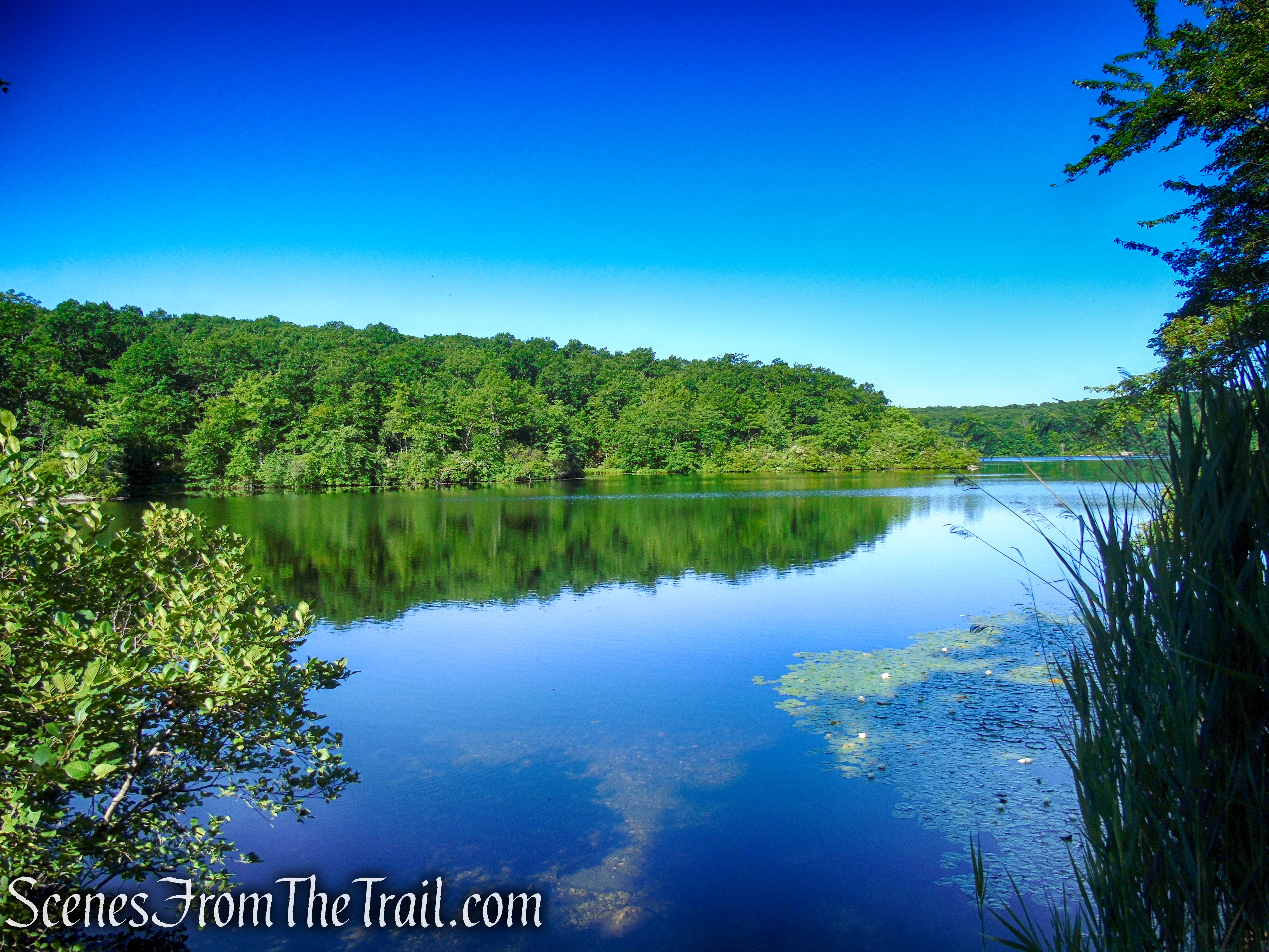
Ramapo Lake – Ramapo Mountain State Forest
History:
In 1910 stock broker William Porter built the colossal granite mansion “Foxcroft” on the top of Fox Hill, selected for the commanding views it afforded. In 1911, while traveling back to New York after a weekend at Foxcroft, Porter was killed in an automobile accident. He was survived by his wife Ruth Halliwell Porter, who was returning from a European vacation aboard the Lusitania at the time of the crash.
In 1913, Ruth married Warren Van Slyke and renamed their part-time retreat the Van Slyke Castle. When Warren died in 1925, Ruth moved to the castle permanently and remained there until her death in 1940. On March 1, 1949, the Castle was purchased by Celeste and Robin MacFadden, who subsequently sold to Suzanne S. Christie on July 2, 1951. Between 1951 and 1962, Suzanne S. Christie was to become Suzanne S. O’Sullivan then Suzanne Noyes Brussel. As strange as it may seem, Suzanne (who was the sole owner) abandoned the mansion between husbands, and left it to the mercy of the elements. In 1959, the magnificent structure was reduced to ruins in a fire of undetermined origin.
On August 18, 1978, Suzanne Brussel sold the ruins to Bruce Ademski of the Ademski and Van Saun Home Improvement Company. Ademski then subdivided the 15.9 acre parcel into three 5 acre lots. On February 22, 1980 the State of New Jersey filed a “Declaration of Taking;” which informed Ademski that his lots would soon be seized by the NJDEP at a non-negotiable price. Shortly after the receipt of this document, Ademski’s lots became part of Ramapo Mountain State Forest.
In the early part of the 20th century, Clifford MacEvoy purchased about 2600-acres of what would become Ramapo Mountain State Forest. In 1976 the area became state lands using Green Acres and federal funds. The majority of Park acreage was conveyed by the trustee of the Clifford MacEvoy estate to the State of New Jersey to be included as part of the existing Ramapo State Forest.
Trails Overview:
The state forest built a network of hiking trails with the help of the New Jersey Youth Conservation Corps in 1978, some of which are still in use today. The forest was unfortunately sliced in two by the controversial extension of Route 287 in the early 1990’s by the NJ Department of Transportation. A footbridge was built over the highway along the Cannonball Trail to mitigate this issue.
Ramapo Mountain State Forest includes 18 official trails, totaling more than 29 miles. Trails vary in length from less than 1 mile to 10 miles and many trails continue beyond Ramapo Mountain State Forest into adjacent County and State lands. Many multi-use trails are suitable for hiking, mountain biking, horseback riding, and cross-country skiing. Please obey all designated uses of the trails posted at trailheads and trail crossings.
As of September 2020, changes were made to the trail system In Ramapo Mountain State Forest. The changes were sparked by a rise in visitation, which has been accompanied by a rise in lost hikers, leading to a persistent need for the services of local search and rescue. The improvements include changing blaze colors and creating new trails. Having an up-to-date trail map is paramount before heading into the woods.
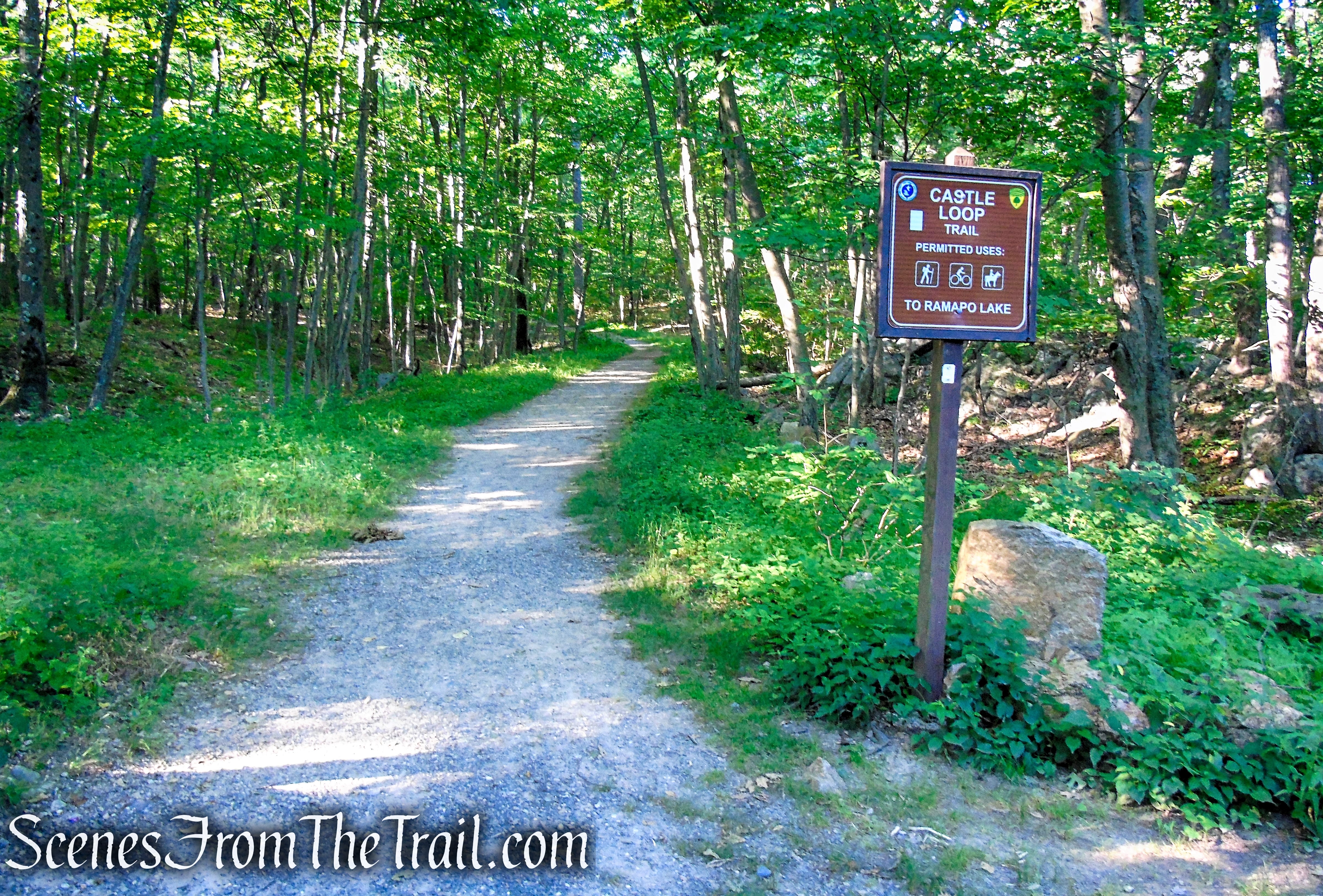
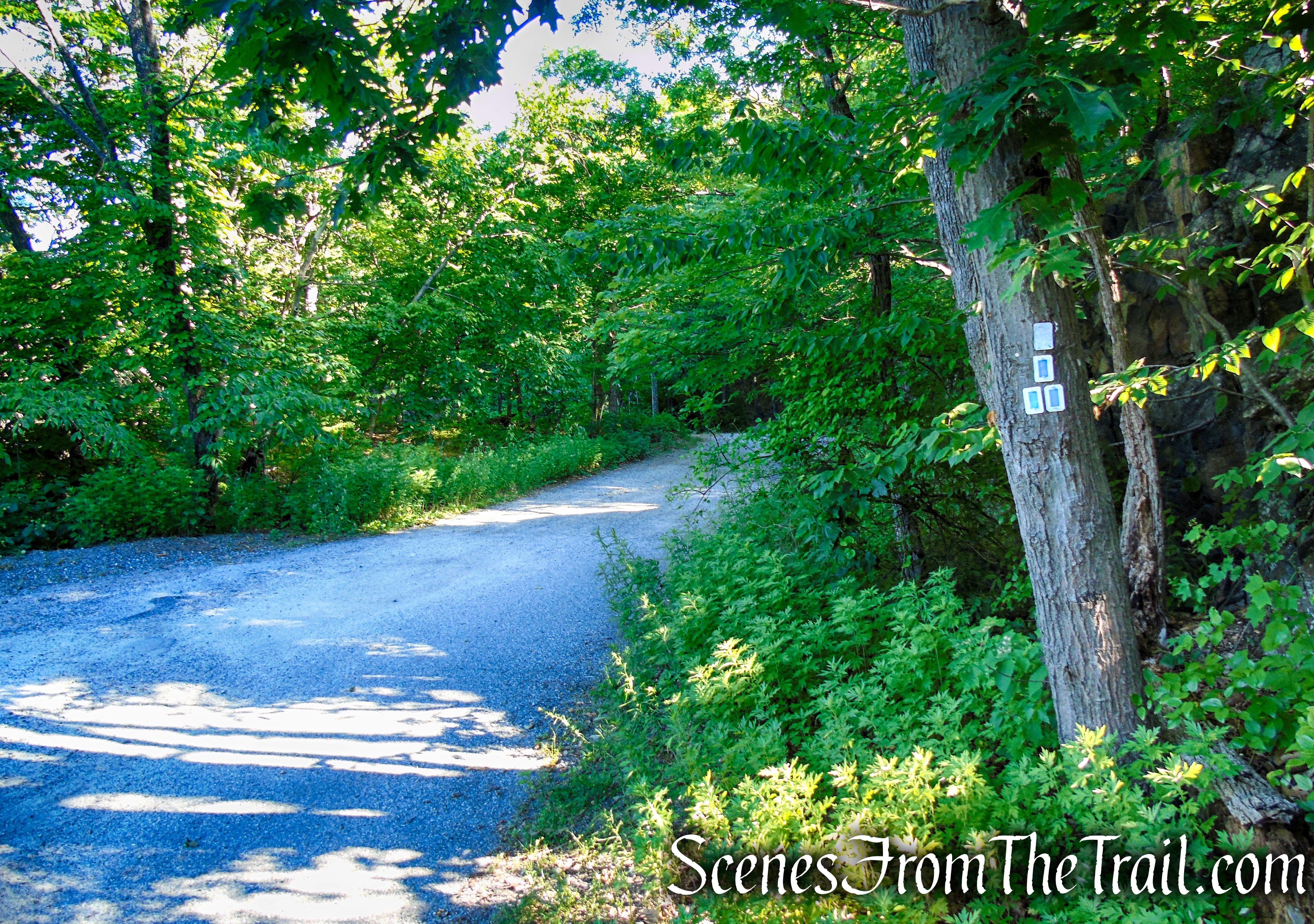
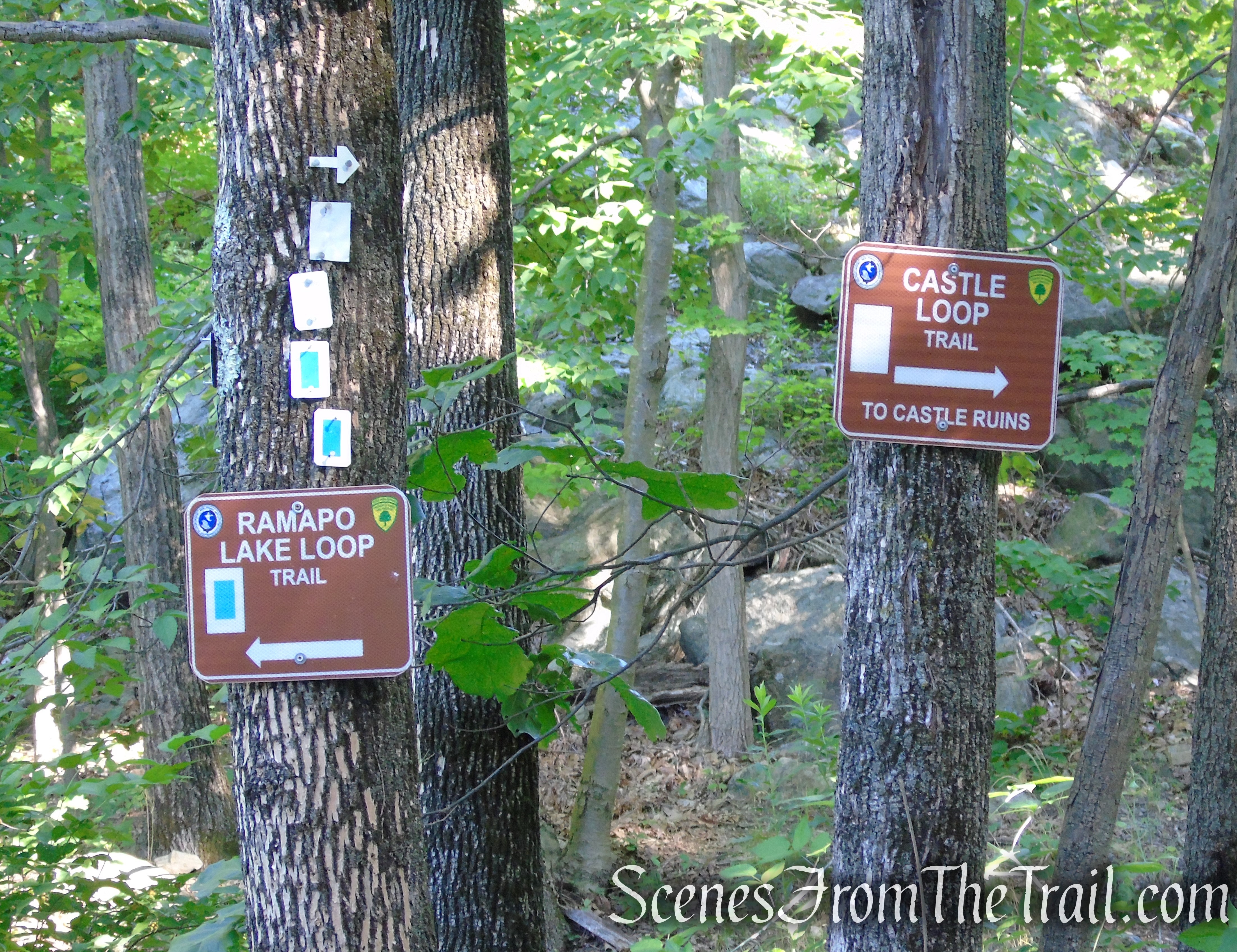
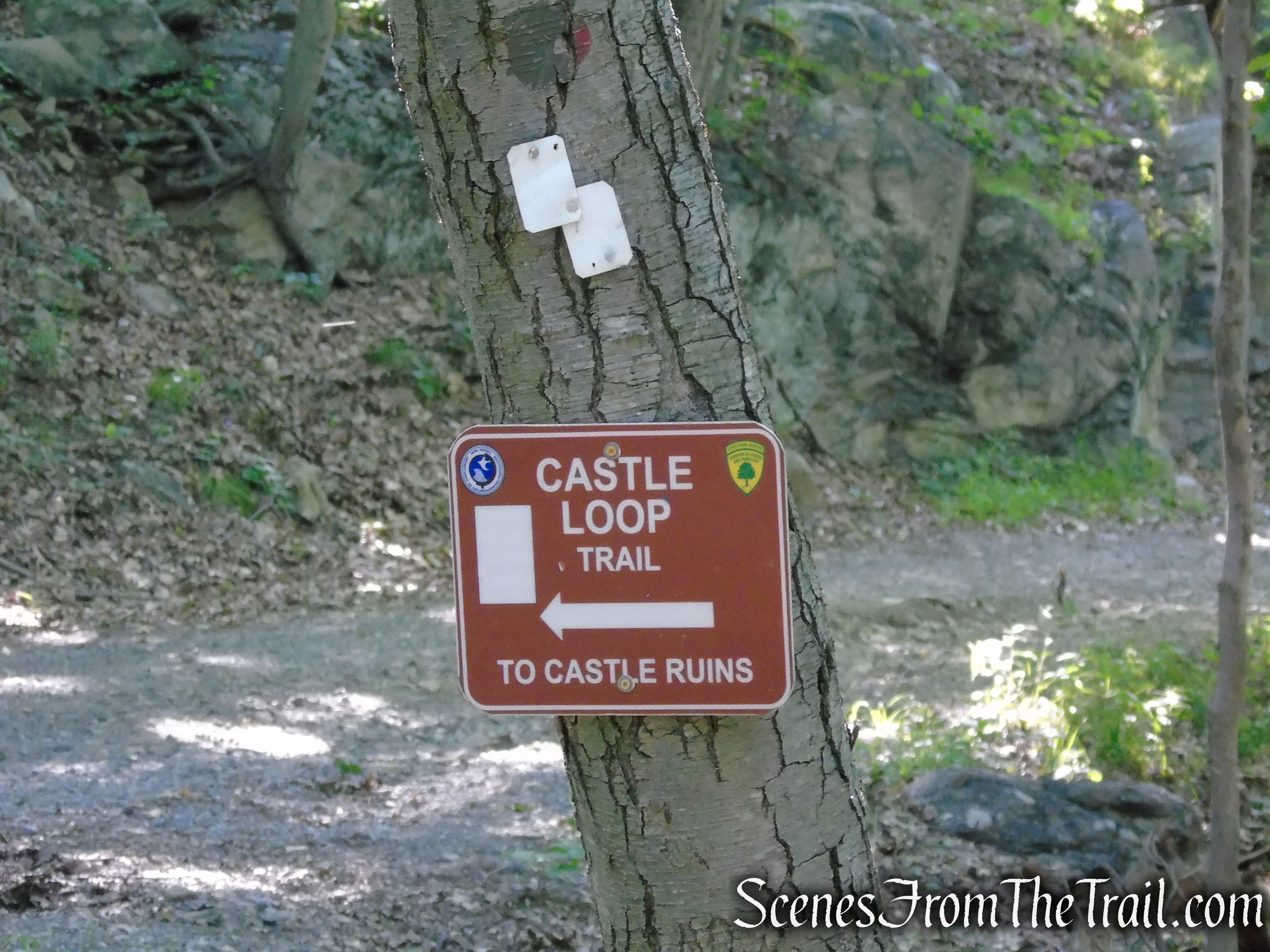
The new Castle Loop Trail (white blazes), uses existing trails to create a loop hike option from the Upper Parking lot on Skyline Drive. The trail was re-blazed with added signage and in some areas rerouted and/or combined with shorter trail segments into larger, coherent loops, to greatly enhance the visitor experience.
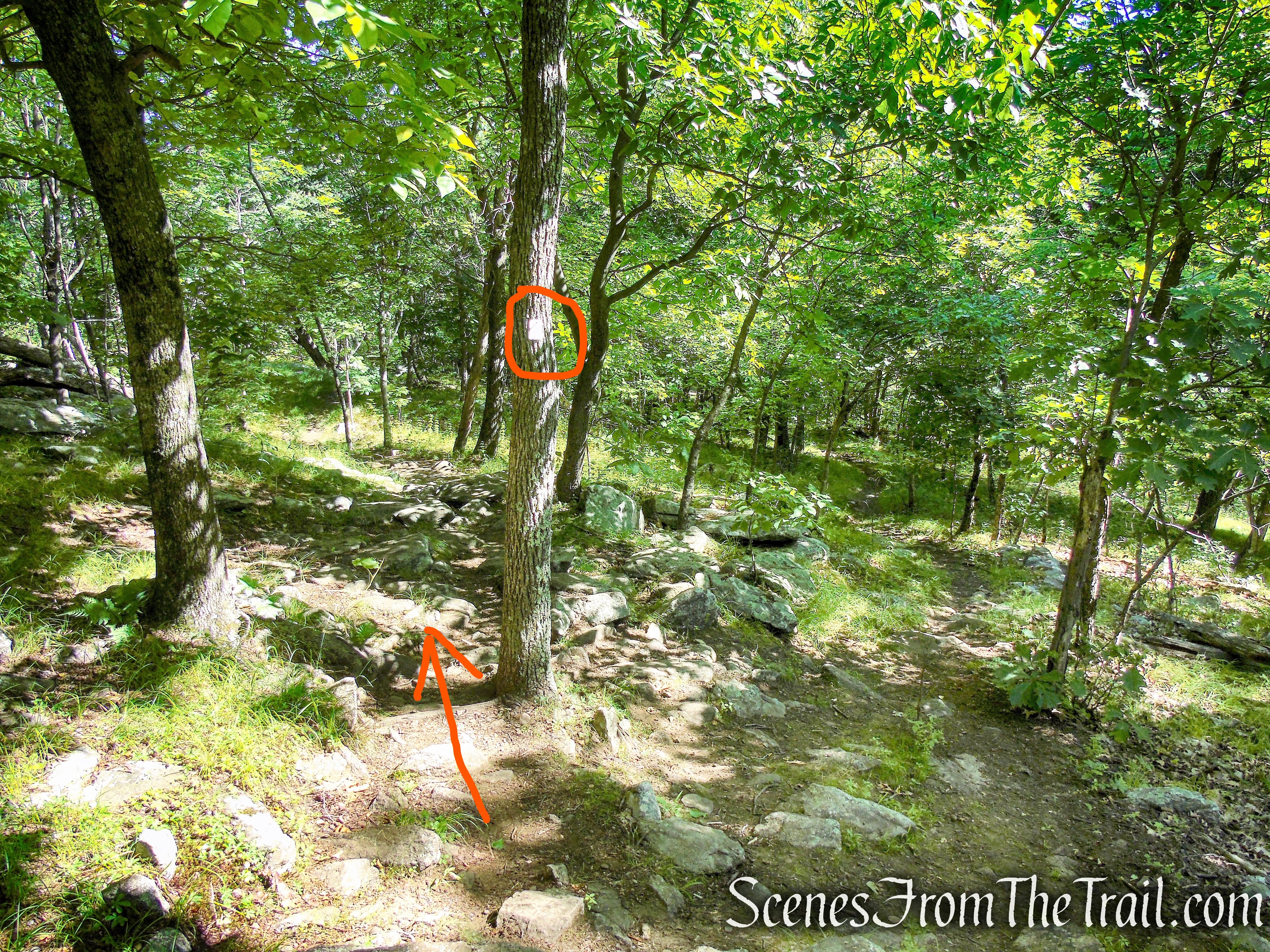
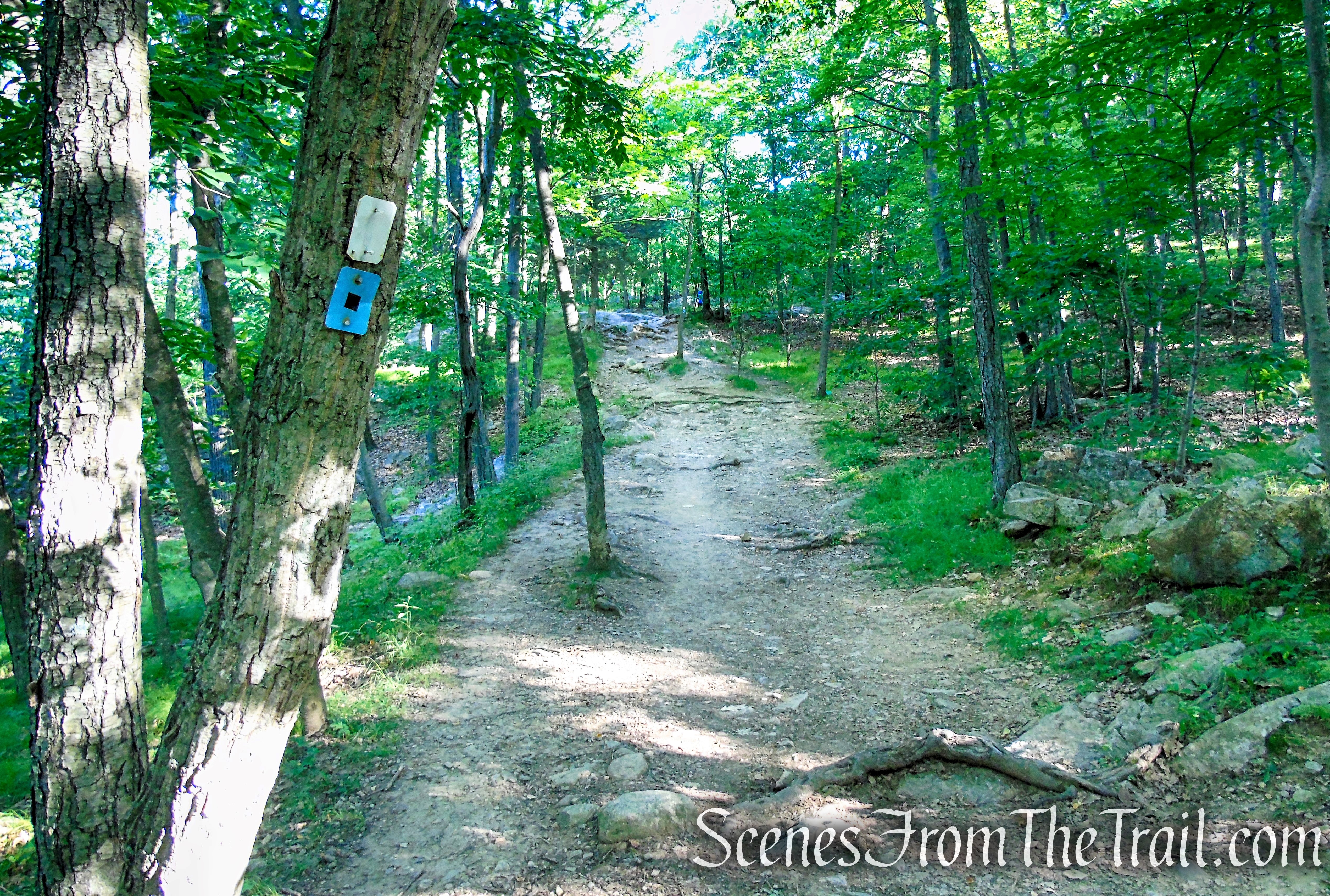
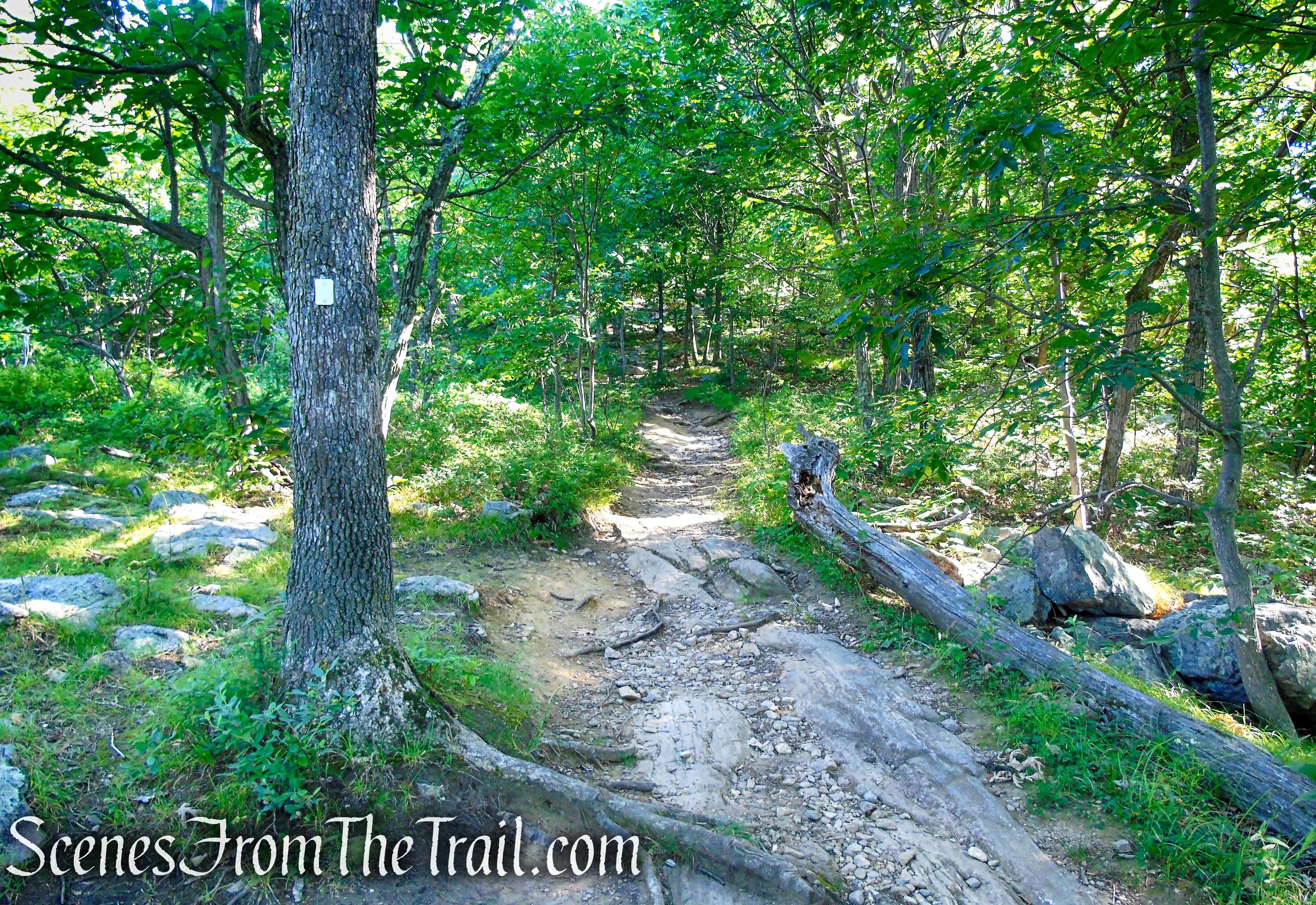
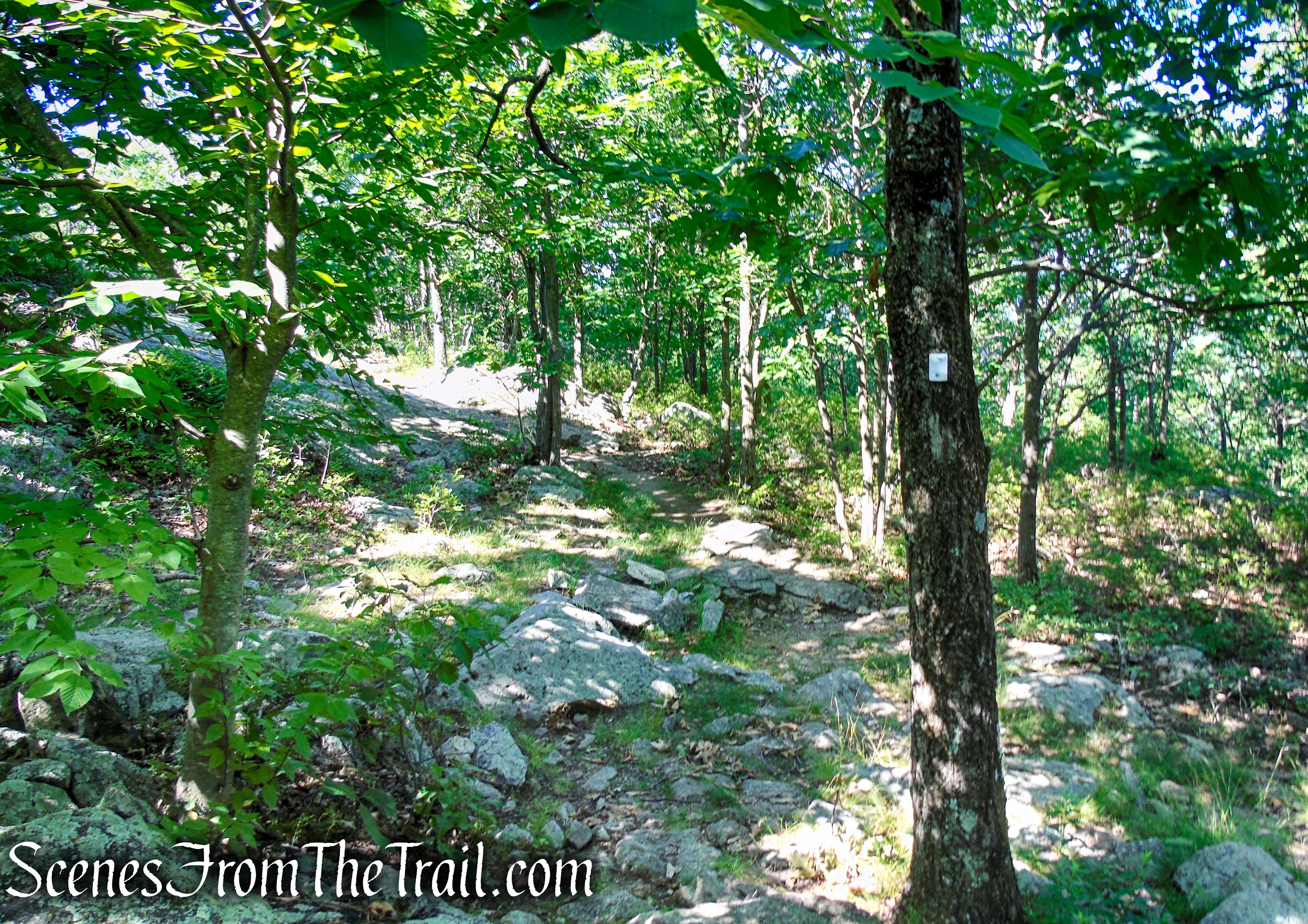
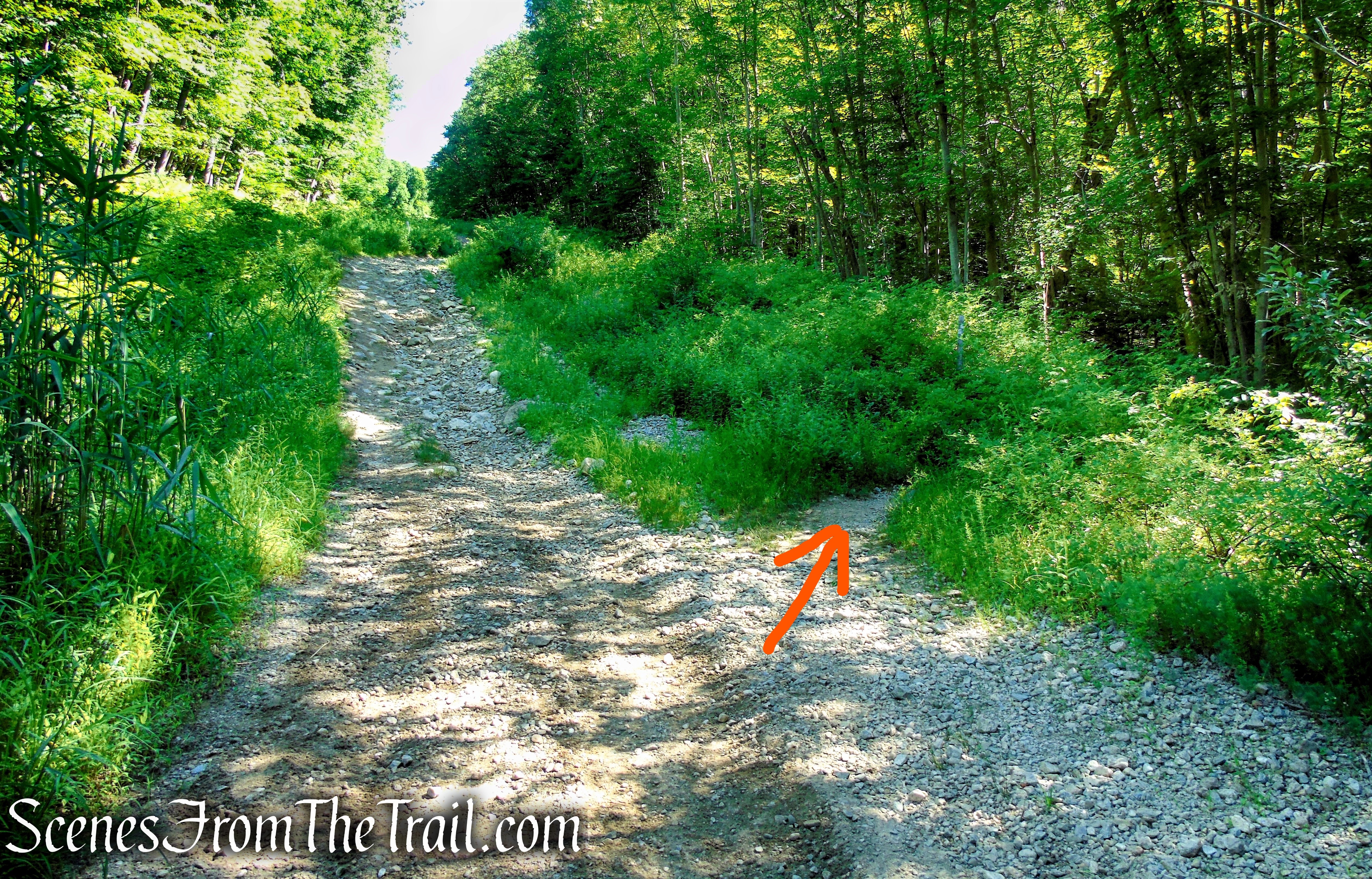
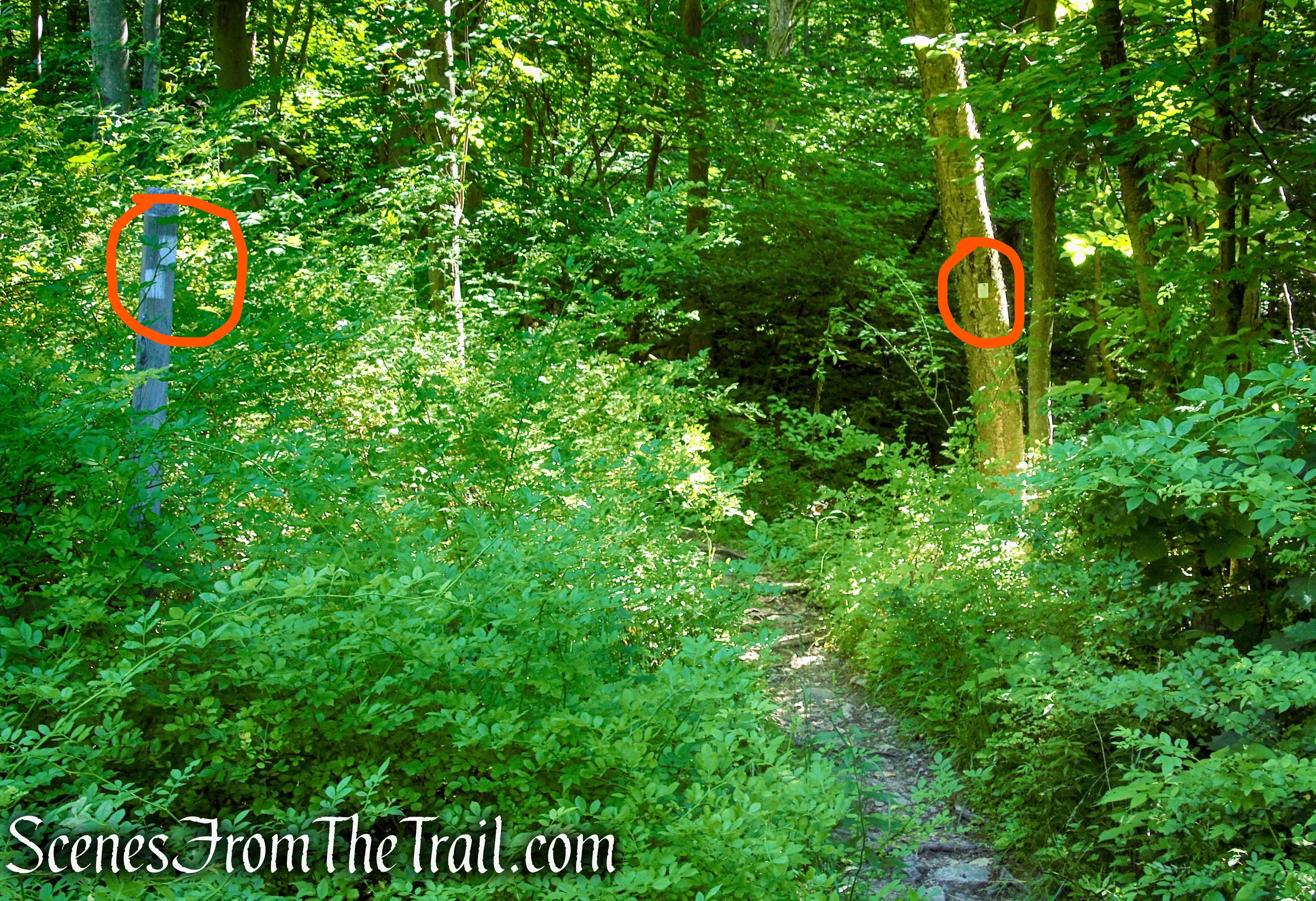
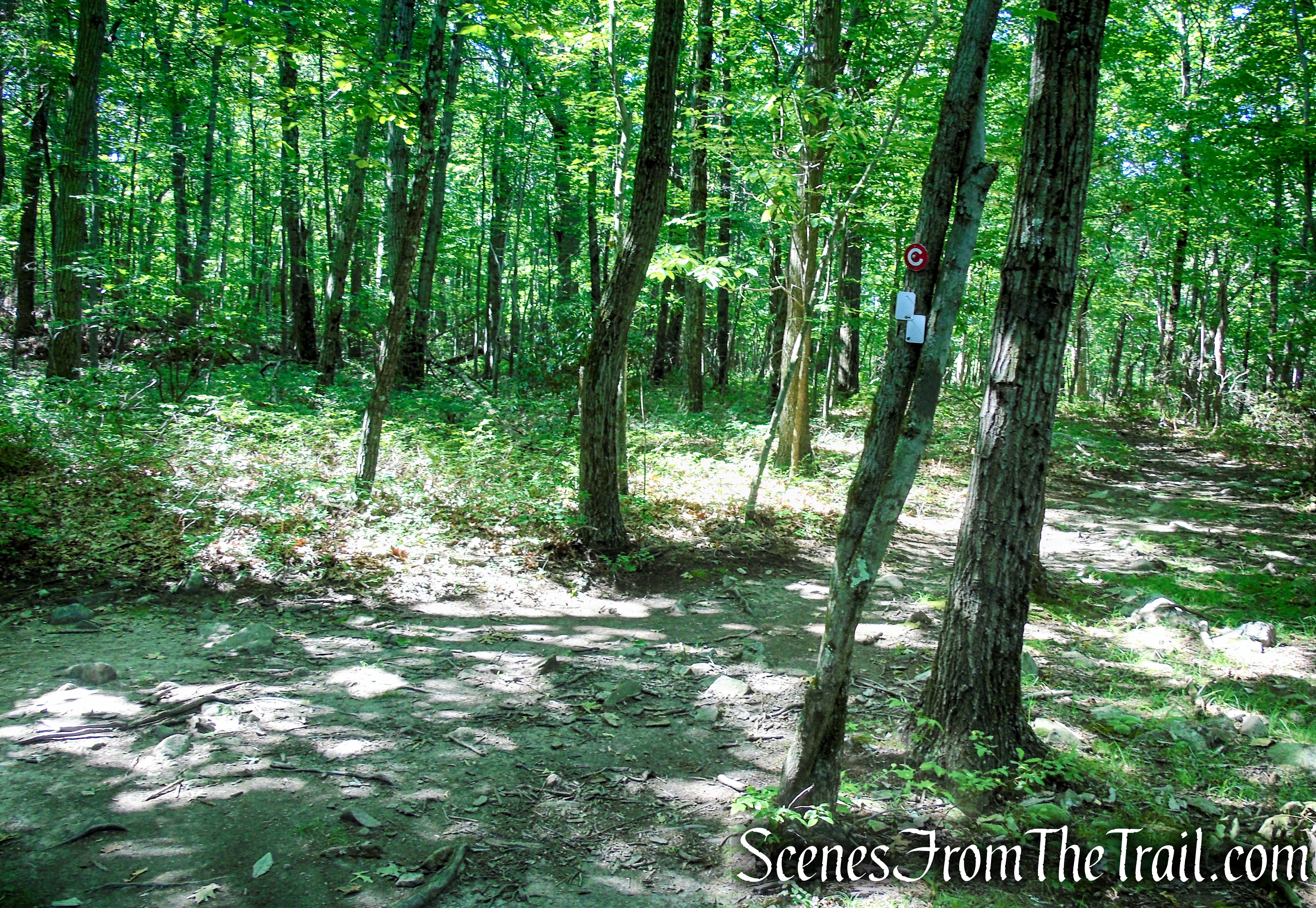
Although you are following only one trail color on this hike, careful attention should be paid to where the blazes go. Certain areas could benefit from a simple painted arrow on a tree indicating direction or an extra blaze here or there, as there are numerous instances where the trail is rerouted alongside existing footpaths/woods roads that are well beaten and can lead to confusion. The image below is a perfect example. The lone white blaze (circled) is right at the junction and could benefit from a left turn indicator or a painted arrow pointing left. The next blaze is some distance down the trail and difficult to see. The unmarked trail on the right is a more well-trodden path than the blazed trail.
Castle Loop Trail – Ramapo Mountain State Forest
My advice is to utilize the free Avenza Maps app, using an up-to-date trail map to navigate your way around, otherwise you may be left scratching your head throughout the hike.
Hike Overview:
This popular day hike is best done early mornings or weekdays. We arrived about 7:45am on July 4th and there were only two vehicles in the lot. At the conclusion of the hike, the lot was full.
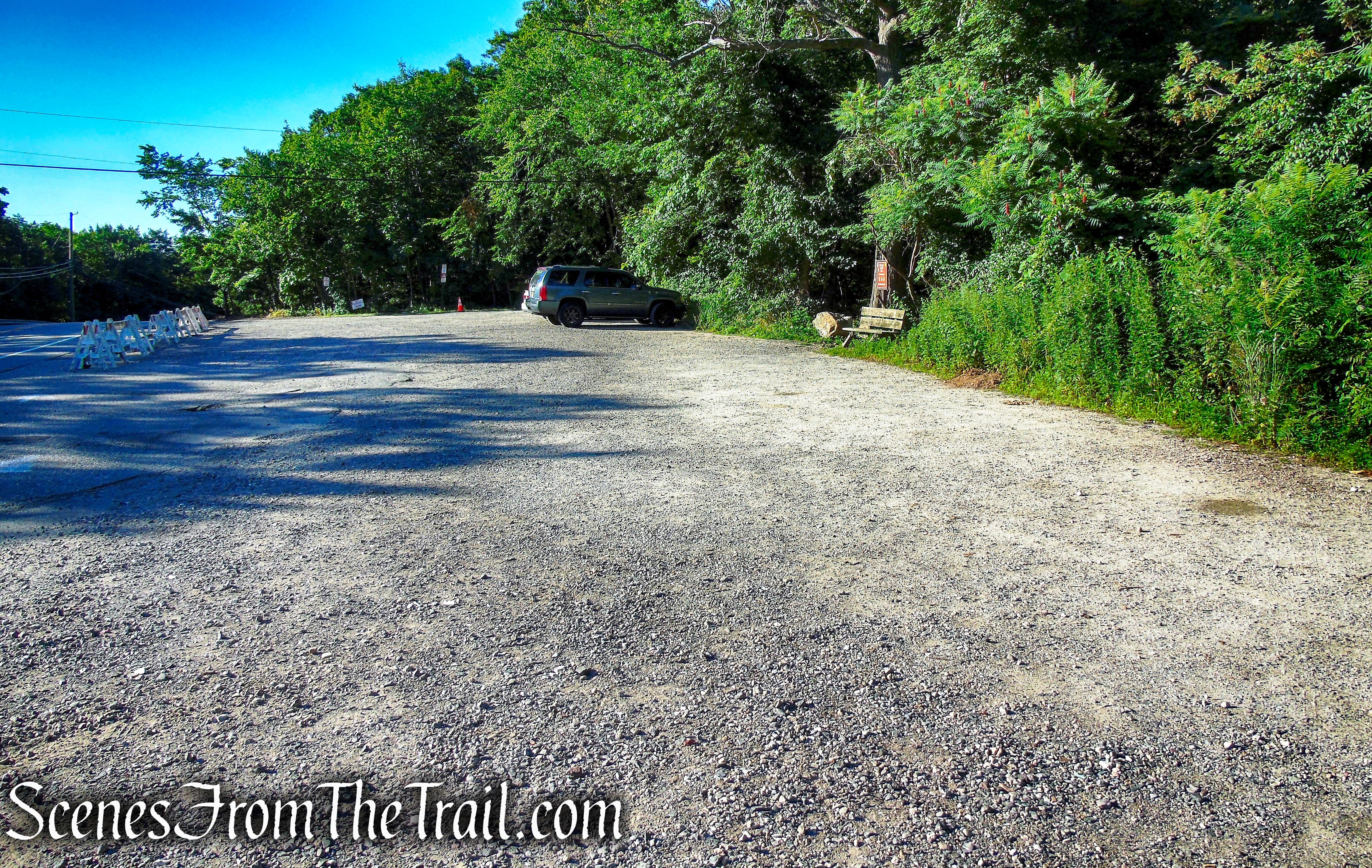
Upper Parking Lot – Skyline Drive – Ramapo Mountain State Forest
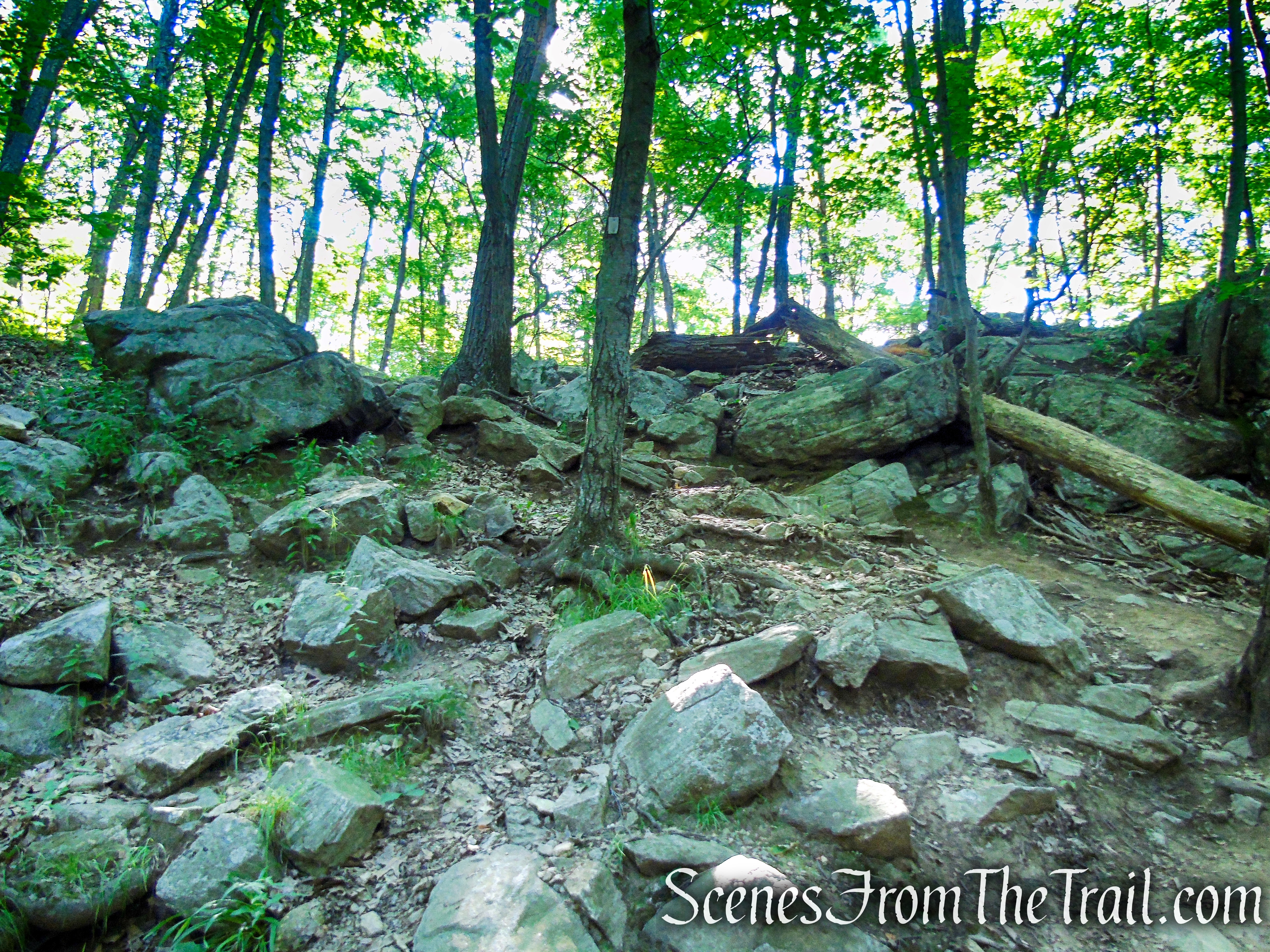
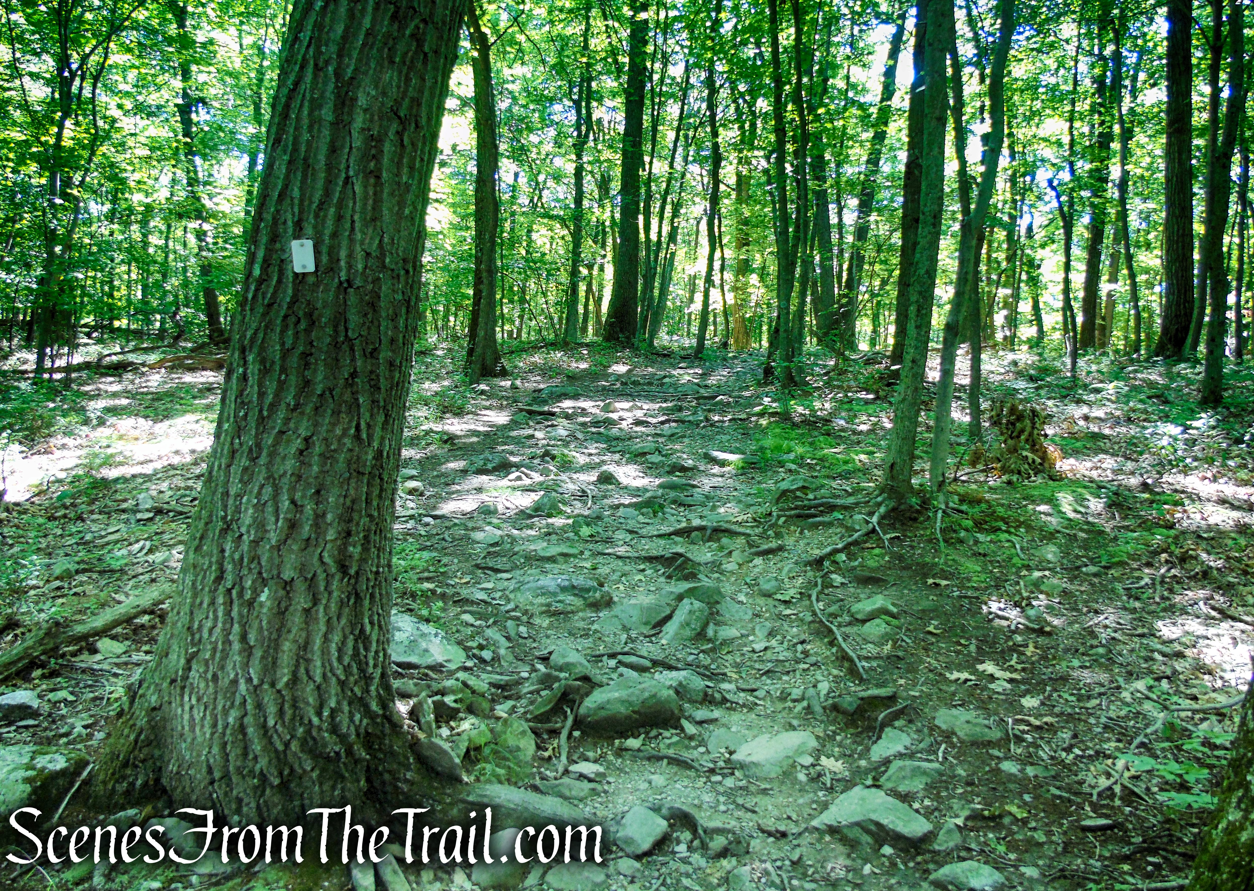
I did a similar hike in January of 2020 before the implementation of the trail improvements. I wanted to update the hike on this site and the 4th of July was as good a time as any. To be honest, I don’t remember any navigational issues on our first hike before the “improvements.” Numerous times on this hike we had to stop and survey the area searching out blazes. Some of the re-routes are made more confusing by the placement of the blazes and some junctions could use some directional blazes. Having been here before, I had a good idea of where I was going, but a first time visitor or novice could run into some difficulties. Bottom line is that you have to pay careful attention to the trail blazes and at times stop and seek out the next blaze or turn around and look for blazes going in the other direction.
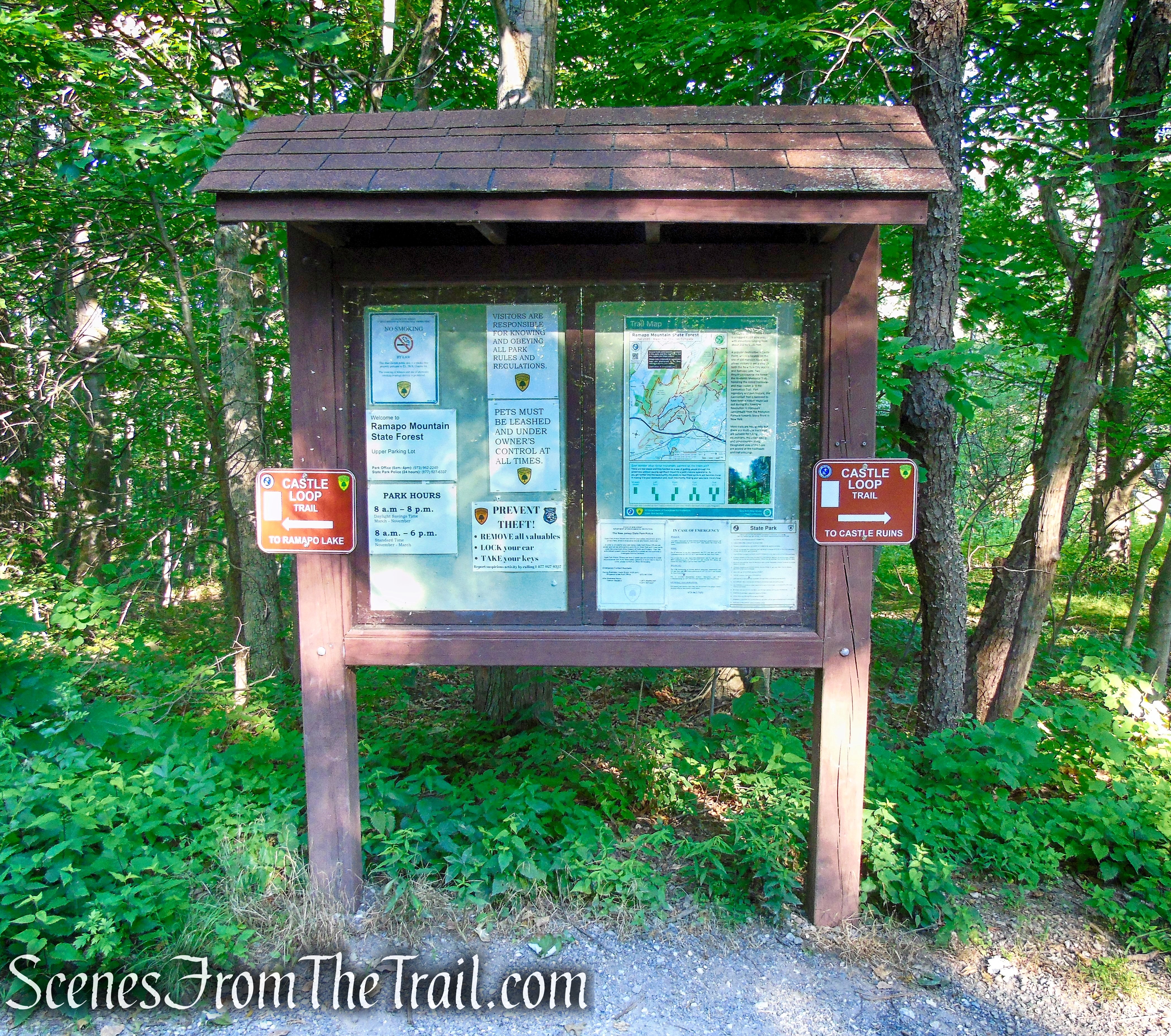
We did this hike clockwise, but I believe more people do the hike counterclockwise. The signs at the kiosk indicate left to “Ramapo Lake” and going right to “Castle Ruins.” Most of the people we saw, were going in the opposite direction.
Castle Loop Trail – Ramapo Mountain State Forest
This clockwise loop begins and ends at the Upper Parking lot on Skyline Drive.
Castle Loop Trail – Ramapo Mountain State Forest
Although there are several steep sections, the overall elevation is mostly moderate.

elevation profile – Castle Loop Trail
This hike can be combined with the LeGrande Hill Loop or the Ramapo Lake Loop.
The Hike:
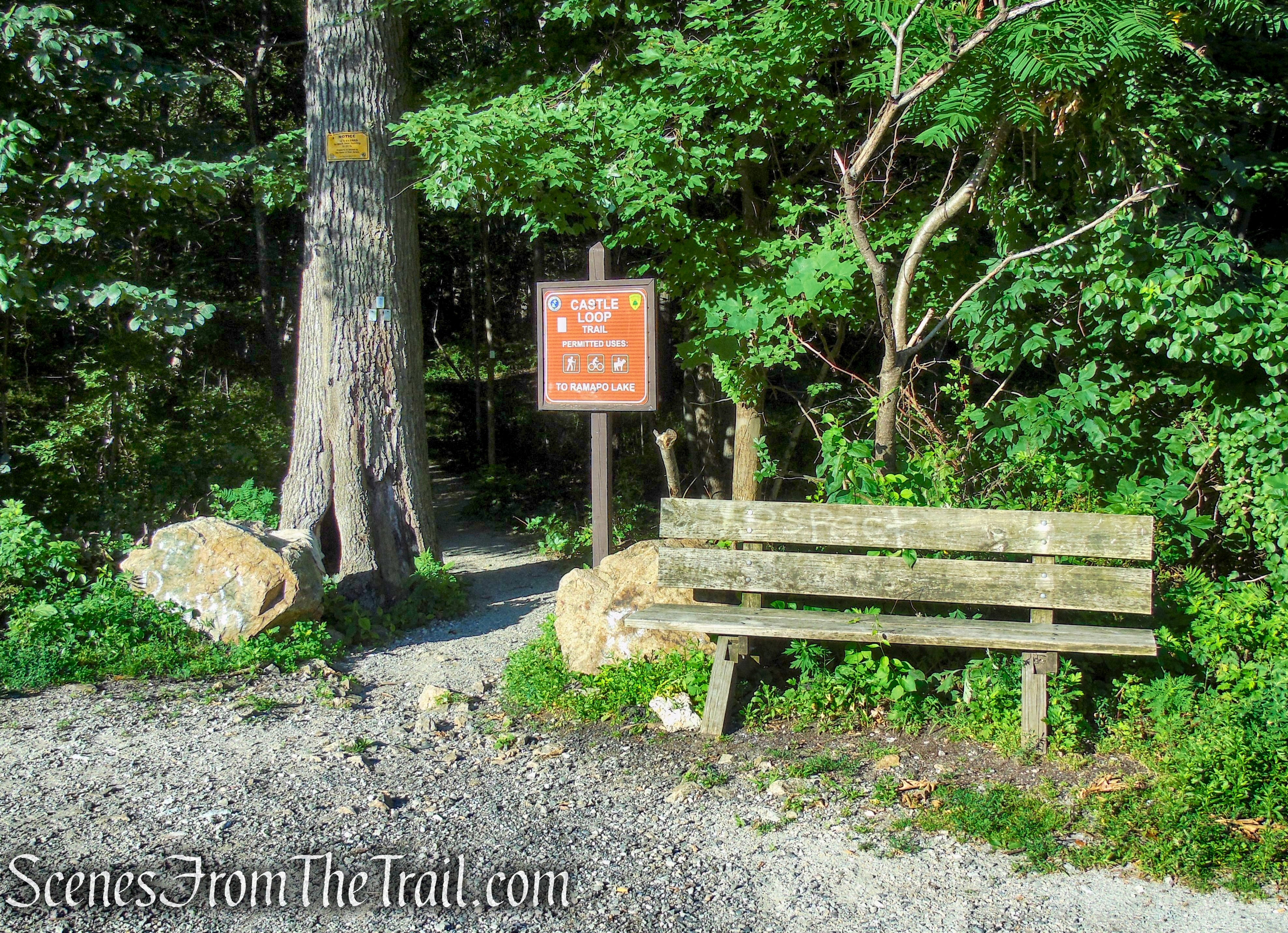
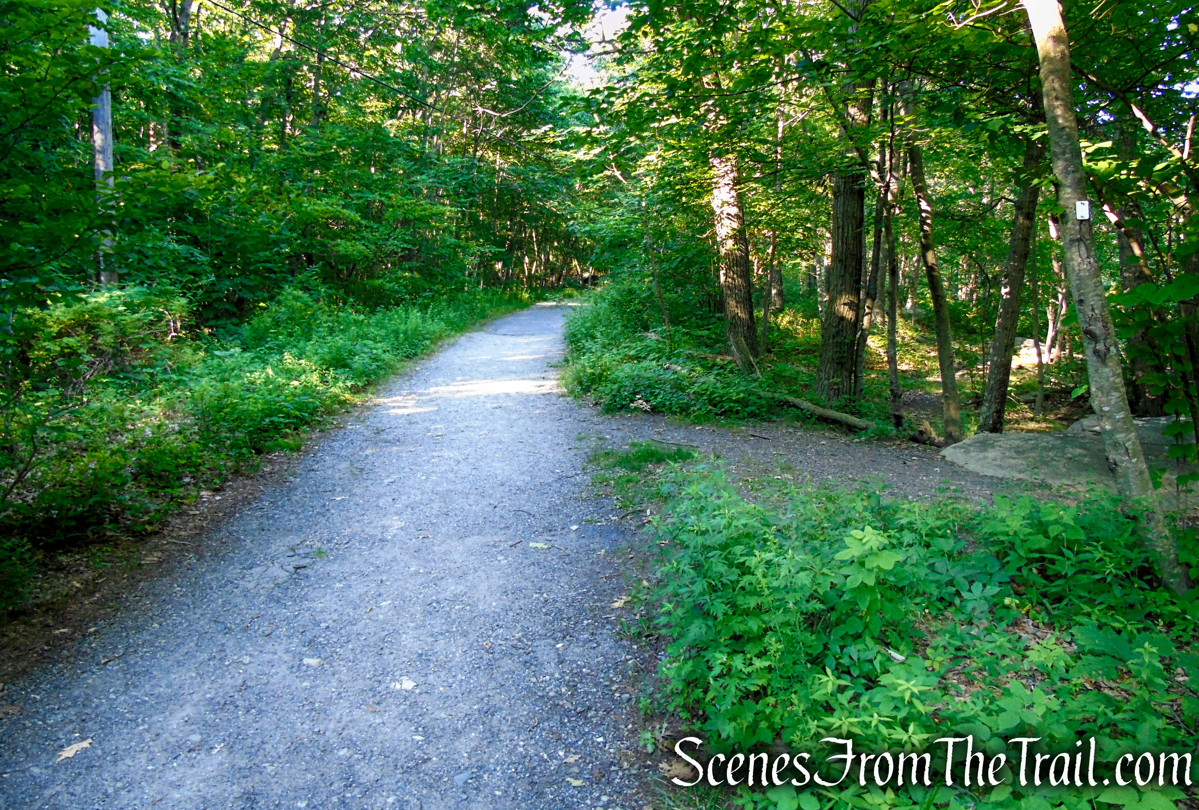
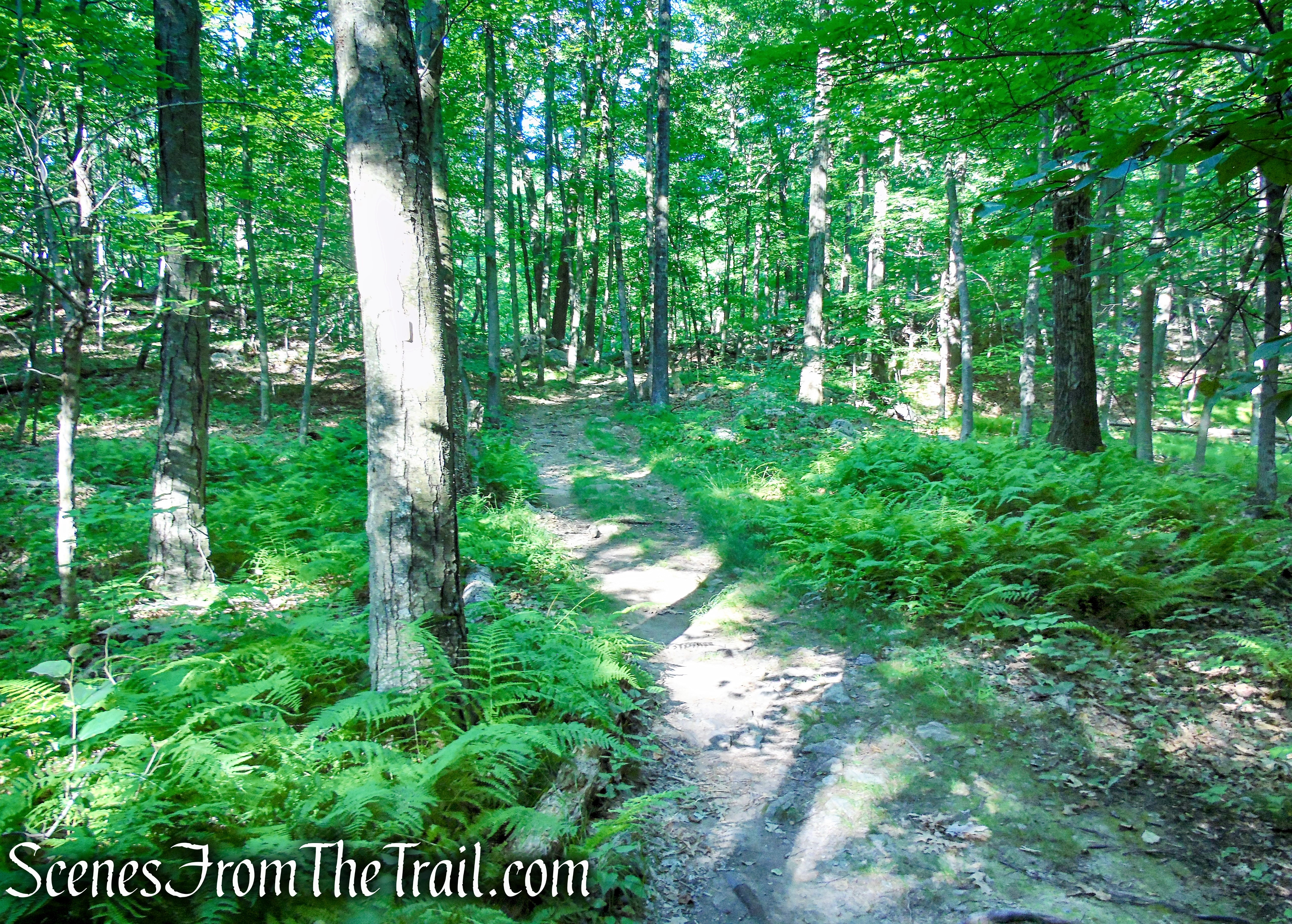
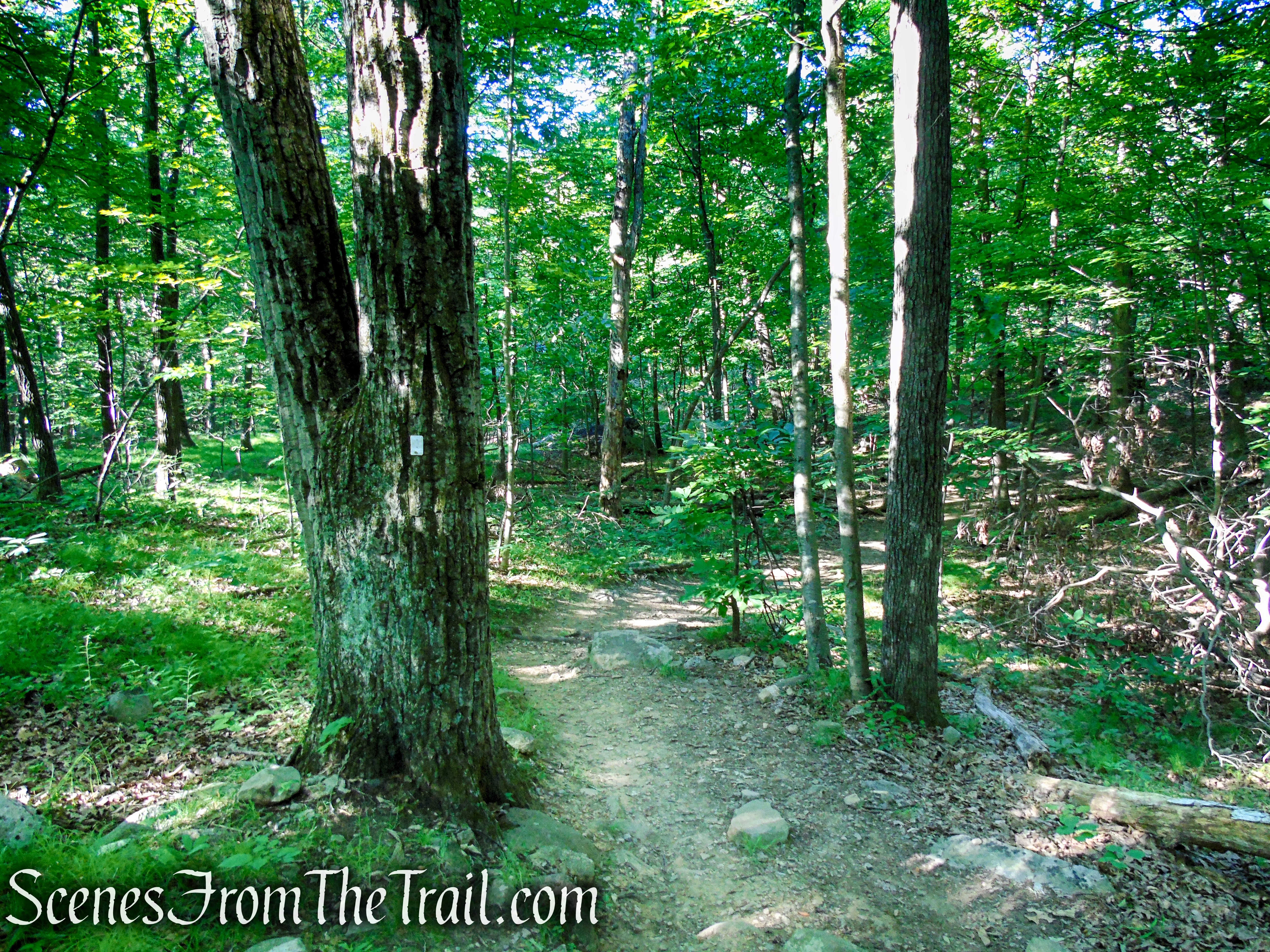
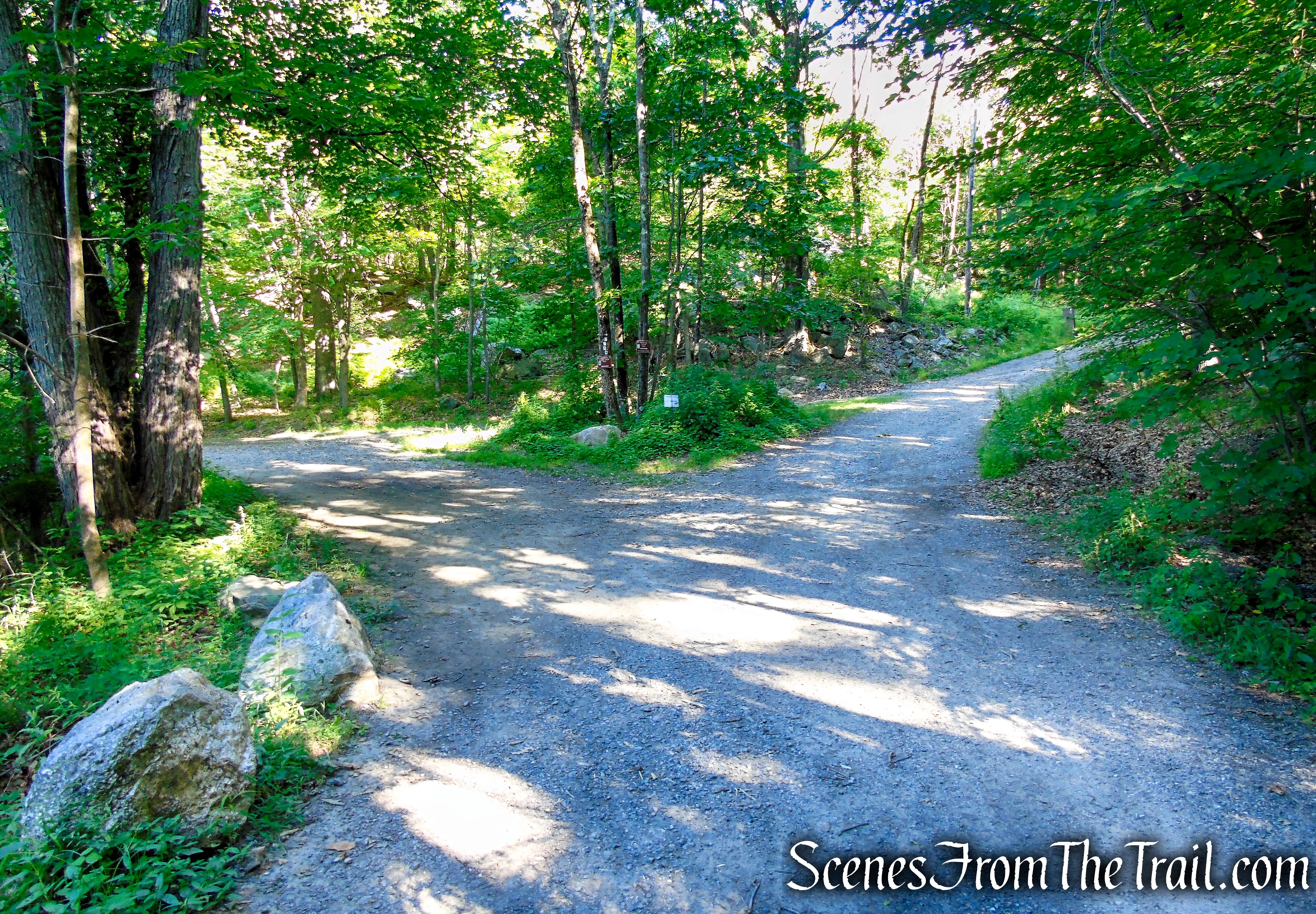
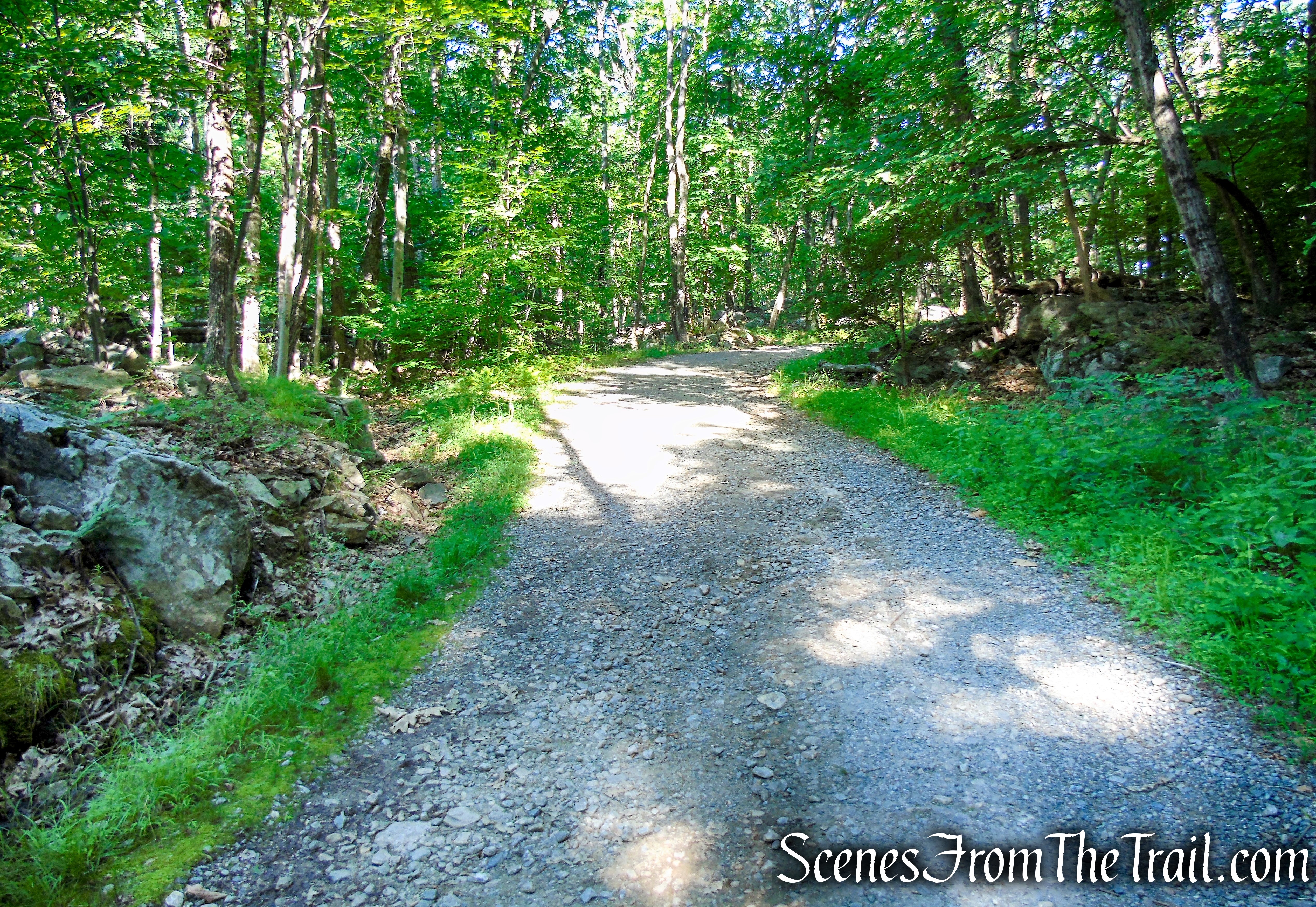
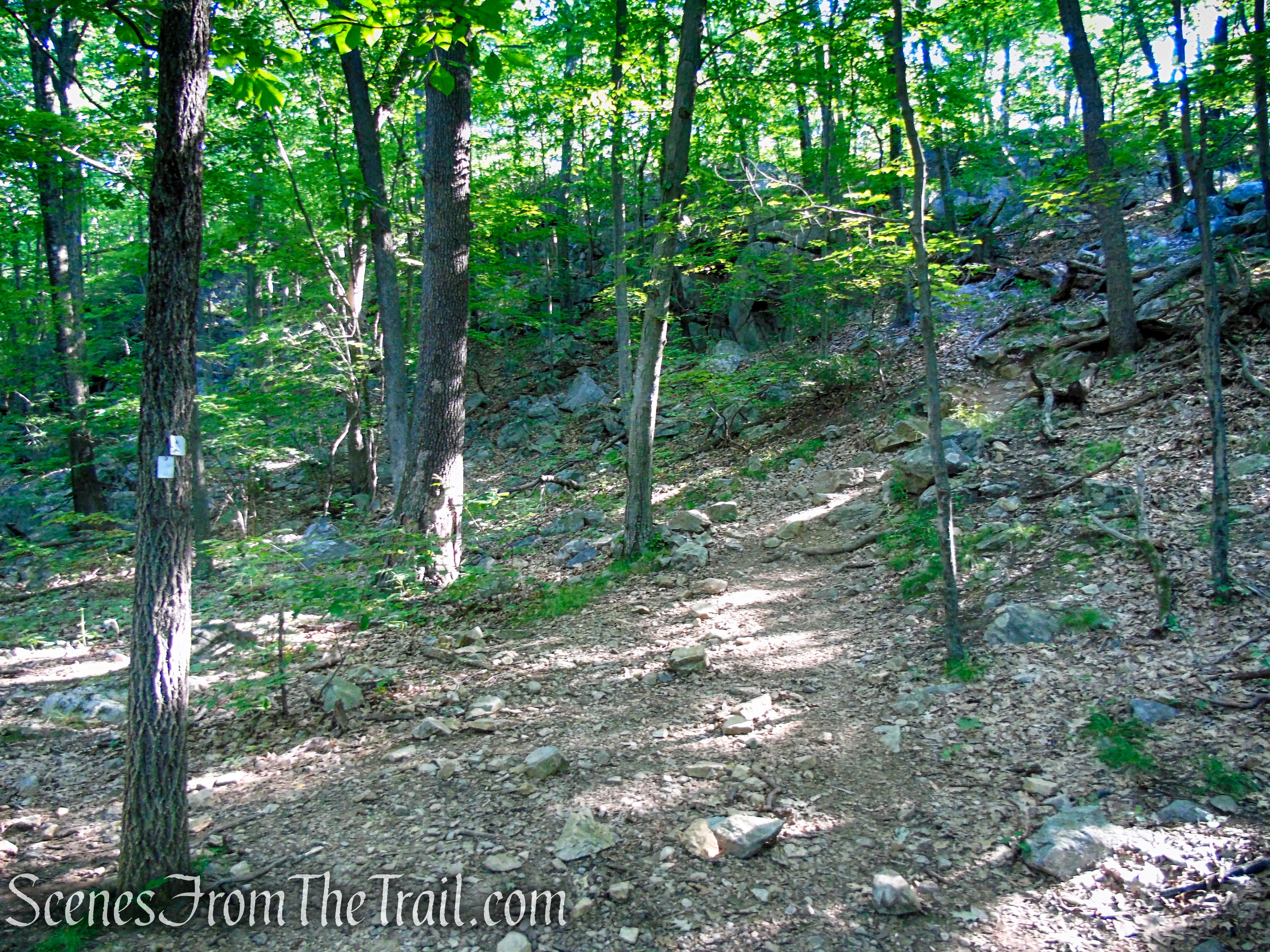
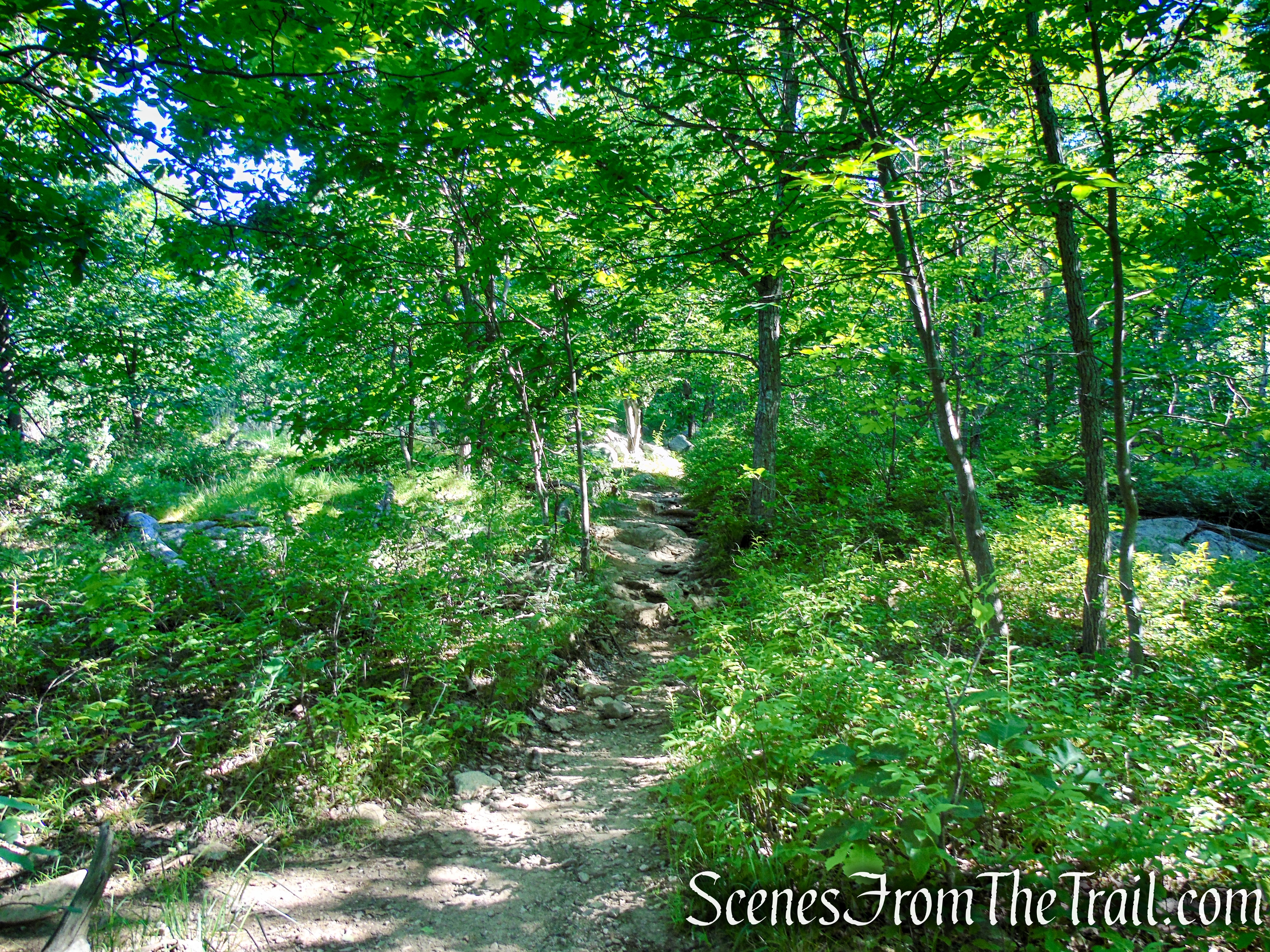
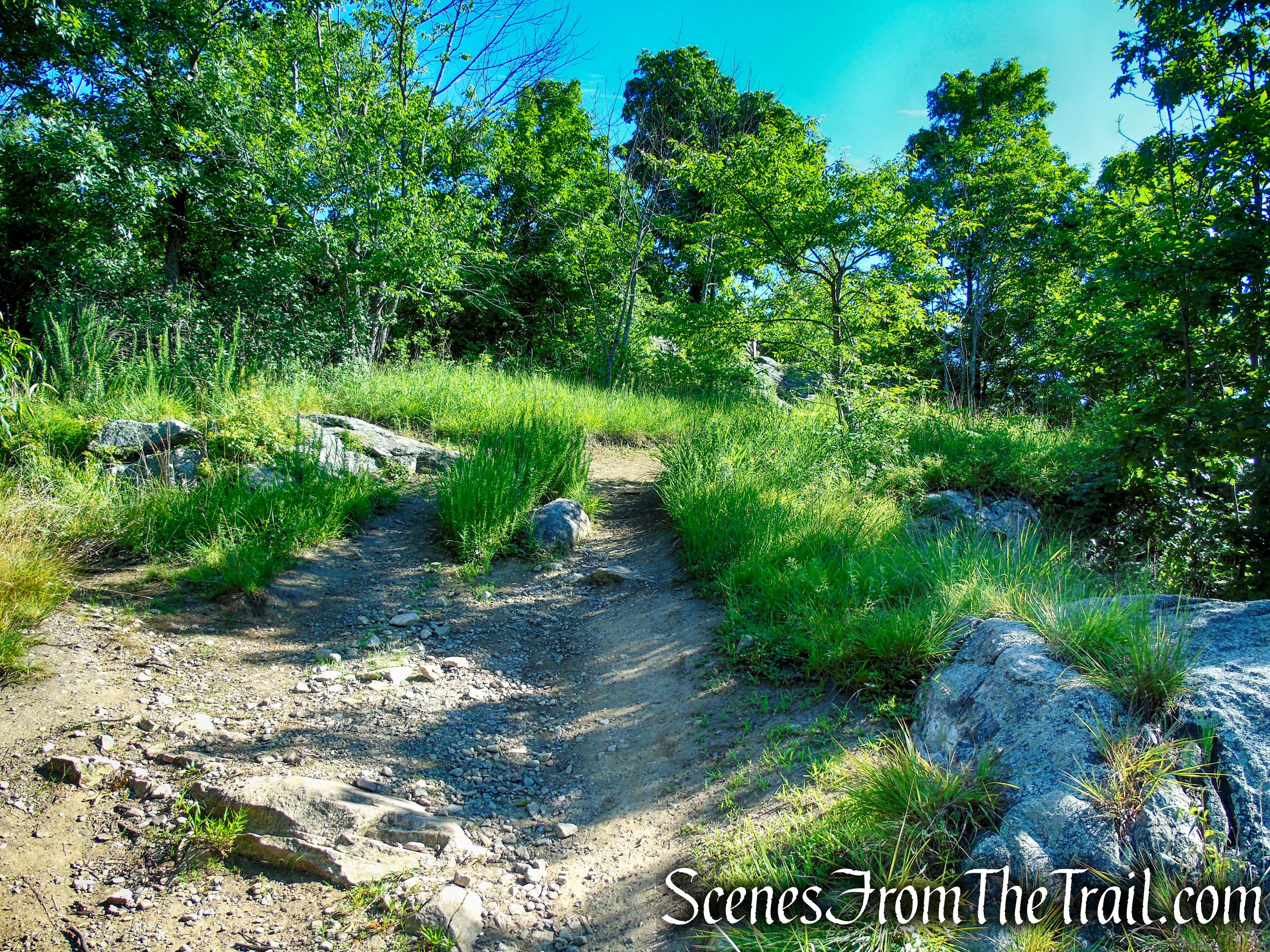
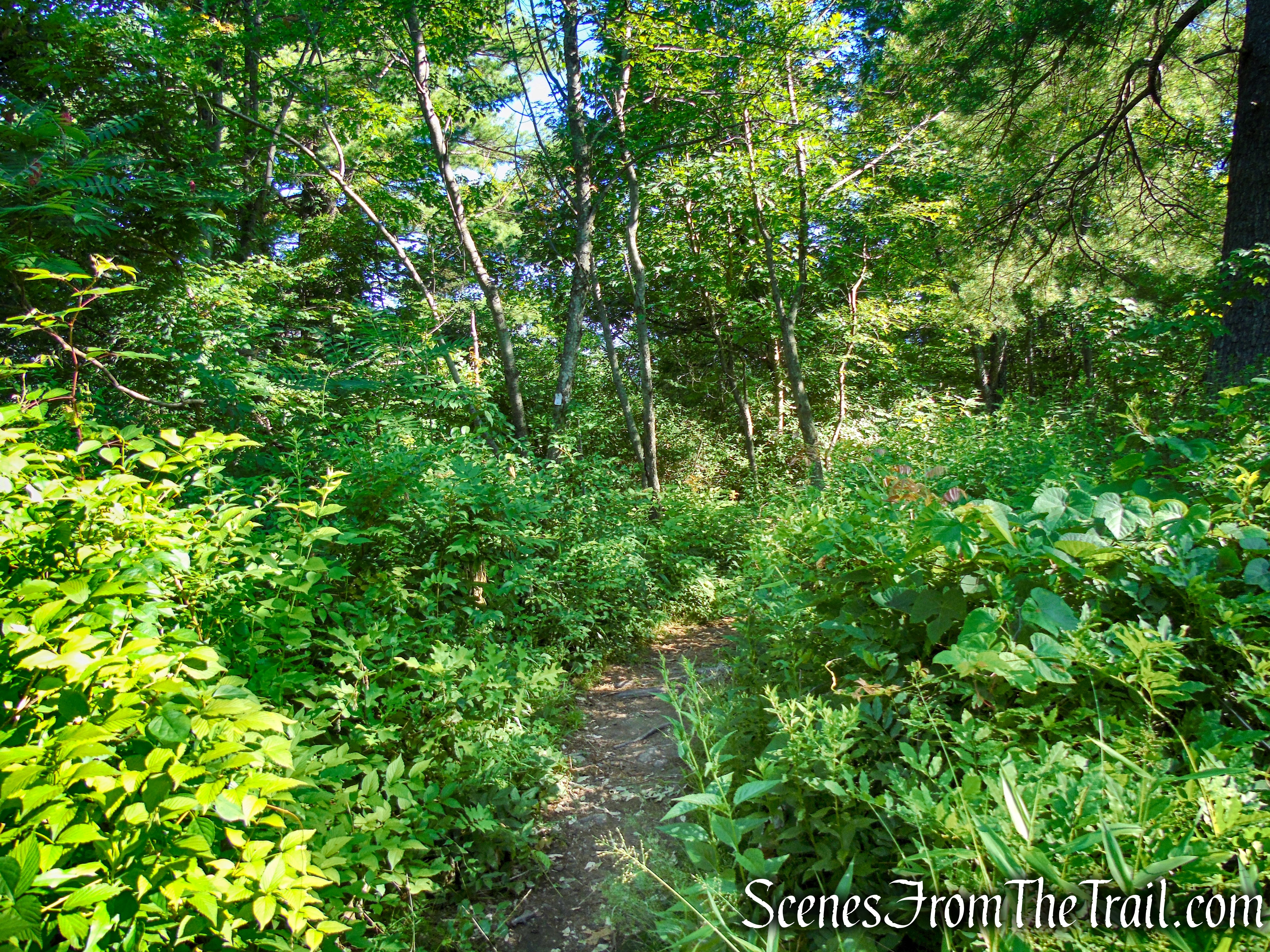
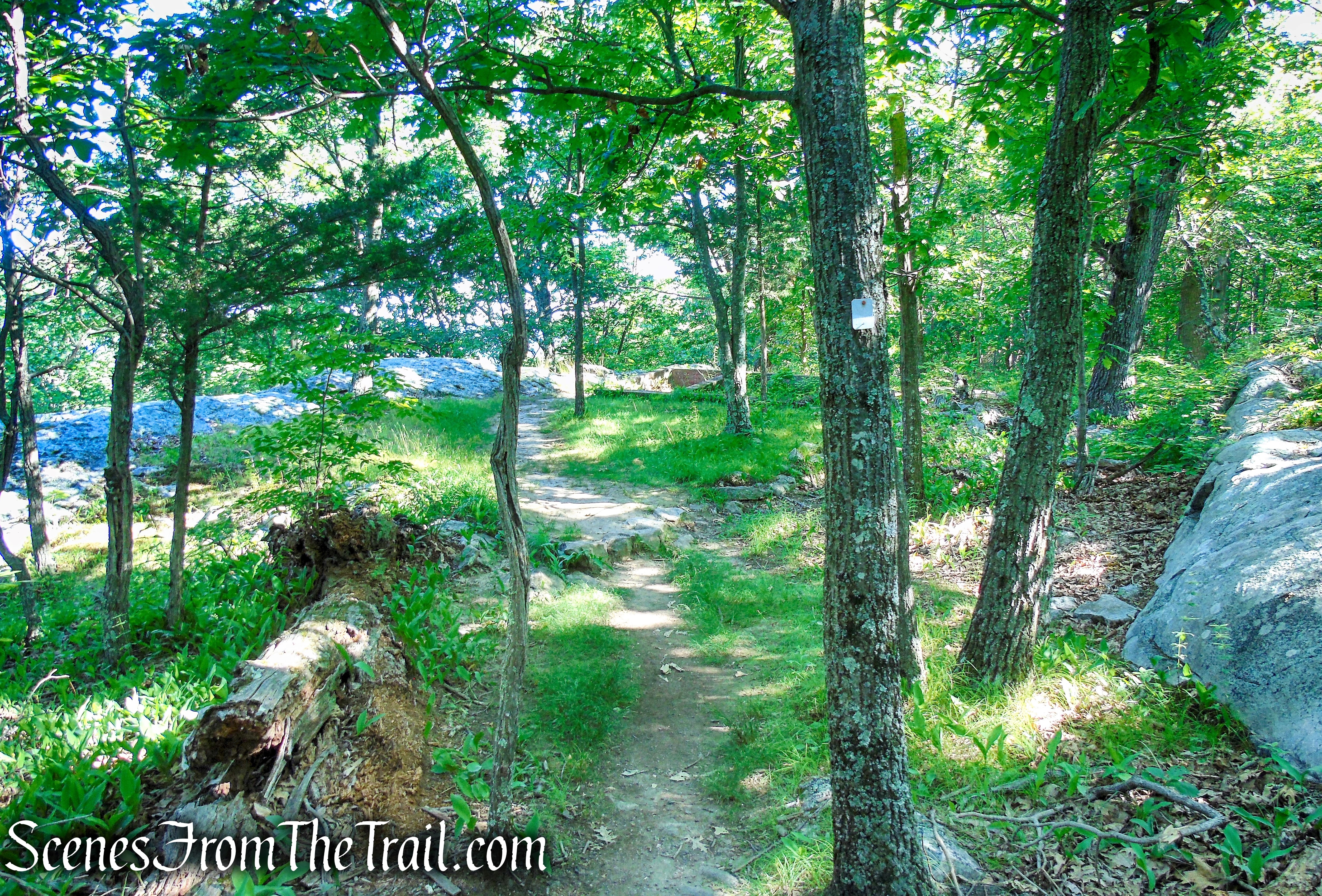
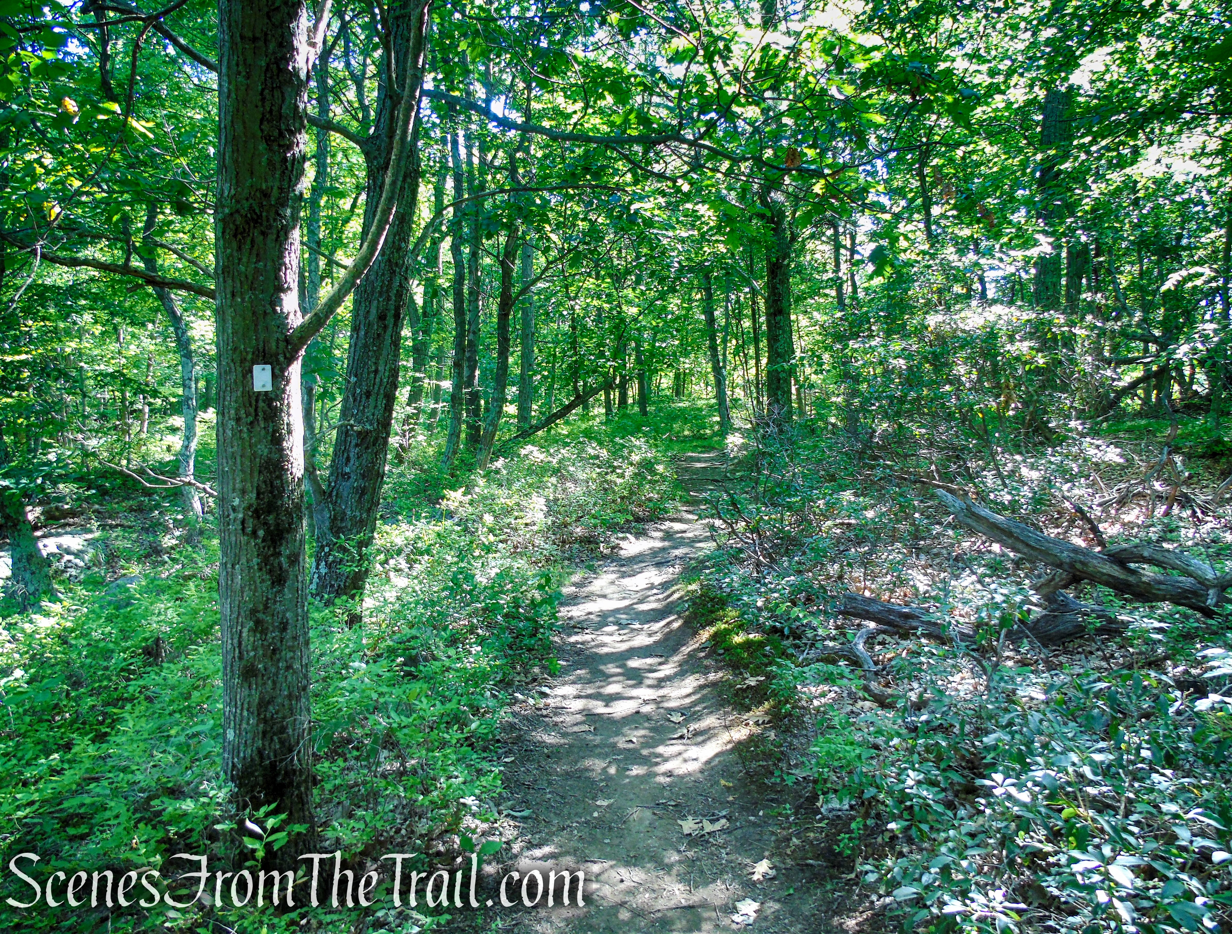
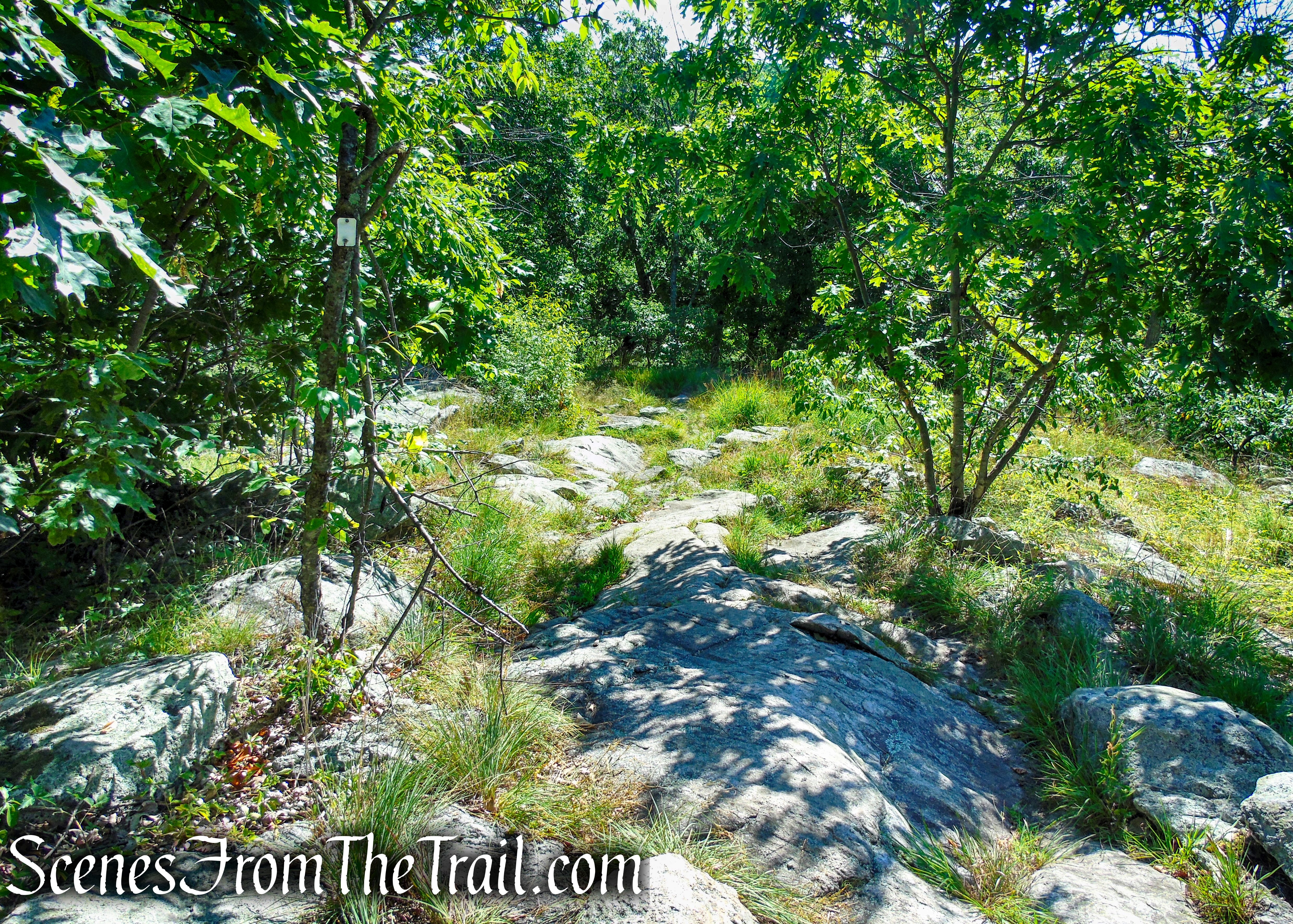
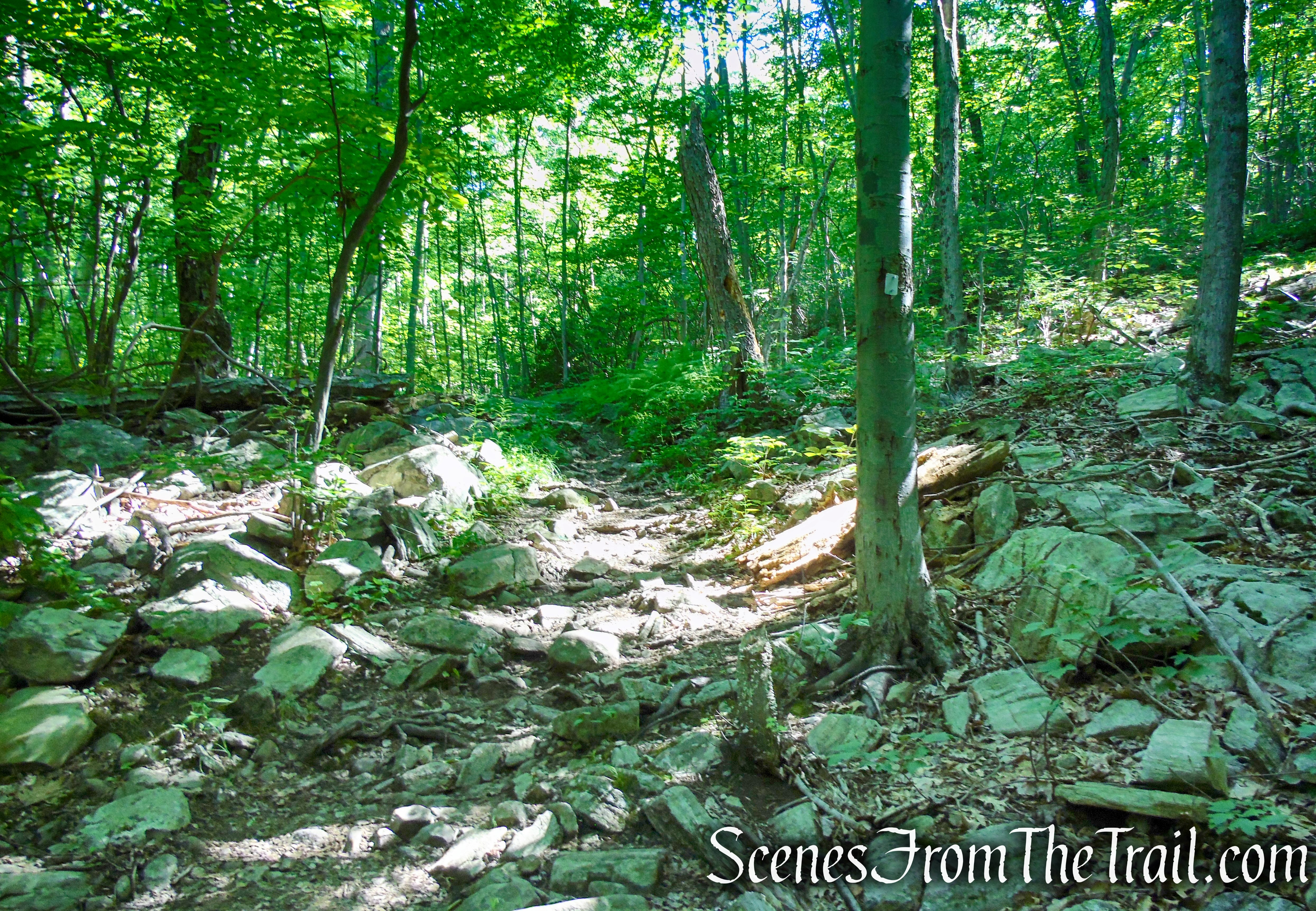
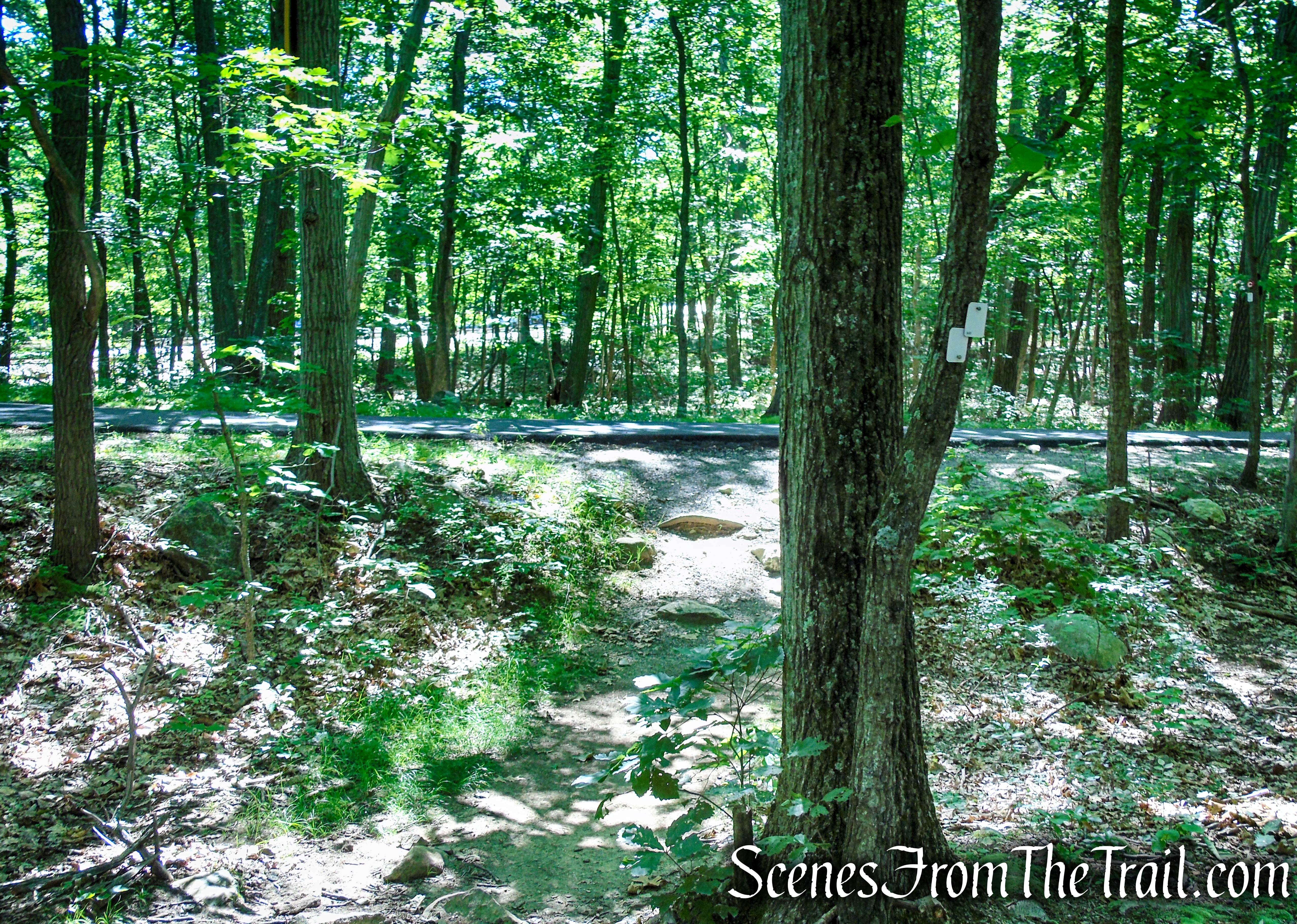
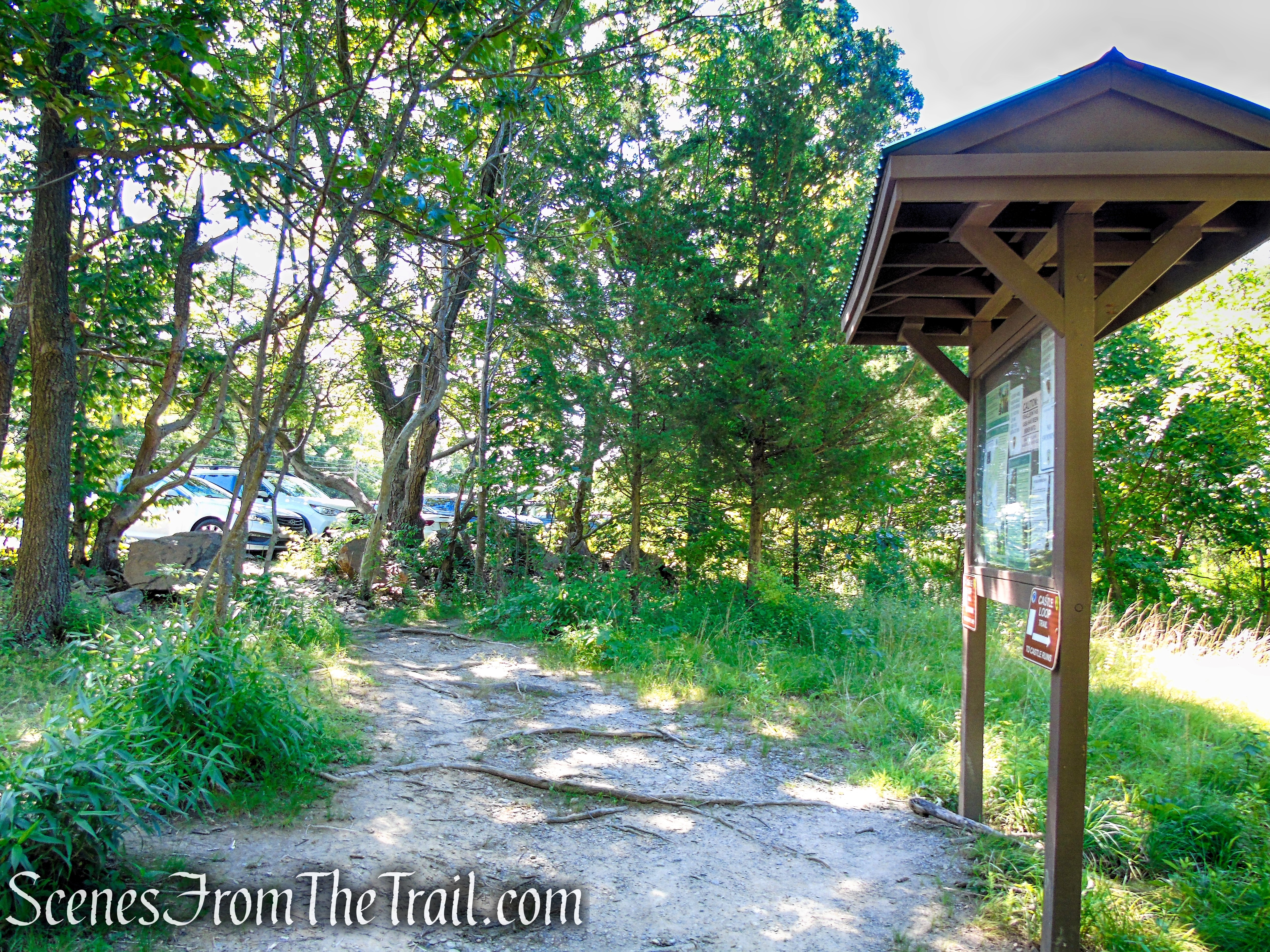
In the center of the parking area, you will see three white blazes on a tree alongside a sign and a bench, marking the start and end of the Castle Loop Trail. This trail will be your route for the entire hike. Follow the white blazes a short distance on a foot path to a kiosk where the trail splits. The right fork will be your return route, but for now bear left and follow the Castle Loop Trail towards Ramapo Lake. After passing an interesting rock outcrop on the right, you’ll come to a Y-intersection, where the white-blazed trail bears right and begins to descend.
Castle Loop Trail – Ramapo Mountain State Forest
Just as we were passing the kiosk, two people going in the opposite direction told us they saw a Black Bear just a few feet down the trail and showed us a picture that they took on their phone. Not wanting to alter our route, we proceeded in the direction of where the bear was spotted, but saw no sight or sound of said bear. We were now on high alert for the entire hike.
Castle Loop Trail – Ramapo Mountain State Forest
Castle Loop Trail – Ramapo Mountain State Forest
Castle Loop Trail – Ramapo Mountain State Forest
Castle Loop Trail – Ramapo Mountain State Forest
Castle Loop Trail – Ramapo Mountain State Forest
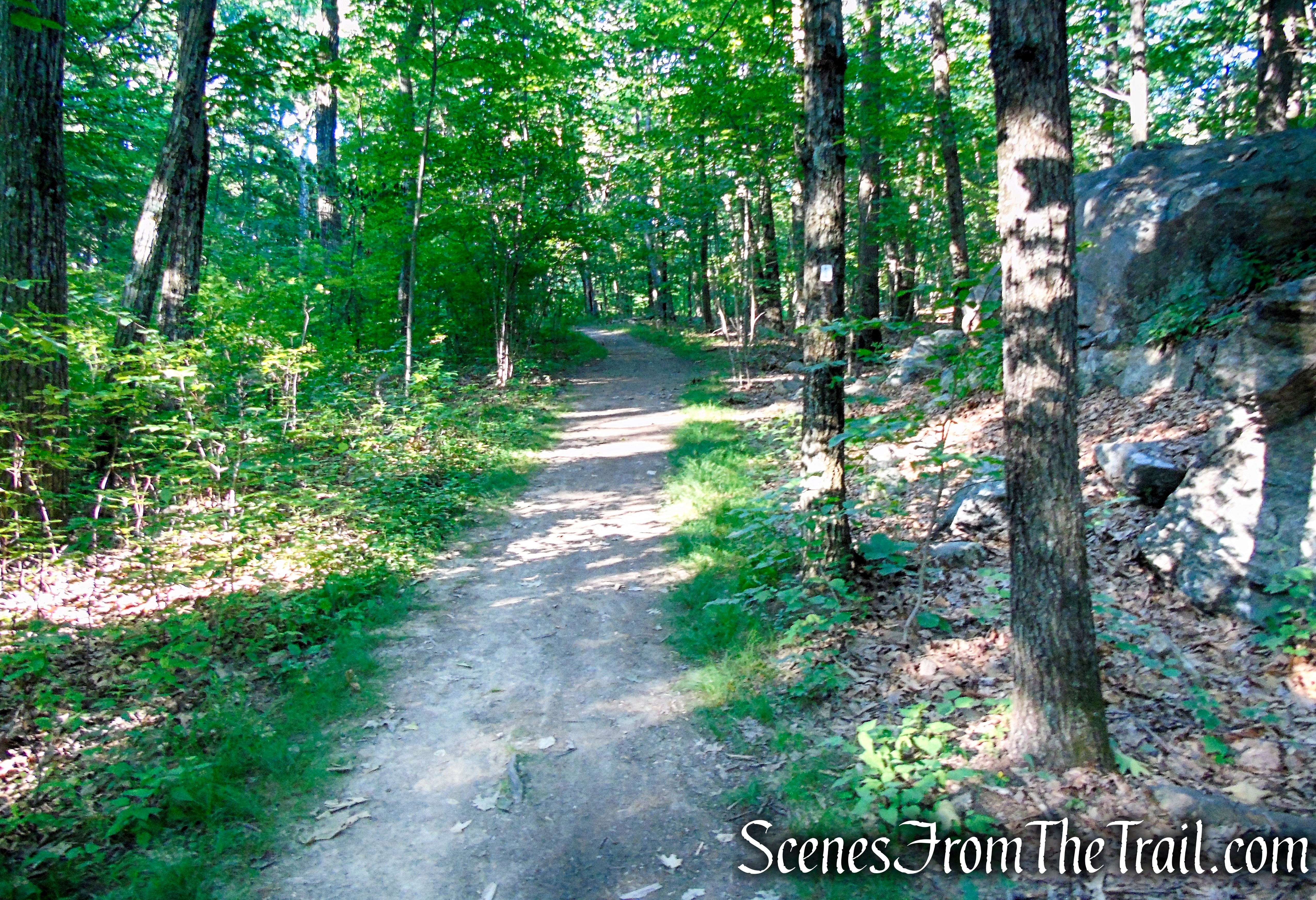
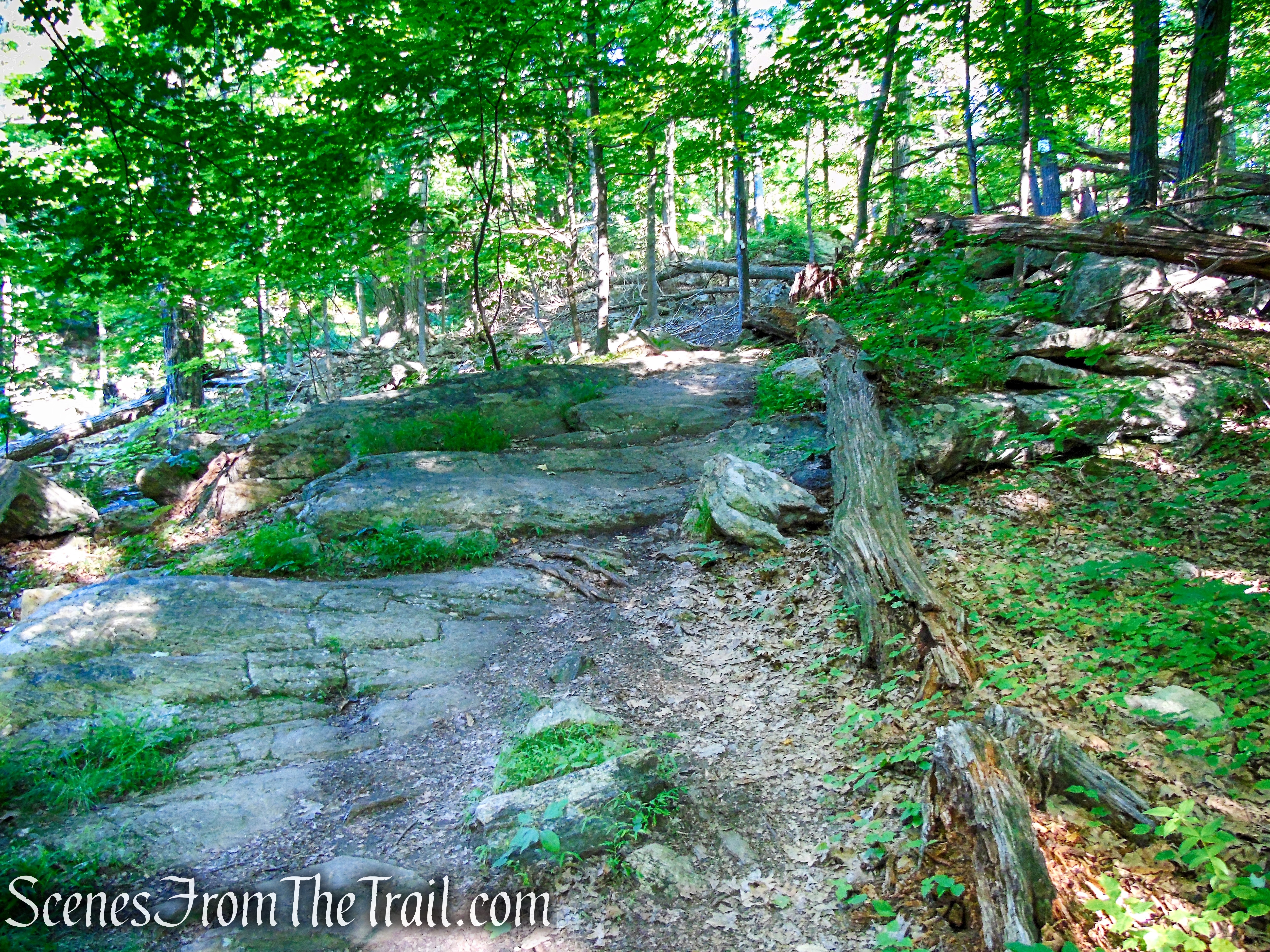
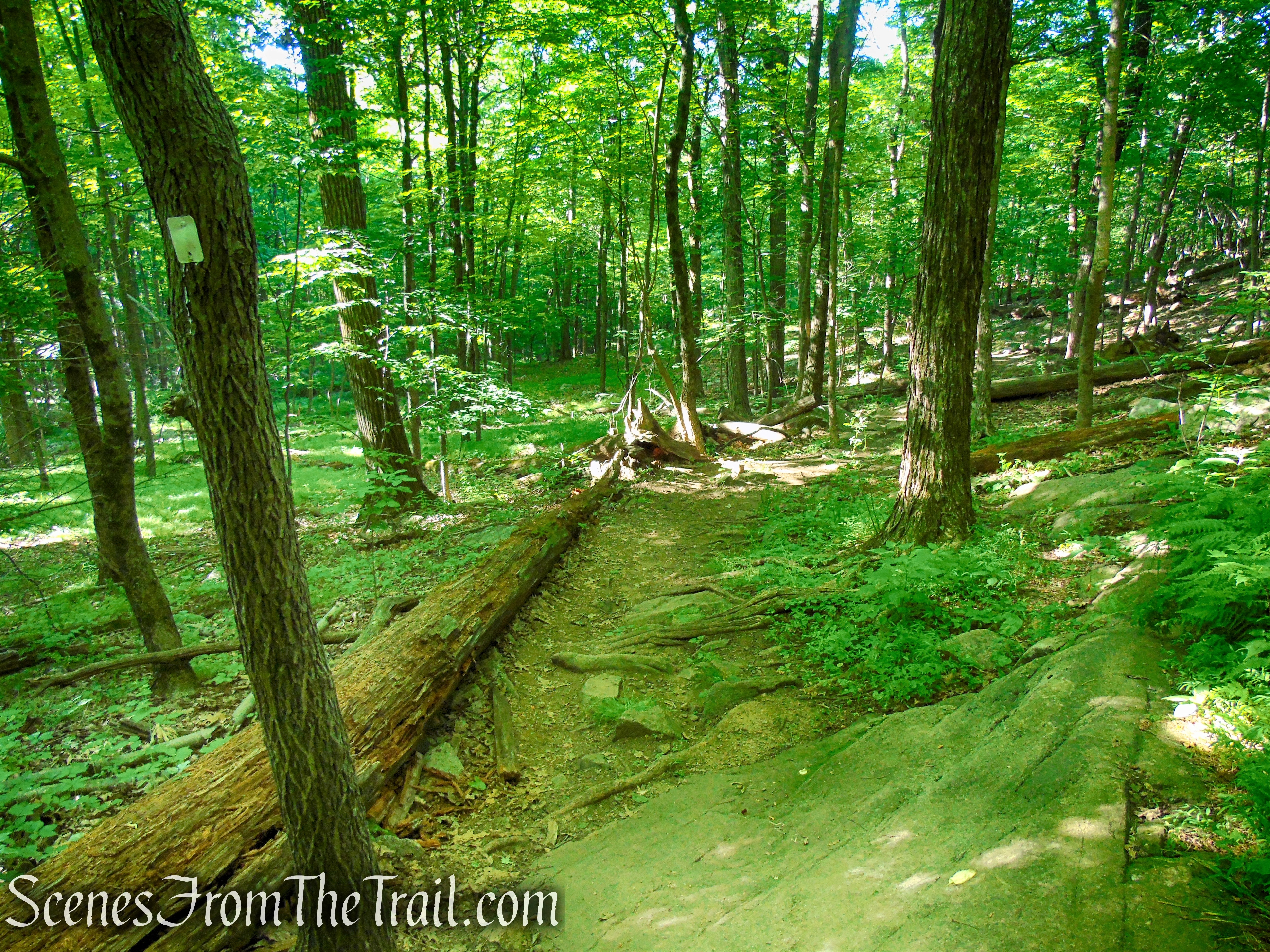
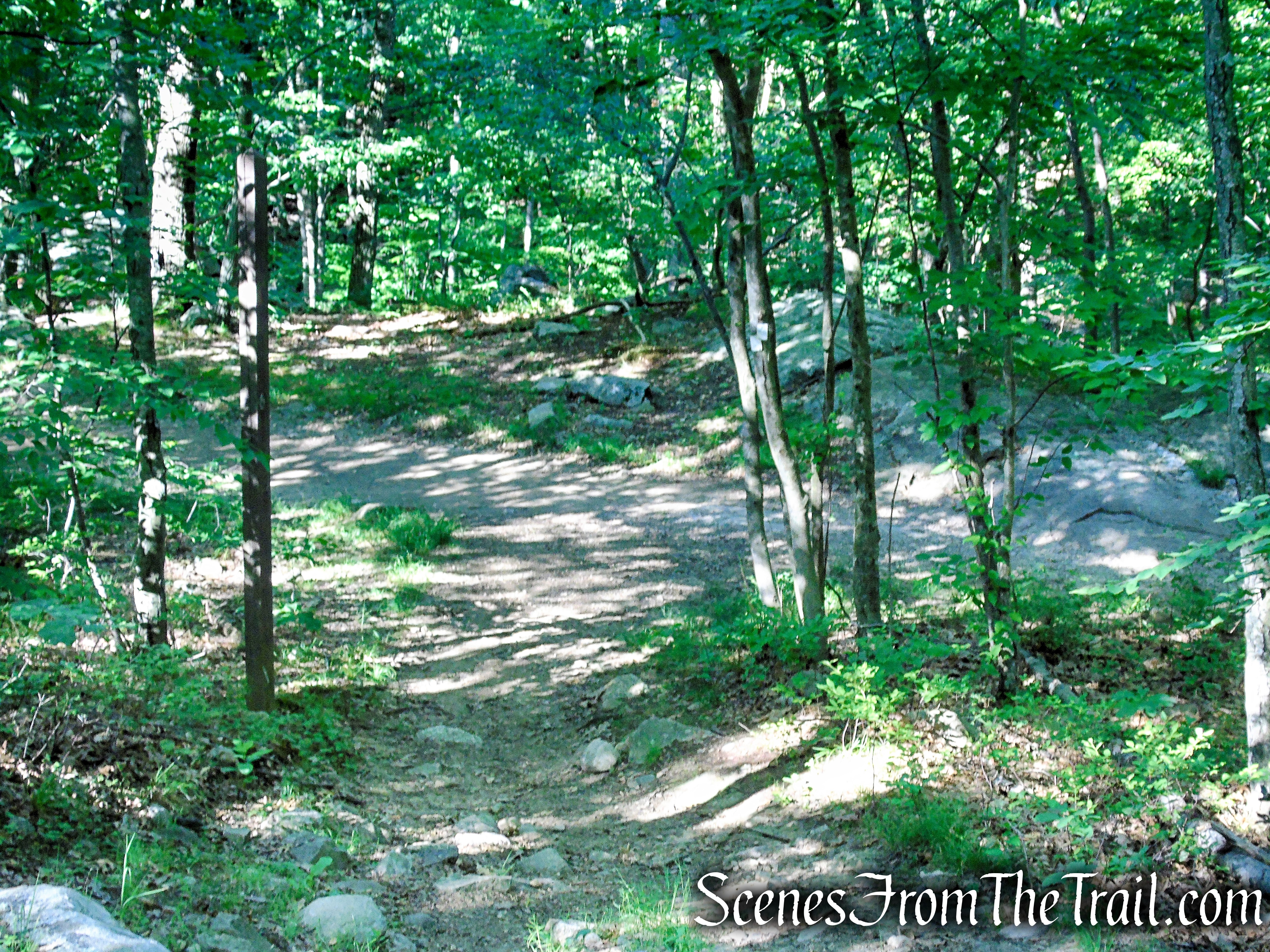
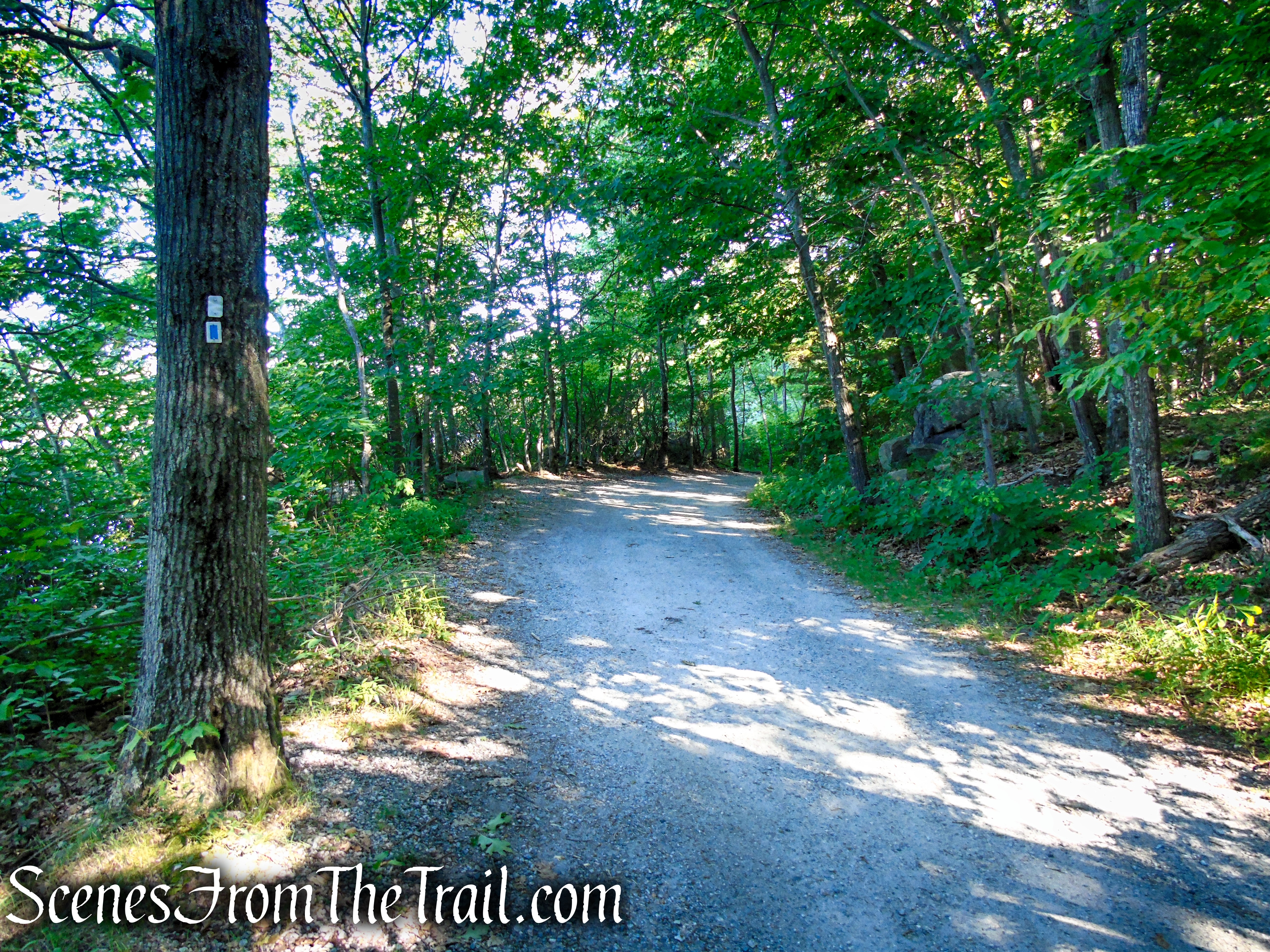
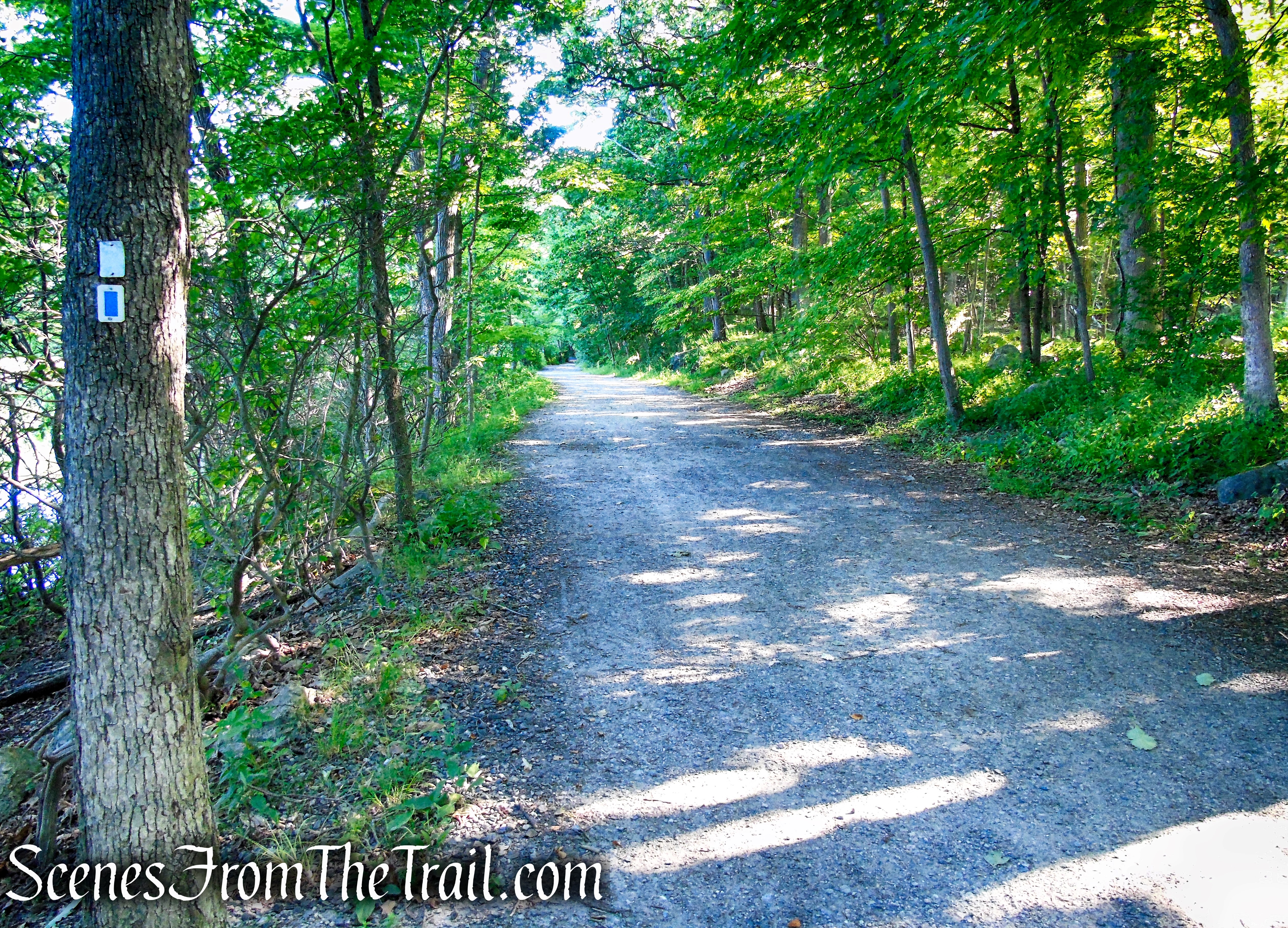
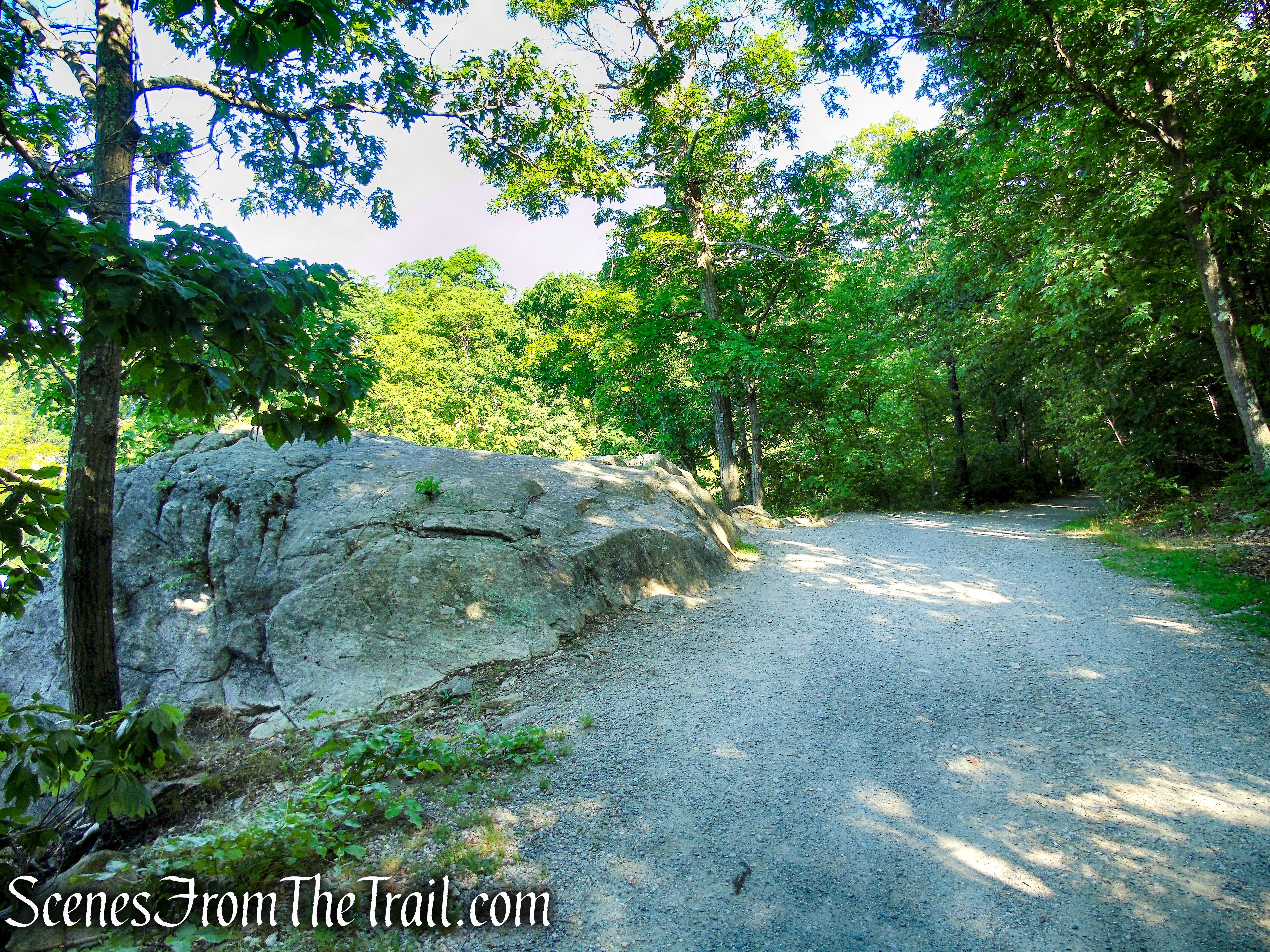
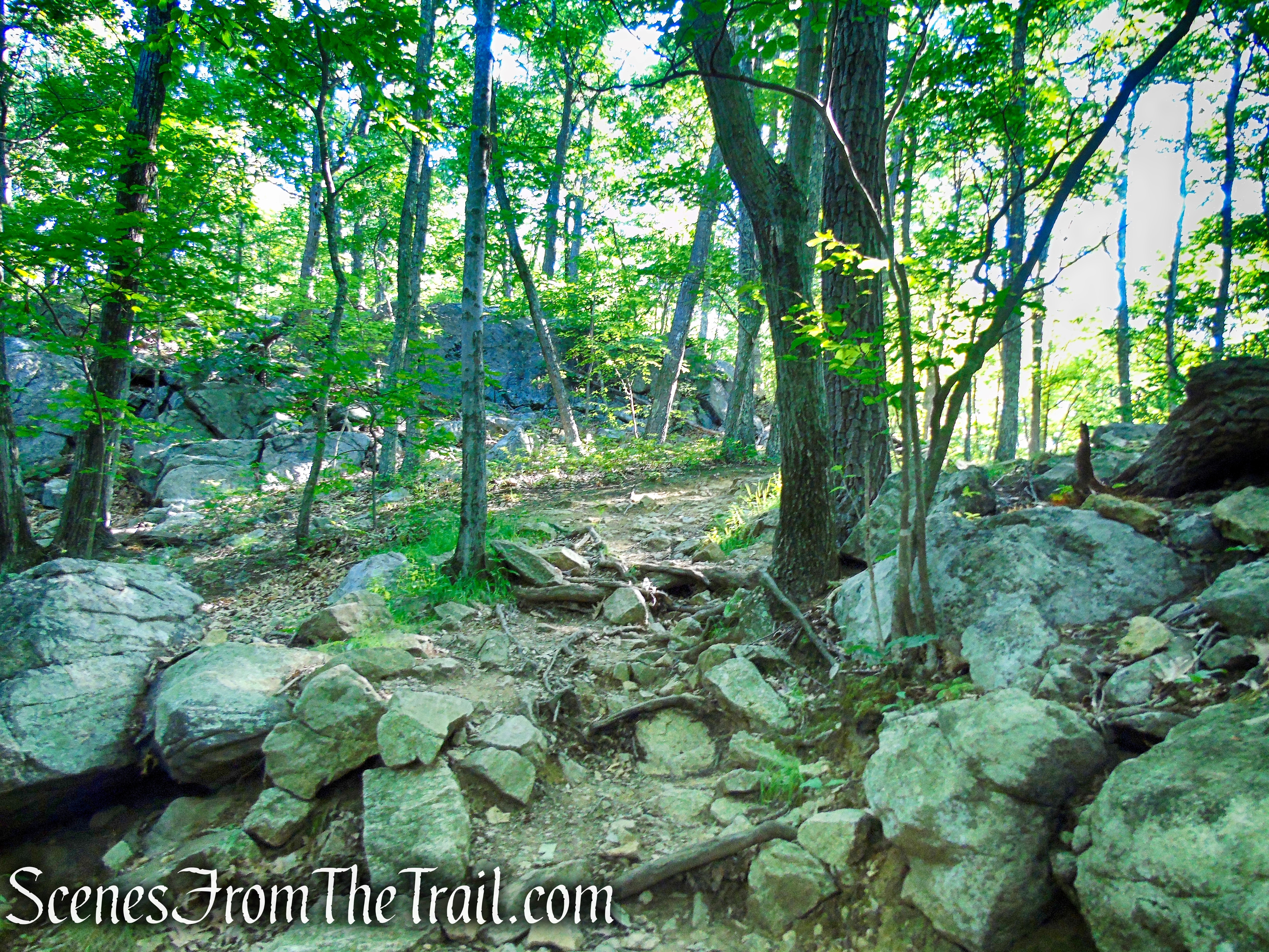
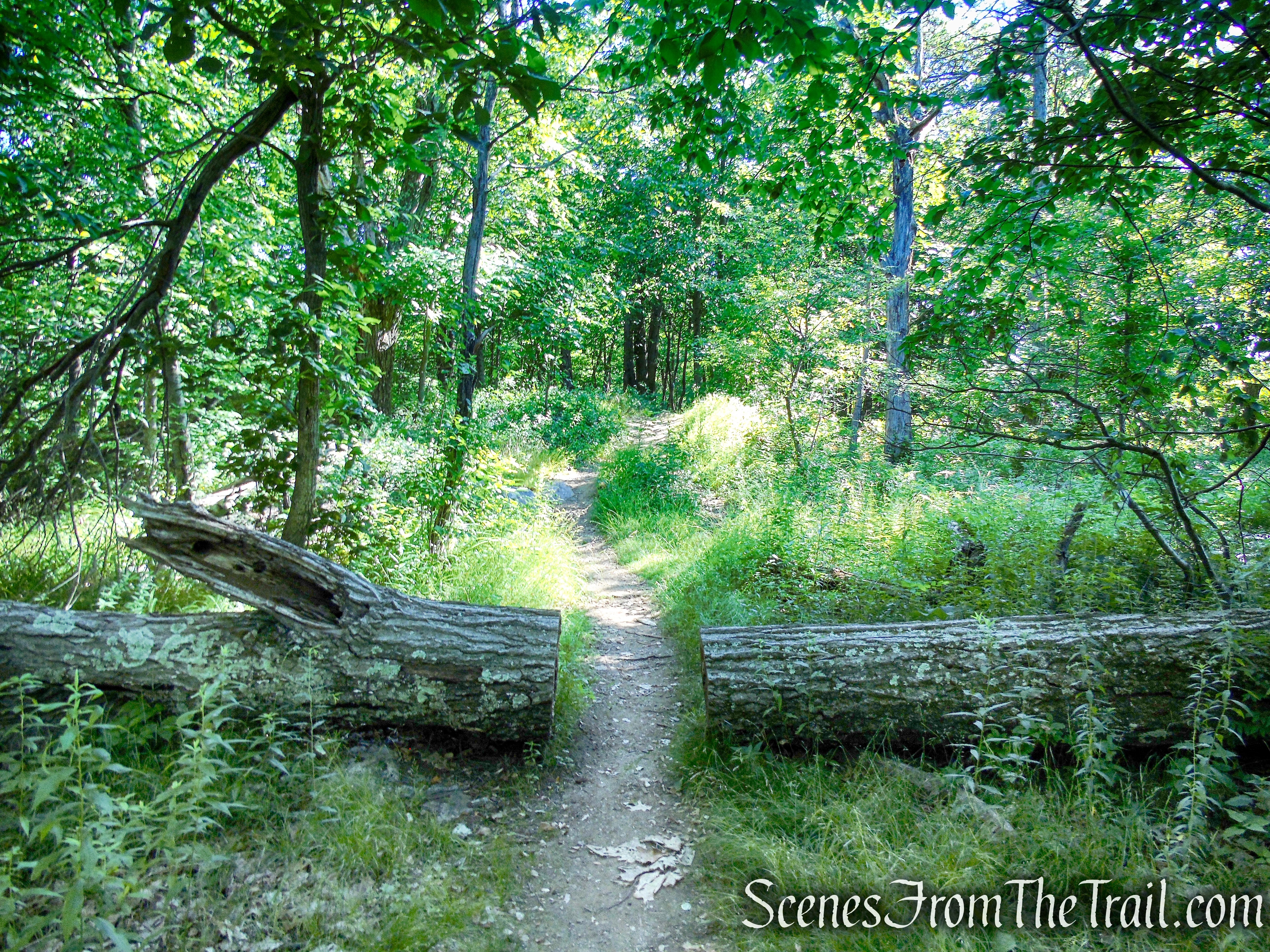
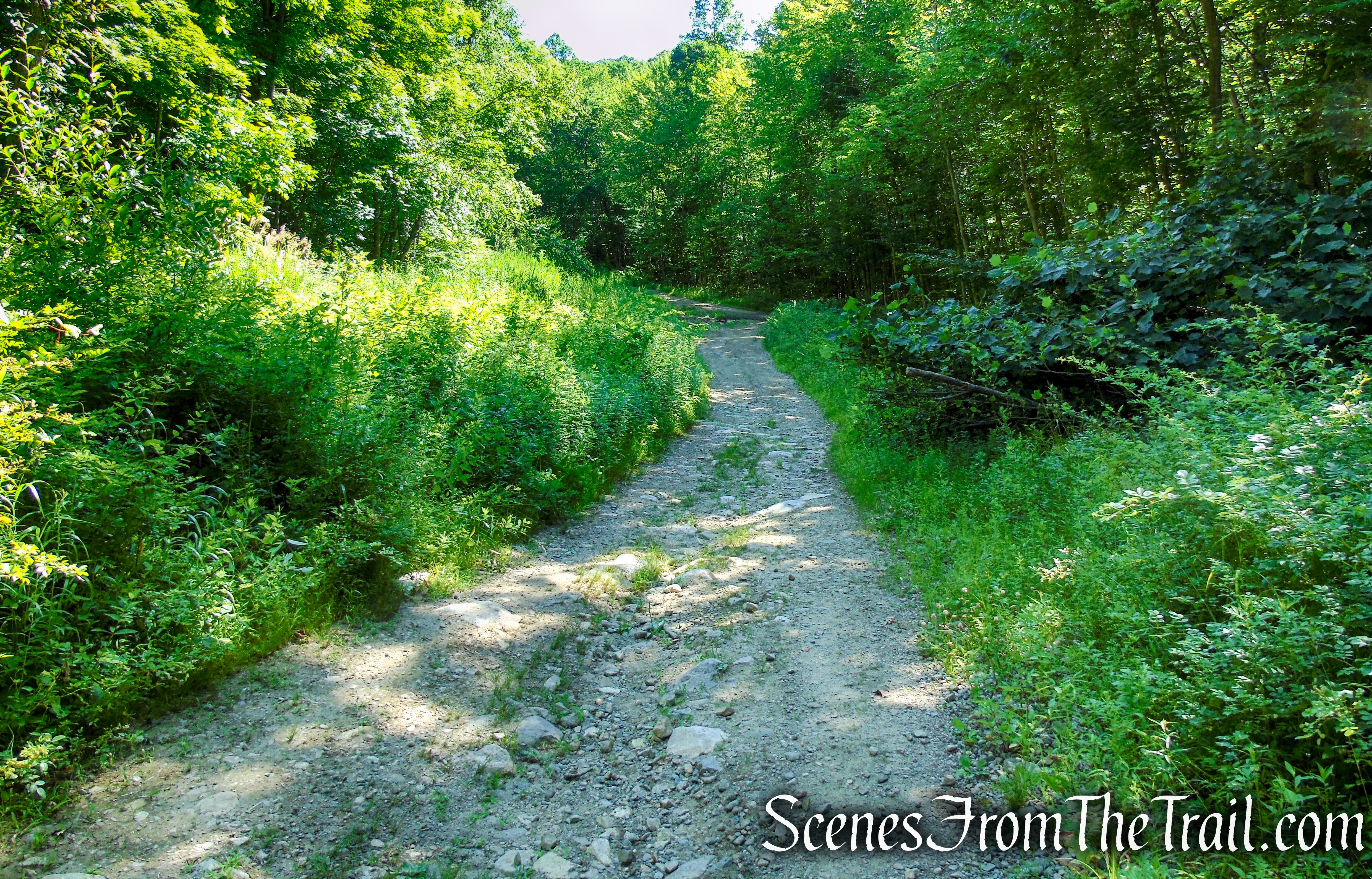
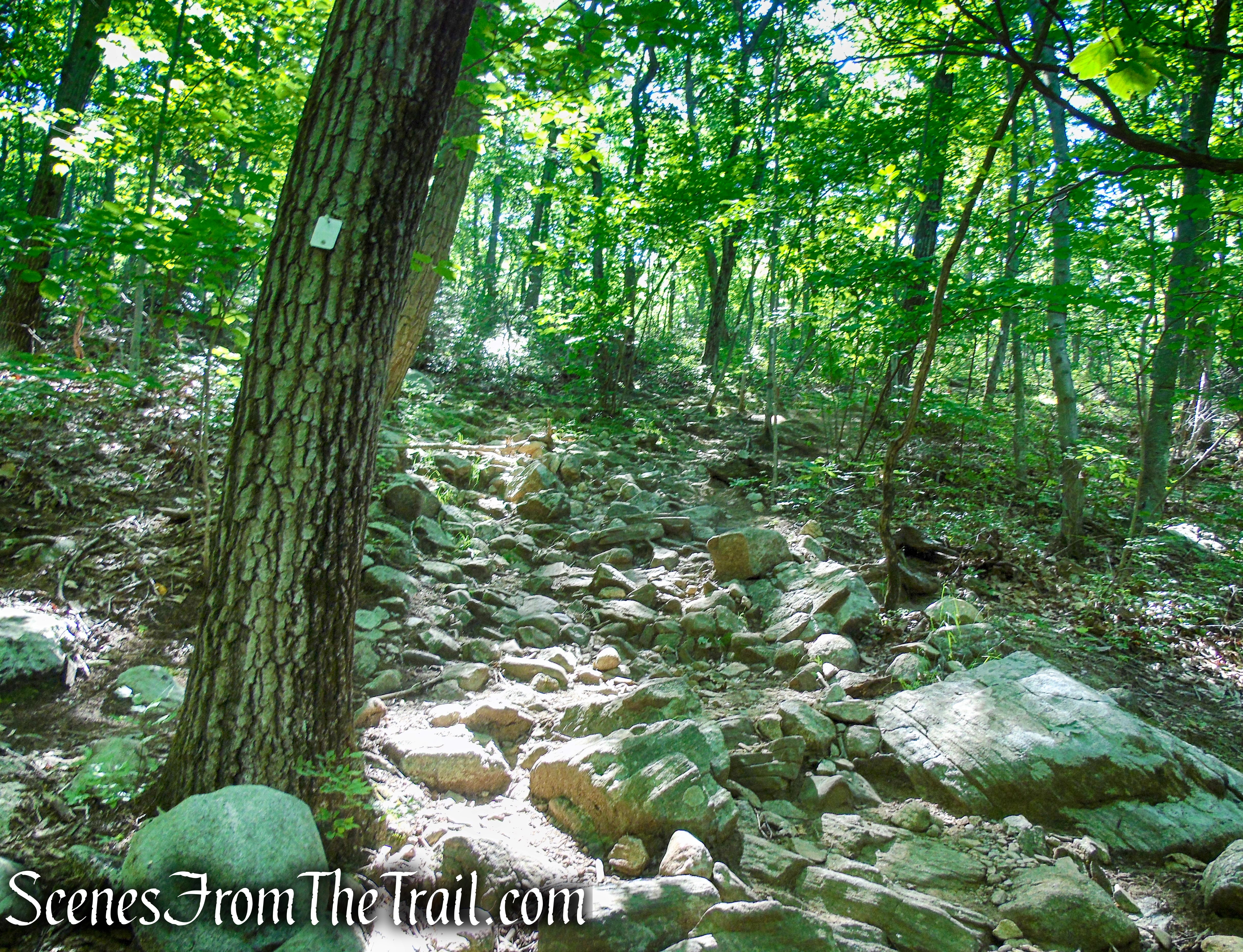
Soon, a gravel road briefly appears on the right, but bear left to stay on the white-blazed trail, which follows a rocky woods road over undulating terrain. The road eventually narrows to a footpath and crosses an intermittent stream. After descending on a winding route and once again briefly approaching the gravel road, the Castle Loop Trail heads down to a woods road – the route of the black-square-on-blue-blazed Ramapo Lake Spur.
Castle Loop Trail – Ramapo Mountain State Forest
Castle Loop Trail – Ramapo Mountain State Forest
Castle Loop Trail – Ramapo Mountain State Forest
Castle Loop Trail – Ramapo Mountain State Forest
Castle Loop Trail – Ramapo Mountain State Forest
Castle Loop Trail – Ramapo Mountain State Forest
Castle Loop Trail – Ramapo Mountain State Forest
Turn right, now following both white and black-square-on-blue blazes. Soon, the trails bear left and descend a short pitch to Ramapo Lake (the dam of the lake is just to the left; do not cross it). Here, the black-square-on-blue-blazed Ramapo Lake Spur ends.
Castle Loop Trail – Ramapo Mountain State Forest
Castle Loop Trail – Ramapo Mountain State Forest
Castle Loop Trail – Ramapo Mountain State Forest
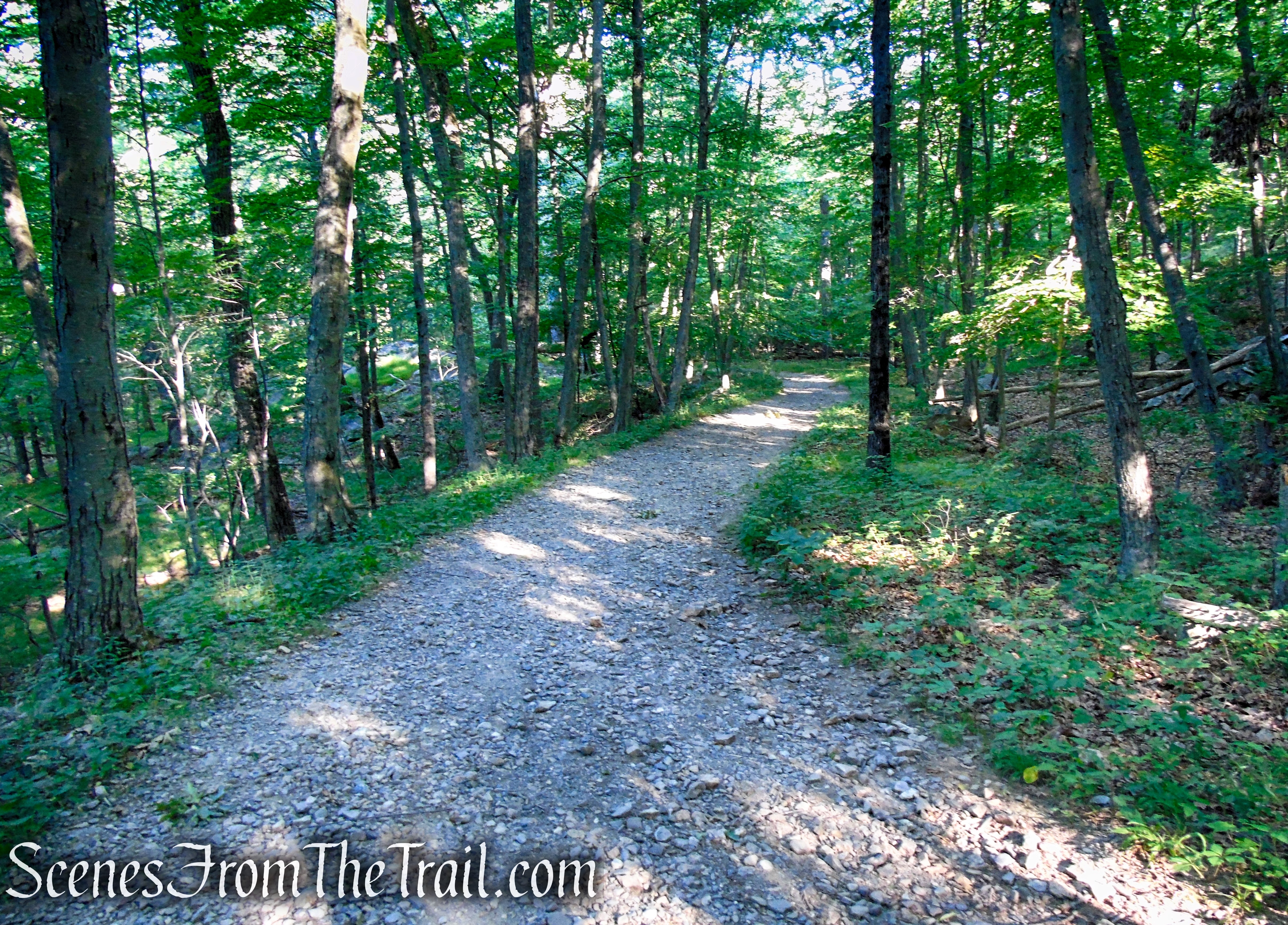
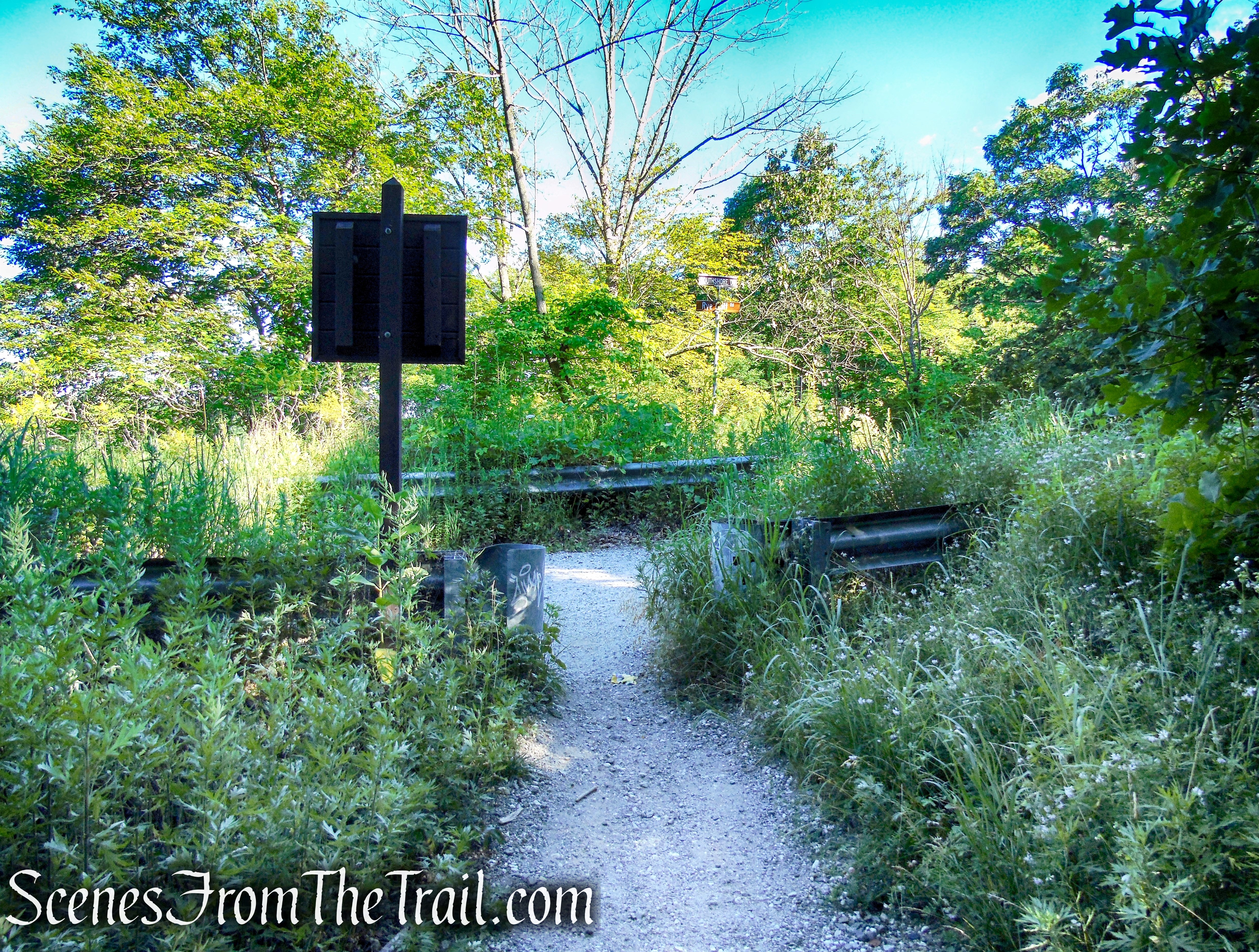
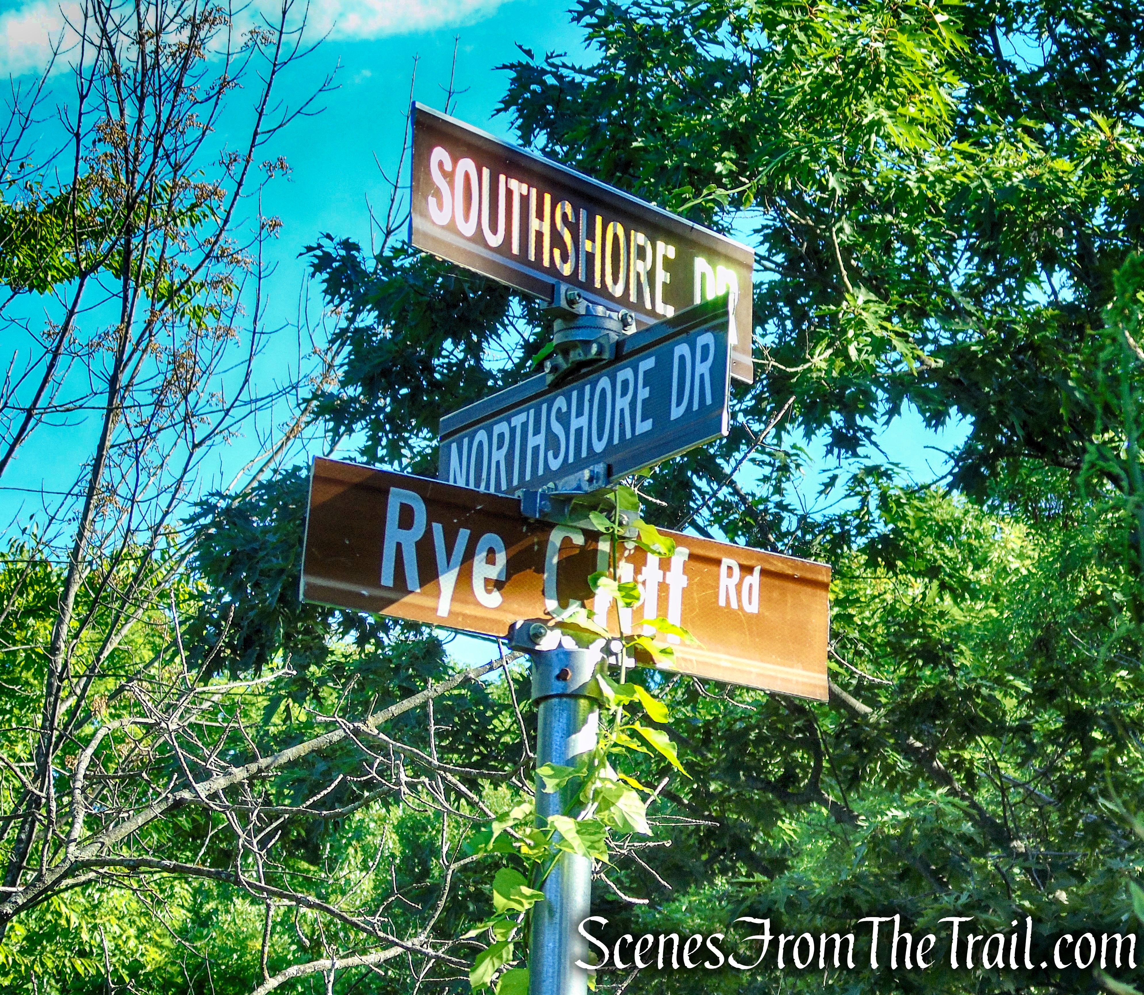
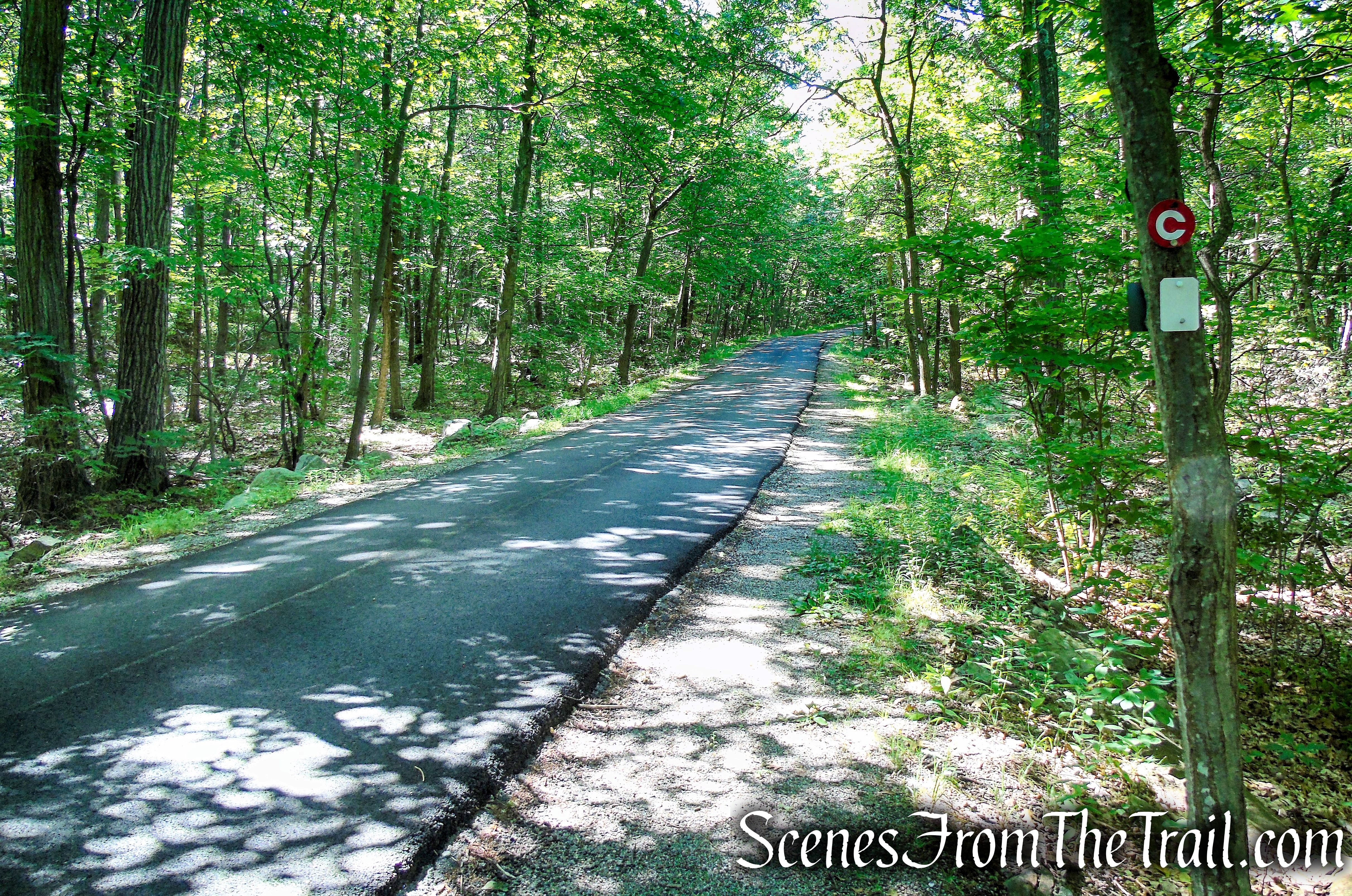
You should continue ahead onto North Shore Drive (marked by a street sign), following the white blazes of the Castle Loop Trail, now joined by the blue-on-white blazes of the Ramapo Lake Loop (which begins here). The joint trails follow a gravel road along the northeast shore of the lake, passing a private home on the right and then crossing a small stream on a stone-arch bridge, with an attractive cascade on the right.
Castle Loop Trail – Ramapo Mountain State Forest
Castle Loop Trail – Ramapo Mountain State Forest
Ramapo Lake Natural Area
Castle Loop Trail – Ramapo Mountain State Forest
Castle Loop Trail – Ramapo Mountain State Forest
Castle Loop Trail – Ramapo Mountain State Forest
Castle Loop Trail – Ramapo Mountain State Forest
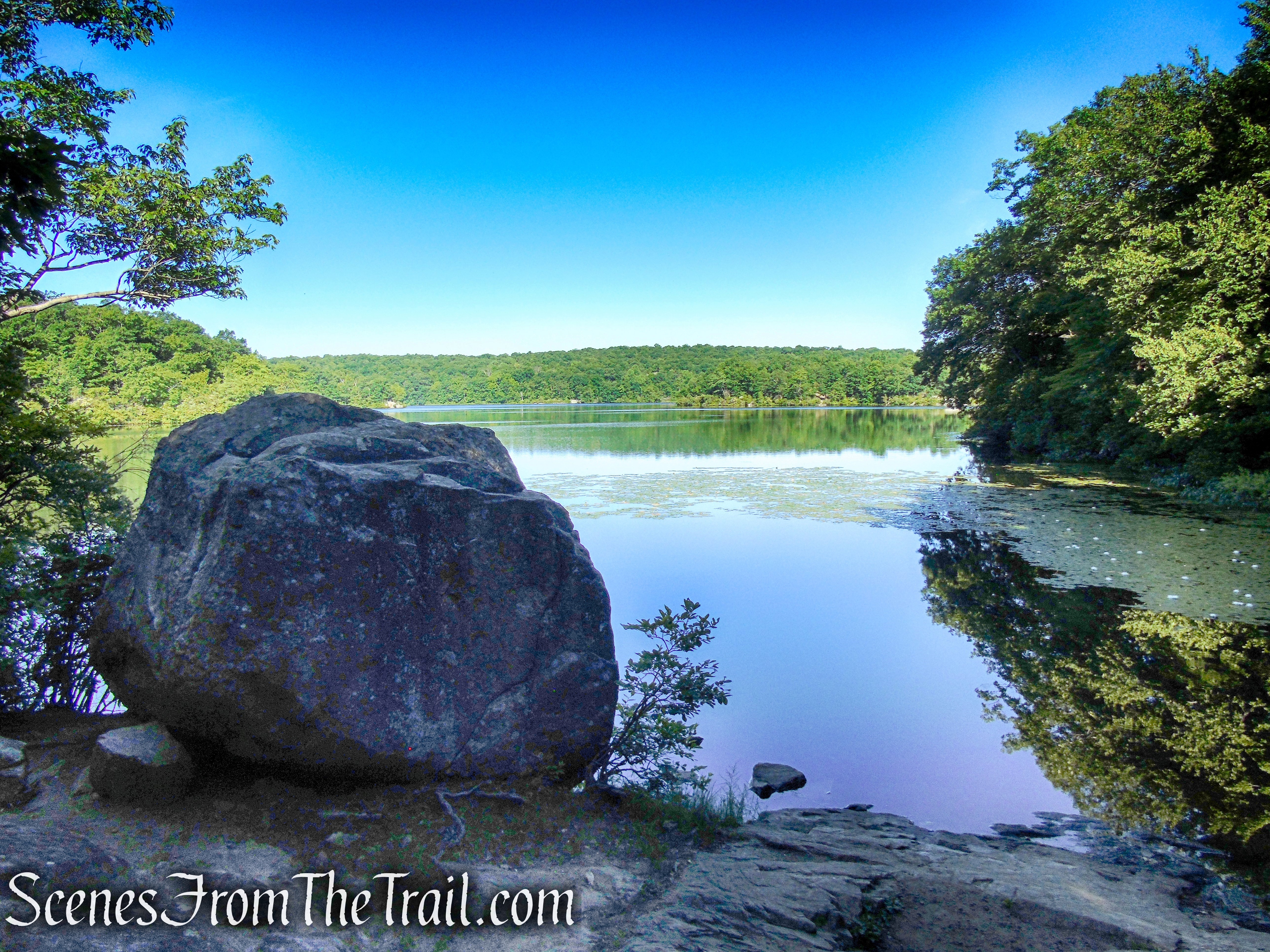
A short distance beyond, you’ll come to a rock ledge on the left that overlooks the lake. This is a good place to take a break. Once known as Rotten Pond, and later as Lake LeGrande, Ramapo Lake is the centerpiece of Ramapo Mountain State Forest. It was formerly surrounded by private property, but most of the land around the lake was acquired by the state in the 1970’s.
Castle Loop Trail – Ramapo Mountain State Forest
Castle Loop Trail – Ramapo Mountain State Forest
Castle Loop Trail – Ramapo Mountain State Forest
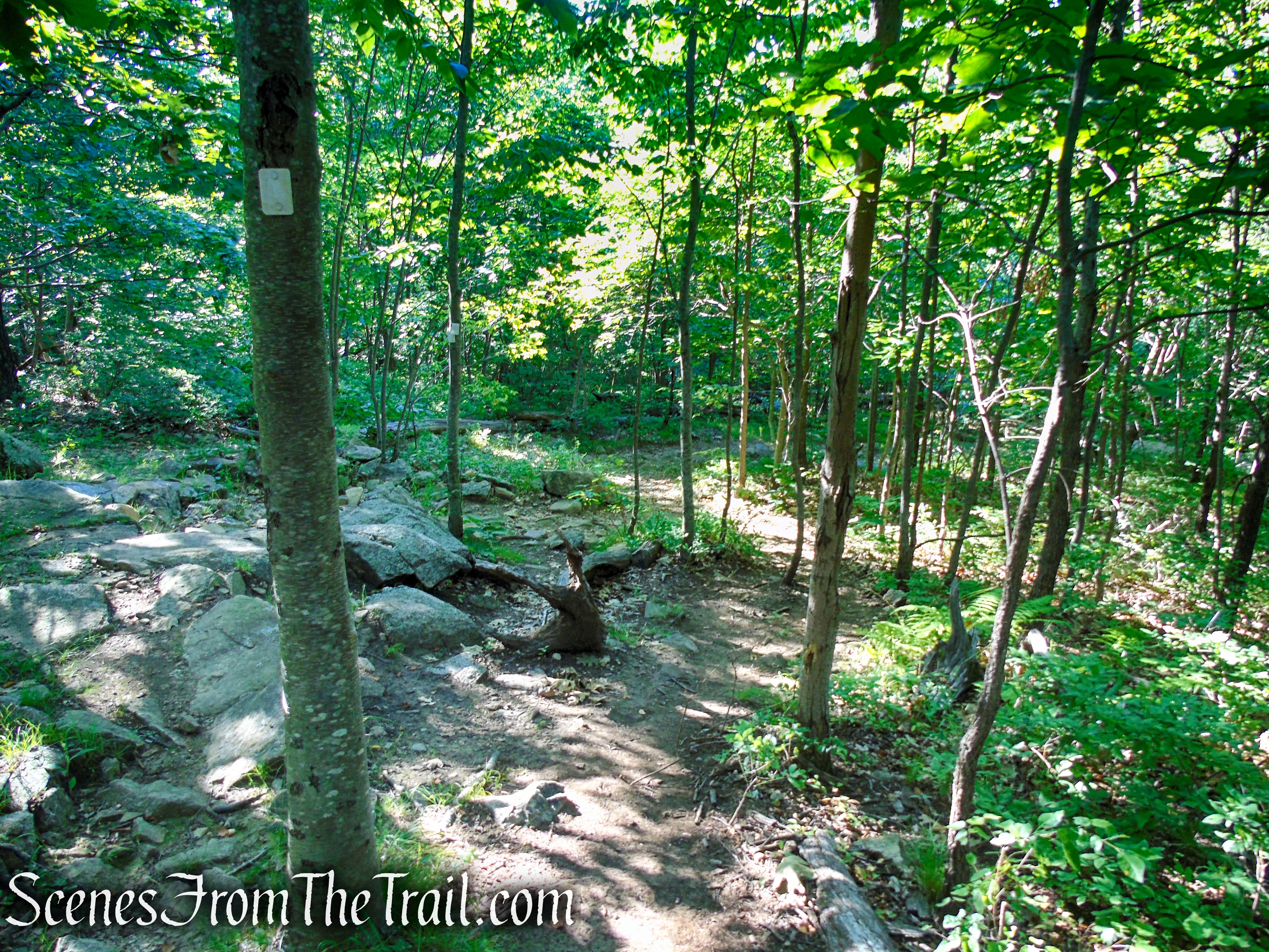
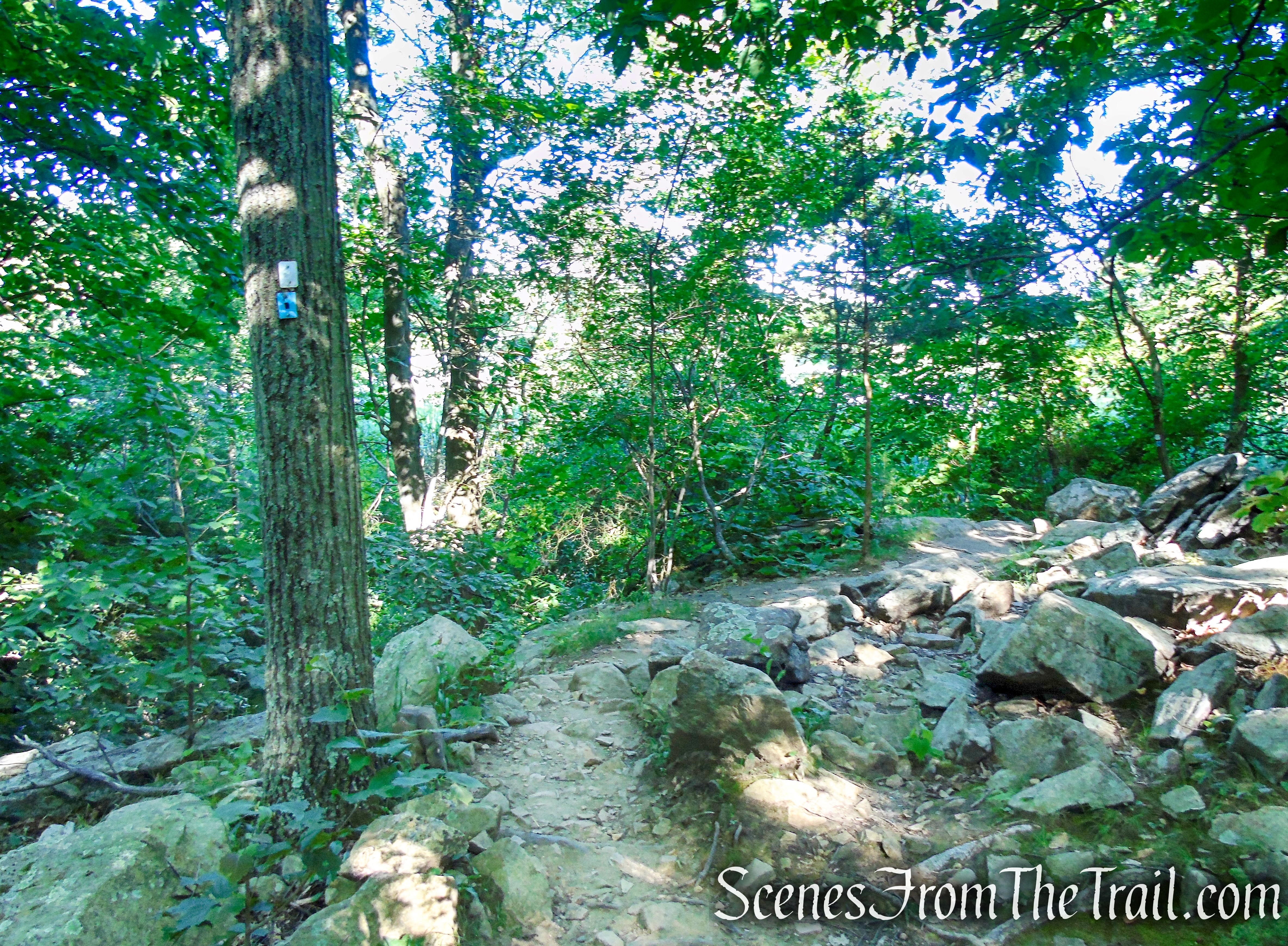
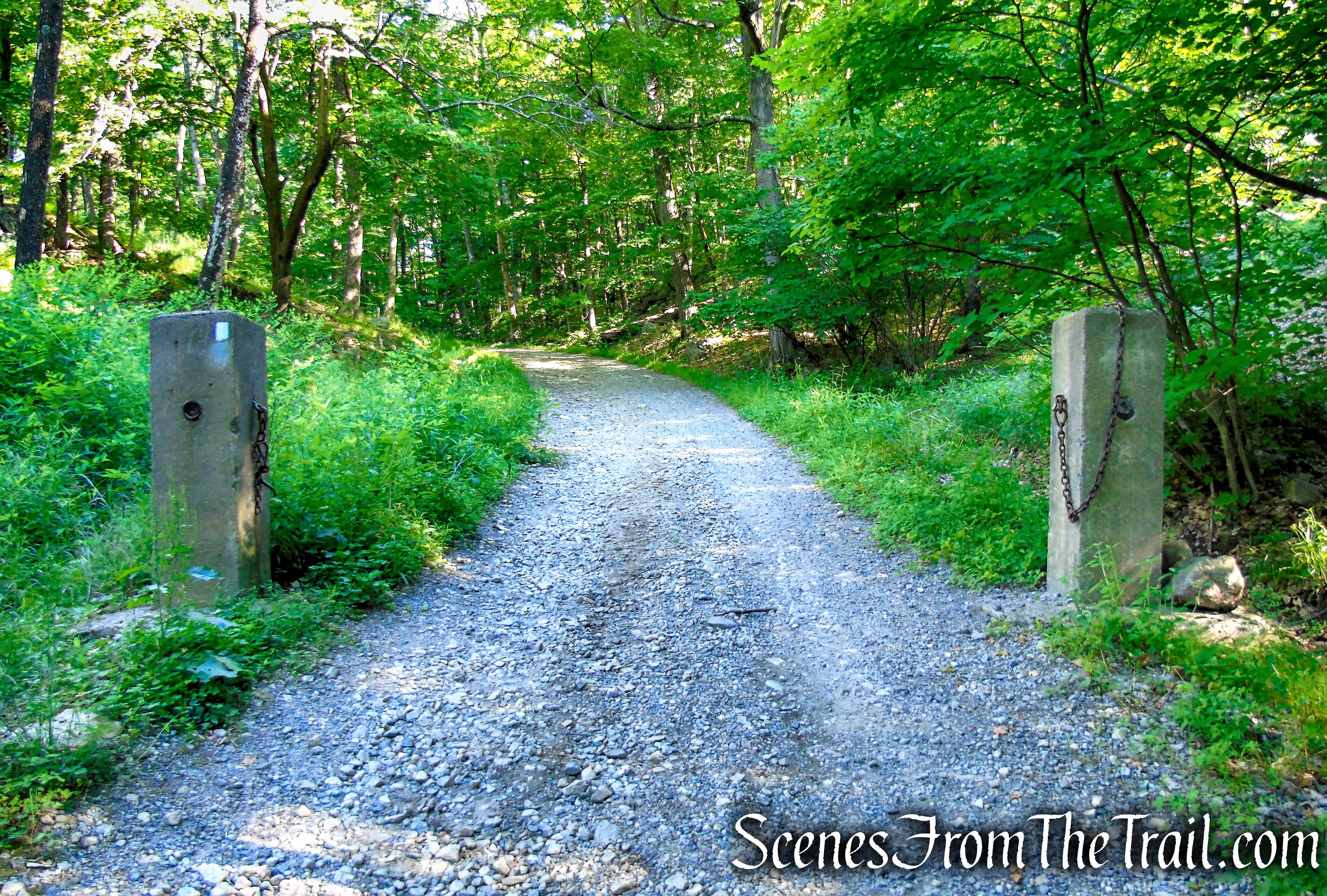
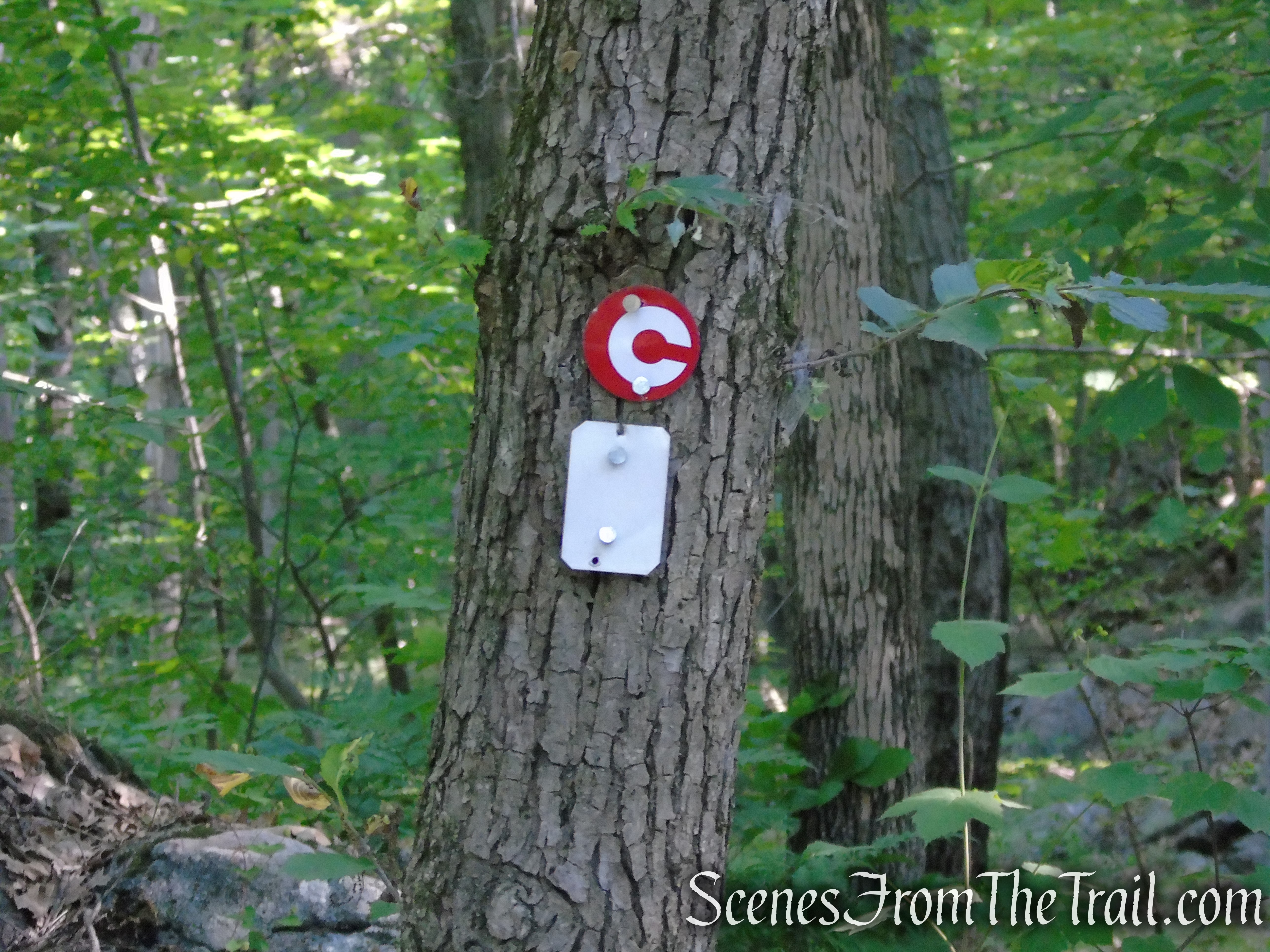
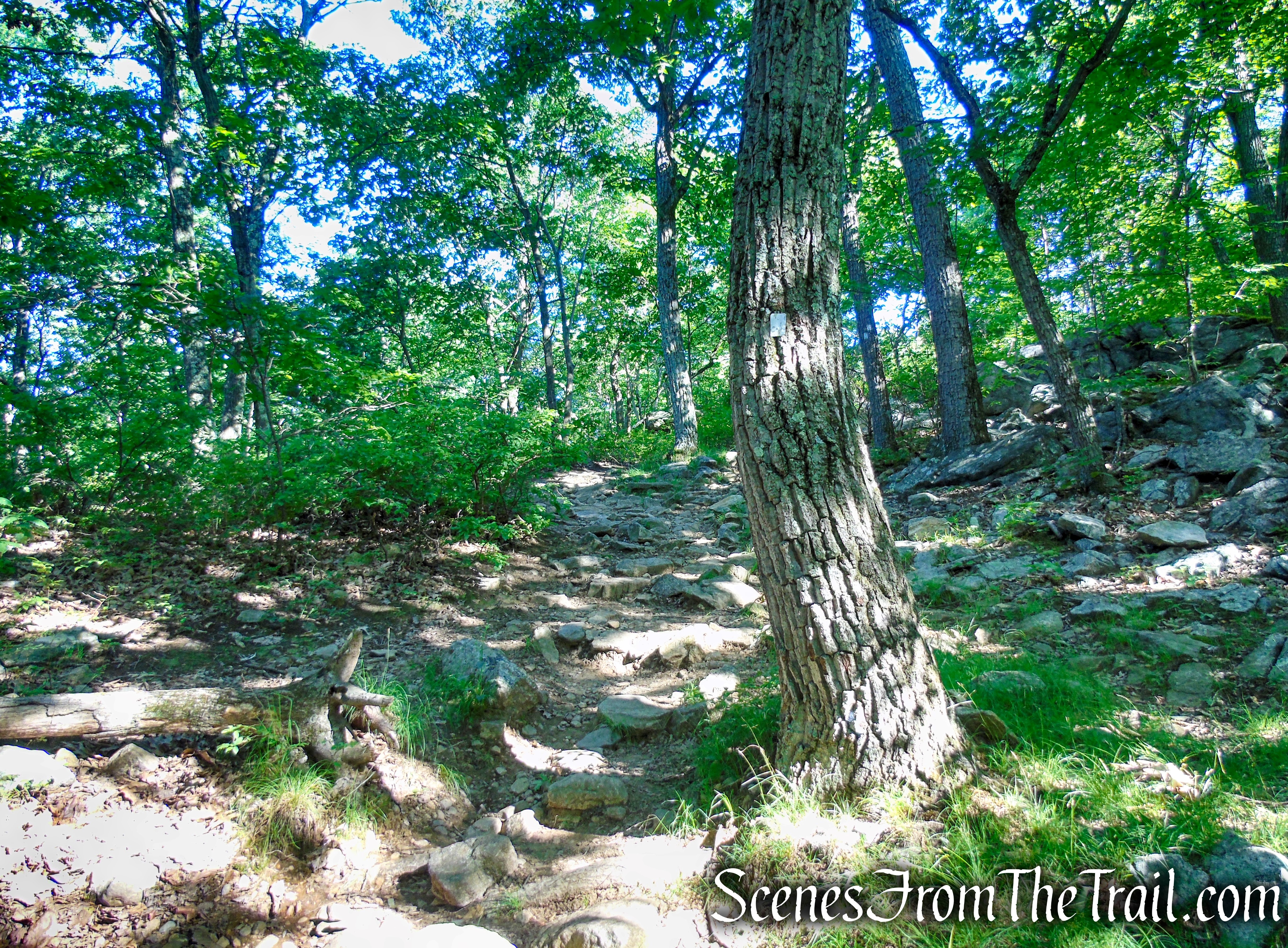
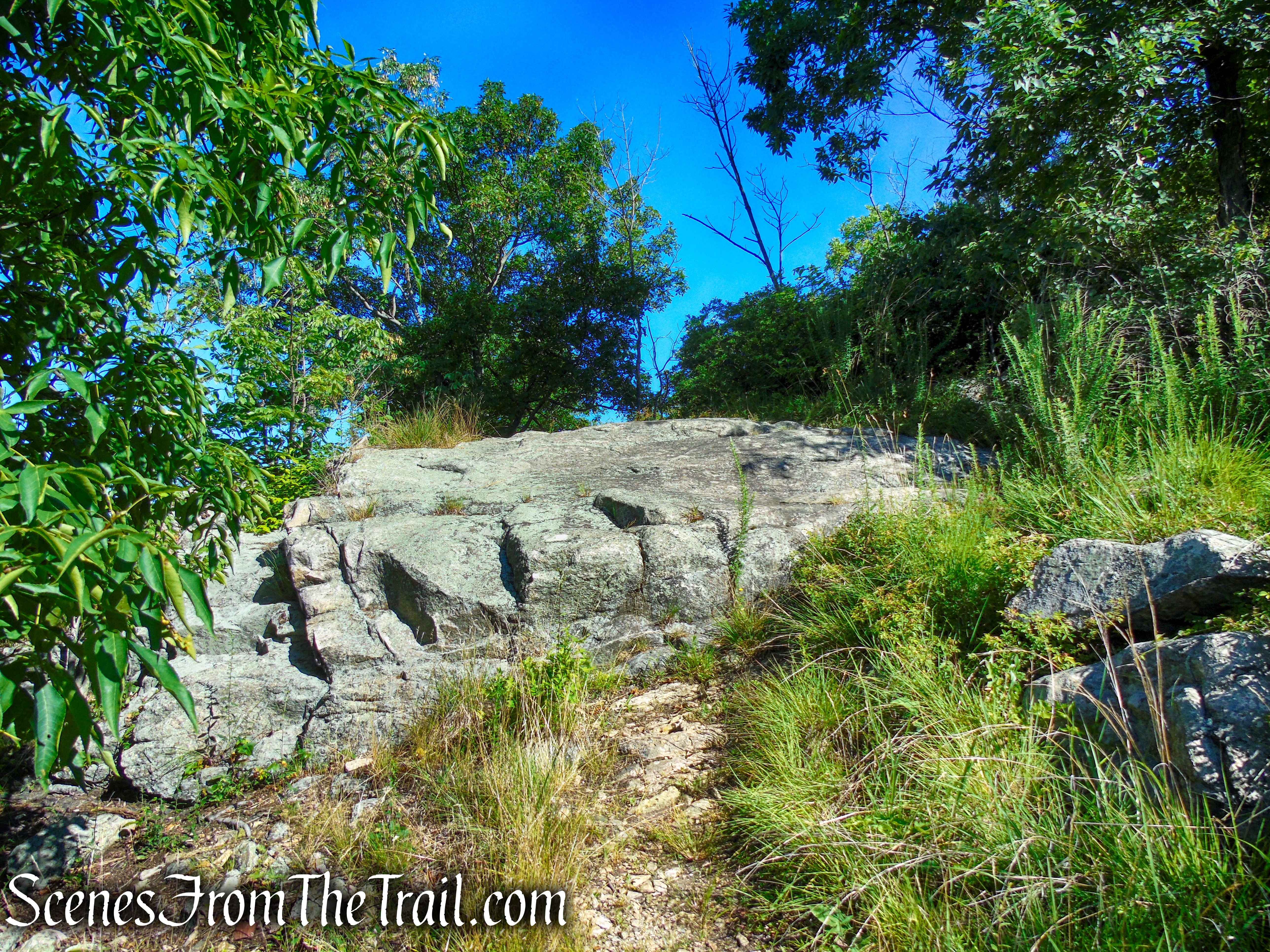
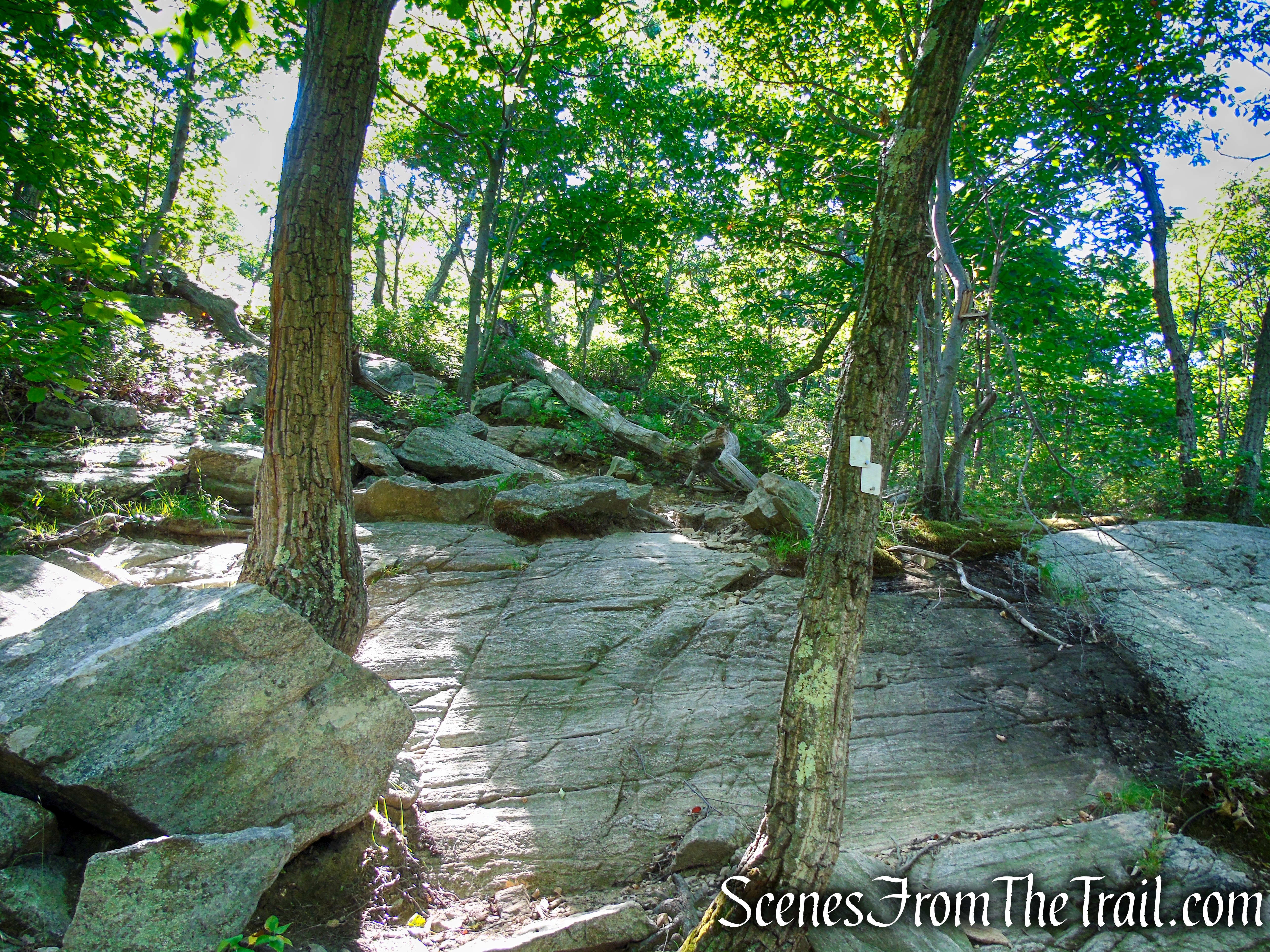
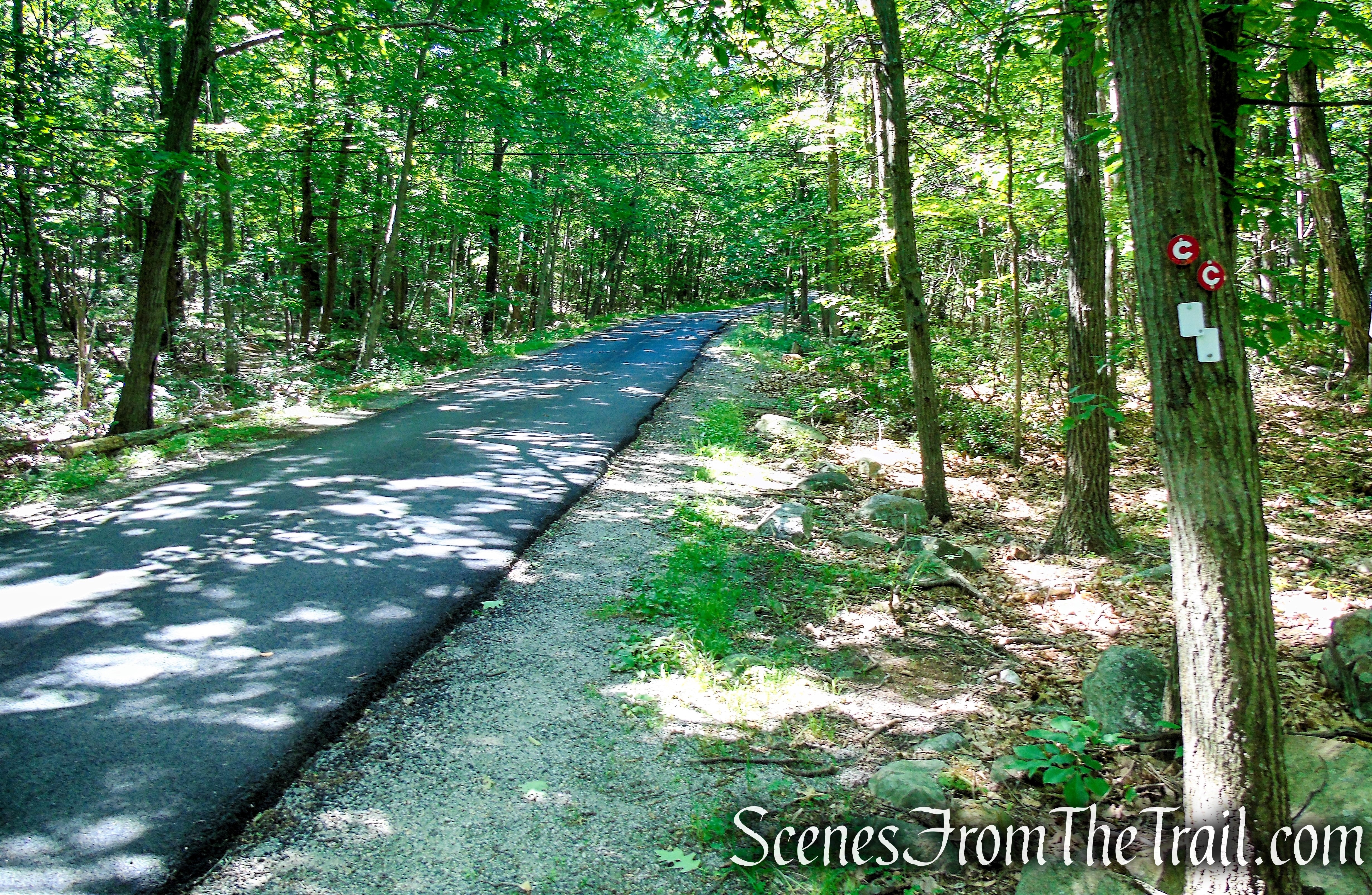
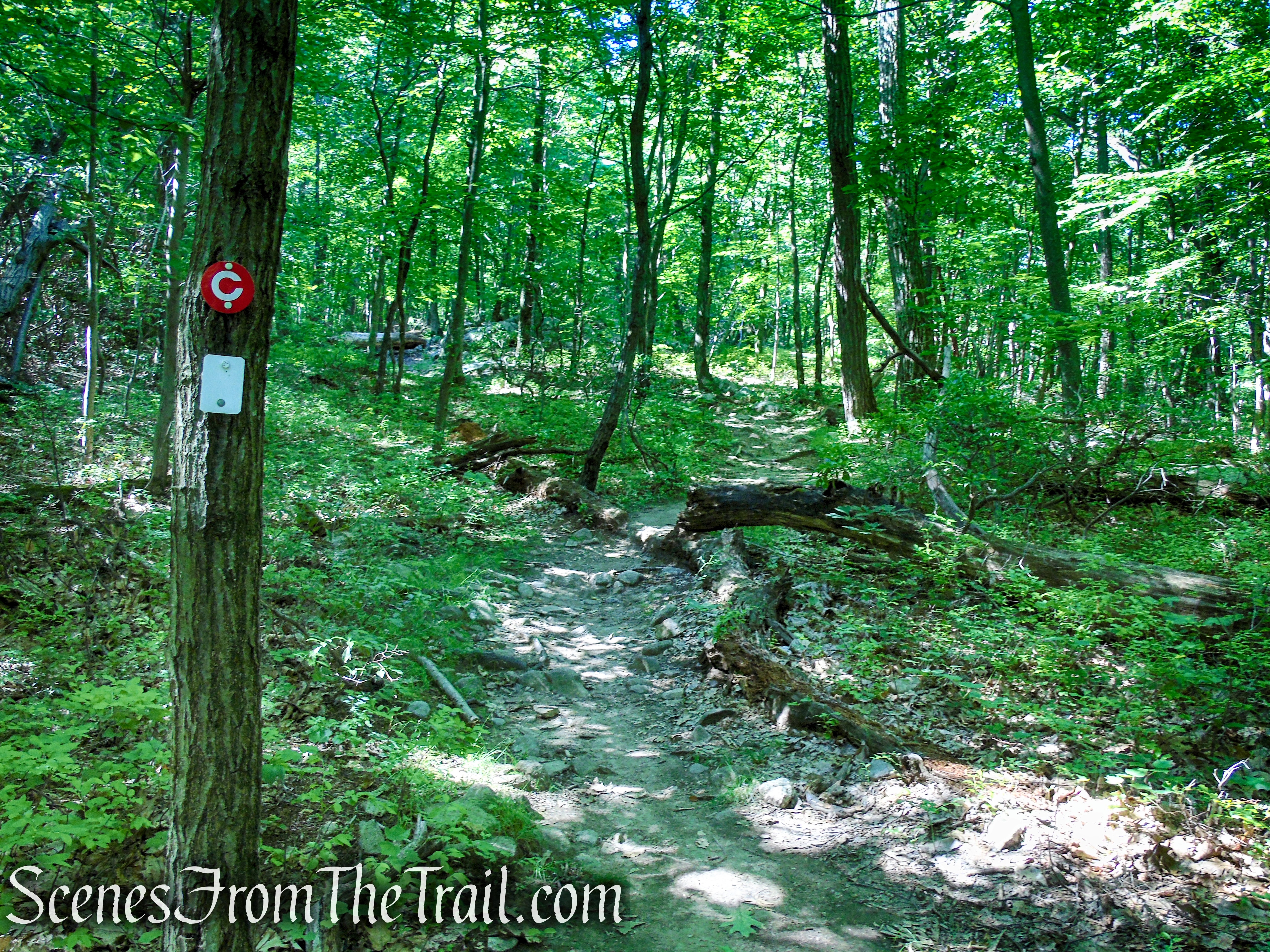
Just beyond, the trails reach the northern tip of Ramapo Lake. Here, you should bear right at the fork in the road, now following only white blazes, and pass between two concrete pillars. A short distance ahead, the white-“C”-on-red-blazed Cannonball Trail joins from the left. Just beyond, as the road curves sharply to the right, turn left, leaving the road, and follow the white-blazed Castle Loop Trail as it climbs steadily and rather steeply.
Castle Loop Trail – Ramapo Mountain State Forest
Castle Loop Trail – Ramapo Mountain State Forest
Castle Loop Trail – Ramapo Mountain State Forest
Castle Loop Trail – Ramapo Mountain State Forest
Castle Loop Trail – Ramapo Mountain State Forest
Castle Loop Trail – Ramapo Mountain State Forest
Castle Loop Trail – Ramapo Mountain State Forest
Castle Loop Trail – Ramapo Mountain State Forest
Castle Loop Trail – Ramapo Mountain State Forest
Castle Loop Trail – Ramapo Mountain State Forest
Castle Loop Trail – Ramapo Mountain State Forest
Castle Loop Trail – Ramapo Mountain State Forest
Castle Loop Trail – Ramapo Mountain State Forest
Castle Loop Trail – Ramapo Mountain State Forest
Castle Loop Trail – Ramapo Mountain State Forest
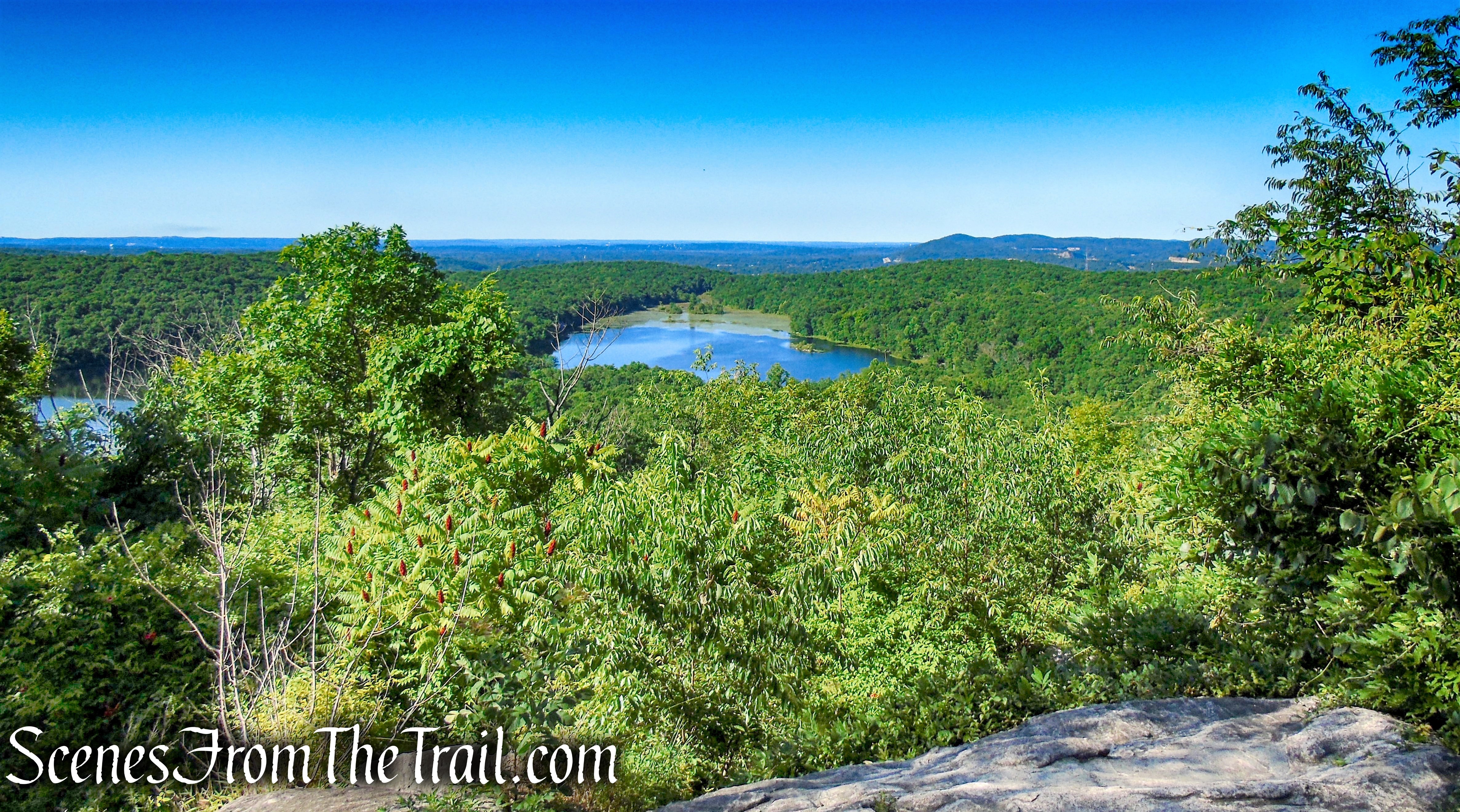
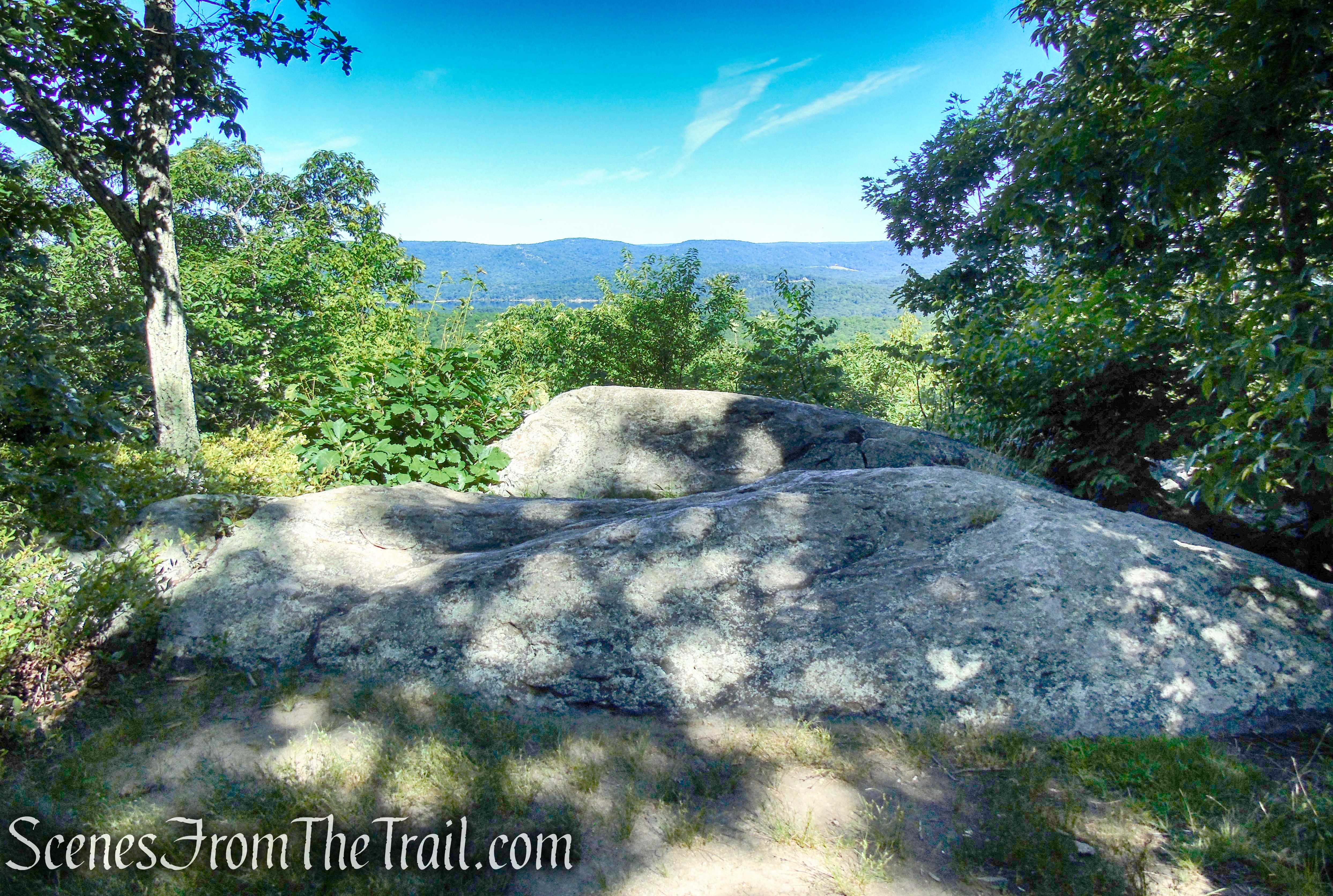
As you approach the top of the climb, bear left onto a rock ledge that offers a spectacular view. Directly below you is Ramapo Lake, with the Wanaque Mountains to the right (west). You’ll want to pause here to rest from the steep climb and enjoy the view.
rock ledge – Ramapo Mountain State Forest
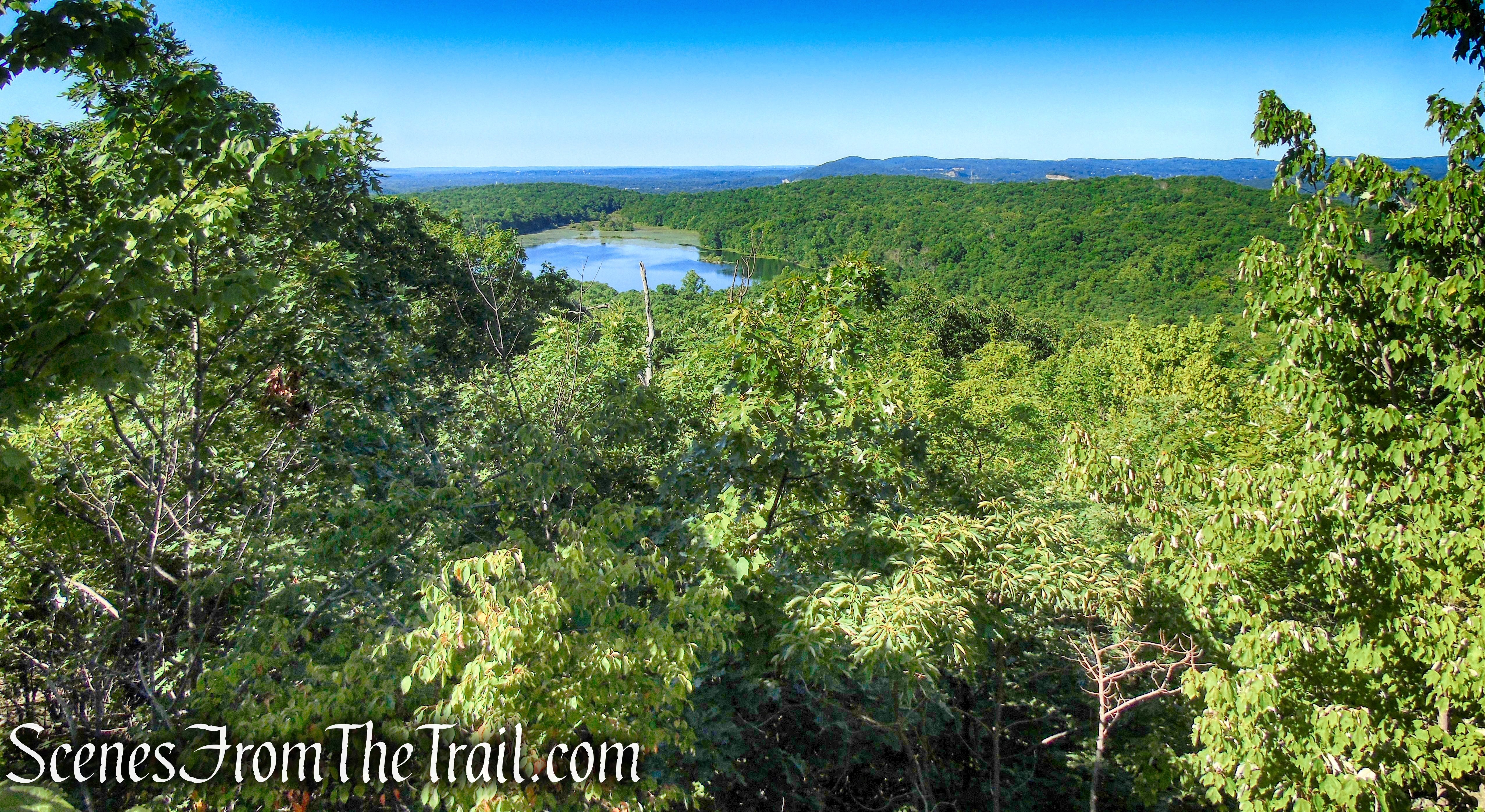
view from rock ledge – Ramapo Mountain State Forest
view from rock ledge – Ramapo Mountain State Forest
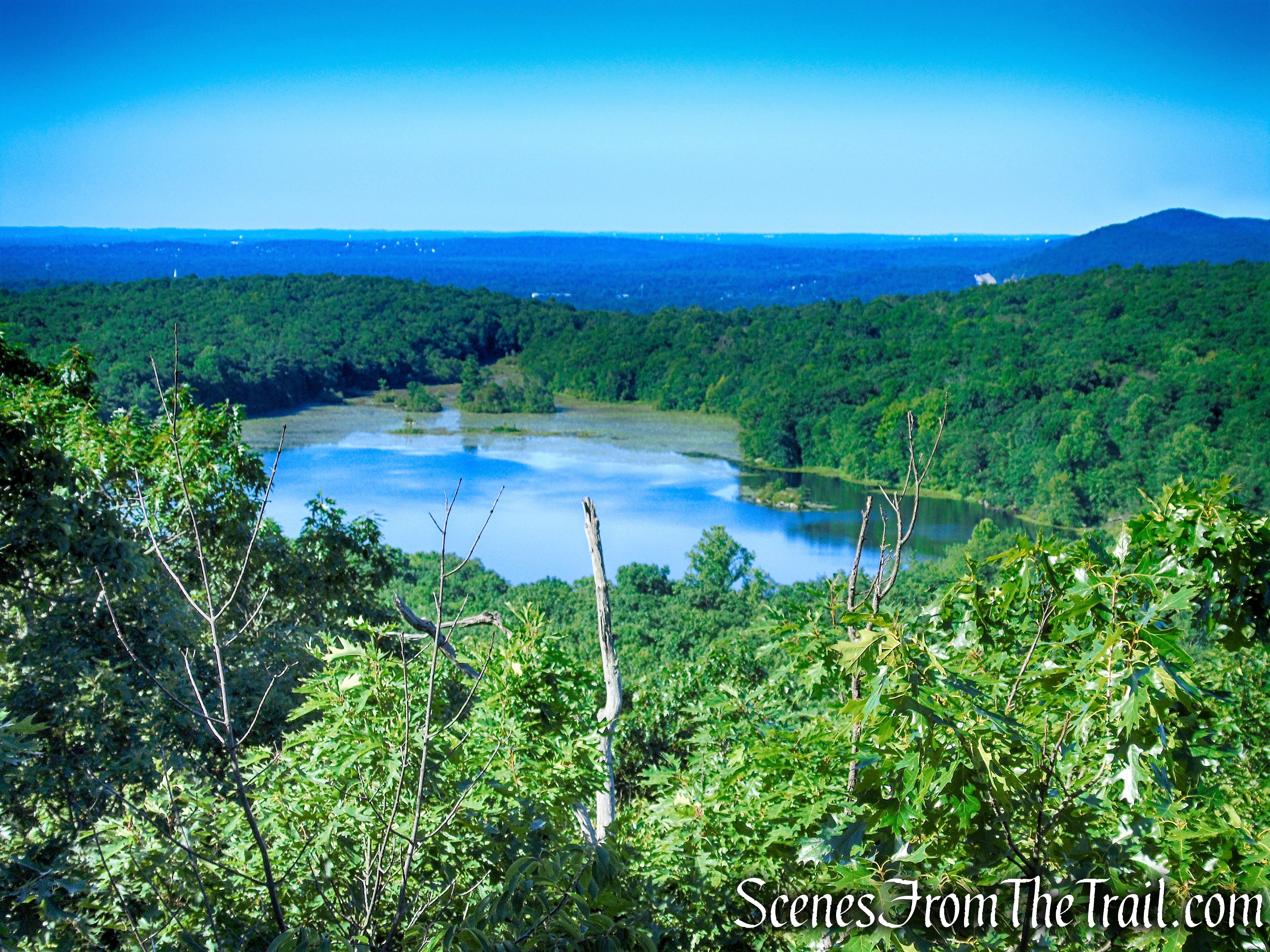
view from rock ledge – Ramapo Mountain State Forest
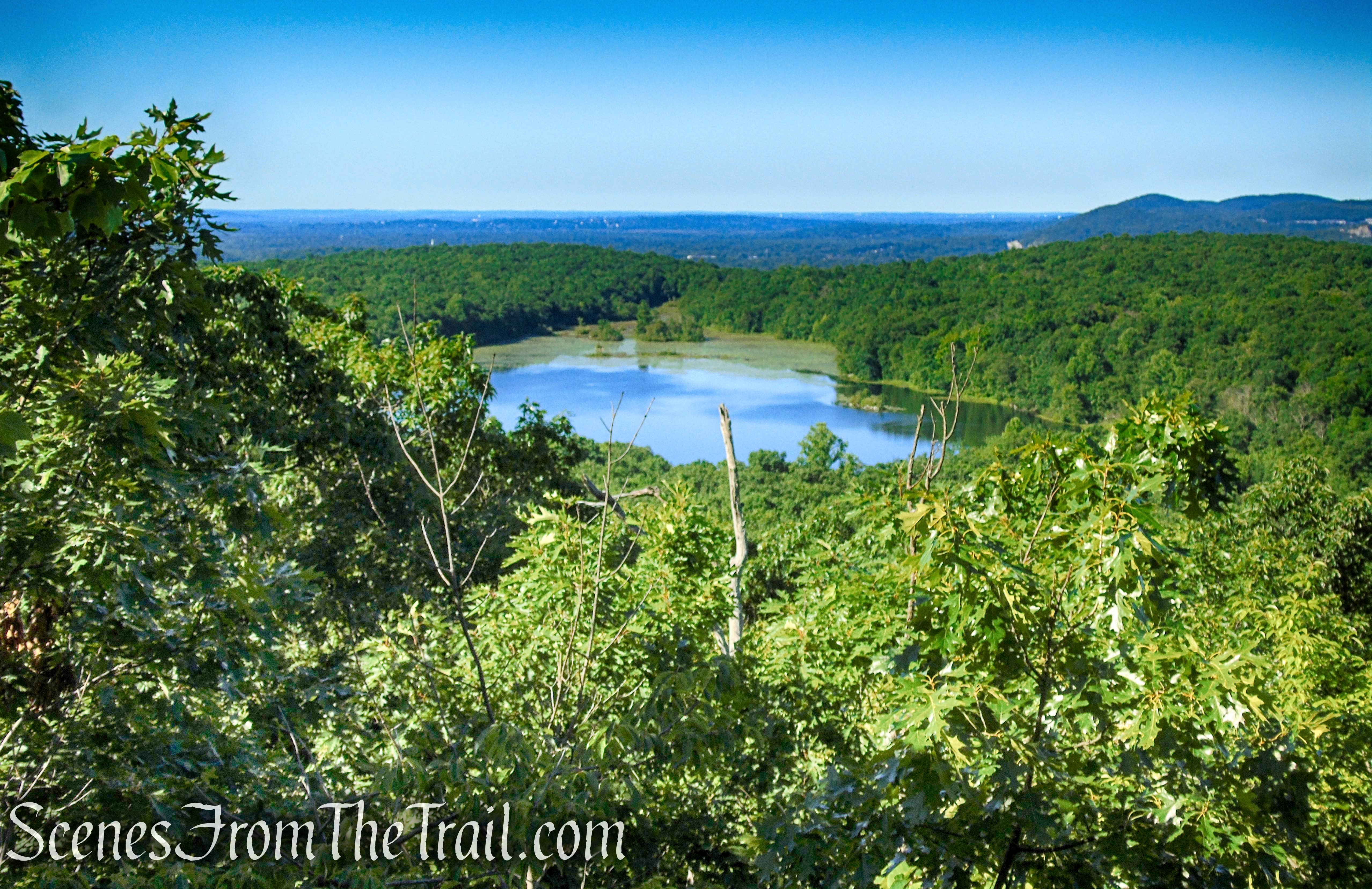
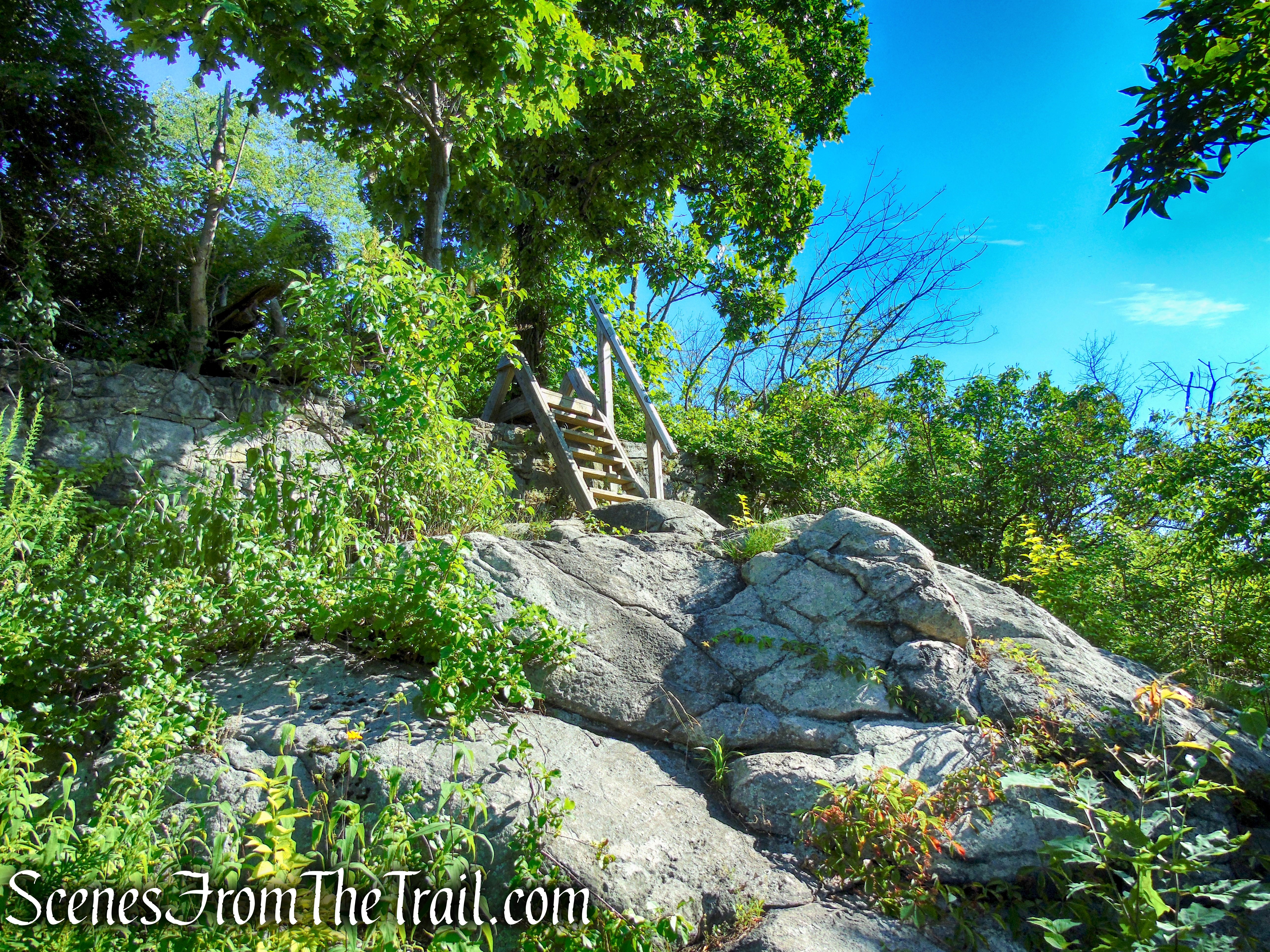
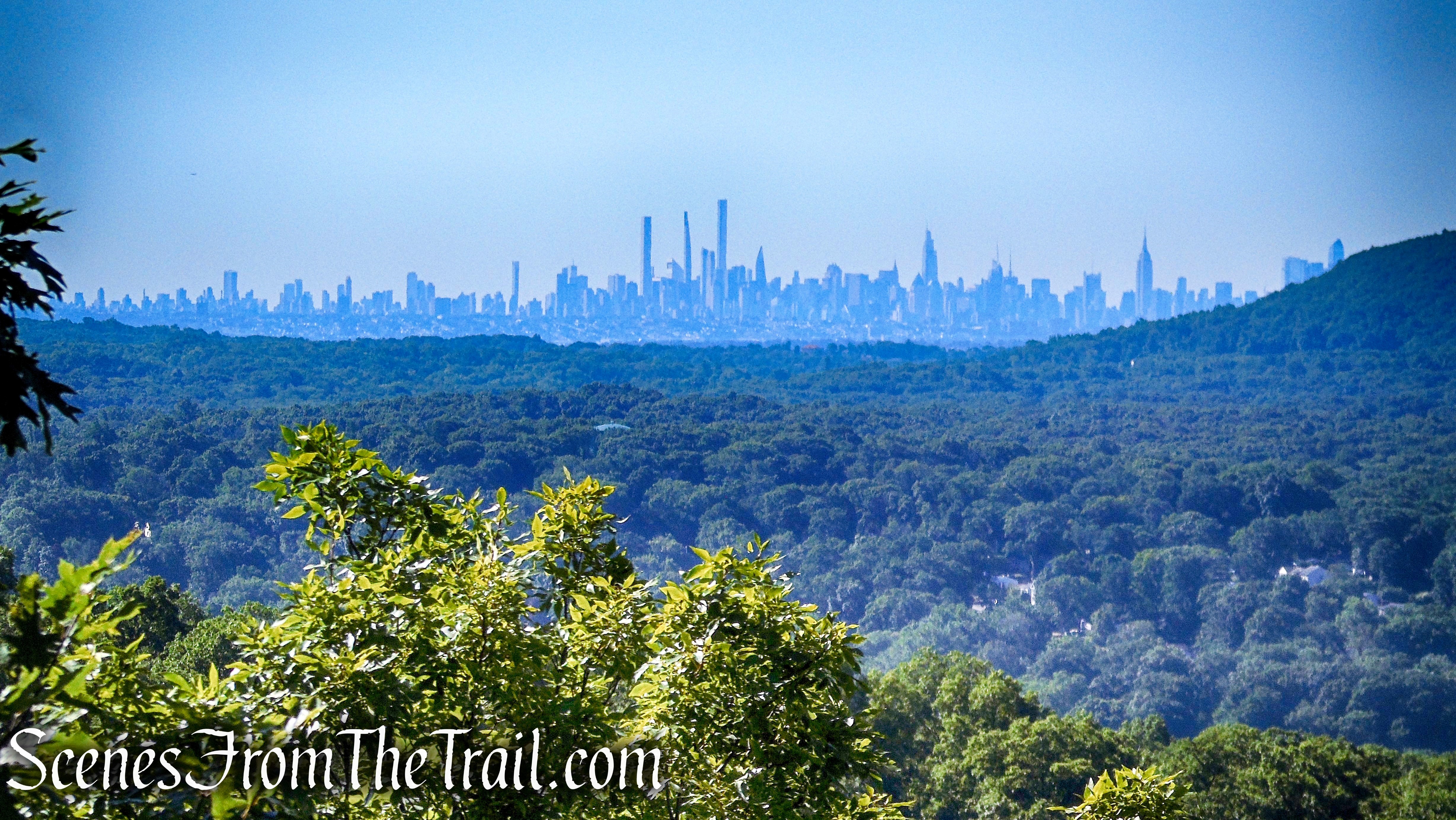
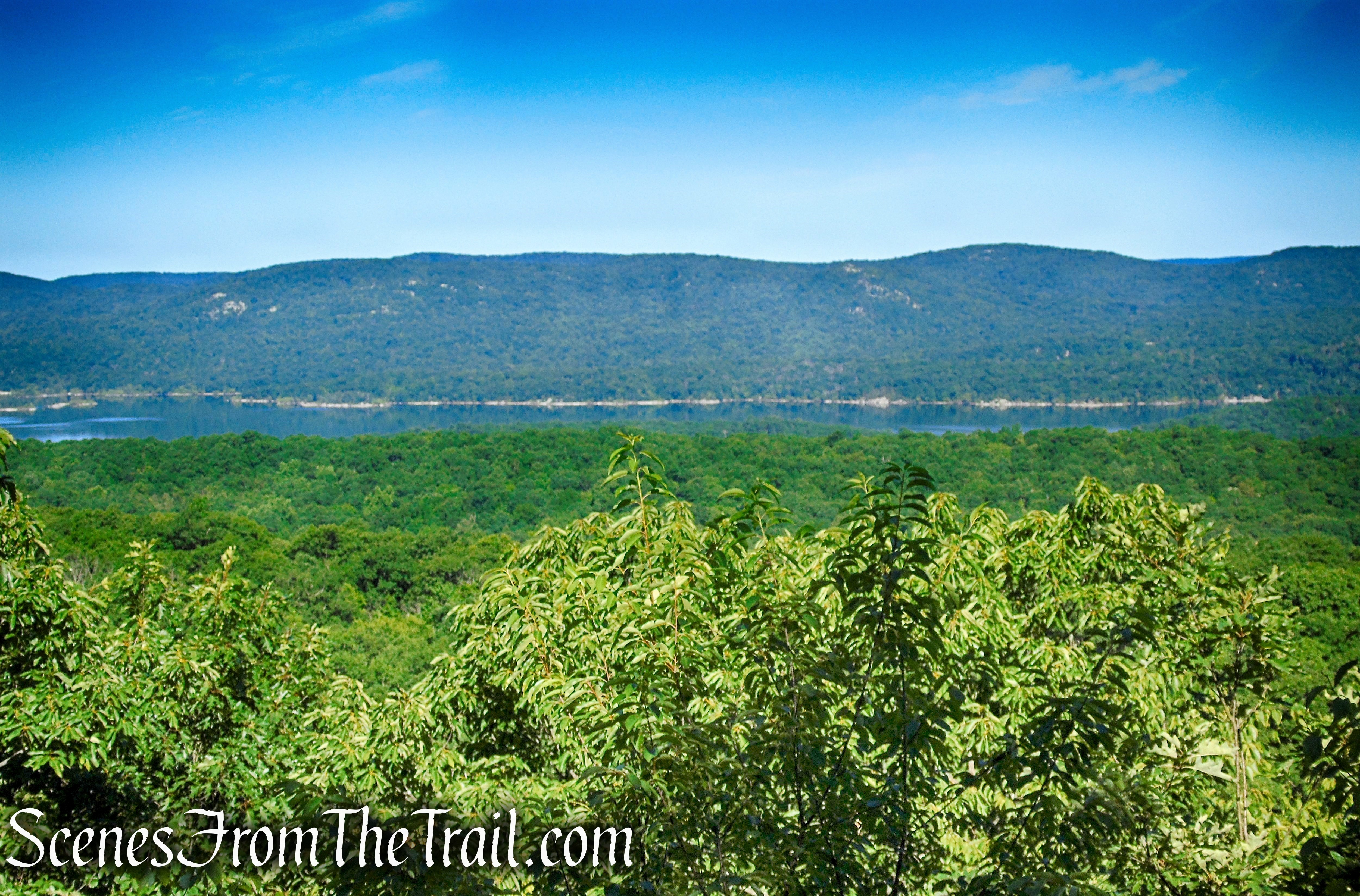
When you’re ready to continue, follow the white-blazed trail uphill. After climbing over a stone wall on a step-stile, There is an unmarked footpath on the left that leads to a similar view as the one before it, with Ramapo Lake visible below. On a clear day, you can see the New York City skyline on the horizon to the left.
Castle Loop Trail – Ramapo Mountain State Forest
view from 2nd rock ledge – Ramapo Mountain State Forest
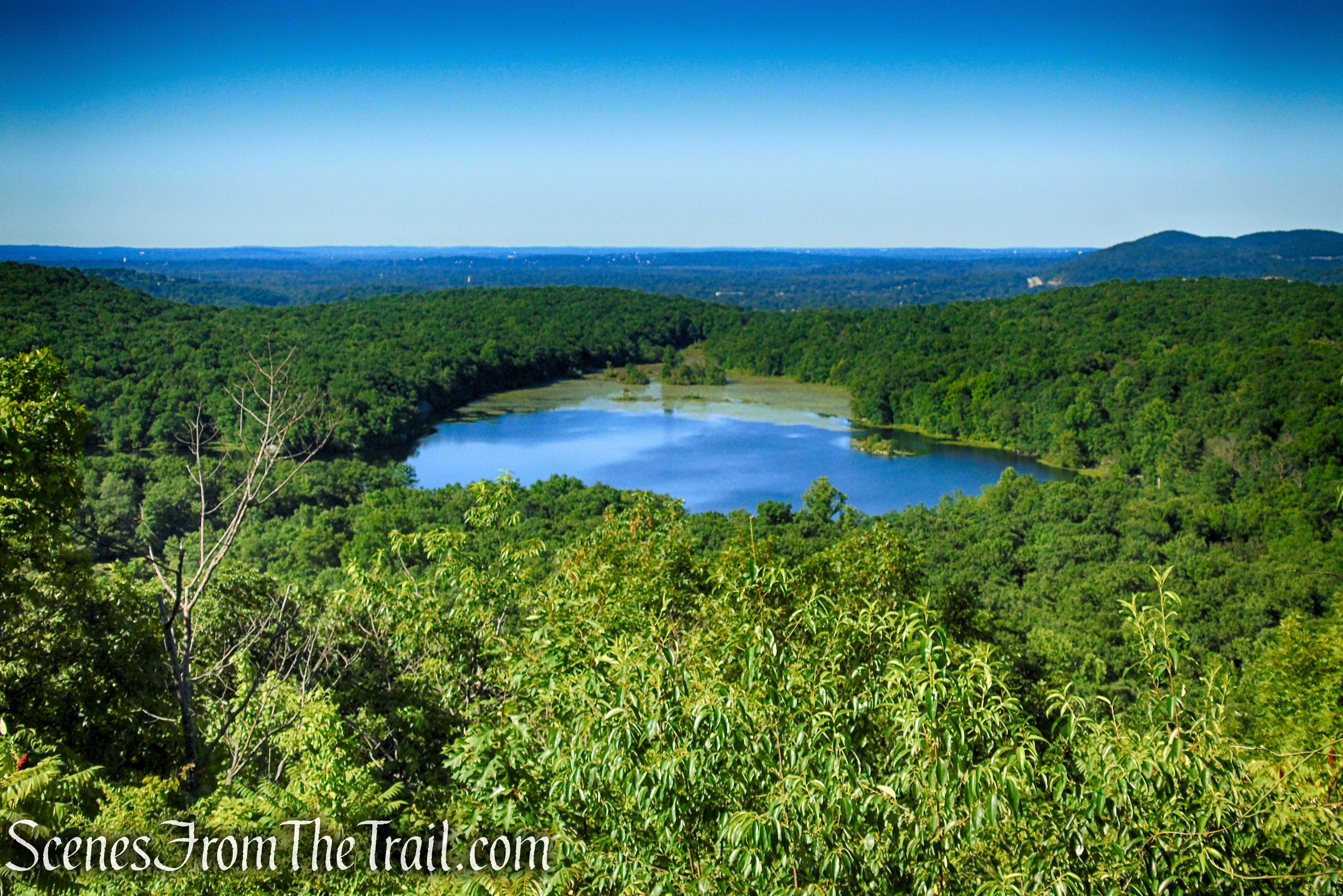
view from 2nd rock ledge – Ramapo Mountain State Forest
view from 2nd rock ledge – Ramapo Mountain State Forest
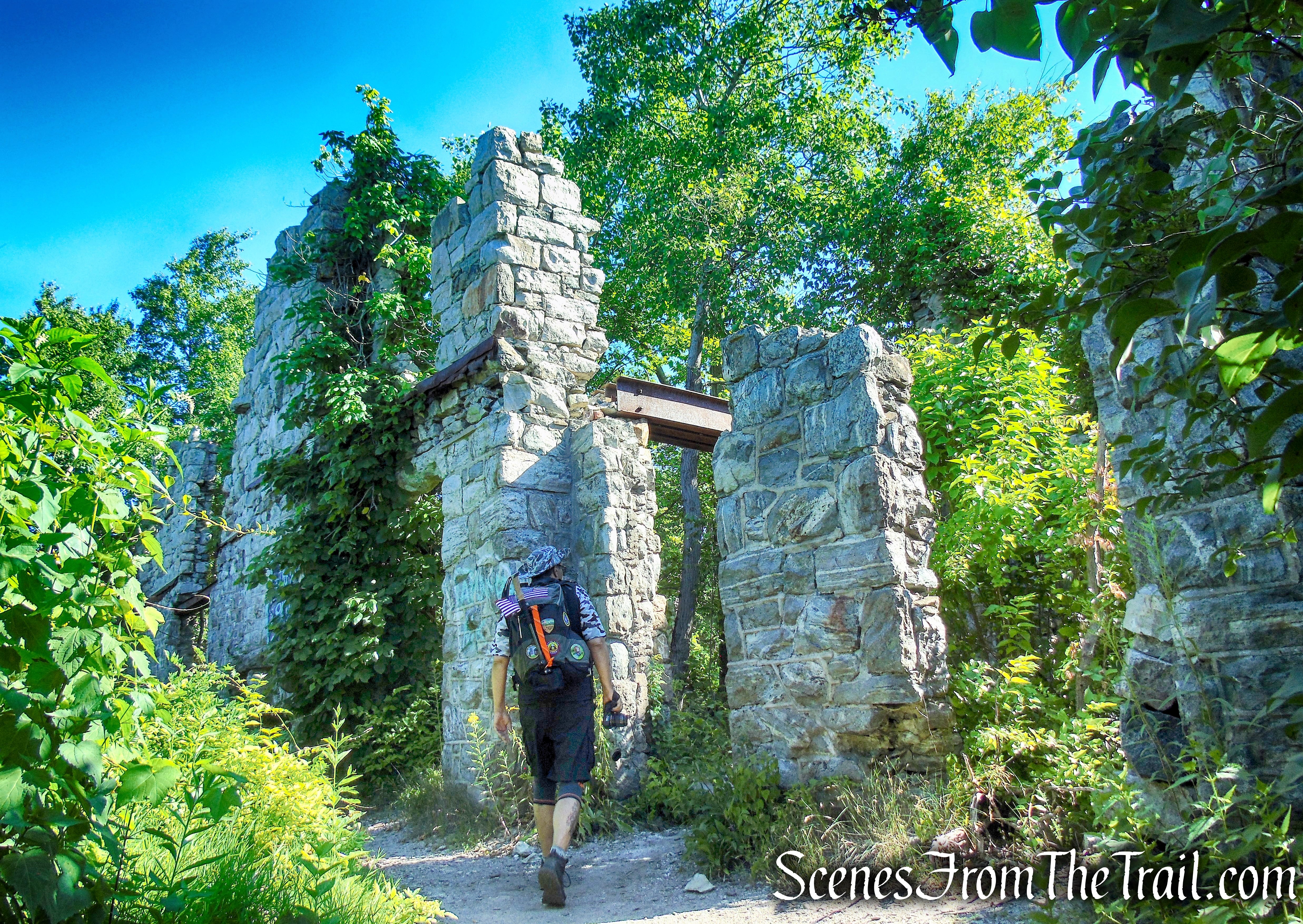
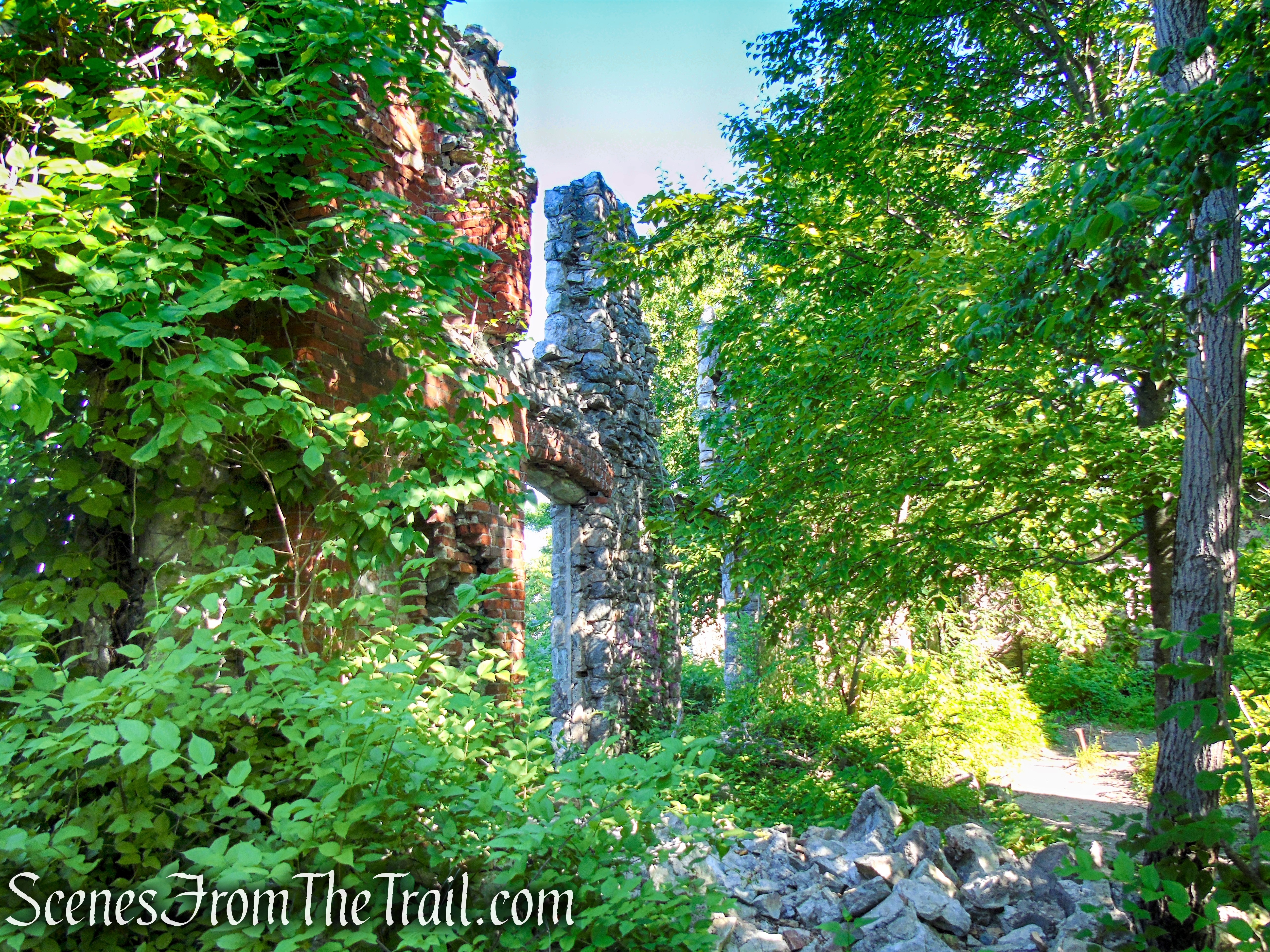
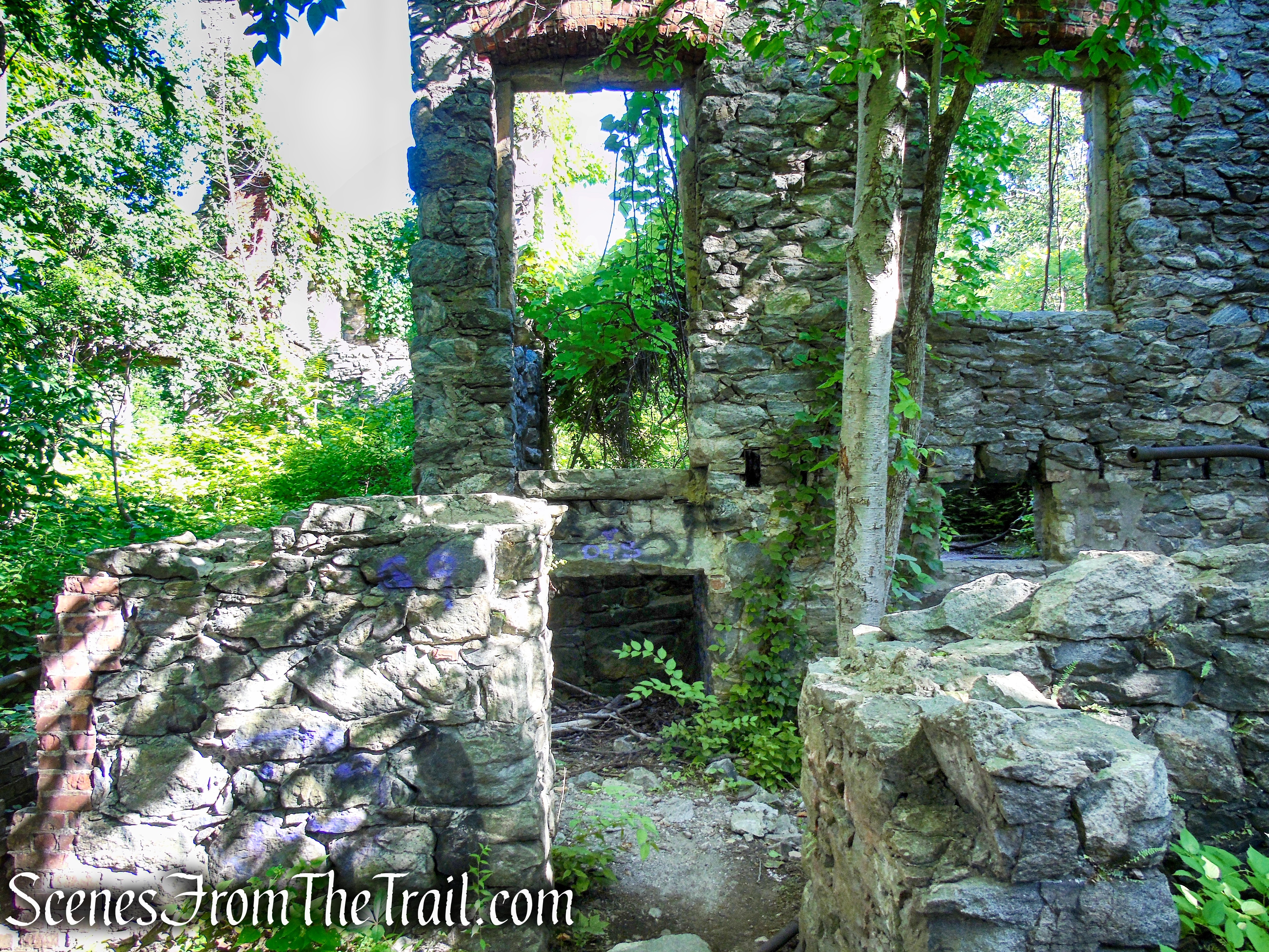
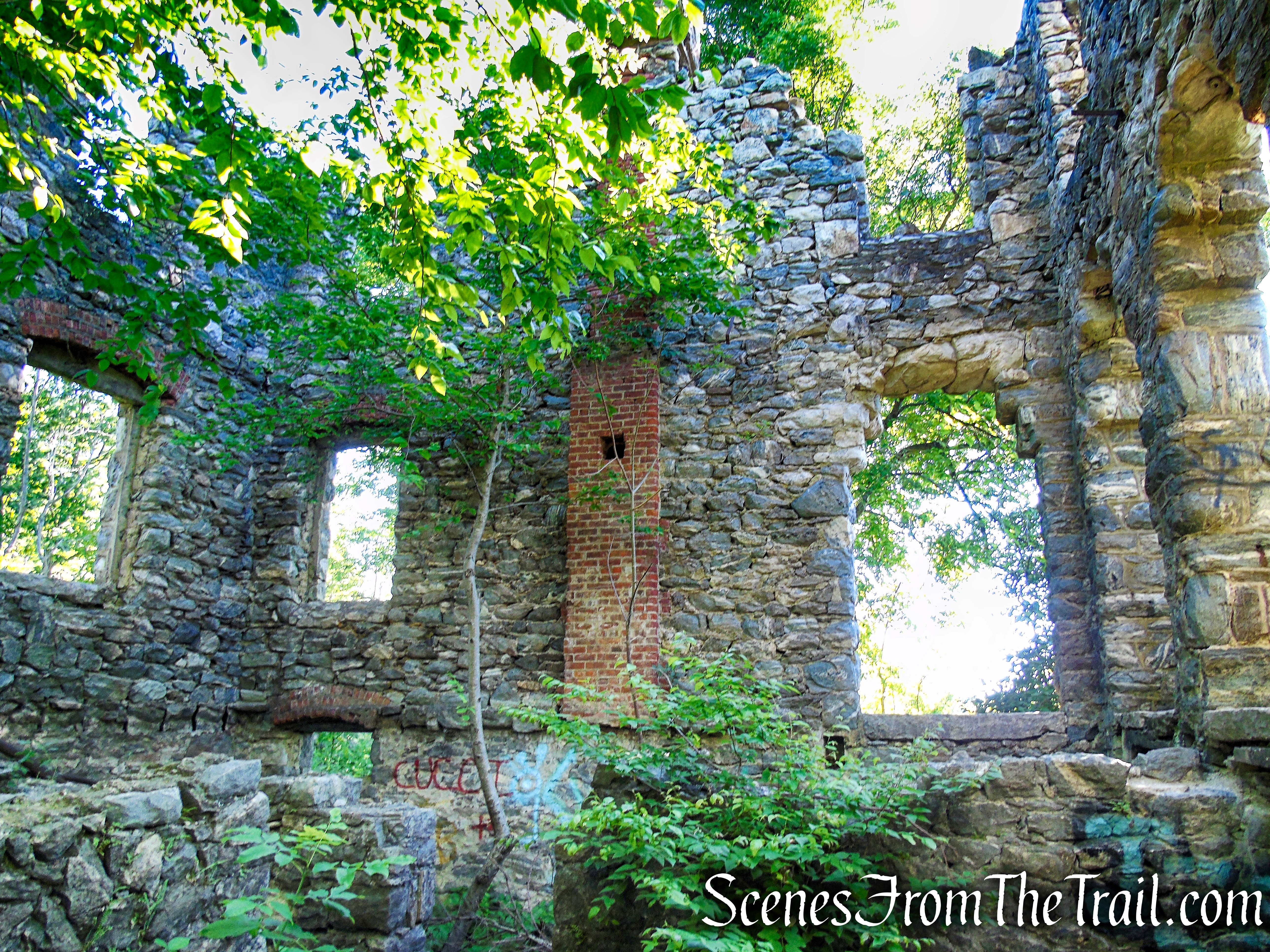
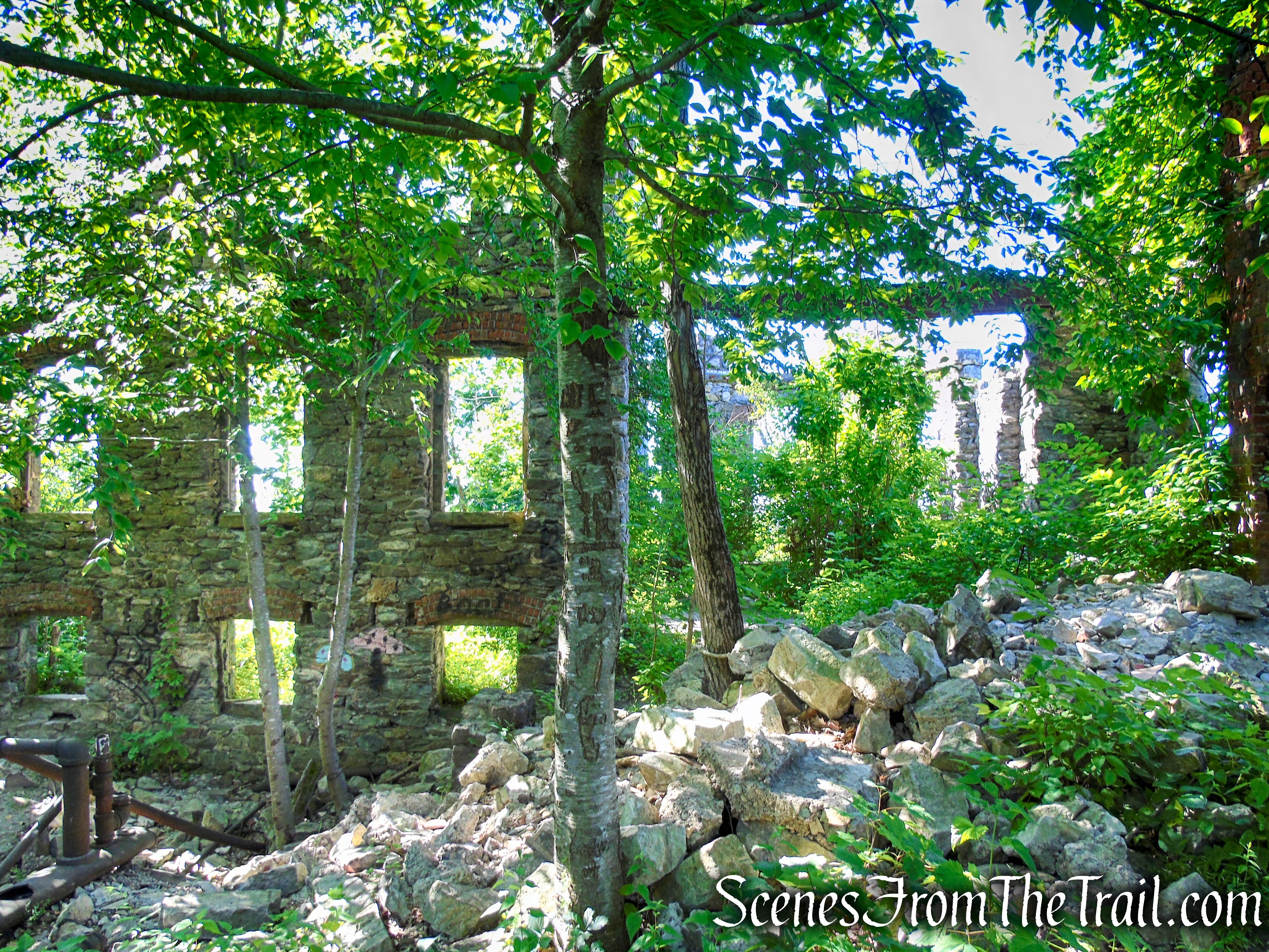
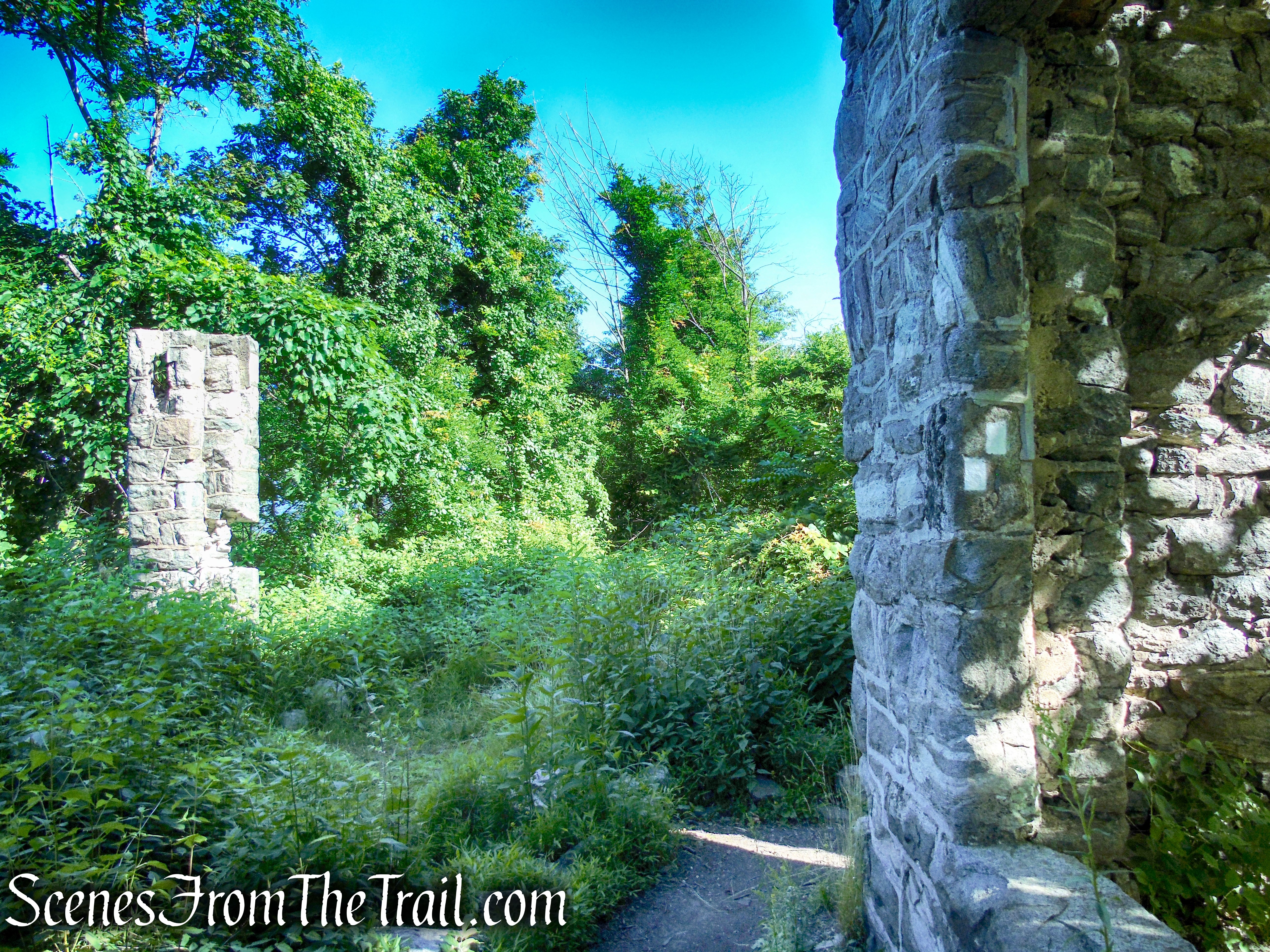
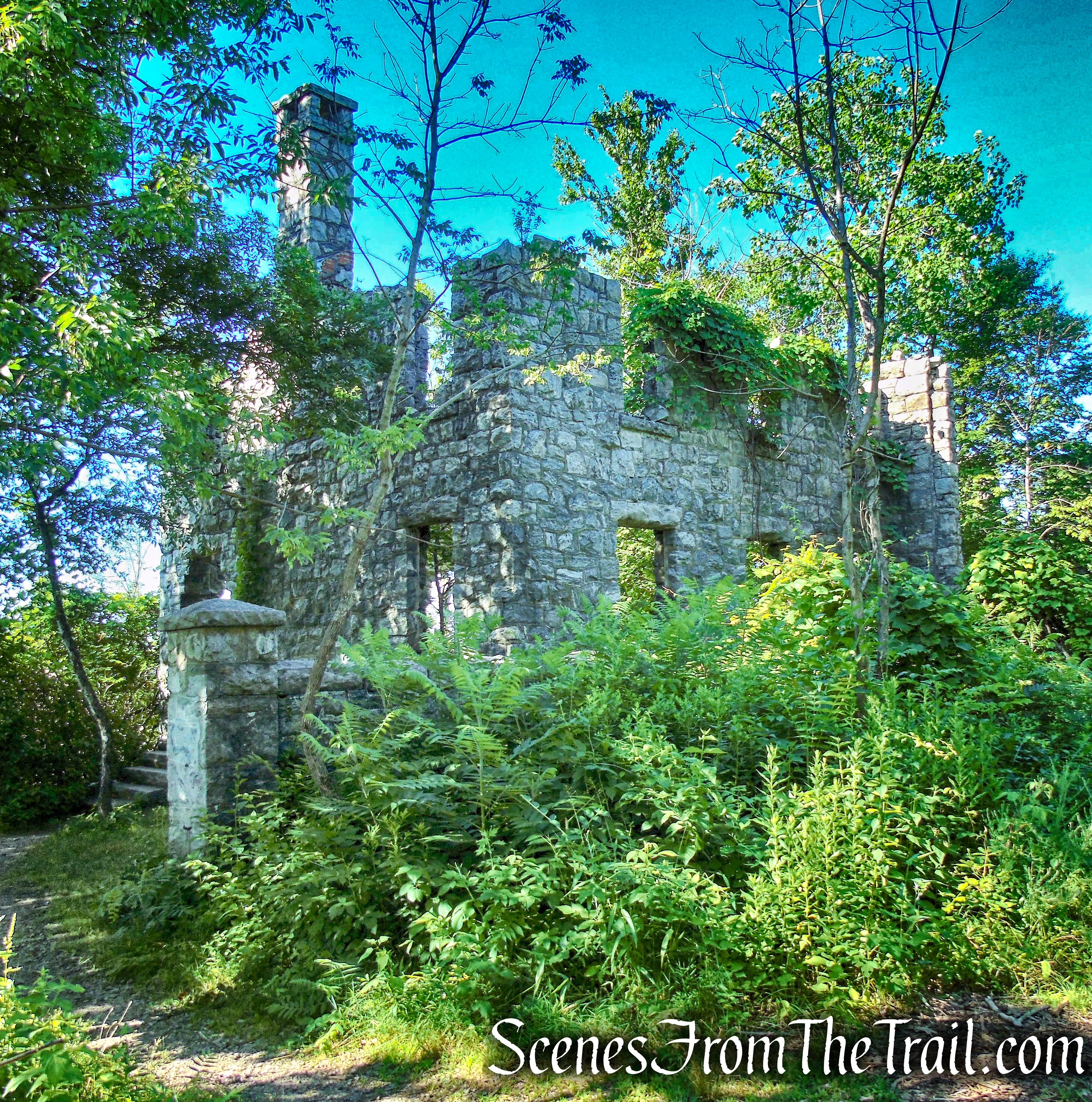
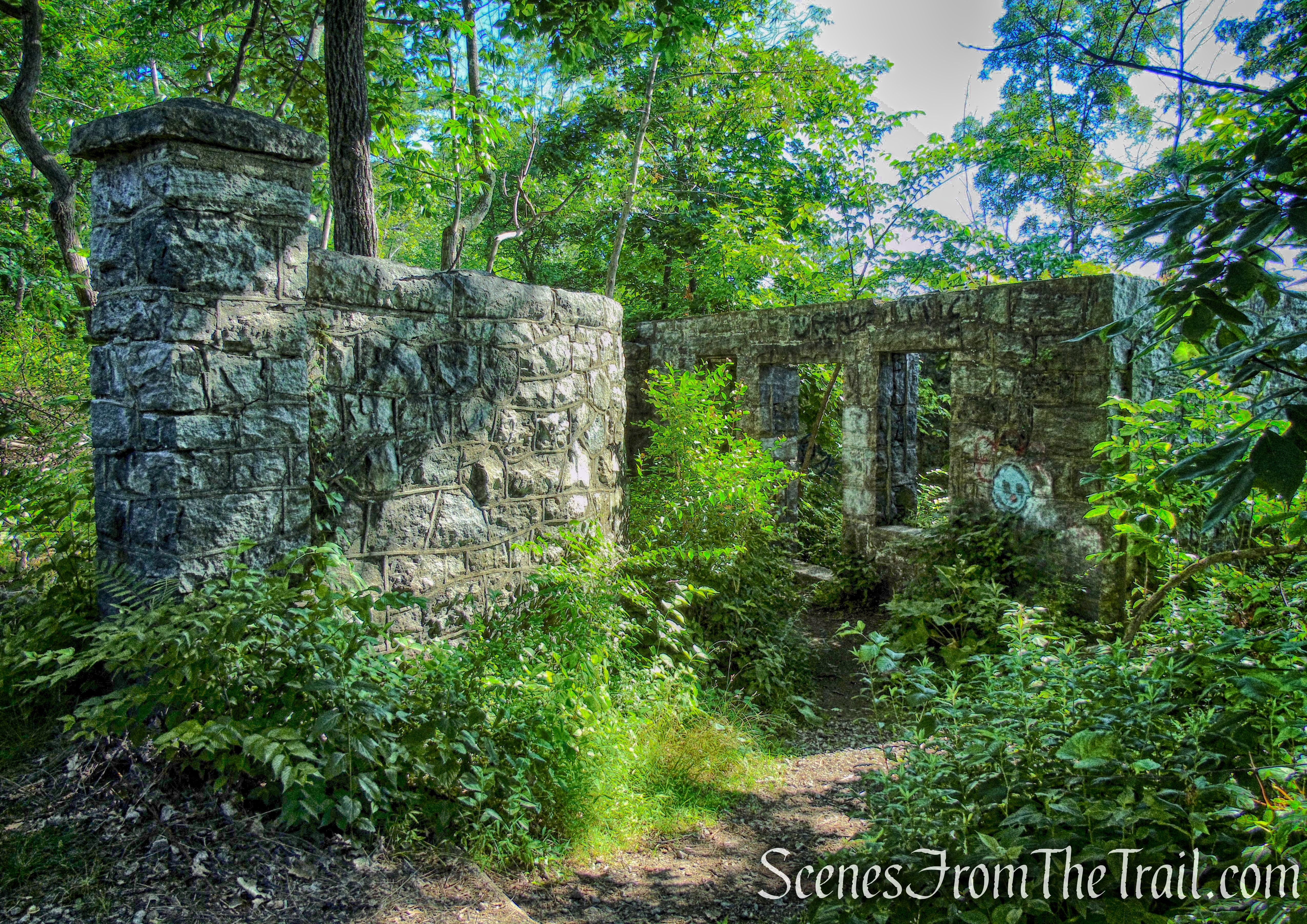
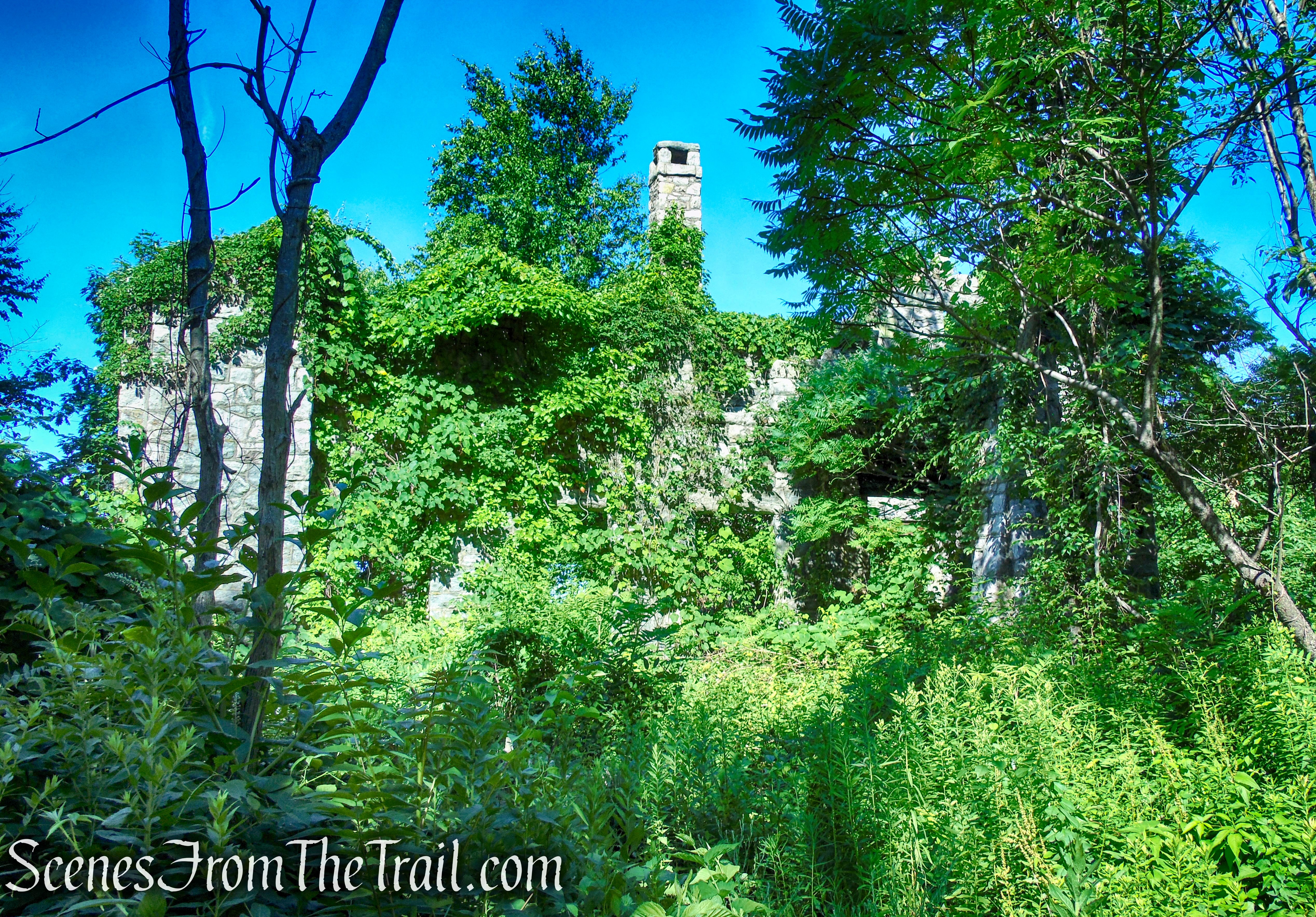
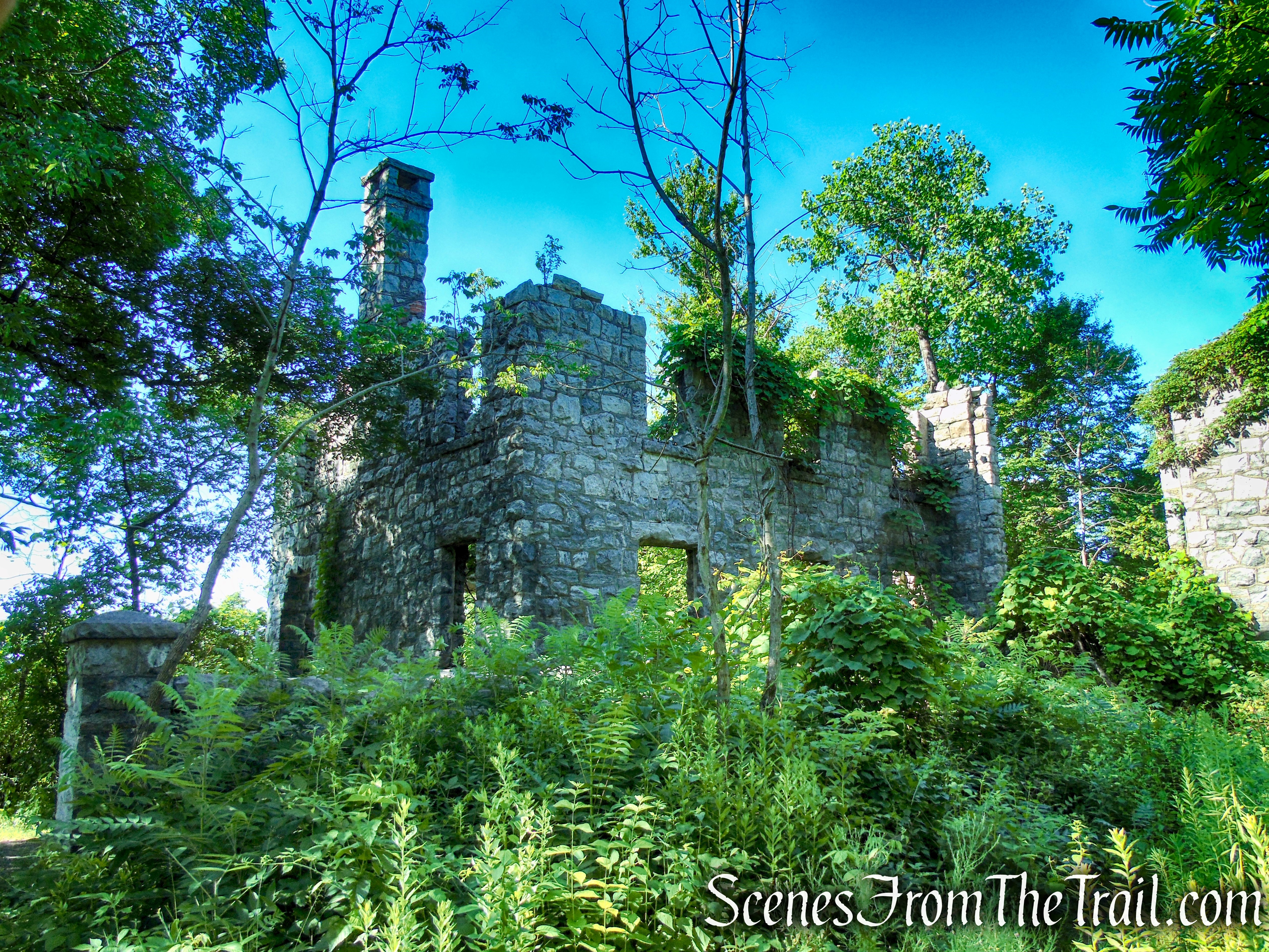
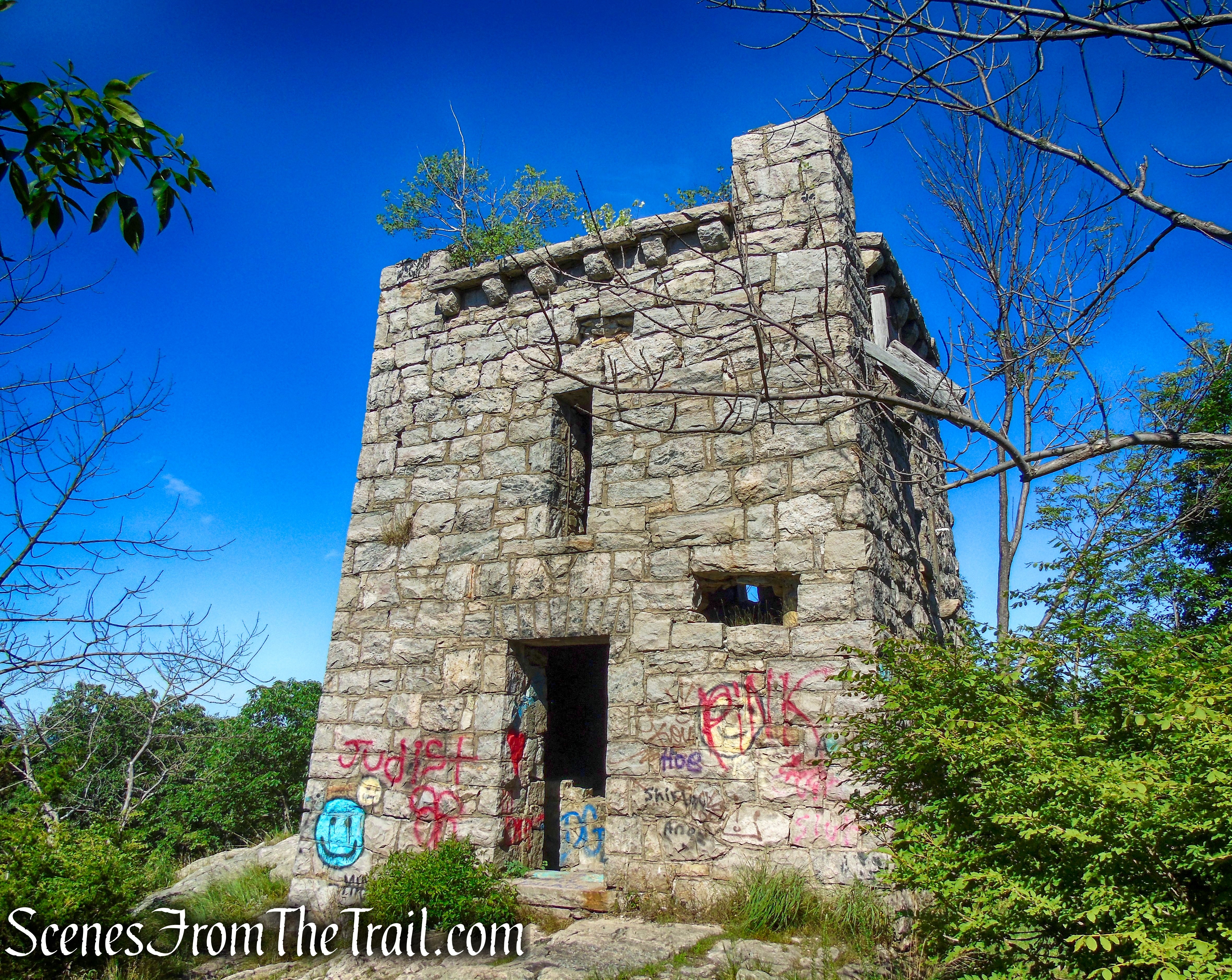
Retrace your steps to the Castle Loop Trail and turn left. In a few feet, you’ll reach the ruins of a mansion. Known as Foxcroft, it was built around 1910 by William Porter, a stockbroker. It was renamed Van Slyke Castle in 1913 after his widow married Warren Van Slyke. She occupied it until her death in 1940, and it fell into ruin in the late 1950’s. Use caution if you wish to explore the remains of this once-elegant stone structure.
Castle Loop Trail – Ramapo Mountain State Forest
Van Slyke Castle ruins – Ramapo Mountain State Forest
Van Slyke Castle ruins – Ramapo Mountain State Forest
Van Slyke Castle ruins – Ramapo Mountain State Forest
Van Slyke Castle ruins – Ramapo Mountain State Forest
Van Slyke Castle ruins – Ramapo Mountain State Forest
Van Slyke Castle ruins – Ramapo Mountain State Forest
Van Slyke Castle ruins – Ramapo Mountain State Forest
Van Slyke Castle ruins – Ramapo Mountain State Forest
Van Slyke Castle ruins – Ramapo Mountain State Forest
Van Slyke Castle ruins – Ramapo Mountain State Forest
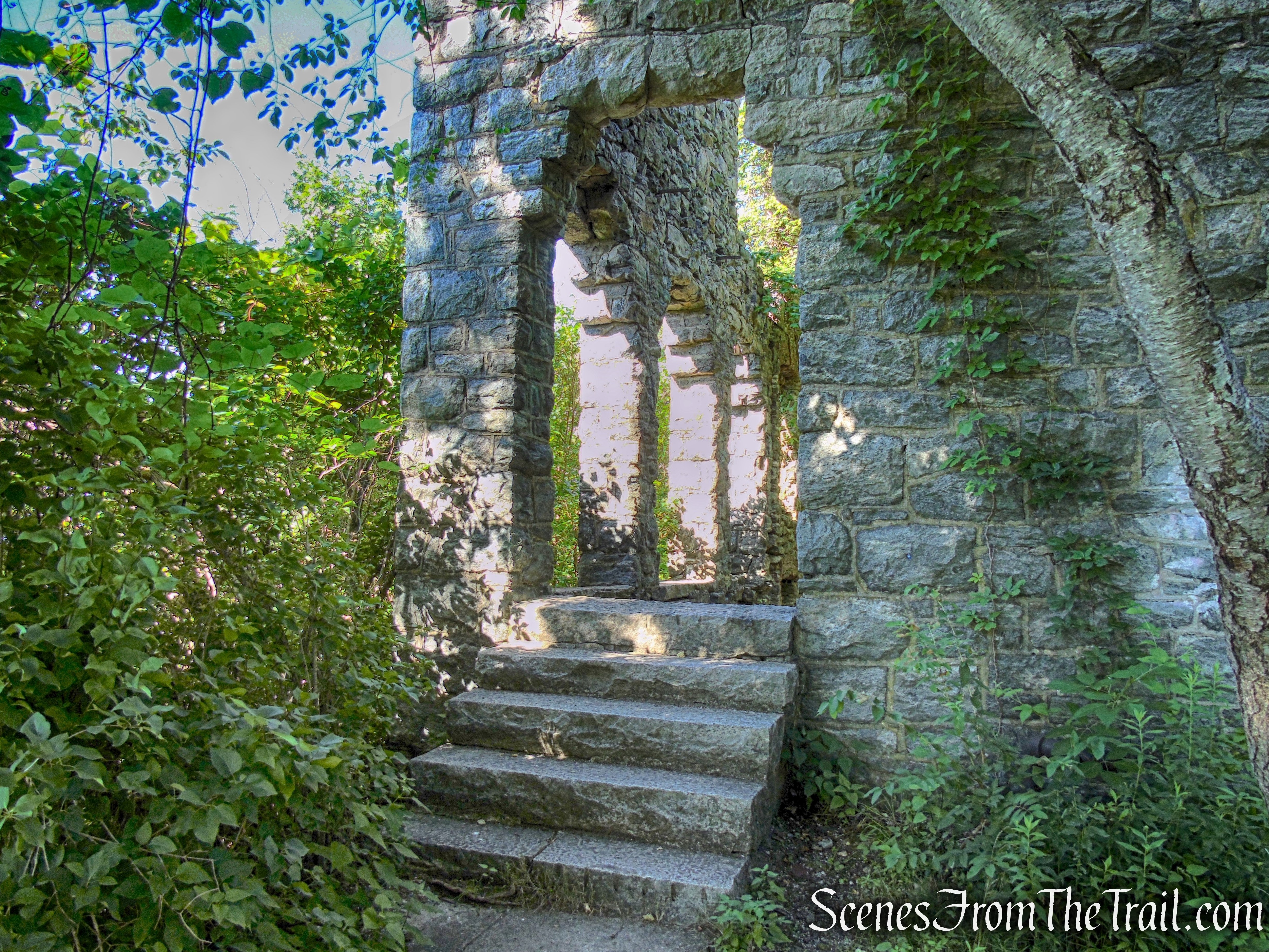
Van Slyke Castle ruins – Ramapo Mountain State Forest
Van Slyke Castle ruins – Ramapo Mountain State Forest
Van Slyke Castle ruins – Ramapo Mountain State Forest
Van Slyke Castle ruins – Ramapo Mountain State Forest
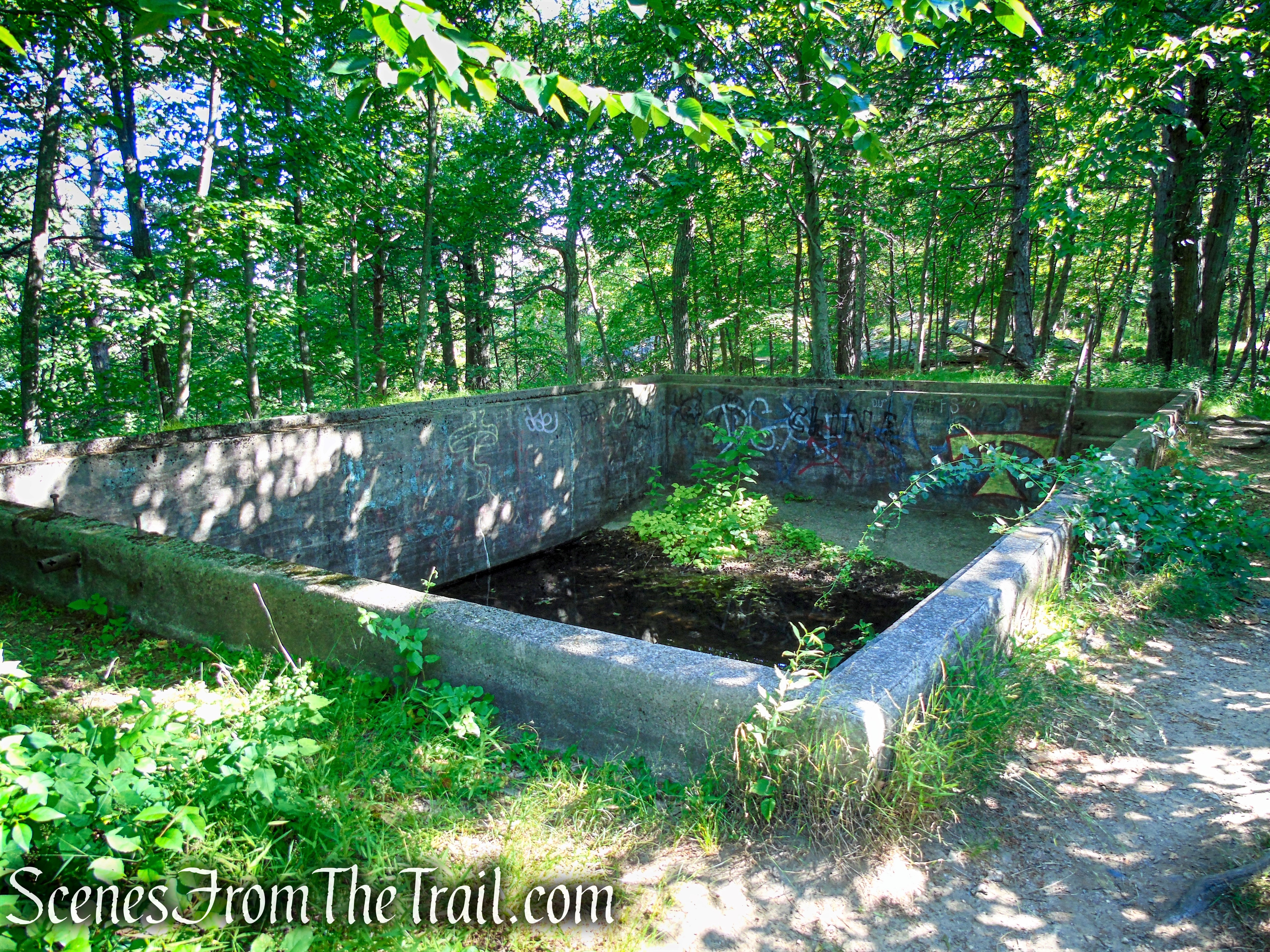
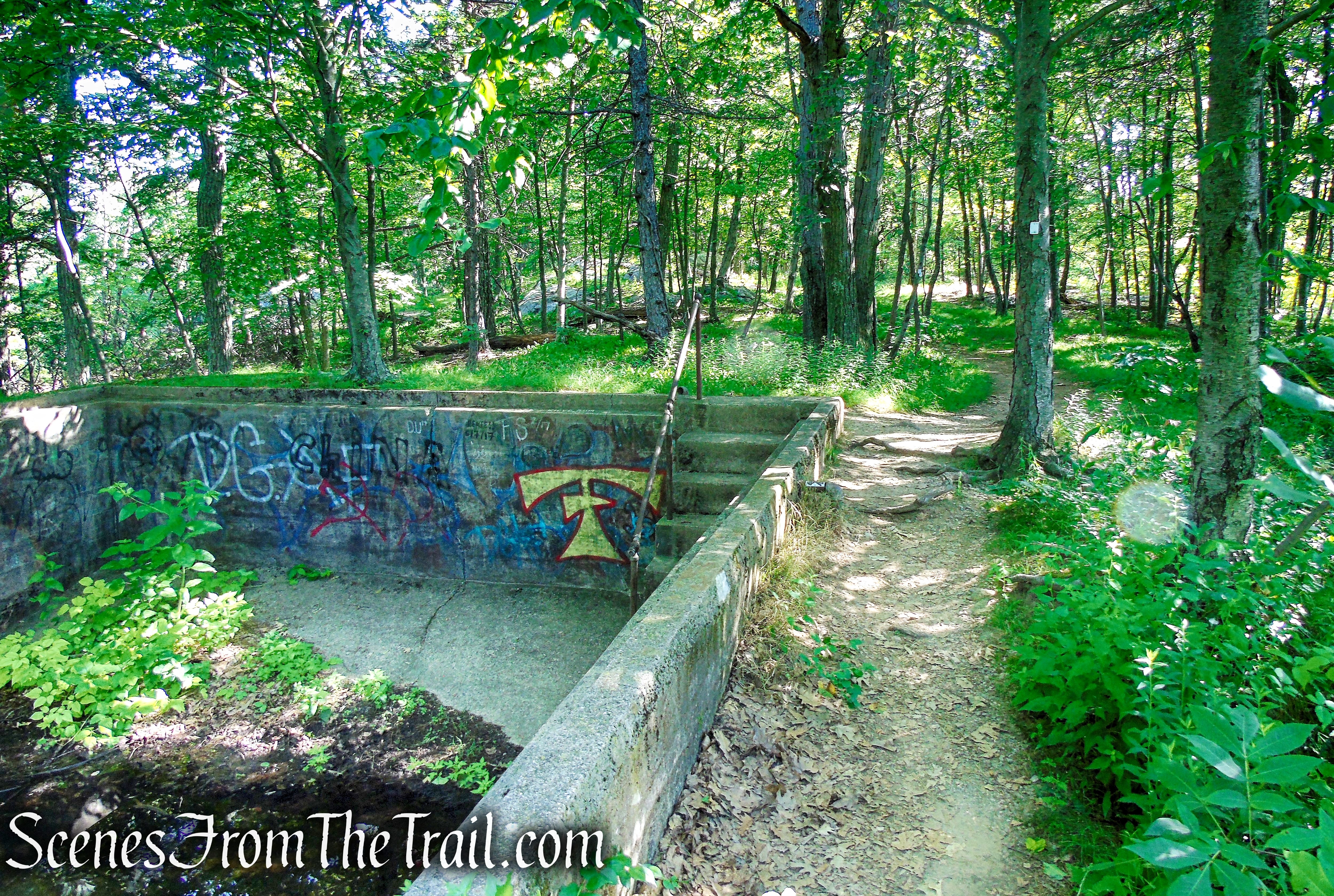
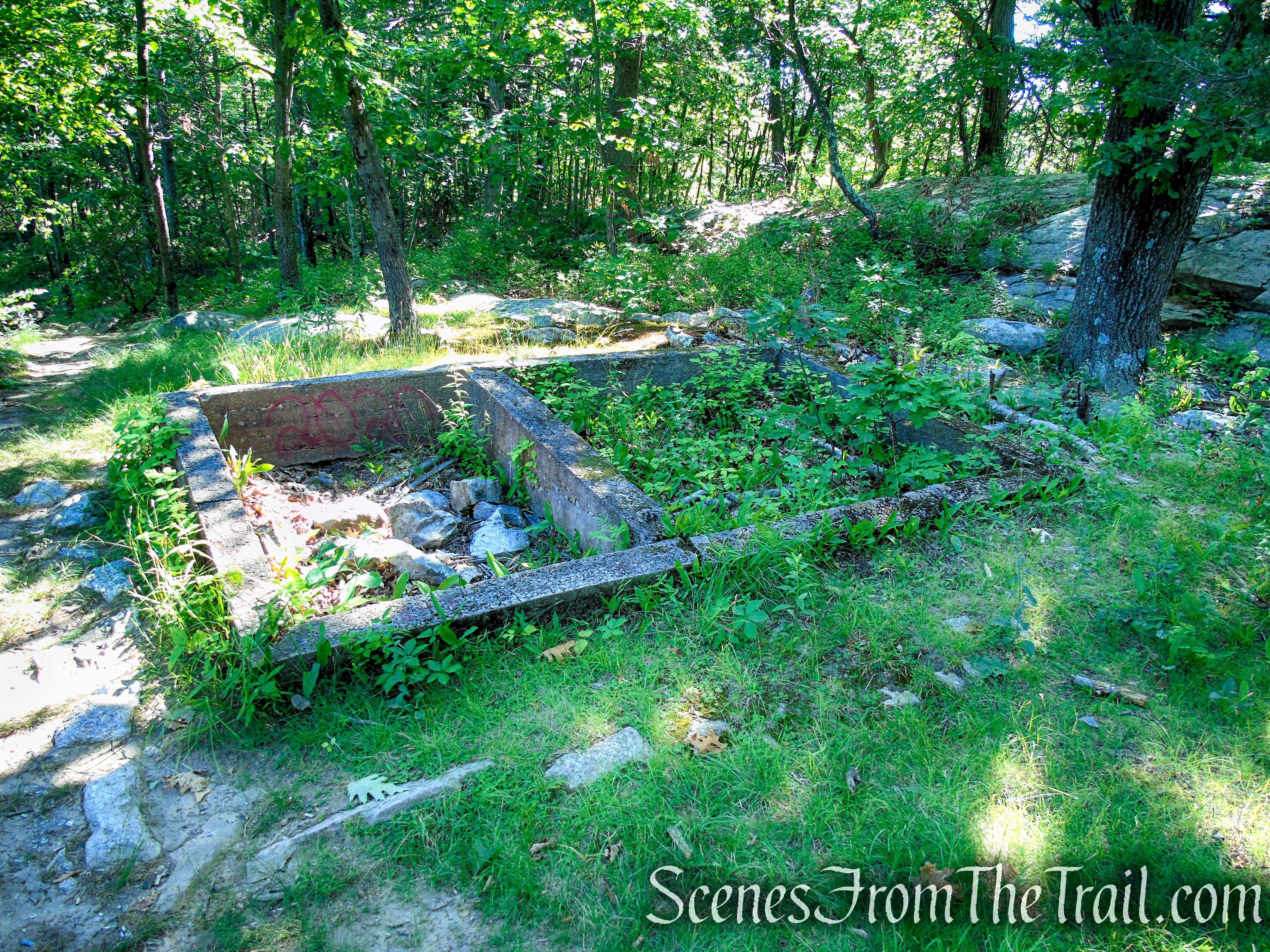
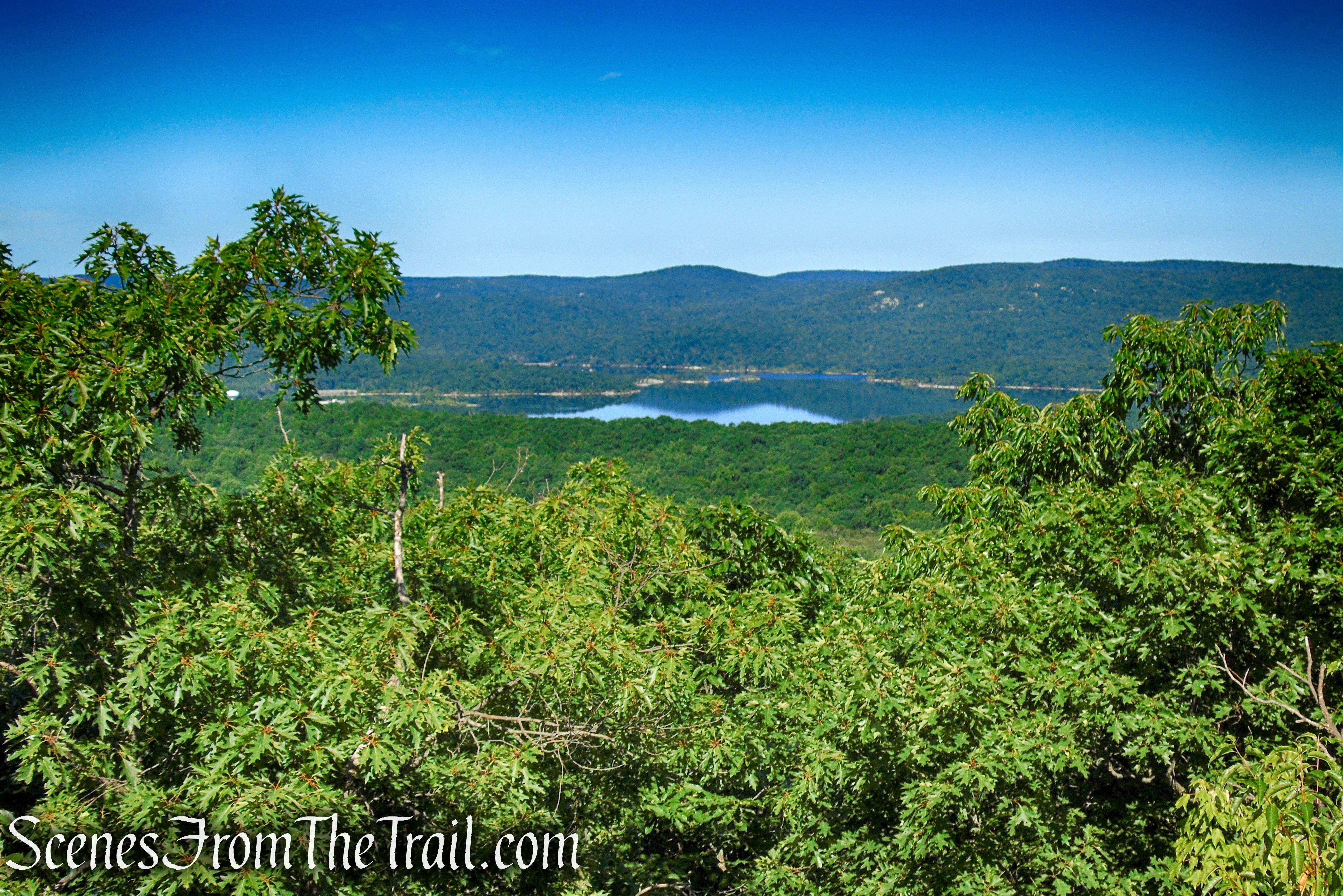
The trail continues to the north on a footpath (ignore the two woods roads that leave from the ruins), passing the remains of a concrete swimming pool. Just beyond, the trail bears left and soon reaches an unobstructed west-facing viewpoint over the Wanaque Reservoir and the Wyanokie Mountains.
Castle Loop Trail – Ramapo Mountain State Forest
Castle Loop Trail – Ramapo Mountain State Forest
Castle Loop Trail – Ramapo Mountain State Forest
Castle Loop Trail – Ramapo Mountain State Forest
Castle Loop Trail – Ramapo Mountain State Forest
Castle Loop Trail – Ramapo Mountain State Forest
Castle Loop Trail – Ramapo Mountain State Forest
Castle Loop Trail – Ramapo Mountain State Forest
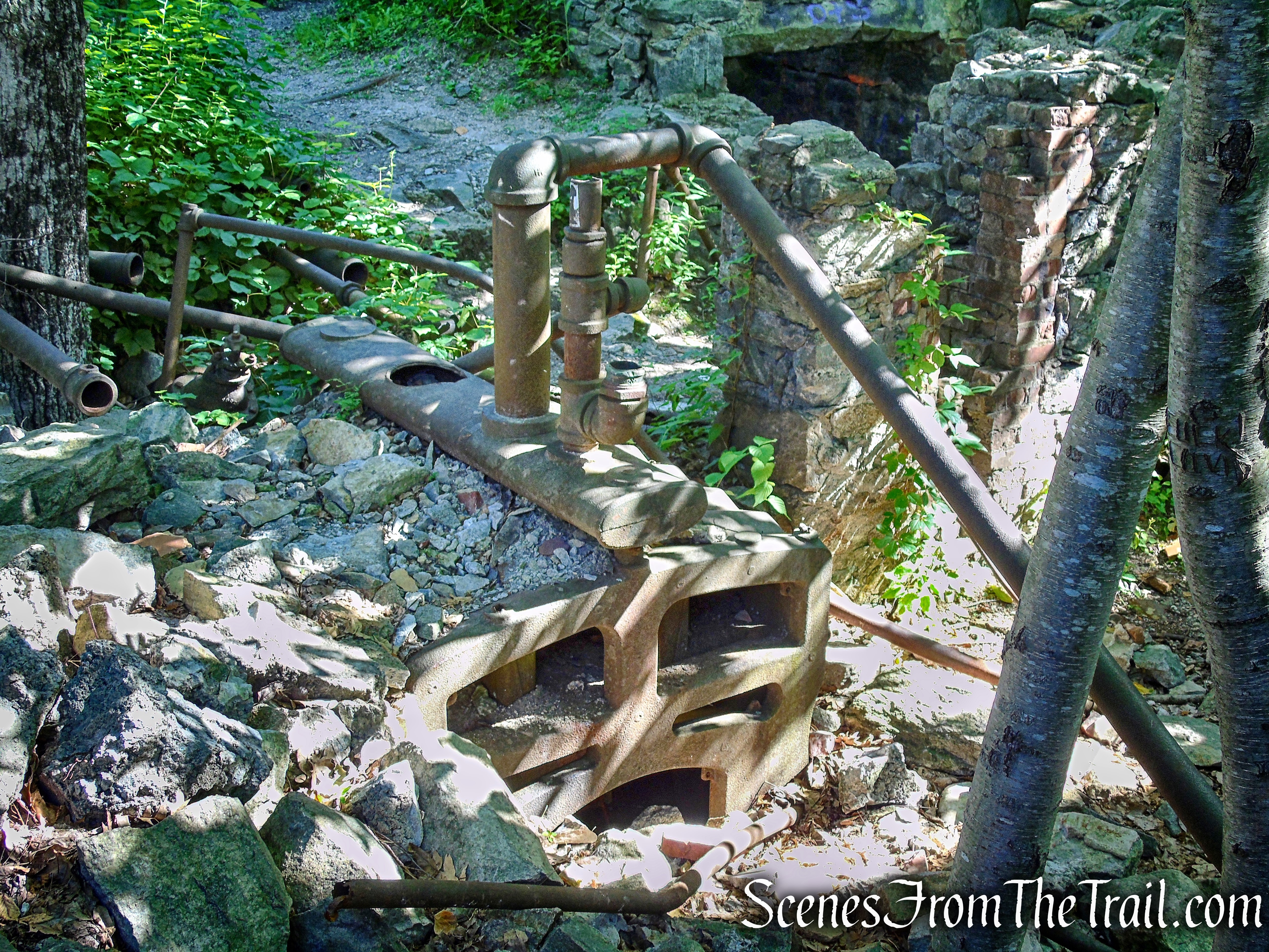
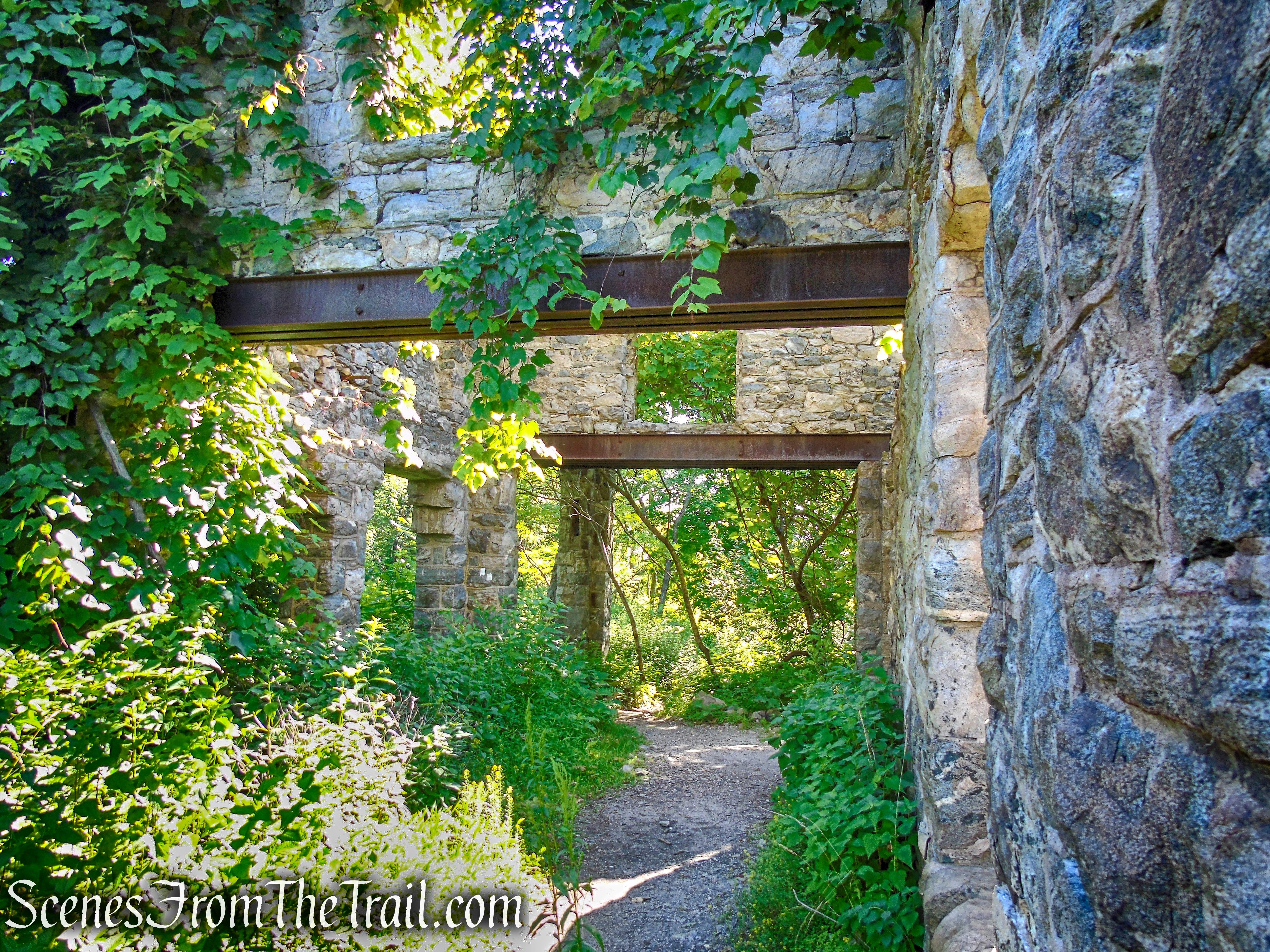
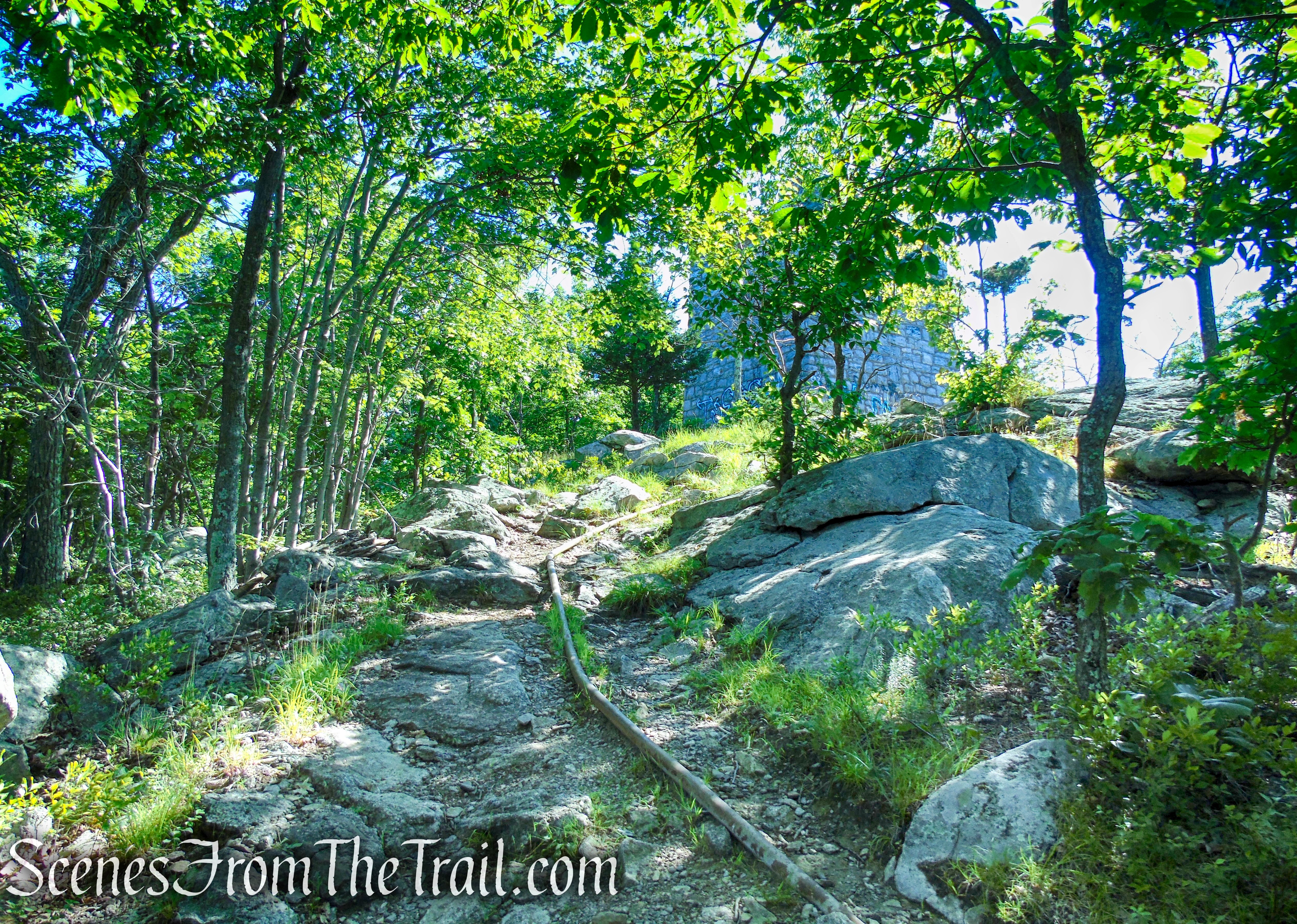
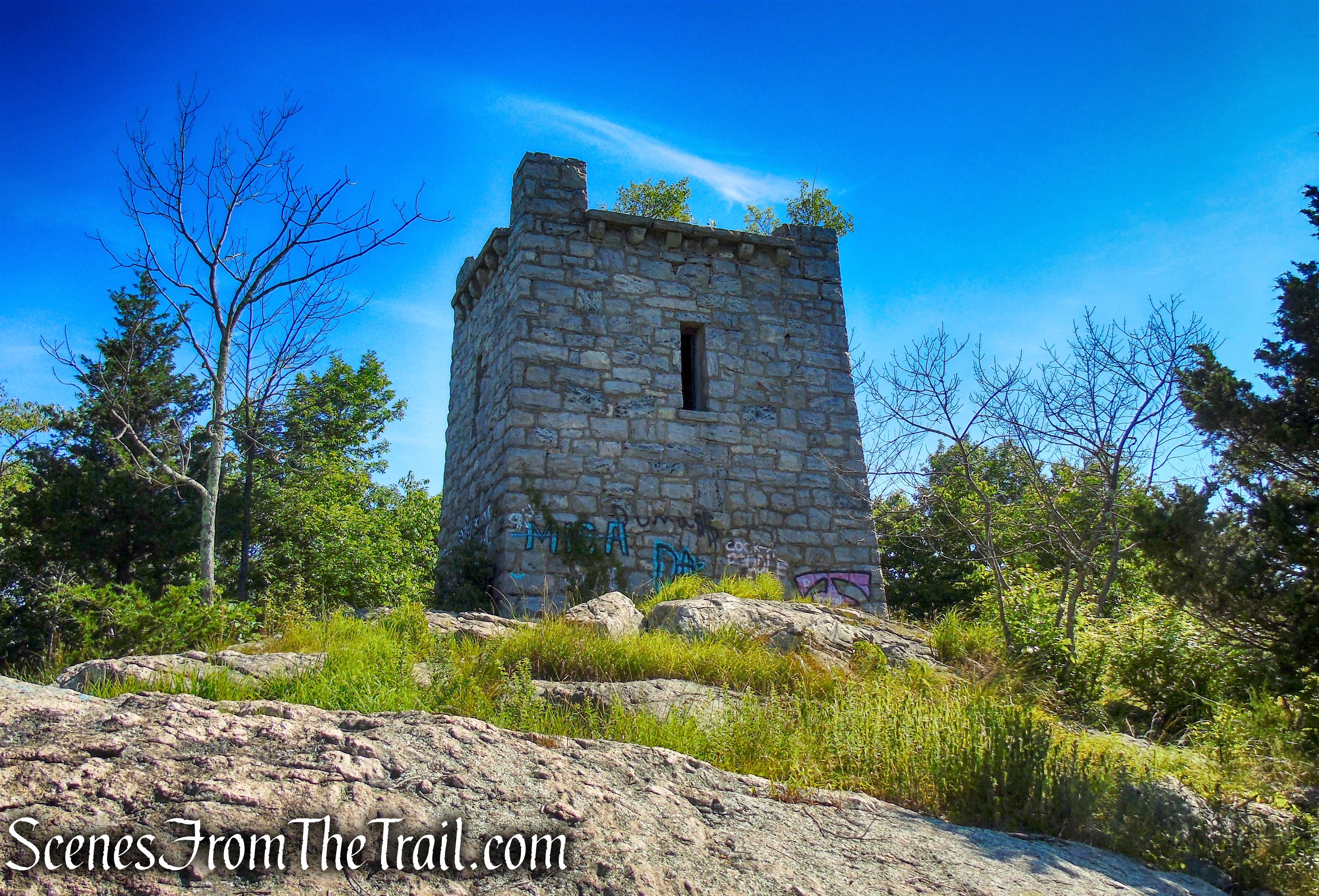
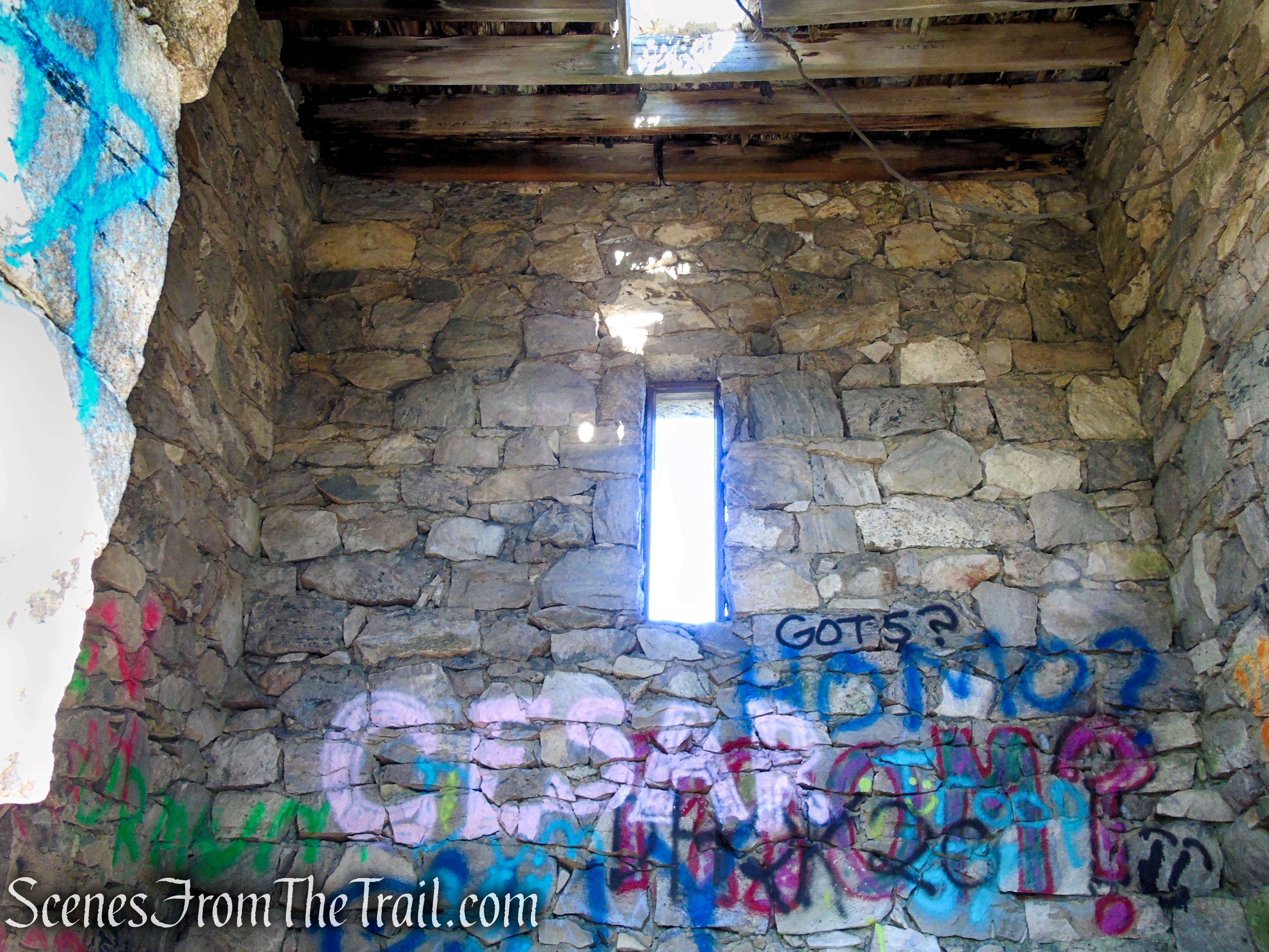
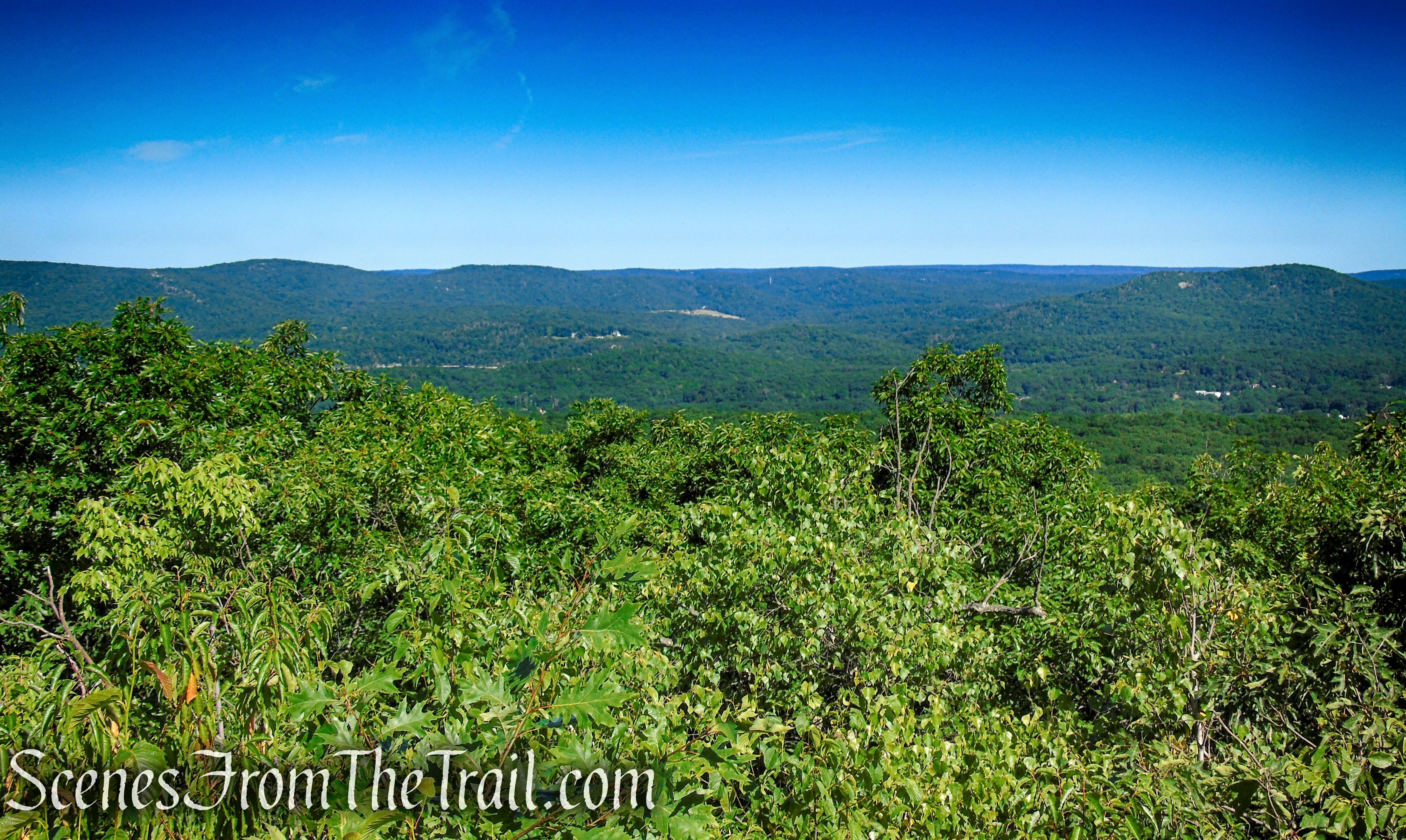
Continue on the white-blazed trail, which climbs to a stone tower. Contrary to what one might think at first glance, this was not a lookout tower; rather, it held a cistern that supplied water to the mansion (note the rusted pipes adjacent to the tower). Just beyond, there is another view from an open rock ledge to the left of the trail over the Wanaque Reservoir to the west. The trail now begins to descend.
Castle Loop Trail – Ramapo Mountain State Forest
Castle Loop Trail – Ramapo Mountain State Forest
cistern – Castle Loop Trail
cistern – Castle Loop Trail
cistern – Castle Loop Trail
Castle Loop Trail – Ramapo Mountain State Forest
Castle Loop Trail – Ramapo Mountain State Forest
Castle Loop Trail – Ramapo Mountain State Forest
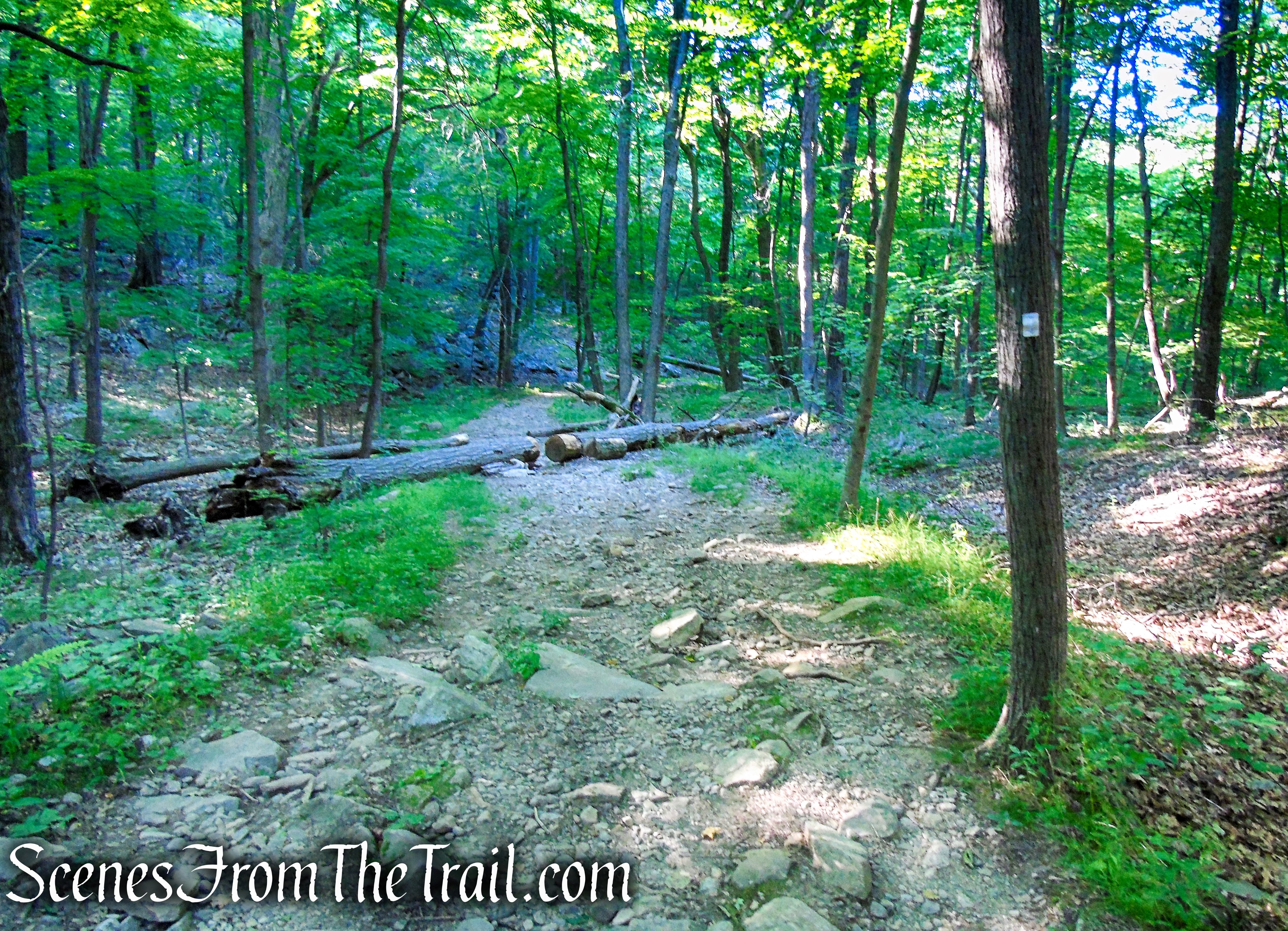
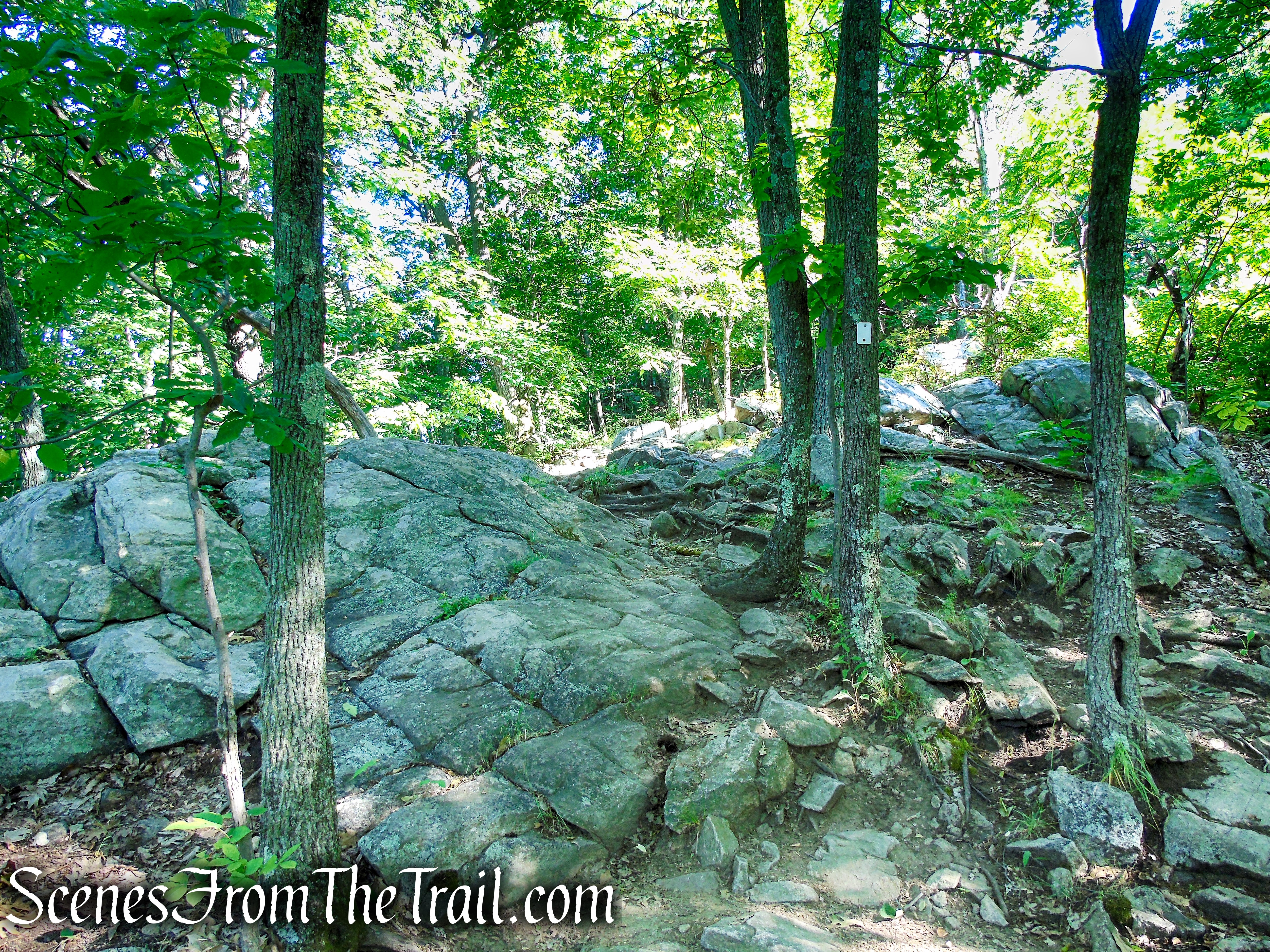
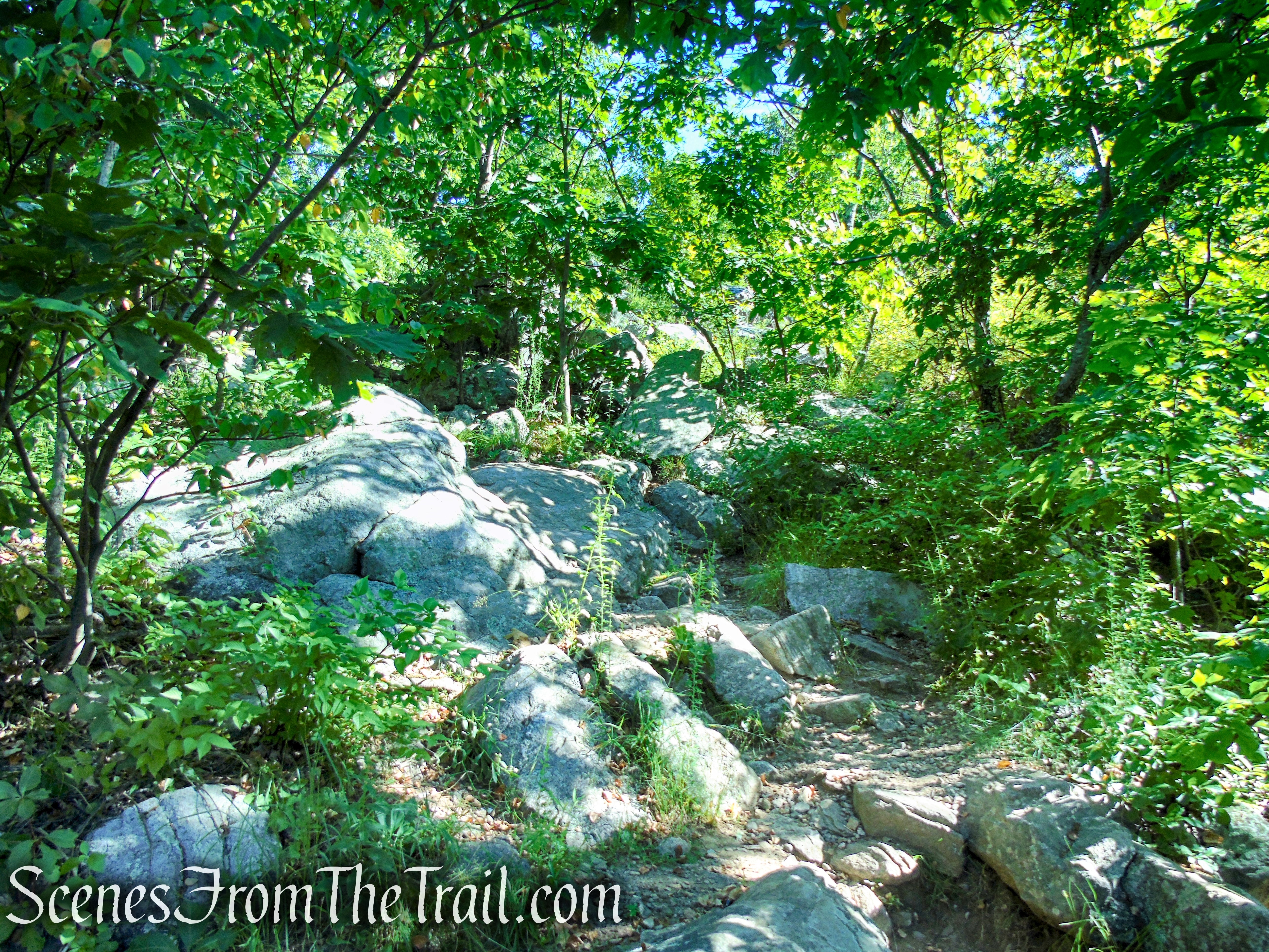
Watch carefully as the Castle Loop briefly turns left onto a woods road, then immediately turns right onto a footpath before reaching the route of a gas pipeline. It turns right again onto a woods road, turns left onto a footpath before reaching a wide gravel road, then turns right and follows the gas pipeline for 350 feet. After turning right and leaving the pipeline, the trail crosses a seasonal stream and climbs, first gradually, then rather steeply through mountain laurel, to a rock ledge with a broad view. From the ledge, you may be able to see the stone tower you passed about half a mile back.
Castle Loop Trail – Ramapo Mountain State Forest
Castle Loop Trail – Ramapo Mountain State Forest
Castle Loop Trail – Ramapo Mountain State Forest
Castle Loop Trail – Ramapo Mountain State Forest
Castle Loop Trail – Ramapo Mountain State Forest
Castle Loop Trail – Ramapo Mountain State Forest
Castle Loop Trail – Ramapo Mountain State Forest
Castle Loop Trail – Ramapo Mountain State Forest
Castle Loop Trail – Ramapo Mountain State Forest
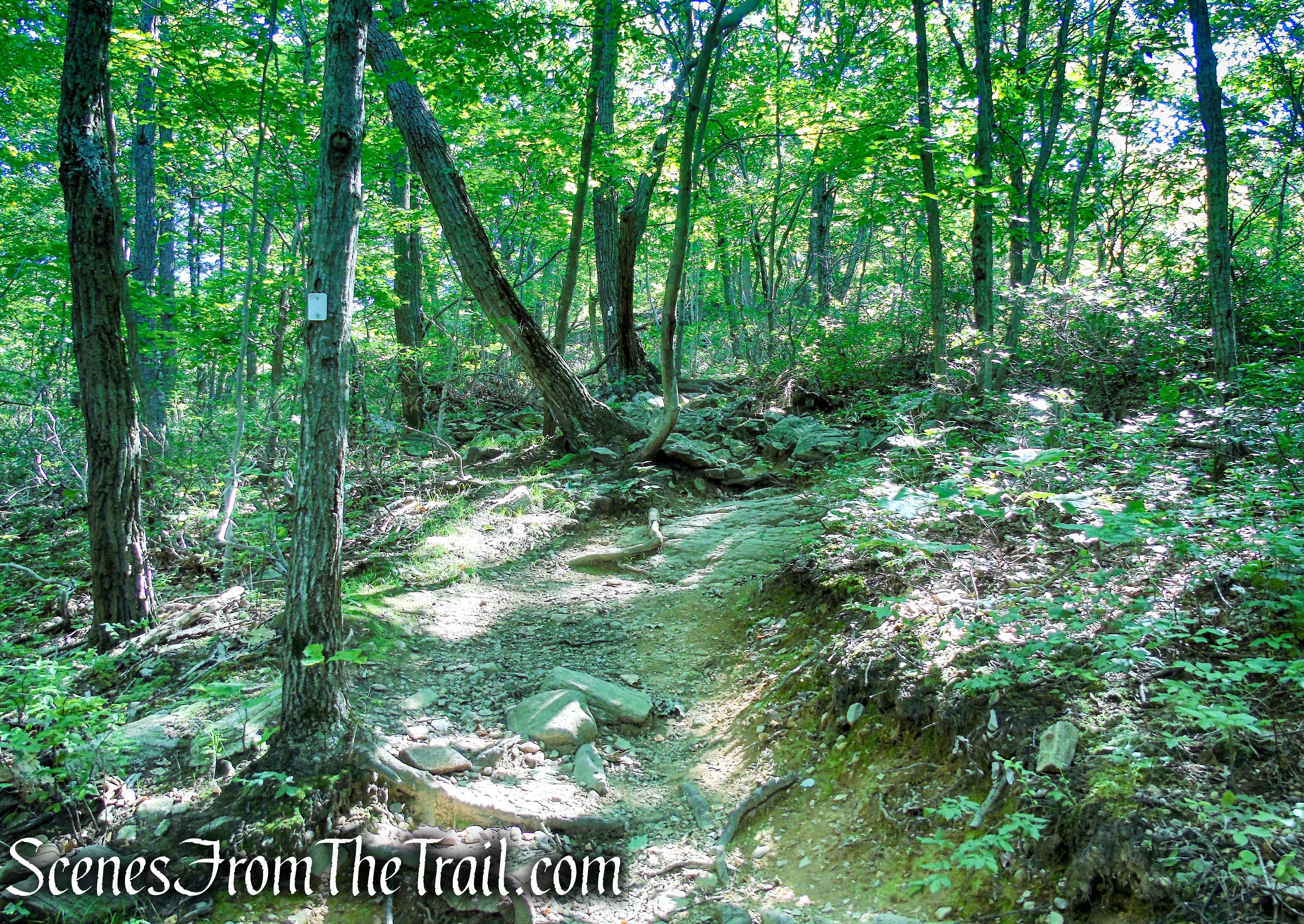
A short distance beyond, the Castle Loop Trail reaches a paved road, with Skyline Drive just to the left. Turn right onto the road, also the route of the Cannonball Trail (white-“C”-on-red blazes). The trails follow the road for 200 feet, then turn left onto a footpath through the woods. Soon, you’ll reach a junction where the two trails diverge. Turn left and follow the white-blazed Castle Loop Trail along a footpath roughly parallel to Skyline Drive until you reach the parking area where the hike began.
Castle Loop Trail – Ramapo Mountain State Forest
Castle Loop Trail – Ramapo Mountain State Forest
Castle Loop Trail – Ramapo Mountain State Forest
Castle Loop Trail – Ramapo Mountain State Forest
Castle Loop Trail – Ramapo Mountain State Forest
Castle Loop Trail – Ramapo Mountain State Forest
terminus of Castle Loop Trail – Ramapo Mountain State Forest
Review:
An enjoyable hike with numerous points of interest. Although you are following a single trail for the entire hike, you have to pay close attention to the blazes. There are numerous reroutes, footpaths and woods roads that intersect or branch off the Castle Loop Trail. The castle ruins are better viewed in leaf-off season when they are less concealed by the foliage. This is a popular place to hike, especially in the vicinity of Ramapo Lake. It is best to either come early or on a weekday when it is less crowded. Nonetheless, a good few hours spent on the trails.
Pros:
Van Slyke Castle ruins, Ramapo Lake, scenic views, stone tower.
Cons:
Better markings at certain junctions would be helpful, popular hiking spot that gets crowded on weekends.
Take a hike!

Castle Loop Trail – Ramapo Mountain State Forest
Sources:
- Ramapo Mountain State Forest – NJ State Park Service
- New York-New Jersey Trail Conference
- Uncovering N.J.: A crumbling window into the turbulent history of Van Slyke Castle
- Trail Improvements in Ramapo Mountain State Forest

Thank you for all the pics and trail info we loved this hike. Beautiful views and exploring the castle was fun. Just a little tricky have to look for markings. Thank you for all the pics and trail info.
LikeLiked by 1 person
Thank you for taking the time to read my writings. Hope it was helpful.
LikeLike