September 19, 2021 – Oakland, New Jersey
Difficulty: Moderate
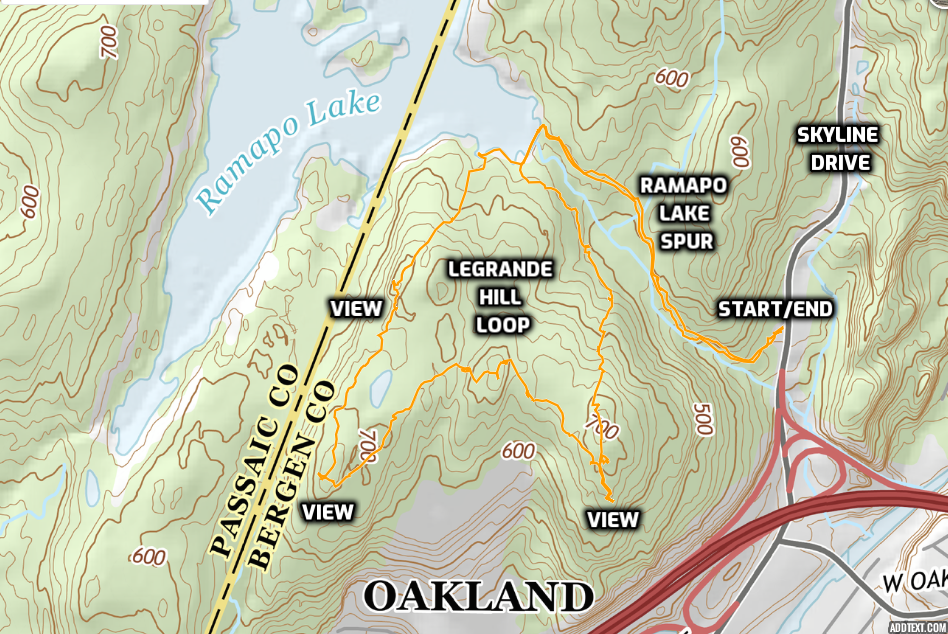
Length: Approximately 4 miles
Max elevation: 716 ft.– total elevation gain approximately 564 ft.
Route type: Lollipop Loop
Buy Map: Northern New Jersey Highlands Trails Map 2021
Free Map: Ramapo Mountain State Forest Map 2021
Avenza Maps: Northern New Jersey Highlands (#150 Ramapos Only) 2021
Trailhead parking: Ramapo Lake Trailhead – 67 Skyline Drive, Oakland, NJ 07436
No entrance or parking fees – parking lot often fills up early on weekends
Overview:
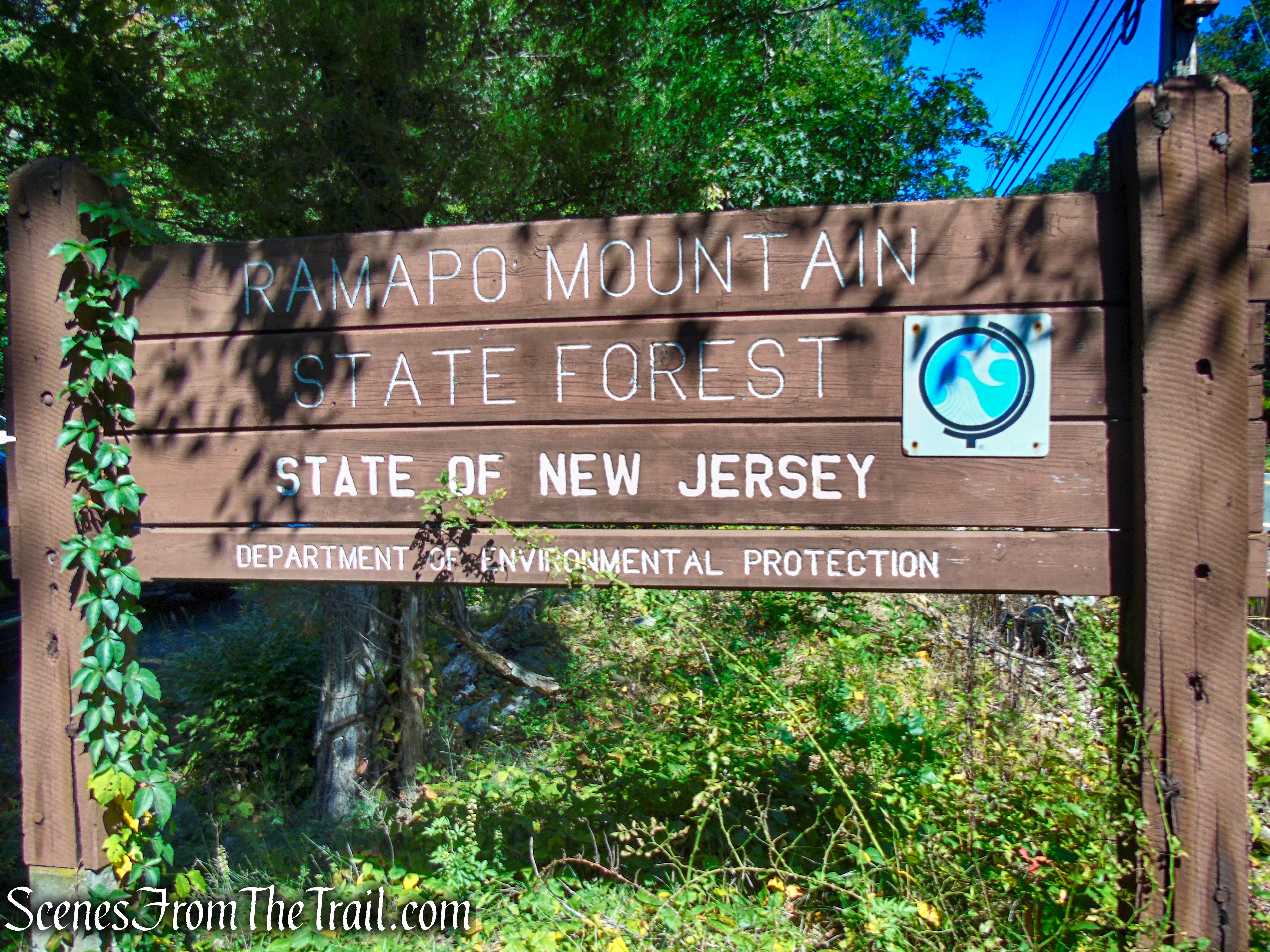
Ramapo Mountain State Forest located in Bergen and Passaic Counties in New Jersey, is a rugged 4,269-acre area, with elevations ranging from about 200 to 1,100 feet, offering hikers nearly 30 miles of trails for their enjoyment. From meandering old roads, to historic trails, to more challenging rock scrambles, the area offers something for outdoor enthusiasts of all skill levels.
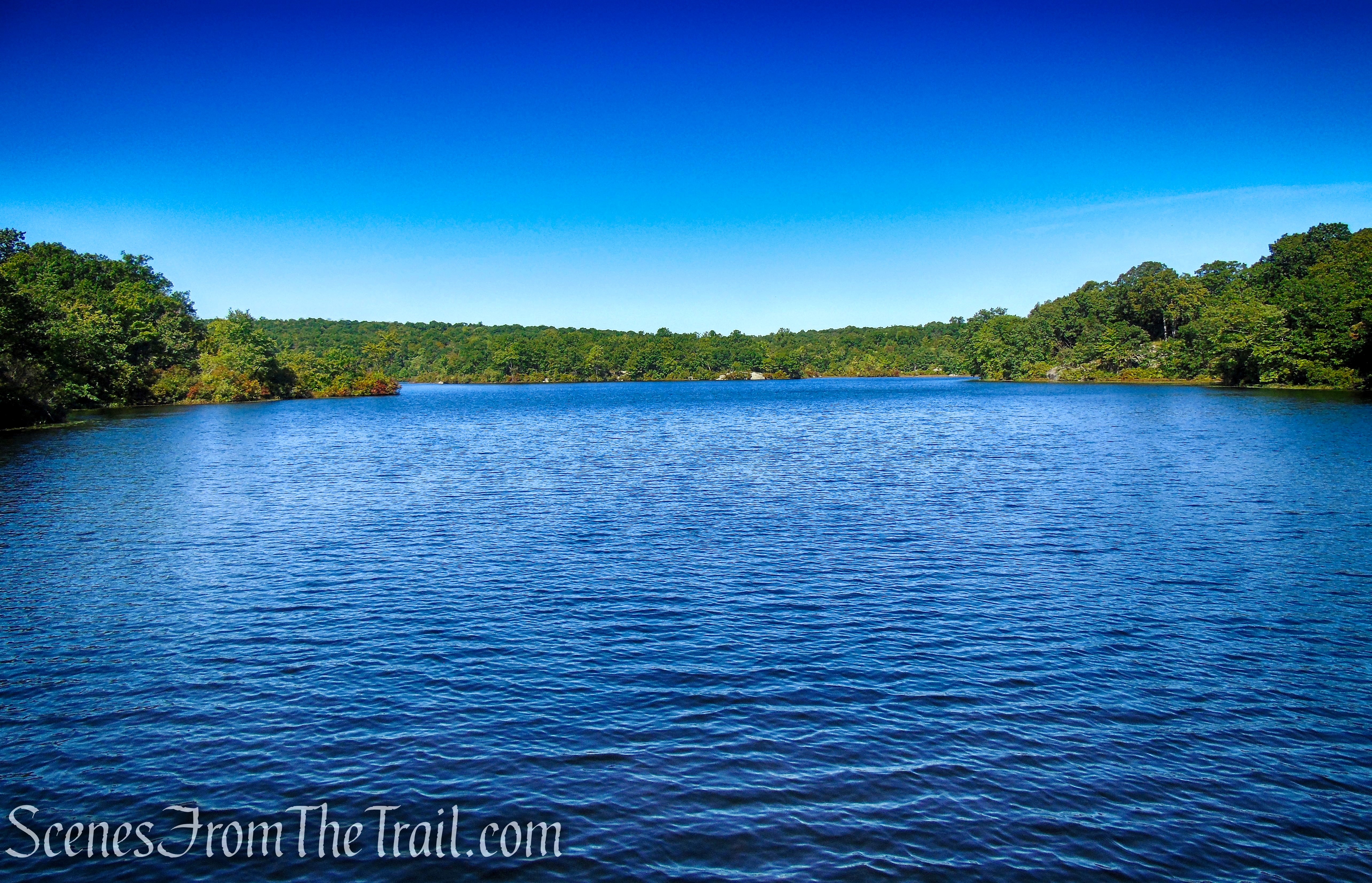
The central feature of the area is the scenic 120-acre Ramapo Lake, which has spectacular views from numerous rock outcroppings and ledges, and offers excellent opportunities for fishermen. The ponds, streams and marshes found within the forest provide the perfect habitat for birds and other wildlife species.
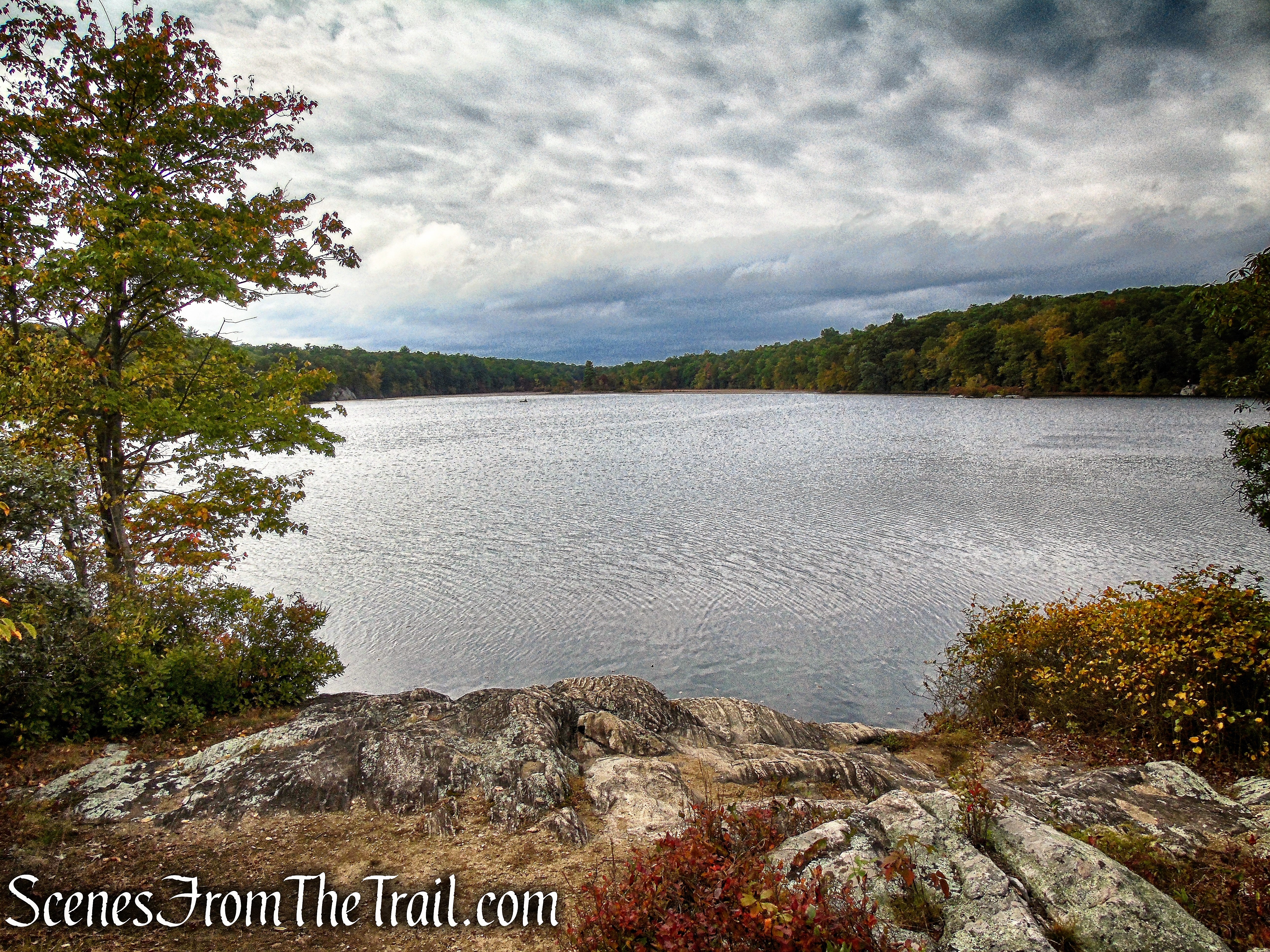
Ramapo Lake – Ramapo Mountain State Forest
The Ramapo Mountain State Forest, which includes wild lands in the municipalities of Oakland (Bergen County), Pompton Lakes, Ringwood and Wanaque, borders Ringwood State Park and the Ramapo Valley County Reservation, a part of the Bergen County Park System. The park is operated and maintained by the New Jersey Division of Parks and Forestry.
Ramapo Mountain State Forest
Trails Overview:
A system of marked hiking and multi-use trails are available for the public to explore. The nearly 30 miles of trails offer visitors opportunities to hike interior woodlands and rocky vistas. Sweeping views of the New York City Skyline and the surrounding hillsides await outdoor enthusiasts.
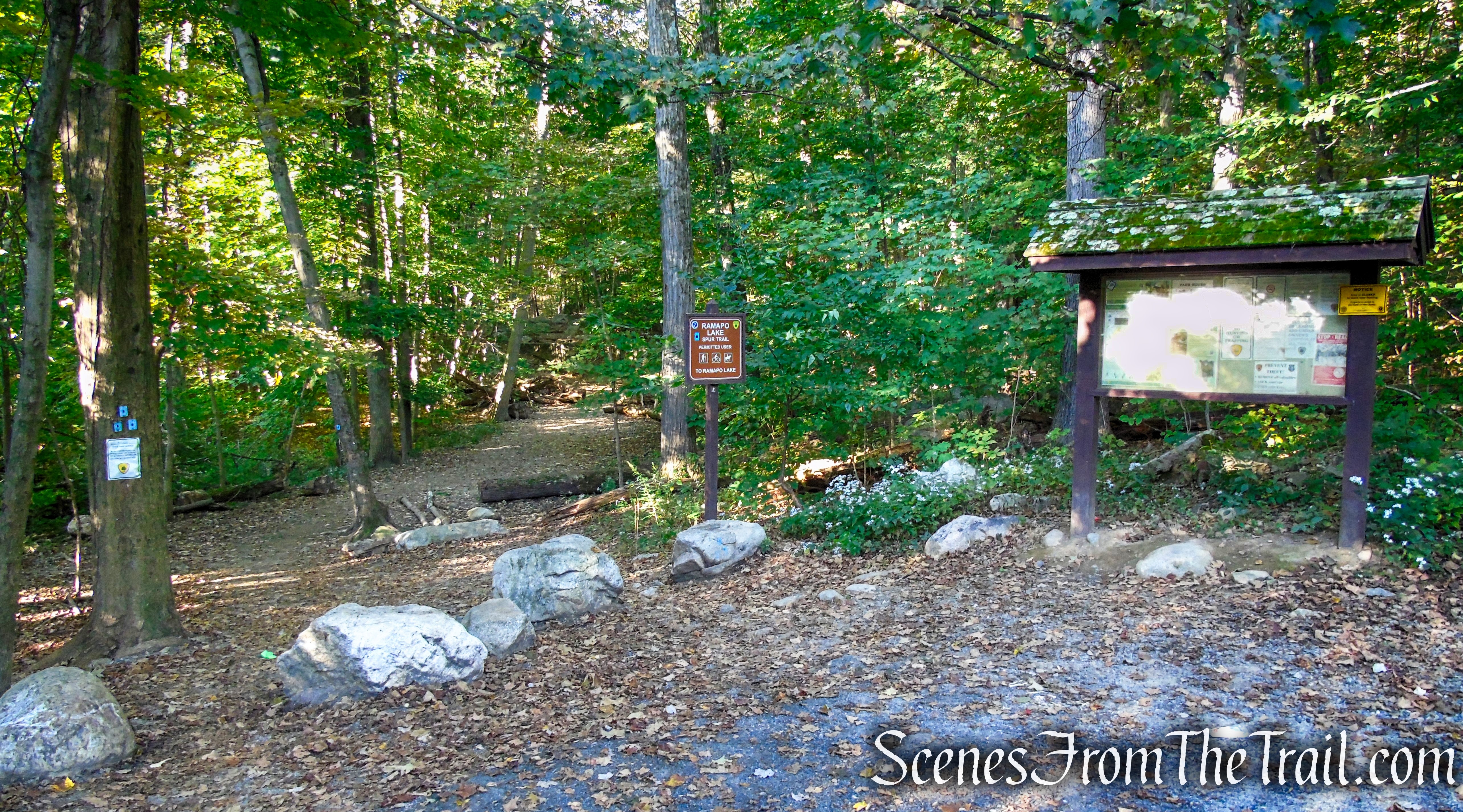
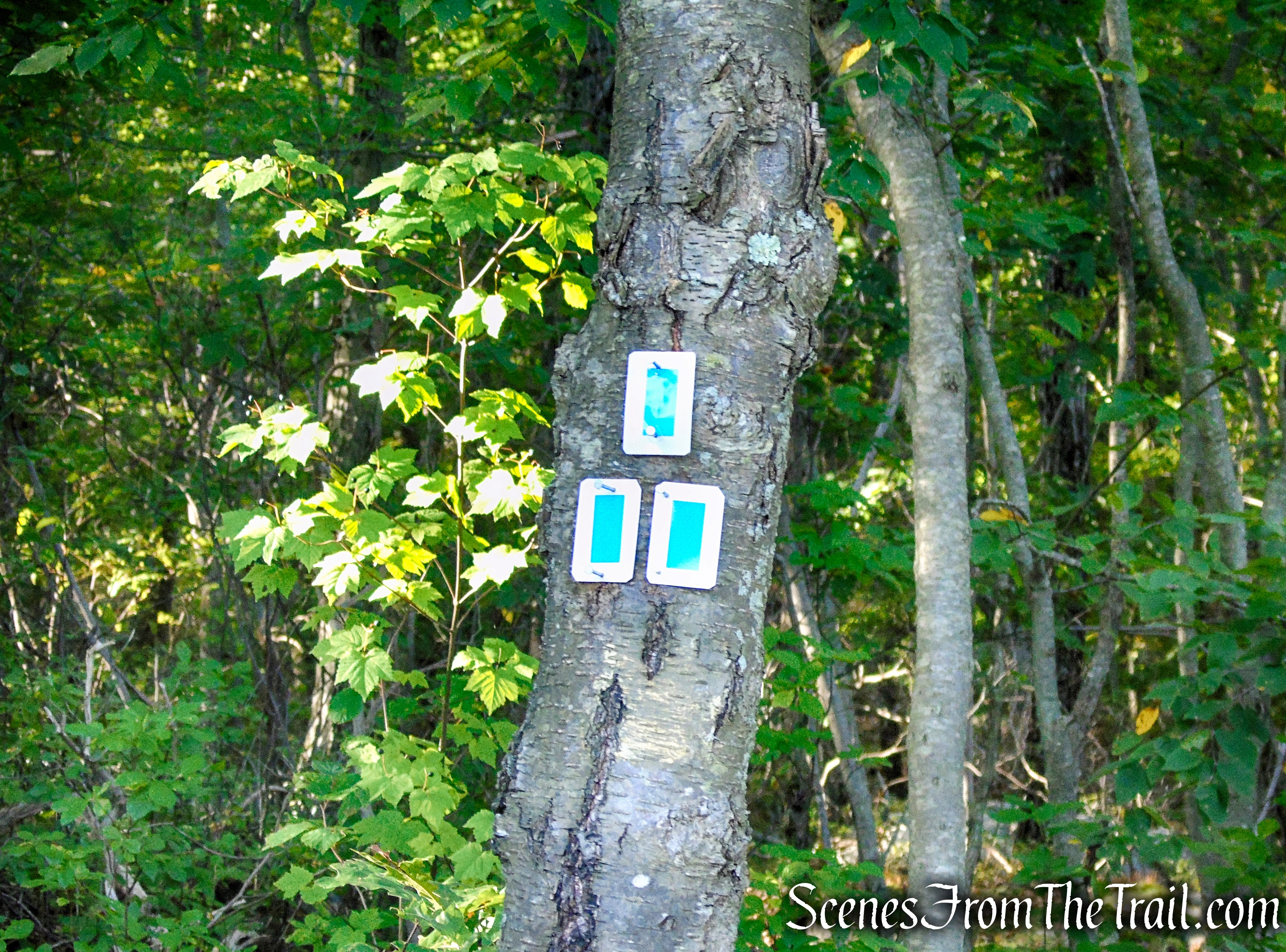
The Ramapo Lake Spur Trail is an uphill walk from the parking lot on an eroded and rocky woods road, gaining about 190 feet of elevation in about 0.6 mile.
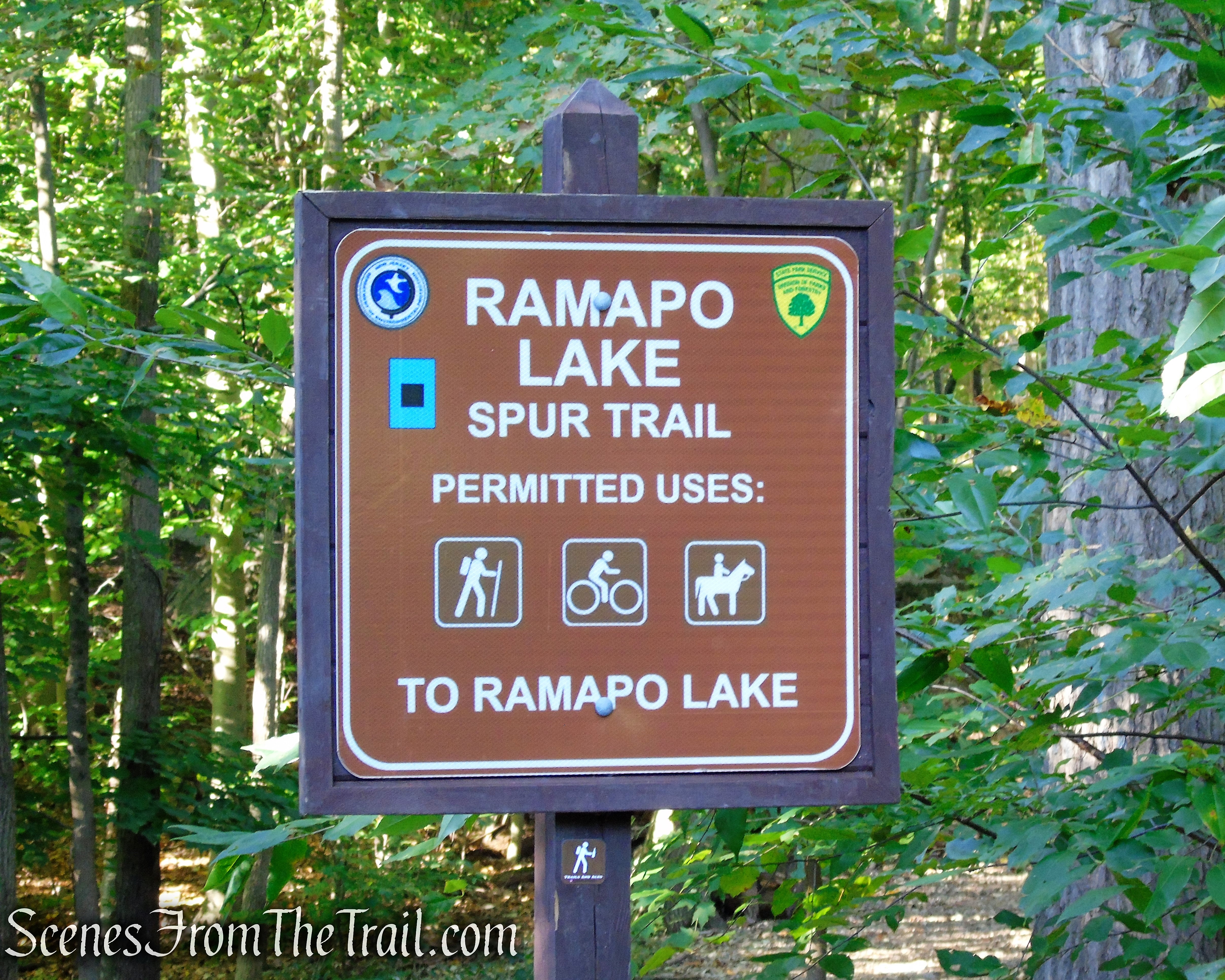
Ramapo Lake Spur – Ramapo Mountain State Forest
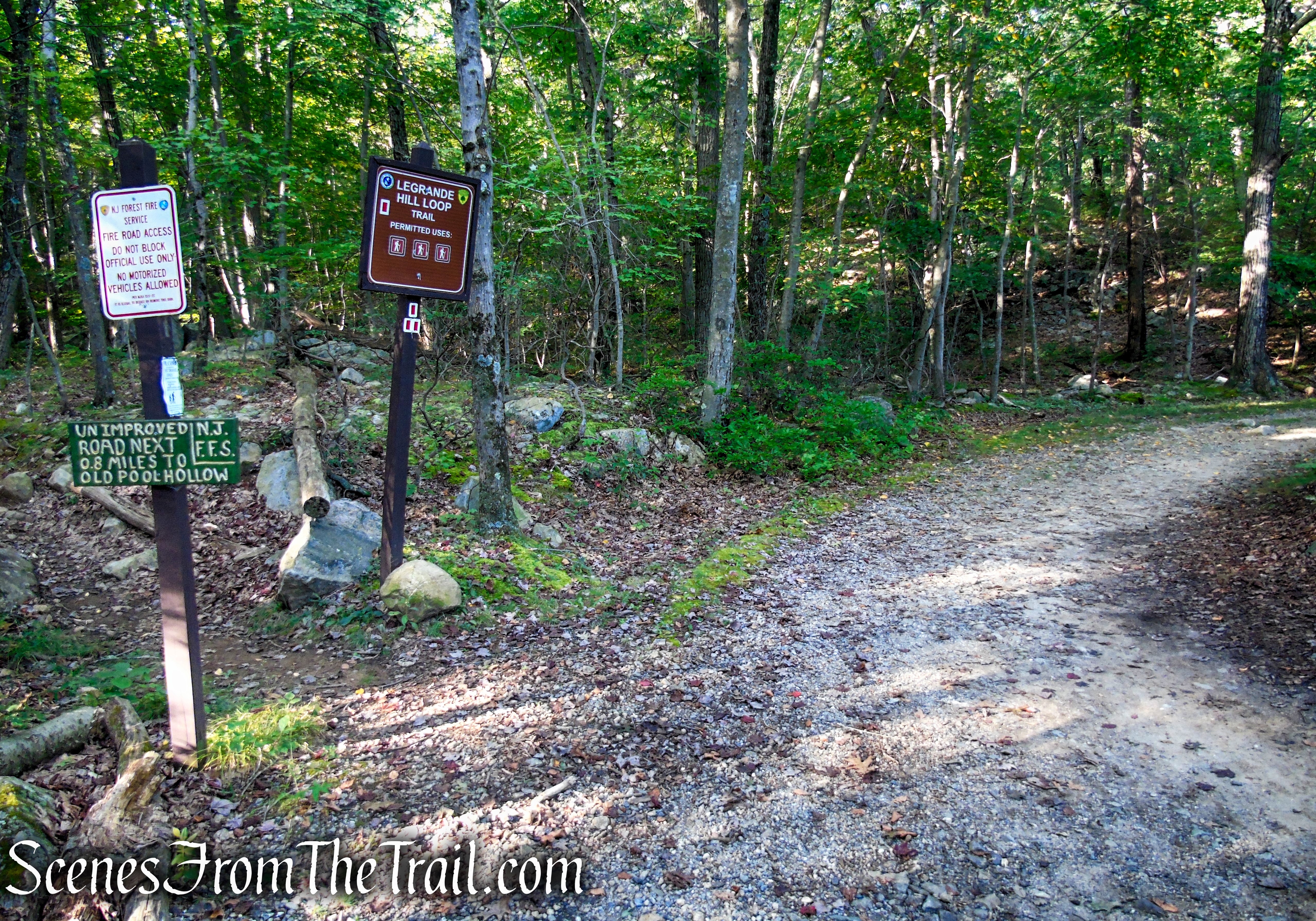
The LeGrande Hill Loop Trail (1.9 mi) is a short loop trail southeast of Ramapo Lake. The trail follows a creek then winds through hillsides above the Ramapo River.
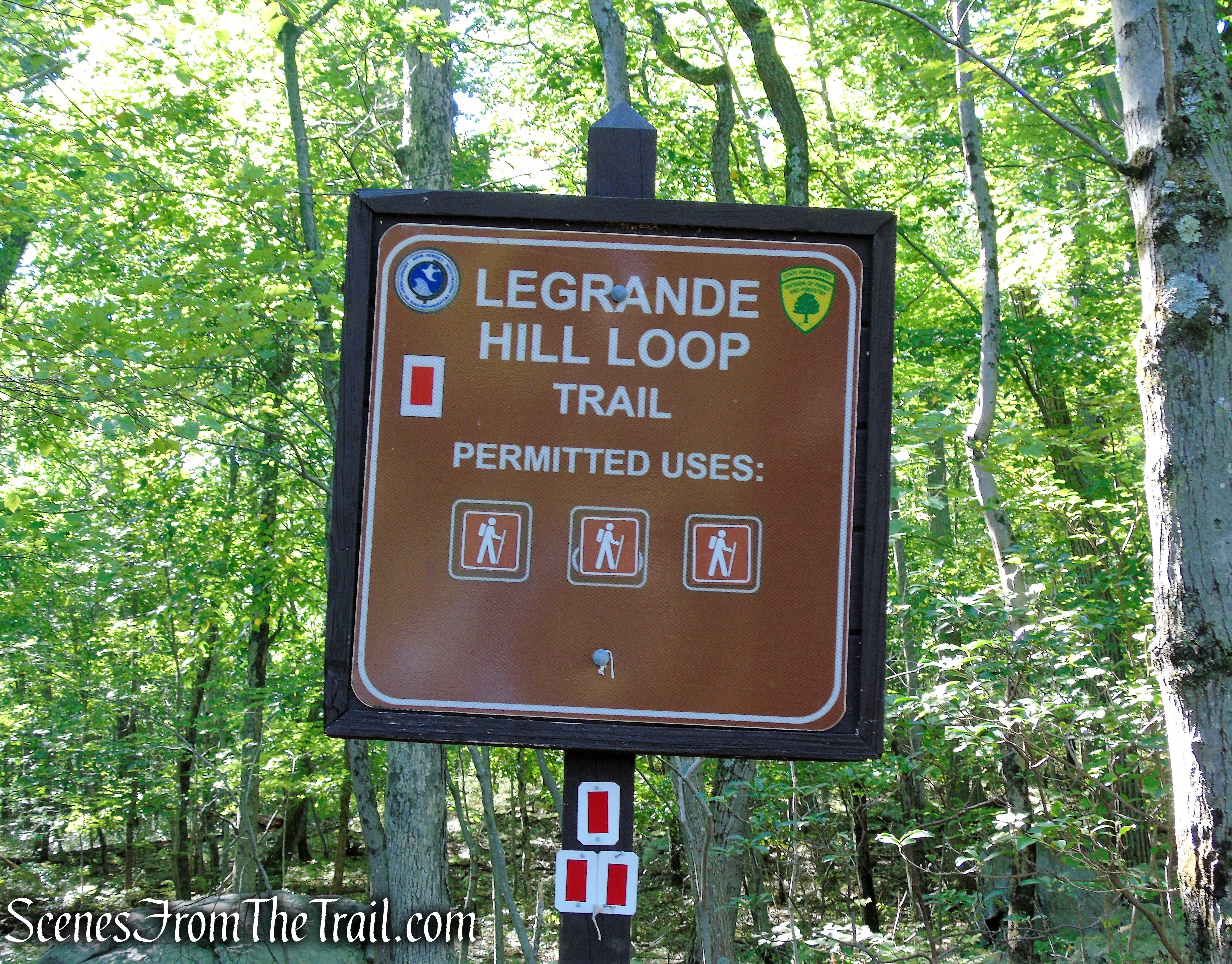
LeGrande Hill Loop – Ramapo Mountain State Forest
Hike Overview:
This is a good moderate loop hike through a picturesque area. Views of the lake and from the viewpoints make this hike worth the minimal effort. The trails are well marked and easy to follow. This Lollipop-Loop was done in a clockwise manner, with the “stick” being the Ramapo Lake Spur.
LeGrande Hill Loop – Ramapo Mountain State Forest
There are a couple of steep sections, but mostly just gradual ups and downs.
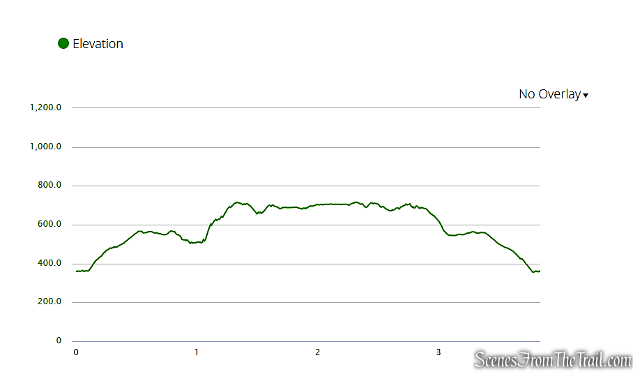
elevation profile – LeGrande Hill Loop
The Hike:
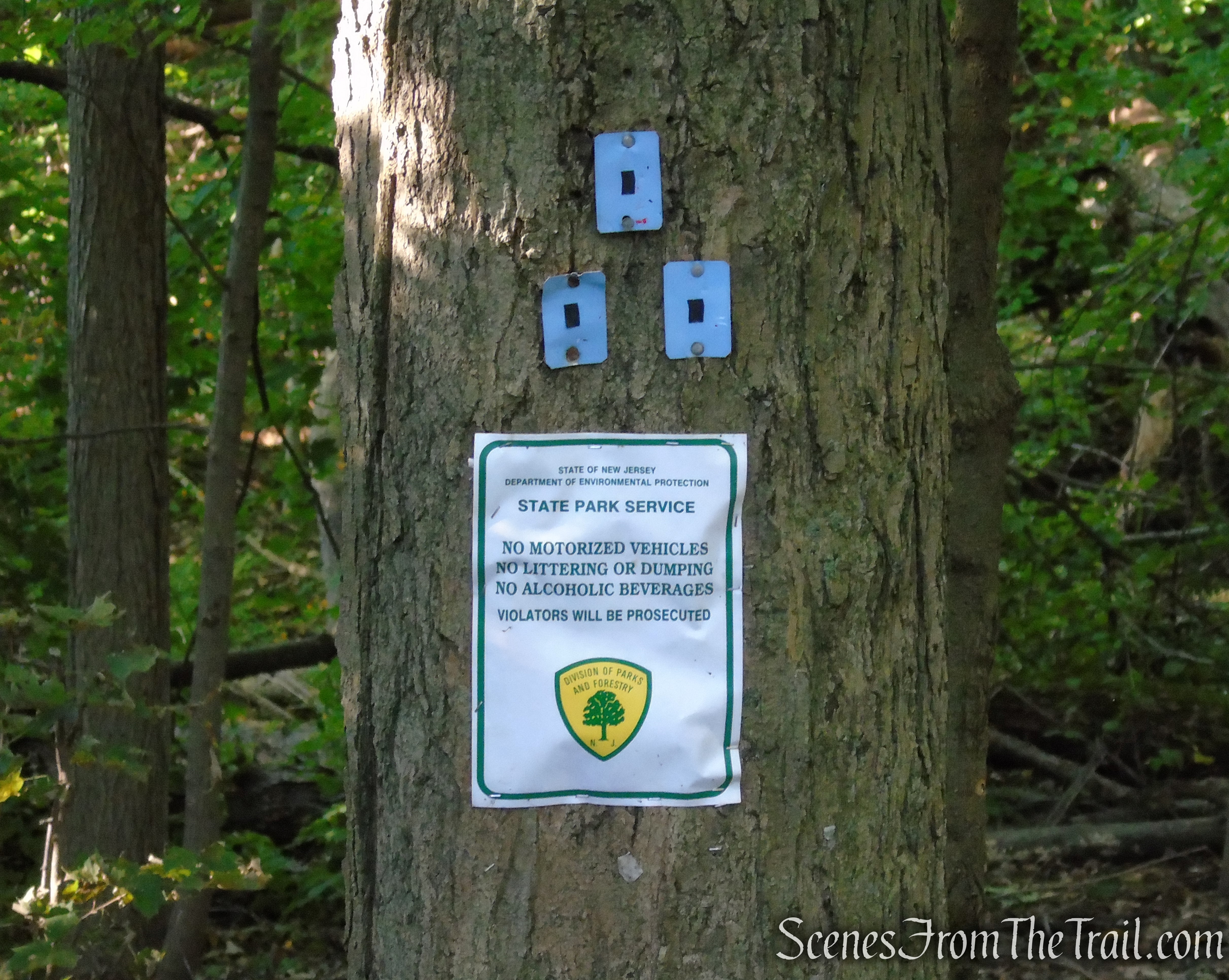
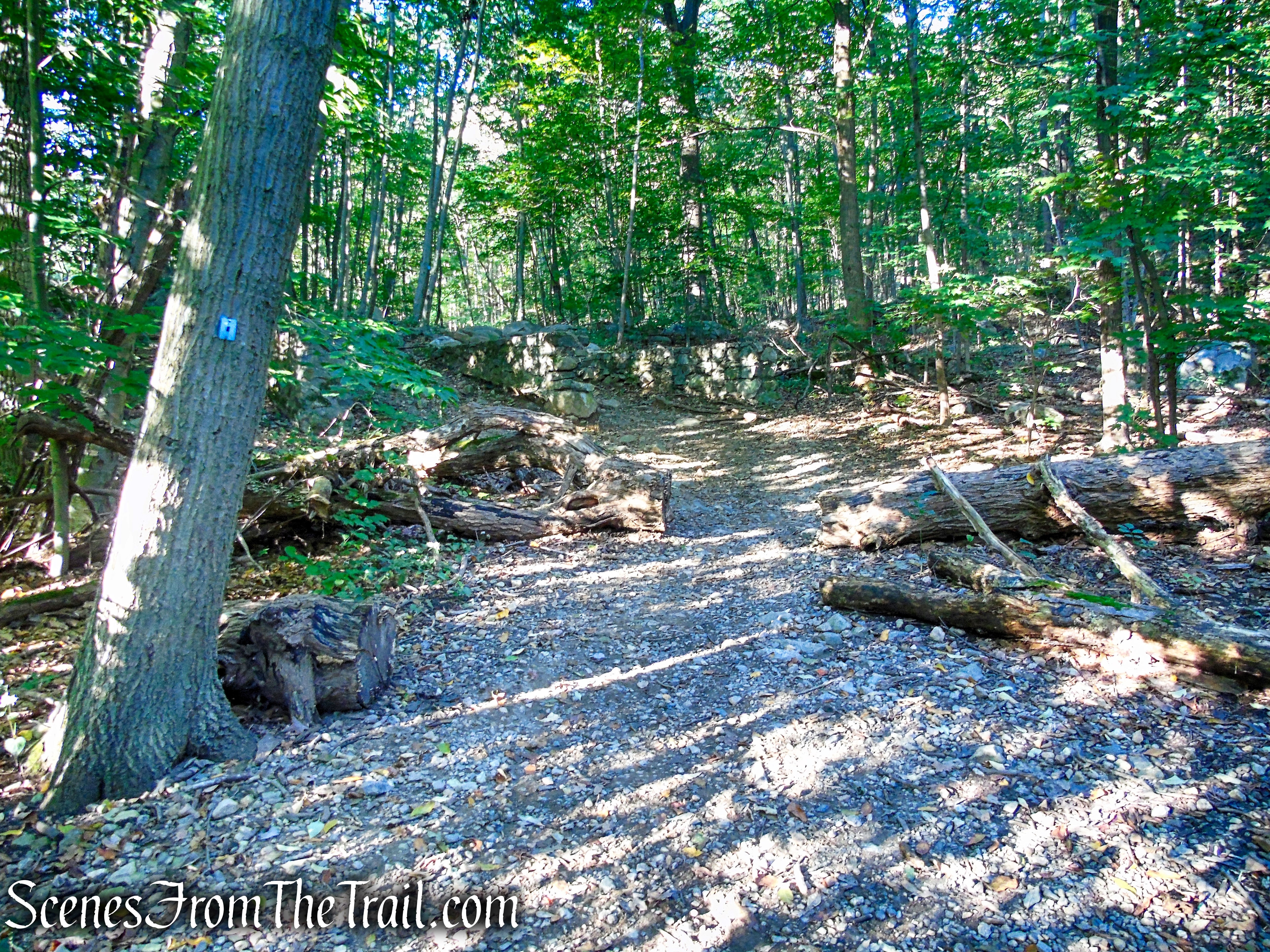
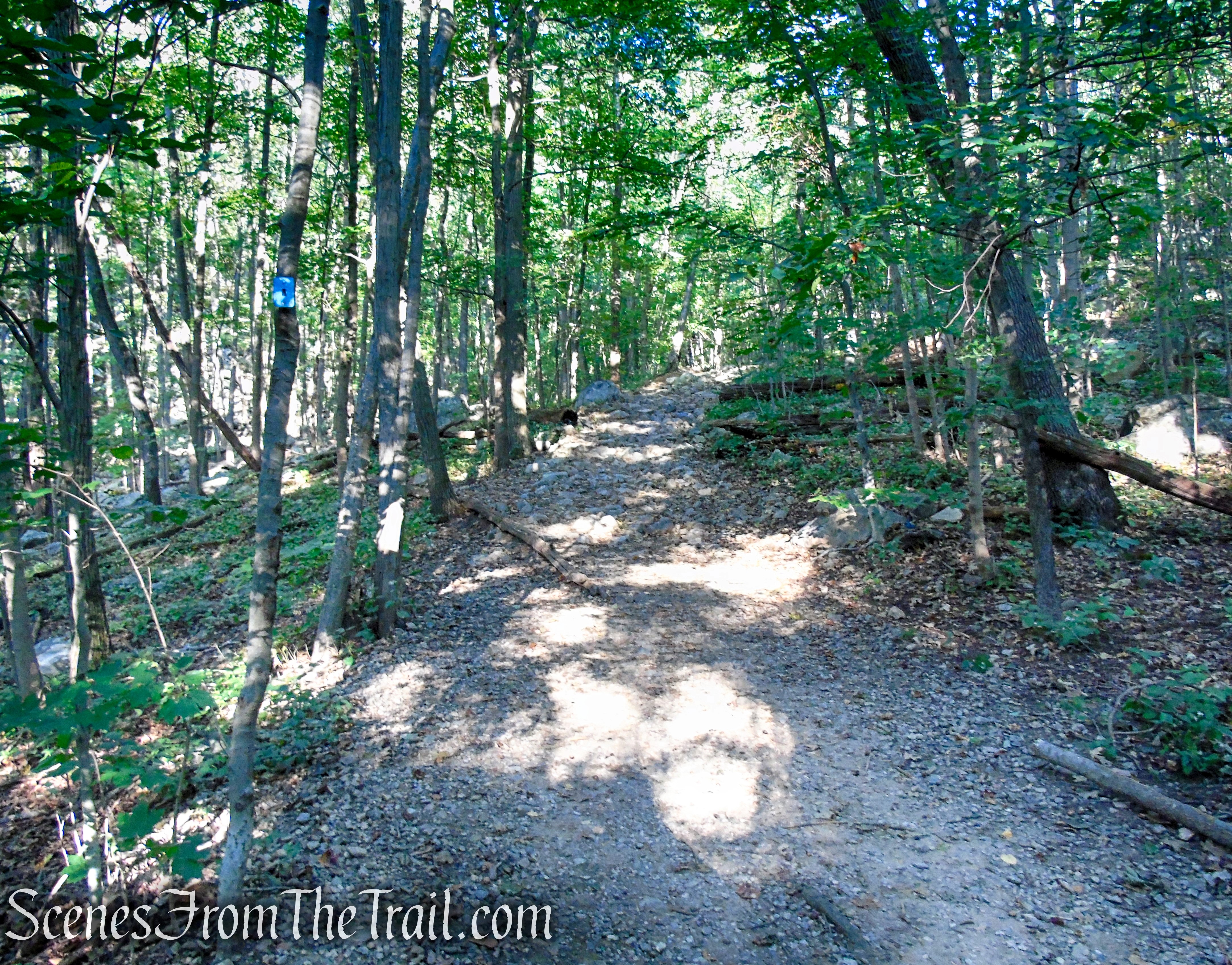
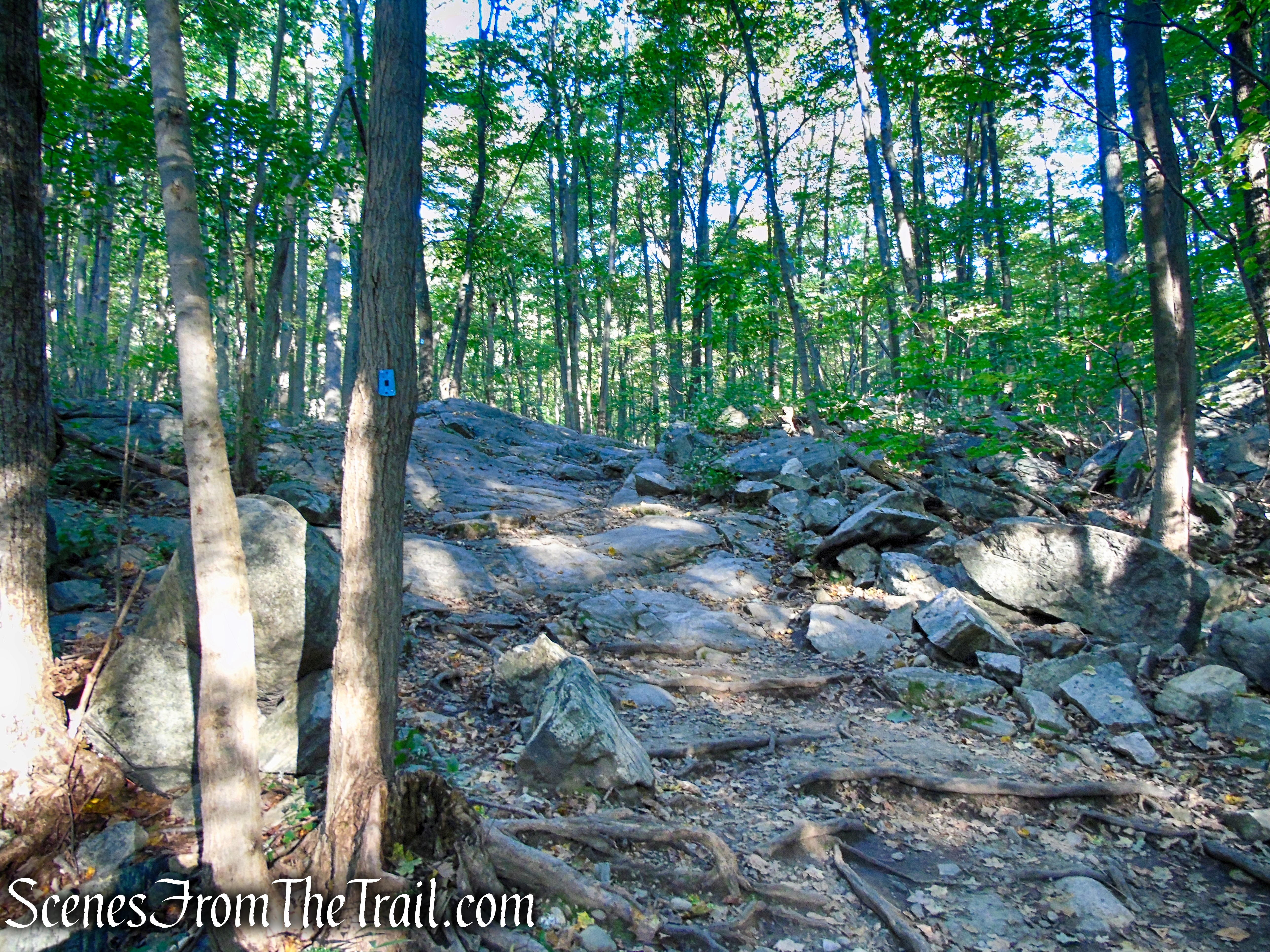
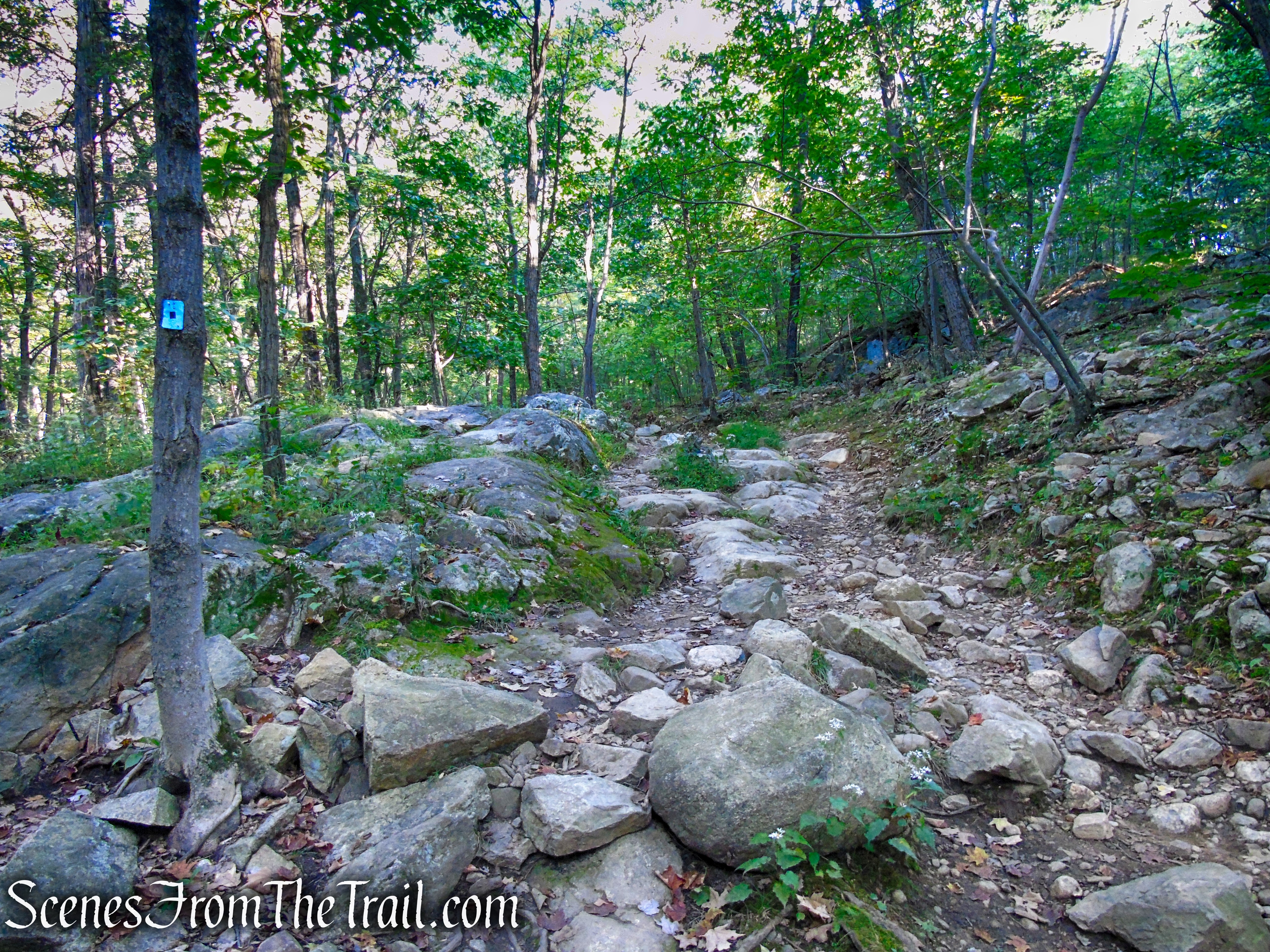
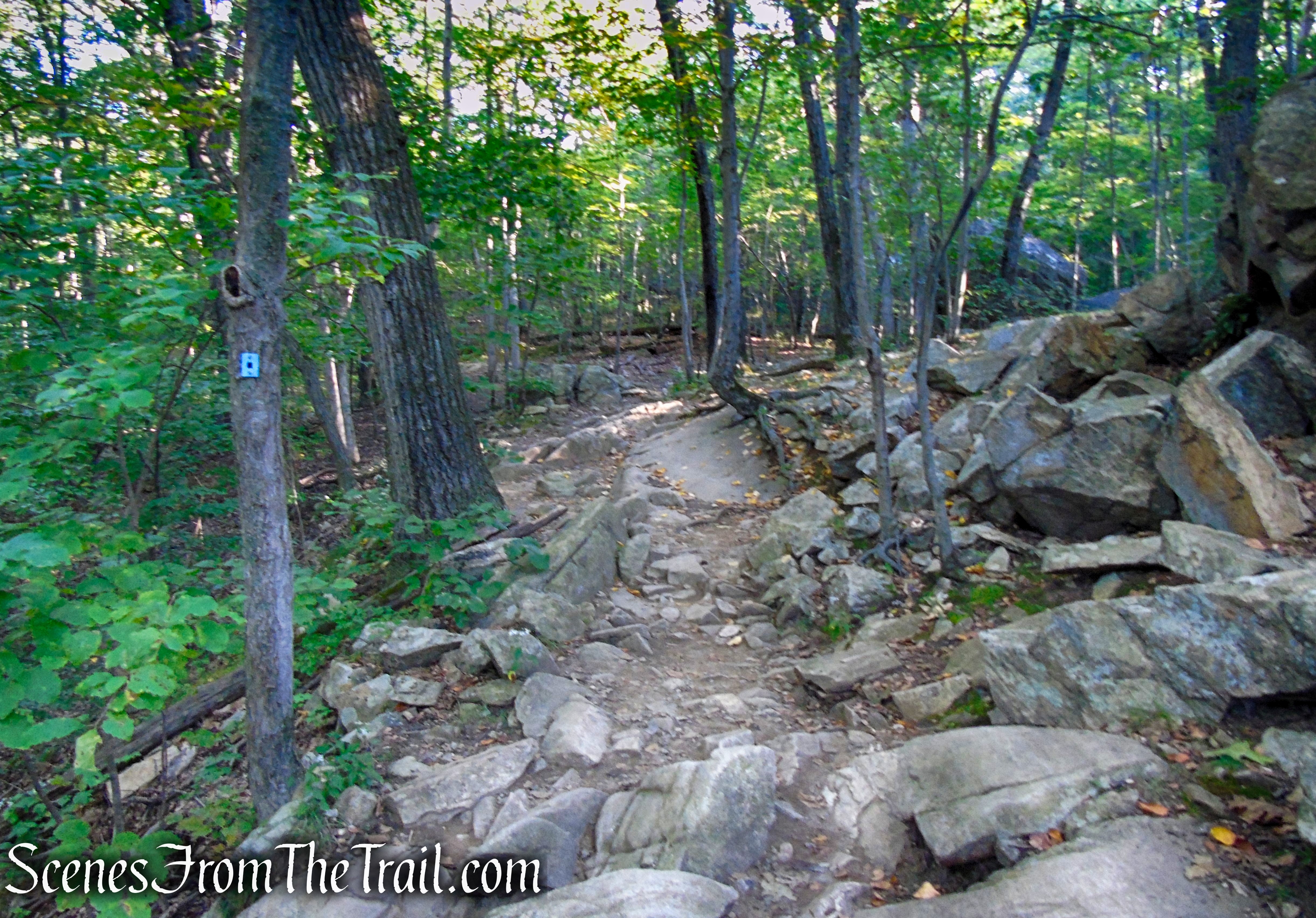
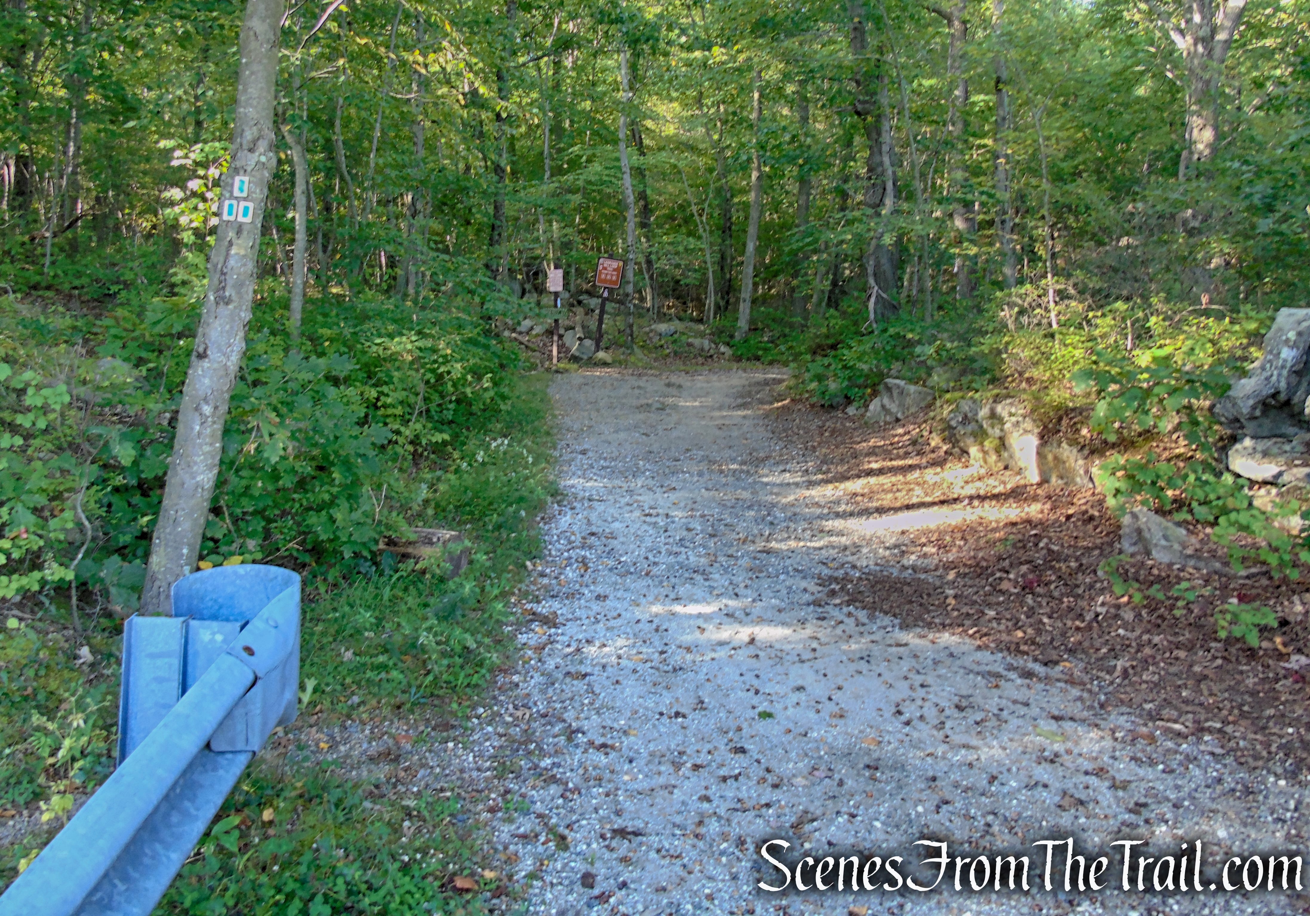
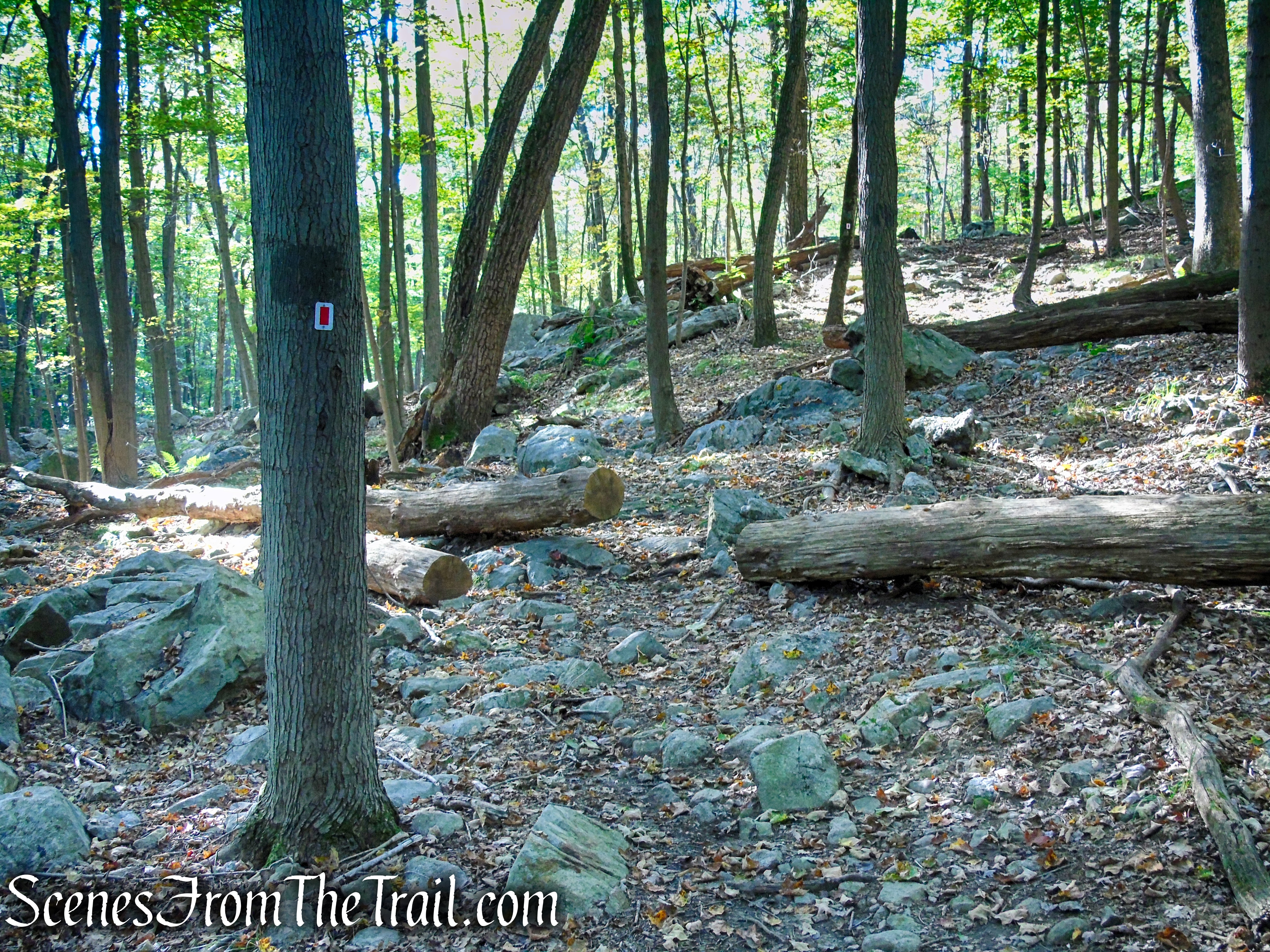
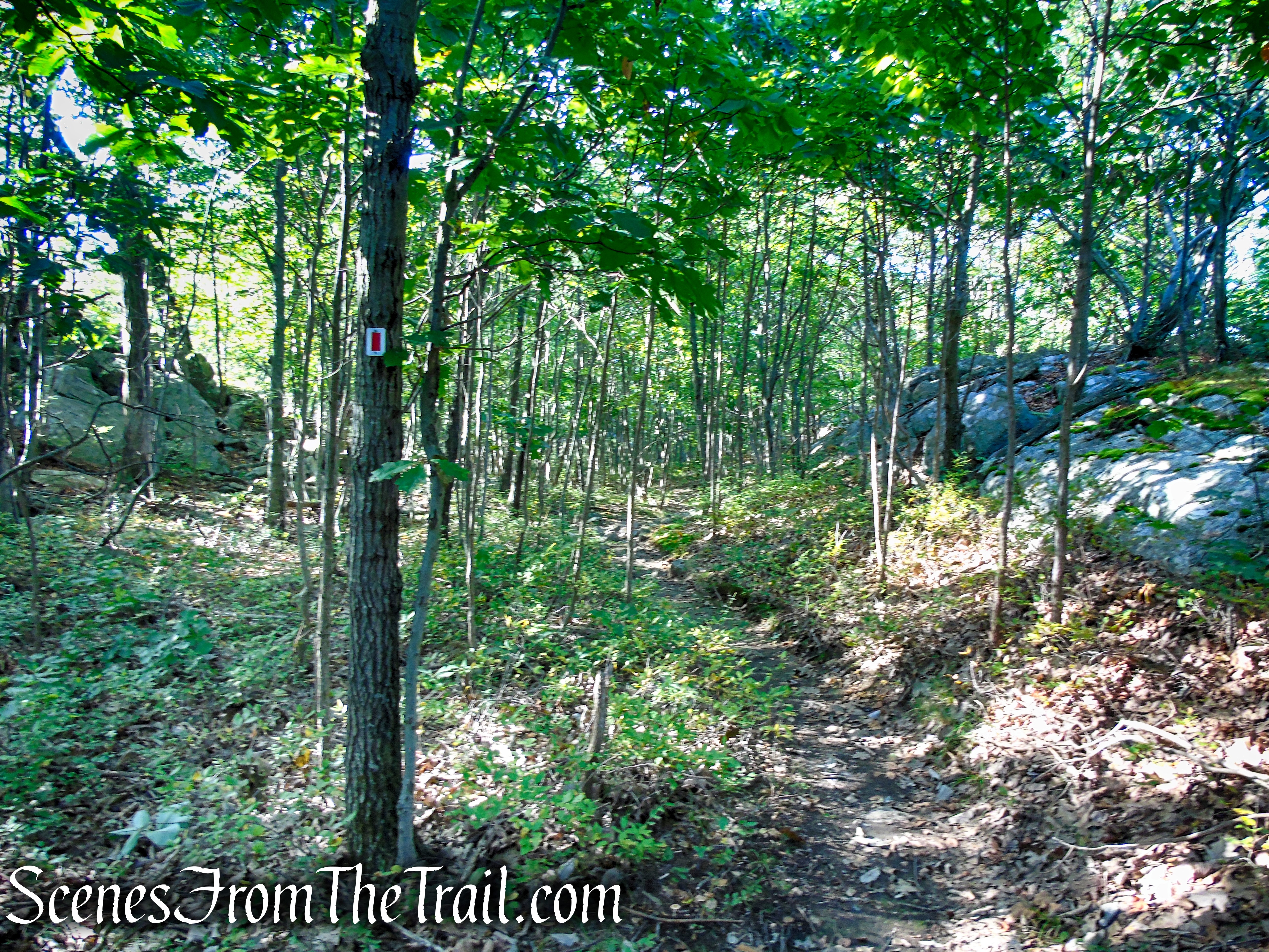
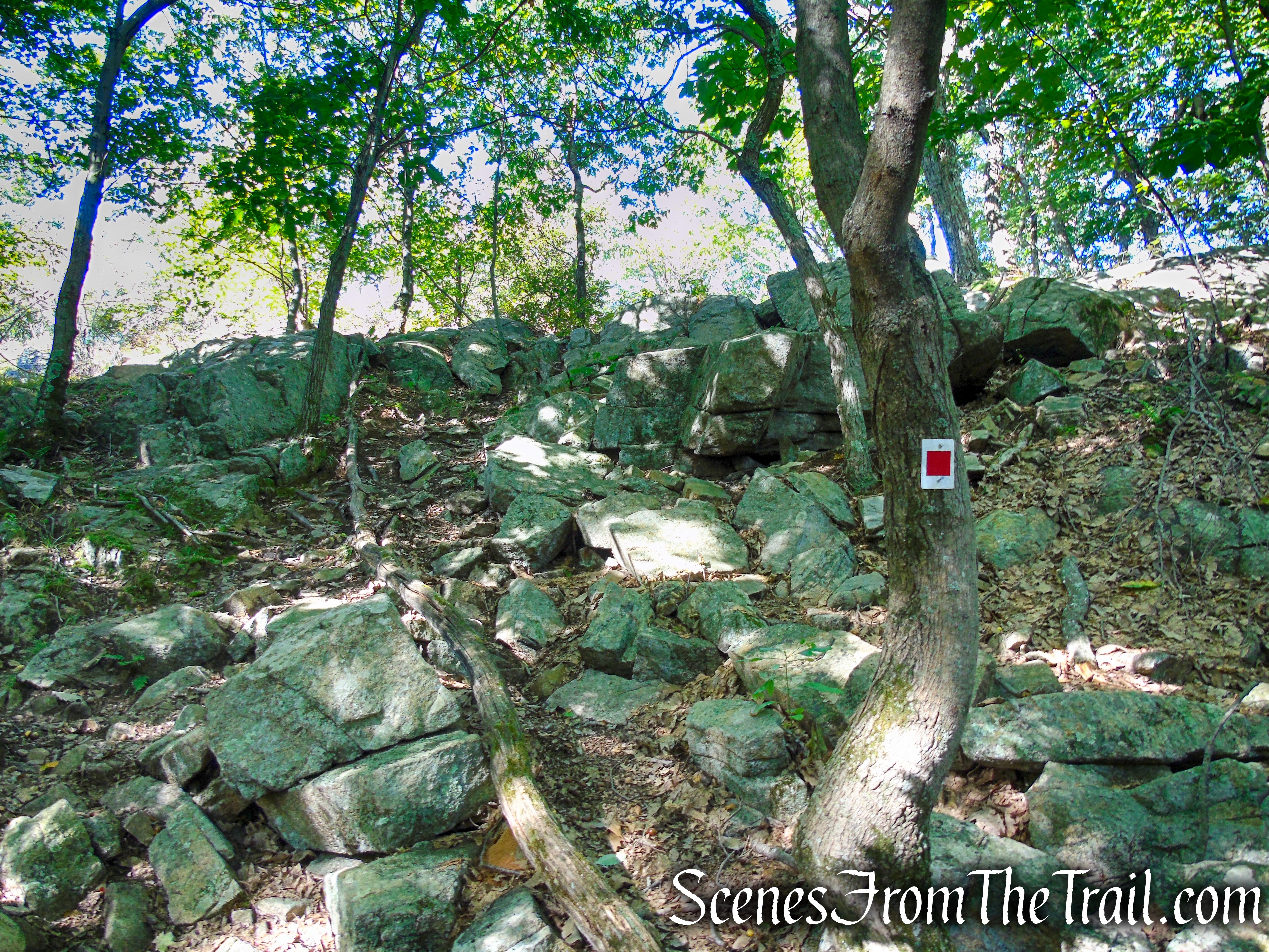
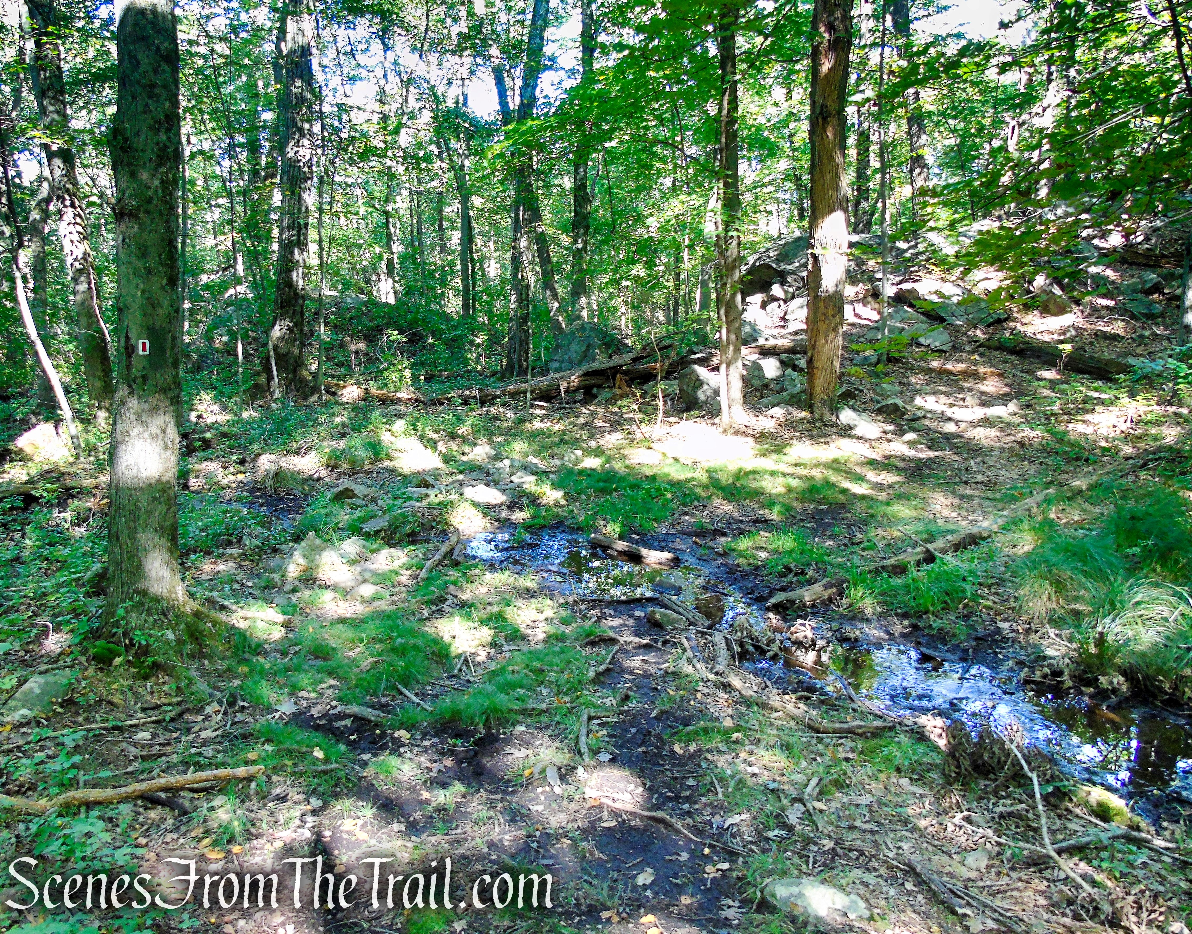
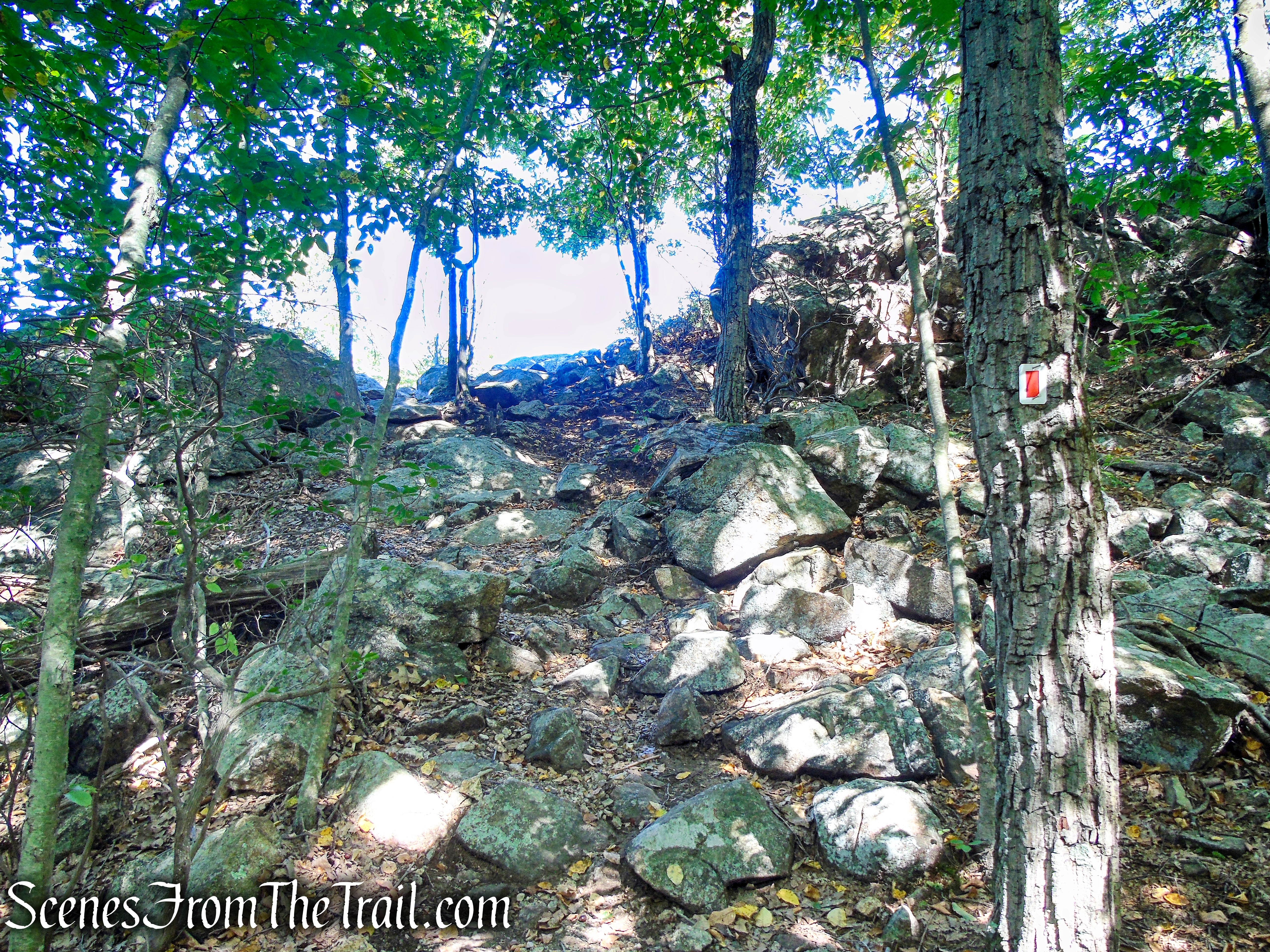
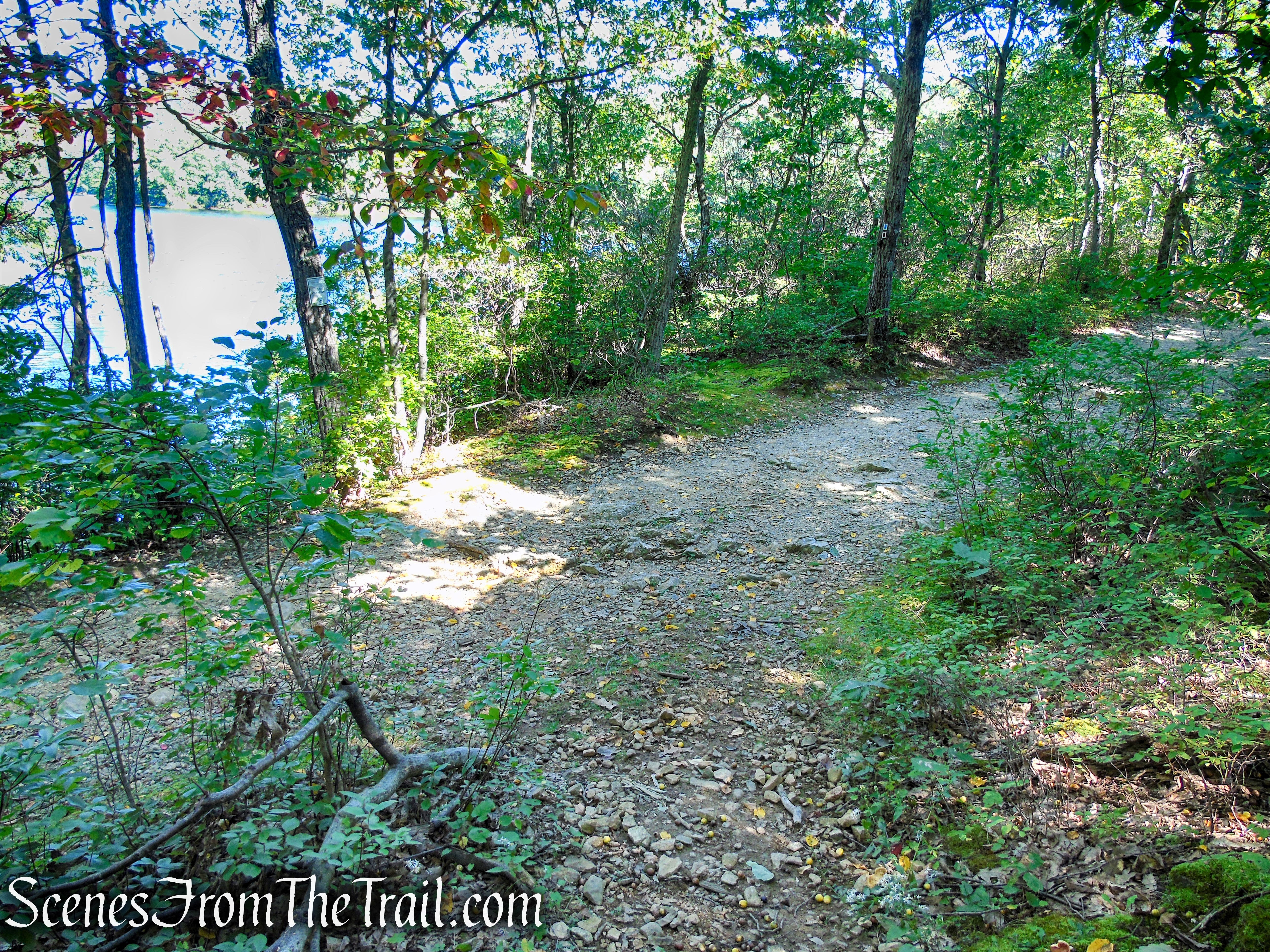
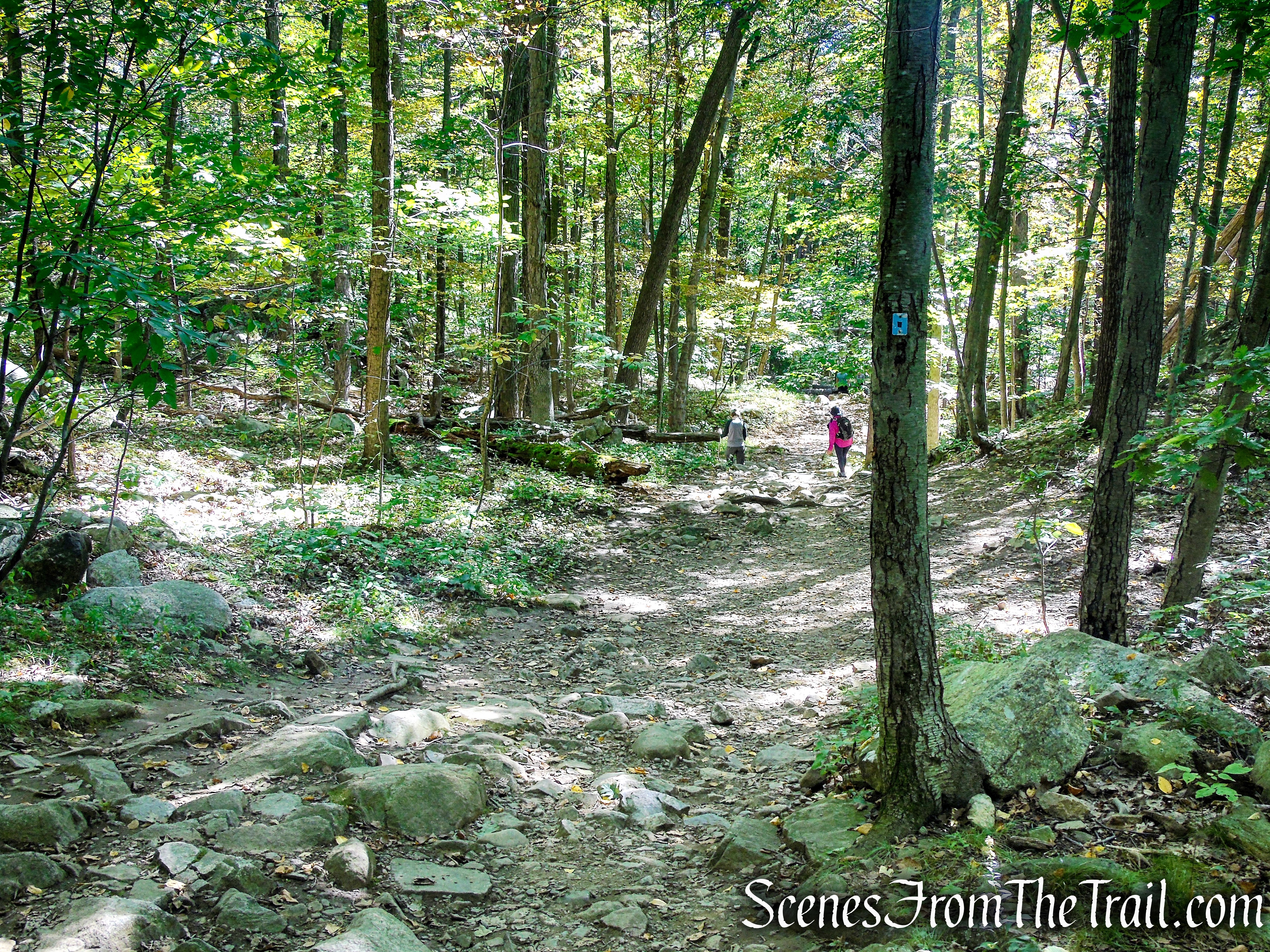
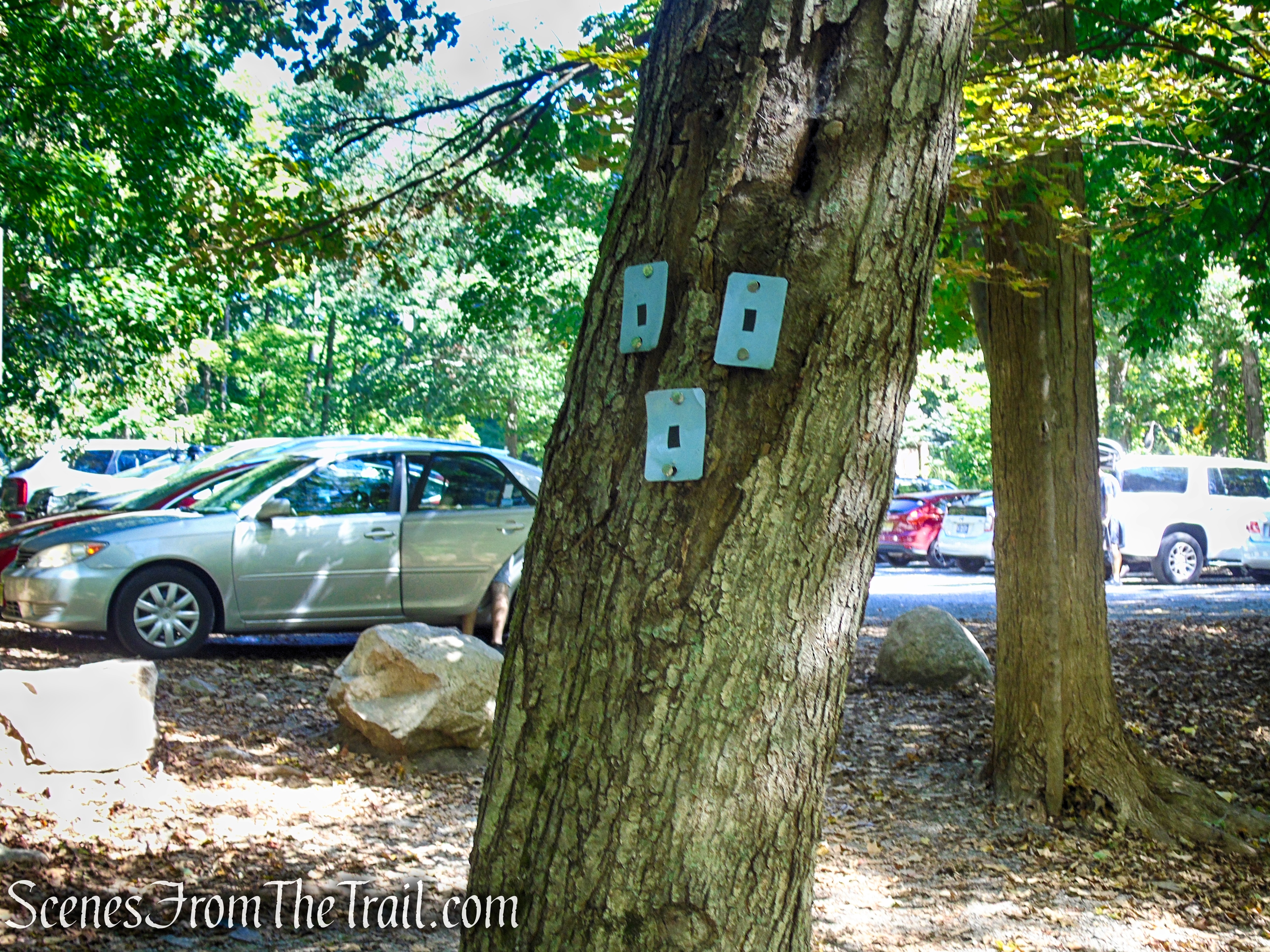
At the southern end of the parking area, a triple black-square-on-blue blaze marks the start of the Ramapo Lake Spur. Follow the trail into the woods, passing stone ruins. After going up a steep pitch, the trail continues to climb on a wide, rocky path, paralleling a cascading brook (particularly attractive after heavy rains).
Ramapo Lake Spur – Ramapo Mountain State Forest
Ramapo Lake Spur – Ramapo Mountain State Forest
Ramapo Lake Spur – Ramapo Mountain State Forest
Ramapo Lake Spur – Ramapo Mountain State Forest
Ramapo Lake Spur – Ramapo Mountain State Forest
Ramapo Lake Spur – Ramapo Mountain State Forest
Ramapo Lake Spur – Ramapo Mountain State Forest
Ramapo Lake Spur – Ramapo Mountain State Forest
Ramapo Lake Spur – Ramapo Mountain State Forest
Ramapo Lake Spur – Ramapo Mountain State Forest
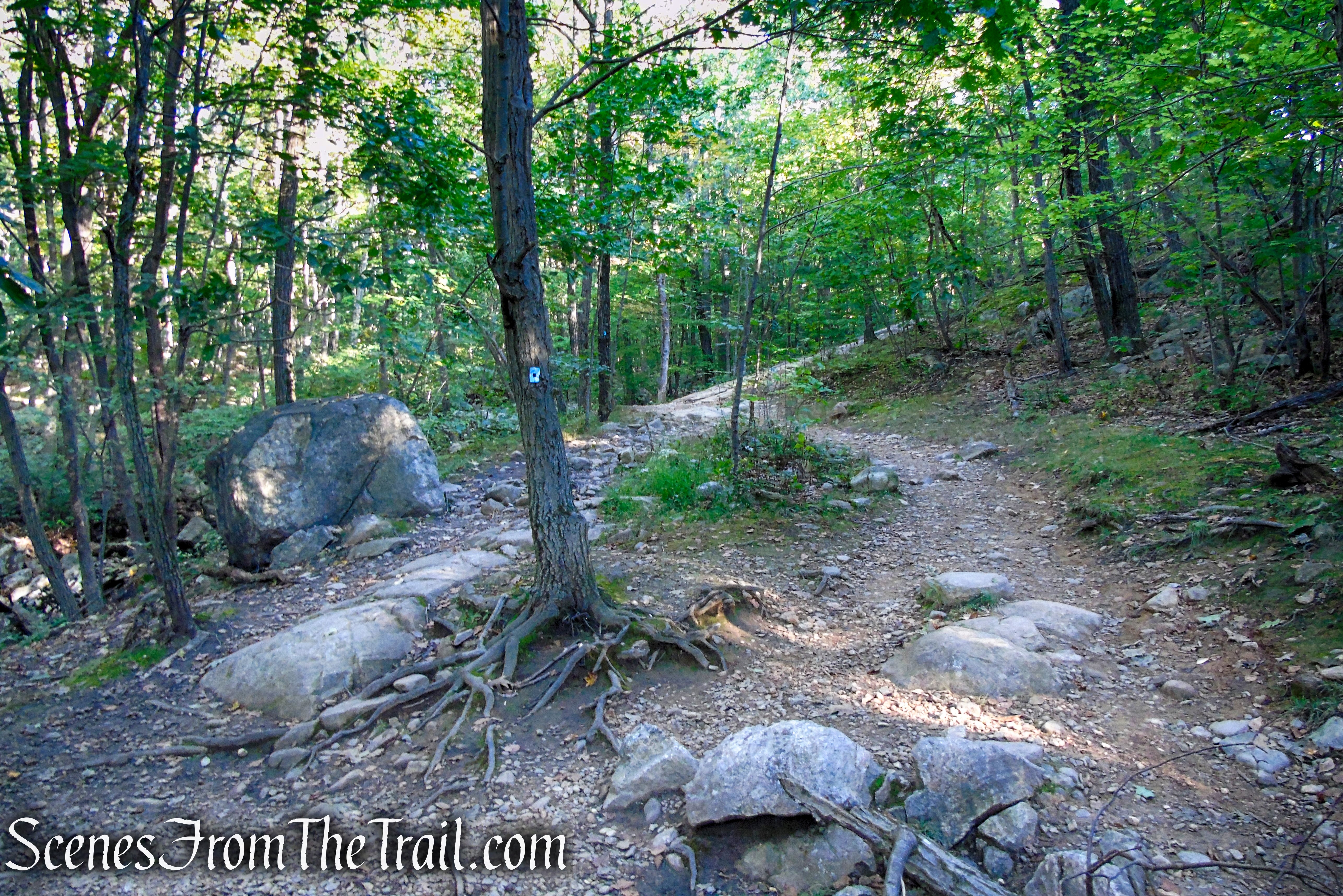
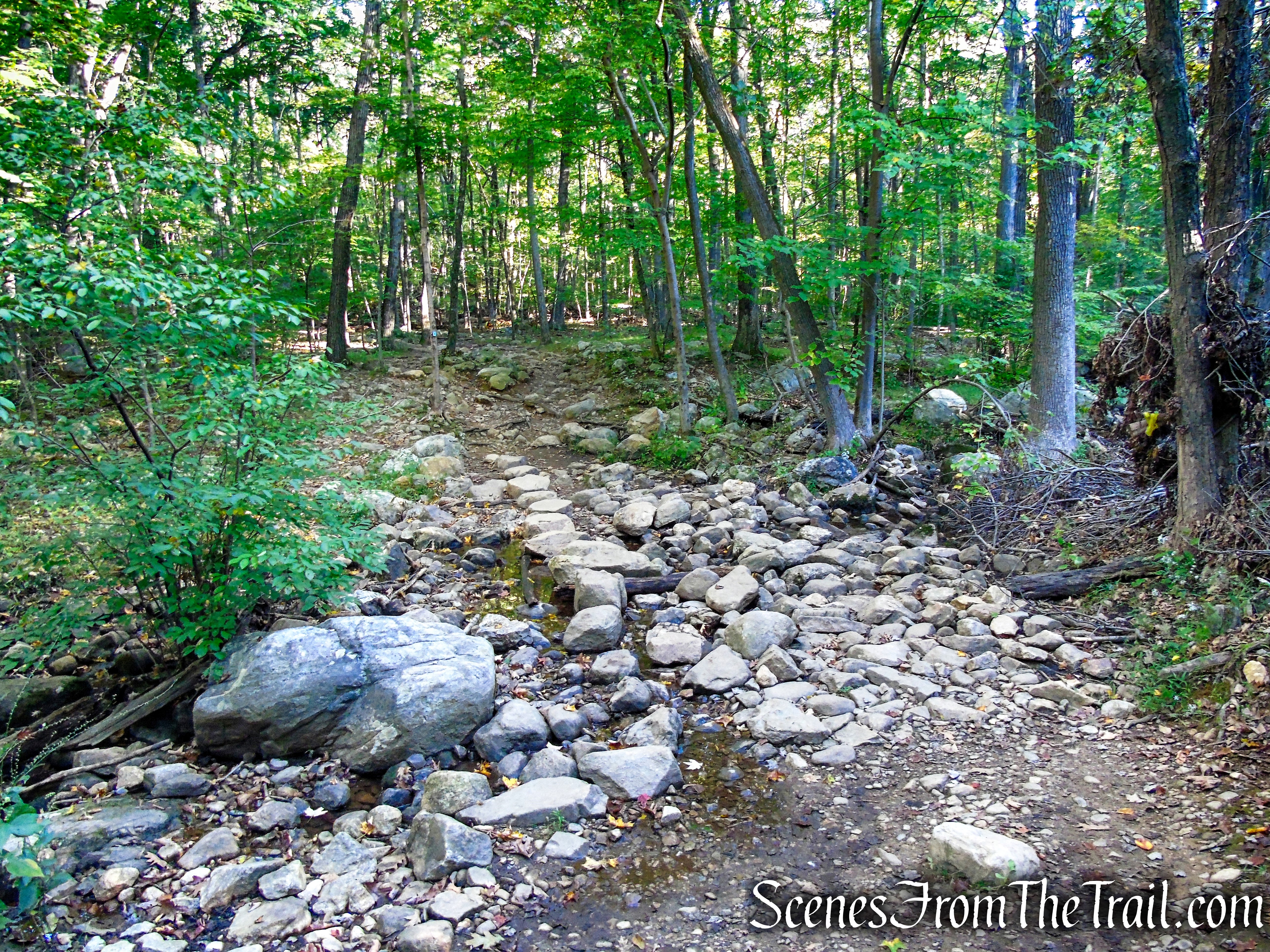
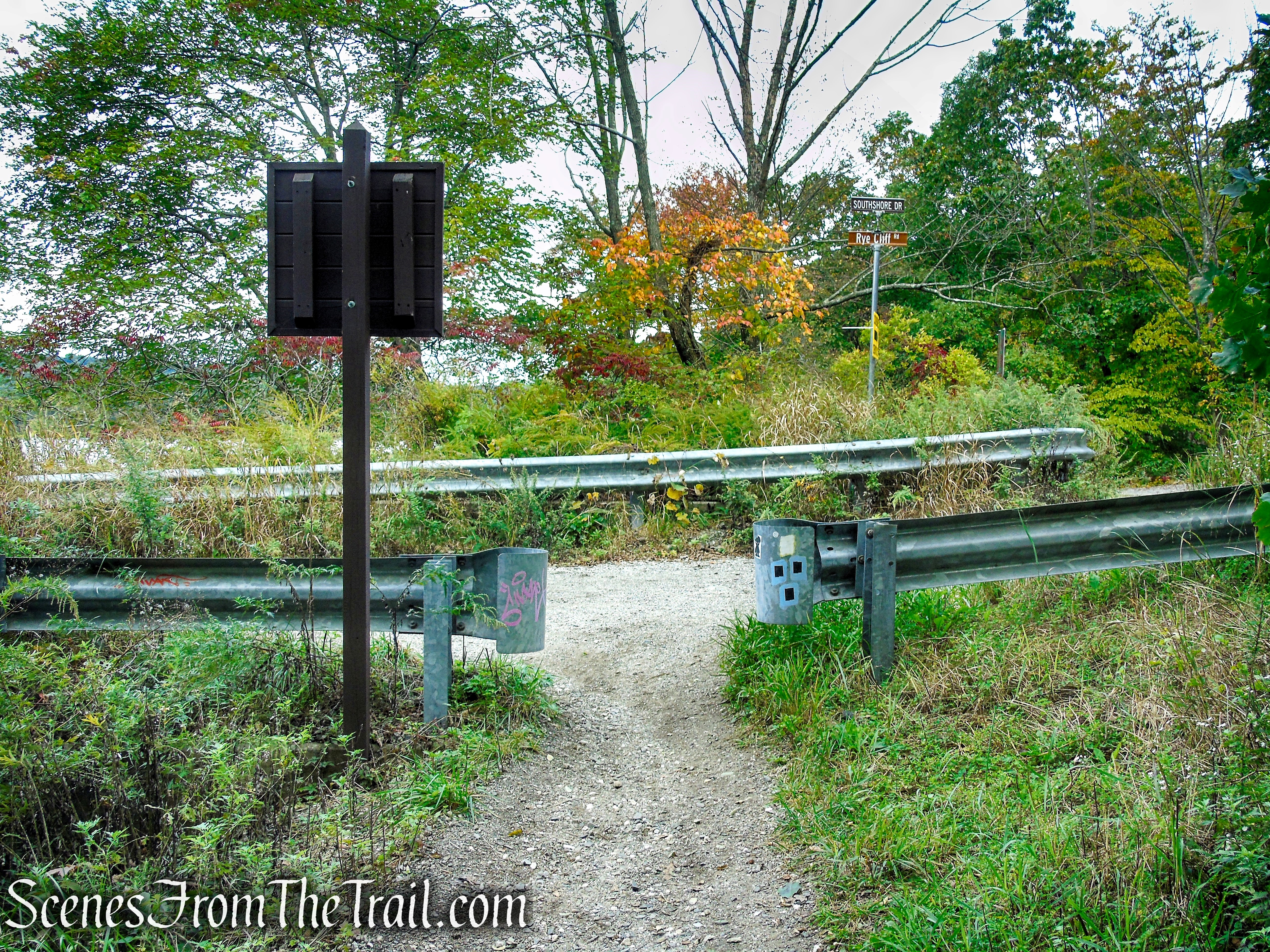
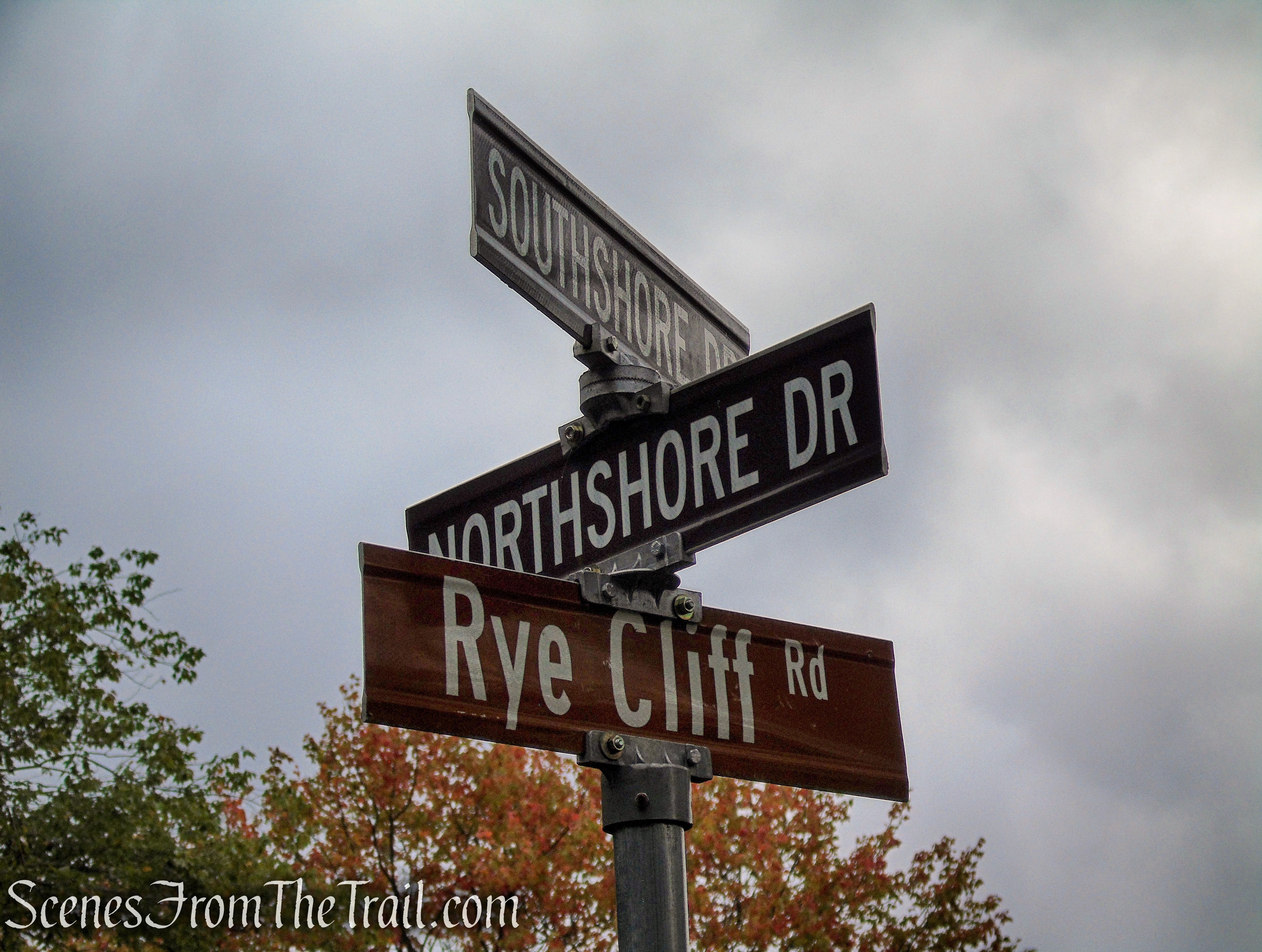
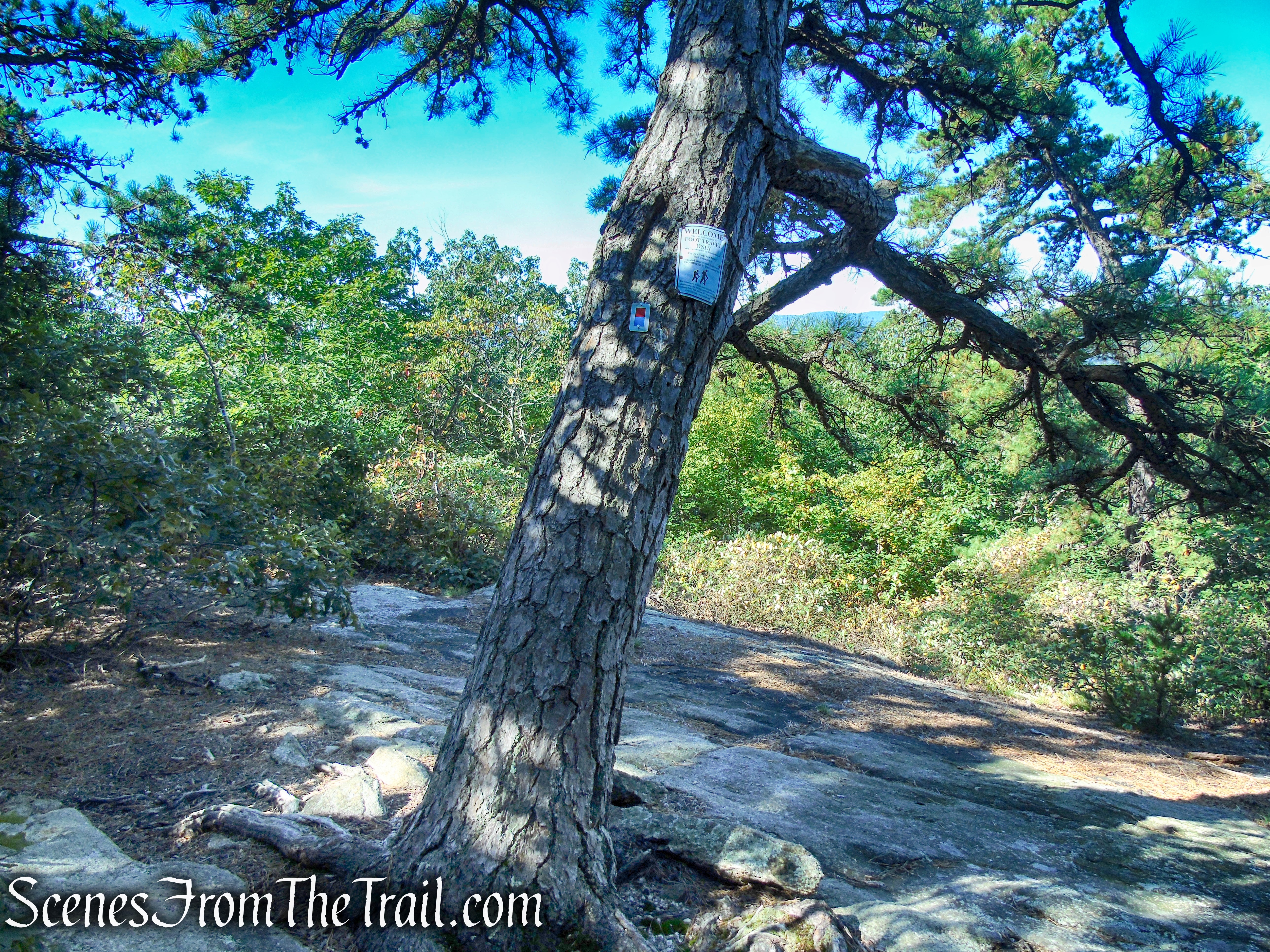
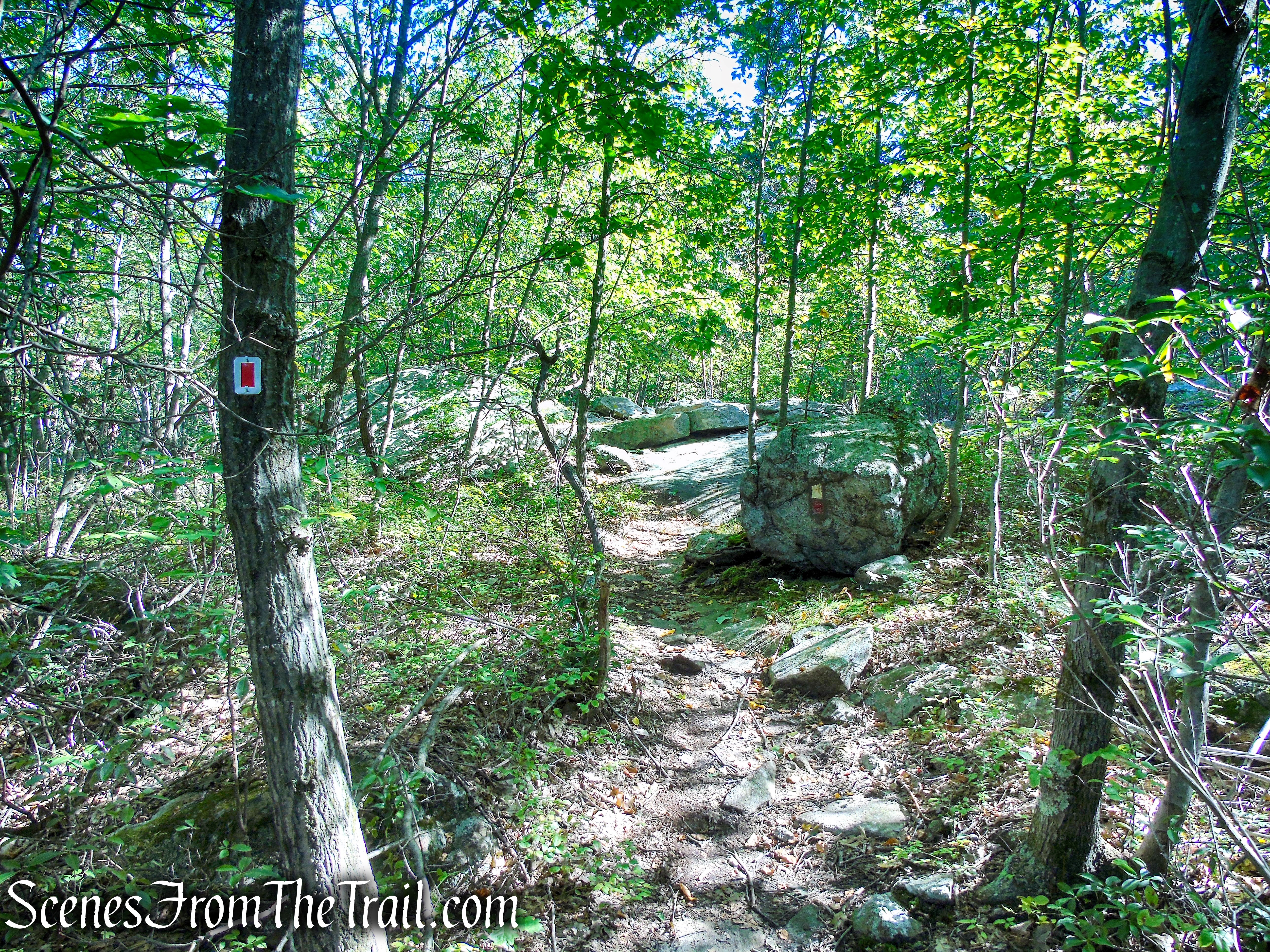
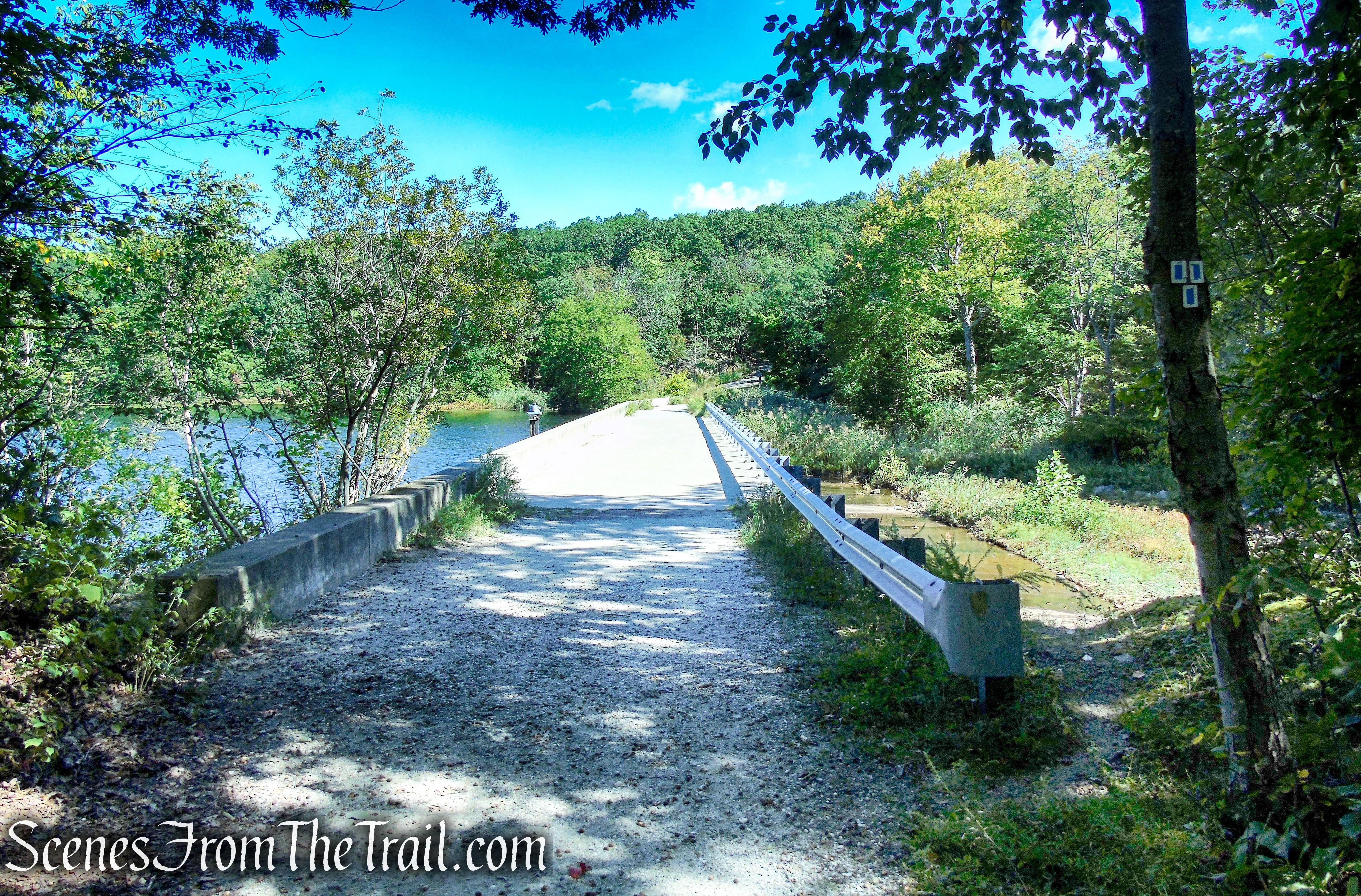
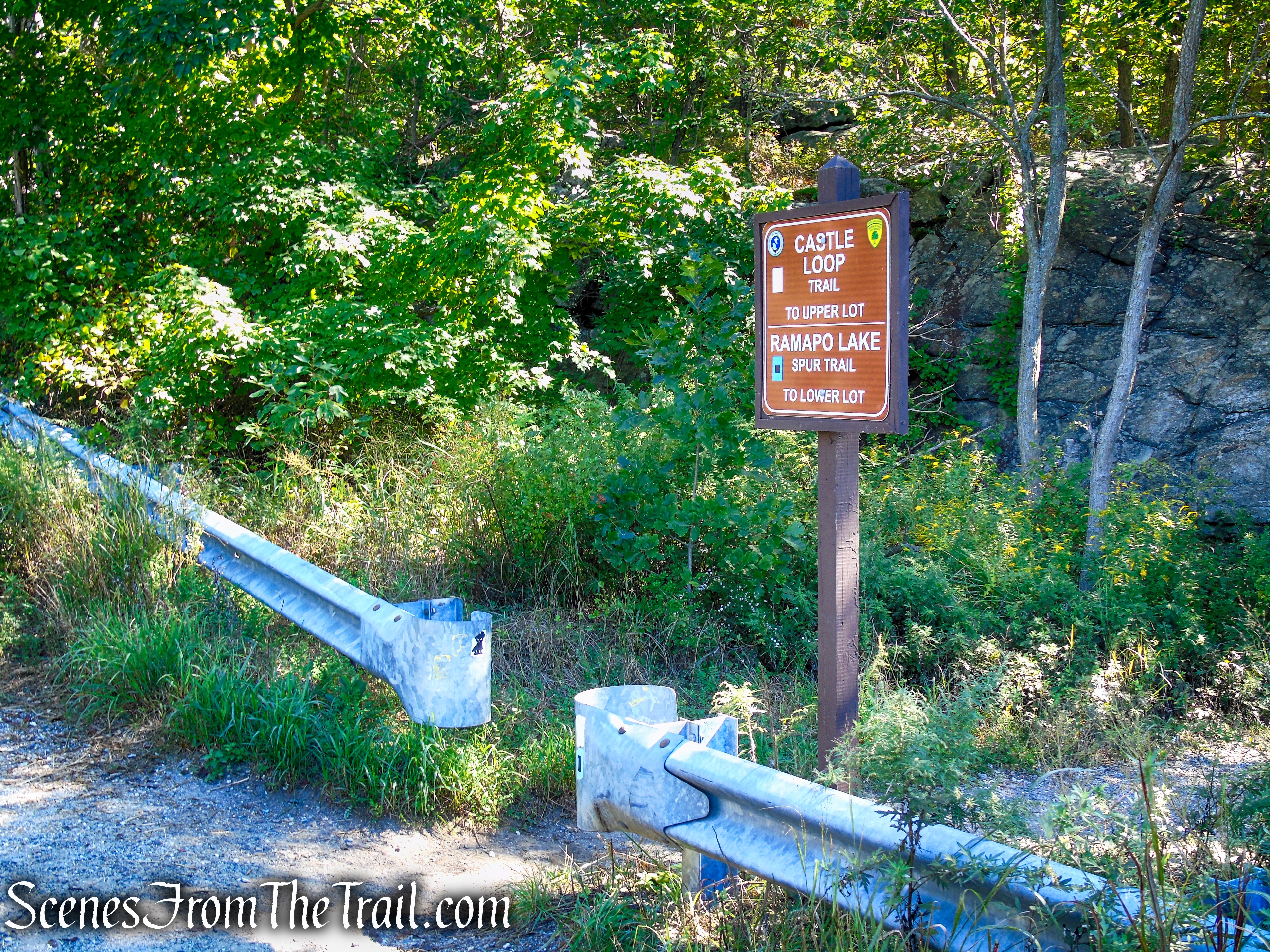
As you approach the crest of the rise, you’ll cross a stream on rocks. A short distance beyond, the white-blazed Castle Loop joins from the right. Just ahead, the trails bear left at a fork and descend to a trail junction at Ramapo Lake, where the Ramapo Lake Spur ends (there are street signs at the junction for South Shore Drive, North Shore Drive and Rye Cliff Road). Here, you should turn left, crossing the dam of Ramapo Lake.
Ramapo Lake Spur – Ramapo Mountain State Forest
Ramapo Lake Spur – Ramapo Mountain State Forest
Ramapo Lake Spur – Ramapo Mountain State Forest
Ramapo Lake Spur – Ramapo Mountain State Forest
Ramapo Lake Spur – Ramapo Mountain State Forest
terminus of Ramapo Lake Spur
Ramapo Lake Loop – Ramapo Mountain State Forest
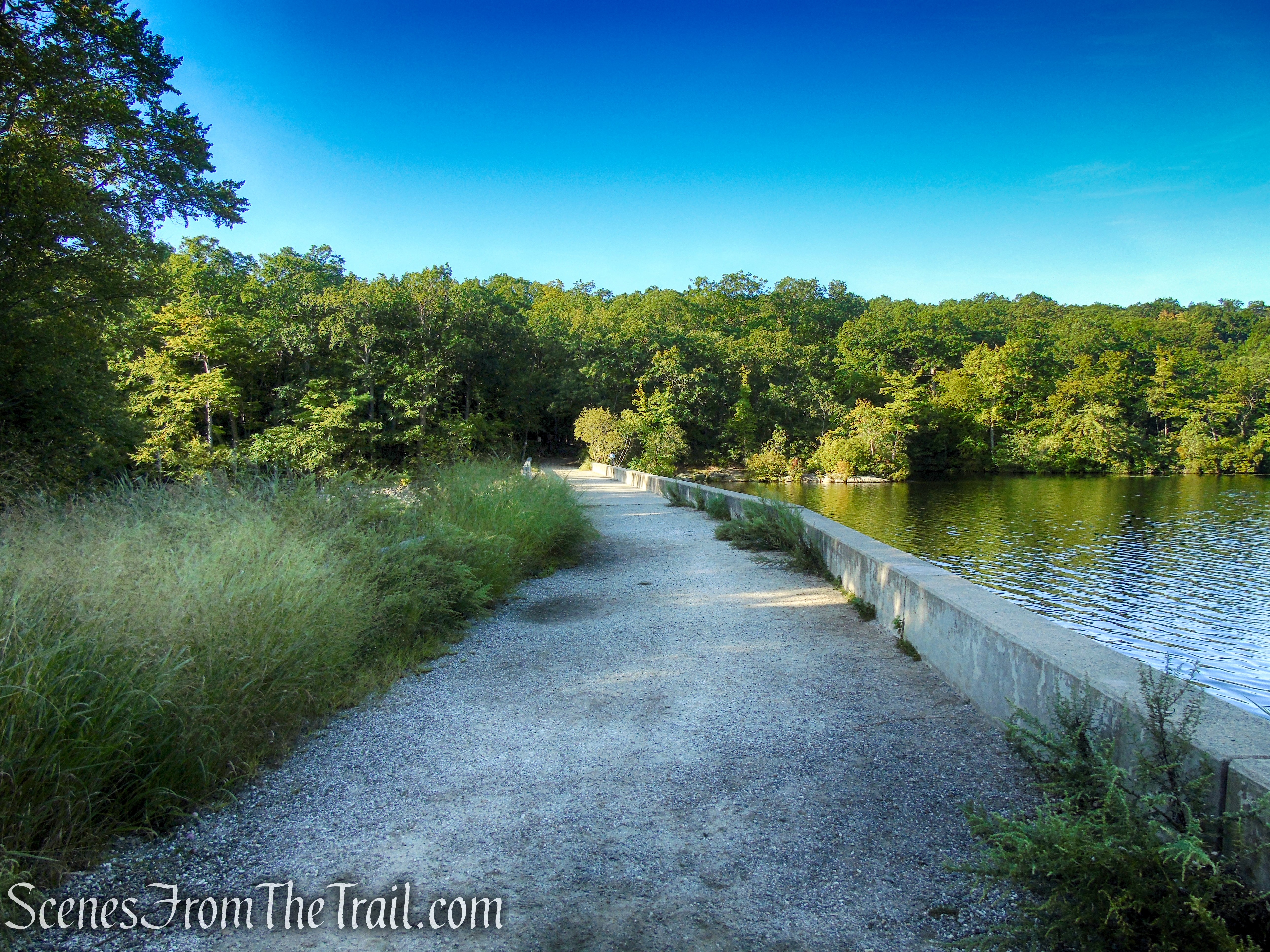
Ramapo Lake Dam – Ramapo Mountain State Forest
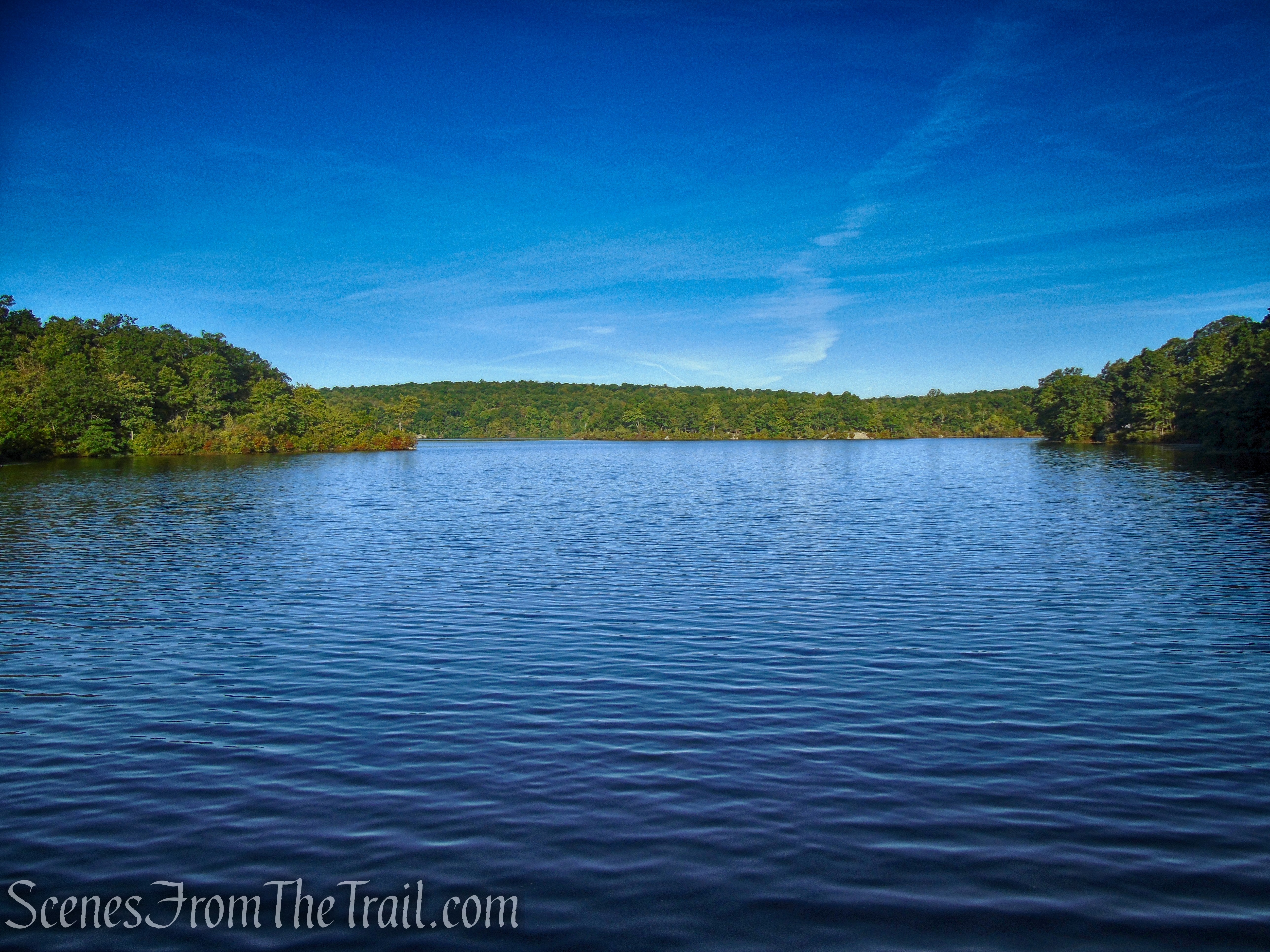
Ramapo Lake – Ramapo Mountain State Forest
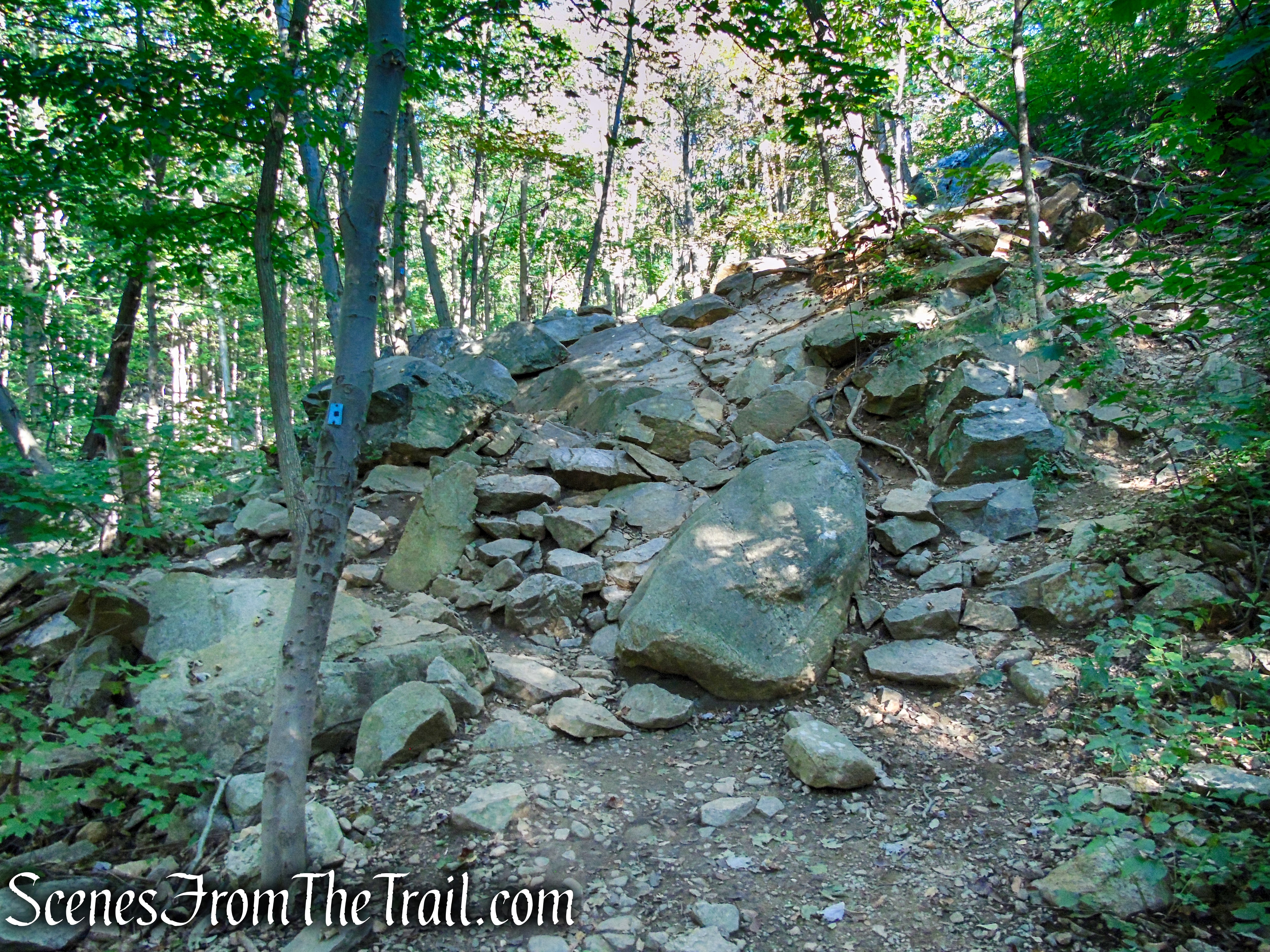
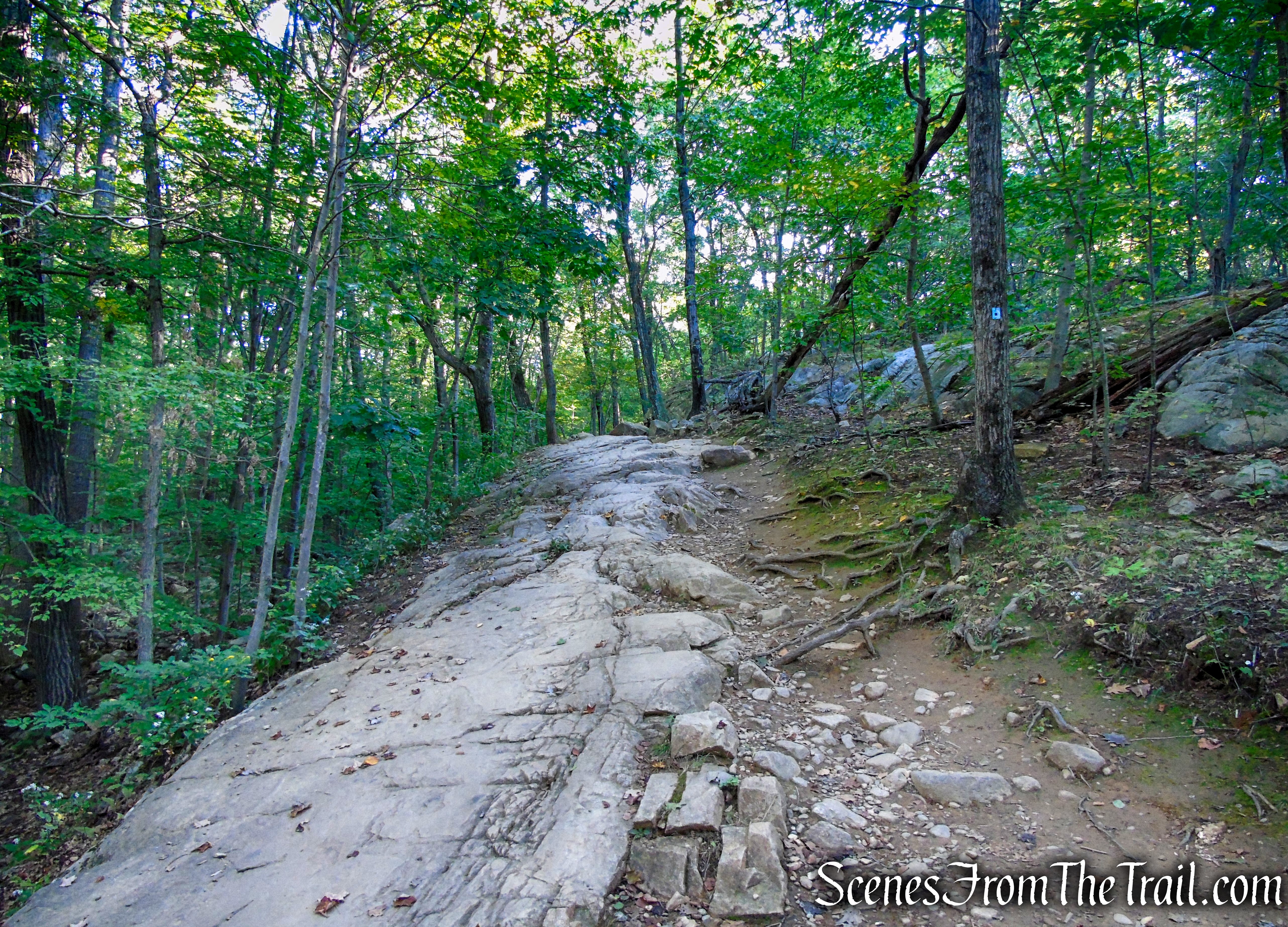
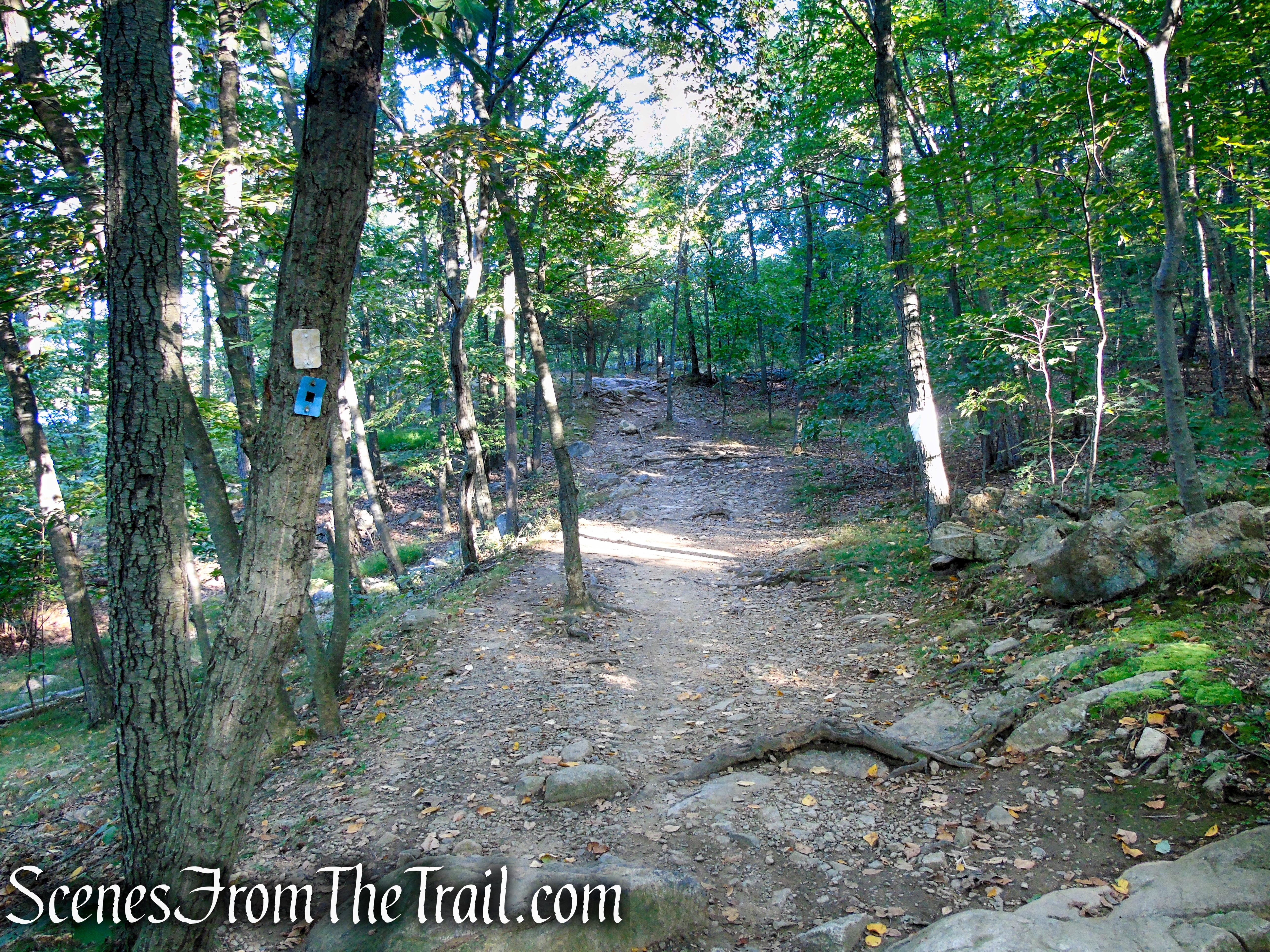
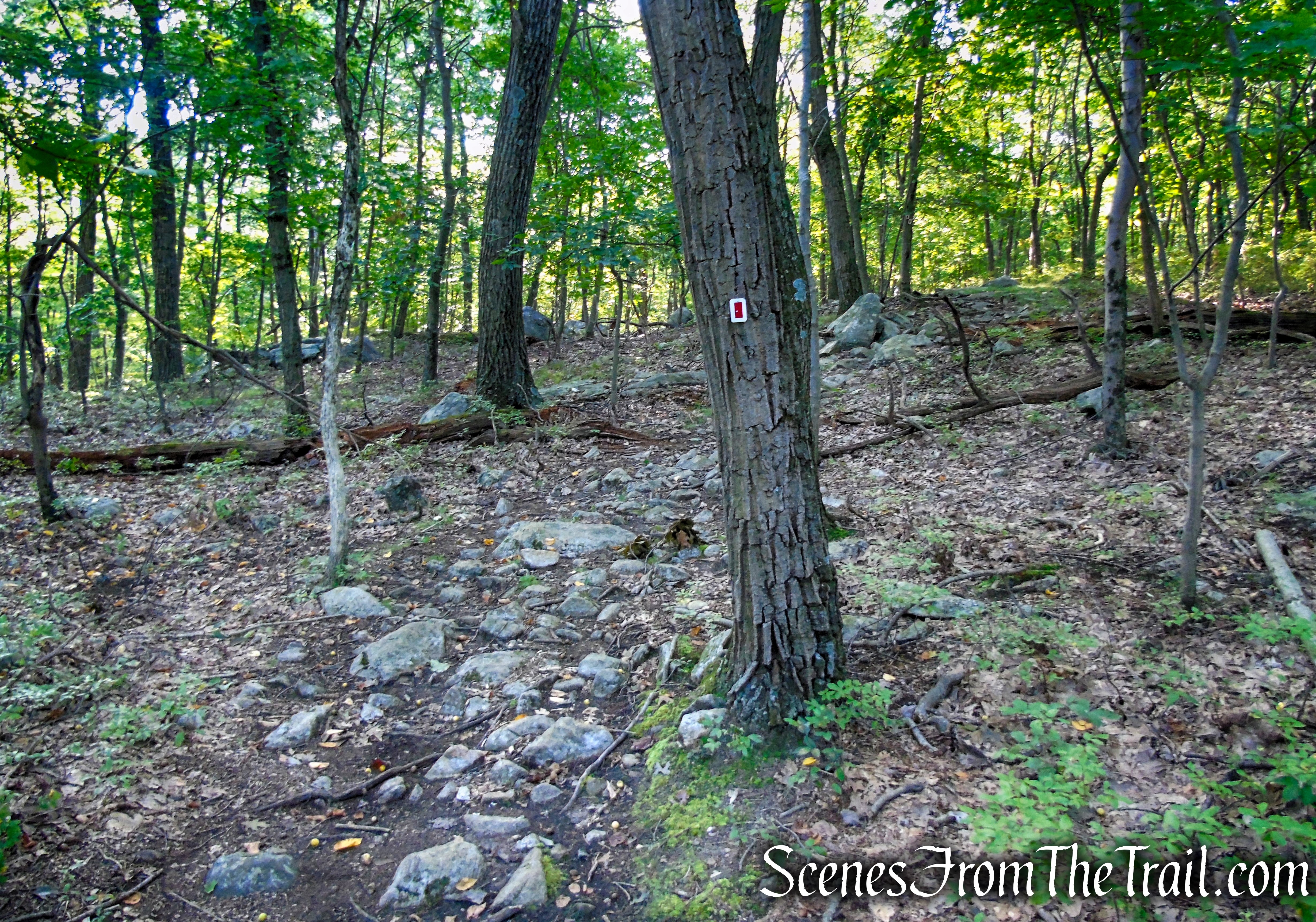
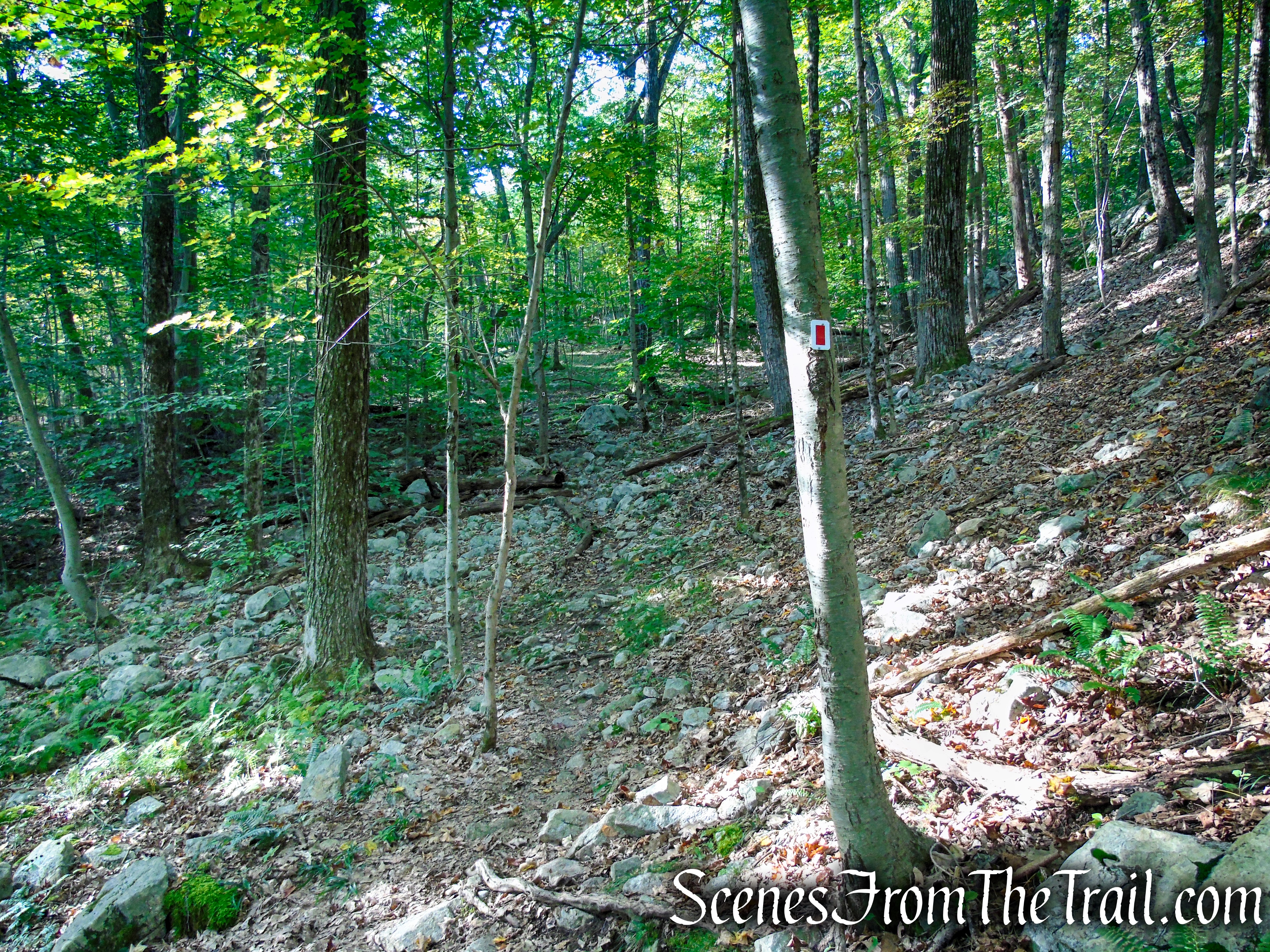
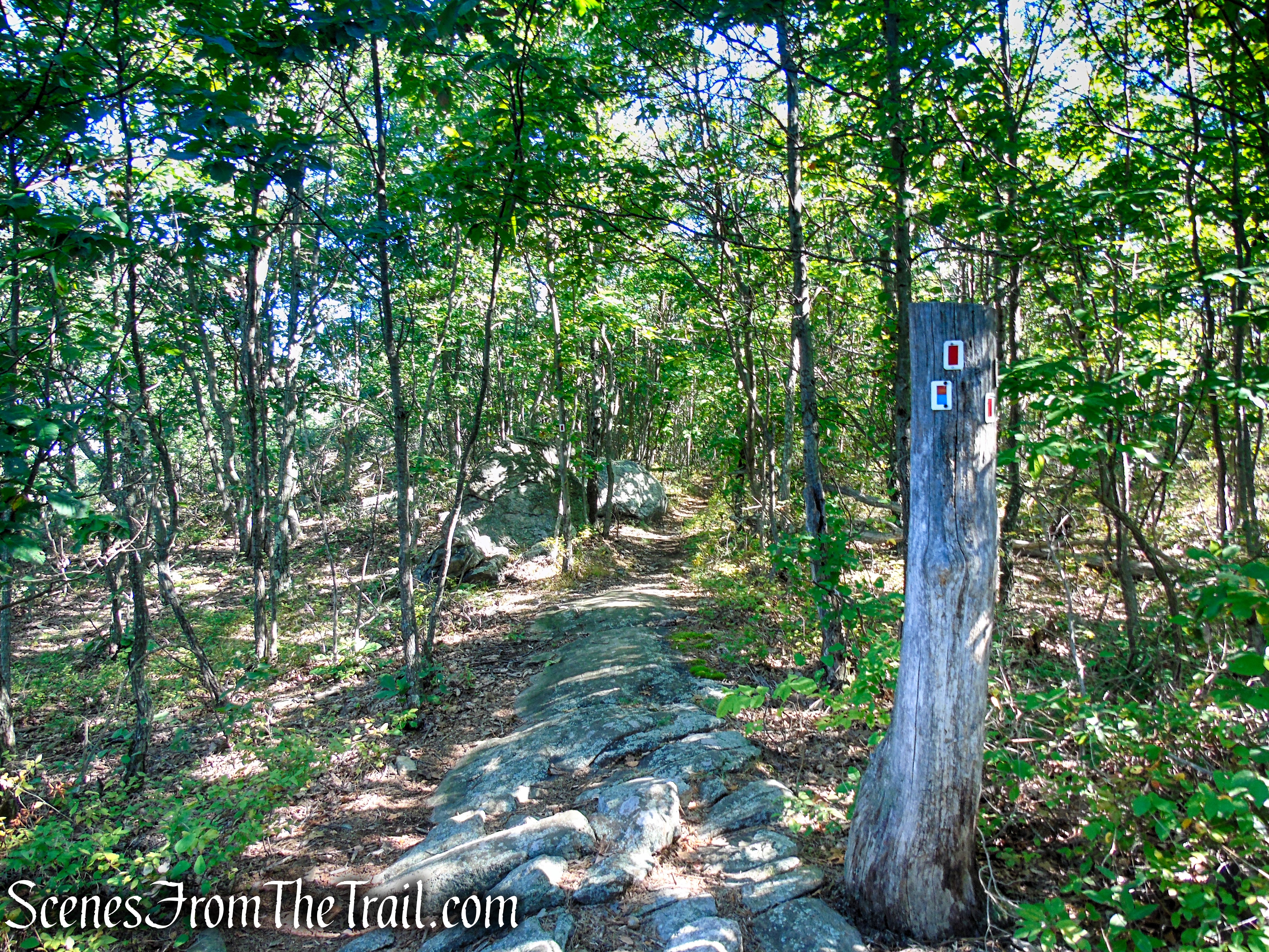
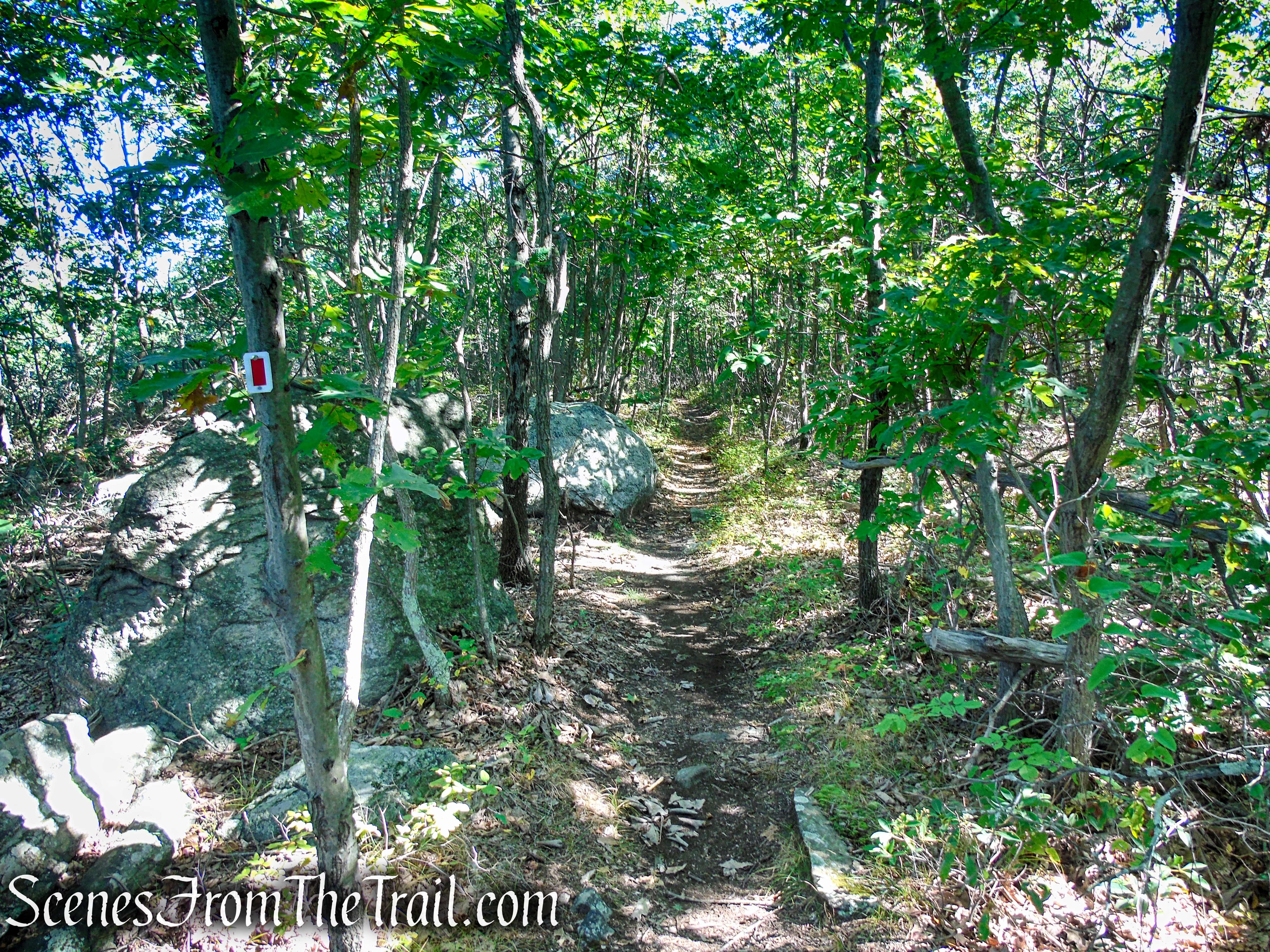
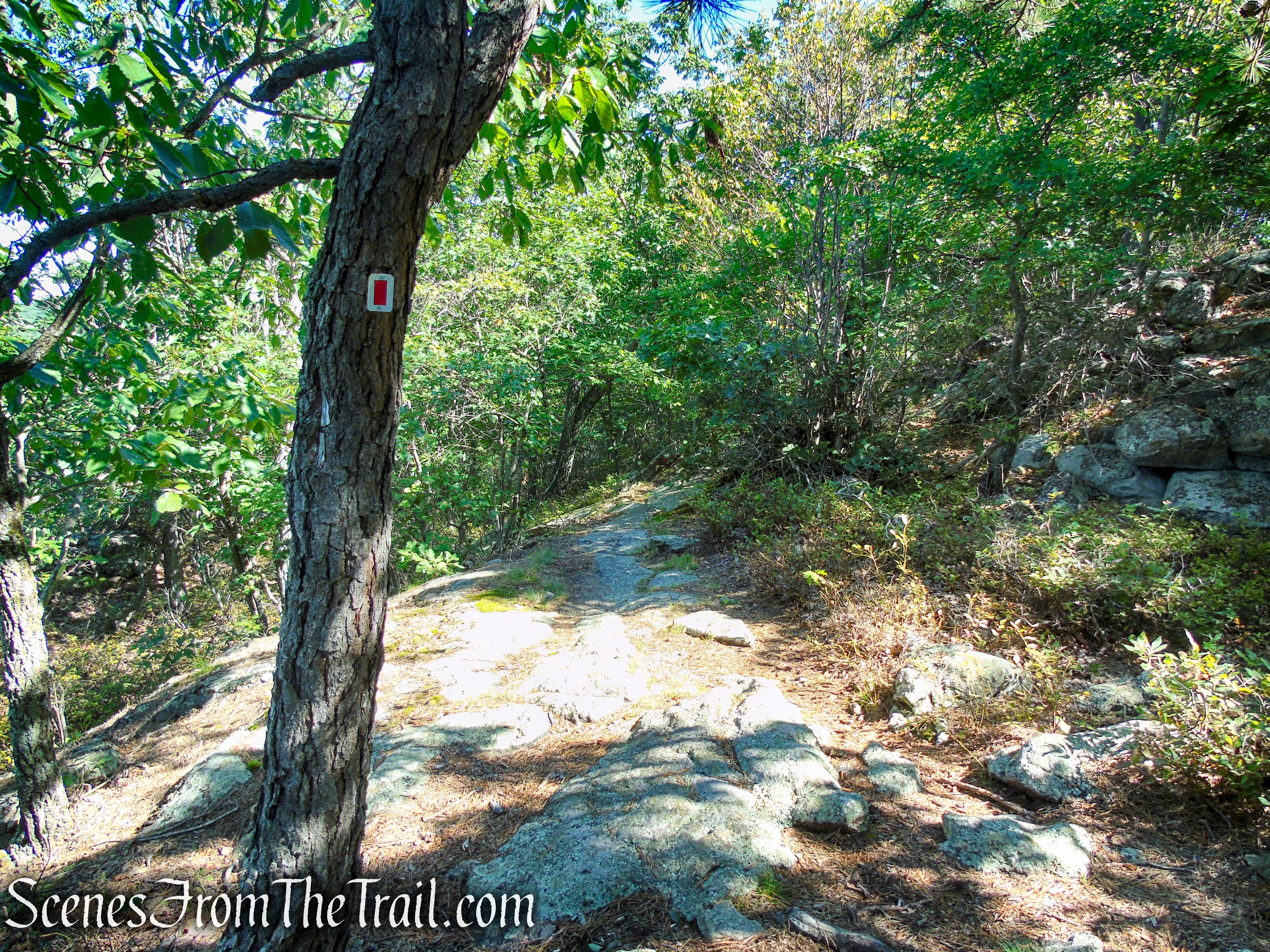
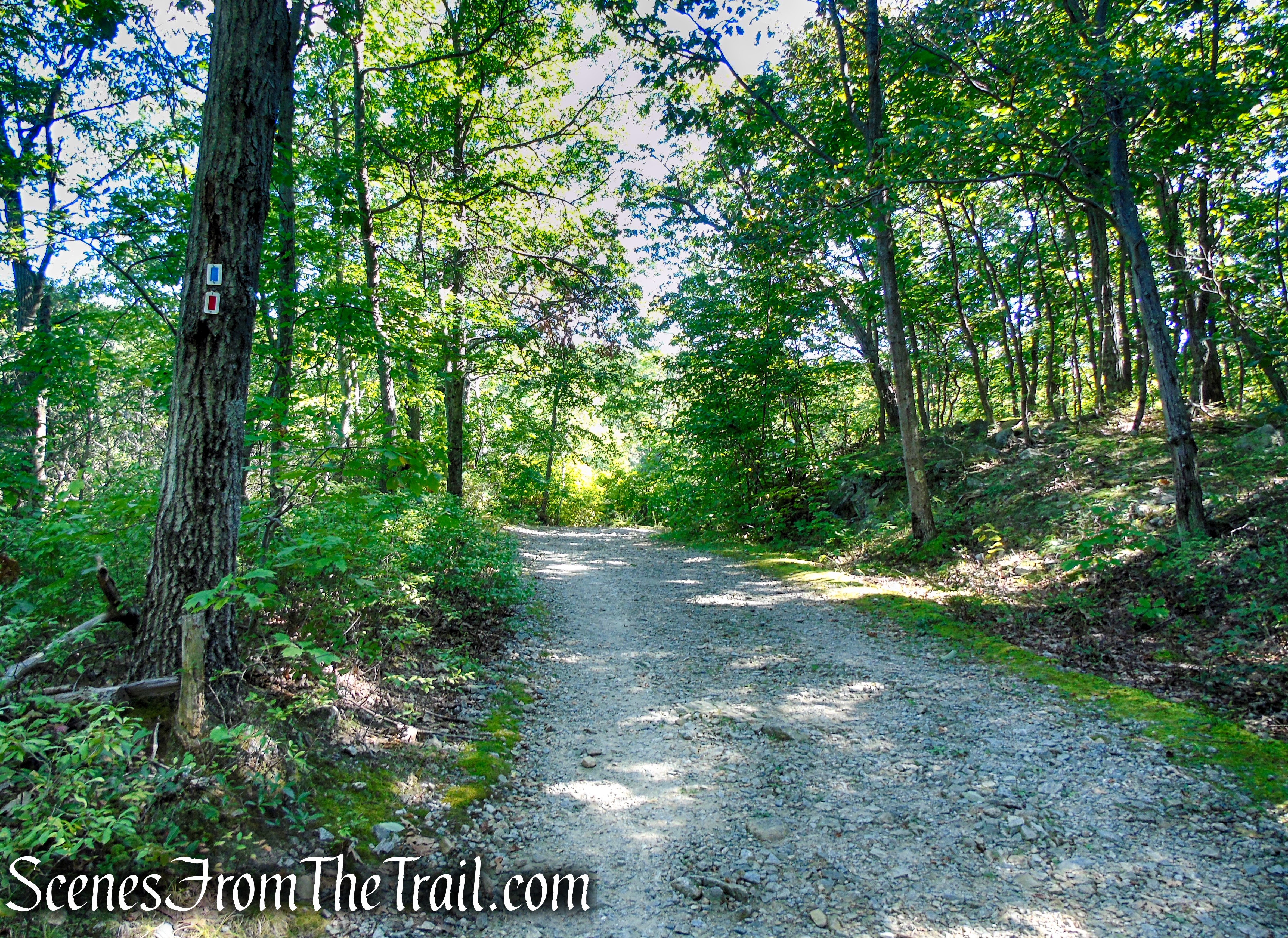
On the other side of the dam, a triple blue-on-white blaze marks the start of the Ramapo Lake Loop. Just ahead, a sign marks the start of the red-on-white-blazed LeGrande Hill Loop. Turn left, leaving the lakeshore road, and follow the red-on-white trail, which rises briefly, then dips down to parallel a stream (the other side of the stream that you followed on the way up to the lake). Soon, it turns away from the stream and begins a steady climb for about a quarter of a mile. At the crest of the rise, the trail levels off, descends slightly and soon turns sharply right.
Ramapo Lake Loop – Ramapo Mountain State Forest
Ramapo Lake Loop – Ramapo Mountain State Forest
LeGrande Hill Loop – Ramapo Mountain State Forest
LeGrande Hill Loop – Ramapo Mountain State Forest
LeGrande Hill Loop – Ramapo Mountain State Forest
LeGrande Hill Loop – Ramapo Mountain State Forest
LeGrande Hill Loop – Ramapo Mountain State Forest
LeGrande Hill Loop – Ramapo Mountain State Forest
LeGrande Hill Loop – Ramapo Mountain State Forest
LeGrande Hill Loop – Ramapo Mountain State Forest
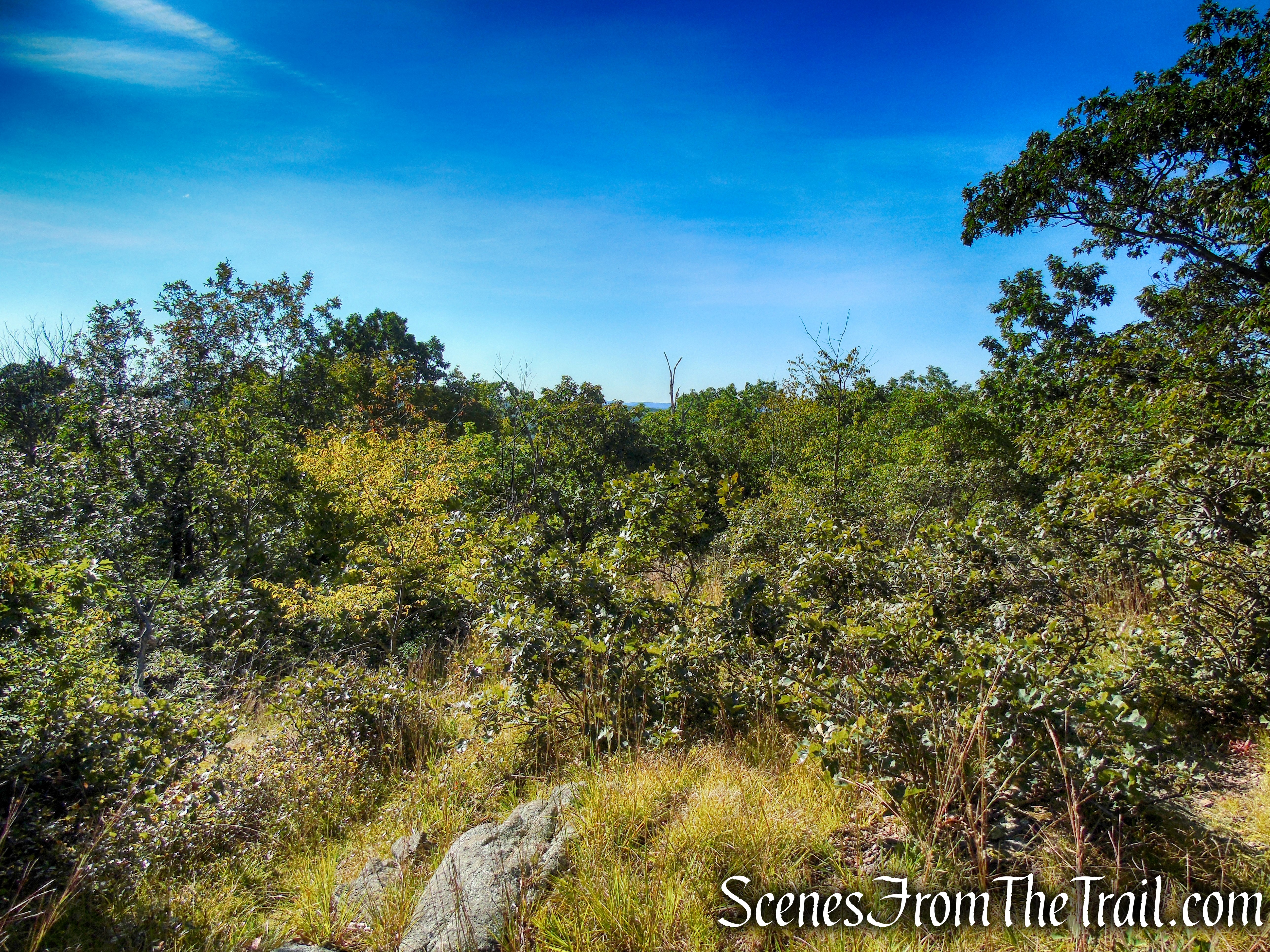
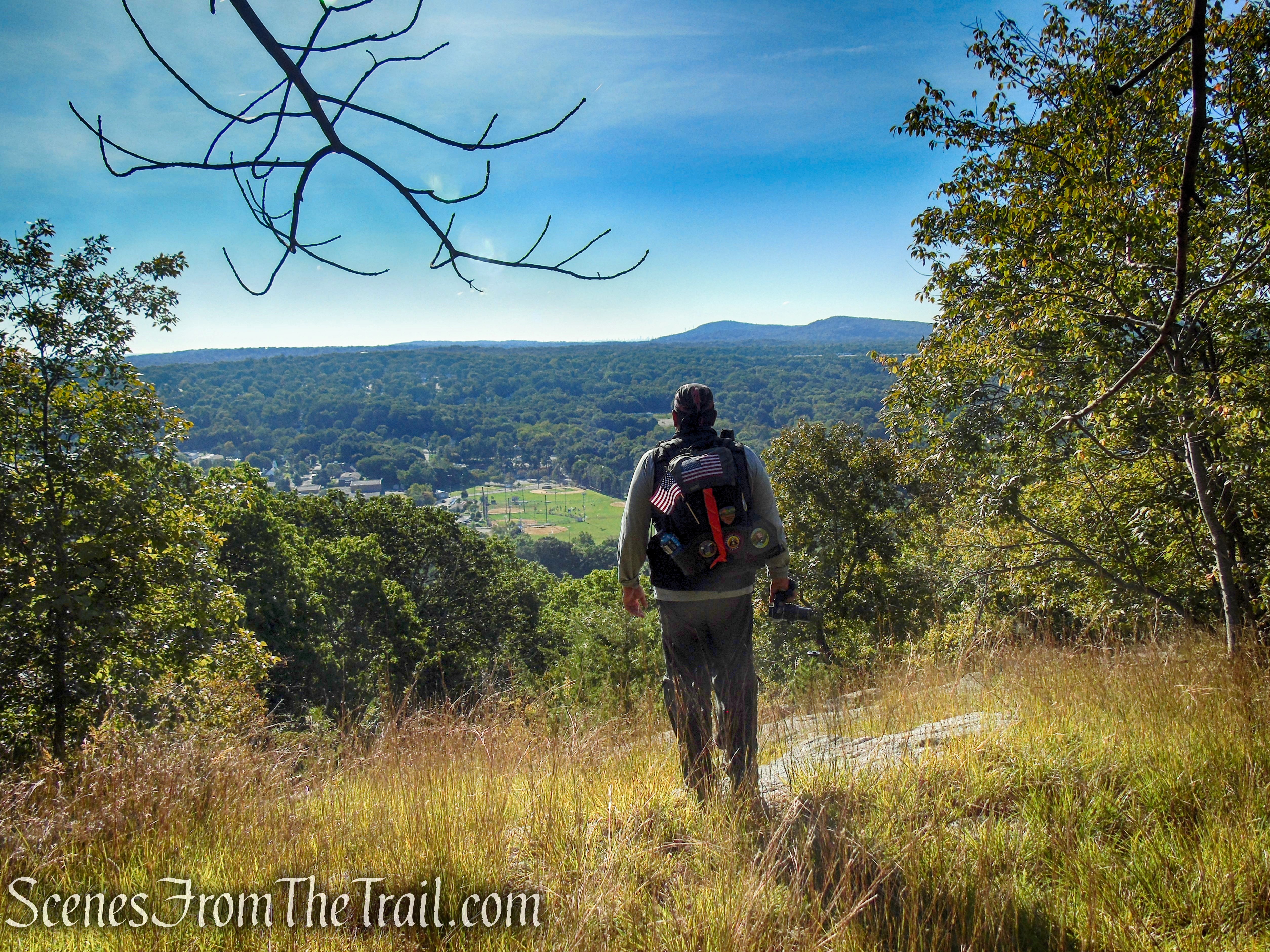
At the spot where the trail turns sharp right, there is a faint footpath straight ahead which offers some nice views south of Bergen County and beyond.
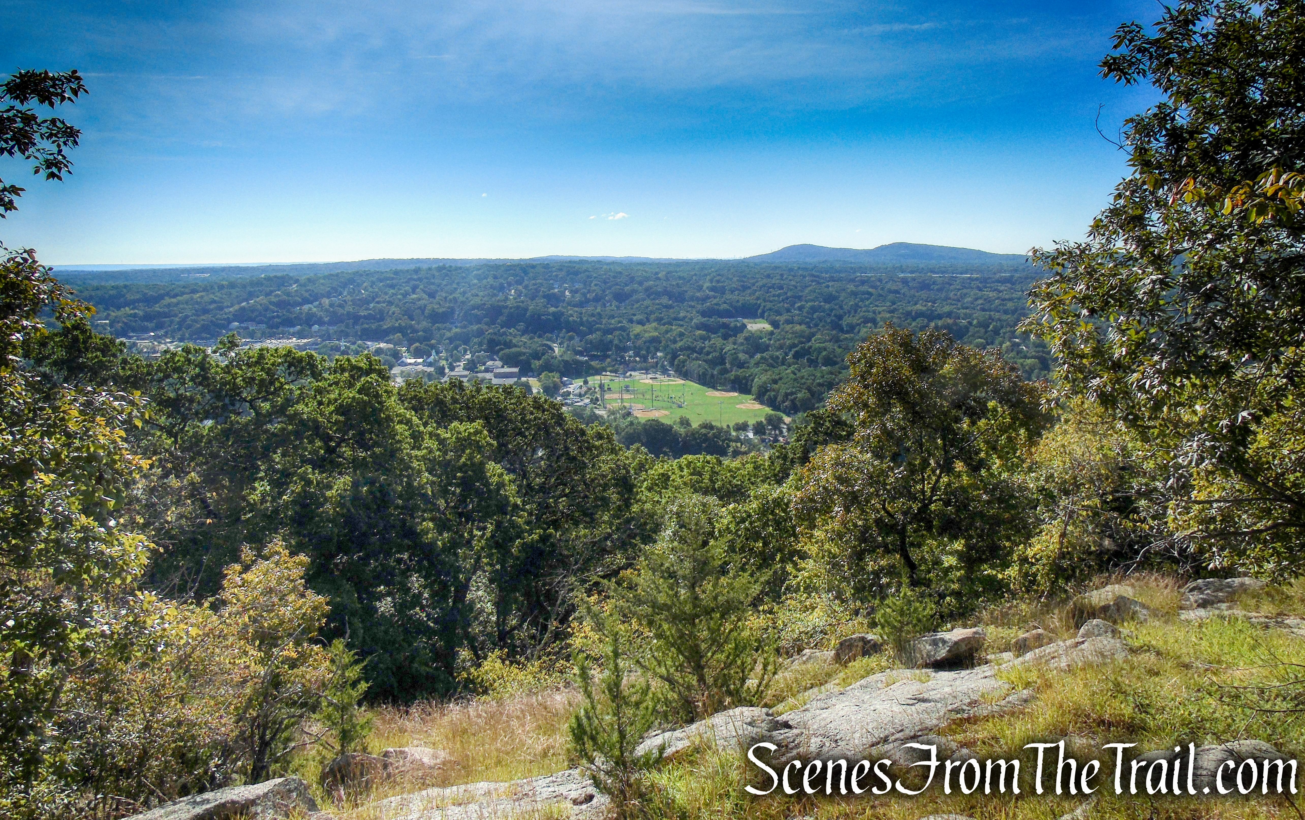
south-facing viewpoint just off the LeGrande Hill Loop Trail
south-facing viewpoint just off the LeGrande Hill Loop Trail
Return to the trail and bear left. Just beyond the sharp right turn, you’ll notice a rock outcrop on the left. Turn left and climb this outcrop, which offers a panoramic southwest-facing view. Pompton Lake is visible on the left, and the ridge of Pyramid Mountain may be seen on the right. We missed this view.
LeGrande Hill Loop – Ramapo Mountain State Forest
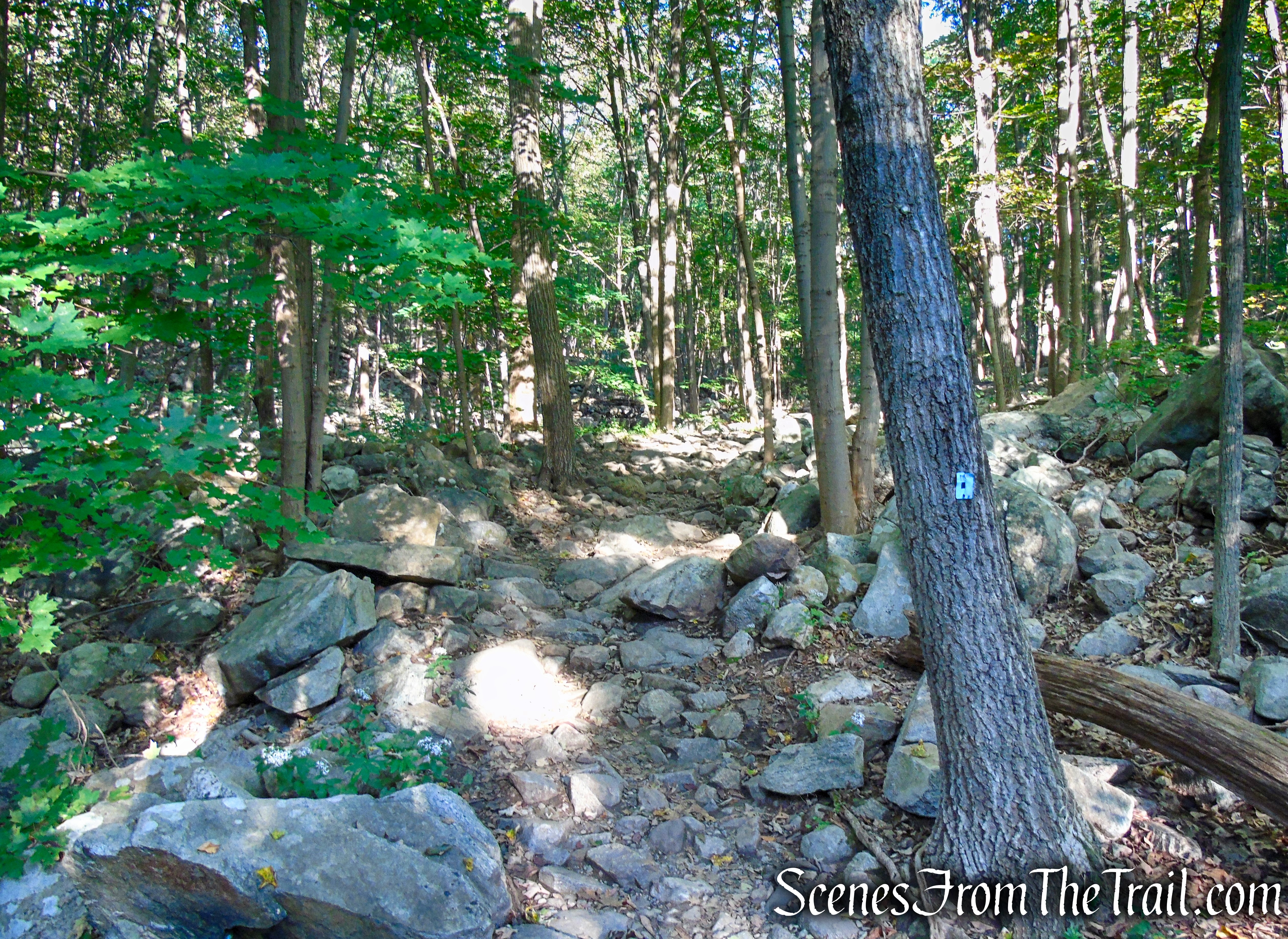
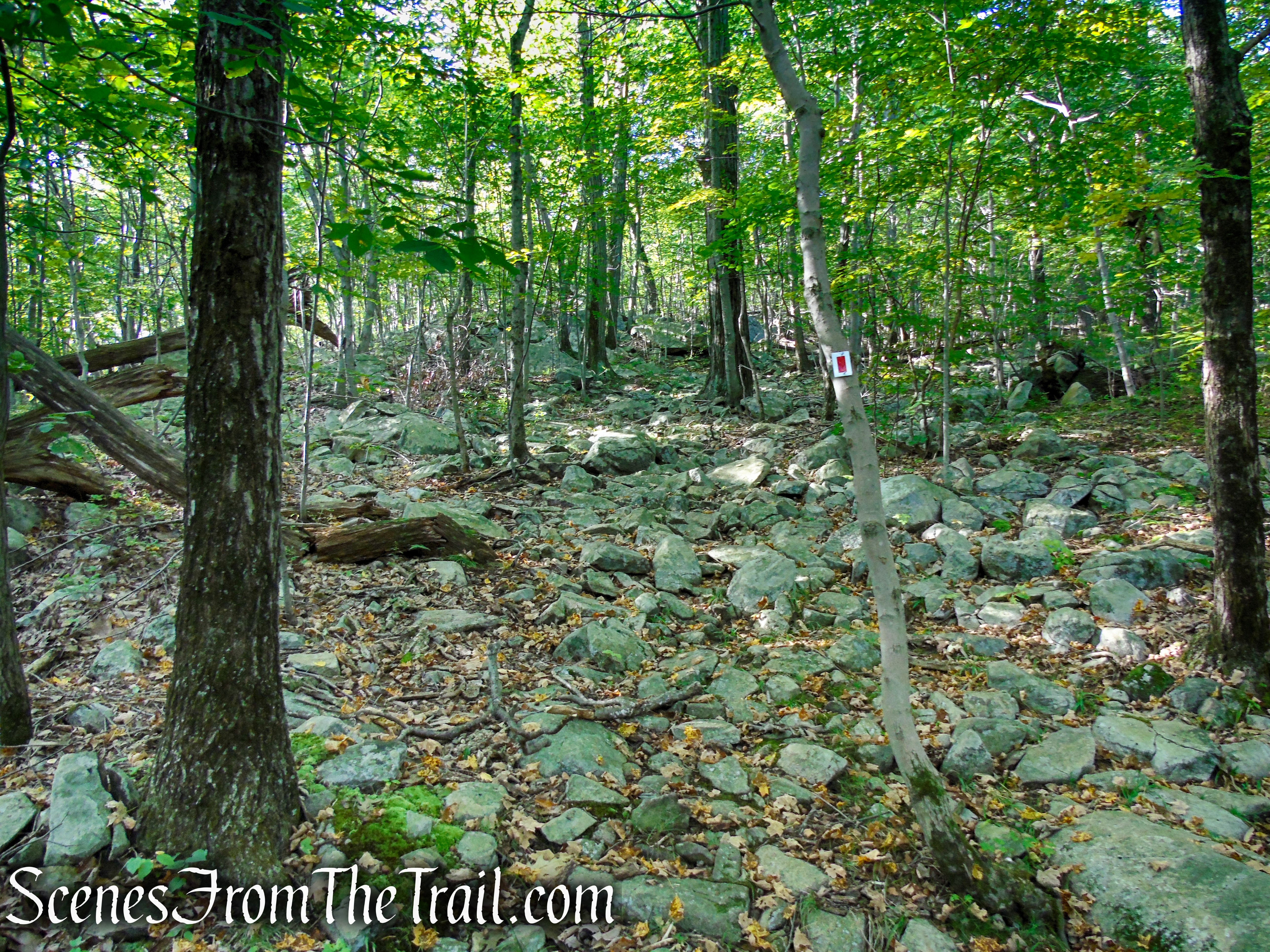
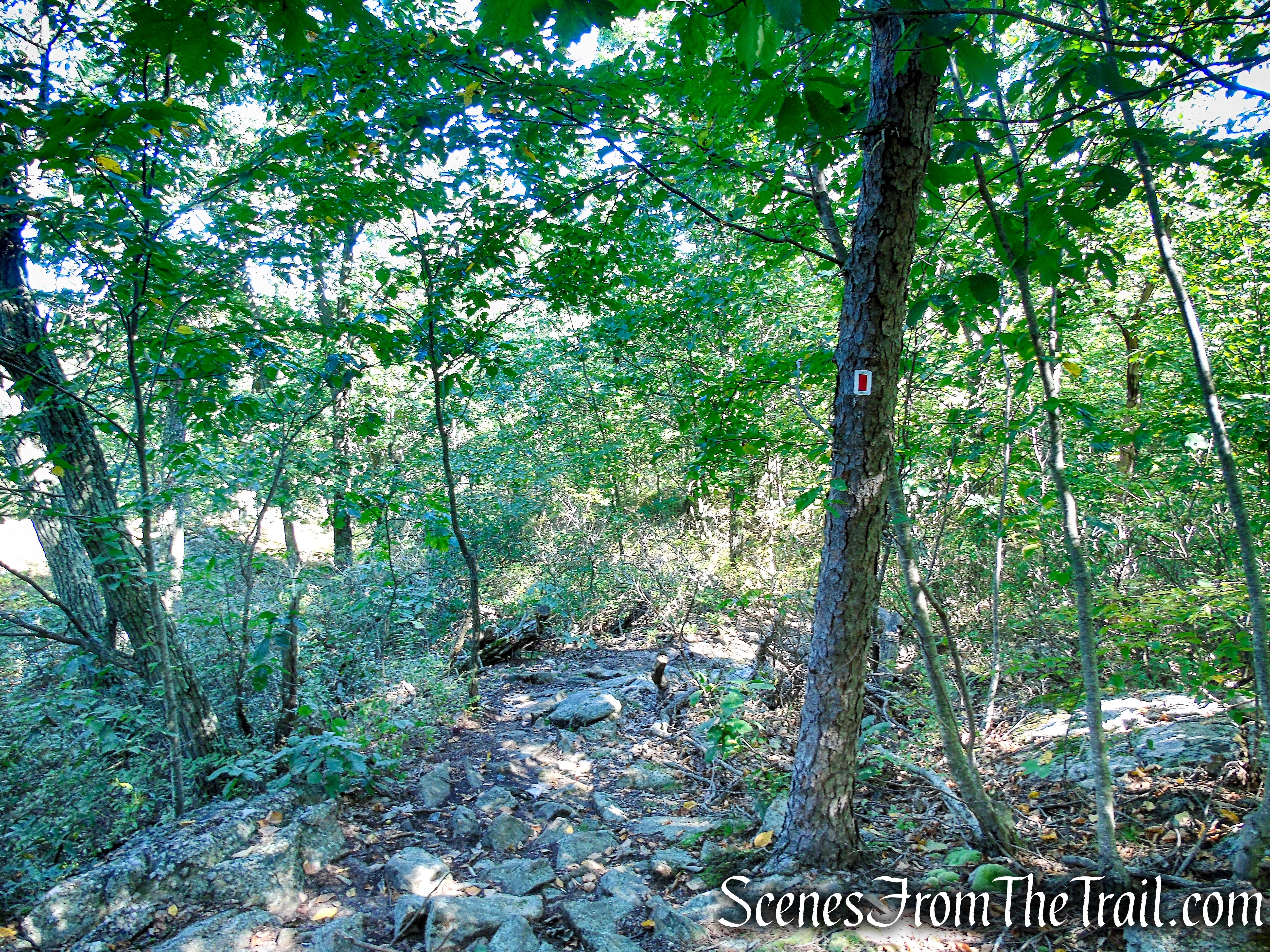
Return to the trail and turn left. The red-on-white trail continues at about the same elevation, with several short but steep ups and downs, for two-thirds of a mile. Along the way, a side trail on the left (reached after a short climb) leads to another rock ledge with a limited east-facing view.
LeGrande Hill Loop – Ramapo Mountain State Forest
limited east-facing view – LeGrande Hill Loop
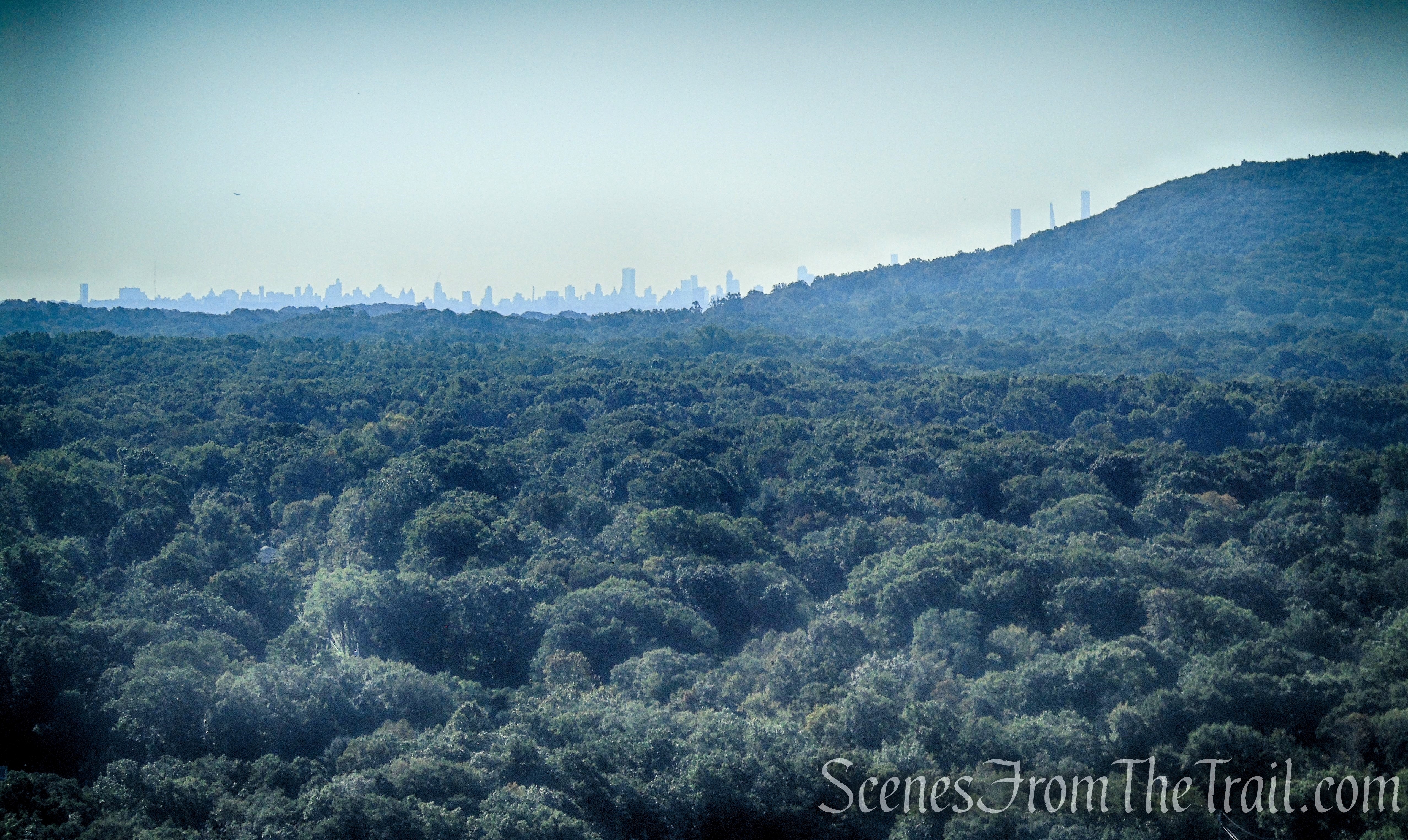
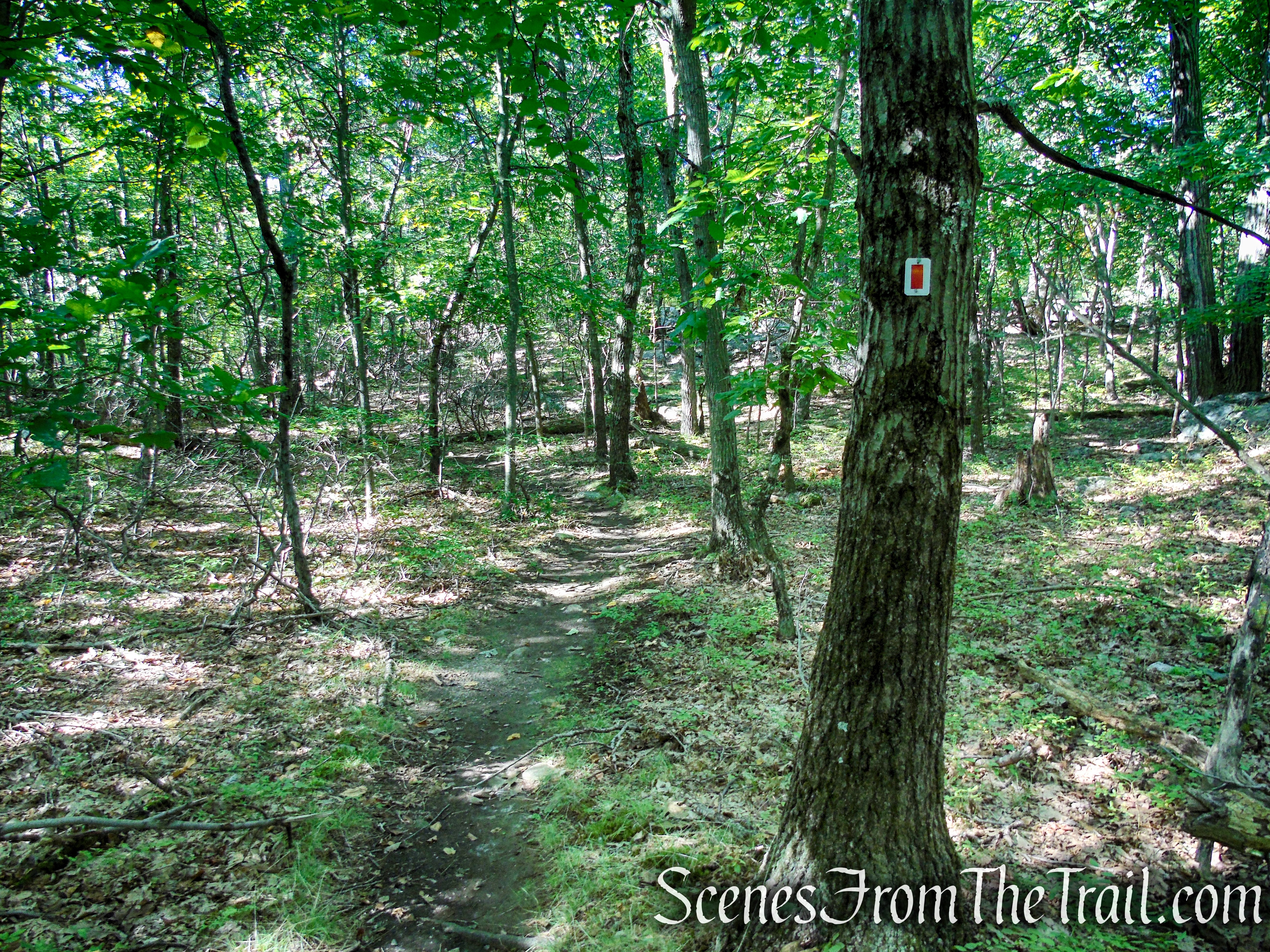
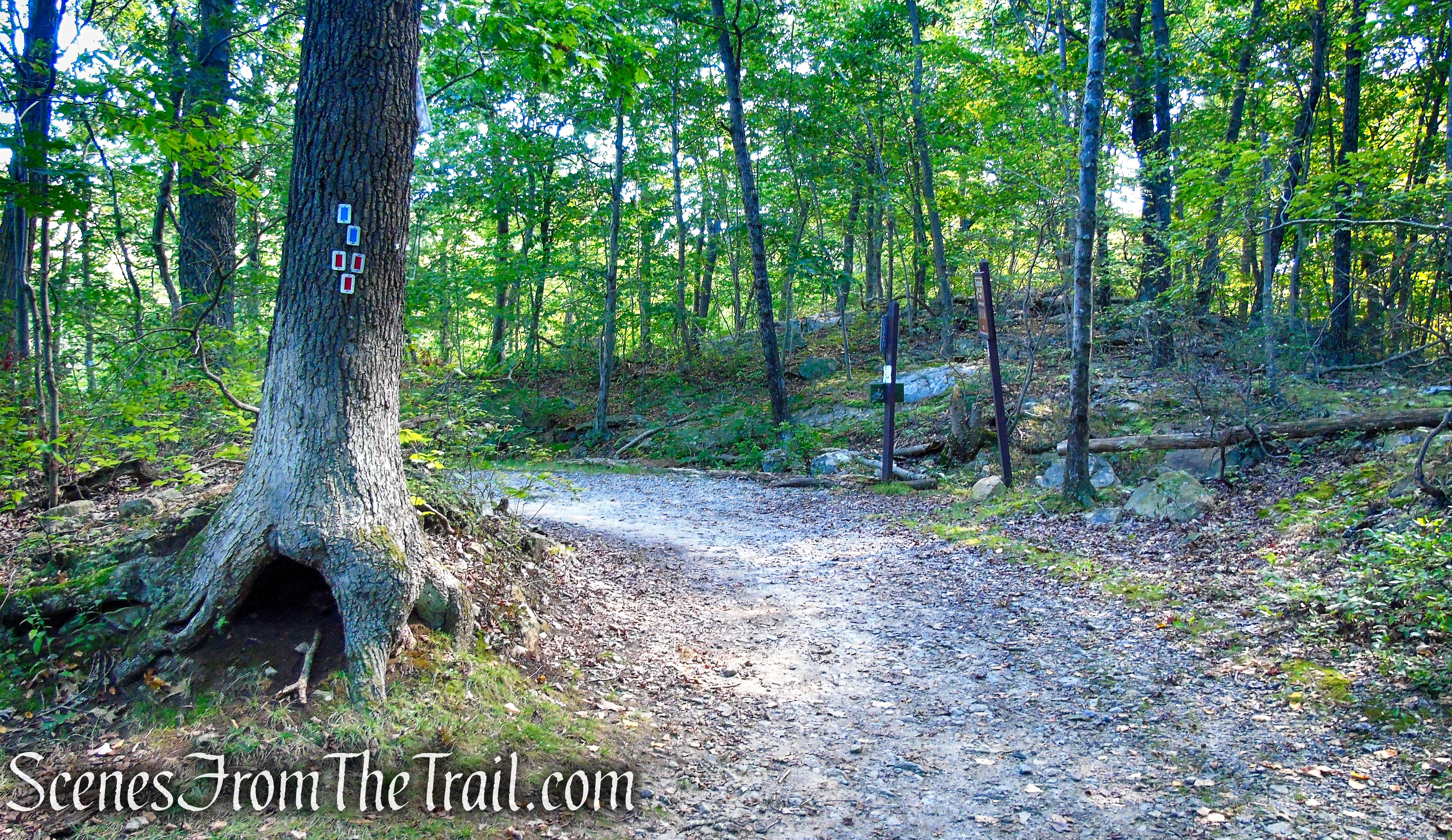
Then, after passing a cliff on the right and climbing around to the top of the cliff, you’ll reach a junction with the red/blue-blazed LeGrande-Lake Connector amidst pine trees. Turn left at this junction and follow the red/blue trail. A few steps ahead along this trail is a rock outcrop, with pitch pines. At the base of the outcrop, a short trail leads to a west-facing viewpoint. The Wyanokies stand out in sharp contrast against the horizon.
LeGrande Hill Loop – Ramapo Mountain State Forest
turn left red/blue-blazed LeGrande-Lake Connector Trail
west-facing viewpoint – LeGrande-Lake Connector Trail
west-facing viewpoint – LeGrande-Lake Connector Trail
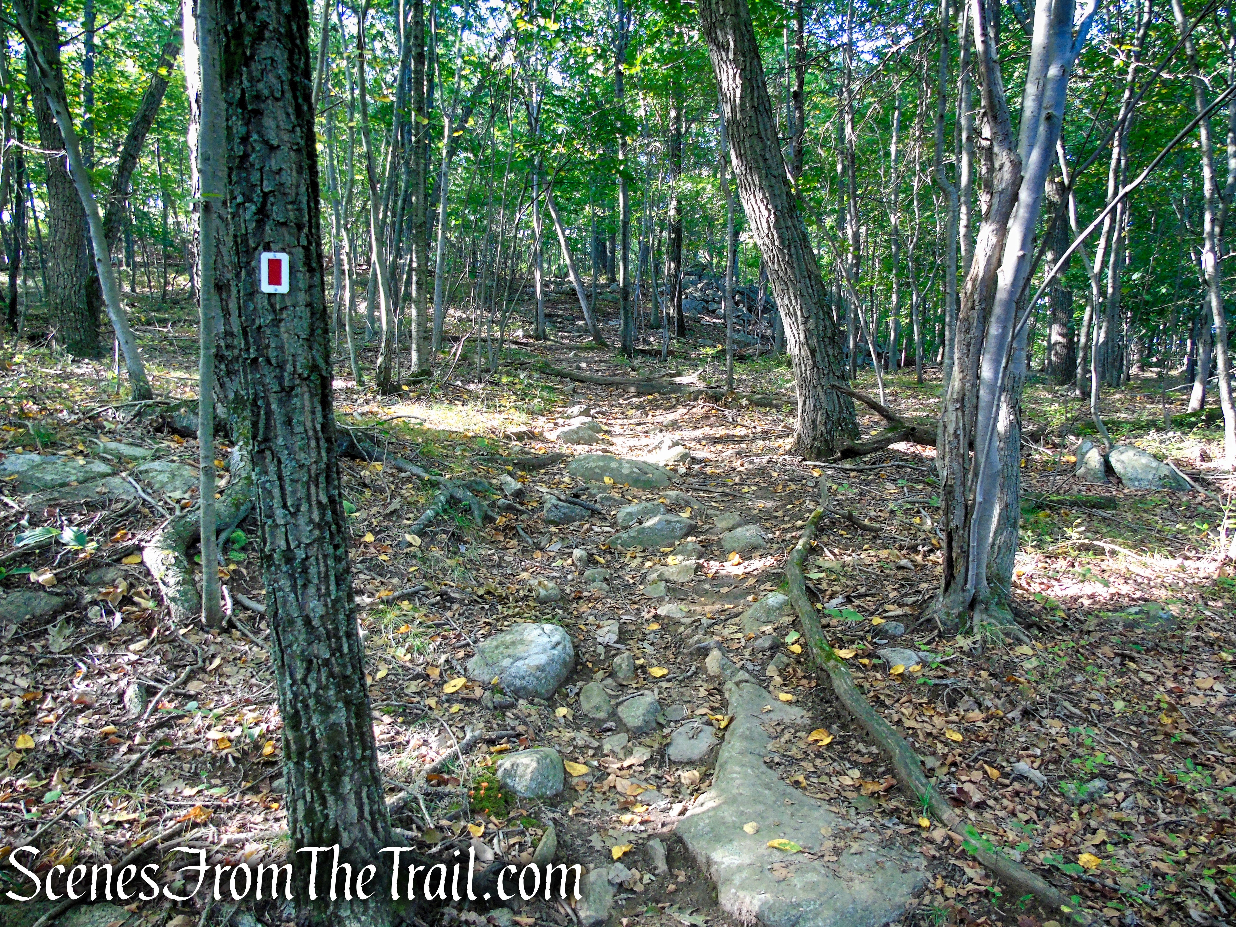
Return to the junction and bear left on the red-on-white-blazed LeGrande Hill Loop. Soon, you’ll reach a rock ledge with a broader view over the Wyanokies in the distance.
LeGrande Hill Loop – Ramapo Mountain State Forest
LeGrande Hill Loop – Ramapo Mountain State Forest
view over the Wyanokies – LeGrande Hill Loop
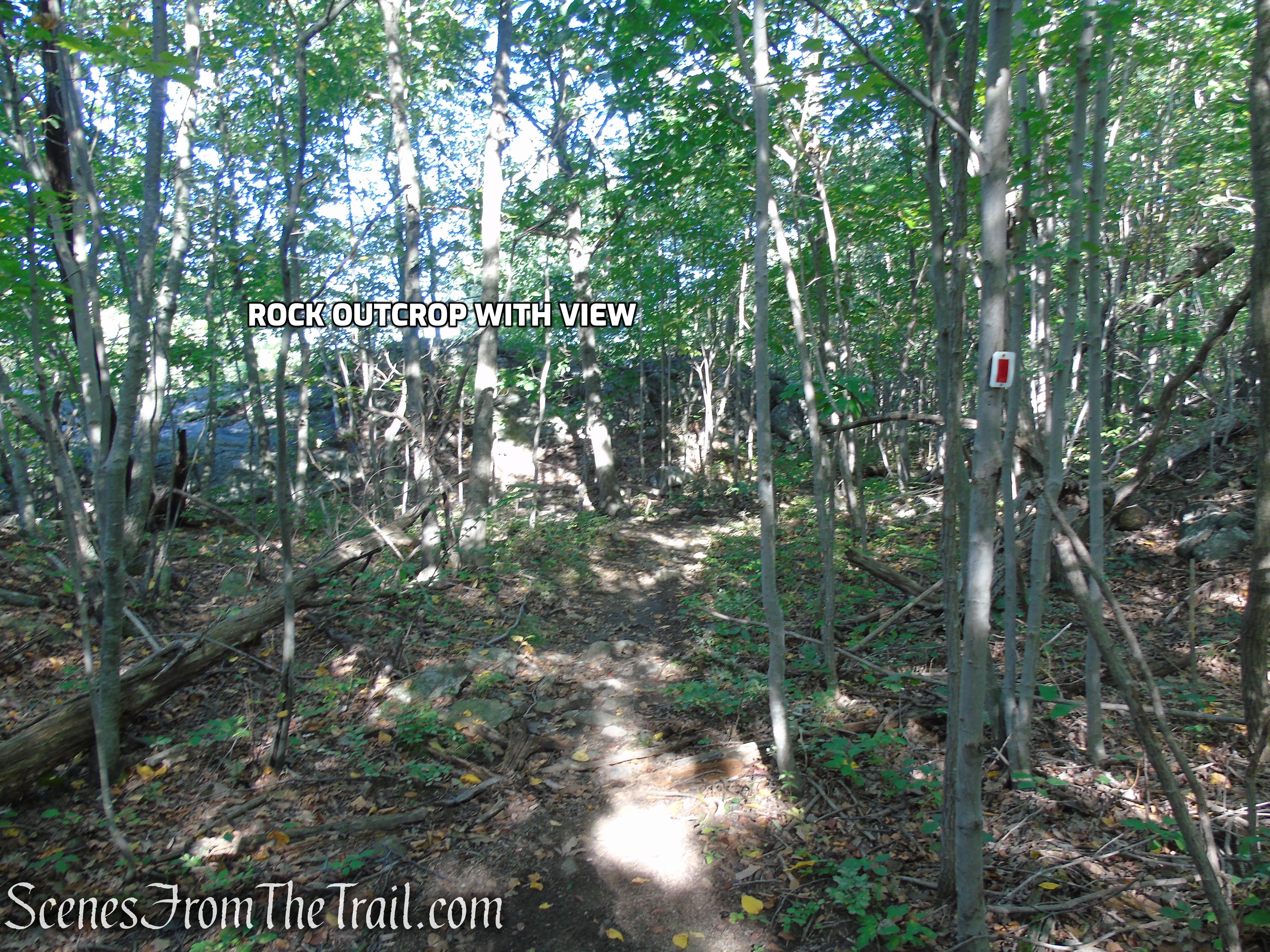
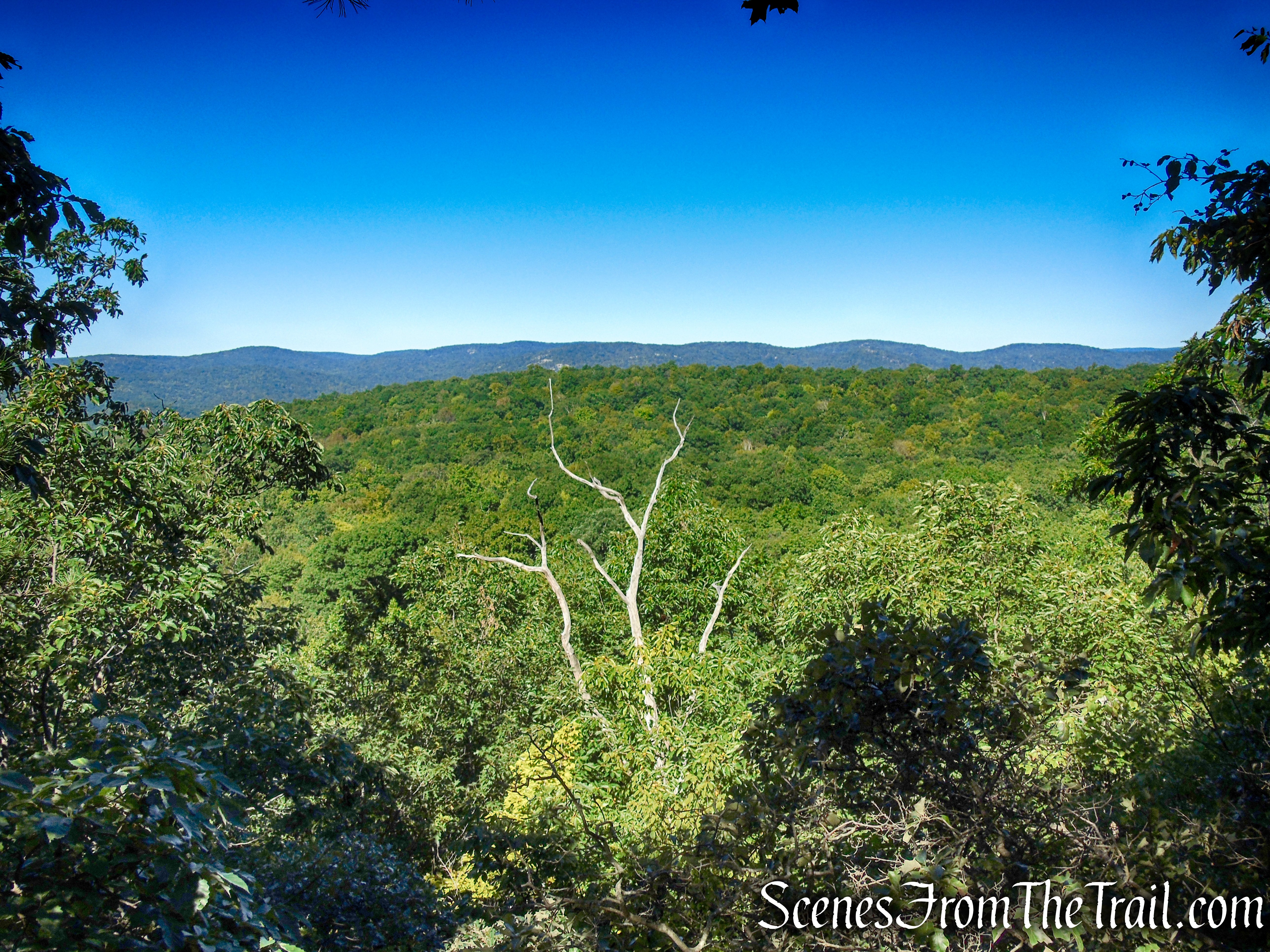
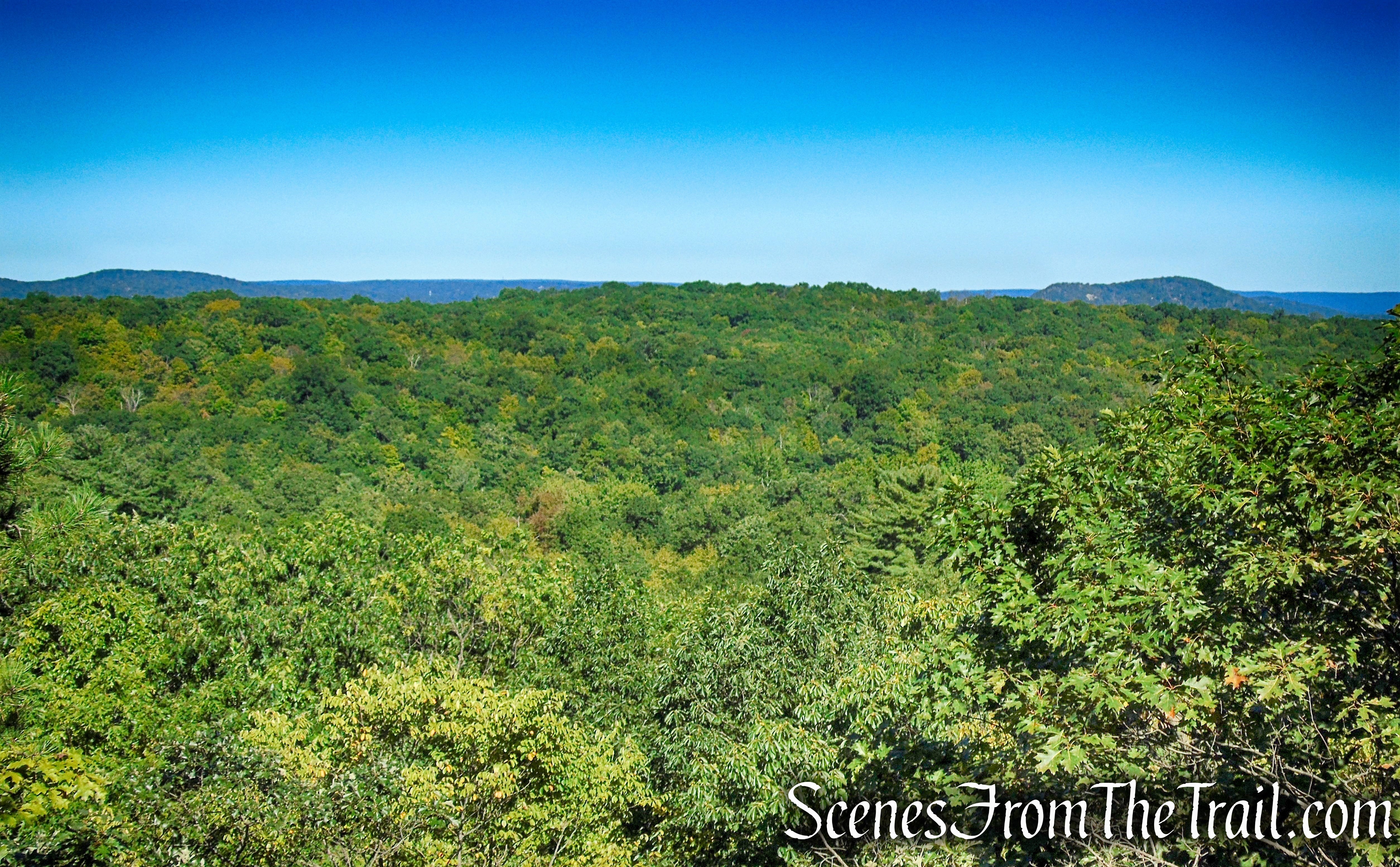
Then, after crossing a seasonal stream, the trail climbs to pass a vernal pool, below on the right. After climbing some more, you’ll reach a rock outcrop with an expansive view over the Wyanokies and Ramapo Lake below. You’ll want to pause here to enjoy the view.
LeGrande Hill Loop – Ramapo Mountain State Forest
LeGrande Hill Loop – Ramapo Mountain State Forest
LeGrande Hill Loop – Ramapo Mountain State Forest
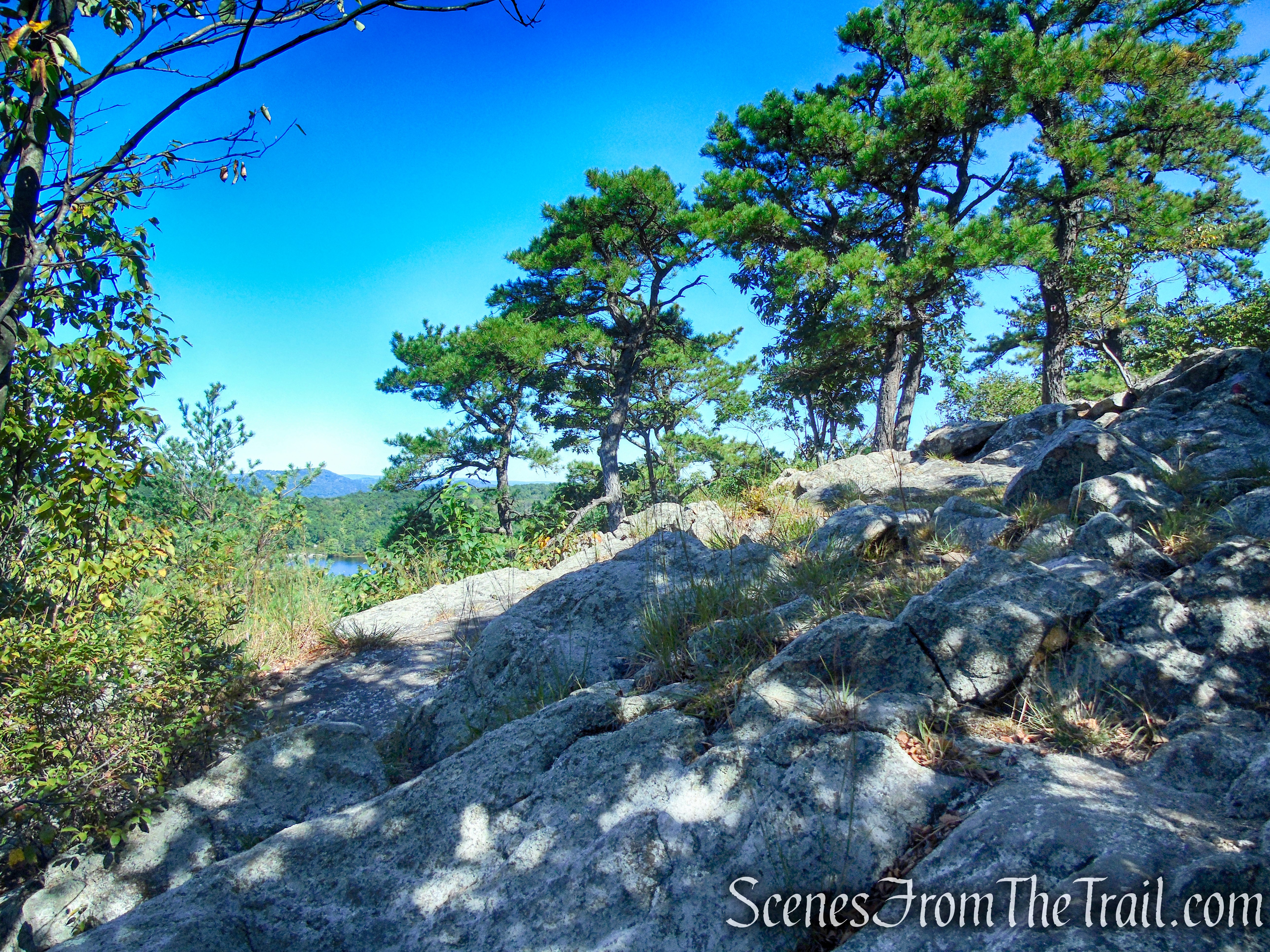
LeGrande Hill Loop – Ramapo Mountain State Forest
The prominent peak behind Ramapo Lake is Windbeam Mountain.
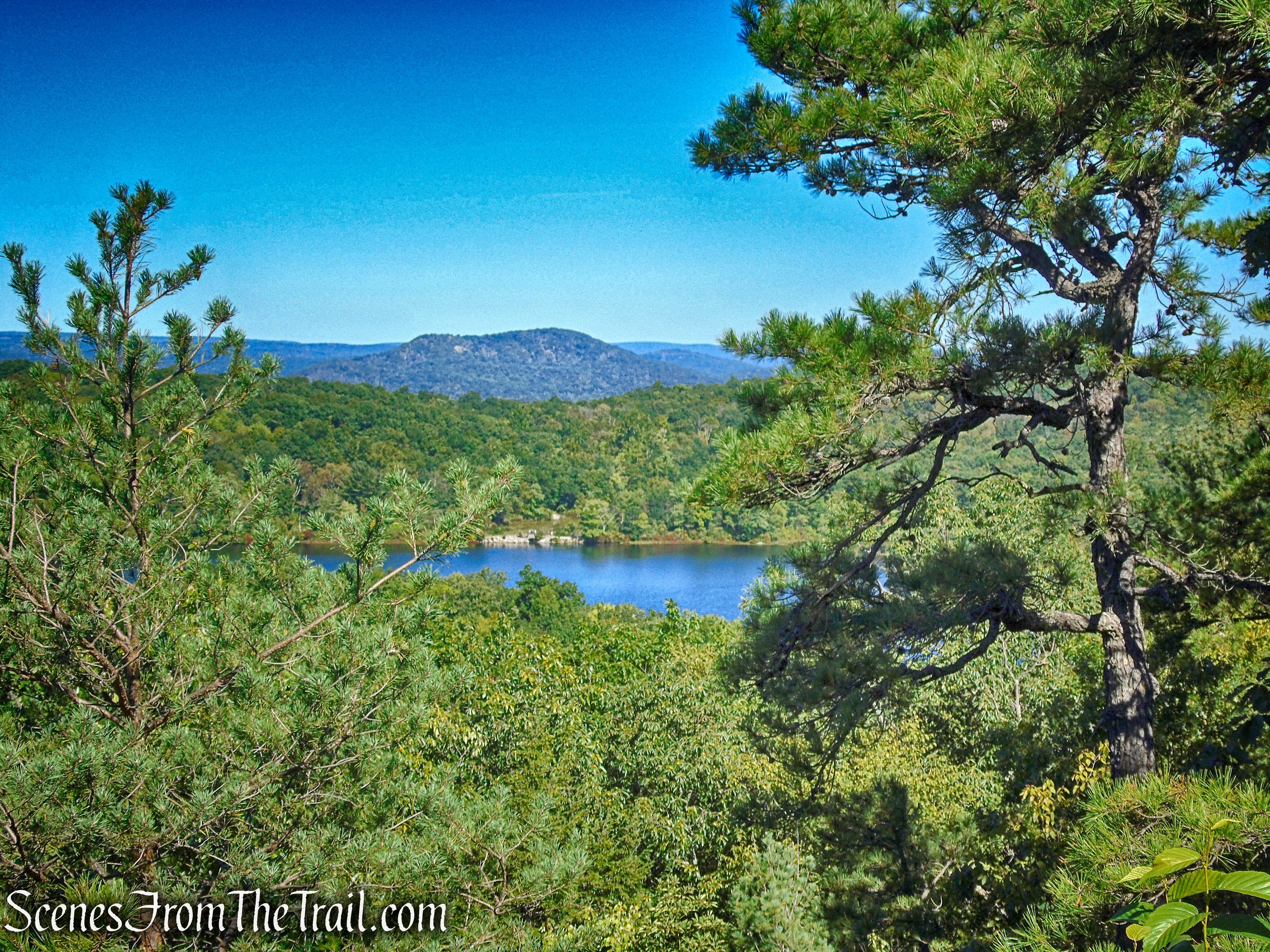
view over the Wyanokies and Ramapo Lake – LeGrande Hill Loop
From the viewpoint, the trail descends steadily, passing another vernal pool on the right, and soon ends at the gravel road that runs along the shore of the lake.
LeGrande Hill Loop – Ramapo Mountain State Forest
LeGrande Hill Loop – Ramapo Mountain State Forest
LeGrande Hill Loop – Ramapo Mountain State Forest
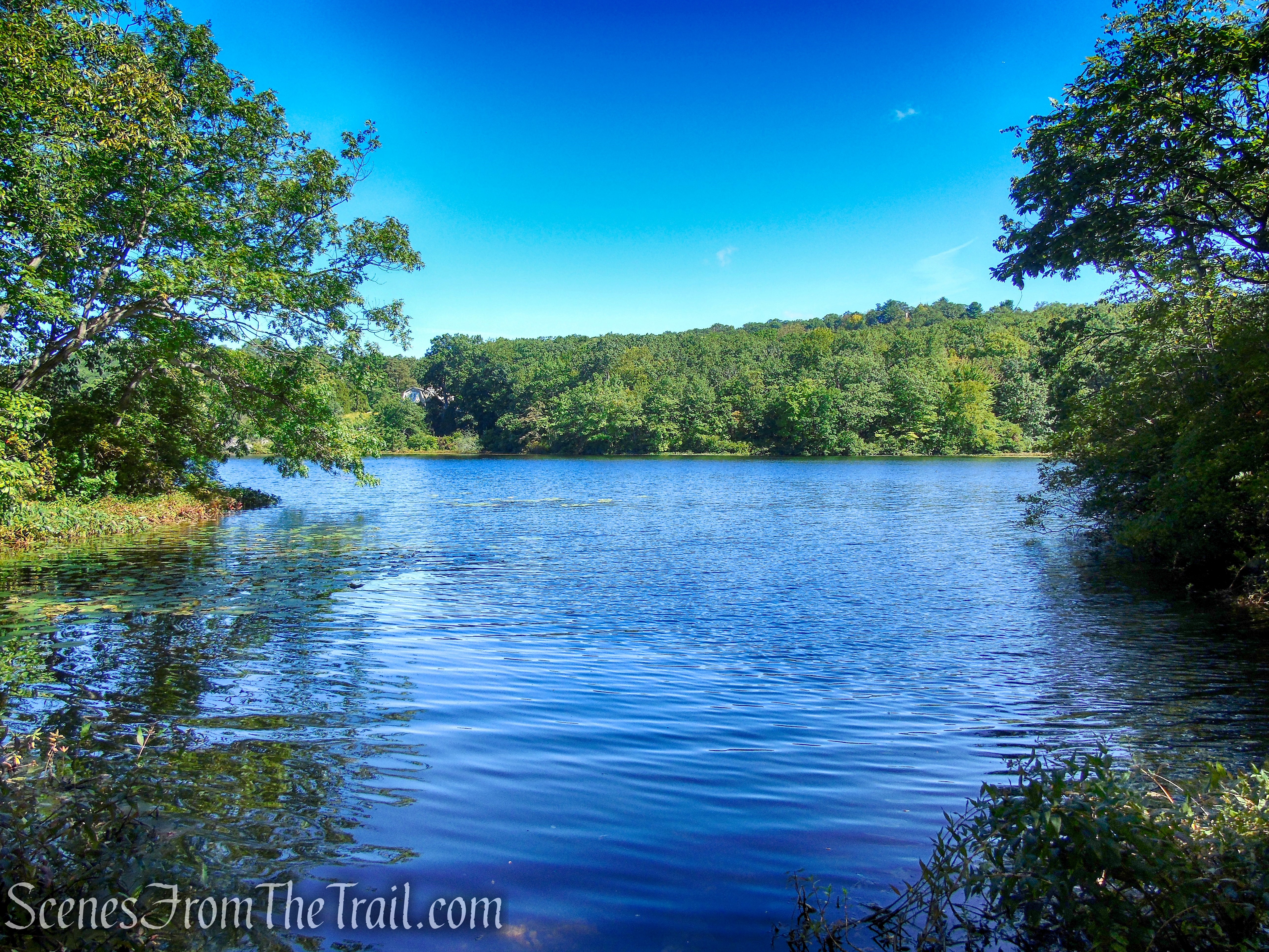
Ramapo Lake – Ramapo Mountain State Forest
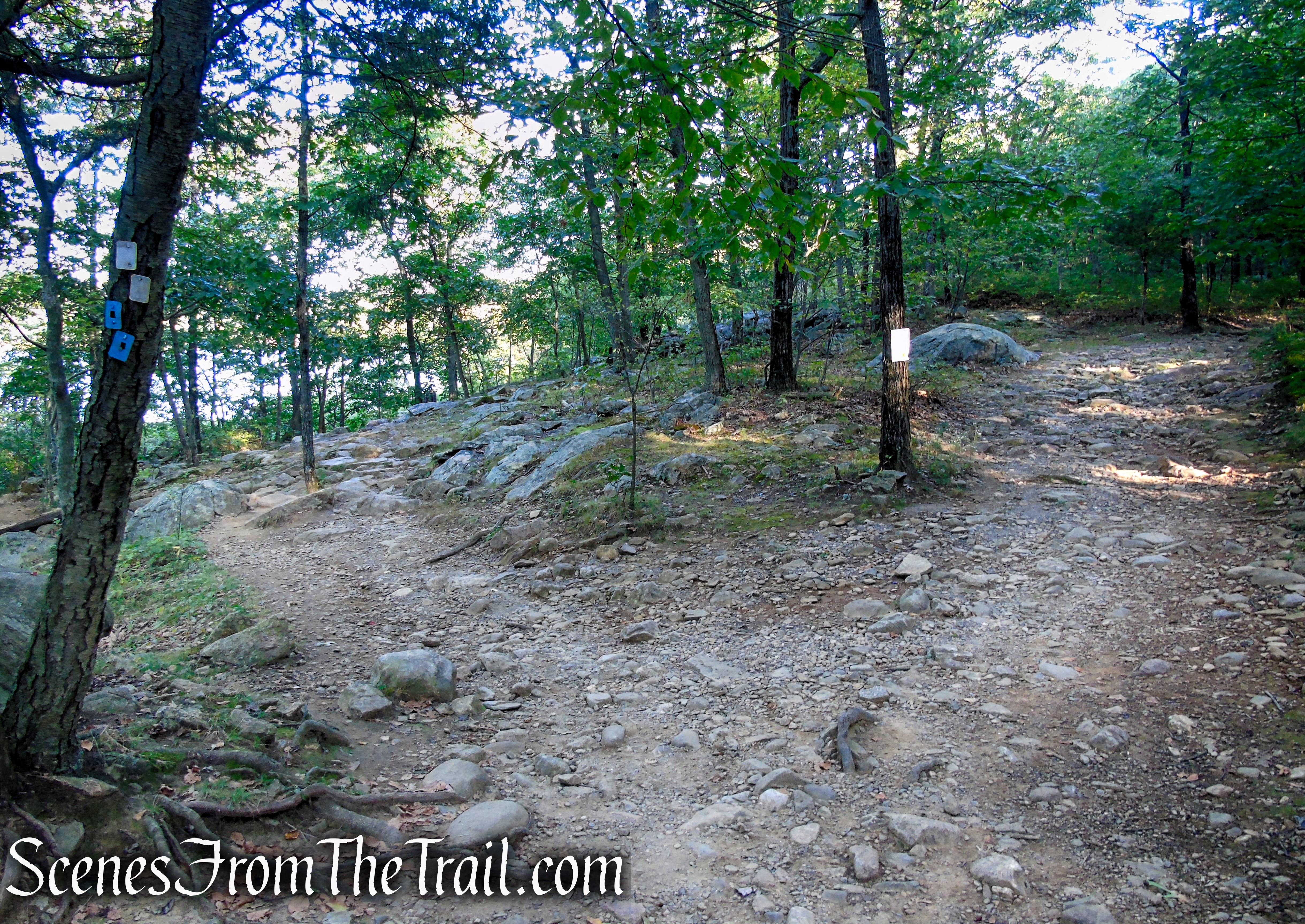
Turn right onto the gravel road. The LeGrande Hill Loop is now co-aligned with the blue-on-white-blazed Ramapo Lake Loop Trail. In about 500 feet, the LeGrande Hill Loop Trail ends, closing the loop. Proceed ahead on the blue-on-white-blazed Ramapo Lake Loop Trail, crossing the dam.
LeGrande Hill Loop – Ramapo Mountain State Forest
Ramapo Lake Loop – Ramapo Mountain State Forest
Ramapo Lake Dam – Ramapo Mountain State Forest
Ramapo Lake – Ramapo Mountain State Forest
When you reach the north end of the dam, turn right at a sign for the Castle Loop Trail and the Ramapo Lake Spur Trail, proceed through a gap in the guardrail, and continue along the black-square-on-blue-blazed Ramapo Lake Spur, retracing your steps back to the parking area where the hike began.
turn right on Ramapo Lake Spur Trail
Ramapo Lake Spur – Ramapo Mountain State Forest
Ramapo Lake Spur – Ramapo Mountain State Forest
Review:
Although the views are less than spectacular, it was a nice hike. We did not see anyone on the LeGrande Hill Loop and a handful near the lake. As always, we got an early start to beat the crowds. The lot was full when we returned to the parking lot at approximately 11:30 am. This hike can be combined with the Ramapo Lake Loop or the Van Slyke Castle Loop for a longer hike.
Pros:
Well marked trails that are easy to follow, scenic area.
Cons:
Parking lot fills up early on weekends, views are not that great.
Take a hike!
LeGrande Hill Loop – Ramapo Mountain State Forest
Sources:
- New York-New Jersey Trail Conference
- Ramapo Mountain State Forest – New Jersey State Park Service
- Trails of Ramapo Mountain State Forest
