June 26, 2022 – Cold Spring, NY
Difficulty: Strenuous
Length: Approximately 4.6 miles
Max elevation: 1,112 ft.– total elevation gain approximately 1,200 ft.
Route type: Circuit
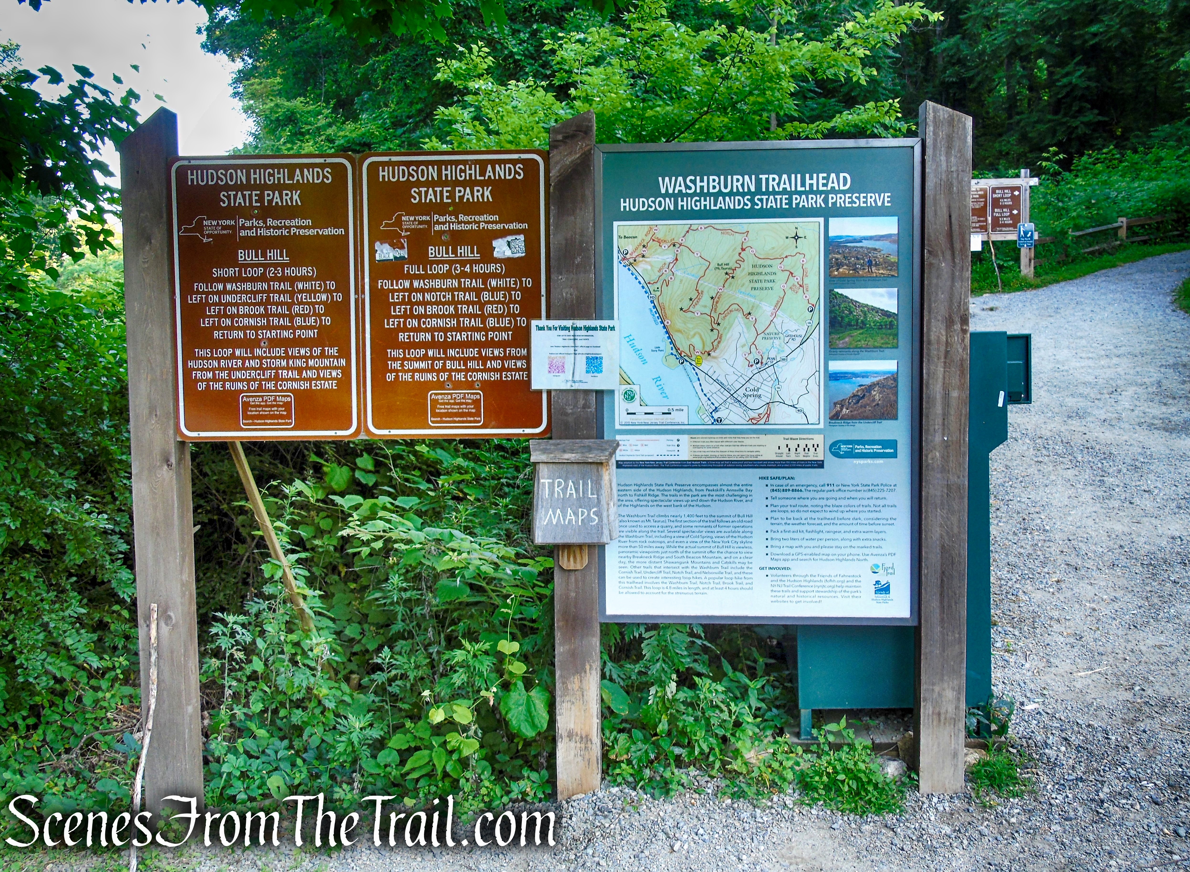
Buy Maps (Paper & Avenza): East Hudson Trails Map #102
Free Web Map: Hudson Highlands North Trail Map 2021
Free Avenza App Map: Hudson Highlands North Trail Map 2019
Trailhead parking: Route 9D – Bear Mountain-Beacon Hwy, Cold Spring, NY
47-space parking lot – Portable bathrooms on site
The park is open year round from sunrise to sunset.
Overview:
Bull Hill, also known as Mount Taurus, is a mountain just north of the Village of Cold Spring on the Hudson River in Putnam County, NY. It is part of the river-straddling mountain range known as the Hudson Highlands. While not as well known as its neighbor to the north Breakneck Ridge or Storm King Mountain across the river, it is part of Hudson Highlands State Park Preserve and has an extensive trail system, offering hikers sweeping views of the river and neighboring peaks from rock outcrops near its wooded 1,420-foot summit, higher than both Breakneck Ridge and Storm King Mountain.
Bull Hill as viewed from Storm King Mountain – September 15, 2018
Hudson Highlands State Park Preserve consists of a series of separate parcels of land stretching from Annsville Creek in Peekskill, north to Dennings Point in Beacon. The mostly undeveloped preserve of over 8,000 acres, has over 70 miles of trails which includes terrain that varies from easy to challenging. The Park Preserve protects a mosaic of special habitats from the estuarine shore of the Hudson River, through young deciduous forest, to the rocky ridges and summits towering above the surrounding area, providing a haven for many plants and animals just 50 miles north of New York City. The Hudson Highlands and Hudson River provide spectacular backdrops for the many outdoor activities that can be enjoyed here, such as hiking, boating, fishing, and birding.
History:
The original name “Bull Hill” came after a bull that used to terrorize the mountain was chased by indignant inhabitants. A hunting party drove the bull over the hill. In an attempt to flee the mountaineers, the bull plunged out into space and fell down. Its broken and shapeless mass on the rocks was memorialized in the name of the mountain the bull used to haunt. Don’t let the name fool you. This is a mountain, not a hill.
On the Washburn Trail, where the Bull Hill Loops begin, you’ll pass by the massive rock formations that were once a quarry owned by the Hudson River Stone Company from 1931-1967. The quarry produced hard gneissic rock for use in construction until mining operations ceased in 1944.
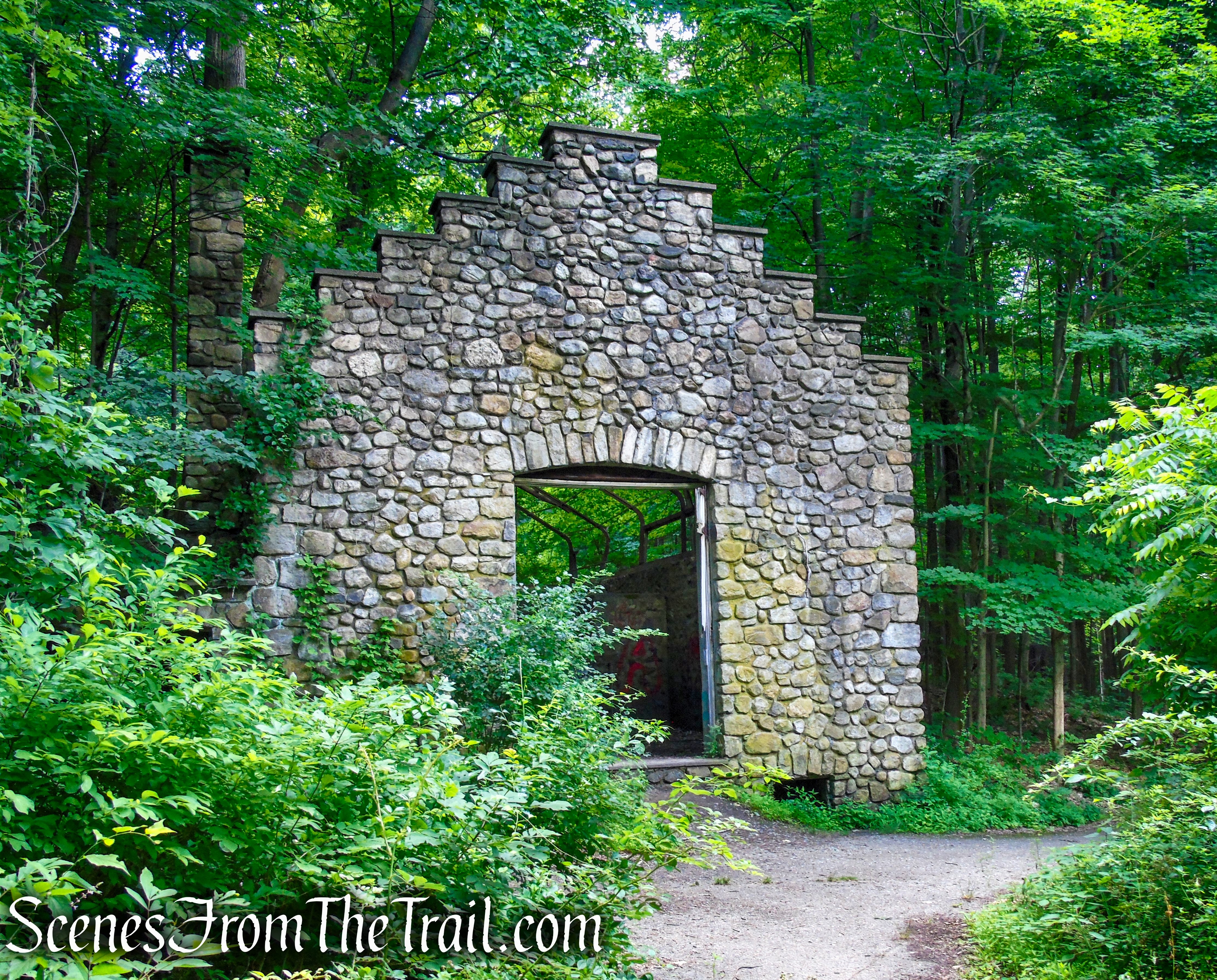
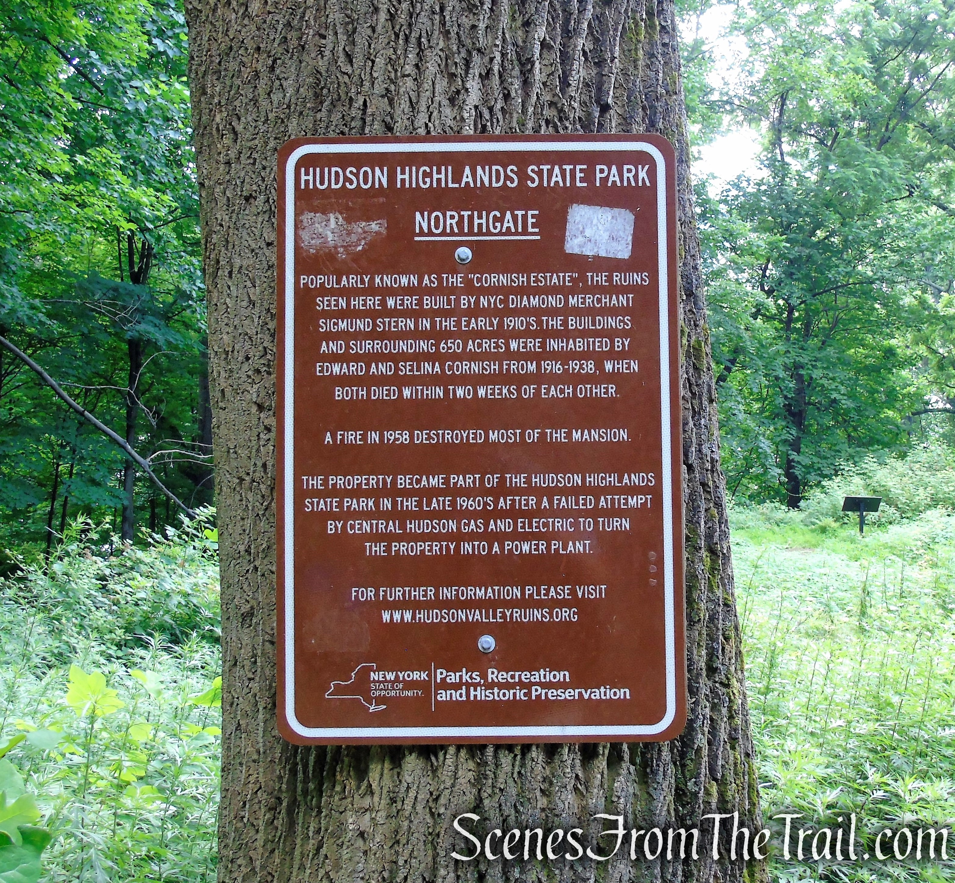
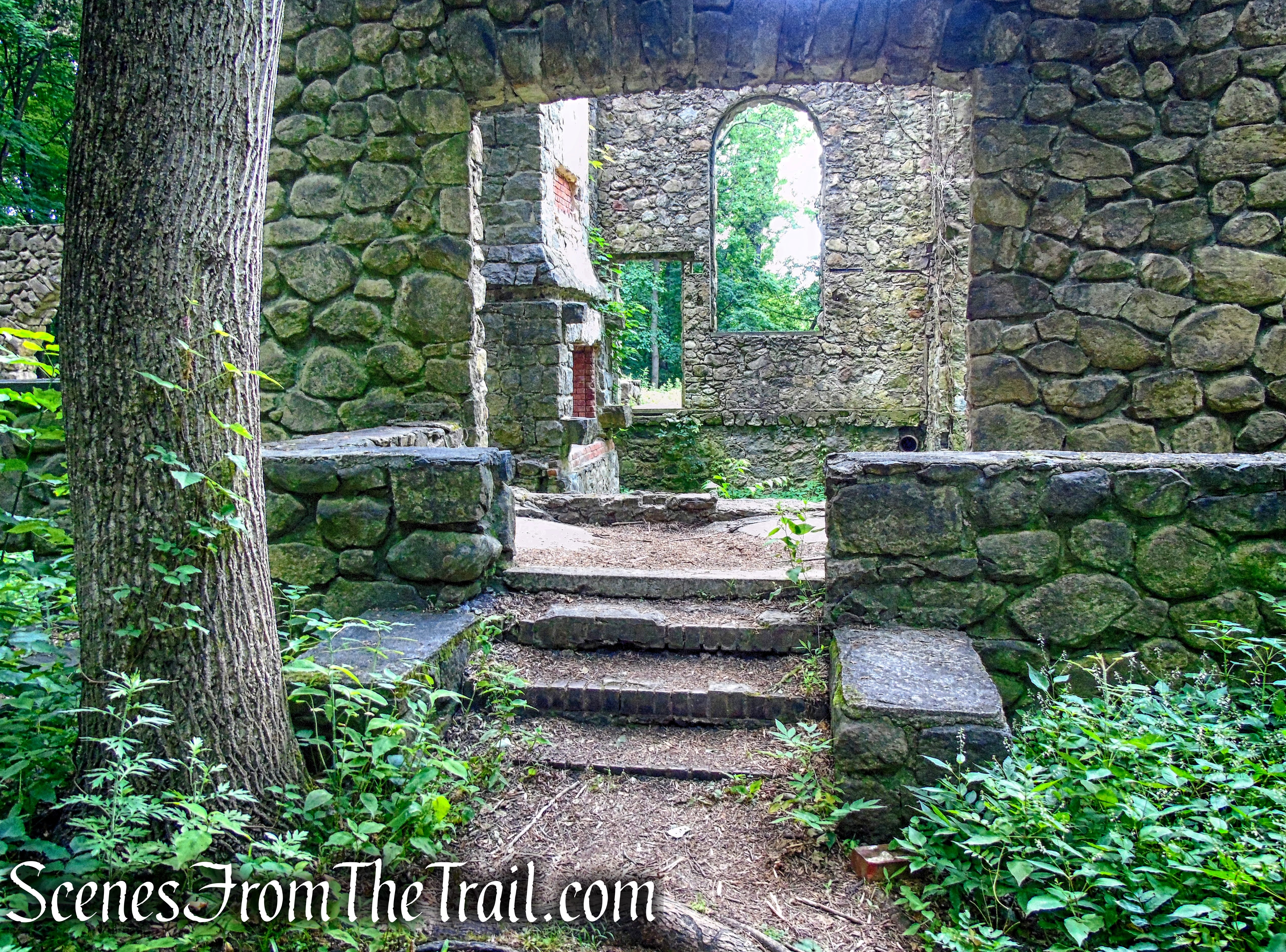
Located along the Cornish Trail, which is also the last leg of the Bull Hill Loops, are the ruins of the Cornish Estate. The estate was named Northgate by its owner, Edward Joel Cornish, who lived there with his wife from 1917-1938. What you’ll see on your hike is all that remains of the estate after a destructive fire in 1958.
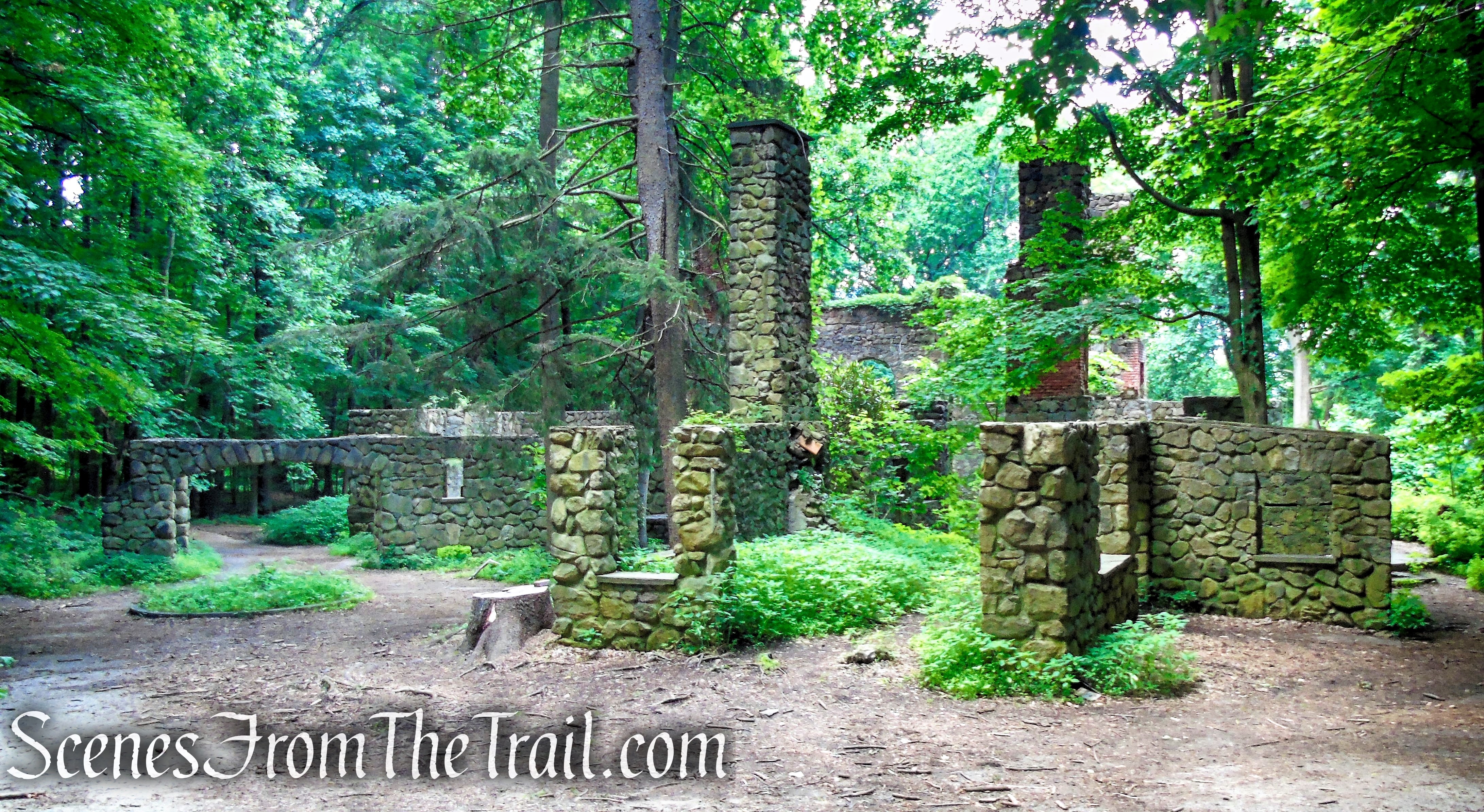
mansion ruins – Cornish Estate
Trails Overview:
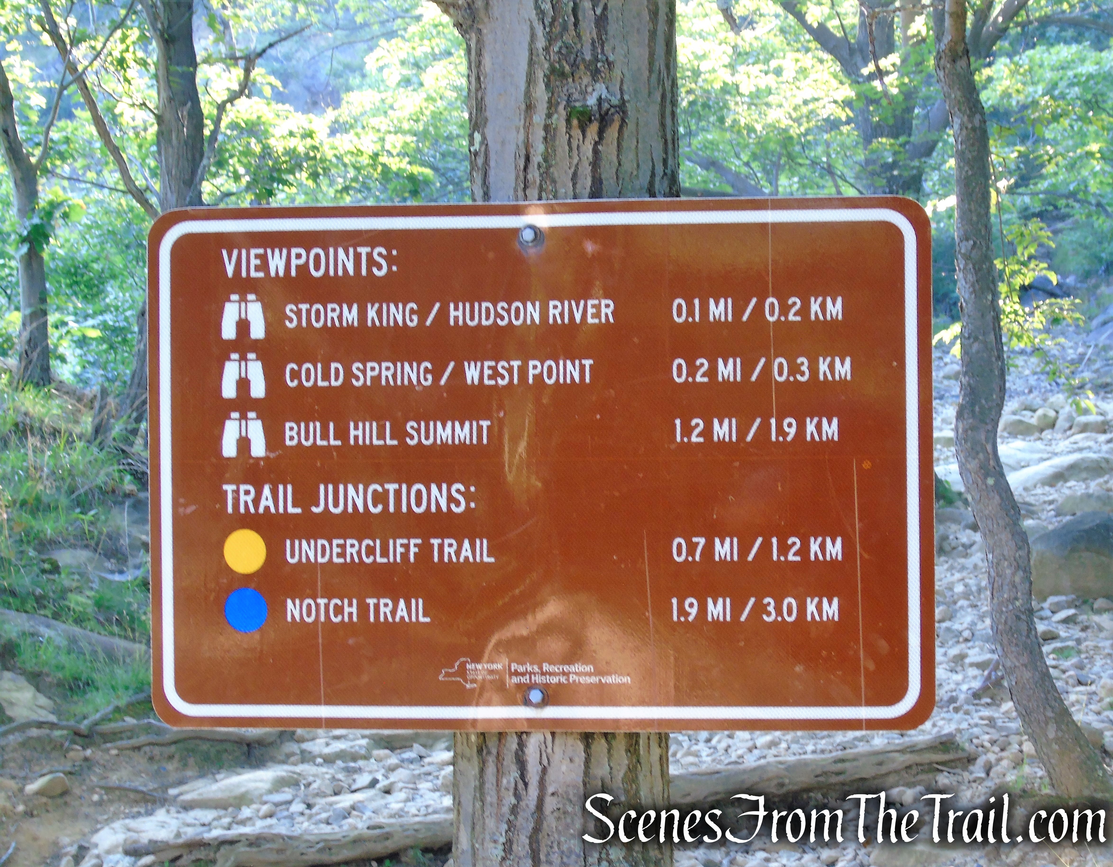
Please Note: Trail distances denoted below are in relation to this hike only and not the total distance of the trails.
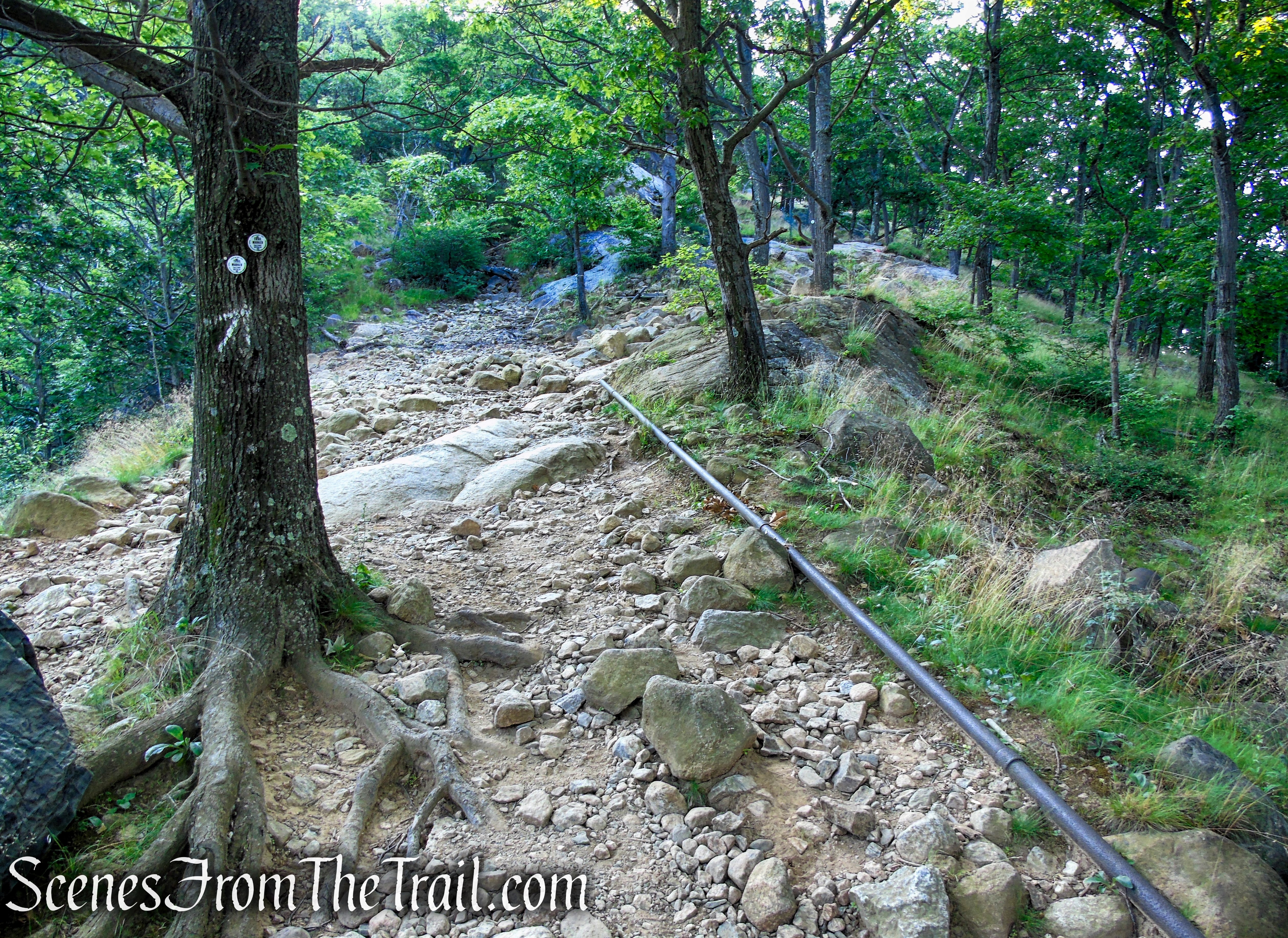
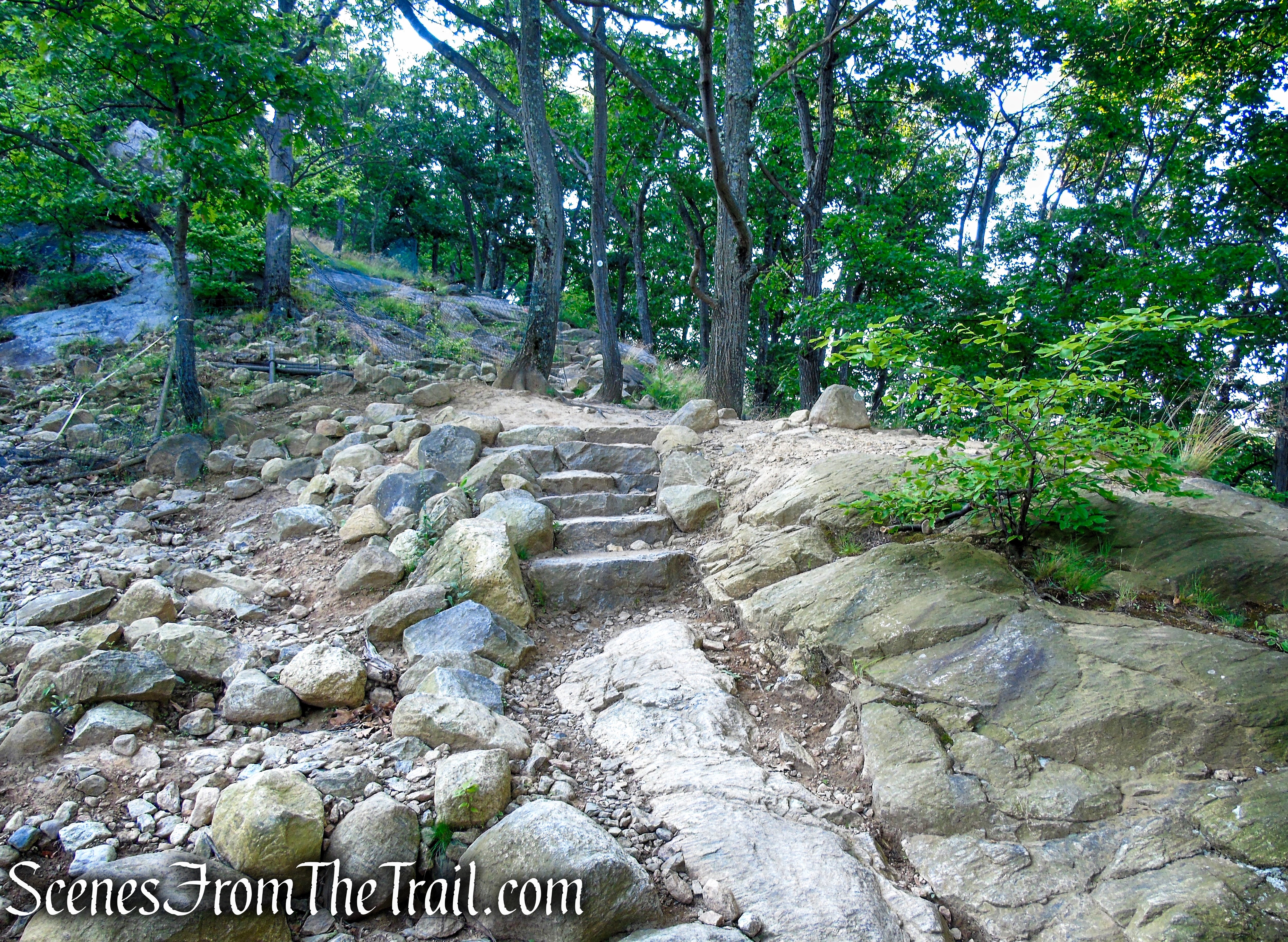
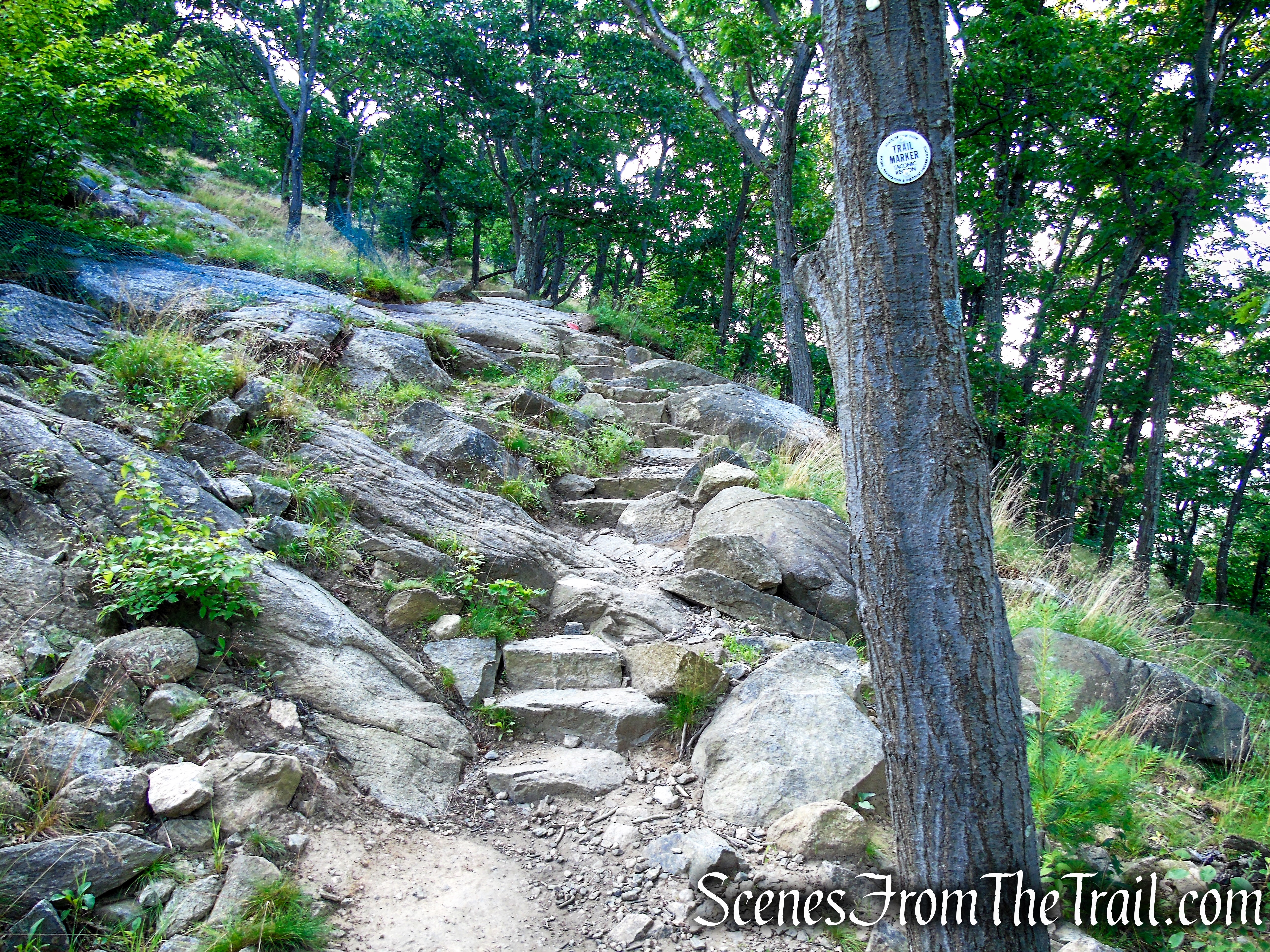
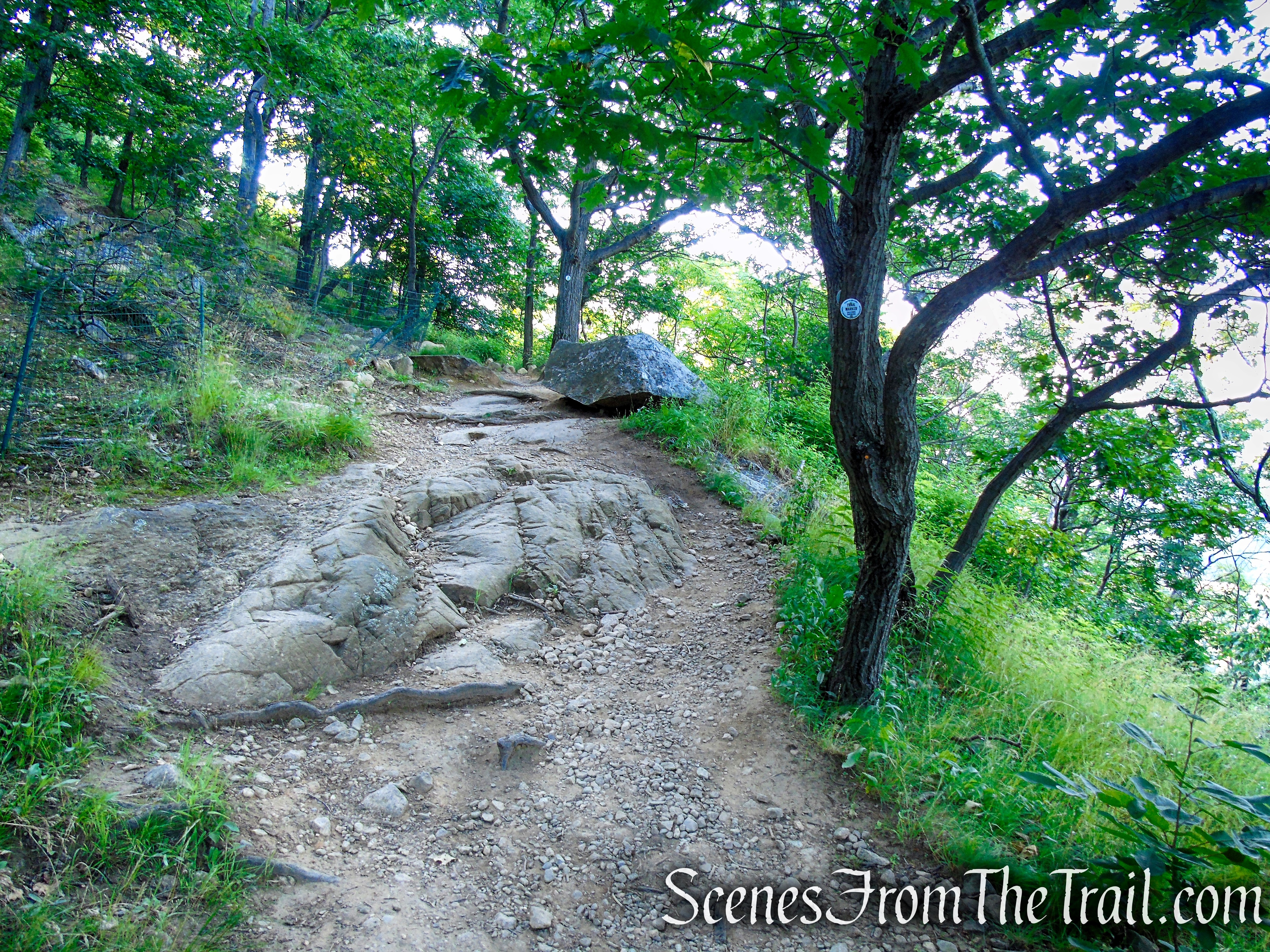
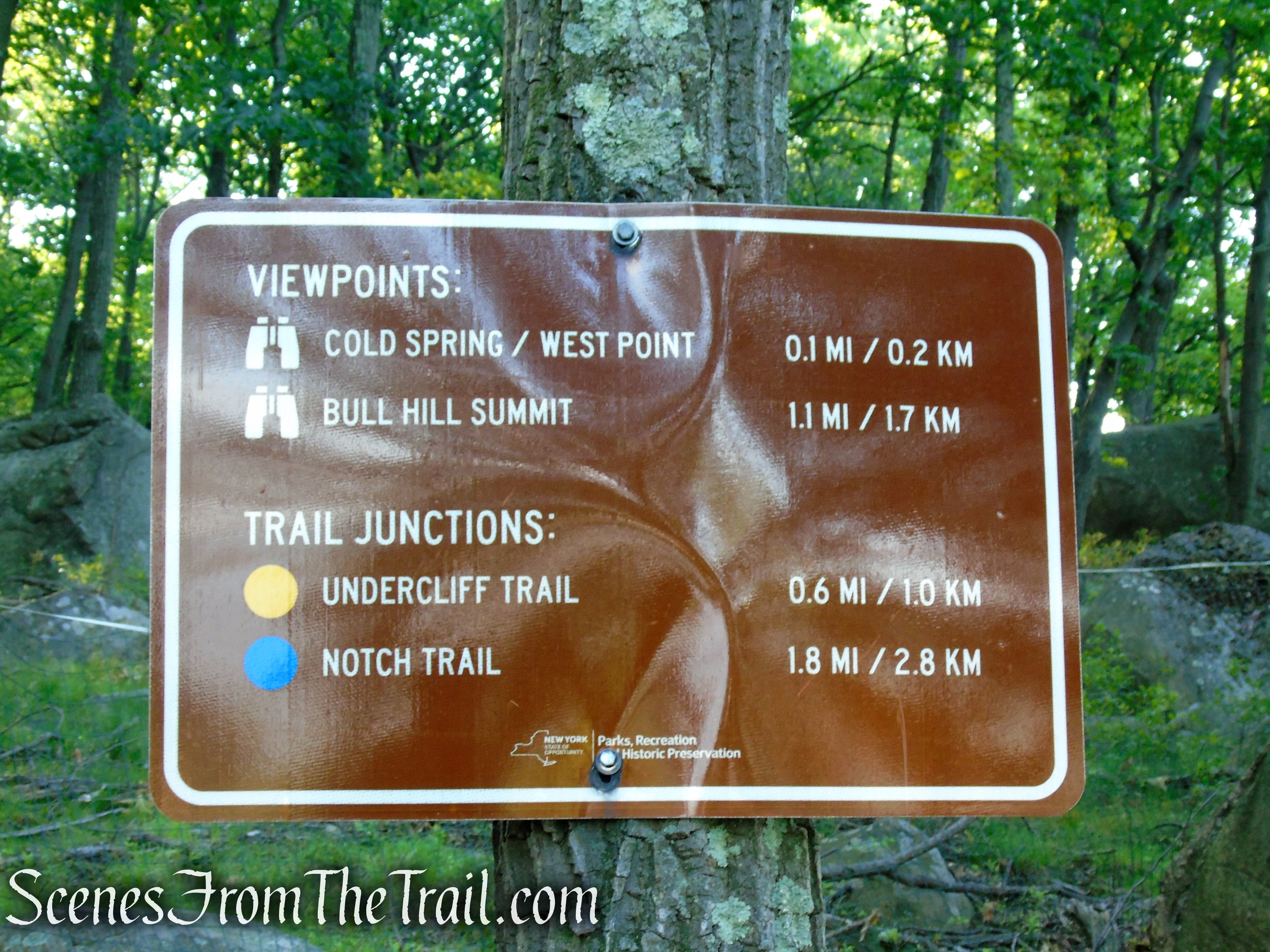
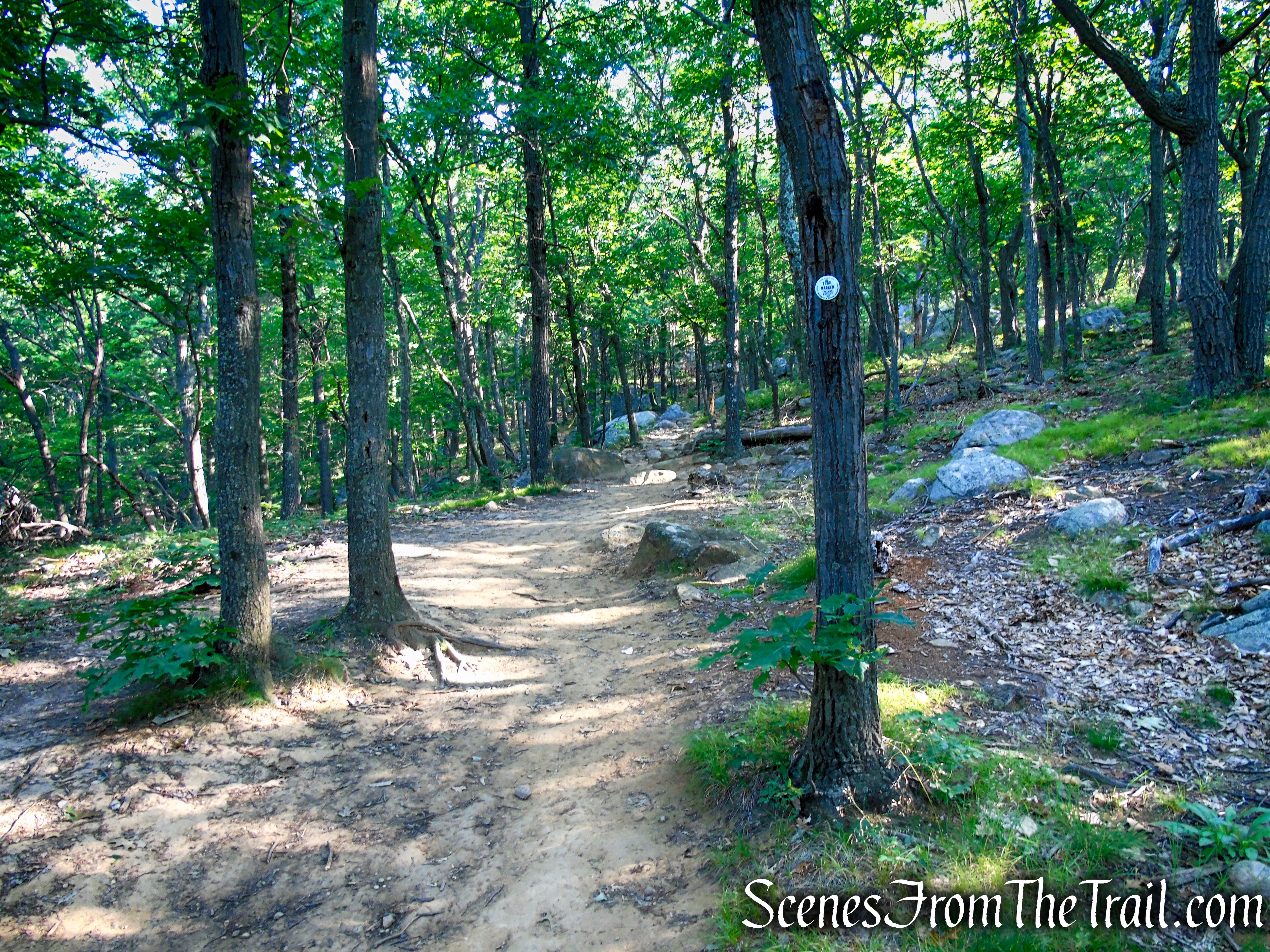
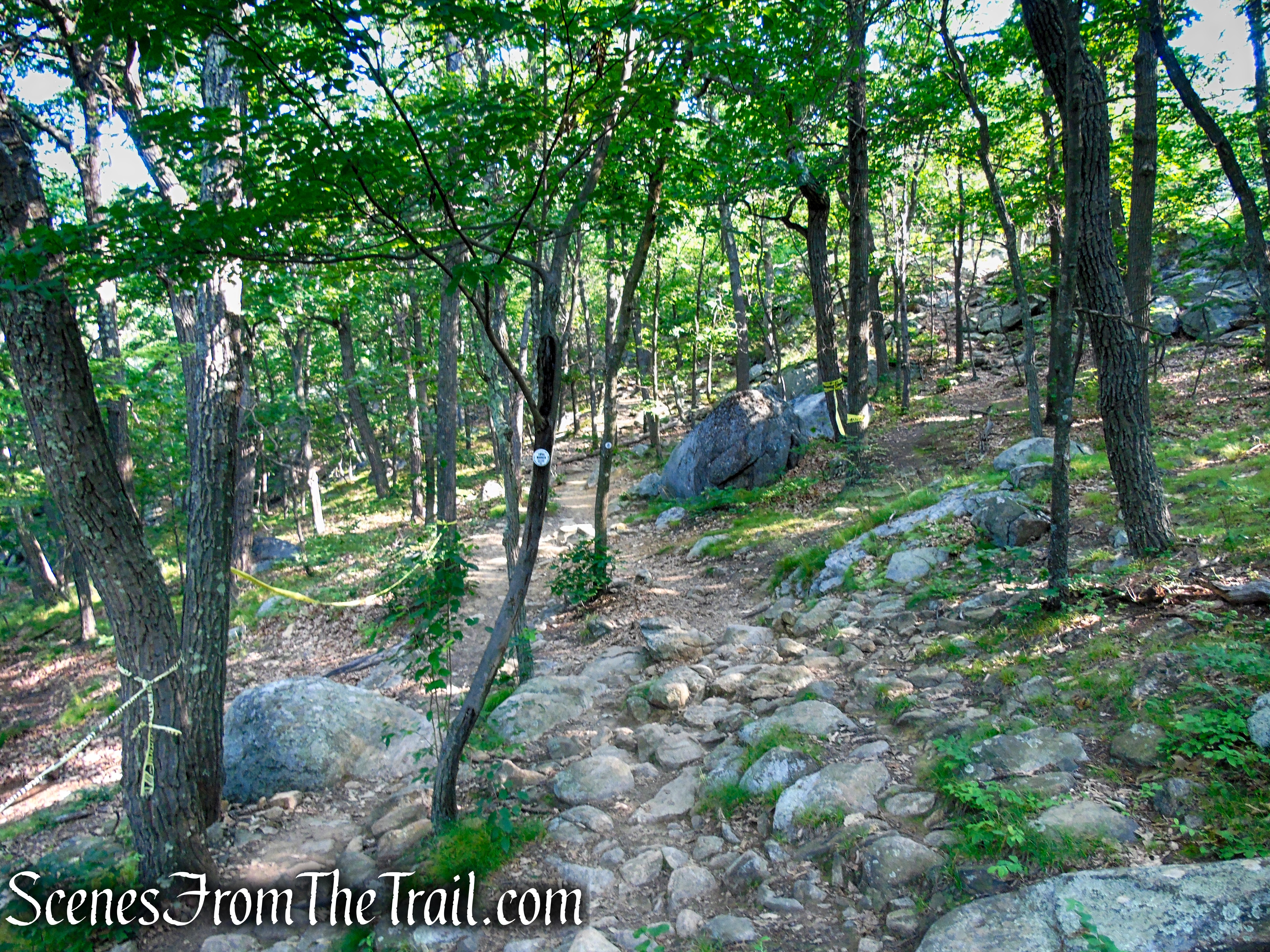
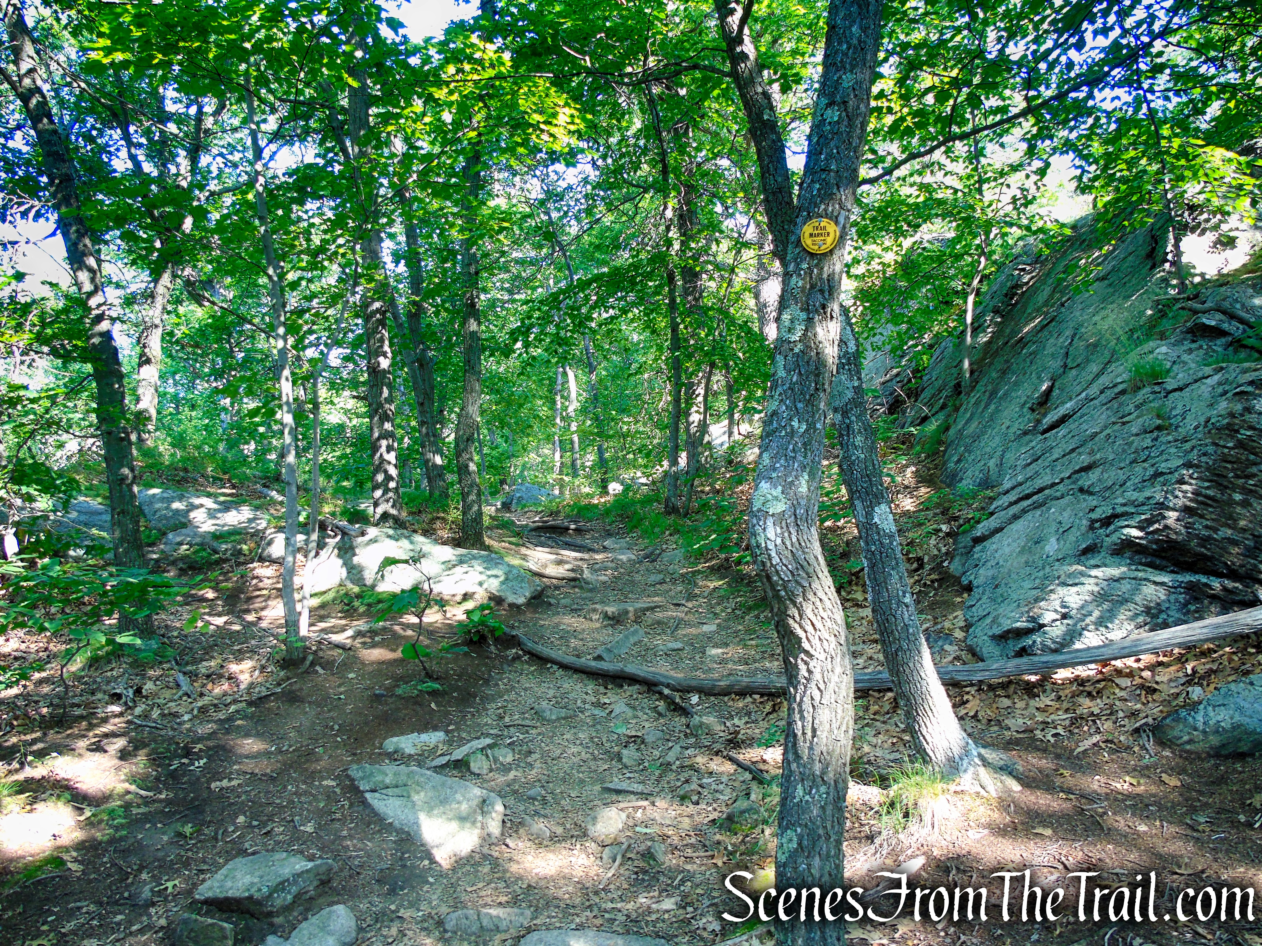
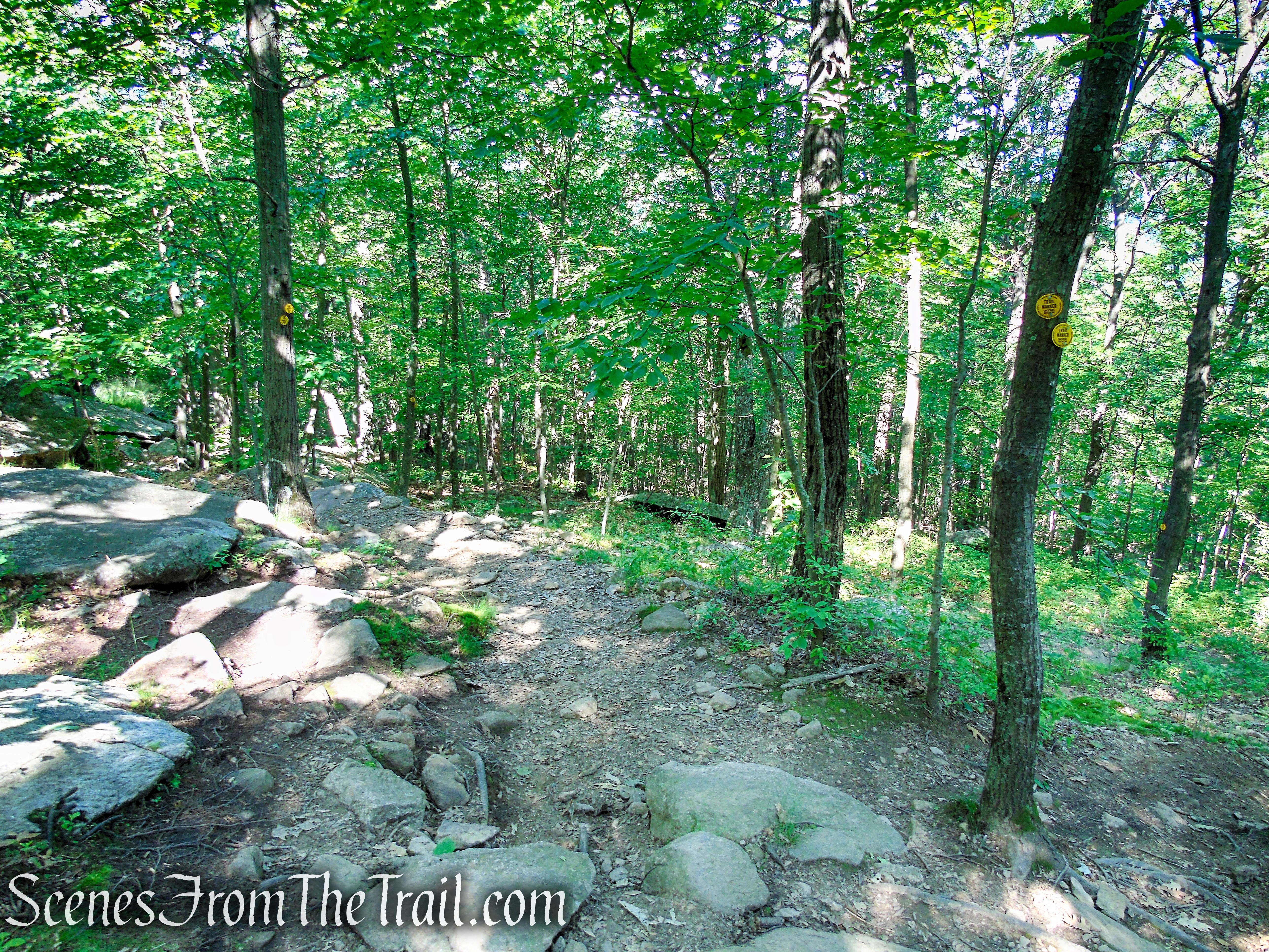
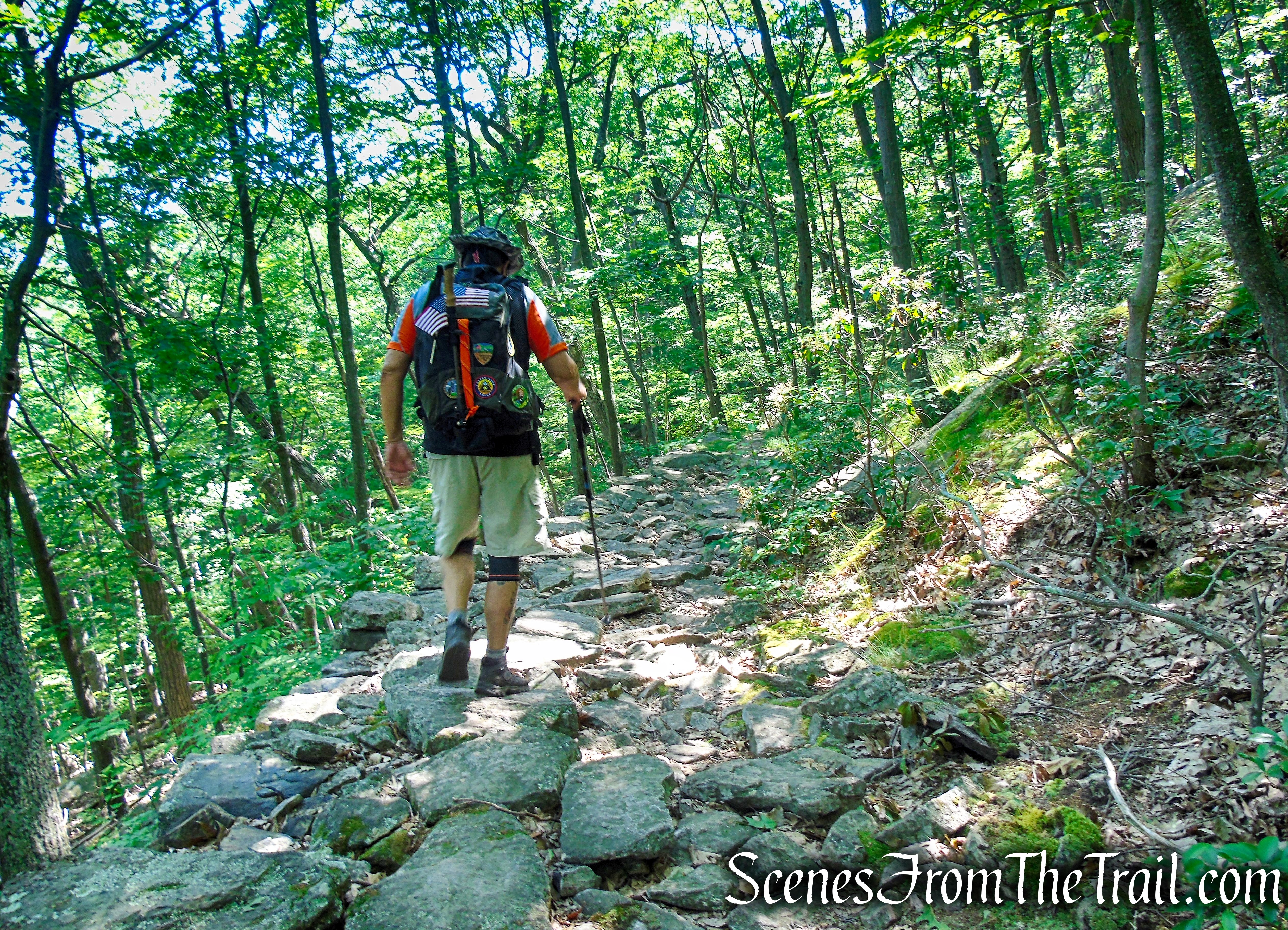
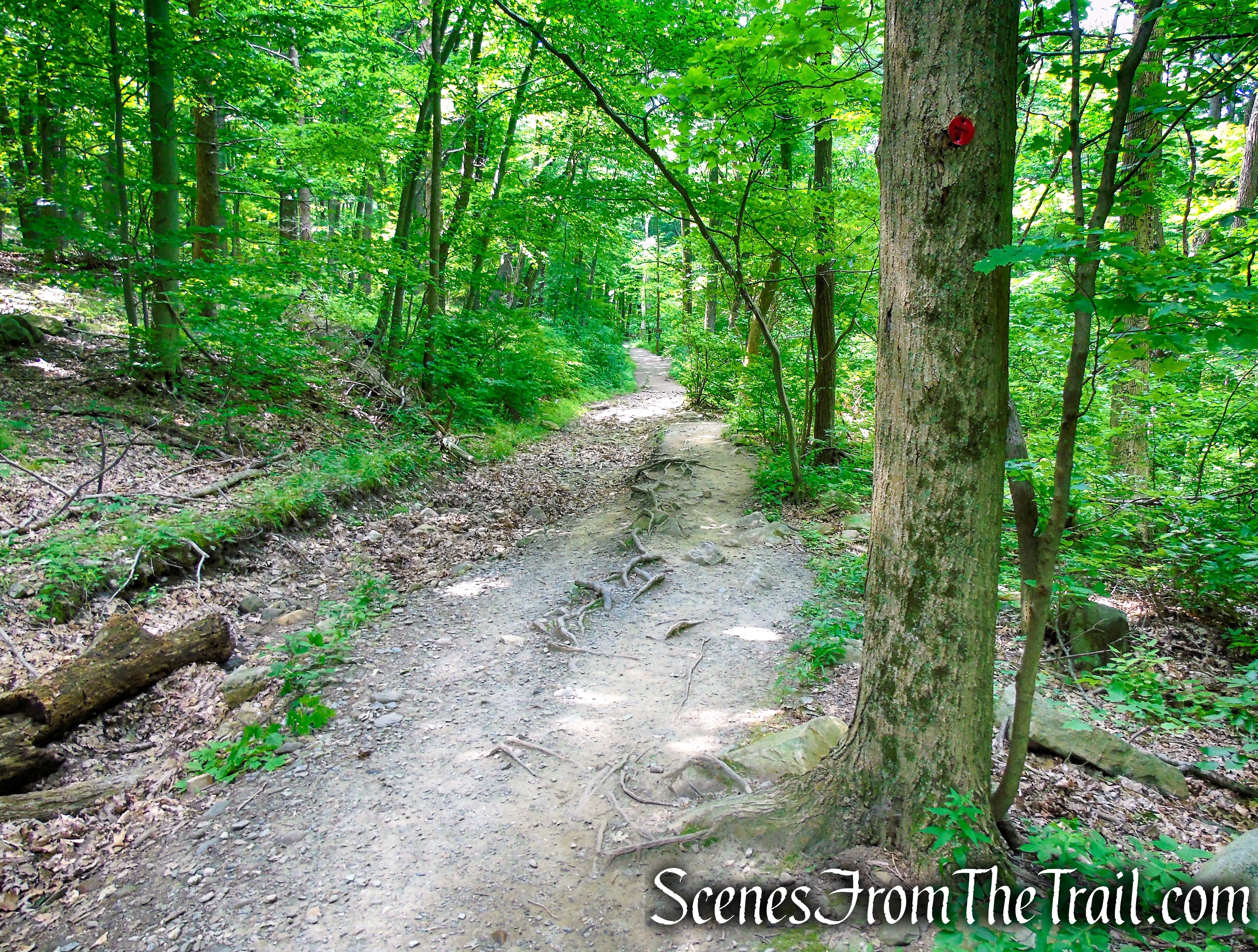
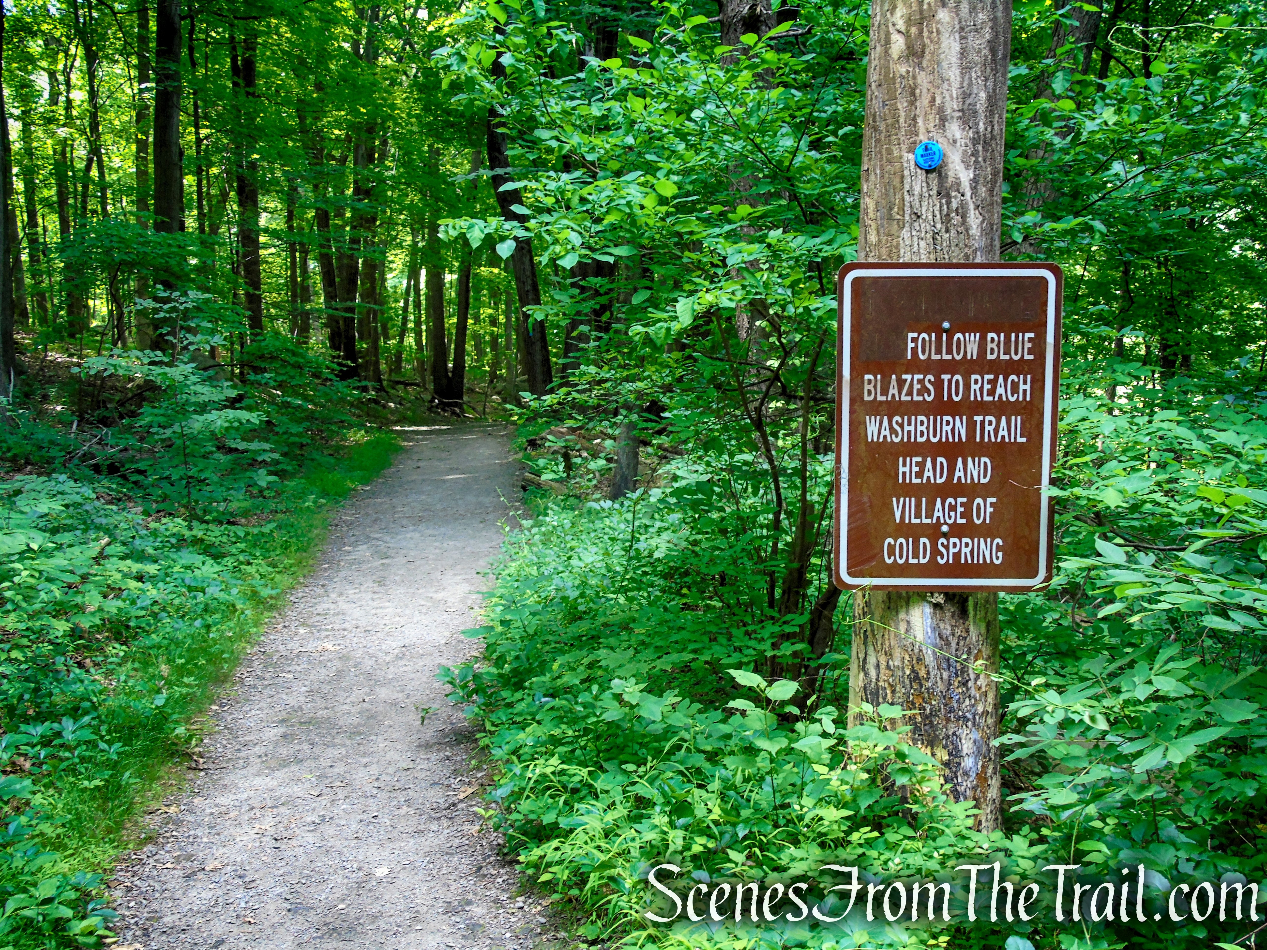
- Washburn Trail: (white blazes – 1.4 miles) ~ The main route up Bull Hill from the Washburn Trailhead, it climbs to the mountain’s 1,420 feet summit in almost 2.3 miles. This is the greatest vertical ascent of any trail within the park. This is a very strenuous trail that ascends over 1,000 feet from the river to the junction with the Undercliff Trail.
- Undercliff Trail: (yellow blazes – 1.5 miles) ~ This yellow blazed trail travels along the shoulder of Bull Hill and descends to the notch between Breakneck Ridge and Bull Hill. It features some steep climbs and open viewpoints from rock outcrops. It takes its name from the many cliffs whose foot it passes.
- Brook Trail: (red blazes – 0.15 mile) ~ This trail runs along the notch between Breakneck Ridge and Bull Hill, from Route 9D to its terminus at the Notch Trail. The trail parallels Breakneck Brook and follows several old roads, making it one of the more moderate trails in the area.
- Cornish Trail (blue blazes – 1.45 miles) ~ This blue blazed trail follows a disused road through the ruins of an old estate. Extensive ruins of the mansion and several outbuildings are scattered throughout the area.
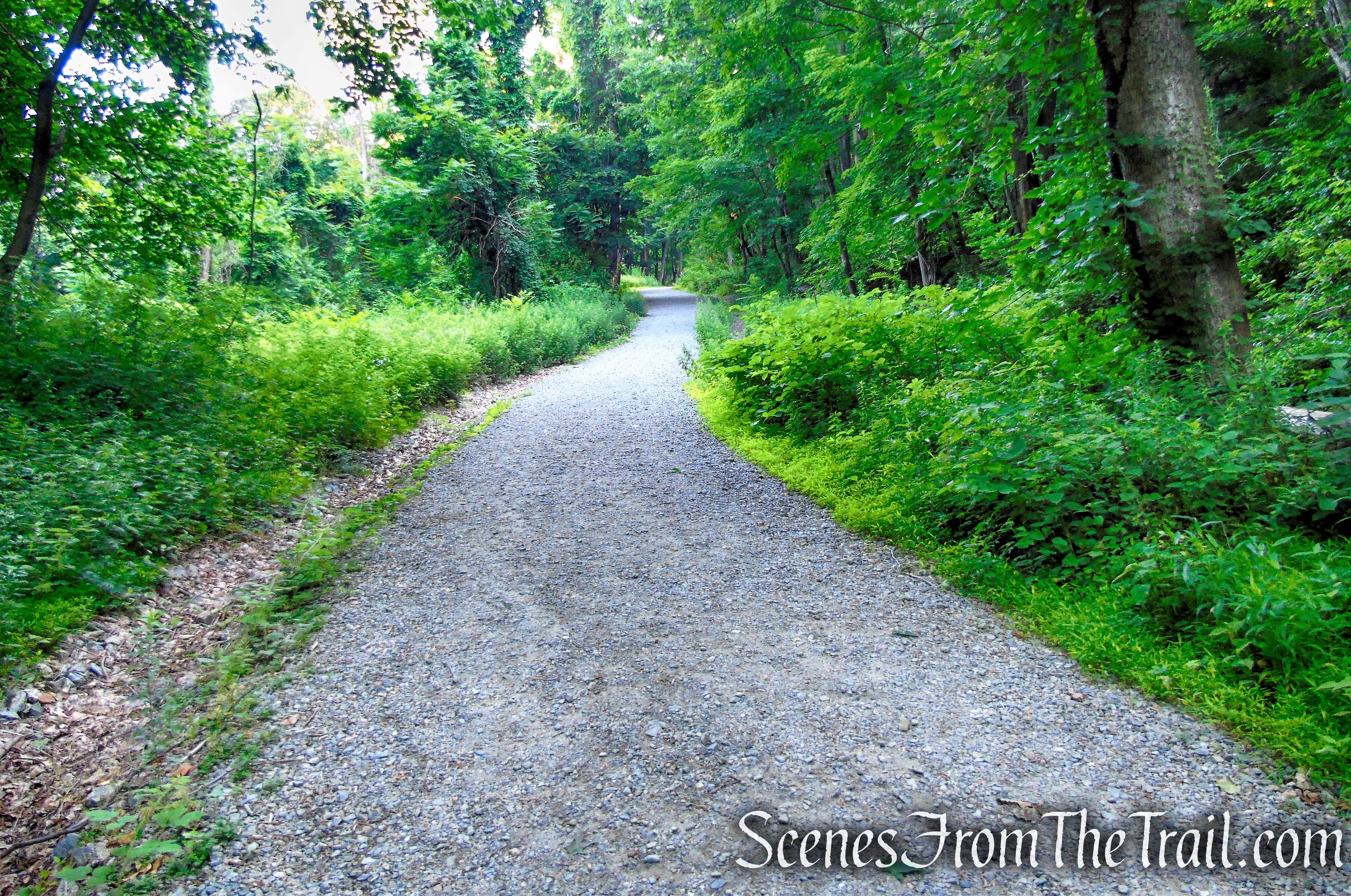
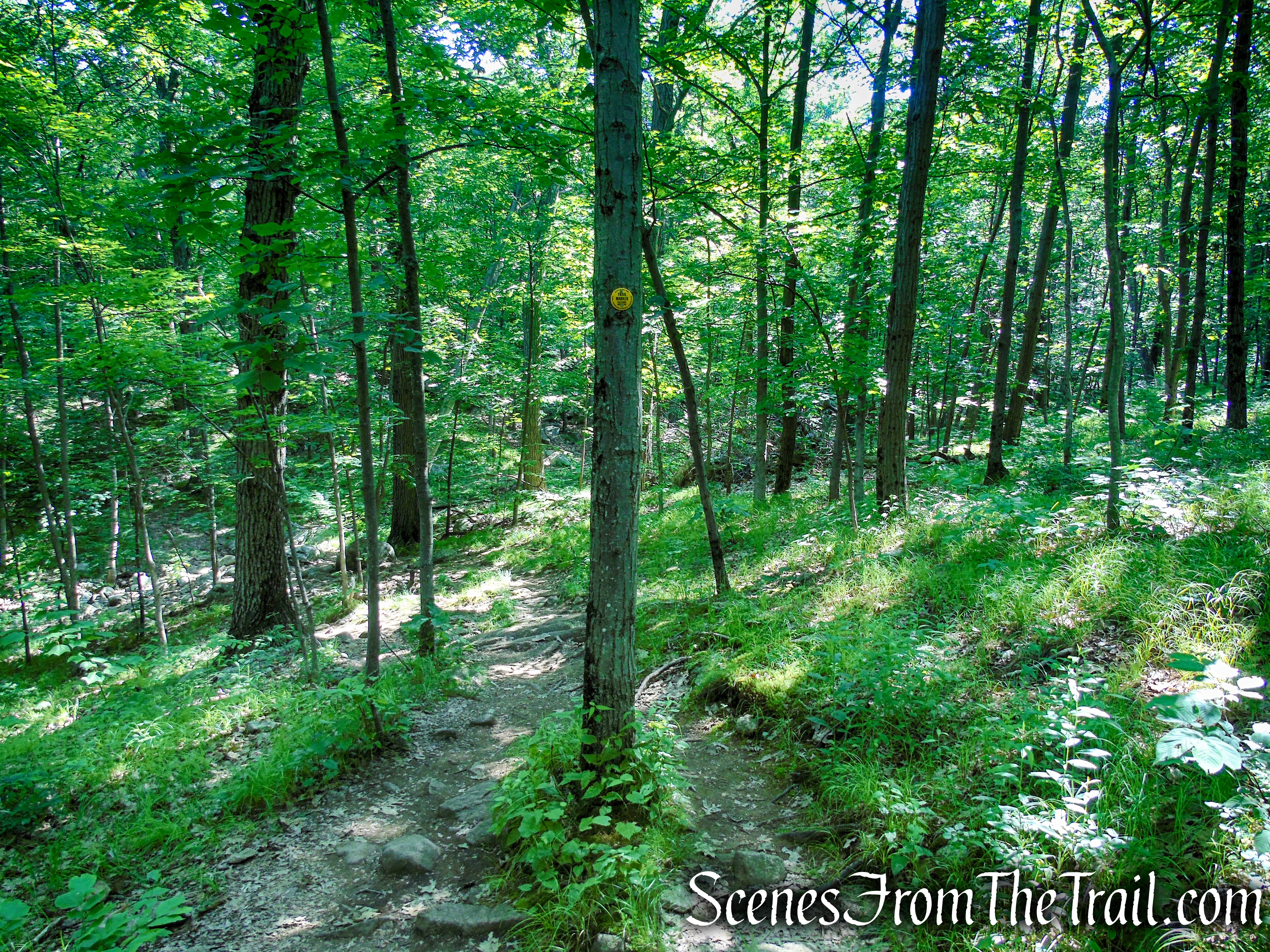
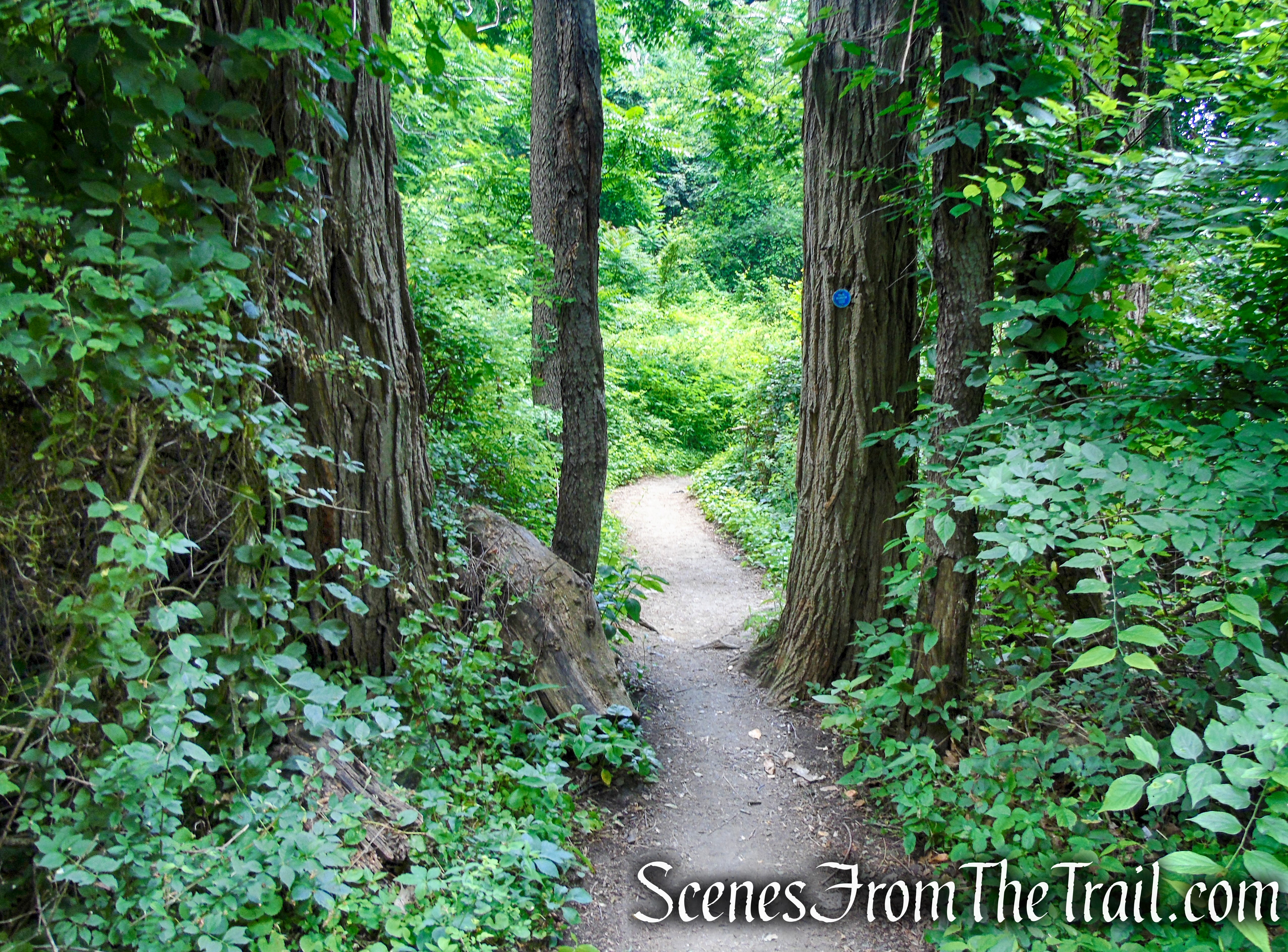
The trails used on this hike were easy to follow and well maintained on the the day that we visited.
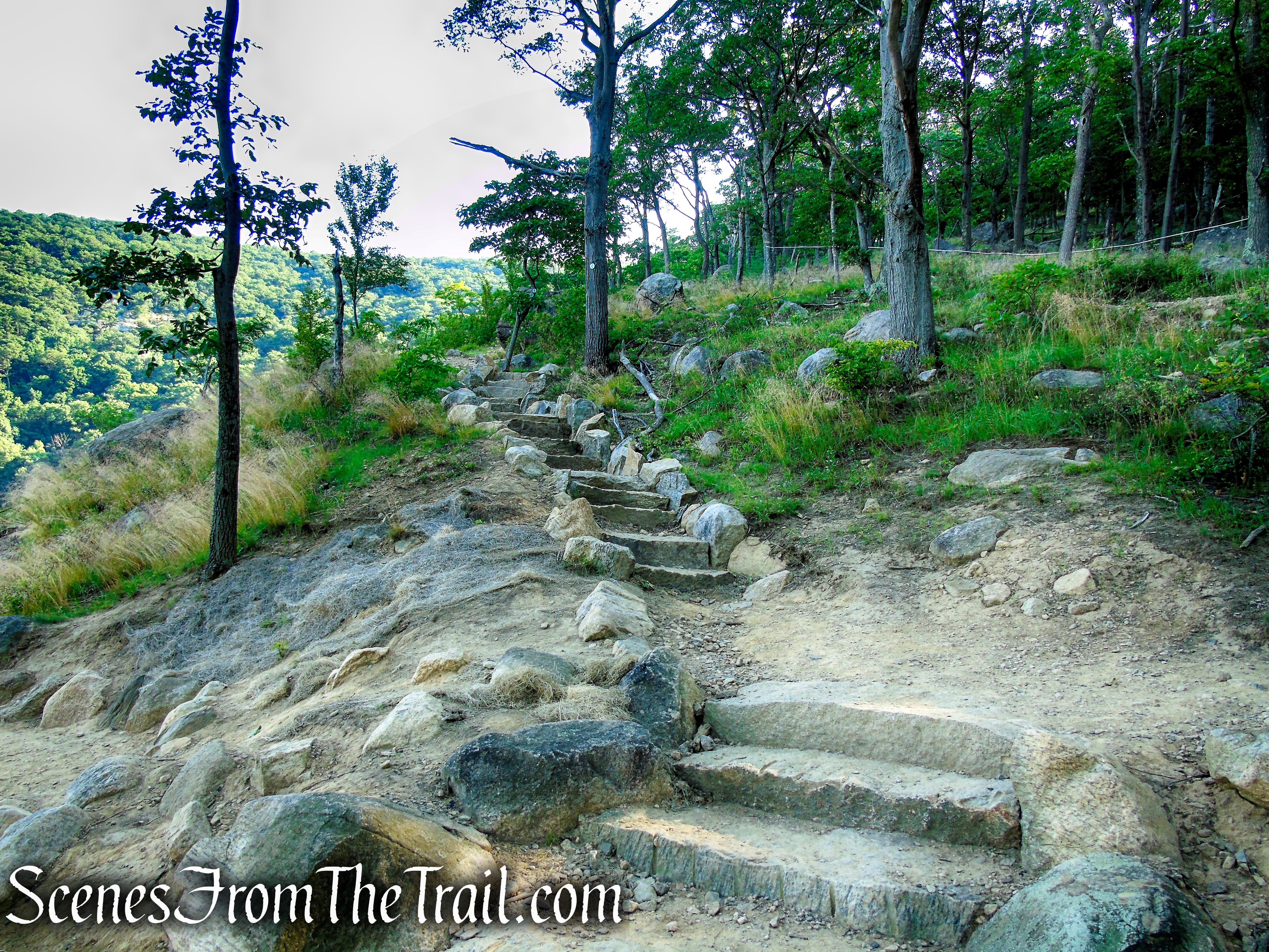
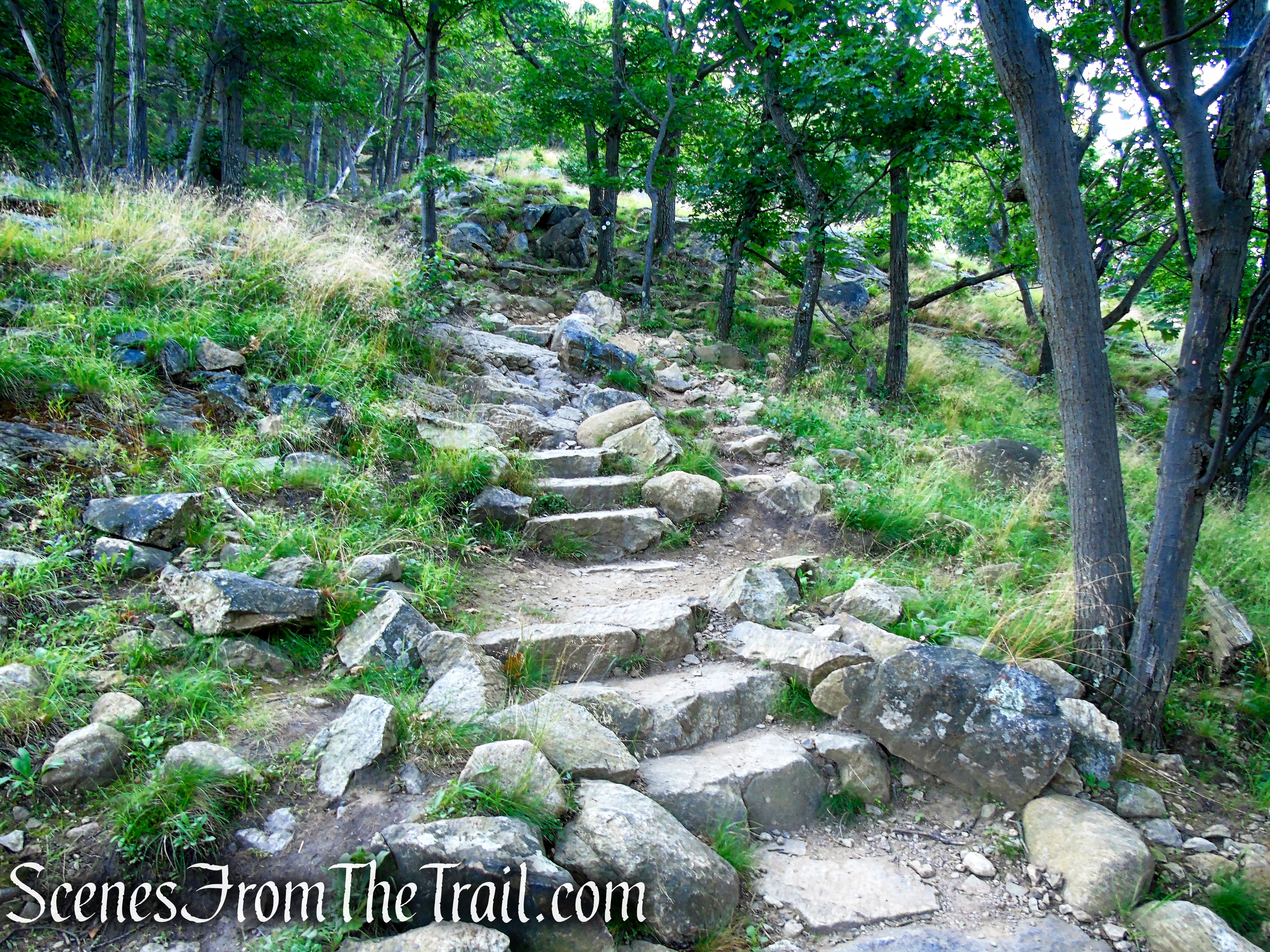
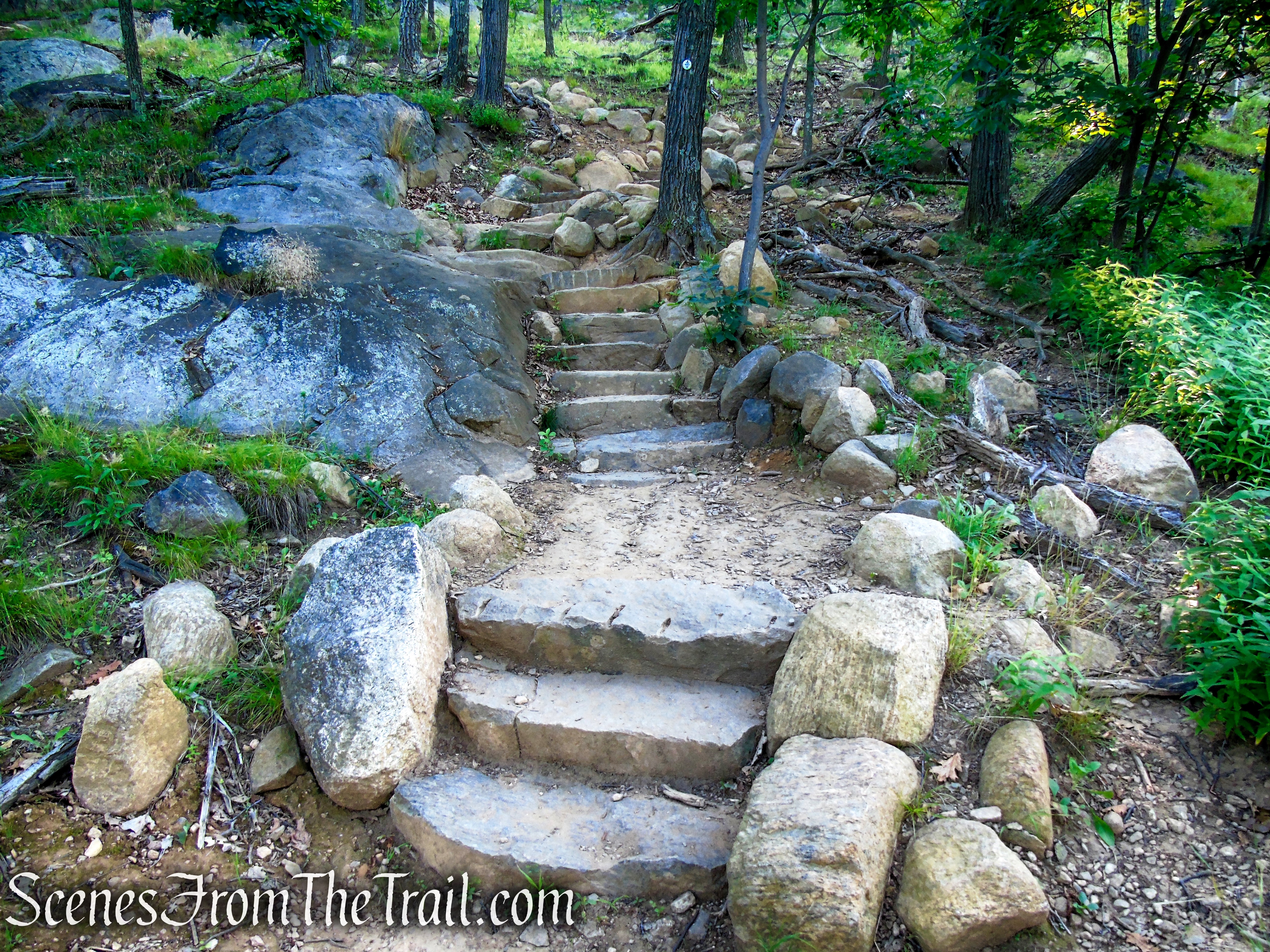
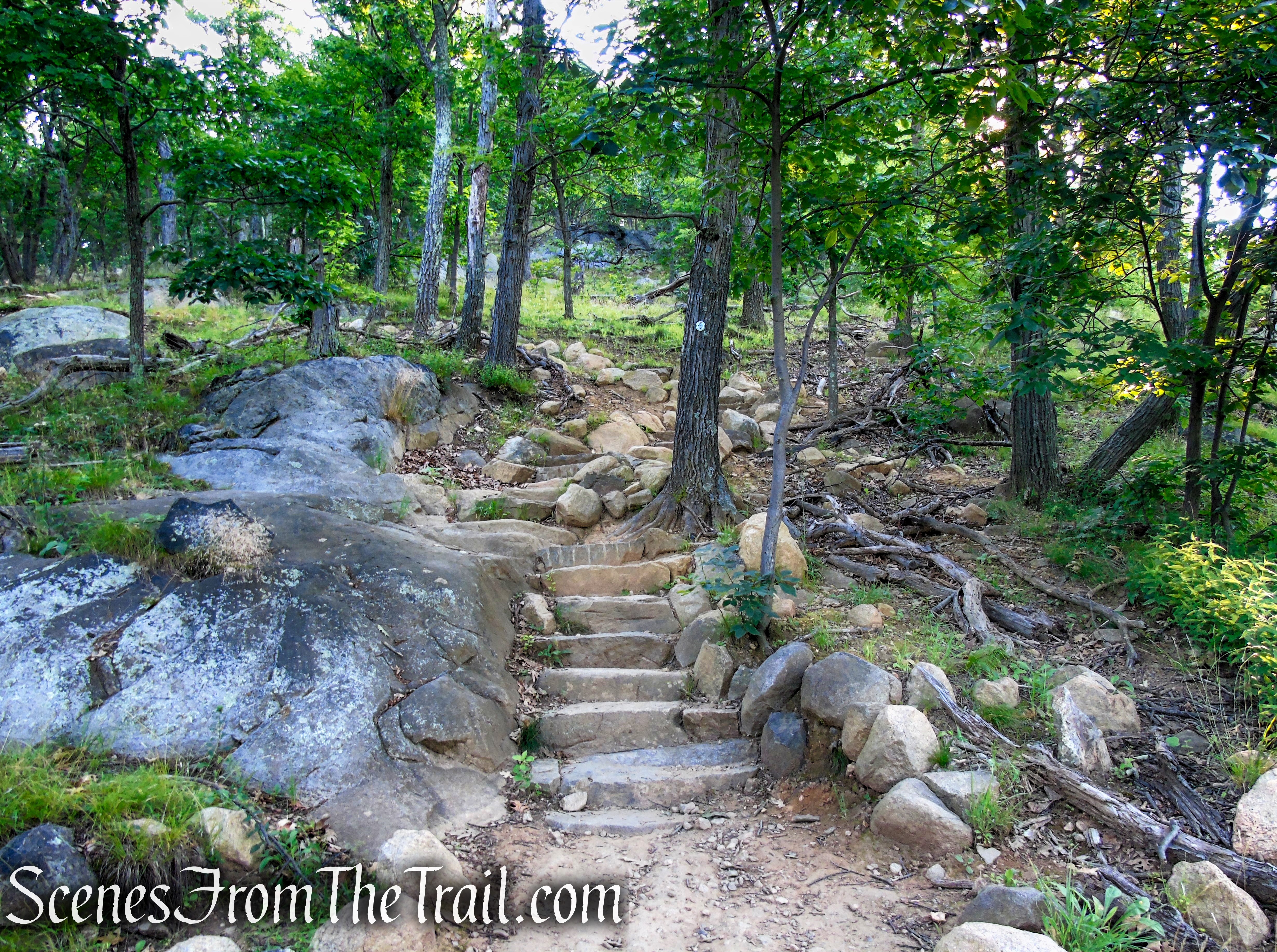
In 2021, the Taconic Conservation Corps Crew (TCCC) completed the Washburn Trail reroute, which concluded 2 years of work. This project involved substantial trail improvements along a one-third-mile stretch of trail leading up from the old quarry to the Cold Spring overlook. More stone steps were installed leading to a newly built viewing platform above the quarry overlooking the Hudson River Valley. The Washburn Trail looks much different than the last time I hiked it in 2016.
Washburn Trail – Bull Hill
Hike Overview:
Having done the “Bull Hill Full Loop” in 2016, it was time to pay a return visit. I have always wanted to hike the section of the Undercliff Trail that runs along the shoulder of Bull Hill. The area that includes Bull Hill, Little Stony Point and Breakneck Ridge have some of the most heavily used trails in the Hudson Valley and the parking areas are usually filled to capacity. Getting there early is the key to securing a parking spot and avoiding the massive crowds during the summer hiking season.
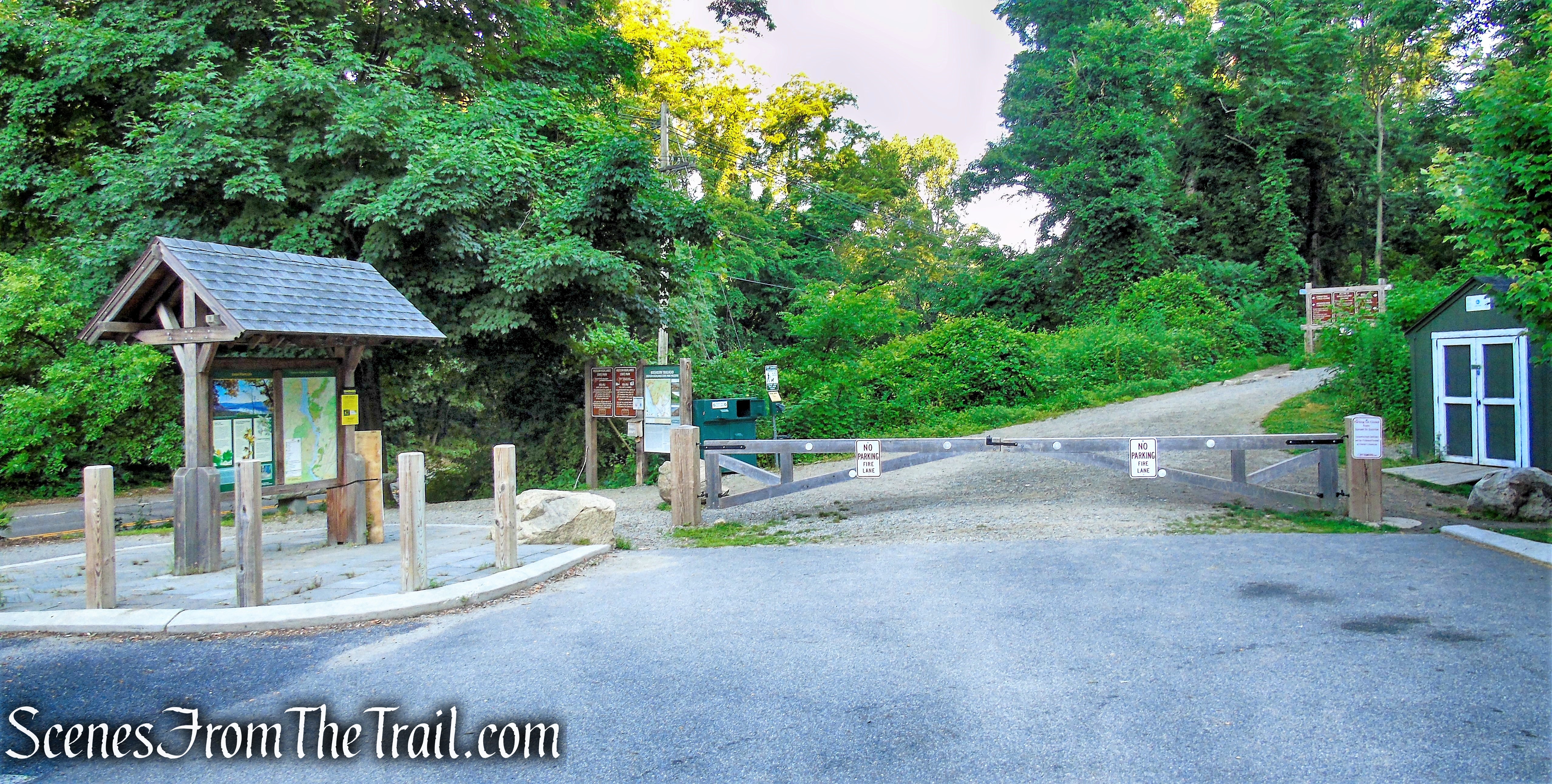
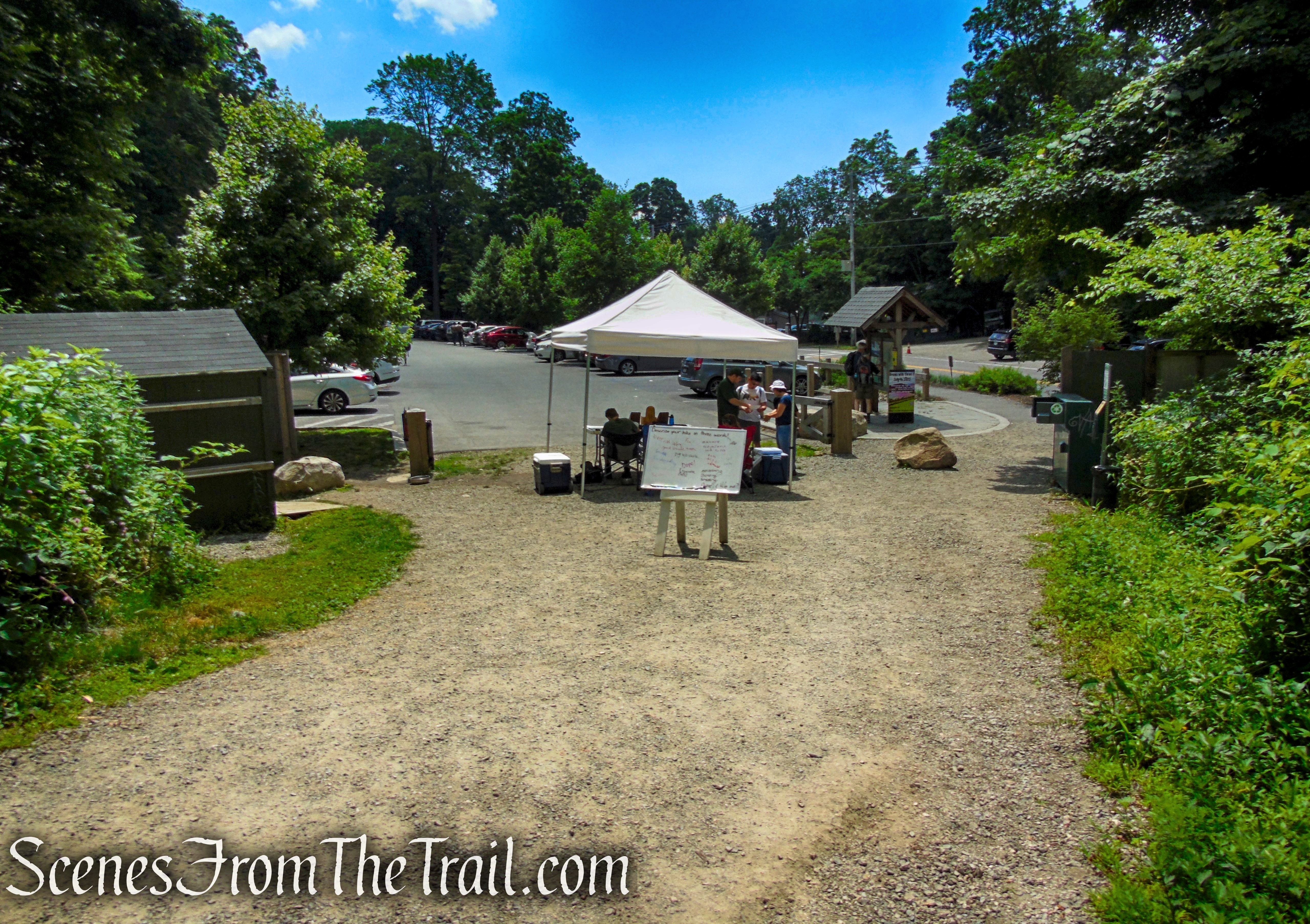
We got up bright and early on a Sunday morning, arriving at the Washburn Trailhead at about 7:30am. The parking lot is directly across the street from Little Stony Point.
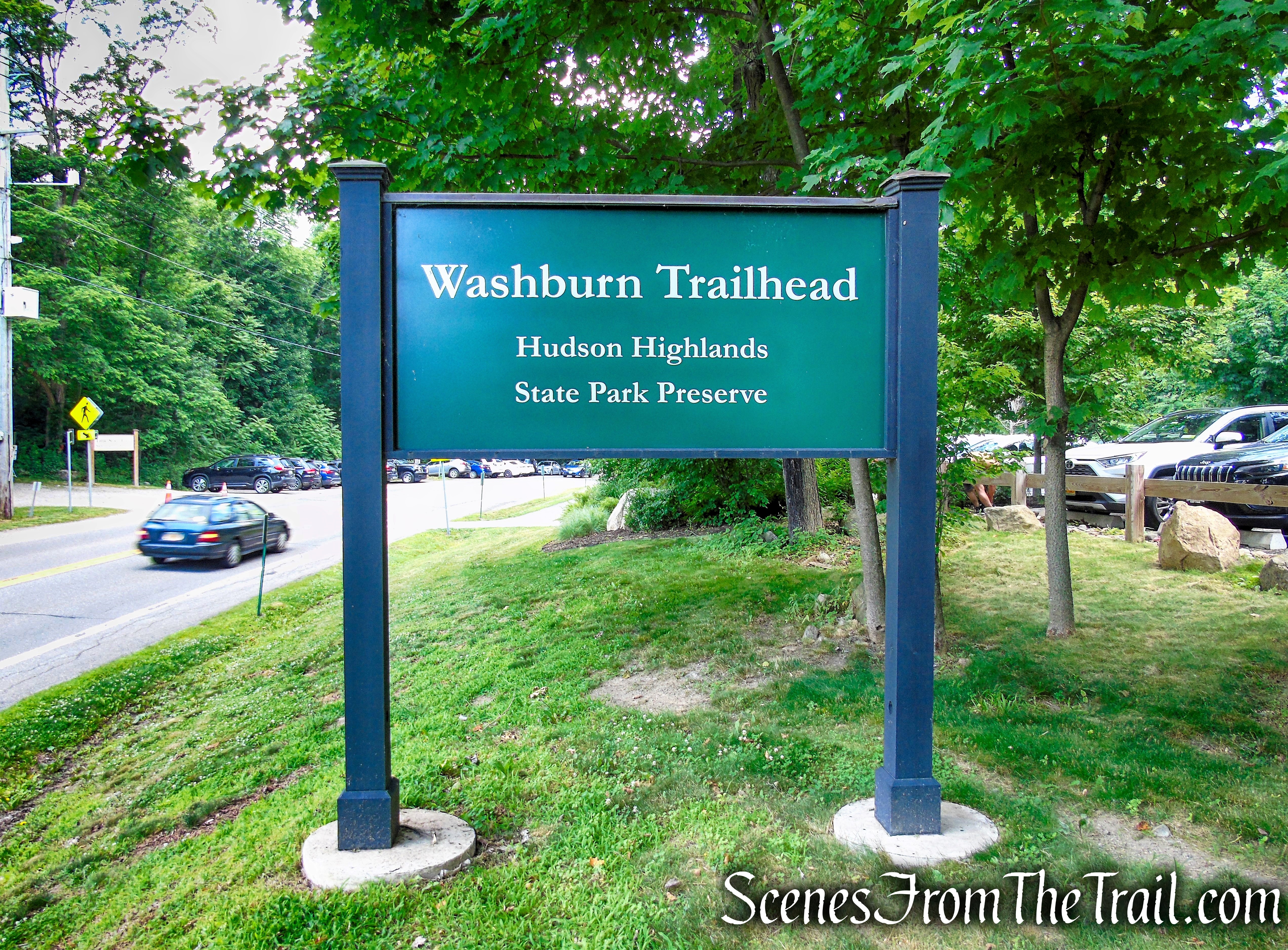
Washburn Trailhead – Hudson Highlands State Park Preserve
When we arrived back at the parking lot around noon, the lot was full, with several cars coming and going.
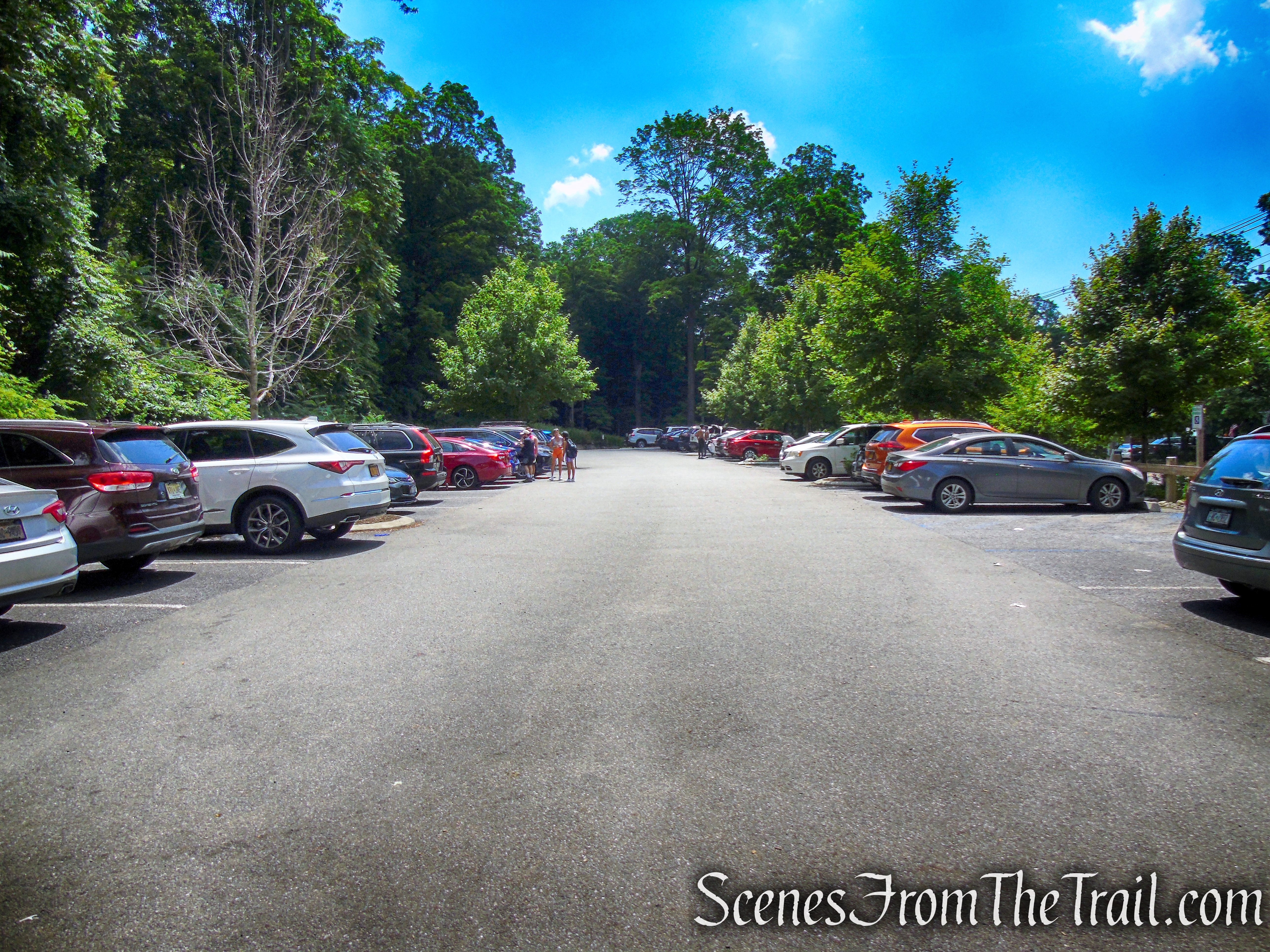
Washburn Trailhead Parking Lot
The day was hot and hazy with temps around 90°. With the exception of the rock outcrops, almost the entire hike was under a canopy of trees, making the heat tolerable. We saw some groups of people, but not as many as I thought that we would run into. Starting early really pays off.
This counterclockwise loop begins at river level and quickly gains elevation as it climbs Bull Hill on the Washburn Trail. Once on the Undercliff Trail, the bulk of the elevation is done with just some minor ups and downs the rest of the way. Once you reach the Brook Trail, it’s all downhill for the remaining 1.7 miles.
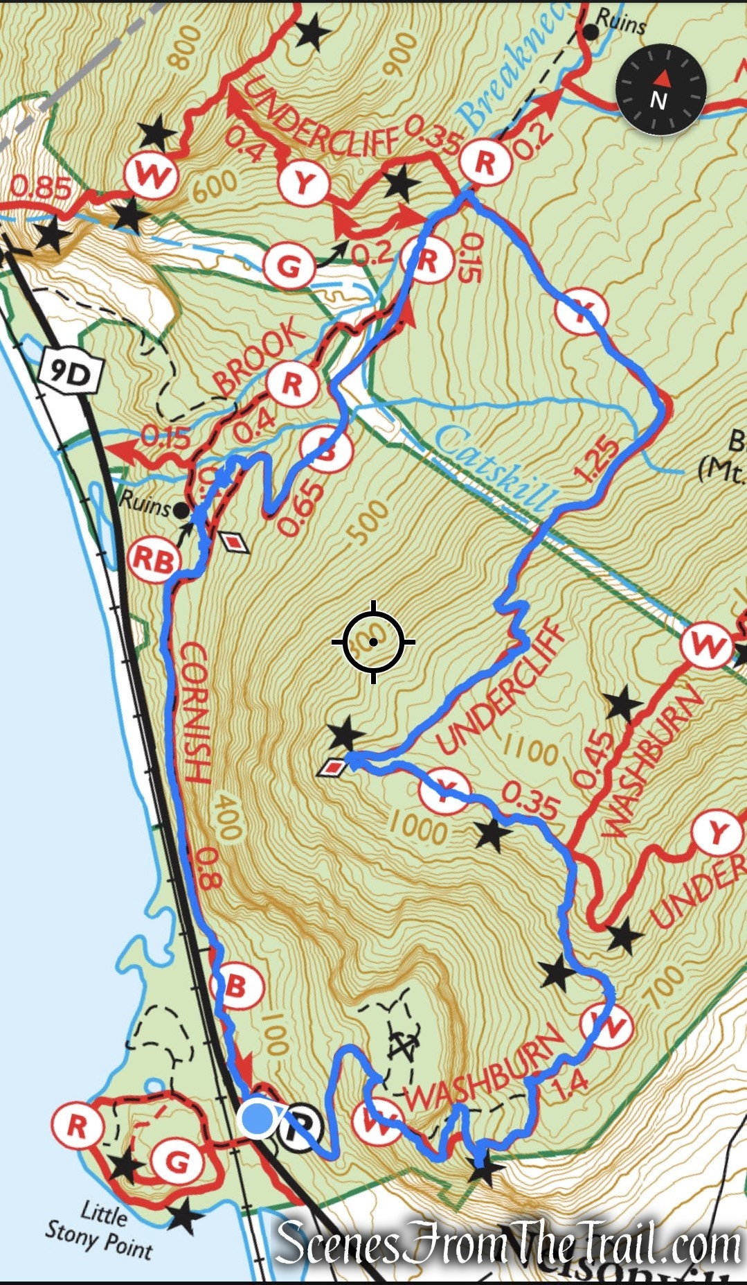
Bull Hill Short Loop
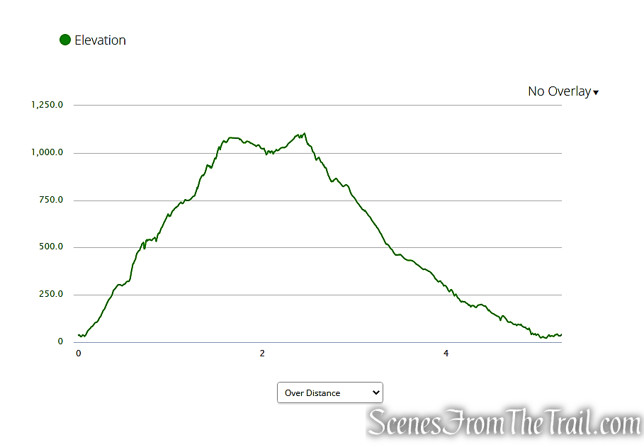
elevation profile – Bull Hill Short Loop
The Hike:
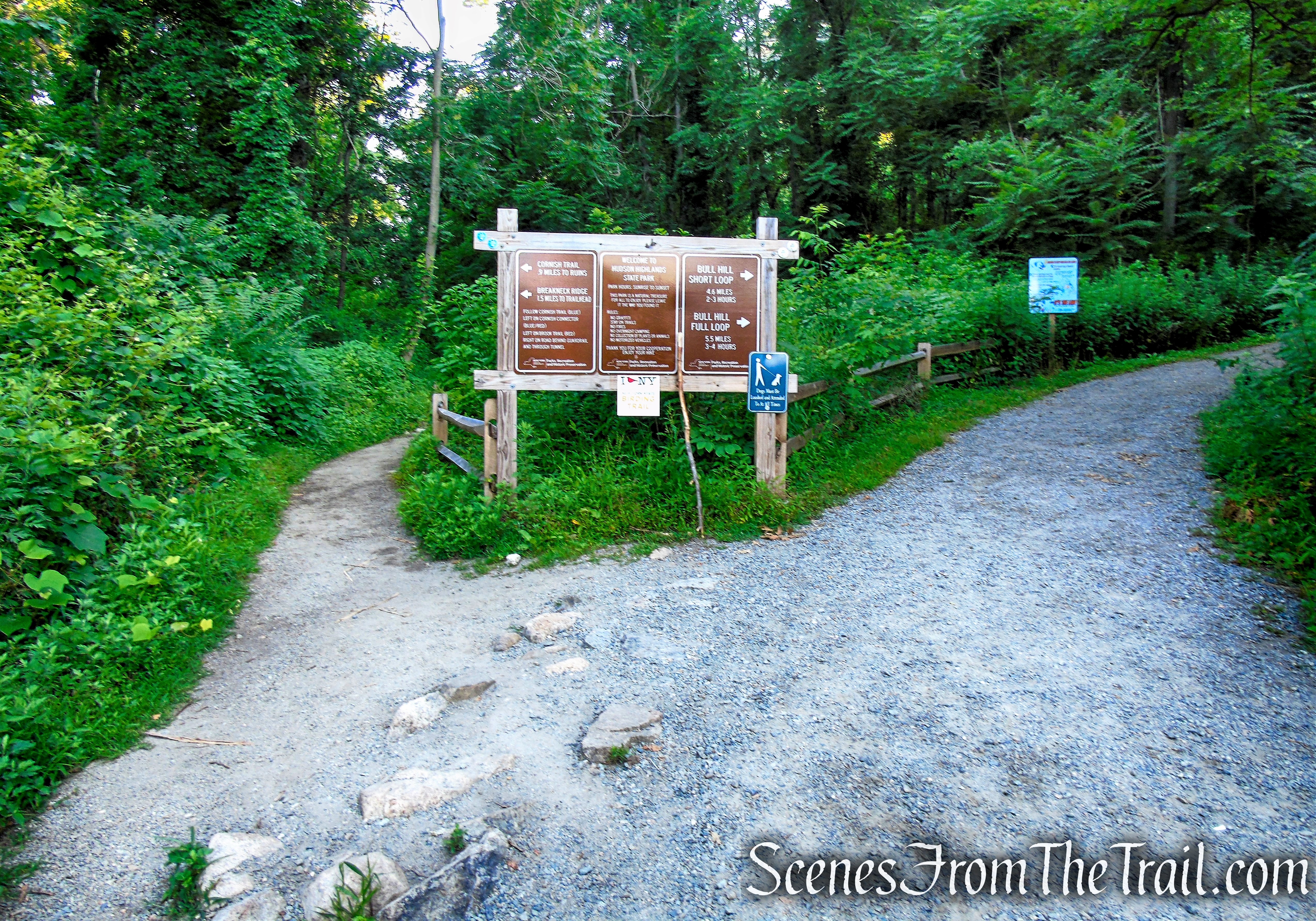
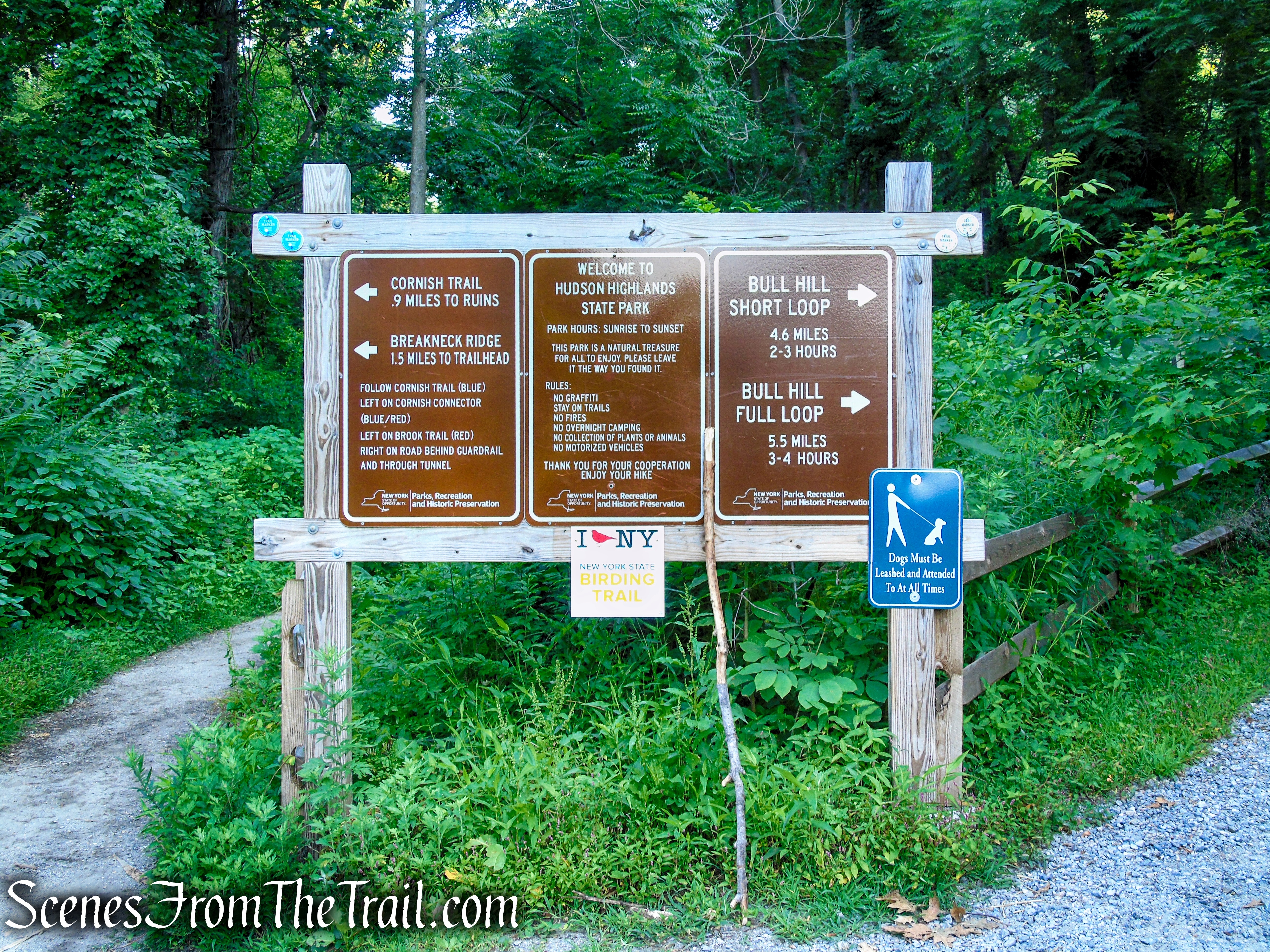
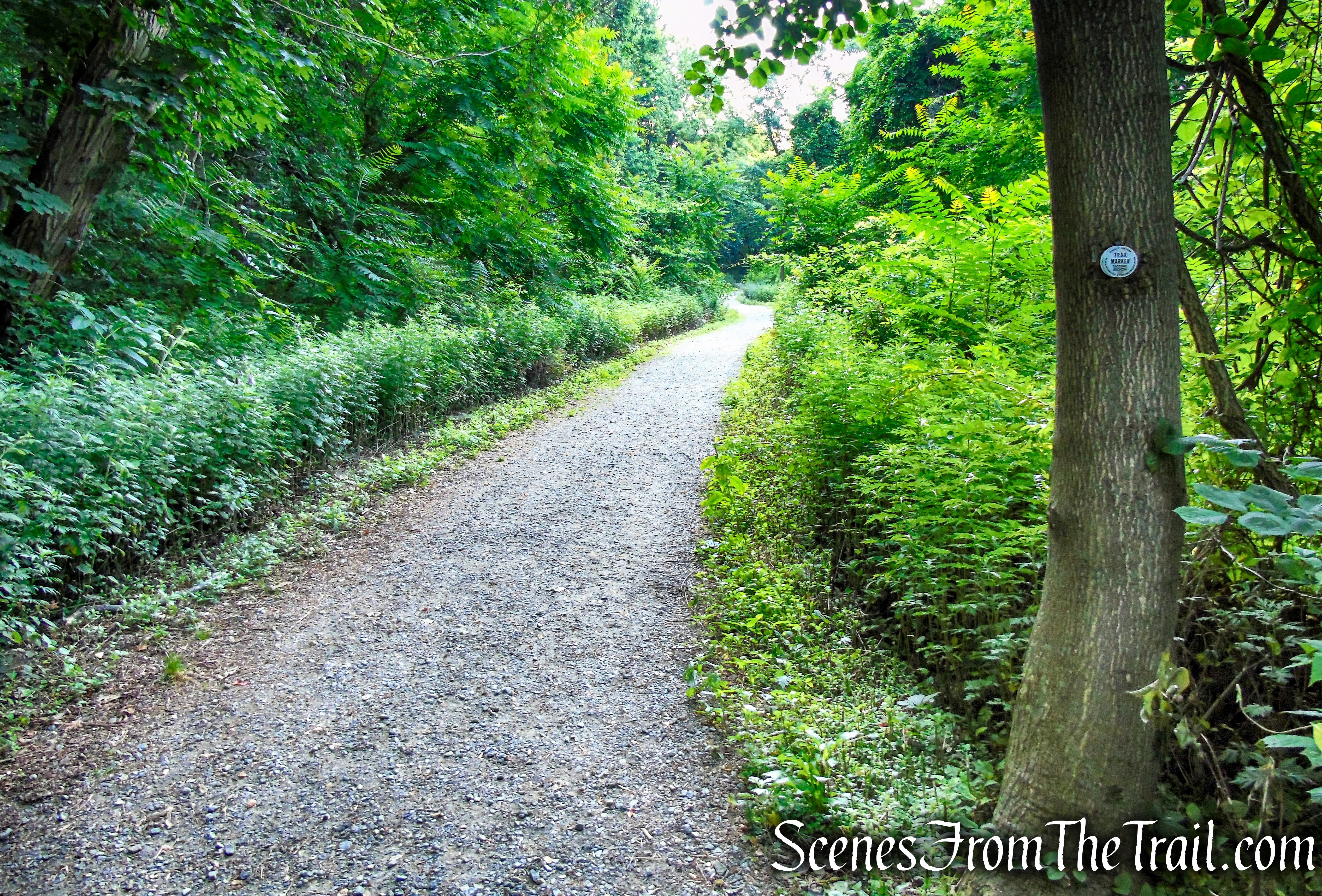
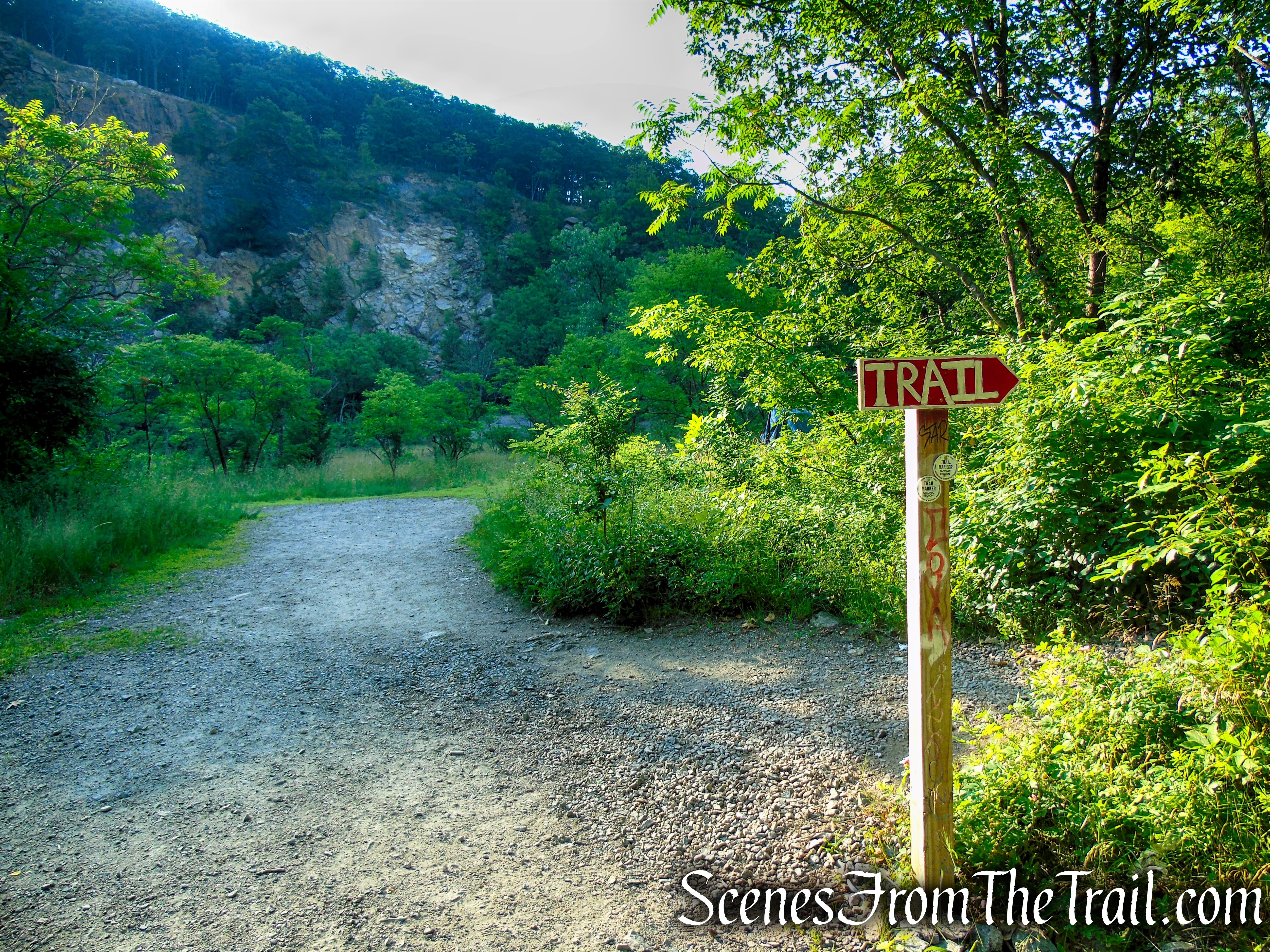
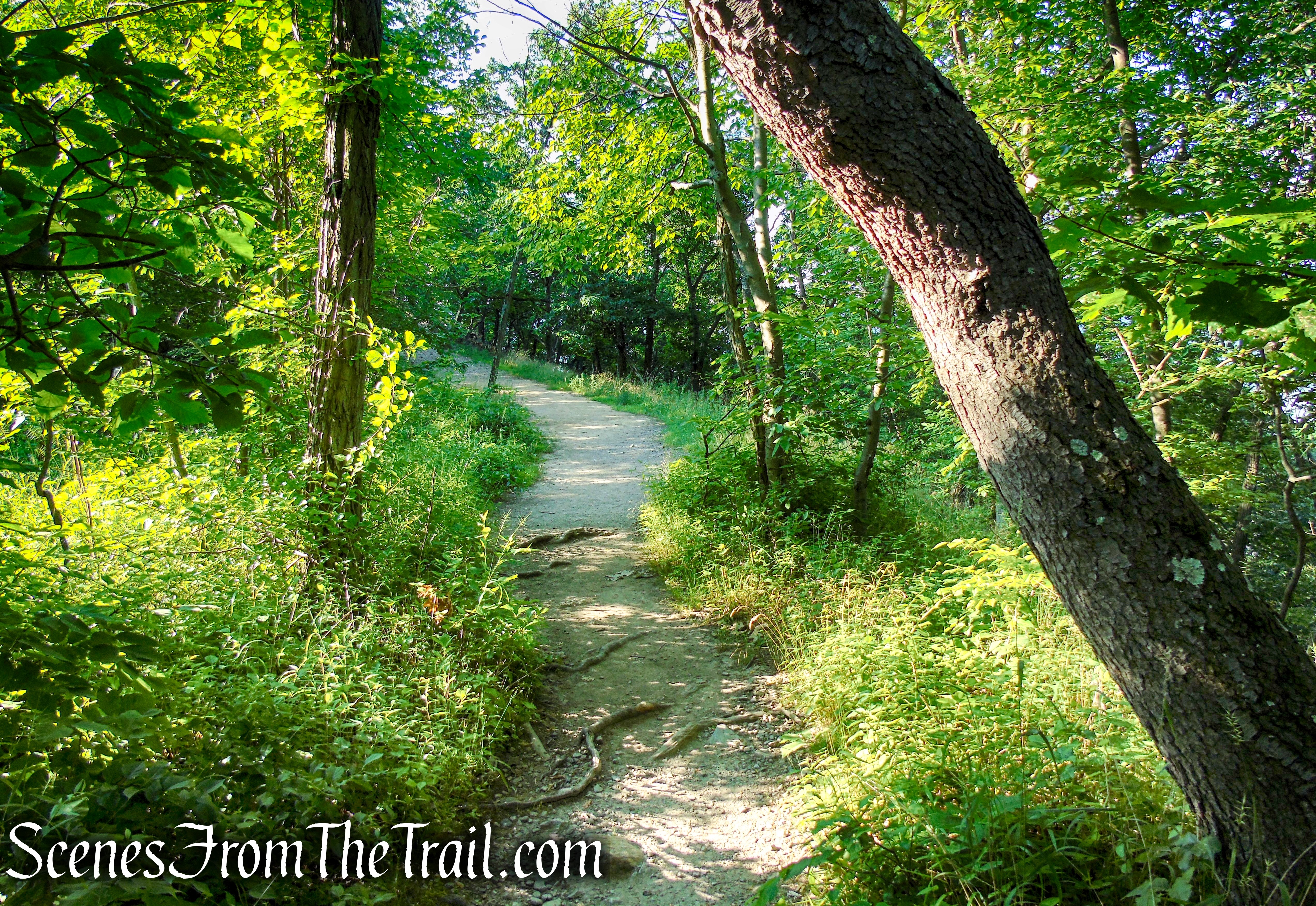
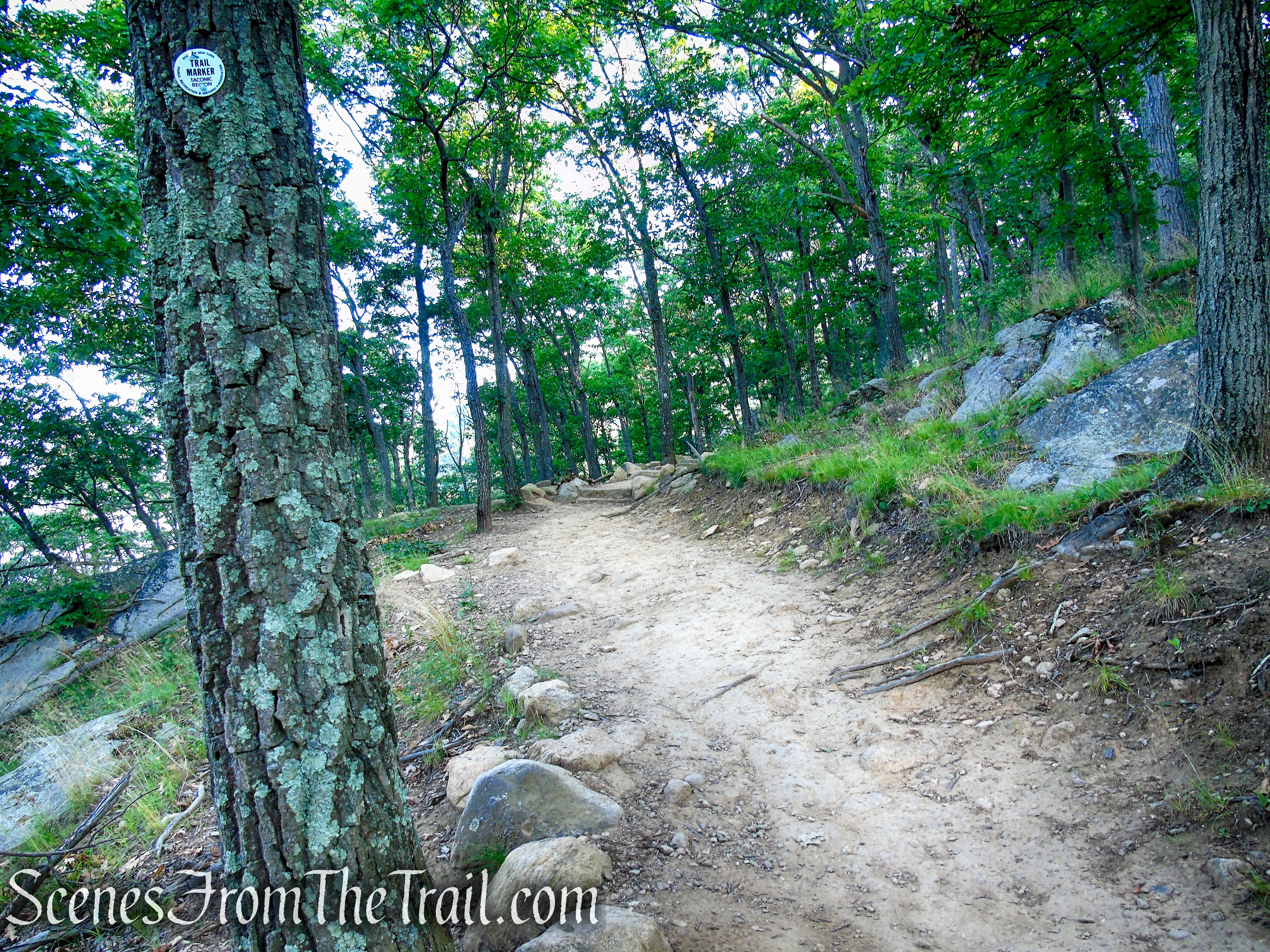
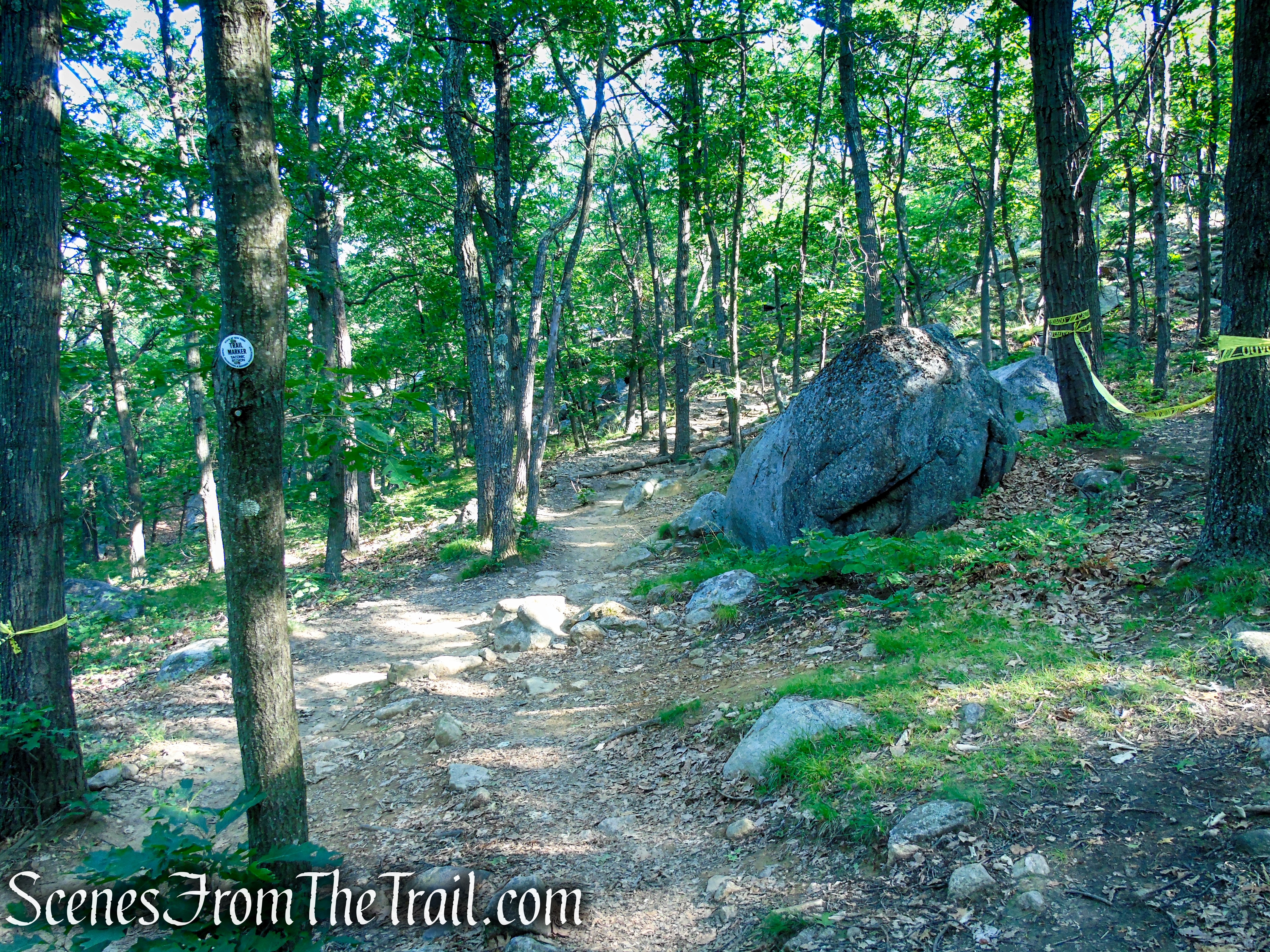
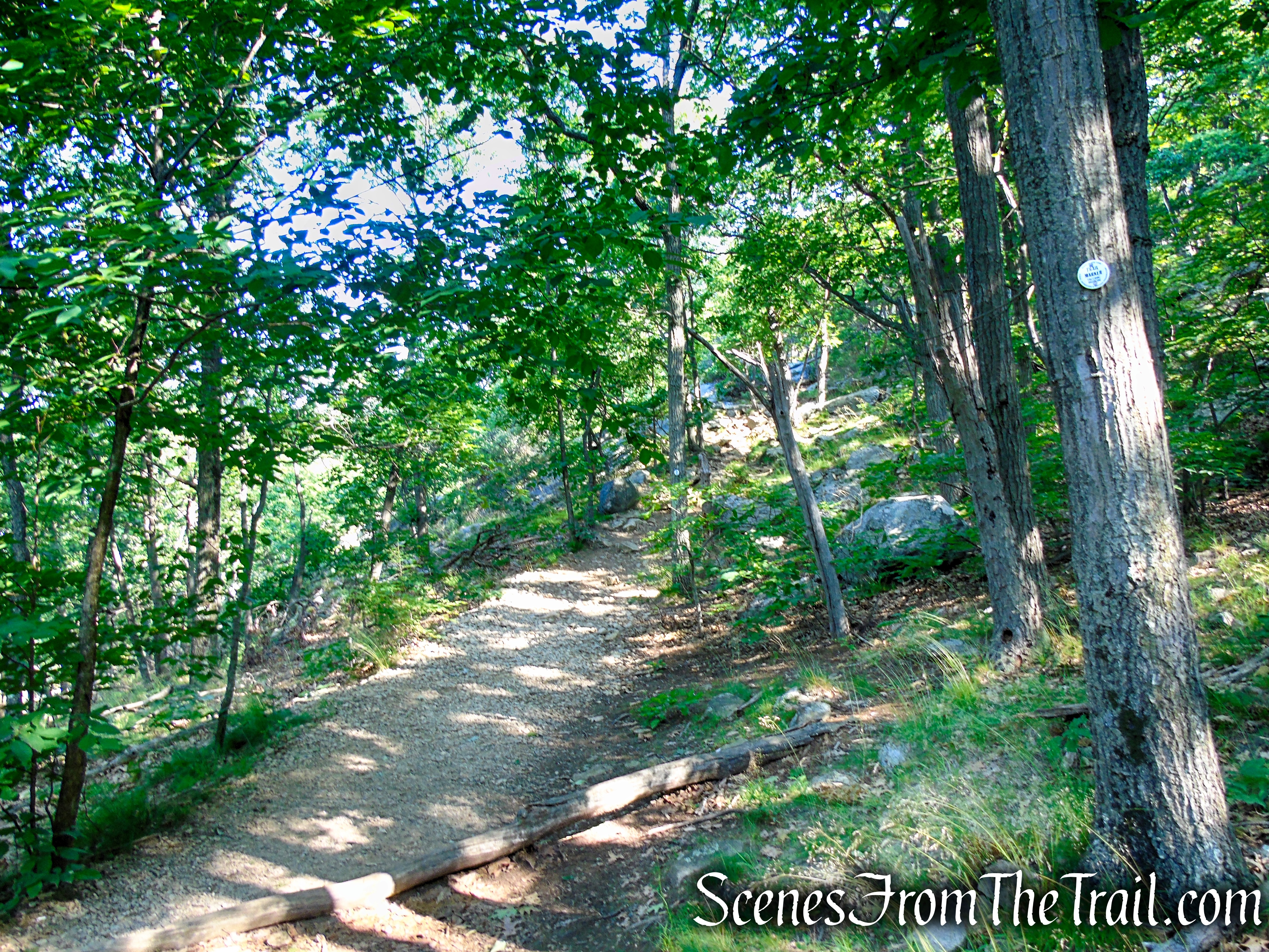
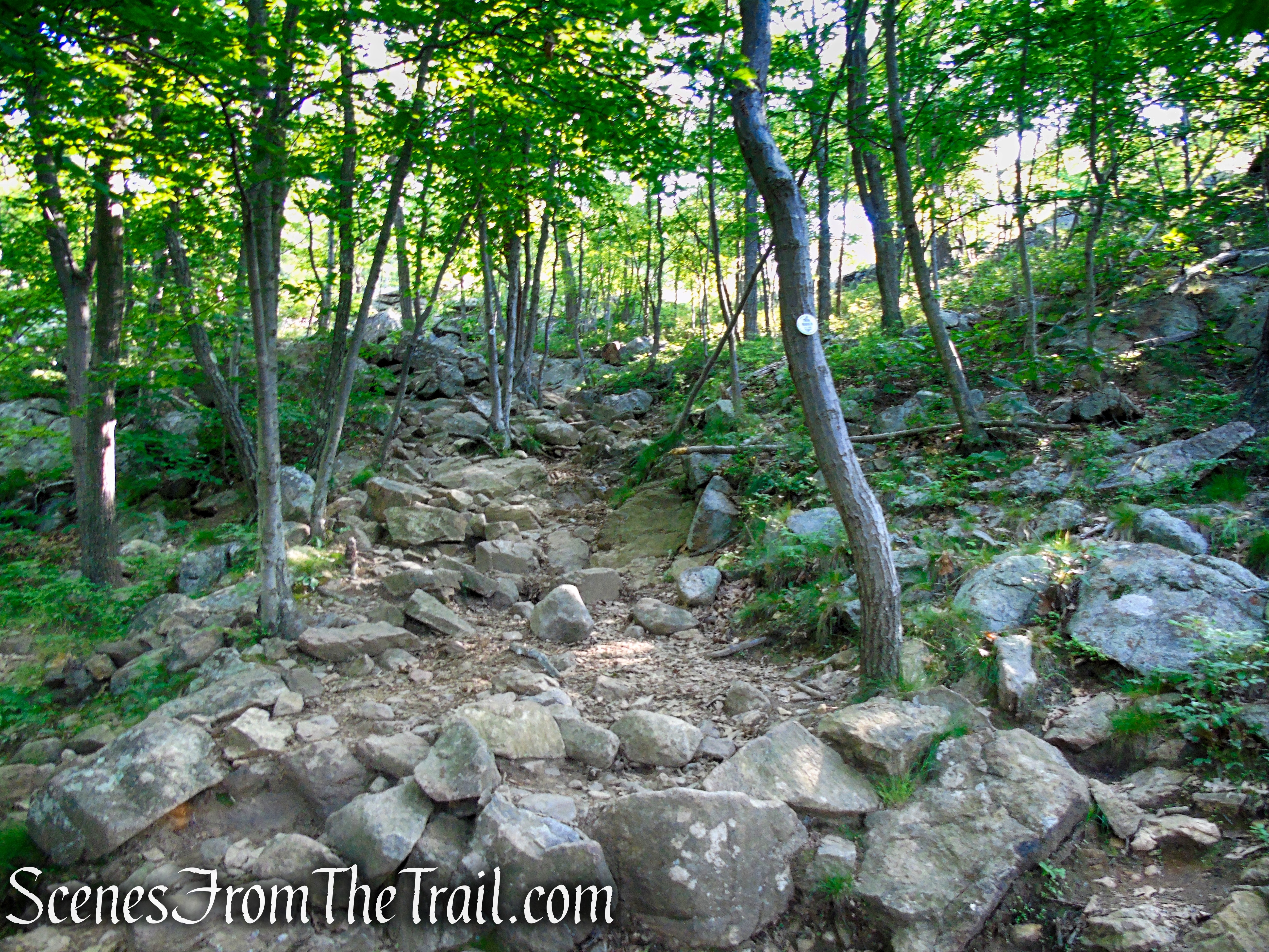
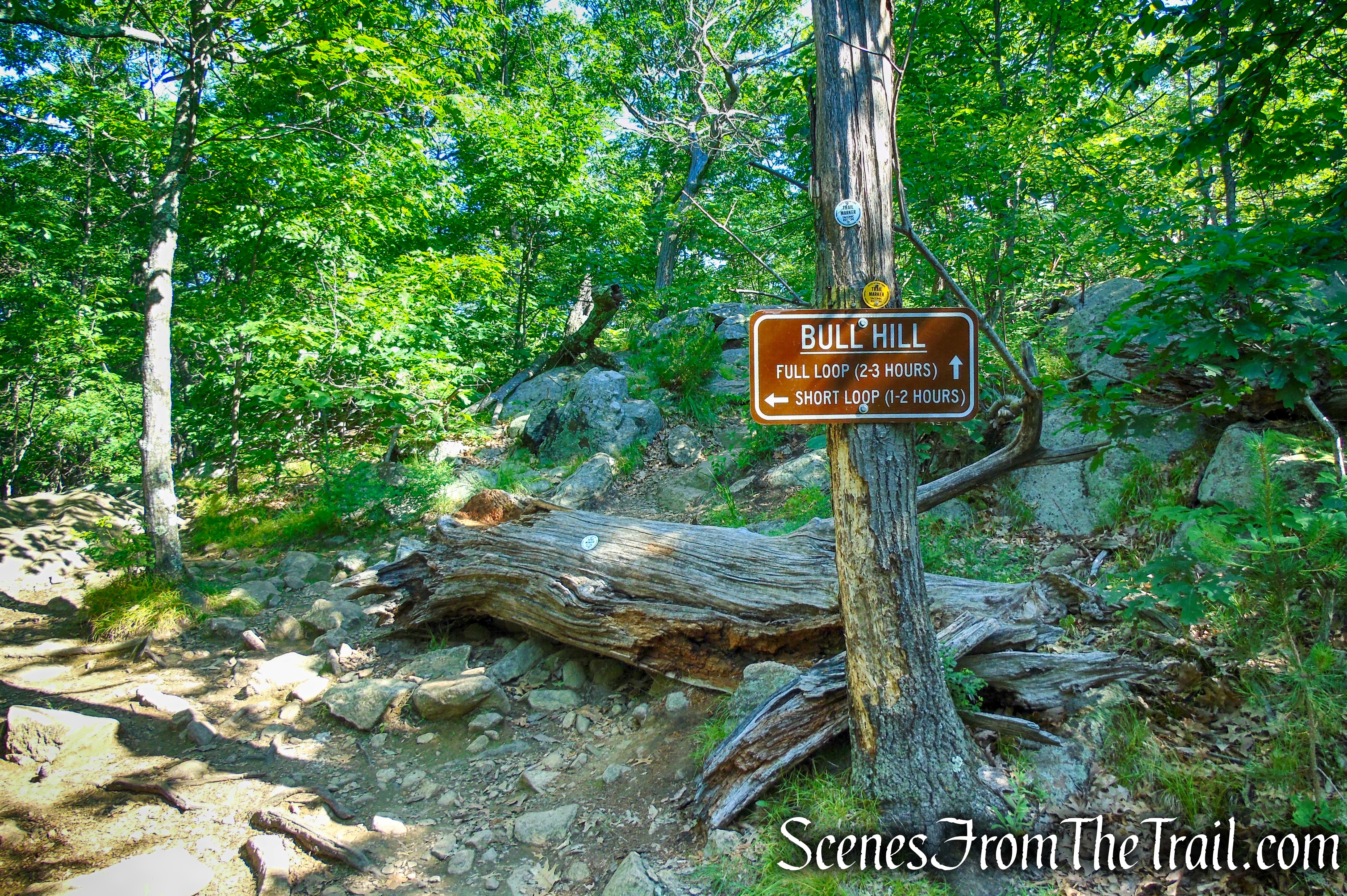
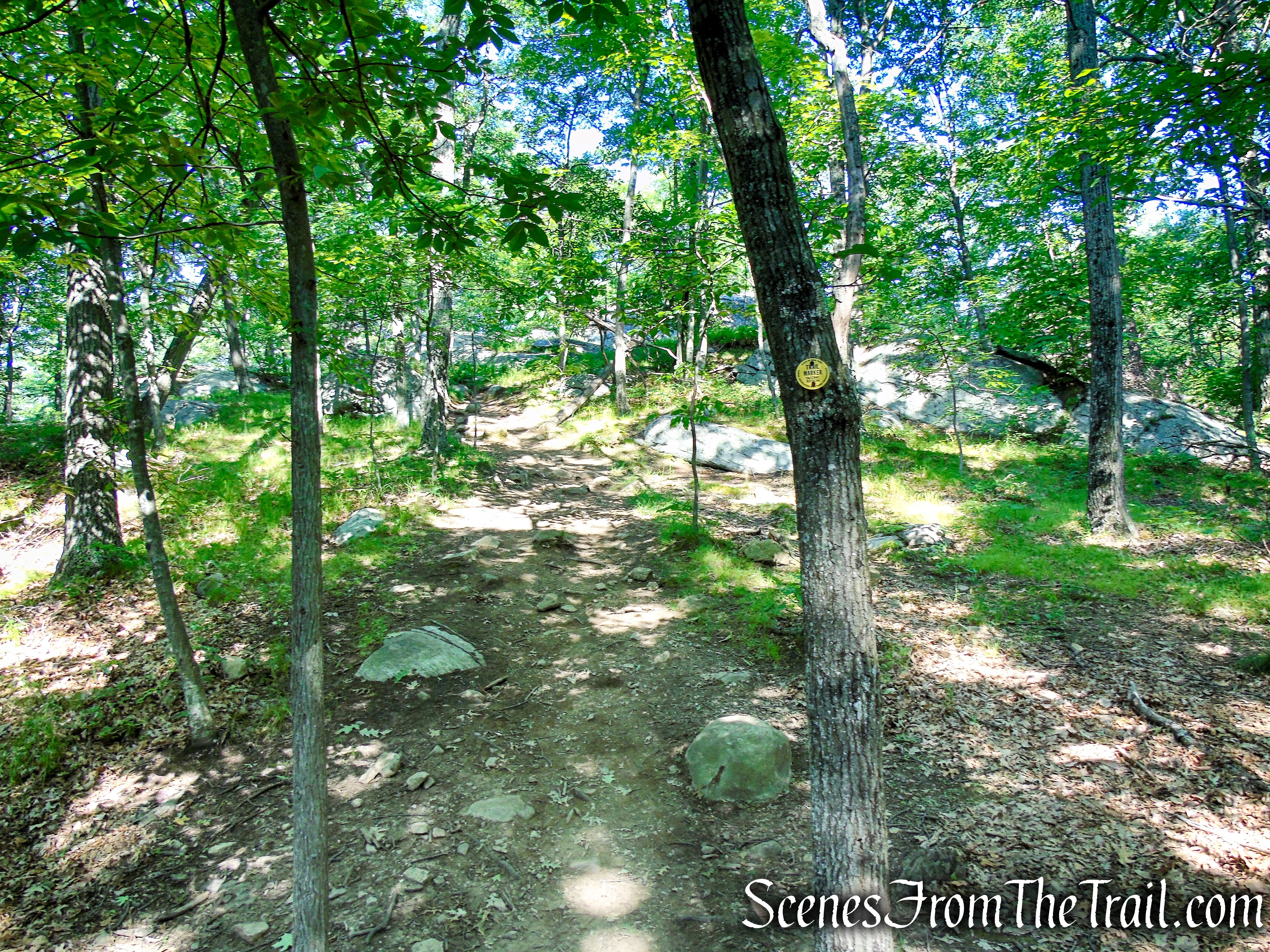
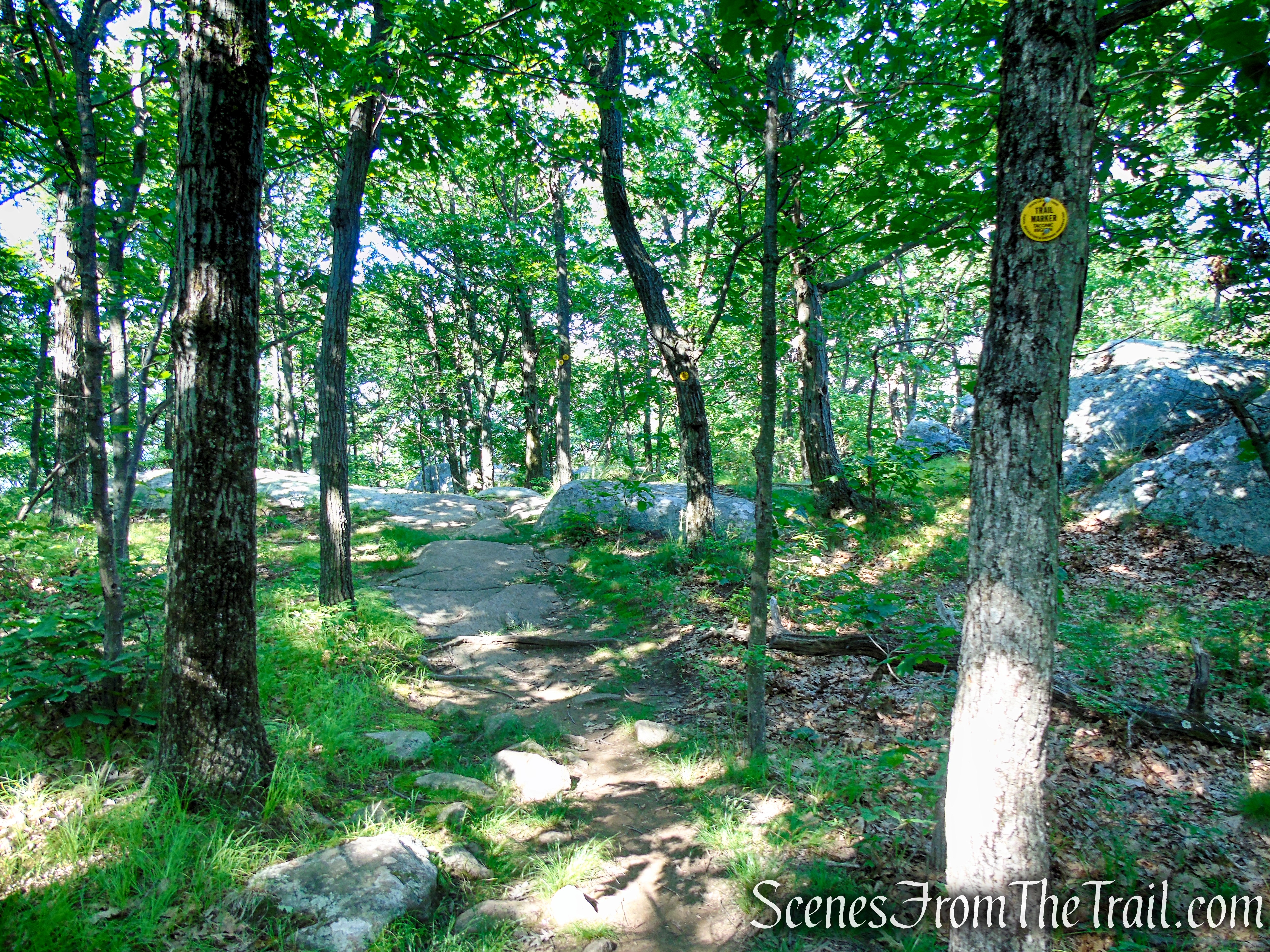
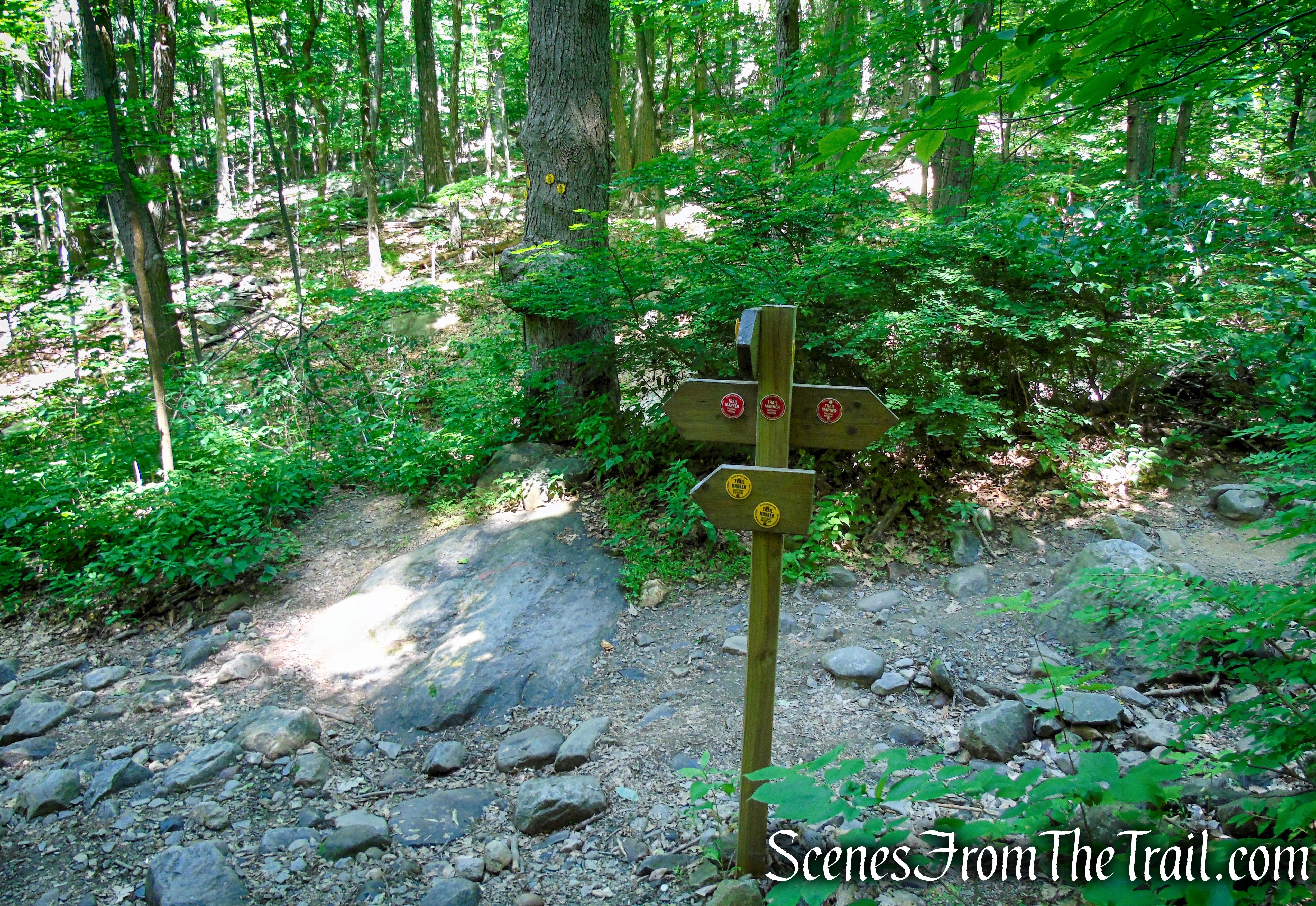
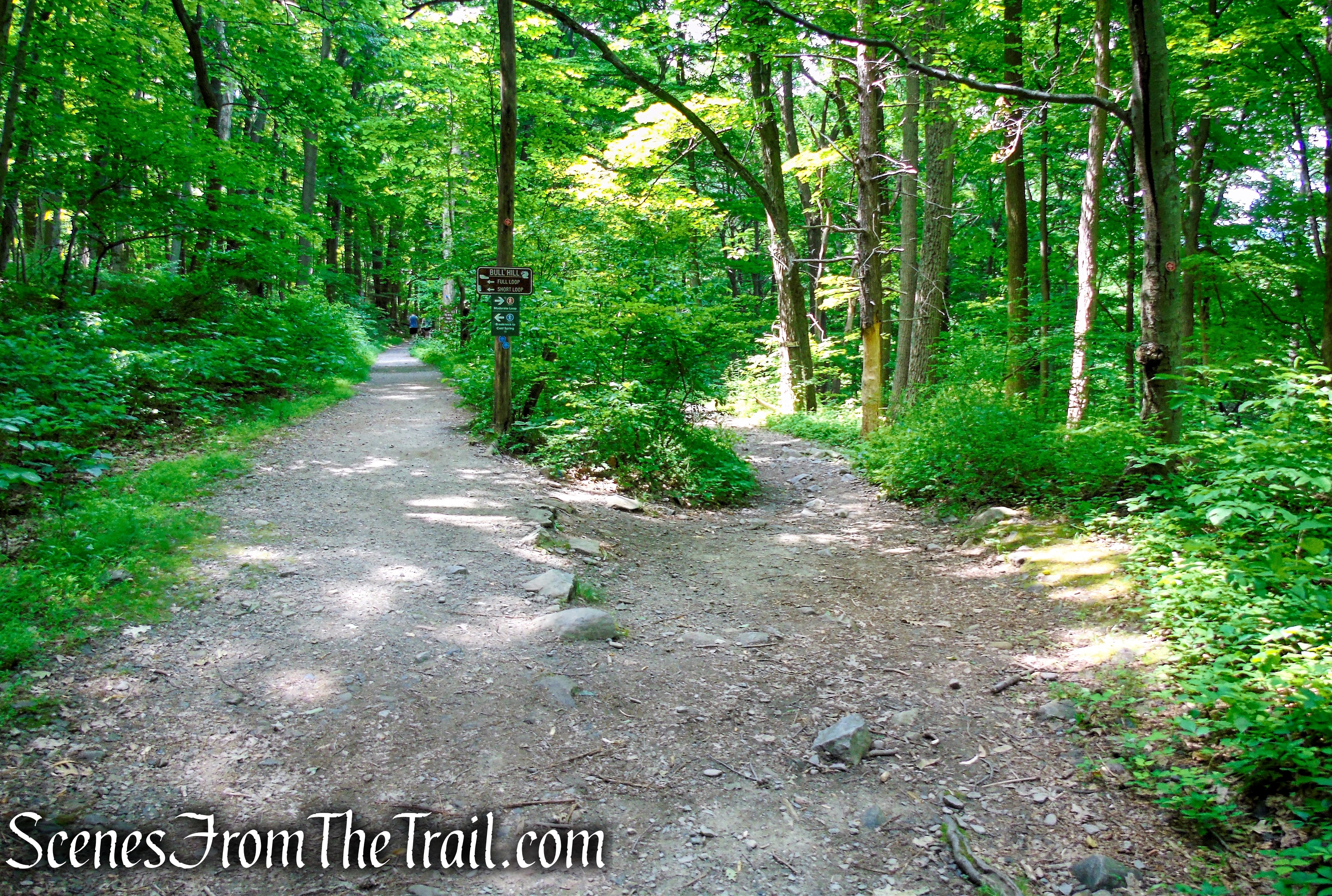
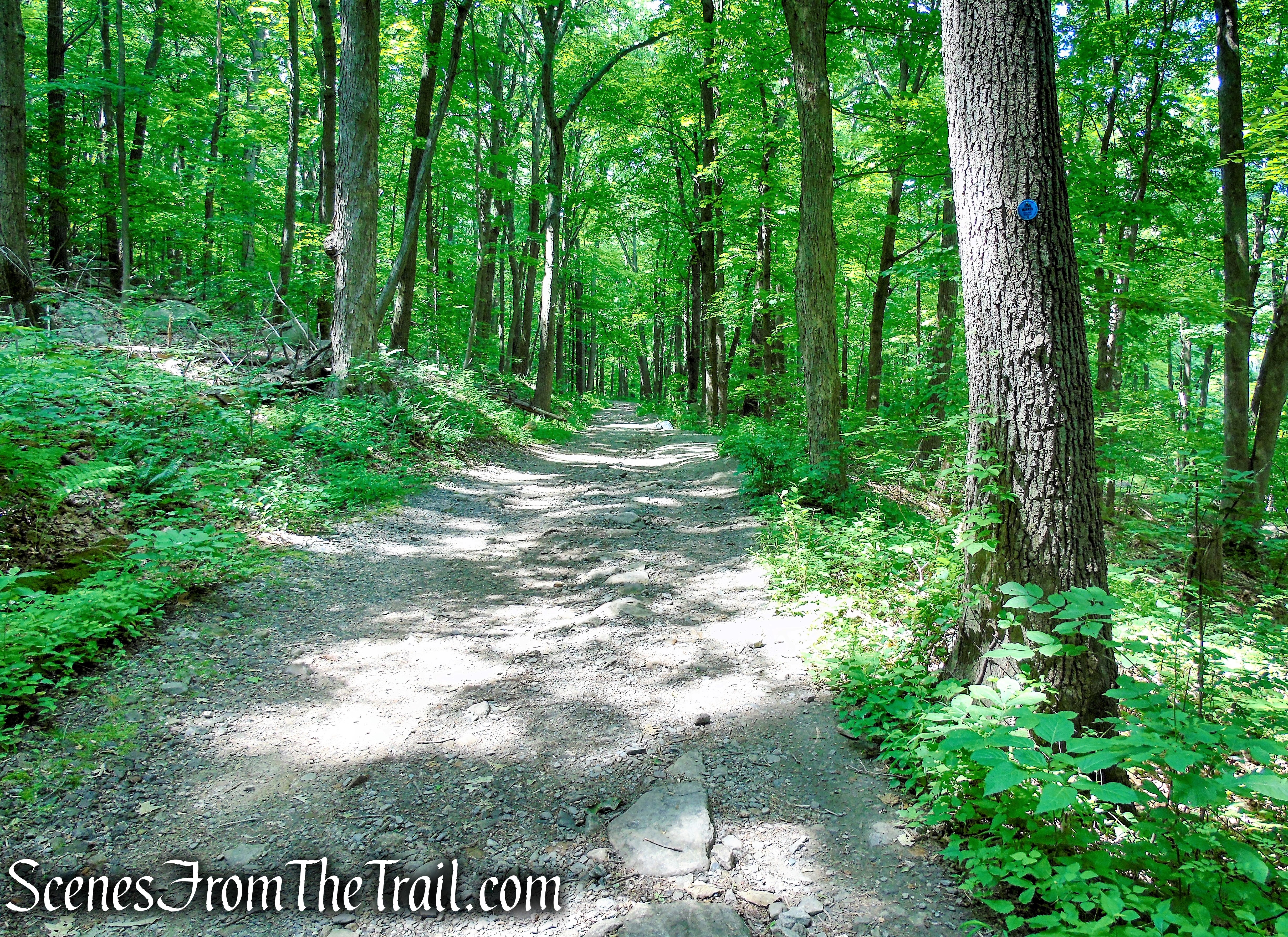
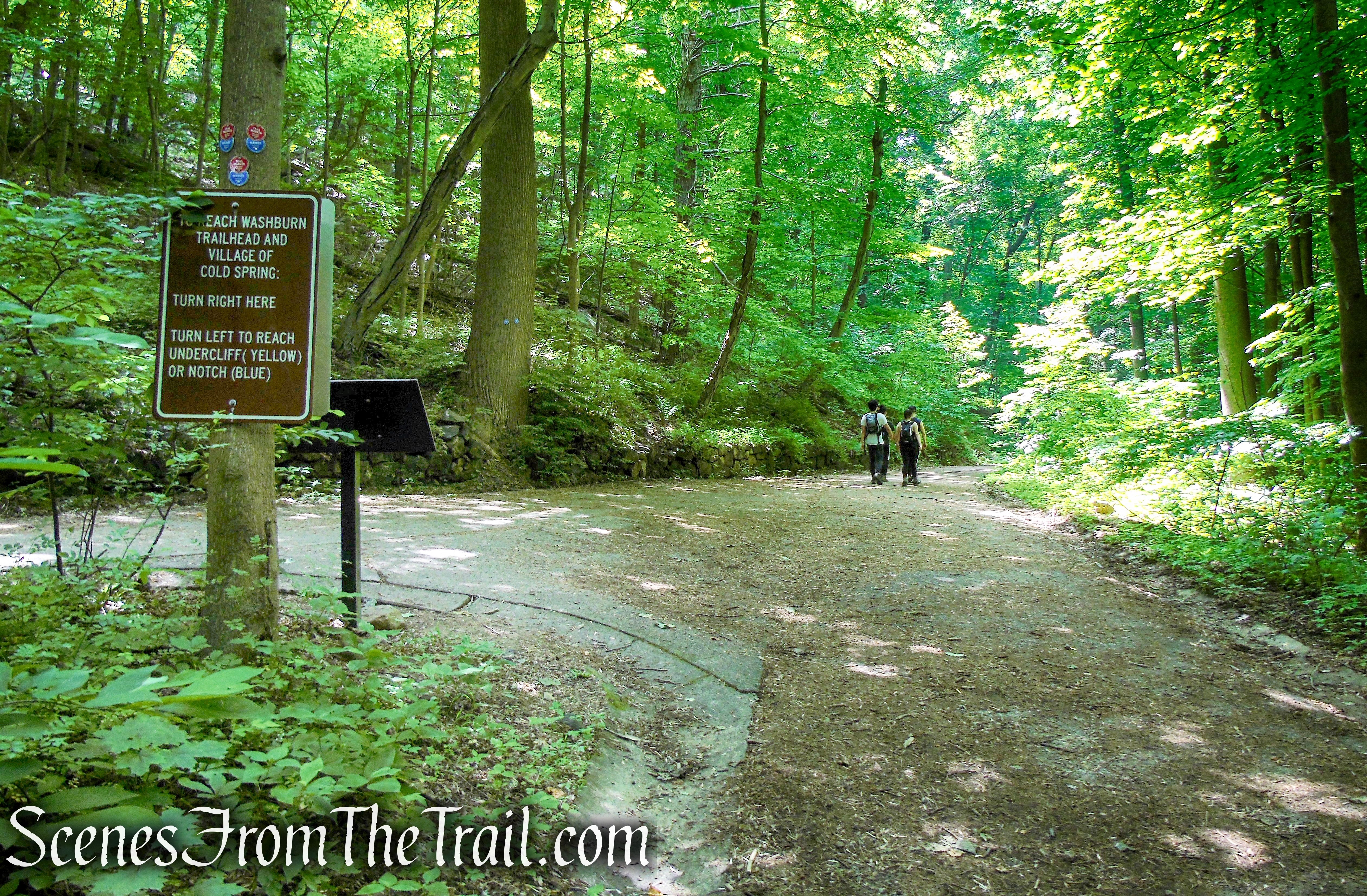
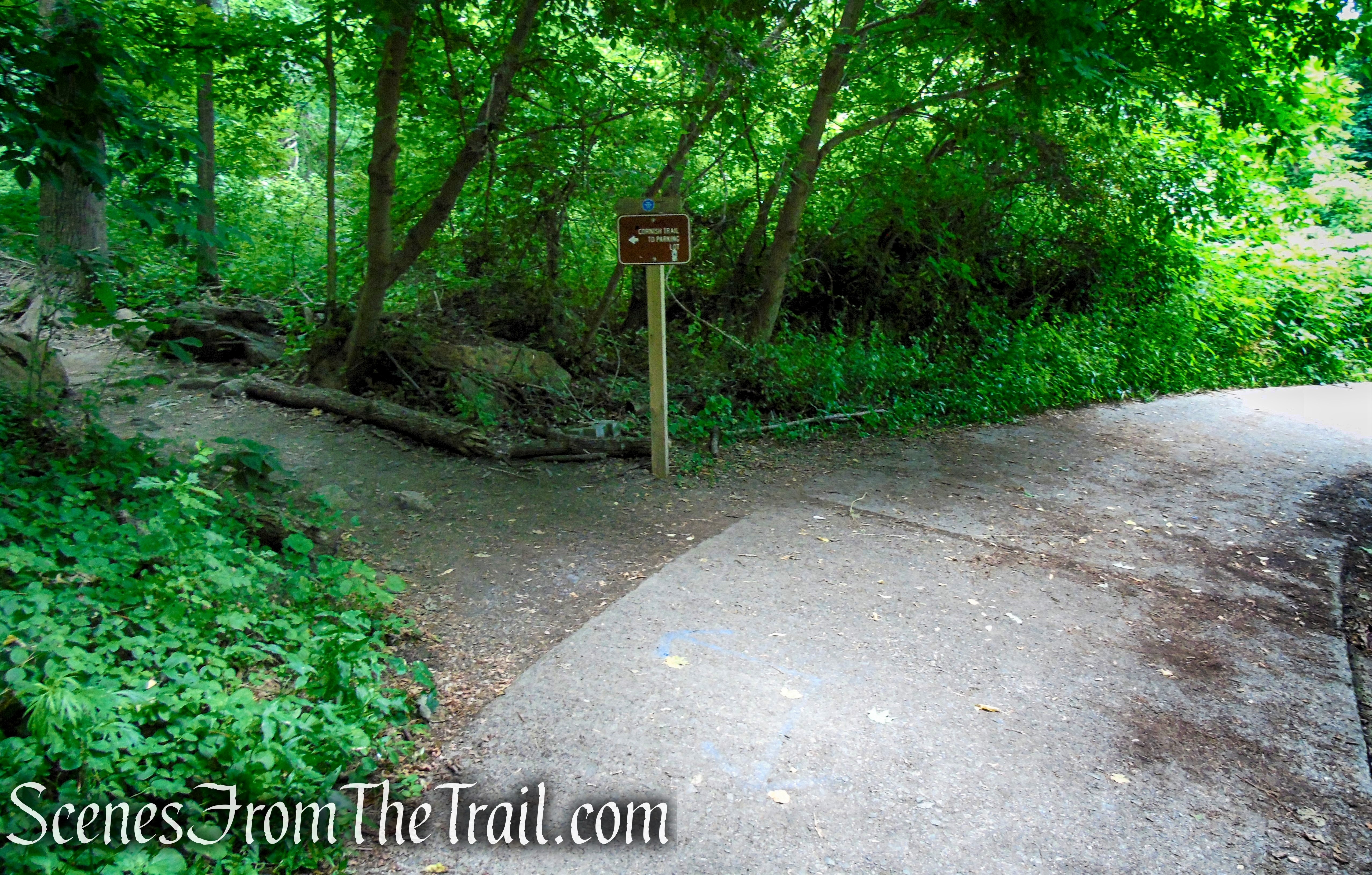
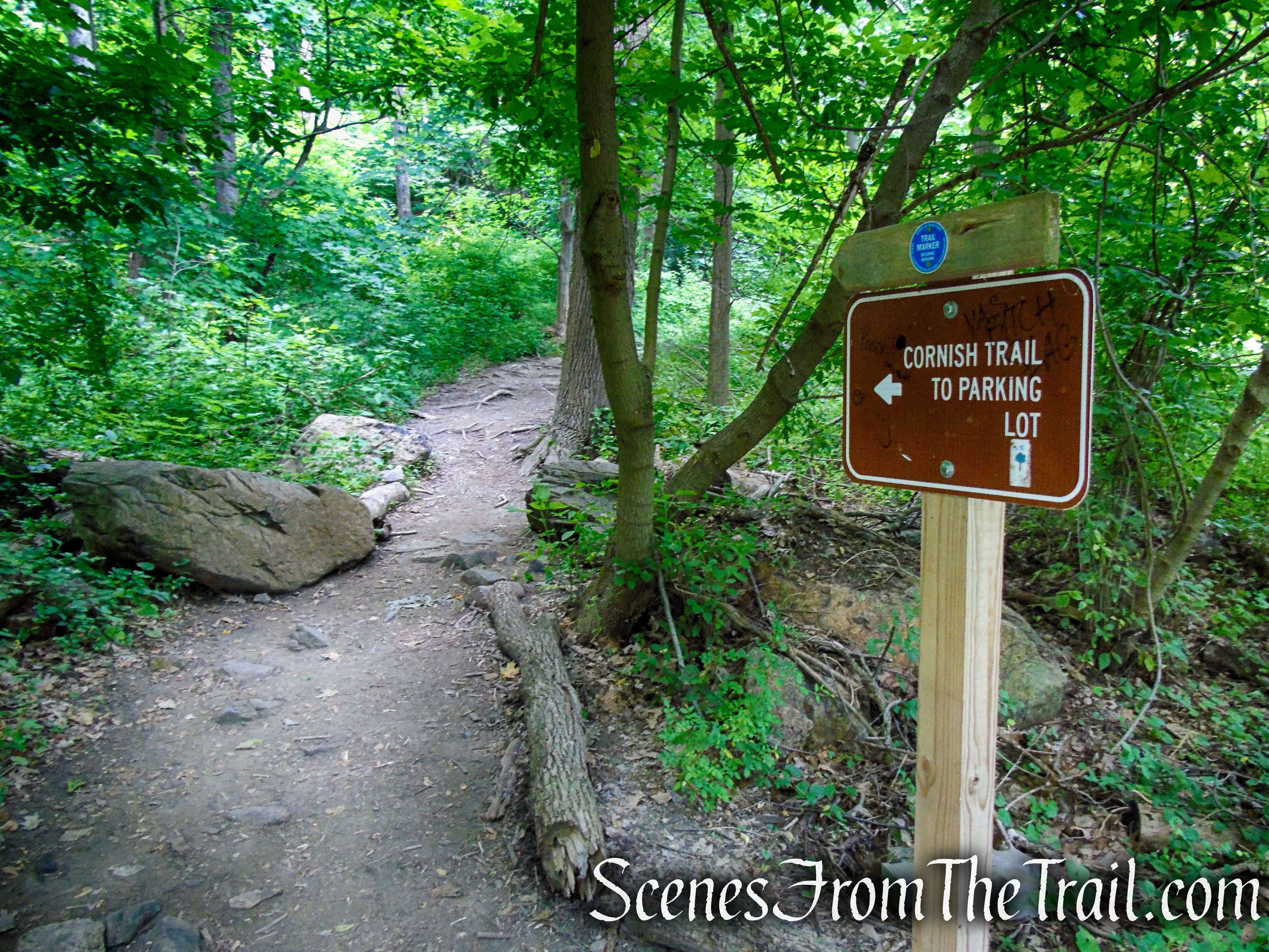
From the northern end of the parking area, proceed north on the white-blazed Washburn Trail. In 100 feet, you’ll reach a junction with the blue-blazed Cornish Trail, which continues straight ahead. The Cornish Trail will be your return route, but for now, bear right and continue to follow the Washburn Trail uphill along an old road, once used to access a quarry.
Washburn Trailhead
Washburn Trailhead
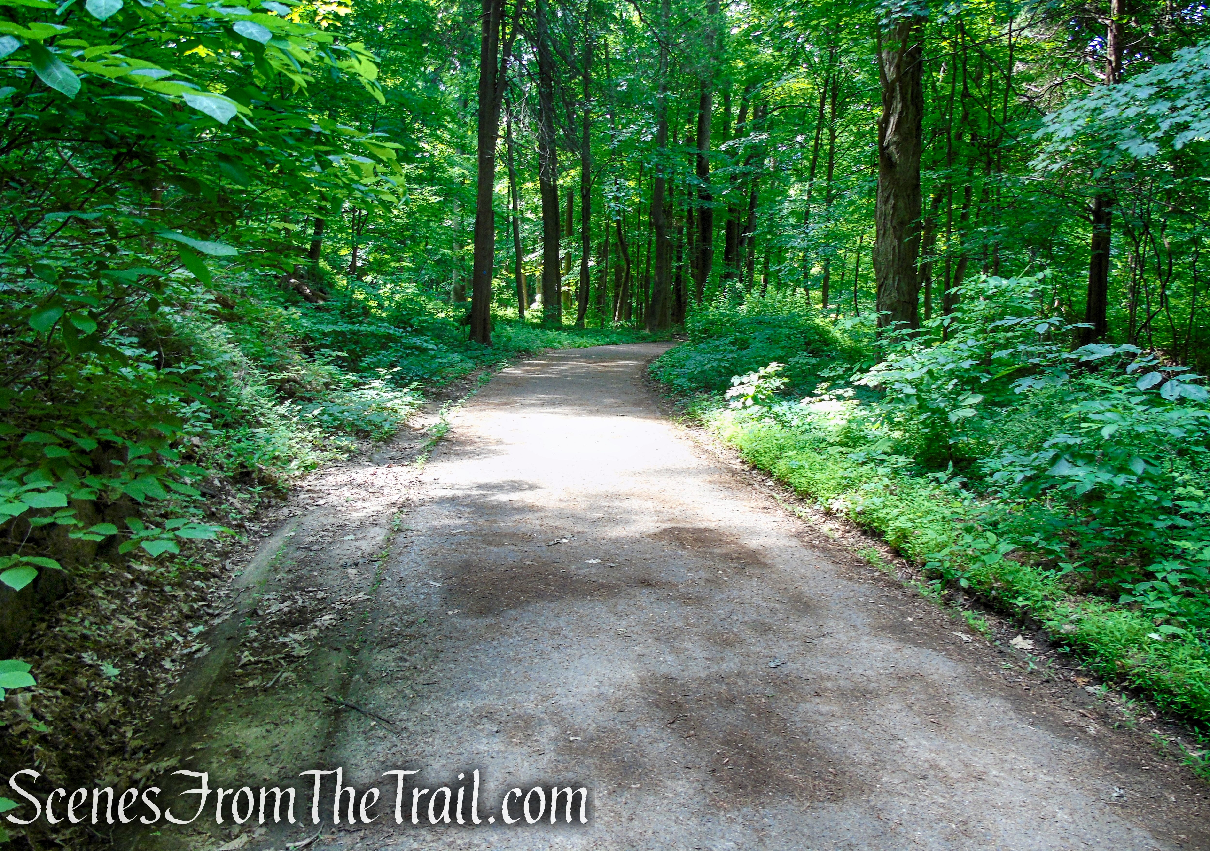
Washburn Trail – Bull Hill
Washburn Trail – Bull Hill
Washburn Trail – Bull Hill
Washburn Trail – Bull Hill
Washburn Trail – Bull Hill
Washburn Trail – Bull Hill
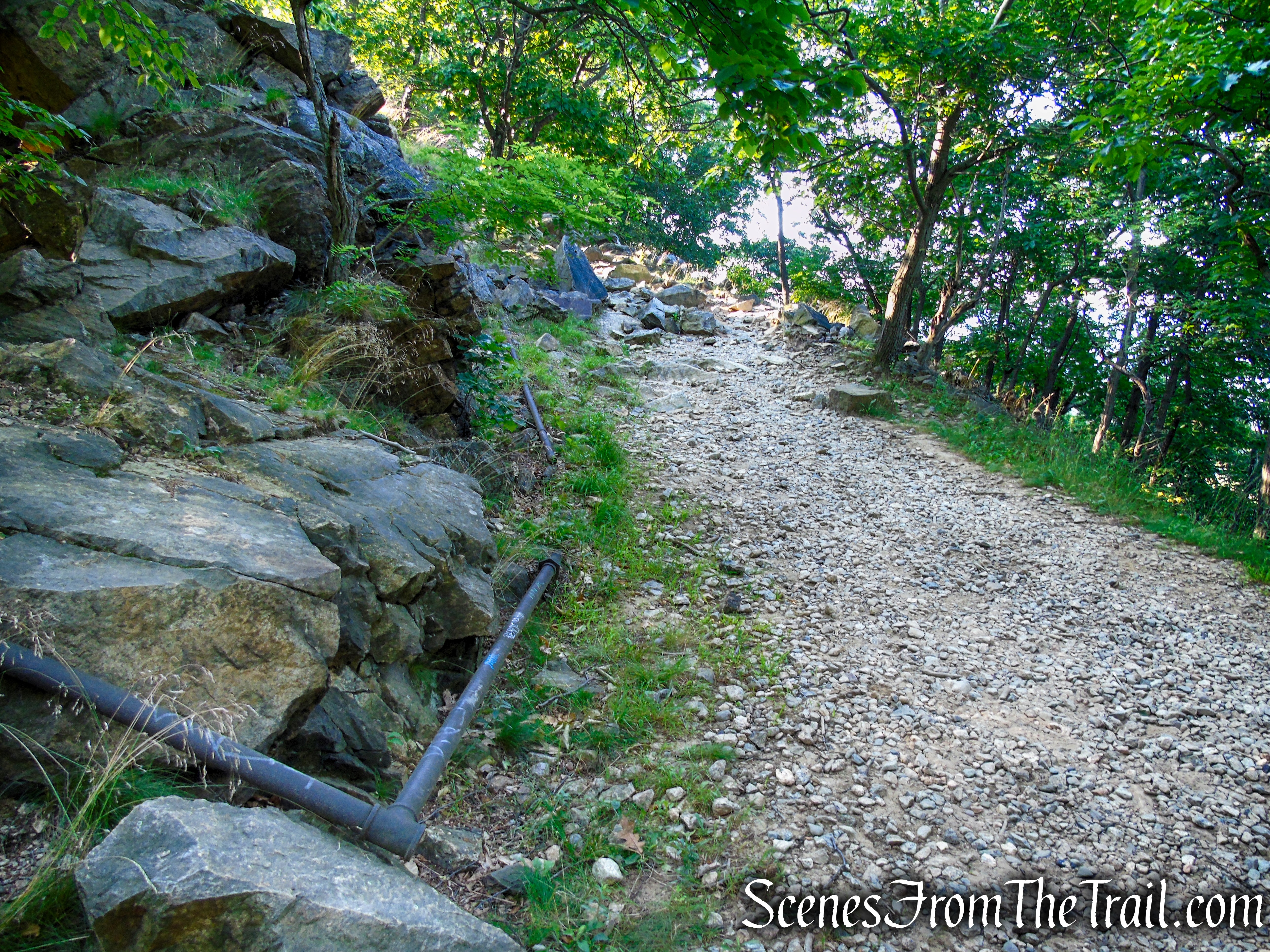
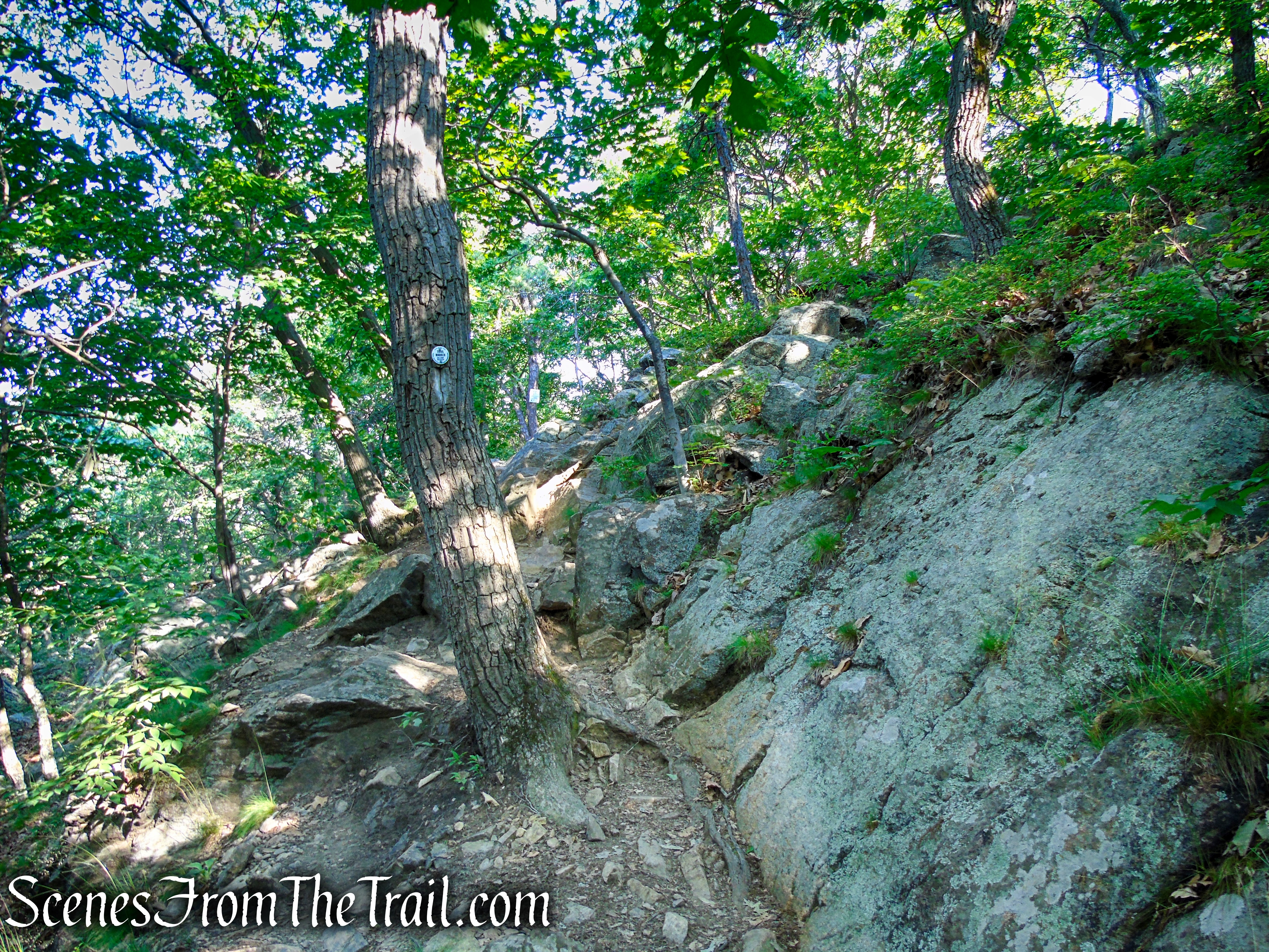
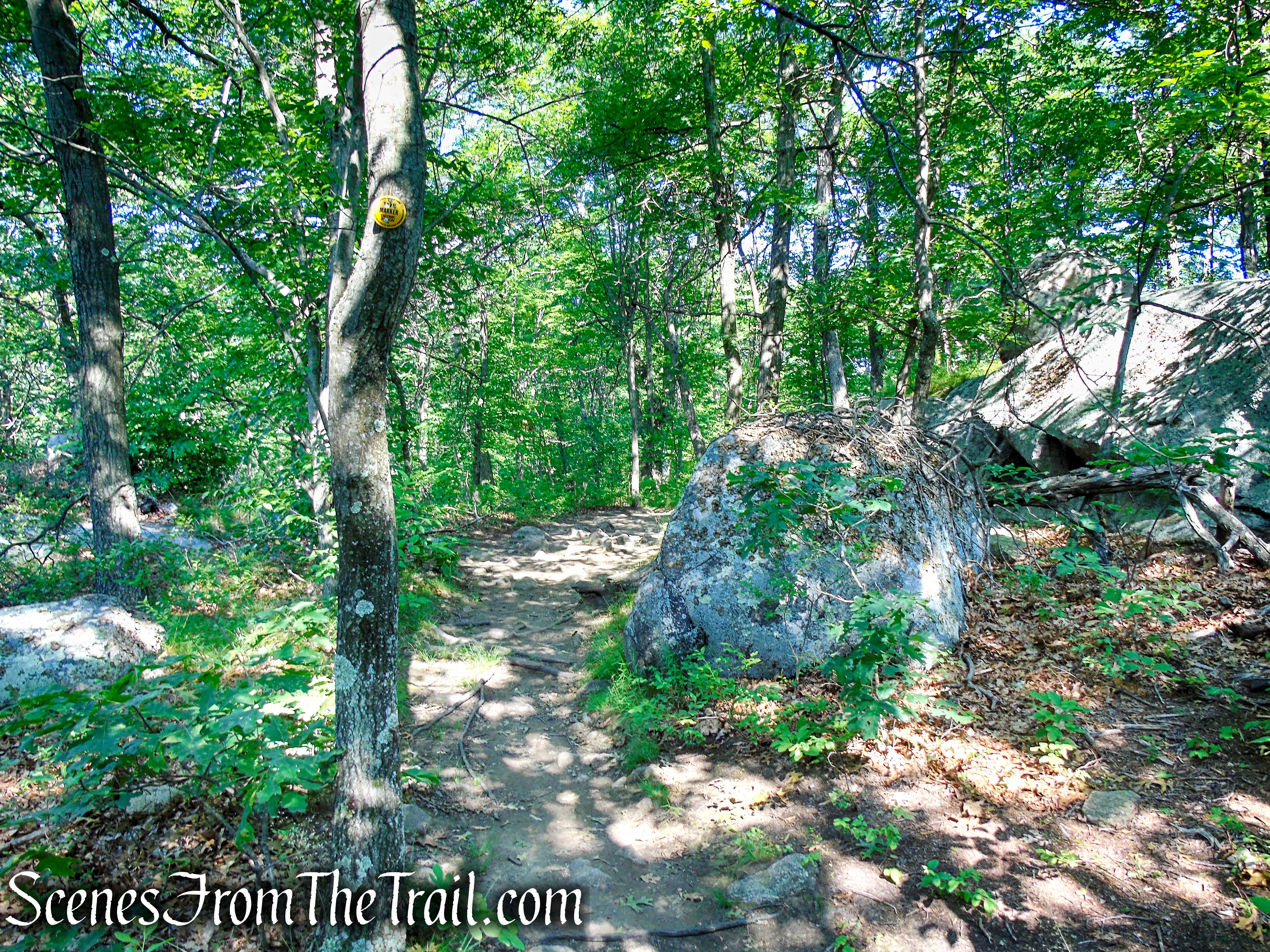
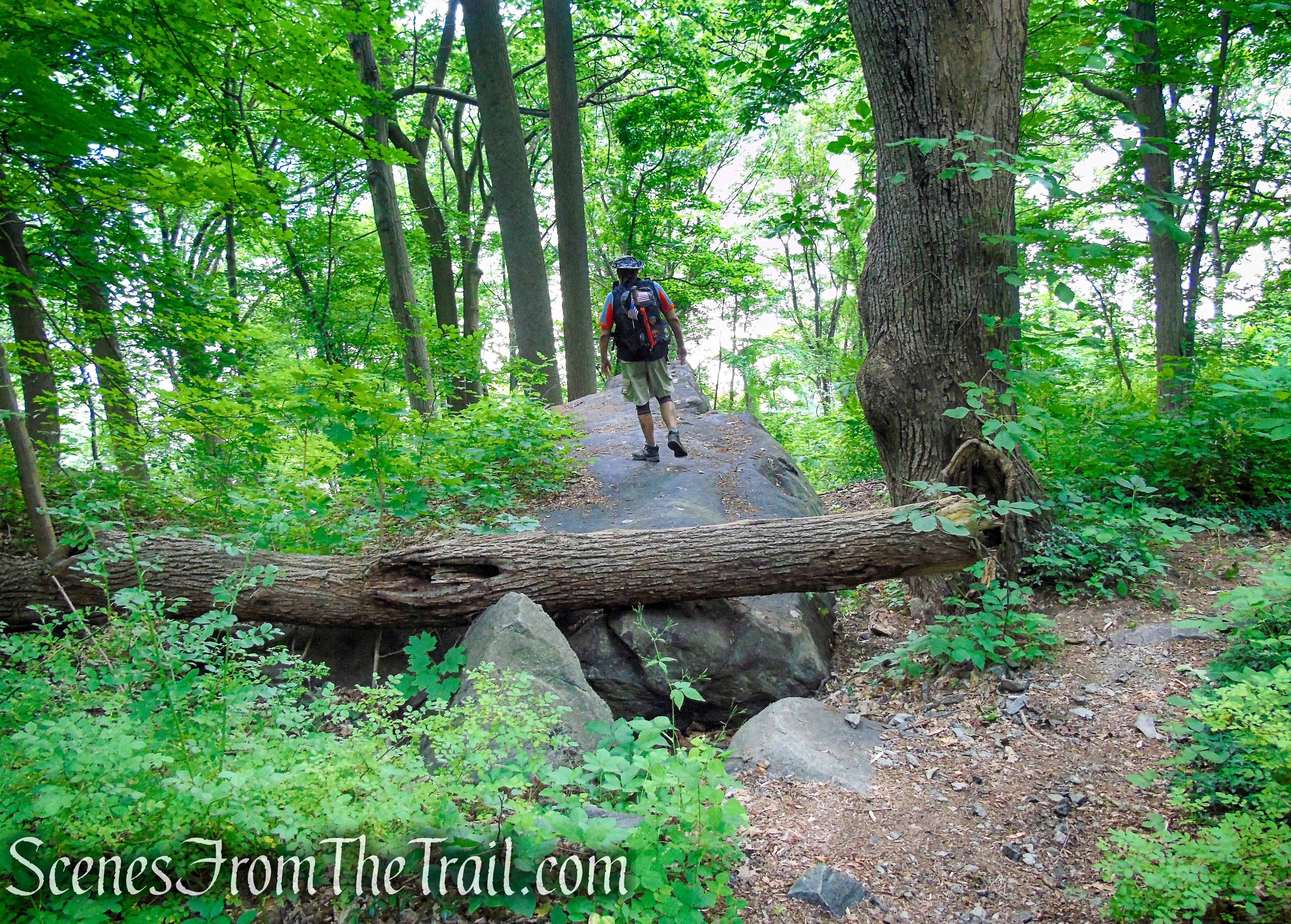
In about half a mile, you’ll reach the site of the quarry, opened in 1931 by the Hudson River Stone Corporation and abandoned in 1967. The quarry site is now overgrown with trees, although the scars in the rock are plainly visible on the left. Here, the trail leaves the road, veers sharply right, and follows the rim of the quarry. You’ll notice some rusted pipes and cables along the trail, remnants of former quarrying operations.
Washburn Trail – Bull Hill
Washburn Trail – Bull Hill
Washburn Trail – Bull Hill
Washburn Trail – Bull Hill
Washburn Trail – Bull Hill
Washburn Trail – Bull Hill
Washburn Trail – Bull Hill
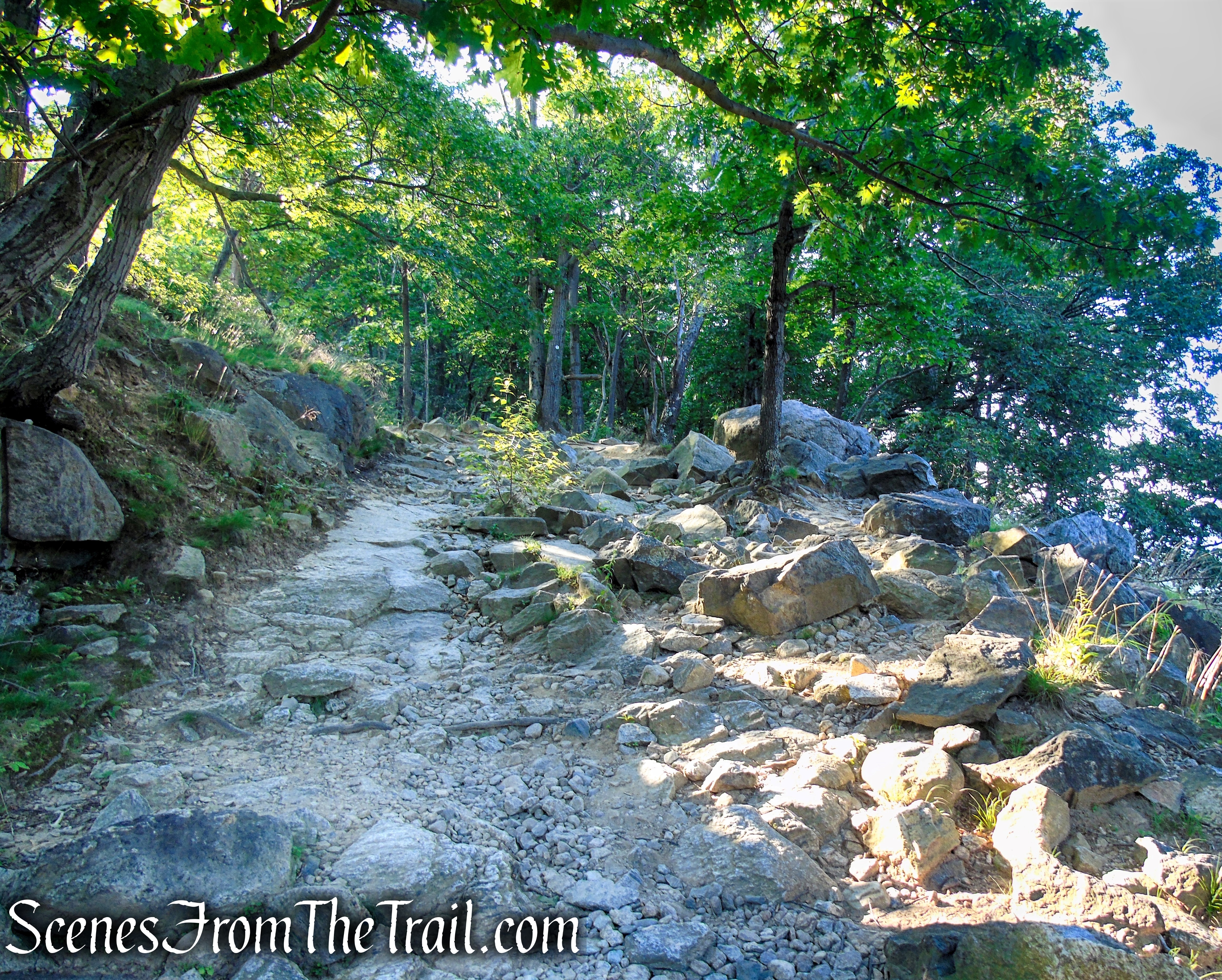
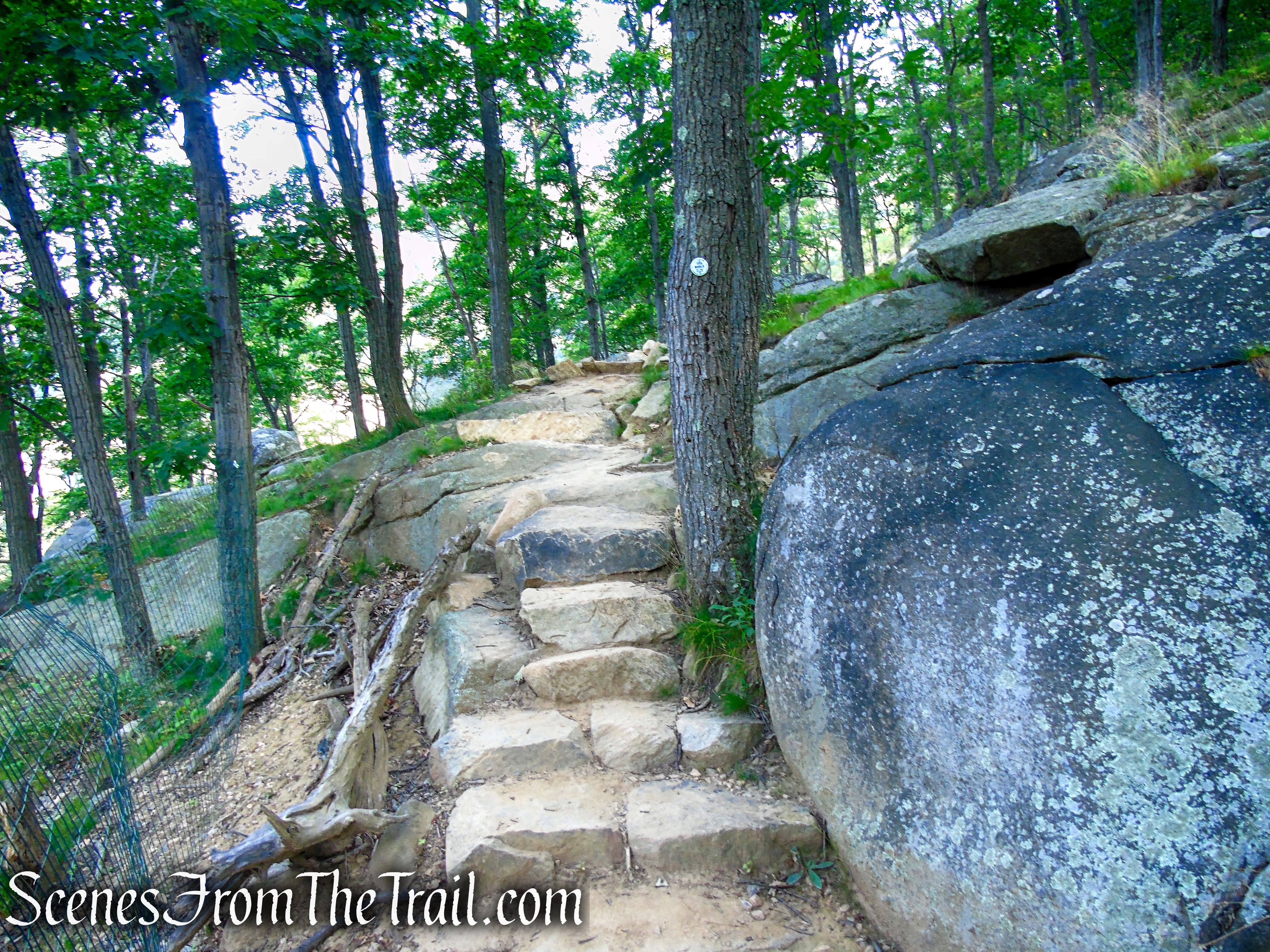
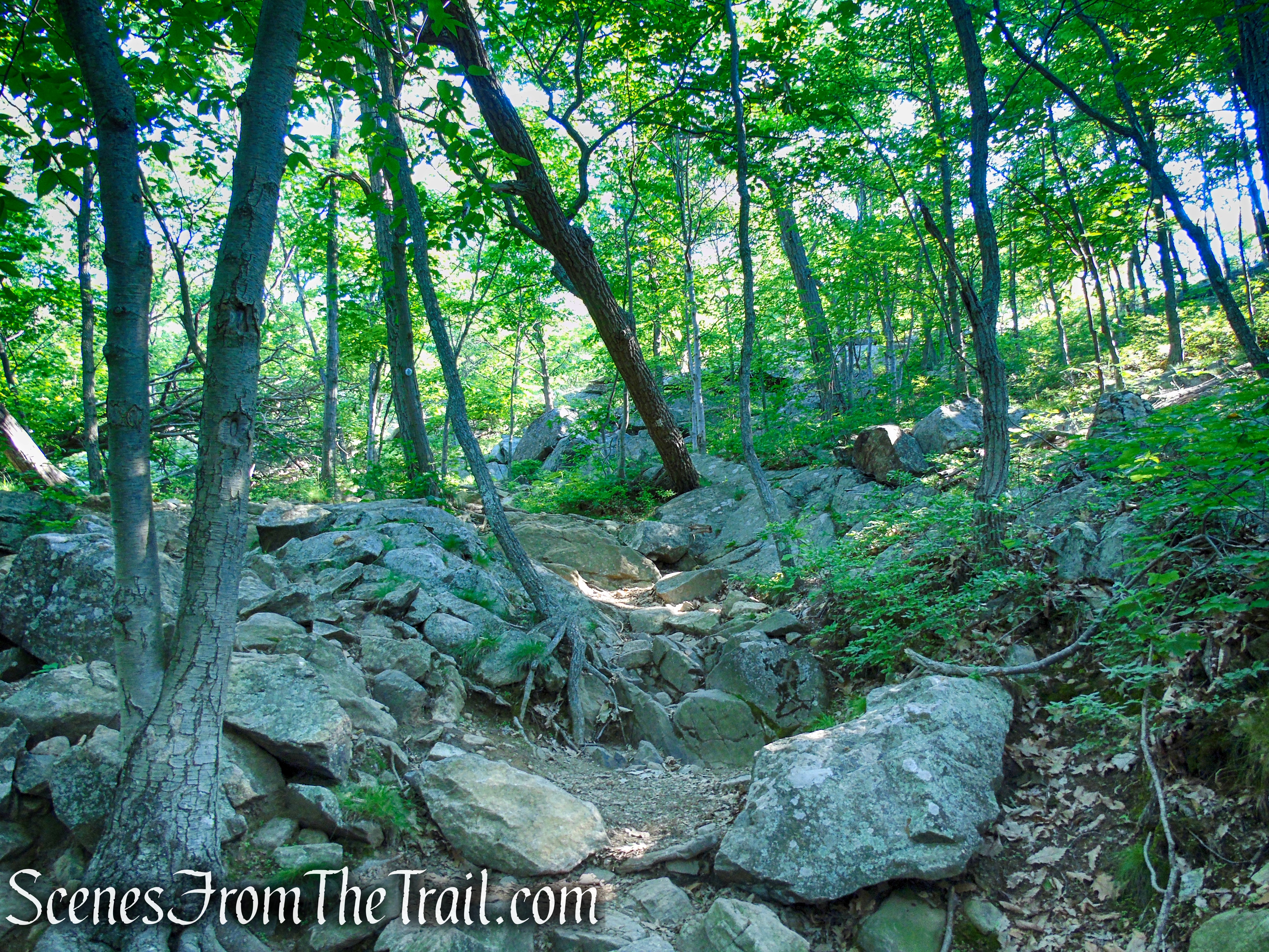
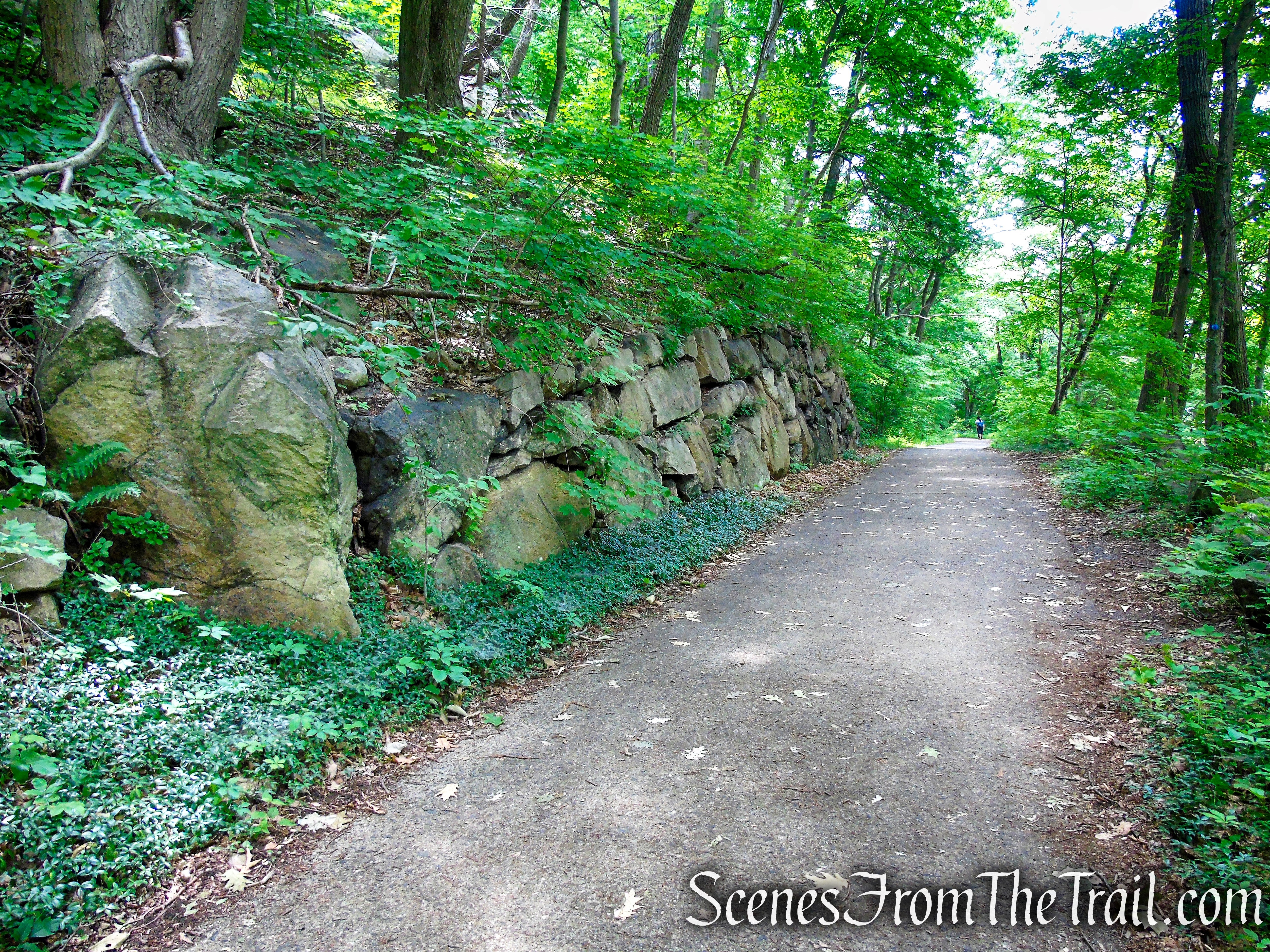
The Washburn Trail now ascends a recently rerouted section of the trail that took two years to complete. The trail ascends a series of stone steps to a newly built overlook along the rim of the quarry. Directly below is the quarry and to the northwest, across the river is Storm King Mountain.
Washburn Trail – Bull Hill
Washburn Trail – Bull Hill
Washburn Trail – Bull Hill
Washburn Trail – Bull Hill
Washburn Trail – Bull Hill
Washburn Trail – Bull Hill
Washburn Trail – Bull Hill
Washburn Trail – Bull Hill
Washburn Trail – Bull Hill
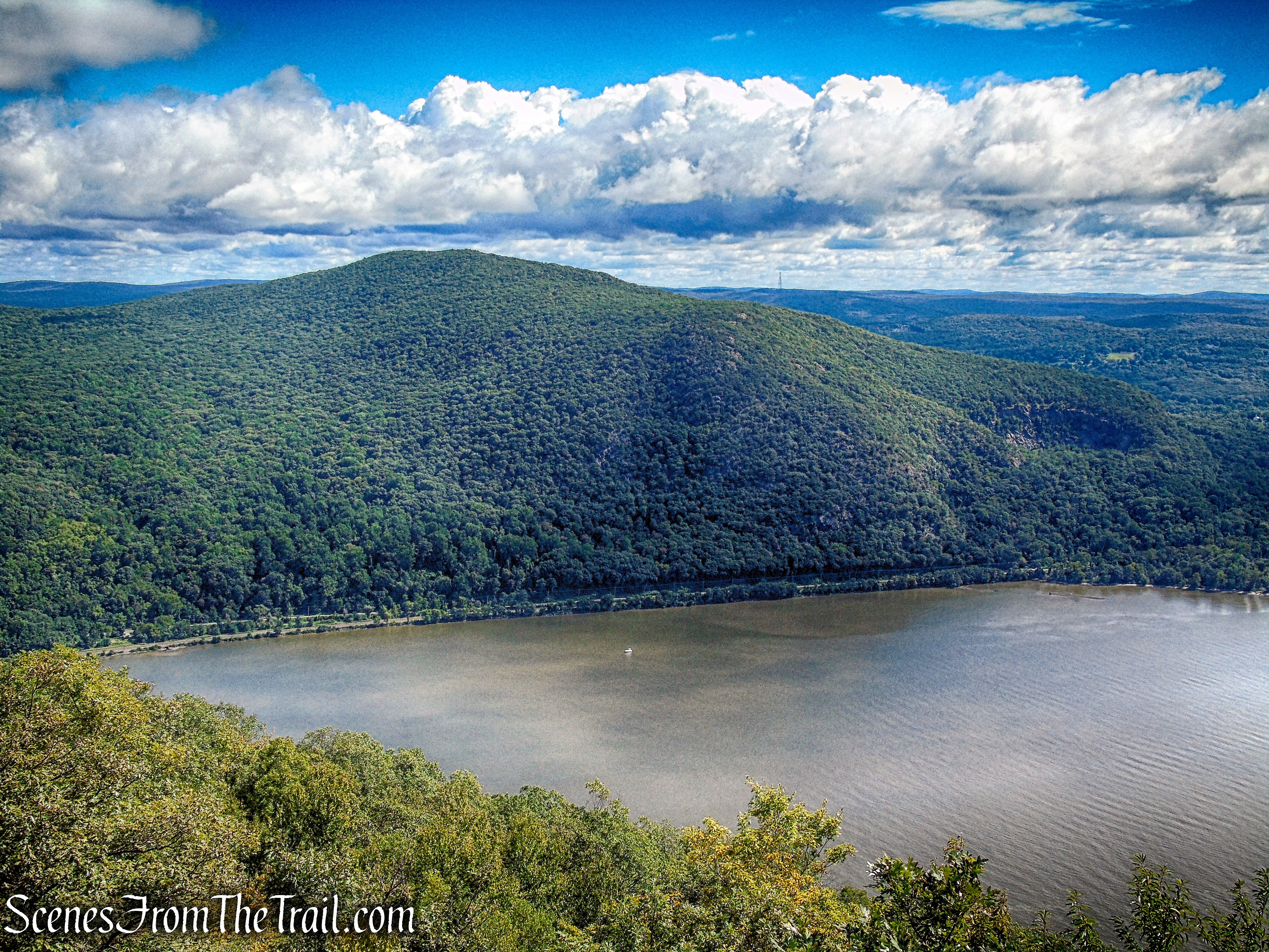
Storm King Mountain (center) across the Hudson River with the Bull Hill quarry in the foreground.
Washburn Trail – Bull Hill
The exposed rock summit of Butter Hill (left) and Storm King Mountain (right).
Washburn Trail – Bull Hill
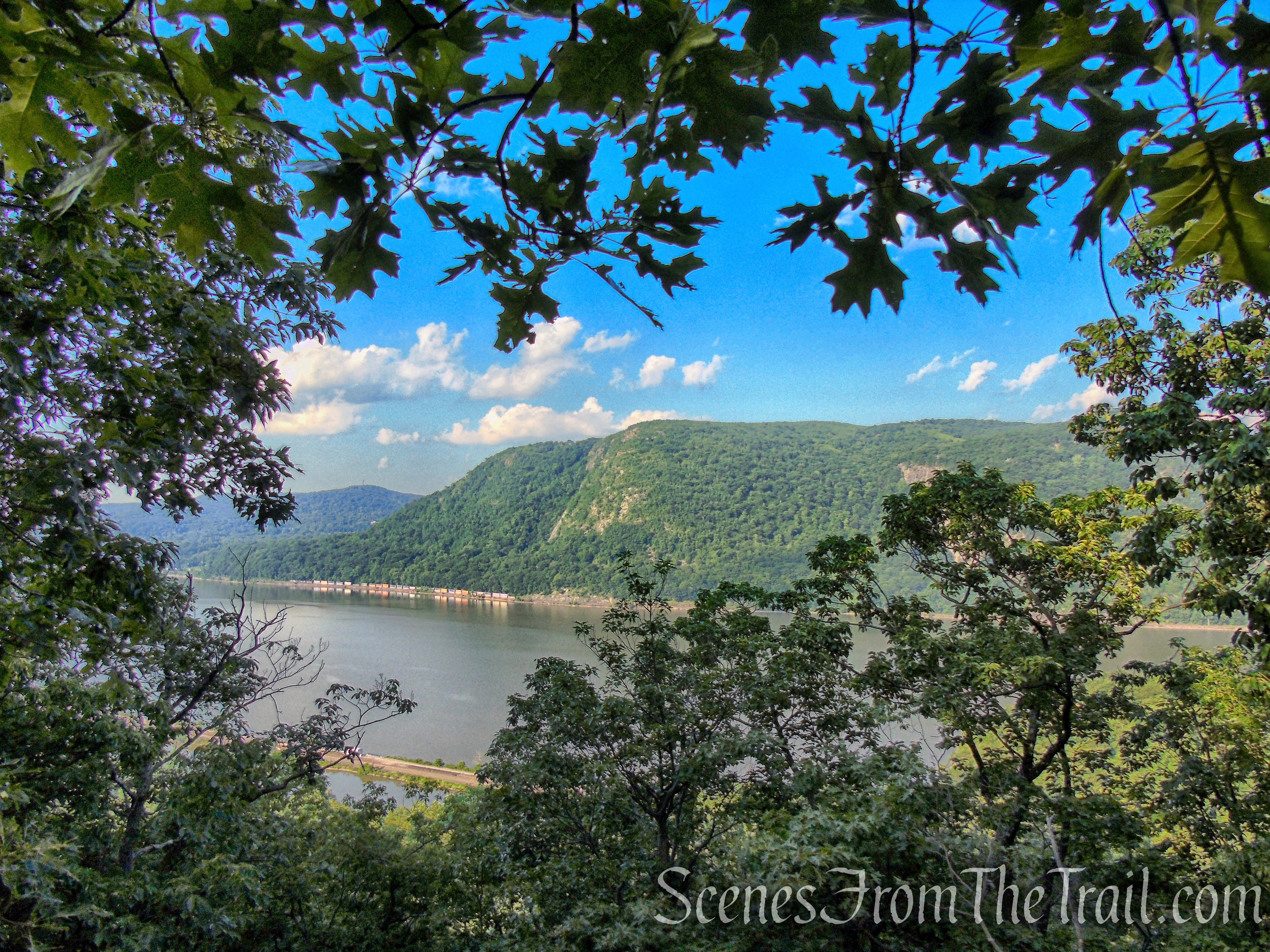
A short distance later as the trail makes a sharp right turn, there is a more wide-ranging view over the quarry, with Storm King Mountain across the river to the right and Crows Nest Mountain to the left. This makes a good spot to take a break.
Washburn Trail – Bull Hill
Bull Hill quarry.
Washburn Trail – Bull Hill
Storm King Mountain across the river to the right.
Washburn Trail – Bull Hill
Crows Nest Mountain across the Hudson River with Butter Hill on the far right.
Washburn Trail – Bull Hill
The Washburn Trail turns right and a short distance later, reaches the Cold Spring Overlook.
Washburn Trail – Bull Hill
Washburn Trail – Bull Hill
Washburn Trail – Bull Hill
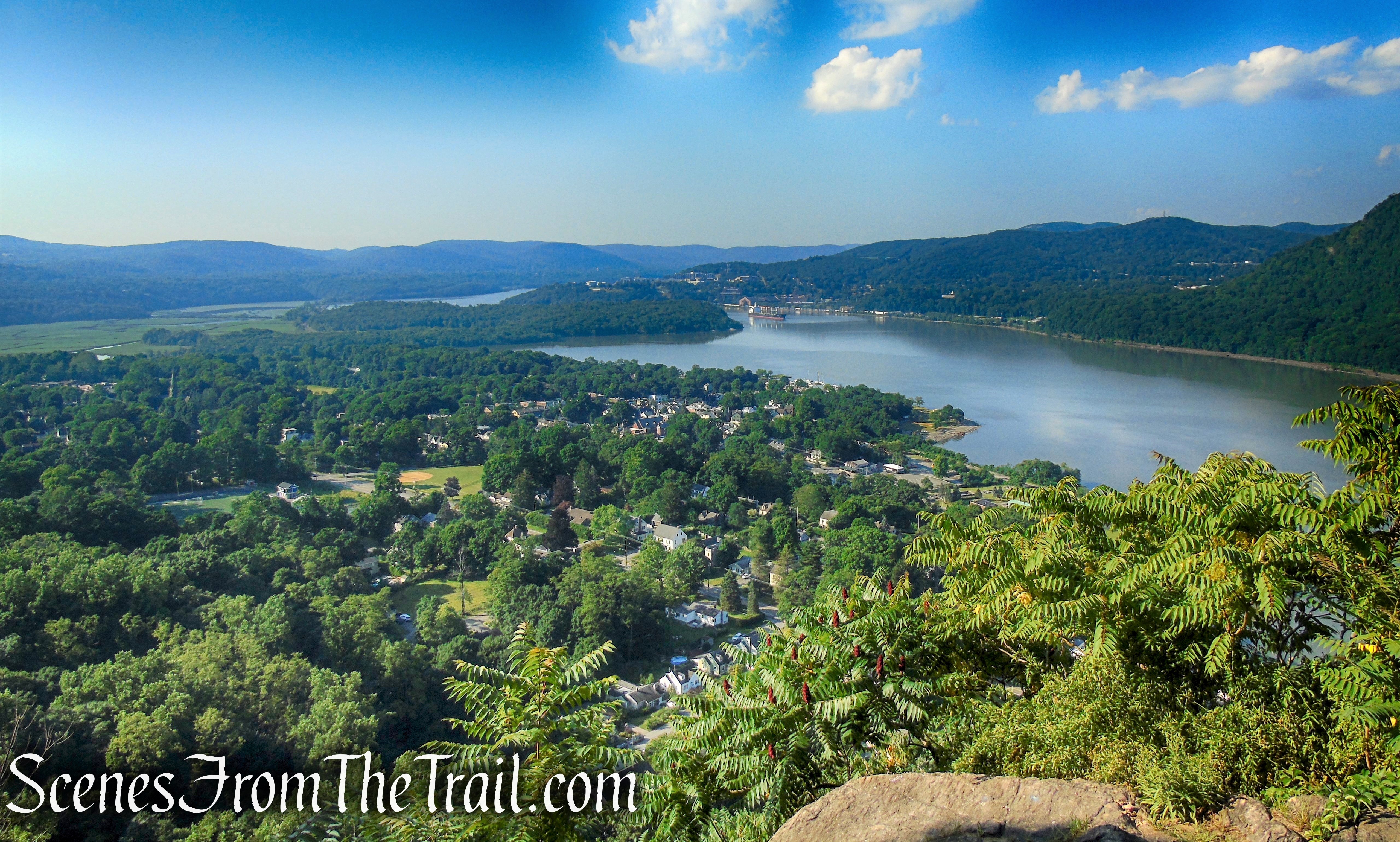
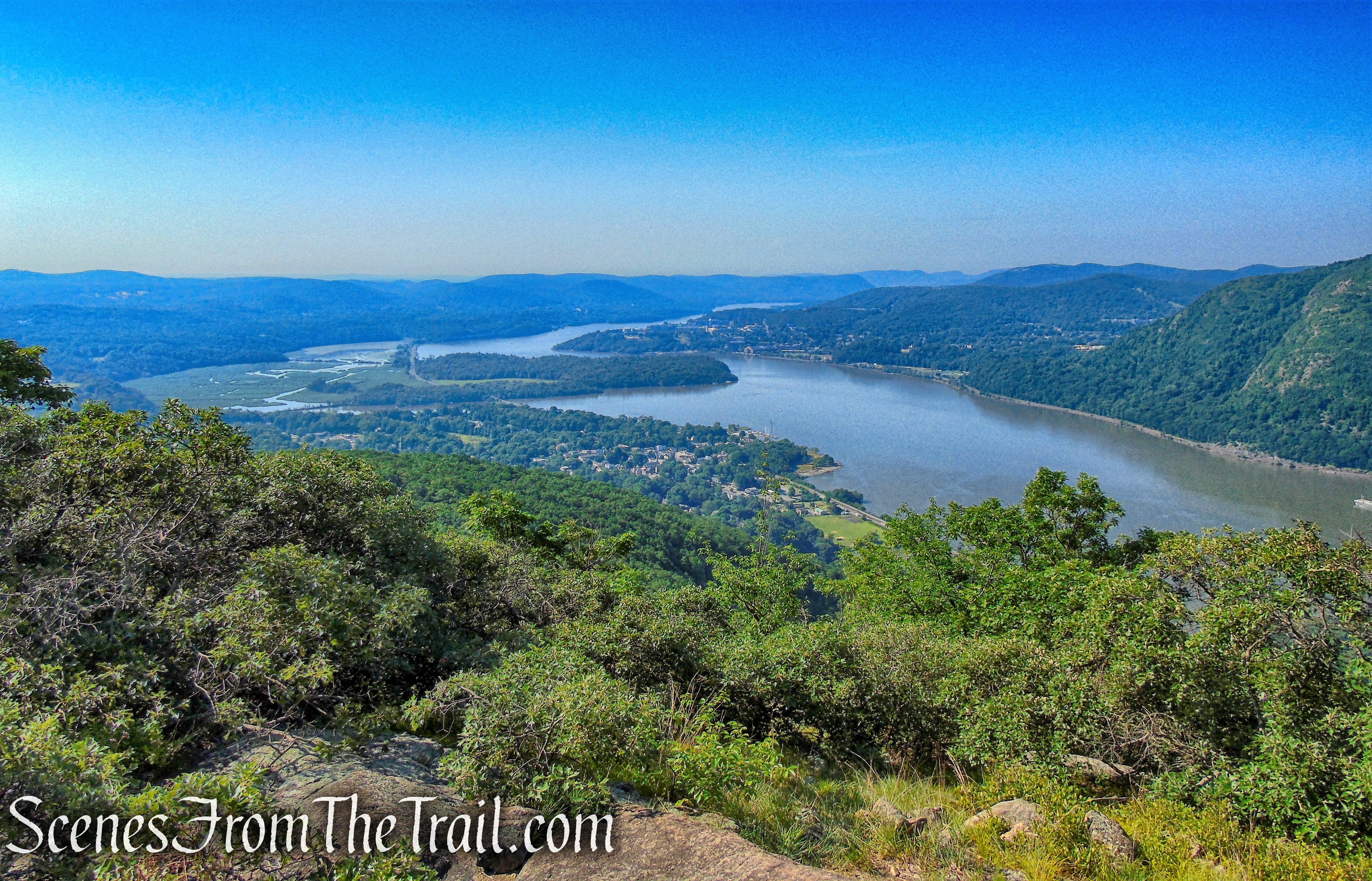
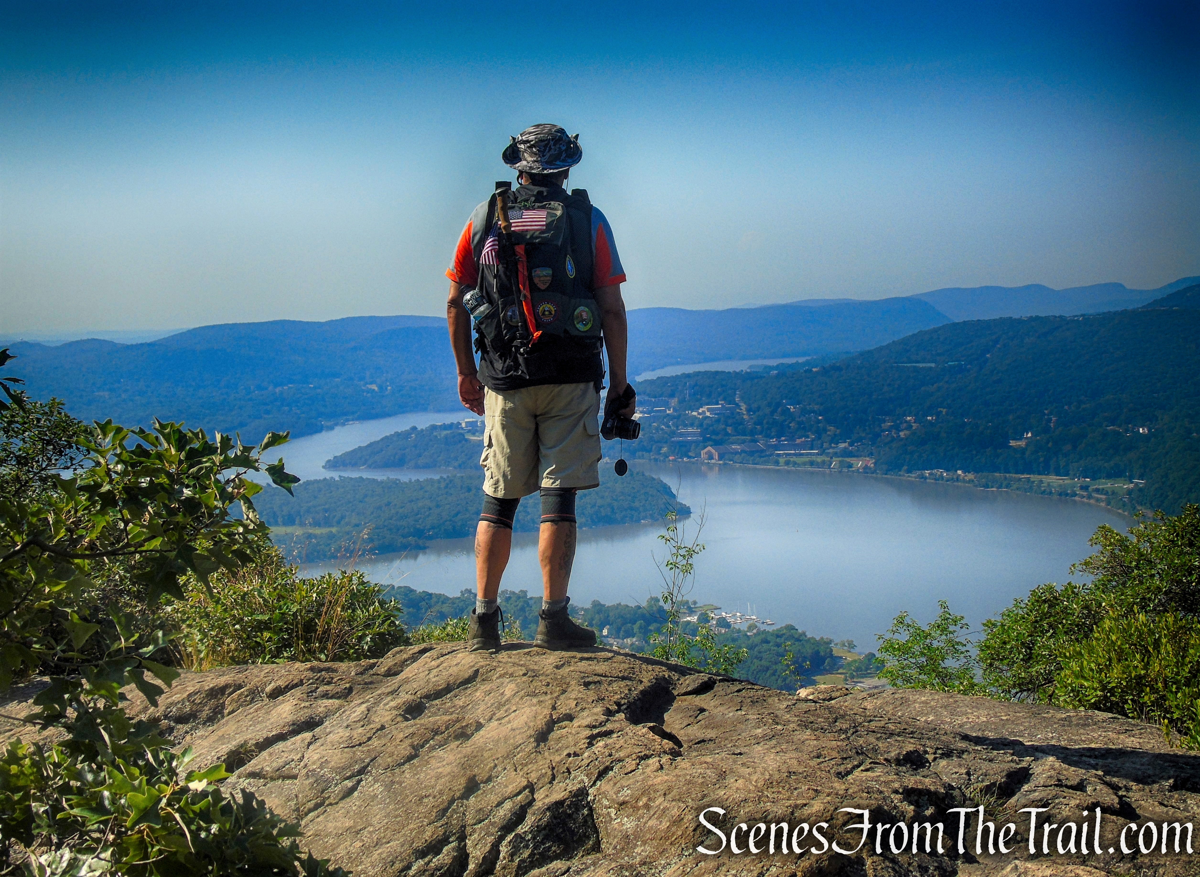
Cold Spring is visible directly below with Constitution Island to its south and West Point across the river to the southwest. The southern section of the East Hudson Highlands, including the hills of Fahnestock State Park are visible to the left. You may want to stop here to enjoy the spectacular view.
Cold Spring Overlook – Washburn Trail
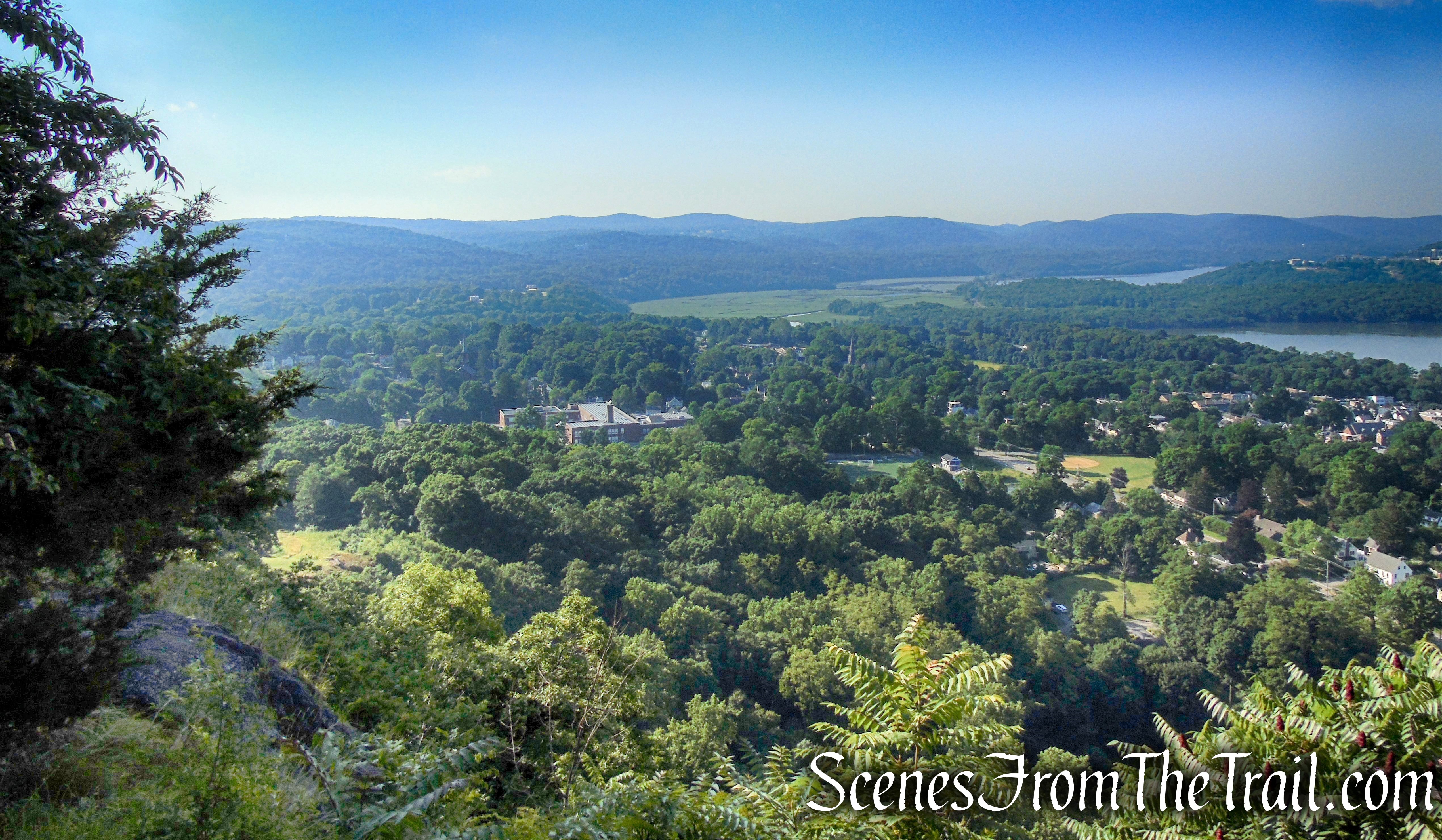
Cold Spring Overlook – Washburn Trail
Cold Spring Overlook – Washburn Trail
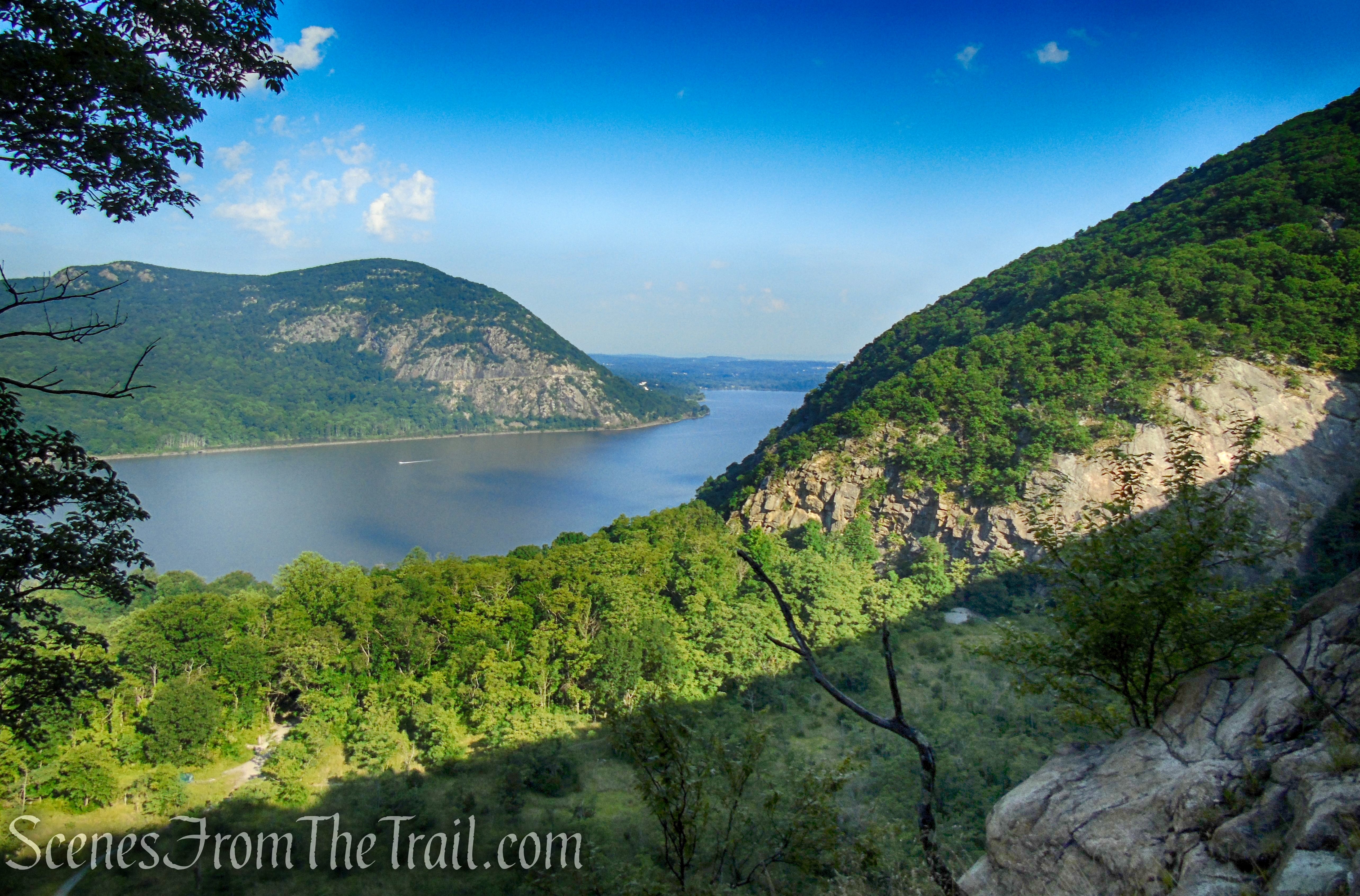
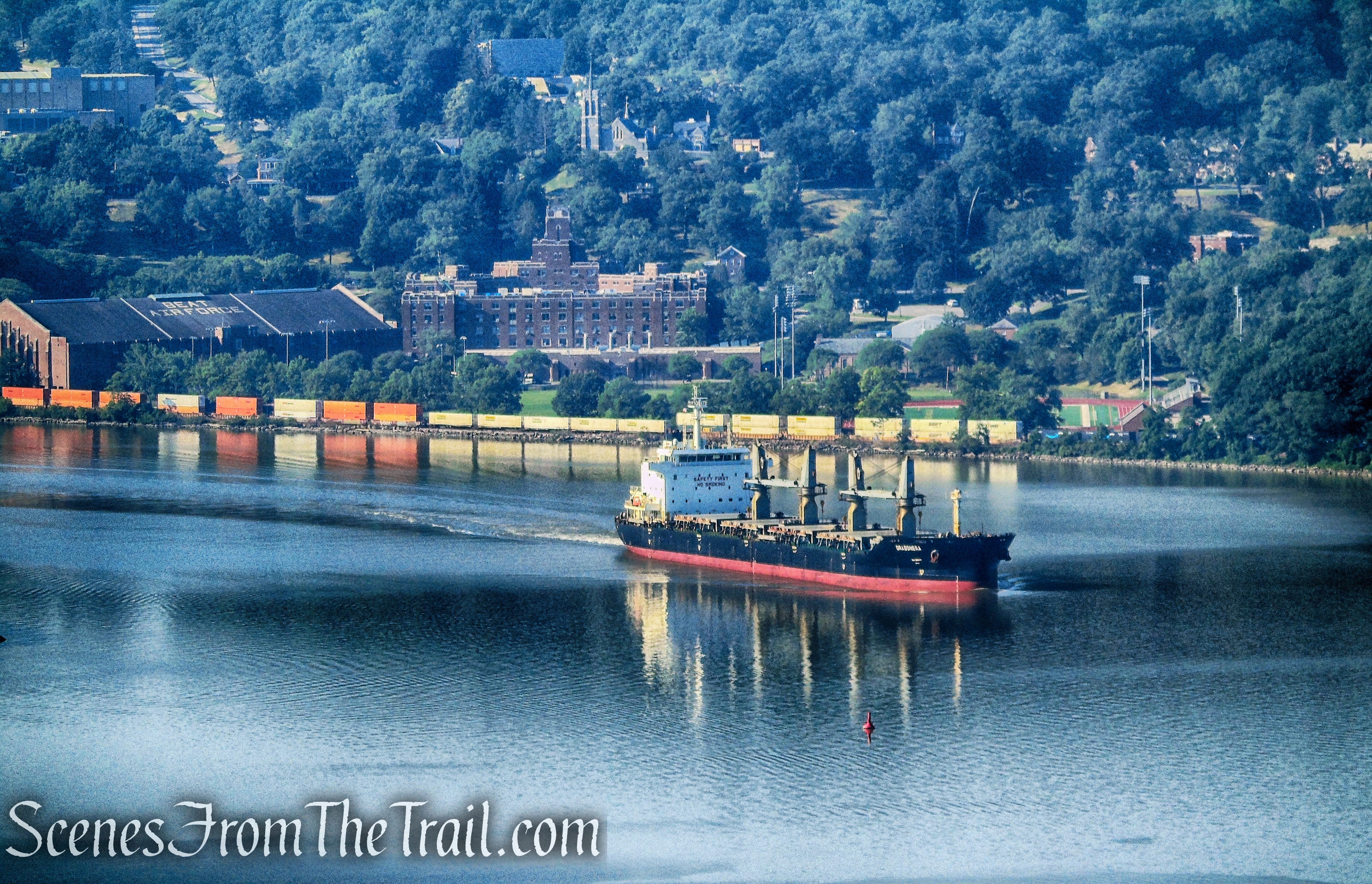
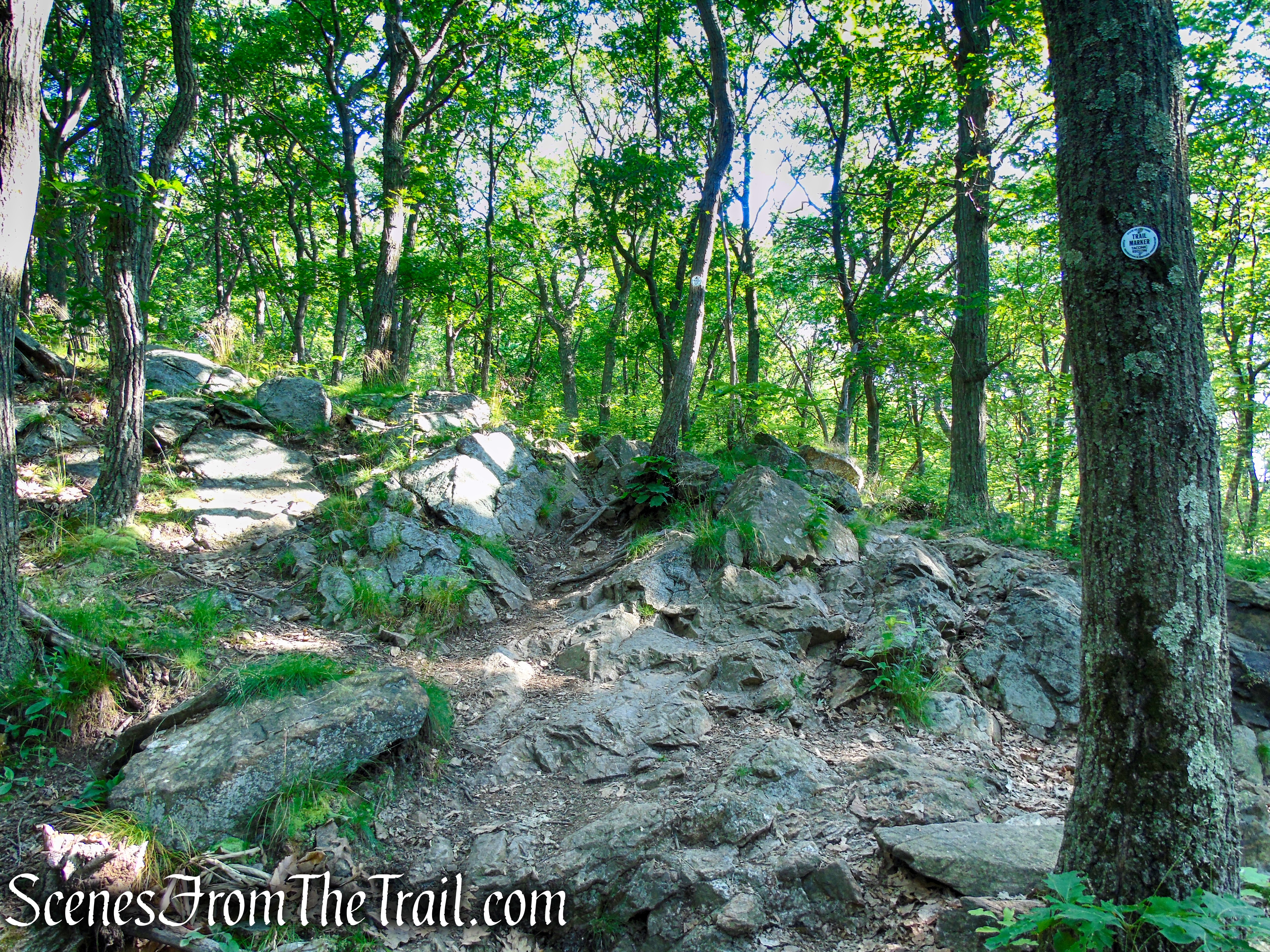
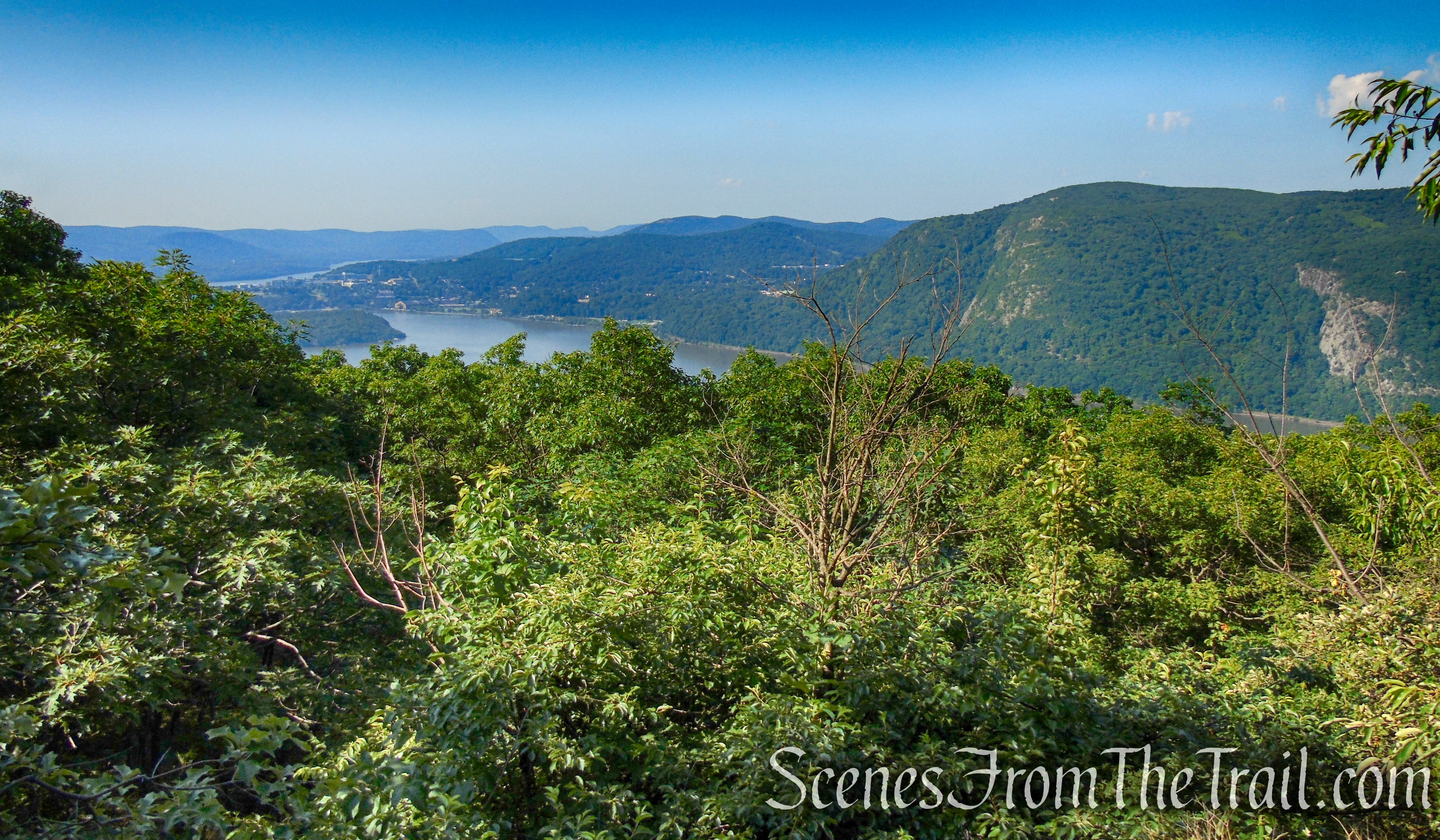
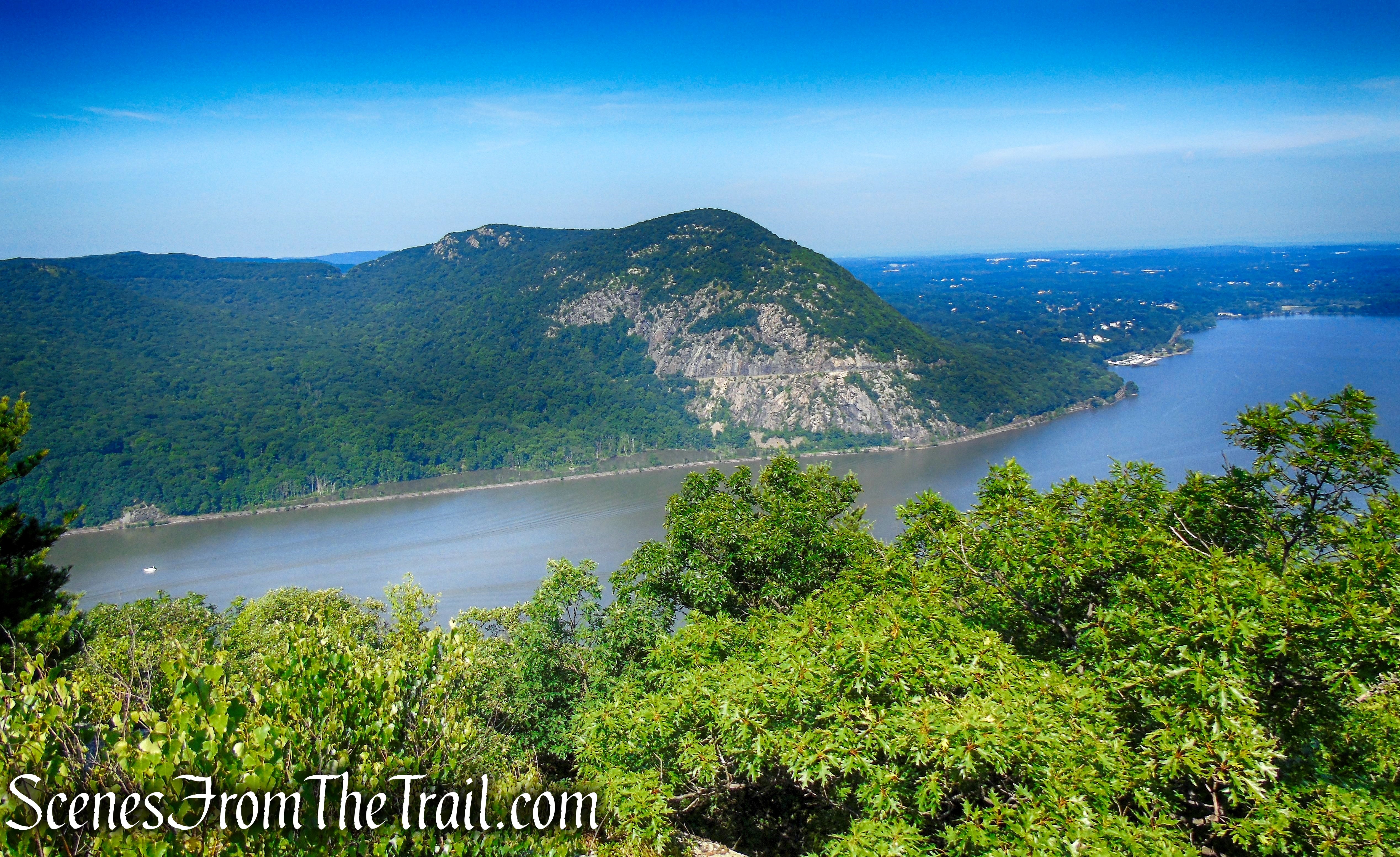
Past the viewpoint, the trail continues to ascend more gradually, but soon steepens. After climbing another 400 vertical feet, it comes out on open rocks, with views over the Hudson River to the west and south. Crows Nest Mountain is directly across the river, and the United States Military Academy at West Point is prominent in the distance to the south. After a short level section, the trail resumes a rather steep climb.
Washburn Trail – Bull Hill
Washburn Trail – Bull Hill
Washburn Trail – Bull Hill
Washburn Trail – Bull Hill
Washburn Trail – Bull Hill
Washburn Trail – Bull Hill

Washburn Trail – Bull Hill
Washburn Trail – Bull Hill
Washburn Trail – Bull Hill
Washburn Trail – Bull Hill
Crows Nest Mountain.
Washburn Trail – Bull Hill
Washburn Trail – Bull Hill
Washburn Trail – Bull Hill
Washburn Trail – Bull Hill
Washburn Trail – Bull Hill
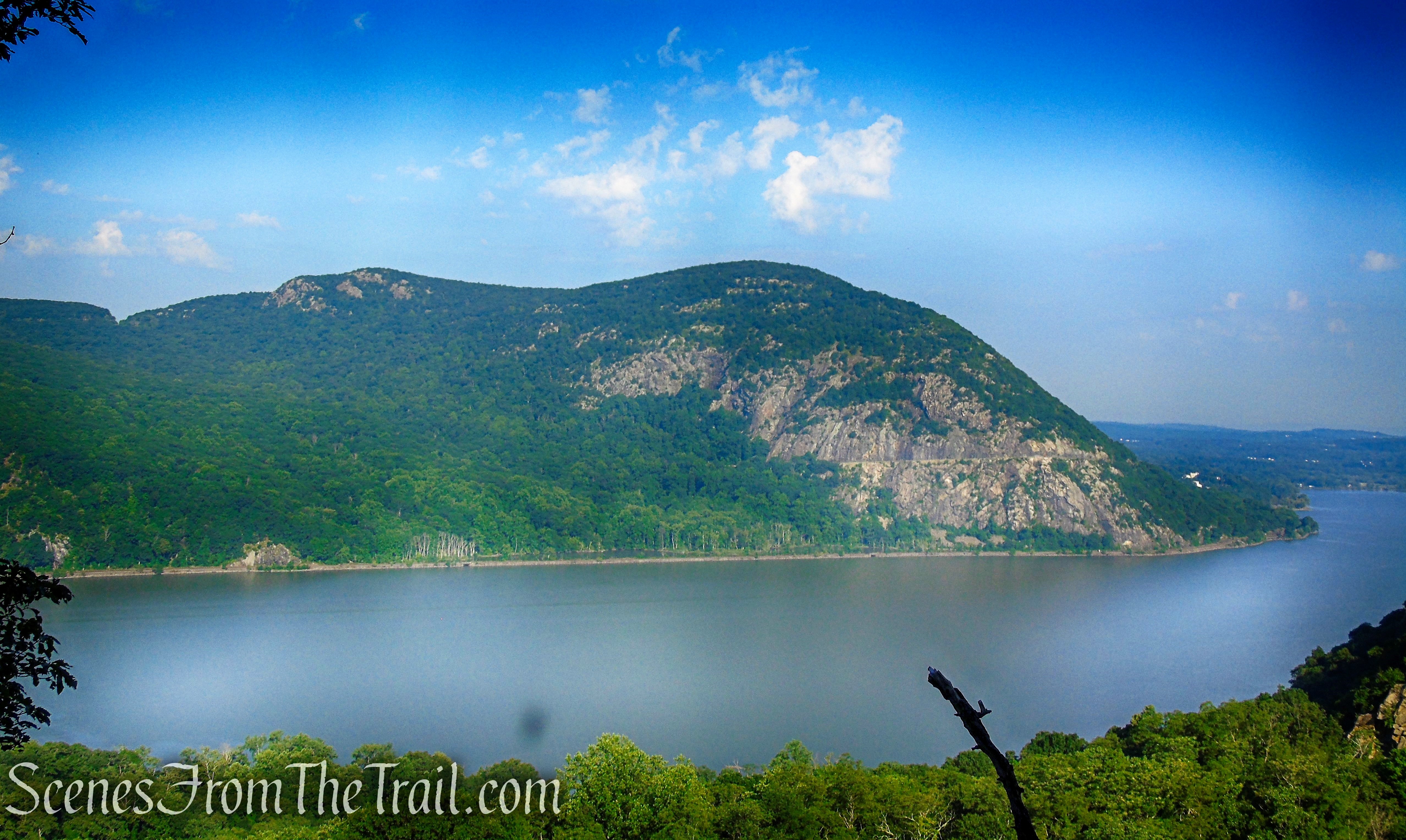
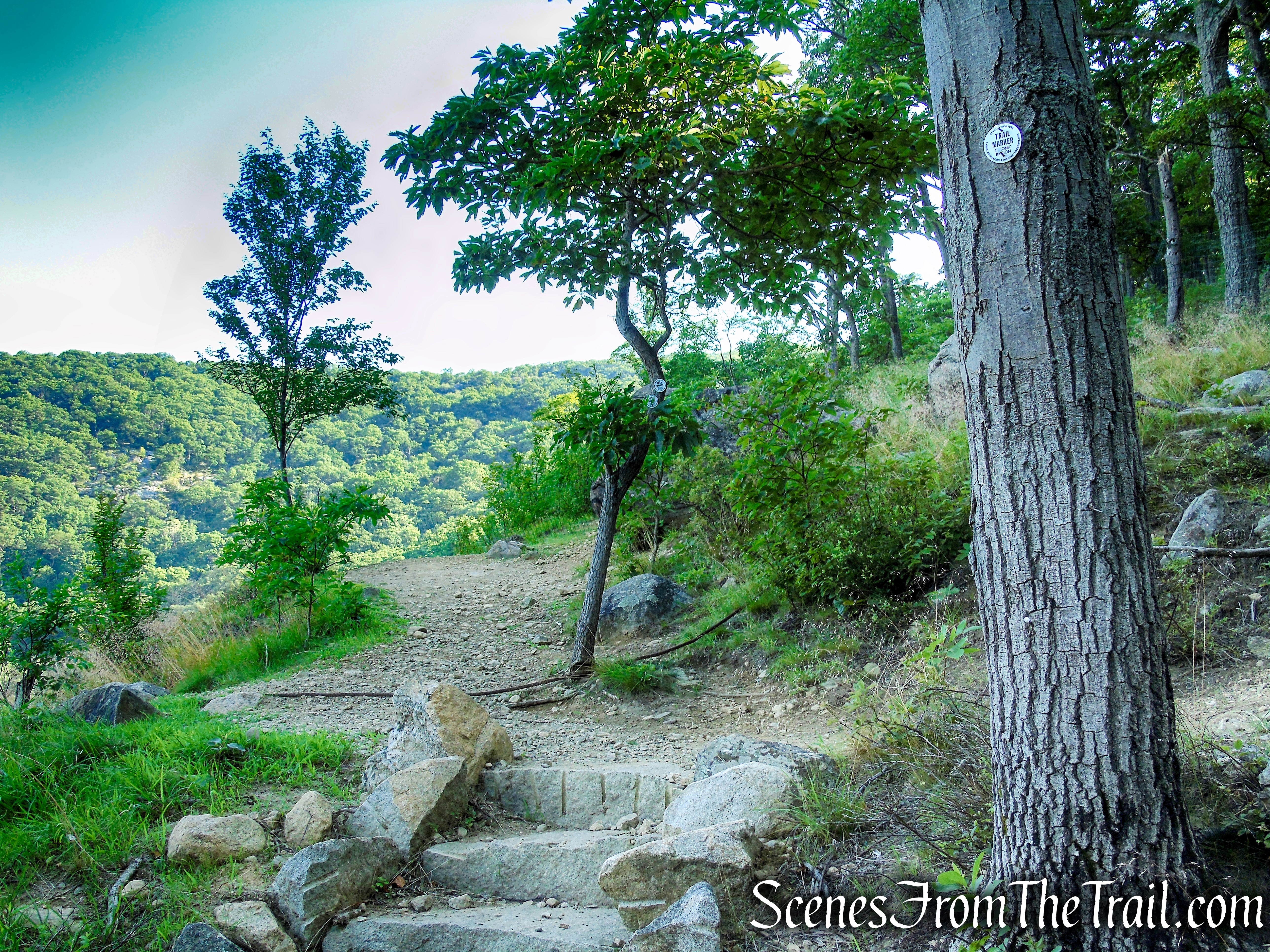
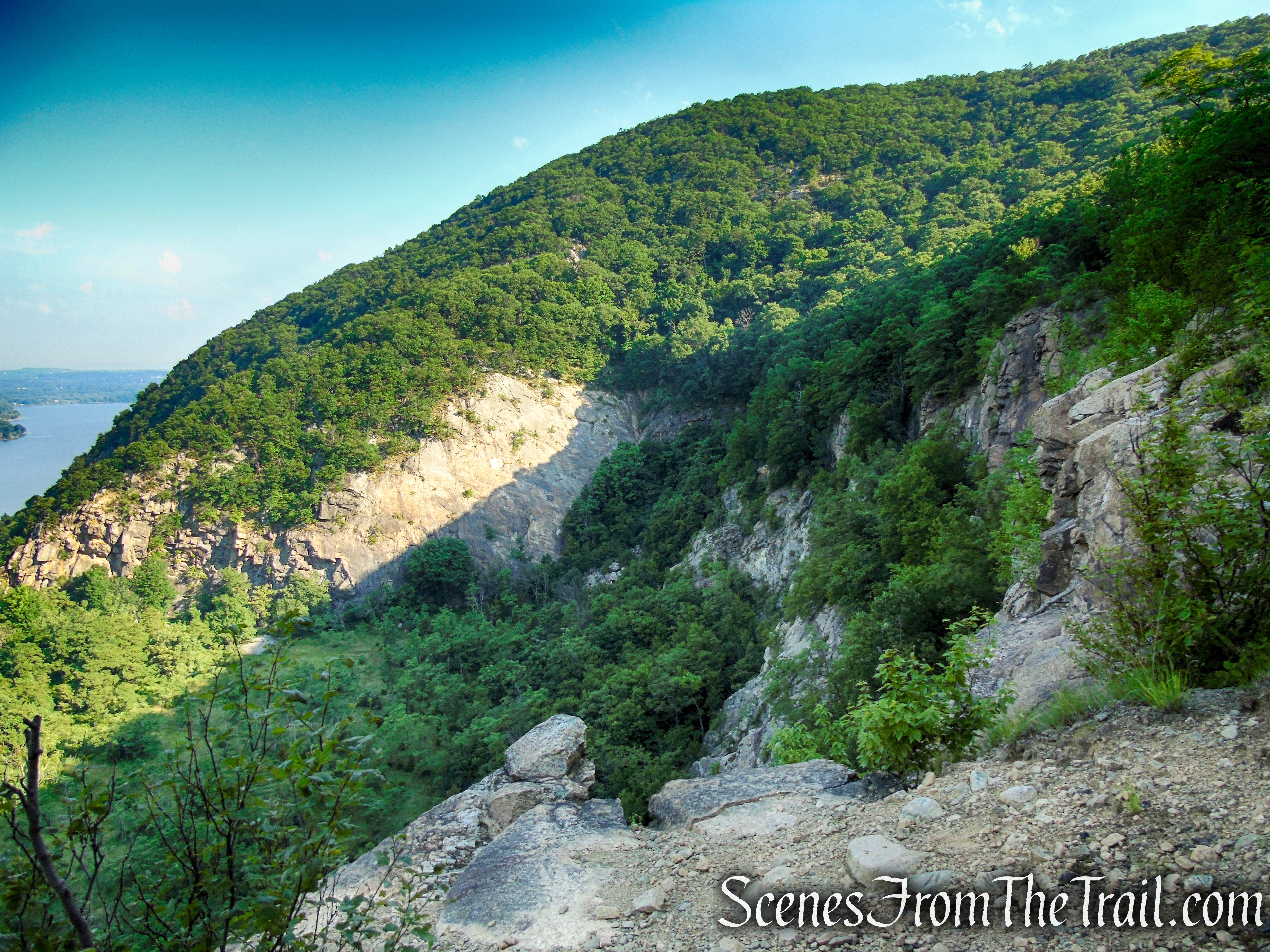
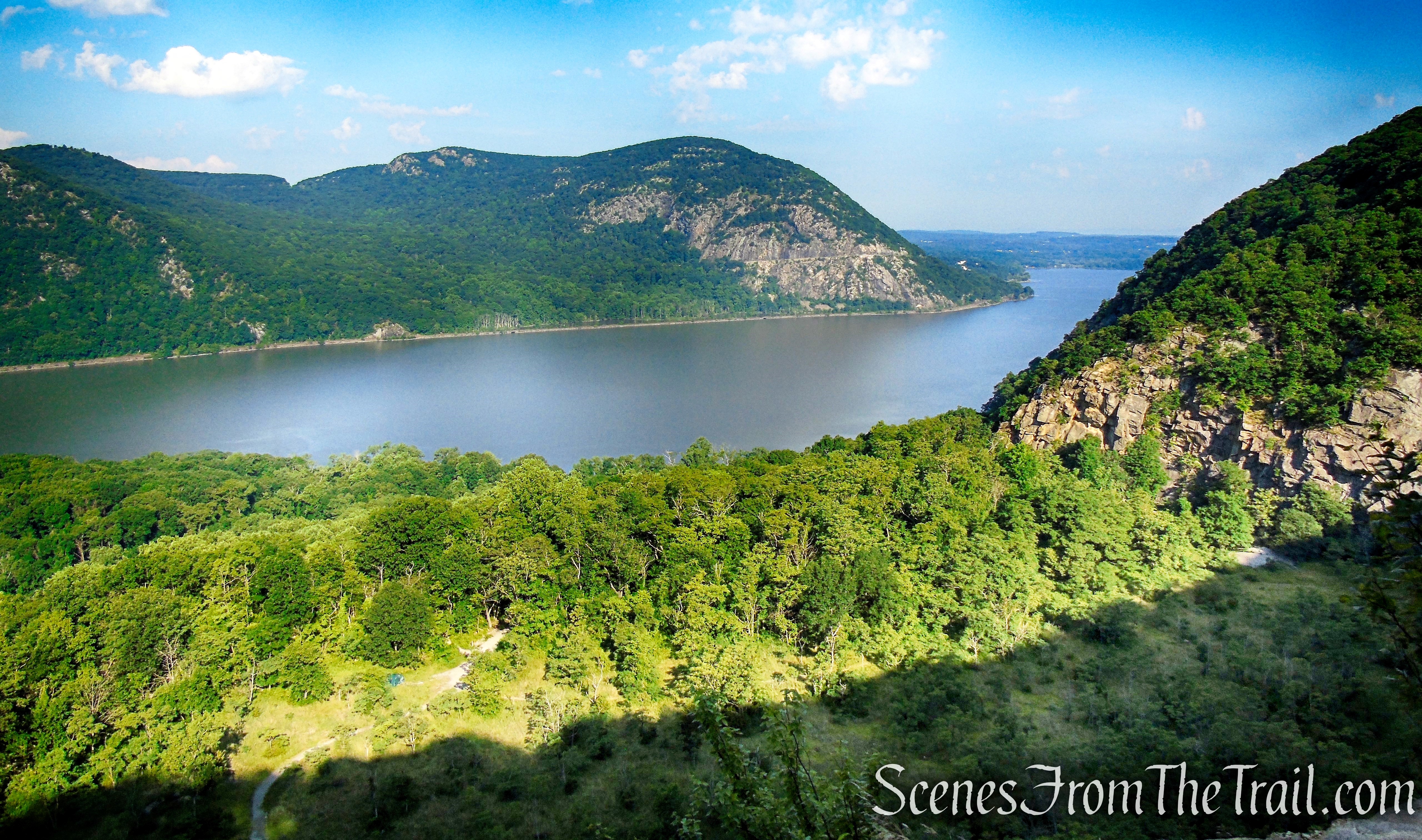
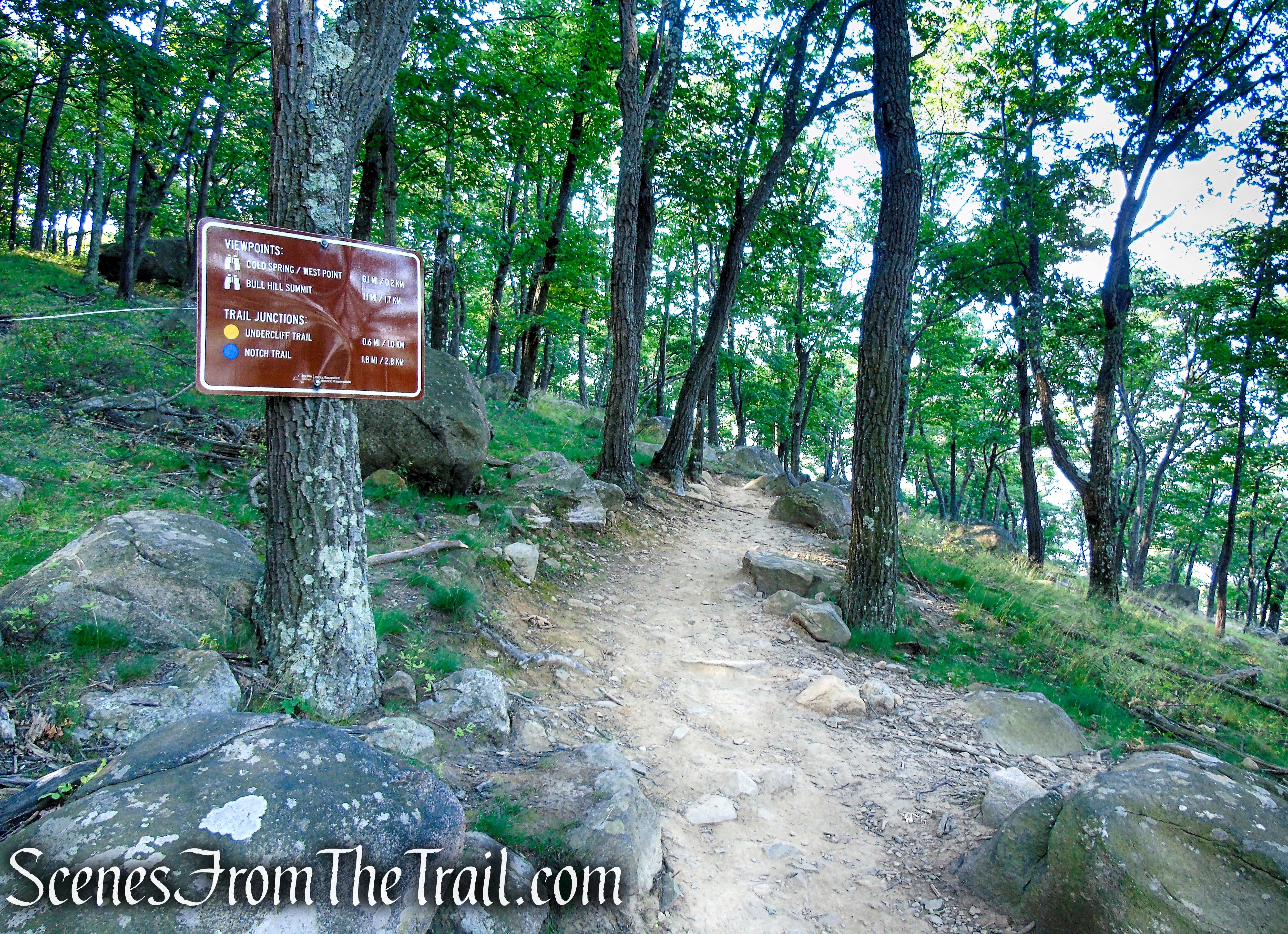
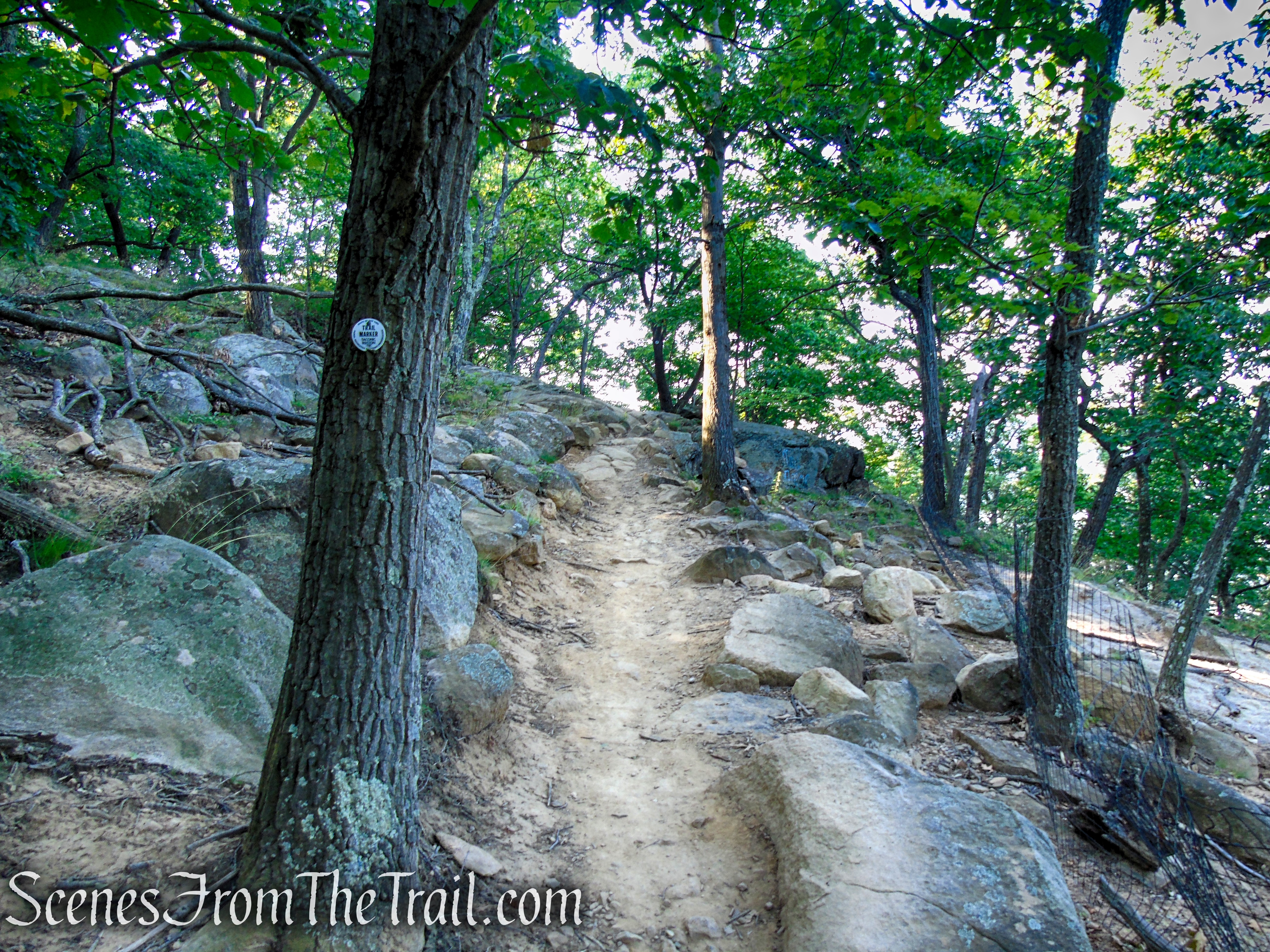
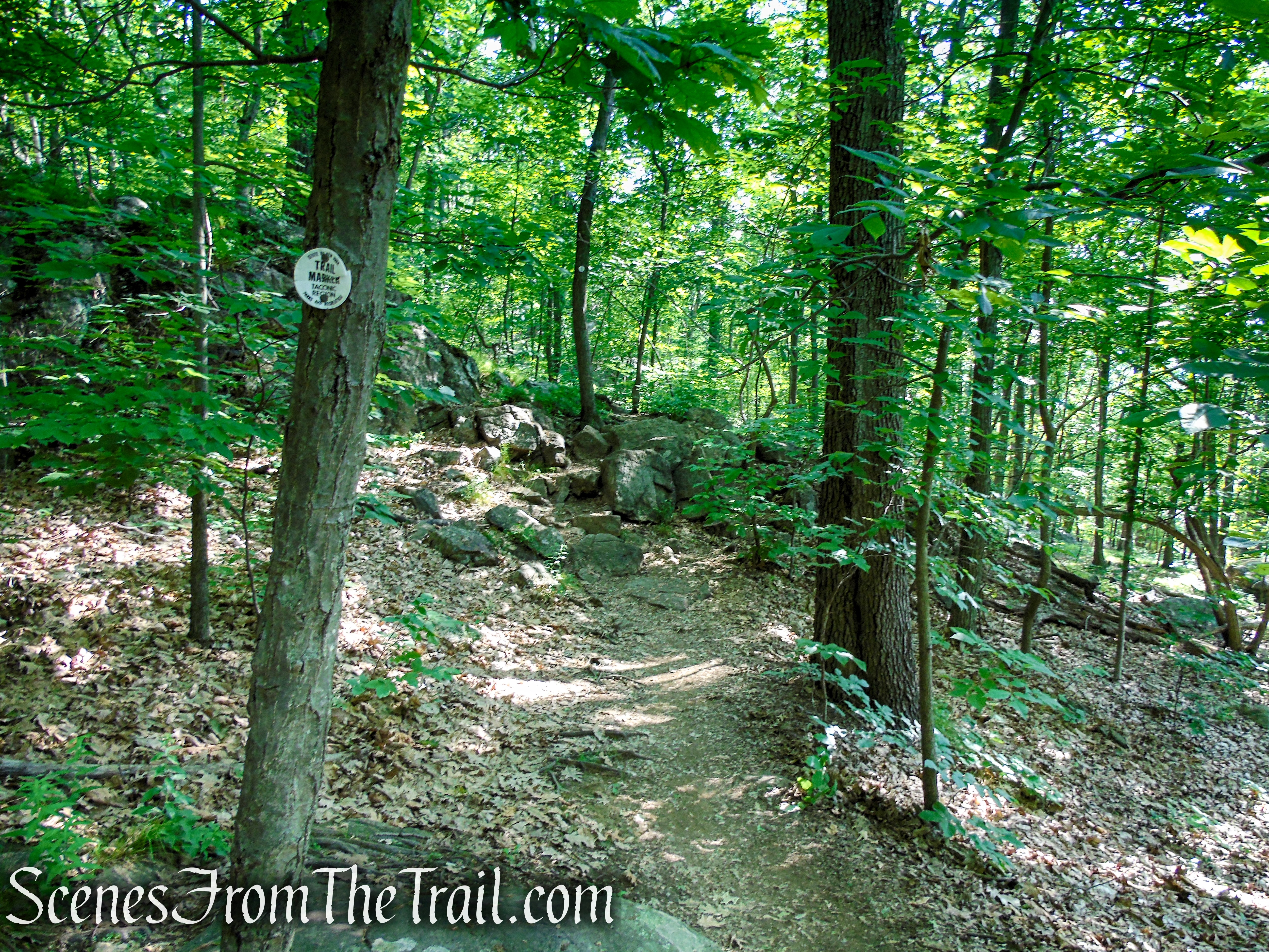
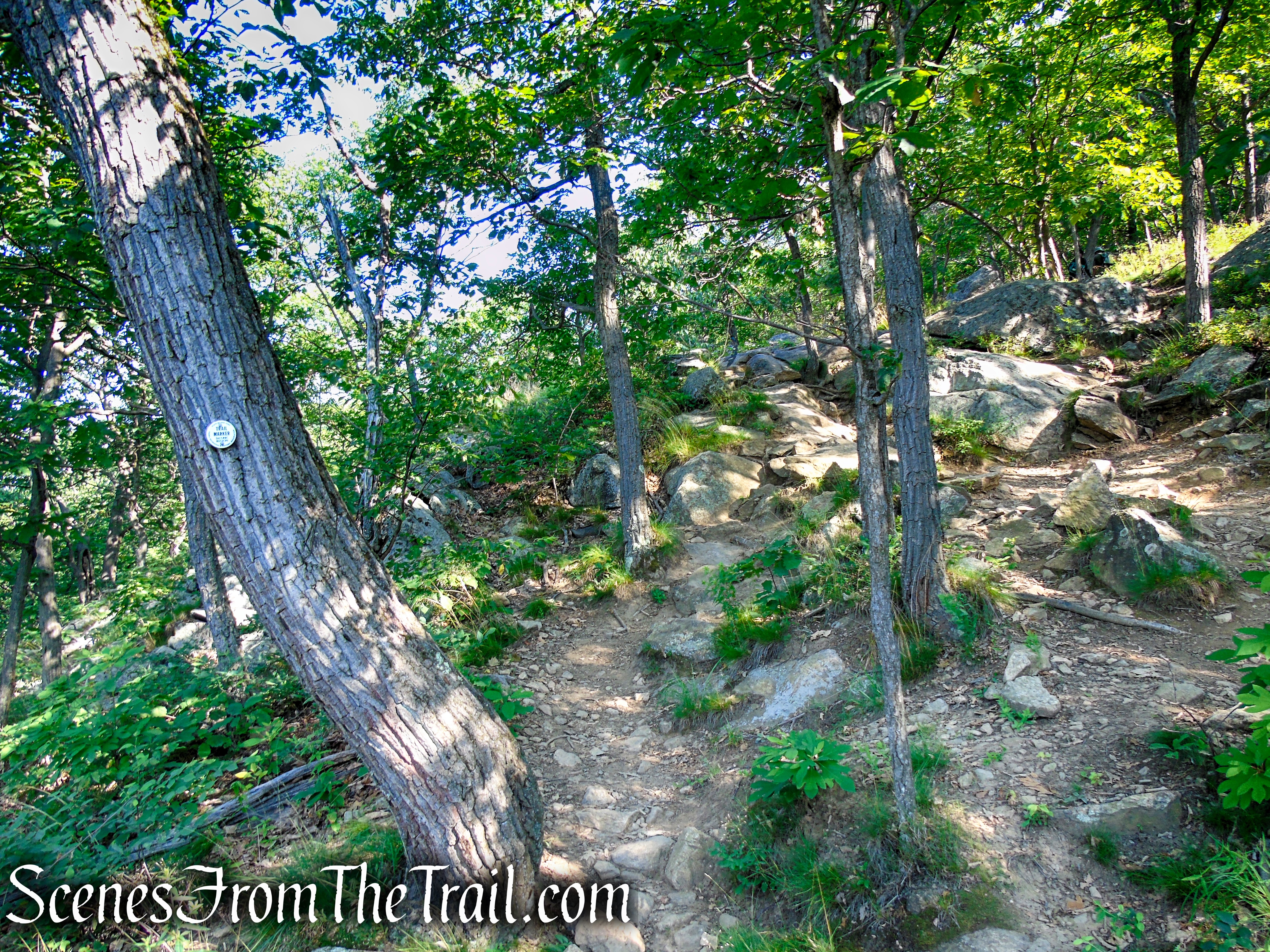
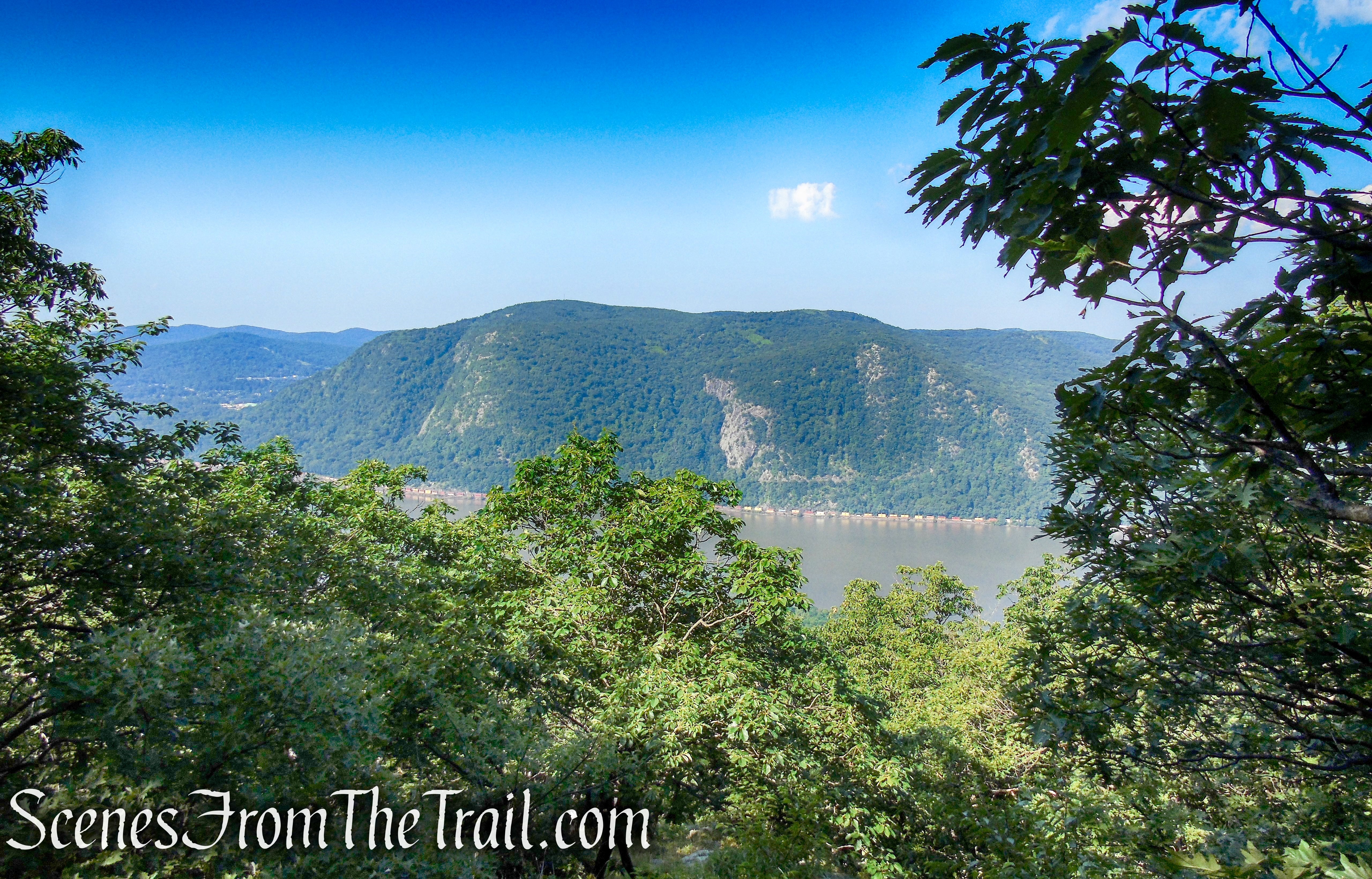
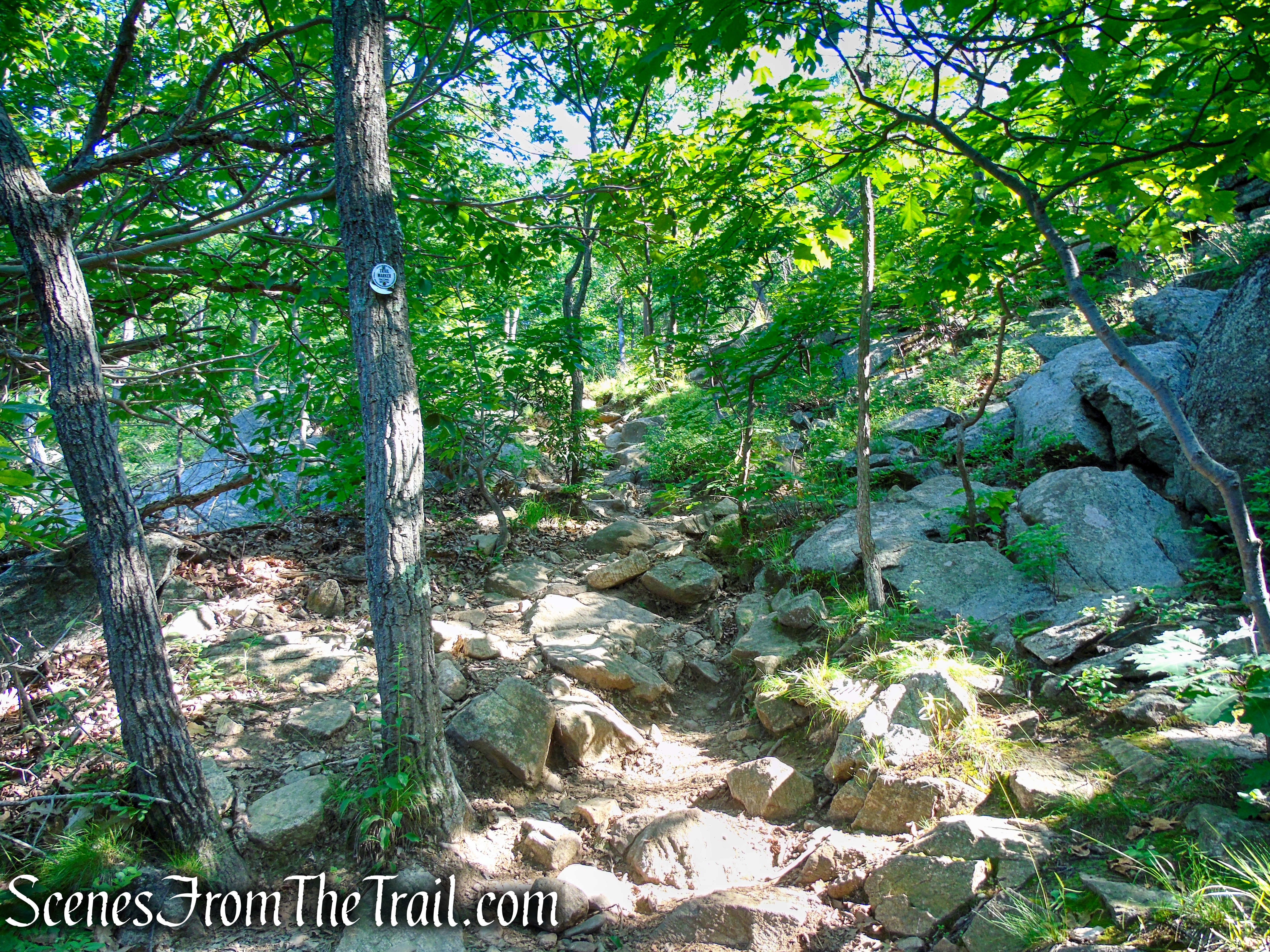
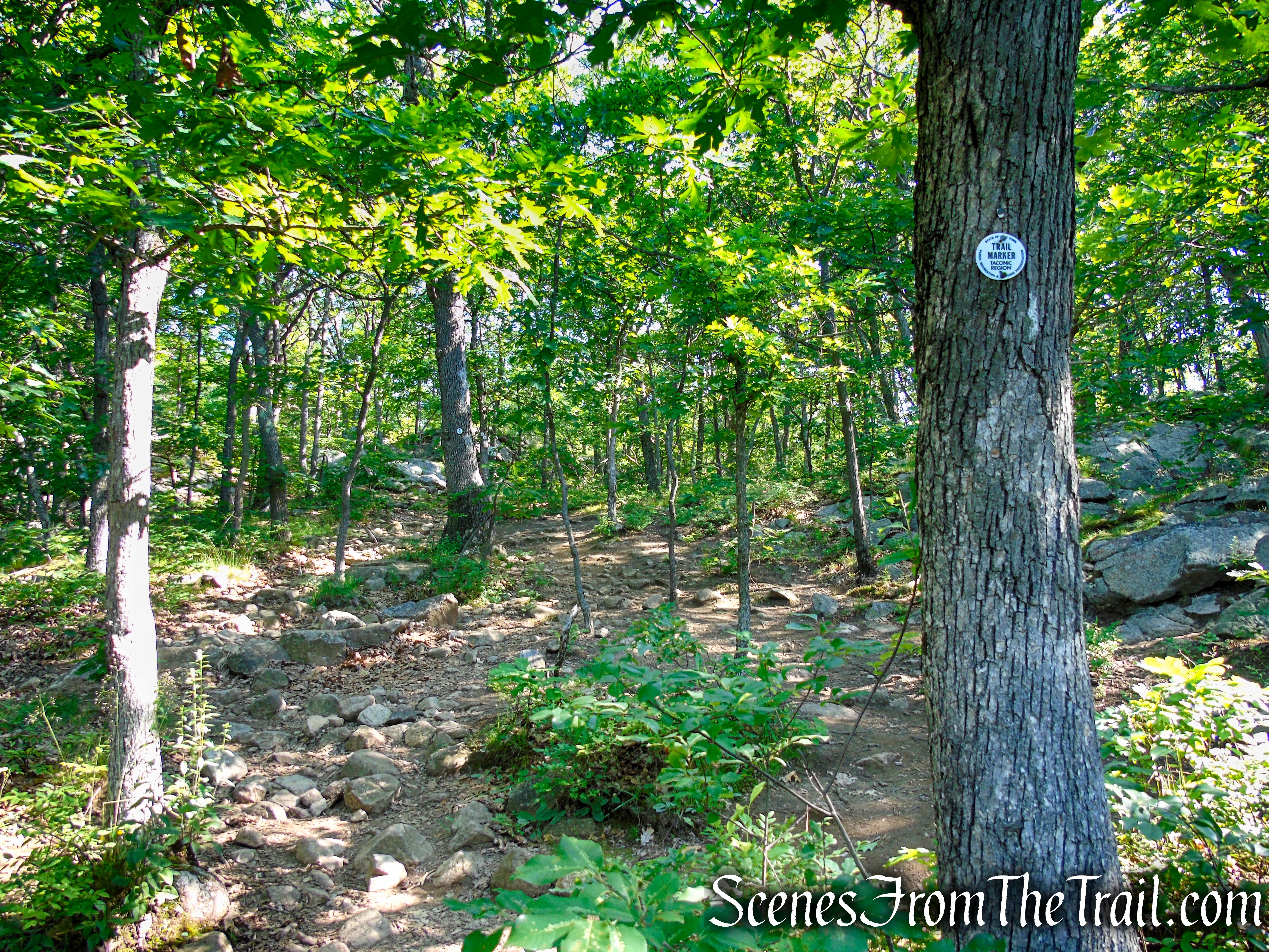
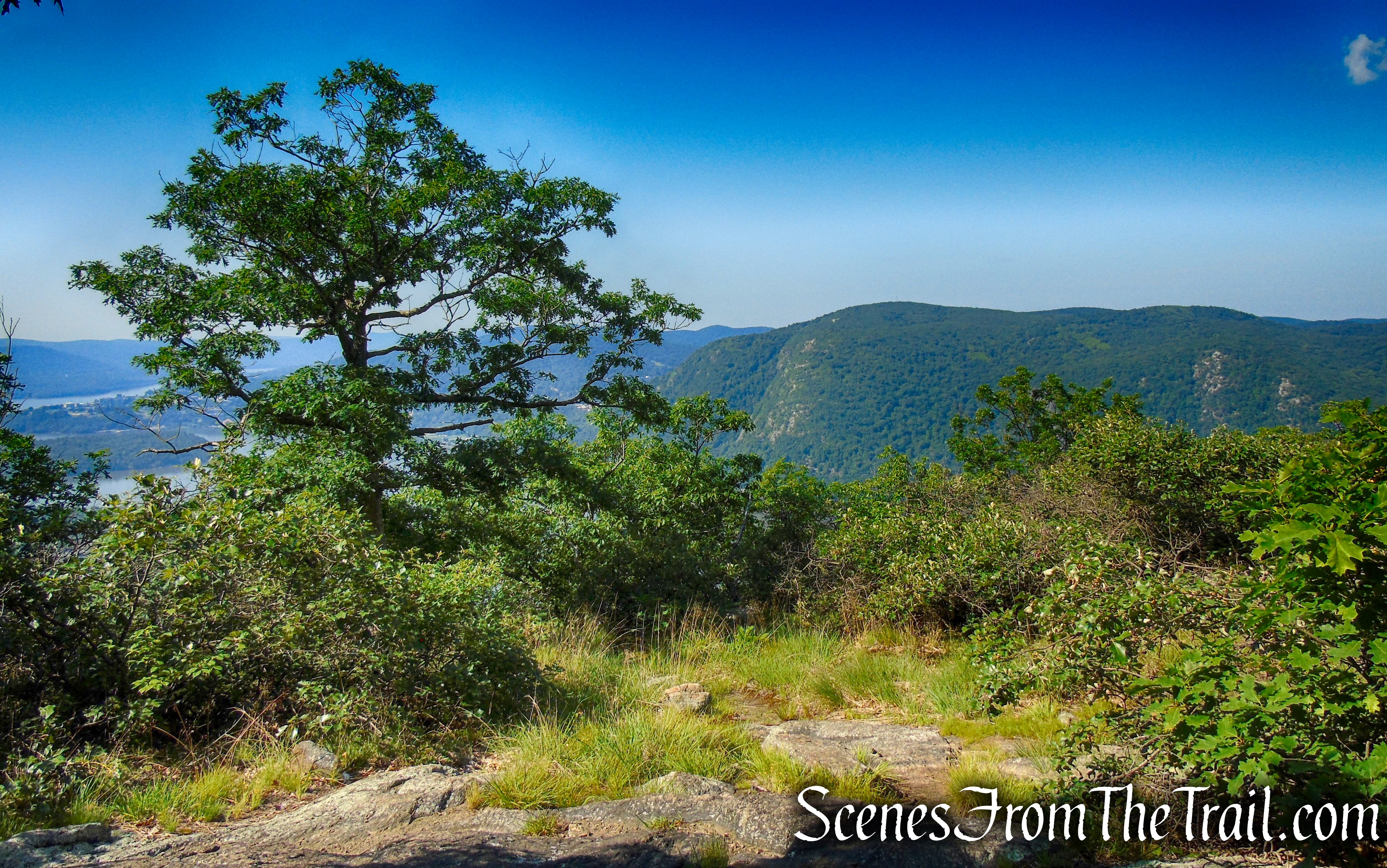
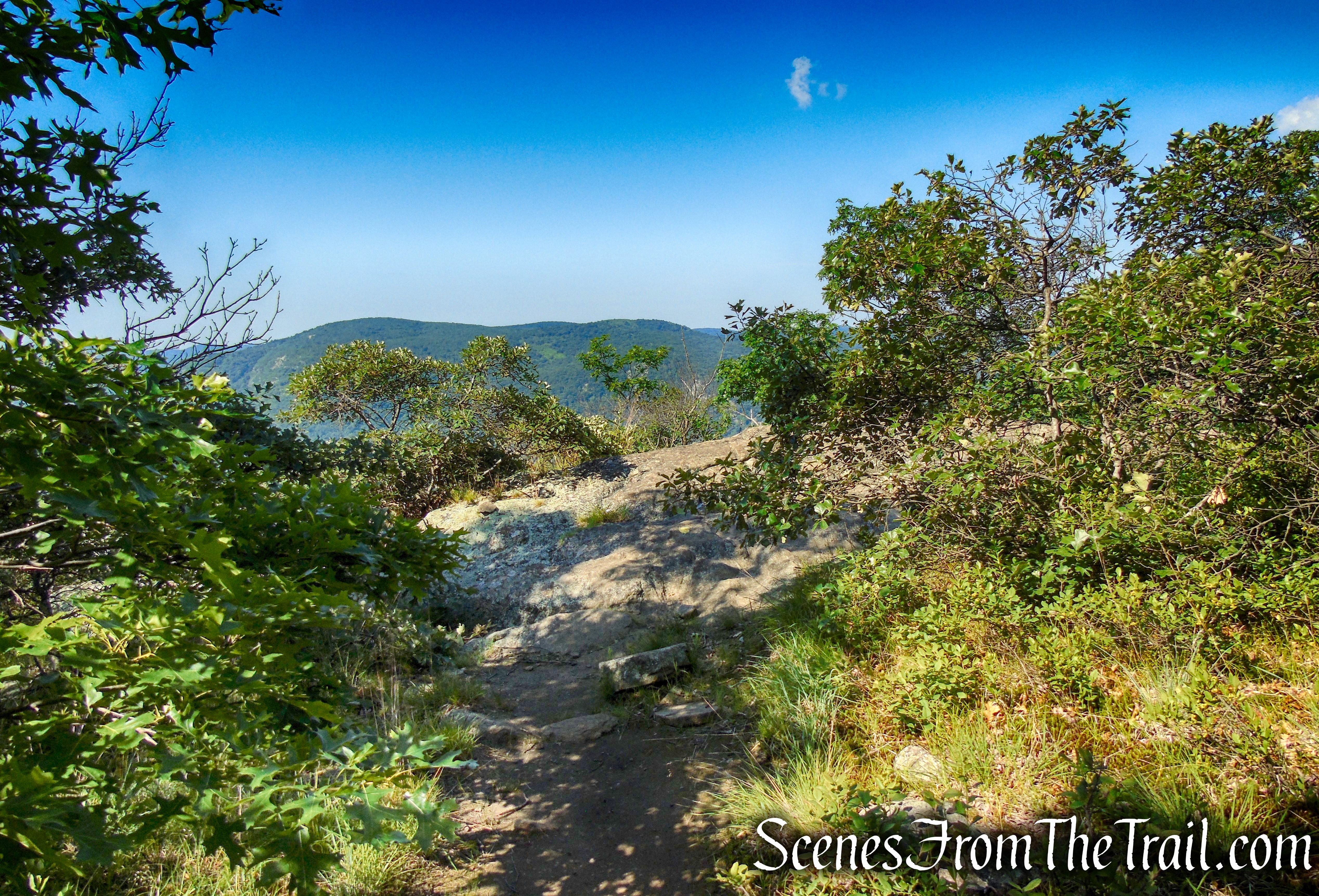
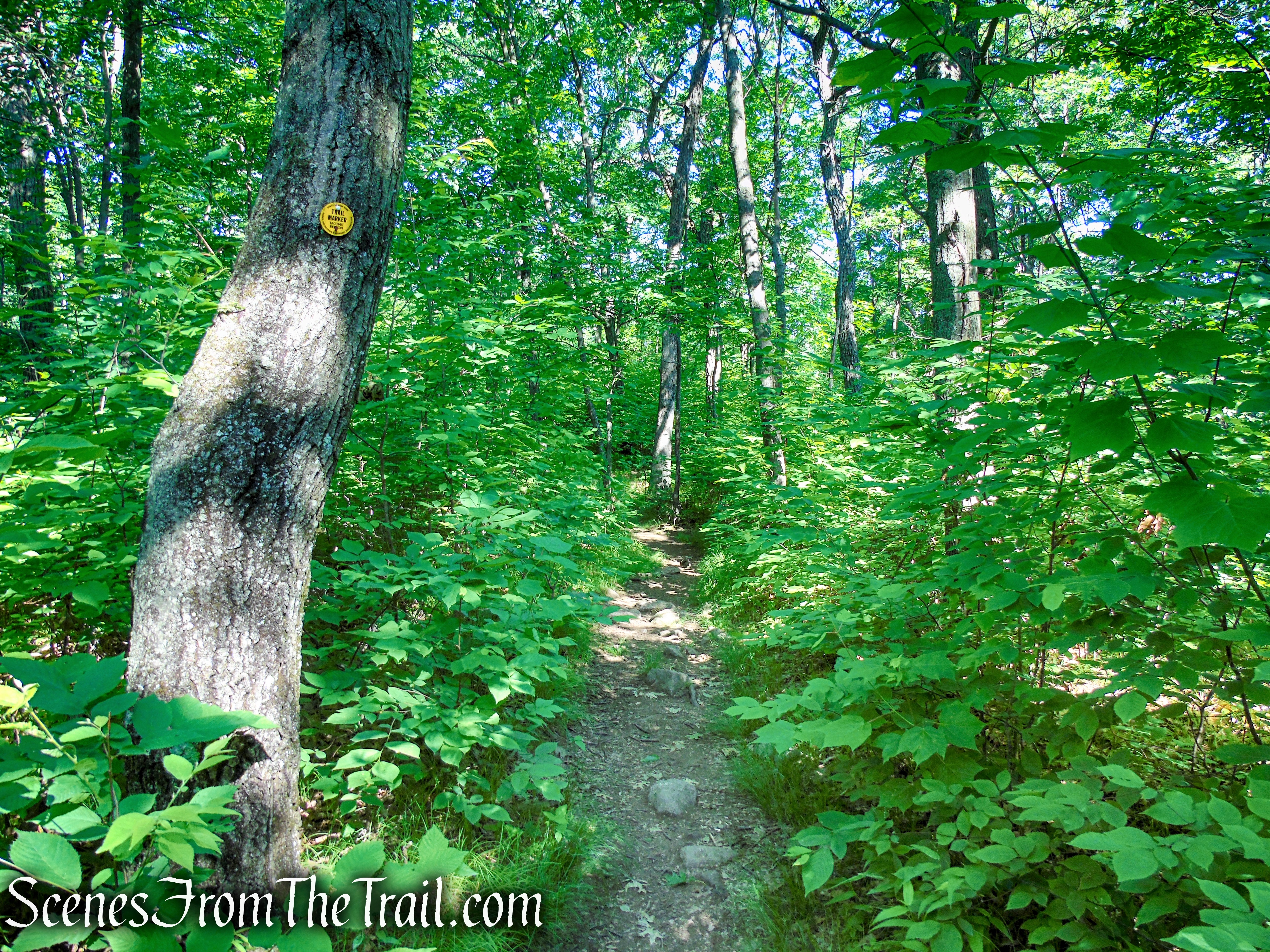
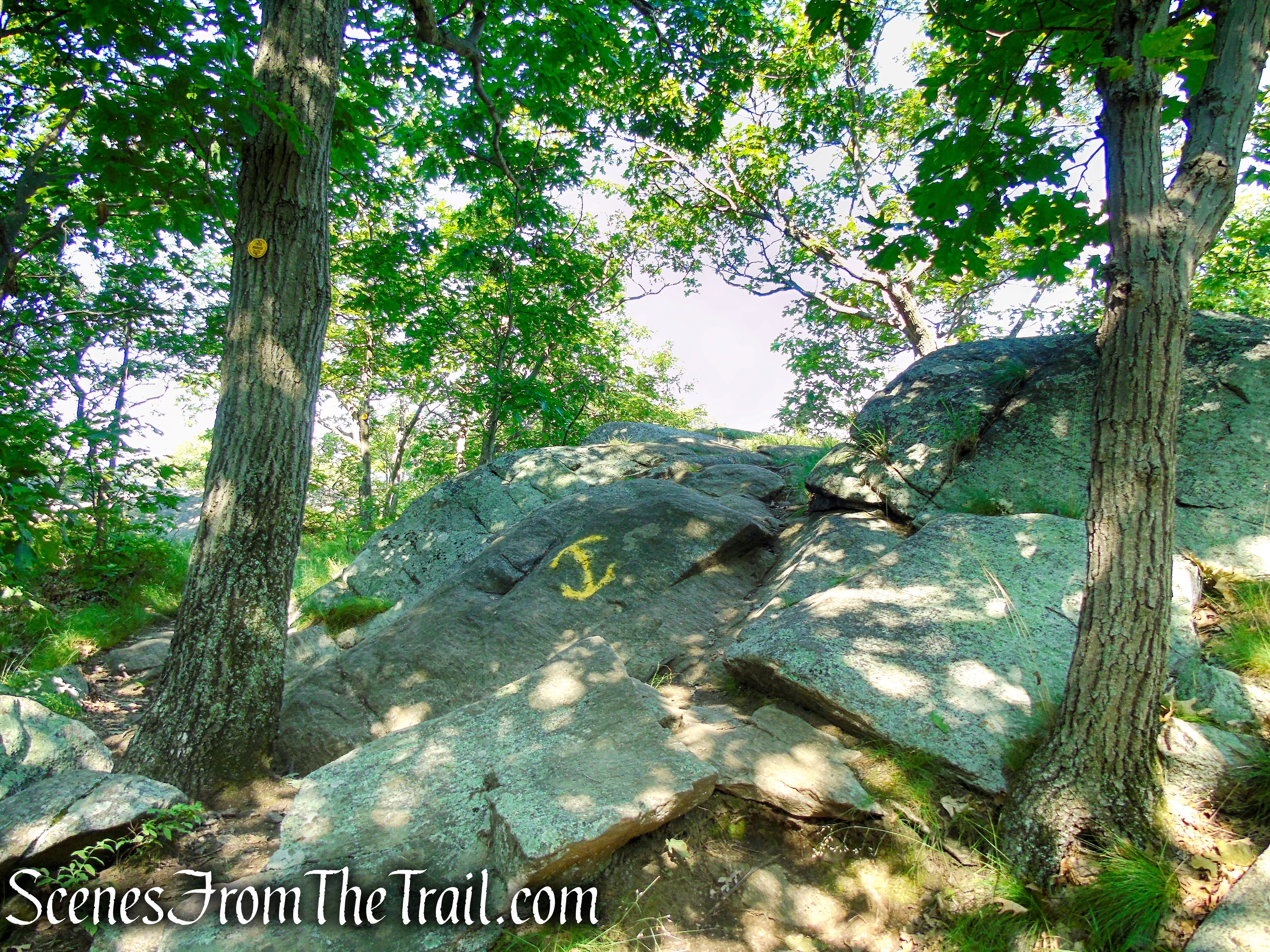
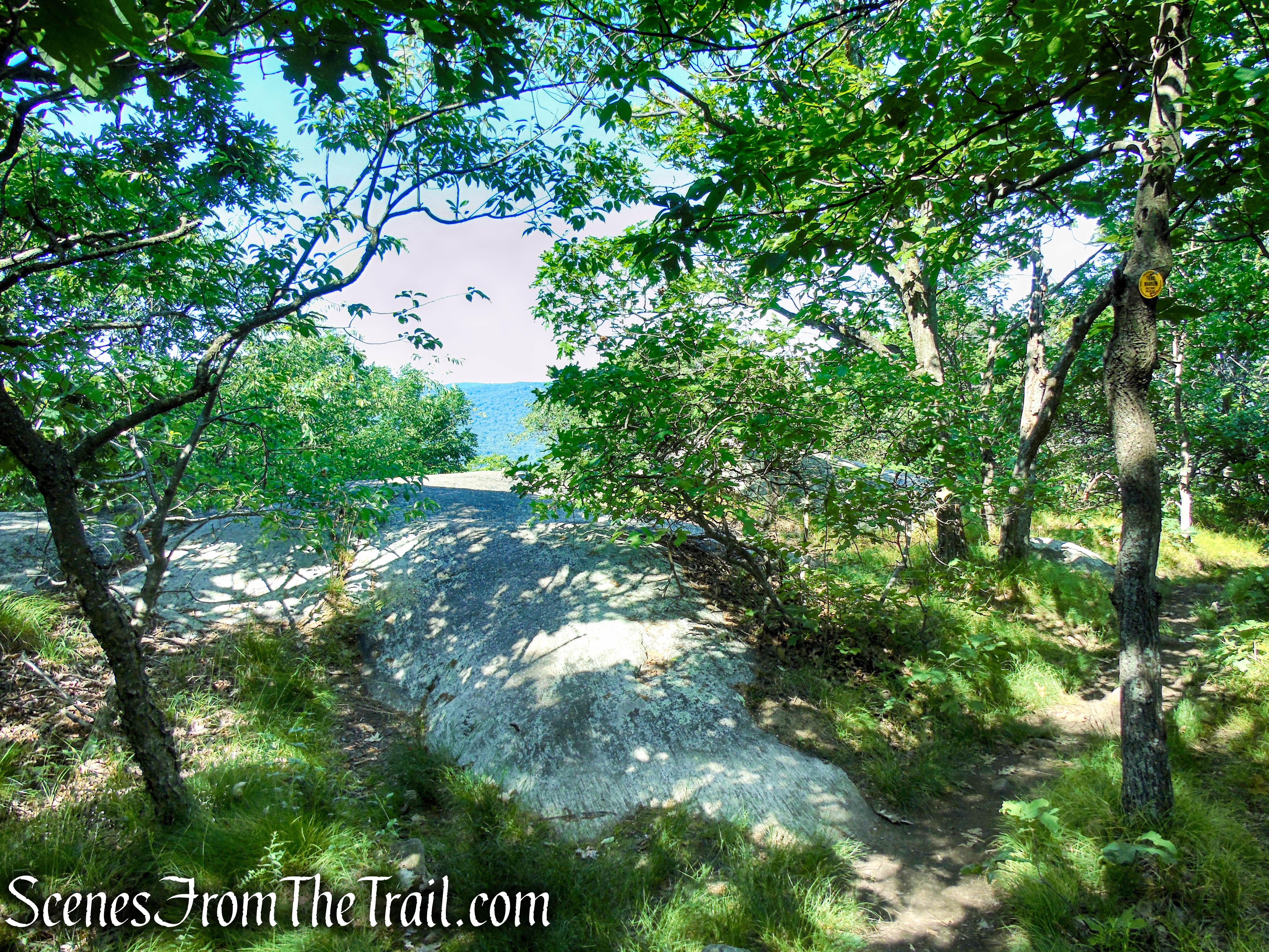
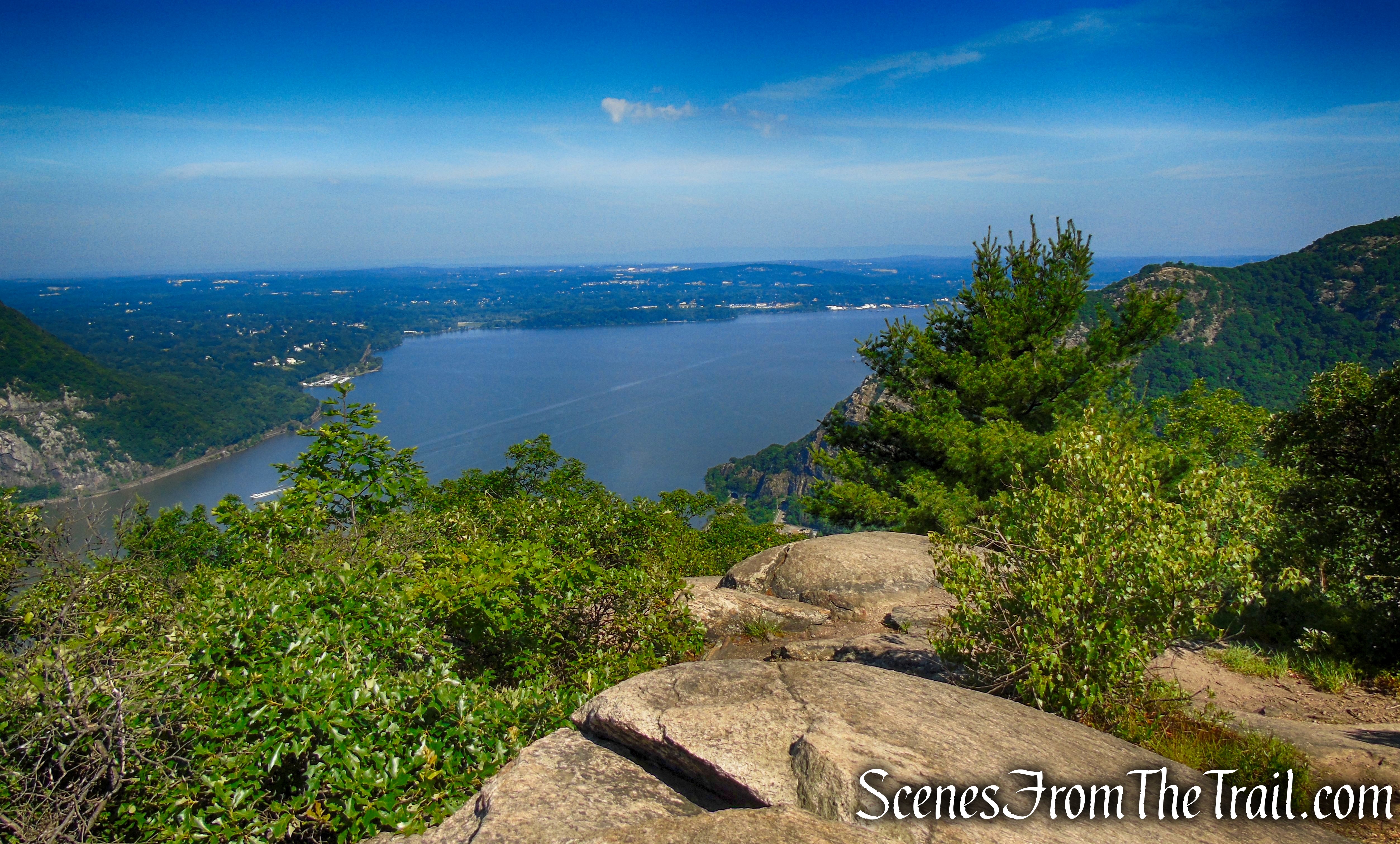
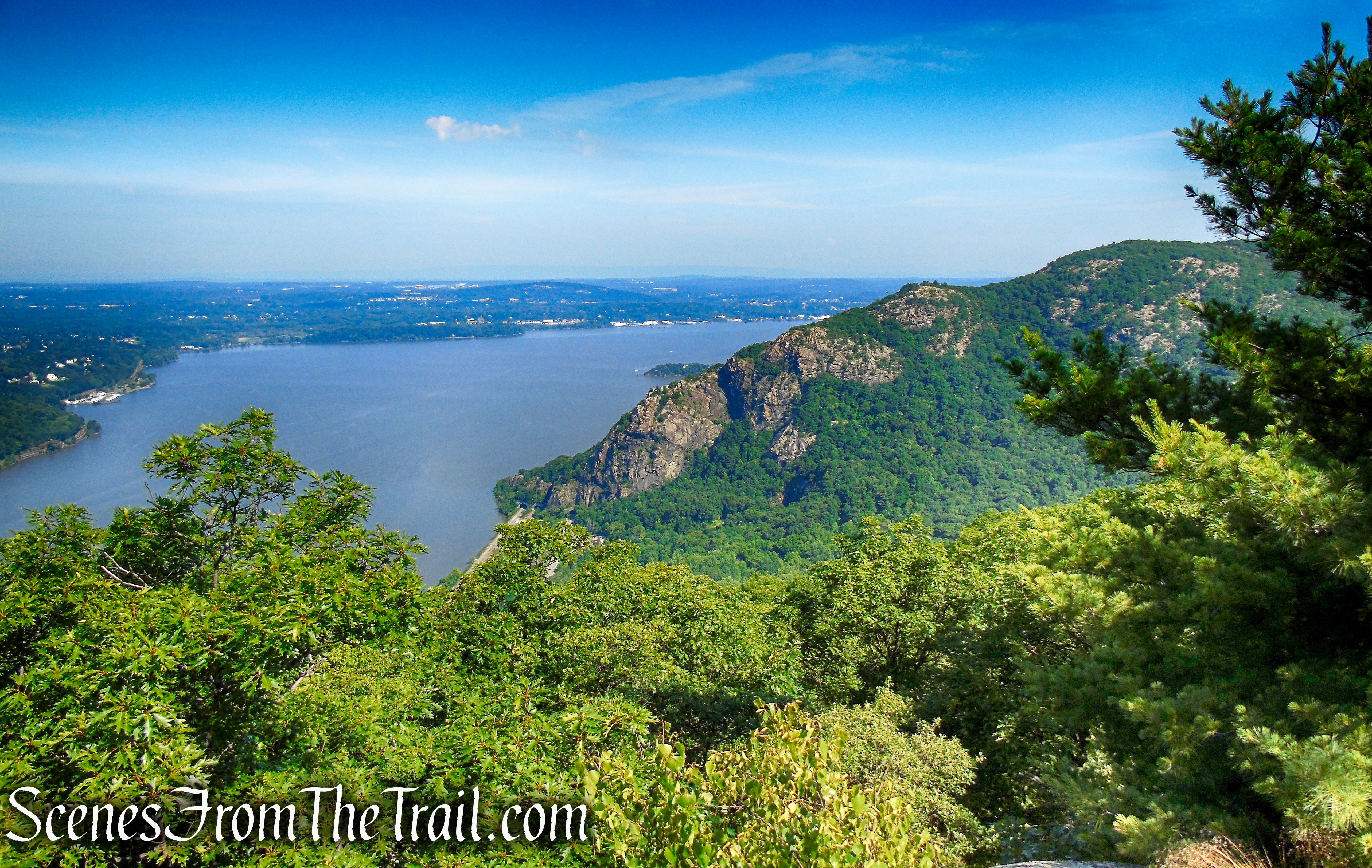
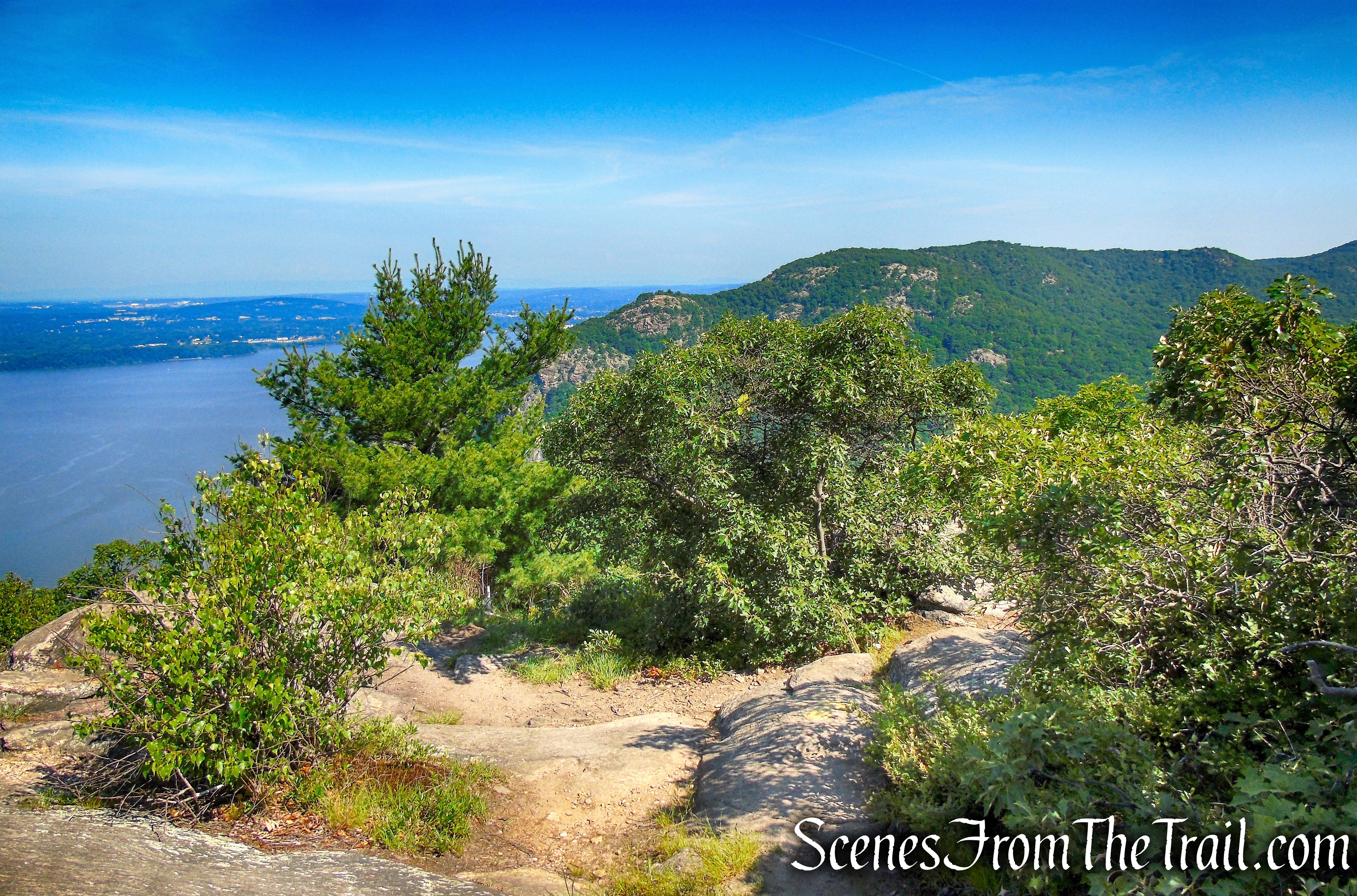
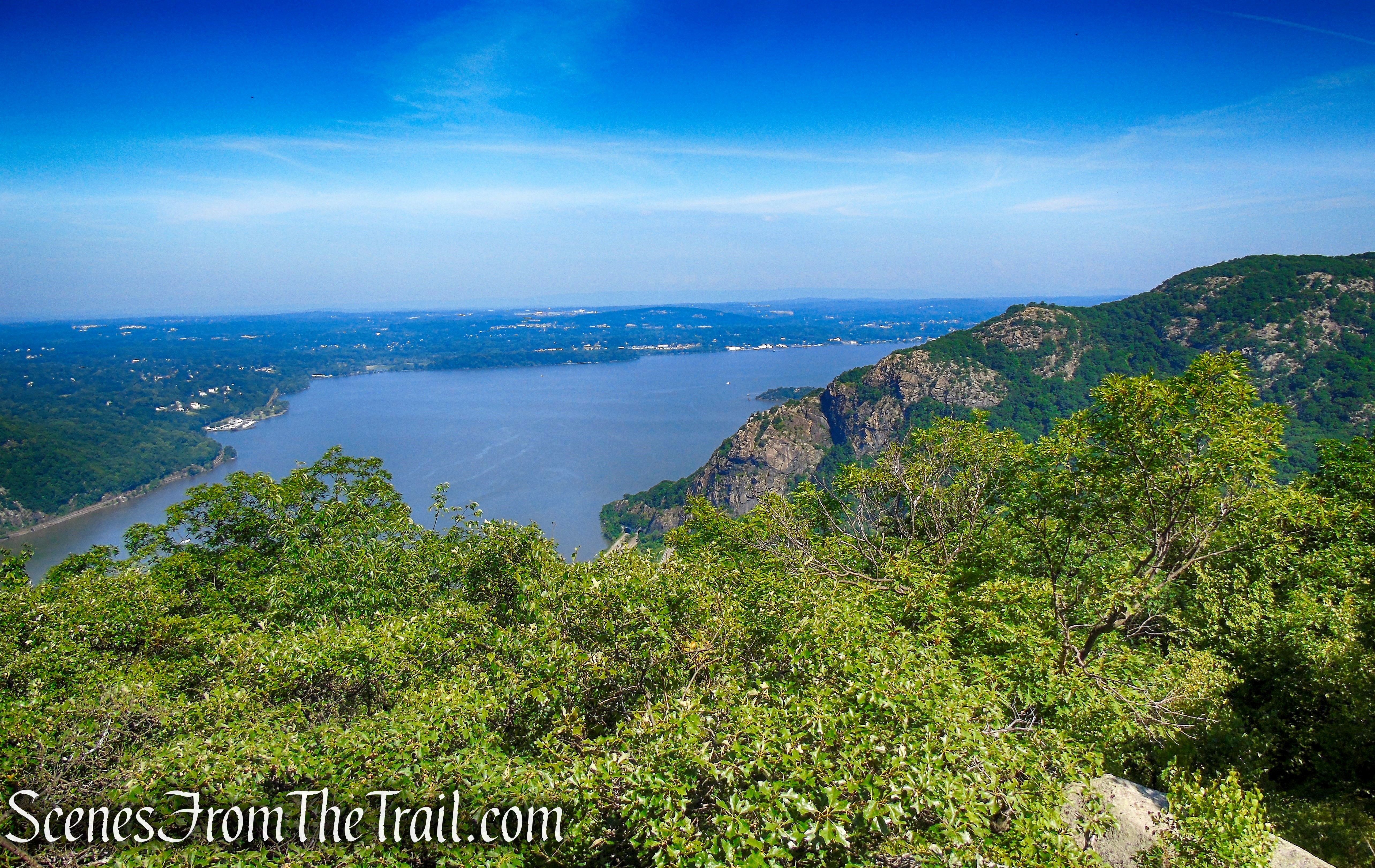
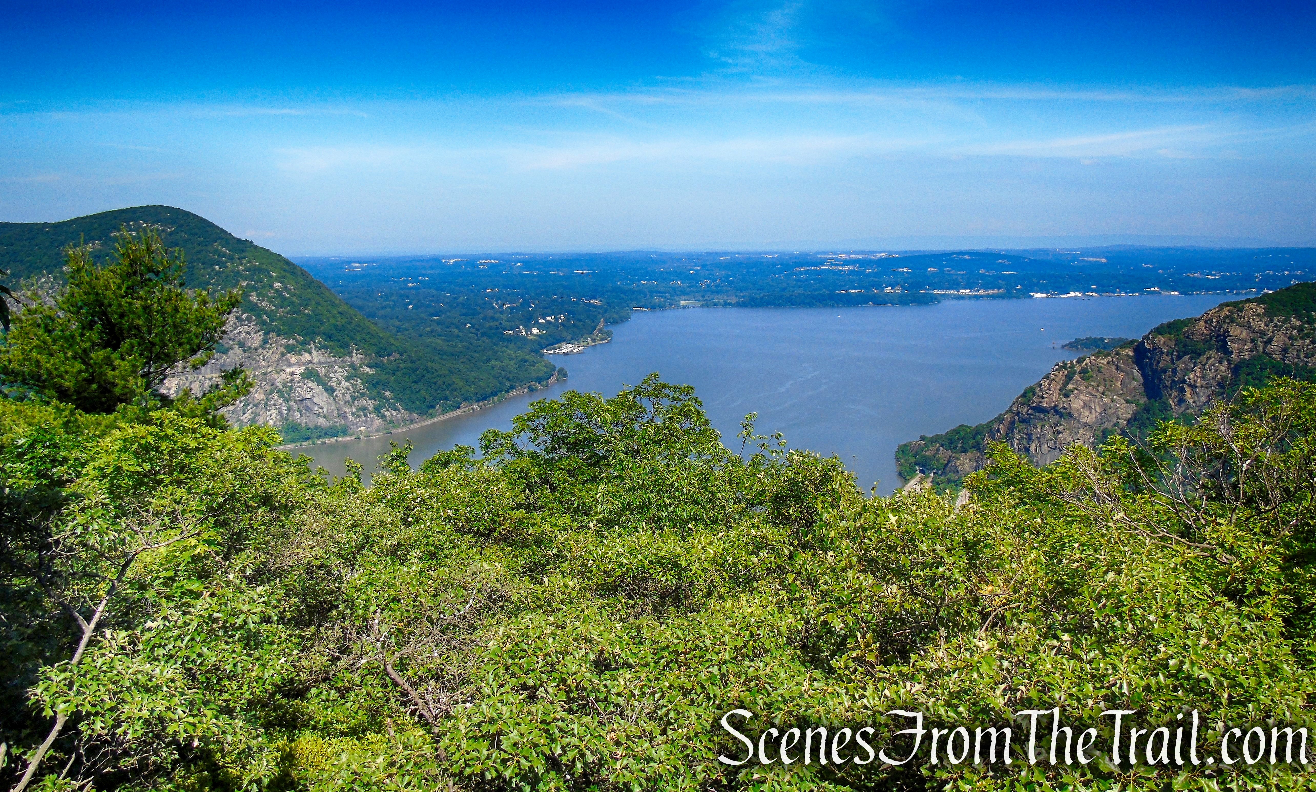
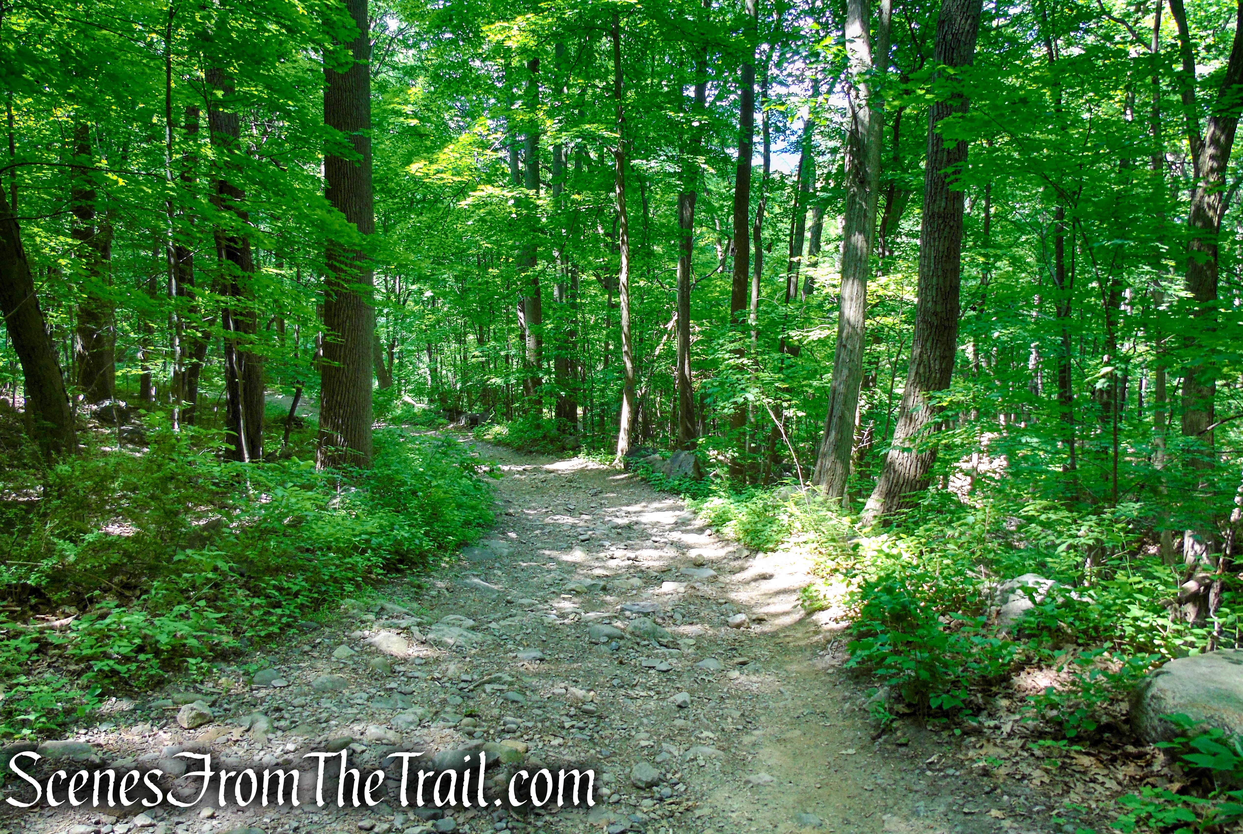
About 1.4 miles from the start, the Washburn Trail reaches a junction with the yellow-blazed Undercliff Trail. Turn left and follow the Undercliff Trail which begins an undulating traverse of the western shoulder of Bull Hill, passing several more viewpoints over the Hudson River. Upon reaching the far end of the shoulder, the trail emerges on a rock outcrop with a sweeping view to the north. Breakneck Ridge is the ragged ridge to the north, and Storm King – with its cut for the highway – is directly across the river.
turn left on the Undercliff Trail
Undercliff Trail – Bull Hill
Undercliff Trail – Bull Hill
Undercliff Trail – Bull Hill
Undercliff Trail – Bull Hill
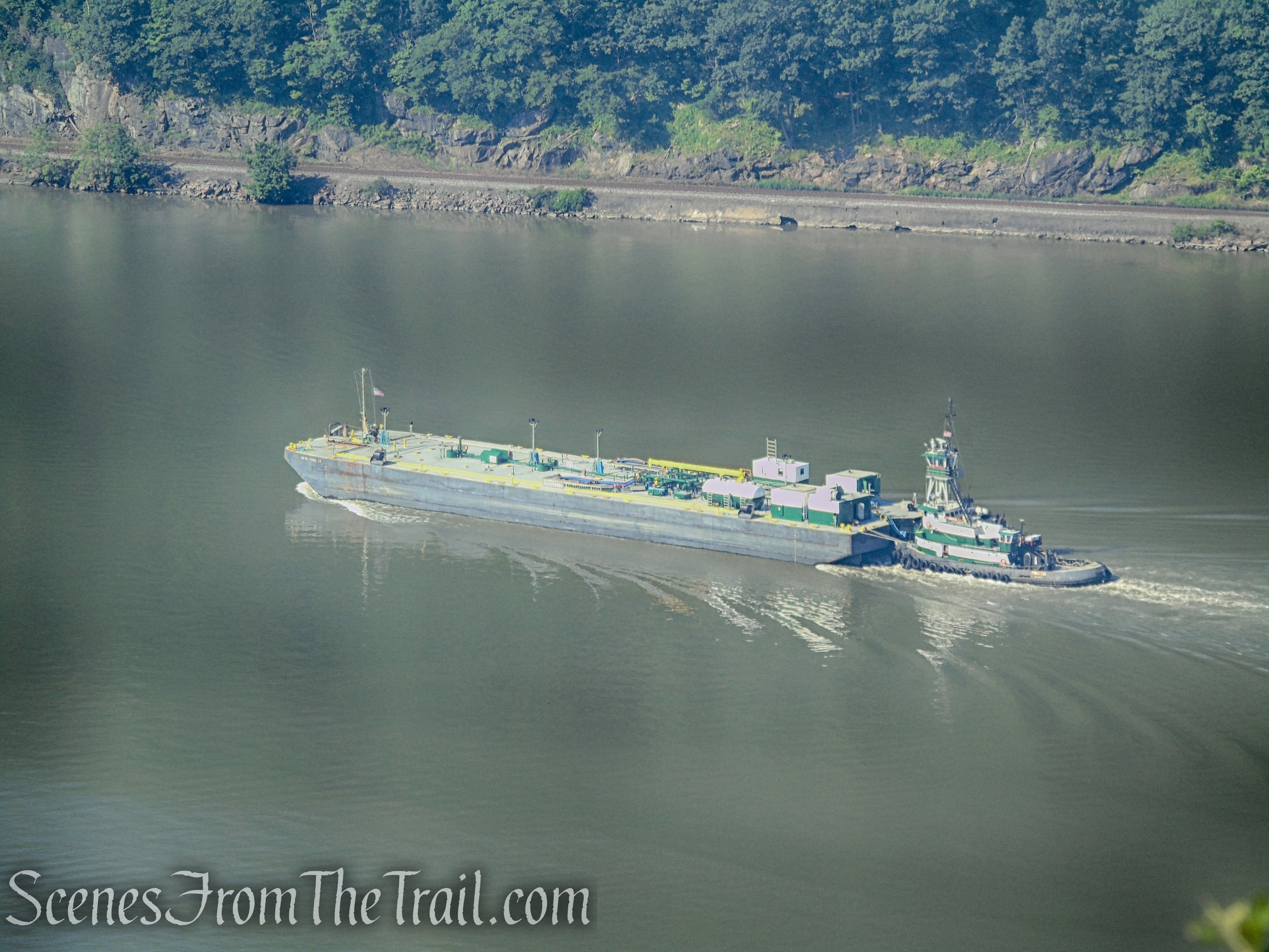
View of the Hudson River as it snakes its way south around Constitution Island (center) and the West Point Military Academy (far center).
Undercliff Trail – Bull Hill
Undercliff Trail – Bull Hill
Undercliff Trail – Bull Hill
Undercliff Trail – Bull Hill
Undercliff Trail – Bull Hill
Undercliff Trail – Bull Hill
Undercliff Trail – Bull Hill
Undercliff Trail – Bull Hill
Undercliff Trail – Bull Hill
Undercliff Trail – Bull Hill
Looking north up the Hudson River. Breakneck Ridge is the ragged ridge on the right, with the northern tip of Storm King, across the river on the left.
Undercliff Trail – Bull Hill
Looking north towards Breakneck Ridge.
Undercliff Trail – Bull Hill
Storm King Mountain across the river.
Undercliff Trail – Bull Hill
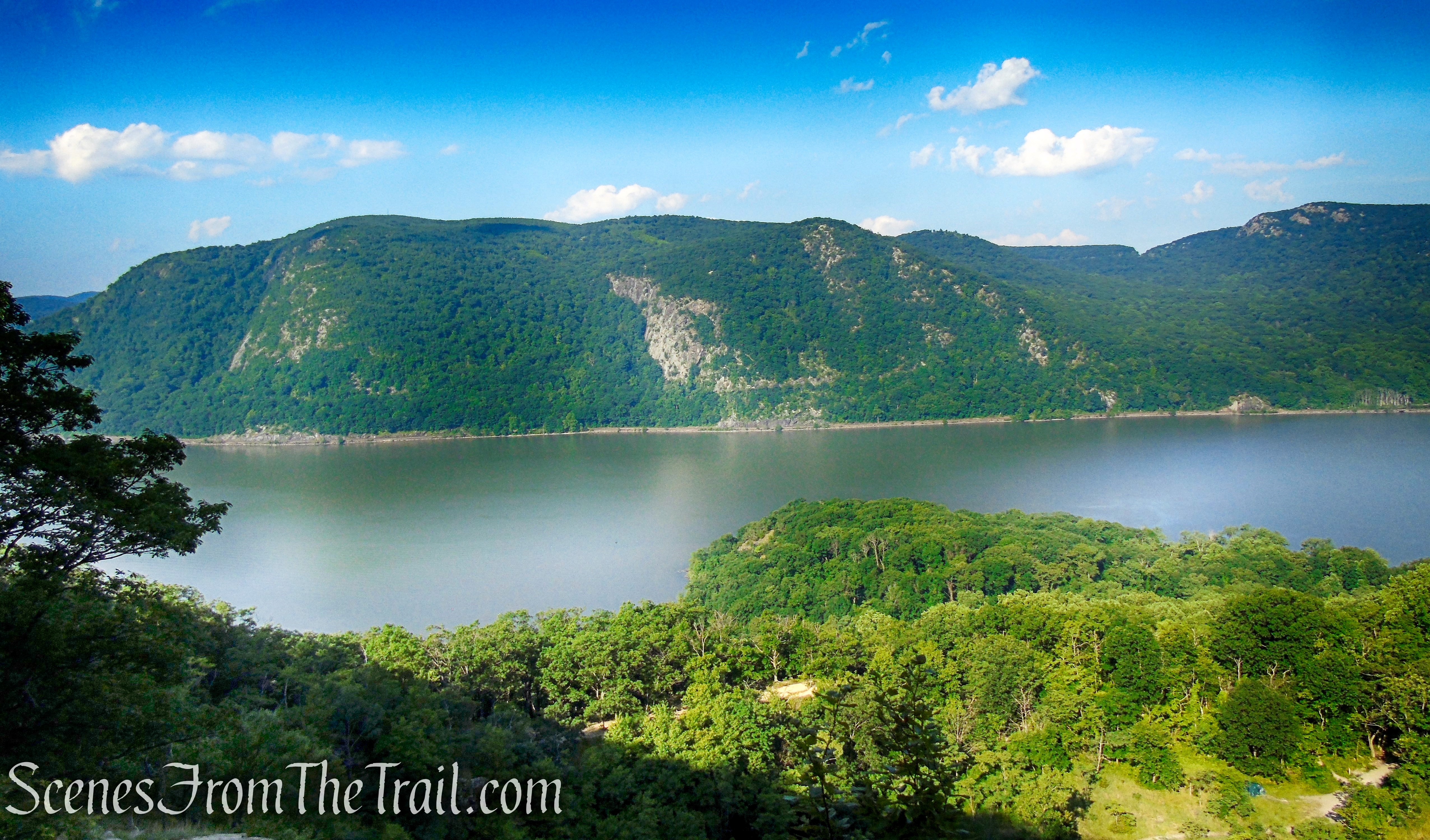
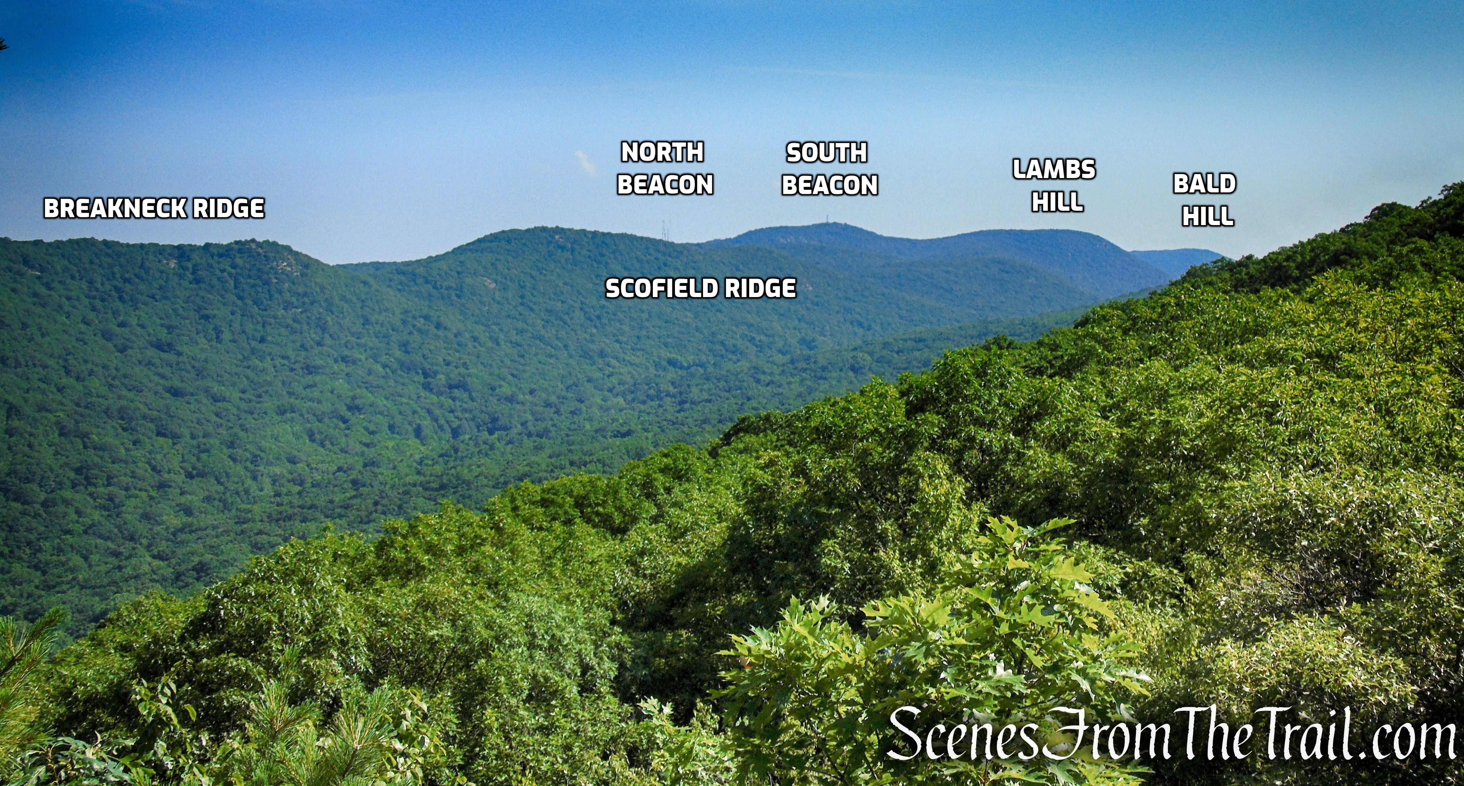
Prominent peaks and ridges of the East Hudson Highlands.
Undercliff Trail – Bull Hill
Undercliff Trail – Bull Hill
Undercliff Trail – Bull Hill
Looking north up the Hudson River past Breakneck Ridge.
Undercliff Trail – Bull Hill
Looking north with Storm King Mountain (left) and Breakneck Ridge (right).
Undercliff Trail – Bull Hill
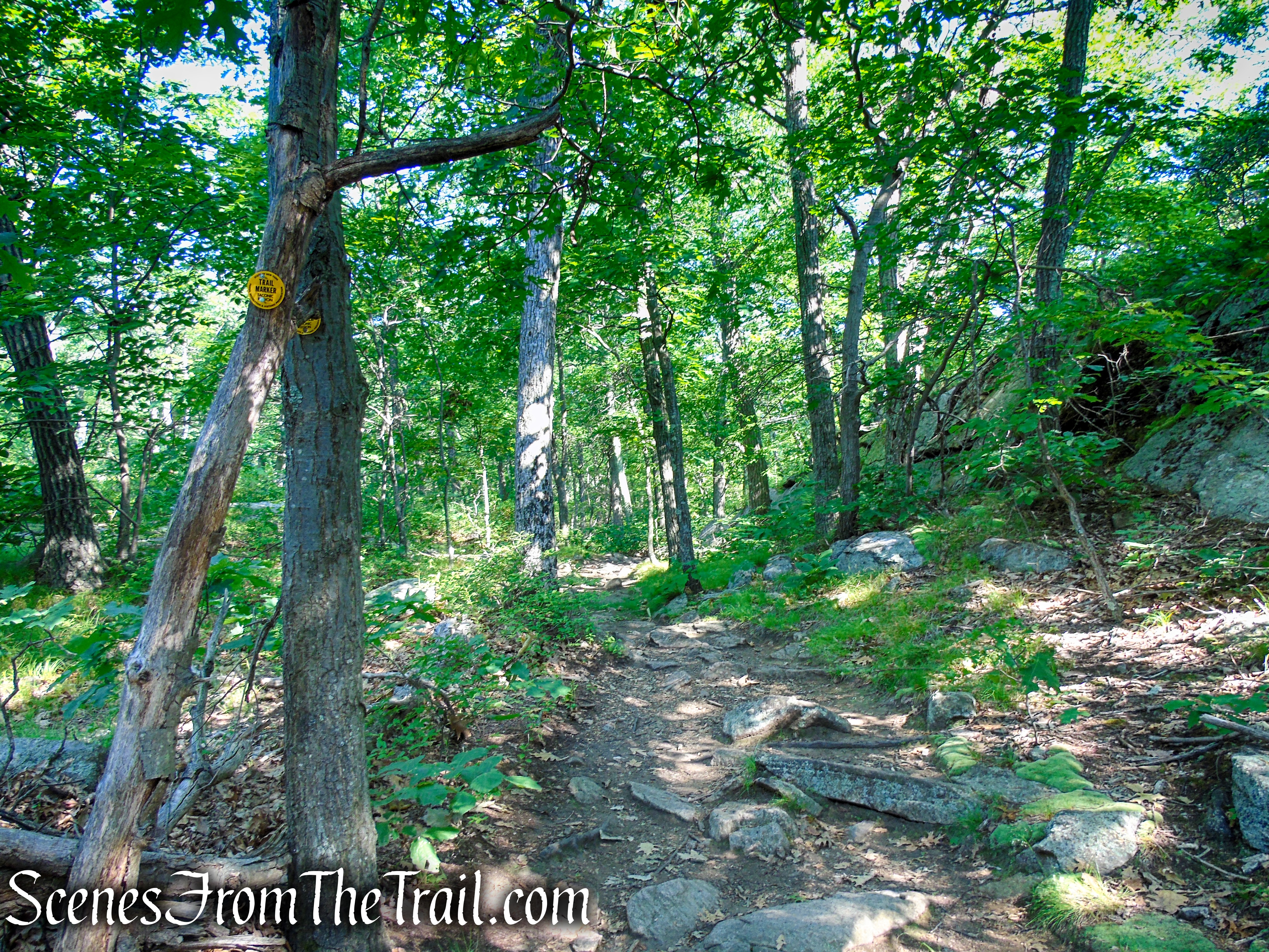
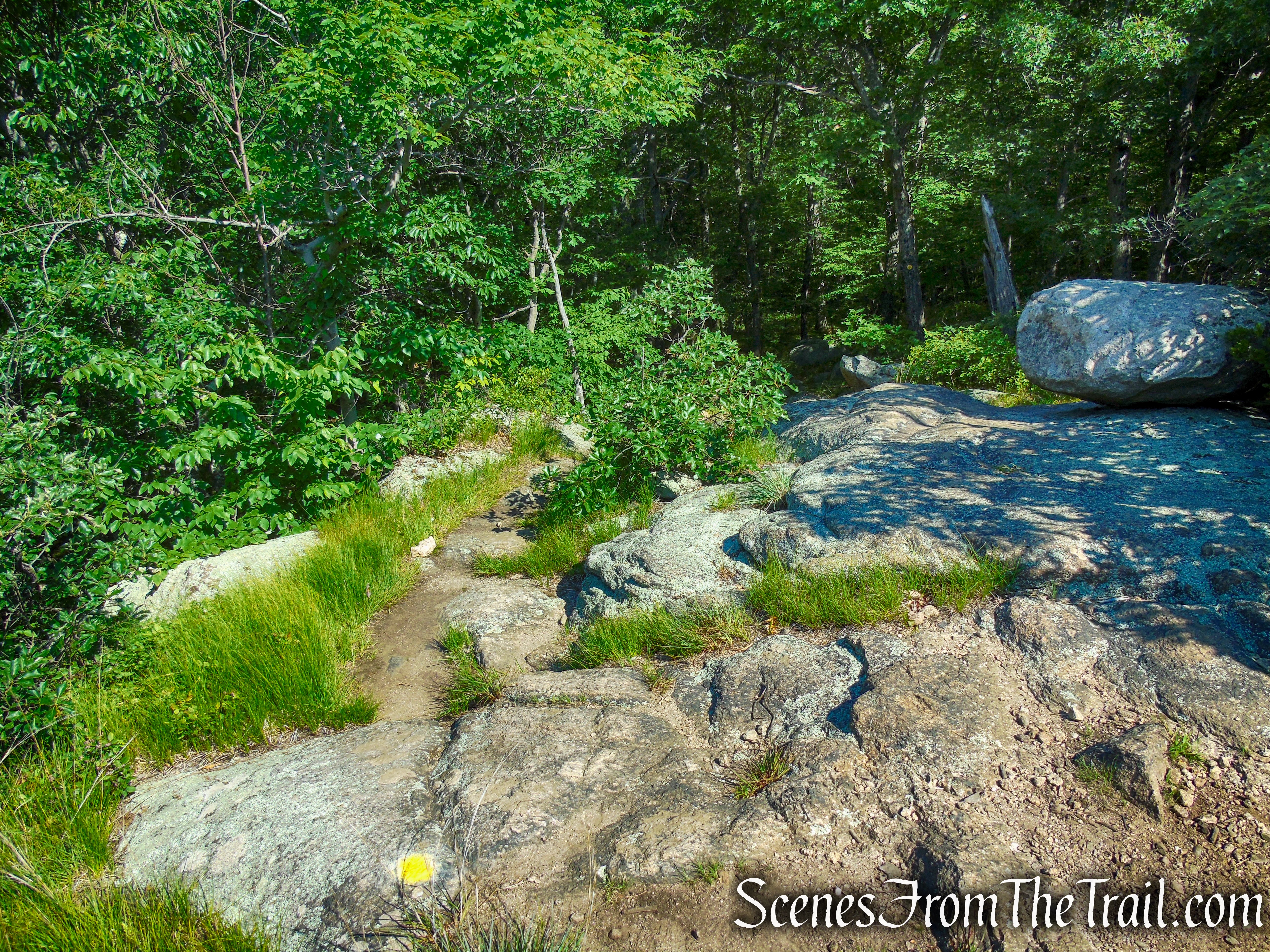
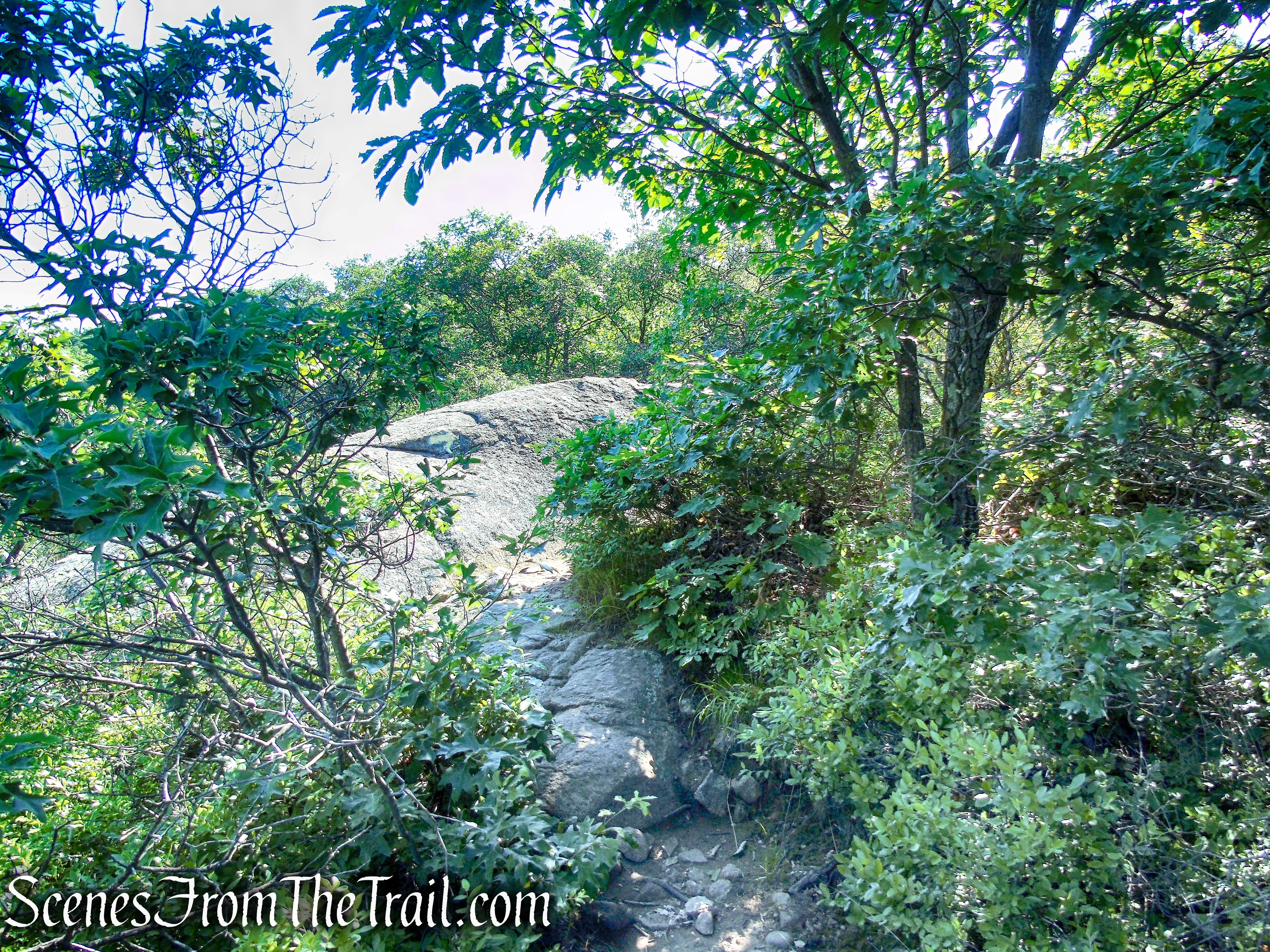
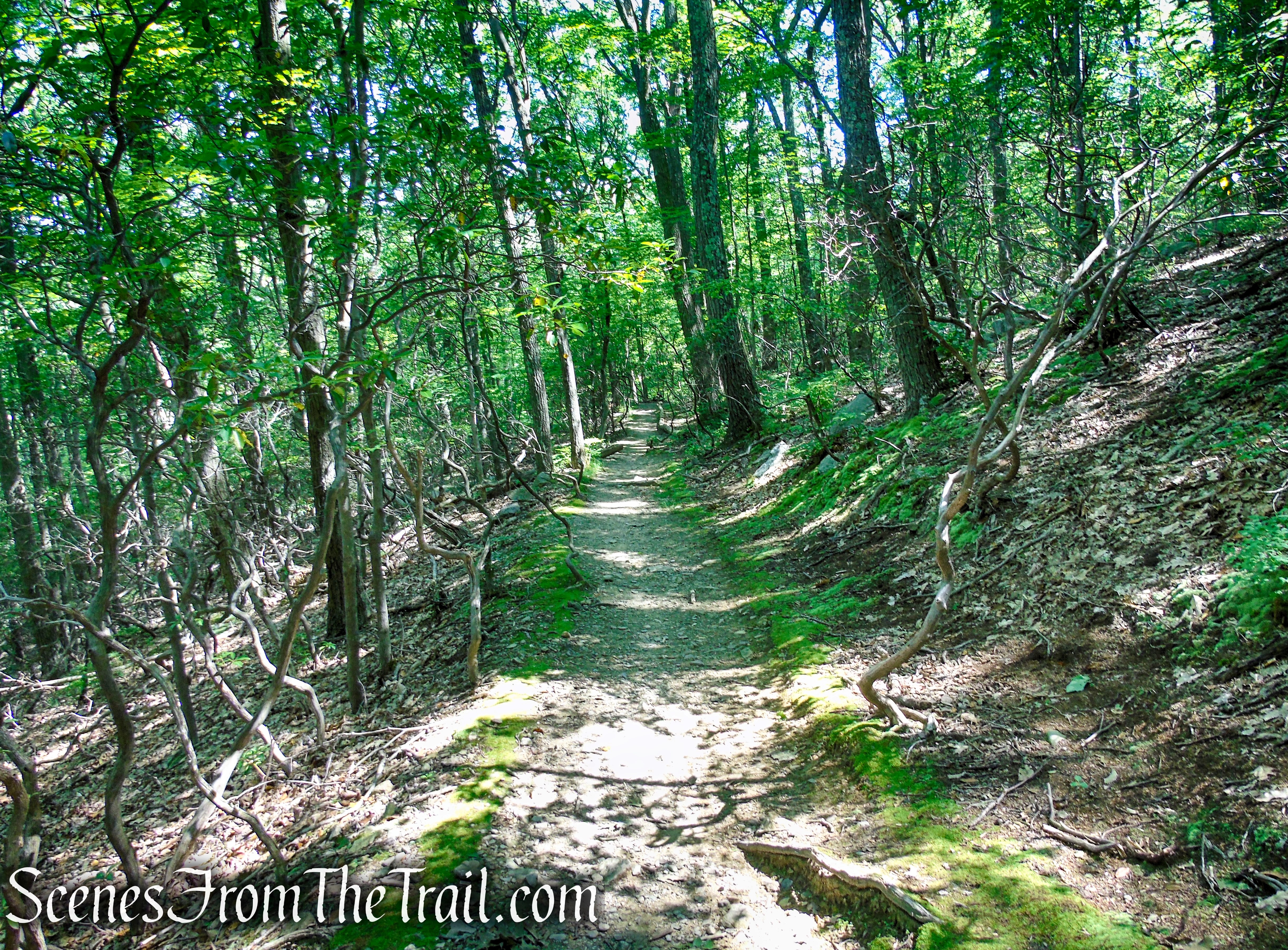
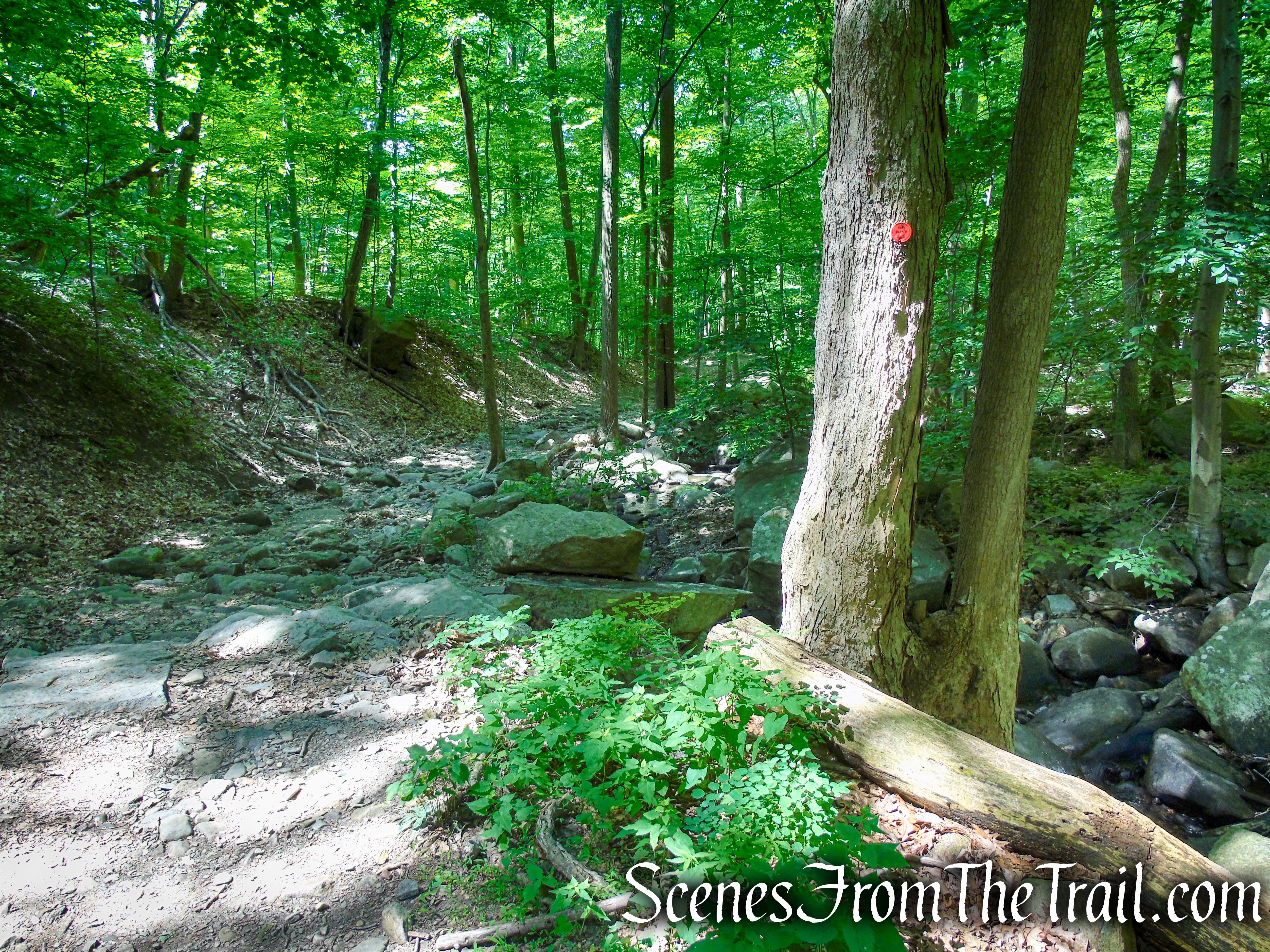
The Undercliff Trail now turns sharply right and begins to head in a northeast direction. After crossing a stream, it descends on switchbacks to reach the stone foundations of a woods road that was never completed. The trail turns right and proceeds along the road, which soon acquires a dirt-and-gravel surface, crossing a stream on a one-log bridge. After bending to the left, the trail resumes its steady descent, soon beginning to parallel a stream.
Undercliff Trail – Bull Hill
Undercliff Trail – Bull Hill
Undercliff Trail – Bull Hill
Undercliff Trail – Bull Hill
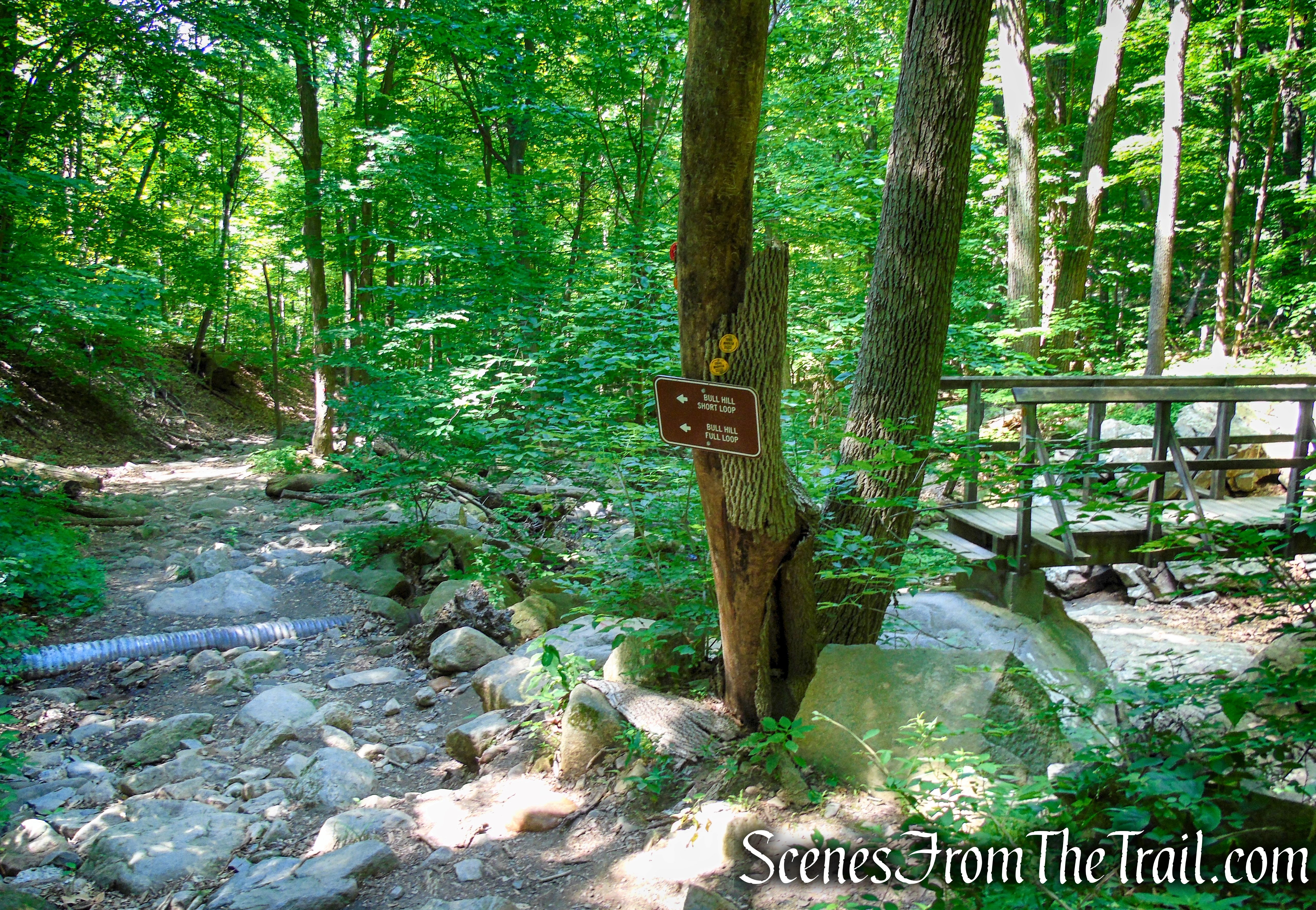
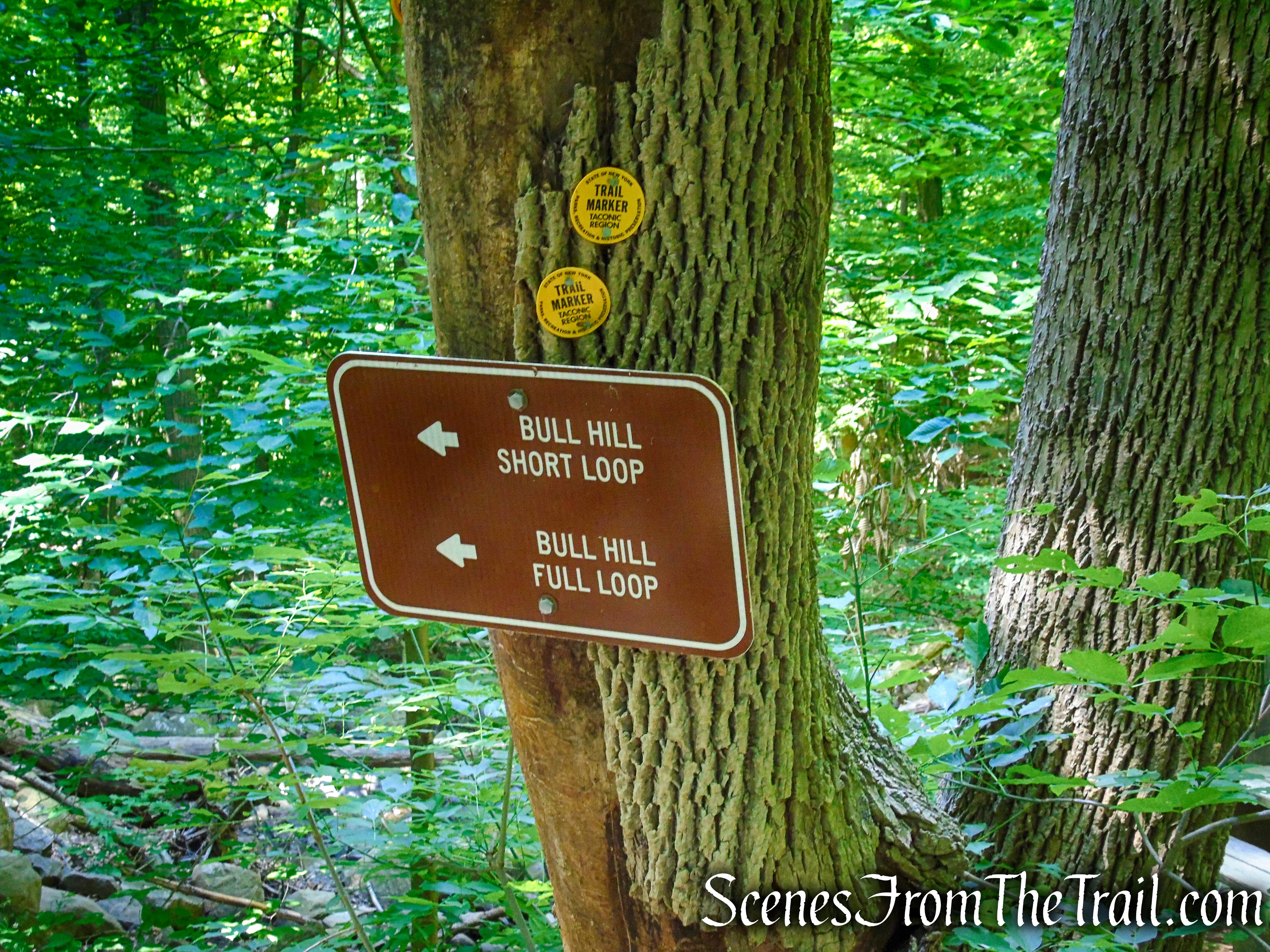
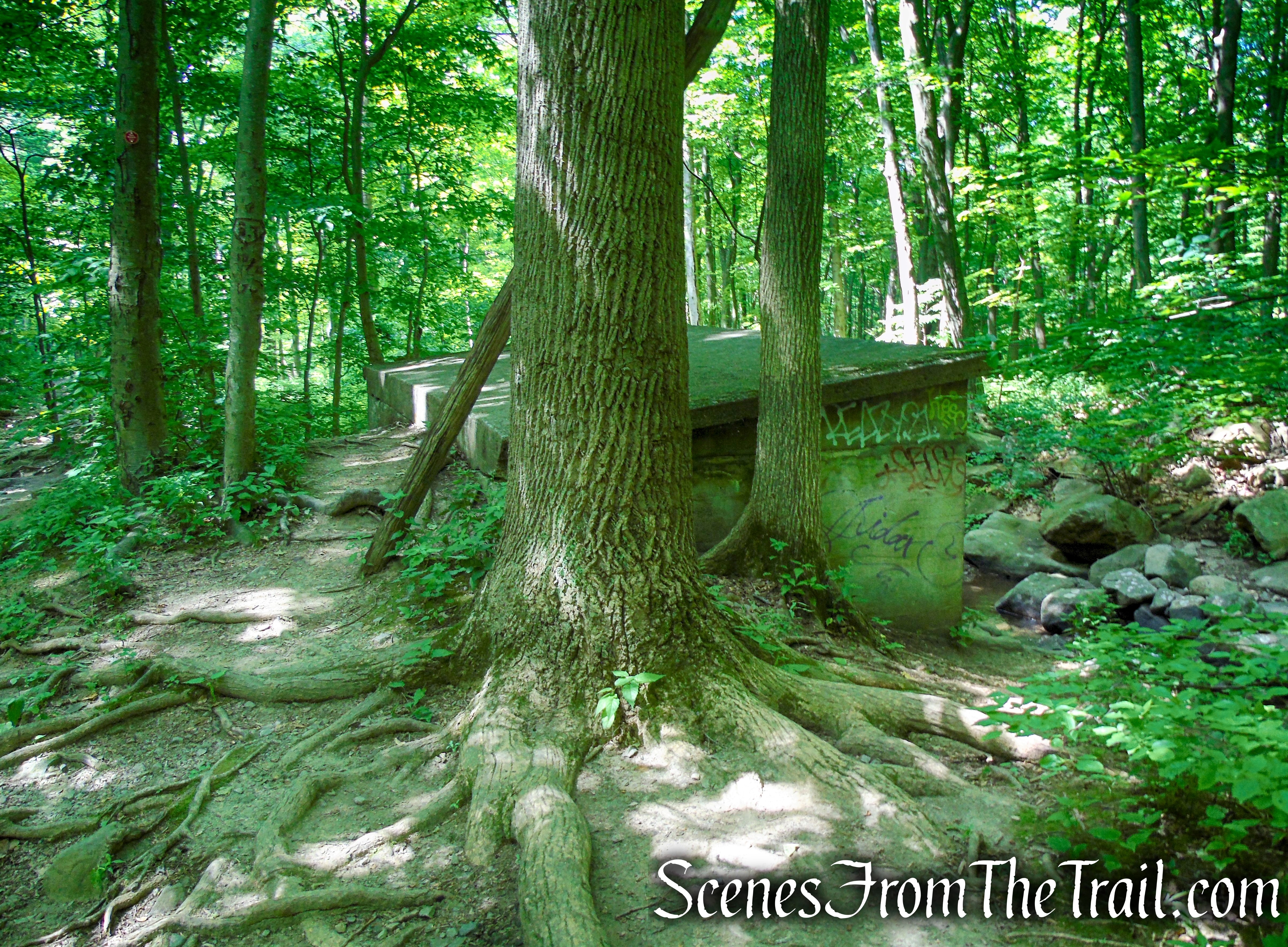
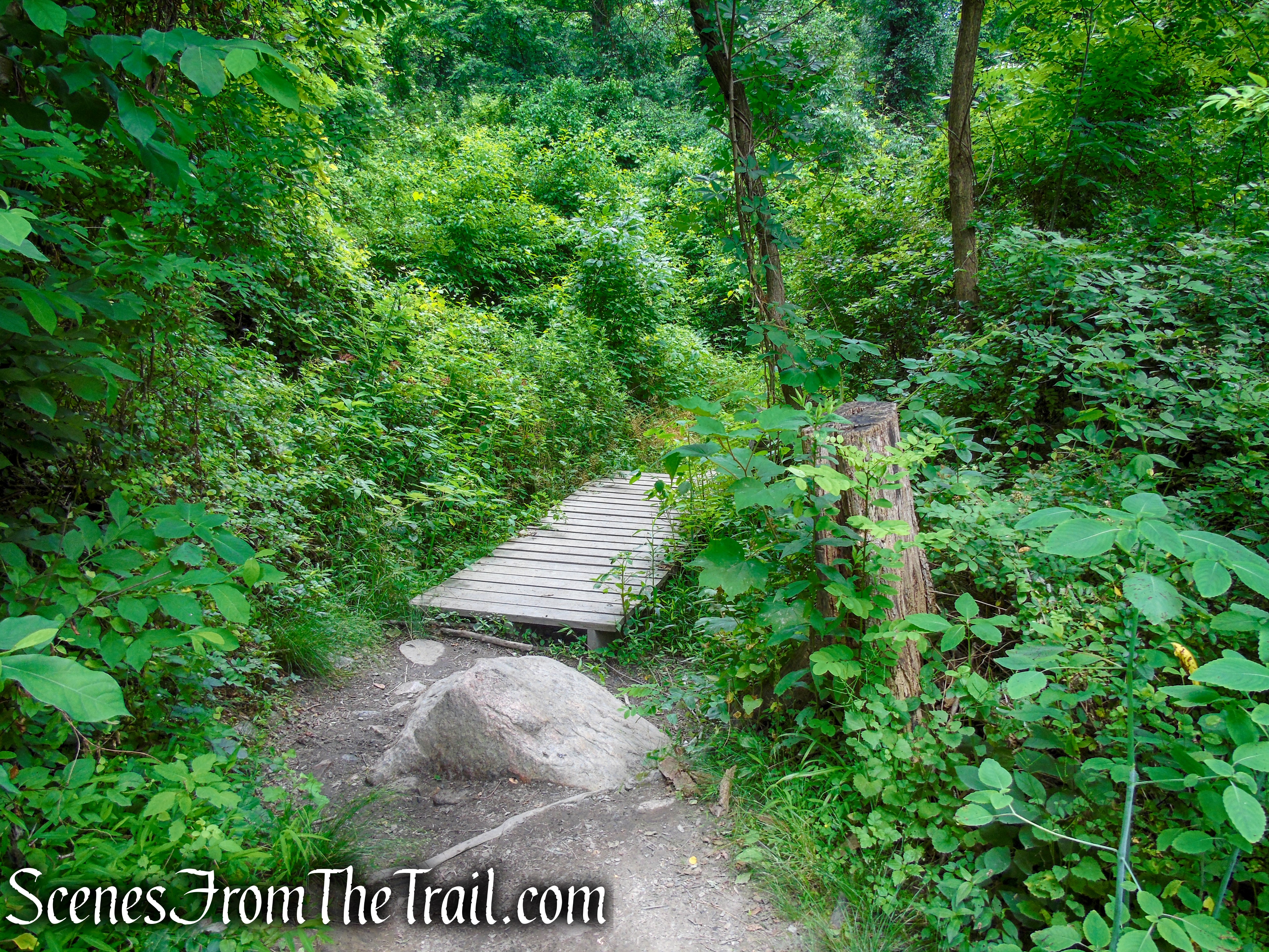
Almost three miles from the start of the hike, the Undercliff Trail crosses a stream and reaches a wide woods road, the route of the red-blazed Brook Trail. The Undercliff Trail turns left, briefly joining the Brook Trail then immediately turns right and crosses a wider stream (Breakneck Brook) on a wooden bridge, but you should bear left and continue on the red-blazed trail along the woods road, paralleling Breakneck Brook.
turn left on Brook/Undercliff Trails
turn left on Brook/Undercliff Trails
veer left on Brook Trail
veer left on Brook Trail
Brook Trail – Bull Hill
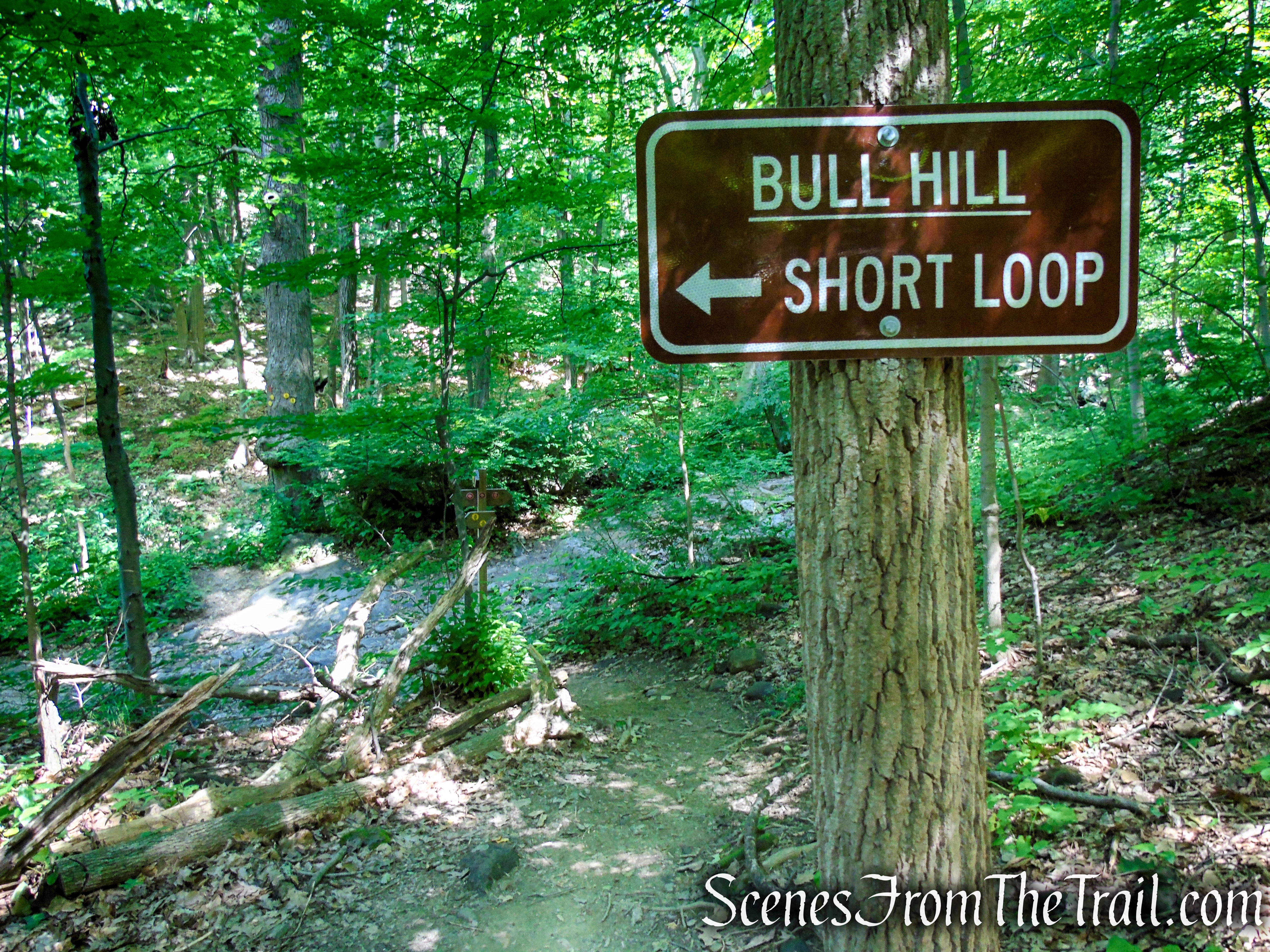
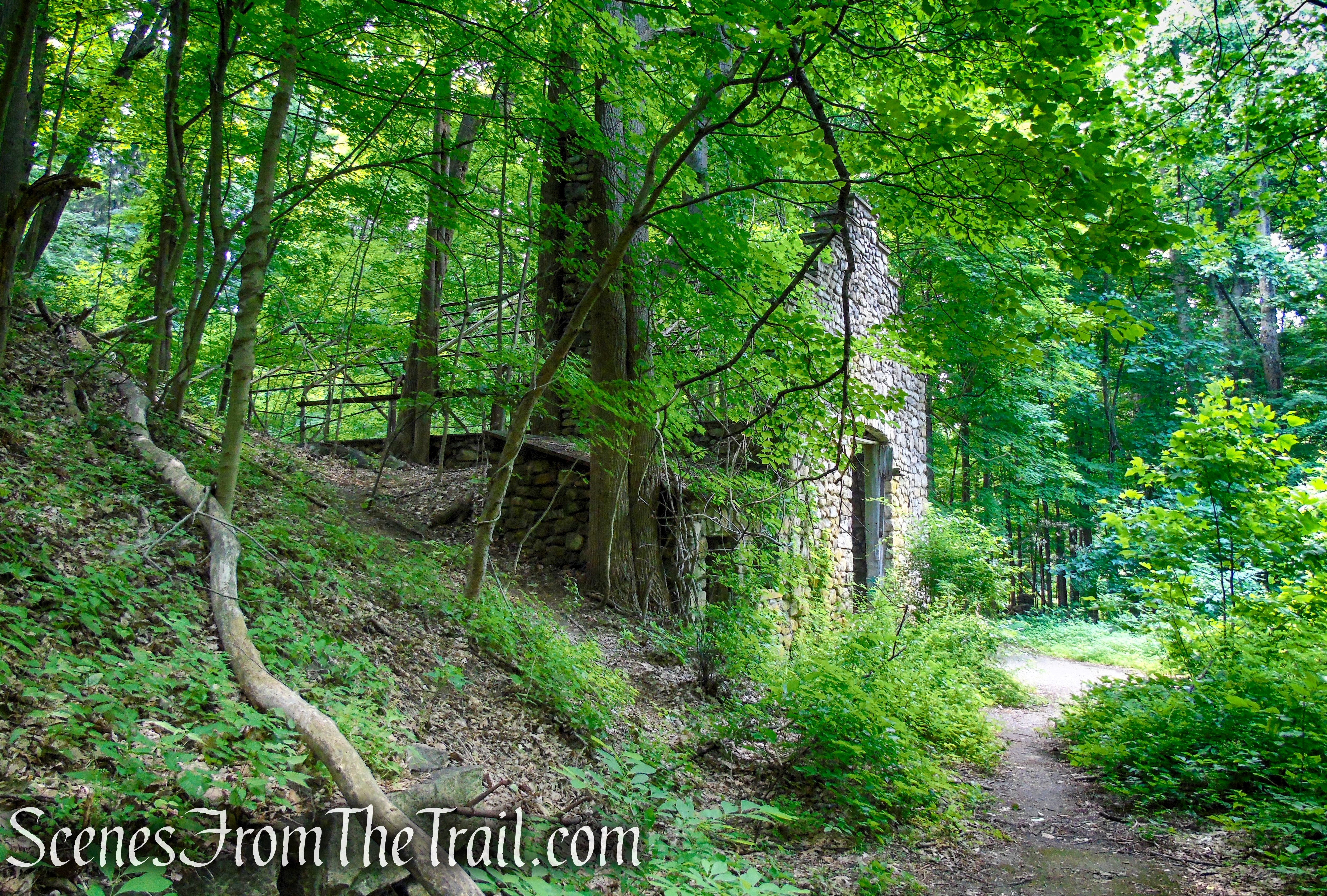
After passing a small abandoned building to the right, you’ll reach a fork. Bear left here onto the blue-blazed Cornish Trail, which follows an old road through the former estate of Edward G. Cornish, chairman of the board of the National Lead Company.
Brook Trail – Bull Hill
Brook Trail – Bull Hill
veer left onto the Cornish Trail
Cornish Trail – Bull Hill
Cornish Trail – Bull Hill
The road passes a large cement-and-stone cistern on the right, then curves around two switchbacks and continues with a concrete pavement. Just before reaching the paved section of the road, there is an unmarked footpath that leads down to the stone ruins of the Cornish Estate, which are visible below on the right.
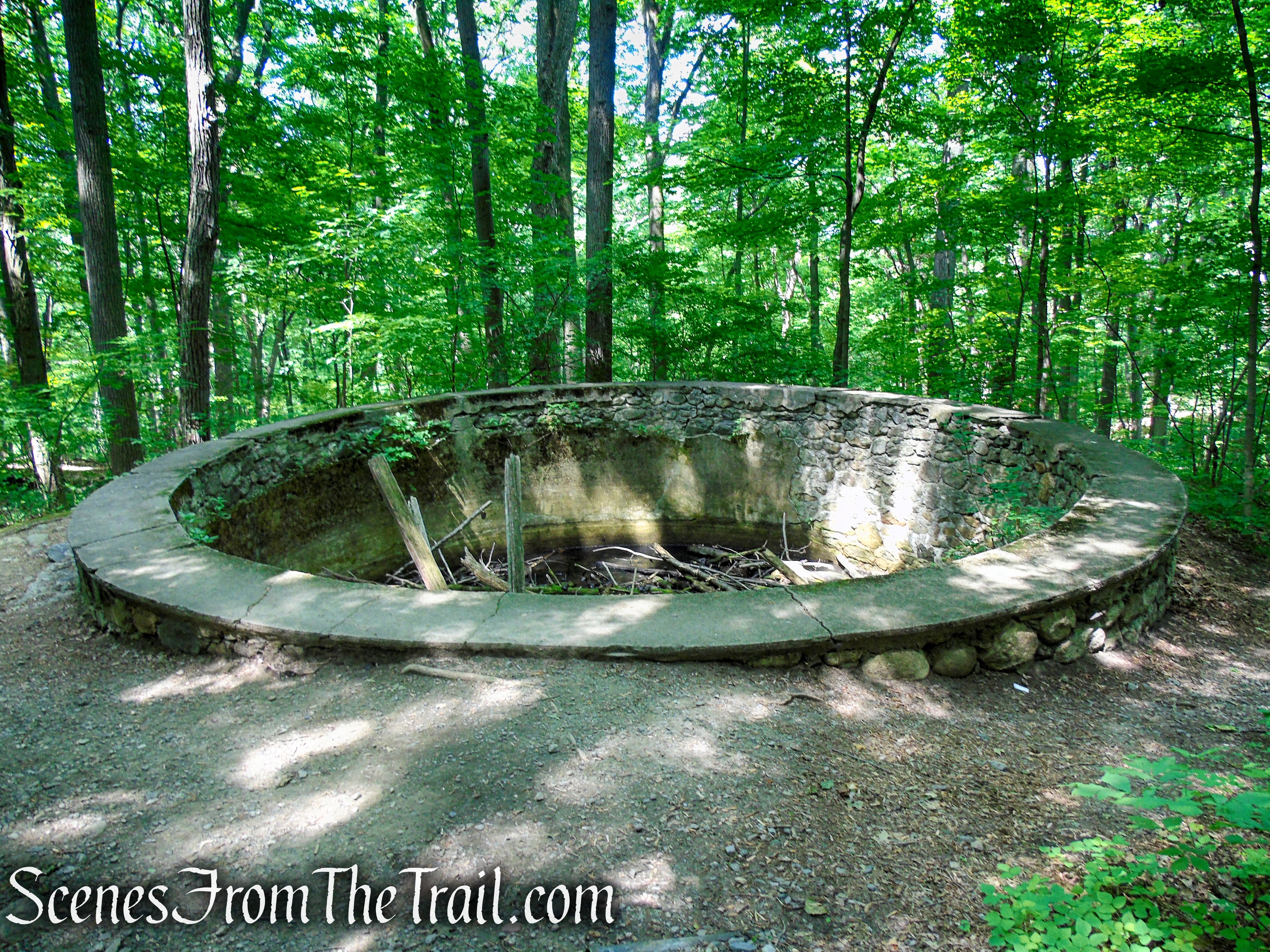
cistern – Cornish Trail
Cornish Trail – Bull Hill
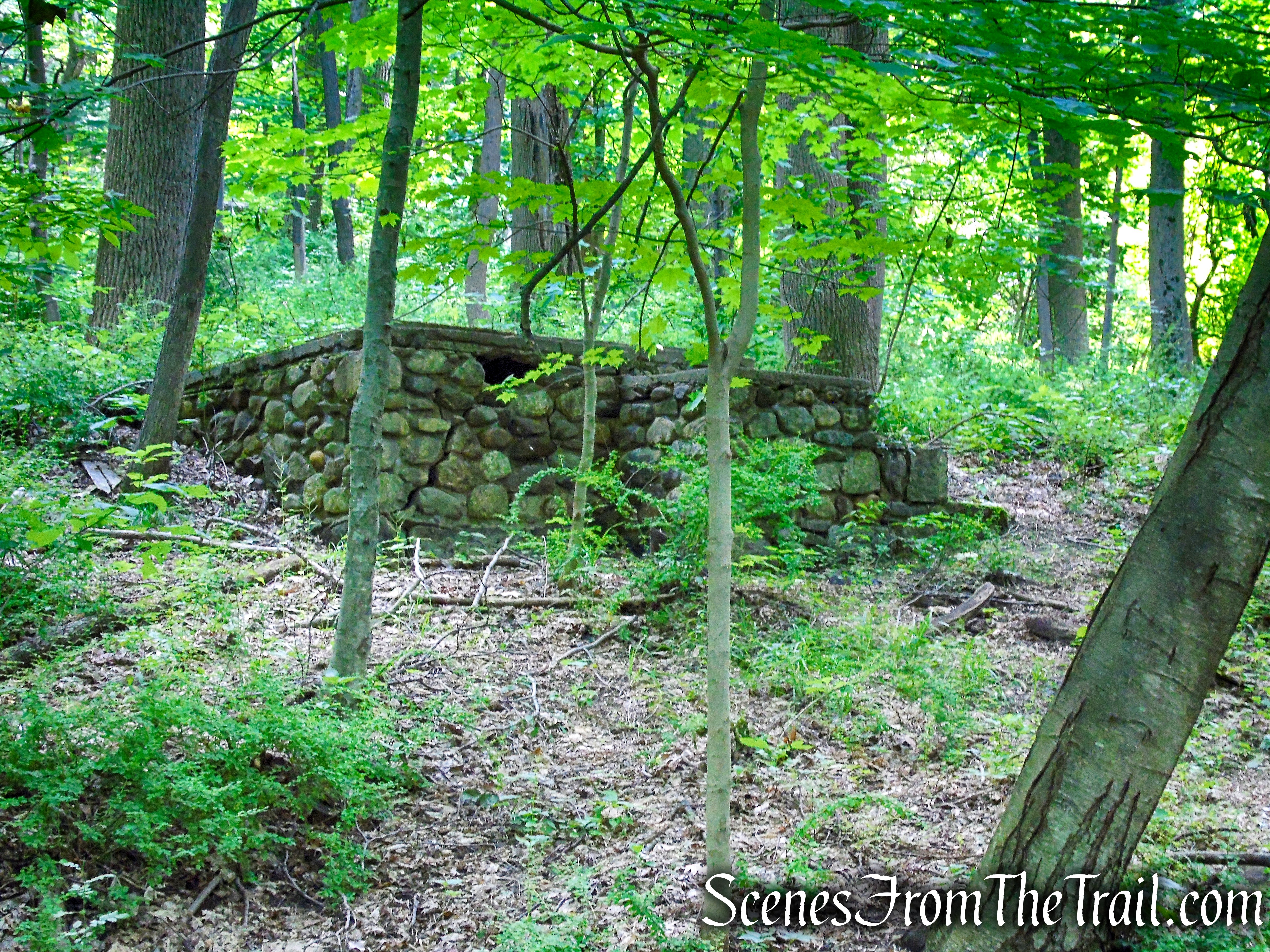
stone structure – Cornish Trail
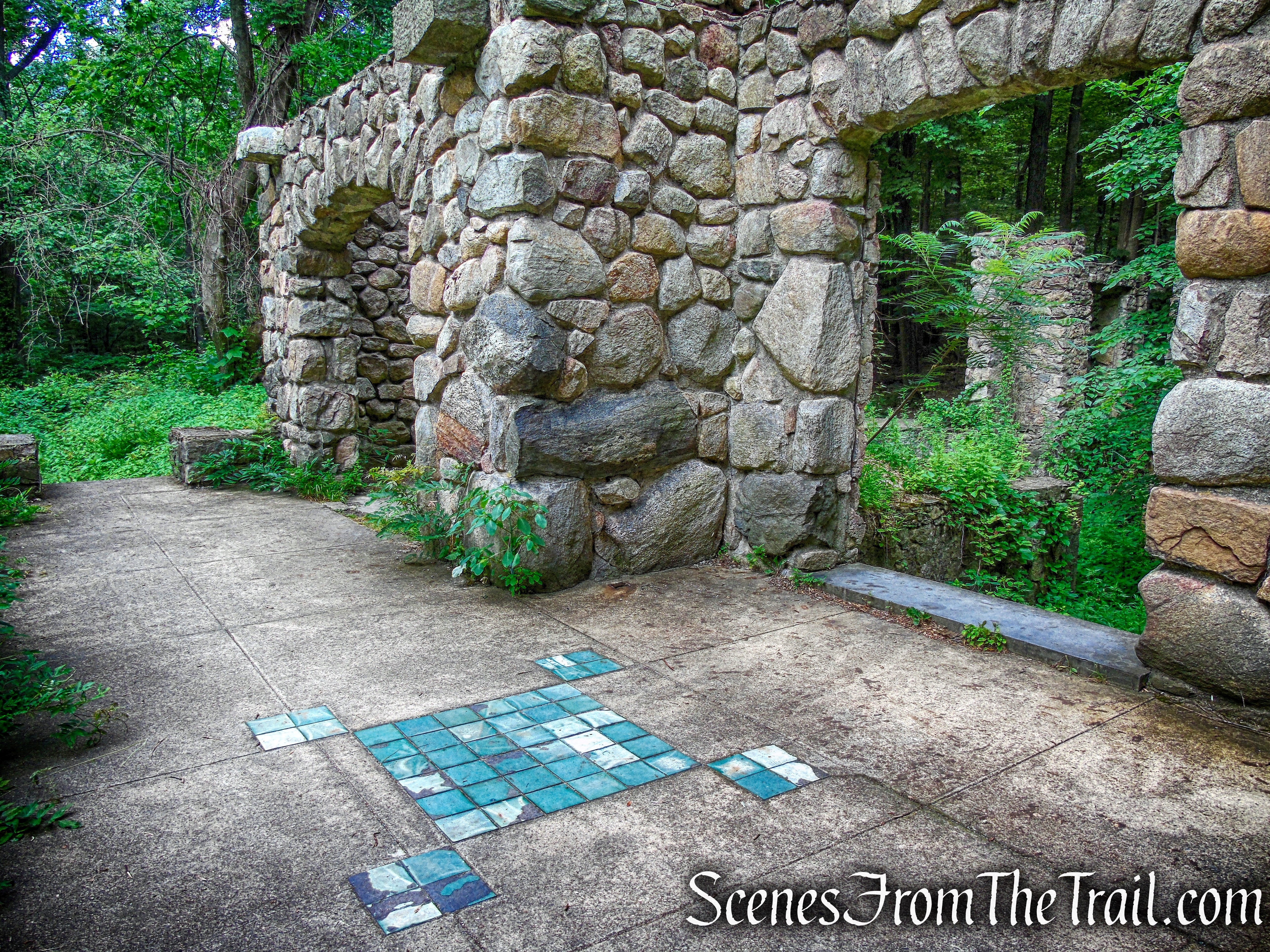
The Greenhouse: It appears that Edward and Selina Cornish, in part, used the greenhouse for winter storage of palm trees and other exotic plants that were placed in front of the house during the warmer weather. A boiler in the basement provided heat to the building and sprinklers.
greenhouse ruins – Cornish Estate
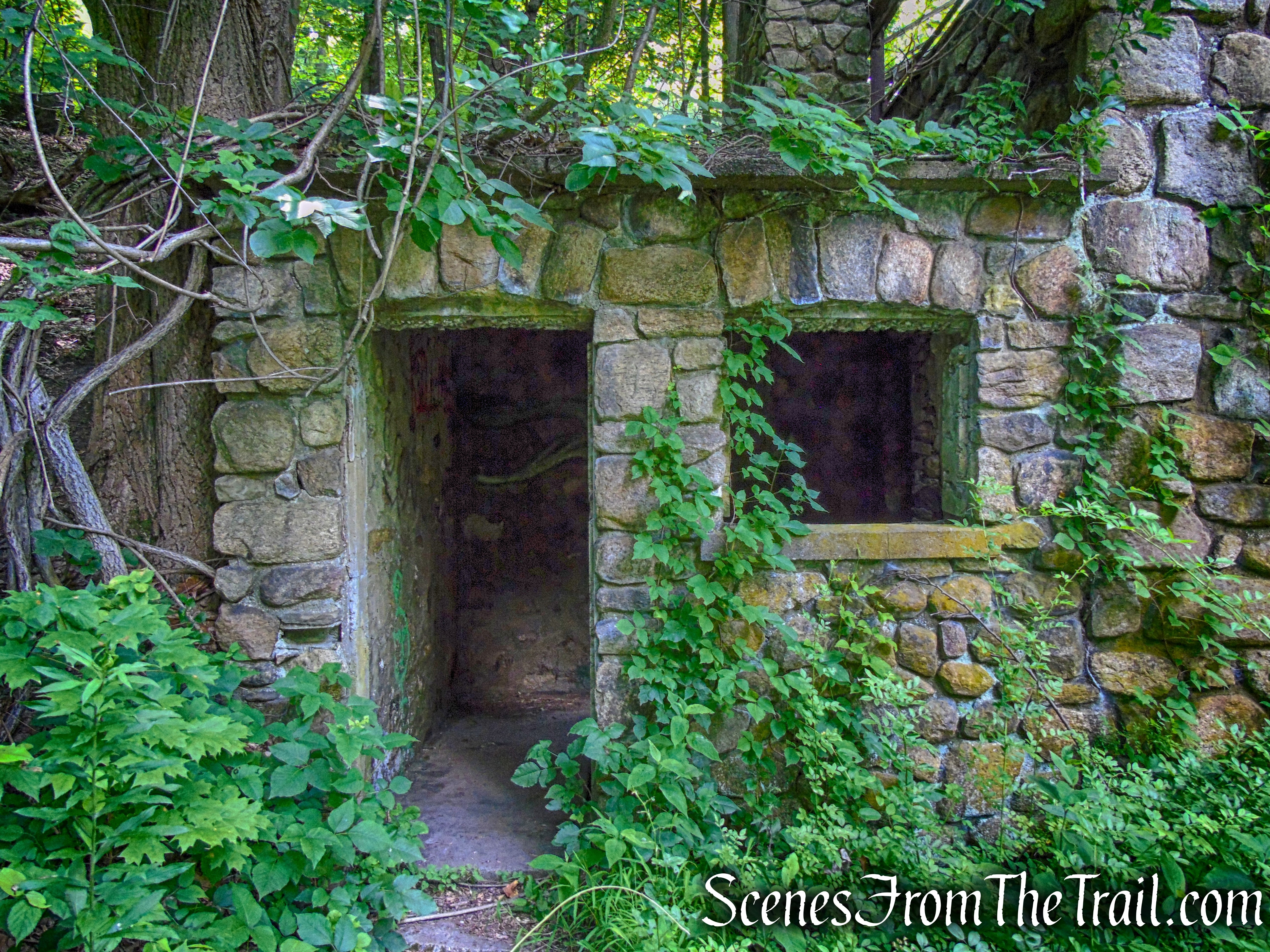
greenhouse ruins – Cornish Estate
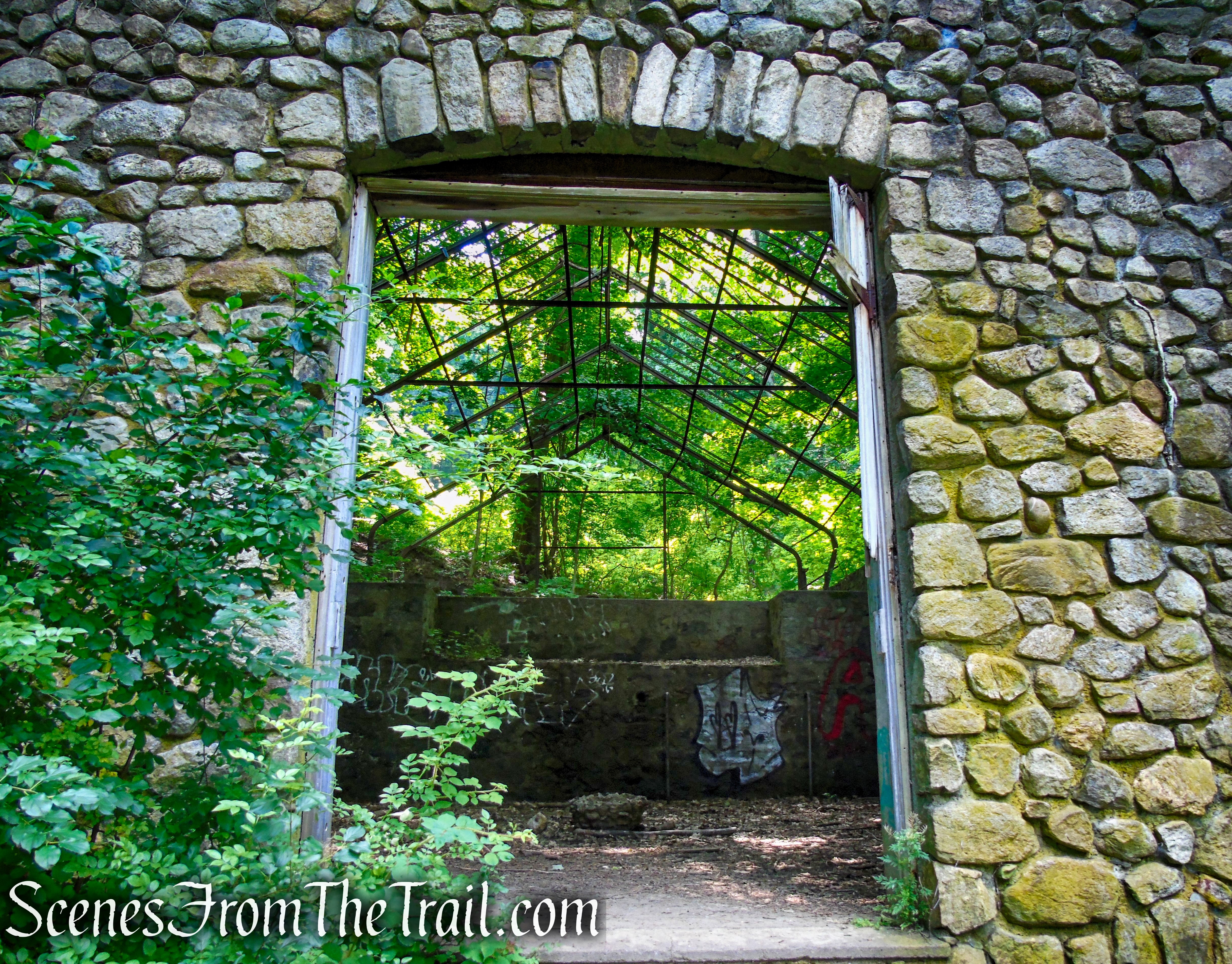
greenhouse ruins – Cornish Estate
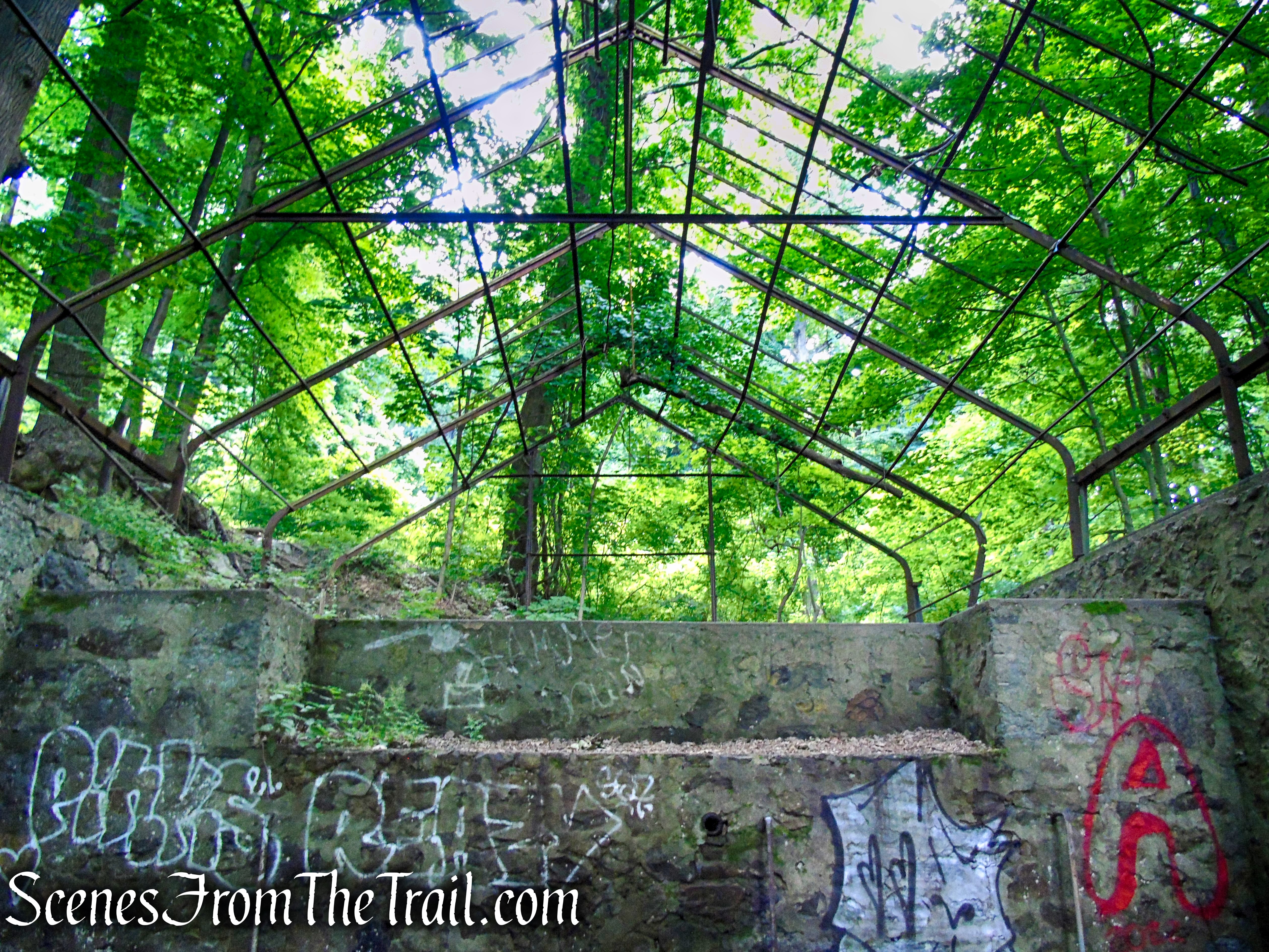
greenhouse ruins – Cornish Estate
greenhouse ruins – Cornish Estate
There are numerous informational signs throughout the area that explain the usage and history of the buildings on the estate.
Northgate – Cornish Estate Ruins
The Mansion: For the design of the mansion, Sigmund Stern hired the architectural firm of Werner and Windolph. The architects paid special attention to the natural setting of the house, maximizing views of Storm King Mountain, Breakneck Ridge and the Hudson River.
mansion ruins – Cornish Estate
The Cornish Estate ruins site is currently undergoing preservation efforts after receiving a grant to help uncover the mystery behind this once prestigious mansion.
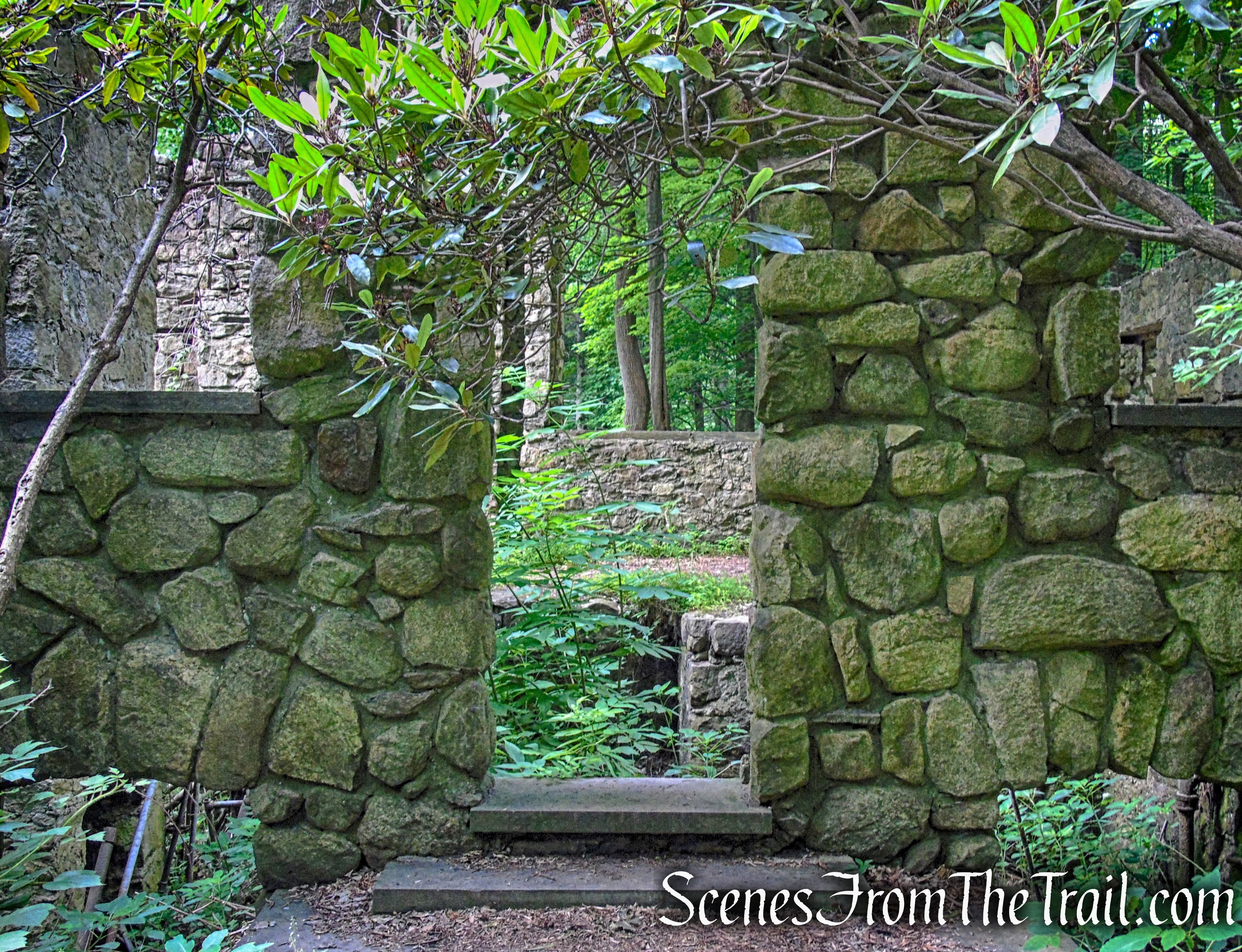
mansion ruins – Cornish Estate
mansion ruins – Cornish Estate
The Cornish Estate and subsistence farms were first developed in 1910 by Chicago diamond merchant Sigmund Stern, who utilized the 650 acres of land. Stern was on the board of Surprise Lake Camp, the nation’s longest-running Jewish sleepaway camp.
mansion ruins – Cornish Estate
In 1916, the land was offered for lease after Stern’s wife passed away. New York businessman Edward Cornish and wife Selina took over the property the following year and ran a dairy farm. In the late 1930’s, the Cornish couple passed away within two weeks of each other. The property was given to a nephew who did not maintain the estate, and in 1958 a fire destroyed the majority of the mansion.
mansion ruins – Cornish Estate
Ironically, in the 1930’s Edward Cornish hoped to bequeath his 650-acre property to New York State. NYS decided the mountainous site was no place for a park and turned him down. It didn’t become part of Hudson Highlands State Park Preserve until the late 1960’s.
mansion ruins – Cornish Estate
mansion ruins – Cornish Estate
mansion ruins – Cornish Estate
When you are done exploring these impressive looking ruins, continue through the porte-cochère down the estate driveway. You should see blue and red markers on a tree. Follow the driveway to the next junction and bear right.
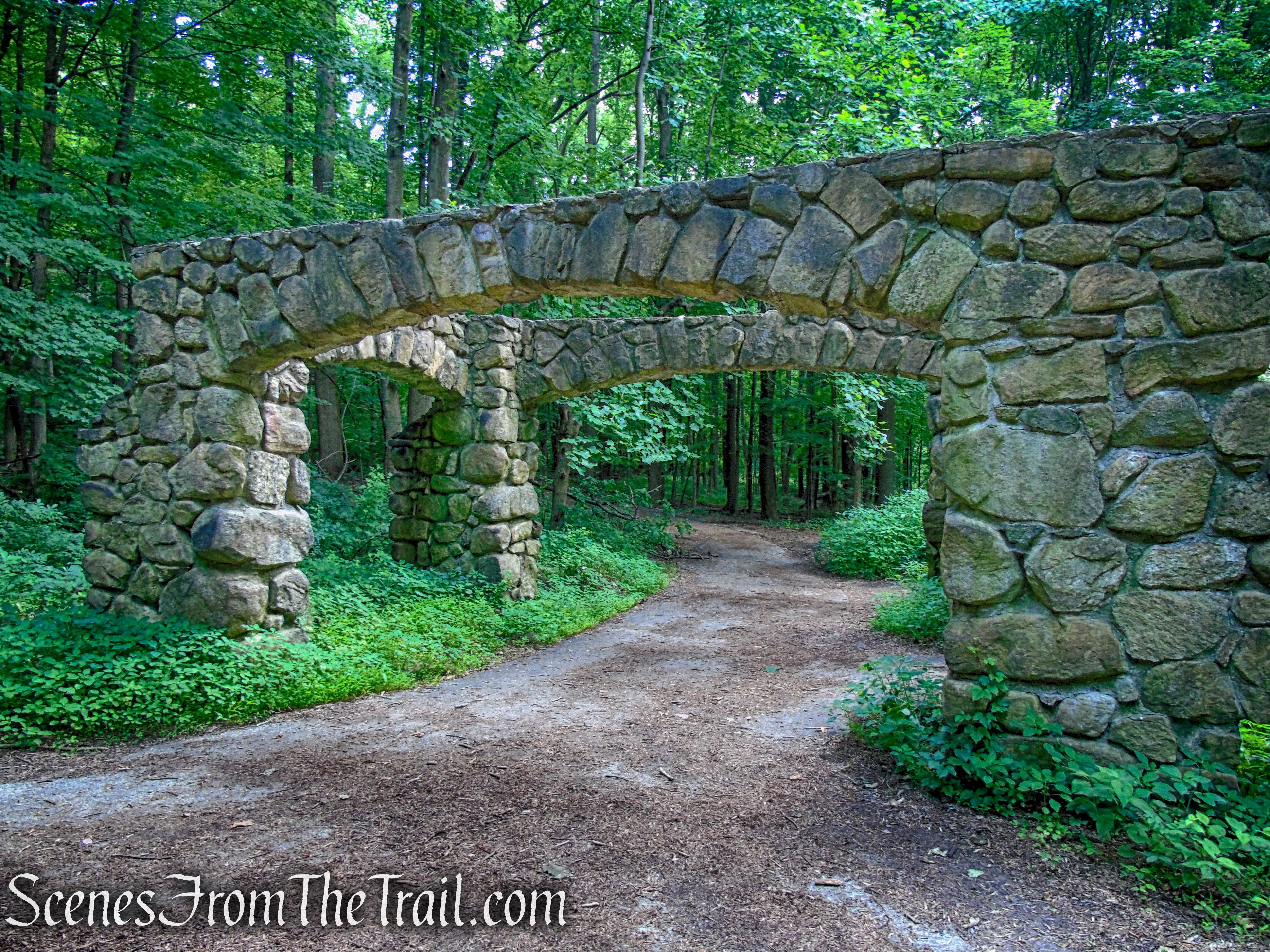
porte-cochère – Cornish Estate
Blue/Red Trail – Cornish Estate
Blue/Red Trail – Cornish Estate
bear right on the Cornish Trail
Cornish Trail – Bull Hill
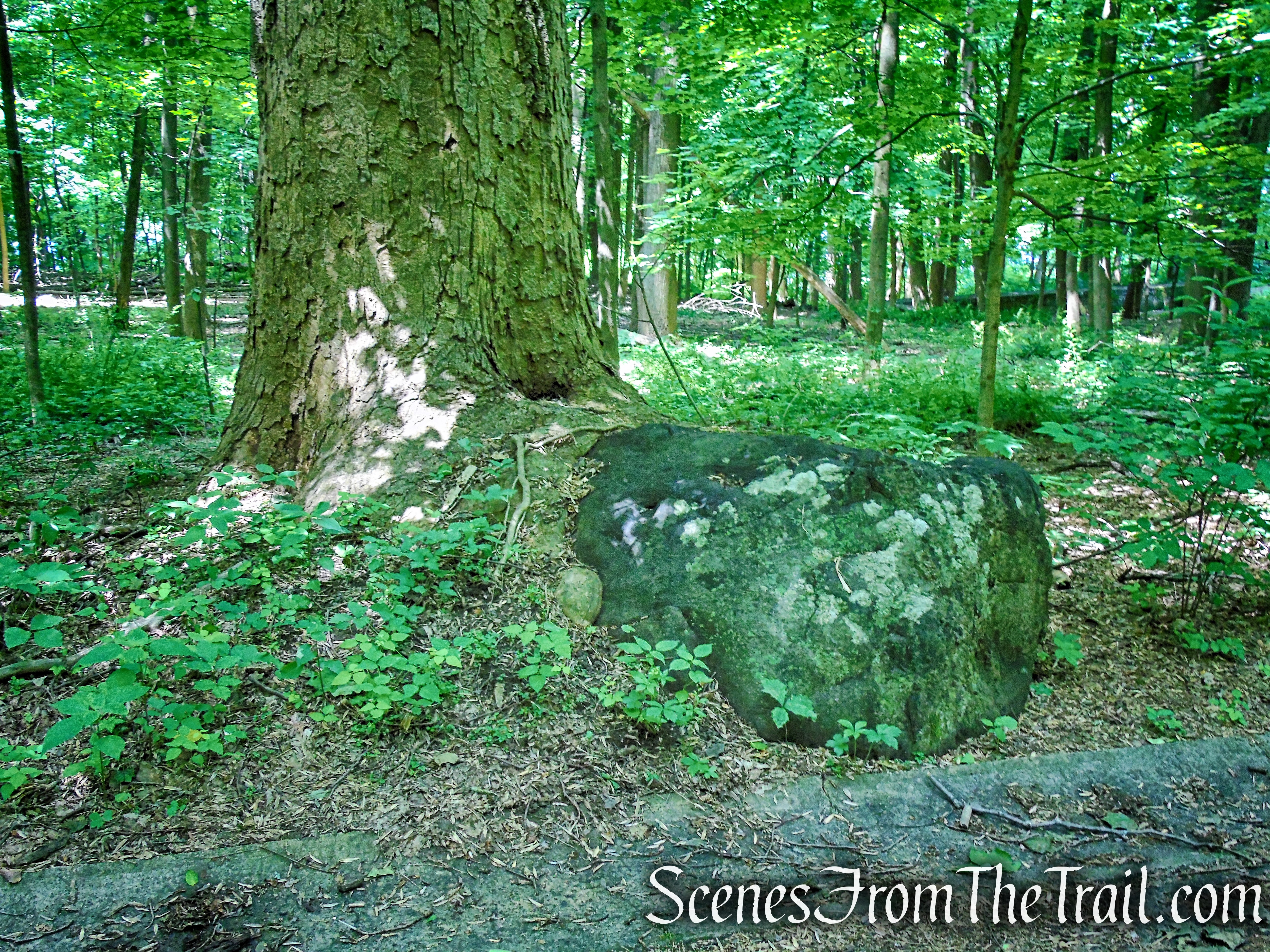
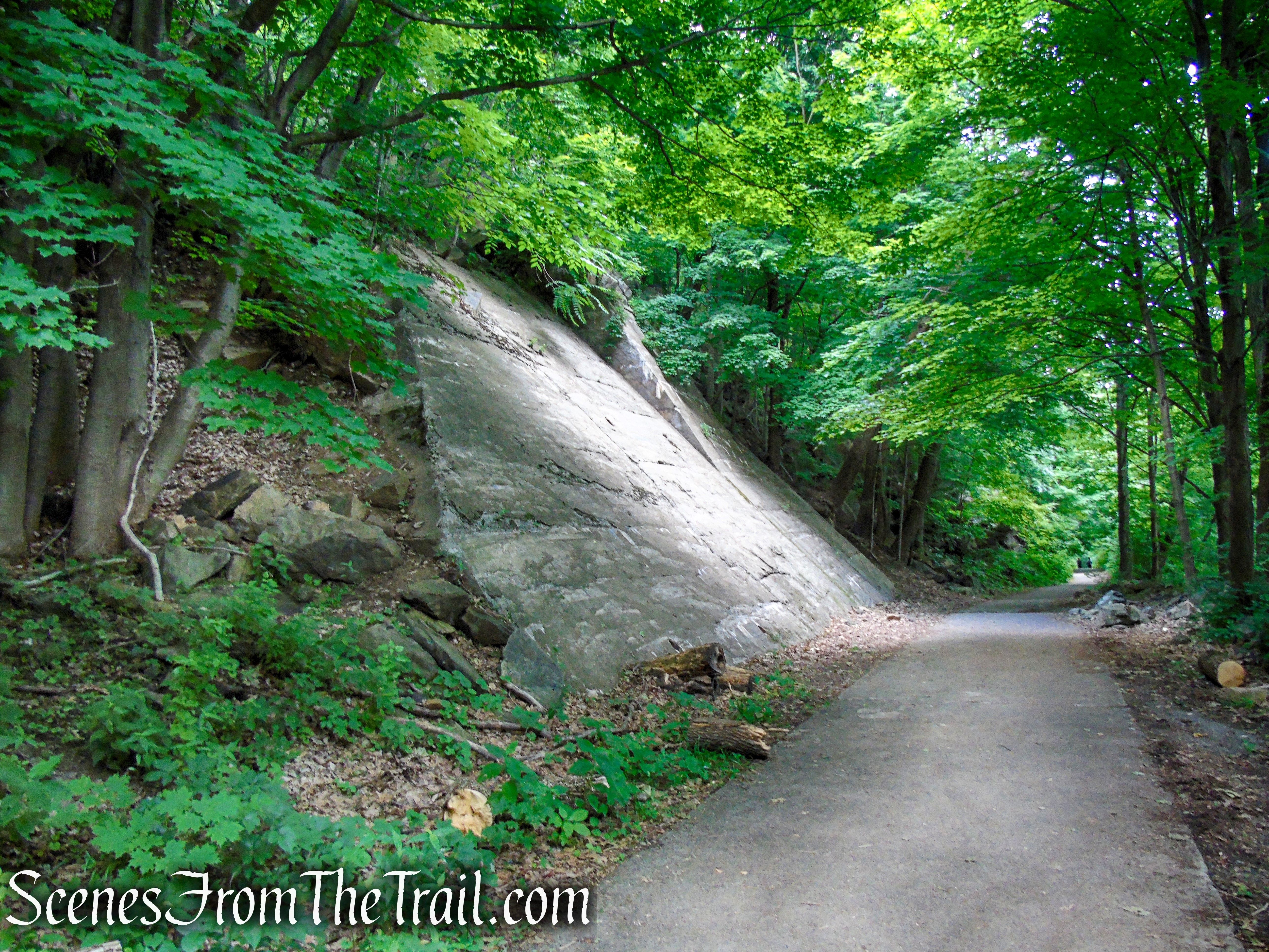
A massive boulder alongside the trail.
Cornish Trail – Bull Hill
To replace the steep and winding Breakneck Valley Road that approached the mansion from the north, a new driveway was laid connecting the mansion to Shore Road (present-day Route 9-D) from the south. This major undertaking required significant engineering and rock blasting. Culverts and spillways directed runoff alongside and under the road.
Cornish Trail – Bull Hill
Cornish Trail – Bull Hill
Cornish Trail – Bull Hill
The paved road descends steadily towards Route 9D, where it ends at a gate. Just before the gate, the Cornish Trail turns left, crosses a wet area on rocks and stumps, and continues along a footpath parallel to Route 9D for about a quarter of a mile to end just before the parking lot where the hike began.
turn left to stay on Cornish Trail
turn left to stay on Cornish Trail
Cornish Trail – Bull Hill
Cornish Trail – Bull Hill
Washburn Trailhead – Bull Hill
Washburn Trailhead Parking Lot
Review:
A thoroughly enjoyable hike. There are so many points of interest on this hike that you’ll want to stop not only to catch your breath, but to take in the exceptional views or explore the extensive ruins. Be forewarned, this is no walk in the park, but enjoyable nonetheless. As with most of the popular trails in the Hudson Valley, you’ll run into plenty of day hikers on any given day. The key is to visit on a weekday or very early mornings before the crowds arrive. The trails are well marked with plenty of signage. I highly recommend this hike to all that are physically able.
Pros:
Views galore, well marked and maintained trails, Cornish Estate ruins.
Cons:
Popular hiking area which attracts crowds.
Take a hike!
Bull Hill Short Loop
Sources:
- New York-New Jersey Trail Conference
- Hudson Highlands State Park Preserve
- Cornish Estate Ruins – Scenic Hudson
- Cold Spring, NY – Visitor Information
- Abandoned New York: Discover the Hidden Past Behind the Cornish Estate Ruins

very clean trail for the amount of day hikers.
LikeLiked by 1 person