September 6, 2021 – Highland Mills, NY
Difficulty: Moderate
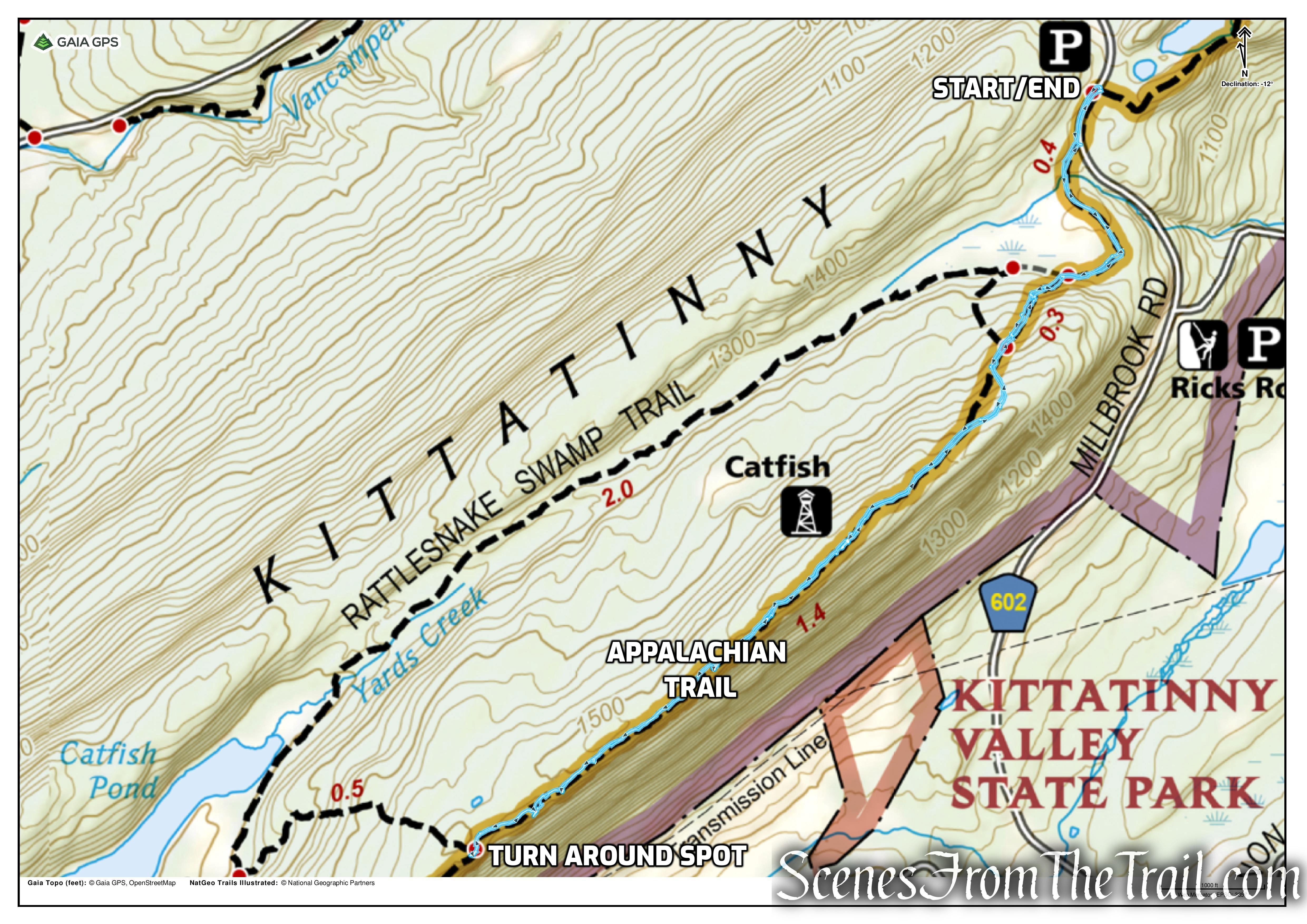
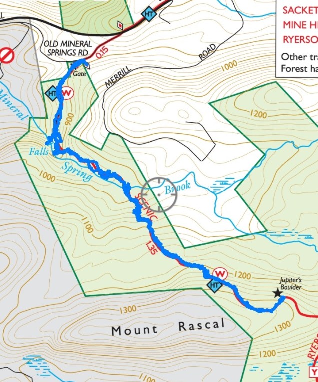
Length: Approximately 3 miles
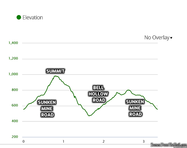
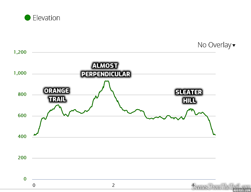
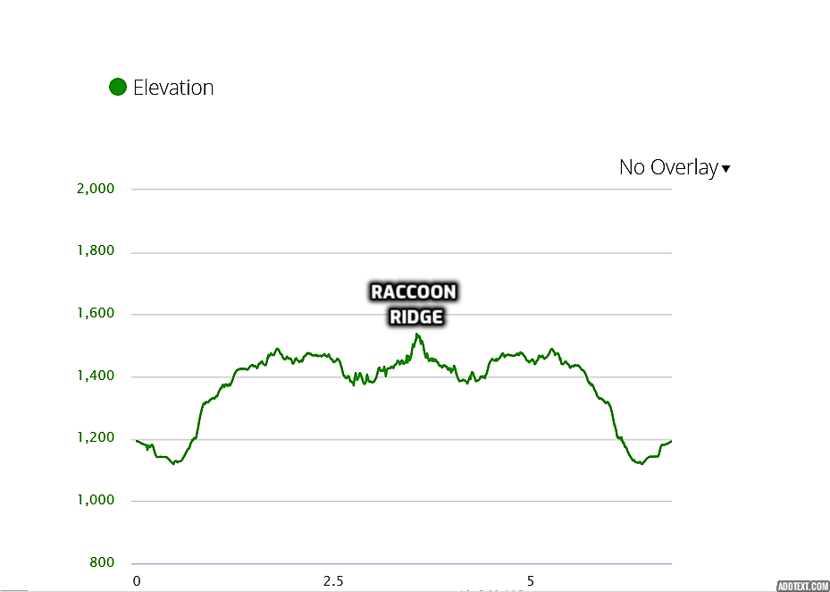
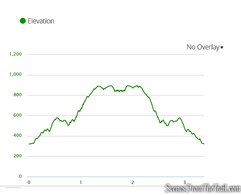
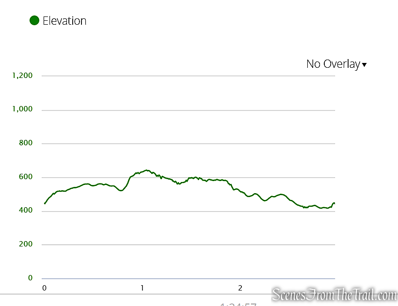
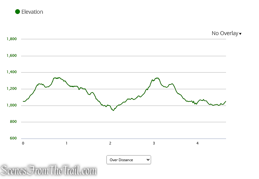
Max elevation: 1325 ft.– total elevation gain approximately 636 ft.
Route type: Out and back
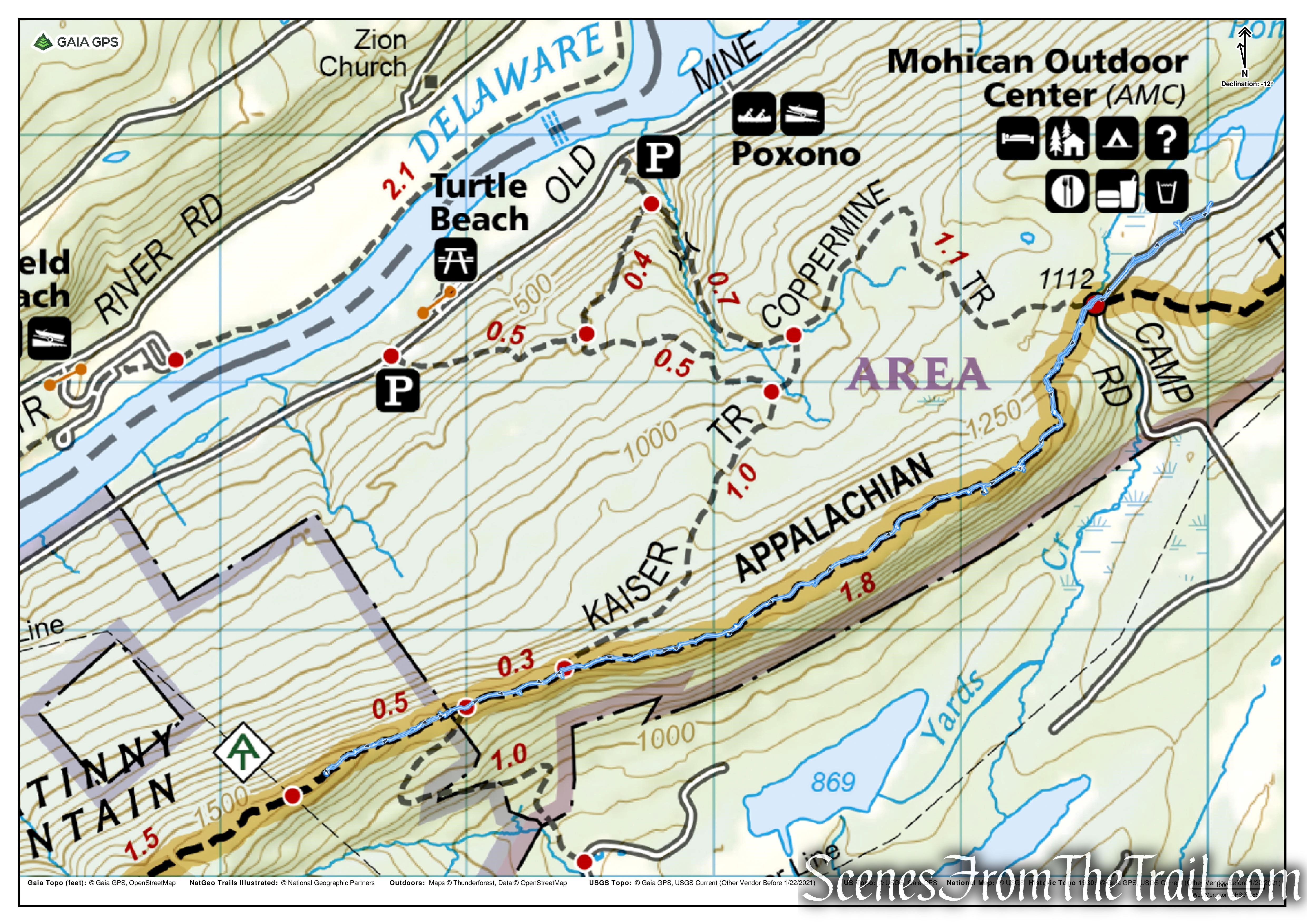
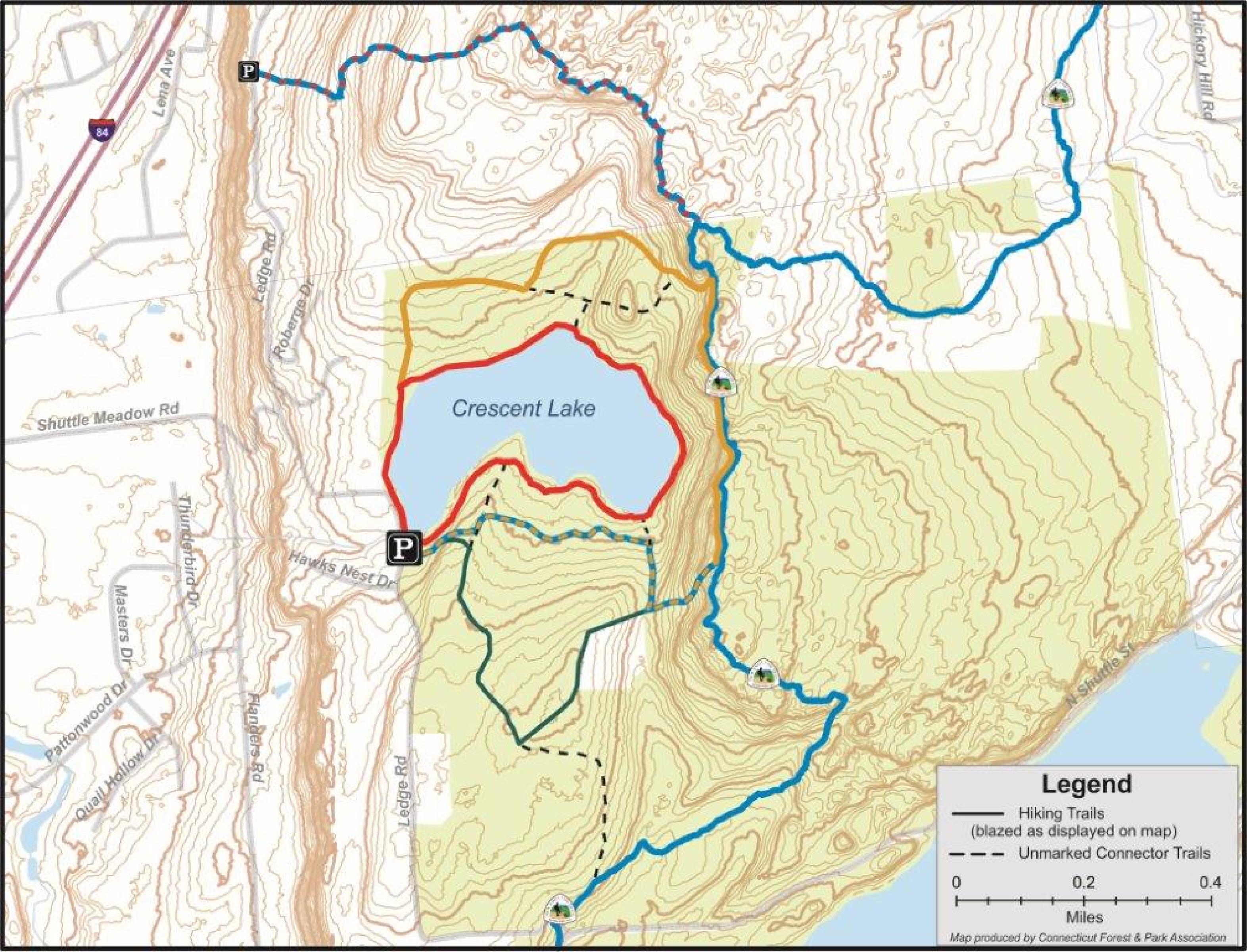
Maps: West Hudson Trails Map #113 – Black Rock Forest trails
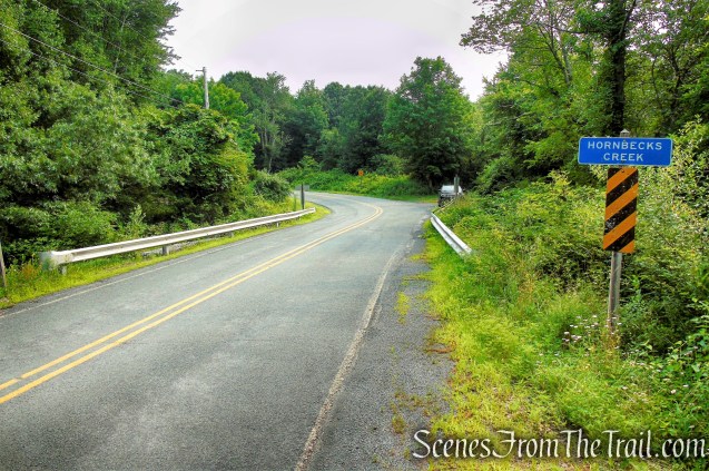
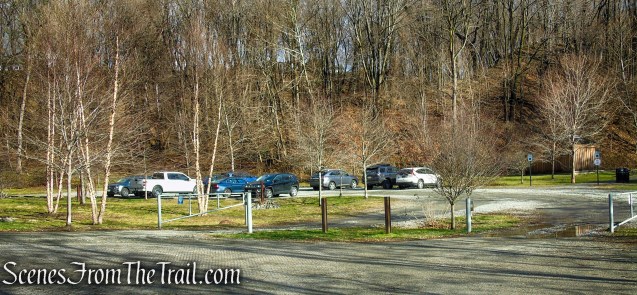
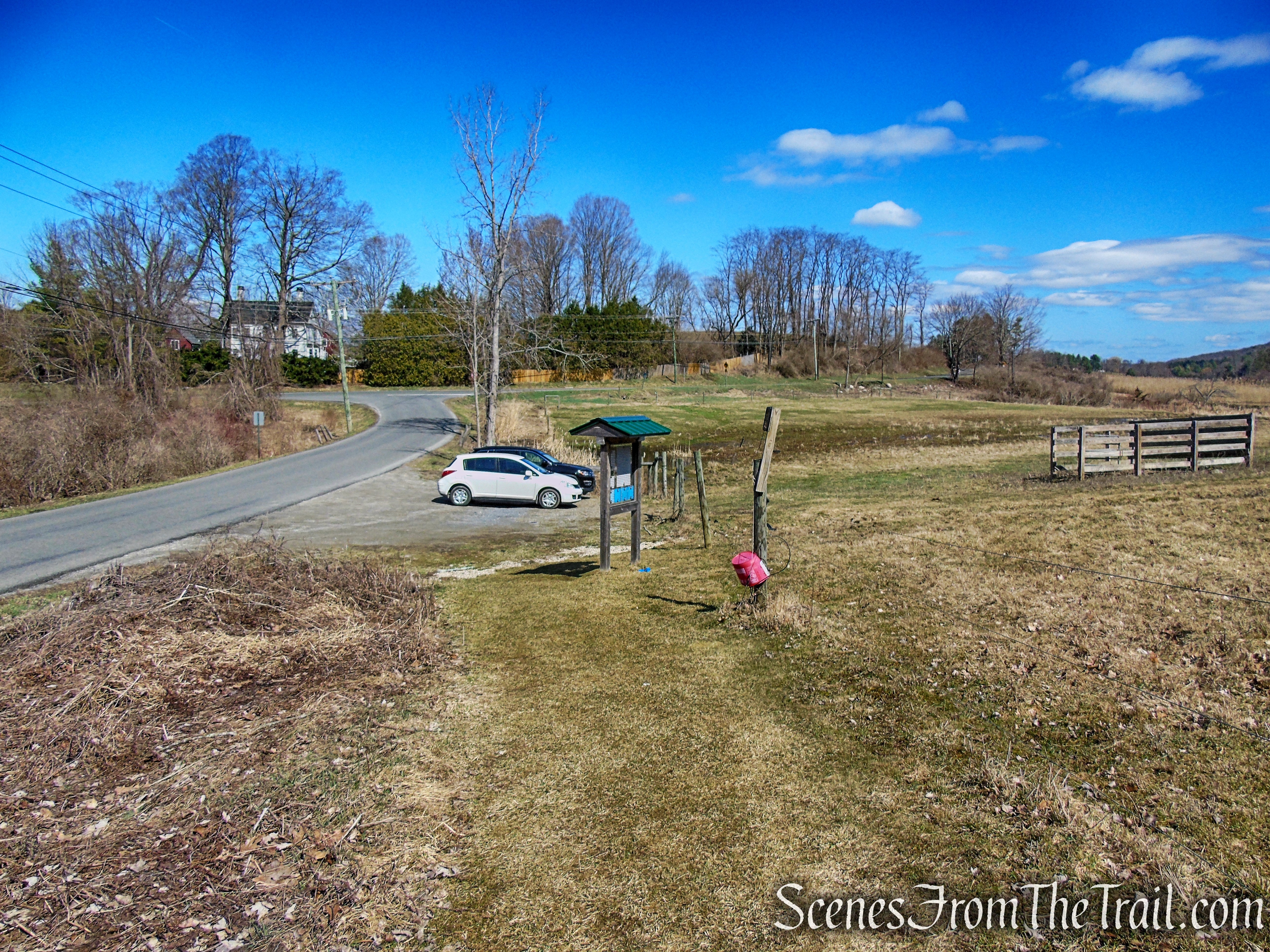
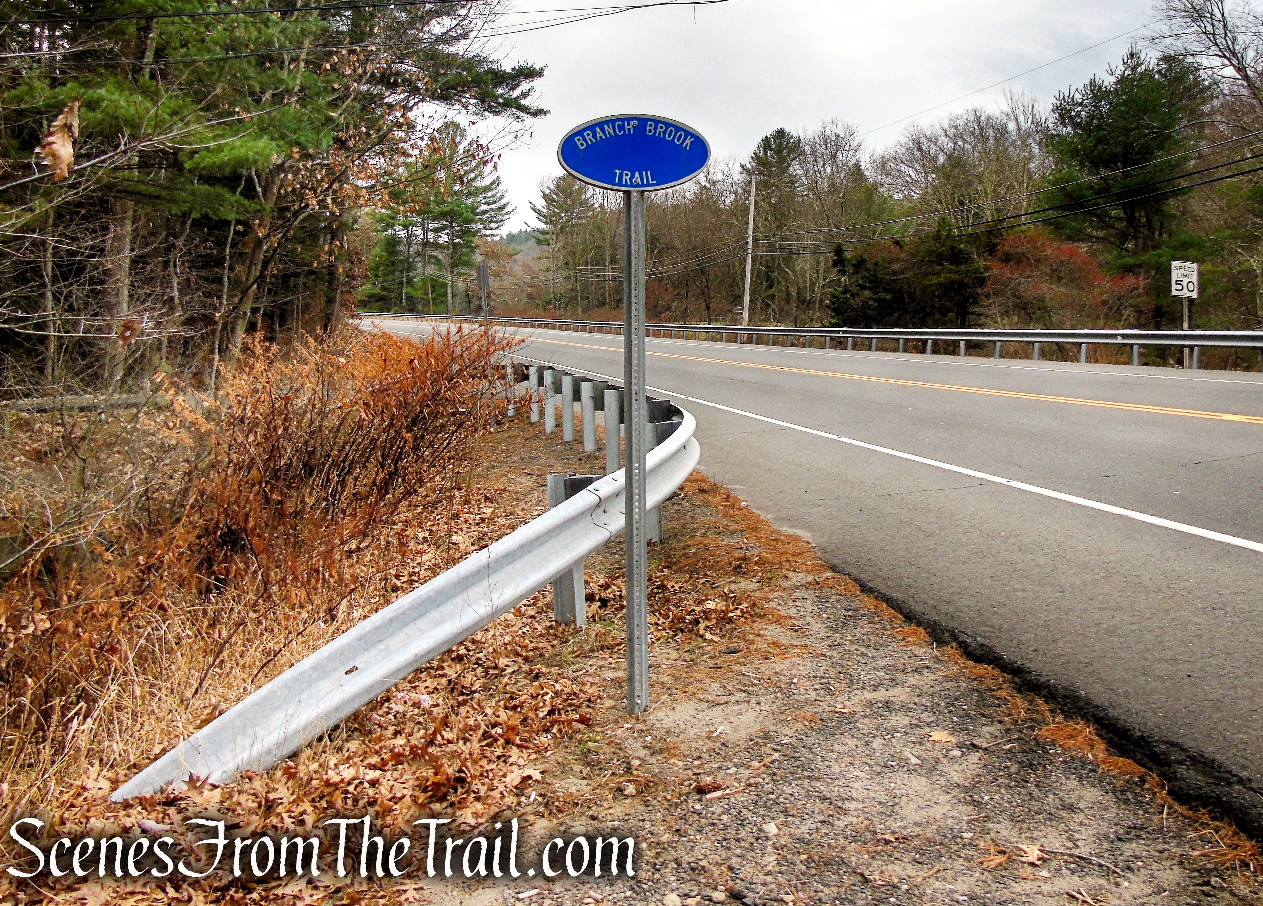
Trailhead parking: Old Mineral Springs Road – Highland Mills, NY 10930
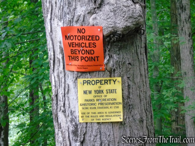
No bathrooms on site – No entrance or parking fees
Roadside parking for approximately 8-10 vehicles.
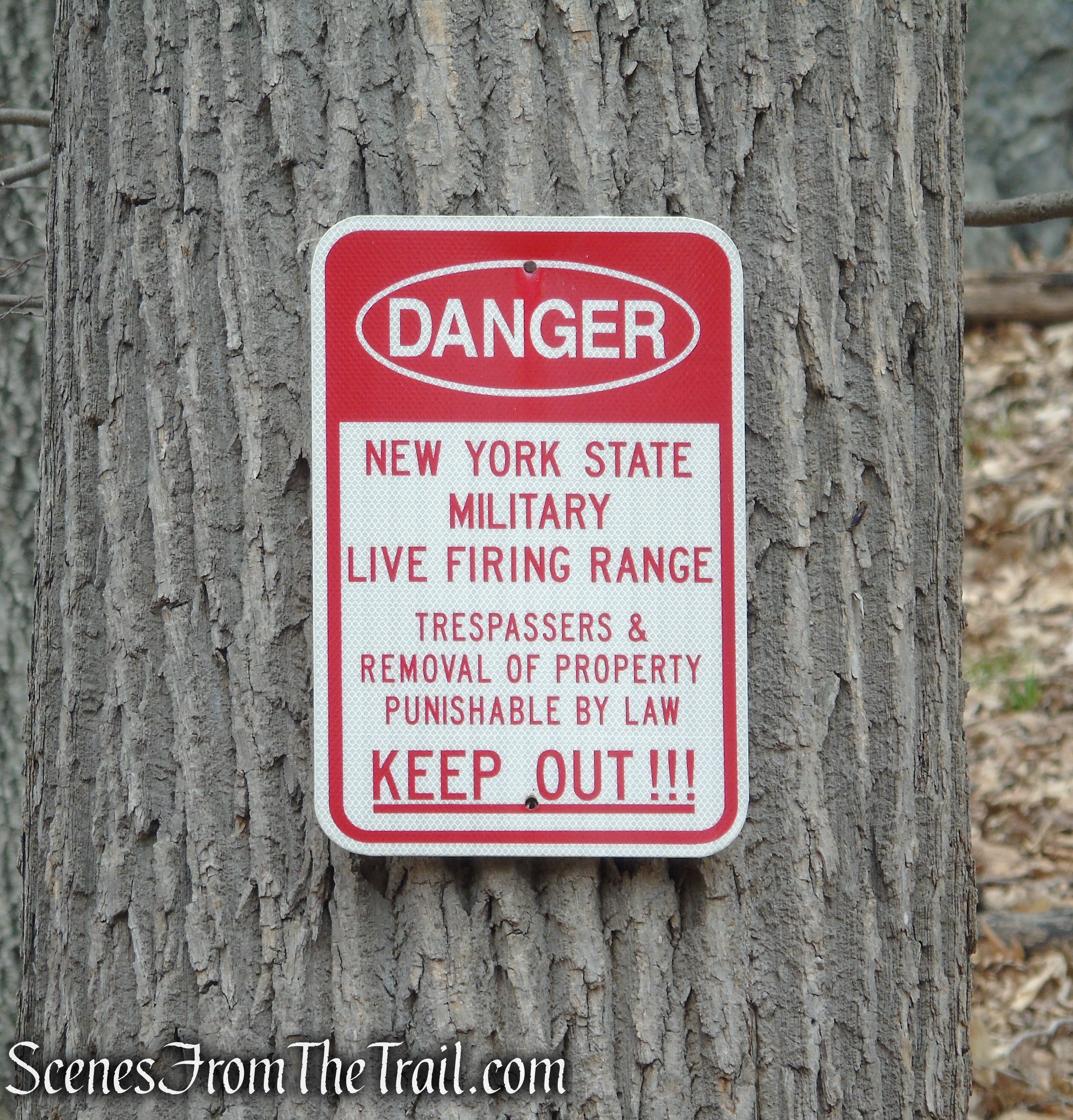
Please note: There is no entry to Black Rock Forest during deer-rifle season.
Overview:
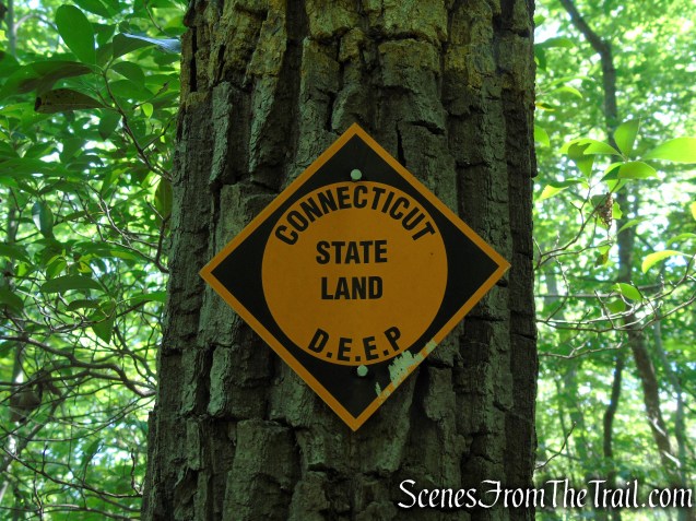
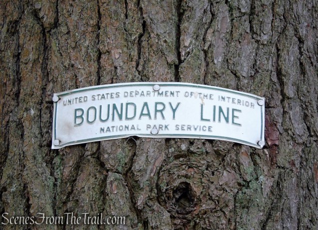
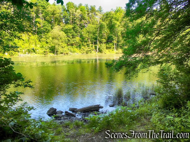
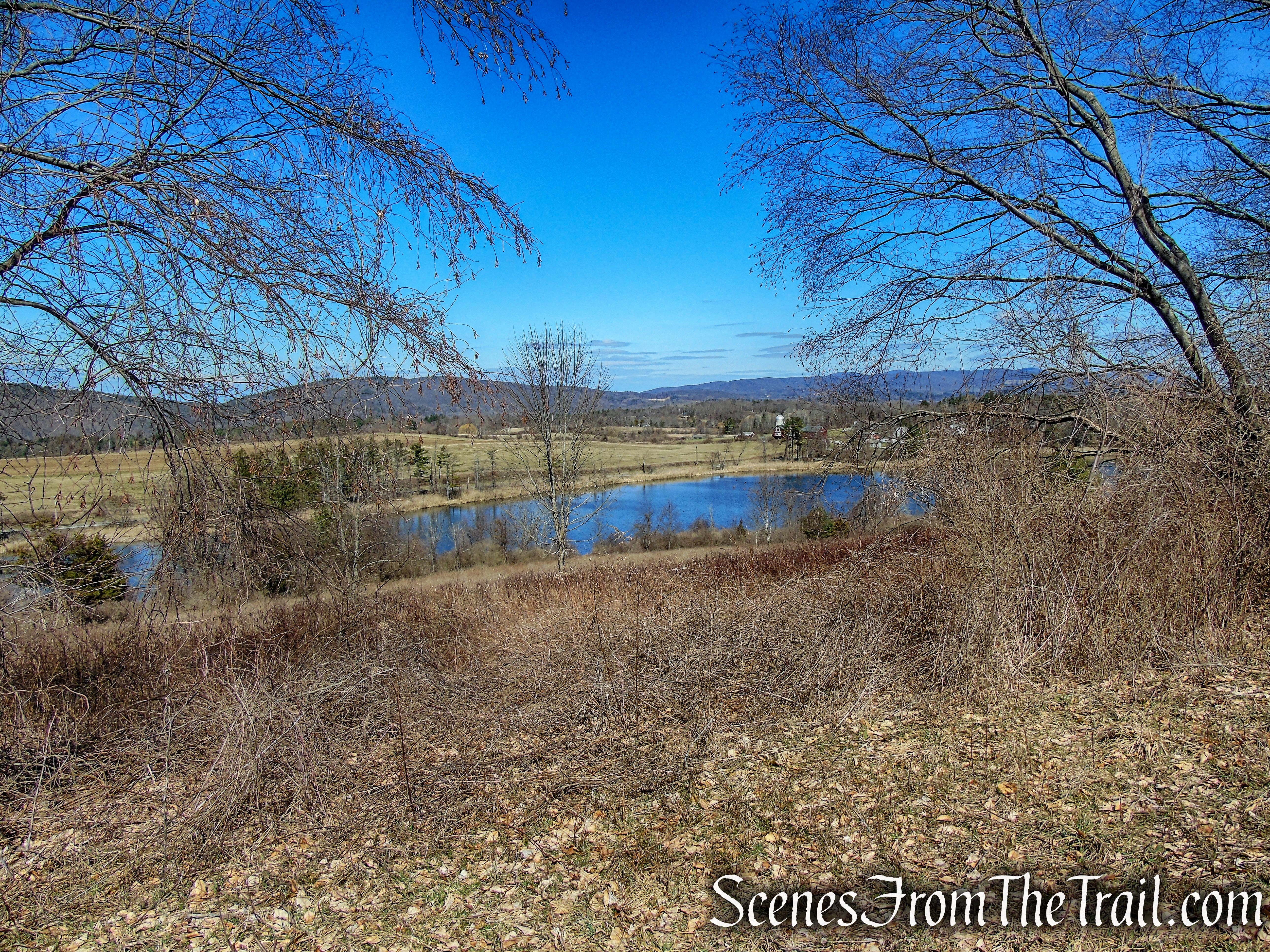
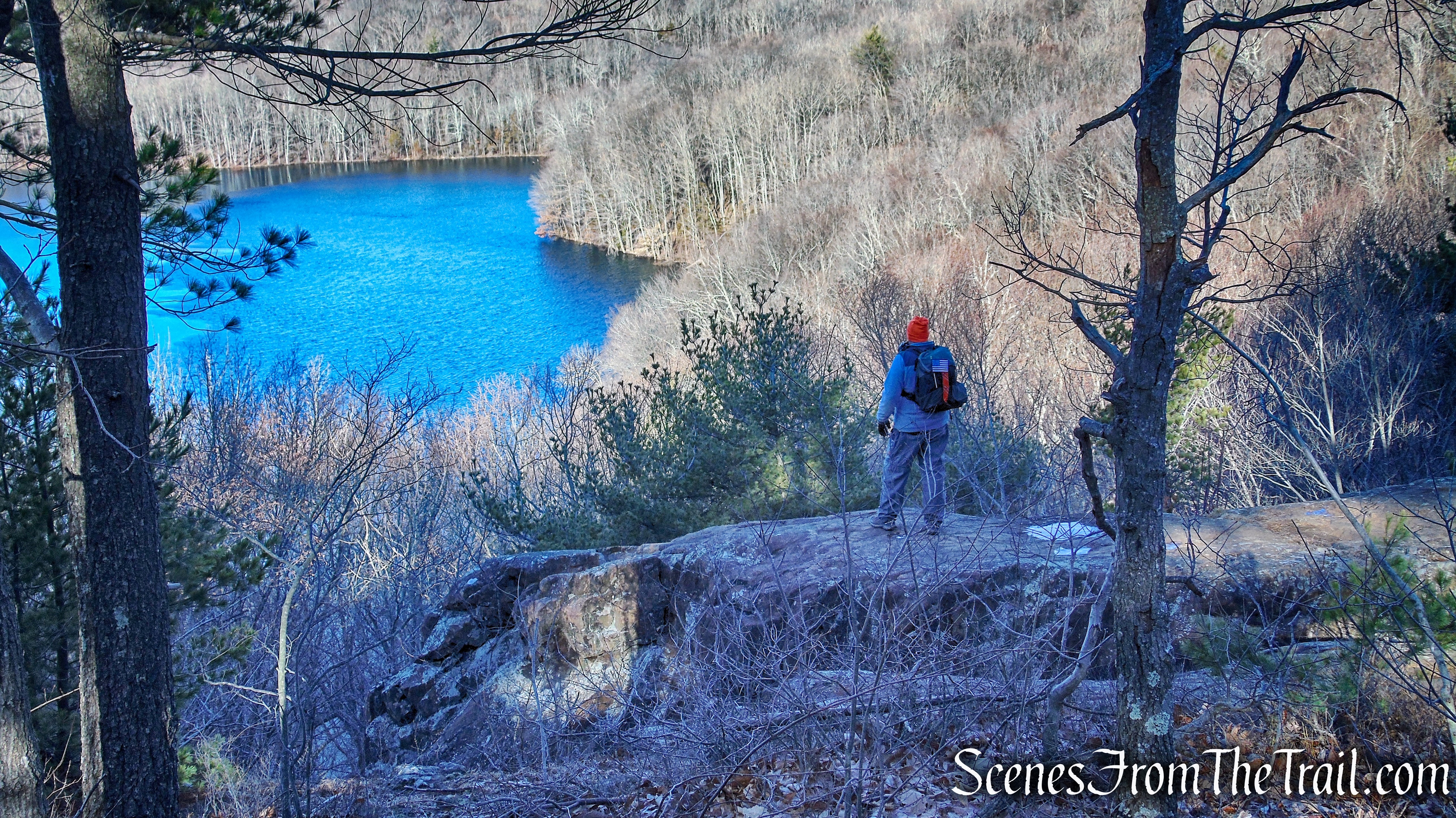
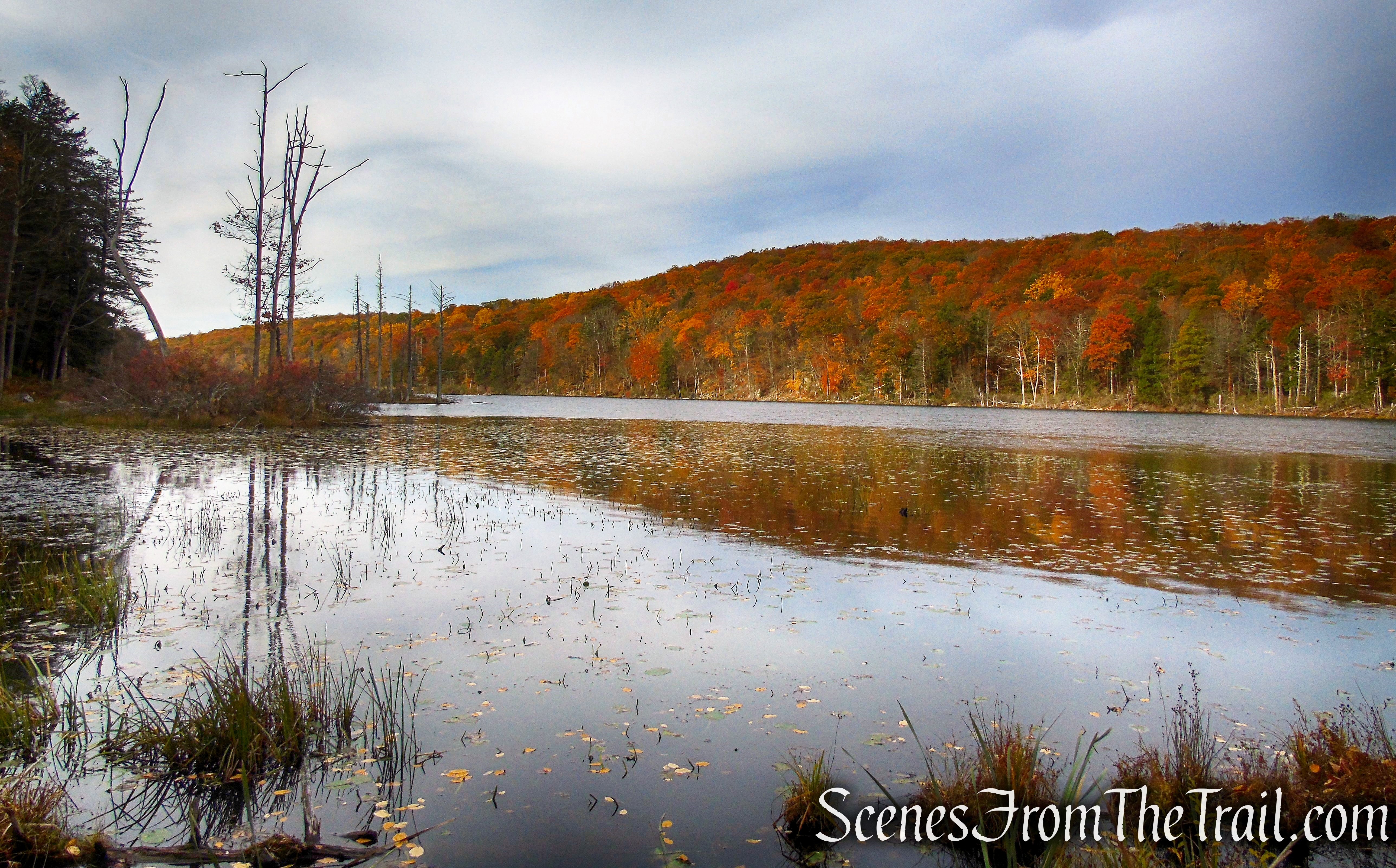
Black Rock Forest in Cornwall, N.Y., features dramatic topography, numerous lakes and streams, and a high diversity of species and habitat, making it a valuable place for research as well as hikes. Located just north of Harriman and west of Storm King state parks, it functions as a 3,914-acre “living laboratory” dedicated to advancing the scientific understanding of the natural world through programs in research, education, and conservation. As a scientific field station that is also open to the public for day use, Black Rock Forest is an incredible resource for exploring and learning about nature in the Hudson Valley.
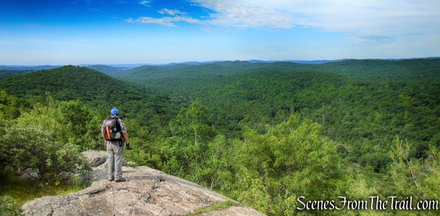
Linked to Storm King State Park by the Stillman Trail, Black Rock Forest is the largest area in the Highlands with a sustained elevation over 1,200 feet. Here the mountains plunge for more than 1,000 feet to the west, north and south, providing the hiker with sweeping vistas and strongly contrasting habitats.
History:
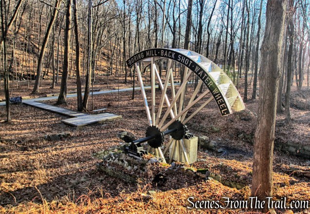
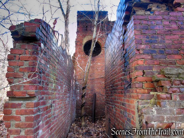
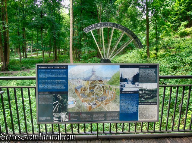
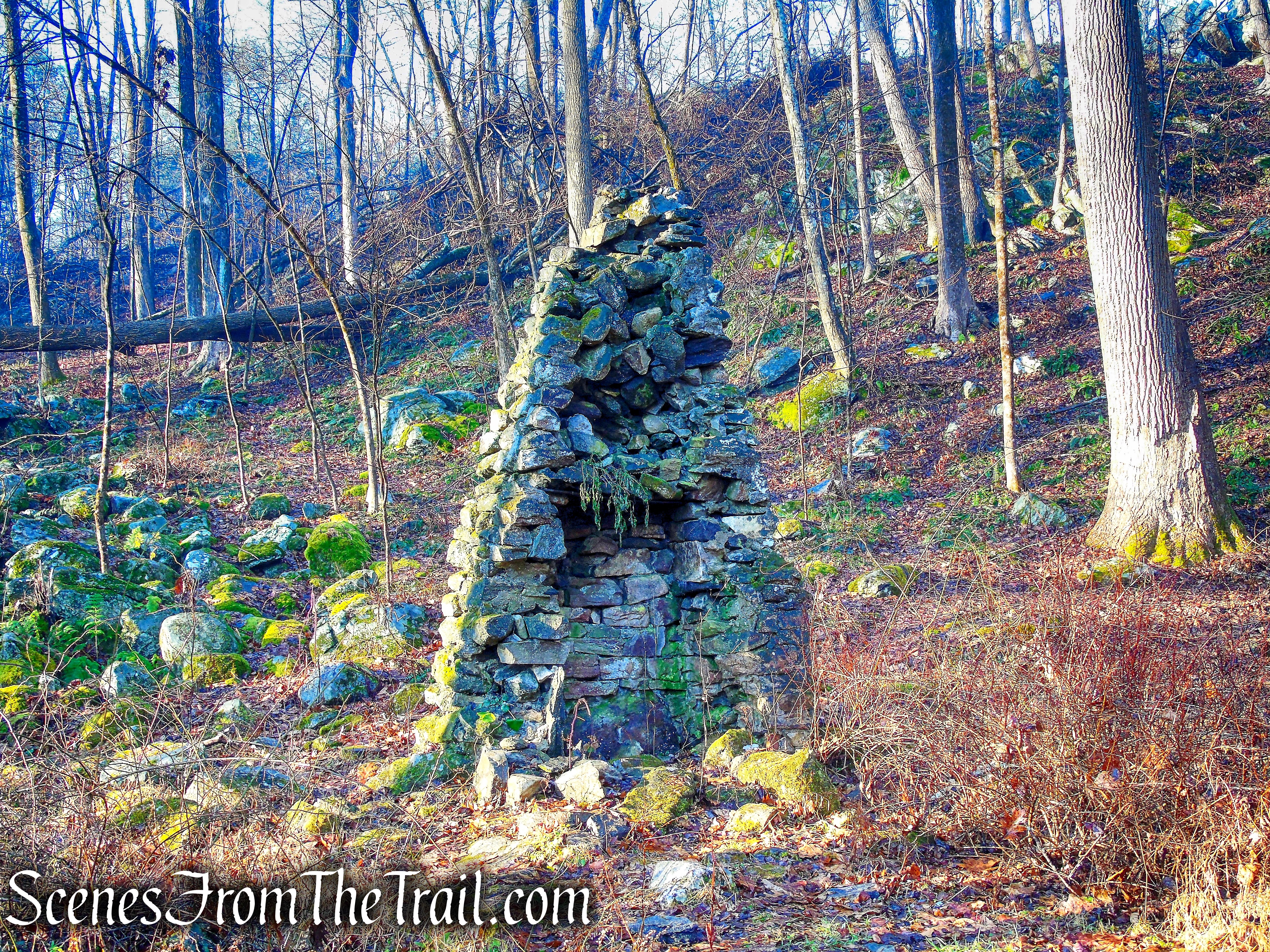
Since at least the 1690’s, European settlers used Black Rock Forest lands for subsistence farming, livestock grazing, and production of wood products. Commercial farming and lumbering peaked between 1790 and 1880. Homesteaders cultivated wheat, created orchards, and dairy farmed on Forest lands, while continuing to cut timber for cordwood and charcoal. Some Forest lands were also mined for iron ore. Two of the abandoned mines are still visible today on Whitehorse Mountain and on Sackett Ridge.
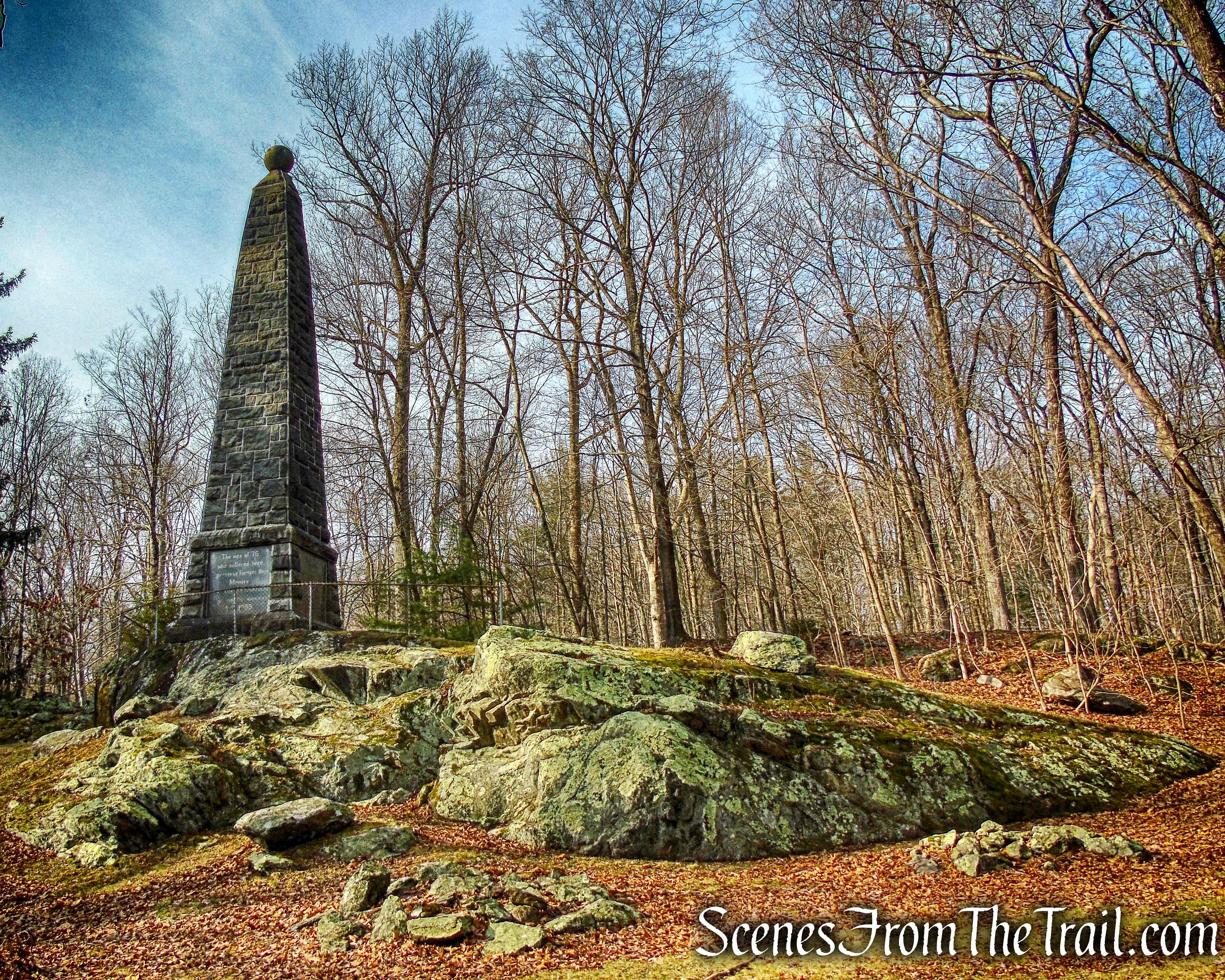
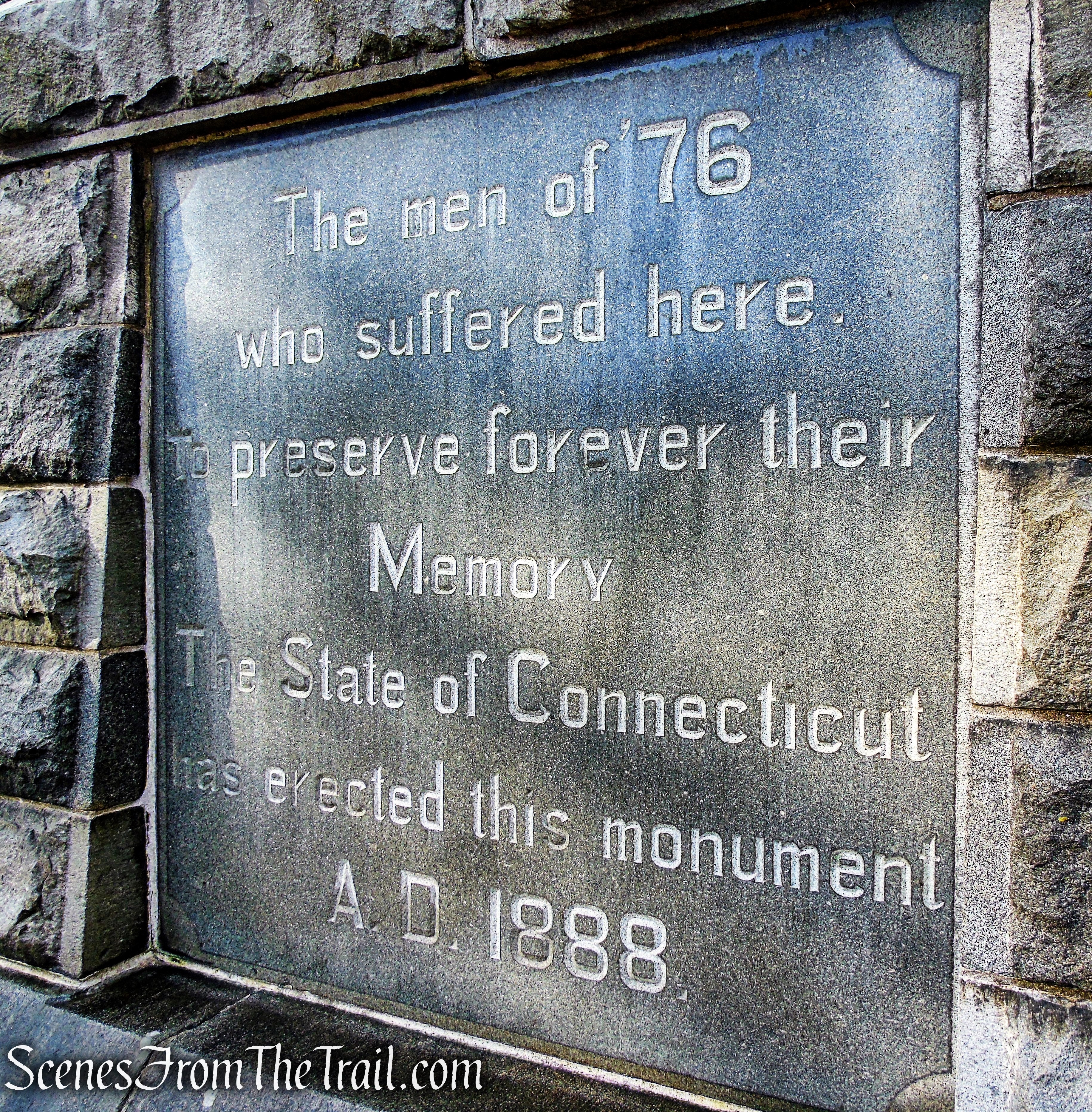
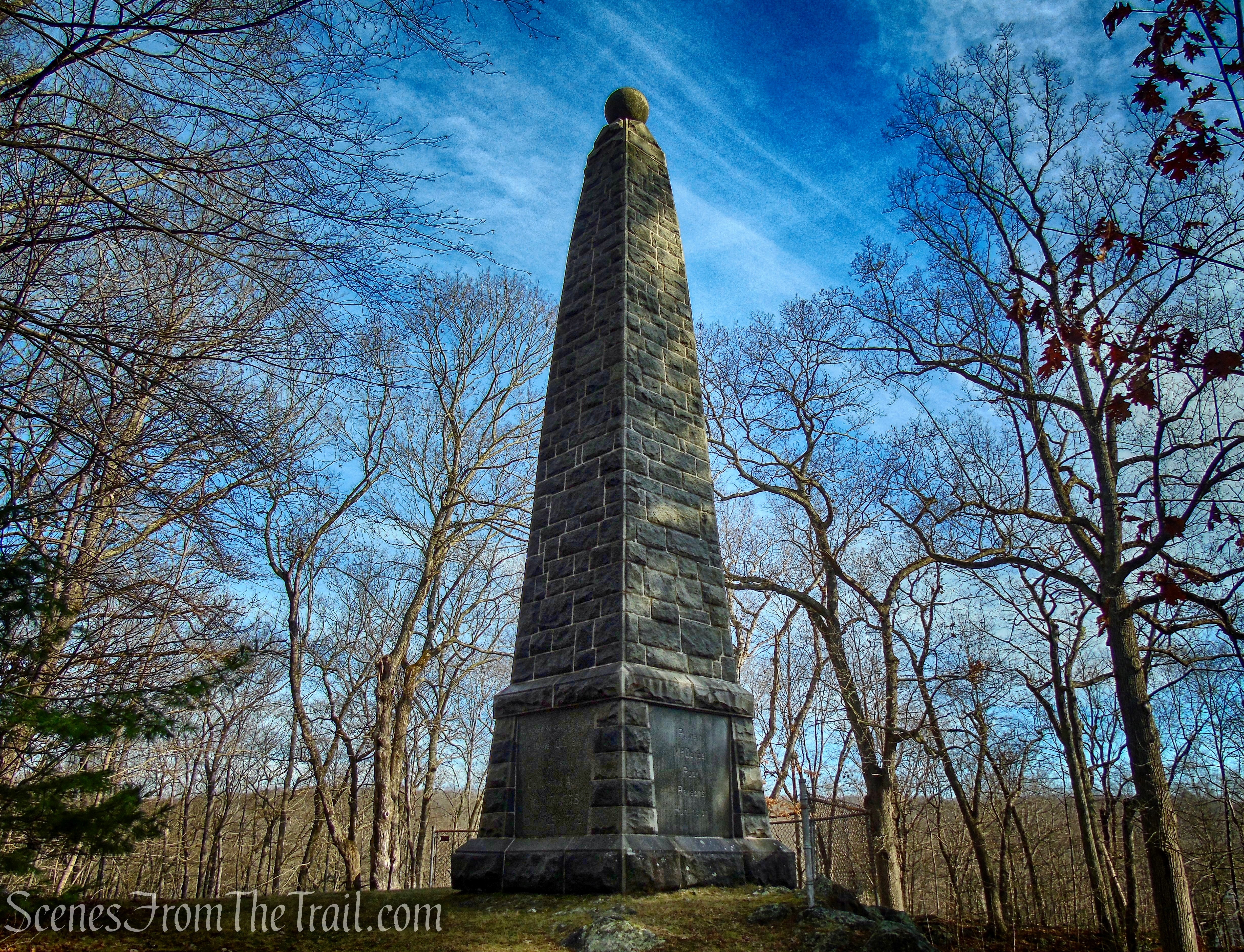
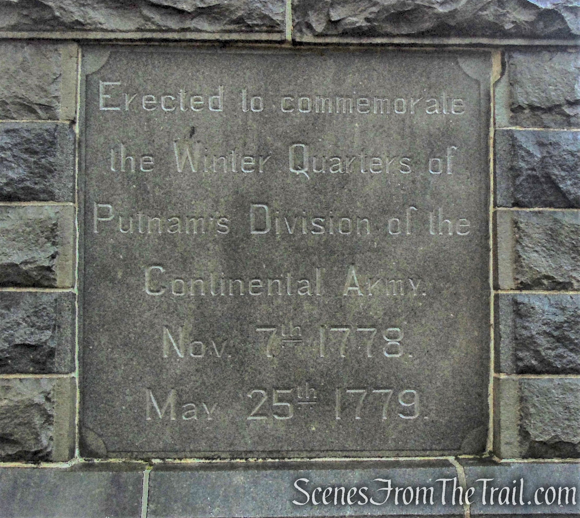
During the American Revolution. The Continental Army used Continental Road, which bisects the forest, as a route across the mountains from West Point to New Windsor and Newburgh. From Spy Rock, sentinels from Washington’s camp at Newburgh monitored British vessels sailing up the Hudson from Haverstraw Bay.
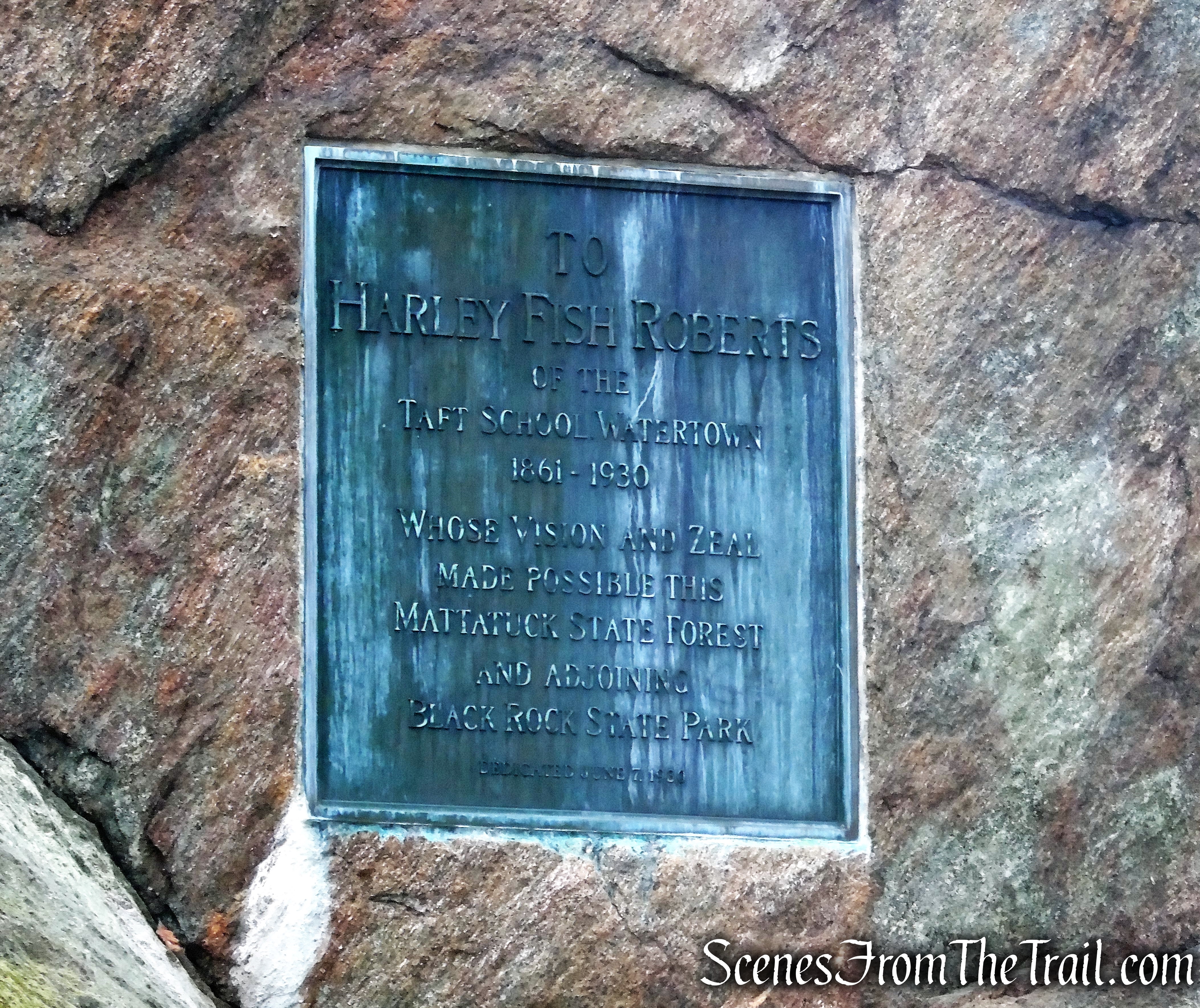
In the late 1800’s, the Stillman family, drawn by the beauty of the Highlands, began to purchase tracts of mountain land in Cornwall, including homesteaders’ farms that had fallen into disuse. From these lands, Dr. Ernest G. Stillman created Black Rock Forest in 1929, designating it as a resource for forest research and demonstration. Stillman’s forest crew implemented plantings, fertilization trials, and selective logging, and weeded out “undesirable” species. The Forest, much of which had been logged and/or farmed for two centuries, steadily improved in health.
Dr. Ernest G. Stillman, who was dedicated to science, left the forest to Harvard University, his alma mater, by bequest in 1949 and it remained the property of Harvard University until 1989. Black Rock Forest Consortium (now known simply as Black Rock Forest) was formed in 1989 by William T. Golden, following his purchase of the Forest from Harvard, and by 15 founding institutional members.
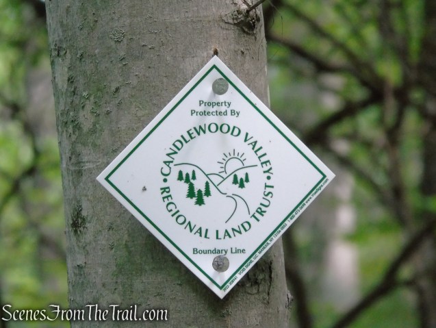
The forest is now administered by a group of public and private educational and research institutions whose mission is to promote scientific research and excellence in education while carefully managing the ecosystem of the forest. Despite this primary educational emphasis, the Consortium is dedicated to keeping Black Rock Forest open to the public for recreational pursuits such as hiking.
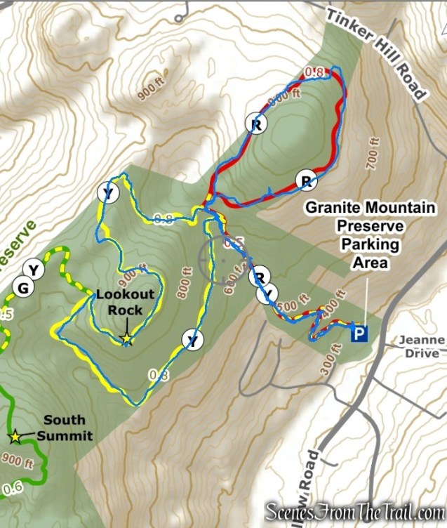
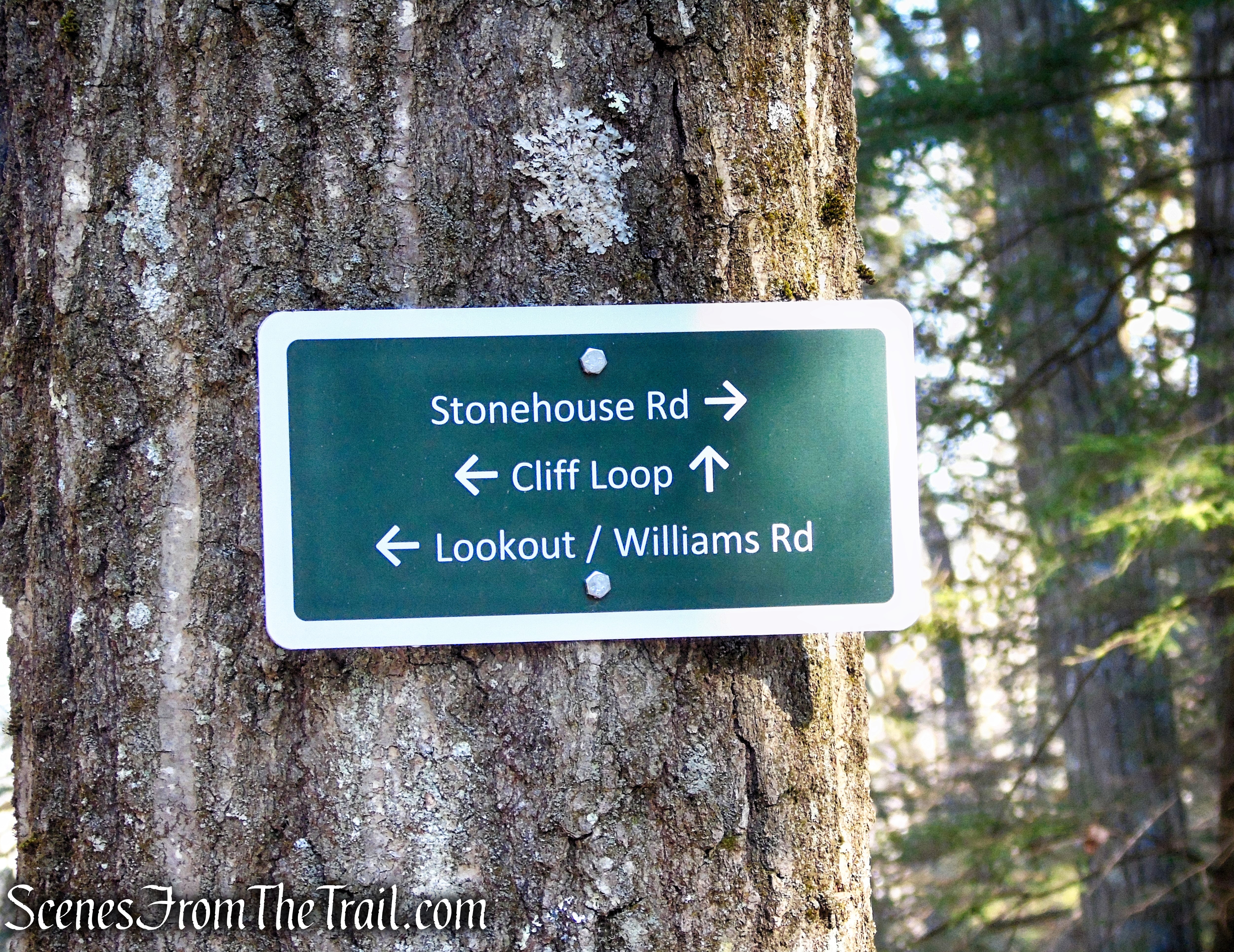
Trails Overview:
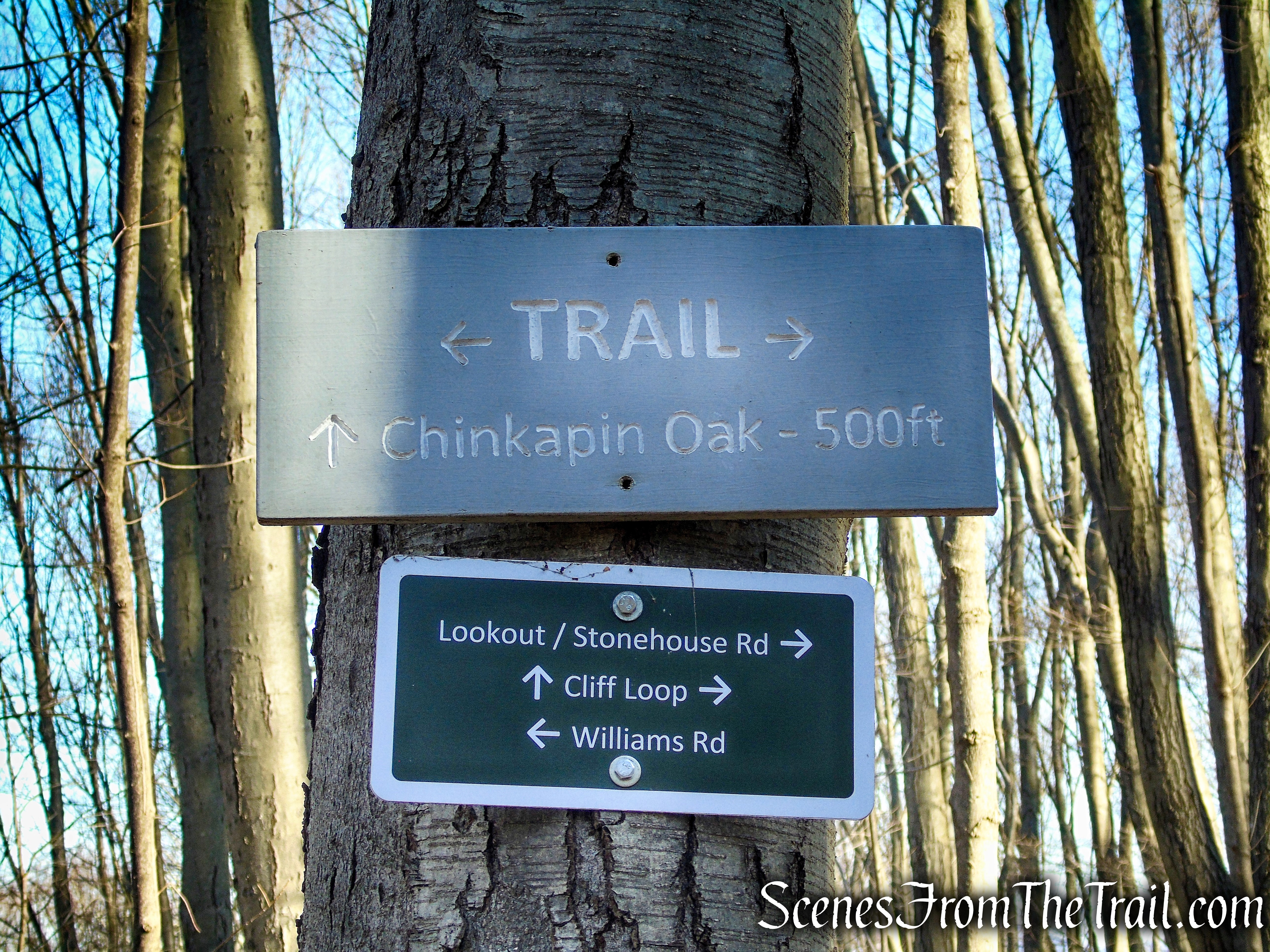
There are 23 blazed trails within the forest along with a network of old logging and mining roads, including the Continental Road. Together with cut footpaths, they provide over 30 miles of trails in Black Rock Forest and can be used to form interesting loop hikes.
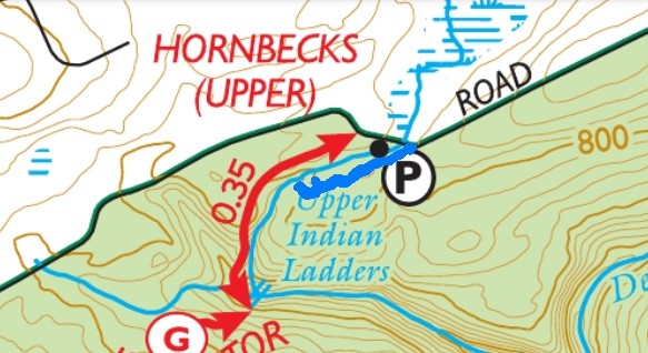
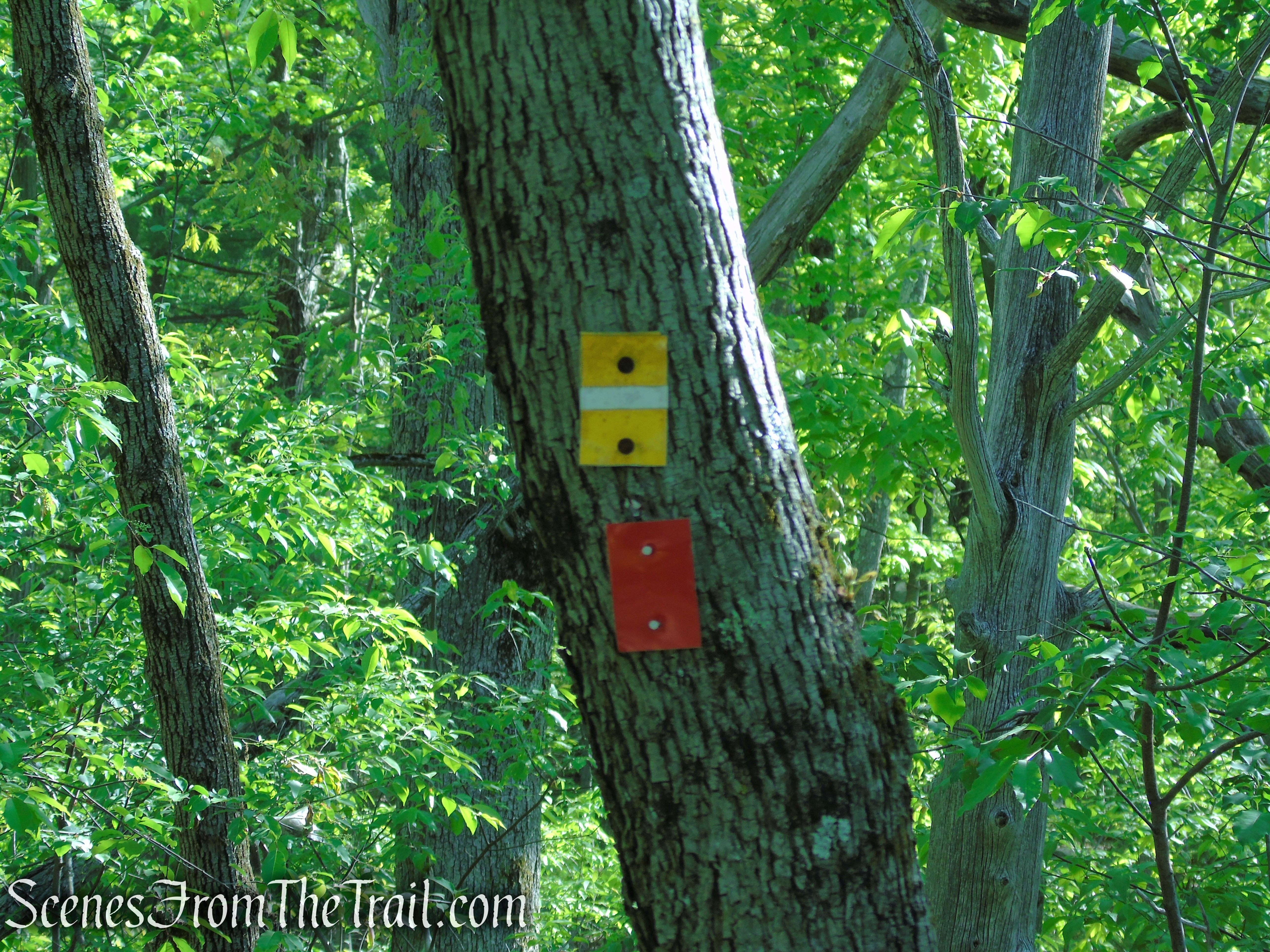
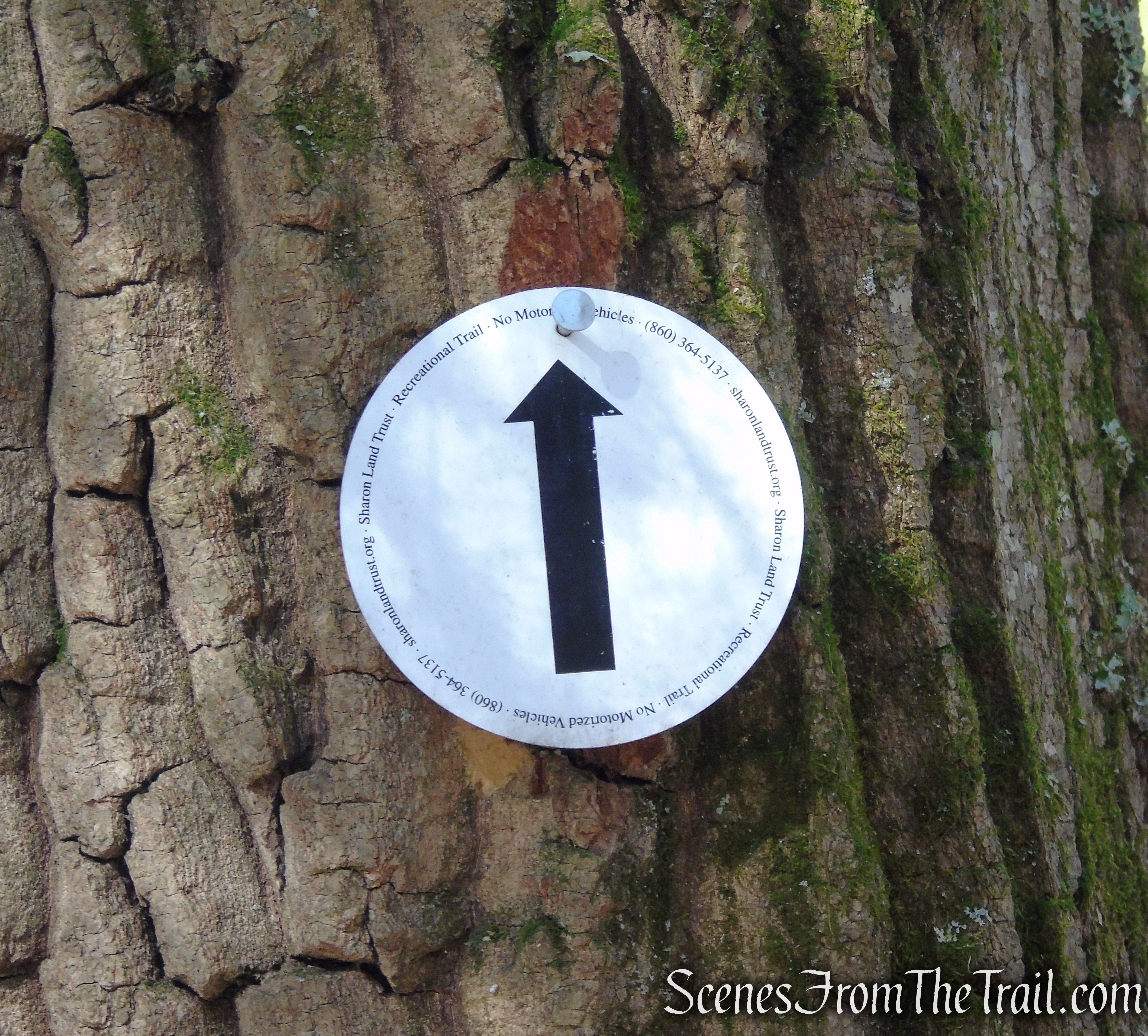
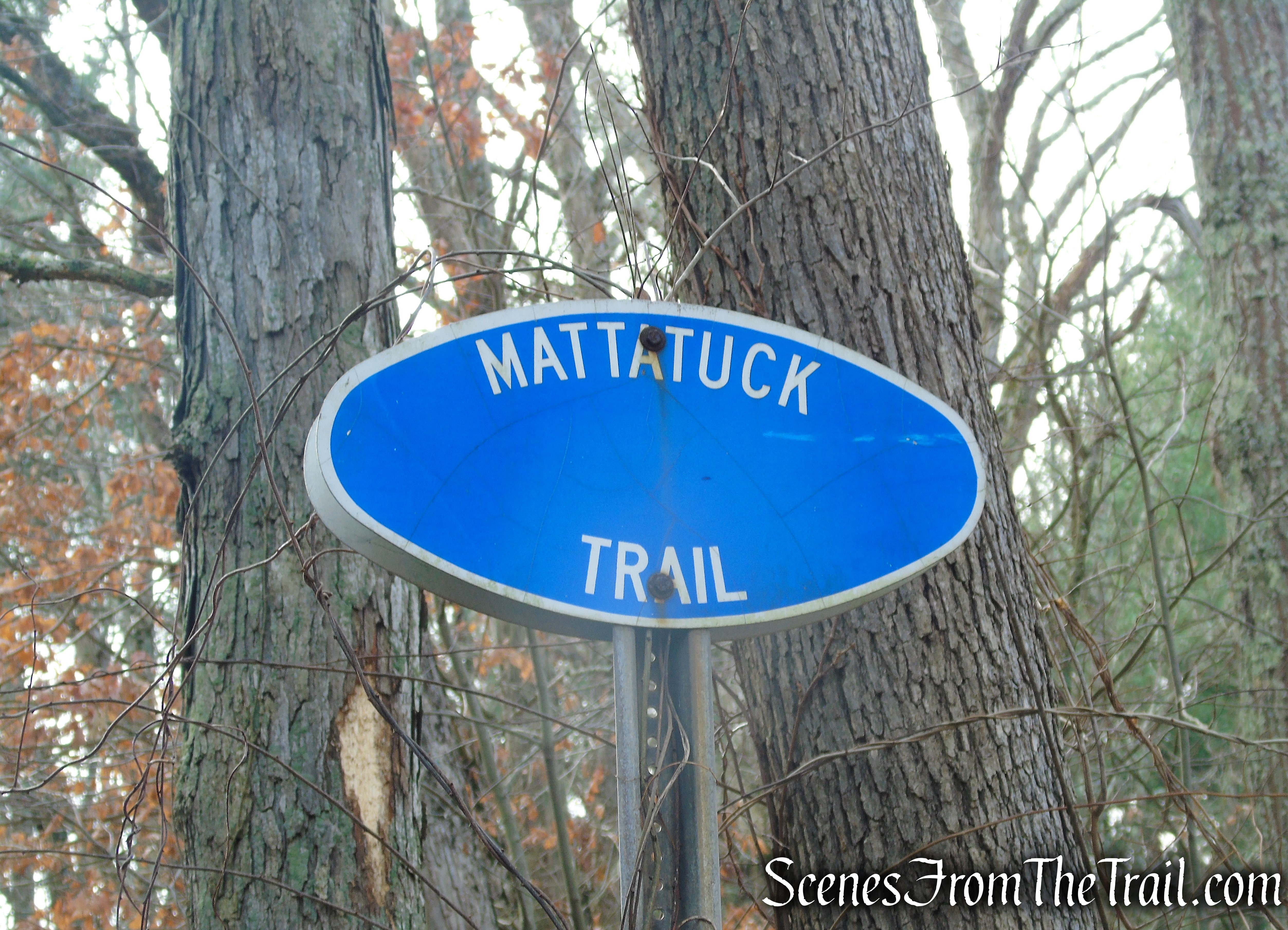
The white-blazed Scenic Trail, the longest in the forest at 5.9 miles, runs from its western trailhead on Old Mineral Springs Road near Mineral Spring Falls, atop the ridge past Spy Rock to end at a junction with the Stillman Trail near Mount Misery.
Hike Overview:
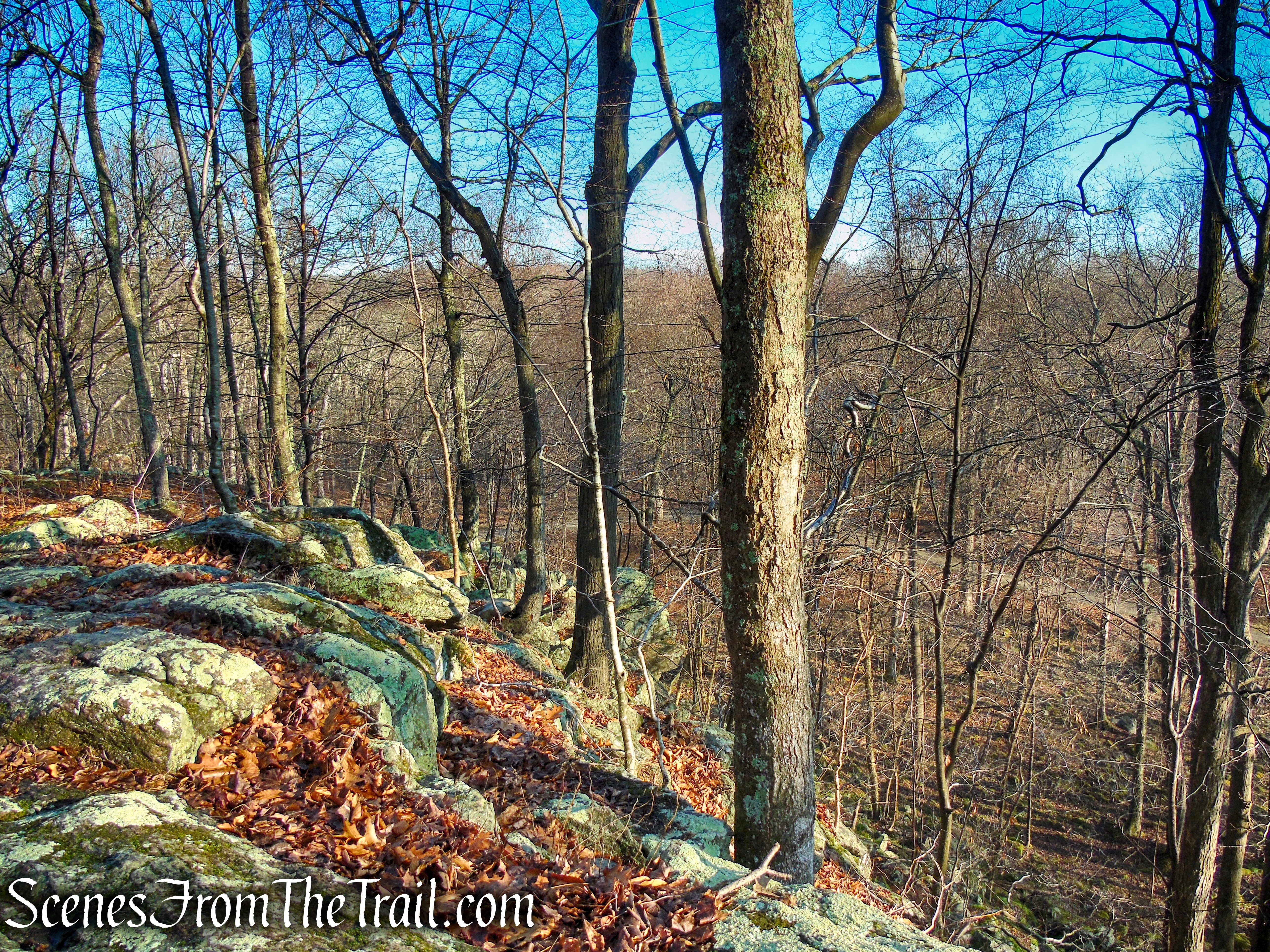
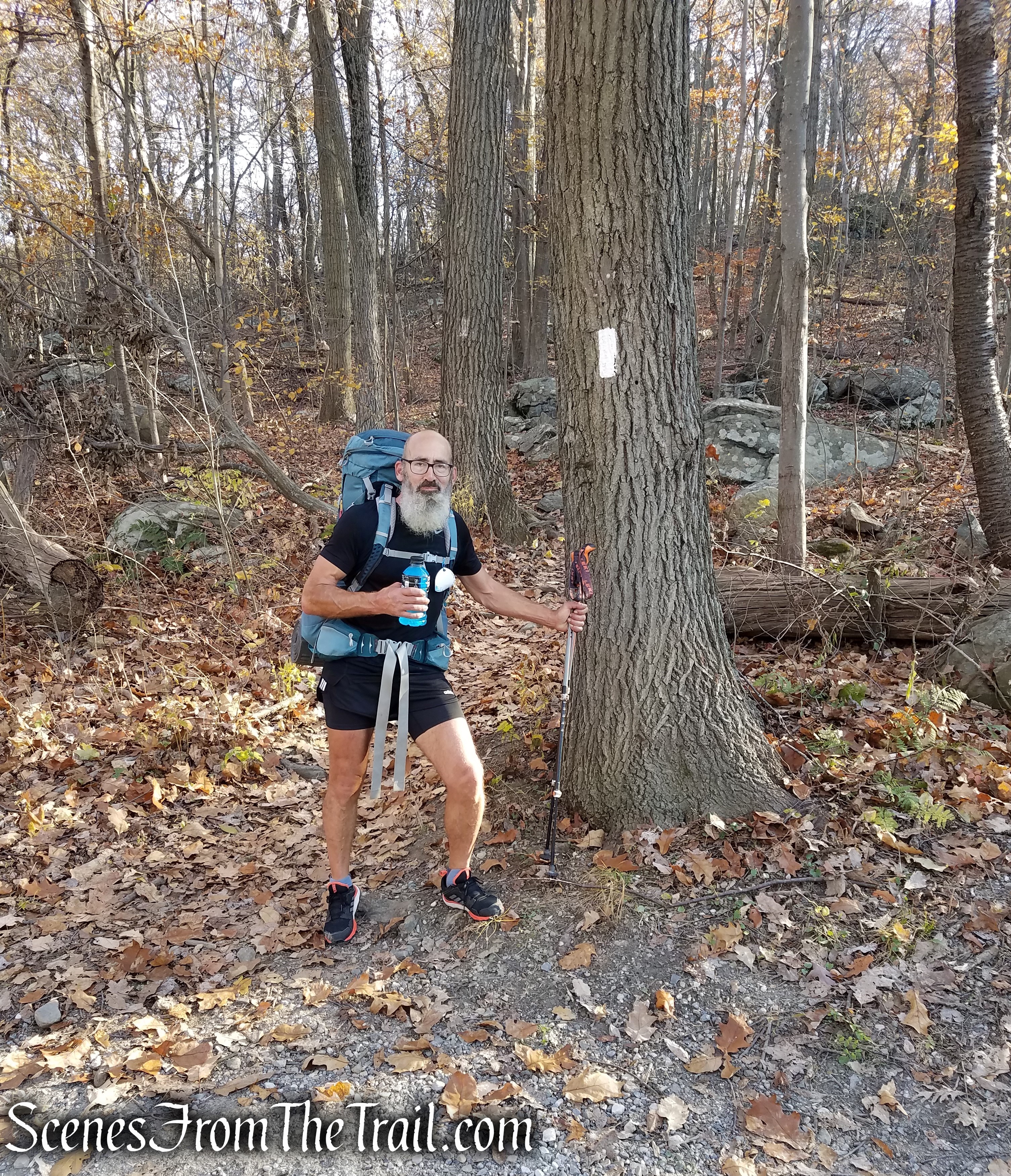
The Scenic Trail on the west side of the forest is a very rewarding out-and-back hike option for moderate effort. Co-aligned with the Highlands Trail, it’s a 1.35-mile (each way) trek that packs in a magnificent seasonal waterfall, diverse habitat, and views that stretch to the Catskills. It also features the work of the Trail Conference’s Hudson Nor’Westers Trail Crew, who have remediated several wet and/or eroded areas of the trail over the years.
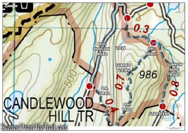
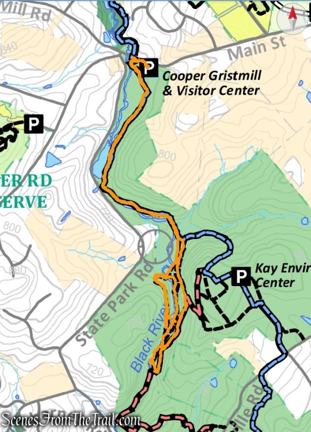
Mineral Springs Falls and Jupiter’s Boulder – Black Rock Forest
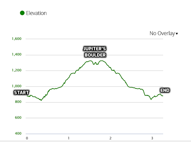
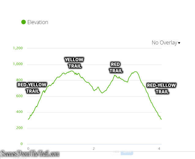
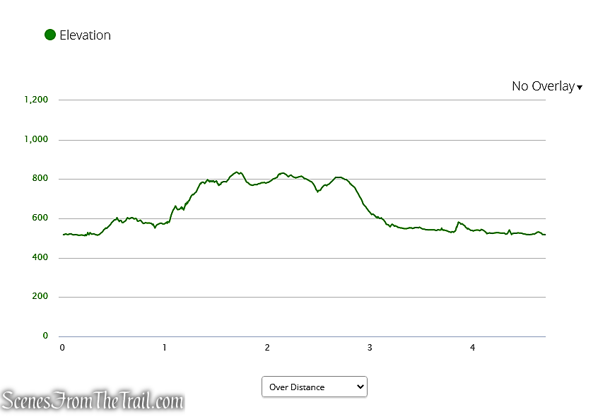
elevation profile – Mineral Springs Falls and Jupiter’s Boulder
The Hike:
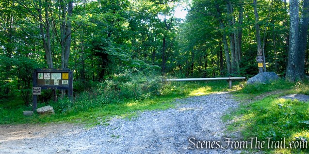
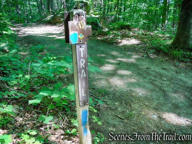
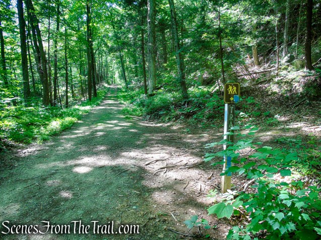
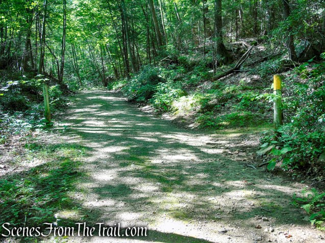
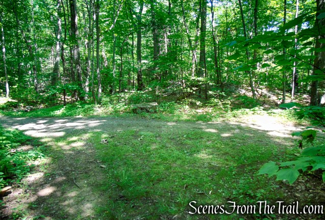
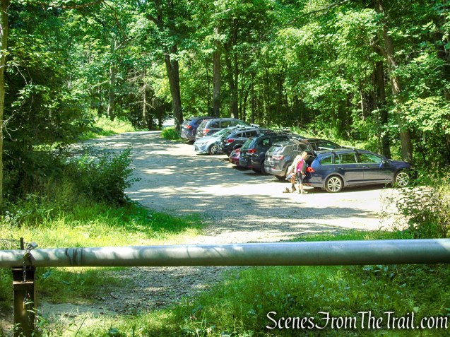
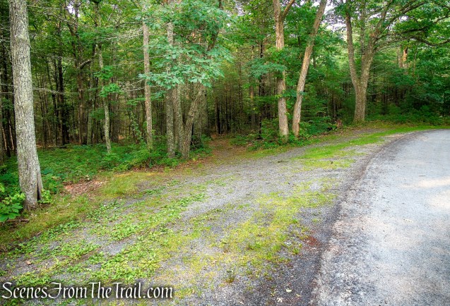
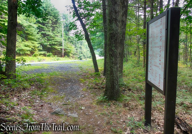
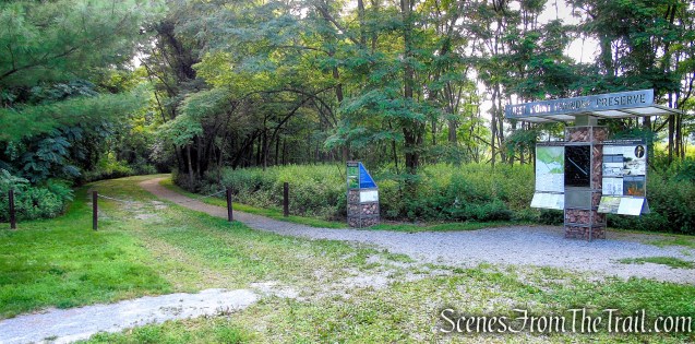
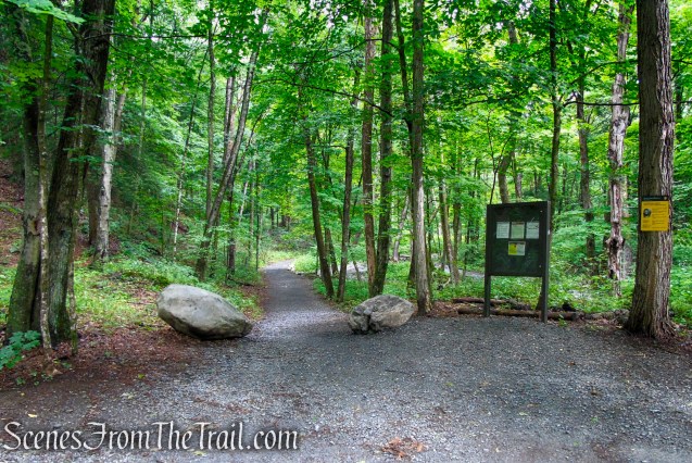
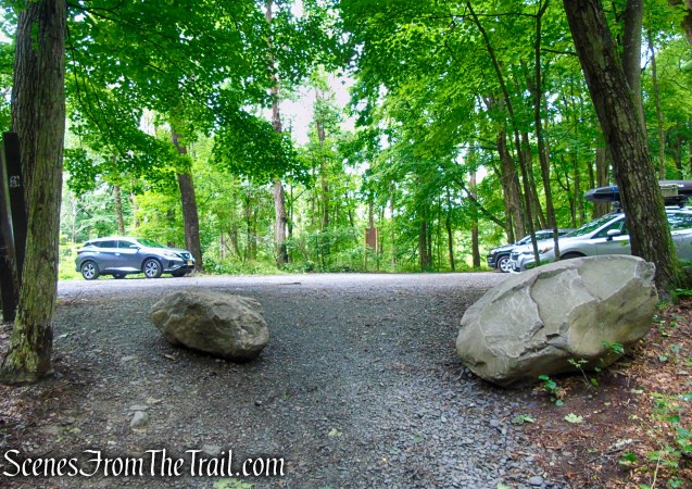
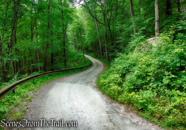
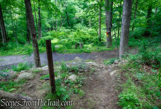
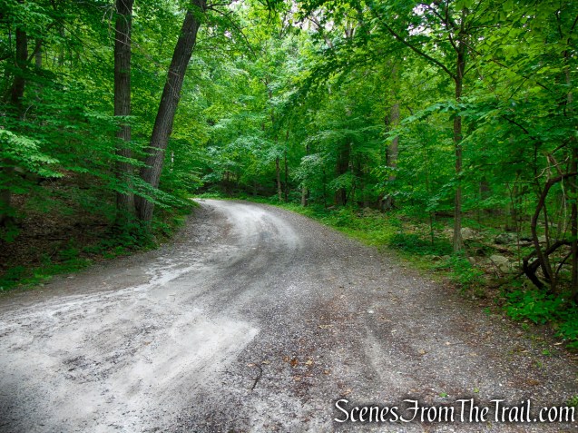
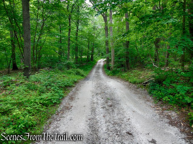
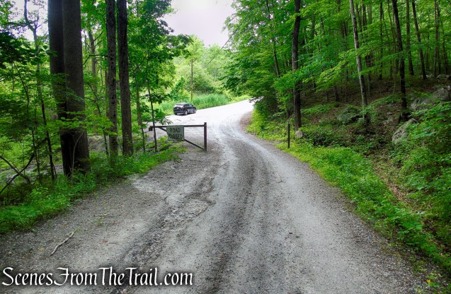
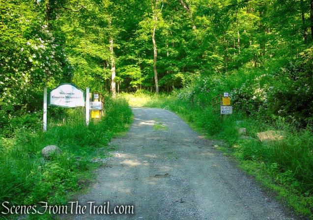
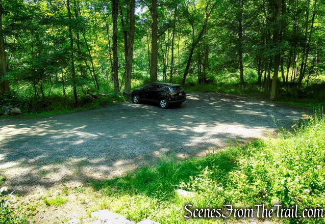
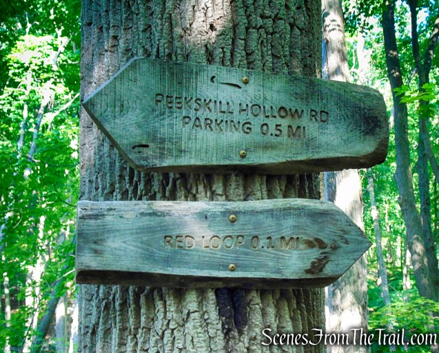
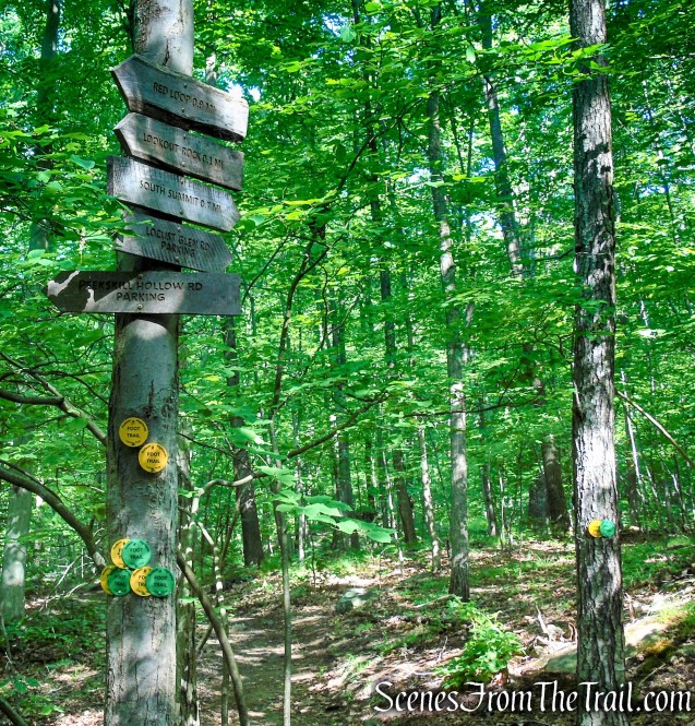
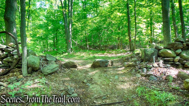
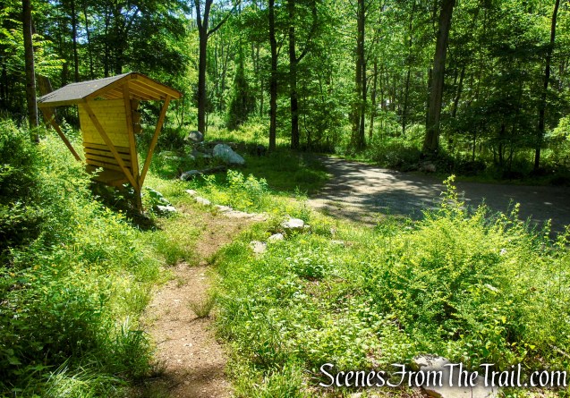
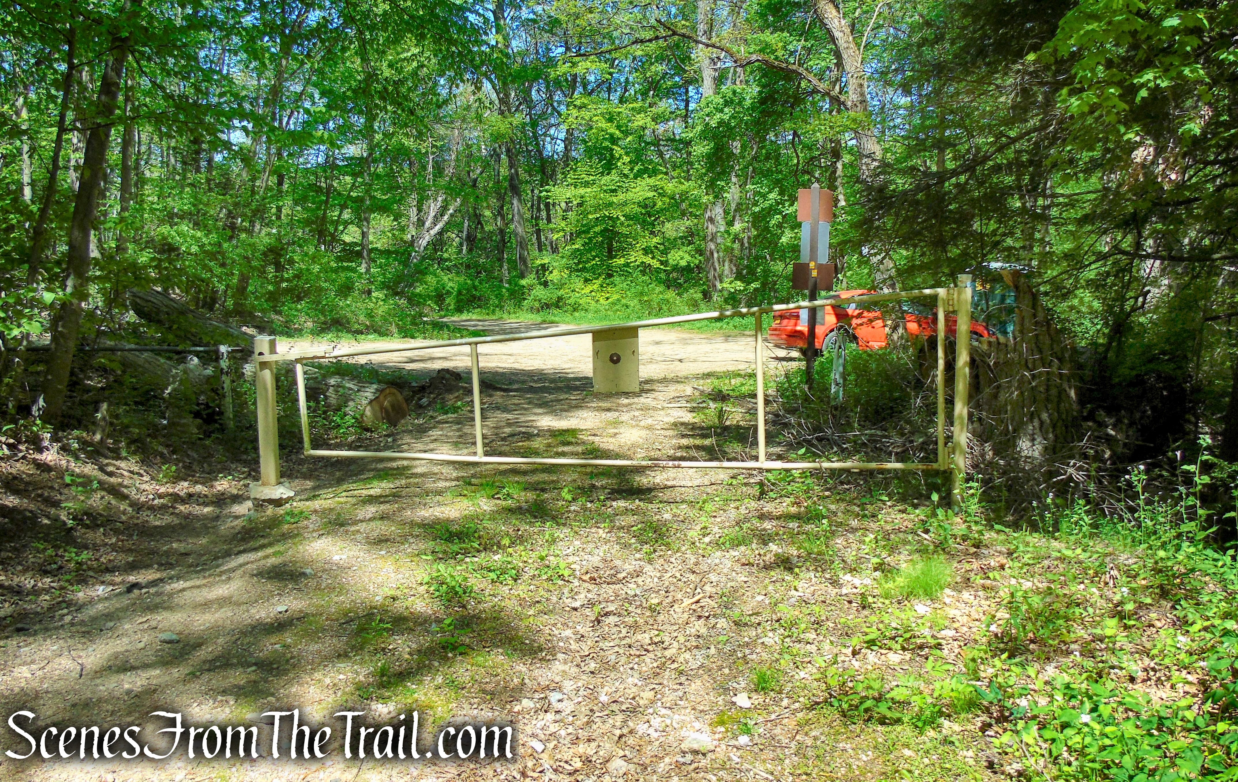
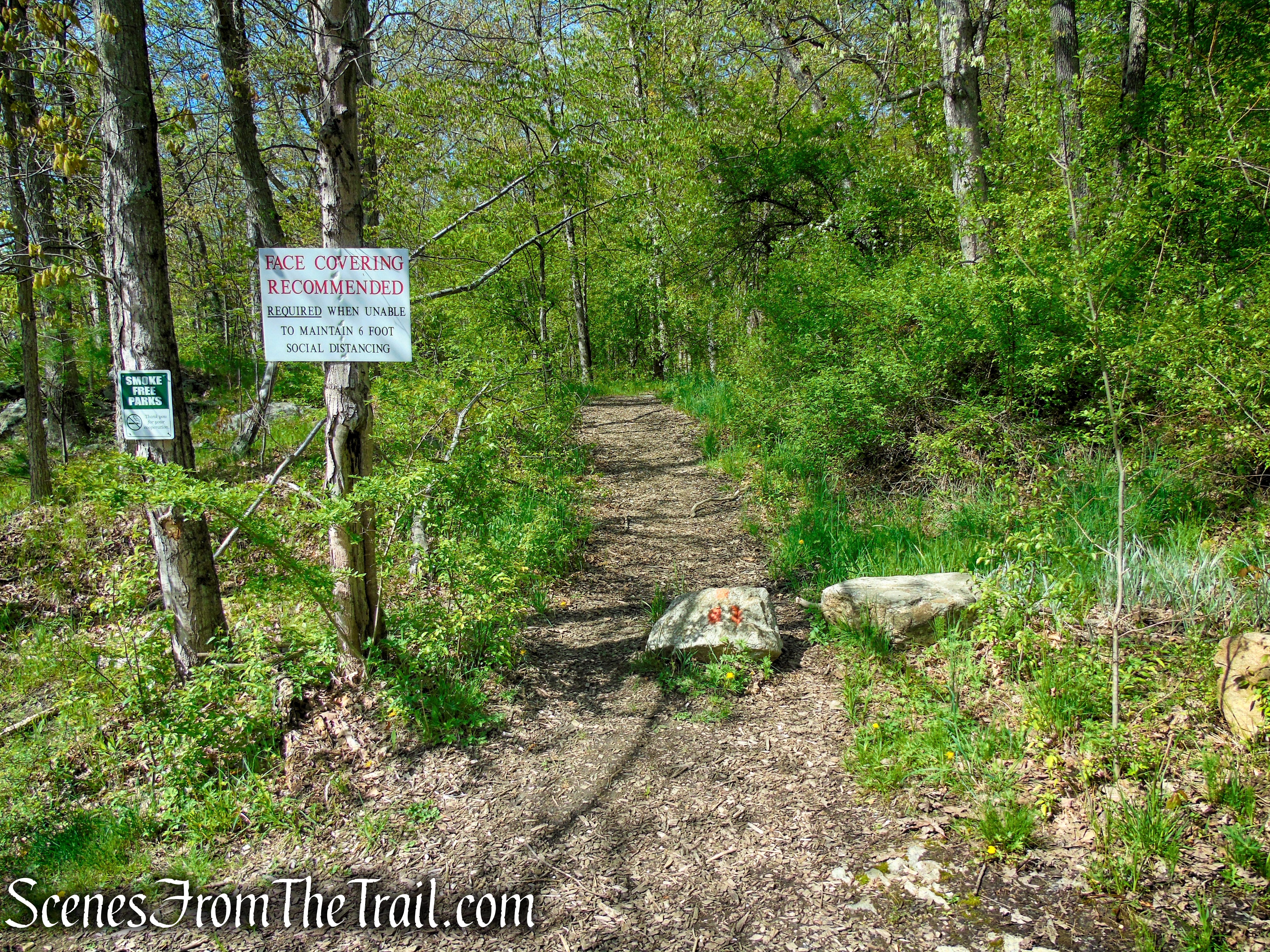
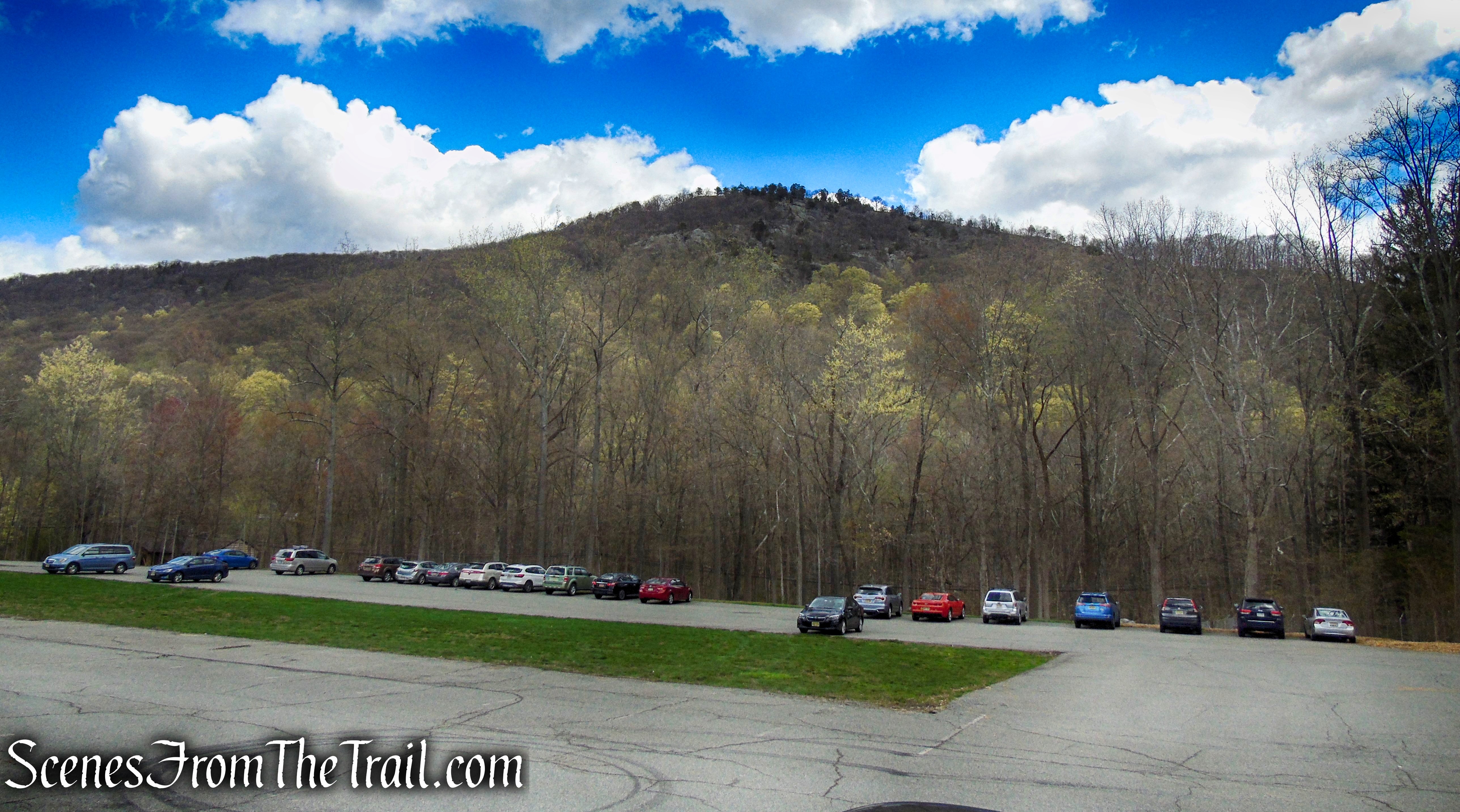
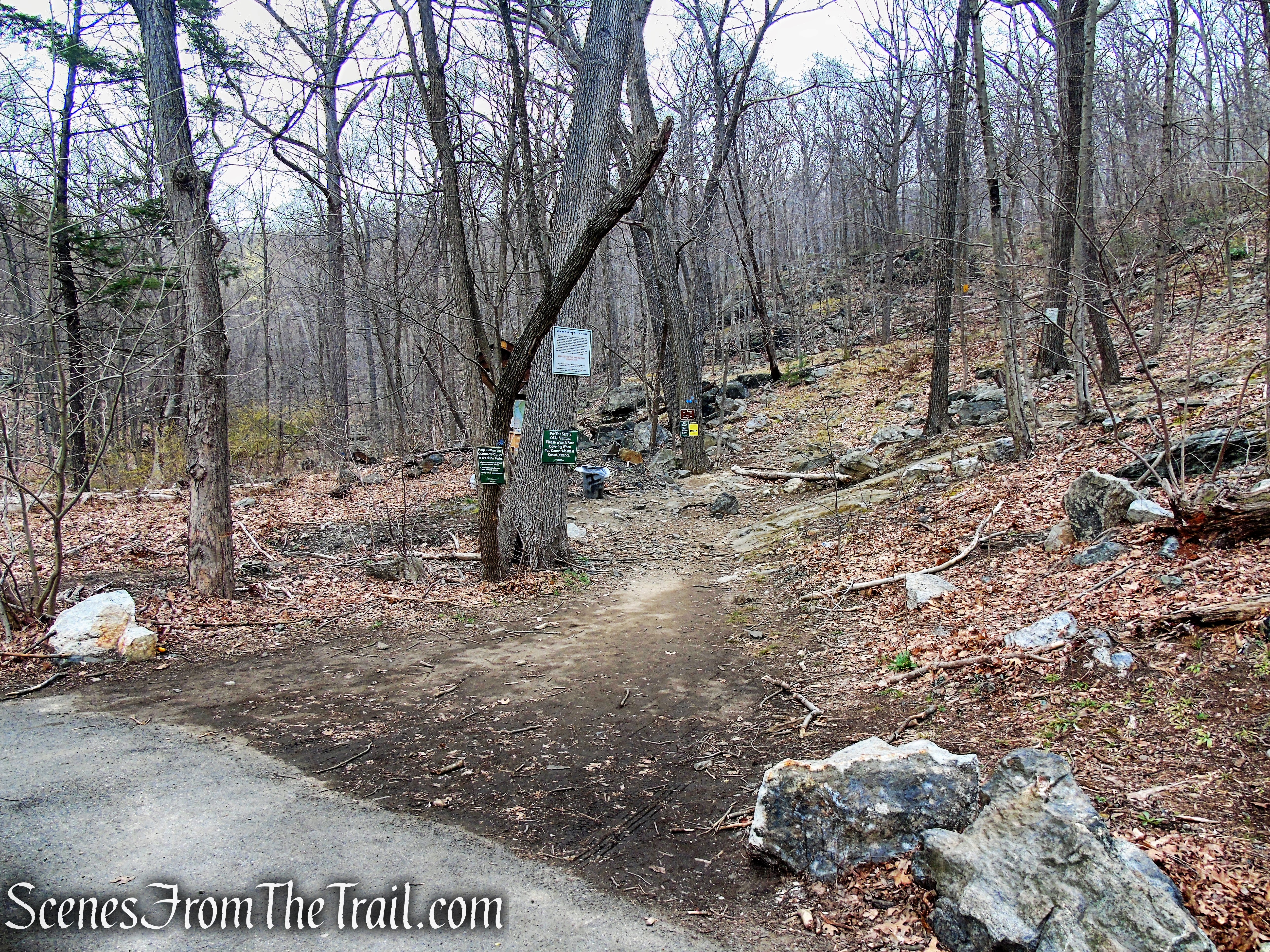
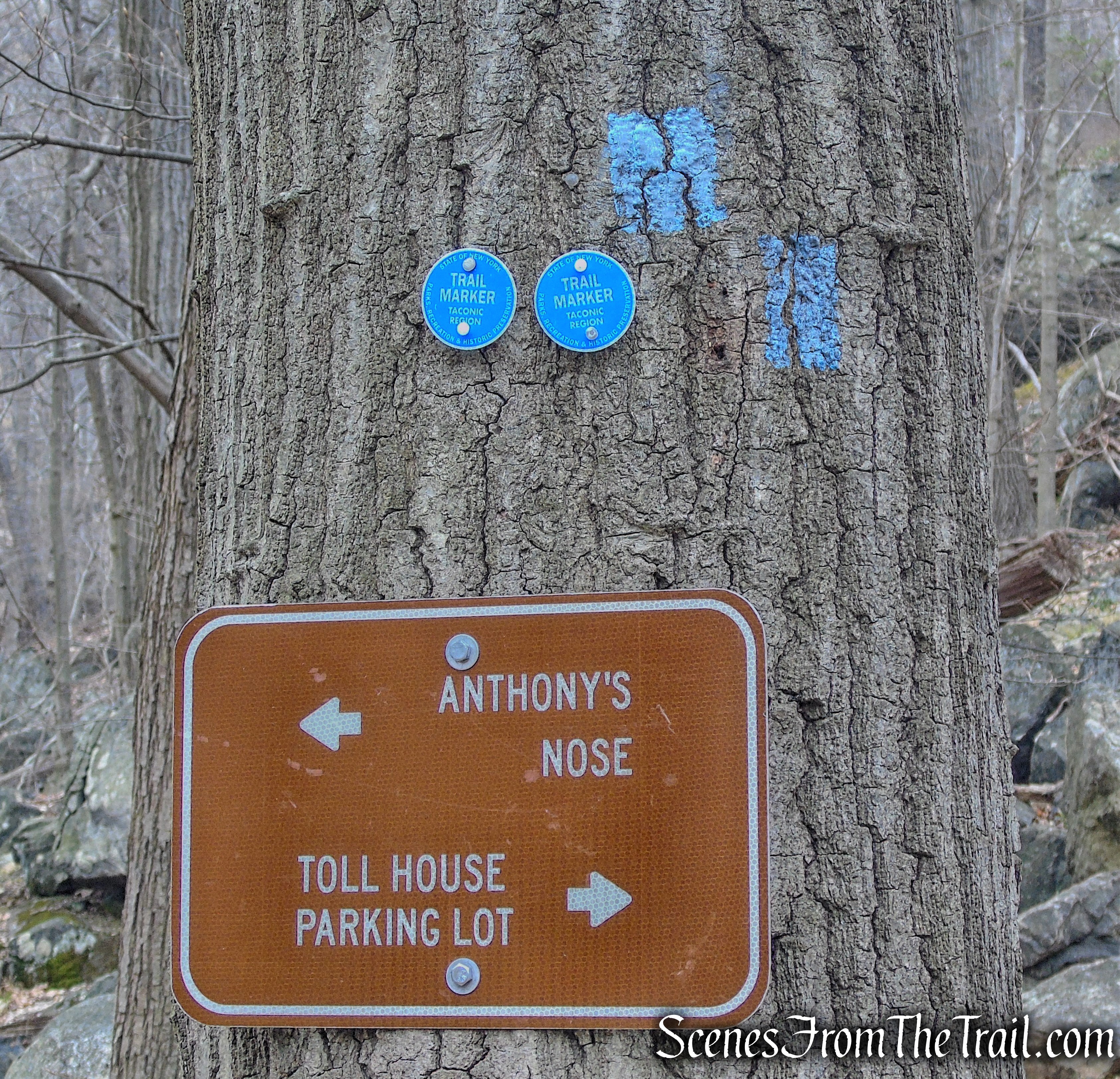
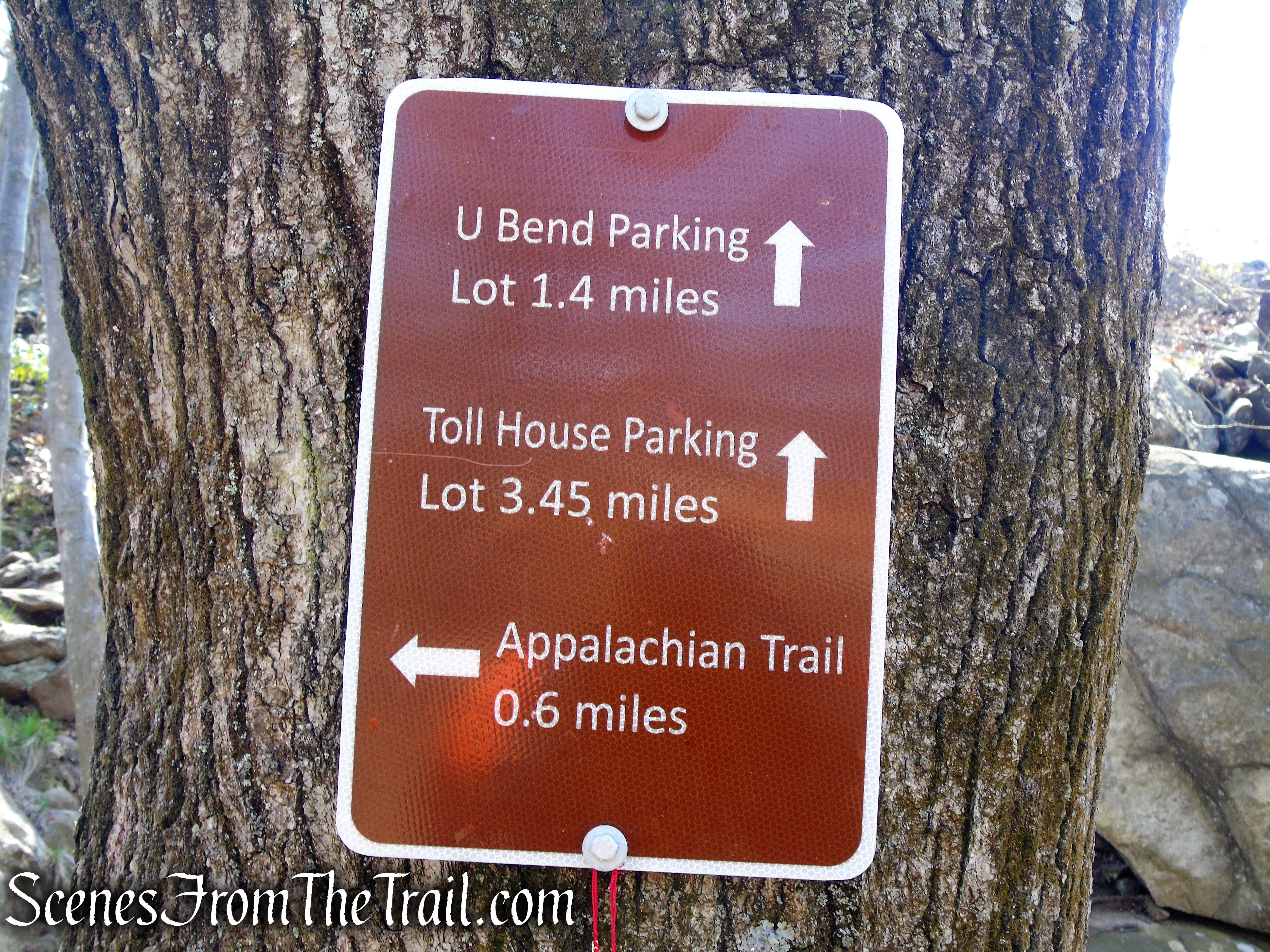
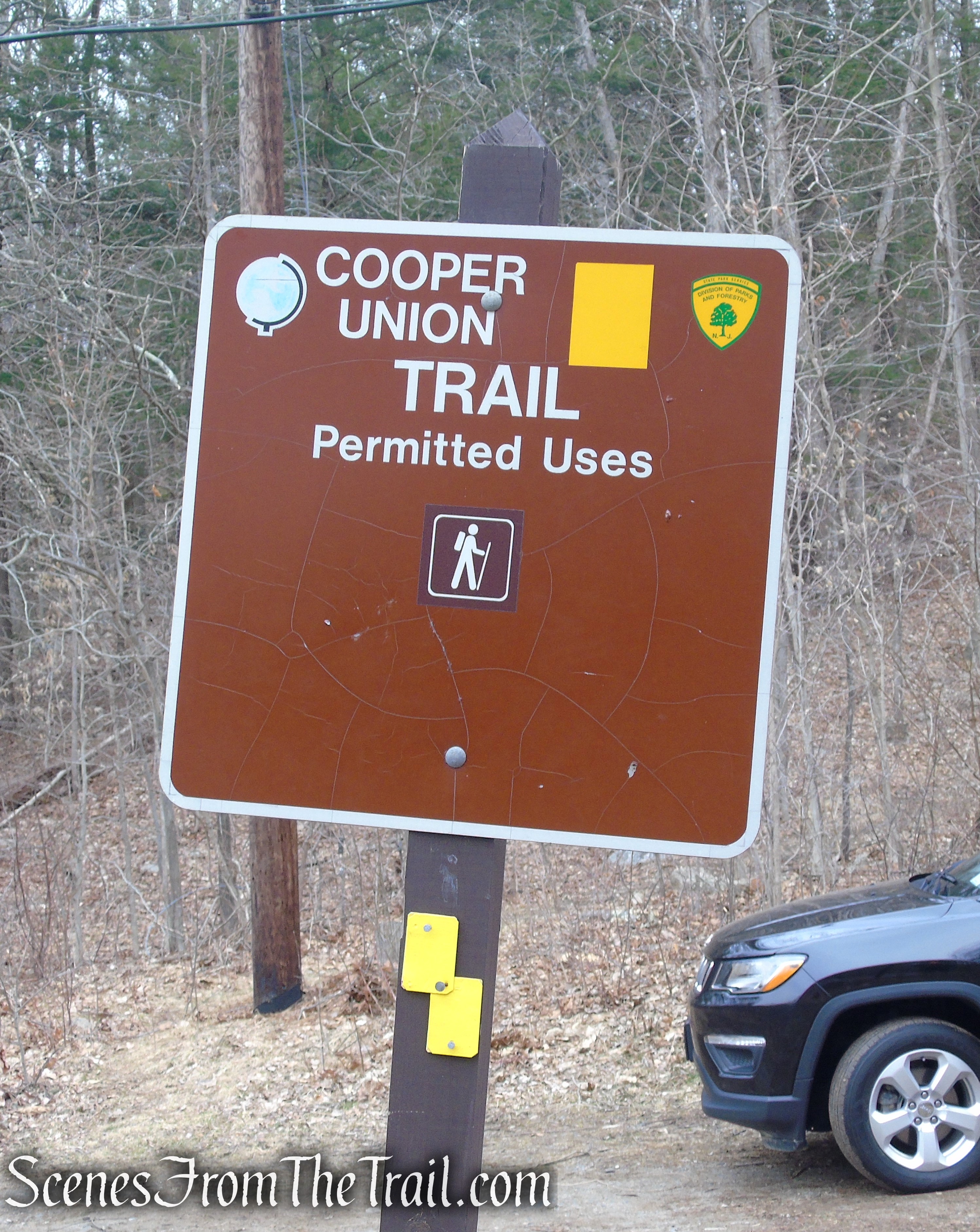
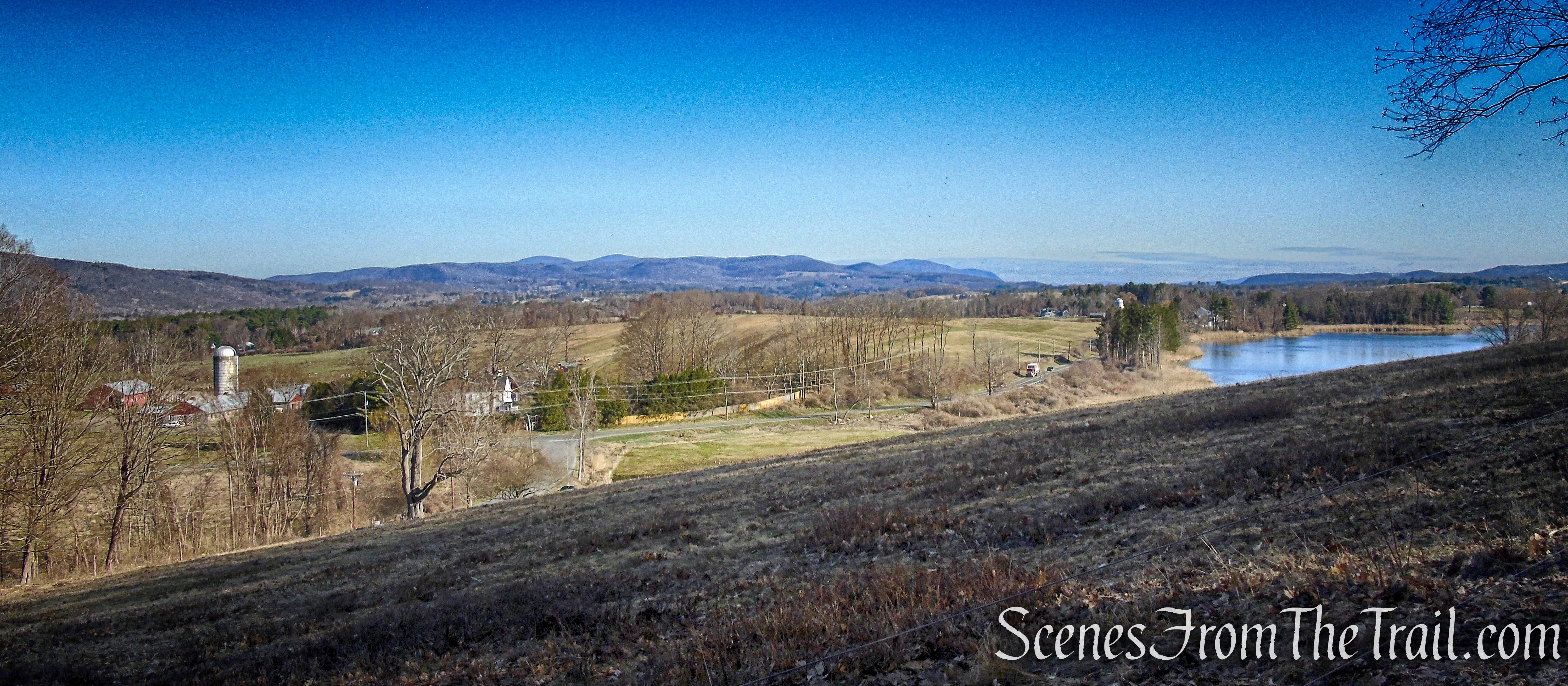
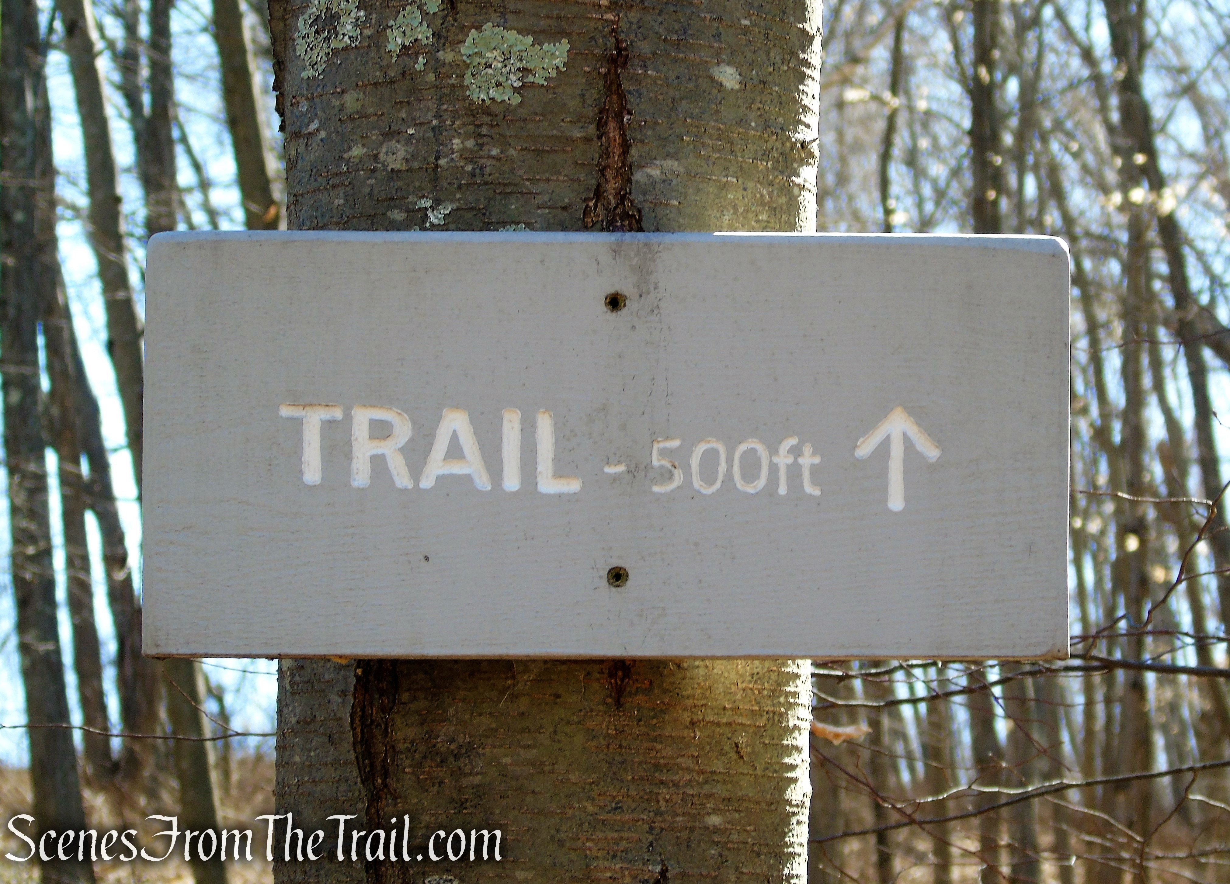
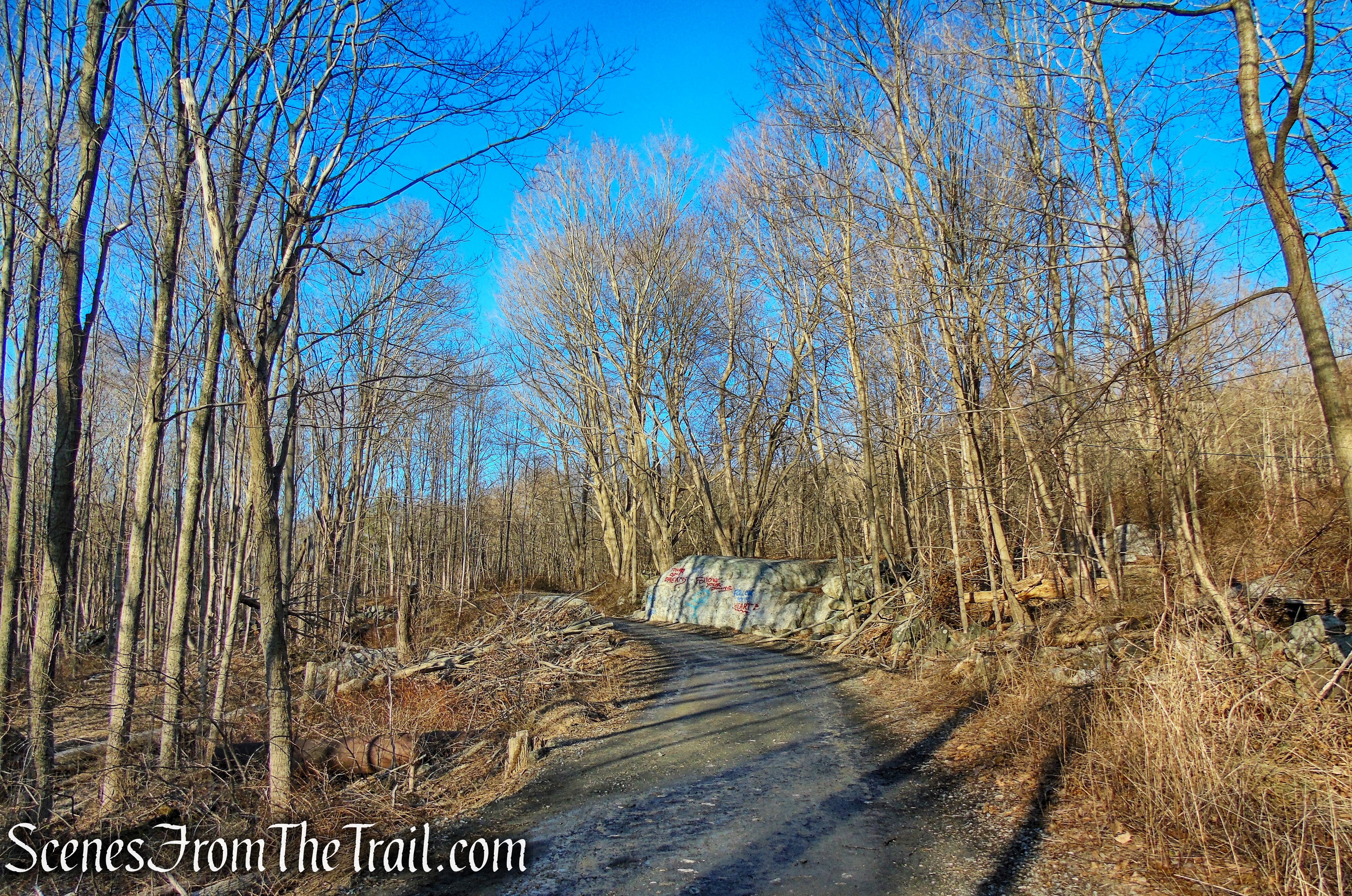
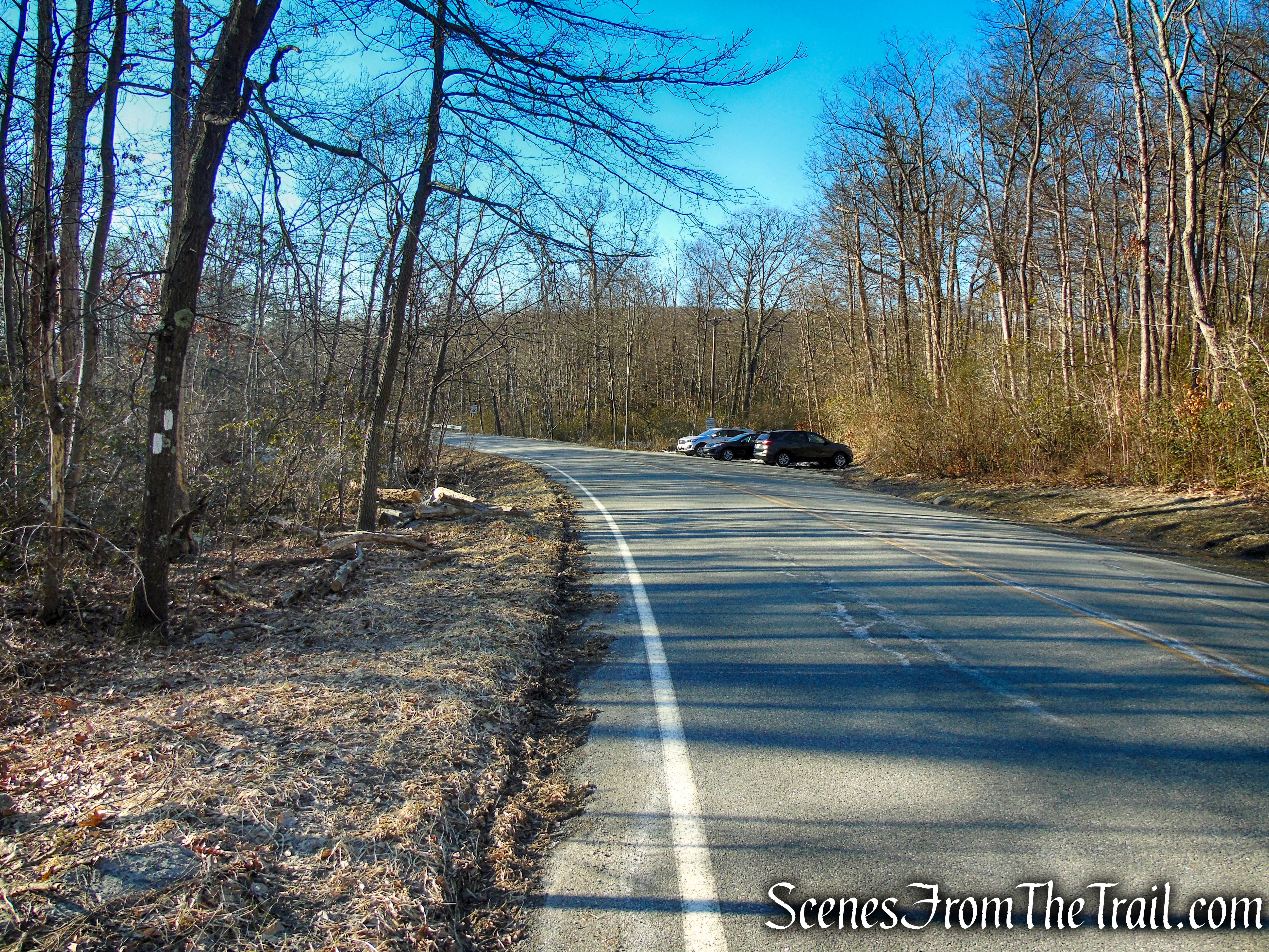
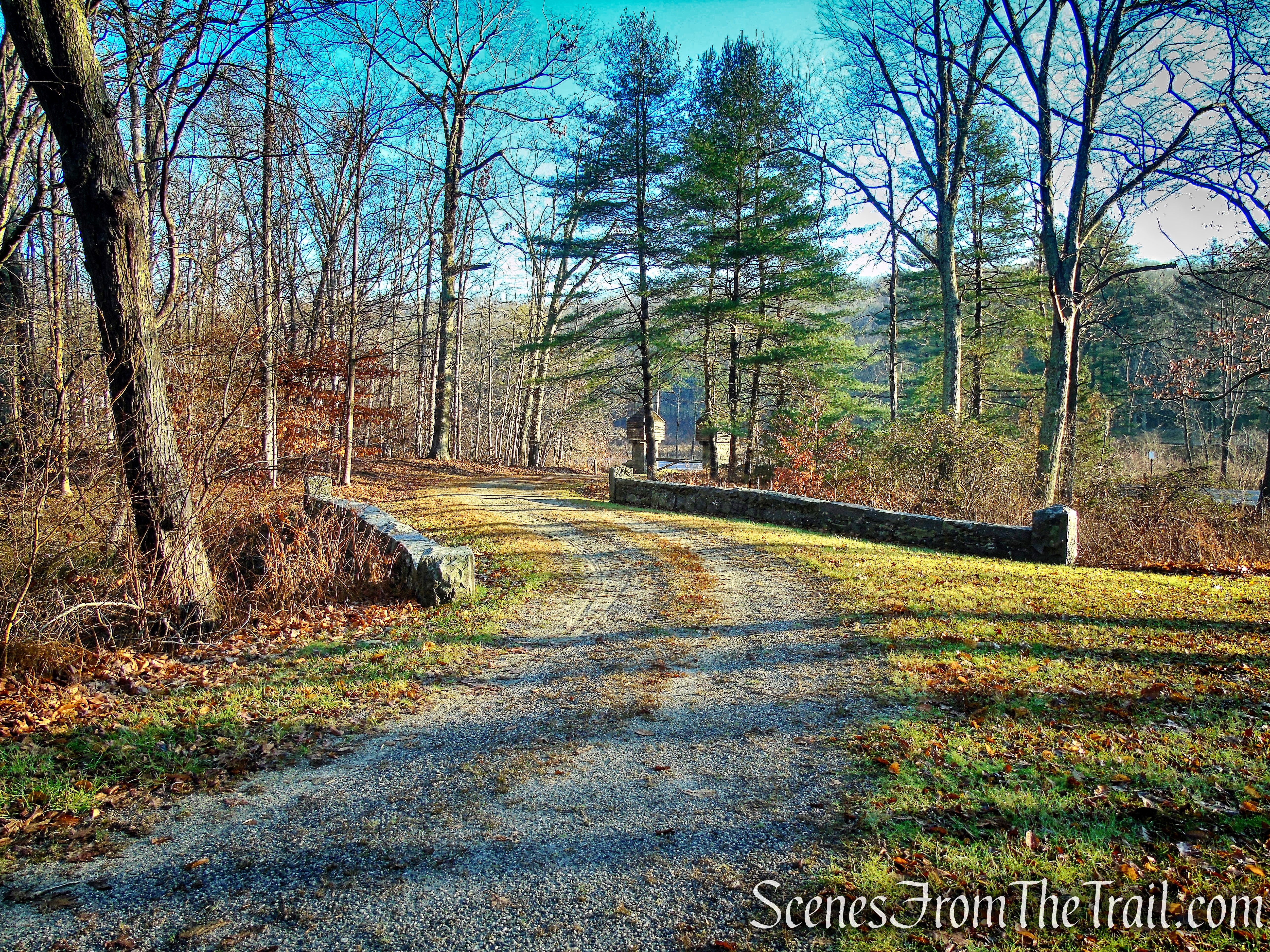
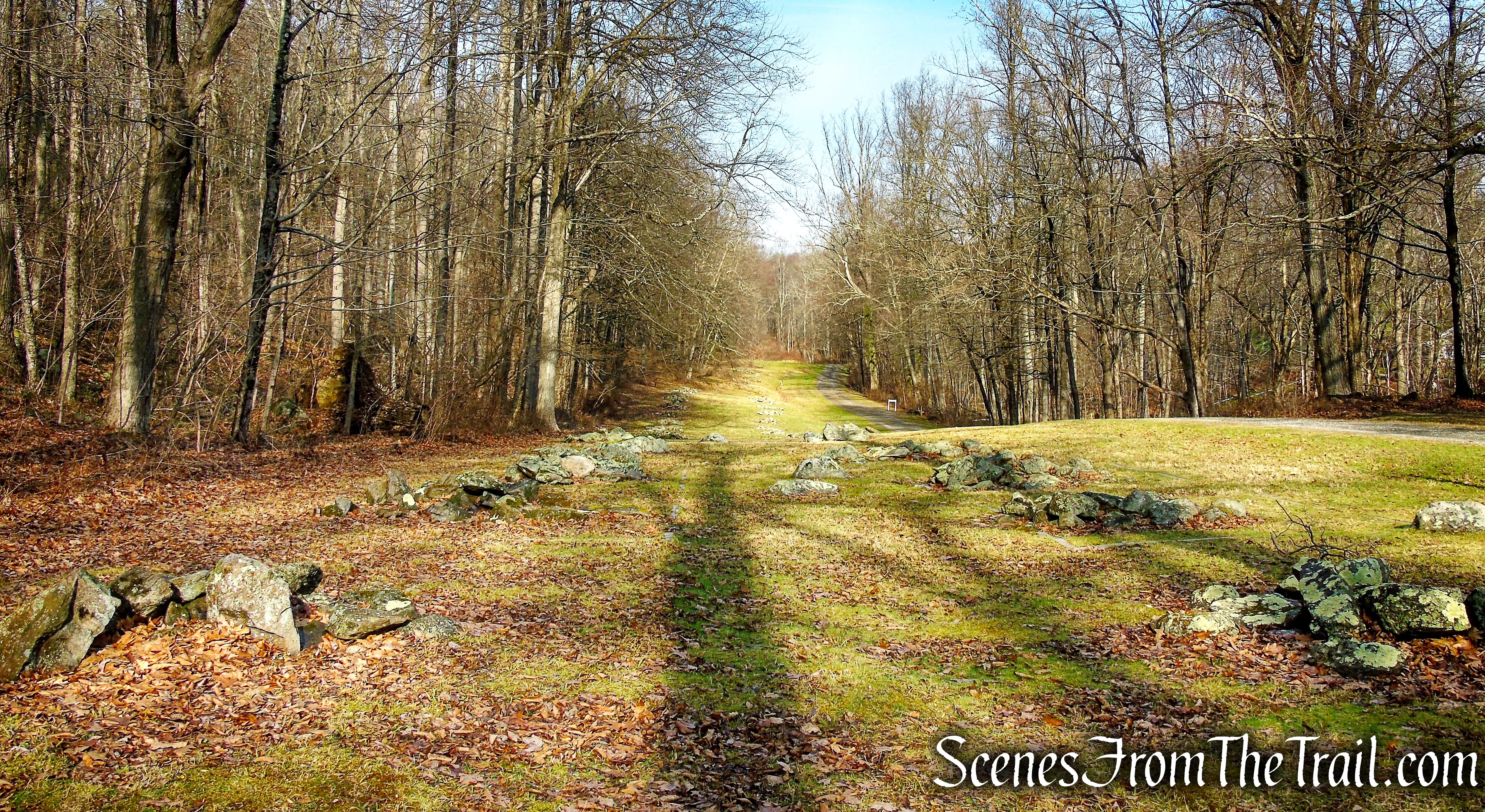
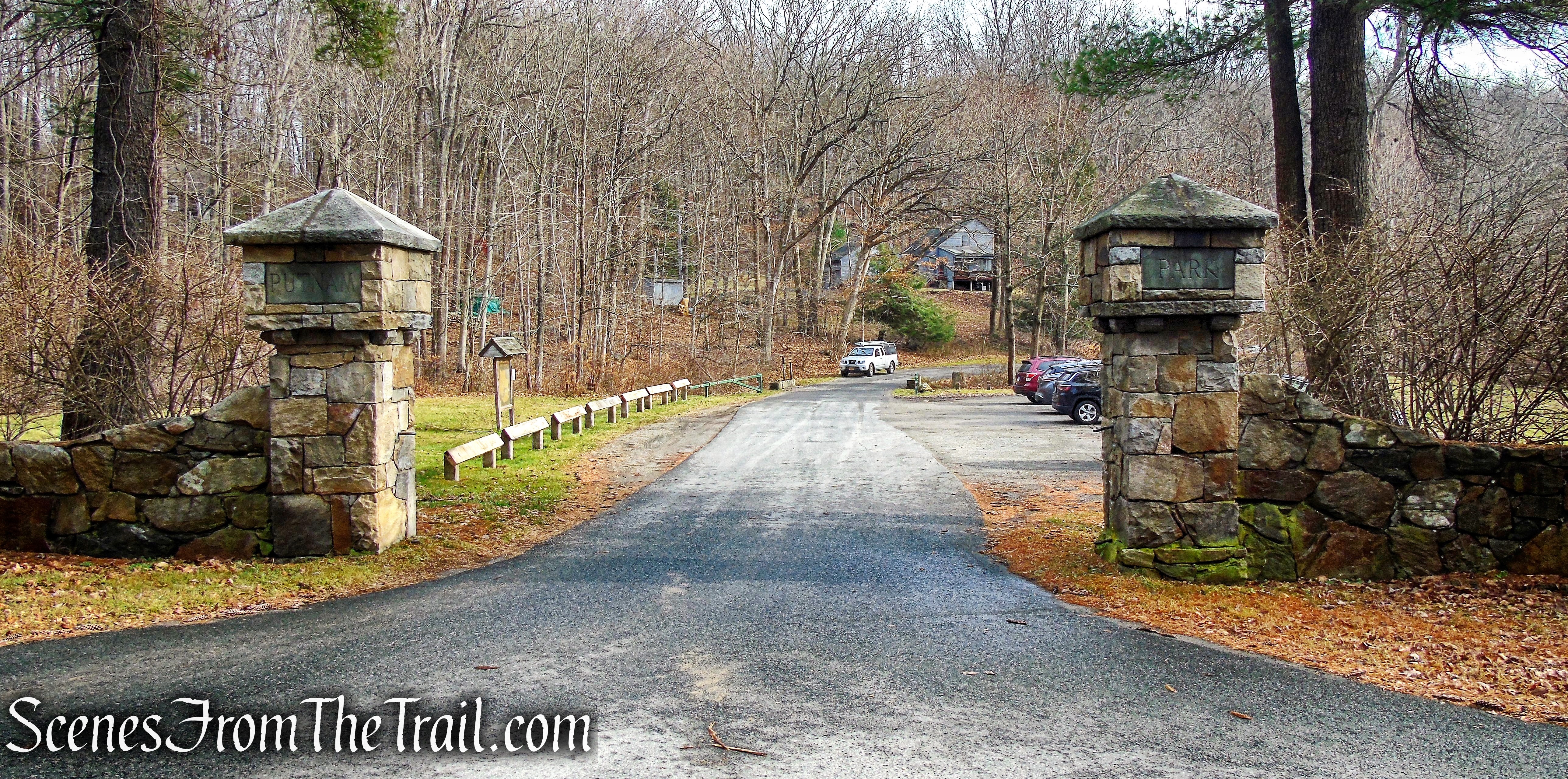
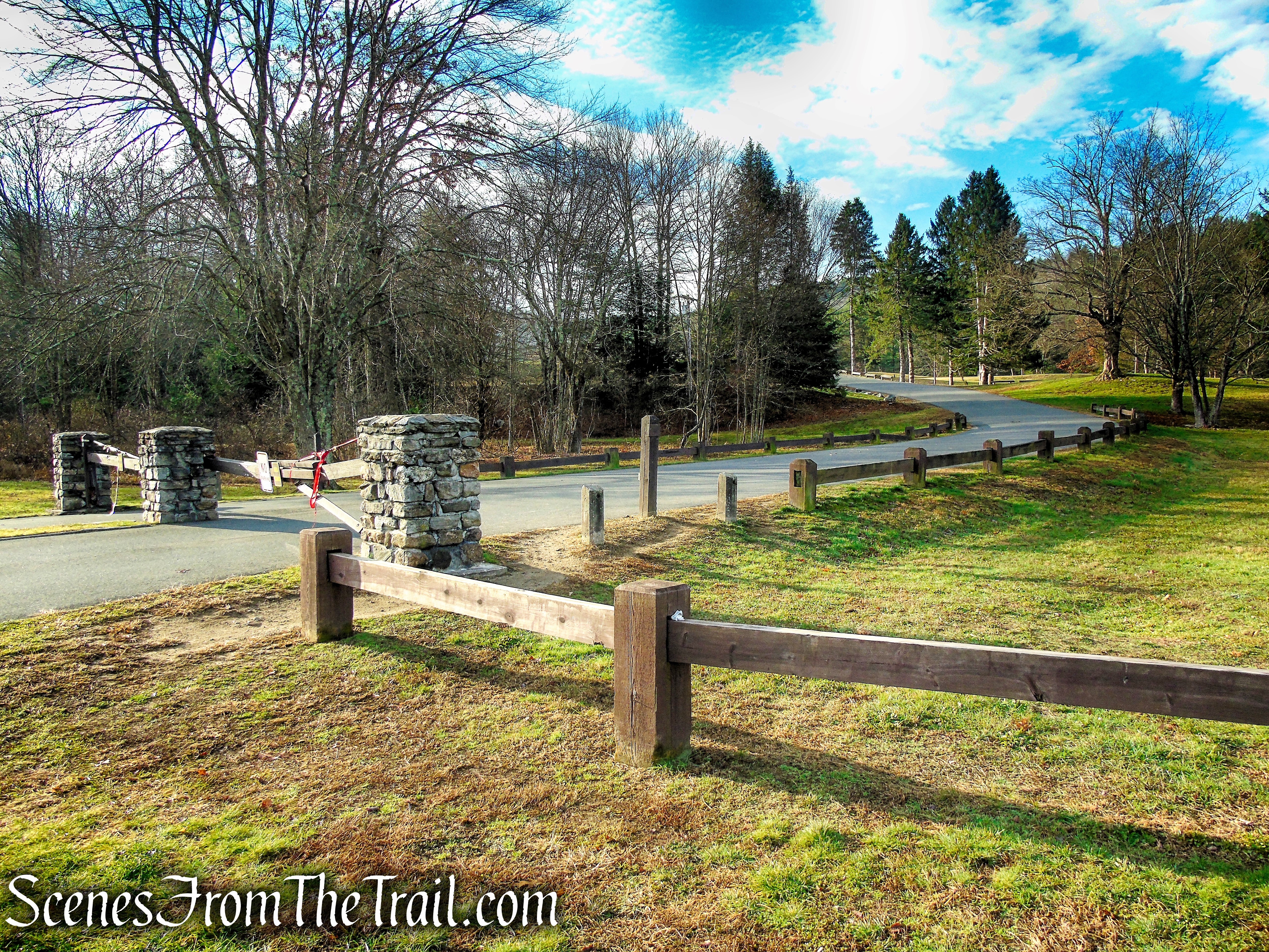
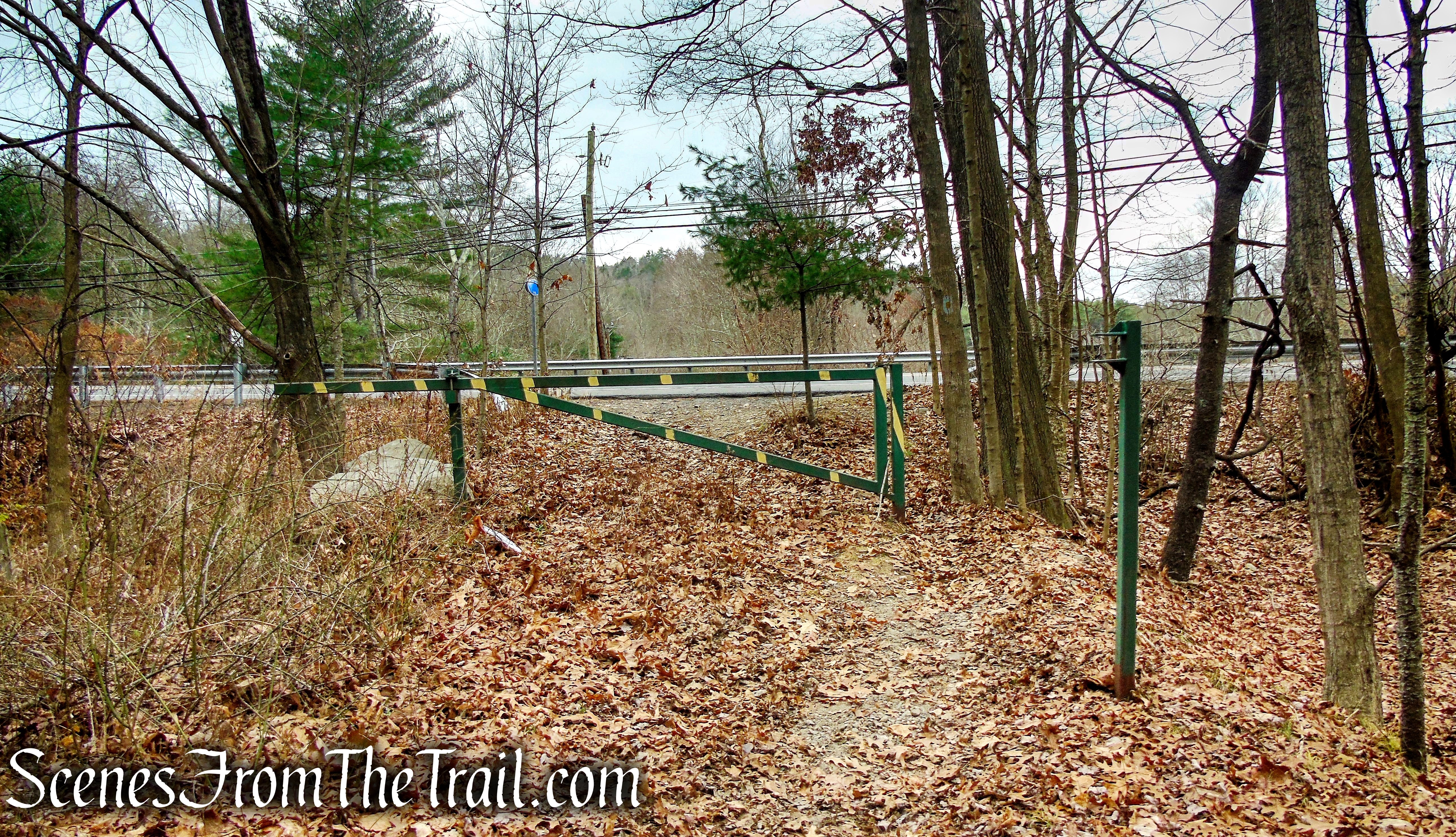
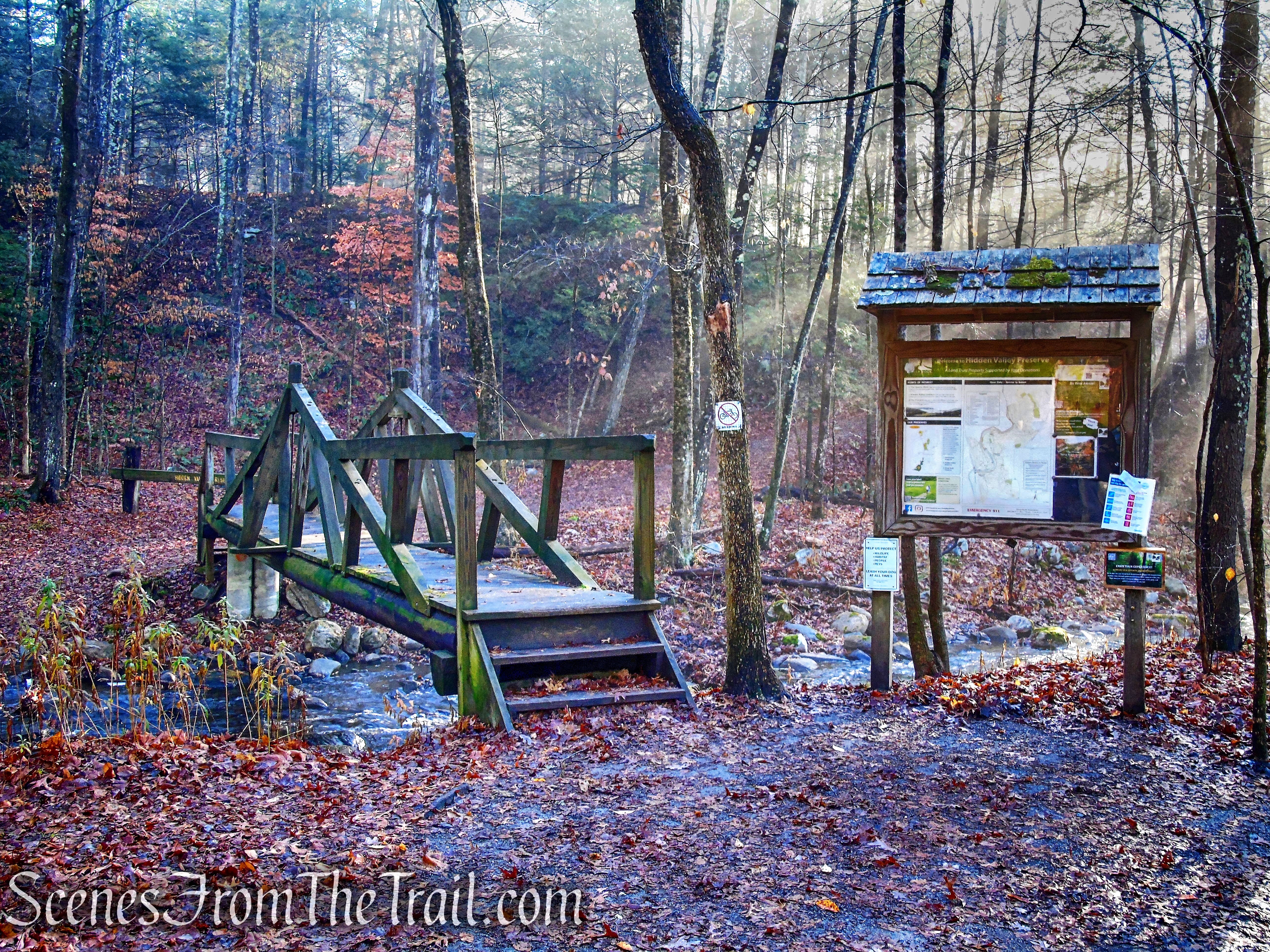
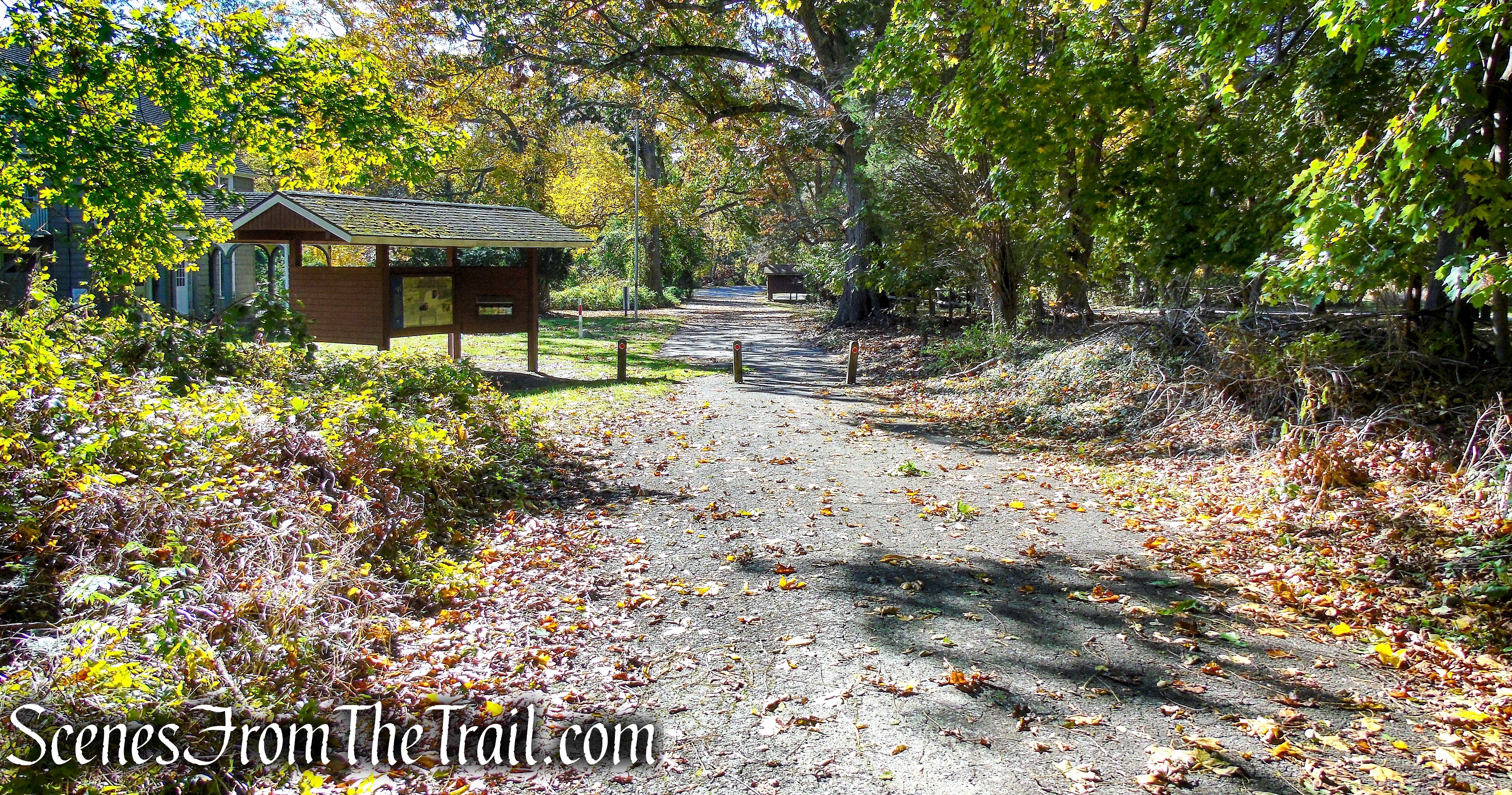
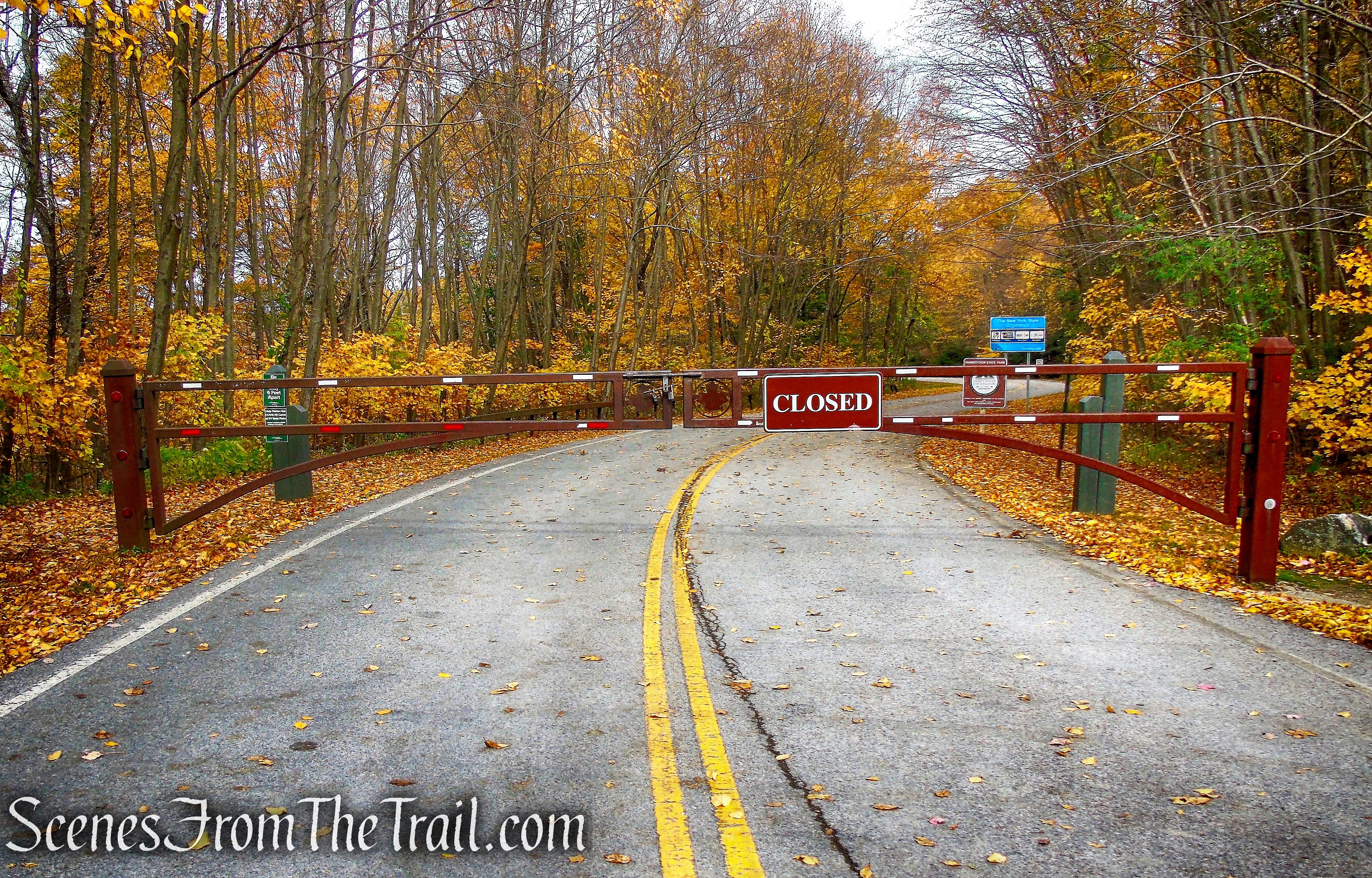
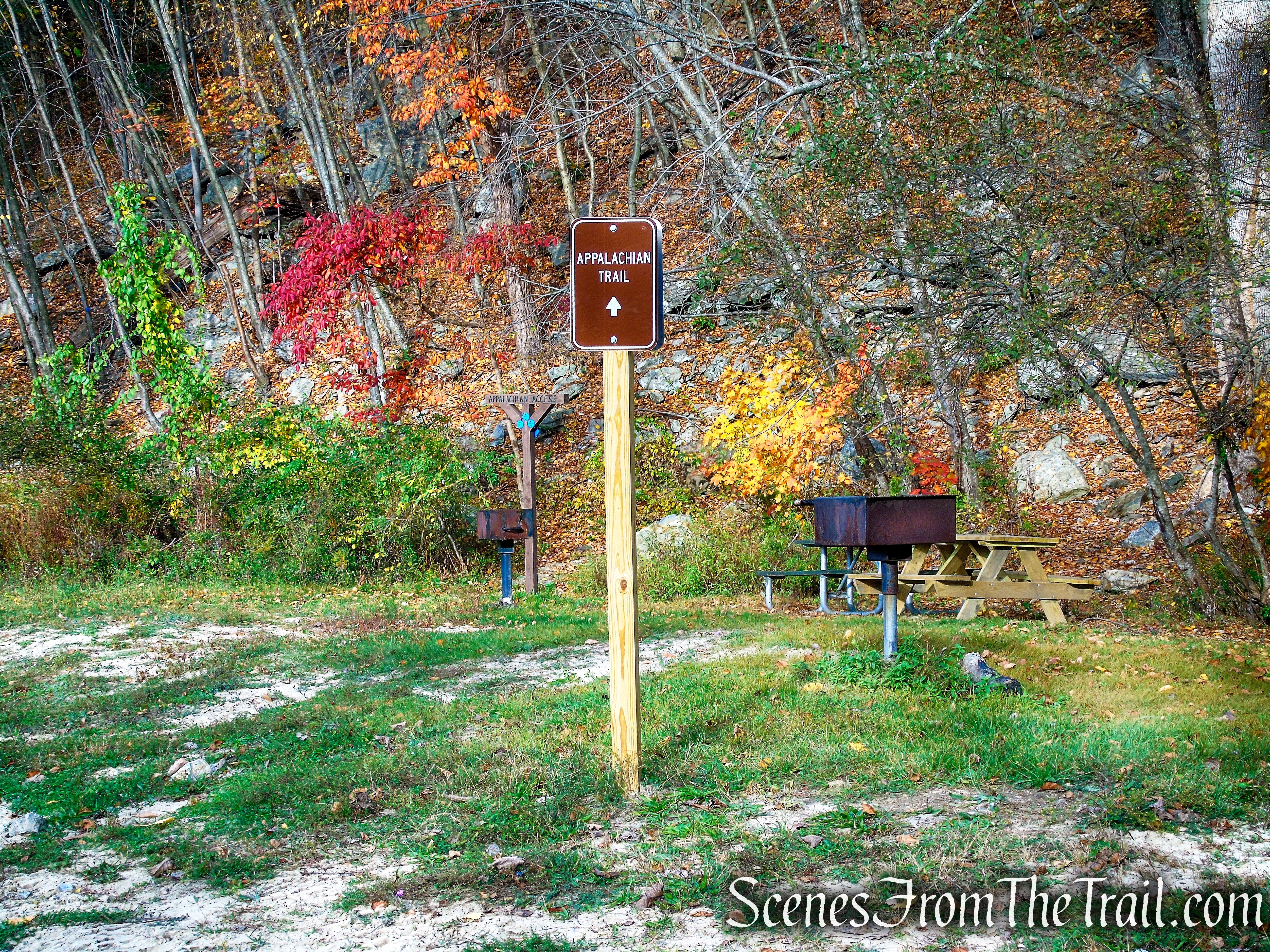
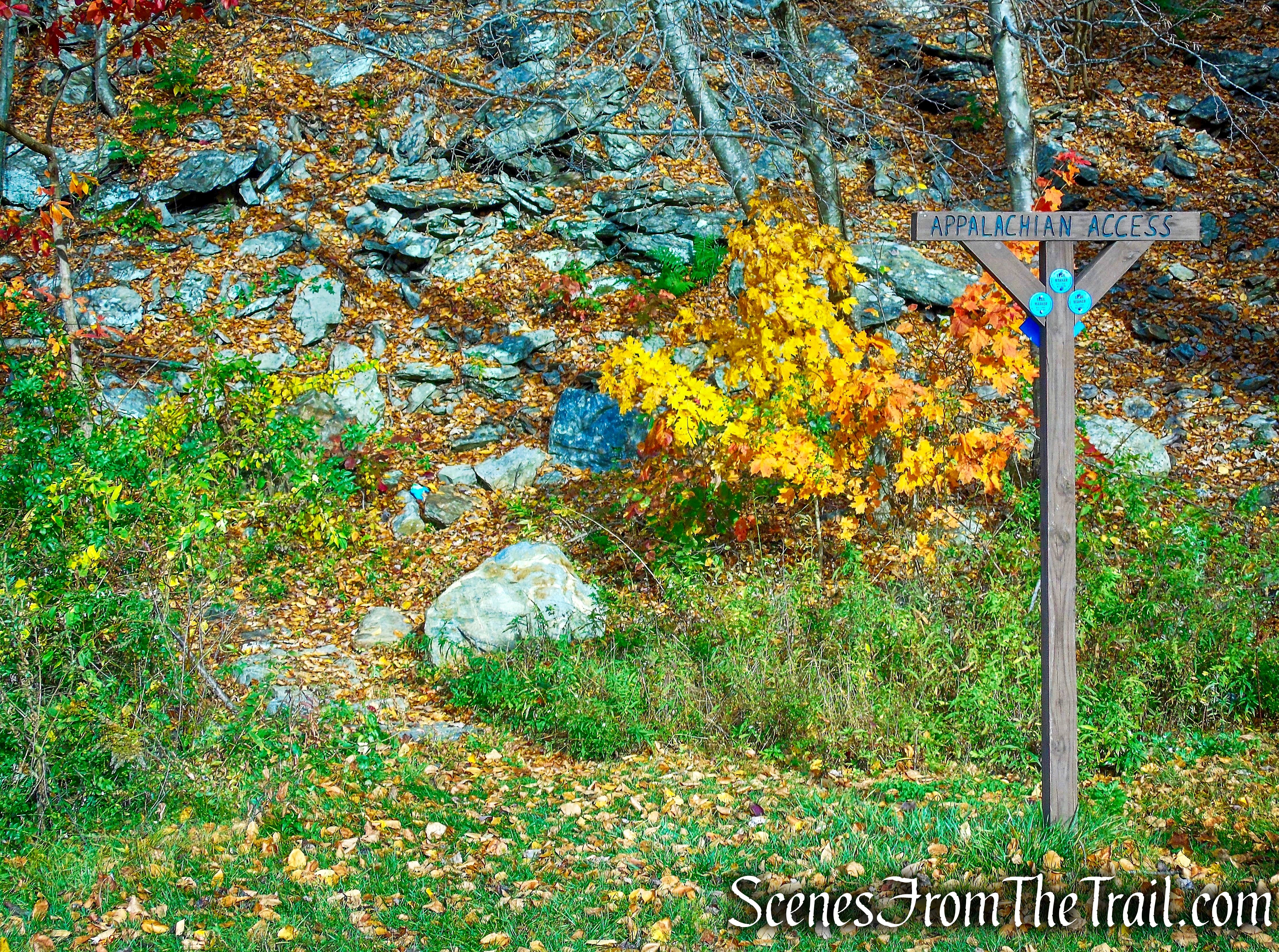
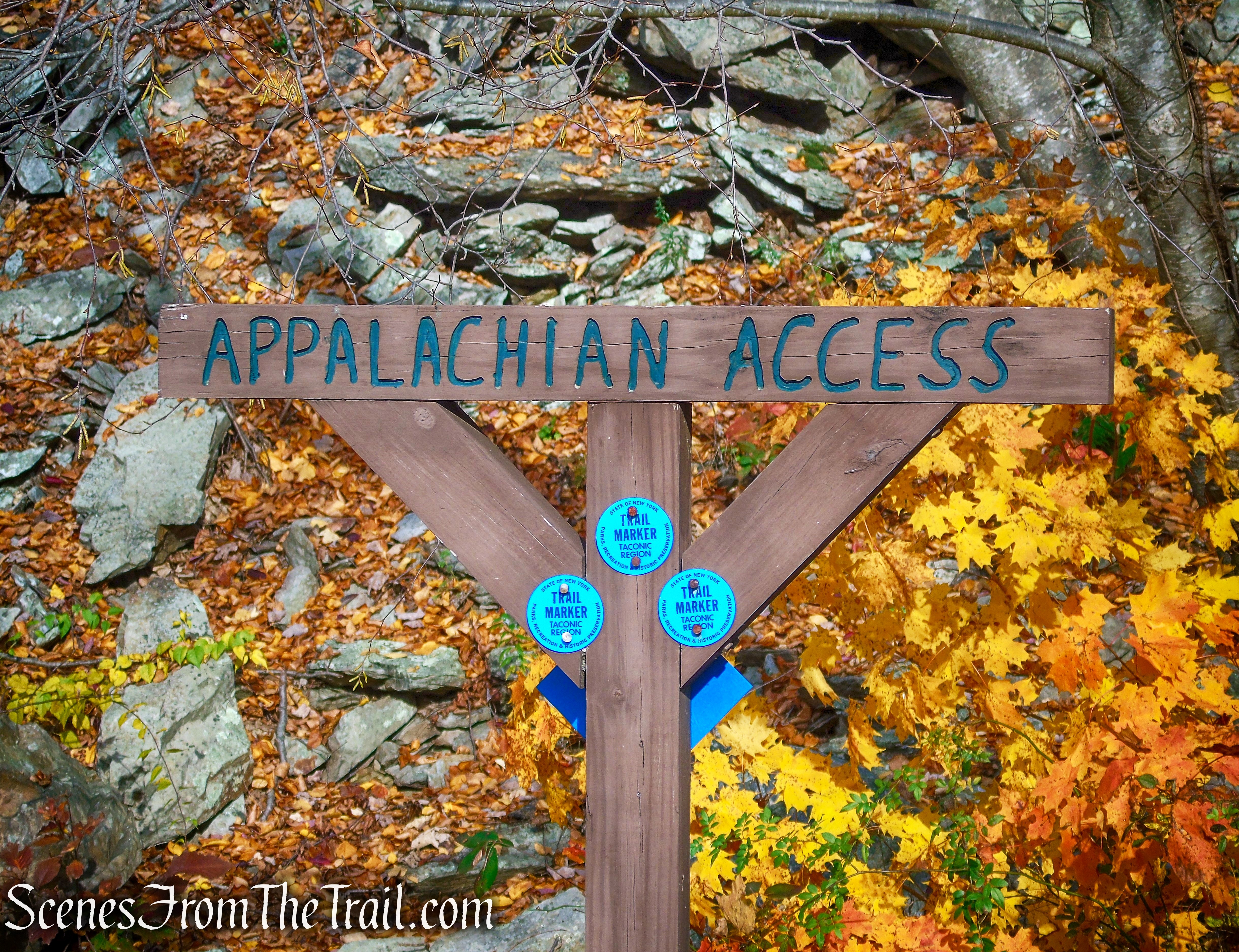
You’ll find the trailhead on Old Mineral Springs Road, where there is pull-off parking for about 8-10 cars. This road is owned and maintained by the town and clearly marks where parking ends.

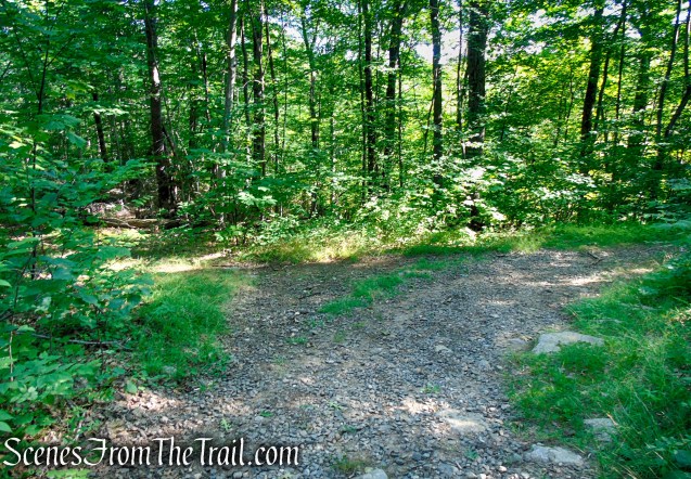
Old Mineral Springs Road
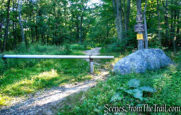
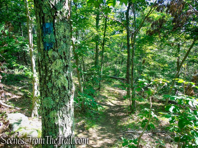
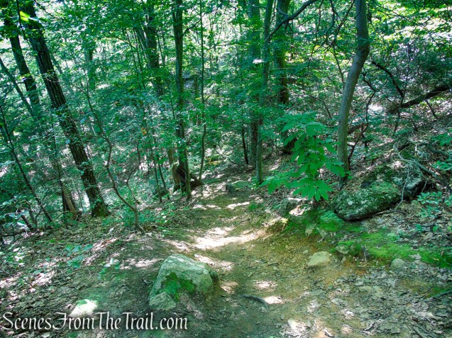
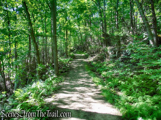
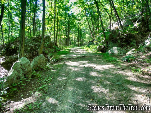
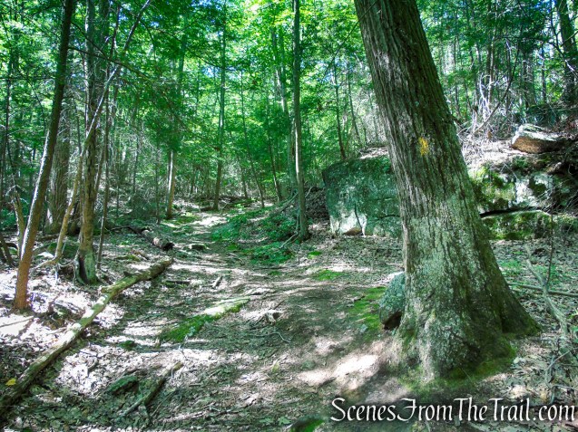
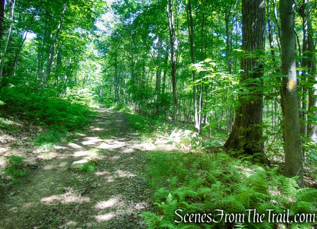
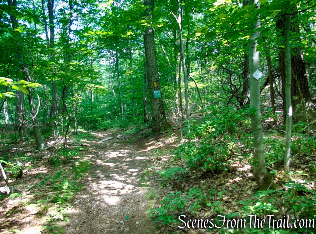
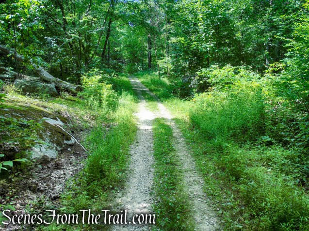
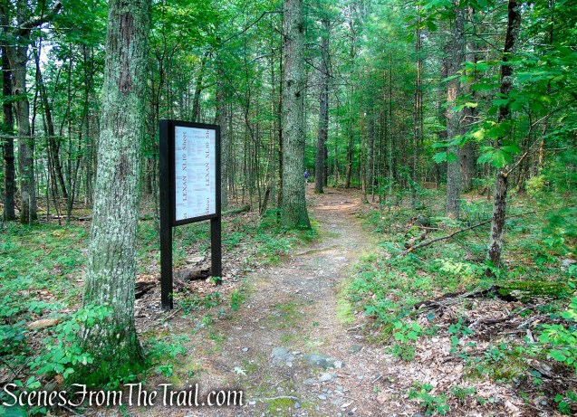
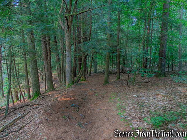
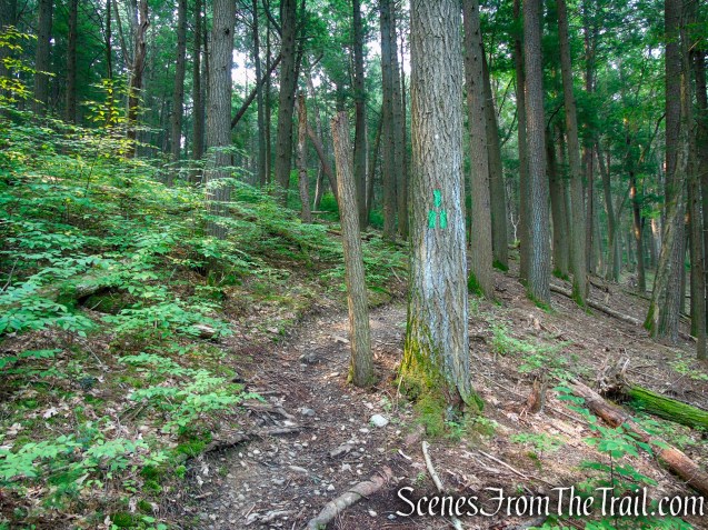
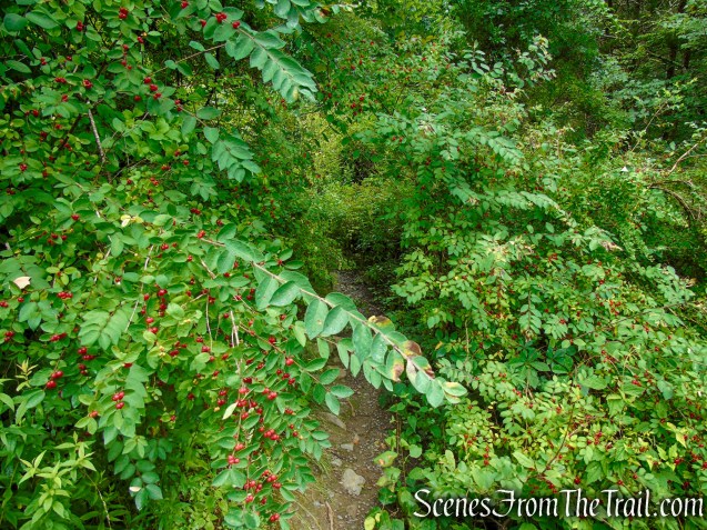
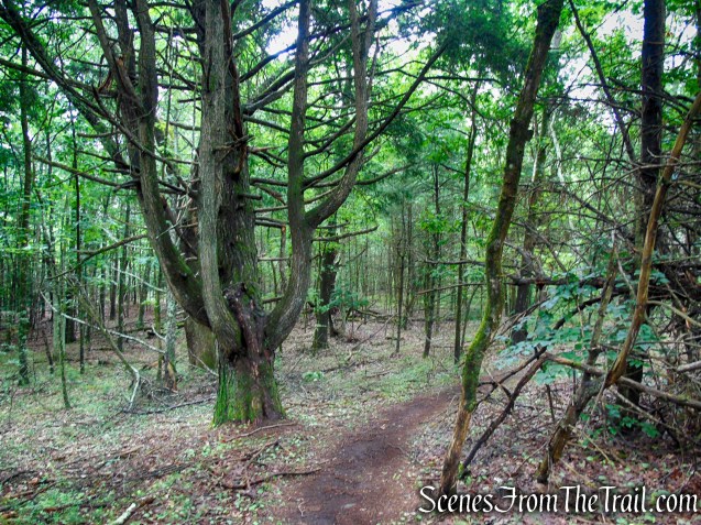
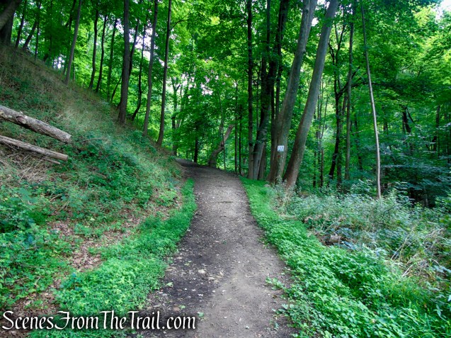
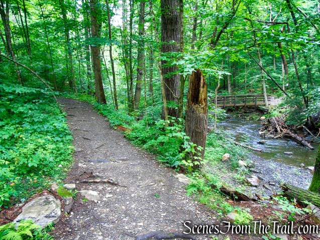
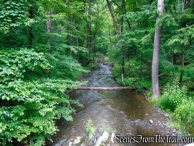
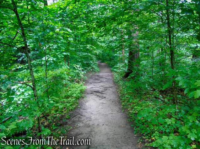
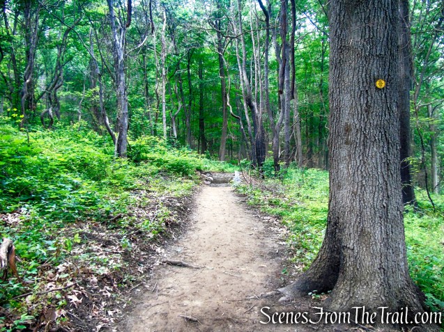
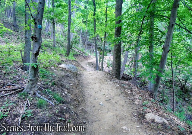
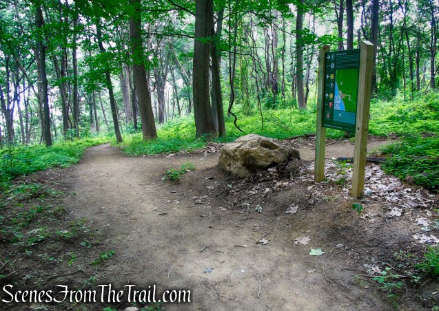
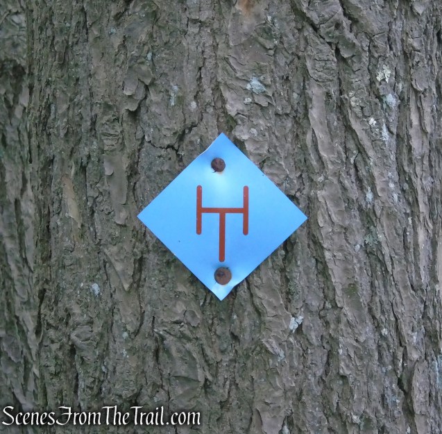
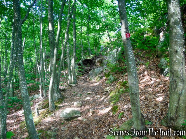
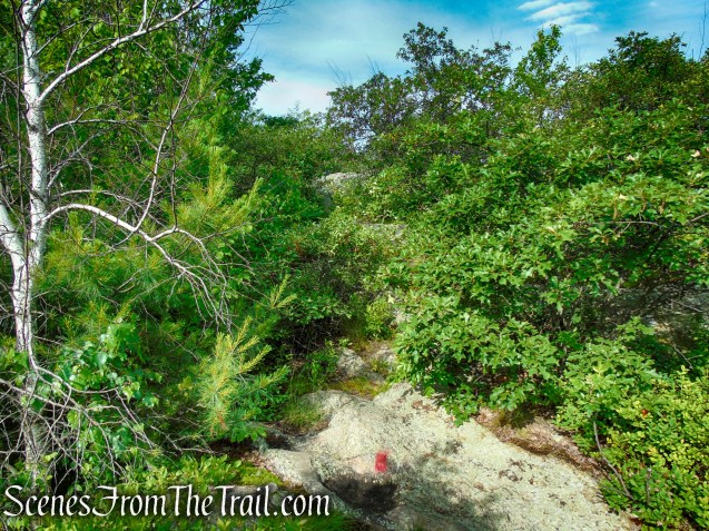
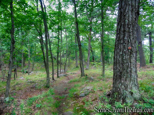
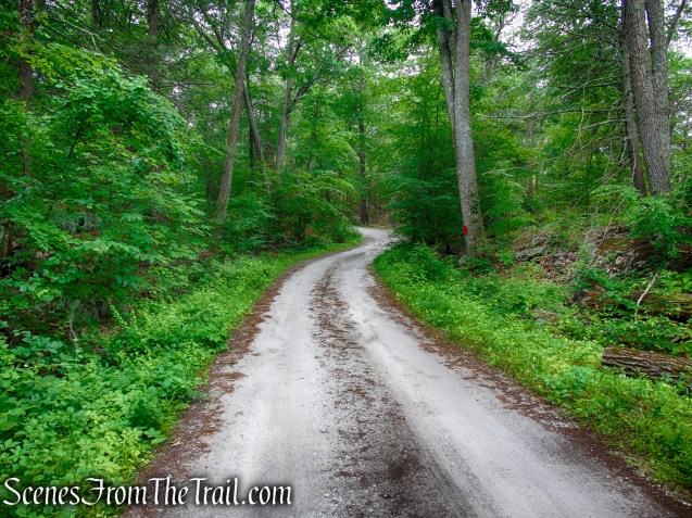
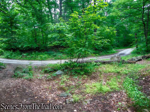
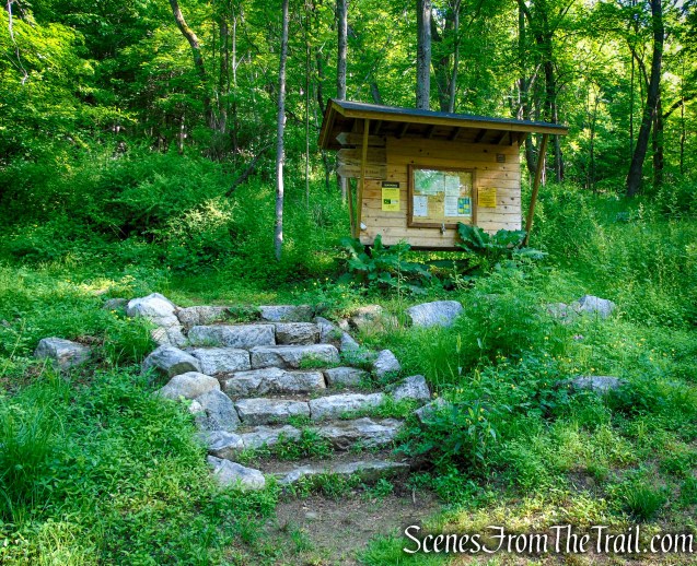
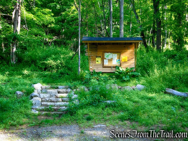
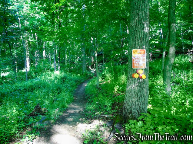
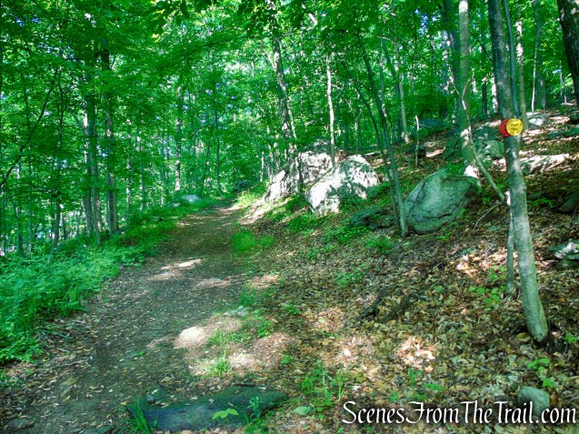
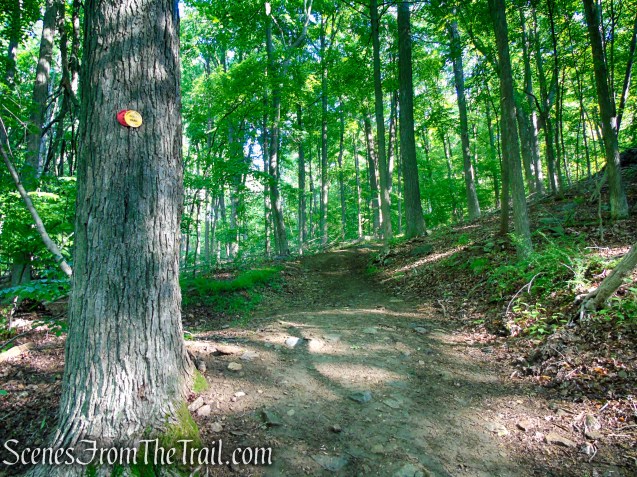
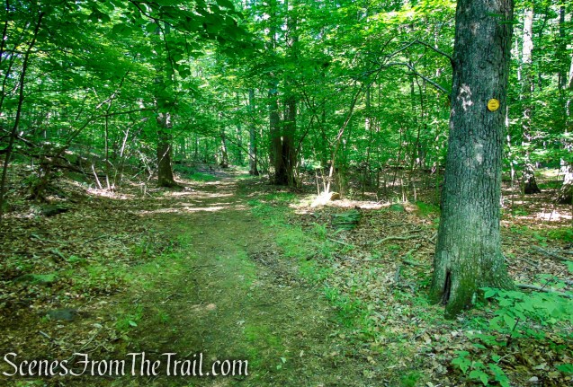
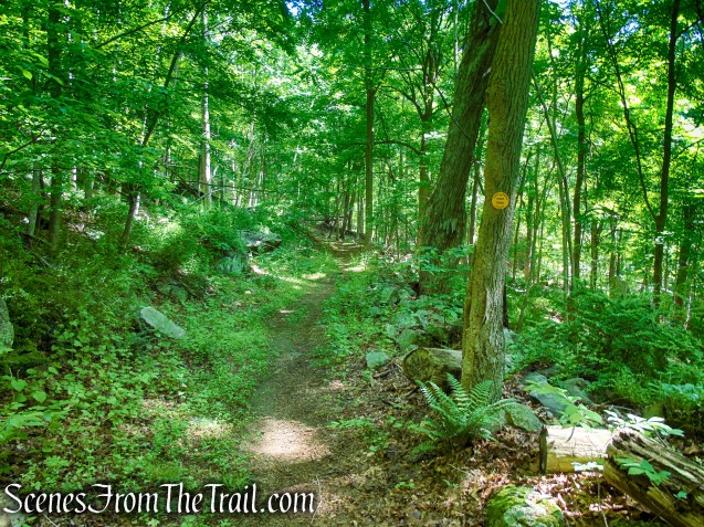
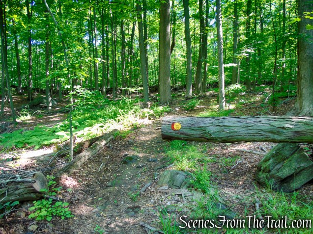
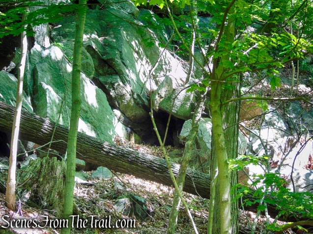
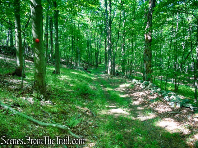
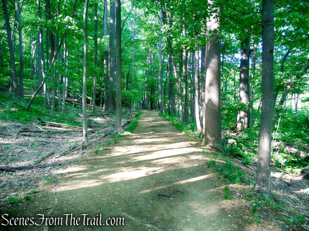
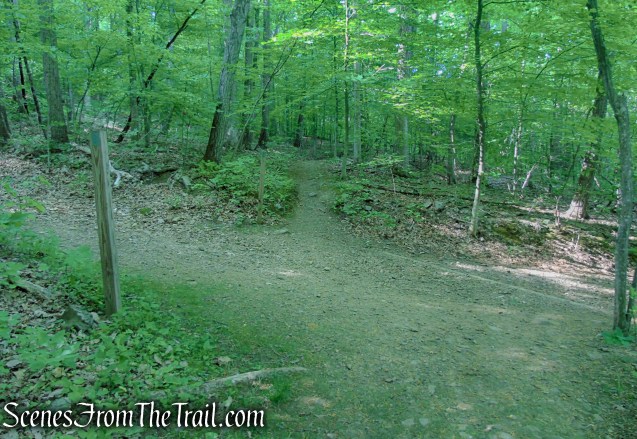
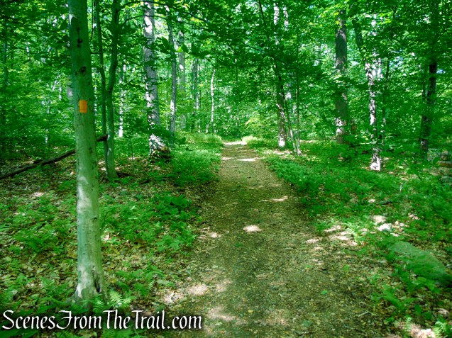
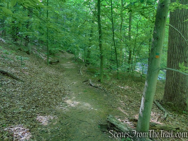
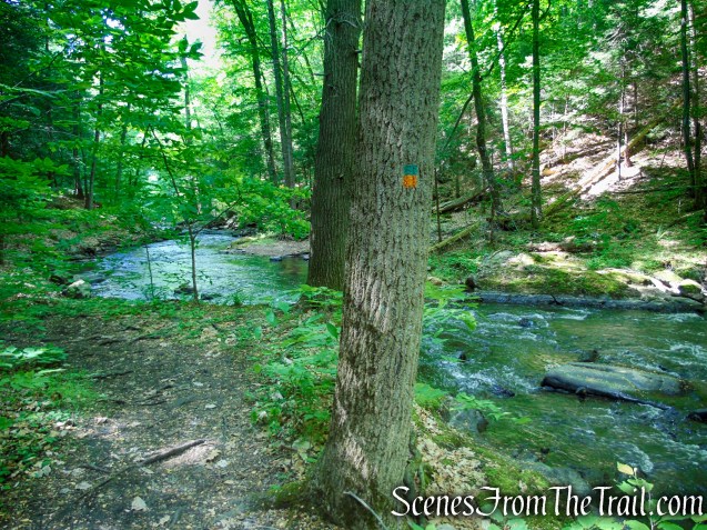
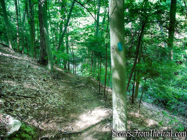
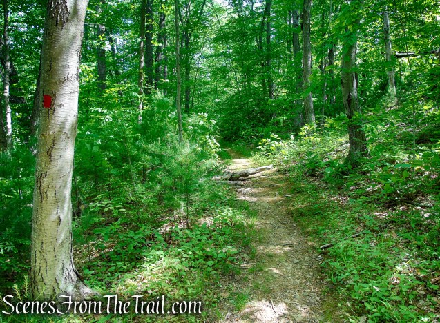
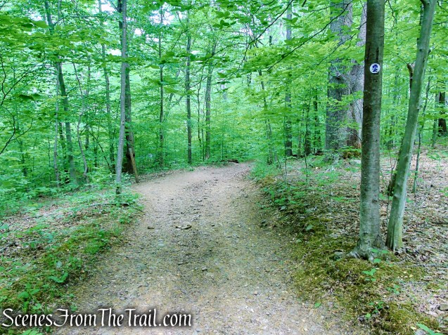
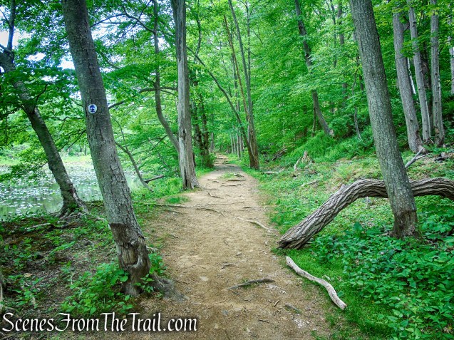
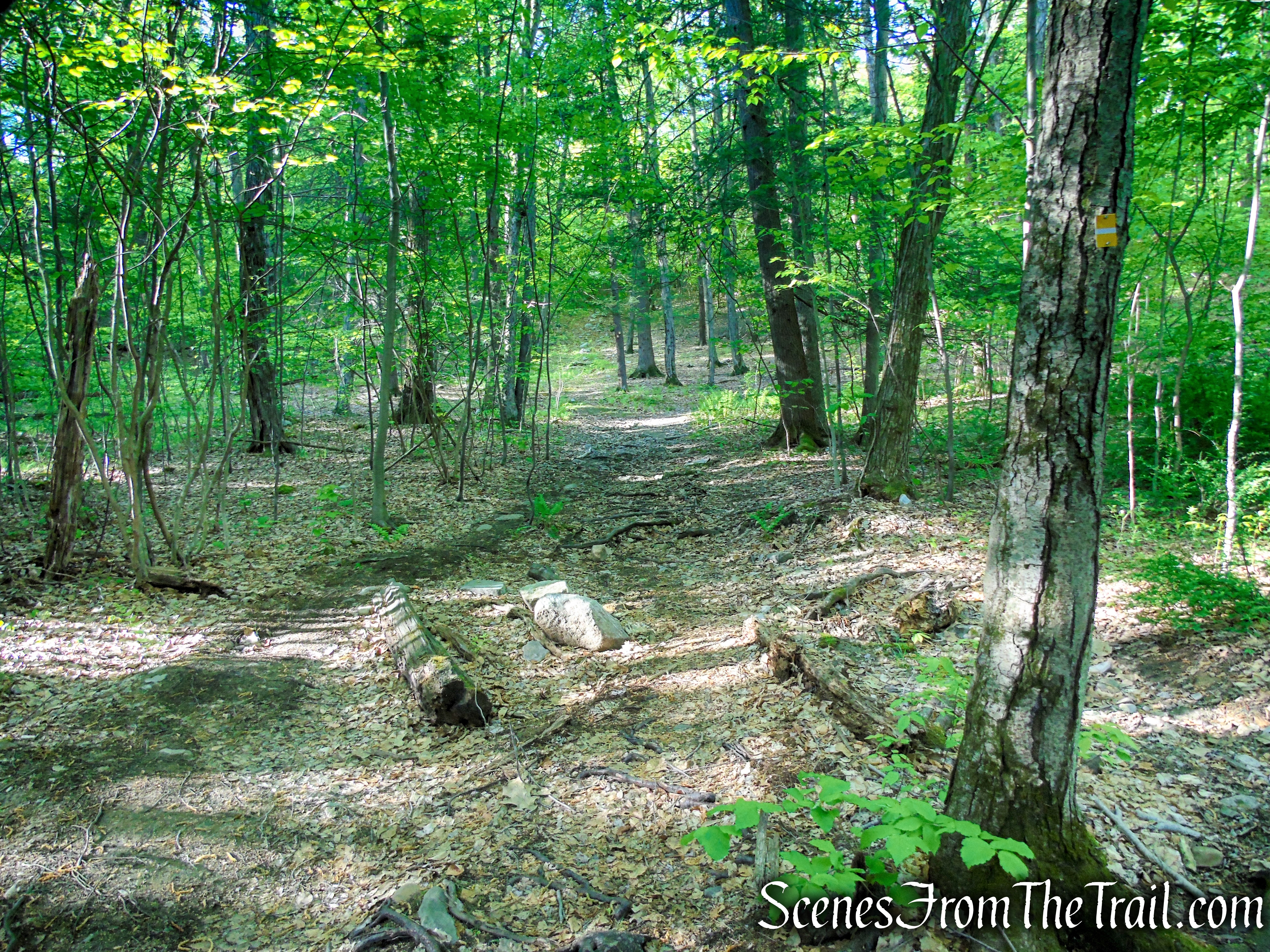
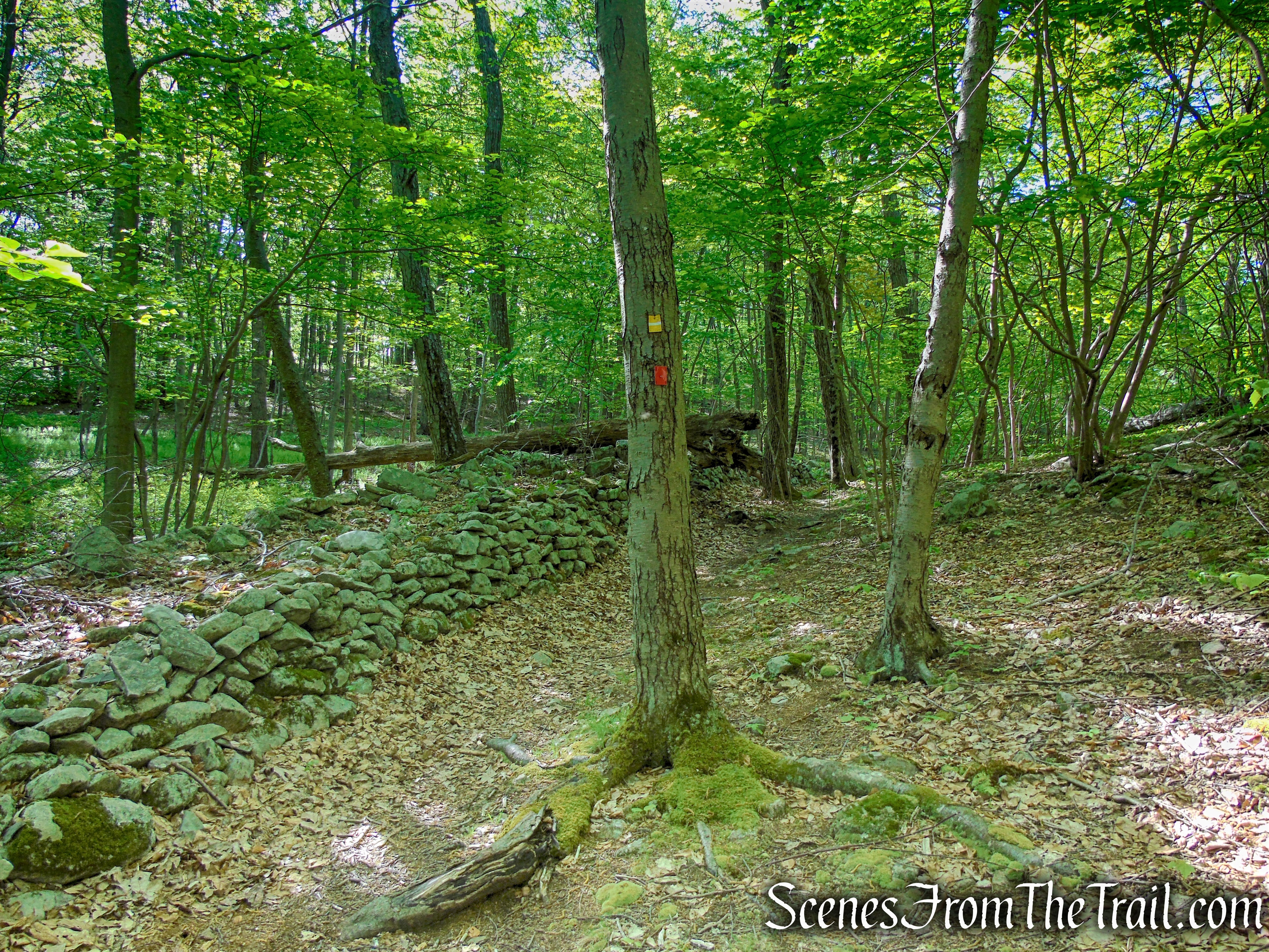
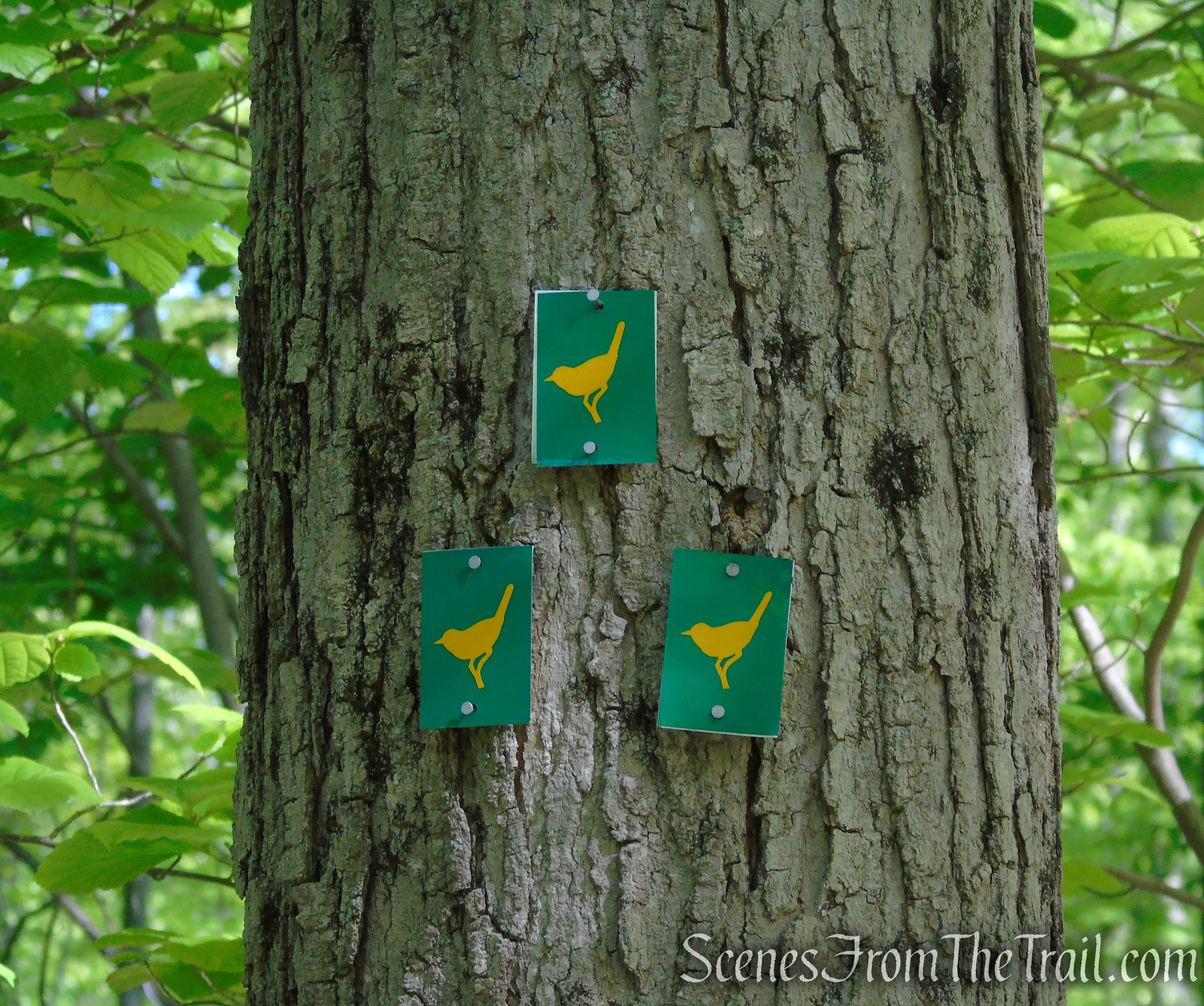
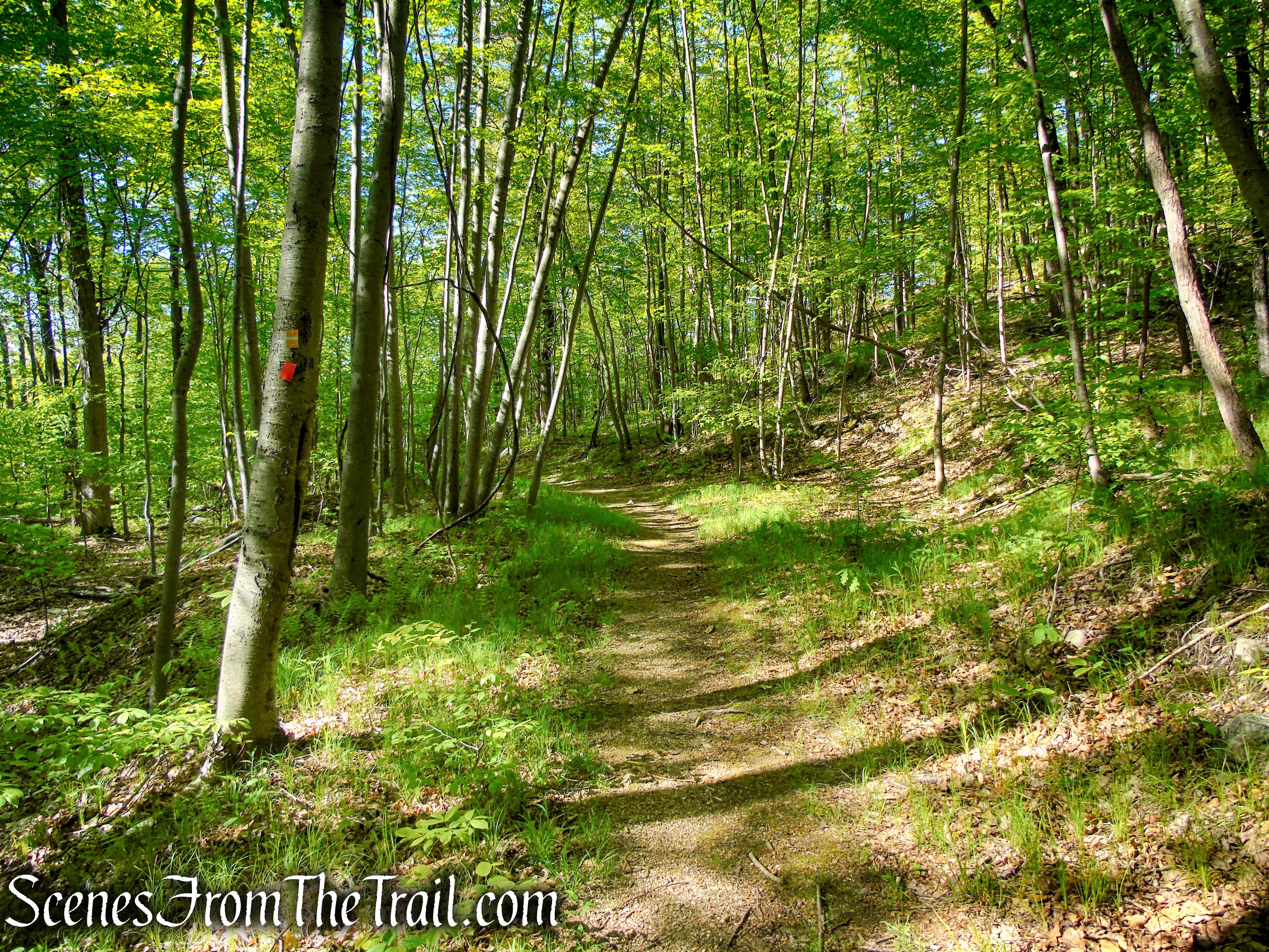
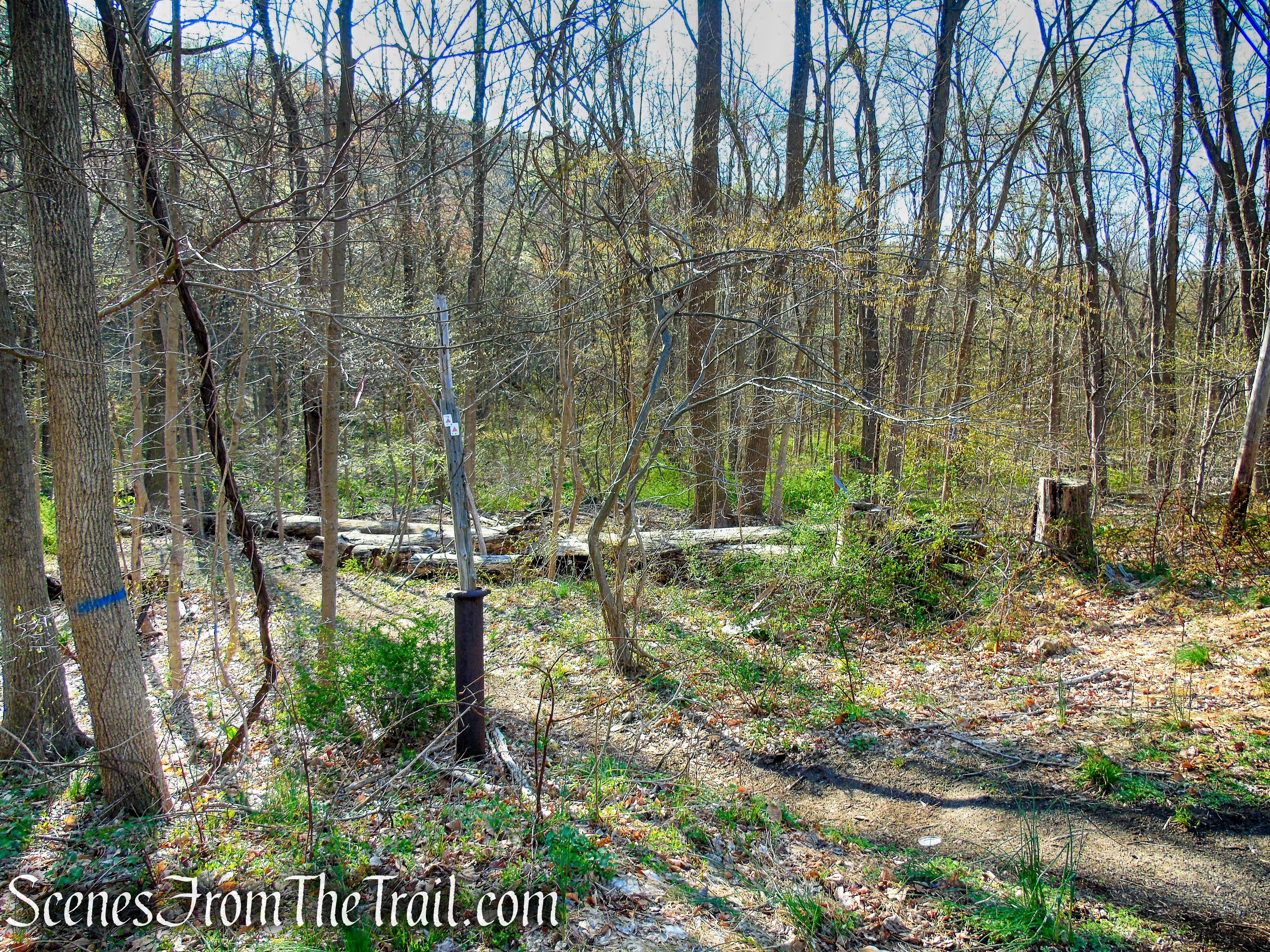
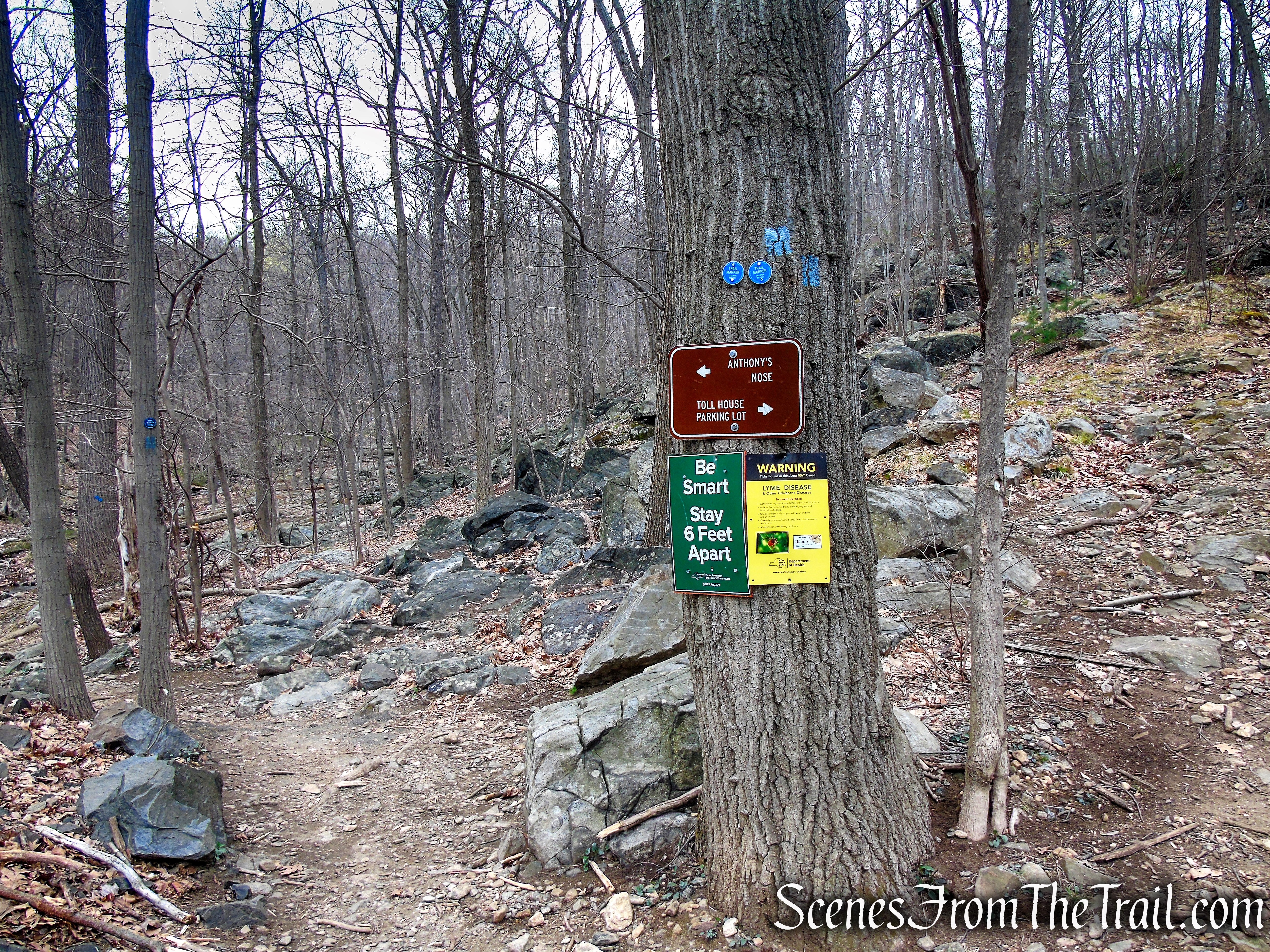
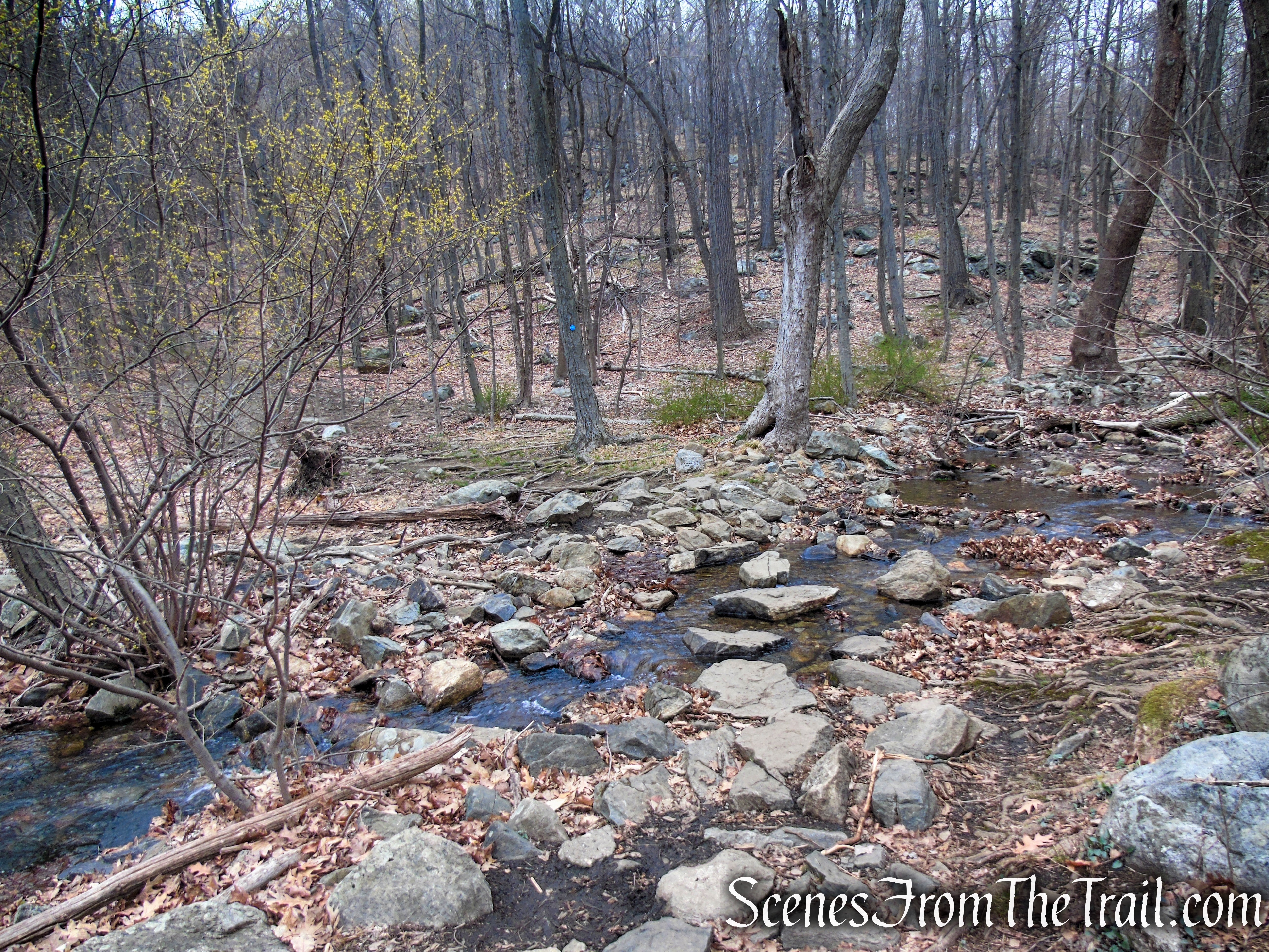
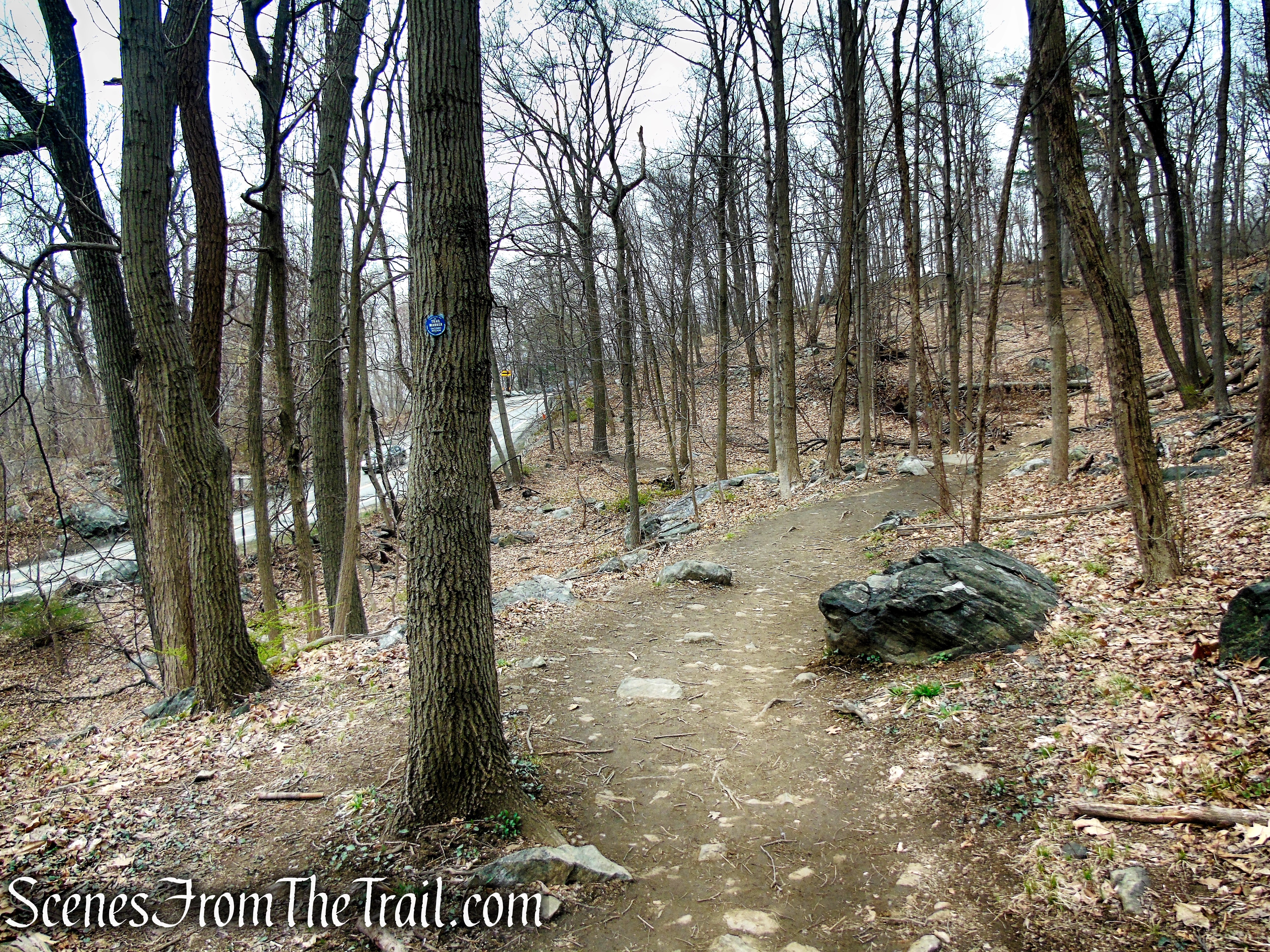
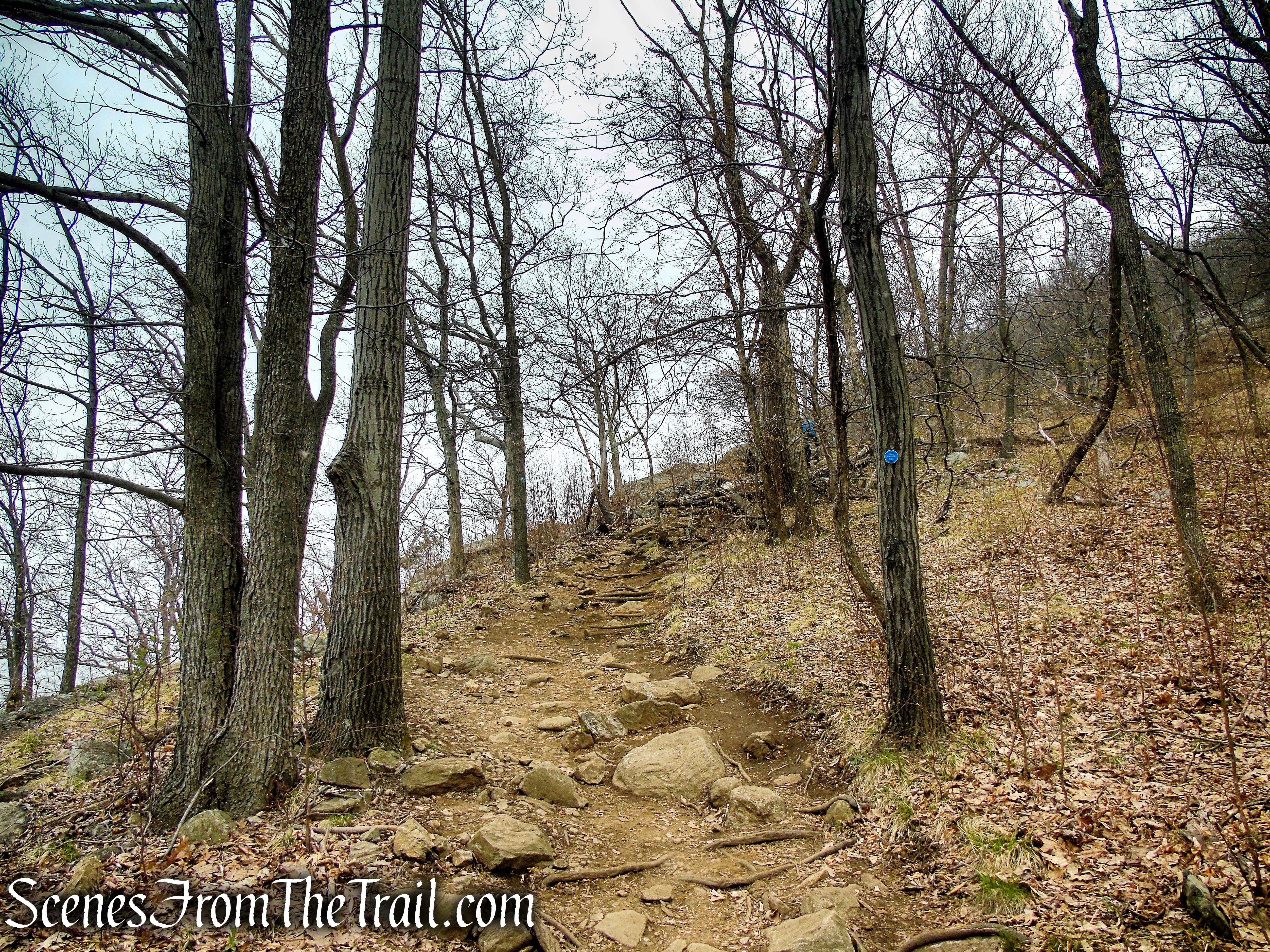
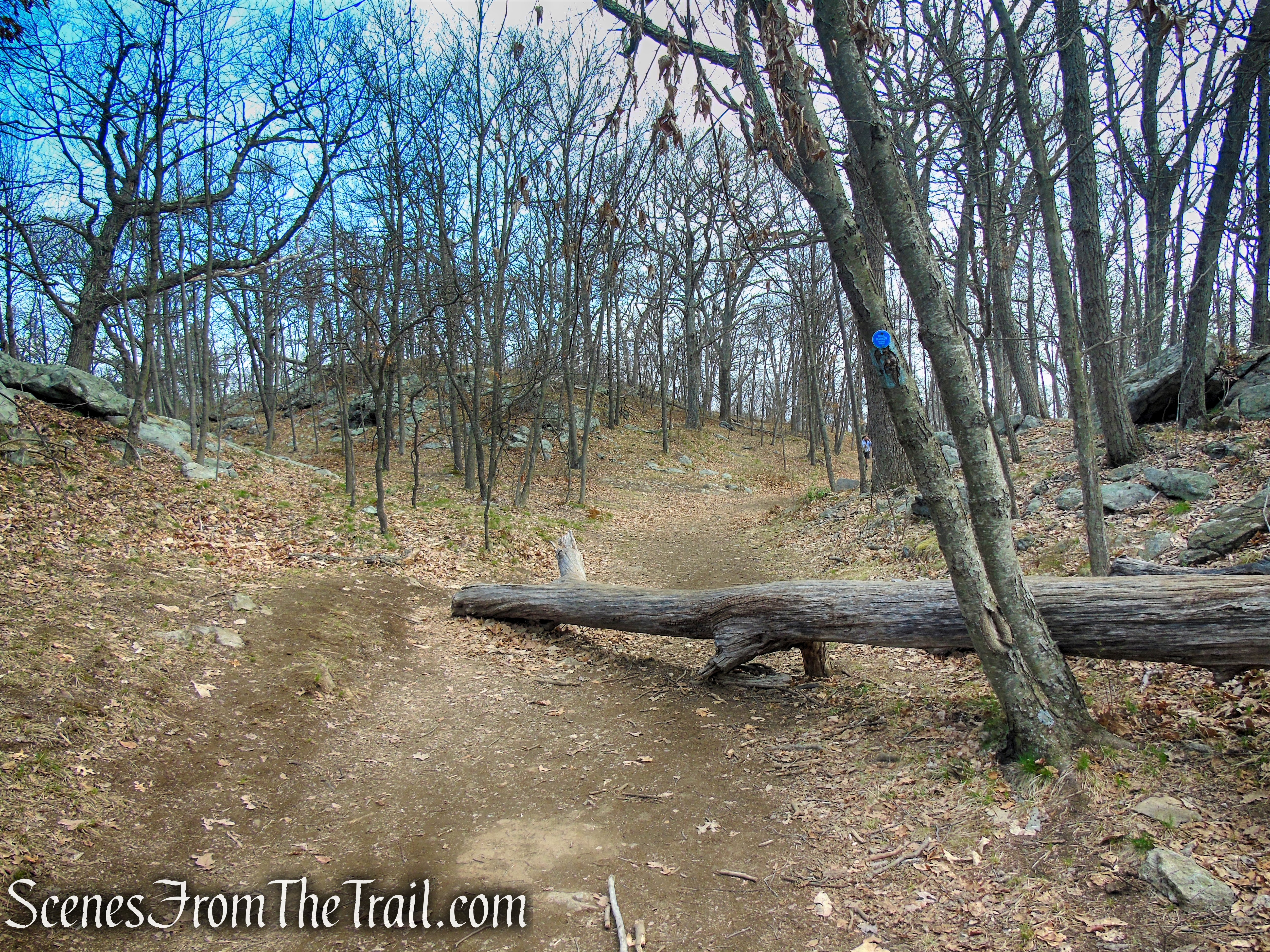
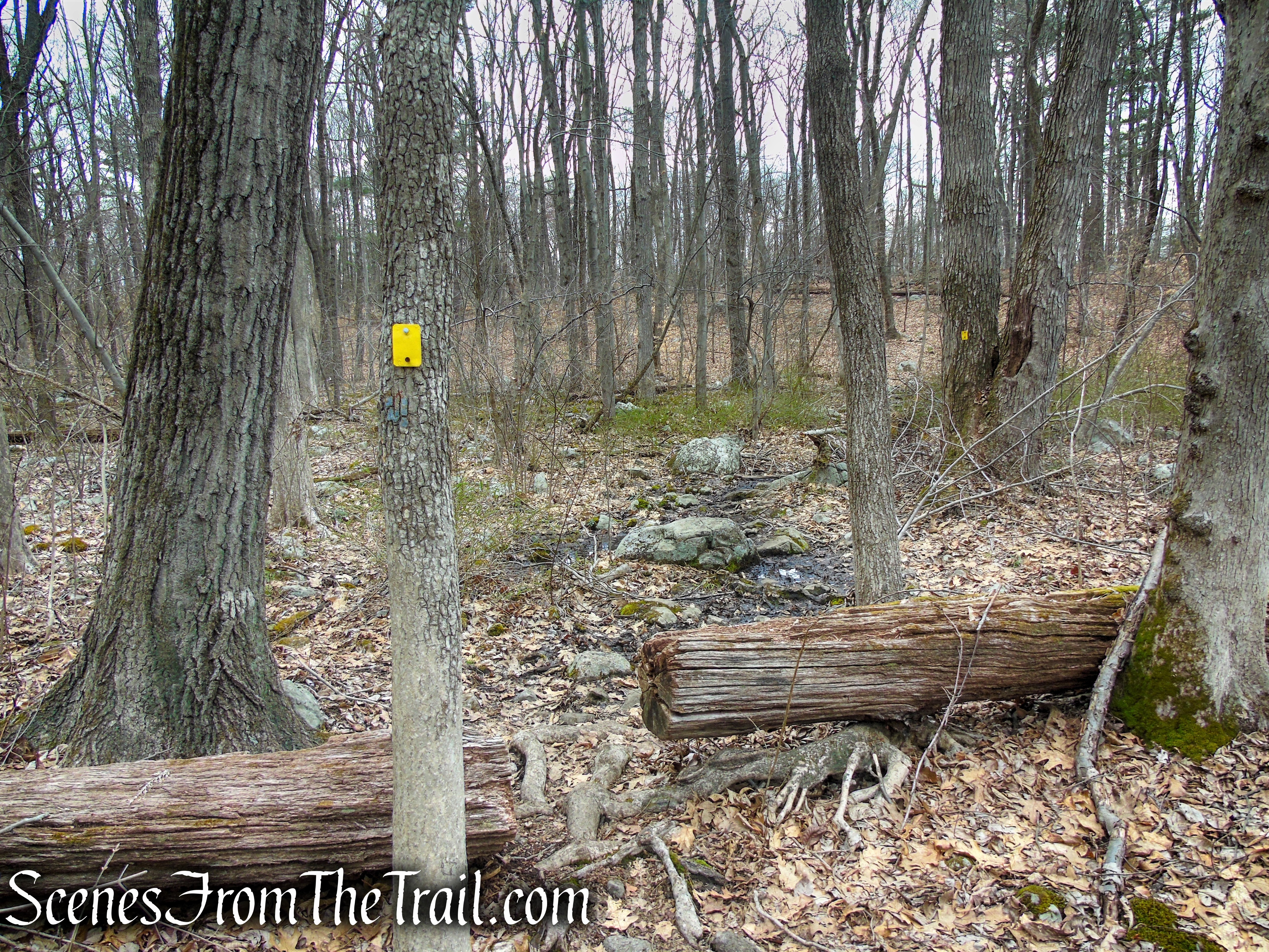
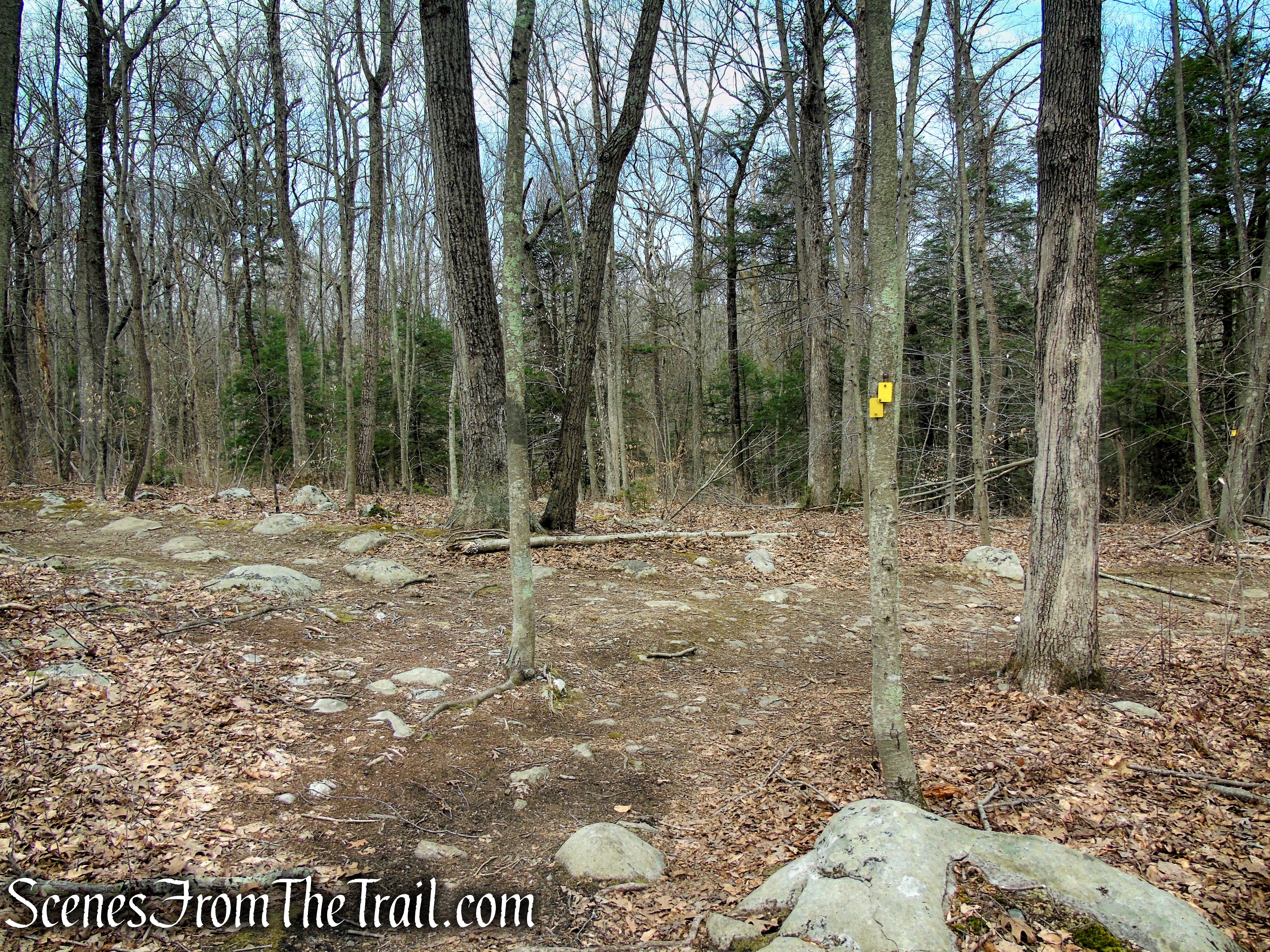
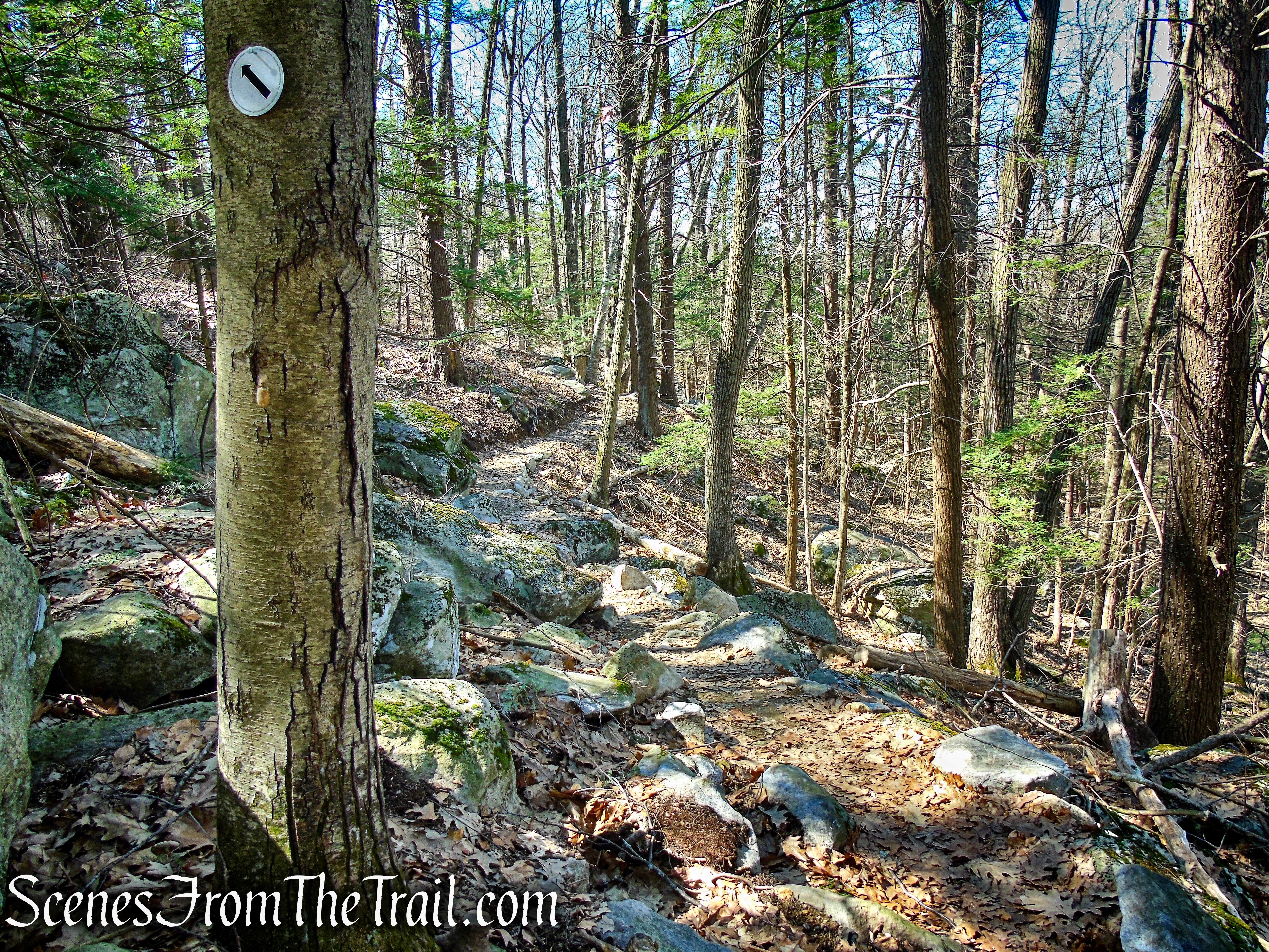
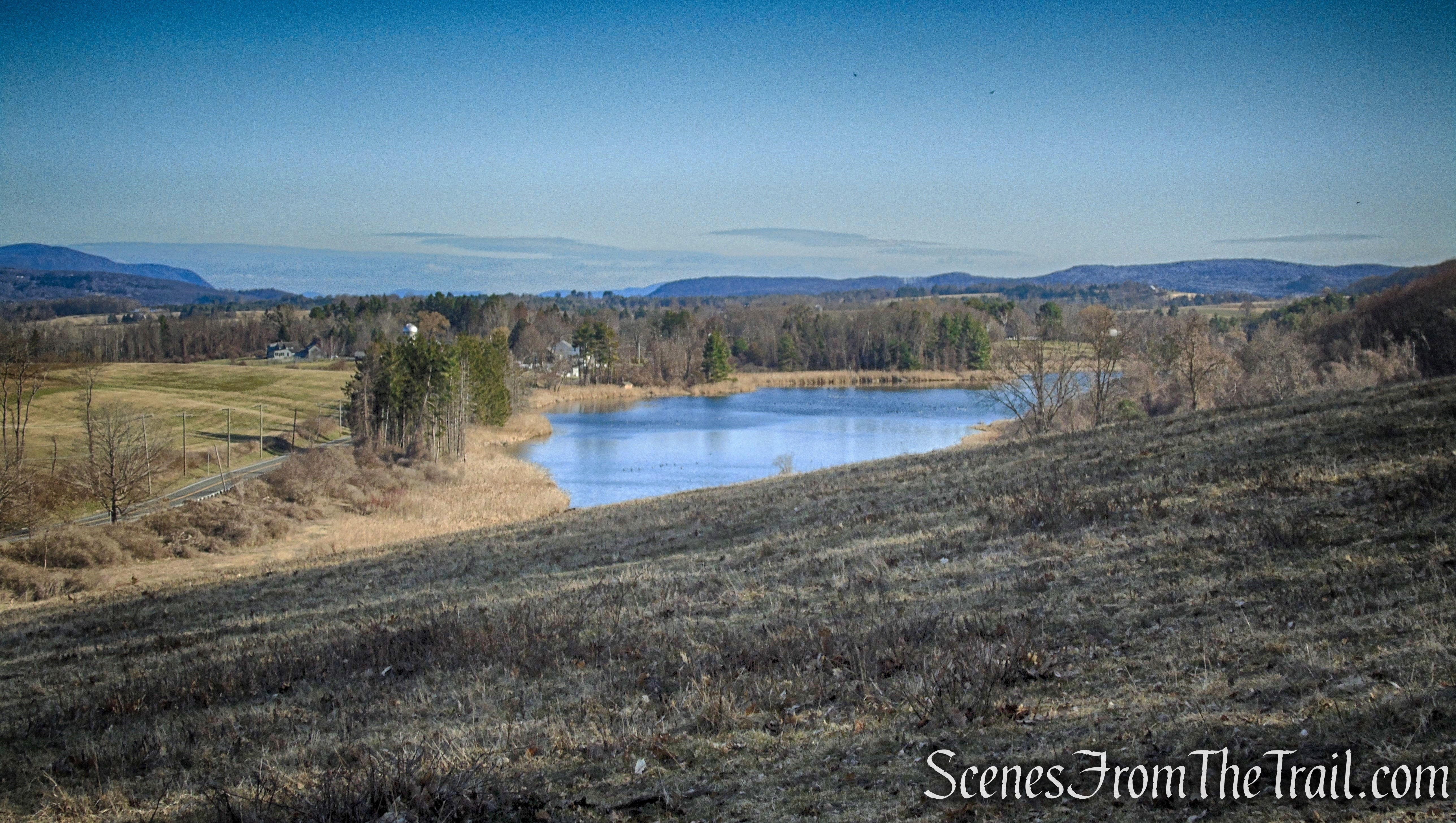
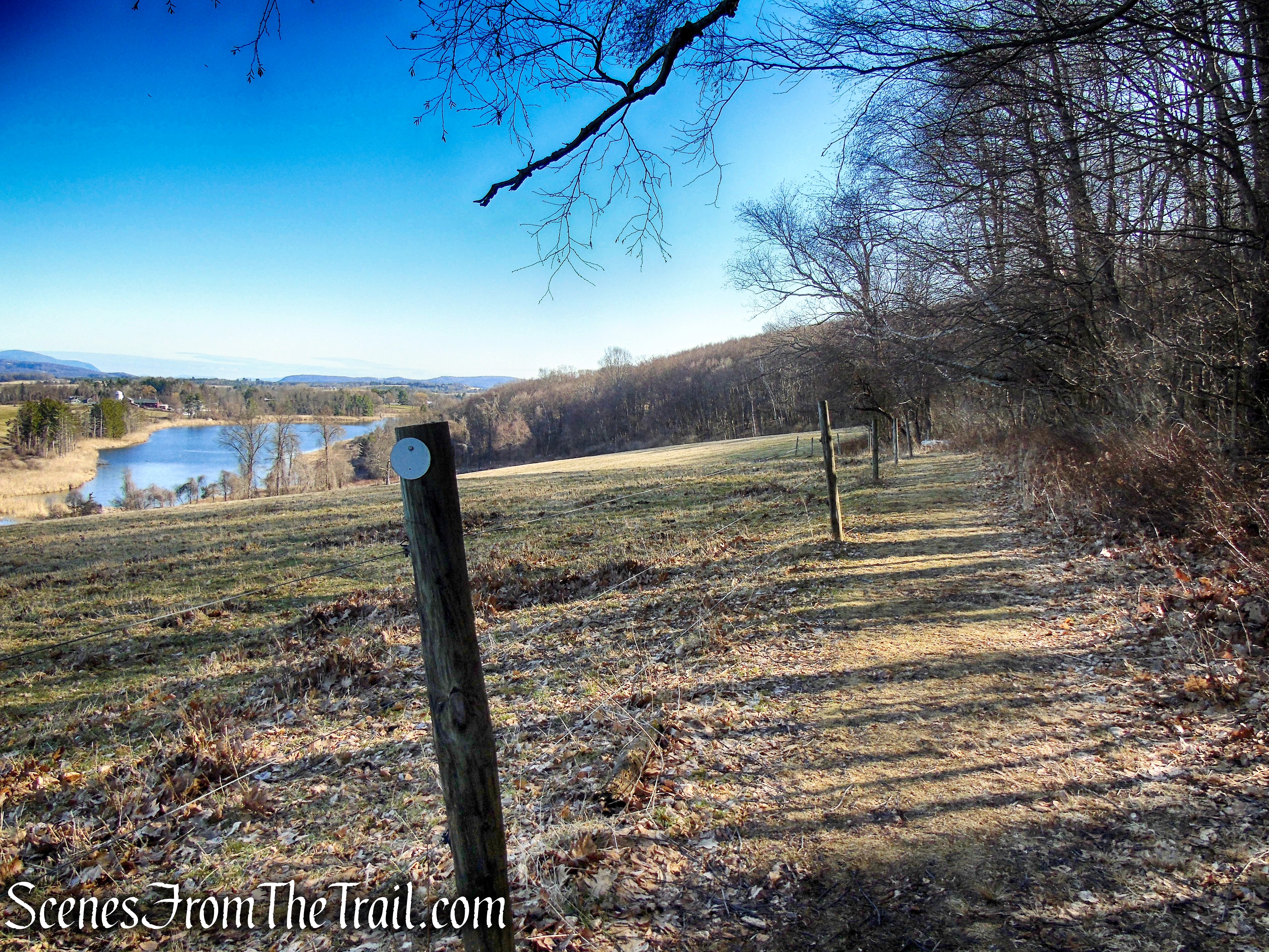
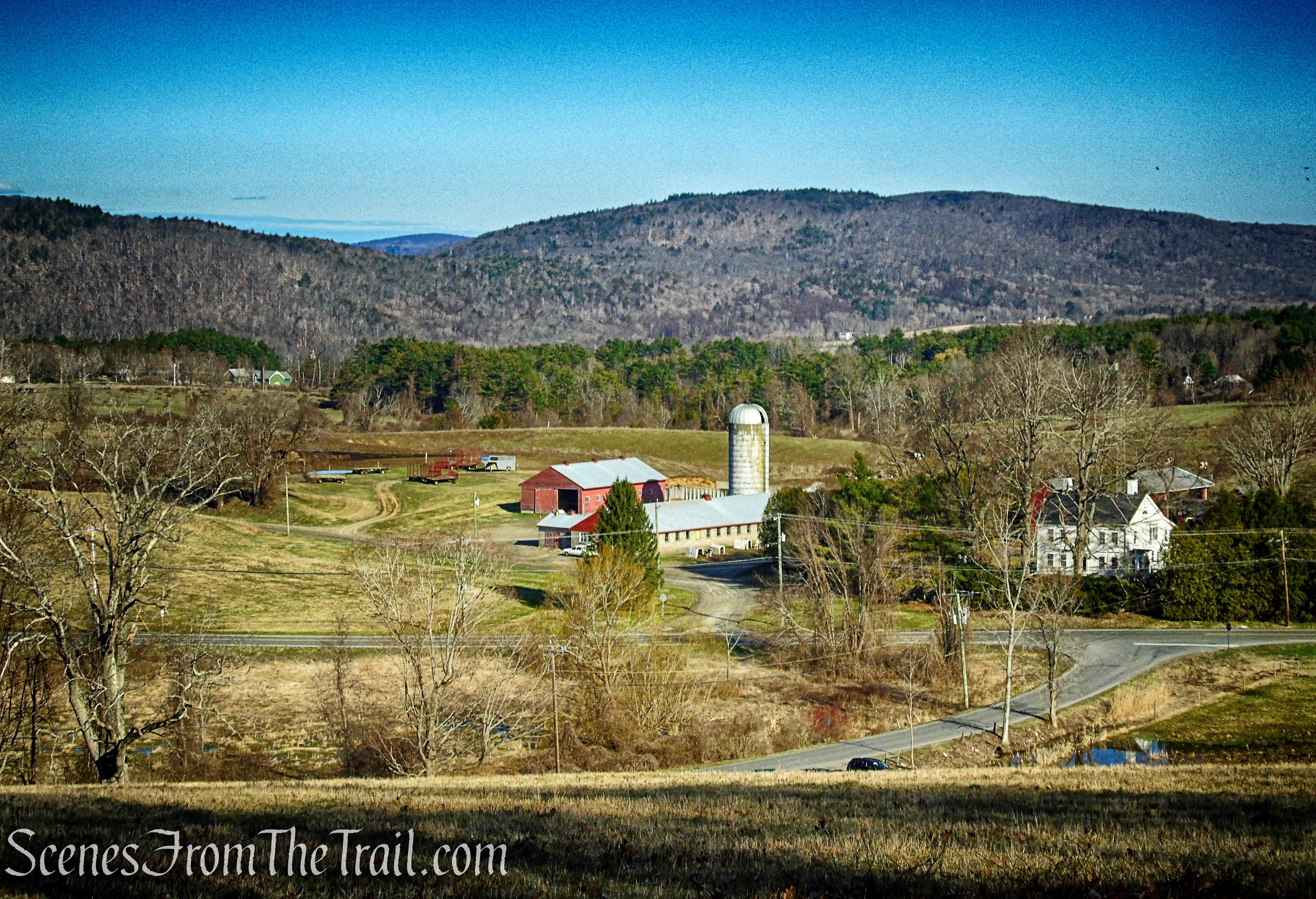
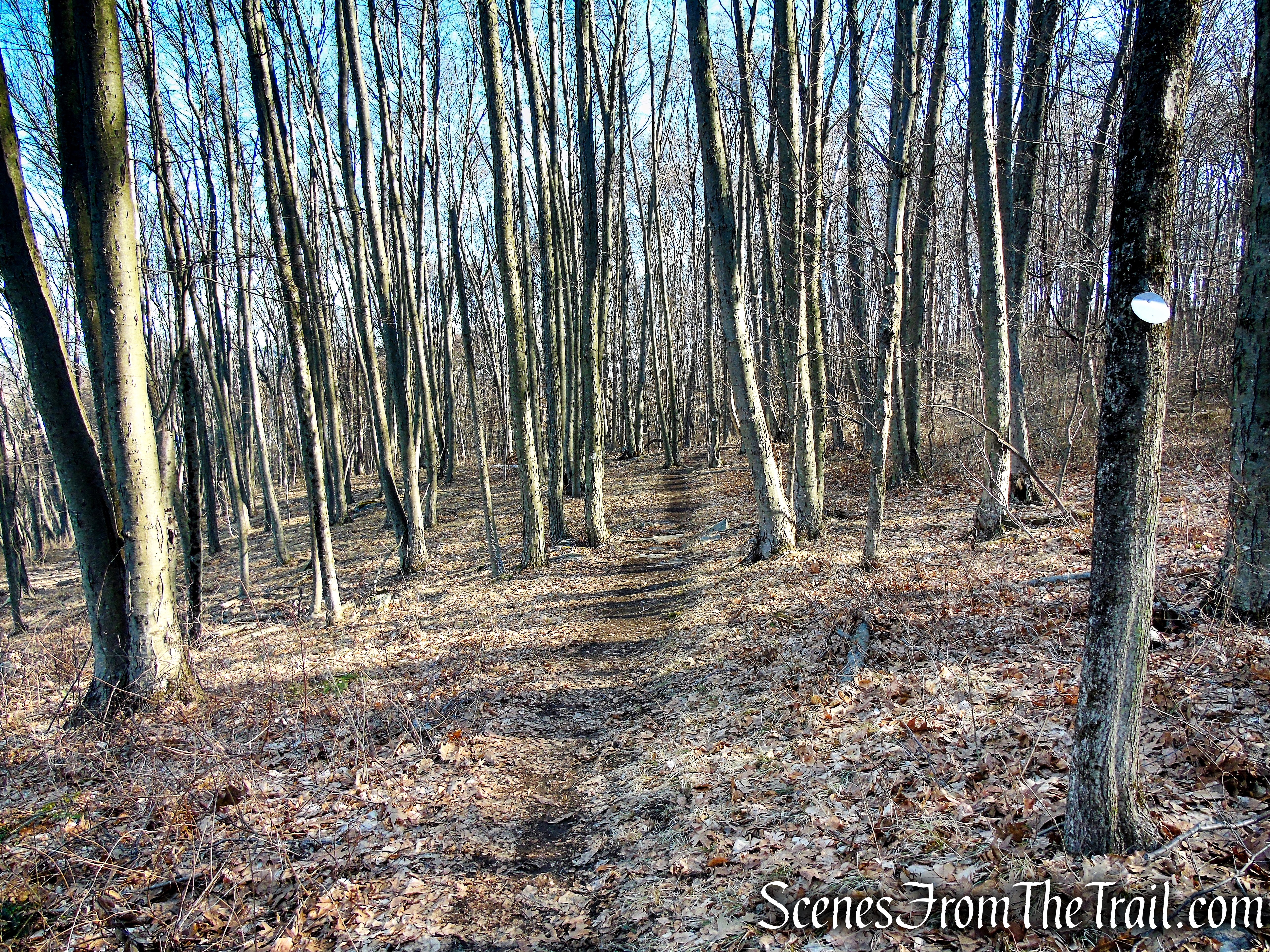
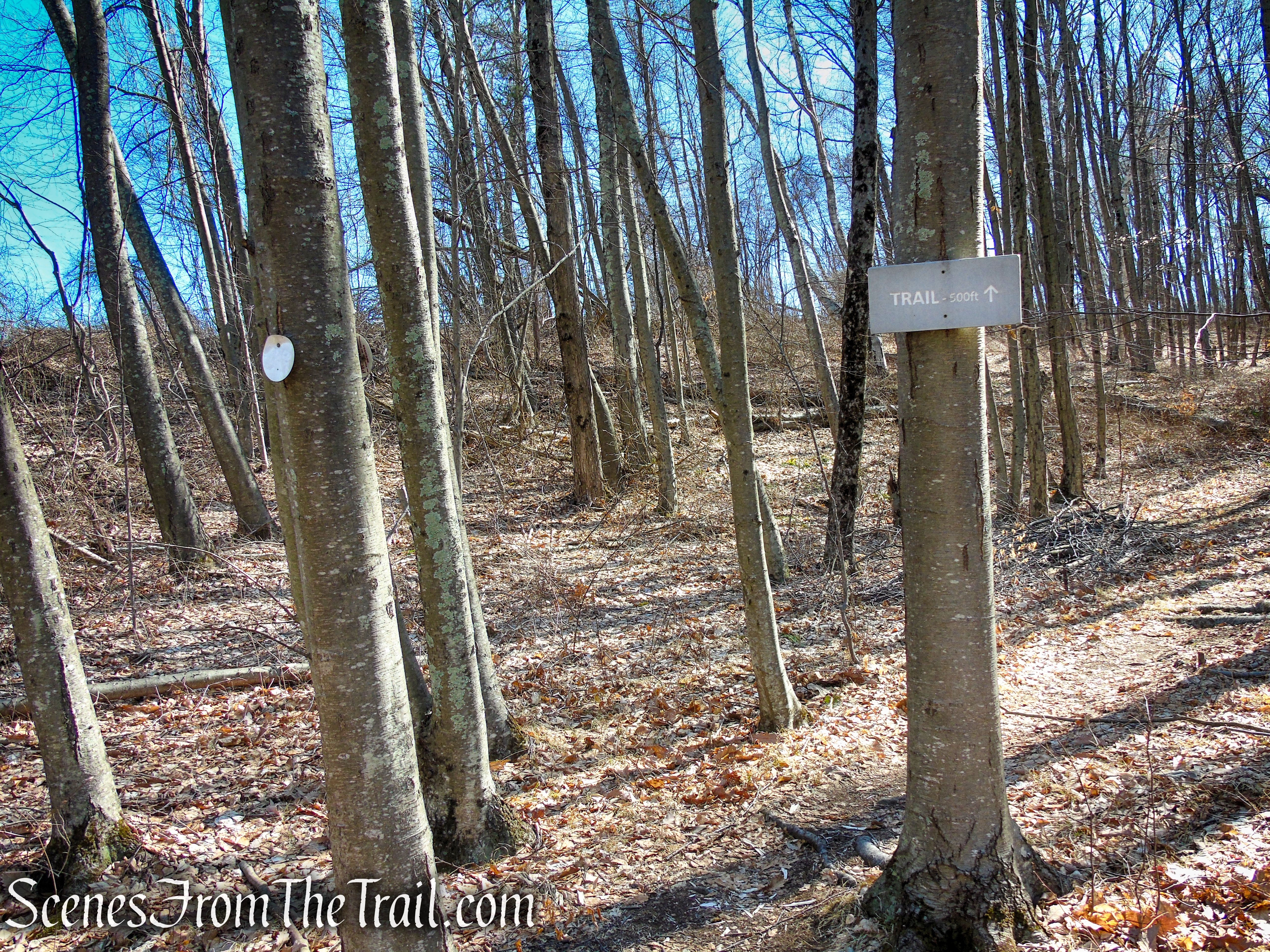
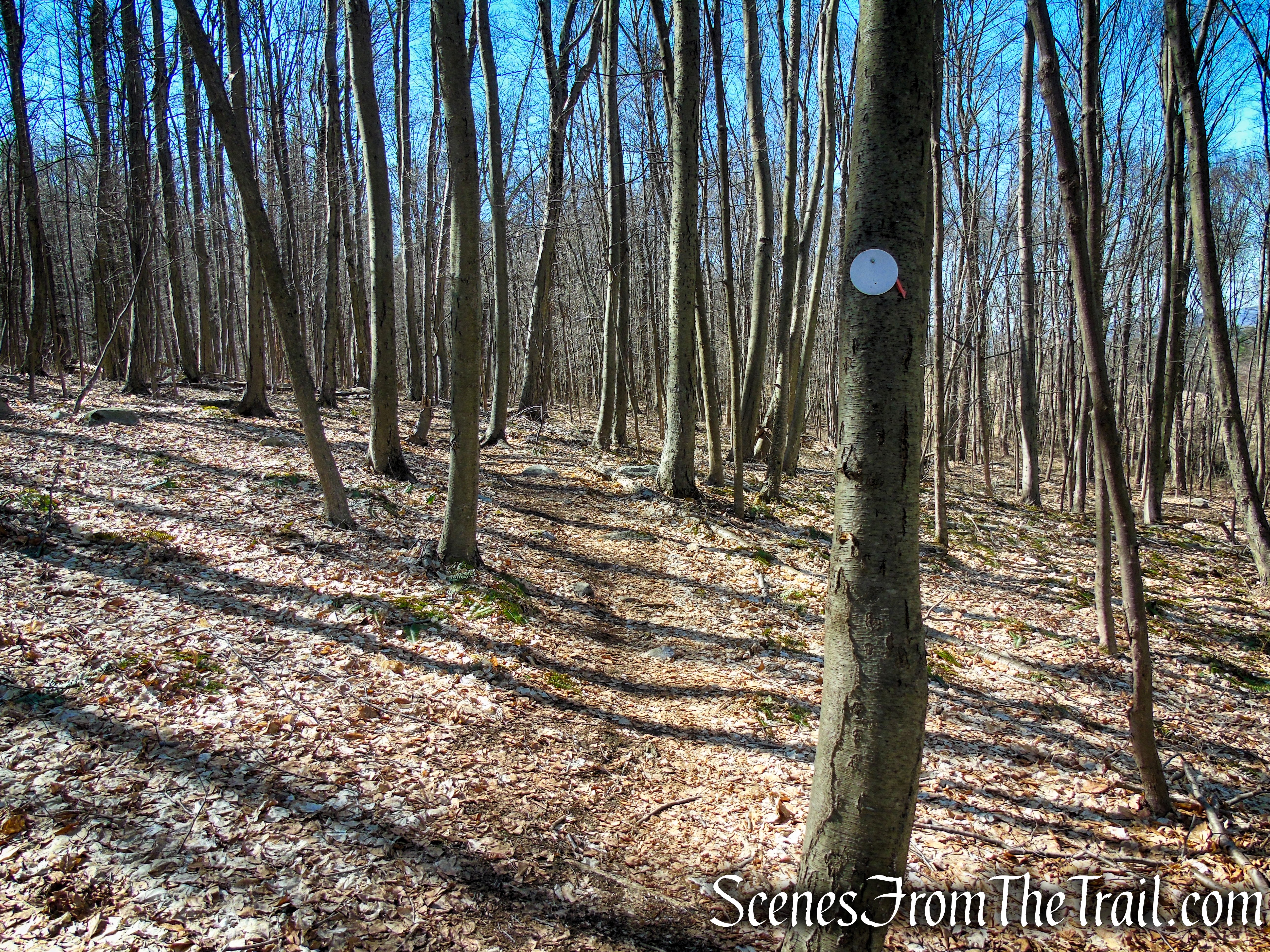
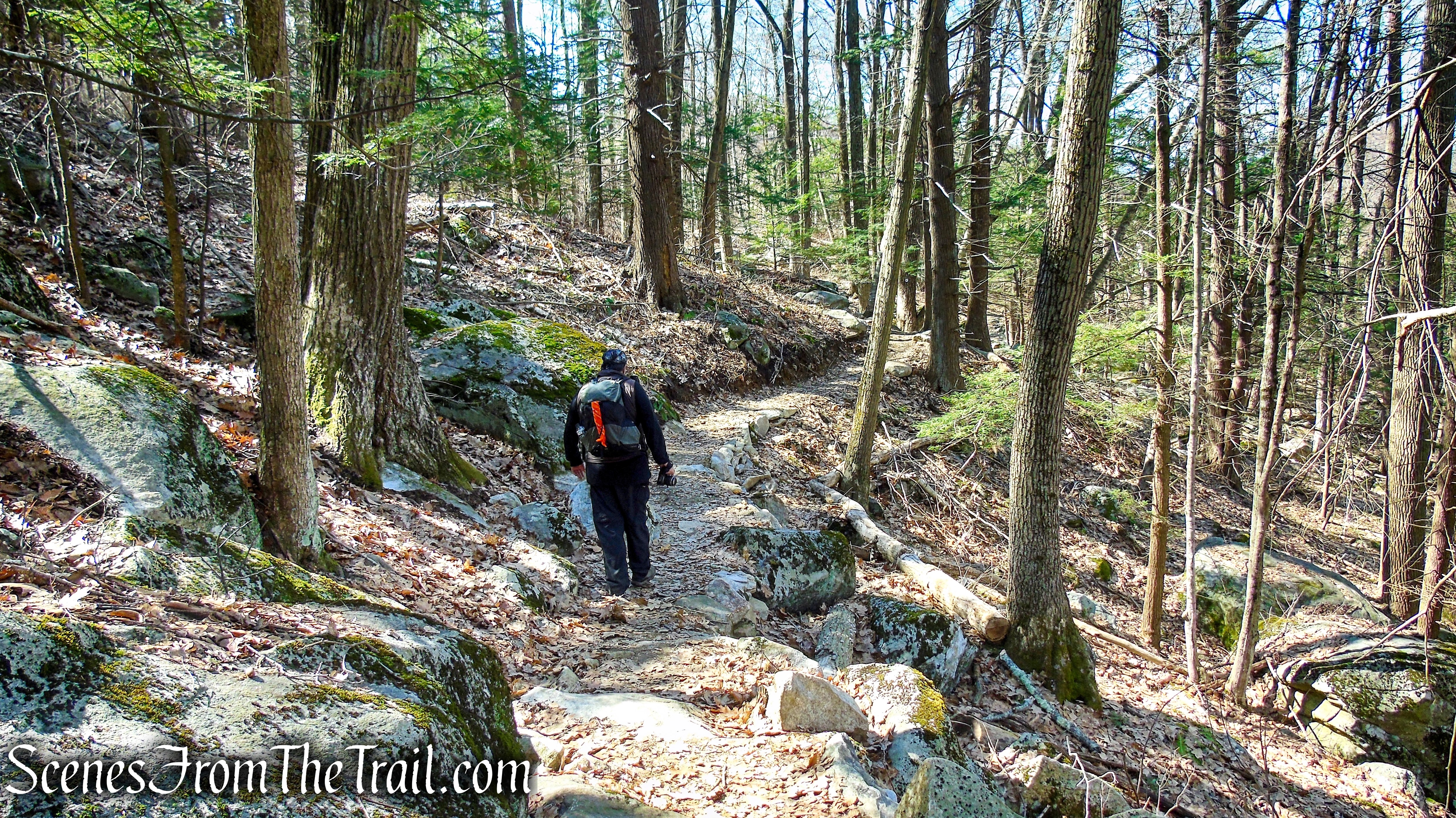
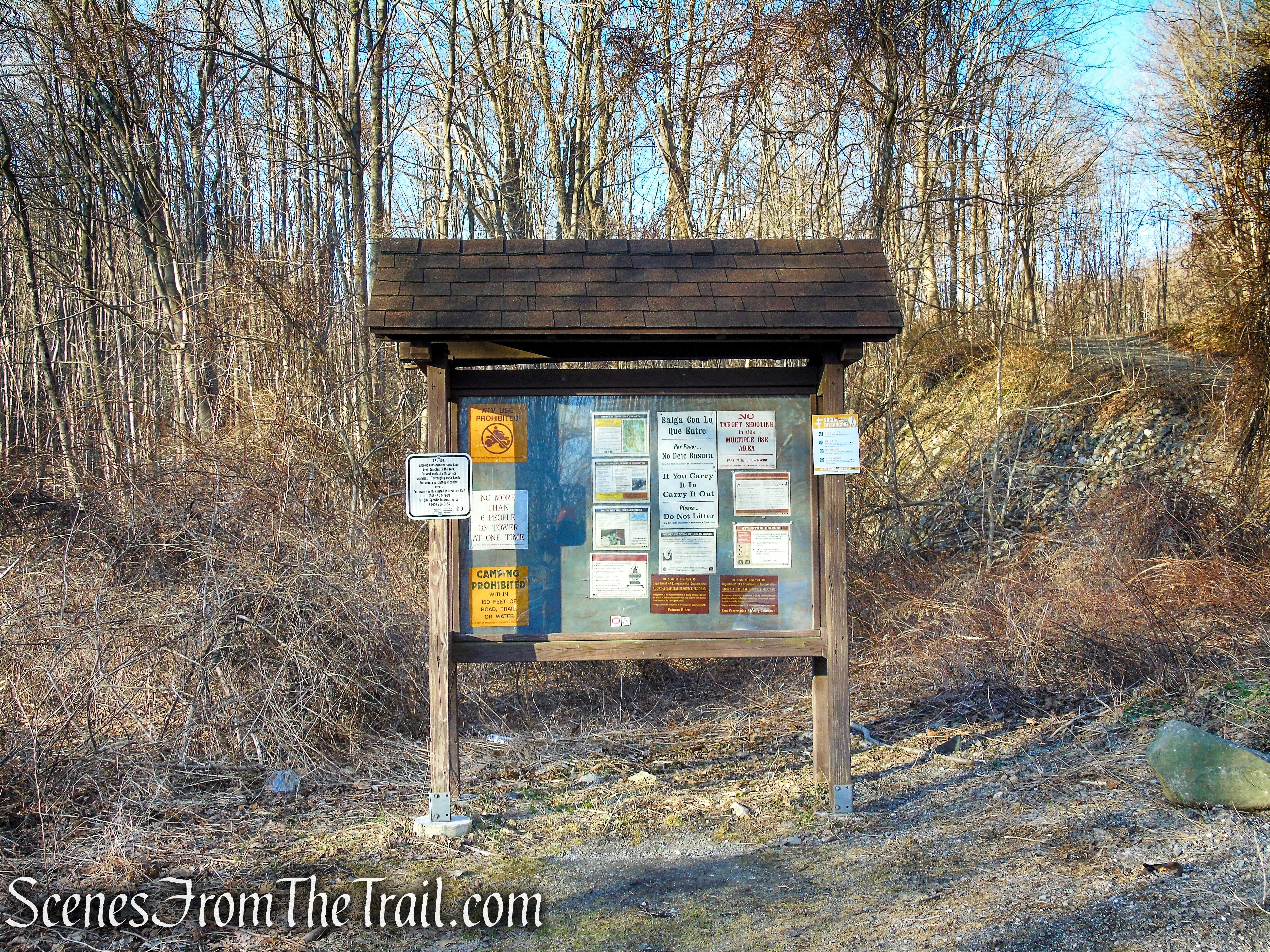
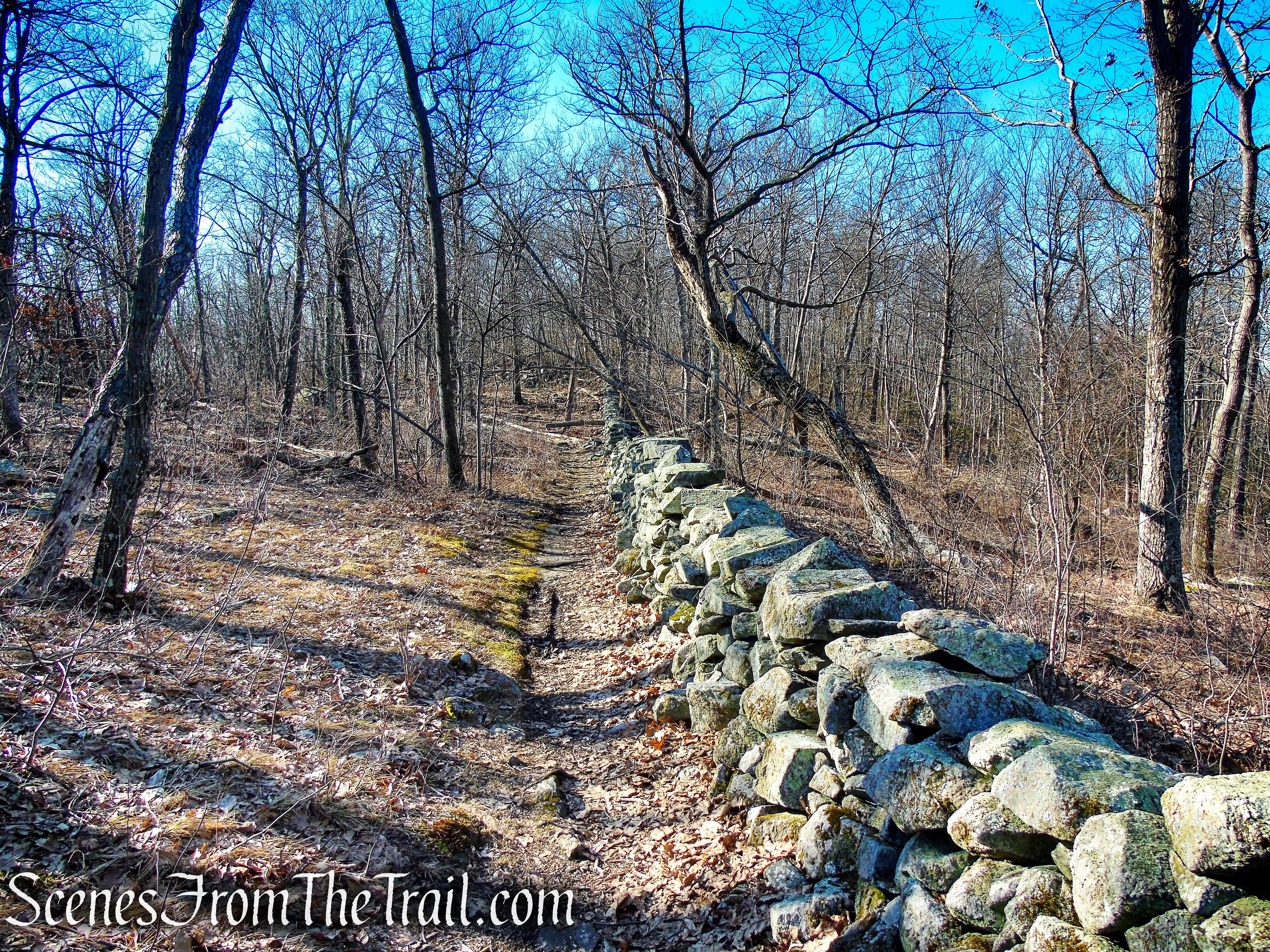
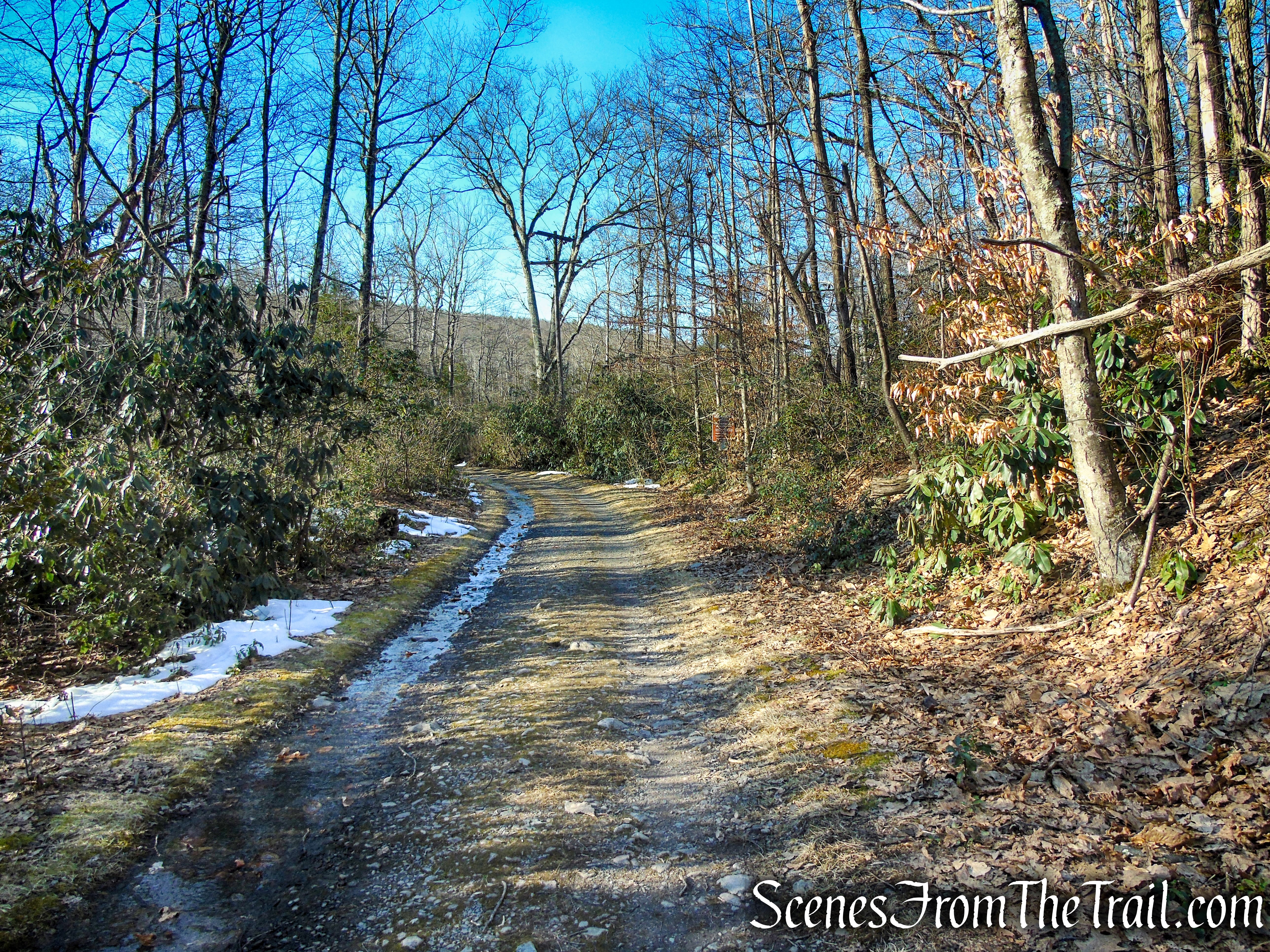
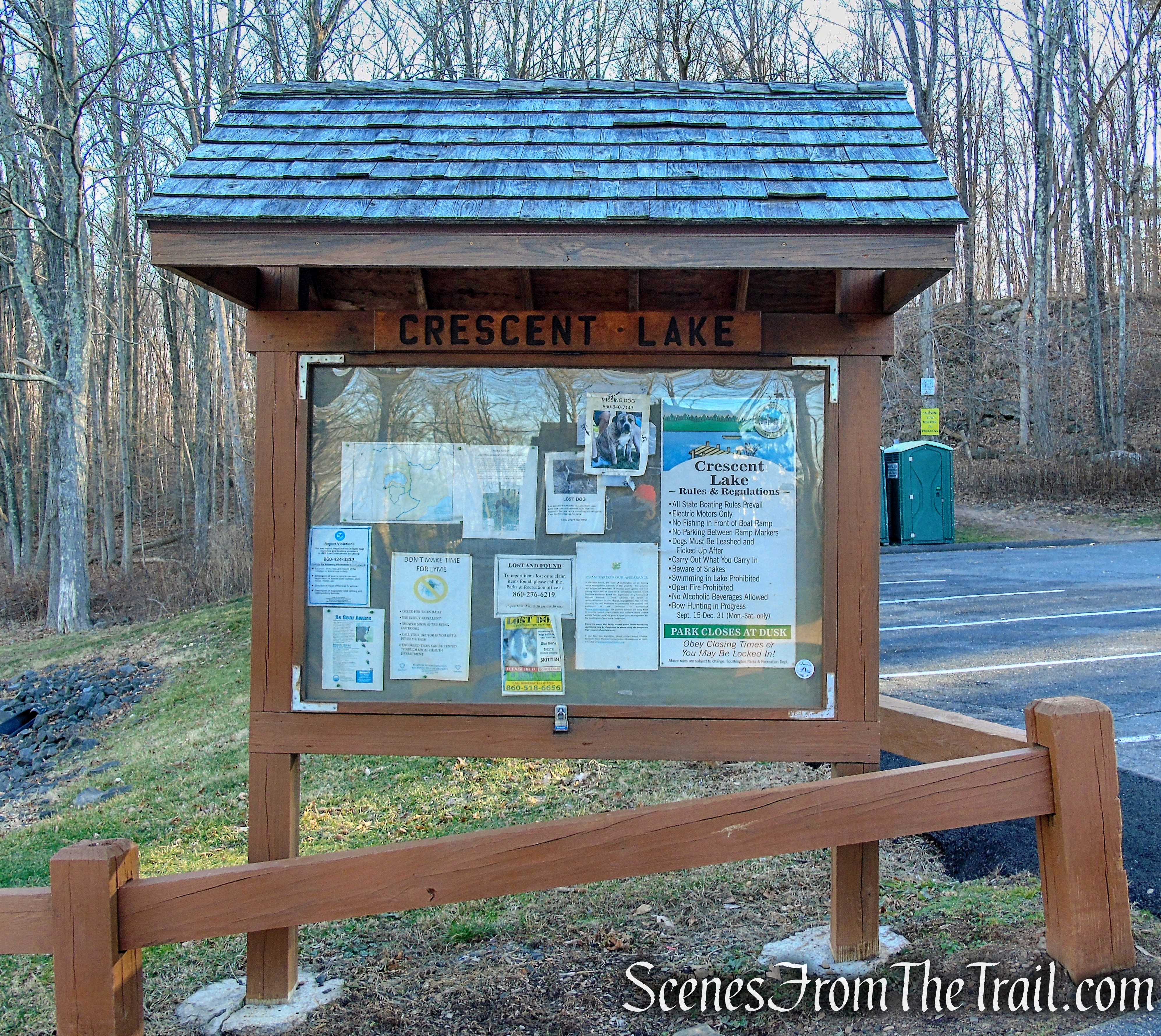
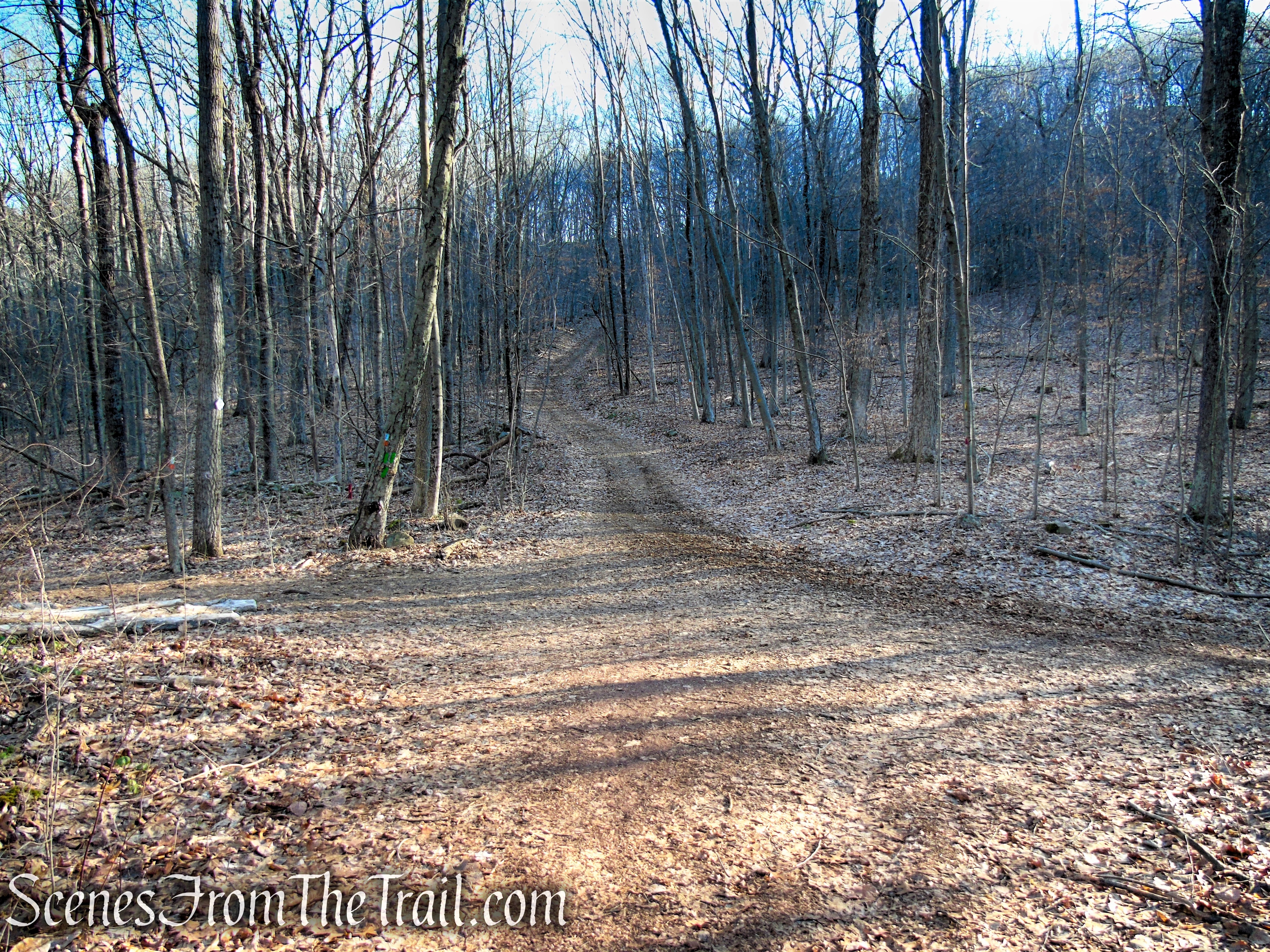
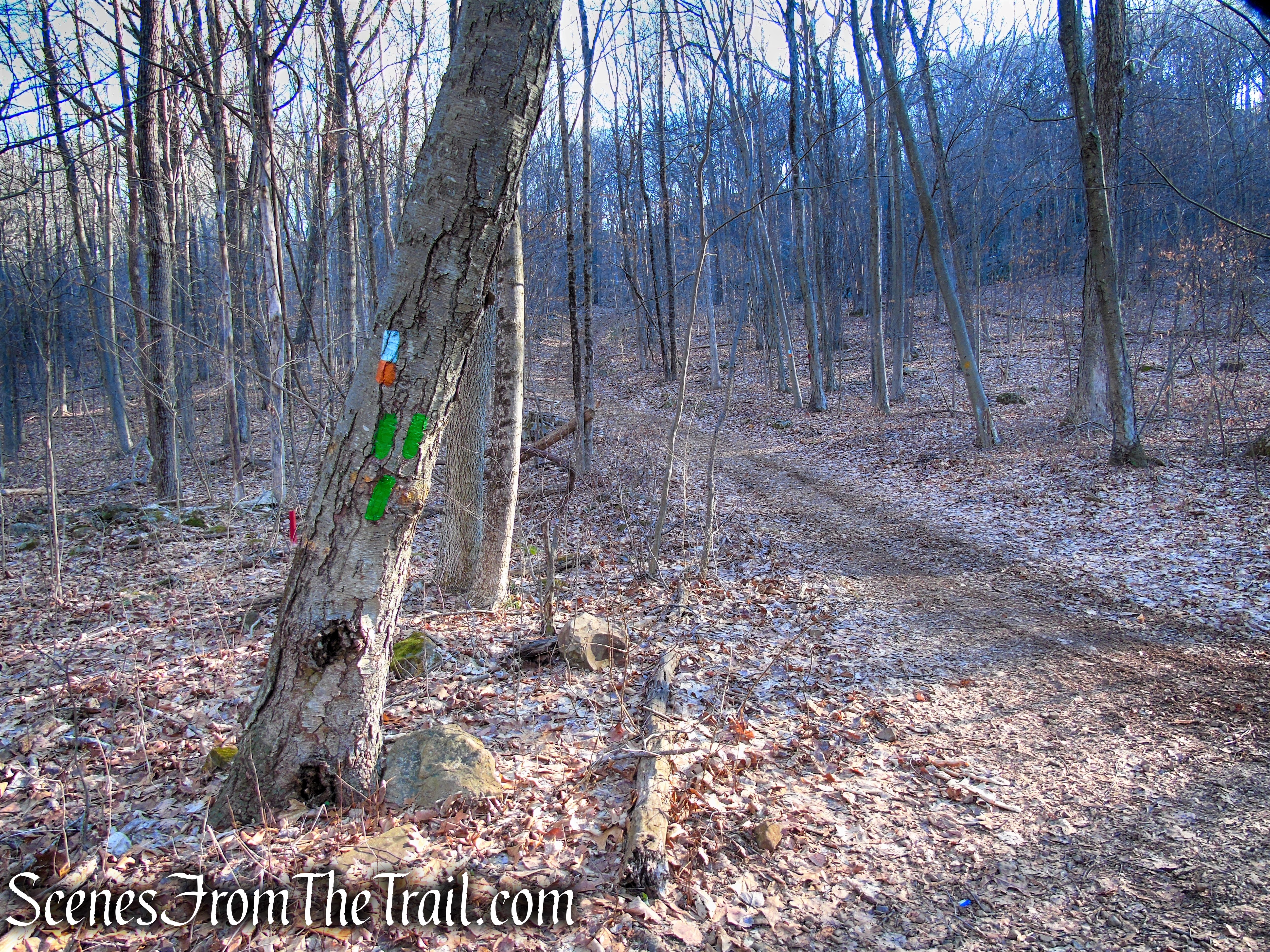
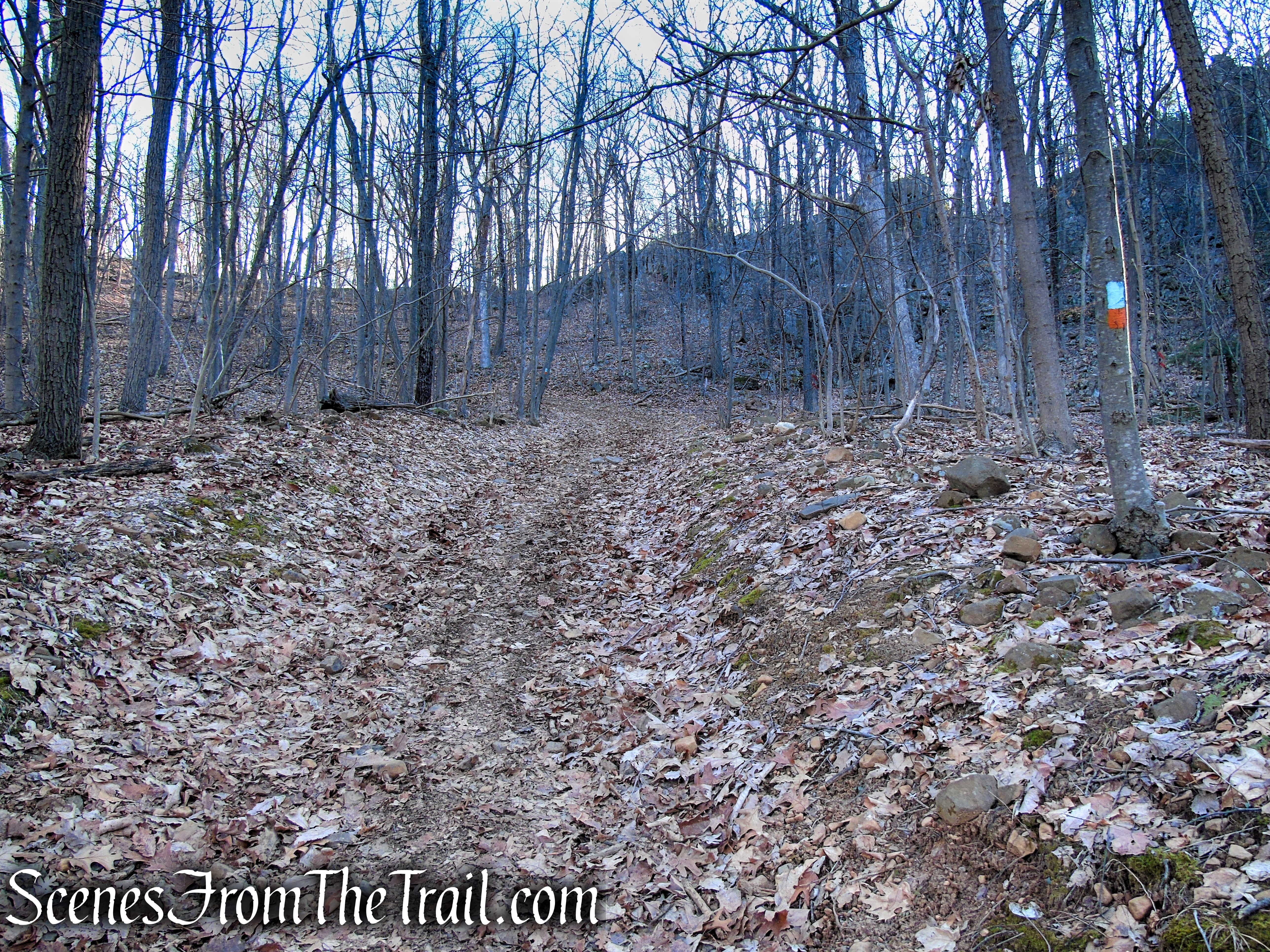
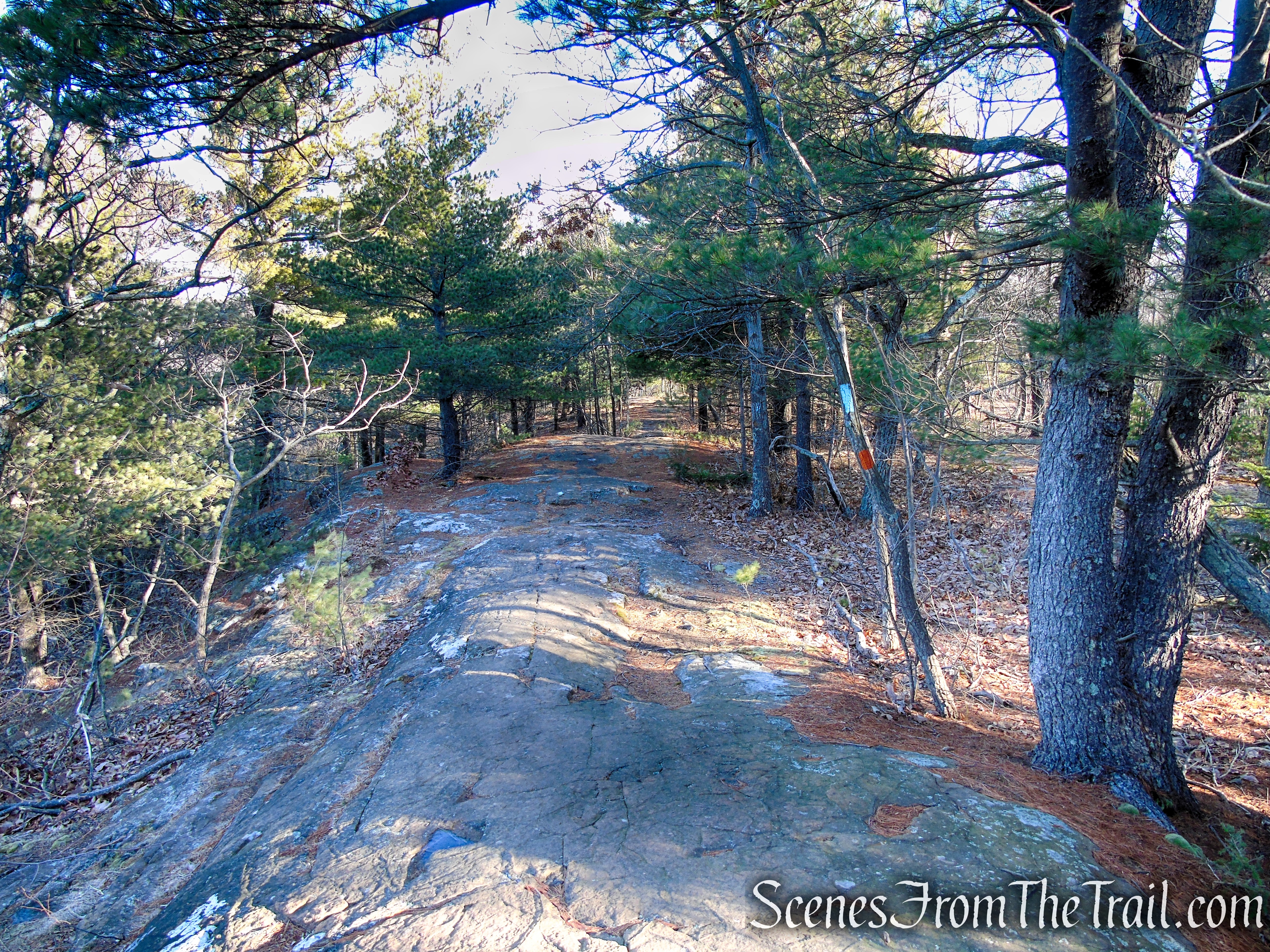
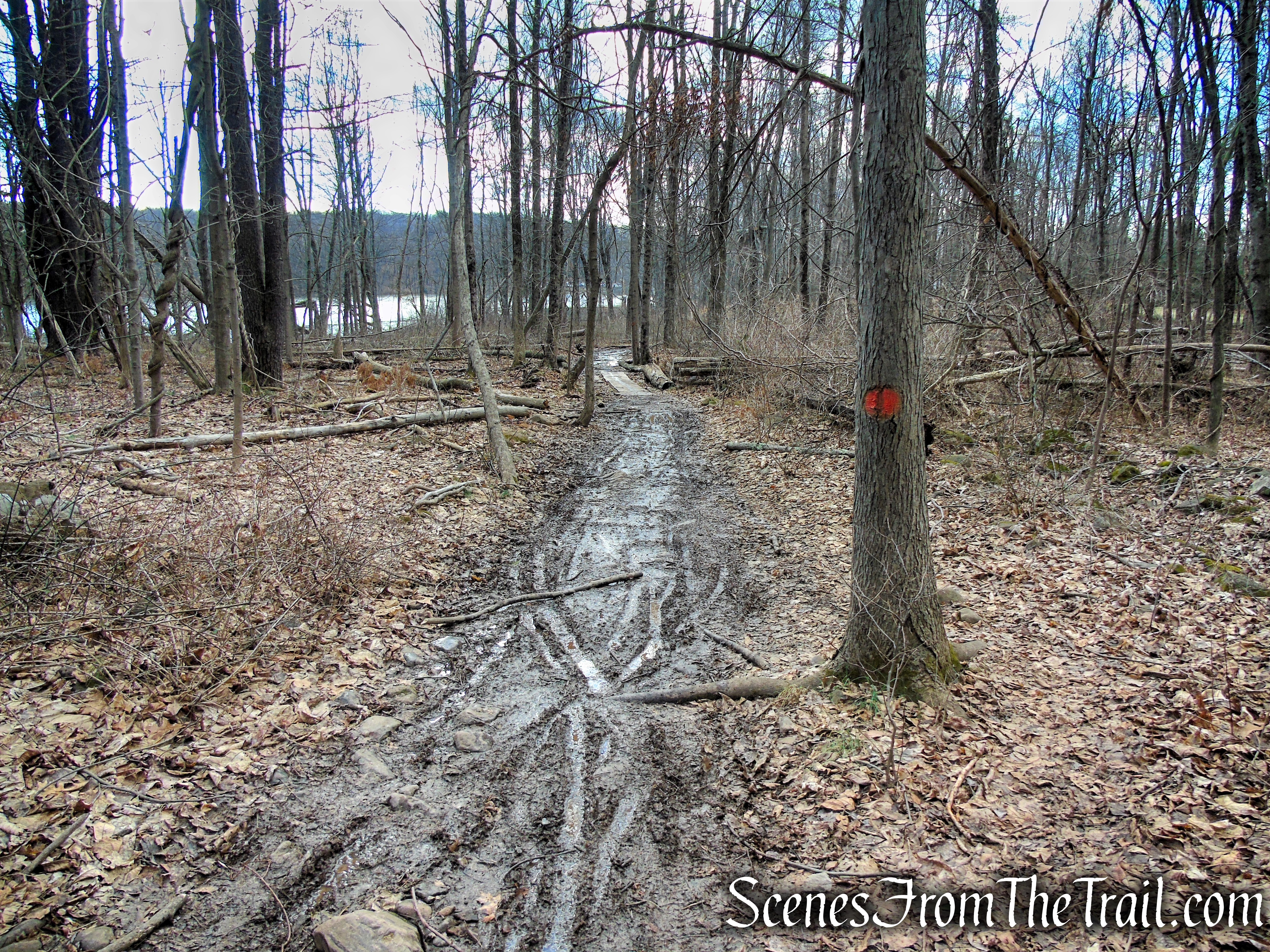
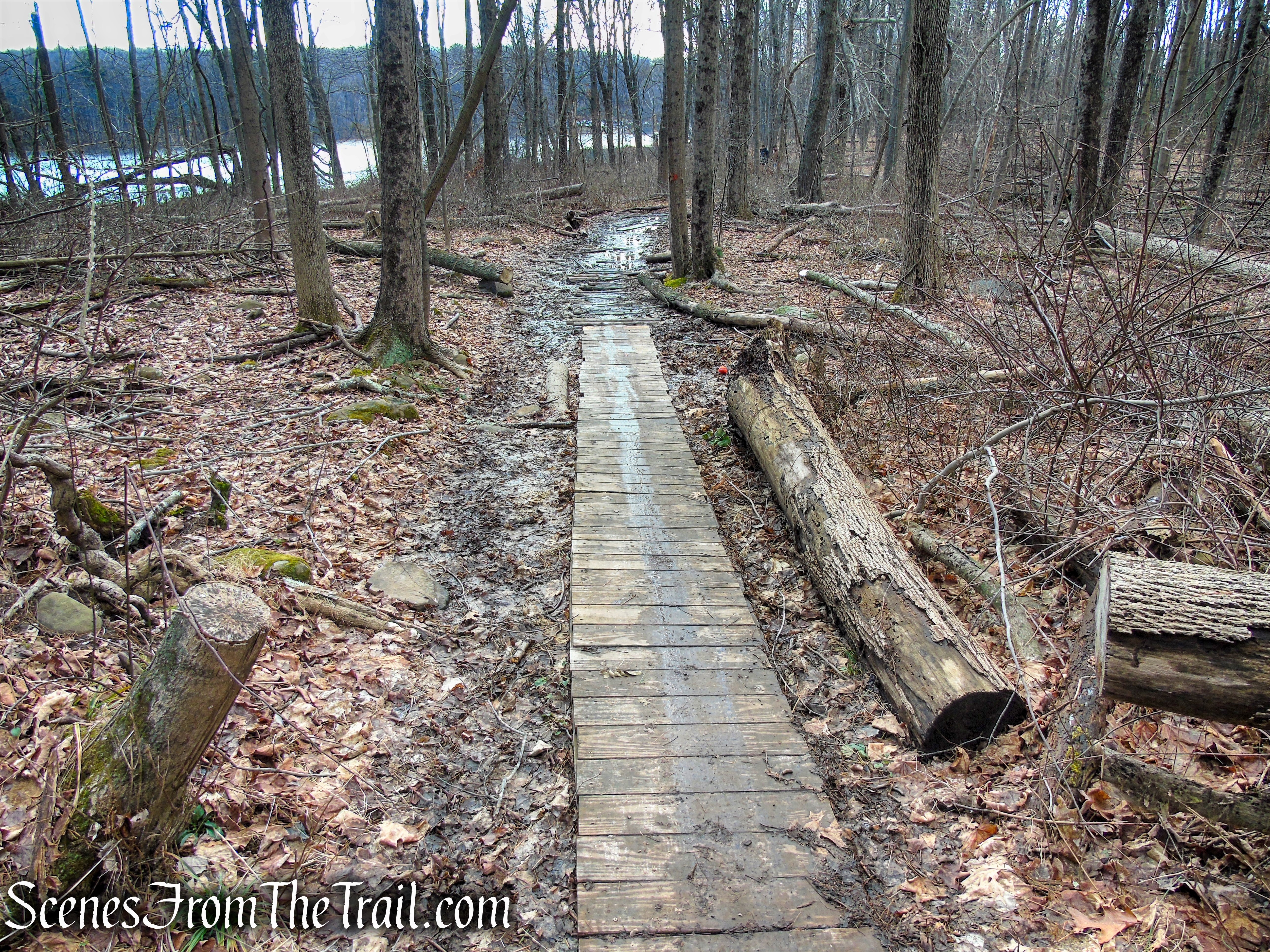
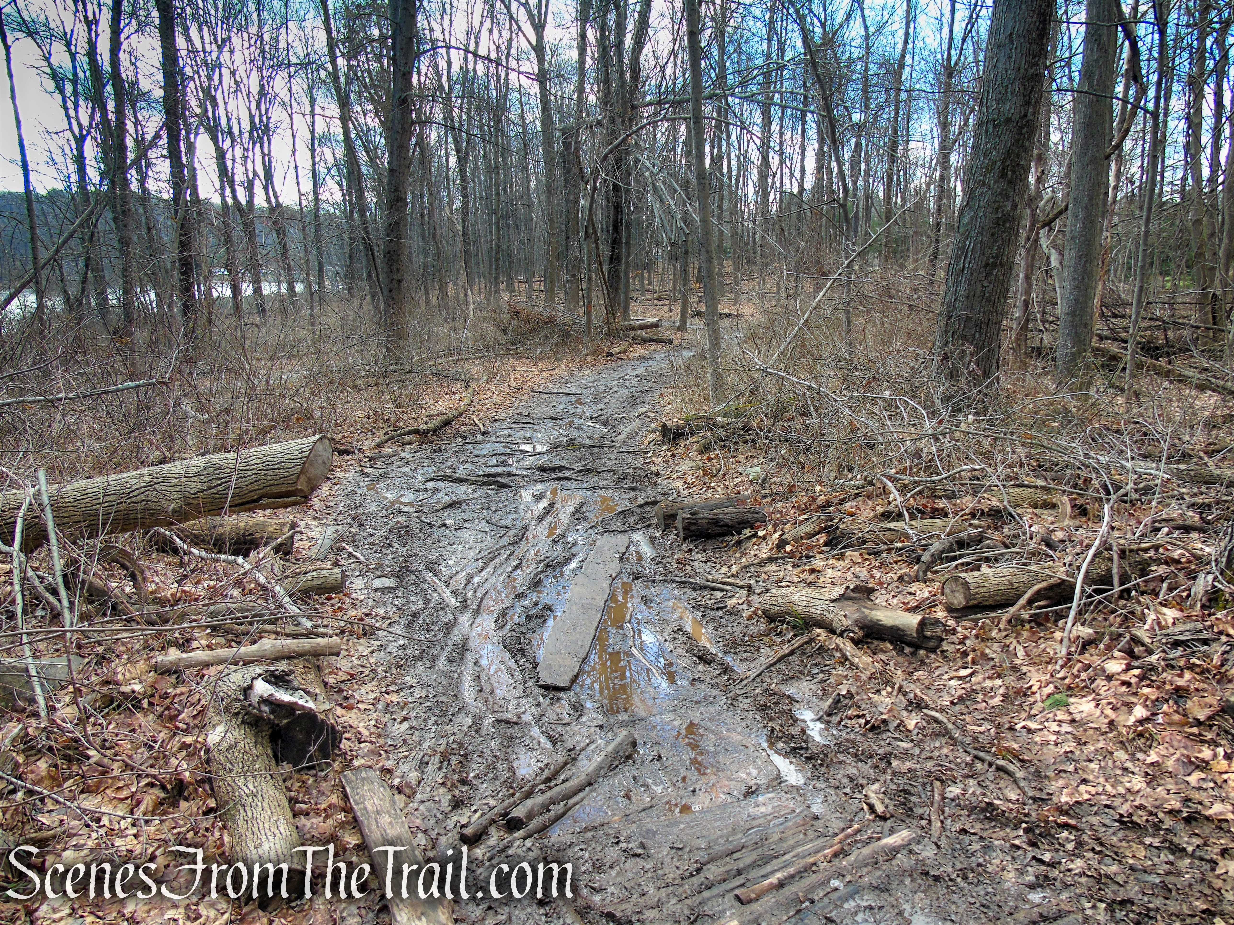
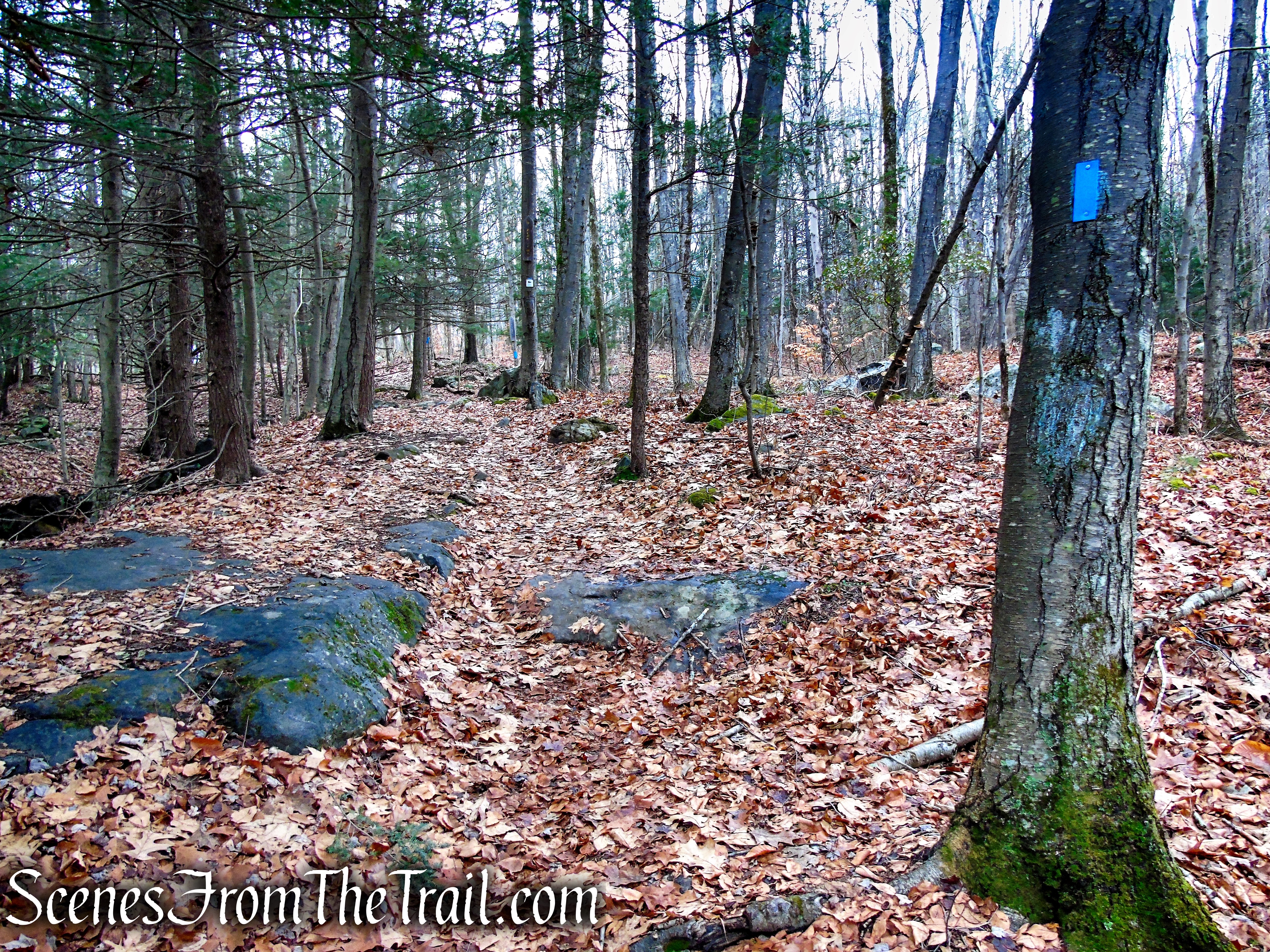
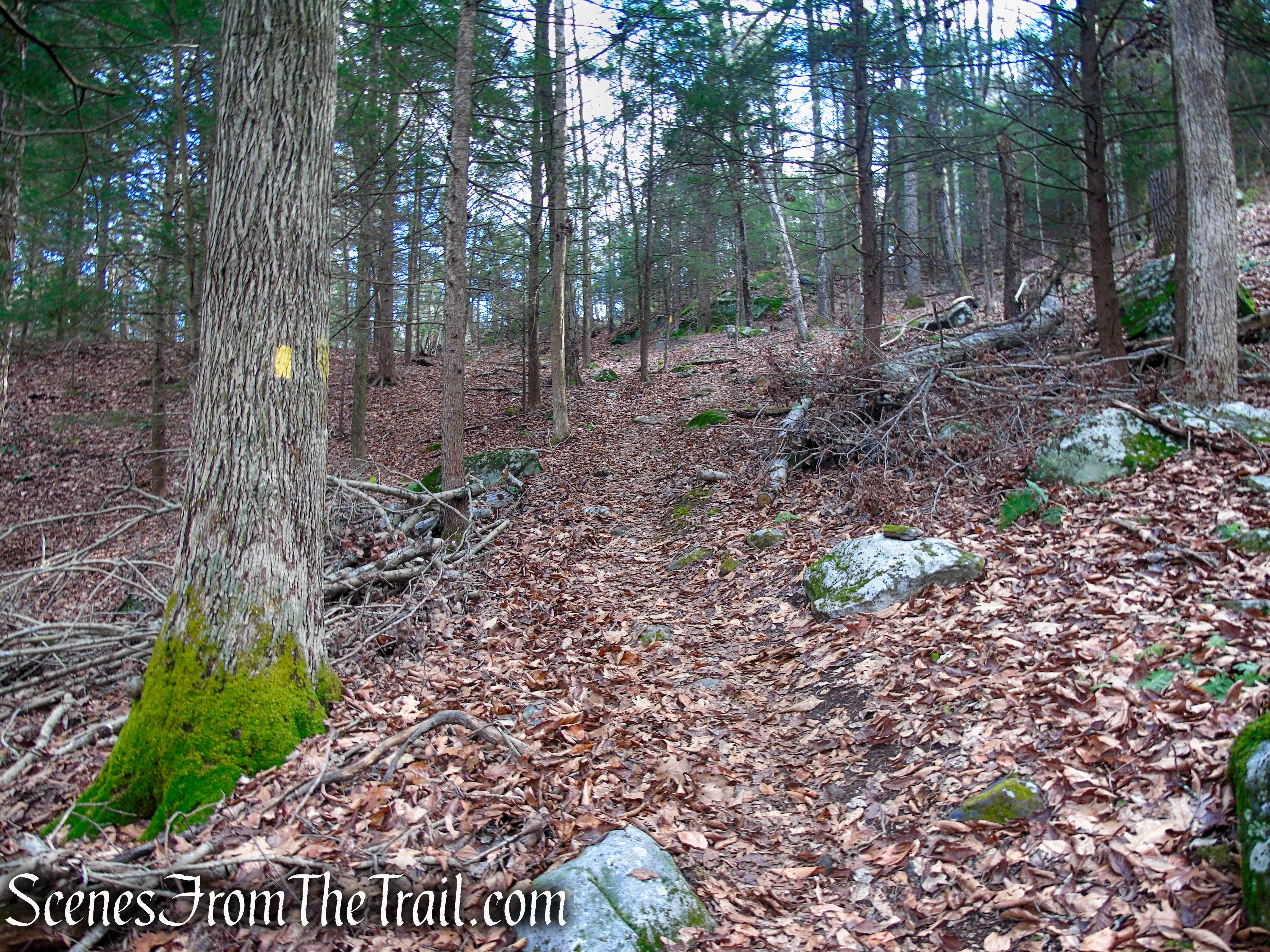
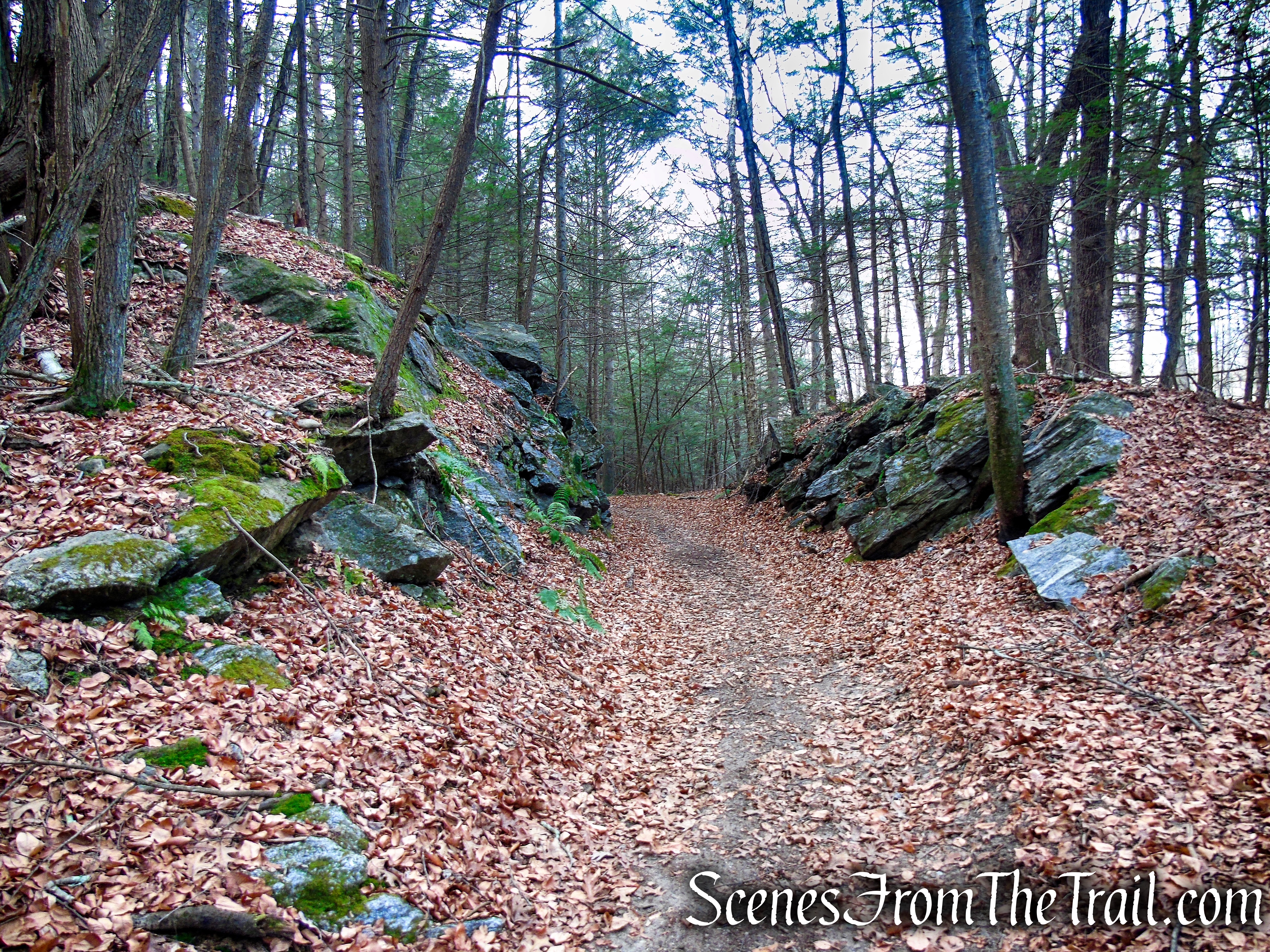
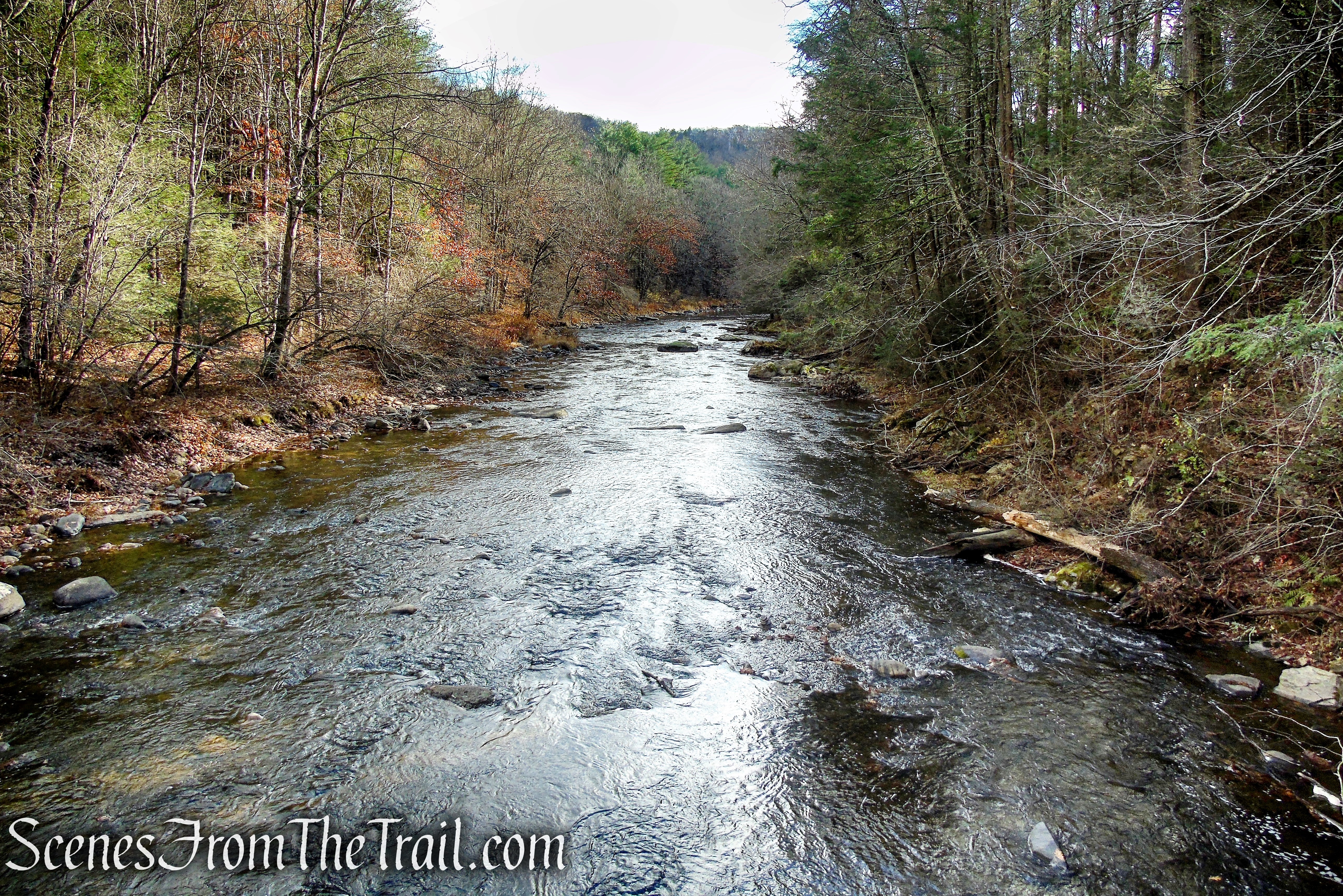
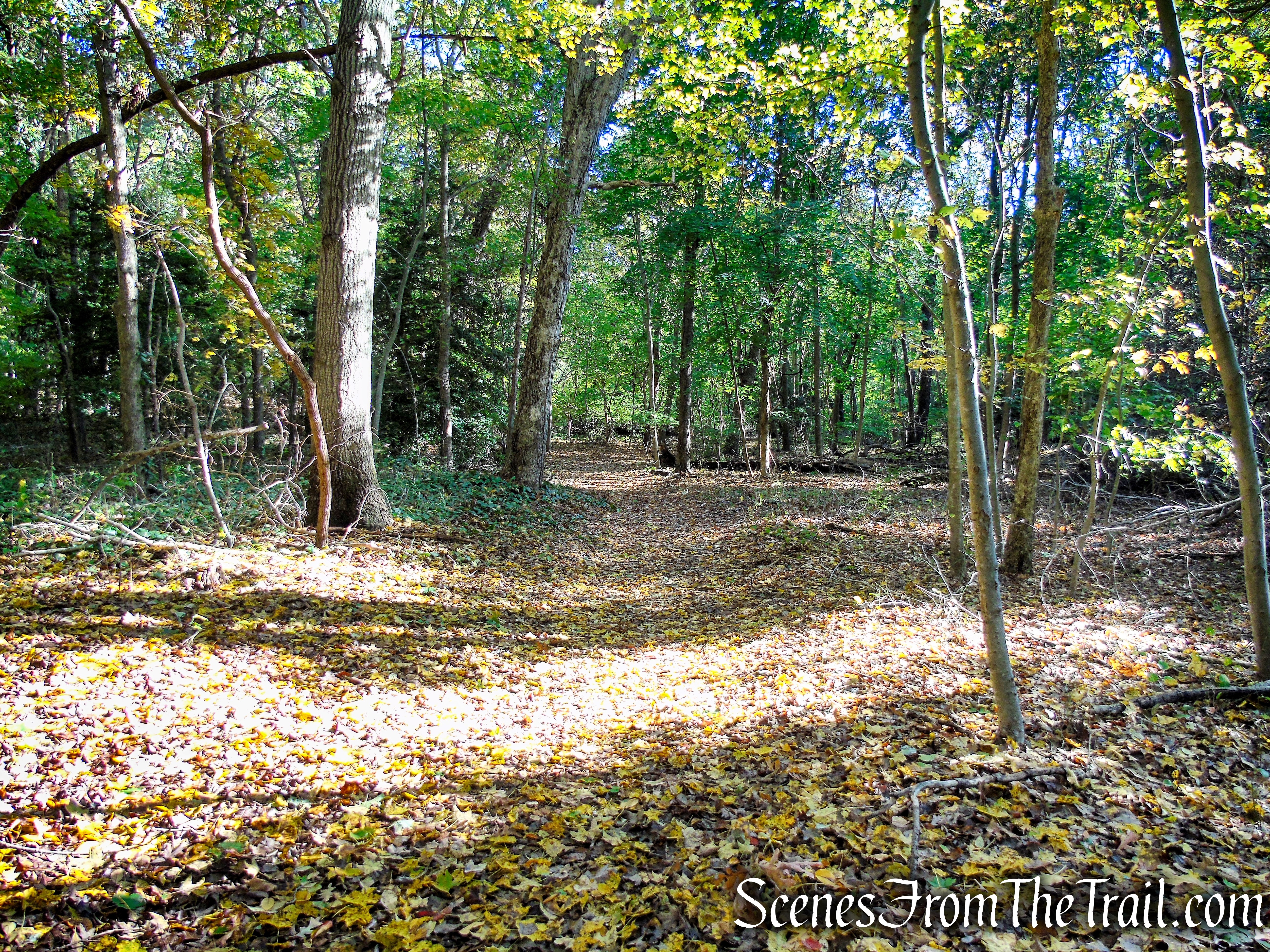
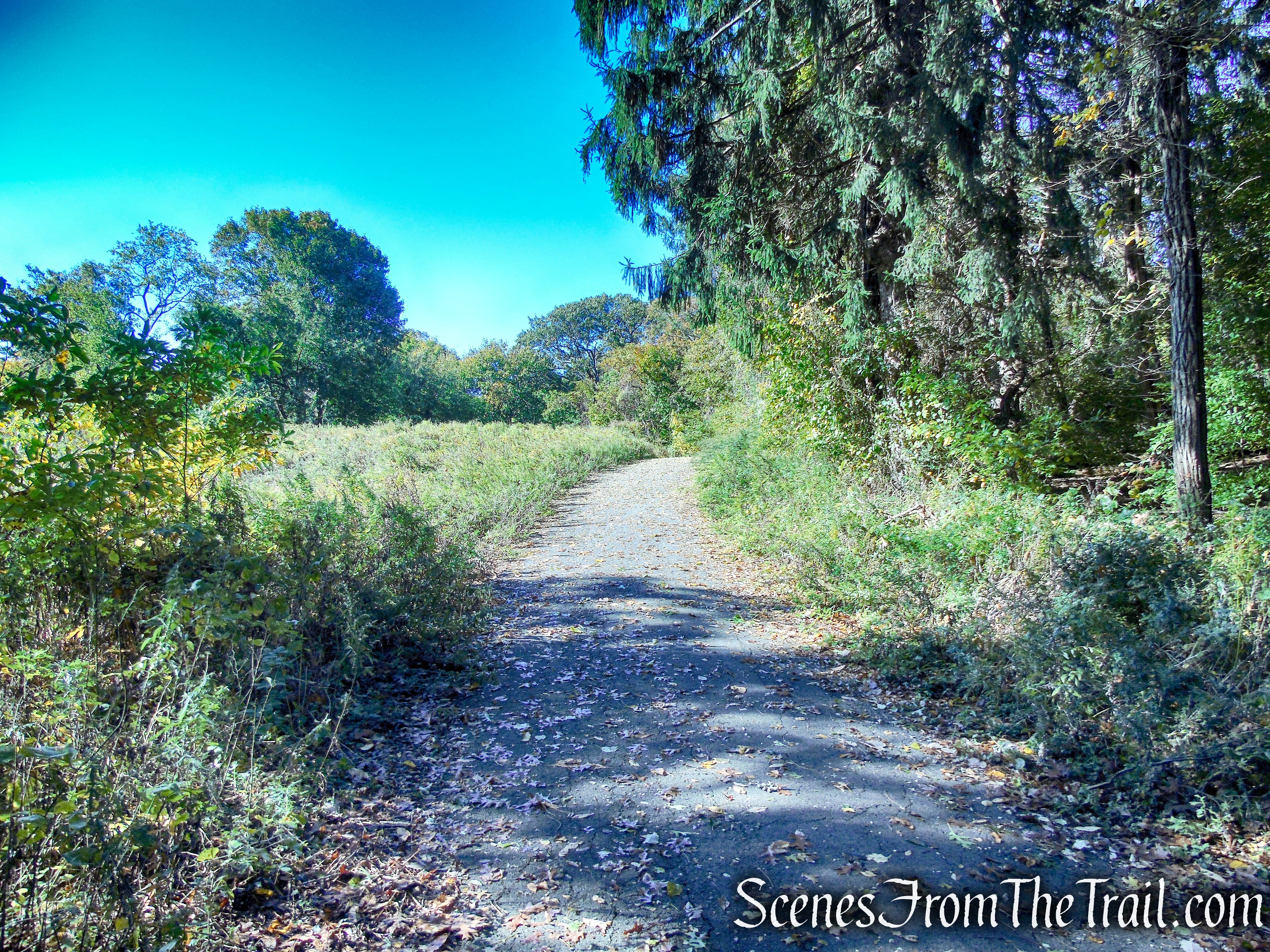
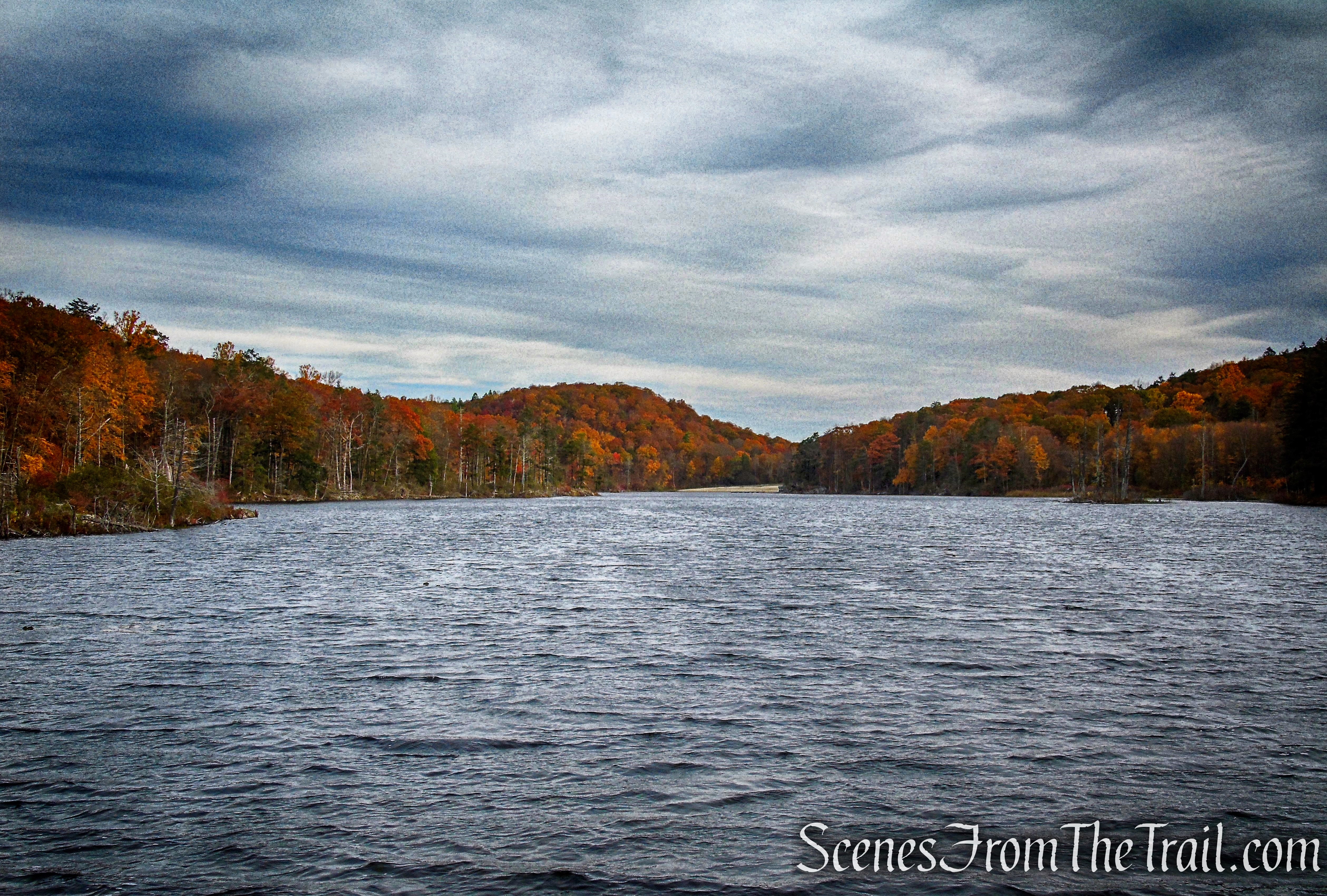
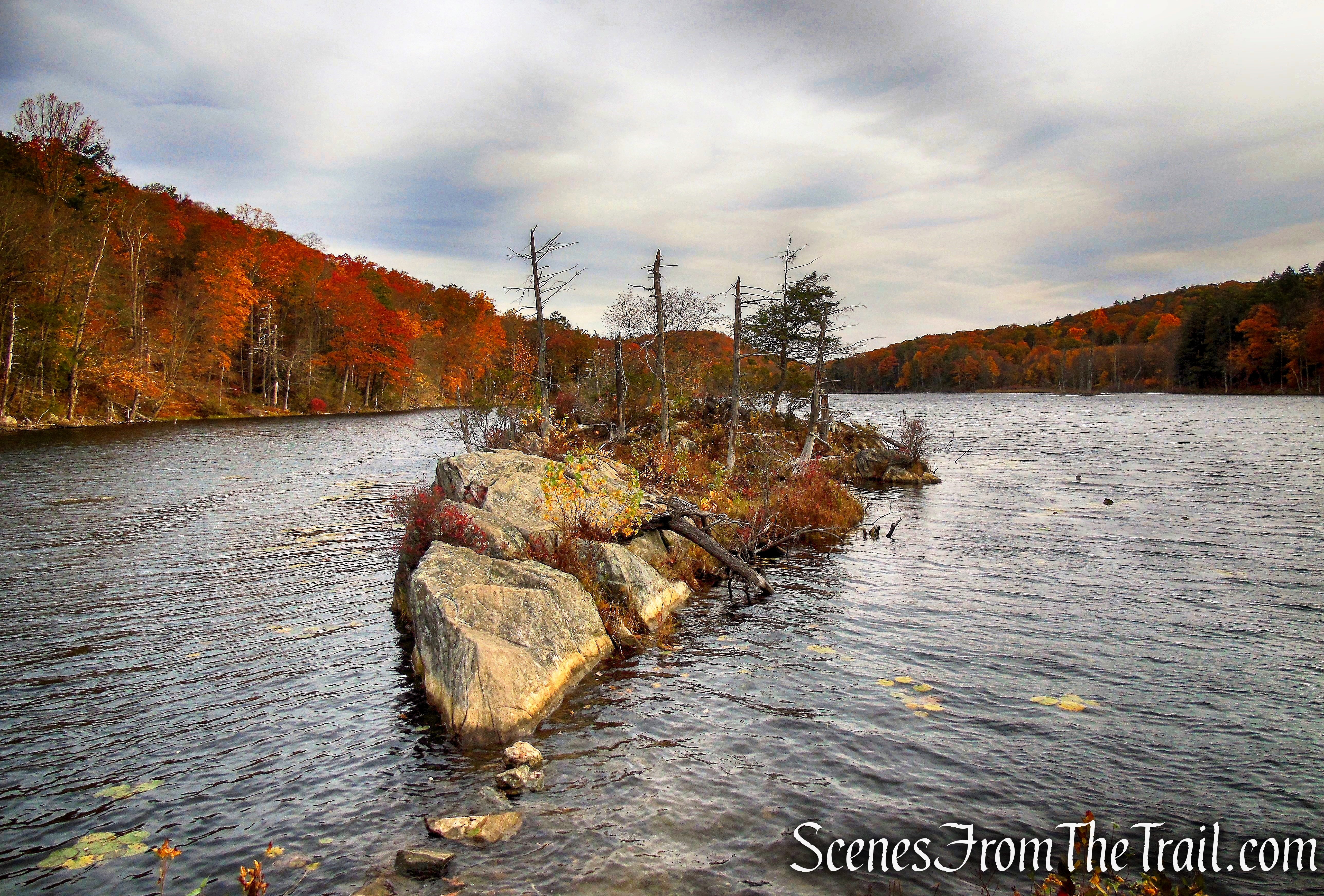
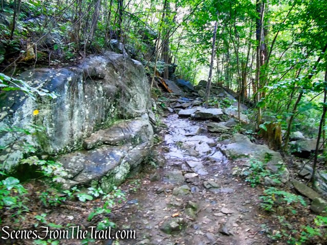
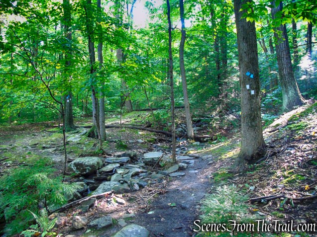
The coaligned Scenic Trail (white blazes) and Highlands Trail (teal diamond blazes) starts on an old woods road. Walk beyond the gate as it heads gradually uphill and past a wooden informational kiosk. Soon the trail heads downhill on the woods road and you should be able to hear the sound of rushing water (depending on the amount of water flow) as the trail parallels Mineral Springs Brook, which is down below on the right.

Old Mineral Springs Road Trailhead

Old Mineral Springs Road Trailhead
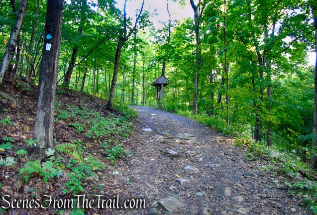
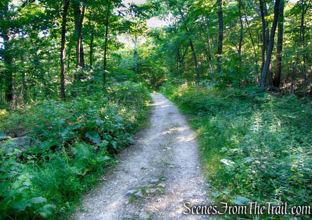
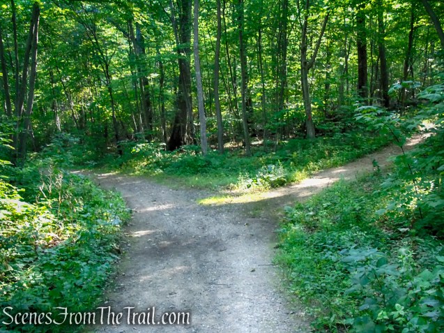
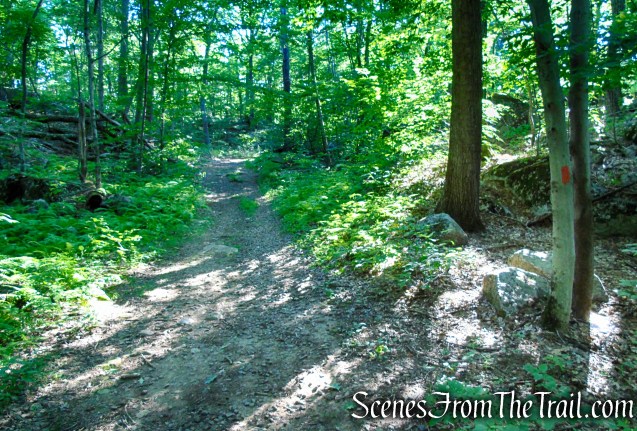
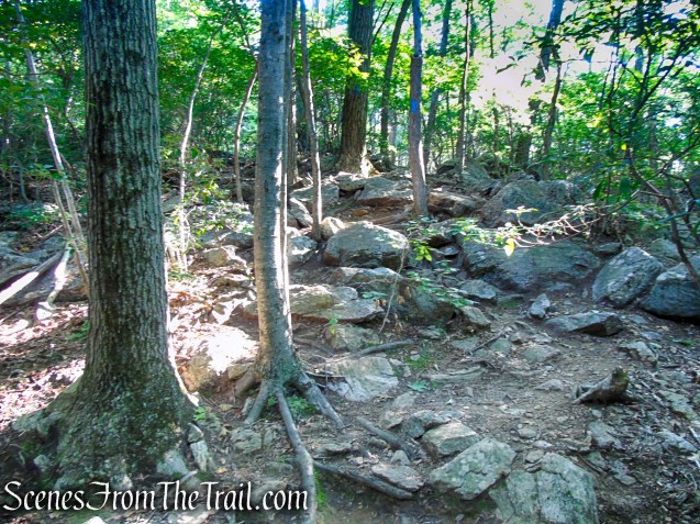
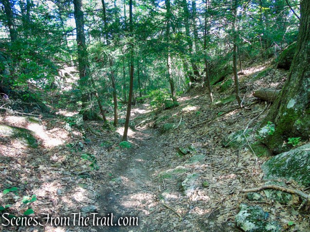
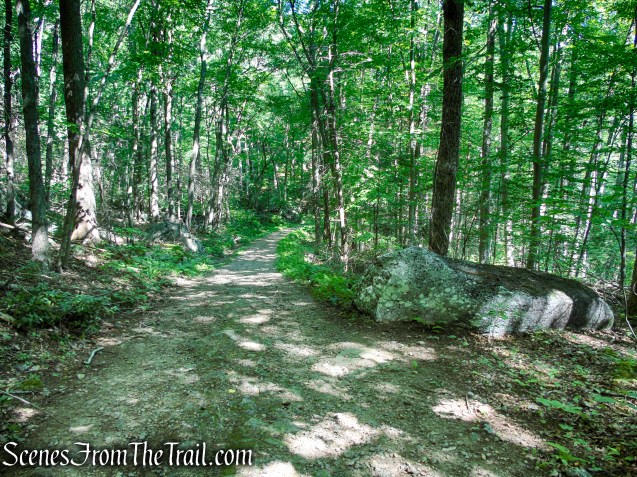
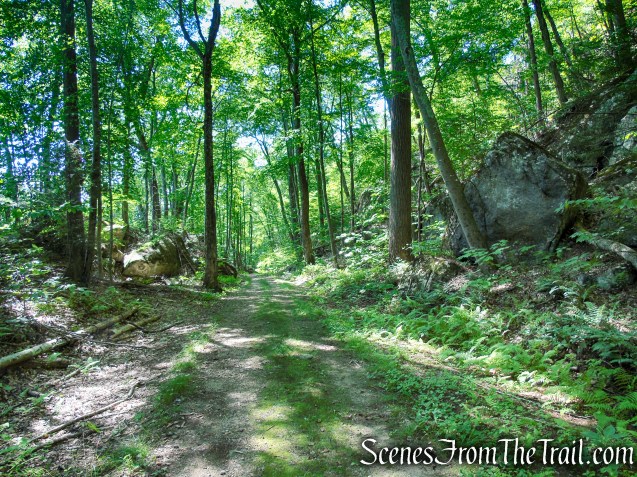
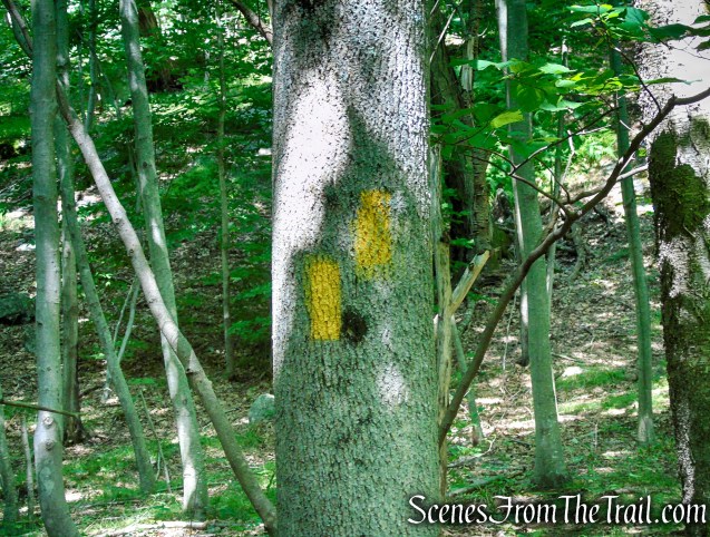
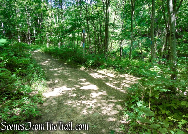
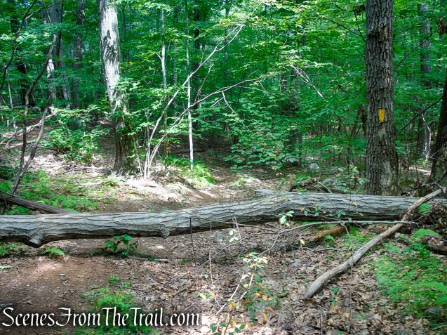
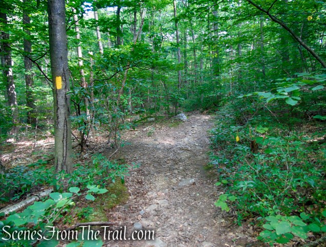
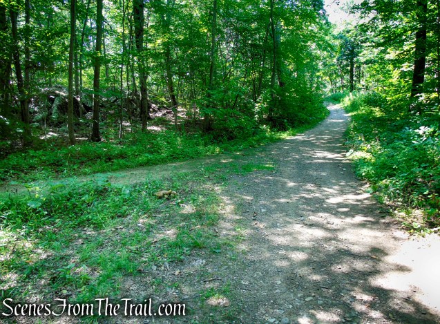
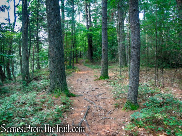
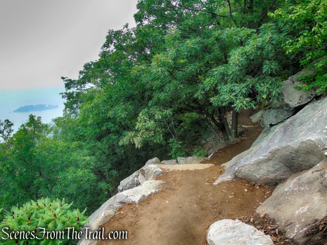
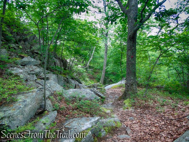
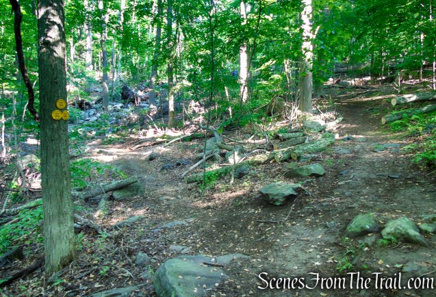
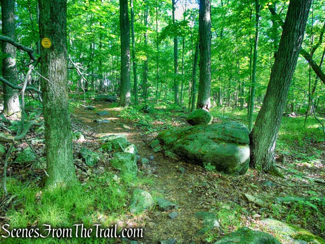
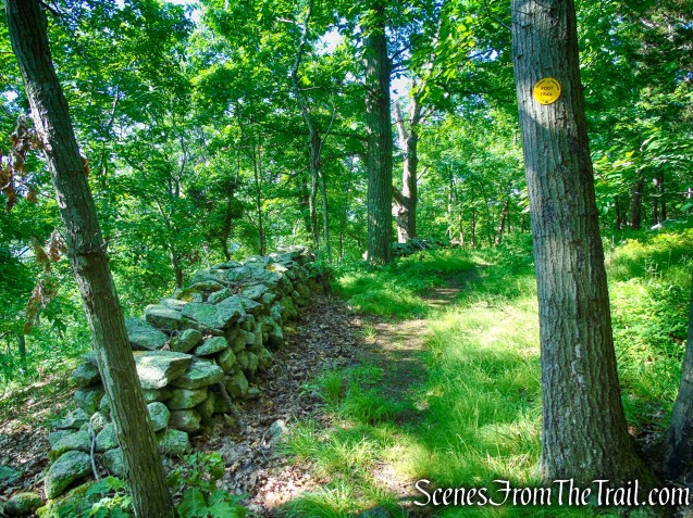
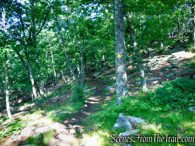
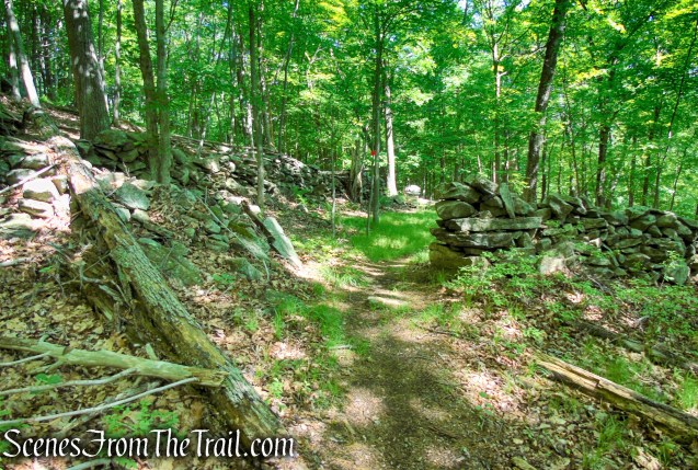
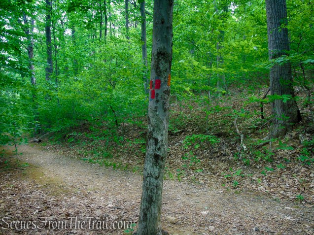
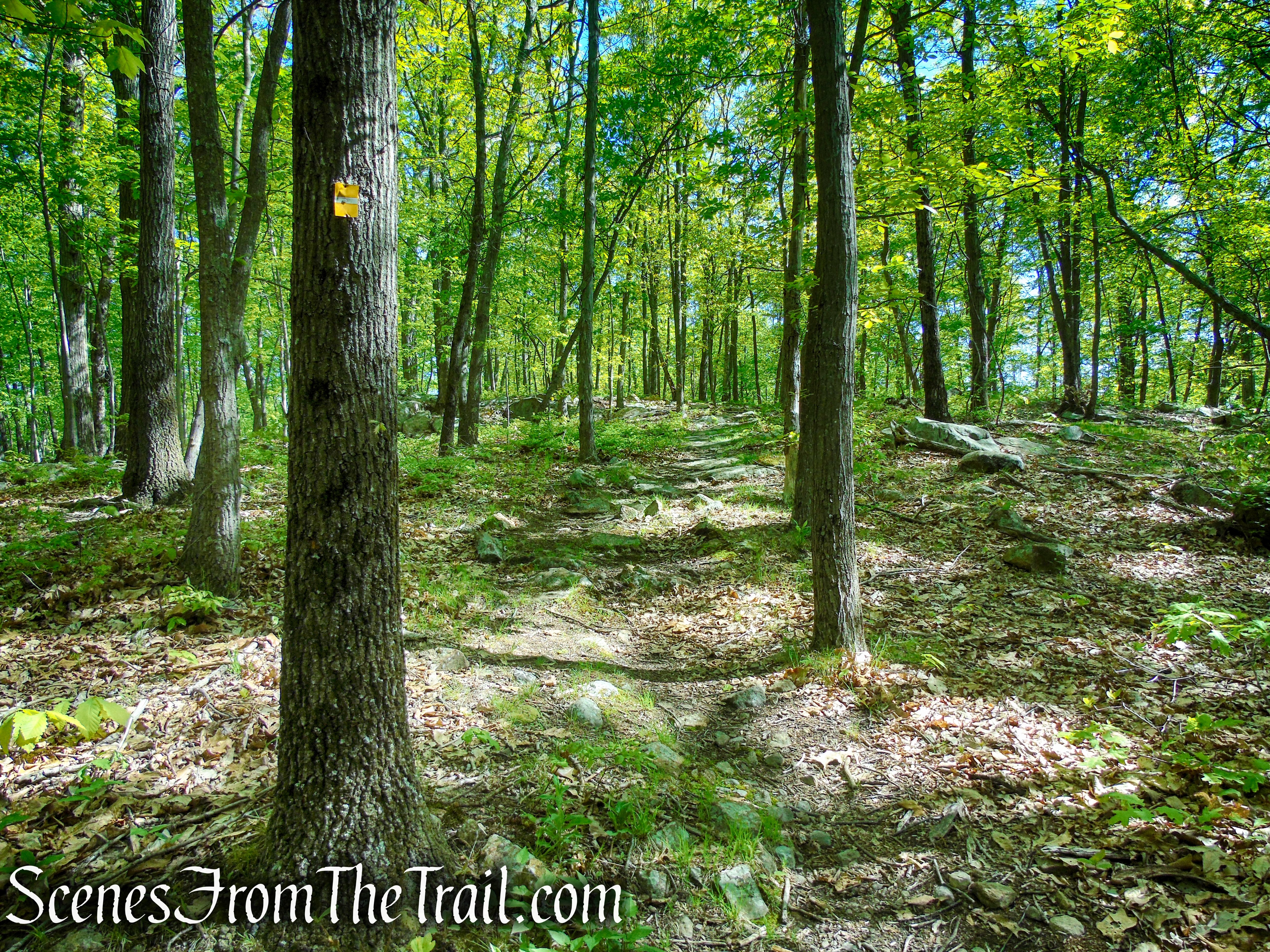
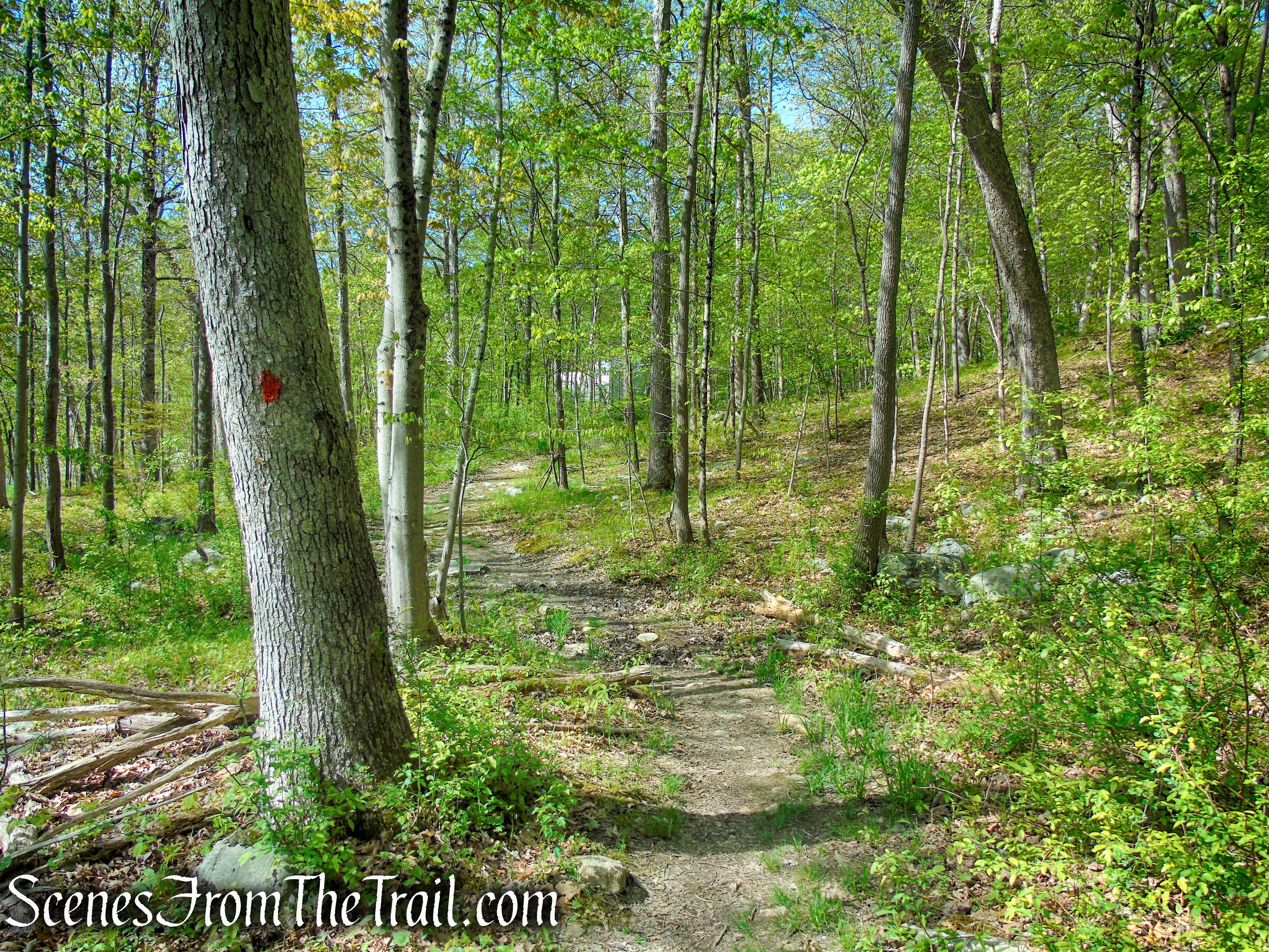
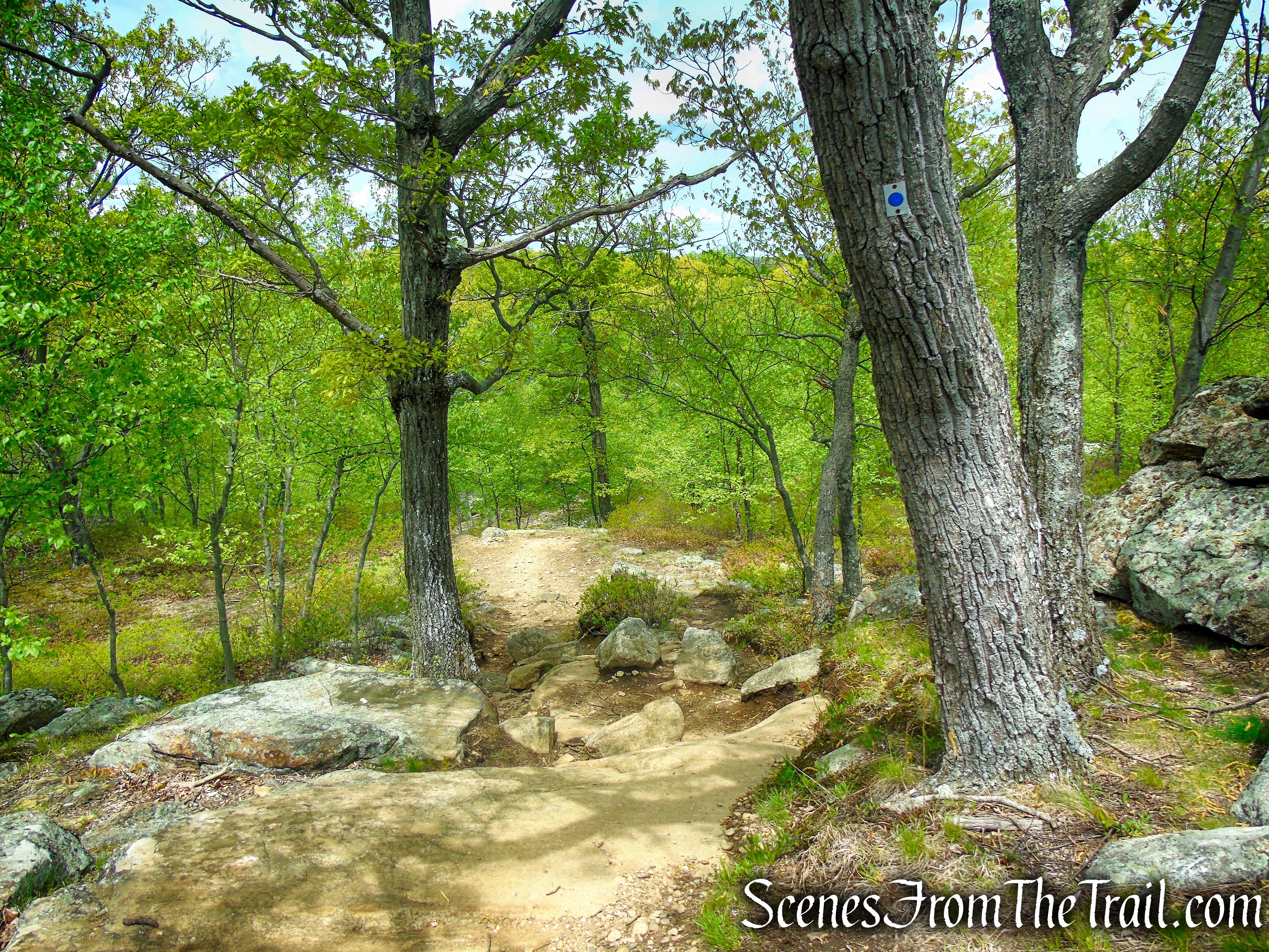
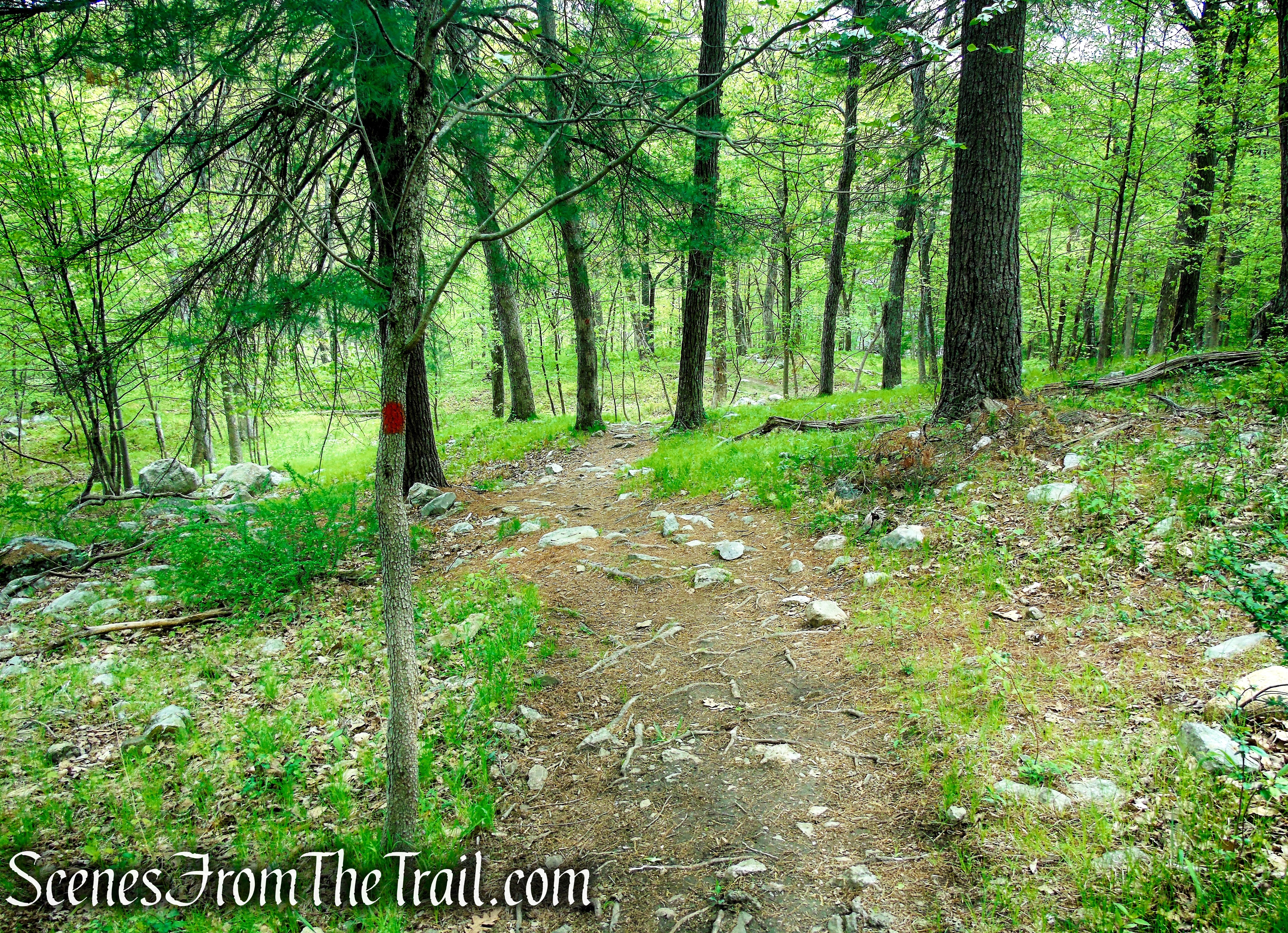
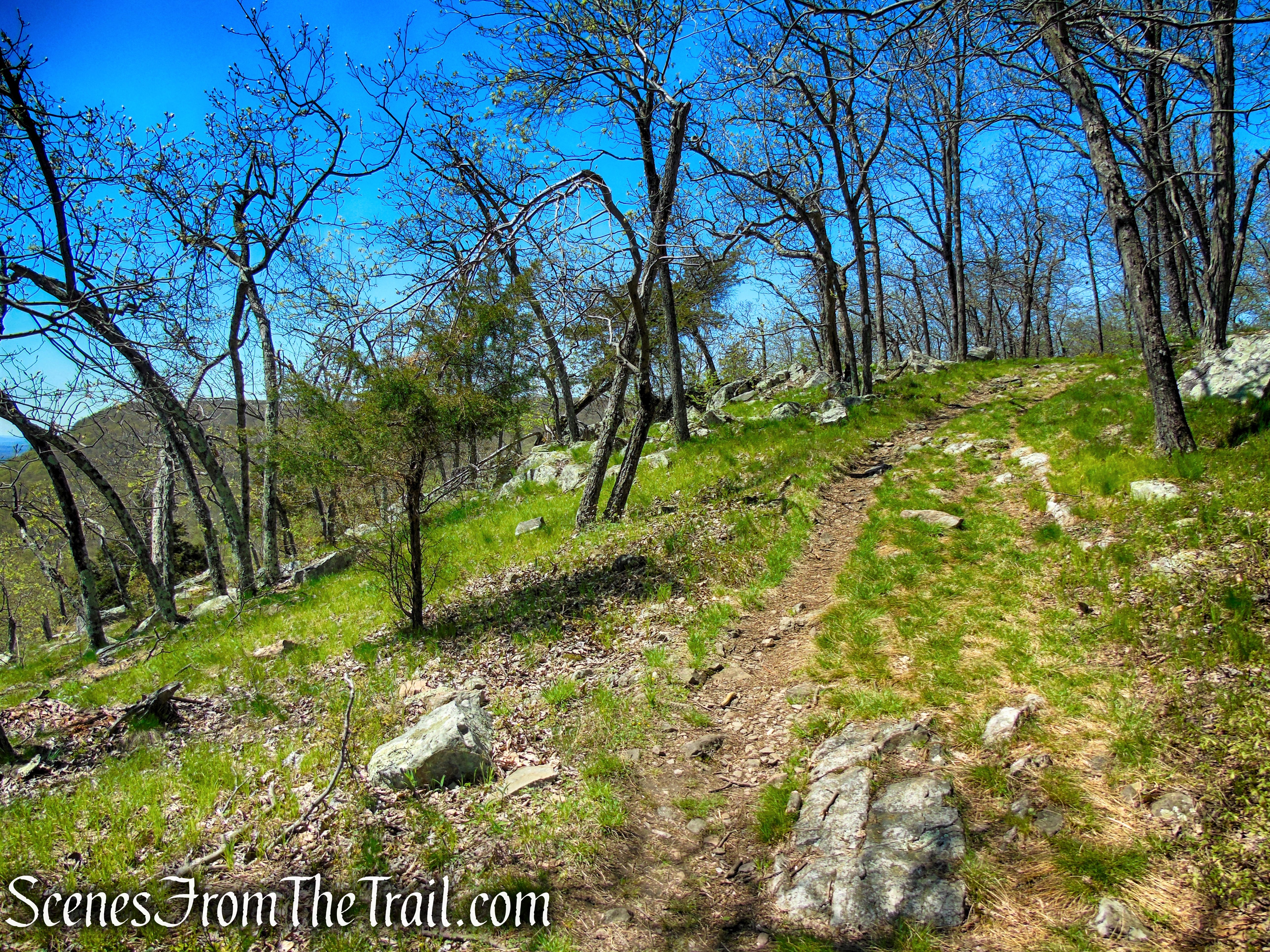
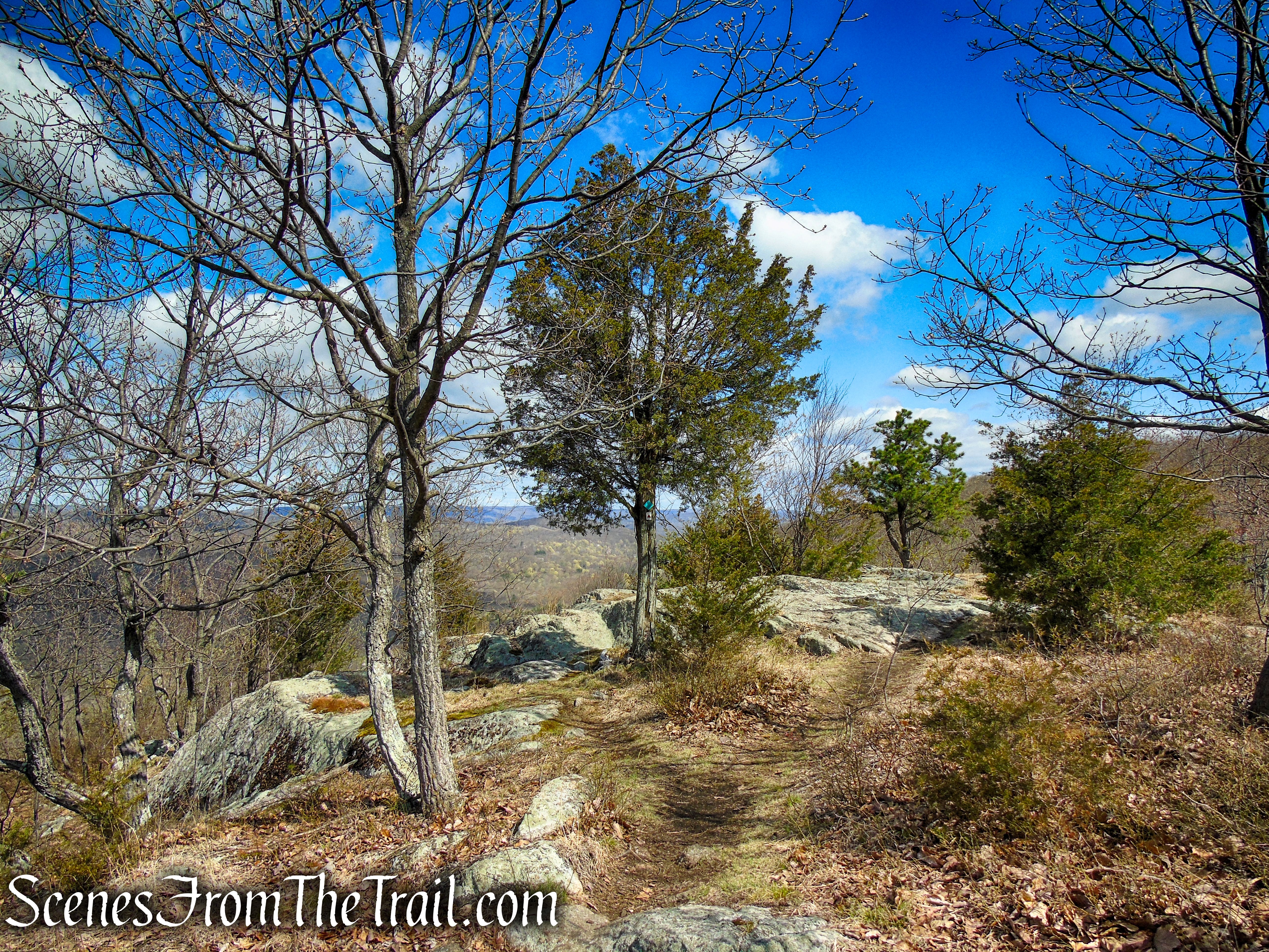
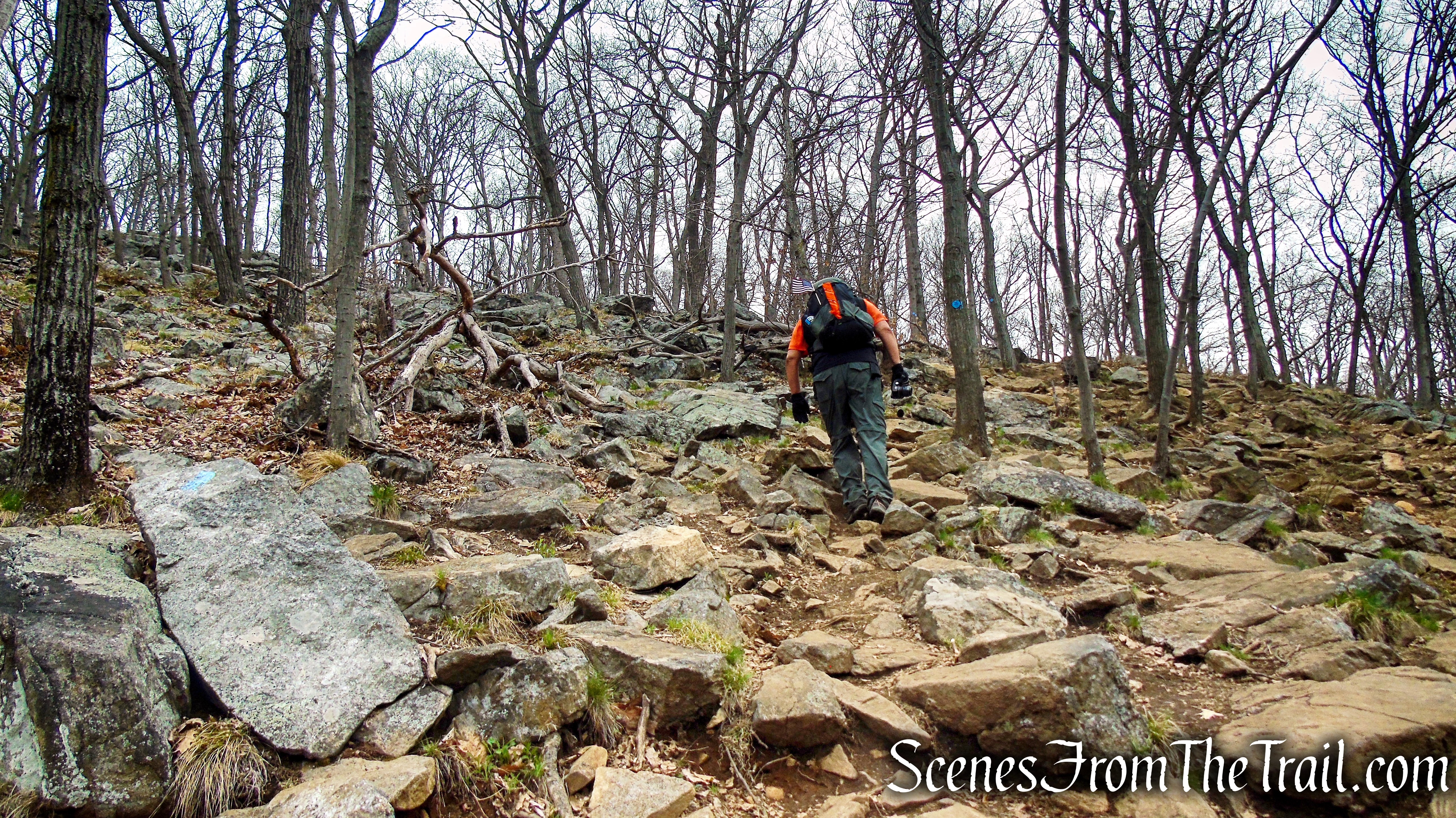
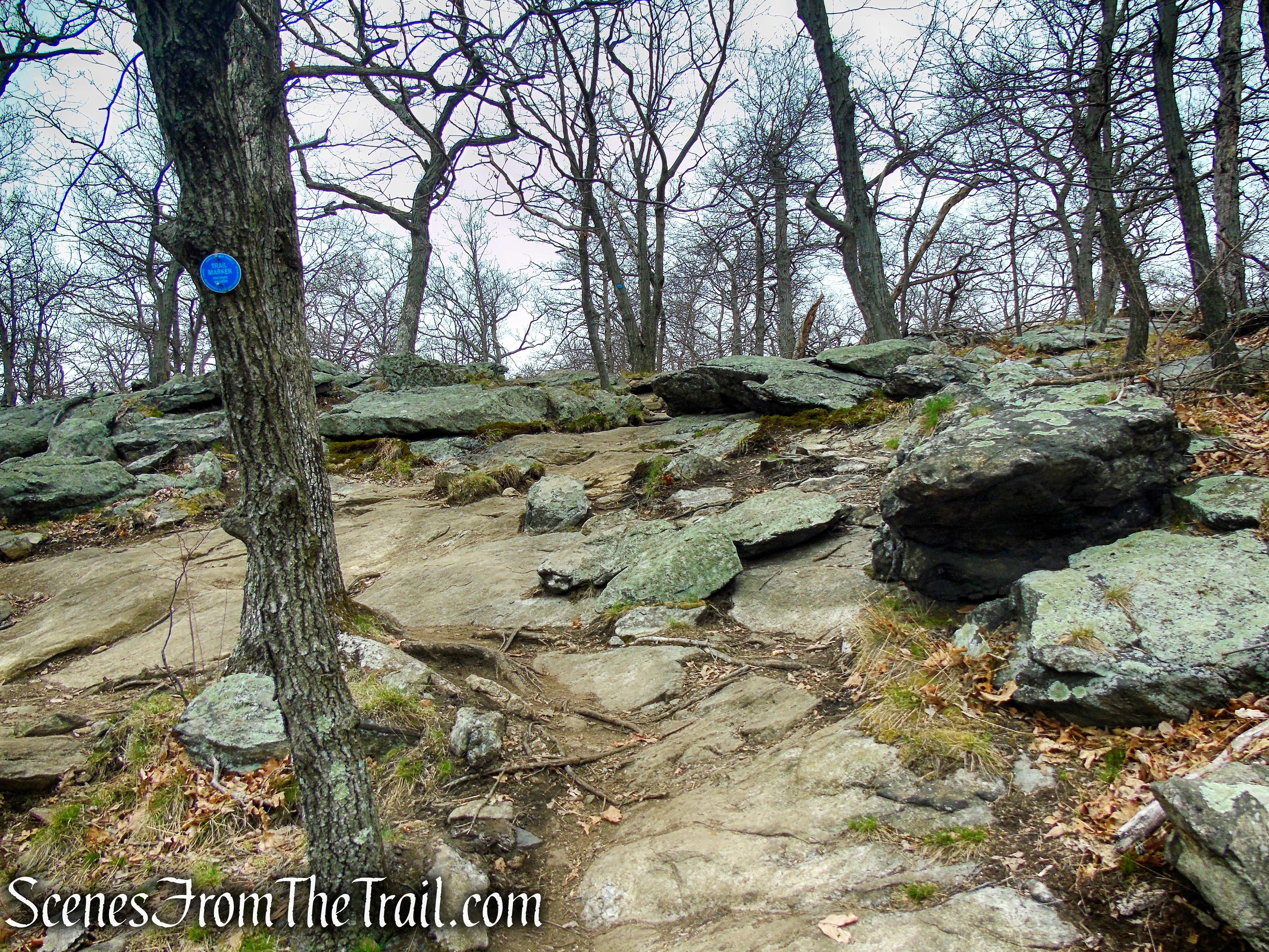
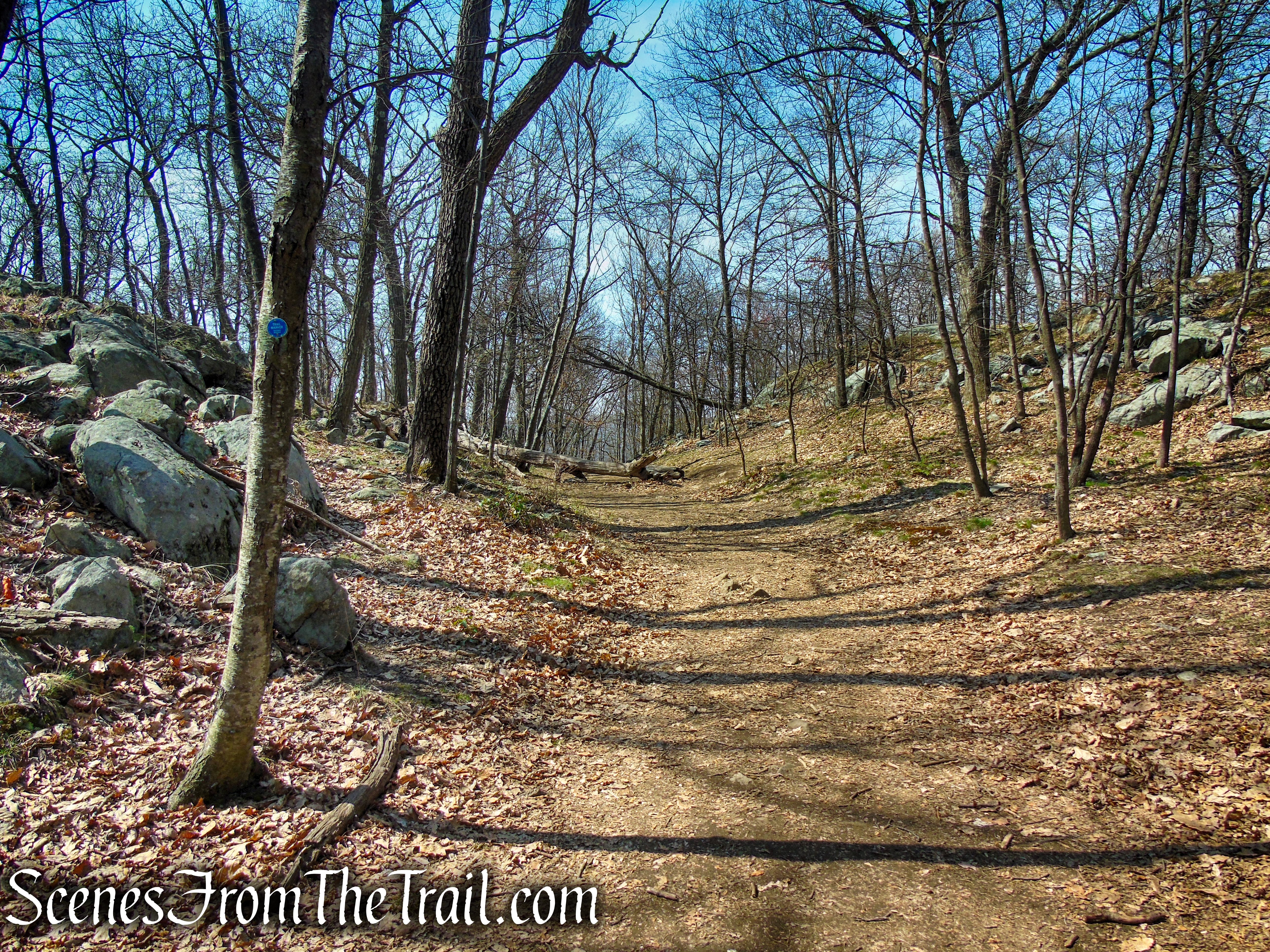
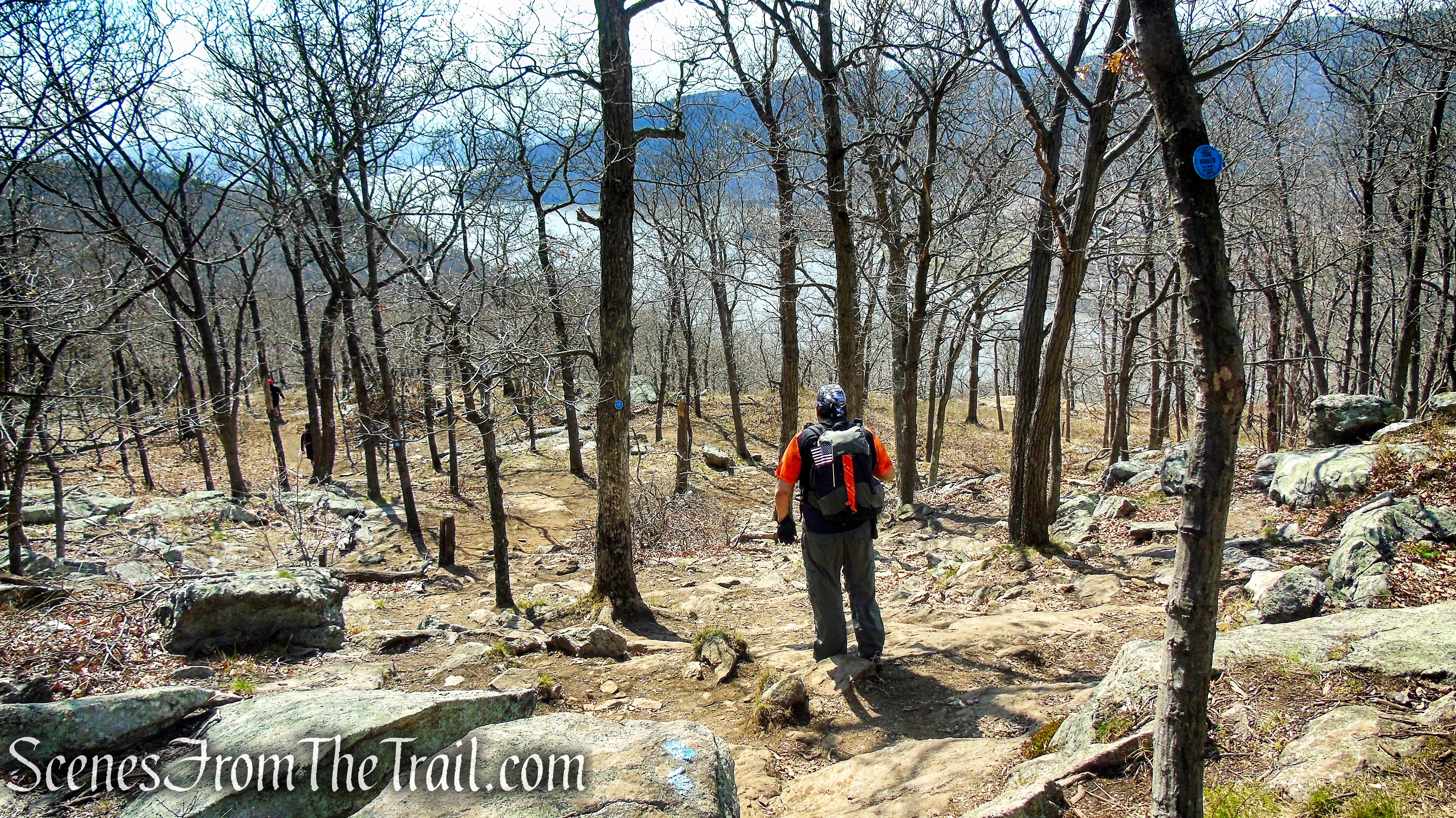
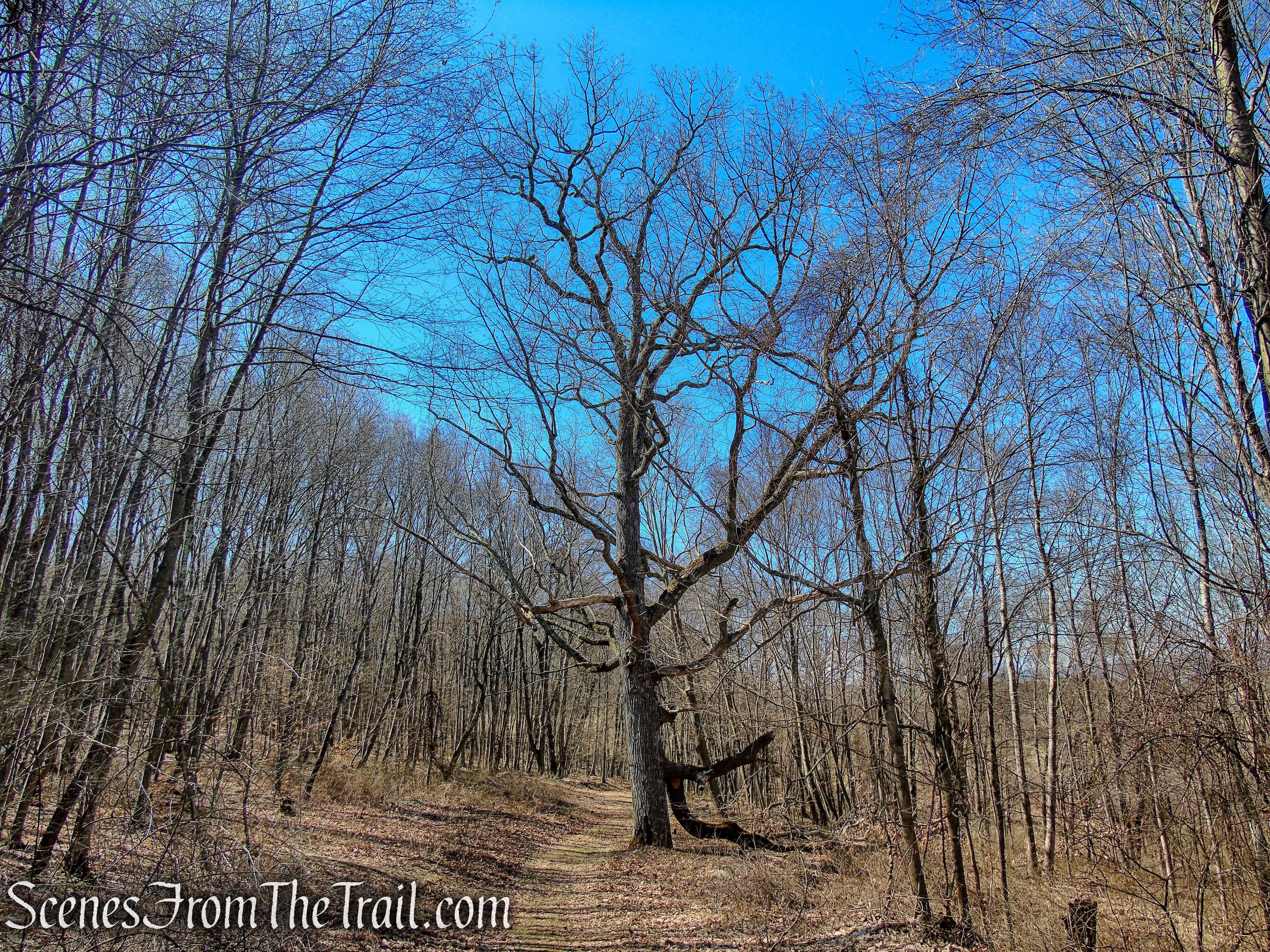
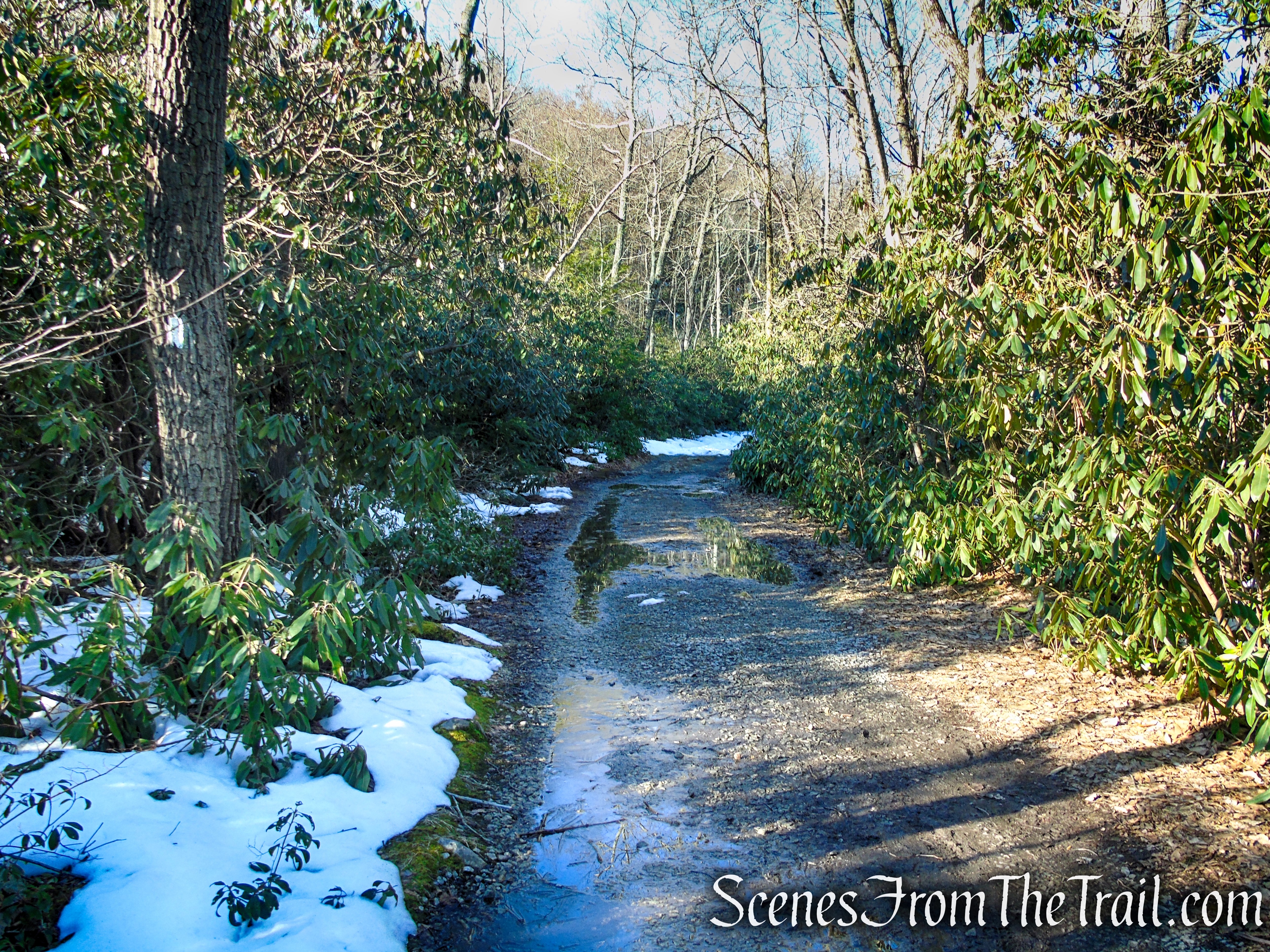
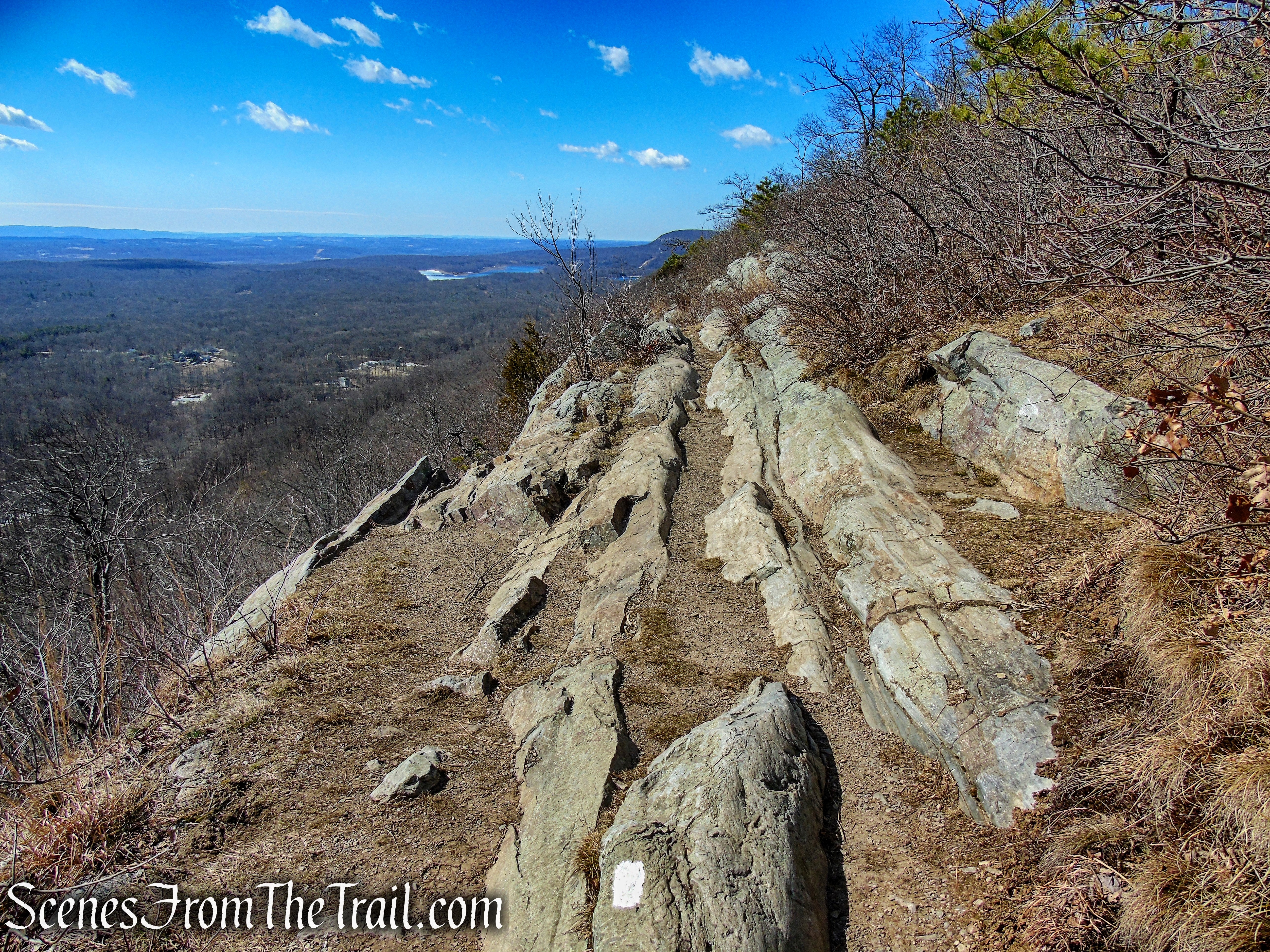
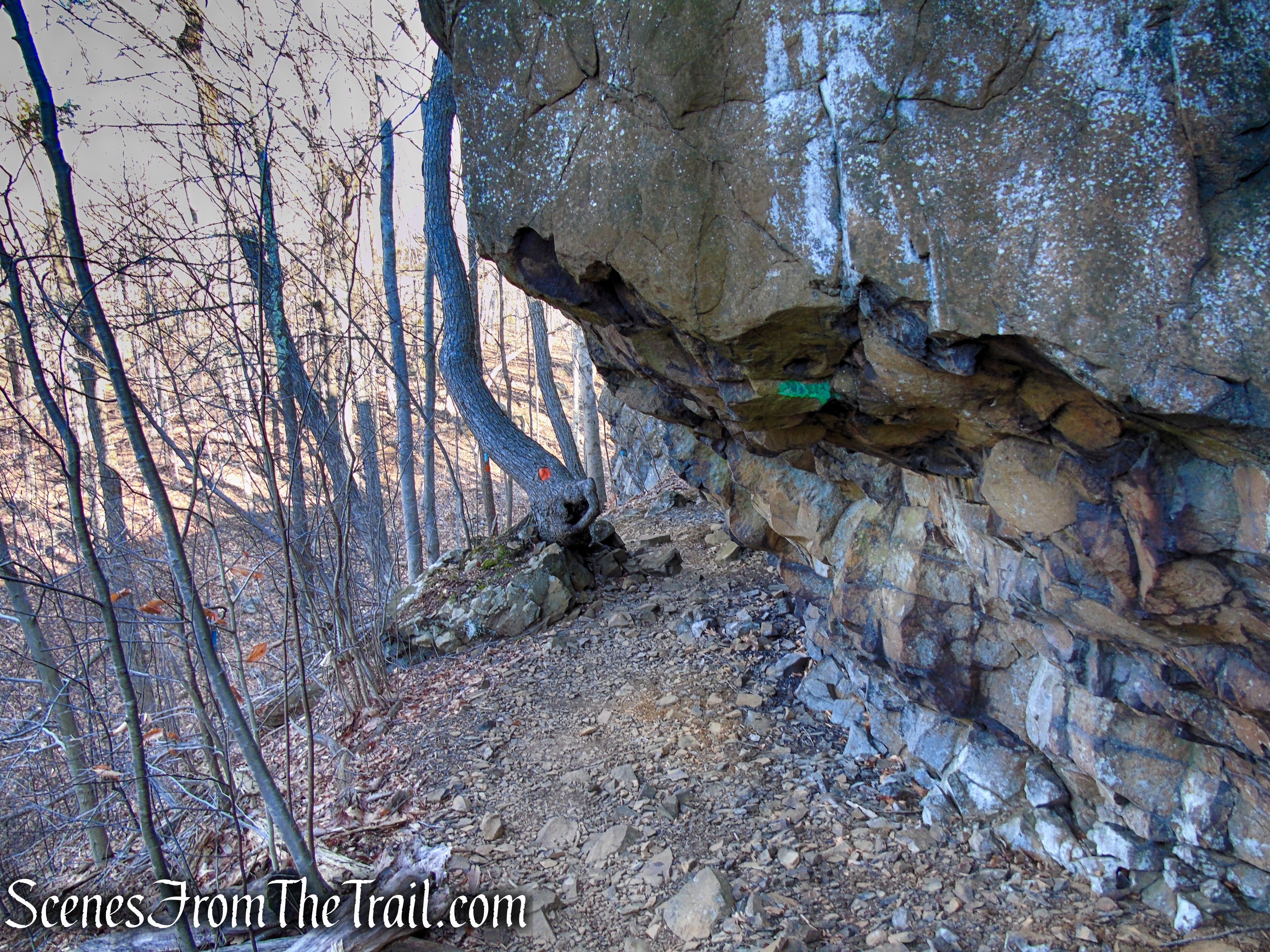
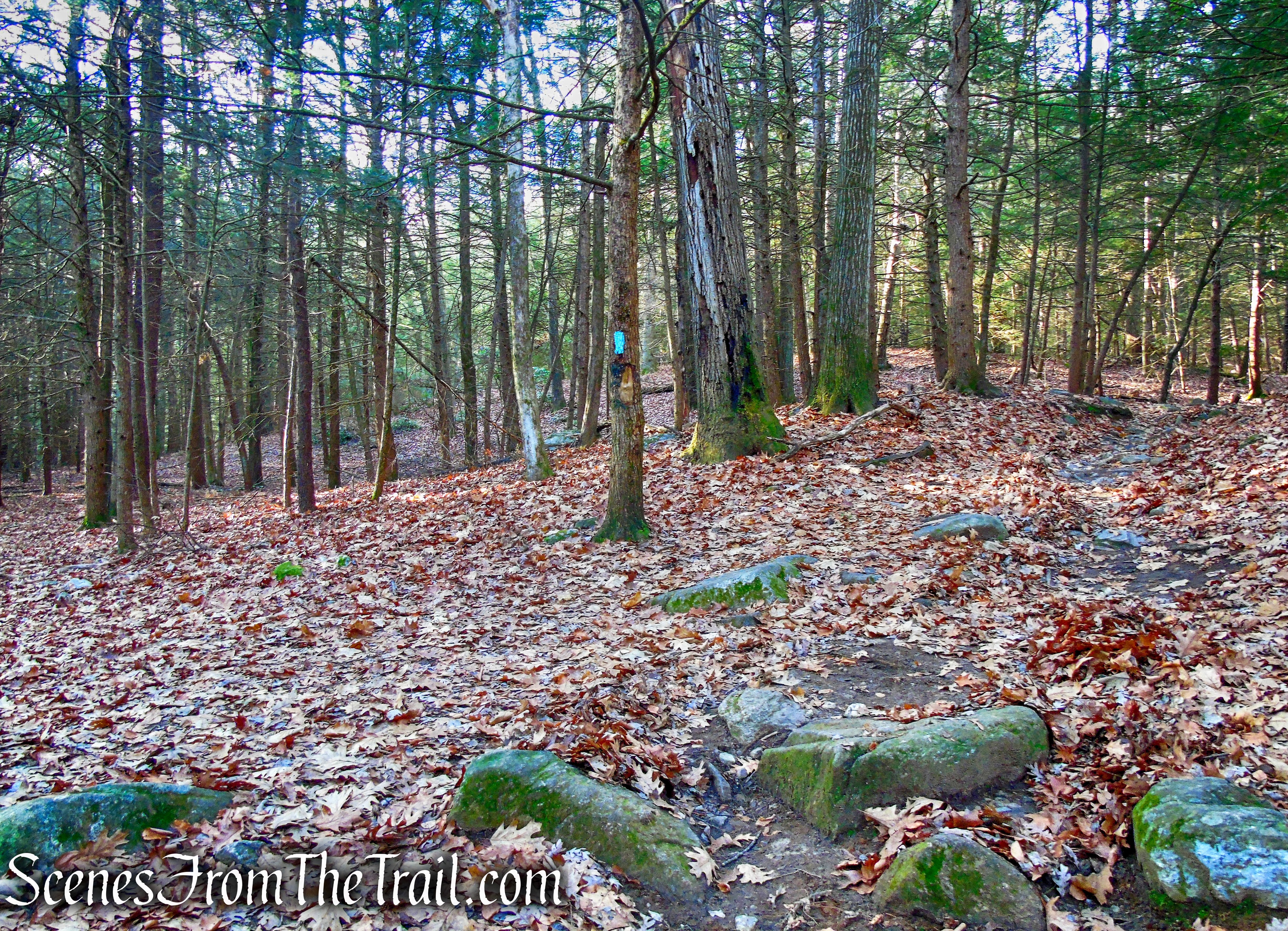
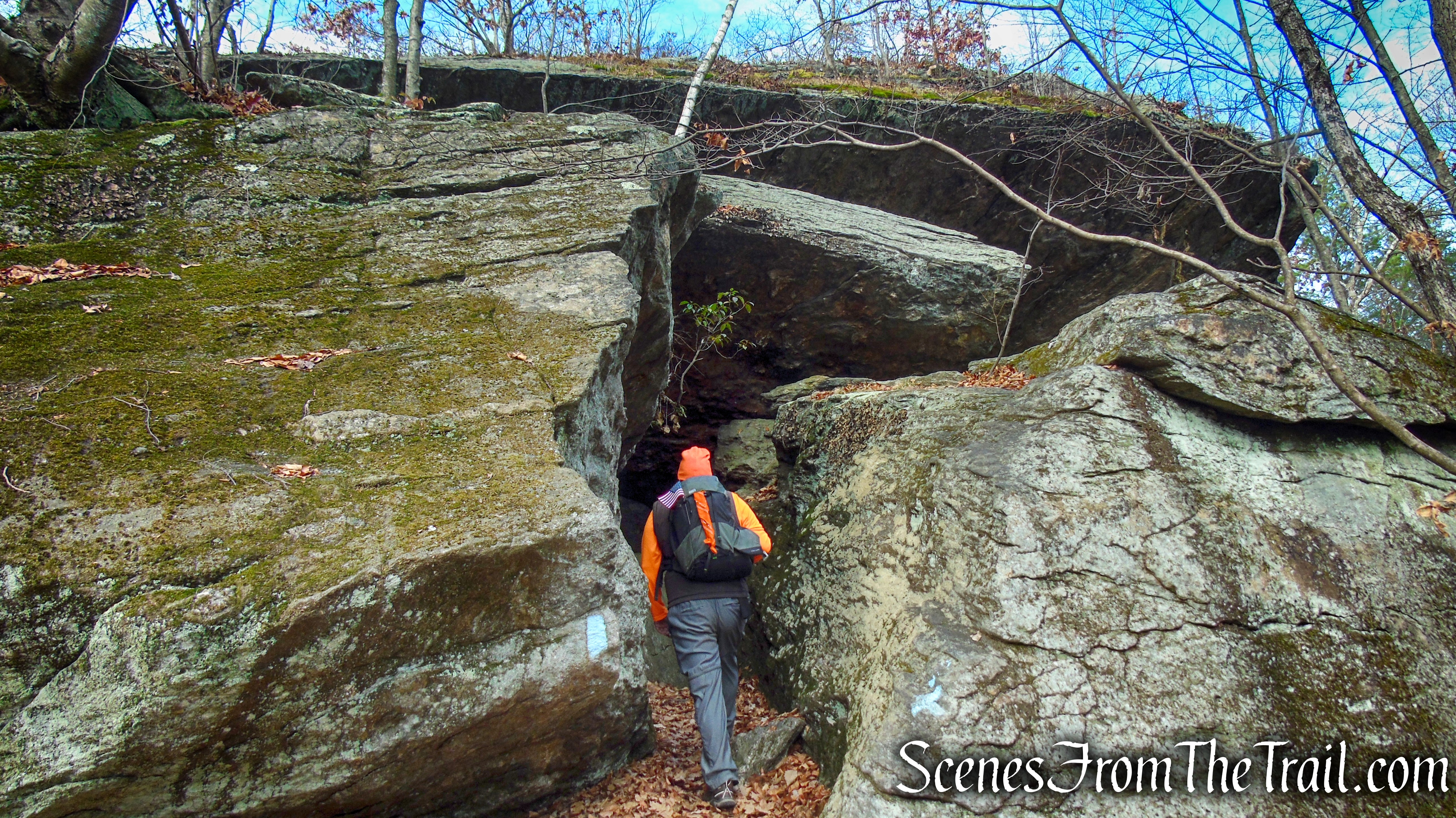
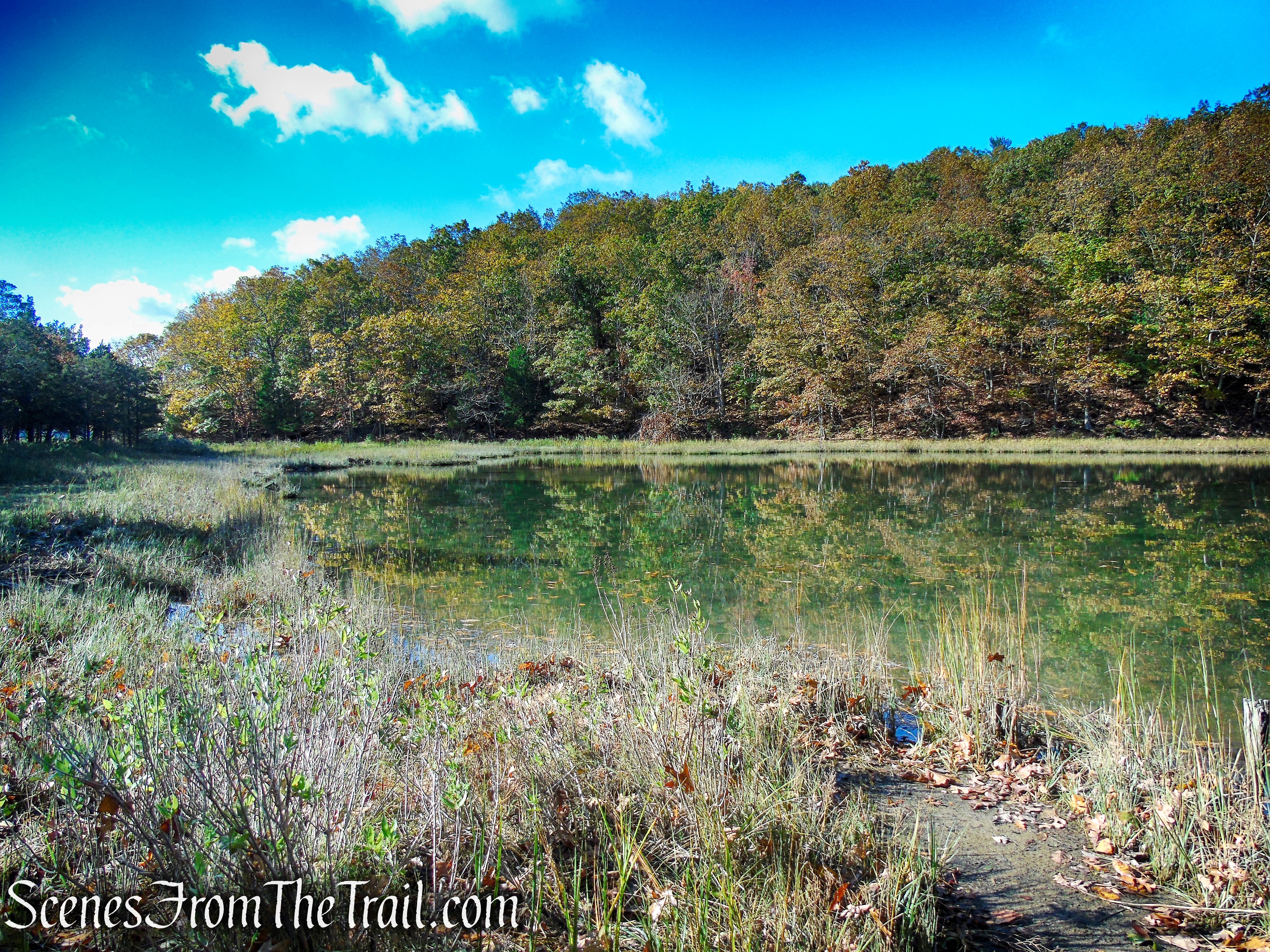
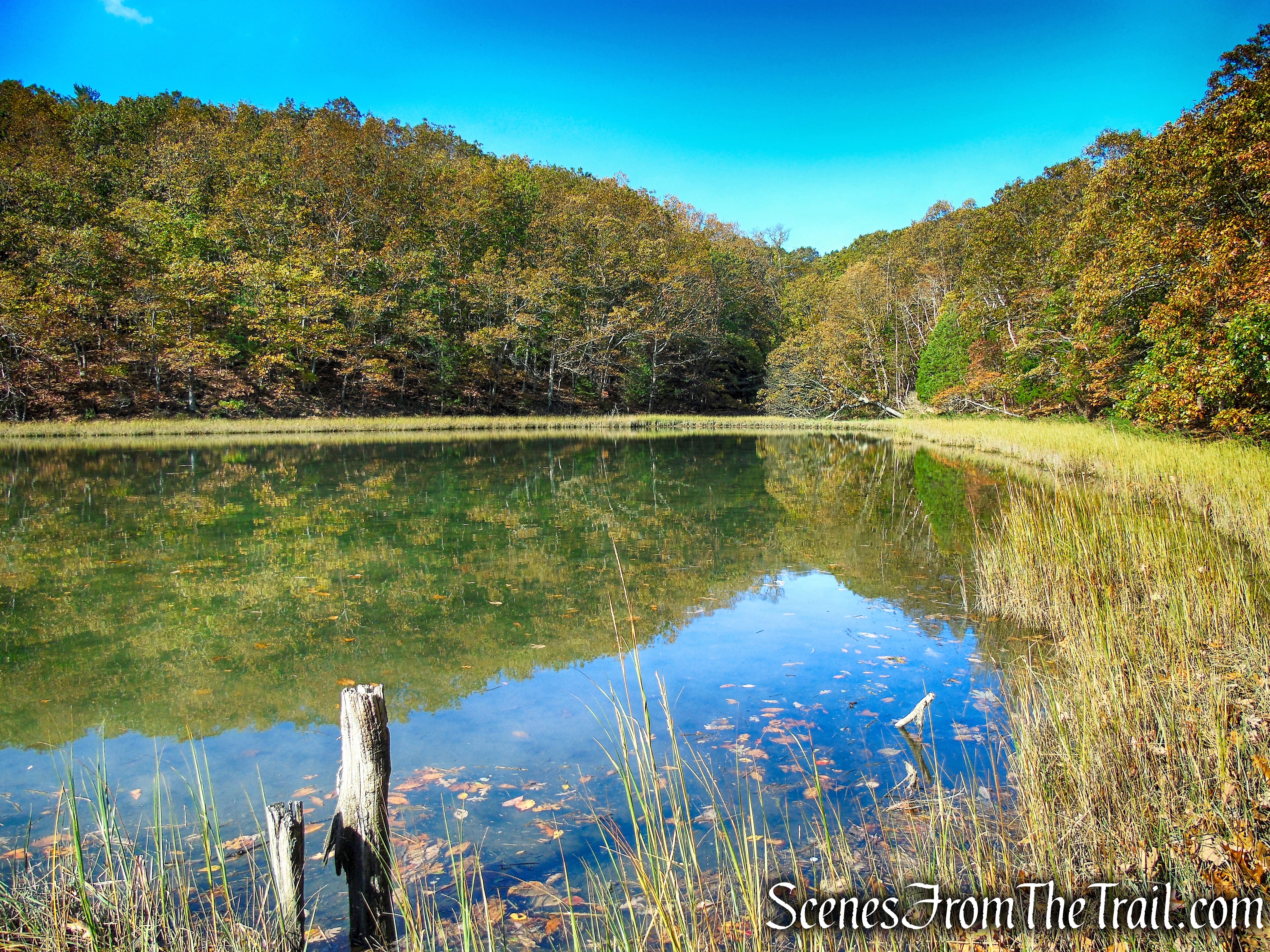
Scenic Trail – Black Rock Forest

Scenic Trail – Black Rock Forest
Scenic Trail – Black Rock Forest
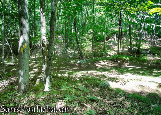
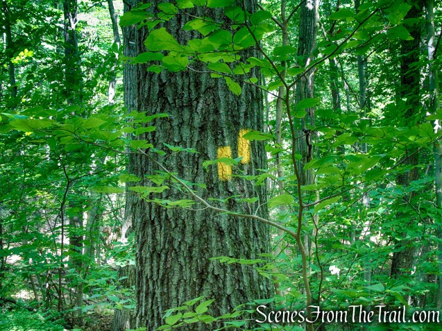
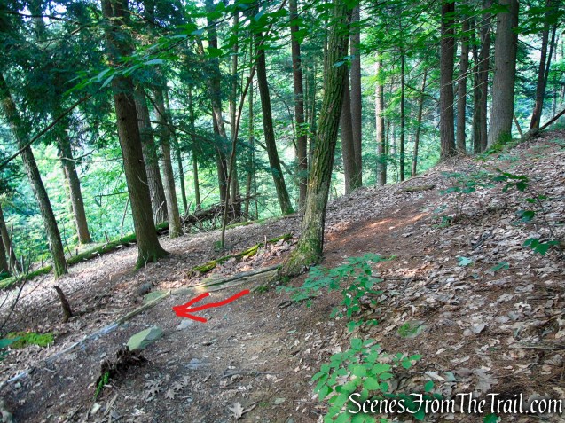
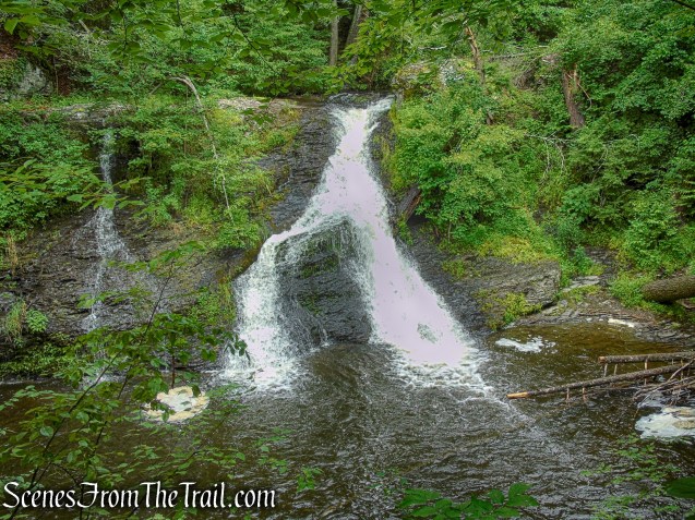
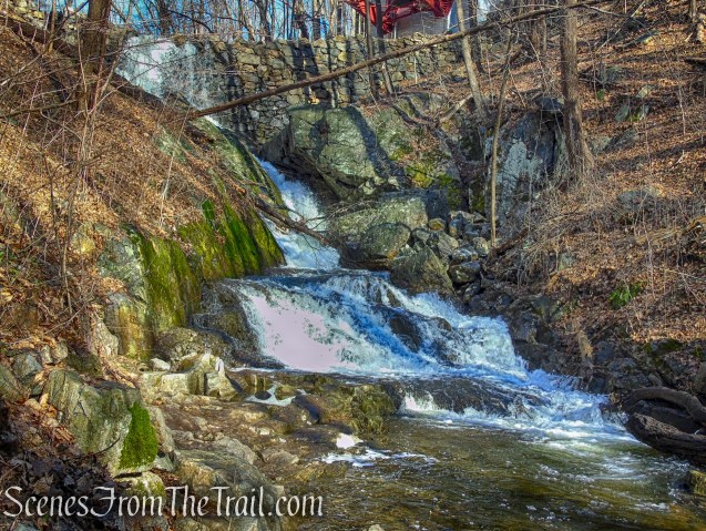
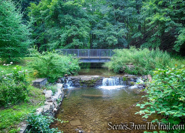
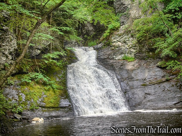
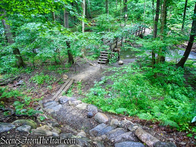
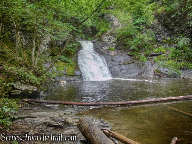
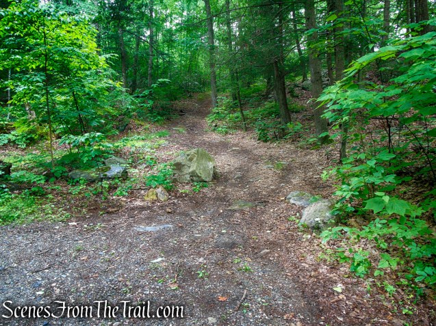
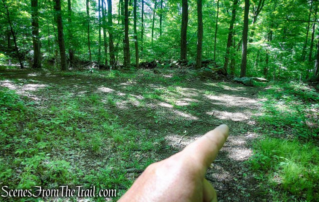
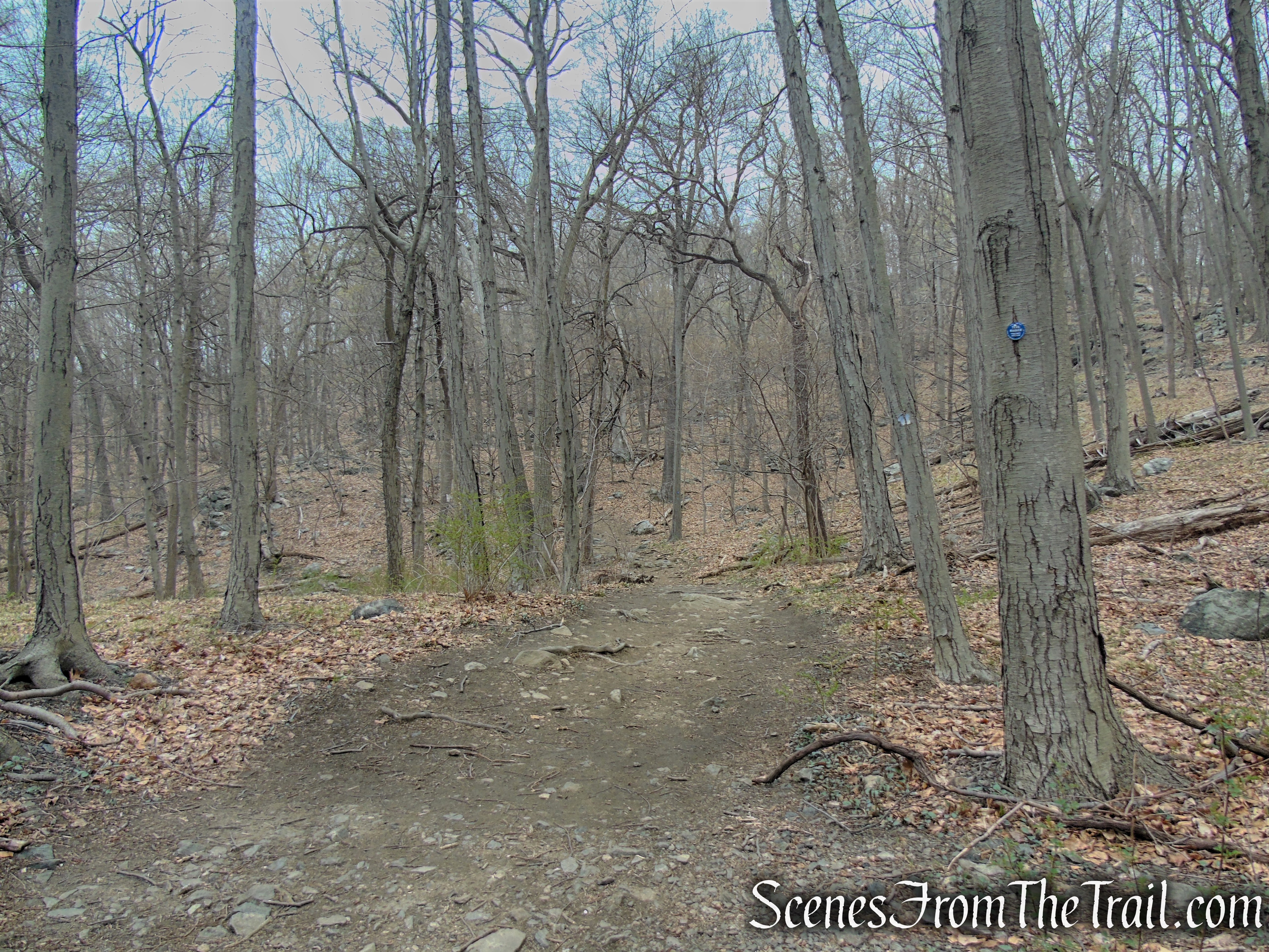
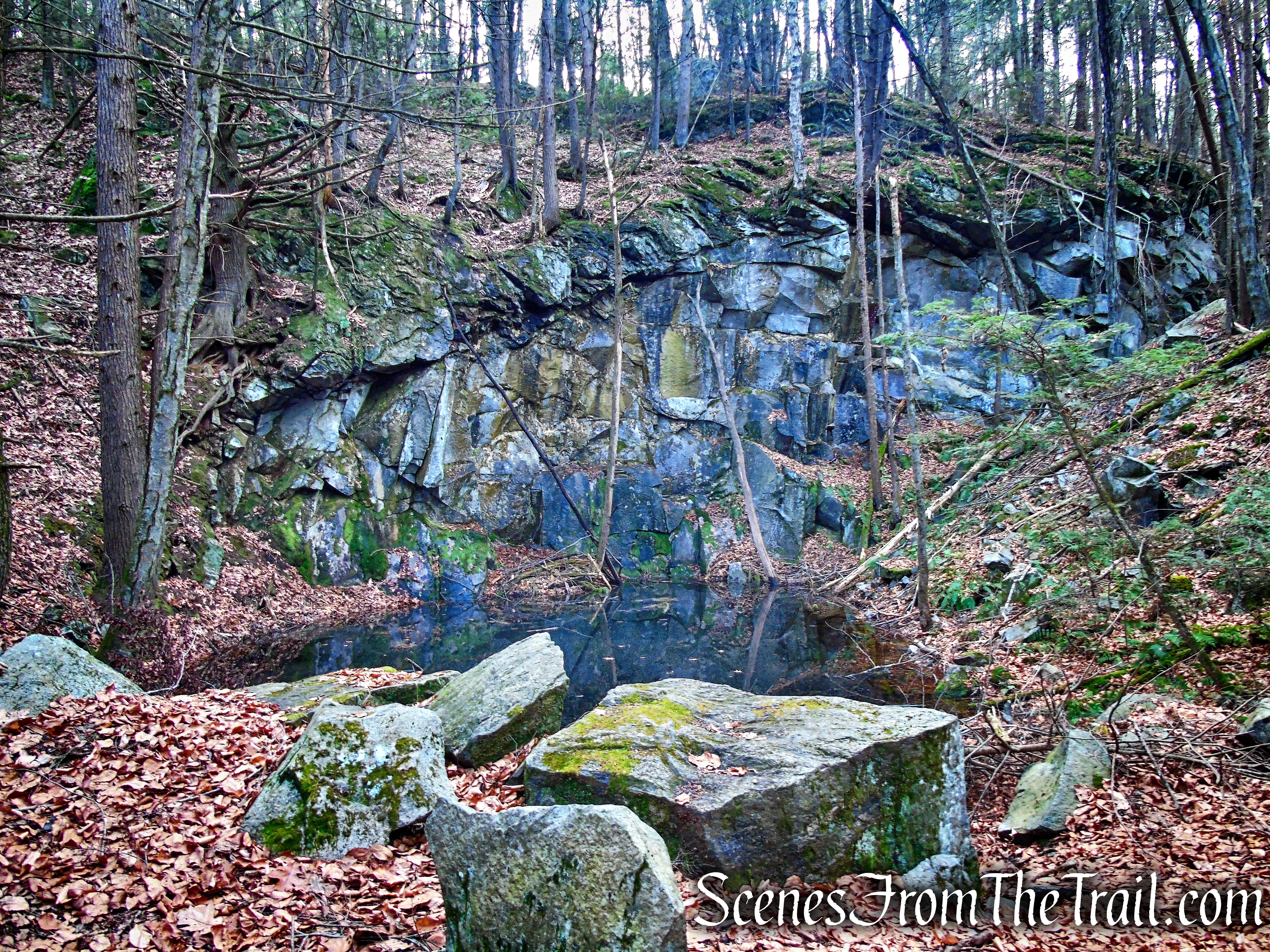
In just about a quarter mile, as the white blazes veer left and start to climb, bear right on an unmarked footpath to reach the base of Mineral Springs Falls, a lovely spot for both quiet meditation and a photo opp.

Scenic Trail – Black Rock Forest

Mineral Springs Falls – Black Rock Forest
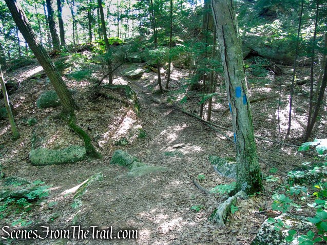
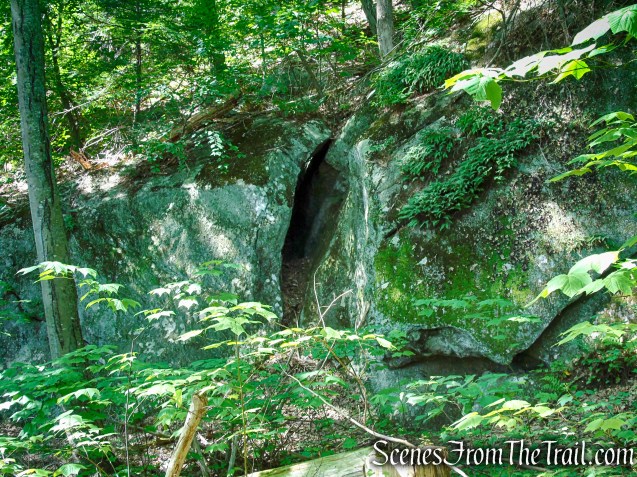
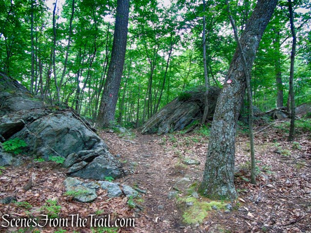
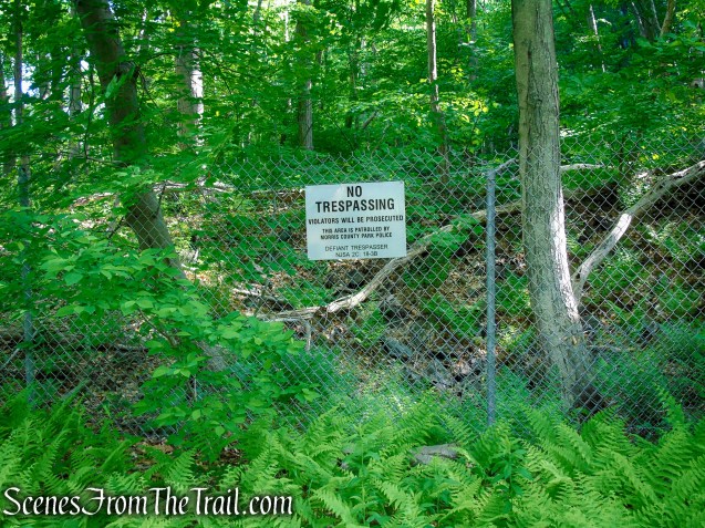
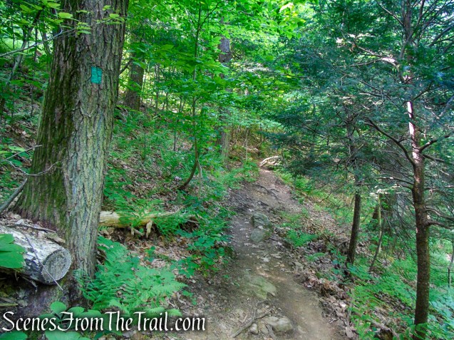
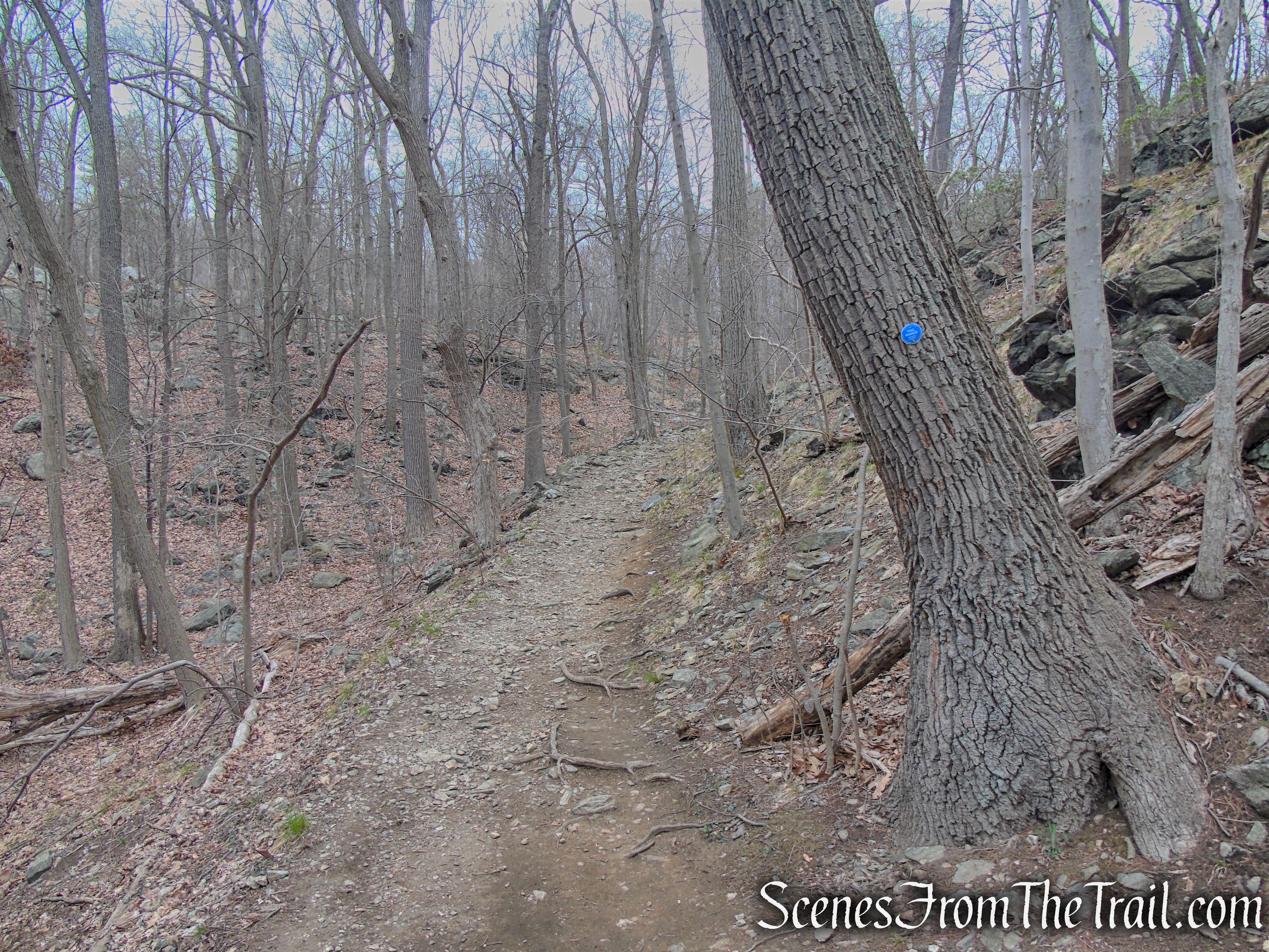
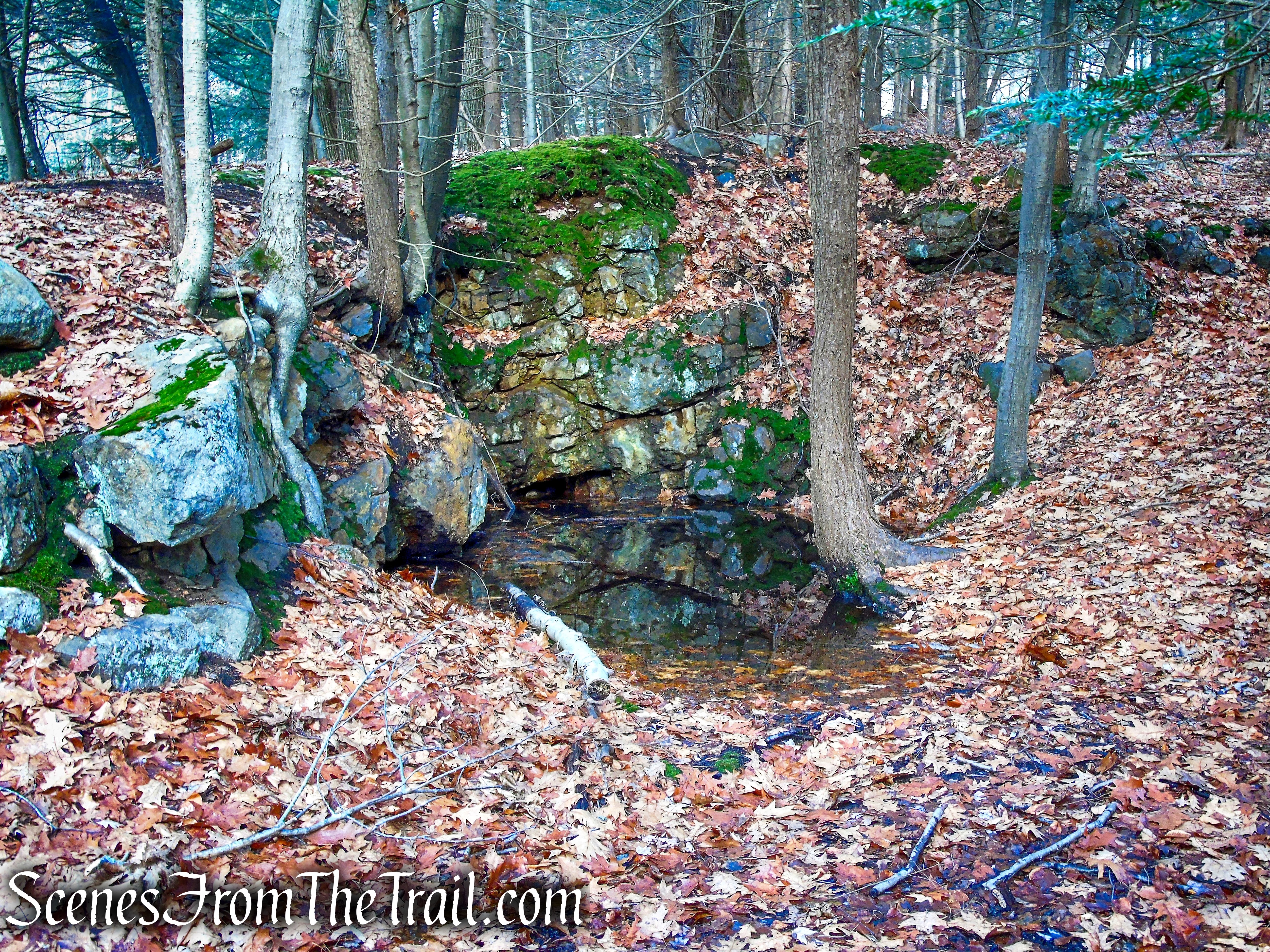
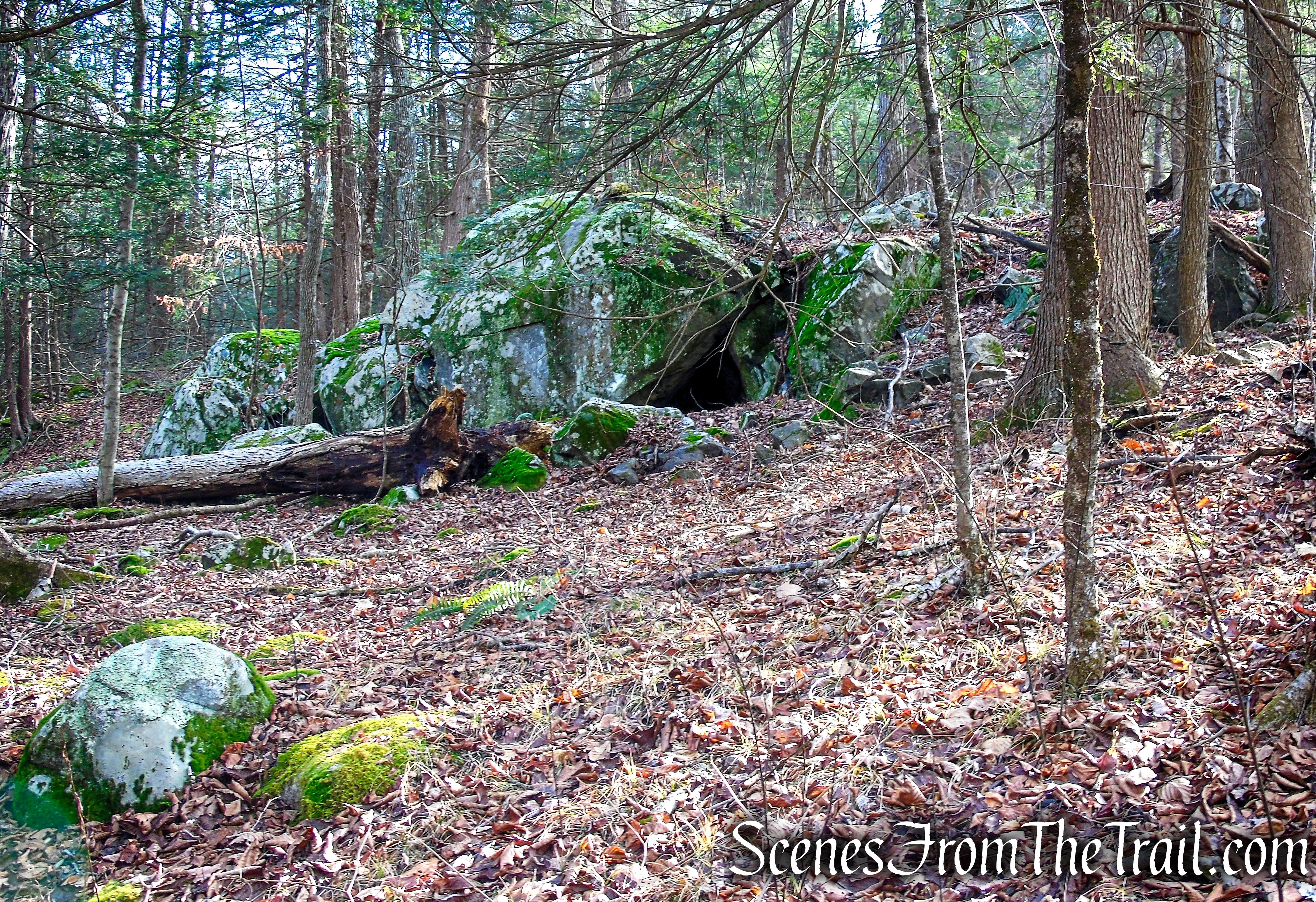
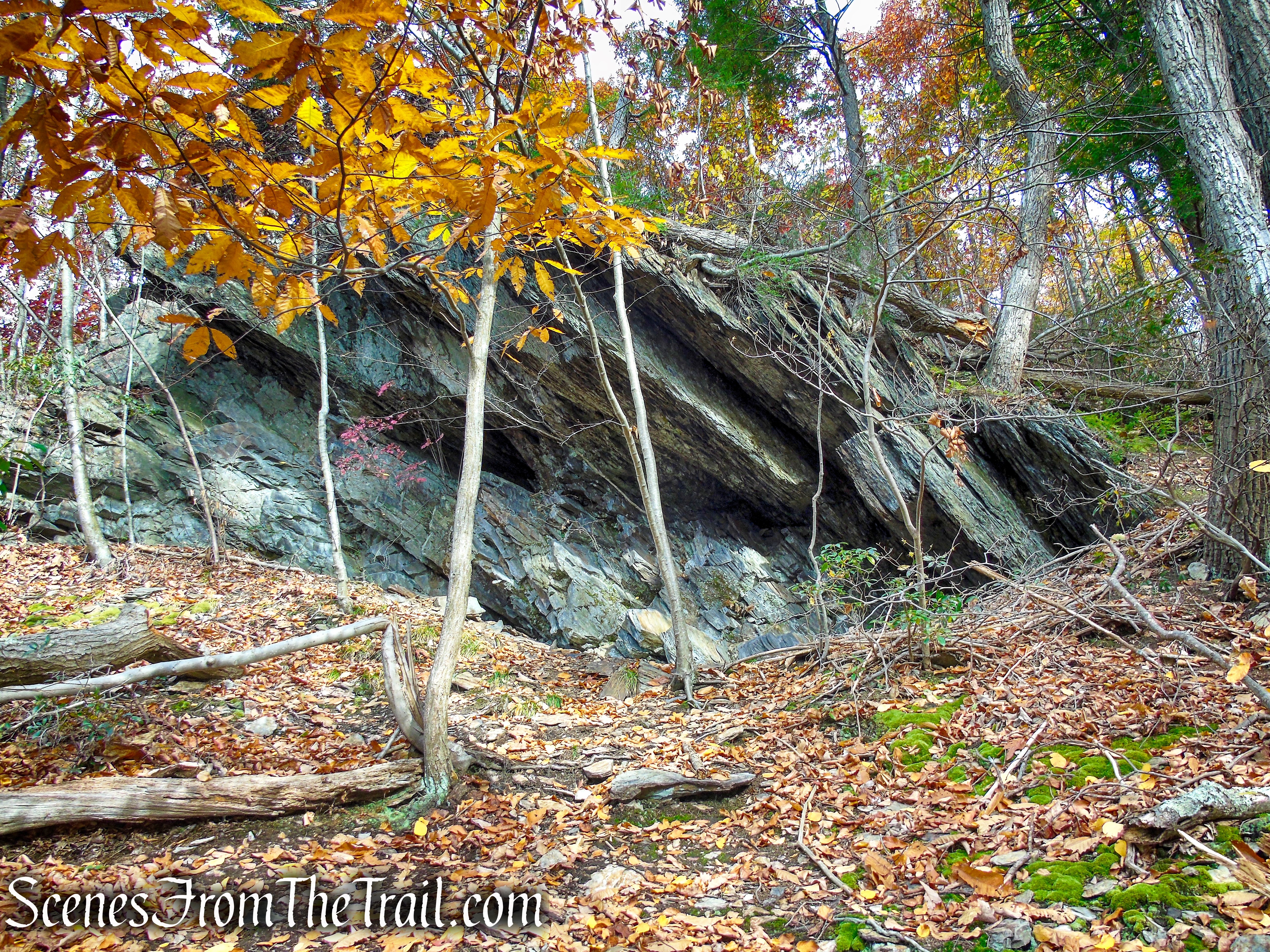
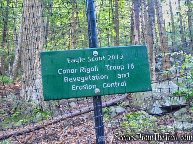
Turn back about 100 feet, and continue following the marked trail to your right, up alongside the waterfall. You may see tall, black mesh fencing as you climb this section, a reminder that Black Rock Forest is an active research center. The fencing is in place to keep deer out and to encourage recovery of native species that have been trampled from overuse.

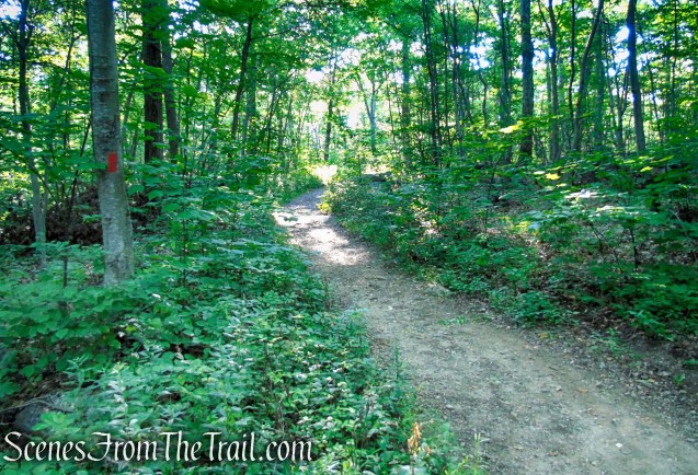
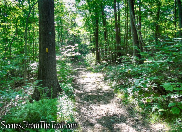
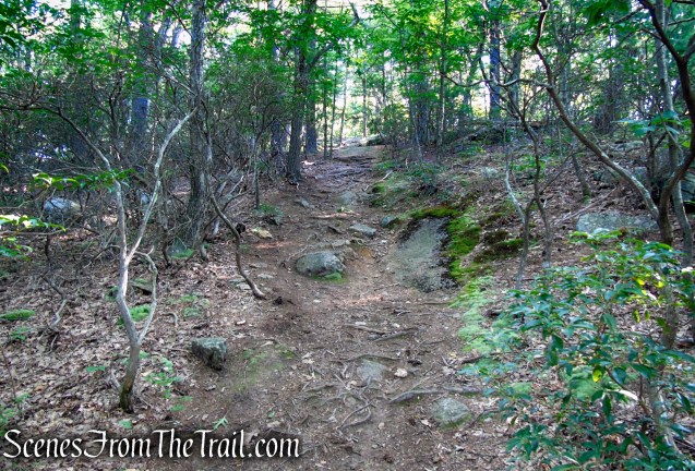
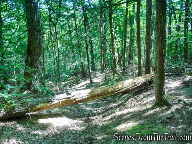
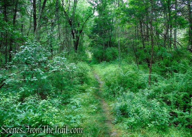
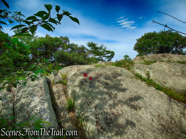
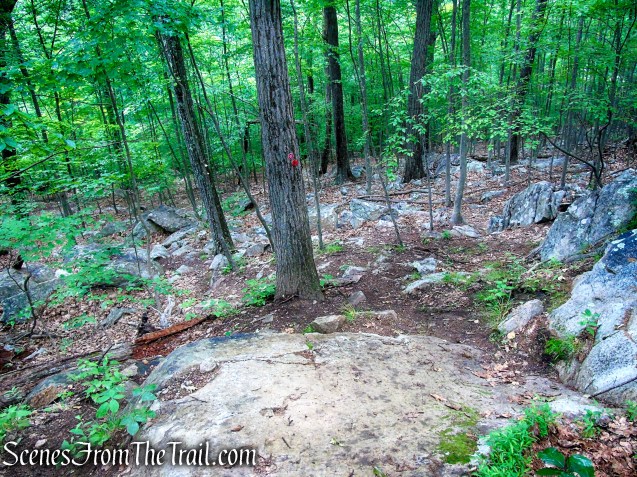
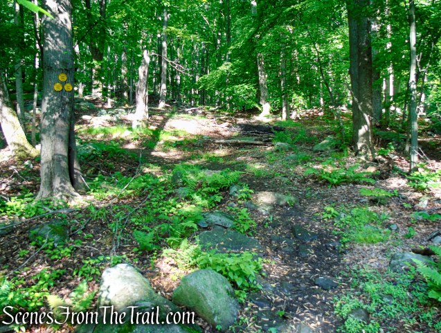
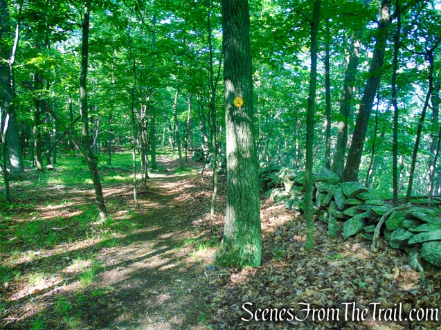
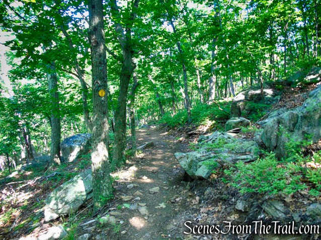
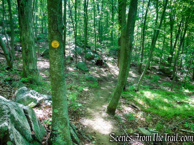
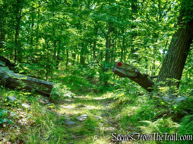
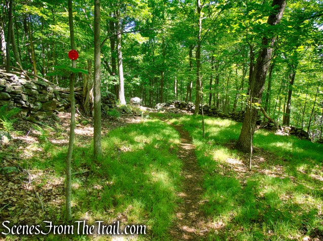
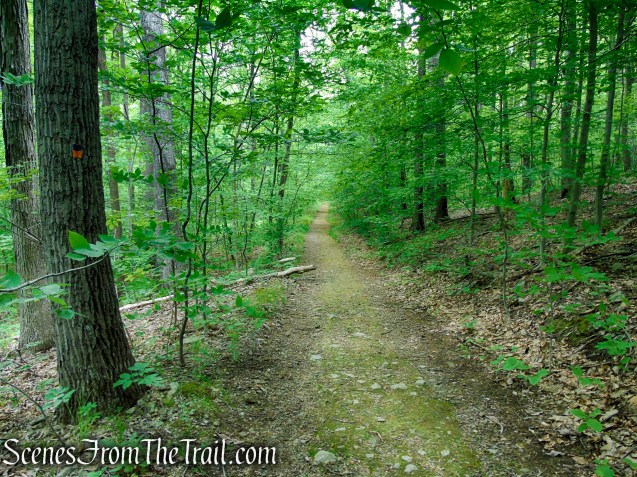
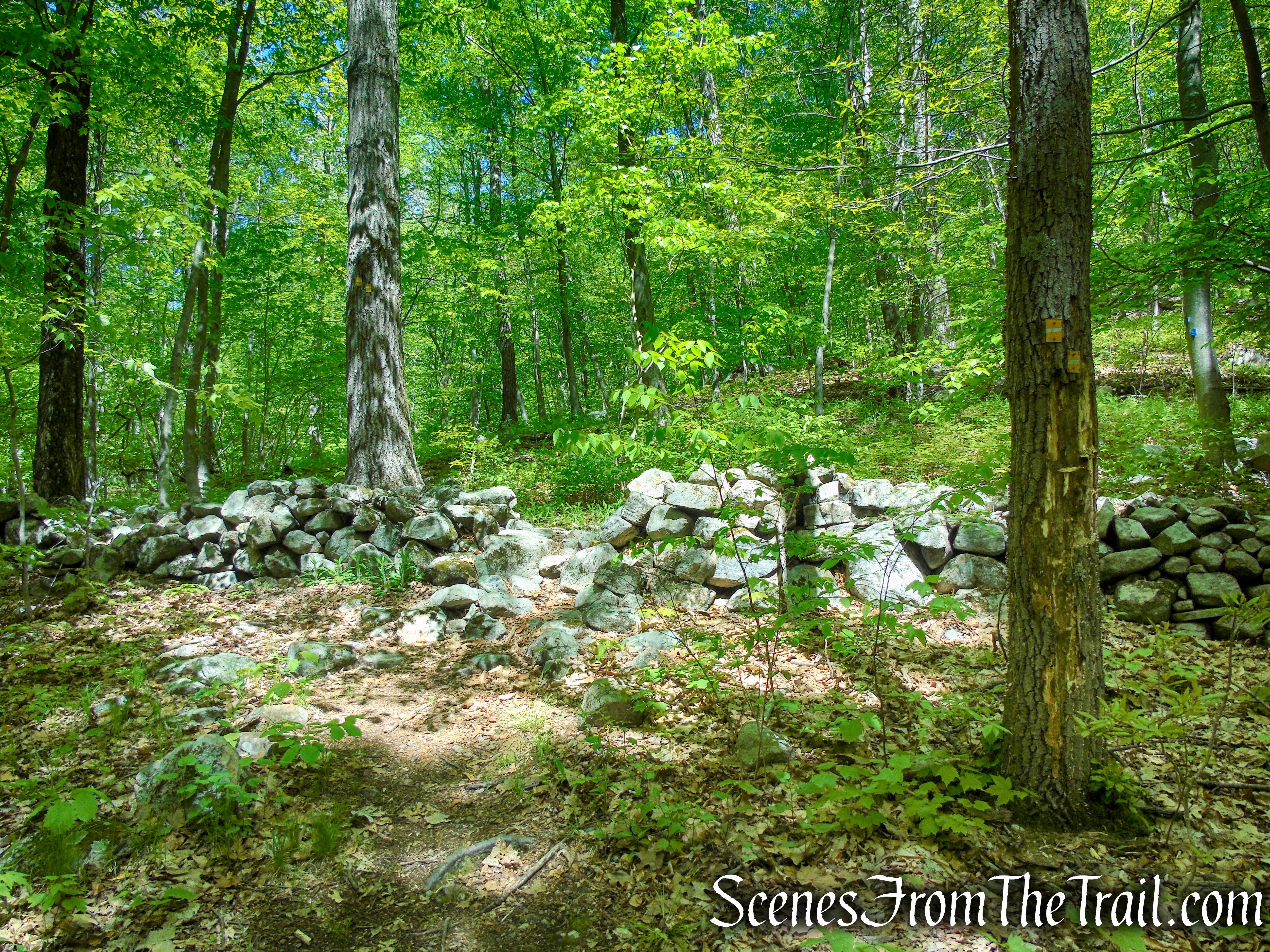
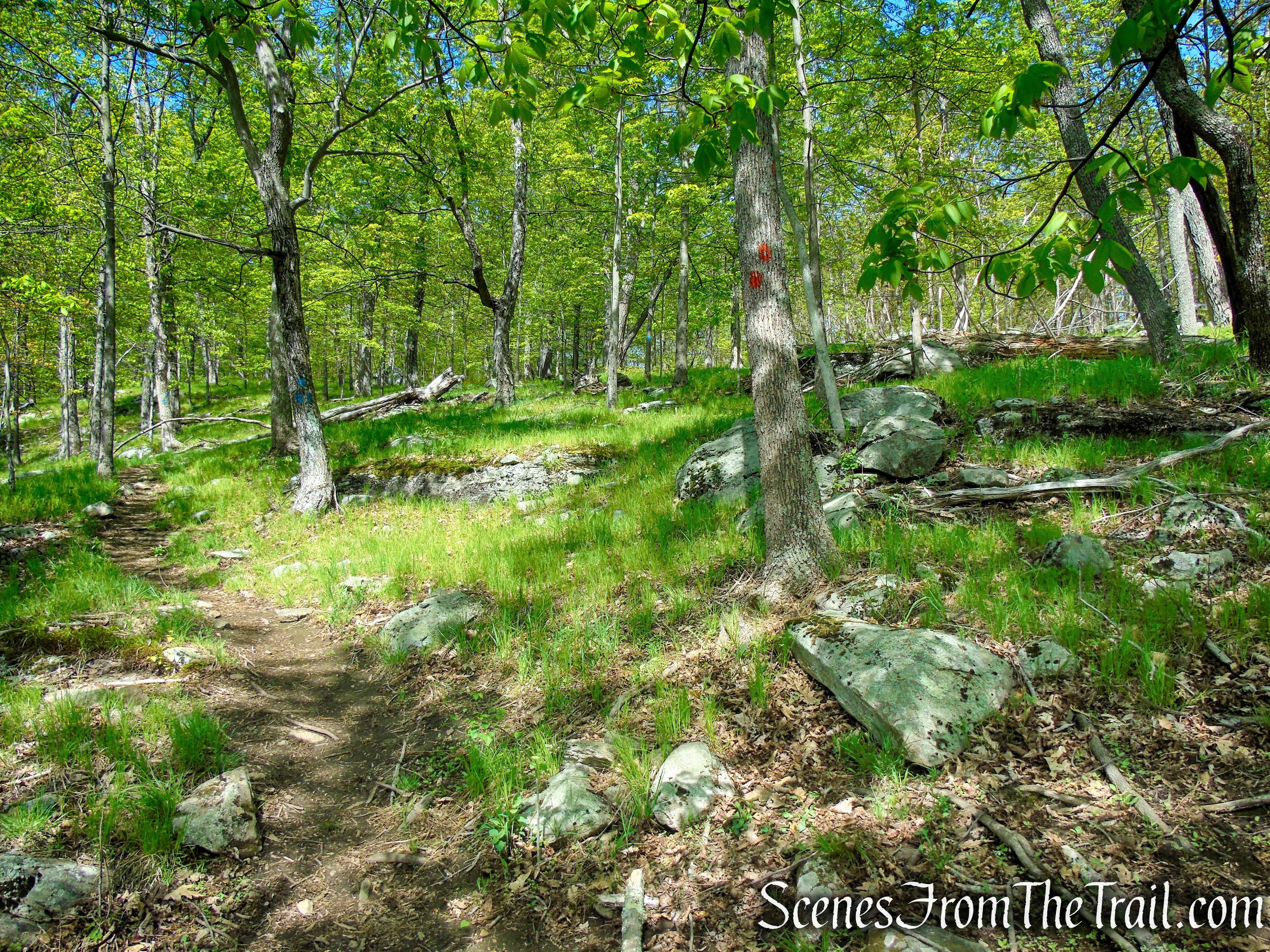
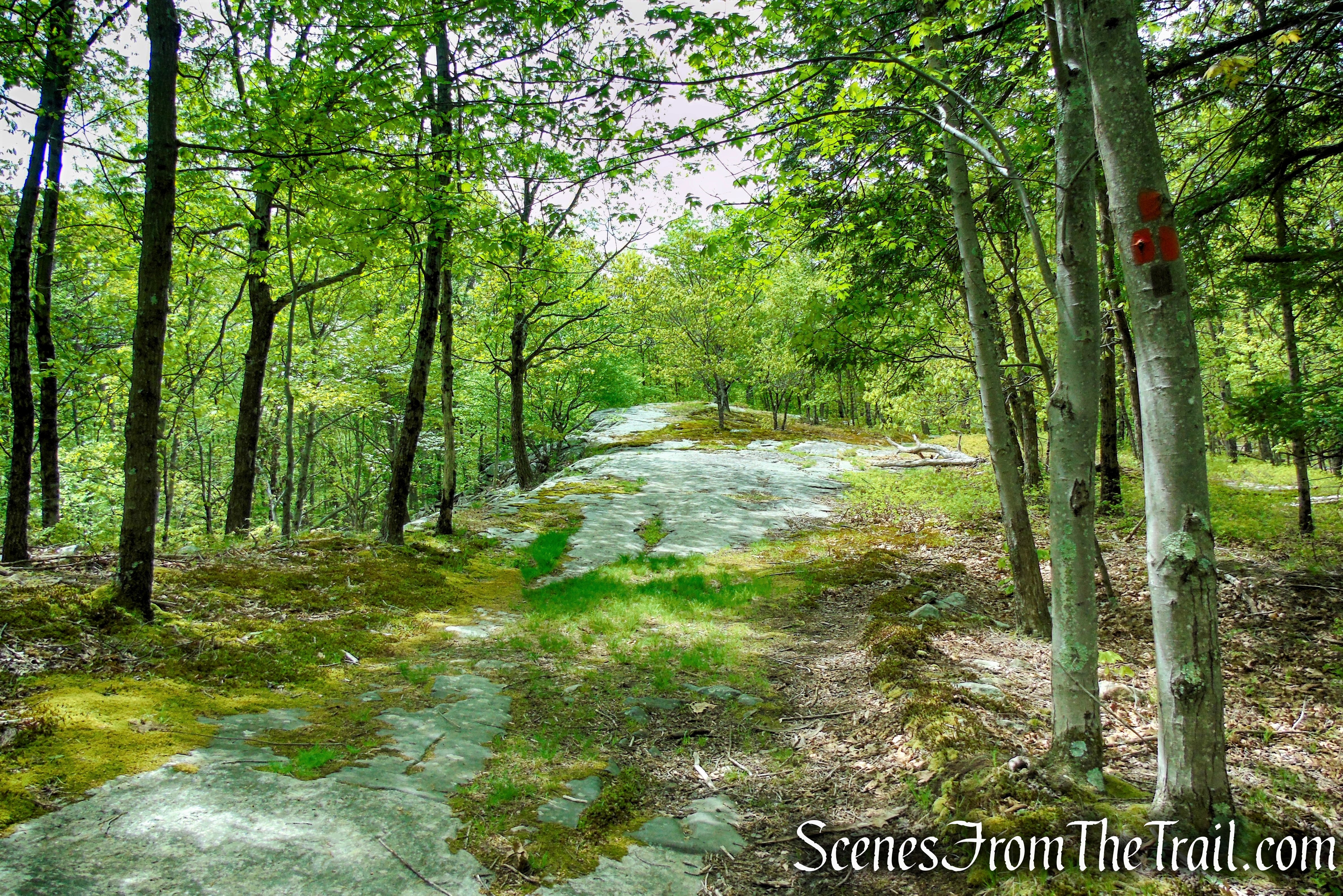
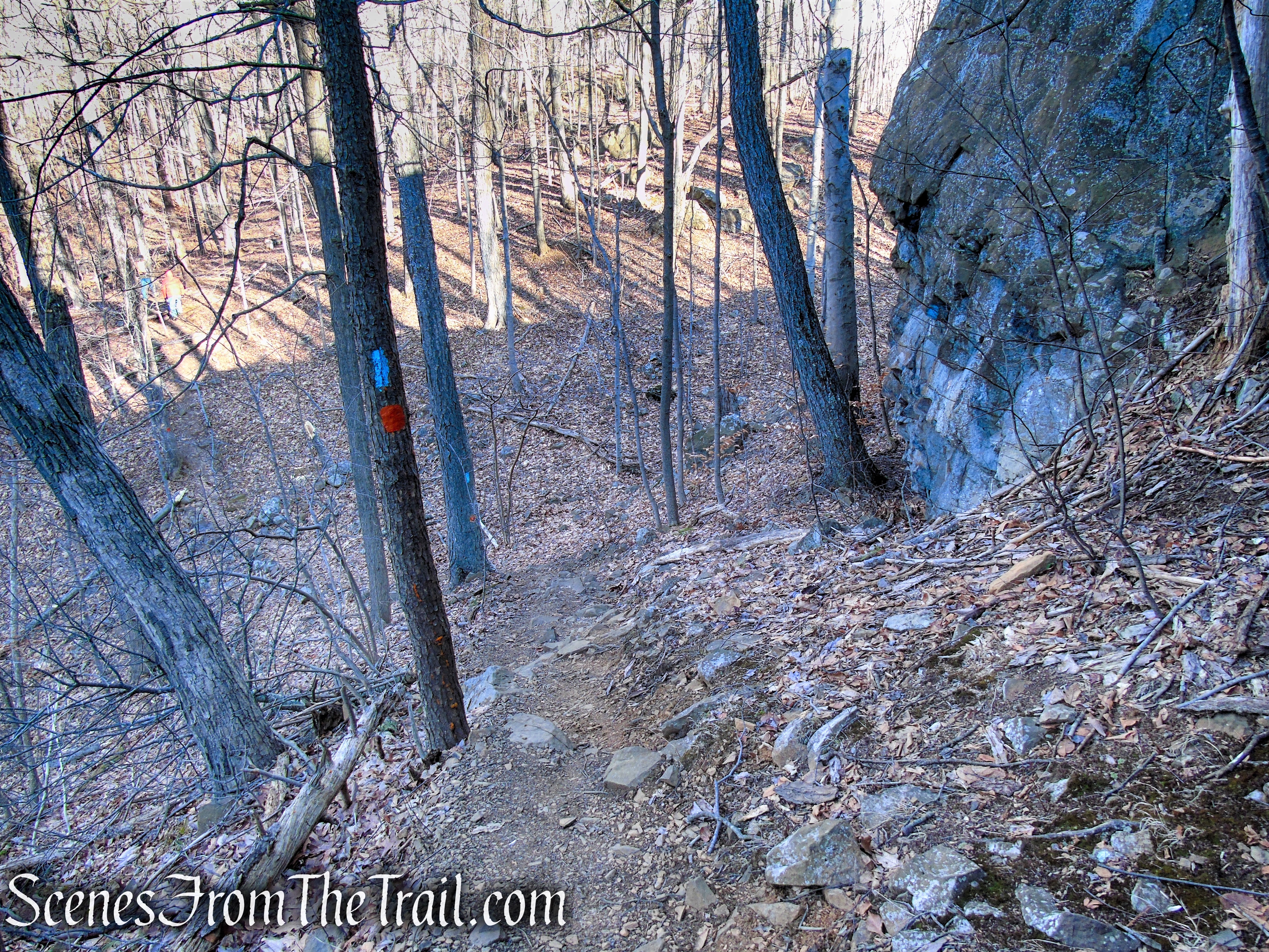
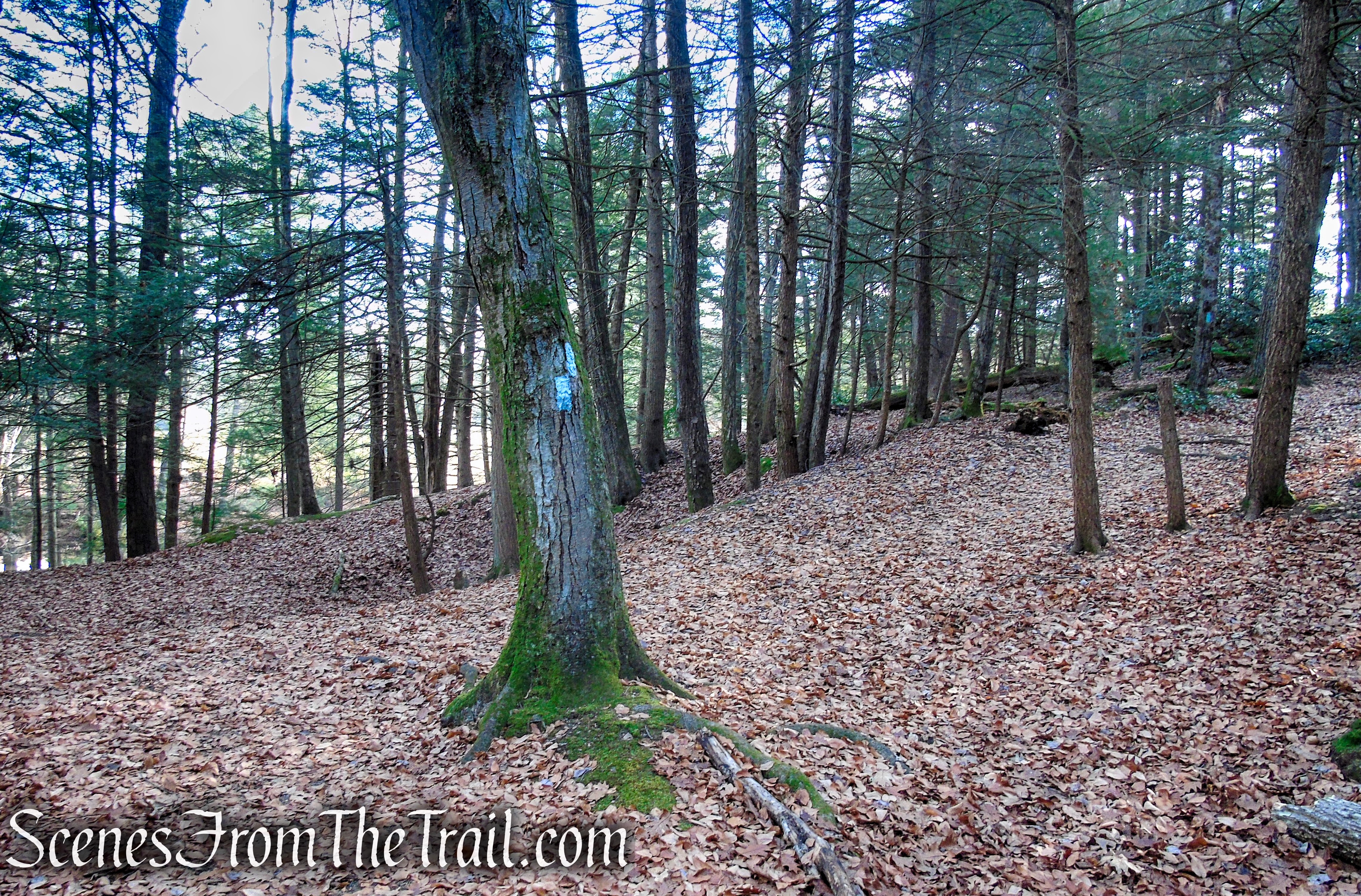
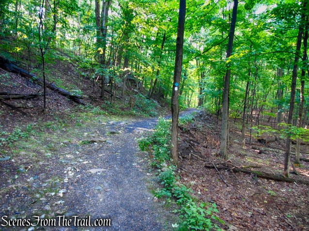
Scenic Trail – Black Rock Forest
Scenic Trail – Black Rock Forest

Scenic Trail – Black Rock Forest
Scenic Trail – Black Rock Forest
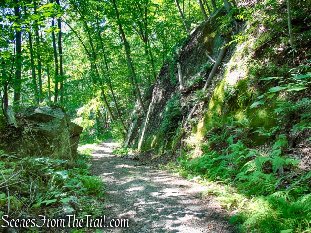
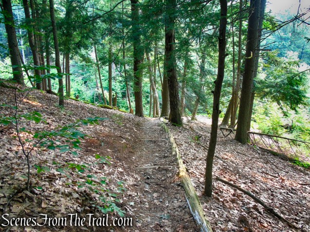
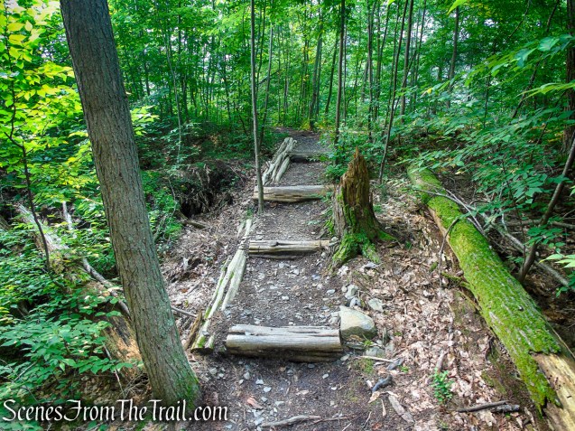
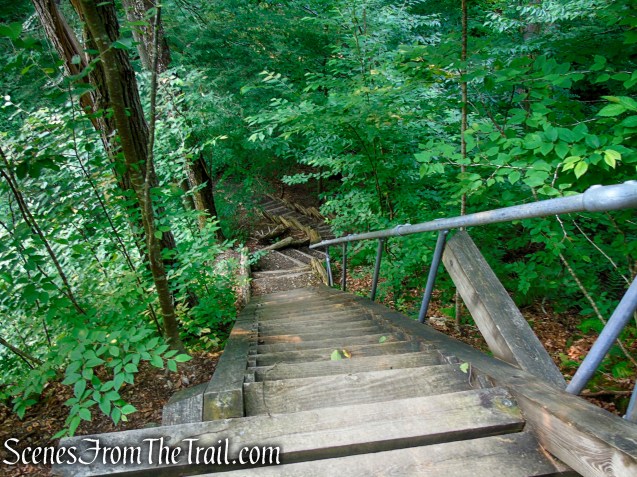
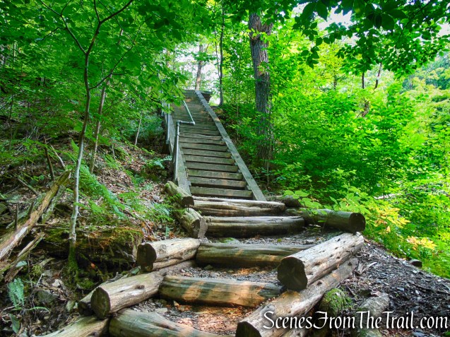
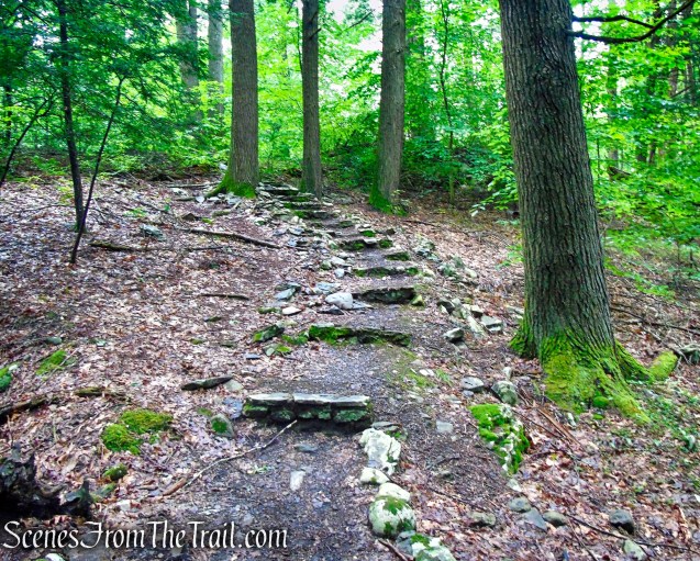
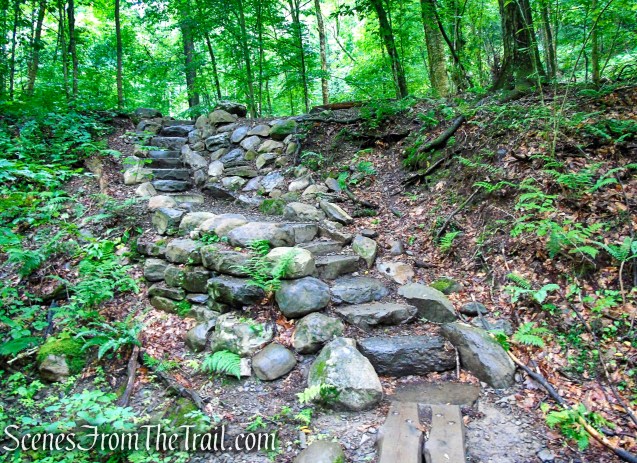
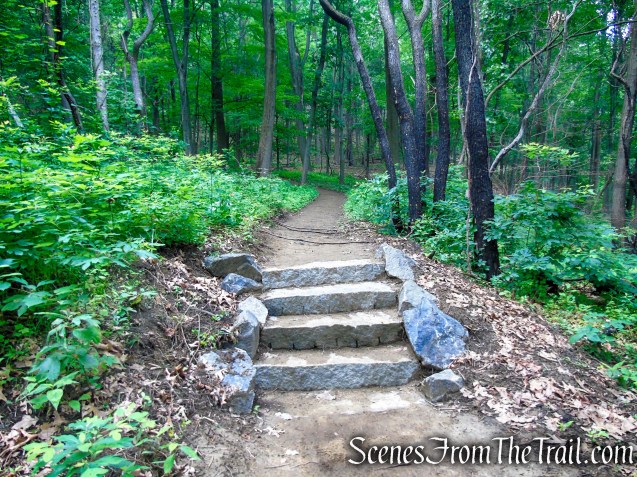
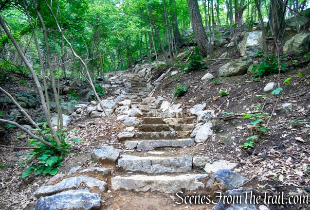
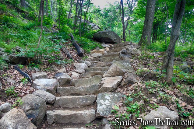
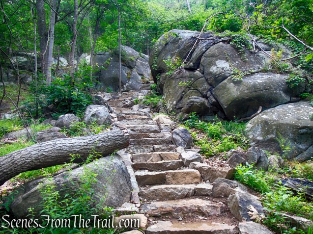
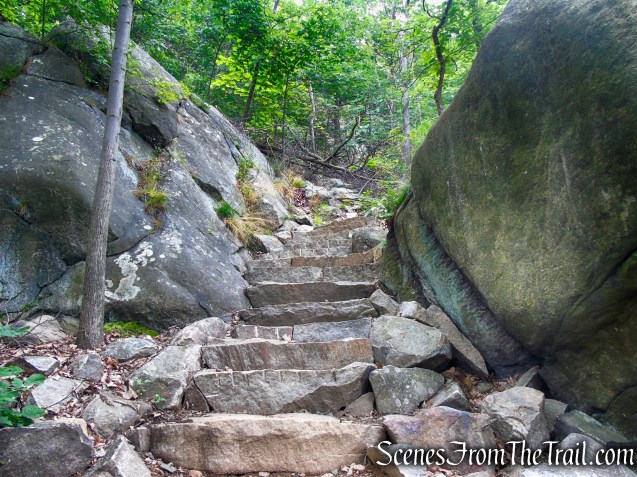
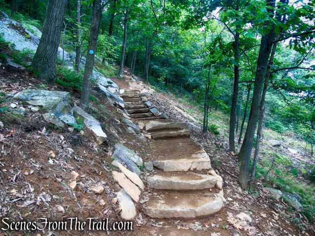
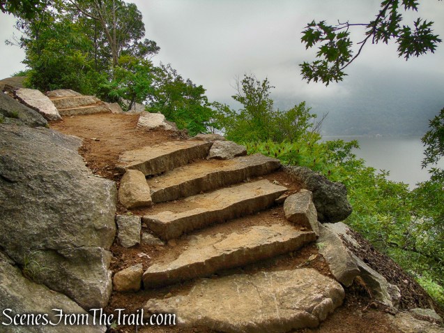
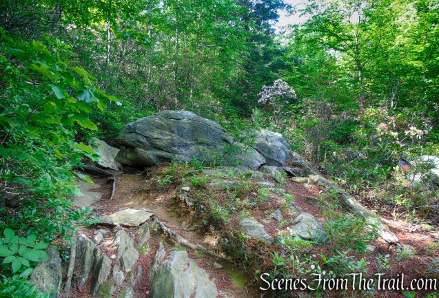
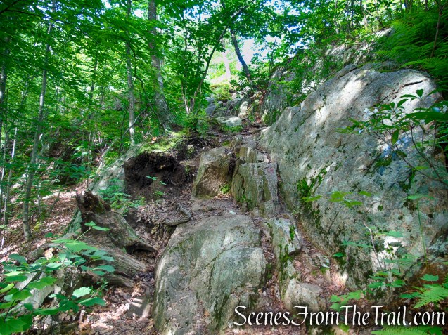
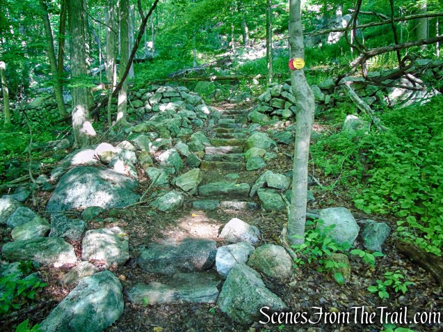
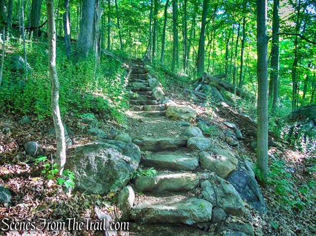
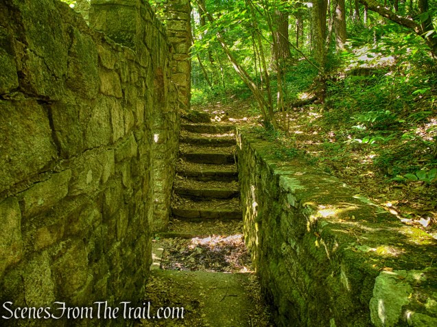
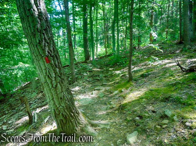
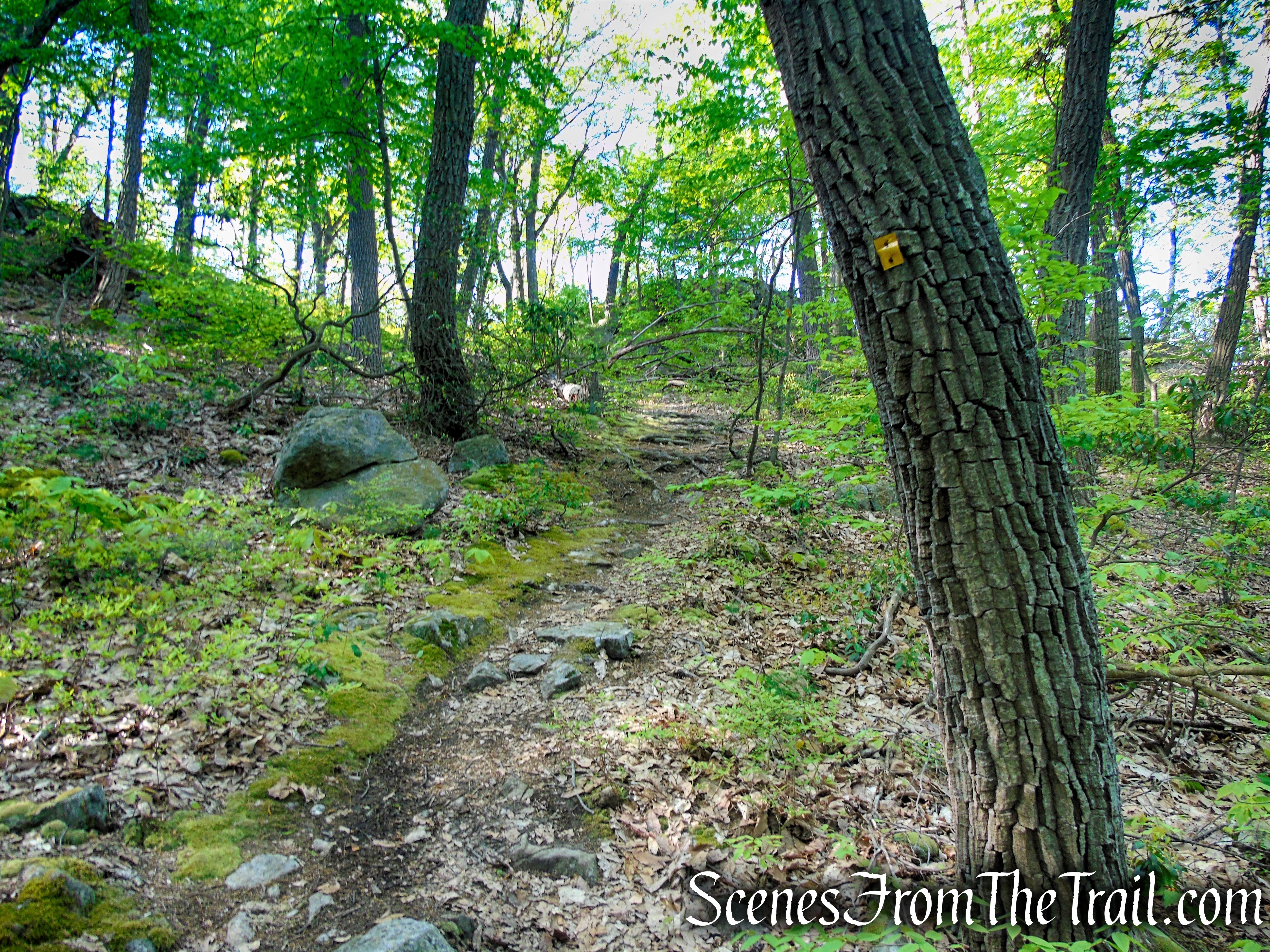
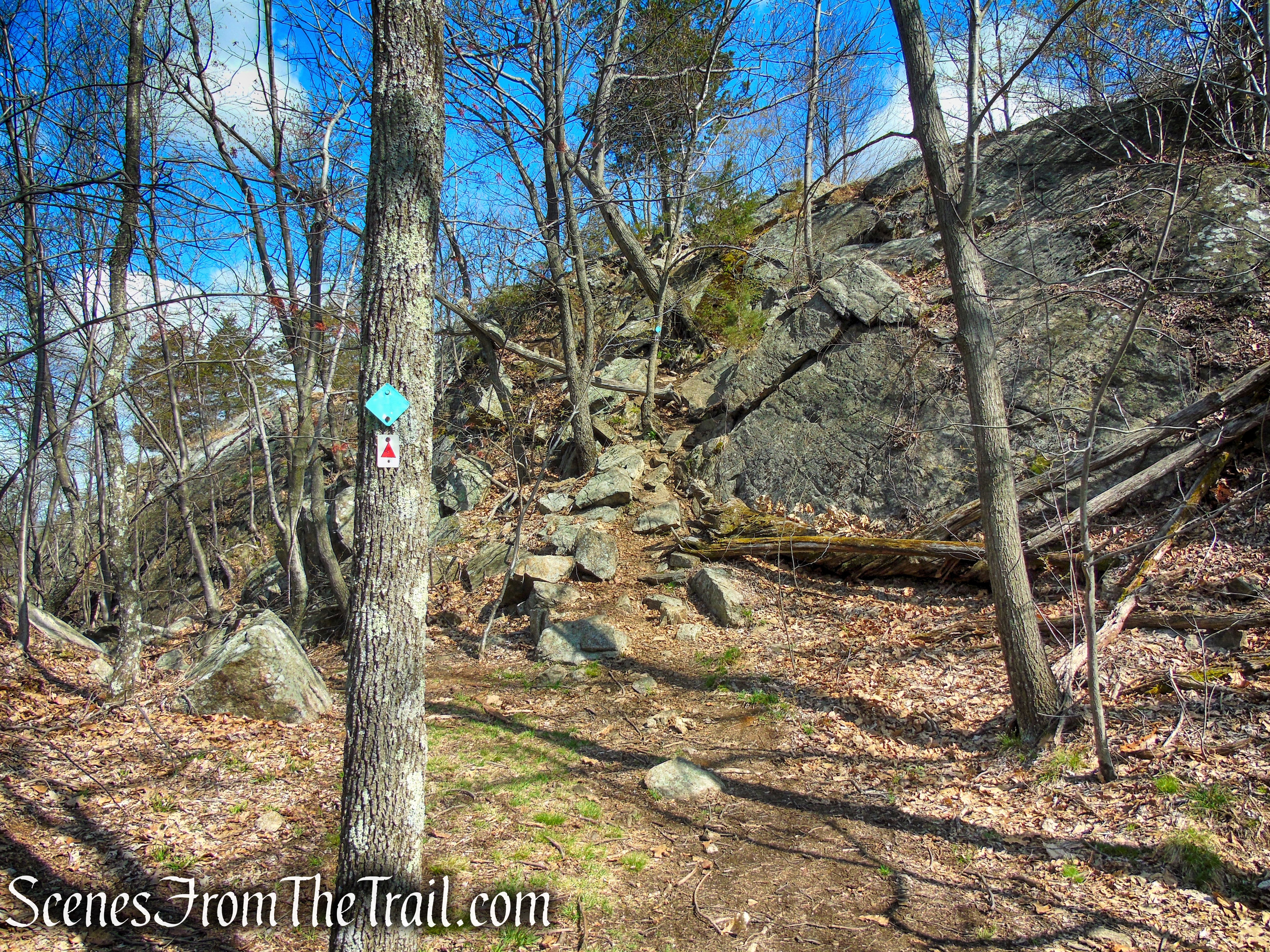
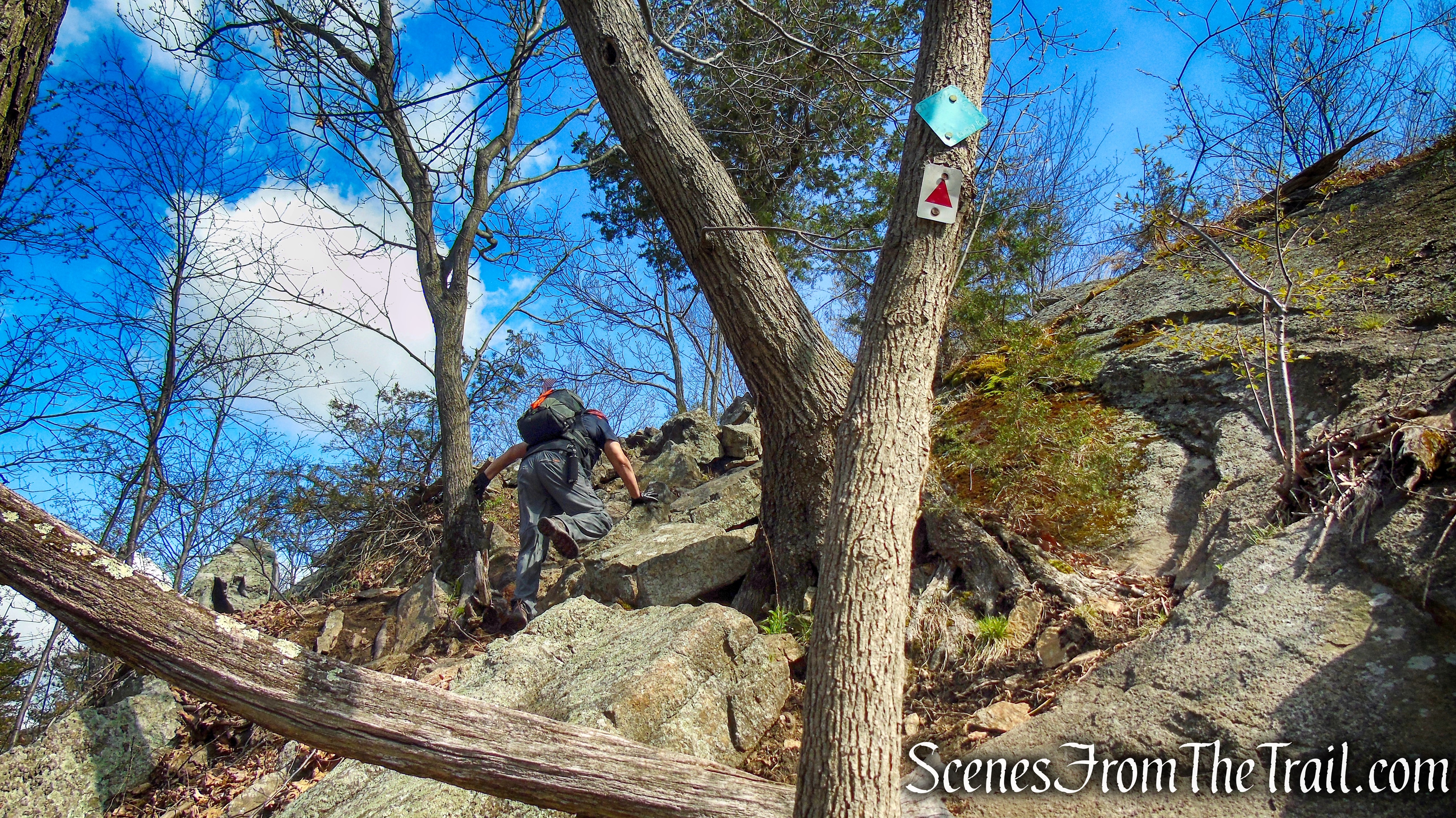
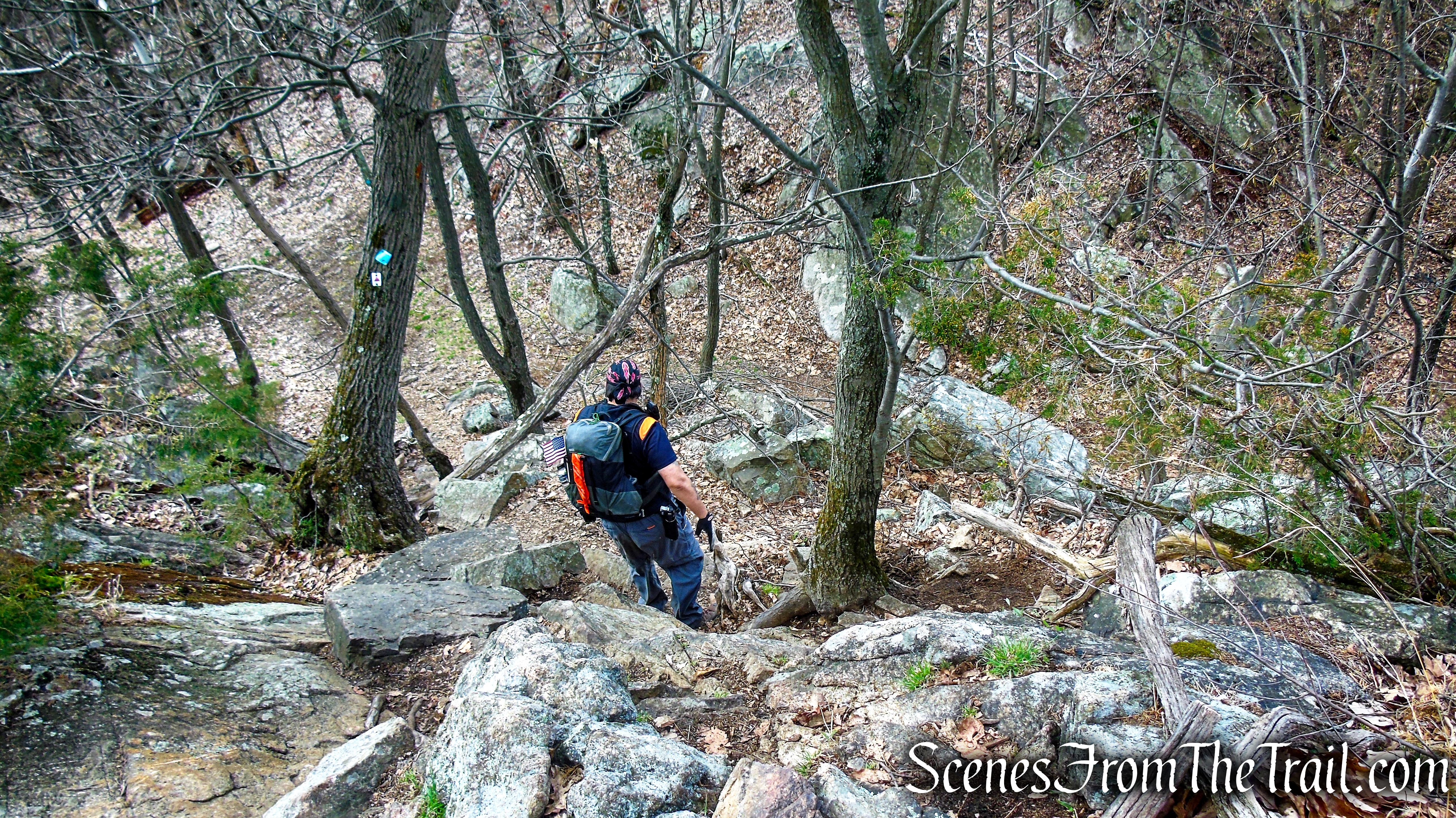
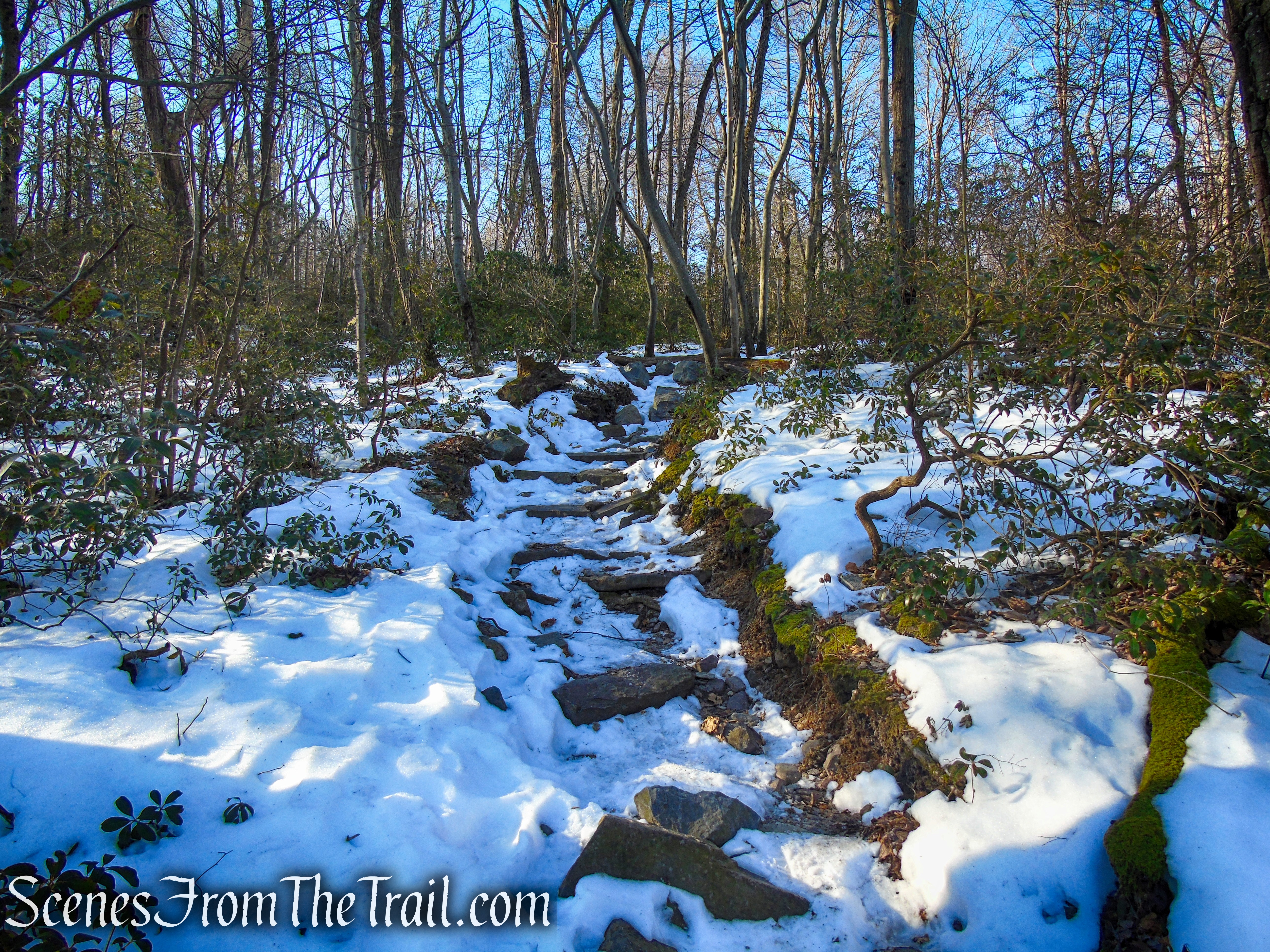
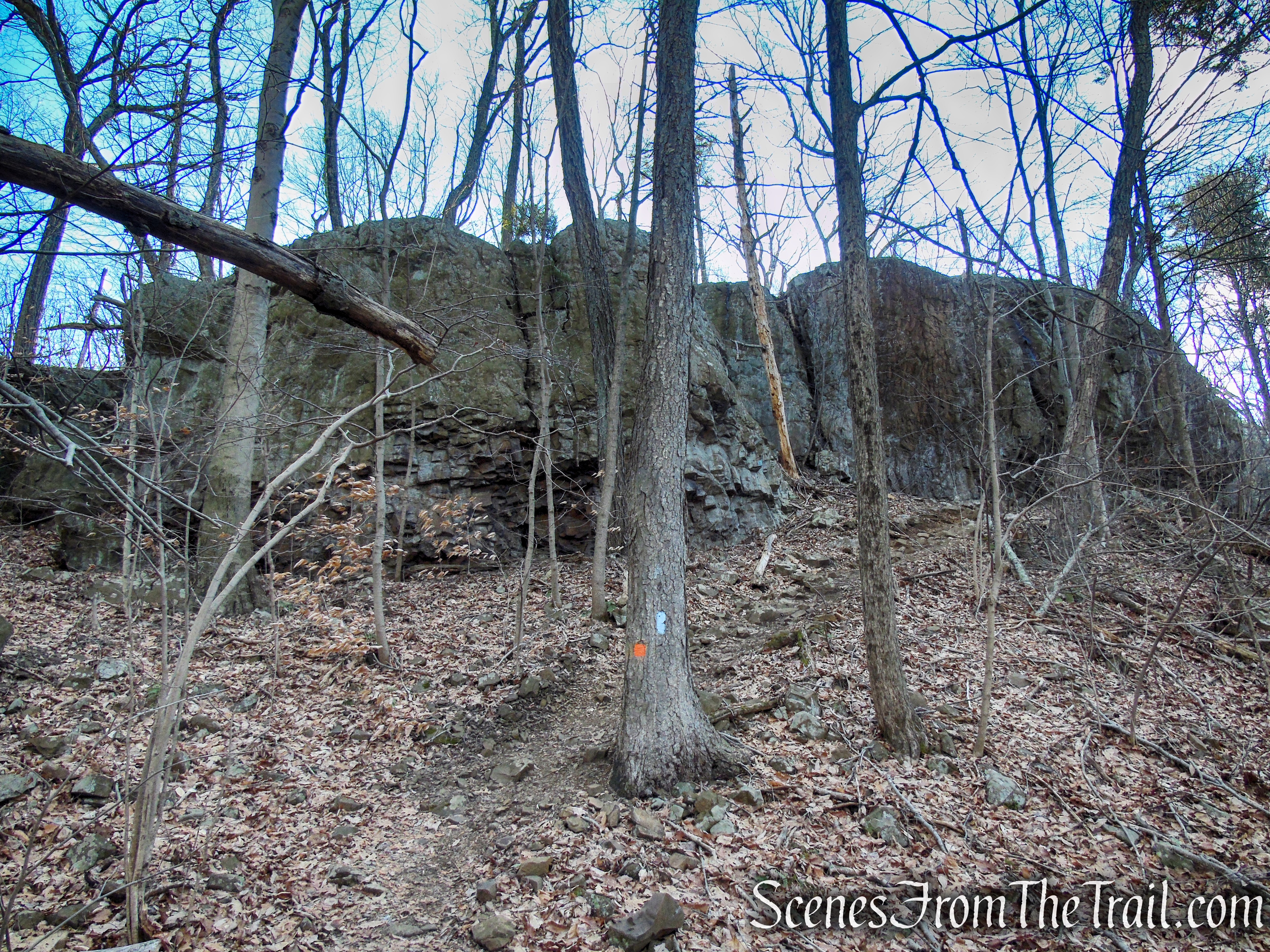
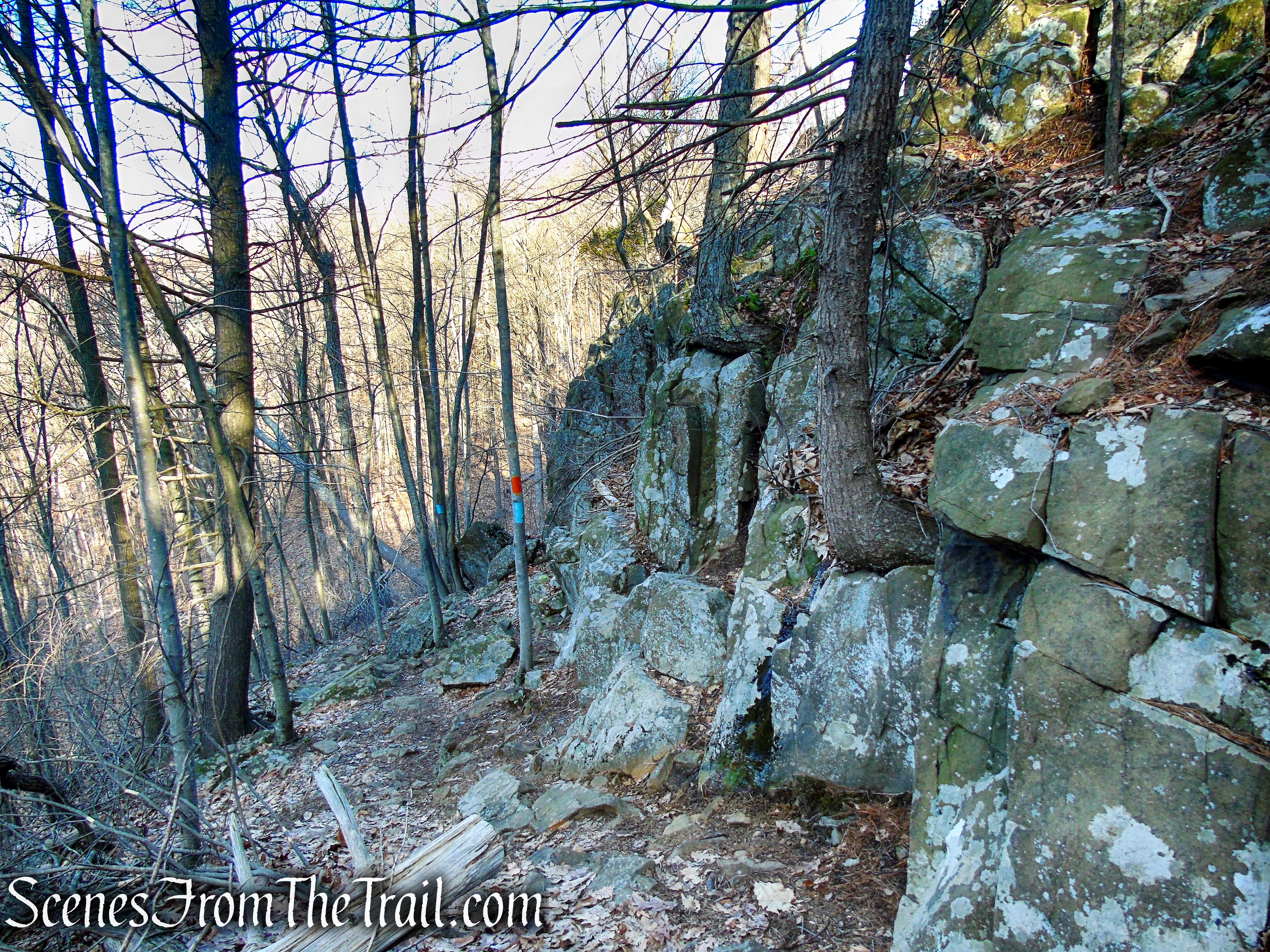
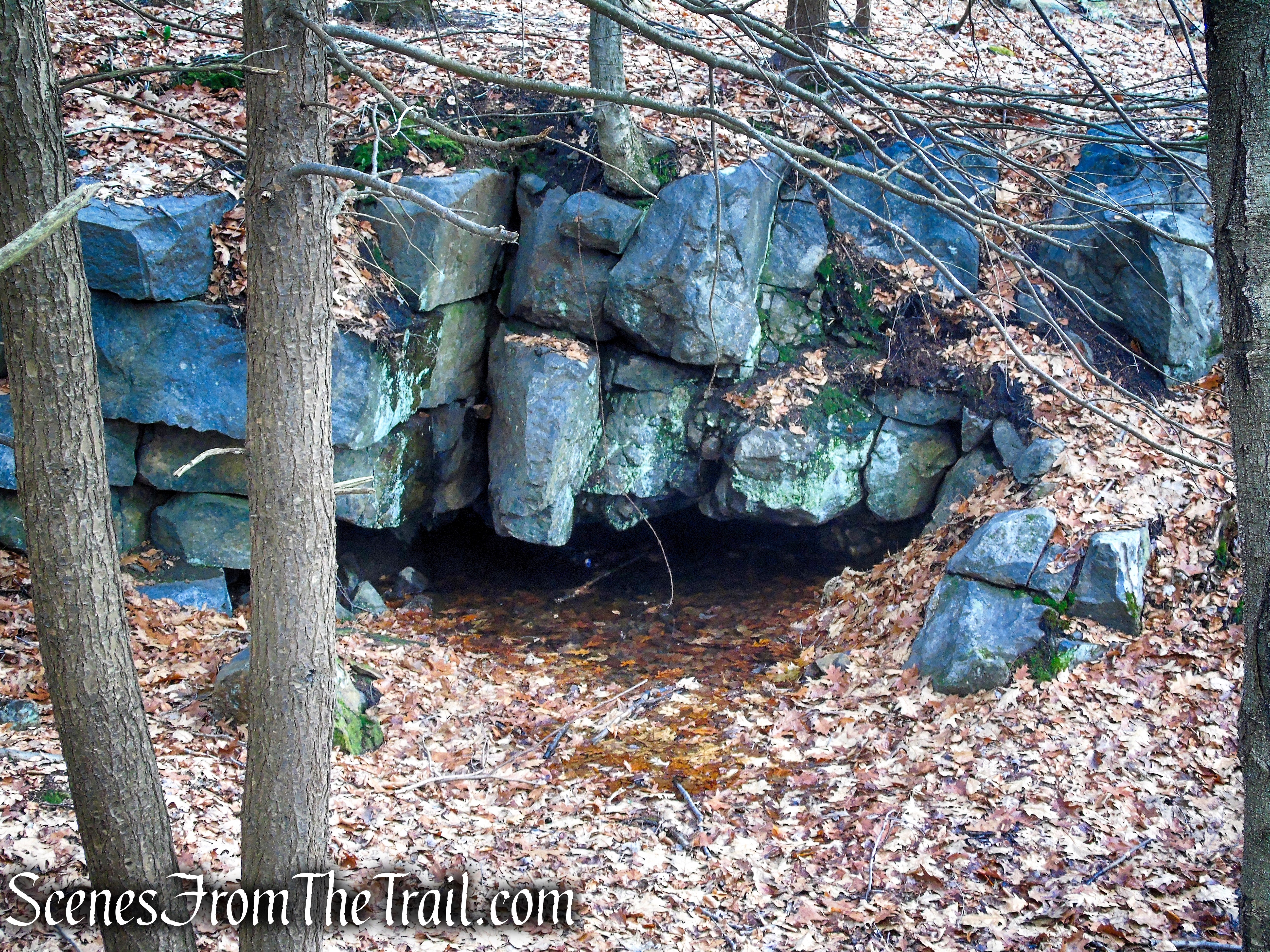
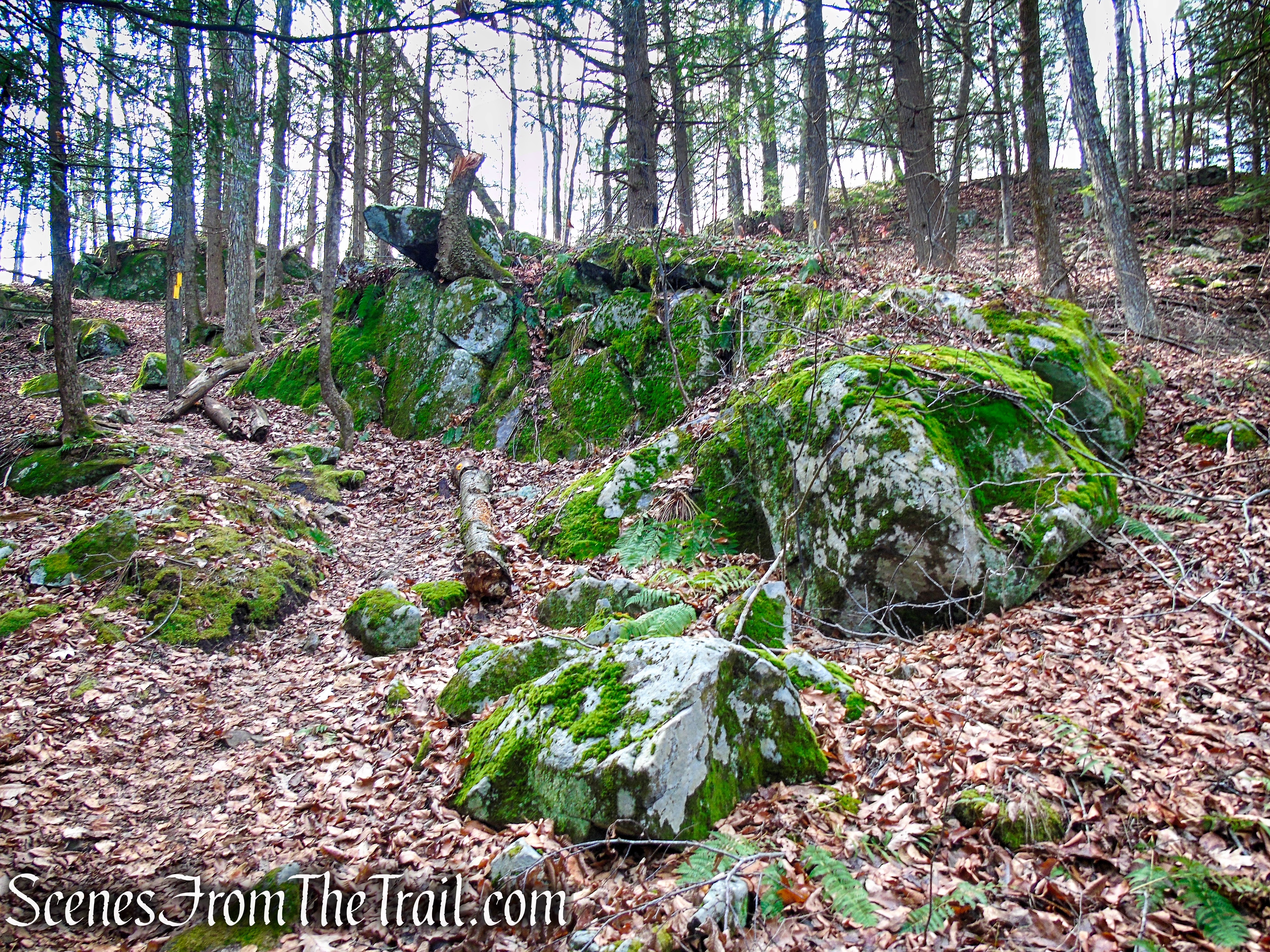
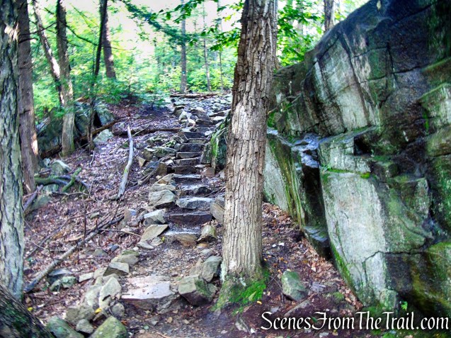
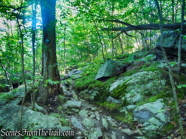
The trail skirts walls of rock as it climbs along the waterfall. Hikers are asked to remain on the trail and not venture near the falls to avoid both injury and the impacts of erosion. In an effort to create a safe experience and sustainable trail that will last decades, the Hudson Nor’Westers Crew built a beautiful stone staircase along this section in 2019.

Upper Mineral Springs Falls – Black Rock Forest

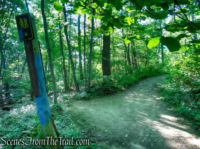
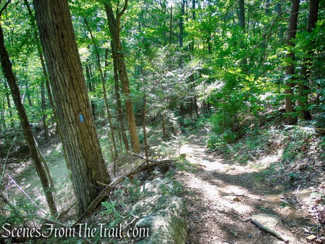
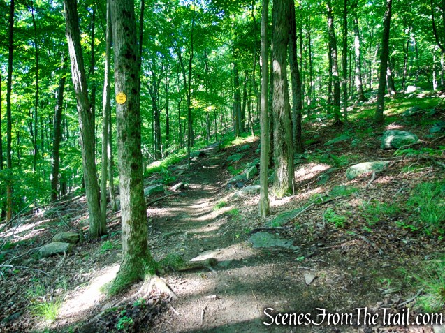
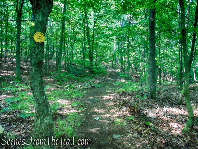
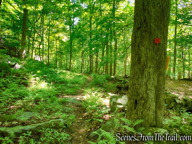
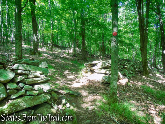
Scenic Trail – Black Rock Forest
Scenic Trail – Black Rock Forest
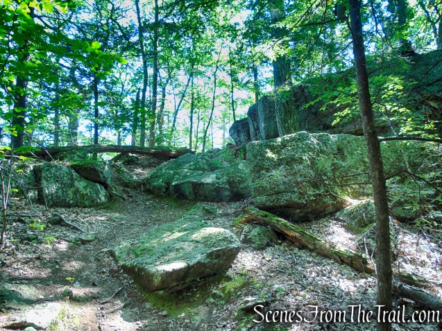
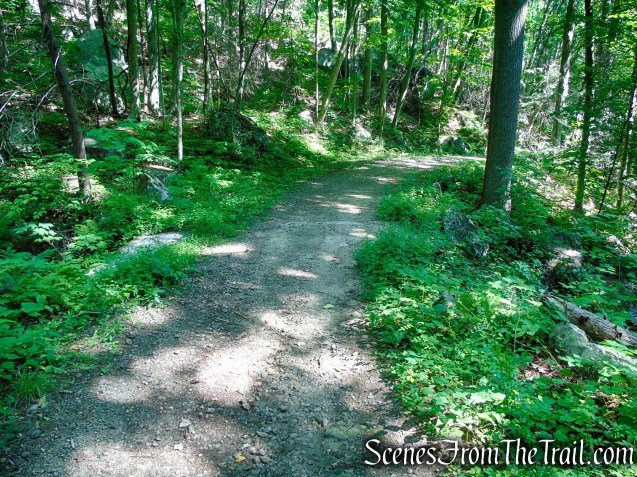
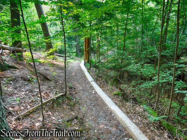
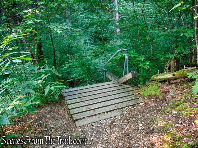
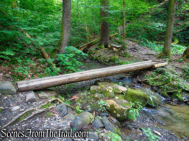
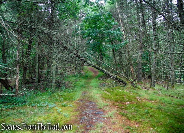
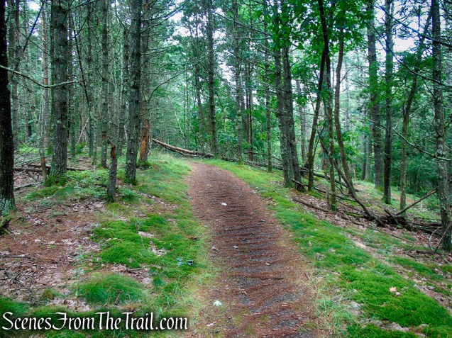
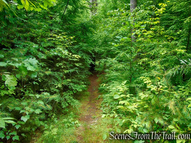
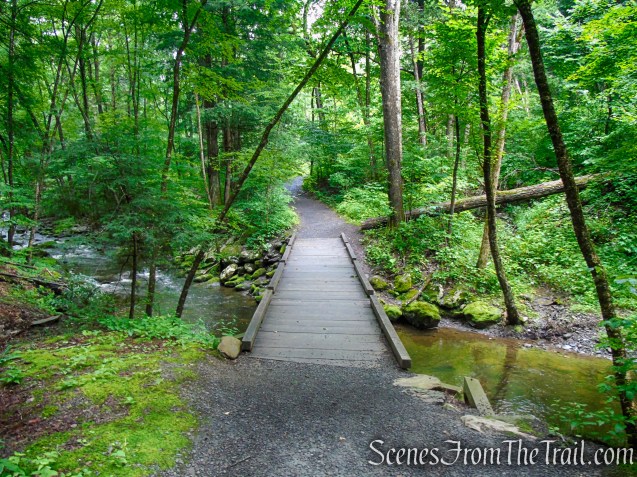
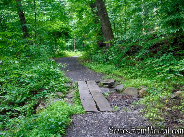
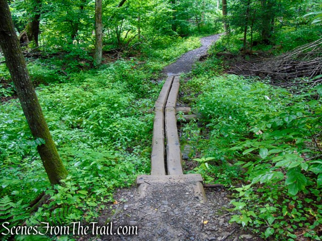
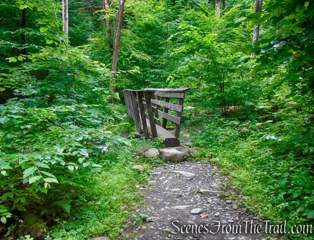
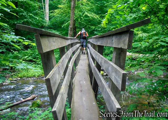
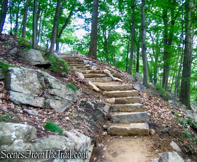
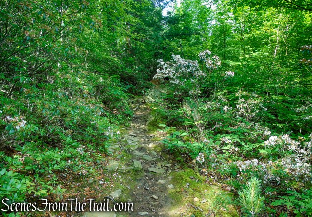
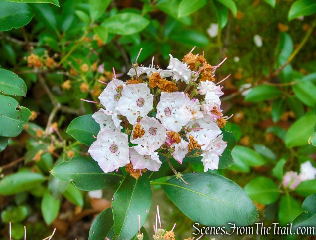
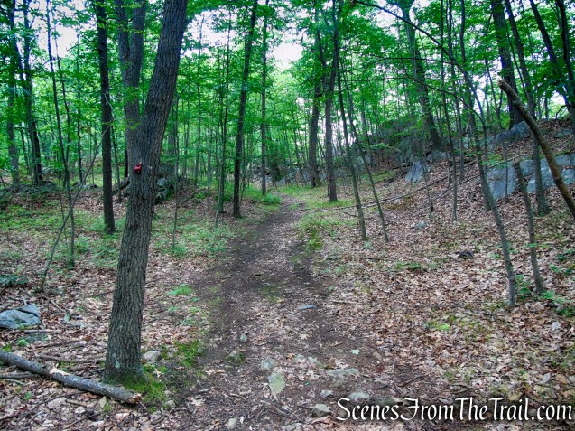
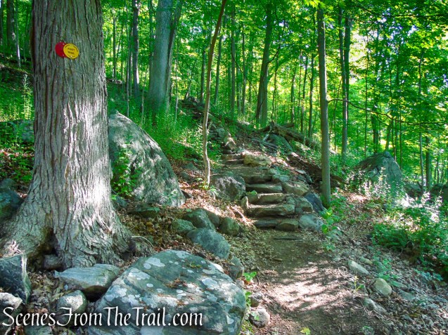
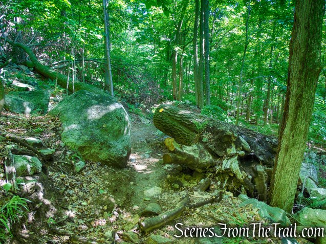
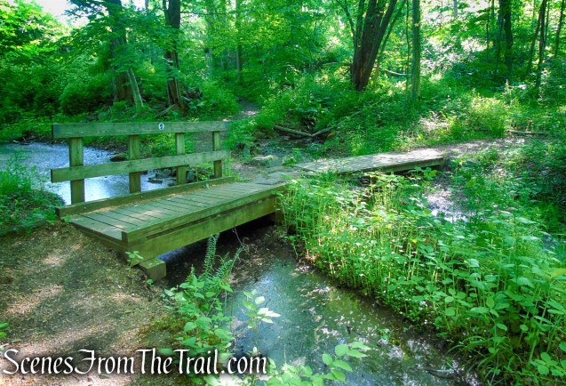
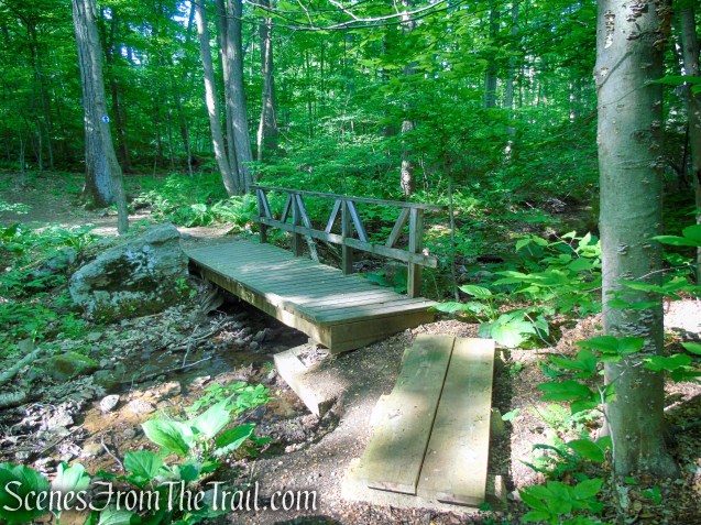
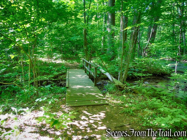
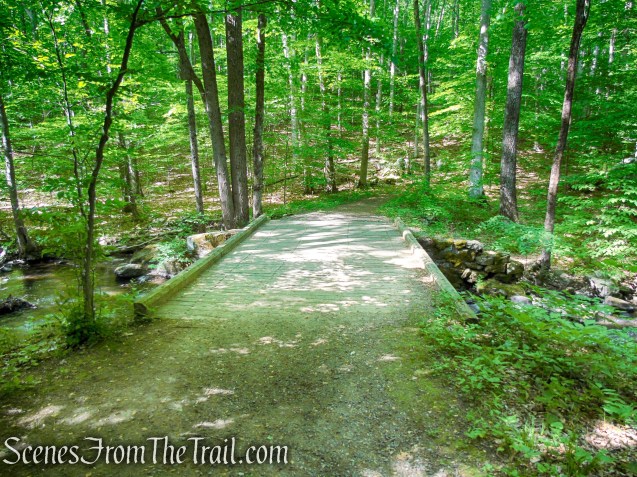
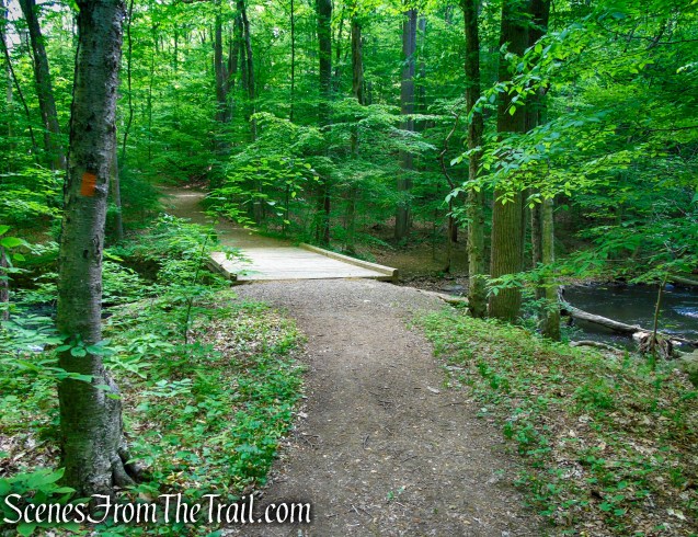
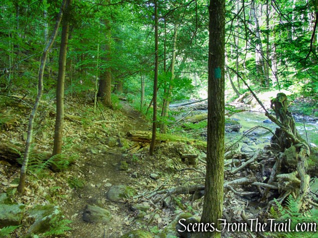
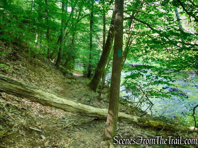
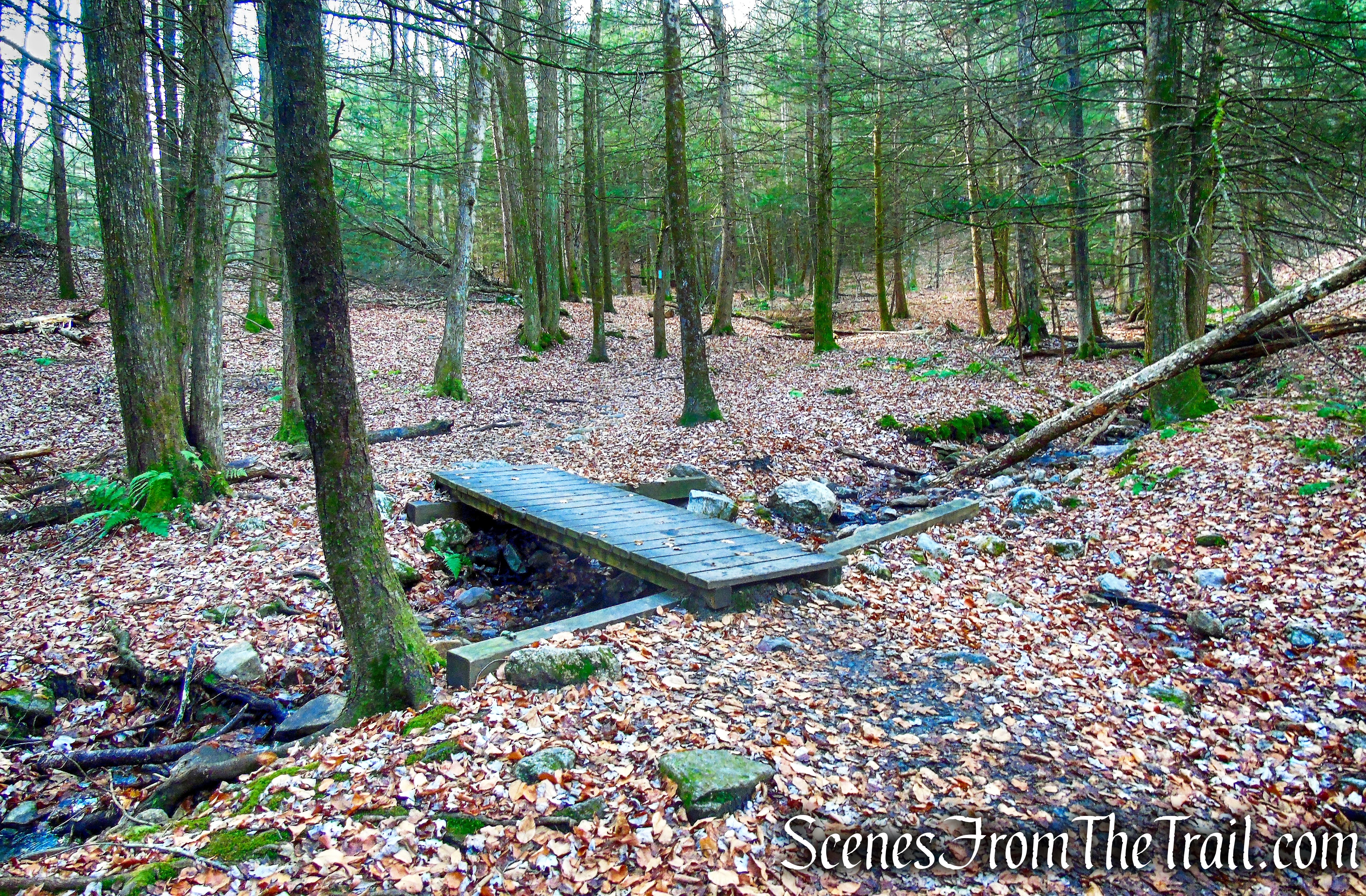
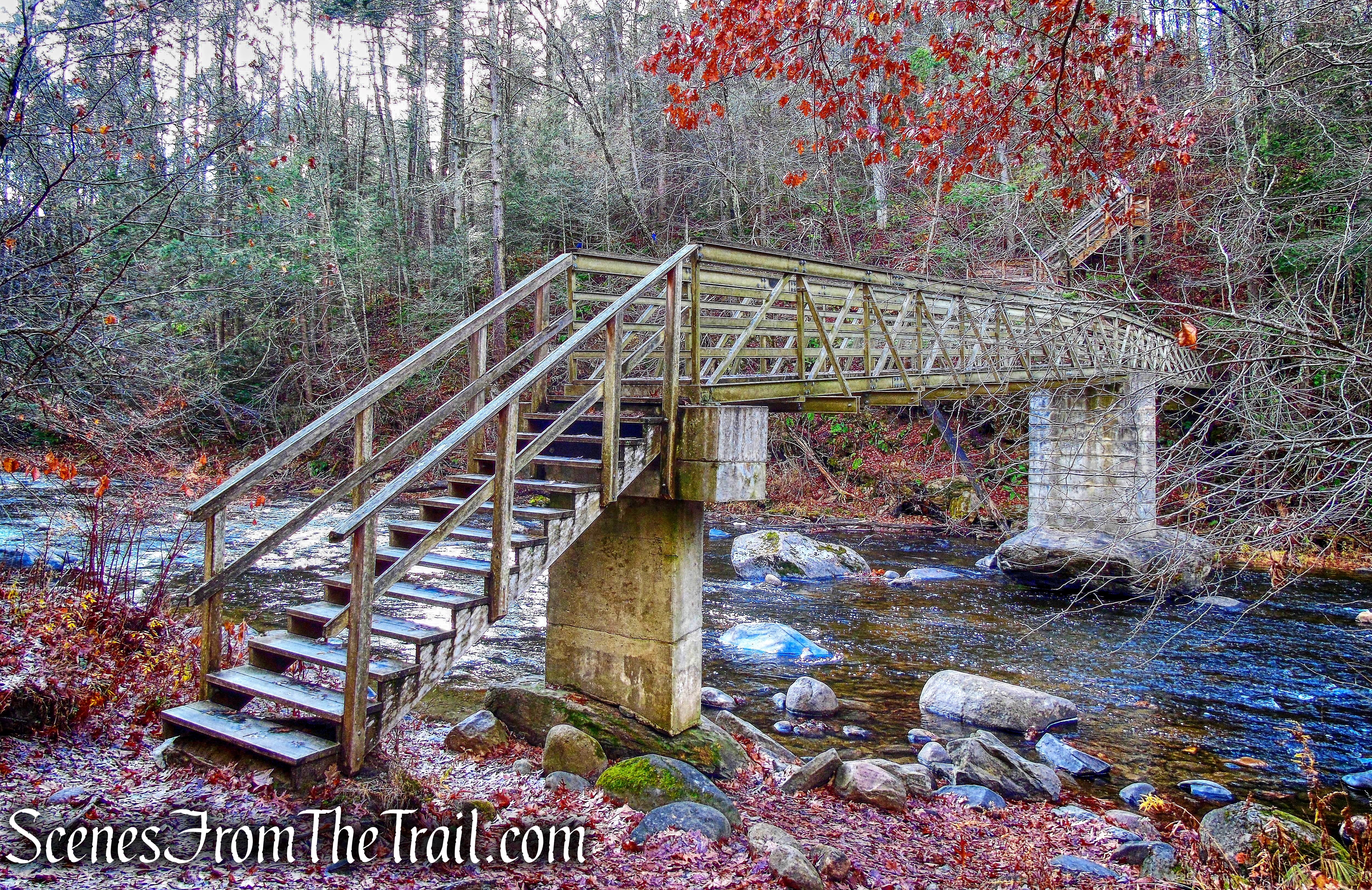
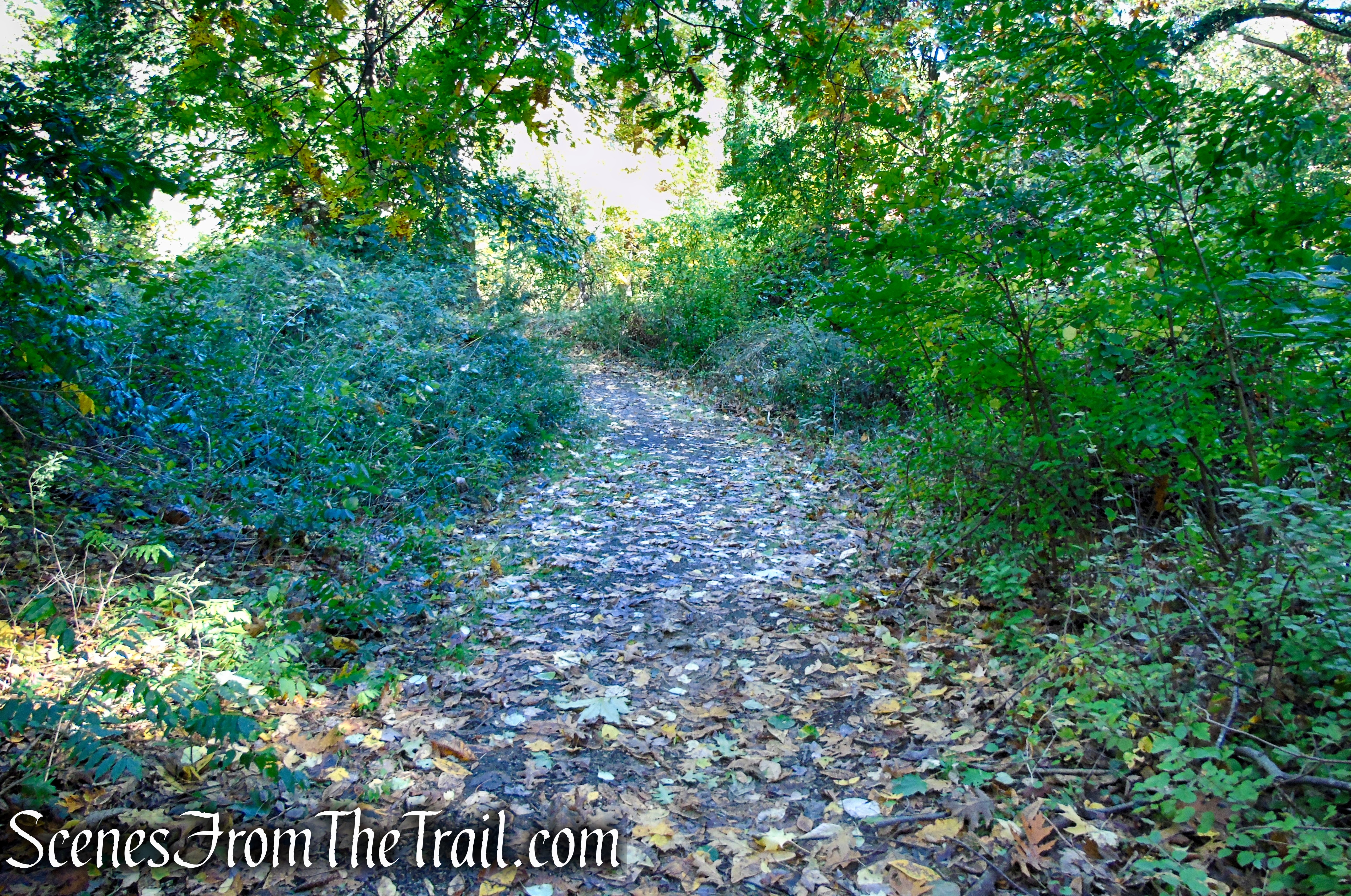
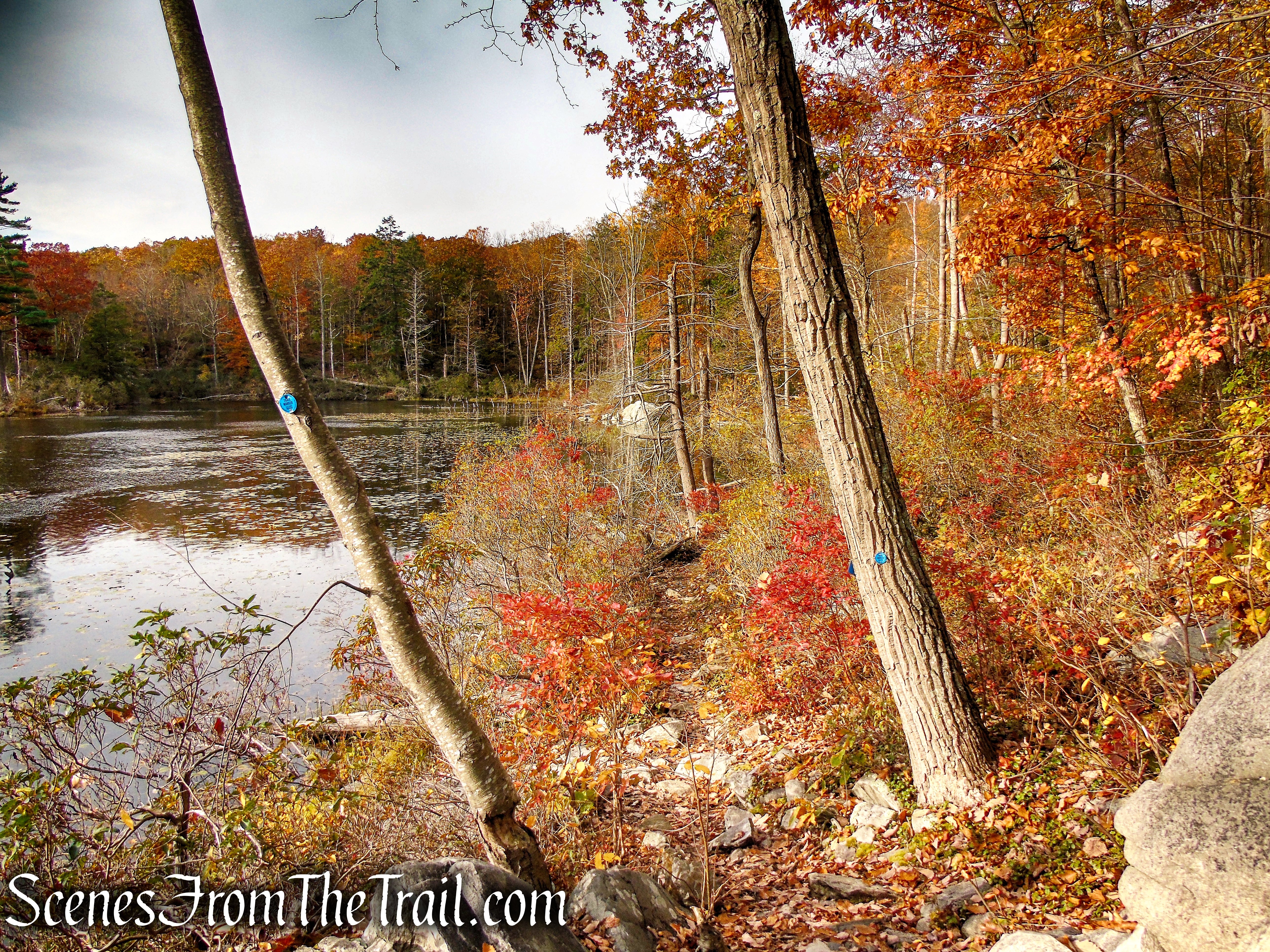
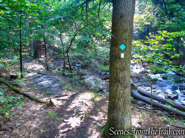
After enjoying the view of the upper falls and the splendidly built trail, continue your rolling ascent along the stream through hemlock groves, mountain laurel, and a young birch forest. Along the way you’ll encounter additional handiwork of the Nor’Westers Crew in the form of two stepping stone bridges that cross Mineral Springs Brook.

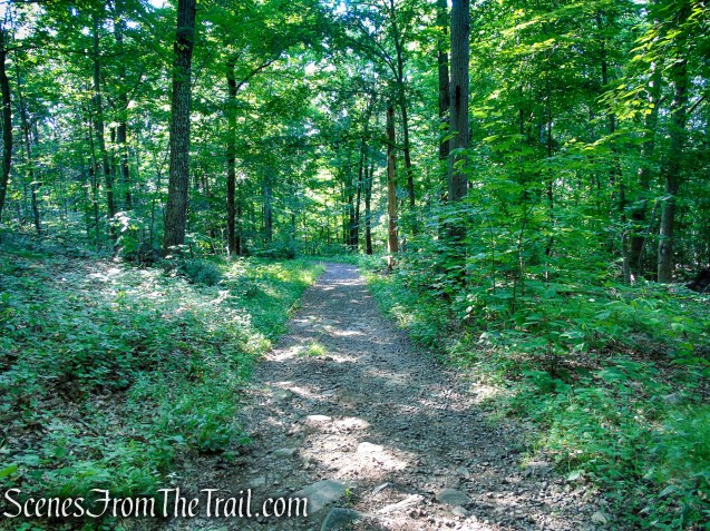
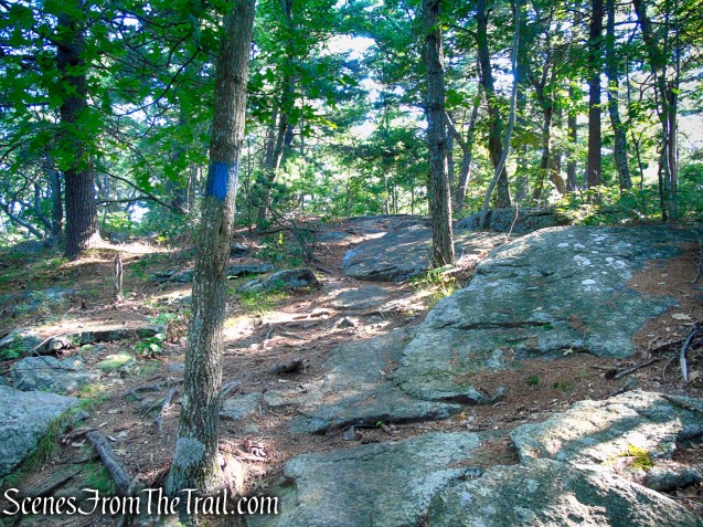
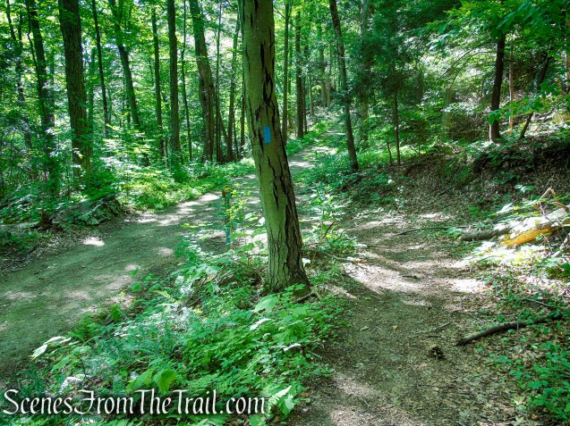
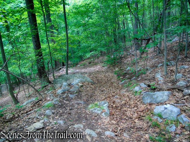
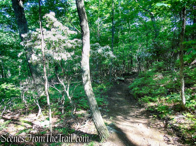
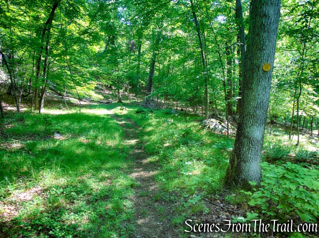
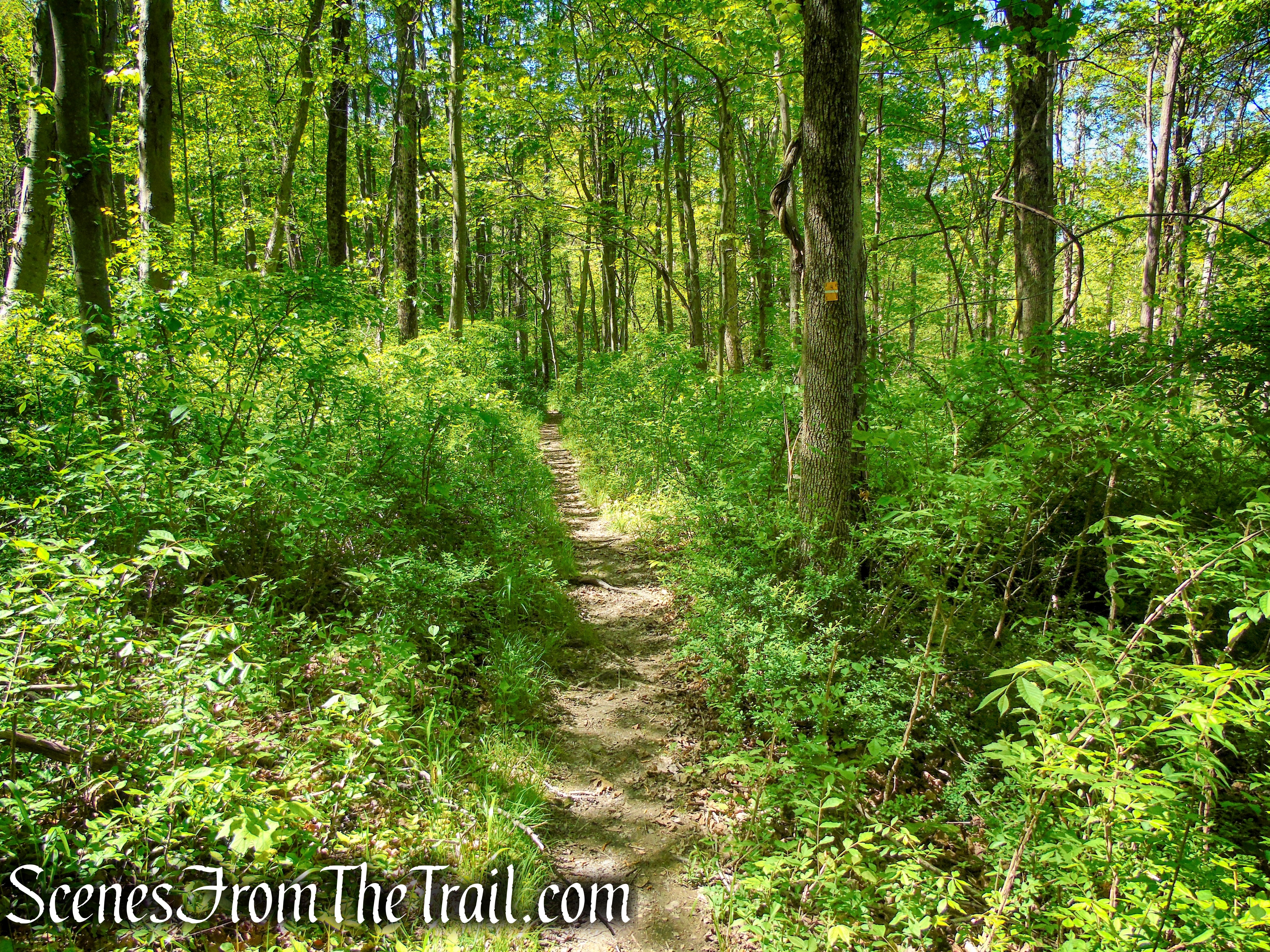
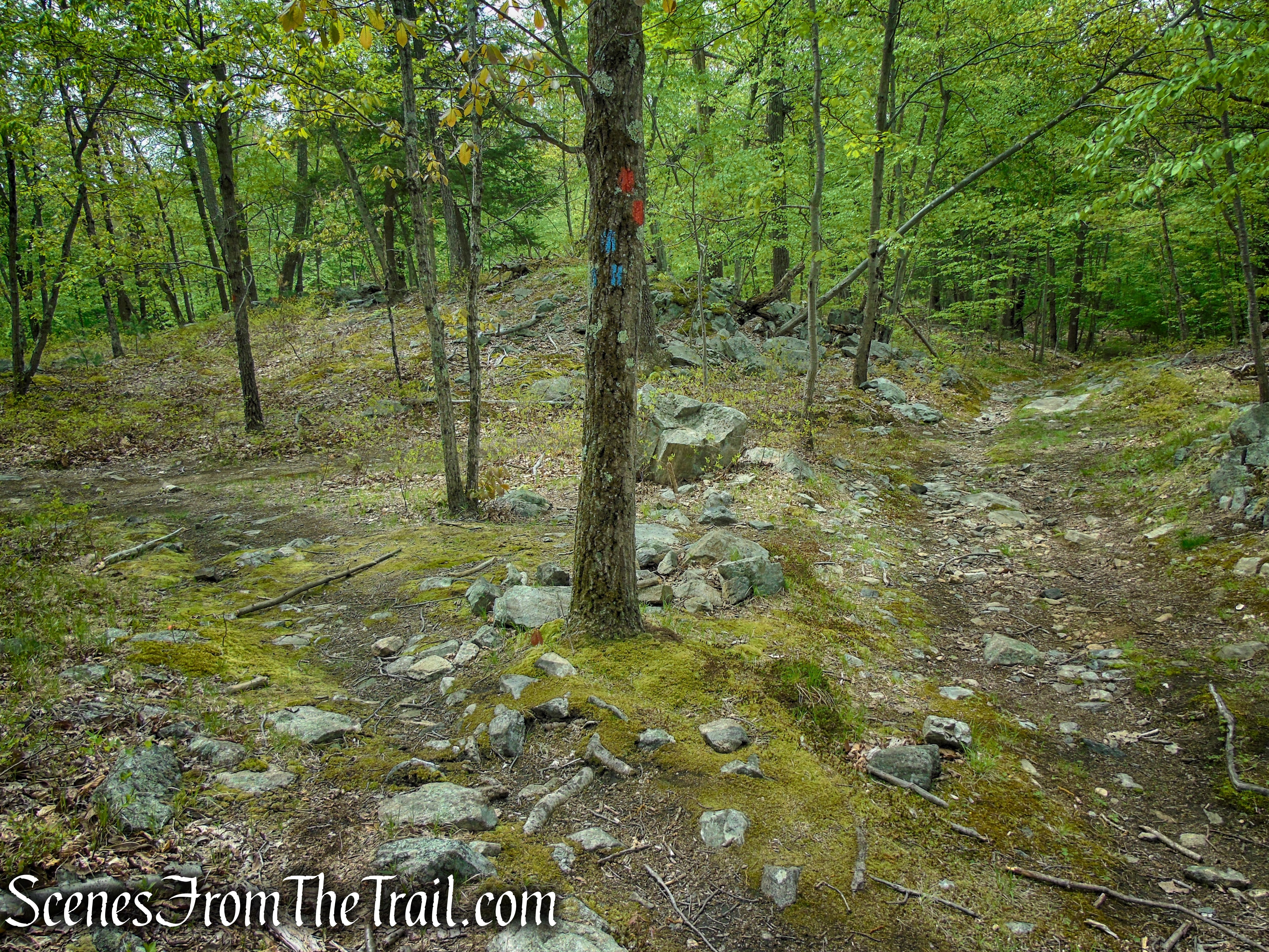
Scenic Trail – Black Rock Forest
Scenic Trail – Black Rock Forest

Scenic Trail – Black Rock Forest

Scenic Trail – Black Rock Forest
Scenic Trail – Black Rock Forest
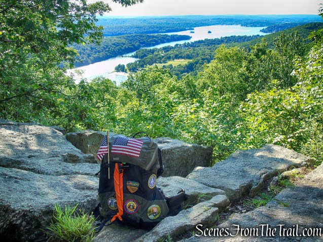
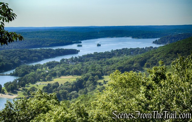
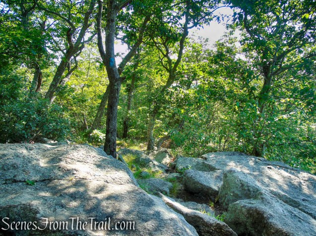
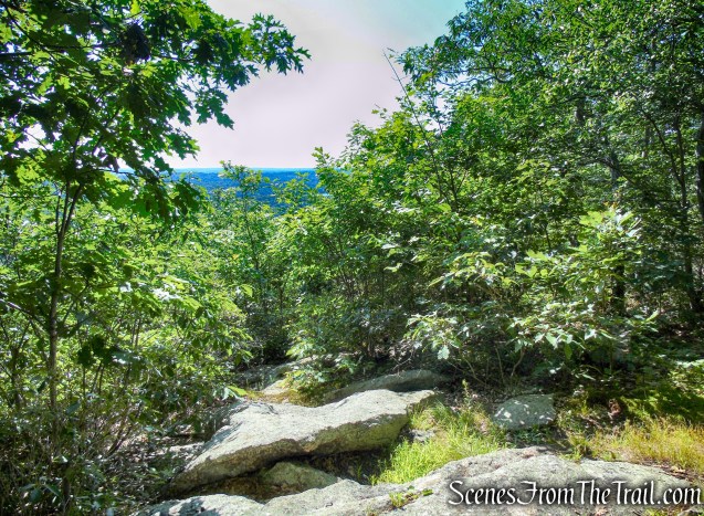
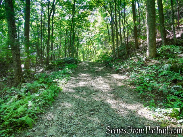
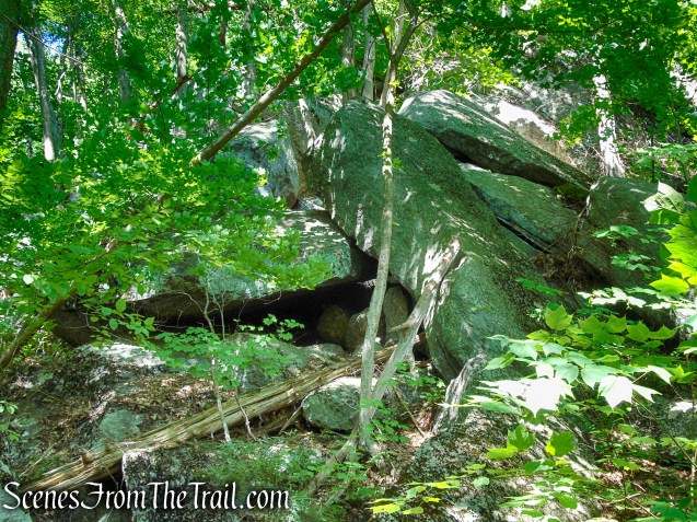
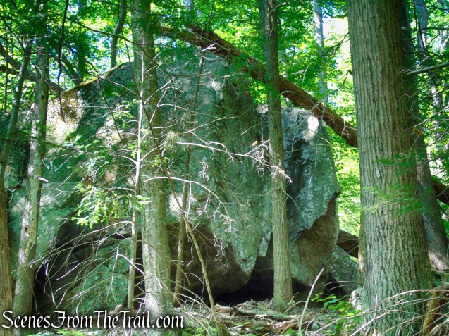
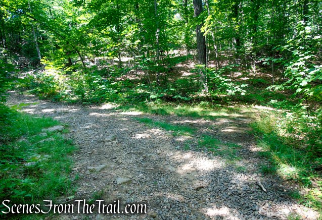
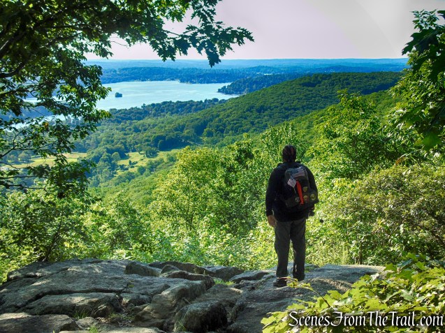
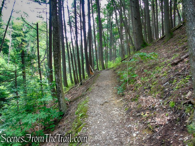
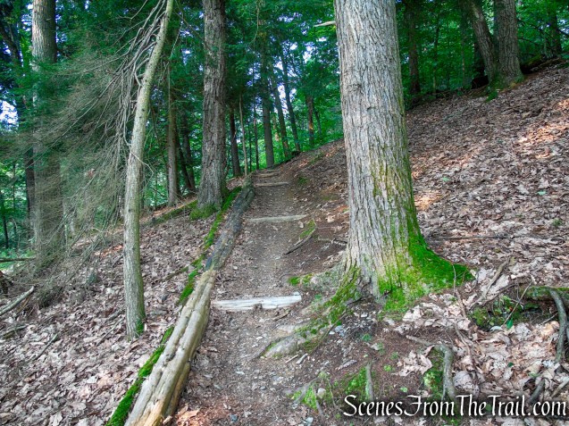
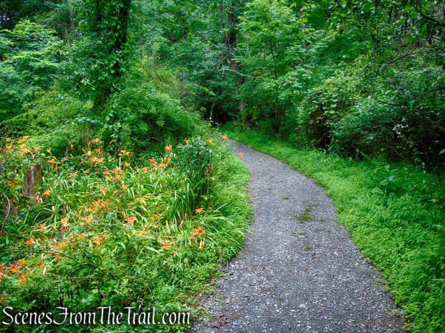
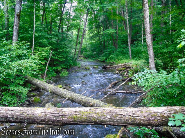
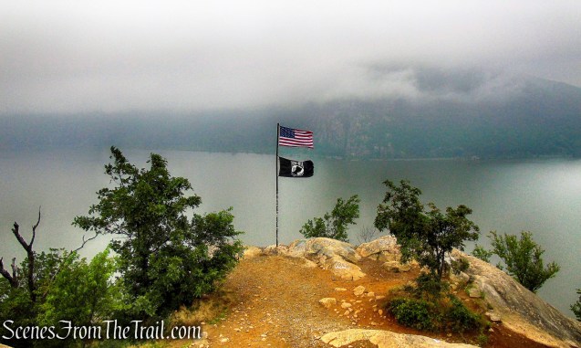
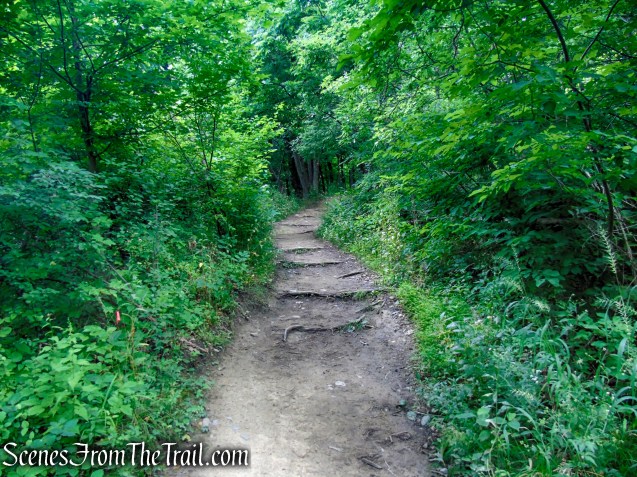
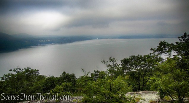
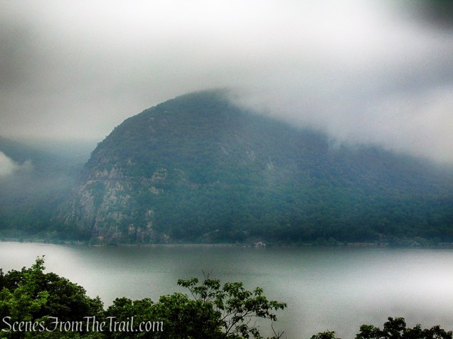
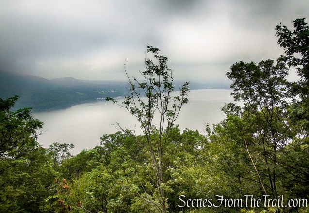
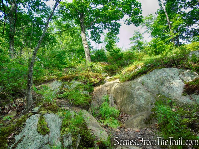
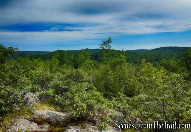
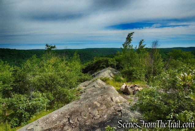
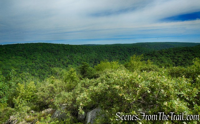
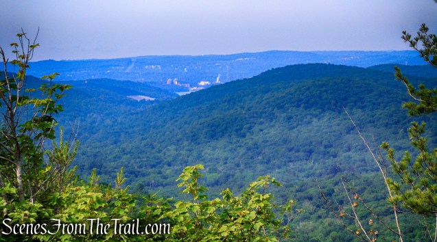
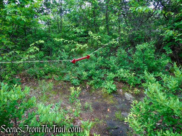
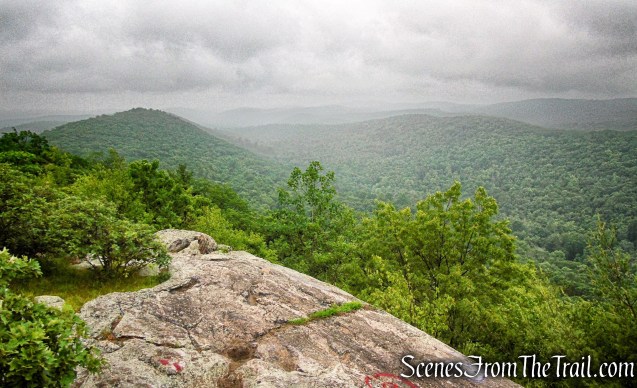
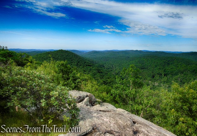
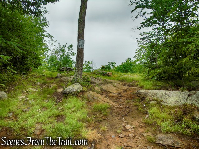
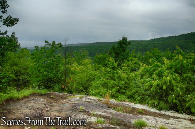
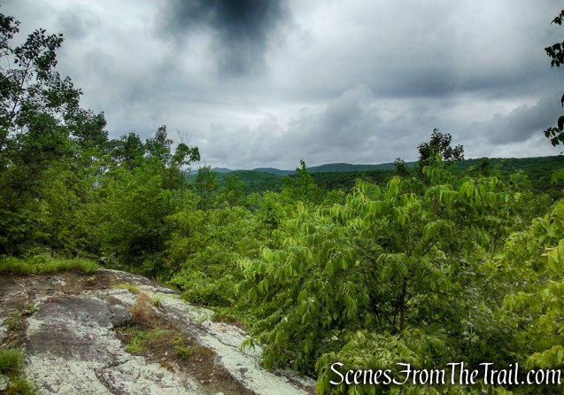
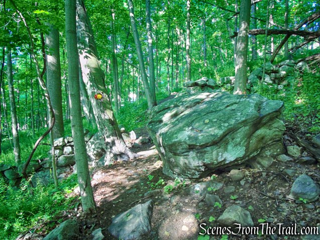
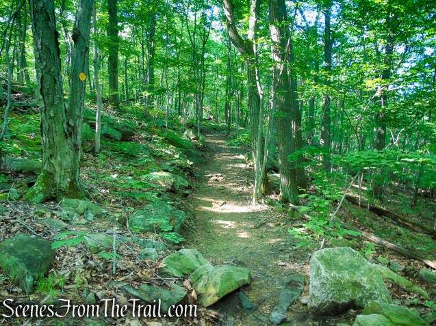
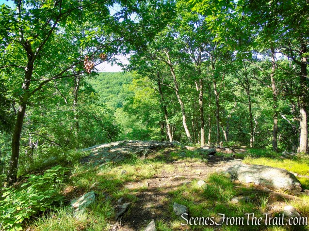
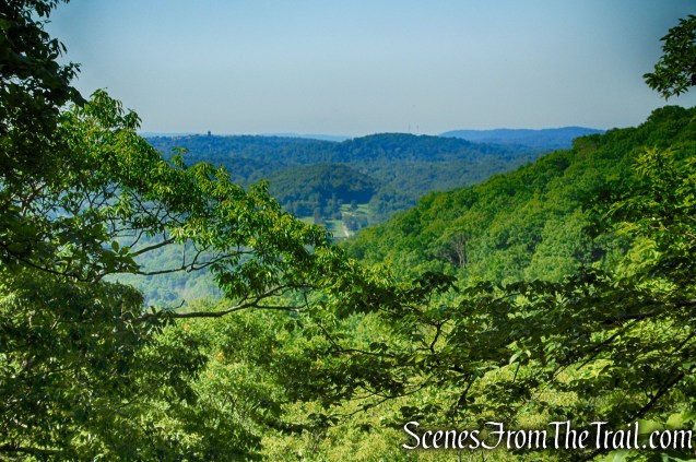
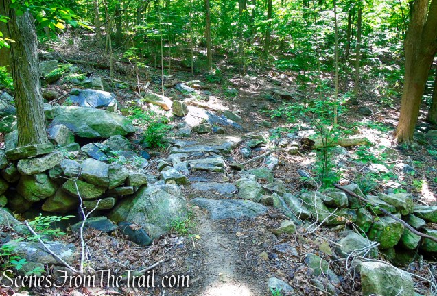
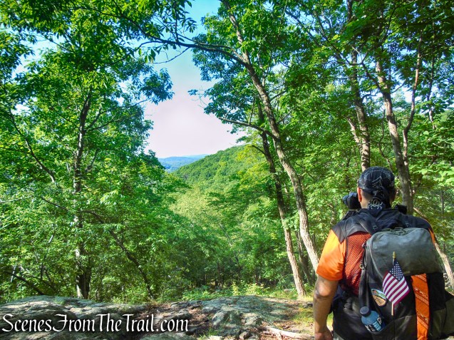
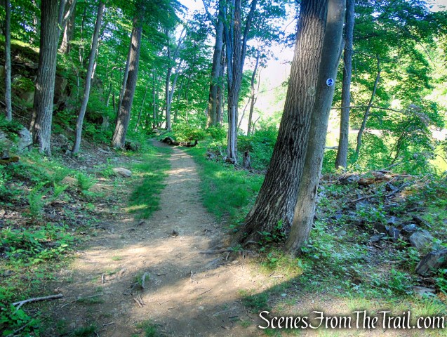
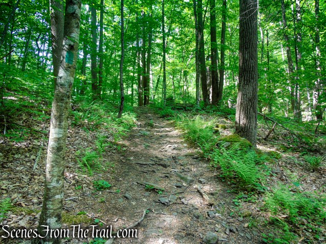
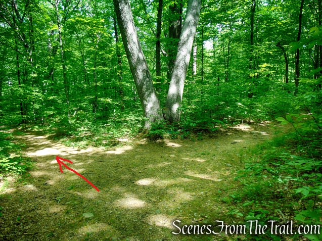
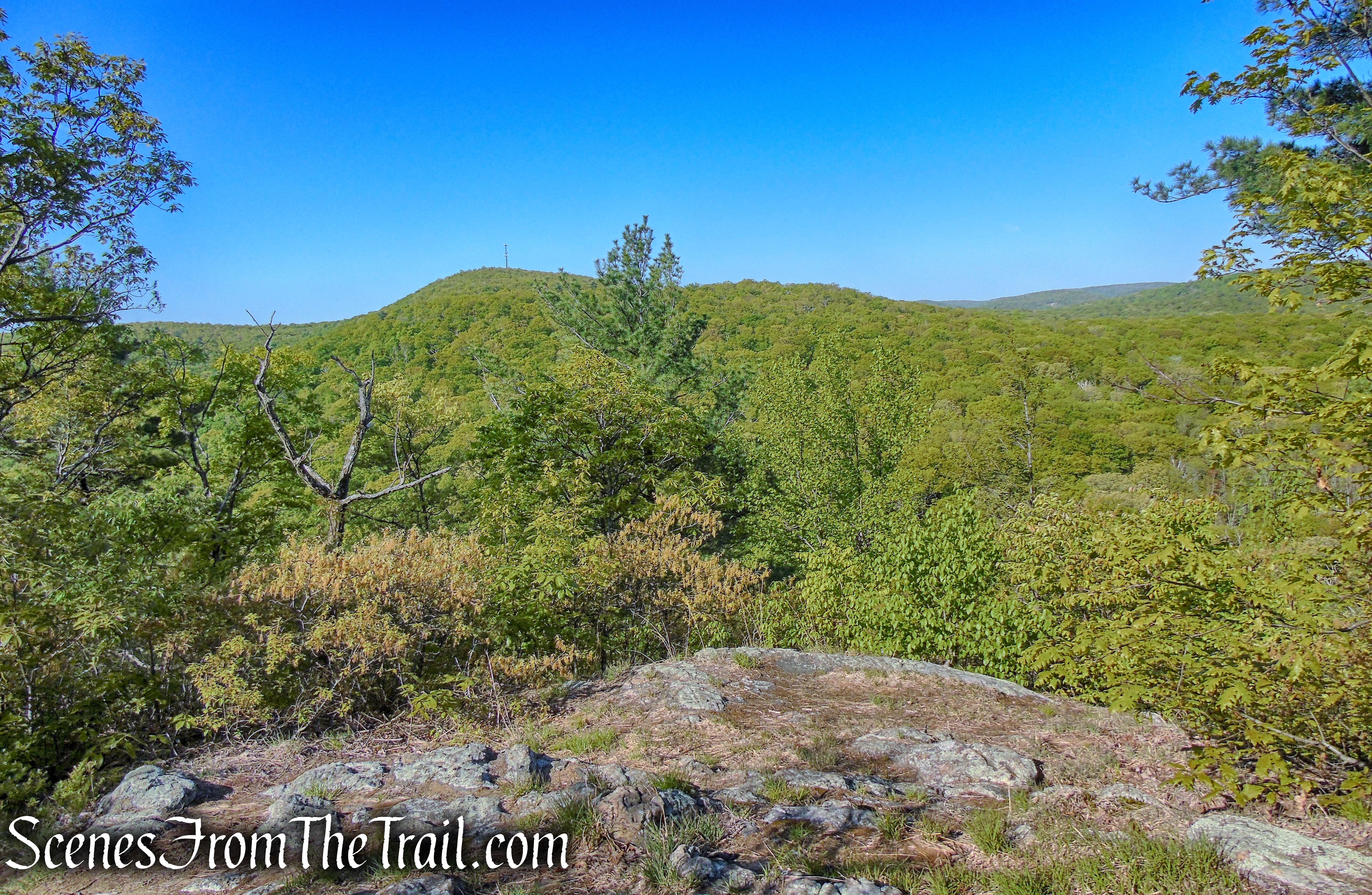
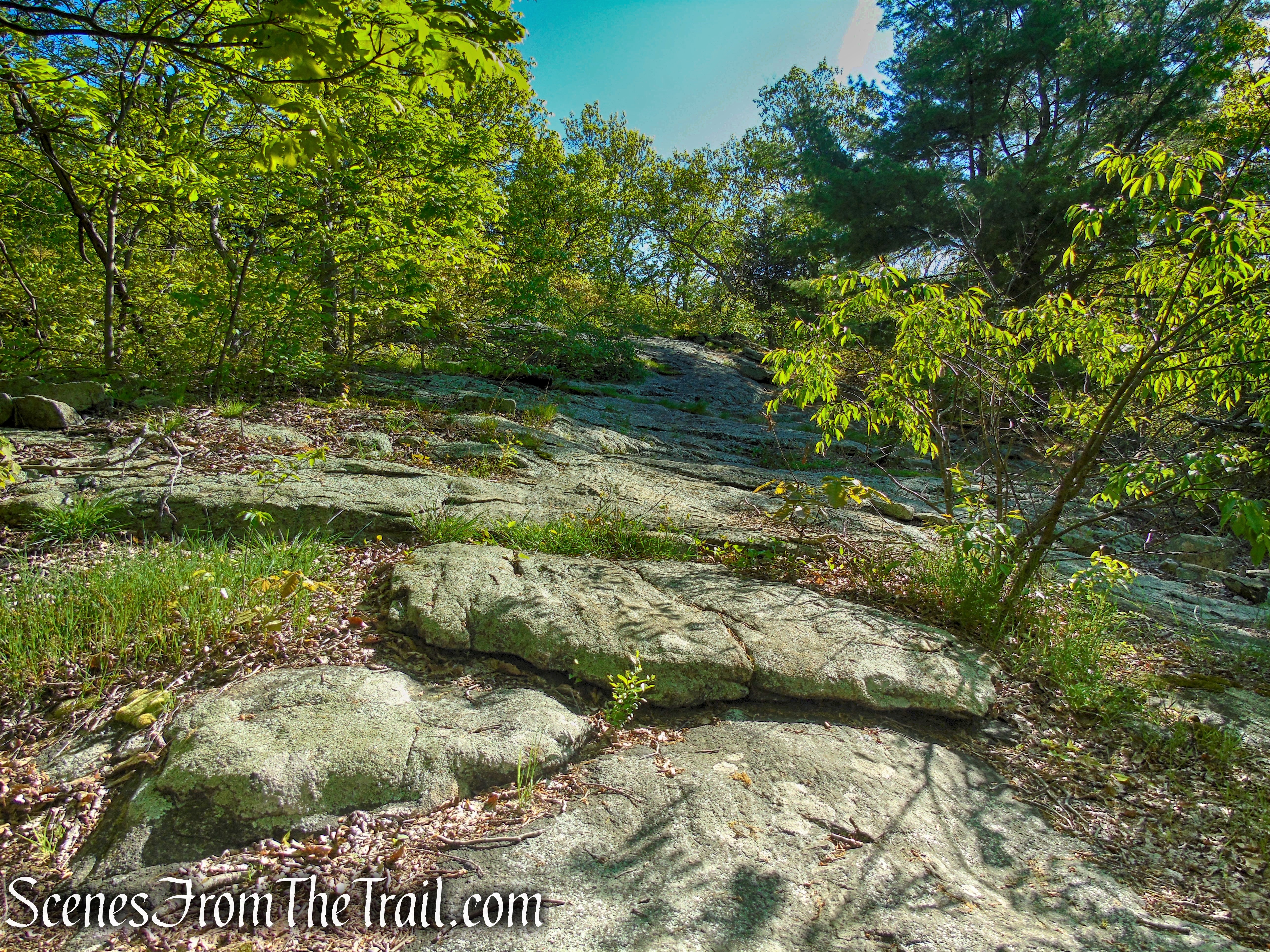
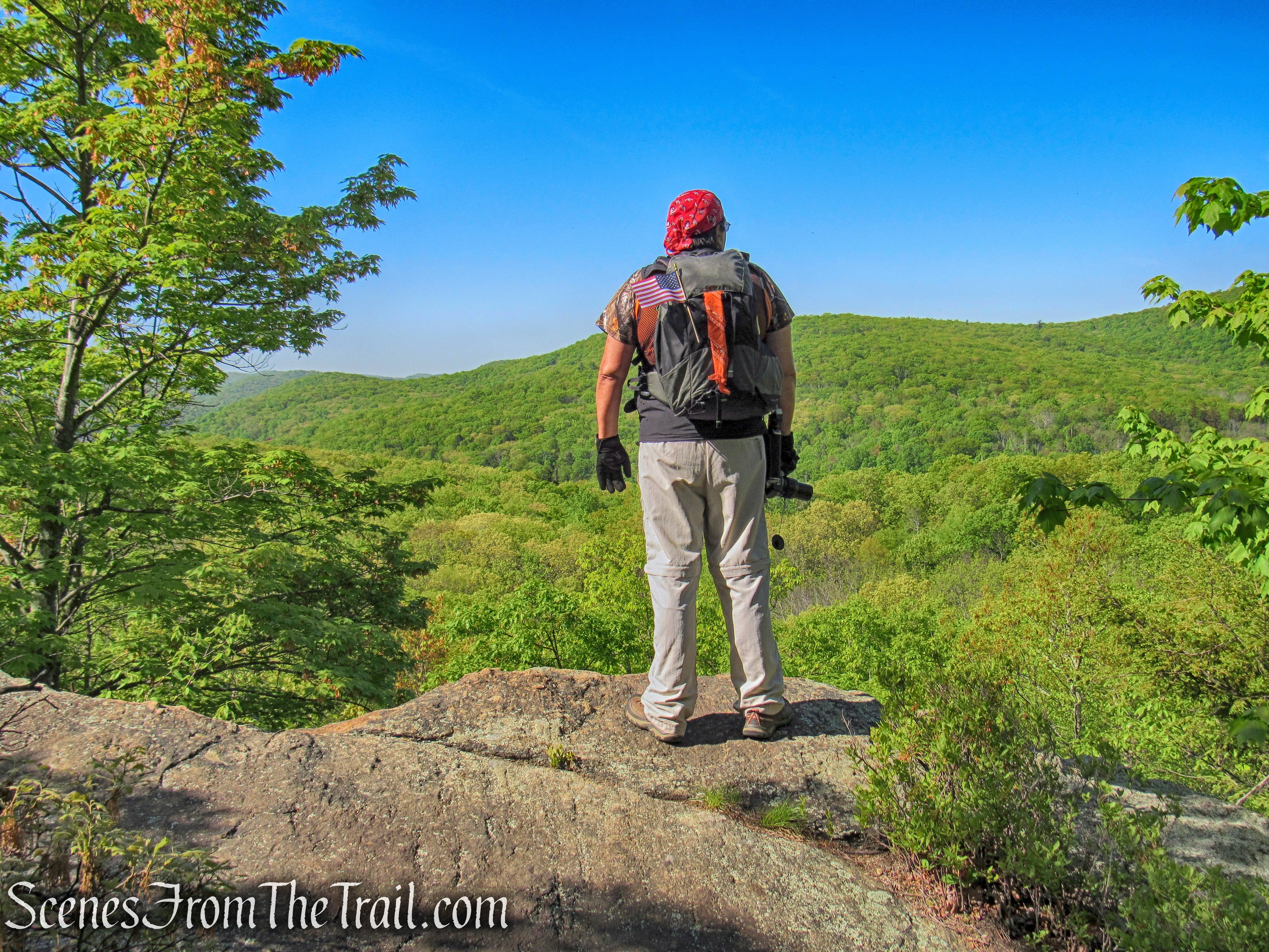
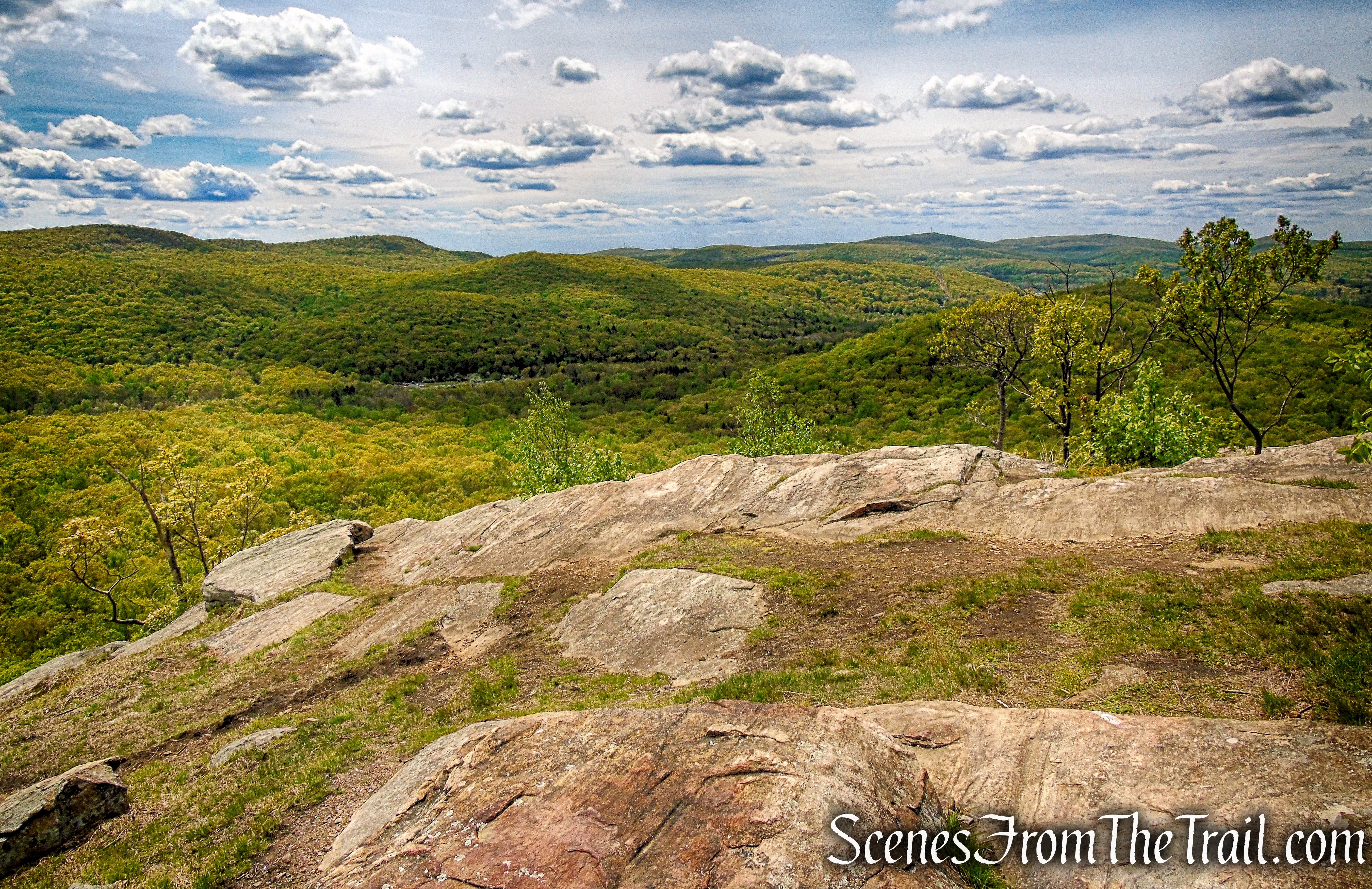
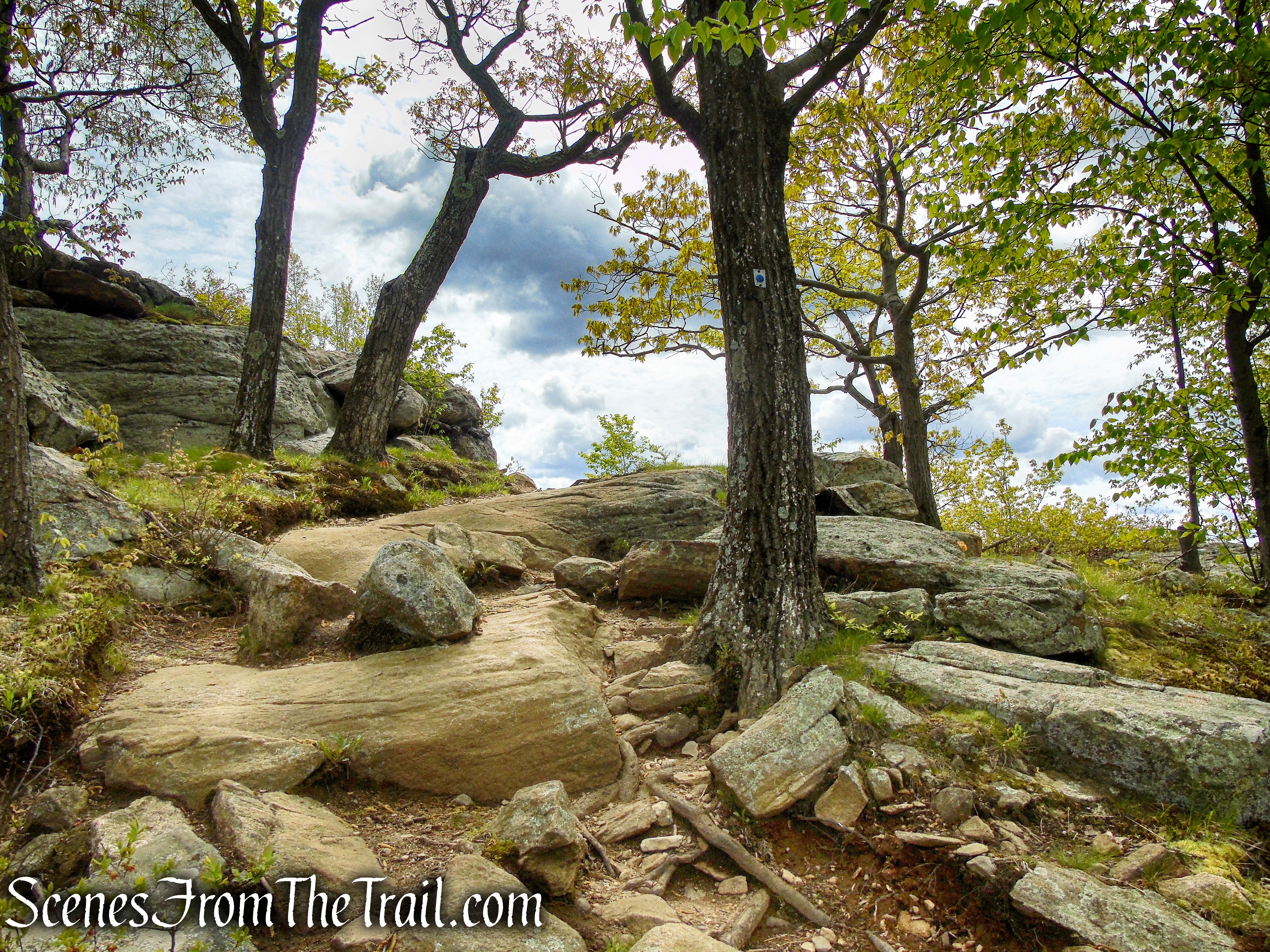
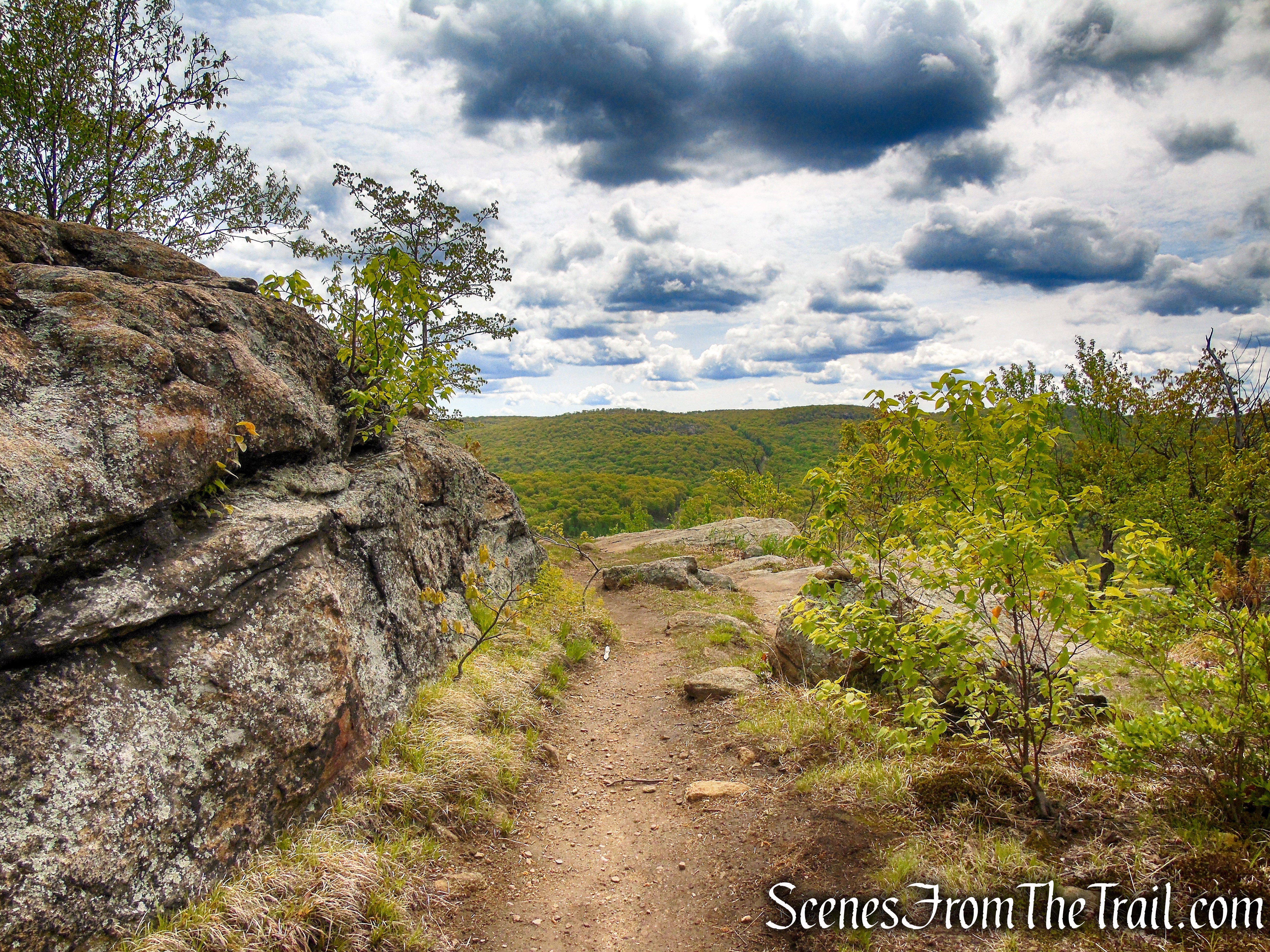
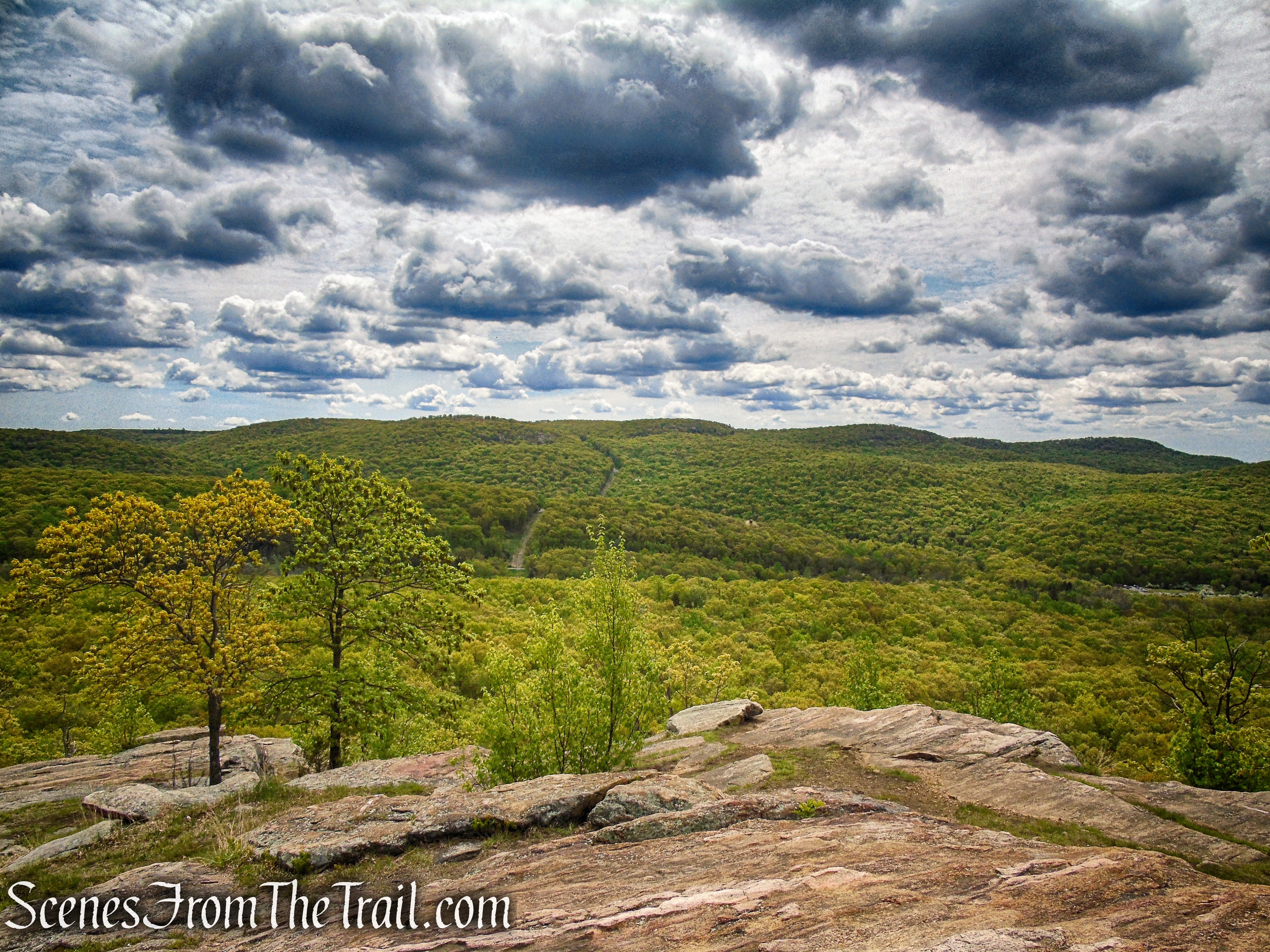
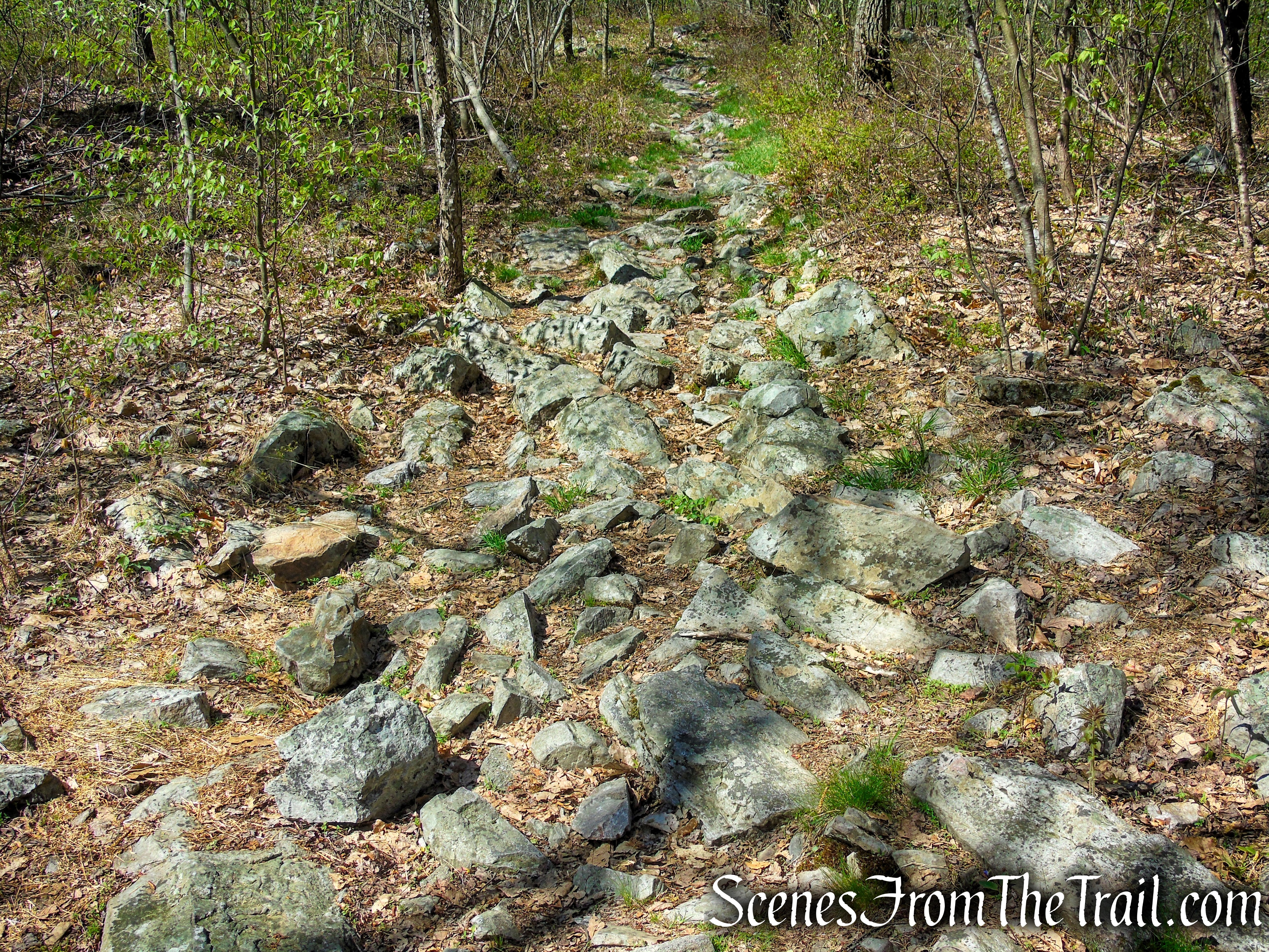
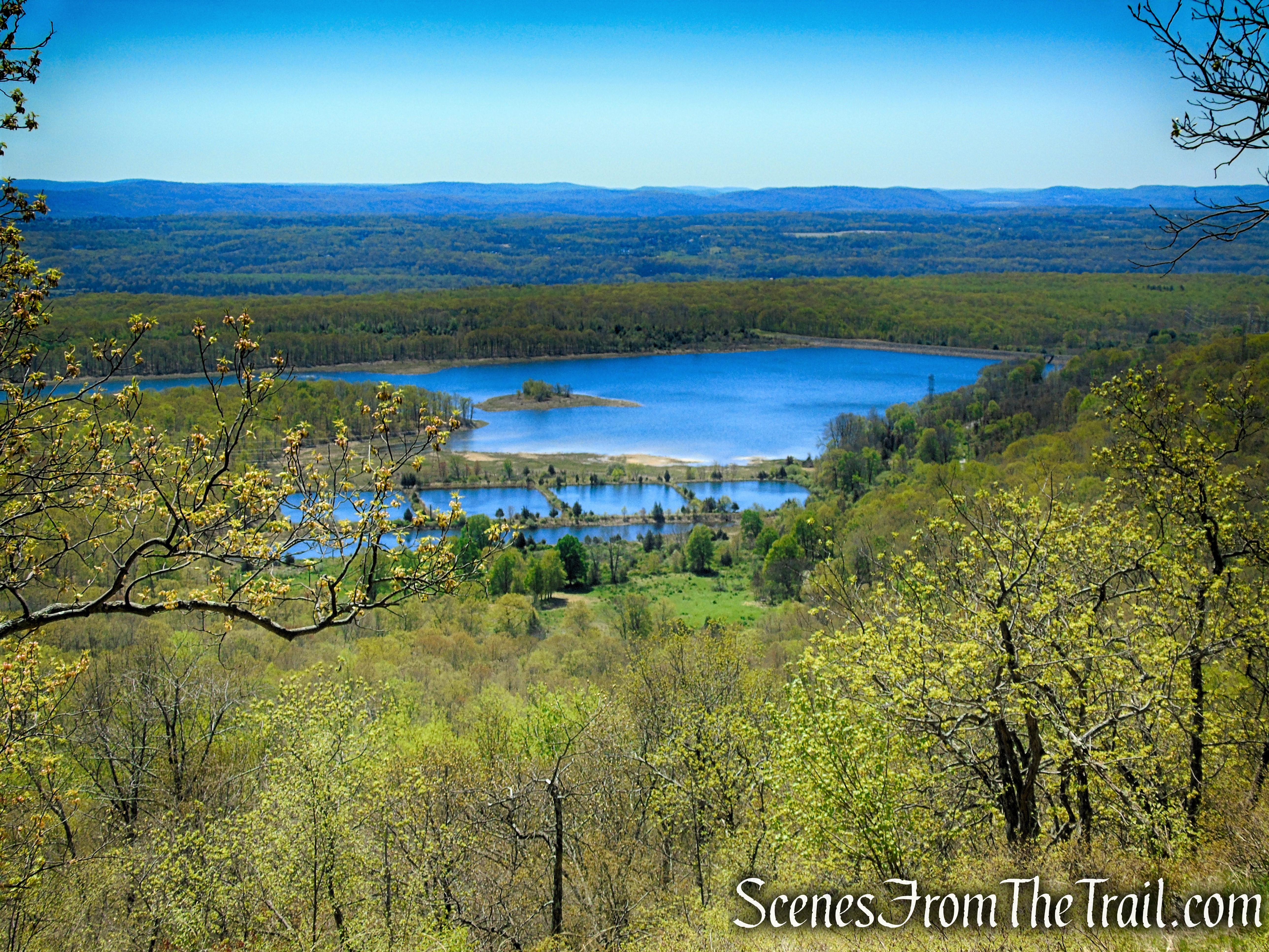
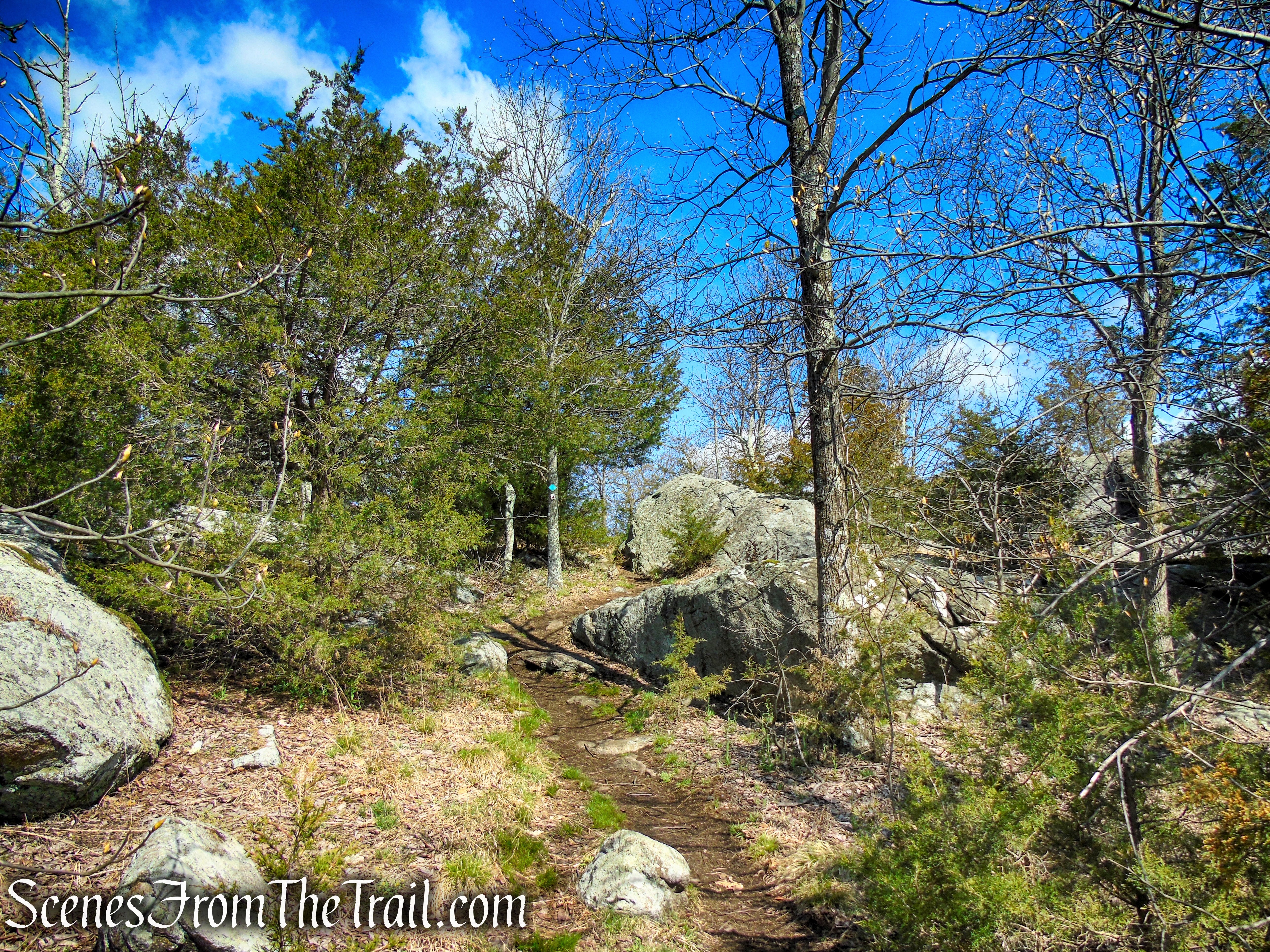
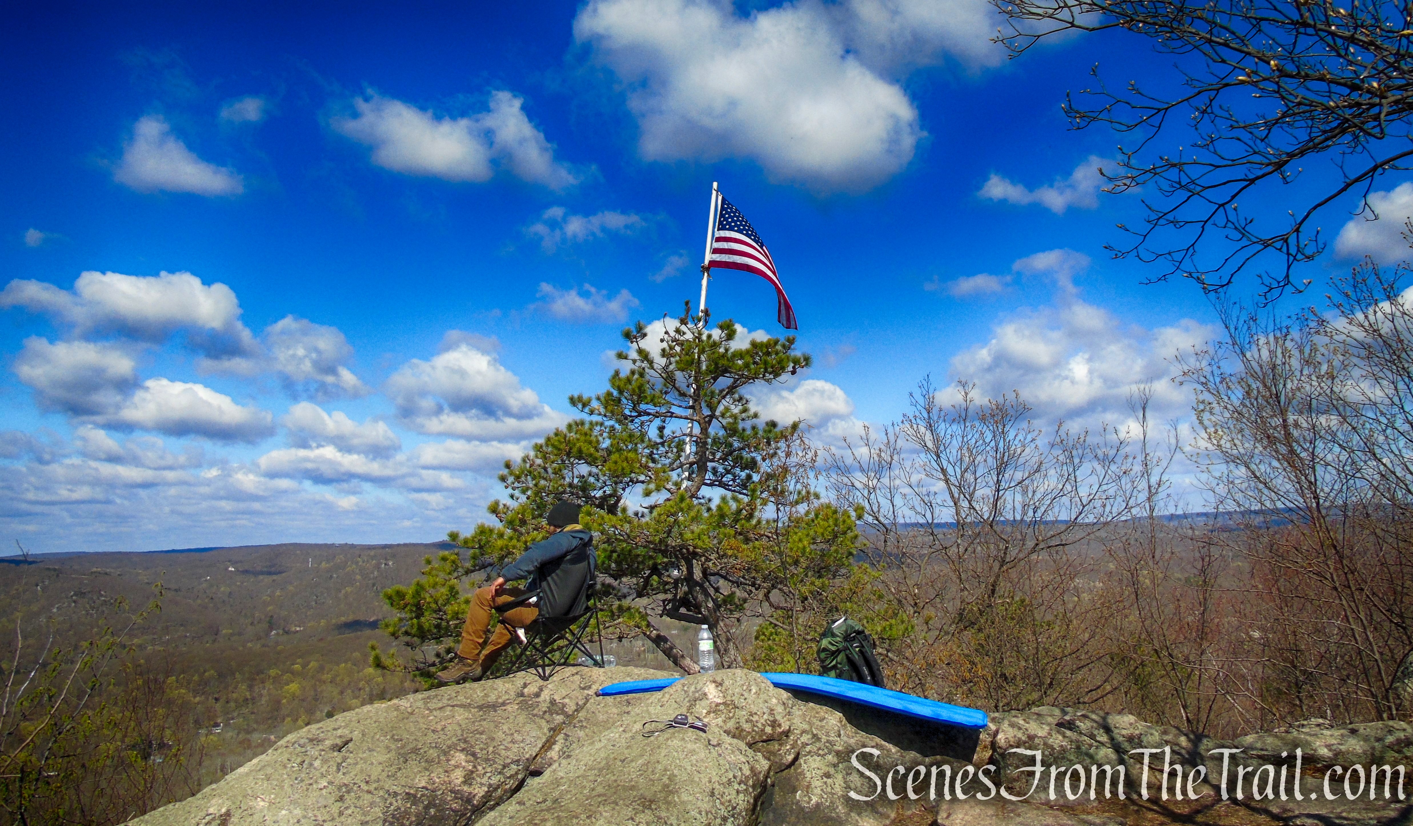
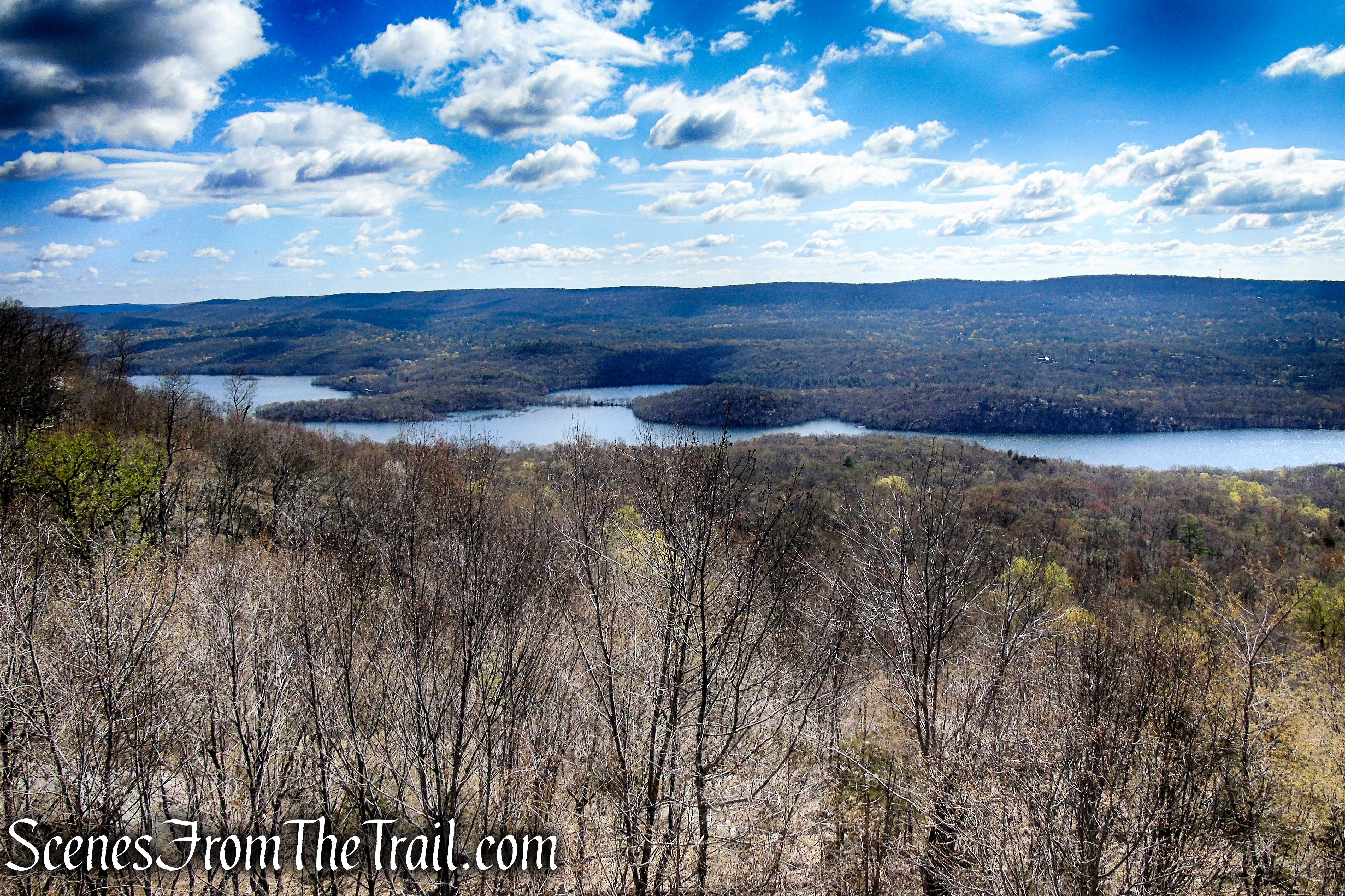
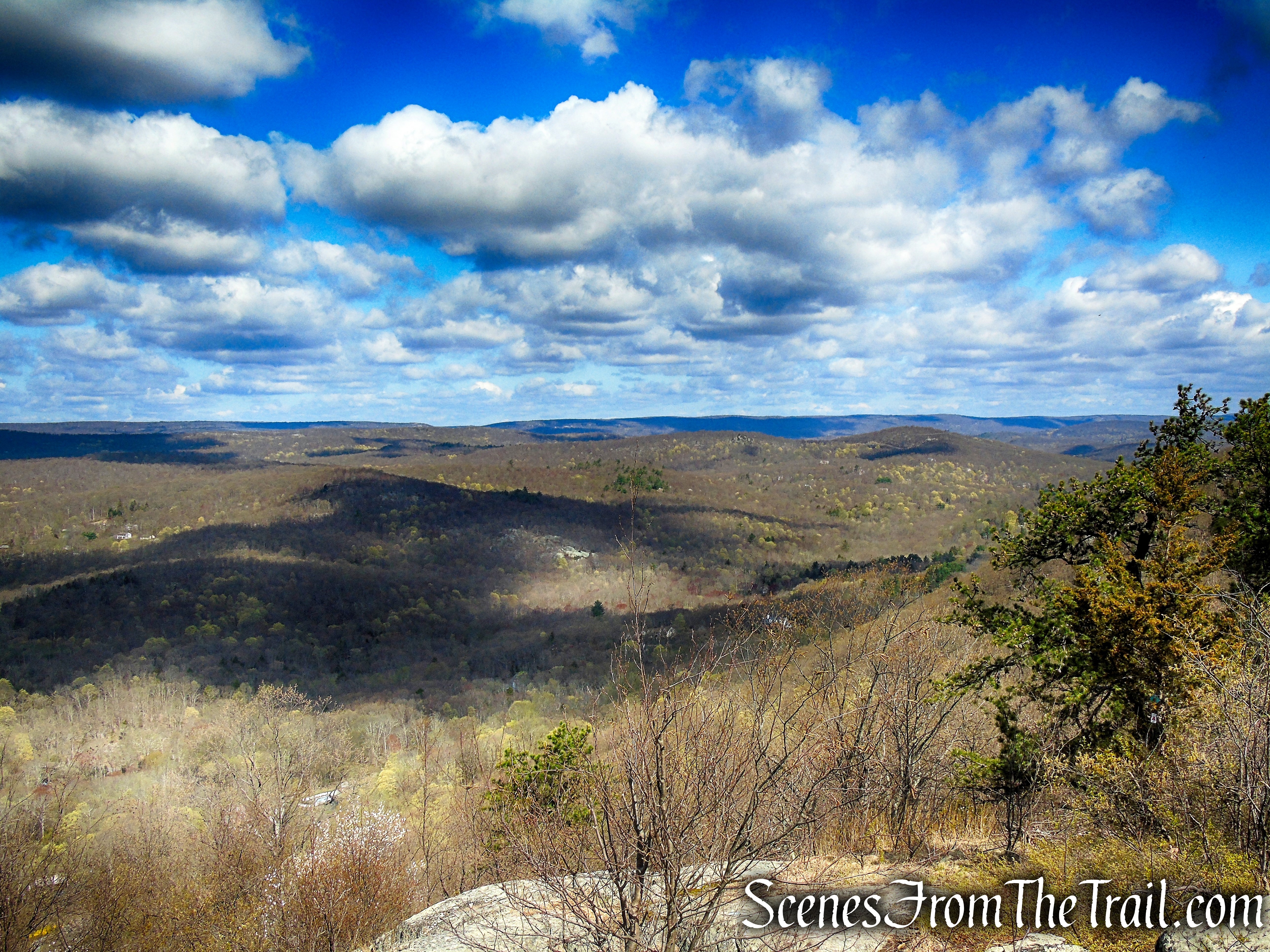
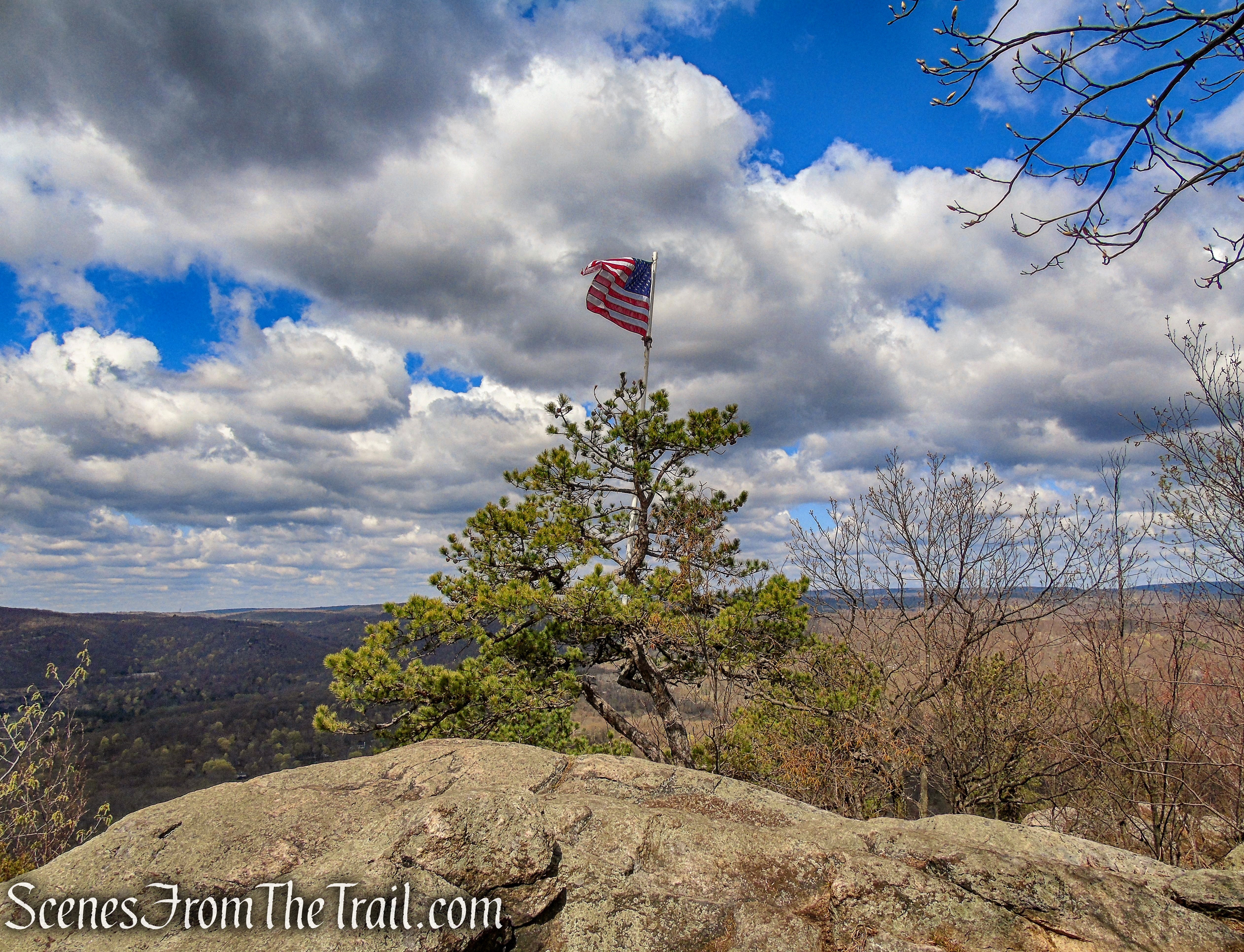
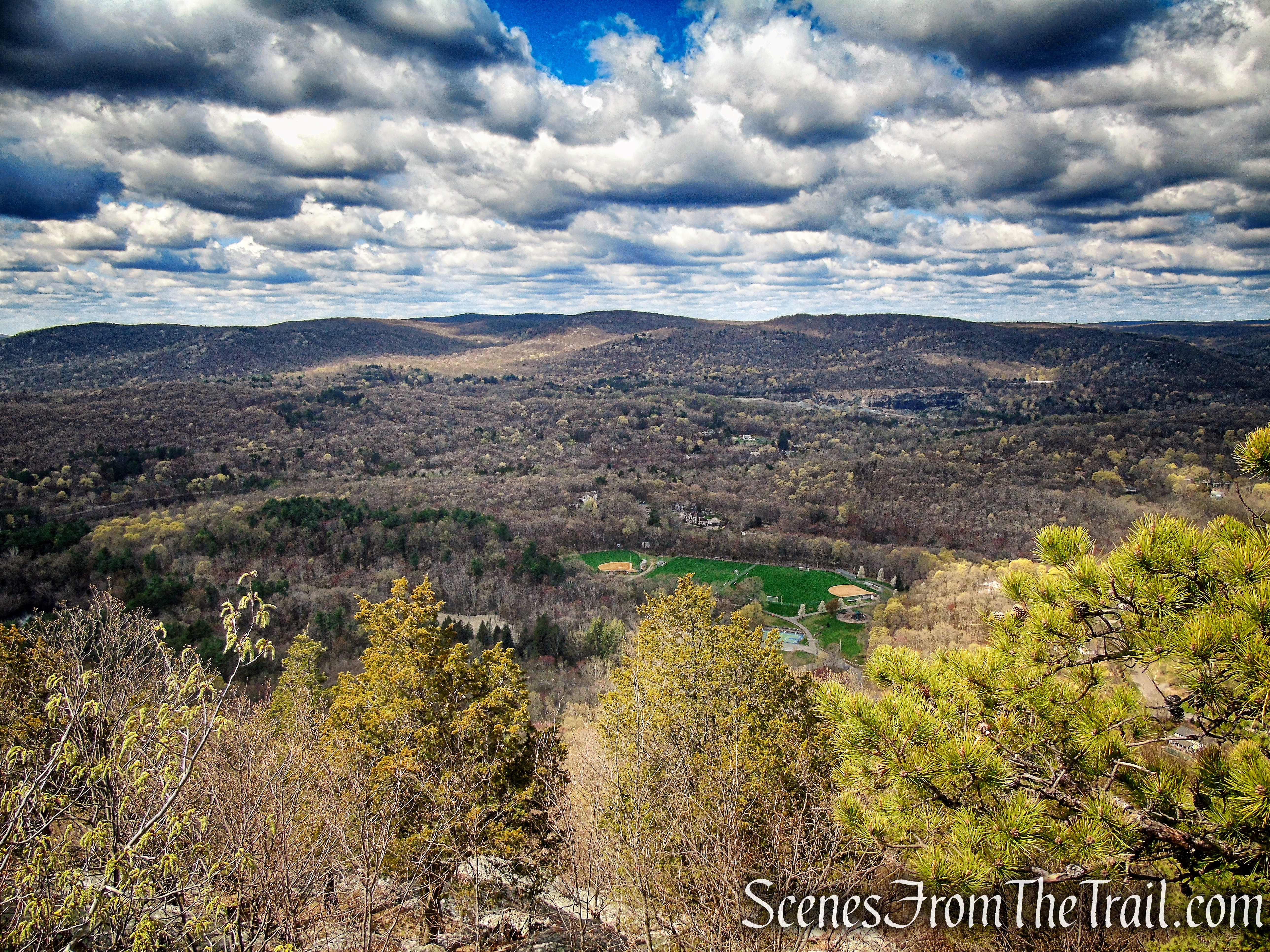
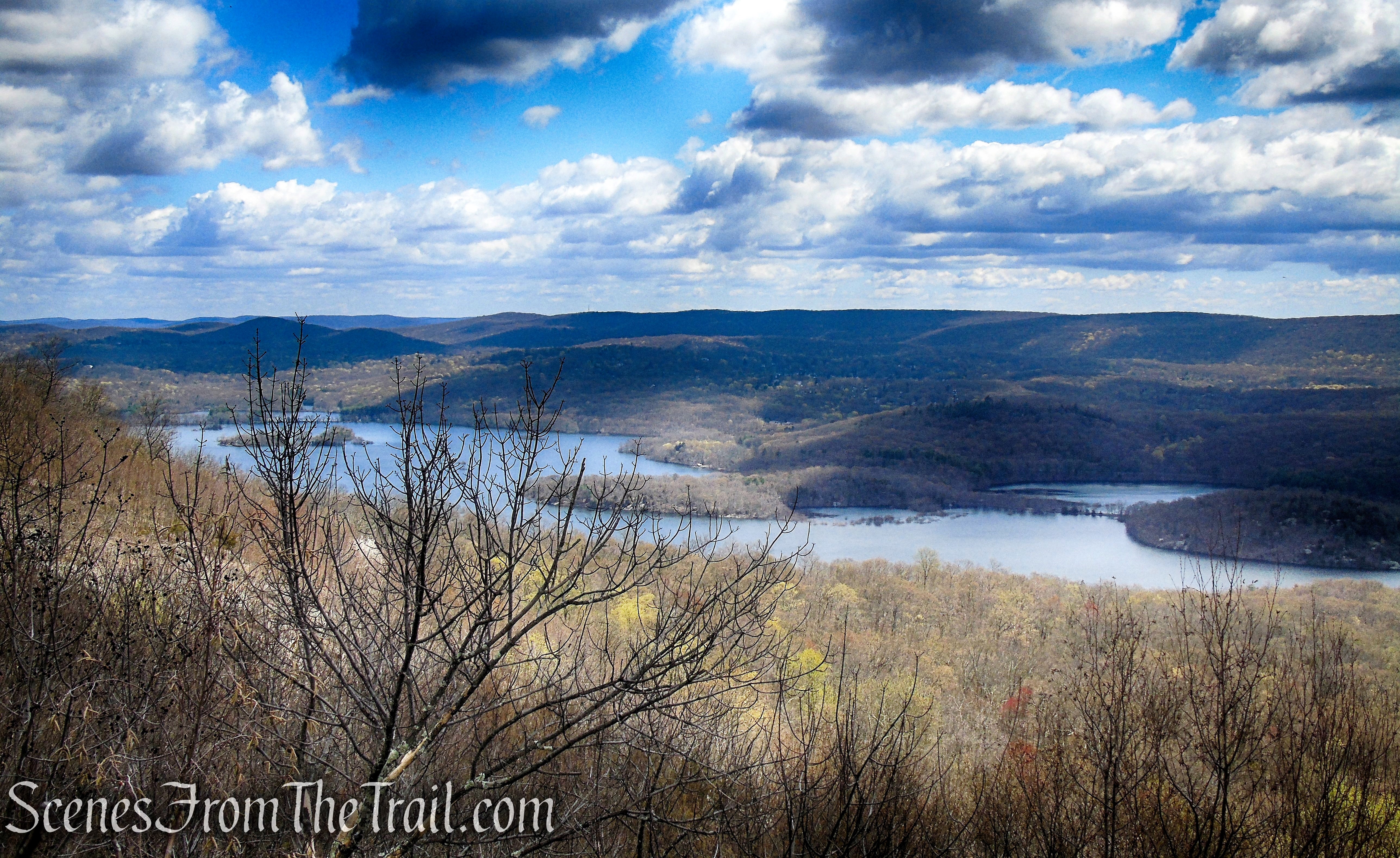
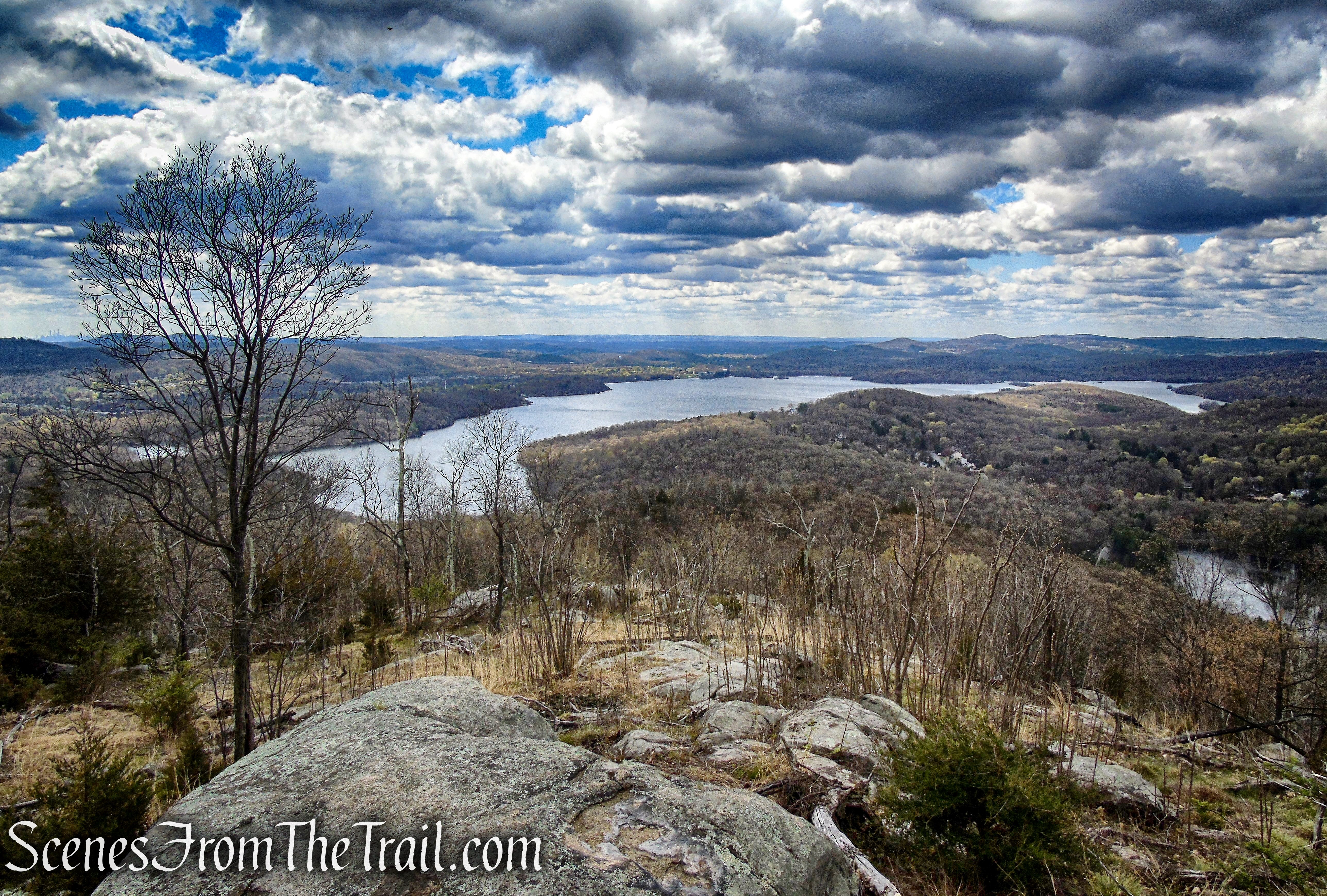
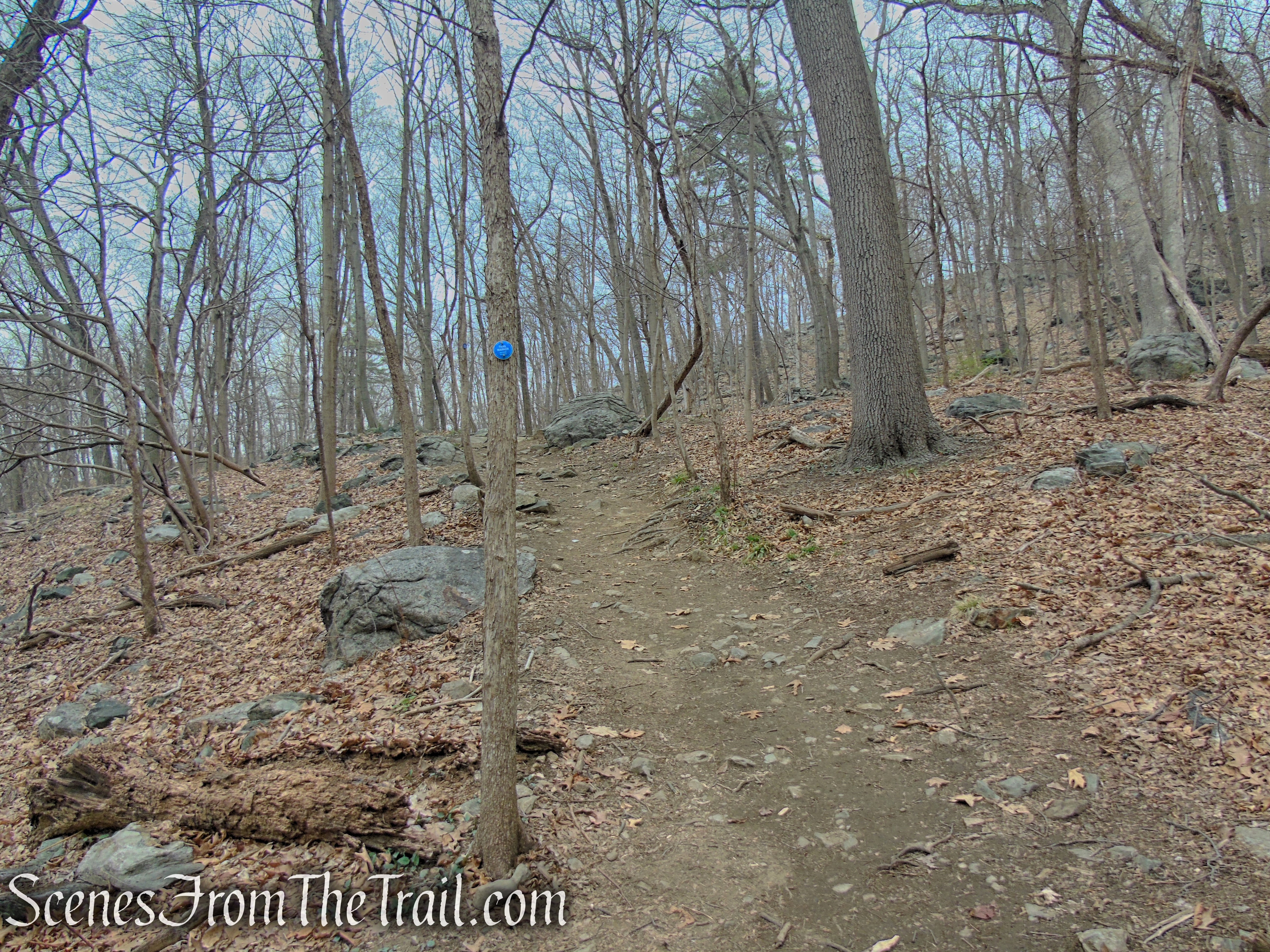
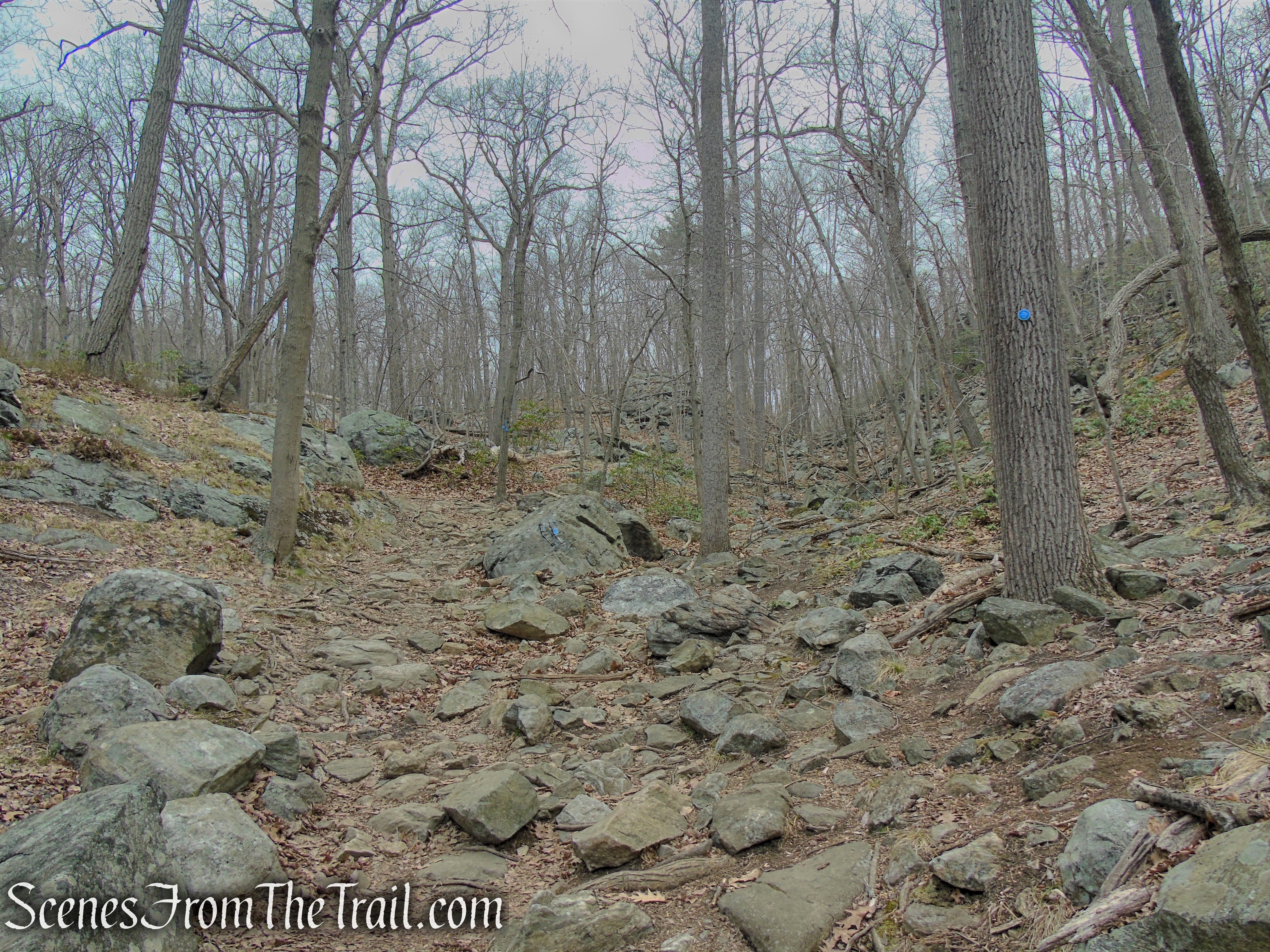
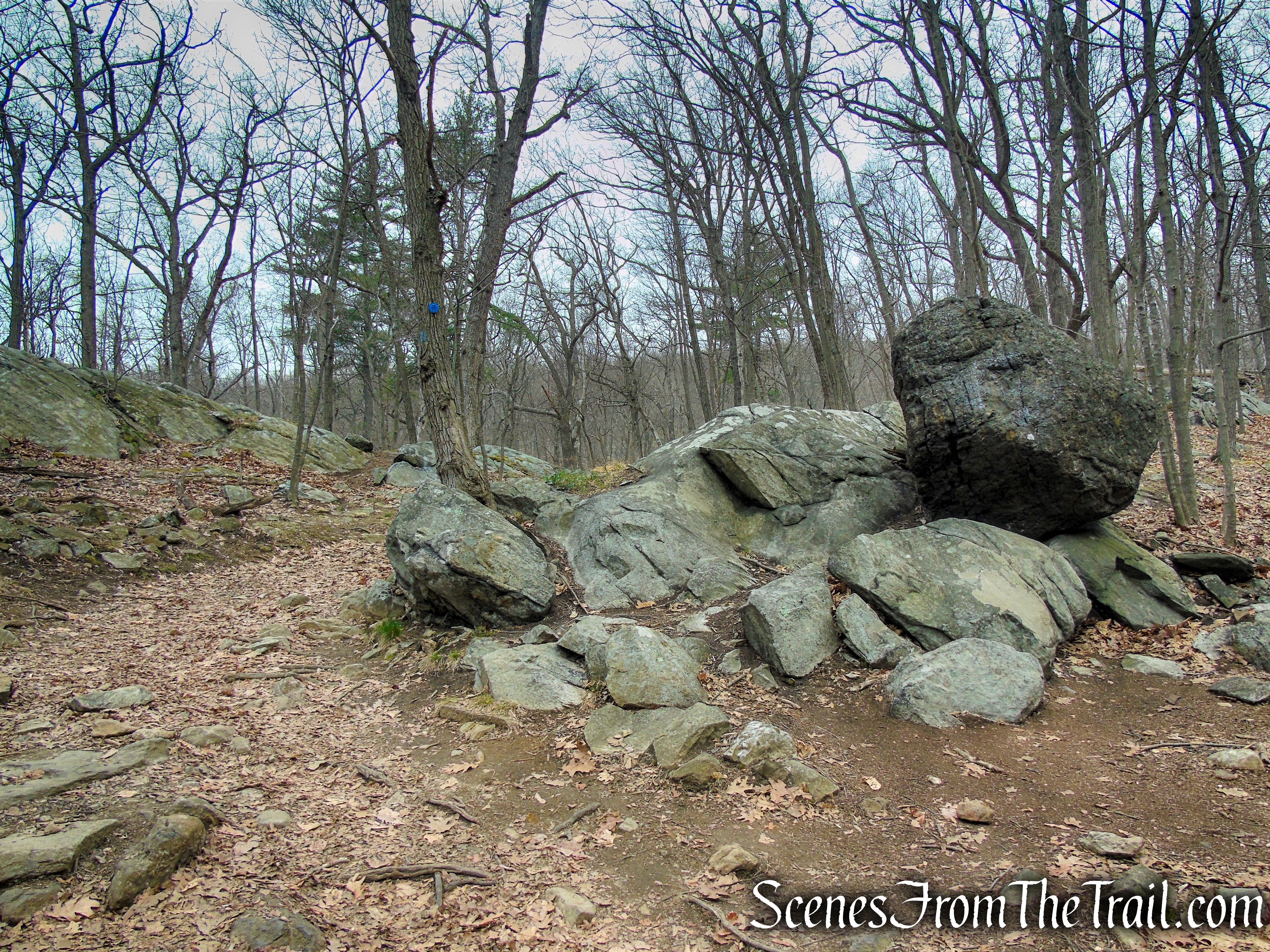
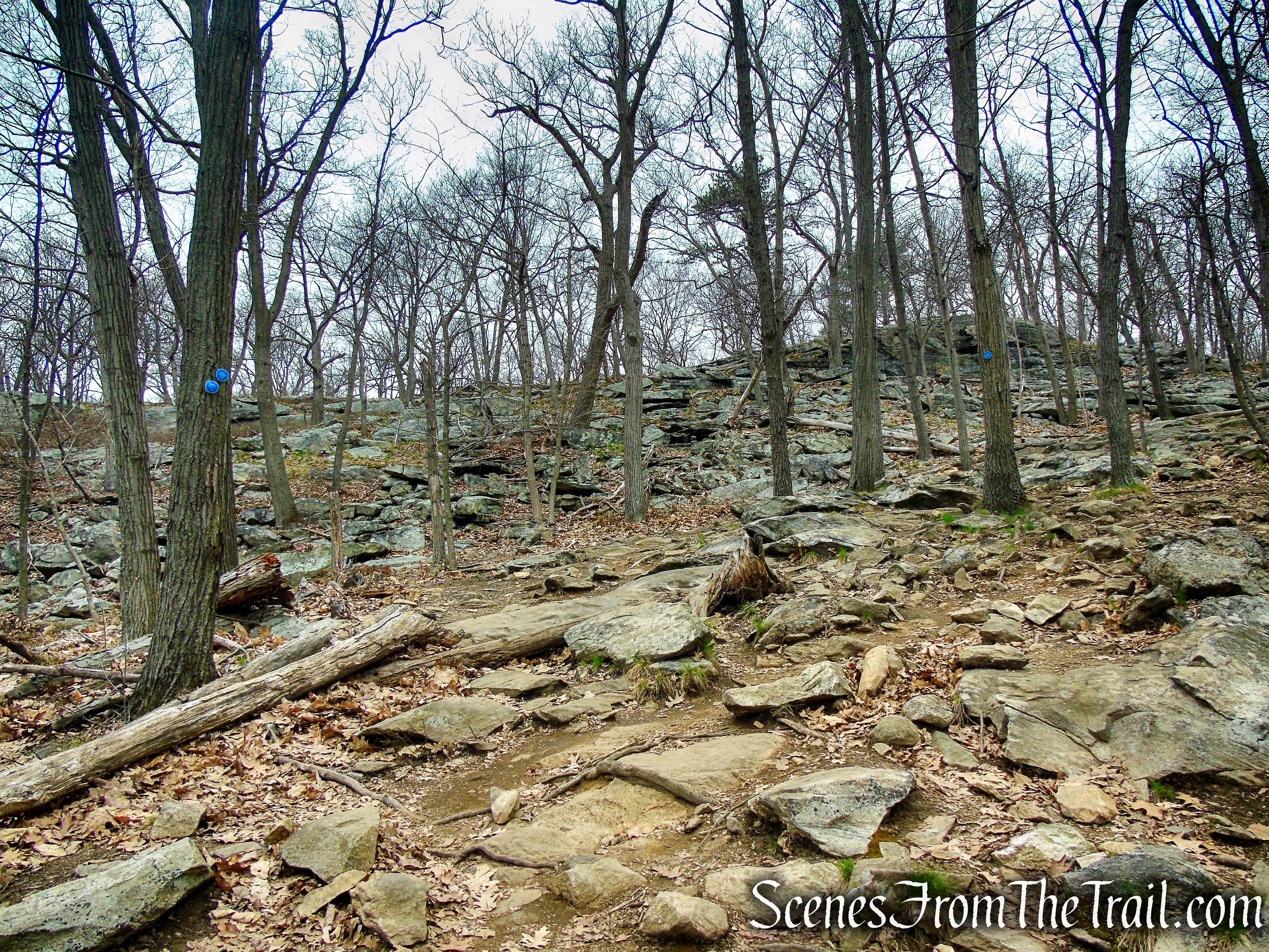
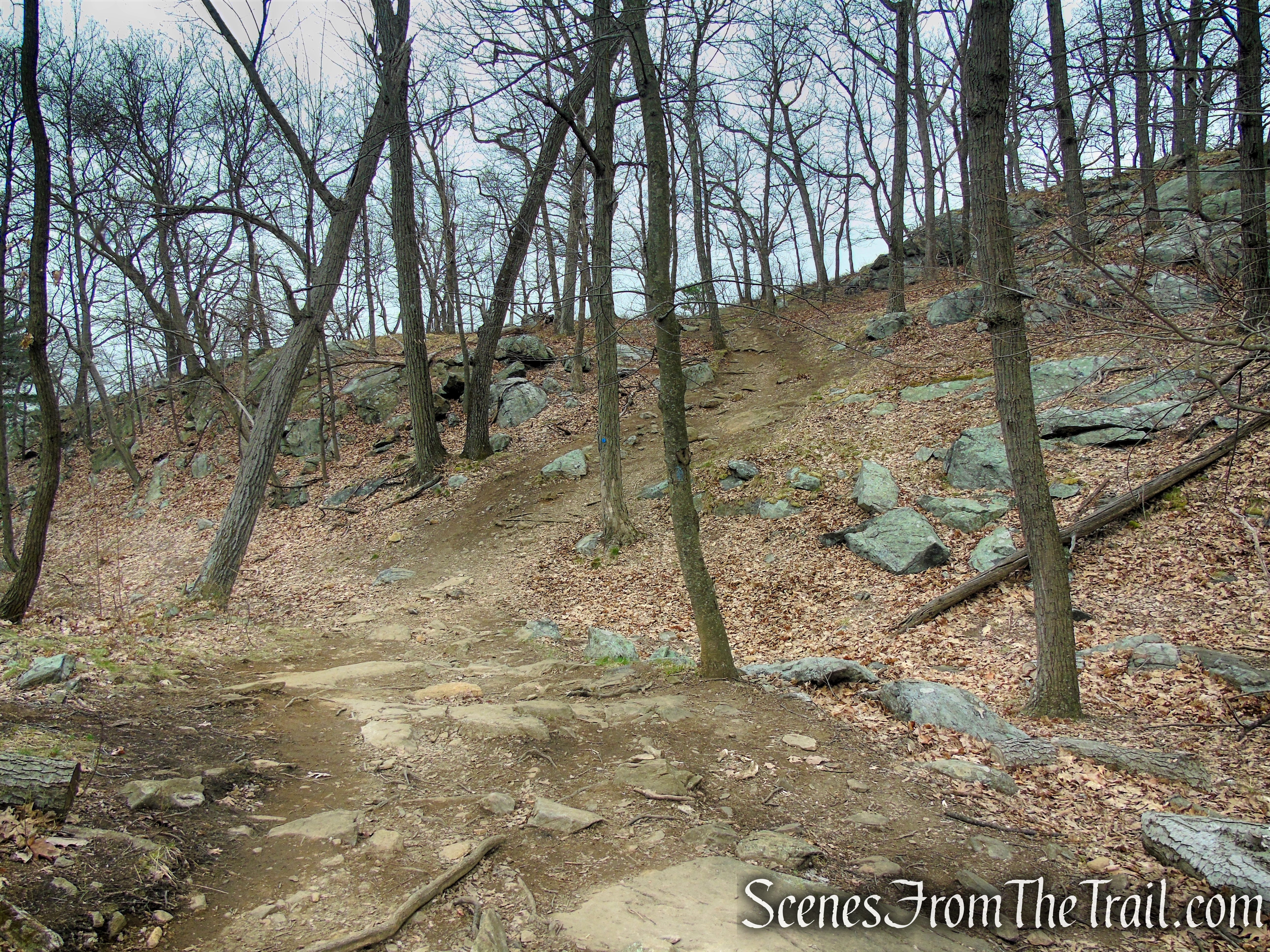
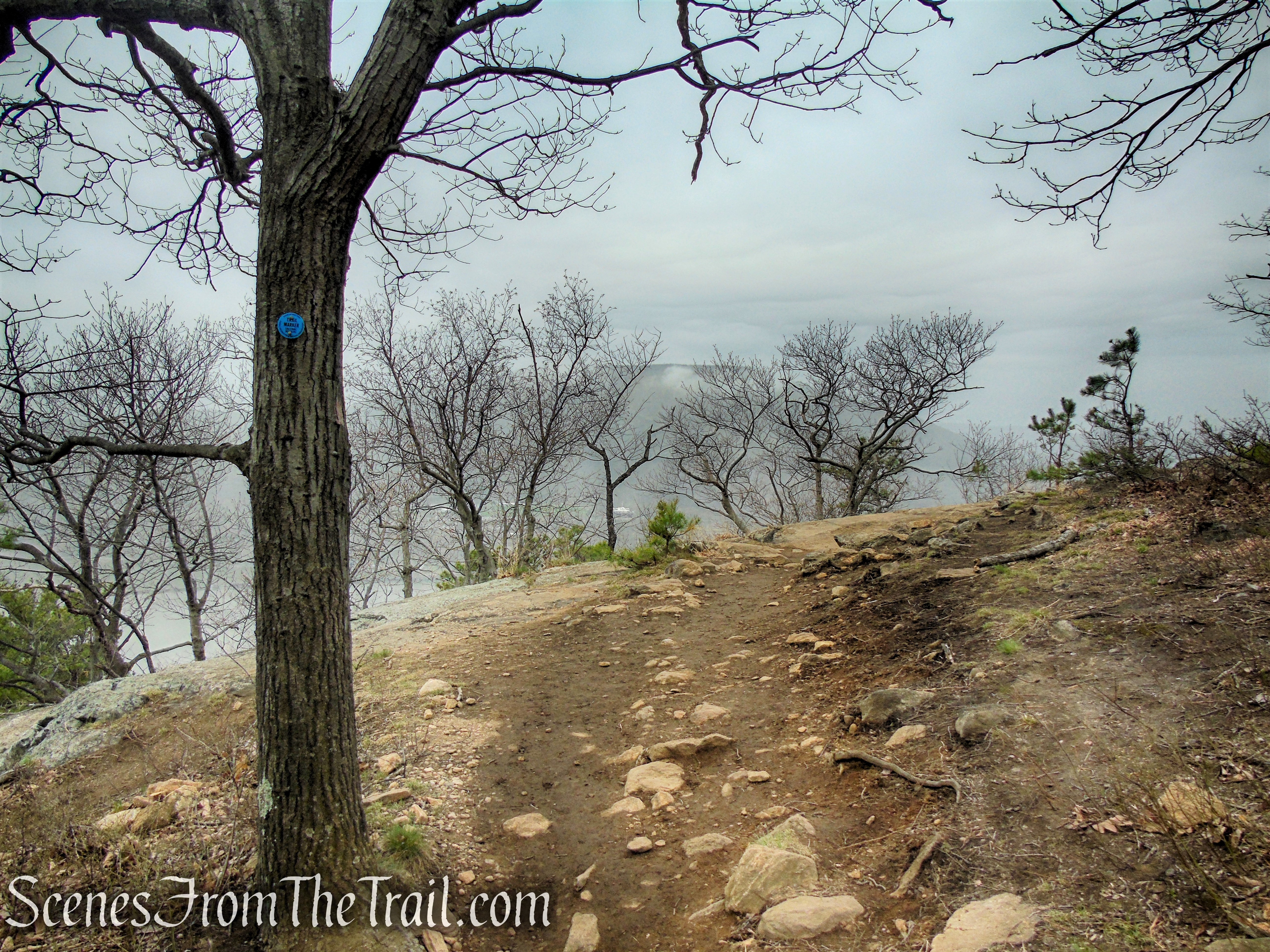
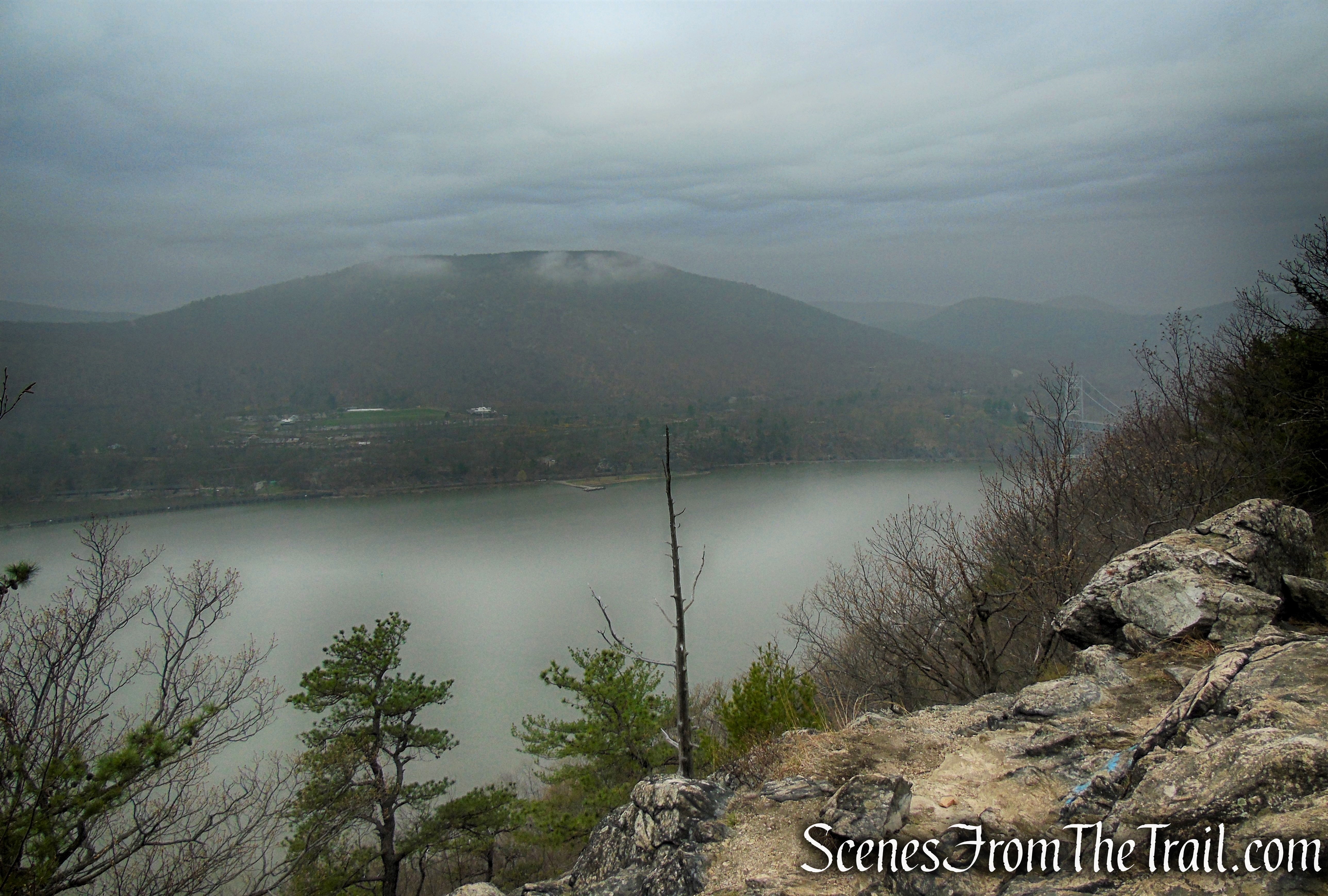
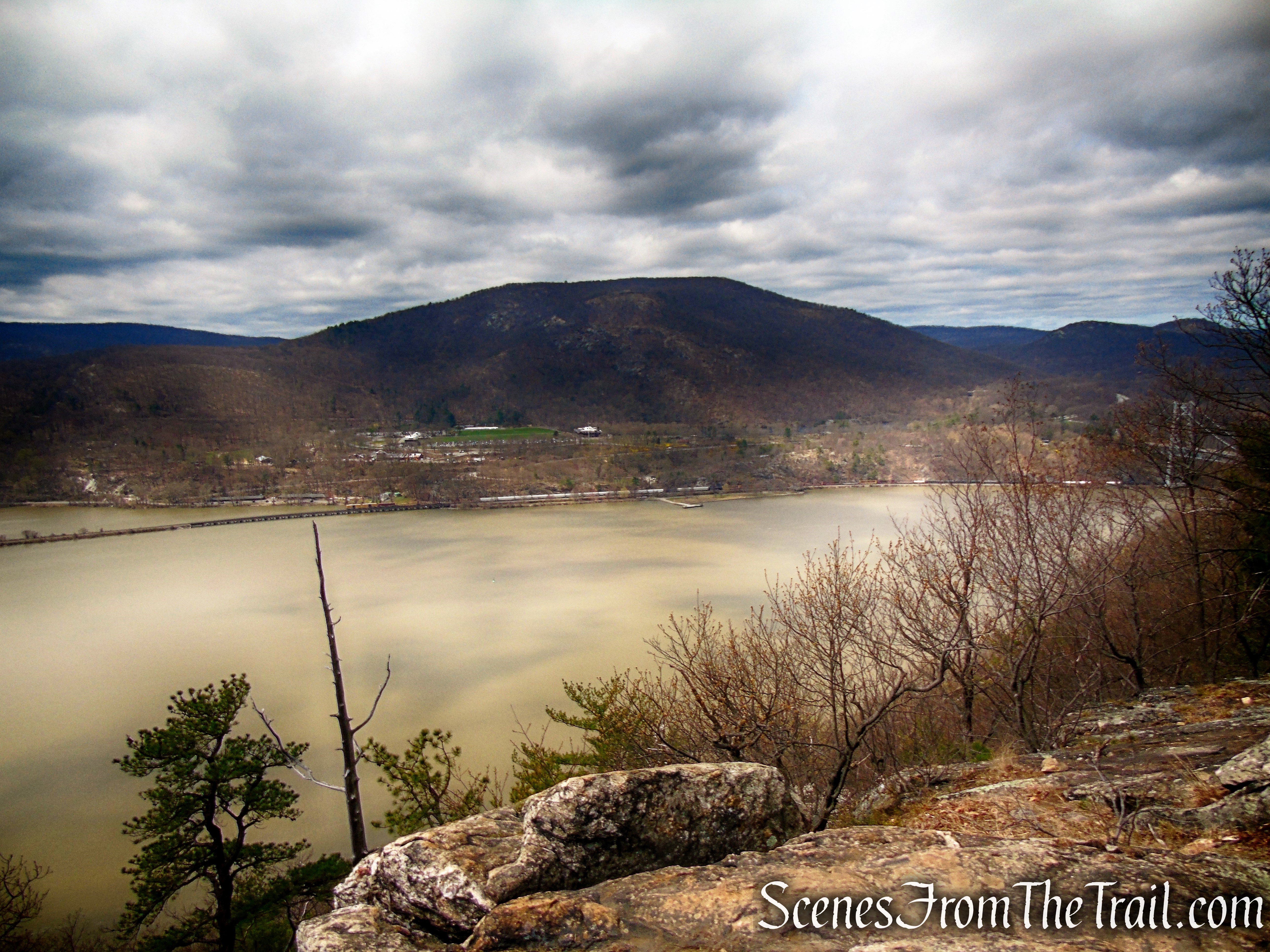
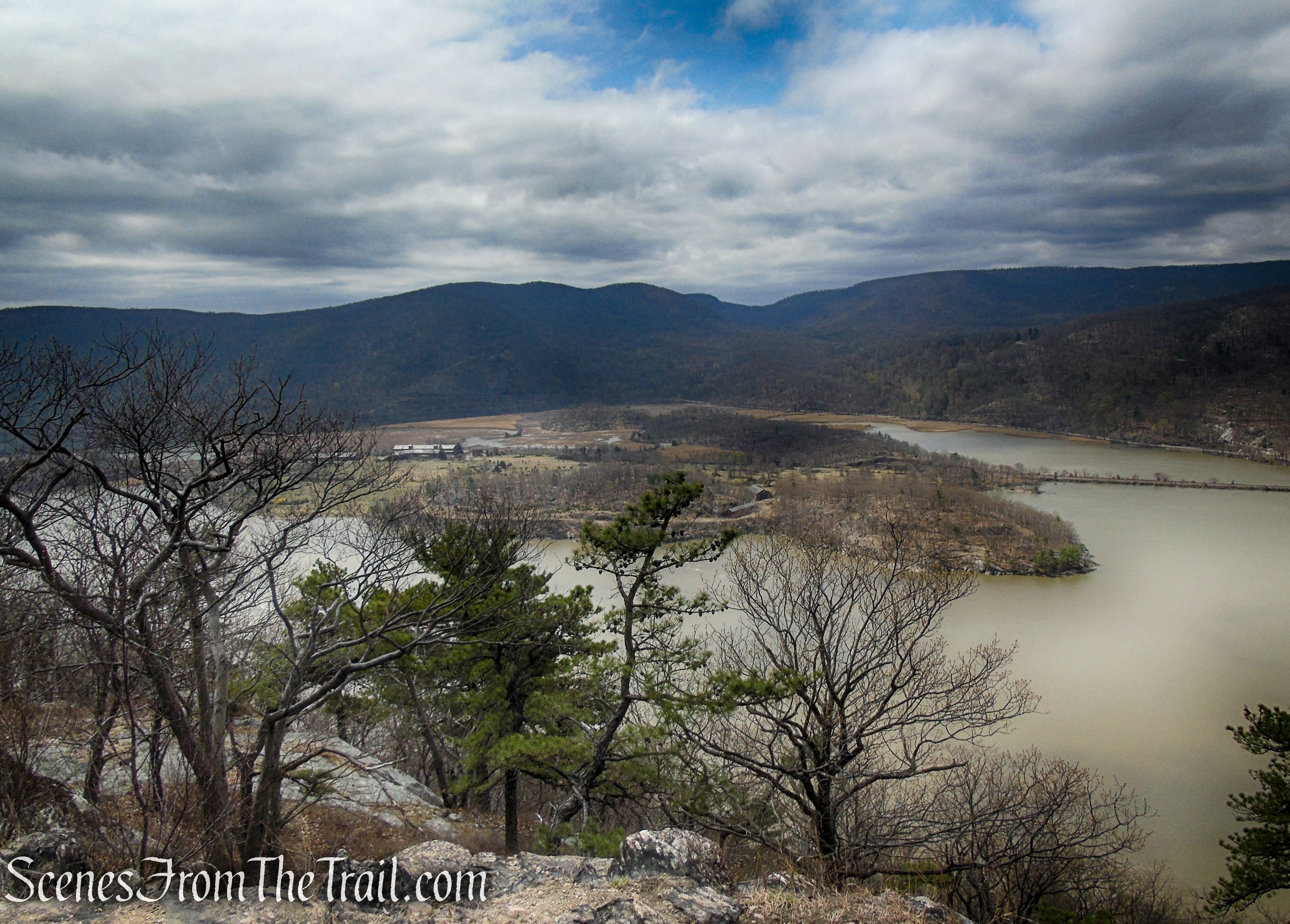
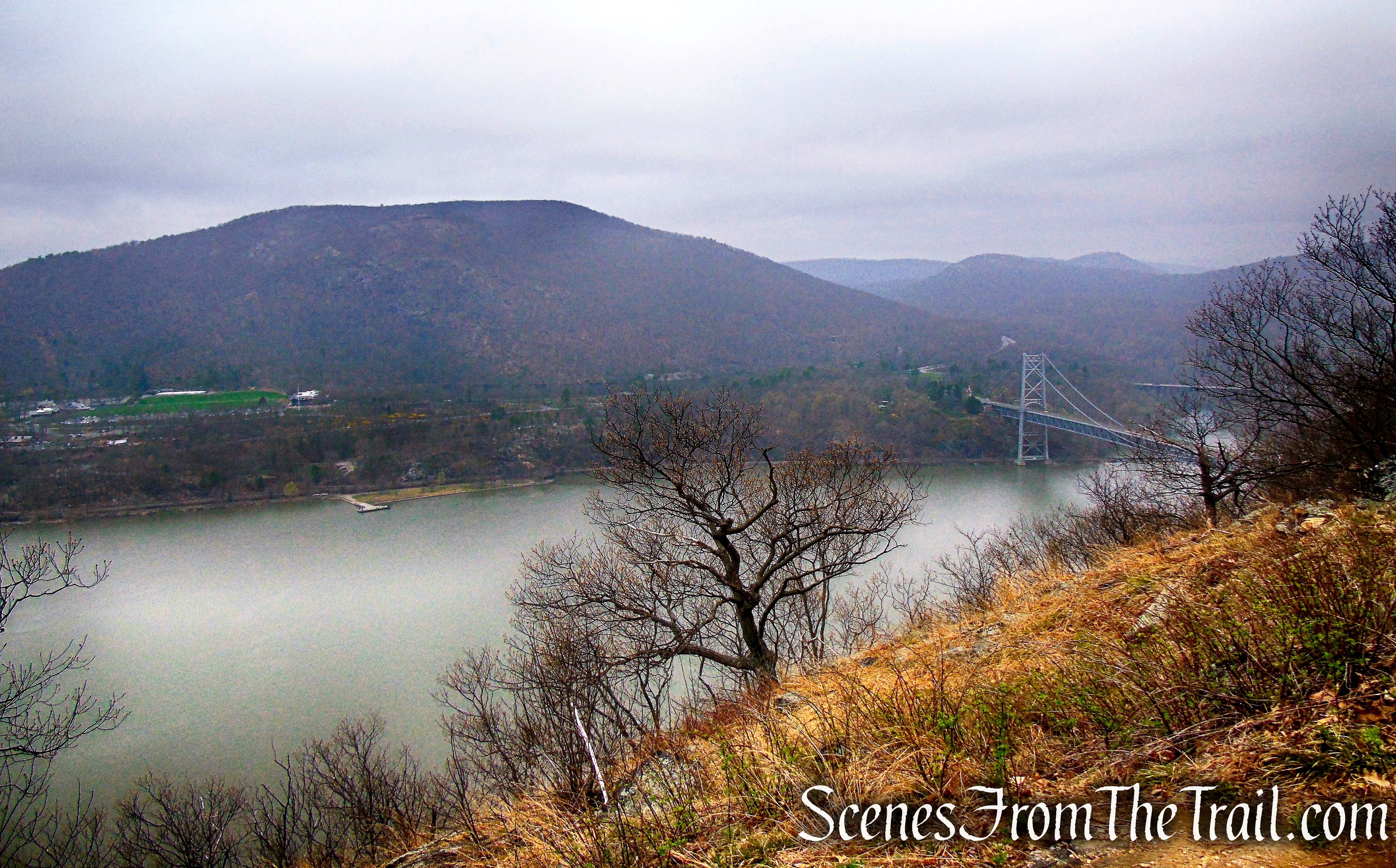
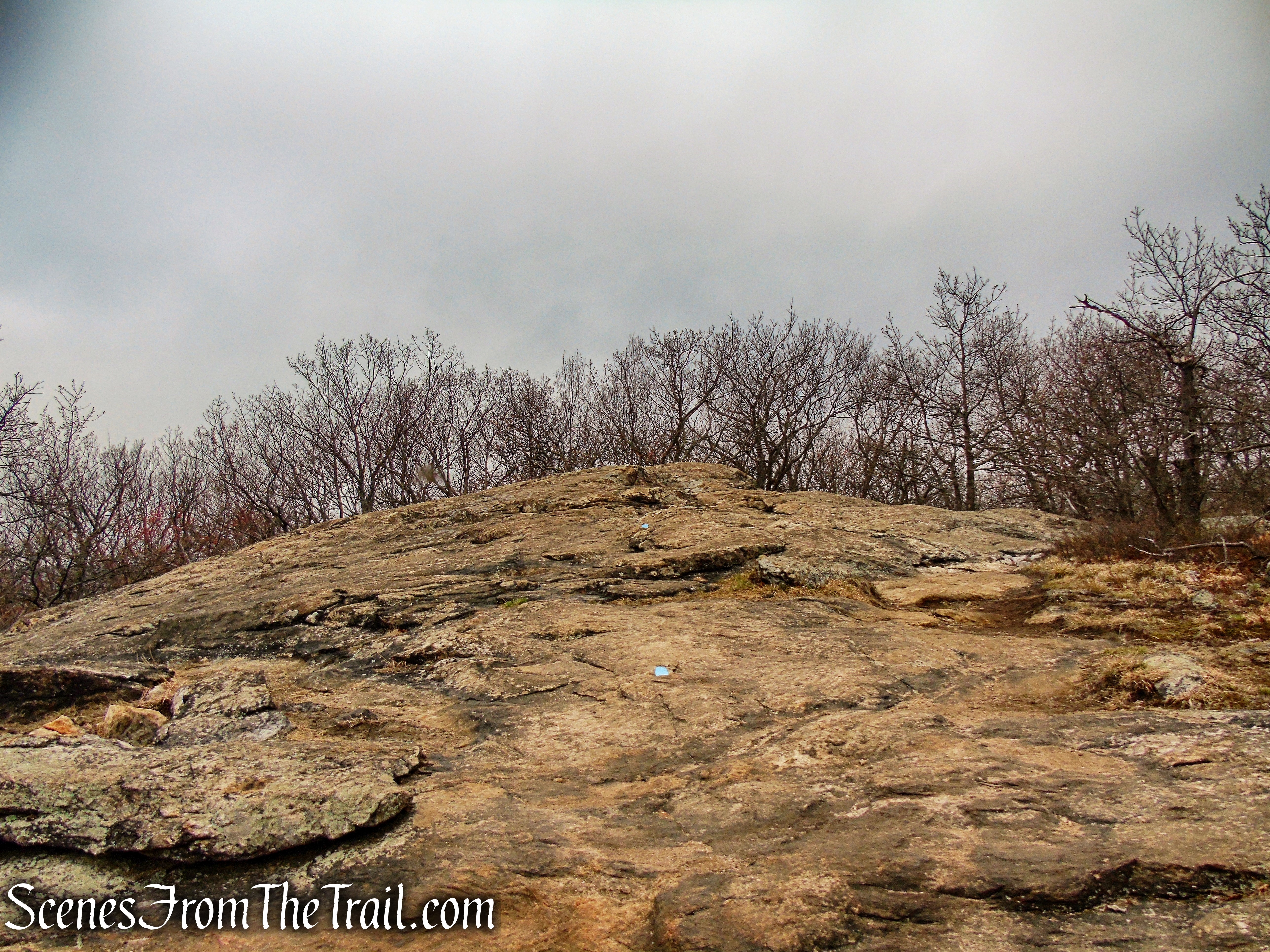
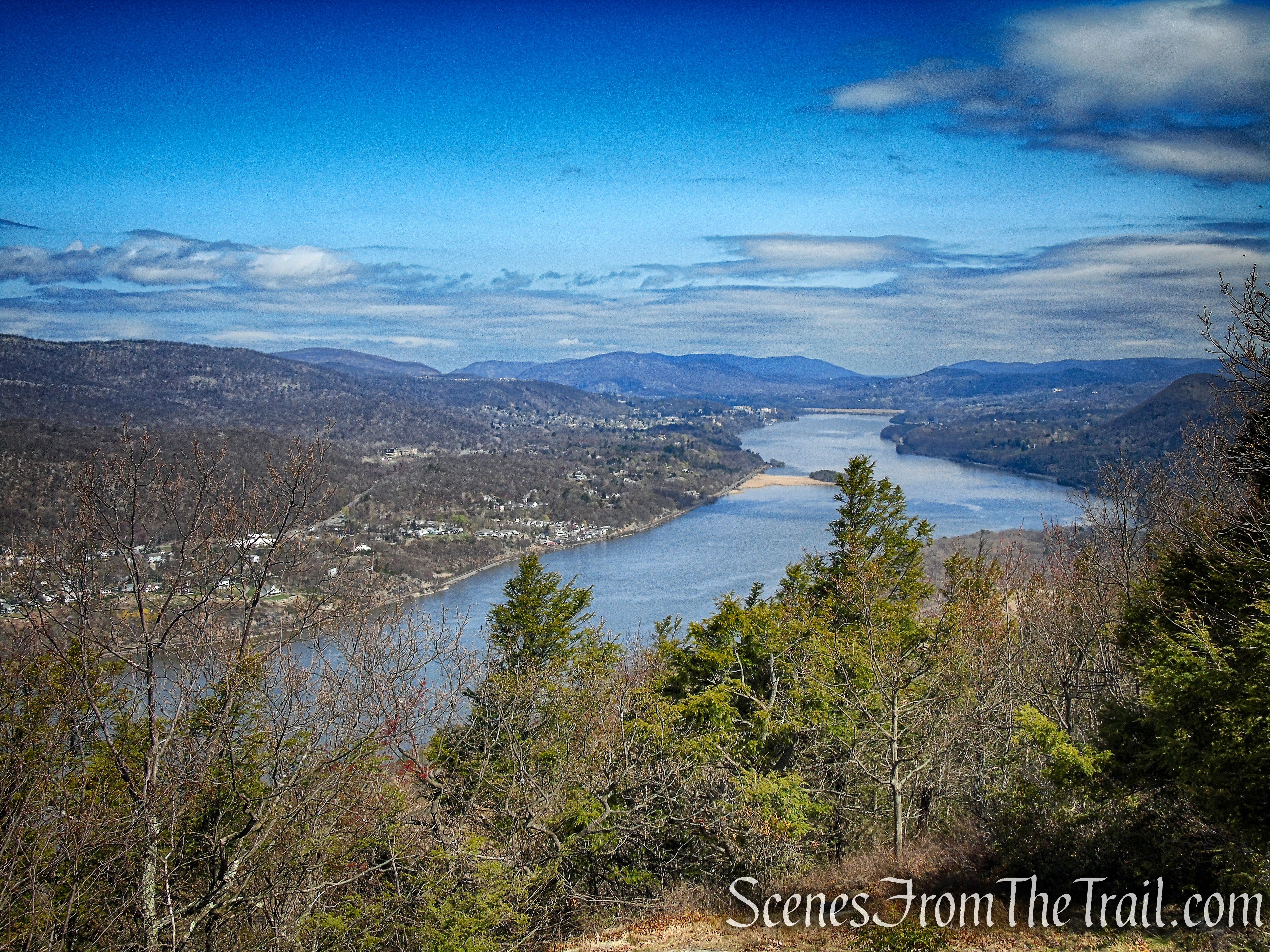
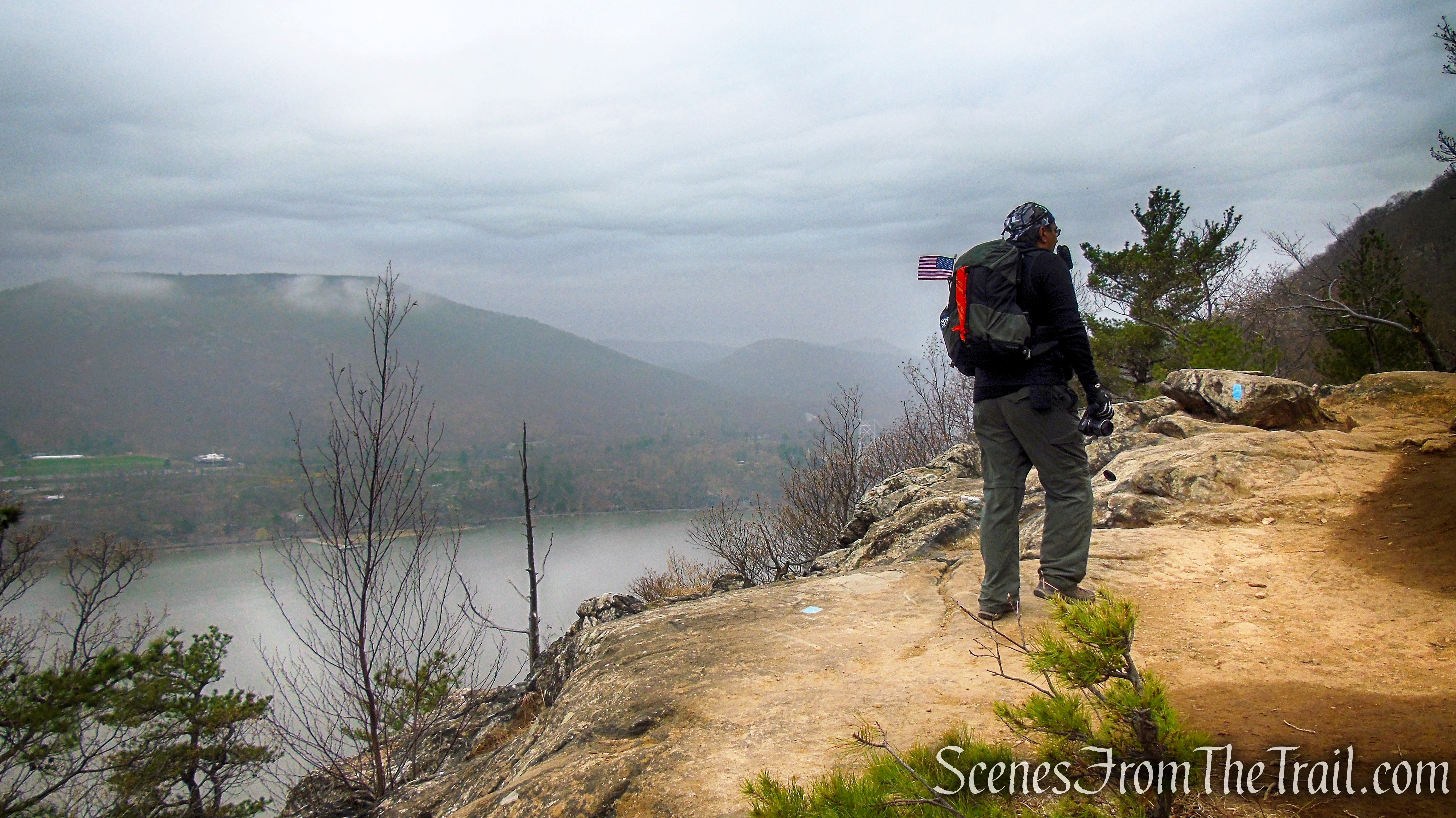
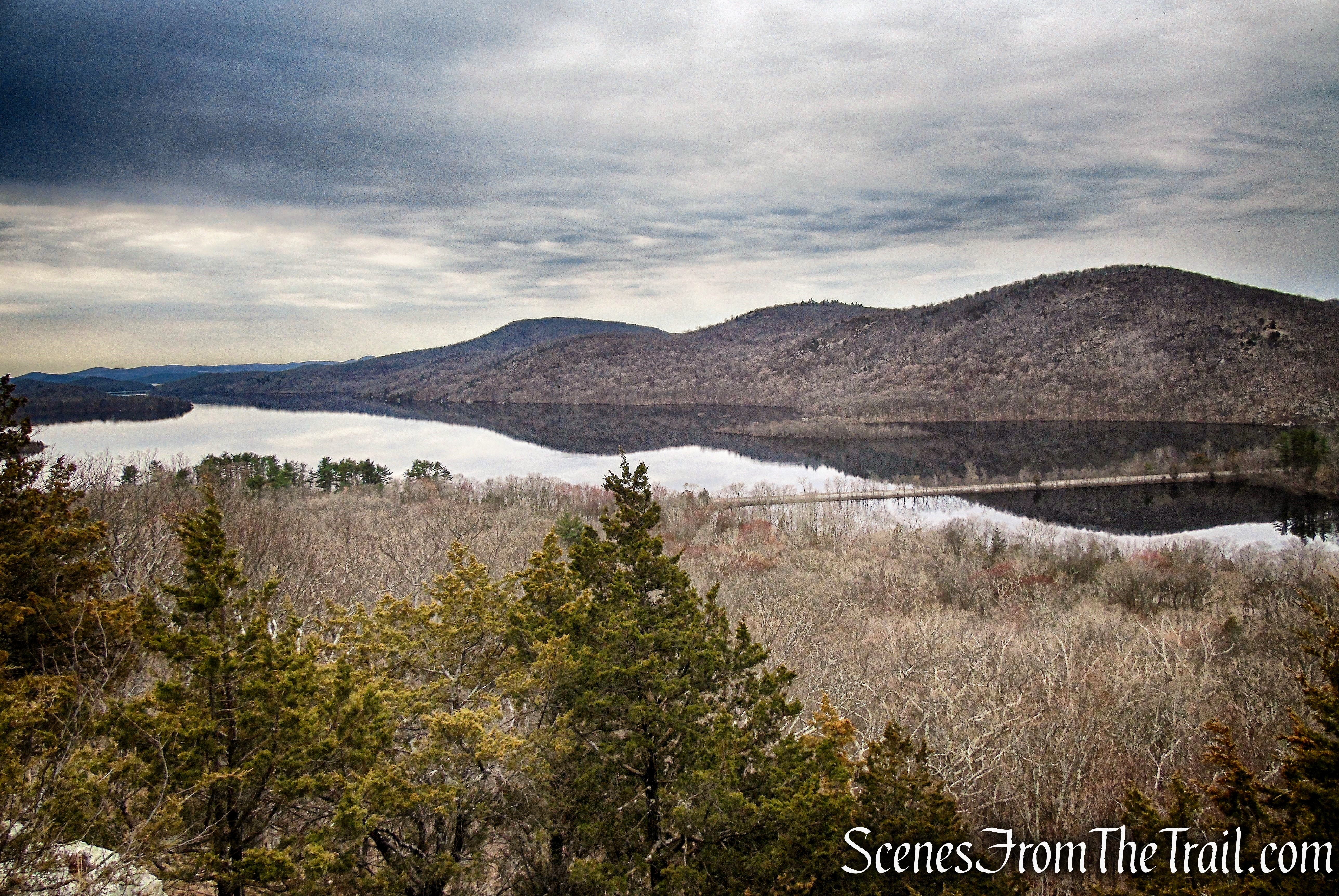
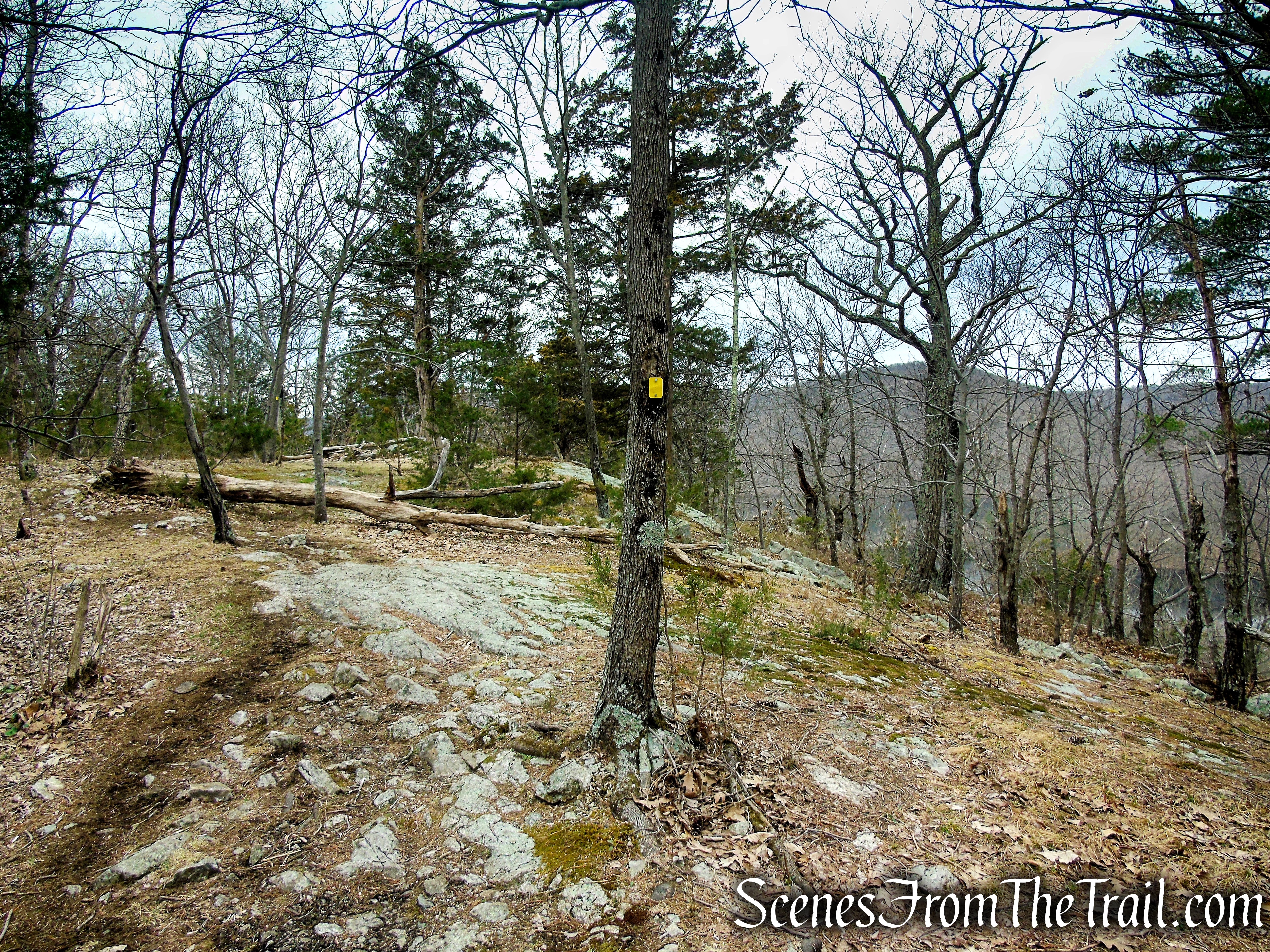
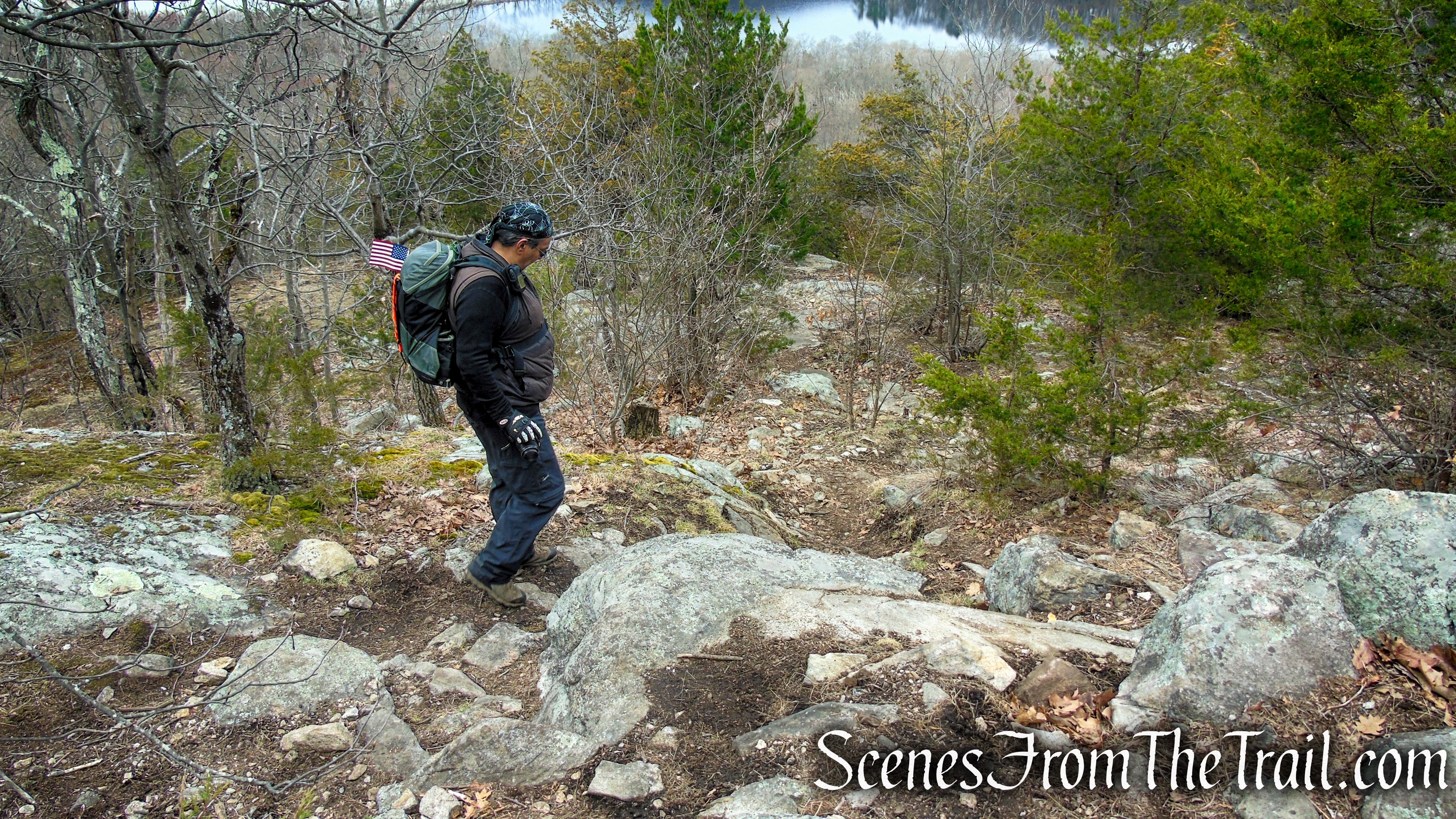
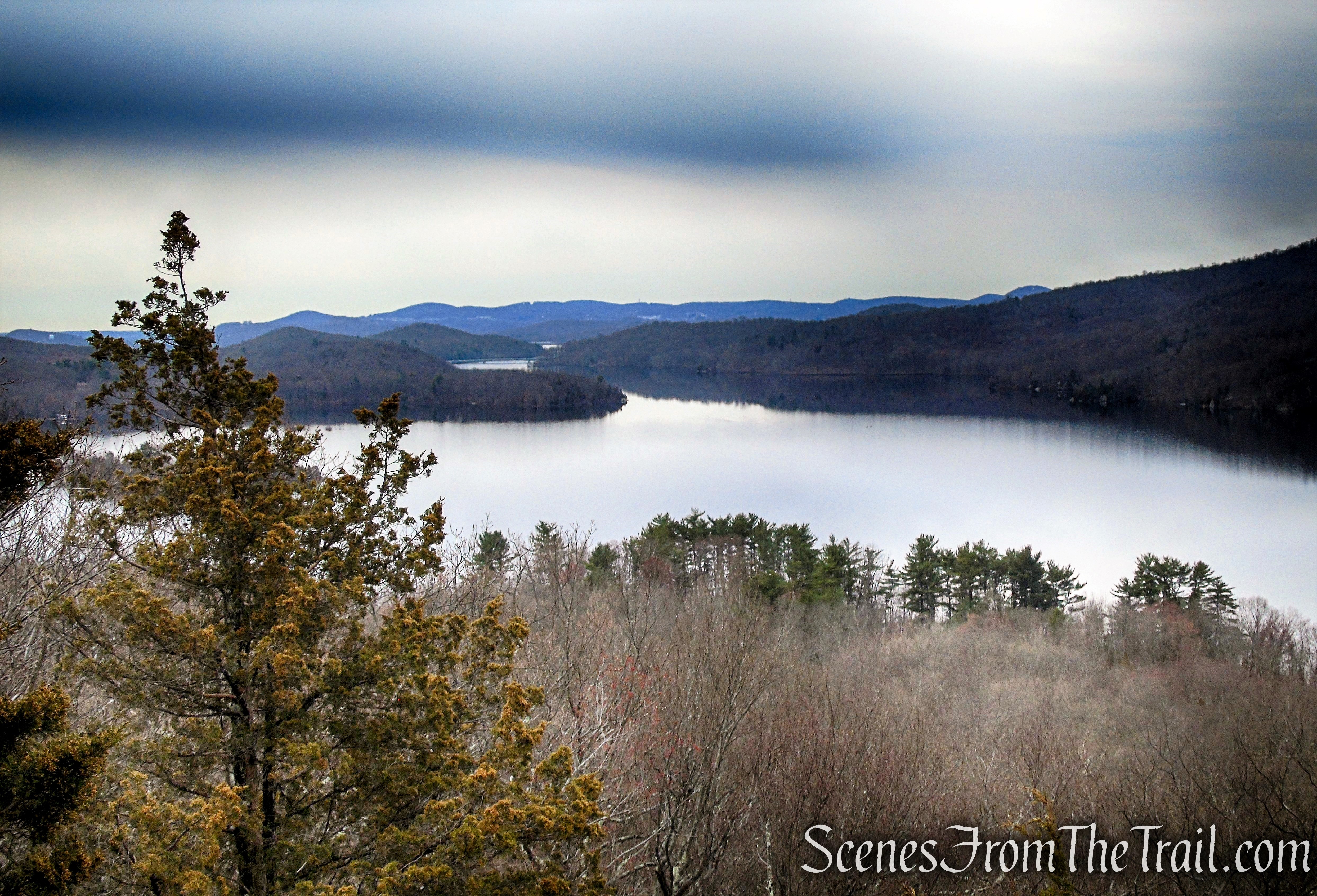
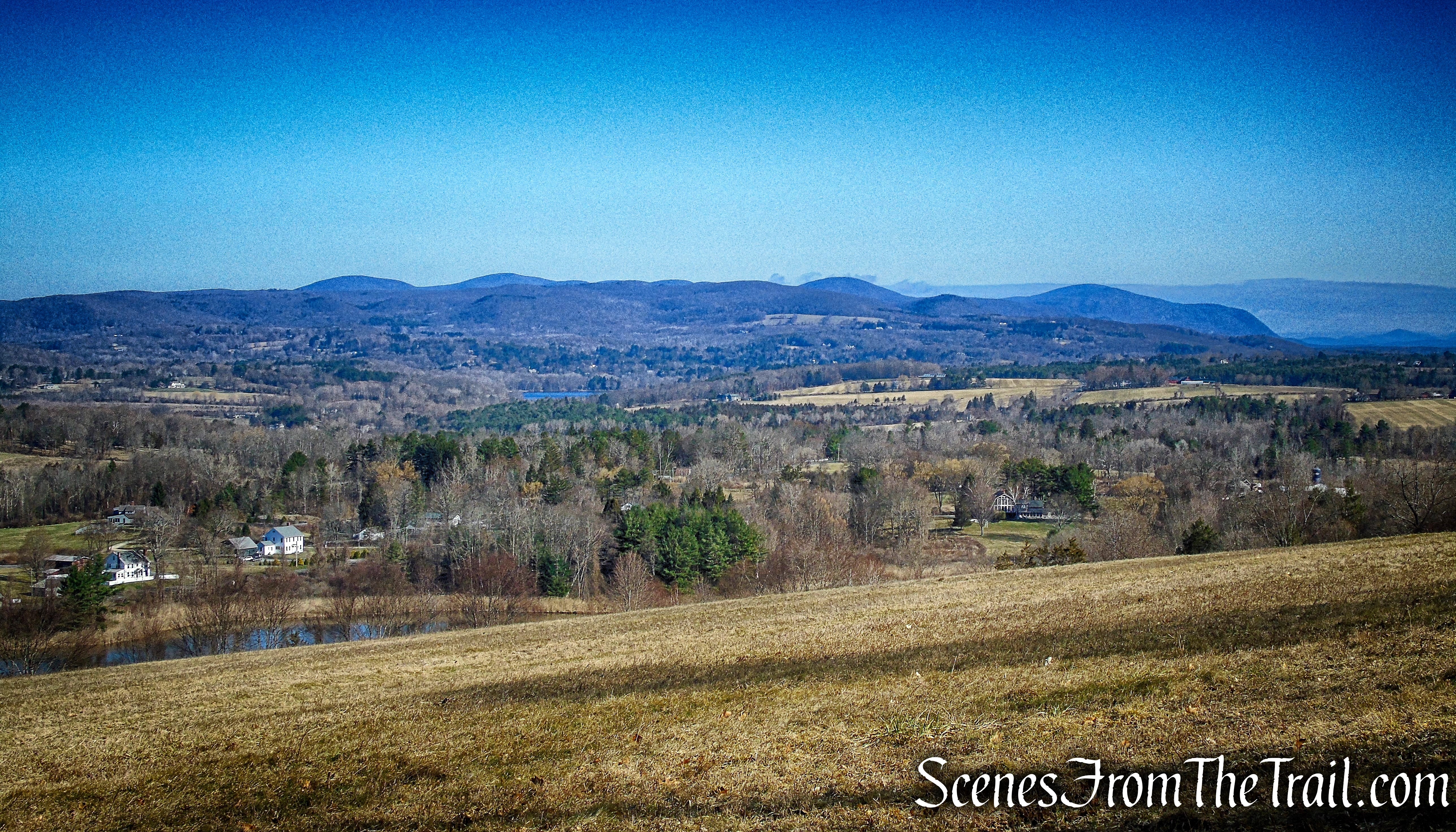
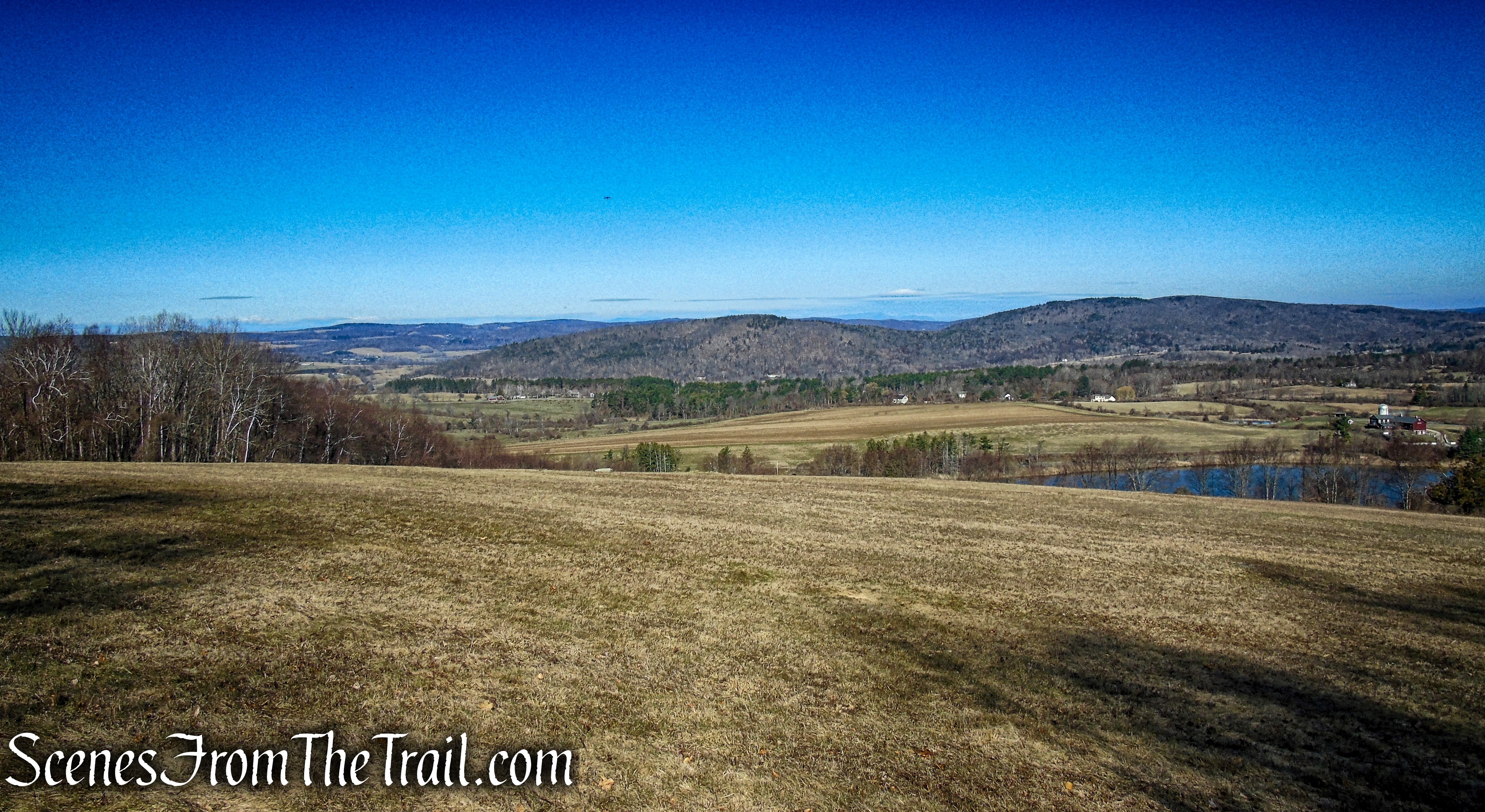
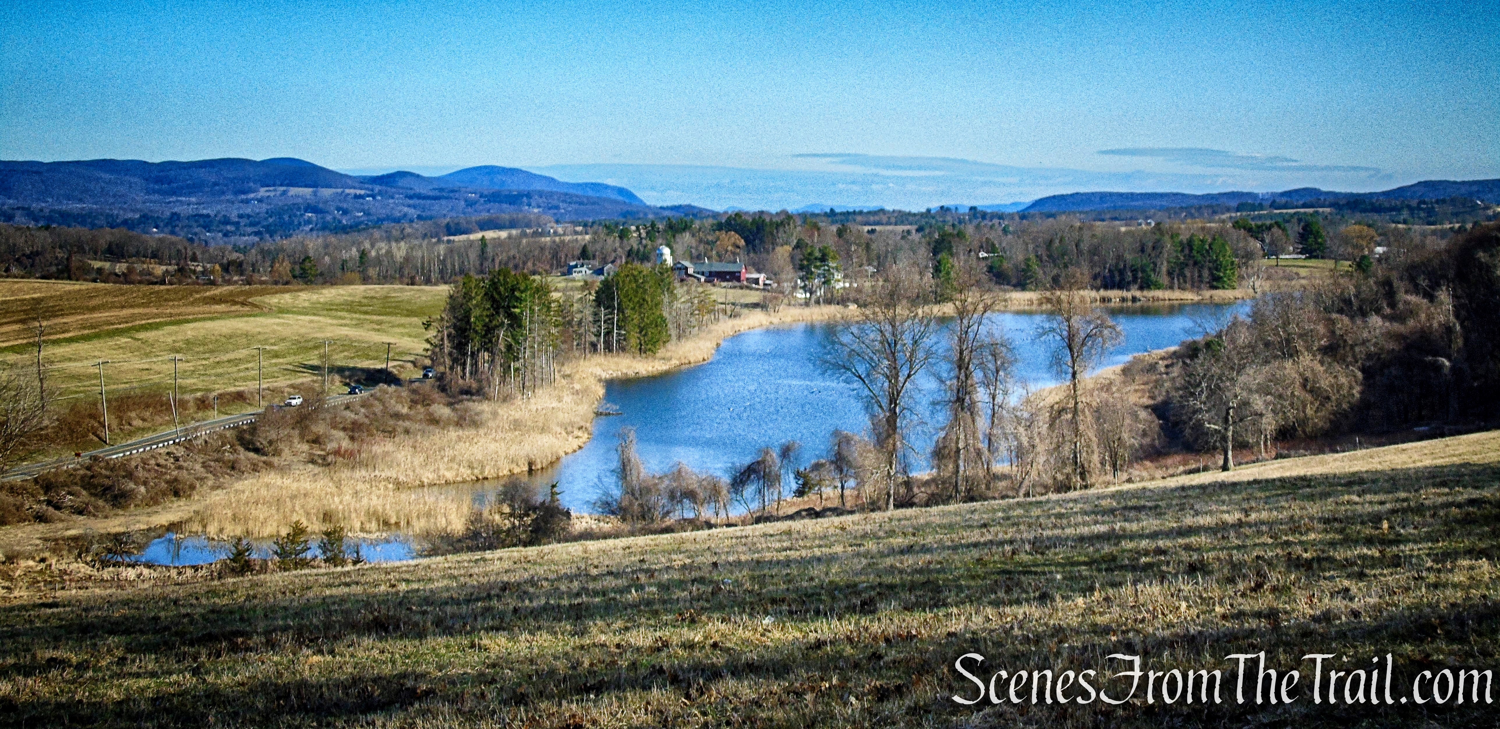
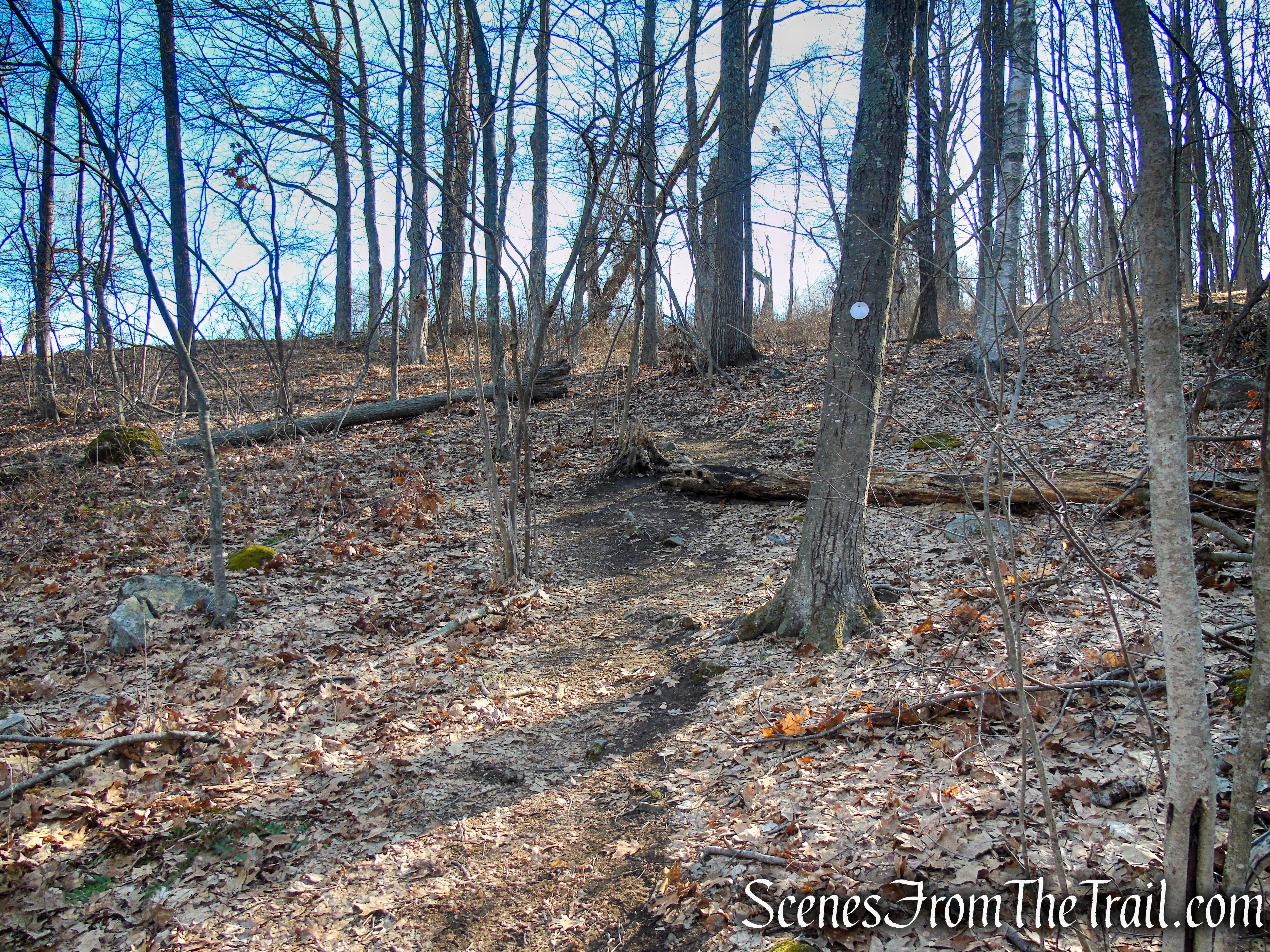
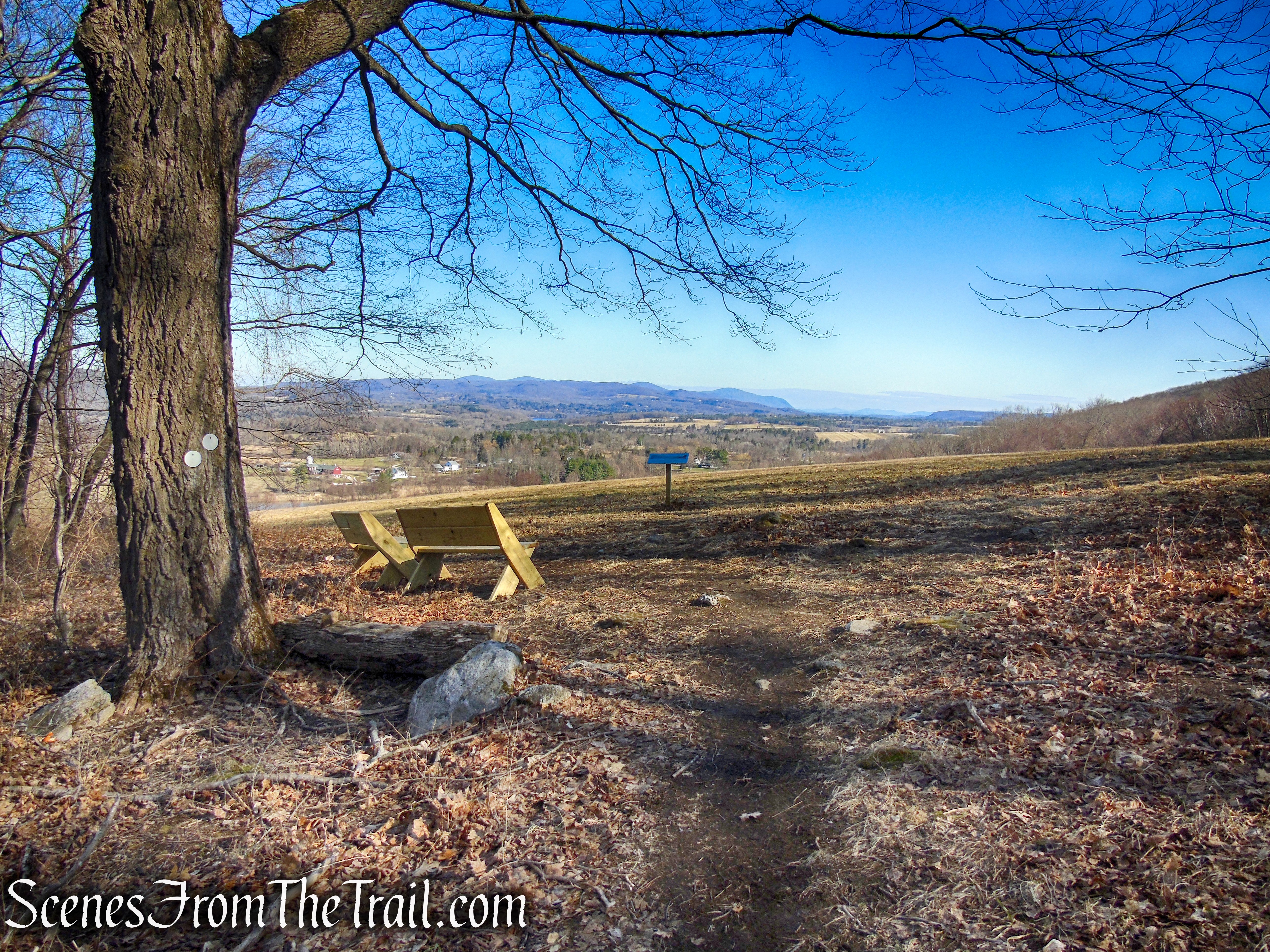
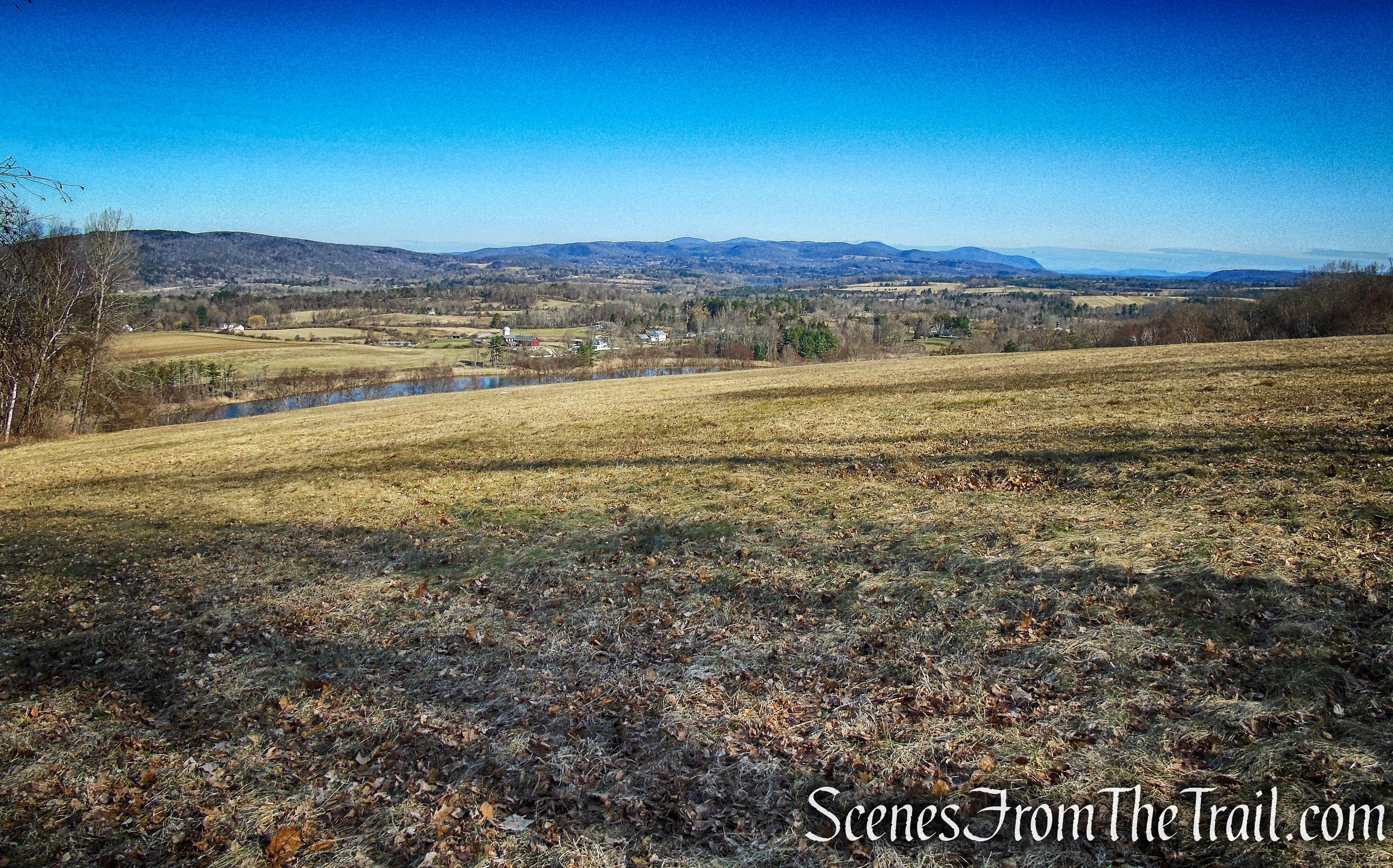
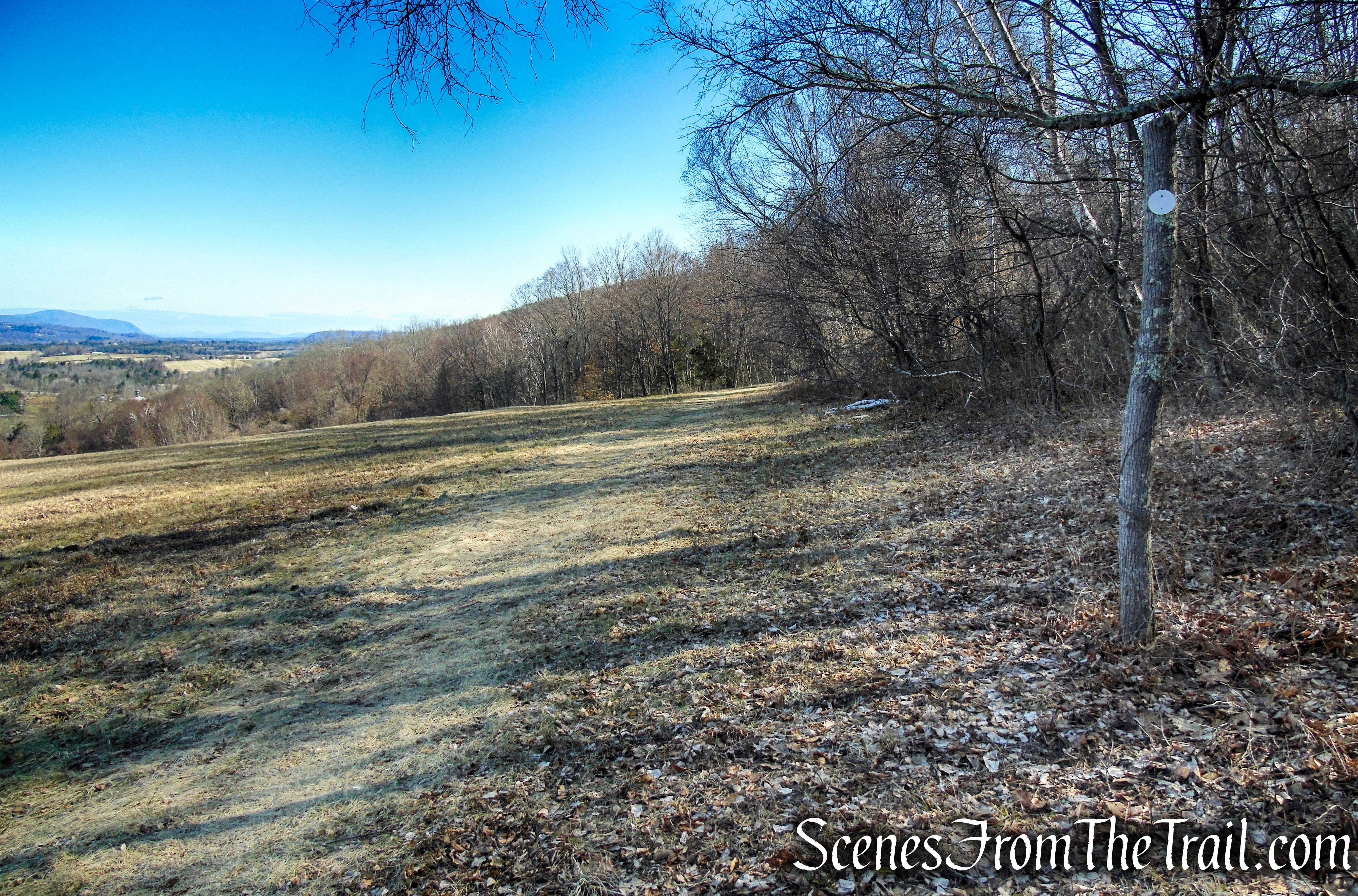
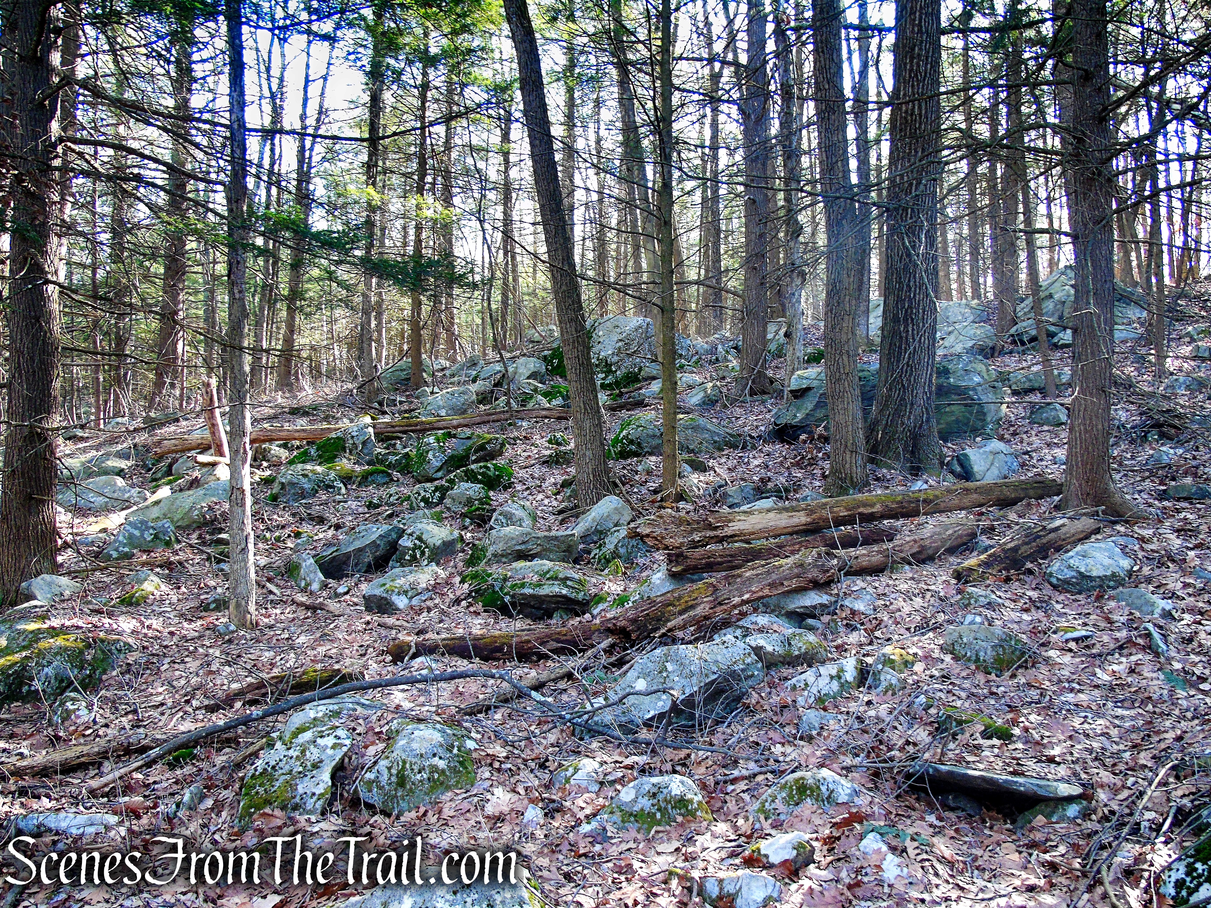
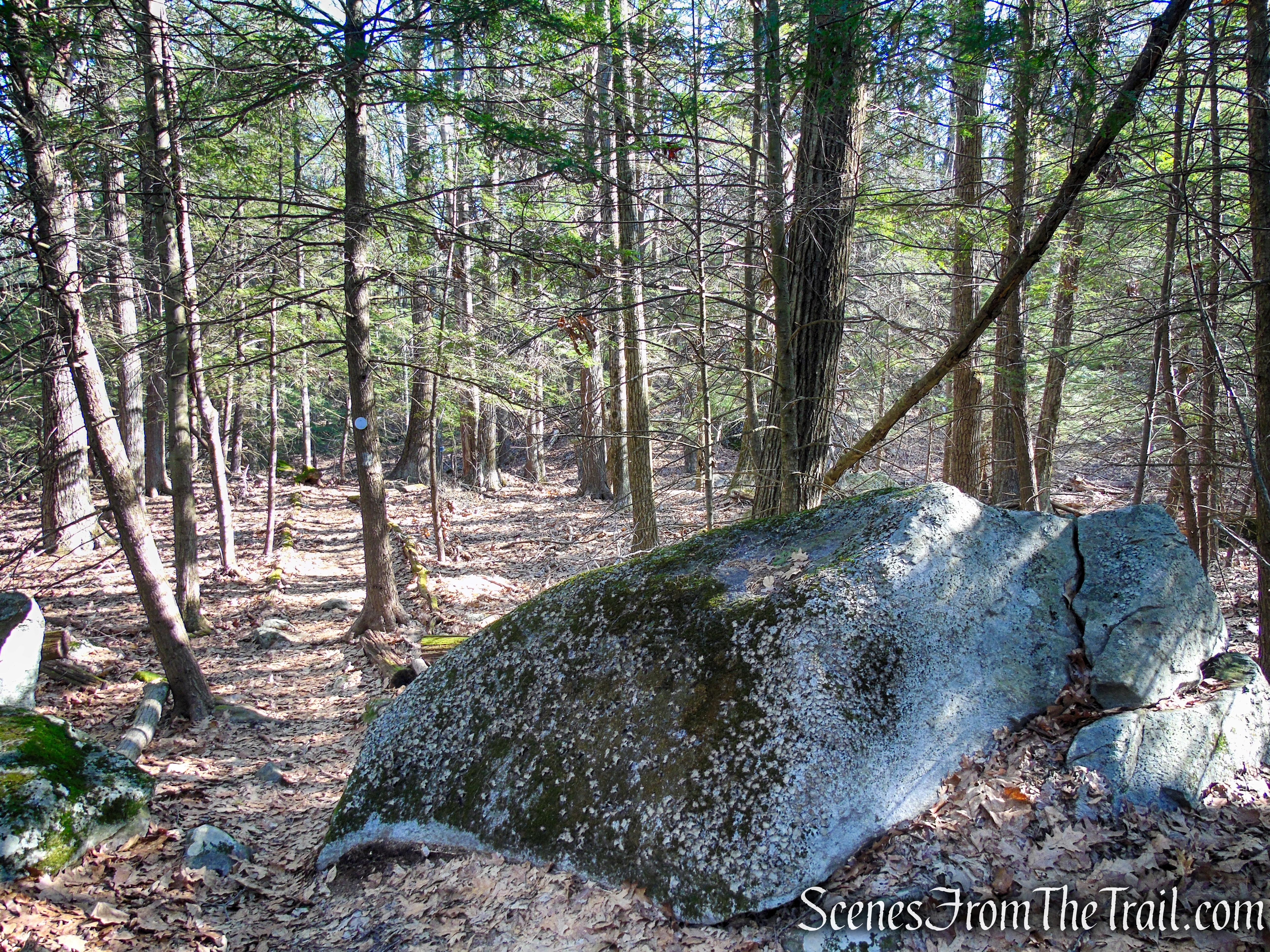
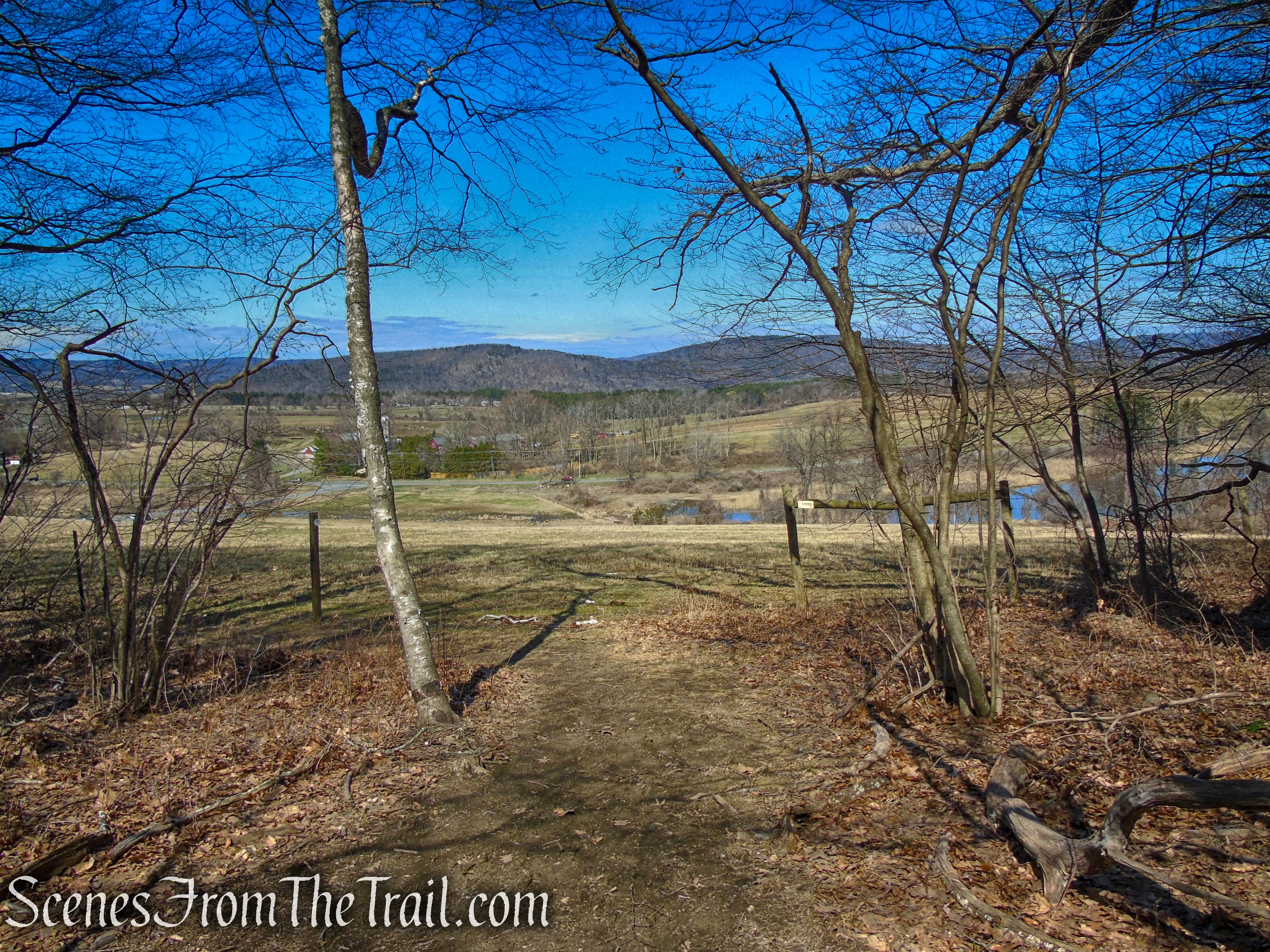
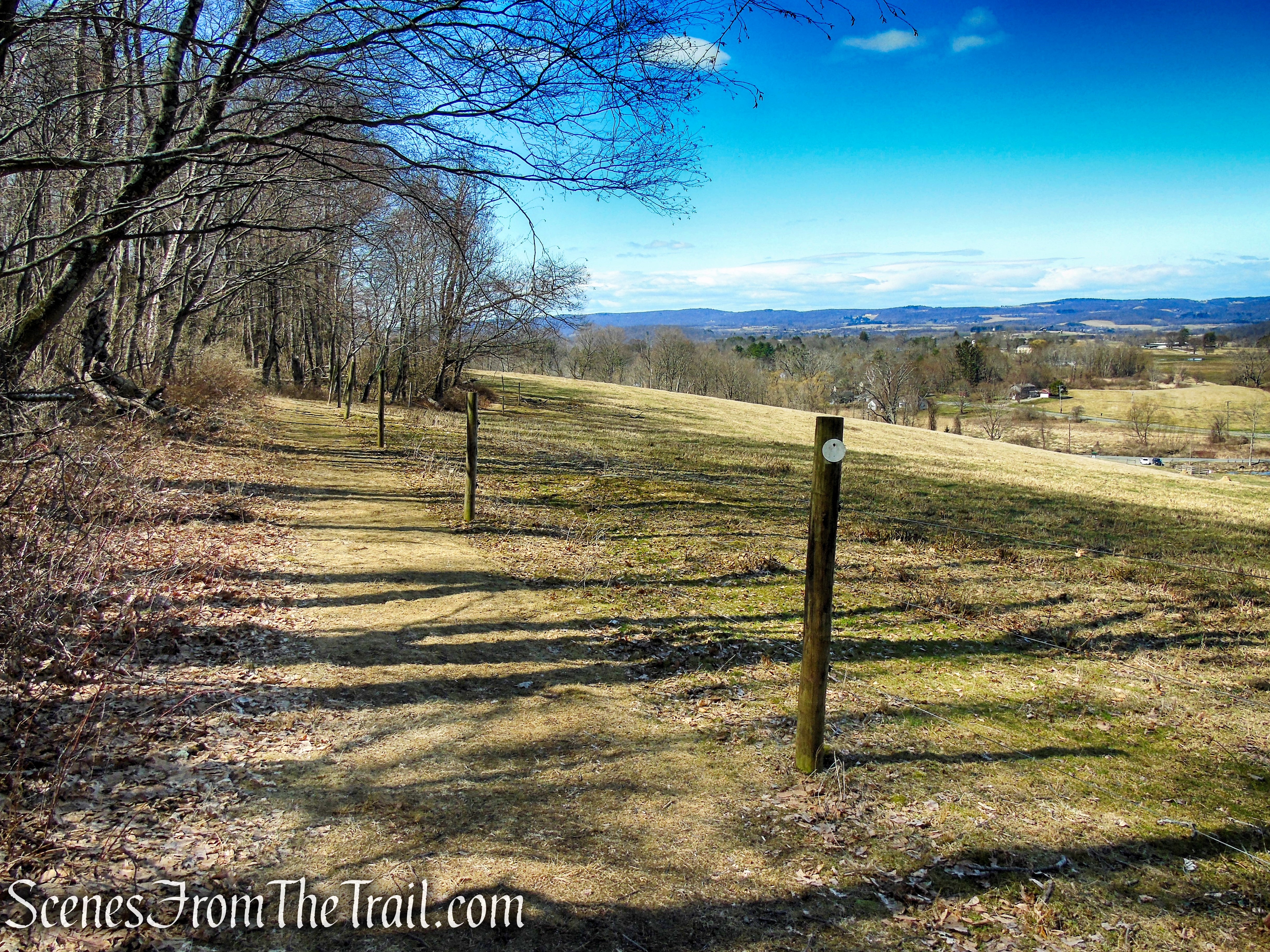
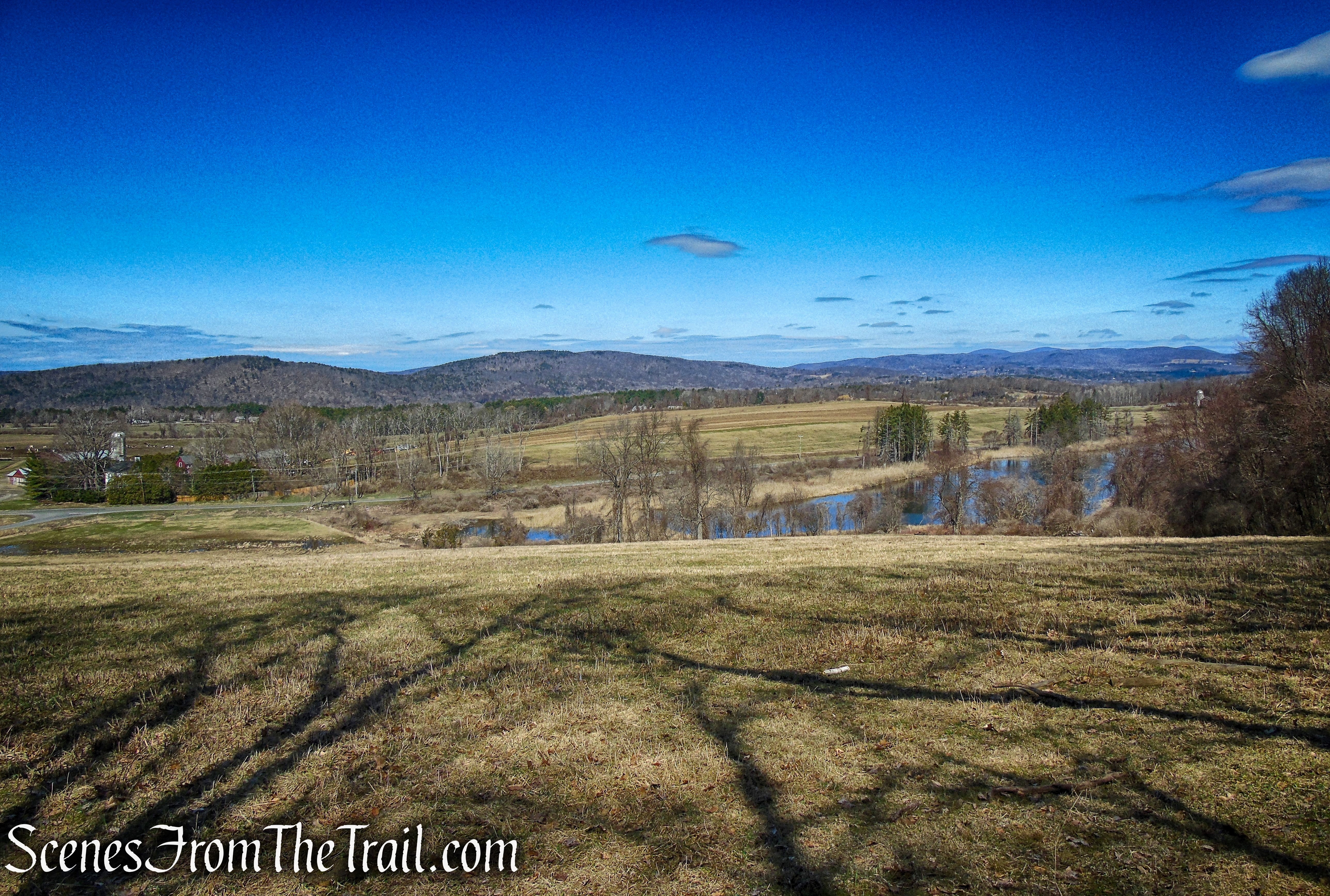
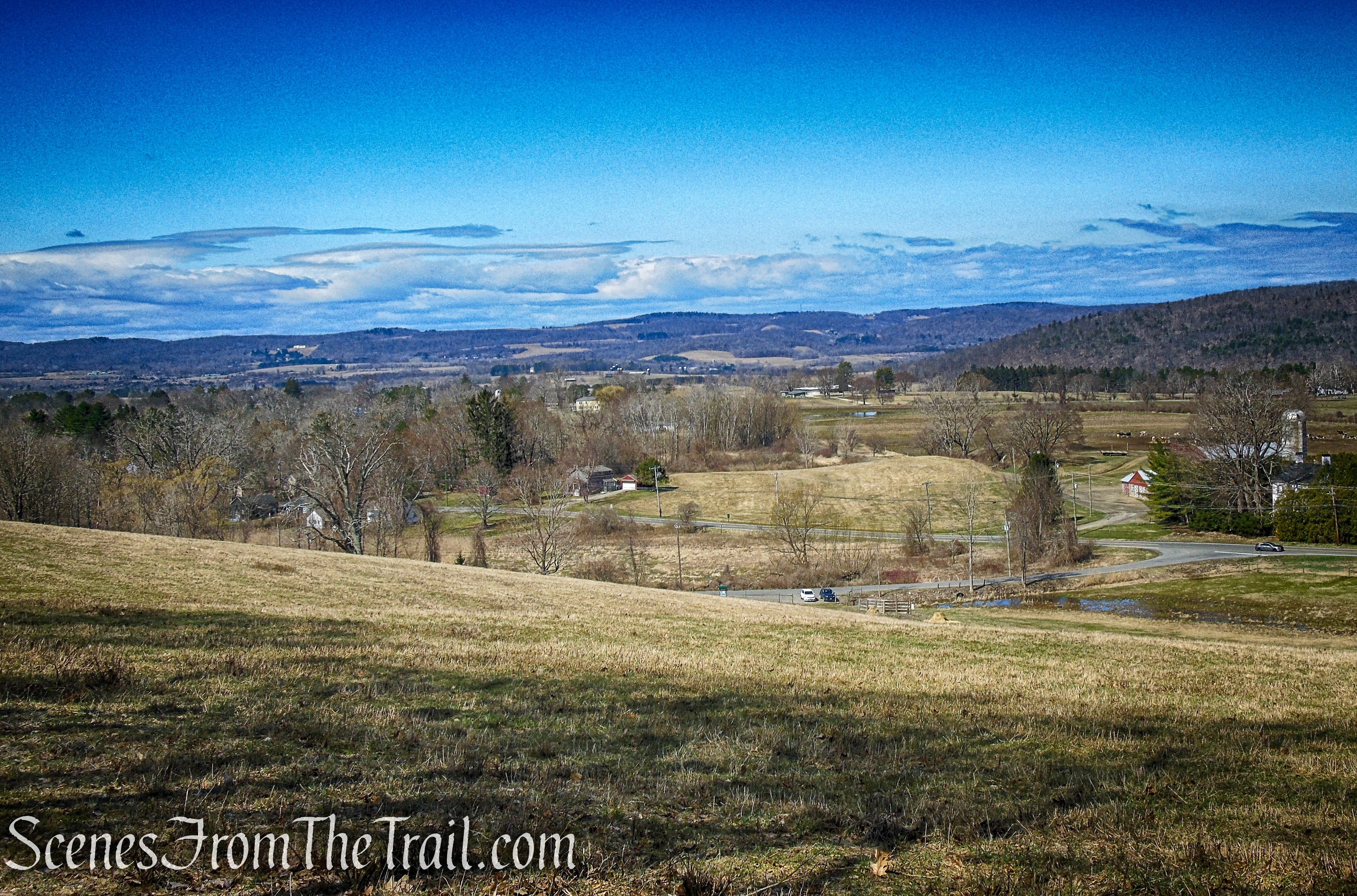
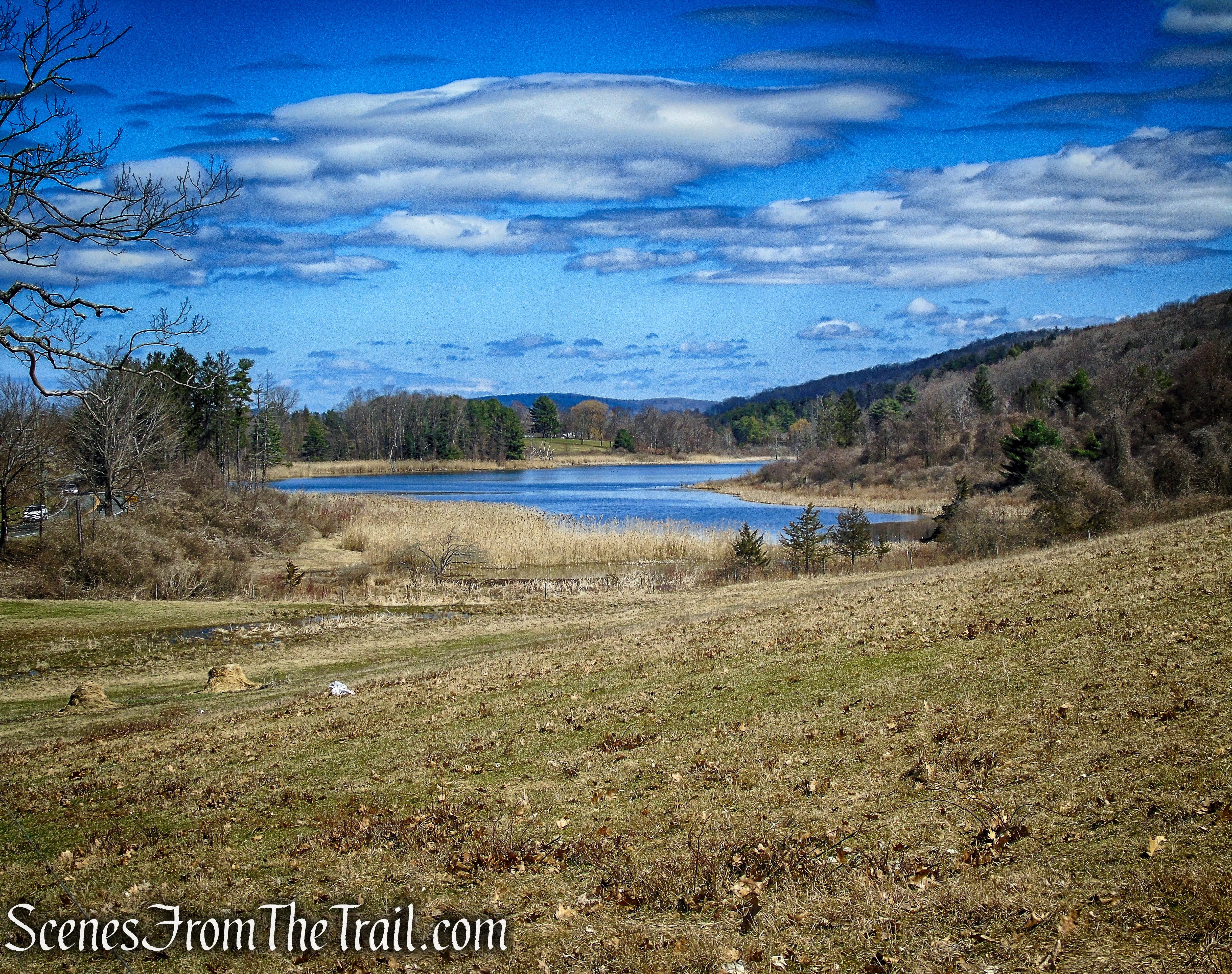
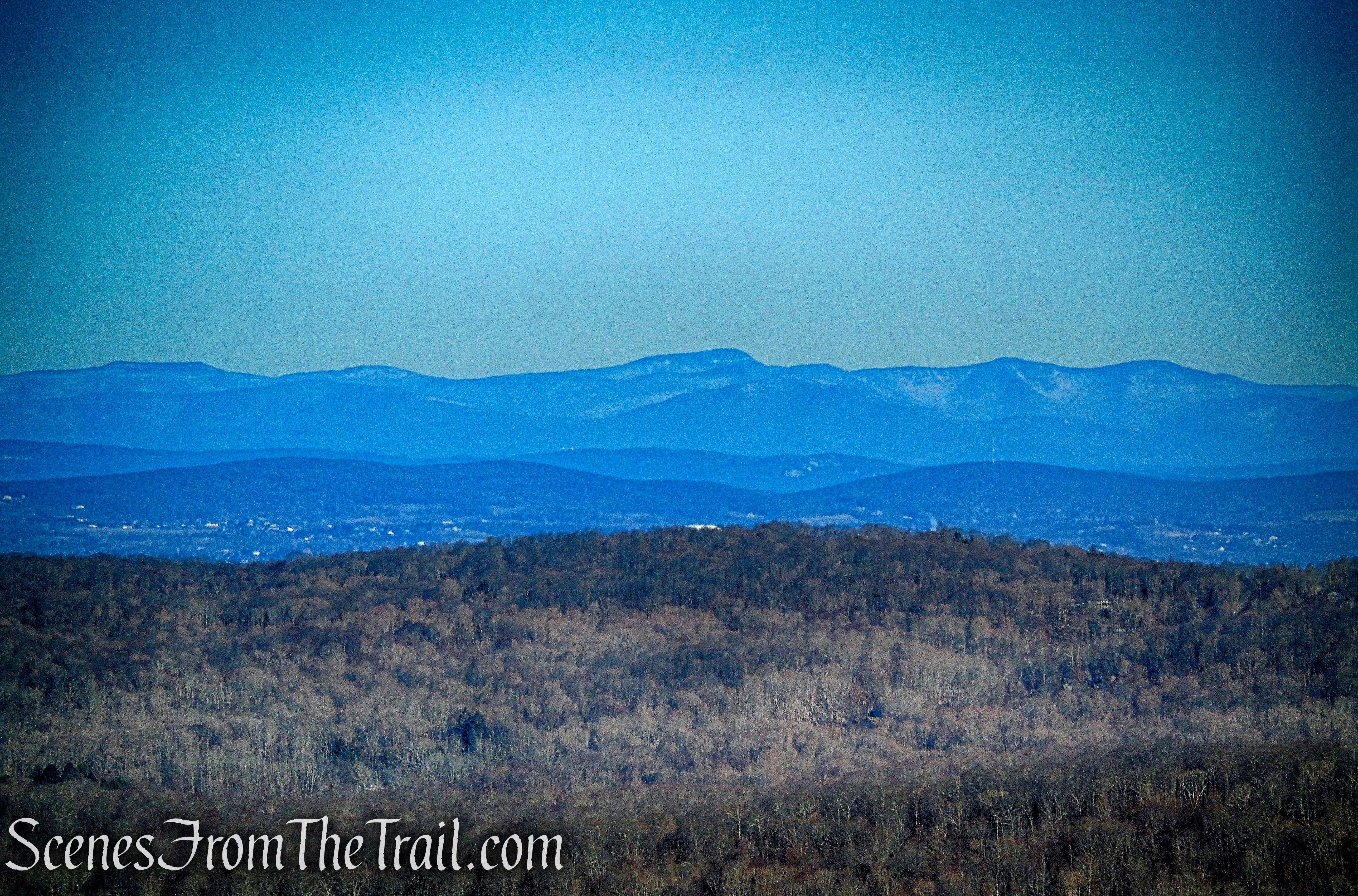
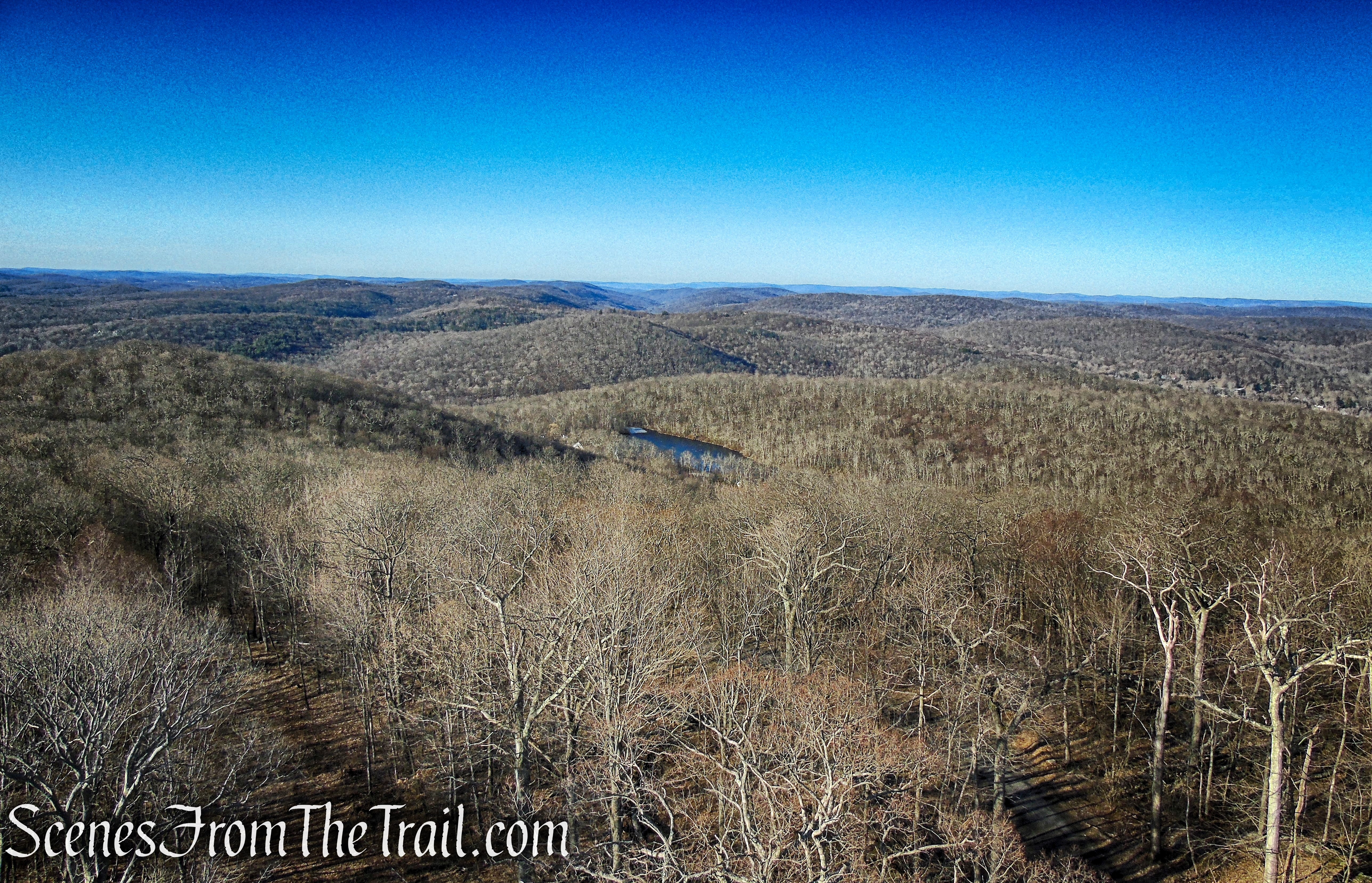
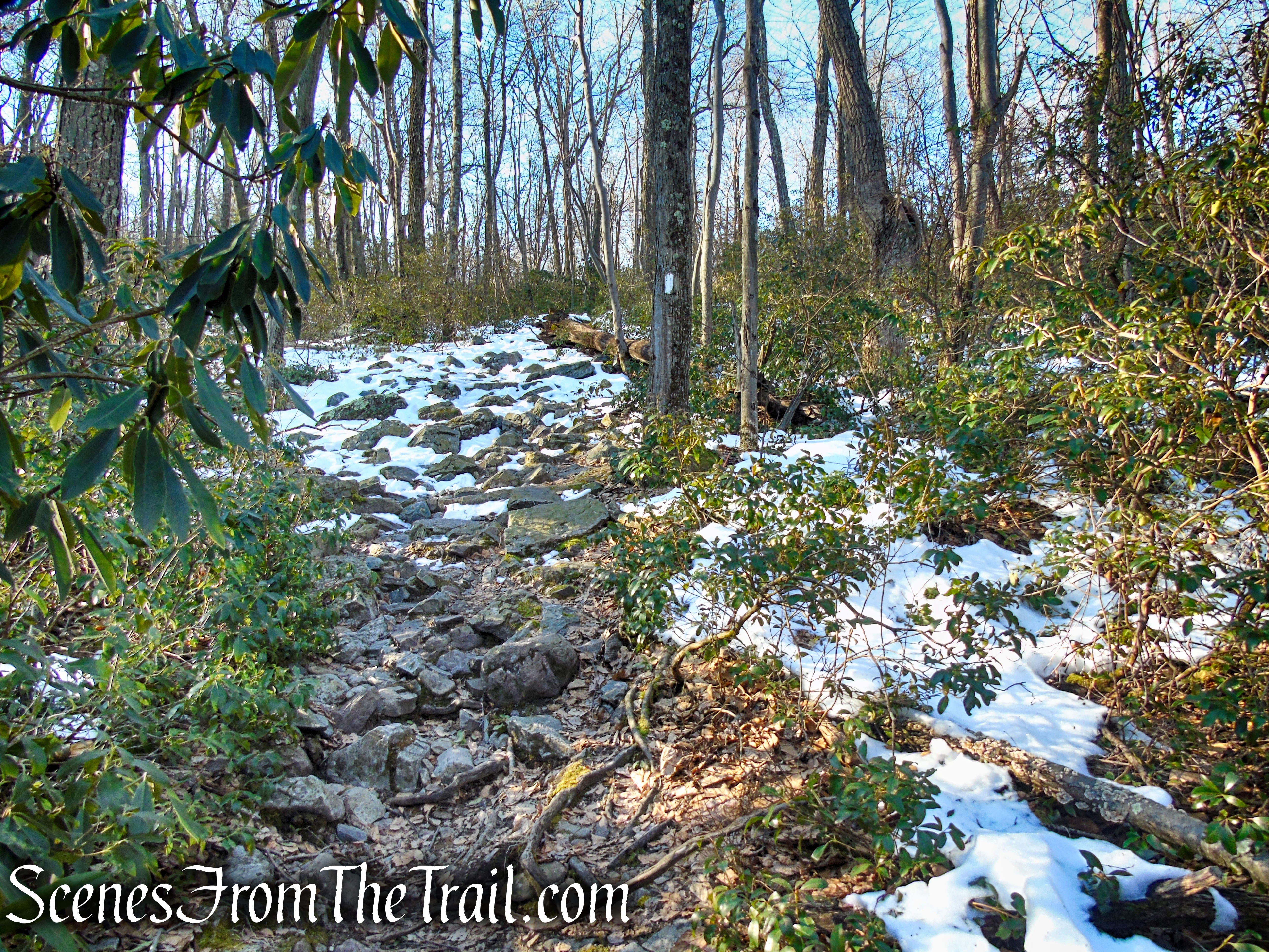
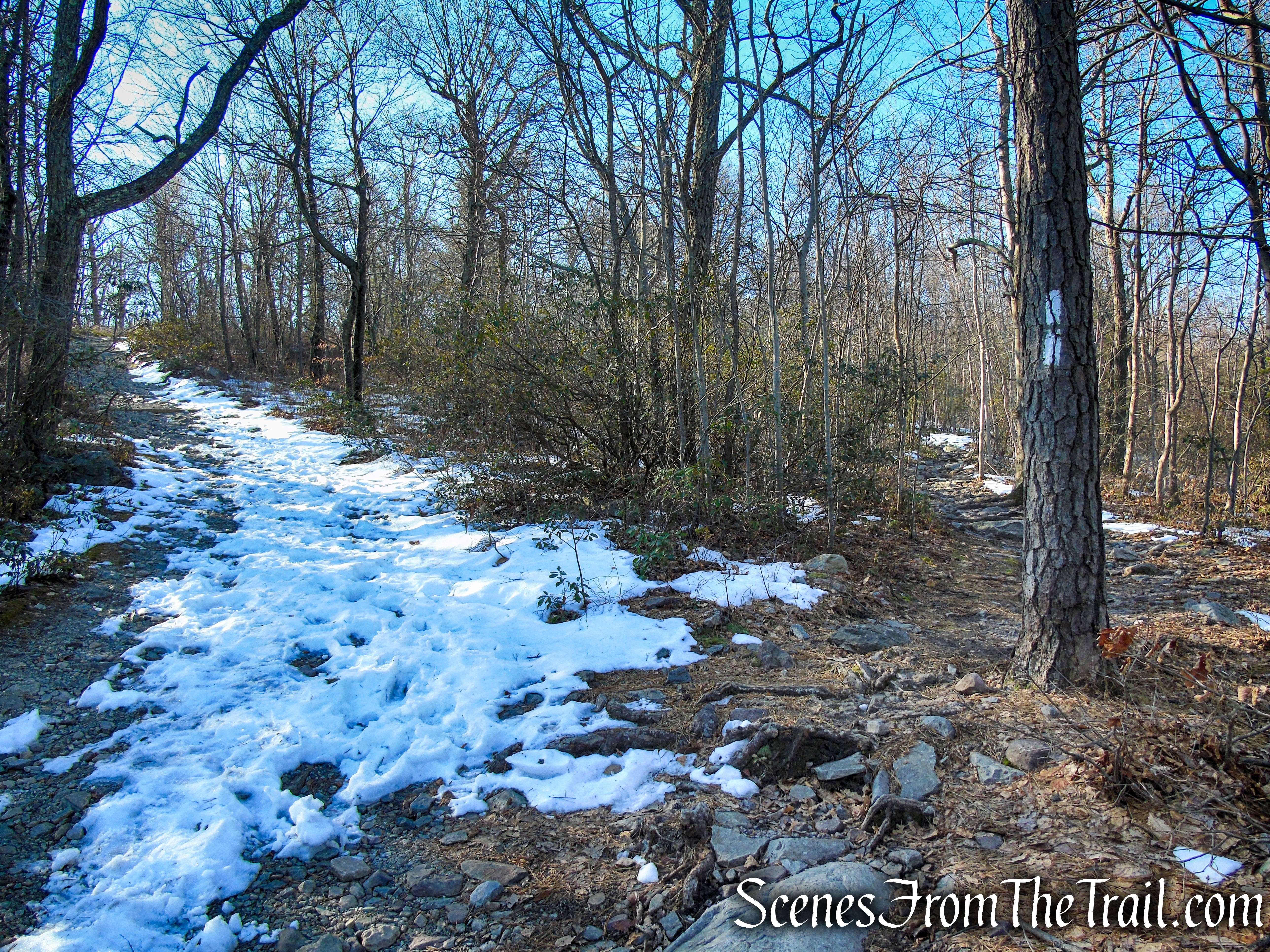
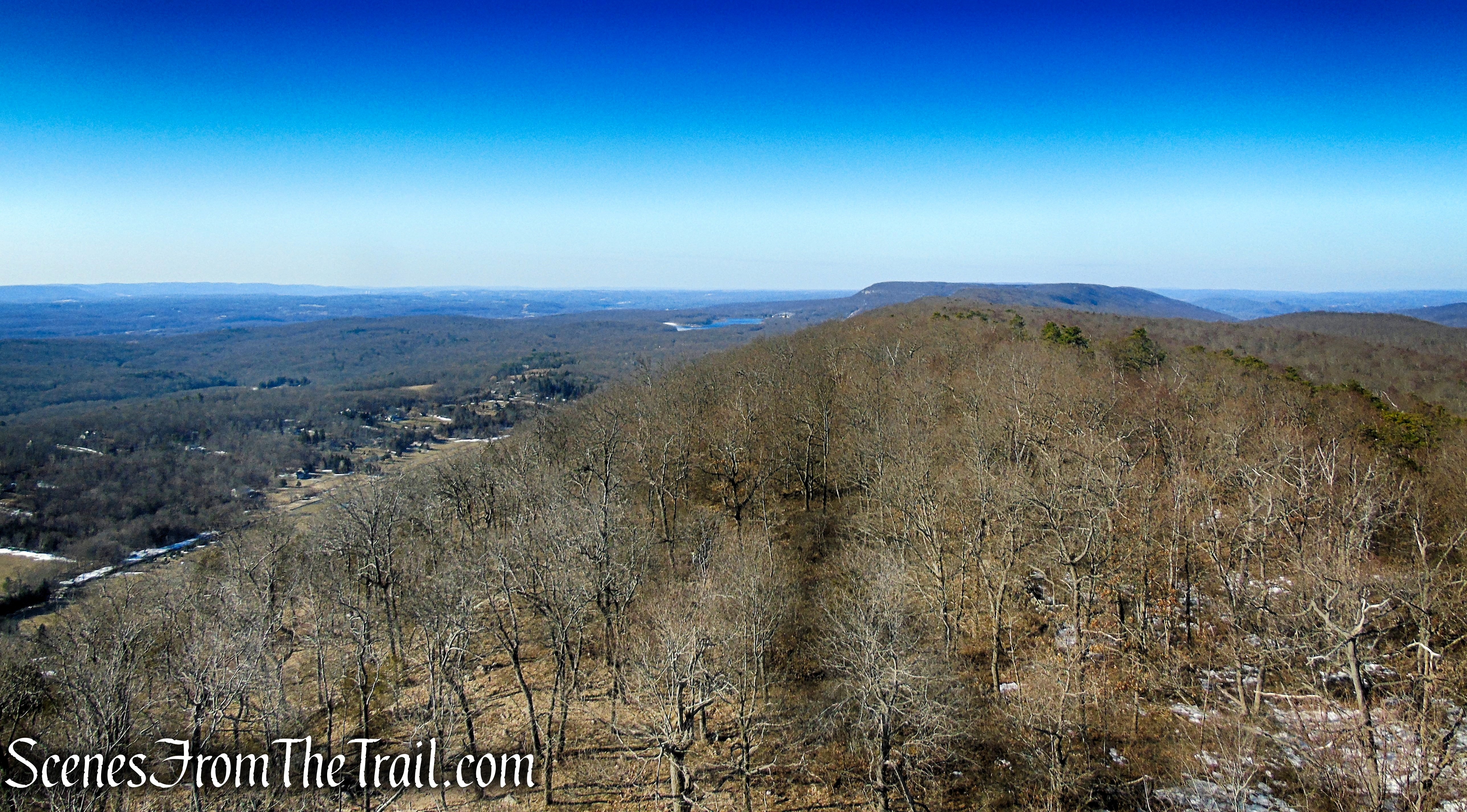
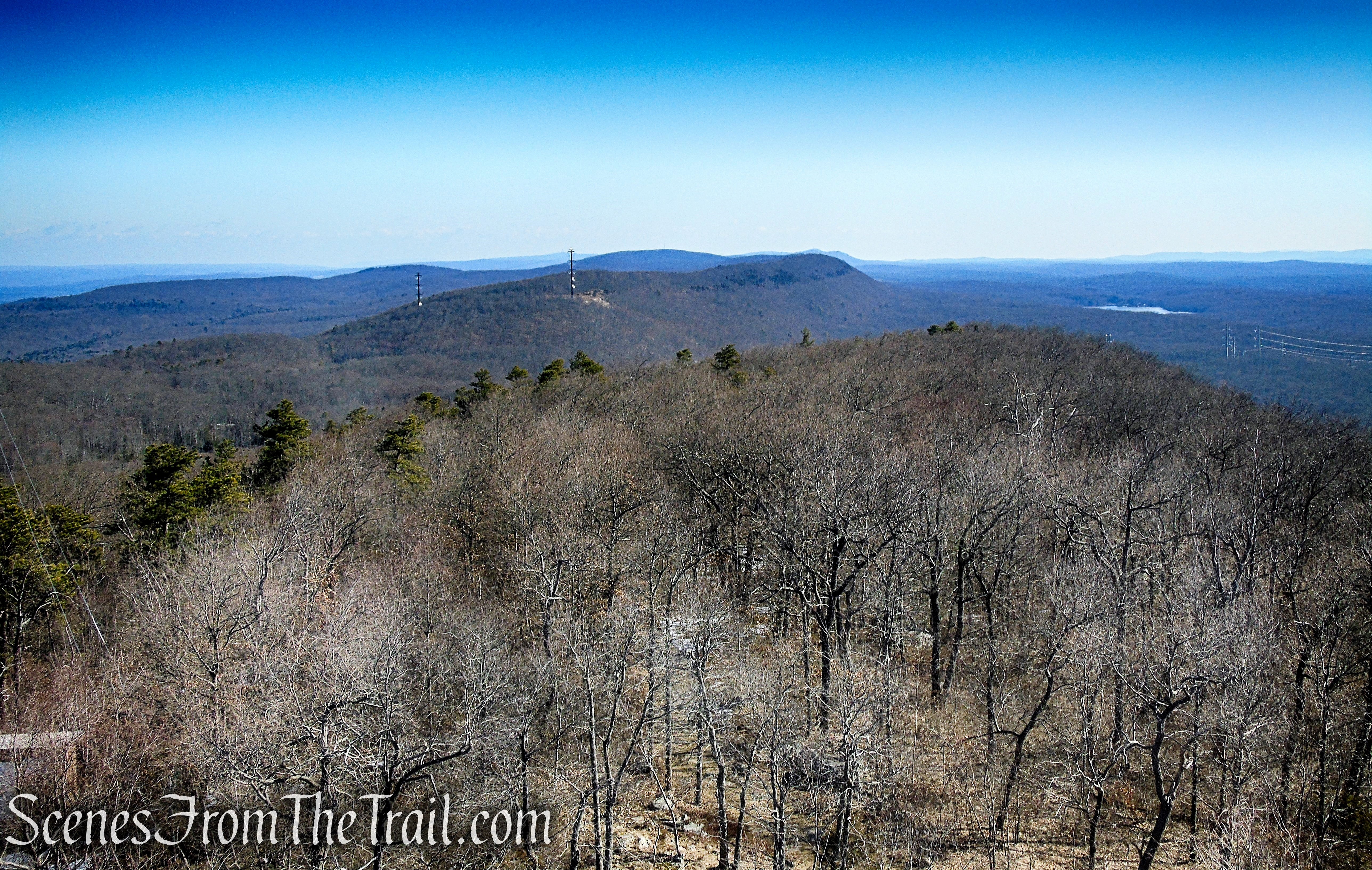
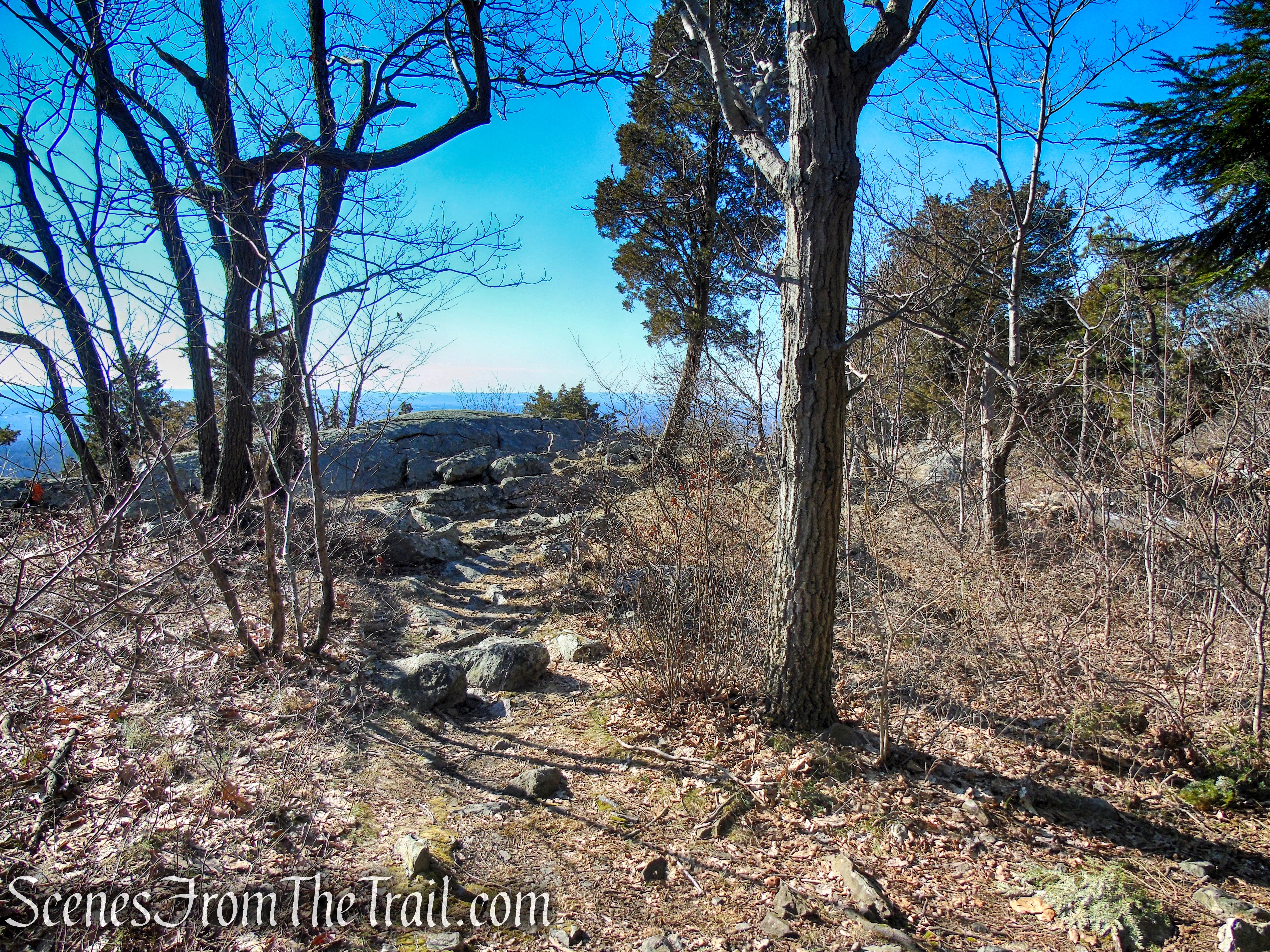
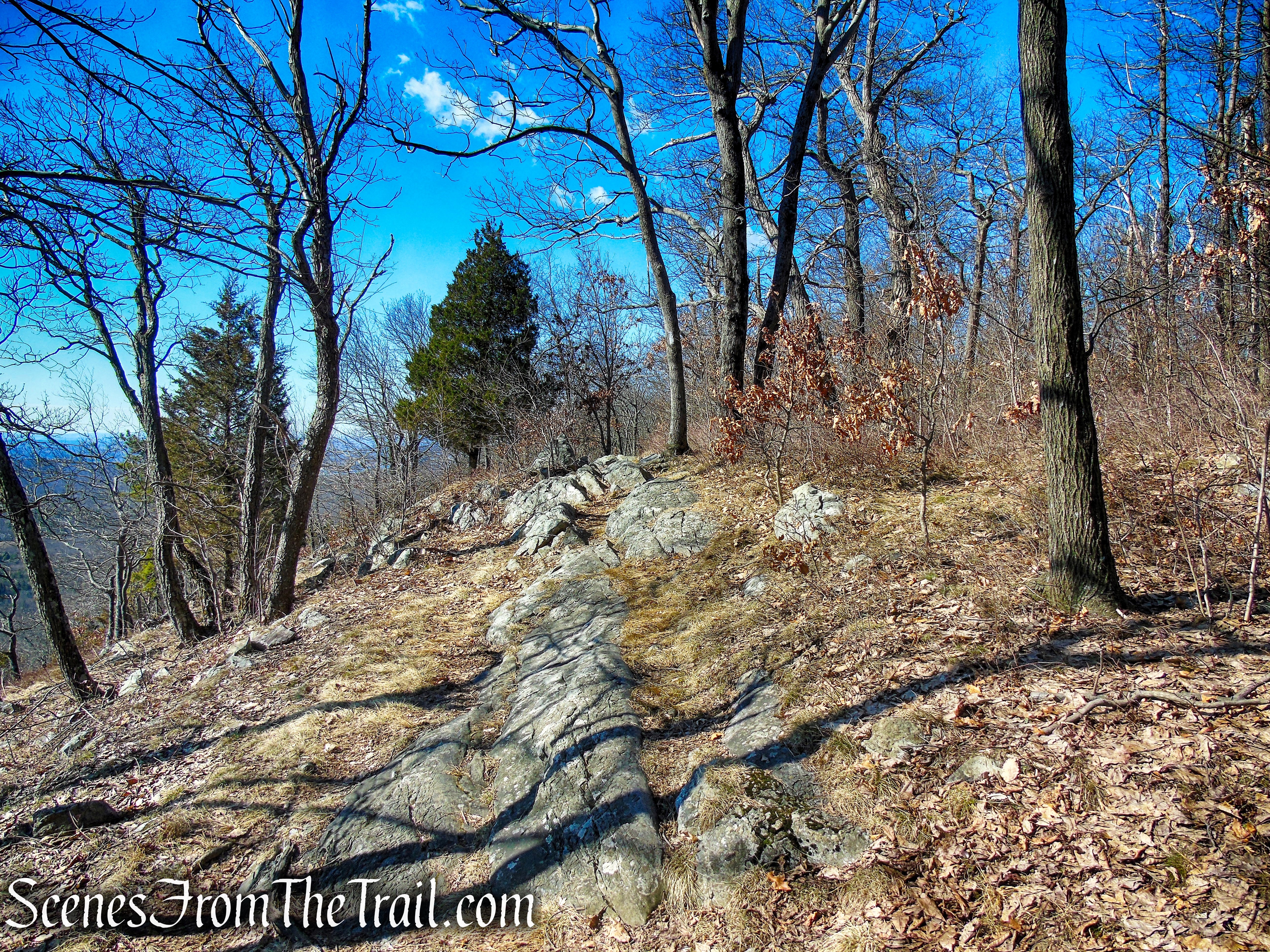
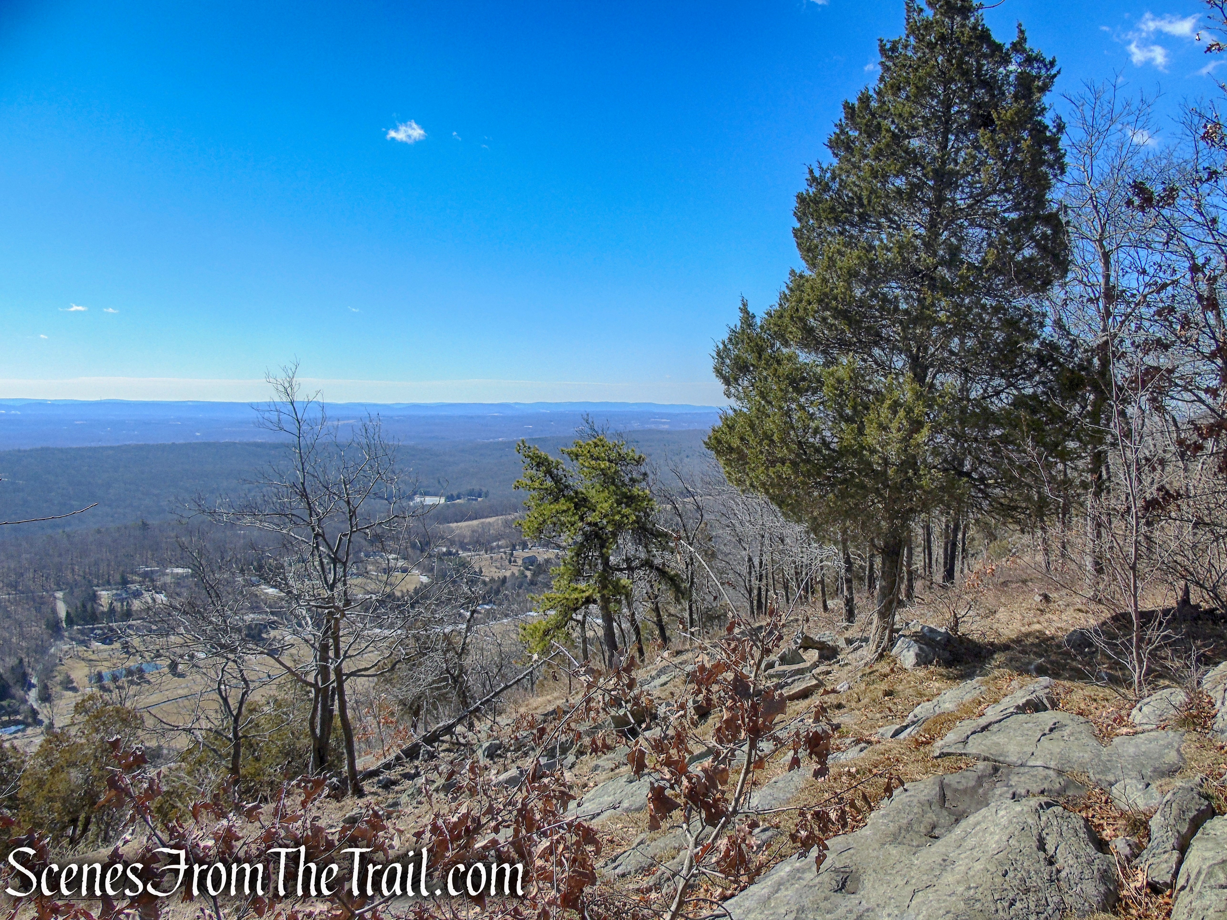
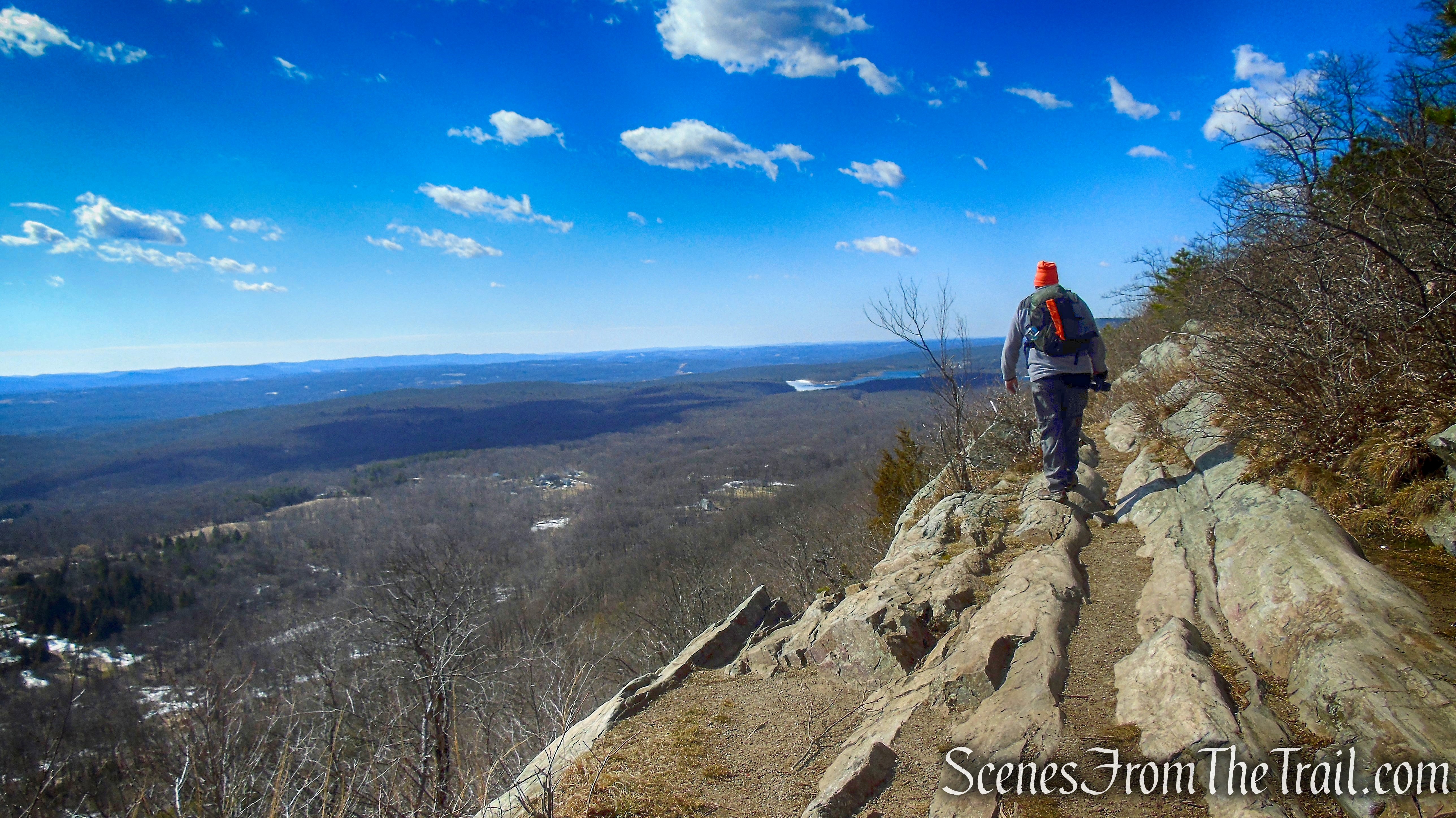
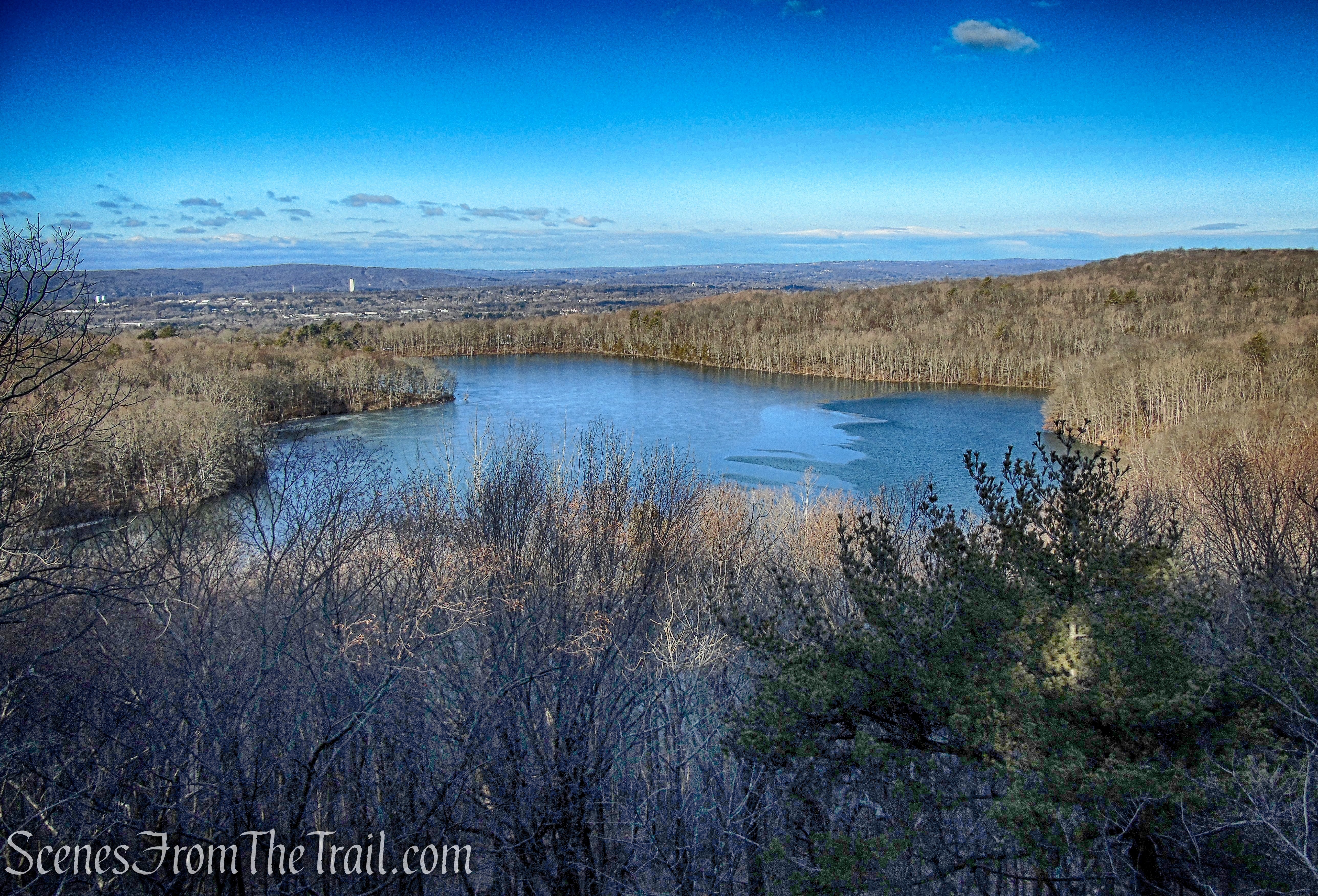
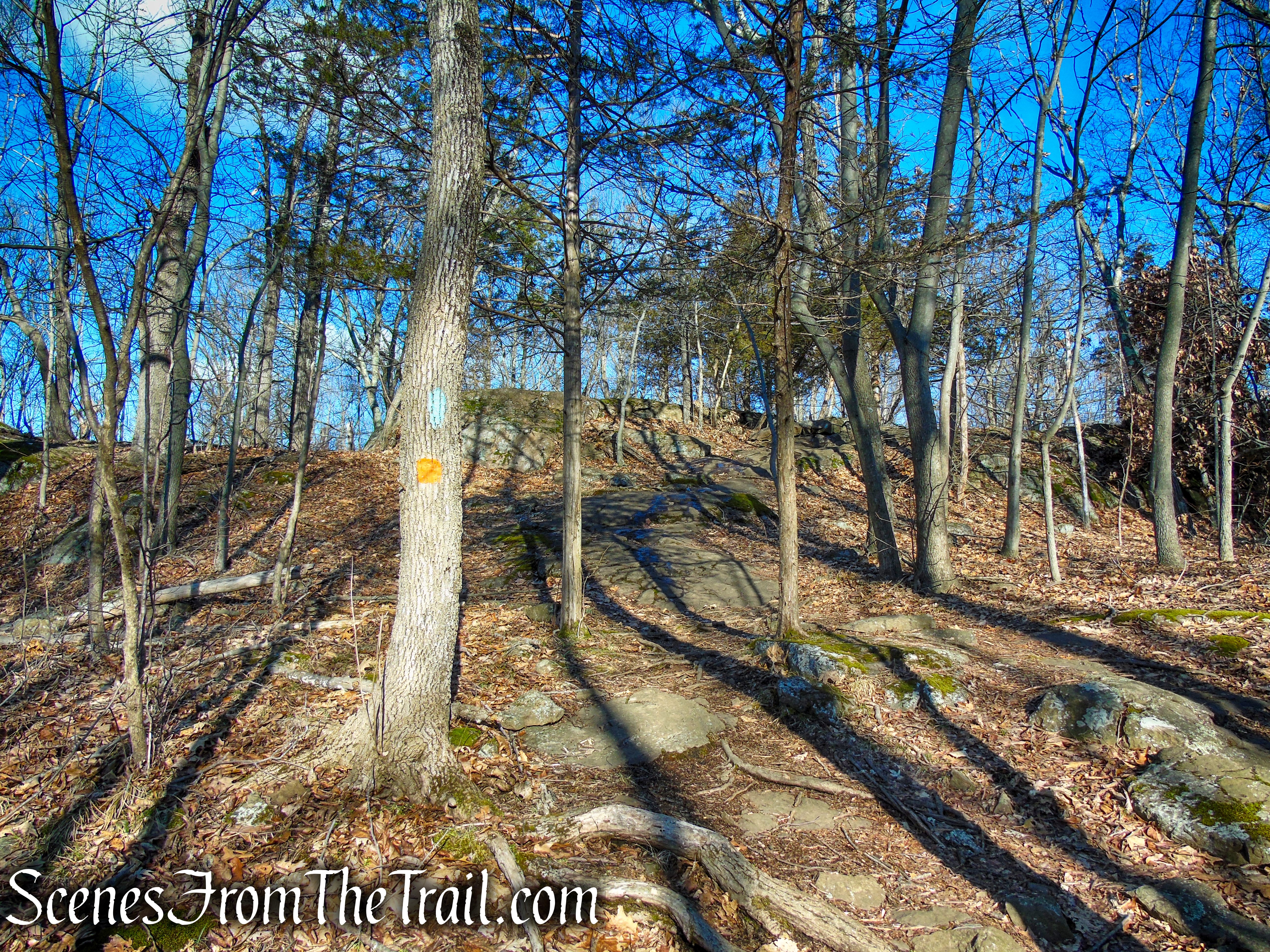
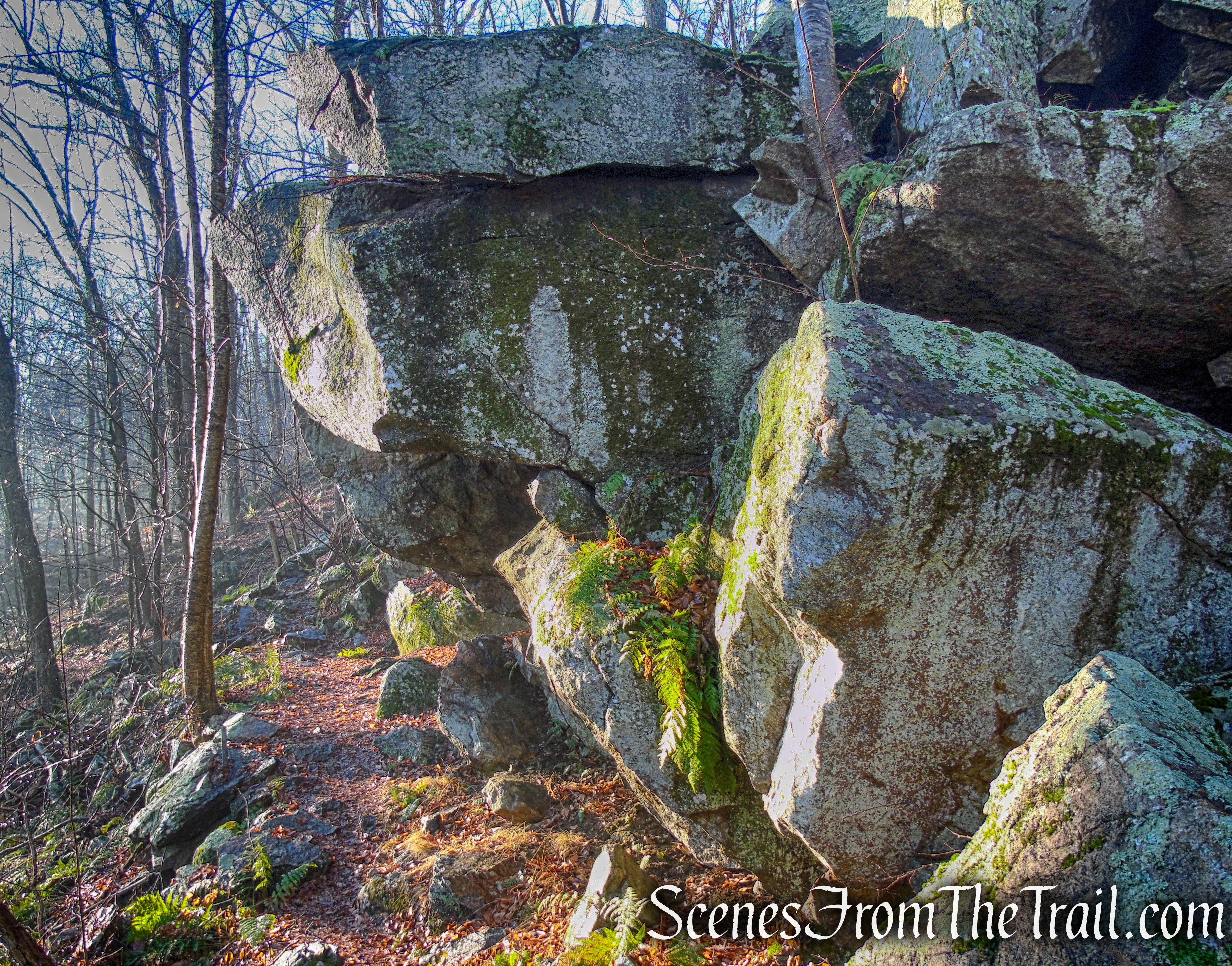
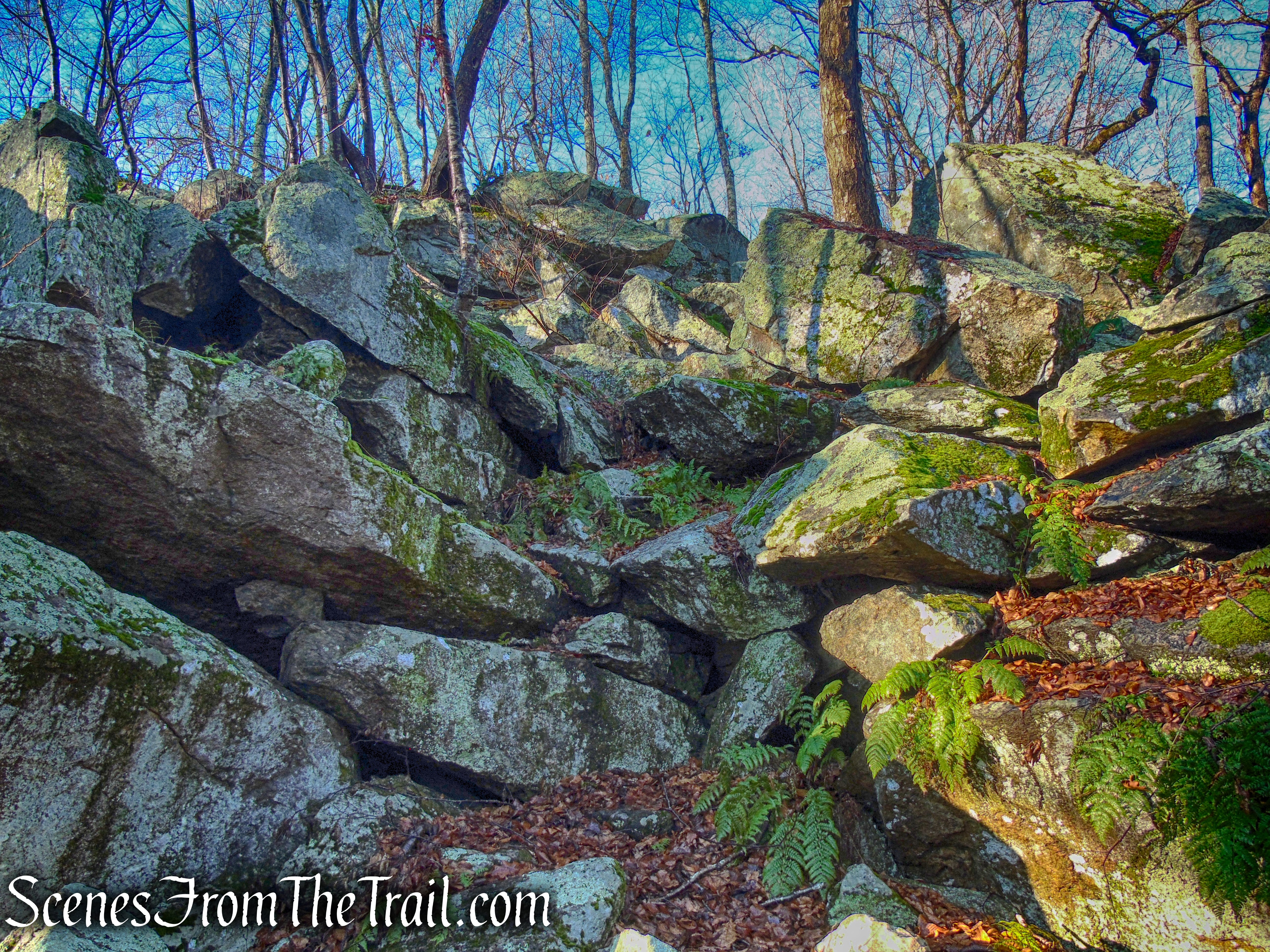
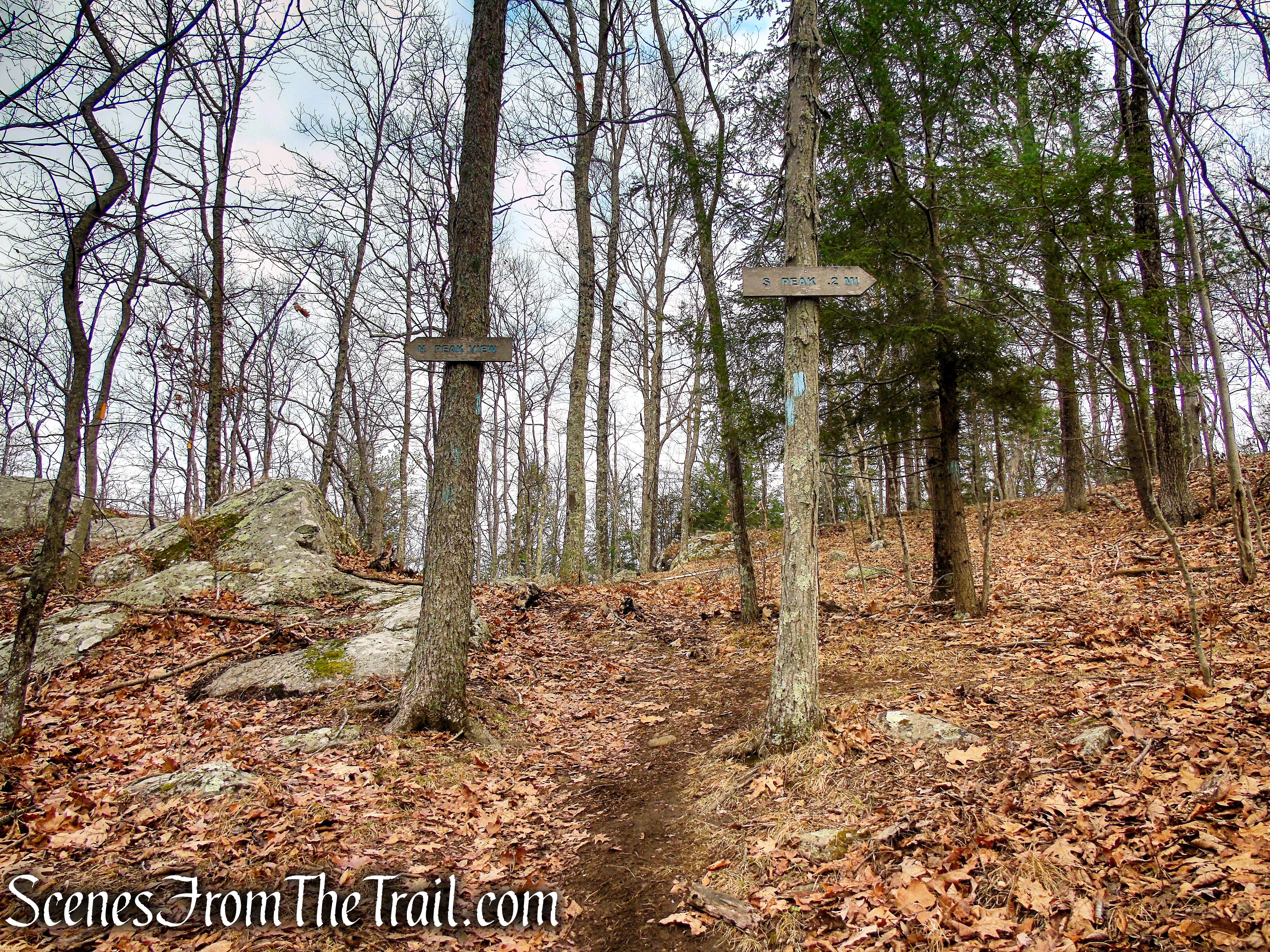
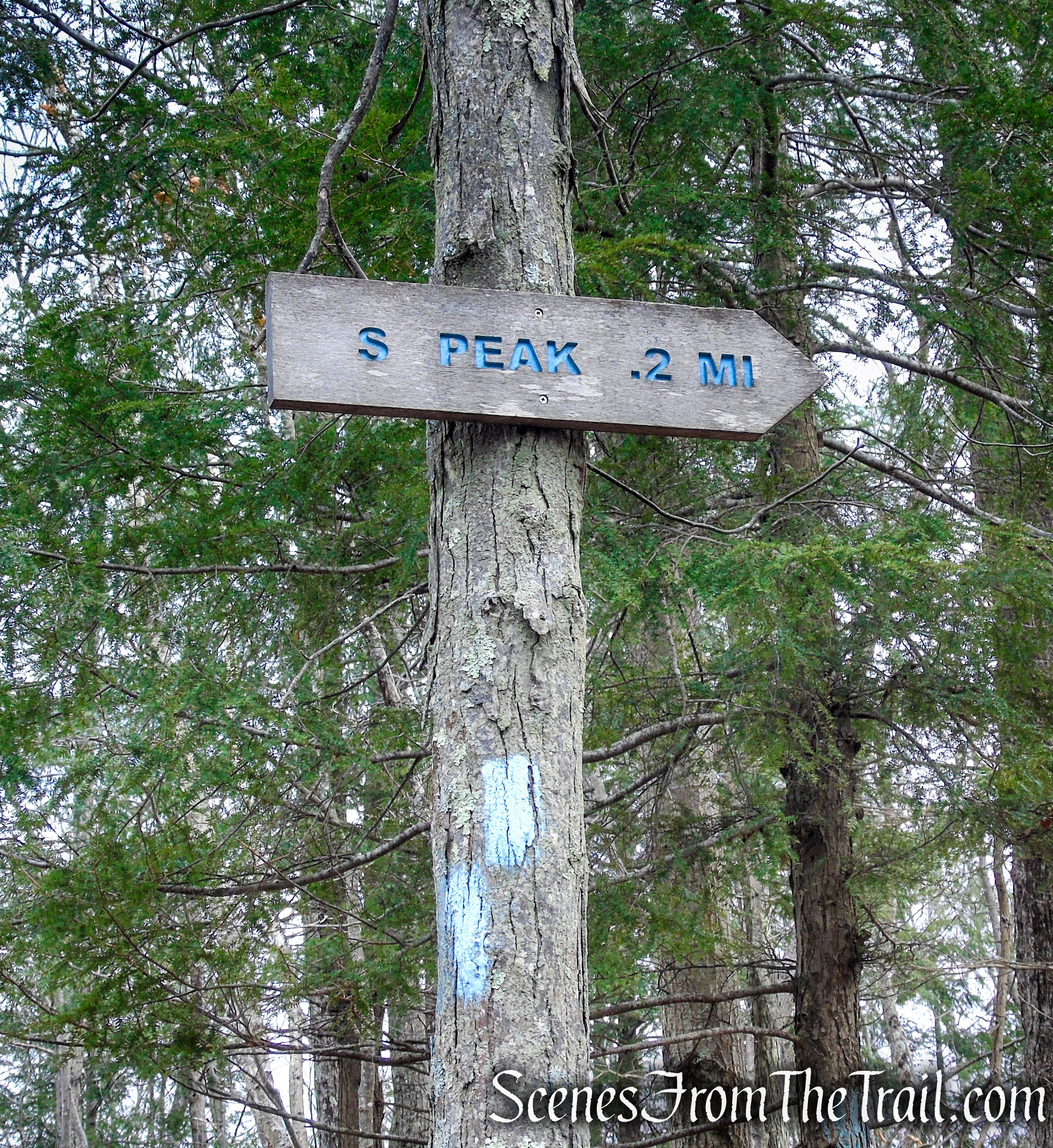
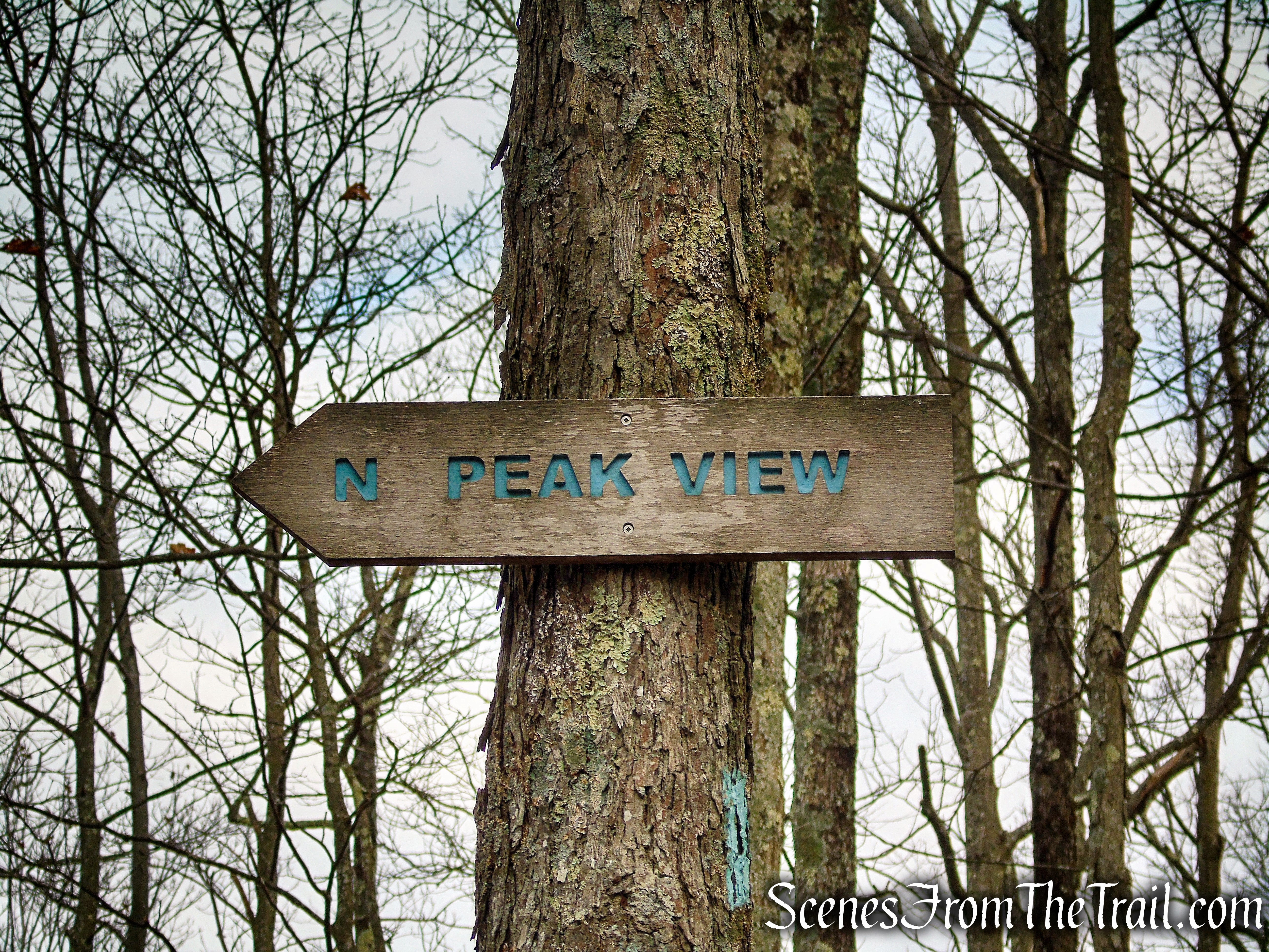
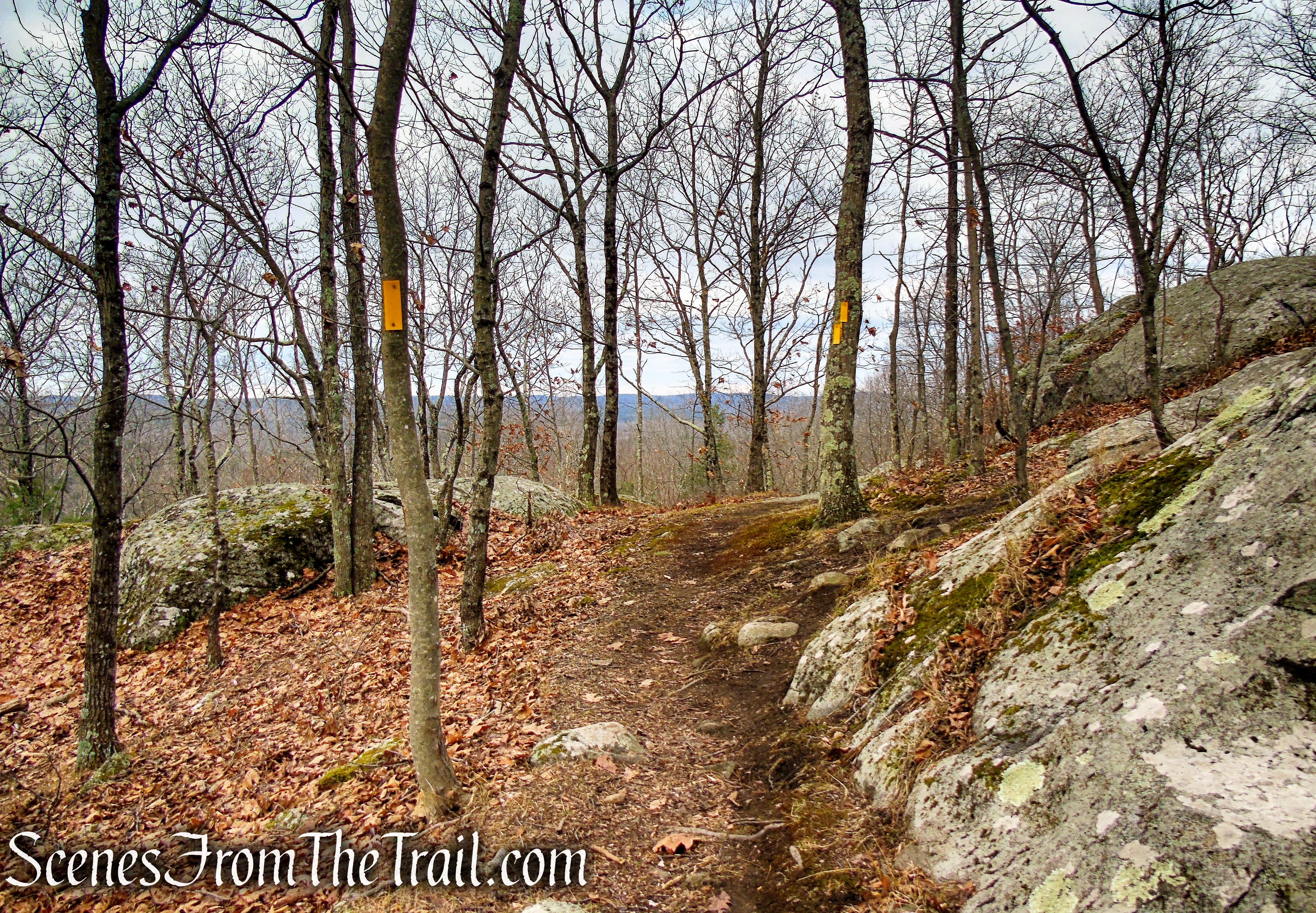
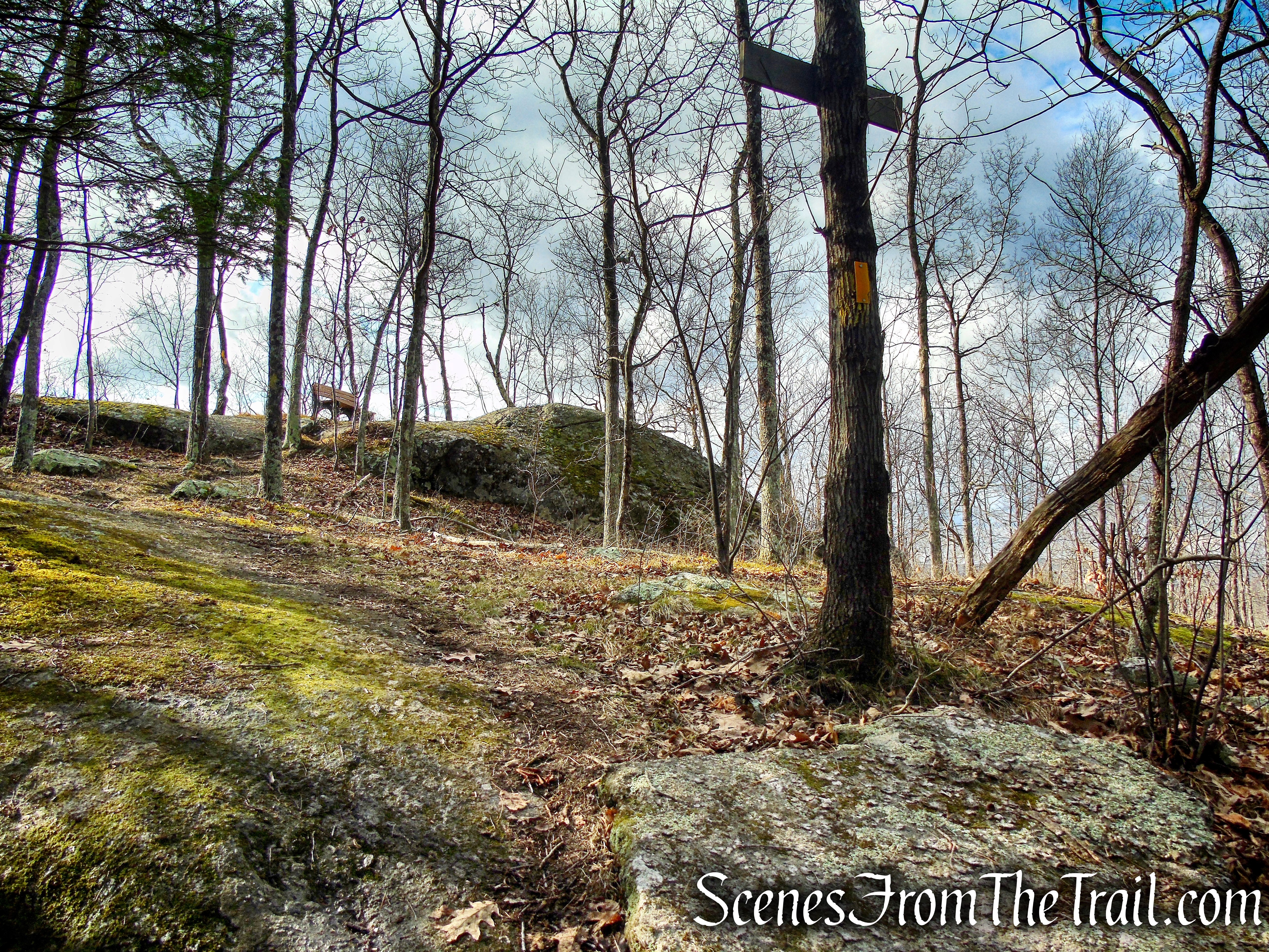
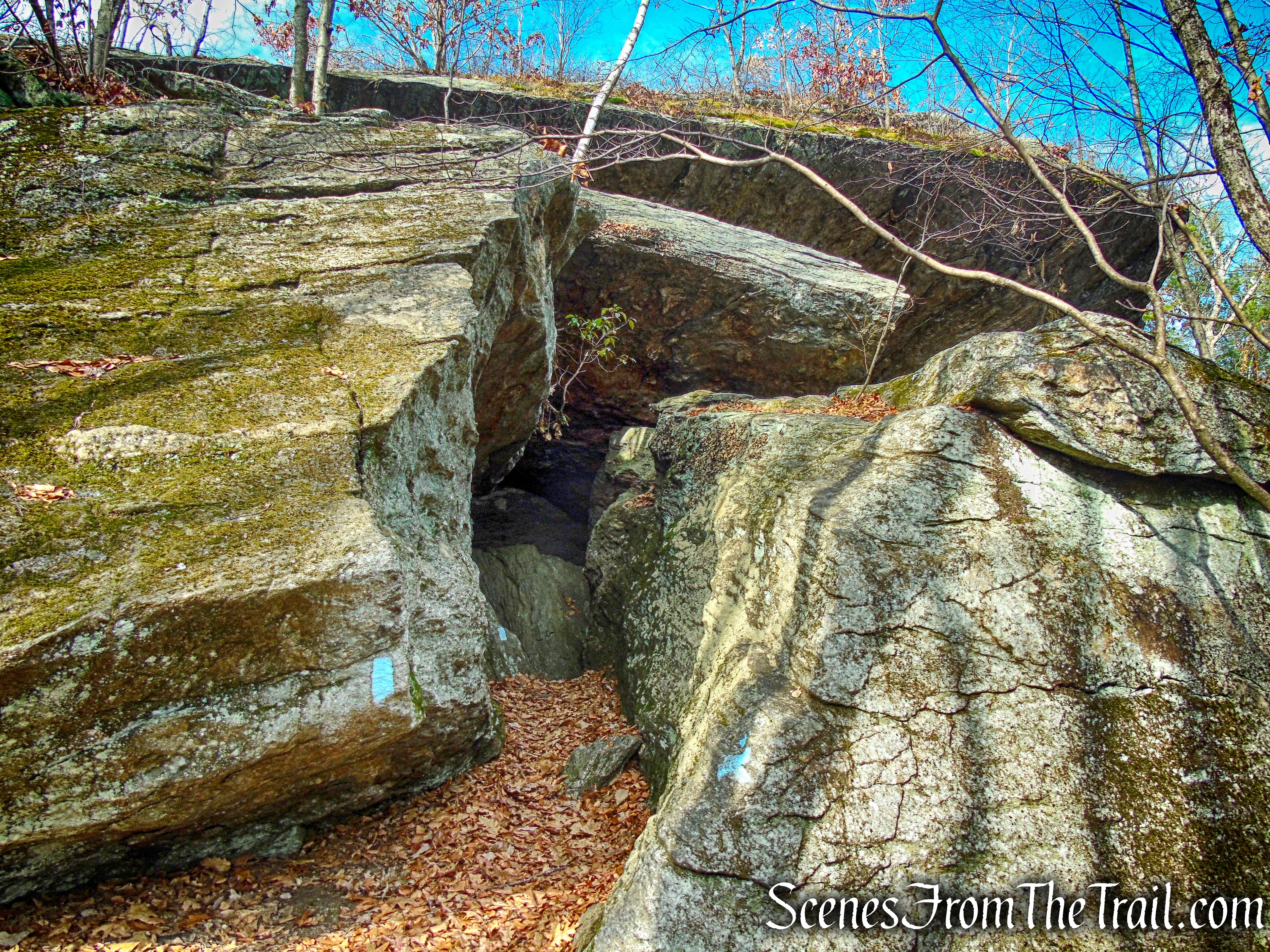
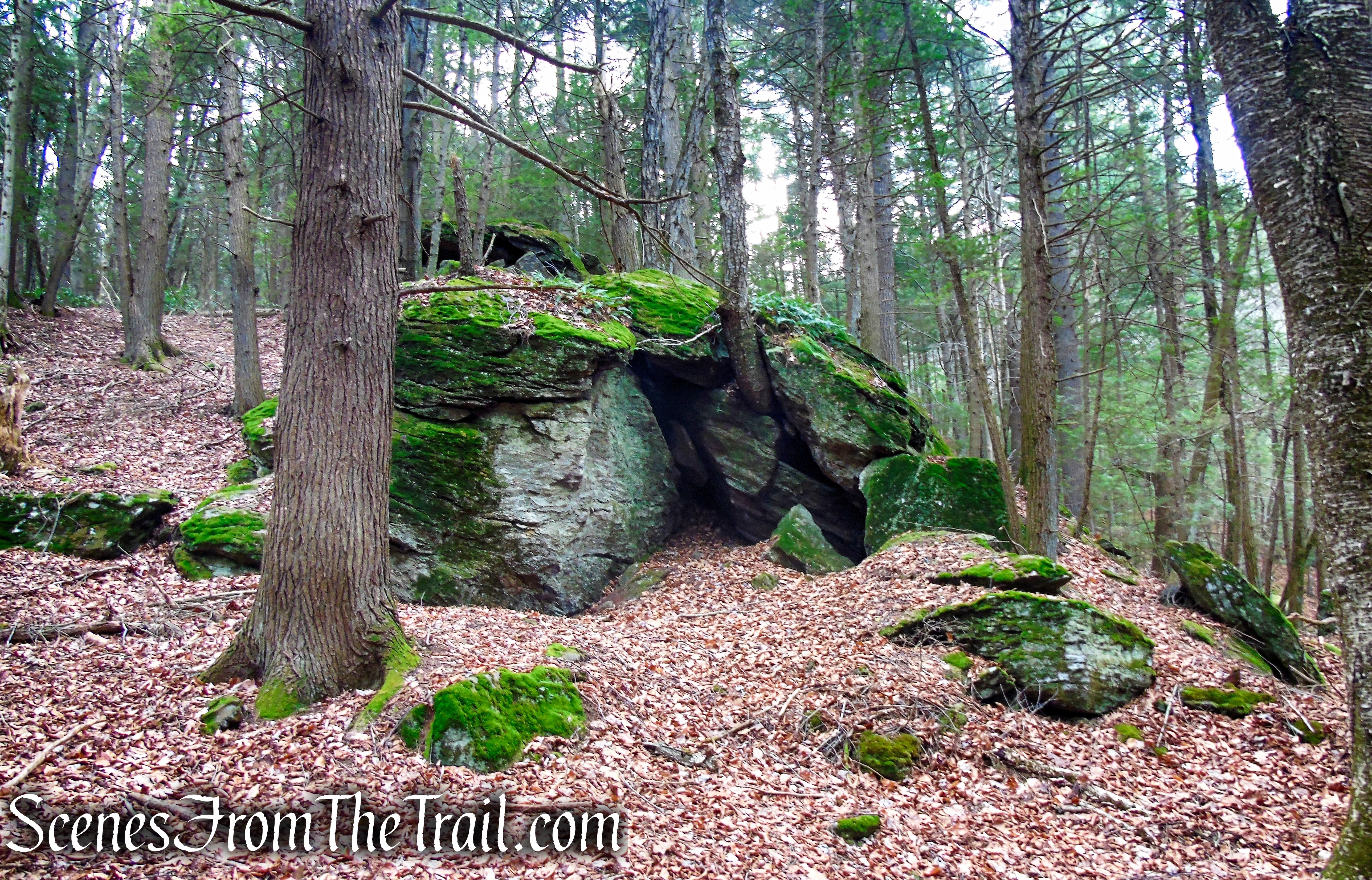
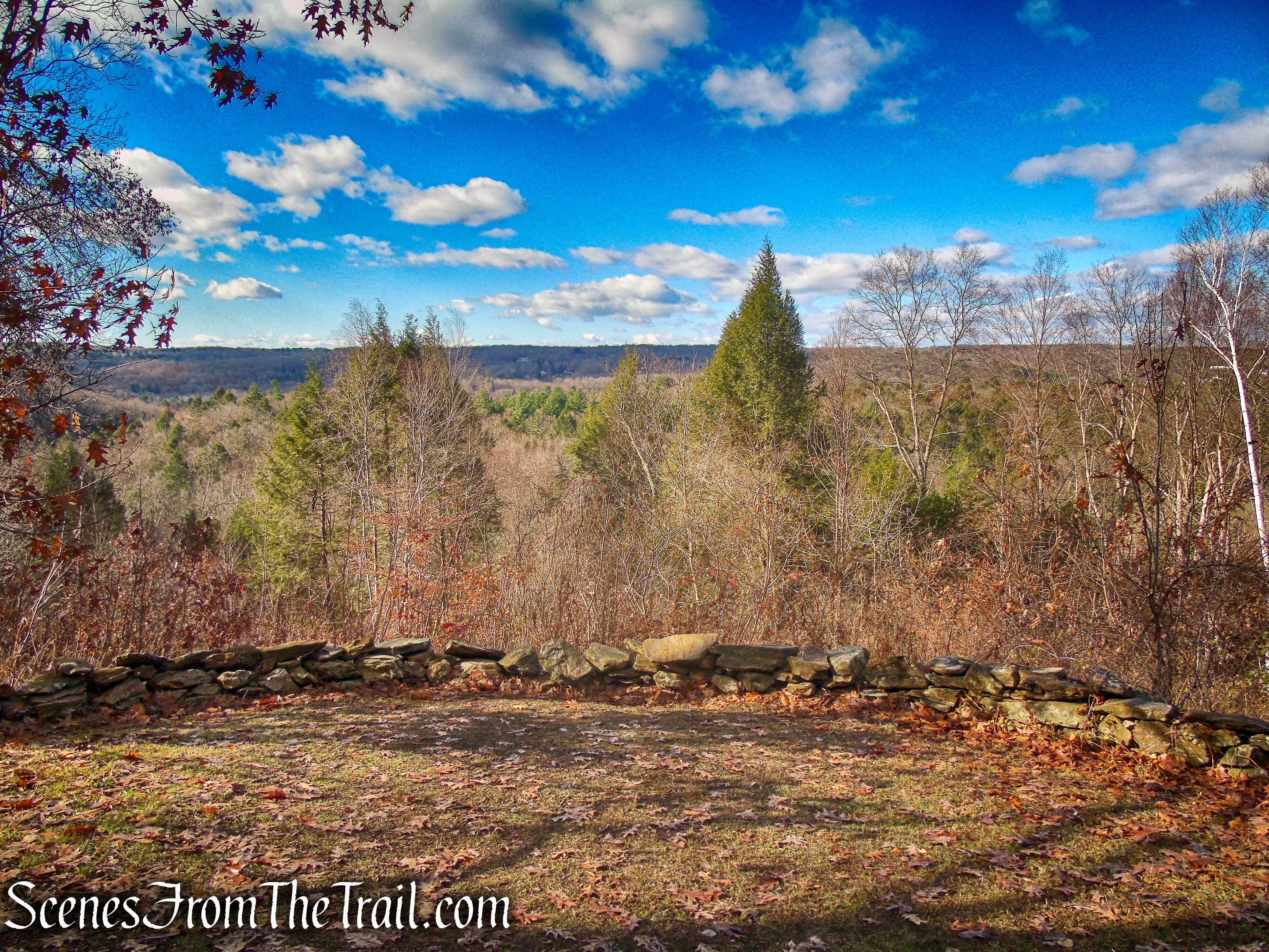
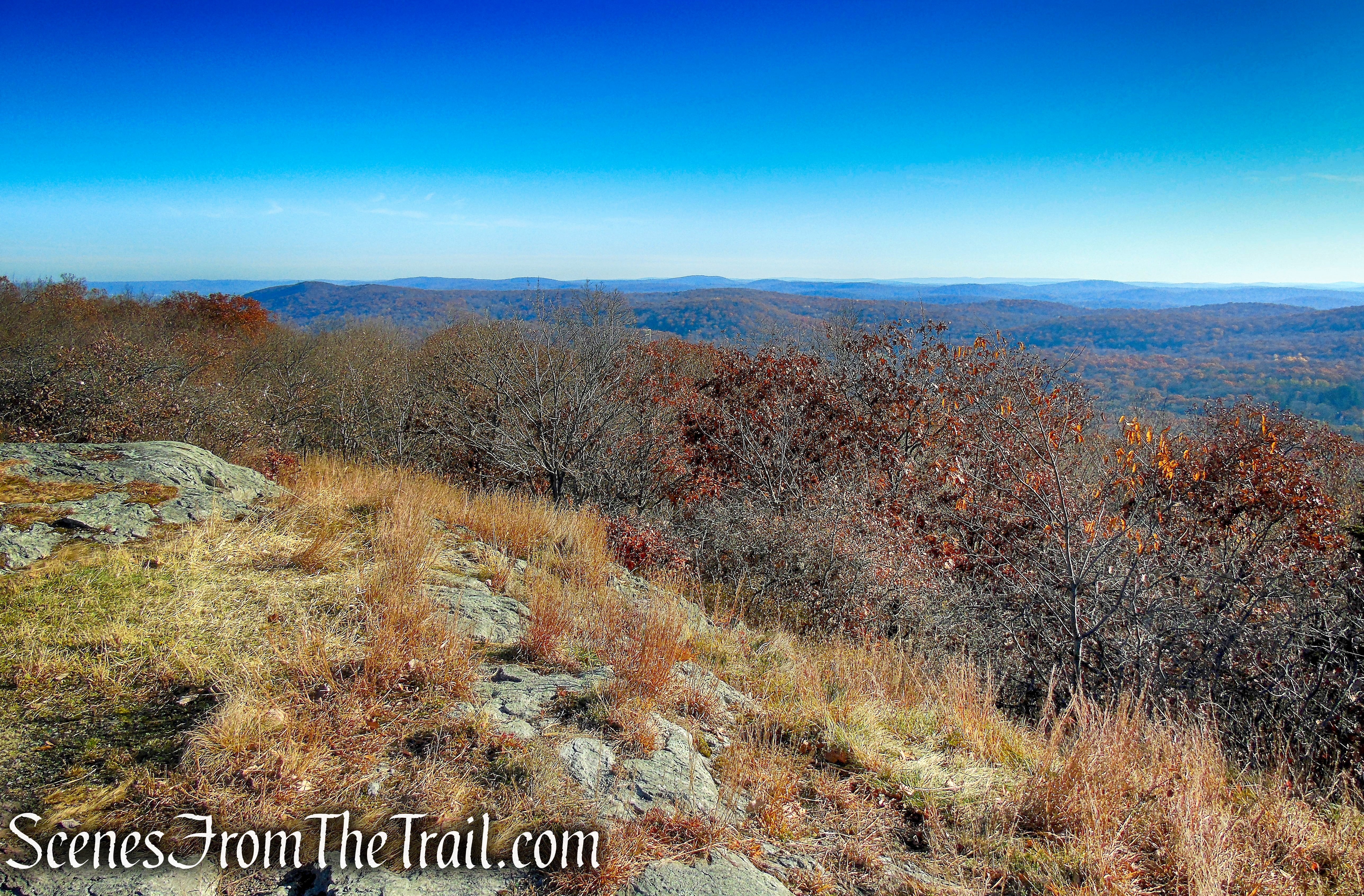
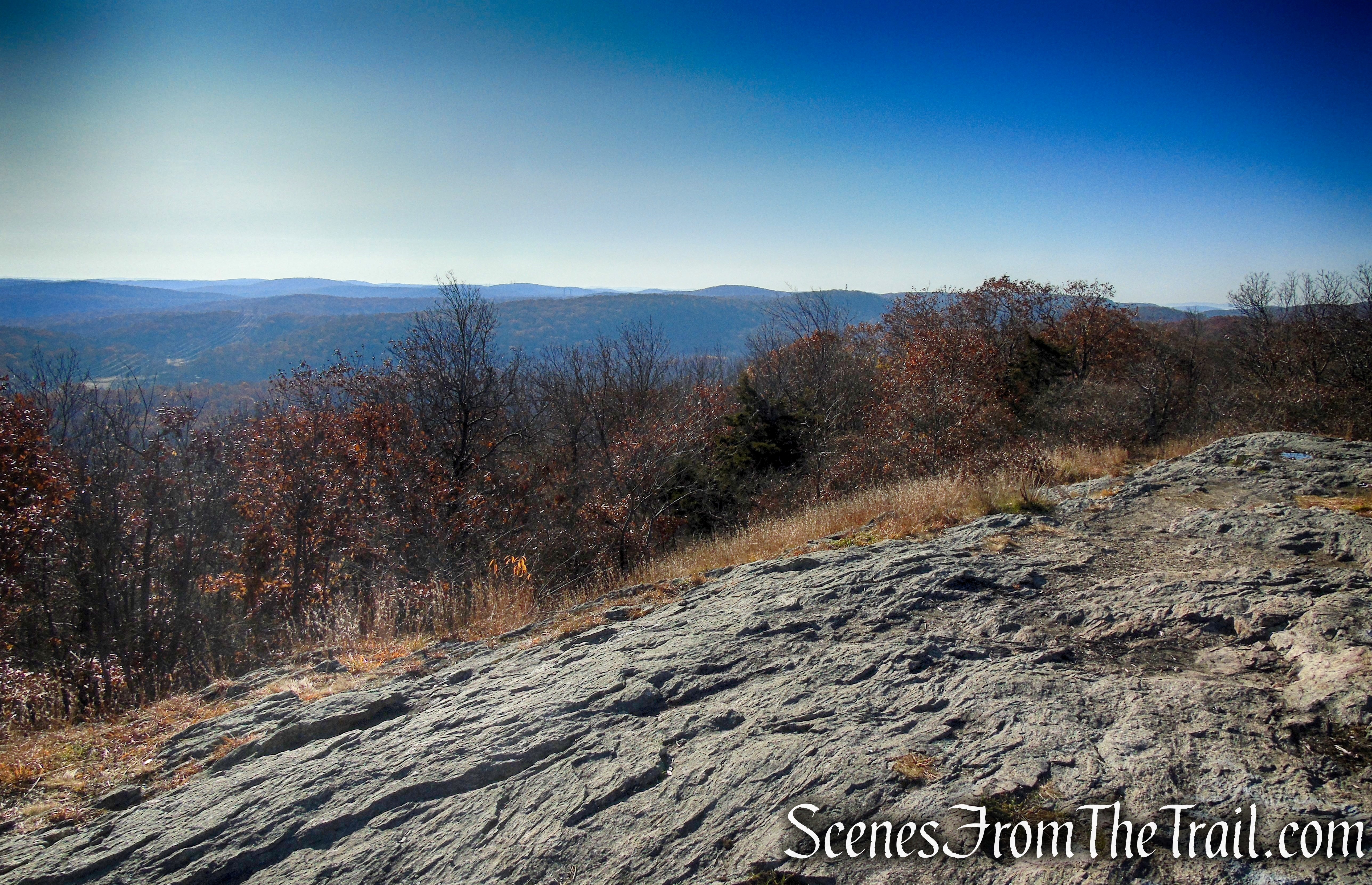
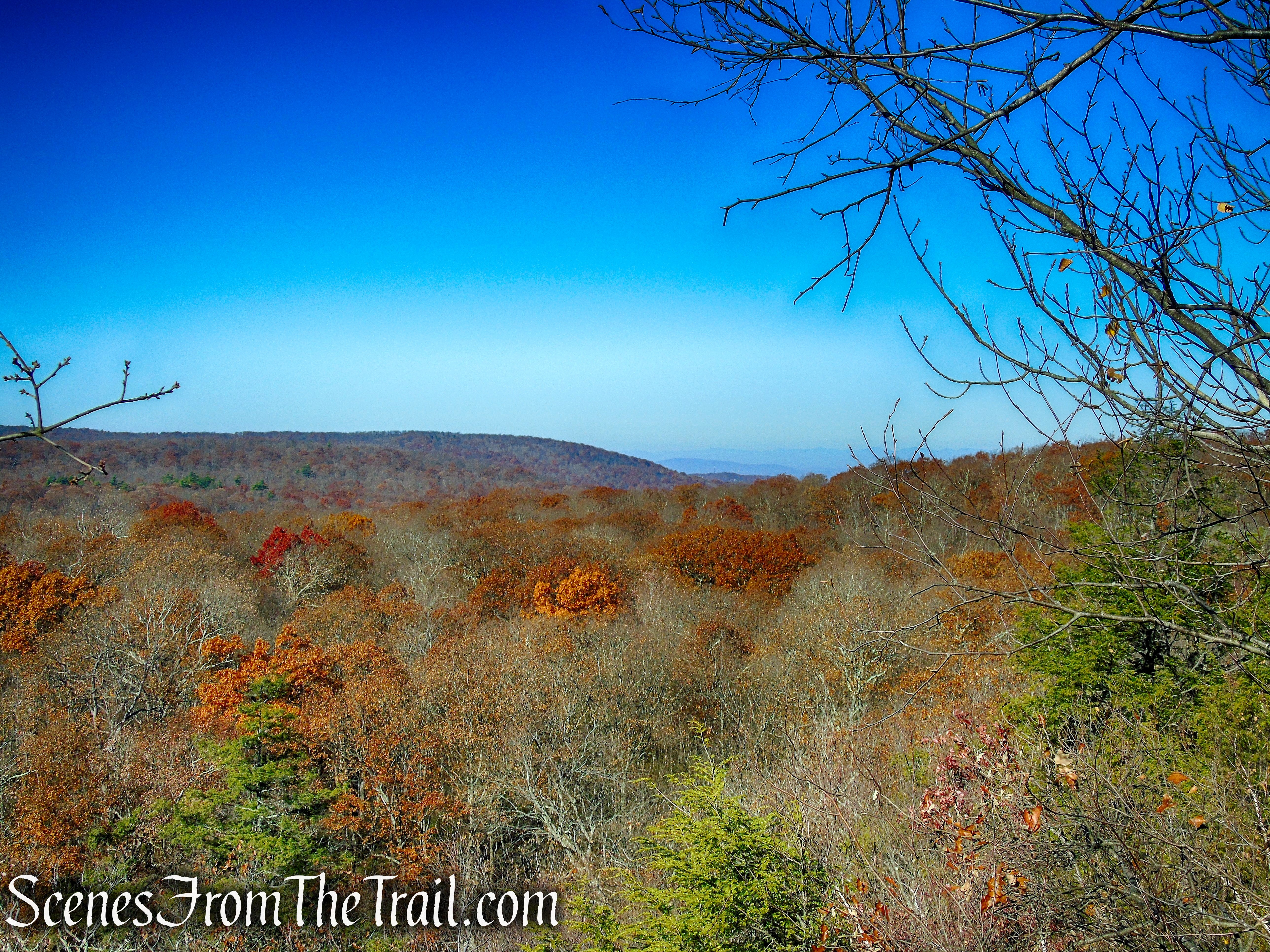
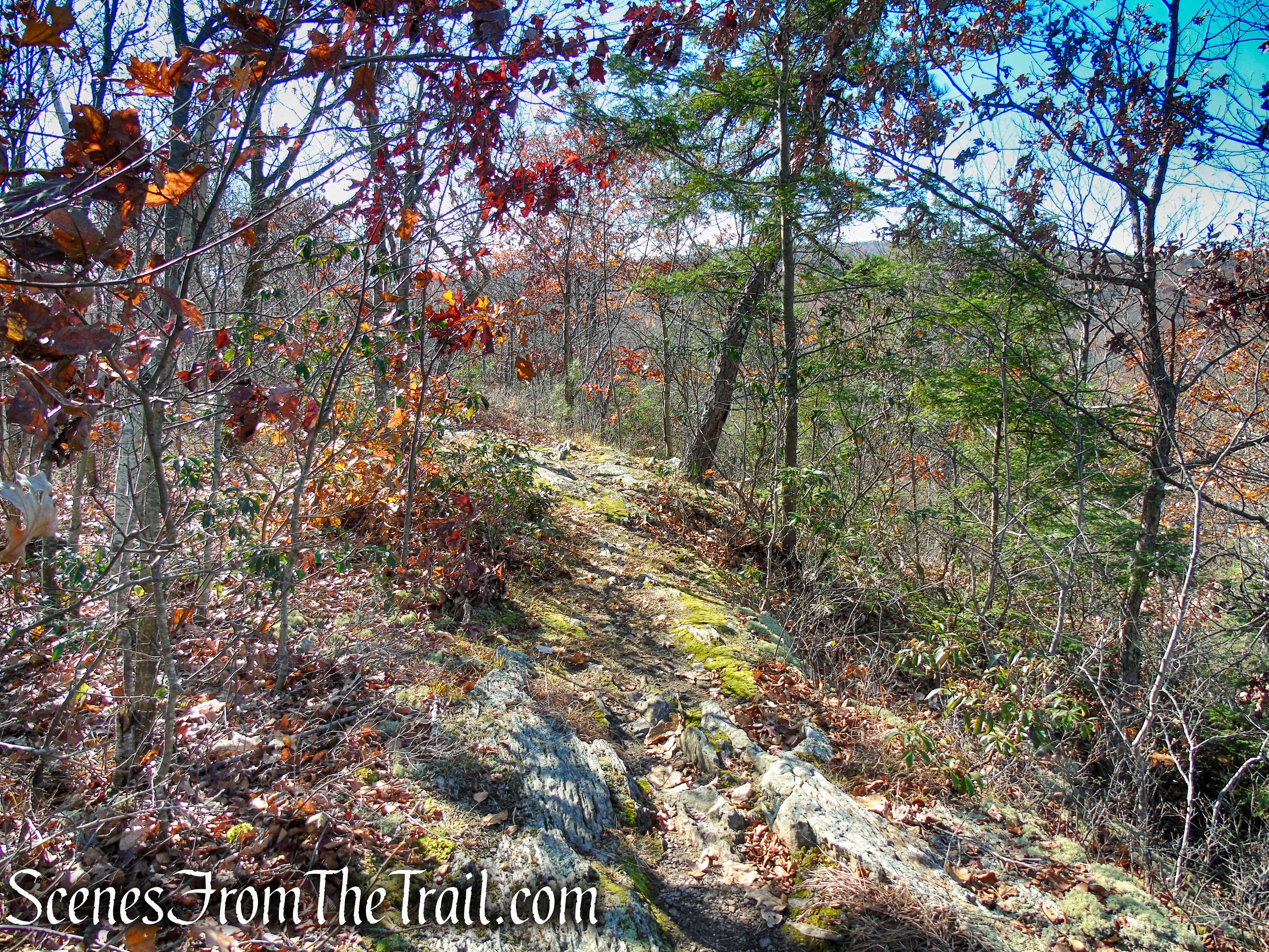
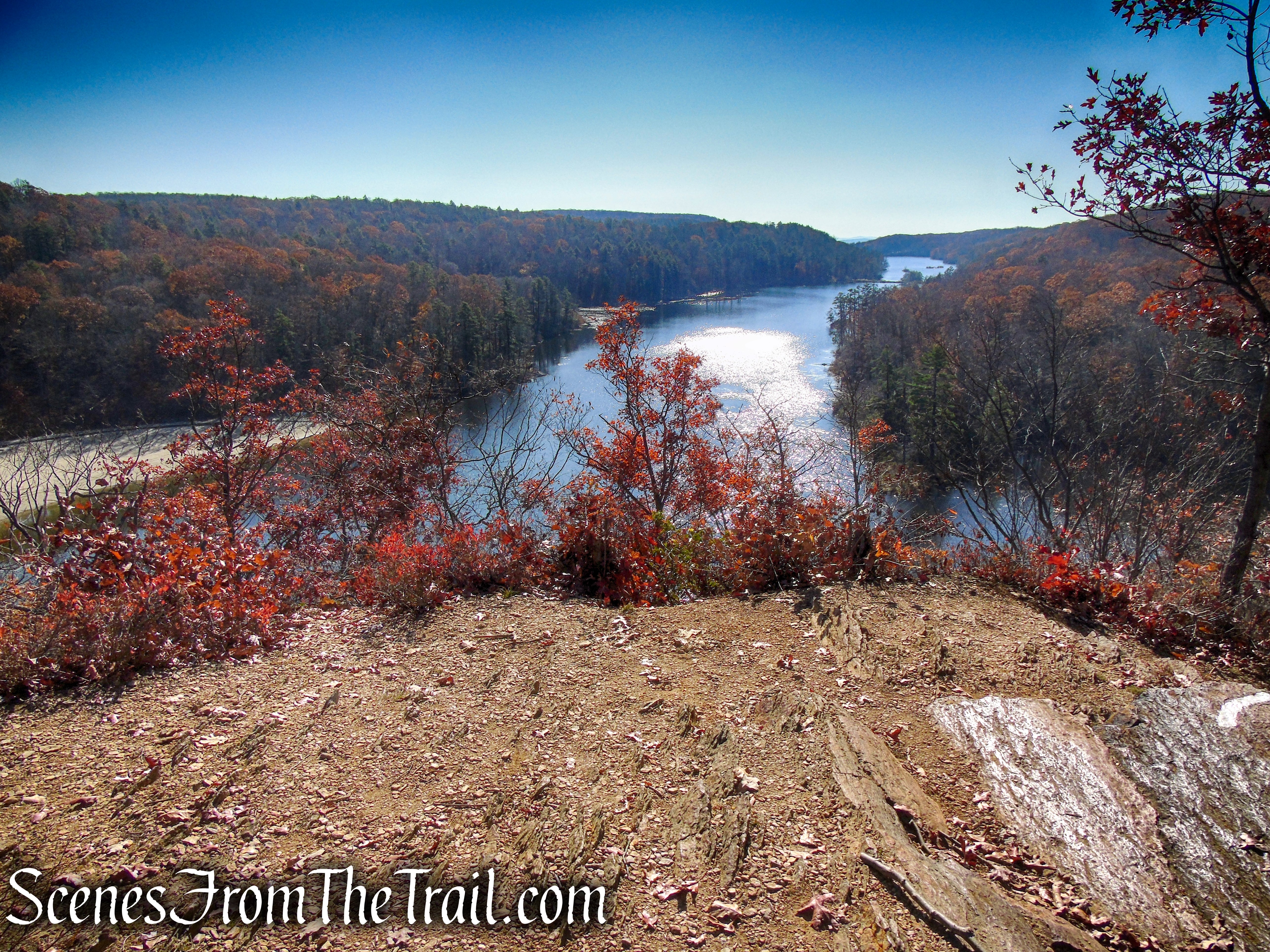
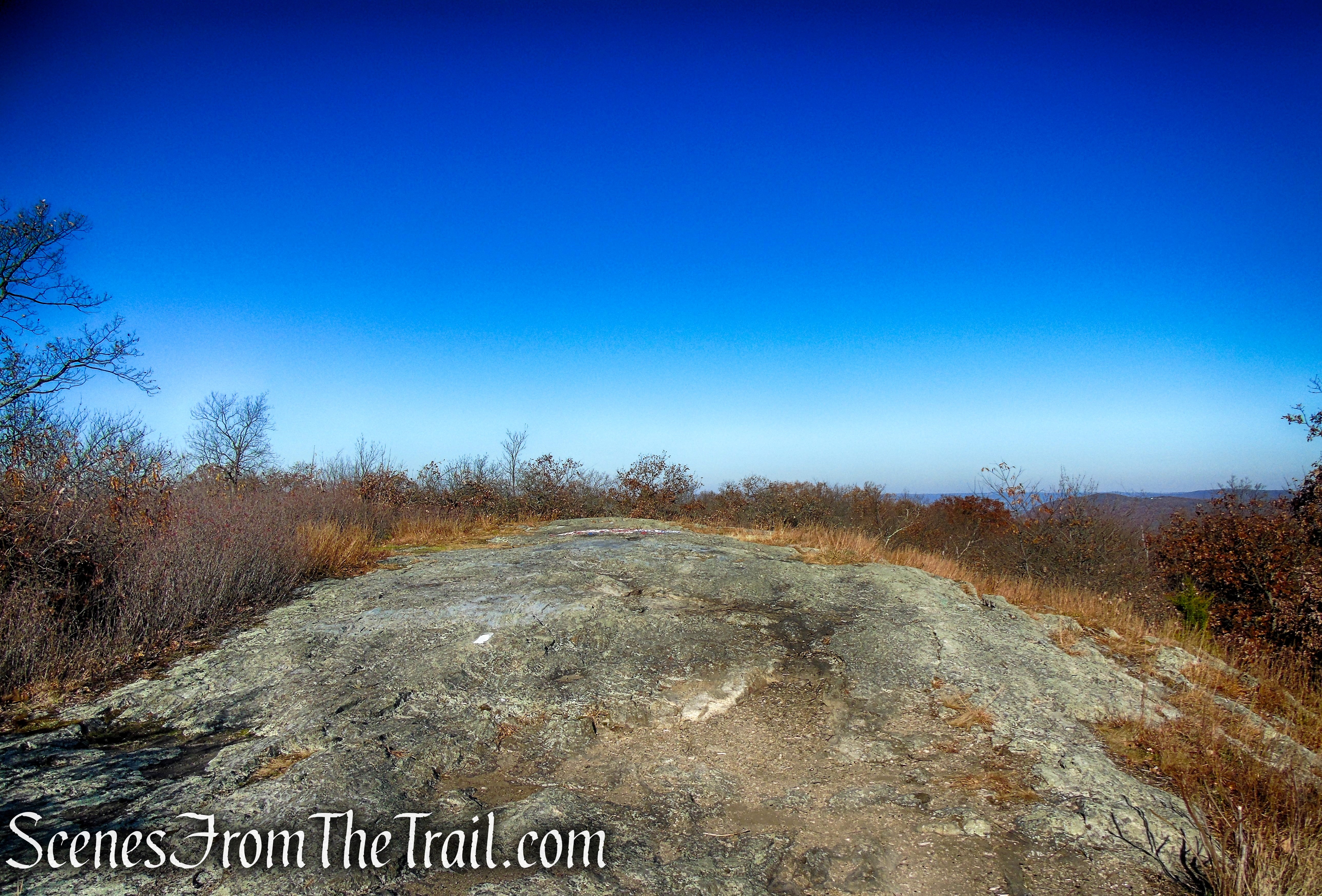
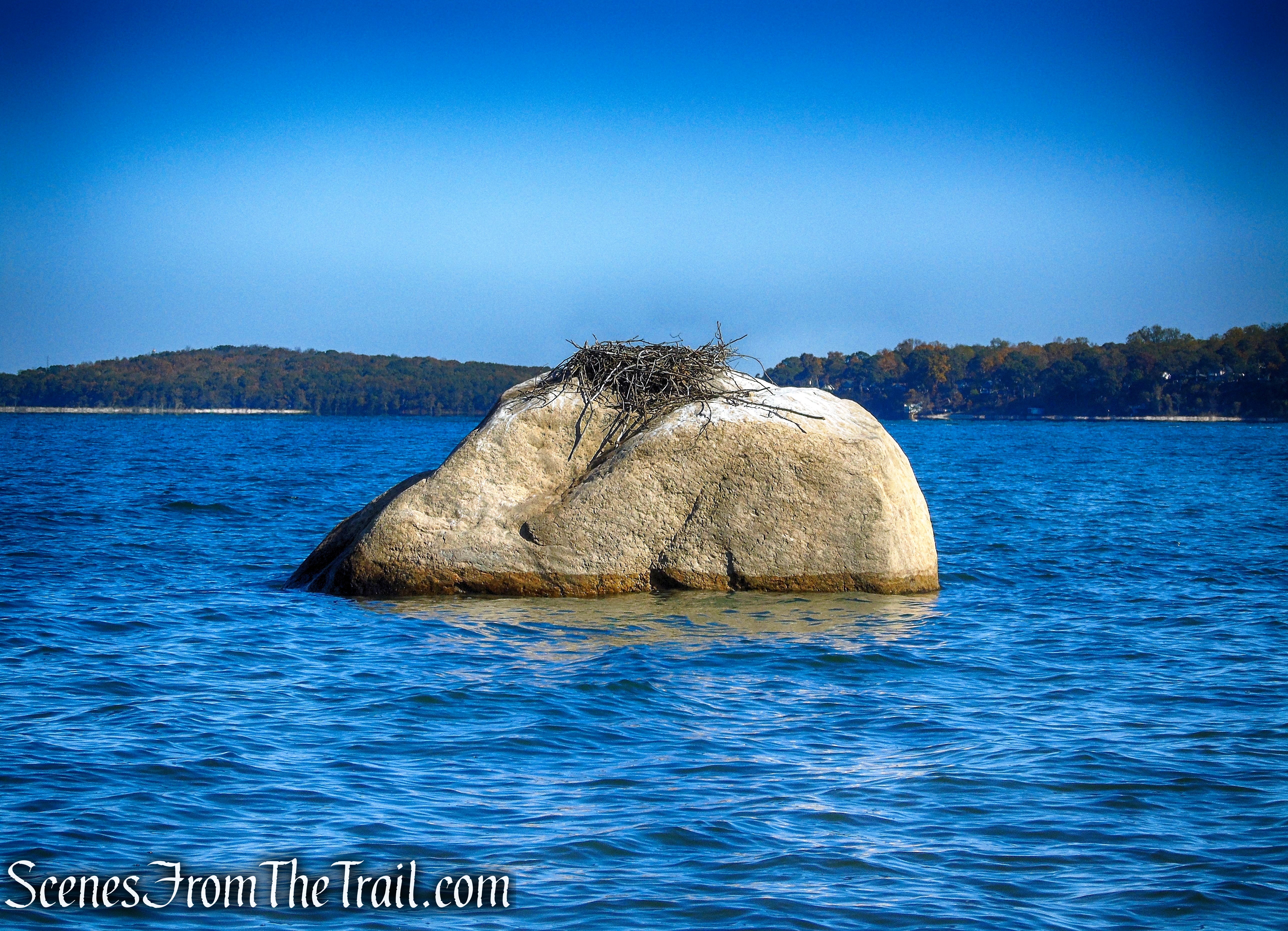
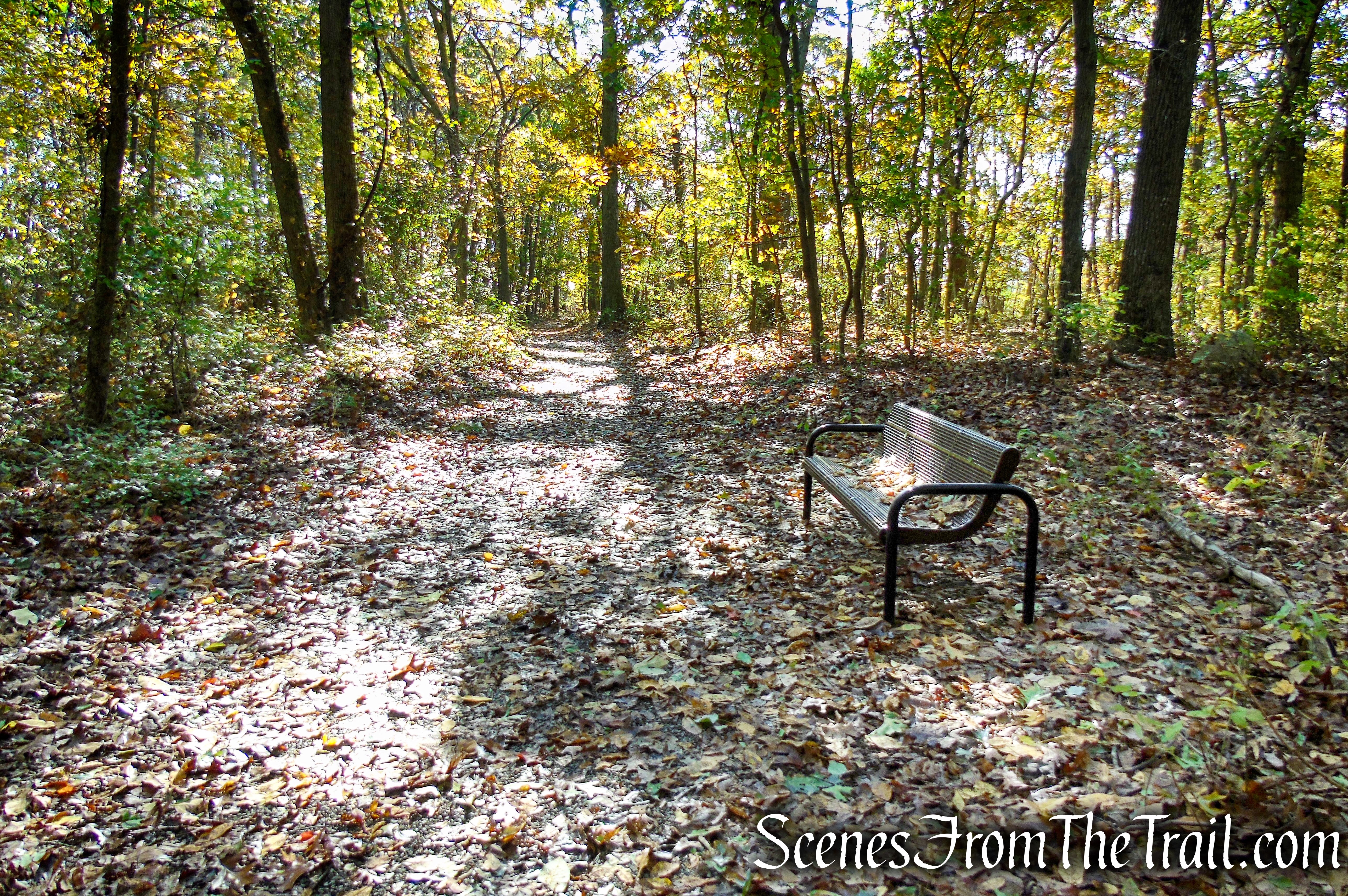
After crossing the brook a second time, the trail begins a steady ascent on a rocky footpath. In just under another 0.7 mile, Jupiter’s Boulder will appear to your left, marking the turnaround point for this hike. Pausing at this glacial erratic, enjoy the views of Schunnemunk Mountain to your right, the Shawangunk Ridge beyond it, and the Catskill Mountains rising in the distance. This makes for a good spot to take a break and connect with nature. When you are ready to turn back, retrace your steps, following the white and teal blazes back to the trailhead, where the hike began.

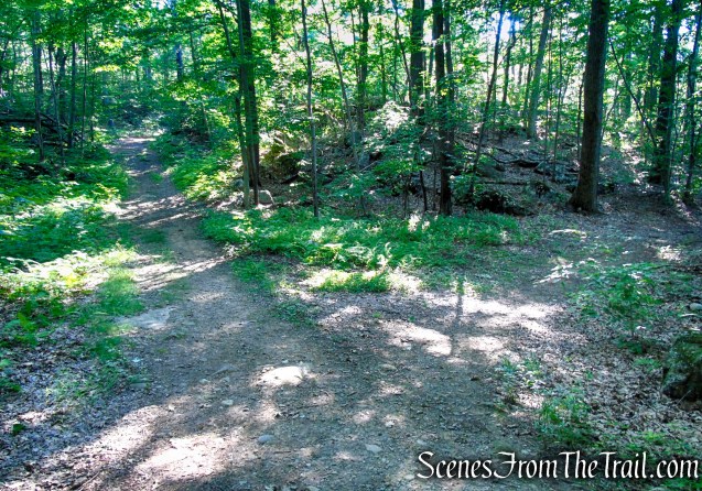
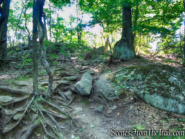
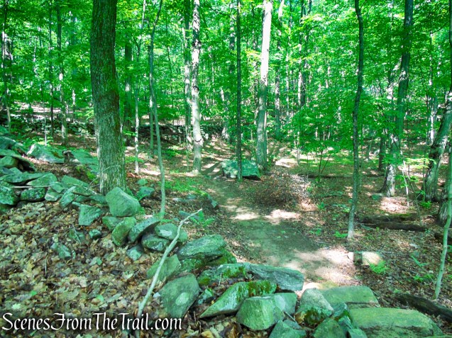
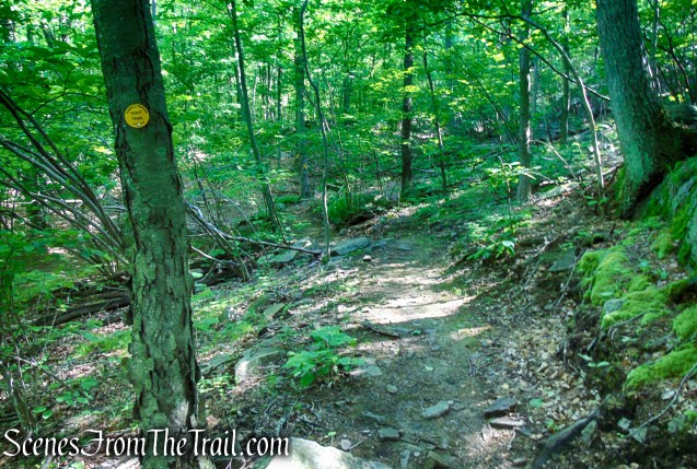
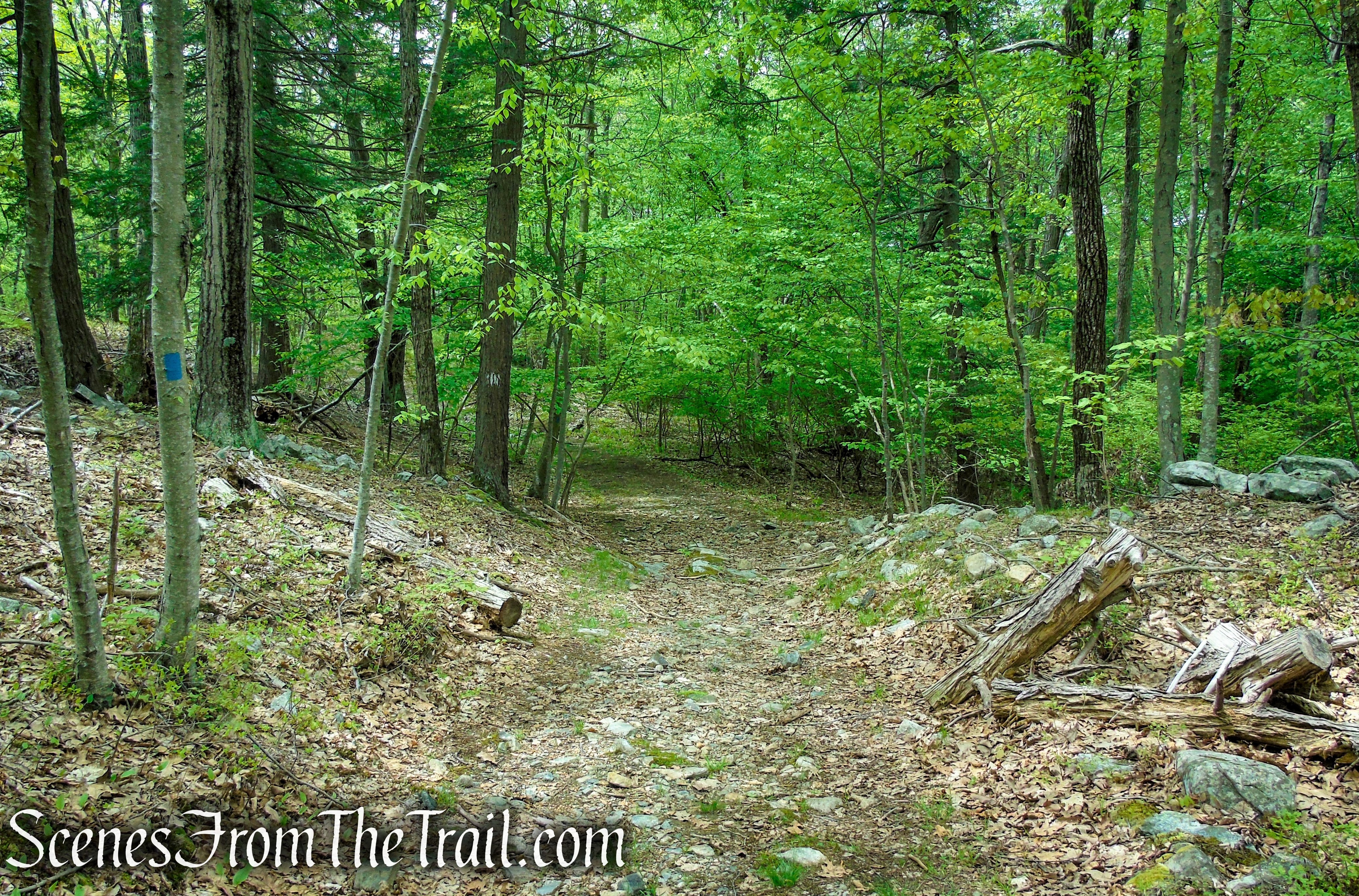
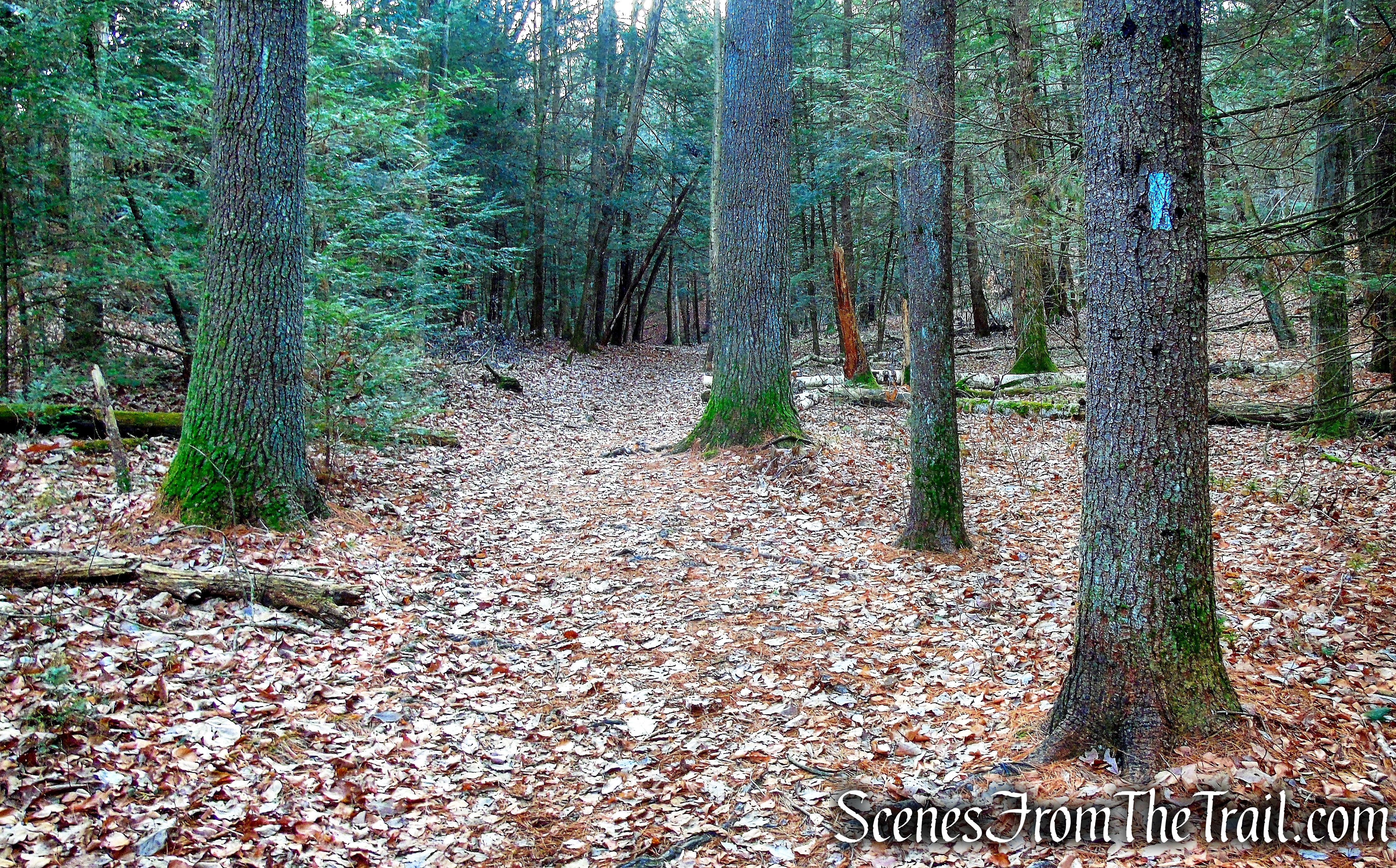
Scenic Trail – Black Rock Forest

Scenic Trail – Black Rock Forest

Scenic Trail – Black Rock Forest

Scenic Trail – Black Rock Forest
Scenic Trail – Black Rock Forest

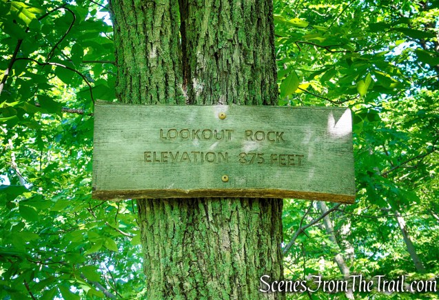
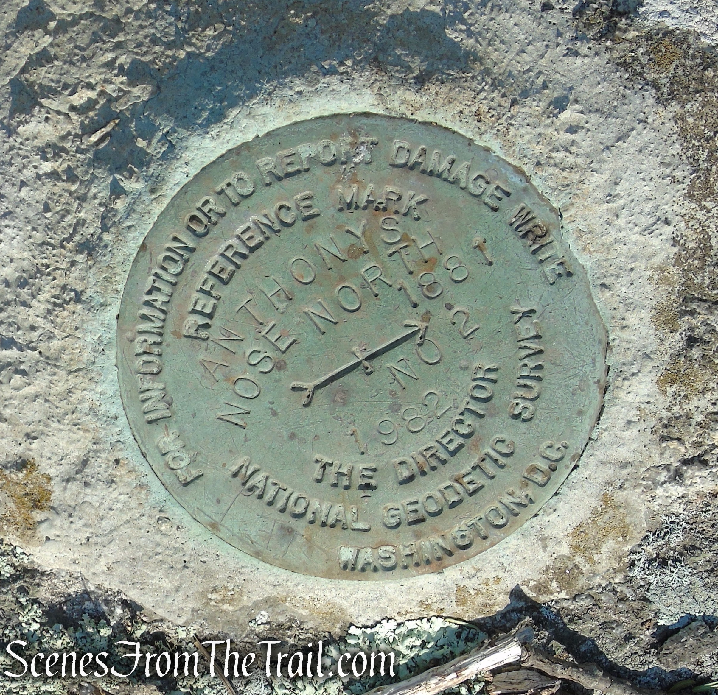
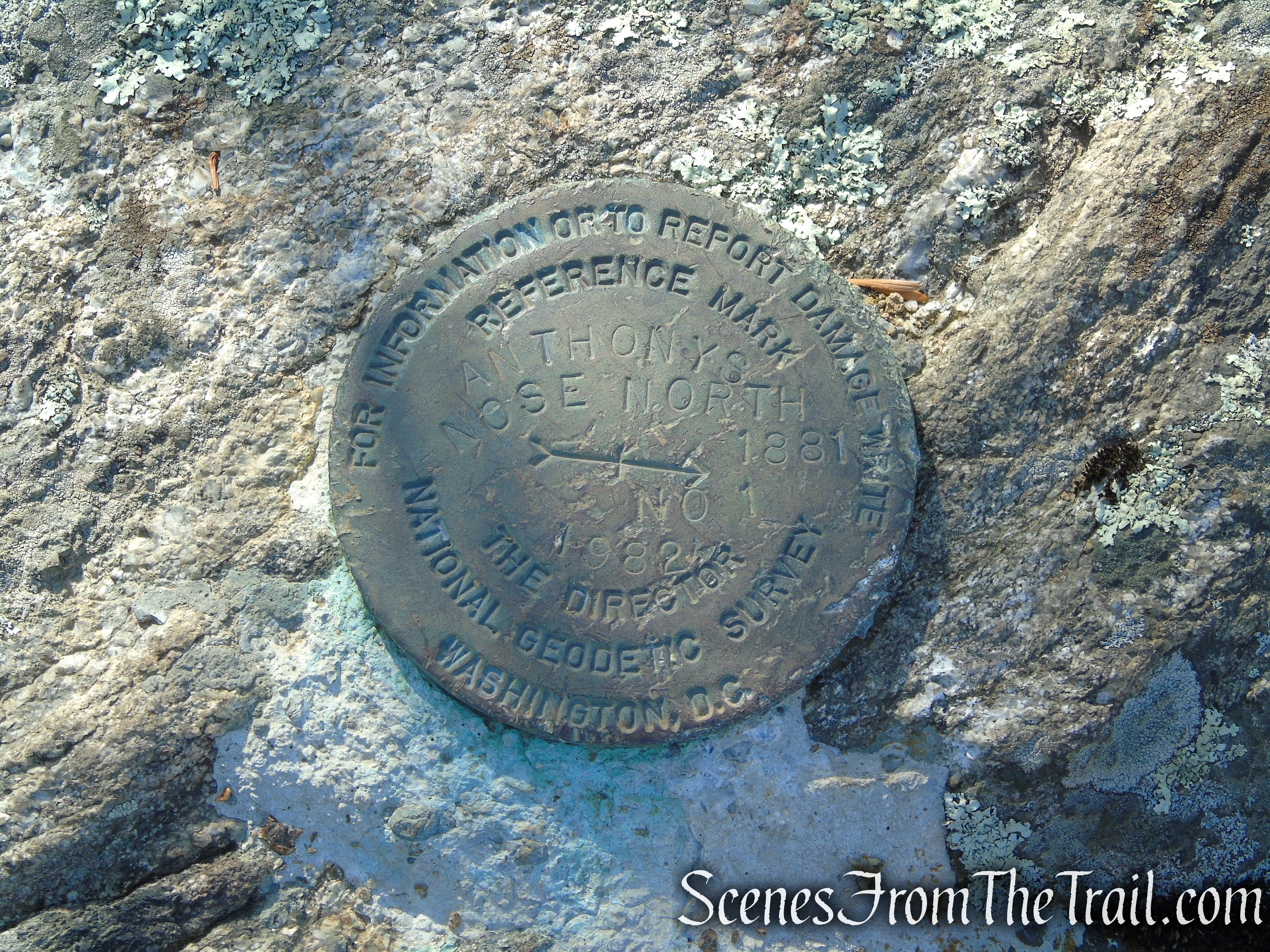
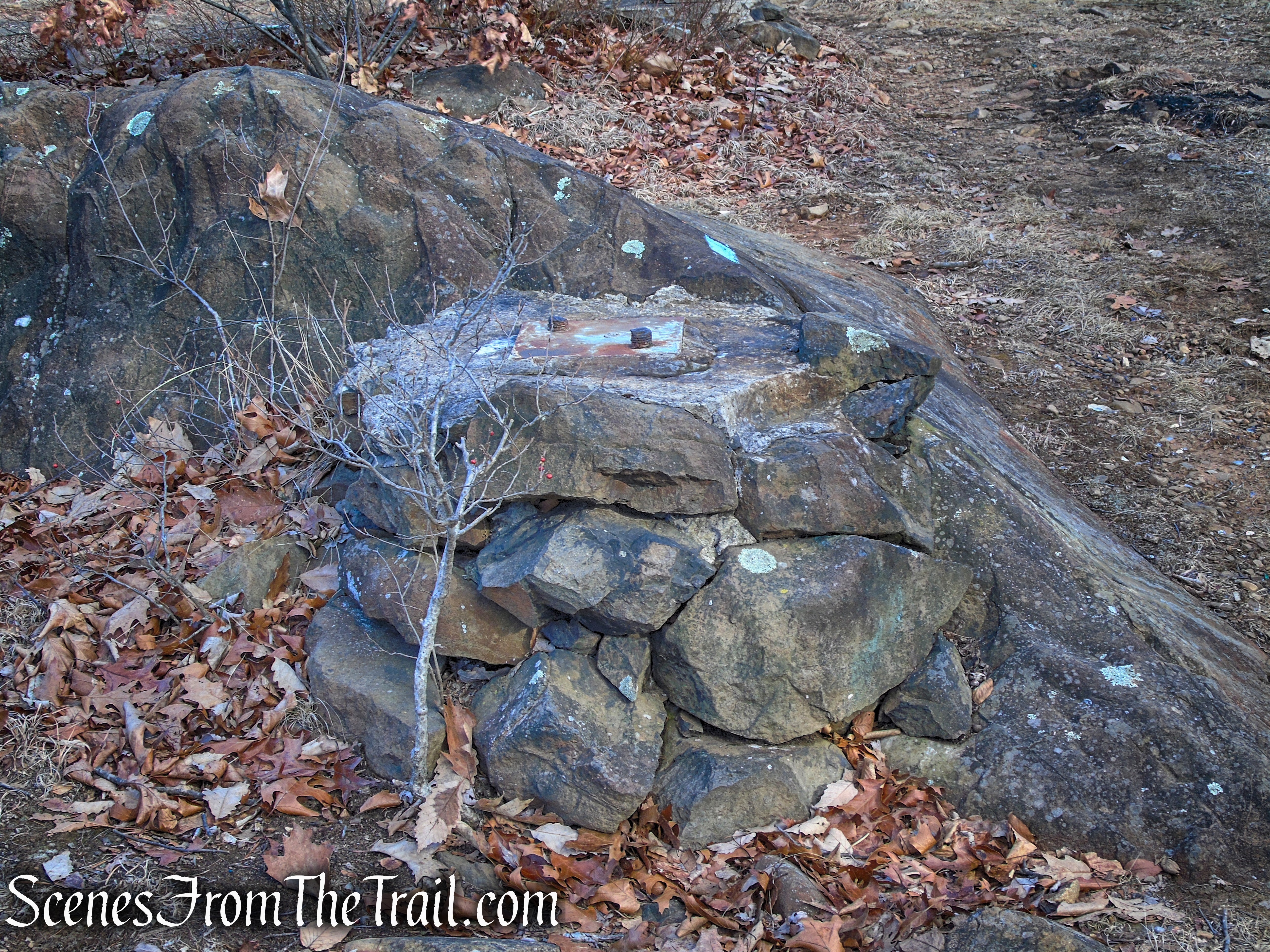
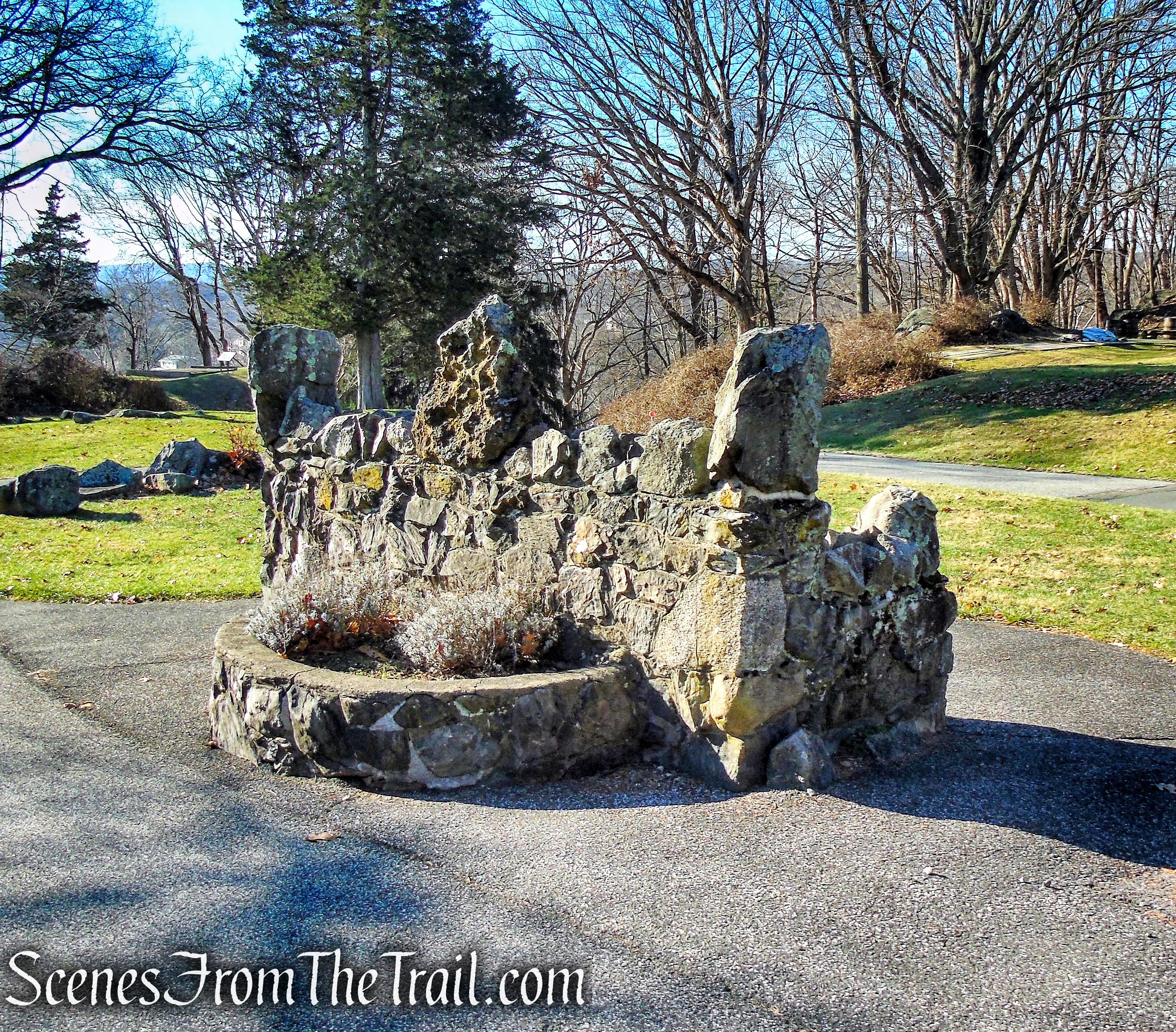
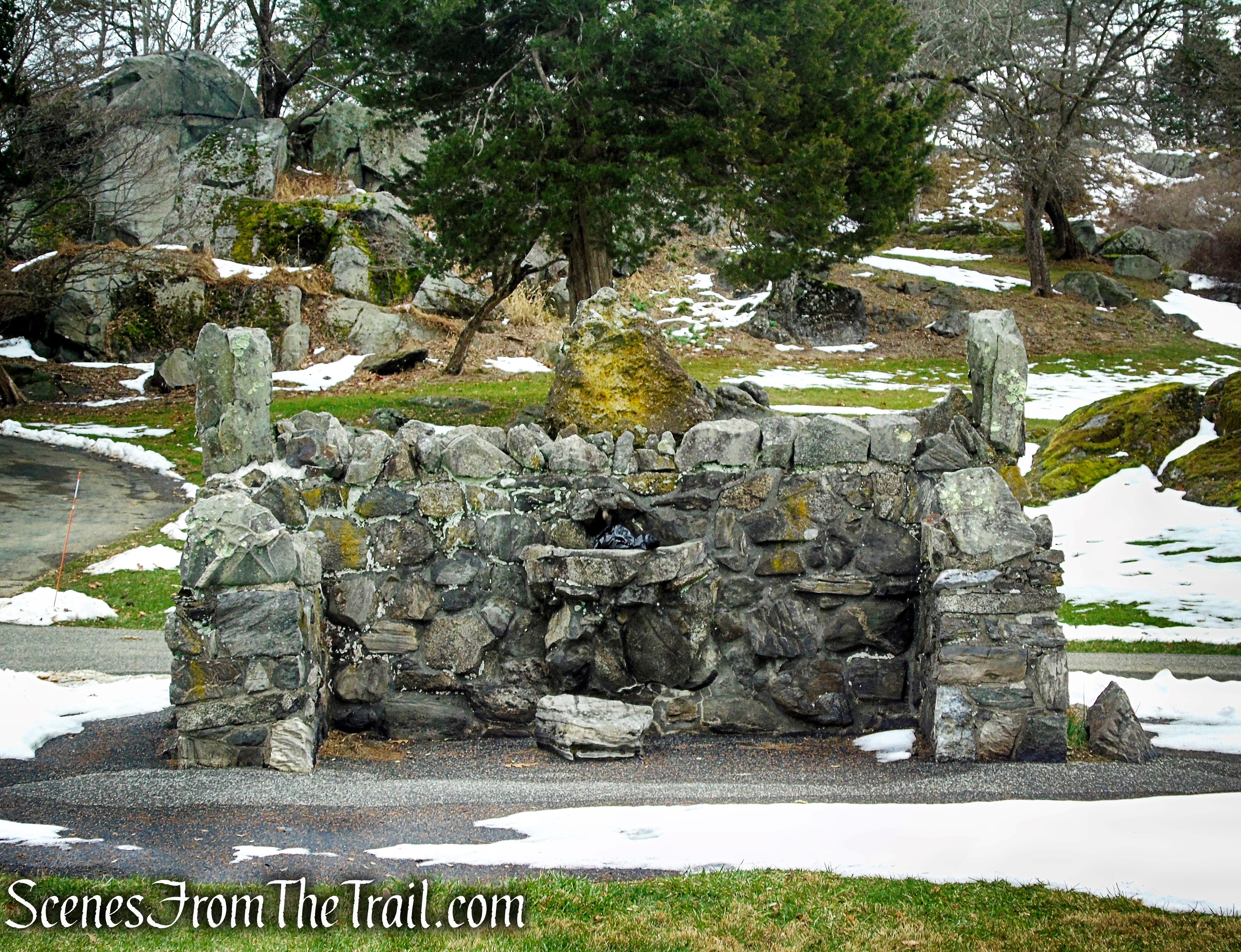
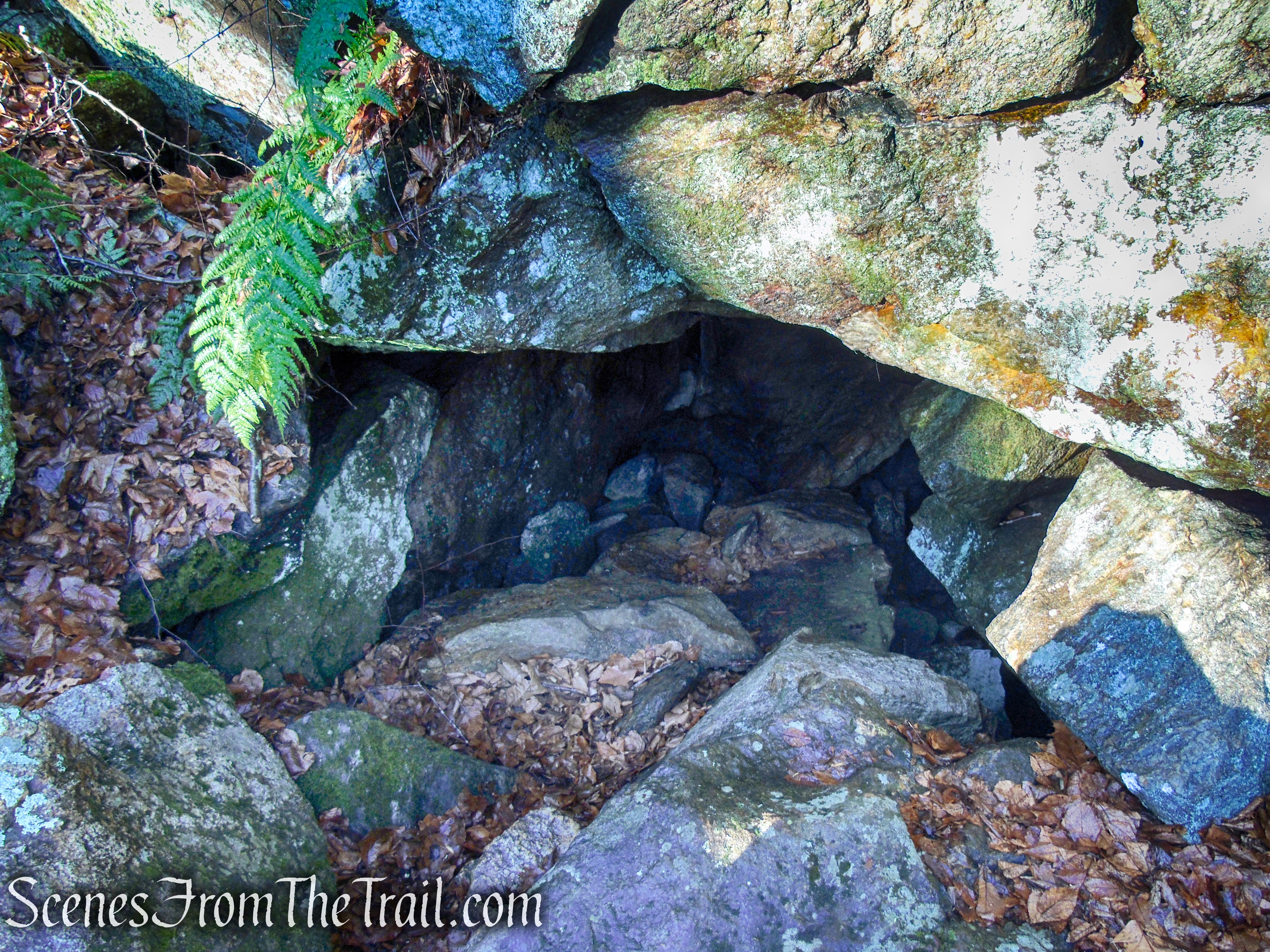
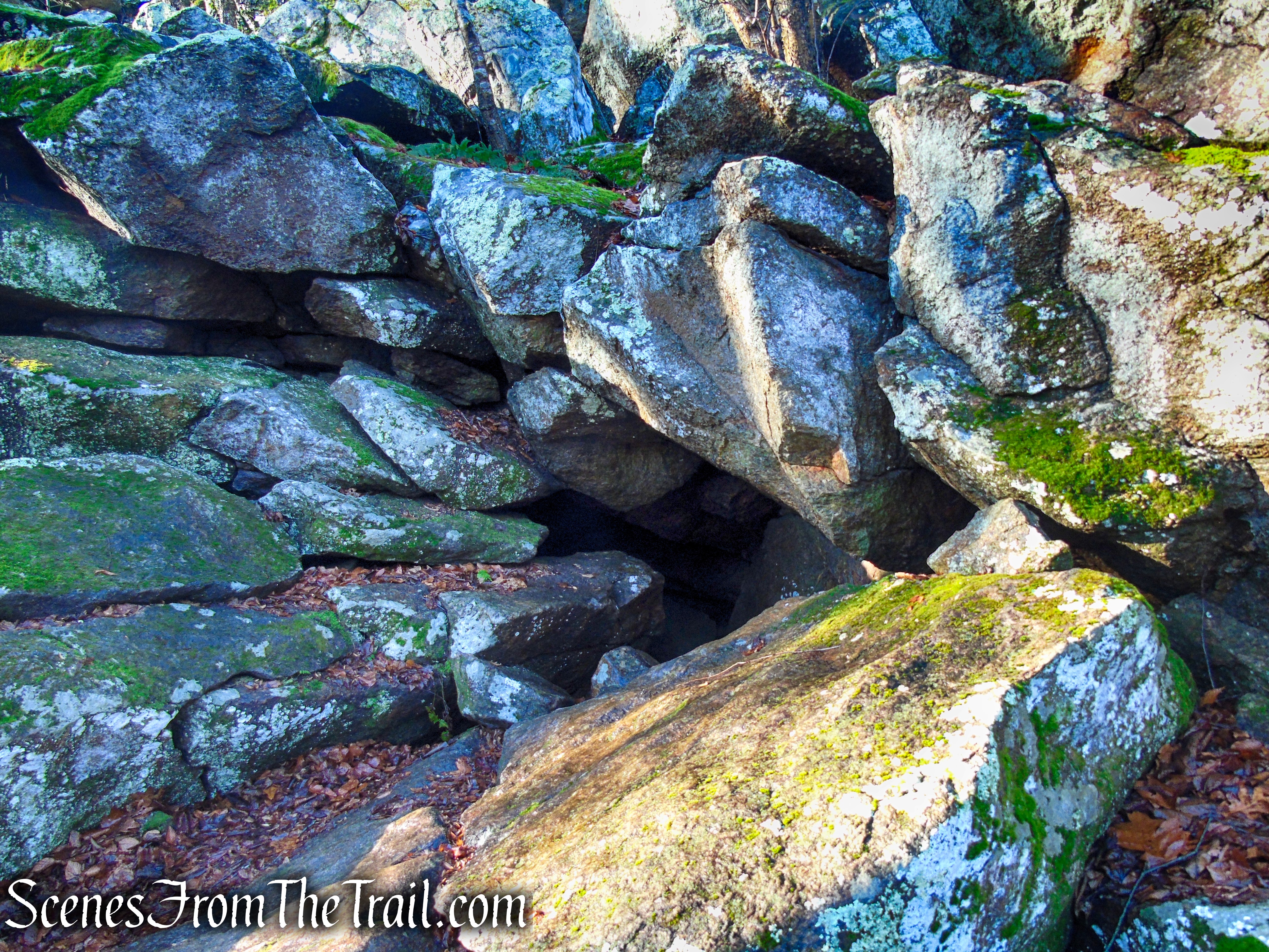
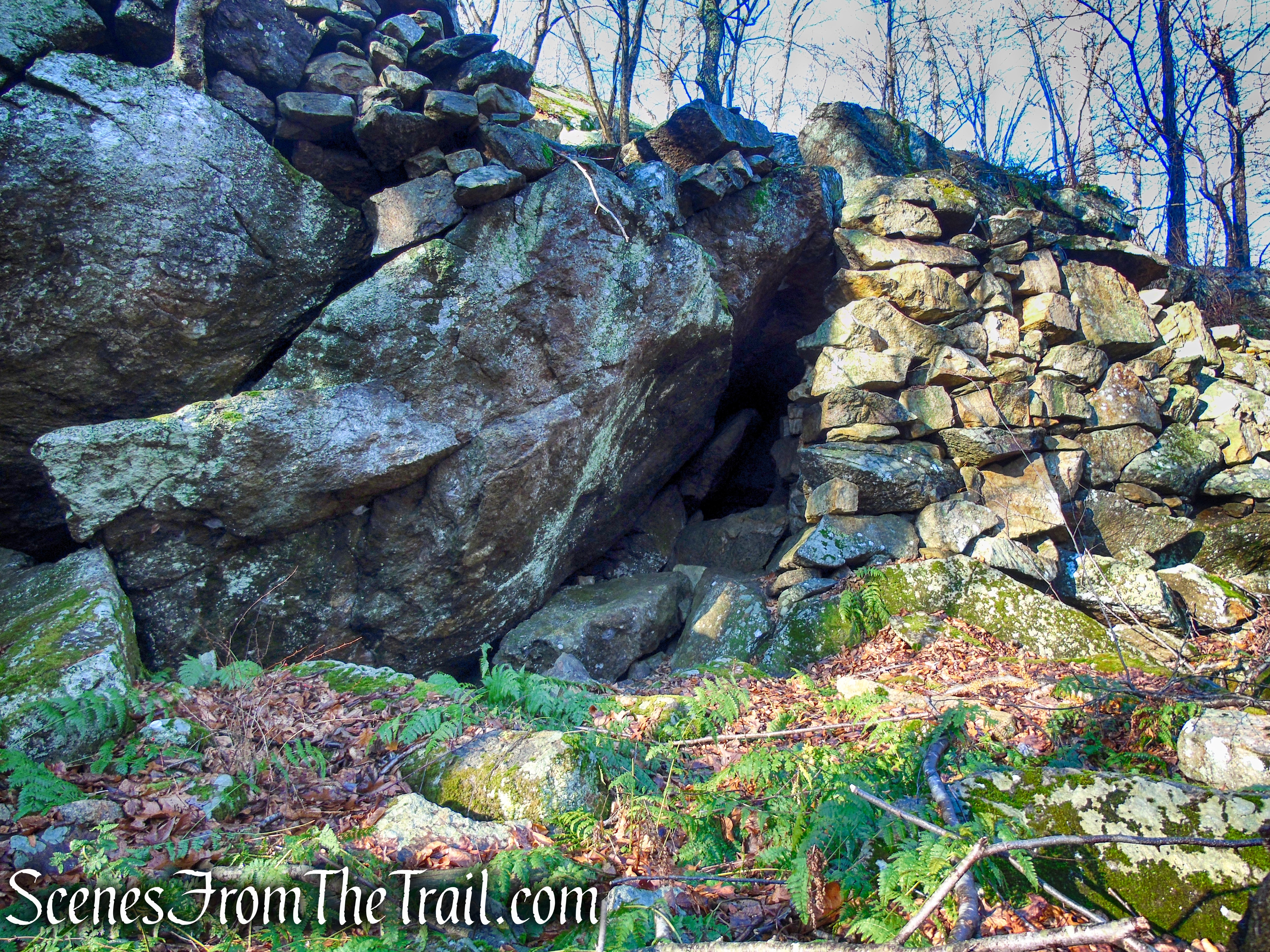
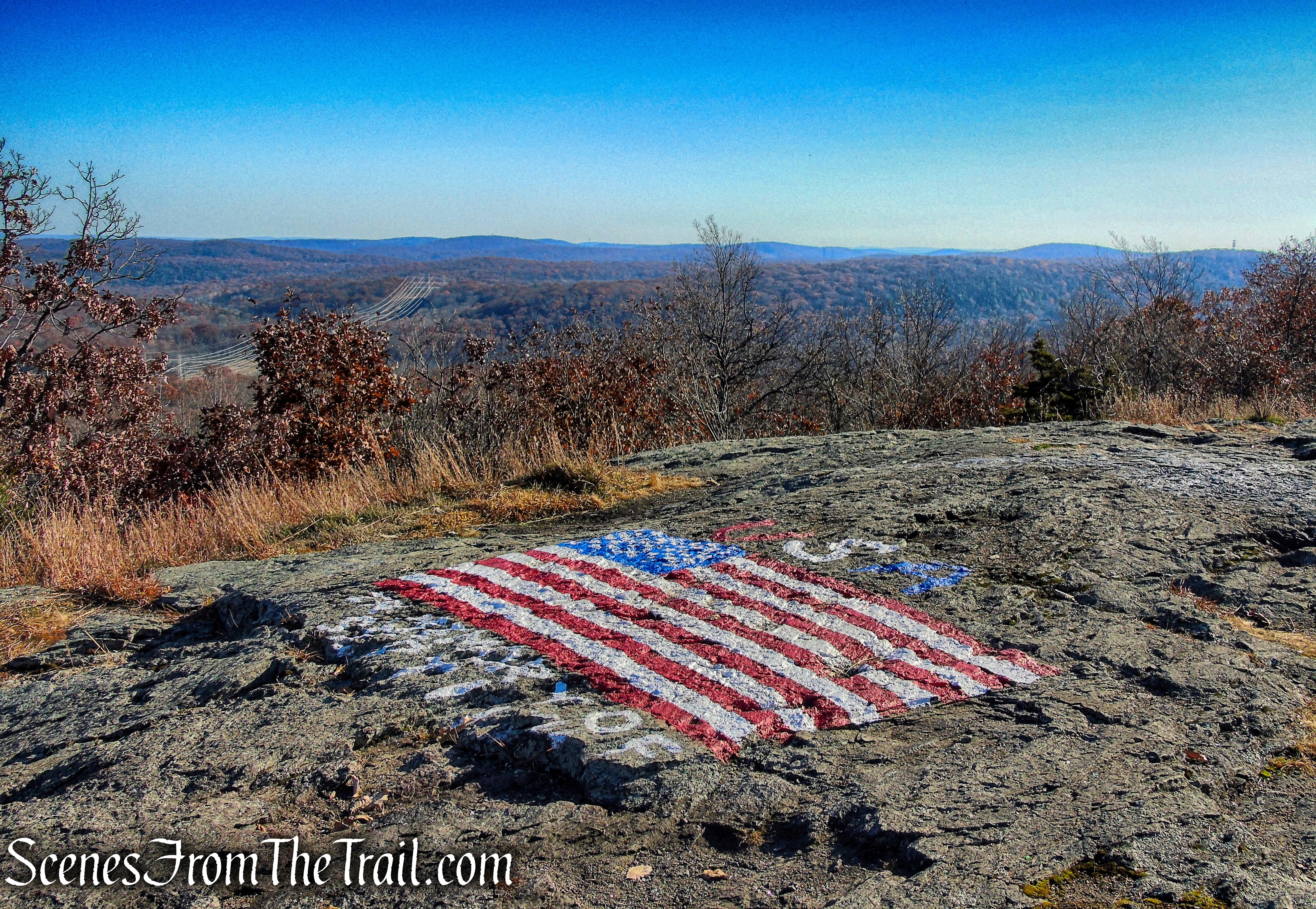
Jupiter’s Boulder – Black Rock Forest

Jupiter’s Boulder – Black Rock Forest

Jupiter’s Boulder – Black Rock Forest

Jupiter’s Boulder – Black Rock Forest
Review:
A splendid out and back hike through a lesser traveled area of Black Rock Forest. As with most waterfalls, it is better to visit after rainfall for a stronger flow. A good pair of hiking boots is strongly recommended as the trail is rocky and the rocks become quite slick when wet. This writer slipped and fell at Jupiter’s Boulder due to wet conditions. The views are not the best and are probably better during leaf-off season, but still a good hike. We got an early start and only ran in to a pair of hikers at Jupiter’s Boulder, but on the way back passed several small groups near the waterfall.
Pros:
Mineral Springs Falls, Jupiter’s Boulder, lightly trafficked, well marked trails.
Cons:
Rocky trails become very slick when wet.
Take a hike!

Mineral Springs Falls and Jupiter’s Boulder – Black Rock Forest
Sources:
- Black Rock Forest
- Black Rock Forest – NY-NJ Trail Conference
- Open Space Institute Protects Access to Mineral Springs Falls, Black Rock Forest
- Storm King and Black Rock Forest Region
- Hudson Nor’westers Trail Crew