March 14, 2021 – Hardwick Township, NJ
Difficulty: Moderate
Length: Approximately 4.5 miles
Max elevation: 1,560 ft.– total elevation gain approximately 528 ft.
Route type: Out and back
Map: Delaware Water Gap & Kittatinny Trails Map – 2021
Trailhead parking: Appalachian Trail, Millbrook Road, Hardwick Township, NJ 07825
Overview:
The Delaware Water Gap National Recreation Area, spanning Pennsylvania and New Jersey, is a unique unit of the national park system. It takes its name from the iconic geological feature at its southern end, Delaware Water Gap. The Delaware Water Gap encompasses nearly 70,000 acres of breathtaking scenery along 40 miles of the Delaware River, which winds through the Appalachian Mountains. The park features waterfalls and many outdoor activities, including canoeing, hiking, camping, swimming, biking, cross-country skiing, fishing and more.
The most prominent geographical features of Northern New Jersey are the Kittatinny Mountains, and its foothills in the NJ Highlands. Known to the Lenni Lenape as Kittatinny, or “endless mountain,” the Ridge provides a bounty of recreational opportunities. Catfish Mountain is a peak of the Kittatinny Mountains in Warren County, NJ. The mountain stands at an elevation 1,560 feet. It lies along the Appalachian Trail in the Delaware Water Gap National Recreation Area. The Kittatinny Valley (also called the Limestone Valley) lies almost directly to the east of the trail, while the Delaware Water Gap lies to its west.
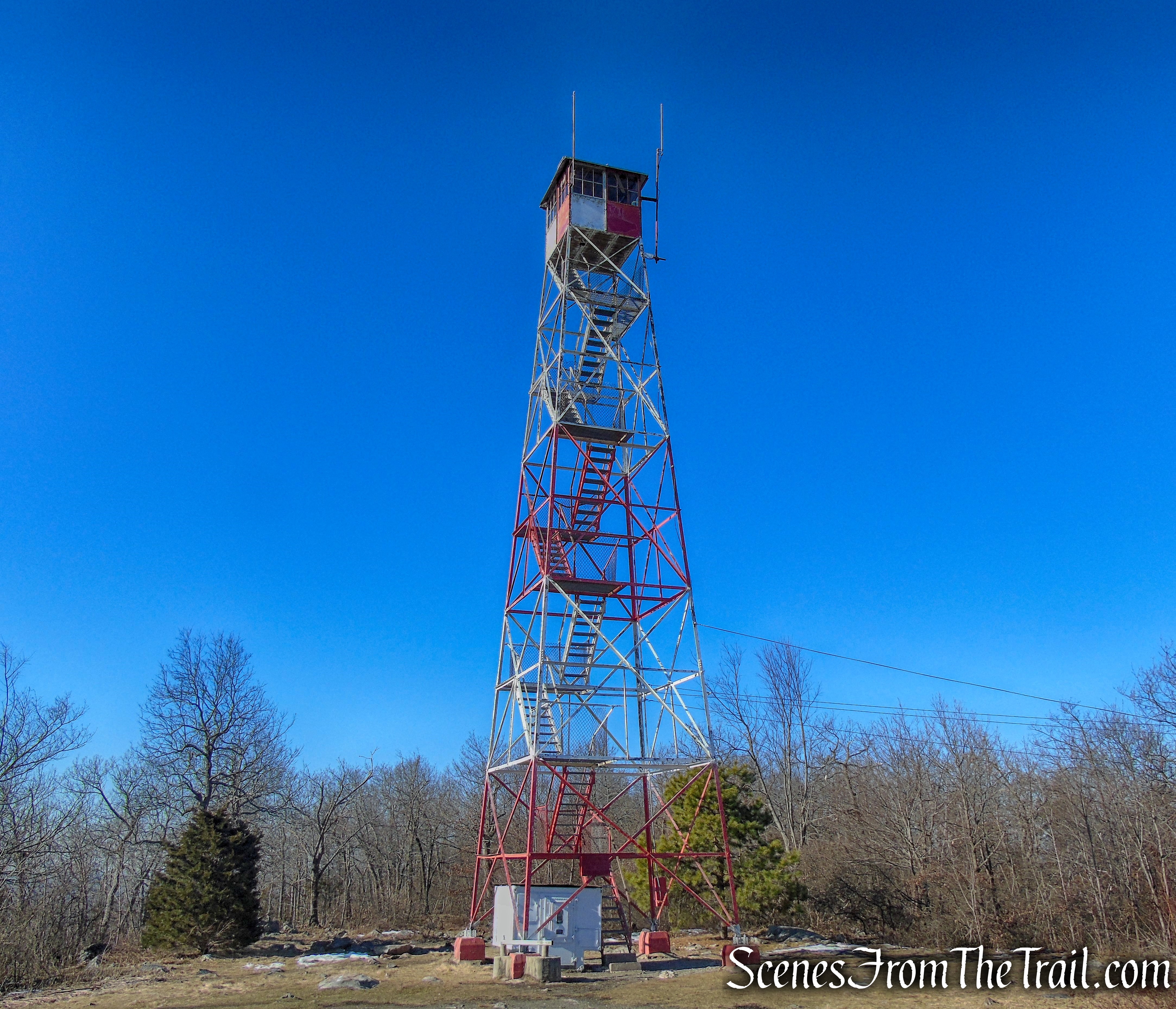
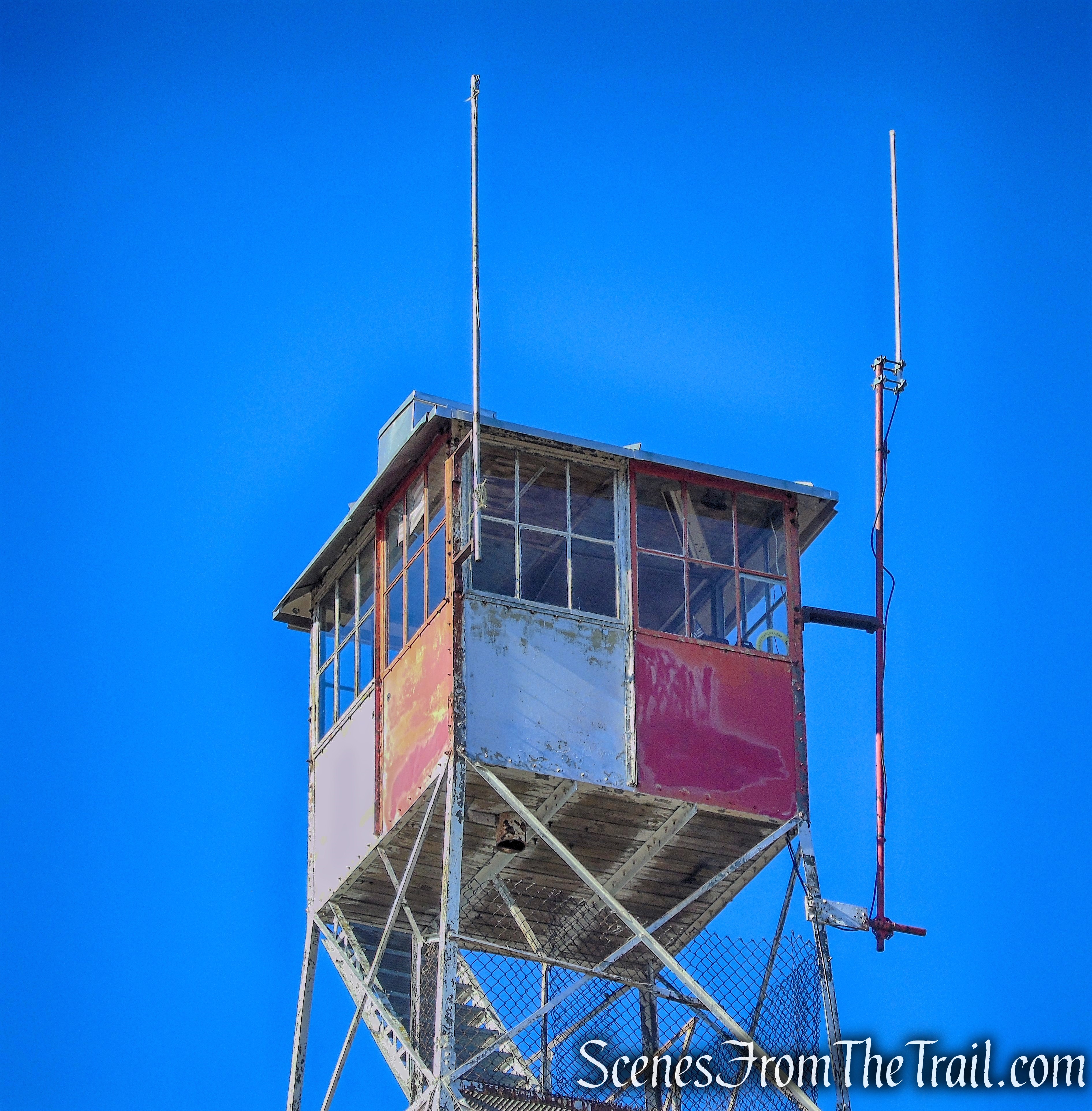
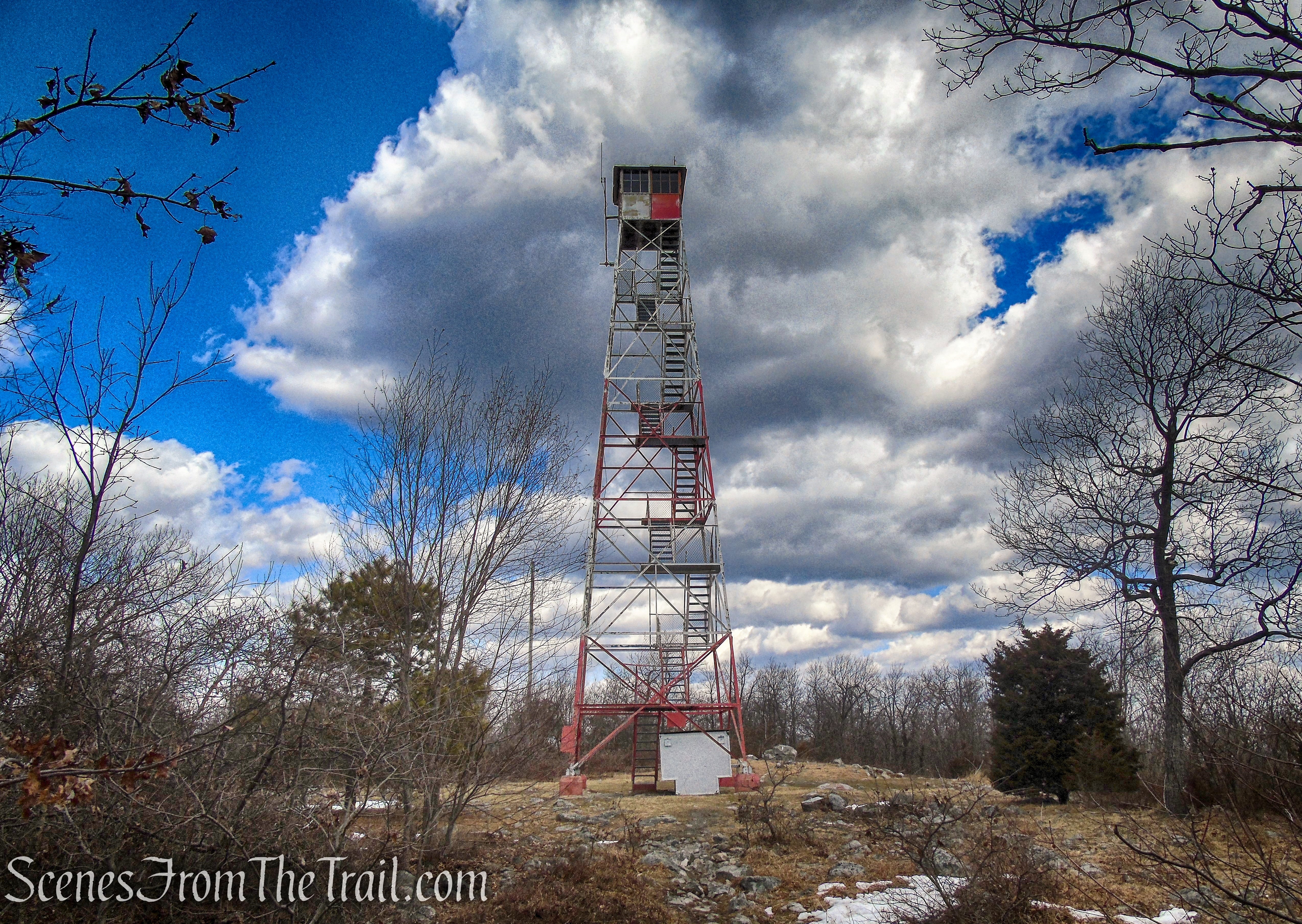
At the summit of Catfish Mountain is the Catfish Fire Tower. The Appalachian Trail runs right alongside it and makes for a great point of interest for hikers passing through. On a clear day, you can see the Catskill Mountains to the north and the Poconos to the west. The Tower, also known as Catfish Station was constructed in 1922, replacing a wooden tower. In 1993 the 7×7-foot cab was rebuilt on this 60’ Aermotor LS-40 tower.
Catfish Fire Tower
History:
Though set aside as an area for outdoor recreation, the land of this park is rich in history.
The park encompasses significant Native American archeological sites, several of which have been investigated.
A number of structures also remain from early Dutch settlement and the colonial contact period. The entire region was a frontier of the French & Indian War. Historic rural villages from the 18th and 19th centuries remain intact on the New Jersey side, and landscapes of past settlements are scattered throughout the park.
In the 19th century, the village of Delaware Water Gap was a focus of the early resort industry fostered by the railroads. Even today the region is known for its vacation appeal.
In 1960 the Army Corps of Engineers set upon a mission to build a dam at Tocks Island, just north of the Water Gap. This dam would control water levels for hydroelectric power generation and create a 37 mile lake for use as a reservoir. A smaller surrounding recreation area, to make a more “cost effective” dam, would be administered by the National Park Service.
Tens of millions of dollars were appropriated and work began to prepare the area for flooding. Three to five thousand dwellings were demolished. Some fifteen thousand people were displaced, many of whom represented 300 years and 13 generations of history and culture in the Upper Delaware Valley. A serene region of farms, hamlets and villages along a free flowing river was systematically dismantled as part of a plan that was eventually shelved. There was passionate opposition from many corners to the government’s agenda. Some of the more visible historical homes were temporarily spared only to be destroyed by squatters and arsonists. For 18 years the valley was the site of a bizarre free-for-all with an unpredictable outcome.
Finally, in 1978 the project was deemed economically & environmentally unsound, and the government, instead of selling back the remaining 83 homes to original owners, transferred the properties to the National Park Service. The Delaware River was placed under the protection of the Scenic Rivers Act.
Trails Overview:
The Delaware Water Gap National Recreation Area has more than 100 miles of hiking trails along streams, ridges, and mountaintops. The trails are of varying difficulty and any number of loop hikes can be achieved using connecting trails.
The Appalachian National Scenic Trail (AT) extends along the spine of the Appalachian Mountains from Springer Mountain, Georgia to Mt. Katahdin in Baxter State Park, Maine. Of the 2,174 miles of trail, 28 miles are within the Delaware Water Gap National Recreation Area. Whether hiking for a couple of hours, for the day, or for the entire length of the trail, the AT provides opportunities for majestic views, wildlife sightings, and hiking challenges.
Appalachian Trail – Delaware Water Gap
Hike Overview:
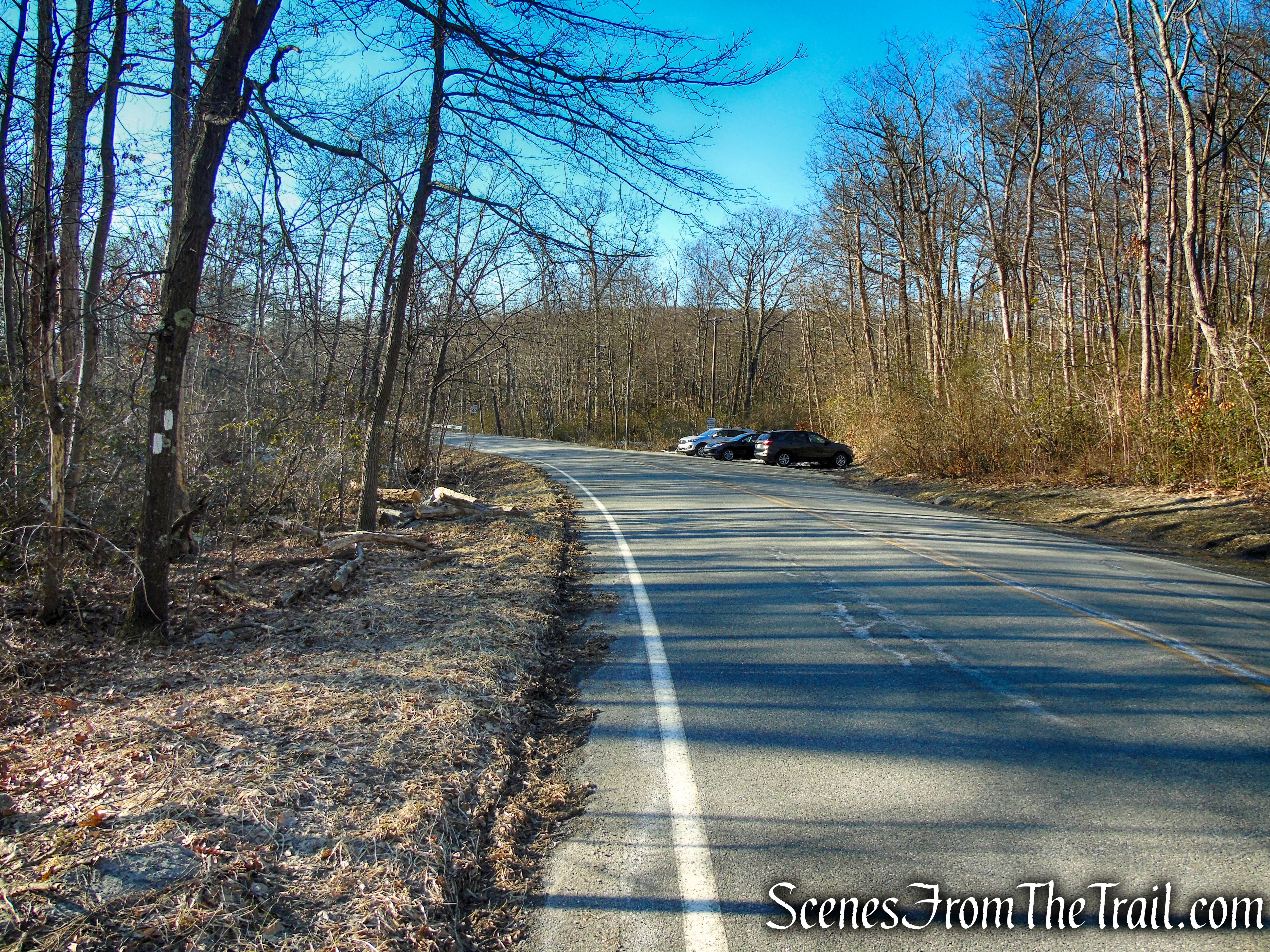
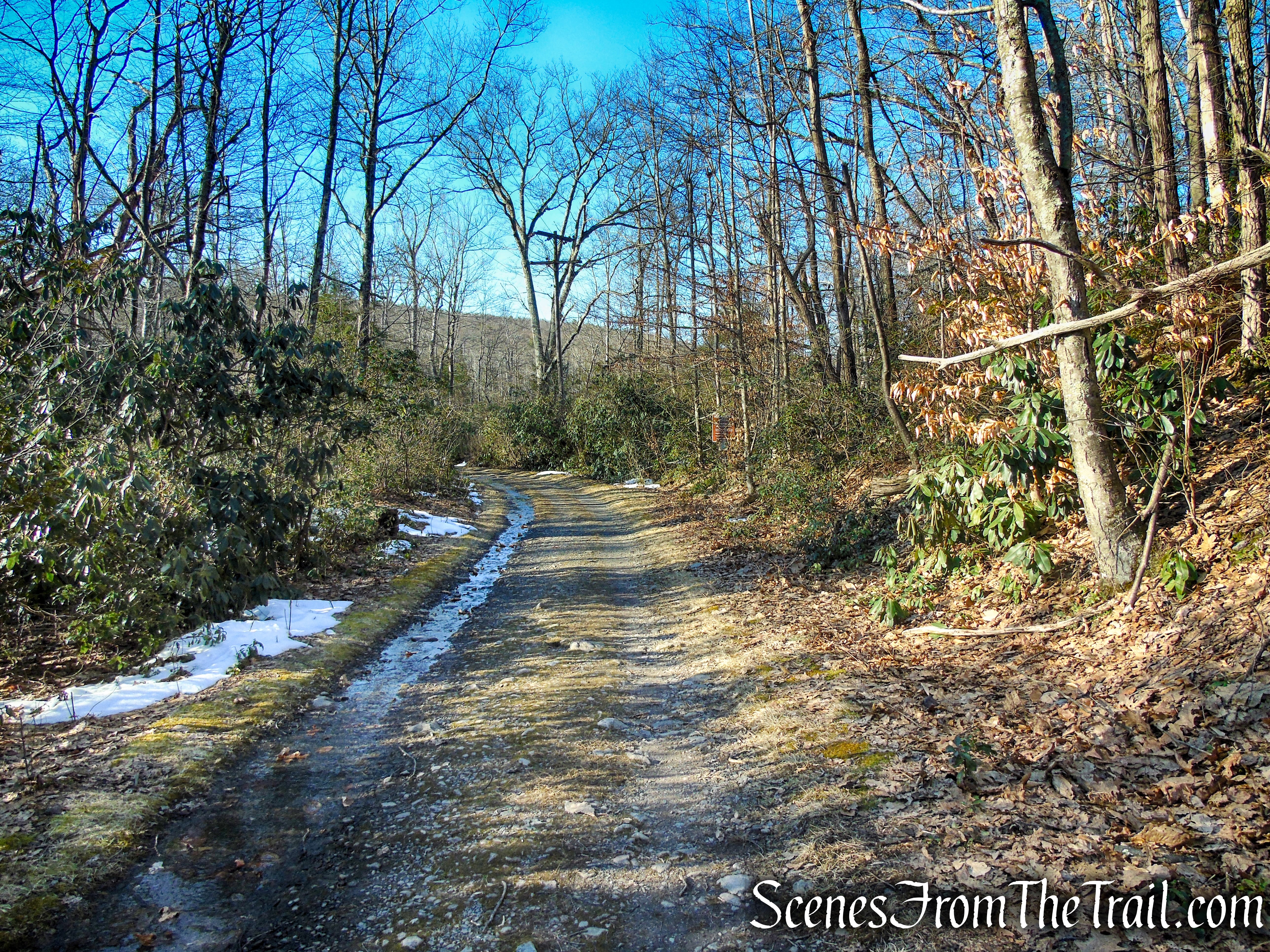
This hike begins where the white-blazed Appalachian Trail (AT) crosses Millbrook Road and heads south. Here, a gravel road, blocked by a gate (marked “Fire Road – Do Not Block”), goes off to the left (if coming from the south). Limited parking is available at the trailhead, but if no spaces are available, continue north for another 500 feet to a second parking area on the right side of the road where the AT leaves the road.

Appalachian Trail – Millbrook Road
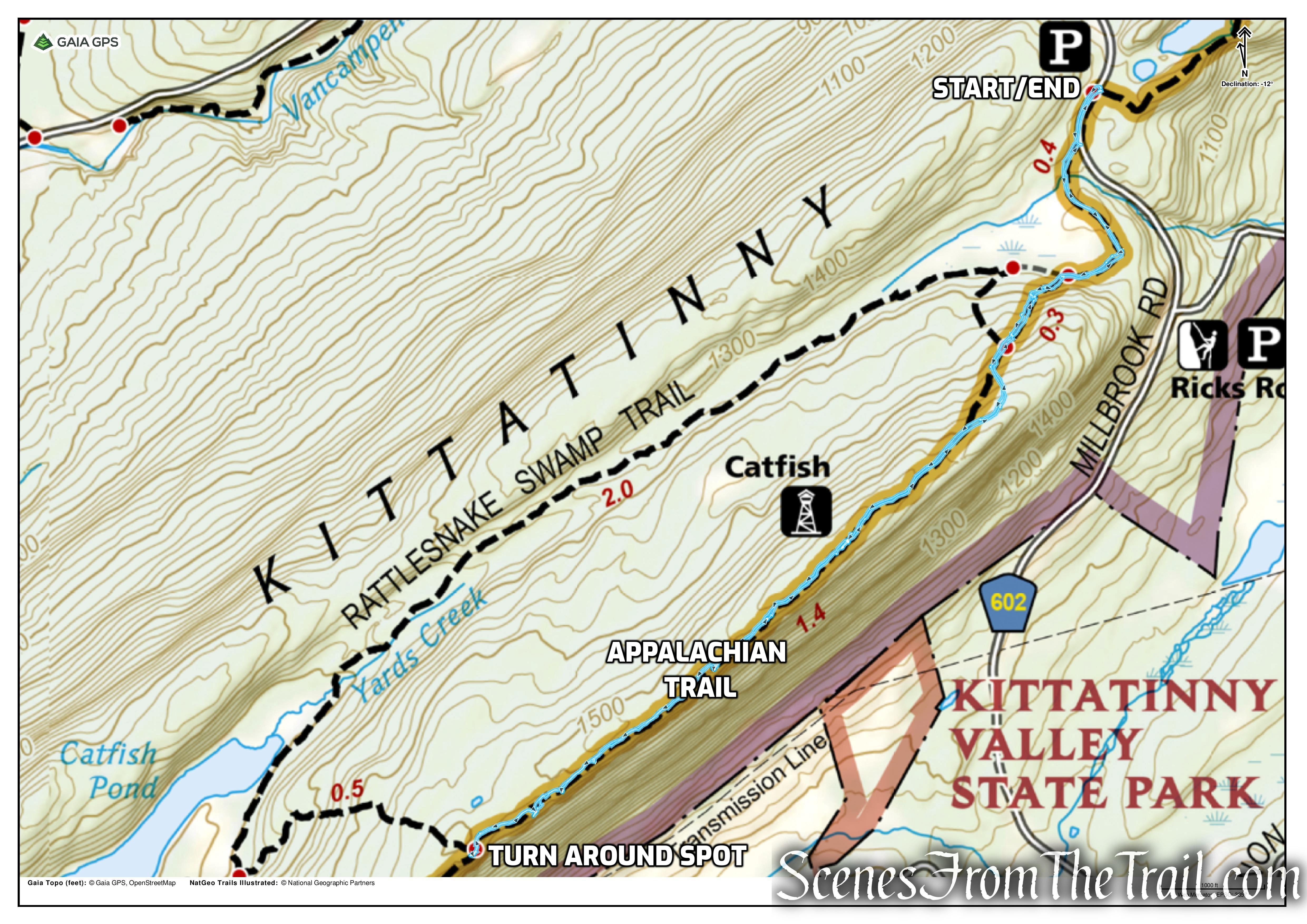
This hike is a straightforward out and back, entirely on the Appalachian Trail (AT). The trail is well marked and easy to follow. The hike begins at Millbrook Road, travels south along the AT, past the Catfish Fire Tower and along the Kittatinny Ridge with several good view points along the way. The turn around spot is just past the junction with the Rattlesnake Swamp Trail.
Catfish Fire Tower – Delaware Water Gap
The climb to reach the Kittatinny Ridge will be the most strenuous part of the hike, and it’s not that difficult and short lived. Once on the ridge, you’ll be rewarded with several scenic viewpoints including the Catfish Fire Tower which is a popular spot to stop and enjoy a picnic. From the fire tower, the rest of the way along the ridge consists of some minor ups and downs, so one can enjoy the scenic ridge walk without working too hard.

elevation profile – Catfish Fire Tower – Delaware Water Gap
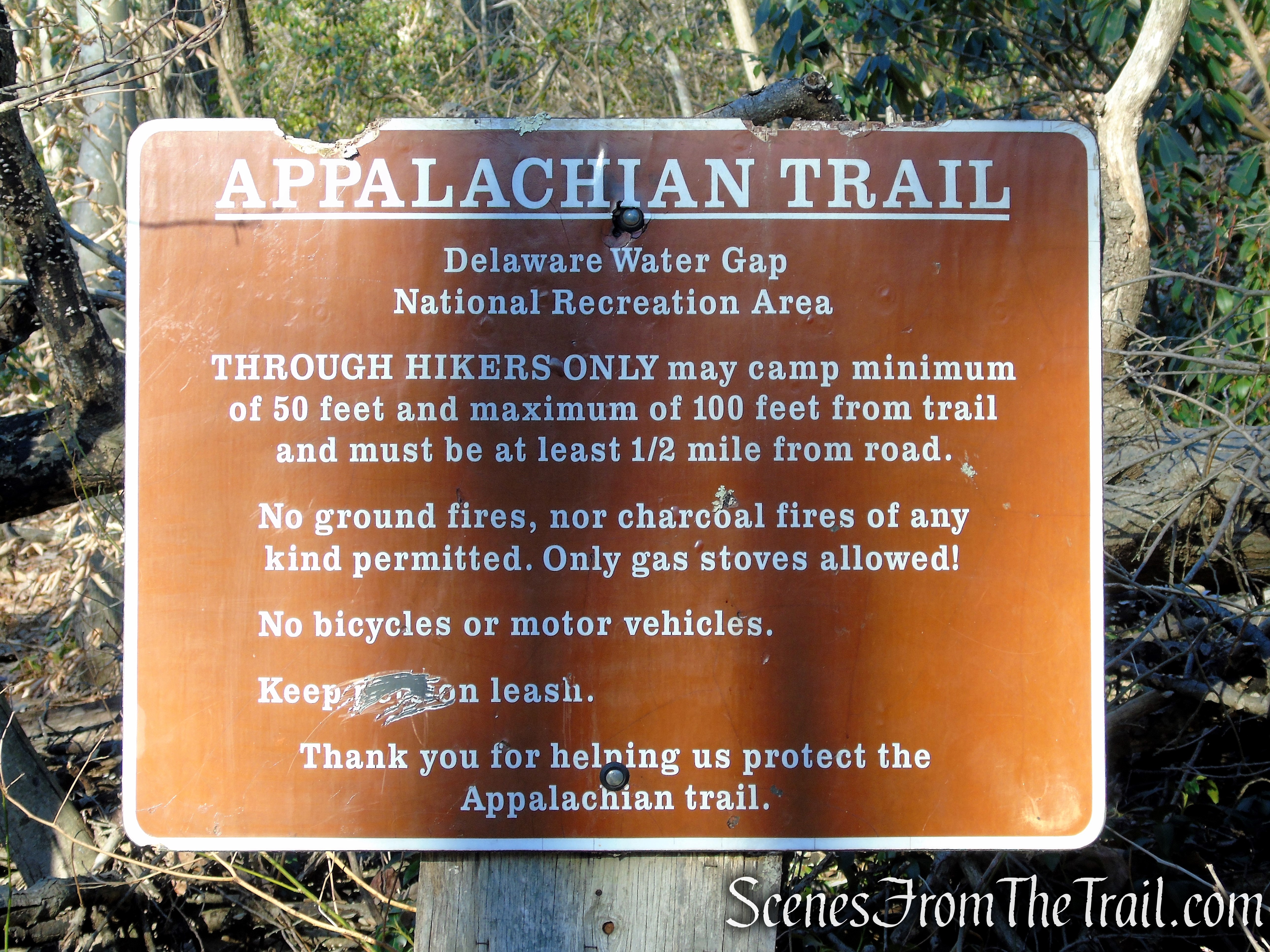
Please note: This hike can be done as a loop by returning on the Rattlesnake Swamp Trail. Keep in mind that the Rattlesnake Swamp Trail has numerous small stream crossings and the Rattlesnake Swamp can make this trail very wet. After the recent thaw and runoff, and speaking to several hikers that described the trail as extremely wet and mucky, we decided to skip this trail and retrace our steps along the AT.
This section of the AT is extremely rocky throughout. A good pair of hiking boots is thoroughly recommended.
The Hike:
Upon arriving at the trailhead, all the parking spots were taken. We drove about another 500 feet where the AT leaves the road and reenters the woods heading northbound. There is a small parking area there and that is where we began the hike. Leaving the parking area, we turned left and followed the white blazes along the road. In about 500 feet, the AT crosses the road at the other parking area by the fire road.

Millbrook Road, westbound parking area
Appalachian Trail – Millbrook Road
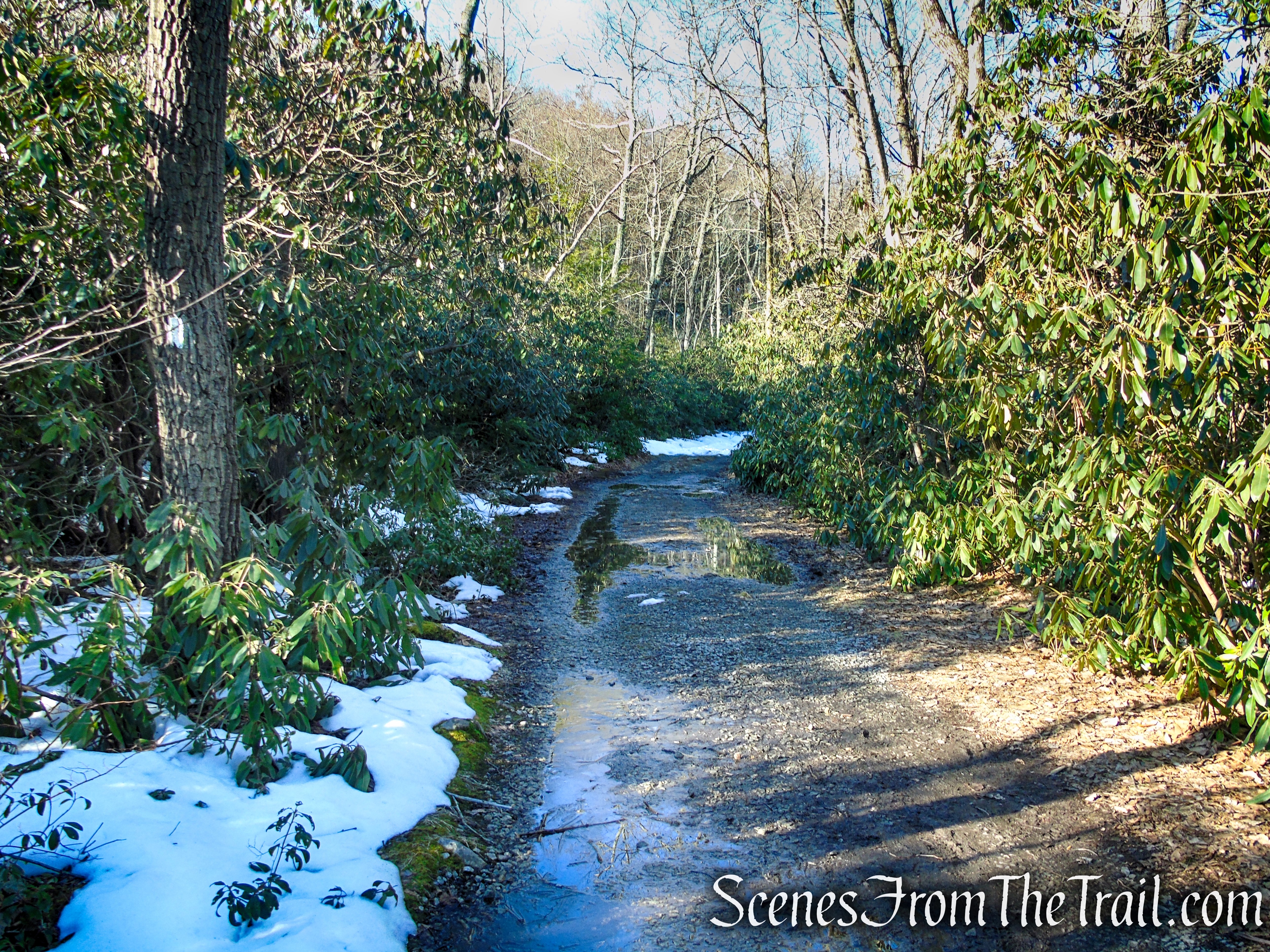
From the gate, proceed ahead on the gravel road, marked with the white blazes of the Appalachian Trail (A.T.). In about a quarter of a mile, the road curves sharply right and enters a rhododendron grove. A short distance beyond, the white blazes of the A.T. leave to the left
Appalachian Trail – Millbrook Road
Appalachian Trail – southbound
Appalachian Trail – southbound
Appalachian Trail – southbound
In about 0.4 mile from the gate, the AT turns left, leaving the fire road and begins climbing on a footpath. The fire road continues ahead and connects to the Rattlesnake Swamp Trail. The fire road can also be used as an alternative to the AT to reach the fire tower.

turn left on Appalachian Trail, leaving the fire road
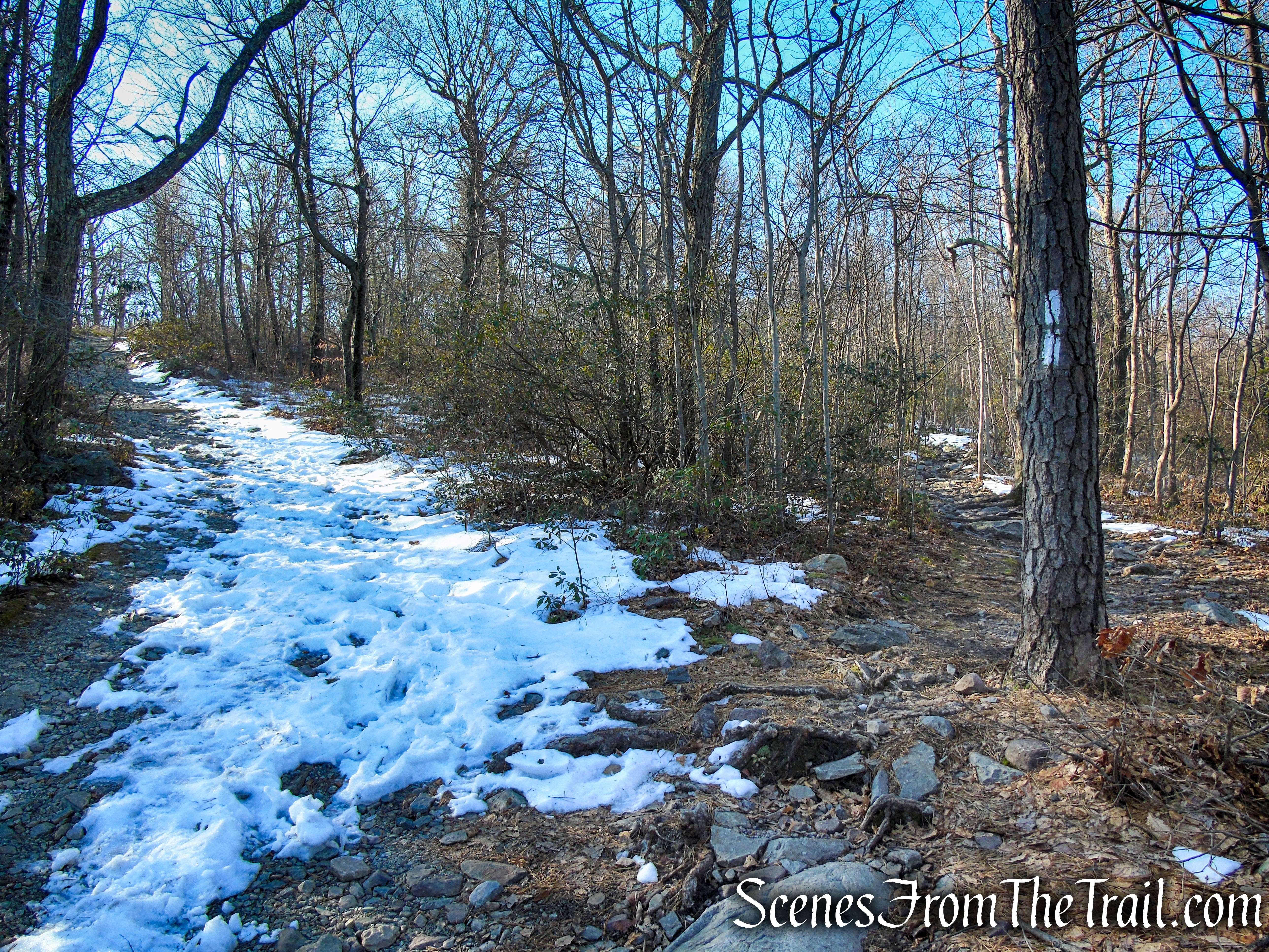
The AT now begins a steady ascent of Catfish Mountain on a rocky footpath bordered by Rhododendrons.

Appalachian Trail – Catfish Mountain
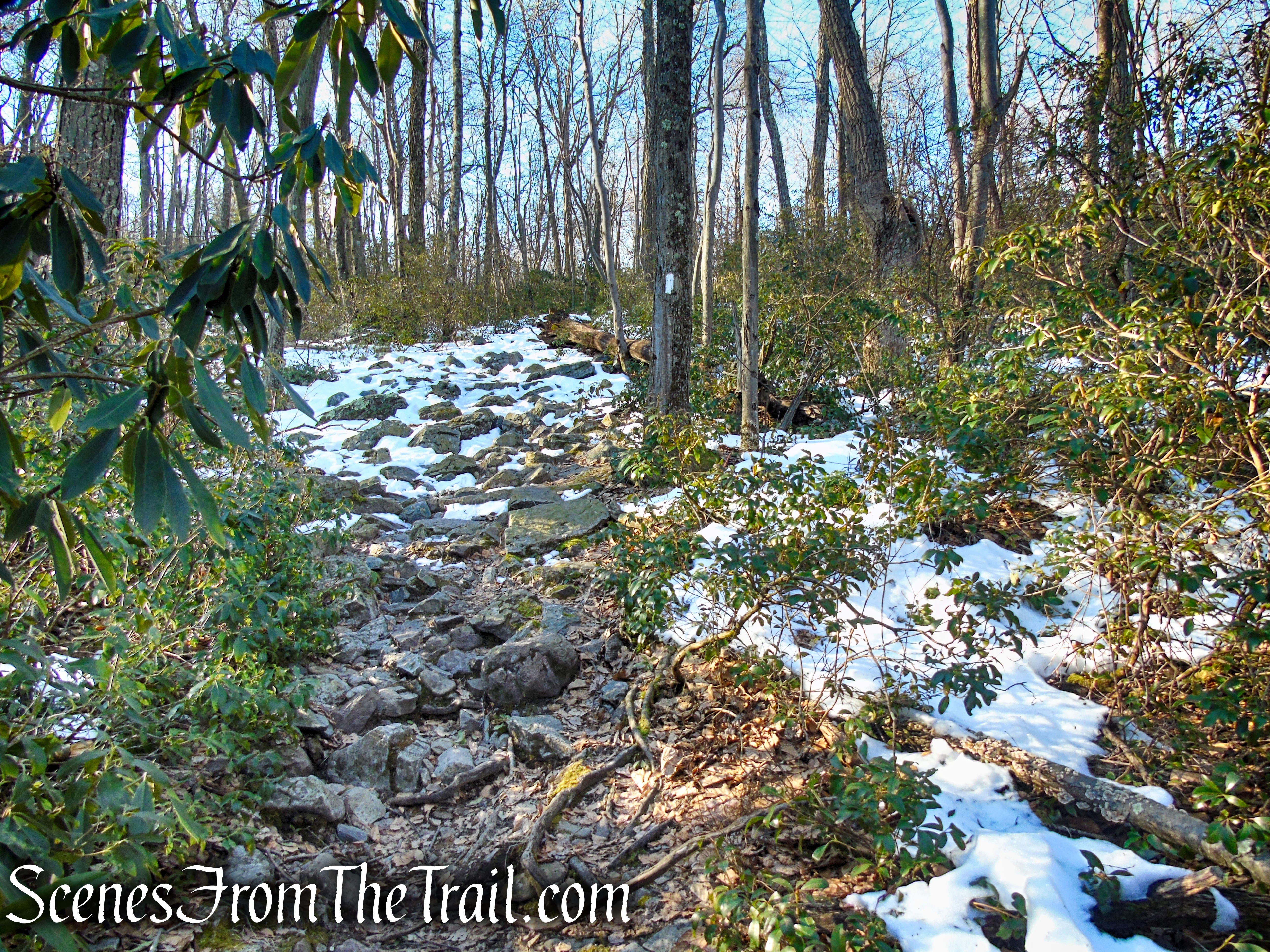
Appalachian Trail – Catfish Mountain
Appalachian Trail – Catfish Mountain
At approximately 0.6 mile, the AT turns left to rejoin the gravel fire road and then turns right 300 ft. later to reenter the woods on a footpath.

Appalachian Trail – Catfish Mountain
Appalachian Trail turns right, leaving the fire road
We opted to remain on the fire road (left fork) which is a slightly longer route, but was more free of snow than was the AT.

fire road – Catfish Mountain
Soon the fire road rejoins the AT, which comes in from the right and climbs a little more to reach the site of the Catfish Fire Tower.

the fire road rejoins the Appalachian Trail
Approximately 1 mile from the gate and about 300 feet of elevation gain, the Appalachian Trail reaches Catfish Fire Tower. A picnic table near the base of the tower makes for a good spot to take a break before climbing the tower.

Catfish Fire Tower
Built in 1922 to replace a wooden tower, the Catfish Fire Tower also known as Catfish Station, is one of the oldest in the state. At 60 feet tall, it is not the tallest fire tower in New Jersey. However, at an elevation of 1,560 feet above sea level, it is the highest.
Catfish Fire Tower
In 1993, the Catfish Fire Tower’s 7×7-foot cab was rebuilt and the tower rededicated. Catfish Station continues to be an active fire tower today. It was listed on the National Register of Historic Places on December 15, 1997.
Catfish Fire Tower
Fire Towers are considered to be the “Sentinels of the Ridge tops” as they are raised well above the ground so that the “lookout” in the tower can relay coordinates to firefighters as to where they are seeing smoke. Trained fire observers staff these towers and use an instrument called a Osborne Fire Finder, also known as an alidade, and topographical maps to triangulate the location of possible wildfires. After pin pointing a location ground crews go in and investigate to plan the appropriate action to be taken. At least one tower in each division is staffed when fire danger is moderate or higher and all towers are staffed during the months of March, April, May, October and November.
Catfish Fire Tower

Catfish Fire Tower
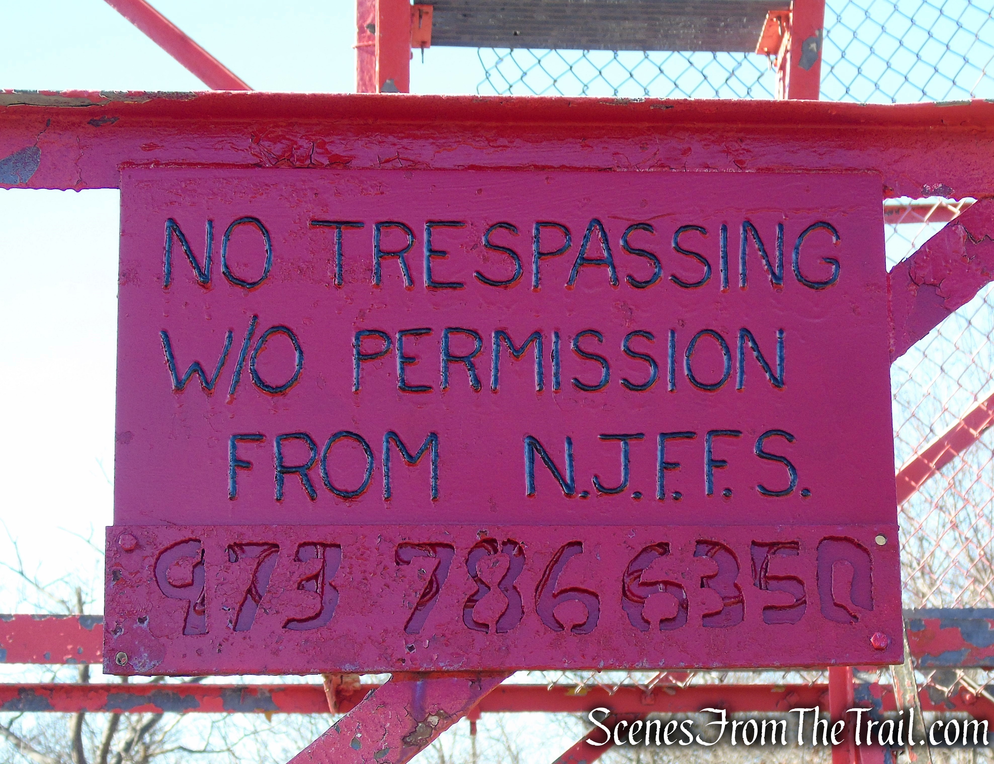
The cabin was locked on our visit, but the 360° views from just below it are wonderful. Below is an image looking at the Appalachian Trail traveling south.
view southwest from Catfish Fire Tower
A zoomed in view of Upper Yards Creek Reservoir and Mount Tammany.

view southwest from Catfish Fire Tower
A zoomed in view of Upper Yards Creek Reservoir

zoomed in view of Upper Yards Creek Reservoir from Catfish Fire Tower
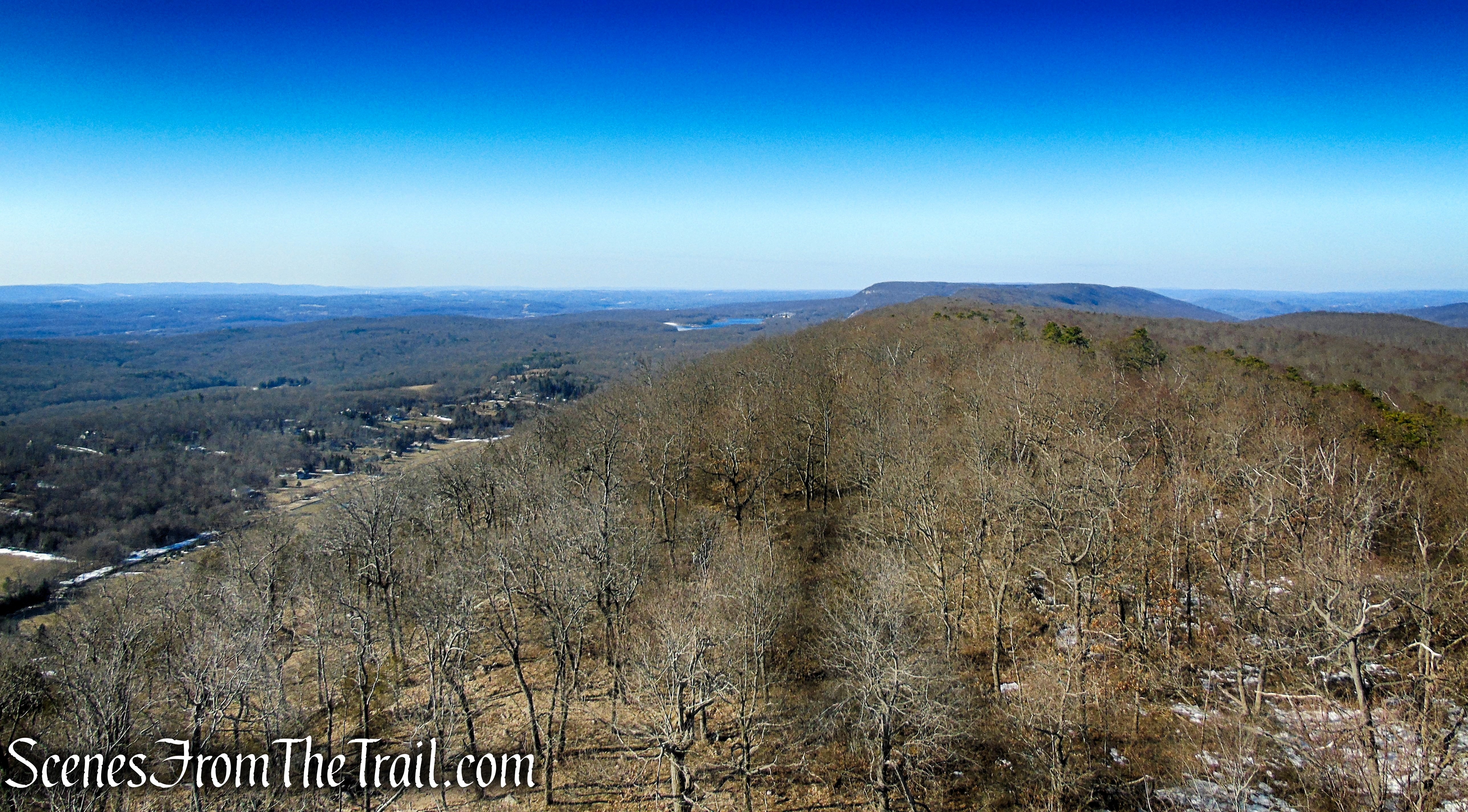
A southwestern view of the Kittatinny Ridge towards Pennsylvania.

southwest view of the Kittatinny Ridge from Catfish Fire Tower
The Kittatinny Ridge looking northeast where the Appalachian Trail travels north.
northeast view of the Kittatinny Ridge from Catfish Fire Tower

A glider floating by in the early morning
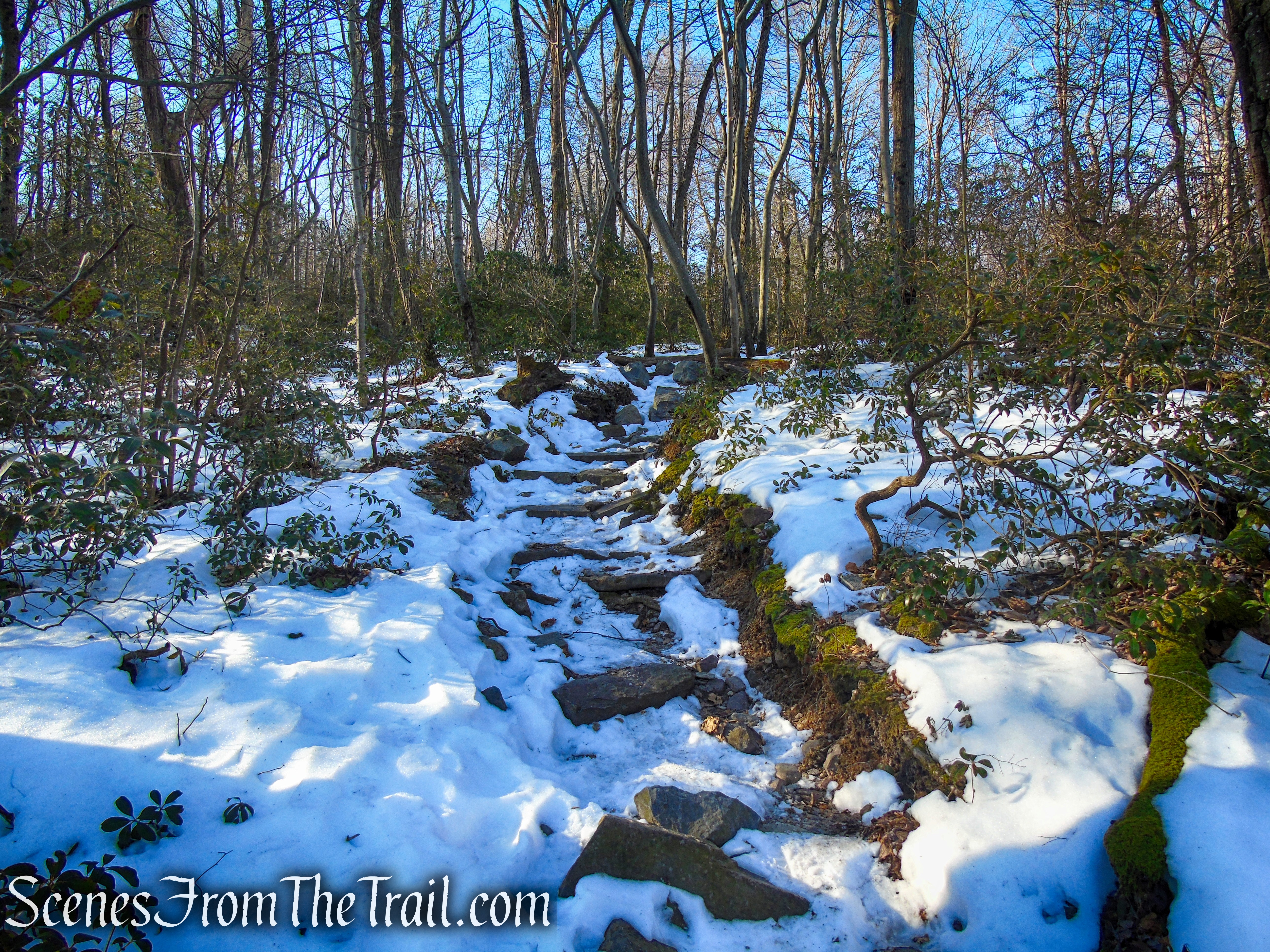
If you had enough views and want to just do a short 2 mile hike, you can retrace your steps and return to your vehicle. If you wish to proceed, continue south on the AT along the ridge which is well marked and etched onto the surface of the ridge. From the fire tower, the AT embarks on a rocky footpath that at times can be real ankle breaker. The different size jagged rocks, ranging in size, makes you have to concentrate on where you place your feet.

Appalachian Trail – Kittatinny Ridge
In about a 1/2 mile, there is a east-facing view of the Great Valley. This viewpoint is denoted on the NY/NJ Trail Conference map with a star ★. This makes for another great spot to take a break if you are so inclined.
1st viewpoint – Kittatinny Ridge

1st viewpoint – Kittatinny Ridge

1st viewpoint – Kittatinny Ridge
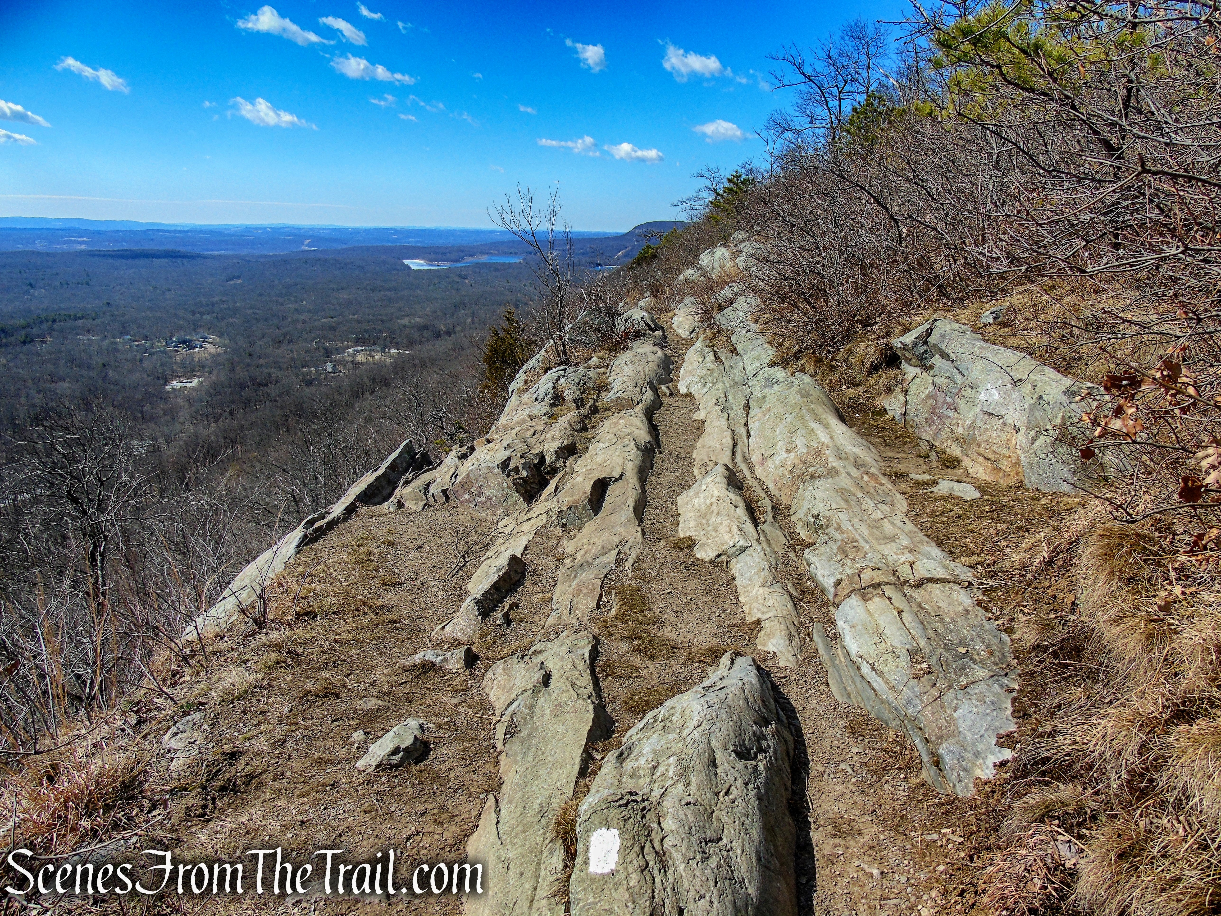
Continuing south on the AT, it runs close enough to the edge of the ridge that there are plenty of limited and some more expansive views over the Great Valley to the east along this stretch of the trail, especially during leaf-off seasons.

Appalachian Trail – Kittatinny Ridge
Appalachian Trail – Kittatinny Ridge
Appalachian Trail – Kittatinny Ridge

Appalachian Trail – Kittatinny Ridge

Appalachian Trail – Kittatinny Ridge

Appalachian Trail – Kittatinny Ridge
In about 2 miles from the gate on Millbrook Road, the Appalachian Trail reaches the junction with the orange-blazed Rattlesnake Swamp Trail, marked with wooden posts.

AT/Rattlesnake Swamp Trail junction – Kittatinny Ridge
There is a nice wide view over farms and forest in the valley below and along the ridge.
Appalachian Trail – Kittatinny Ridge
Upper Yards Creek Reservoir in the distance.

zoomed in view of Upper Yards Creek Reservoir from Appalachian Trail on the Kittatinny Ridge
This marked our turn around spot, but if you prefer to continue a bit farther there are more views to be had. The AT eventually descends to Camp Road then climbs back up to the ridge.

Appalachian Trail – Kittatinny Ridge
Caution should be exercised along this section, especially in wet conditions, as the trail comes extremely close to the edge with a steep drop-off to one side.
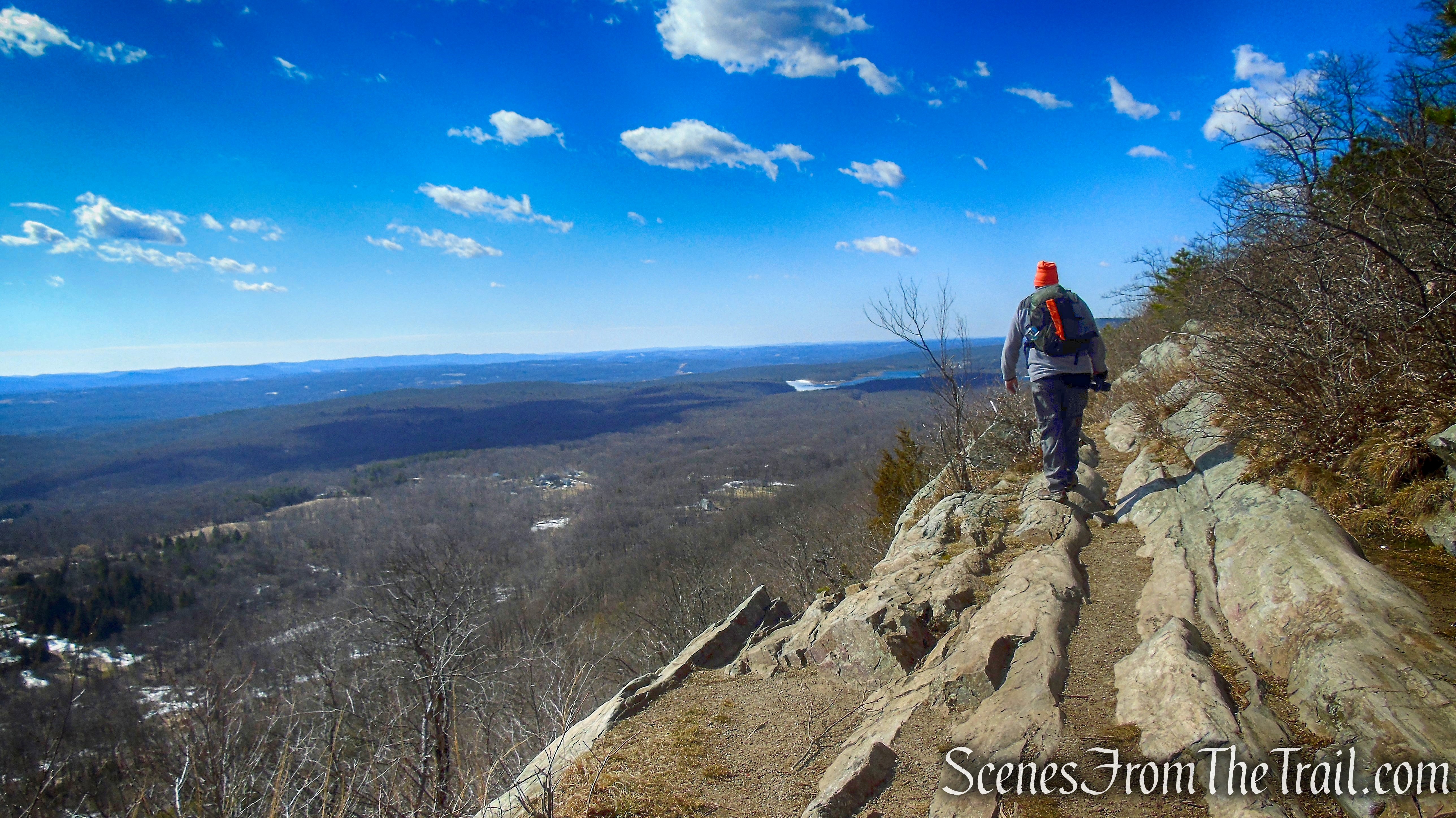
Appalachian Trail – Kittatinny Ridge
We relaxed here for a bit and chatted with several hikers that passed by.

Appalachian Trail – Kittatinny Ridge
We then retraced our steps along the Appalachian Trail, stopping at every viewpoint again, as well as the Catfish Fire Tower. From the fire tower we descended the same way we came up and returned to the trailhead on Millbrook Road, where the hike began.
Catfish Fire Tower
Review:
A great hike along the AT on the Kittatinny Ridge in the Delaware Water Gap. The 360° fire tower views are outstanding and the walk along the ridge offers many more. Relatively little foot traffic compared to the more popular hikes in the area. Worth the 1-1/2 hour drive from the Hudson Valley. The only downside was that the cab of the fire tower was locked and is only open when there is a ranger on duty.
Pros:
Catfish Fire Tower, 360° views from fire tower, historic Appalachian Trail, scenic ridgetop with numerous views, well marked trail.
Cons:
Cabin in fire tower is locked and not accessible unless there is a ranger on duty.
Take a hike!

Catfish Fire Tower – Delaware Water Gap
Sources:
