October 25, 2020 – Cold Spring, NY
Difficulty: Moderate
Length: Approximately 4.6 miles
Max elevation: 1156 ft.– total elevation gain approximately 568 ft.
Route type: Circuit
Buy Map: East Hudson Trails Map
Free Web Map: Fahnestock State Park Trail Map
Avenza App Map (FREE): Fahnestock State Park Map for Avenza
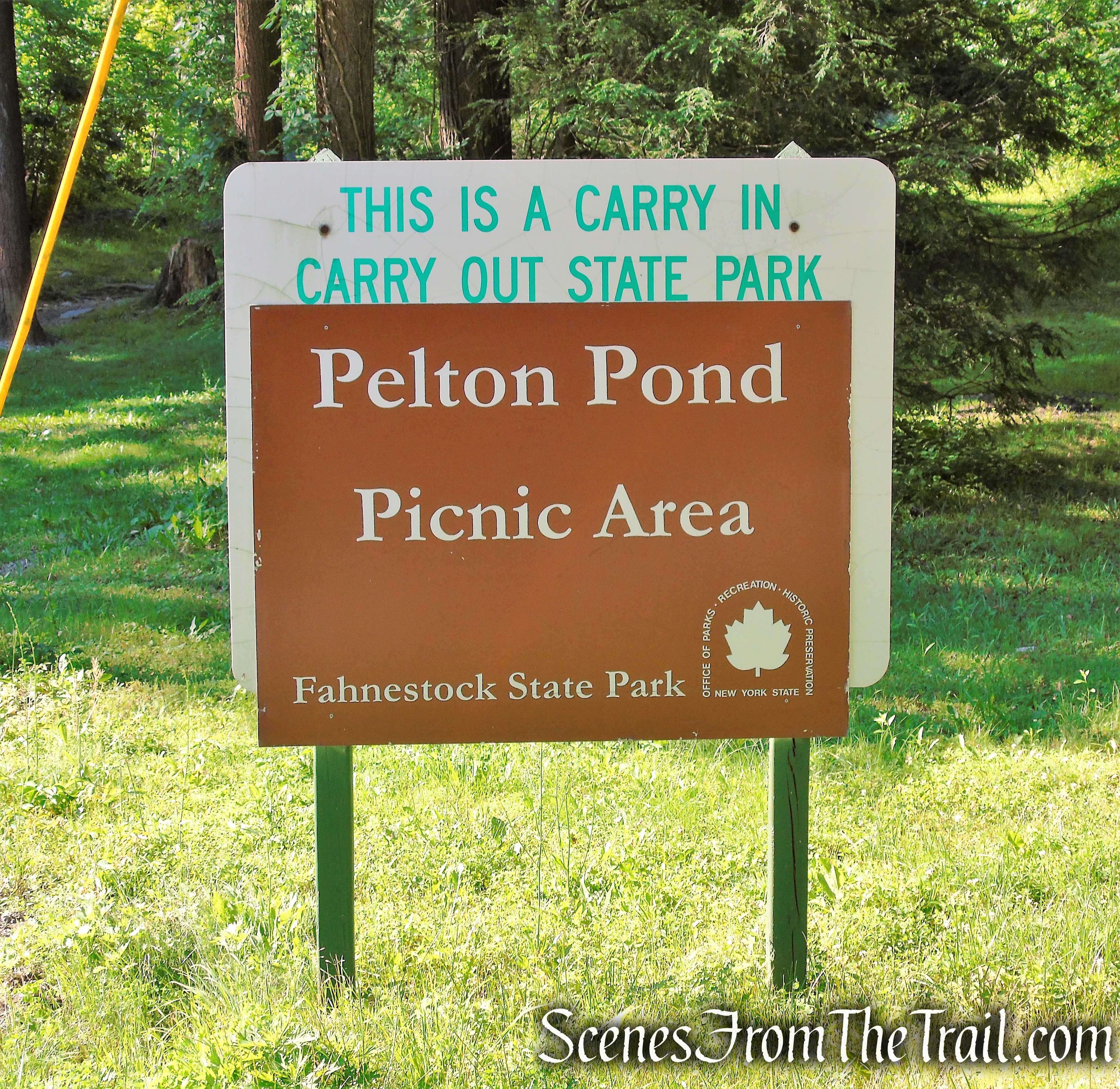
Trailhead parking: Pelton Pond Picnic Area – Cold Spring, NY 10516
Park Overview:
Clarence Fahnestock Memorial State Park, also known as Fahnestock State Park, is a 14,337-acre state park located in north central Putnam County with portions in the towns of Carmel, Kent, Philipstown and Putnam Valley. The park is traversed by the Taconic State Parkway, US Route 9, NYS Route 301 and several local roads. Rail stations operated by Metro North Railroad are within ten miles of the park at Garrison, Cold Spring and Beacon. The park does not have a single, formal entrance.
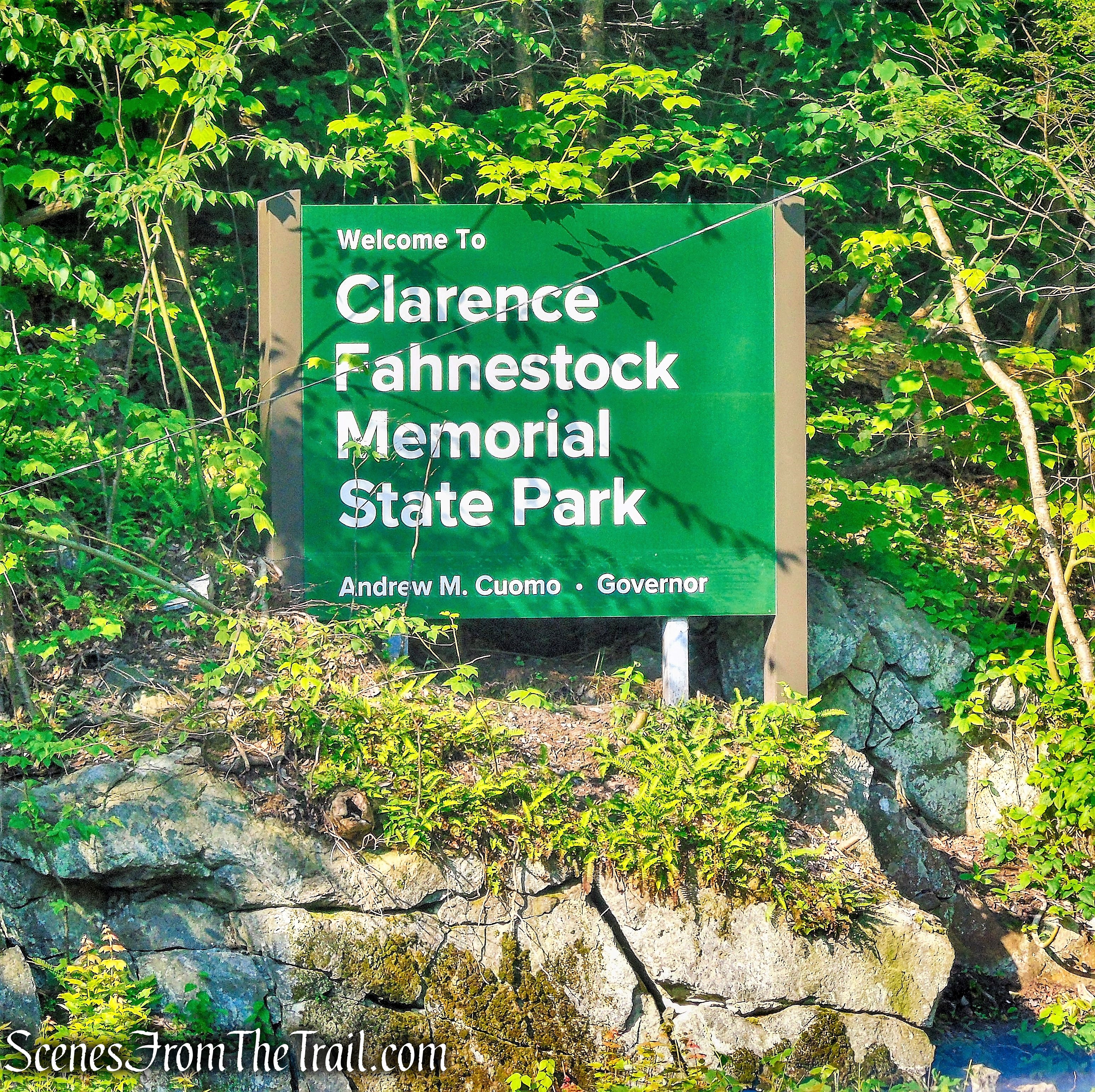
Clarence Fahnestock Memorial State Park
The Canopus Beach, Winter Park and the campground are located in close proximity to the intersection of Route 301 and the Taconic State Parkway. Other developed parts of the park are accessed from the parkway (Stillwater Lake), Route 301 (Pelton Picnic Area and Park Office), Indian Brook Road (Taconic Outdoor Education Center) and Route 9 (Hubbard Lodge). Access to the park’s trail network is provided at small parking areas throughout the park. The Appalachian National Scenic Trail crosses the park in a southwest-northeast direction for over ten miles. The park receives substantial local use, and serves the New York City Metropolitan area to the south, as well as out-of-state users.
Pelton Pond Picnic Area – Fahnestock State Park
The Canopus Lake Area in Fahnestock State Park is a high-use area year-round. During the warmer months, the beach and camping areas are very popular and often filled to capacity. In addition, the lake is used for fishing.
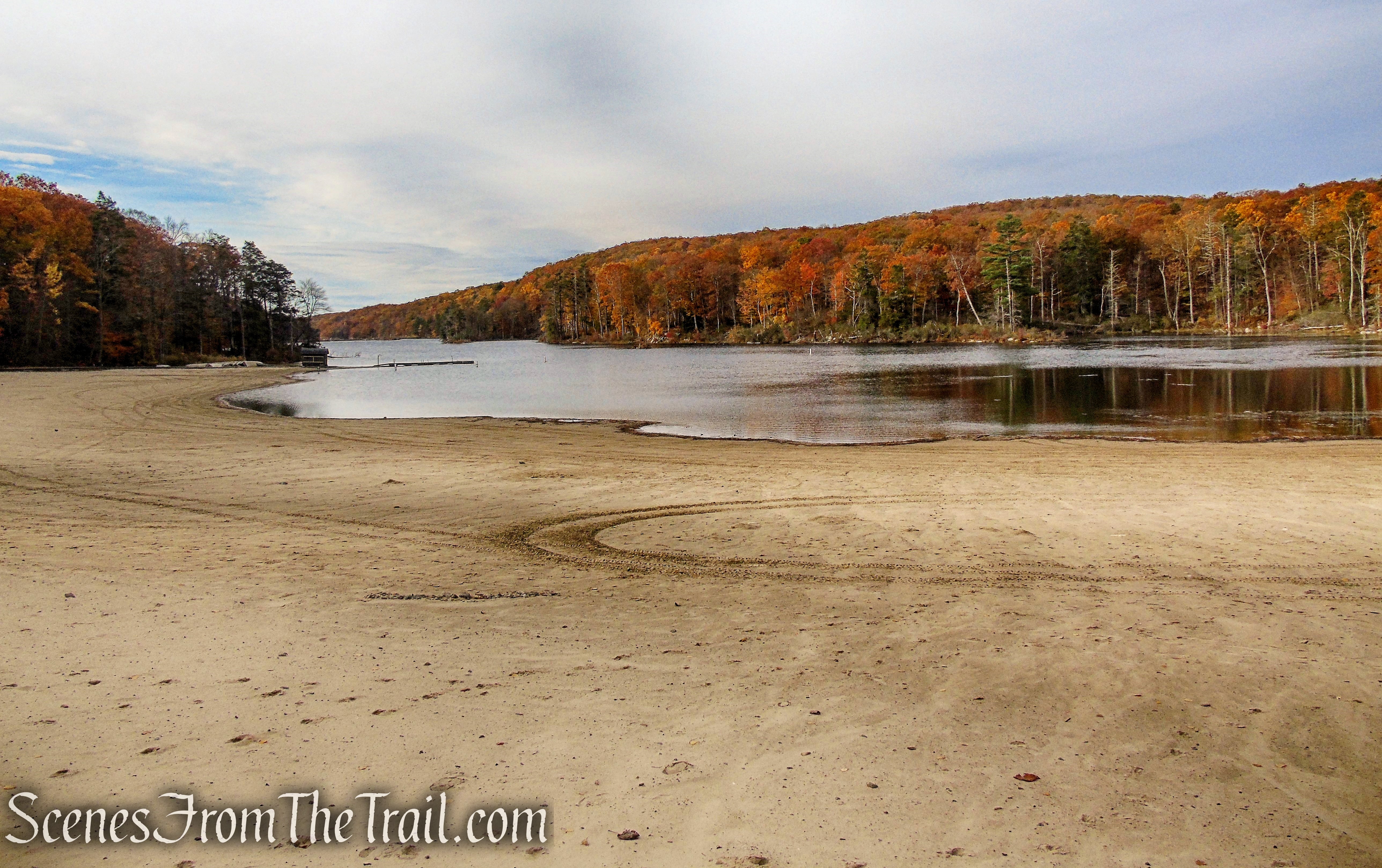
Canopus Beach – Fahnestock State Park
Fahnestock is characterized by parallel ridges and hills that trend in a southwest to northeast direction. Steep slopes are often found on the southeast and northwest aspects of some of these ridges. Elevations range from approximately 400 feet in the lowest area of the park along Clove Creek, in the vicinity of U.S. Route 9, to a maximum of over 1,300 feet on a ridge west of Canopus Lake. The majority of the park is at elevations greater than 600 feet.
There are eight lakes and ponds located wholly within Fahnestock and two that are partially located within the park’s boundaries. All are man-made lakes constructed either prior to the park’s beginning or early in its history.
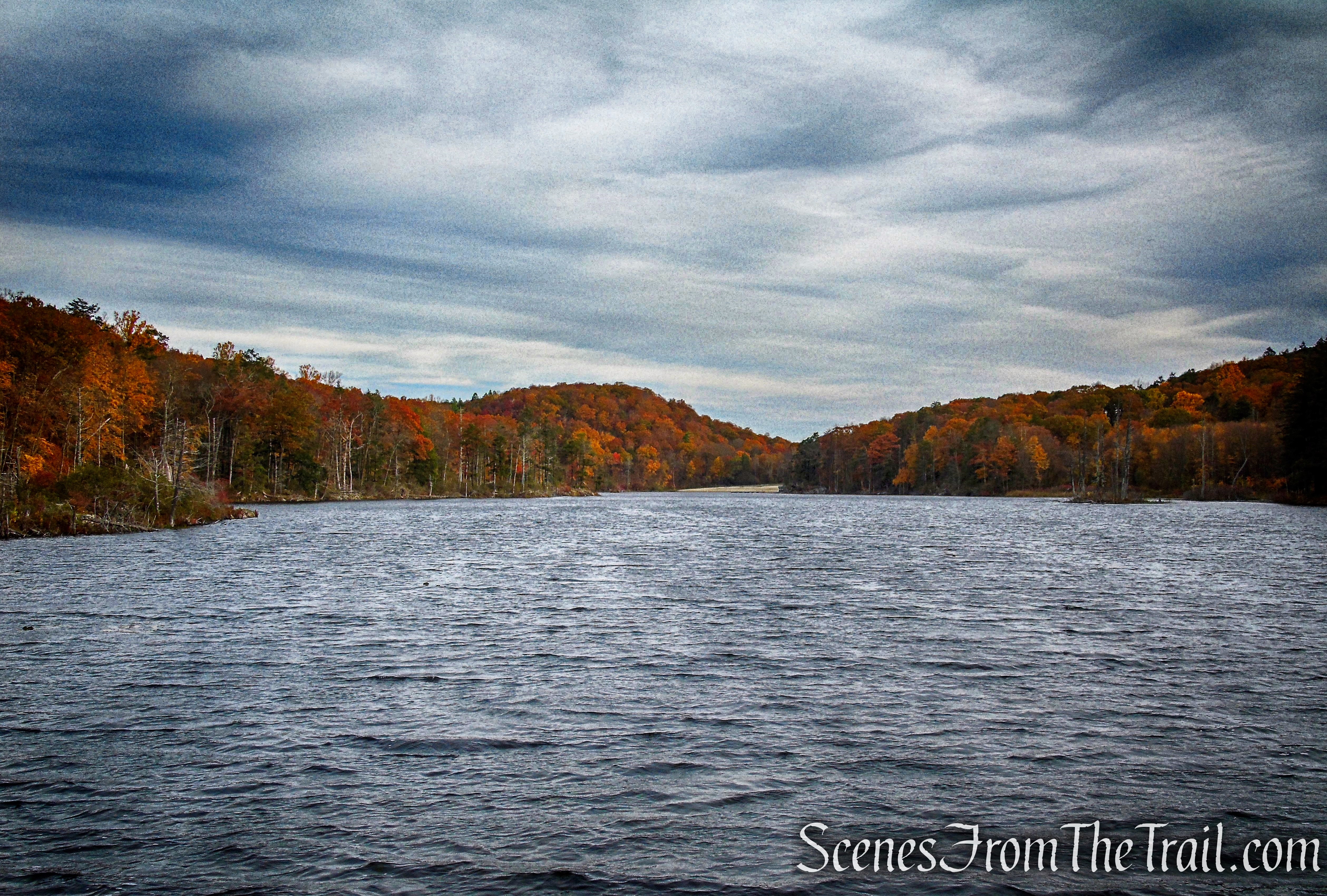
Canopus Lake at an elevation of 915 feet, is a 104-acre lake with a shoreline of approximately 3.7 miles. The maximum depth is about 19 feet and averages about 7 feet. The lake is used for swimming, boating, and fishing. A section of the lake’s shoreline is directly adjacent to Route 301 and the the Appalachian Trail parallels the west side of the lake.

Canopus Lake – Fahnestock State Park
History:
The park was established in conjunction with the design and construction of the Eastern (Taconic) State Parkway. It was the first State Park in Putnam County and the second park on the parkway. In 1929, a 300-acre parcel containing an attractive stretch of Roaring Brook was acquired north of Peekskill Hollow Road for the parkway alignment entering the Highlands of central Putnam County, and the surrounding area was briefly known as Roaring Brook State Park. The following year, Dr. Ernest Fahnestock and his wife donated nearly 2,400 acres for the parkway and a park in memory of Dr. Clarence Fahnestock. Development of the park for picnicking, hiking and equestrian trails, fishing and camping commenced in 1931 and coincided with the ground-breaking for the first section of the parkway at the Westchester-Putnam boundary. Civilian Conservation Corps camps established in the park in 1933, advanced the park development, reconstruction of the Carmel-Cold Spring Road (Route 301), and the parkway. The parkway was opened as a two lane drive to Route 301 in 1936. The park began expanding in the 1960’s and is now one of New York’s larger State Parks at 14,337 acres.
Canopus Lake was created in the mid-1930’s by the Civilian Conservation Corps (CCC) with the construction of a dam at the southern end. Route 301 was relocated on top of this dam. In the 1970’s, a swimming beach was constructed on the northern end of Canopus Lake. This was undertaken by the placement of another dam structure near the midpoint of the lake which would serve to raise the water level in the north end. This structure was to have included pumps to increase circulation, however these were never installed. A large beach and bathhouse was constructed on the northeast side of “Upper Canopus” to complete the project.
Trails Overview:
Fahnestock State Park has more than 51 miles (including AT) of designated trails. All designated trails in the park are marked with colored markers or blazes. Designated trailheads and designated trail intersections are generally well marked with signage and the trails well maintained because of the on-going efforts of New York-New Jersey Trail Conference (NYNJTC) volunteers, other user groups and OPRHP staff.

Appalachian Access Trail – Canopus Lake
There are many undesignated trails throughout the park consisting of wood roads and narrower singletrack trails (trails with a tread width of approximately 18-30 inches). These trails are generally in poor condition as they are not maintained and they are unmarked which causes disorientation for visitors unfamiliar with the parks’ trail systems.
The Appalachian Trail traverses Fahnestock State Park for 10.24 miles, entering from the southern boundary of the park east of Catfish Pond, north across Route 301 past Canopus Lake along the long ridge of Shenandoah Mountain, and exiting the park at Long Hill Road, near the Dutchess-Putnam County boundary. The AT within state parkland is cooperatively managed by the Appalachian Trail Conservancy and the NYNJTC, under a formal Memorandum of Understanding with OPRHP and other entities.

Appalachian Trail – Fahnestock State Park
Hike Overview:
Originally this hike was supposed to begin at Canopus Lake Beach, connecting to the AT from there, and following the AT north towards Long Hill Road, then returning to the Canopus Lake Beach parking area. Unfortunately, when we arrived at Canopus Lake Beach, the parking area was closed. We were informed by a park employee that it will remain closed until 2021.
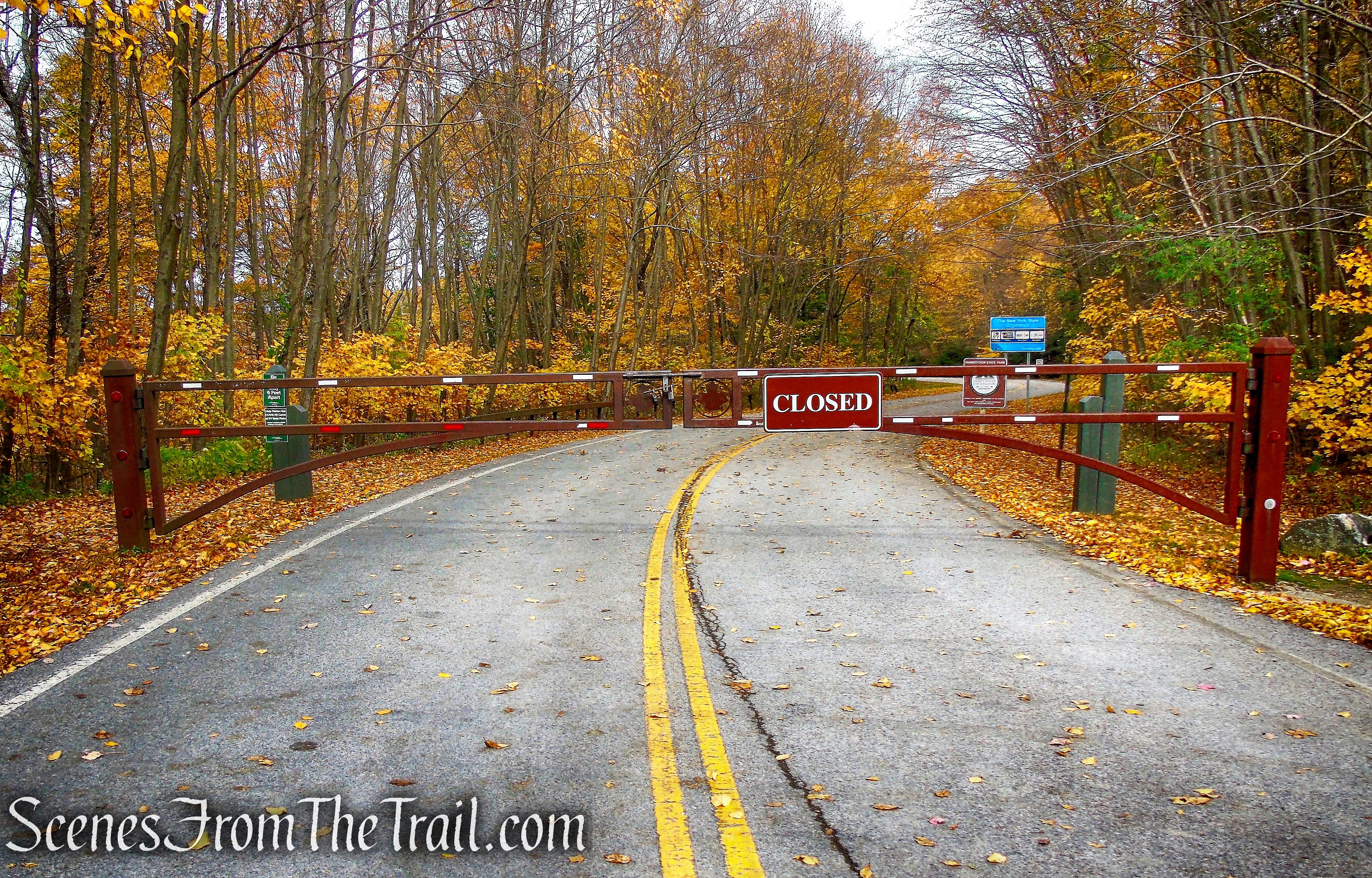
Canopus Lake Recreation Area – Fahnestock State Park
That certainly threw a monkey wrench in our plans, but not to be deterred, we drove down the road to the Pelton Pond Picnic Area to figure out our next move. We decided that we would begin the hike from Pelton Pond, and play it by ear on the route that we would take. This lot holds about 80 cars, but fills up quickly on nice days, especially when Canopus Beach is open. People often park here (no parking fee) to avoid paying for parking at the Canopus Lake Beach Complex.
Pelton Pond Picnic Area – Fahnestock State Park
Looking at the map, I thought that if we made our way across the dam, we could bushwack up to the AT, which follows the ridge above Canopus Lake, and head north. I was hoping that maybe there was a footpath that others may have used, but that was not the case. Once we got there, I decided to abandon that idea due to the thick brush and brambles that blanket the hillside. The AT is only about 500 feet up the steep rocky slope, with about 130 feet of elevation gain from the western end of the Canopus Lake Dam, but it didn’t seem worth the effort.
So using a combination of woods roads, unmarked footpaths and a short bushwack, we made our way back towards Canopus Lake Beach, eliminating as much of the 0.8 mile road walk along Route 301 as possible. From there we took the Appalachian Trail Connector (ATC) to the AT and headed north to a great south facing viewpoint of Canopus Lake. We continued north on the AT, turning right on the other end of the ATC and made our way back to Pelton Pond. This hike does include a short roadwalk of about 700 feet, which can be eliminated by using a woods road that I didn’t realize was there.
Not the exact hike that I had originally mapped out, but it turned out to be a good hike nonetheless, considering that it was done on the fly.
This hike was done clockwise from the Pelton Pond Picnic Area.

Canopus Lake Overlook Loop – Fahnestock State Park
The Hike:
From the parking lot, we walked out of the entrance, directly across from the Park Office, crossed the road and turned right on NYS Route 301. In about 425 feet, there is a woods road on the left (west) that leads downhill behind the Park Office and to the Canopus Lake Dam. In just over 300 ft., another woods road comes in from the right. We continued straight, following the road downhill. In about 800 ft. from NYS Route 301, we turned sharp right onto another woods road that leads to the dam. We walked across the dam, which provides excellent views of Canopus Lake.

woods road – Fahnestock State Park

Canopus Lake Dam – Fahnestock State Park
Canopus Lake – Fahnestock State Park
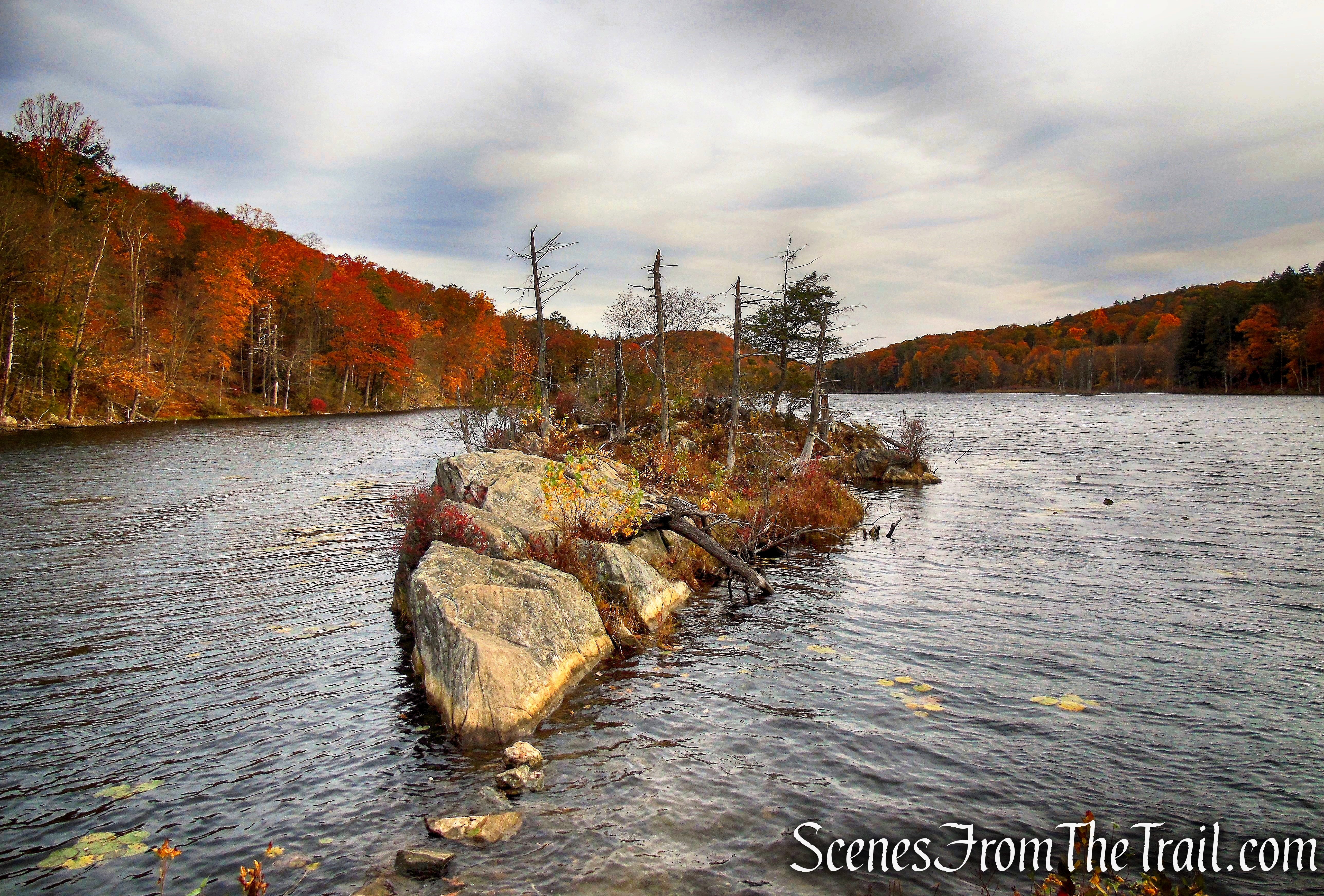
Canopus Lake – Fahnestock State Park
We then retraced our steps back up the hill on the woods road. When we came to the junction we had passed just moments earlier, we veered left on another woods road which runs parallel to the lake, then descends to its shoreline, providing more views of Canopus Lake.

woods road – Fahnestock State Park
woods road – Fahnestock State Park

Canopus Lake – Fahnestock State Park
Canopus Lake – Fahnestock State Park
The woods road then veers away from the lake and begins to climb. As the road turns a sharp right to ascend towards NYS Route 301, we left the road and continued straight on a faint footpath. Soon the footpath becomes hard to follow and we began bushwacking in a northwesterly direction towards Canopus Lake Beach. We came to a picnic area complete with tables and grills. We stopped here briefly to take a break.

woods road – Fahnestock State Park

faint footpath – Fahnestock State Park
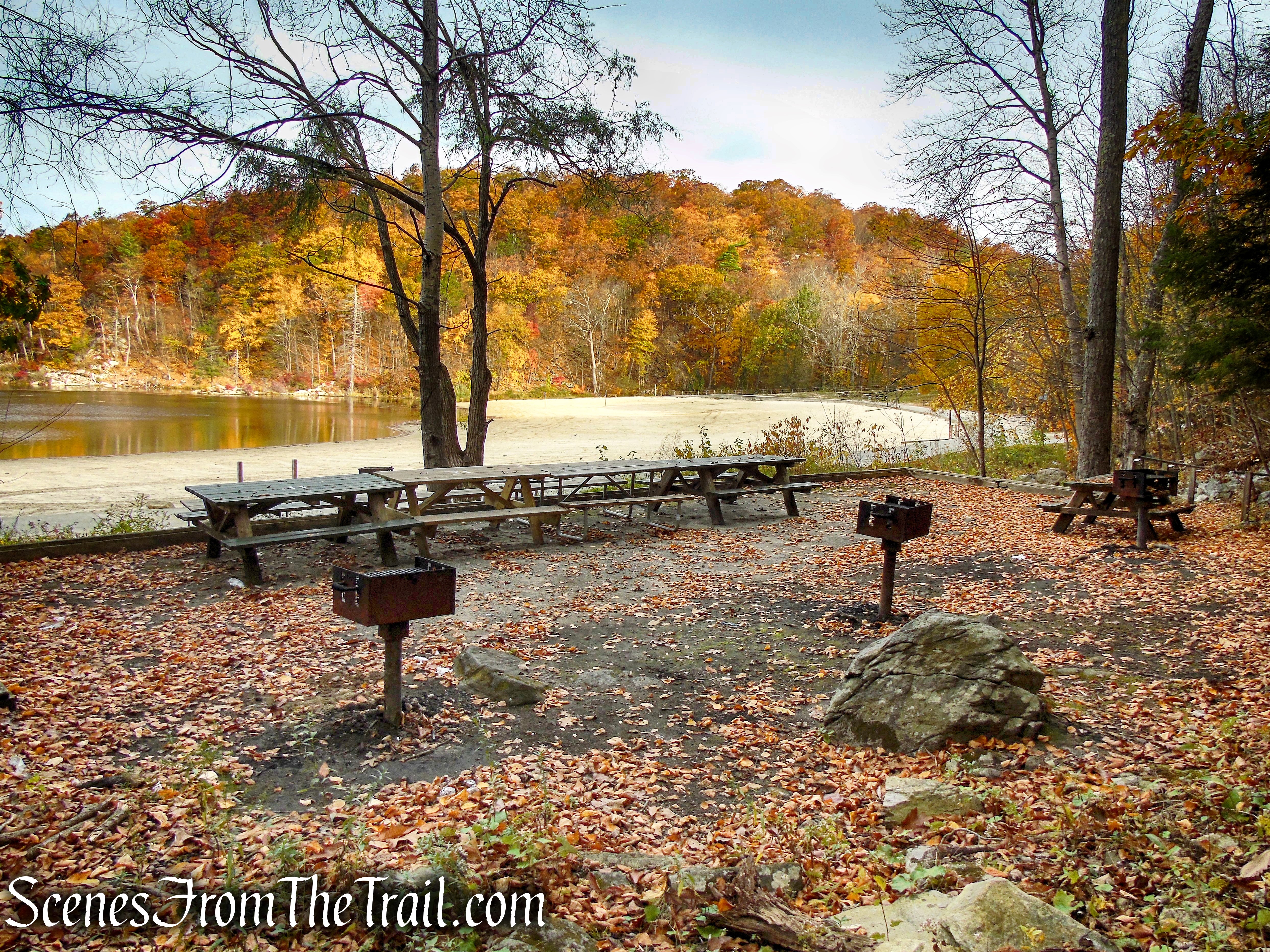
Canopus Lake Beach – Fahnestock State Park
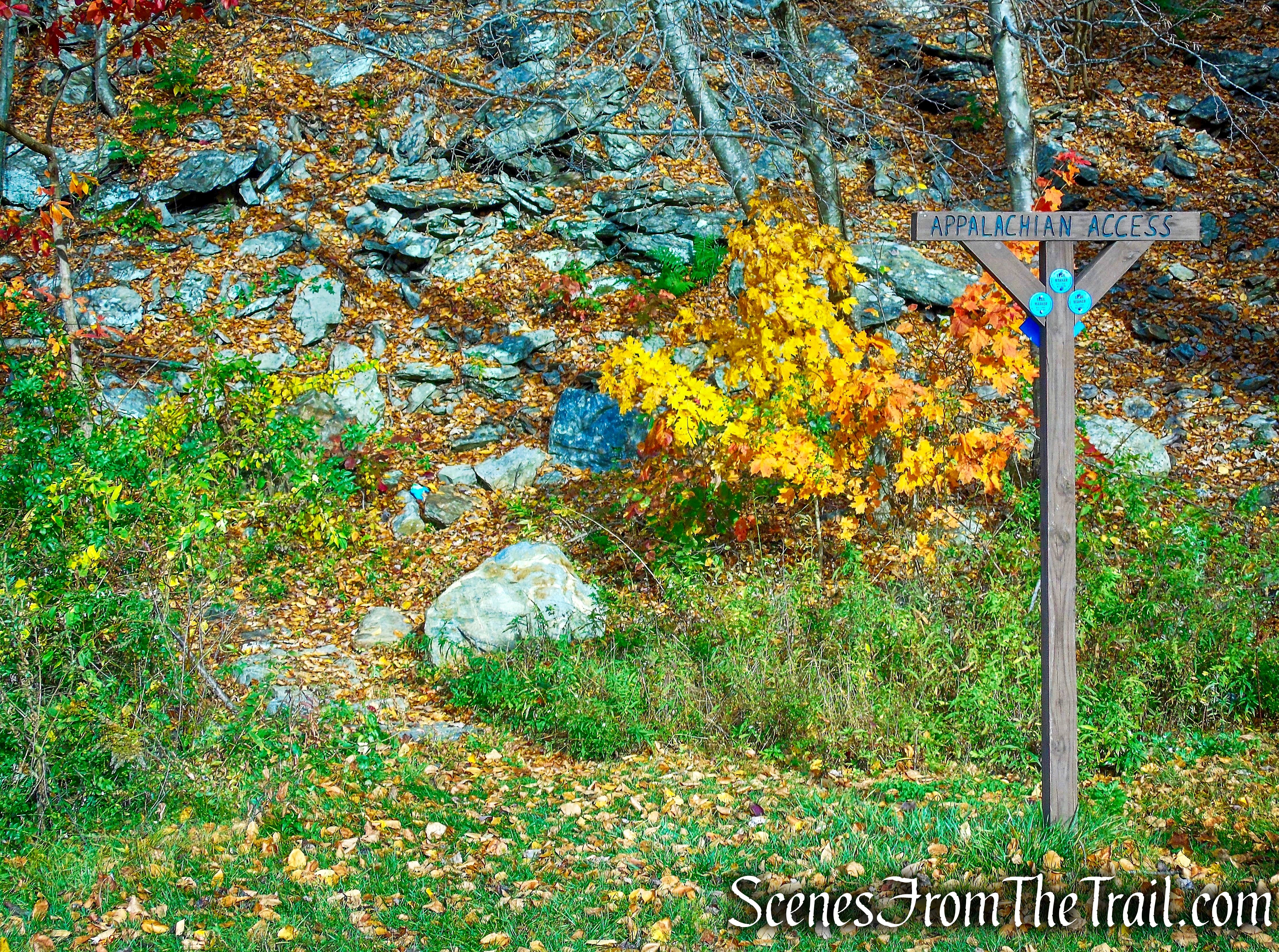
We then proceeded towards the northern end of Canopus Lake Beach on the paved walkway. Just before reaching the woods, there is a sign that directs hikers to the Appalachian Trail Connector. This blue-blazed trail turns left after entering the woods and sidehills Shenandoah Mountain, going south. Along the way, there is a massive rock overhang that looks like an indian rock shelter. Soon the trail dips down to the edge of the lake then turns right and begins to climb, steeply at times.
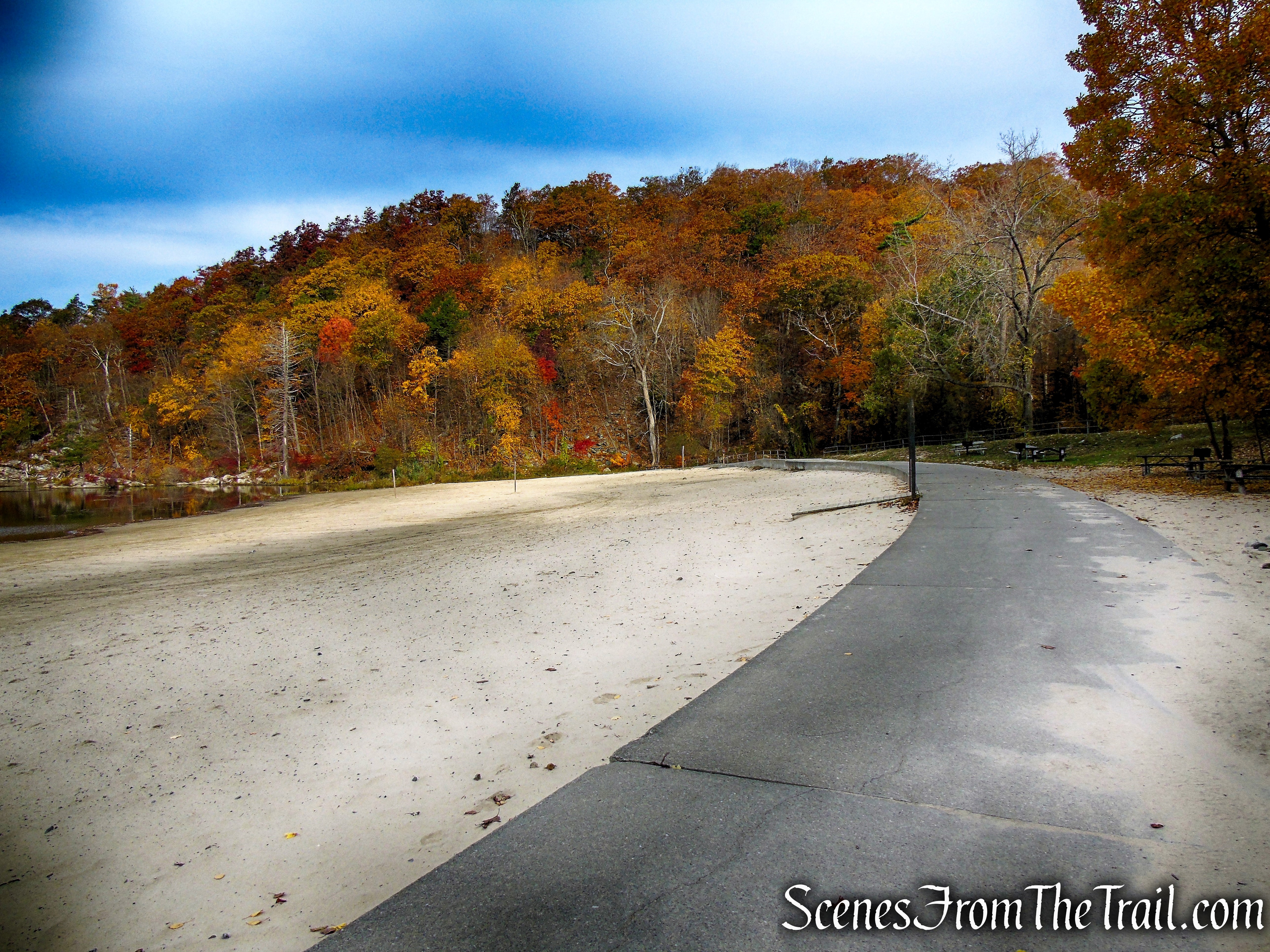
Canopus Lake Beach – Fahnestock State Park
Canopus Lake Beach – Fahnestock State Park
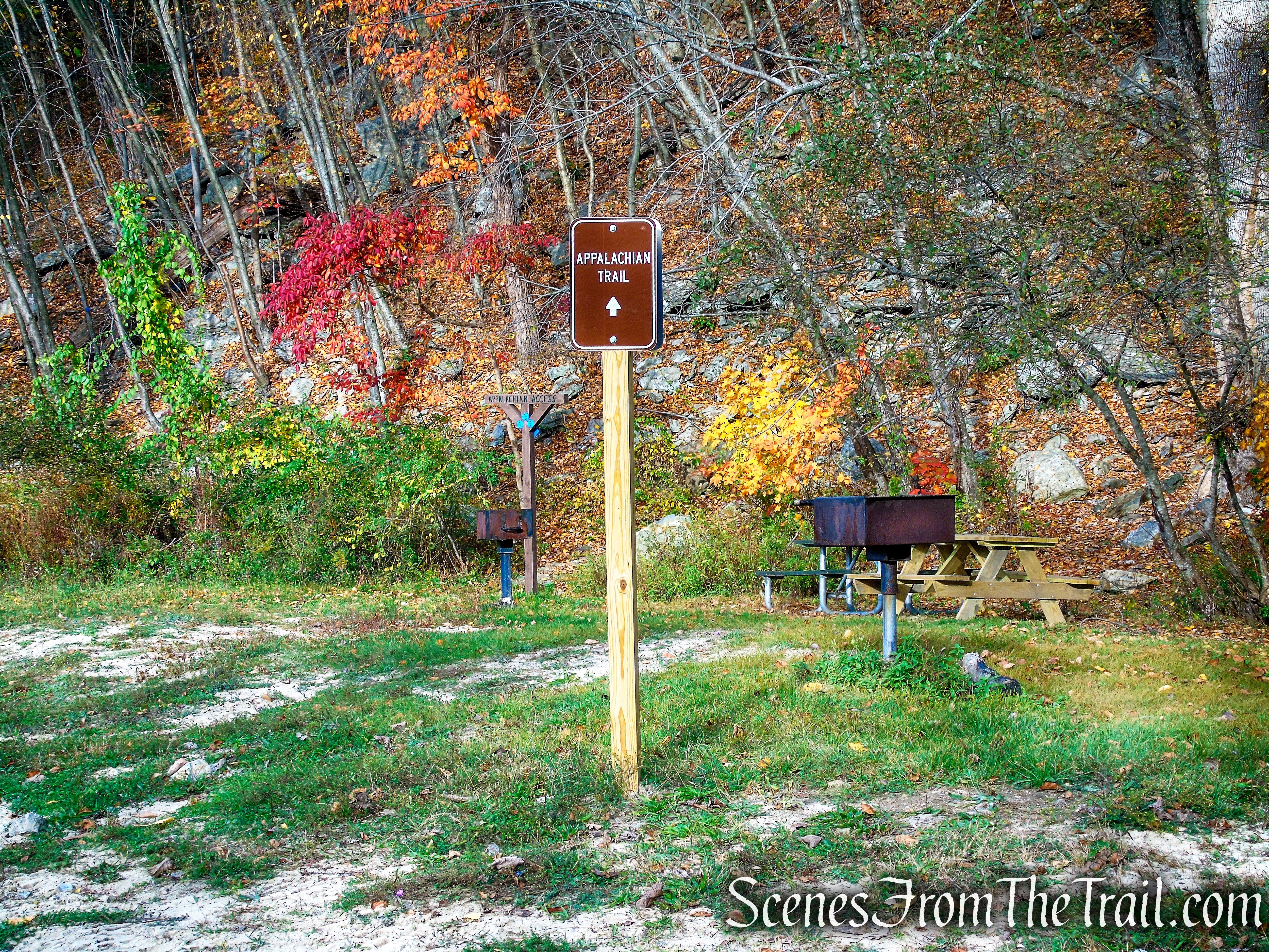
Appalachian Access Trail – Canopus Lake Beach
Appalachian Access Trail – Canopus Lake Beach
Appalachian Access Trail – Canopus Lake Beach

Appalachian Access Trail – Canopus Lake Beach
rock overhang – Appalachian Access Trail
Appalachian Access Trail – Canopus Lake Beach
Appalachian Access Trail – Canopus Lake Beach

Appalachian Access Trail – Canopus Lake Beach

Appalachian Access Trail – Canopus Lake Beach
In about 400 yards (0.25 mile), the Appalachian Trail Connector reaches a junction with the white-blazed Appalachian Trail where we turned right, heading north. We passed a couple of AT Southbounders in this area. The AT climbs gradually at first, turns right, then climbs more steeply as it ascends through the heavily wooded Shenandoah Mountain. After a short, but steep climb, the trail levels off briefly and Canopus Lake may be visible through the trees. Soon, the AT turns left at a junction with an unmarked footpath and climbs steeply. At the top of the rise, is the Canopus Lake Overlook.
turn right on Appalachian Trail

Appalachian Trail – Fahnestock State Park

Appalachian Trail – Fahnestock State Park

Appalachian Trail – Fahnestock State Park
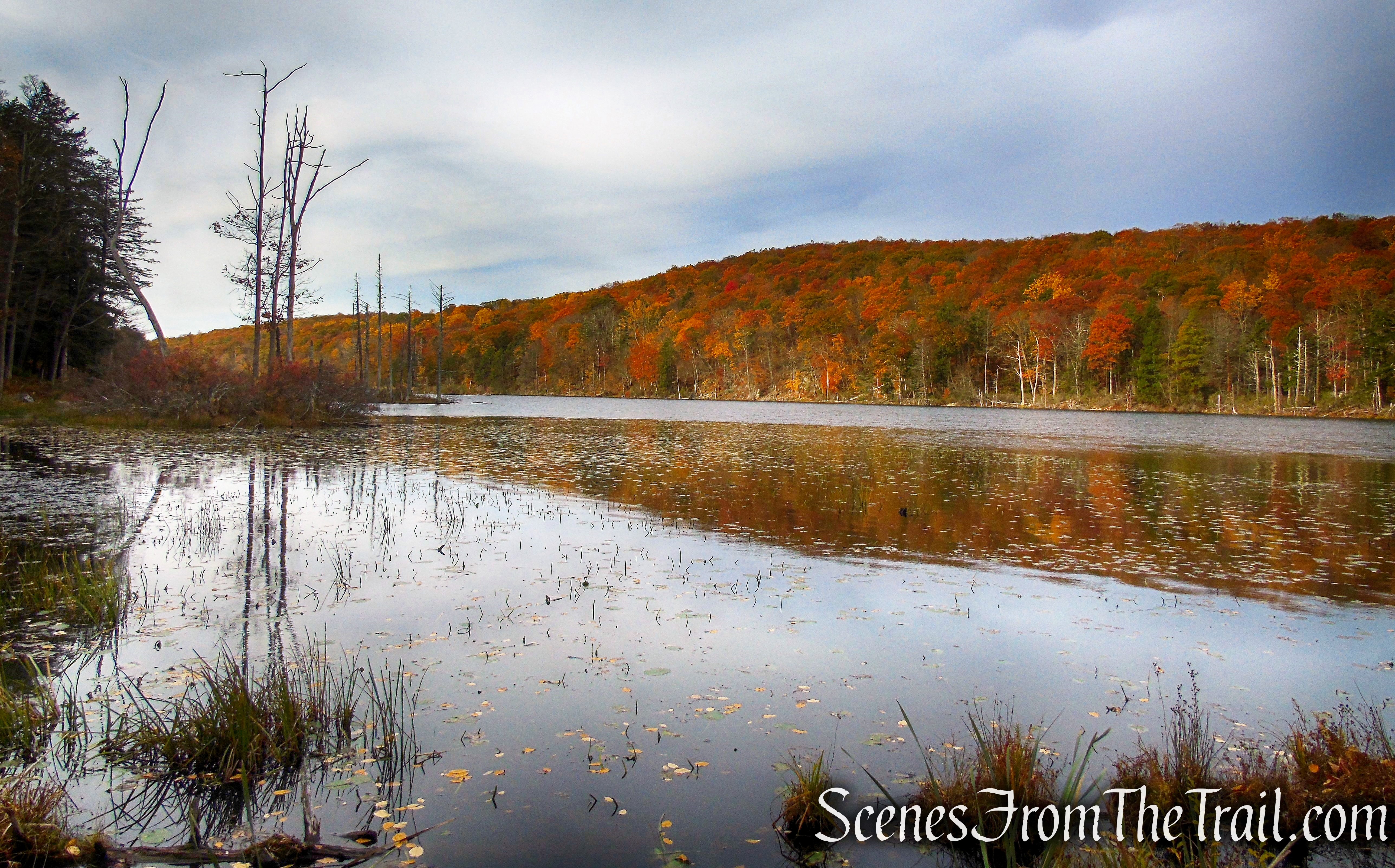
This rock outcrop which looks south over Canopus Lake is a great place to take a break and enjoy the view. In the distance, the Canopus Lake Dam is visible as it bisects the lake. While we were here, which was a long while, only a jogger with his dog came by. Other than that we had this spot all to ourselves for the entire time.
Canopus Lake Overlook – Appalachian Trail
Canopus Lake Overlook – Appalachian Trail
When we were done relaxing, we continued north on the AT, along the long ridge of Shenandoah Mountain. In about 760 feet, to the left of the trail, is a west-facing viewpoint. Not as dramatic as the one we just left, but worth a stop. I actually walked right past it, but was alerted by my hiking partners that I had missed it.
Appalachian Trail – Fahnestock State Park
Appalachian Trail – Fahnestock State Park
view west from Appalachian Trail – Fahnestock State Park
The area around this viewpoint is the highest point of elevation reached on this hike, 1156 ft. From this point, heading north, the AT descends steadily, steeply at times. In about another 0.6 mile (from the west-facing viewpoint), The AT reaches a junction with the blue-blazed Appalachian Trail Connector. We turned right, leaving the AT and began following the blue blazes.
Appalachian Trail – Fahnestock State Park
Appalachian Trail – Fahnestock State Park
Appalachian Trail – Fahnestock State Park
Appalachian Trail – Fahnestock State Park
Appalachian Trail – Fahnestock State Park

Appalachian Trail – Fahnestock State Park
turn right on Blue Trail
This blue-blazed trail heads in a southerly direction back towards the Canopus Lake Beach Area. The trail climbs a little then levels off slightly before climbing again. It soon begins a steady descent through the woods.

Appalachian Way – Fahnestock State Park
Appalachian Way – Fahnestock State Park
Appalachian Way – Fahnestock State Park
The trail then climbs a little before descending towards a field, which is the Appalachian Trail through hikers camping area. Here the blue-blazed trail skirts the field on the right and a yellow-blazed trail skirts the field to the left. We continued straight and walked through the field. There are several picnic tables and grills in this area. Either way leads back towards the Canopus Lake parking area.
Appalachian Way – Fahnestock State Park

AT through hiker camping – Fahnestock State Park
We stayed to the right after crossing the field and began walking on a gravel road, the route of the Appalachian Trail Connector.
Appalachian Way – Fahnestock State Park
Appalachian Way – Fahnestock State Park
Appalachian Way – Fahnestock State Park
We then made our way to the Canopus Lake Beach Entrance Road and out to NYS Route 301.
Canopus Lake Beach Entrance Road – Fahnestock State Park
We turned right and walked along the road for about 700 feet then turned left onto a woods road. In hindsight, we could have crossed the road and entered the campground, which is directly across from the Canopus Lake Beach Entrance, and turned right on another woods road which connects to the woods road that we took. This eliminates the 700 ft. roadwalk along Route 301. I didn’t bother to look at the map and discovered my error later.
NYS Route 301 – Fahnestock State Park

woods road – Fahnestock State Park
The woods road comes to a junction where we veered right. To the left is the woods road that connects to the campgrounds entrance.
turn right at the junction
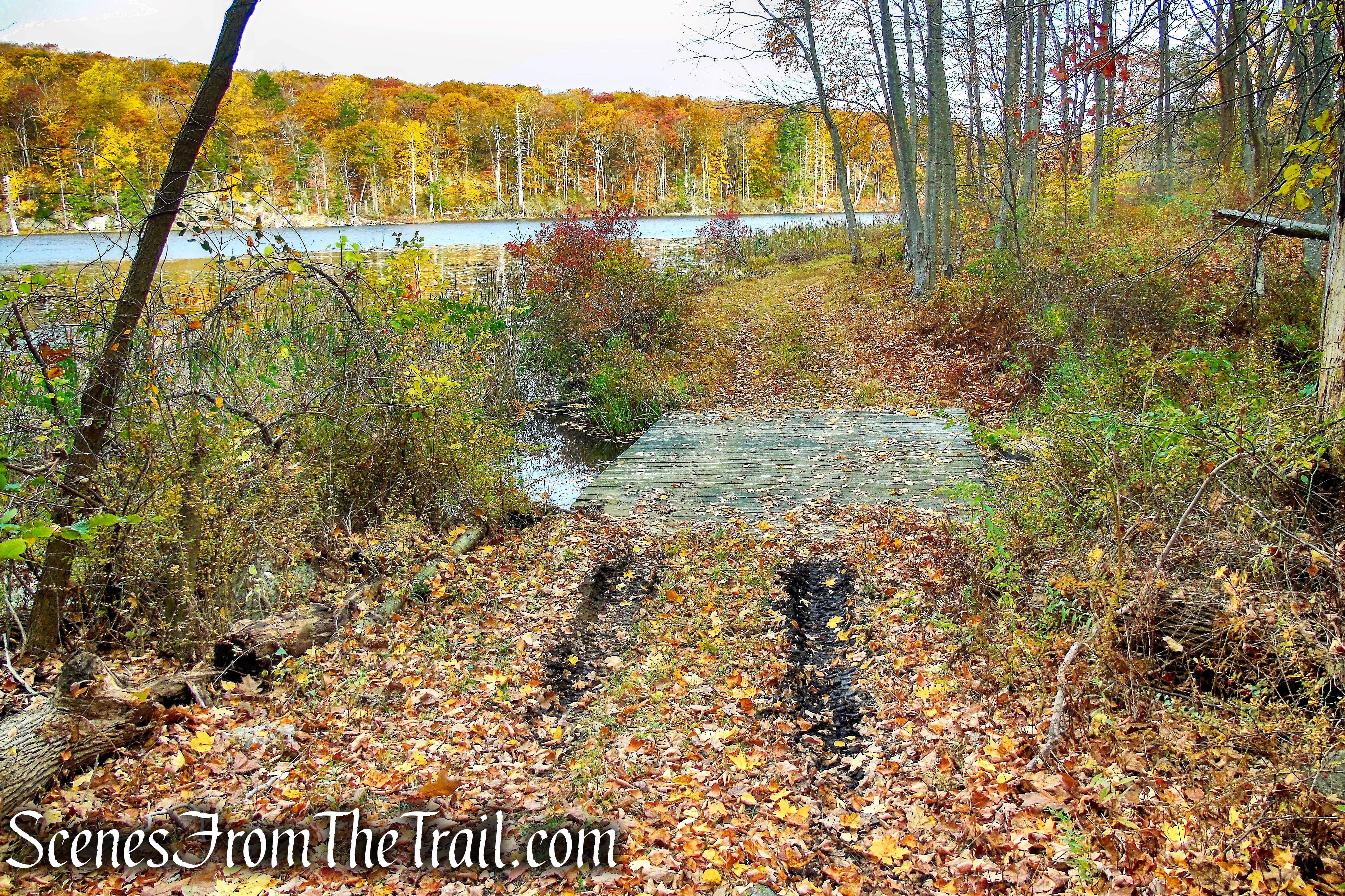
When we reached a junction with the yellow blazed Pelton Pond Nature Trail, we walked a few feet to the left to check out the ruins of an old stone pump house at the northern end of Pelton Pond. We then followed the yellow-blazed trail along the western side of the pond, passing by the public bathrooms, then leaving the trail and taking a short dirt road back to the parking area, where the hike began.
pumphouse ruins – Pelton Pond

Pelton Pond – Fahnestock State Park
Pelton Pond Picnic Area
Review:
This was a great improvised hike through very scenic woods and a fantastic viewpoint over Canopus Lake. The woods were quiet and we only encountered several people until we returned back to the Pelton Pond area. The marked trails were well maintained and well blazed.
Pros:
Well maintained and blazed trails, scenic views of Canopus Lake, very quiet area, not much foot traffic during our visit, interesting rock formations, pump house ruins.
Cons:
Not a big fan of roadwalks, although with the exception of crossing NYS Route 301 twice, all of the roadwalk can be eliminated.
After the hike, we had some good eats and sweets.

Take a Hike
Take a hike!

Canopus Lake Overlook Loop – Fahnestock State Park
Sources:
