October 31, 2020 – Lloyd Harbor, NY
Difficulty: Easy
Length: Approximately 3.5 miles
Max elevation: 163 ft.– total elevation gain approximately 186 ft.
Route type: Circuit
Free Web Map: Target Rock National Wildlife Refuge Trail Map – Target Rock Trail Guide
Trailhead parking: 12 Target Rock Rd, Lloyd Harbor, NY 11743
Overview:
The Target Rock National Wildlife Refuge is located on the north shore of Long Island, 25 miles east of New York City. This 80-acre refuge is composed of mature oak-hickory forest, a half-mile rocky beach, a brackish pond, and several vernal ponds. The land and waters support a variety of songbirds (particularly warblers during spring migration), mammals, shorebirds, fish, reptiles and amphibians. During the colder months, diving ducks are common offshore, while harbor seals occasionally use the beach and nearby rocks as resting sites. NY State and Federally protected piping plover, least tern, and common tern depend on the Refuge’s rocky shore for foraging and rearing young. The spring bloom at Target Rock is a reminder of its days as a garden estate, with flowering rhododendrons and mountain laurel.
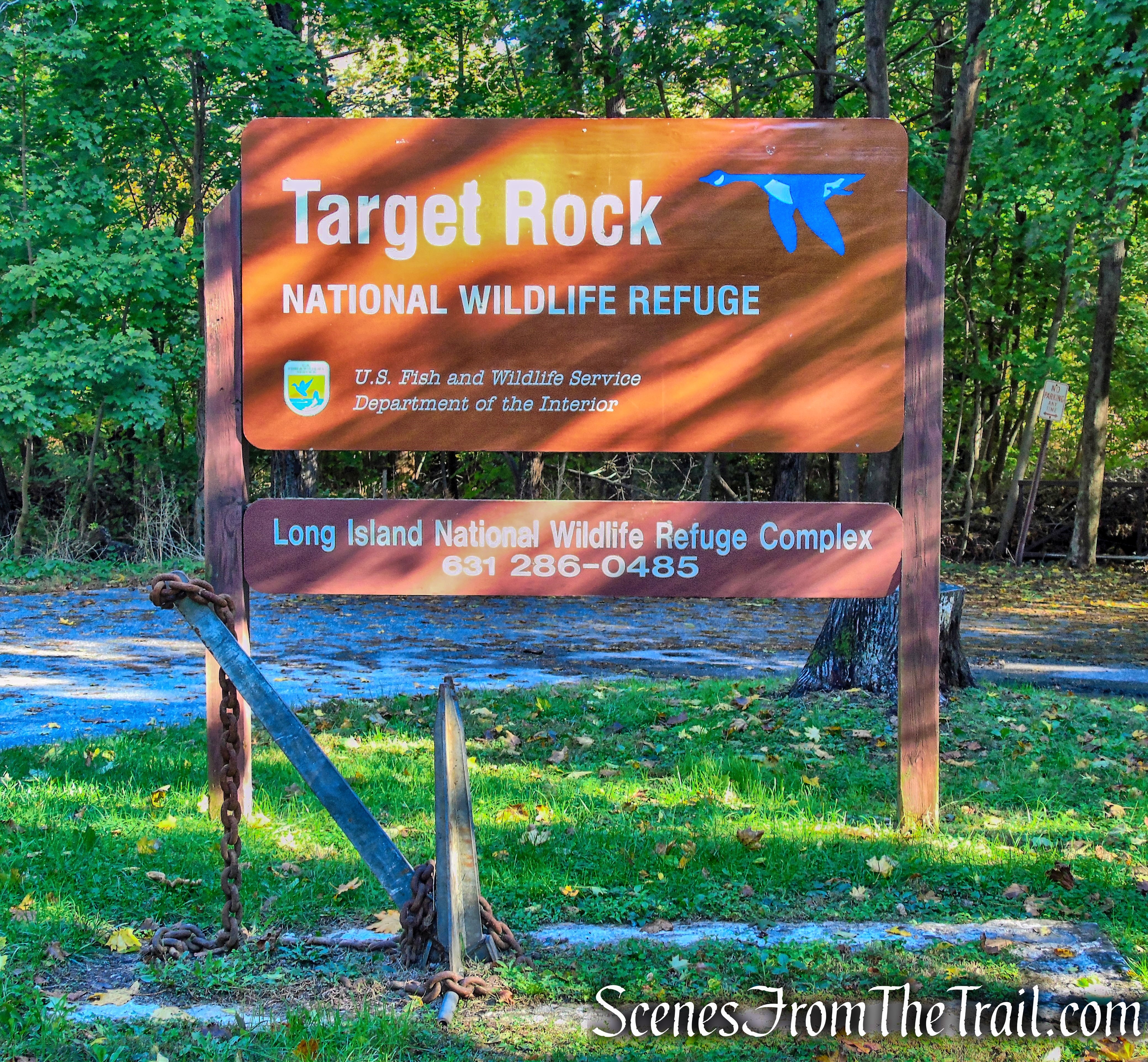
Target Rock National Wildlife Refuge
The Target Rock National Wildlife Refuge is part of the Long Island National Wildlife Refuge Complex, which consists of seven national wildlife refuges, two refuge sub-units and one wildlife management area. Collectively, the ten units are approximately 6,500 acres in size. Wertheim National Wildlife Refuge is home to the refuge complex headquarters and visitor center. These units are part of the National Wildlife Refuge System.
Founded by President Theodore Roosevelt in 1903 and administered by the U.S. Fish and Wildlife Service, the National Wildlife Refuge System is a diverse network of lands and waters dedicated to conserving America’s rich fish and wildlife heritage.
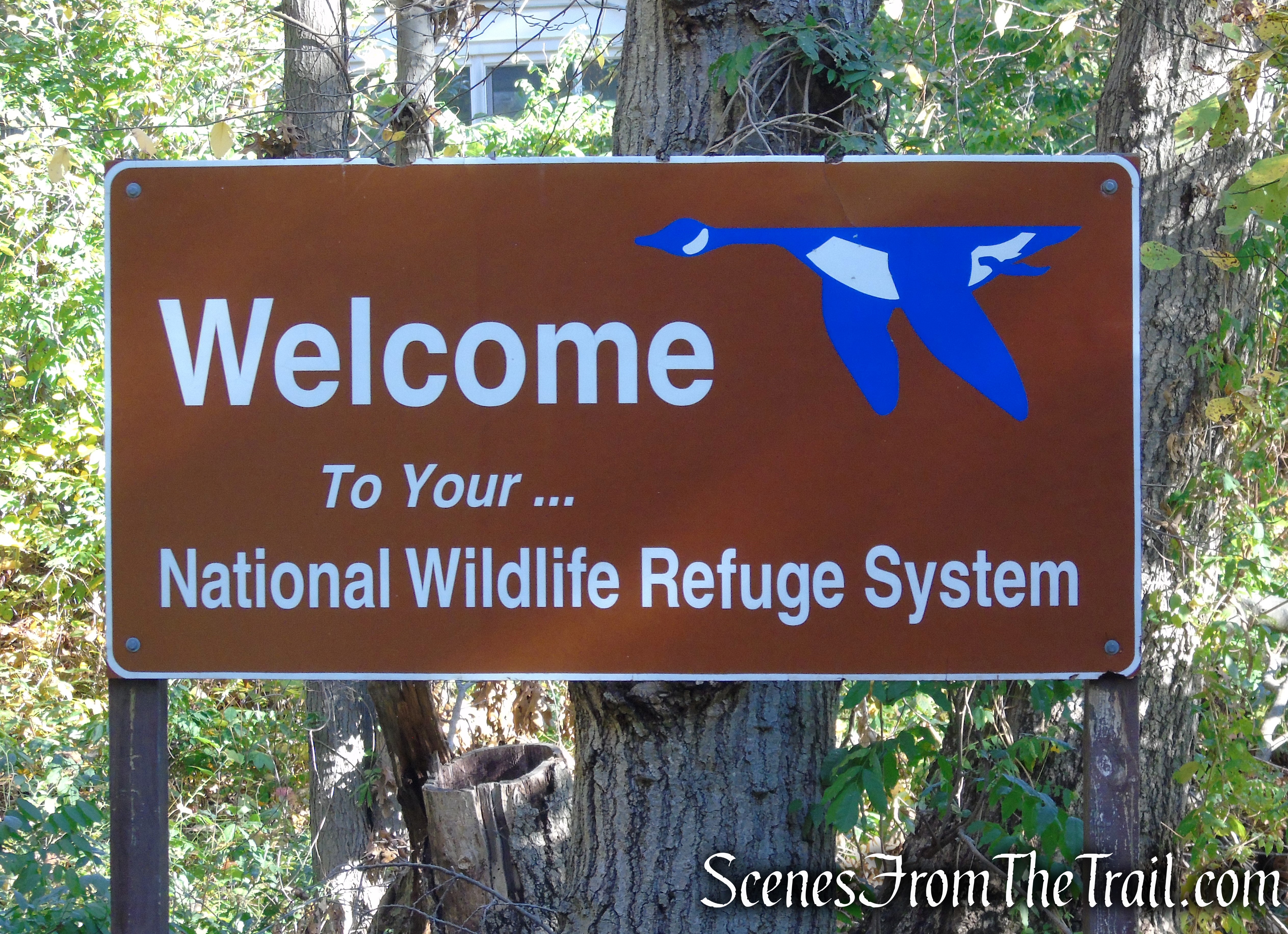
National Wildlife Refuge System
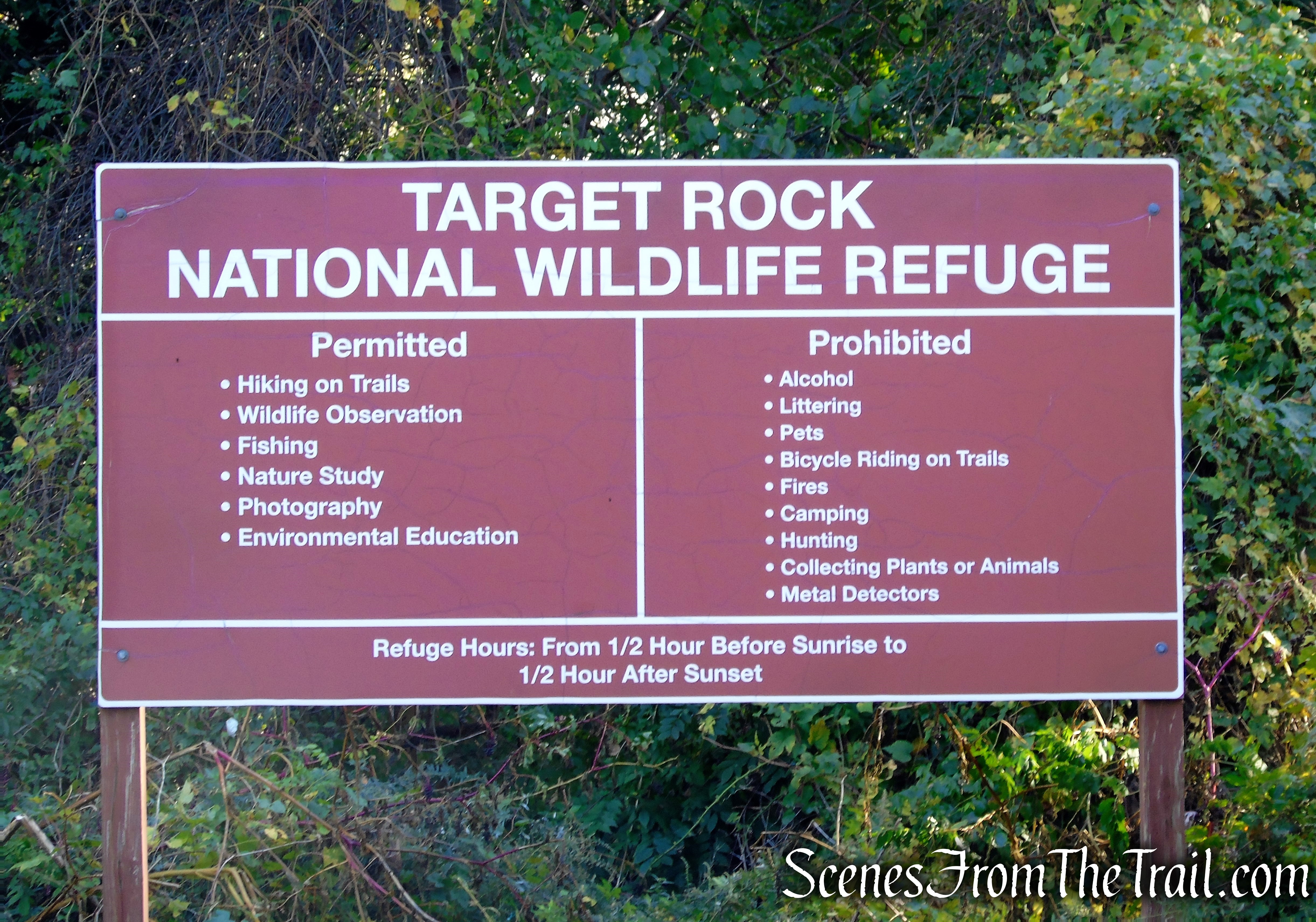
Visitor Activities:
- Fishing – Fishing is allowed from the shoreline. A free New York state salt water fishing license is required. Common fish species include striped bass (striper or rockfish), weakfish, summer flounder (fluke), bluefish, blackfish (tautog) and porgy (scup).
Please clean your fish at home. The refuge does NOT maintain a fish cleaning station. - Wildlife Viewing – Most wildlife viewing is done from one of three hiking trails. Catbirds, cardinals, common yellowthroats and Carolina wrens use the dense understory formed by azaleas, rhododendrons and yews.
- Environmental Education – Limited interactive, student oriented activities are offered. Please contact the headquarters office in order to set up programming for your private group. (631) 286-0485.
- Photography – Nature based photography is permitted along any of the trails and along the beach. Please stay on marked trails and do not disturb resting wildlife.
The refuge is managed by the U.S. Fish and Wildlife Service.
Target Rock National Wildlife Refuge
History:
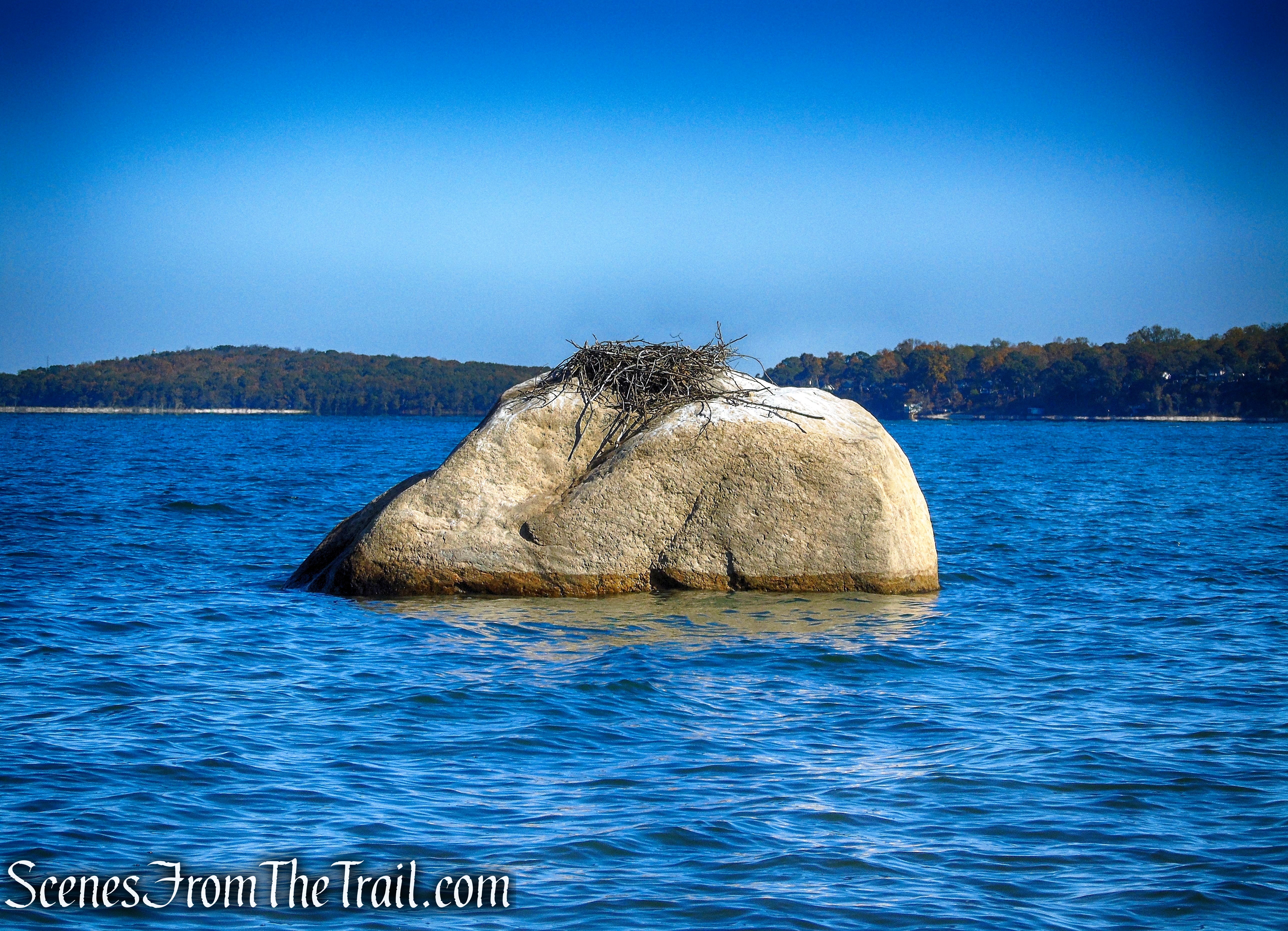
The 80-acre refuge is named for the massive shoreline rock, one of the island’s boulders that remain from the glacial deposits. Legend has it the British Navy used the 14-foot high “Target Rock” for target practice during the War of 1812. Long Island’s geography was carved out by glaciers thousands of years ago, forming bluffs, dunes, necks and bays. At the time of the Revolutionary War, Target Rock was part of the bluffs that overlook Huntington Bay. Over the centuries, constant movement of the winds and waters eroded the massive boulder away from the bluff, consigning it to stand individually just offshore.
Target Rock
In 1654, the Matinecock Native Americans sold 3,000 acres of what is now called Lloyd Neck to English settlers from Oyster Bay. In 1676, James Lloyd acquired the neck, which was then taken over by his son Henry. Henry Lloyd farmed the land and erected a house, which still survives in Caumsett State Park.
During the Revolutionary War, the town of Huntington along with the village of Lloyd Neck was occupied by the British. A fort (Fort Franklin 1777-1780, now known as Fort Hill) was built by the British on the western end of Lloyd Neck overlooking the entrance to Cold Spring Harbor. Another fortification (East Fort) was built on the east side of Lloyd Neck near the site of Target Rock. The forts were designed by the British to defend the harbors from French and American forces who attacked the forts several times. Despite the bloody battles there, the Revolutionaries never took Fort Franklin, and it was eventually abandoned after the war.
Target Rock was known to have been a target for cannon practice by British warships during the War of 1812. This glacial erratic which once sat on the side of the cliff, along with the ground that East Fort stood on, receded into the ocean over time, due to erosion.
In the 1880’s, Lloyd Neck became a stop for steamboats coming from New York City, bringing tourists and wealthy New Yorkers.
The 1900’s ushered the era of the Long Island Gold Coast, and various wealthy families began to buy land and build seaside mansions and estates.
In the early 20th century, an estate with 300 acres and 2 miles of waterfront, was established at the eastern end of Lloyd Neck, the site where East Fort once stood. Originally built by Rudolph and Olga (Von Neufville) Flinsch, it was called Target Rock Farm. It was then purchased from the Flinsches by Ambassador James W. Gerard in 1921 who made extensive improvements to the property.
In 1936 the property was sold to Investment Banker and pioneering mutual fund proprietor Ferdinand Eberstadt who constructed a new 40,000 square ft. Georgian style home, designed by Delano and Aldrich in 1937-1938. Under Eberstadt’s ownership Target Rock Farm would become known for its magnificent gardens.
In 1967 he donated this property to the Federal government under the Migratory Bird Conservation Act. Although it was first considered as the potential site of a future nuclear power plant, the estate was ultimately destined for use as a wildlife refuge with the goal of preserving endangered plant and animal species and promoting a migratory route for birds. The donated land was to be the formal legal basis that halted the proposed construction of a nuclear power plant by the Long Island Lighting Company (LILCO) in 1970.
After being declared too deteriorated to be repaired and despite attempts by preservationists to save the mansion, it was demolished in 1995 by the Fish and Wildlife Service, which said that it had deteriorated and that repairing it was “not the purpose the refuge was established for.”
Trails Overview:
The Target Rock National Wildlife Refuge has about 1.5 miles of woodland trails plus a half-mile of rocky beach. The adjacent East Beach provides almost another mile of continuous shoreline to walk on if one wants to extend the distance.
- Gardener’s Path (0.3 mile) is a wide, gentle walk past the former vegetable and cutting garden of Ferdinand and Mary Eberstadt. Access to this trail is from the Rocky Beach Trail.
- Warbler’s Loop (0.5 mile) descends gradually from the parking area, through the woods and ends at a junction with the Rocky Beach Trail.
- Rocky Beach Trail (0.5 mile) descends gradually from the parking lot, passing the two access points for the Gardener’s Path, the terminus of the Warbler’s Loop and ends at the Rocky Beach.
- Beach Access Trail (500 feet) can be accessed from the Rocky Beach Trail or the Rocky Beach, near the area of the Beach Access Stairs.
- Rocky Beach (0.5 mile) although not a trail, provides an area for walking along the shoreline or just for sitting on the sand.
- East Beach (0.9 mile) technically not part of Target Rock National Wildlife Refuge, but provides some extra shoreline for walking along if so desired.
Hike Overview:
We arrived shortly before 10:30am on a cool Halloween morning. The temperature was hovering around 40° and there was only one car in the parking lot, which left as we were pulling in. We planned on doing a loop incorporating East Beach to lengthen the walk. We began on the Warbler’s Loop Trail, connecting to the Rocky Beach Trail towards the beach, and walking south as far as possible along East Beach. Retracing our steps along East Beach to Rocky Beach for a view of Target Rock, then returning via the Beach Access Stairs to the upper portion of the Rocky Beach Trail and back to the parking area. We did not walk on the Gardener’s Path during our visit.

Target Rock National Wildlife Refuge
The Hike:
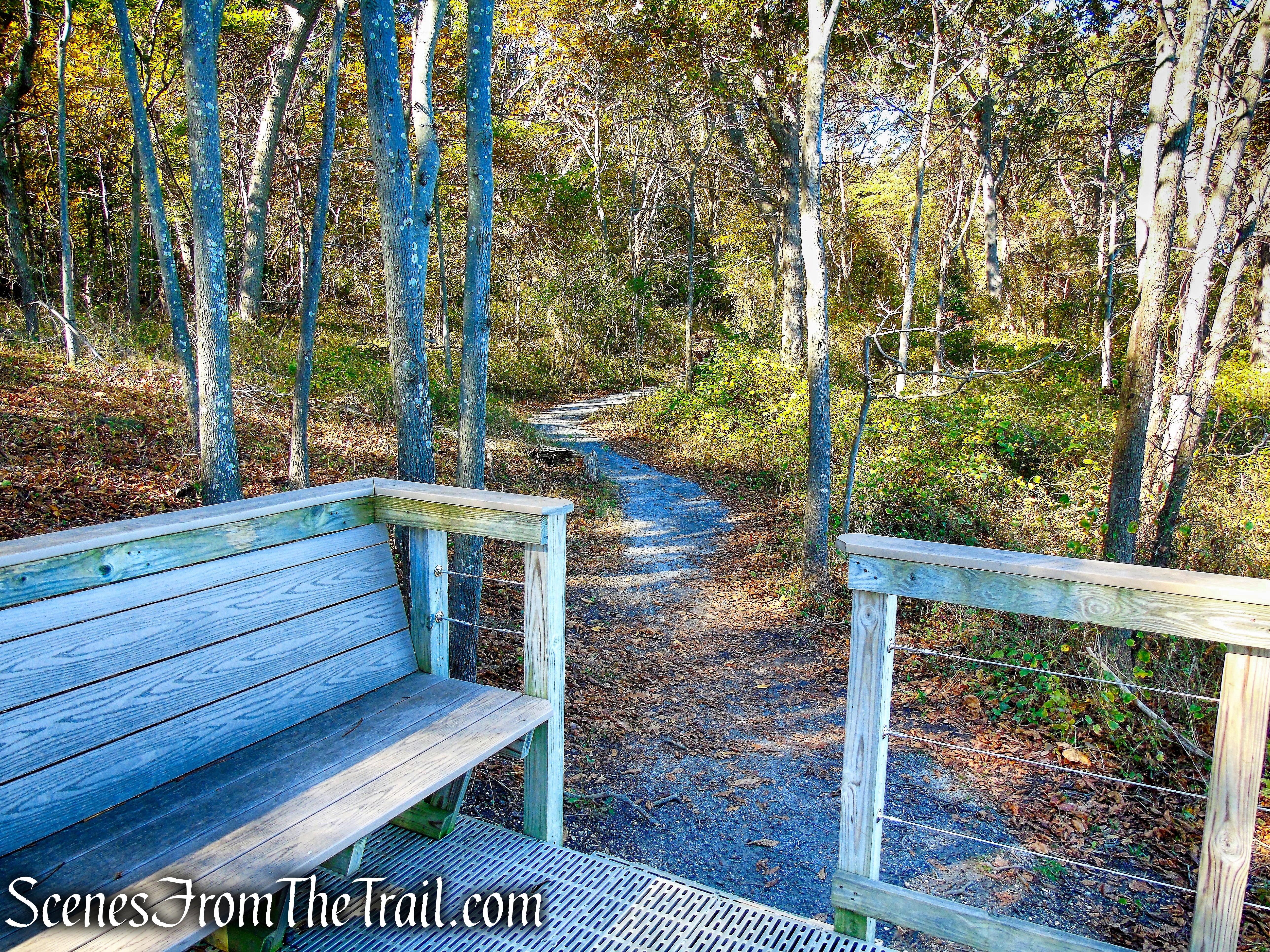
From the parking area, we proceeded east on the Warbler’s Loop Trail which leads gradually downhill on a wide path.

Warbler’s Loop

Warbler’s Loop Trail
Warbler’s Loop Trail
Warbler’s Loop Trail
In about 0.5 mile, The Warbler’s Loop Trail ends at a T-intersection with the Rocky Beach Trail, marked by a bench and a sign. Here we turned right and followed the Rocky Beach Trail downhill.

turn right on Rocky Beach Trail

Rocky Beach Trail

Rocky Beach Trail
In approximately another 200 yards, the Rocky Beach Trail comes to another T-intersection, marked by a kiosk. To the left is the Beach Access Trail, which would be our return route. We stayed right to continue on the Rocky Beach Trail.

turn right on Rocky Beach Trail

turn right on Rocky Beach Trail
Rocky Beach Trail
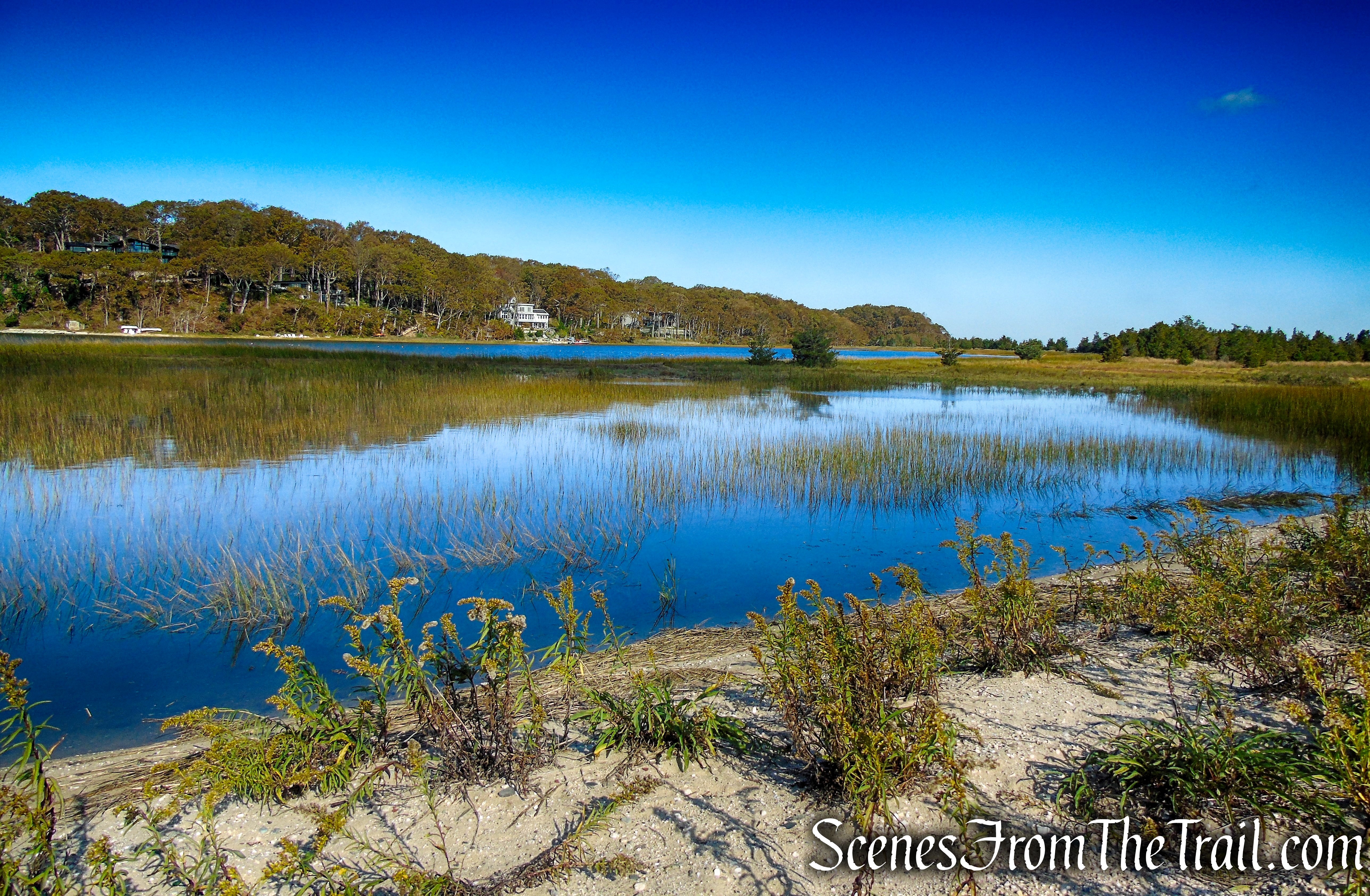
In about another 215 yards (past the kiosk), the trail reaches the Brackish Pond. Here, a bird blind is positioned overlooking the pond to observe wildlife.

Brackish Pond

bird blind – Brackish Pond
The tide from Huntington Bay floods this pond daily and mixes with the freshwater from the surrounding watershed. The result is a pond with salinity lower than that of the Bay, teeming with life from plants to birds, turtles, mammals, and fish.
Brackish Pond
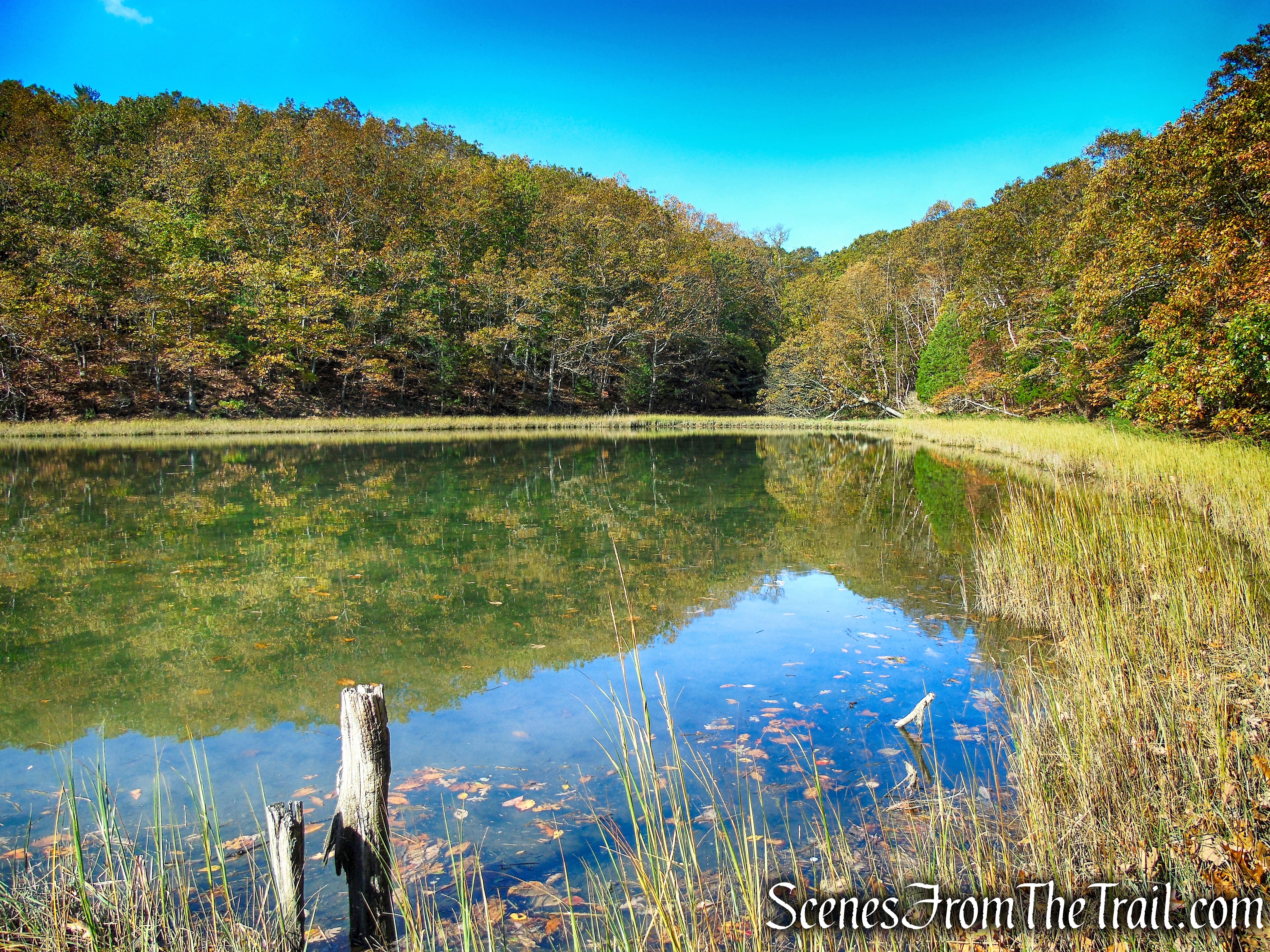
Brackish Pond
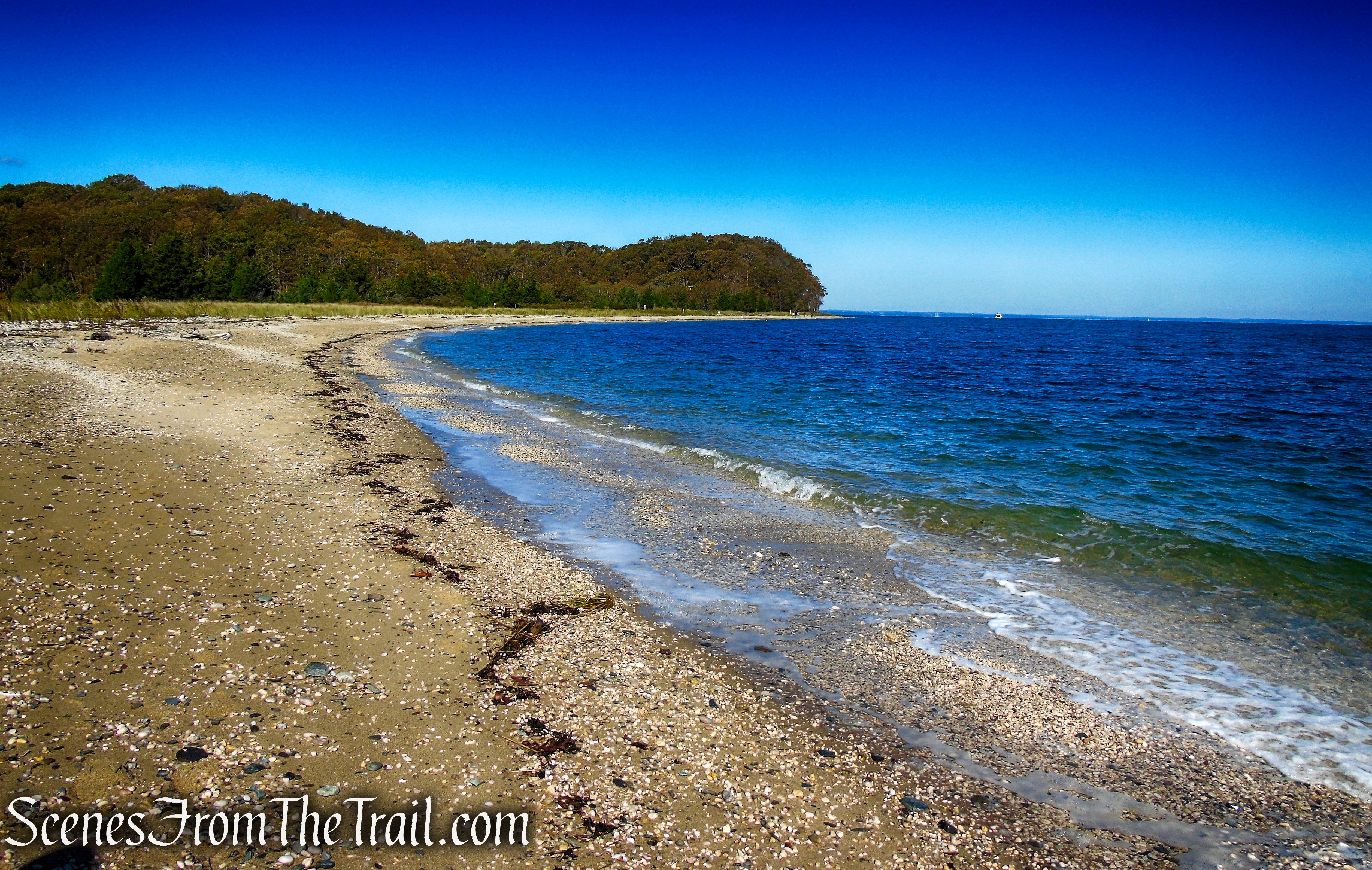
A short distance from the Brackish Pond, the Rocky Beach Trail ends at the beach. We turned right and began to walk the shoreline in a southerly direction.
Rocky Beach
Rocky Beach
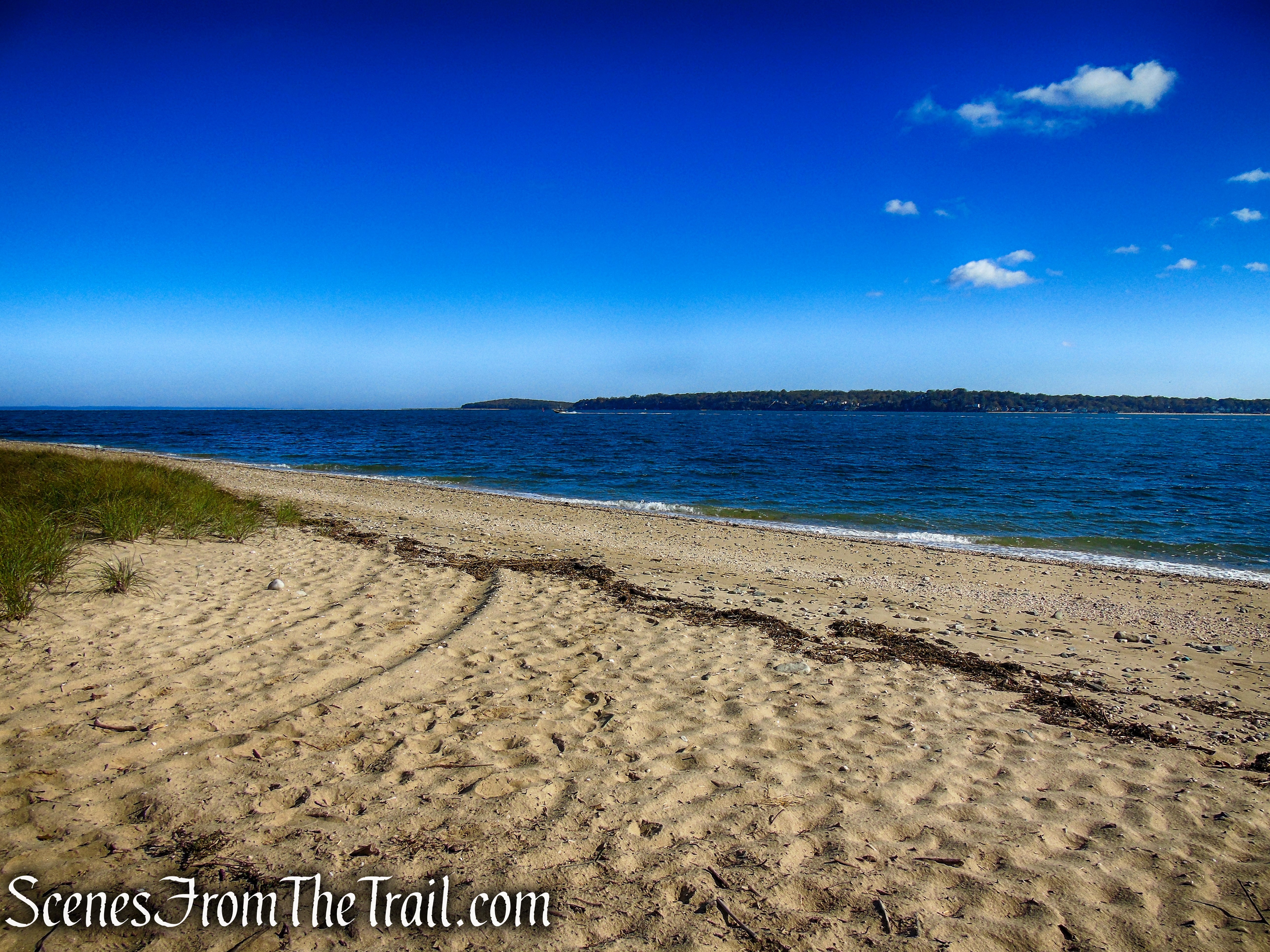
After about 550 feet, we reached the boundary of the refuge and continued past it, Now walking on East Beach.
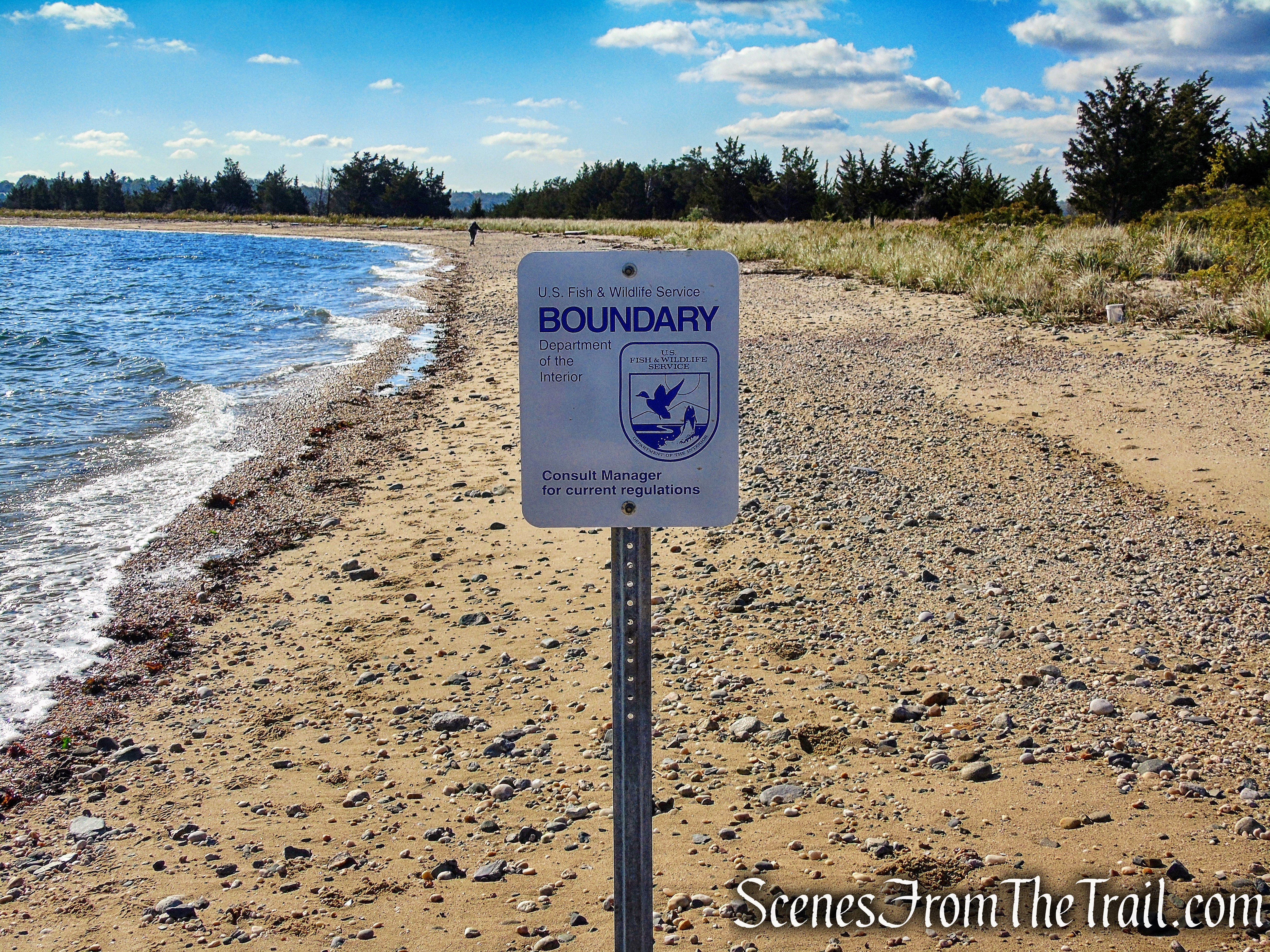
boundary of Target Rock National Wildlife Refuge

East Beach

East Beach
To the south, off in the distance, is the Huntington Harbor Lighthouse which was completed in 1912.

Huntington Harbor Lighthouse

East Beach
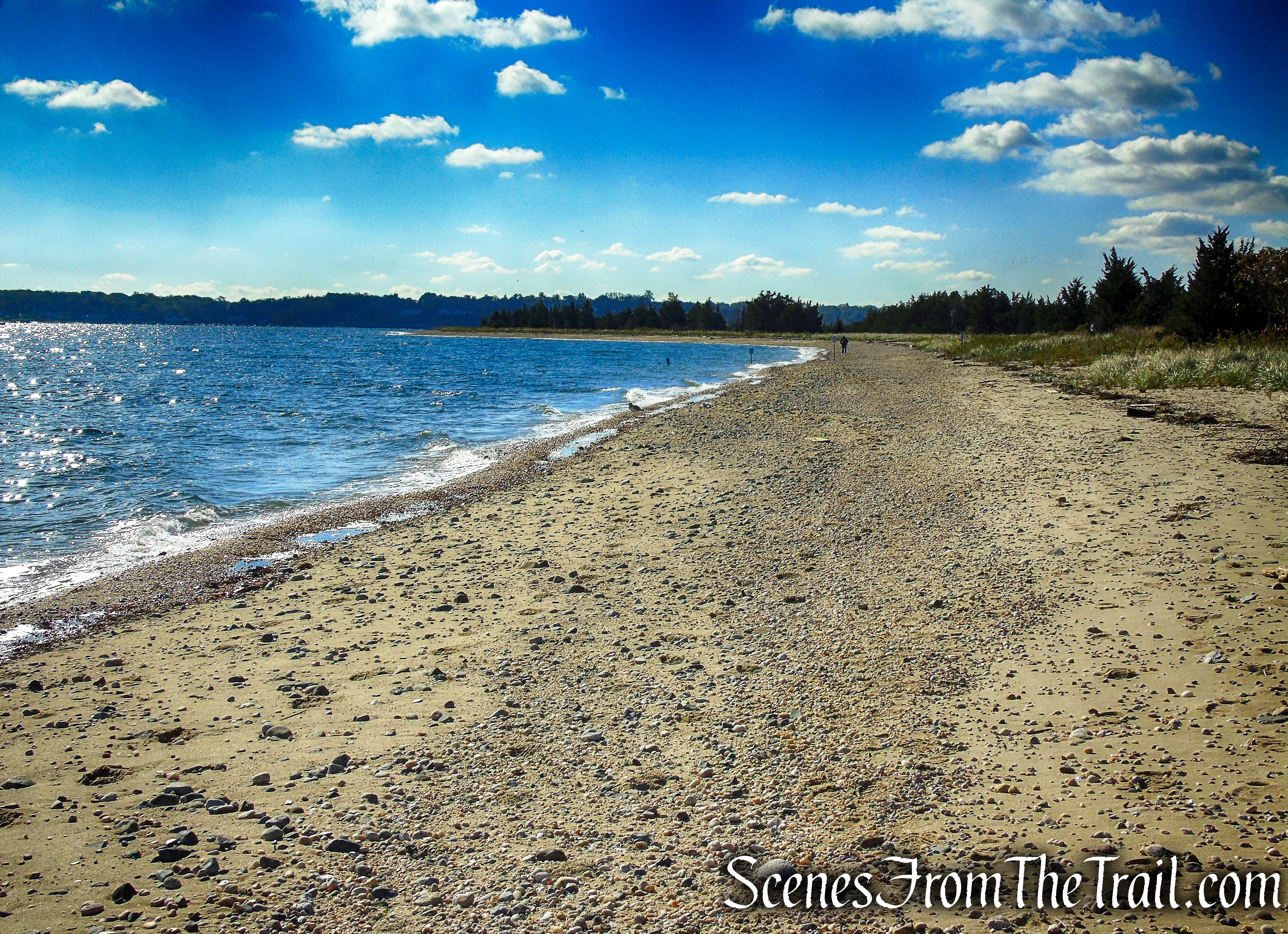
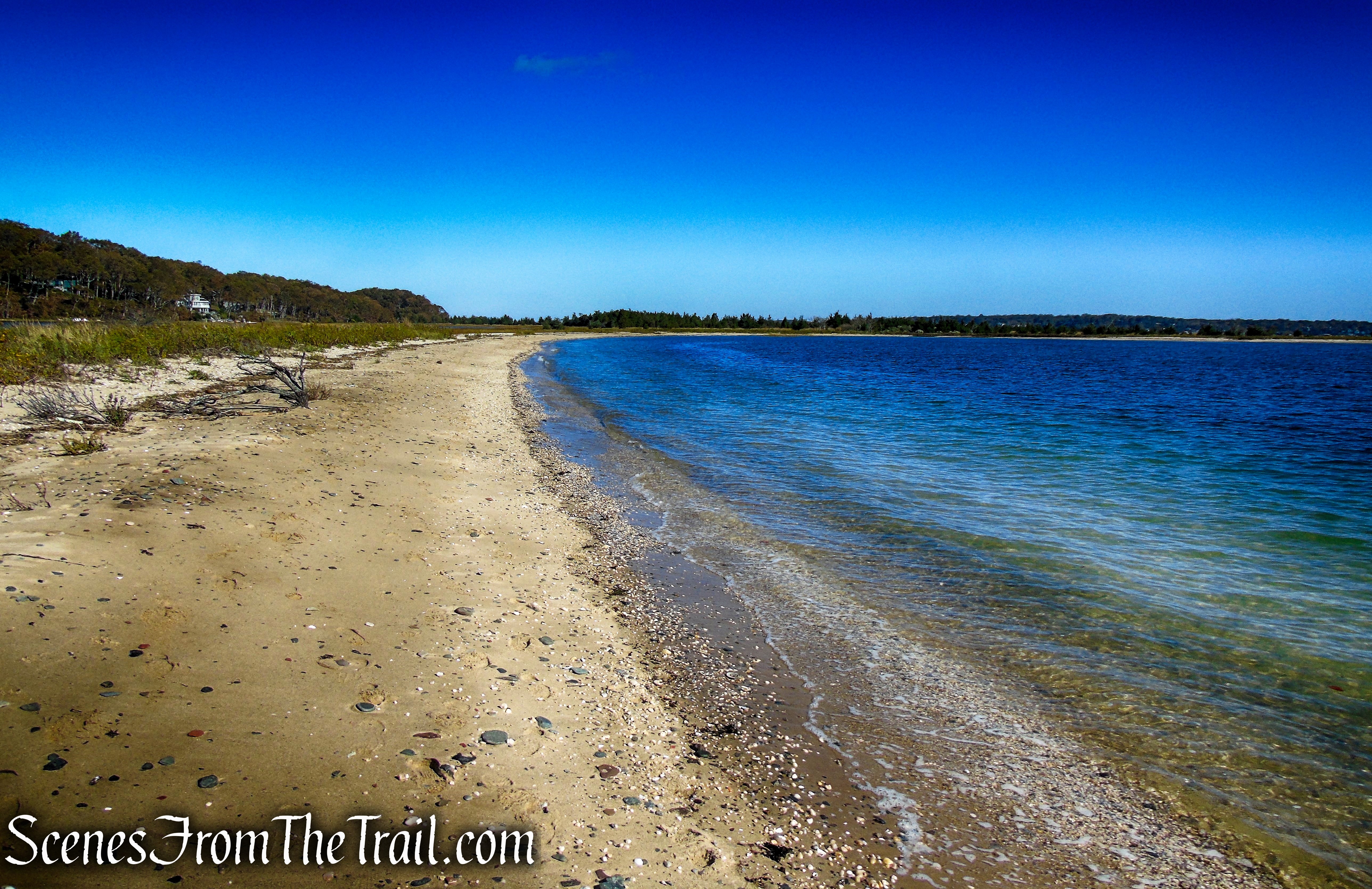
We continued following the shoreline of East Beach, stopping to observe the tidal flats of Lloyd Harbor, to the west.
tidal flats – Lloyd Harbor
We walked as far south as the sand and tide would let us.
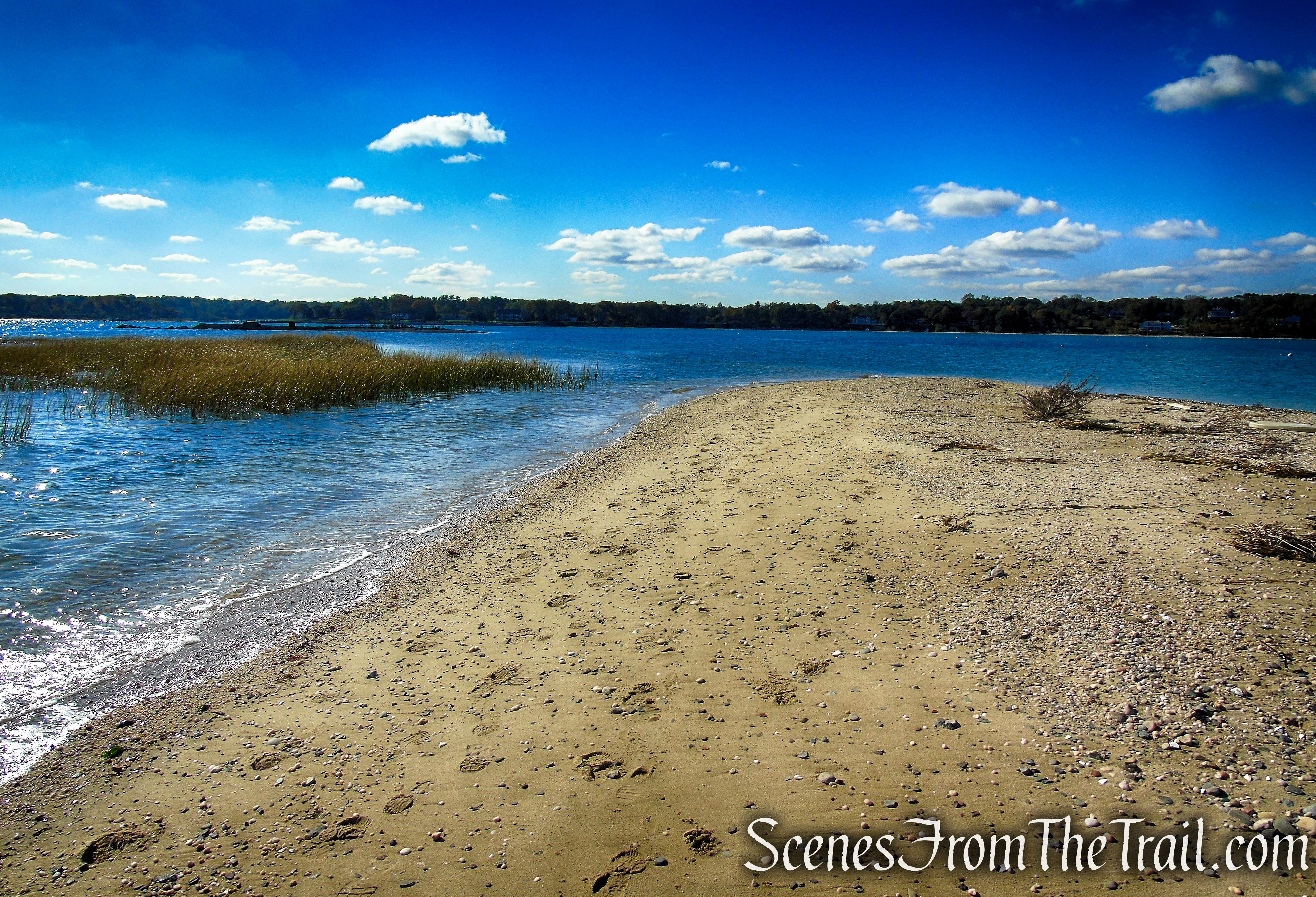
East Beach
Just ahead, the remains of the Lloyd Harbor Light (1857-1912) can be seen. The lighthouse once marked the entrance to Lloyd Harbor. In lower tides, these ruins may be able to be reached on foot.

Lloyd Harbor Light ruins
Lloyd Harbor Lighthouse was finished in 1857 and consisted of a two-story, wood-frame dwelling built on a brick foundation and attached at one corner to a square brick tower. A kitchen, dining room, and sitting room were found on the dwelling’s first floor, and three bedrooms on the second. The original beacon was a fifth-order, Henry-Lepaute Fresnel lens showing a fixed white light at a focal plane of forty-eight feet.
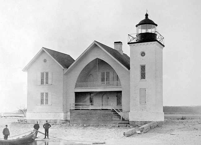
Lloyd Harbor Light – 1885
We then retraced our steps along East Beach, passing the junction with the Rocky Beach Trail and the Beach Access Stairs.
East Beach
East Beach

Rocky Beach
Just past the stairs, is Target Rock. During low tide, one can walk right up to the 14-ft. glacial erratic.
Target Rock
We then ascended the Beach Access Stairs and stopped on the platform that overlooks Huntington Bay.

Beach Access Stairs
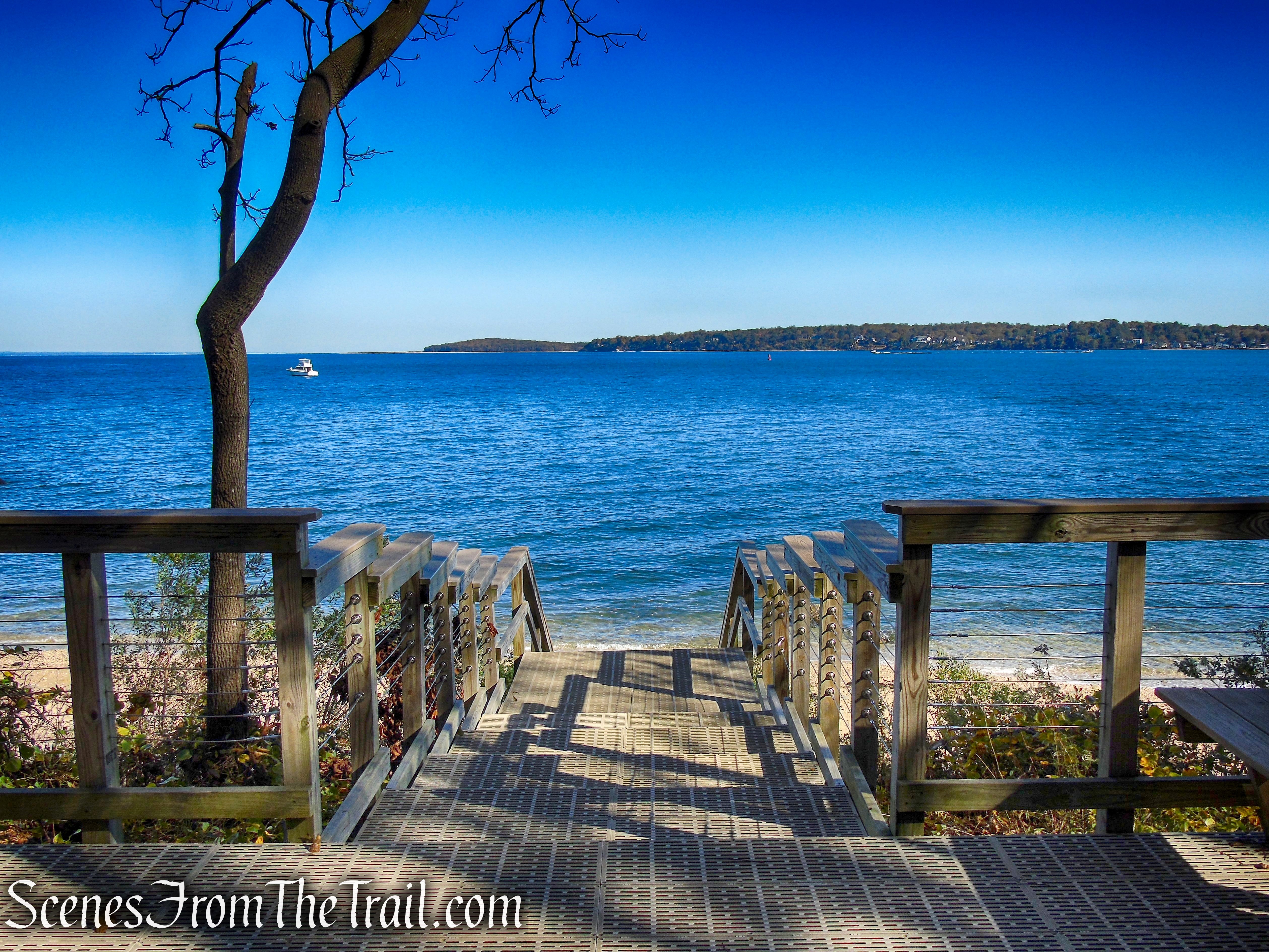
Beach Access Stairs
We walked along the Beach Access Trail and after about 100 feet, there is a spur trail that leads to a viewing area overlooking the beach.
Beach Access Trail
The overlook is equipped with two benches and a viewing scope that lets you easily see birds perched atop Target Rock or the beach houses across the harbor.

Overlook
Heading west, the Beach Access Trail ends at the junction with the Rocky Beach Trail (marked by a kiosk), where we veered right. Soon the trail passes the junction with the Warbler’s Loop Trail and the two access points of the Gardener’s Path. We stayed right each time to remain on the Rocky Beach Trail.

Beach Access Trail
Soon the trail passes by an overgrown field. I believe that this was the site of the Eberstadt mansion.
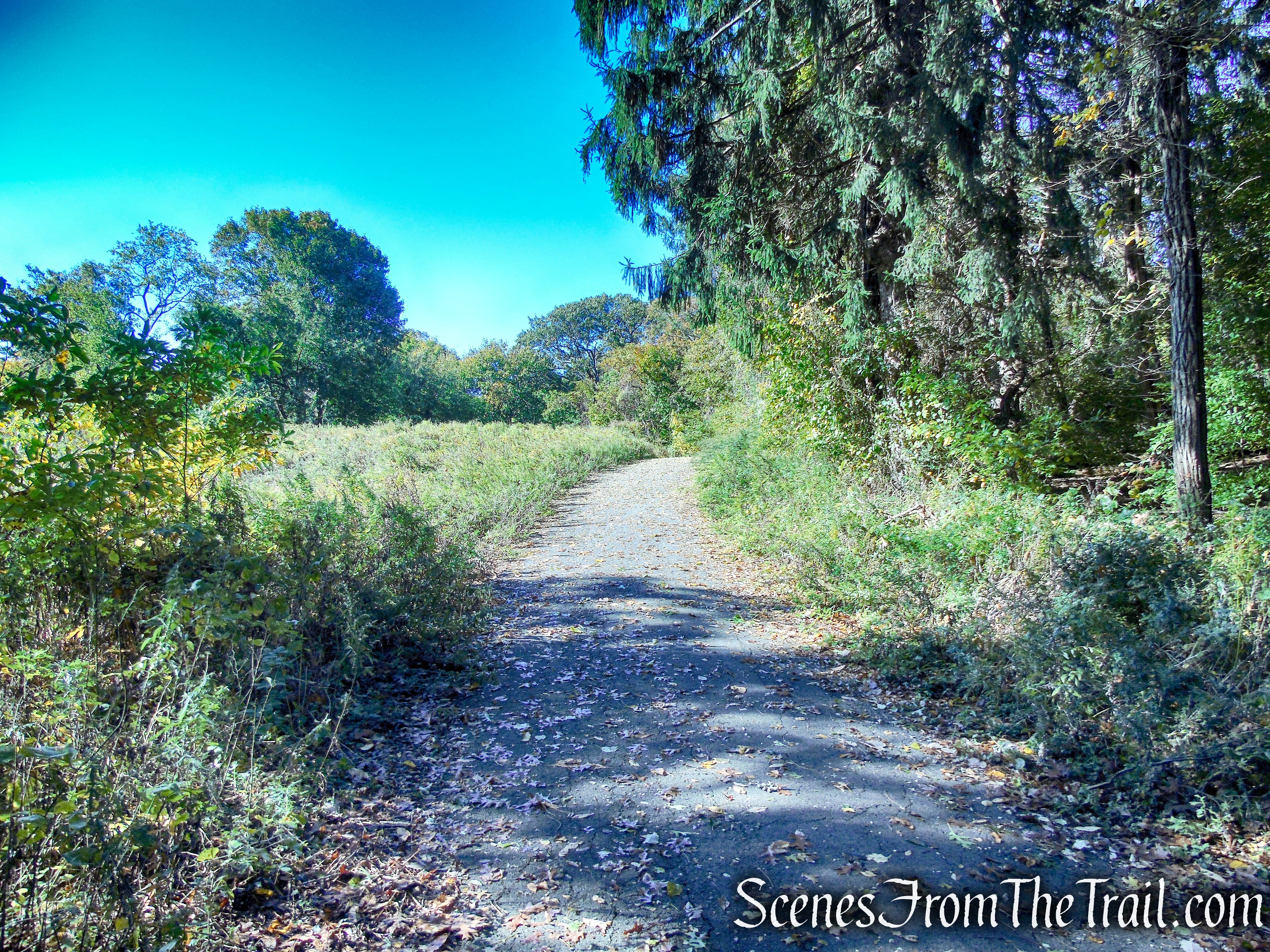
Rocky Beach Trail
A short distance later, the trail passes a kiosk and two private residences on either side of the trail, and then reaches the parking area, where the hike began.
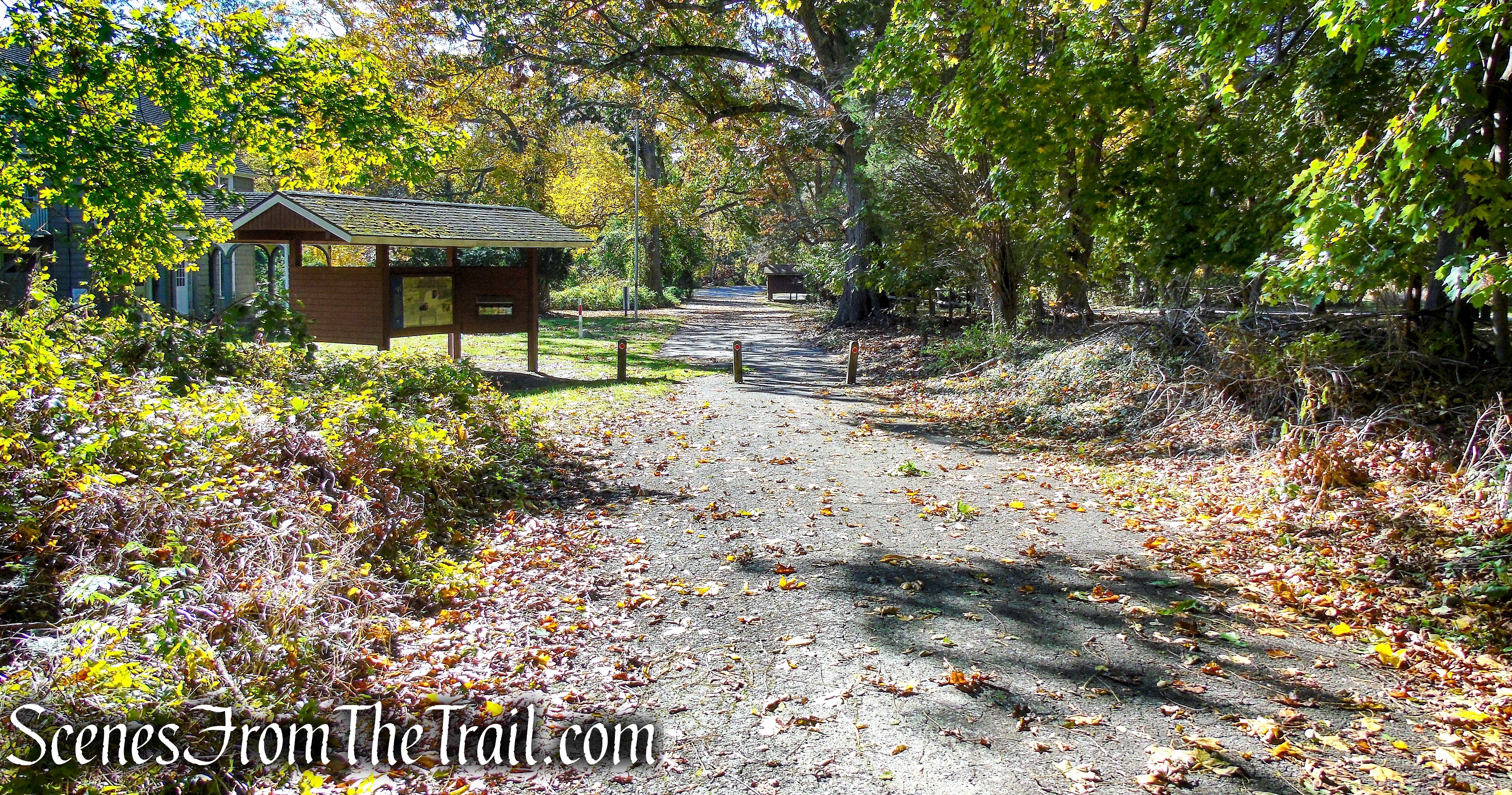
Rocky Beach Trail

Target Rock National Wildlife Refuge
Review:
A well kept area that is far enough off the beaten path that it doesn’t see a lot of foot traffic. We had the place mostly to ourselves for the duration of our visit. Walking along East Beach was a bonus with only one other person in that area while we were there. The area around the Beach Access Stairs and Target Rock was a little busier, but still nowhere near crowded. This is definitely worth the road trip to spend a few hours outdoors.
Pros:
Historical features, Target Rock, Brackish Pond, well maintained trails, lovely landscape, scenic shoreline.
Cons:
With the exception of a hawk, a few deer and a dead raccoon, not much wildlife was moving around on the day that we visited.
Take a walk!

Target Rock National Wildlife Refuge
Sources:
