September 26, 2020 – Watertown, Connecticut
Difficulty: Easy – moderate
Length: Approximately 2.3 miles
Max elevation: 709 ft.– total elevation gain approximately 409 ft.
Route type: Circuit
Free Web Maps: Black Rock State Park Trail Map (DEEP)
Avenza App Map (FREE): Black Rock State Park Trail Map
Trailhead parking: 2065 Thomaston Rd, Watertown, CT 06795
There is a $15.00 daily parking fee in season for non-residents on weekends and holidays. $10.00 on weekdays. Campsite fees are charged separately.
The park is open from 8am to sunset. Gates are open on weekends only, from the second Saturday in April until Memorial Day, 8am to sunset. From Memorial Day to October 1st, they are open daily between 8am and sunset.
Park Overview:
Black Rock State Park is a seasonal public recreation area adjoining Mattatuck State Forest in the town of Watertown, Connecticut. The state park covers 439 acres and is known for its large rock face, Black Rock, that affords views of Thomaston, Watertown, and portions of Waterbury.
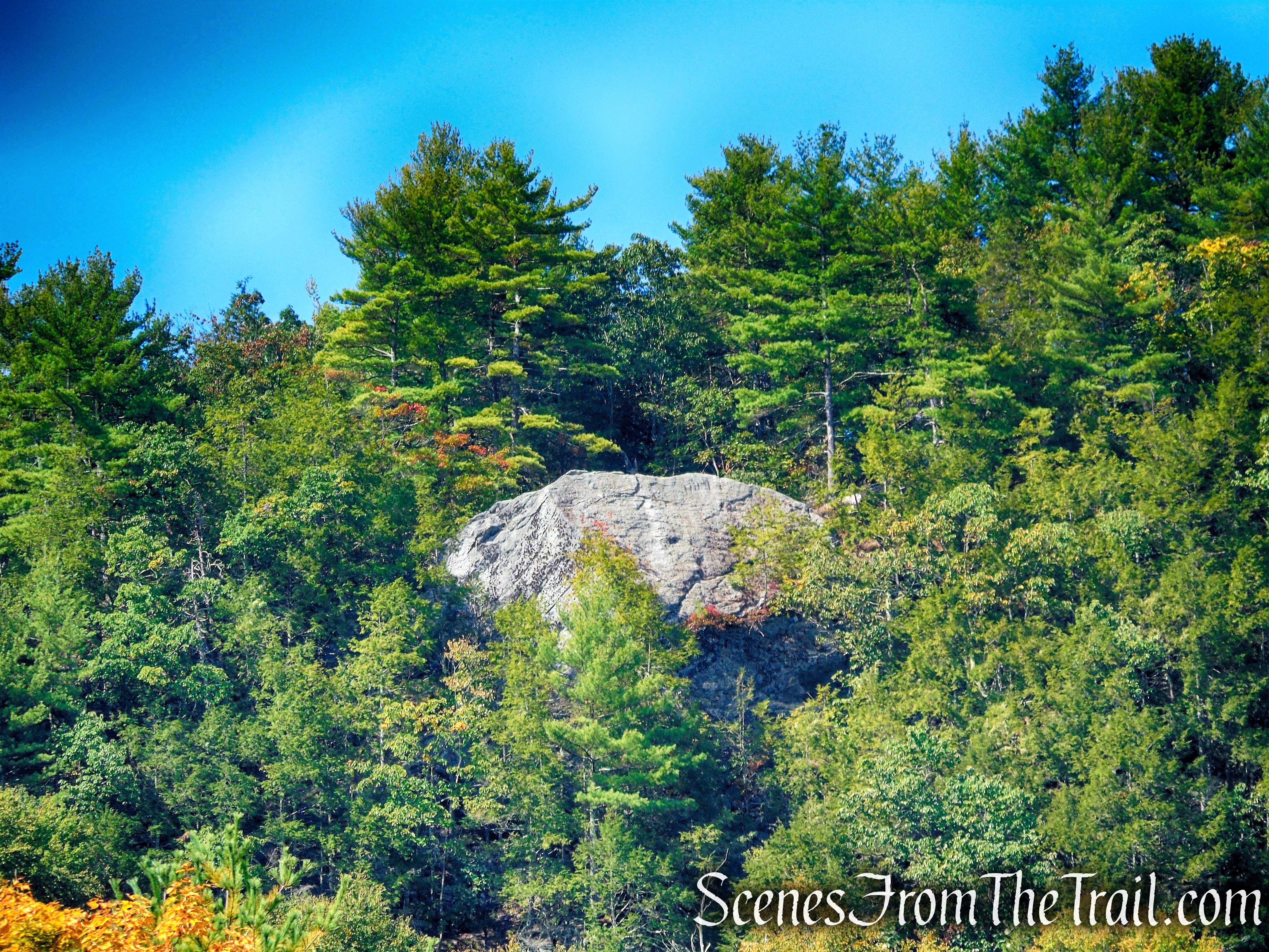
Black Rock
Black Rock State Park offers excellent swimming, hiking, scenic views, and Indian legend all tucked into the scenic rolling hills of the western highlands of Connecticut. Black Rock Campground has 96 sites in a wooded setting. The camping season is mid-April through September 30. This is a designated trout park. Activities include picnicking, field sports, swimming, and pond fishing.
Facilities: bathrooms, food concessions, picnic tables and charcoal grills. The park is managed by the Connecticut Department of Energy and Environmental Protection (DEEP).
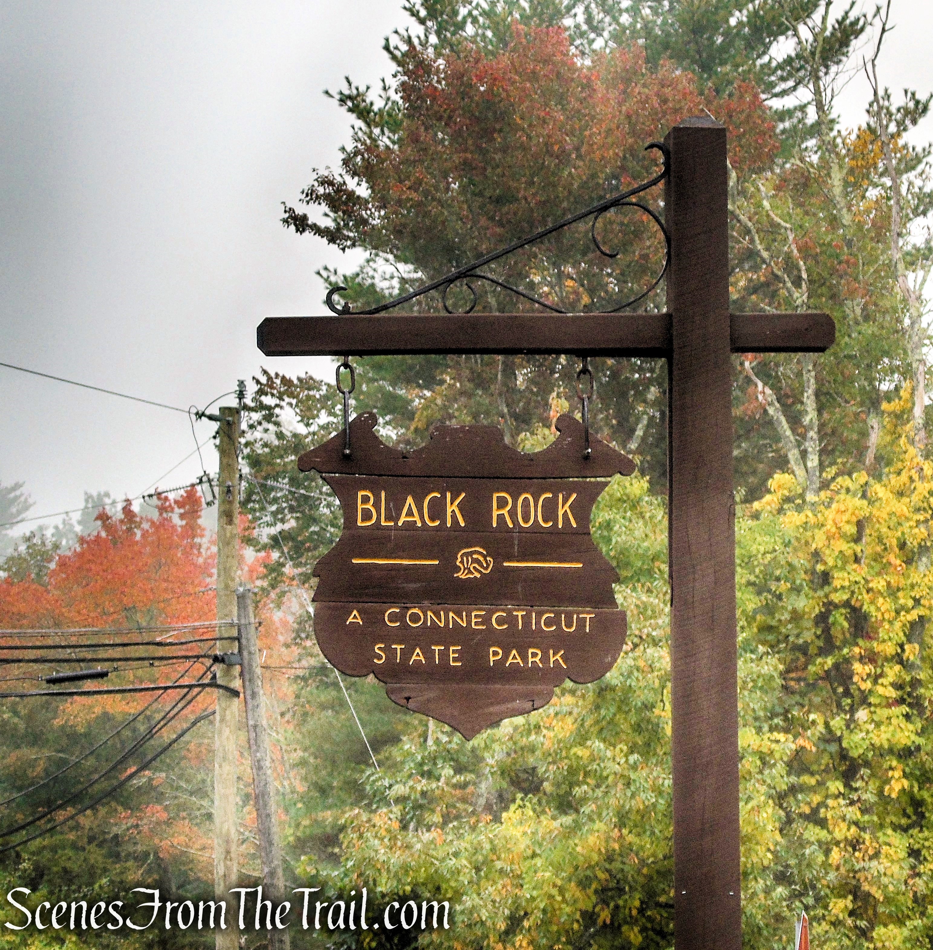
Black Rock State Park
History:
The land that is now Black Rock State Park, was originally home to several Native American Tribes such as the Paugussett, Mohegan, and Tunxis. In fact, tribal artifacts such as arrowheads and carved stone tools are still being found in the park today.
In 1657, the tribes granted early settlers to the Naugatuck Valley, access to their lands and gave them permission to mine the area for “black rock,” more commonly known today as graphite lead. This dark black mineral inspired the park’s name and it stuck throughout the years.
Black Rock was given to the people of Connecticut in 1926 through the efforts of Black Rock Forest, Incorporated, a citizen’s conservation group interested in woodland preservation. Development of access roads and facilities later became part of the Civilian Conservation Corps’ economic recovery program.
The Civilian Conservation Corps (CCC) Camp Roberts, which housed Company #175, was stationed at Black Rock State Park in Thomaston, Connecticut. The camp was established May 30, 1933 and was discontinued Sept. 28, 1937. The camp’s main projects were: building miles of truck trails, survey and boundary work, gypsy moth removal, tree planting.
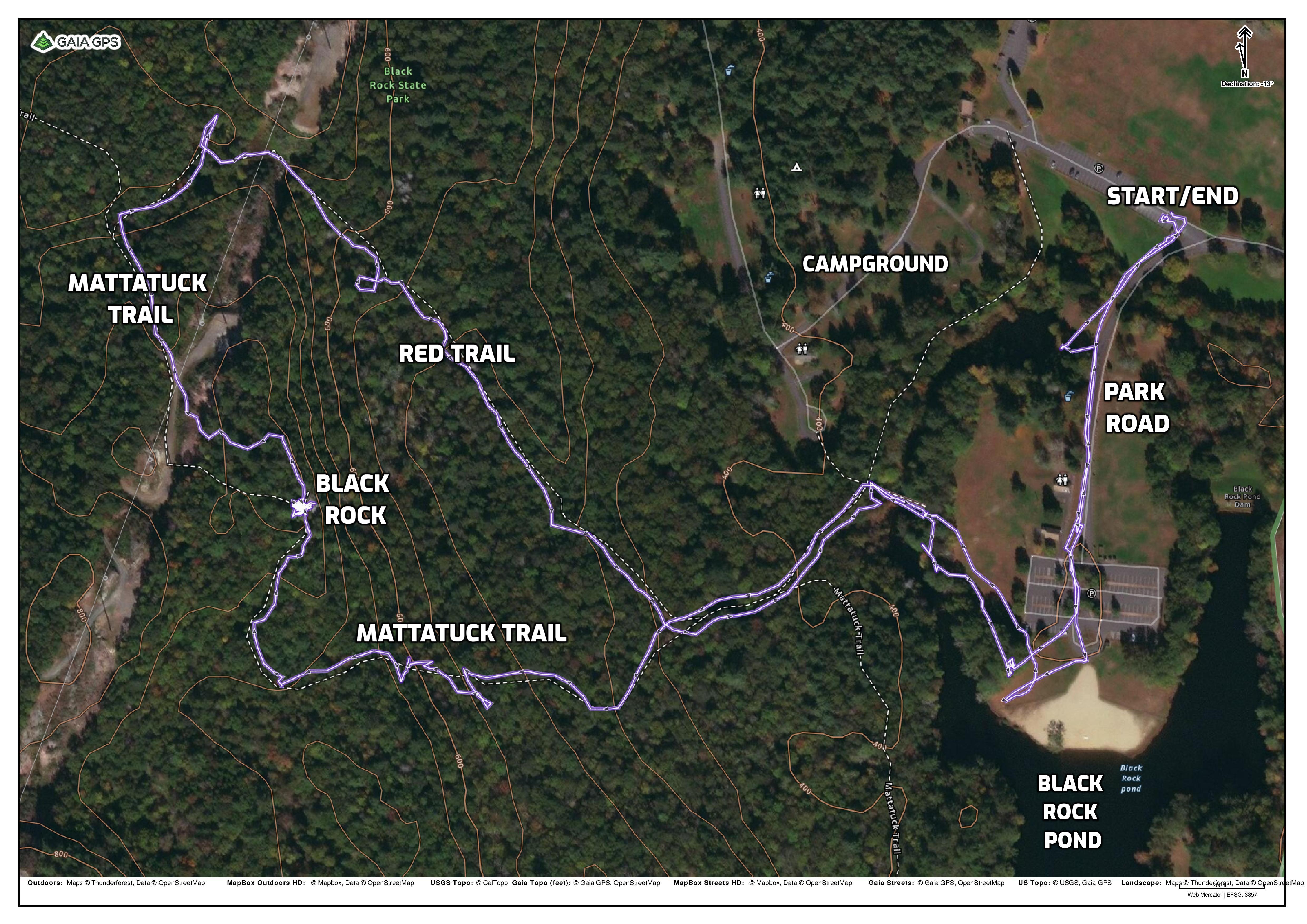
Trails Overview:
The park is crossed by the Mattatuck Trail, part of the Blue-Blazed Hiking Trail system, managed by the Connecticut Forest & Park Association (CFPA). The Mattatuck Trail offers scenic views of the Naugatuck Valley; side trails have views of Black Rock Lake and Black Rock Pond.
There is one other marked trail in the park, blazed red (0.4 mile), that can be combined with the Mattatuck Trail to form a short loop hike. There are numerous unmarked woods roads and footpaths throughout the park and around Black Rock Pond that one can explore as well.
Hiking trails are maintained in cooperation with the Connecticut Forest and Park Association (CFPA), which provides volunteer assistance.
Hike Overview:
Dealing with some foot issues, I was looking for a short hike with some decent views. This hike fit the bill perfectly. Since we visited after Labor Day, we didn’t have to pay the out-of-state vehicle fee. It was extremely foggy in the morning and when we got up to Black Rock, there was no view. We decided to wait out the fog and it eventually dissipated, displaying the view that we came here for. The entire time that we were there, not another soul around.
Black Rock

Black Rock
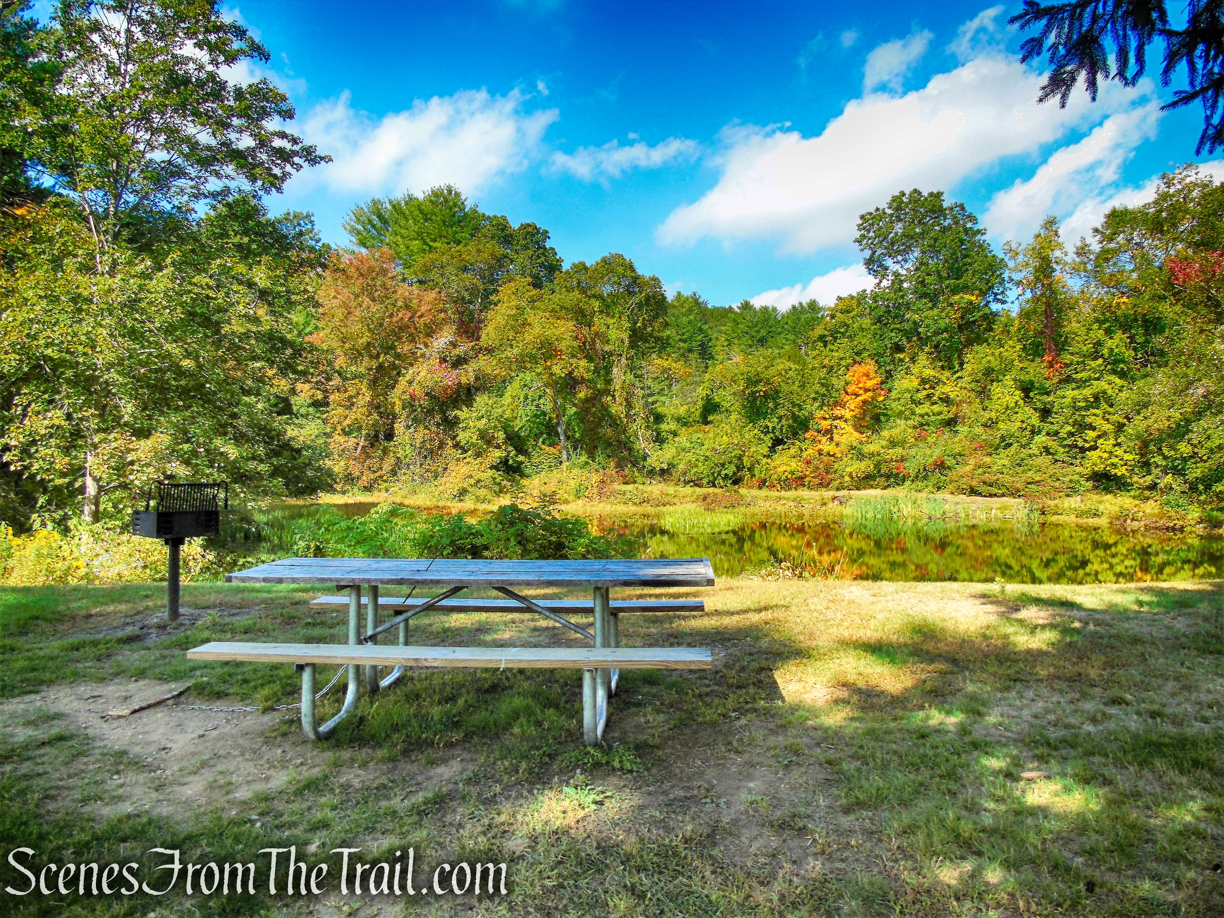
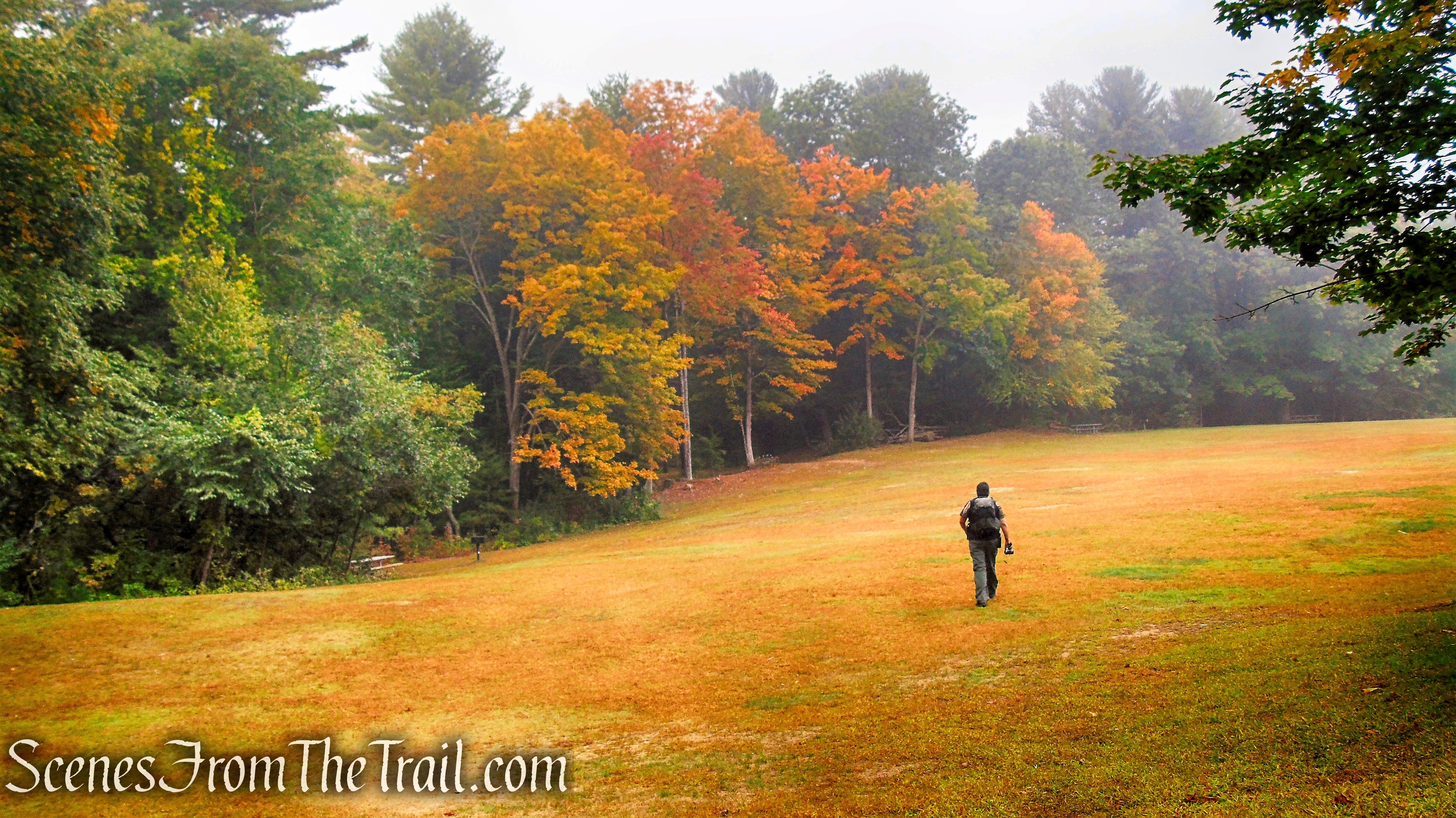
After the hike, we found a picnic table by a small pond and enjoyed a nice lunch.
Black Rock State Park
We walked to Black Rock Pond both at the start and at the end of the hike.
Black Rock State Park
Please keep in mind that most of the elevation gained during this hike occurs in less than a 1/2 mile section of the Mattatuck Trail.
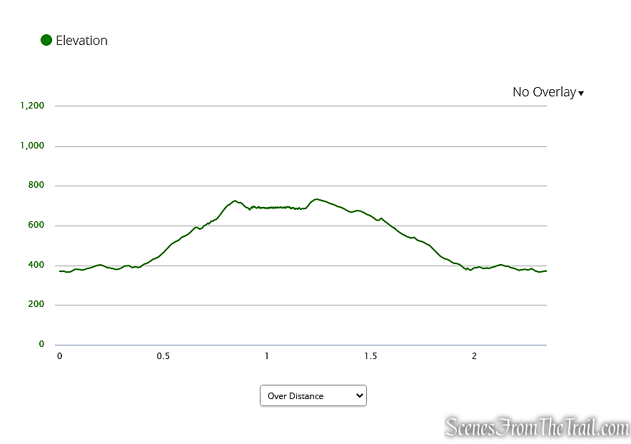
Black Rock State Park Elevation Graph
The Hike:
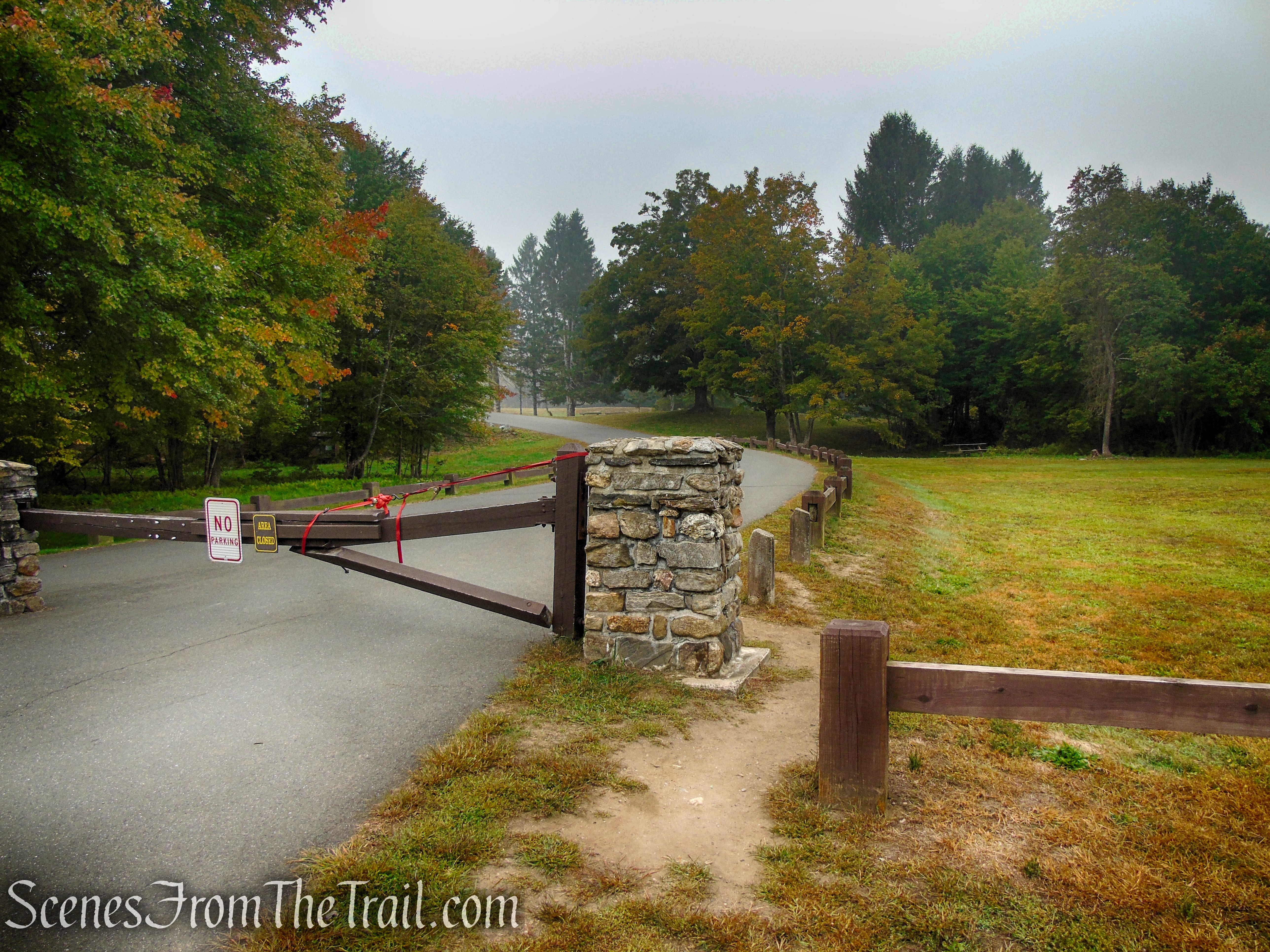
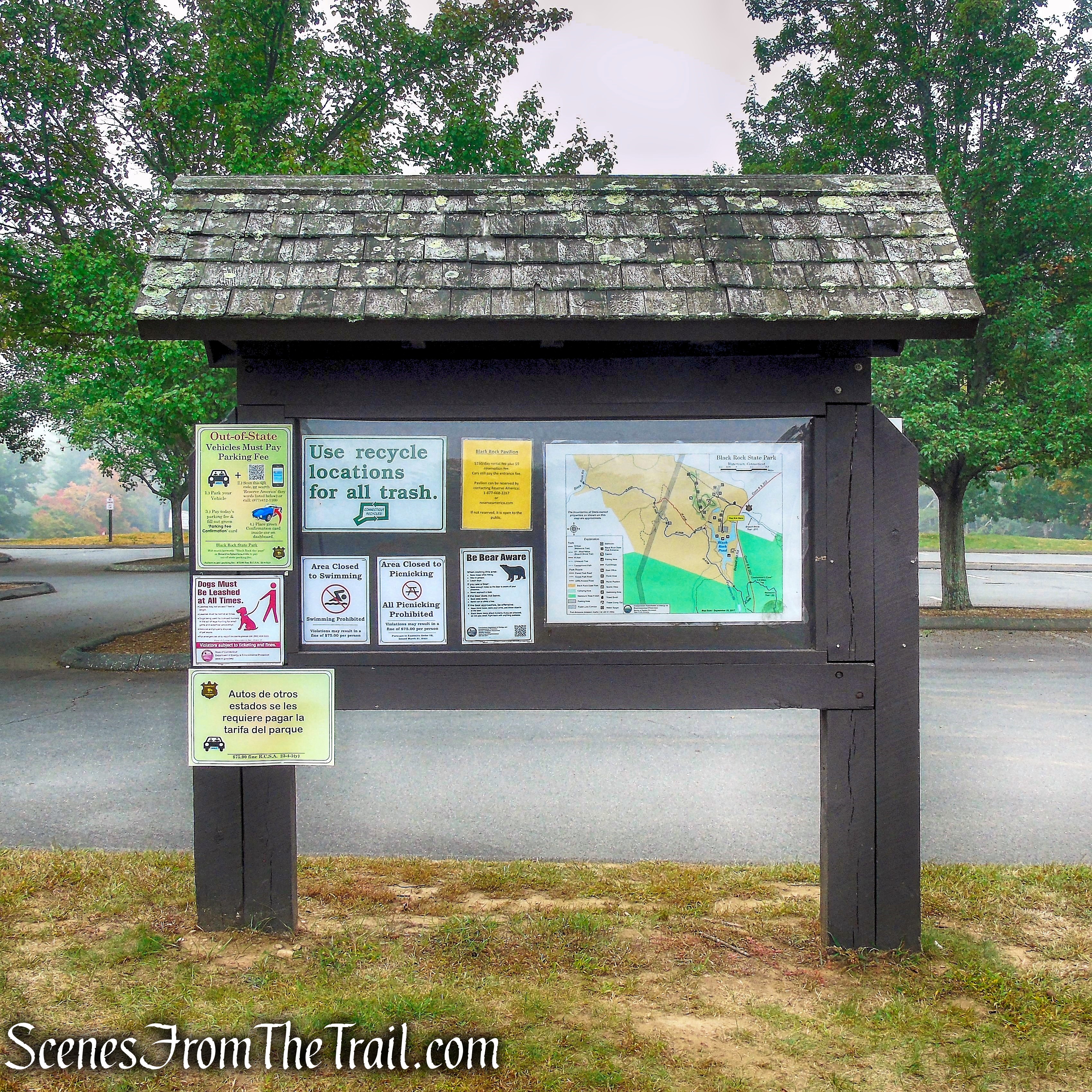
We drove in and parked just past the paved park road that leads to the beach (Black Rock Pond). You can see the closed gate to the left of the booth. If the gate is open, there is parking closer to the pond.
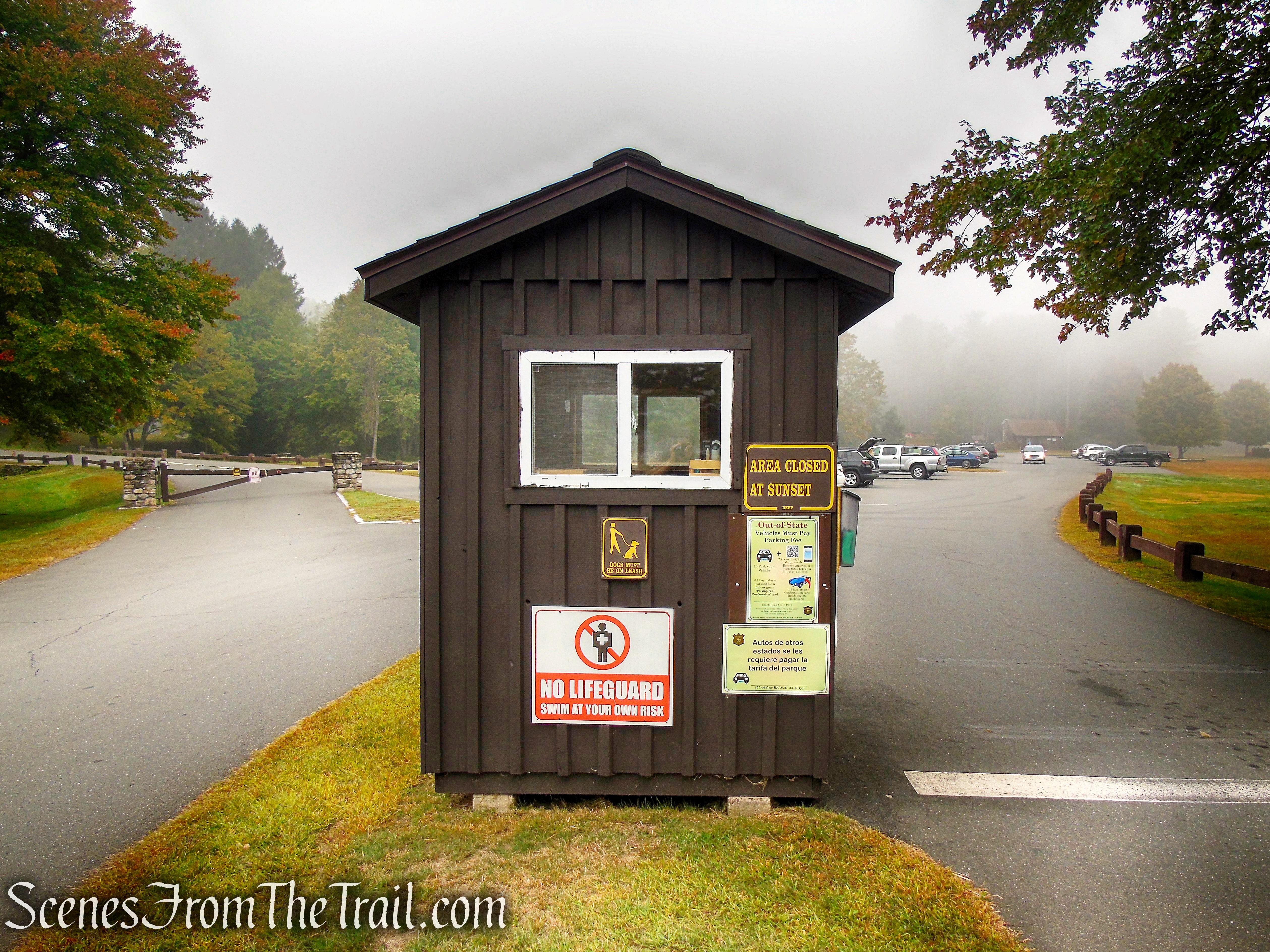
ticket booth – Black Rock State Park
We walked past the gate and proceeded up the paved park road towards Black Rock Pond. Since it was extremely foggy, we were in no hurry to get to the viewpoint.
paved park road – Black Rock State Park
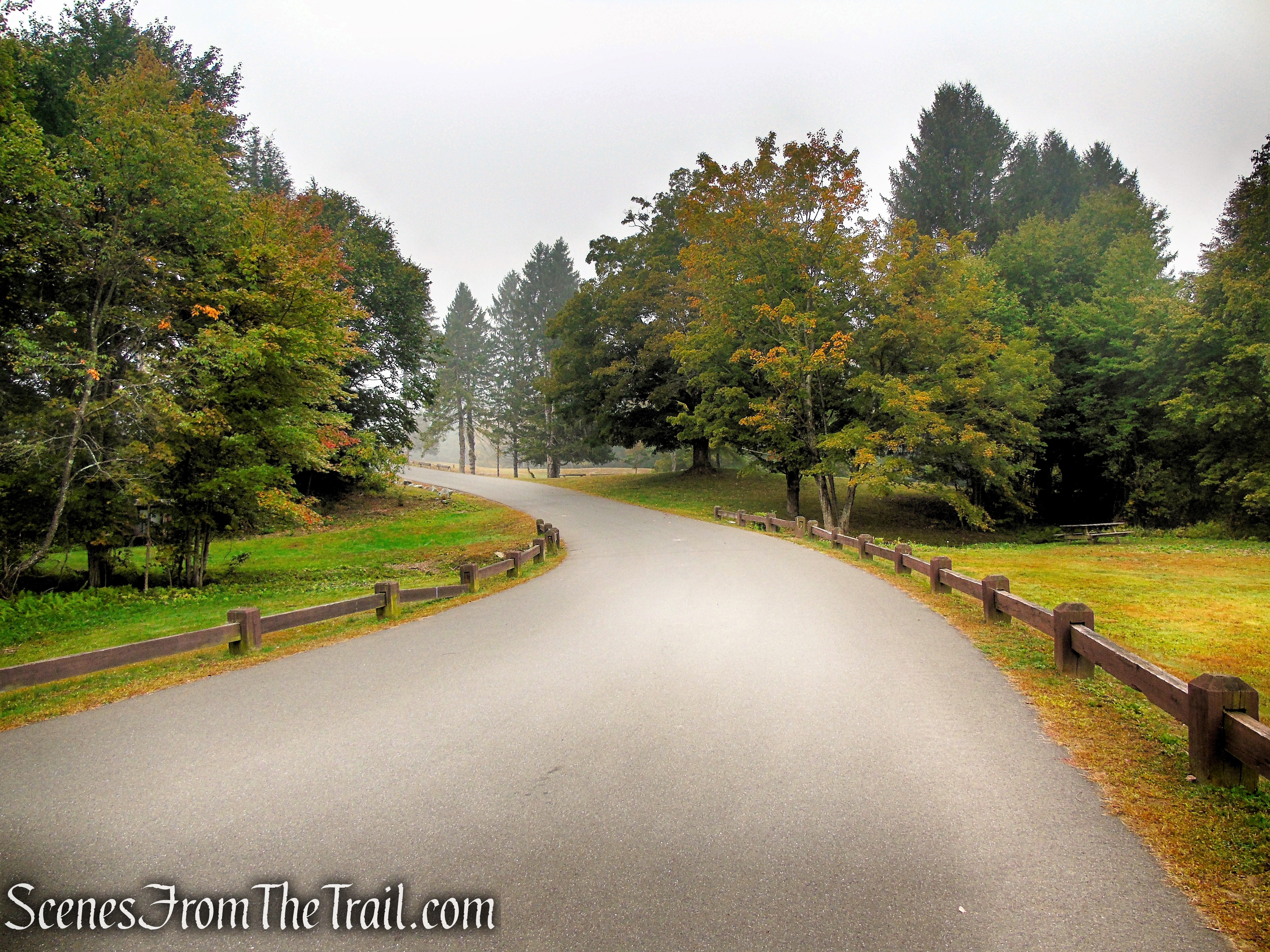
paved park road – Black Rock State Park
beach parking area – Black Rock State Park
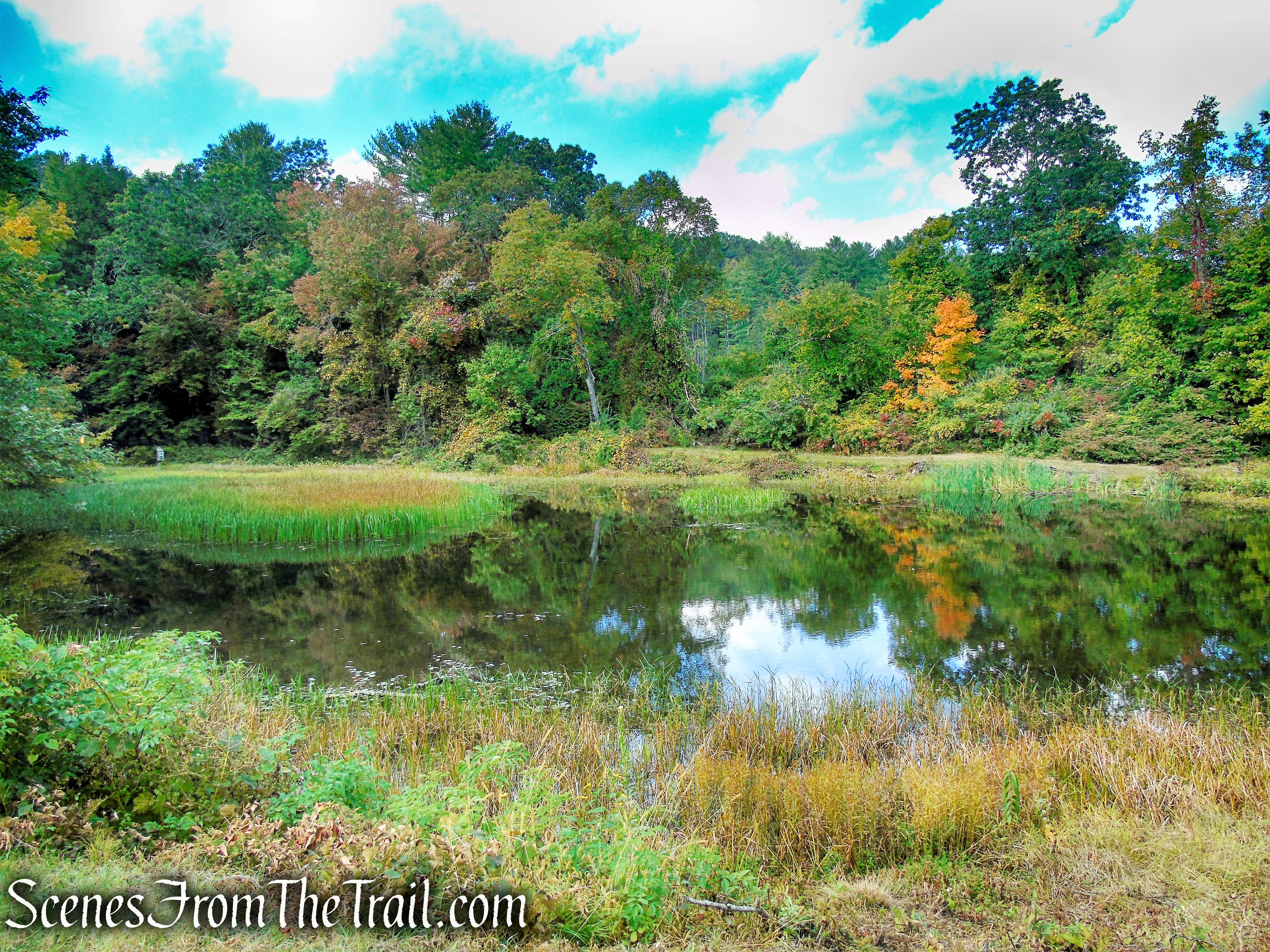
Black Rock Pond (9.5 acres), is a popular spot for fishing and swimming. From the “Report of the State Park and Forest Commission to the Governor – 1926” – “a small pond of clean water, known locally as the “Sand Dam.” It was a popular swimming “hole” before it came into the State park system.”
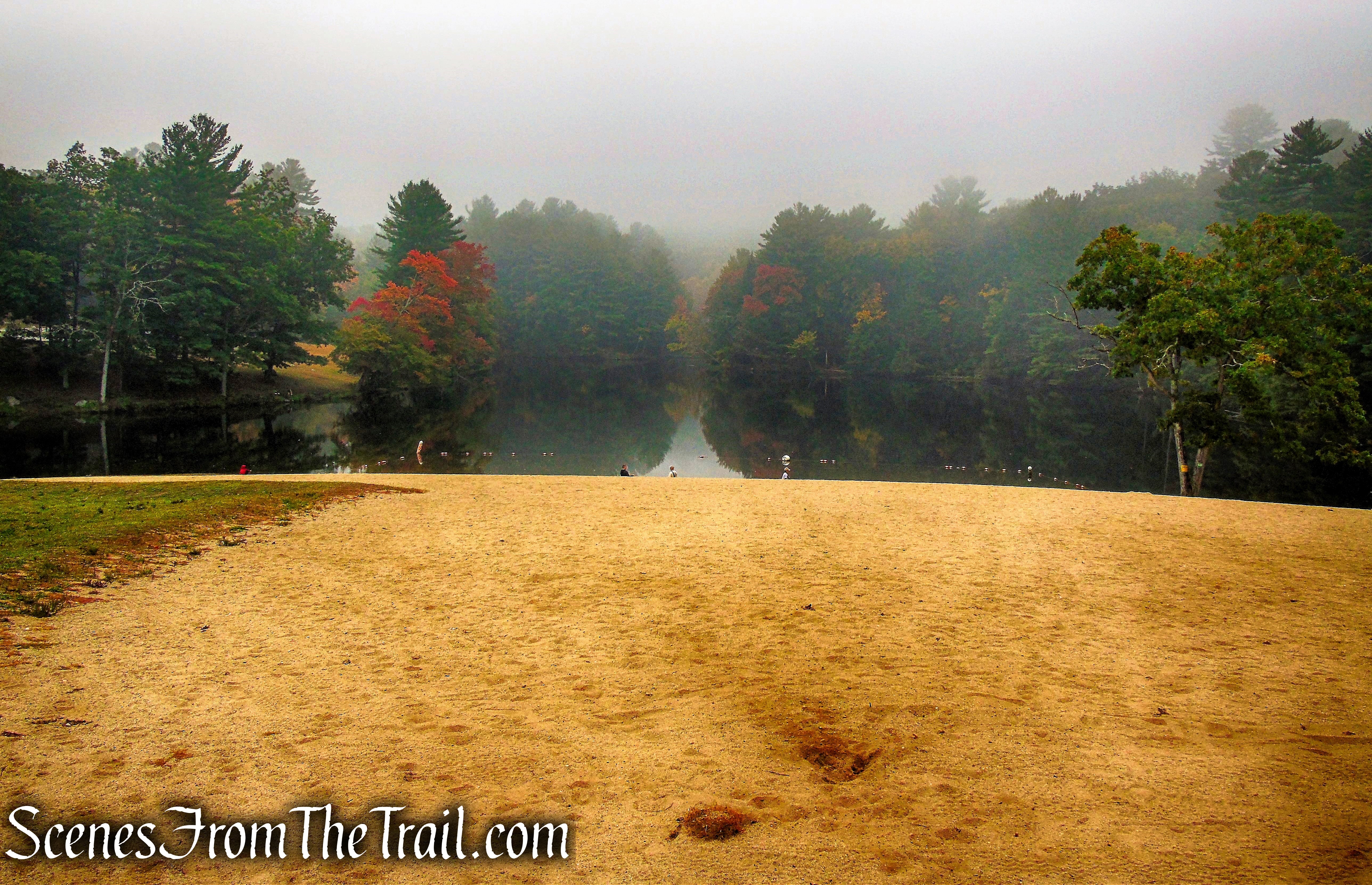
Black Rock Pond
A nice spot to grill some food.
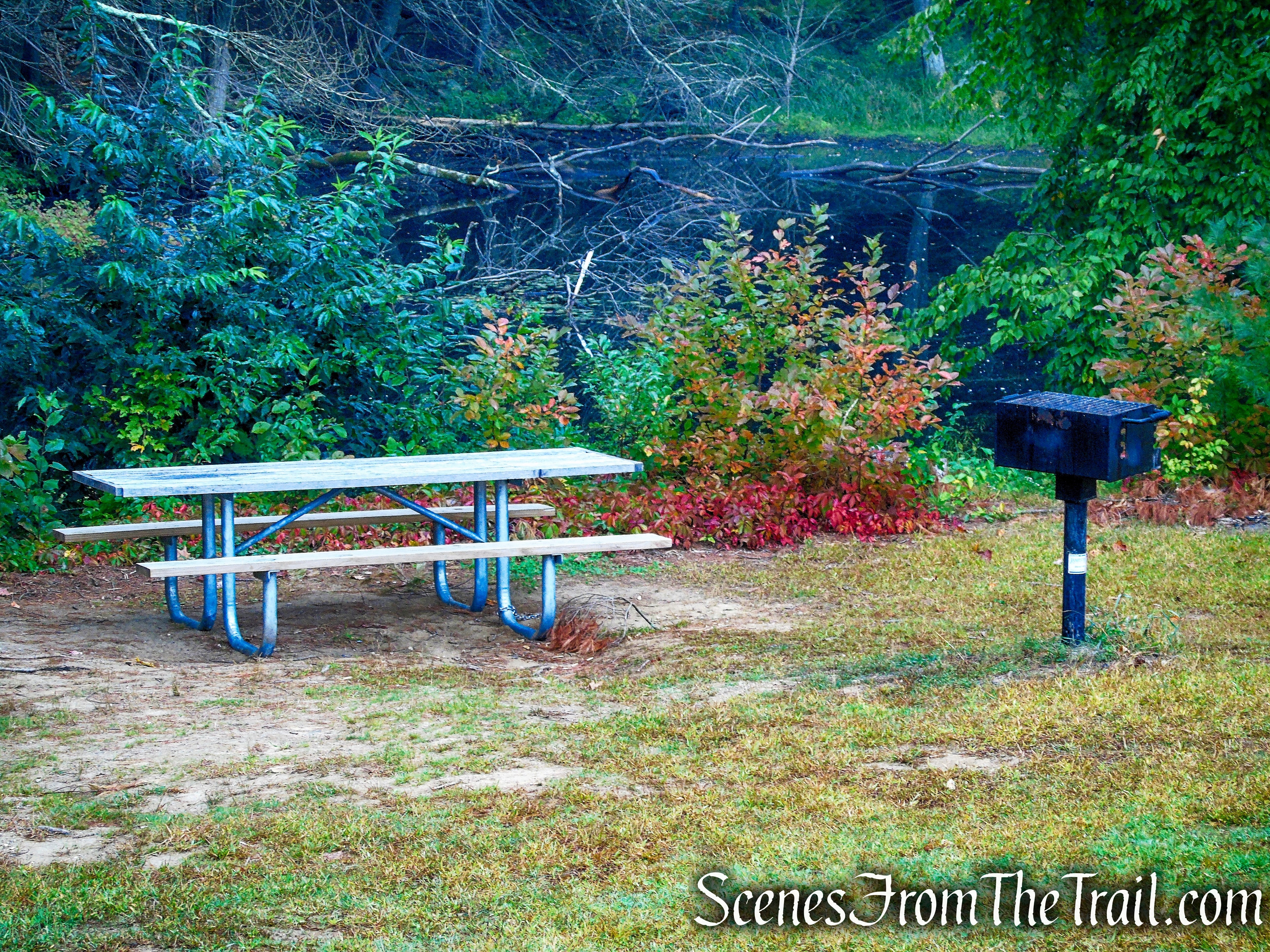
Black Rock State Park
After lingering about, we made our way across the steel footbridge and turned left on a woods road, crossing a small wooden footbridge.
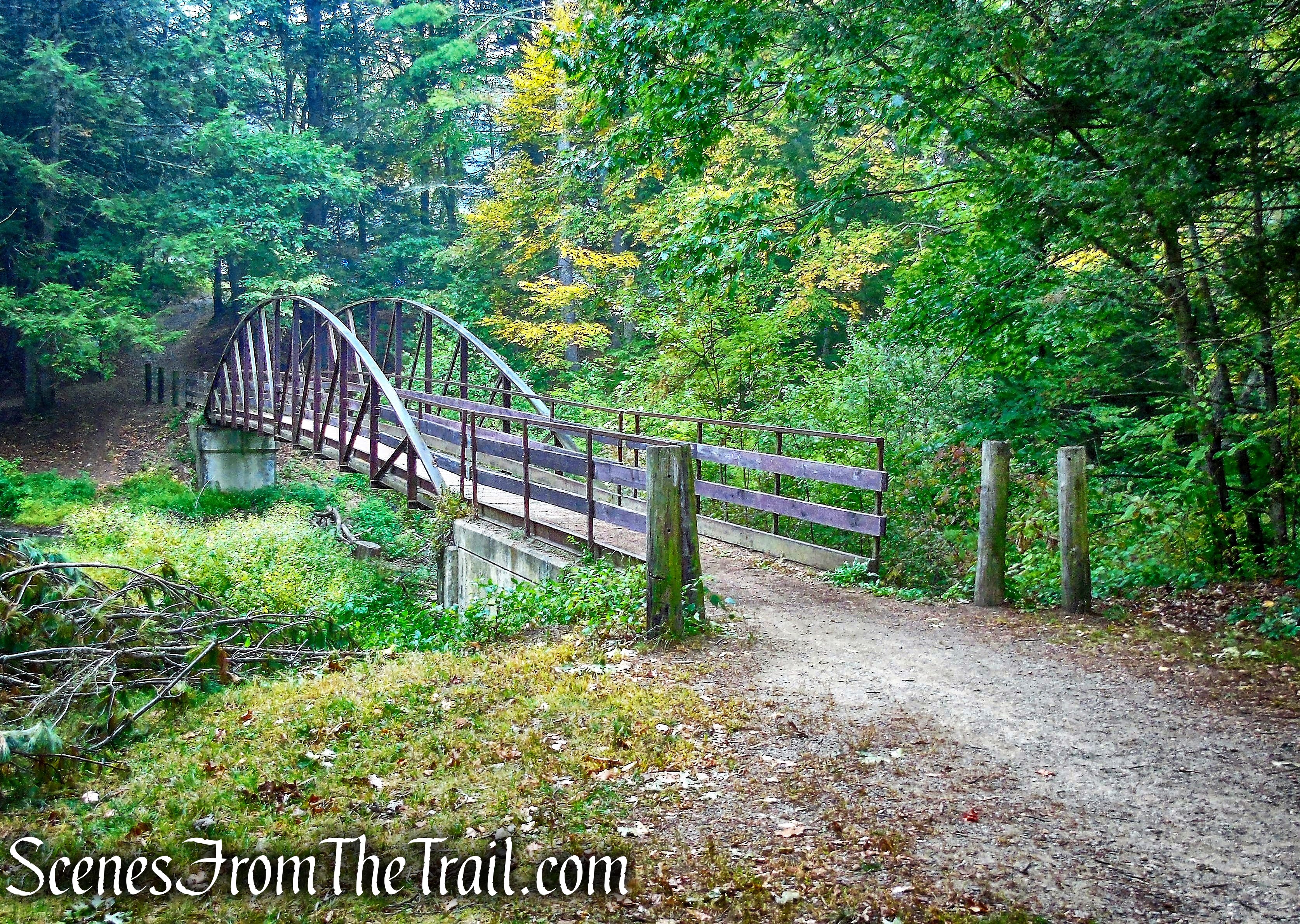
footbridge – Black Rock State Park
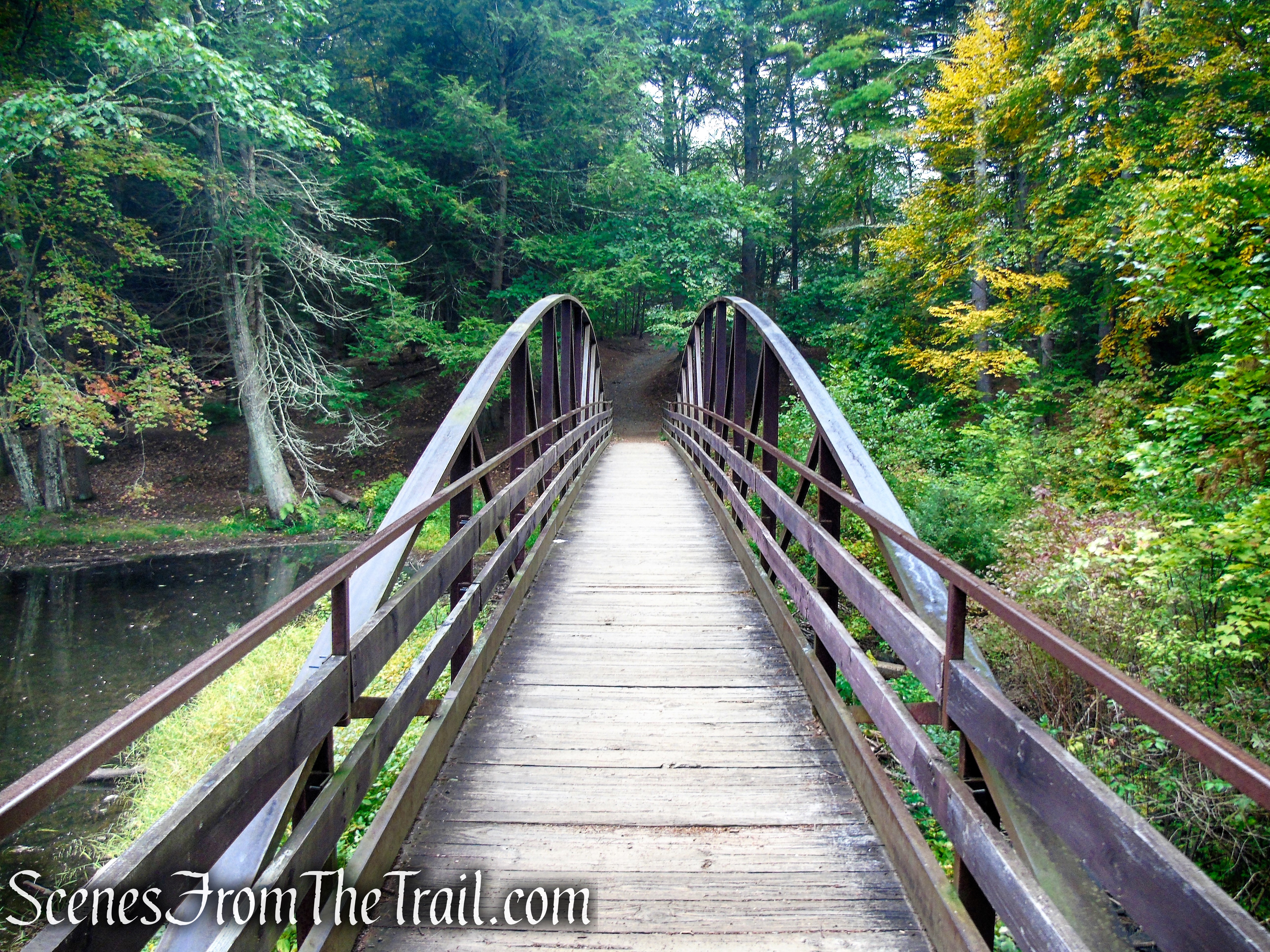
footbridge – Black Rock State Park
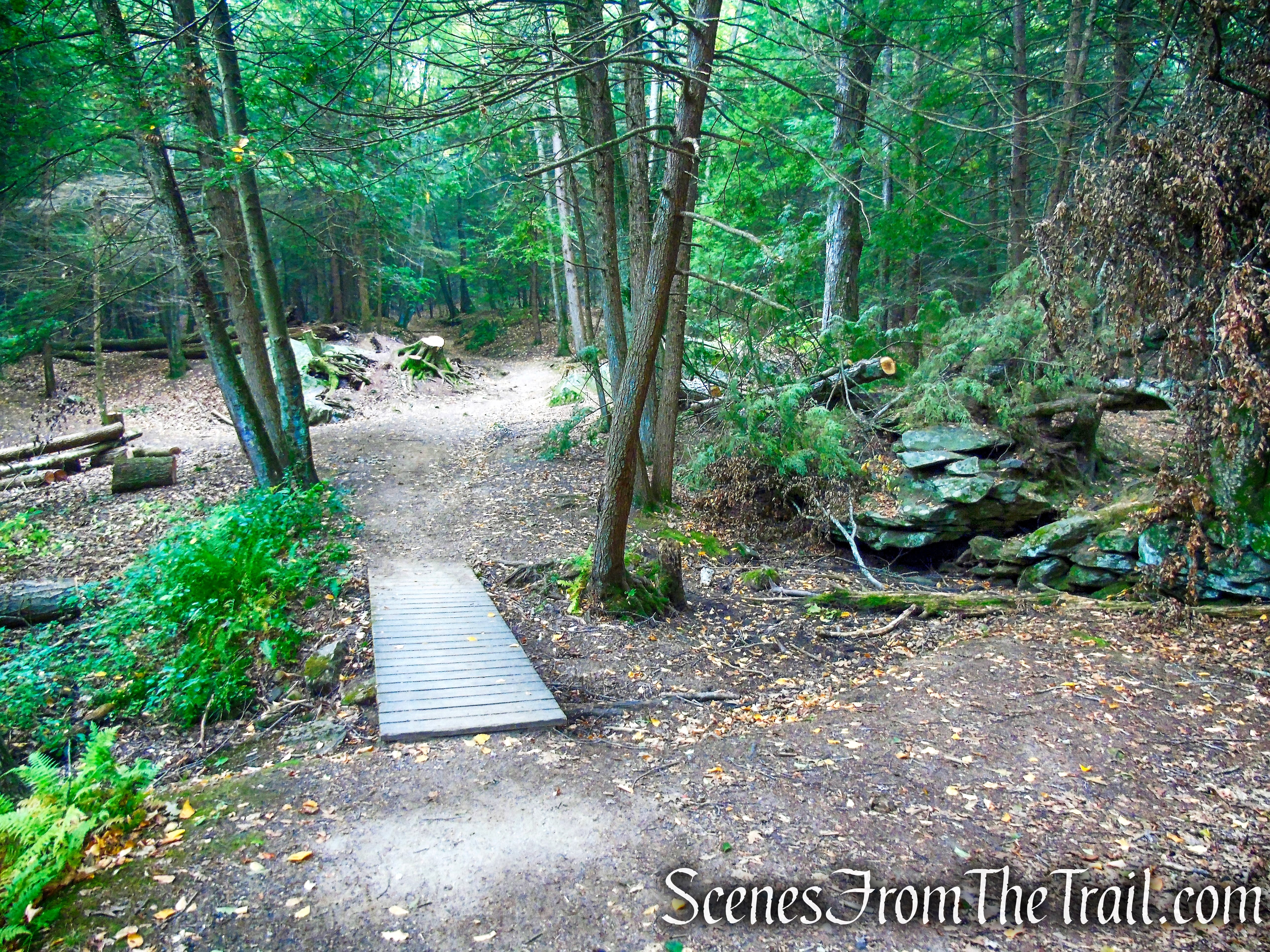
woods road – Black Rock State Park
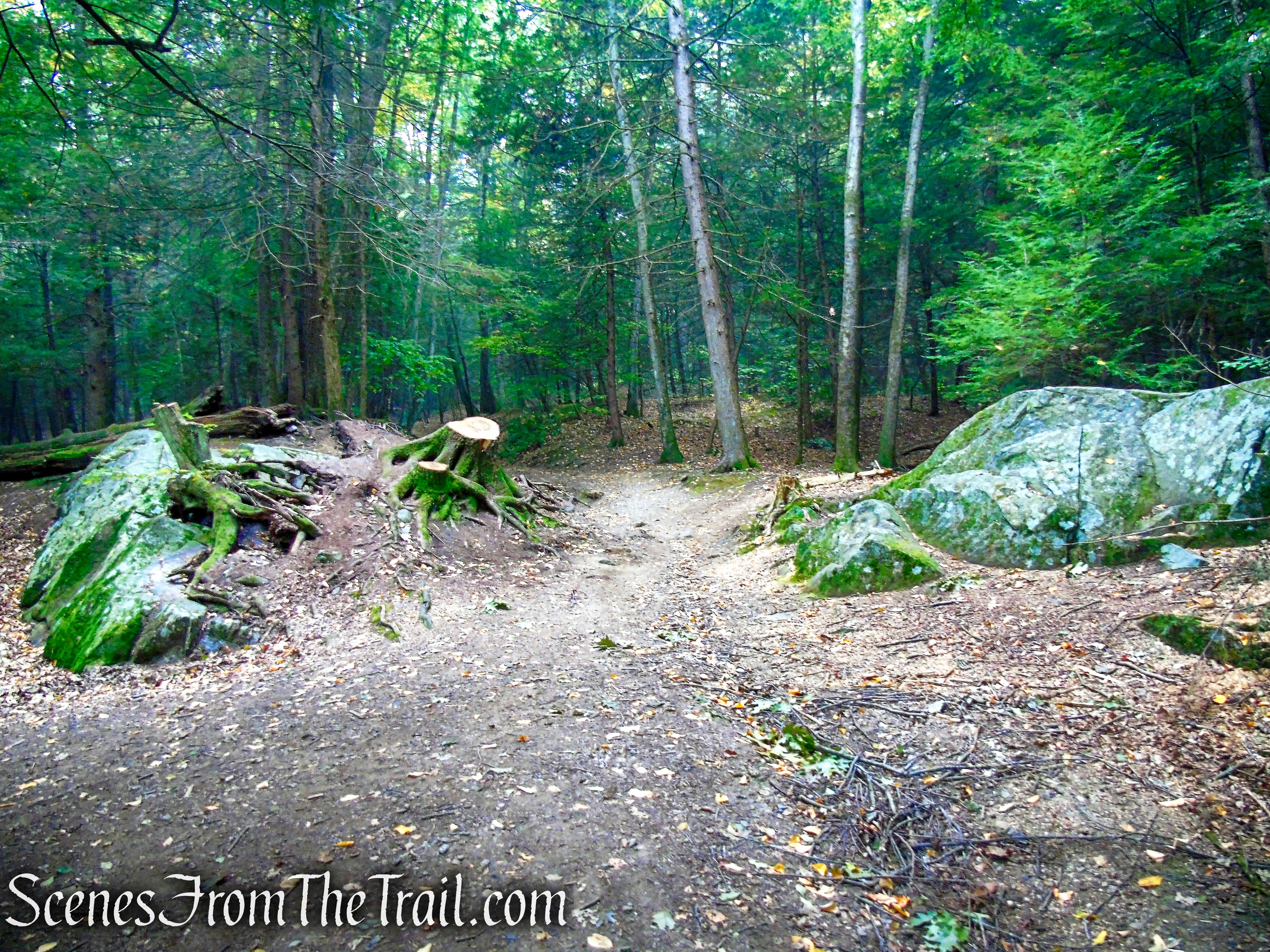
woods road – Black Rock State Park
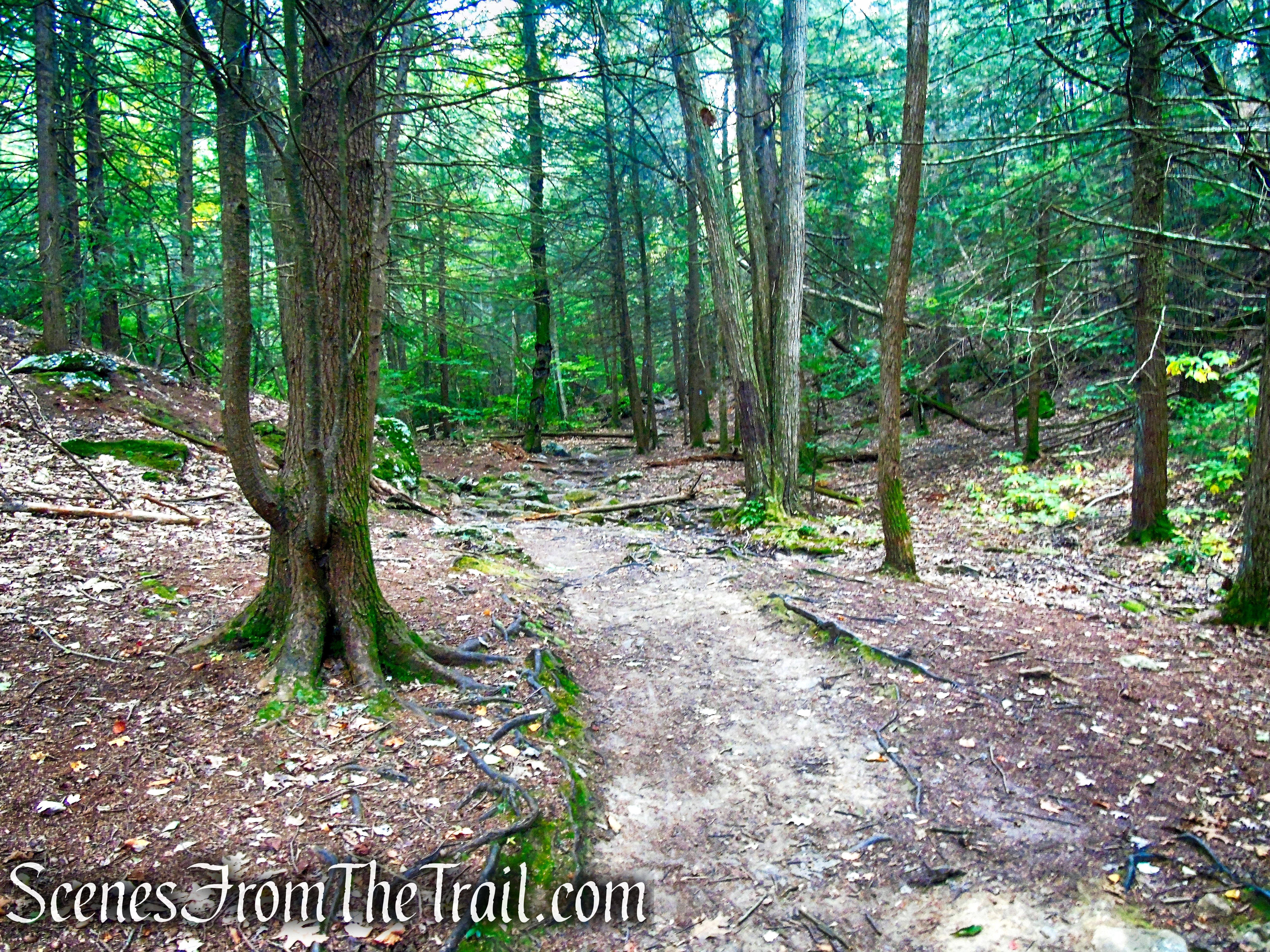
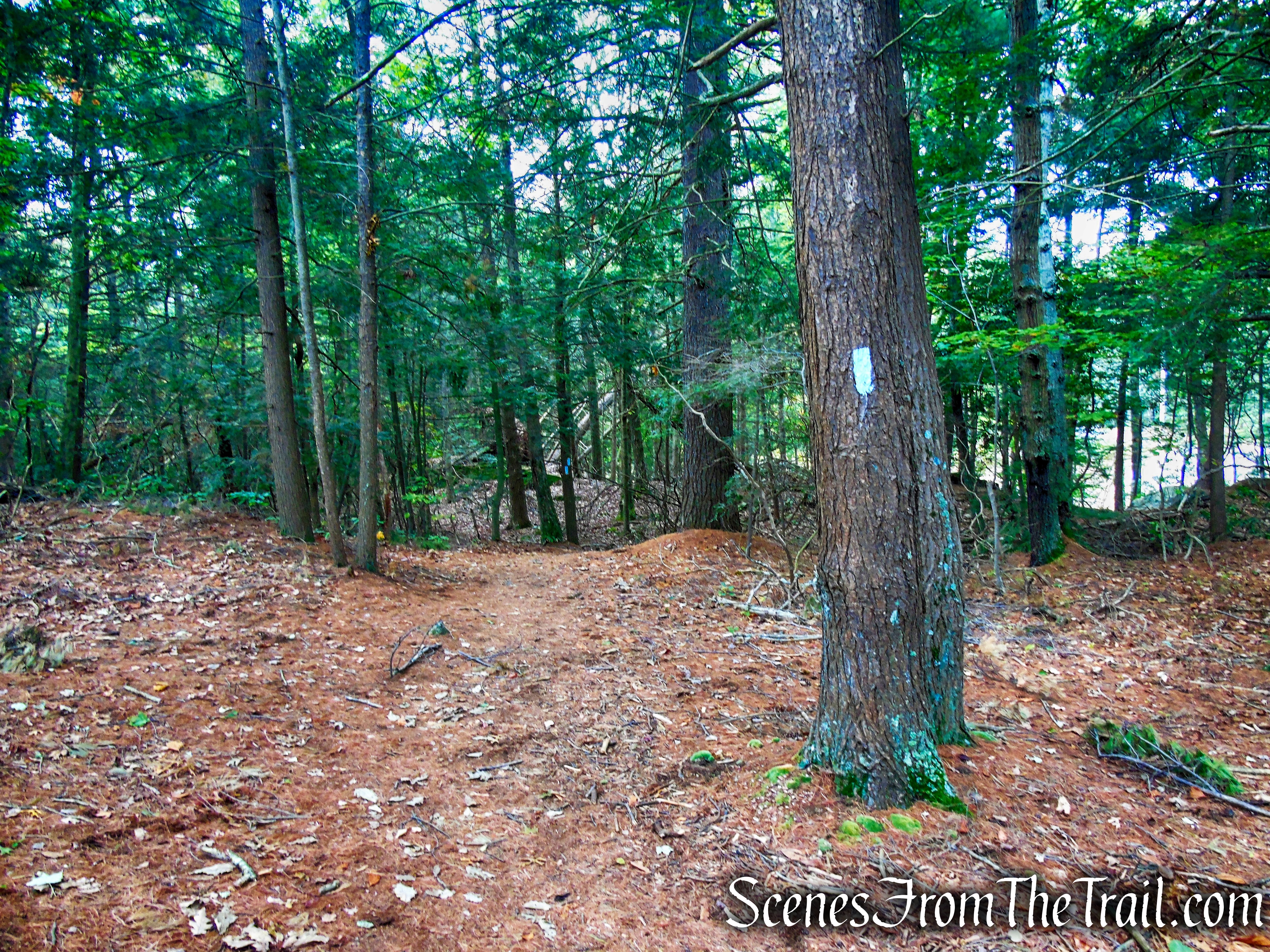
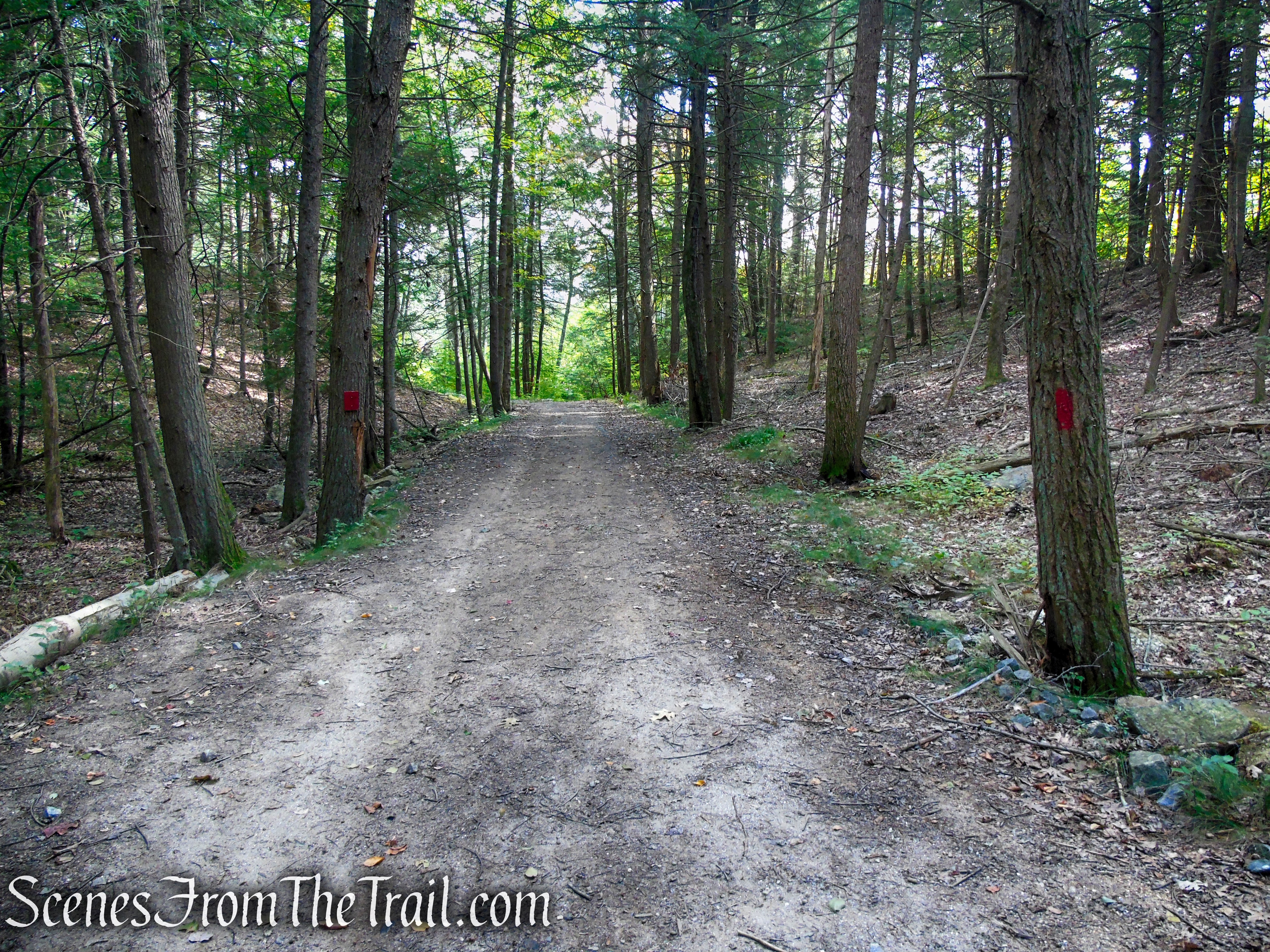
In about 280 feet (from the steel bridge), the blue-blazed Mattatuck Trail crosses the woods road. We turned right and began following the blue blazes, which run along another woods road. In a short distance, The Red Trail begins on the right. That would be our return route, for now, we followed the blue blazes all the way to Black Rock.
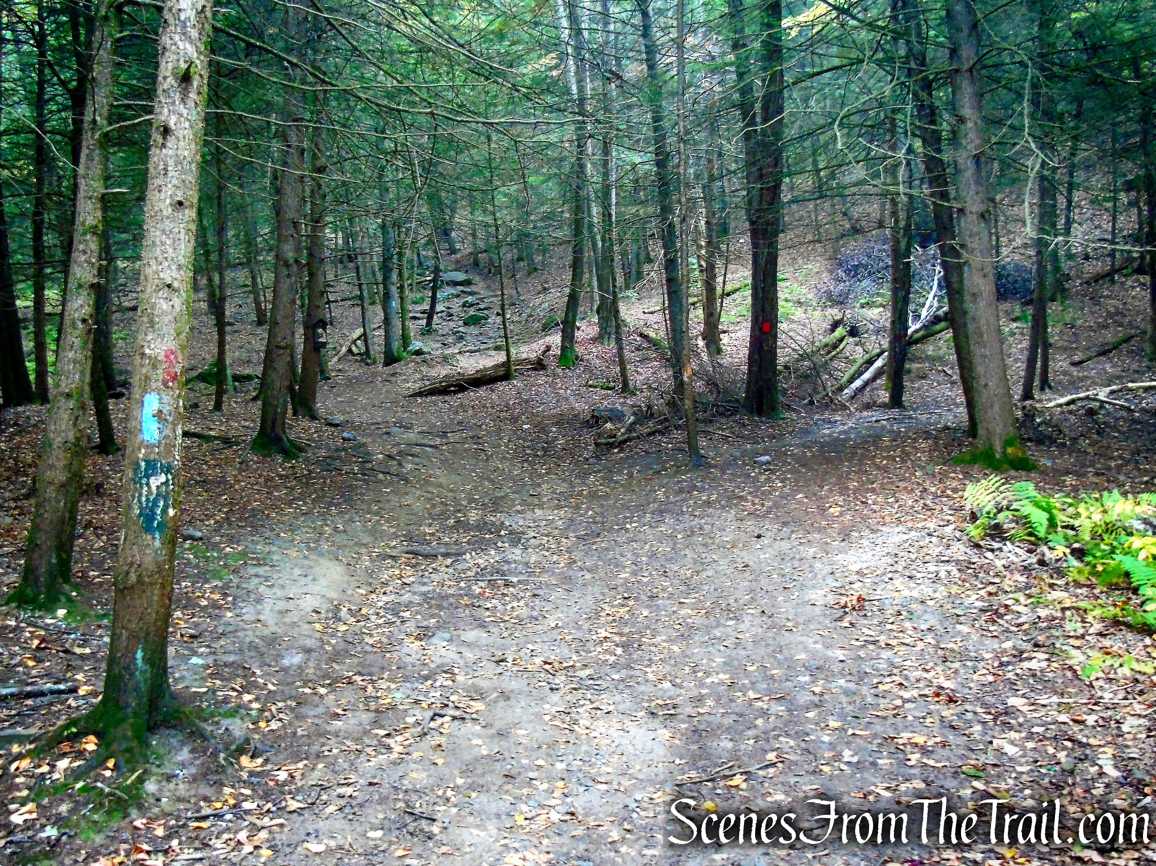
Mattatuck Trail – Black Rock State Park
Mattatuck Trail – Black Rock State Park
Mattatuck Trail – Black Rock State Park
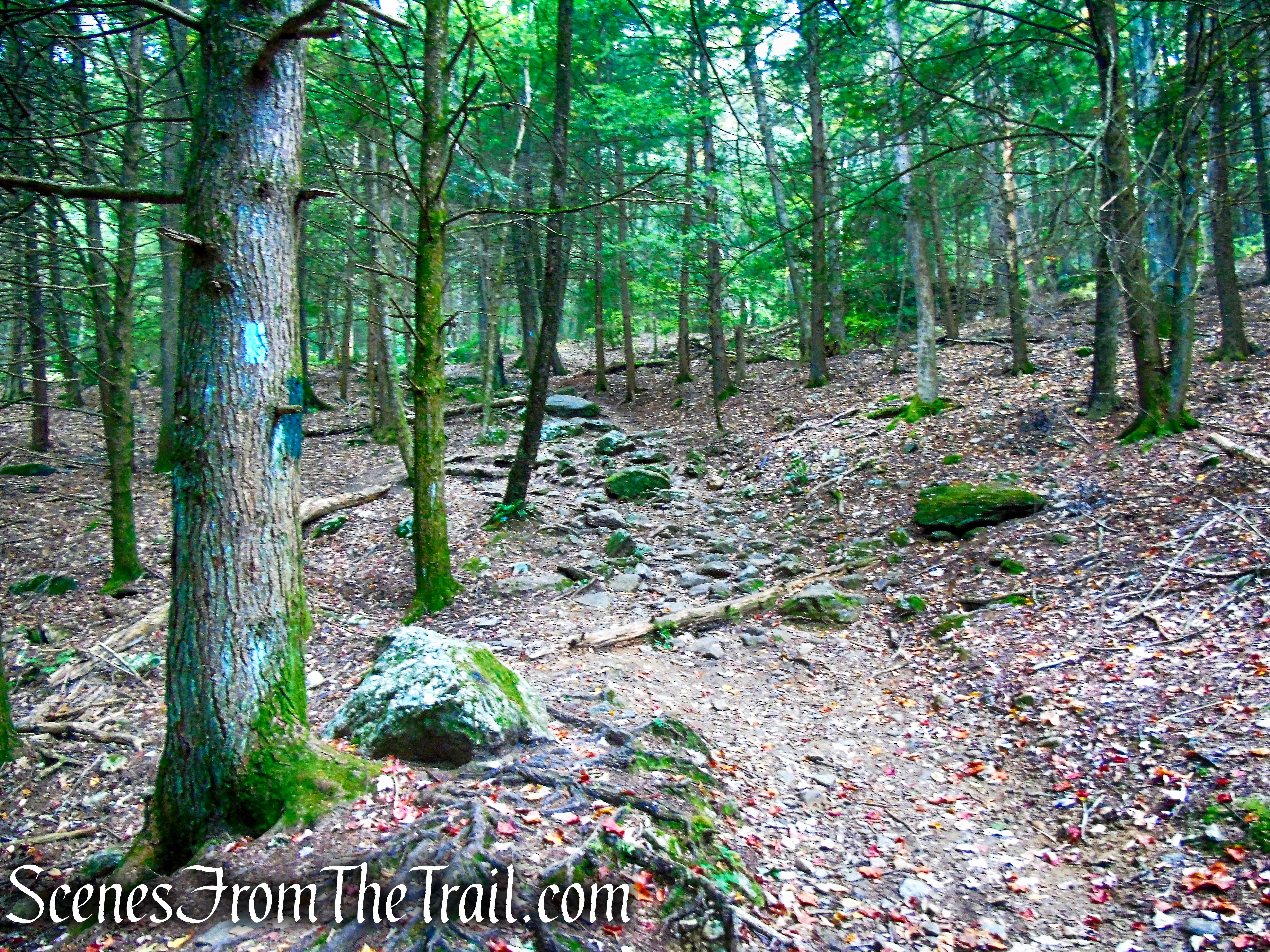
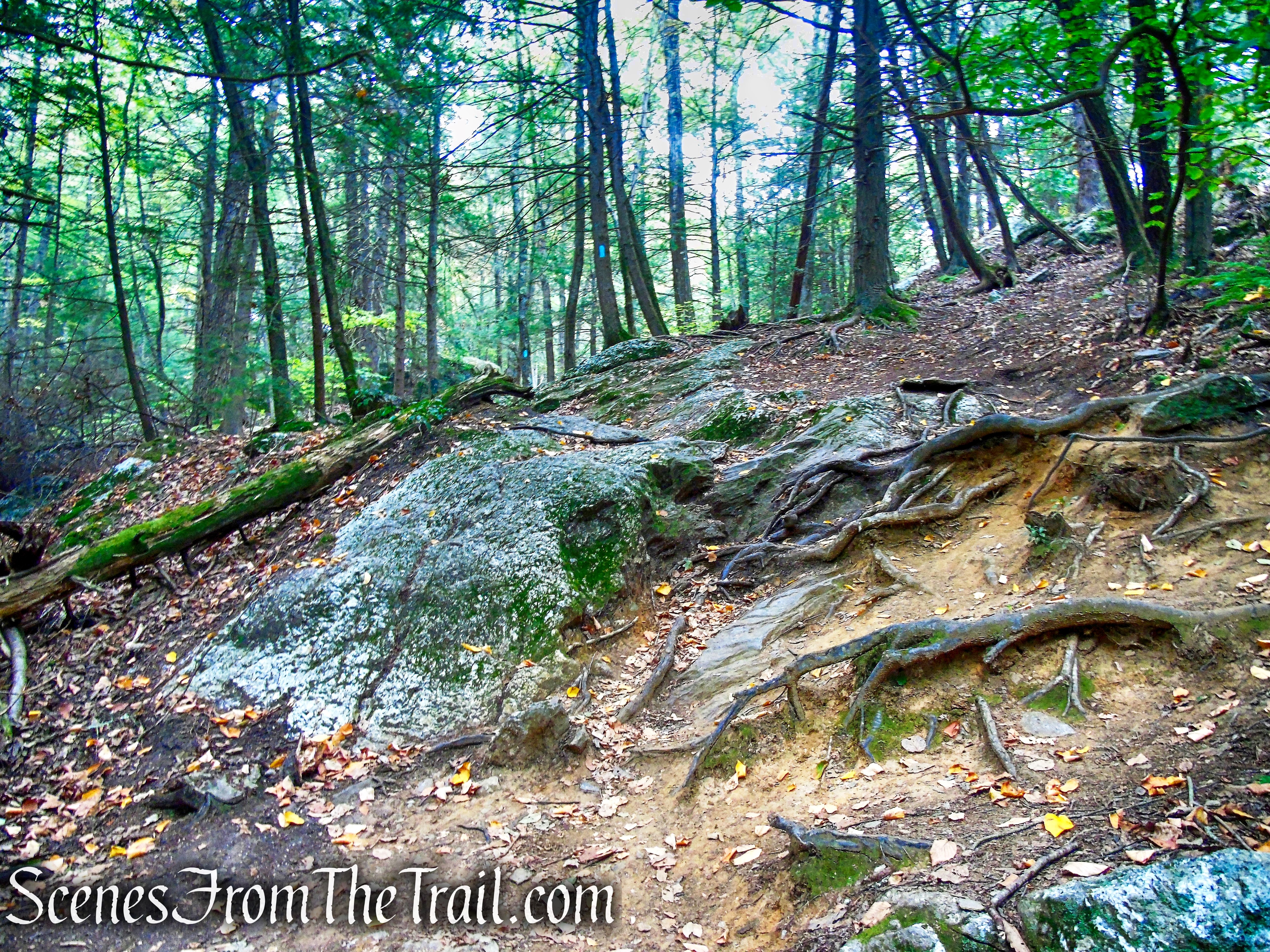
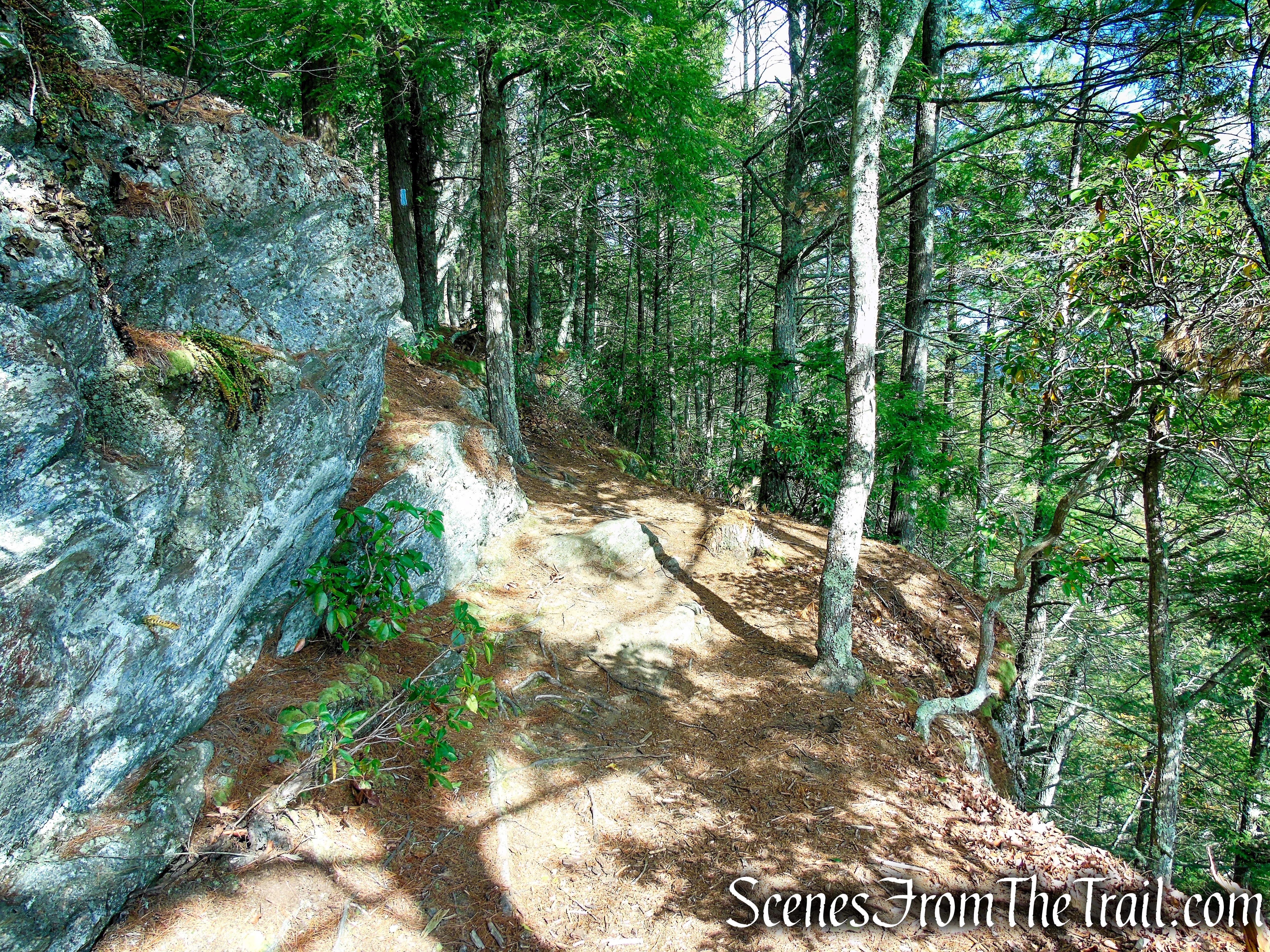
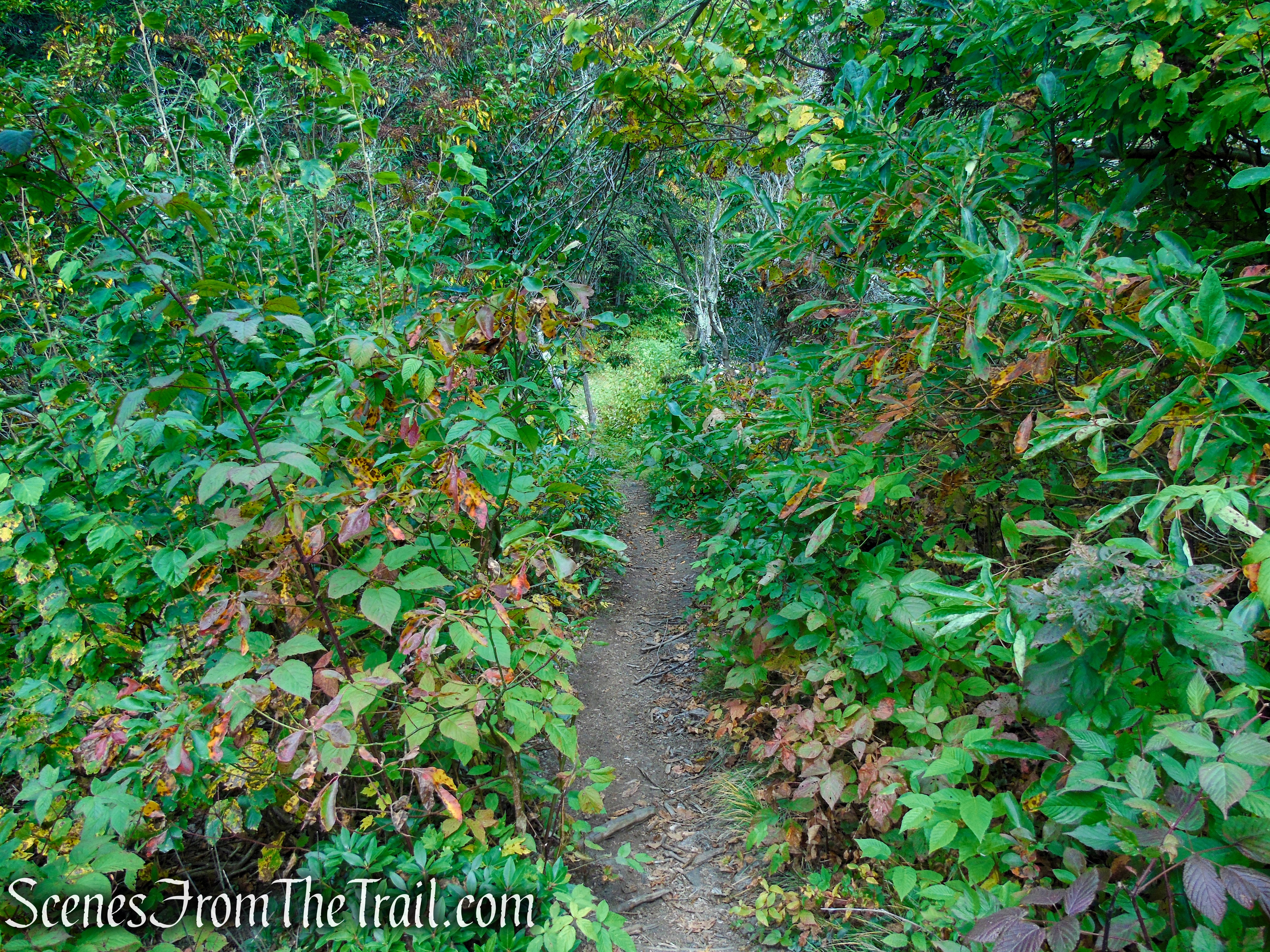
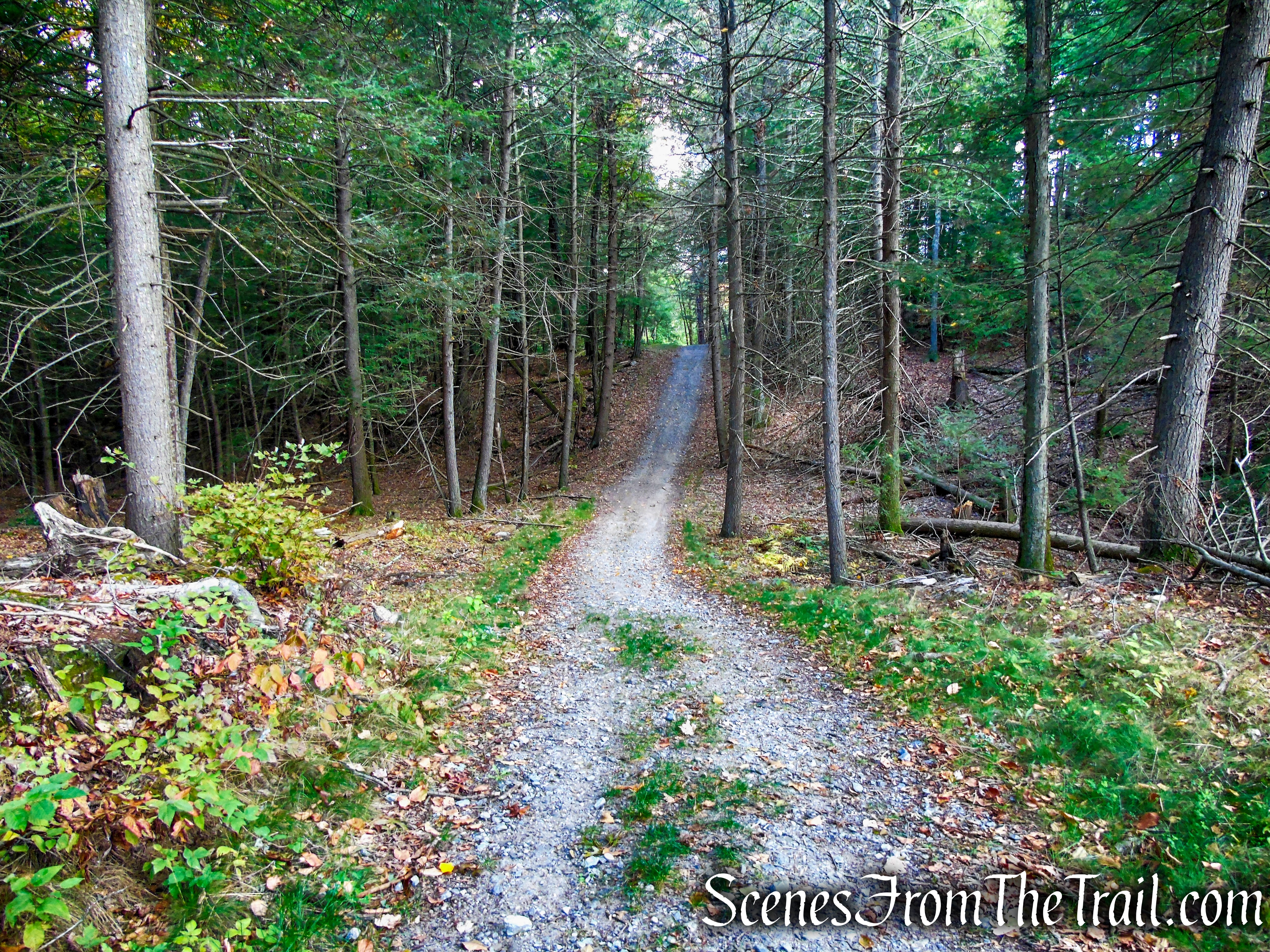
The Mattatuck Trail climbs gradually at first then the grade steepens on the extremely eroded and rocky woods road. The more the trail climbs, the steeper it gets.
Mattatuck Trail – Black Rock State Park
Mattatuck Trail – Black Rock State Park
Mattatuck Trail – Black Rock State Park
Mattatuck Trail – Black Rock State Park
Mattatuck Trail – Black Rock State Park
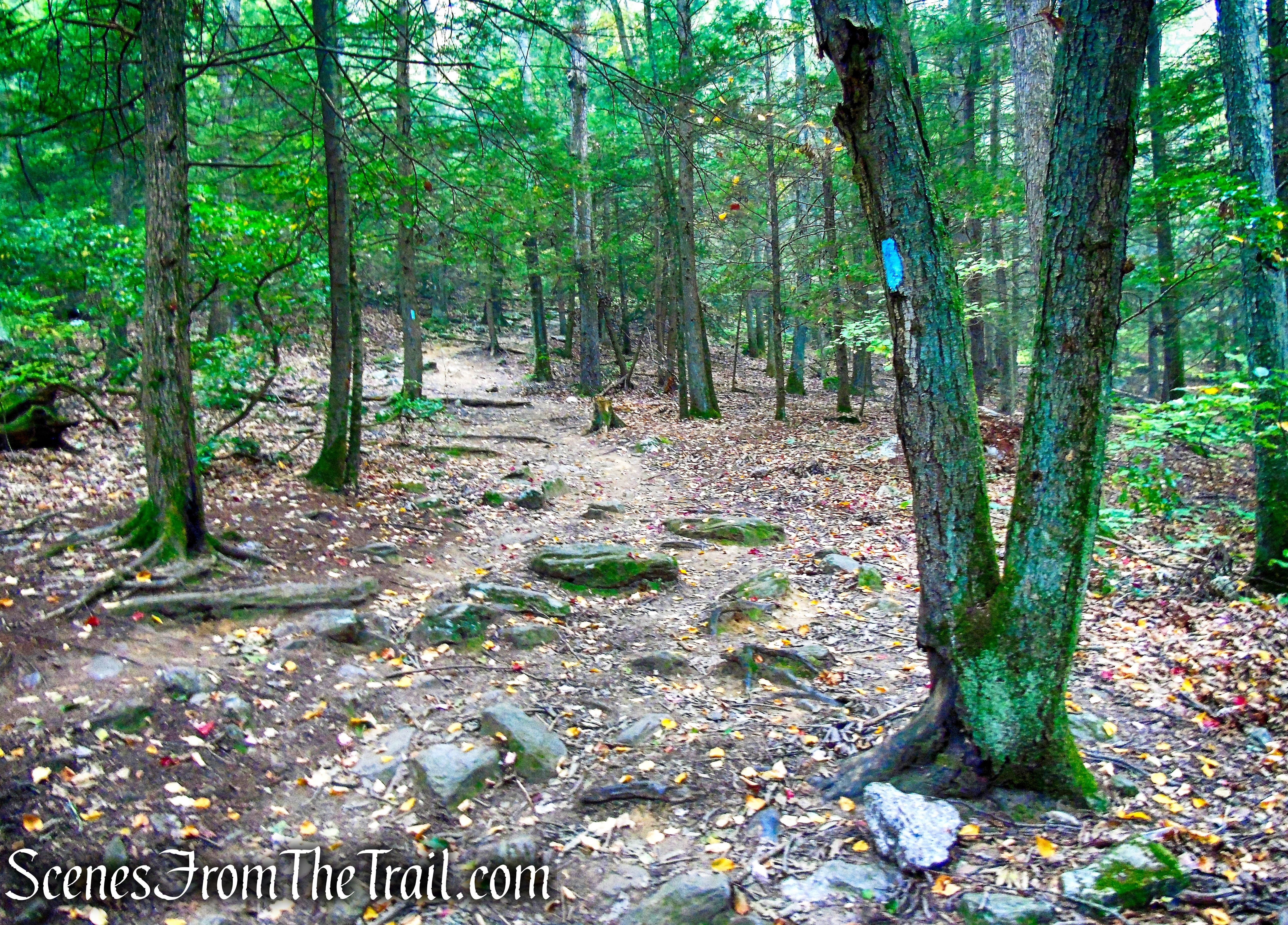
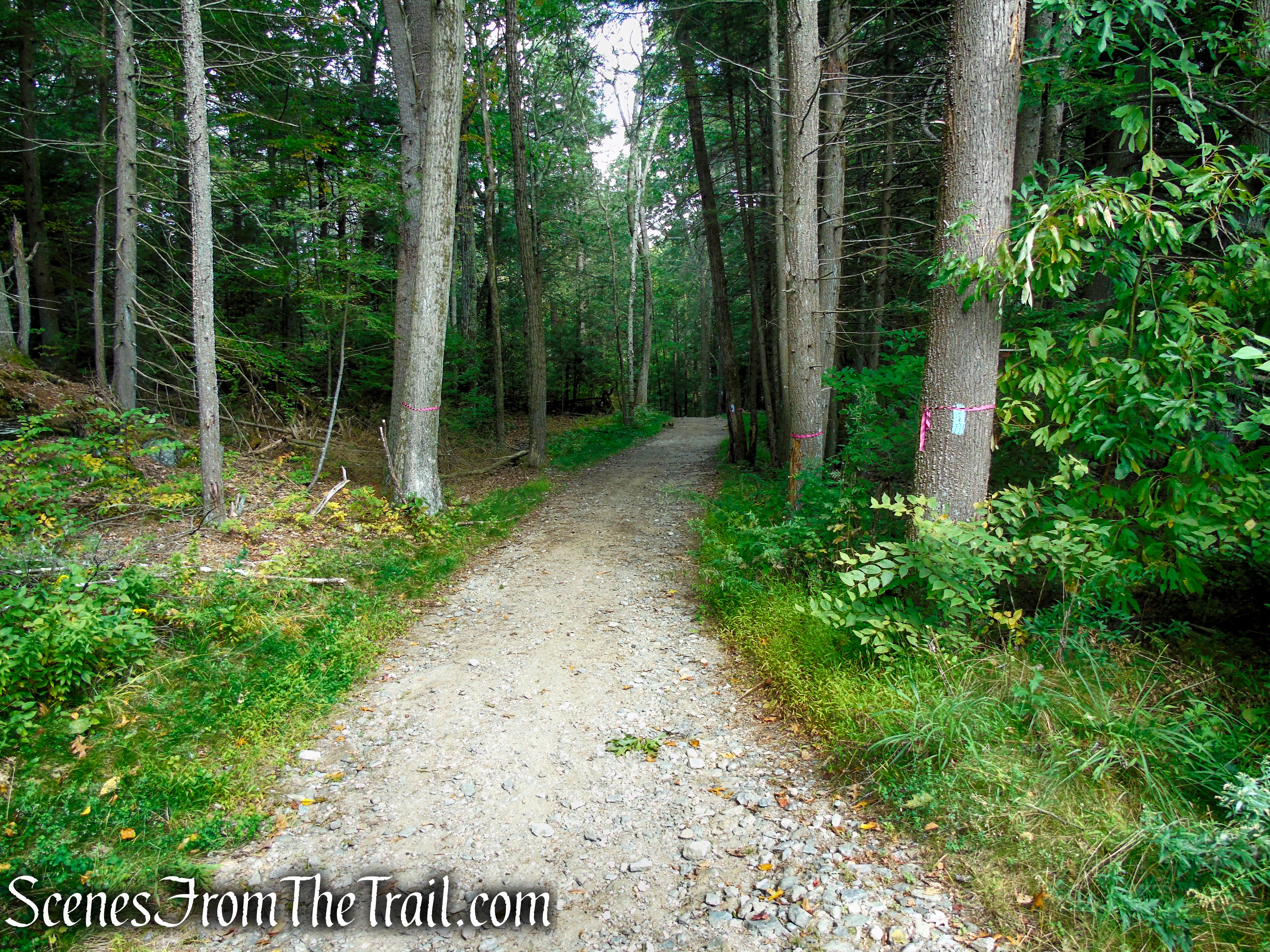
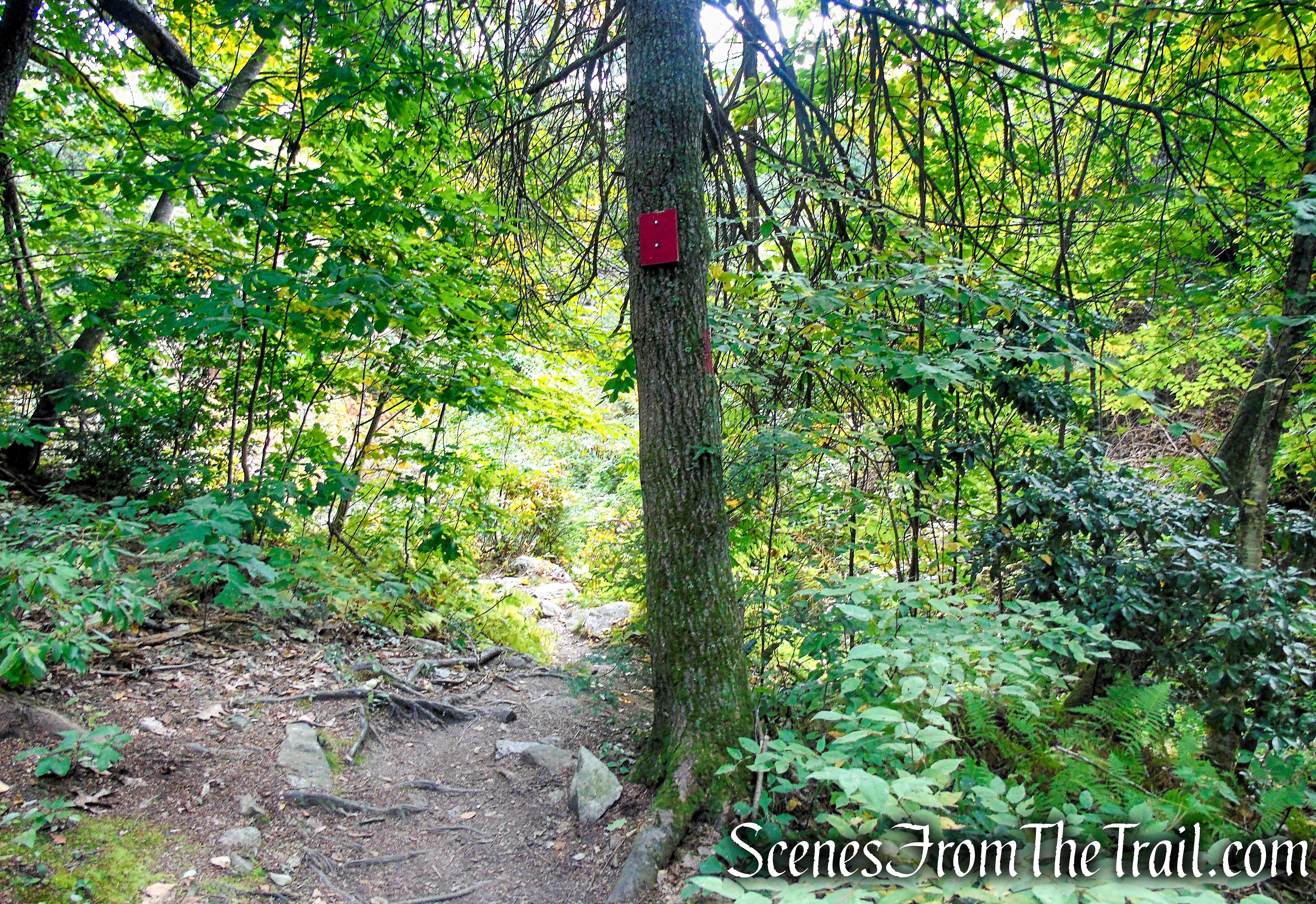
After a particularly steep section, the trail levels off briefly, turns right and continues to climb, then levels off again.
Mattatuck Trail – Black Rock State Park

Mattatuck Trail – Black Rock State Park
Mattatuck Trail – Black Rock State Park
Mattatuck Trail – Black Rock State Park
Mattatuck Trail – Black Rock State Park
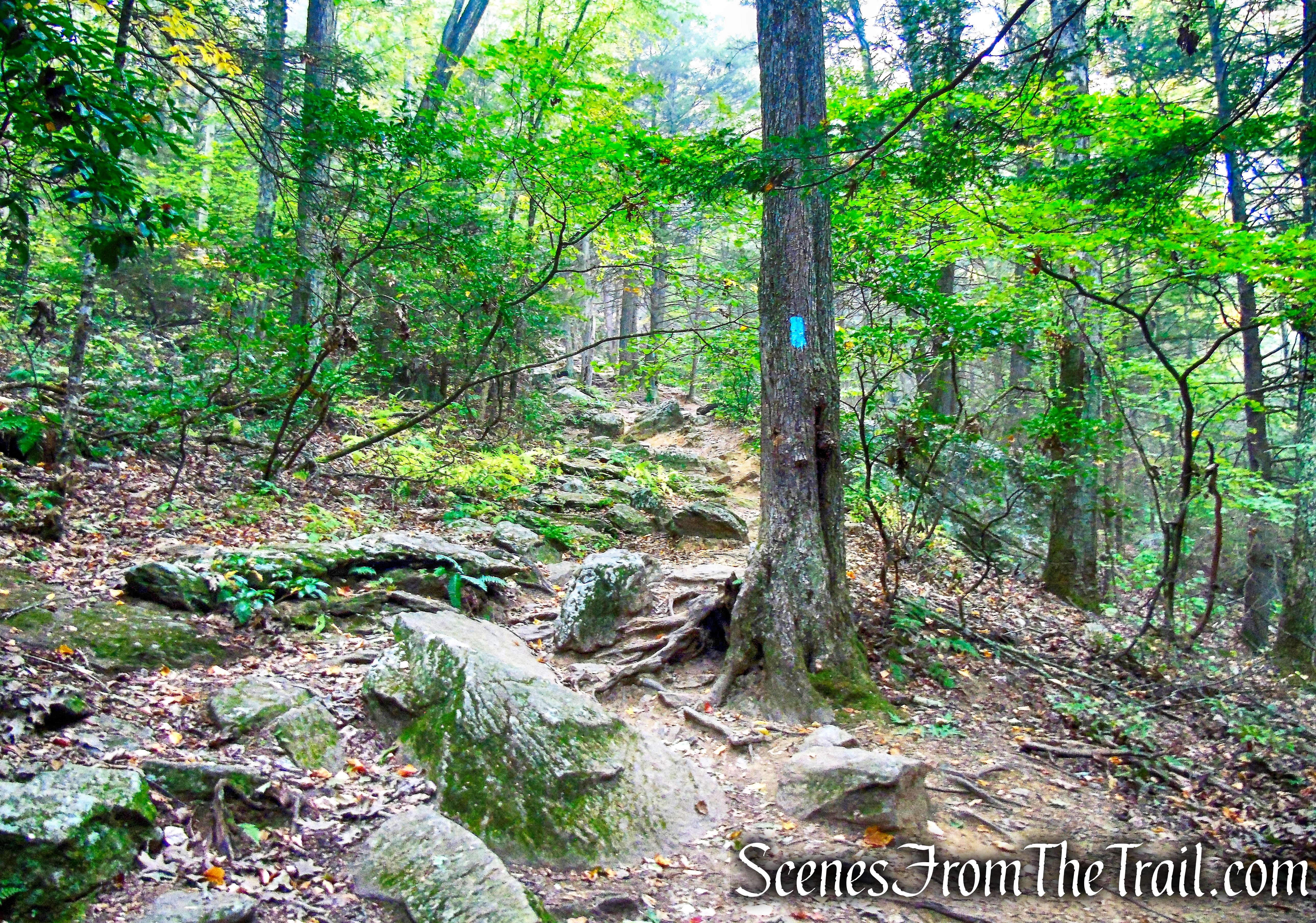
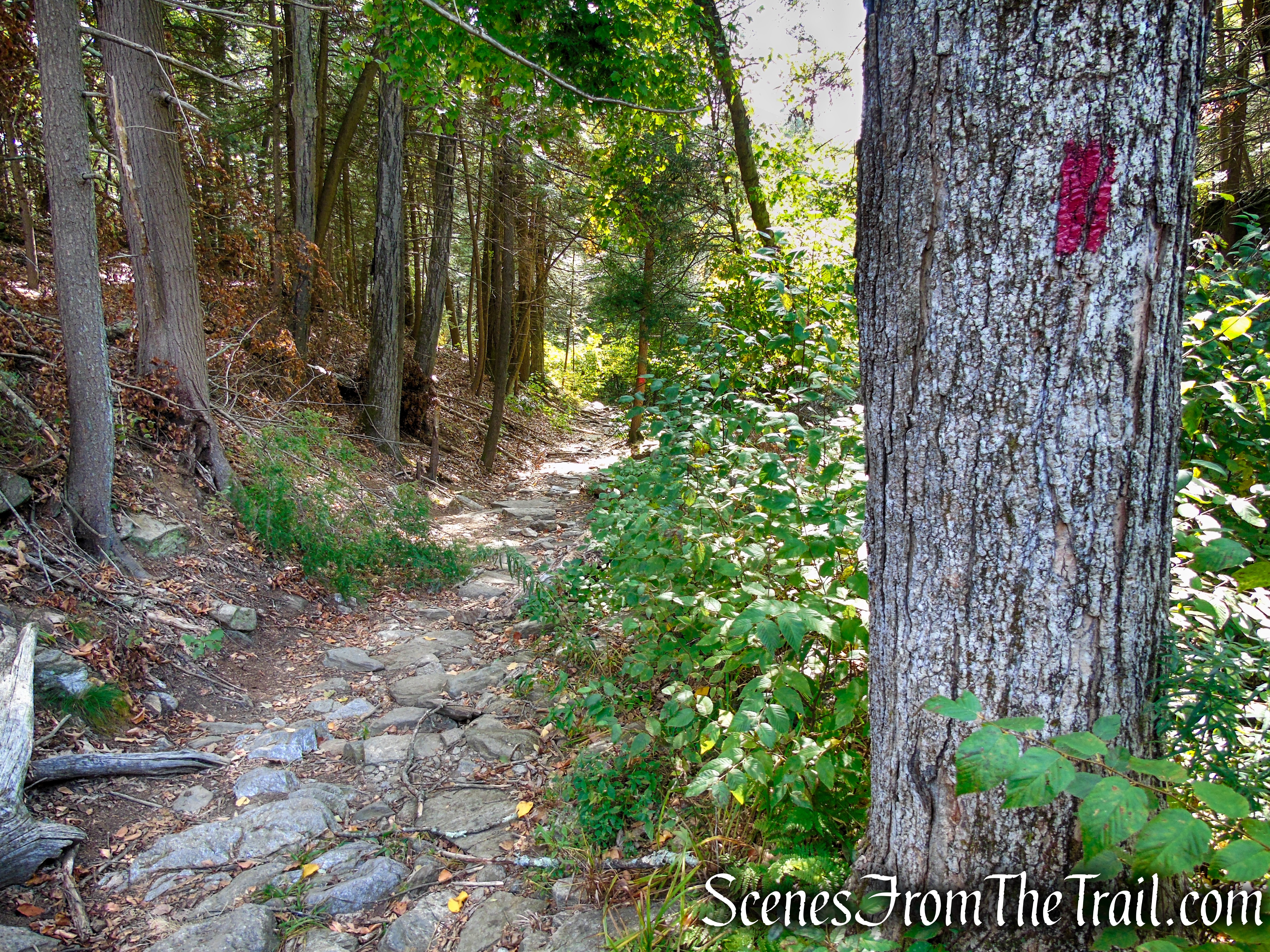
The trail steepens again just before reaching Black Rock.
Mattatuck Trail – Black Rock State Park
Mattatuck Trail – Black Rock State Park
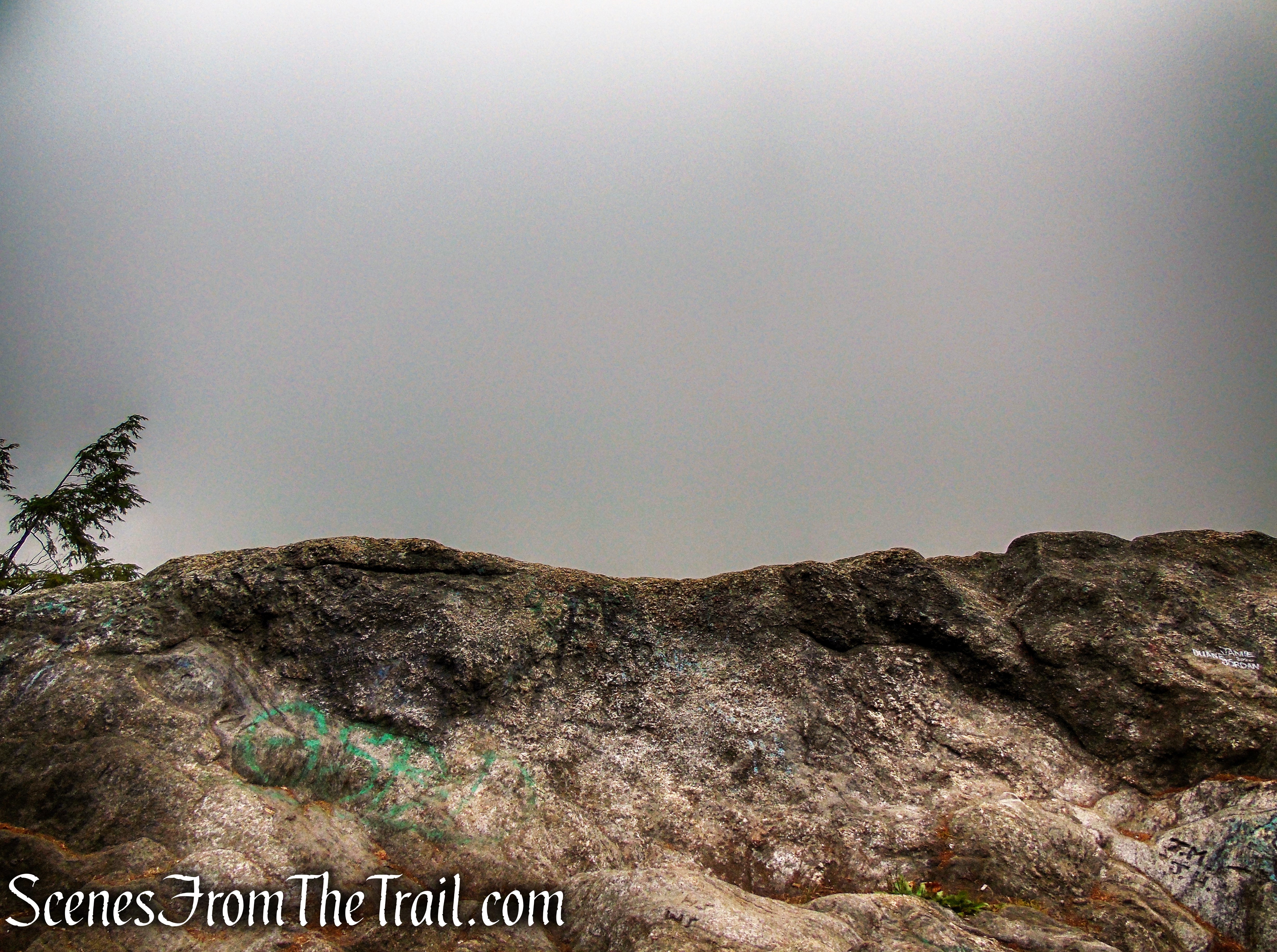
When we got to Black Rock, it was so foggy that you couldn’t see anything beyond Black Rock itself. We were a little bummed, but decided to see if we could wait out the fog.
Black Rock
Black Rock
This rock made a good spot to sit and gaze out at the fog.
Black Rock
In due time, the fog began to roll away and the views opened up. The field in the distance, is alongside the entrance road, adjacent to where we parked. On the far right is Black Rock Pond, looking like a small dot.
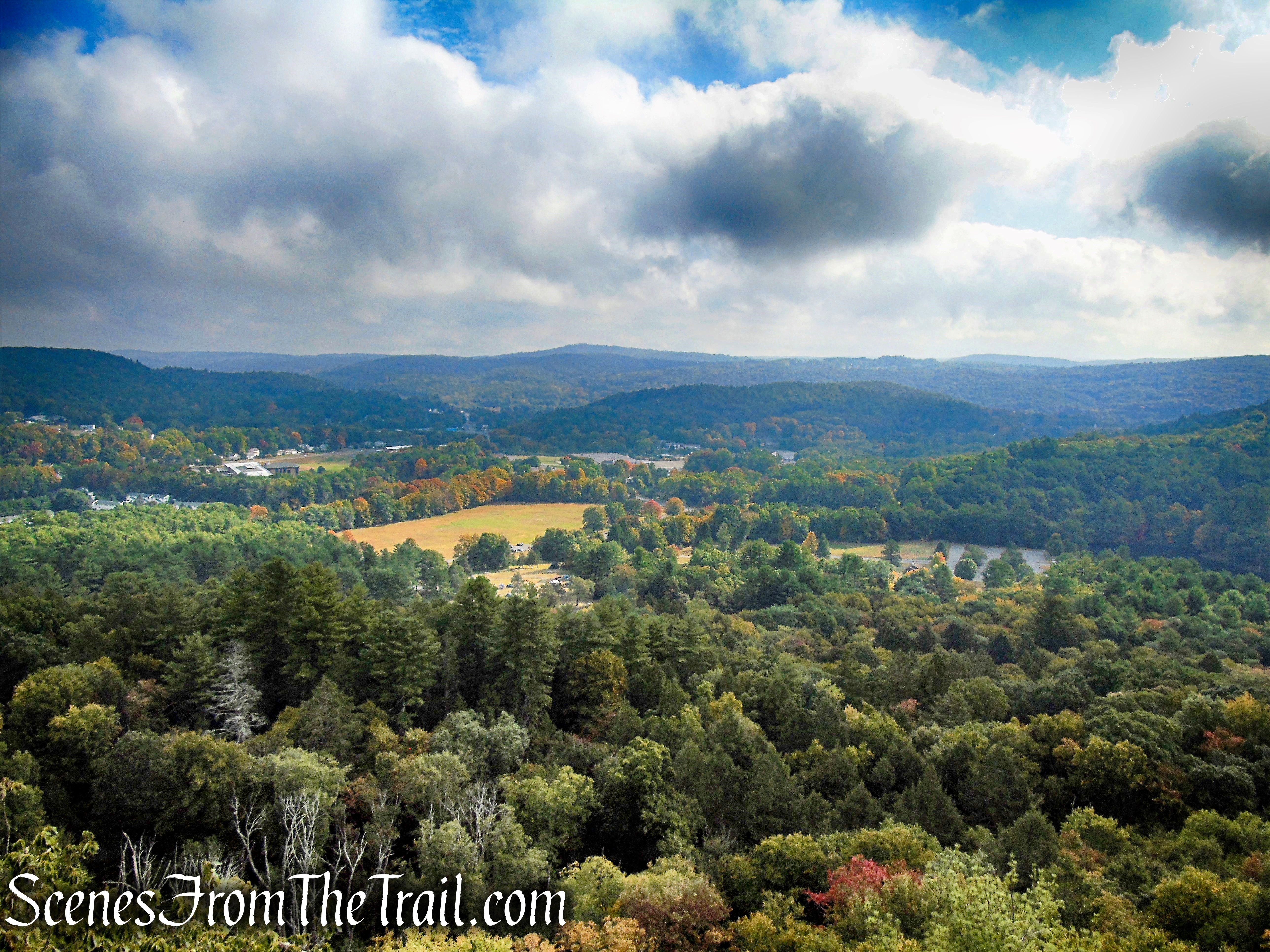
Black Rock
Black Rock
When we were ready to go, we continued ahead on the Mattatuck Trail as it descends Black Rock.
Mattatuck Trail – Black Rock State Park
Mattatuck Trail – Black Rock State Park
Mattatuck Trail – Black Rock State Park
Mattatuck Trail – Black Rock State Park
In about 500 feet, the Mattatuck Trail crosses a power line corridor and reenters the woods on a woods road.
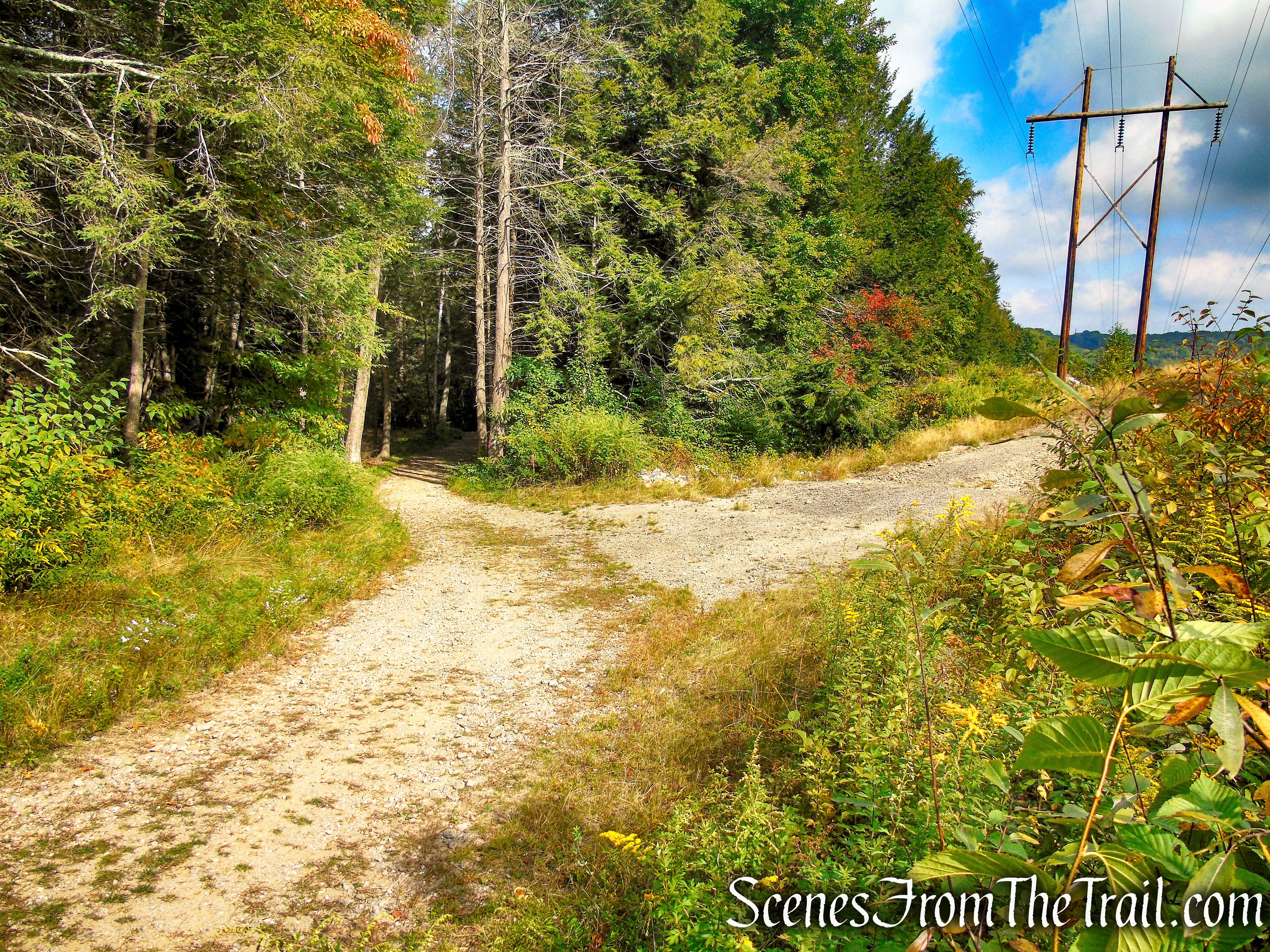
Mattatuck Trail – Black Rock State Park
Mattatuck Trail – Black Rock State Park
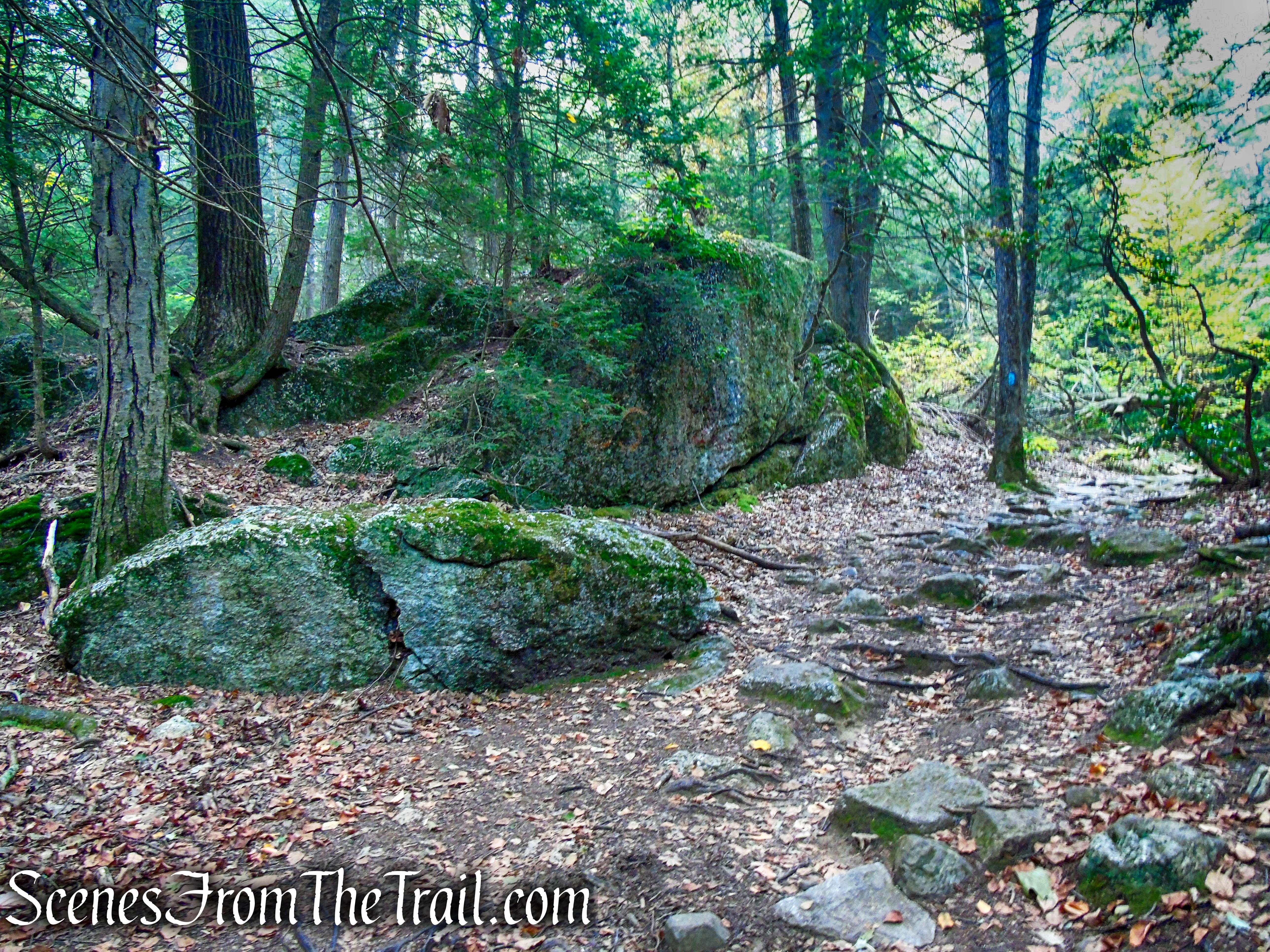
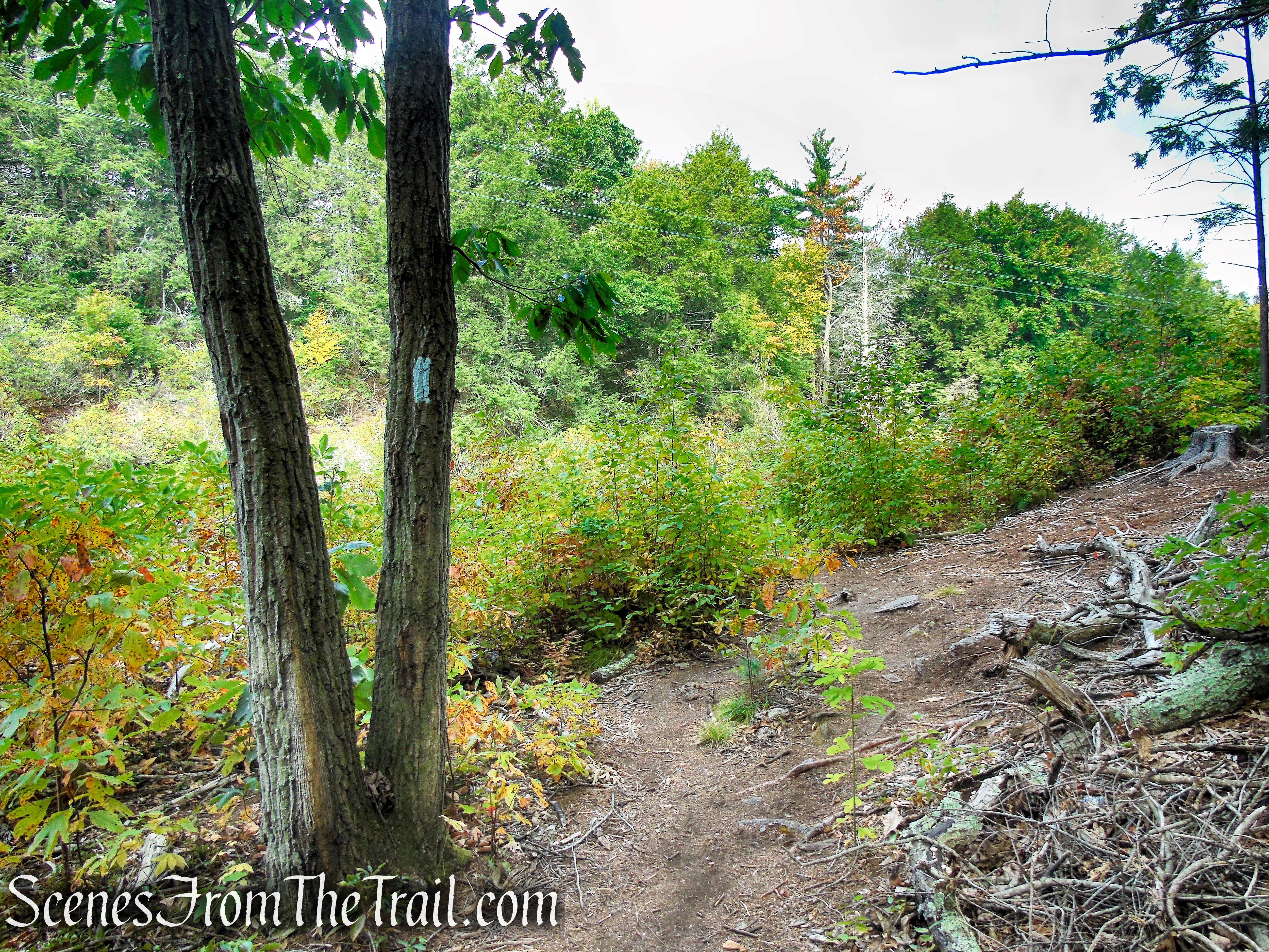
In about 400 feet, the Mattatuck Trail crosses another woods road. The Red Trail begins here, so we turned right, leaving the Mattatuck Trail and now following the red blazes. In another 400 feet, the Red Trail crosses the power line corridor again as it heads southeast.
turn right on Red Trail
Red Trail – Black Rock State Park
Red Trail – Black Rock State Park
Red Trail – Black Rock State Park
Red Trail – Black Rock State Park
Red Trail – Black Rock State Park
An interesting rock formation along the Red Trail.
Red Trail – Black Rock State Park
Red Trail – Black Rock State Park
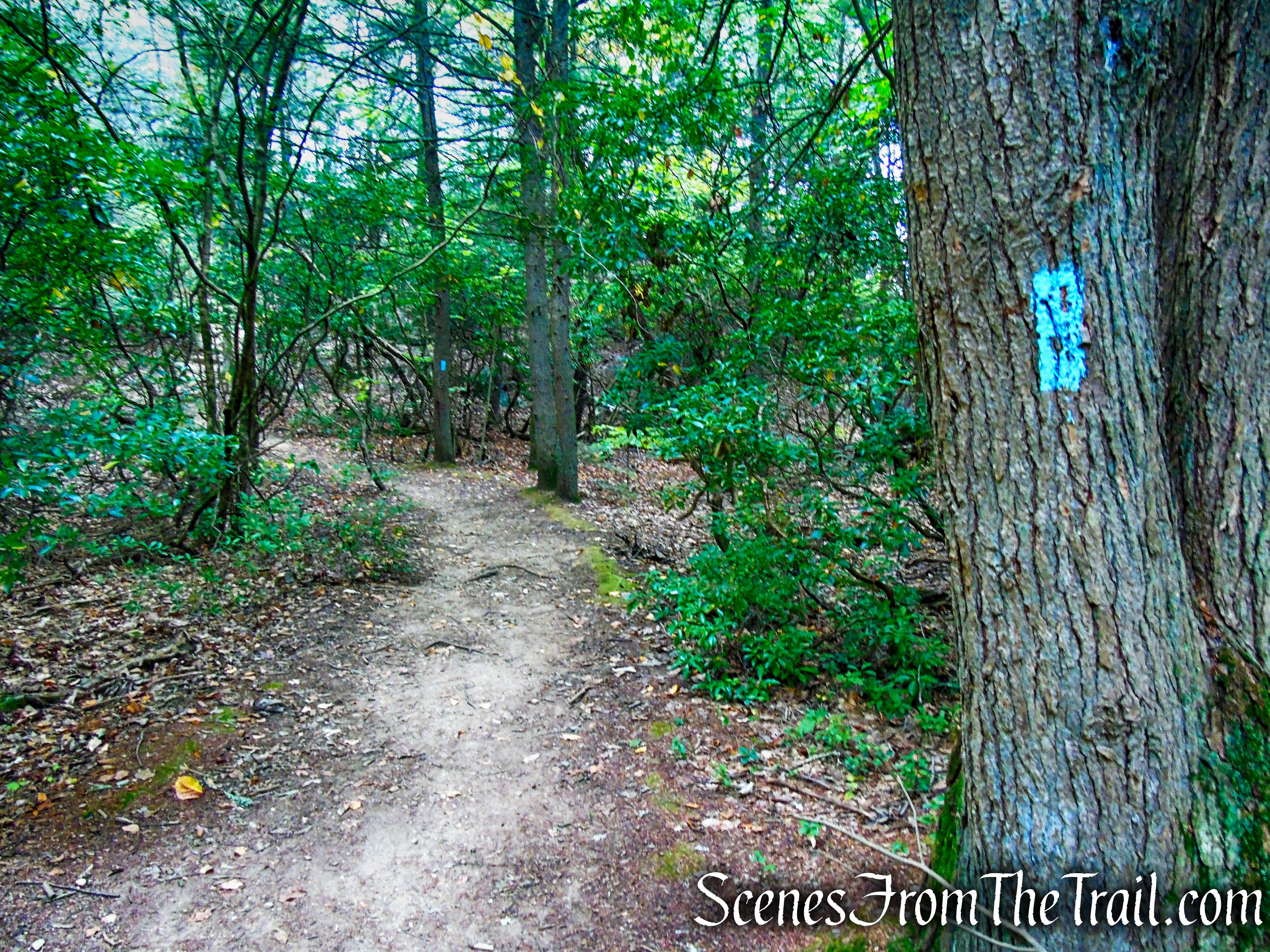
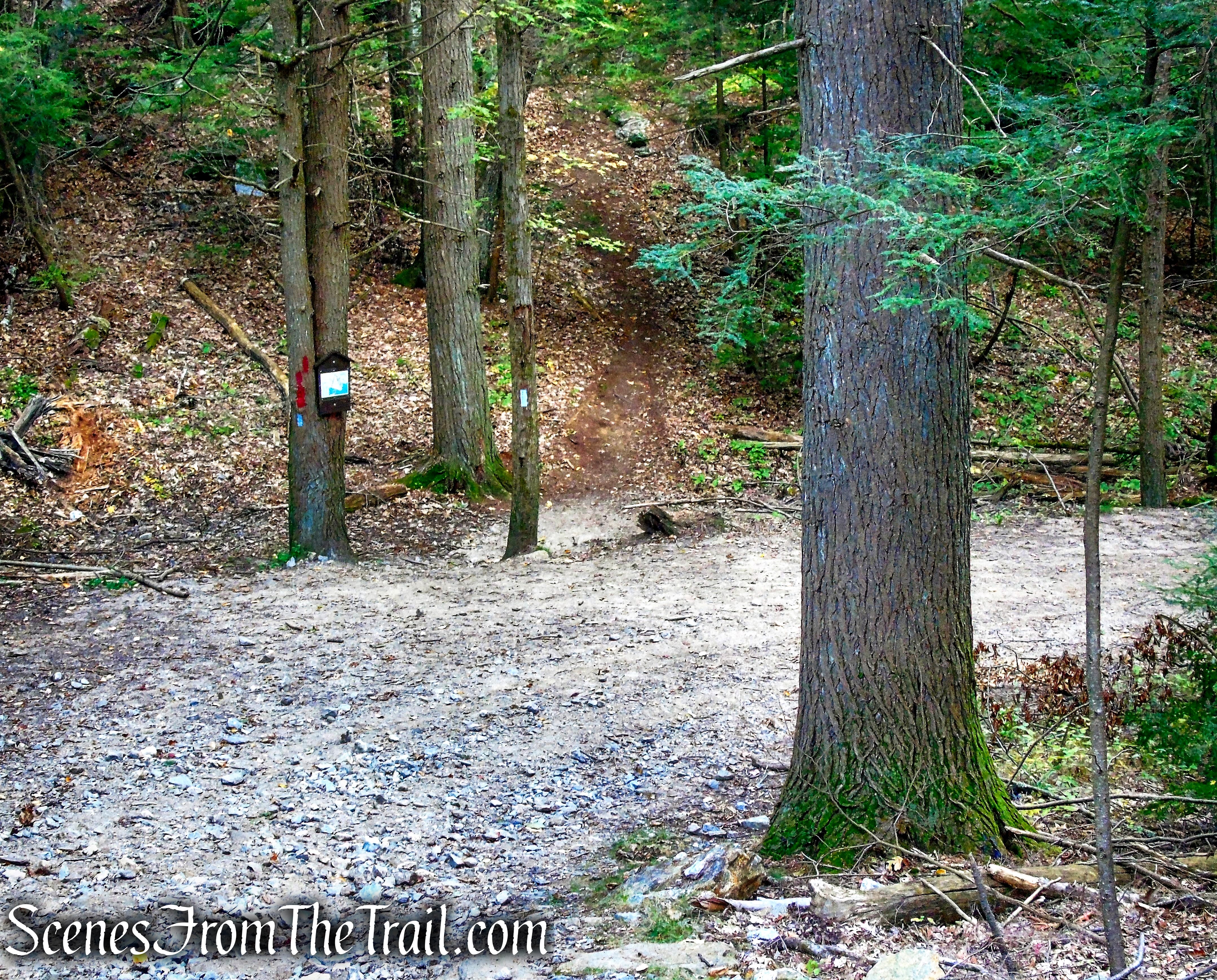
We followed the Red Trail until its terminus, at a junction with the Mattatuck Trail, where we turned left, now retracing our steps from earlier in the hike.
turn left on Mattatuck Trail
As the blue blazes veer right, we turned left on the unmarked woods road, crossing the small wooden footbridge, then turning right and crossing the steel footbridge.
turn left on woods road
woods road – Black Rock State Park
footbridge – Black Rock State Park
We took a walk over by Black Rock Pond to get another look then made our way back to the parking lot via the paved park road.
Black Rock Pond
On the way back down the park road, Black Rock is visible in the distance.
Black Rock
After walking to the vehicle and gathering up our lunch supplies. We walked back to this spot and spent a few hours here. There are several picnic tables and grills scattered about for one to enjoy a picnic or a barbecue.
Black Rock State Park
Black Rock Pond
Review:
A truly beautiful park with lots of available activities. The marked trails in the park don’t provide a lot of distance, but the Mattatuck Trail offers hikers choosing to extend their hike, an option. Although the majority of the hike is on woods roads, it is still rugged enough to keep you focused. The view from Black Rock is first-rate as is the surrounding landscape. This park is definitely worth a visit if only for the view.
Pros:
Black Rock, Black Rock Pond, scenic views, rugged terrain, well marked trails.
Cons:
N/A
Take a hike!
Black Rock State Park
Sources:

Very useful description of this Trail. I admire your taking the time to document your hikes.
LikeLiked by 1 person