April 4, 2021 – Ringwood, New Jersey
Difficulty: Easy to Moderate
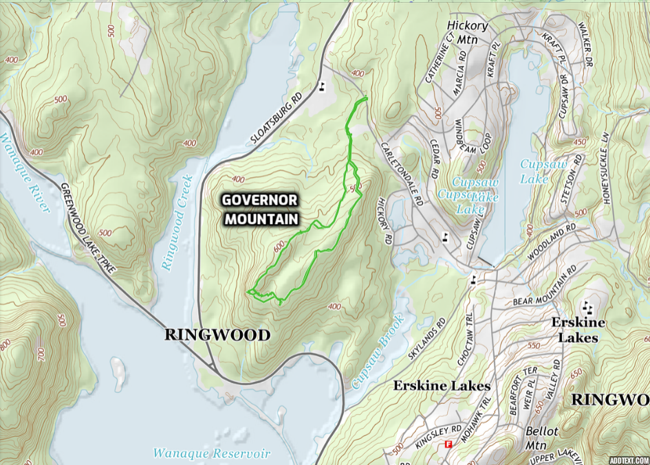
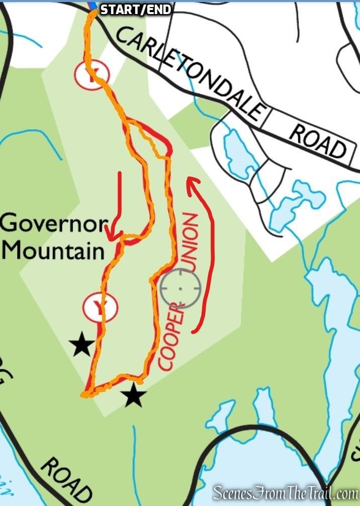
Length: Approximately 2.5 miles
Max elevation: 627 ft.– total elevation gain approximately 383 ft.
Route type: Lollilop Loop
Free Map: Ringwood State Park Trail Map – 2021
Free Map: Ringwood State Park Map NYNJTC
Buy Map: North Jersey Trails Map
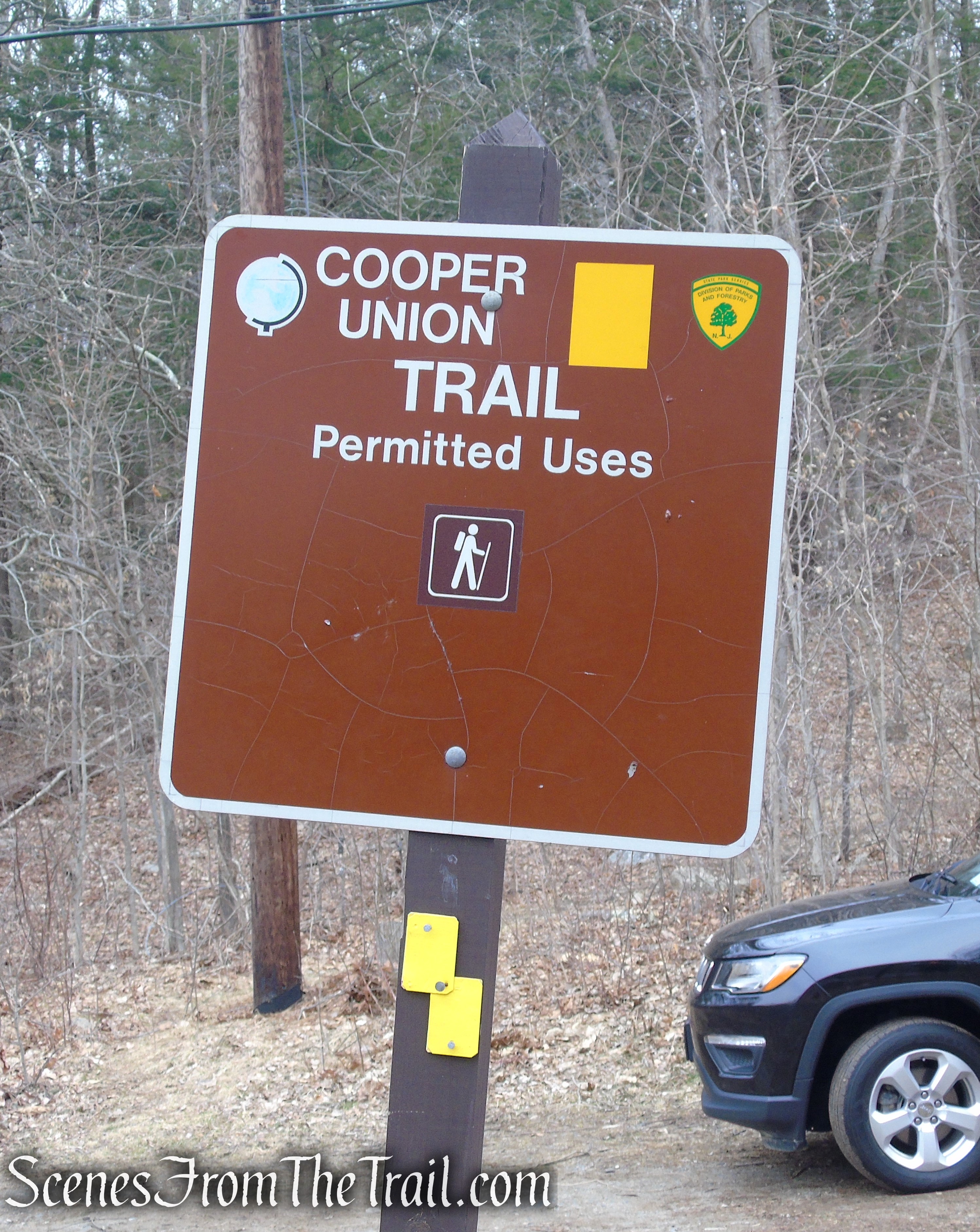
Trailhead parking: Cooper Union Trailhead (2-3 cars) – Carletondale Rd, Ringwood, NJ 07456
Alternate parking: Community Presbyterian Church 145 Carletondale Rd, Ringwood, NJ 07456
Overview:
Ringwood State Park is a 4,444 acres state park in Passaic County in northeastern New Jersey. The Park is located in the heart of the Ramapo Mountains in Ringwood. Its forests are part of the Northeastern coastal forests ecoregion.
Ringwood State Park features both wild lands and landscaped gardens. It consists of four distinct areas: Ringwood Manor, Skylands Manor/NJ State Botanical Garden, Shepherd Lake, and Bear Swamp Lake. The park is operated and maintained by the New Jersey Division of Parks and Forestry.

Ringwood State Park
Governor Mountain is a rocky promontory in the southwestern section of Ringwood Manor State Park. It has an elevation of about 627 feet above sea level and is bordered by Sloatsburg Road to the west, Skylands Road to the east and the Wanaque Reservoir to the south. The Cooper Union Trail forms a Lollilop Loop through the mountain, with views of the Wanaque Reservoir from a rock outcrop at its southern end.
Governor Mountain – Ringwood State Park
History:
The present day Ringwood State Park consists of some of the original land and buildings of the once flourishing iron industry developed in 1740 by the Ringwood Company. By placing a dam on the Ringwood River, the company harnessed water power to operate a blast furnace and forges. Home for a succession of well known ironmasters for nearly 200 years, the estate passed from Peter Cooper to Abram S. Hewitt in the mid 19th century, America’s foremost iron master. In 1936, Erskine Hewitt deeded the Ringwood Manor House and grounds to the State of New Jersey in order to preserve this historic property for posterity.
Trails Overview:
There are 20 official trails within the park, totaling nearly 50 miles. Many trails begin near Ringwood Manor, Skylands Manor, or Shepherd Lake, and extend into the park.
Each area has short trails that allow for exploration of these attractions, and longer trails that explore the surrounding area. Individual trails range from 0.2 to 7 miles. Trails are marked with colored blazes.
Trail used on this hike:
- Cooper Union Trail – Yellow • 4.7 miles total length; 2.5 miles this hike • Multiuse
The yellow-blazed trail runs from north to south beginning at a trailhead on Sloatsburg Road at the northern end of the park. Along its route, the trail crosses Morris and Carletondale Roads. The trail heads south through forested hillsides. Near its southern end, the trail splits to form a loop. At the southern end of the loop, there is a scenic view of Wanaque Reservoir.
Wanaque Reservoir and the Ramapo Mountains as viewed from Governor Mountain
The original trail was laid out by members of the Cooper Union Hiking club from the prestigious Manhattan college founded by one of New Jersey’s largest landowners, Peter Cooper. The hiking trails are maintained by volunteers coordinated by the New York-New Jersey Trail Conference.
Cooper Union Trail – Ringwood State Park
Hike Overview:
Being Easter Sunday, I was looking to do a hike on the short side that consisted of more than just a walk in the woods. This hike was a perfect pick. It has a really nice viewpoint over the Wanaque Reservoir and the Ramapo Mountains on the other side. We didn’t encounter anyone else on the trails which made for a quiet morning in the woods.
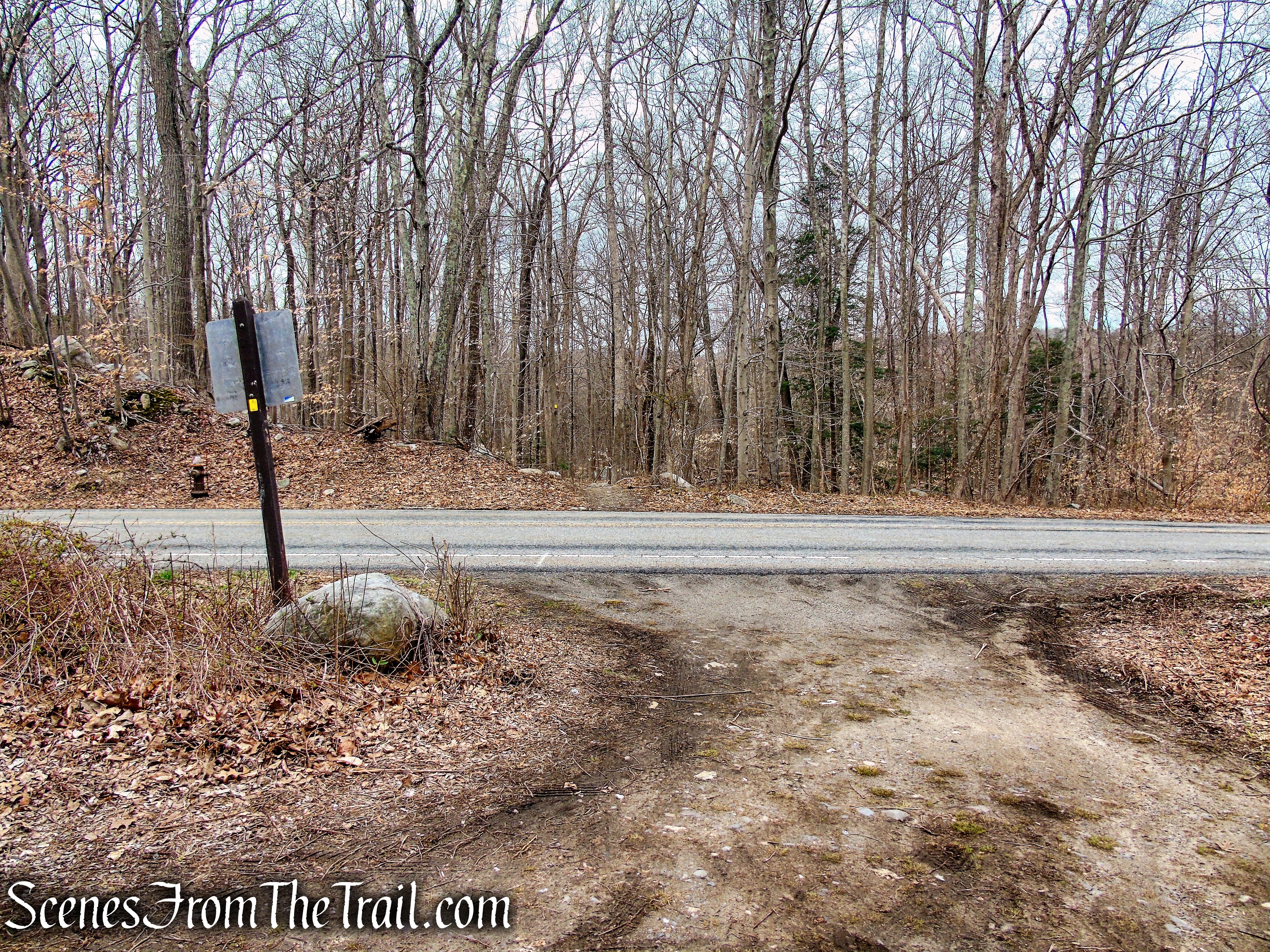
This Lollipop Loop begins at the Carletondale Road trailhead which can accommodate about 2-3 cars. Please note: You will have to cross the road and head south if starting from here.
Cooper Union Trail – Carletondale Road
There is additional parking at the Community Presbyterian Church, just down the road, but permission is needed on weekdays, according to a sign at the entrance to the trail.

Community Presbyterian Church
This counterclockwise lollipop loop follows the yellow-blazed Cooper Union Trail for its entirety. The trail is well blazed and easy to follow. If starting out from the small trailhead on Carletondale Road, you must cross the road, which the trail also crosses, and begin the hike there, heading south.
Governor Mountain – Ringwood State Park
Although there are a few steep sections, the elevation gain is mostly gradual and during the first mile of the hike. The mountain itself is barely over 600 feet in elevation, so most hikers shouldn’t have any issues.

Governor Mountain – Ringwood State Park
The Hike:
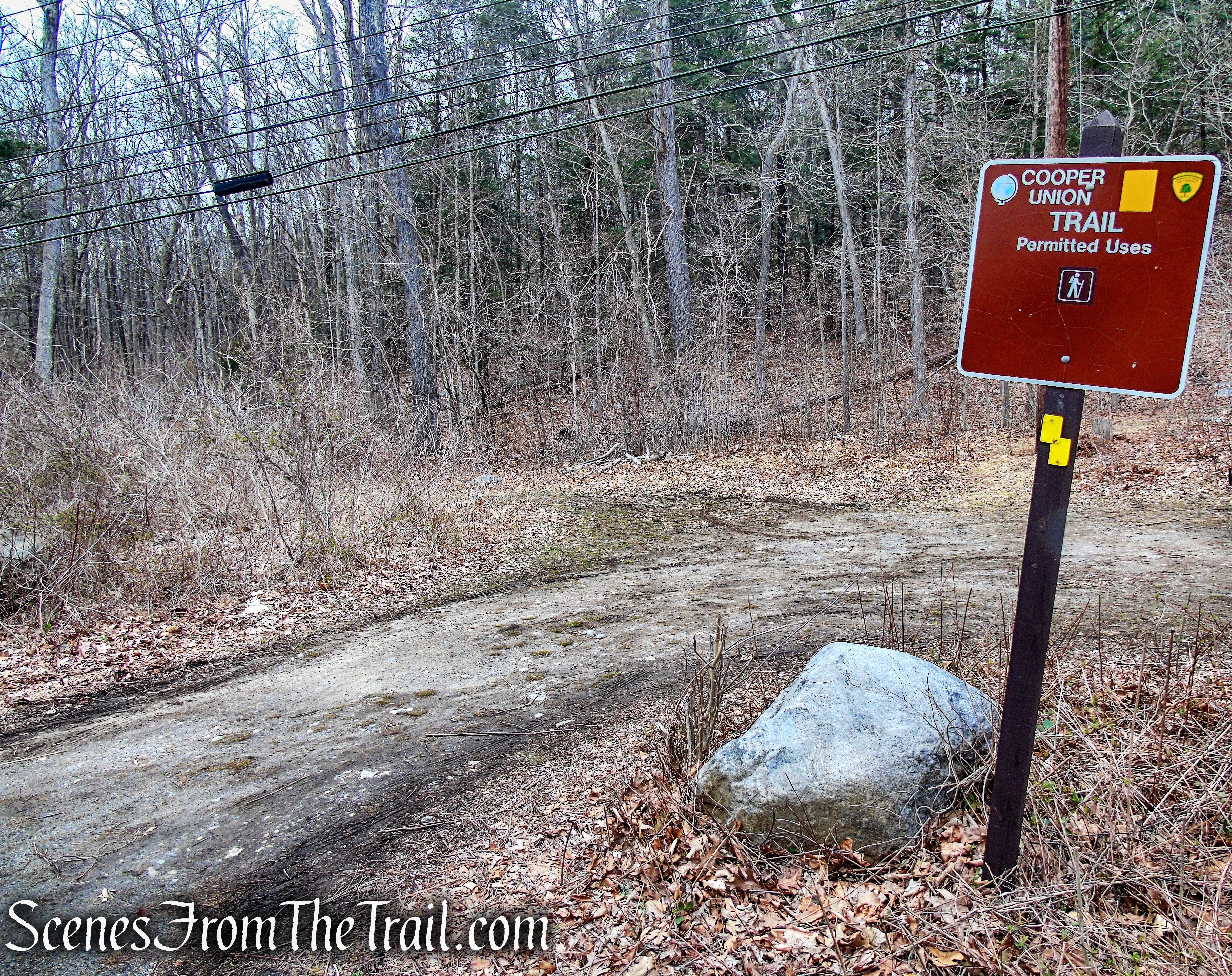
From the trailhead parking area, cross Carletondale Road and pick up the yellow-blazed Cooper Union Trail on the opposite side of the street, heading south.
Cooper Union Trail – Carletondale Road
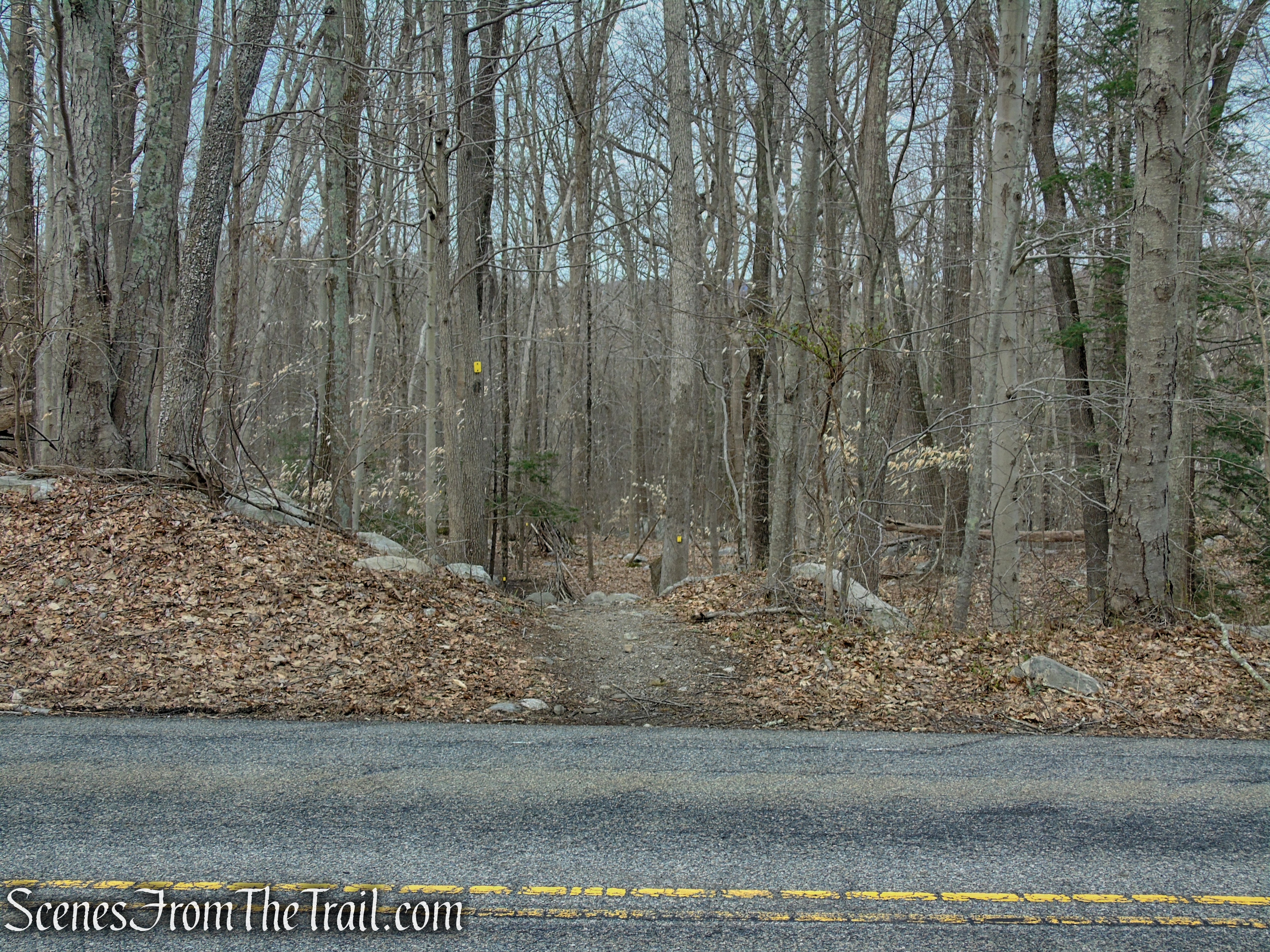
Cooper Union Trail – Carletondale Road
Cooper Union Trail – Ringwood State Park
In about 950 feet, the trail passes a junction with the connector trail from the Community Presbyterian Church. If you parked in the church parking lot, you would pick up the Cooper Union Trail here and turn left.

Cooper Union Trail – Ringwood State Park
Church Connector – Cooper Union Trail
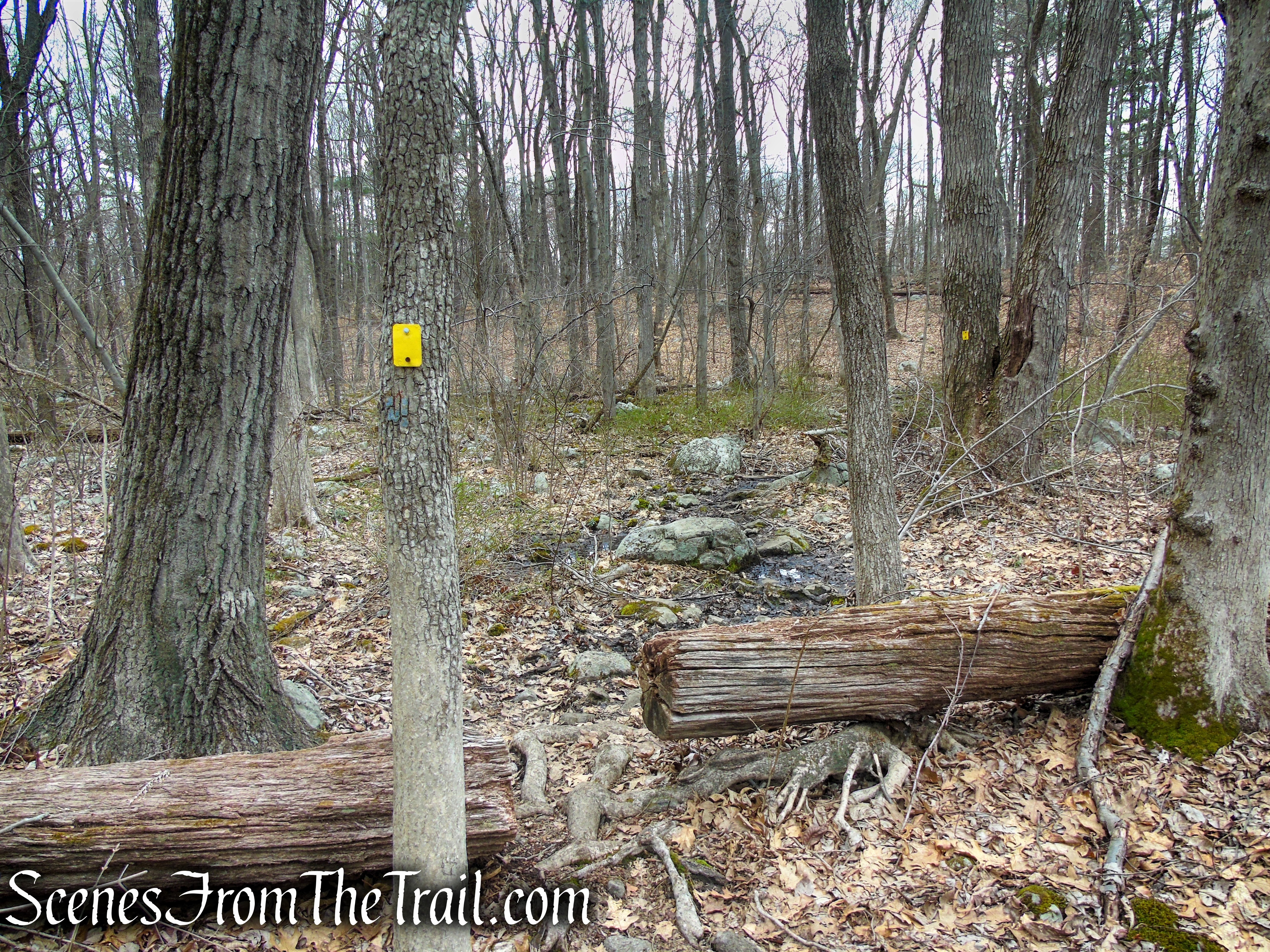
The trail crosses a small footbridge over a stream and begins to climb on an old woods road.

Cooper Union Trail – Ringwood State Park
Cooper Union Trail – Ringwood State Park
Cooper Union Trail – Ringwood State Park
In about 540 feet, the yellow-blazed Cooper Union Trail comes to the loop section of the trail. Going in either direction will bring you back to this spot. We opted to go counterclockwise and veered right.

Bear right at the junction – Cooper Union Trail
The trail continues its gradual ascent on the woods road, passing a large boulder to the left of the trail. Soon the trail veers right and goes through a wet area then begins to climb again, now a little more steeply.

Cooper Union Trail – Ringwood State Park

Cooper Union Trail – Ringwood State Park

Cooper Union Trail – Ringwood State Park

Cooper Union Trail – Ringwood State Park
Cooper Union Trail – Ringwood State Park

Cooper Union Trail – Ringwood State Park
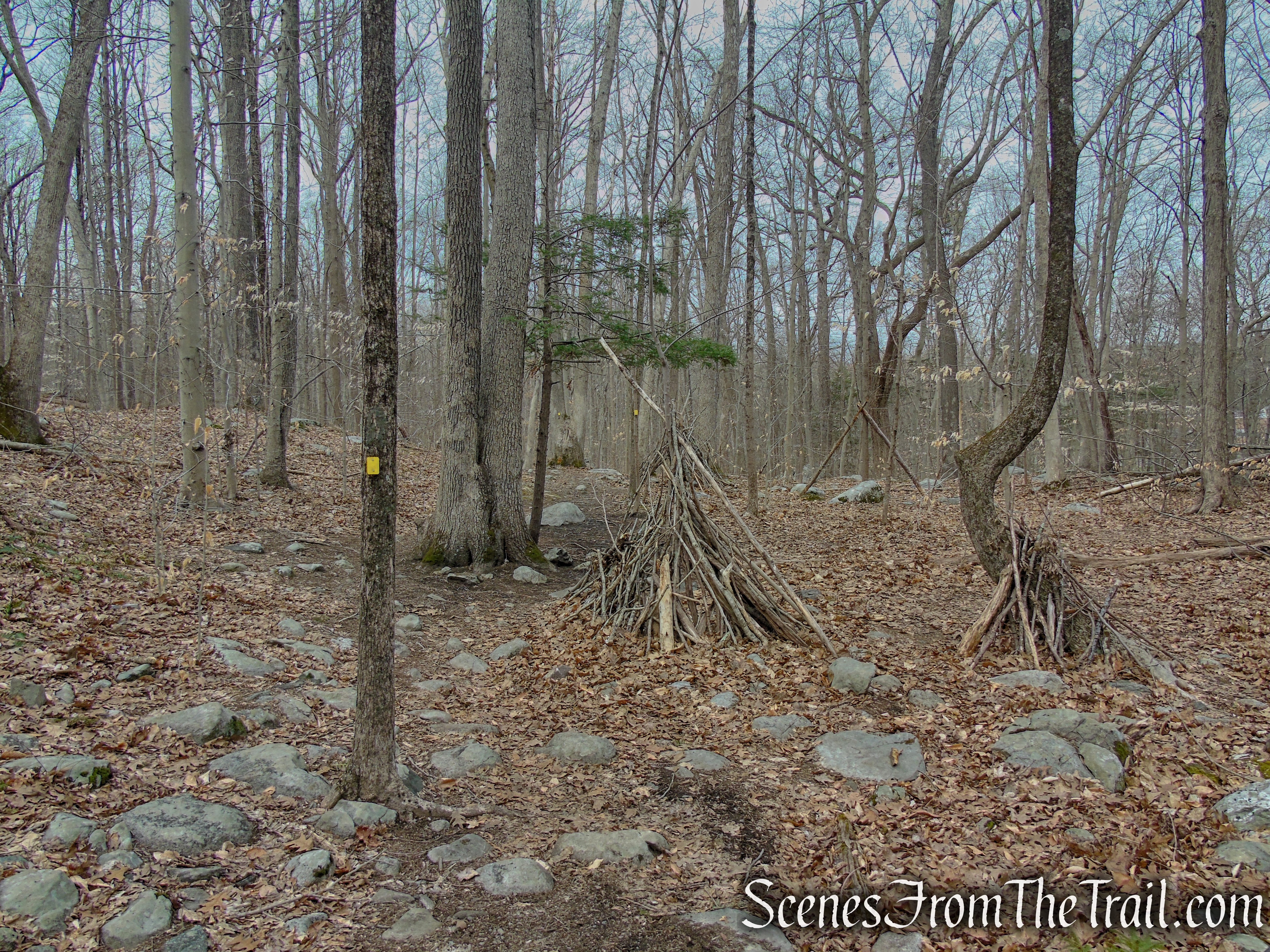
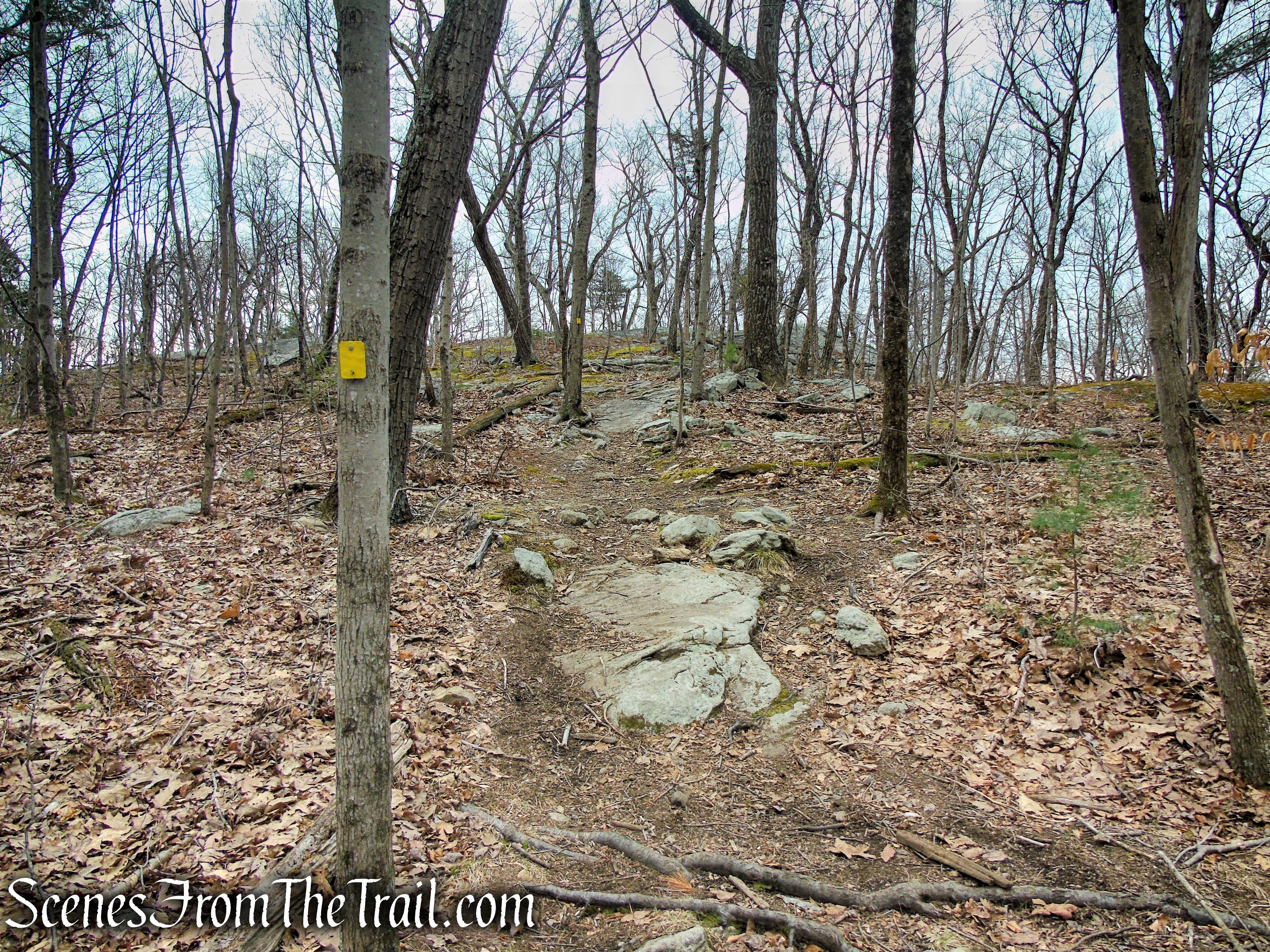
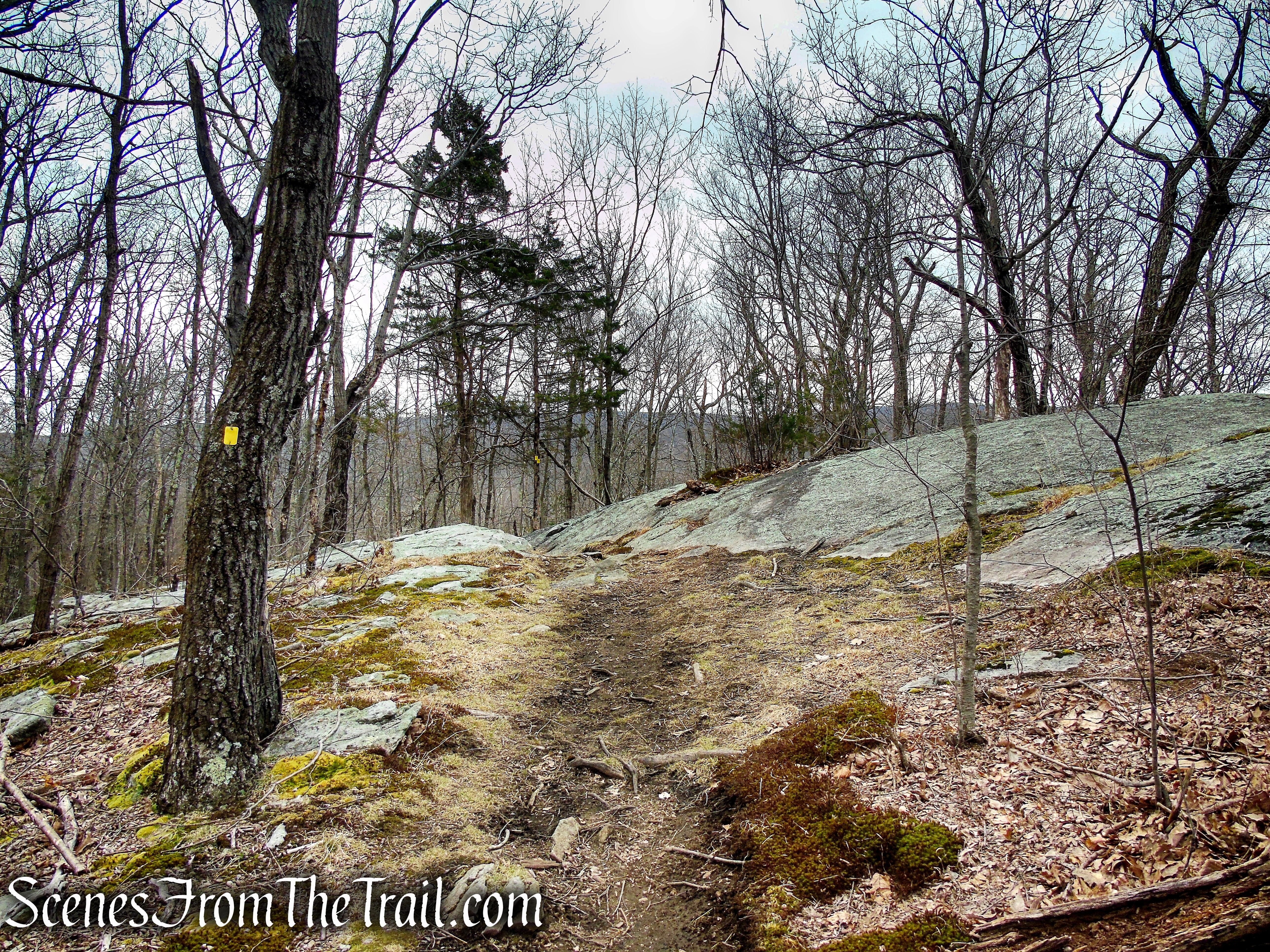
As the trail nears the summit, it levels off and passes more large boulders alongside the trail.

Cooper Union Trail – Ringwood State Park

Cooper Union Trail – Ringwood State Park

Cooper Union Trail – Ringwood State Park

Cooper Union Trail – Ringwood State Park
Cooper Union Trail – Ringwood State Park
Cooper Union Trail – Ringwood State Park
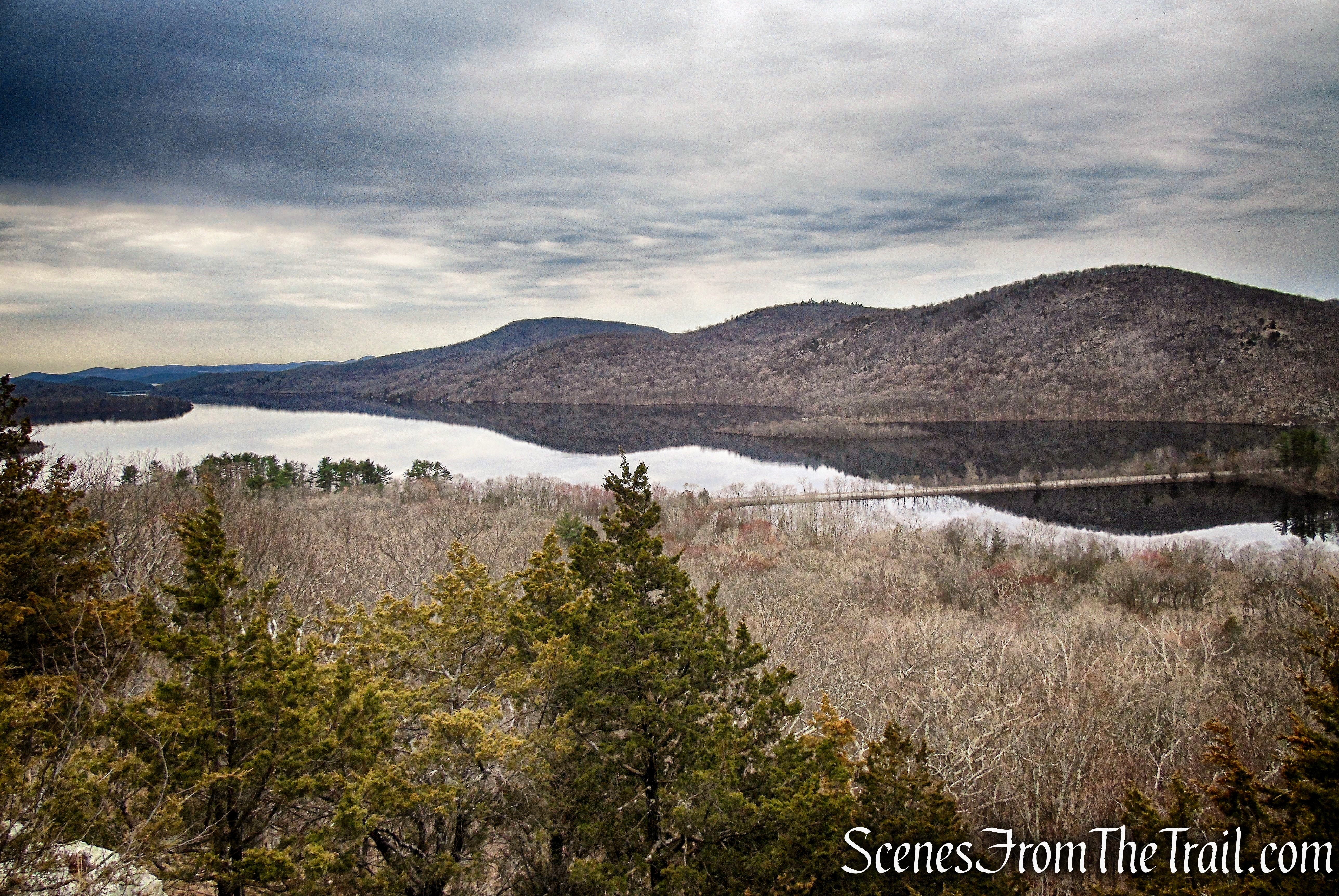
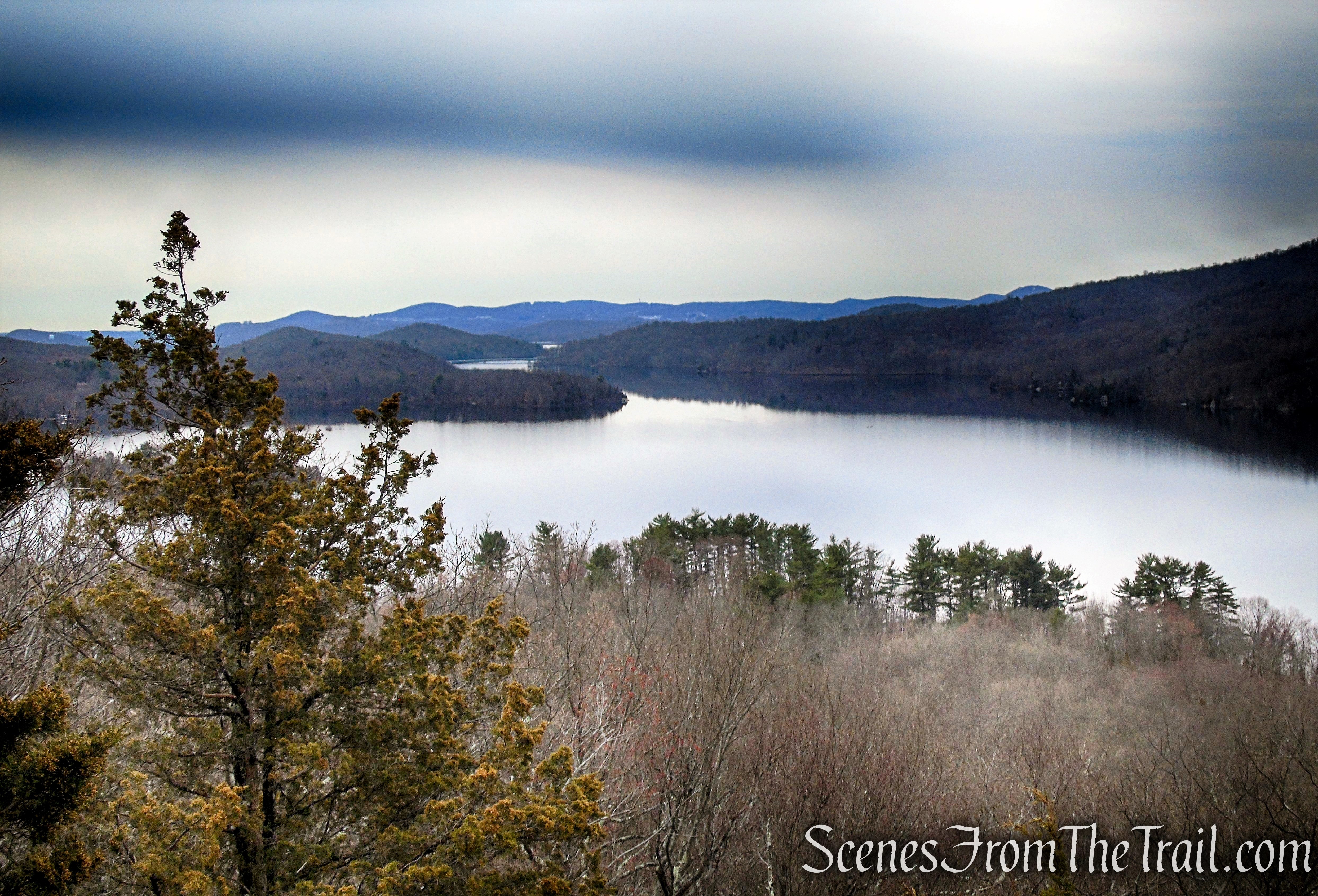
As the trail nears the southernmost section of Governor Mountain, the Wanaque Reservoir is visible through the leafless trees down below on the right.
Cooper Union Trail – Ringwood State Park
After the trail passes a campsite, it descends to a rock outcrop and turns left.

Cooper Union Trail – Ringwood State Park
As the trail turns left, the rock outcrop just ahead provides a nice view over the Wanaque Reservoir and the surrounding hills.

Cooper Union Trail – Ringwood State Park

viewpoint – Cooper Union Trail – Ringwood State Park
leaving the trail, you can continue down below a short distance, to another rock outcrop that affords a better and less obstructed view.
viewpoint – Cooper Union Trail – Ringwood State Park
From the lower rock outcrop, there is a more expansive view of the Wanaque Reservoir with Greenwood Lake Turnpike bisecting it.

Wanaque Reservoir and the Ramapo Mountains as viewed from Governor Mountain

Wanaque Reservoir & Greenwood Lake Turnpike
Slightly southwest, the tall hills on the other side of the reservoir are from right to left: Board Mountain, Bear Mountain and Windbeam Mountain.
Wanaque Reservoir and the Ramapo Mountains as viewed from Governor Mountain
A zoomed in view looking south.
lower viewpoint – Governor Mountain – Ringwood State Park
When you are done enjoying this scenic spot, make your way back to the main trail and continue ahead on the yellow-blazed Cooper Union Trail which ascends slightly, then descends steeply into a hollow.

Cooper Union Trail – Ringwood State Park

Cooper Union Trail – Ringwood State Park
Looking back from where the trail descended.

Cooper Union Trail – Ringwood State Park
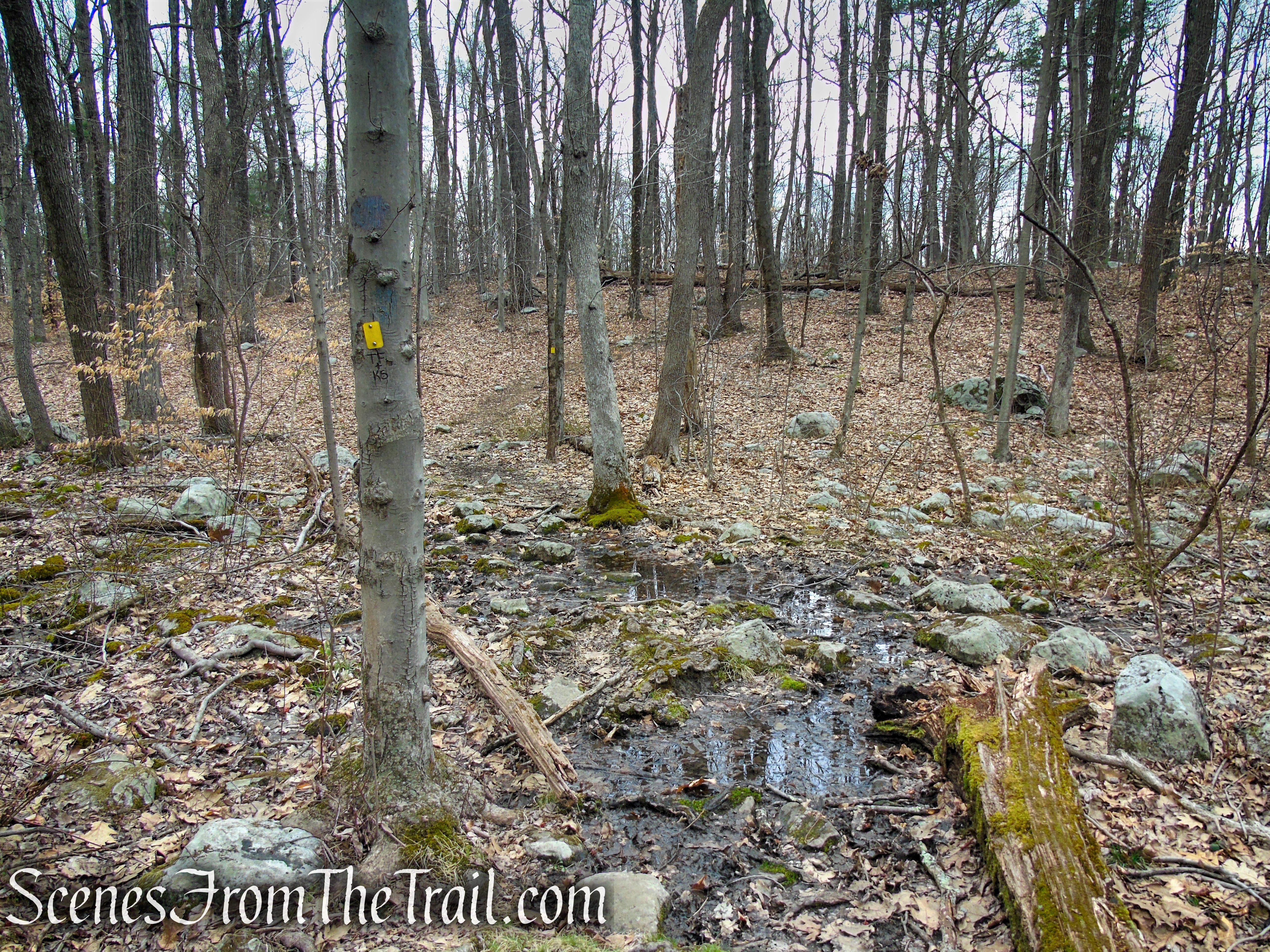
At the base of the descent, the trail passes through a wet area.
Cooper Union Trail – Ringwood State Park

Cooper Union Trail – Ringwood State Park
Cooper Union Trail – Ringwood State Park
The trail soon climbs out of the hollow, leaving the wet area behind.
Cooper Union Trail – Ringwood State Park
The trail passes an unmarked footpath on the right. This is the second star (viewpoint) marked on the North Jersey Trails Map, indicating a view. Unfortunately, the trees have grown up around this rock outcrop and only a partial view exists during leaf-off season.

partial viewpoint just off the Cooper Union Trail – Ringwood State Park
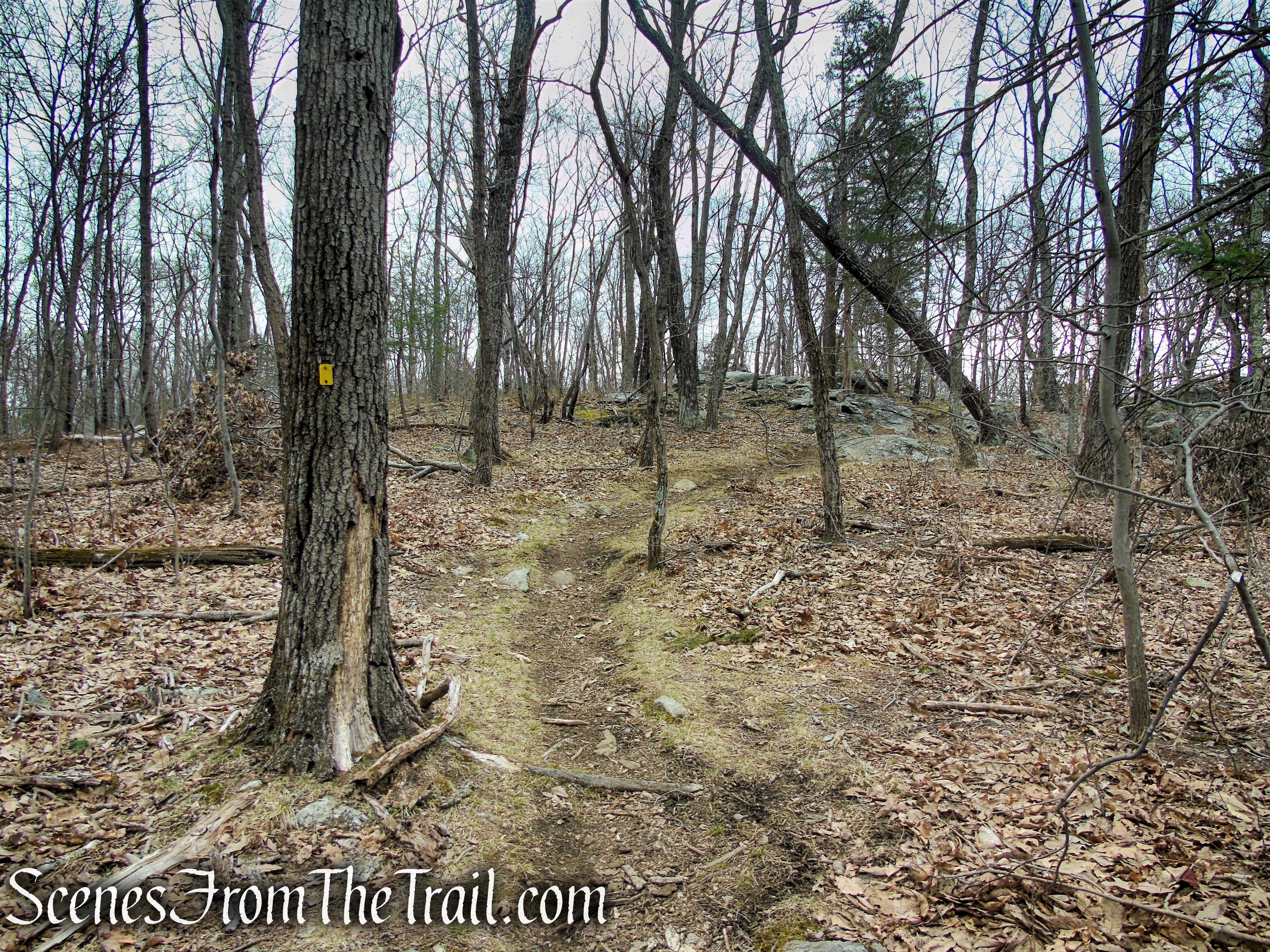
Continue ahead, following the yellow blazes as they head north. After some minor ups and downs, the trail begins a steady descent.
Cooper Union Trail – Ringwood State Park

Cooper Union Trail – Ringwood State Park
Cooper Union Trail – Ringwood State Park

Cooper Union Trail – Ringwood State Park

Cooper Union Trail – Ringwood State Park
In about 0.9 mile from the scenic viewpoint, the yellow-blazed Cooper Union Trail comes to a junction with itself, closing the loop. Turn right and continue following the yellow blazes north, as they continue to descend. You are now retracing your steps from the beginning of the hike.
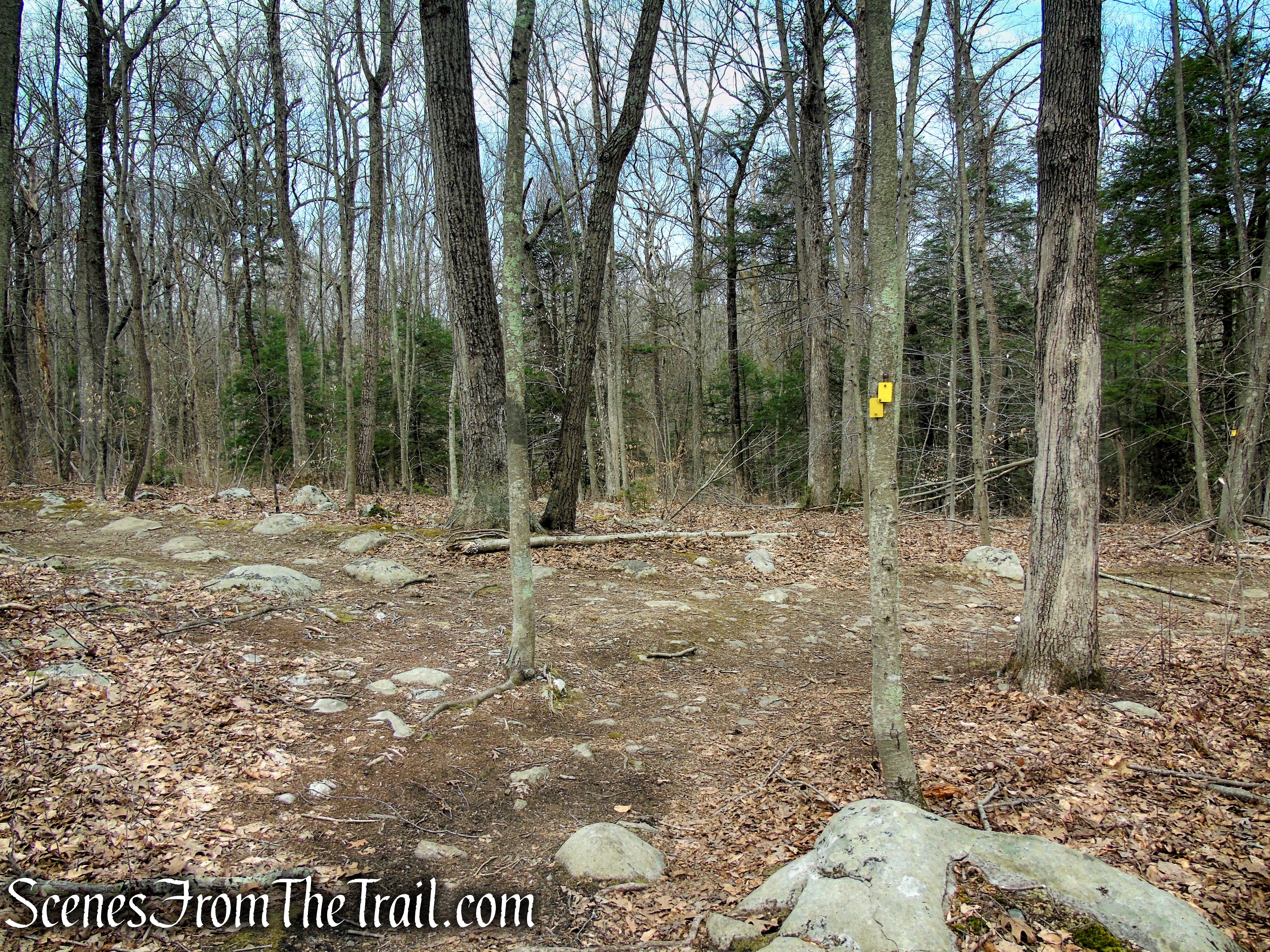
Cooper Union Trail – Ringwood State Park

Cooper Union Trail – Ringwood State Park
In about another 500 feet, the trail crosses the small footbridge over the stream. If you parked in the church parking lot, make the next right and return to your vehicle.

Cooper Union Trail – Ringwood State Park
If you parked at the trailhead on Carletondale Road, continue ahead for about 950 feet, crossing Carletondale Road and back to the parking area, where the hike began.

Cooper Union Trail – Ringwood State Park
Review:
A really nice hike through some quiet and scenic woods that leads to a great viewpoint over the Wanaque Reservoir and surrounding hills. Since this hike follows one trail for its entirety, it is a good hike for beginners and those who are unsure of their navigational skills. Also if short on time, the length makes for a quick hike with an exceptional view. Not a bit of trash was seen on the trail, let’s keep it that way.
Pros:
Well marked trail, beautiful viewpoint, quiet area with little foot traffic.
Cons:
None.
Take a hike!

Governor Mountain – Ringwood State Park
Sources:
- Ringwood State Park – NJDEP
- Ringwood State Park – NY-NJ Trail Conference
- Ringwood Manor History
- Ringwood State Park
- Ringwood State Park – NJ State Parks
