May 9, 2021 – Sloatsburg, NY
Difficulty: Moderate – strenuous
Length: Approximately 4 miles
Max elevation: 958 ft.– total elevation gain 836 ft.
Route type: Lollipop Loop
Buy Map: Harriman-Bear Mountain Trails Map #118
Free Map: Dater Mountain Nature Park Trail Map
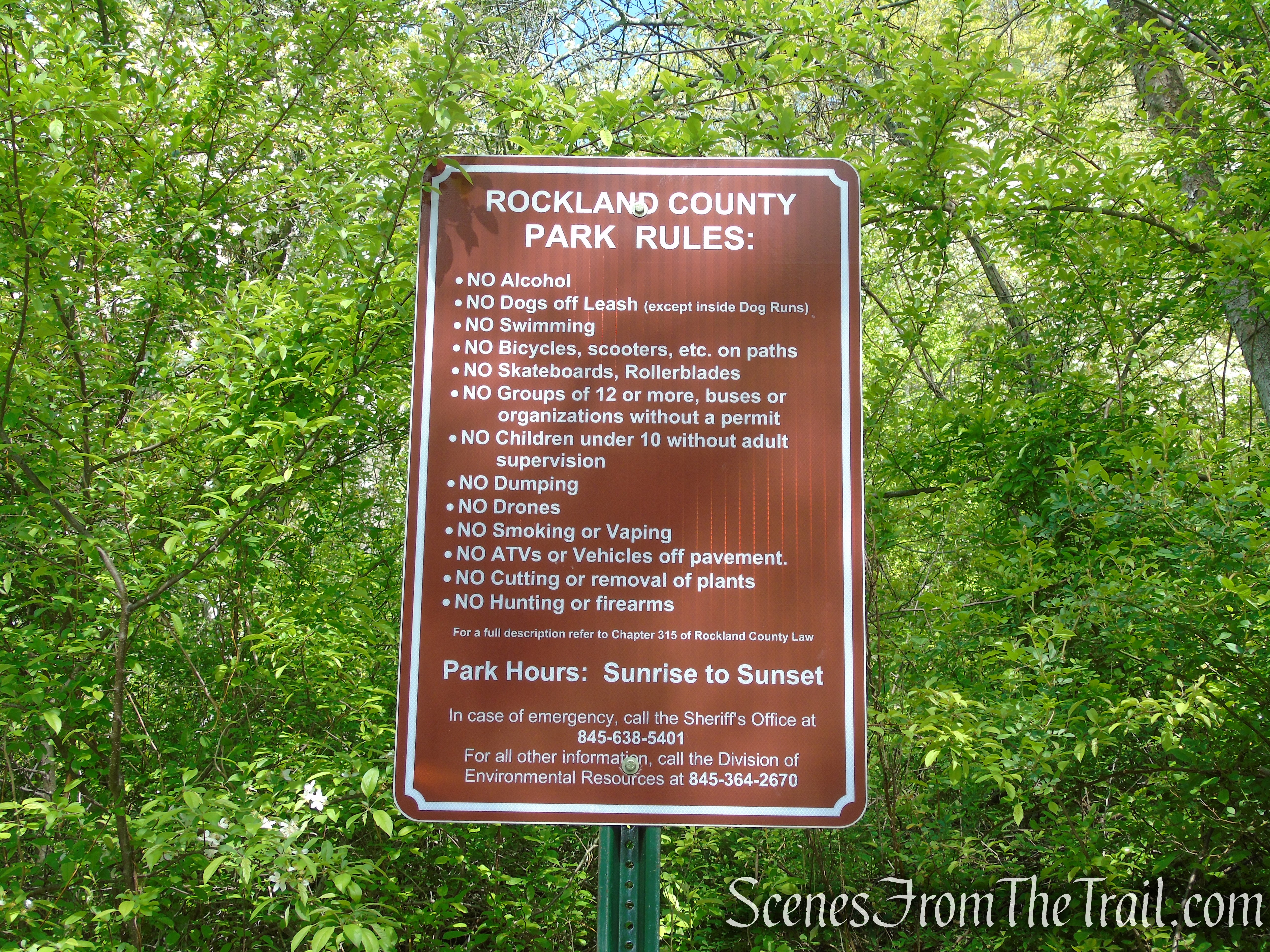
Trailhead parking: Johnsontown Road – Sloatsburg, NY 10974
Parking available for about 4-5 vehicles, no restrooms on site.
Park Overview:
Dater Mountain Nature Park is a Rockland County park located in the New York/New Jersey Highlands in the town of Sloatsburg, NY. The 350-acre park is adjacent to Harriman State Park’s southwestern border. It is a heavily wooded undeveloped park with steep inclines and rocky slopes with a number of mountain tops and valleys crossed by several small streams.
Dater Mountain Nature Park
A view of the Village of Tuxedo, The New York State Thruway, and Orange County may be seen from the high elevations, some rising 940 feet above sea level. Dater Mountain Nature Park contains eight federally designated wetlands and provides habitat for two NY State endangered species, the Northern Cricket Frog and the Allegheny Woodrat; and one threatened species, the Timber Rattlesnake. Orange and Rockland transmission lines traverse the western section of the park.

View of NYS Thruway – Dater Mountain Nature Park
History:
Dater Mountain Nature Park has many local tribal and family histories. The Munsee Indians once inhabited the property. It is the westerly part of the Spence Patent, that contained 1,820 acres of land, one of four grants given to officers of the British Army by George III on January 18, 1775. Dater Crossing brought the locality into contact with Route 17 and Tuxedo. The area was extensively logged in the later 1700’s and into the 1800’s; trees were burned in pits to produce charcoal for the smelting of iron ore. Many of these pits can be found throughout the property.
The land was acquired by Rockland County in two phases;
In 1981, 150 acres were obtained through tax delinquency. At that time, the park was landlocked by private property and had limited public accessibility.
In 1991, the Village of Sloatsburg reviewed a proposal to subdivide an adjacent property into 71 single-family lots. The former owners indicated that if the Johnsontown Road Property was not purchased by the county, they would propose a similar subdivision.
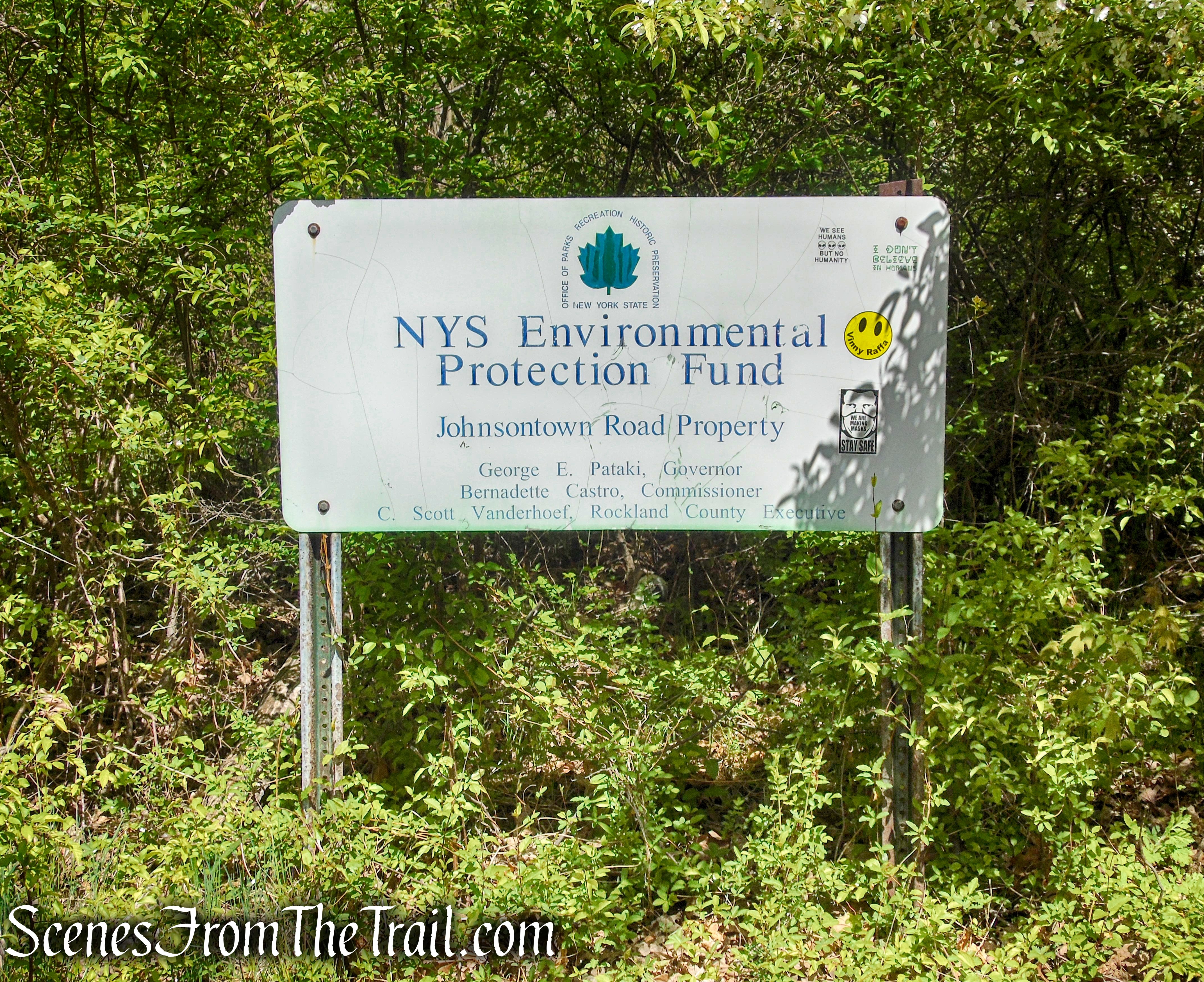
Phase 2 included the acquisition 237 acres of land in 2004 as part of Rockland County’s Open Space Acquisition Program. Rockland County provided the vast majority of the funds for the $4.9 million purchase. The county received a $350,000 grant from the State of New York Environmental Protection Fund to assist in the acquisition.
Dater Mountain Nature Park
The new acquisition of open space, connects Dater Mountain Nature Park to the adjoining Harriman State Park via its network of trails. The small parking area was constructed to make the park more easily accessible.
Trails Overview:
The trail system in Dater Mountain Nature Park was established in August 2005 and consists of approximately three miles of marked trails that weave their way through the park. There are also several unmarked footpaths and woods roads that one can explore as well. The Orange and Blue Trails connect to form about a 2.5 mile loop. Hikers can continue on the Orange Trail to its terminus at a T-intersection with the white-blazed Kakiat Trail and enter into Harriman State Park for a longer hike.
The trails are well blazed and easy to follow. With the exception of several blowdowns, which can be easily negotiated, the trails are well maintained and free of litter. The trails are managed and maintained by the Rockland County Parks Commission.
Hike Overview:
Due to a late start on a Sunday morning (Mother’s Day), I was looking for a hike close by where the parking area wouldn’t be filled by the time we got there. Although the parking area can only accommodate 4 or 5 cars, when we arrived shortly before 10am, there was only one car in the small parking area.

parking area – Dater Mountain Nature Park
This Lollipop Loop includes a detour to Almost Perpendicular, just beyond the park’s northeastern border with Harriman State Park. This add-on is worth the extra mileage and elevation gain that it takes to get there. It also provides the best view on this particular hike.
Almost Perpendicular – Harriman State Park
This Lollipop Loop follows the Orange Trail until it’s terminus at a junction with the white-blazed Kakiat Trail, then turning left on the Blue Disc Trail to Almost Perpendicular, the turnaround spot. From there, retracing steps back to the Orange and Blue Trails junction, continuing on Blue until its terminus at a junction with the Orange Trail and retracing steps back to the parking area.

Dater Mountain Nature Park
The added elevation gain and steepness of the Blue Disc Trail to Almost Perpendicular, increases the level of difficulty. This detour into Harriman State Park can be skipped, keeping the hike entirely in Dater Mountain Nature Park, making it a shorter and less difficult hike.
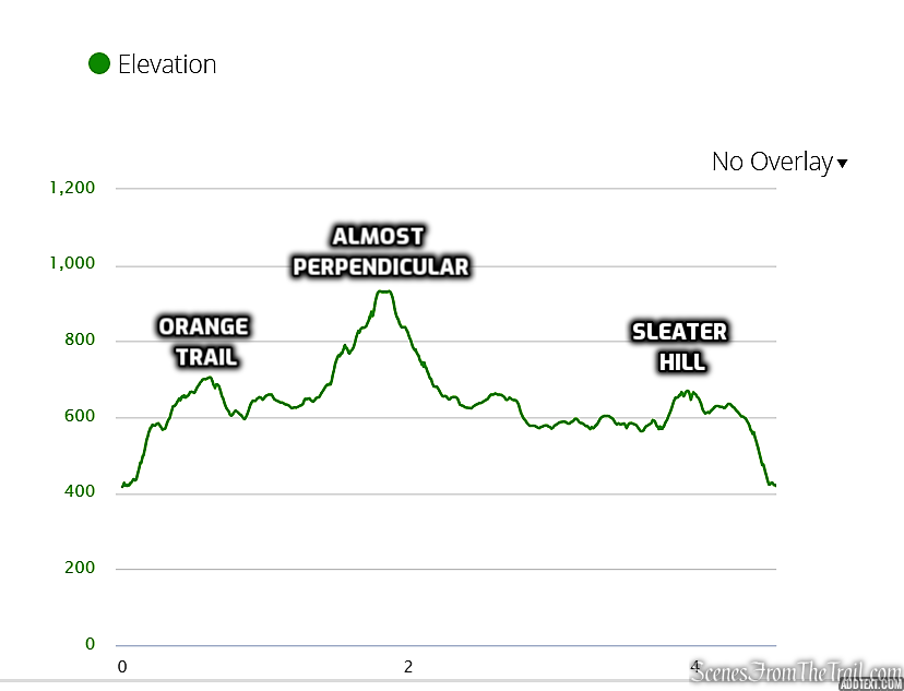
elevation profile – Dater Mountain Nature Park
The Hike:
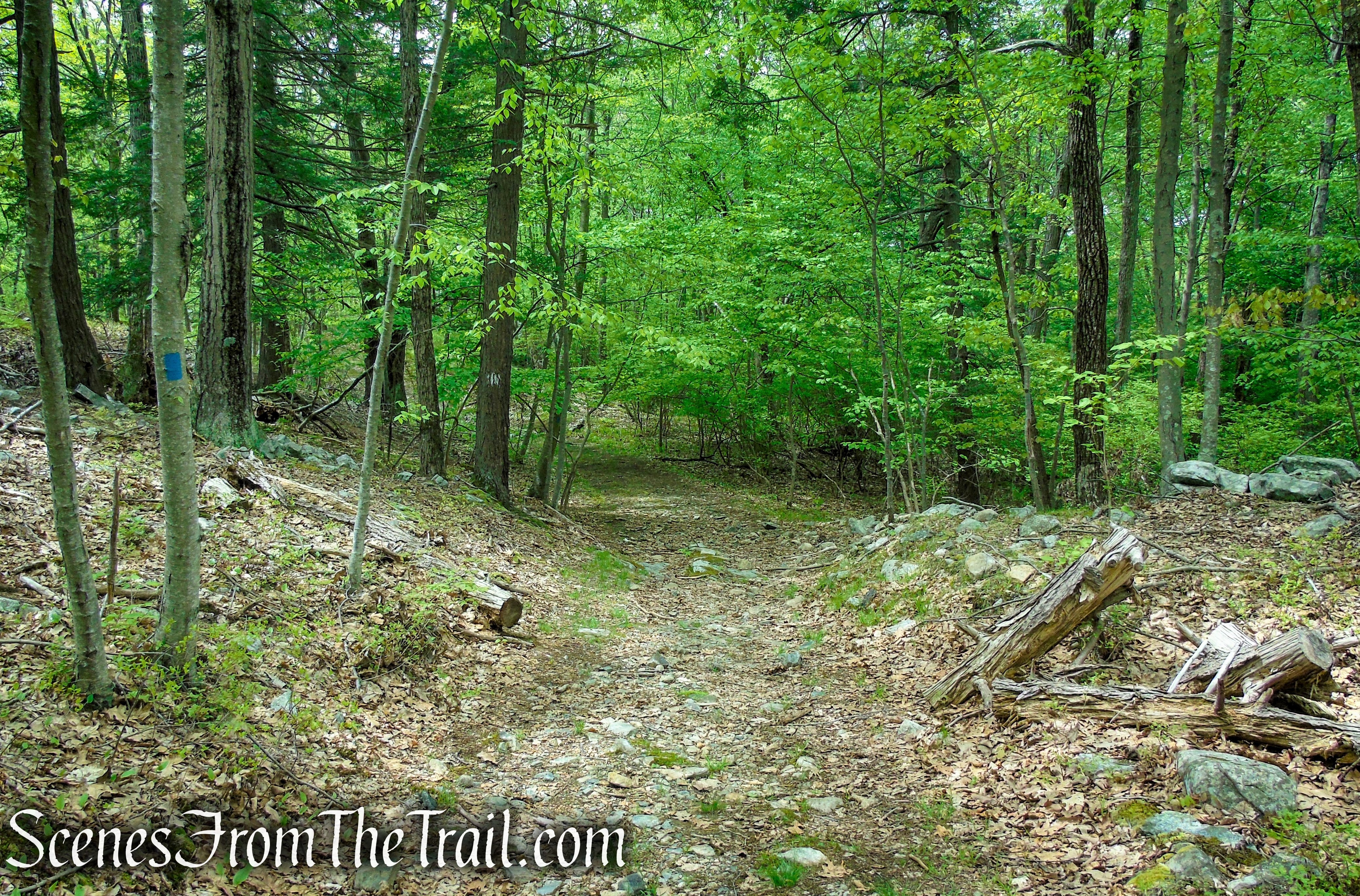
To the left of the parking area, there is a triple-orange blaze on a rock. This marks the start of the Orange Trail. Follow the Orange Trail as it parallels Johnsontown Road a short distance before it turns sharp right. The Orange Trail now begins a rather steep ascent on a footpath.
Orange Trail – Dater Mountain Nature Park
Orange Trail – Dater Mountain Nature Park

Orange Trail – Dater Mountain Nature Park
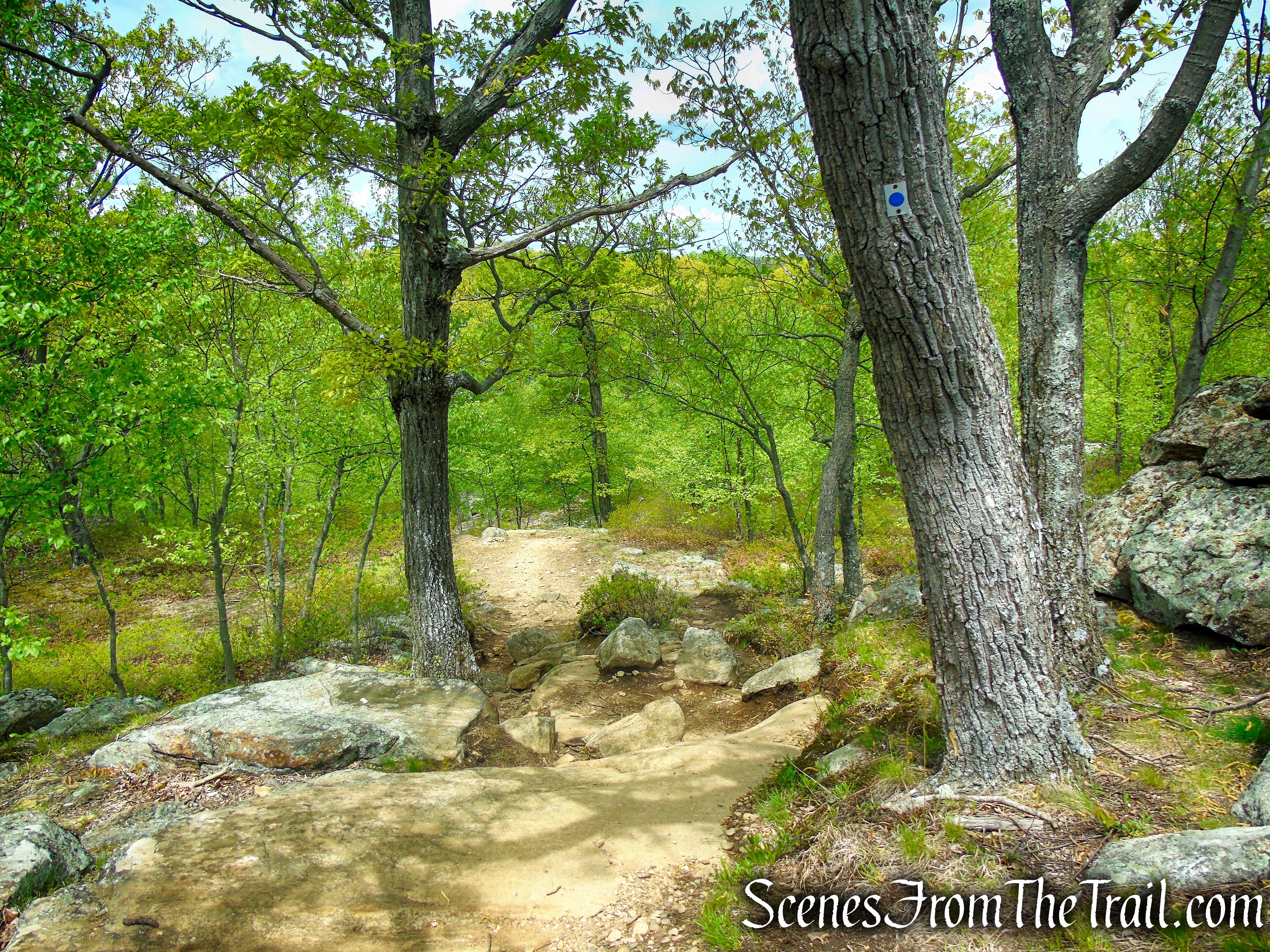
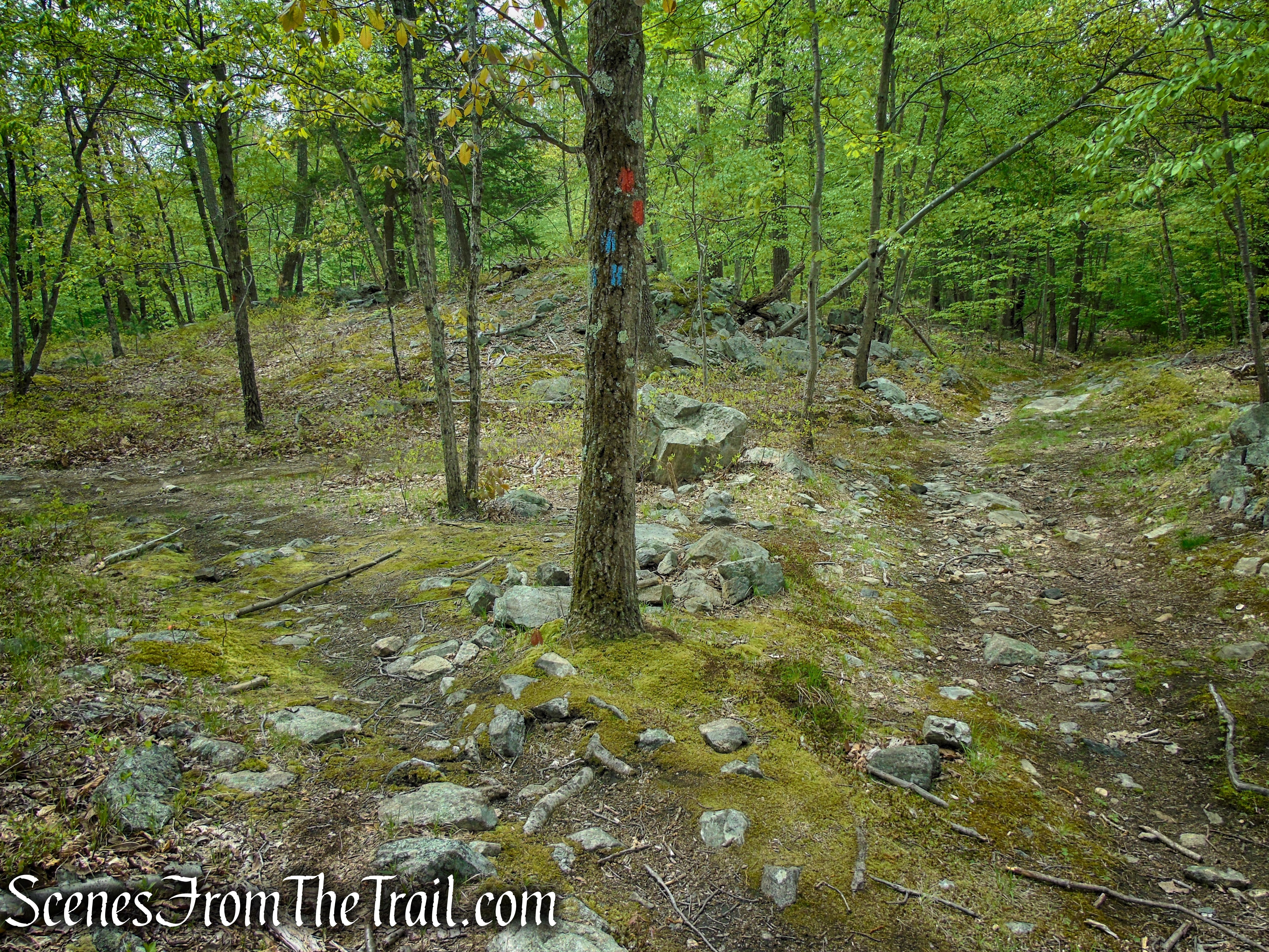
As you near the crest of the hill, you’ll notice a triple-blue blaze on a tree to the left. This marks the start of the Blue Trail, which will be your return route, but for now, continue along the Orange Trail, which turns sharply right. After climbing a little more, the Orange Trail descends to cross a small stream in a narrow hollow, with a rock ledge looming above.
Orange Trail – Dater Mountain Nature Park
Orange Trail – Dater Mountain Nature Park

Orange Trail – Dater Mountain Nature Park

Orange Trail – Dater Mountain Nature Park
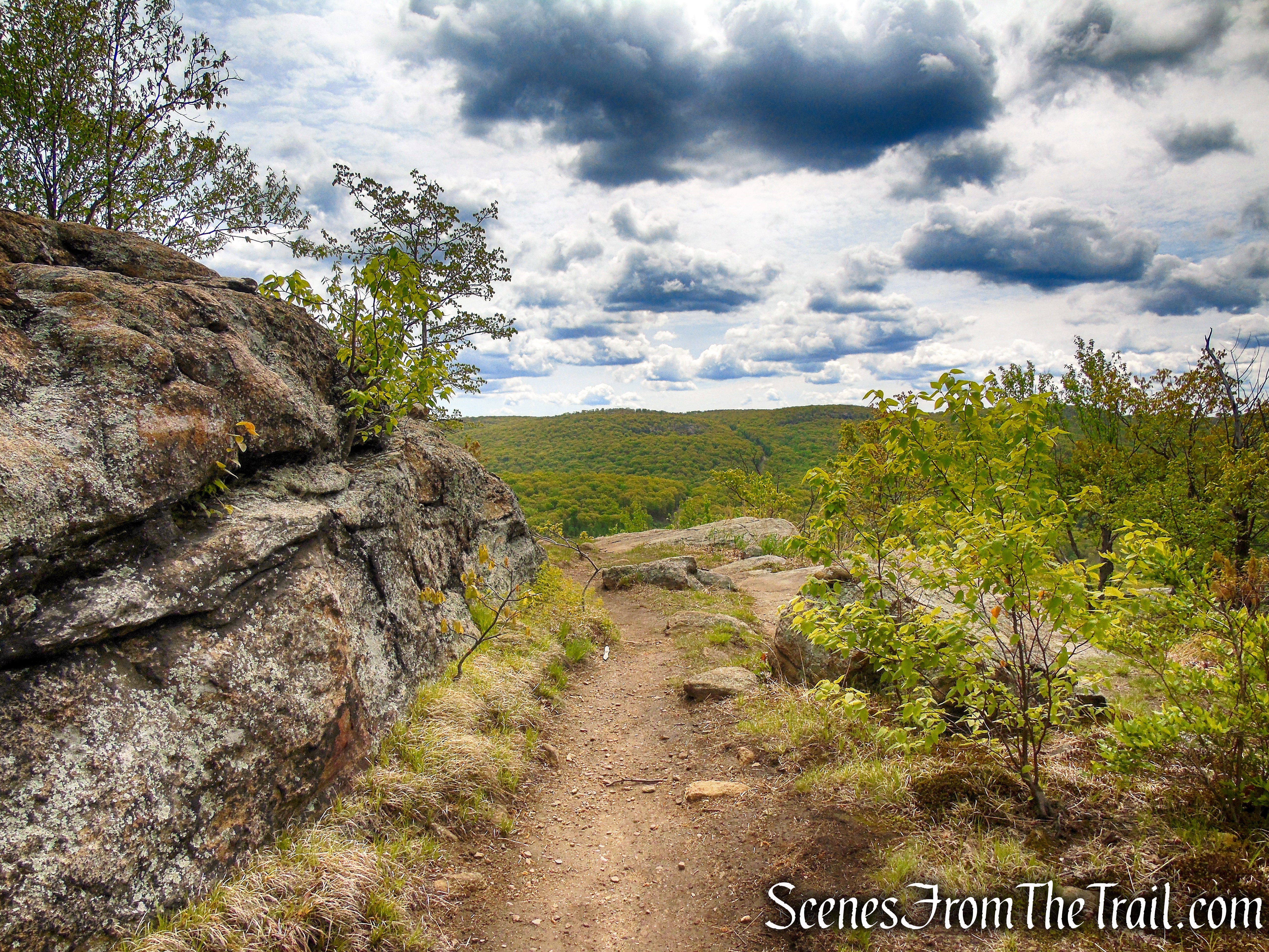
The trail continues to climb until you reach a panoramic south-facing viewpoint from open rocks to the right of the trail. You can see the hills of Harriman State Park, with the Reeves Brook Visitor Center visible on your right when there are no leaves on the trees.

Orange Trail – Dater Mountain Nature Park

Orange Trail – Dater Mountain Nature Park
Orange Trail – Dater Mountain Nature Park
Orange Trail – Dater Mountain Nature Park

Orange Trail – Dater Mountain Nature Park

Orange Trail – Dater Mountain Nature Park
Continue along the Orange Trail, which levels off for a short distance, then continues to climb. When you reach the height of the land, there is a view of Dater Mountain from open rocks about 50 feet to the right of the trail.
Orange Trail – Dater Mountain Nature Park
Orange Trail – Dater Mountain Nature Park

Orange Trail – Dater Mountain Nature Park

Orange Trail – Dater Mountain Nature Park
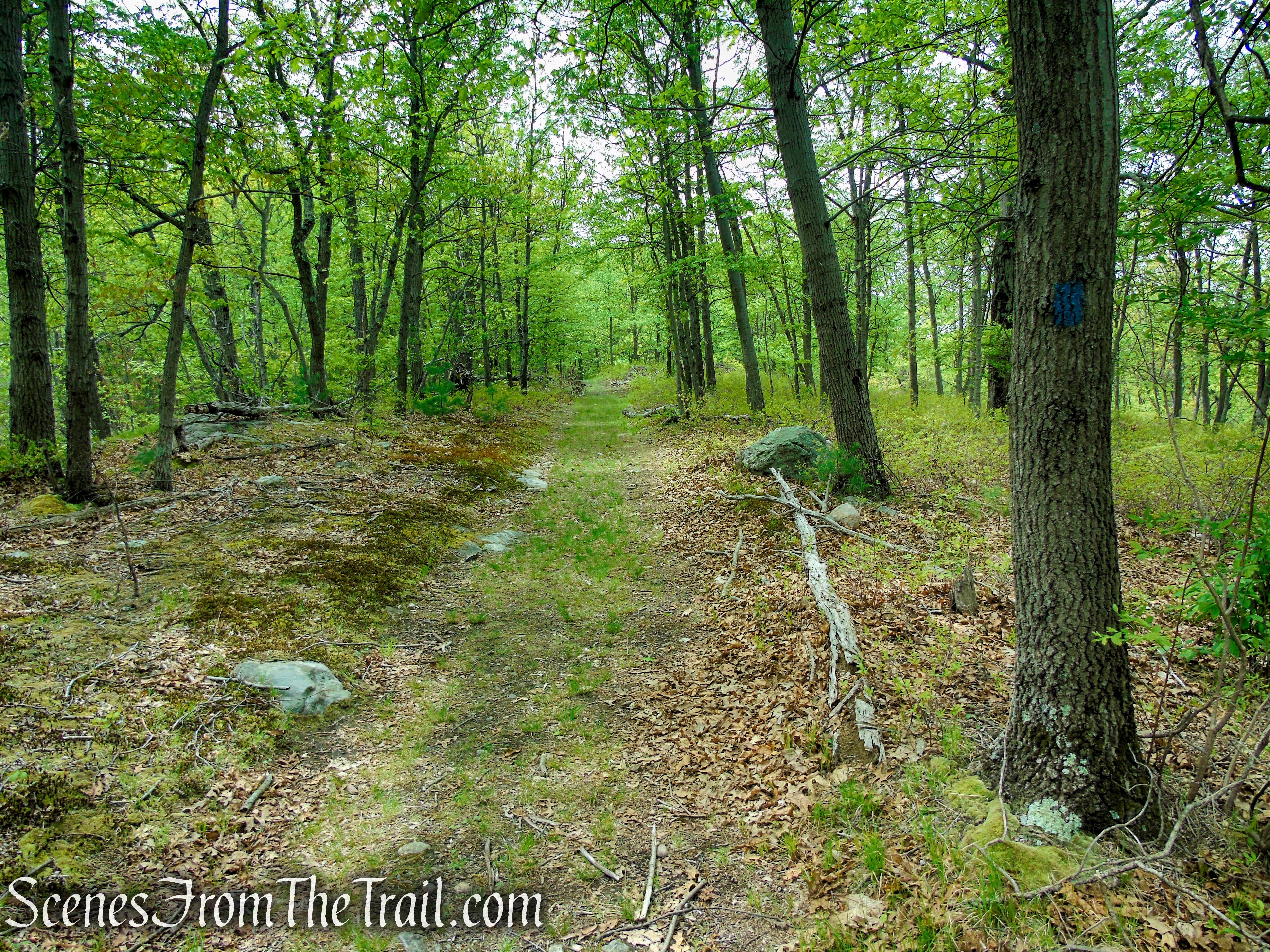
The Orange Trail now descends to reach an intersection with the Blue Trail, which begins on the left. Turn right here and continue following the Orange Trail, heading northeast along a pleasant woods road.

Orange Trail – Dater Mountain Nature Park
Orange Trail – Dater Mountain Nature Park
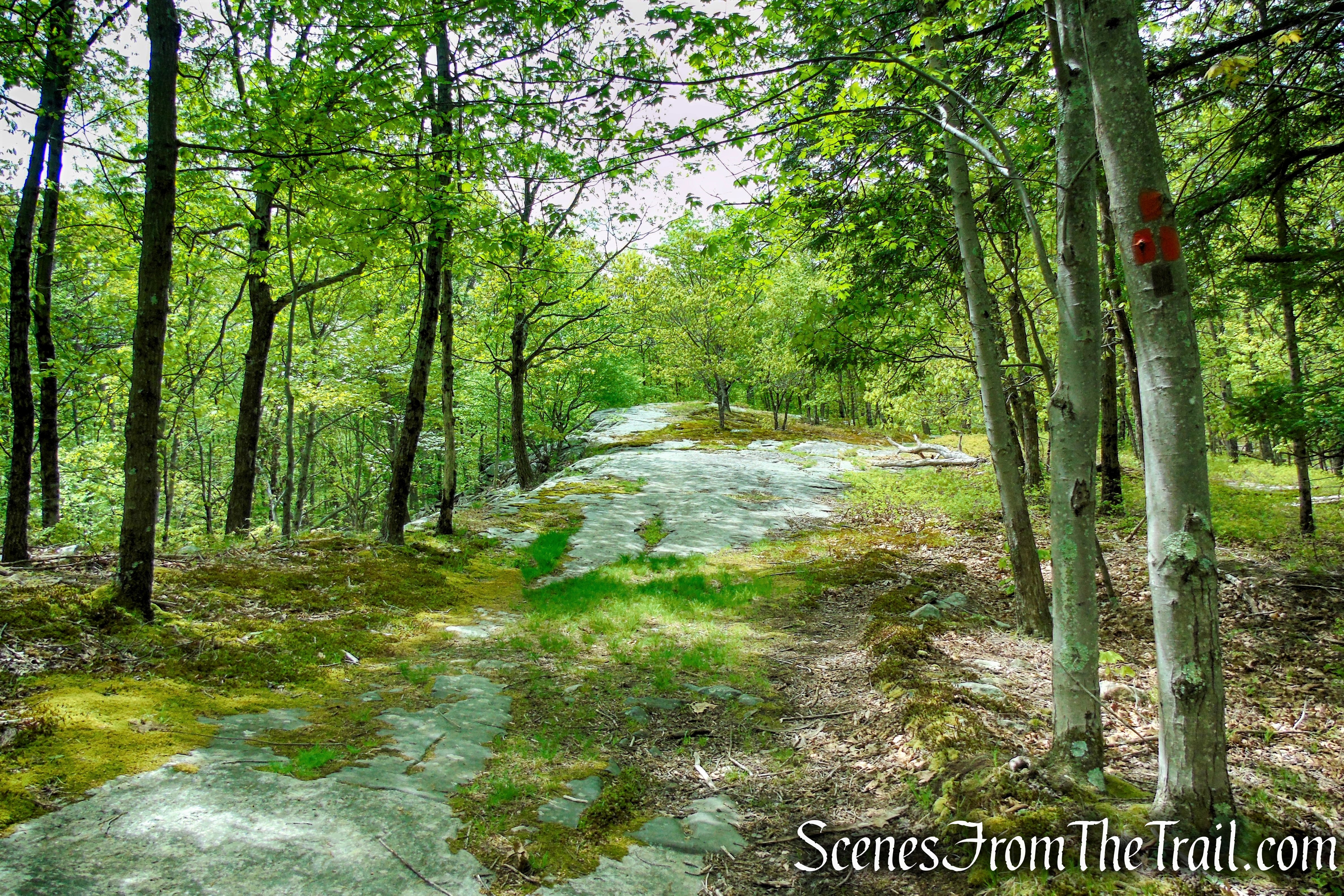
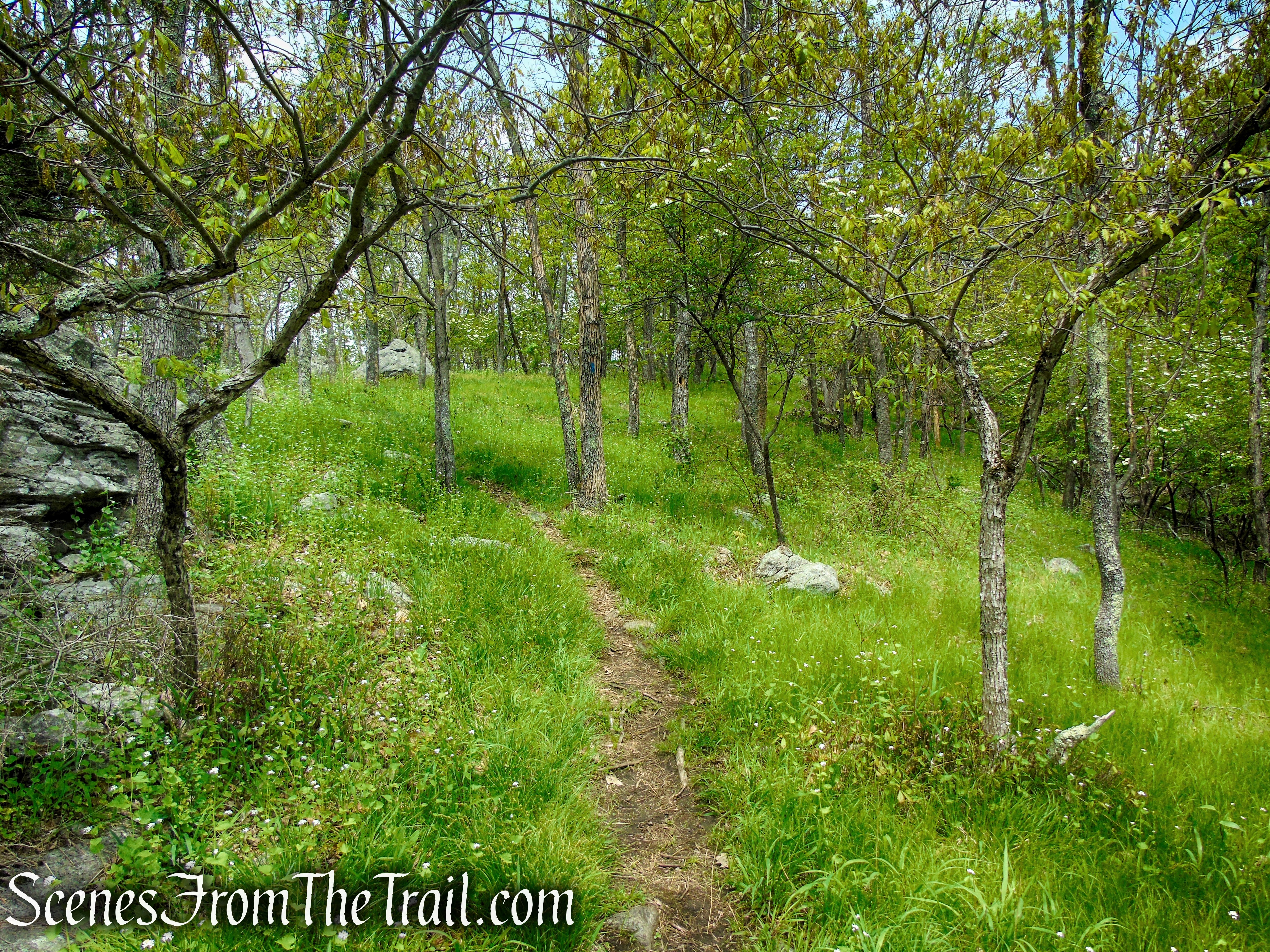
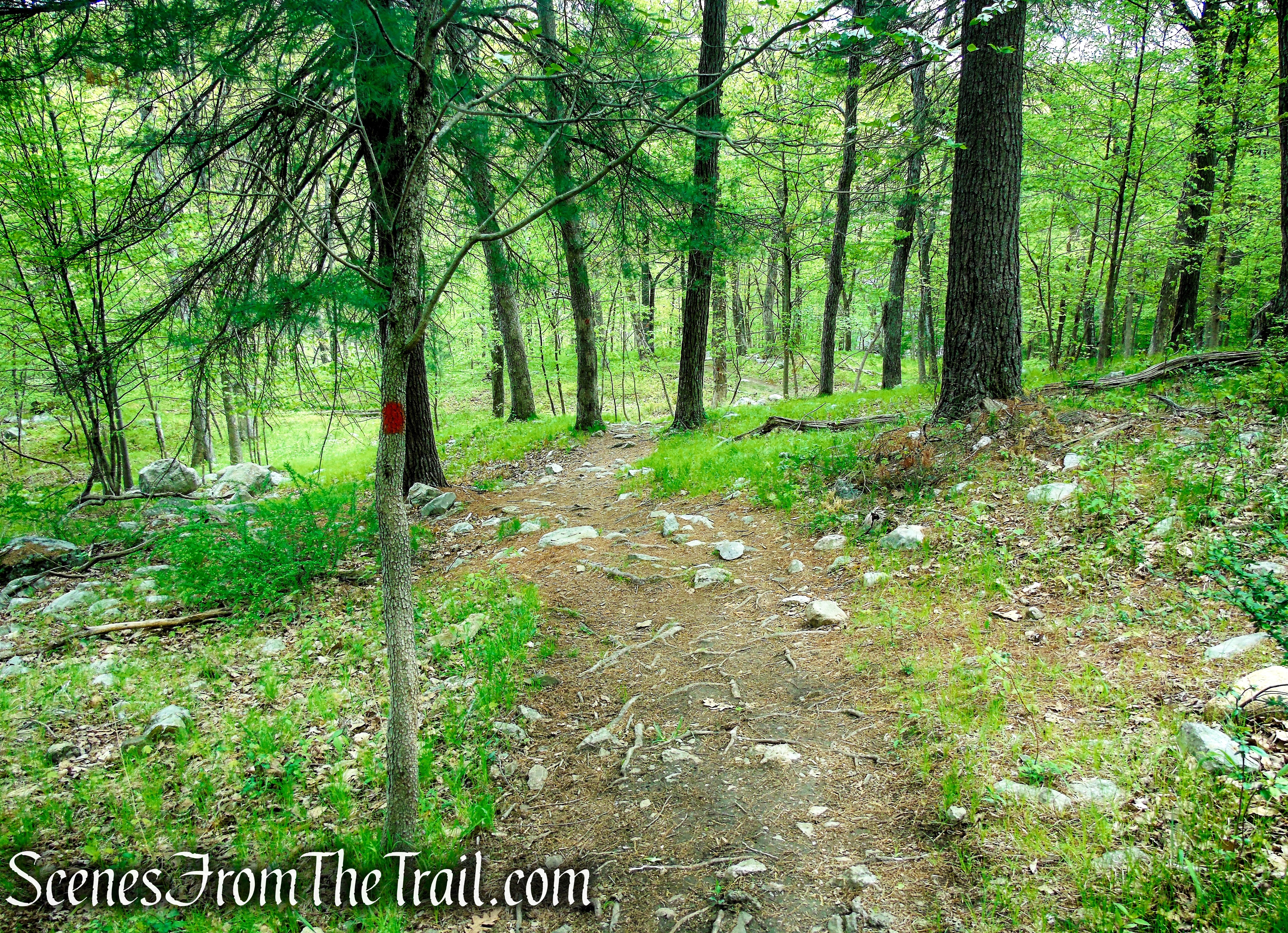
In about 0.3 mile, after crossing an open area where the trail traverses a slab of bedrock, the Orange Trail ends at a T-intersection with the white-blazed Kakiat Trail. Turn right and follow the white blazes along a woods road, soon entering Harriman State Park.
Orange Trail – Dater Mountain Nature Park

terminus of Orange Trail – Dater Mountain Nature Park

Kakiat Trail – Dater Mountain Nature Park

Kakiat Trail – Dater Mountain Nature Park
In about 450 yards from the junction with the Orange Trail, the Kakiat Trail crosses a woods road, the route of the blue-on-white blazed Blue Disc Trail. Turn left here, leaving the Kakiat Trail and begin following the blue-on-white blazes.
Blue Disc Trail – Harriman State Park

Blue Disc Trail – Harriman State Park
The Blue Disc Trail now begins a steep climb along the woods road. About halfway up, it turns right, crosses a stream, and climbs even more steeply over rocks.

Blue Disc Trail – Harriman State Park

Blue Disc Trail – Harriman State Park
Blue Disc Trail – Harriman State Park
Blue Disc Trail – Harriman State Park
Blue Disc Trail – Harriman State Park

Blue Disc Trail – Harriman State Park
Blue Disc Trail – Harriman State Park

Blue Disc Trail – Harriman State Park
Blue Disc Trail – Harriman State Park
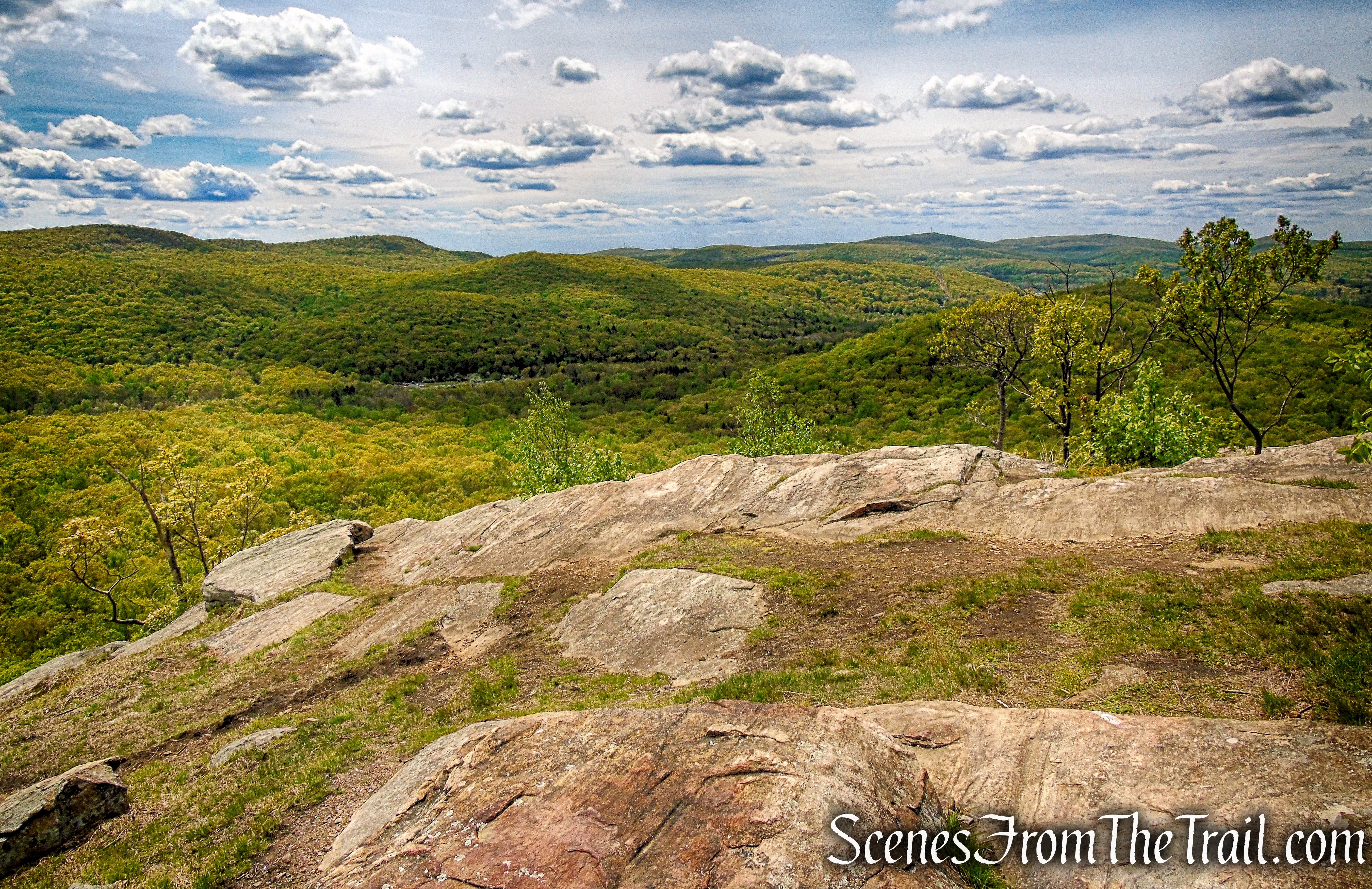
Approximately 1.7 miles from the start of the hike, you have reached the top of Almost Perpendicular, a dramatic viewpoint from the top of a cliff. You can see Seven Lakes Drive directly below, with the Ramapo Mountains in the background.
Almost Perpendicular – Harriman State Park

Almost Perpendicular – Harriman State Park
Almost Perpendicular, a name given to a cliff on Dater Mountain in Harriman State Park by the Fresh Air Club in in 1936.

Almost Perpendicular – Harriman State Park

Almost Perpendicular – Harriman State Park
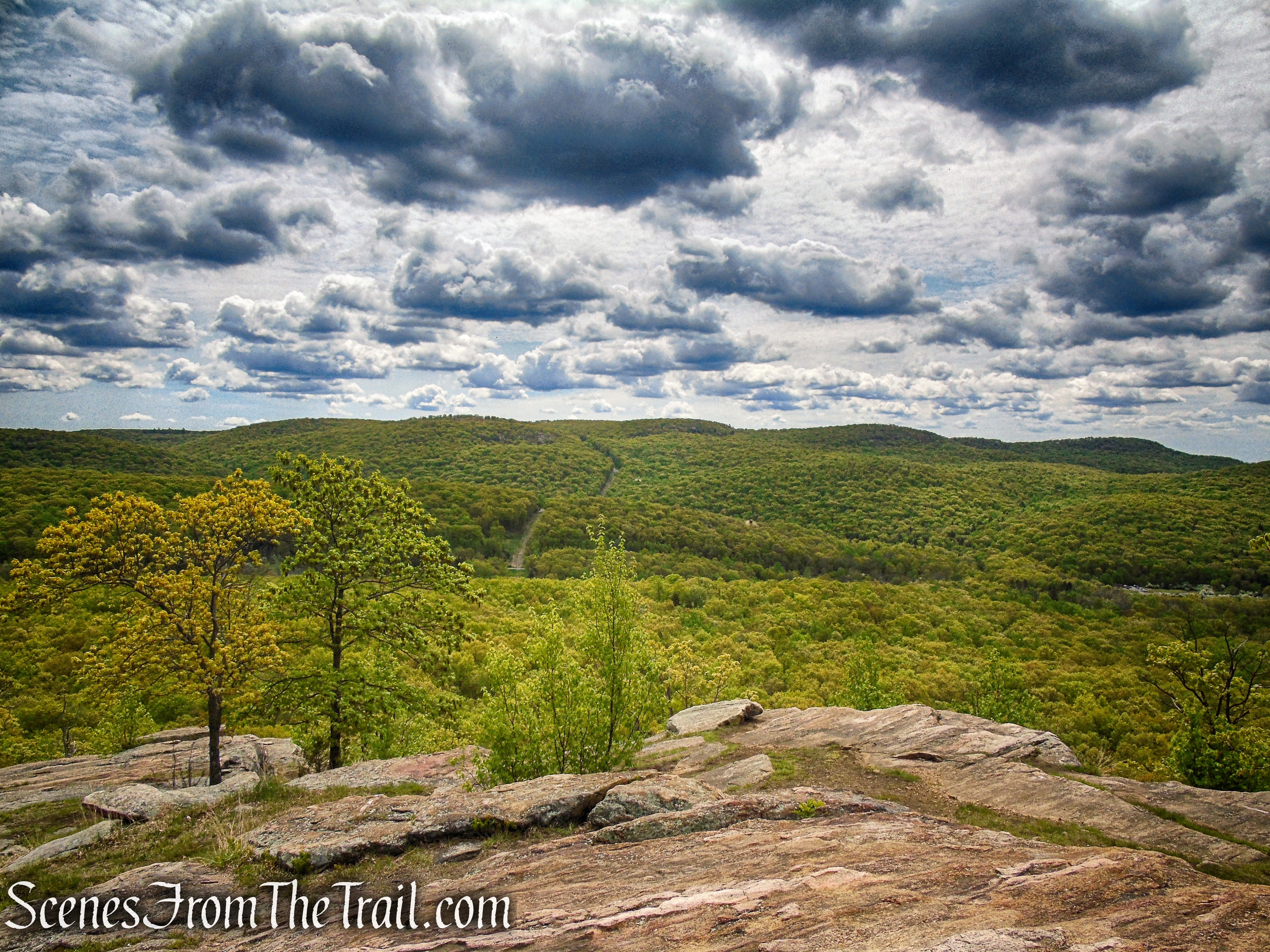
Almost Perpendicular – Harriman State Park
Almost Perpendicular – Harriman State Park
Since this is your turn around spot, when you are ready to continue, retrace your steps on the Blue Disc Trail, descending steeply.

Almost Perpendicular – Harriman State Park
Blue Disc Trail – Harriman State Park

Blue Disc Trail – Harriman State Park

Blue Disc Trail – Harriman State Park
When you return to the junction with the Kakiat Trail, turn right and follow the white blazes back to the junction with the Orange Trail and turn left.
Orange Trail – Dater Mountain Nature Park
Follow the orange blazes back to the junction with the Blue Trail and continue straight on Blue as the Orange Trail leaves to the left.
Continue straight on Blue Trail

Continue straight on Blue Trail
Follow the Blue Trail along a woods road. Just beyond the intersection, you’ll cross a stream, the outlet of a wetland on the left. You’ll pass several wetlands along this section of the trail. As you continue, you’ll begin to hear the sounds of traffic on the New York State Thruway, below to the right, which grow louder as you approach Sleater Hill.
Blue Trail – Dater Mountain Nature Park
Blue Trail – Dater Mountain Nature Park

Blue Trail – Dater Mountain Nature Park
About three-quarters of a mile from the start of the Blue Trail, the woods road followed by the trail curves sharply to the left. Here, a side road to the right leads a short distance to a large glacial erratic and a panoramic west-facing viewpoint at a power line tower. The Thruway is directly below, the Village of Sloatsburg is just beyond, and the hills of the Ramapo Mountains in New Jersey and Sterling Forest in New York are in the distance. This is a good spot to take a break.

Turn right to west-facing viewpoint

west-facing viewpoint – Dater Mountain Nature Park

west-facing viewpoint – Dater Mountain Nature Park

west-facing viewpoint – Dater Mountain Nature Park

west-facing viewpoint – Dater Mountain Nature Park
west-facing viewpoint – Dater Mountain Nature Park
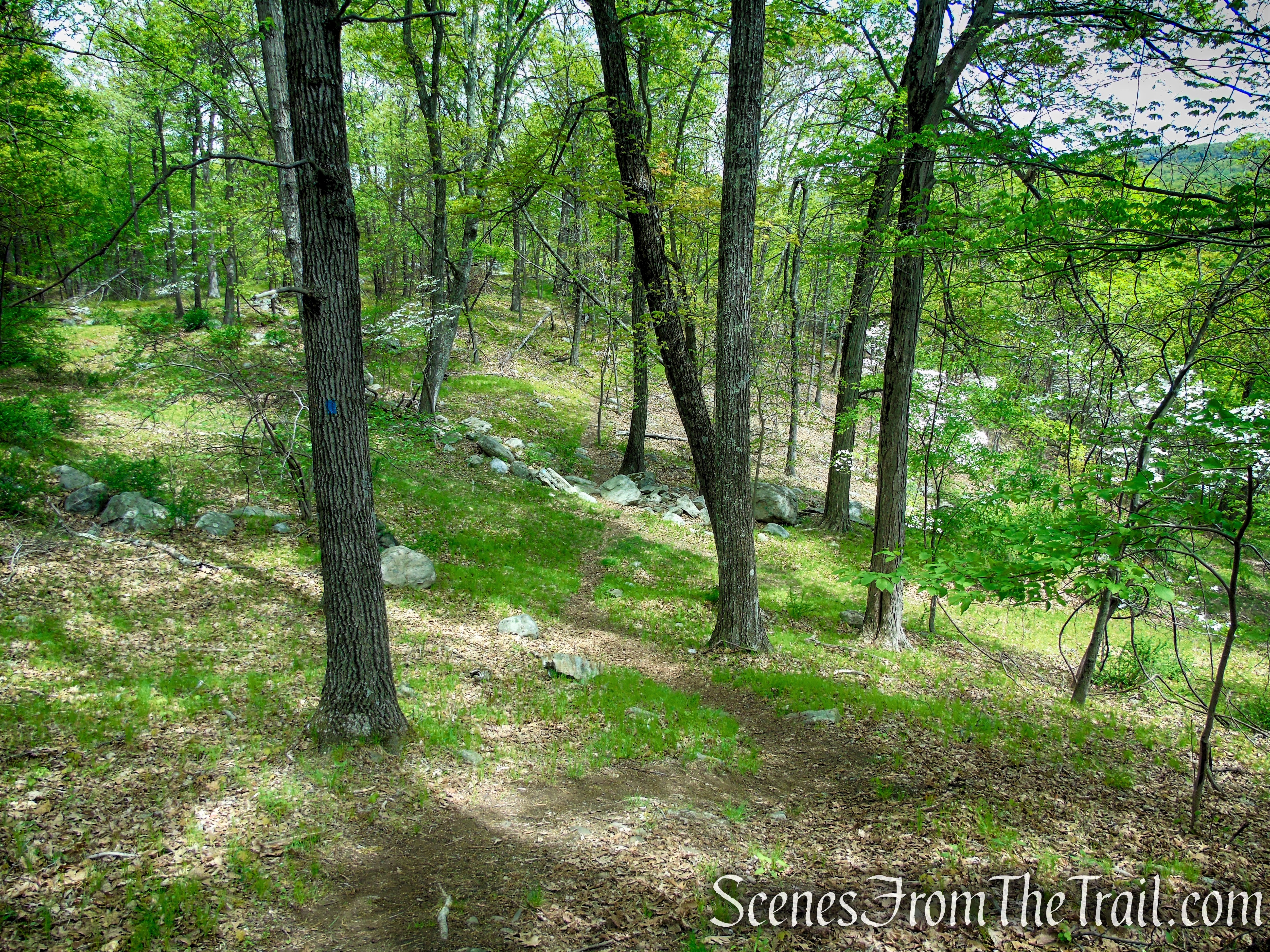
When you’re ready to continue, return to the Blue Trail and turn right. Just beyond, the Blue Trail leaves the woods road and continues on a footpath. It climbs Sleater Hill, passing just to the right of the summit, and then descends, soon reaching a rock outcrop on the right which offers a south-facing view over the Mirror Lake area of Sloatsburg, with the Thruway visible on the right when there are no leaves on the trees.

Blue Trail – Dater Mountain Nature Park

Blue Trail – Dater Mountain Nature Park

Blue Trail – Dater Mountain Nature Park
Blue Trail – Dater Mountain Nature Park
Please note: the trail turns sharp right, but a well defined, but unmarked trail continues ahead. This turn is easy to miss.
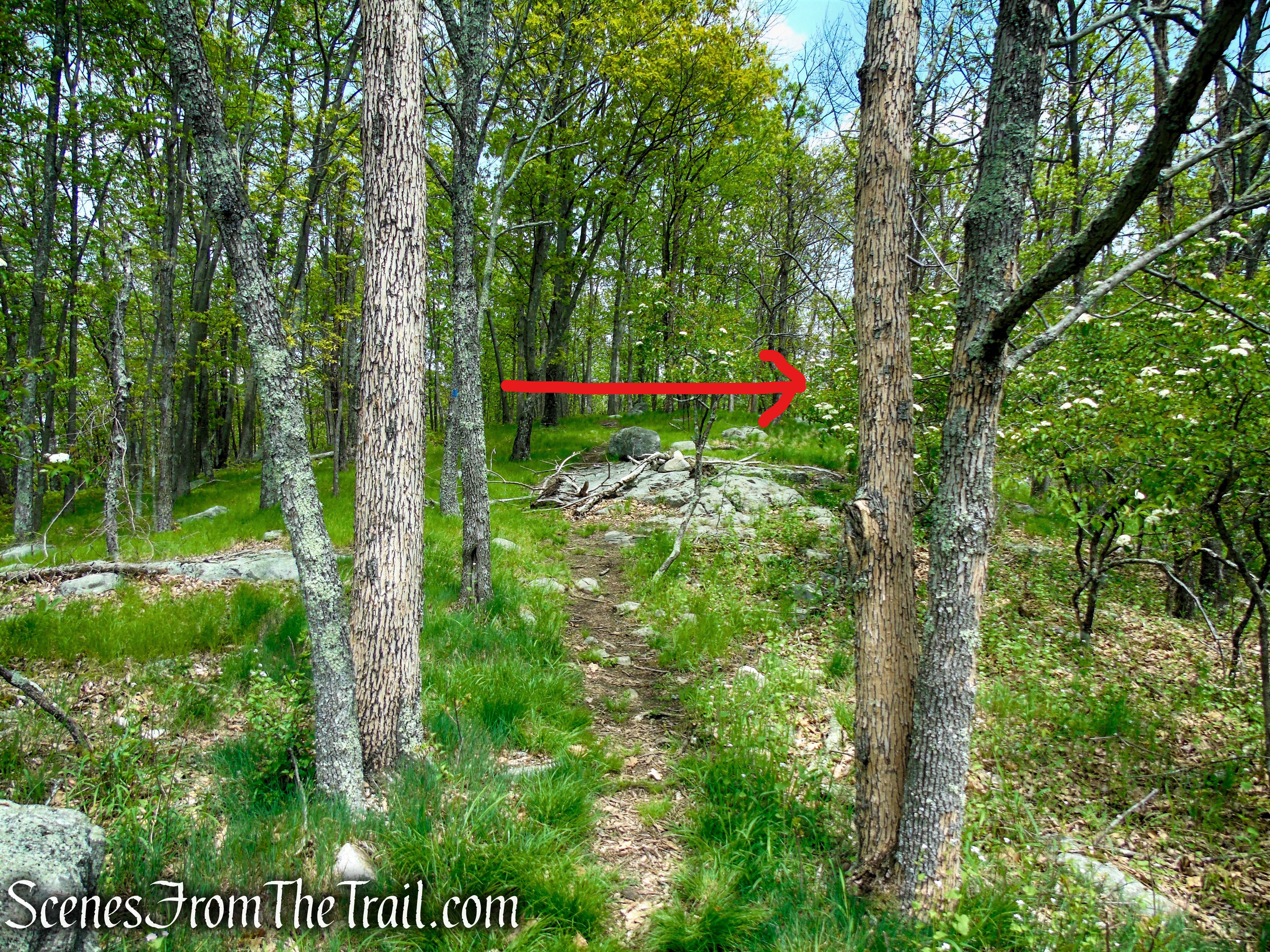
turn sharp right to remain on Blue Trail

south-facing viewpoint – Dater Mountain Nature Park
The Blue Trail continues to descend. After crossing a woods road, it levels off, then resumes a gradual descent, ending at an intersection with the Orange Trail. Bear right onto the Orange Trail and follow it downhill, retracing your steps to the parking area where the hike began.
Blue Trail – Dater Mountain Nature Park

Terminus of Blue Trail – Dater Mountain Nature Park

Terminus of Blue Trail – Dater Mountain Nature Park
Orange Trail – Dater Mountain Nature Park
Orange Trail – Dater Mountain Nature Park
Review:
A truly nice hike where we encountered very few hikers. The views from Almost Perpendicular are spectacular and pretty much the highlight of the hike. Dater Mountain Nature Park is well maintained and the trails are easy to follow. We encountered a family of four going in the opposite direction along the Blue Trail and no one else the entire time there. The views are nice and the park is worth a visit to avoid the crowds.
Pros:
Almost Perpendicular, scenic views, glacial erratics, well marked trails, litter free.
Cons:
Thruway noise can be heard along the Blue Trail.
Take a hike!

Dater Mountain Nature Park
Sources:
- New York-New Jersey Trail Conference
- 237 Acres in Rockland Co. Protected – The Trust for Public Land
- Dater Mountain Nature Park
