June 15, 2019 – New Fairfield, Connecticut
Difficulty: Easy – Moderate
Length: Approximately 2.5 miles
Max elevation: 649 ft.– total elevation gain approximately 346 ft.
Route type: Circuit
Maps: Squantz Pond State Park trail map
Trailhead parking: 178 Short Woods Rd, New Fairfield, CT 06812
Please note: Parking at Squantz Pond is limited to 250 vehicles. Once capacity is reached, the park is closed, and will remain closed for the rest of the day. There is no alternative parking, and cars parking or unloading on local roads and parking lots will be ticketed and/or towed.
Admission and Fees: Out-of-State Registered Vehicle Fee from Memorial Day Weekend through Labor Day – $22.00 weekends, $15.00 weekdays. There is no charge for Connecticut Registered Vehicles.
Park Overview:
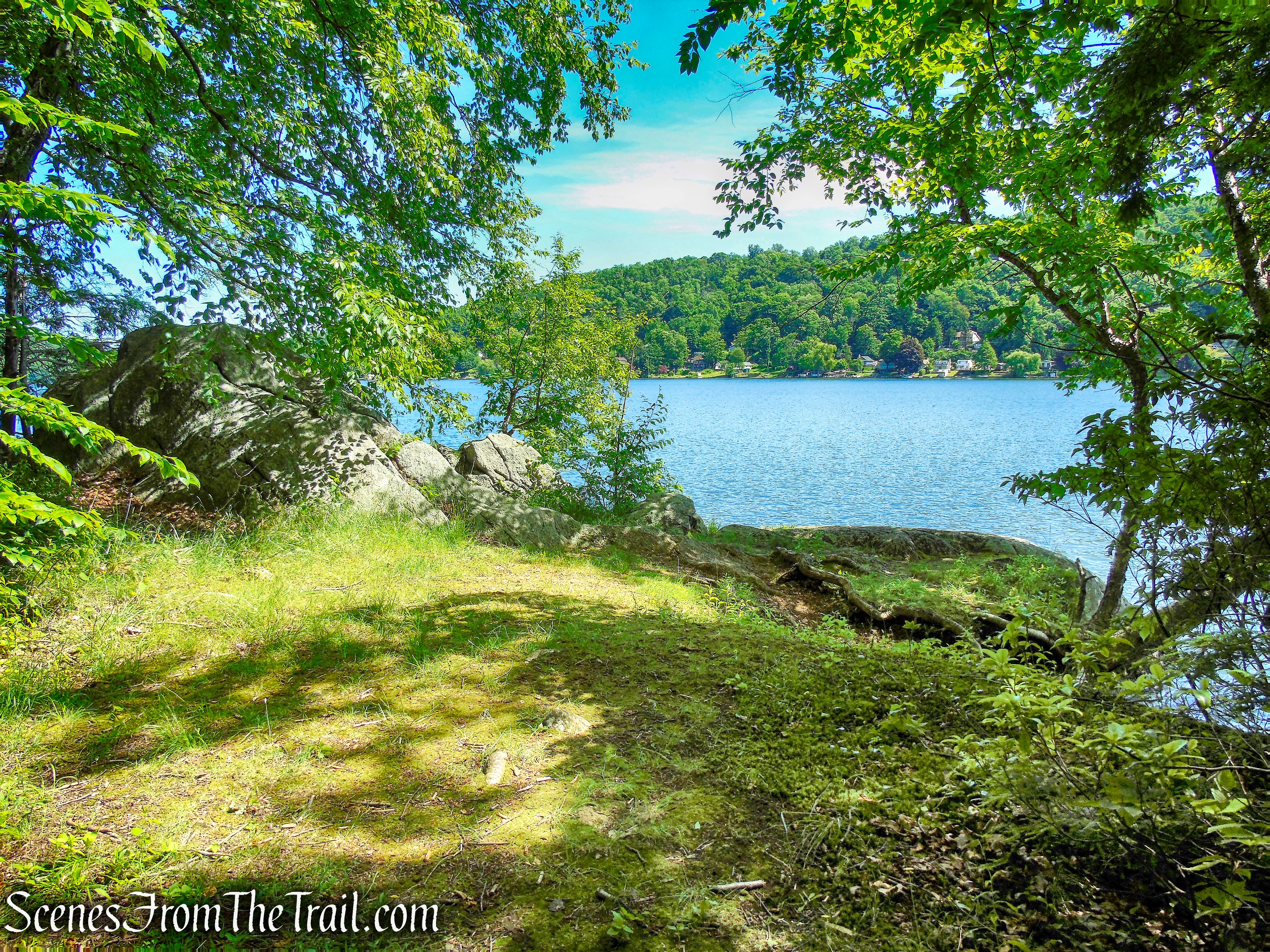
Squantz Pond offers four season enjoyment with steep, wooded slopes, a cool, blue pond and colorful foliage to delight visitors throughout the year.
Squantz Pond immerses the visitor in a “mountain like” setting. Steep, wooded slopes disappear into the cool, blue pond below. In the fall, the park becomes a haven for photographers capturing the colorful reflection of the foliage in the mirrored surface of the water. The state park was established through the purchase of a 138-acre farm in 1926. The pond and state park are named for Chief Squantz, a leader of the Schaghticoke tribe.
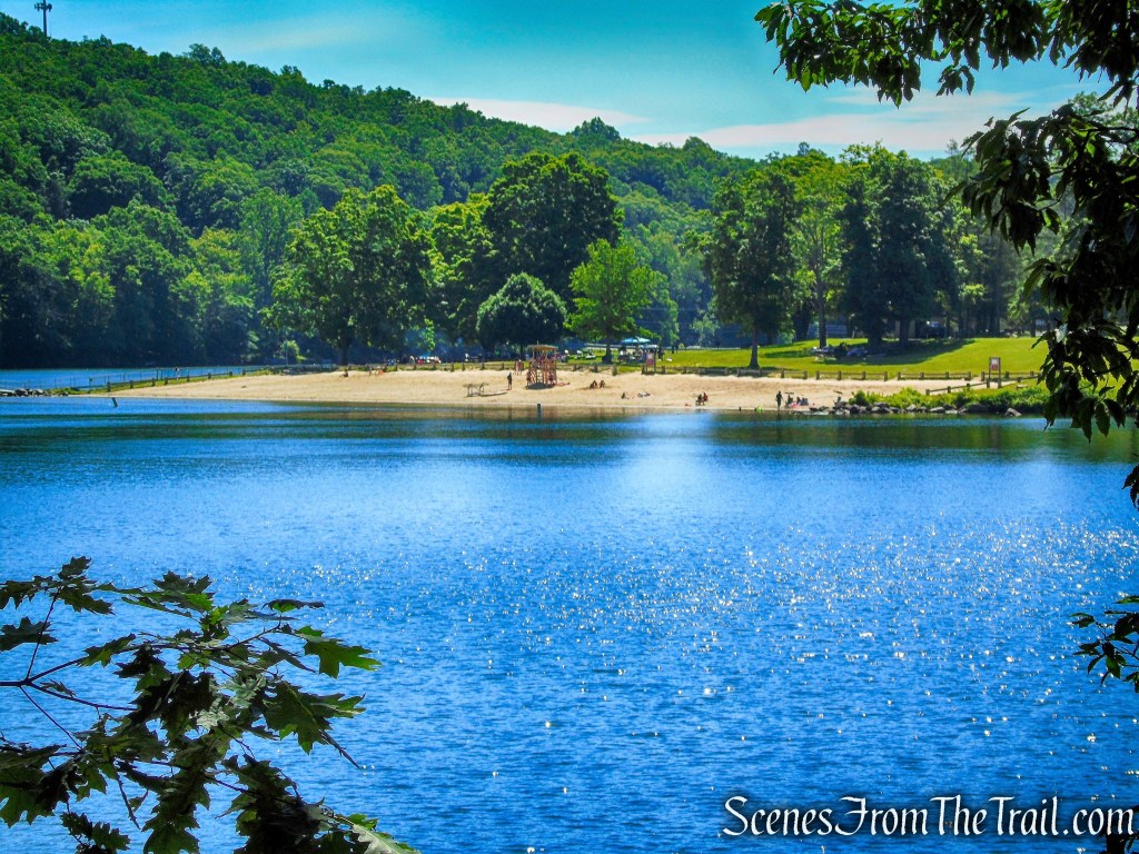
The state park encompasses 172 acres on the southwestern shore of 270-acre Squantz Pond, offering opportunities for boating, swimming, fishing, and hiking. The park is bordered on the west by Pootatuck State Forest and is managed by the Connecticut Department of Energy and Environmental Protection.
The park also offers scuba diving as well as a launch for motorized boating. The park also has canoe and kayak rentals, picnicking facilities that include anchored charcoal grills, and a nature center. The park’s hiking trails grant access to the adjacent Pootatuck State Forest.

Trails Overview:
Pootatuck State Forest and Squantz Pond State Park contain approximately 1,155 acres and offer the best hiking in New Fairfield. There are some wonderful walks through magical mountain settings with breathtaking vistas, steep, wooded slopes, rapidly flowing streams and many interesting rock formations (including Council Rock), all straddling the cool blue waters of Squantz Pond. There are many miles of trails to explore and any number of loop hikes can be done.
Hike Overview:
Recently I have started to explore parks that offer picnic areas with charcoal grills as well as some trails to explore. That means arriving at the park when it opens and claiming a choice spot. After cooking breakfast, while someone remains behind, we go for a short hike and then return to grill some lunch, relax and enjoy the day, then grilling an early dinner before departing. So this is more of a barbecue with a hike thrown in.
“A common geological feature throughout the hike are large boulder falls hugging the steep hillside as far as the eye can see upward and down to the water’s edge. In addition to stepping across and between boulders, the loop’s upper portion winds past large rock formations, some of them modest caves.”
~ Steve Mirsky, Best Easy Day Hikes: Fairfield County (Falcon Guides).
This hike follows the White Trail which travels north along the west shoreline of Squantz Pond to a rock outcrop with sweeping views of the pond. Turning left on the Red Trail which climbs steeply for a short distance then curves to the south. The Red Trail passes by Council Rock, a massive round slab of rock that rests above other rocks forming a natural canopy. The Red Trail then continues south, parallel to the White Trail which is just below. Turning left on the Purple Trail which descends towards the pond and connects to the White Trail, retracing our steps back to the picnic area.

The Hike:
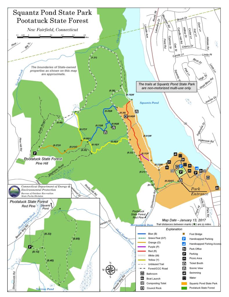
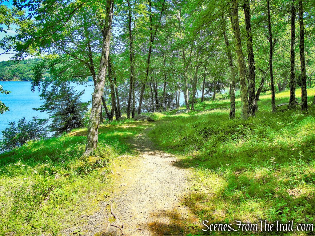
The hike begins near the Park Office at the southern end of Squantz Pond. We headed in a westerly direction, past the small beach area and staying close to the edge of the pond. Near the western shore of the pond, there is an unmarked footpath, which may be the start of the White Trail, but I didn’t notice any blazes. The trail descends some railroad tie steps, crosses a wooden footbridge and continues to hug the shoreline.


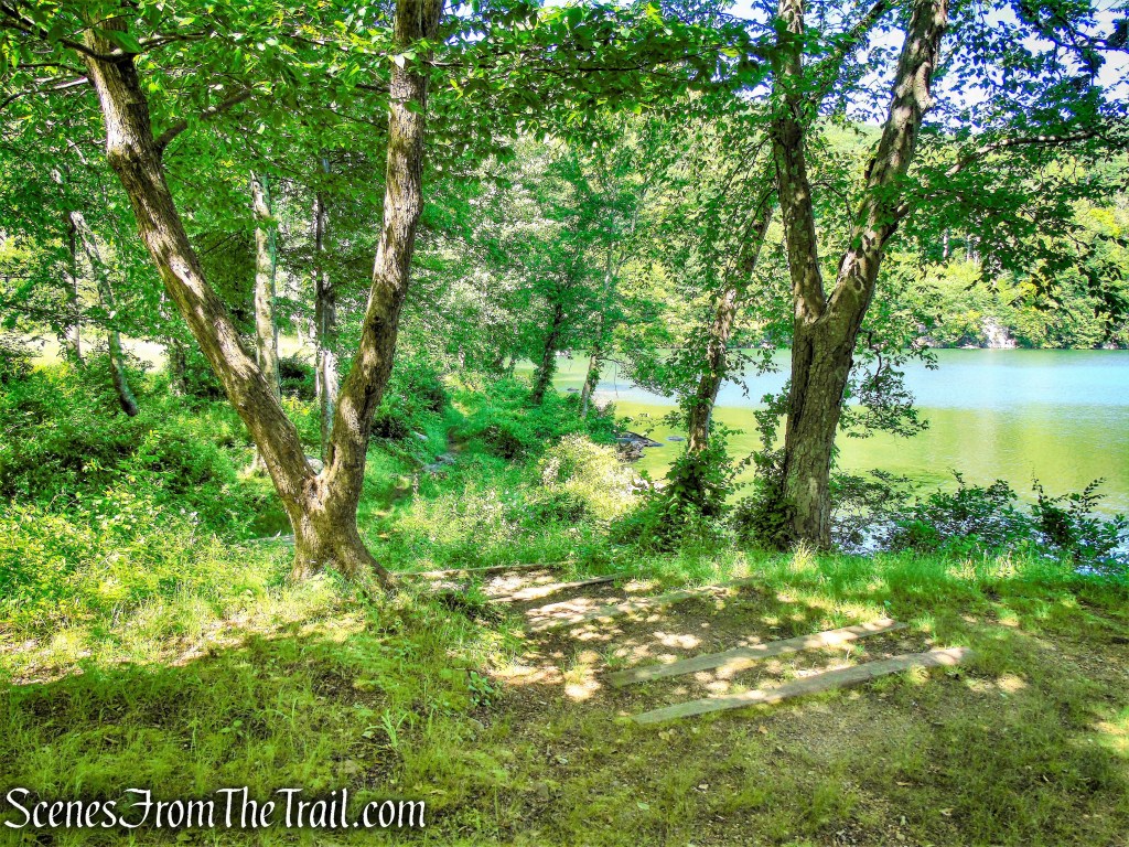

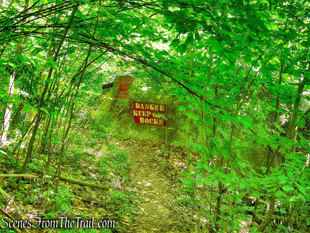
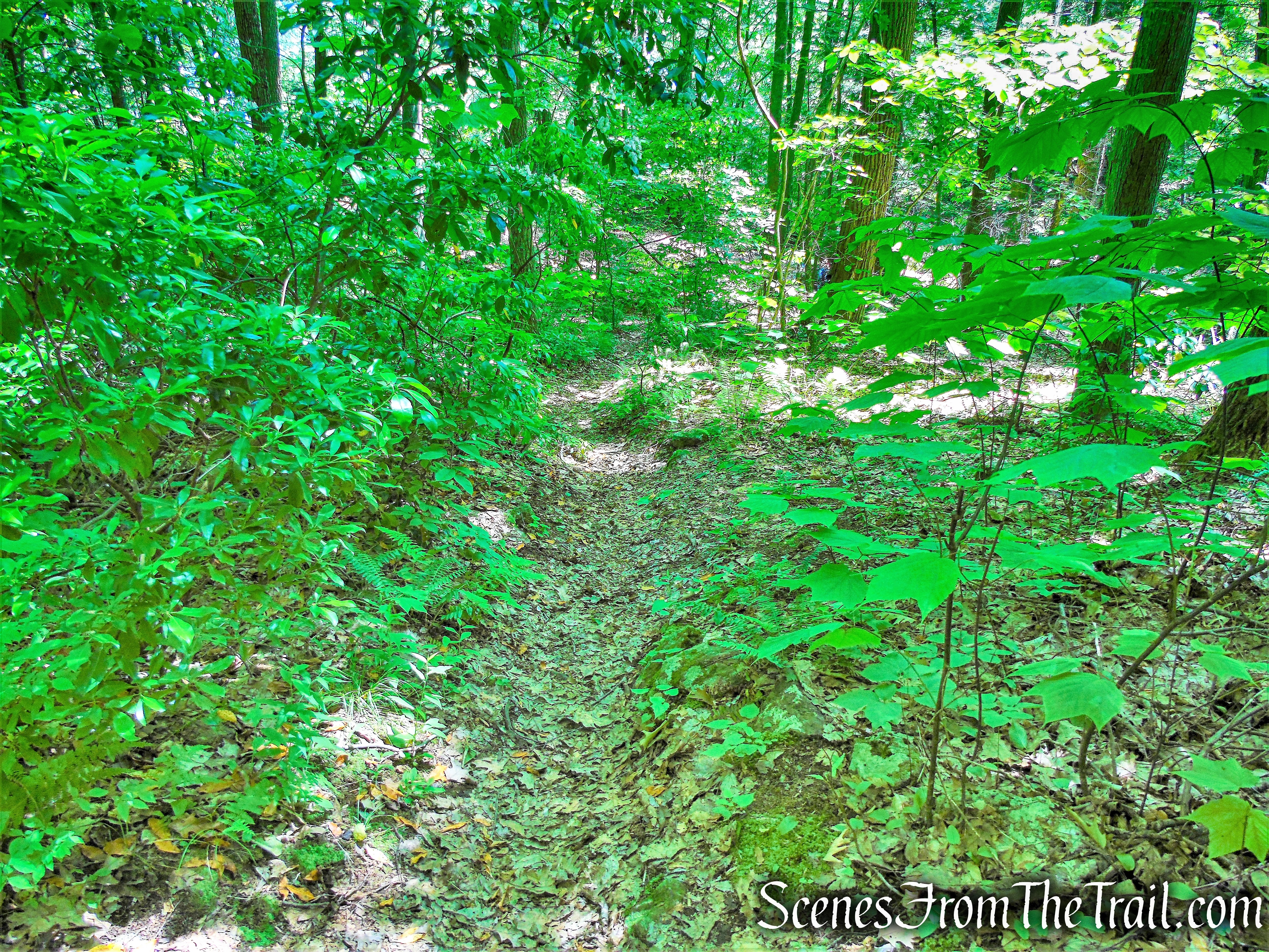
In a short distance, the trail again descends railroad tie steps and crosses another wooden footbridge. The trail then turns right and the white blazes begin to appear. The White Trail heads north hugging the shoreline with Squantz Pond on the right. The White Trail is surprisingly rugged as it travels over undulating terrain. It passes by some large boulders that are scattered near the water. The warning signs are due to numerous deaths in this area over the years from people diving from atop the boulders into the pond.


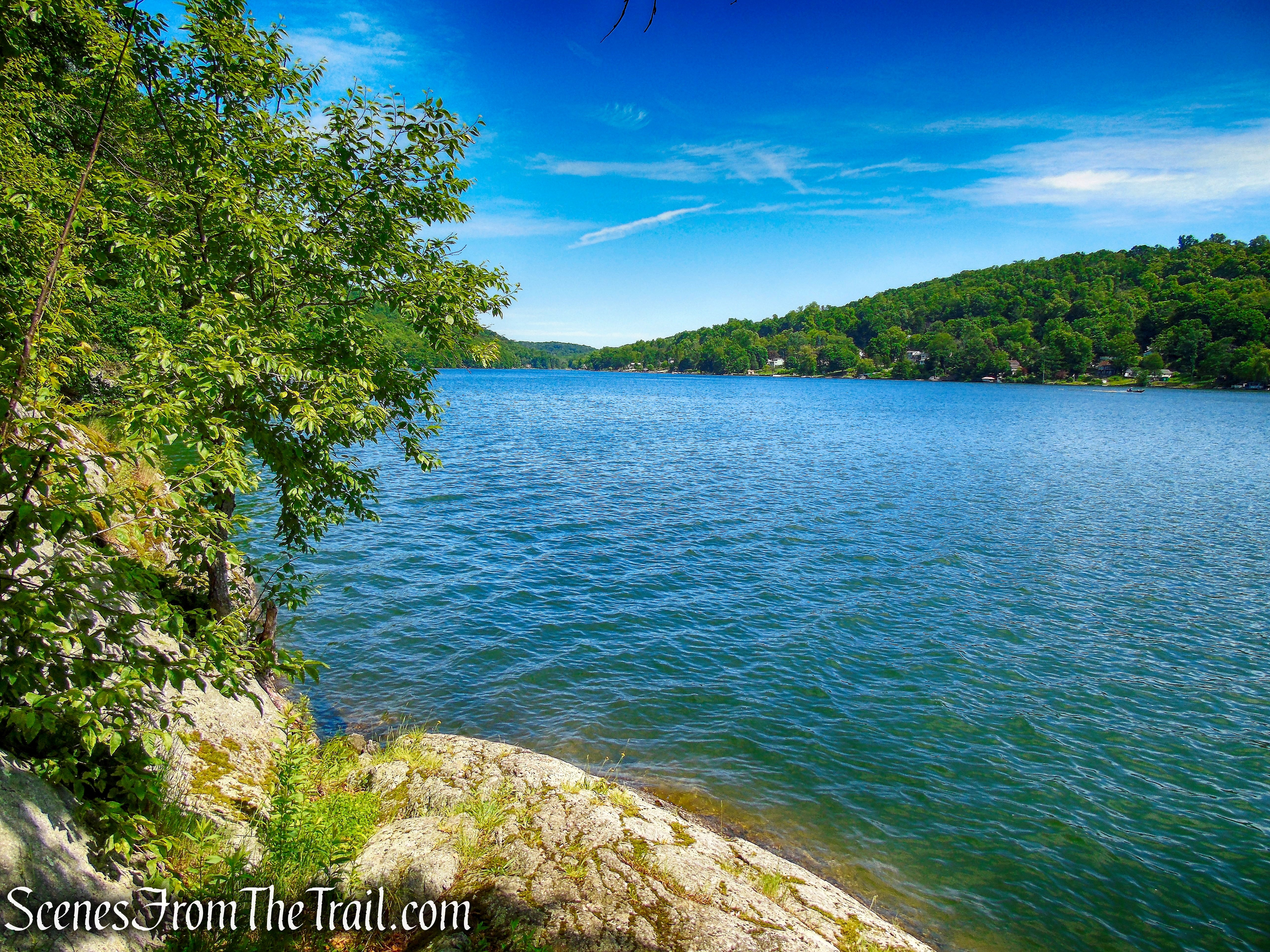
The trail continues to rise and fall as it travels along the western edge of the pond. A short distance later, the White Trail reaches a rock outcrop with sweeping views of Squantz Pond. This is a good spot for a break to take in the scenery. The White Trail continues north and a short distance later arrives at a junction with the Red Trail. This turn is easy to miss so keep an eye open for it.

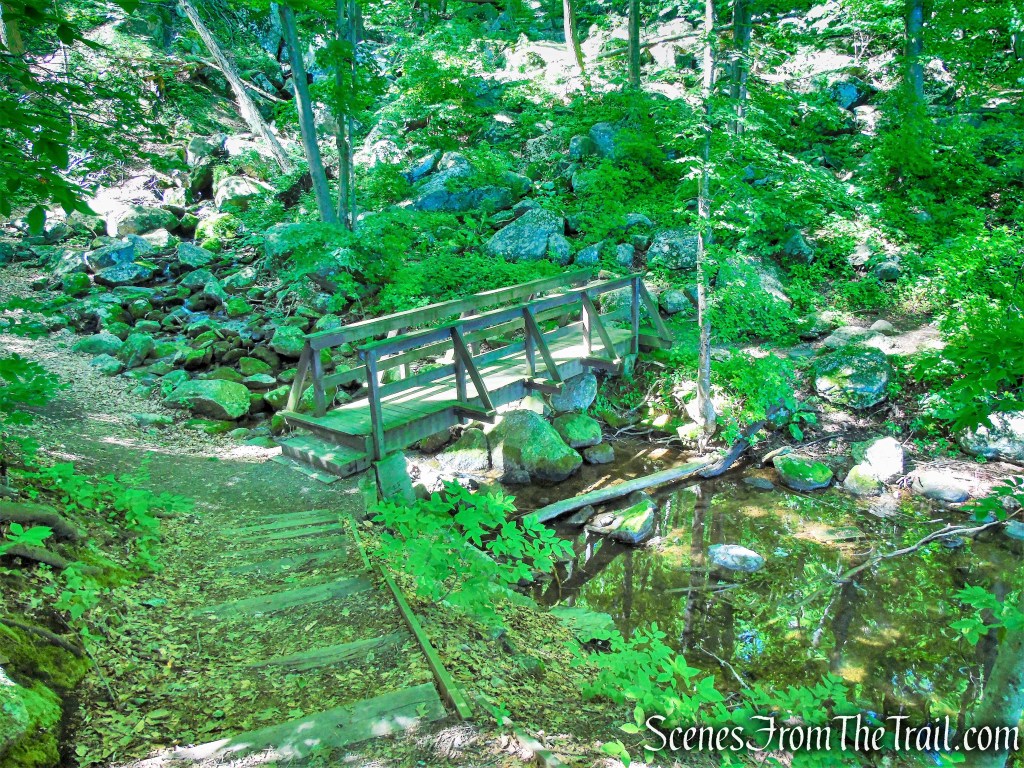
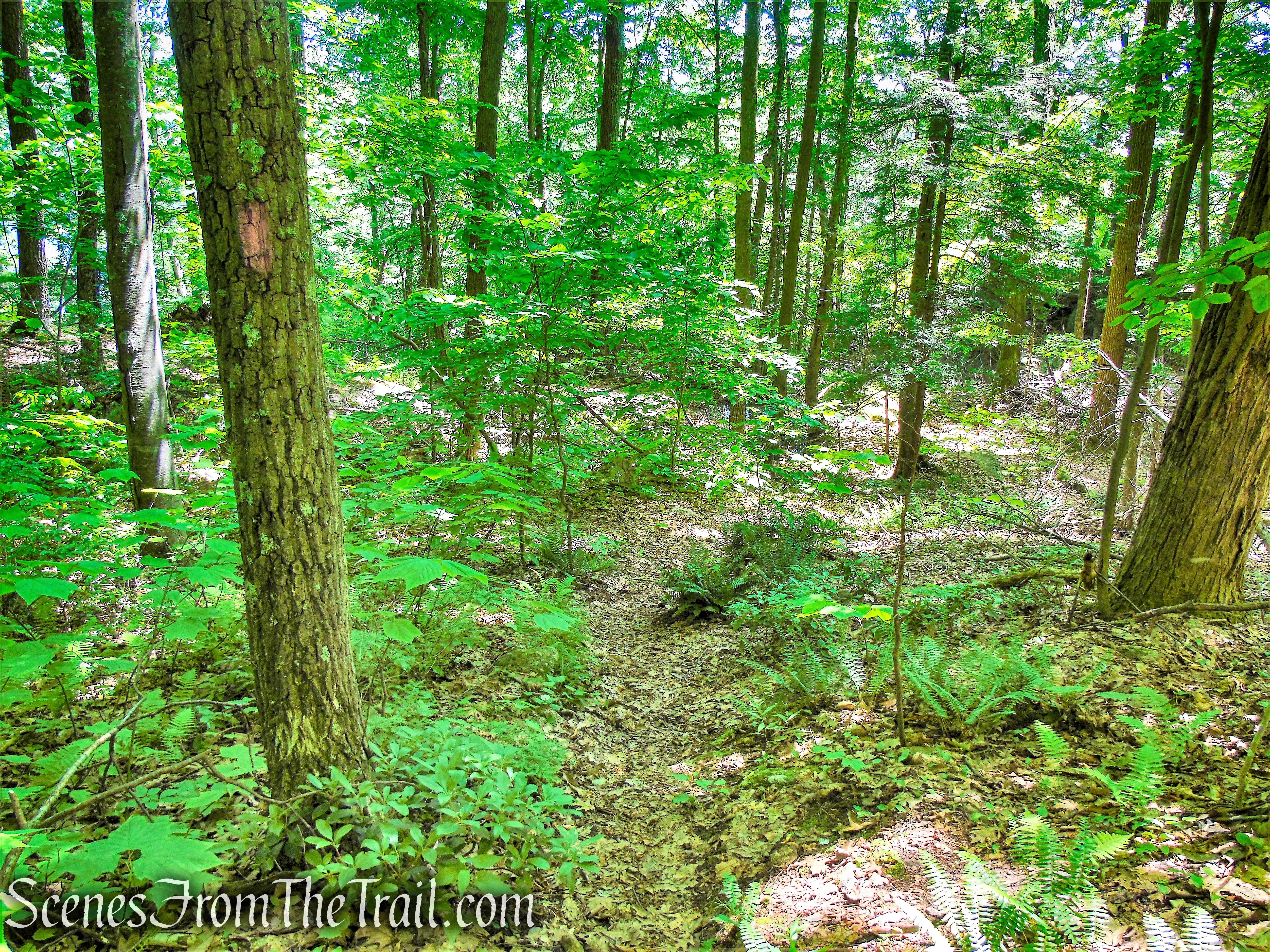
The Red Trail climbs steeply then curves to the left and begins to head south, paralleling the White Trail below. This area is scattered with jumbled boulders that have fallen down the mountain and is quite scenic. At the time of our visit there were numerous fallen trees across the trail that we had to climb over, but nothing too difficult. Like the White Trail, the Red Trail travels over undulating terrain.

In just under 400 yards, the Red Trail reaches Council Rock, a massive round slab of rock that rests above other rocks forming a natural canopy. According to local traditions, the rock formation was a gathering place for the Schaghticoke tribe. Chief Squantz, who held sway over the Schaghticoke in the early 1700’s, could stand there, as if at a pulpit, and address a large gathering of his tribesmen.
The Red Trail continues south through the many rock formations that line the trail. There are many crevices that form small caves throughout this area and rock slab walls. After about 0.6 mile from the start of the Red Trail, it comes to a junction with the Purple Trail on the left. This turn is easy to miss as well because there aren’t any visible blazes at the junction. I walked right by it, but my alert hiking partner spotted it.


A few feet in, the blazes become visible as the Purple Trail descends the hillside. In just under 200 yards, the Purple Trail ends at a junction with the White Trail, at the shore of Squantz Pond. Here we turned right and retraced our steps on the White Trail, crossing the two footbridges and across the field, back to the picnic area, where the hike began.


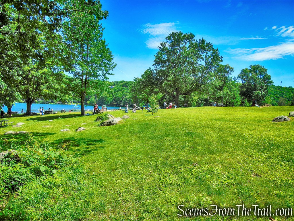


Once back at the picnic area, I lit the grill and cooked up some Marinated Flank Steak Fajitas, that were quite tasty. After relaxing for a while, I took a stroll down to the beach to cool off. Since we paid the $22.00 Out-of-State Registered Vehicle Fee, we made a day out of it and also grilled some Italian Sausage for dinner. All in all, it was a good day.

Review:
A gorgeous park with a number of activities available, including: Picnicking with charcoal grills, Hiking, Boating, Pond Fishing, Swimming and SCUBA Diving. Getting there early is the key to guaranteeing entry into the park. We arrived minutes after it opened and it quickly filled up. If you have never cooked eggs on the grill outdoors, you should try it. I am totally hooked on it now. The trails are surprisingly rugged and scenic. We didn’t encounter any other hikers during our time on the trails, which was a pleasant surprise. If you prefer a longer hike, the trails connect with those in Pootatuck State Forest. Definitely worth a visit on a warm sunny day.
Pros: Scenic landscape, well maintained picnic areas with many built in charcoal grills, historical features, Council Rock, Squantz Pond.
Cons: Trail blazes could use a fresh coat of paint and a little maintenance.
Take a hike!

Sources:
