June 12, 2021 – Putnam Valley, NY
Rehiked August 3, 2025
Difficulty: Moderate
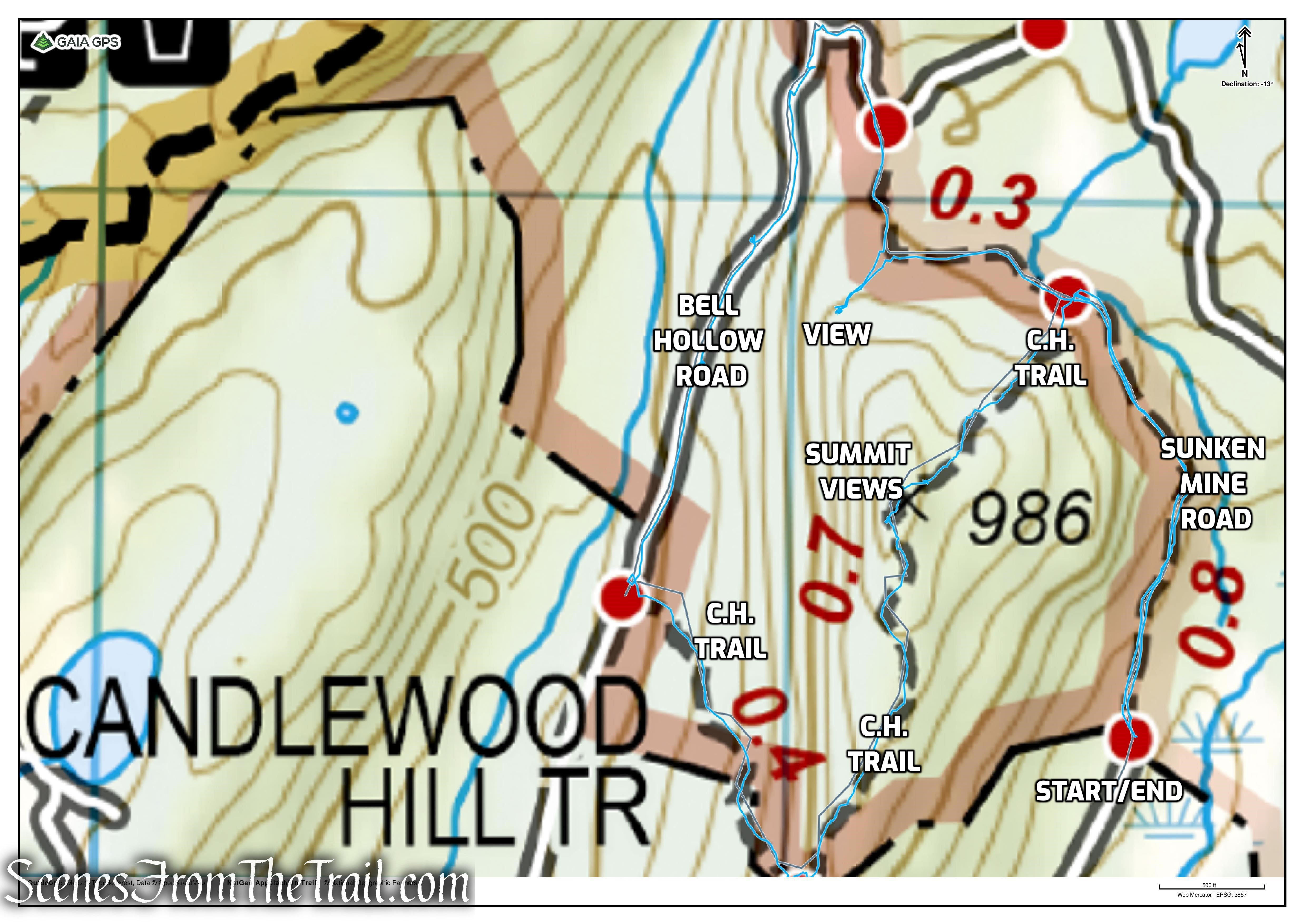
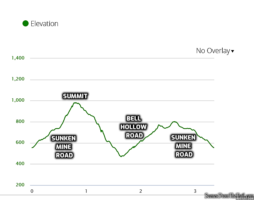
Length: Approximately 3.3 miles
Max elevation: 986 ft.– total elevation gain approximately 779 ft.
Route type: Lollipop Loop
Buy Maps (Paper & Avenza): East Hudson Trails Map #103
Free Web Map: Fahnestock State Park Trail Map 2020
Free Avenza App Map: Fahnestock State Park Trail Map
Trailhead parking: 11 Sunken Mine Road, Putnam Valley, NY 10579
Roadside parking for approximately 6 cars – No bathrooms on site
Details on a loop hike to Candlewood Hill via a different starting point: Candlewood Hill Loop from Bell Hollow Road
Overview:
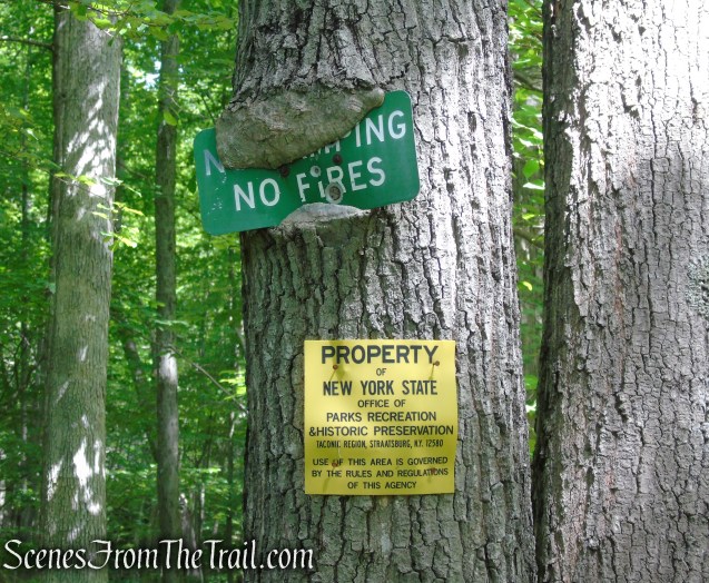
Clarence Fahnestock Memorial State Park, also known as Fahnestock State Park, is a 16,171-acre state park located in north central Putnam County with portions in the towns of Carmel, Kent, Philipstown and Putnam Valley. The park is traversed by the Taconic State Parkway, US Route 9, NYS Route 301 and several local roads. Rail stations operated by Metro North Railroad are within ten miles of the park at Garrison, Cold Spring and Beacon. The park does not have a single, formal entrance. The park is managed and maintained by the New York State Office of Parks, Recreation and Historic Preservation.

Fahnestock is characterized by parallel ridges and hills that trend in a southwest to northeast direction. Steep slopes are often found on the southeast and northwest aspects of some of these ridges. Elevations range from approximately 400 feet in the lowest area of the park along Clove Creek in the vicinity of U.S. Route 9, to a maximum of over 1300 feet on a ridge west of Canopus Lake. The majority of the park is at elevations greater than 600 feet.
As the peaks of Clarence Fahnestock Memorial State Park are more hills than mountains, the hiking is generally less strenuous than others in the region. This makes the park a popular destination for casual hikers.
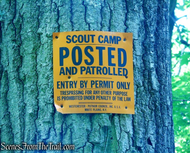
Candlewood Hill is a long ridge with its summit at an approximate elevation of 986 feet above sea level. It is located at the southeast end of Fahnestock State Park and is one of the park’s most prominent peaks. The northern end of the of the ridge is just west of the Durland Scout Reservation (formerly Clear Lake Scout Reservation), divided by Sunken Mine Road. The southern portion of Candlewood Hill rises out of the western banks of Oscawana Lake. Existing roadside parking along Sunken Mine Road provides access to the Candlewood Hill Trail in the northern part of this area. The southern portion of the Candlewood Hill Trail descends sharply to Bell Hollow Road. Recent acquisitions have extended the park southward. A couple of undesignated trails extend from the Candlewood Hill Trail south along the ridge. There is no parking area designated for access from roads to the south.
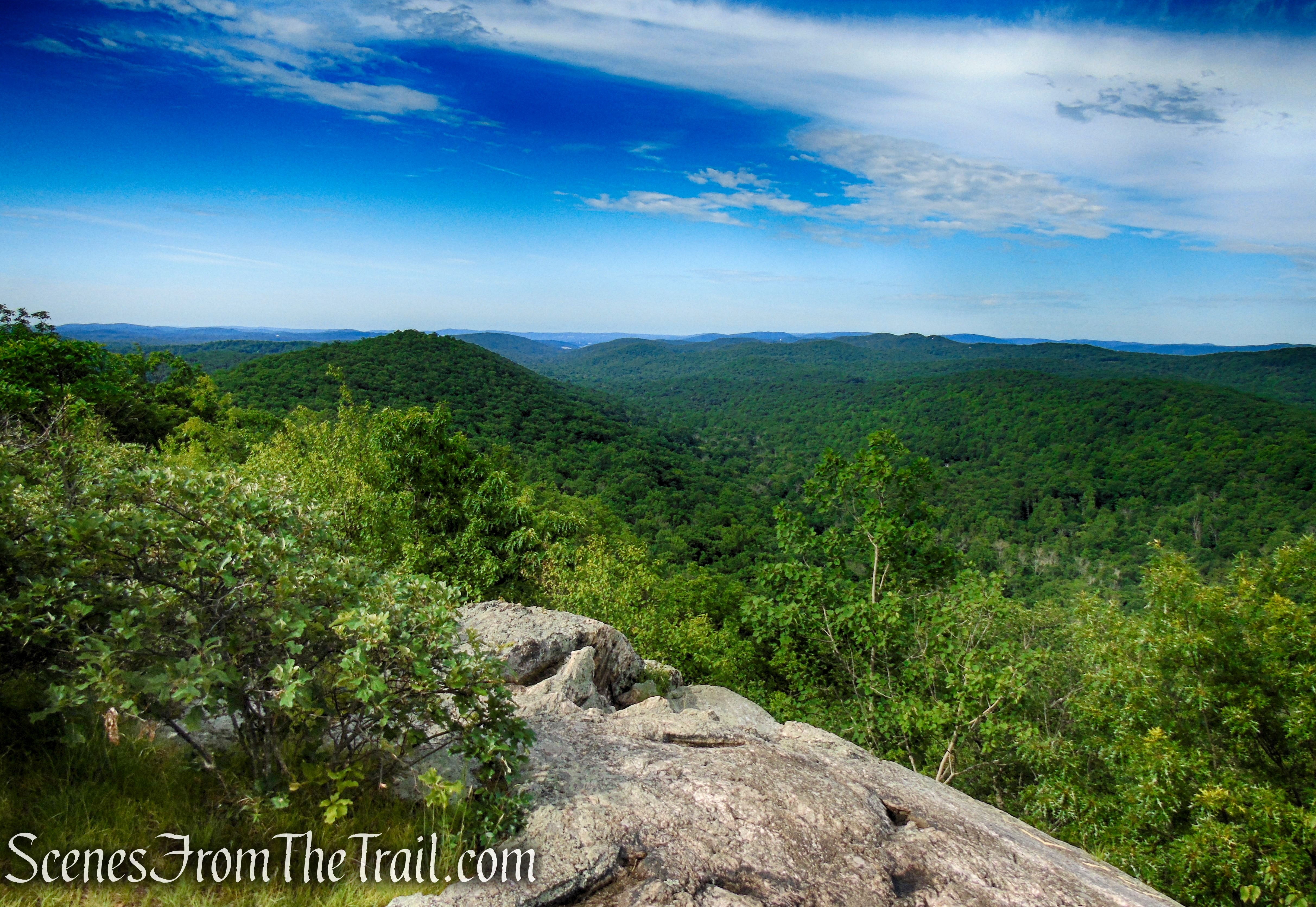
This scenic area includes views of the hills and ridgelines of Fahnestock State Park and most of the East Hudson Highlands from the summit of Candlewood Hill. The panorama includes the surrounding hemlock forests, hills and valleys, and even a slice of the Hudson River and Indian Point viewable to the southwest.

History:
In 2004, NY state purchased a 261-acre tract at Candlewood Hill in Putnam Valley and added it to Fahnestock State Park, saving it from residential development. The property includes woodlands and 2,000 feet of undeveloped frontage on Oscawana Lake, which is otherwise ringed with bungalows and houses. Two land conservation groups, the Open Space Institute and the Trust for Public Land, negotiated the contracts for the state, which in the early summer quietly bought the land for $1.5 million.
For his farewell hike as Governor, George E. Pataki led a small entourage of aides, administration members, environmentalists and a couple of state troopers up the granite-flecked trail to the summit of Candlewood Hill.
Through a series of acquisitions since 1995, Fahnestock State Park has more than doubled in size, from 6,670 acres to 16,171, an increase of more than 9,000 acres. The Trust For Public Land collaborated with its partner, the Open Space Institute on a number of the deals making up this expansion. The Trust for Public Land worked with Governor Pataki, the staff of the New York State Office of Parks, Recreation and Historic Preservation, and the Department of Environmental Conservation to protect more than 100,000 acres in NY state during his administration.
Trails Overview:
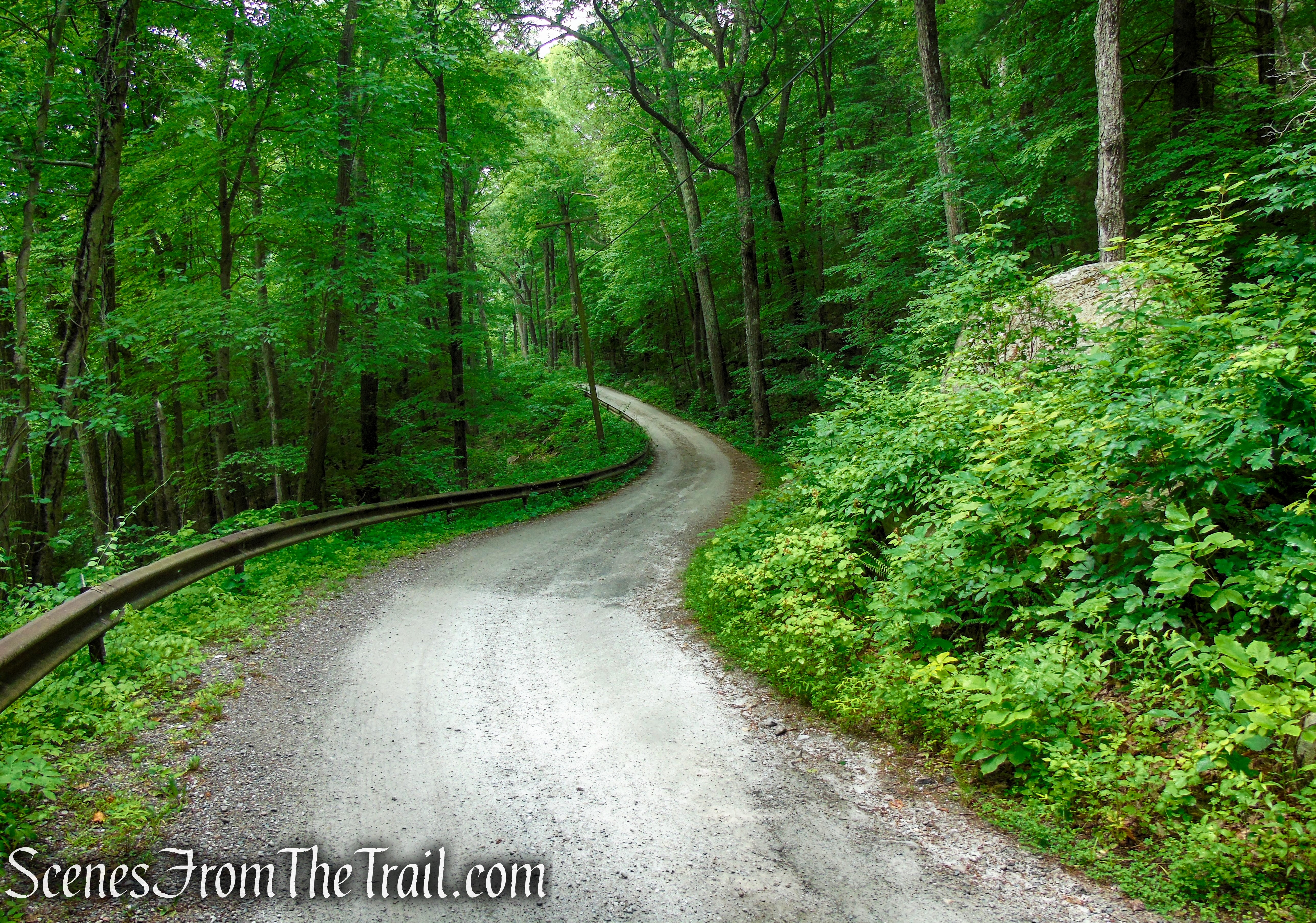
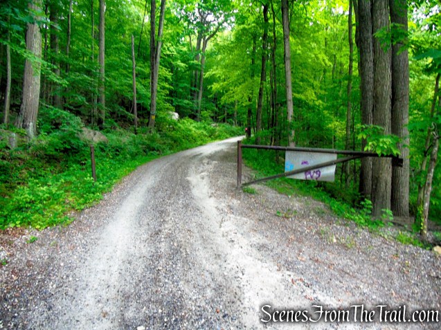
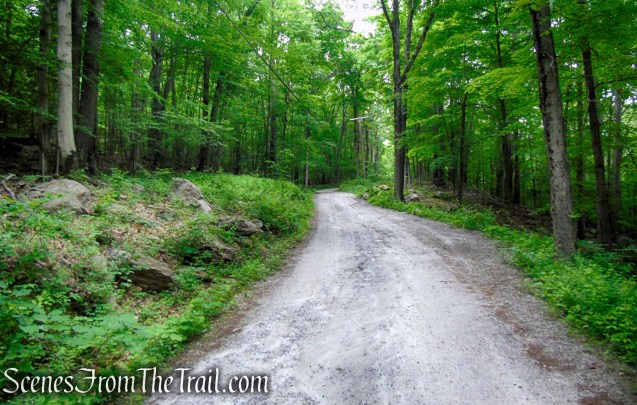
This hike incorporates a section of the unmaintained and unpaved Sunken Mine Road that is closed to vehicular traffic from December to April. This road divides Fahnestock State Park from the Durland Scout Reservation (private property). Sunken Mine Road is located within Fahnestock State Park and is a gravel road that traverses the area, running north from Oscawana Lake to Dennytown Road. The road climbs gradually from the south before reaching the trailhead for the Candlewood Hill Trail.
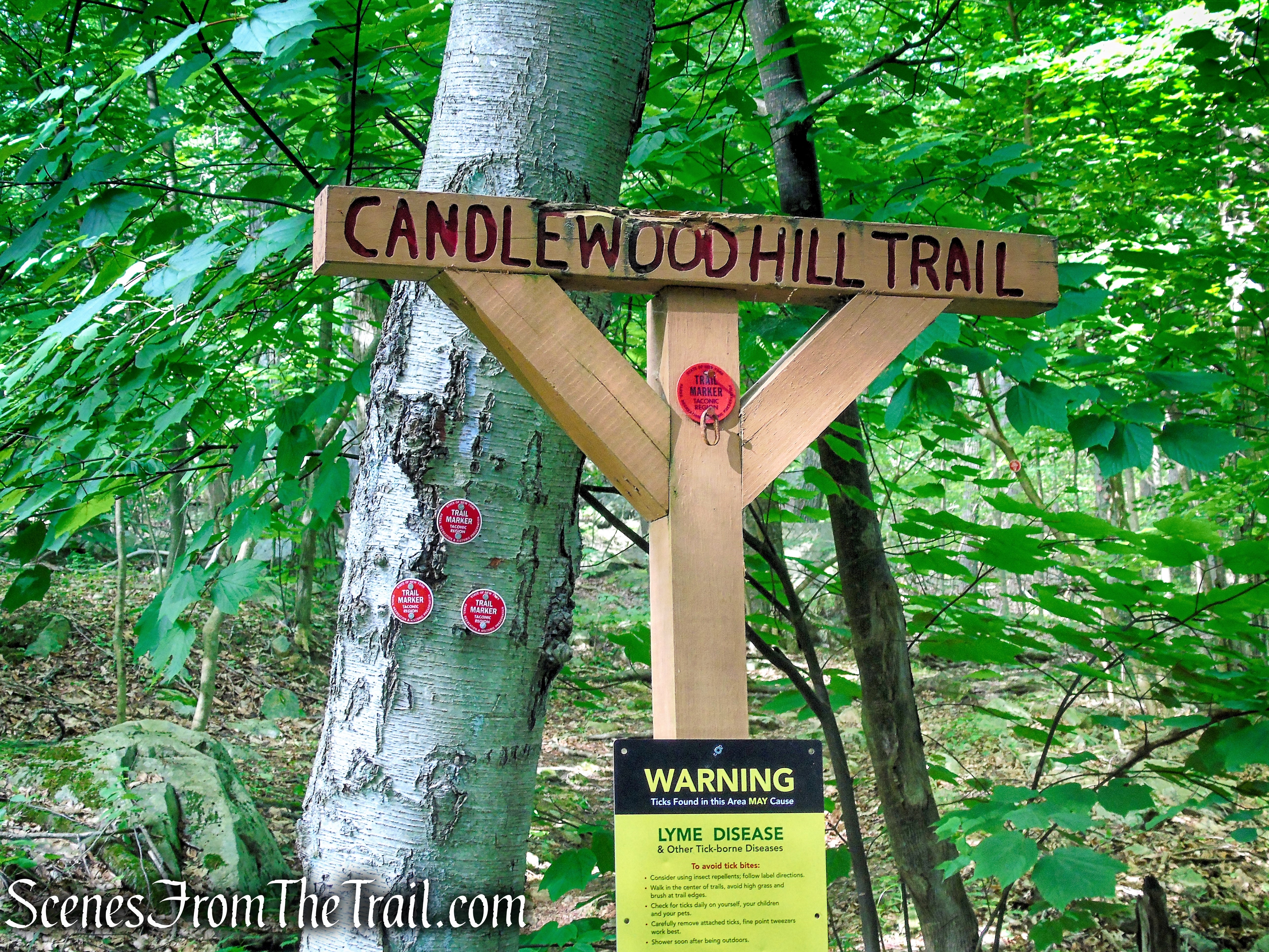
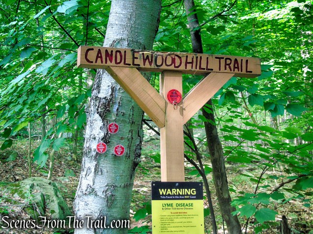
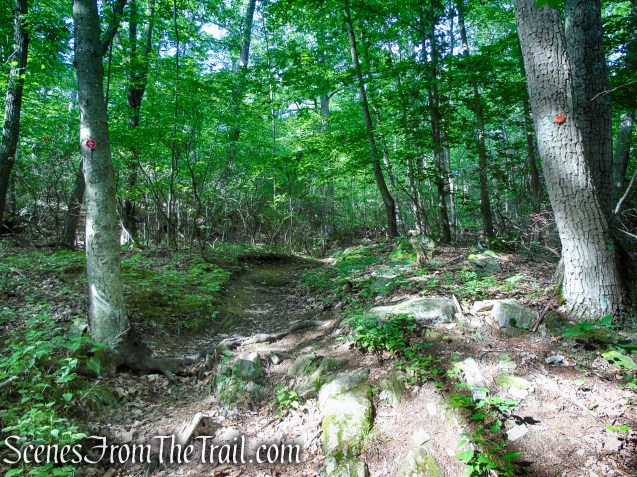
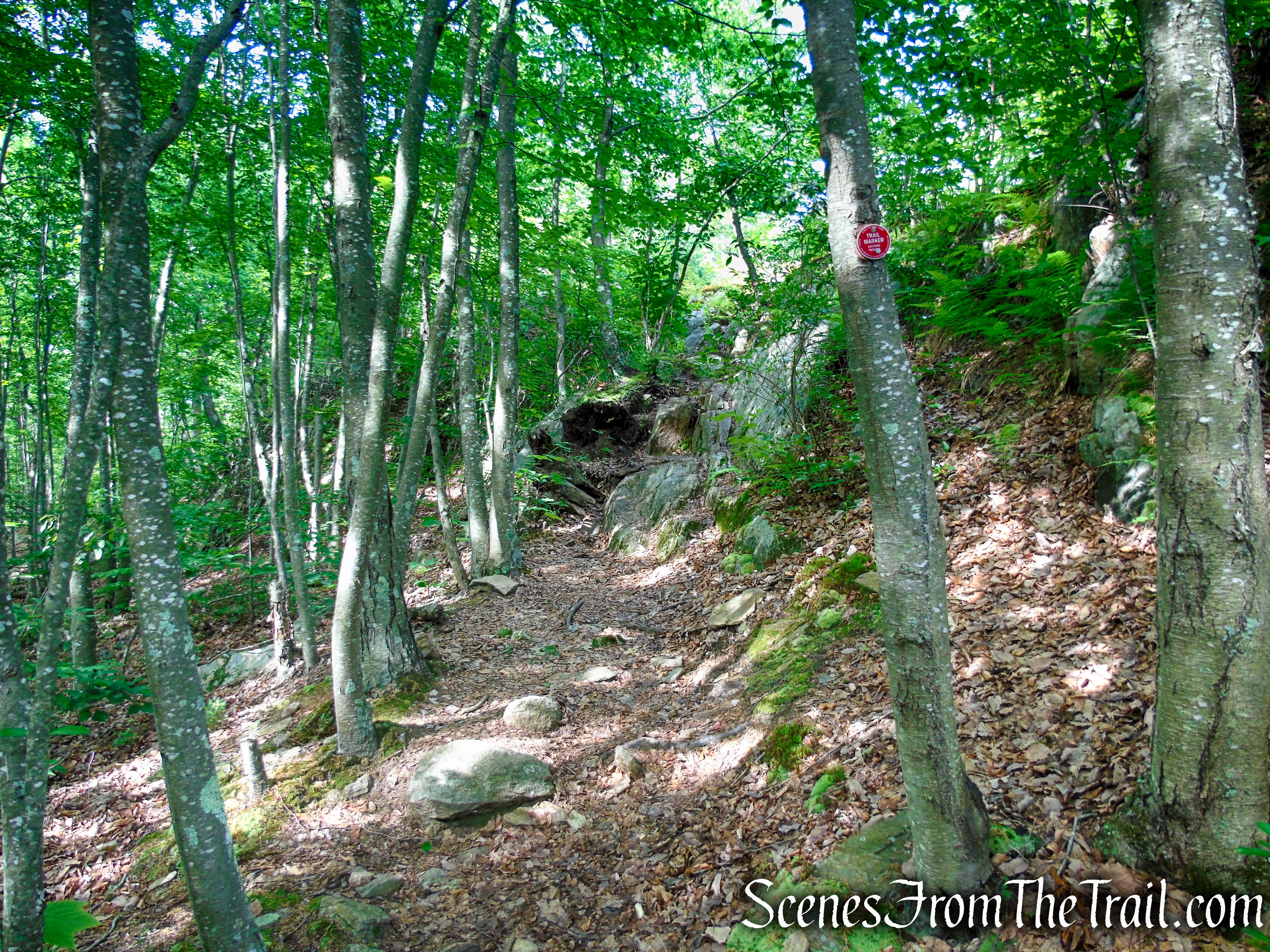
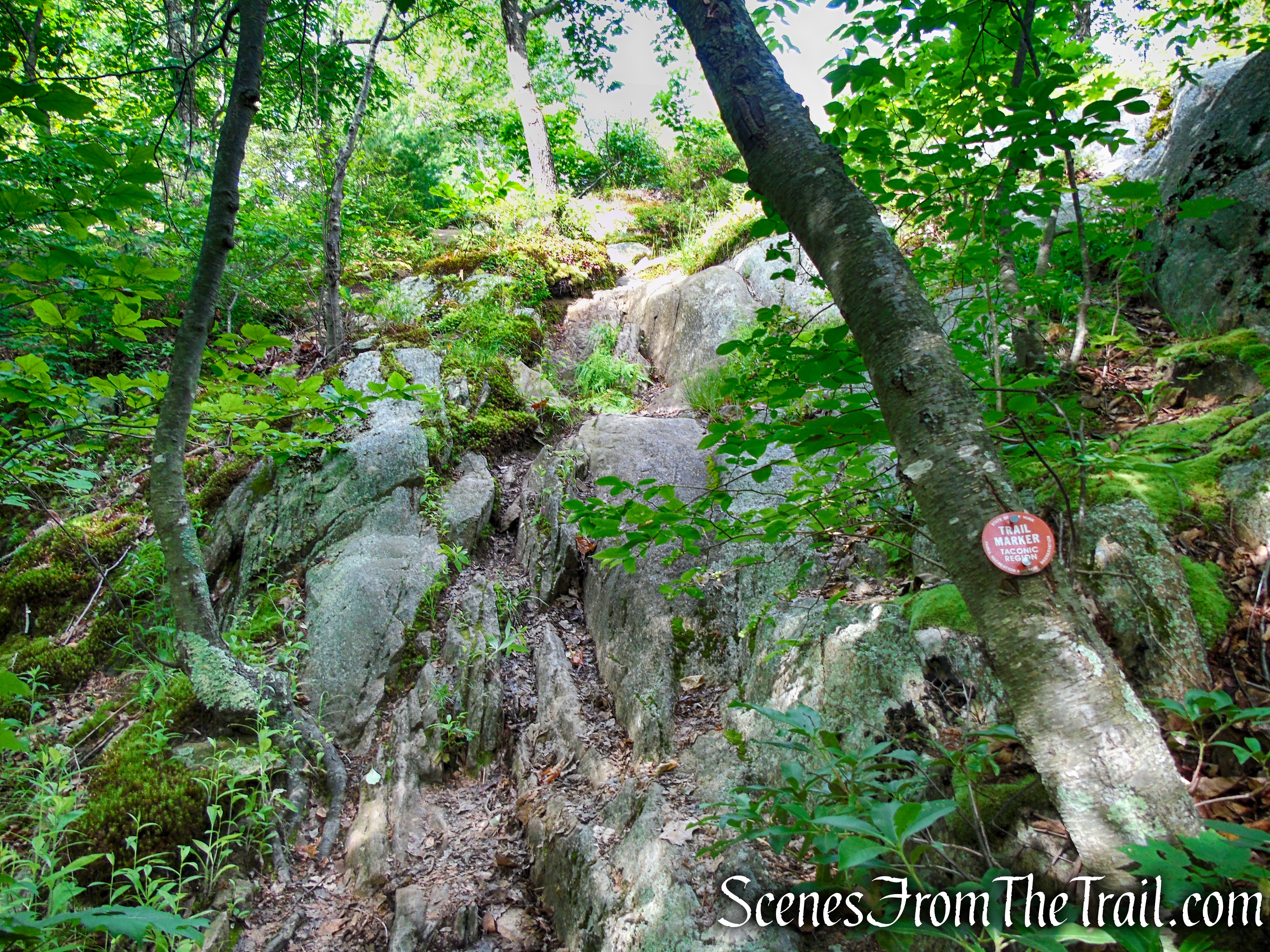
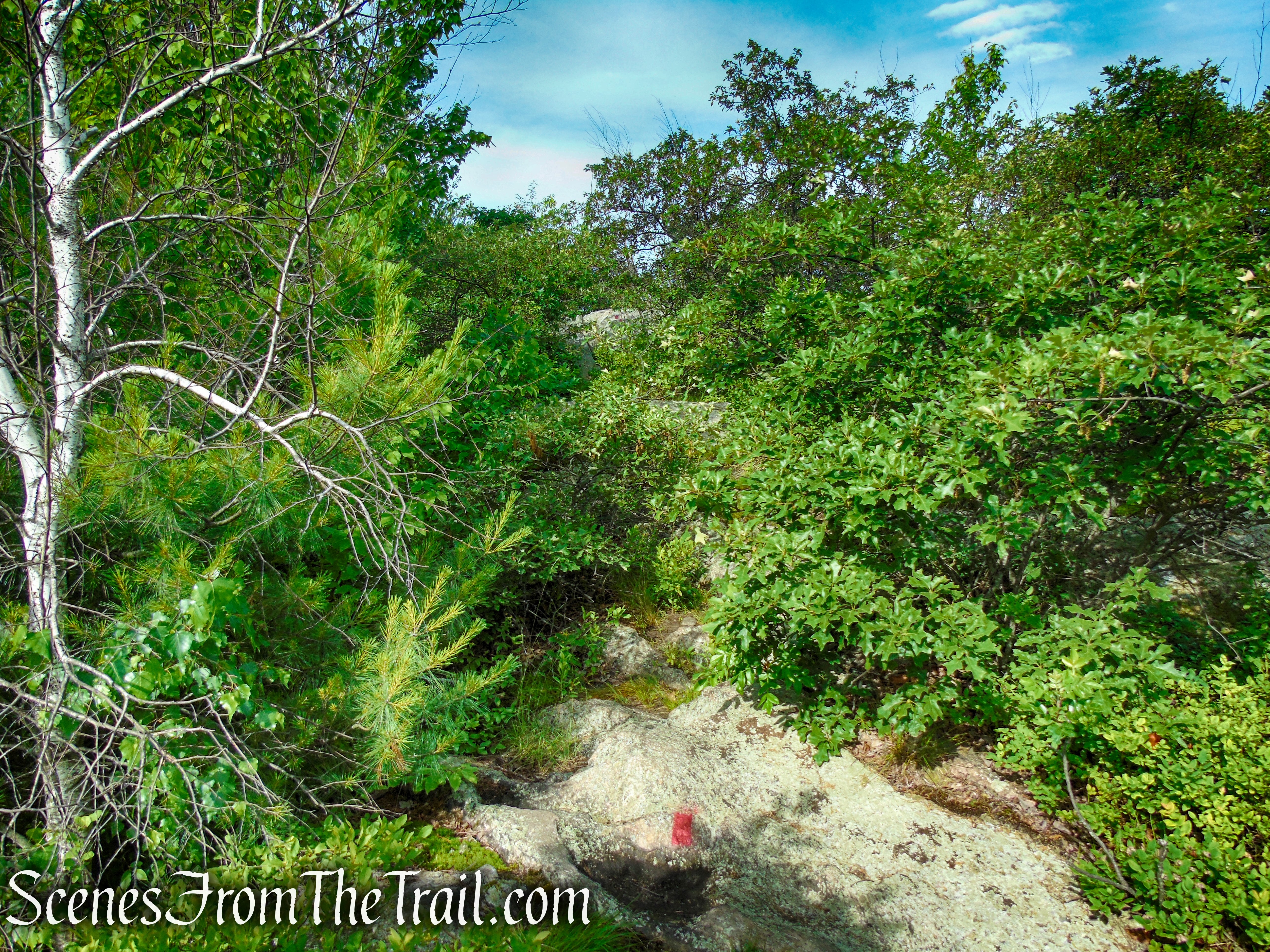
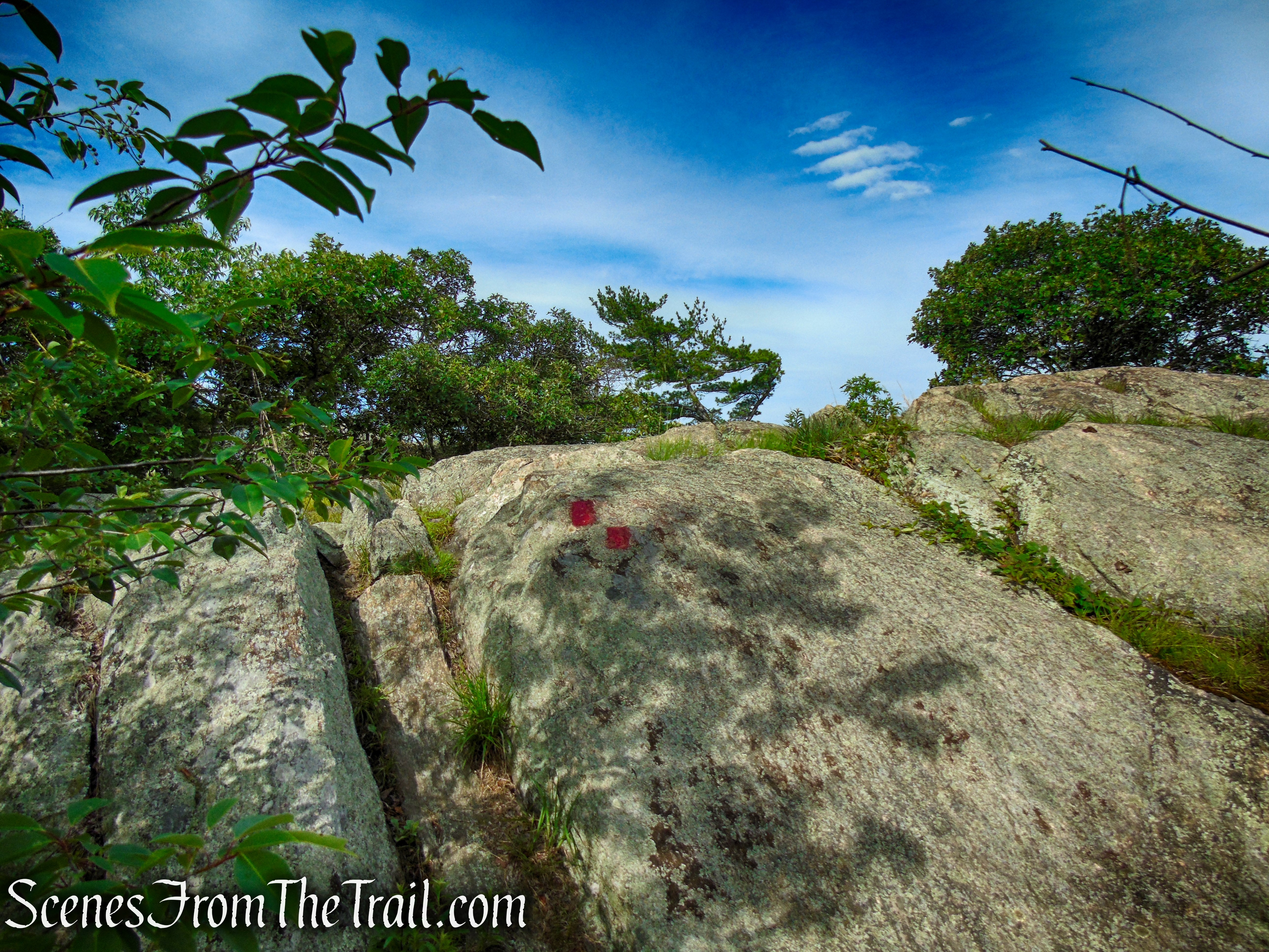
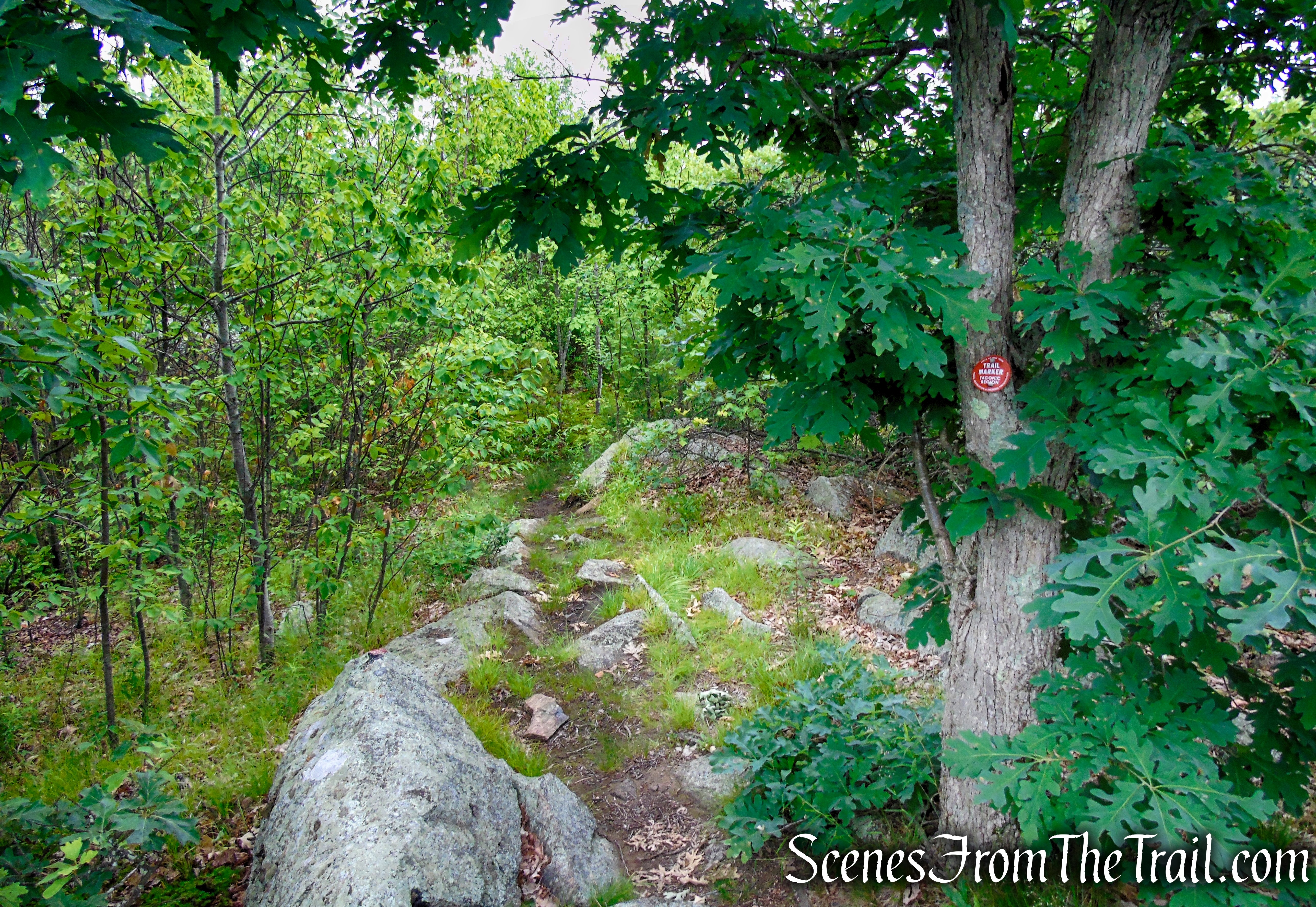
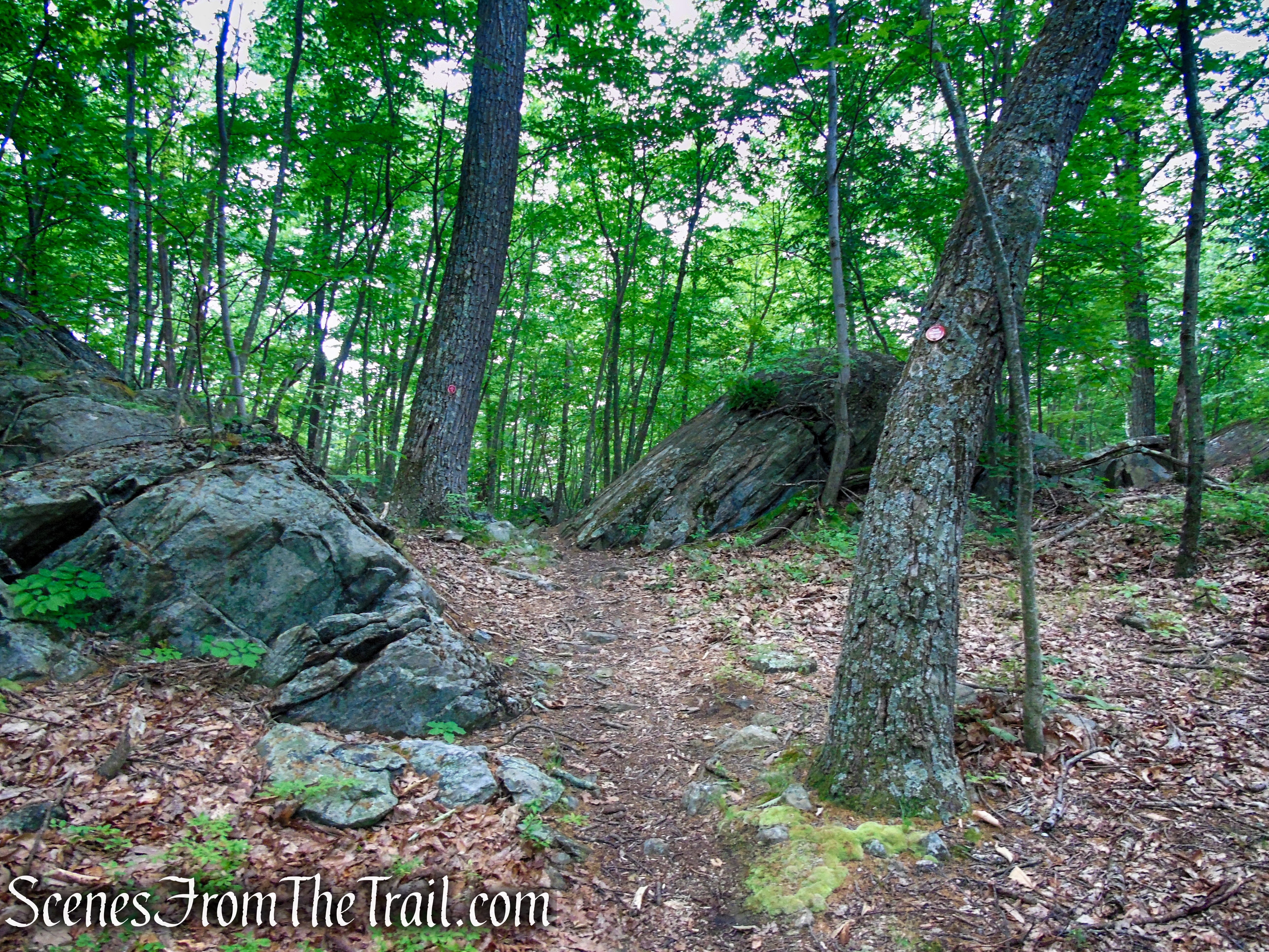
The Candlewood Hill Trail is marked with New York State Parks, Recreation and Historic Preservation “Taconic Region” red plastic discs. This trail ascends, sometimes steeply to the 986-foot summit of Candlewood Hill to long views in all directions. It traverses a short section of the ridge before descending steeply to its terminus on Bell Hollow Road. The Candlewood Hill Trail is well marked and easy to follow.
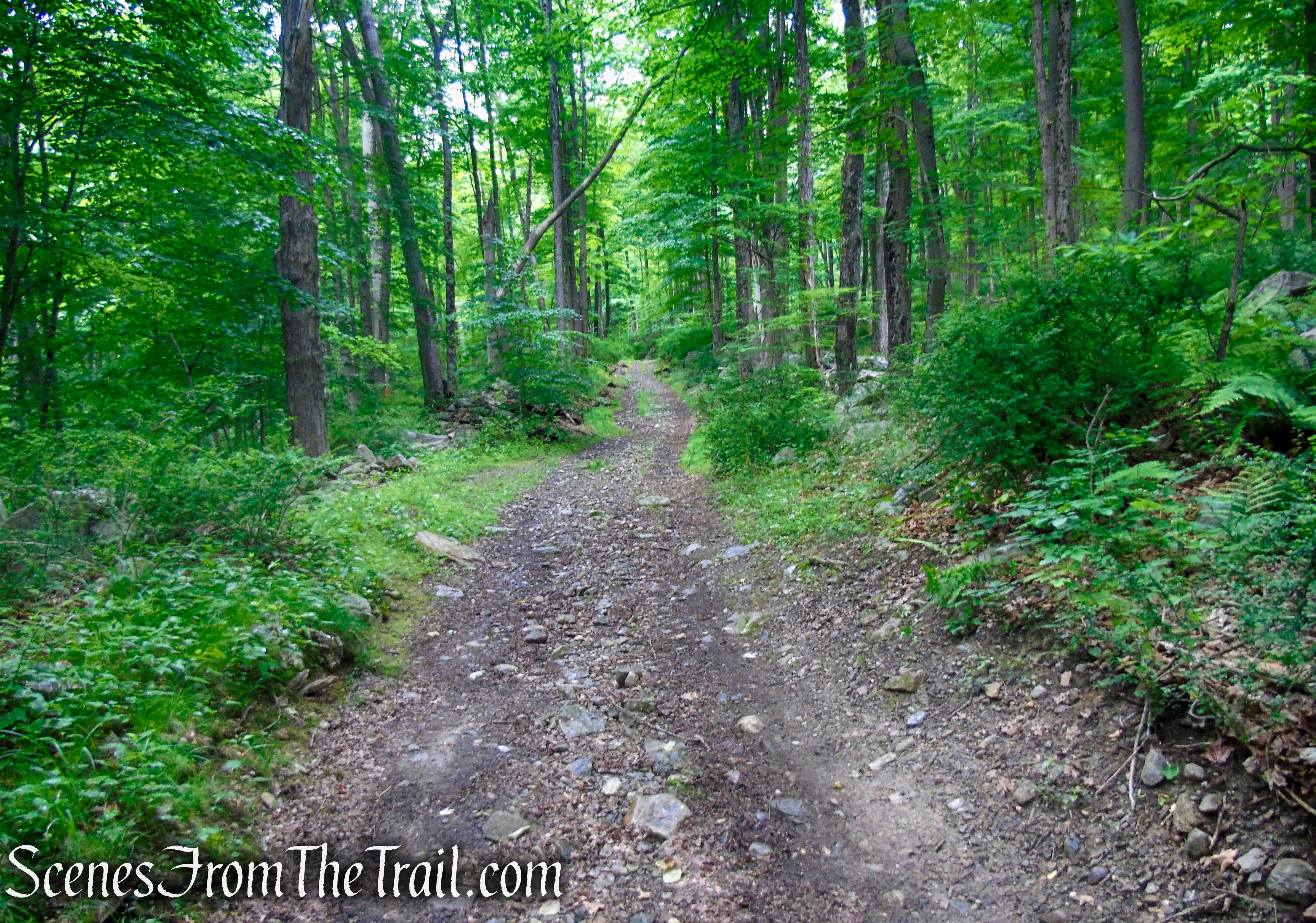
An abandoned section of Bell Hollow Road is used to connect the Candlewood Hill Trail to Sunken Mine Road. This road climbs along the western flank of Candlewood Hill and although unmarked, is well defined and easy to follow.
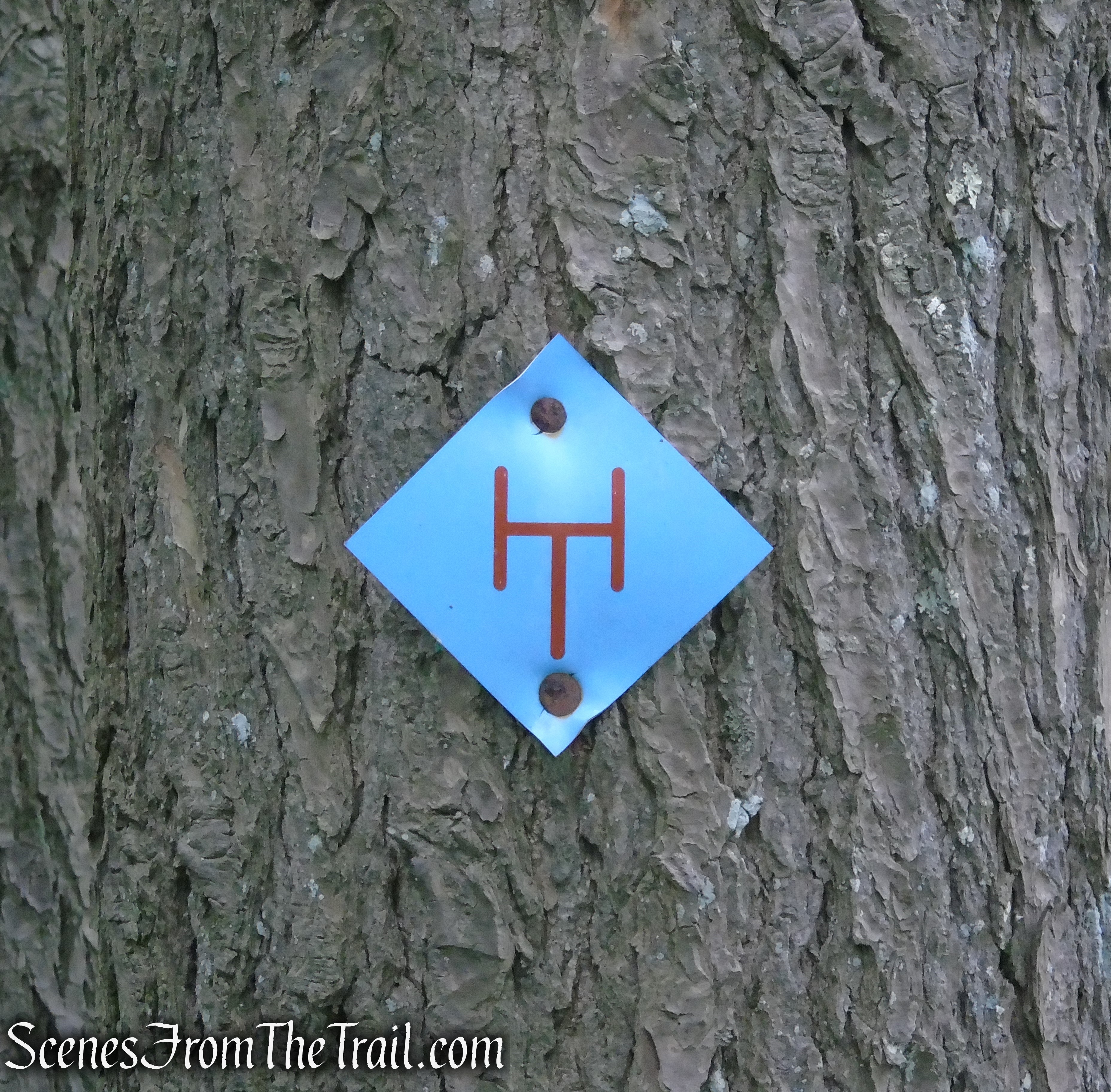
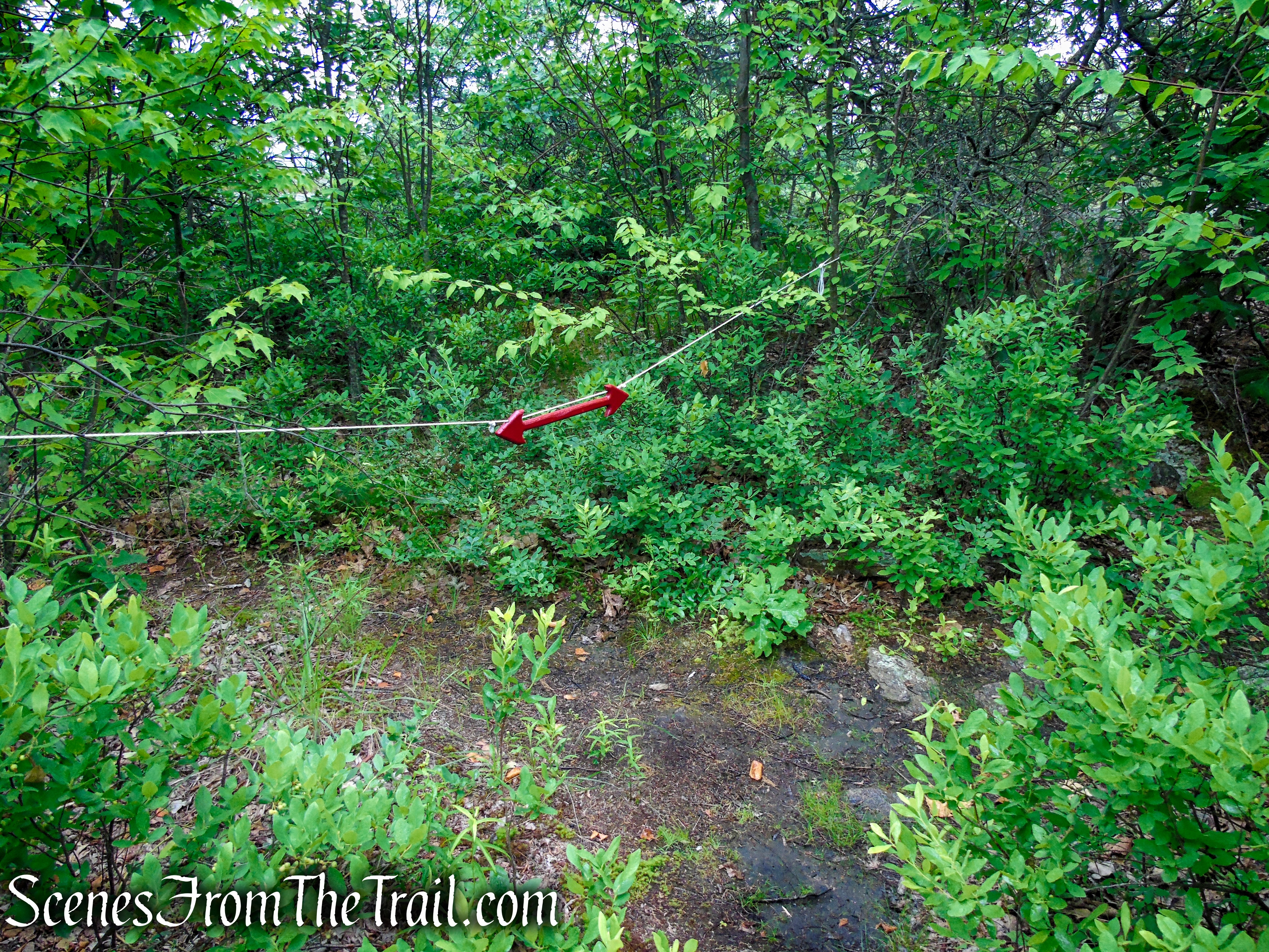
You may encounter some diamond shaped light blue blazes with an “HT” on them throughout this hike. You can disregard them. These blazes represent the Hudson Trail, a long distance hiking trail from High Bridge in Manhattan eventually reaching Mt. Marcy in the Adirondacks, overlaying existing trails and making use of public roads. It is a work in progress. In Fahnestock State Park it makes use of the Candlewood Hill Trail as well as several others.
With the exception of the summit, the trails are mostly well shaded and offer some protection from the hot sun.
Hike Overview:
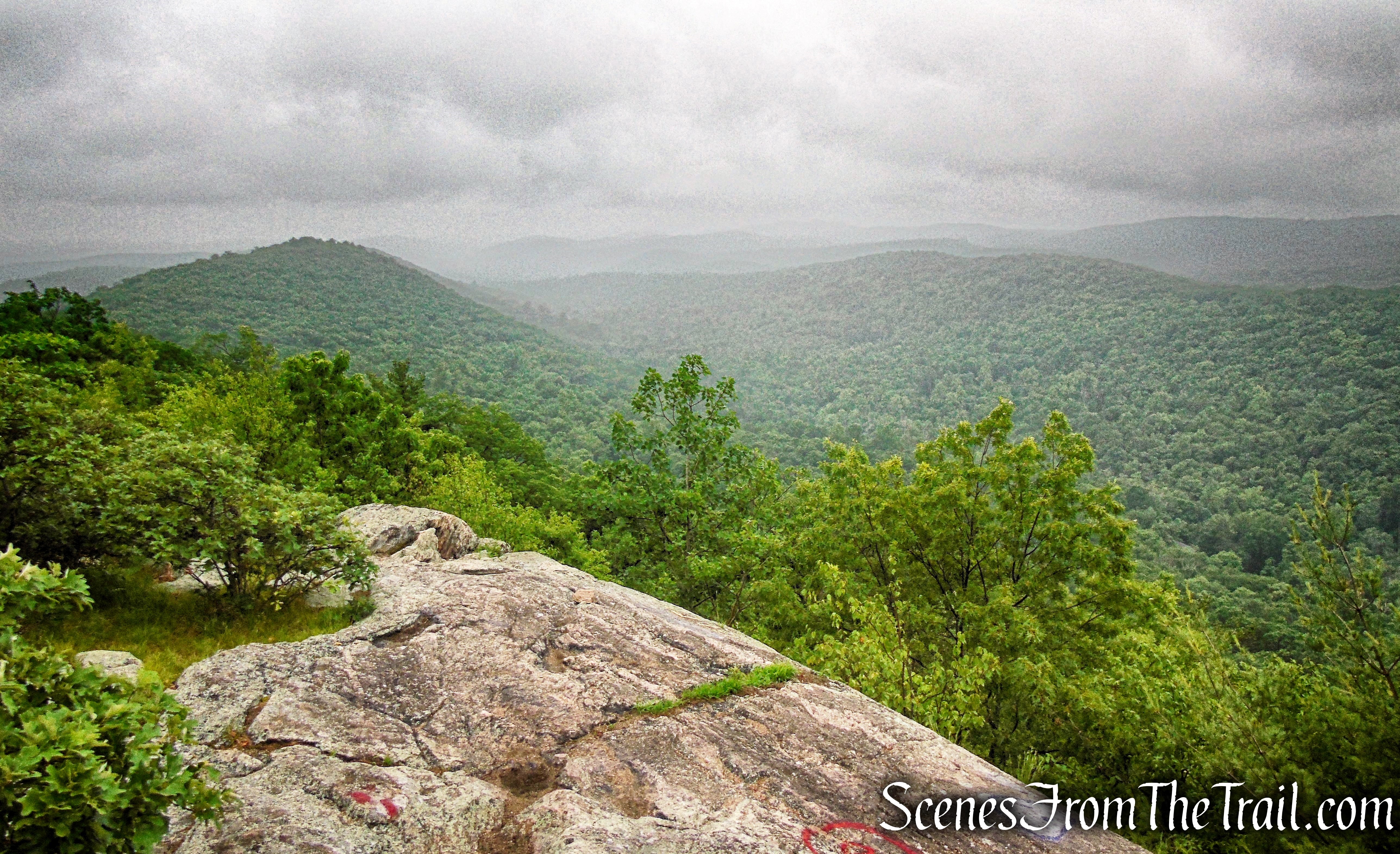
I was looking for a short hike to do before the rains came on a Saturday morning, but unfortunately the rain came as we were beginning the hike. With the rain came the fog and obscured views, which was disappointing. We completed the hike nevertheless, but not being able to enjoy the views stuck with me. The following week we decided to head back up to the summit just for the views and it was well worth it. Our second trip was a short out and back to the summit to enjoy the views before it got too hot. This post incorporates images that I captured from both visits up until the summit.
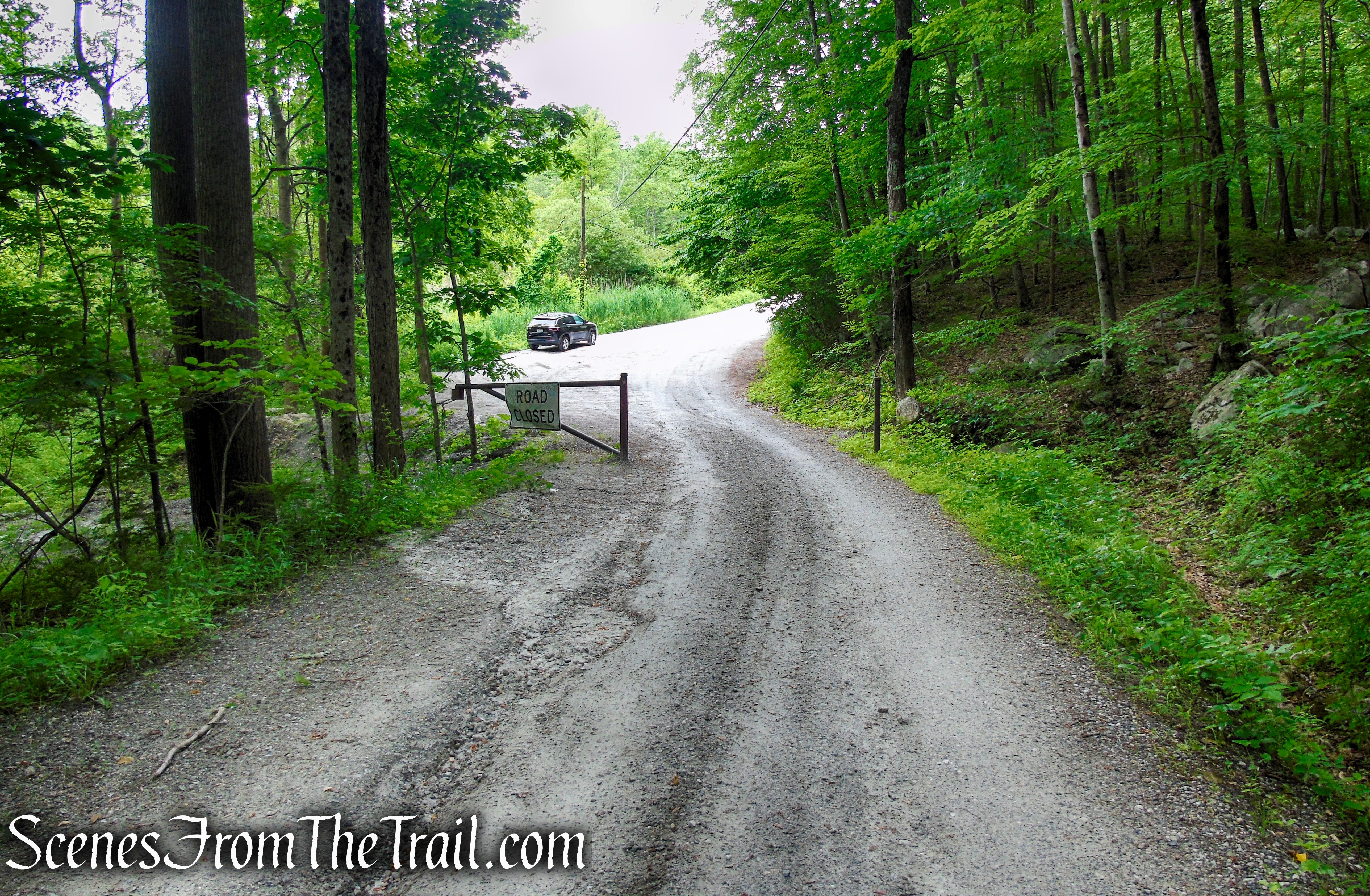
This moderate loop hike is perfect for those looking to do a short hike with some great views and some shaded trails. On both visits, we didn’t encounter any other hikers. The hike begins near the southern end of Sunken Mine Road where there is pull-off parking for about 6-8 vehicles just before the gate.
Although there are some steep sections on this hike, they are short lived.
For a longer hike, this can be combined with the Oscawana Ridge Trail.
The Hike:
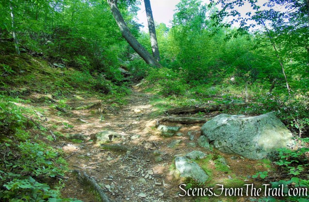
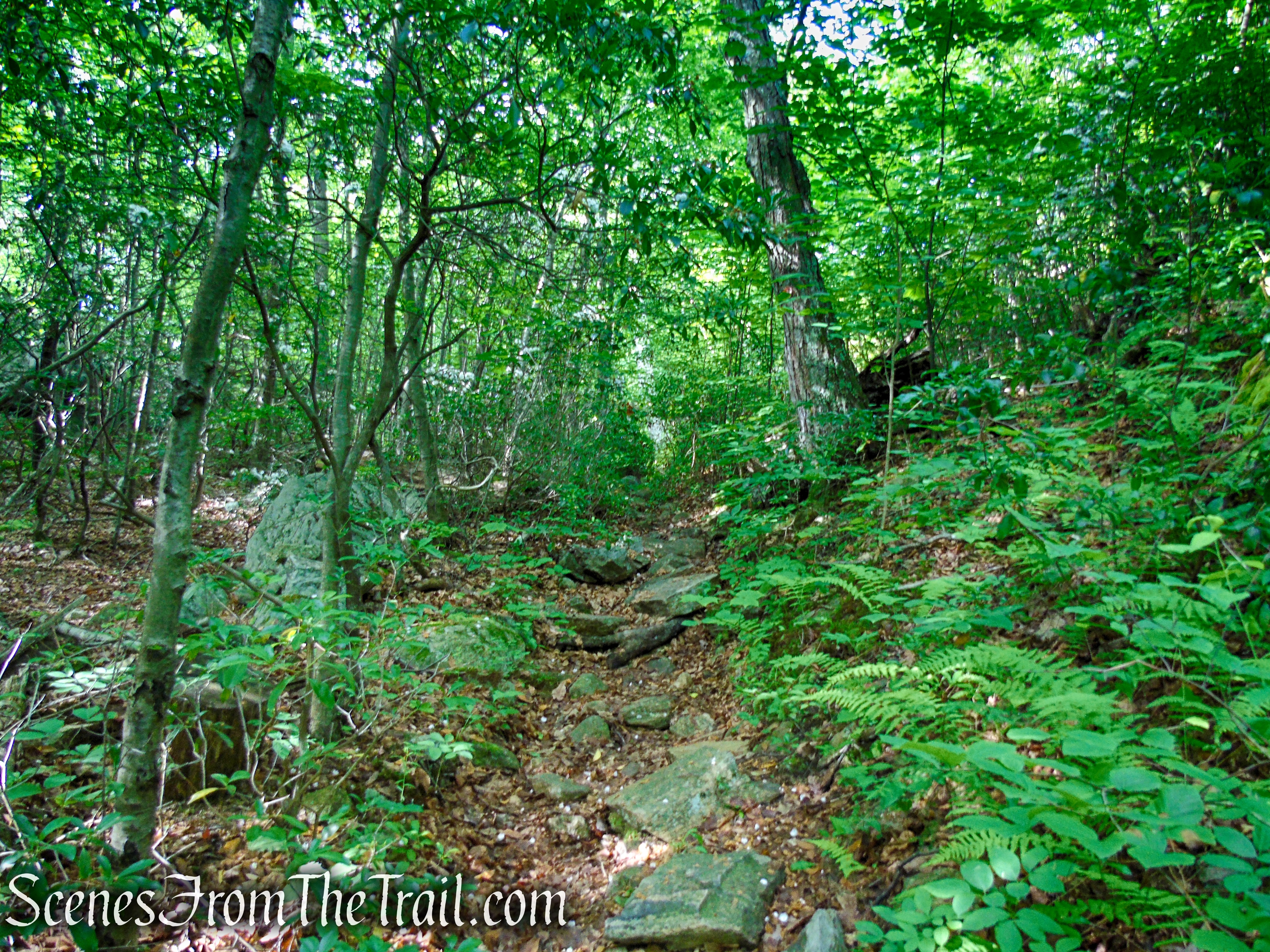
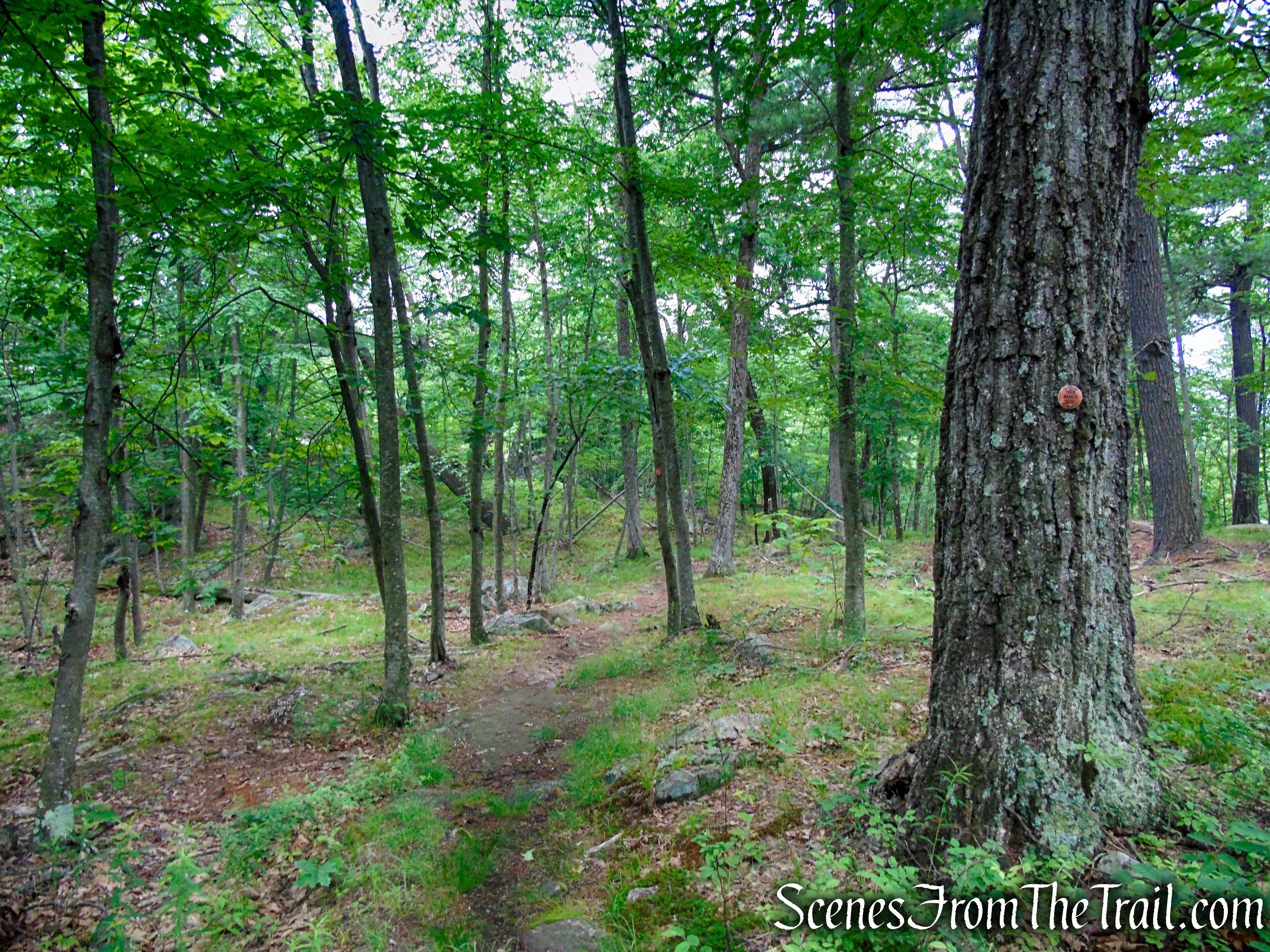
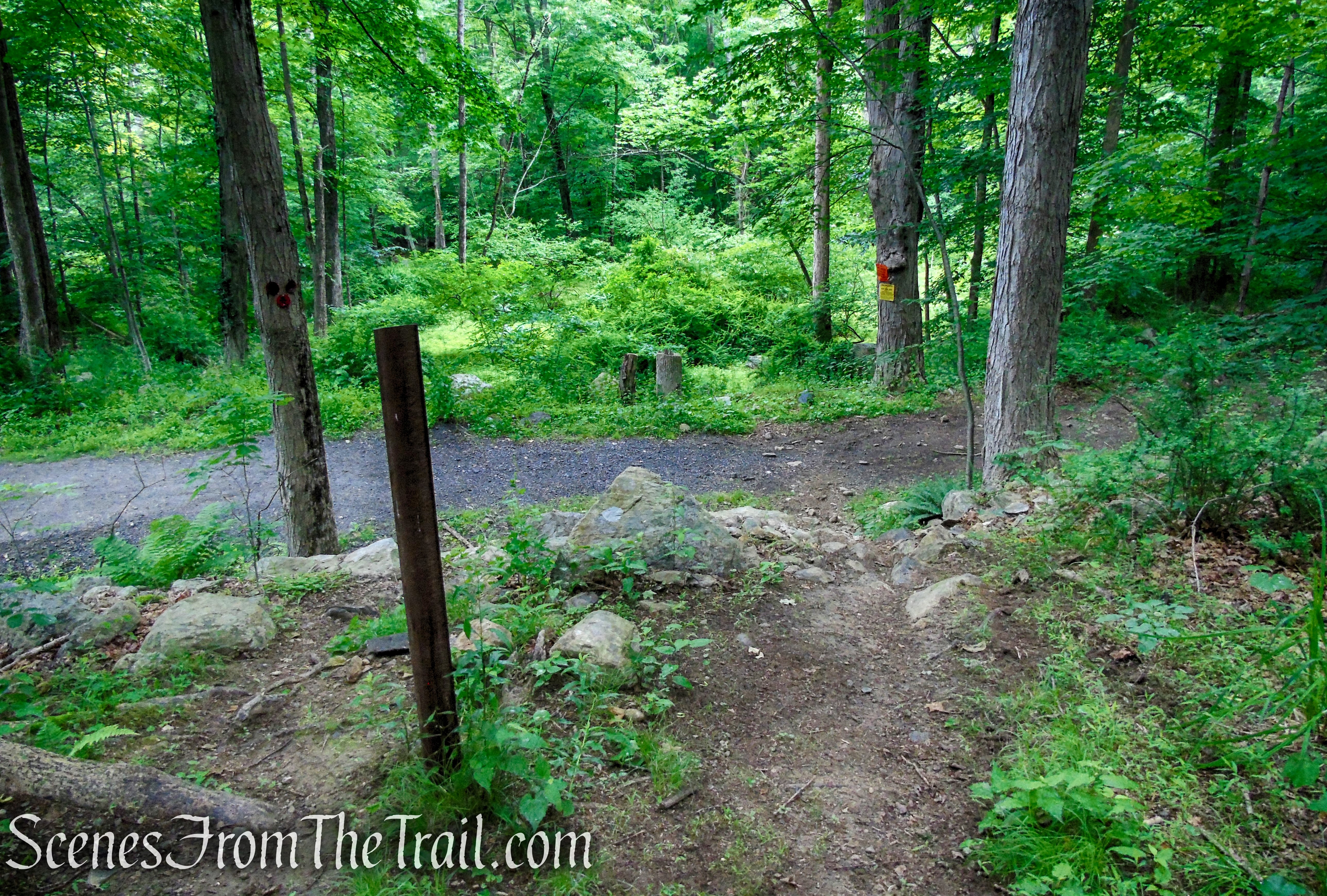
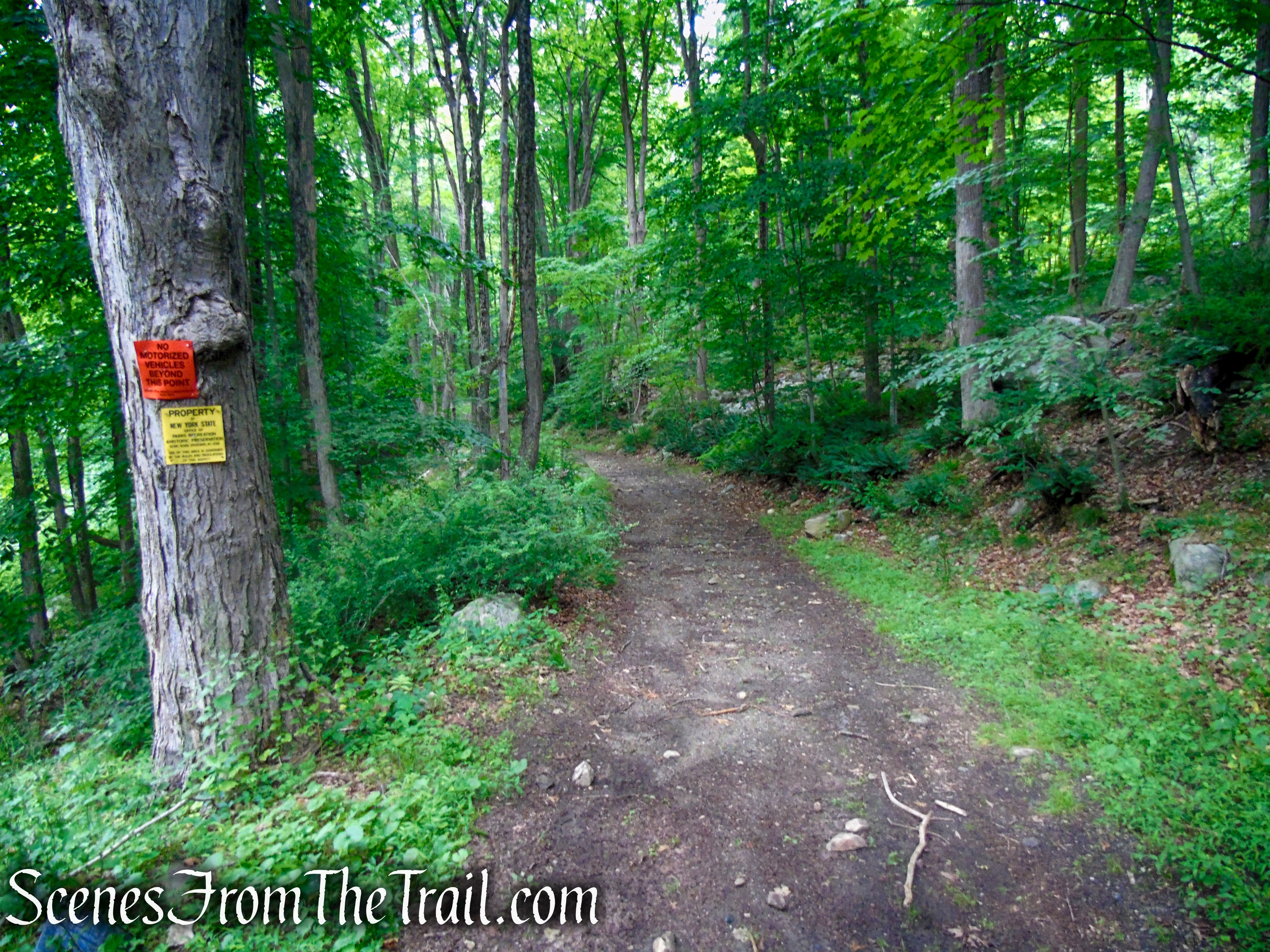
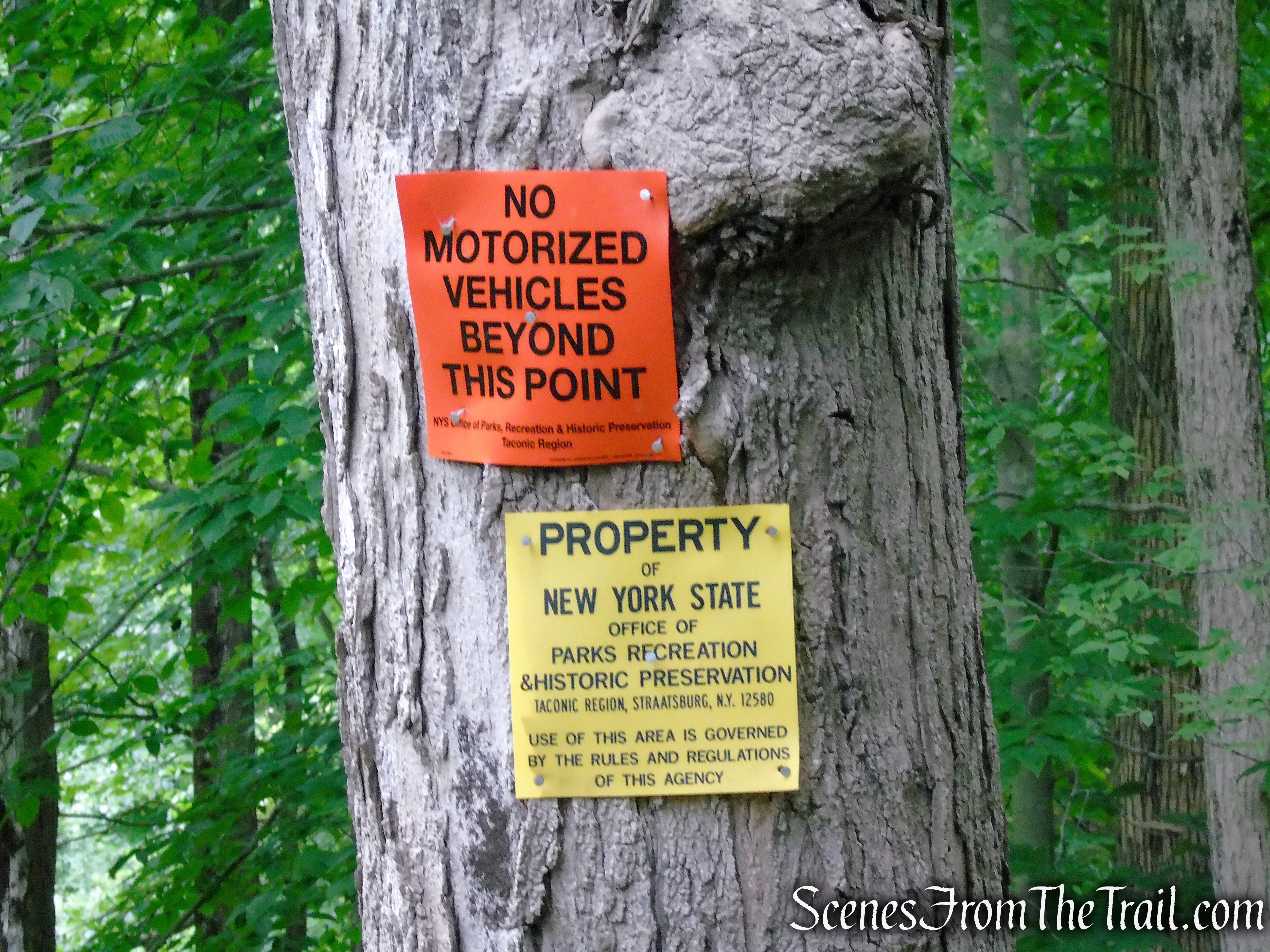
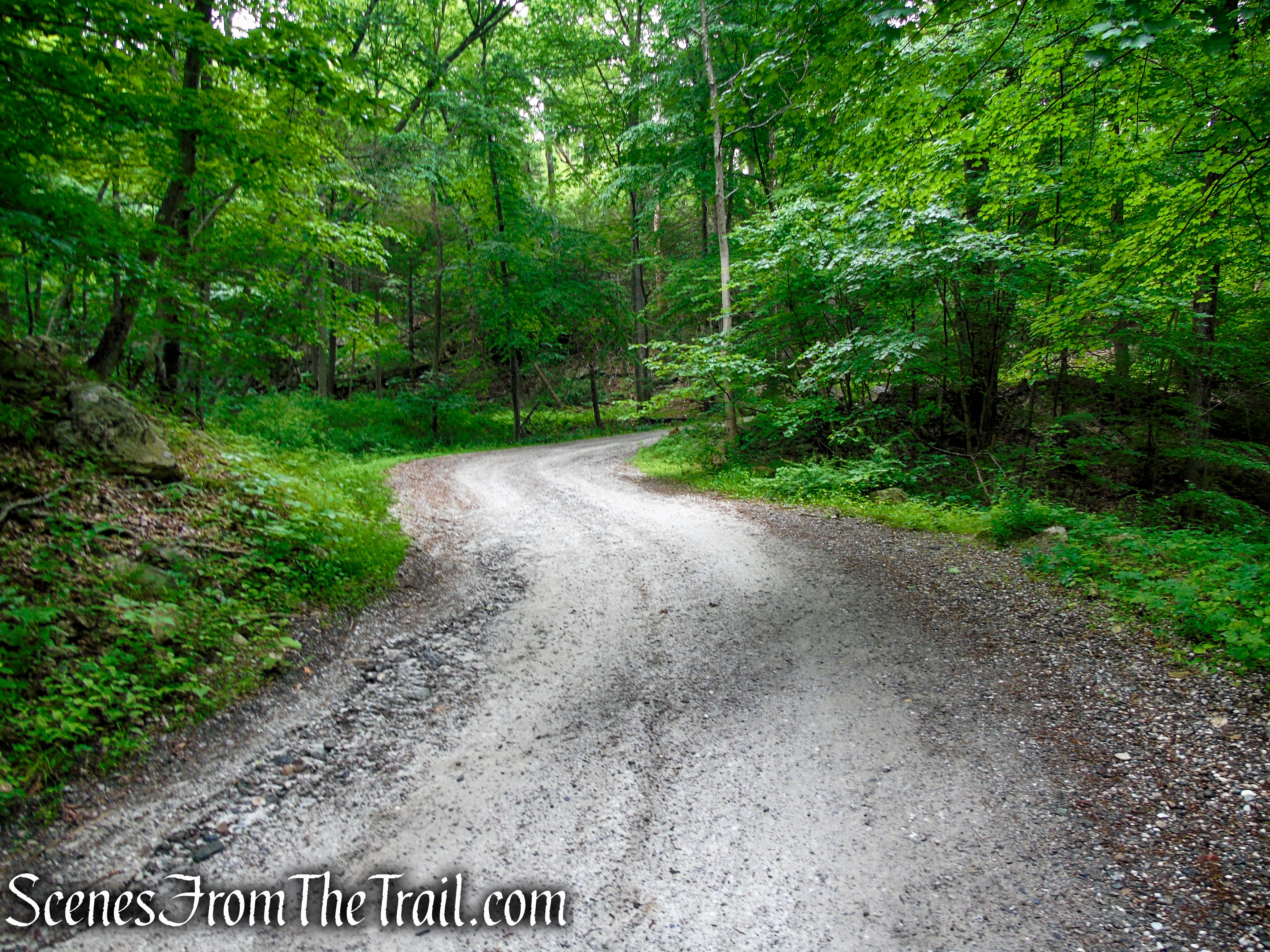
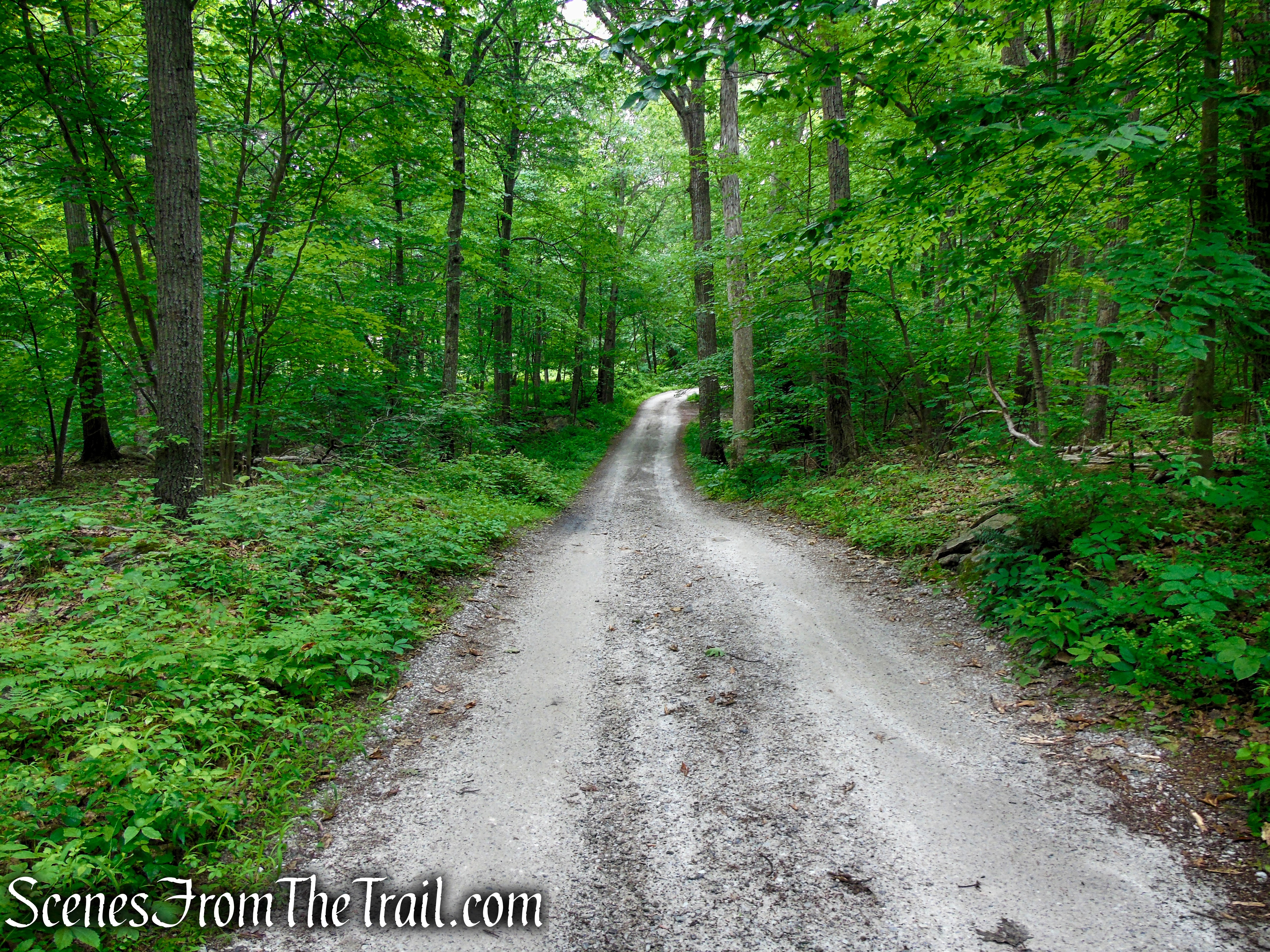
Proceed past the gate on Sunken Mine Road (sometimes referred to as Sunk Mine Road) as it heads gradually uphill. Sunken Mine Road is located within Fahnestock State Park and is a rough, unmaintained road that is closed to vehicular traffic from December to April. On the left side of the road (west), you may notice NYS Parks, Recreation and Historic Preservation signs. To the right (east) of the road there are signs to “Keep Out” of the Durland Scout Reservation. Continue uphill on this scenic road for about a half mile.
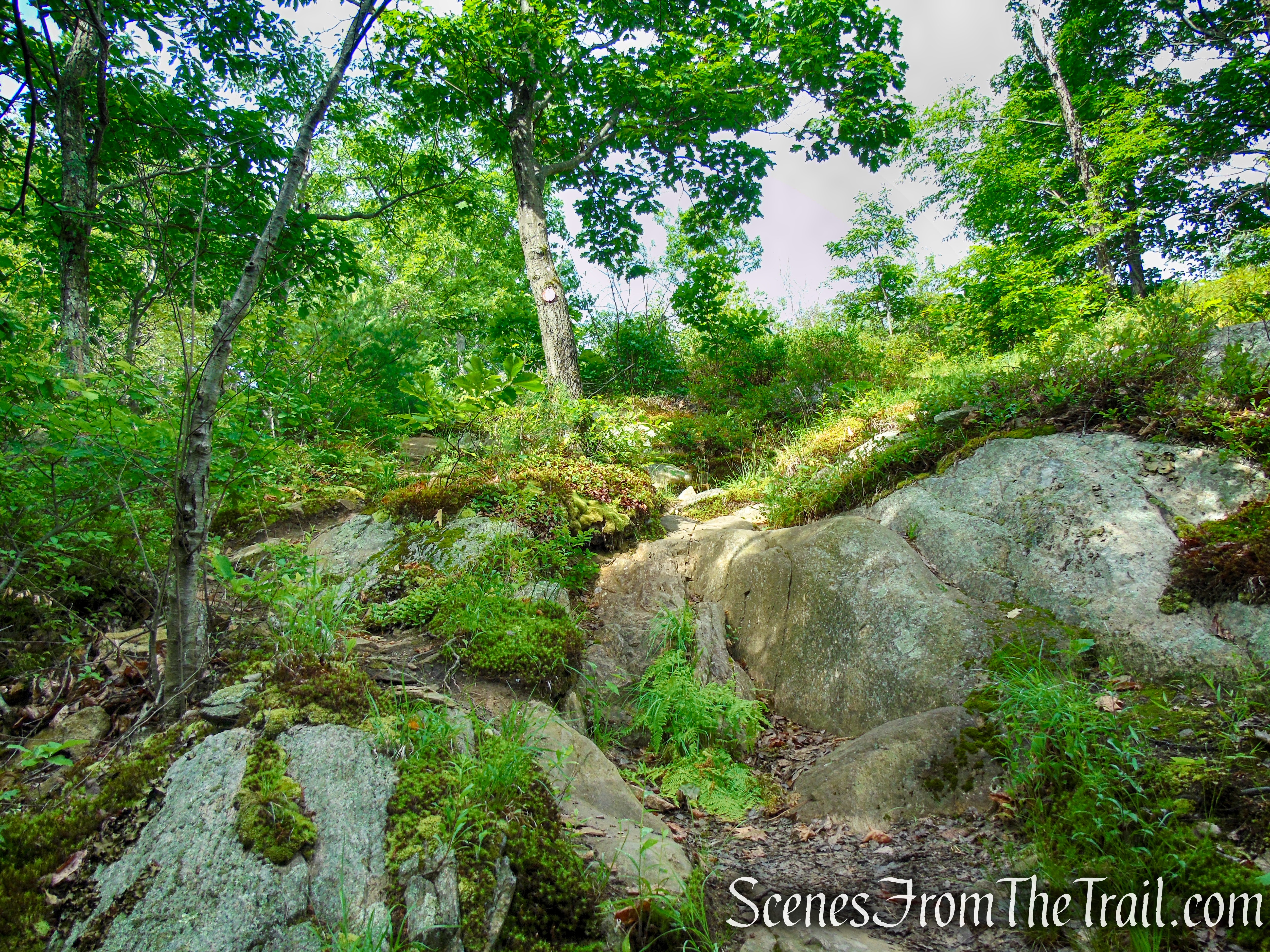
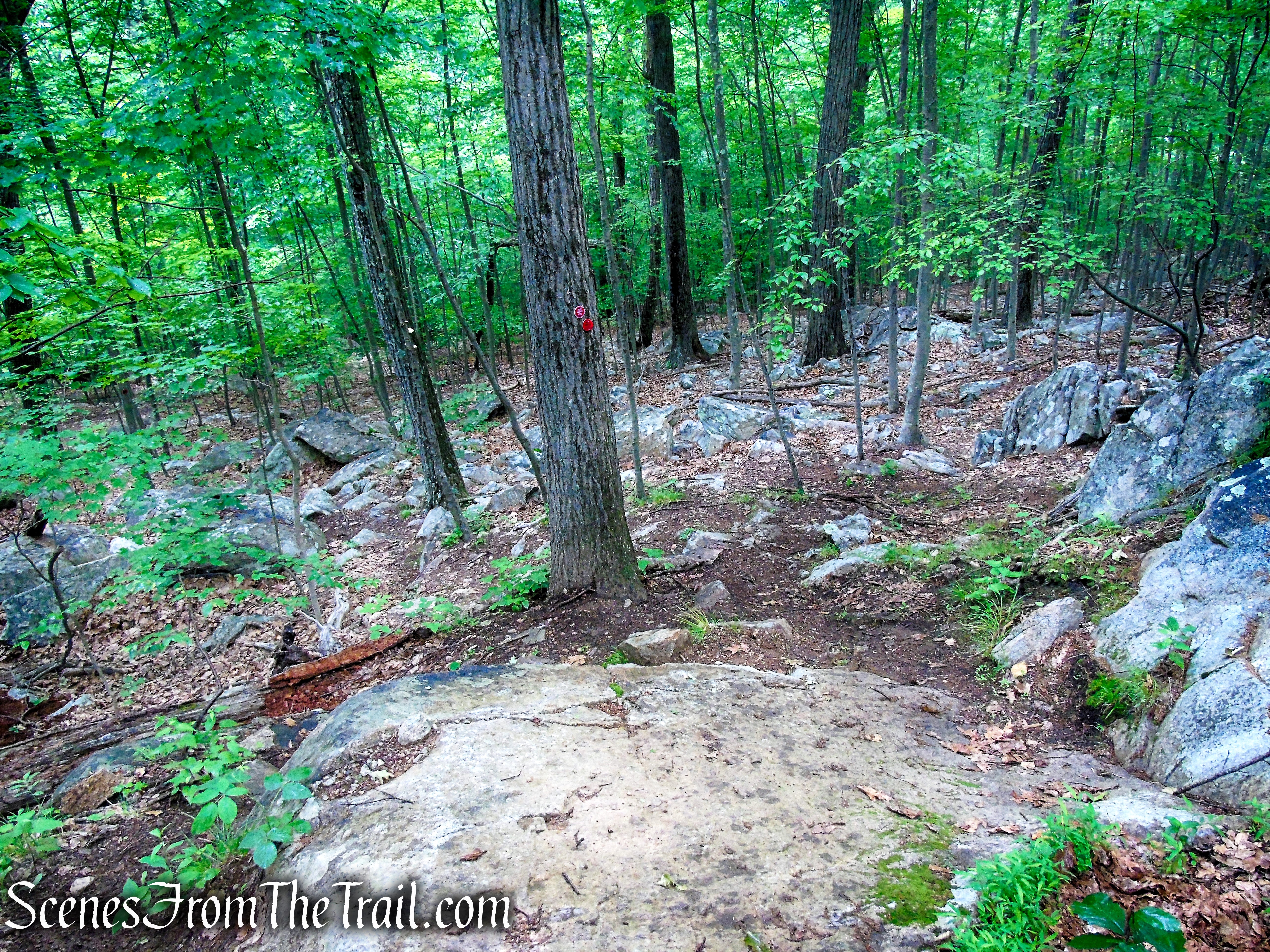
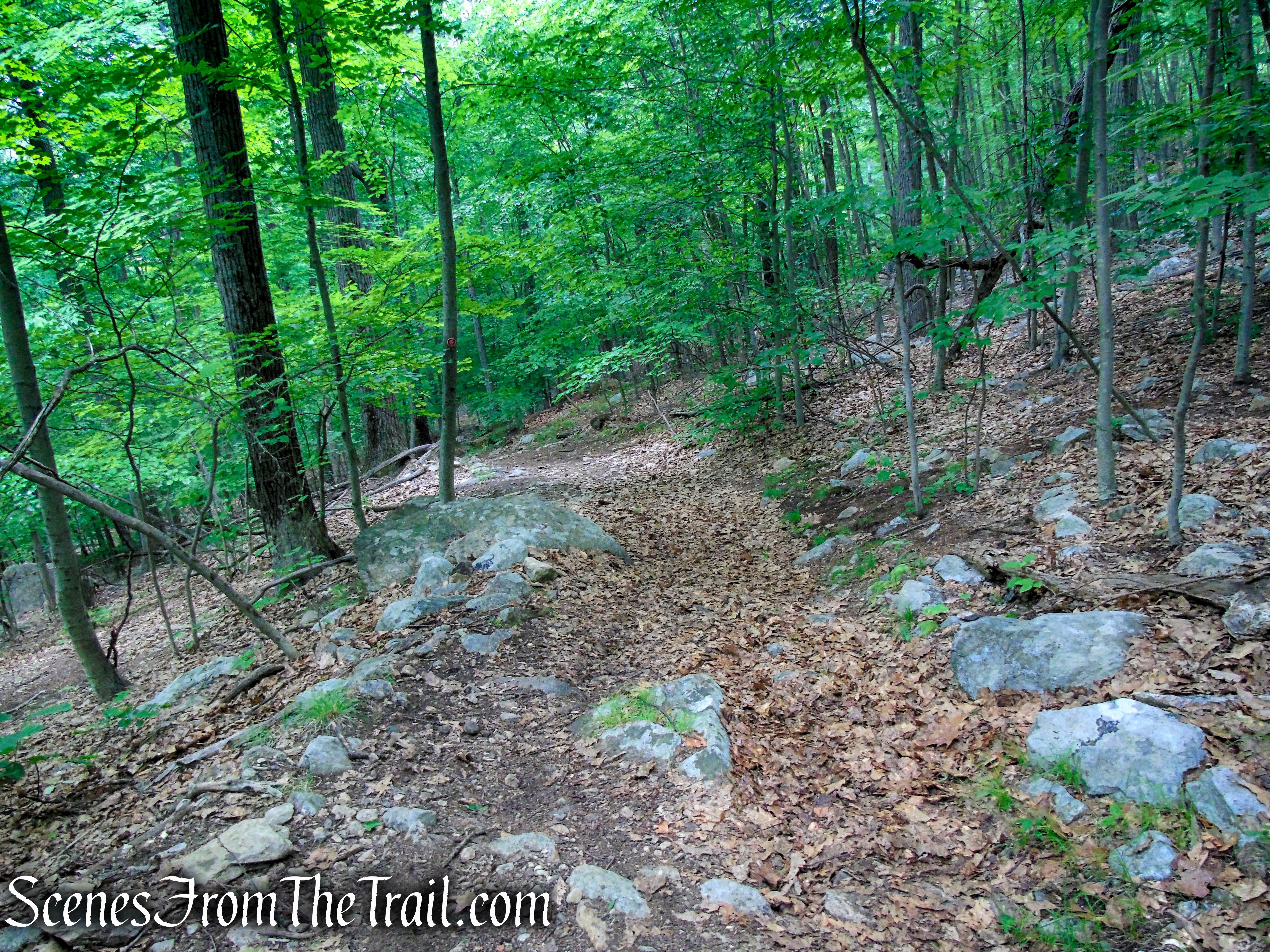
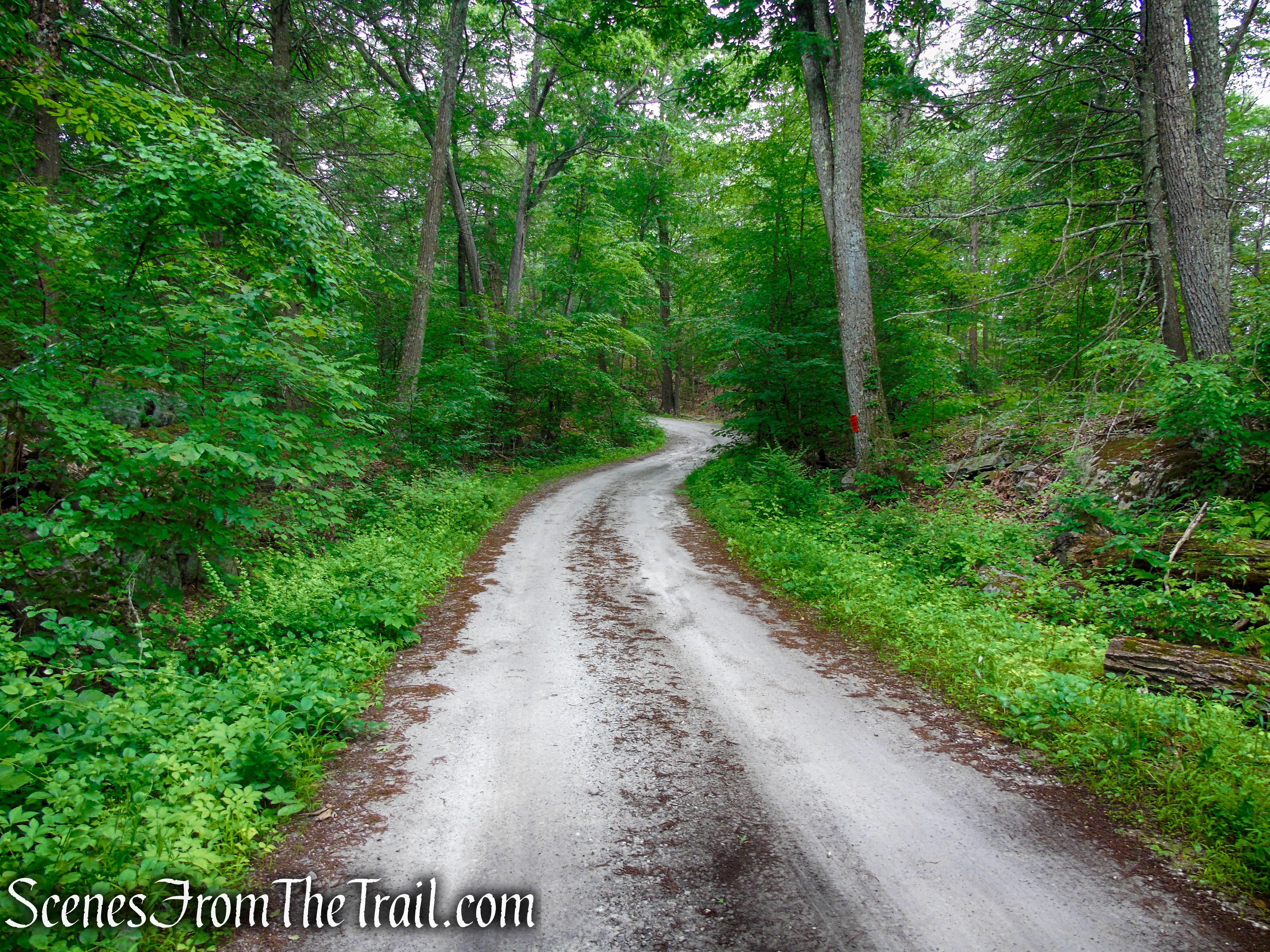
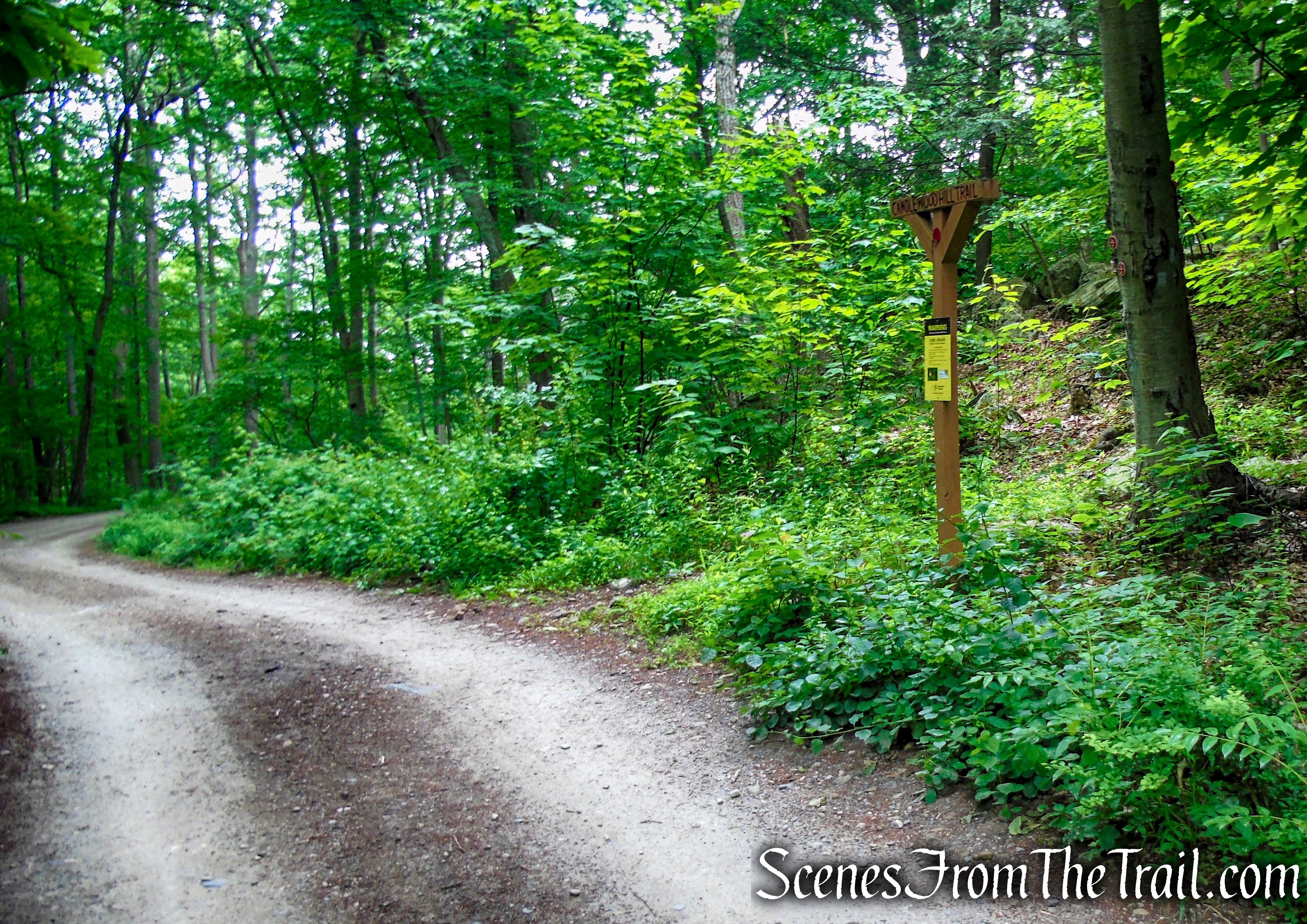
In about 0.5 mile, The trailhead for the Candlewood Hill Trail will be on the left, marked by a wooden post and red markers. Turn left here and follow the red blazes as they lead uphill, gradually at first then more steeply. You will be following the red blazes for the next 1.2 miles.
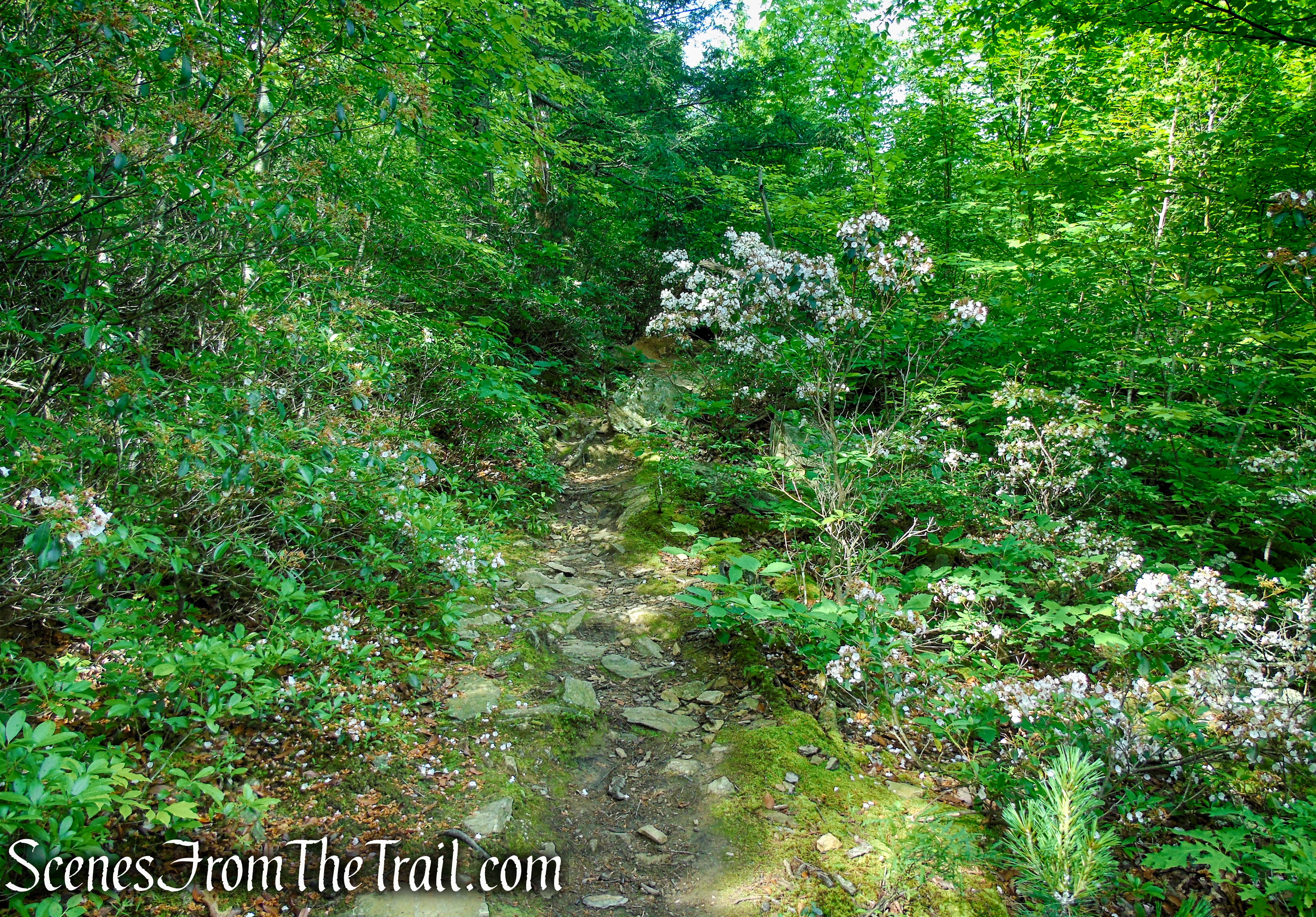
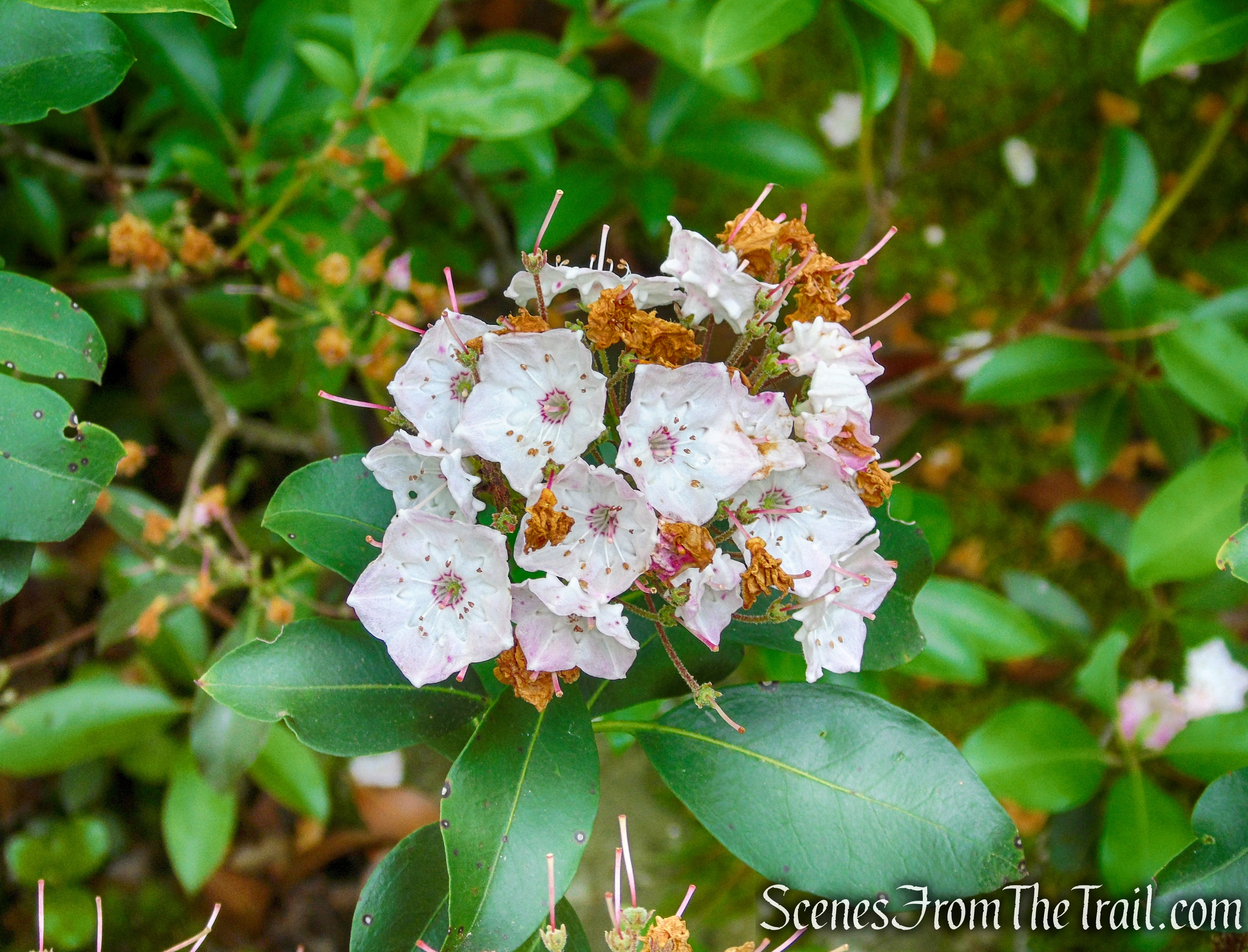
In late spring and early summer, the Mountain Laurel is in bloom along the trail.
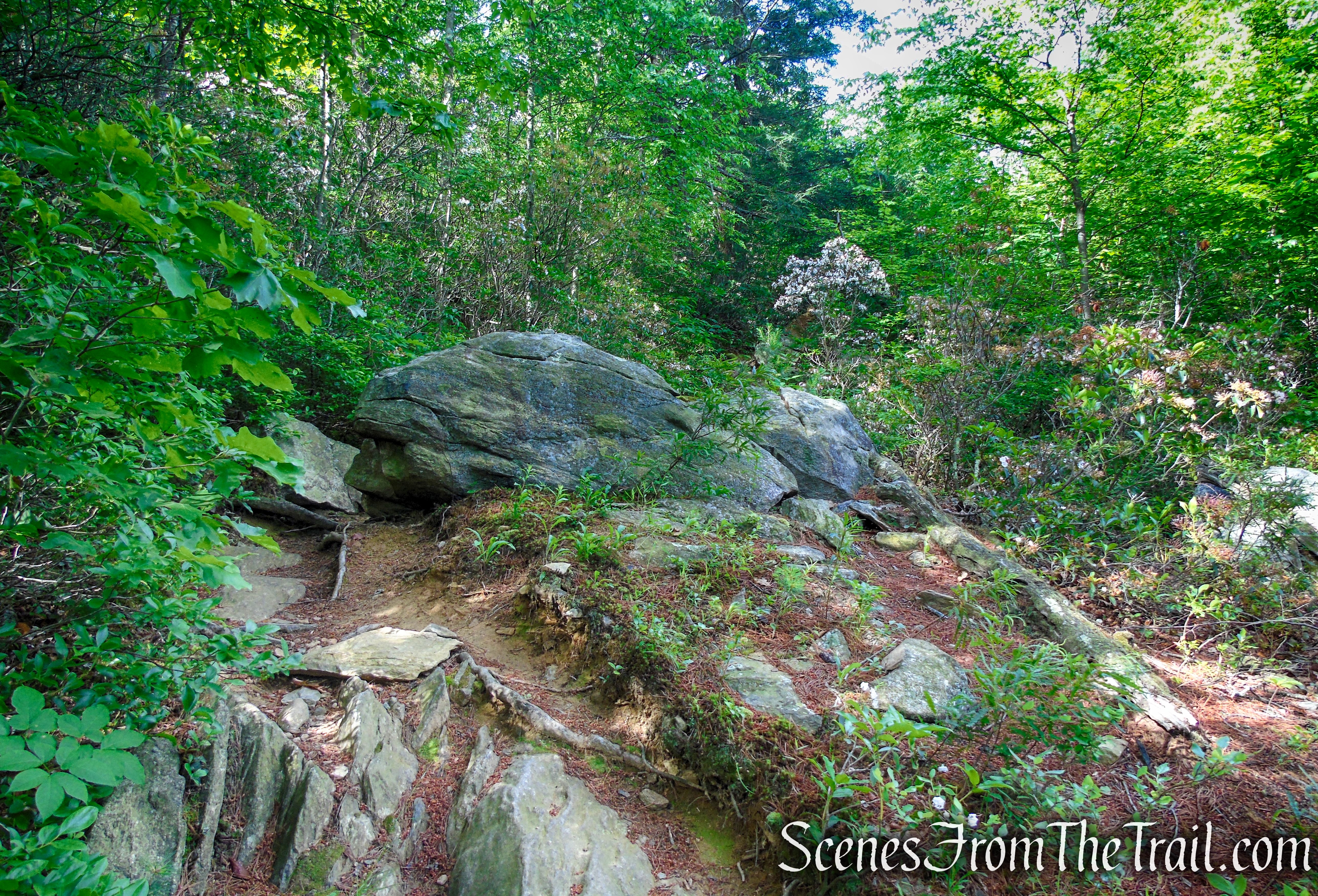
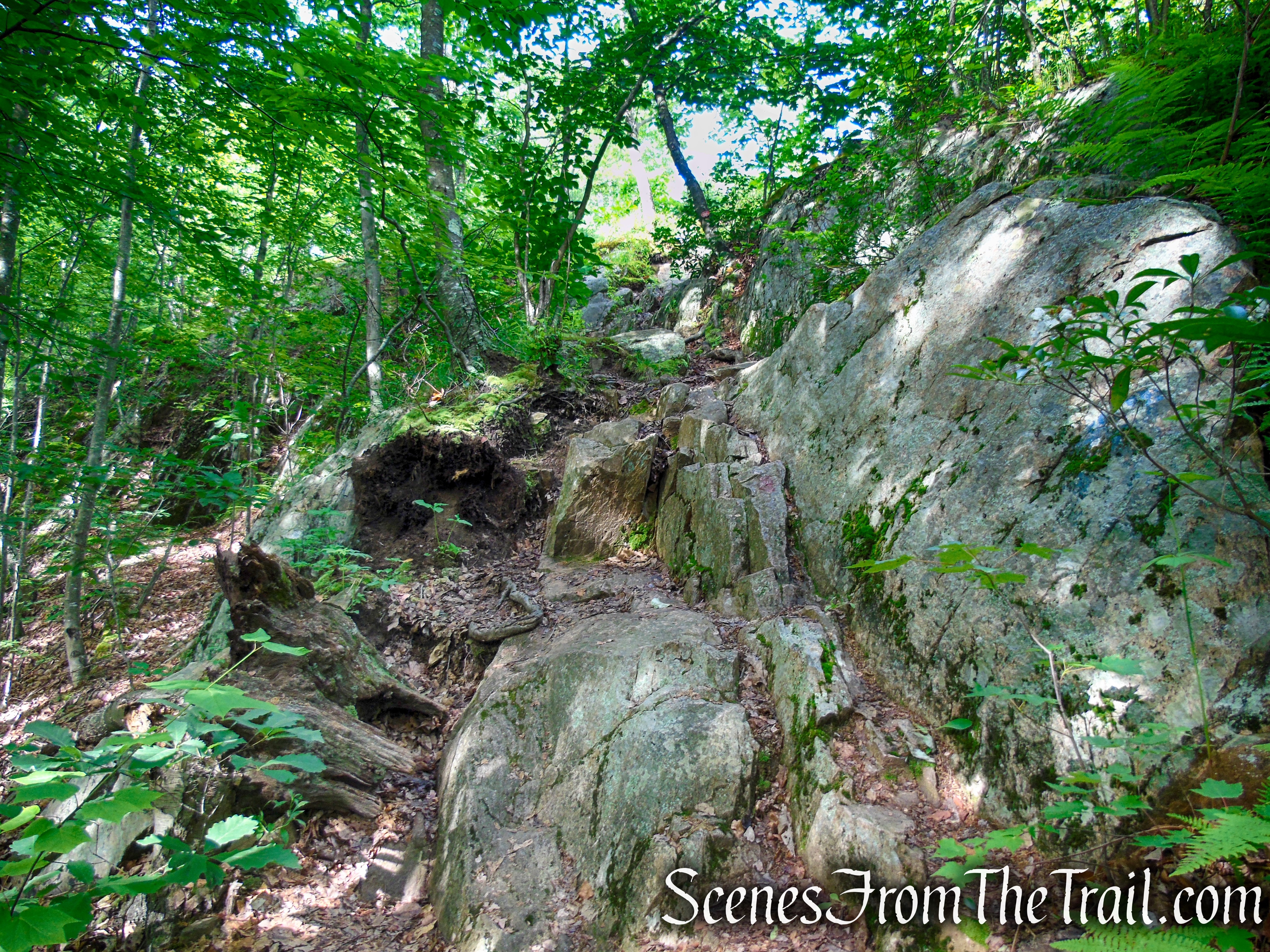
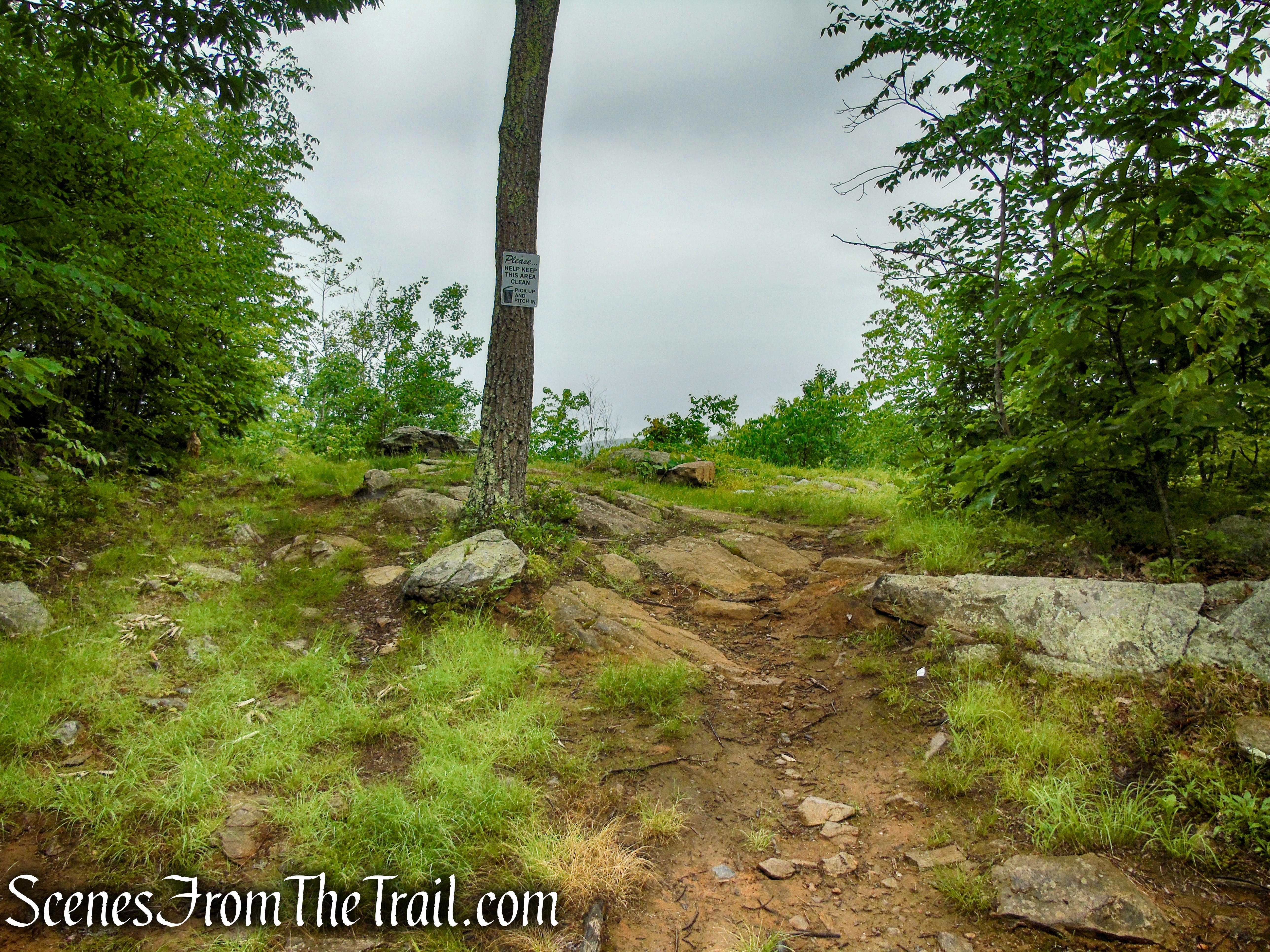
The trail steepens some more as it nears the summit of Candlewood Hill, climbing over bare rock. To the right of the trail there are limited views as you near the top.
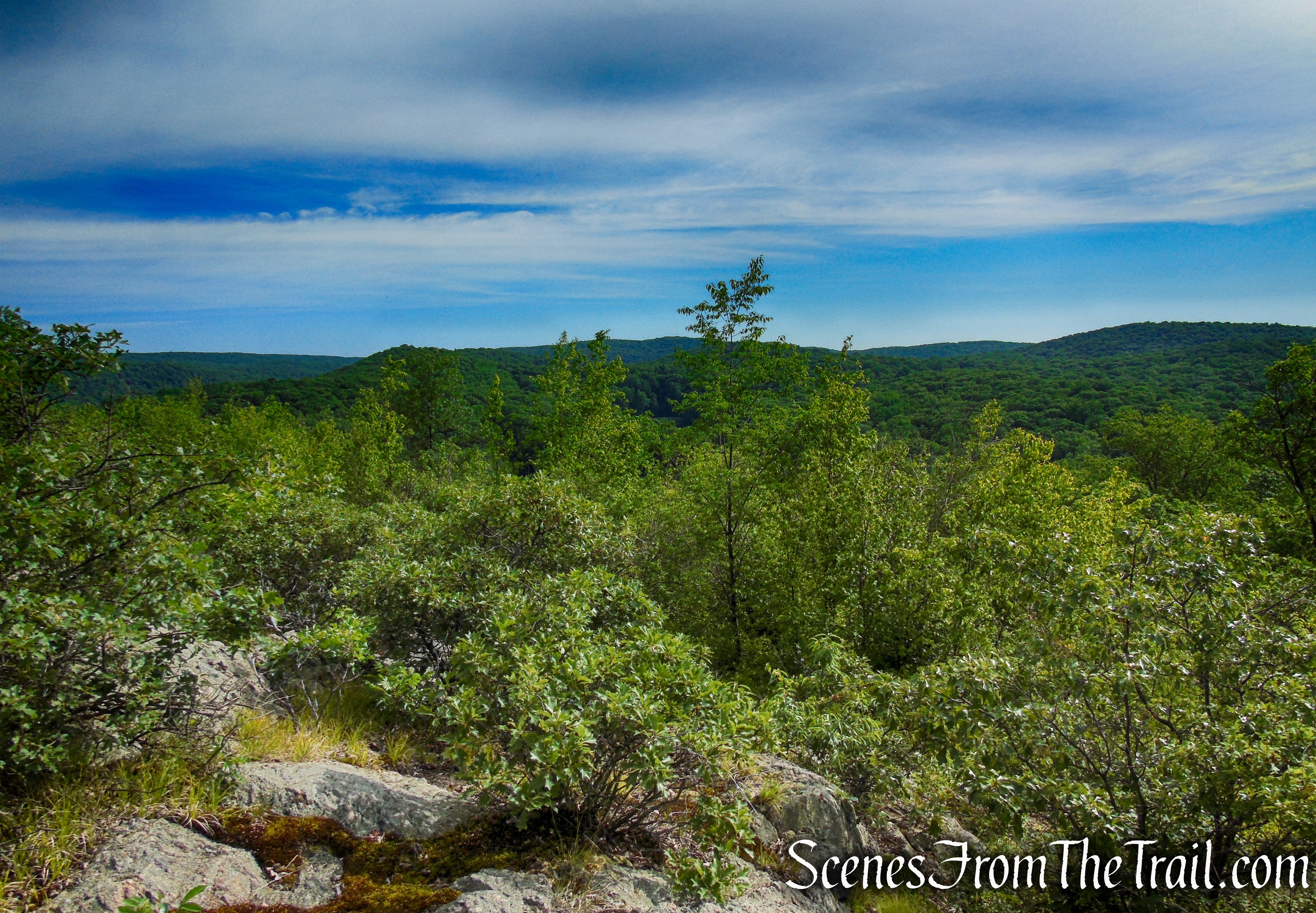
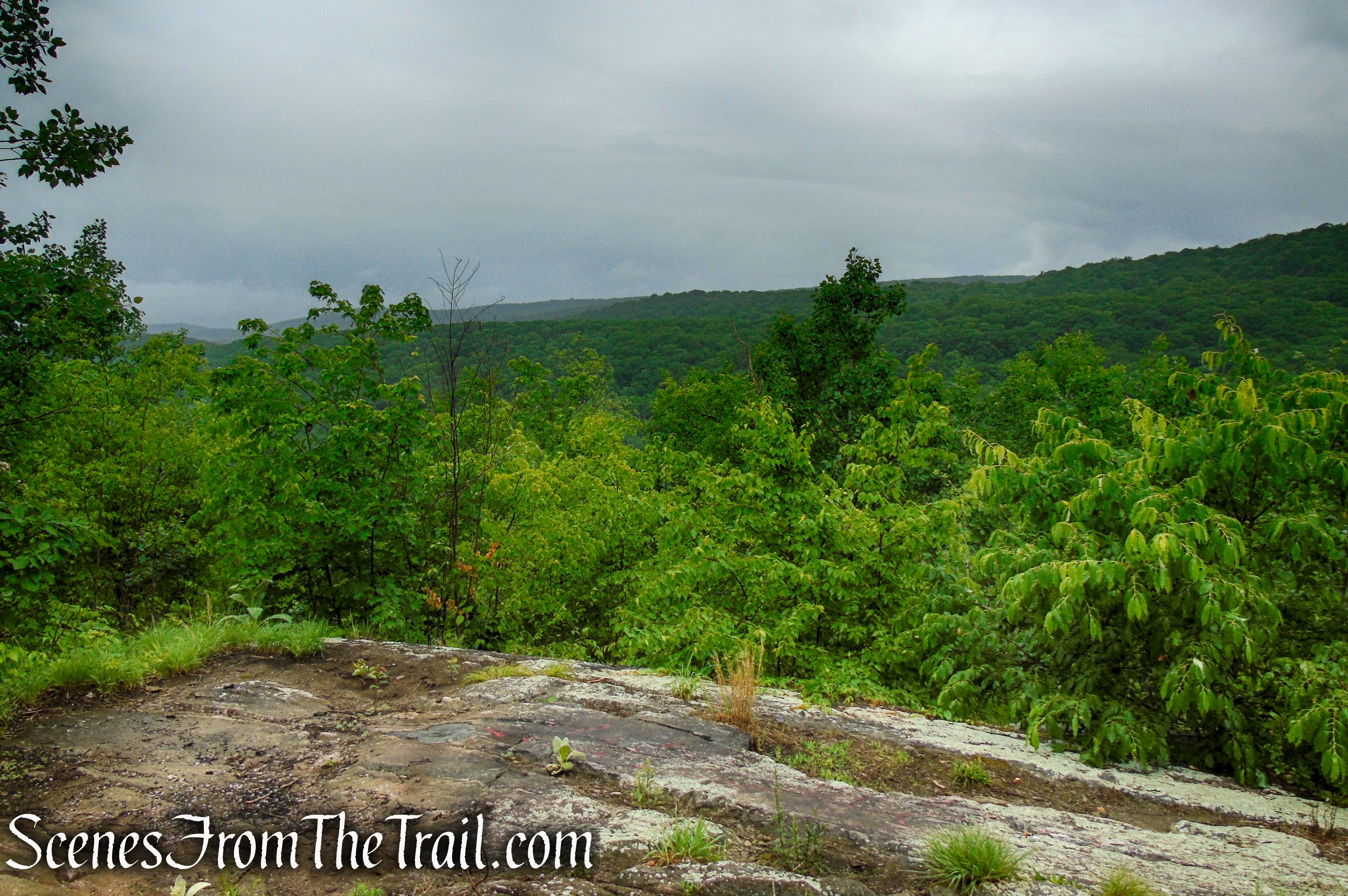
Just before reaching the summit where the trail turns left, leave the trail and turn right on a faint footpath to wide ranging views from northwest to southwest. The hills of Fahnestock State Park can be seen to the west as well as most of the East Hudson Highlands.
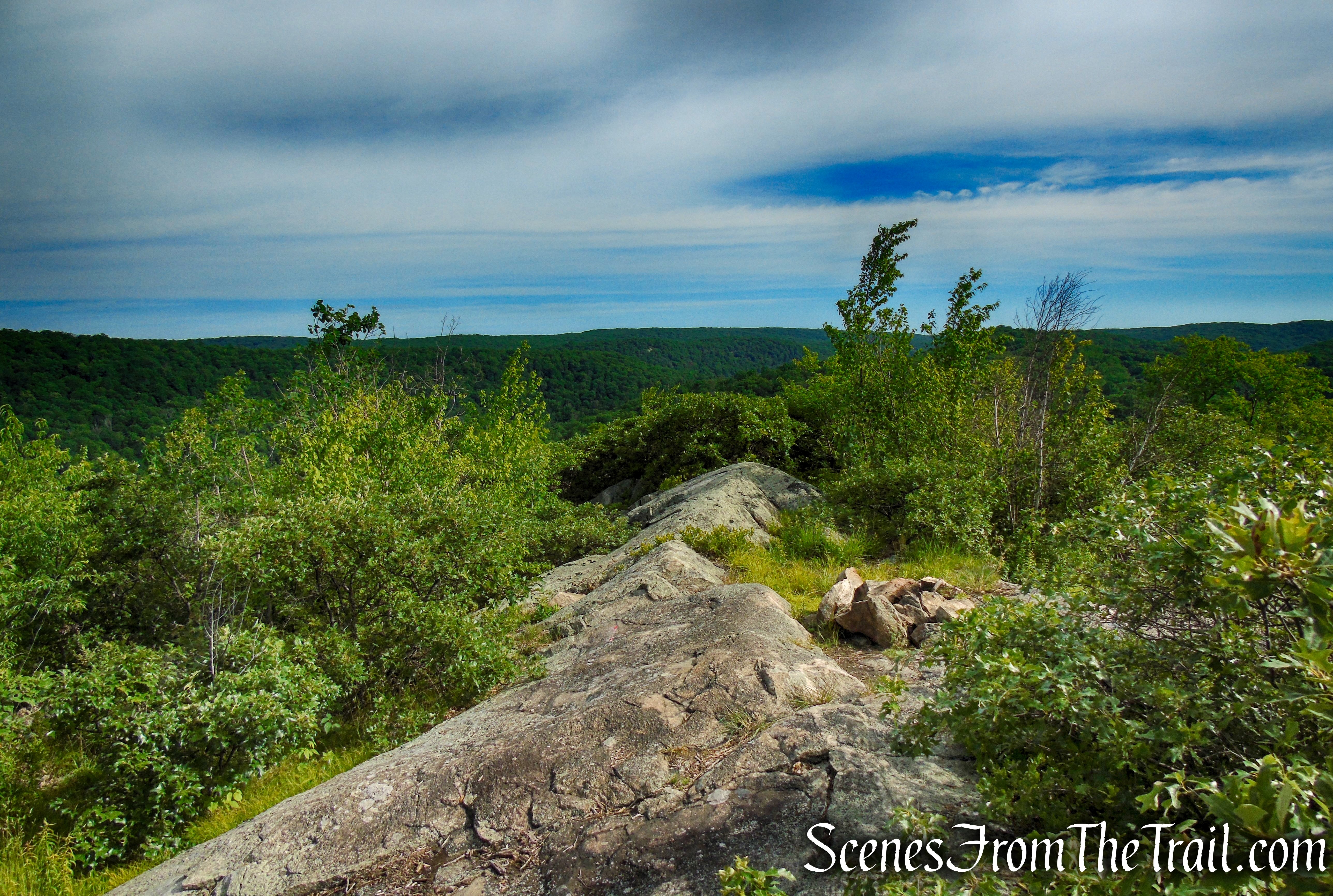
A zoomed in view to the southwest reveals a sliver of the Hudson River and the Indian Point Nuclear Facility in the Village of Buchanan, near Peekskill, NY.

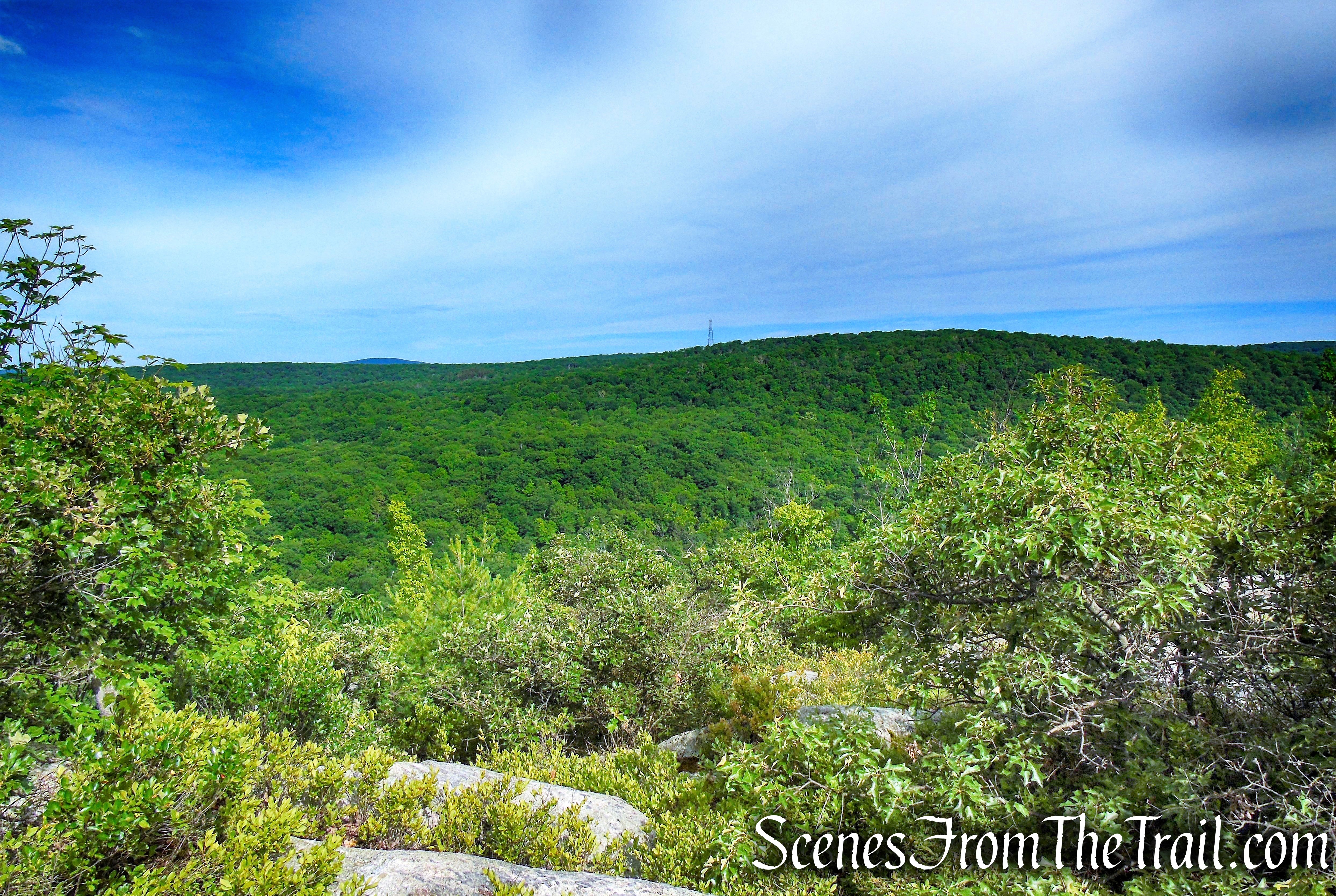
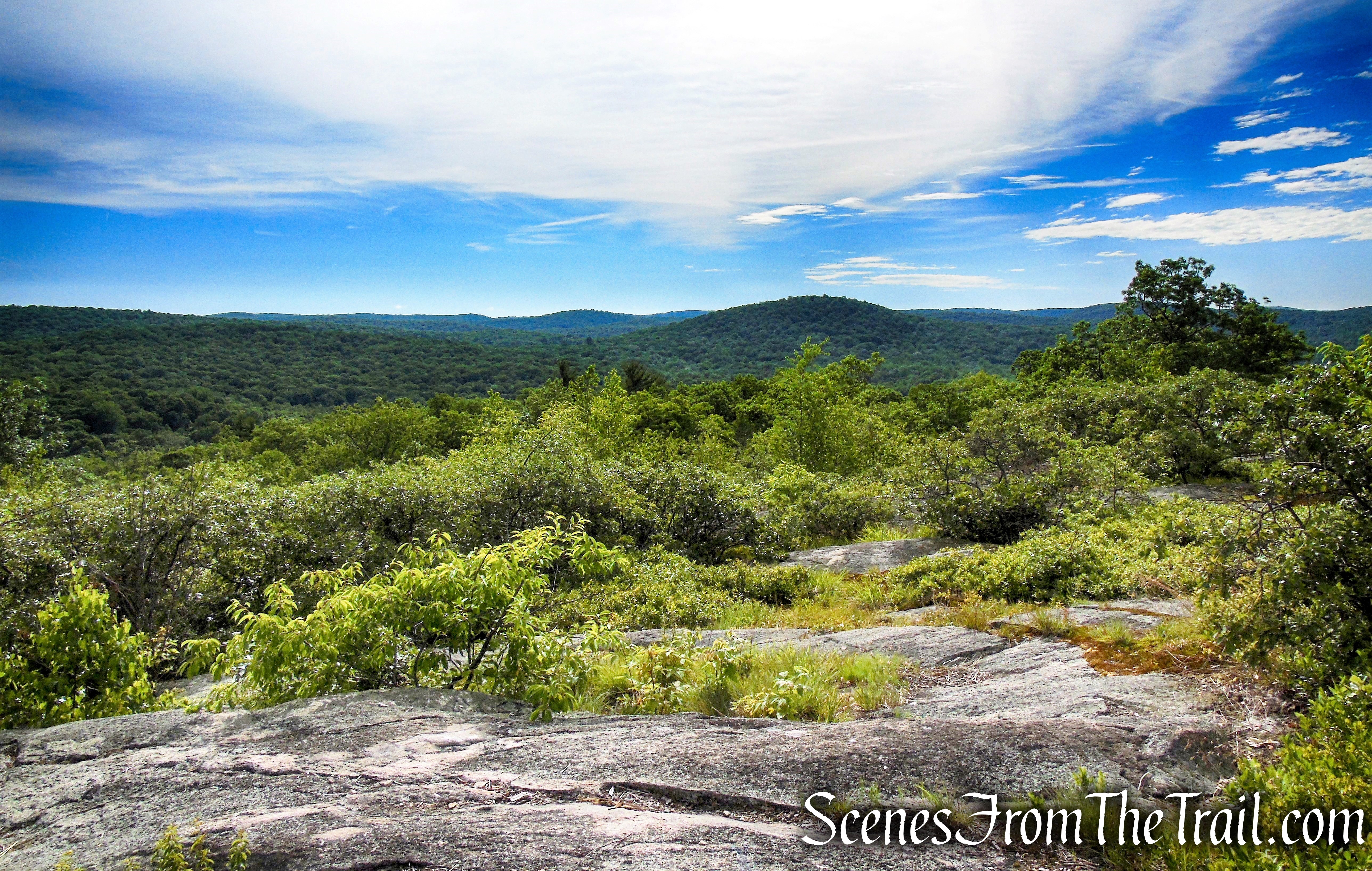
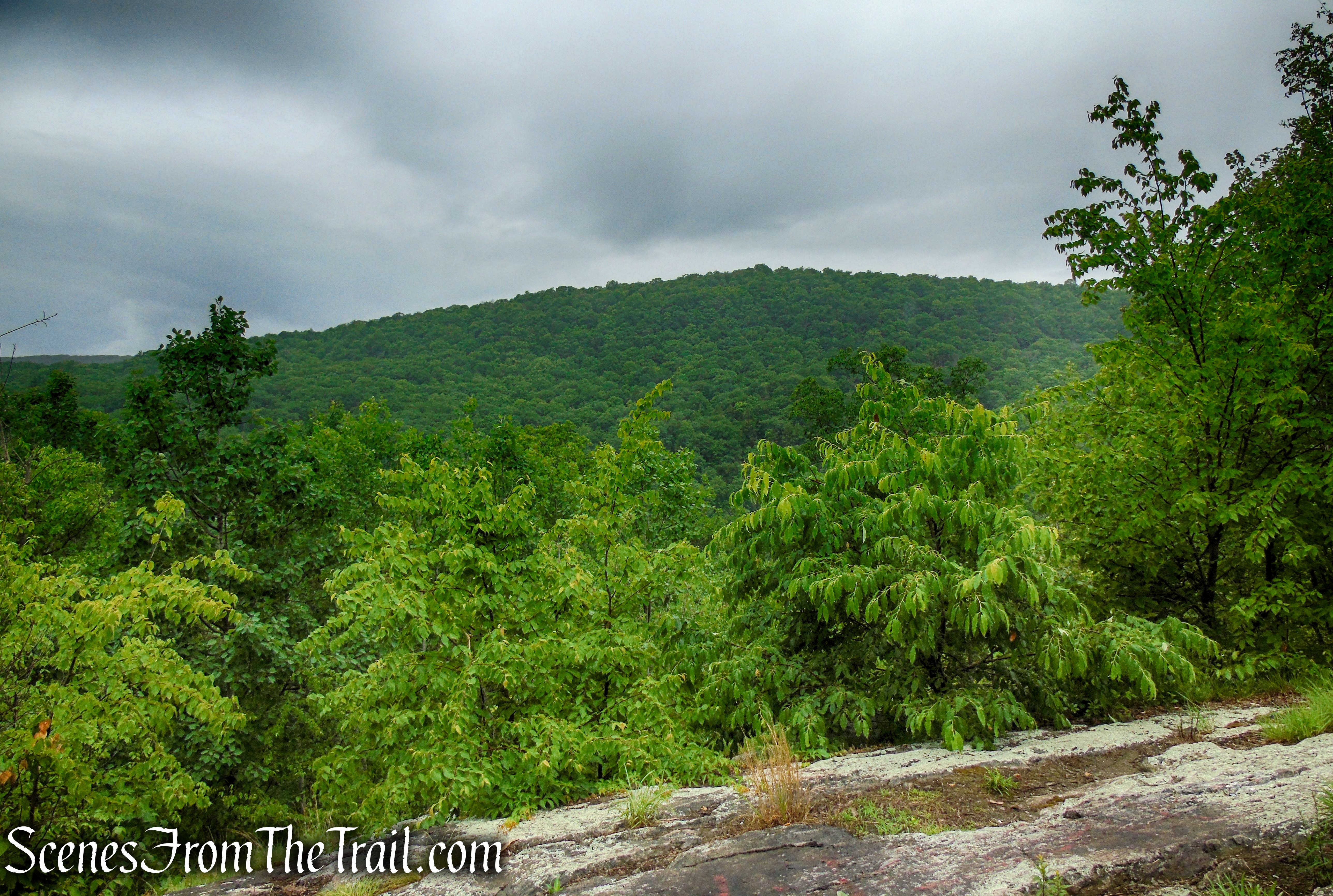
When you are ready to continue, return to the Candlewood Hill Trail and proceed ahead along the summit to another rock out crop with more views.
This is the view on a foggy morning with light rain falling.
This is the view on our return visit the following week.
The trail turns left at the rock outcrop and descends a little, ducking just below the ridgeline then leveling off, with some interesting rock formations on either side of the trail.
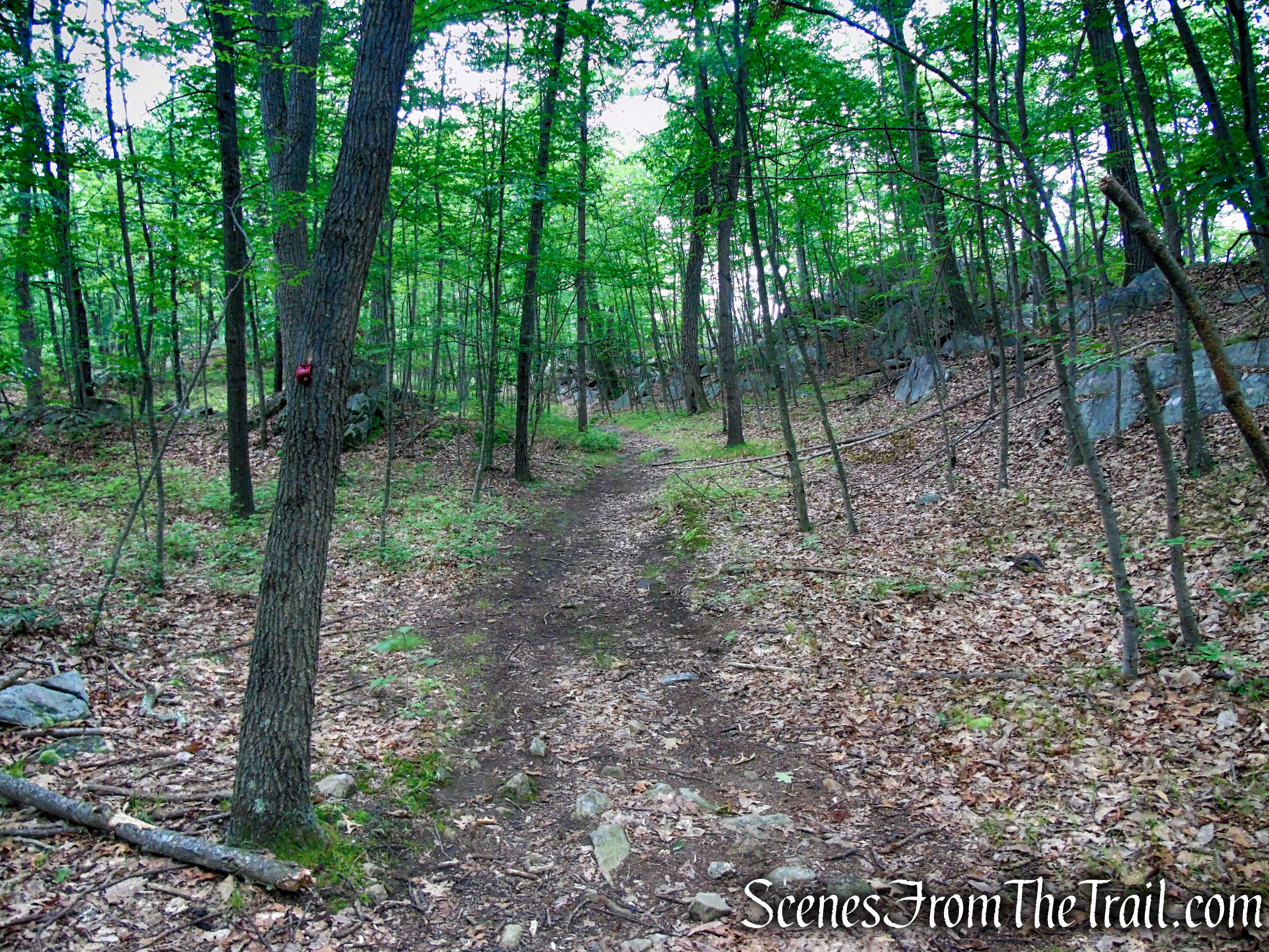
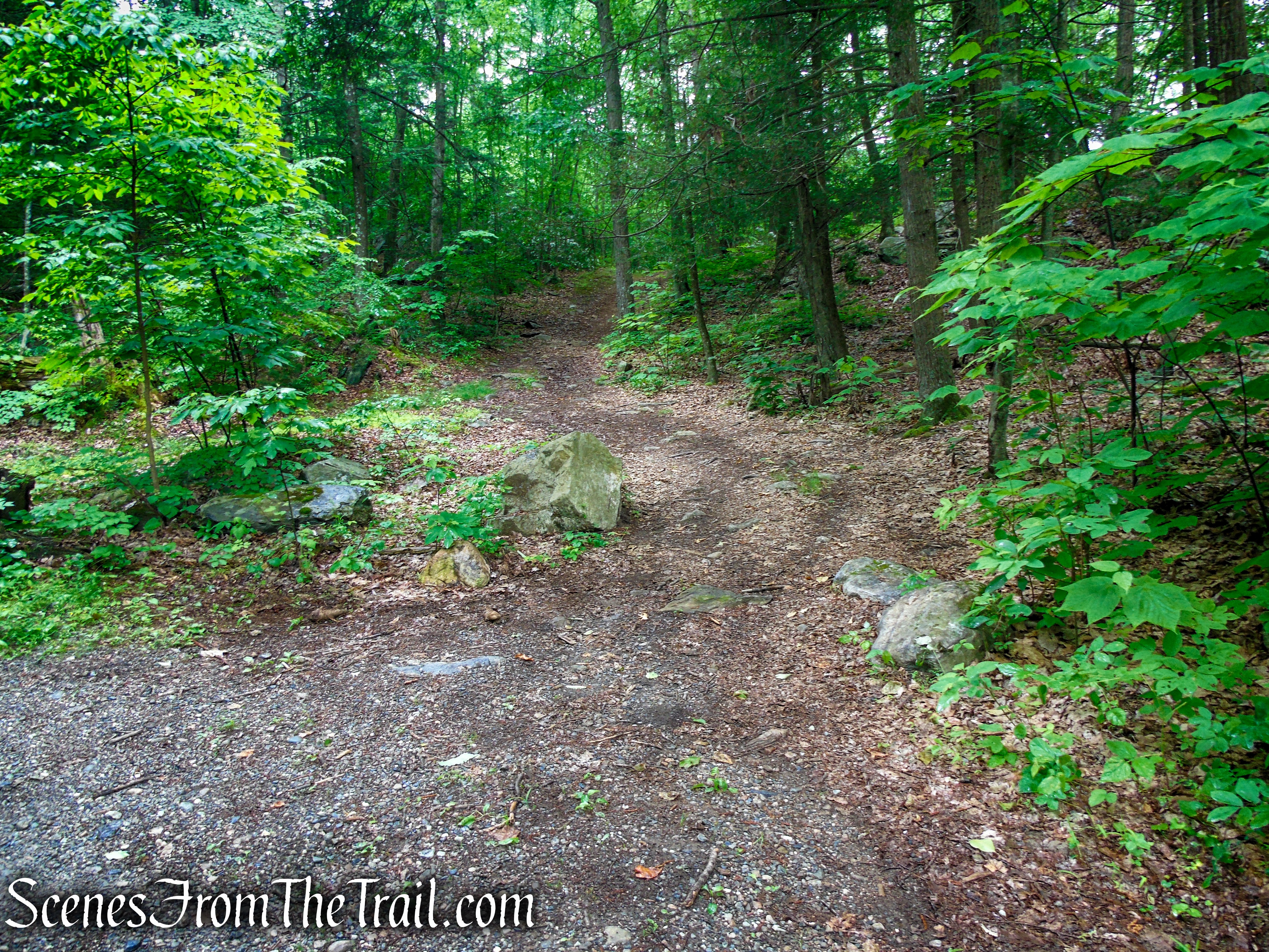
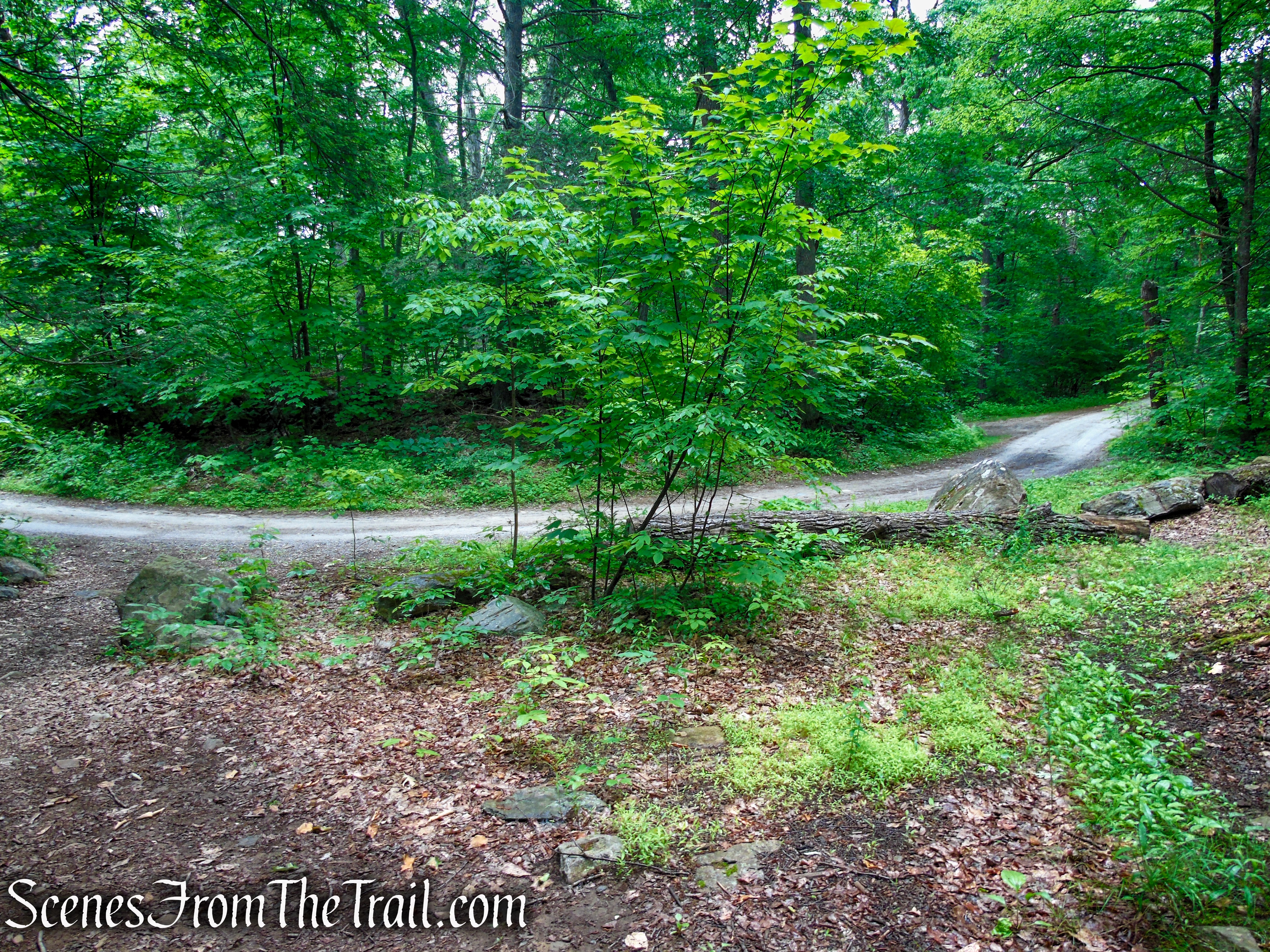
Soon the Candlewood Hill Trail descends steeply, turns right on a woods road and descends on a more moderate grade. A short distance later, the Candlewood Hill Trail ends at Bell Hollow Road.
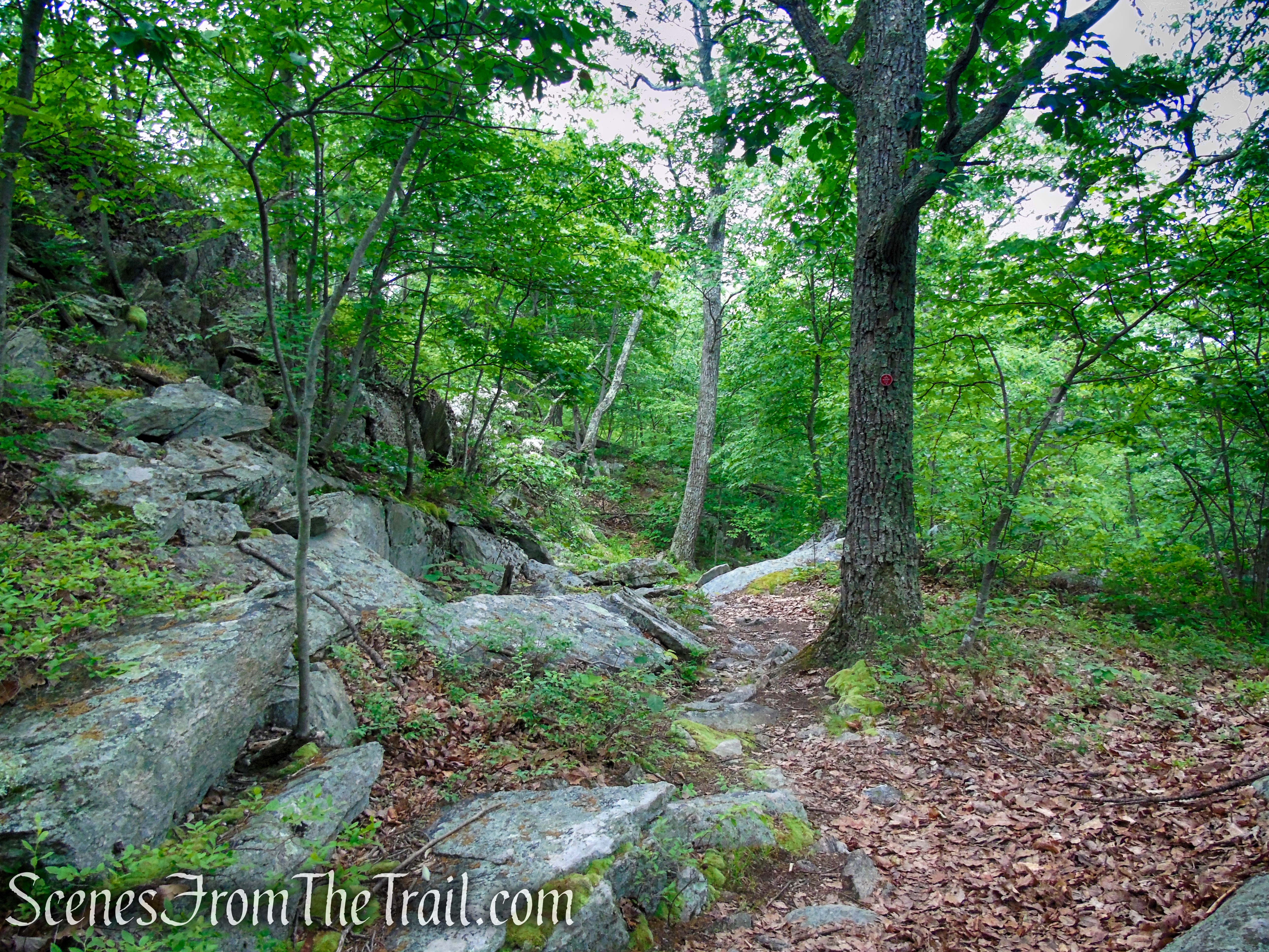
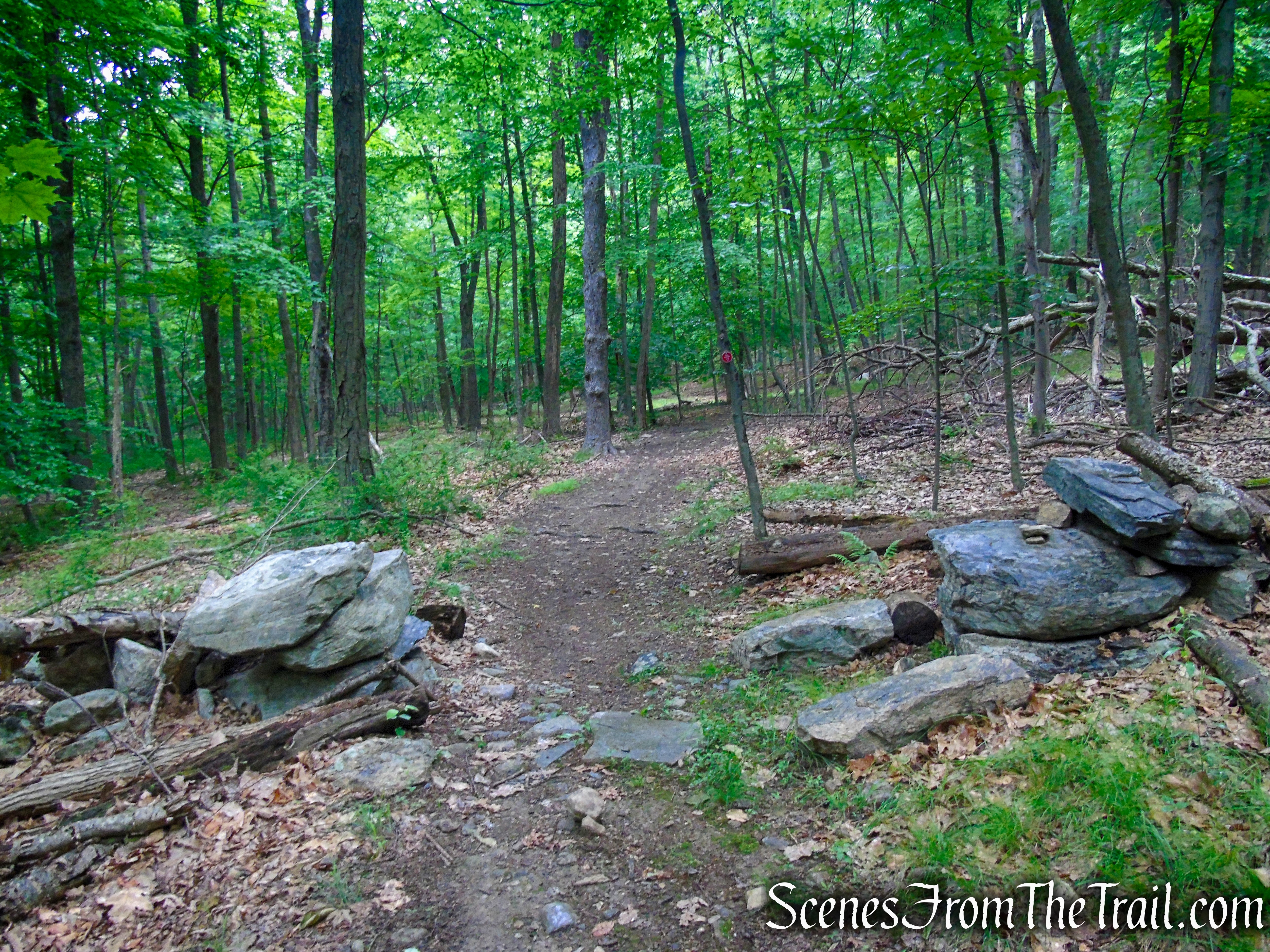
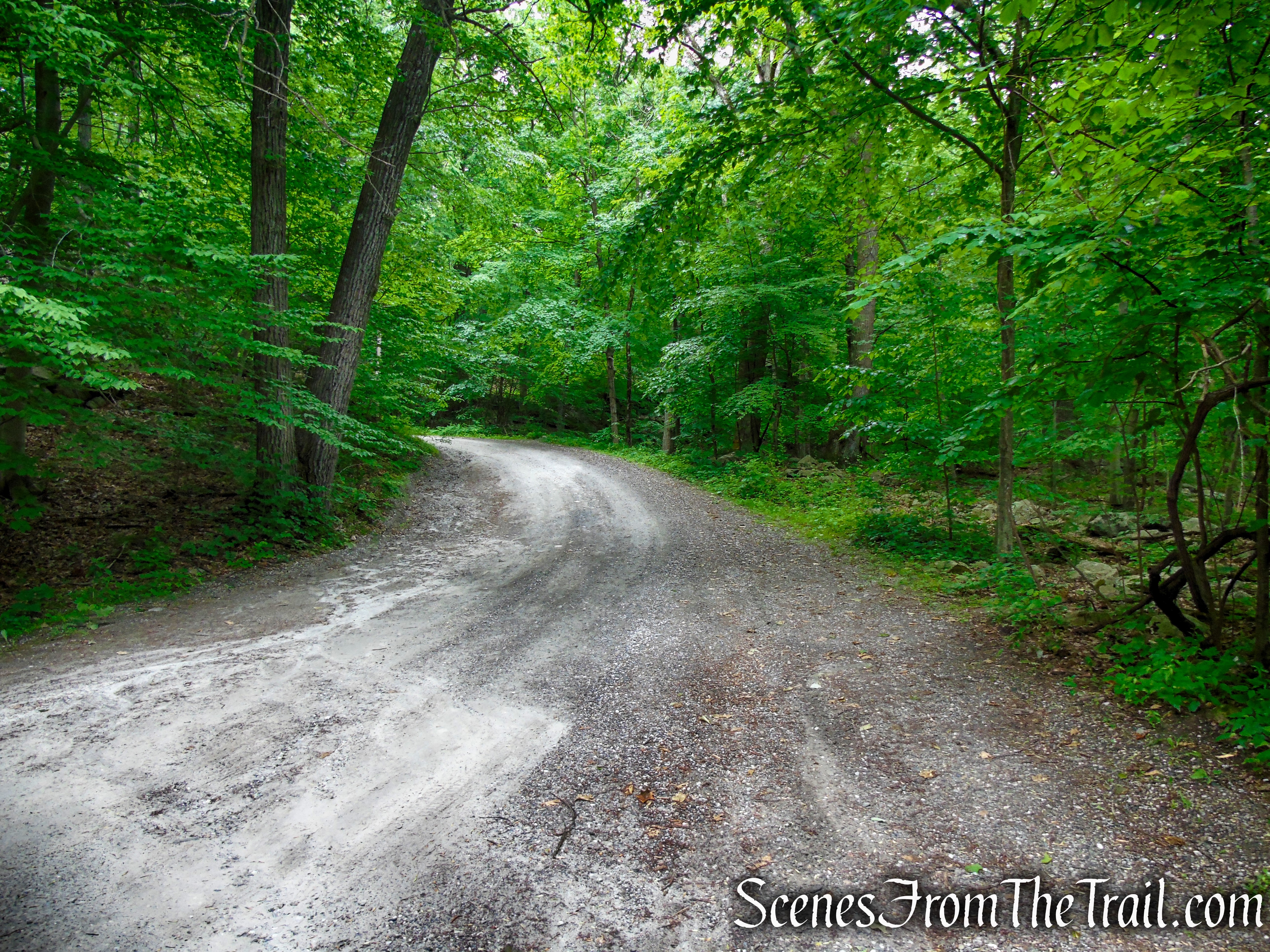
Turn right on the abandoned section of Bell Hollow Road and follow it uphill for the next 1/2 mile. You may be able to see and hear Canopus Creek down below on the left as you walk along the road.
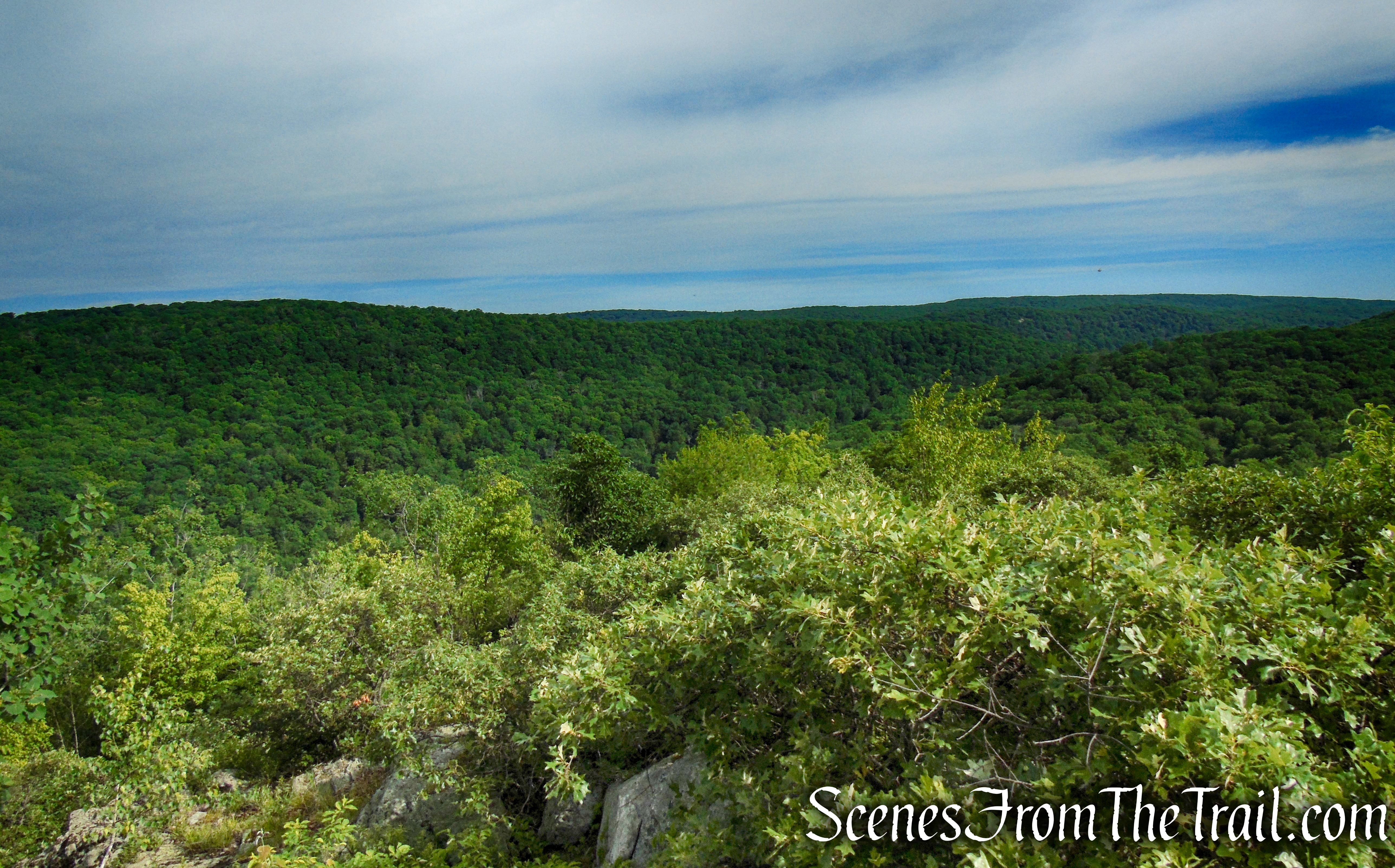
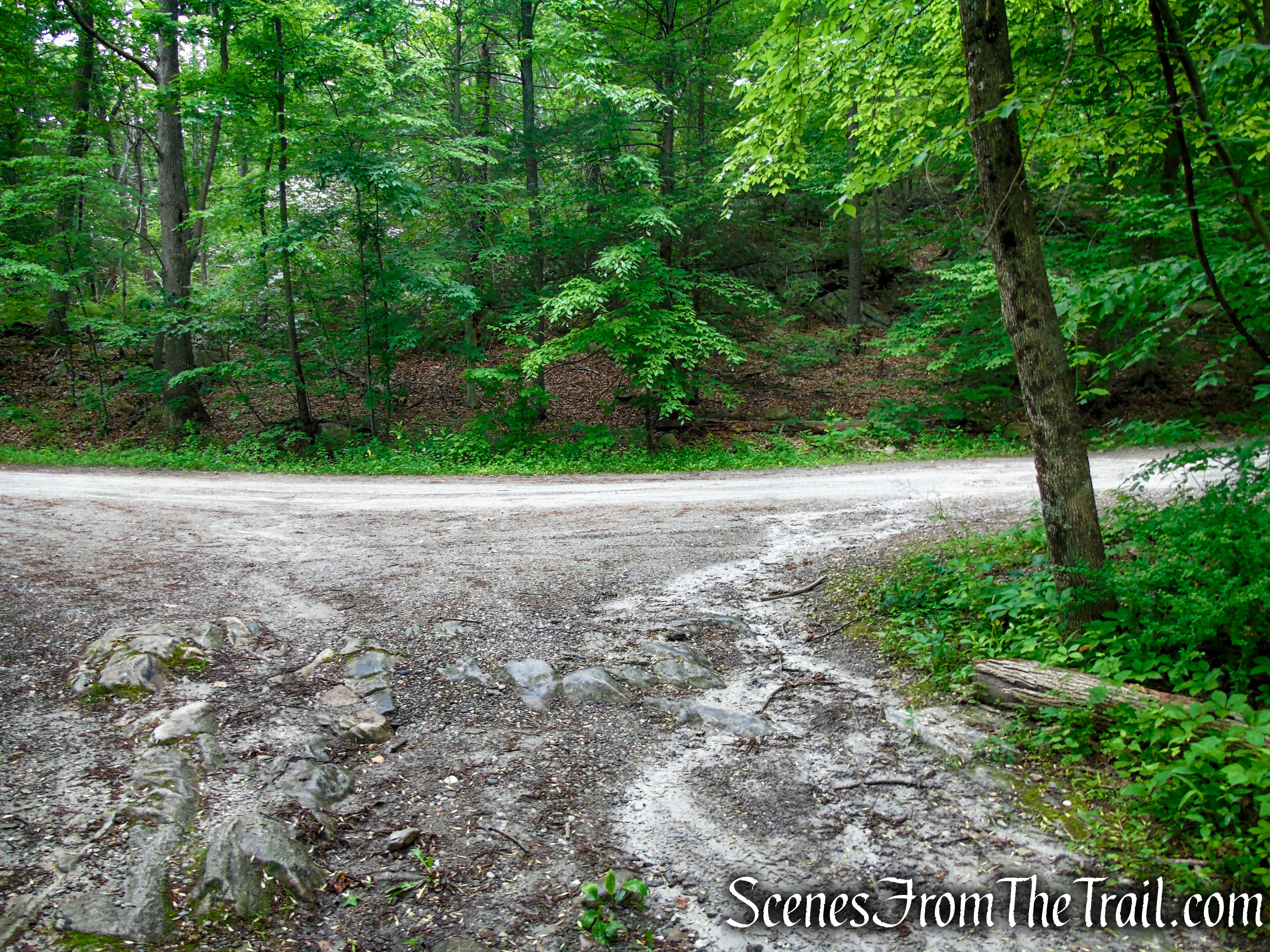
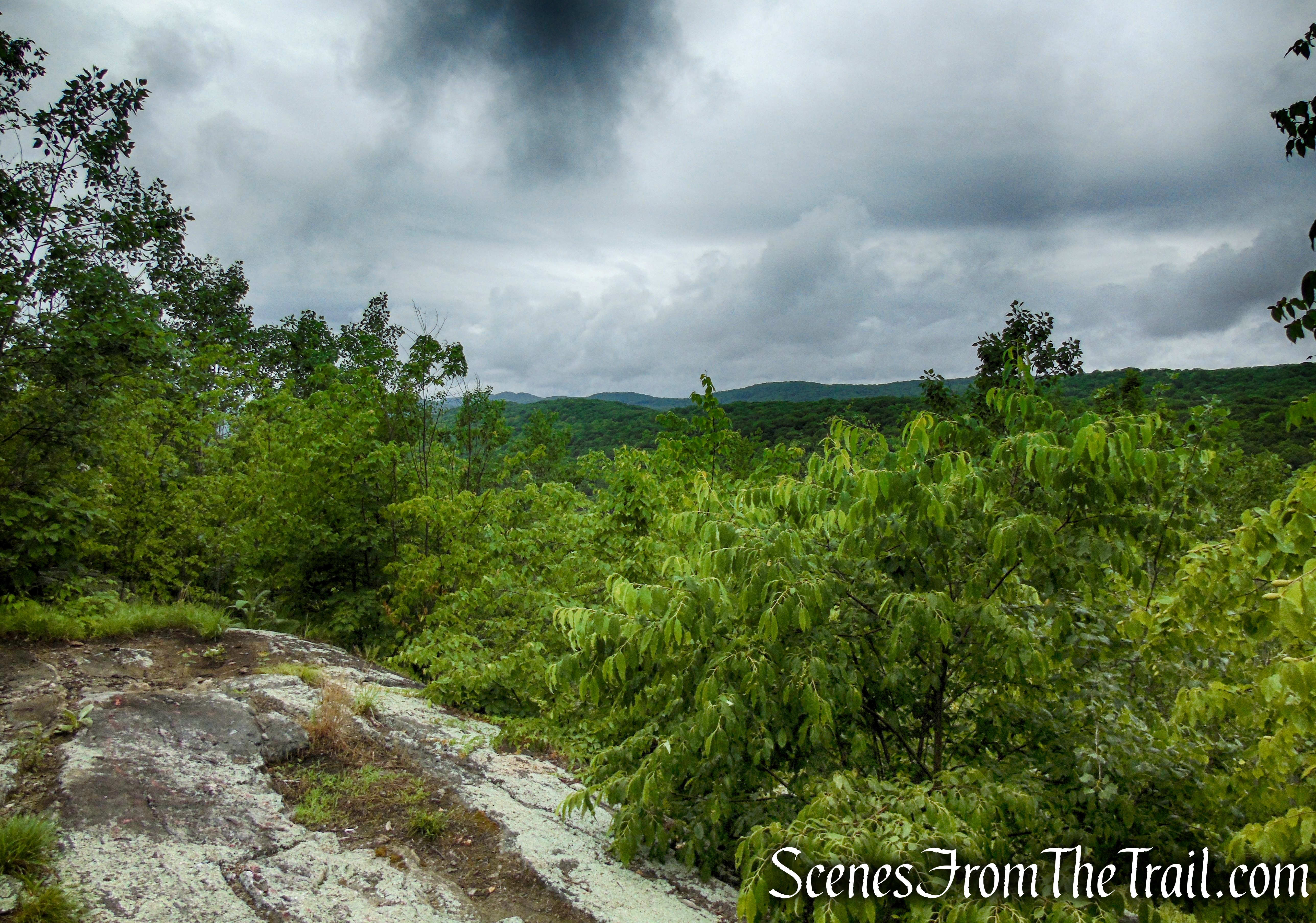
Bell Hollow Road ends at a junction with Sunken Mine Road. Turn right here and follow this scenic road uphill for about 420 yards. Look for a woods road on the right, marked by boulders, that leads uphill a short distance to another viewpoint.
Turn right on this unmarked woods road and follow it uphill for about 350 feet, to views of Candlewood Hill and the surrounding area. This makes a good spot to take a break.
When you are ready to continue, return to Sunken Mine Road, turn right and continue in a southerly direction. A short distance later you will pass the trailhead for the Candlewood Hill Trail. Stay on Sunken Mine Road as it heads downhill, now retracing your steps, back to the parking area, where the hike began.
Review:
A truly great hike with impressive views. The trails/woods roads are easy to follow in a seemingly unfrequented section of the park. The area is free of any litter and if you decide to visit, please keep it that way. An enjoyable and scenic moderate hike that most would enjoy.
Pros:
Outstanding views, well maintained trail, easy to follow woods roads, quiet area, litter free.
Cons:
None.
Take a hike!
Sources:
- Fahnestock State Park
- State to Buy Land in Putnam, and Will Pay Taxes on It – New York Times – Sept. 25, 2004
- Land Deal to Push Pataki Over the Million-Acre Mark in Preservation of Open Space – New York Times – Dec. 21, 2006
- Governor Pataki Meets Million-Acre Goal (NY)
- The Hudson Trail
