May 23, 2021 – Chester, New Jersey
Difficulty: Moderate
Length: Approximately 5 miles
Max elevation: 744 ft.– total elevation gain approximately 472 ft.
Route type: Semi-Loop
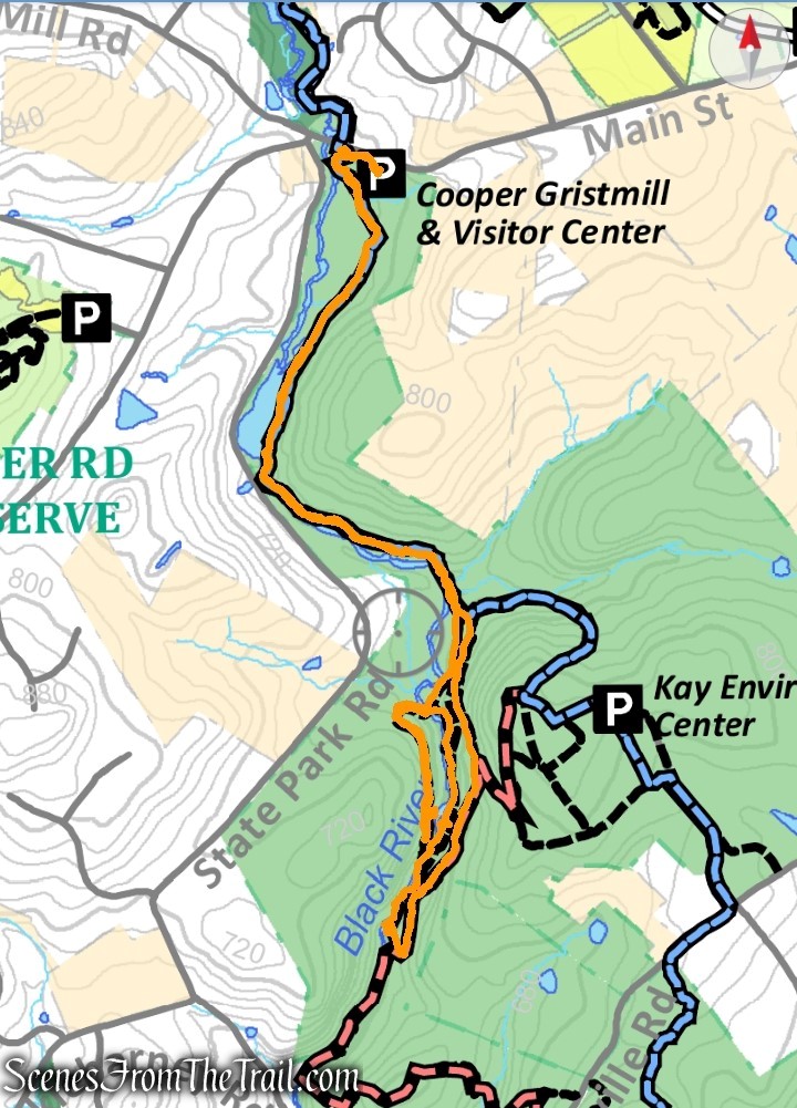
Trail Map: Cooper Gristmill & Elizabeth D. Kay Environmental Center
Avenza App Map: Patriots Path Chester Trail Map – Oct. 2017
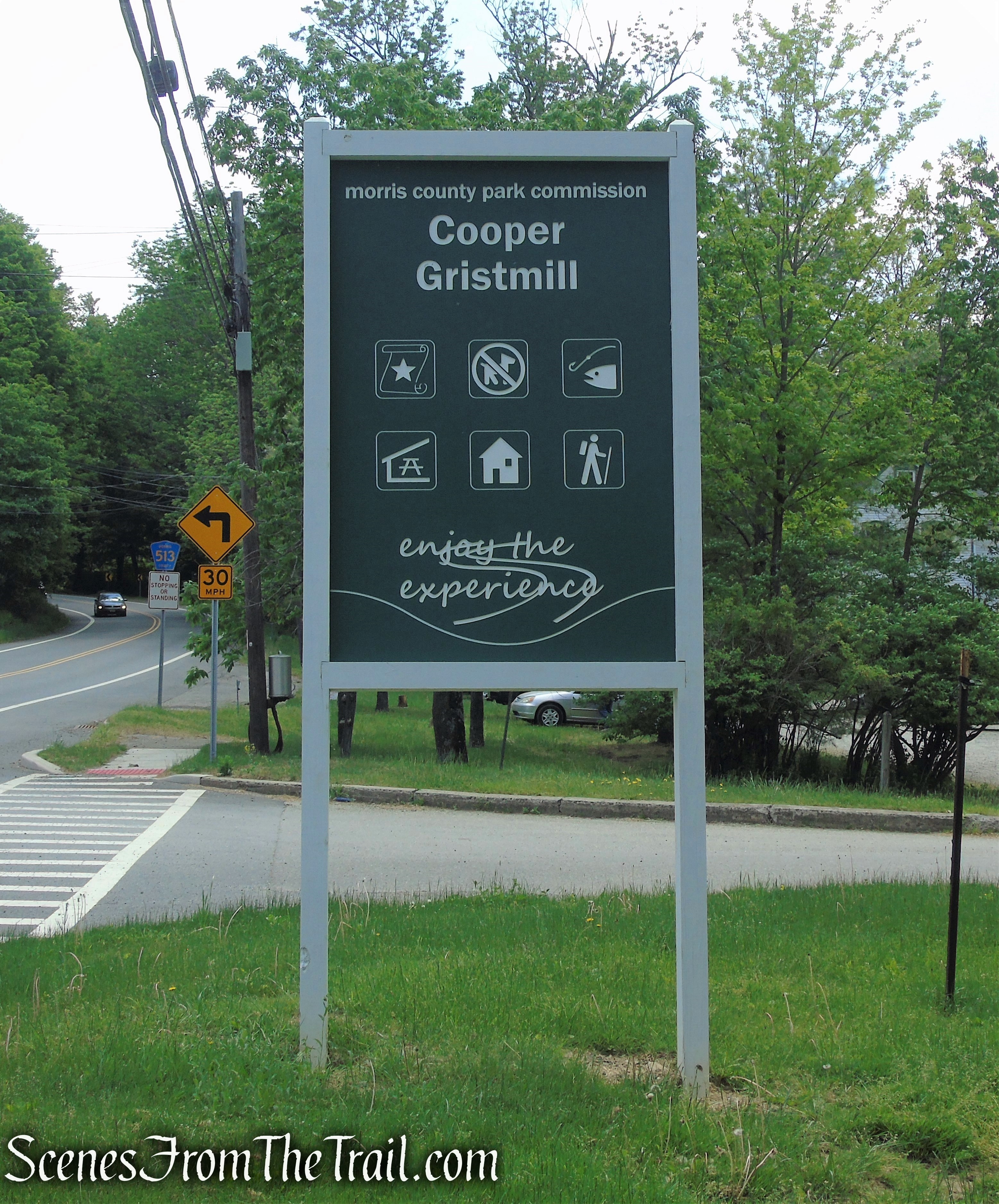
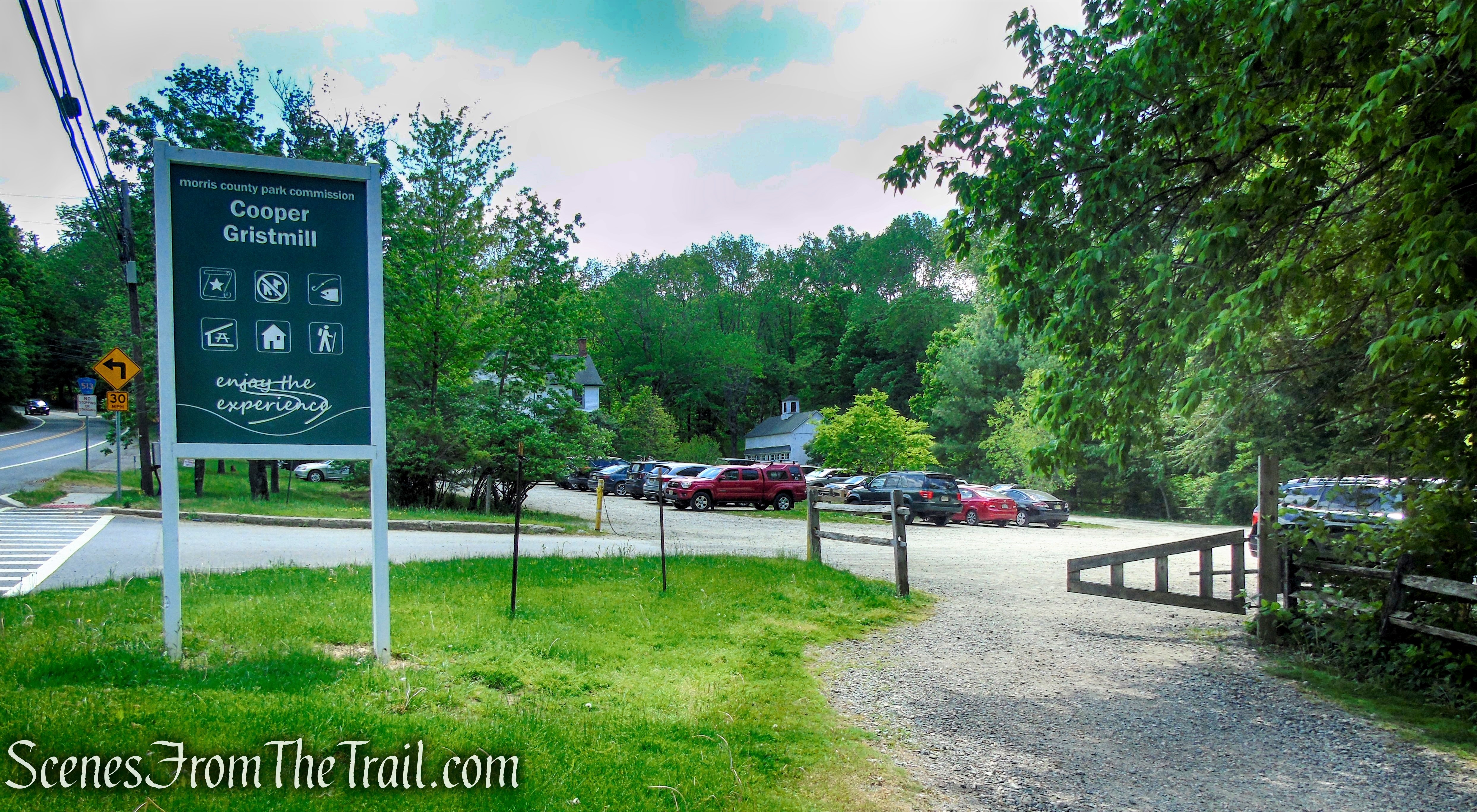
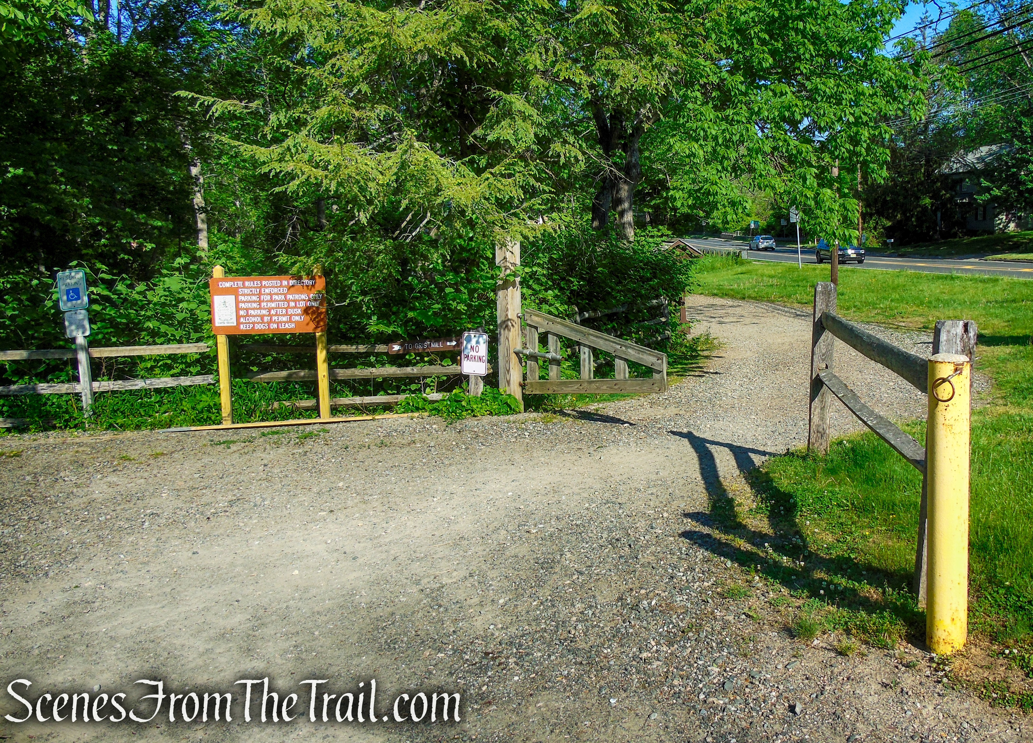
Trailhead parking: Cooper Mill County Park – Chester, NJ 07930
Large parking lot – portable toilet on site
Overview:
Black River County Park, part of the Morris County Park System, consists of 858 acres. It includes four important cultural sites – the Cooper Gristmill, Elizabeth D. Kay Environmental Center, Bamboo Brook Outdoor Education Center, and Willowwood Arboretum – each of which is not only worth visiting in its own right, but also provides access to trails in the area. A more comprehensive description of each of these areas can be found on the Morris County Park System web site by searching for the name of the cultural site, not “Black River County Park.”
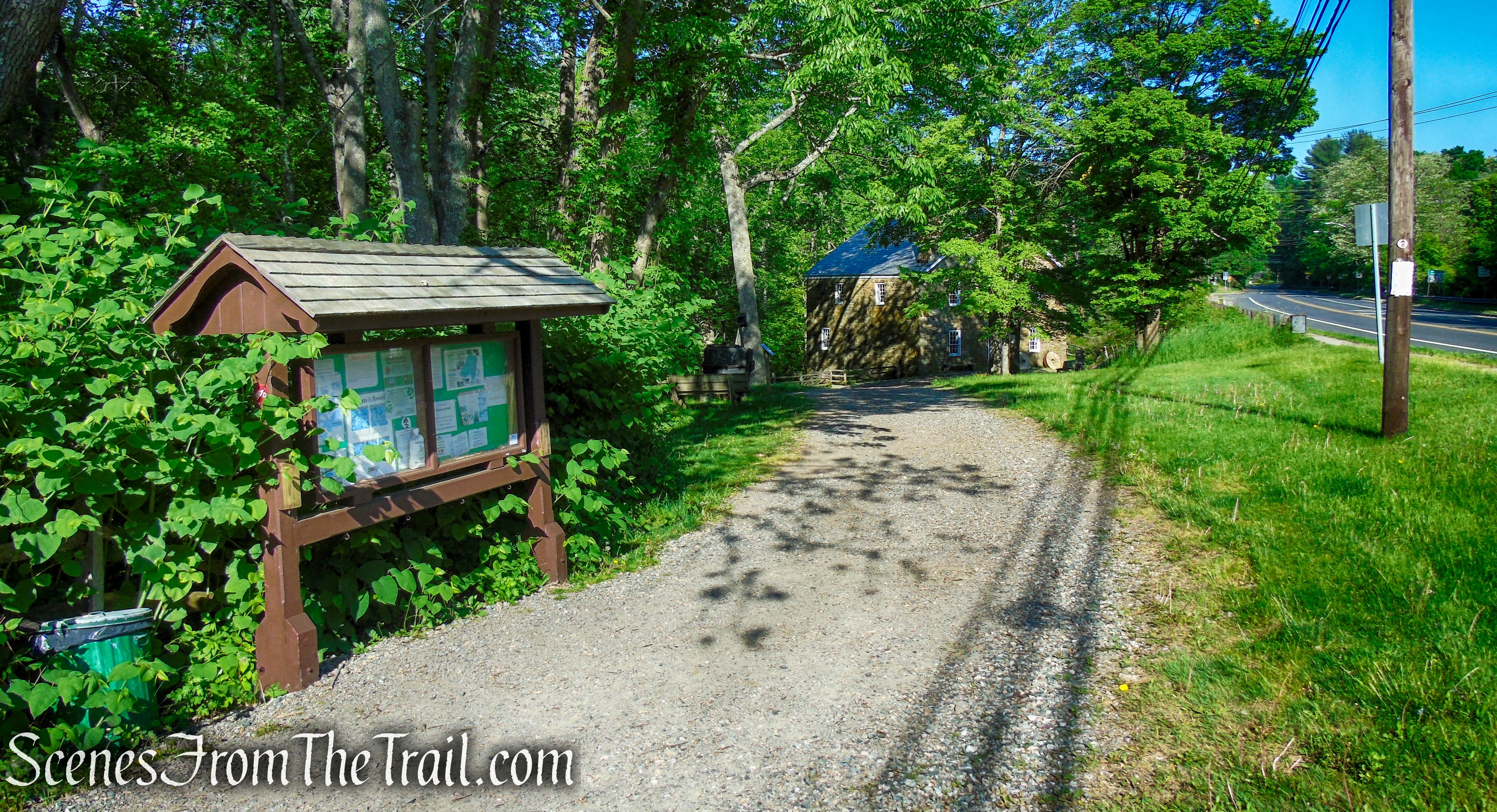
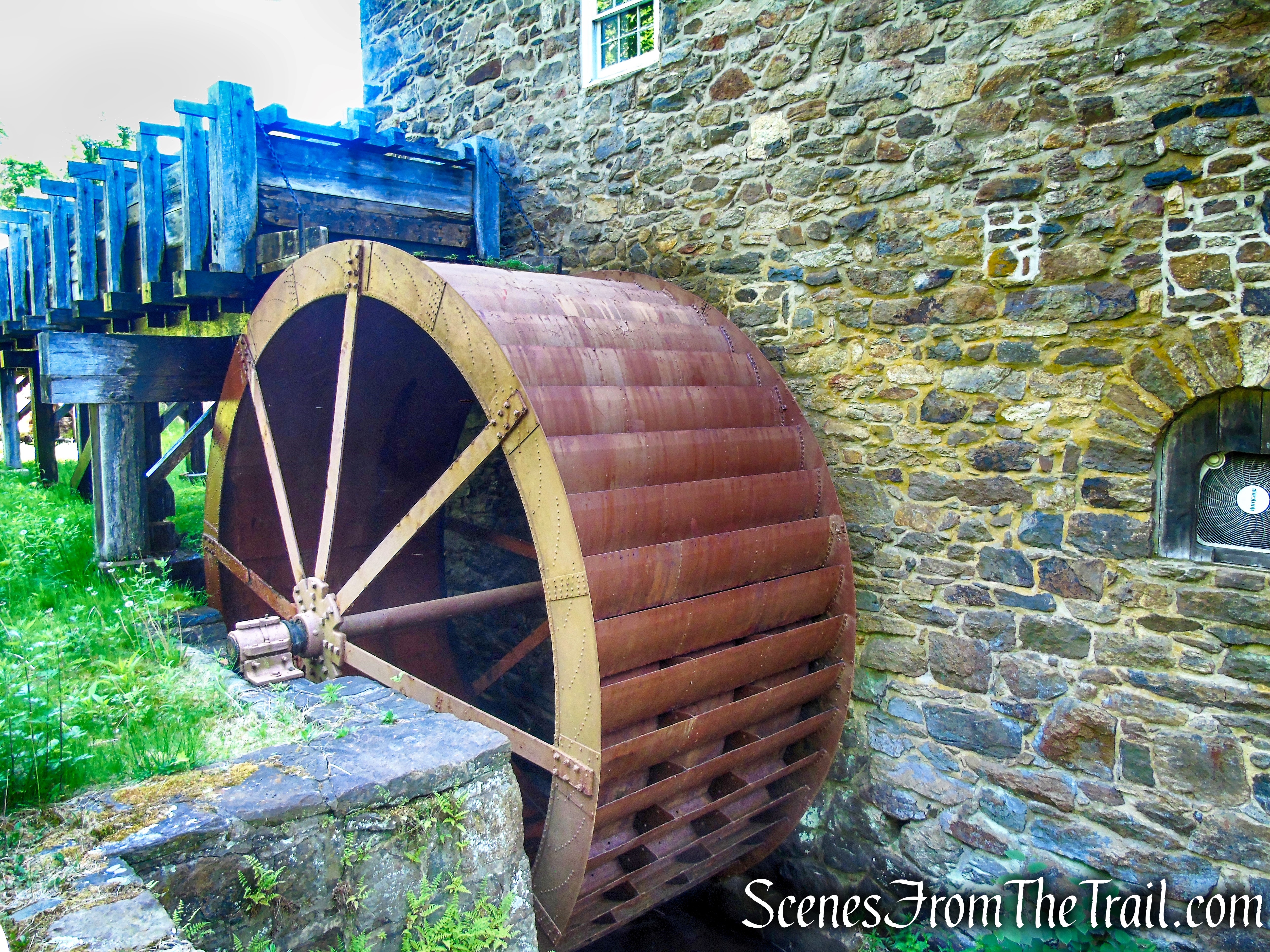
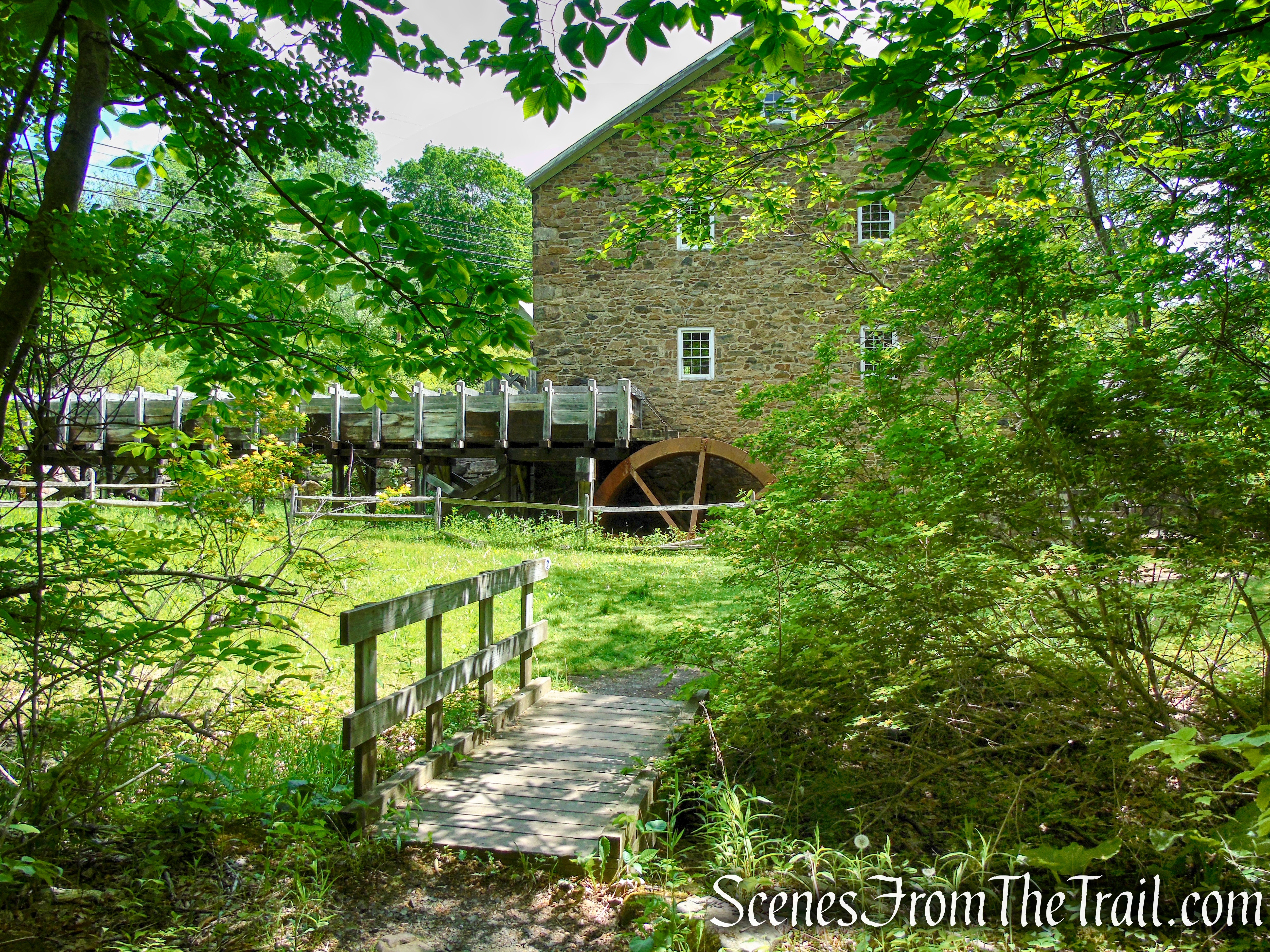
Cooper Gristmill, located on 14 acres, was built in 1826 and is one of the remaining restored water-powered mills in New Jersey. It is listed on the State and National Registers of Historic Places. It is a living example of the state’s transition from an agricultural to an industrial economy.
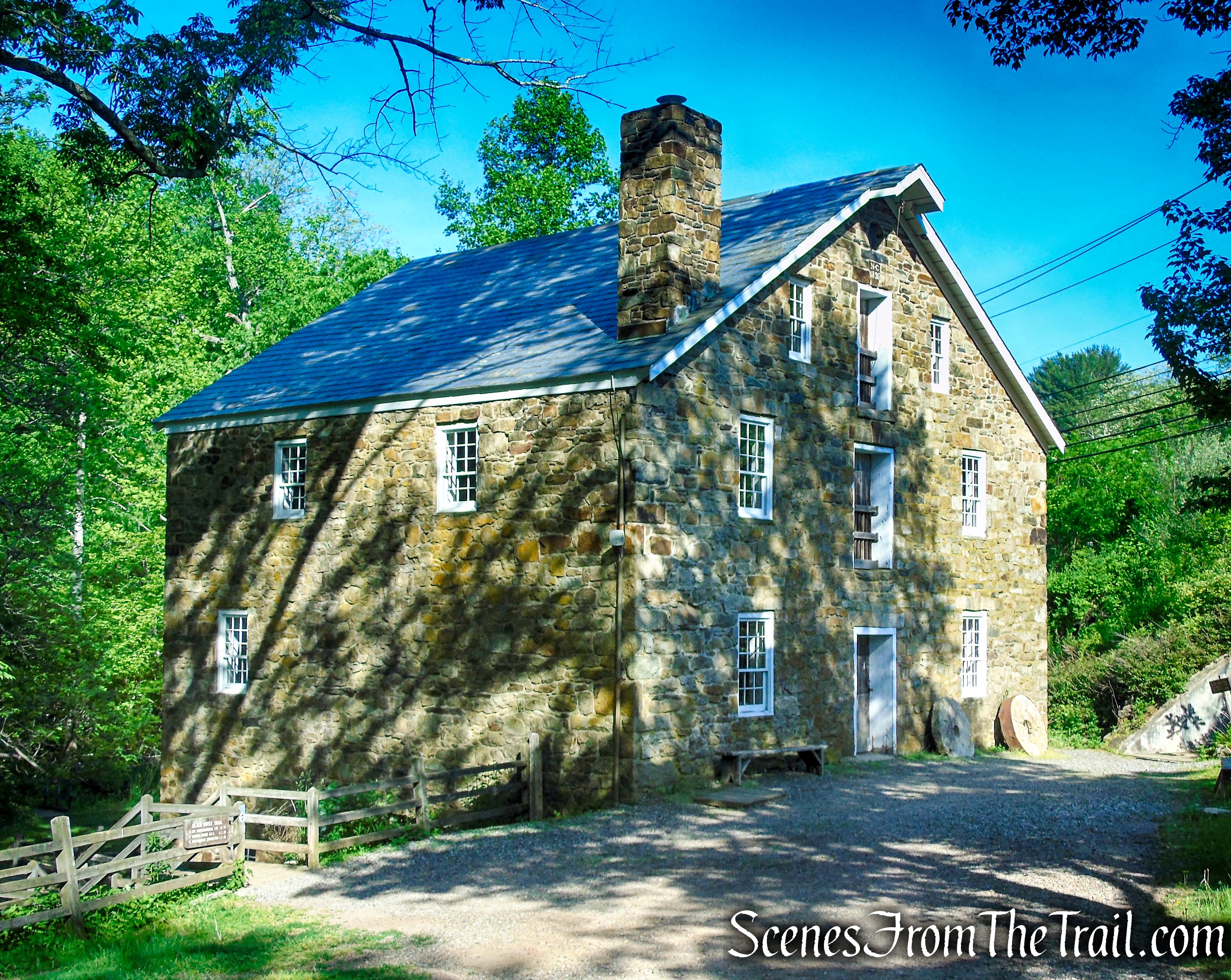
Cooper Gristmill
Cooper Gristmill is one of about 30 access points for the Patriots’ Path, which links federal, state, county, and municipal parks, watershed lands, historic sites, and other points of interest. The site is managed by the Morris County Park Commission.
Cooper Gristmill
The Patriots’ Path stretches from East Hanover, where it connects with the Lenape Trail in Essex County to Allamuchy Mountain State Park in Sussex County, intersecting with the Columbia Trail in Washington Township.
History:
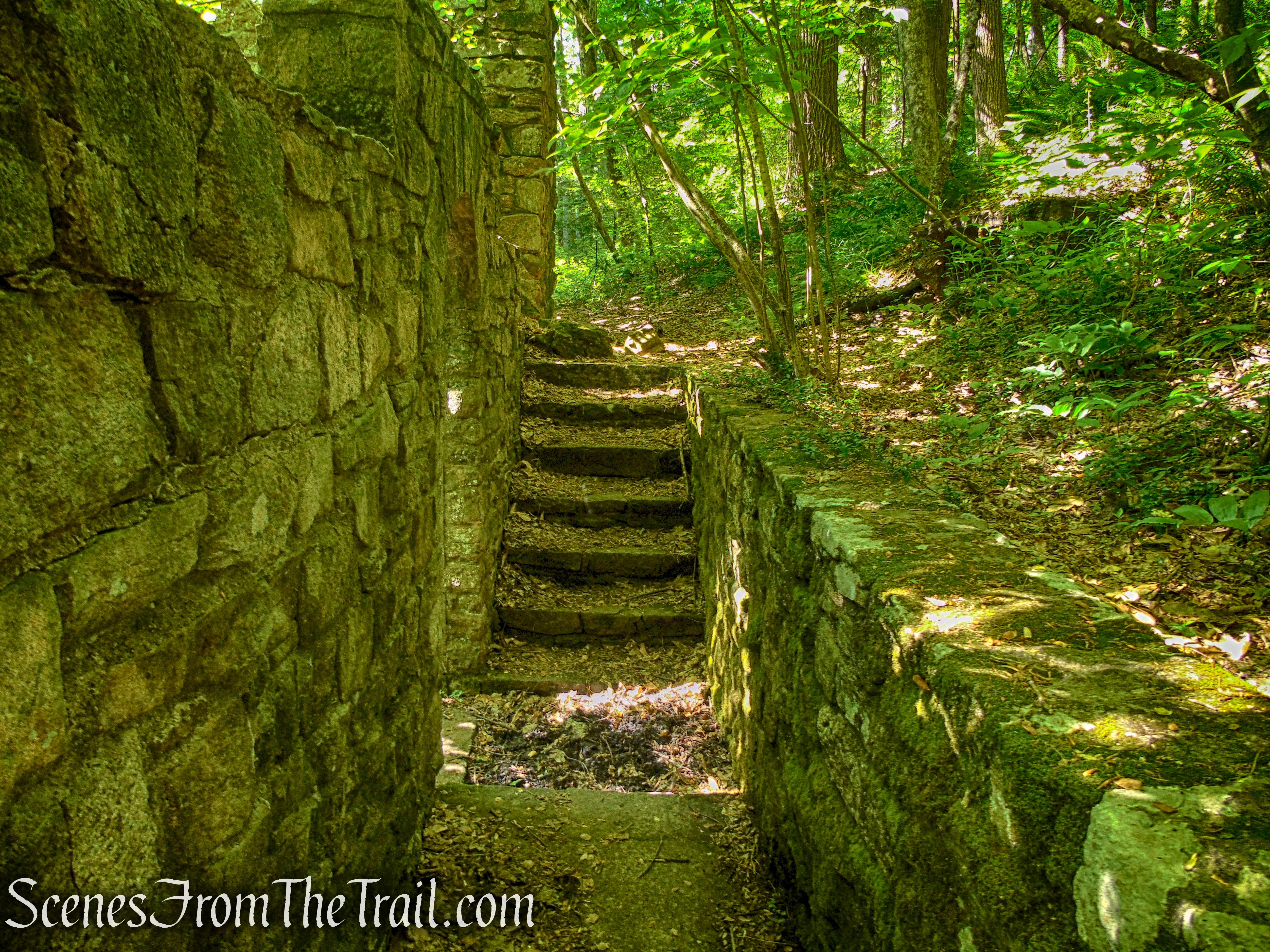
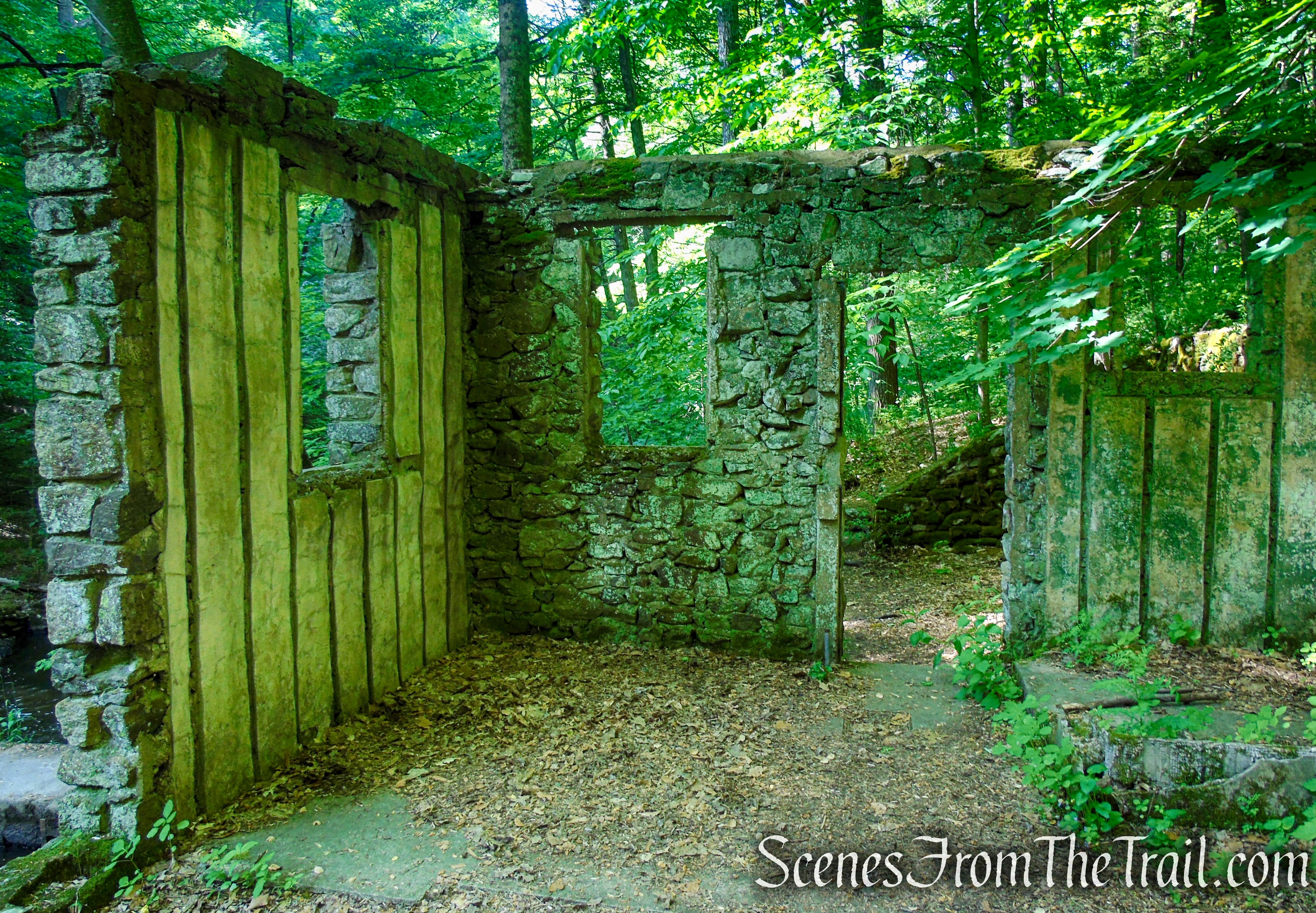
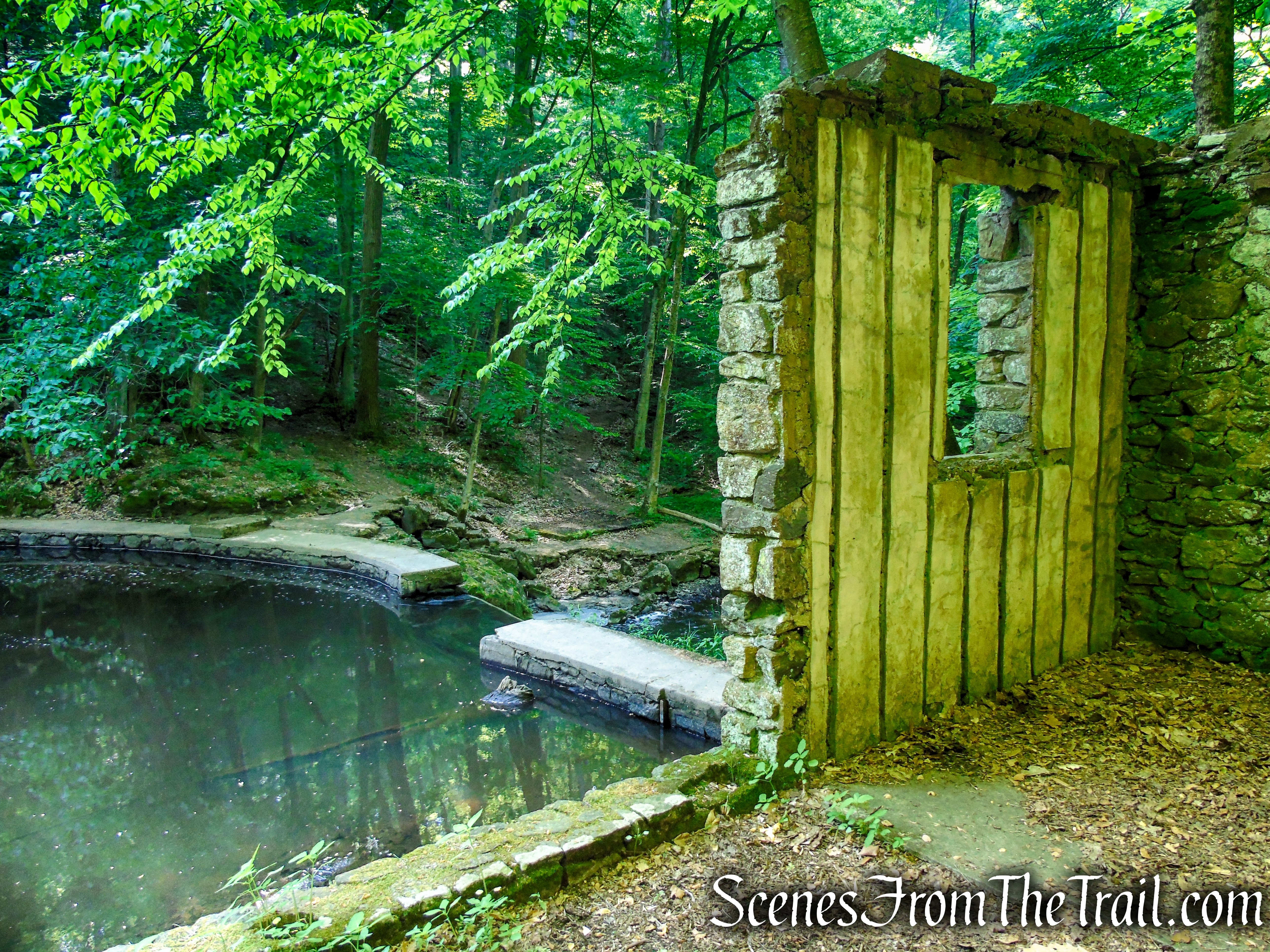
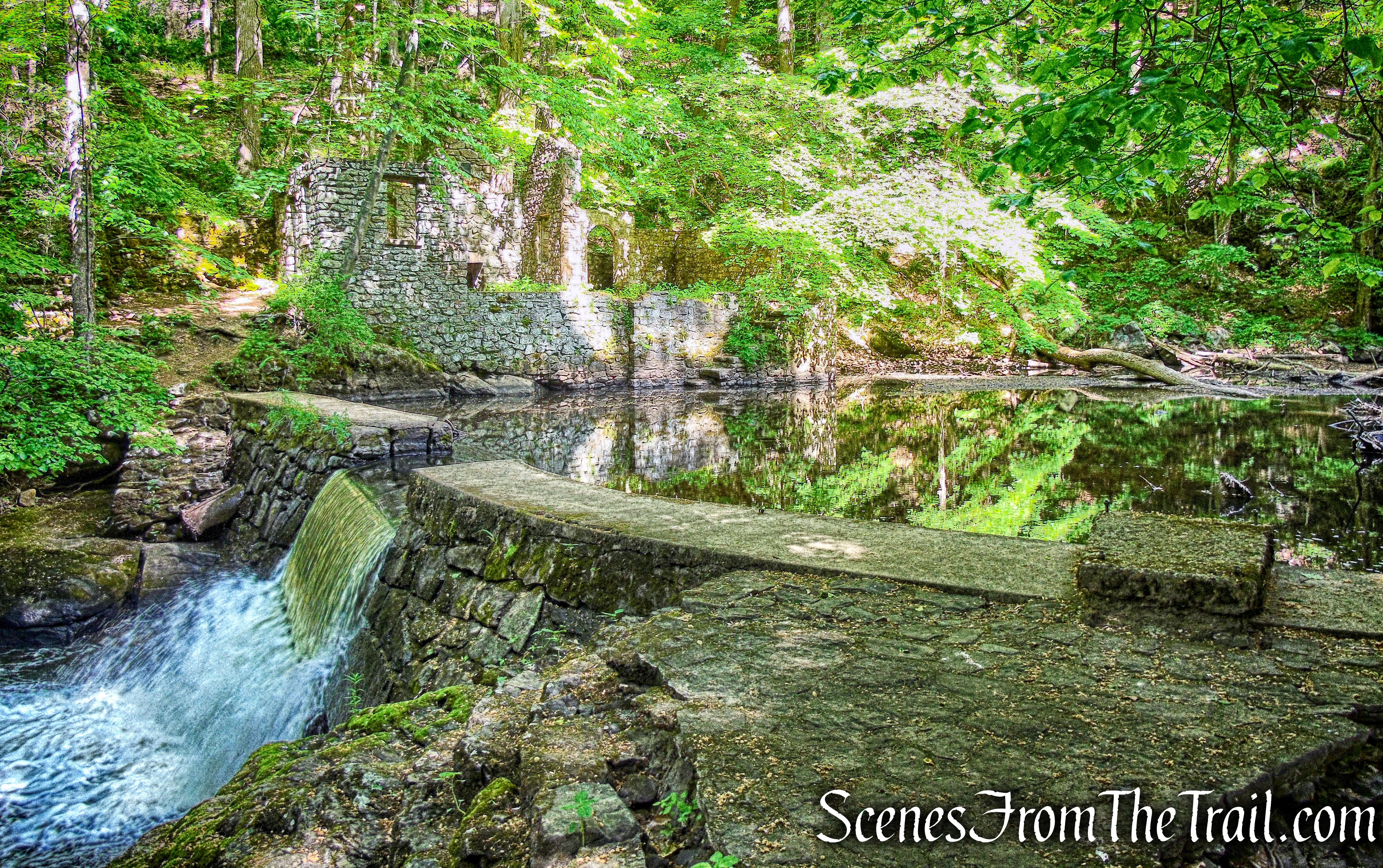
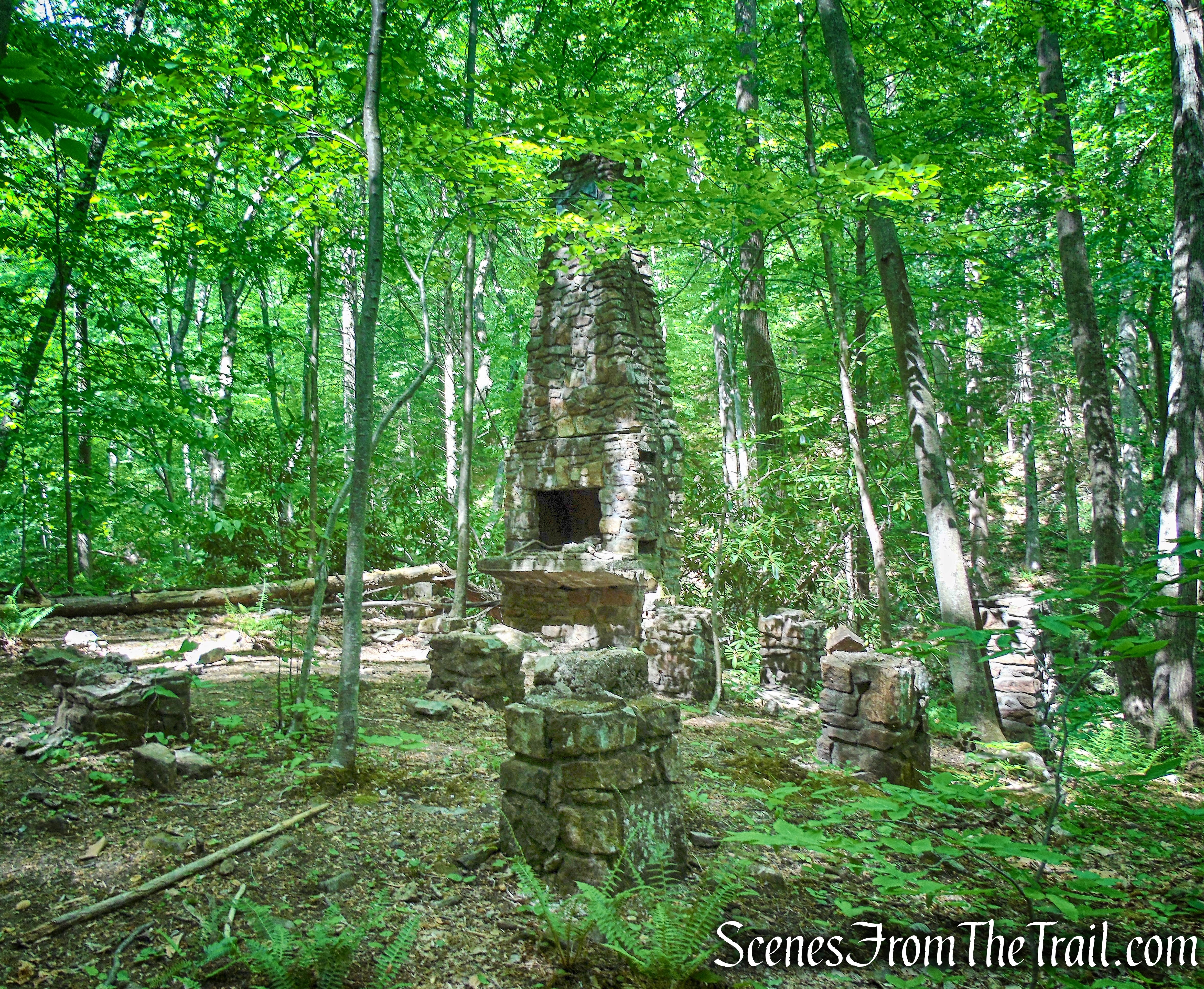
Kay’s Cottage ruins sits on property that is now The Elizabeth D. Kay Environmental Center in Chester. It was once part of a 233-acre estate owned by Elizabeth and Alfred Kay called Hidden River Farm. The property encompassed an array of habitats, including fields, deciduous forests and a hemlock gorge set along the Black River. The Kays built carriage trails through fields and woods that wind down to the Black River where a dam was built to create a deep and calm swimming pool with a diving board. A summer house was built alongside the ‘pool’ with showers, changing rooms, a fireplace, and a terrace. Only the stone foundations and walls remain today.
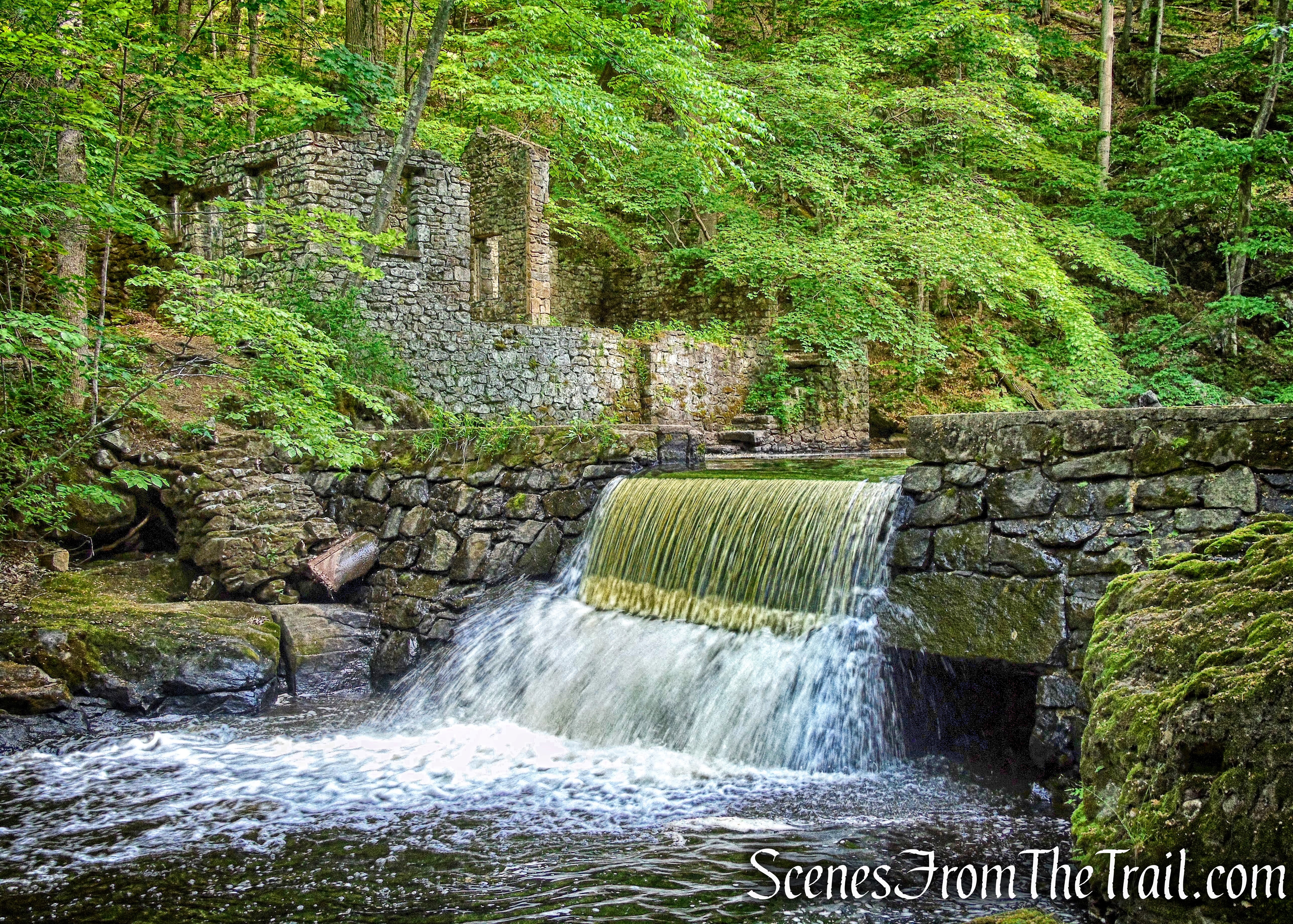
Kay’s Cottage Ruins – Black River County Park
Elizabeth and Alfred bought land in Chester in 1924, including a late 18th century stone farmhouse that they converted into a comfortable country estate. They lived in Chester during the spring, summer and fall.
Starting in 1962, the Kays began donating parts of their 233-acre Hidden River Farm to the Morris County Parks Commission to be used as an environmental center, where “each day would bring a new wonder and challenge to learn.” The Elizabeth D. Kay Environmental Center in Chester was dedicated on October 28, 1993 for “the teaching of children and adults in the natural sciences and the appreciation thereof.”
Trails Overview:
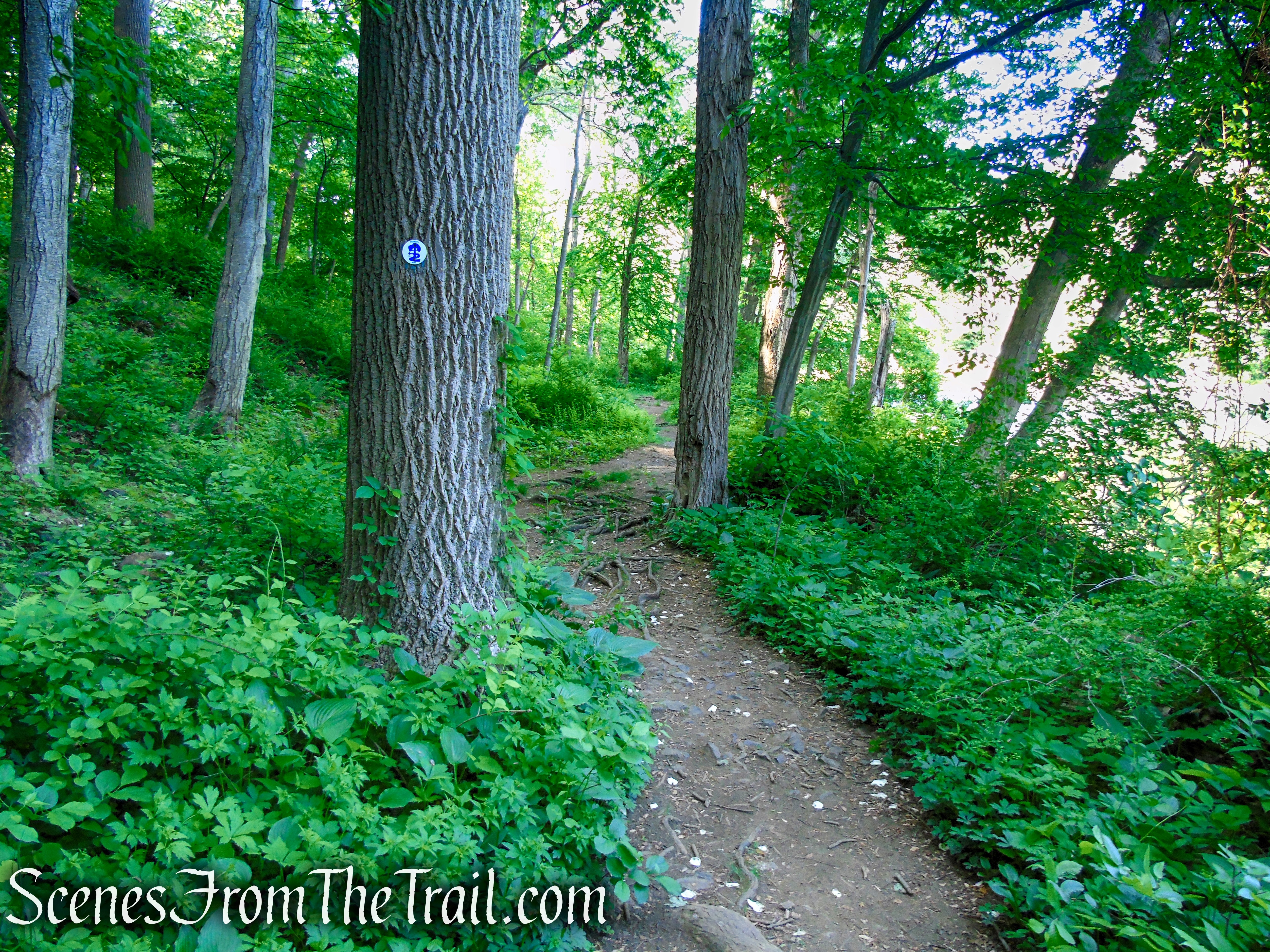
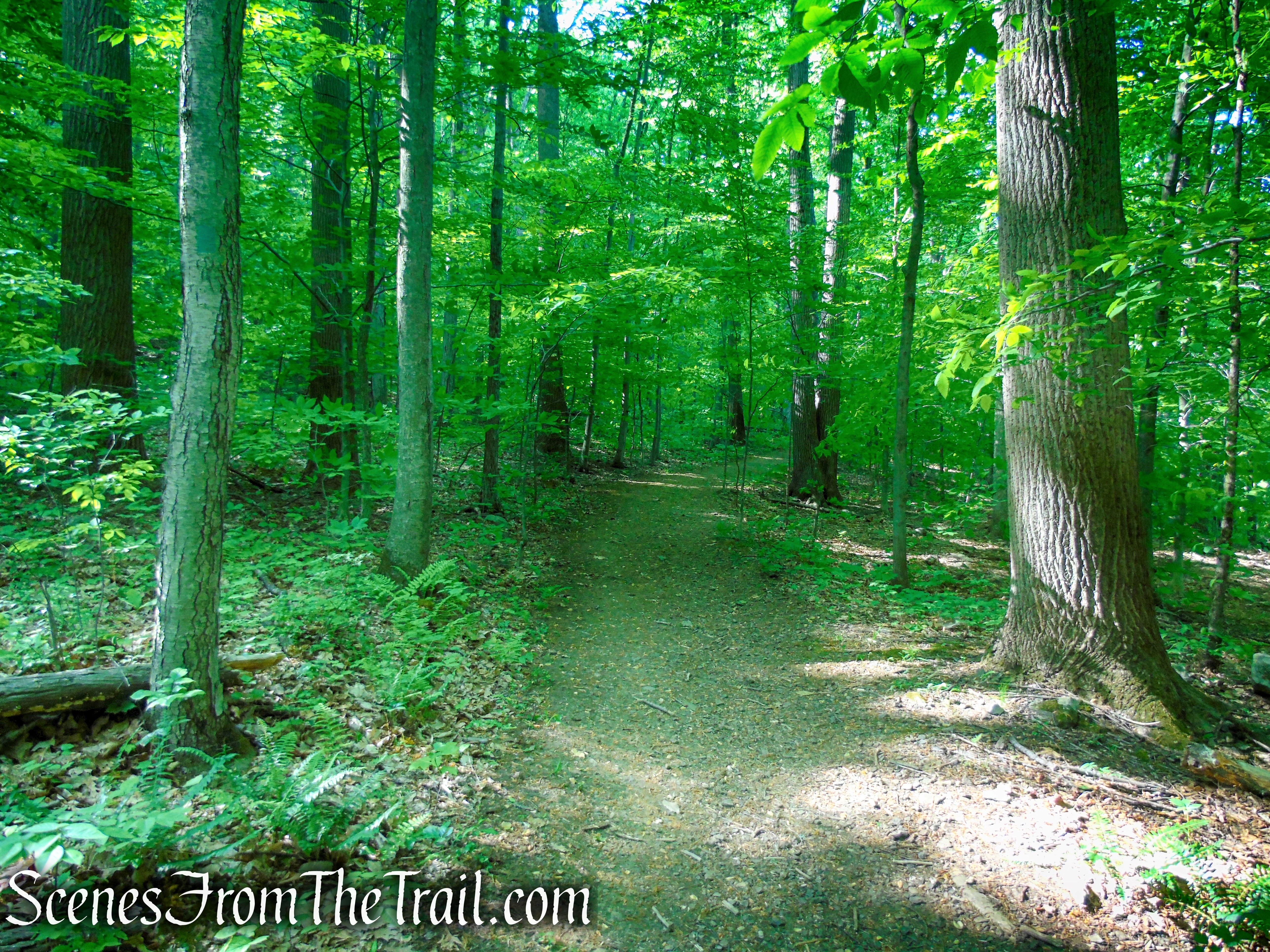
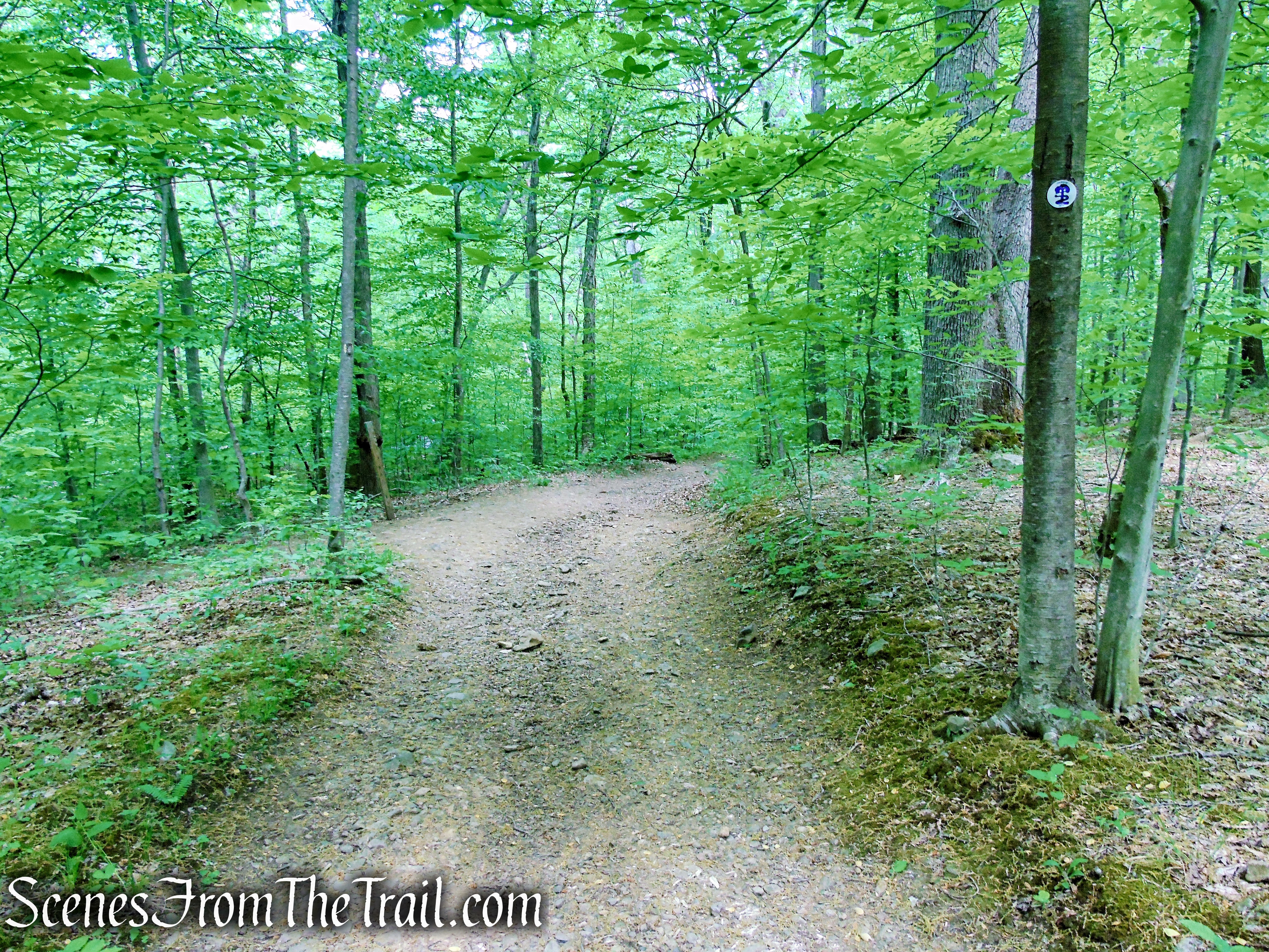
The Patriots’ Path is blazed with the path-and-tree logo and the abundance of markers, makes it relatively easy to follow.
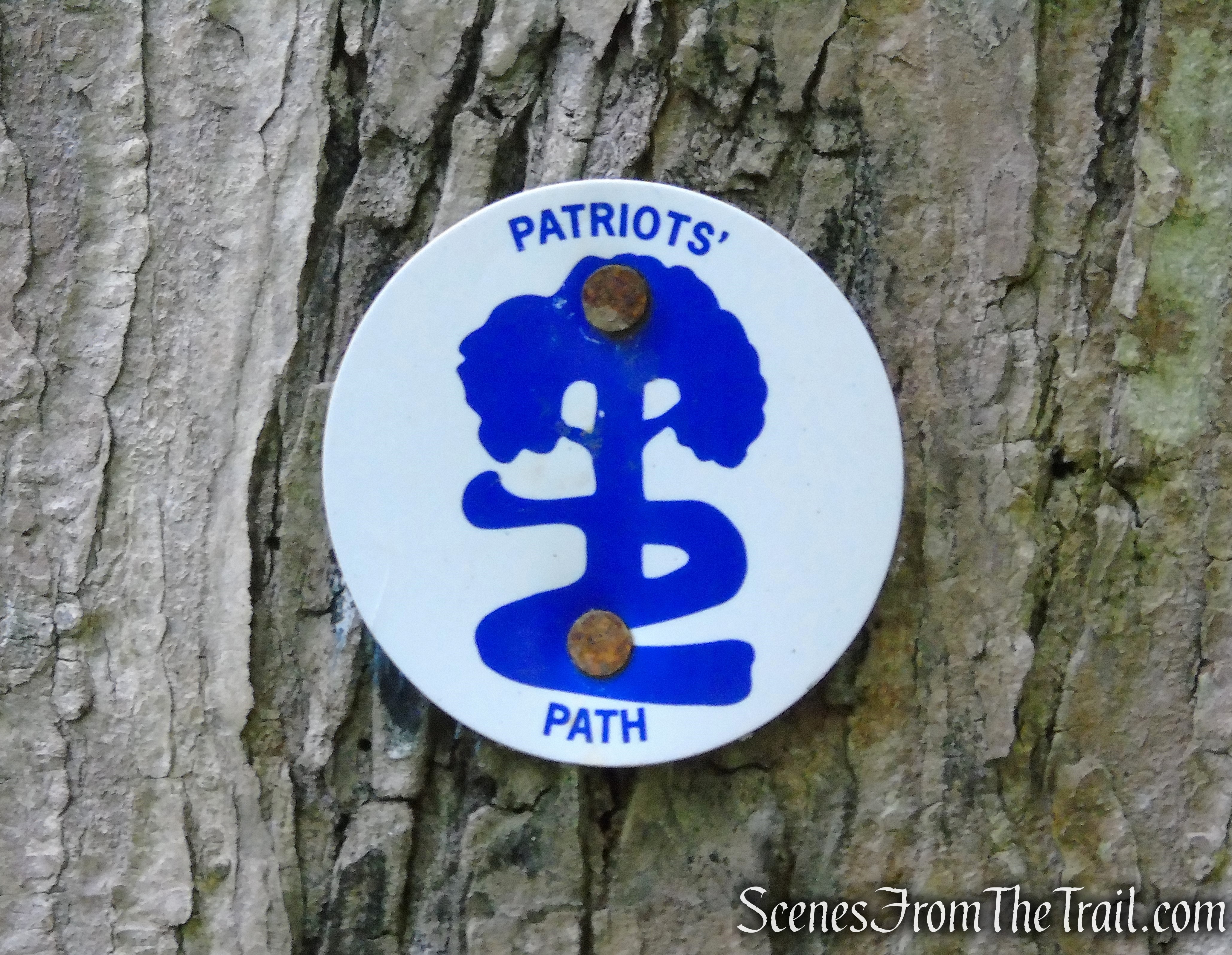
Patriots’ Path – Black River County Park
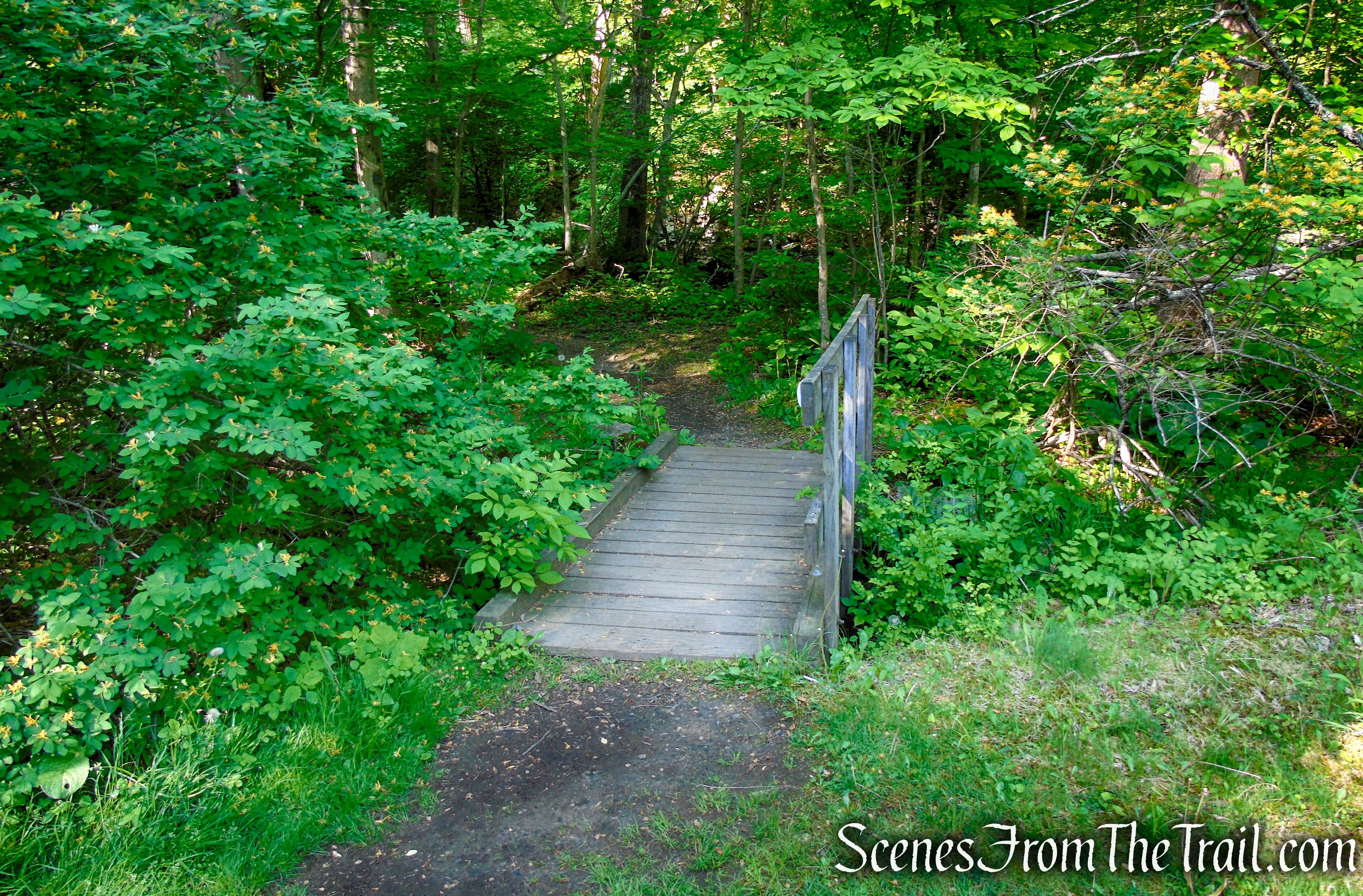
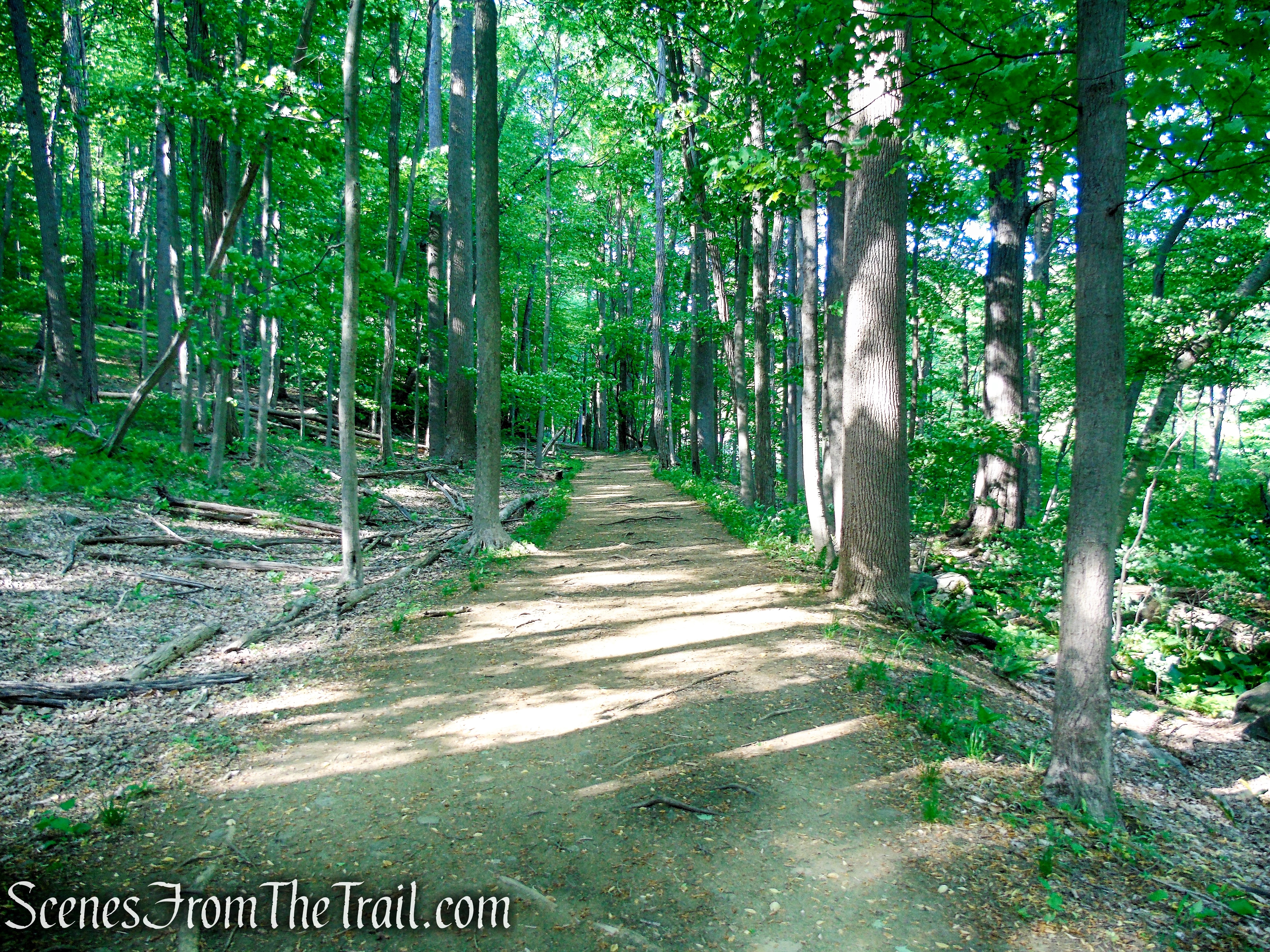
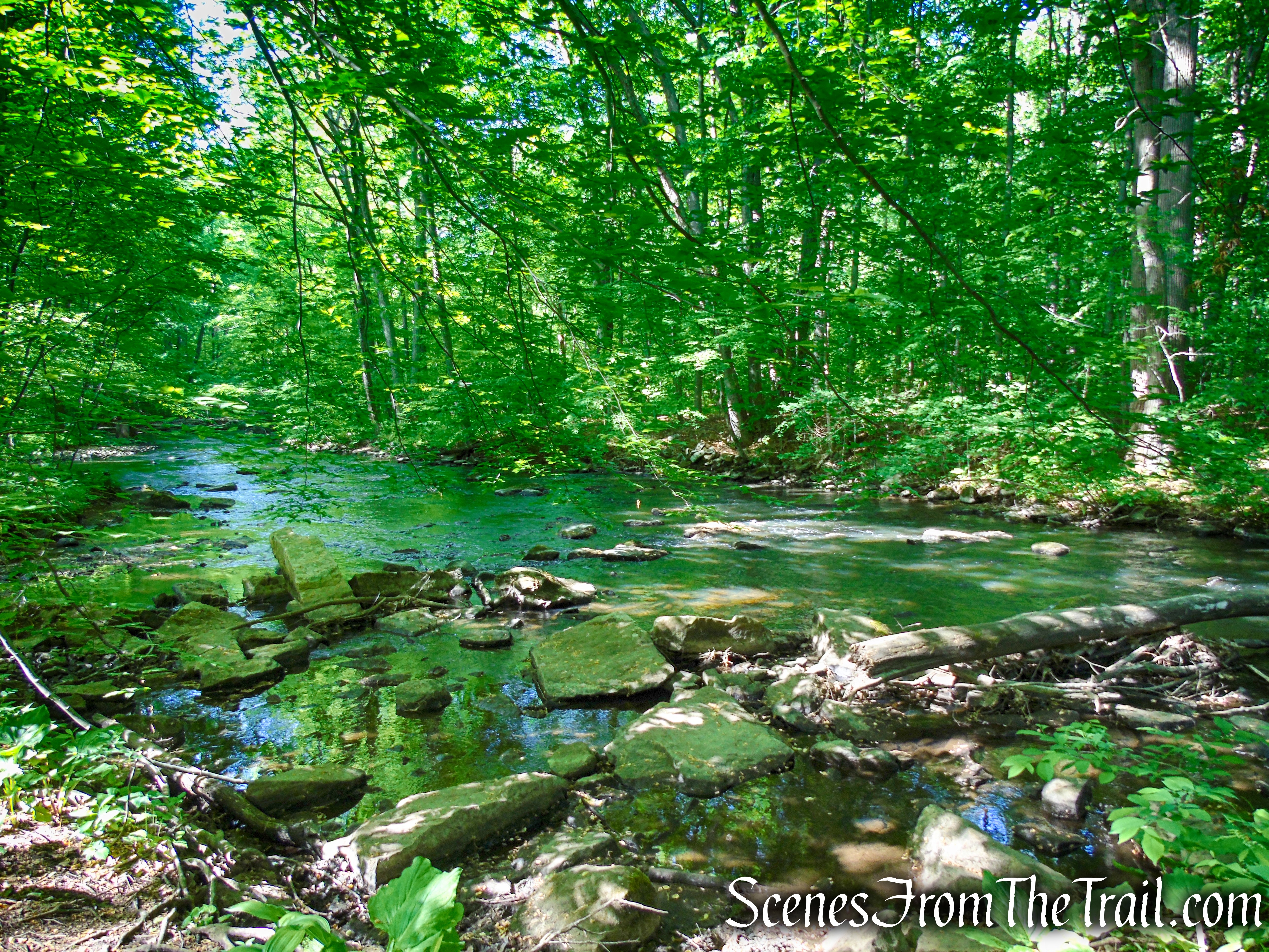
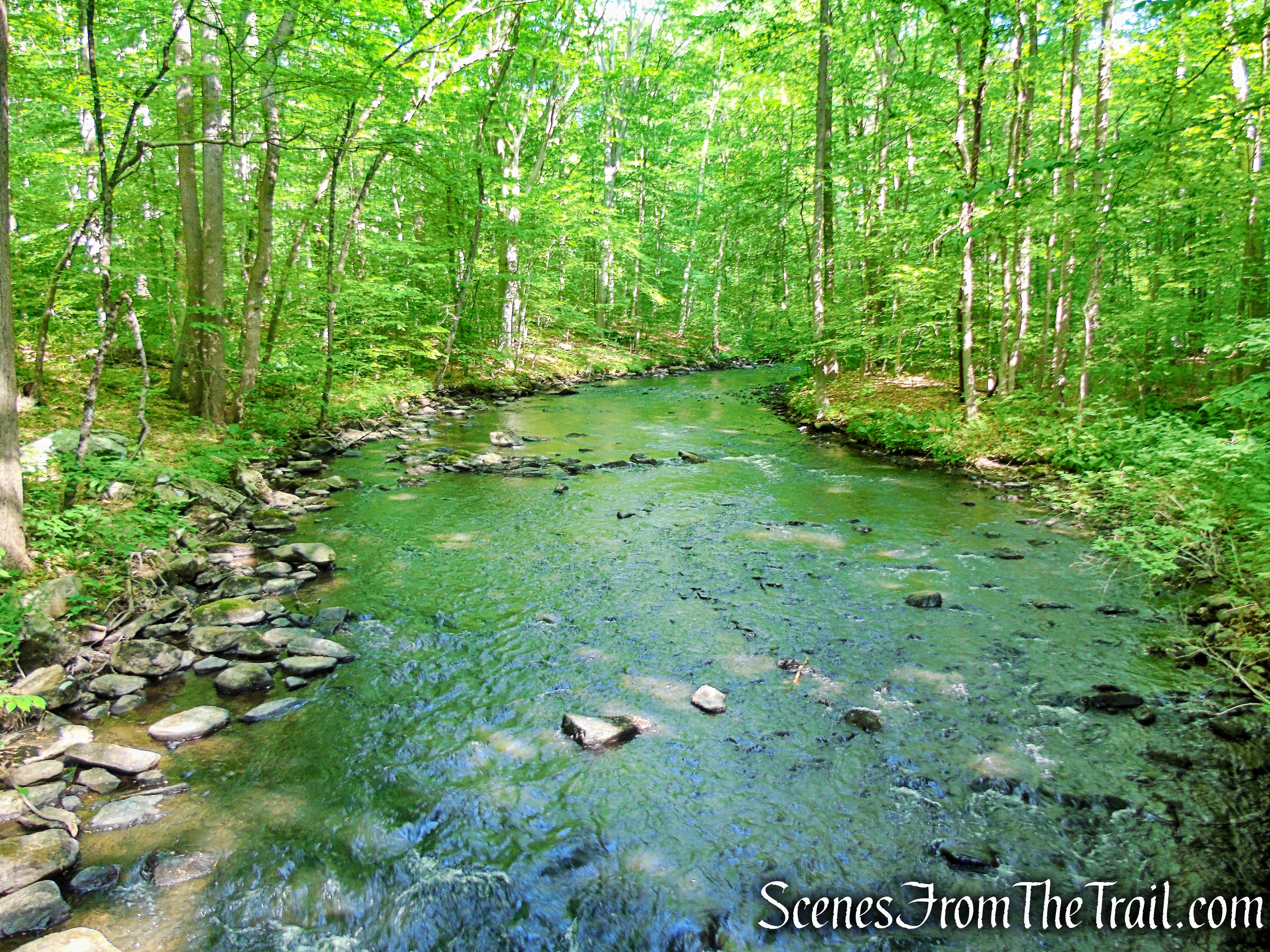
The section of the Patriots’ Path followed on this hike is a level and easy walk along the Black River as it runs on an old railroad bed for much of the route. There are exposed roots through much of the trail.
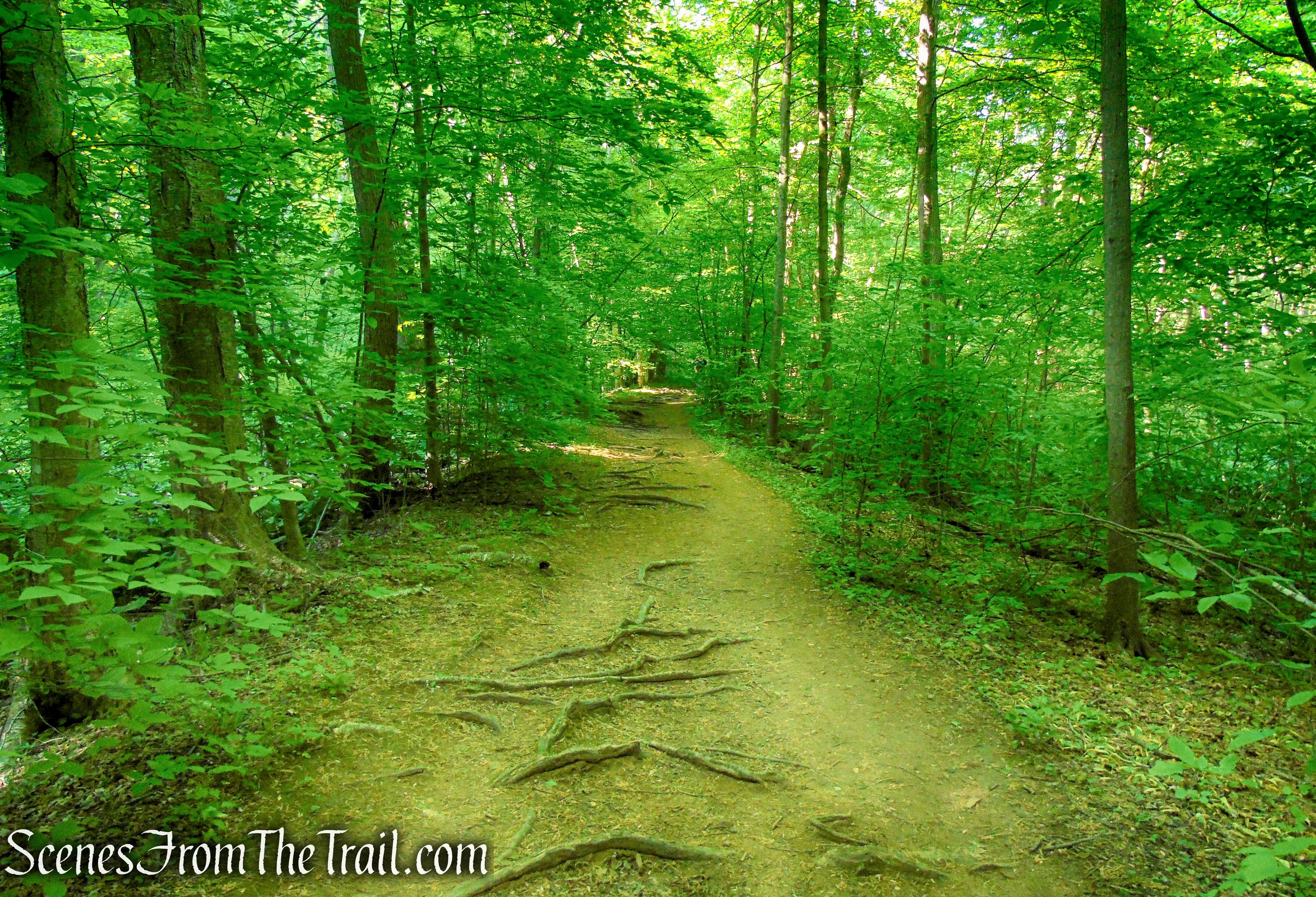
Patriots’ Path – Black River County Park
From Cooper Mill, the Patriots’ Path is coaligned with the Black River Trail as it heads south (downstream), passing where an old trestle of the Hacklebarney Mine Railroad spanned the river. The Patriots’ Path soon joins the railroad right-of-way, passing alongside Kay’s Pond, just below old mine areas on the slope to the left. Beyond the pond is the refurbished dam and the Hacklebarney mine site, which are chained off. The trail can be followed as far south to Willowwood Arboretum in Far Hills, NJ.
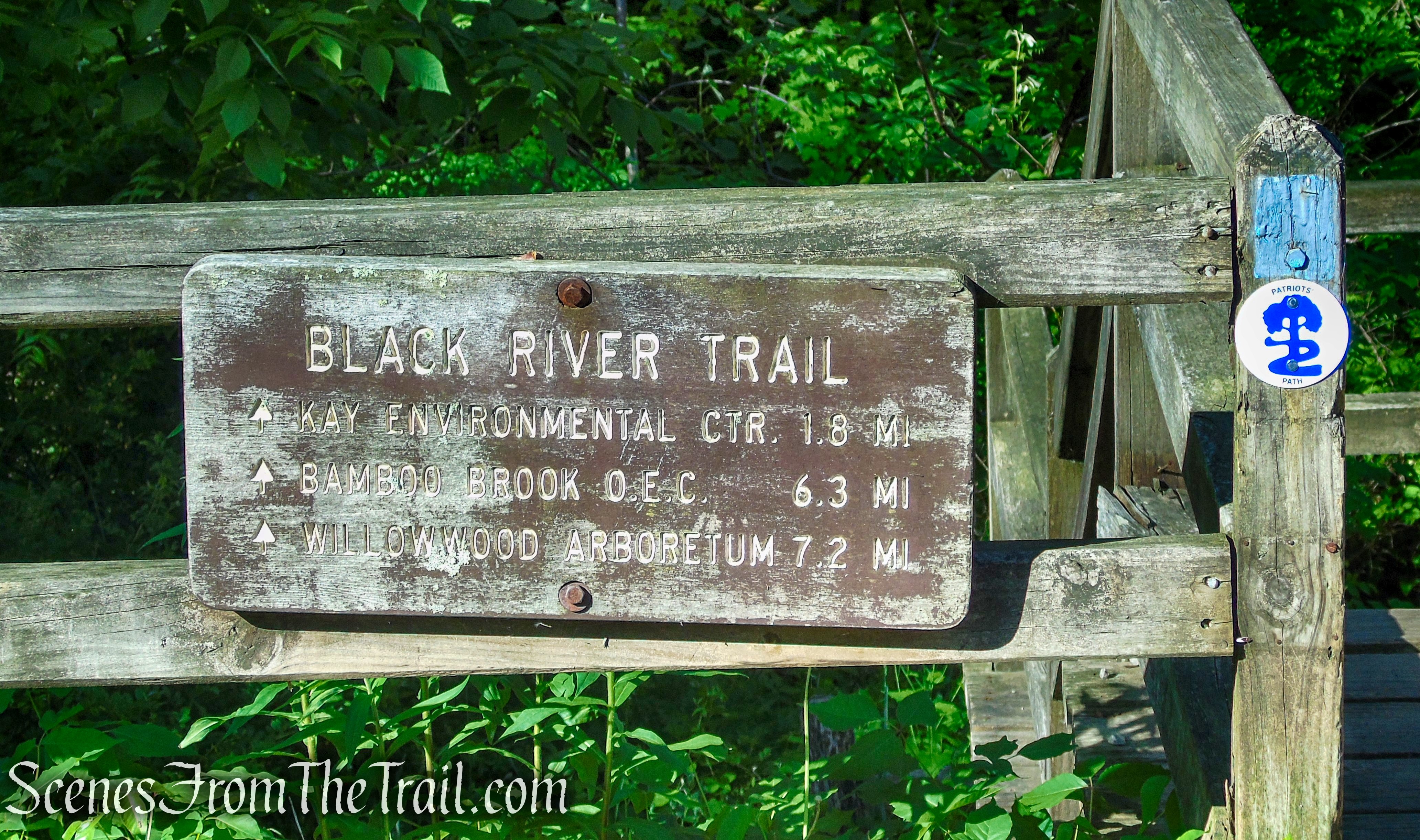
Patriots’ Path – Cooper Gristmill
Other Trails:
Orange Trail ~ Follows a woods road that provides access to Kay’s Cottage along the Black River. The trail crosses the Black River on a wooden bridge, climbs a little then descends to the river’s edge.
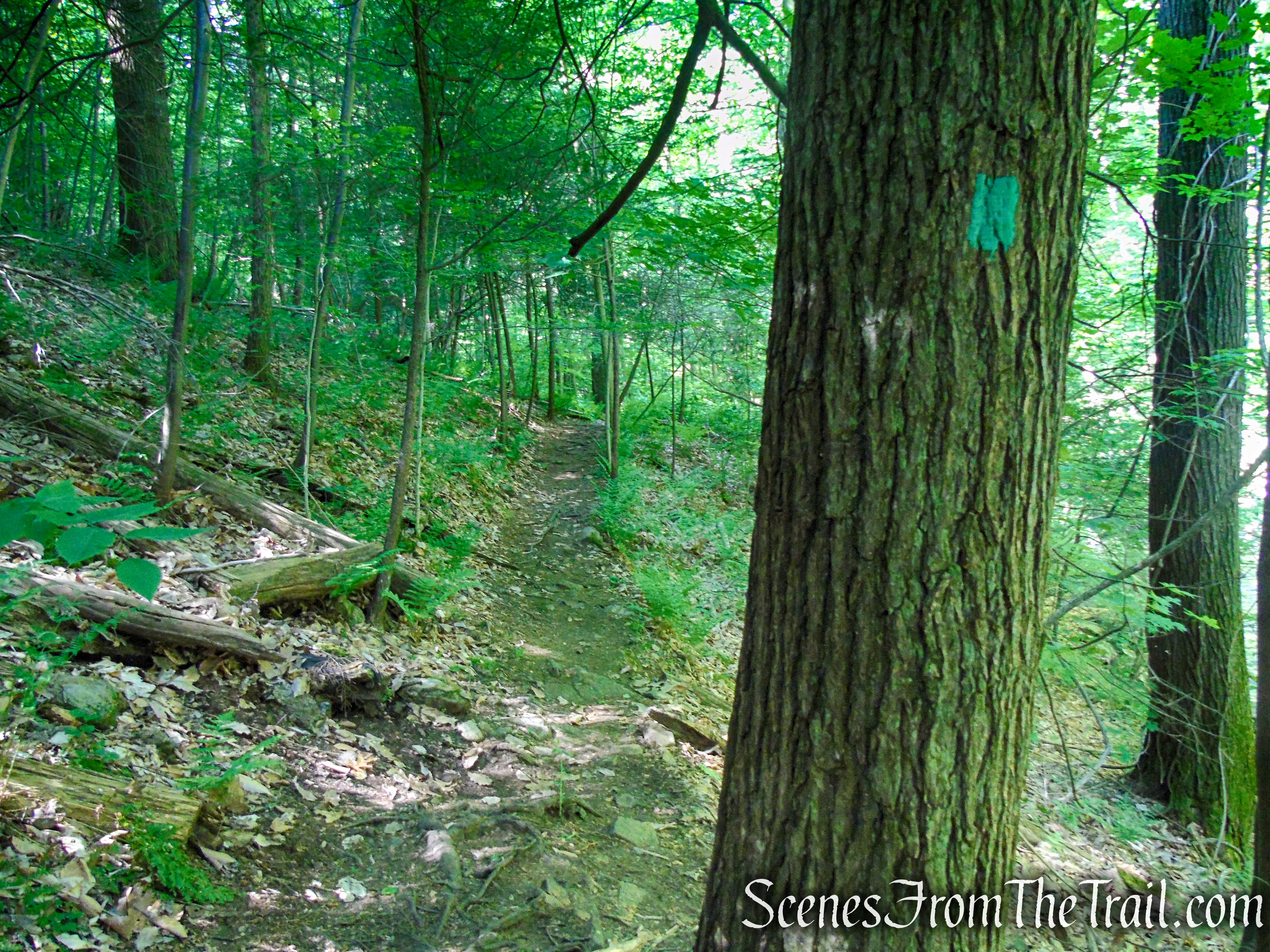
Green Trail ~ The section between the Patriots’ Path and the Orange Trail is a woods road and easy walking. South of the Orange Trail it becomes a bit more rugged as it turns into a narrow footpath that sidehills the steep slope above the east bank of the Black River. The trail is rocky in places, uneven with short steep elevation changes and is poorly marked with numerous blow downs.
Red Trail ~ Follows a woods road just above the the Green Trail as it heads north. It eventually leaves the woods road and continues on a footpath. It ends at a junction with the Orange Trail.
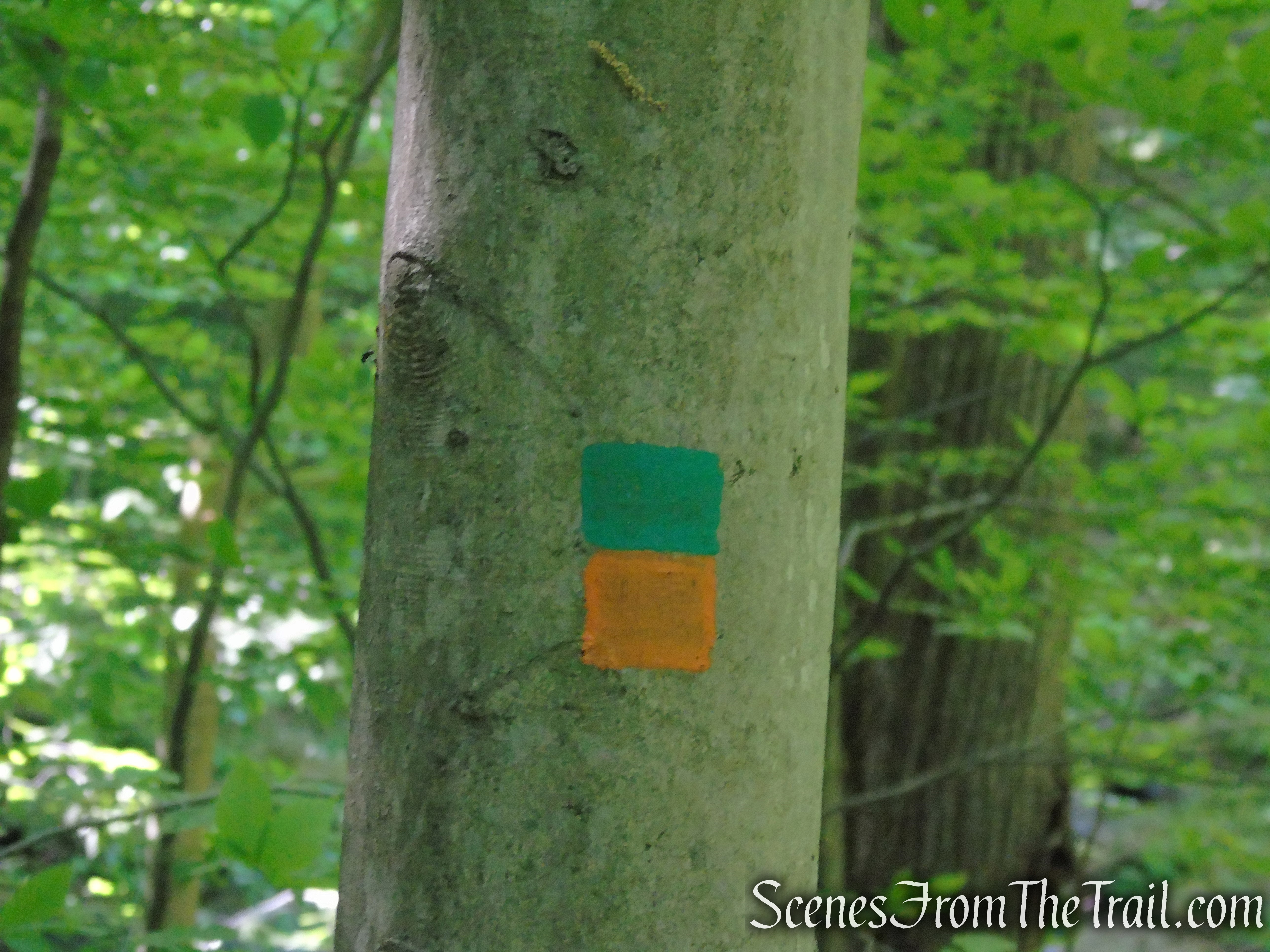
Connector Trails ~ There are several short connector trails that are used on this hike. They are blazed with the two colors of the trails that they connect.
Hike Overview:
With high temperatures expected for the weekend, I was looking to do a hike with some shaded trails and water, while keeping the elevation gain to a minimum. This turned out to be the perfect hike for a hot and humid day. Not only were all of the trails that were hiked shaded, but the scenic landscape and the stone ruins kept it interesting as well. By getting an early start, we had the woods mostly to ourselves.
The parking lot on a Sunday at 8:40 am.
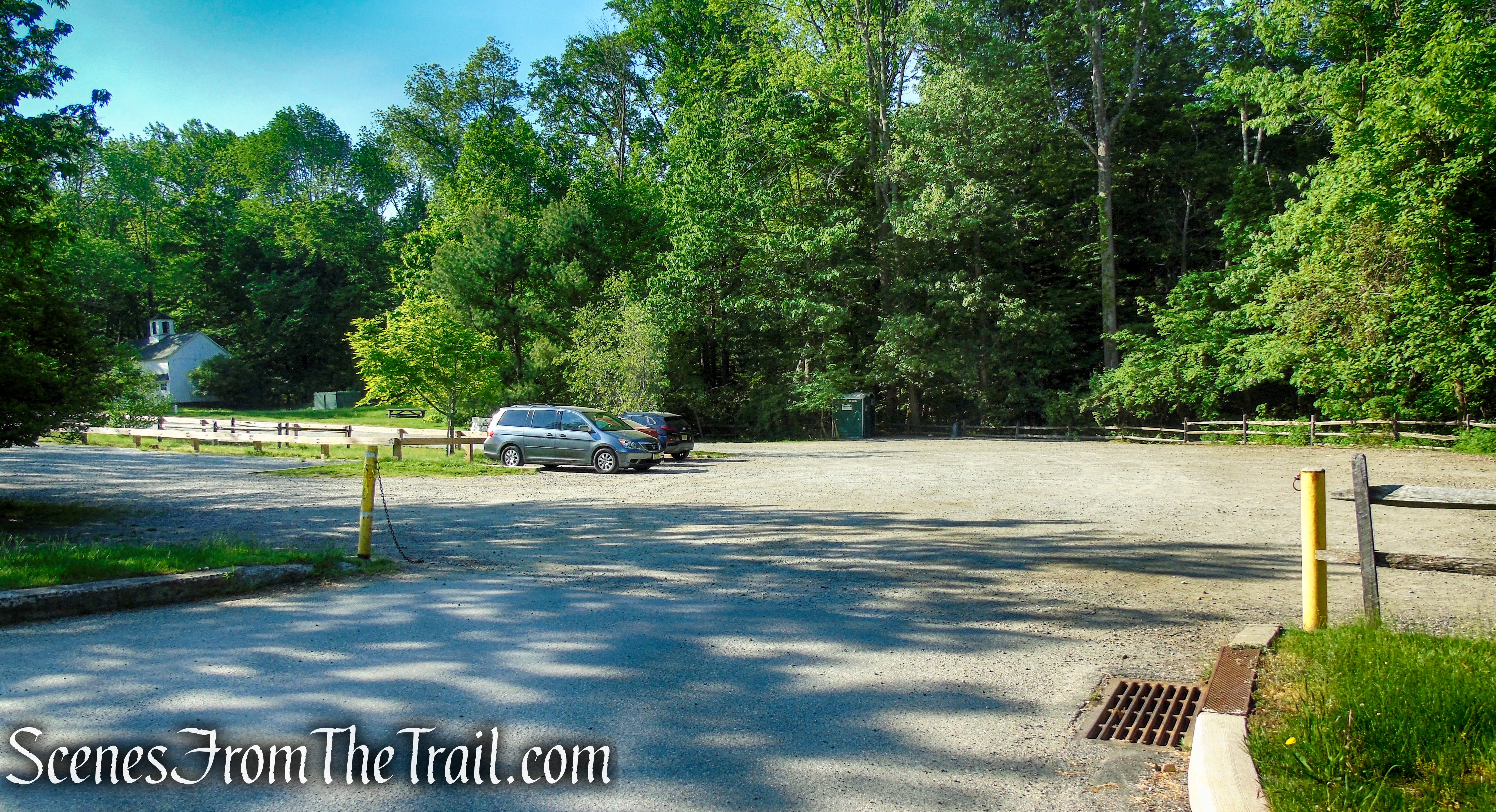
Cooper Gristmill – Black River County Park
By the time we returned to the parking lot at about 11:30 am, it was at or near capacity.
Cooper Gristmill – Black River County Park
The focal point of this hike is Kay’s Cottage and the surrounding area, but the rest of the hike was enjoyable as well. Even though this hike is on the lower spectrum of a moderate hike, sections of the Green and Red Trails gave it a more backwoods feel.
Kay’s Cottage Ruins from Cooper Gristmill

elevation profile – Kay’s Cottage
The Hike:
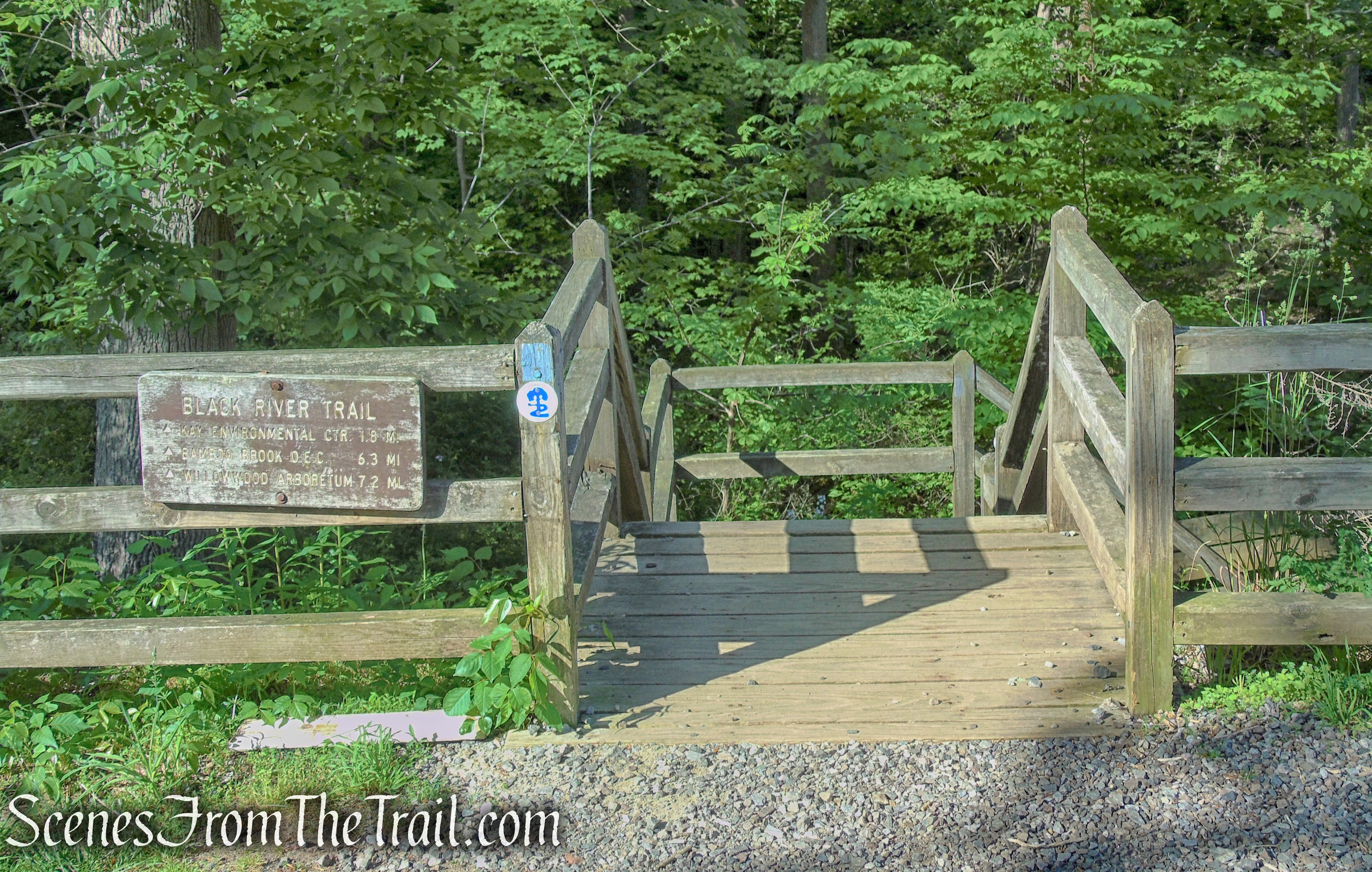
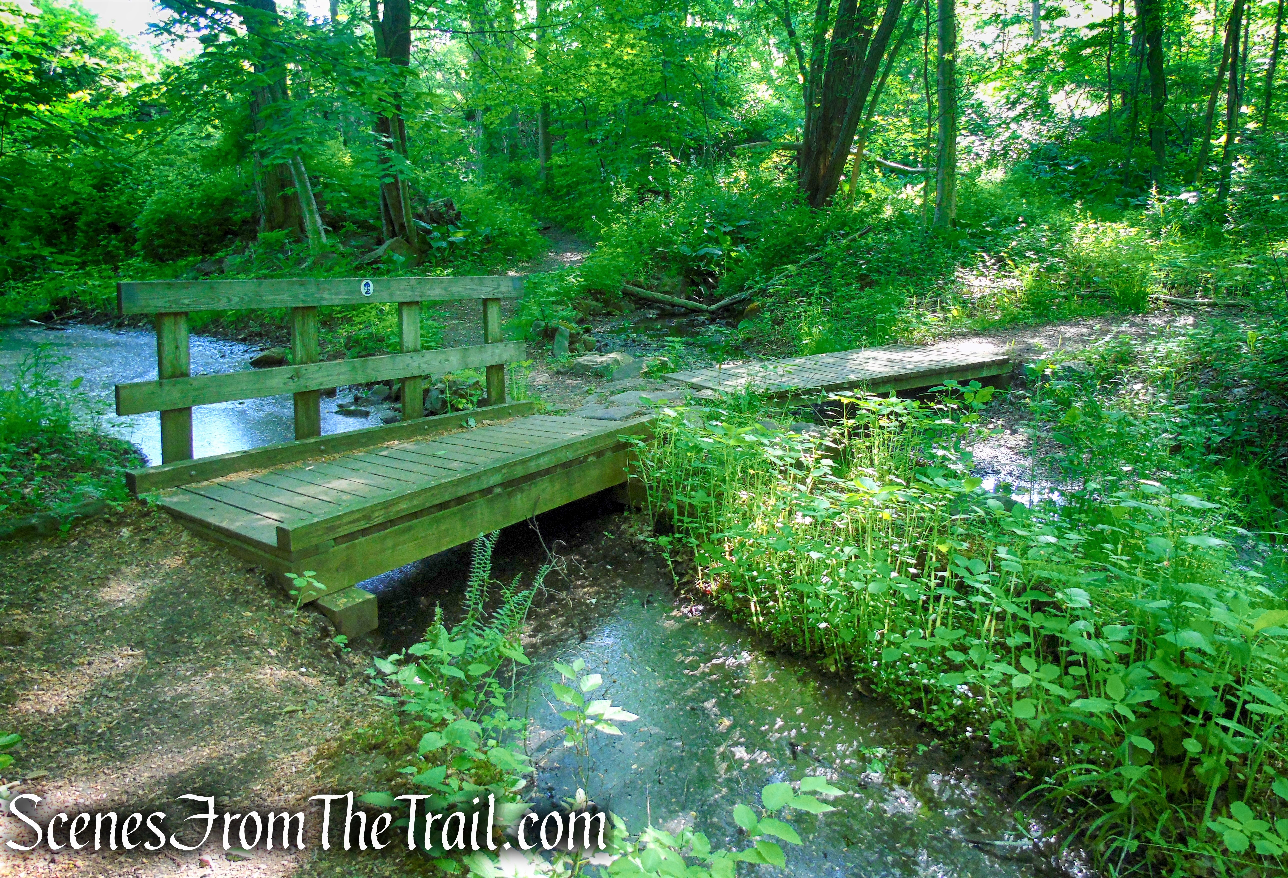
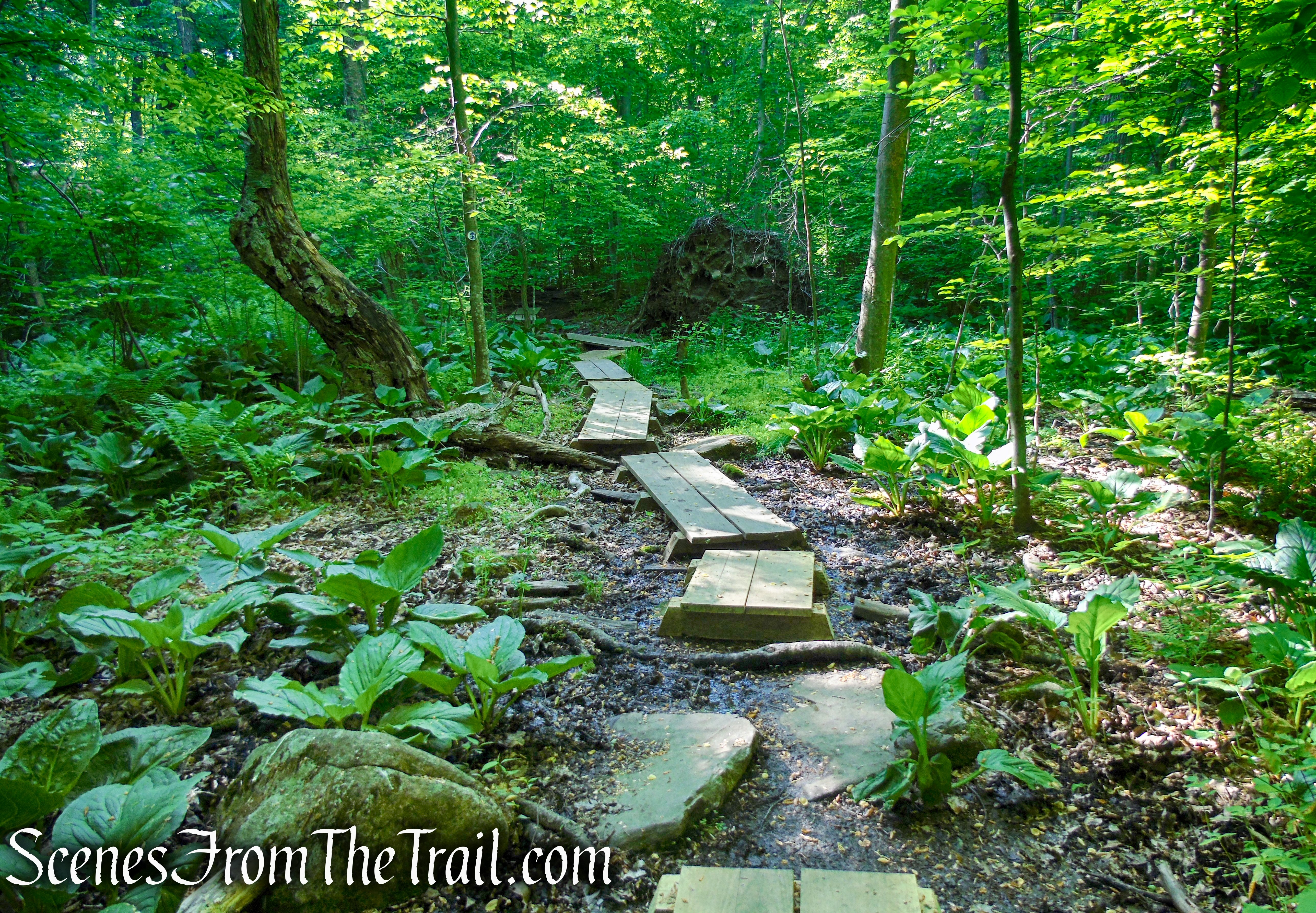
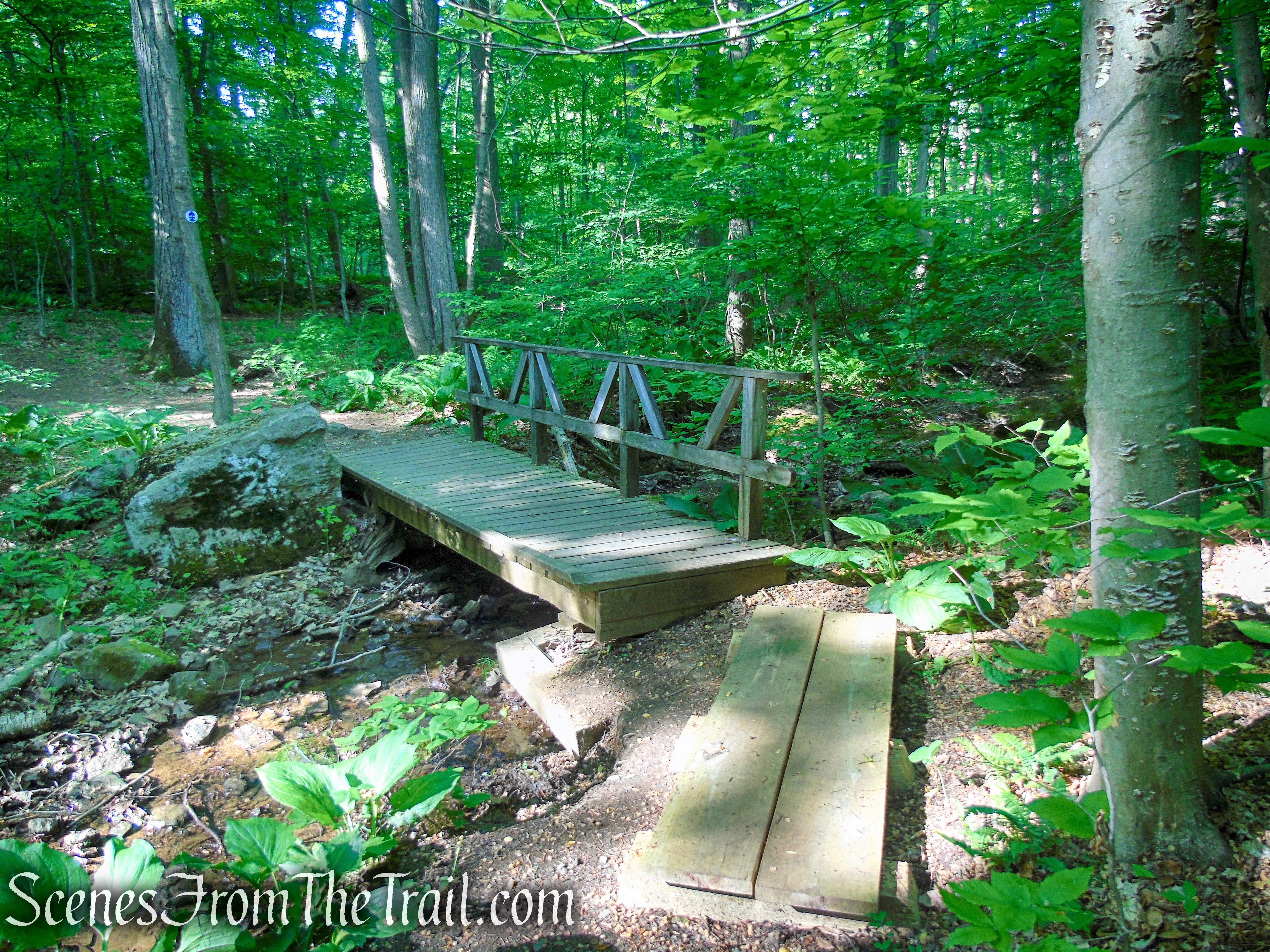
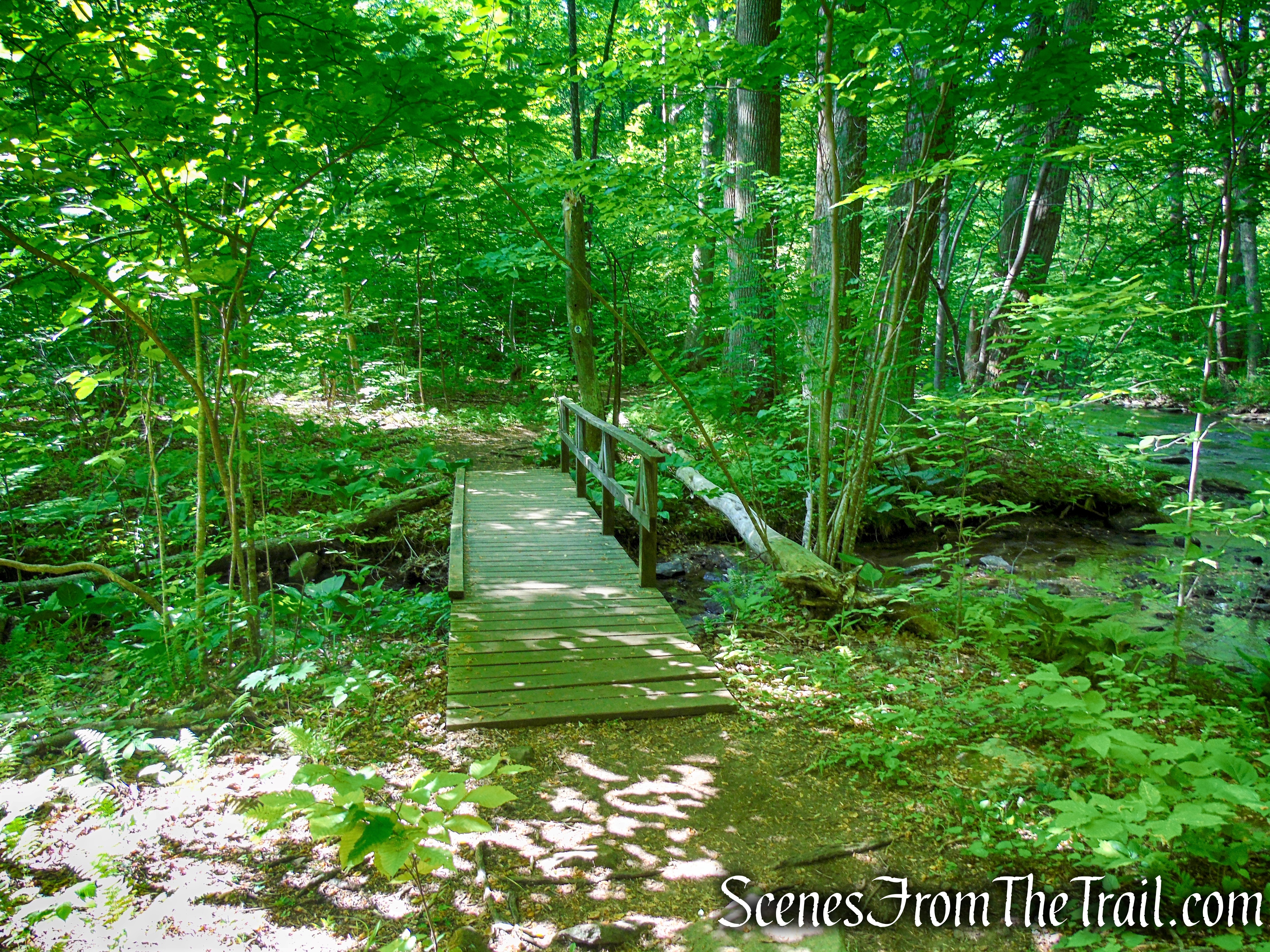
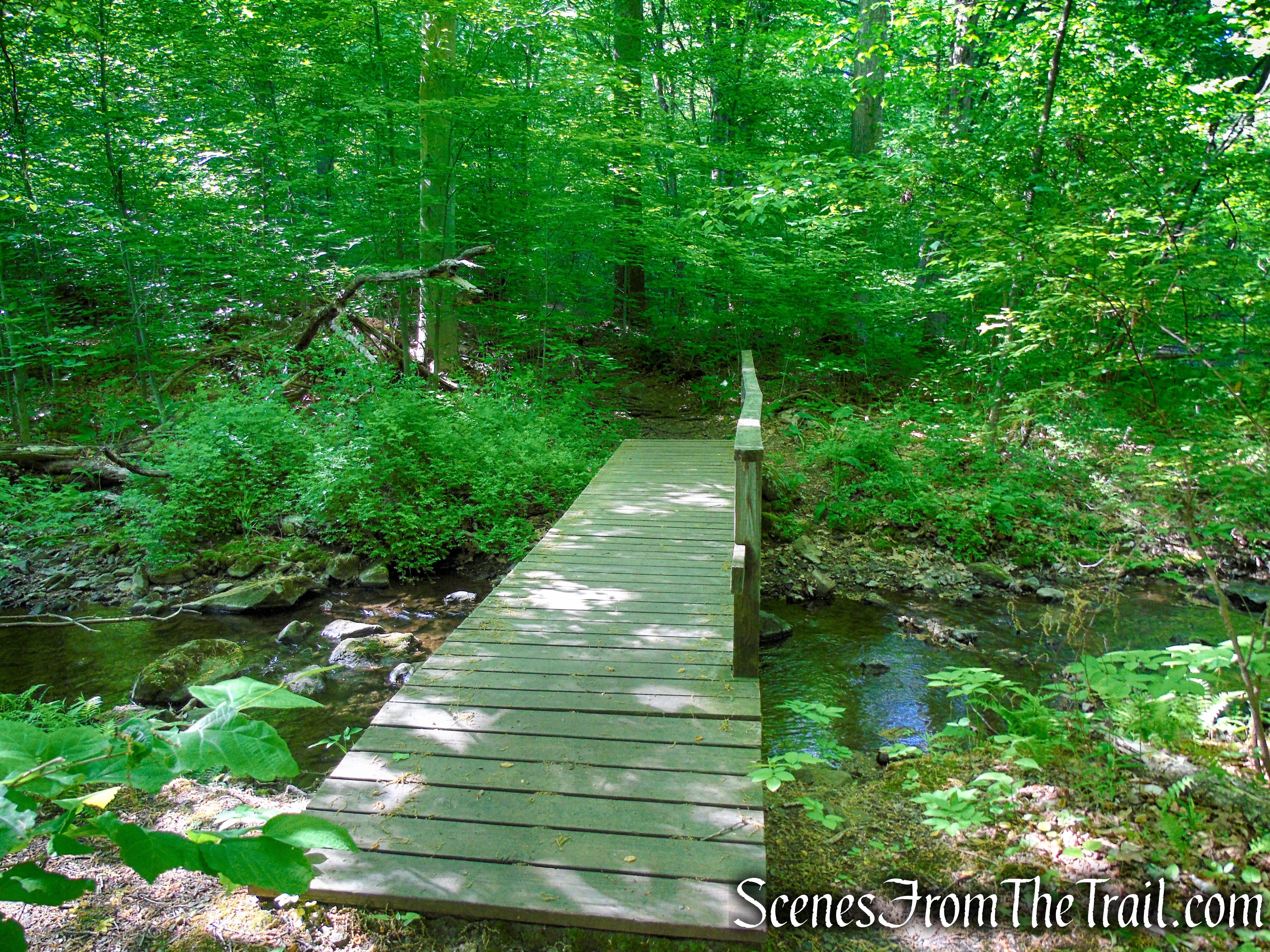
From the northwest corner of the parking area, proceed west to the stone Cooper Gristmill. The mill, built in 1826, is open for tours in the summer and on weekends in the spring and fall. Descend the stairs alongside the mill and head south on the blue-blazed spur of the Patriots’ Path (blazed with the path-and-tree logo), which crosses several tributary streams on wooden bridges and several wet areas on puncheons.
Cooper Gristmill
Cooper Gristmill
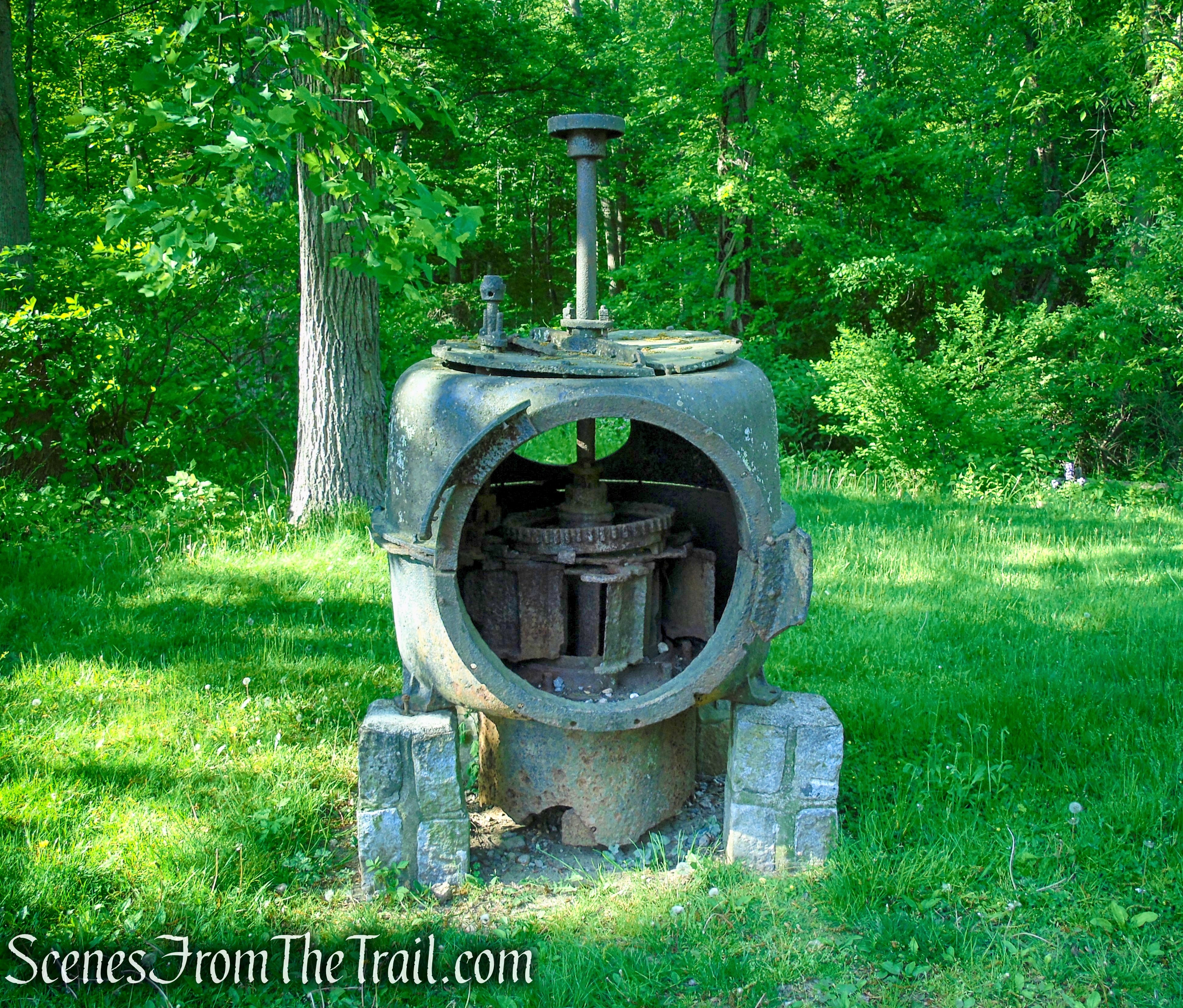
Bartley Turbine – Cooper Gristmill
Cooper Gristmill
Patriots’ Path – Cooper Gristmill
Patriots’ Path – Cooper Gristmill
Cooper Gristmill
Patriots’ Path – Black River County Park
Patriots’ Path – Black River County Park
Patriots’ Path – Black River County Park
Patriots’ Path – Black River County Park
About a third of a mile from the start, the trail turns left onto an abandoned railroad grade – the former route of the Hacklebarney Branch of the Central Railroad of New Jersey, built in 1873 to carry iron ore from mines along the river and abandoned in 1900. The trail follows this railroad grade for the next mile. Although it was abandoned over a century ago, the right-of-way is in remarkably good condition.
Patriots’ Path – Black River County Park
Patriots’ Path – Black River County Park
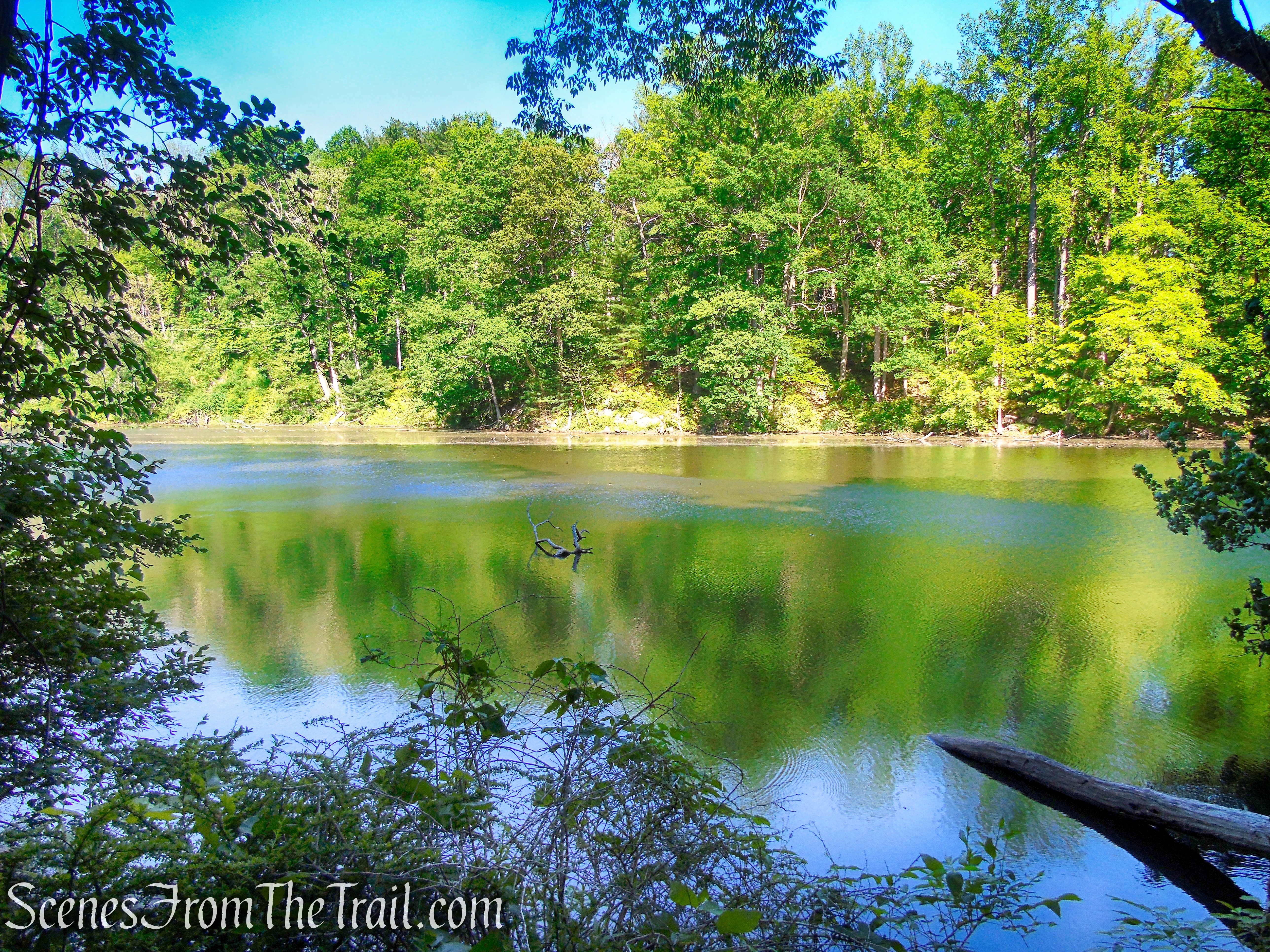
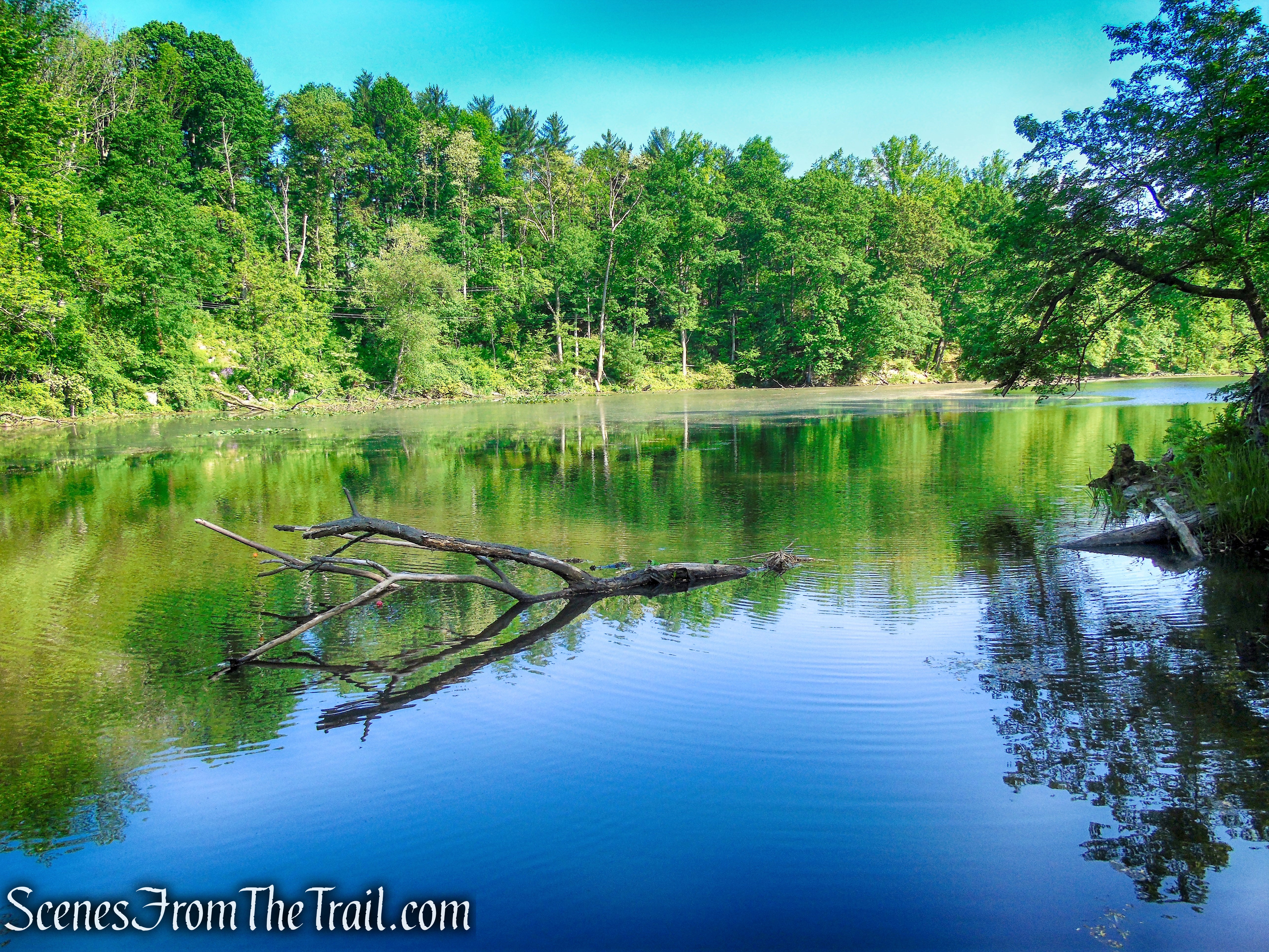
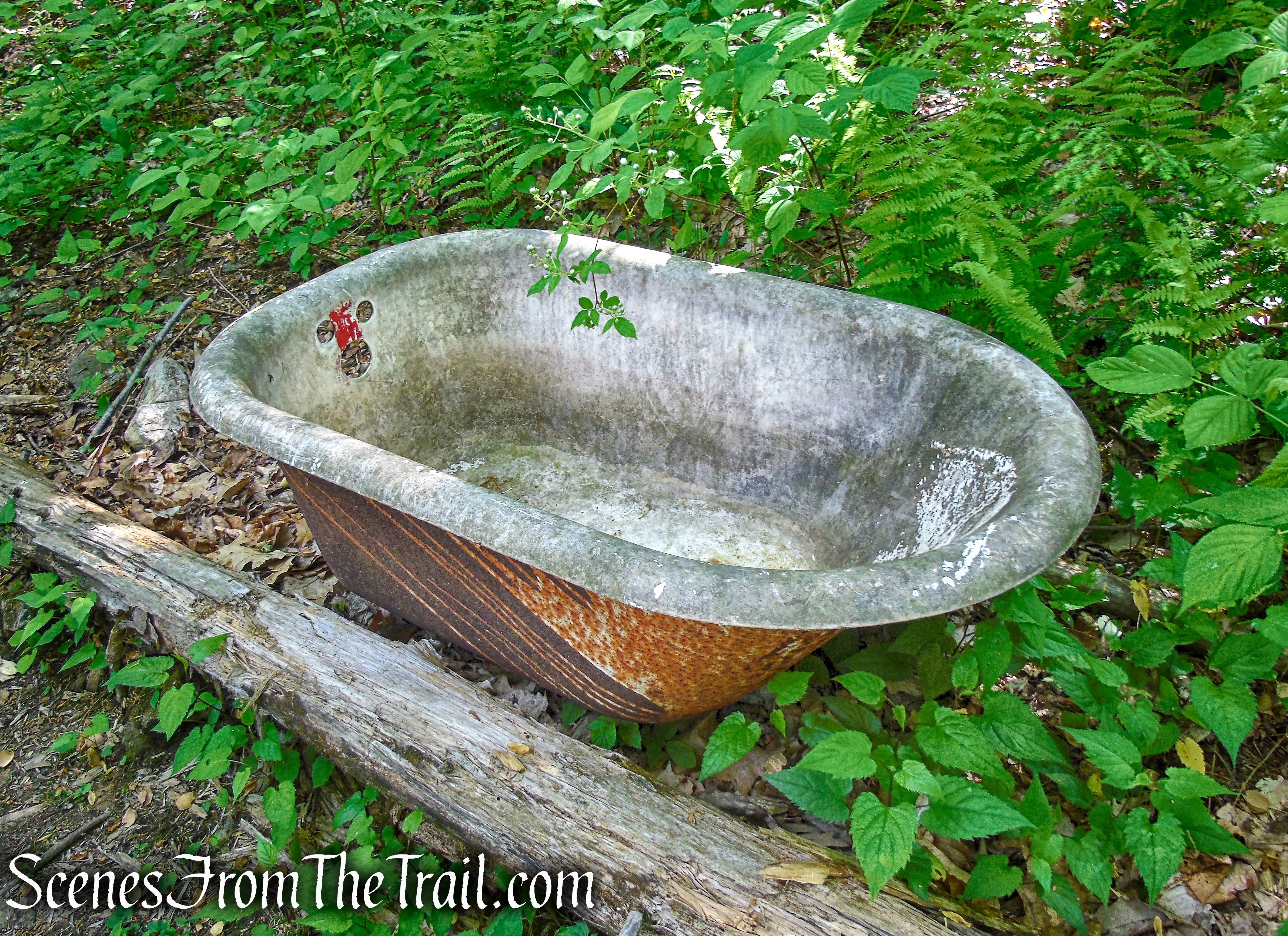
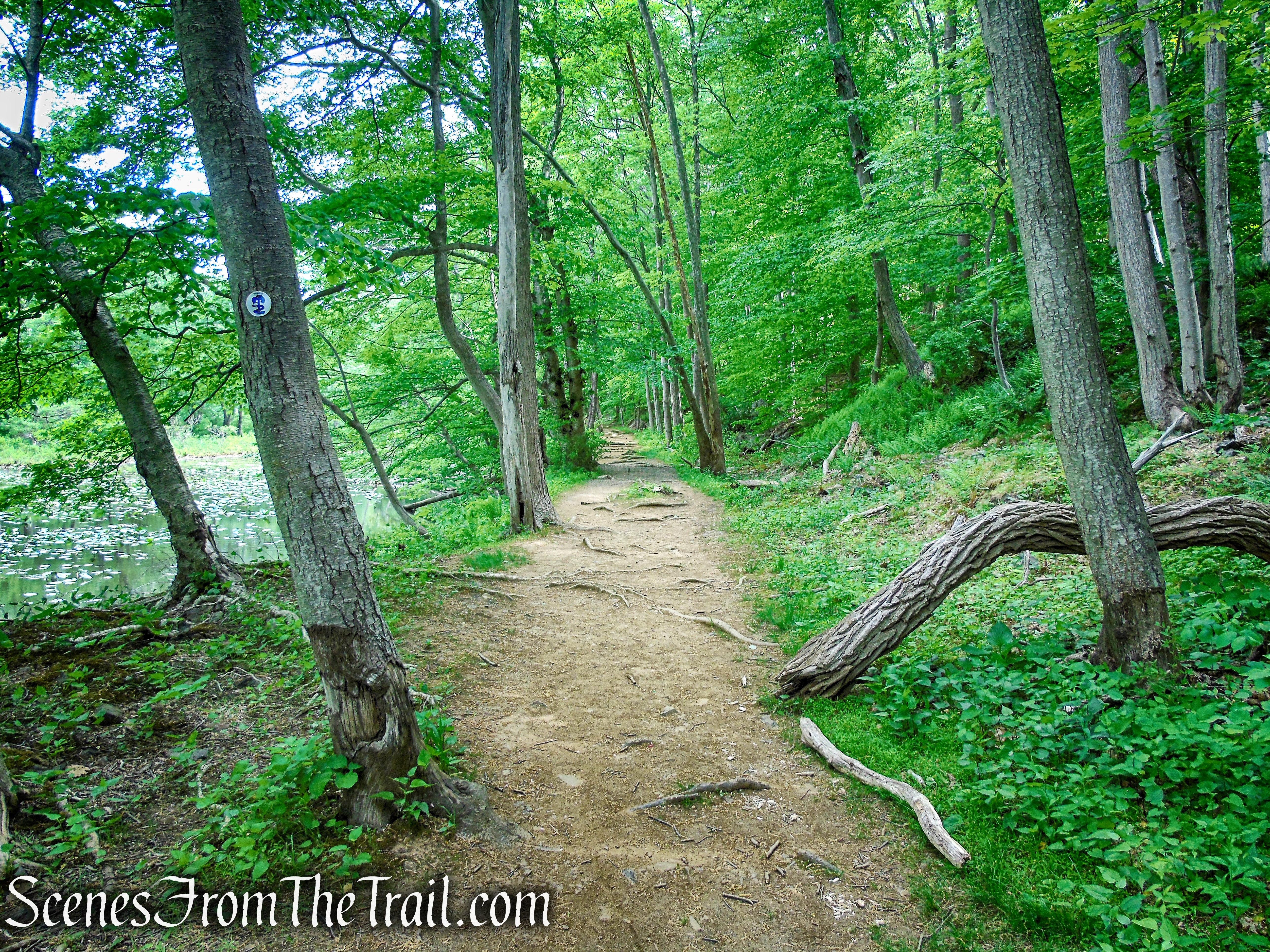
Half a mile from the start, you’ll pass Kay Pond (formerly known as Hacklebarney Pond) on the right. Here, the railroad had to be blasted through a rock cut, and the drill marks from the blasting may still be seen in the rock. The small building at the south end of Kay Pond was once used to store ice cut from the pond in the winter.
Patriots’ Path – Black River County Park
Patriots’ Path – Black River County Park
Patriots’ Path – Black River County Park

Patriots’ Path – Black River County Park
Patriots’ Path – Black River County Park
Patriots’ Path – Black River County Park
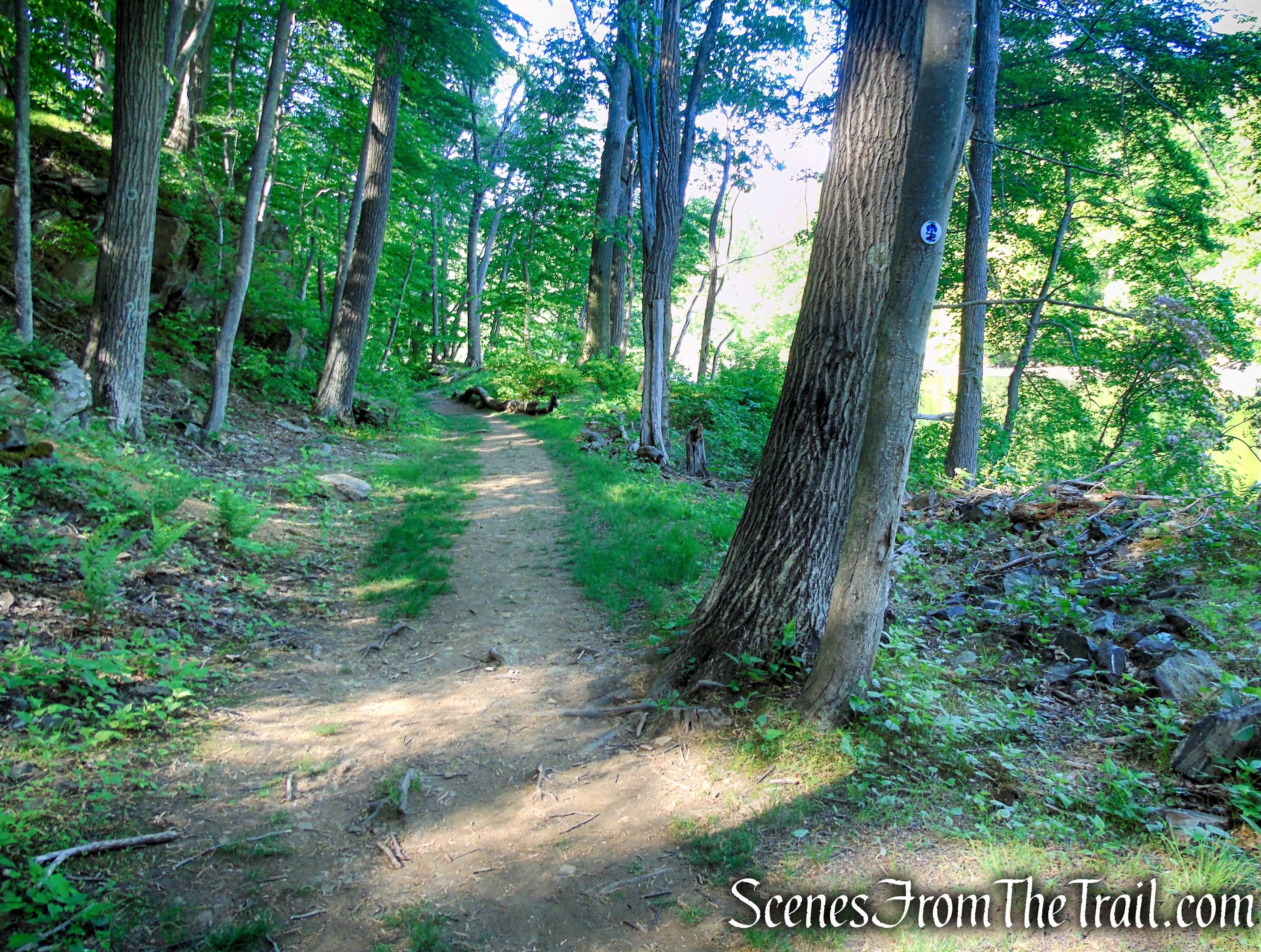
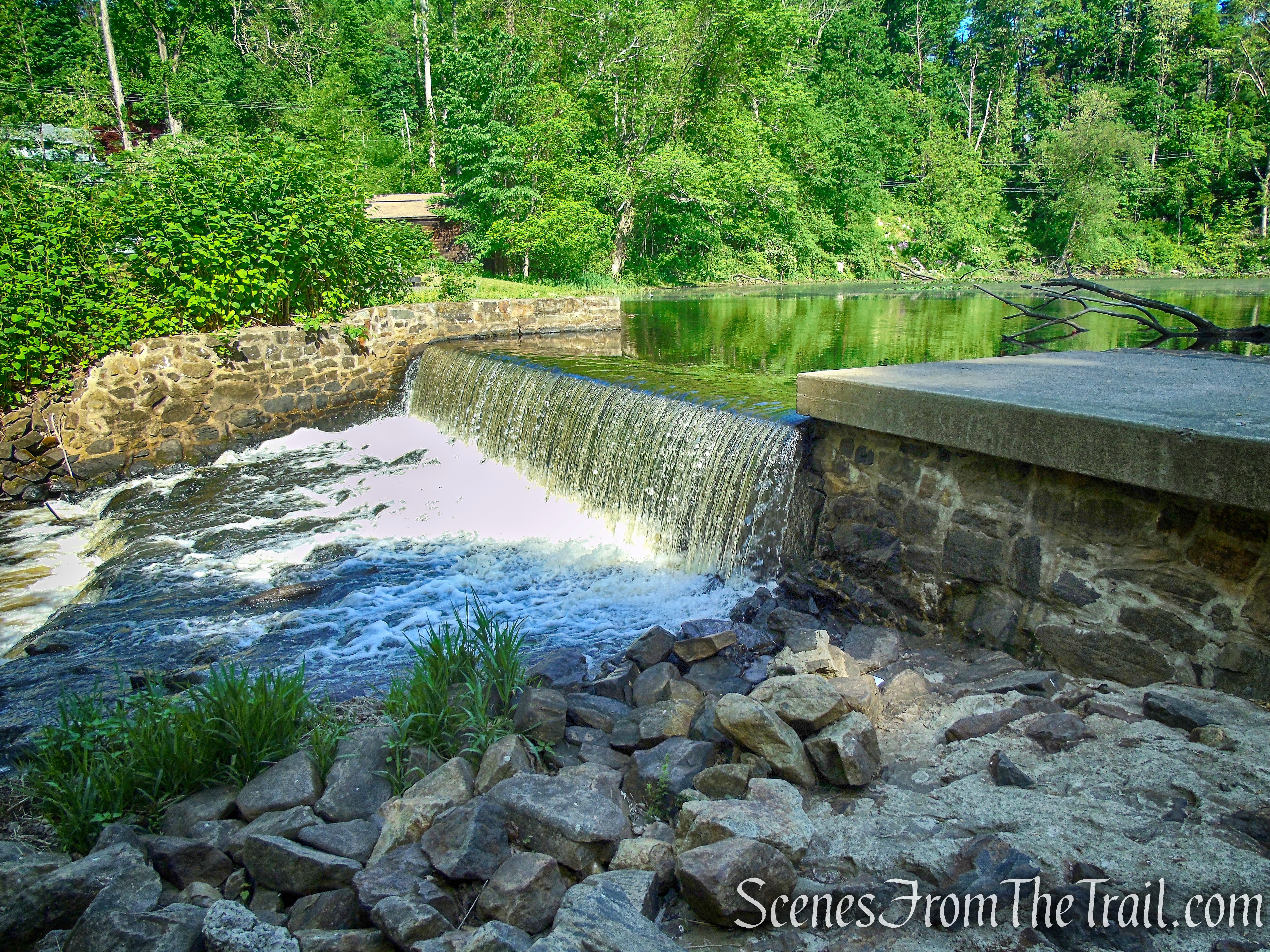
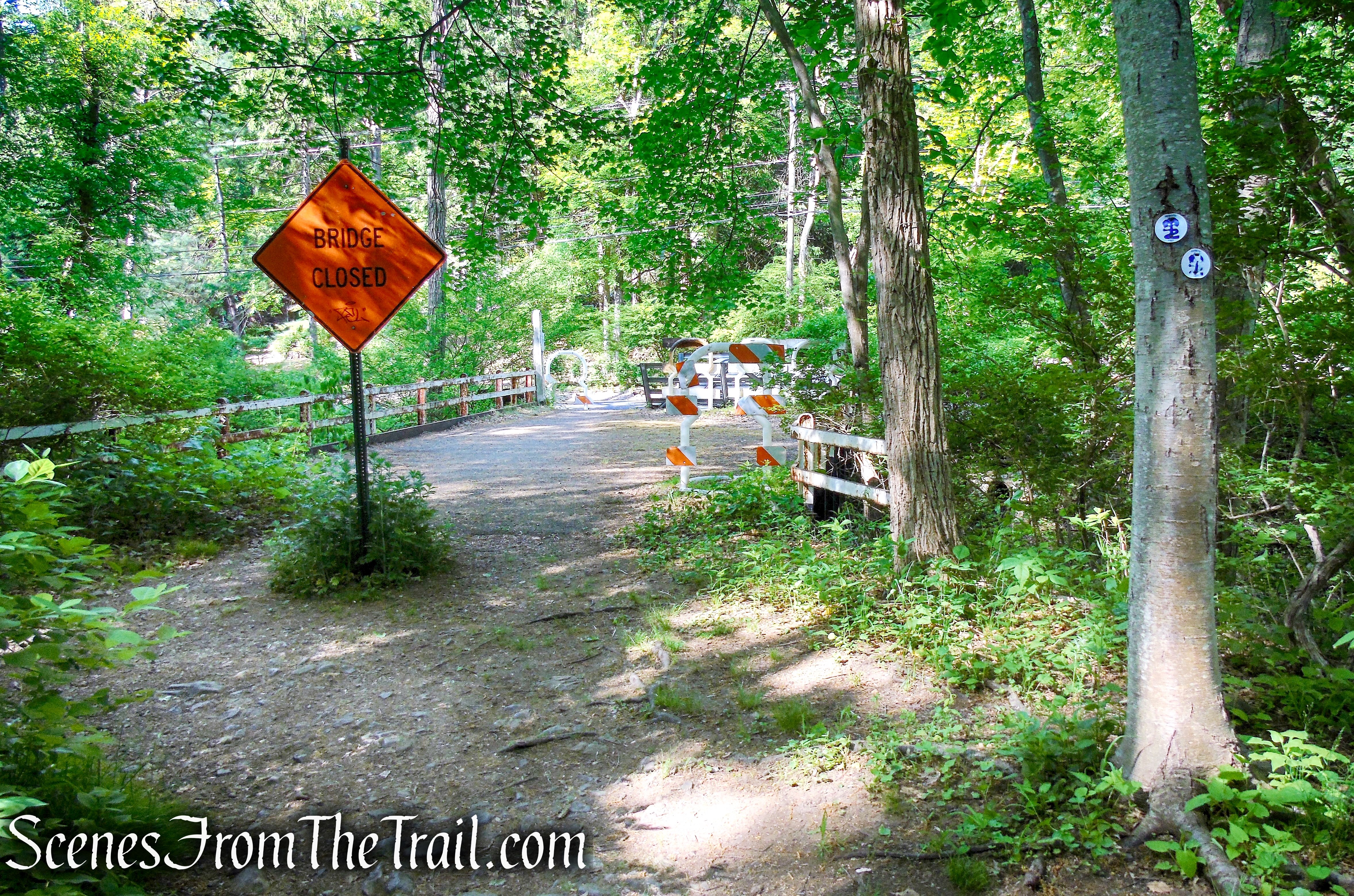
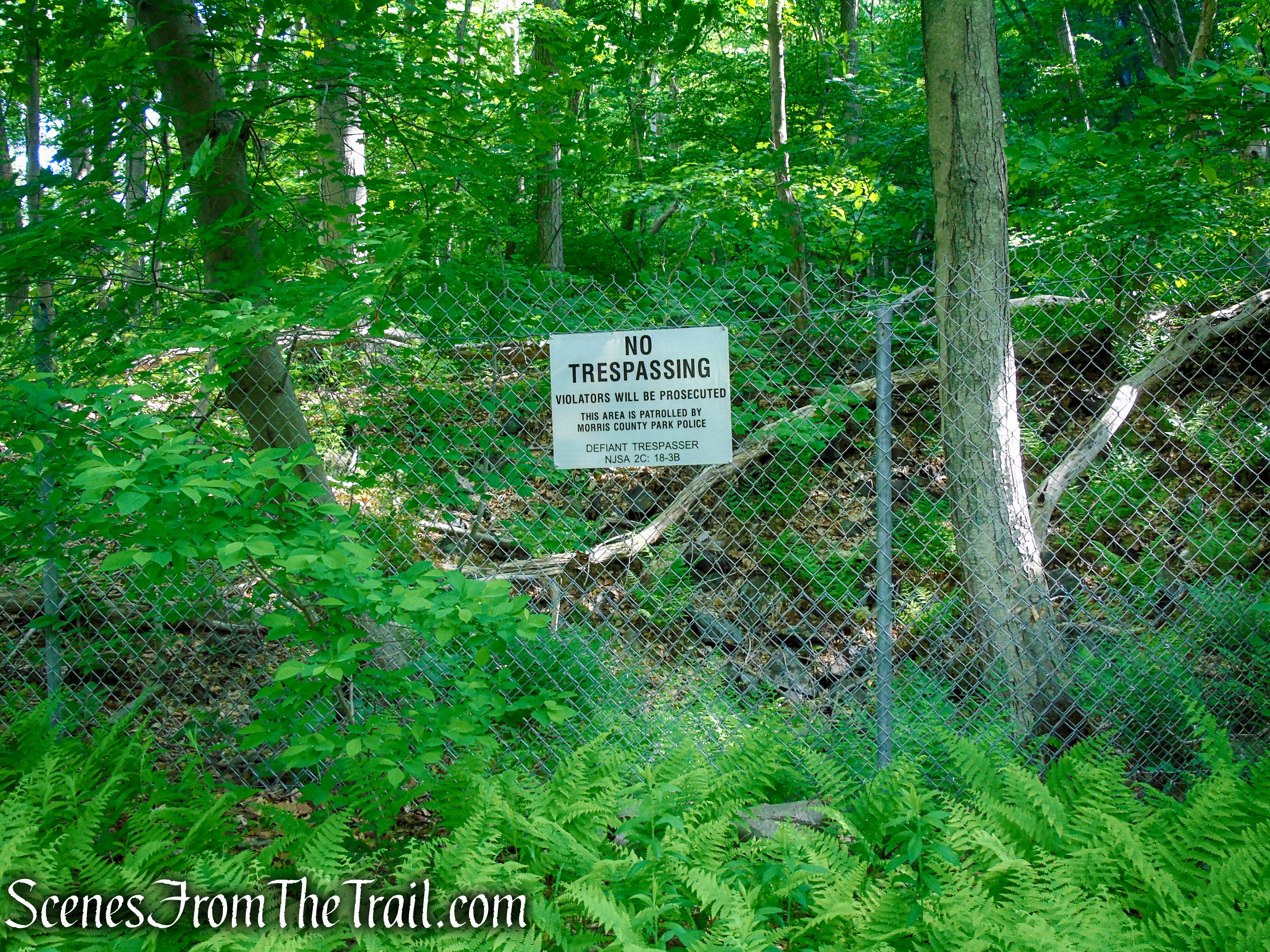
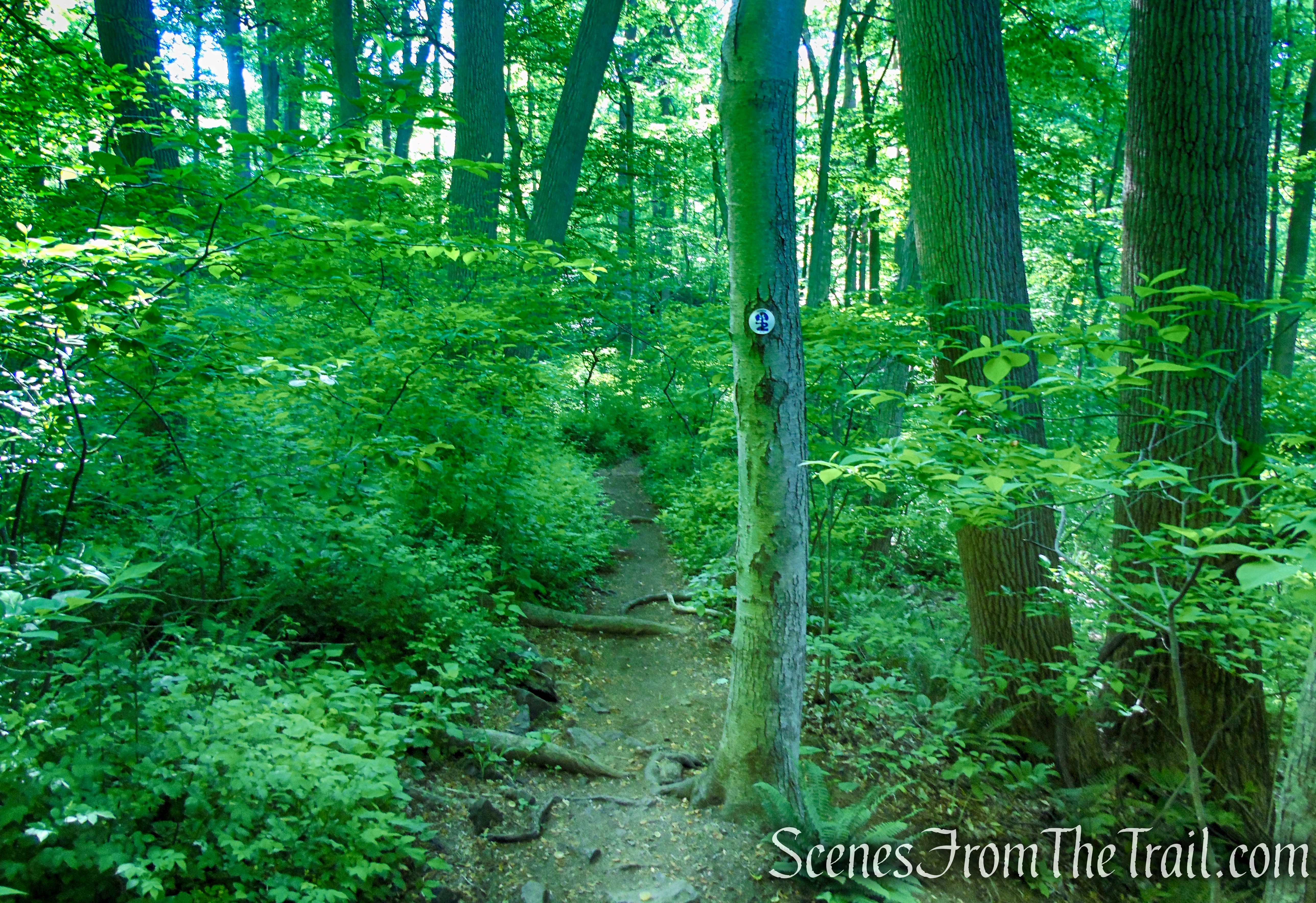
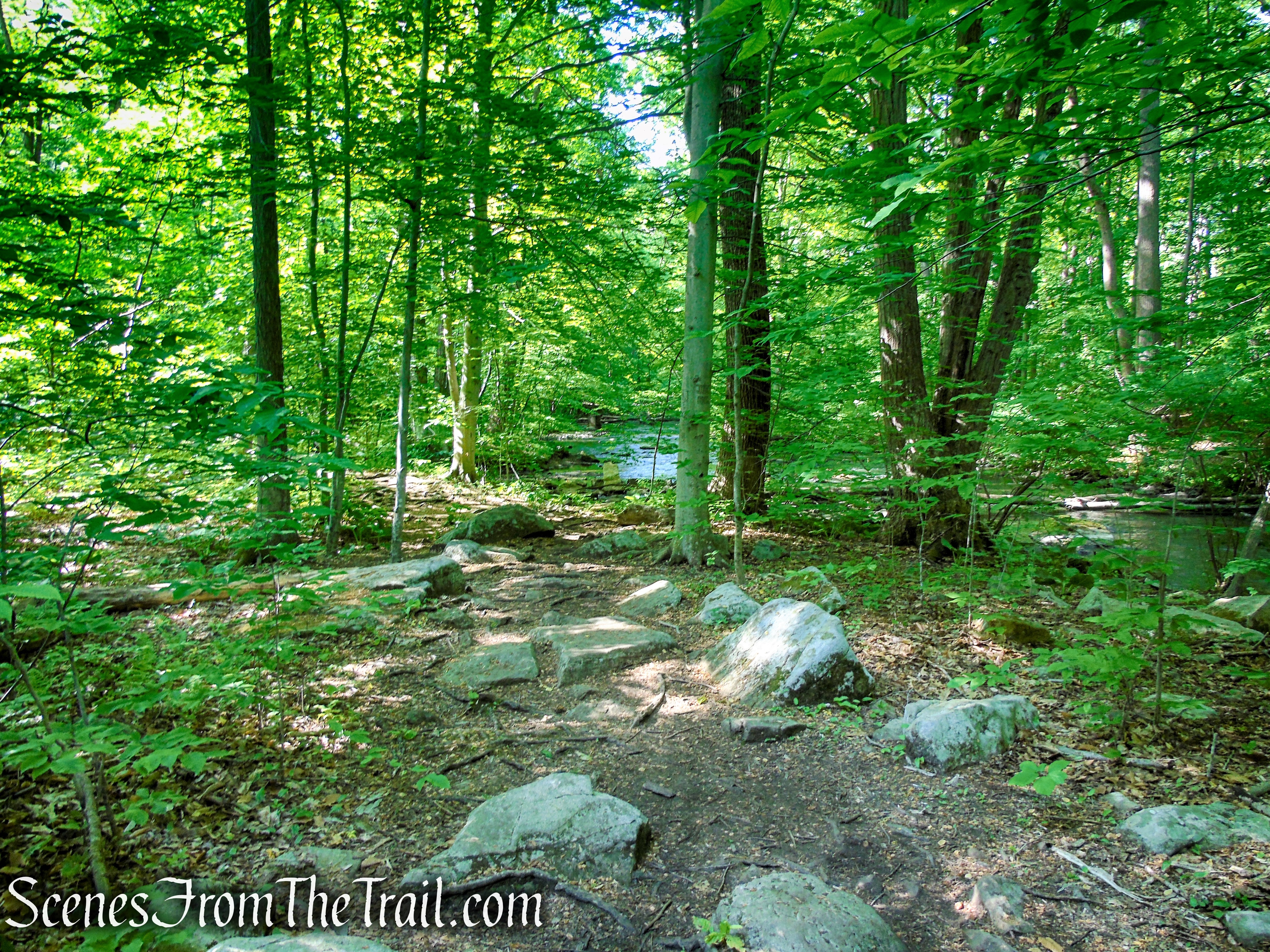
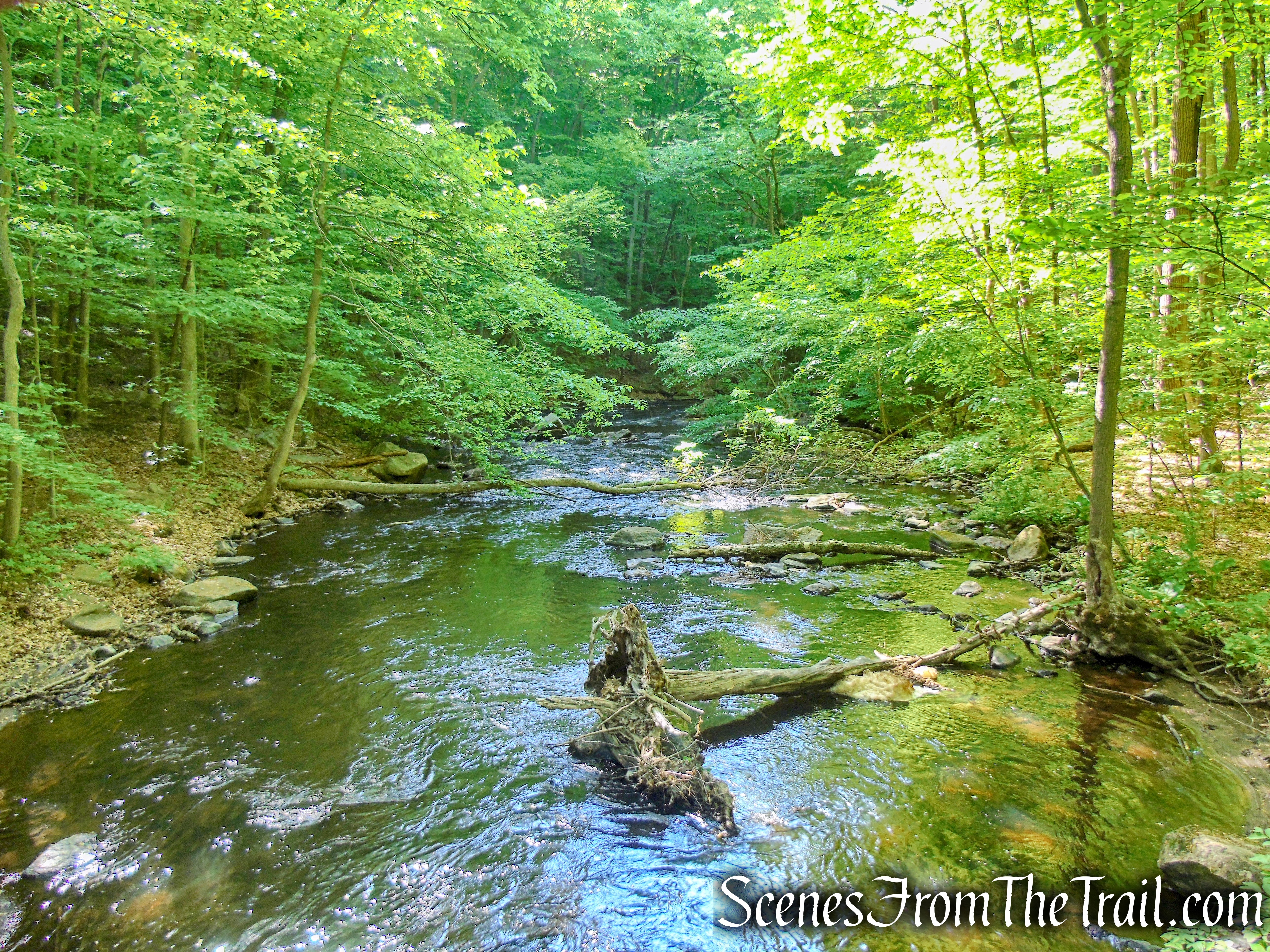
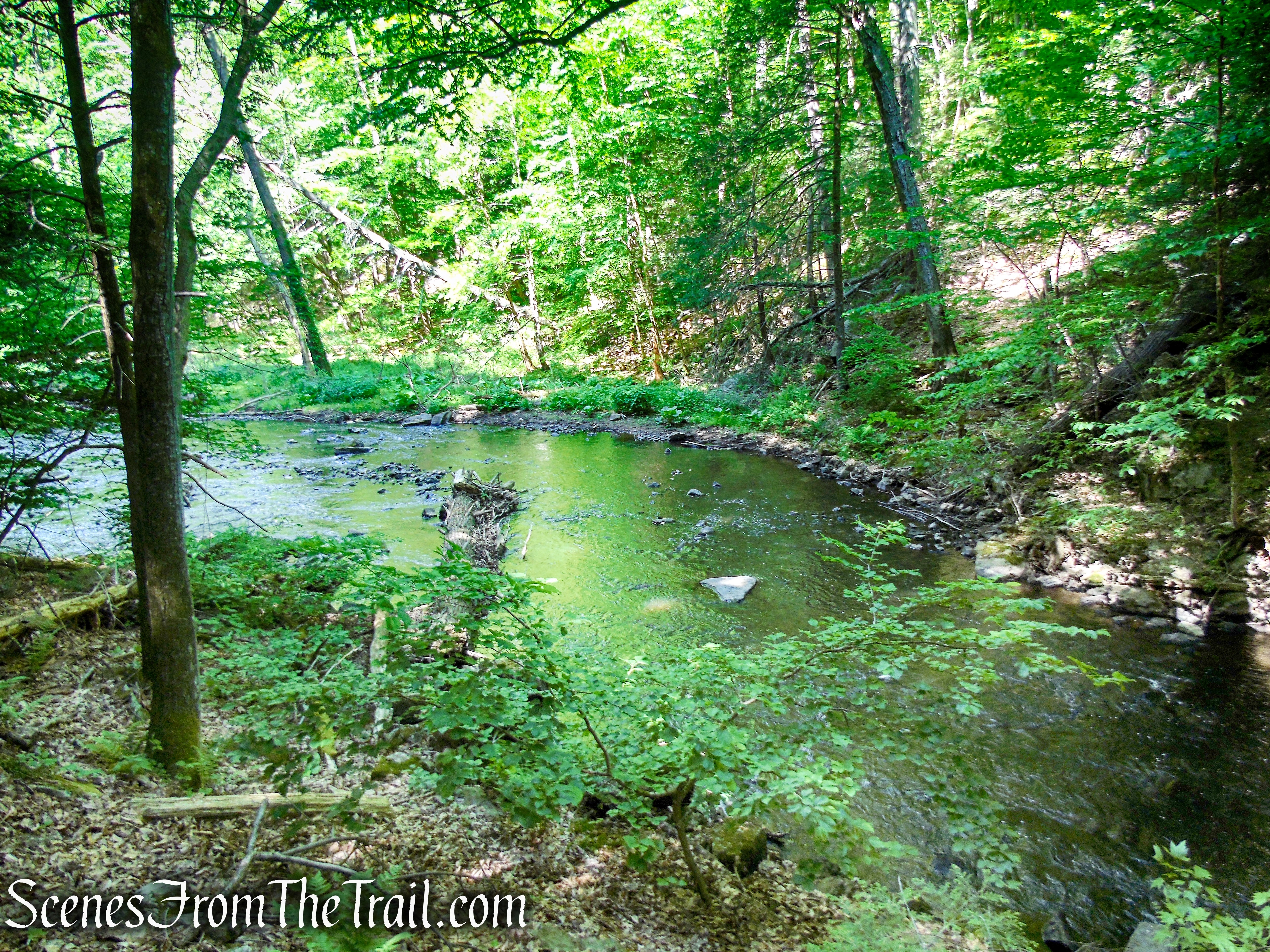
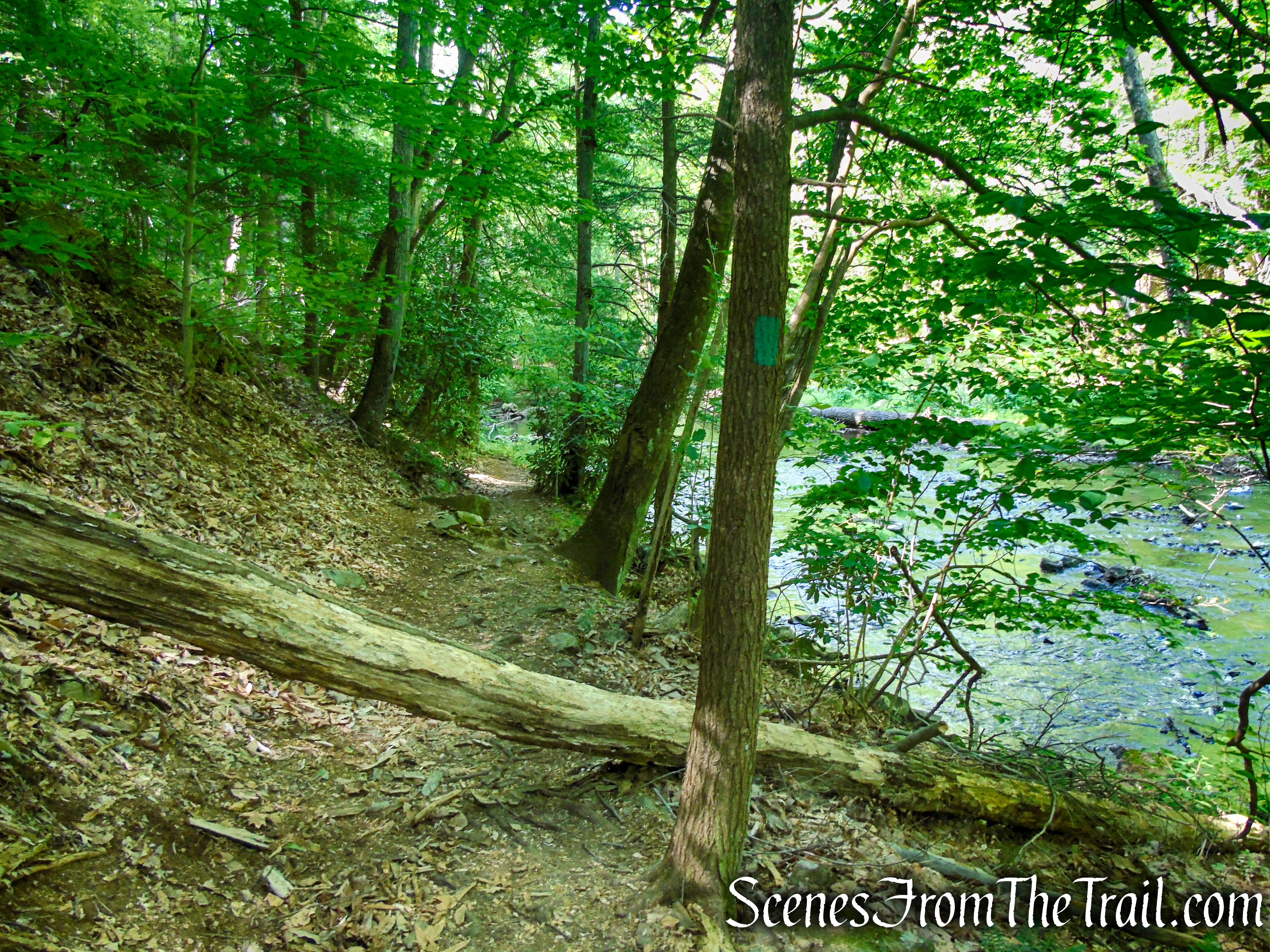
After passing the stone dam at the end of the pond, the trail goes by a bridge over the Black River (closed to vehicular traffic), turns left, and passes a fenced-in area on the left. This is the site of the former Hacklebarney Mine, where a considerable amount of iron ore was mined in the last quarter of the nineteenth century. The trail proceeds along the scenic river. Soon, the railroad grade ends and the trail continues on a slightly rougher footpath parallel to the river.
Patriots’ Path – Black River County Park
Patriots’ Path – Black River County Park
Patriots’ Path – Black River County Park
Patriots’ Path – Black River County Park
Patriots’ Path – Black River County Park
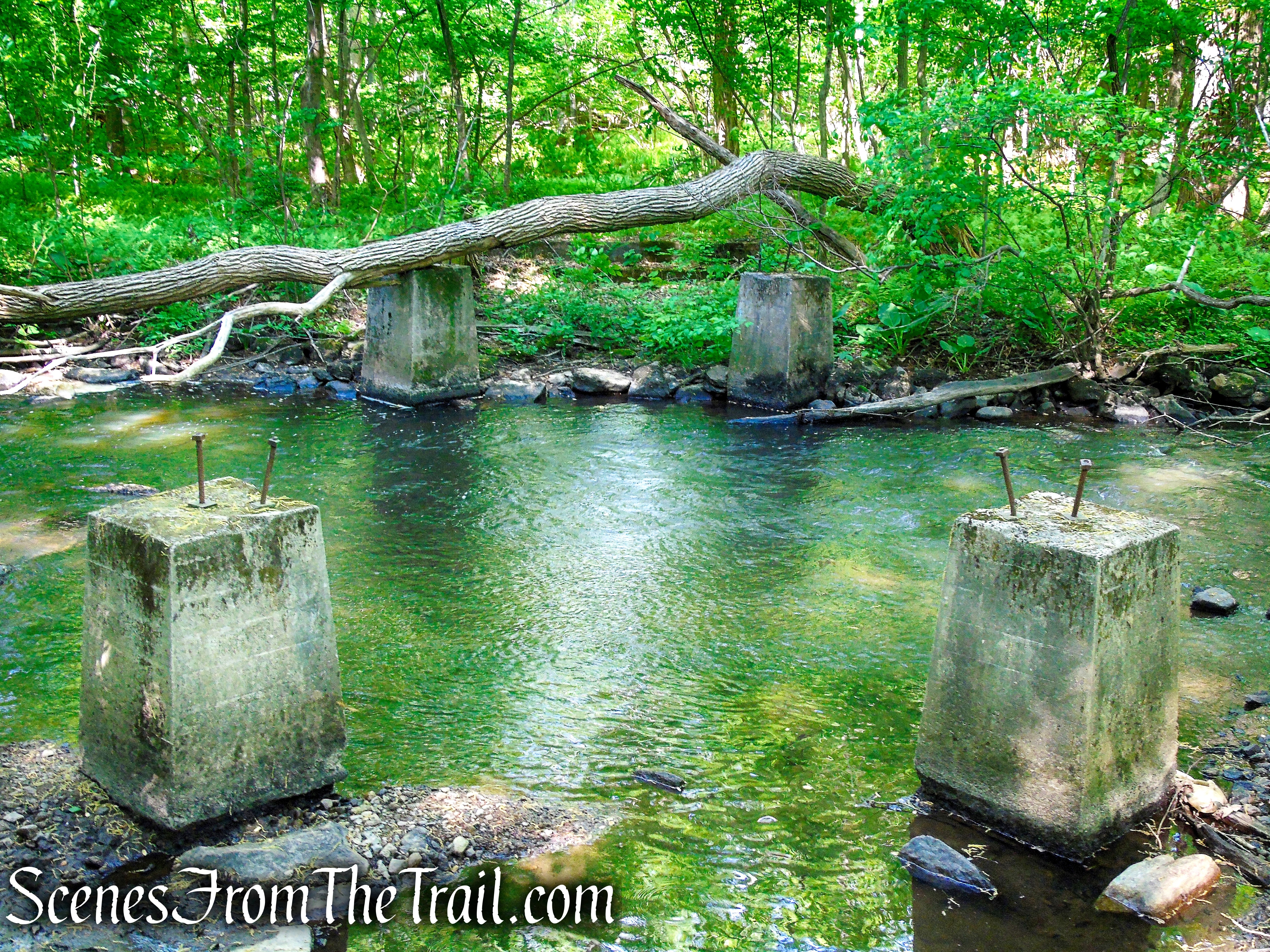
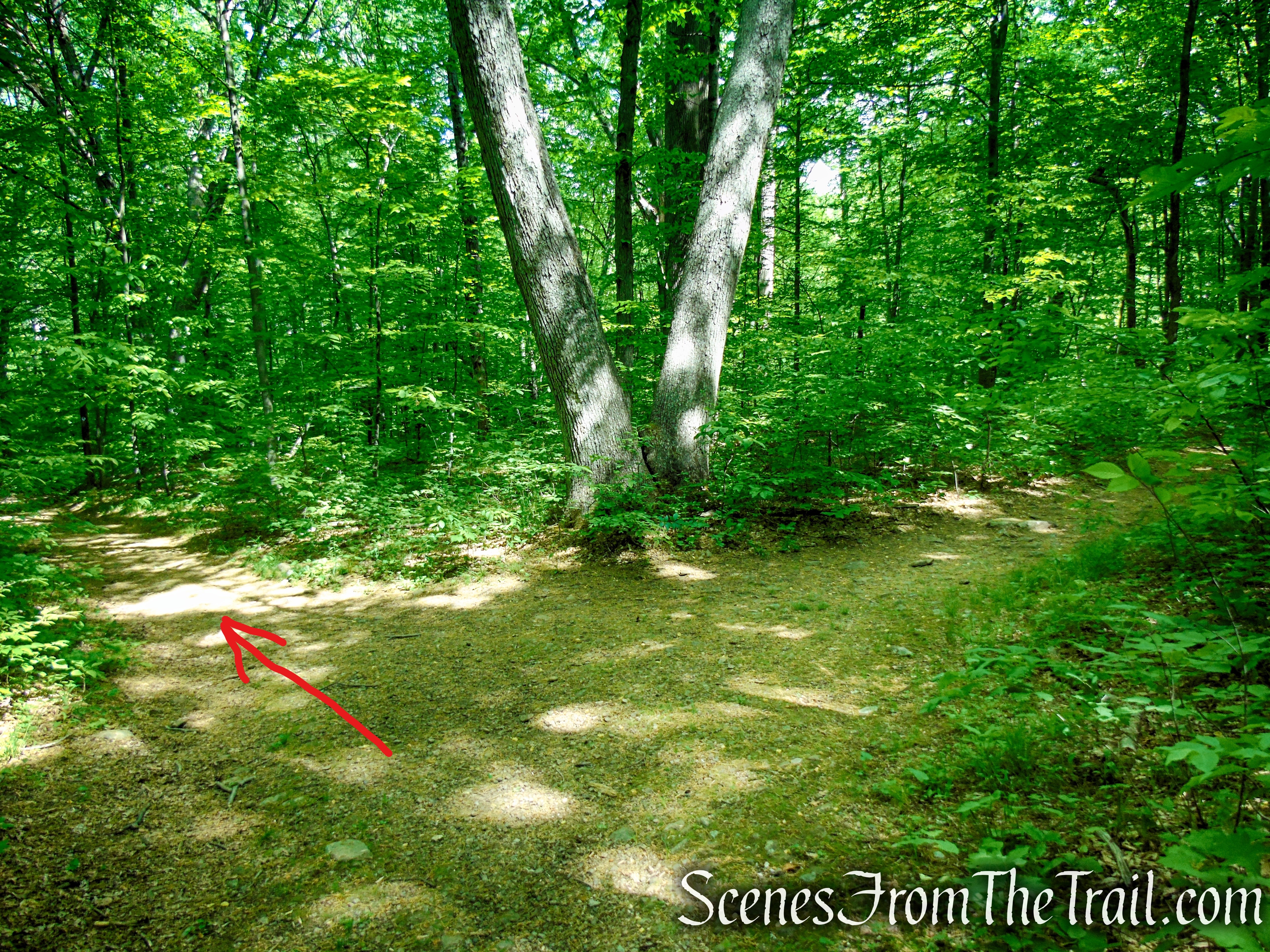
About 1.2 miles from the start, after crossing two wooden footbridges over tributary streams, the trail reaches abandoned concrete abutments in the river, the remnants of a former bridge. Here, the trail bears left and begins to head uphill on a wide woods road. It soon reaches the start of the Green Trail, which begins on the right.
Patriots’ Path – Black River County Park
Patriots’ Path – Black River County Park
Patriots’ Path – Black River County Park
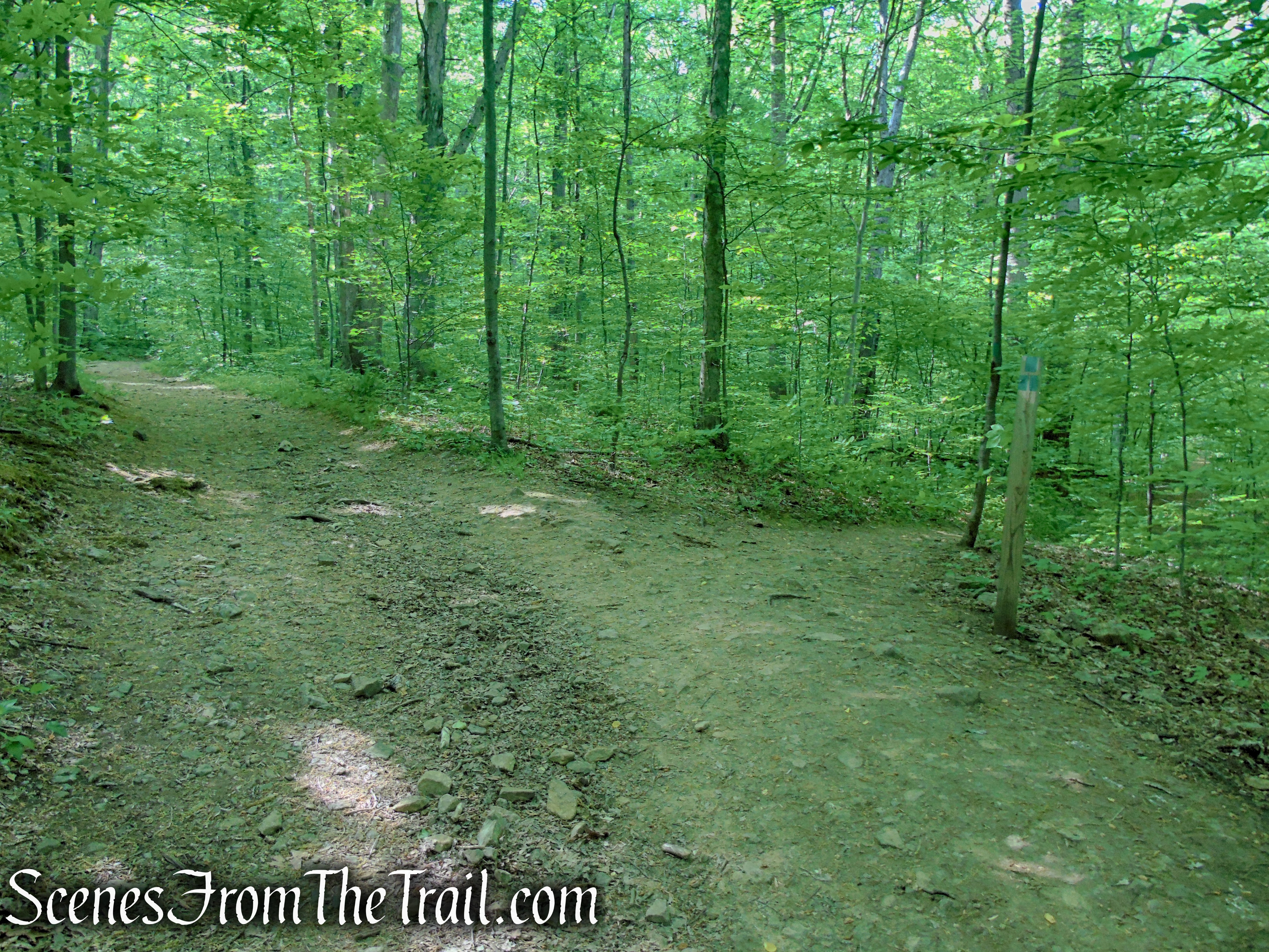
Green Trail begins on the right
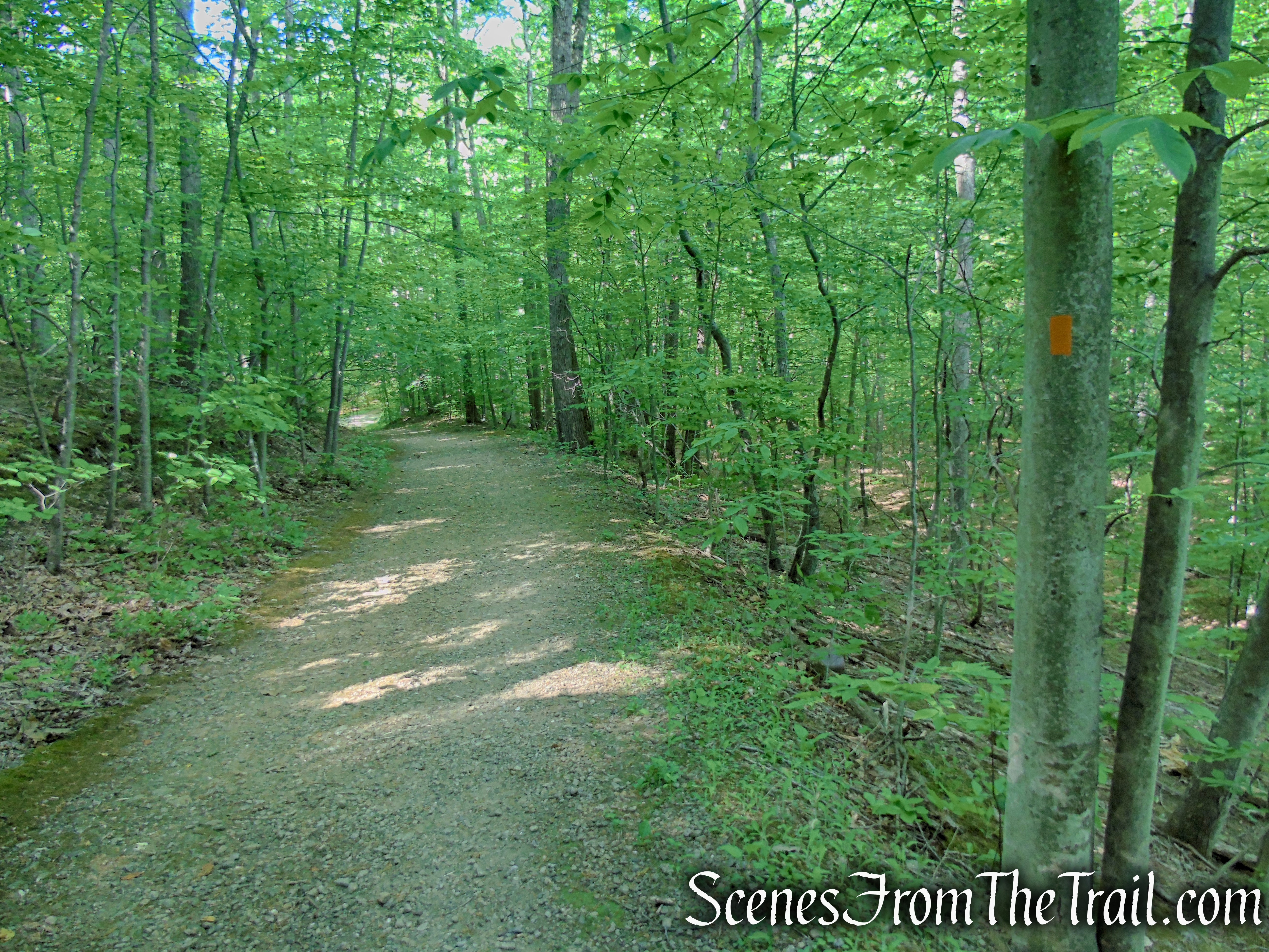
Turn right on the Green Trail, marked by three green blazes on a post. The Green Trail follows a wide path for about 350 yards (0.2 mile), then reaches a four way junction with the Orange Trail.
Green Trail – Black River County Park
Green Trail – Black River County Park
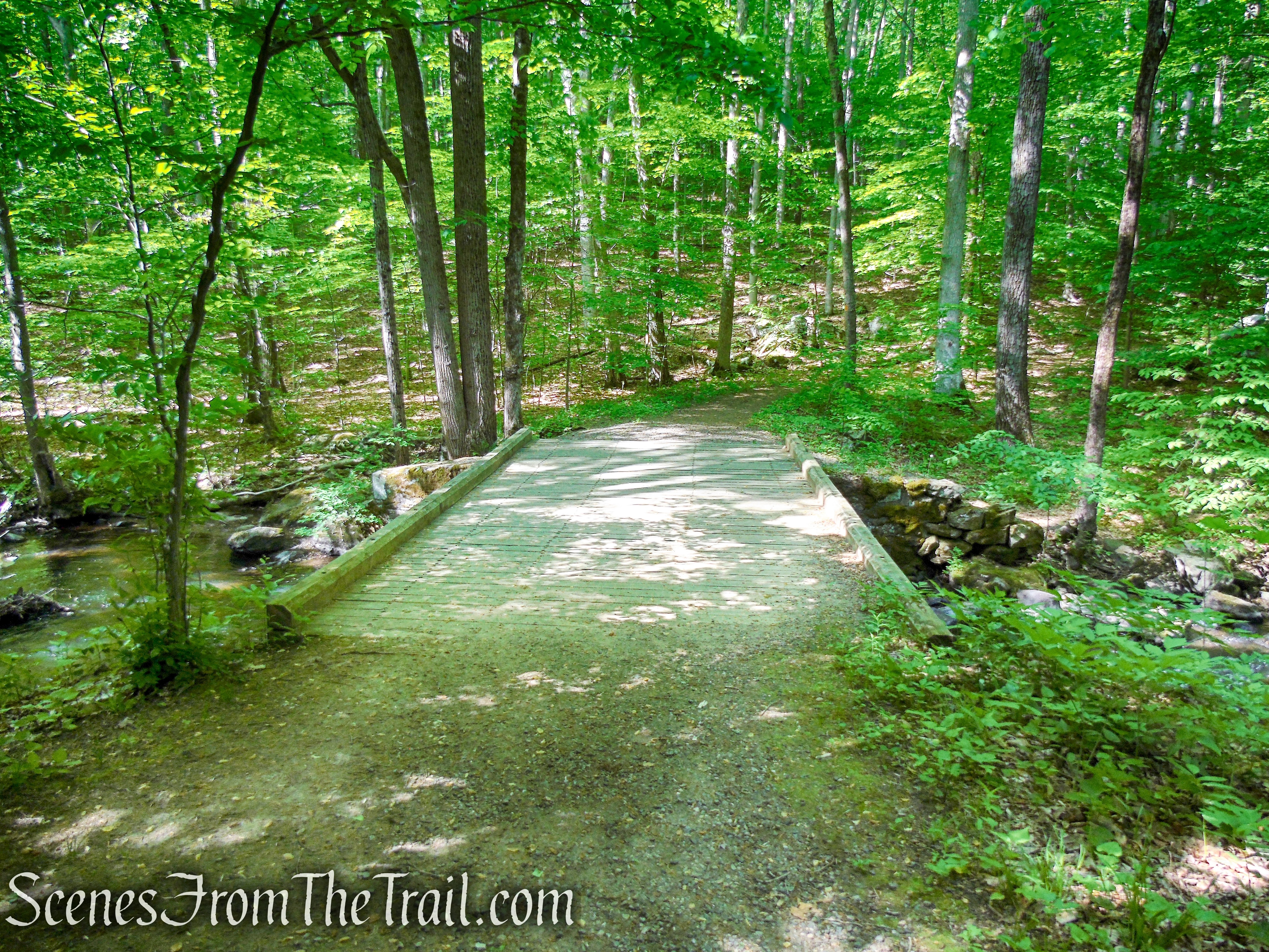
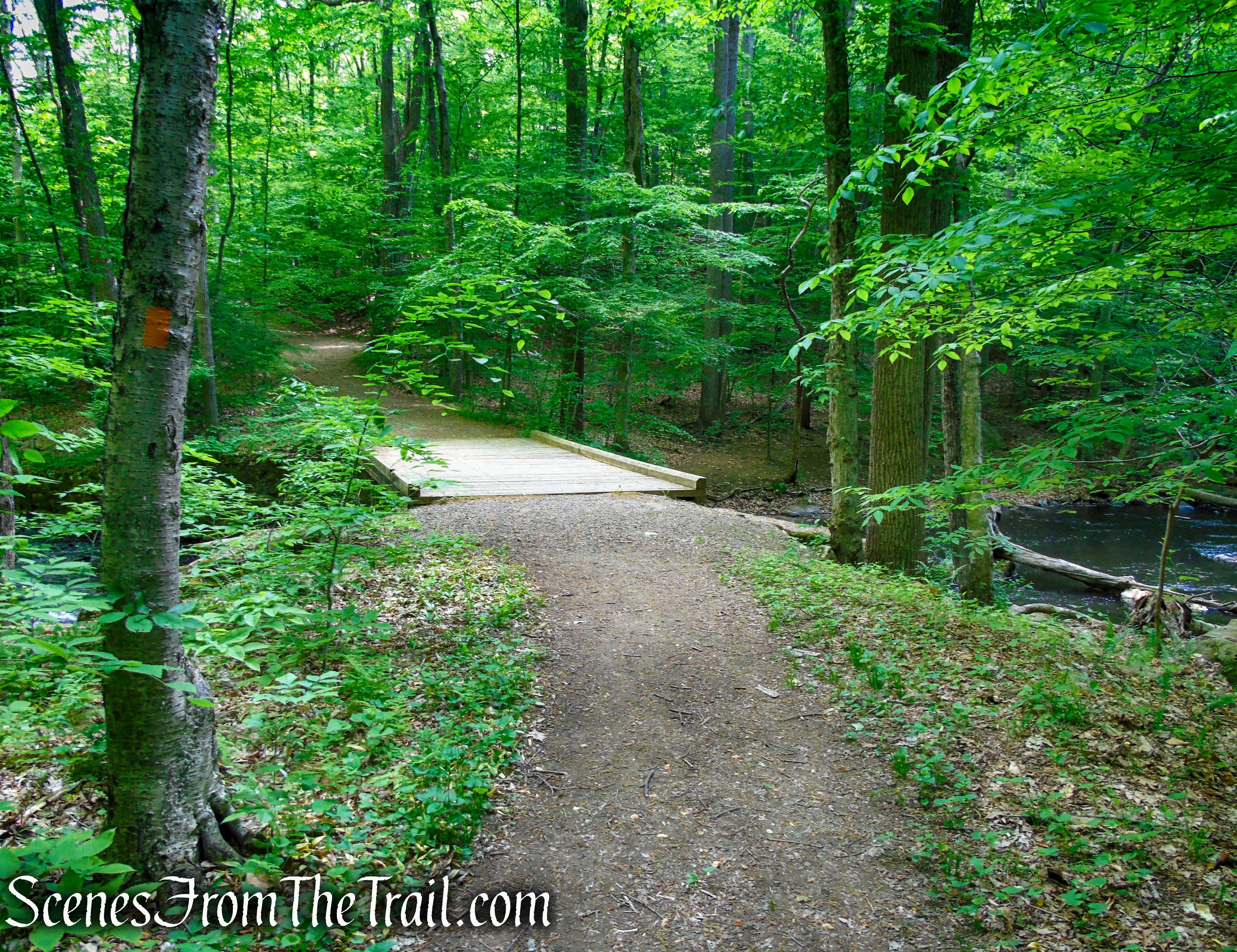
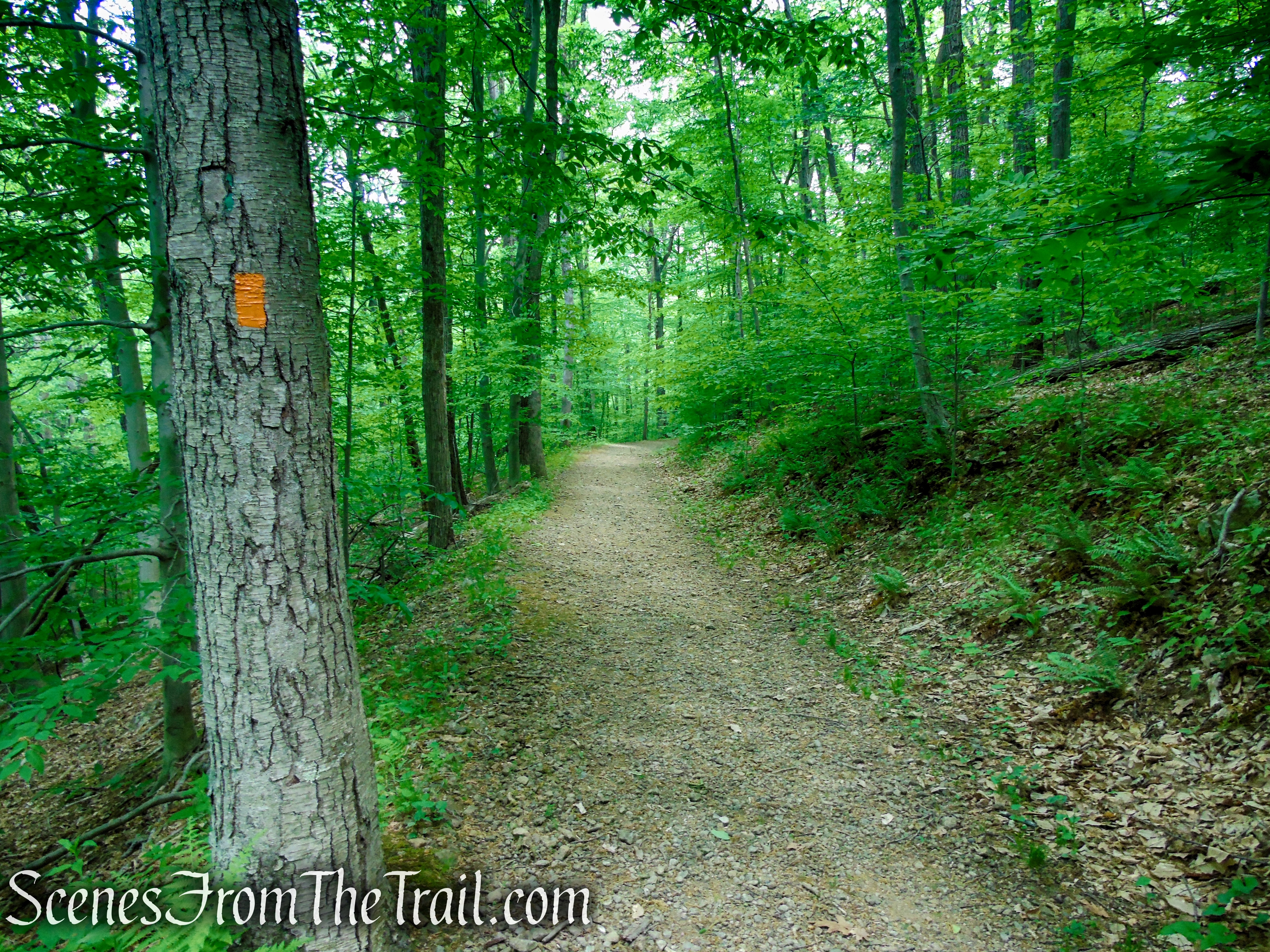
Turn right on the Orange Trail and follow the woods road downhill towards the Black River. The trail passes a junction with the Green/Orange Connector Trail (you will return back to this spot) and continues across the Black River on a wooden bridge. The trail continues uphill, away from the river then curves to the left, parallels the river from high above and begins to descend as it approaches the river.
turn right on Orange Trail
Orange Trail – Black River County Park
Orange Trail – Black River County Park
Orange Trail – Black River County Park
Orange Trail – Black River County Park
Orange Trail – Black River County Park
Orange Trail – Black River County Park
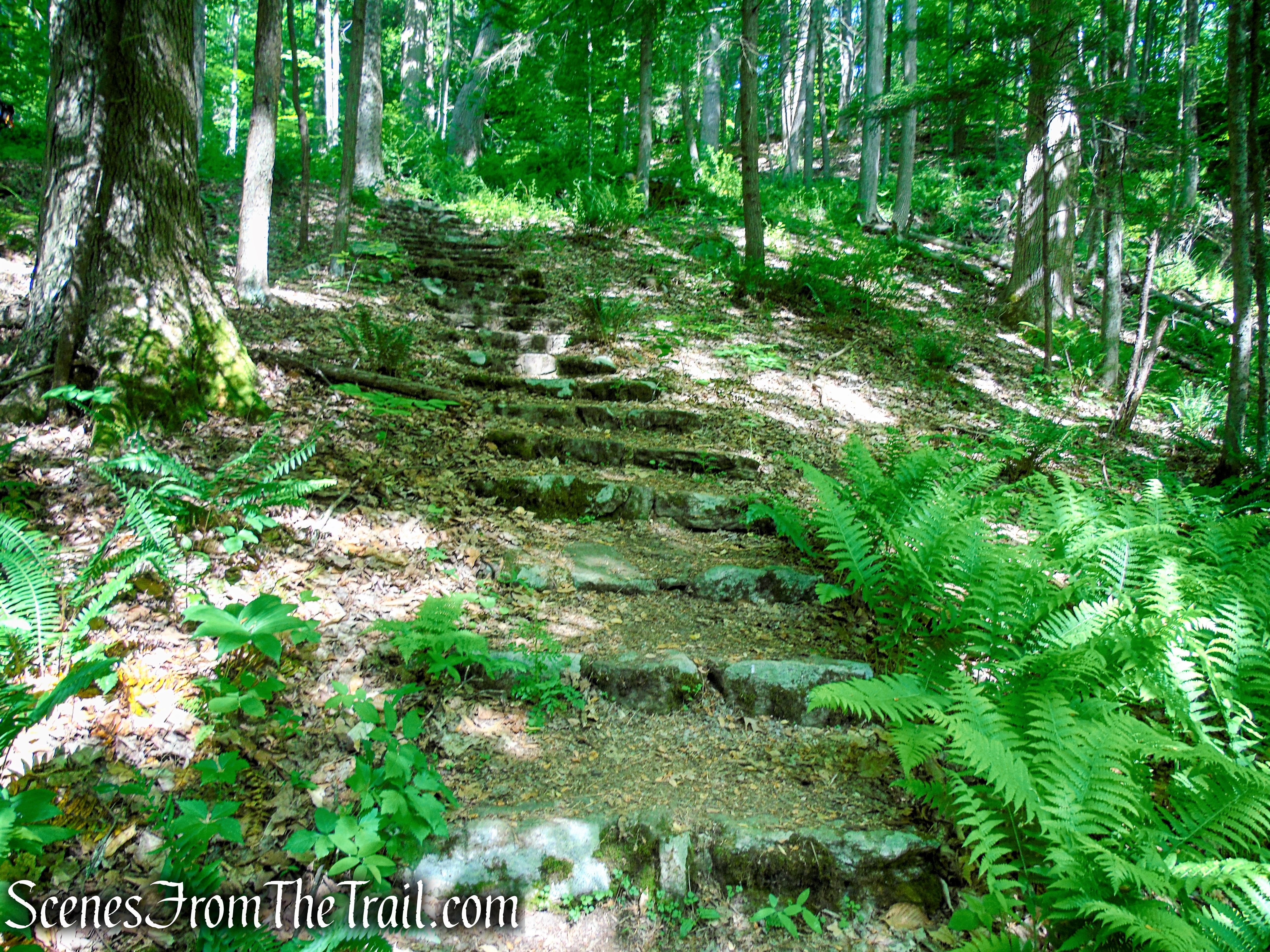
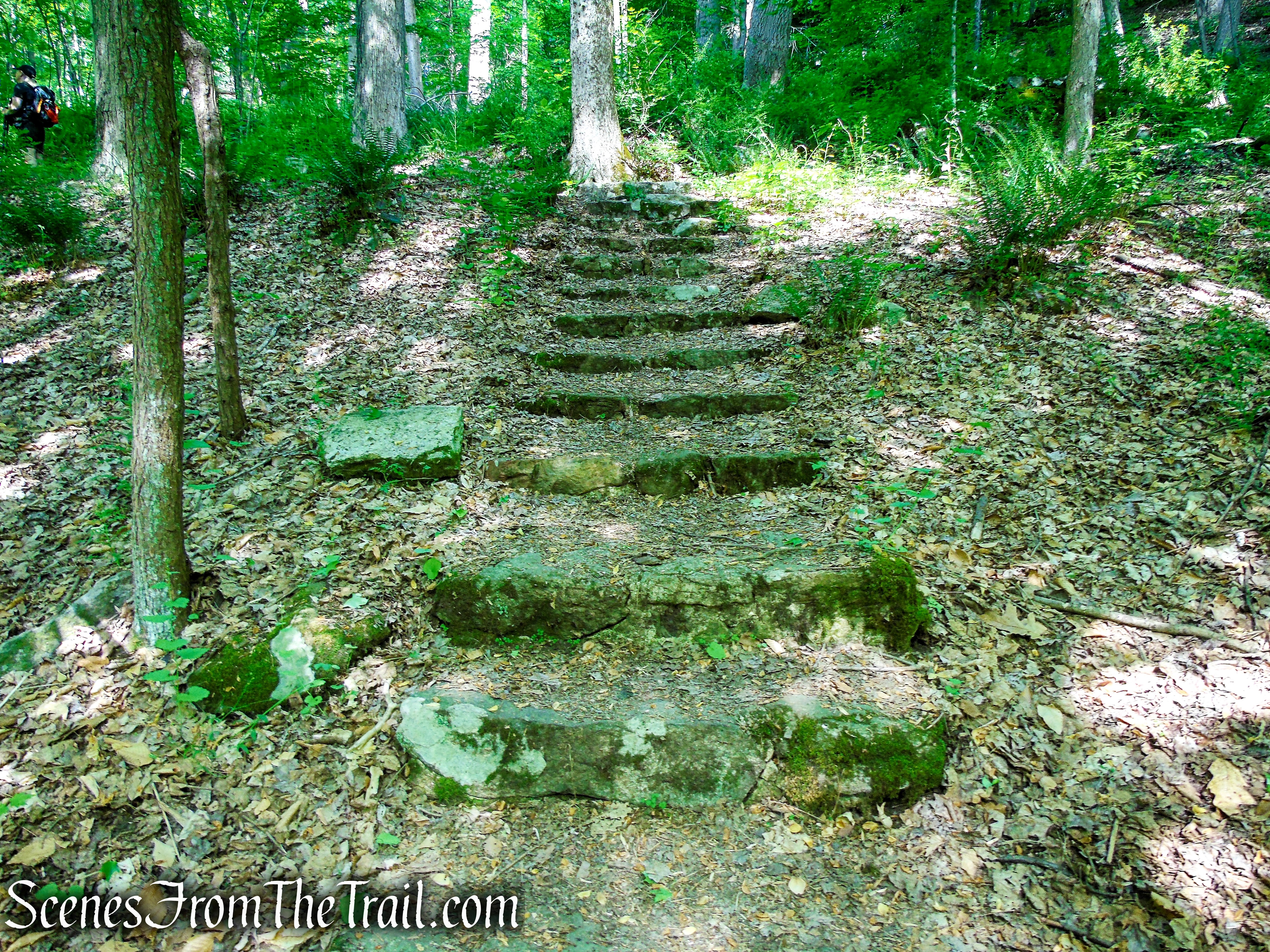
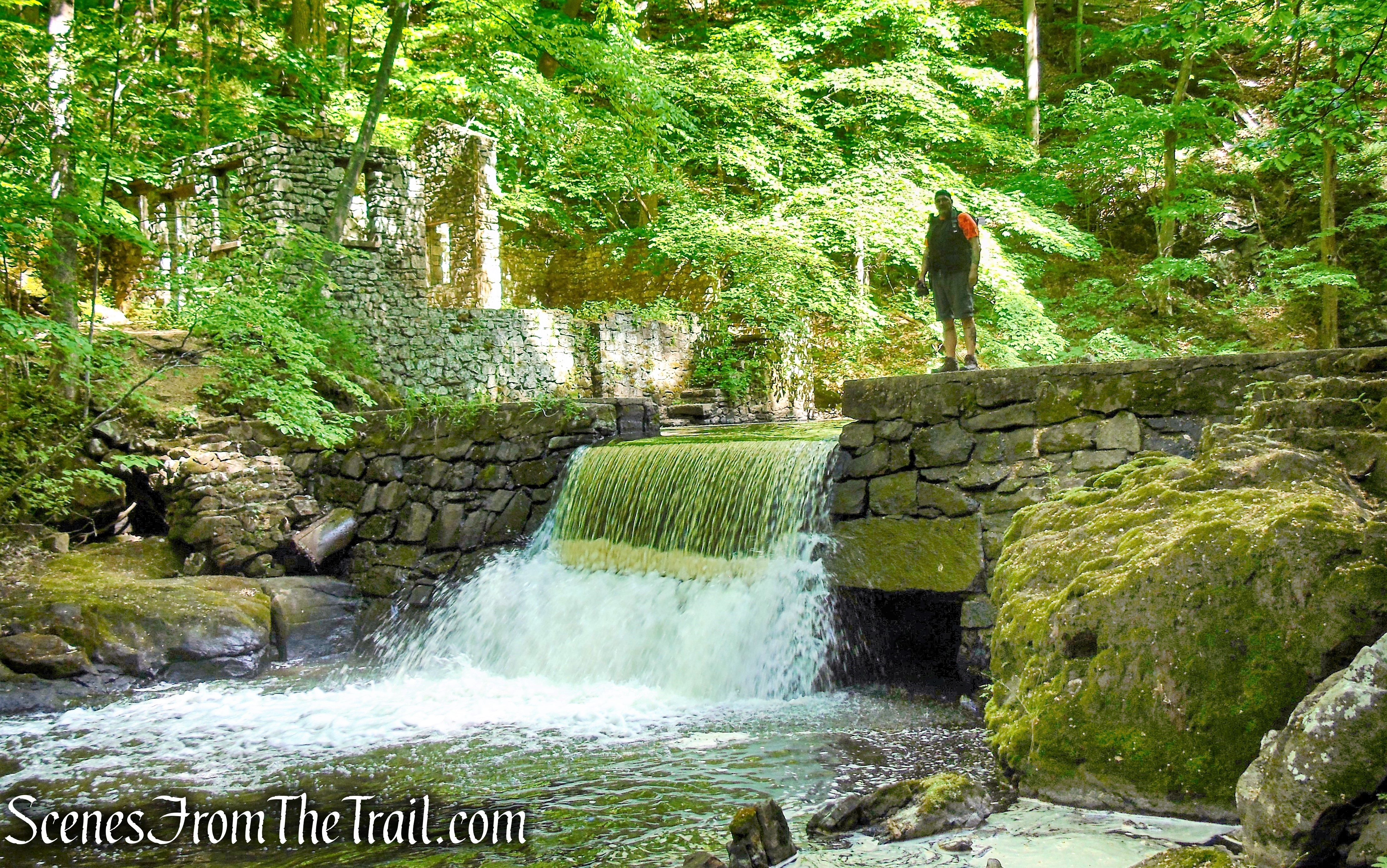
As the trail descends, the river will come into view, keep an eye out on the left for stone steps leading down to Kay’s Cottage. Take the steps downhill to the ruins of Kay’s Cottage next to a dam and waterfall. You may want to take some time here to check out these interesting stone ruins.
Orange Trail – Black River County Park
Turn left and descend the stone steps towards the Black River
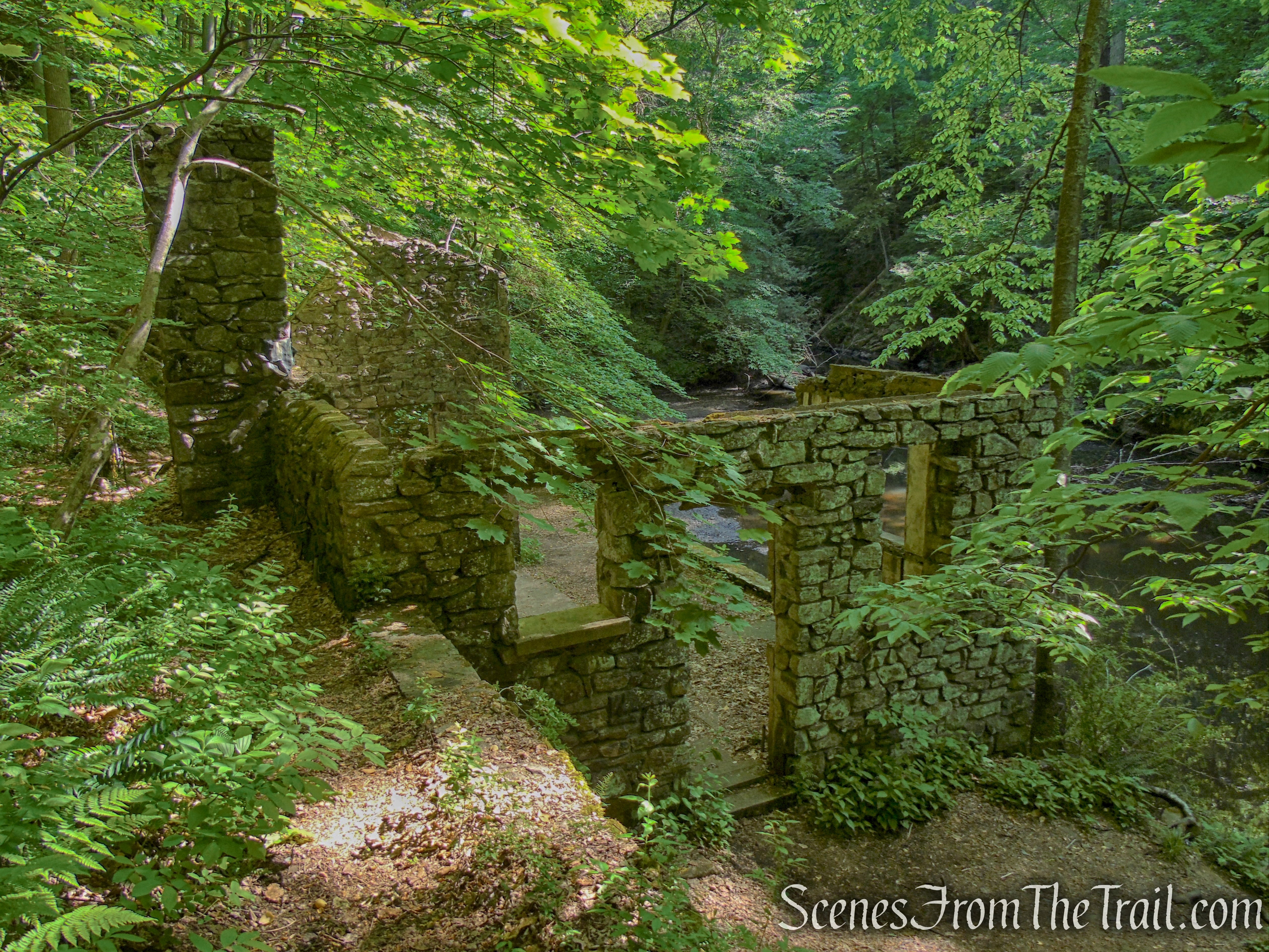
Kay’s Cottage Ruins – Black River County Park
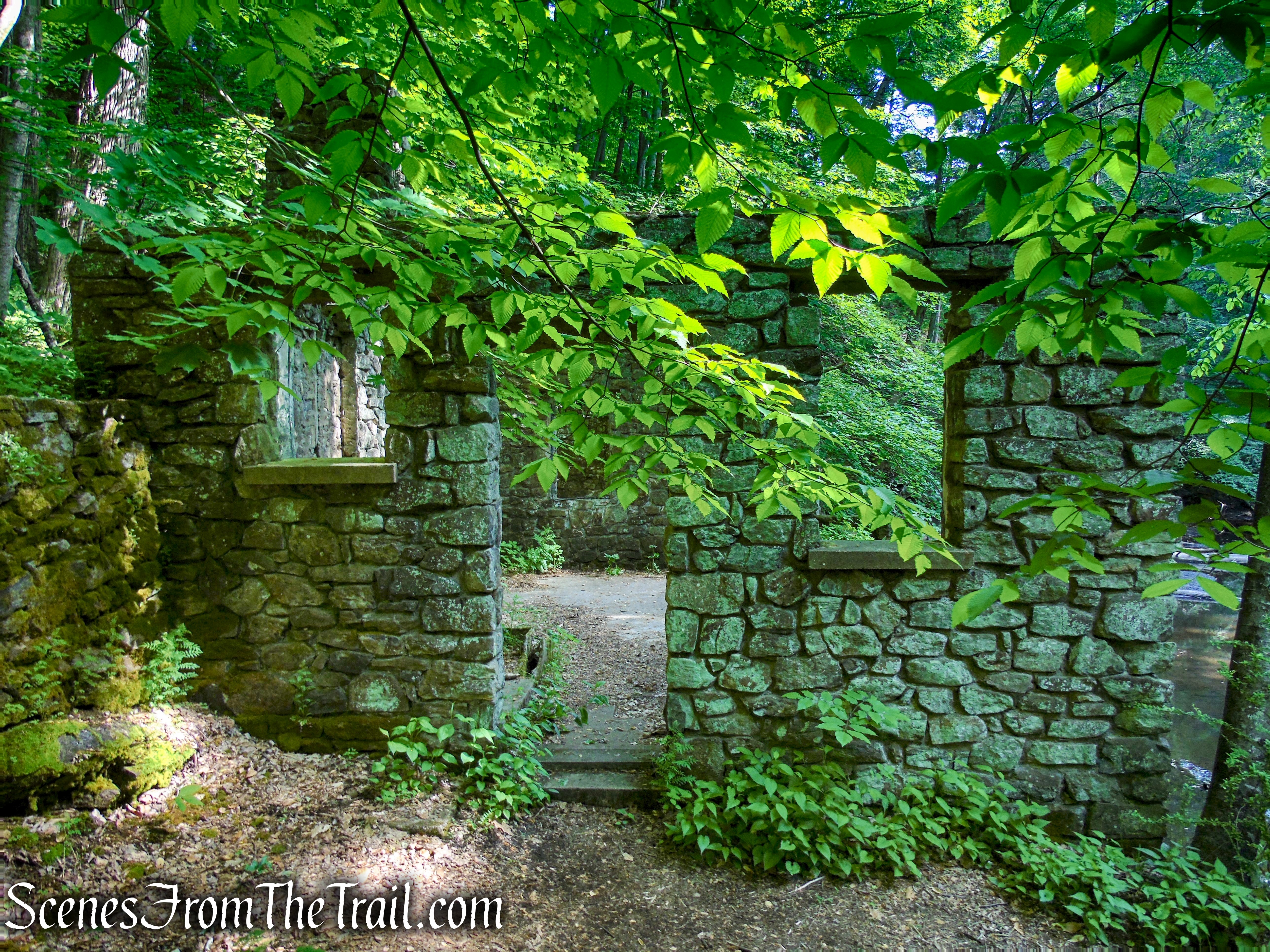
Kay’s Cottage Ruins – Black River County Park
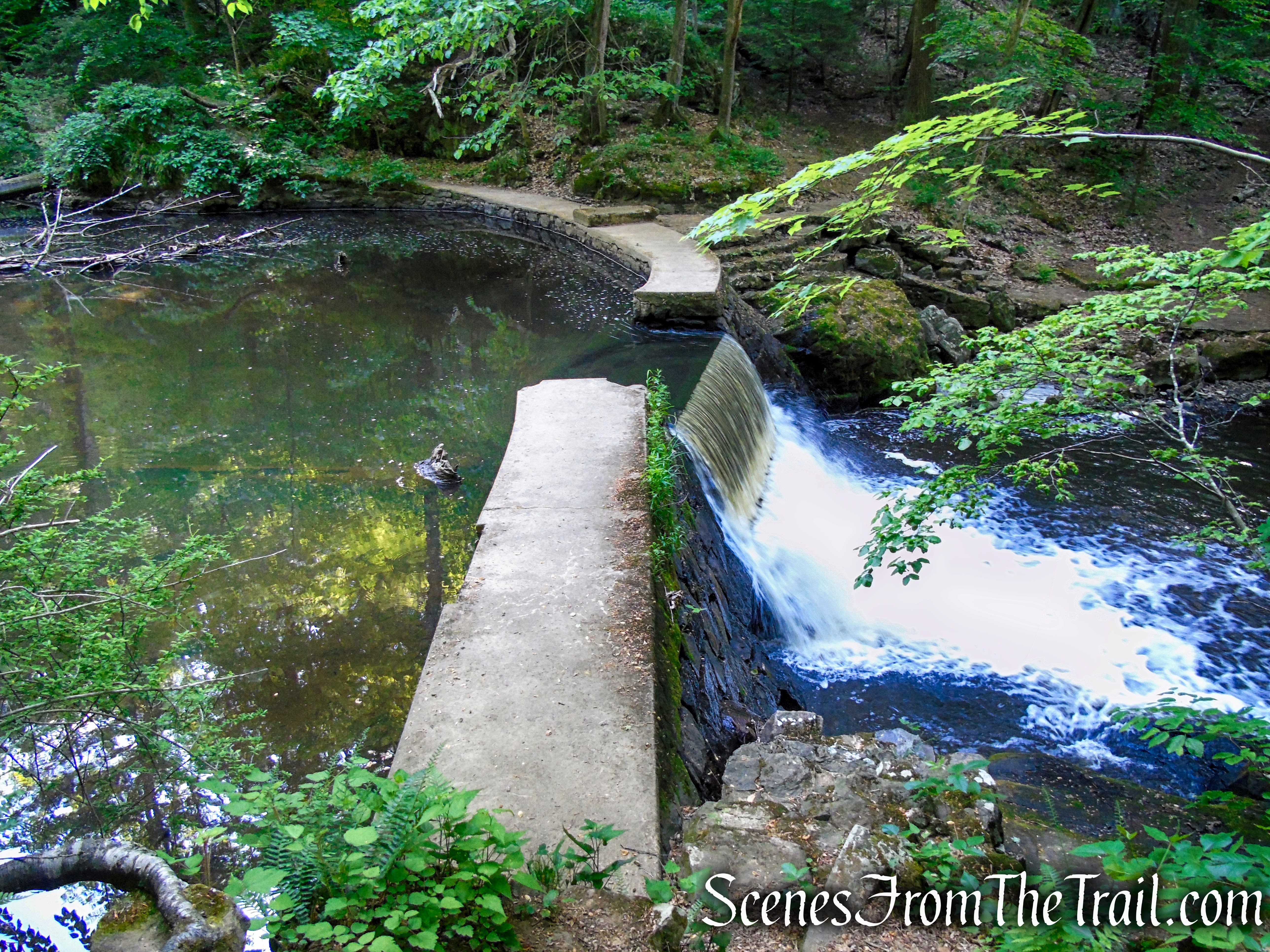
Dam waterfall – Kay’s Cottage Ruins
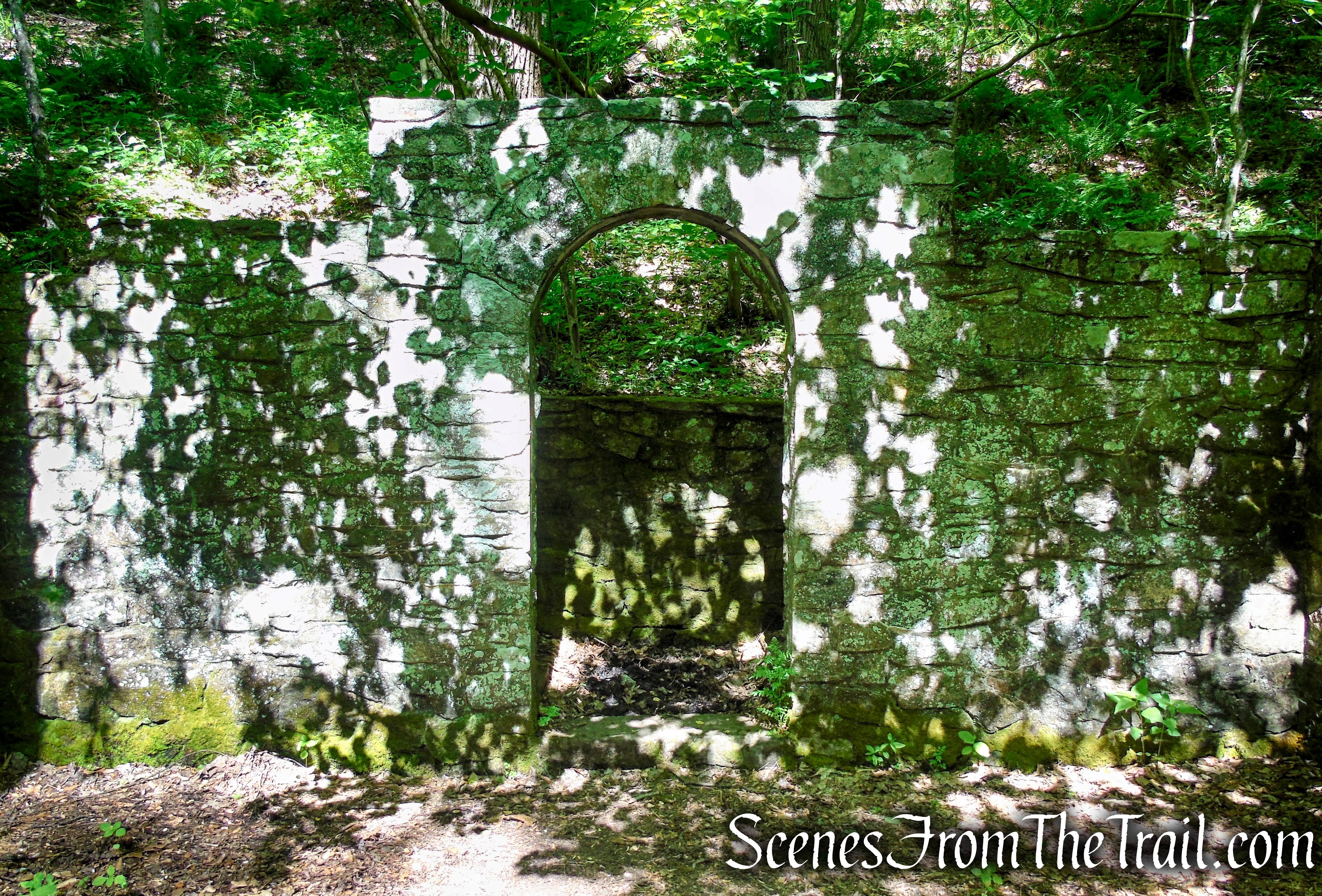
Kay’s Cottage Ruins – Black River County Park
Kay’s Cottage Ruins – Black River County Park
Kay’s Cottage Ruins – Black River County Park
Kay’s Cottage Ruins – Black River County Park
Kay’s Cottage Ruins – Black River County Park
When you are ready to proceed, climb back up the stone steps, turn right and retrace your route back to the bridge. Side note: we turned left and walked the Orange Trail for about 300 feet to its terminus at the base of the river, but there is nothing to see in that direction.
Orange Trail – Black River County Park
Orange Trail – Black River County Park
Orange Trail – Black River County Park
Just after crossing the bridge, turn right on the Green/Orange Connector Trail which begins on a woods road, but soon descends towards the river on a footpath.
Green/Orange Connector Trail – Black River County Park
Green/Orange Connector Trail – Black River County Park
Green/Orange Connector Trail – Black River County Park
Green/Orange Connector Trail – Black River County Park
The trail leaves the river and begins to climb the hill, although the footpath is discernible, we didn’t spot any blazes. There was more than one path going in the same direction so we may have been on the wrong trail or a blowdown may have altered our route. We didn’t see where the connector trail ended and the Green Trail started. Eventually the green blazes appeared and we followed them along the steep hillside on a narrow footpath. After several ups and downs and climbing over blowdowns, the trail descends to the Black River directly opposite of Kay’s Cottage Ruins.
Green Trail – Black River County Park
Kay’s Cottage Ruins – Black River County Park
The square concrete block on the right is where the diving board was located.
Kay’s Cottage Ruins – Black River County Park
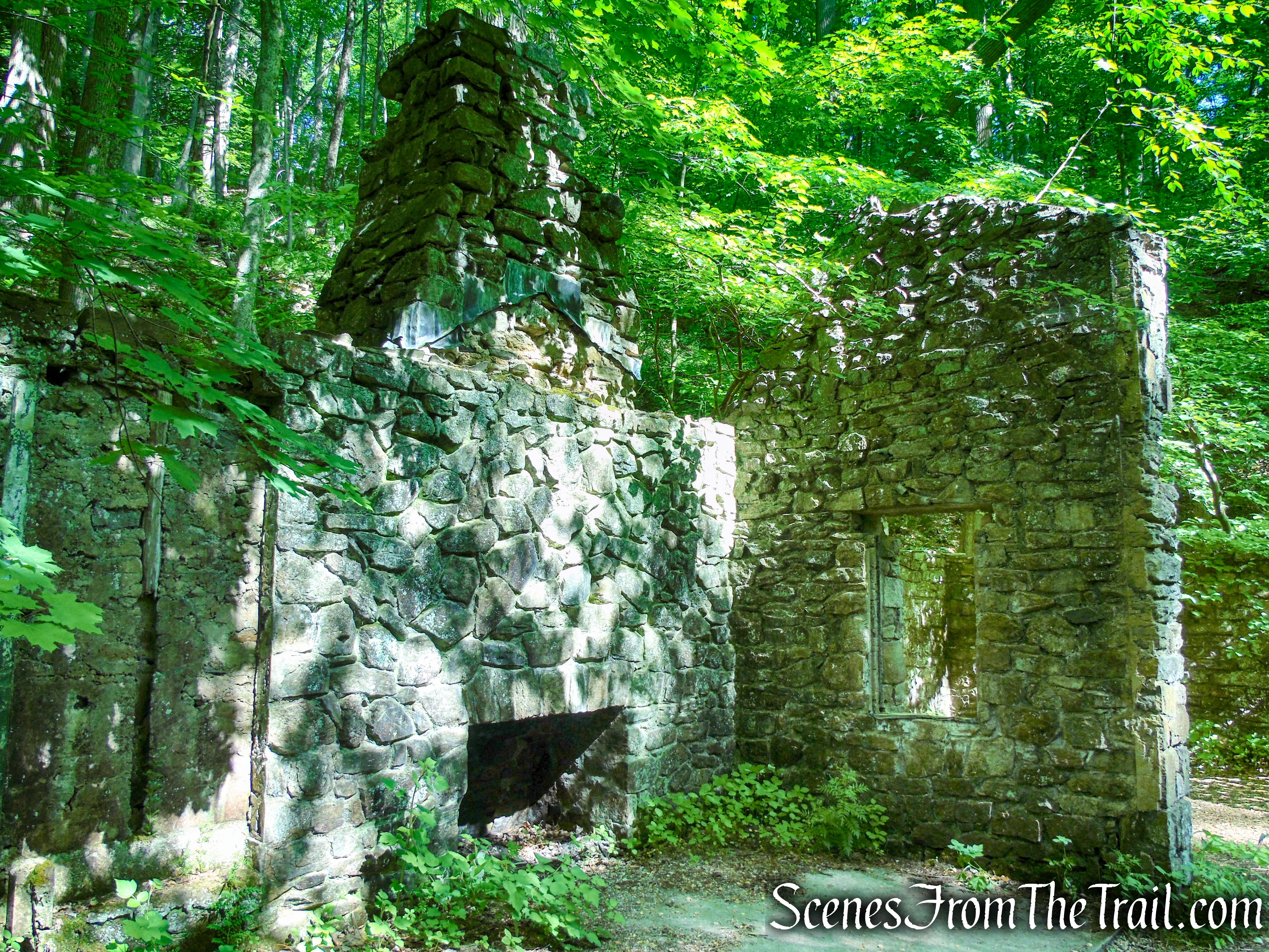
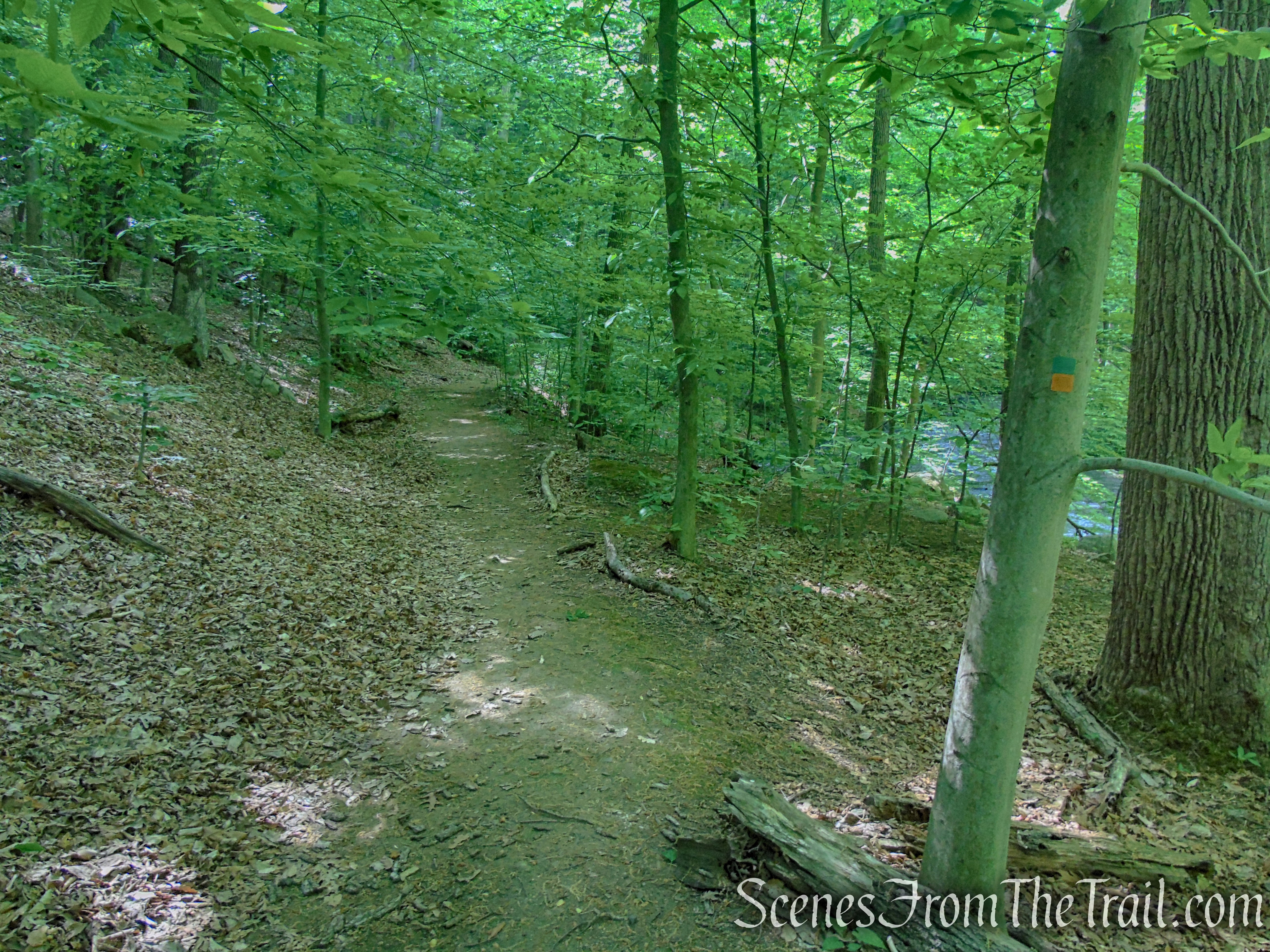
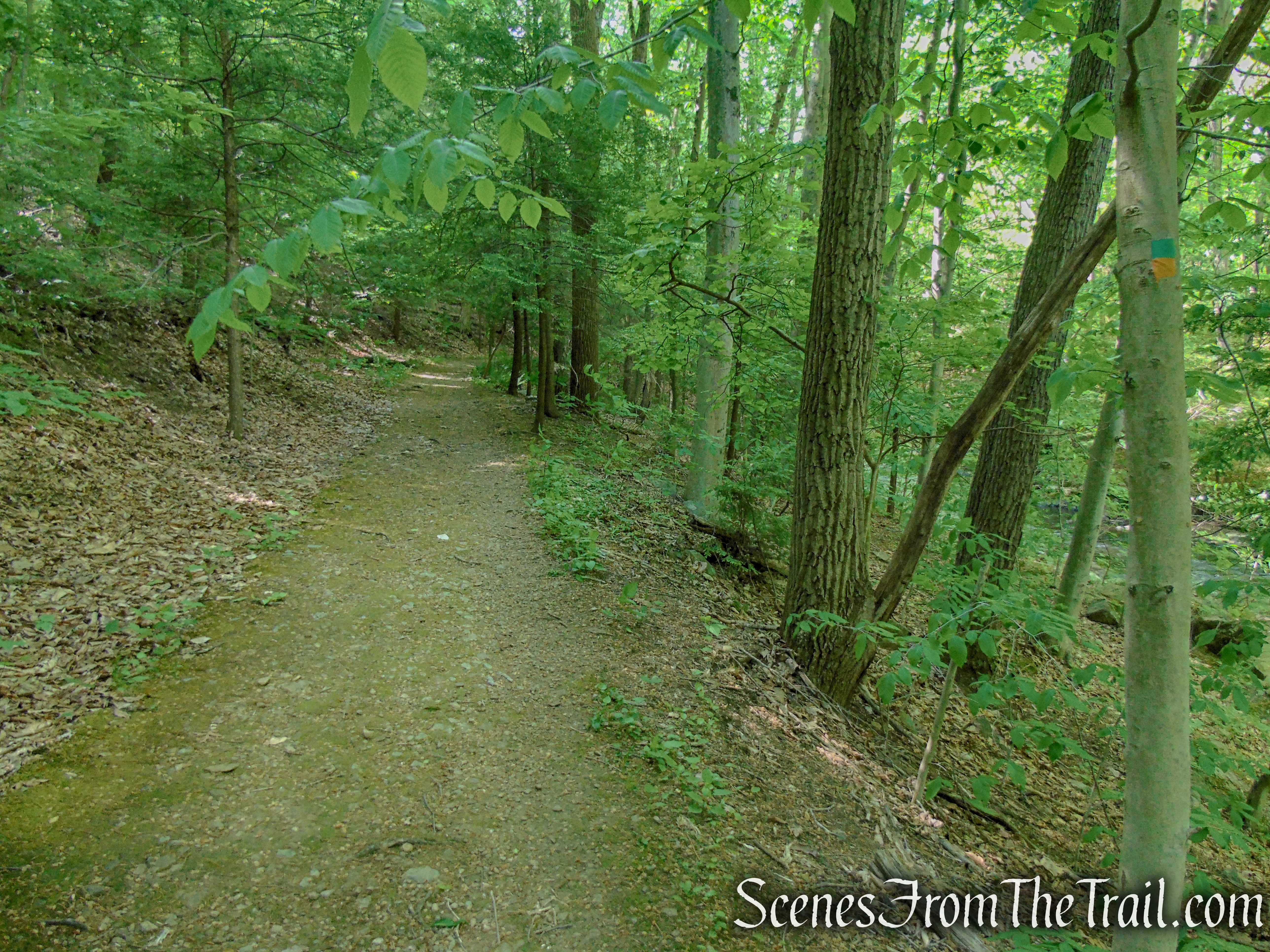
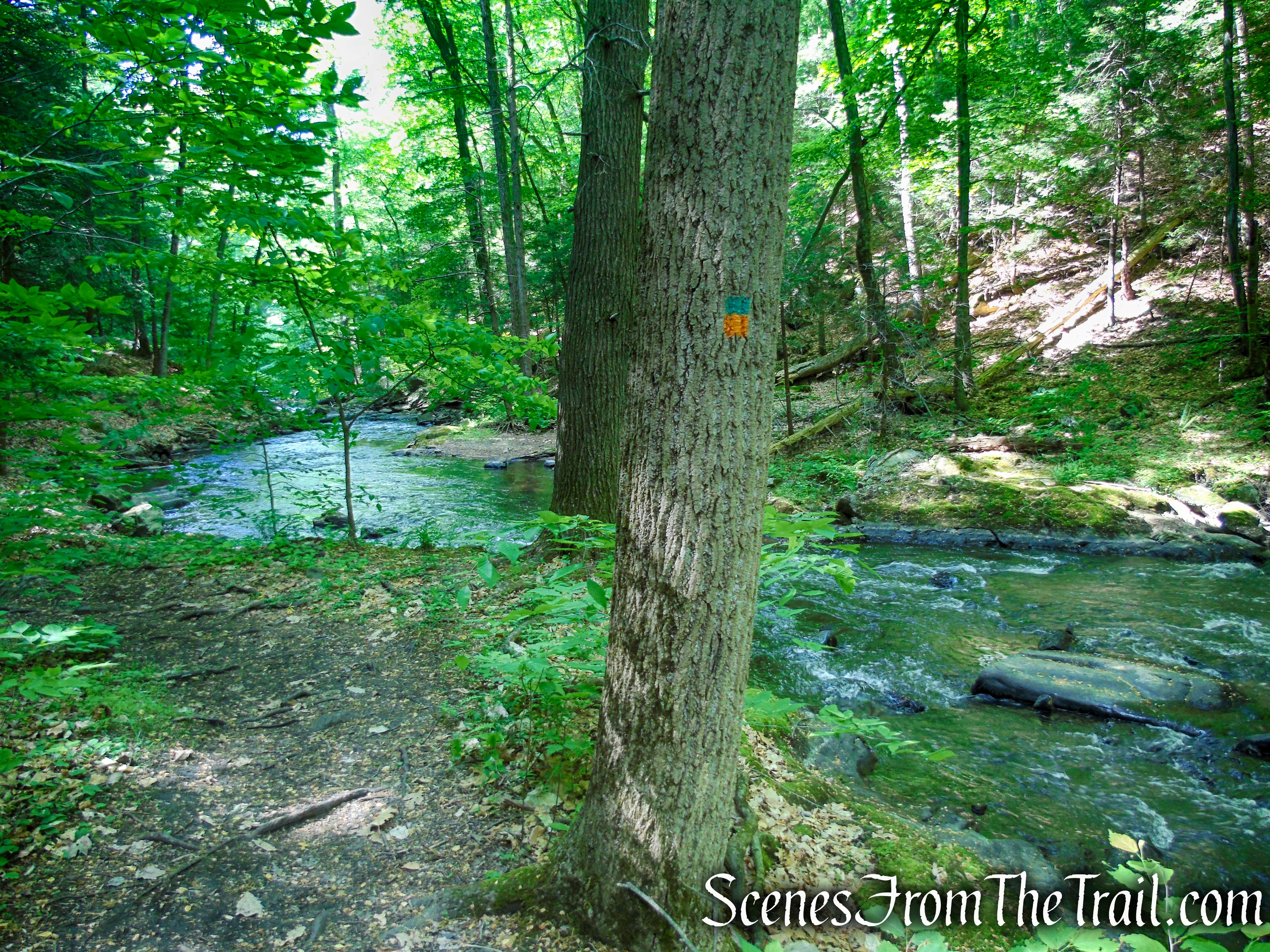
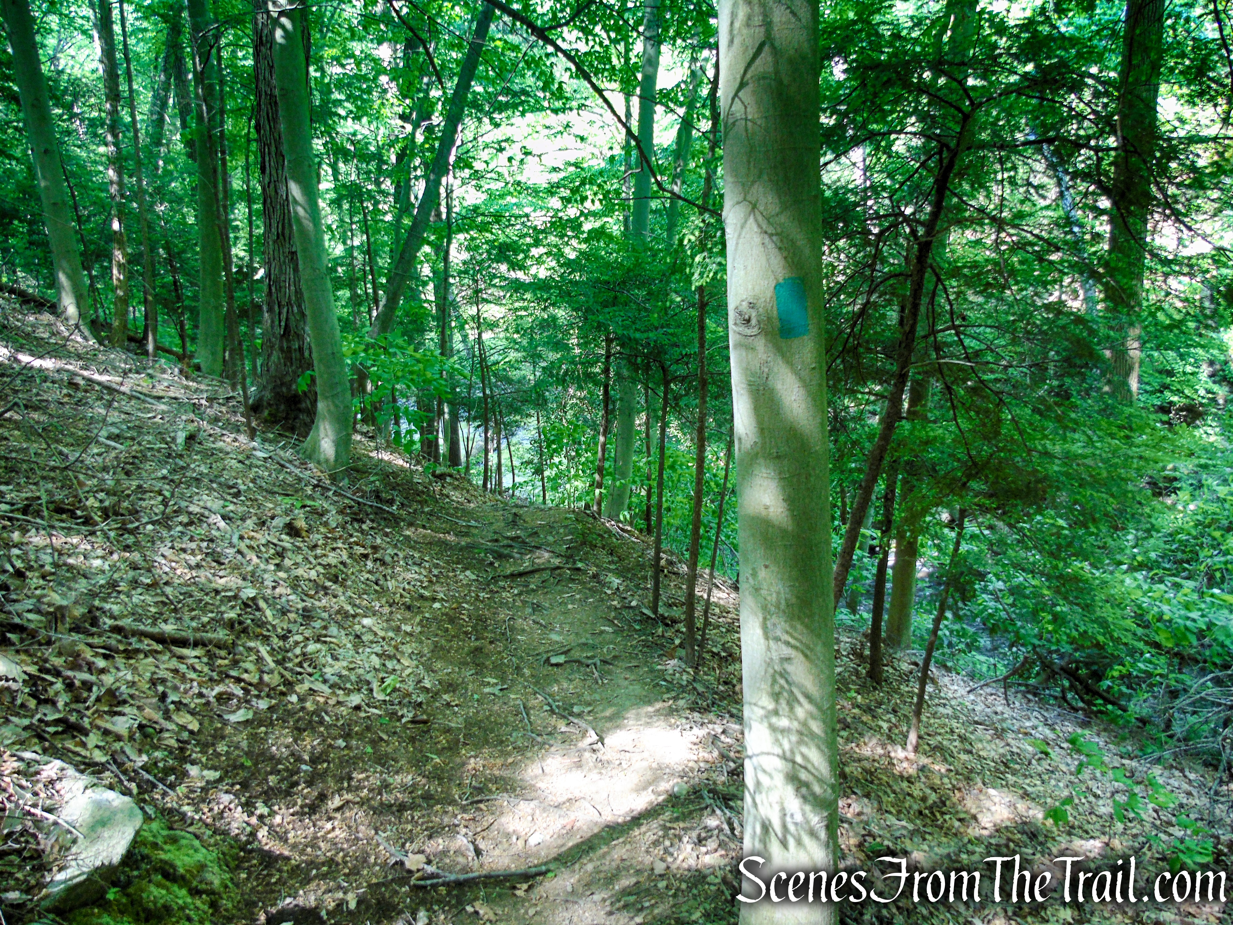
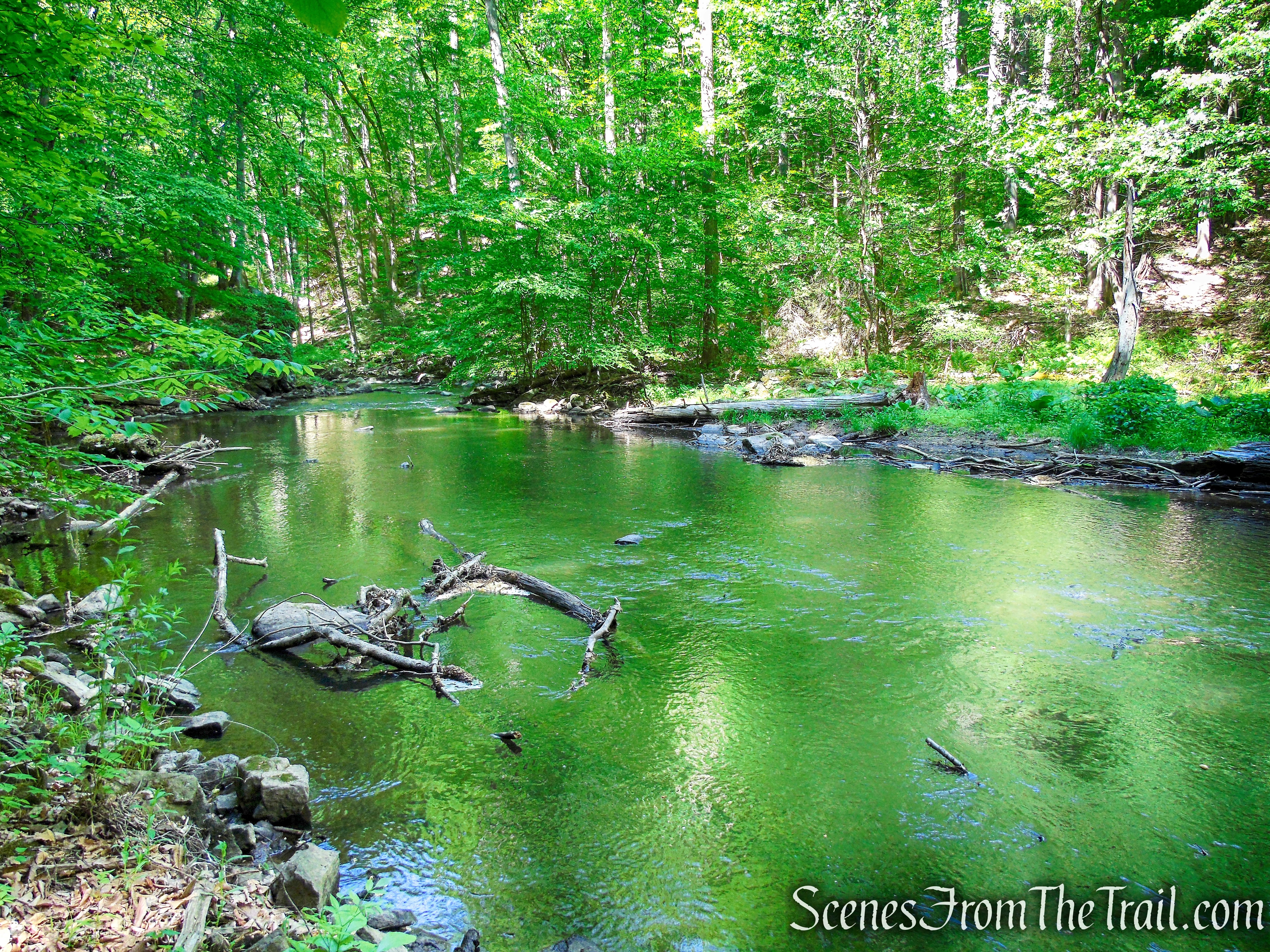
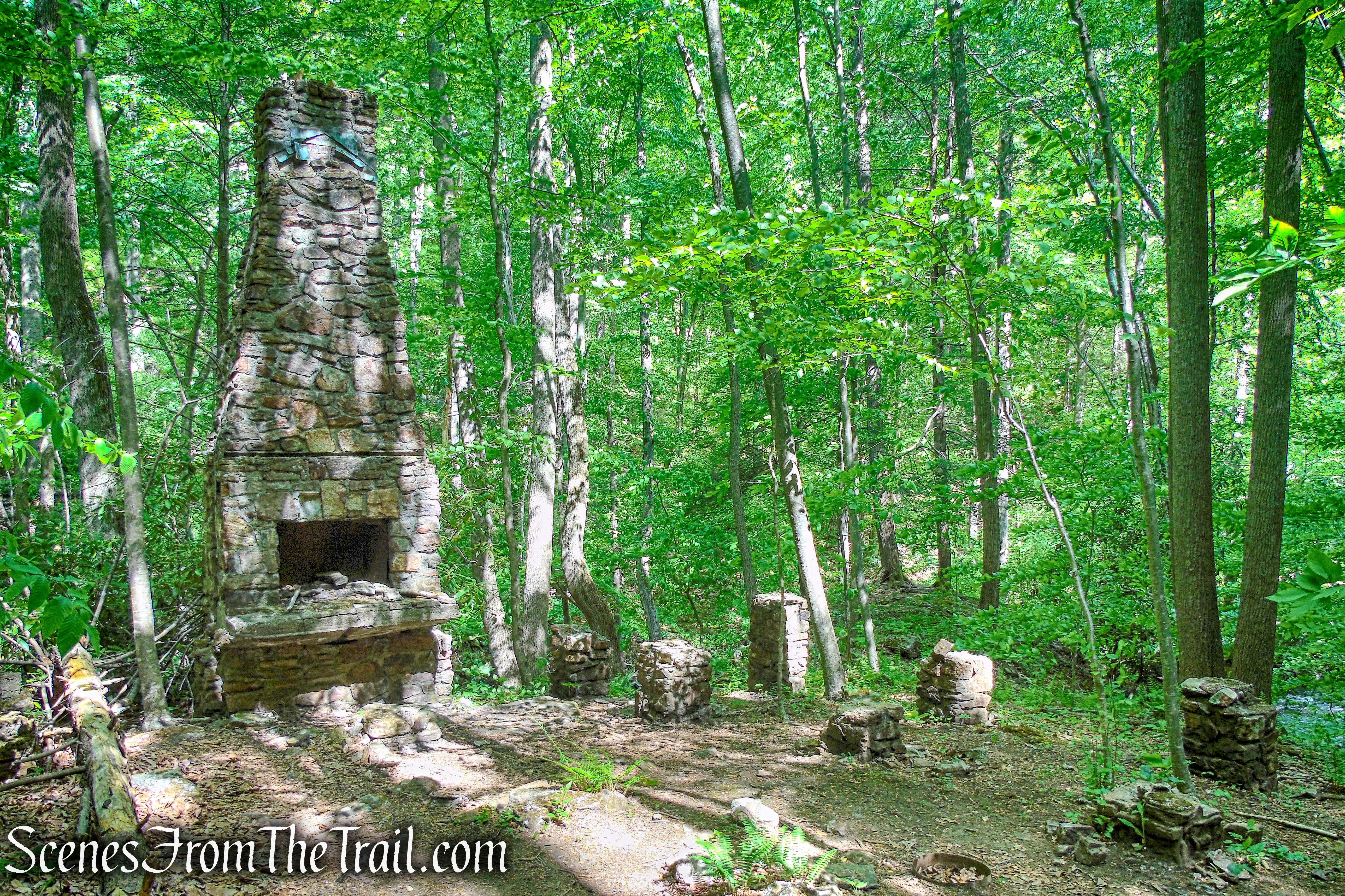
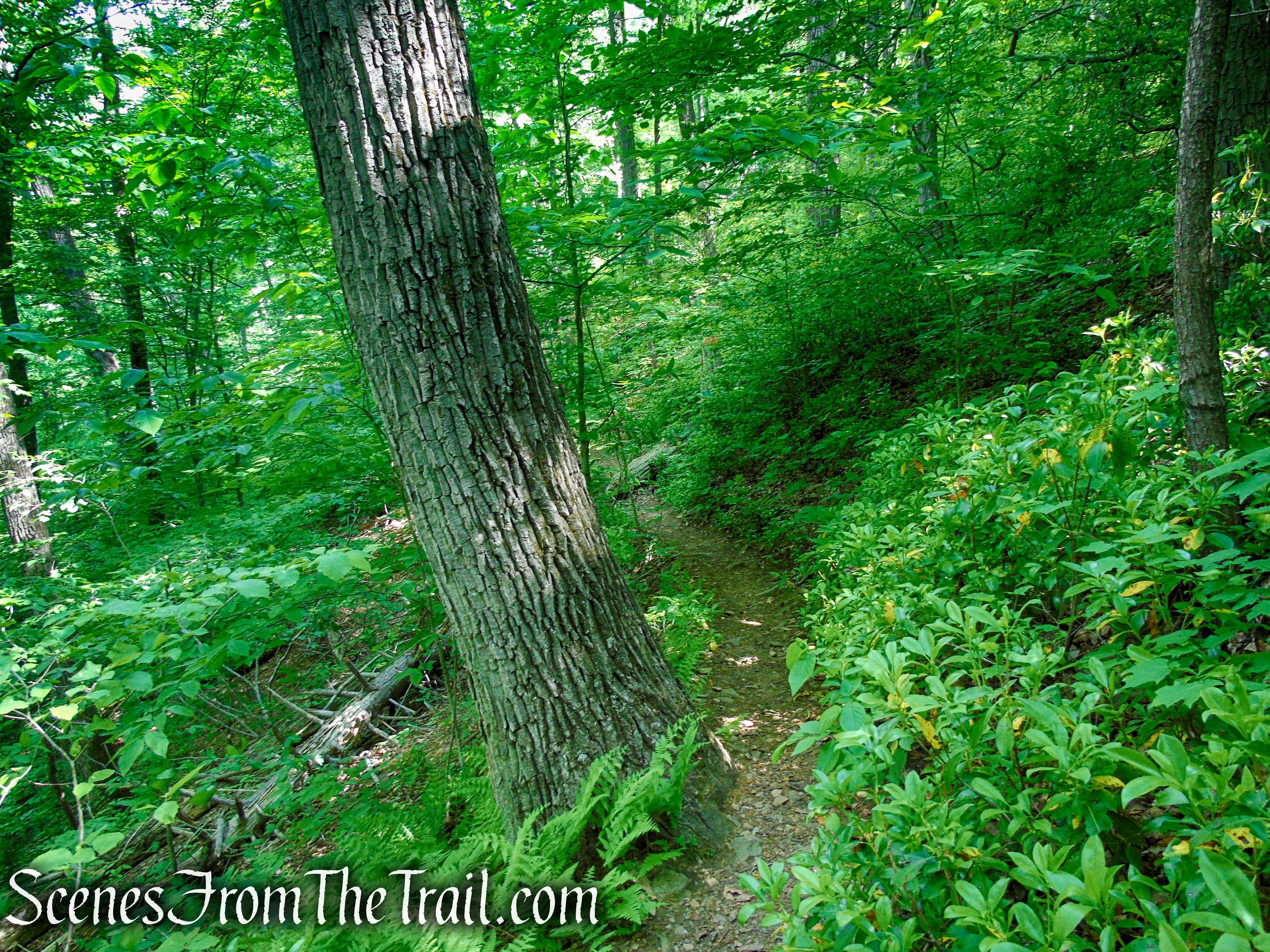
When you are ready to proceed, continue south on the Green Trail which climbs and descends along the river. The trail is narrow and runs along the steep hillside, so take care as you traverse this portion of the trail. This section of trail is more wild and has a feeling of remoteness. In about 425 yards, the Green Trail reaches a stone chimney and stone foundations on the right.
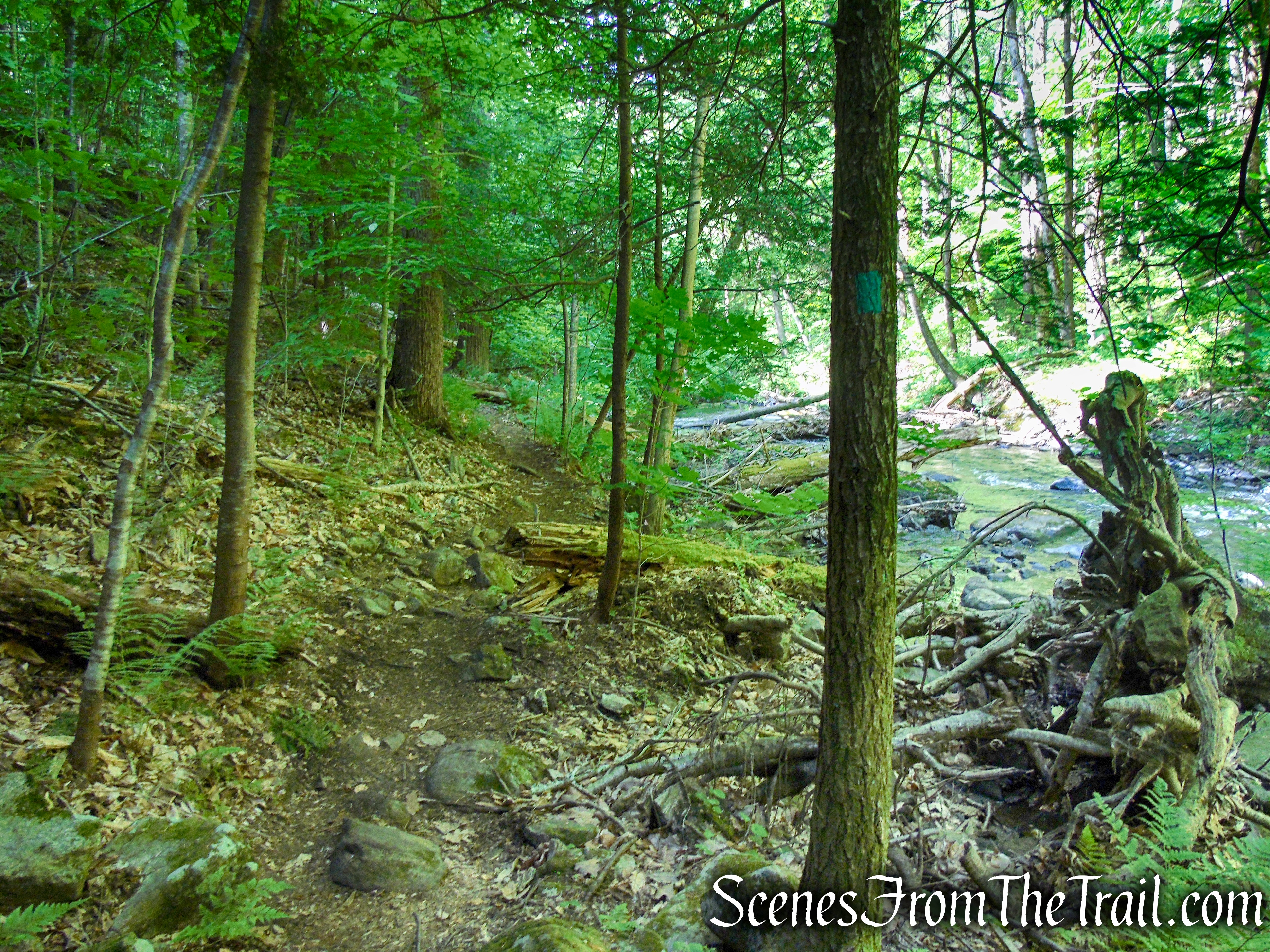
Green Trail – Black River County Park
Green Trail – Black River County Park
Green Trail – Black River County Park
Green Trail – Black River County Park
Green Trail – Black River County Park
Green Trail – Black River County Park
Green Trail – Black River County Park
This is a good place to take a break and enjoy the beauty of your surroundings.
Green Trail – Black River County Park
Green Trail – Black River County Park
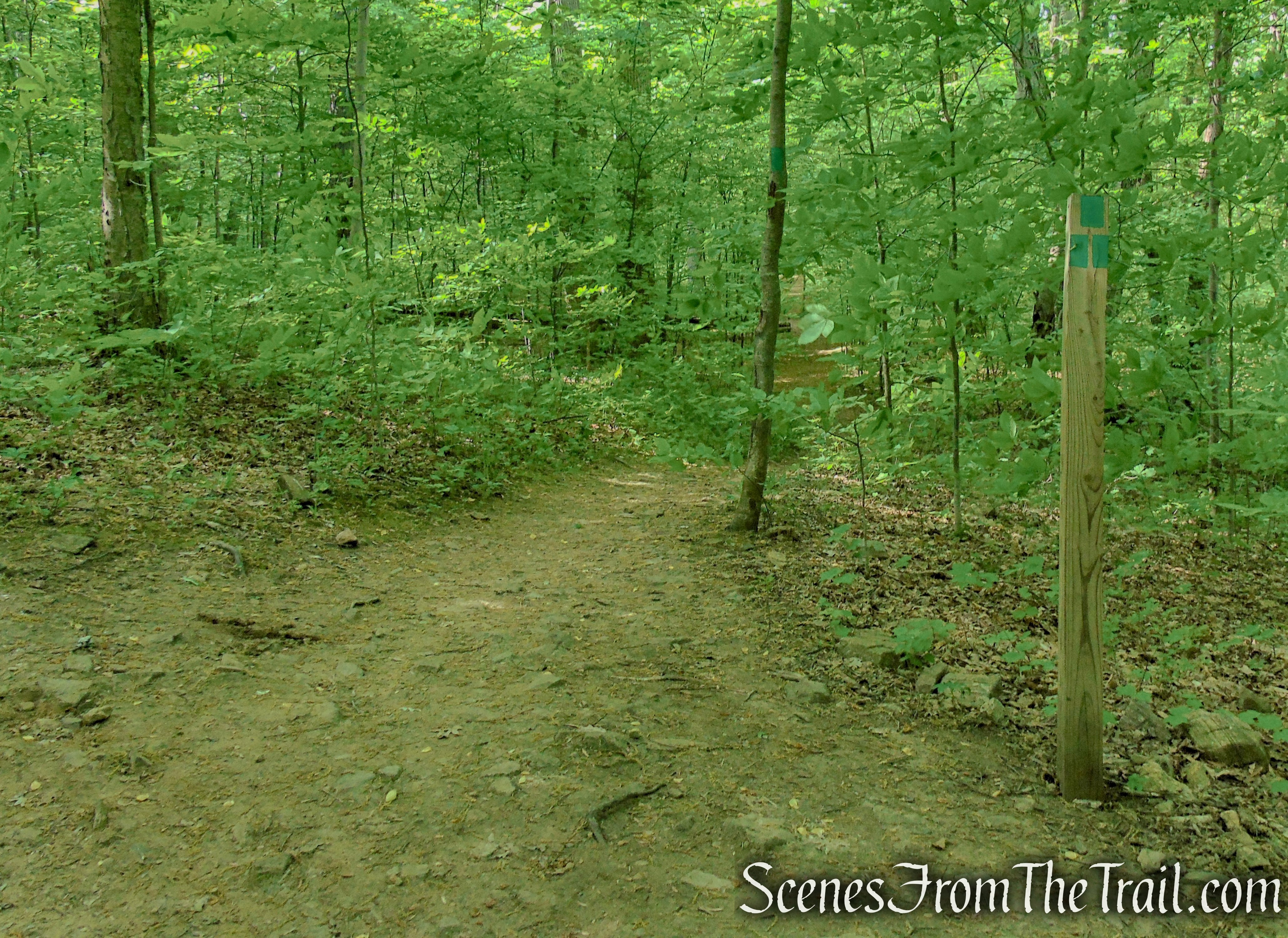
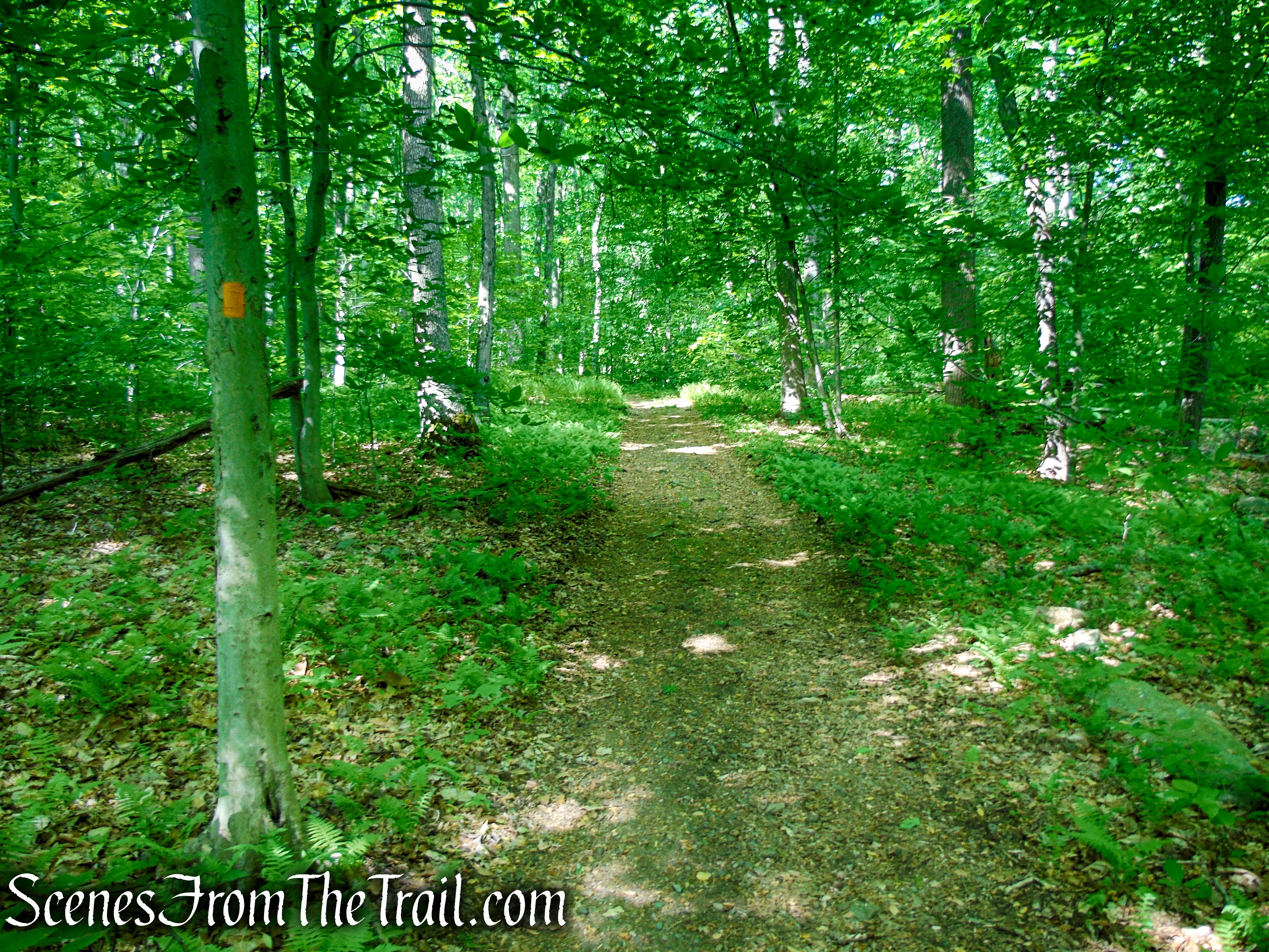
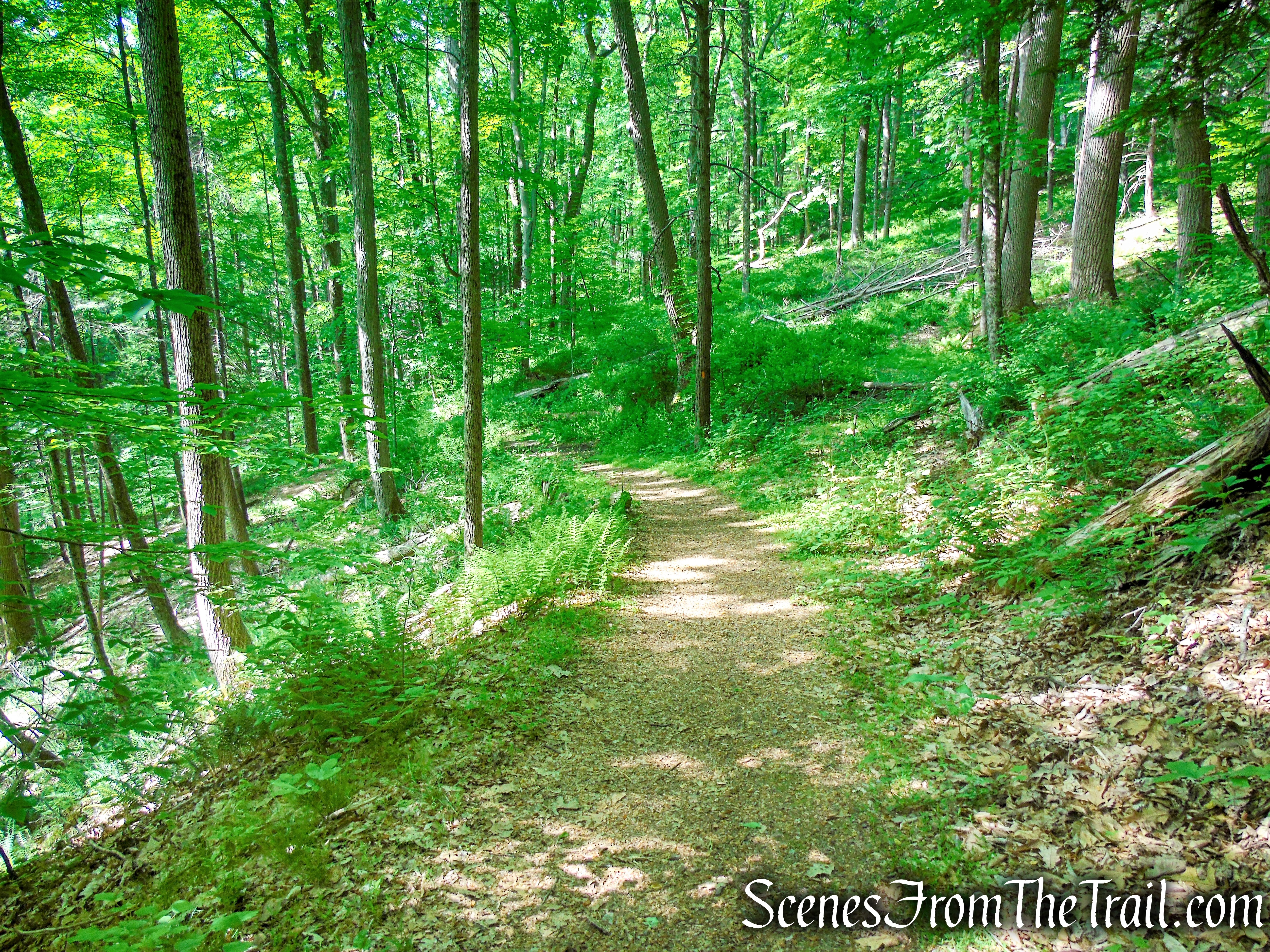
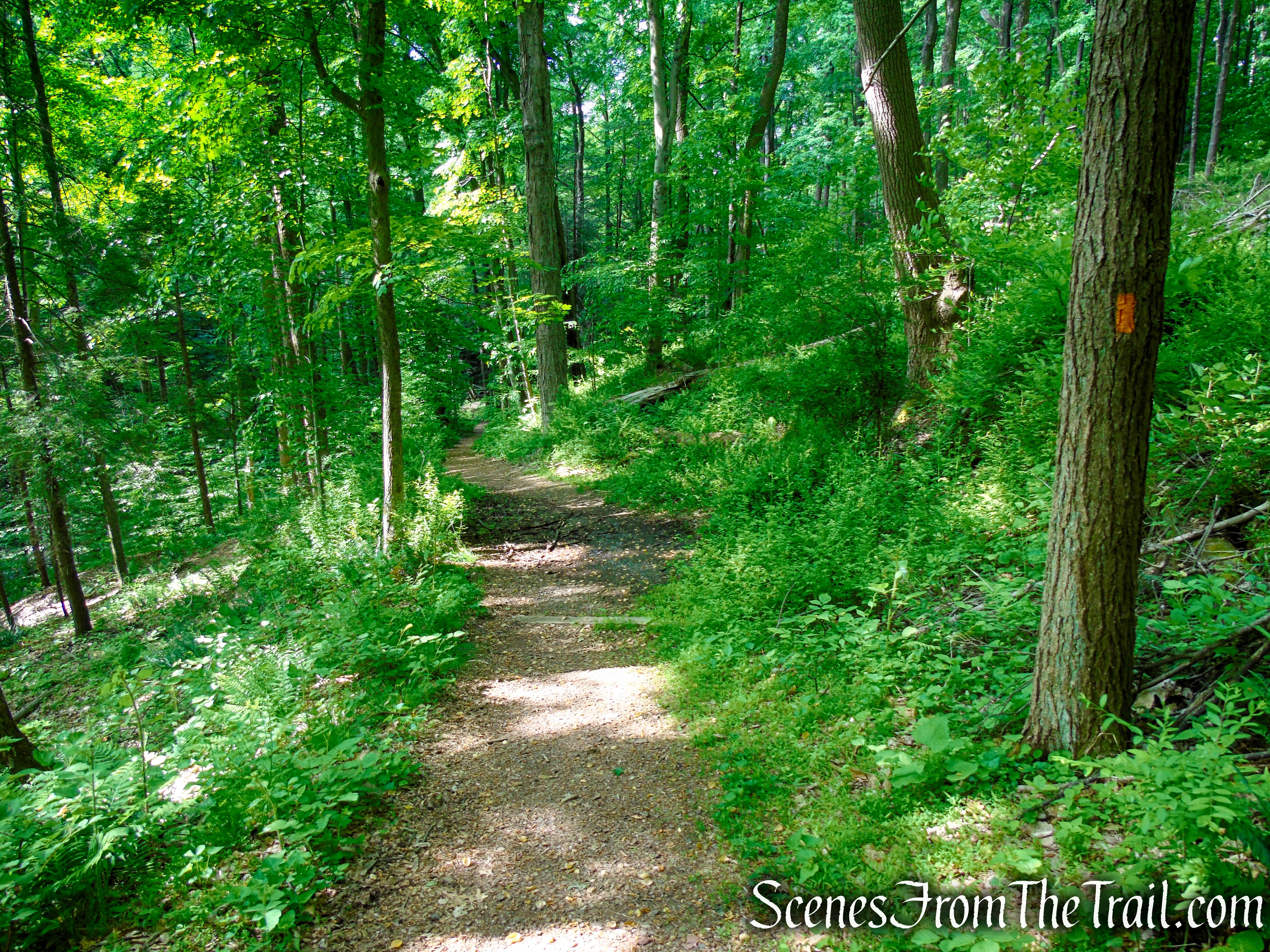
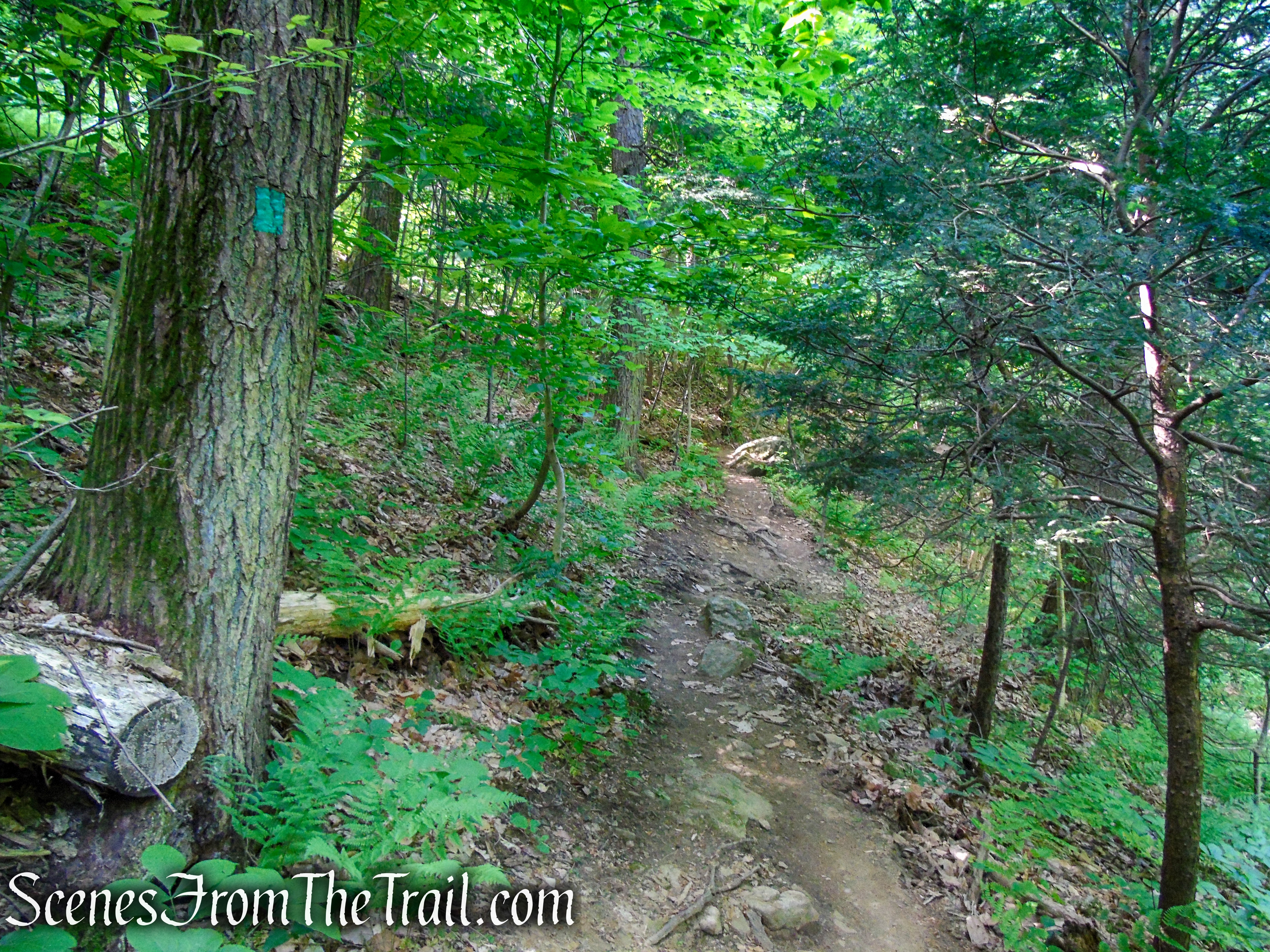
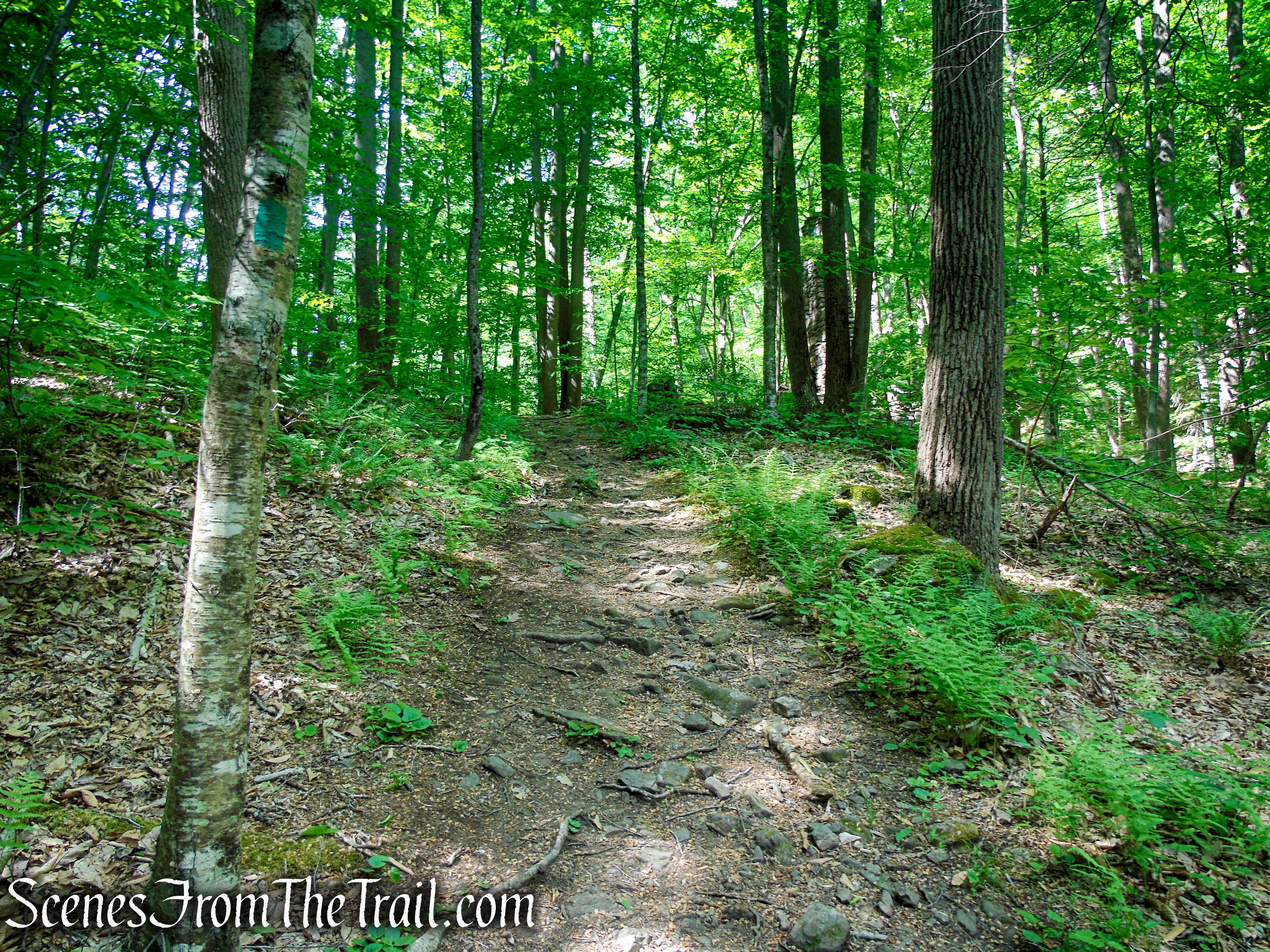
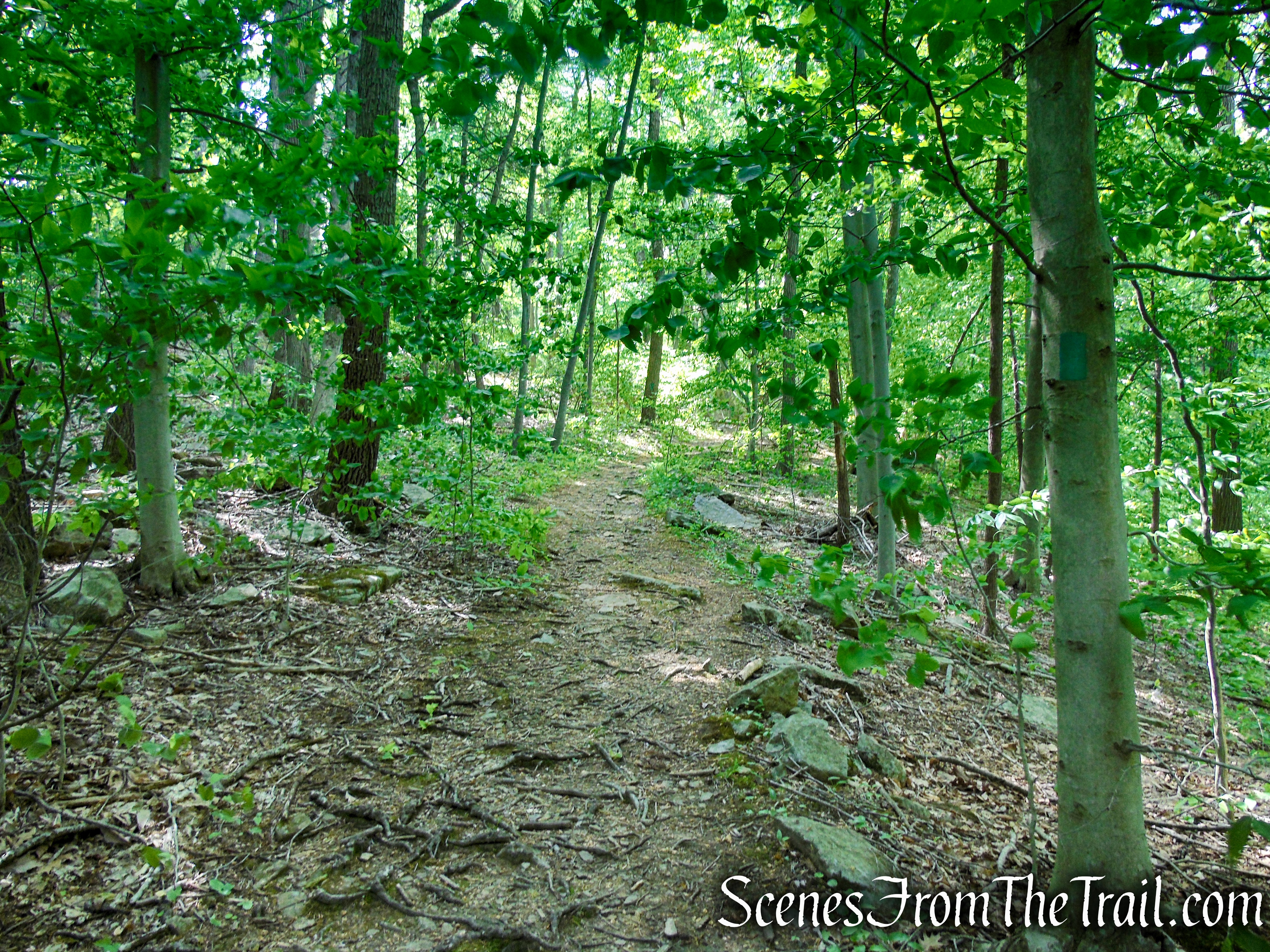
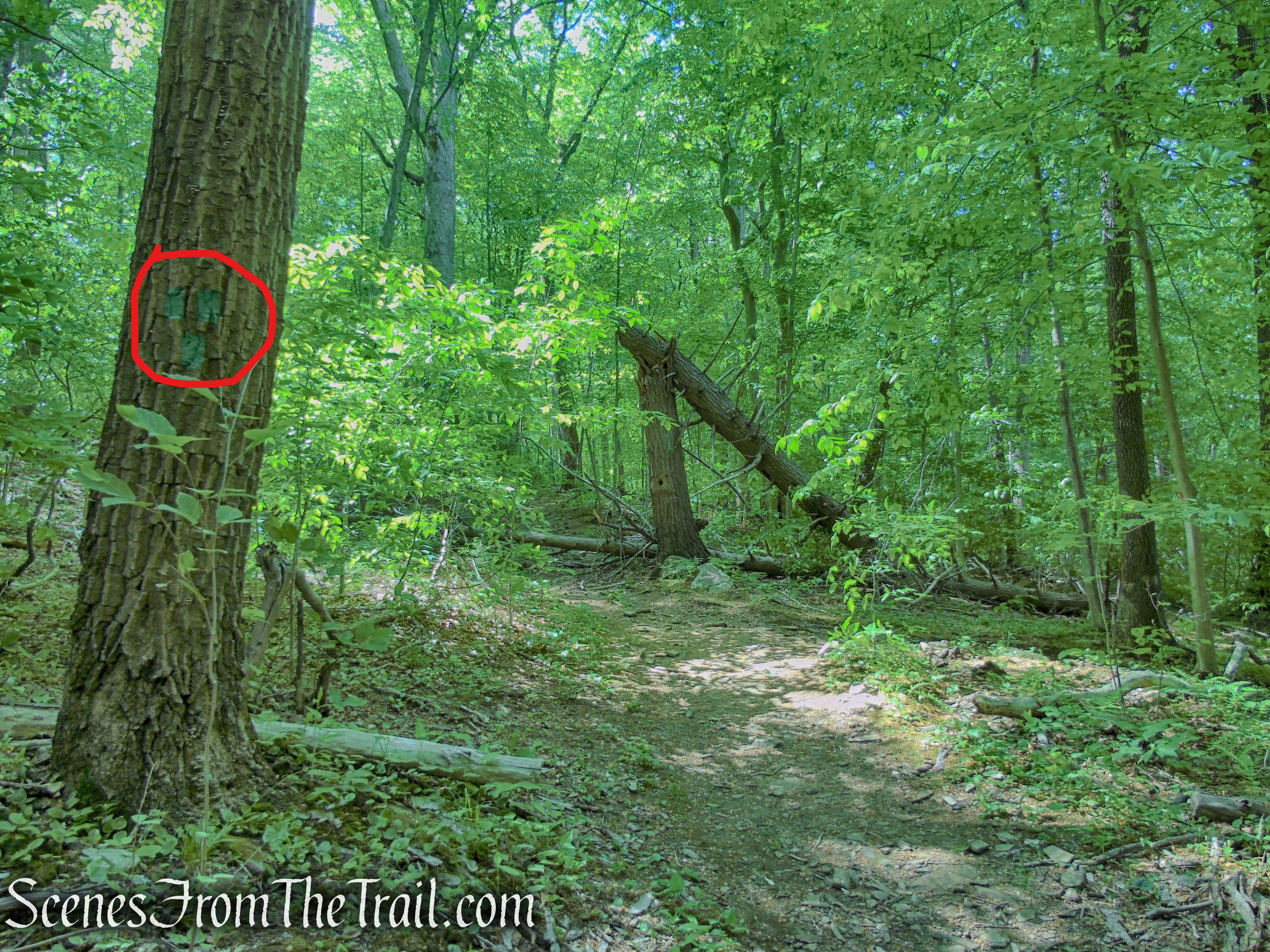
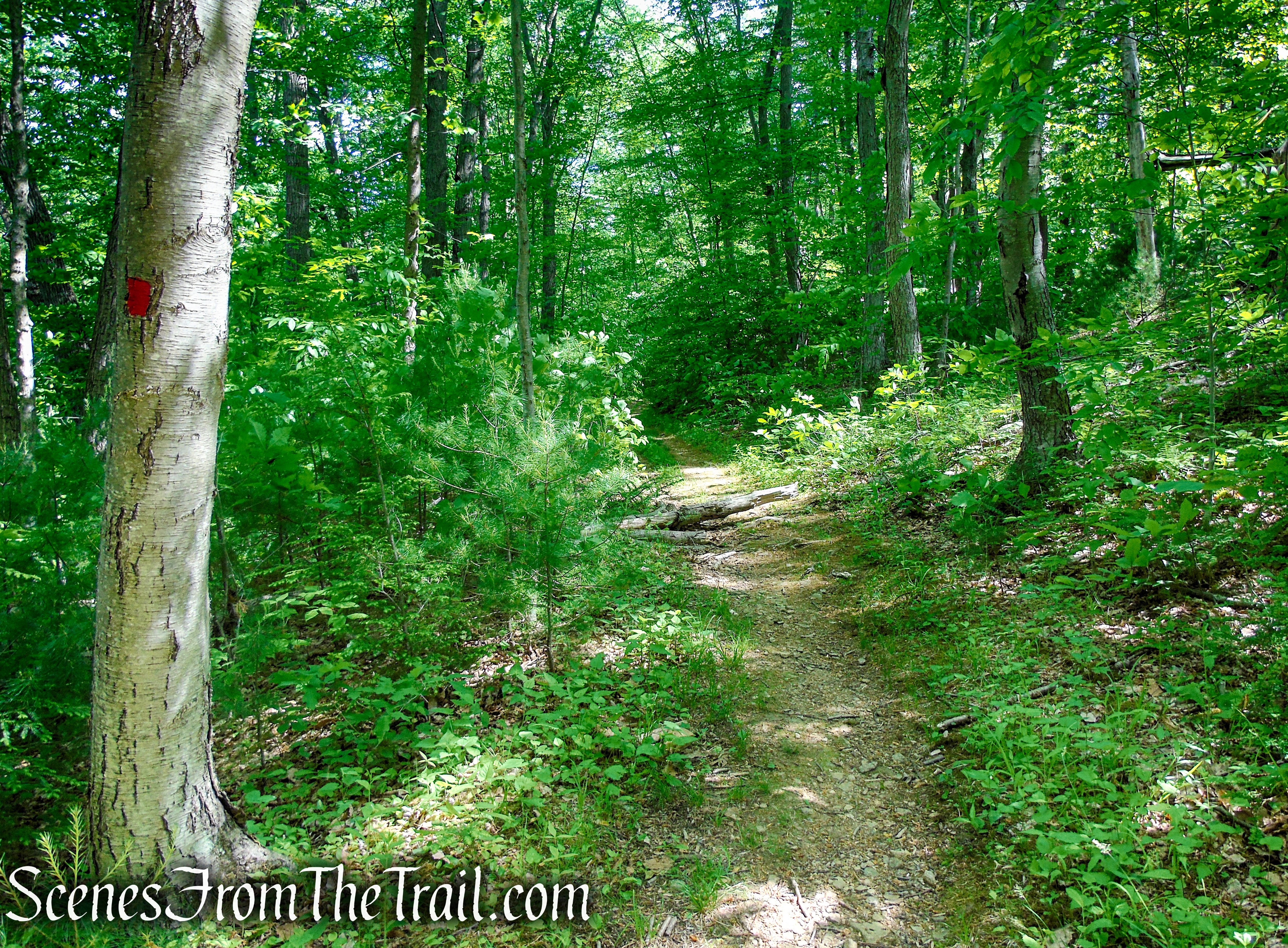
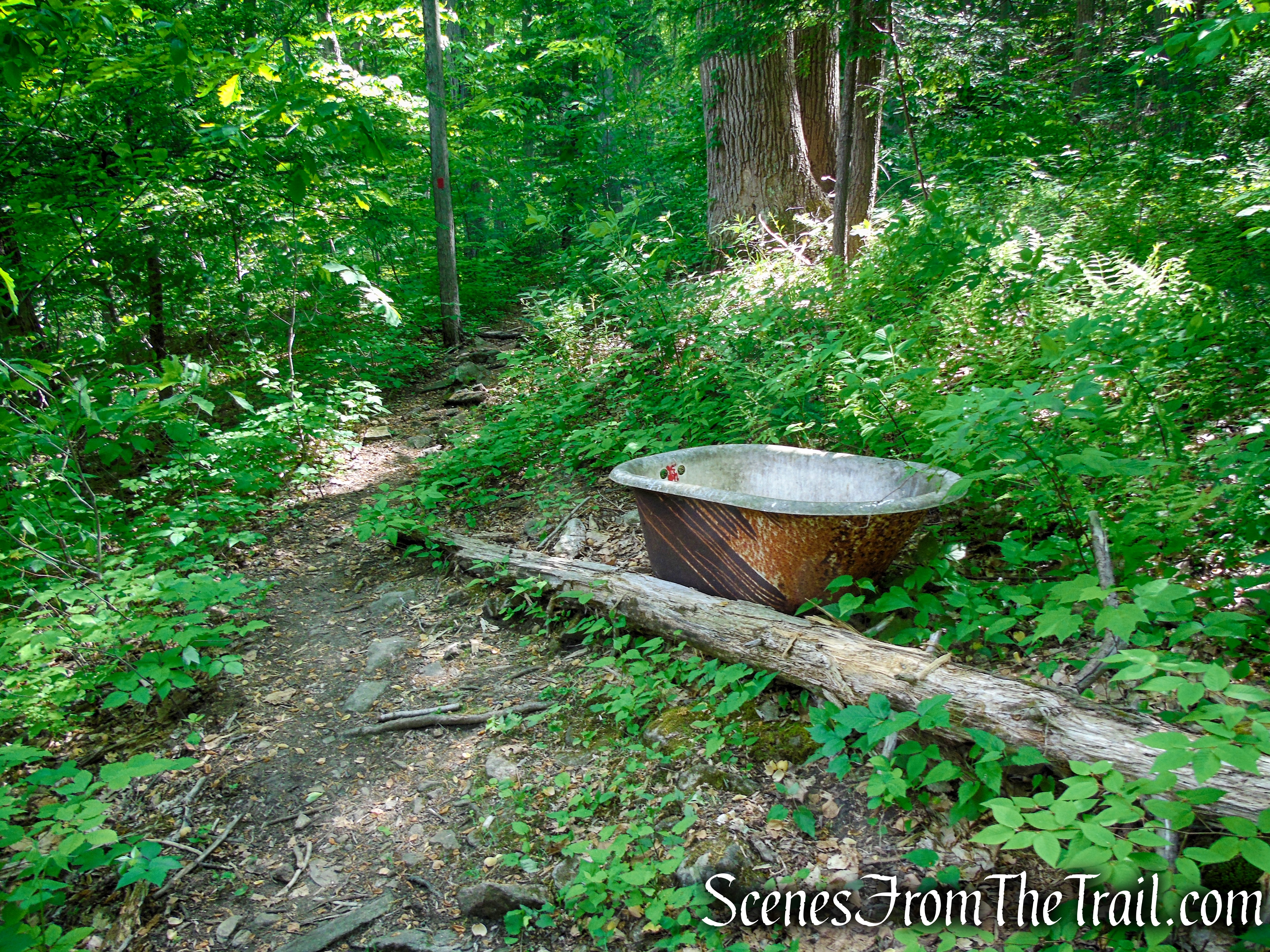
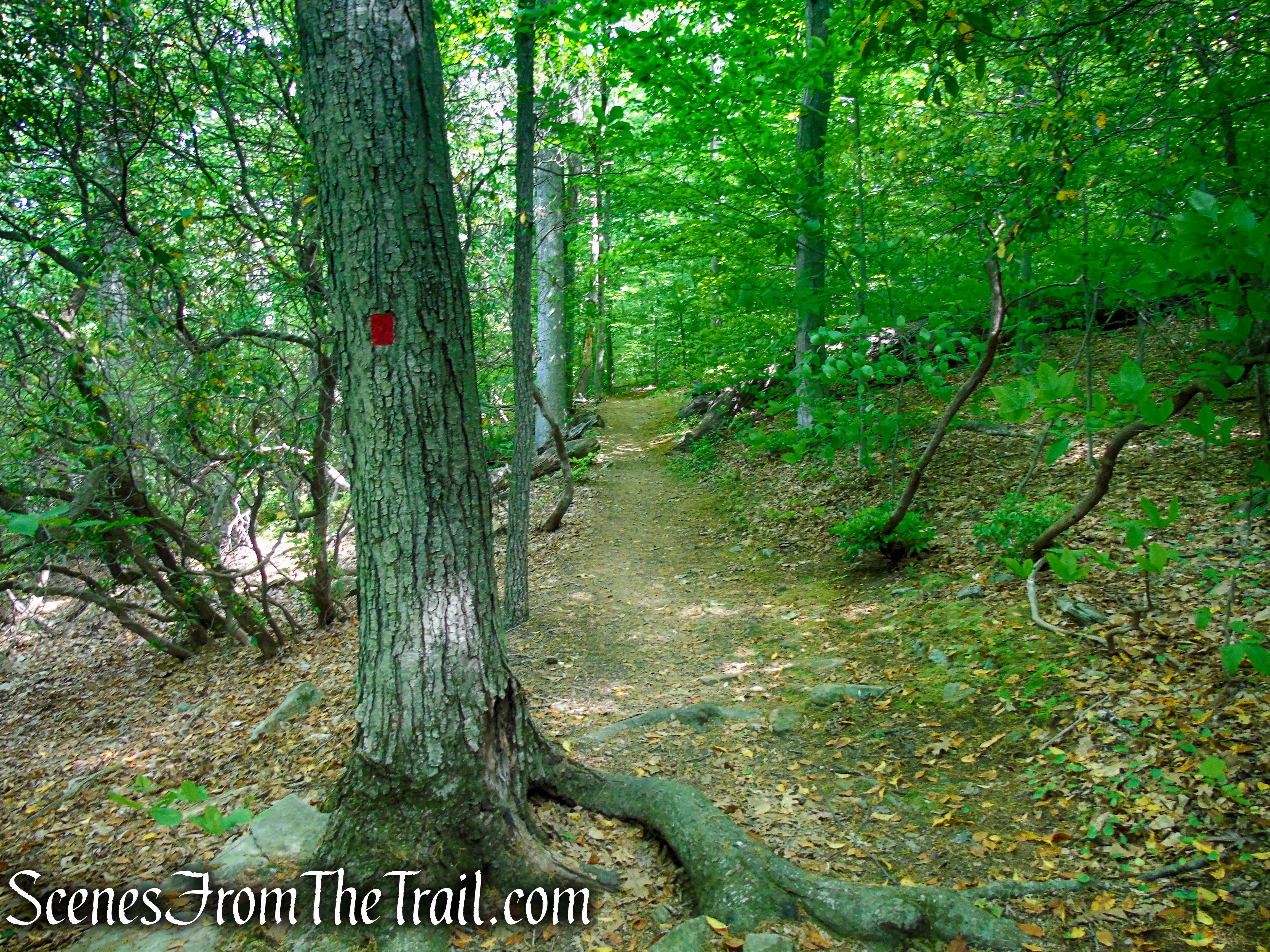
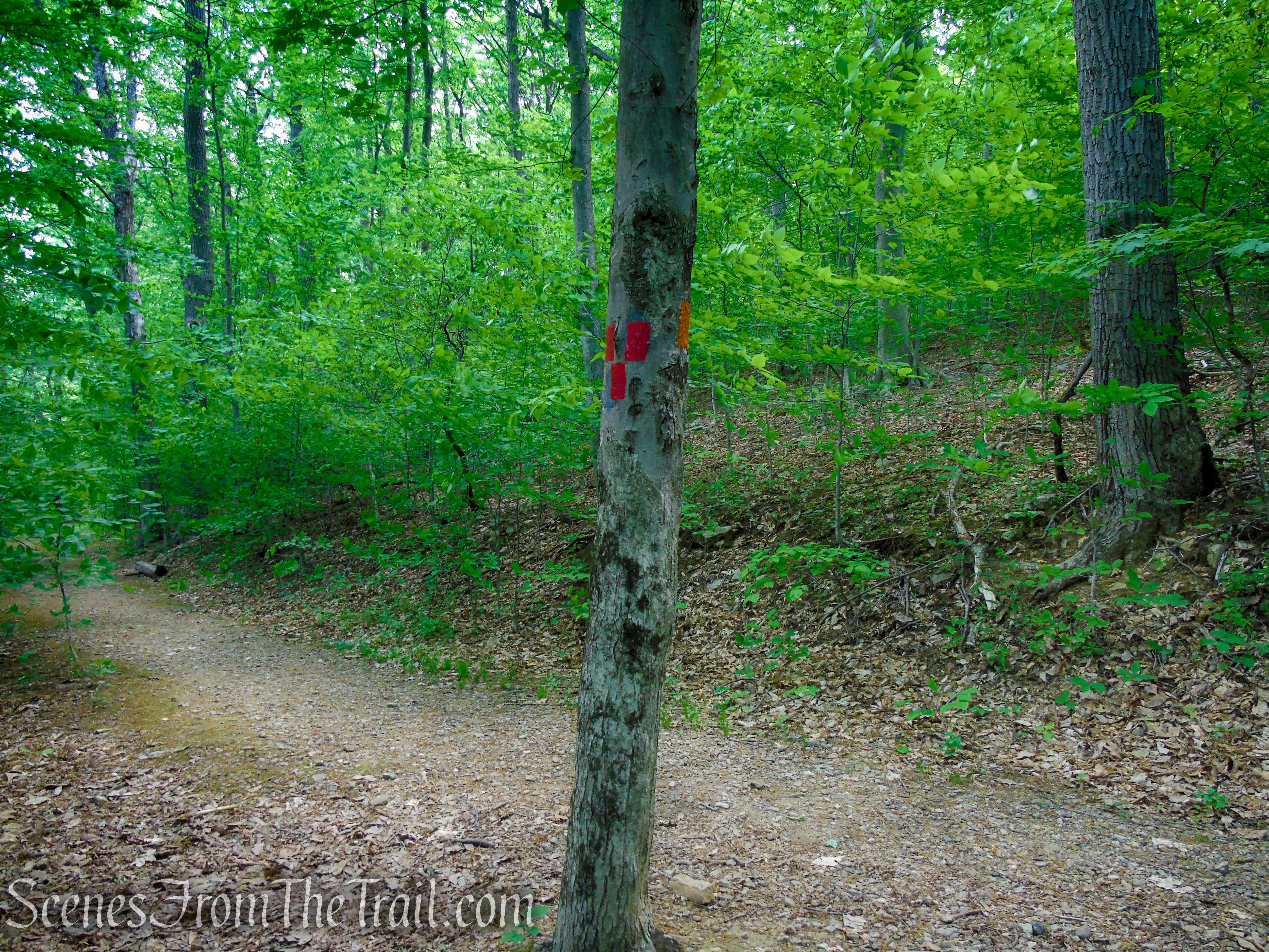
When you are ready to continue, proceed uphill on the Green Trail a short distance to its terminus at a junction with the Red Trail. Continue uphill, now following the red blazes. DO NOT TURN RIGHT. The Red Trail curves to the left and heads in a northeasterly direction on a level wide track which soon turns into a more rugged footpath as it descends a little. The Red Trail runs parallel to the Green Trail, higher up the slope. The Red Trail passes a junction with a faded Gray Trail which connects to the Green Trail down below. Veer right at this junction to continue following the red blazes. The Red Trail now begins a steady climb and in almost half a mile from the junction with the Green Trail, the Red Trail ends at a T-intersection with a woods road, the route of the Orange Trail.
Green Trail – Black River County Park
Circled are three green blazes indicating the end of the Green Trail.
Terminus of Green Trail – Black River County Park
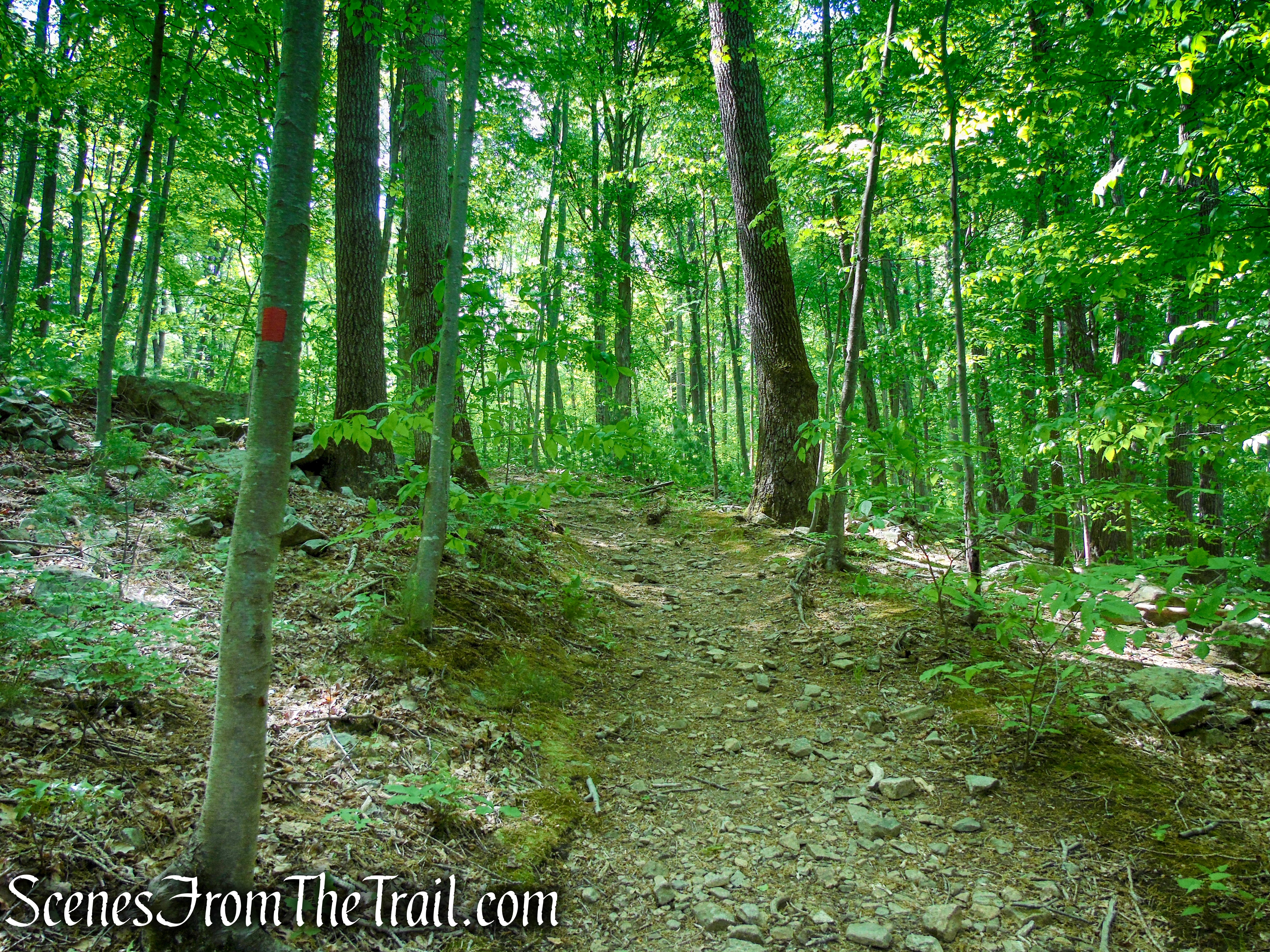
Red Trail – Black River County Park
Red Trail – Black River County Park
Red Trail – Black River County Park
Red Trail – Black River County Park
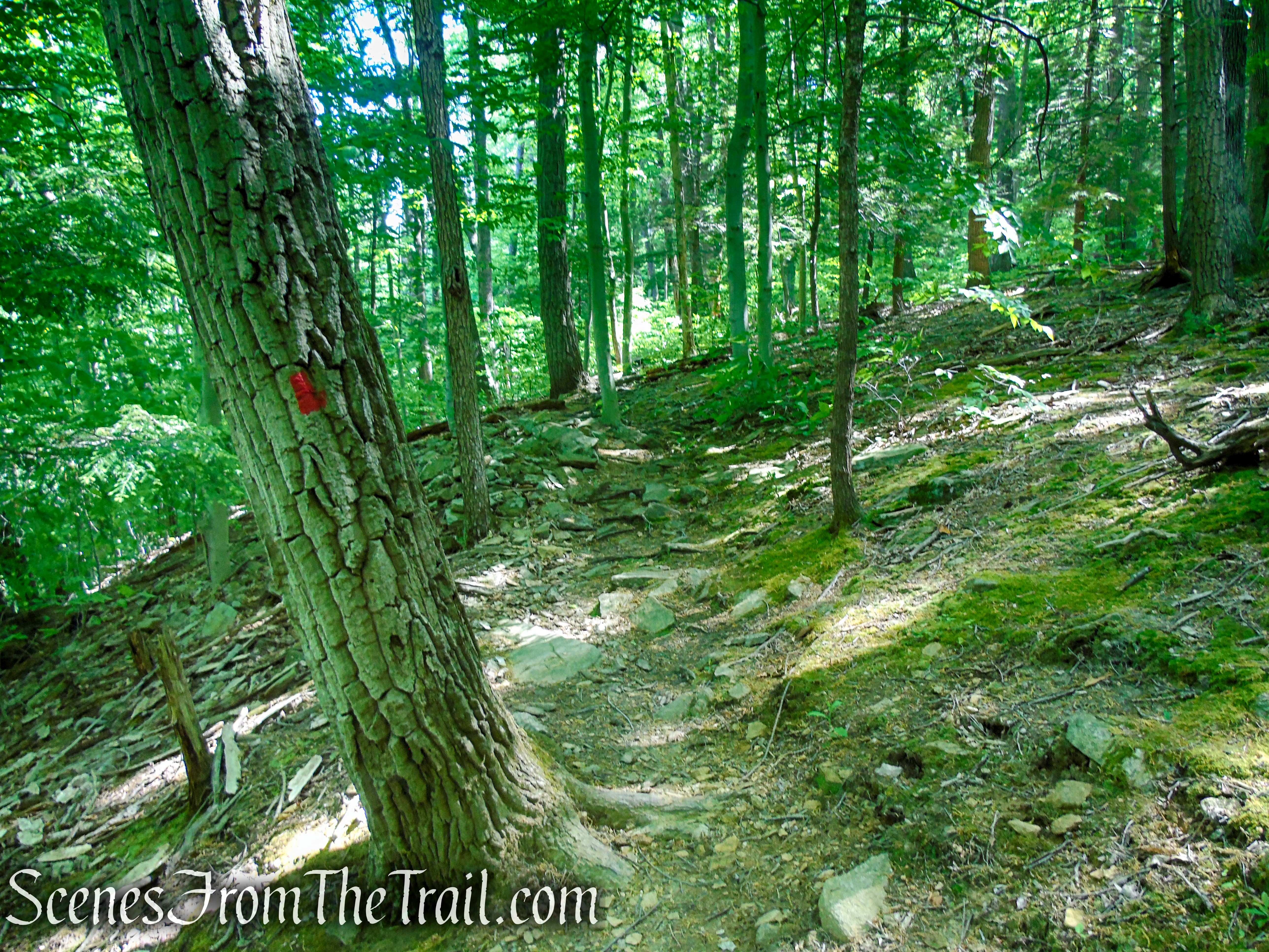
Red Trail – Black River County Park
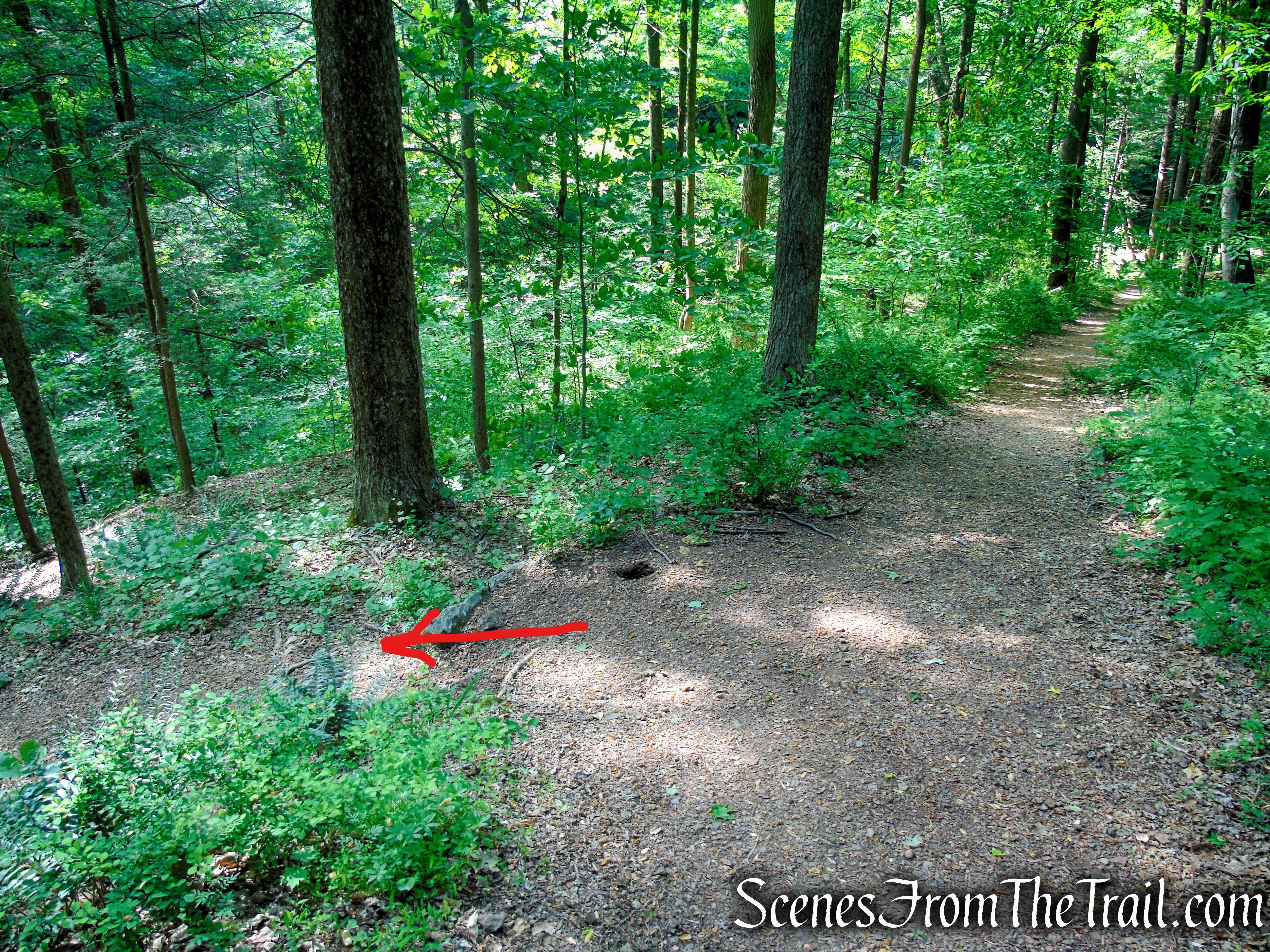
While I was standing by this tree waiting for my hiking mates to catch up, A coyote came up the slope, walked along the trail for about 15 feet, then ran up the hillside. Every time that I raised the camera, it would run about 10 feet higher, all the while looking at me. It was watching me as I was watching it. I’ve seen a few coyotes in the woods, but this was the largest by far.
Red Trail – Black River County Park
Red Trail – Black River County Park
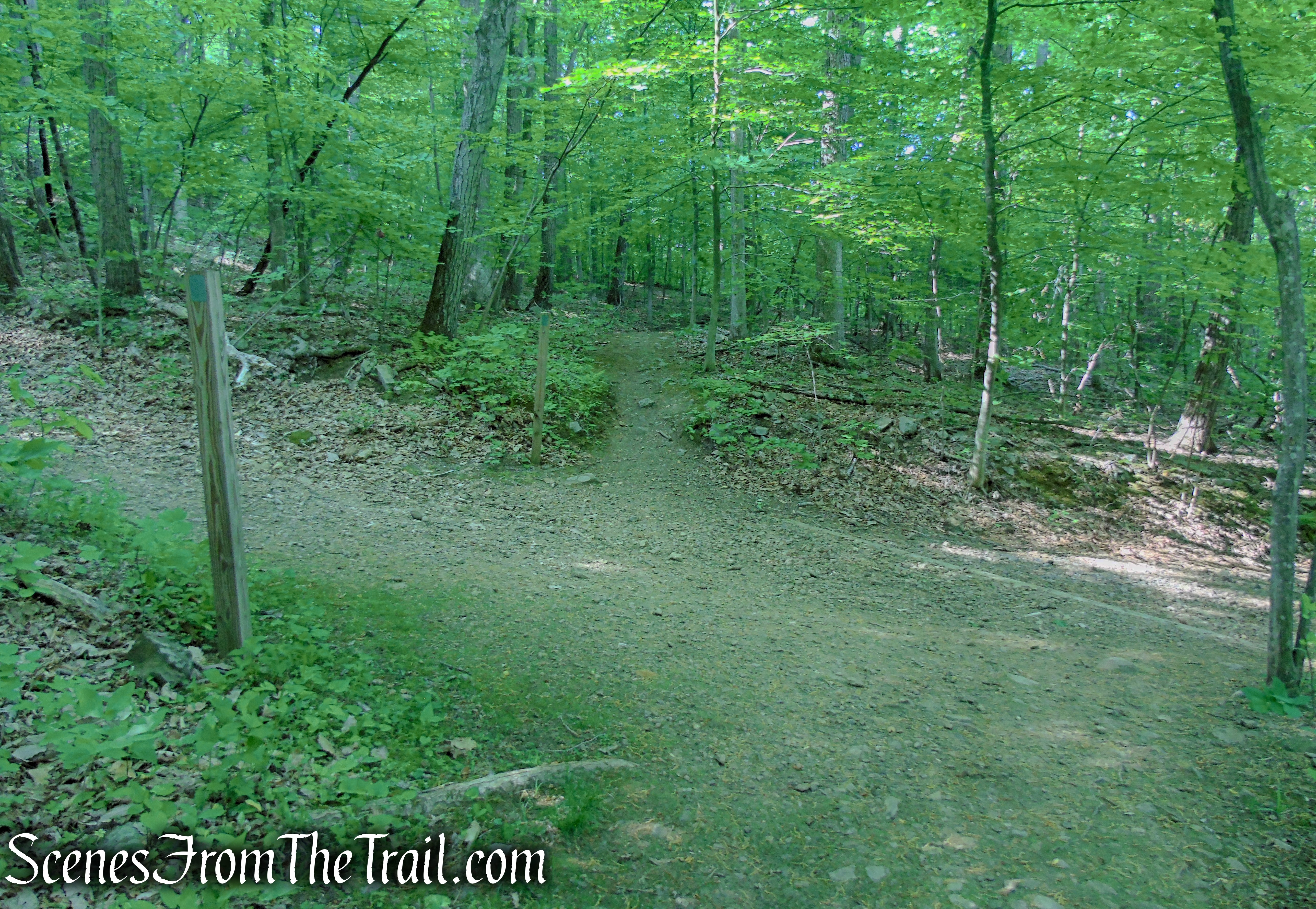
Turn left on Orange Trail
Turn left on the Orange Trail which heads north on the woods road.
Turn left on Orange Trail
In about 210 yards, the Orange Trail comes to a Y-intersection with another woods road and veers left. Turn RIGHT at this junction, the route of the Blue/Orange Connector Trail.
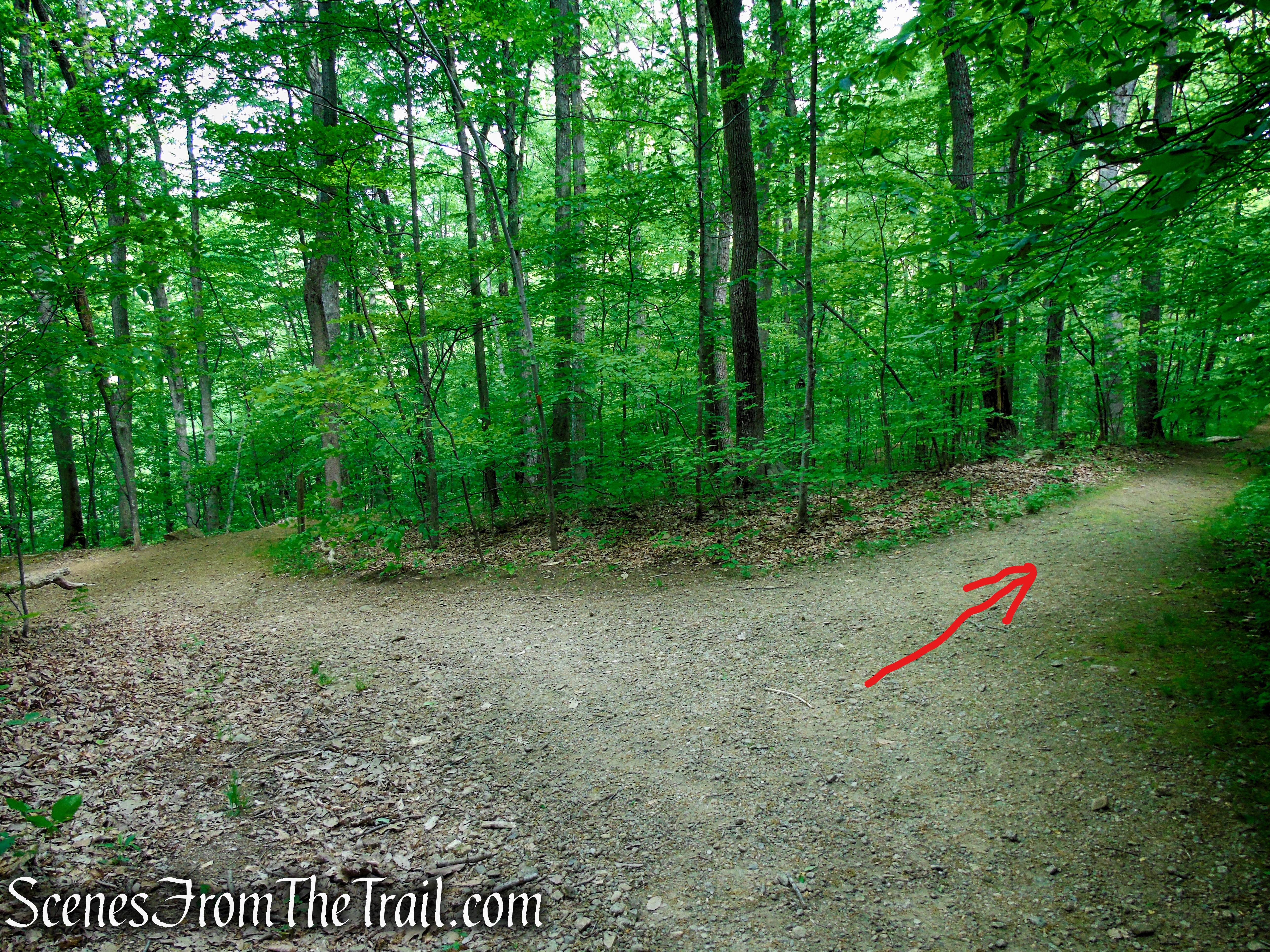
Turn right on Blue/Orange Connector Trail
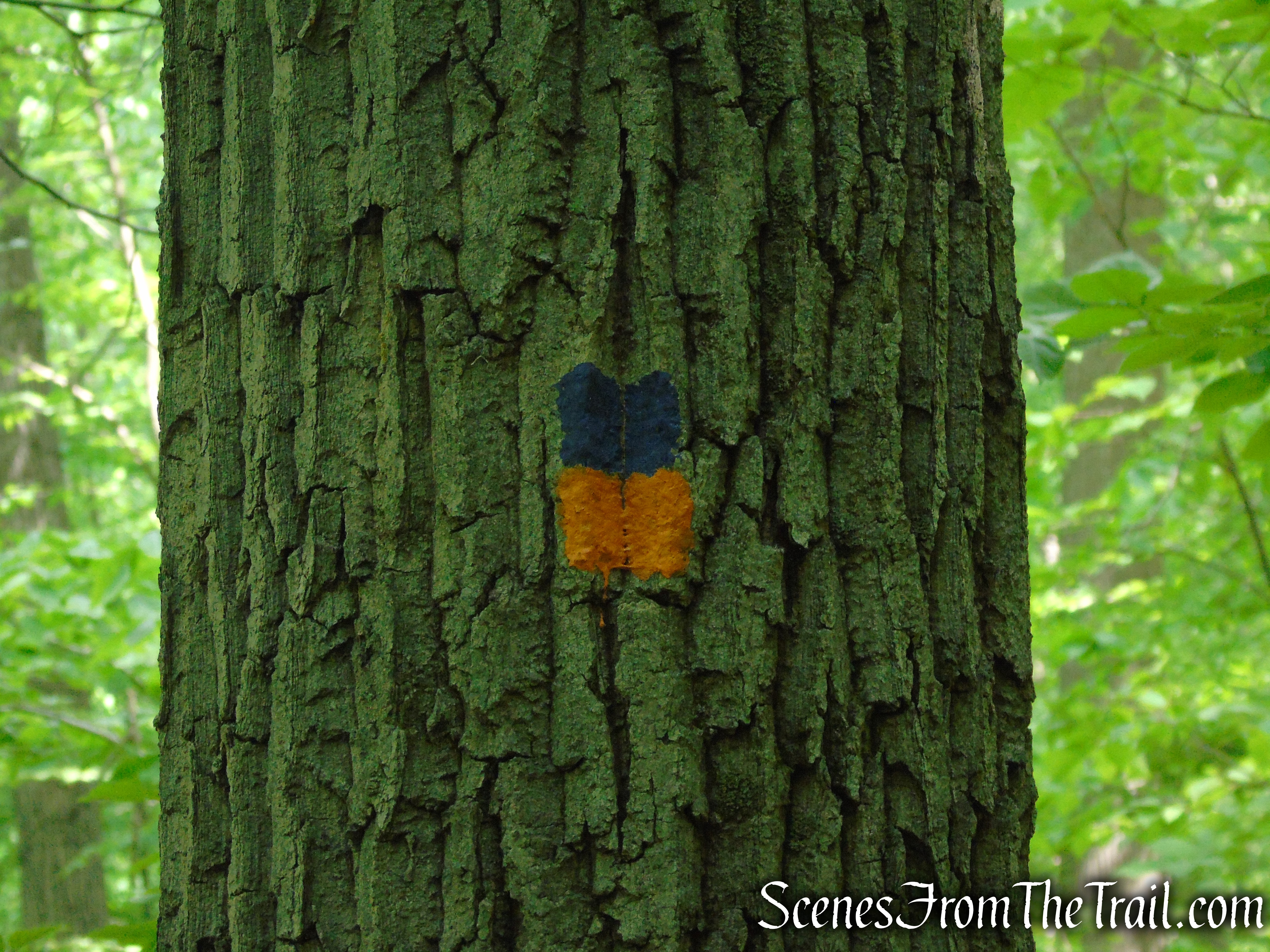
Turn right on Blue/Orange Connector Trail
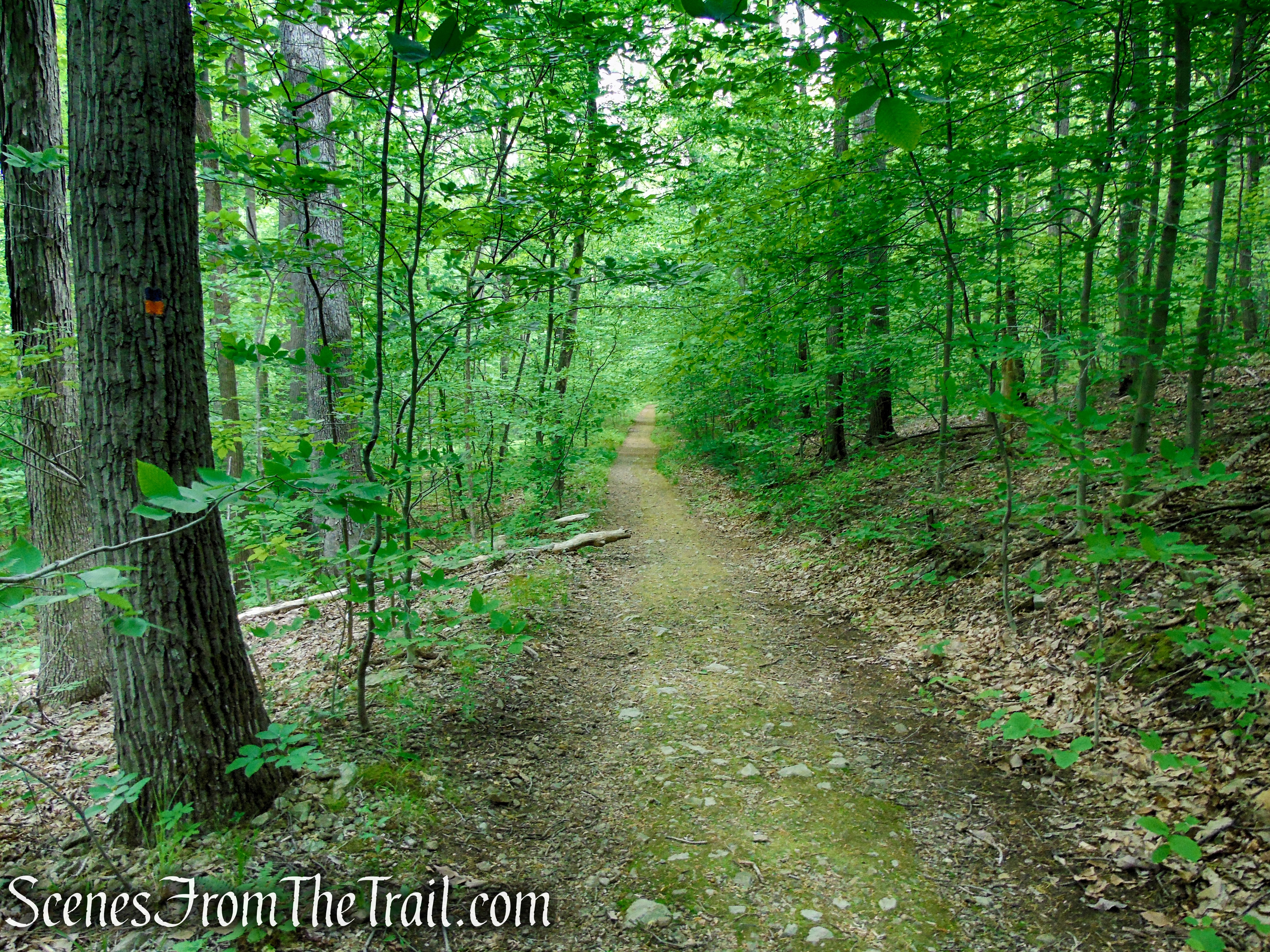
Blue/Orange Connector Trail – Black River County Park
In about 220 yards, the Blue/Orange Connector Trail comes to a Y-intersection with the Patriots’ Path. This junction is not well marked, but you should turn left here. A few feet after turning left, you’ll pass the junction with the Green Trail on the left that you took earlier in the hike. Continue ahead on the Patriots’ Path. From that point you will be retracing your steps, heading north, back to the Cooper Gristmill, where the hike began.
Turn left on Patriots’ Path
Patriots’ Path – Black River County Park
Patriots’ Path – Black River County Park
Cooper Gristmill – Black River County Park
When we returned to the parking lot at approximately 11:30 am, it was at or near capacity.
Cooper Gristmill – Black River County Park
Review:
An excellent hike along the Black River with numerous points of interest. This hike is perfect for a hot and humid day as the entire hike was shaded from the sun. A good combination of well graded woods roads/railbed and rugged footpaths. Kay’s Cottage Ruins are eye-catching as is the view of them from across the river. The trails are well marked, but the junctions could use some signage. The Green Trail, south of the Orange Trail, is a more wild and remote area. Although we failed to see some blazes in that area, it could have been due to a blowdown along the trail that redirected our route. Carry a map and compass and you shouldn’t have any issues. Although the parking lot was full when we returned, we started early enough (8:40 am) that we only encountered a few people throughout the hike. All in all a great day on the trails.
Pros:
Kay’s Cottage Ruins, Black River, large parking lot, well marked trails, scenic landscape.
Cons:
Trail junctions could use some signage.
Take a hike!
Kay’s Cottage Ruins from Cooper Gristmill
Sources:
- Cooper Gristmill – Morris County Park Commission
- Elizabeth D. Kay Environmental Center
- Patriots’ Path – Morris County
- New York-New Jersey Trail Conference
- Black River County Park Trail
- Patriots’ Path – Chester Township
- Elizabeth Donnell Kay – Chester Historical Society
