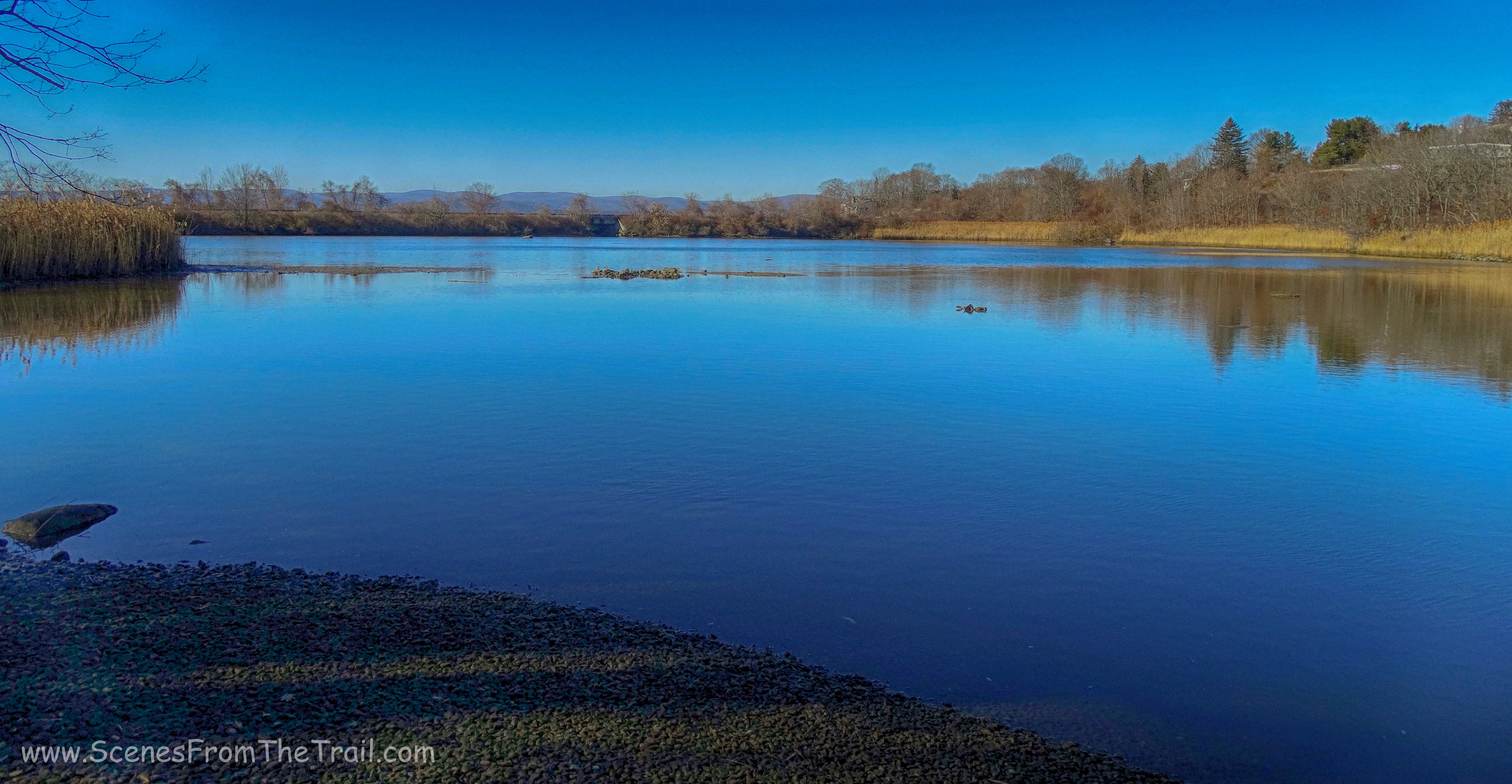
April 17, 2017 – Mohonk Preserve – New Paltz, NY
Difficulty: strenuous
Length: approximately 6.3 miles
Max elevation: 1,195 ft. – total elevation gain: 1,215 ft.
Route type: circuit
Trailhead parking: Spring Farm Trailhead
Fees: $15.00 per hiker day use fee (totally worth it)
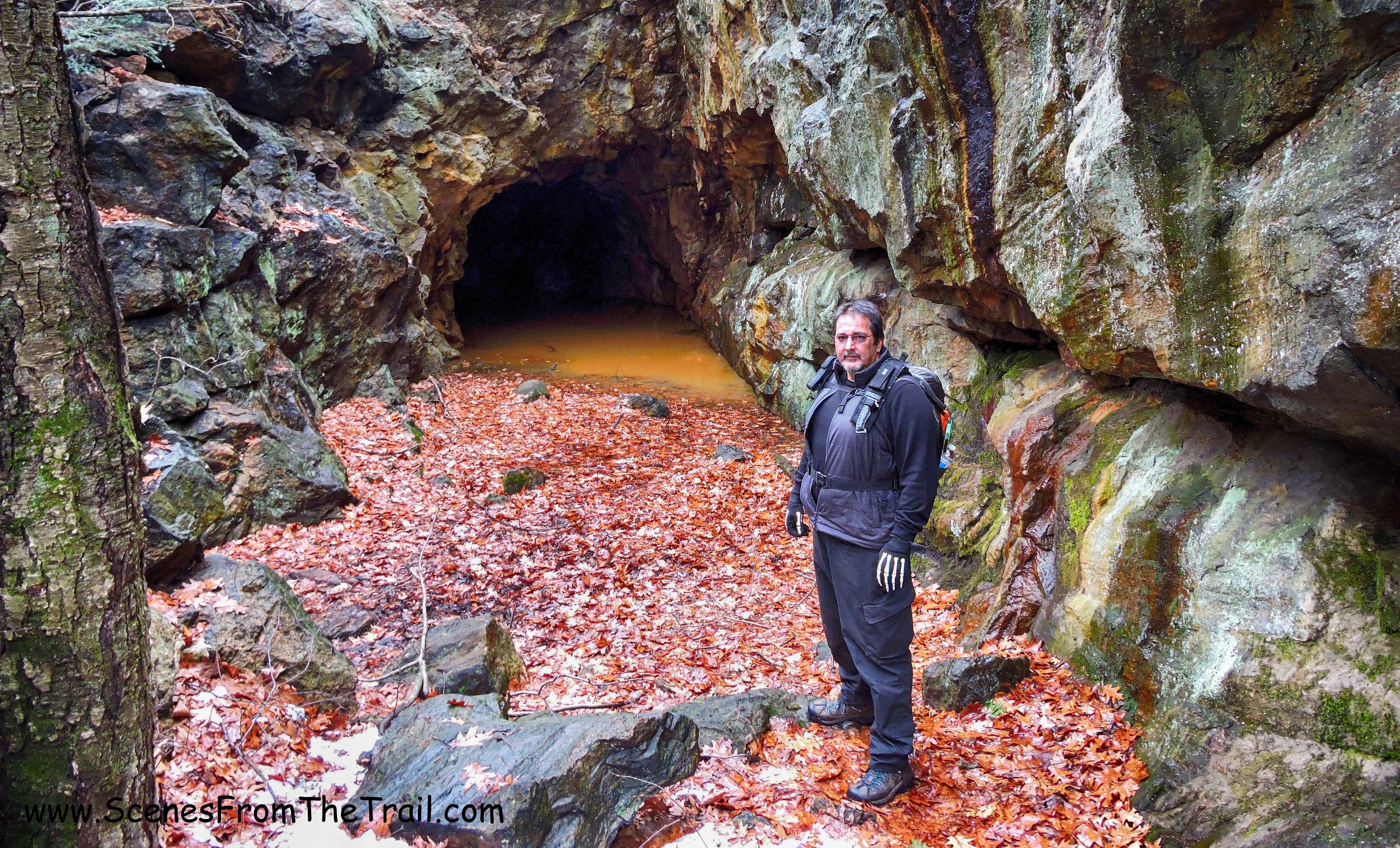
Bonticou Crag is one of those hikes that that you just want to do. Similar to Breakneck Ridge, it is challenging and exhilarating. I have been wanting to “conquer the crag” since I read about it a couple of years ago. It is a very popular hike and with popularity comes crowds. I don’t much care for crowds when I hike because it’s the crowds I’m trying to get away from when I hike. I wanted to do a challenging hike on my birthday to keep father time at bay and convince myself that age is only a number. Since my birthday fell on a Monday, I thought it would be the right time to do this hike. After all, since I didn’t know how difficult it would be until I was actually doing it, I didn’t want any young bucks breathing down my neck or feeling pressured to move faster than I wanted to. With that being said, we were off to “conquer the crag” on the Monday of my birthday. Not wanting to reveal my true age, it’s just a number you know, I remember 8-track tapes and parachute pants.
Arriving at the parking area just after they open at 9:00 am, there were some cars in the lot already. A group of women chatting by their cars, possibly waiting for others and some hikers disappearing onto one of the trails. When paying at the booth, the attendant has maps (more like a drawing) that are adequate, but if you are going beyond the crag, I would suggest a NY/NJ Trail Conference map which is very detailed. We geared up quickly and we were on our way.
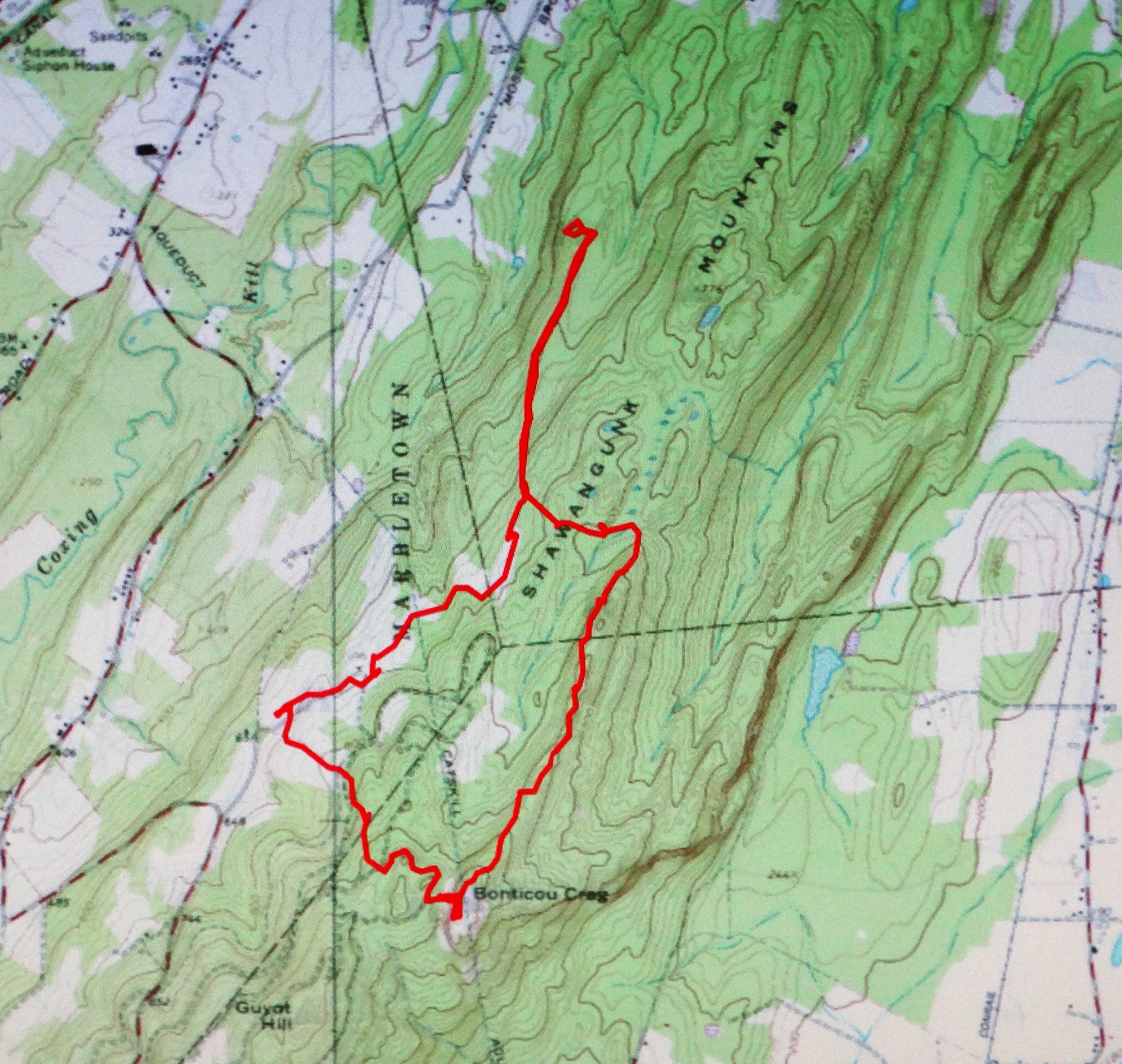
Bonticou Crag and Table Rocks
This place has numerous trails going in different directions, but there are signs and blazes that lead to the places of interest. I knew that going in, so we paid attention and followed the signs and/or blazes. We also went with someone that has hiked this area before.
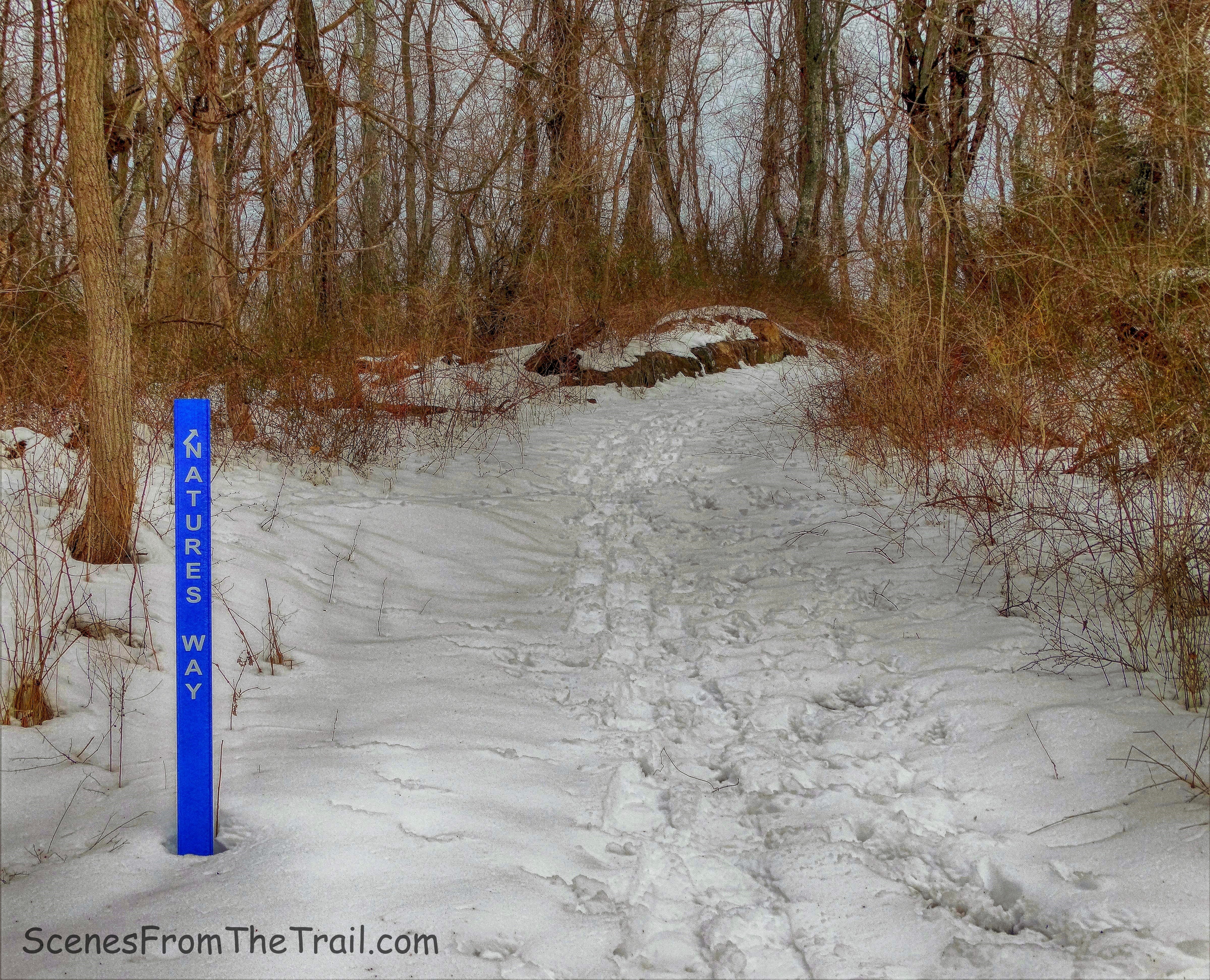
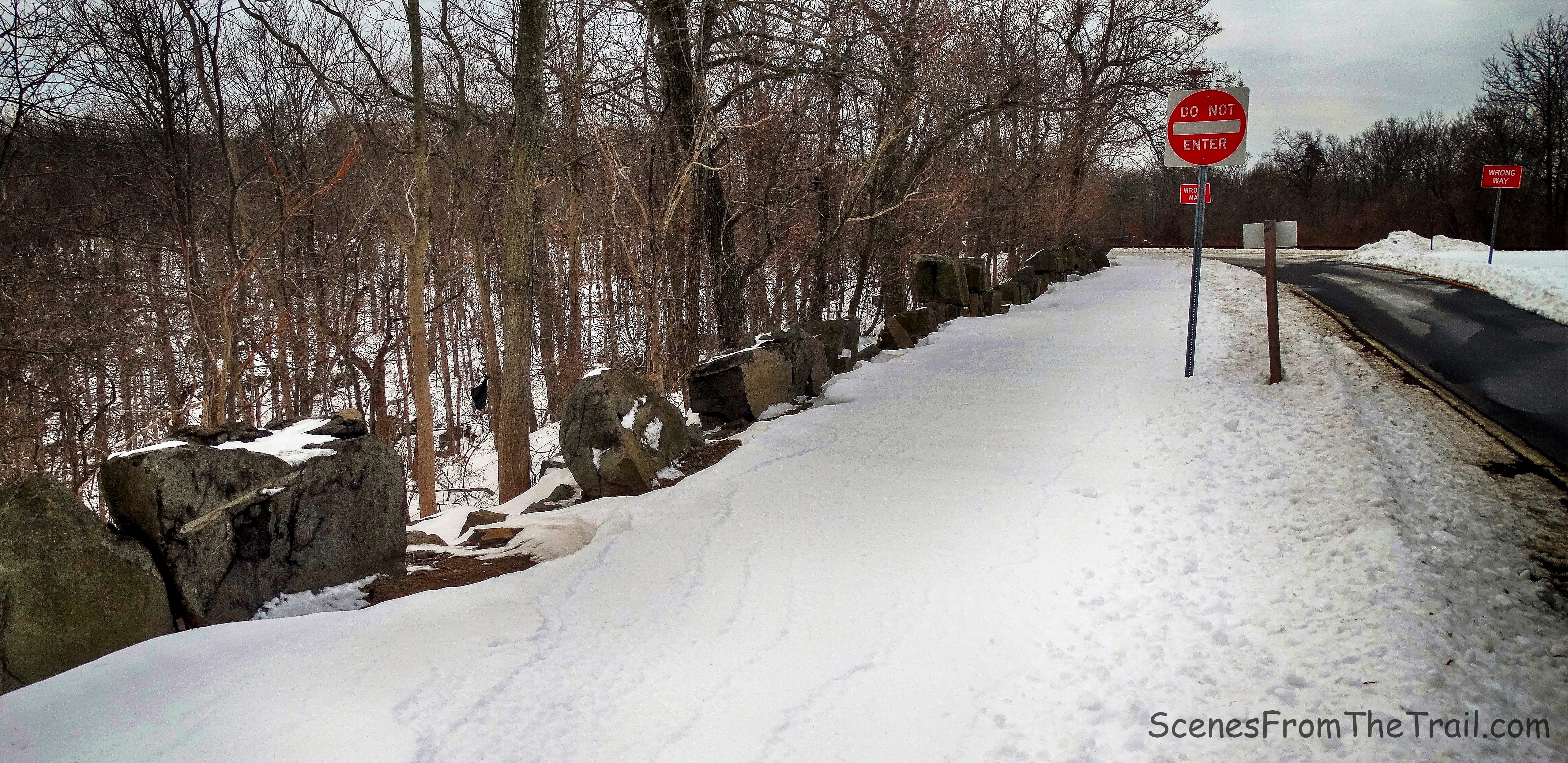
We headed towards the sign that is on the side of the road where you enter the lot.
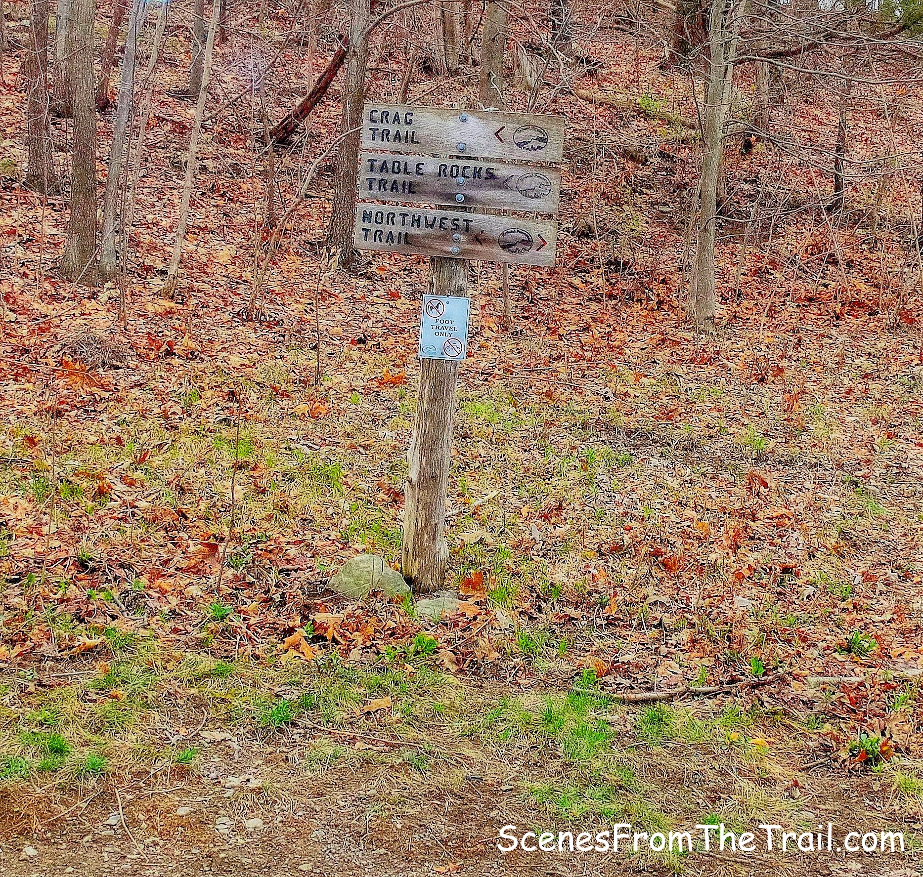
sign
Turning left at the sign (we didn’t, but we took the scenic route) to head towards the Crag Trail. We followed the blue blazes up the hill.
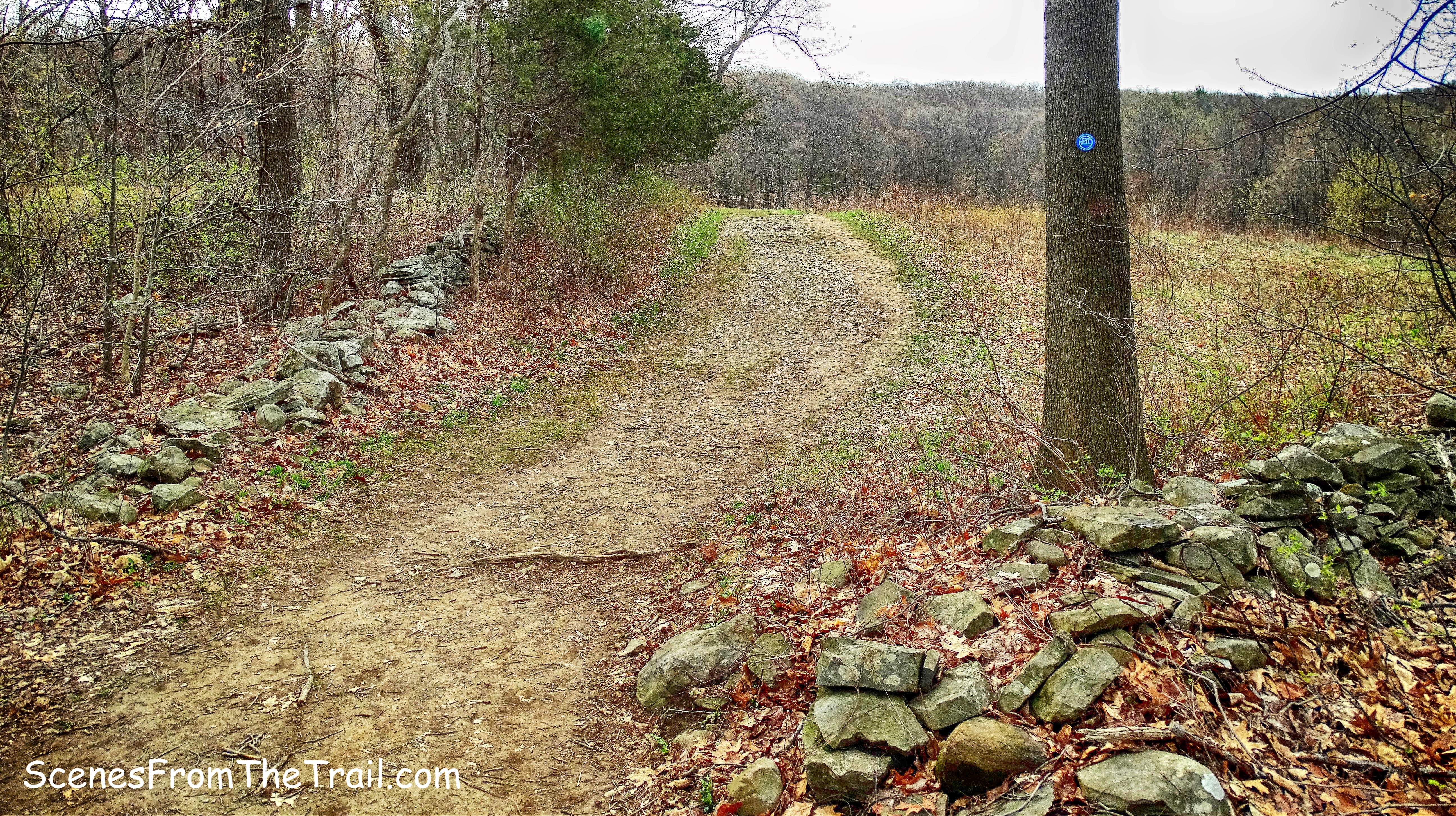
blue blazes
As we walked on the gravel path, a trail veered off to the left, but we continued straight.
gravel path
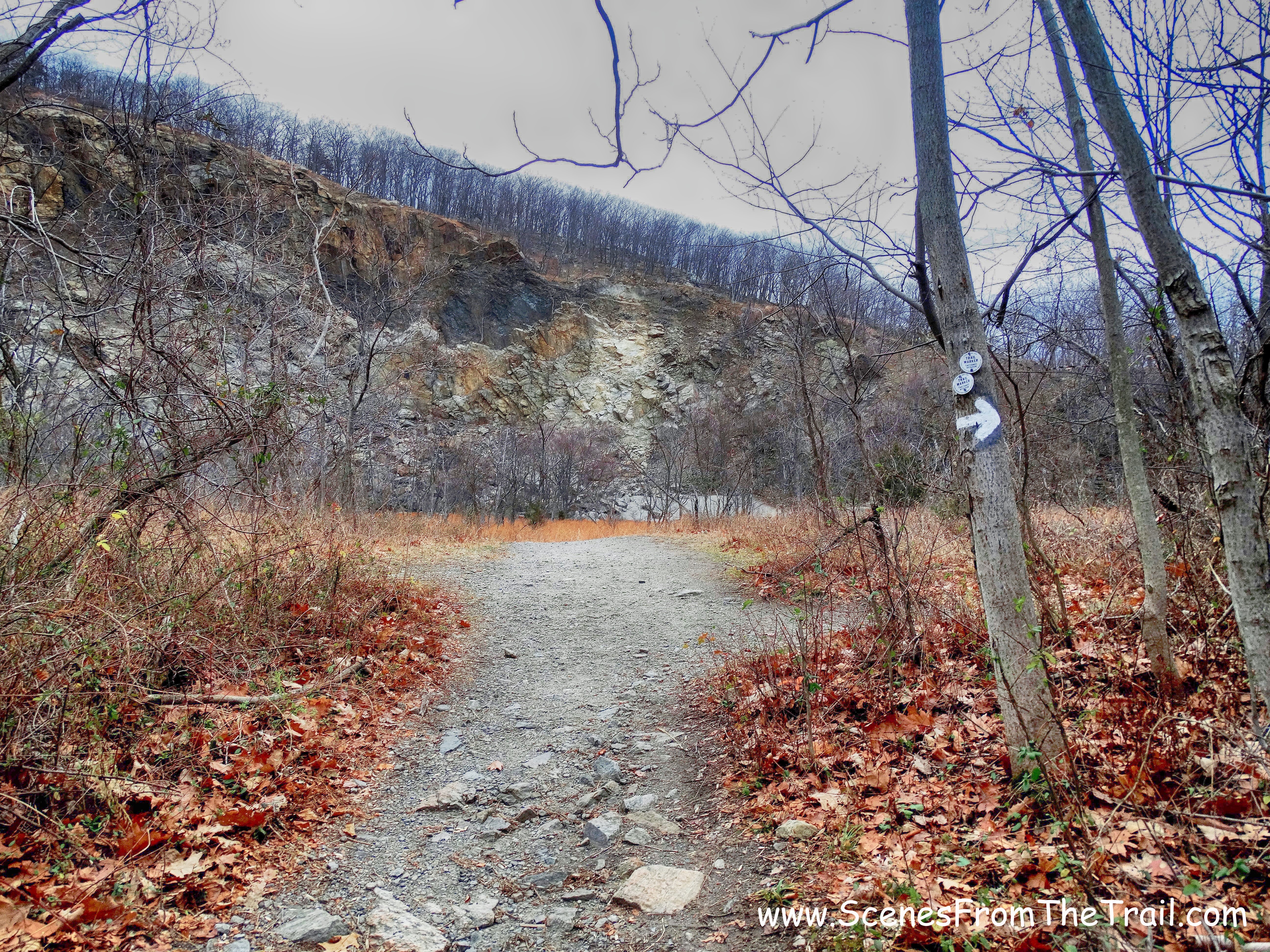
In a short distance we crossed Spring Farm Road and continued straight to the Crag Trail which is marked with red blazes.
junction
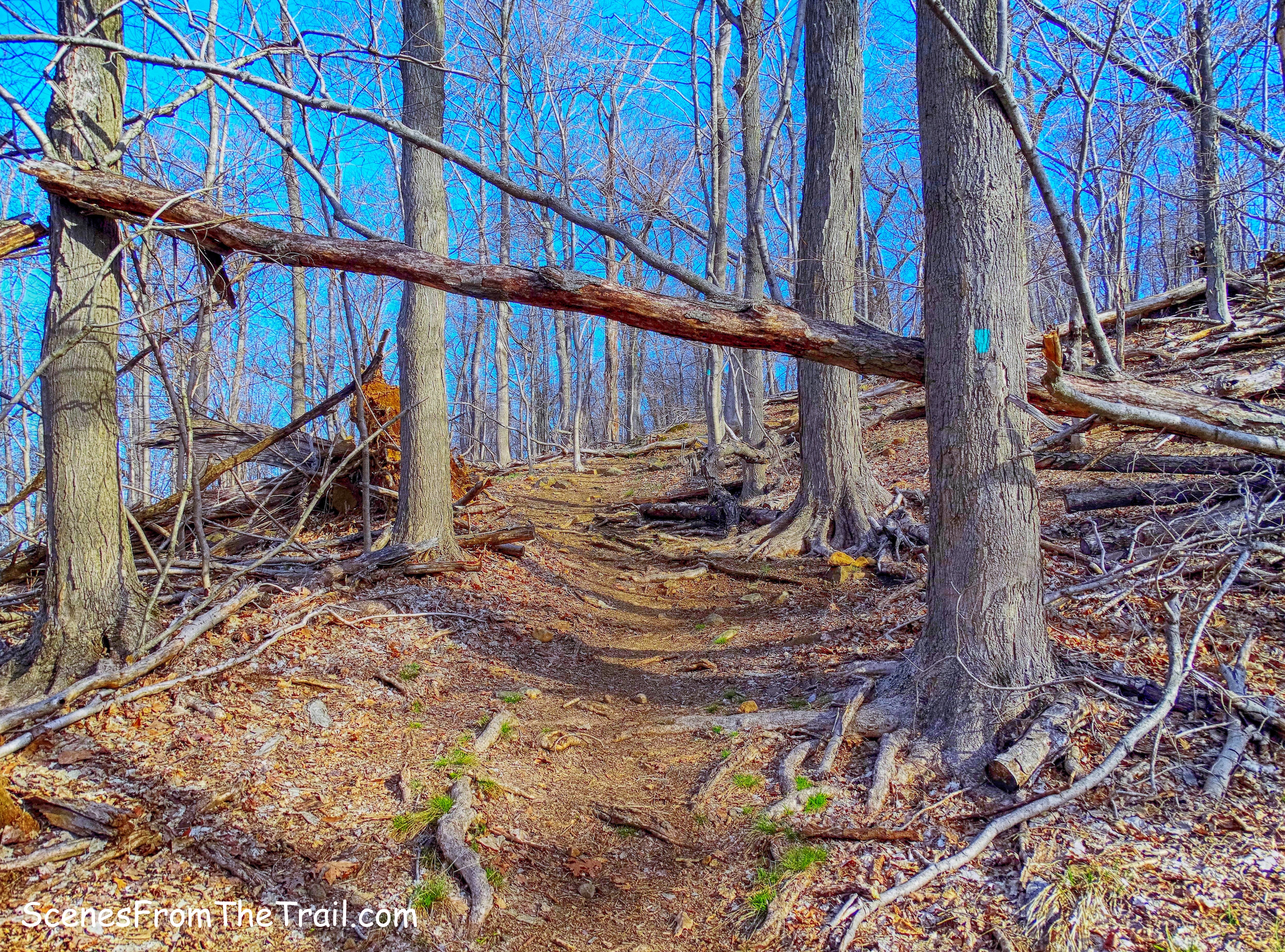
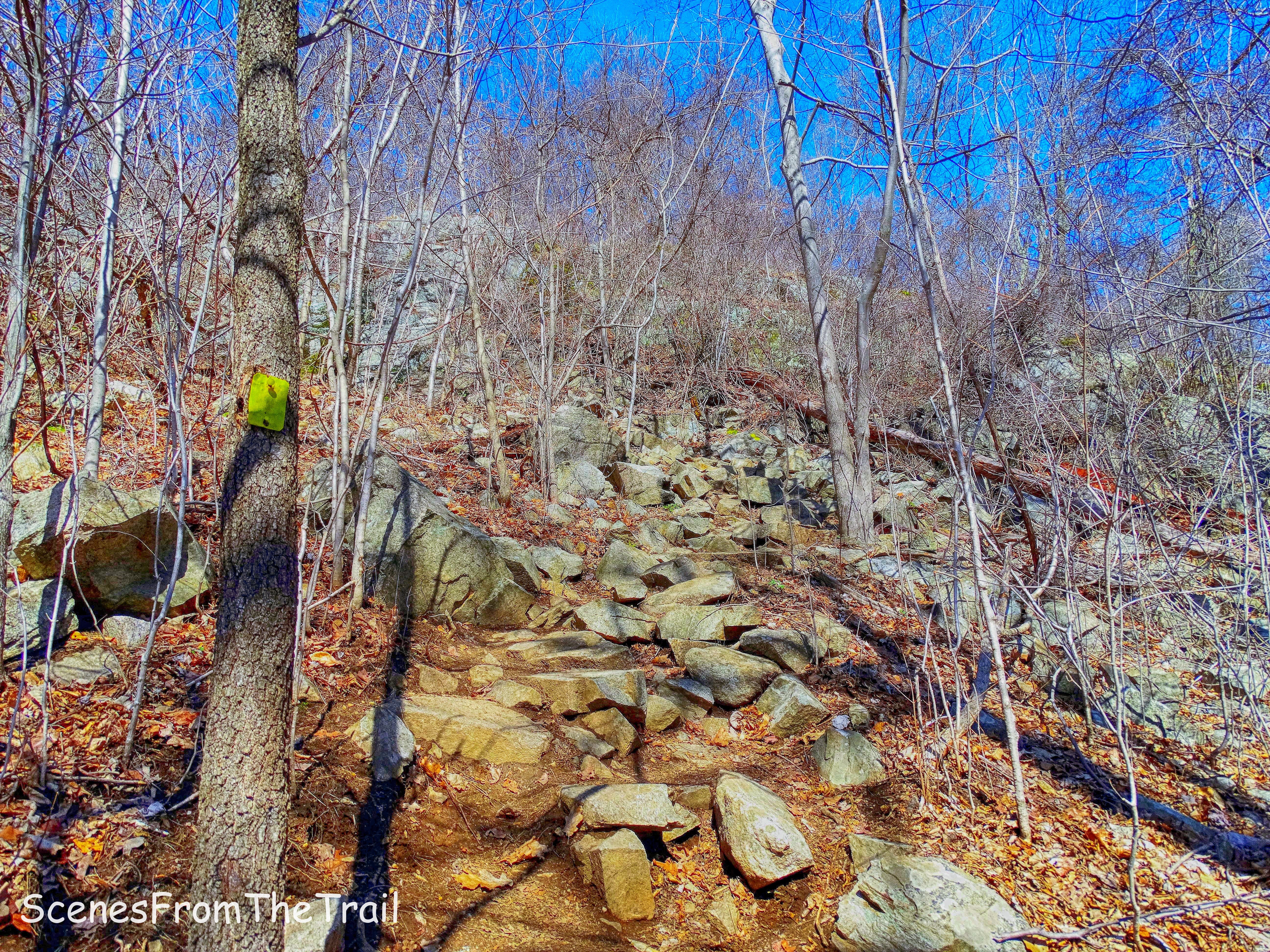
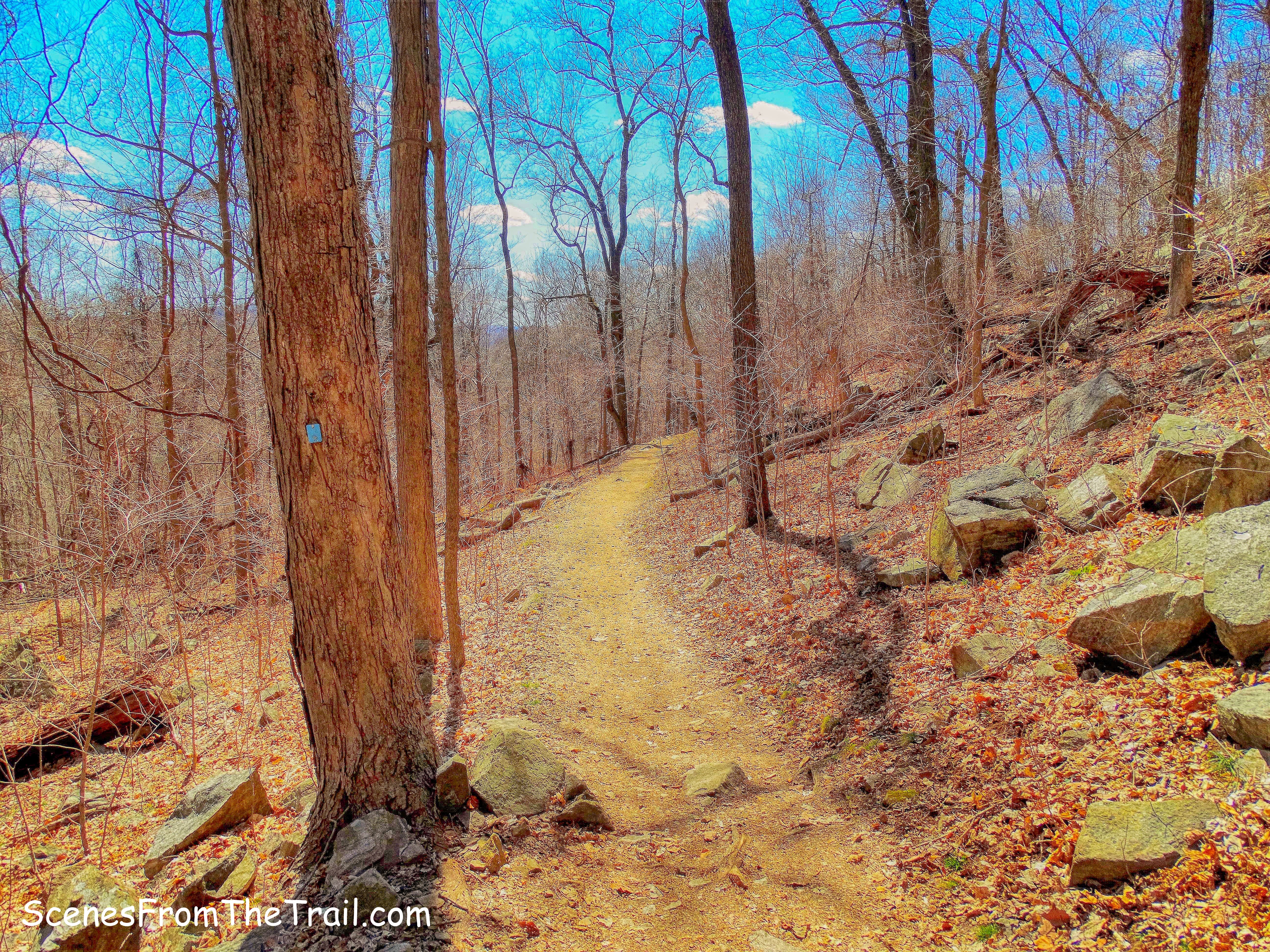
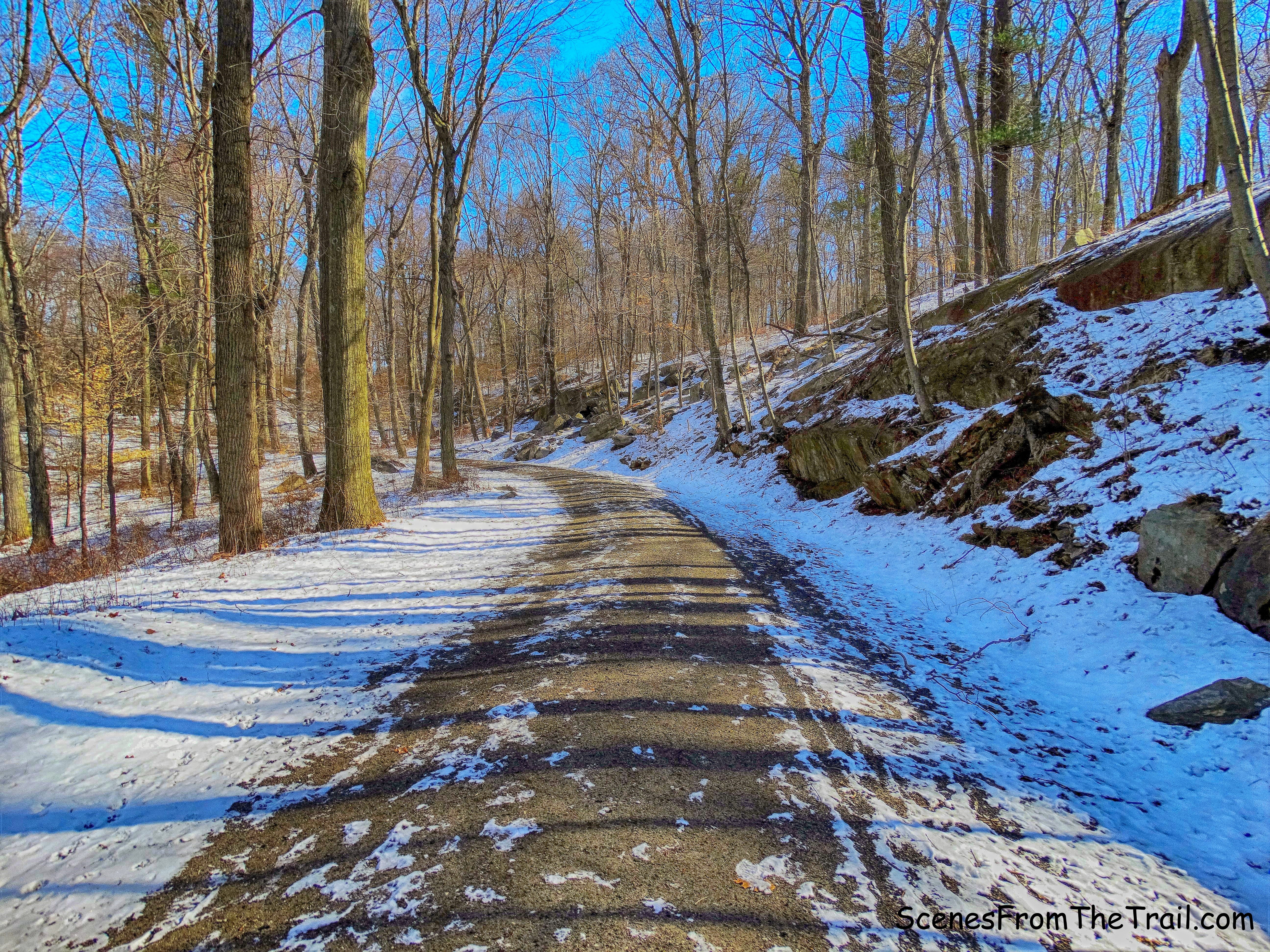
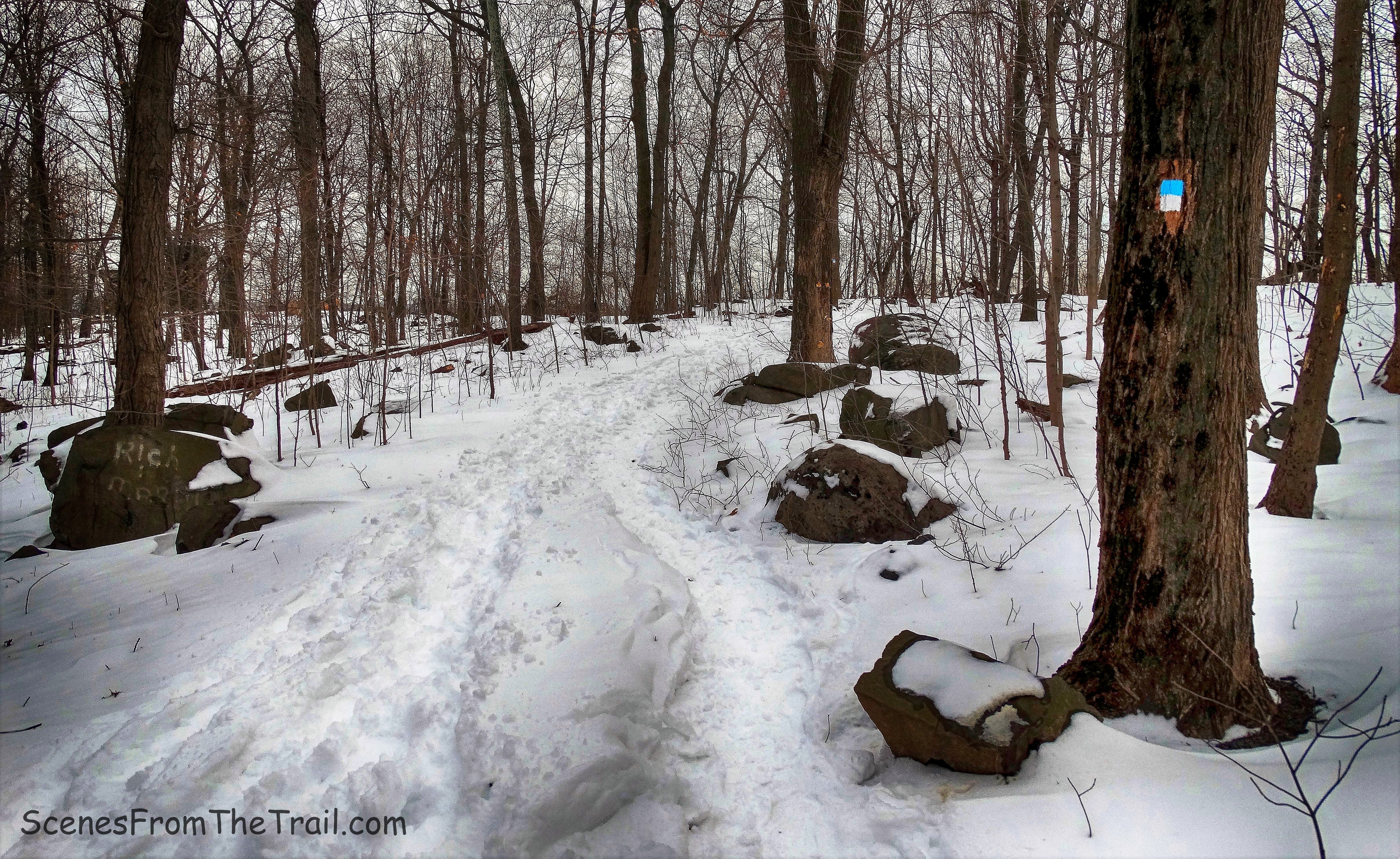
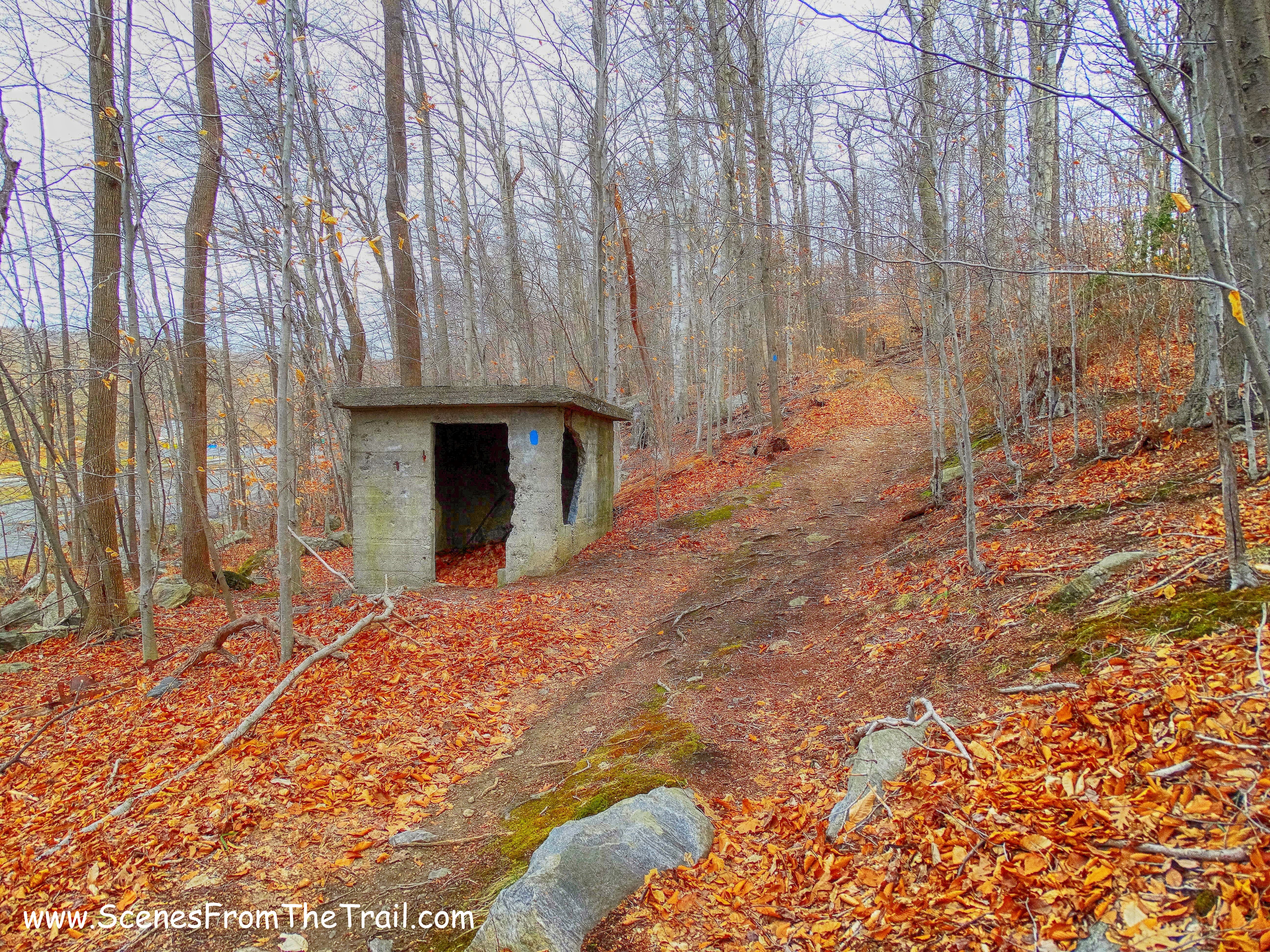
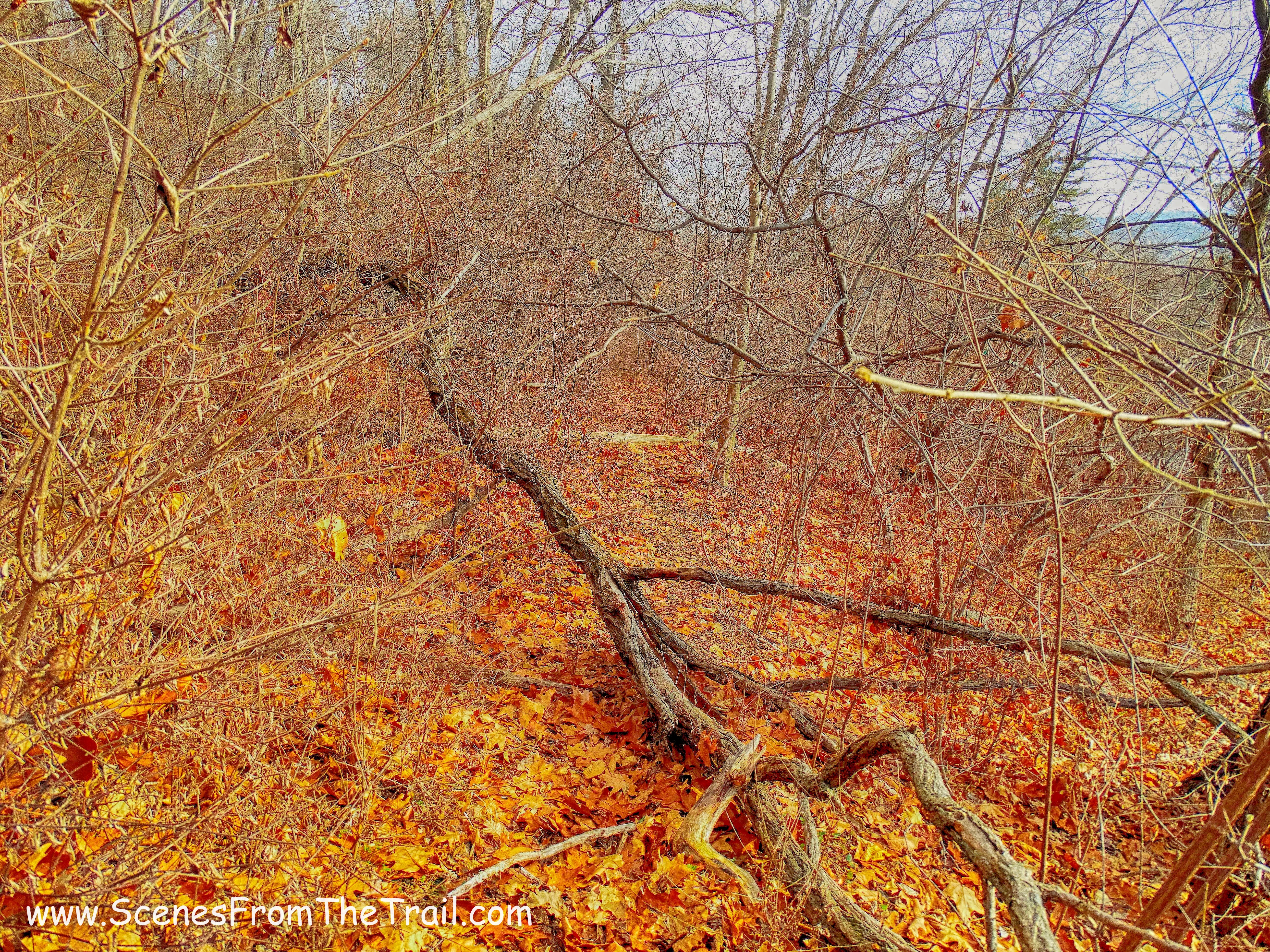
For some reason I was under the impression that it was a flat walk to the start of the crag ascent, but I was mistaken. The trail starts to climb and becomes a rather steep walk uphill.
Crag Trail
We got to an intersection that in the past has been confusing to some, but there are plenty of signs and red blazes now. We made the far left to stay on the Crag Trail.
Crag Trail
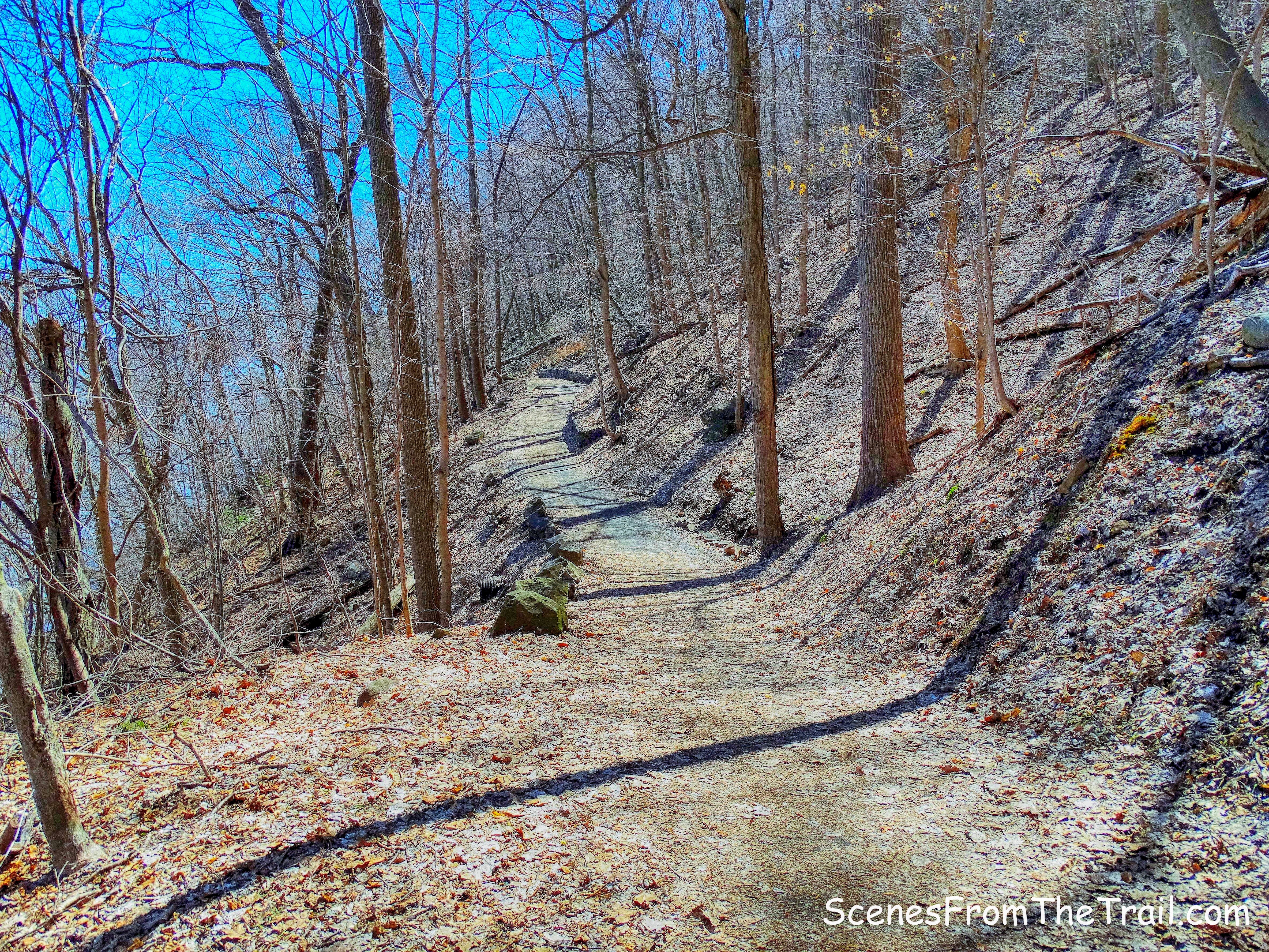
The gravel path continues to climb, but more gently. I had the feeling that we were getting close.
Crag Trail
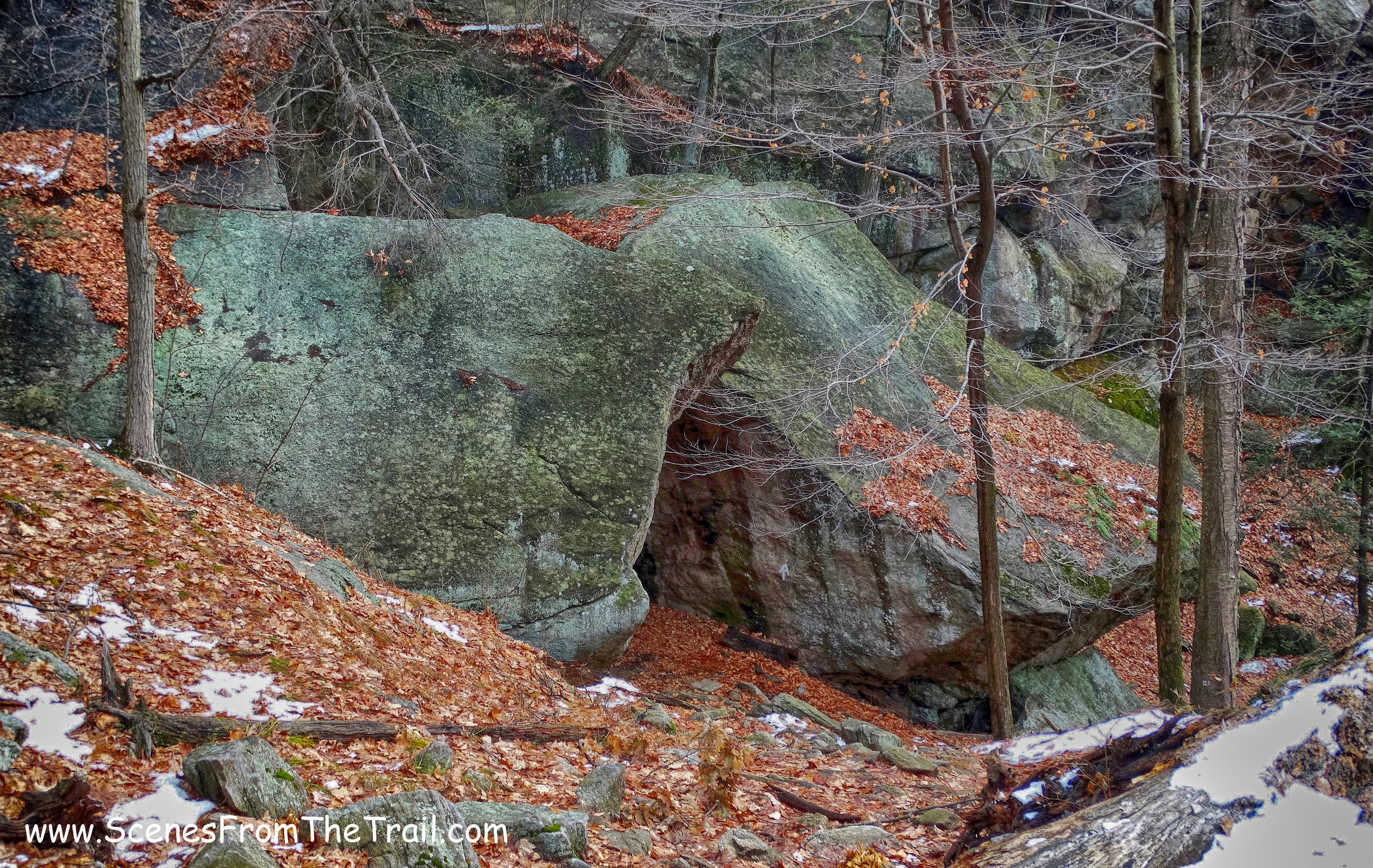
As we rounded a turn, there it was. We could see the cliffs through the trees.
Crag Trail
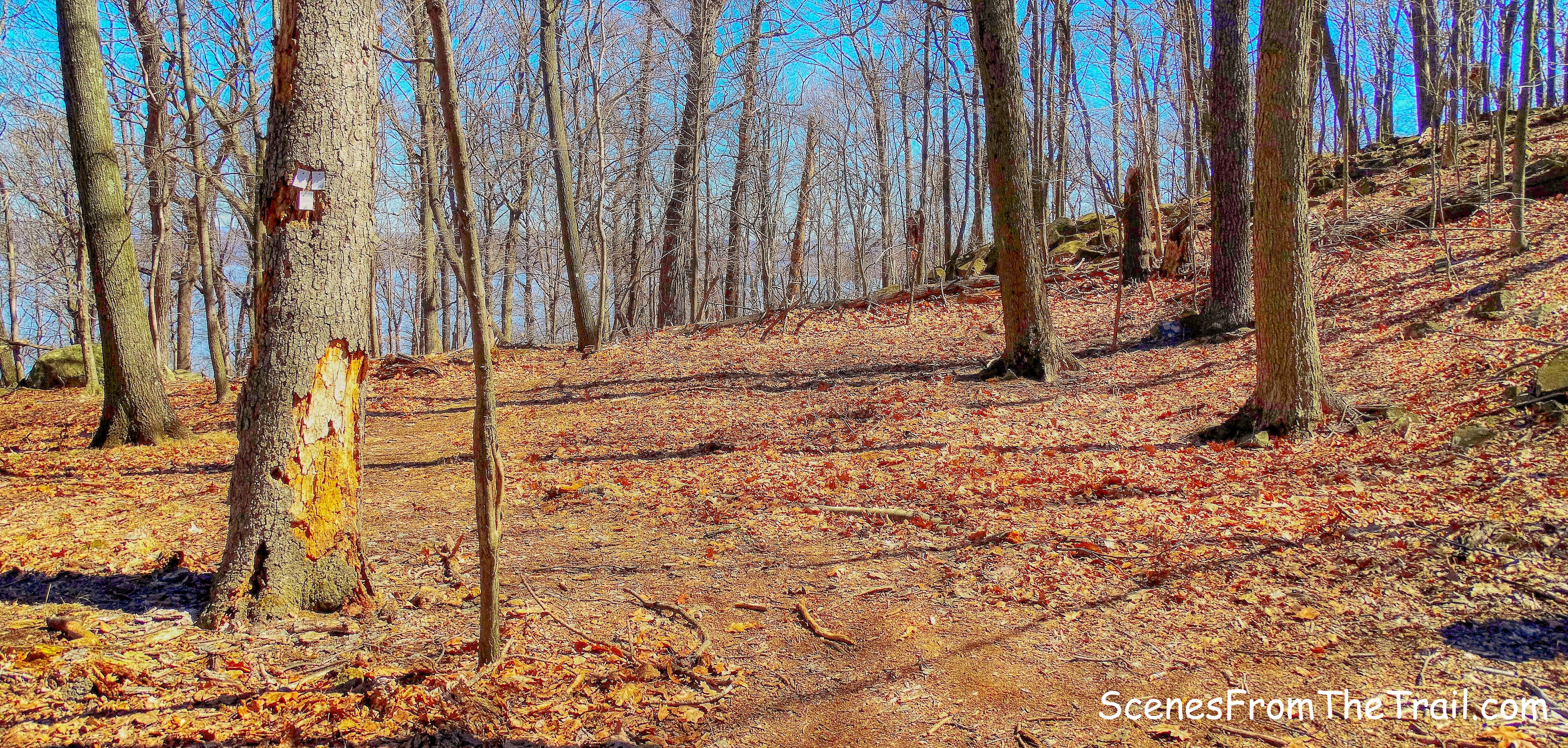
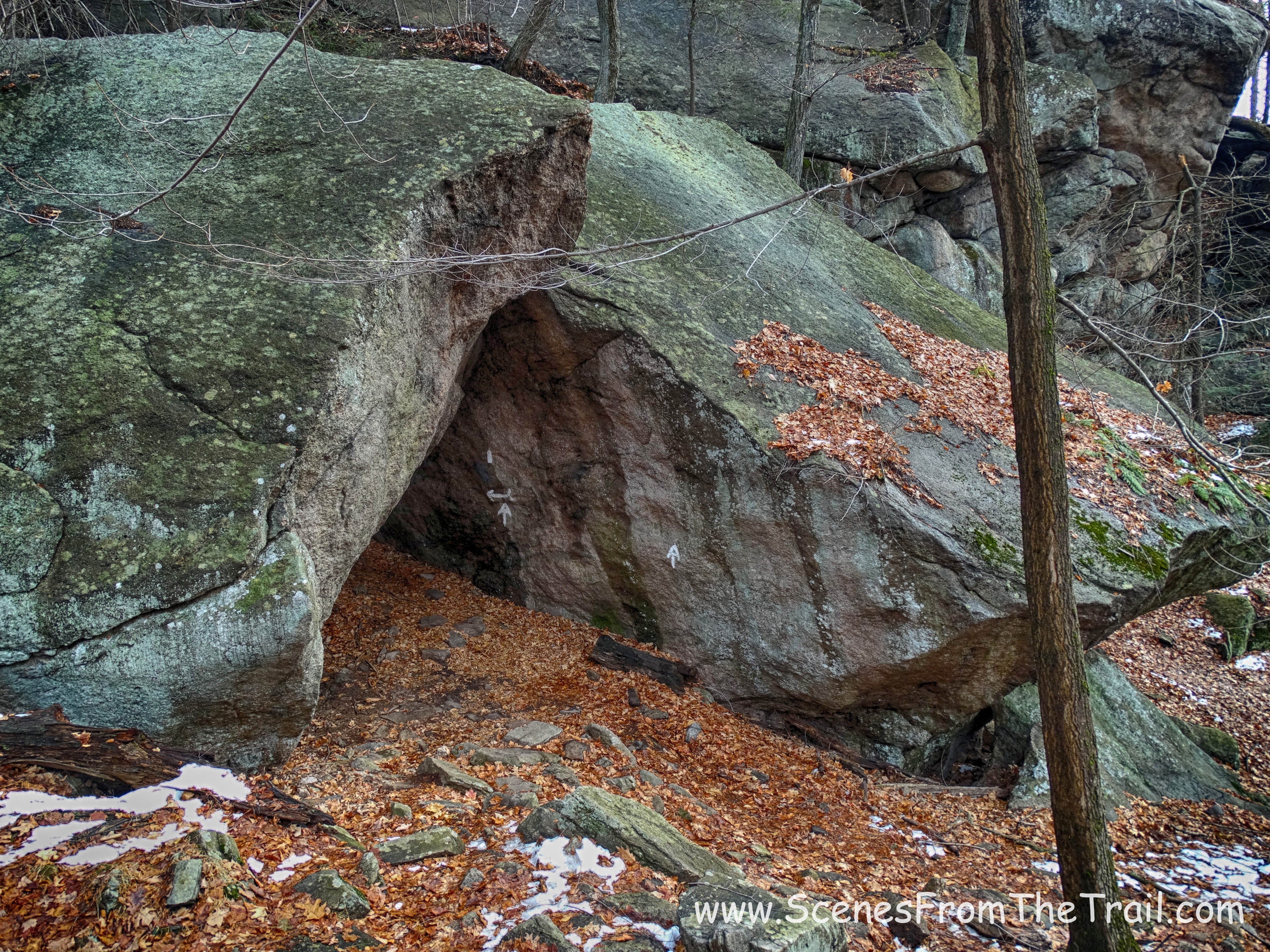
After rounding the curve, we came to the end of the red-blazed Crag Trail and turned left onto the yellow-blazed Bonticou Ascent Path.
Bonticou Ascent Path
The path leads downhill to the base of the crag.
Bonticou Ascent Path
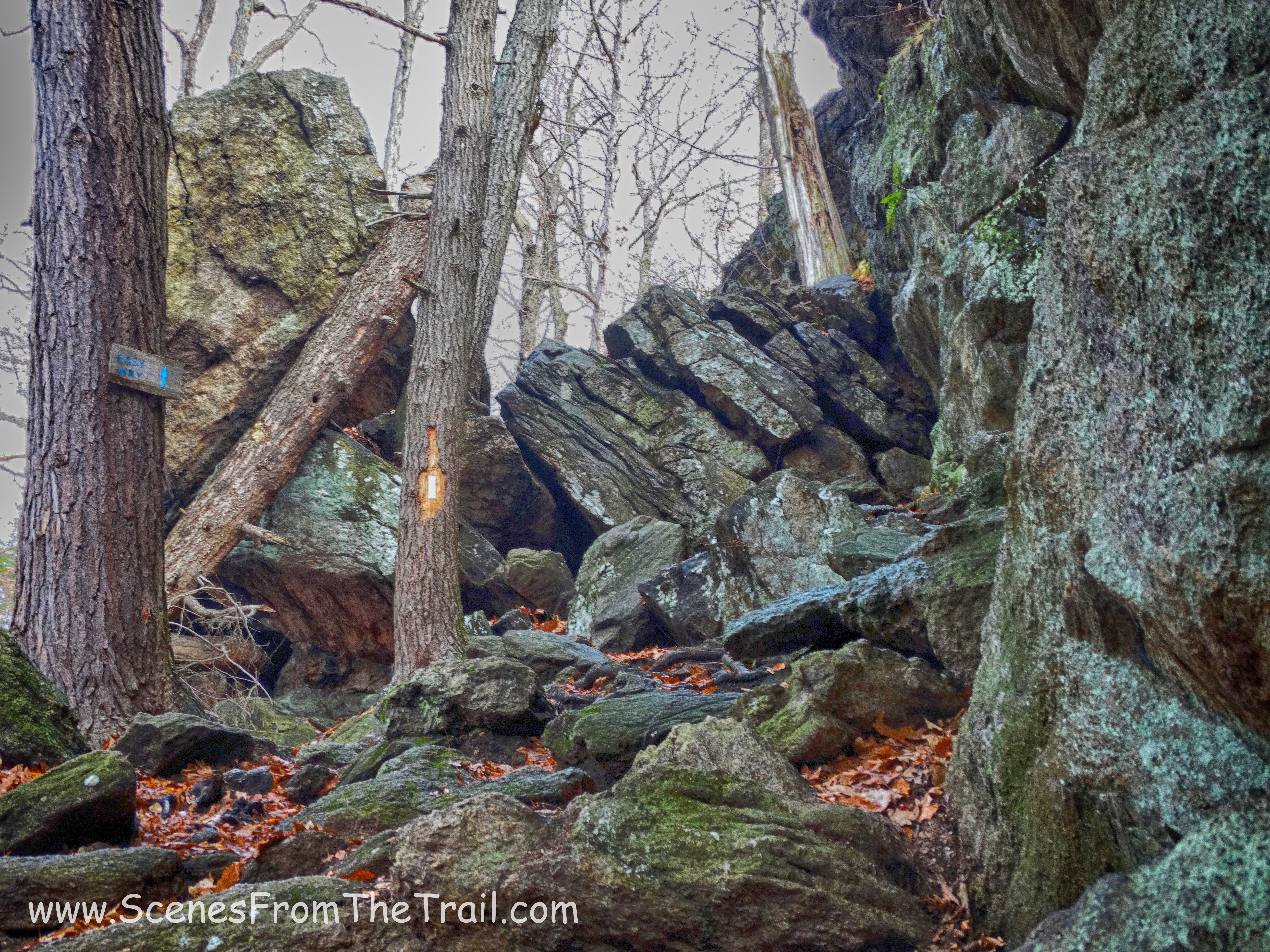
We rested briefly while gazing up at the imposing cliff that we were going to climb. There is a bypass trail that takes you up to the top if you chicken out, but I didn’t drive over an hour to skip the highlight of this hike.
Bonticou Crag
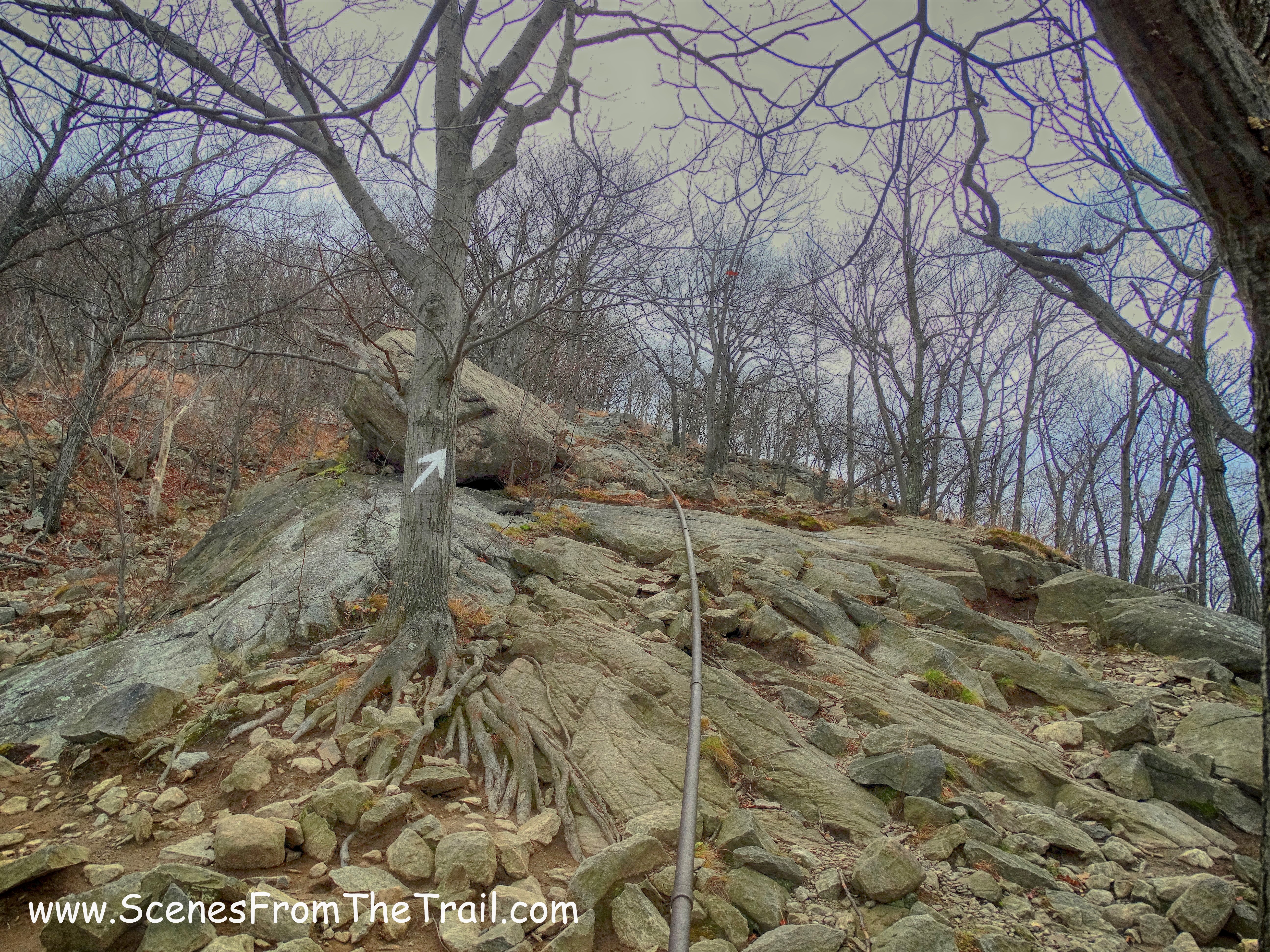
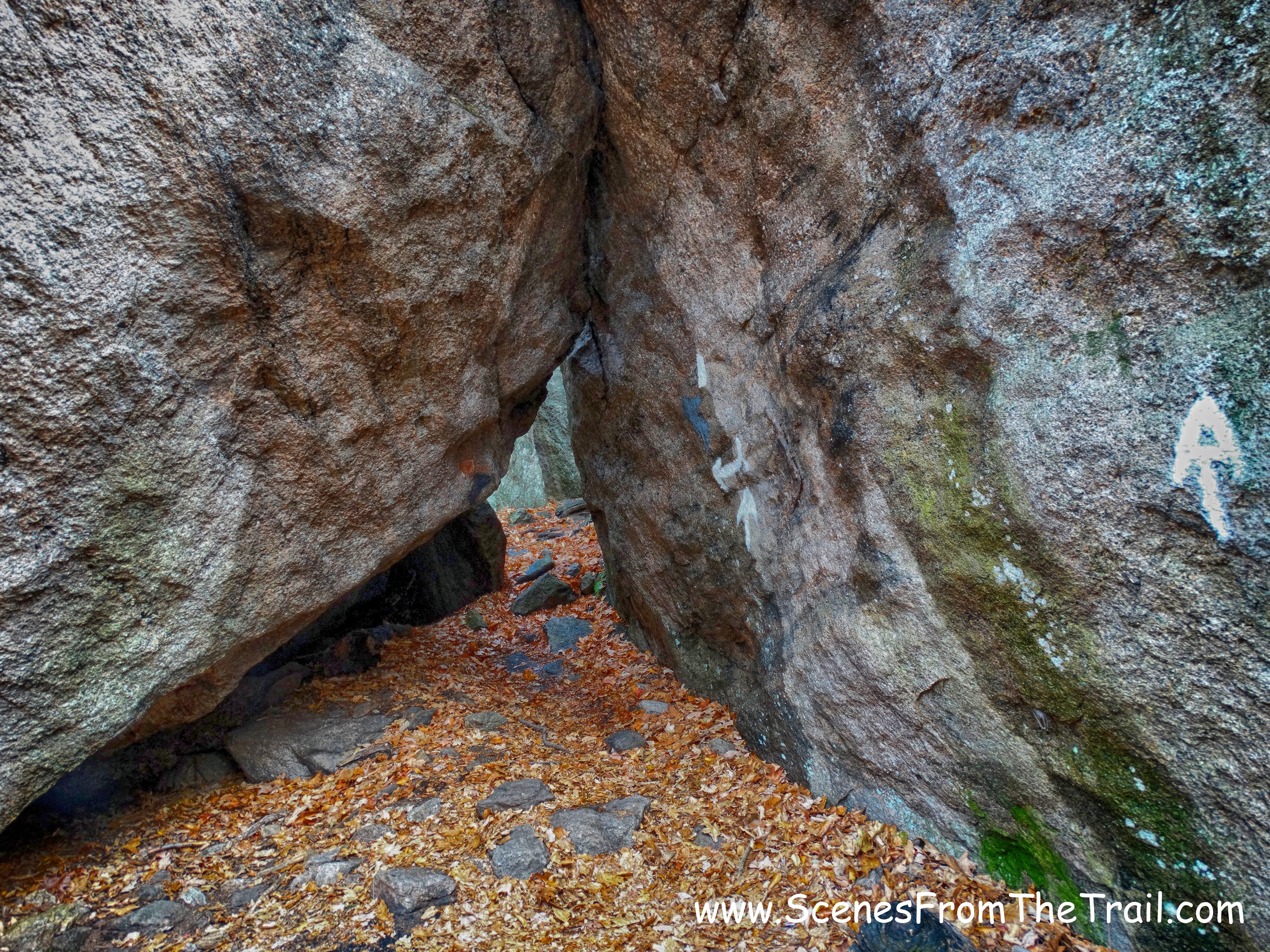
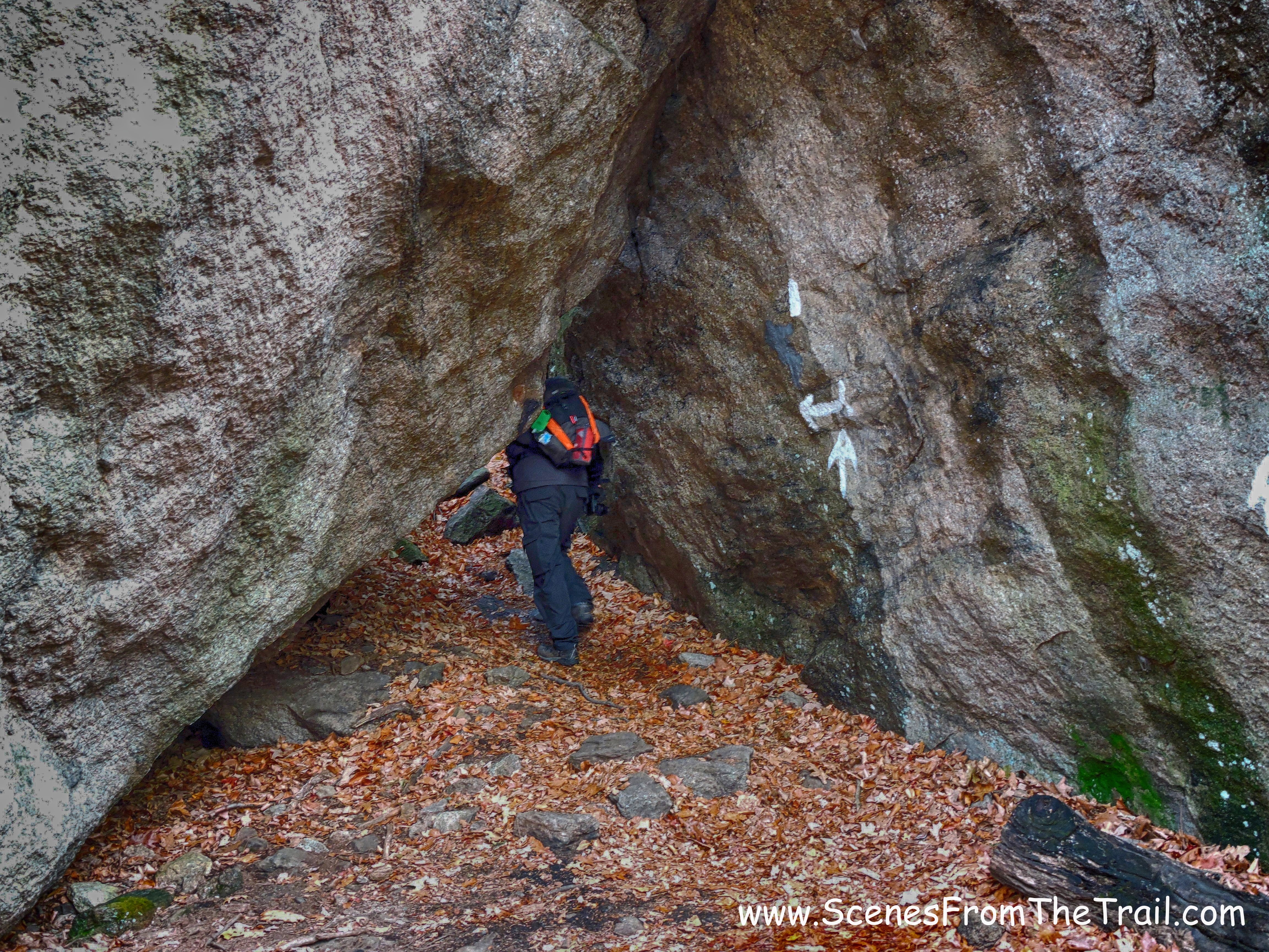
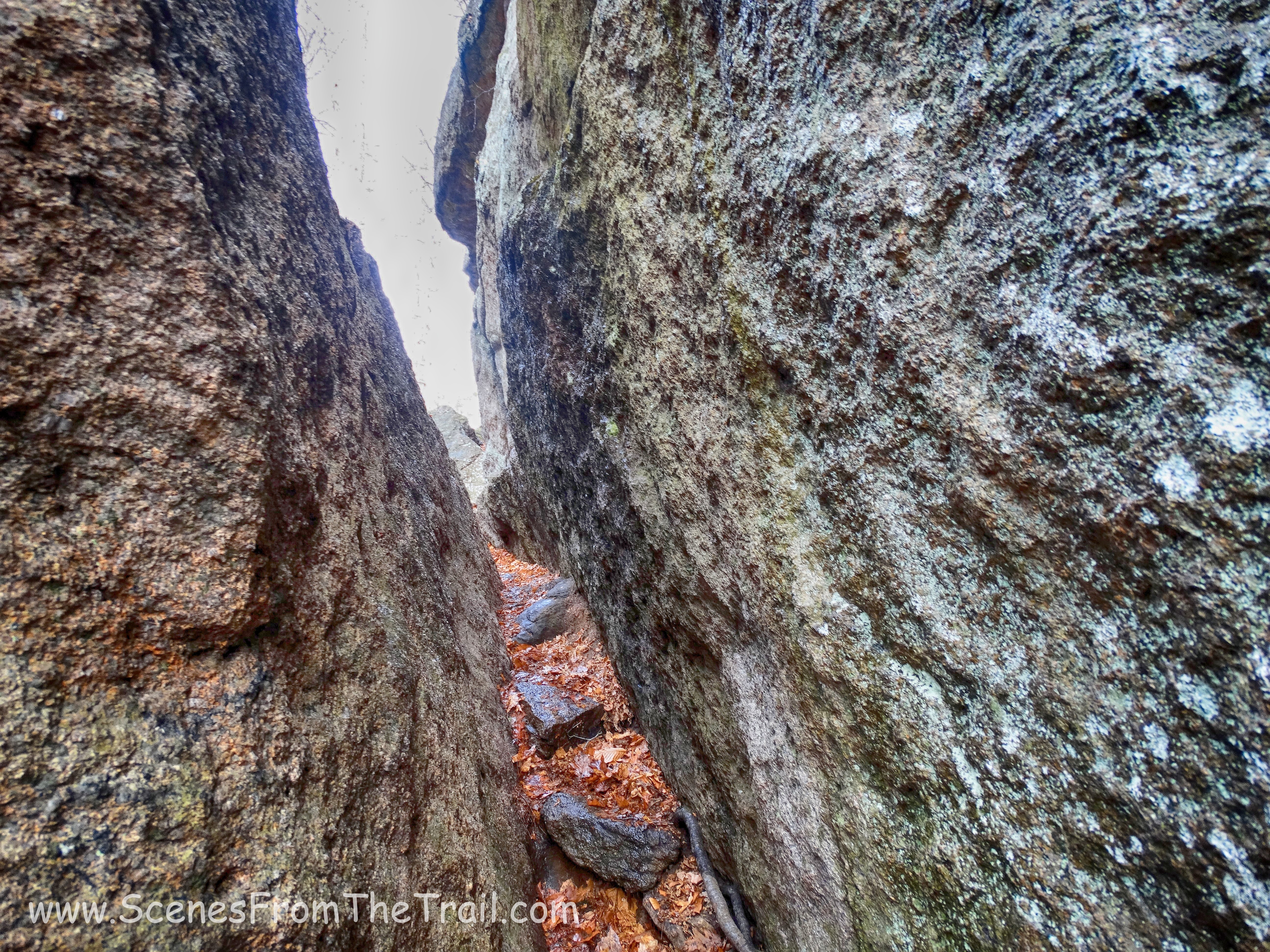
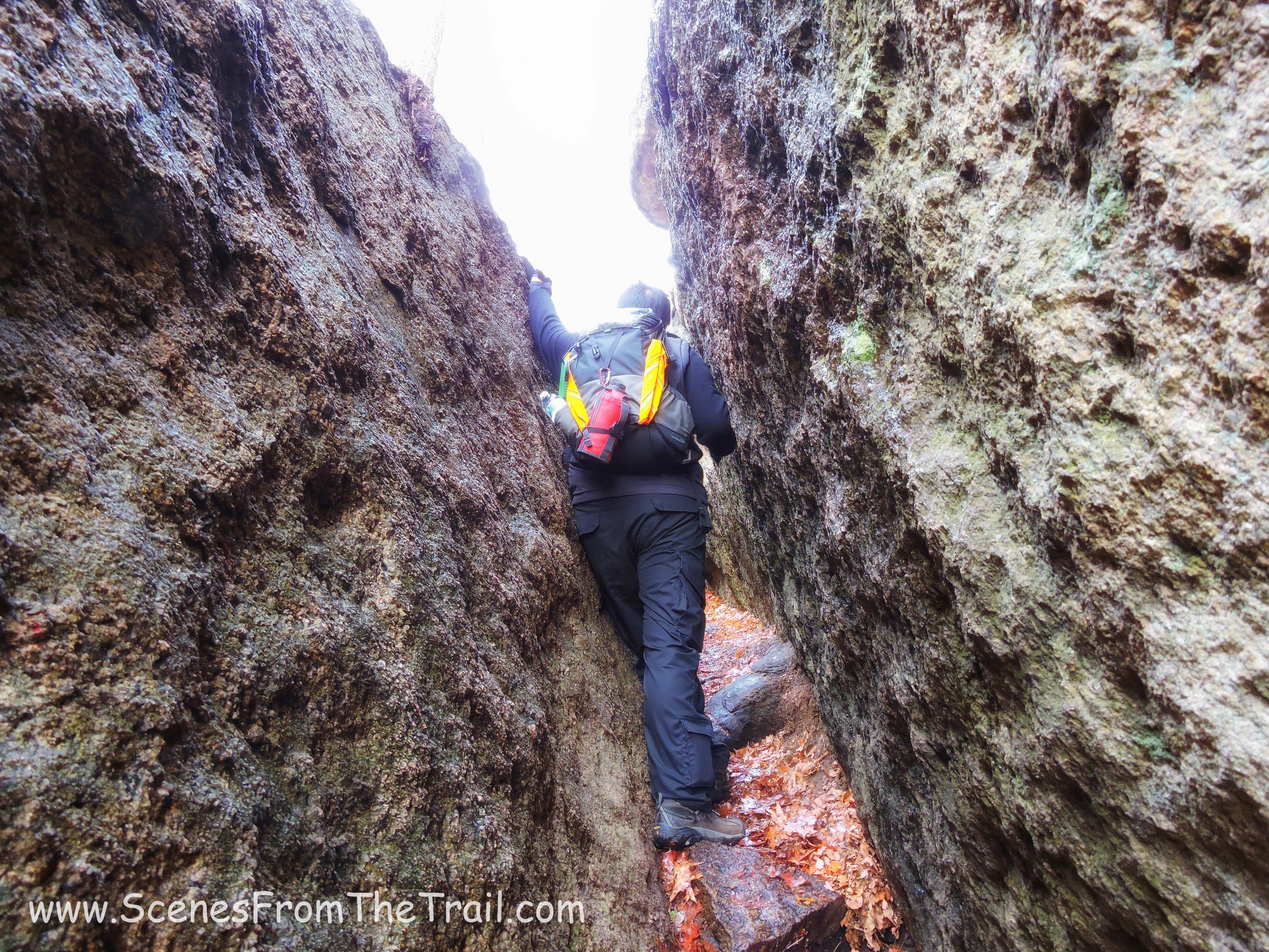
There are yellow blazes painted on the boulders to show you the way. We had to use our hands and feet with a little thinking thrown in to navigate our way up this trail.
Bonticou Crag
I was surprised at how well I did. I only had trouble in one spot where I had to push off and rely on the grip of my boot on my landing foot. The one boulder that I worried about from watching videos about this hike, I dubbed “refrigerator rock.” I didn’t struggle at all with it, only had to remove my backpack to wedge myself up.
refrigerator rock
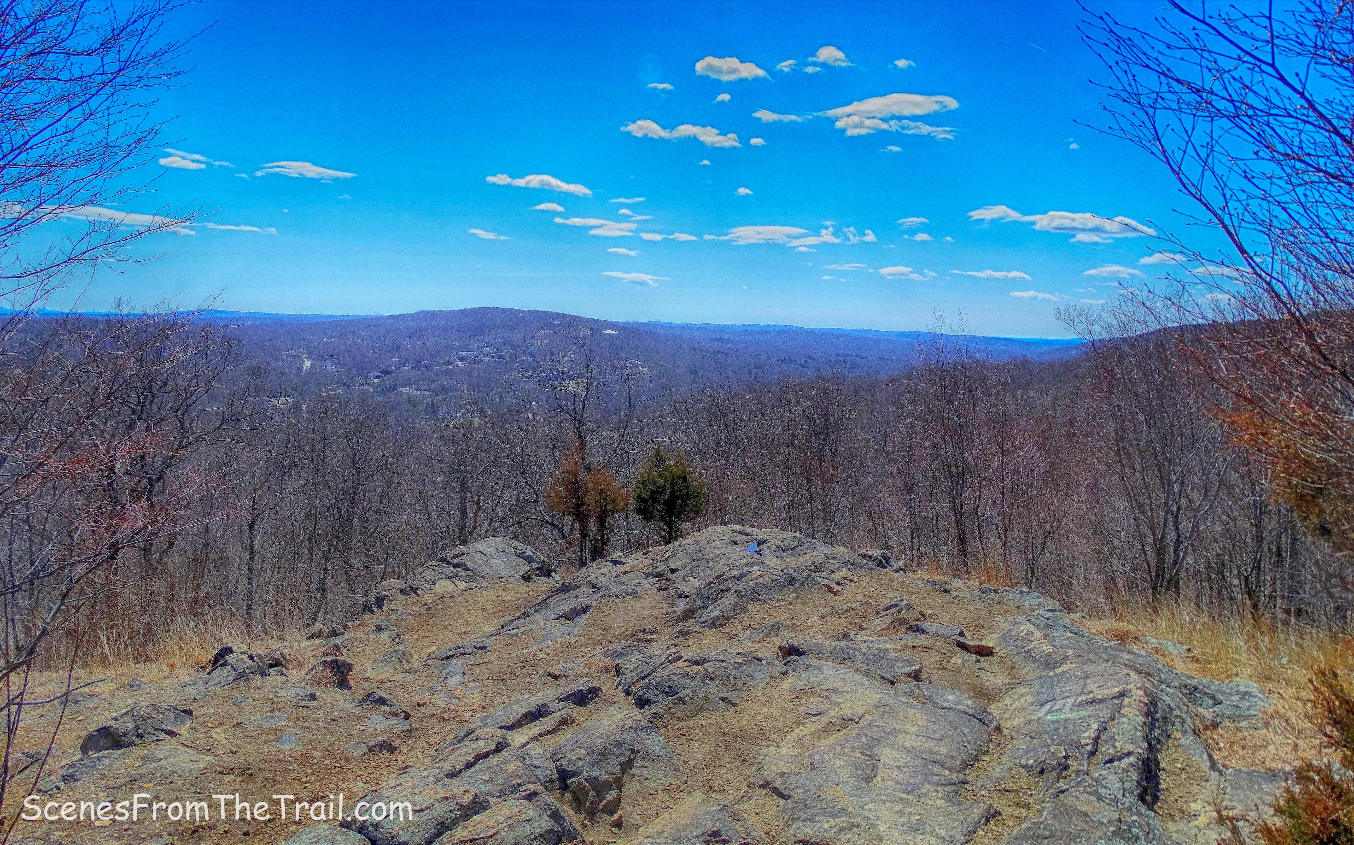
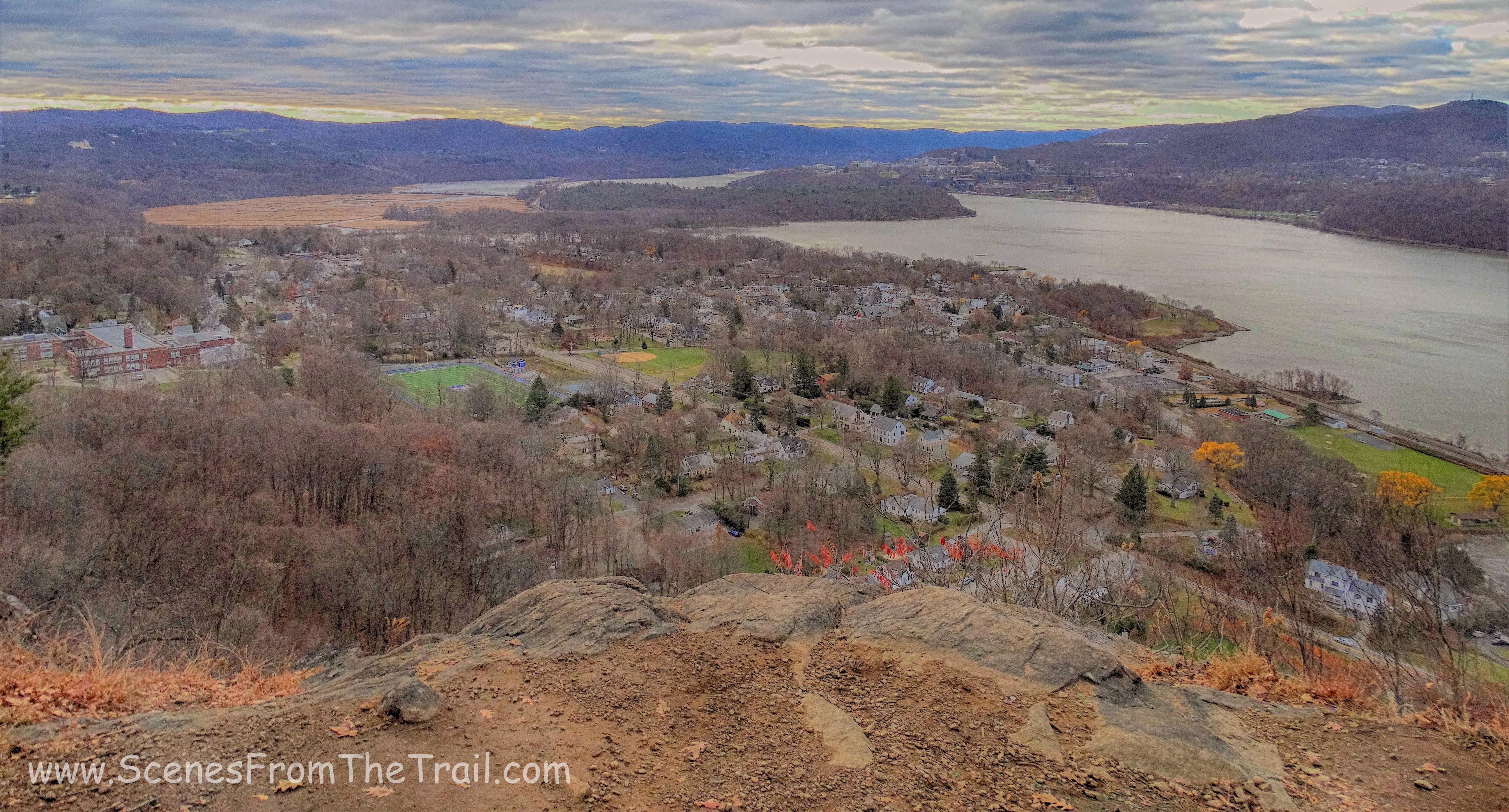
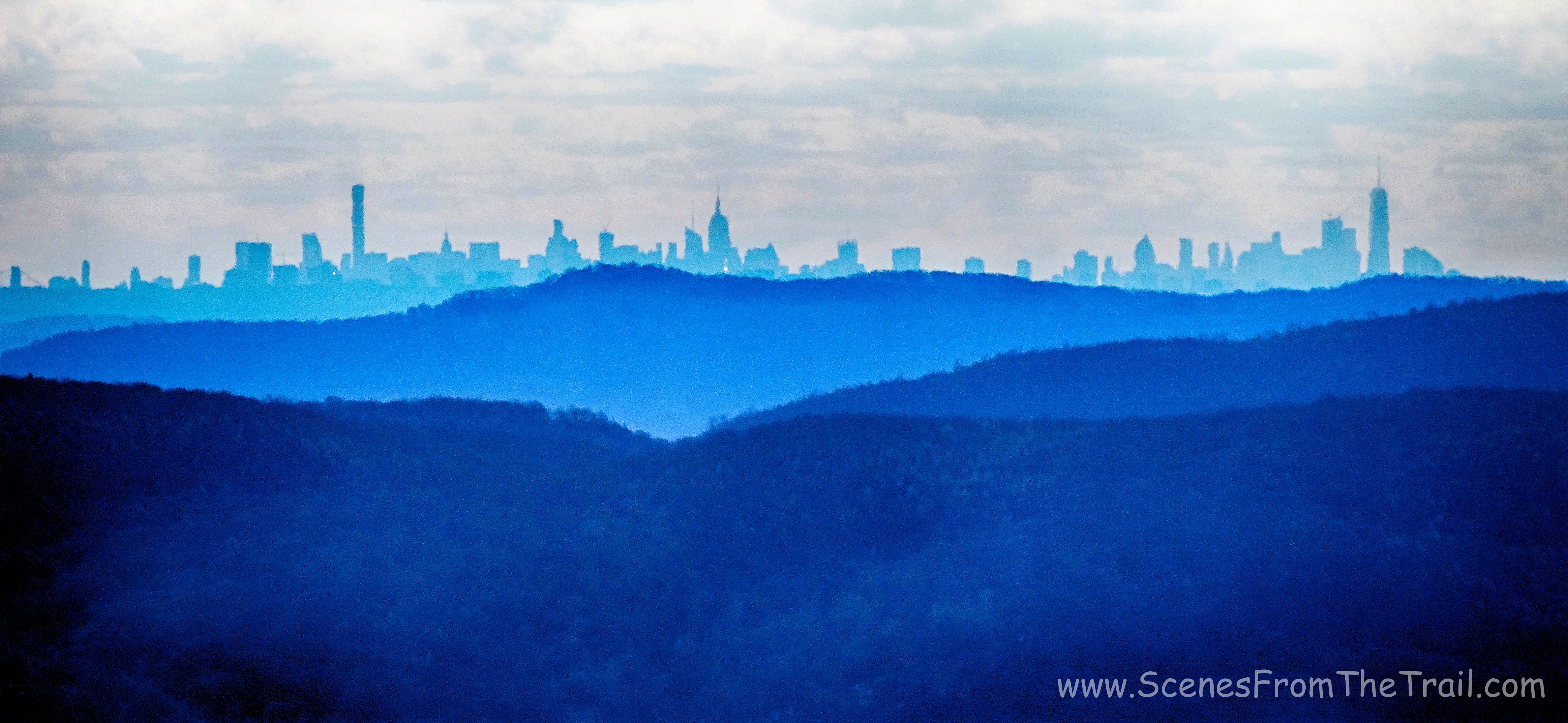
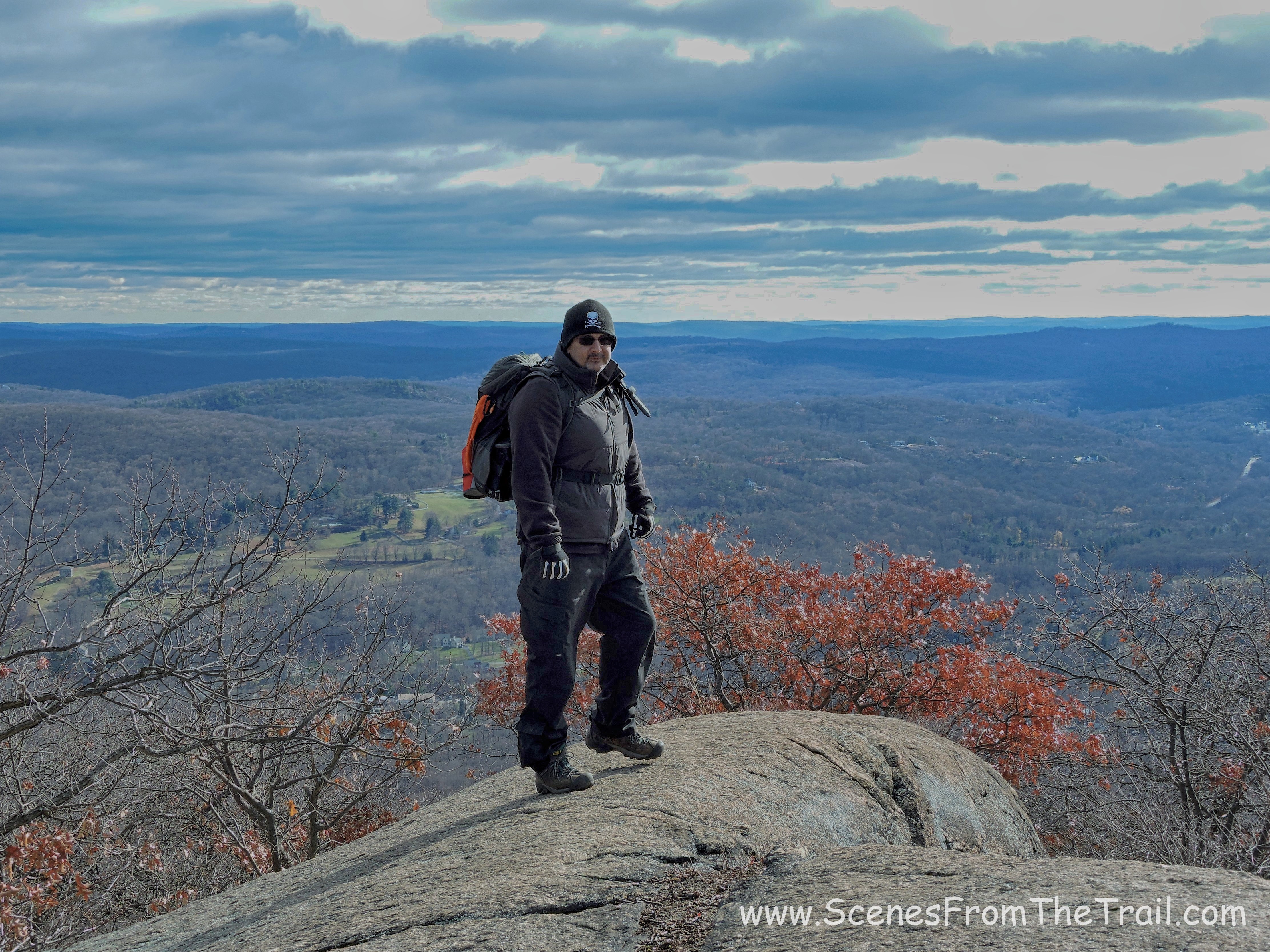
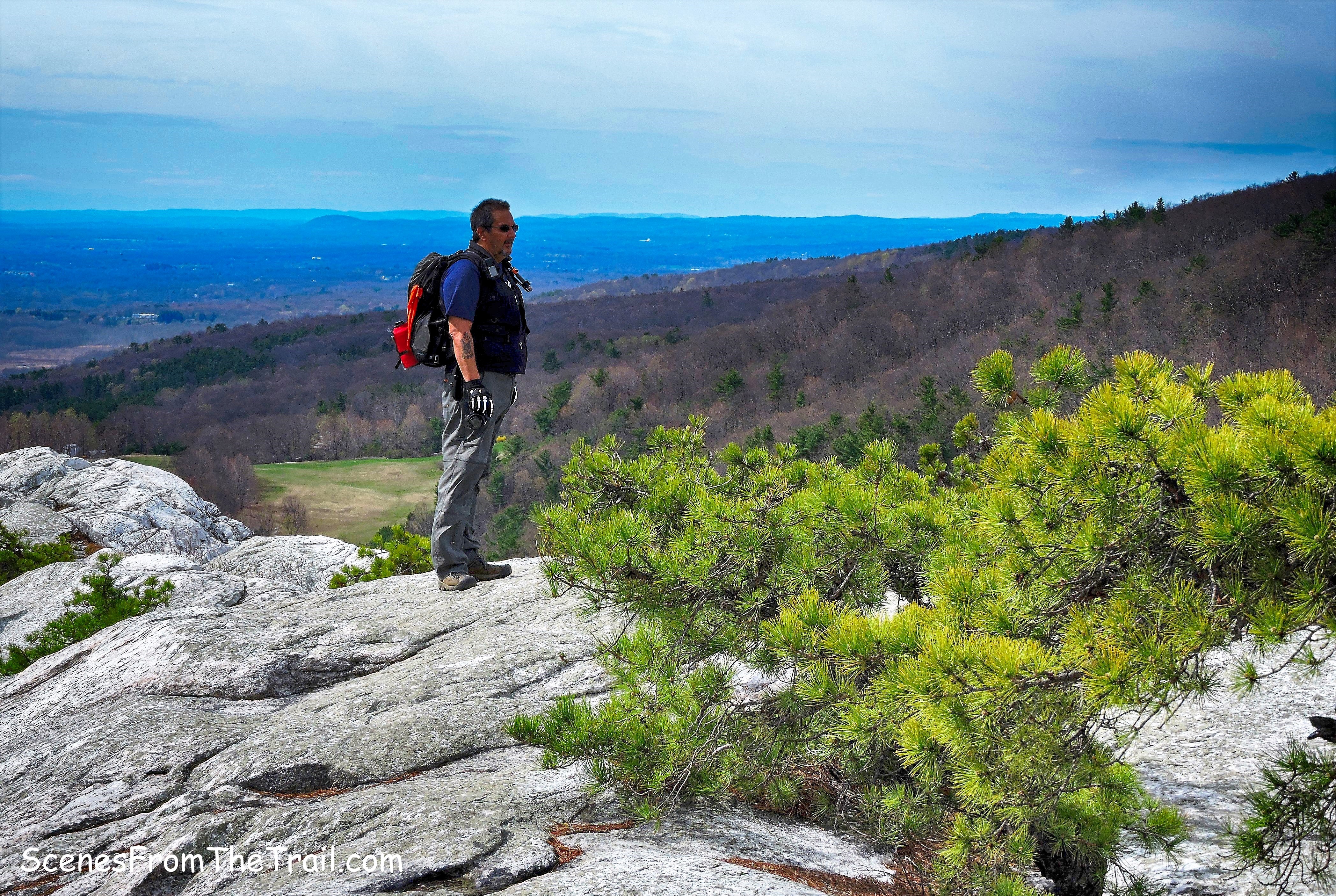
We did it! We conquered the crag! What a tremendous feeling to reach the top. The views, oh the views! You can see forever from up here.
Bonticou Crag
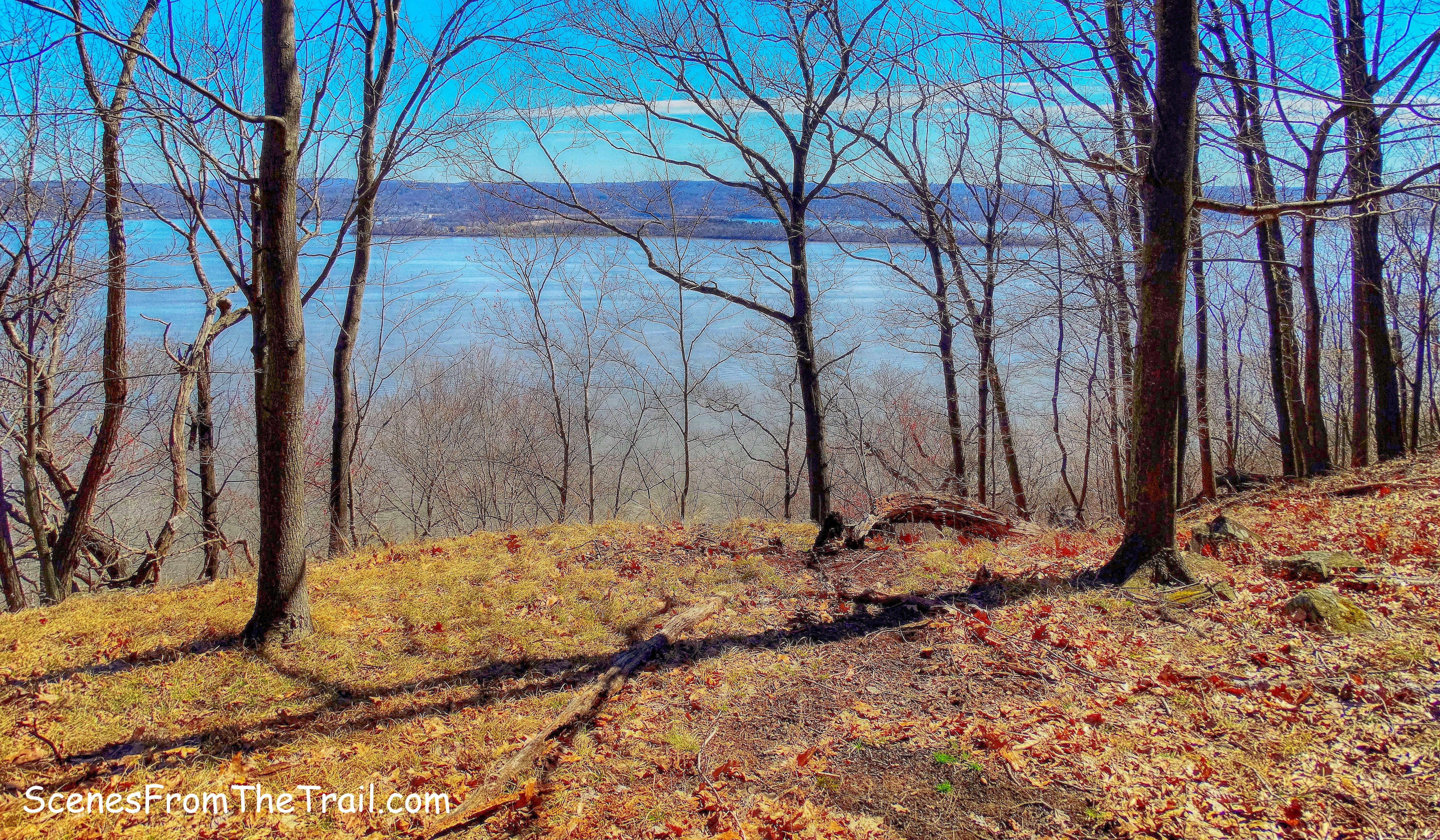
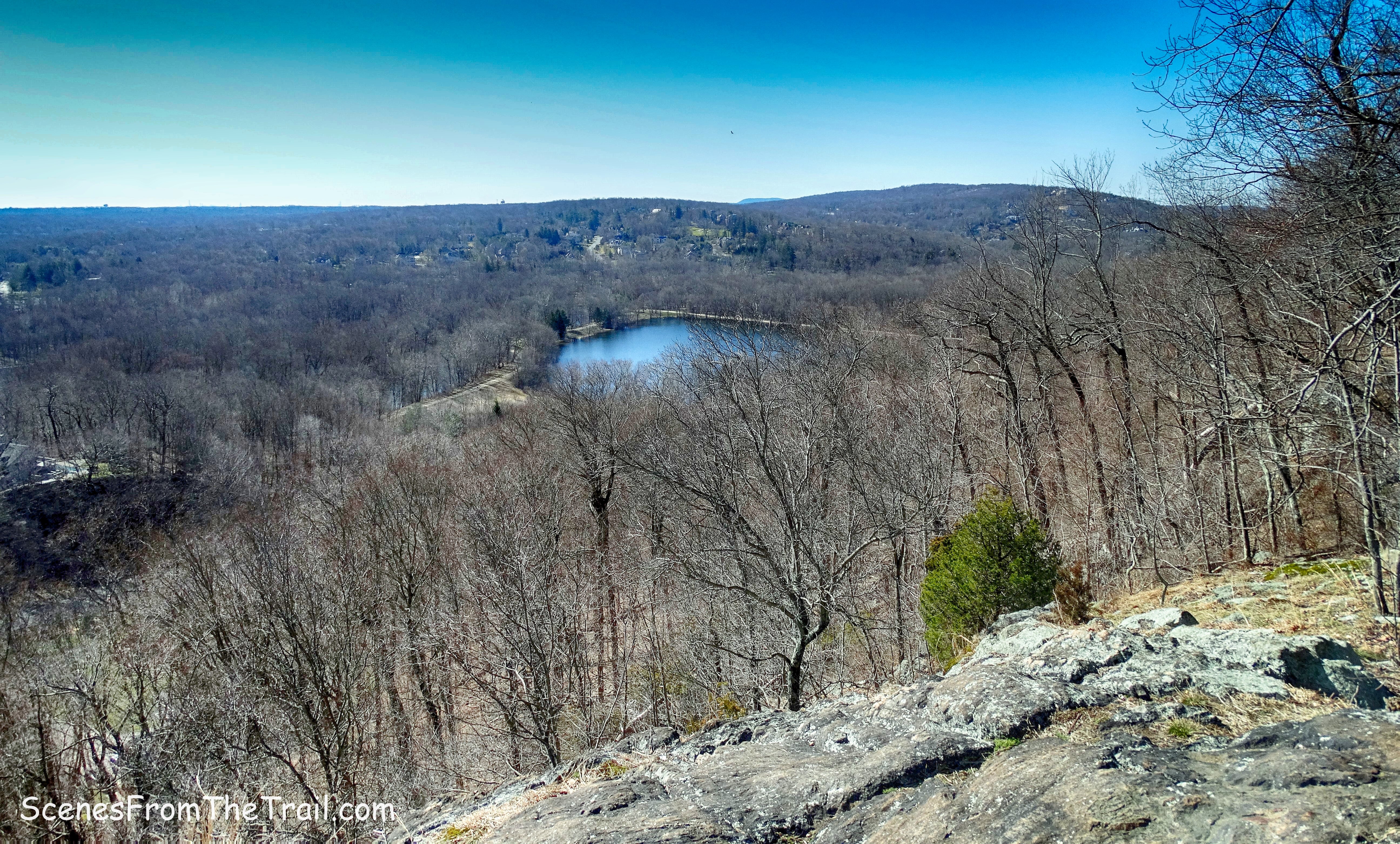
The views from the top are phenomenal. It was exceptionally windy while we were there, but we hung out for quite some time.
Bonticou Crag
If we would of quit here and just looped back to the parking lot, that makes it a 3 mile hike. Paying 15 bucks and having never been here before, we wanted to take in as much as possible. If ever I return, I would only do this section and scrap the rest. Not that the rest isn’t worth seeing, but this is the highlight of the hike and the extra 3 miles wore us down. We weren’t ready to quit thus yet so we jumped back onto the yellow-blazed trail as it leads down the mountain through a pine forest.
yellow-blazed trail
We came to a junction where the yellow-blazed trail ends and made a right onto the blue-blazed Northeast Trail.
blue-blazed Northeast Trail
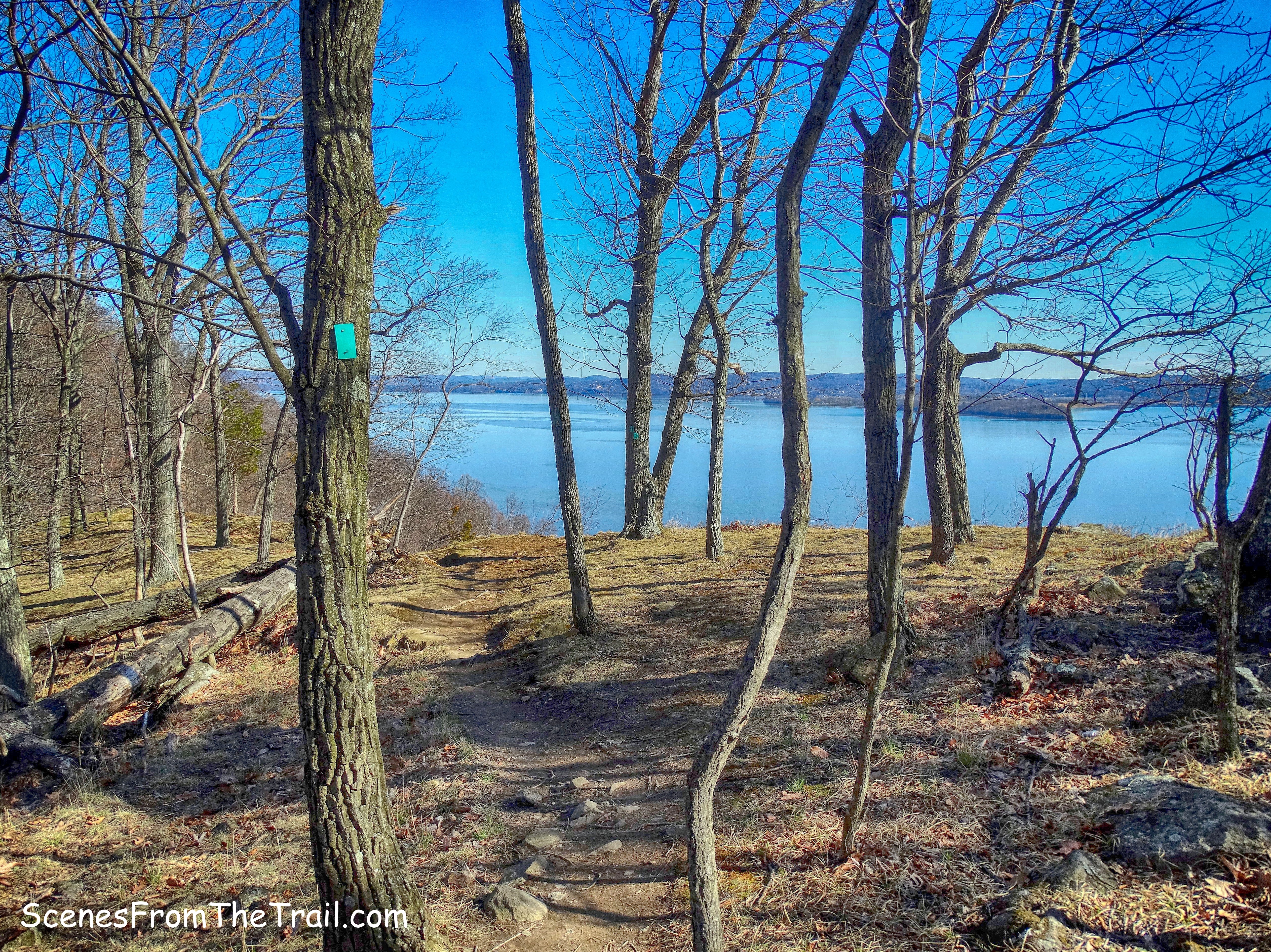
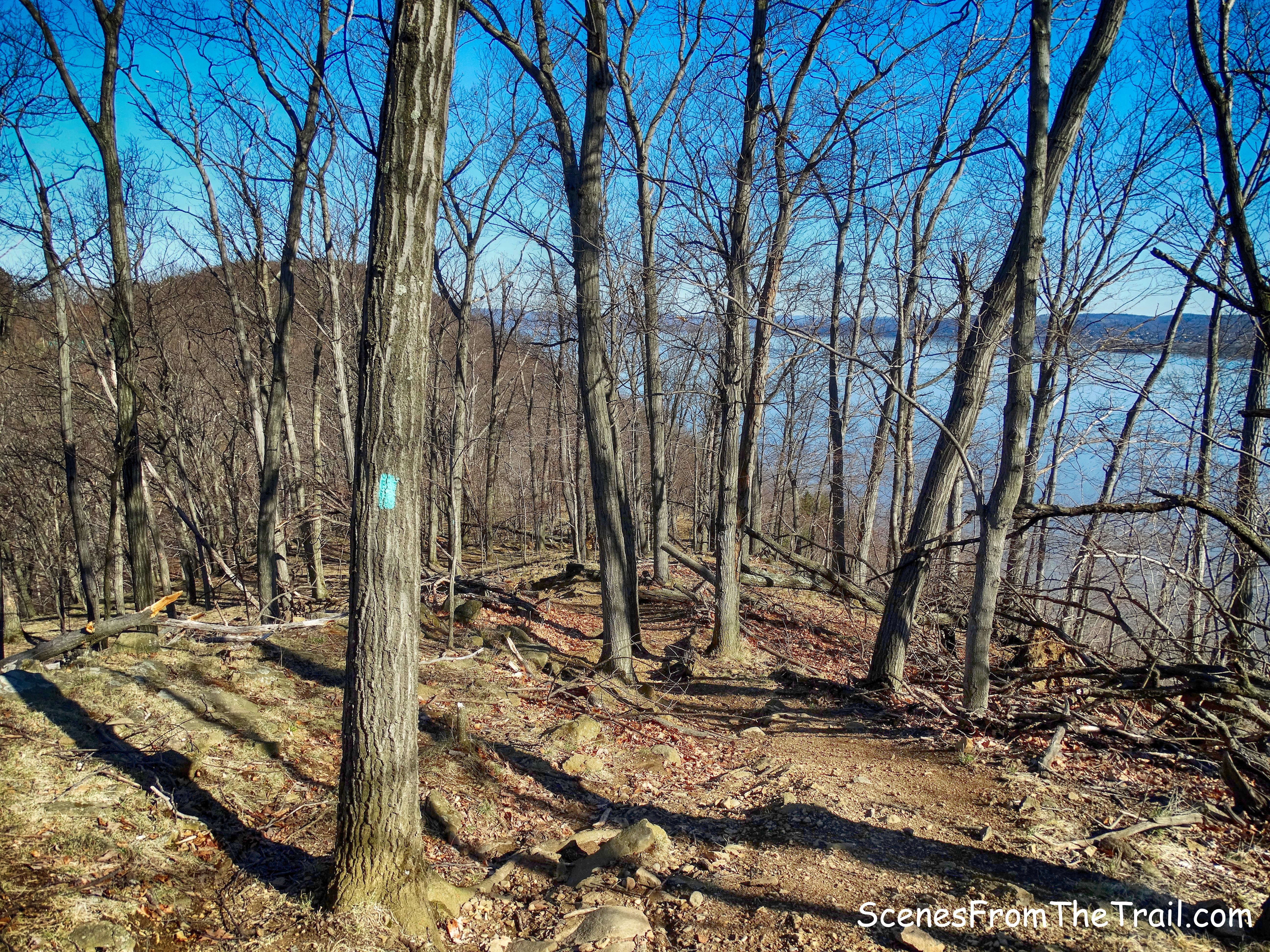
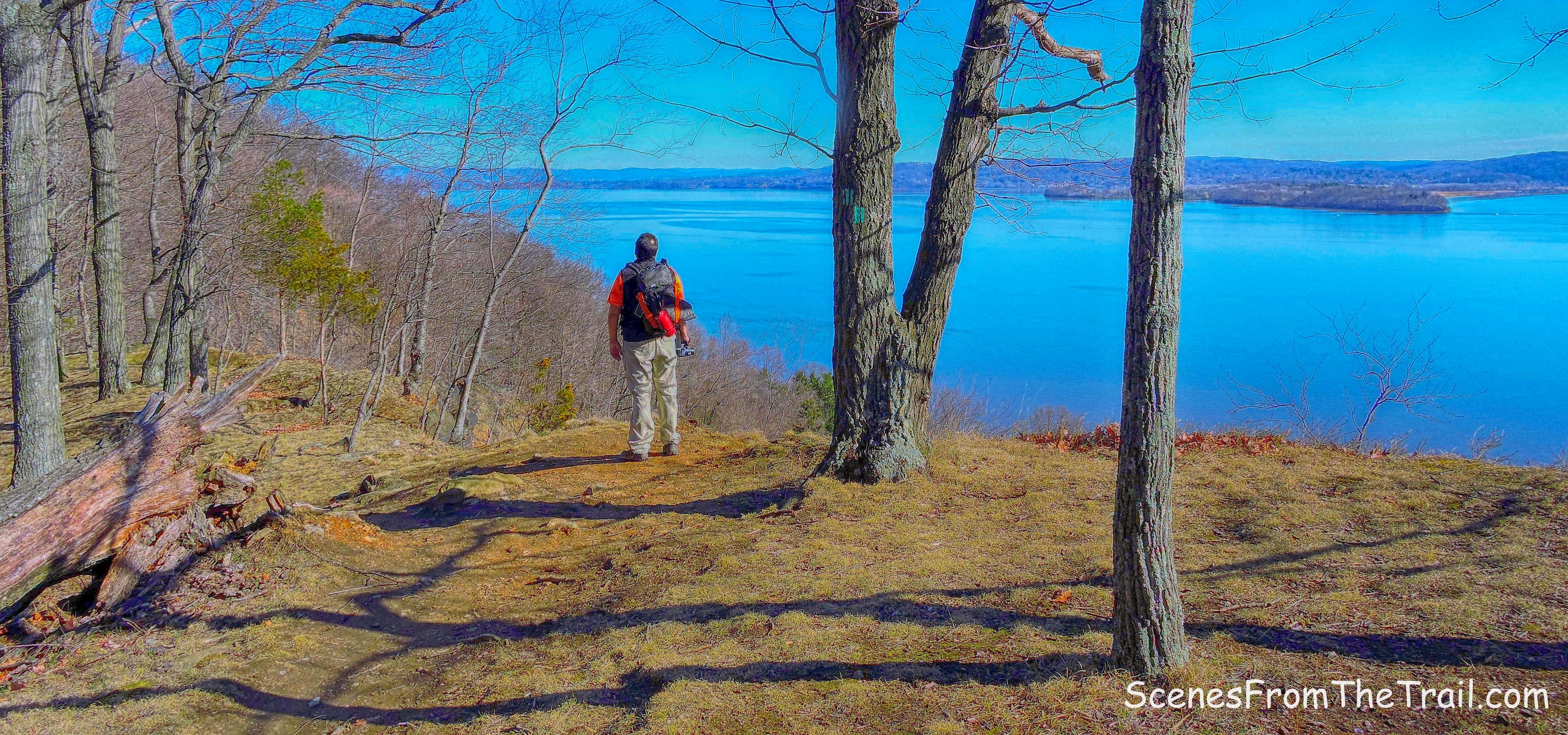
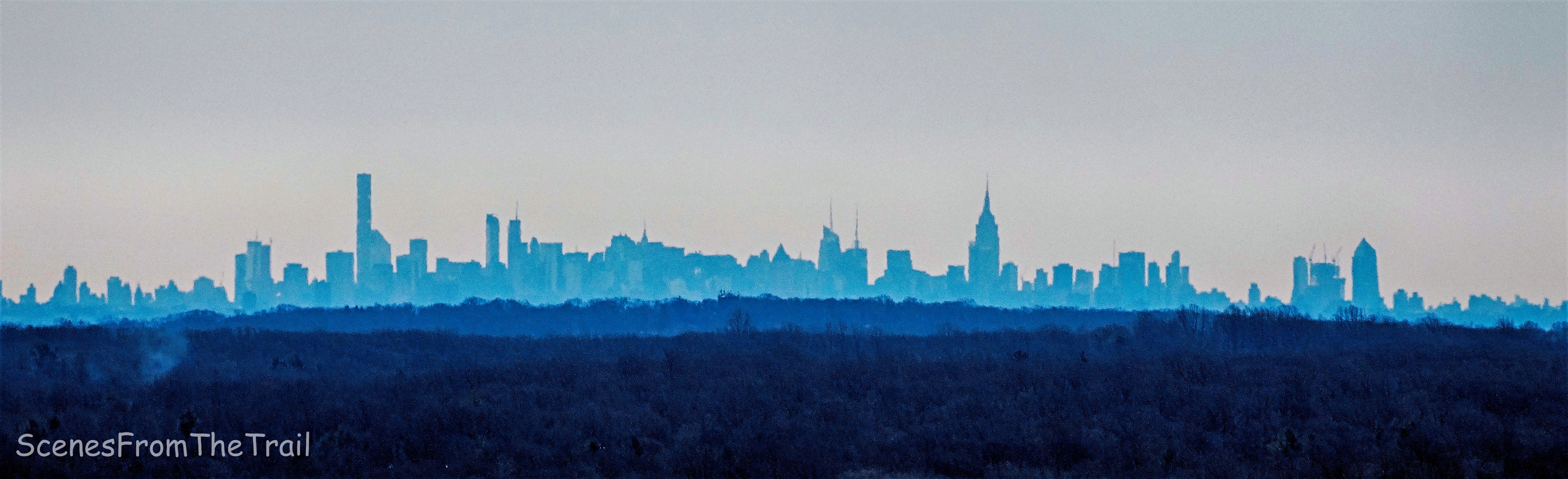
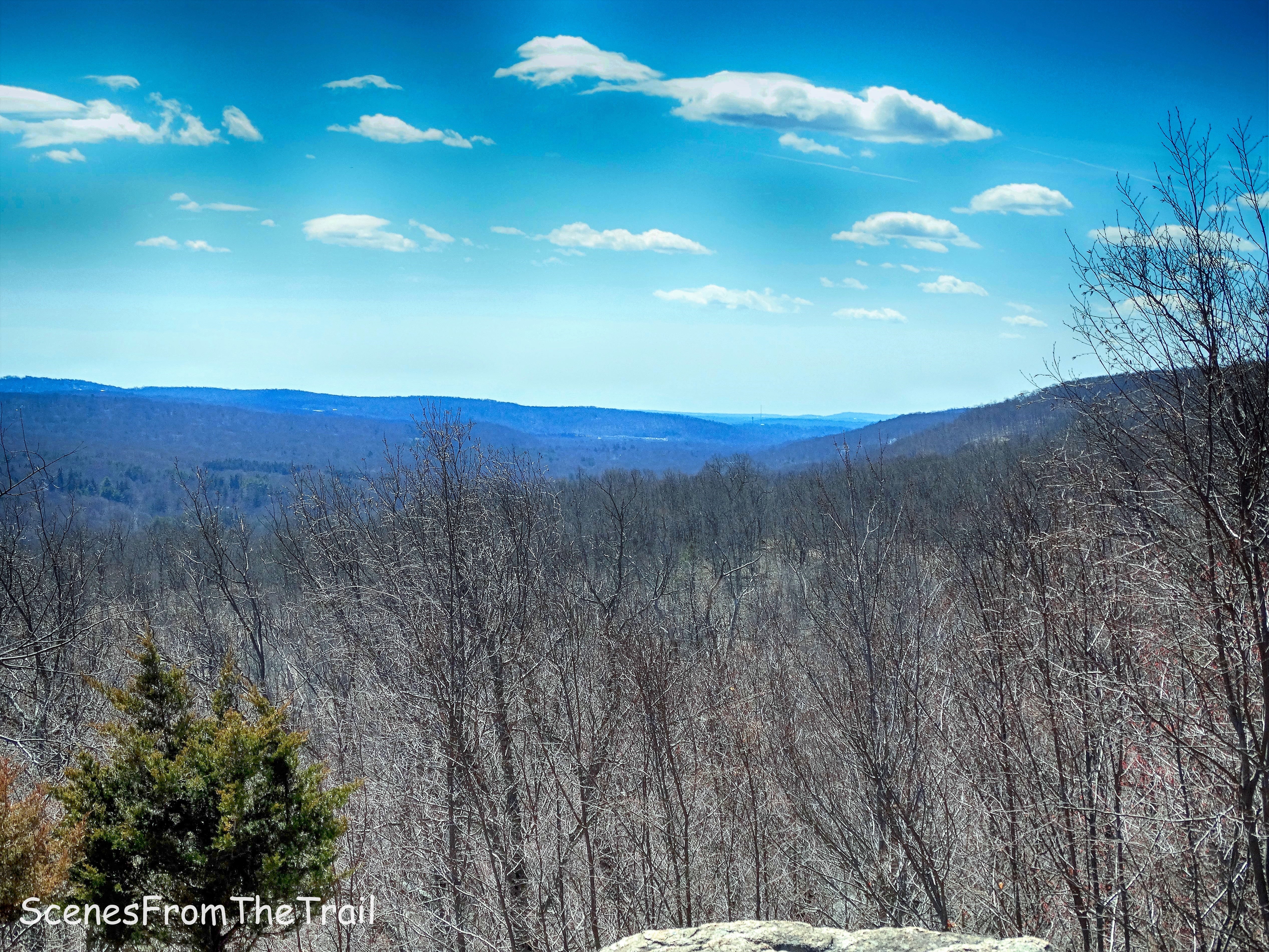
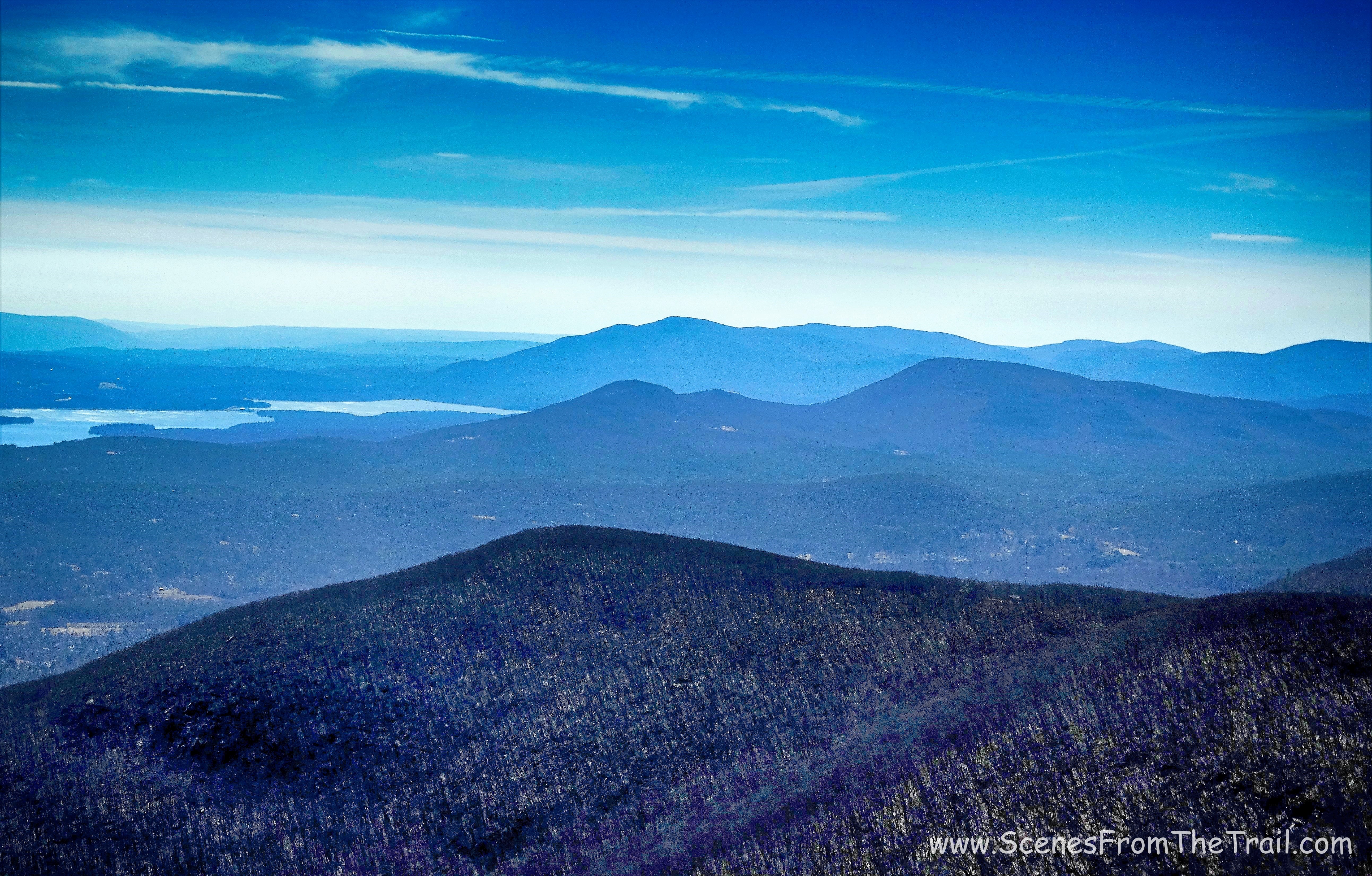
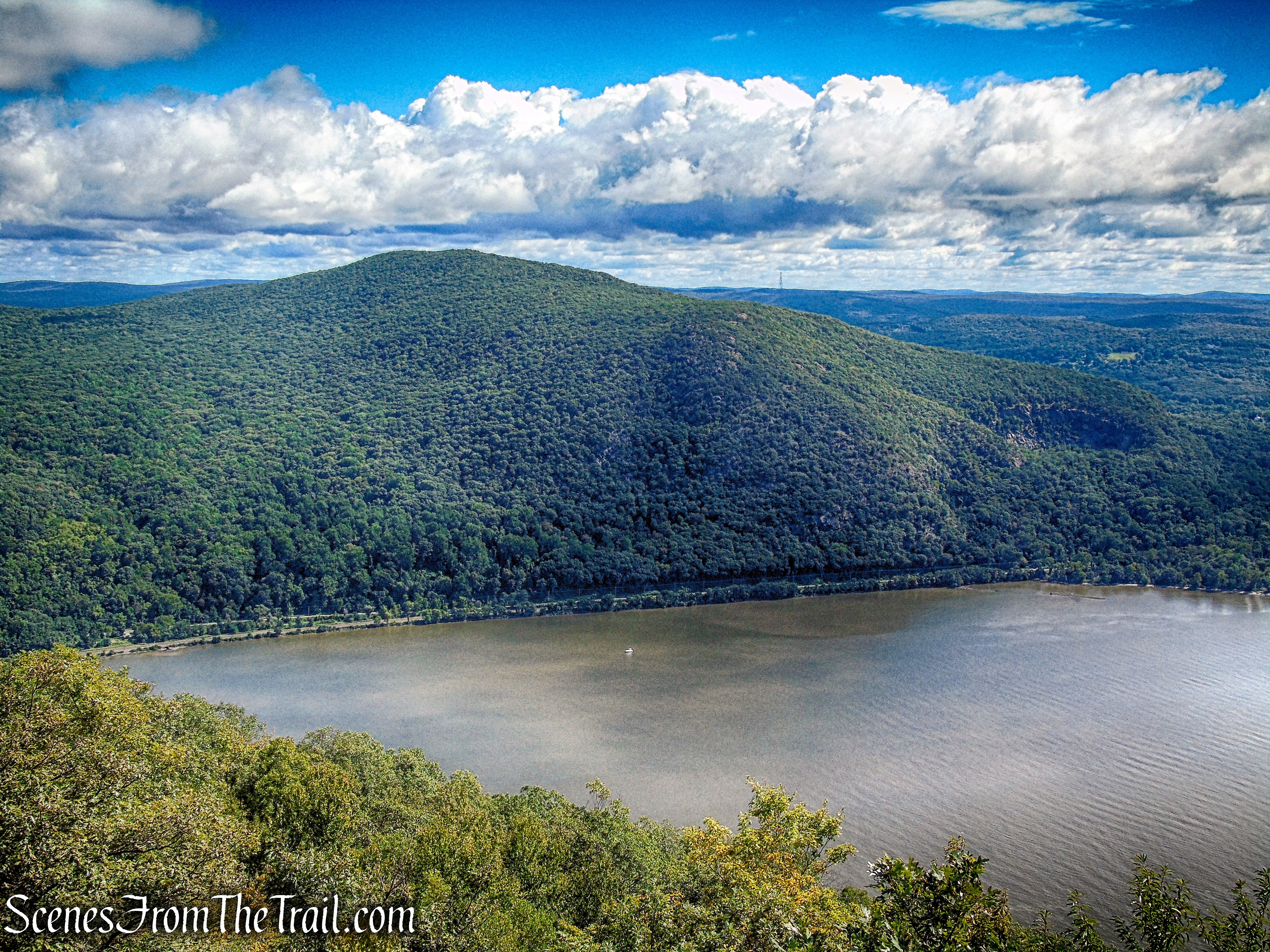
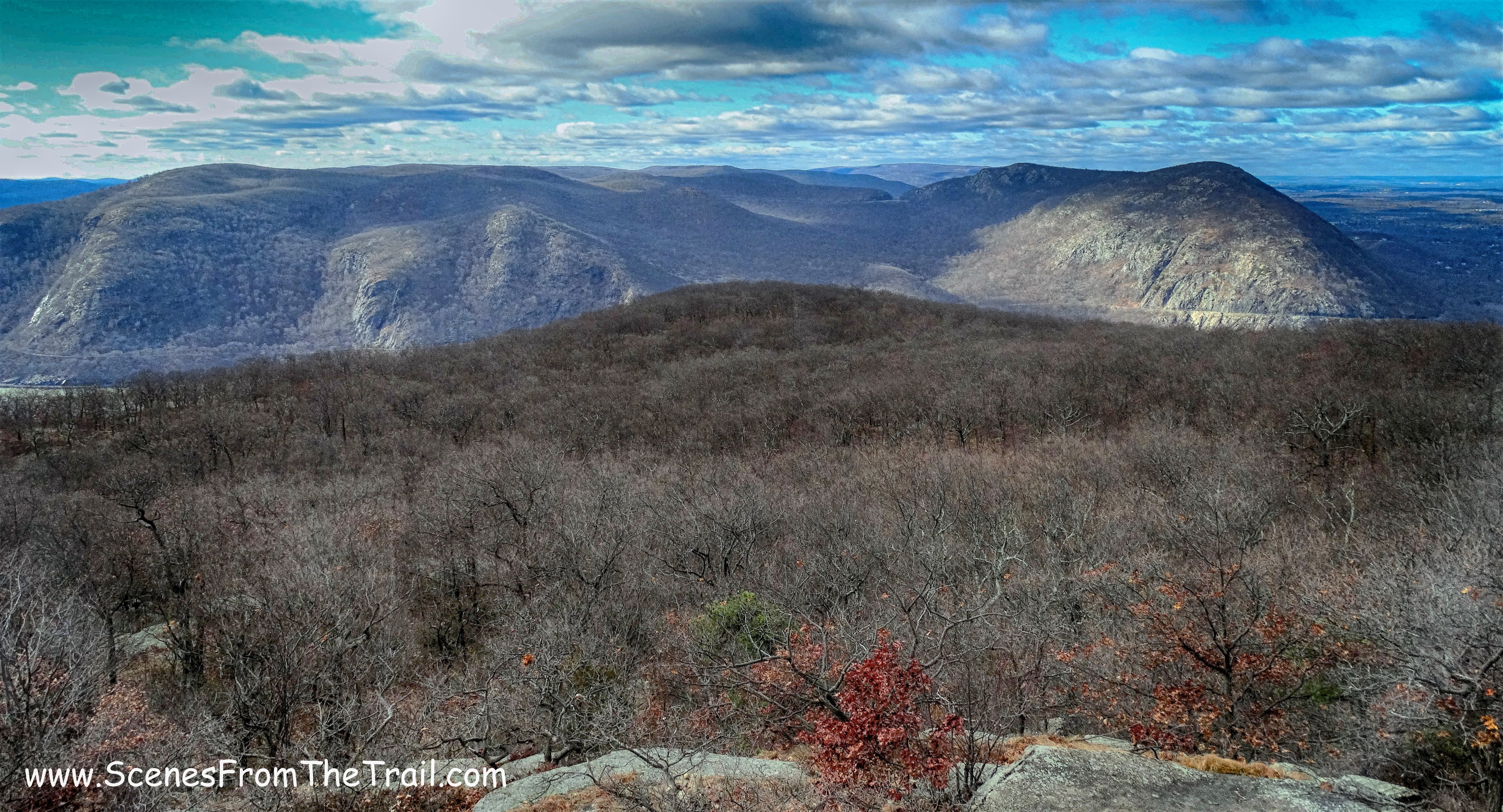
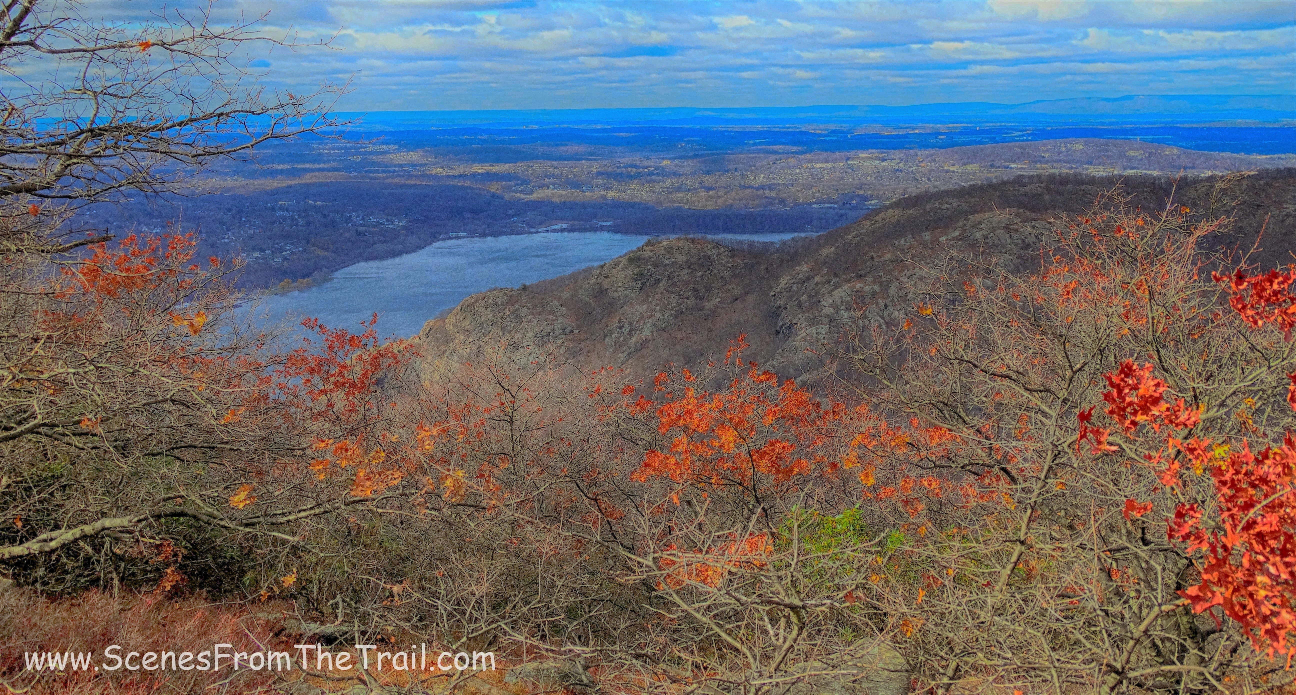
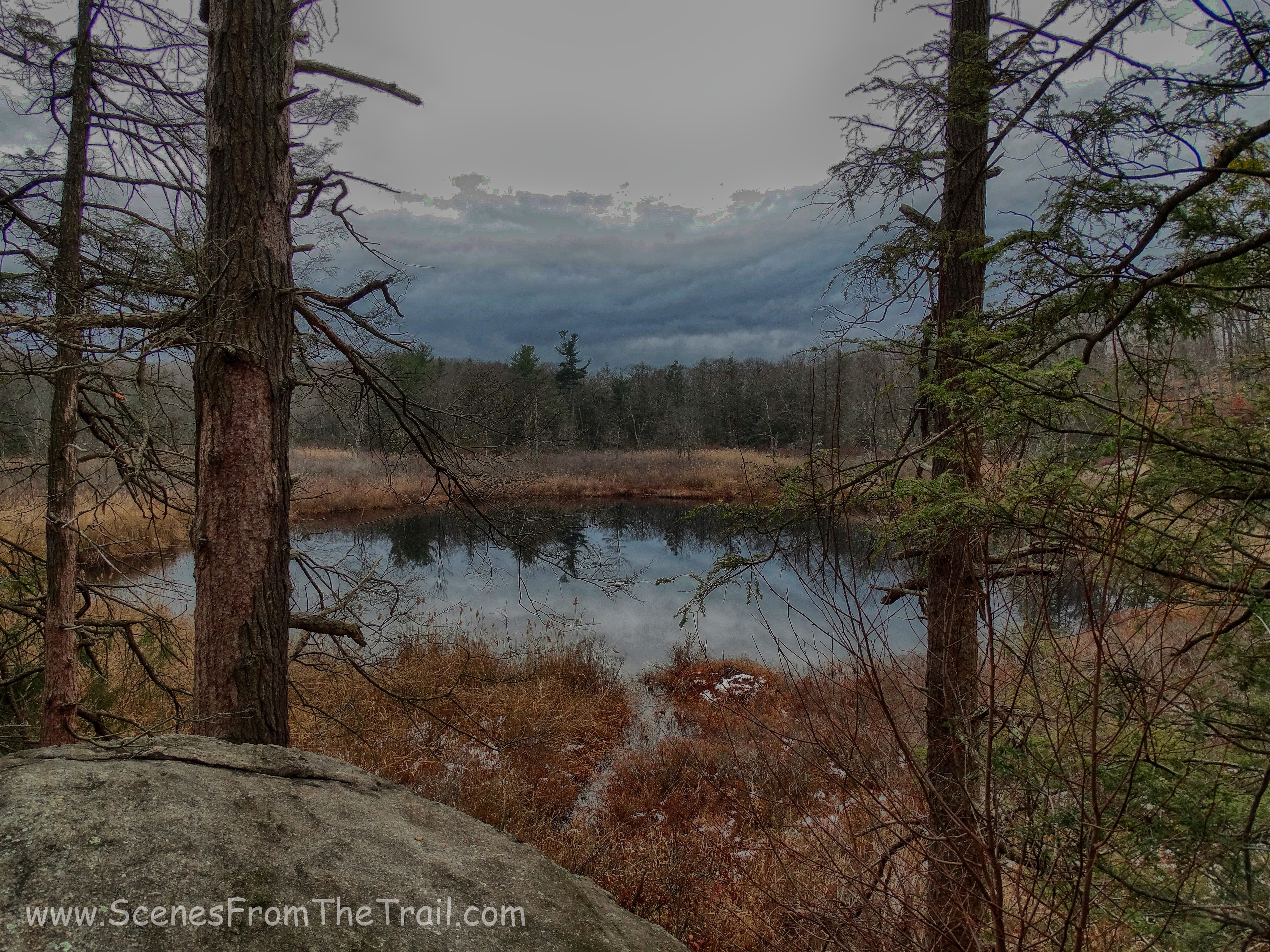
This is a very picturesque trail through the woods with a couple of open rock ledges with northern views of the Catskills.
blue-blazed Northeast Trail
We followed the blue blazes for about one half mile to it’s terminus.
blue-blazed Northeast Trail
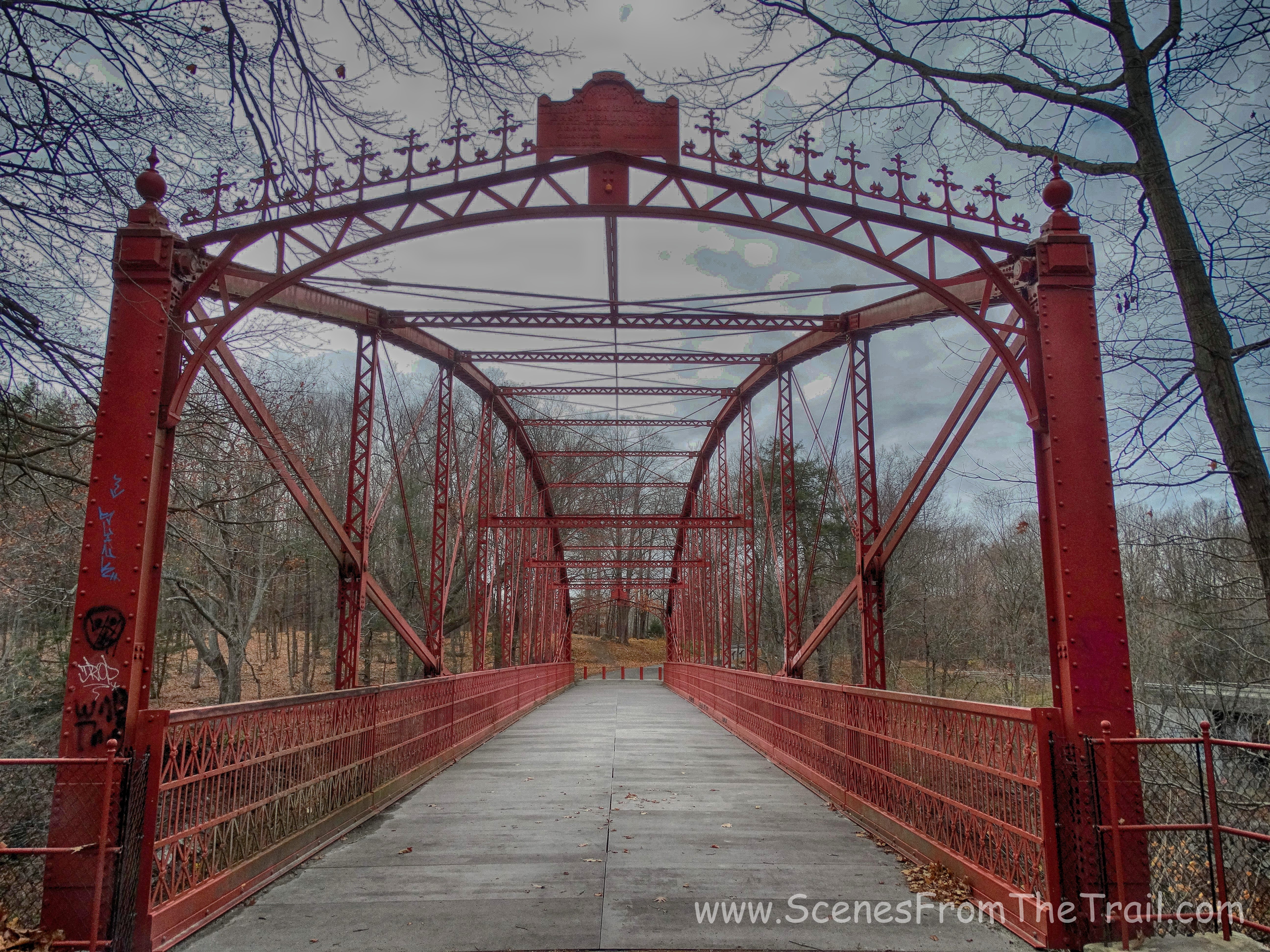
Here we made a left on Clearwater Road. The sign is not readable from this direction as you can see from the image above, but we were able to figure it out.
Clearwater Road
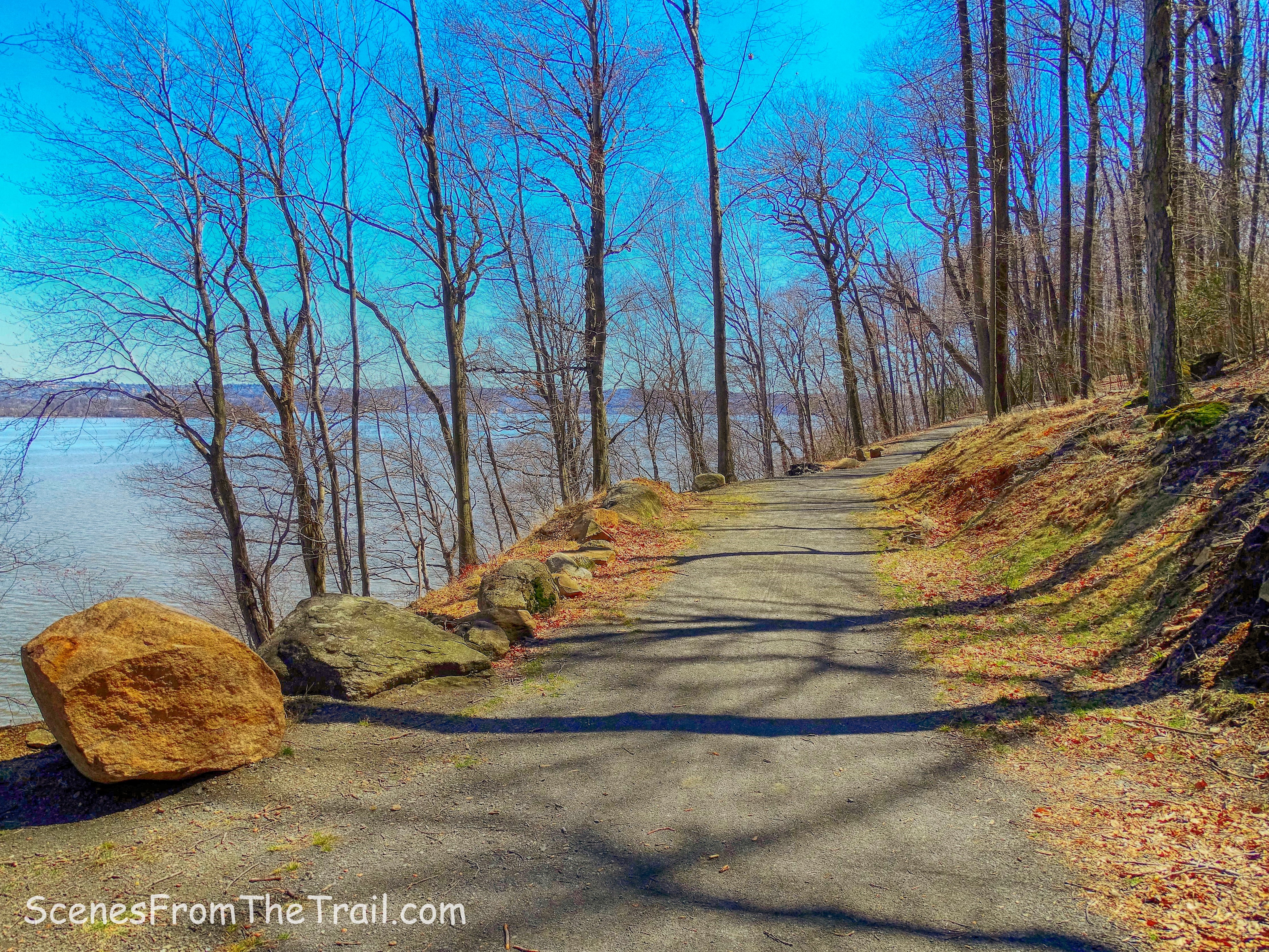
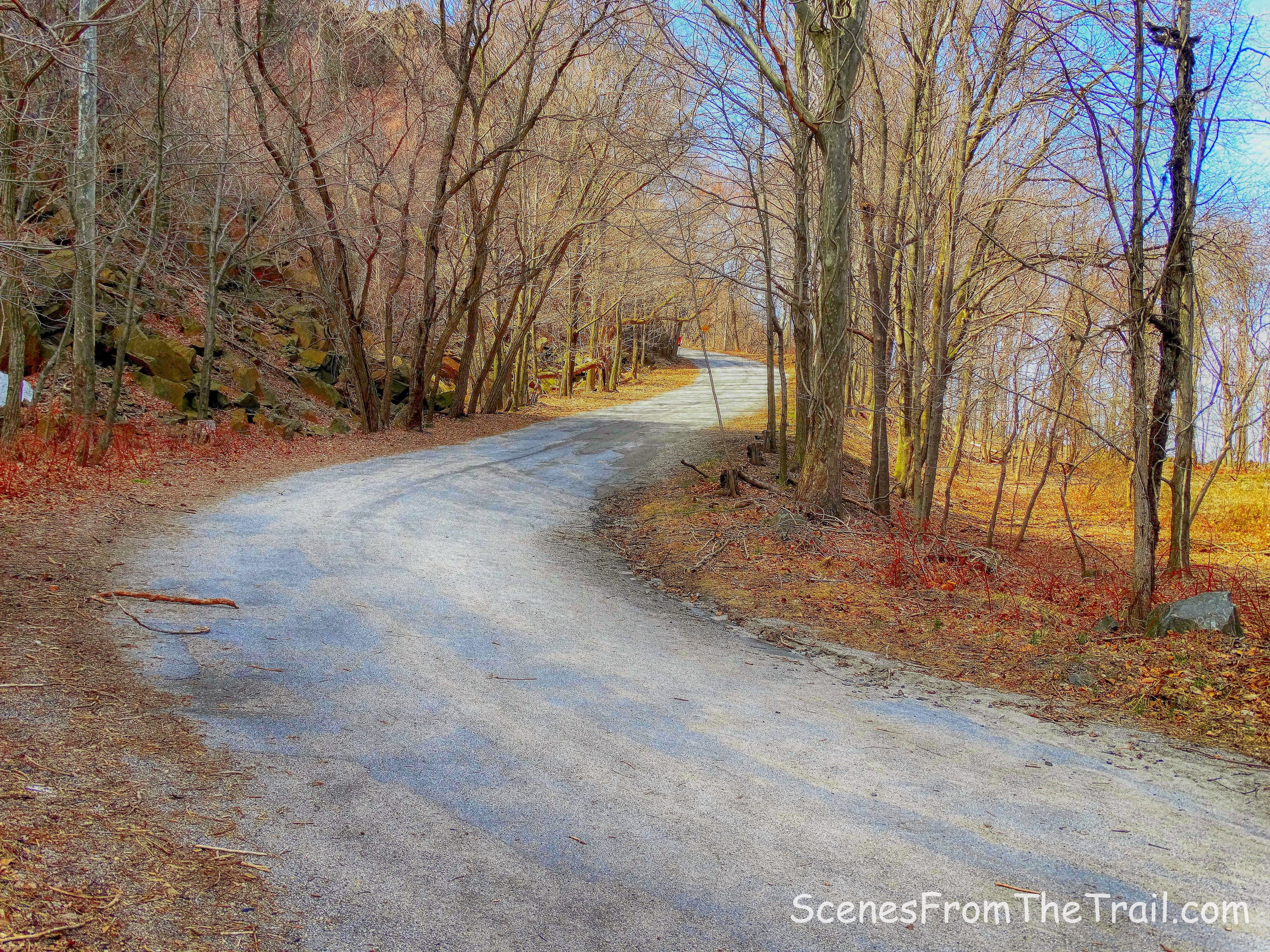
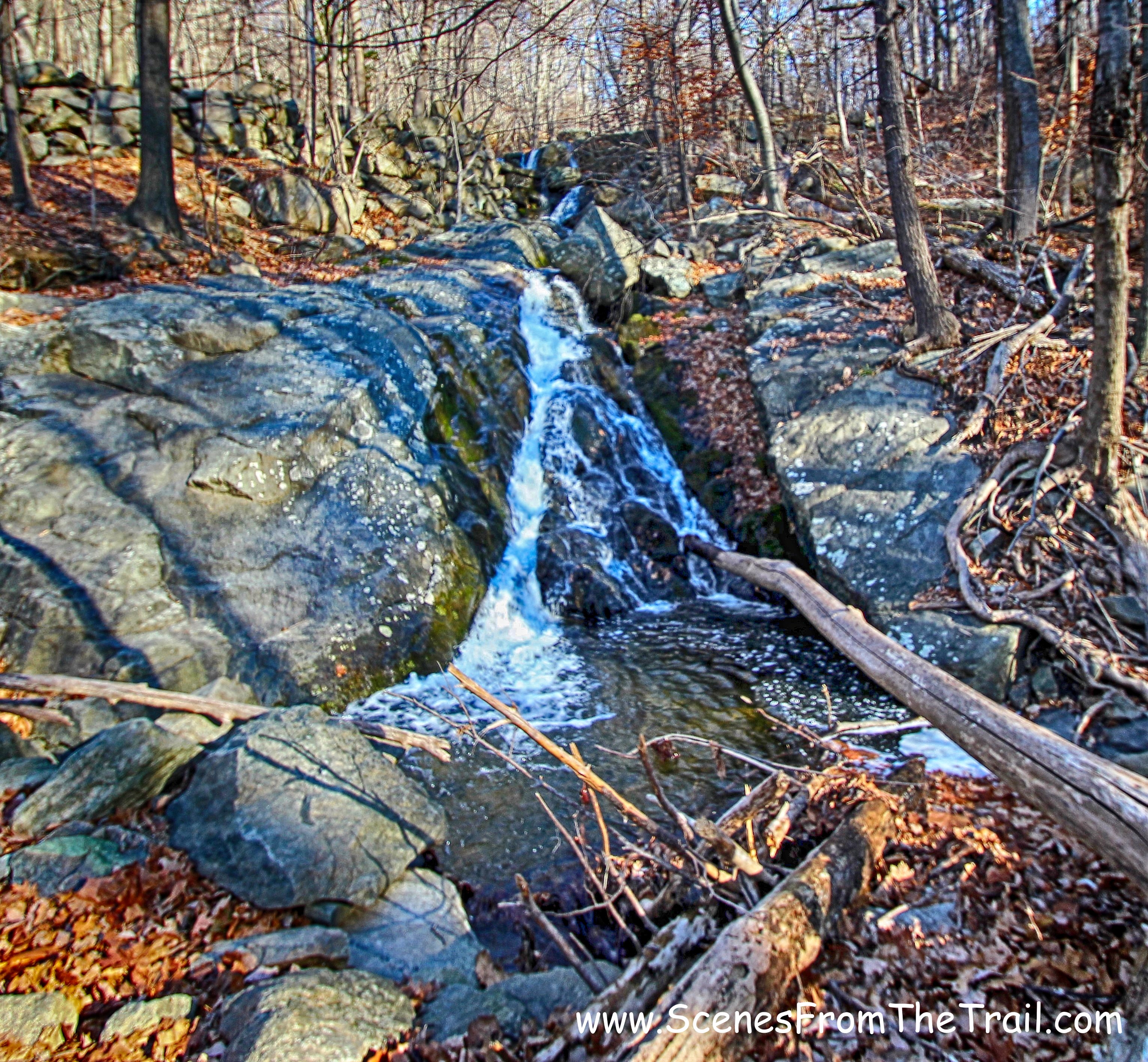
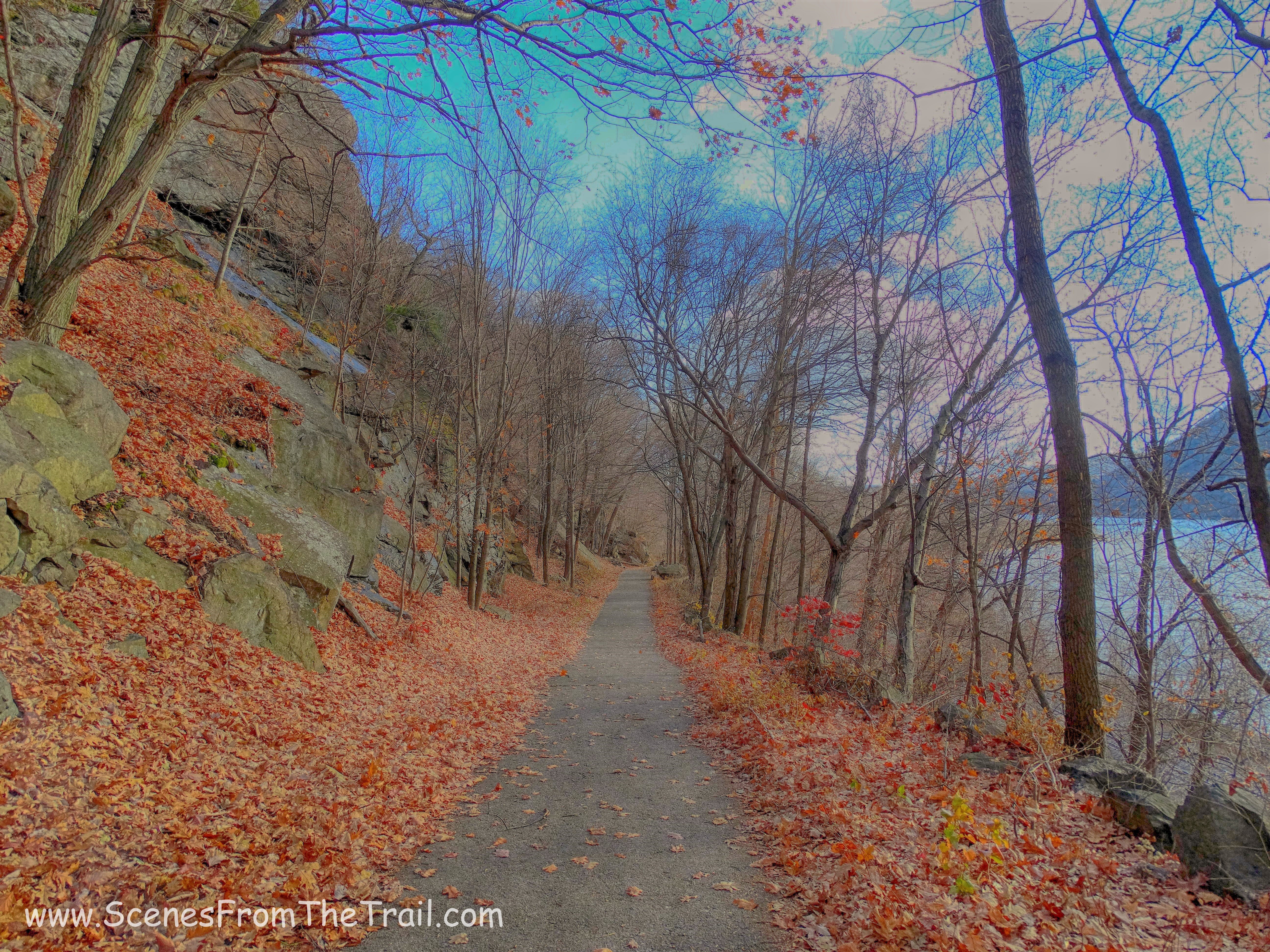
We began walking on the red-blazed Clearwater Road which is supposed to be a more secluded area of the preserve, but we didn’t see anyone since we left the top of the crag. This road was at one time the main route over the mountain.
red-blazed Clearwater Road
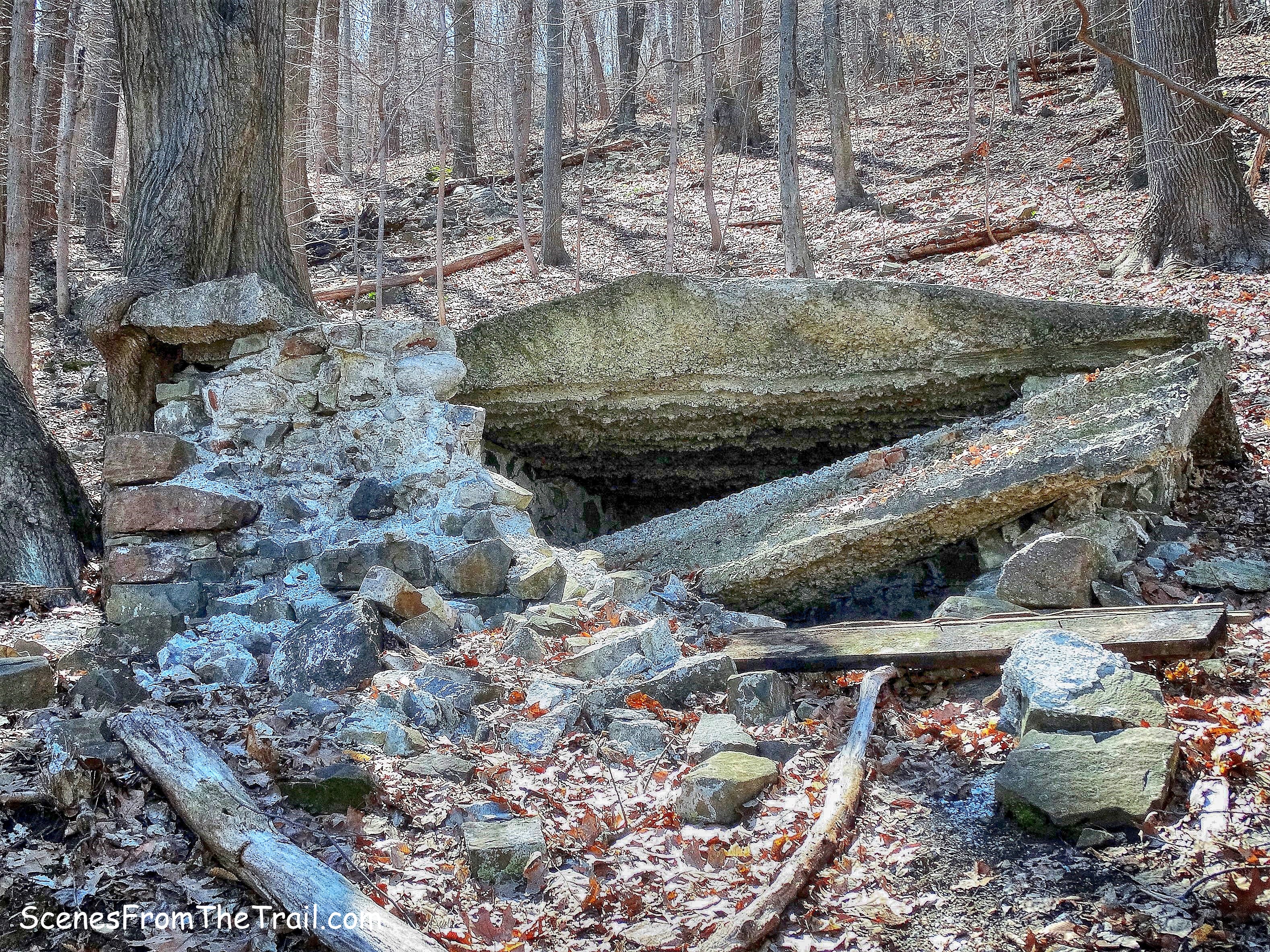
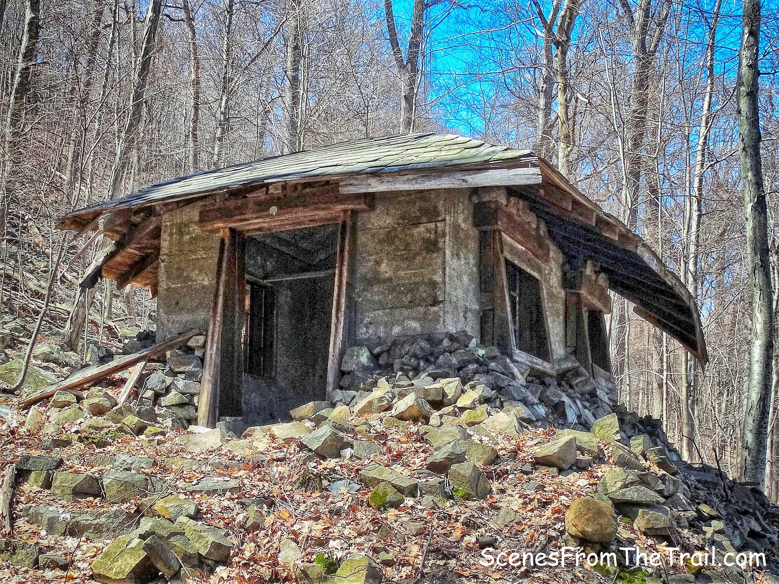
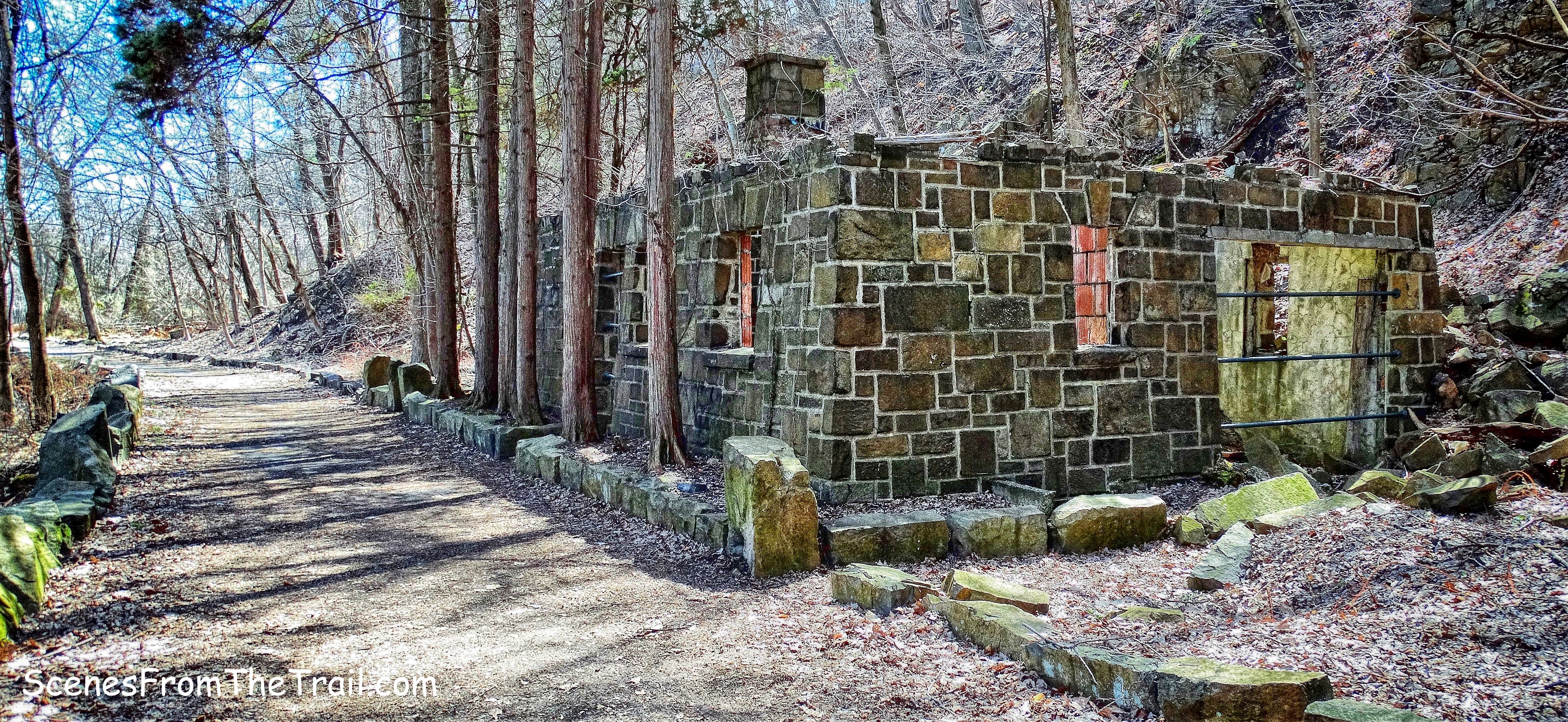
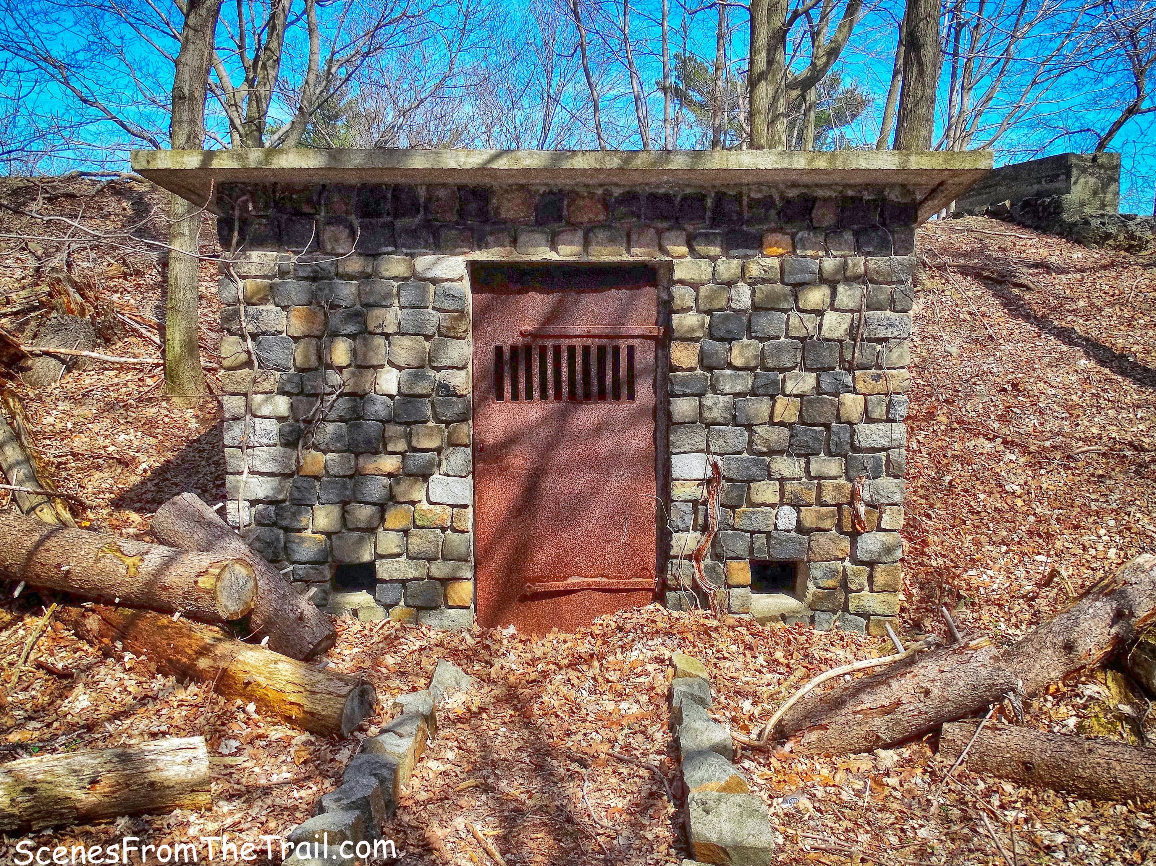
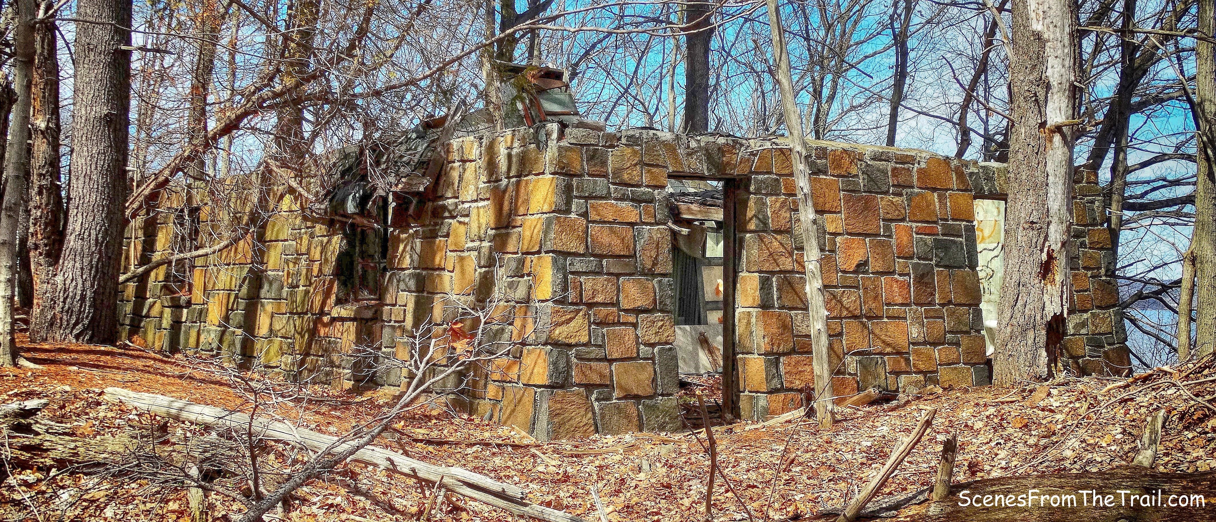
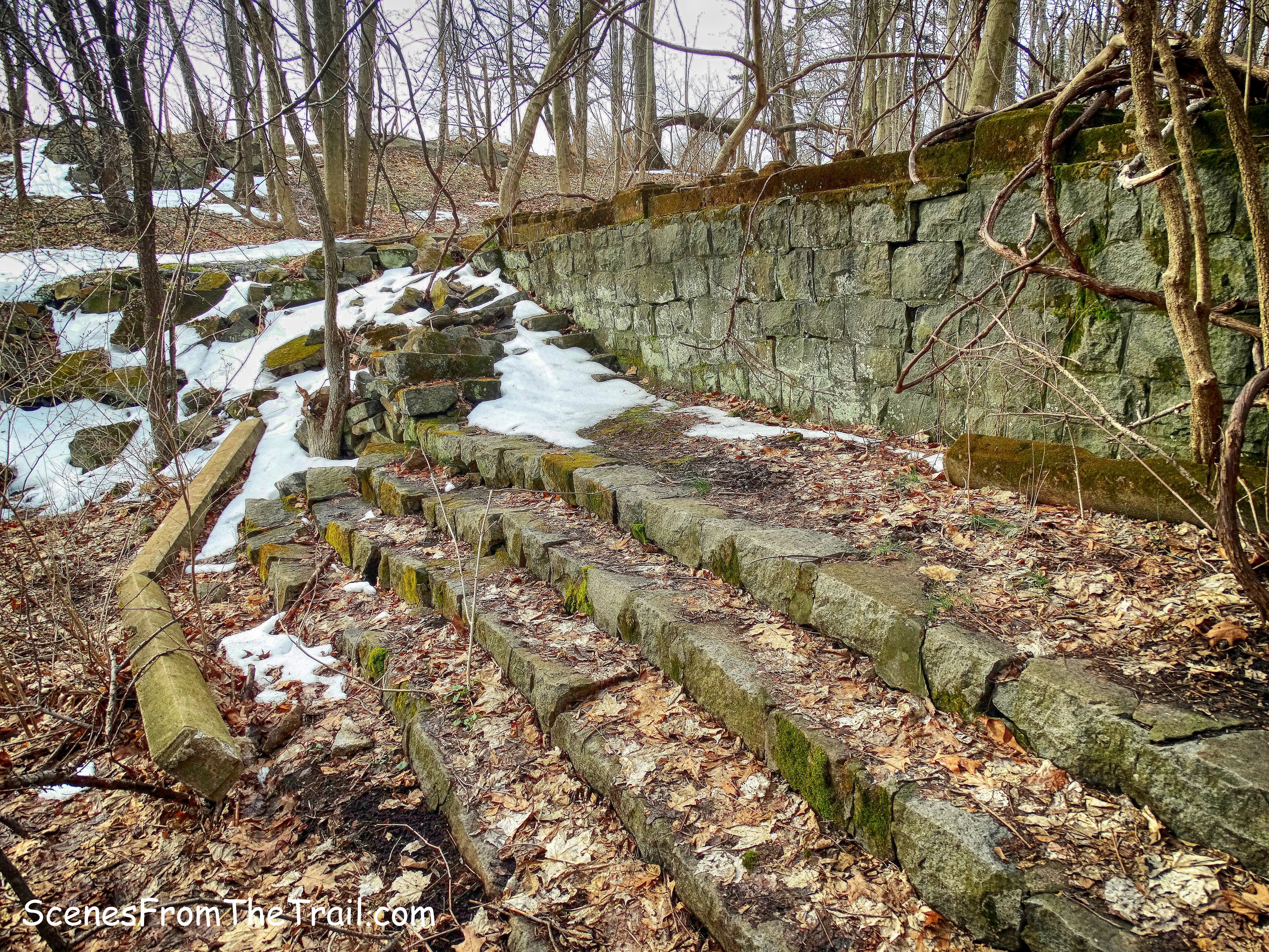
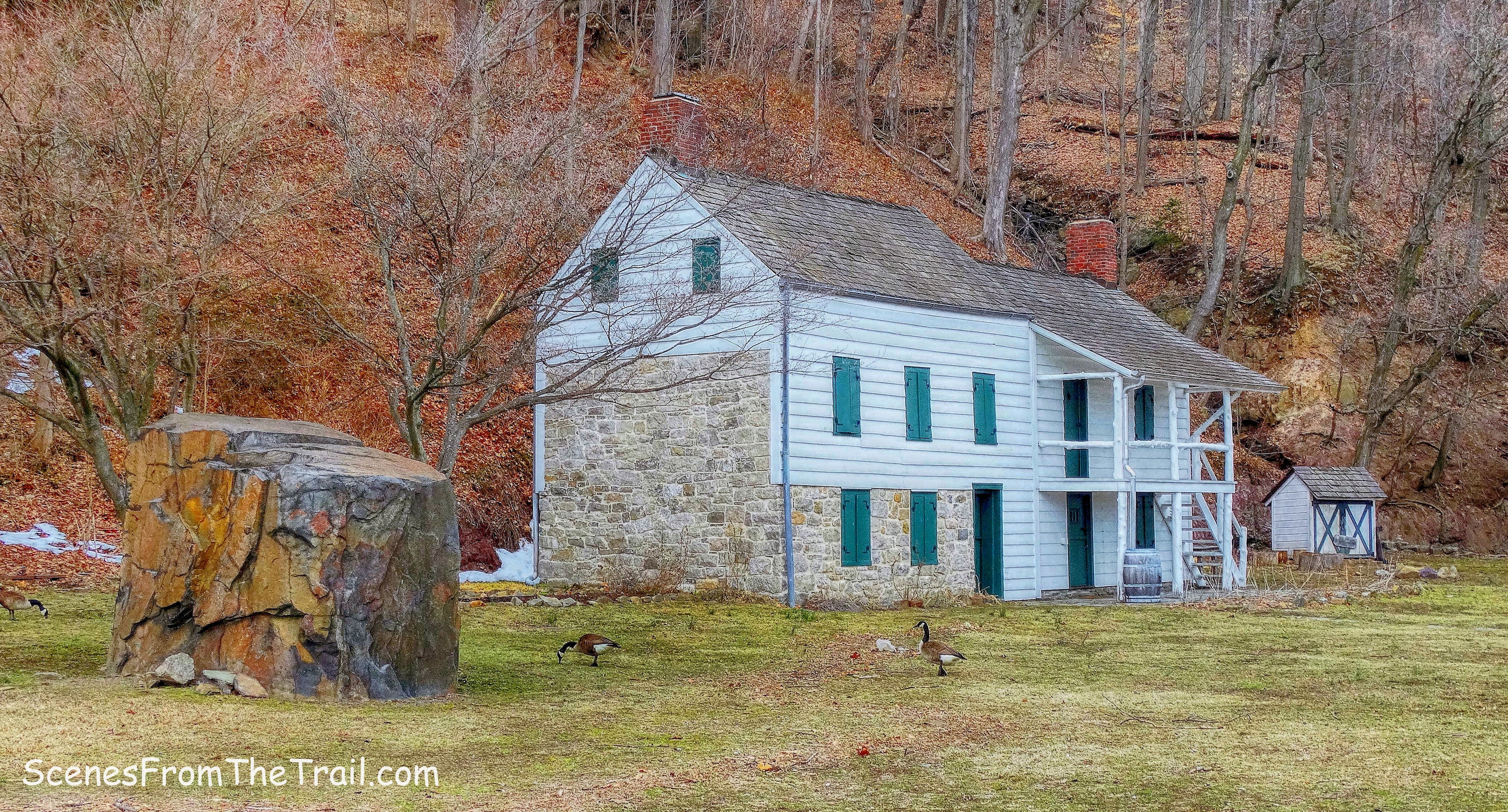
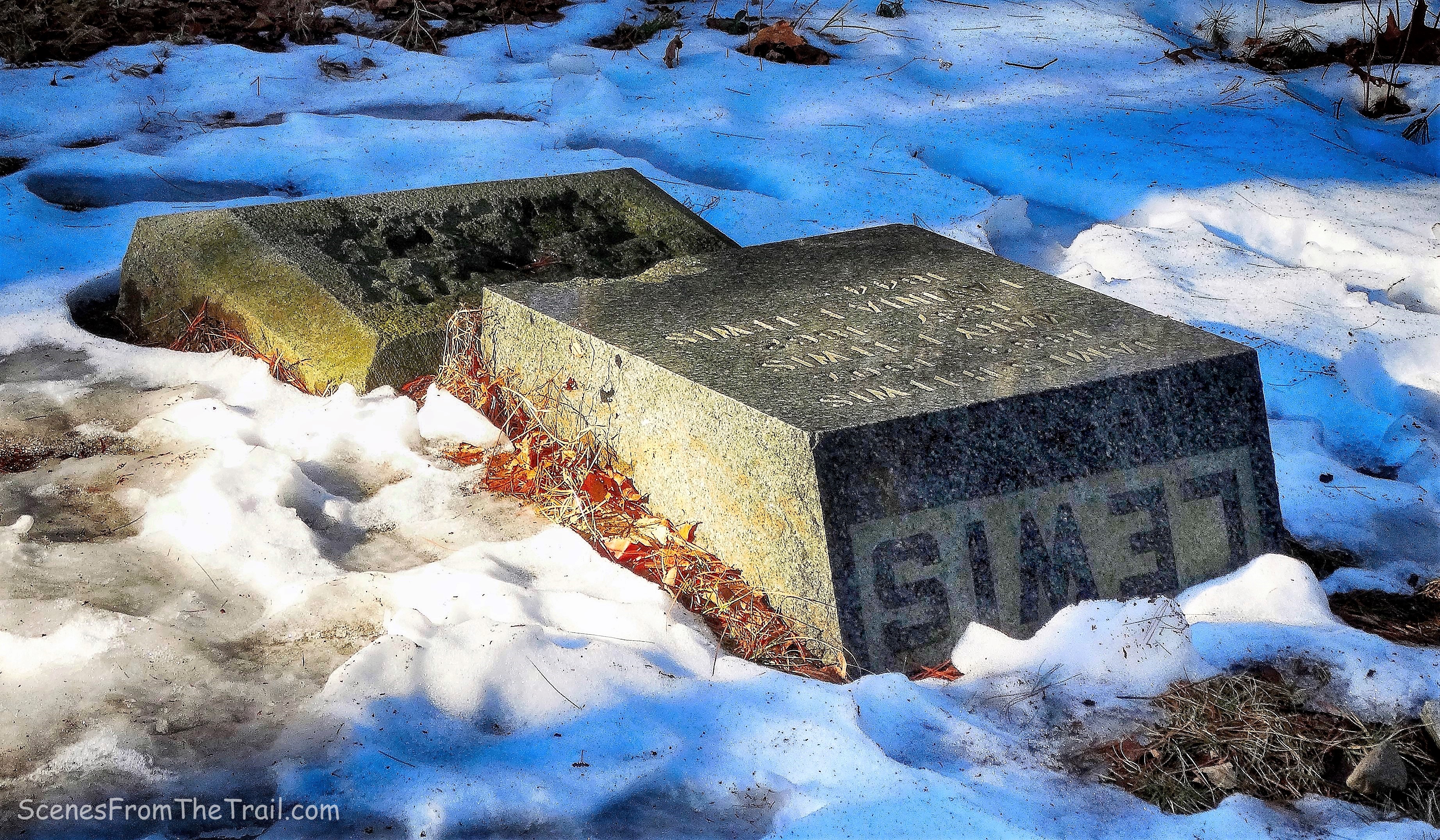
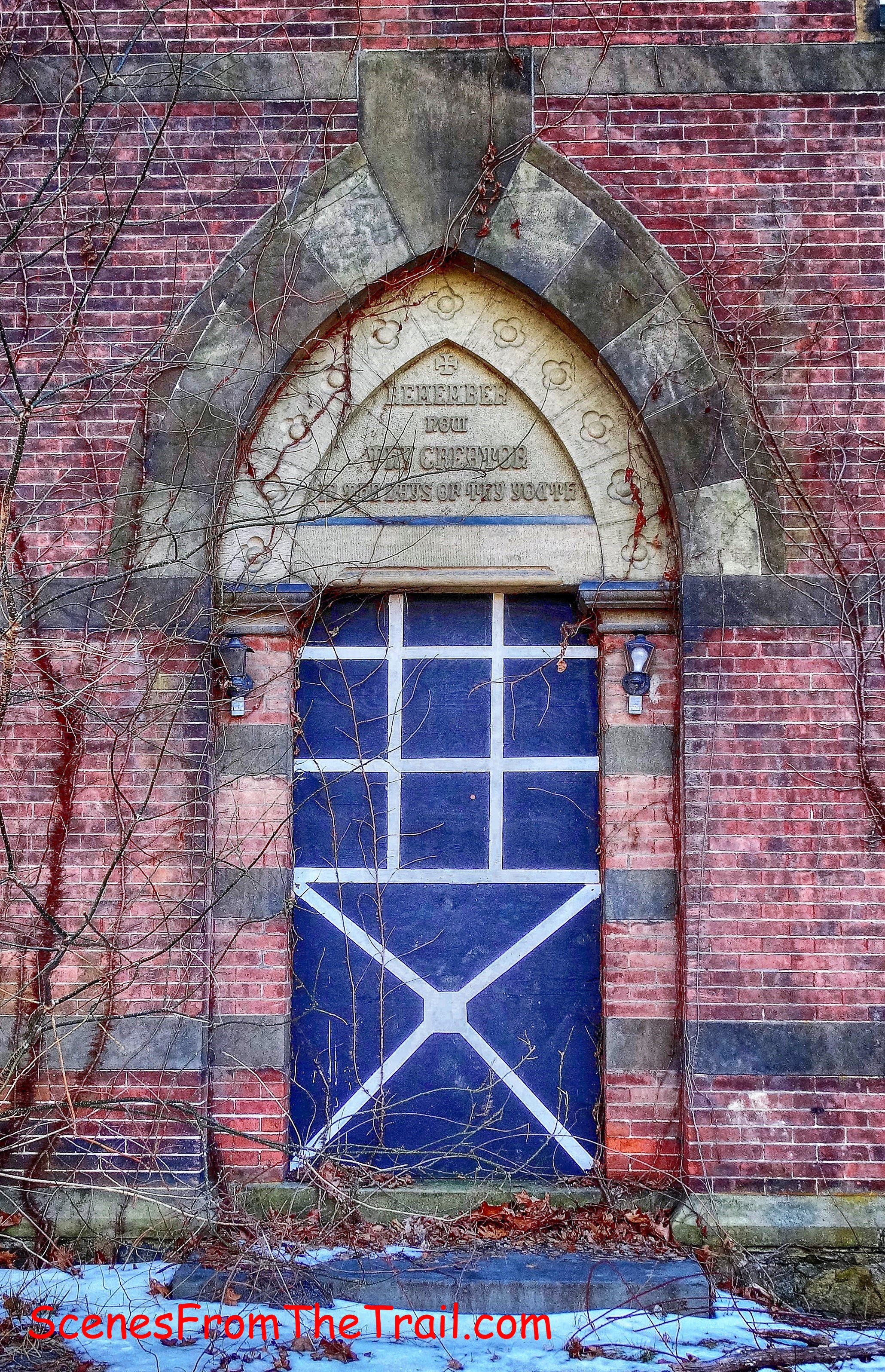
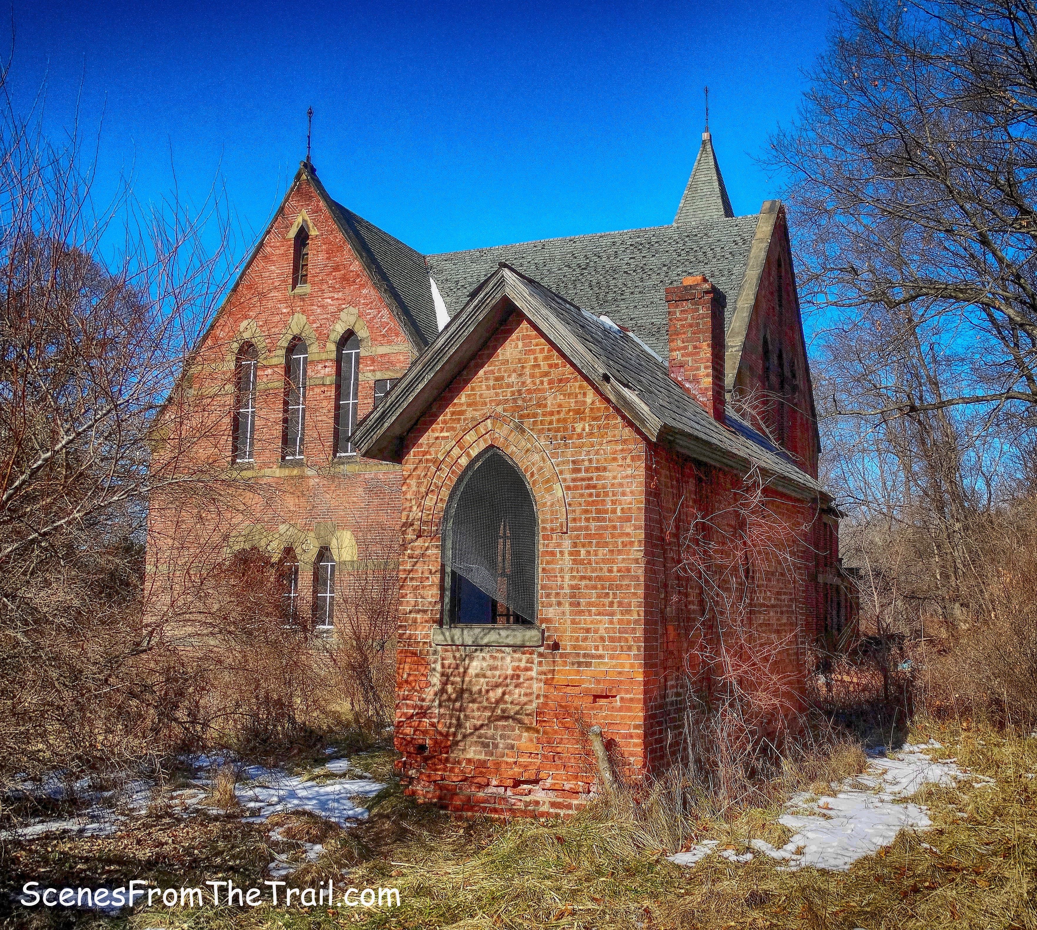
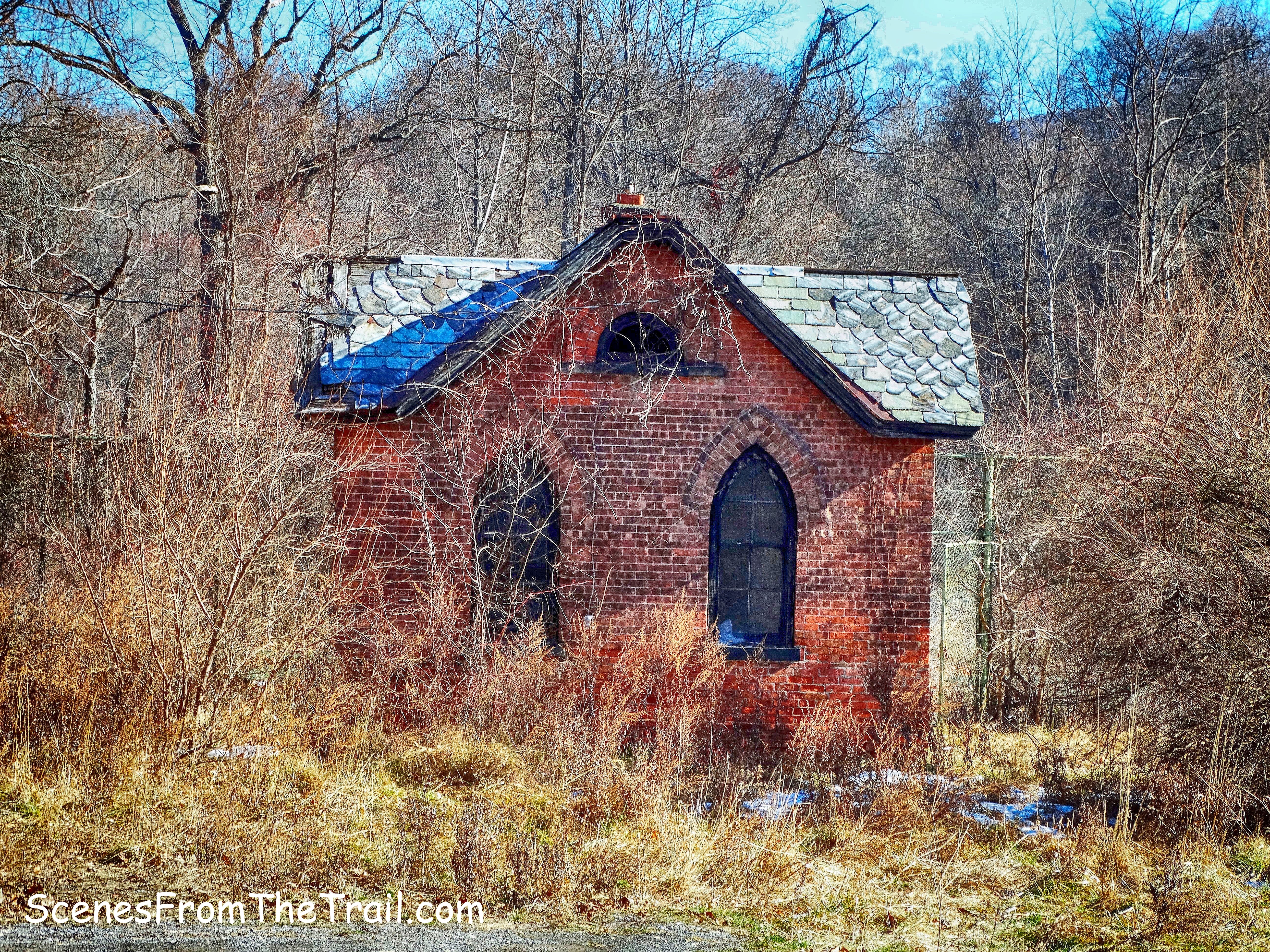
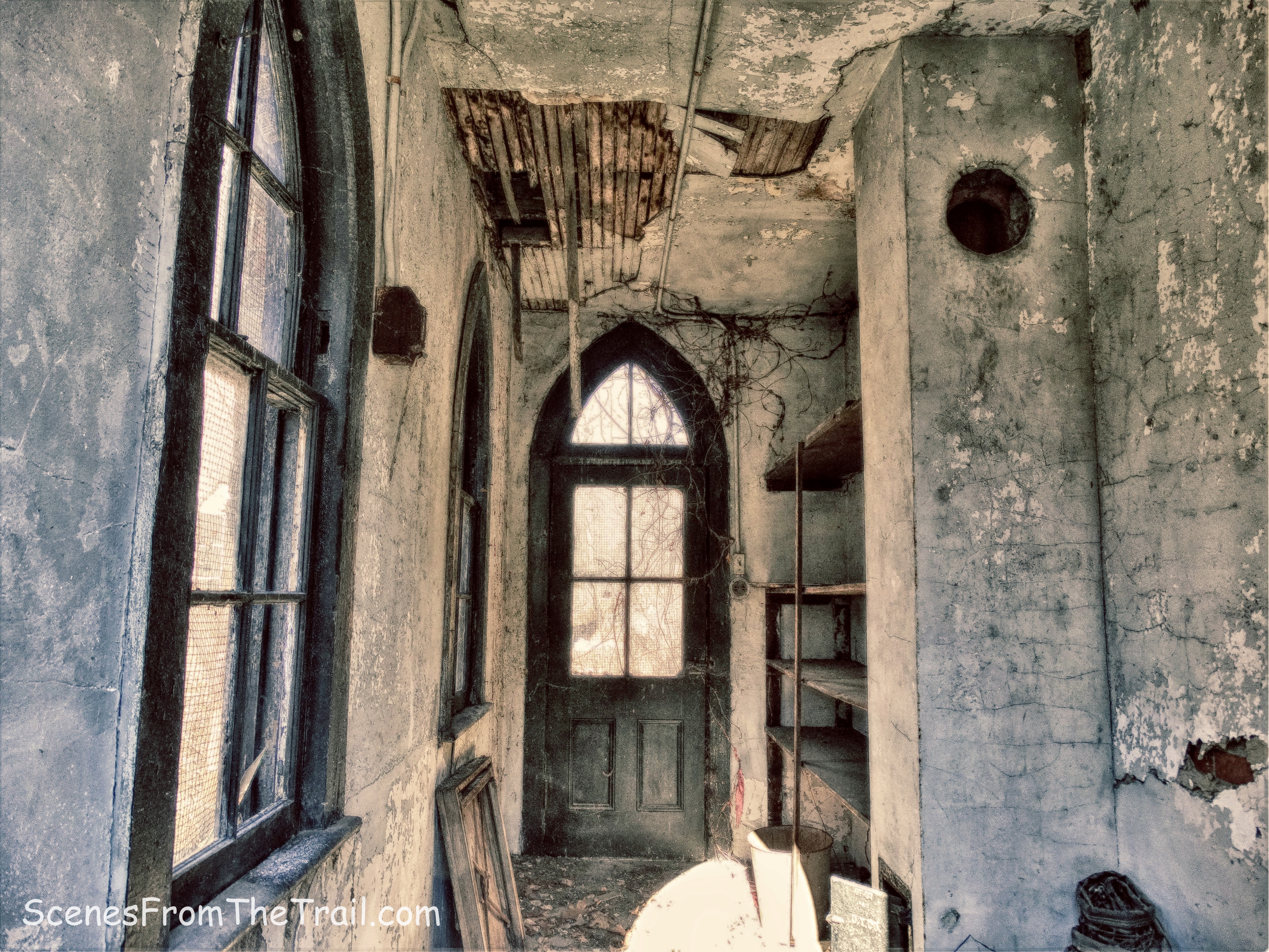
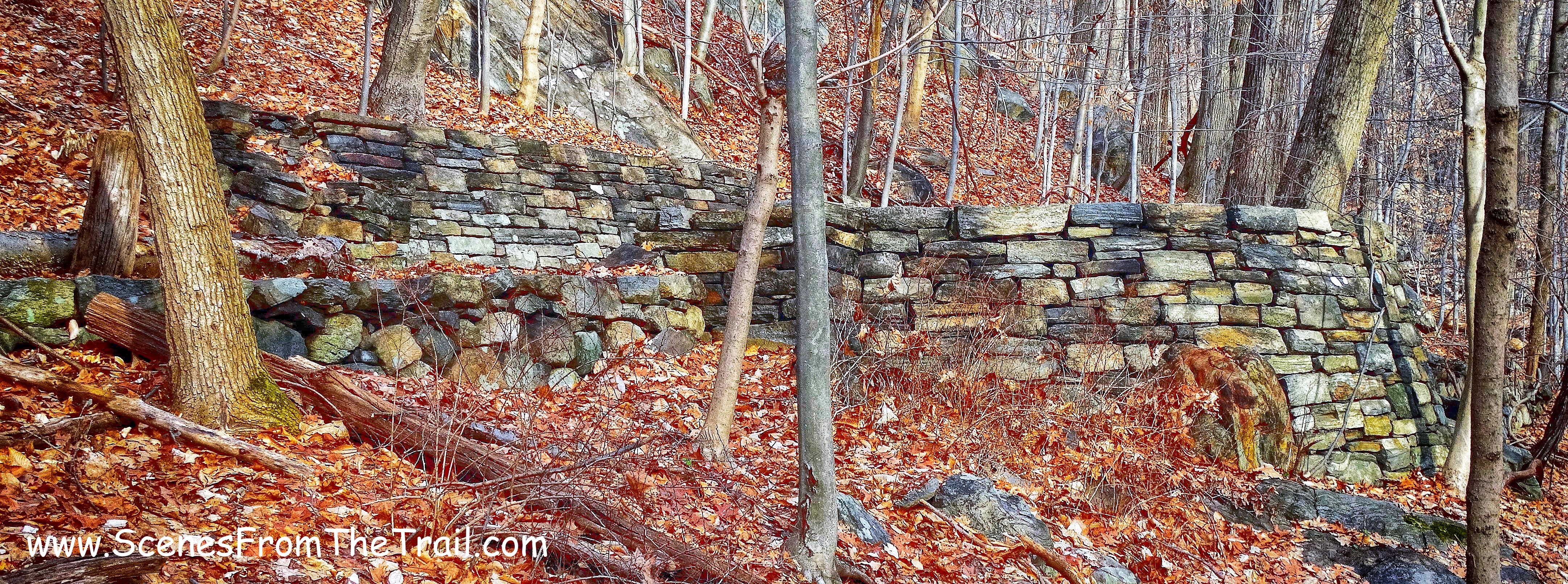
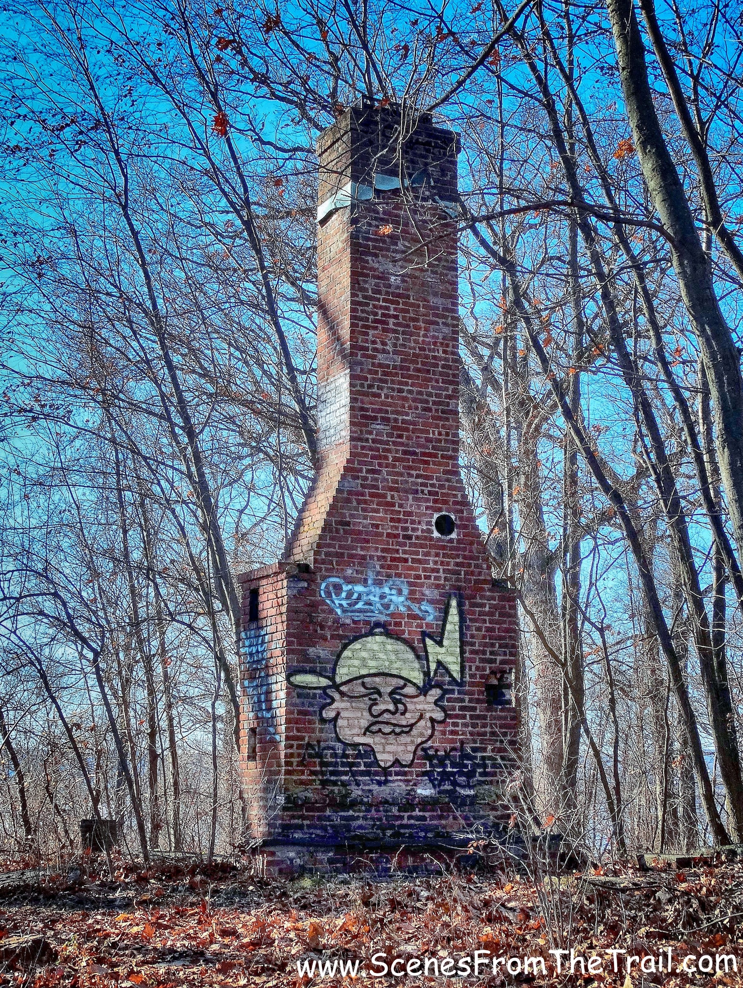
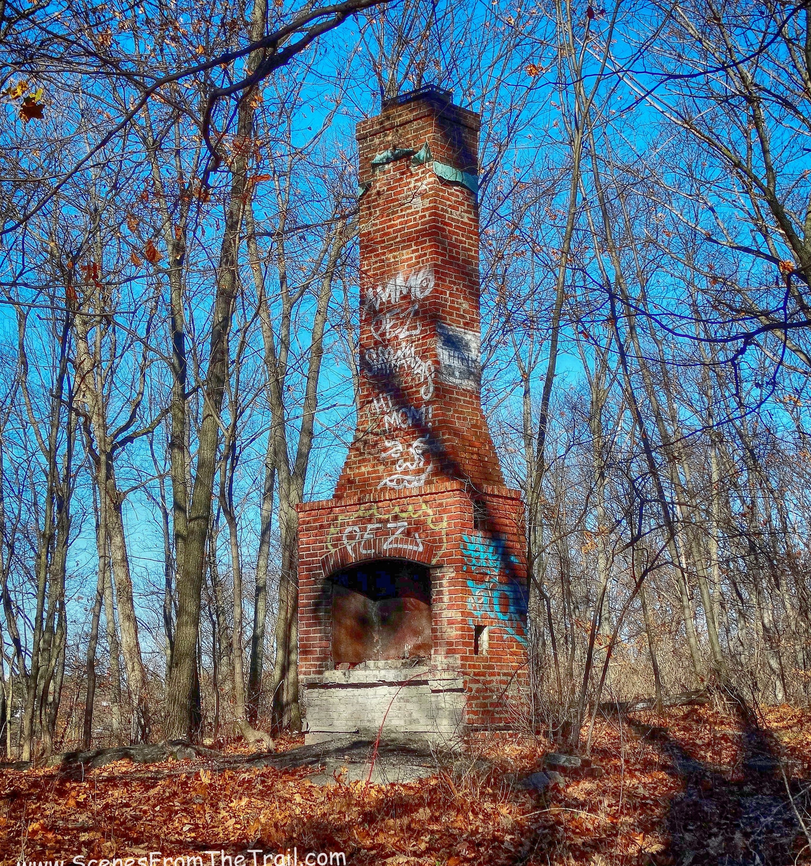
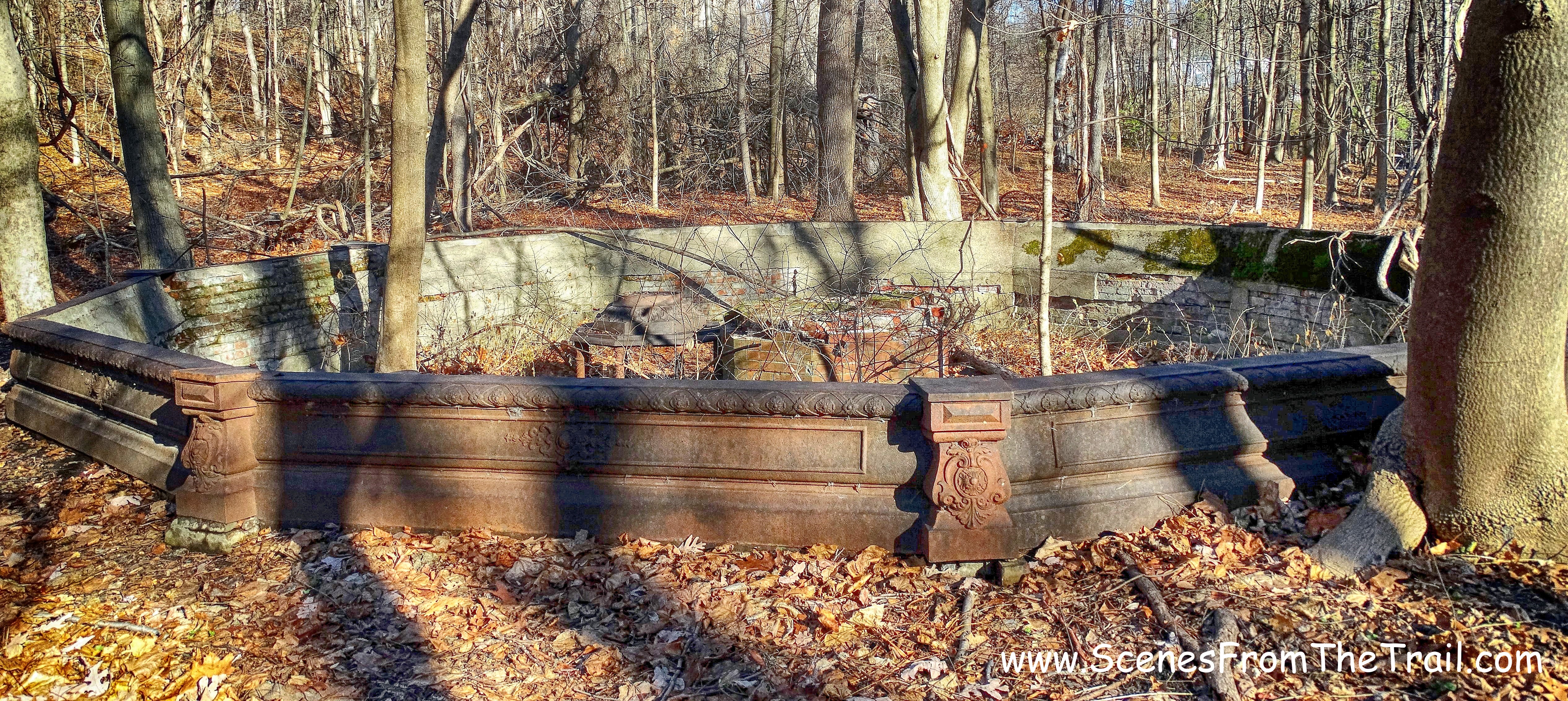
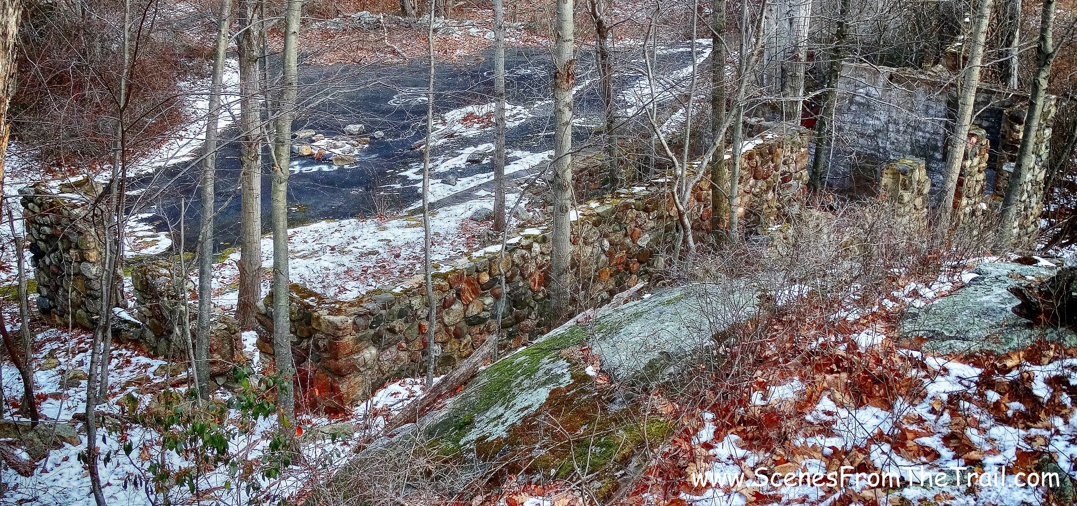
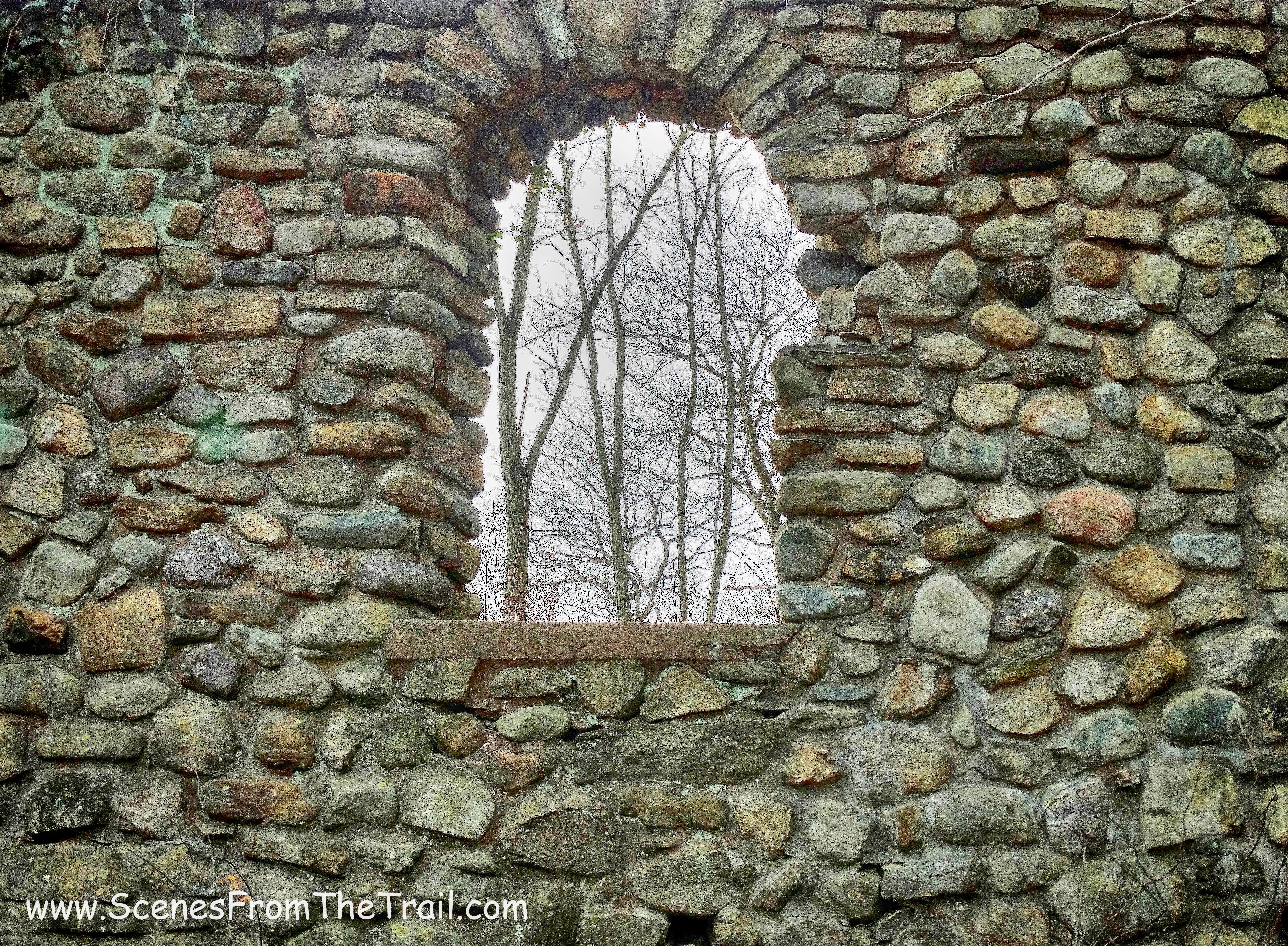
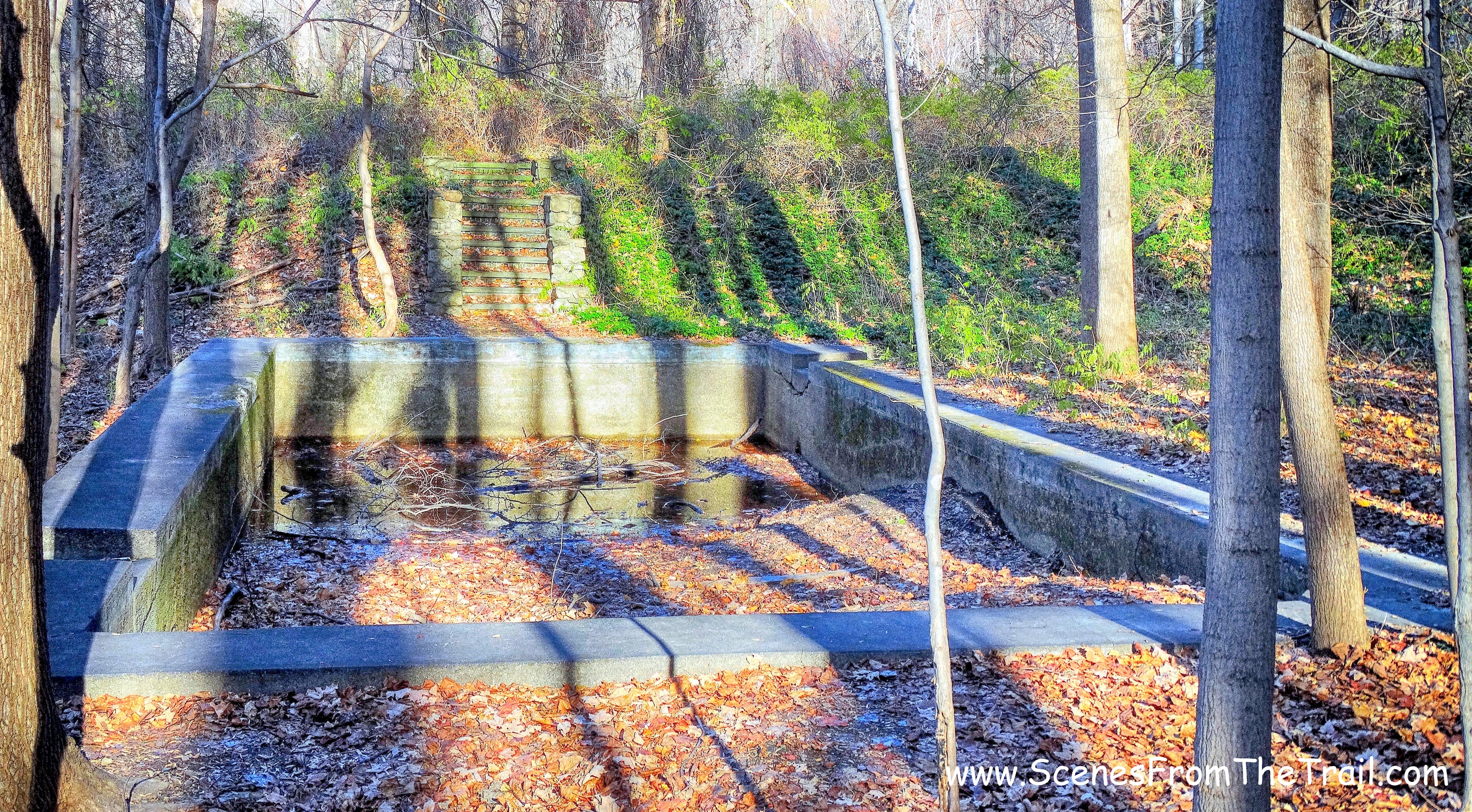
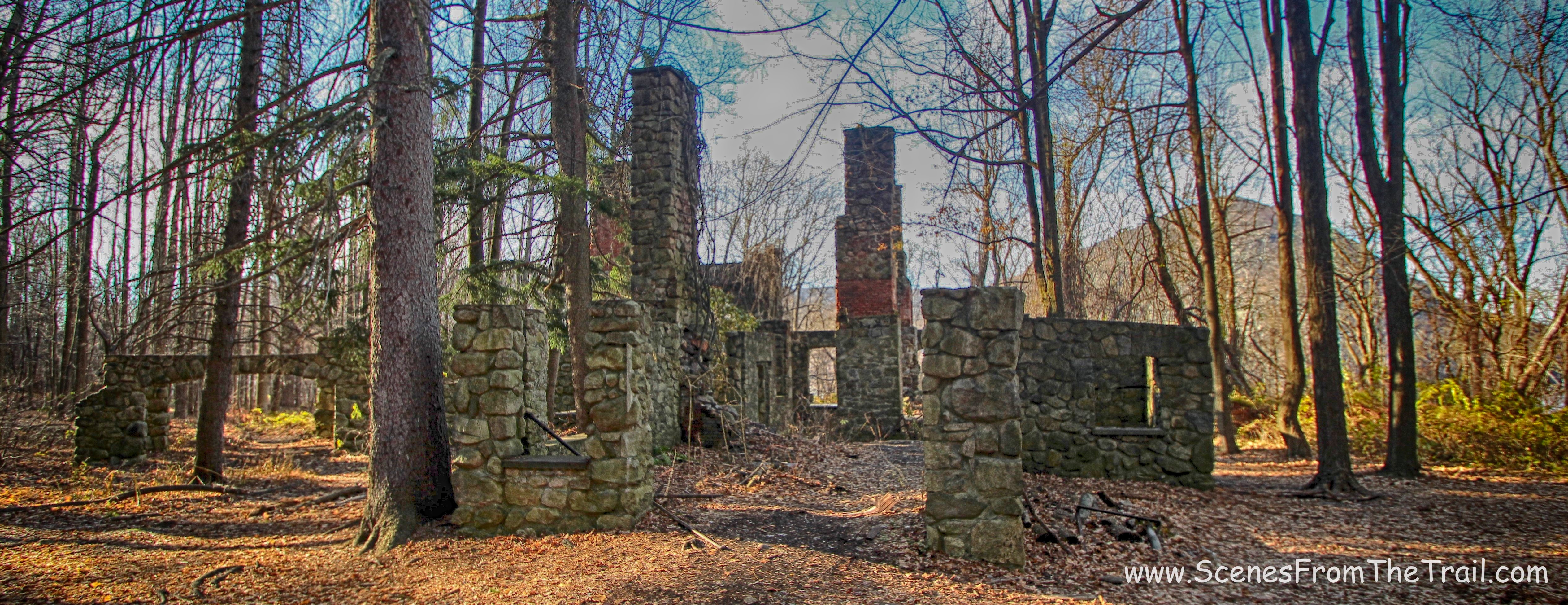
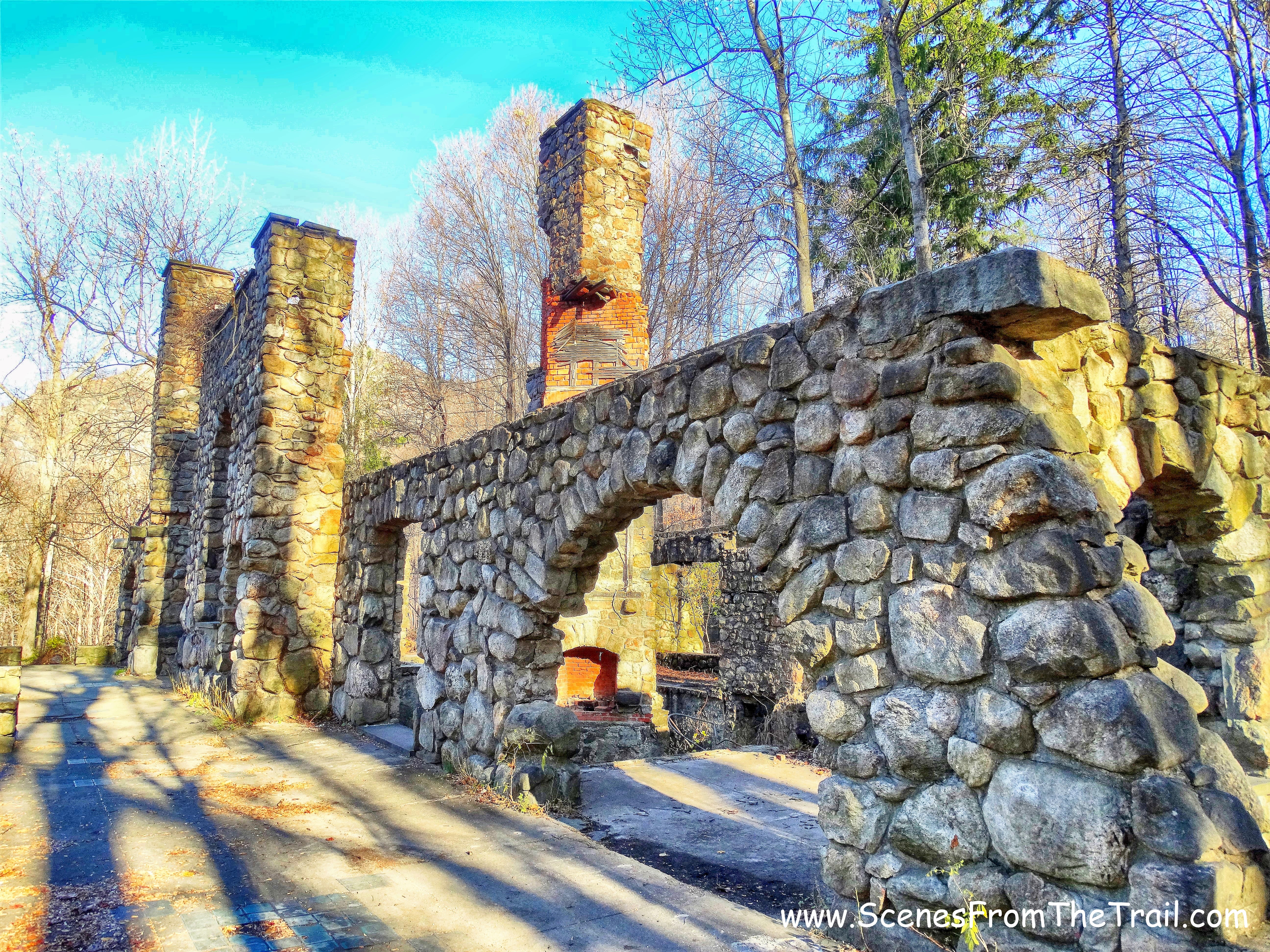
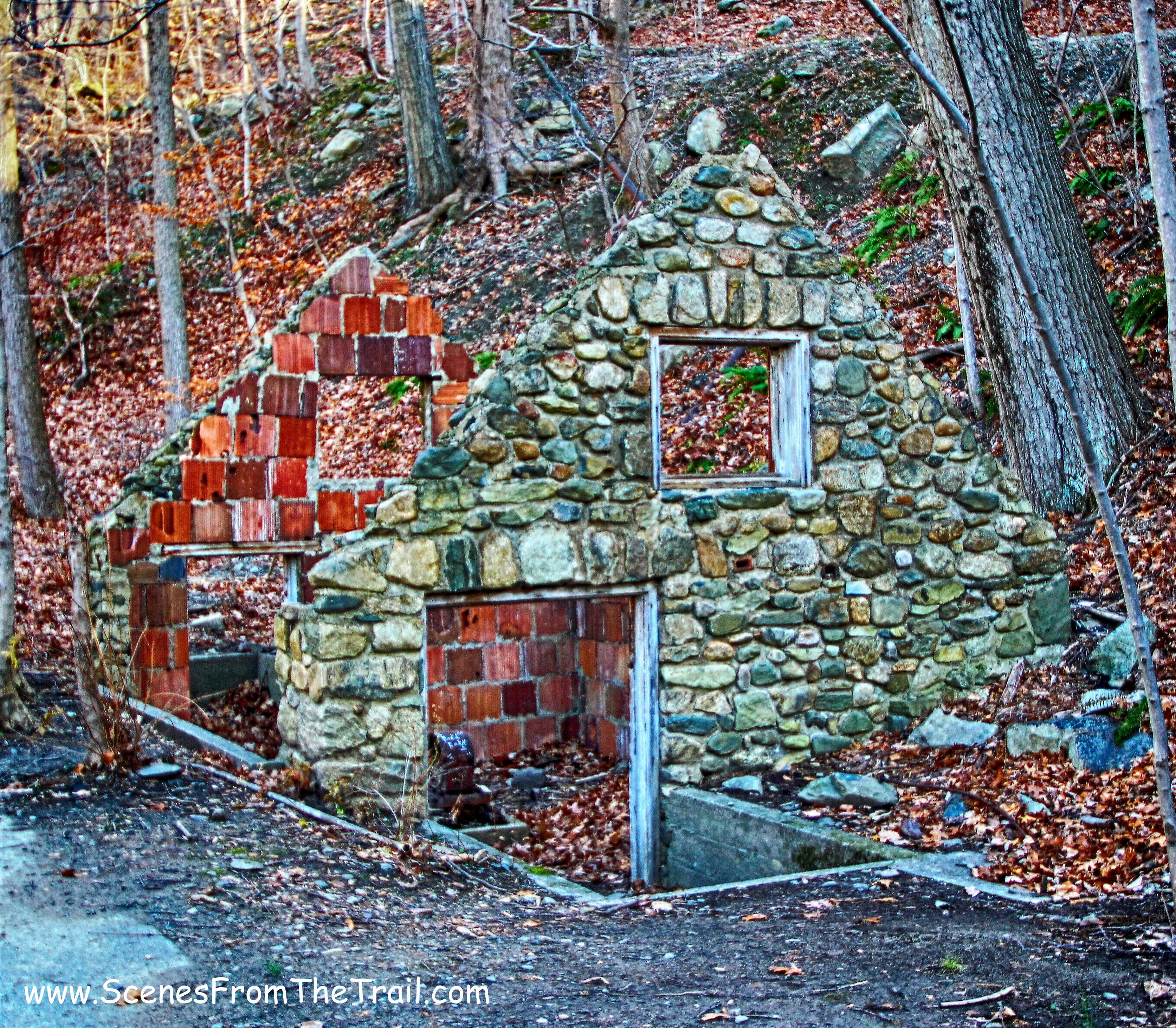
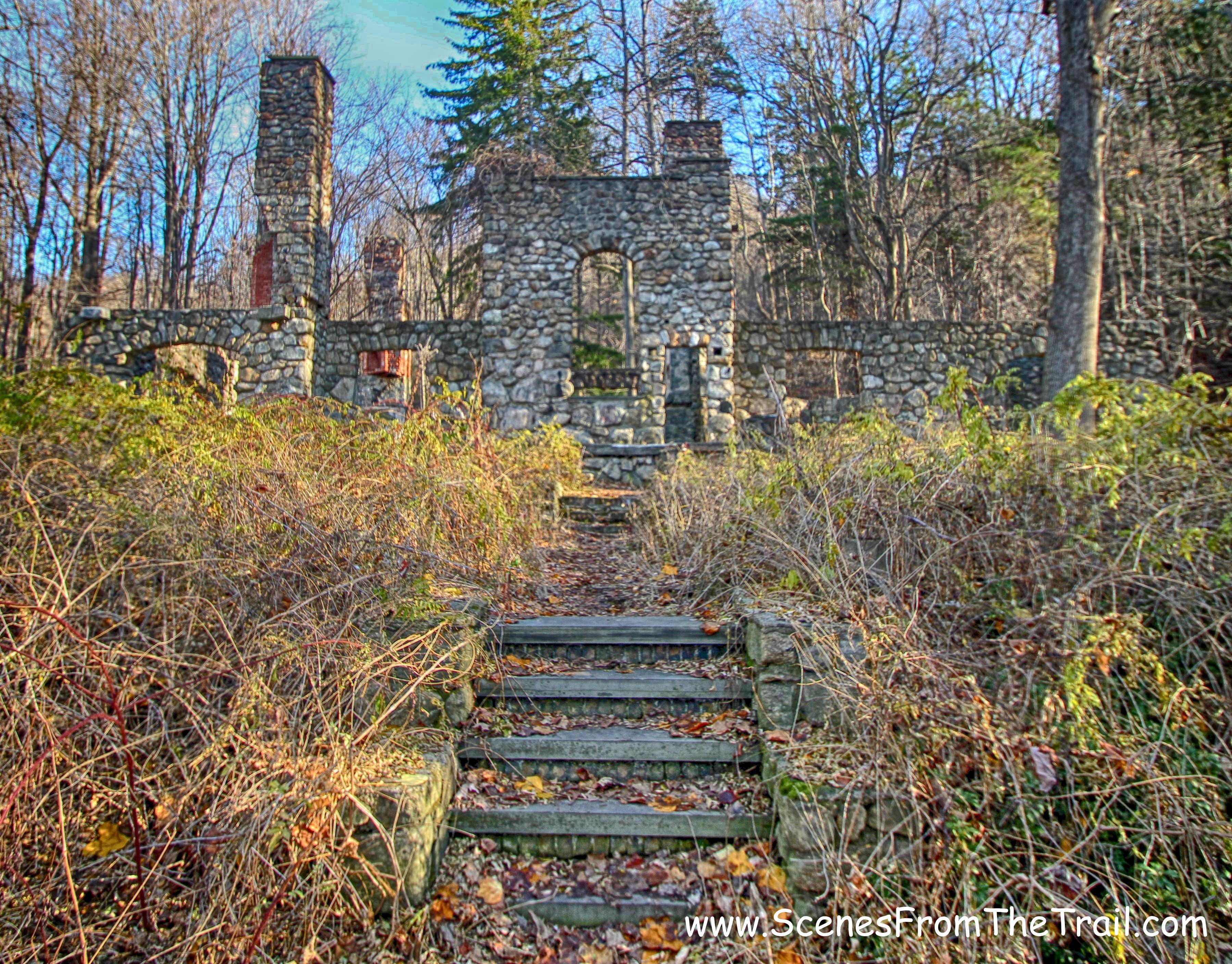
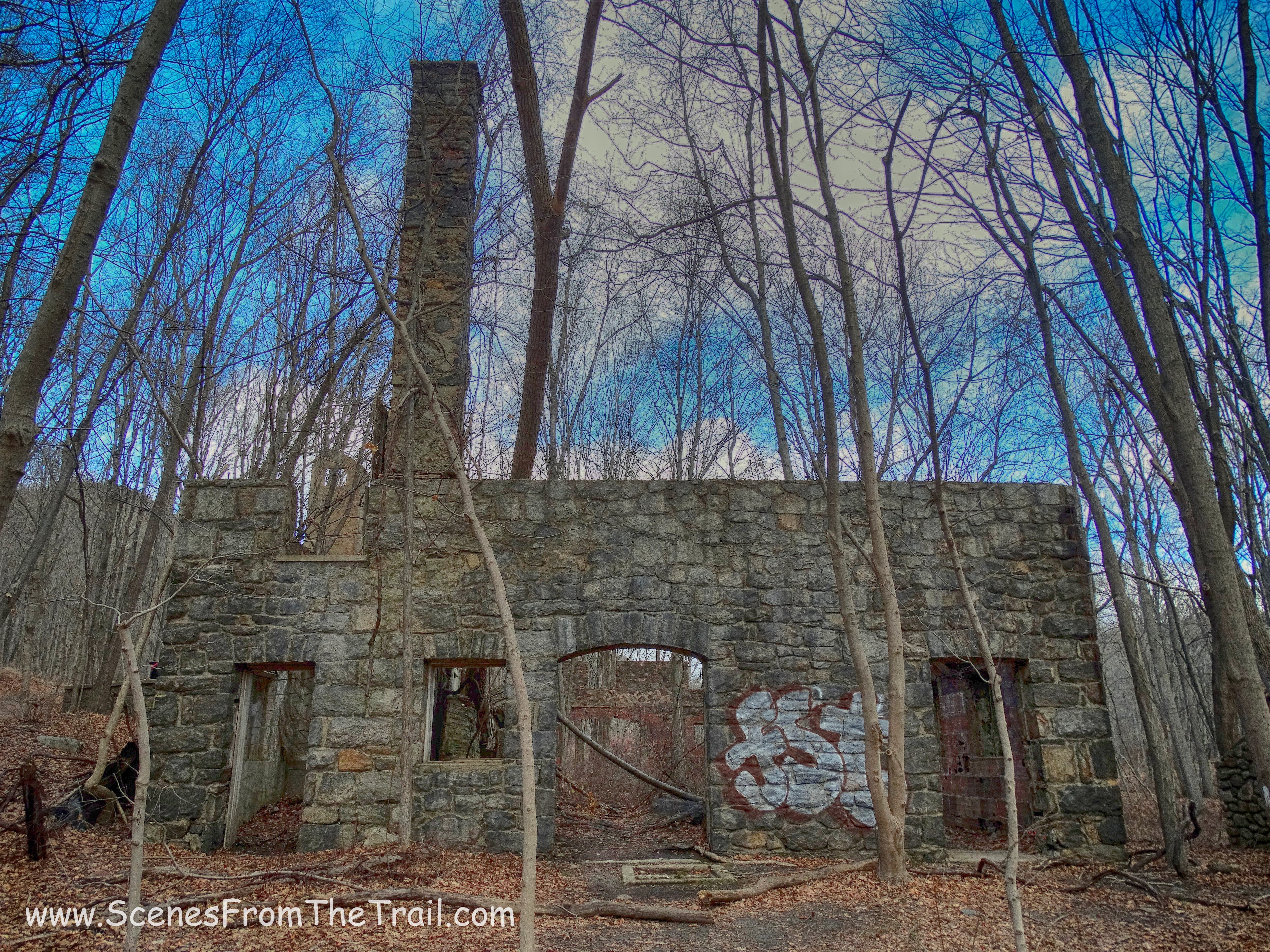
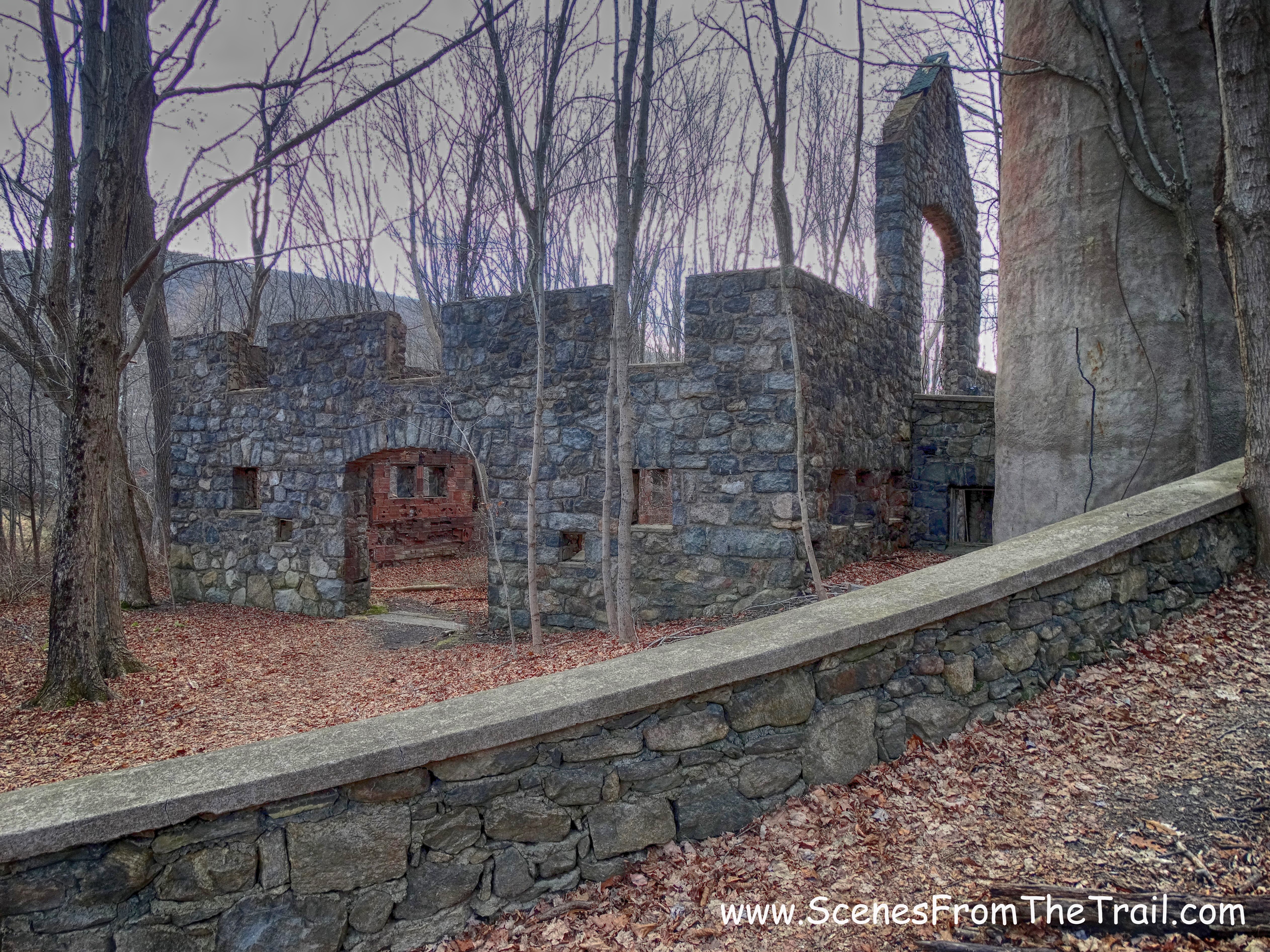
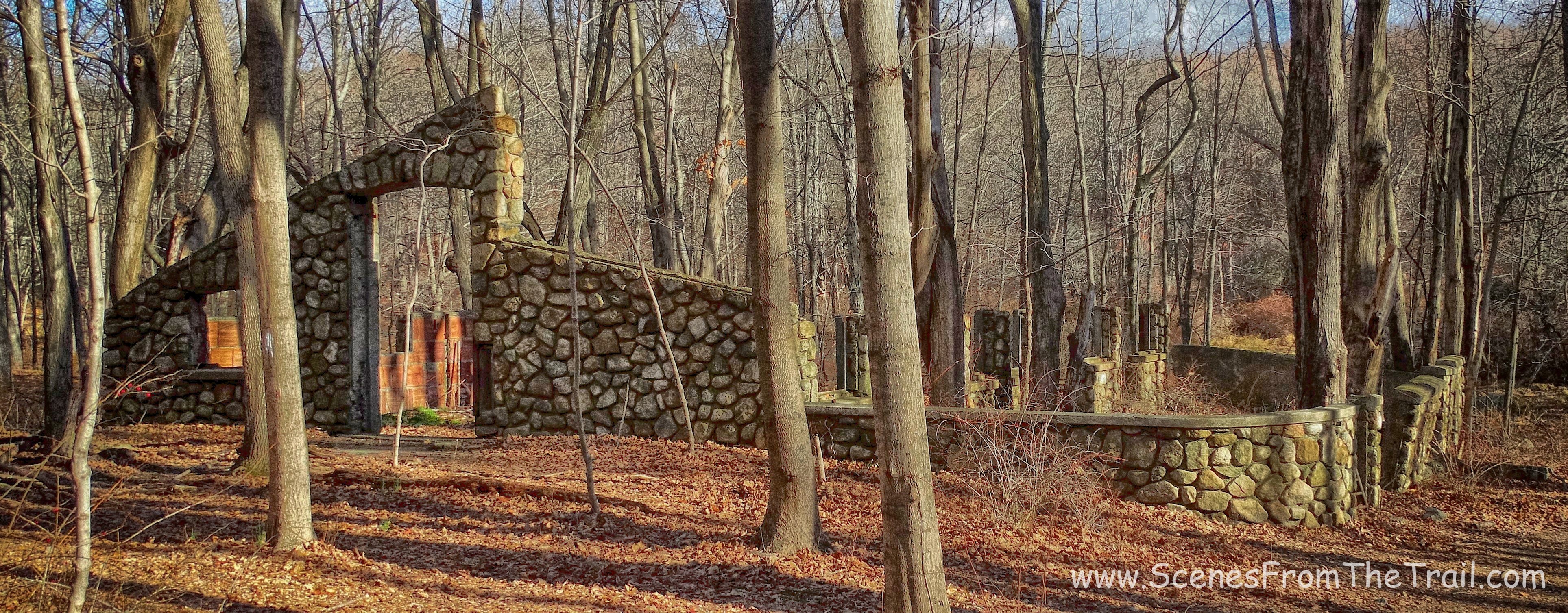
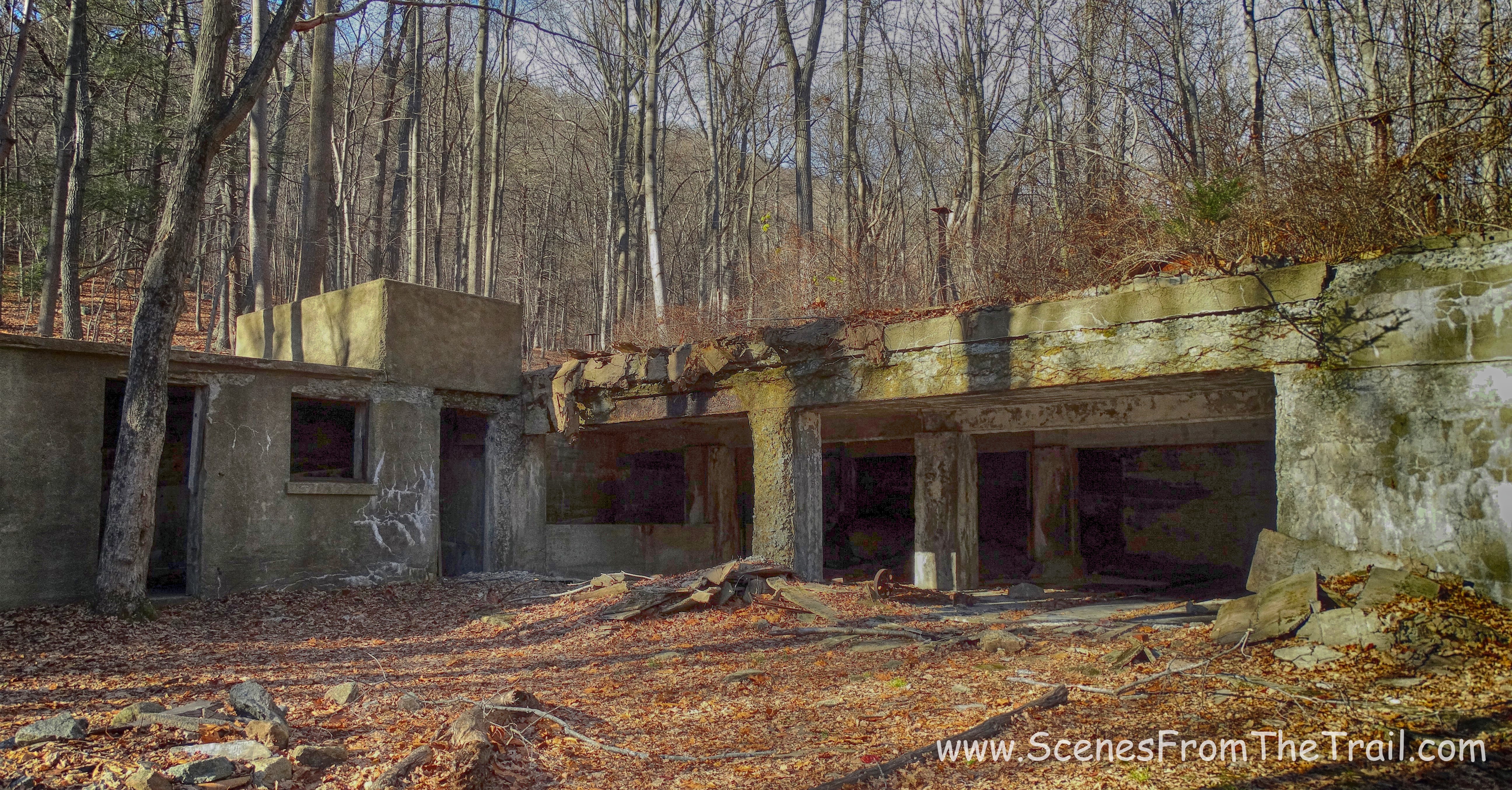
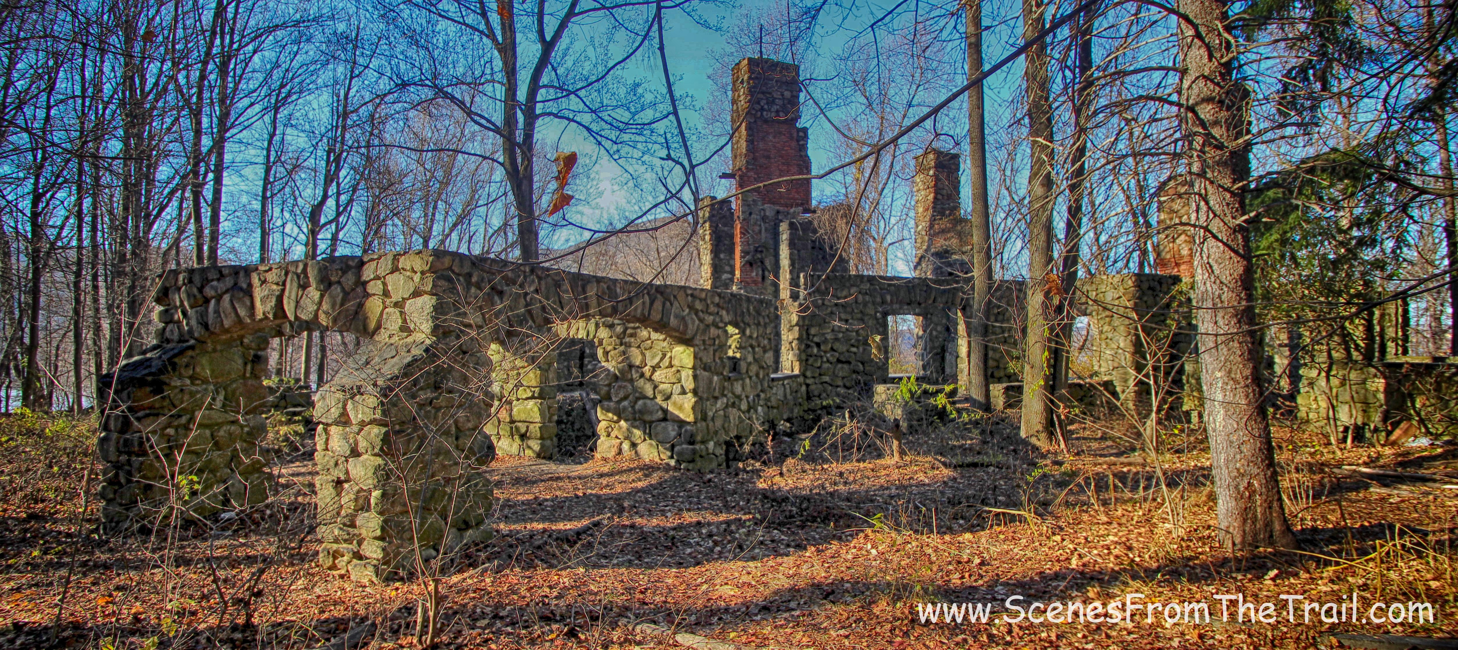
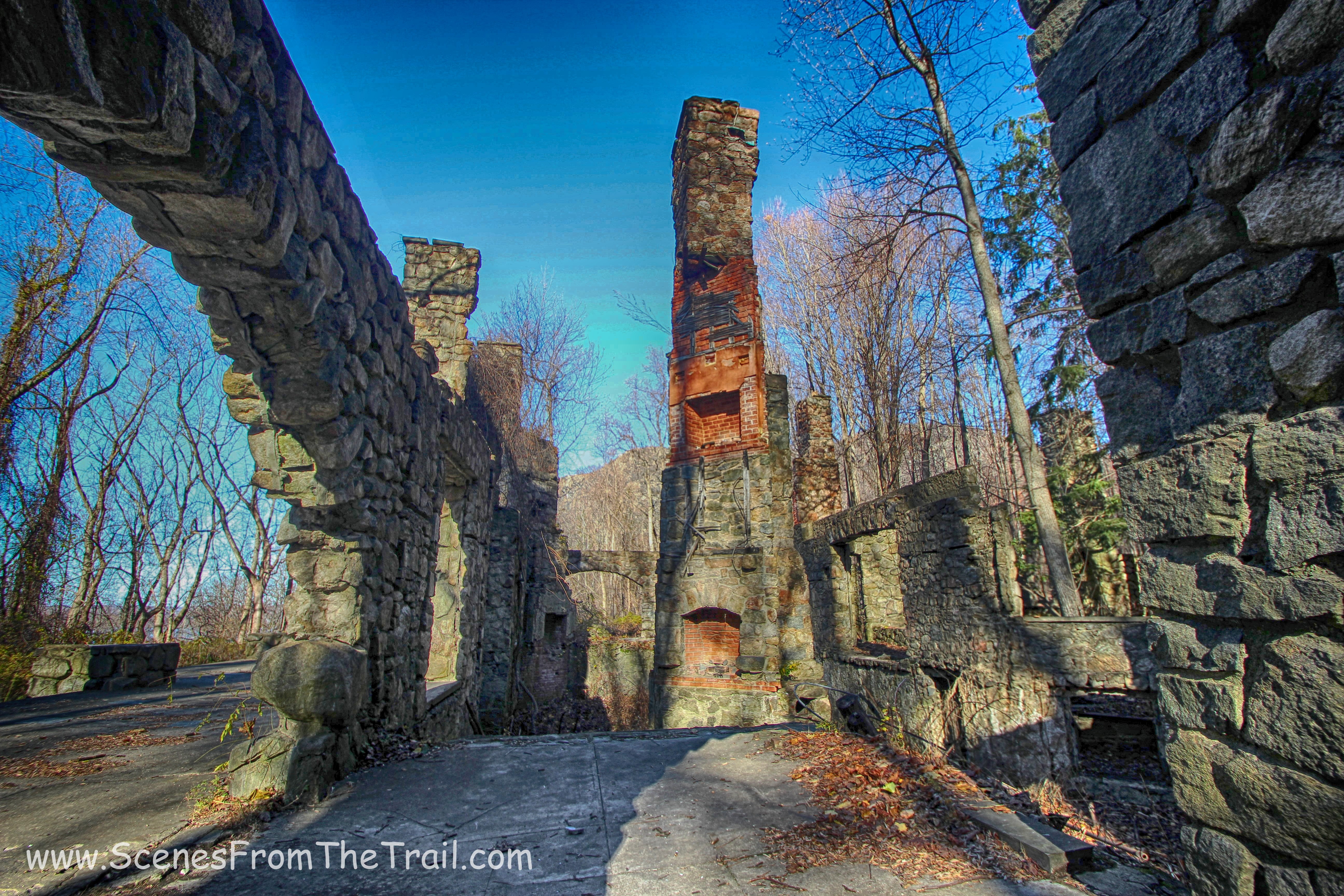
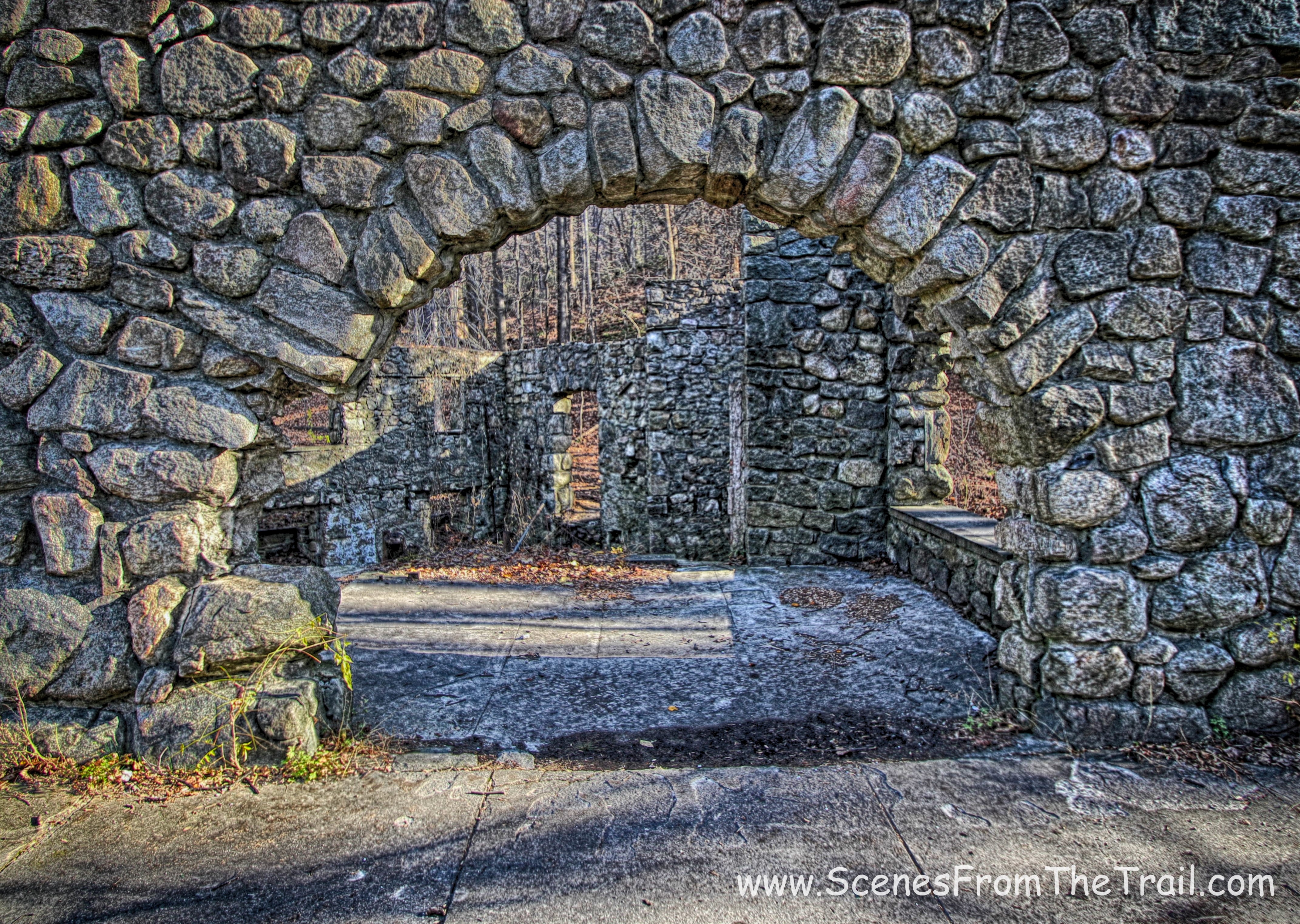
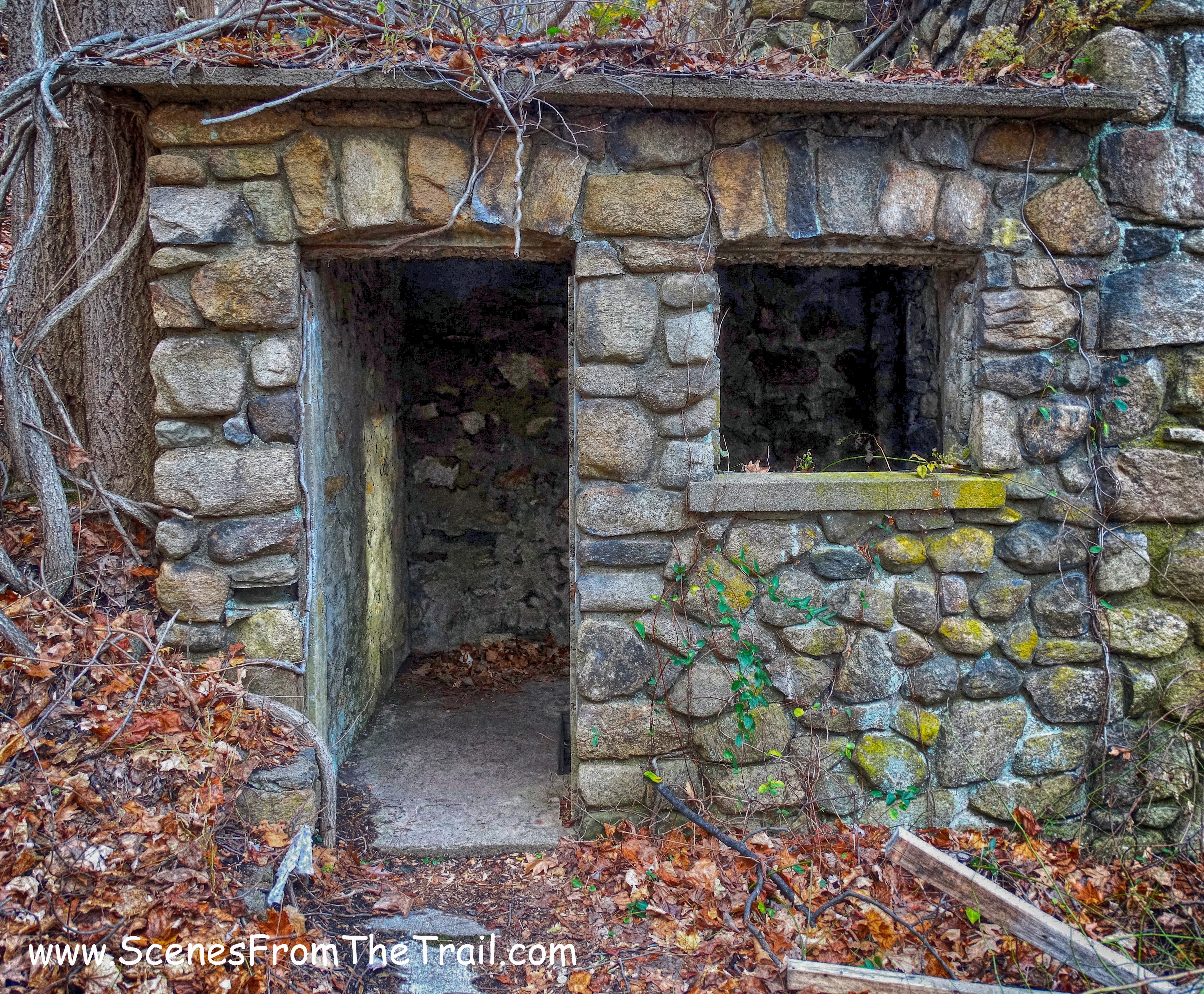
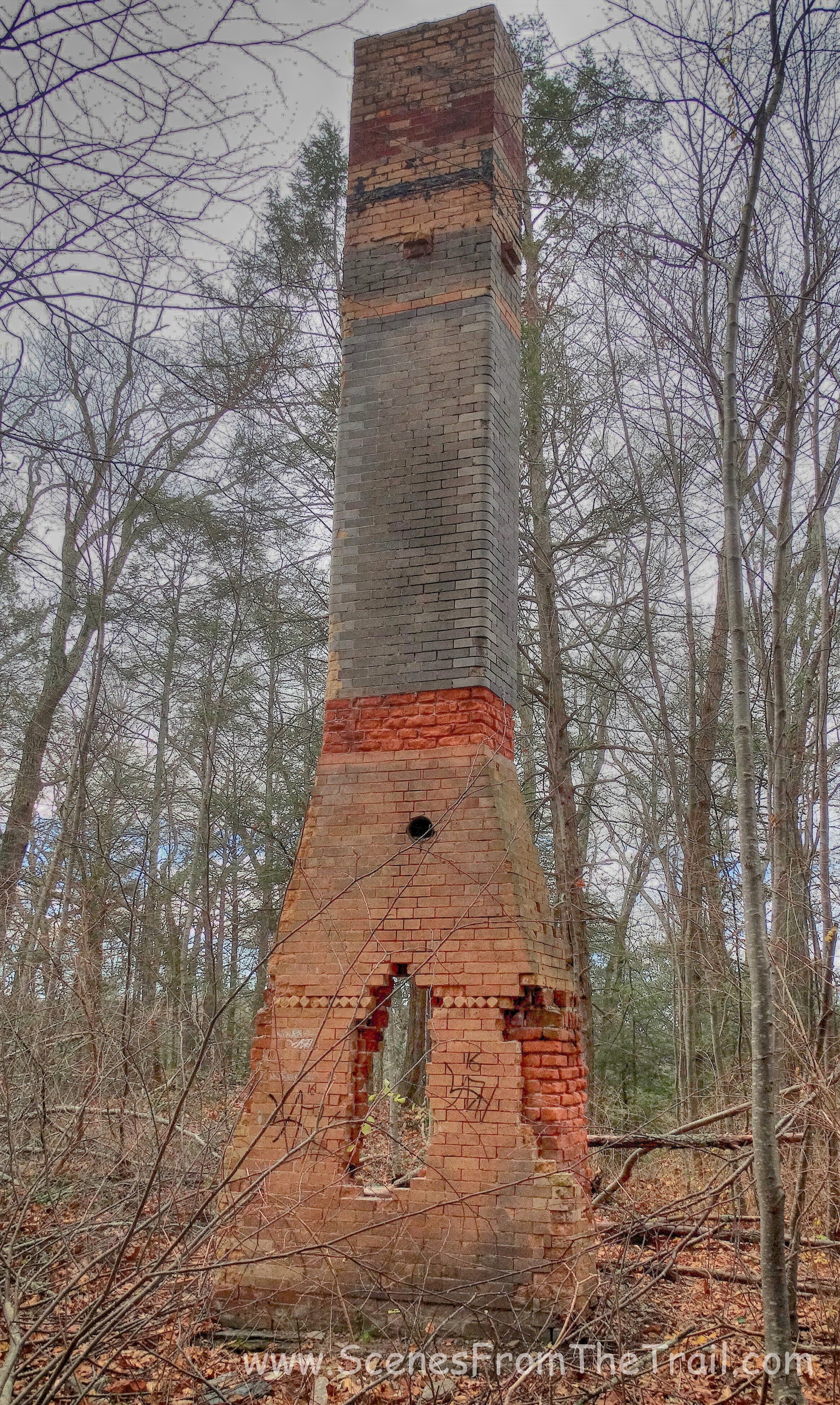
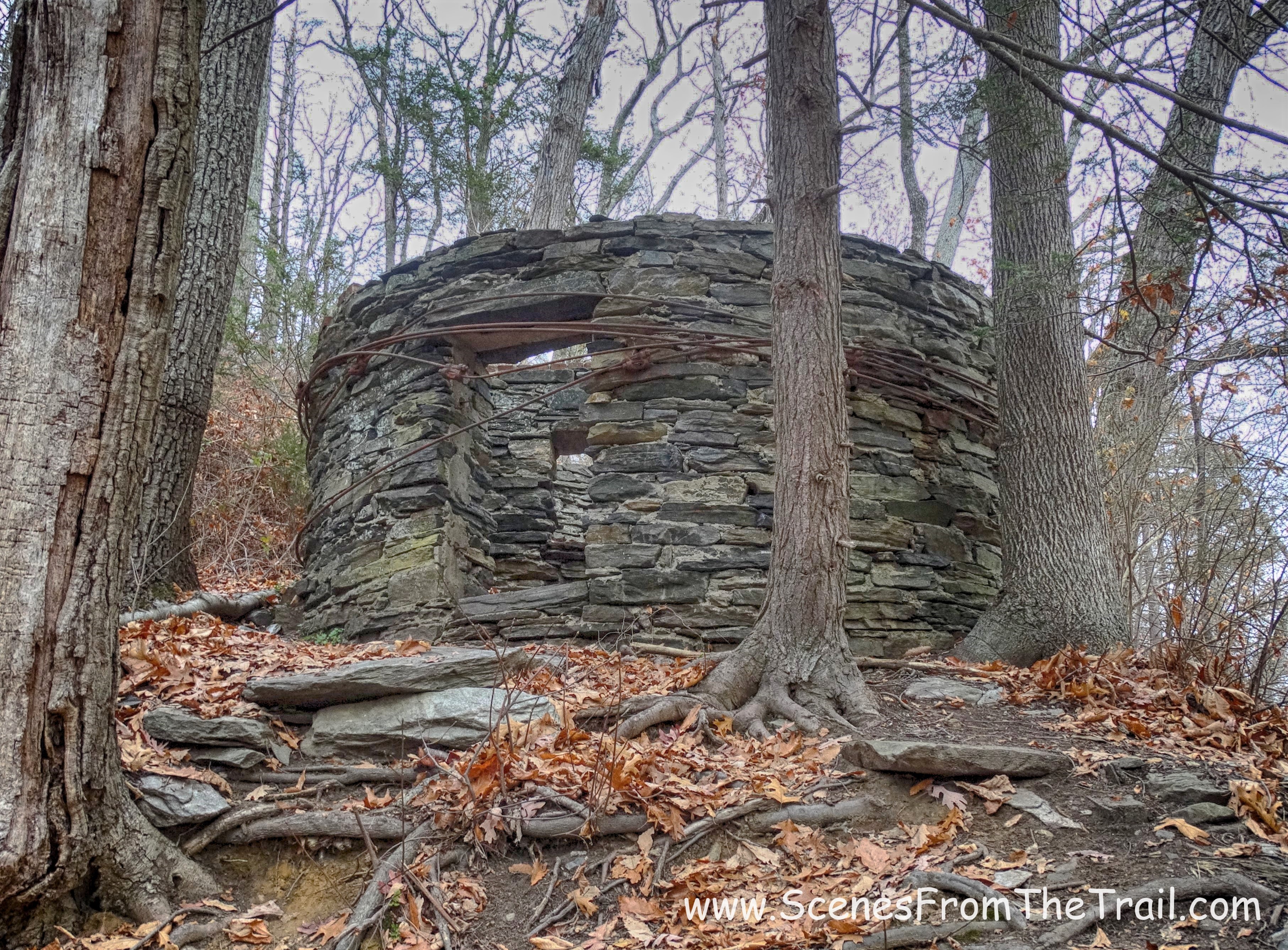
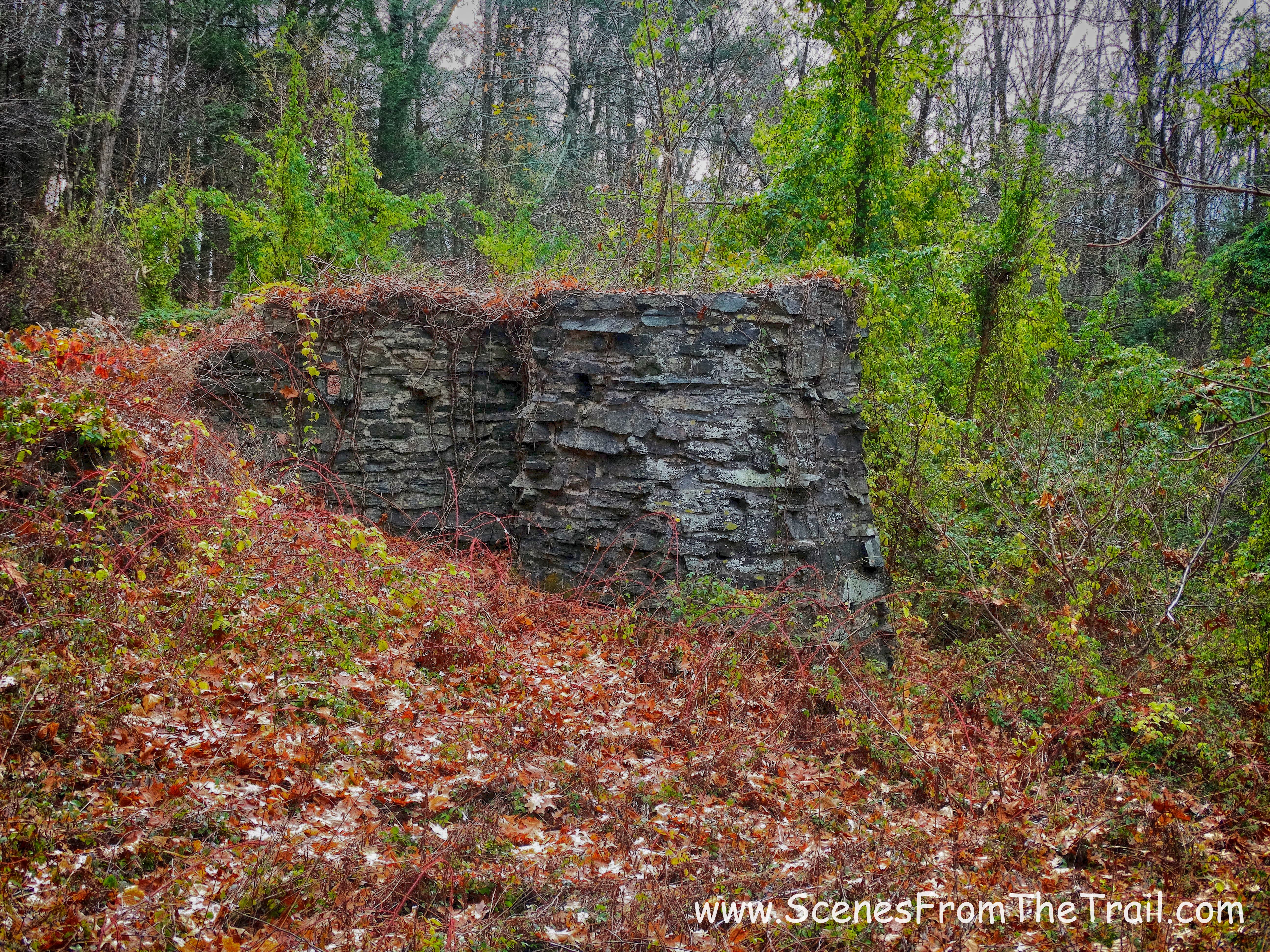
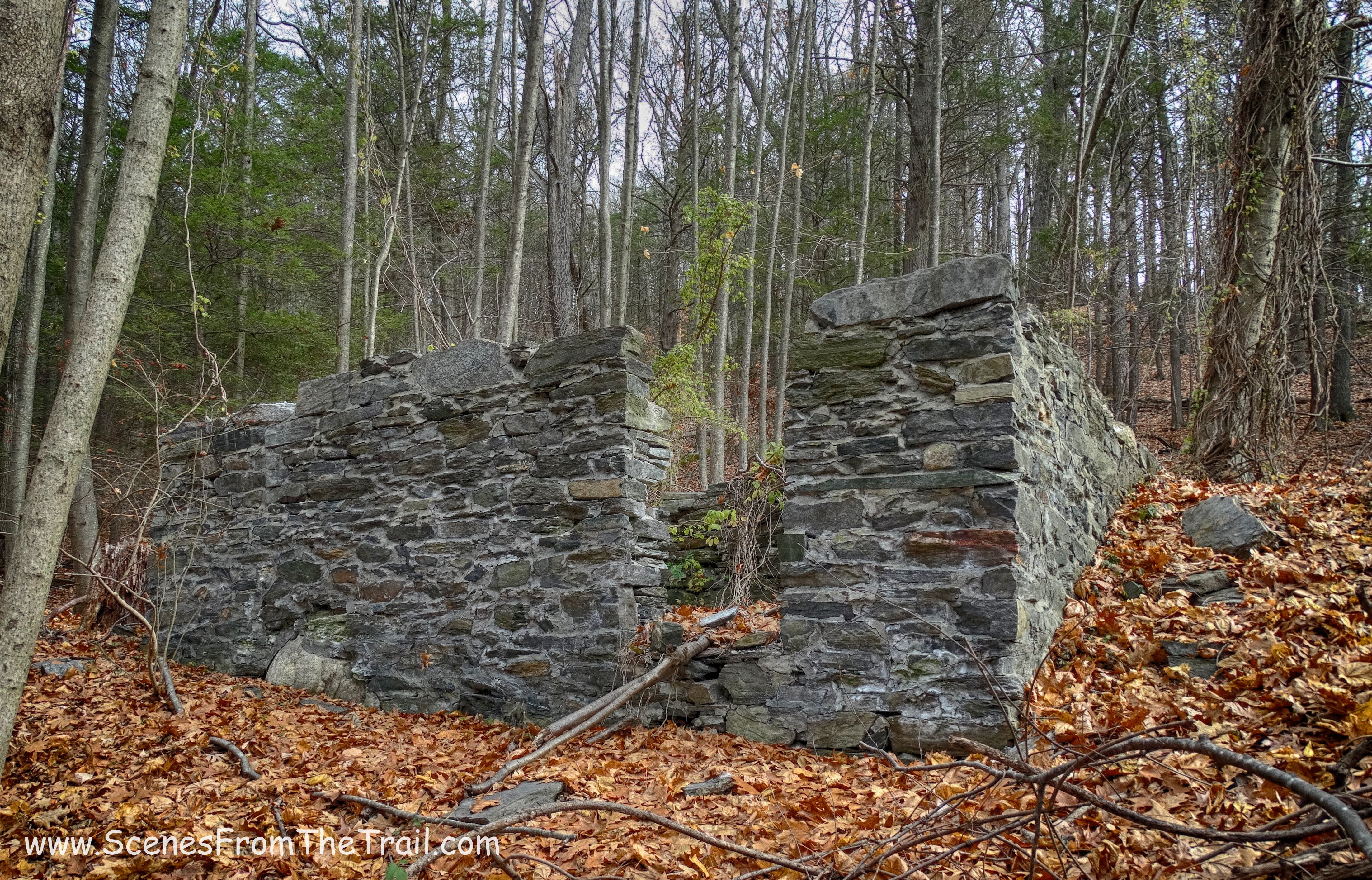
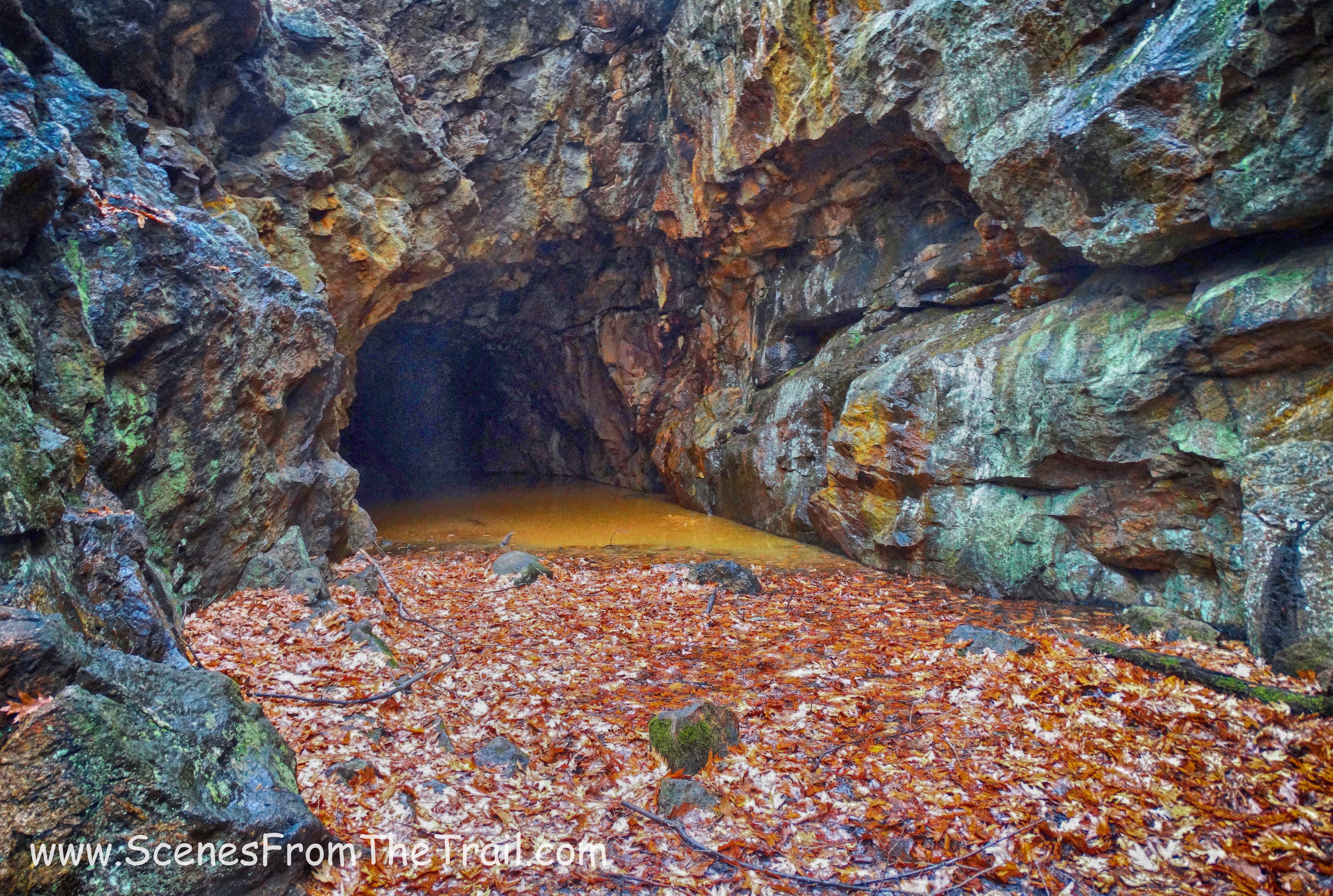
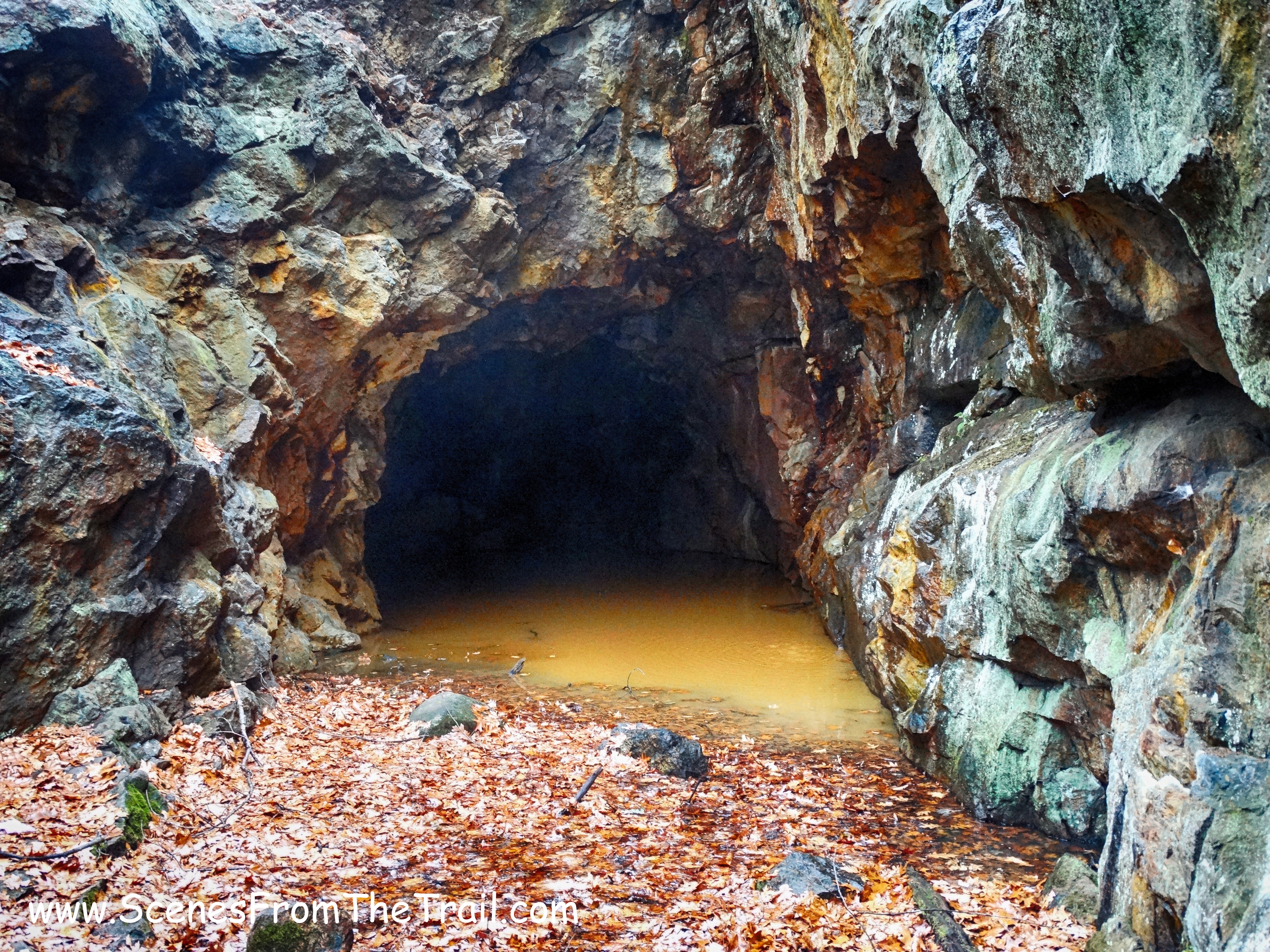
In a few minutes we came upon the stone ruins of an historic farmhouse of the Clearwater family on the right. Historic or not, I couldn’t find any info online about this structure.
Clearwater ruins
Just past the ruins, we came to a fork in the road. This is a spot that has confused people in the past, but now there are multiple red blazes which indicate to stay right, which we did.
fork in the road
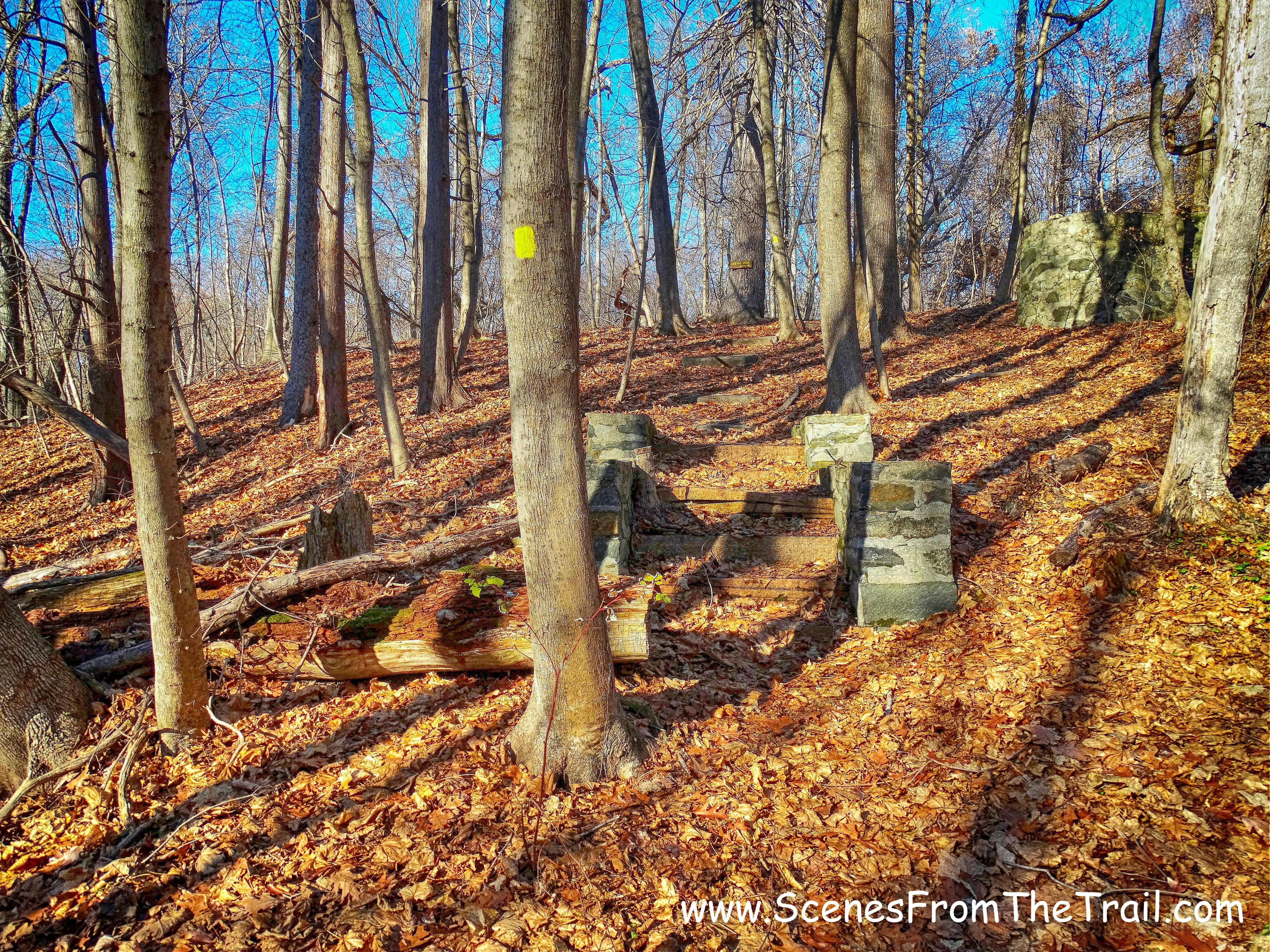
The red-blazed trail ends at a junction with Farm Road (not to be confused with Spring Farm Road from earlier in the hike), but we continued heading straight and were now following the blue blazes of the Table Rocks Trail. We would retrace our steps back to this junction after visiting Table Rocks. Table Rocks is about a 1/2 mile away from this junction.
junction
The trail led us downhill, which was such an easy walk, but I knew we were going to have to climb it on the way back. We were tired and we still had a lot of hiking left.
Table Rocks Trail
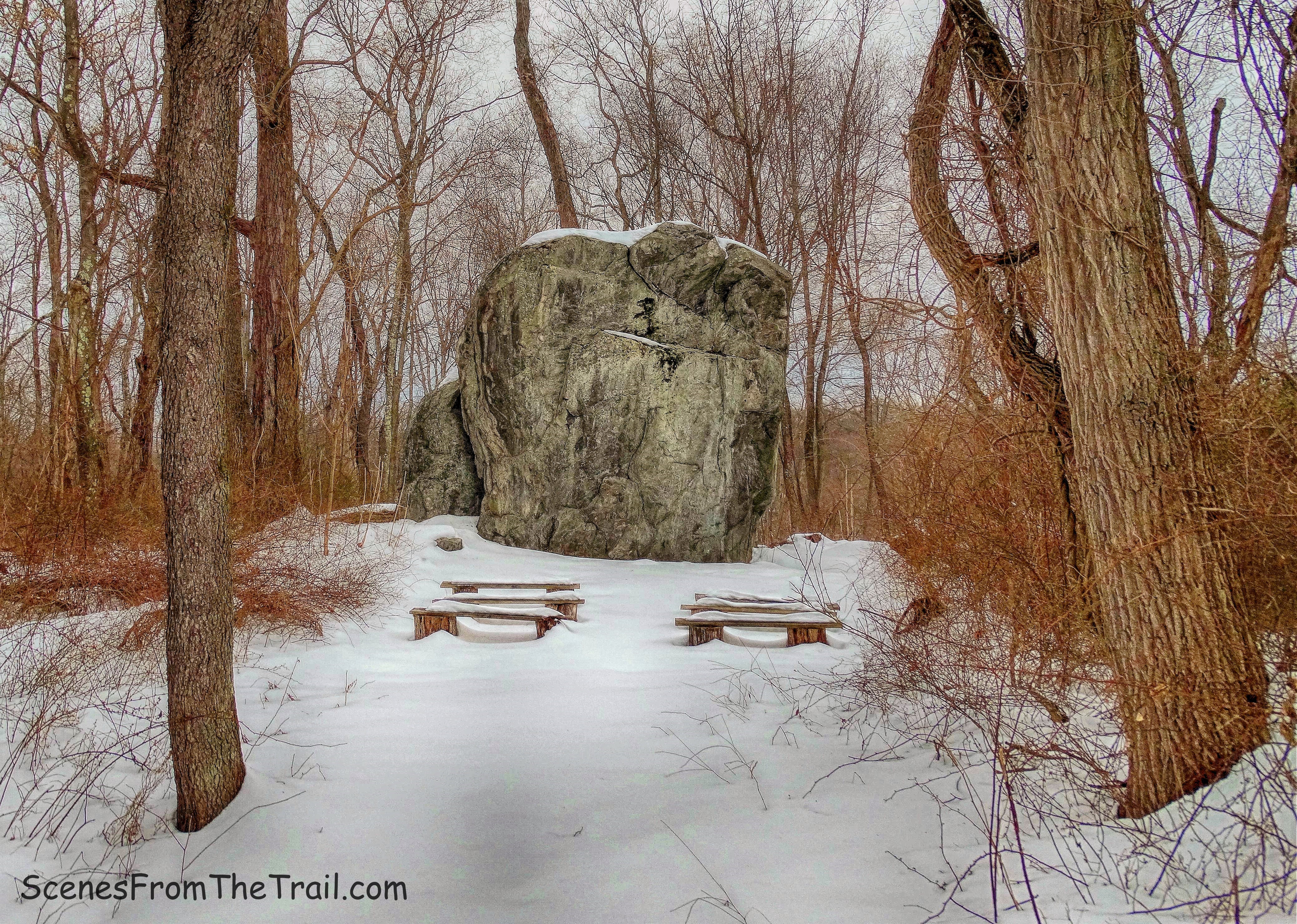
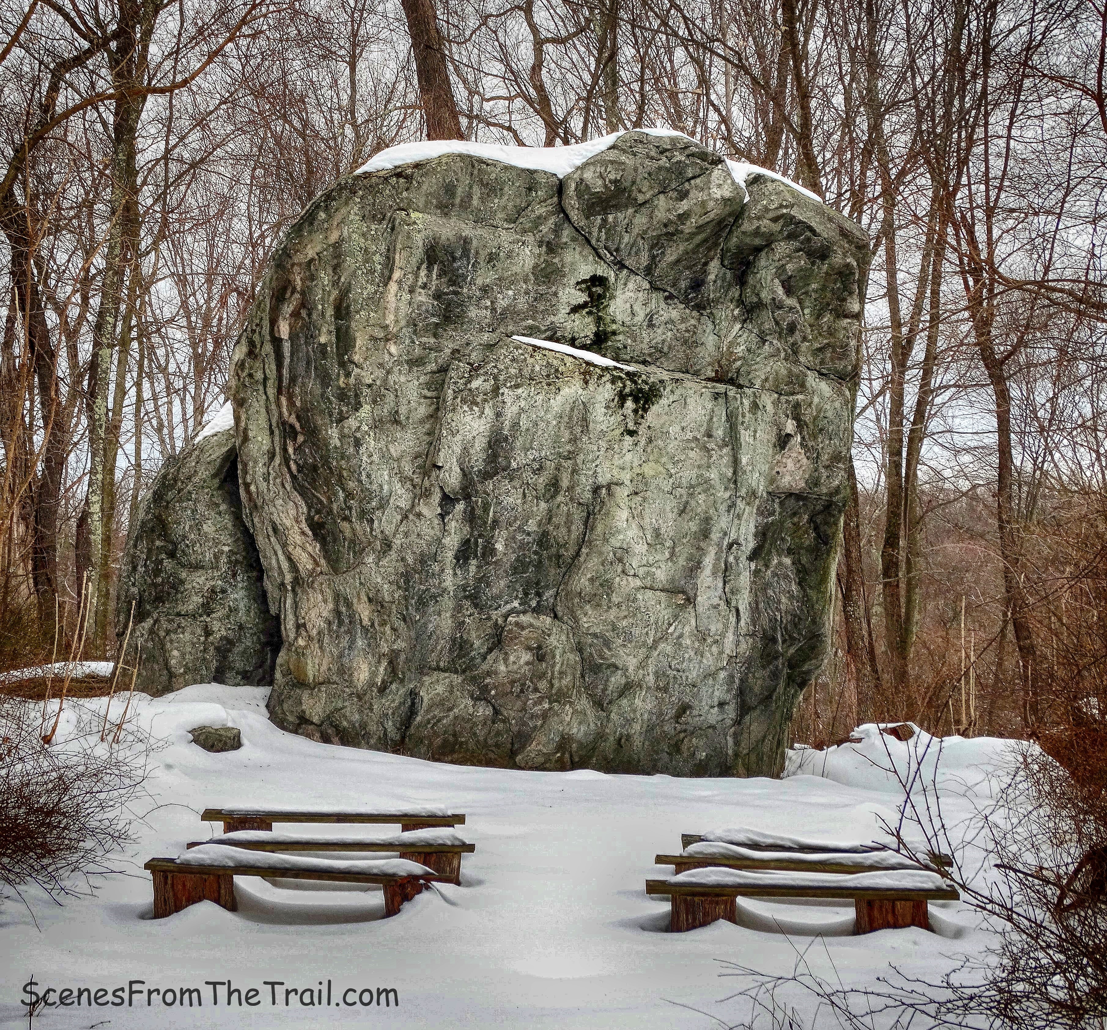
We arrived at Table Rocks and it was nice. I wasn’t that impressed, but that may have been from fatigue or perhaps I was a bit craggy. The view was impressive, but we were already impressed by the views from the top of the crag.
Table Rocks
With all the crevices in between the rock slabs, I pictured myself jumping from slab to slab. I was now feeling closer to my age and didn’t have much hops left in me. Damn you father time! I did manage to hop over a few of the crevices, some of which are deeper than I care to know.
Table Rocks
We sat for a few minutes admiring the view then we were back on the trail. The Table Rocks Trail loops around and brought us right back to where we entered. We turned right by the Table Rocks sign (where we entered) and retraced our steps back up to the junction with Farm Road. It was only about a 1/2 mile, but all uphill. That’s one of the reasons why I wouldn’t repeat this part of the hike. Beautiful area and worth it to do it once, but it did wear me down. Back at the junction, we turned right on Farm Road.
Farm Road
From here it can get confusing because there are many junctions and forks. They made it easier by posting signs every so often indicating the direction of the Spring Farm Trailhead. Whenever we were in doubt, we looked for those signs and spotted them easily.
Spring Farm Trailhead sign
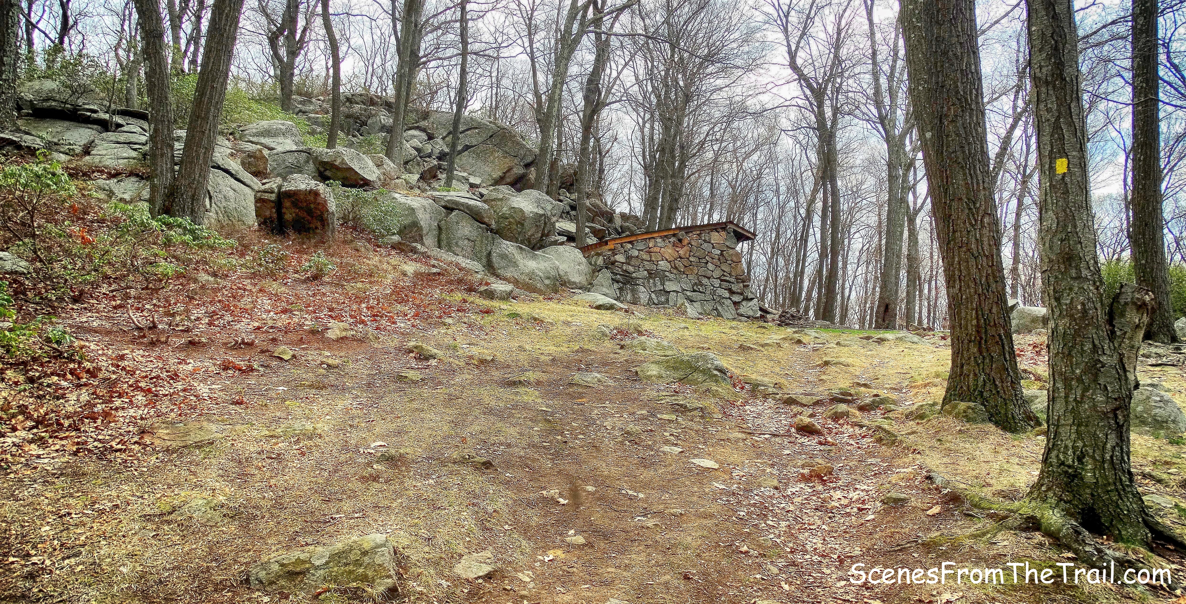
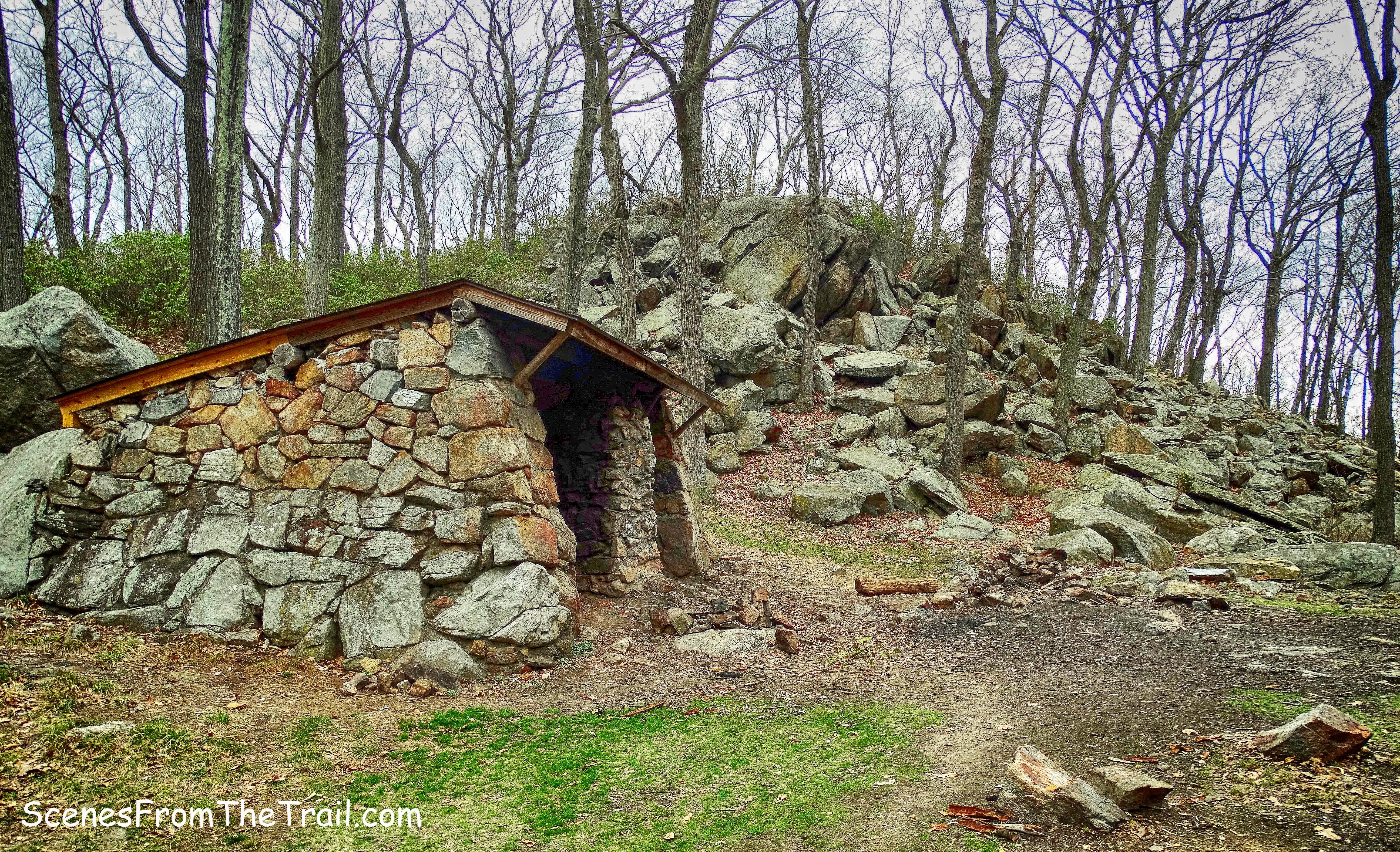
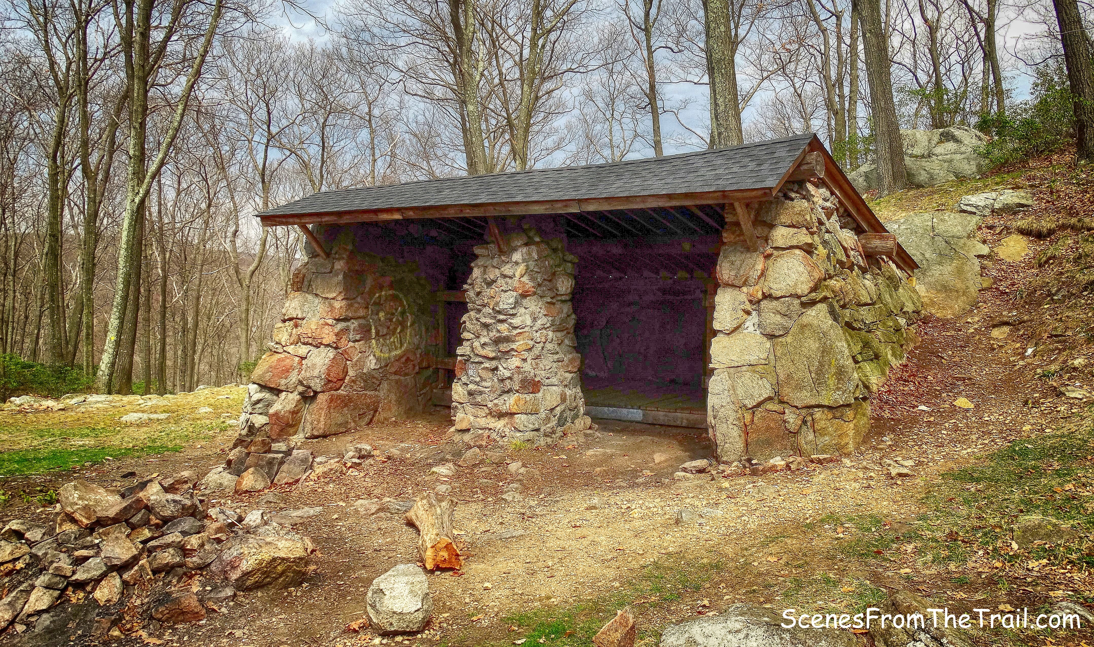
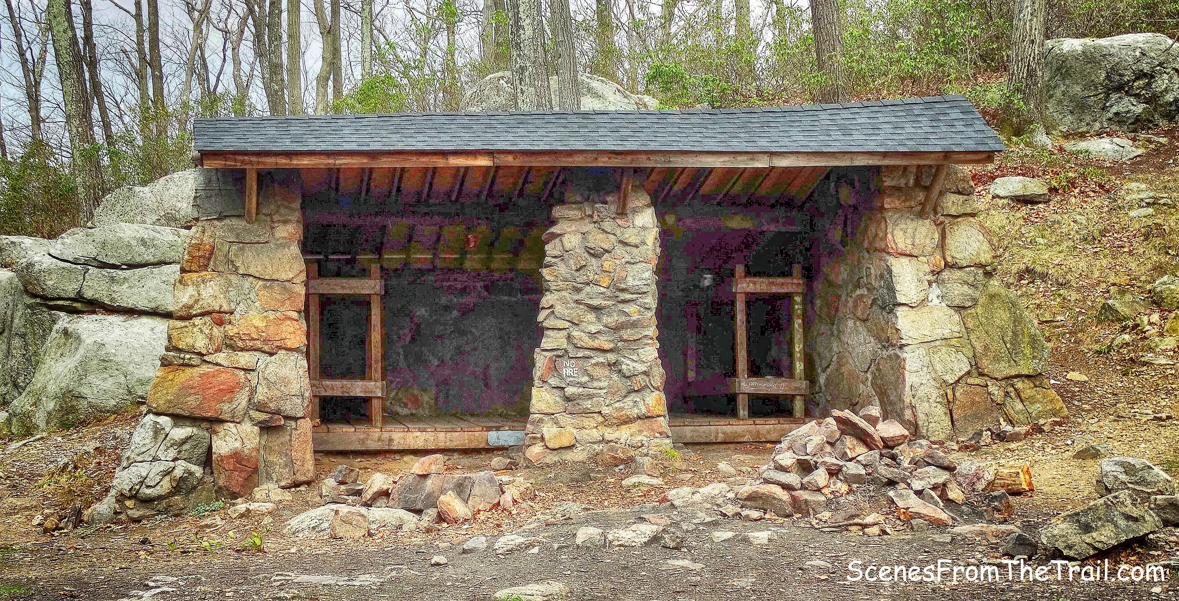
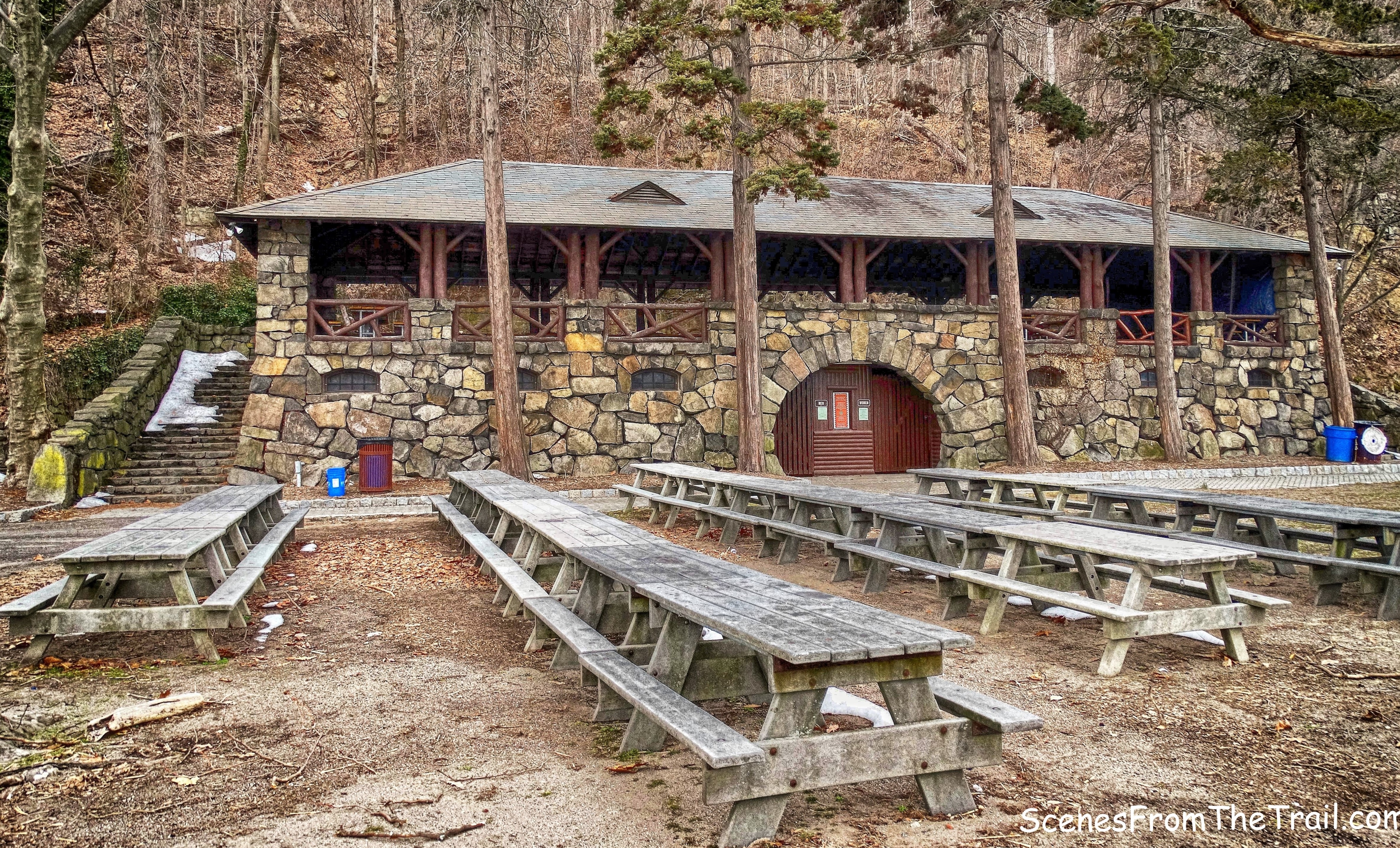
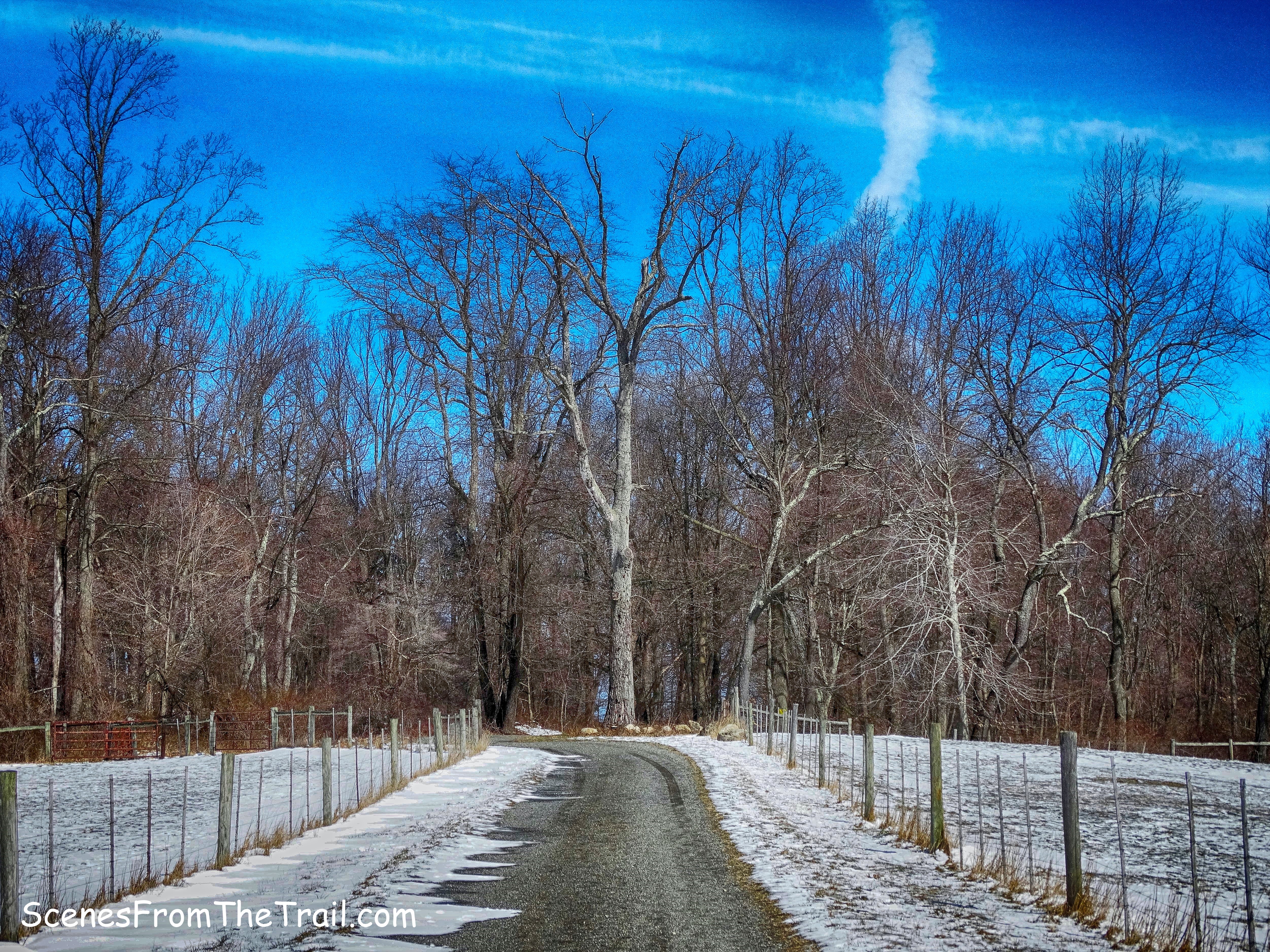
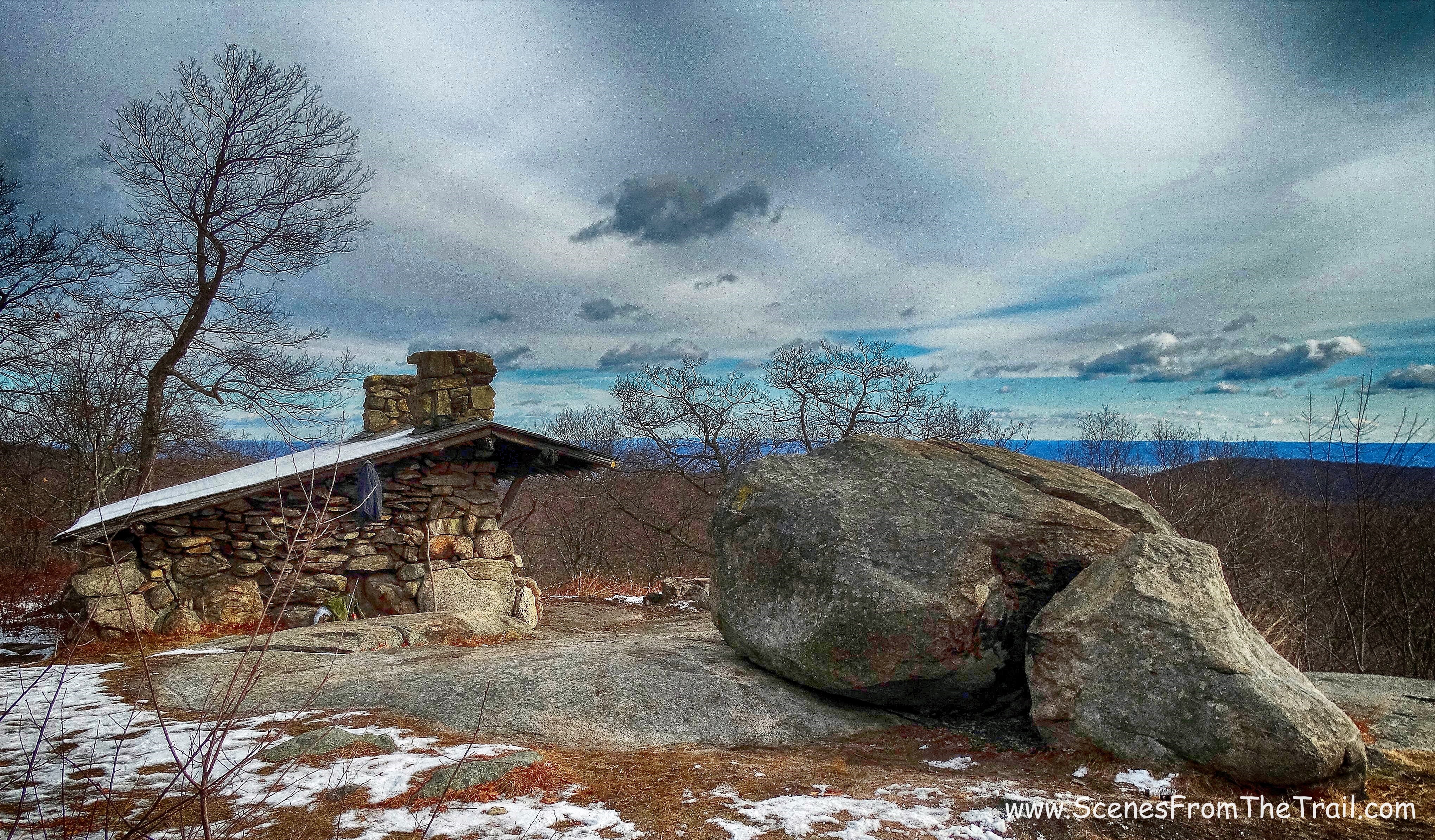
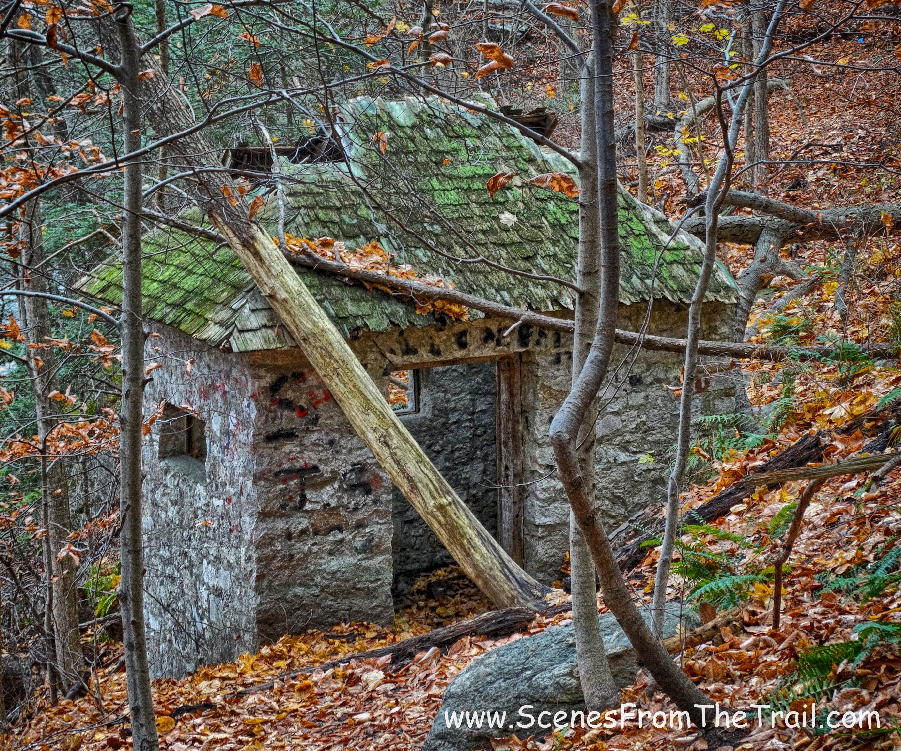
Ignoring all forks and bisecting trails, we stayed on Farm Road and arrived at the Slingerland Pavilion.
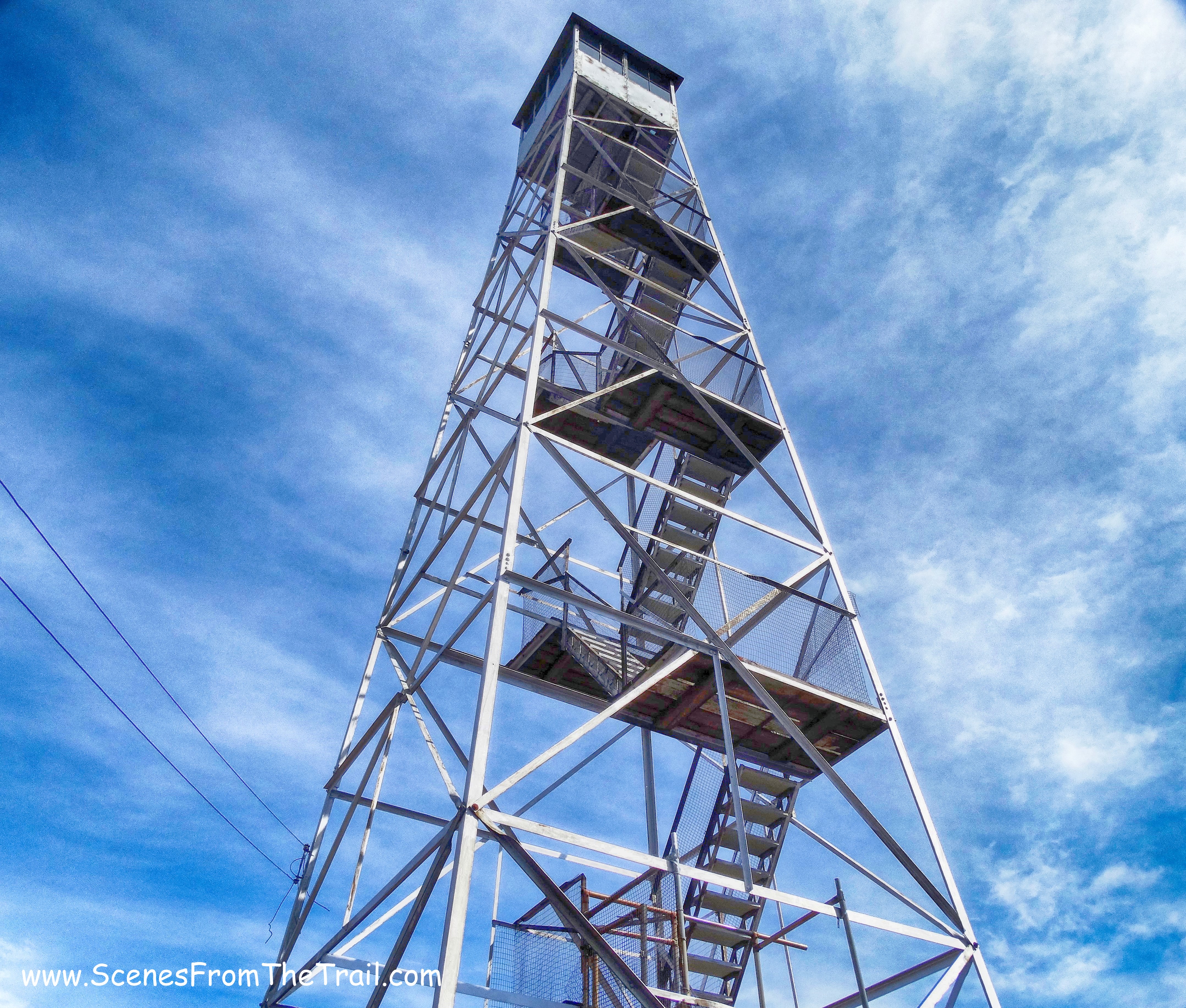
Slingerland Pavilion
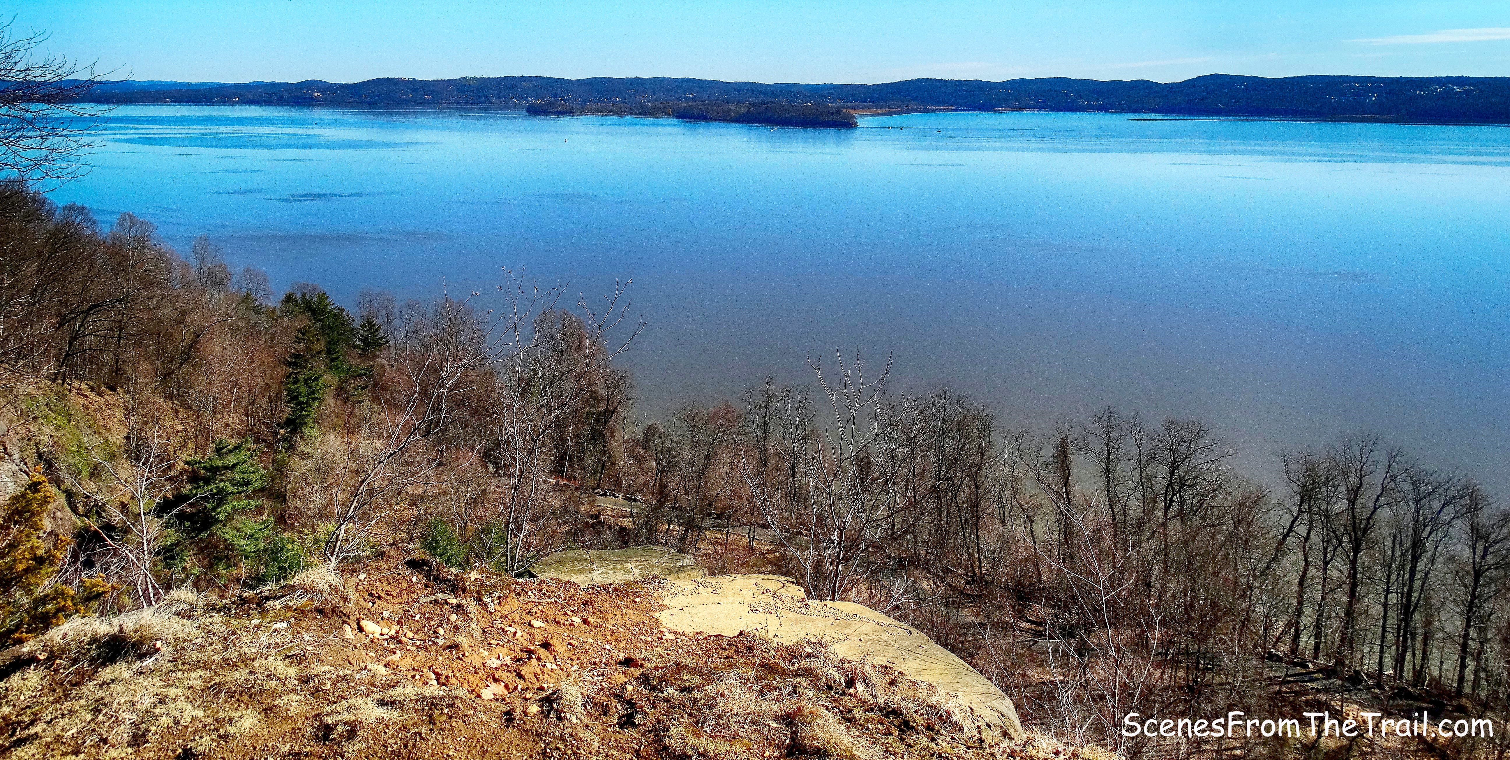
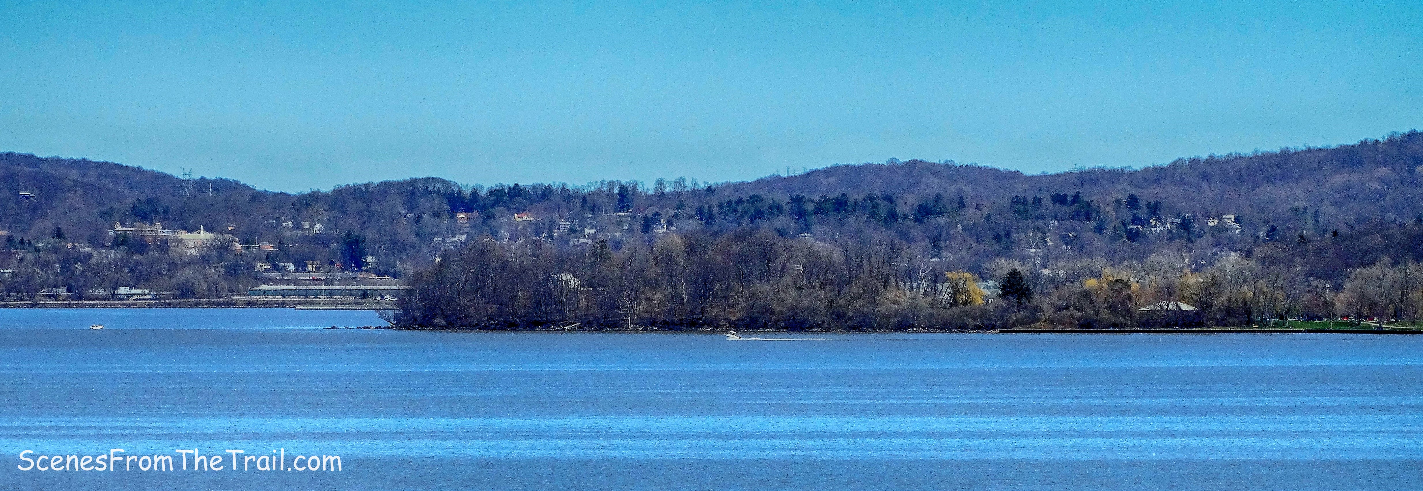
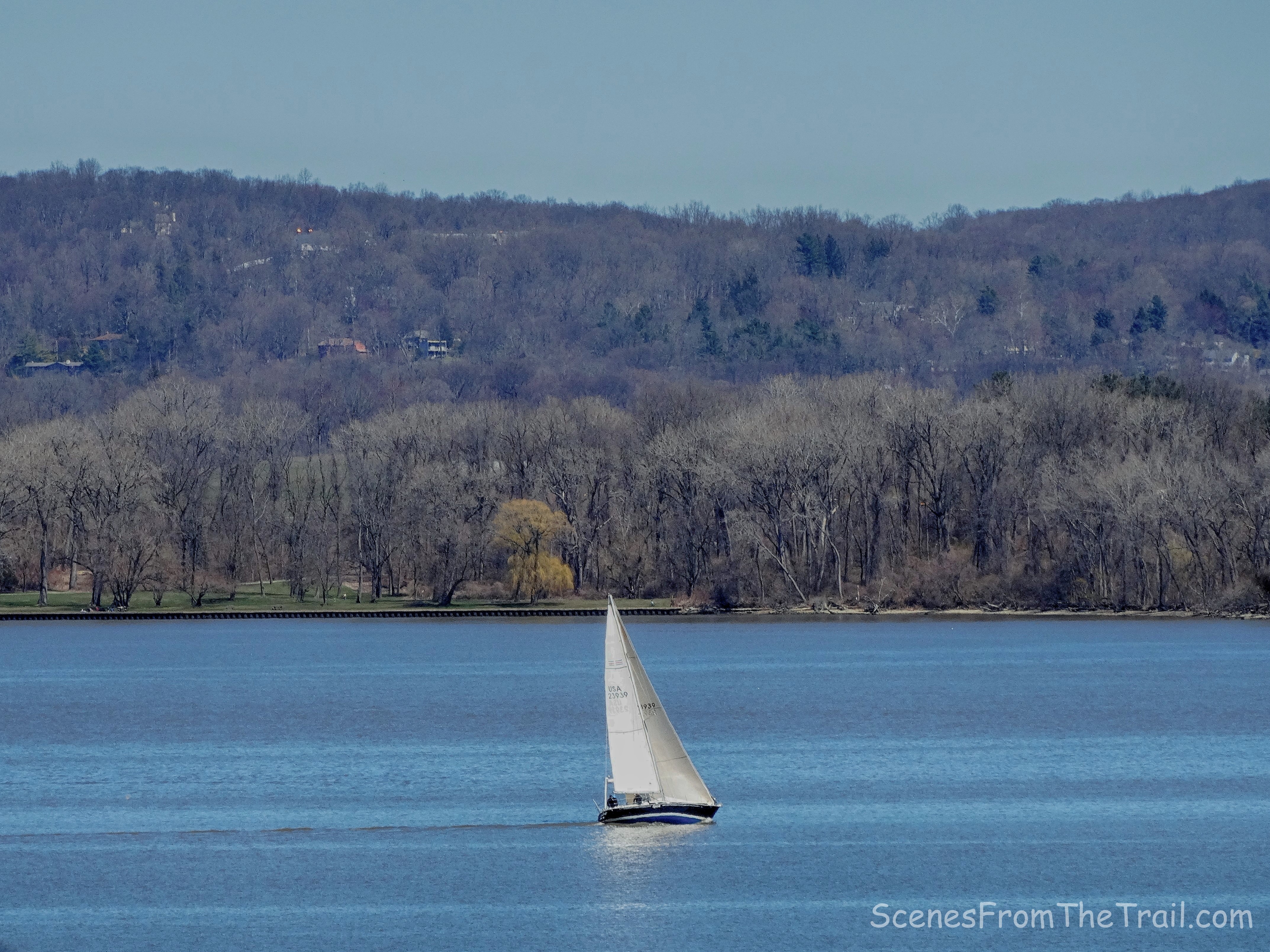
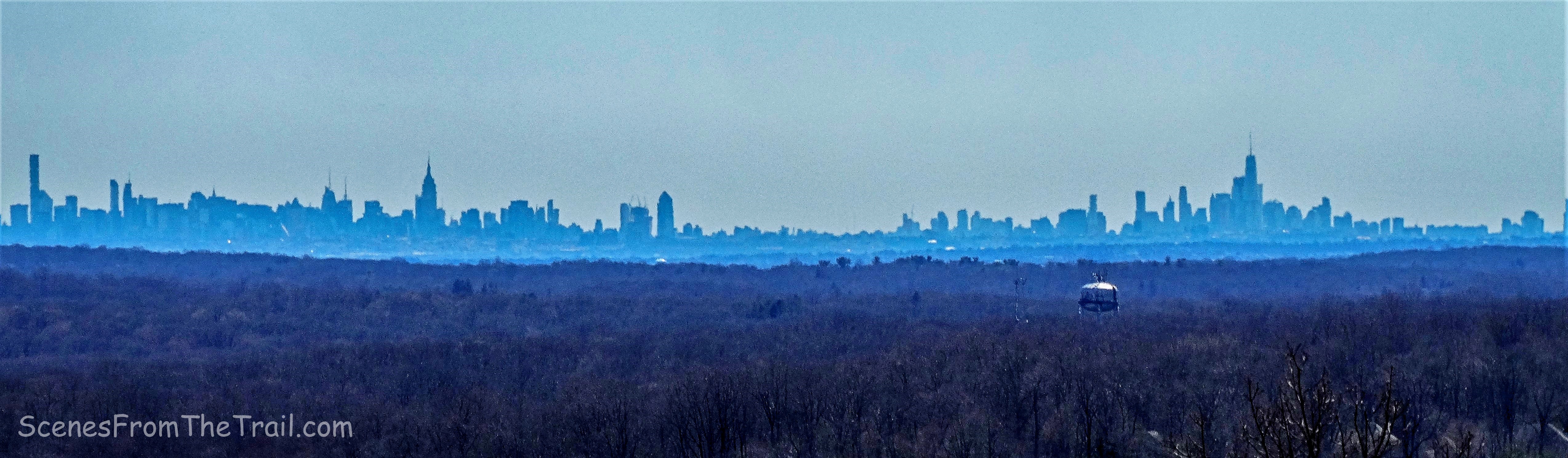
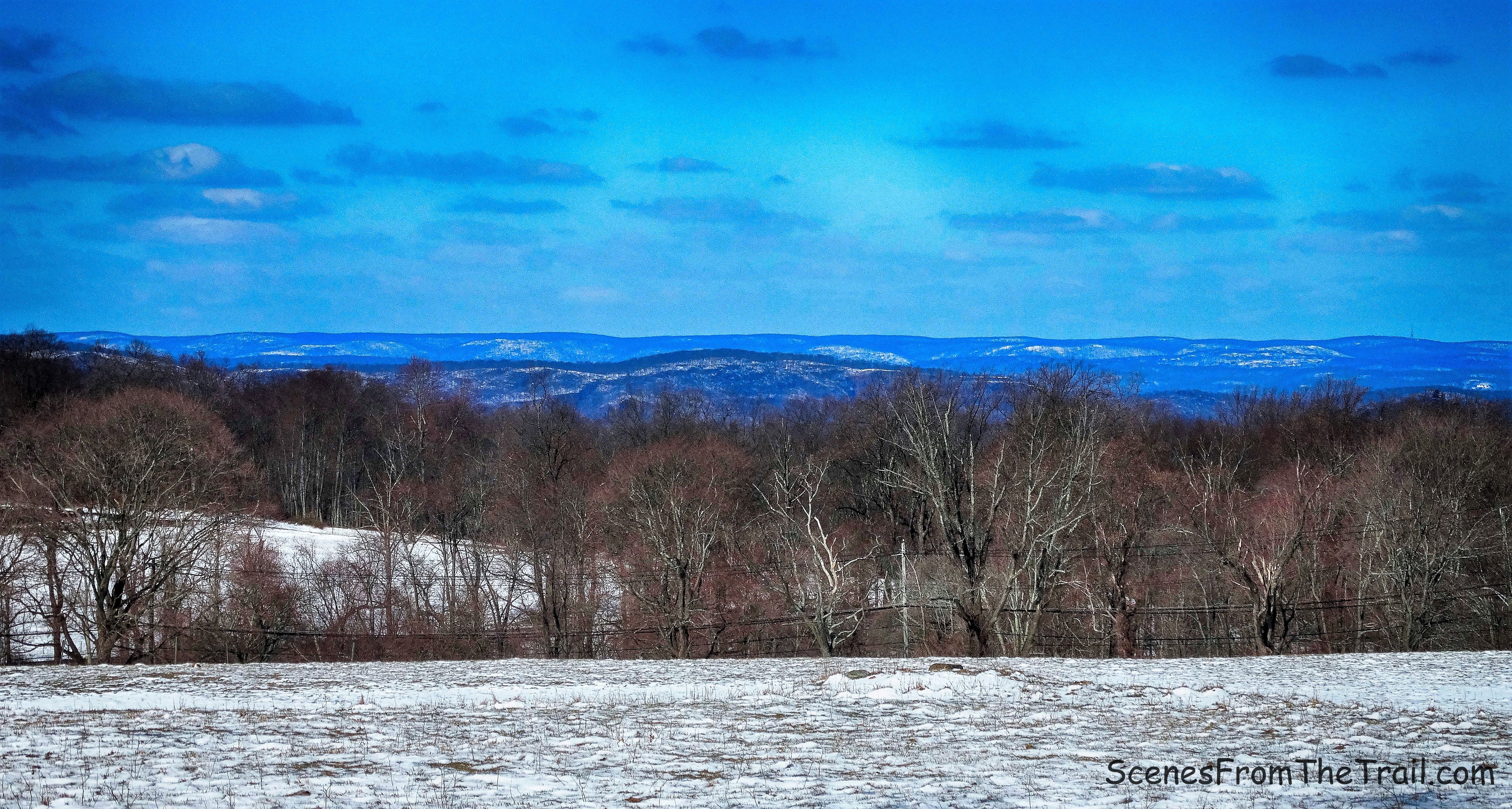
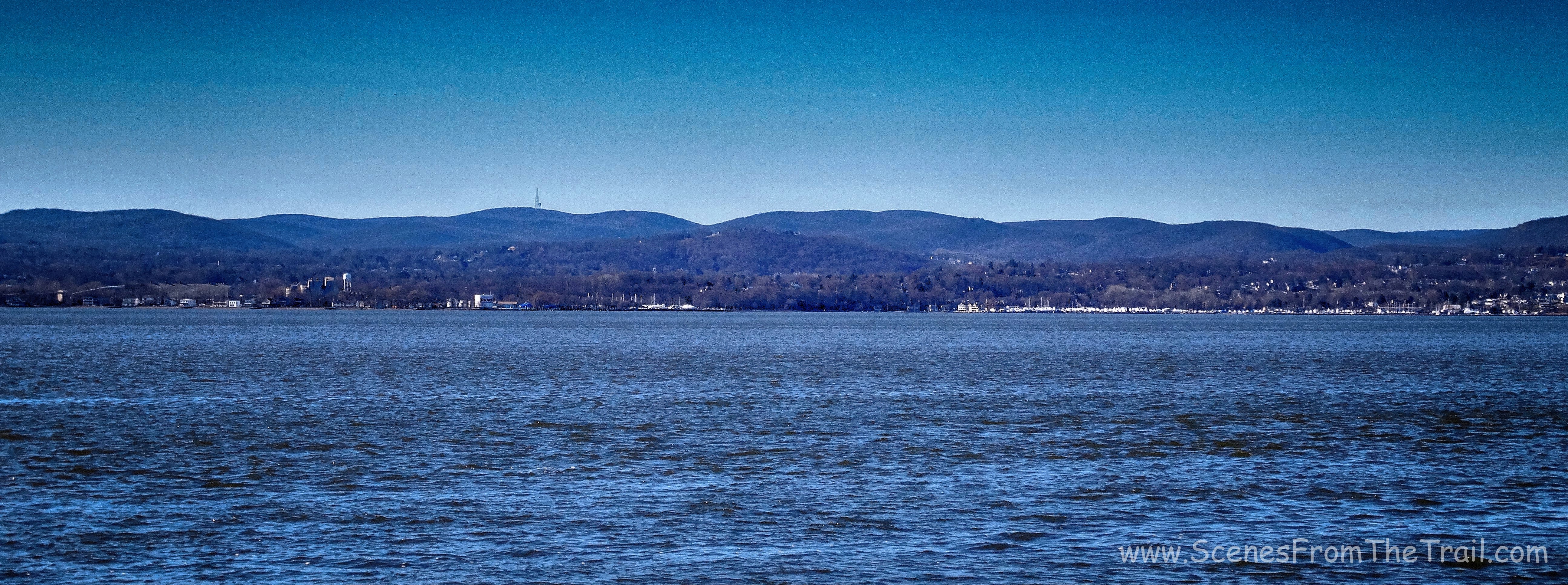
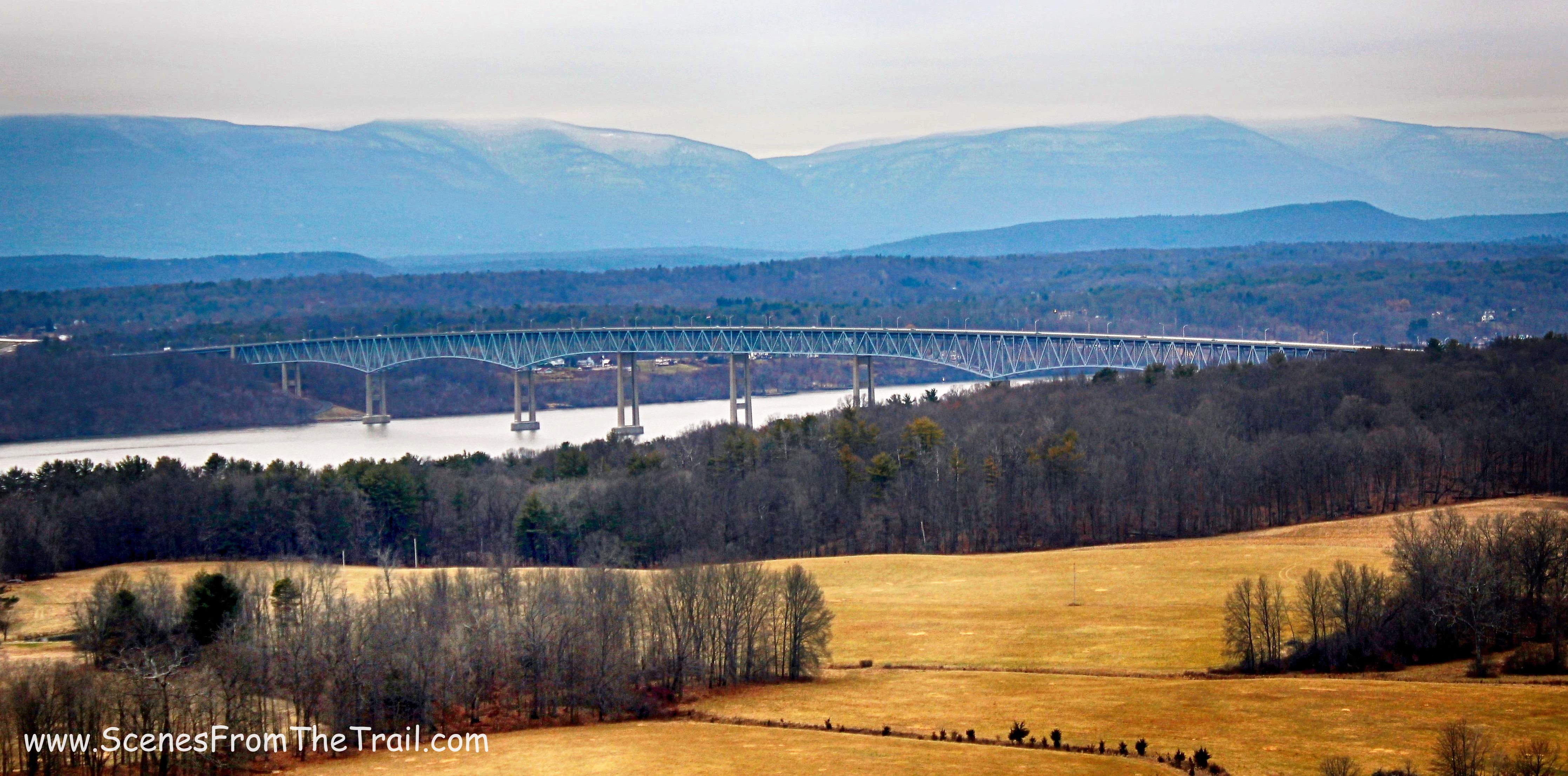
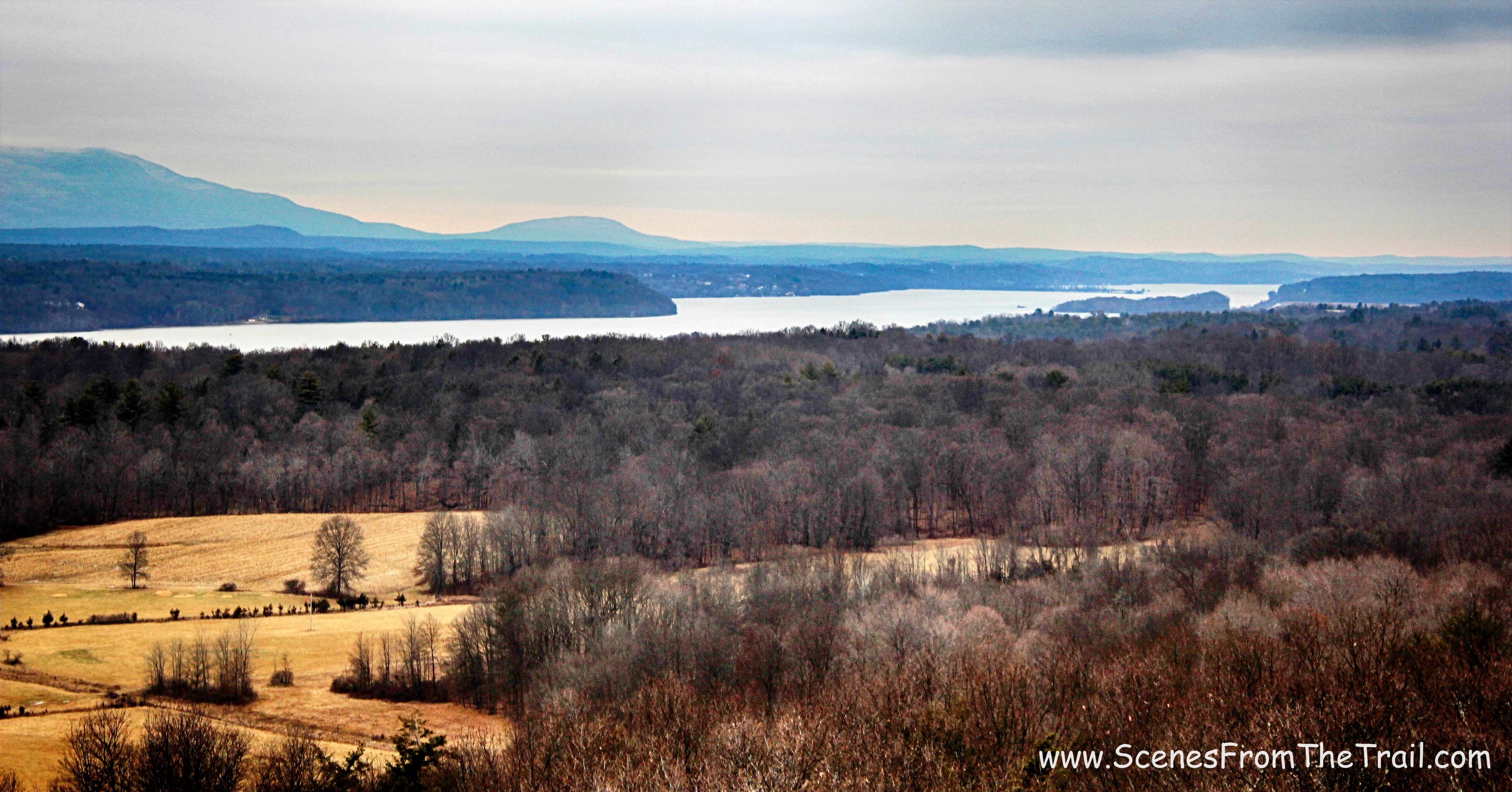
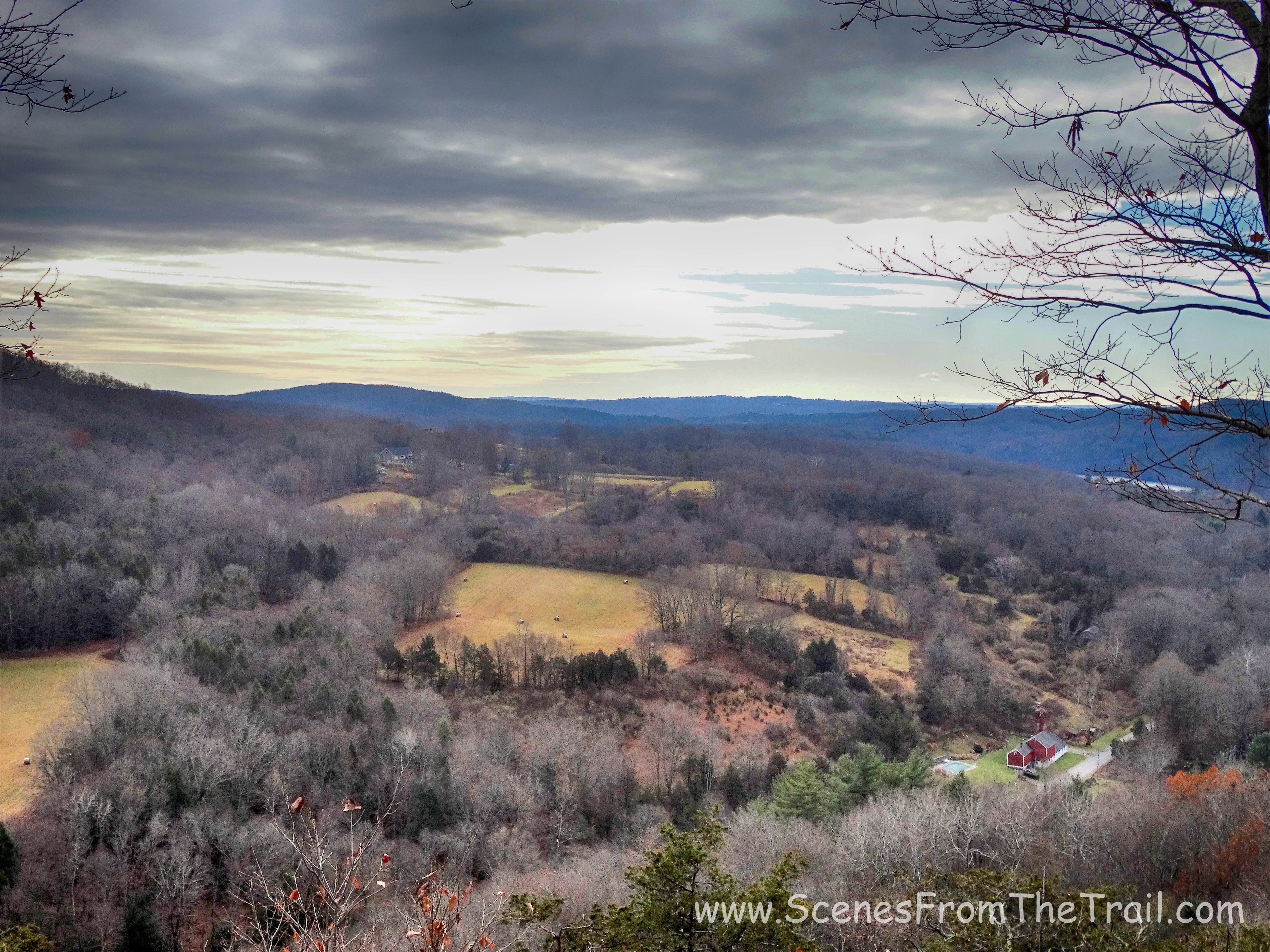
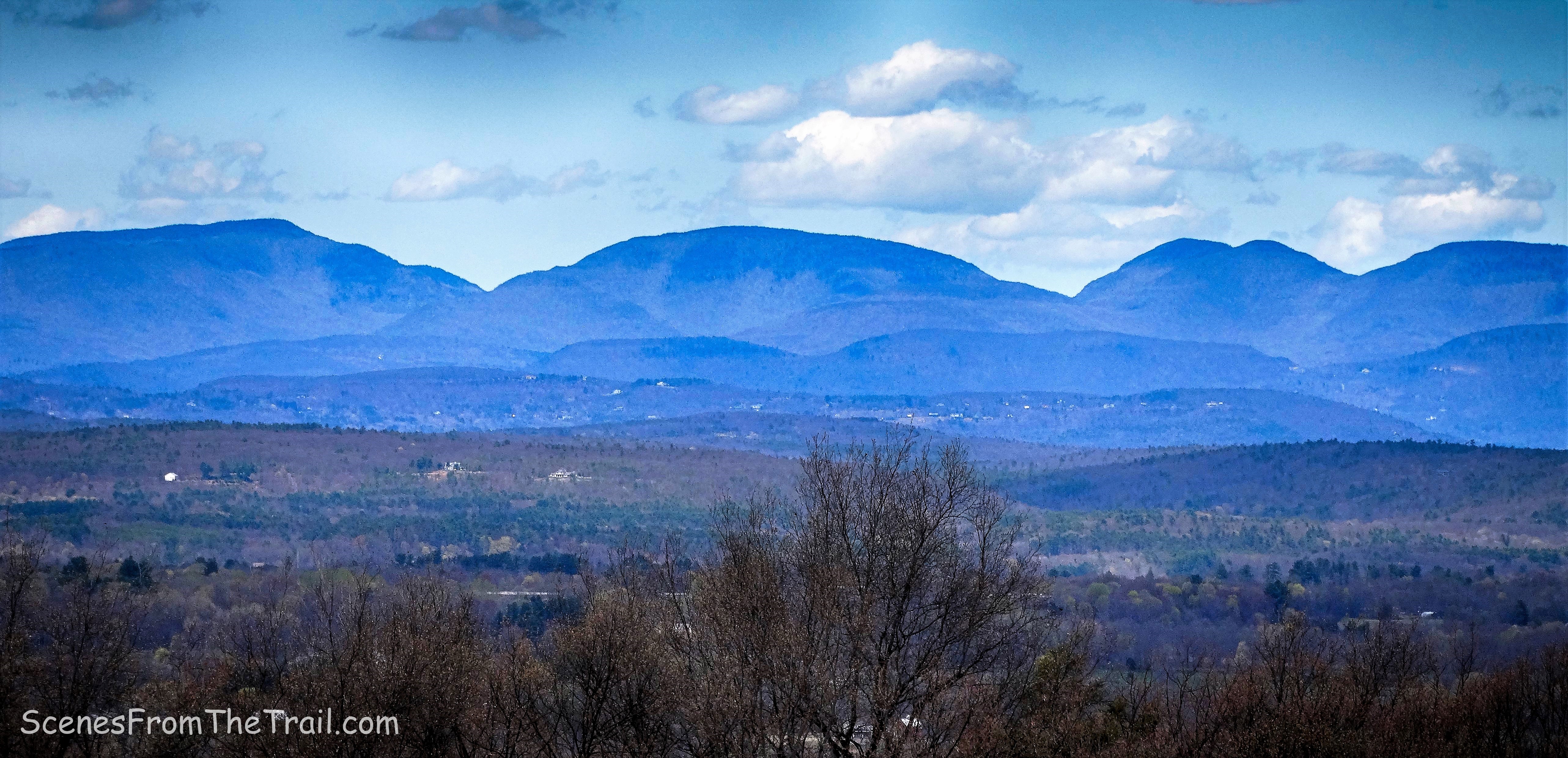
The view from Slingerland Pavilion is outstanding. In the image below, to the far right is the Hudson Valley. Moving to the left is Overlook, Indian Head and Twin Mountains respectively.
Slingerland Pavilion view
We were all worn down by now and getting hungry so we trudged on. Farm Road hugged the Slingerland Pavilion and passed by a few outhouses and we stayed right at the fork.
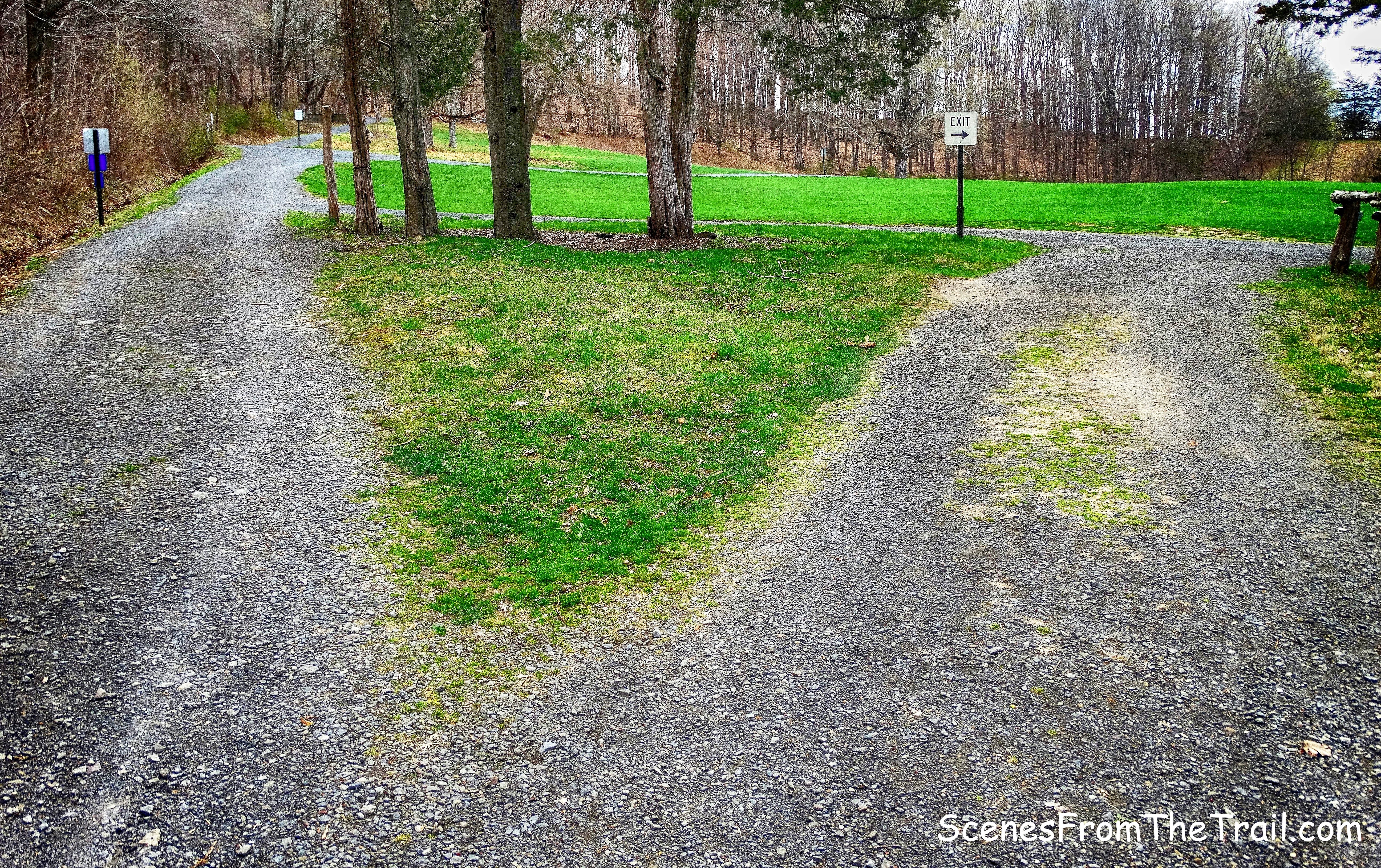
right at fork
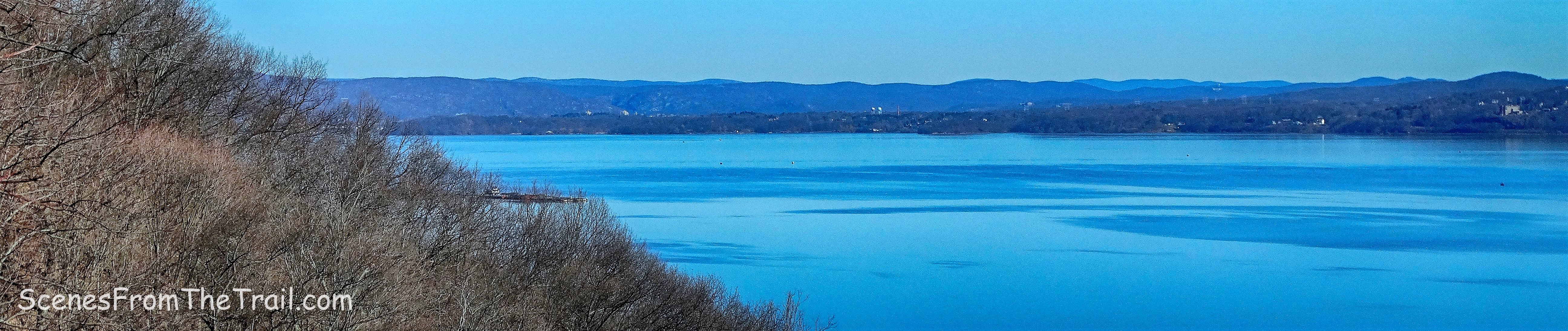
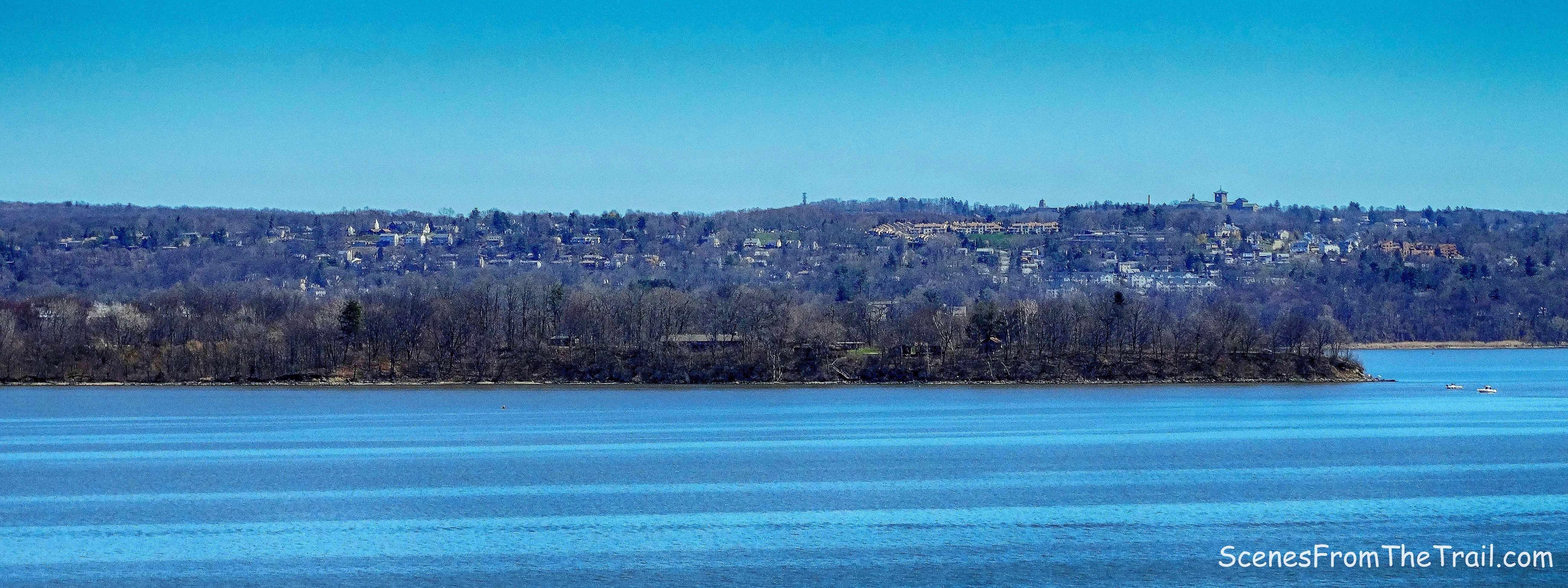
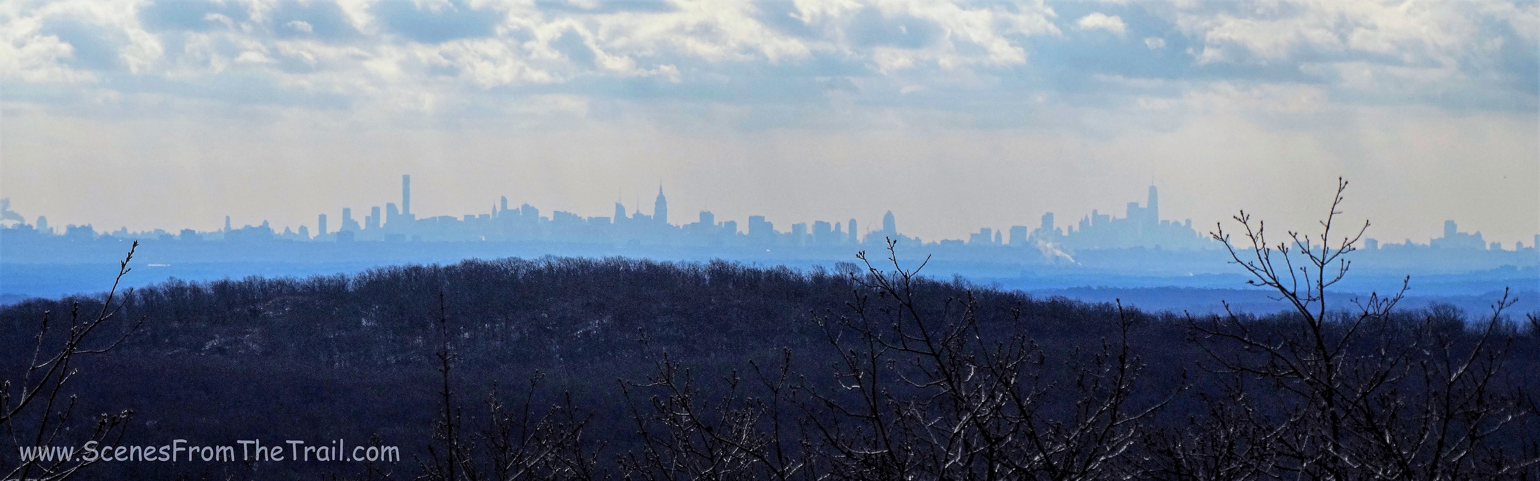
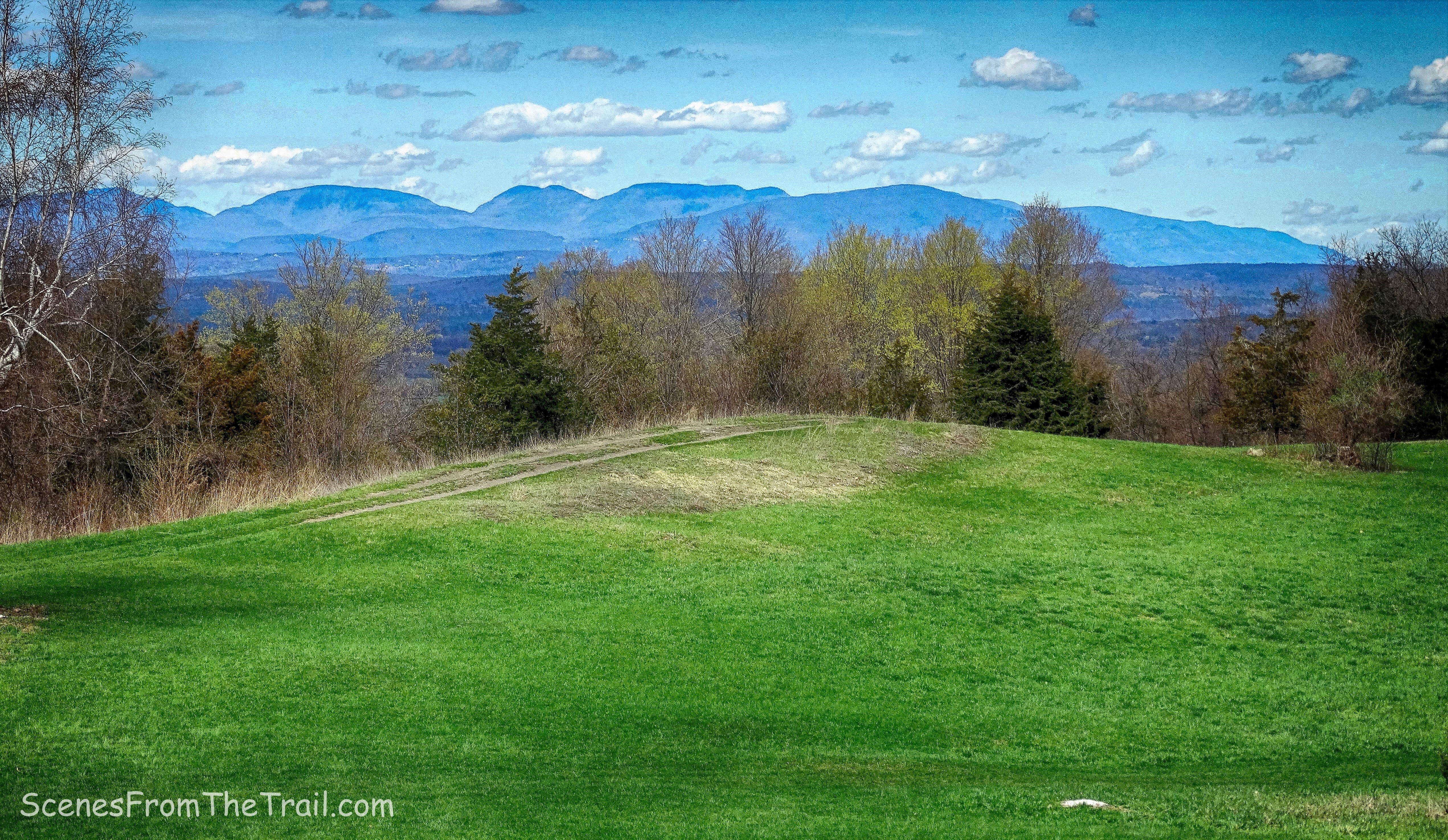
Following the exit signs, we made our way back towards the parking lot, but there was one more thing we had to see, The Million Dollar View.
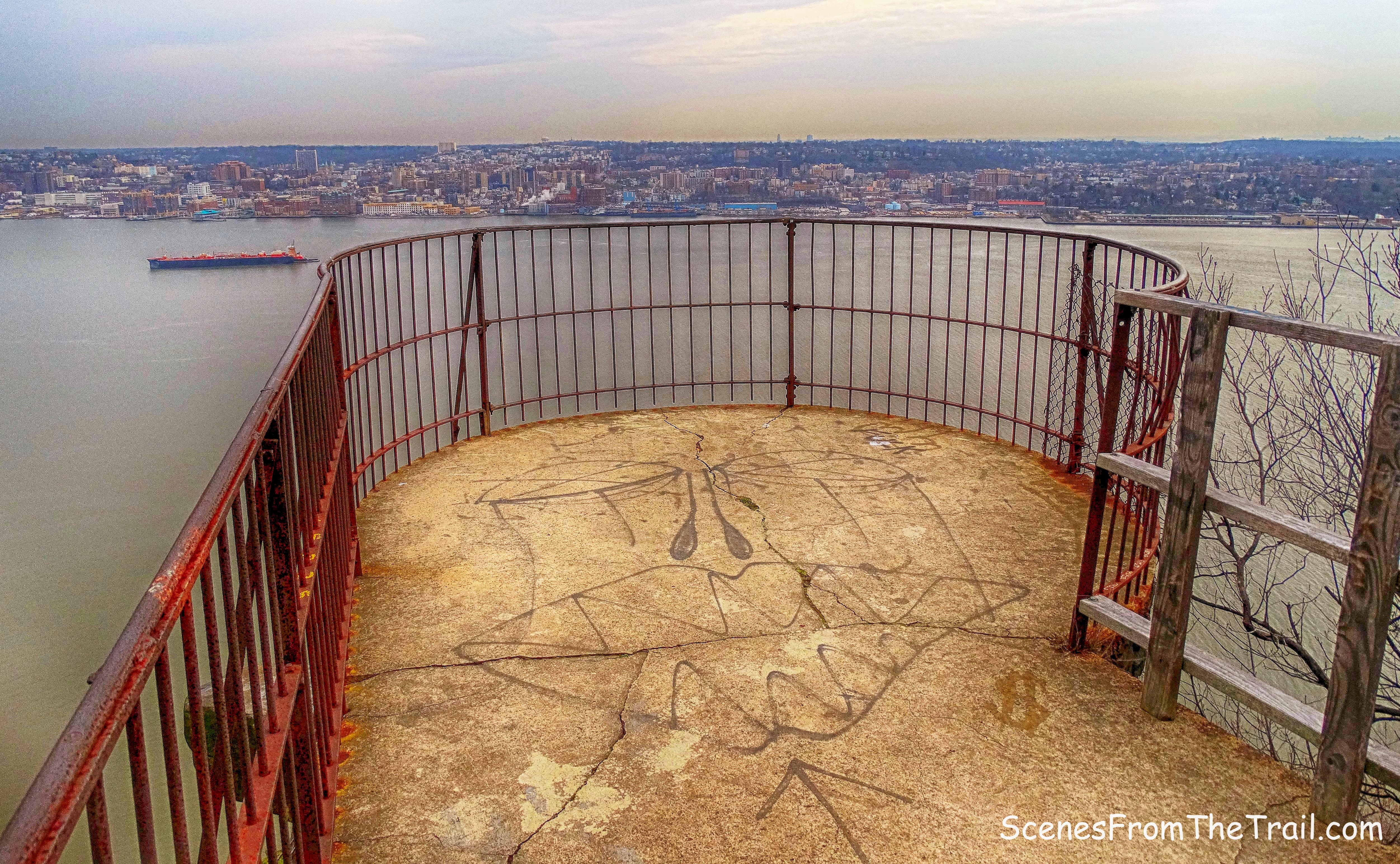
Million Dollar View
A glorious view indeed, but stick a fork in me cause I’m done. We admired the view for a few minutes, then made a beeline for the vehicle. Next time I come here, I will conquer the crag then come sit here and really enjoy this view. We took off and stopped somewhere to grill some food. Grilled spicy chorizo, spicy shrimp and rice and a cold beer to celebrate not just my birthday, but conquering the crag. Yo Adrian!!!!!! I did it!!!
That’s all folks, I hope that you enjoyed the hike and please don’t forget to follow my blog. Now get out there and take a hike!
Pros: The Crag, rock scramble, majestic views, scenic woods, cliffs, Table Rocks, less crowded on weekdays.
Cons: tough hike, crowded on weekends. numerous ups and downs.
Take a hike!