May 22, 2016 – Harriman State Park, Stony Point, NY
Difficulty: moderate
Length: approximately 4.5 miles
Route type: out and back
To keep in the spirit of recent hikes, We were off to see more ruins before they get completely covered in green. Harriman State Park is the second largest state park in New York. Located in Rockland and Orange counties, 30 miles north of New York City, it is a haven for hikers with over 200 miles of hiking trails. The park is also known for its 31 lakes, multiple streams, public camping area, and great vistas. The park’s hiking trails are currently maintained by volunteers from the New York – New Jersey Trail Conference.
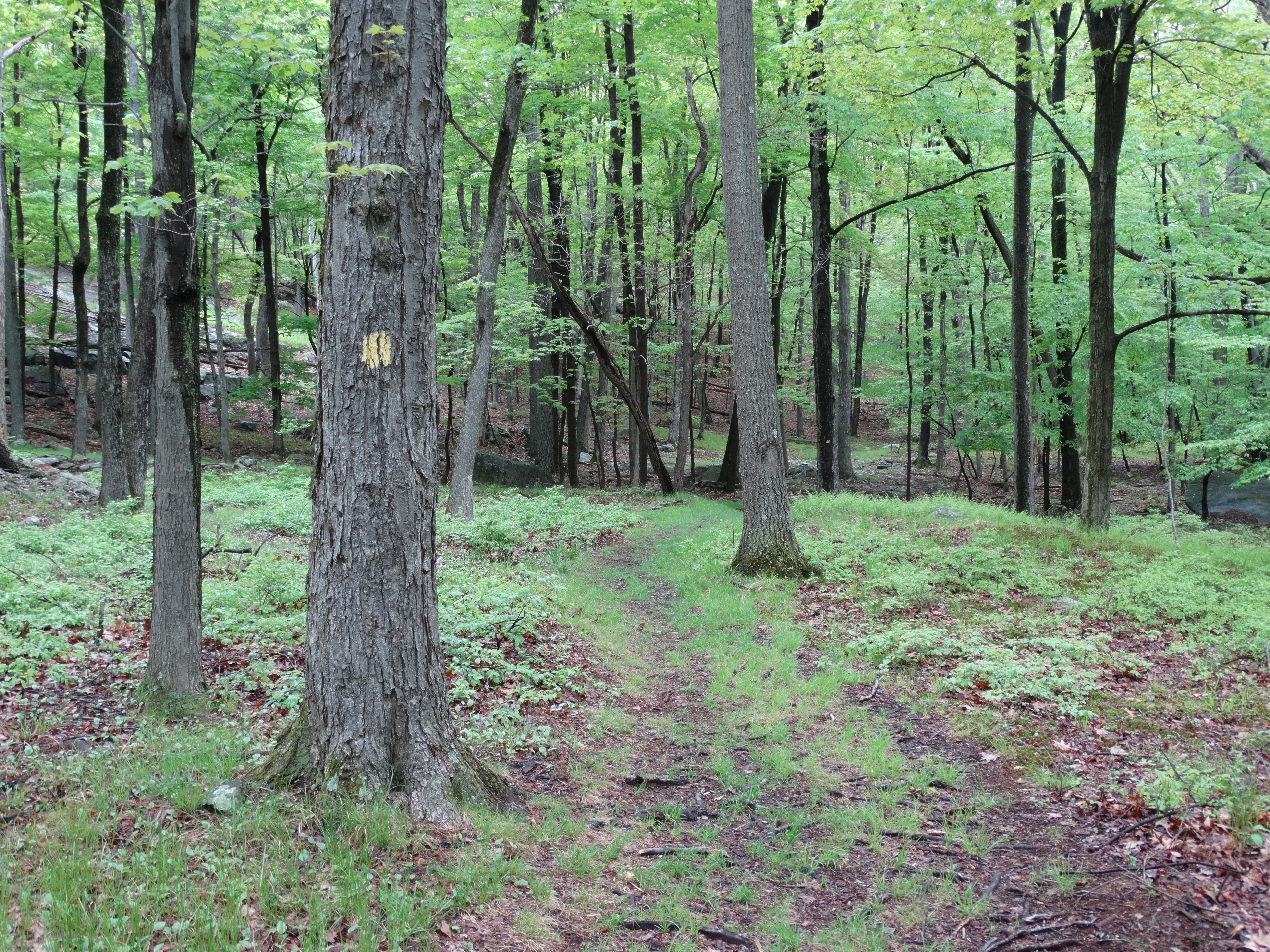
On this hike we would be following the yellow blazes of the Suffern-Bear Mountain Trail for a good portion of the way. So armed with a Harriman-Bear Mountain Trails Map we started off our hike by parking in a small lot on CR 106 right alongside Minisceongo Creek, which has some very nice cascades along with some scenic spots to relax.


From the parking area we proceeded towards the creek and turned right just before the small bridge which crosses it. There is a white arrow painted on the pavement which was helpful.


We started off with a mostly level woods walk with the soothing sounds of Minisceongo Creek to our left.
Suffern-Bear Mountain Trail
After a short walk, the trail led us away from the creek and started to rise. We were in for our first ascent of the day.


As the trail started to level off, a huge glacial erratic known as Irish Potato which sat alongside the trail came into view.


To get an idea about how large it is I added an image of me standing in front of it.
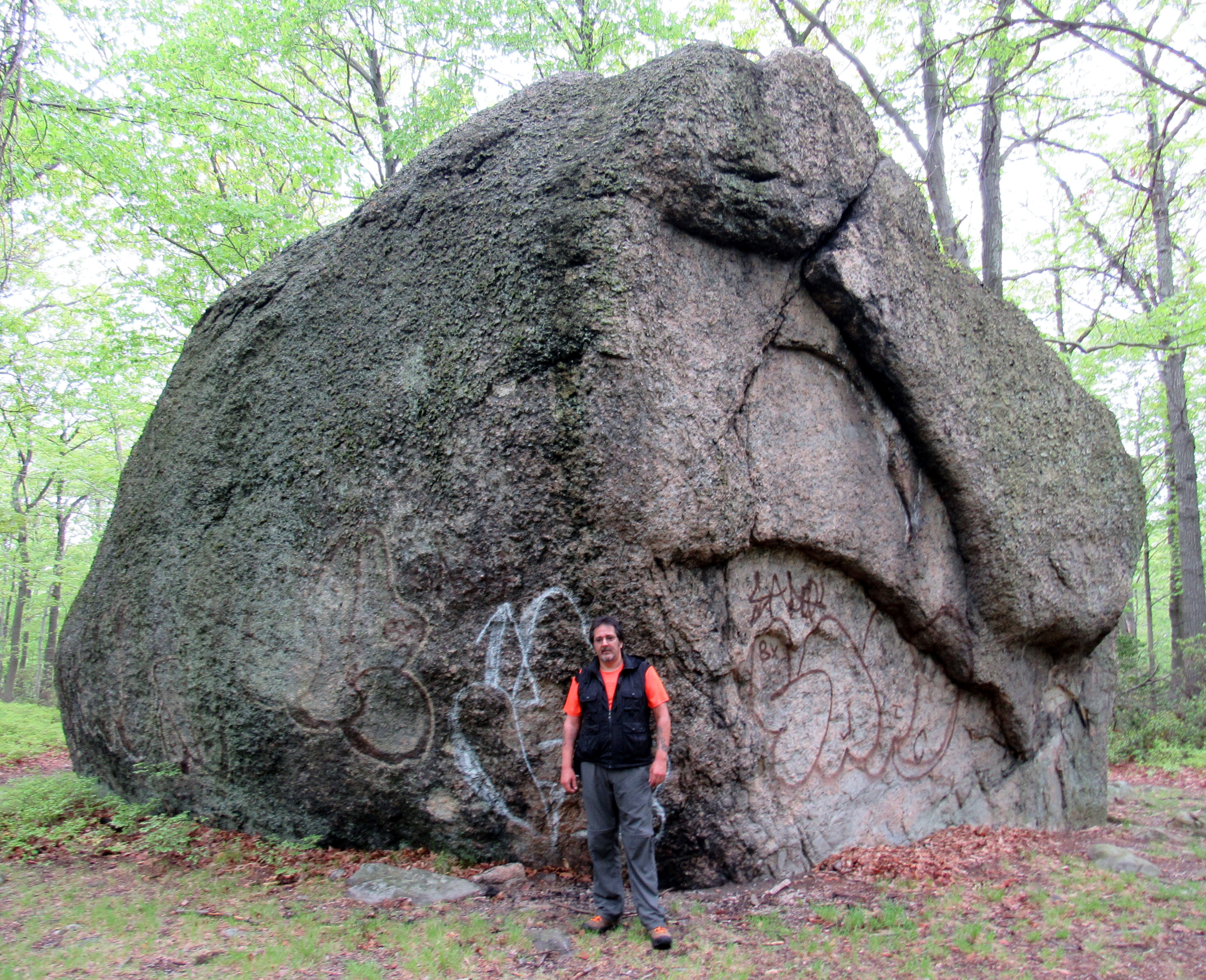
Irish Potato
We continued on the S-BM Trail for awhile until we came upon an unmarked trail that veered right as the S-BM Trail veered left. We proceeded along the unmarked trail which became hard to follow, but I could see Upper Pound Swamp (which is really a lake) through the trees, so we just bushwacked through the woods towards it.

Upper Pound Swamp
Once along the water, the trail became visible again and now we were looking for a woods road that went to the left. That would bring us to the first ruins of the day. As we ascended up the unmarked woods road I saw what appeared to be a stone wall partially covered by trees on the left. There it was, the Rose O. Redard estate. This former estate is said to be that of the heiress of Red Rose Tea fame, but after doing a little research it does not appear to be so. Click on the ensuing images to enlarge.


After exploring these ruins and taking a well deserved break, it was time to move on. We had to retrace our steps back to CR 106 where our vehicle was parked to continue on to part 2 of this hike. The section of the Suffern-Bear Mountain Trail where the other ruins were located continued on the other side of the road. Up to this point we did not see another soul along our route until we saw a father and son fishing at Upper Pound Swamp on the way back. The return was made more difficult by having to hike back up Irish Mountain. It was a picturesque hike nonetheless with nothing but the sounds of birds and interesting rock formations dotting the landscape.


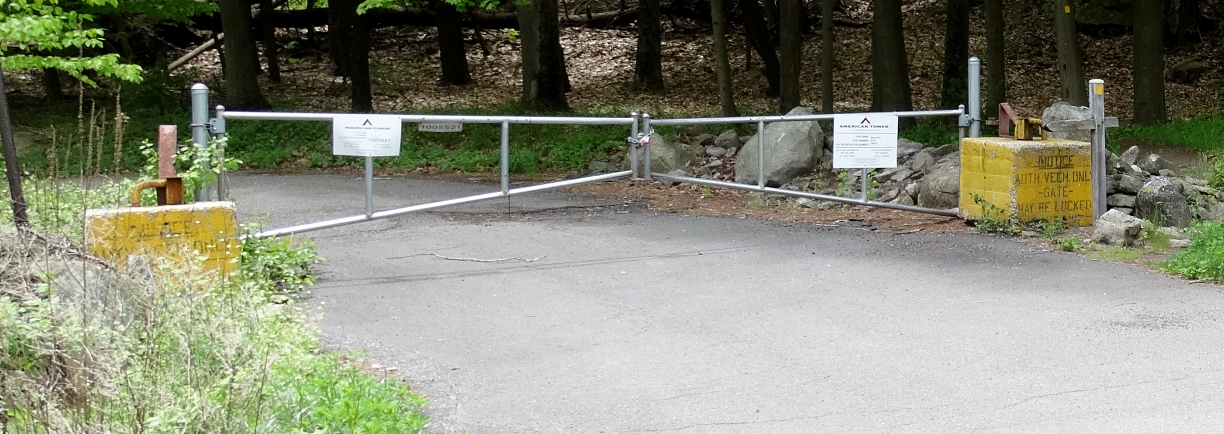
We took a break back at the parking area and decided what our next move was going to be. Originally we were going to hike up past the Jackie Jones Fire Tower to the Big Hill Shelter which would have added another 4.5 miles to our hike. Upon further review we decided to just visit the ORAK ruins which only added another mile or so. We started at the gated paved road, once again following the yellow blazes of the Suffern-Bear Mountain Trail.
Suffern-Bear Mountain Trail
We followed the S-BM trail uphill on the paved road for about a quarter mile until it veered left onto a woods road and a few minutes later we were there. More ruins! Known as ORAK, the mansion was built in 1923 by George Briggs Buchanan, a vice president of the Corn Products Refining Company, which manufactured Karo syrup (Orak is Karo spelled backwards). After Buchanan died in 1939, his heirs sold the mansion to the park, and it was demolished in 1973. Click on the ensuing images to enlarge.


After passing the gate house we saw some more of the former estate.


After exploring and photographing these ruins we decided it was time to get our grill on. We retraced our steps back to the vehicle and headed off to enjoy the rest of the afternoon with some food and drink. On the way back we encountered this Black Rat Snake that was slithering amongst the stones of the once mighty estate.


Until next time, happy trails.

me

I love the pictures as well as the write up.It’s nice to find another Hudson Valley Hiker!!!!
LikeLike
Thanks, I appreciate it.
LikeLike