July 10, 2016 –Congers, NY
Difficulty: moderate
Length: approximately 6.5 miles
Route type: circuit
Please Note: The Upper Nyack Trail has been relocated and the beginning of the hike is quite different. Please see Hook Mountain Summit via Upper Nyack Trail & Long Path for an updated hike to the summit. From the summit, the guide below is still accurate.
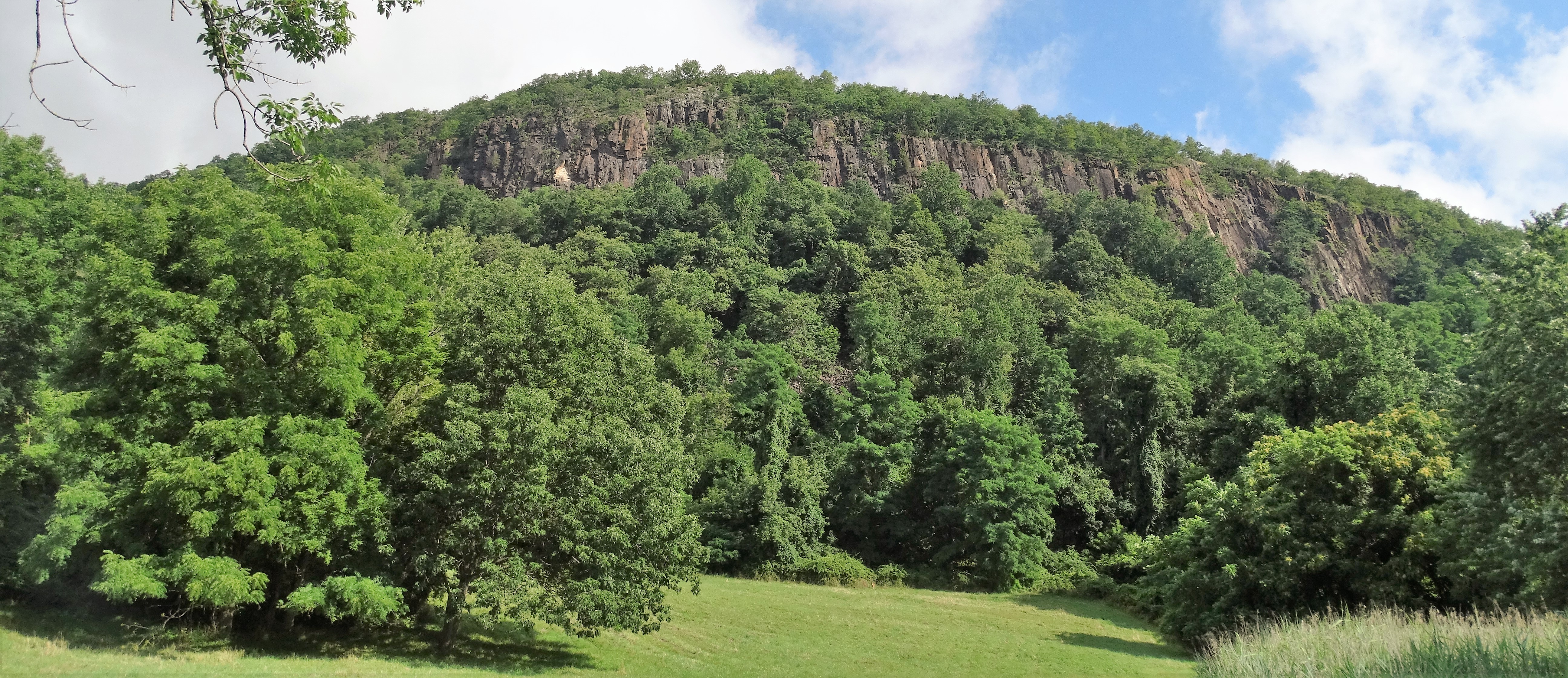
Hook Mountain State Park is part of the Palisades Interstate Park system, just north of Nyack. It extends along almost seven miles of continuous waterfront and cliff slopes. The Long Path runs along the escarpment above while a bike path follows the river’s edge from Haverstraw Beach State Park to Nyack Beach State Park in Upper Nyack. Hiking through an oak-maple-beech hardwood forest to the summit at 730 feet offers spectacular views overlooking the Hudson River valley.
Hook Mountain
I have been coming to Hook Mountain since I was a kid, but have never actually hiked the area. My friends and I used to park on Landing Hill Road and race up a steep slope to a crest that was directly across from Sing Sing Correctional Facility. We only visited at night and did what teens did back then. Over the years I have gone back numerous times, but never fully explored the trails. I figured today was a good day to do so. I decided to do the hike listed on the NY/NJ Trail Conference website, which was the Long Path/Hook Mountain Bike Path Loop to Summit of Hook Mountain. It was a gorgeous Sunday so armed with my Hudson Palisades Trails Map I was off.
I parked at Nyack Beach State Park which charges $6.00 to park in season unless you have the Empire Passport which costs $65.00 for a year and is a sound investment. From the parking area I headed back up to the entrance to begin following the white blazes of the Upper Nyack Trail which began as a road walk.
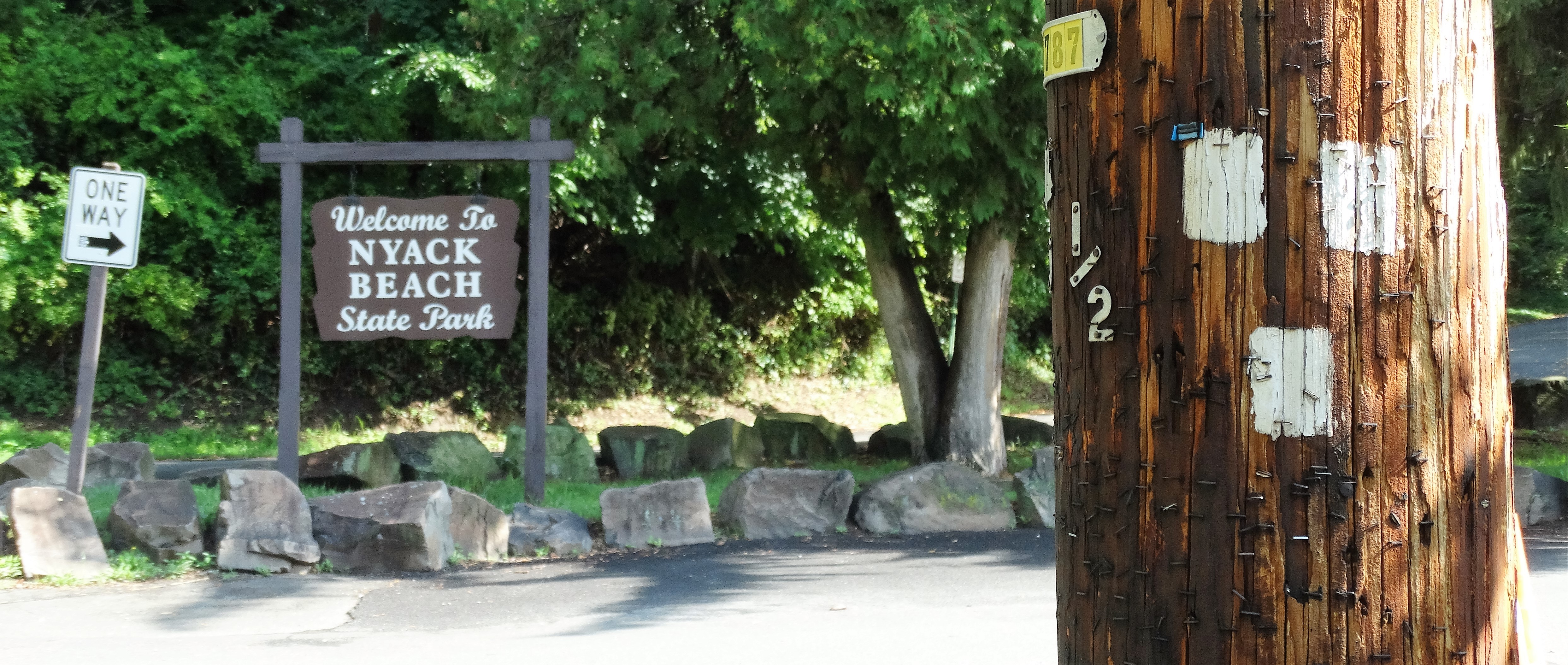
Nyack Beach State Park – Upper Nyack Trail
I followed the white blazes which were painted on telephone poles until I reached a rock which indicated a right turn into the woods.


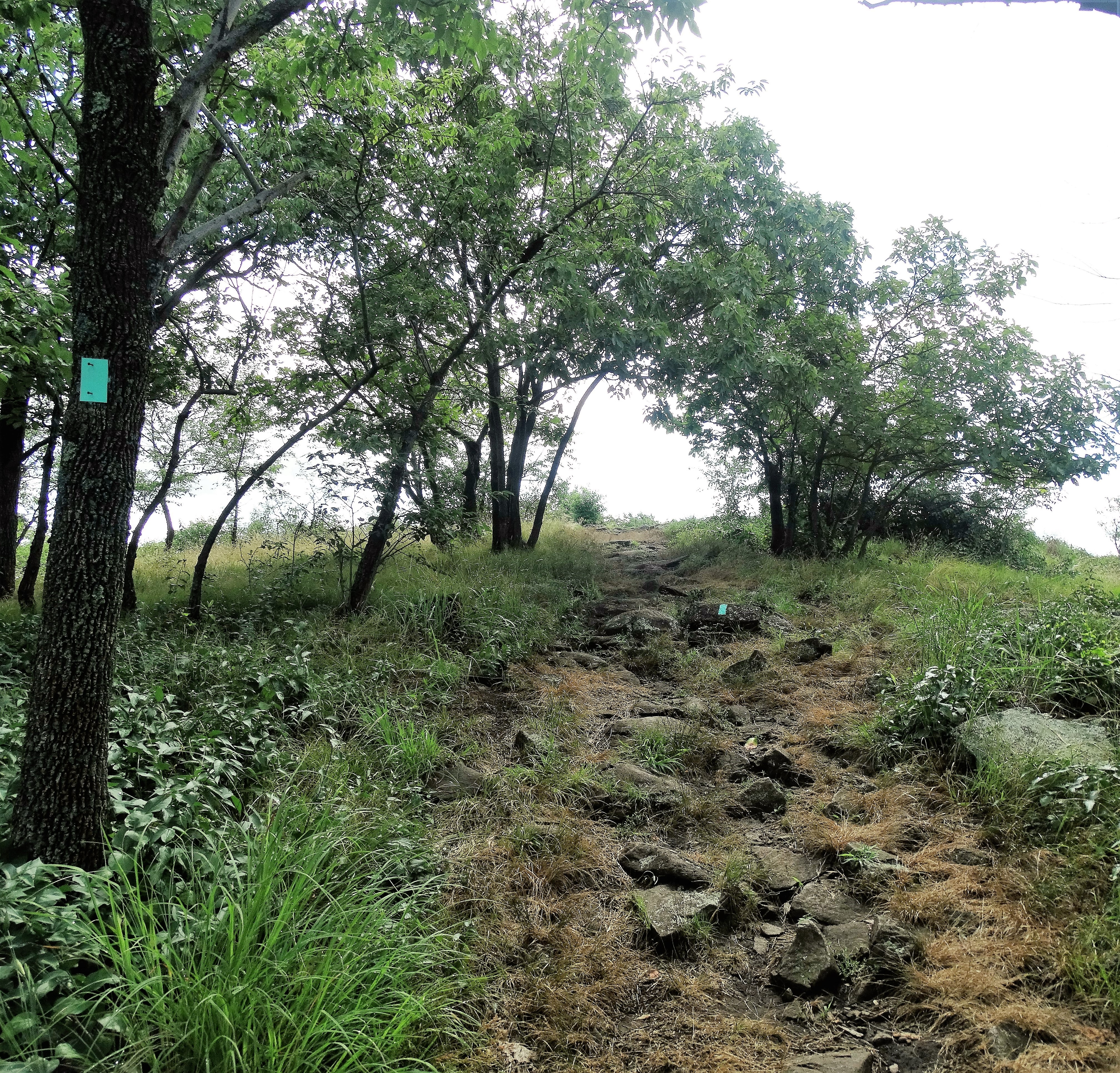
The Upper Nyack Trail weaves throught the forest…


and ends at a T-intersection with the aqua blazed Long Path where I turned right. At this point the Long Path follows the route of an old road that was built in the 1870’s, this road was supposed to extend to the top of Hook Mountain, but it was never finished.


After a while the trail begins to narrow and steepens with partially obstructed views of the Hudson River and Tappan Zee Bridge to the right. At one point the trail turns sharply right as you near the summit.
The Long Path at the summit of Hook Mountain
One final push up the trail and I was rewarded with some fantastic views.
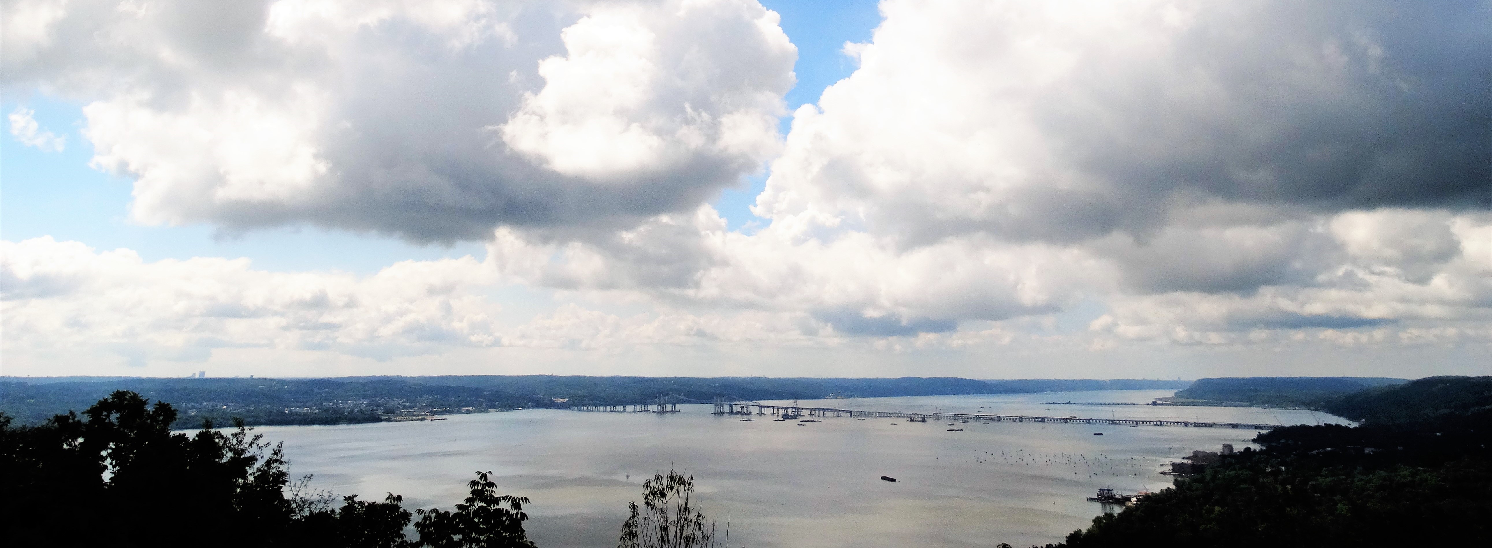
View from the summit of Hook Mountain
After climbing 730 feet this was a great place to rest and take in the scenery.
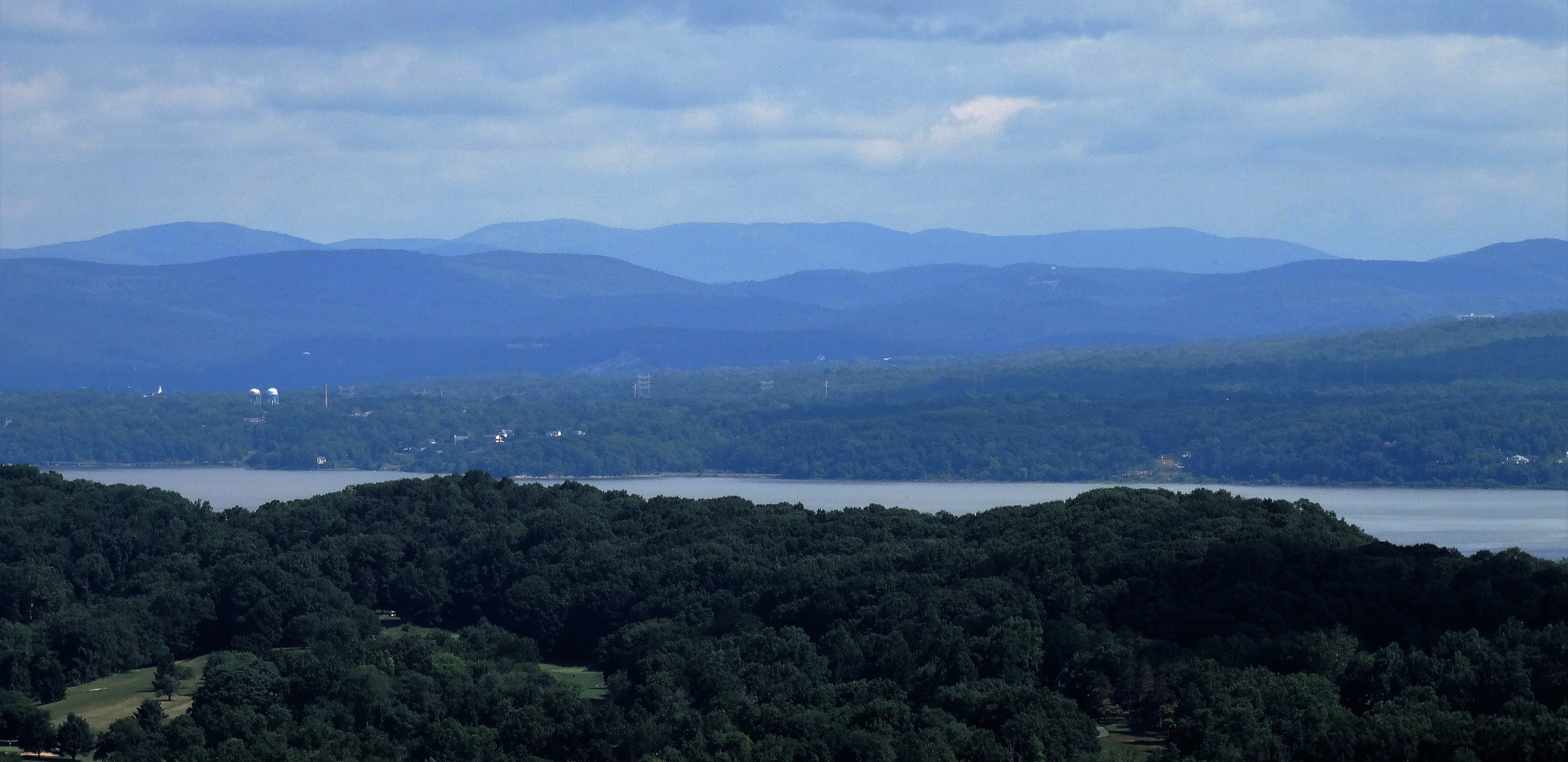
View from the summit of Hook Mountain
This was the first official scenic view of the day, but it would not be the last. The hard part of this hike was done. There were numerous ups and downs from this point forward, but they were mostly gradual. A good part of the route on the Long Path afforded great views along the way. There were some nicely graded woods roads as well that was a nice change from the rocky trails along the ridge.
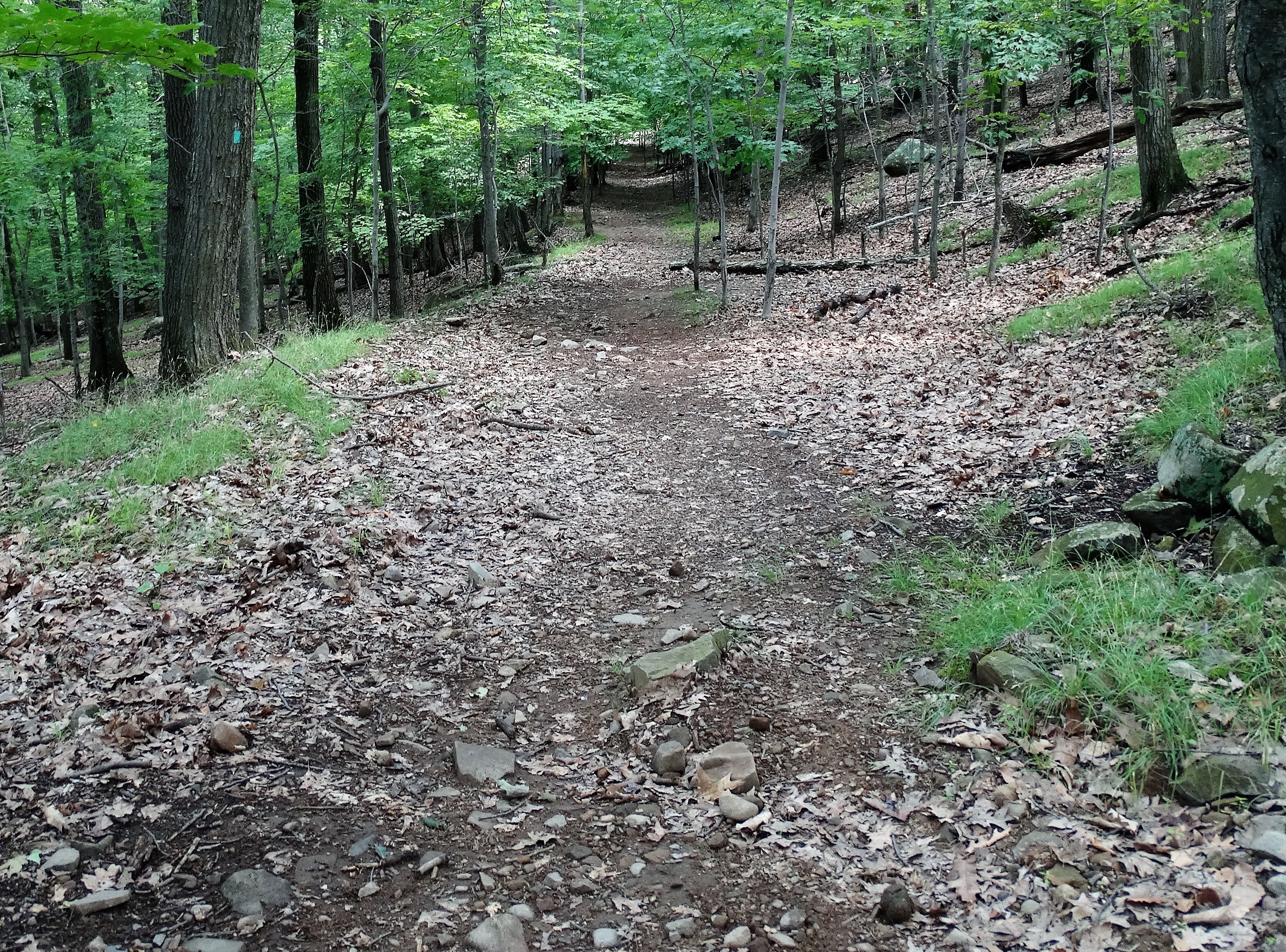
graded woods road
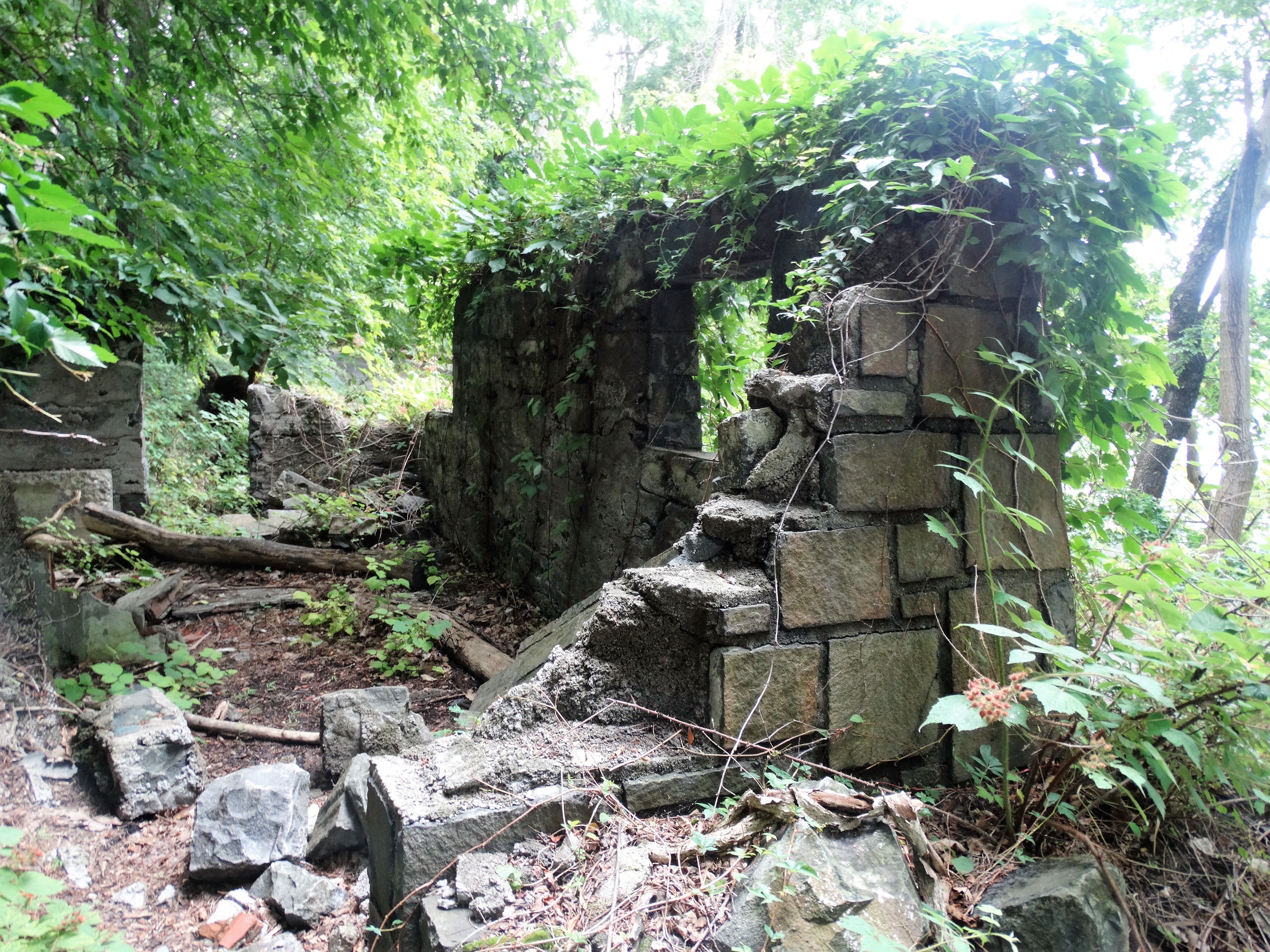
There were also some pretty cool ruins scattered throughout this hike. I do not know the origins of these structures, but it made for a more interesting hike.

")
")
After walking in the woods for a while, there was an unmarked trail that led off to the right that brought me to the edge of the cliffs once again. This was the spot that I had been to before and will always be one of my favorite places.

View east towards Ossining and Croton
I knew that this was the last of the ridgetop views so I was in no hurry to leave. The breeze and the scenery had a calming effect that I did not want to depart from.
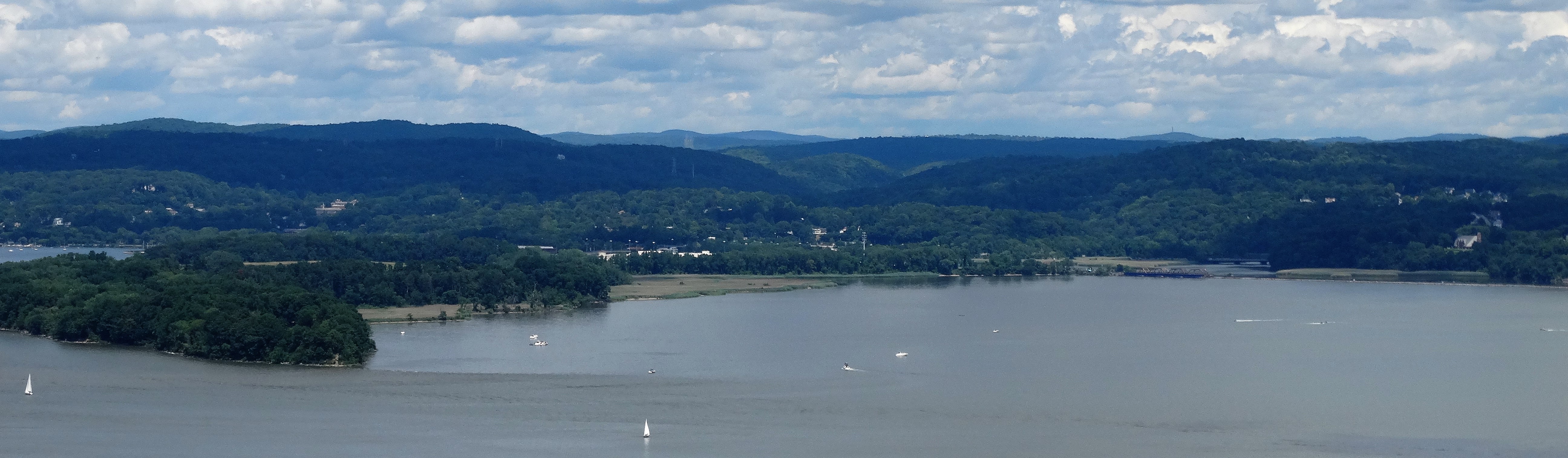
Northeast view with Croton Point Park to the left
After a rather steep descent back onto the road, I left the Long Path and followed a paved road which led down to the river. Once down at the base of the cliffs, I looked up at where I was just moments earlier.

Hook Mountain
Along the way there were some ruins near a private residence.

ruins

ruins
I even saw Guineafowl trying to take shelter as it began to rain.

Guineafowl
The rest of the way back was a very easy level walk along the multi purpose path. It was a bit crowded with bikes and people walking, but it was scenic as well.

multi purpose path
I ran into some more ruins.
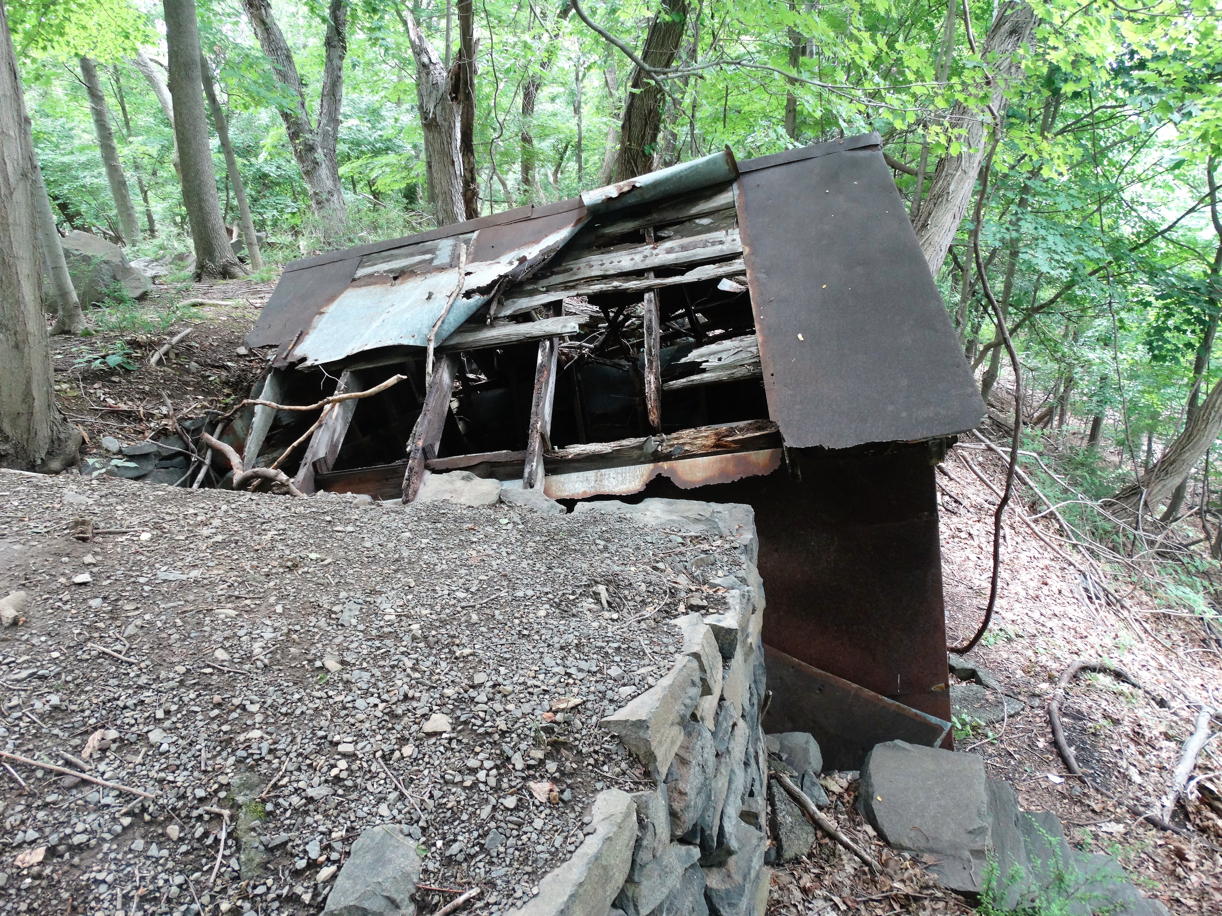
ruins
ruins
There were many points along the river with picnic tables to sit and enjoy the views. It was a perfect way to end a great hike. Click on the ensuing images to enlarge.


This was definitely one of the more enjoyable hikes that I have done. It had a little bit of everything and the weather was perfect as well. I hope that you enjoyed the hike. Until next time, happy trails……

At the summit

Some of the buildings were probably remnants of the quarrying operations that were there in places, or from the ice company operation, which took blocks of ice from Rockland Lake to the top, then moved them to the riverside and shipped them to the city (back in the days of “iceboxes”). Part of the chute or conveyor down used to be there years ago; it don’t know if it still is.
LikeLike