January 21, 2017 – Yorktown Heights, NY
Difficulty: moderate
Length: approximately 3 miles
Route type: circuit
Map: Turkey Mountain Nature Preserve
There is an updated version of this hike HERE
The 125 acre preserve, owned by the Town of Yorktown with its 831 foot summit offers panoramic views of the Croton Reservoir, Hudson River, Manhattan Skyline, Hudson Highlands, and Shawangunk Ridge. It has has 3.3 miles of hiking trails.
I did this hike right after finishing Nelson Mountain Fire Tower at Salt Hill. I chose Turkey Mountain because of its close proximity to Salt Hill and also because I read that it is the highest point in Westchester County. After a foggy morning hike to the fire tower, it cleared up and turned out to be a gorgeous day on the trails. By the time we got there, it was close to noon and the parking area was pretty full. I’m not one for crowds when I’m out on the trail, but sometimes that can’t be helped. We began our hike by ascending on the white-blazed trail which is somewhat steep, but is only .7 miles to the summit. The blue-blazed trail is close to 2 miles long and was our return route. As it turned out, we saw more people passing us going in the opposite direction so I made the right choice. The white-blazed trail was relatively level to start, but in the distance through the trees I could see the summit and ultimately our destination.
White-blazed trail
The trails are pretty well kept and they have some wooden footbridges over wet areas which works out well.
White-blazed trail
White-blazed trail
Several trails intersected the White-blazed trail, but we ignored them as we continued on. The trail began to climb rather steeply and we stopped occassionaly to catch our breath. Normally I don’t take a lot of photographs when the trails become strenuous. I like to concentrate on the task at hand.
White-blazed trail
The final push to the summit.
approaching the summit
Once at the top we encountered numerous hikers. A lot of them with unleashed dogs even though there are “no dogs allowed.” I saw more dogs on this hike than at a dog park. I mentioned the “no dogs” rule to a few people and I got some dirty looks. We hung out at the summit soaking in some rays and taking in the view of the Croton Reservoir with a sliver of the Hudson River visible just beyond.
view from the summit of Turkey Mountain
The view northwest wasn’t bad either.
view northwest
Looking east, Hilltop Hanover Farm is visible and the mountains beyond.
view east
Also at the summit is a US Army Corps of Engineers stamped disk. There used to be a survey tower at this location and three concrete footings still remain. Survey towers were used by U.S. Coast and Geodetic Survey surveyors from the mid-1800s through the 1980s to obtain the clear lines-of-sight needed to conduct the surveys that are the backbone of our nation’s spatial reference framework. One of the most enduring and widely used types of towers was the Bilby Tower, designed by Jasper Bilby in 1926.
U.S. Army Corps of Engineers Map Control Station disk
Two of the footings are visible in the image below.
Turkey Mountain summit
The white-blazed trail ends at the summit and there is where we began our descent on the blue-blazed trail. It starts off under a canopy of trees….
blue-blazed trail
….and over long flat rocks.
blue-blazed trail
As we descended the mountain, we passed a few groups of hikers heading towards the summit. I can imagine how crowded this place gets on a warm summer day. The blue-blazed trail was steep in some sections and somewhat soggy, but quite picturesque with its stone walls and rock formations.
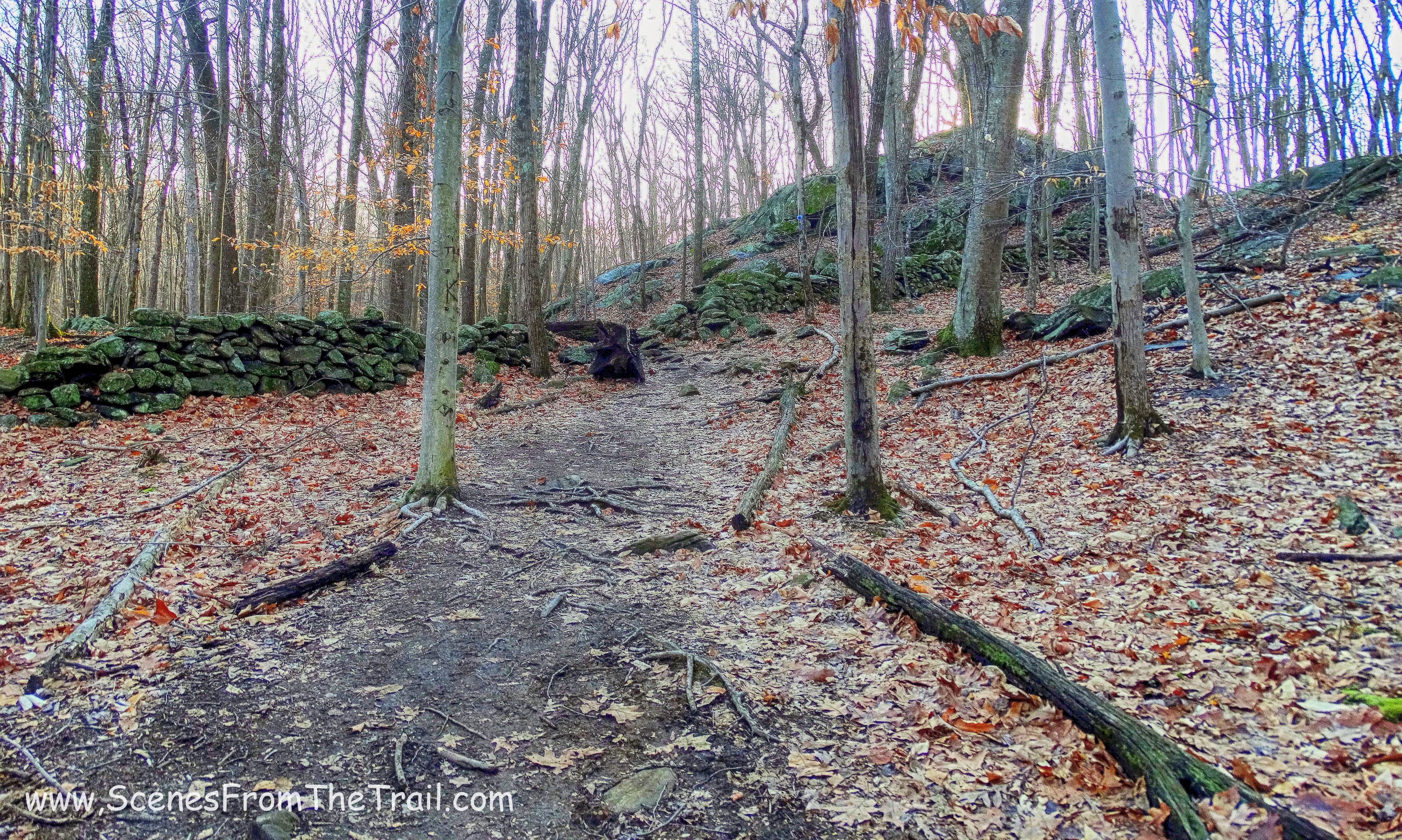
blue-blazed trail
We then walked over another wooden footbridge with the parking lot now in sight. The lot was full when we got back and there were cars parked along the entrance road as well. Another successful hike in the books and we were off to feast on some slow cooker spare ribs and homemade mac and cheese. I hope that you enjoyed the hike and don’t forget to follow my blog and/or share with your friends. See you next time and don’t forget to get out there and take a hike!
Pros: Great views, well blazed trails, scenic woods, cool rock formations
Cons: Gets crowded, lots of loose dogs despite “no dogs allowed” rule.
