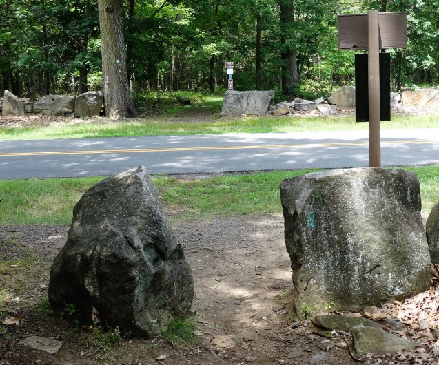
October 2, 2016 – Mercy College to Tibbetts Brook Park
Difficulty: easy
Length: approximately 7 miles
Route type: linear
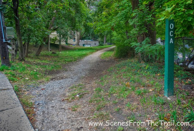
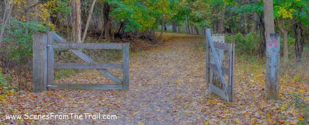
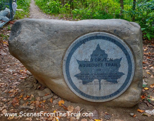
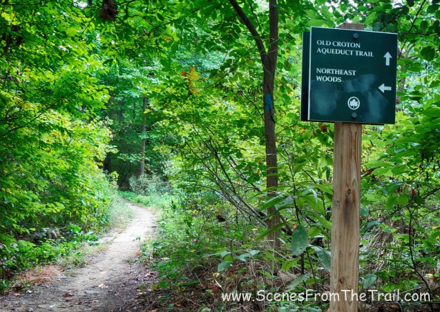
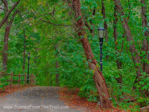
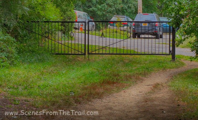
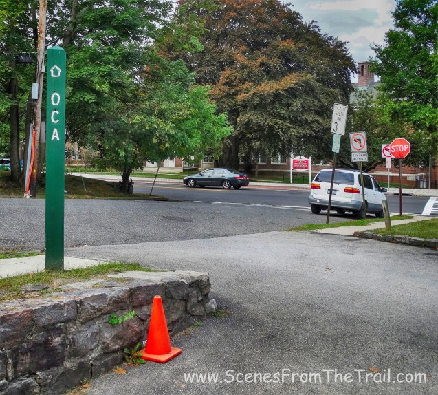
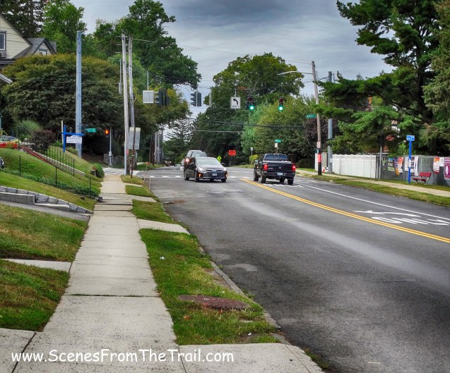
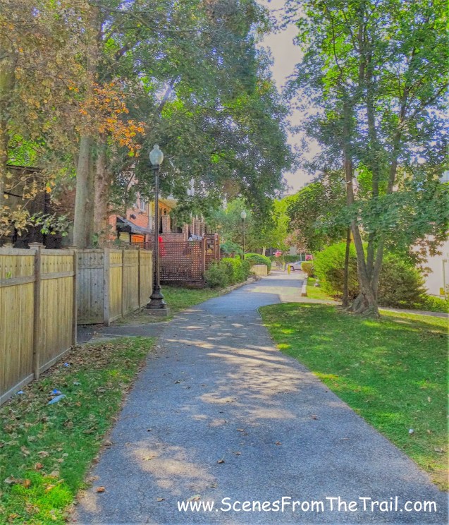
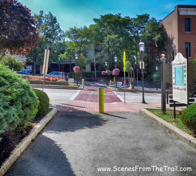
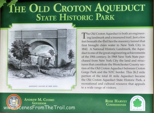
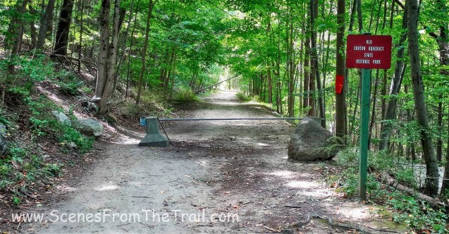
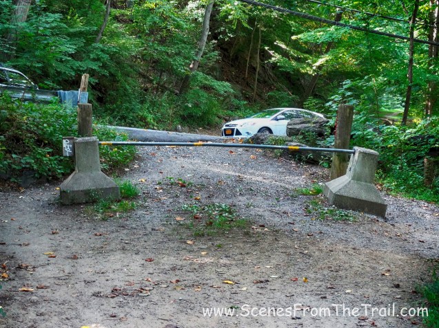
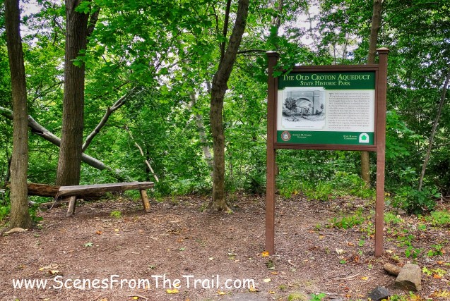
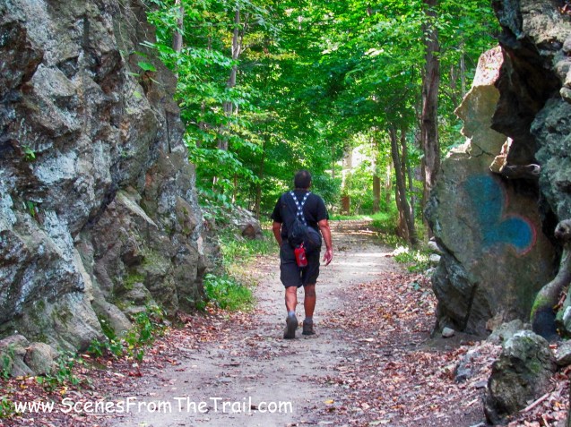
This is the fourth leg of my section hike on the 26.2 mile Westchester County portion of the Old Croton Aqueduct Trail. You can check out the first leg of my hike here, the second leg here and the third leg here. The forecast called for rain on and off all day and I thought my hike would be rained out. I don’t mind hiking in the rain, but it isn’t camera friendly. Luckily it didn’t rain at all. It was just foggy and overcast for the entirety of the hike, with temperatures in the mid 60’s. Once again with this being a linear hike we needed to spot cars. We drove down to Tibbetts Brook Park in Yonkers, which would be our stopping point and parked one of the vehicles. We then drove to Mercy College, which was our starting point. This hike involved several road walks, so an OCA – Westchester Section map was crucial. Once parked and geared up, we headed out on our hike. We walked to where the OCA crosses the entrance road and began hiking.

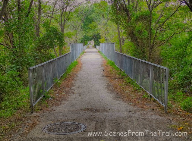
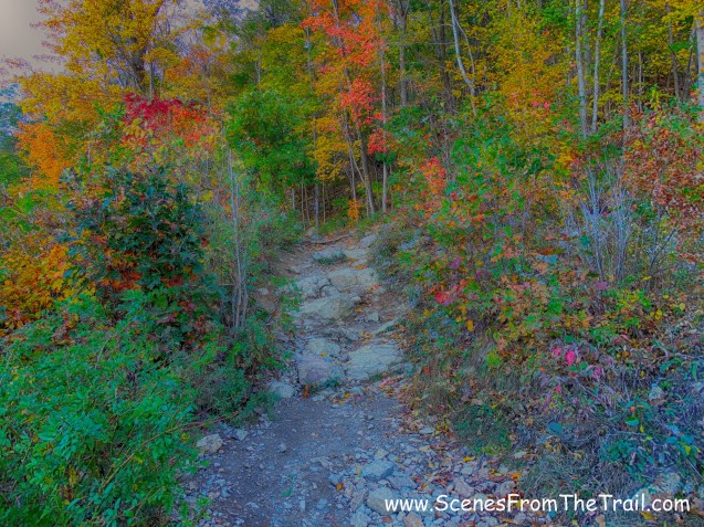
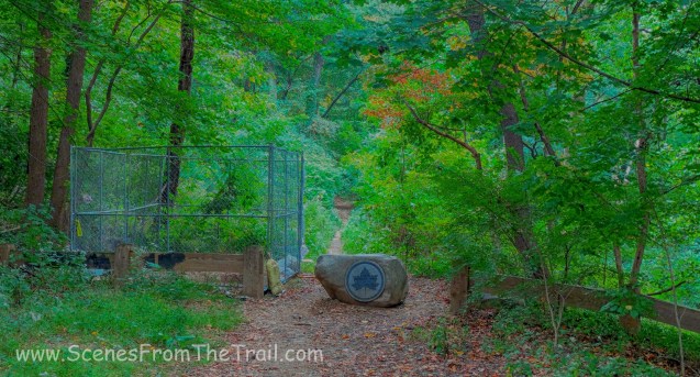
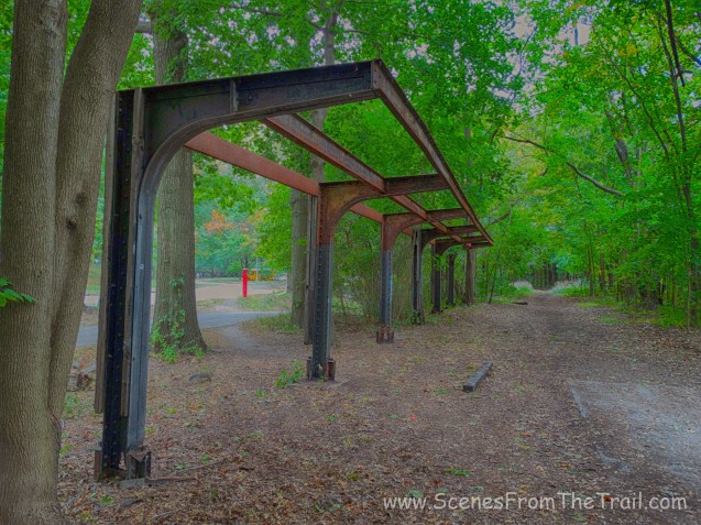
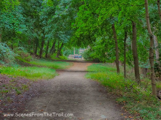
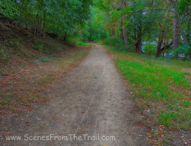
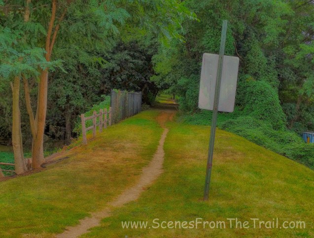
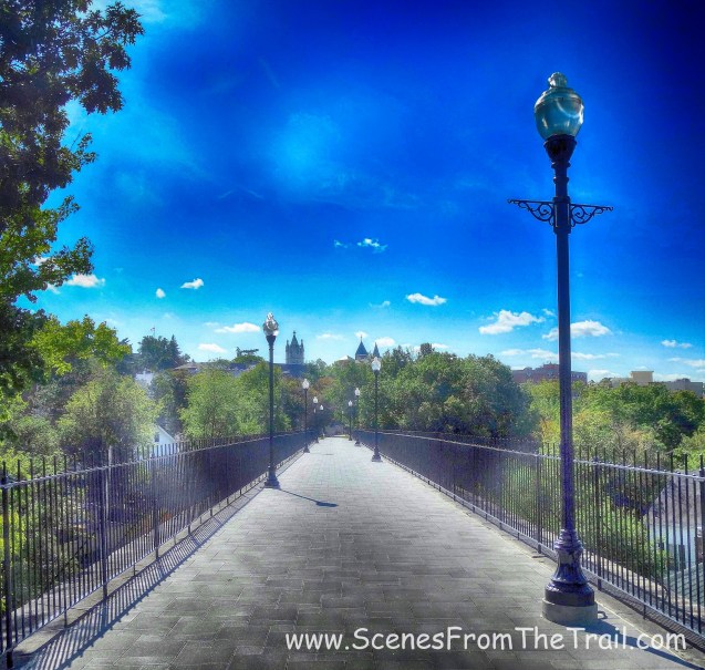
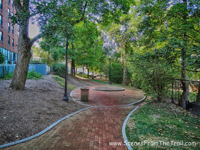
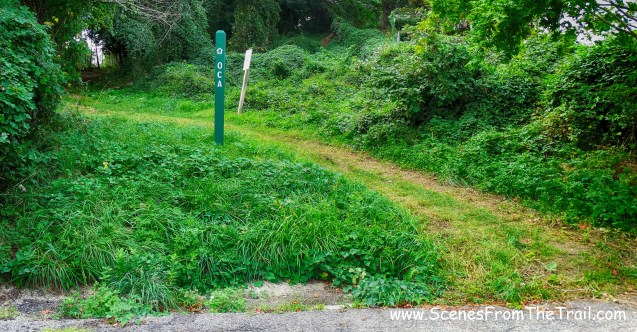
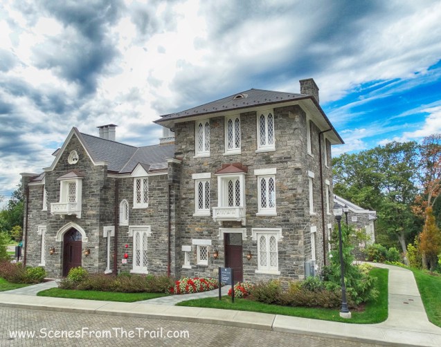
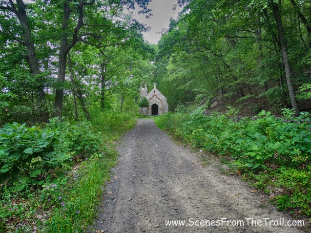
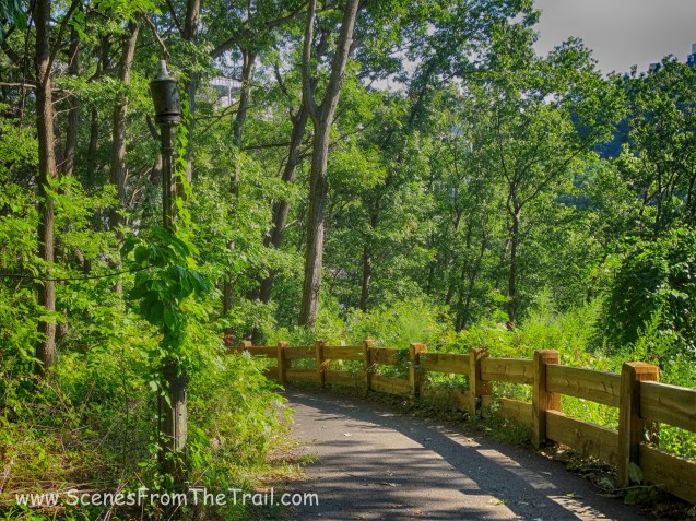
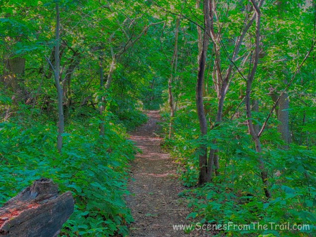
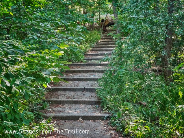
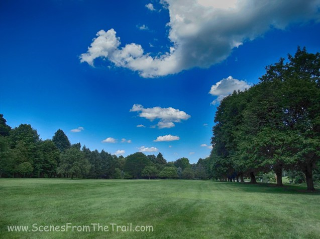
Old Croton Aqueduct – Mercy College
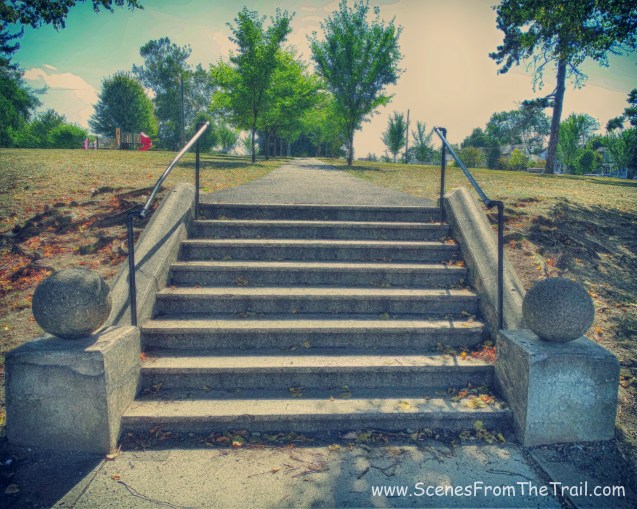
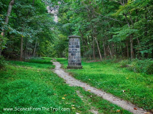
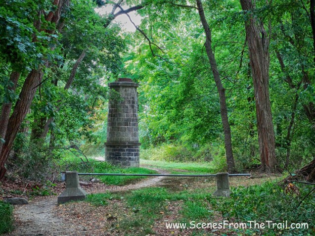
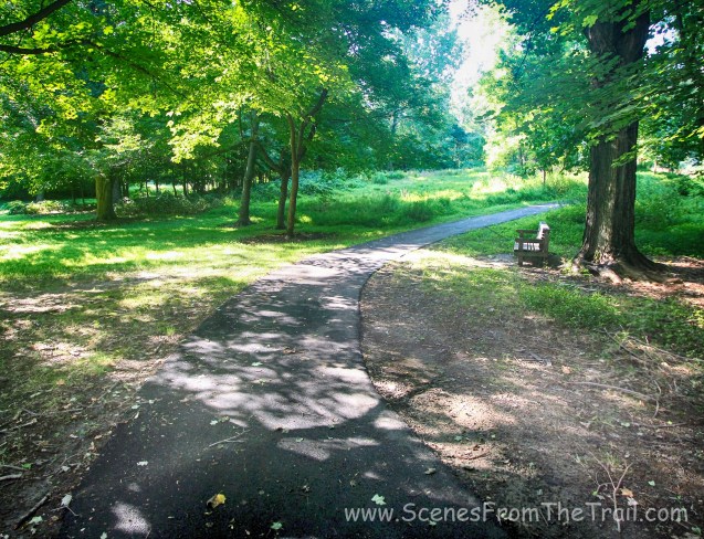
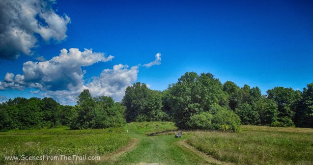
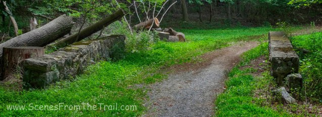
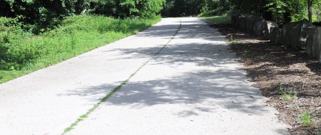
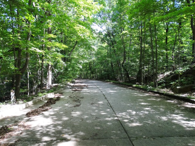
The aqueduct passes through the campus of Mercy College and is very well kept.
Old Croton Aqueduct – Mercy College
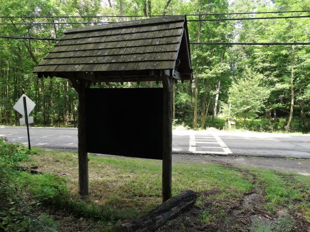
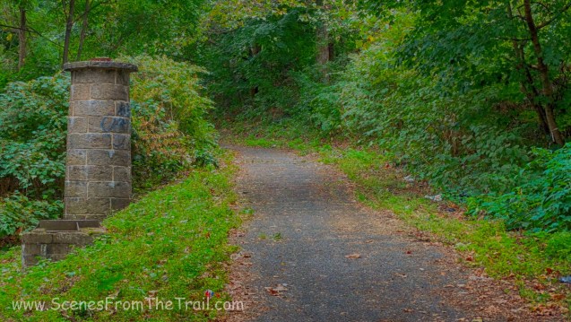
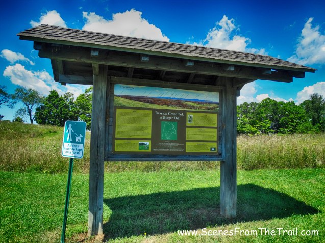
It was about 9:45am on a Sunday morning and this area had joggers and dog walkers, but not overly crowded. We reached Cedar Street, which had an interpretive kiosk. We walked up the stairs and crossed the street, continuing on to the aqueduct.
Old Croton Aqueduct Trail – Cedar Street, Dobbs Ferry
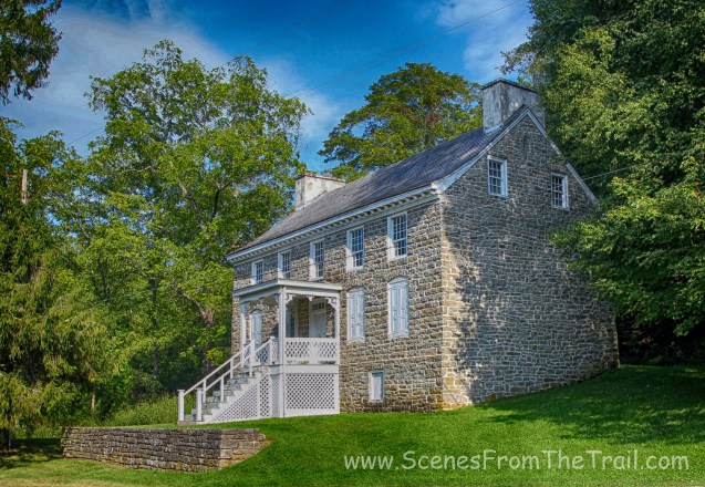
We passed the Keepers House which is located at 15 Walnut Street in Dobbs Ferry. It was built in 1857 and sits alongside the trail. During the active days of the Aqueduct, overseers in charge of patrolling and maintaining specific sections of this infrastructure were provided with houses on or near the section of the tunnel for which they were responsible. This is the only one of these houses that survives today.
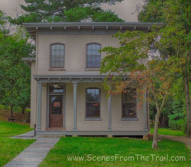
Keepers House
Behind the keepers house was an interesting looking stone fireplace.
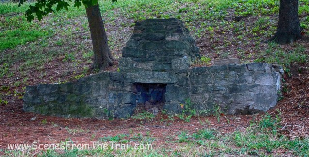
stone fireplace
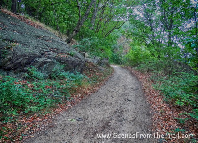
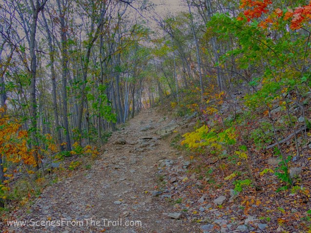
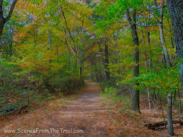
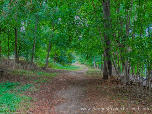
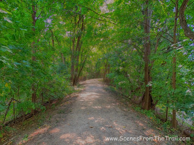
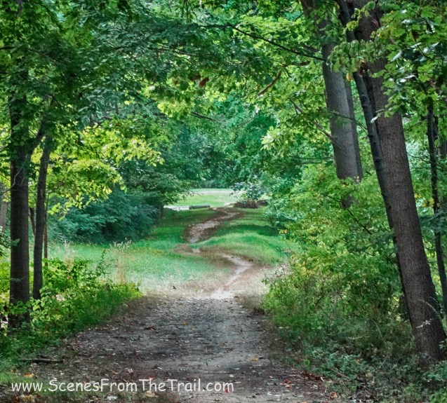
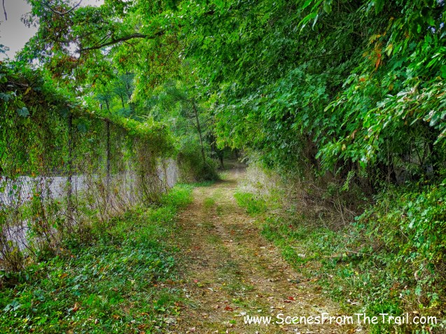
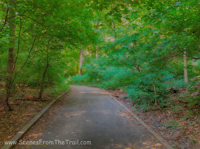
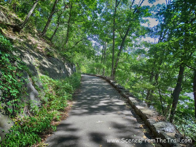
We then crossed Route 9, which is always subject to much traffic. Subsequent to crossing the road we continued on this particularly picturesque section of the OCA.
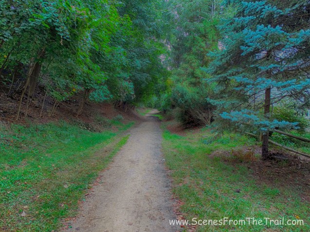
Old Croton Aqueduct Trail – Dobbs Ferry
Old Croton Aqueduct Trail – Dobbs Ferry
We passed some giraffe sculptures in a yard that bordered the OCA.

giraffe sculptures
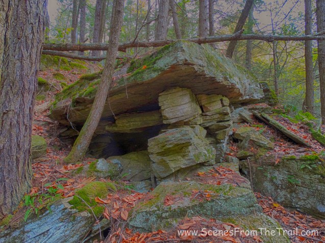
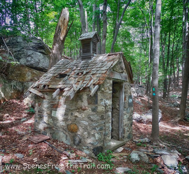
As we entered Hastings and passed Zinsser Park, I saw what appeared to be some sort of shelter along the trail. The tree bark was used for the roof and it even had a gated entrance.
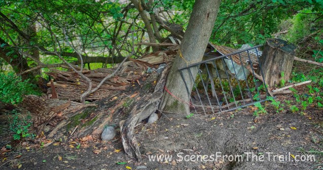
shelter along the trail
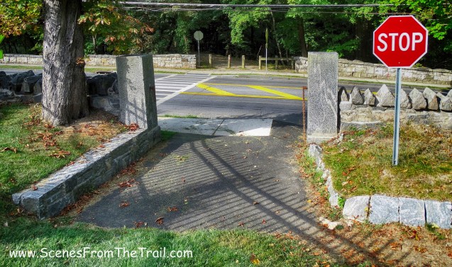
When we came to Chauncey Lane, we again crossed Route 9.
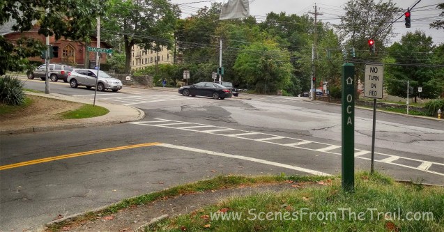
Route 9 – Hastings
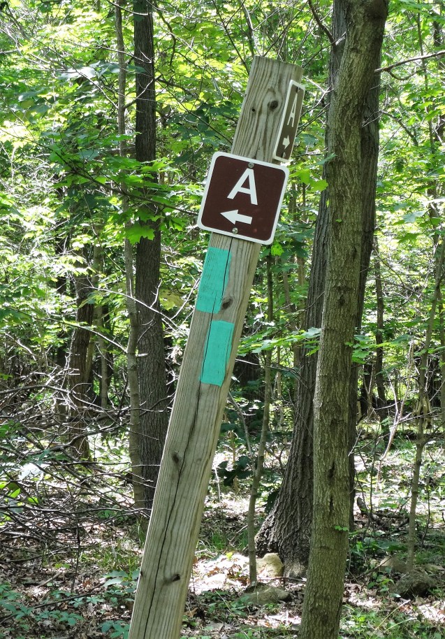
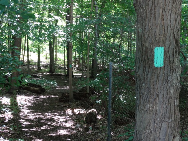
After crossing Route 9, we found the green OCA marker and continued along the aqueduct.
OCA marker – Hastings
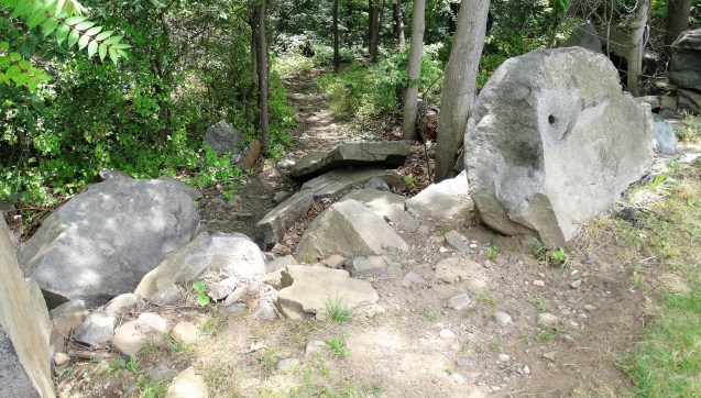
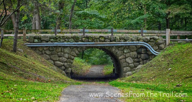
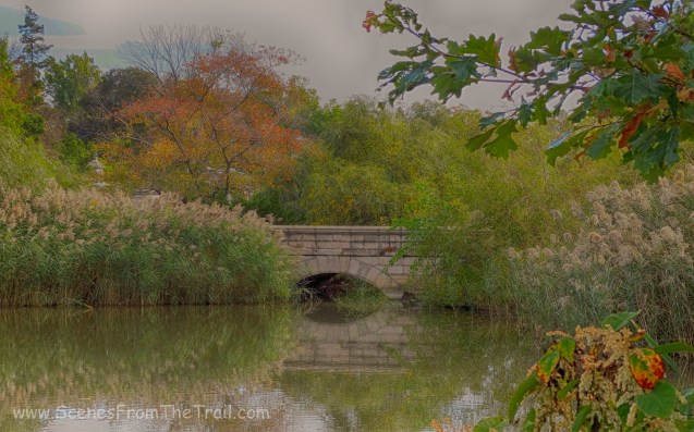
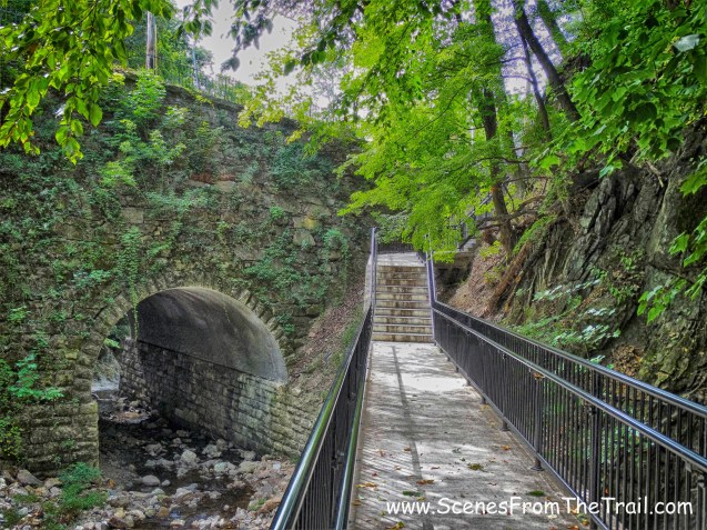
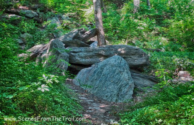
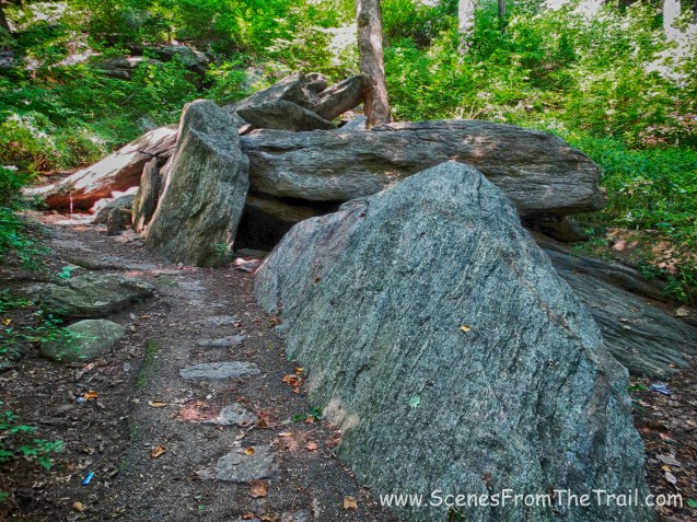
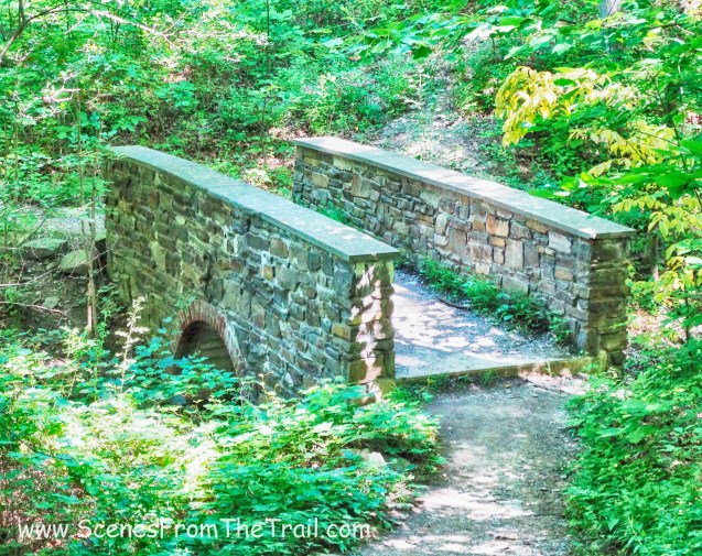
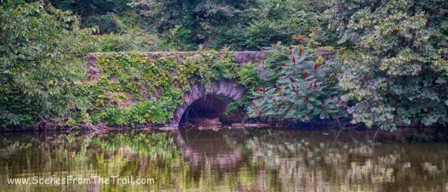
While walking along the trail, I noticed a path with some steps off to the left. I decided to take a look and I was glad I did. As it turns out, at this point the aqueduct goes over a stone arch bridge.
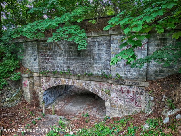
stone arch bridge
The bridge was built in 1840, over a railway used for a quarry that was located to the east of the aqueduct.
stone arch bridge
It was definitely worth the side trip to catch a glimpse of this impressive bridge. We decided to take a breather here as well.

stone arch bridge
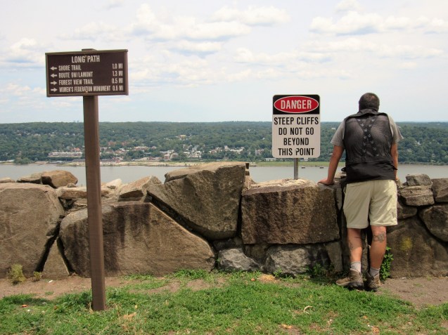
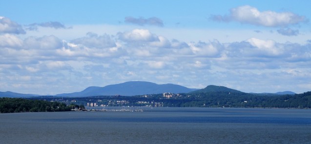
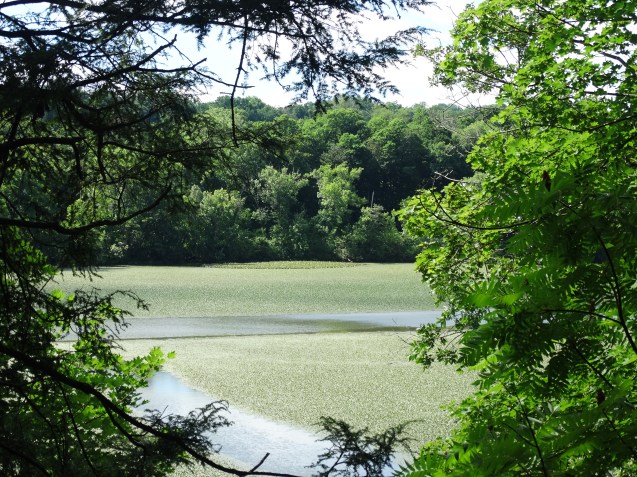
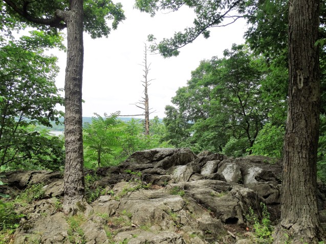
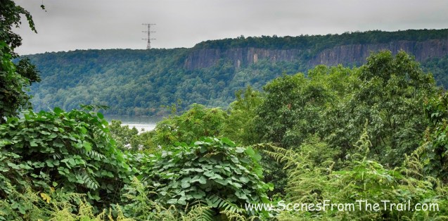
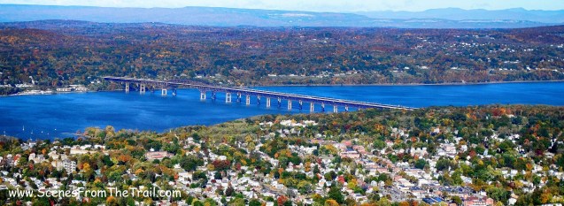
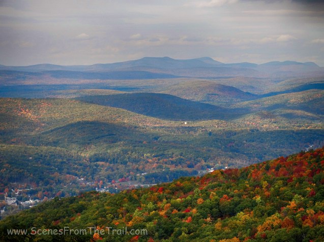
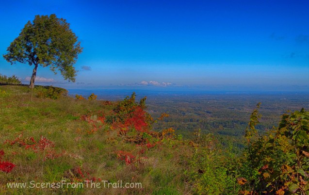
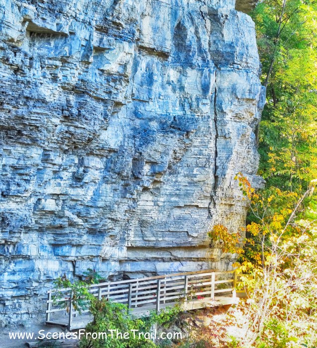
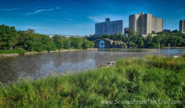
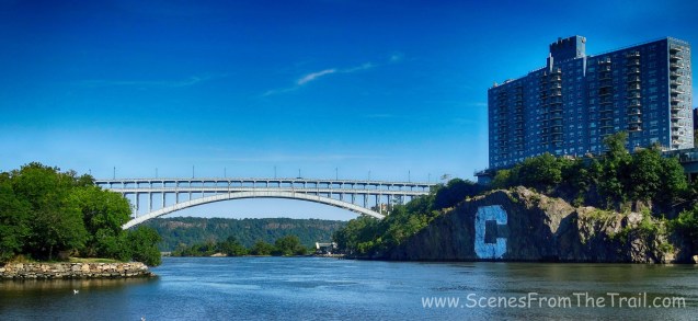
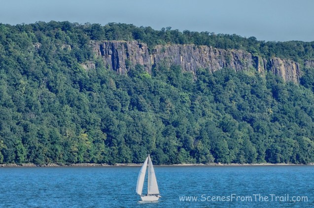
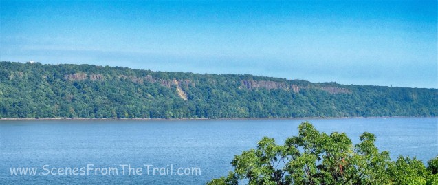
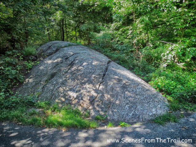
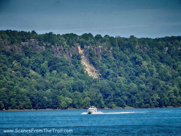
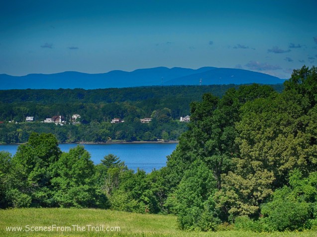
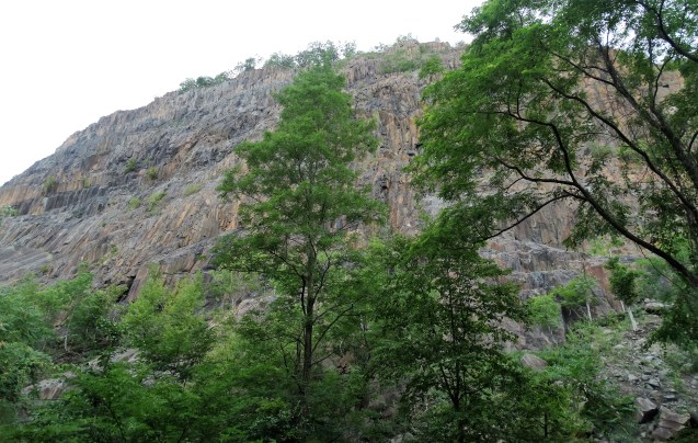
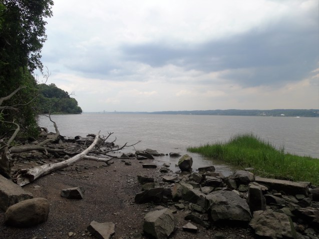
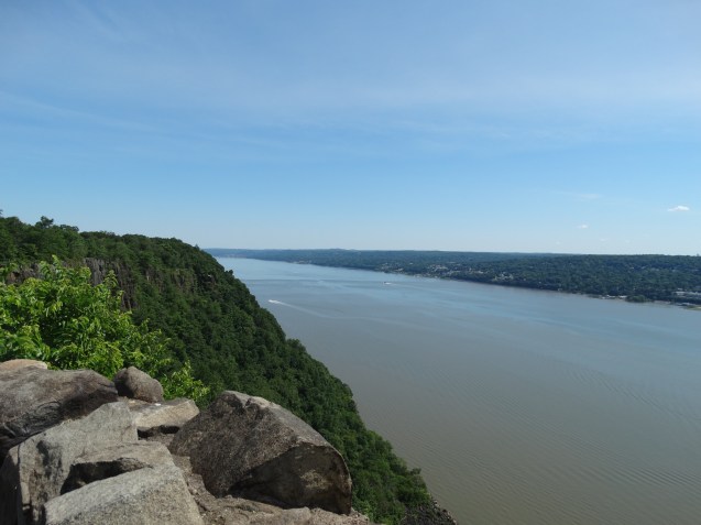
As we continued on our hike, views of the Palisades cliffs opened up to the west. Visible along the base of the cliffs is a jumble of boulders. That is a section of trail known as the Giant Stairs . I did this hike back in July and it was incredible.
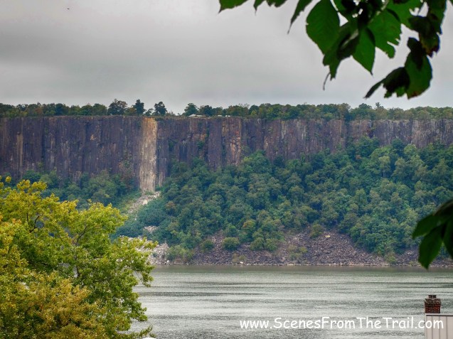
Palisades cliffs
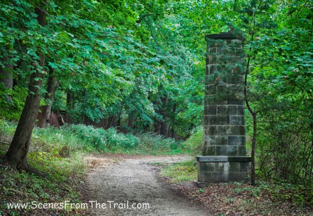
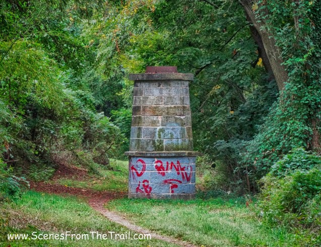
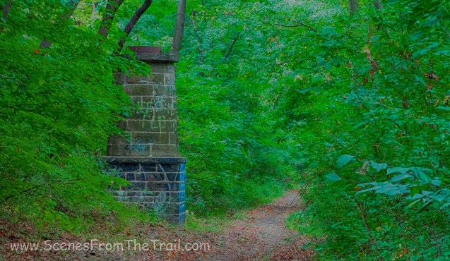
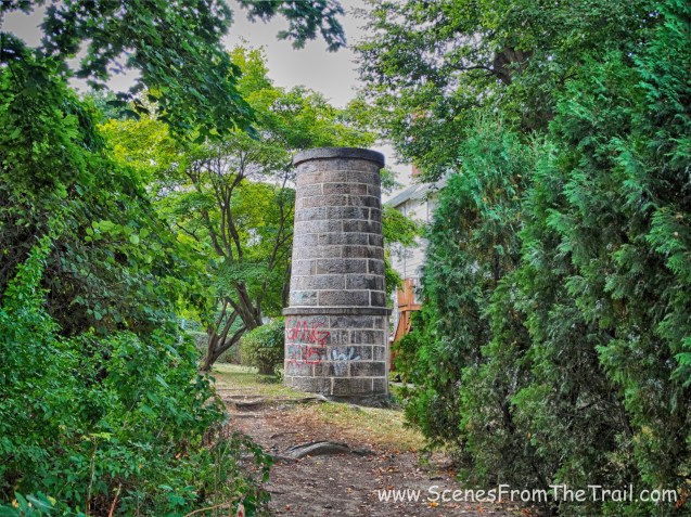
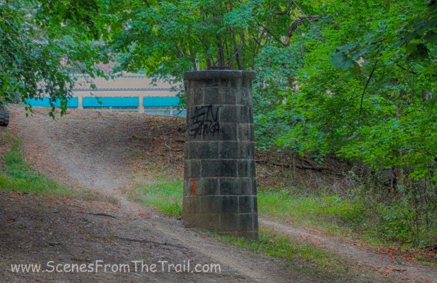
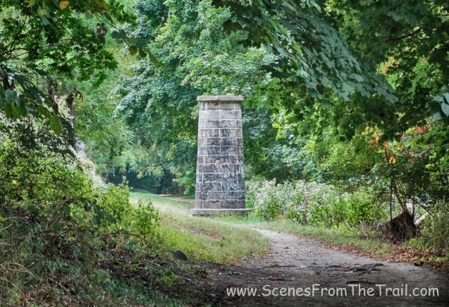
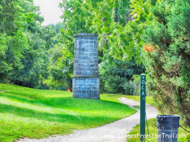
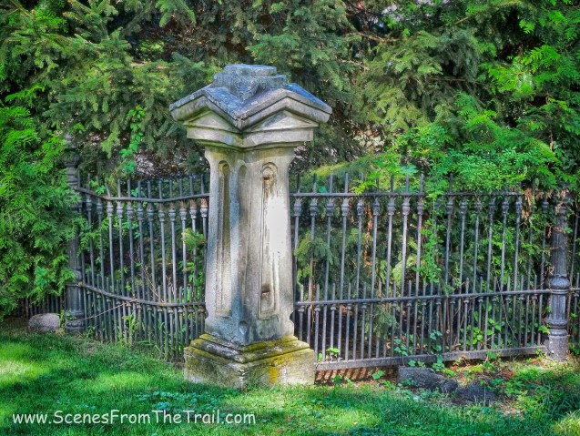
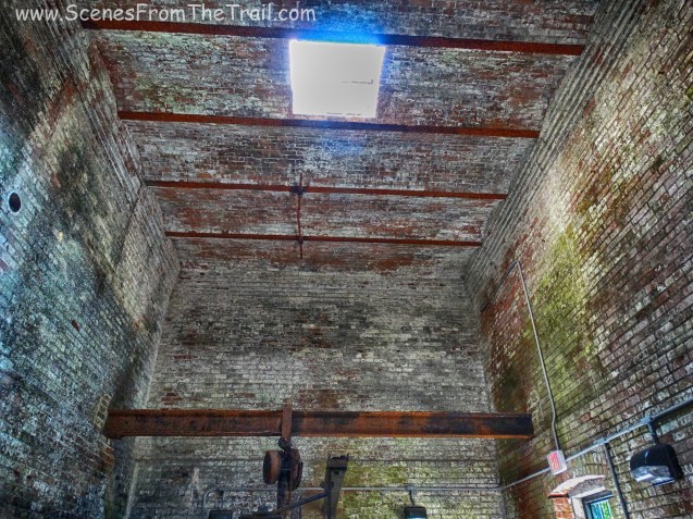
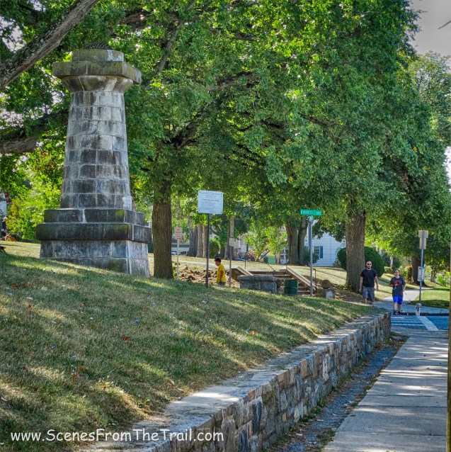
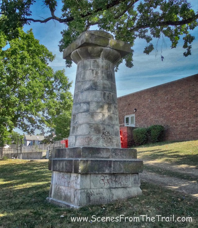
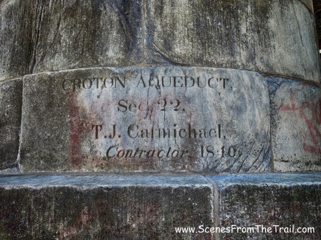
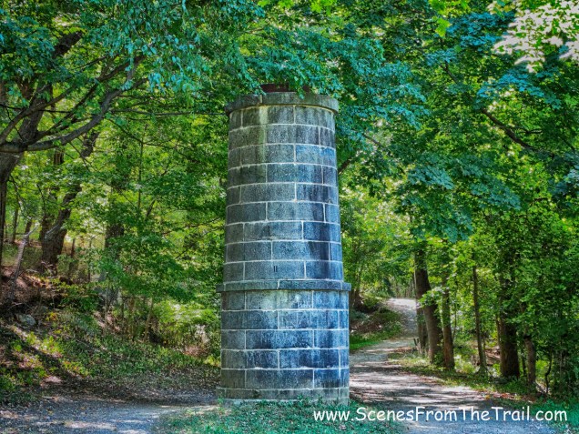
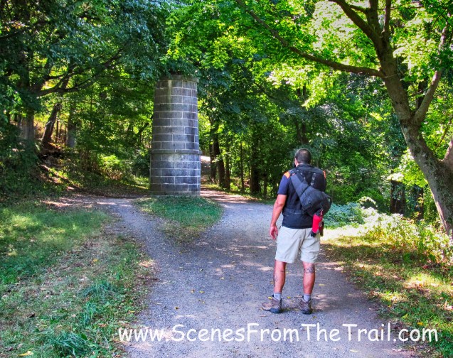
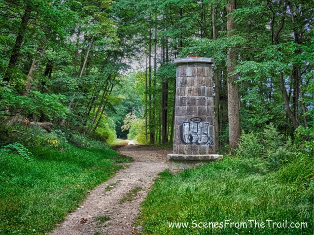
A little further along, we arrived at ventilator shaft 18.
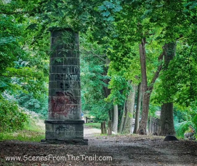
ventilator shaft 18
According to this giant clock we had now been hiking for about 2 hours.

giant clock
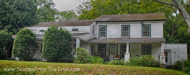
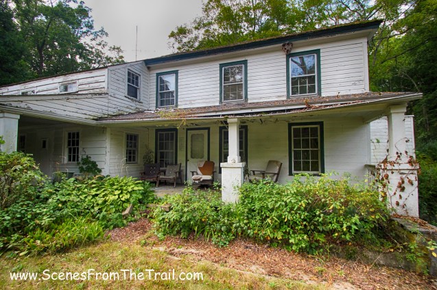
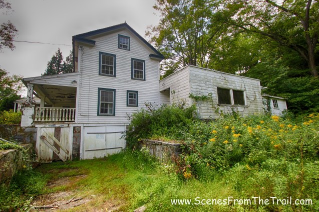
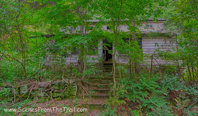
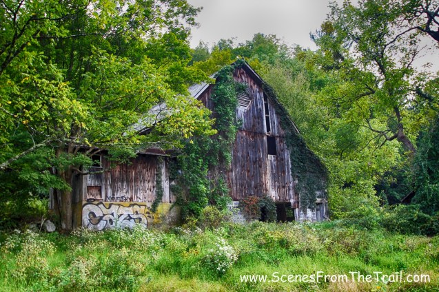
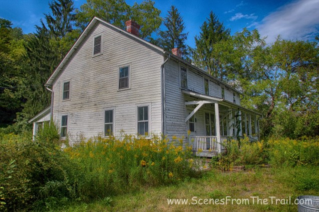
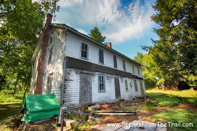
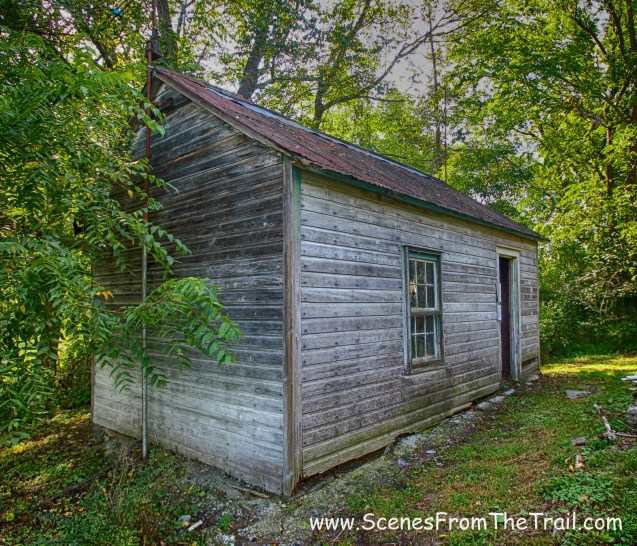
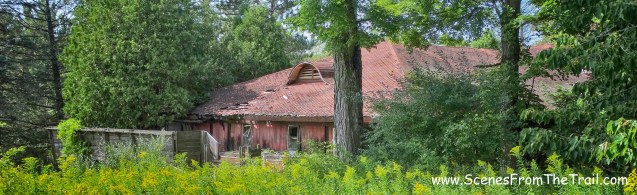
We passed what appeared to be an abandoned house.

abandoned house – Hastings
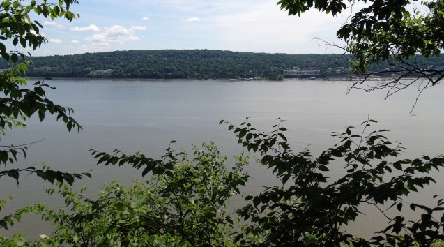
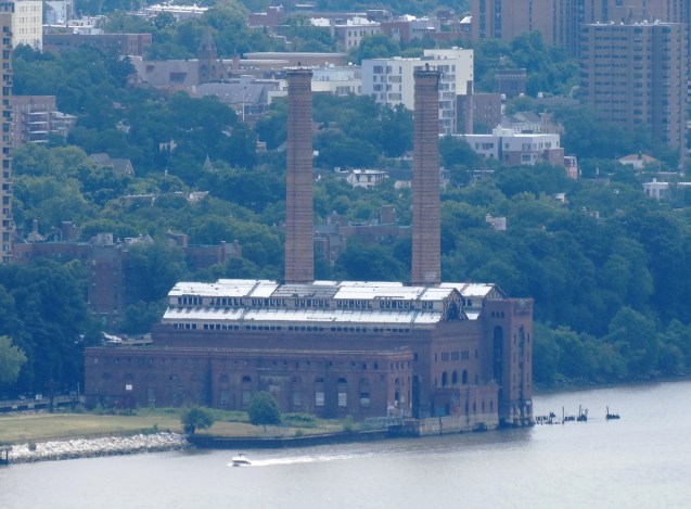
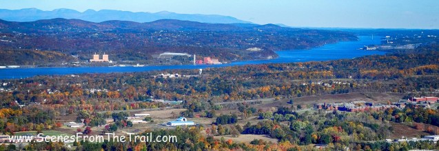
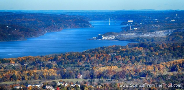
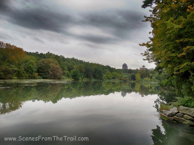
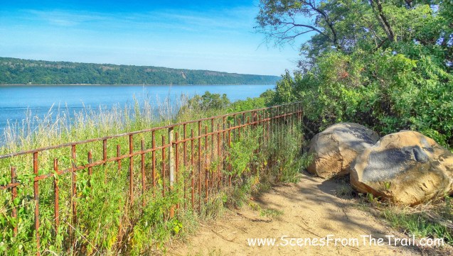
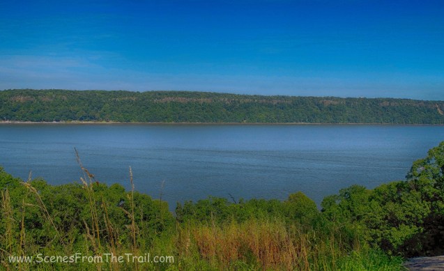
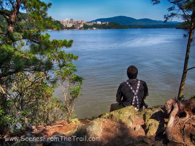
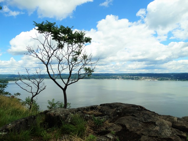
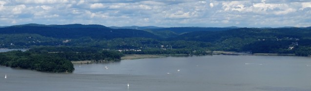
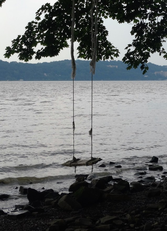
Some more views of the Palisades and the Hudson River to the west as we approached Yonkers.
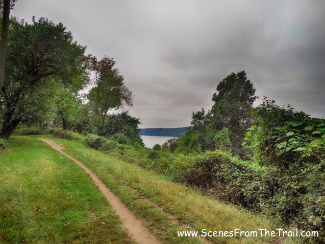
Palisades and the Hudson River
We stopped for a few minutes to enjoy the view and take a short break.
Palisades and the Hudson River
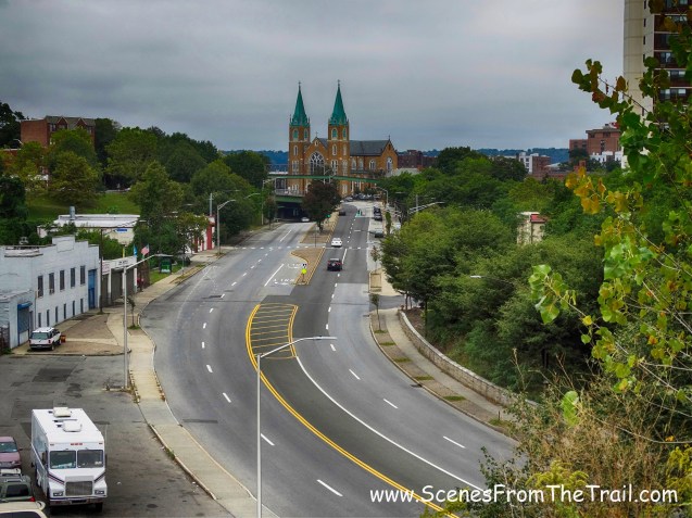
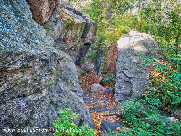
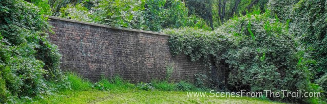
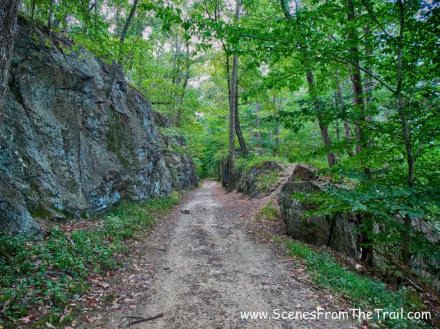
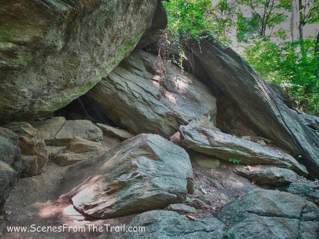
As we entered Yonkers, we walked by the entrance to Lenoir Preserve and approached a scenic rock cut.
rock cut
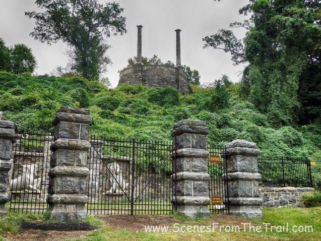
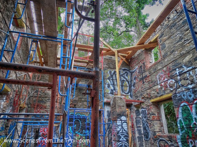
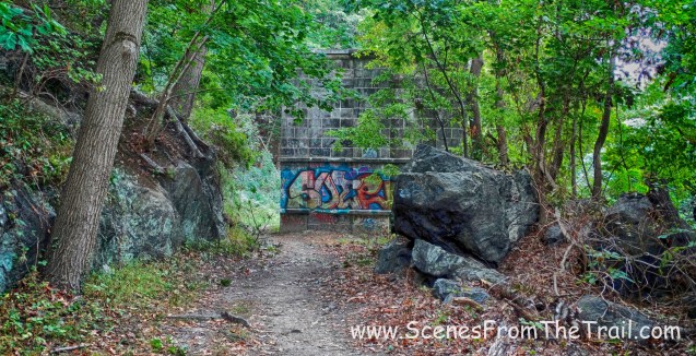
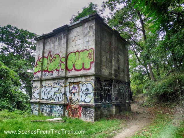
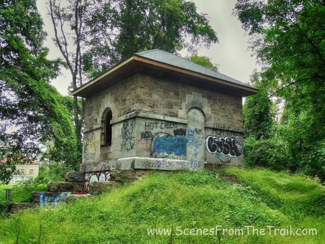
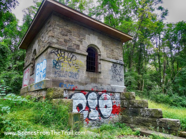
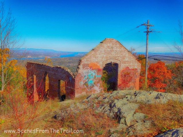
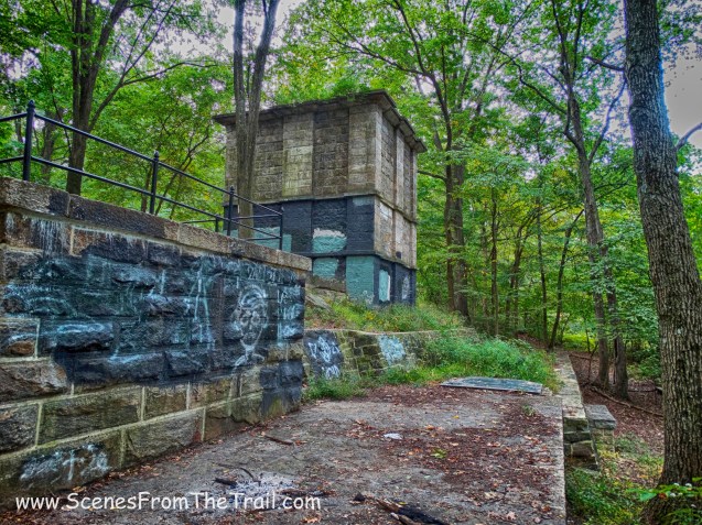
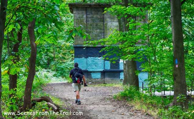
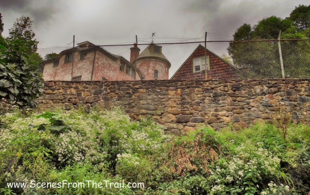
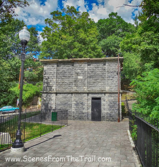
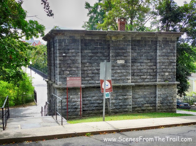
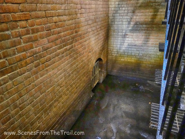
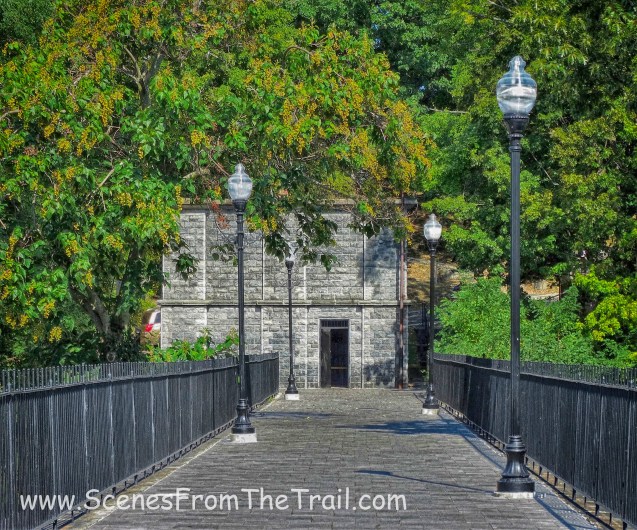
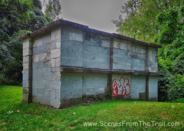
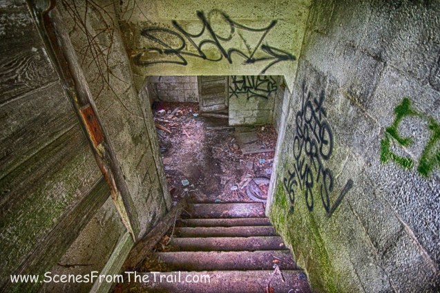
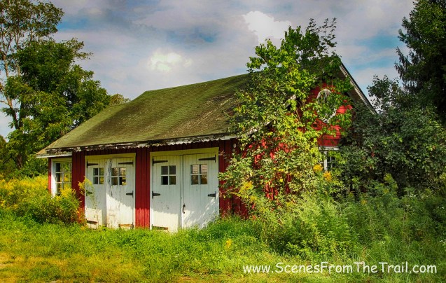
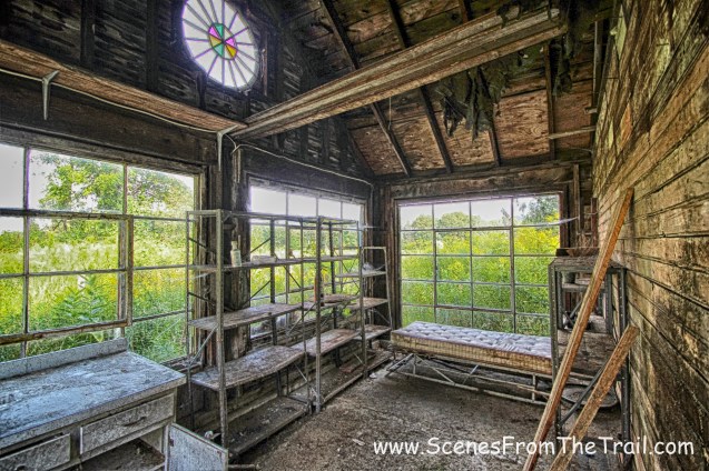
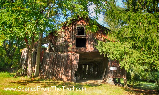
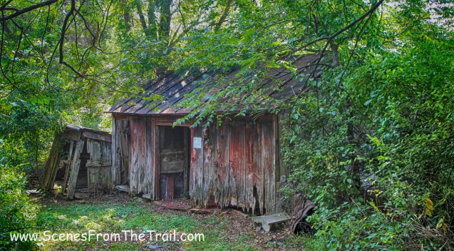
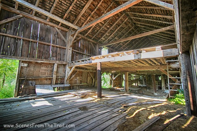
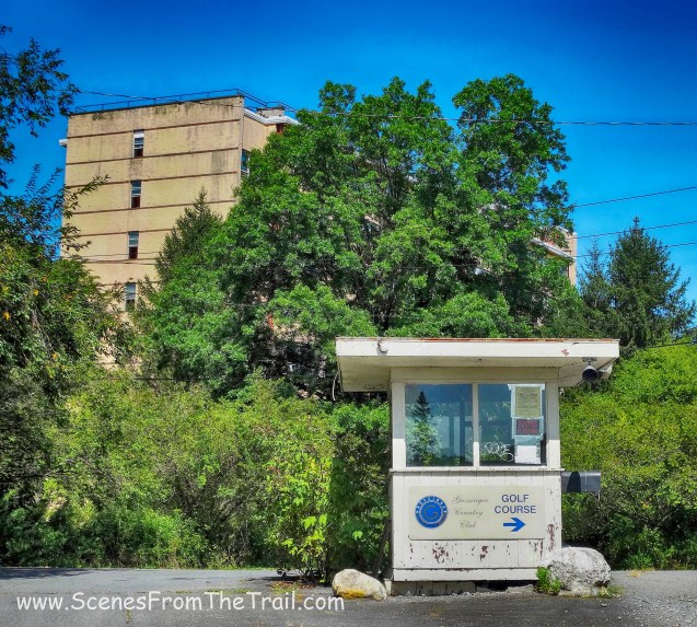
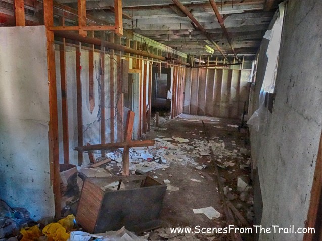
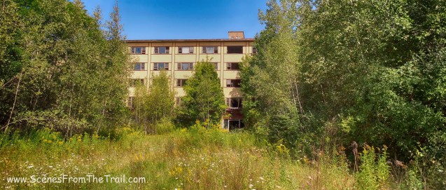
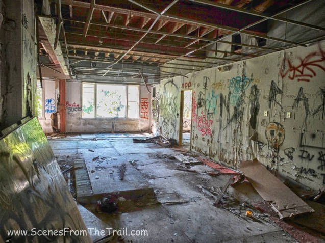
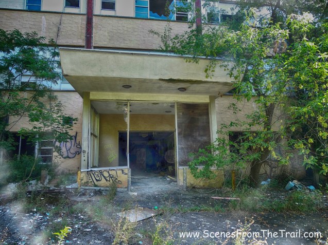
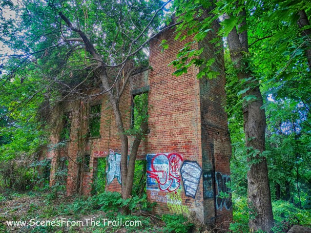
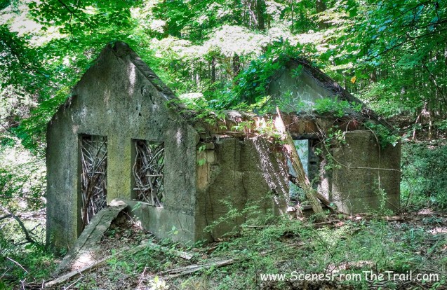
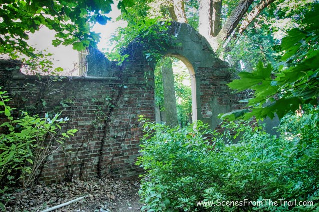
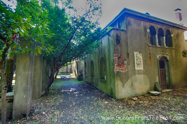
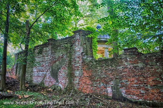
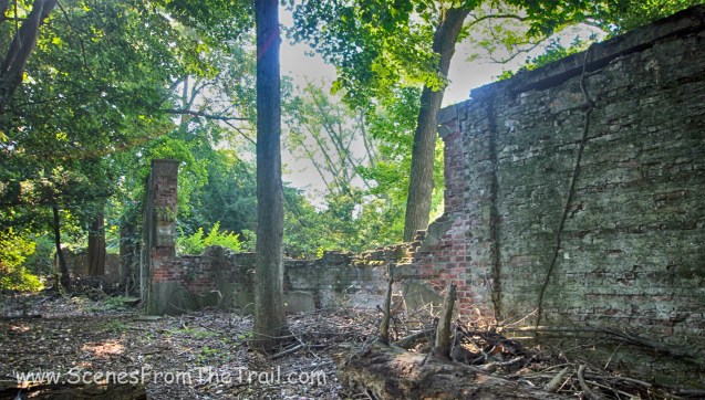
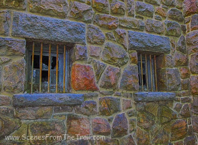
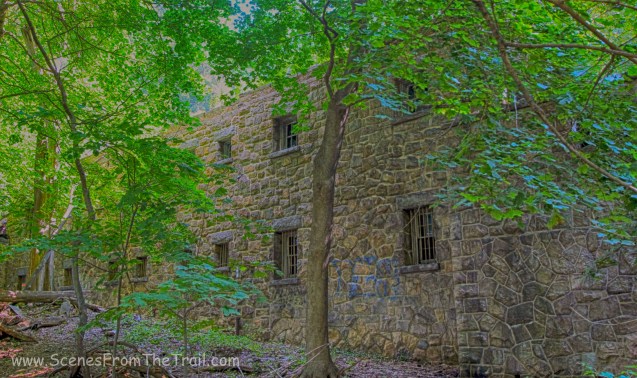
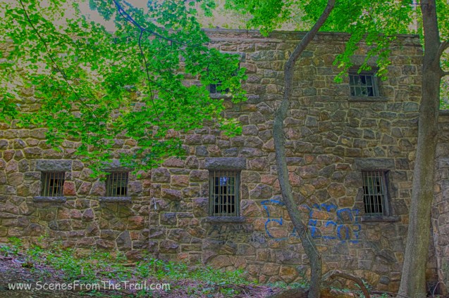
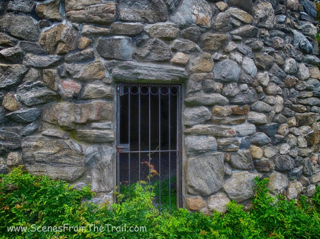
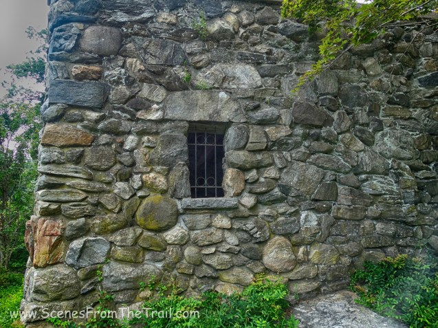
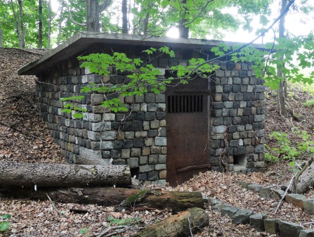
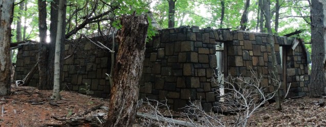
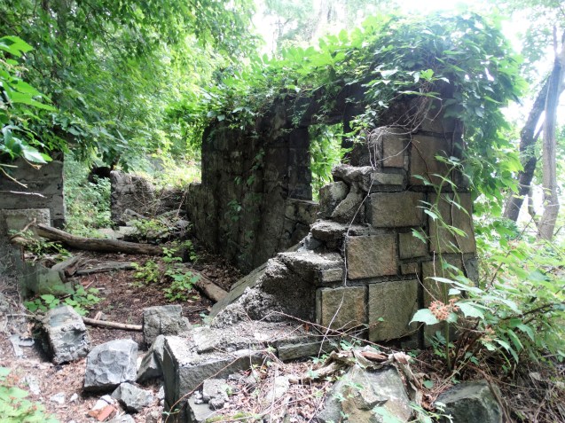
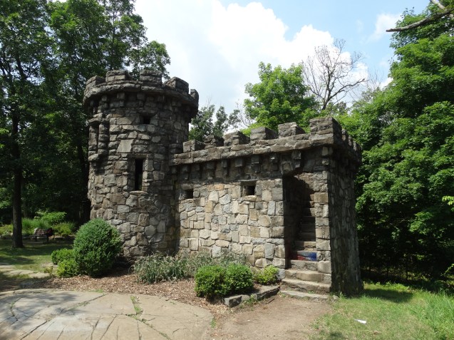
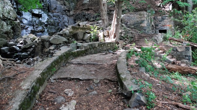
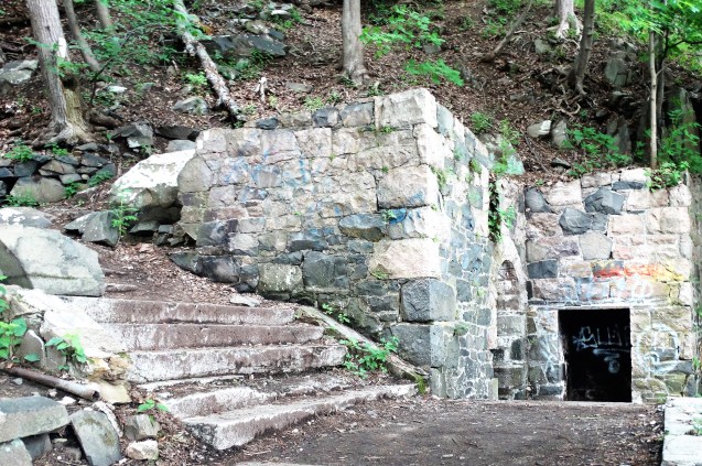
After passing through the rock cut we came upon a building that I have wondered about for years. It has the appearance of being a jail.
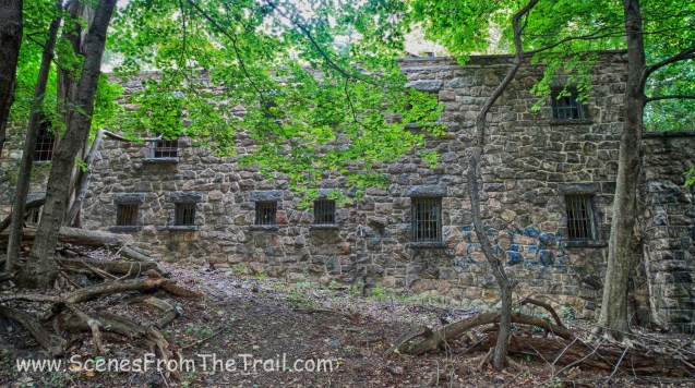
jail like structure
There is no information online about this building and the only info that I have gotten is somewhat sketchy. I have been told that it could have been an outbuilding, which at one time belonged to the Untermyer Estate. Nevertheless, we wandered around a little, just checking out the ruins of this cool looking structure.
jail like structure
After exploring for a while, we crossed Odell Avenue and passed by ventilator shaft 19.
ventilator shaft 19
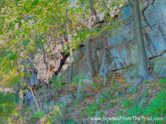
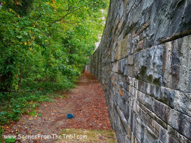
We passed another rock cut……
rock cut
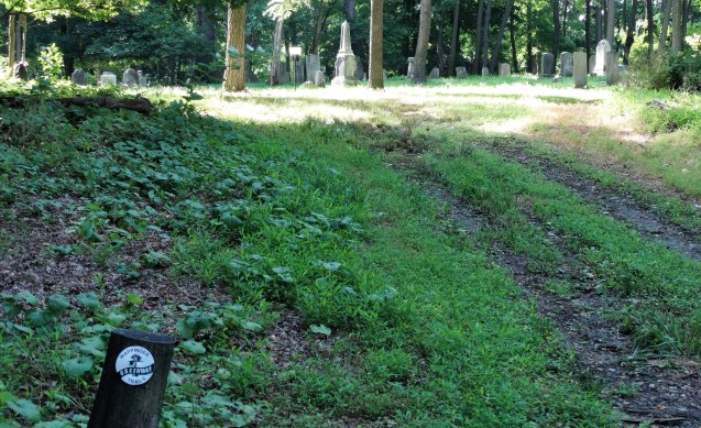
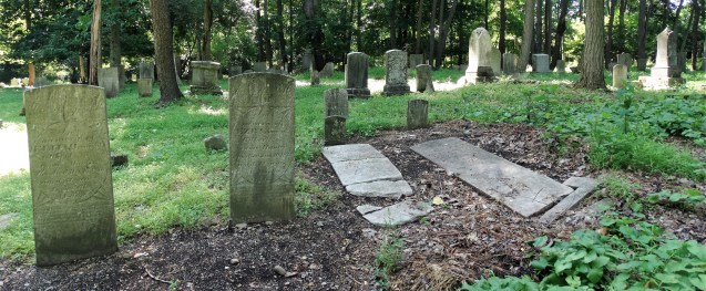
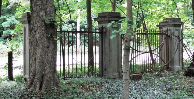
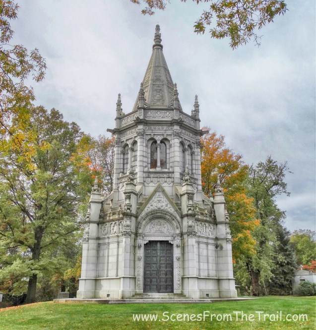
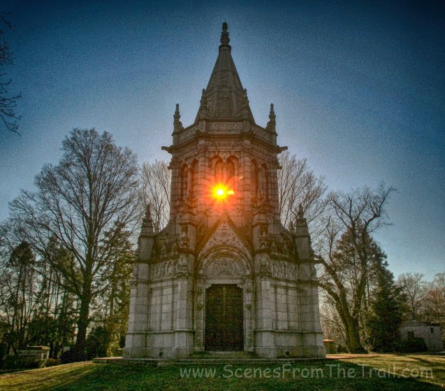
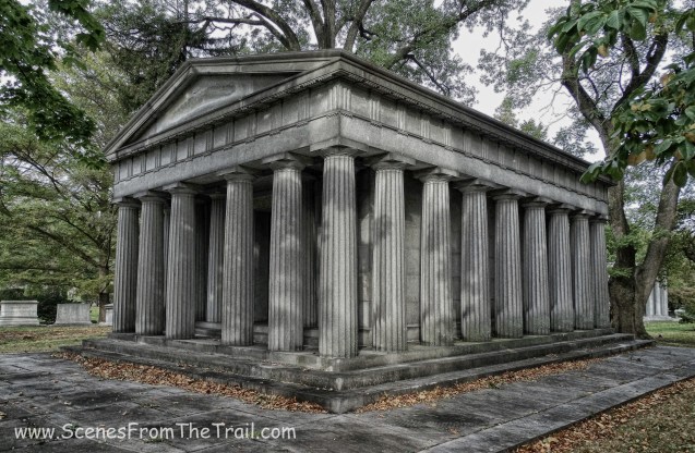
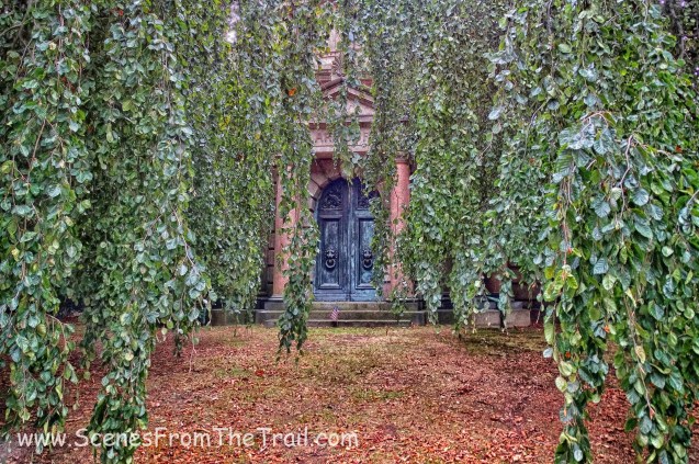
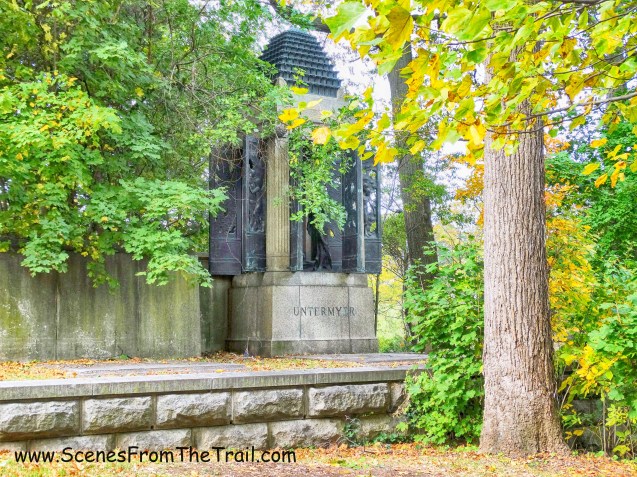
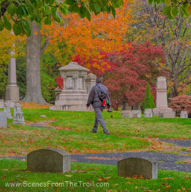
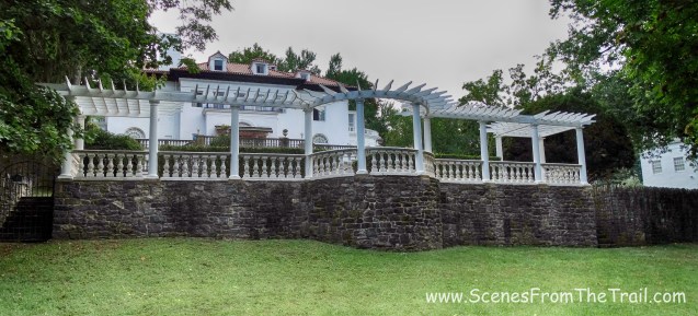
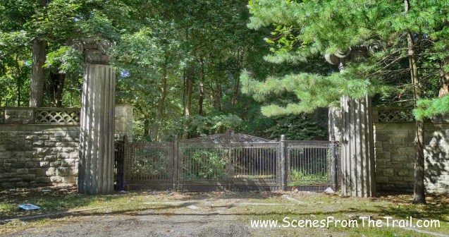
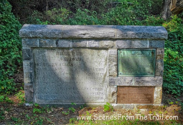
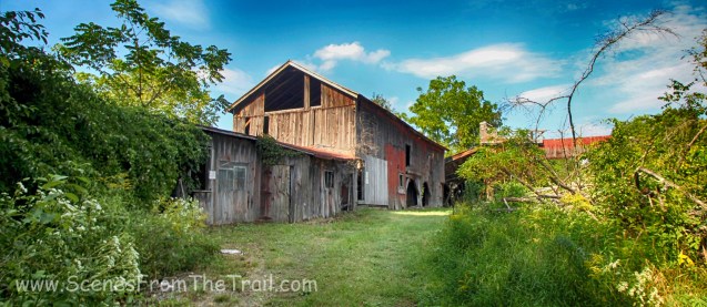
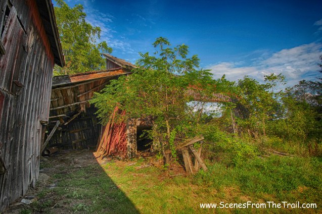
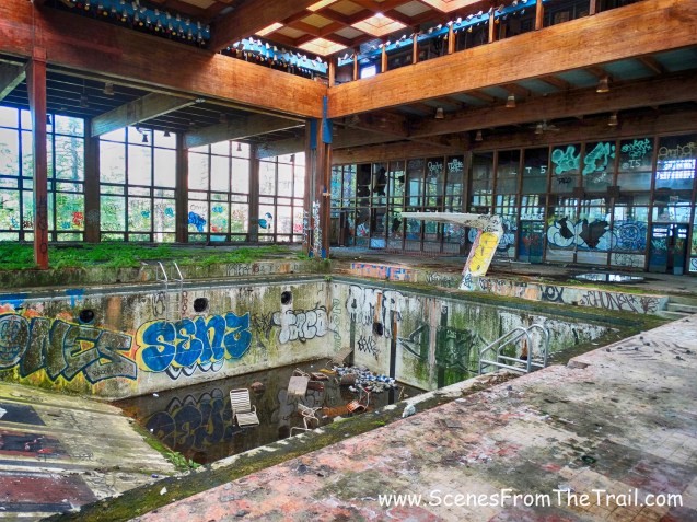
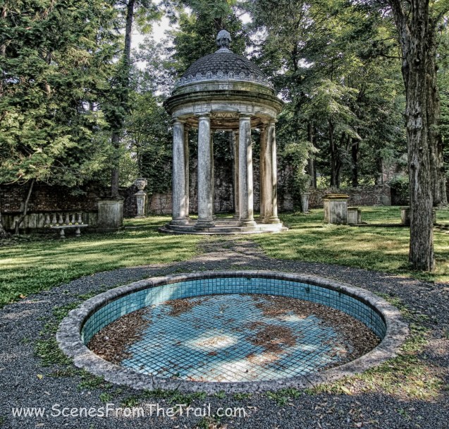
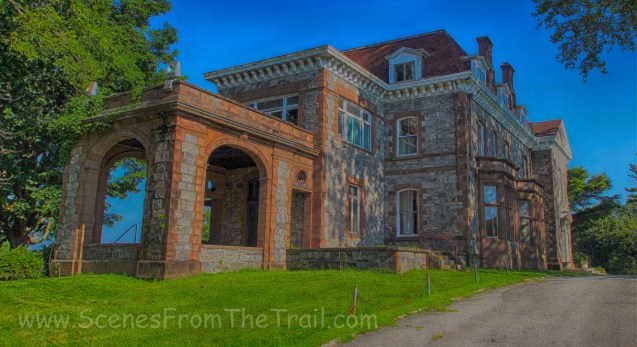
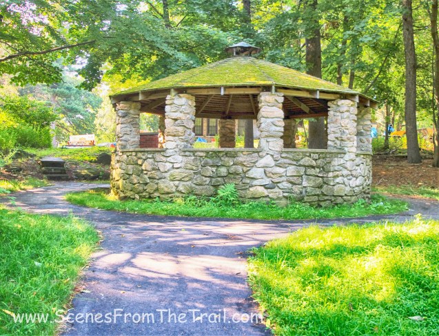
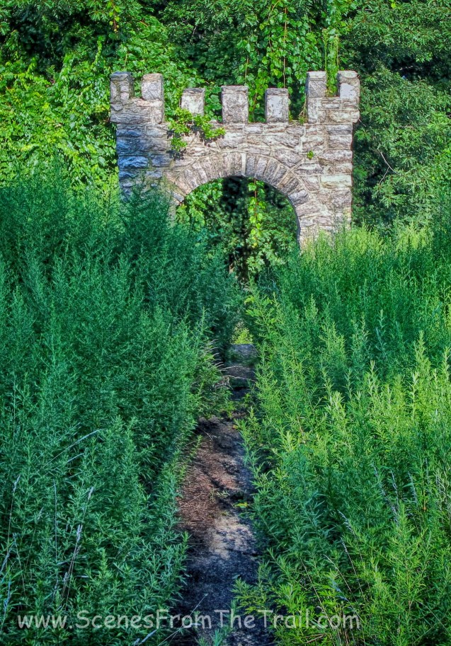
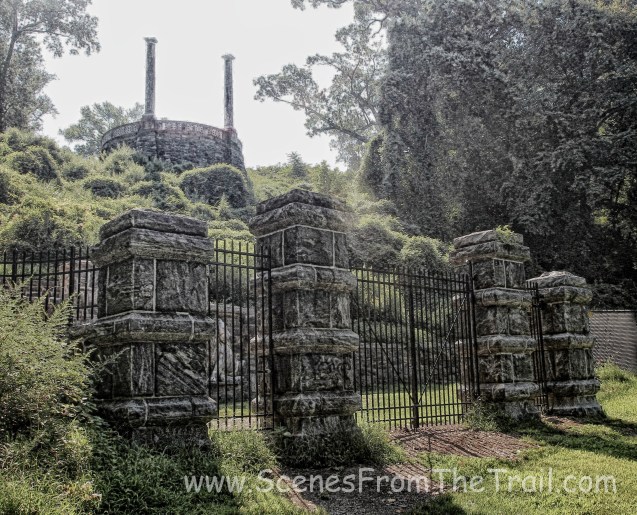
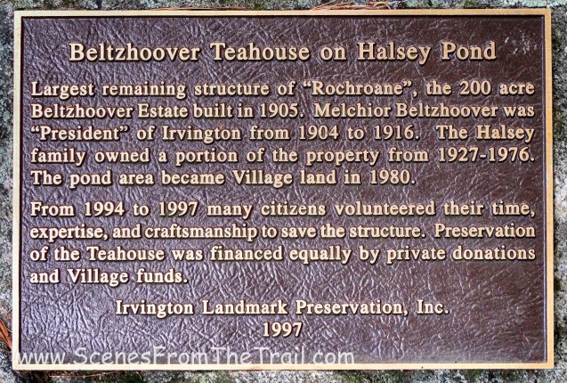
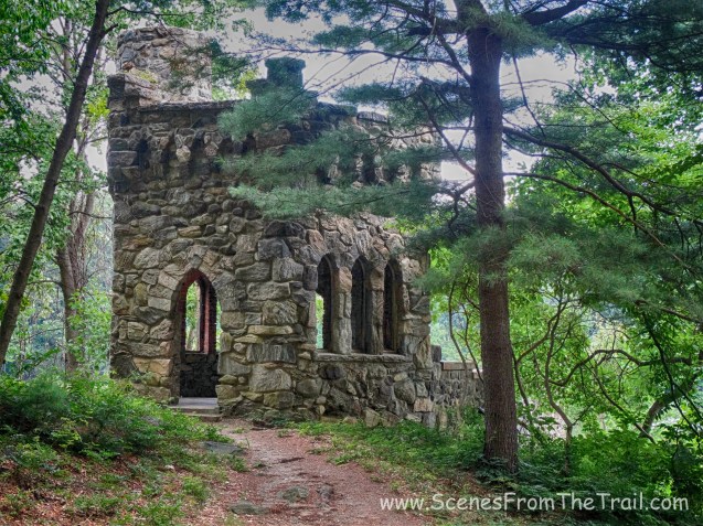
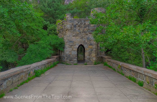
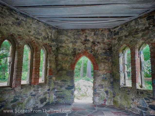
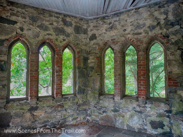
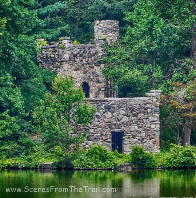
and we arrived at Untermyer Park, one of my favorite places, which has a ton of history, some of it good and some not so good.
Untermyer Park
We stopped for lunch here and also did a little exploring as well.
Untermyer Park
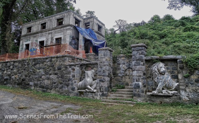
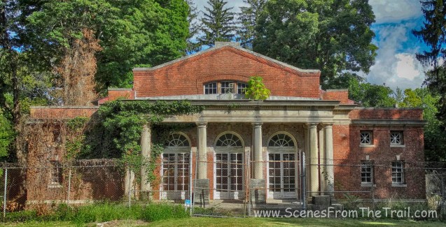
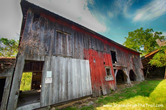
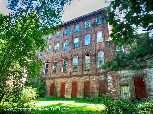
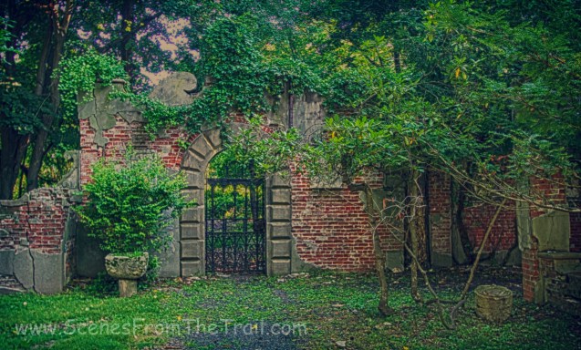
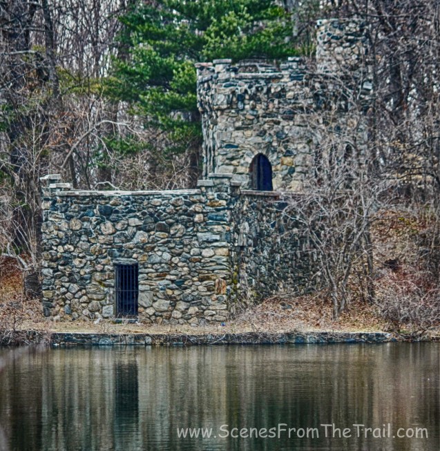
The gatehouse seems to be undergoing some renovations since the last time I was here. The walls have been stabilized and hopefully this building will be restored.
gatehouse – Untermyer Park
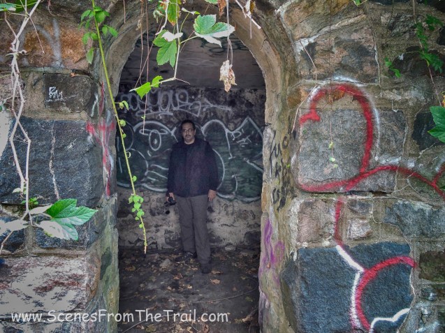
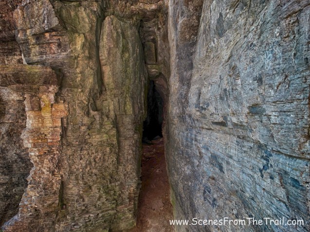
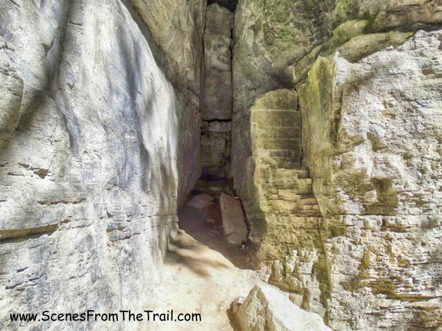
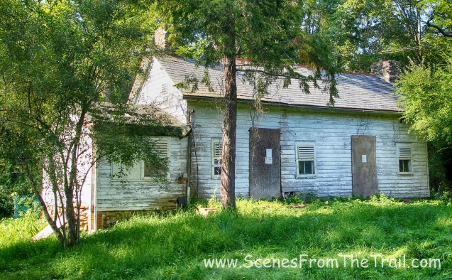
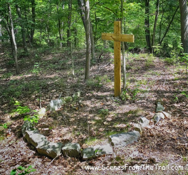
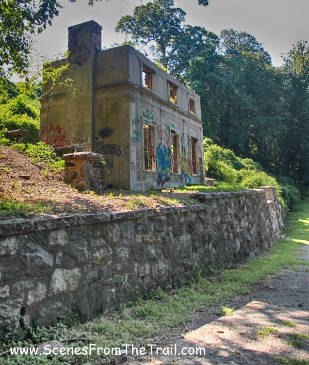
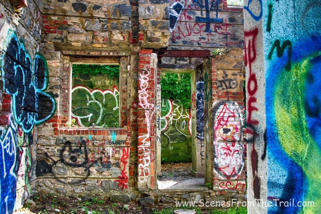
It is believed that this abandoned house was used during the 1970’s for rituals by the cult calling themselves The Process Church of Final Judgment, which Son of Sam was a member. Behind the main structure of the house is a small room with an arched doorway. This room has earned the nickname, the Devil’s Hole.
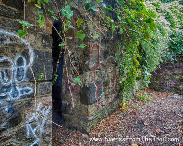
Devil’s Hole
David Berkowitz aka Son of Sam used to frequent this park while a member of the cult.
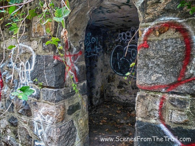
Devil’s Hole
last time I visited, there was a guy sleeping here. Today not a soul in sight, so I stepped inside.
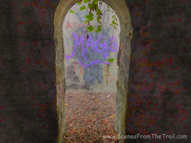
Devil’s Hole
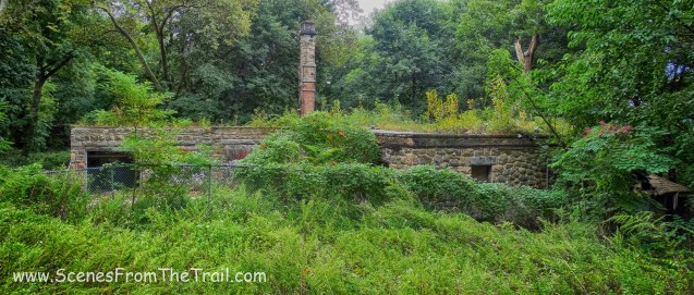
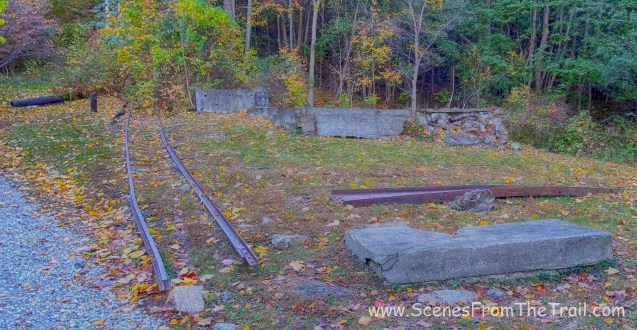
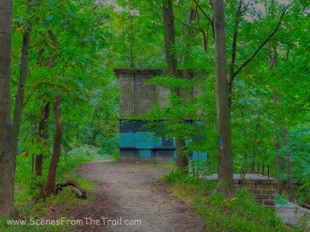
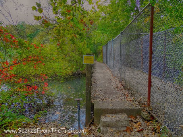
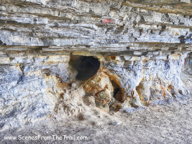
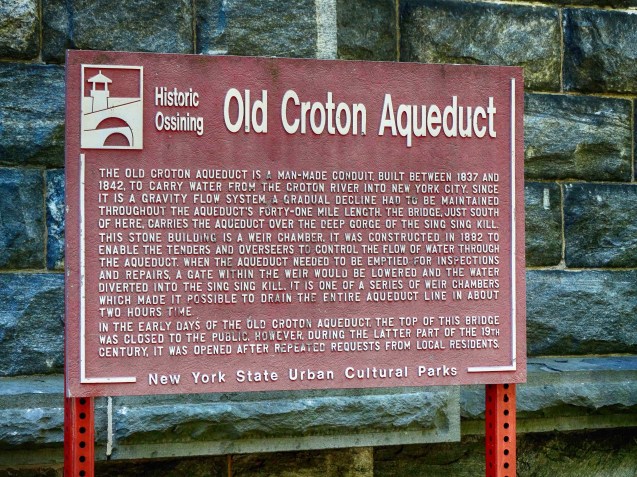
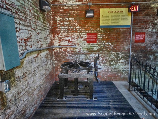
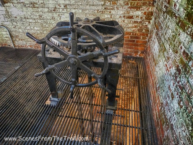
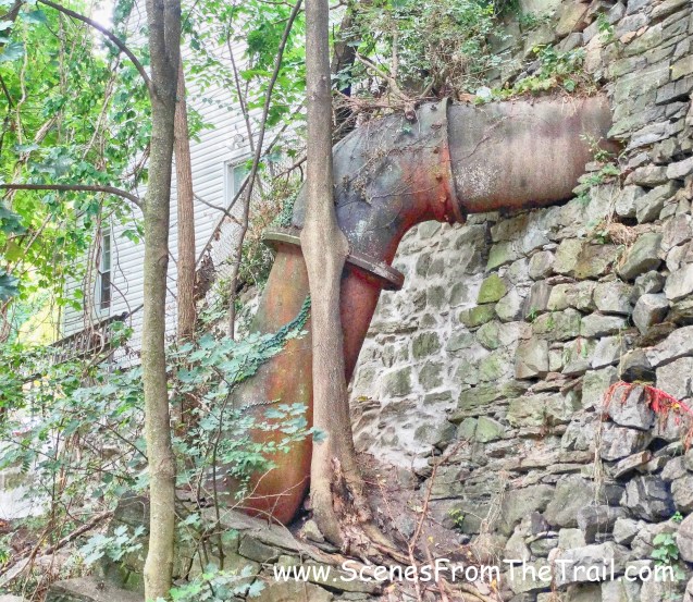
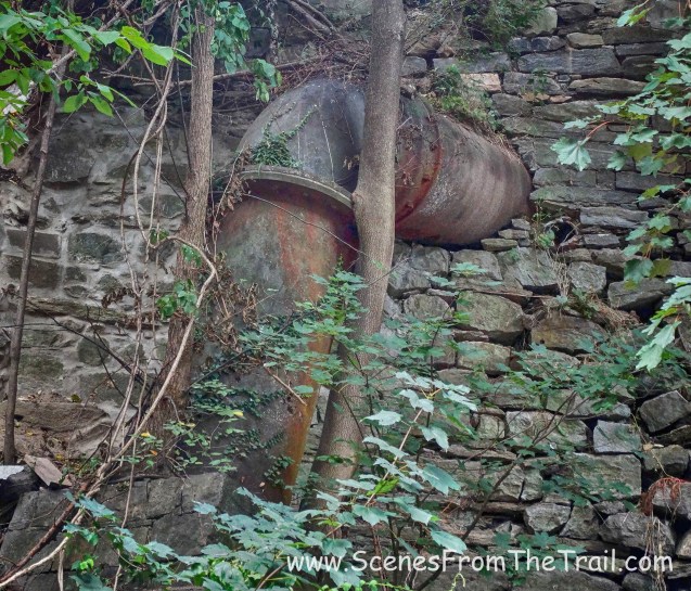
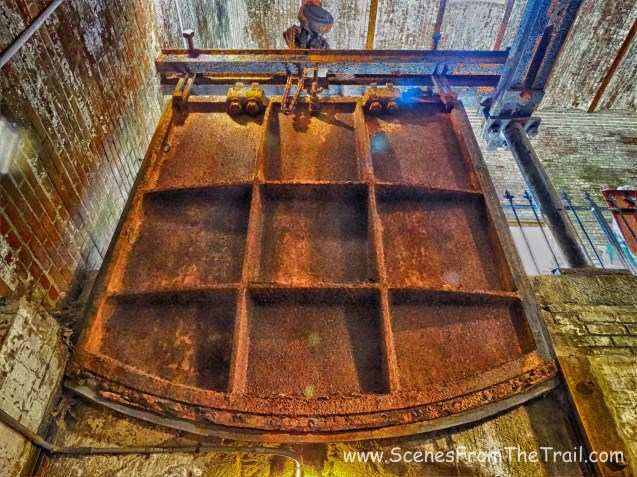
After some hydration, nourishment and a little exploring, it was time to get moving. We continued south along the aqueduct and came upon a weir chamber.
weir chamber
weir chamber
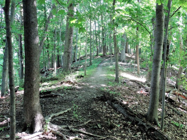
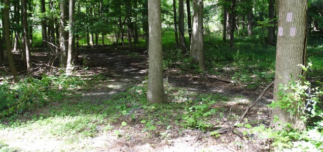
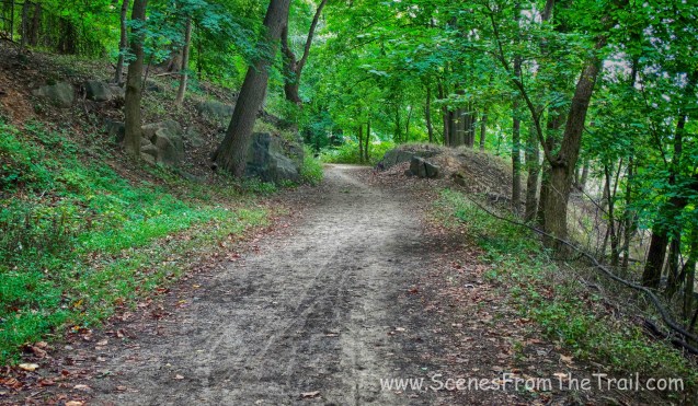
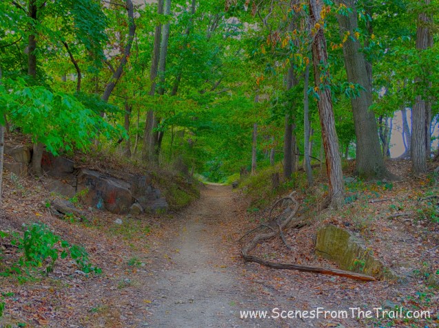
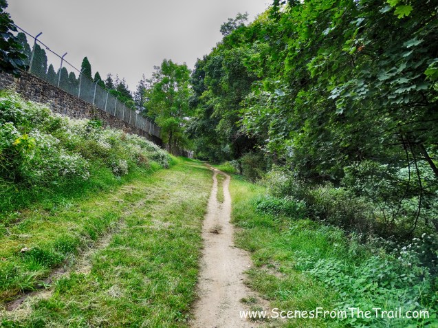
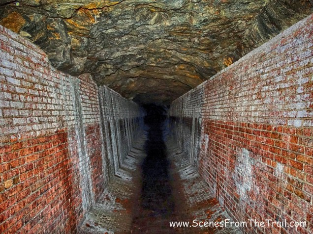
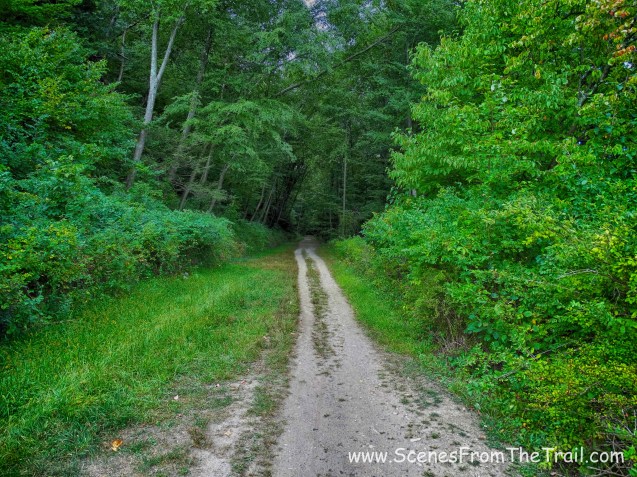
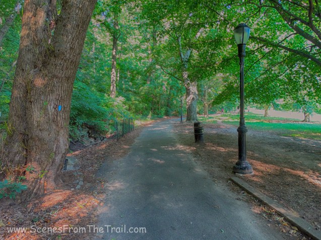
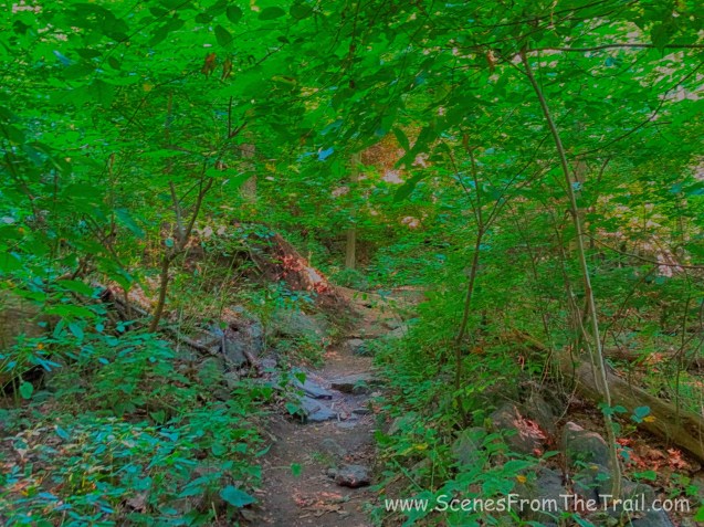
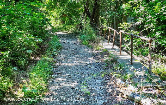
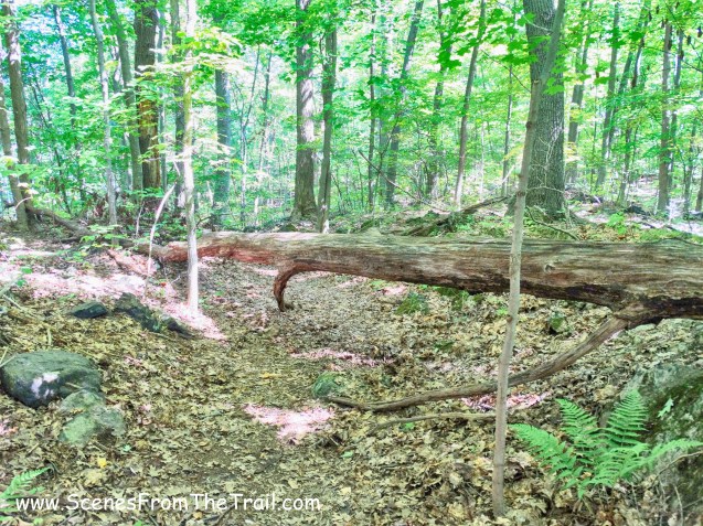
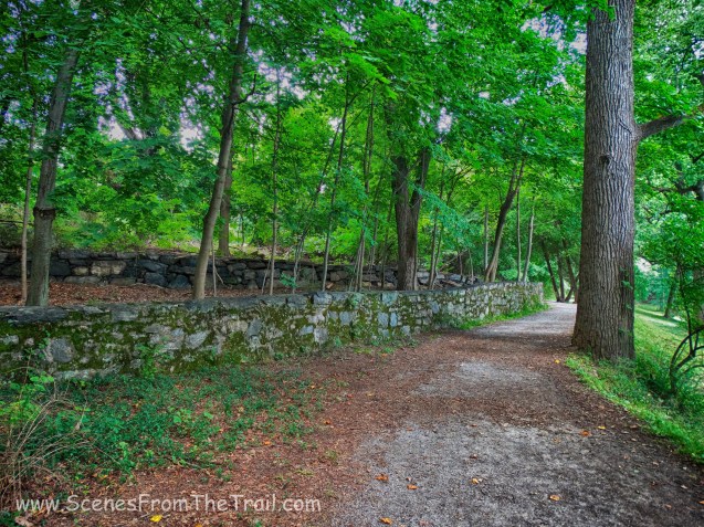
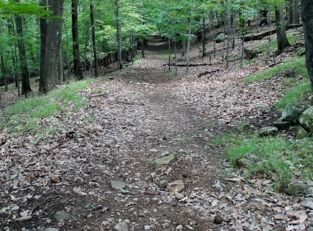
The aqueduct was overgrown in some areas which made it feel like we were walking in the woods.

OCA – Yonkers
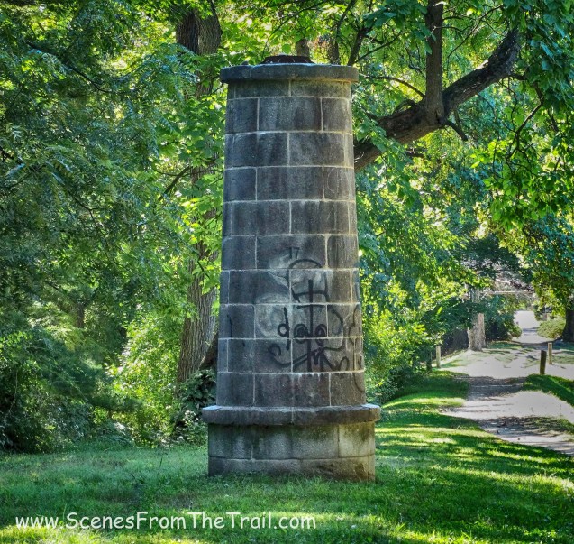
Then we reached ventilator shaft 20, which seemed to be missing the top section.
ventilator shaft 20
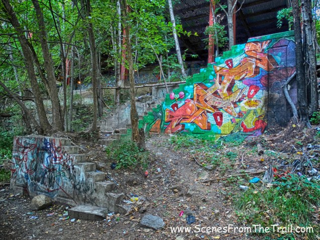
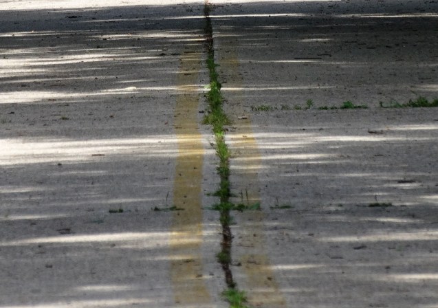
The Yonkers portion of the OCA was quite different than the aqueduct further north. For one thing, it had a lot more graffiti.

OCA – Yonkers
It also had more trash, although I had read that they did a community cleanup on the aqueduct recently. Gone was discarded furniture and squatters’ tents. There was still some broken glass and bottles, along with a dumped refrigerator. Another odd thing about this section is that on the east side of the trail there were some really beautiful homes and on the west side of the trail stood the projects.
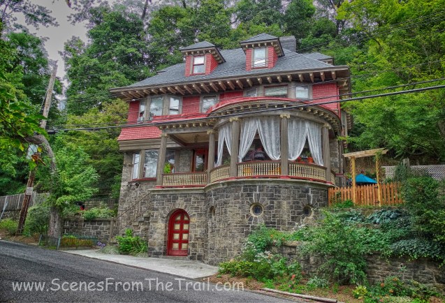
nice home along the OCA – Yonkers
These two houses were right next door to each other.
nice home along the OCA – Yonkers
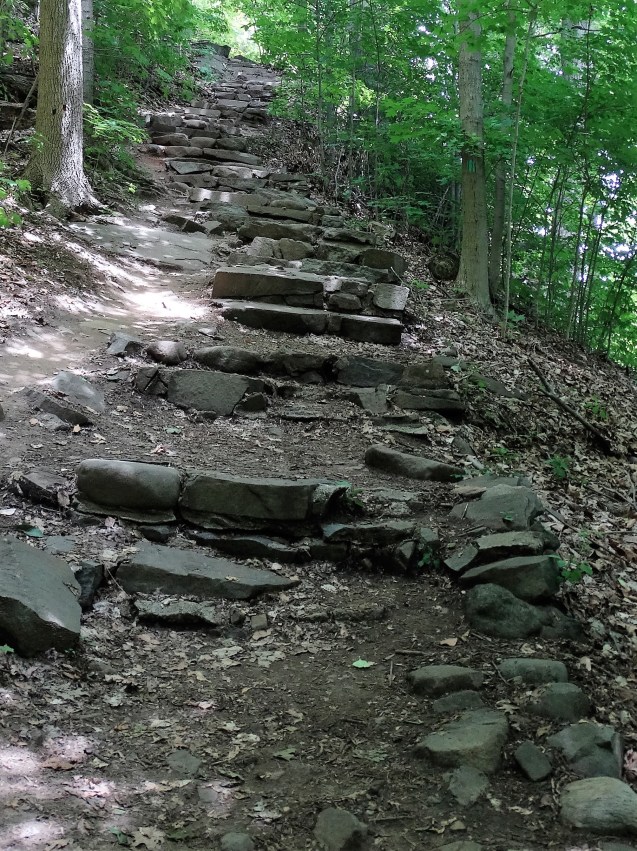
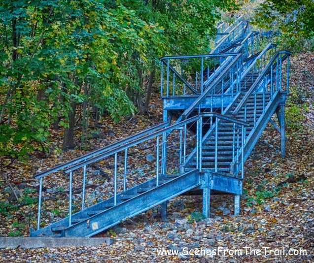
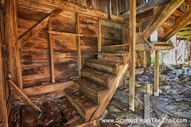
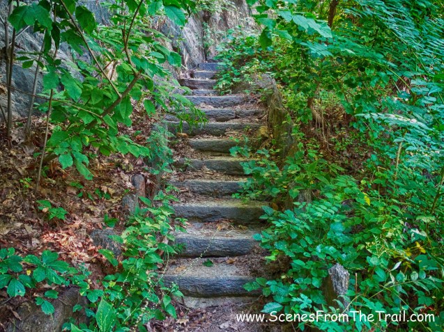
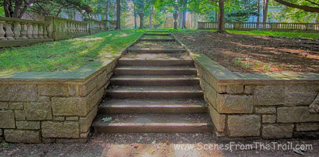
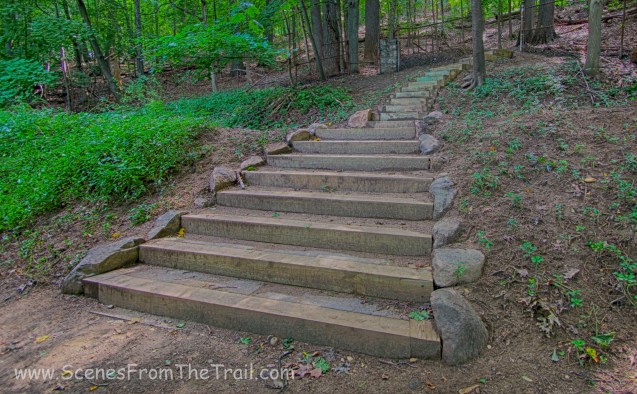
This section of the trail had some compelling architectural features.
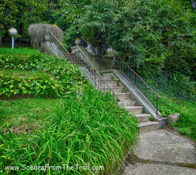
staircase – Yonkers
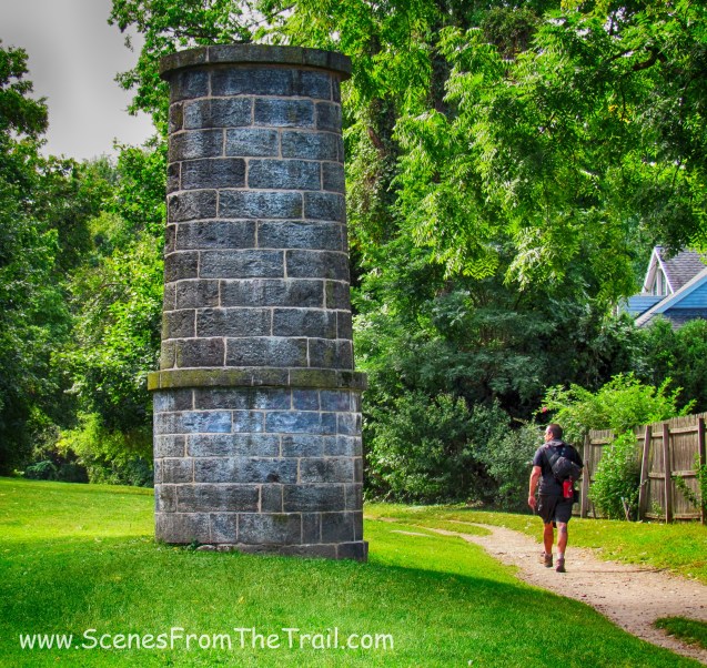
Just before reaching Lamartine Avenue we passed ventilator shaft 21.
ventilator shaft 21
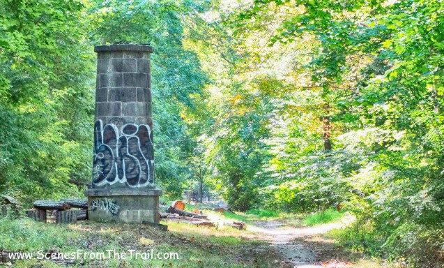
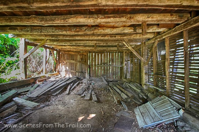
Up to this point the OCA ran parallel with Walburton Avenue. At Lamartine Avenue the OCA starts heading east, away from the river. It also travels through a less desirable area, that had plenty of abandoned buildings. This area should probably be avoided at night.
staircase ruins
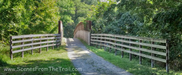
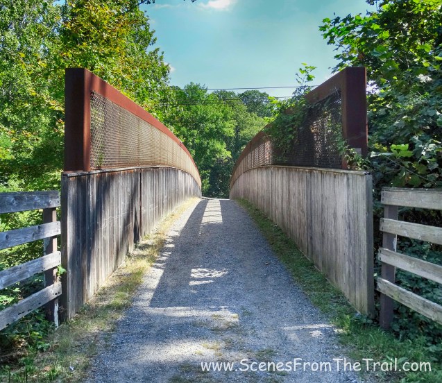
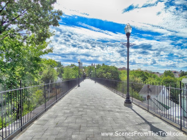
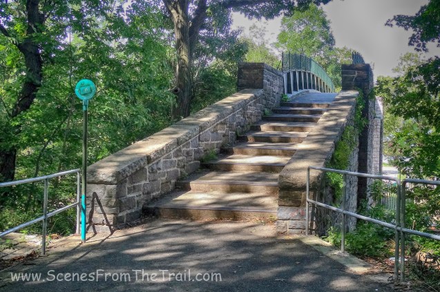
We crossed over Nepperhan Avenue on a pedestrian bridge.
Nepperhan Avenue pedestrian bridge
A look southwest down Nepperhan Avenue from the pedestrian bridge.
Nepperhan Avenue from the pedestrian bridge
From the pedestrian bridge Holy Trinity Catholic Church can be seen poking through the trees.
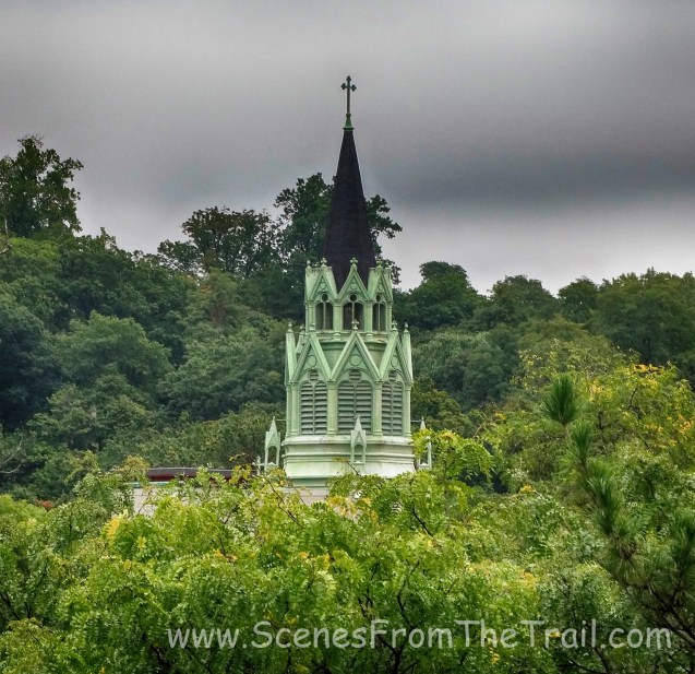
Holy Trinity Catholic Church
After crossing over Nepperhan Avenue, we crossed Walnut Street and started walking parallel to Yonkers Avenue, which has access to the OCA via this staircase.
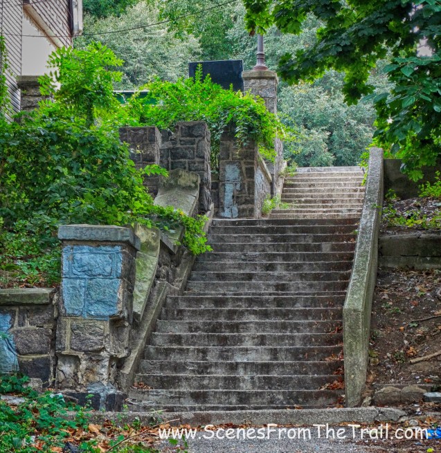
staircase – Yonkers Ave.
Just past the staircase is ventilator shaft 22.
ventilator shaft 22
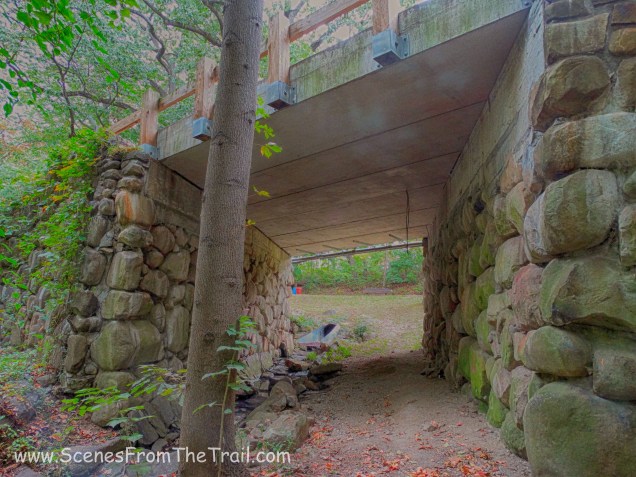
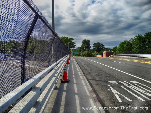
The trail left us off at Yonkers Avenue where we began another road walk. We walked under the bridge that carries the South County Trailway.

Yonkers Avenue
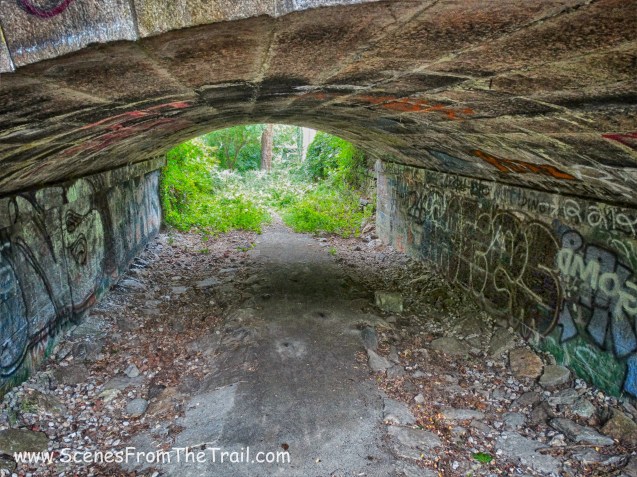
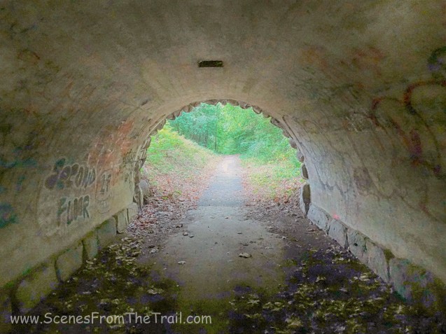
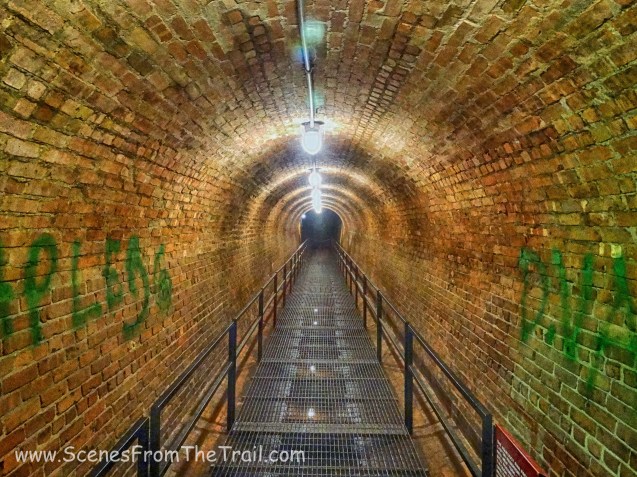
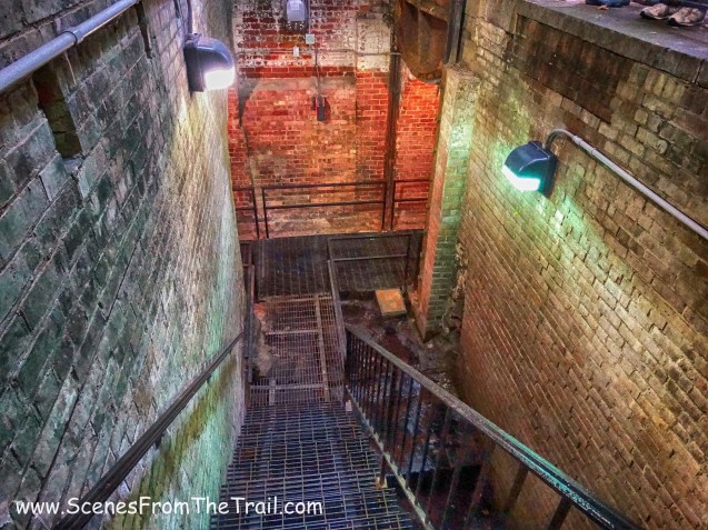
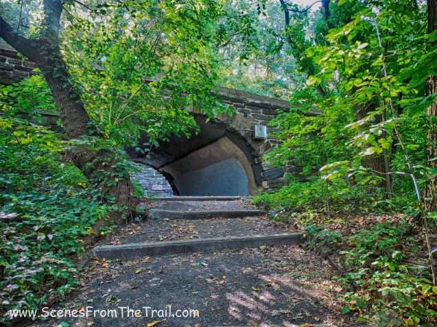
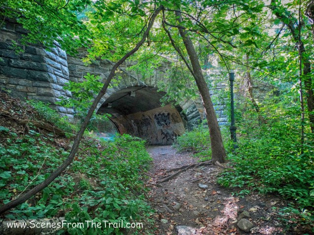
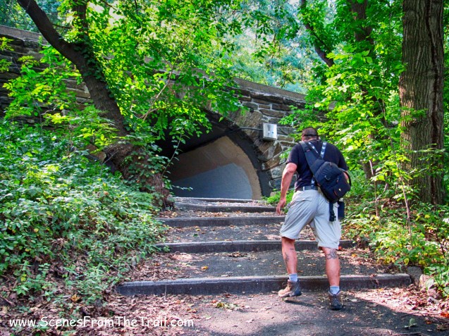
We walked through the pedestrian tunnel beneath the bridge.
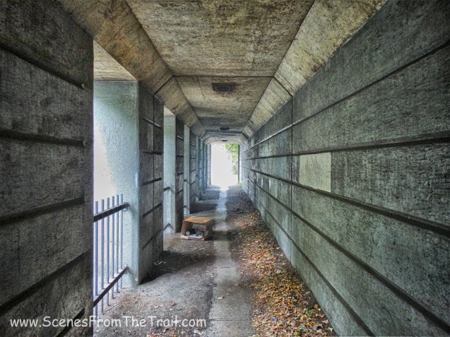
pedestrian tunnel
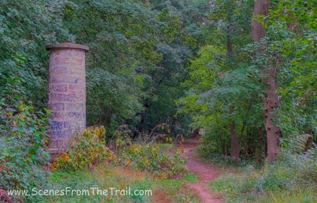
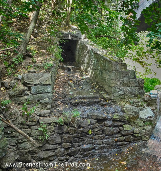
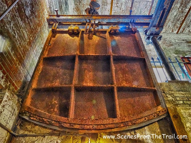
At this point, we lost the trail. There was a staircase just before the tunnel pictured above, which is the way I think we were supposed to go. I didn’t see any signage, but I knew we were still headed in the right direction. We turned right onto Midland Avenue and walked alongside the guardrail on the right side of the road. As we were walking along Midland Avenue, I saw the aqueduct through the trees. Much to my hiking partners’ chagrin, I hopped over the guardrail and bushwacked through the pricker bushes and back onto the aqueduct. Just to my right was what I assume is a weir chamber, although it does look different from the other ones we passed along the trail.
Yonkers weir – NYC Waterworks
Yonkers weir – NYC Waterworks
We continued on the aqueduct, now paralleling Midland Avenue and heading towards Tibbetts Brook Park. We passed by ventilator shaft 23 as we neared the end of our hike.
ventilator shaft 23
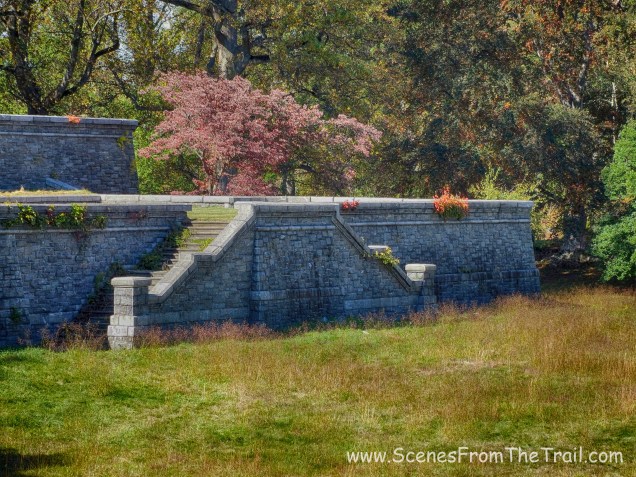
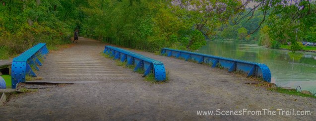
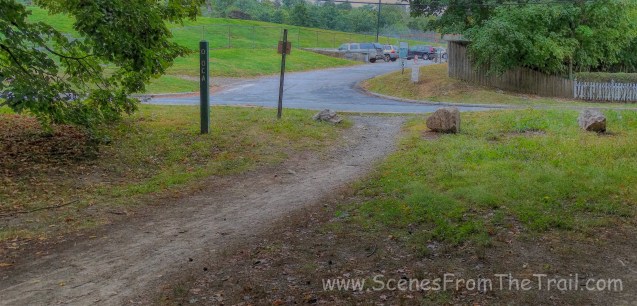
Not too long after passing the ventilator we arrived at Tibbetts Brook Park. The Old Croton Aqueduct Trail continues straight ahead beneath the stone arch bridge, but we turned right passing beneath the other stone bridge. At the far left of this image is the entrance to Tibbetts Brook Park off of Midland Avenue.
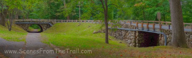
stone bridge
Once we passed beneath the bridge, it was a short walk to the parking area where we spotted the first car. We were all a bit tired and ready to chow down. I had some split pea with ham soup in the slow cooker along with a myriad of other edibles waiting for us. We drove back to Mercy College to pick up the other vehicle and headed for the buffet that awaited us. I surely hope that you enjoyed today’s hike. Next week we will begin our hike right here.
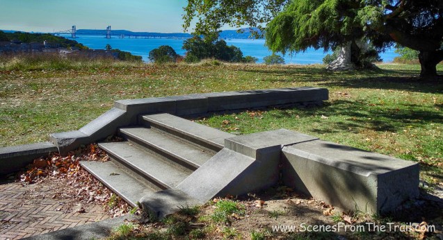
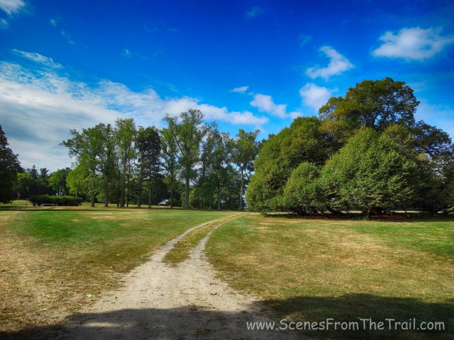
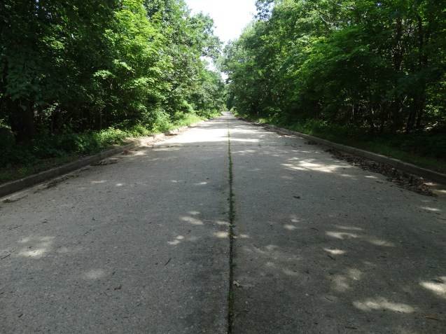
OCA – Tibbetts Brook Park
We will be finishing up our 26.2 mile Old Croton Aqueduct Trail – Westchester portion section hike which ends in Van Cortlandt Park. We will also explore some parts of that park as well. Stay tuned folks. Until next time, keep on trekking.
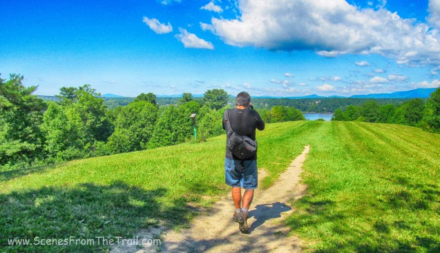
keep on trekking


")
")


")