June 19, 2016 – King of Prussia, Pennsylvania
Valley Forge was the site of the 1777-78 winter encampment of the American Continental Army during the American Revolutionary War. It is located in southeastern Pennsylvania, approximately 20 miles northwest of Philadelphia. Starvation, disease, malnutrition, and exposure killed over 2,500 American soldiers by the end of February 1778.
Valley Forge is the story of the six month encampment of the Continental Army of the newly formed United States of America under the command of General George Washington. No battle was fought here, but from December 19, 1777 to June 19, 1778, a struggle against the elements and low morale was overcome on this sacred ground.
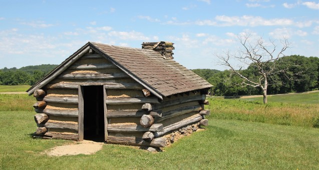
log hut
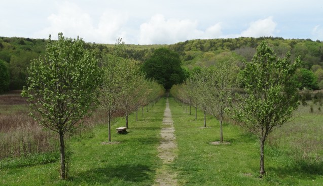
Valley Forge National Historical Park encompasses 3,500 acres and includes restored historic structures, reconstructed structures such as the iconic log huts, and monuments erected by the states from which the Continental soldiers came. facilities include Ranger programs, tours (walking, self driving and trolley). The park also provides 26 miles of hiking and biking trails, which are connected to a regional trails system.
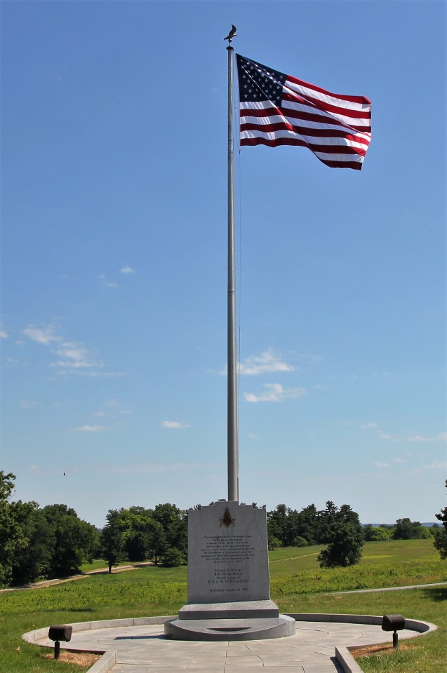
Old Glory
I was driving back to NY from Pennsylvania when I saw the sign for Valley Forge. I thought “what the hell,” so I got off the exit and drove over to the park. It is set up similar to Gettysburg, but on a smaller scale. They also had a self driving tour, so that’s the tour that I took. I will just post some basic info with images below of what I saw while I was there. I encourage all who can, to pay this place a visit. I am glad that I had the opportunity.
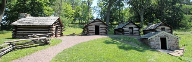
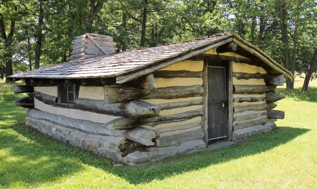
Muhlenberg huts – The original huts were built in a matter of days within arriving at Valley Forge, with George Washington turning it into a competition among the men to see who could build fastest.

Muhlenberg huts
Each one of the huts would house a dozen soldiers, crammed on bunks.

Muhlenberg huts

Muhlenberg huts

Muhlenberg huts
National Memorial Arch – was erected to commemorate the arrival of General George Washington and his Continental Army into Valley Forge. It stands 60 feet high.

National Memorial Arch
Huts were scattered throughout the park that varied in design.

log hut
Massachusetts State Marker – In memory of the soldiers of Massachusetts who served at Valley Forge.
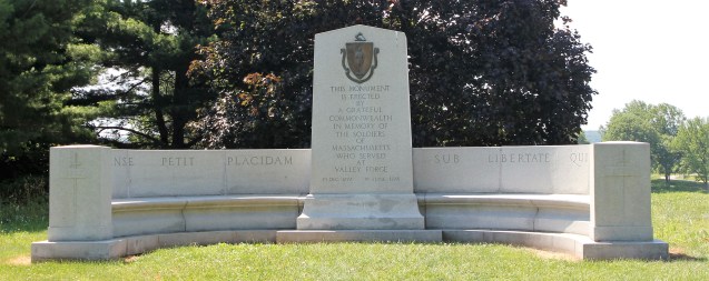
Massachusetts State Marker
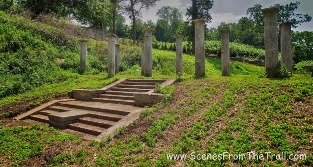
Pennsylvania Columns – Granite columns crowned with bronze eagles and bronze bas reliefs of Pennsylvania officers.

Pennsylvania Columns
Anthony Wayne Statue – The first monument to be erected by the state of Pennsylvania in Valley Forge National Historical Park and is a replica of the one commissioned for Stony Point, New York.

Anthony Wayne Statue
Unknown Soldiers Monument – In Memory of Unknown Soldiers Buried at Valley Forge 1777 – 1778.

Unknown Soldiers Monument
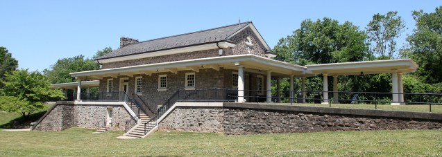
Washington’s Headquarters – Isaac Potts House – General George Washington made his headquarters here during the encampment in the winter and spring of 1777-1778.

Washington’s Headquarters – Isaac Potts House
Commander-in-Chief’s Guard huts – Behind Washington’s Headquarters are huts where the Commander-in-Chief’s Guard stayed.
Commander-in-Chief’s Guard huts
Valley Forge Railroad Station – was erected in 1913 to serve passengers along the Reading Railroad.
Valley Forge Railroad Station
New Jersey State Marker – New Jersey was the fourth state to erect a monument to its soldiers at Valley Forge. The New Jersey troops or “Jersey Blues” as they were called were some of the staunchest soldiers of the Continental Army and apparently were exceedingly well organized and disciplined.
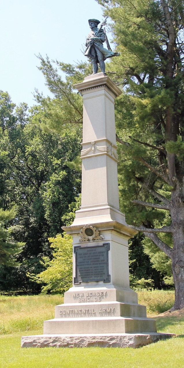
New Jersey State Marker
Redoubt 4 – anchored one end of the inner defense line. This line was a secondary line of defense. The area around the redoubt was occupied by troops commanded by Brigadier General Jedediah Huntington.

Redoubt 4
Artillery Park – is a field that was used by the artillery units of the Continental Army. Most of the cannon brought to Valley Forge were massed in this area called the Artillery Park. Here, under the command of Brigadier General Henry Knox, artillery was stored and repaired and gun crews were trained and drilled. In the event of an attack, the cannon could be dispatched from this central location to wherever they were needed.
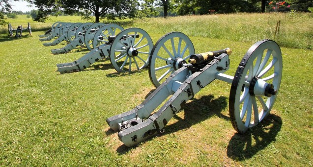
Artillery Park
Another log hut.
log hut
Schoolhouse.

Schoolhouse

Schoolhouse
Washington’s Marquee Site Marker – On this spot General George Washington erected his campaign tent (marquee) when he entered Valley Forge December 19, 1777. He occupied this tent until December 24, 1777 when he moved his headquarters to the Potts house.
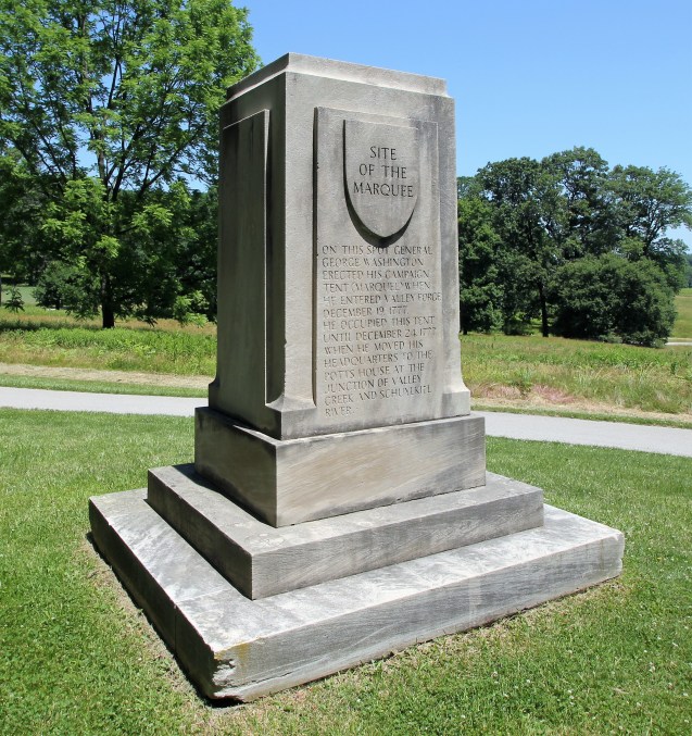
Washington’s Marquee Site Marker
Cannons along the way.

cannons
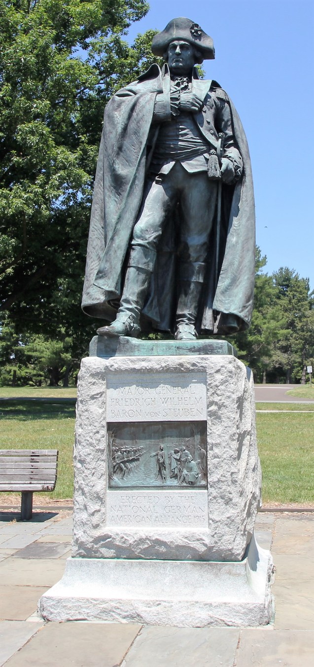
Baron von Steuben Statue – The statue of von Steuben is one of only two statues in the park of the generals who served at Valley Forge. General von Steuben’s statue overlooks the Grand Parade Ground where he trained the soldiers of the Continental Army in the finer points of marching and maneuvering.
Baron von Steuben Statue
General James Varnum’s Quarters – is an early 18th century farmhouse overlooking the Grand Parade and once occupied by General James Varnum.

General James Varnum’s Quarters
Washington Memorial Chapel – is both a monument to General George Washington and an active Episcopal parish.

Washington Memorial Chapel
Closeups of Washington Memorial Chapel. Click on the ensuing images to enlarge.

Washington Memorial Chapel

Washington Memorial Chapel

Washington Memorial Chapel

Washington Memorial Chapel

Washington Memorial Chapel

Washington Memorial Chapel

Washington Memorial Chapel

Washington Memorial Chapel

Washington Memorial Chapel

Washington Memorial Chapel
After visiting Valley Forge National Historical Park, I was pleased that I did. An important part of American history.

National Memorial Arch
Valley Forge is the story of an army’s epic struggle to survive against terrible odds, hunger, disease and the unrelenting forces of nature. Though no military battle was fought here, the six months in Valley Forge, with its heavily-rationed supplies and awful winter, were among the roughest for the Continental Army during the entire war.


")


")