August 27, 2016 – Manhattan, NYC
Difficulty: easy
Length: approximately 4.7 miles
Route type: circuit
Inwood Hill Park is a city-owned and maintained public park in the Inwood neighborhood of Manhattan, NYC. It is operated by the New York City Department of Parks and Recreation. Situated on a high schist ridge that rises 200 feet above the Hudson River from Dyckman Street to the northern tip of the island, Inwood Hill Park’s densely folded, glacially scoured topography contains the largest remaining forest land on Manhattan Island.
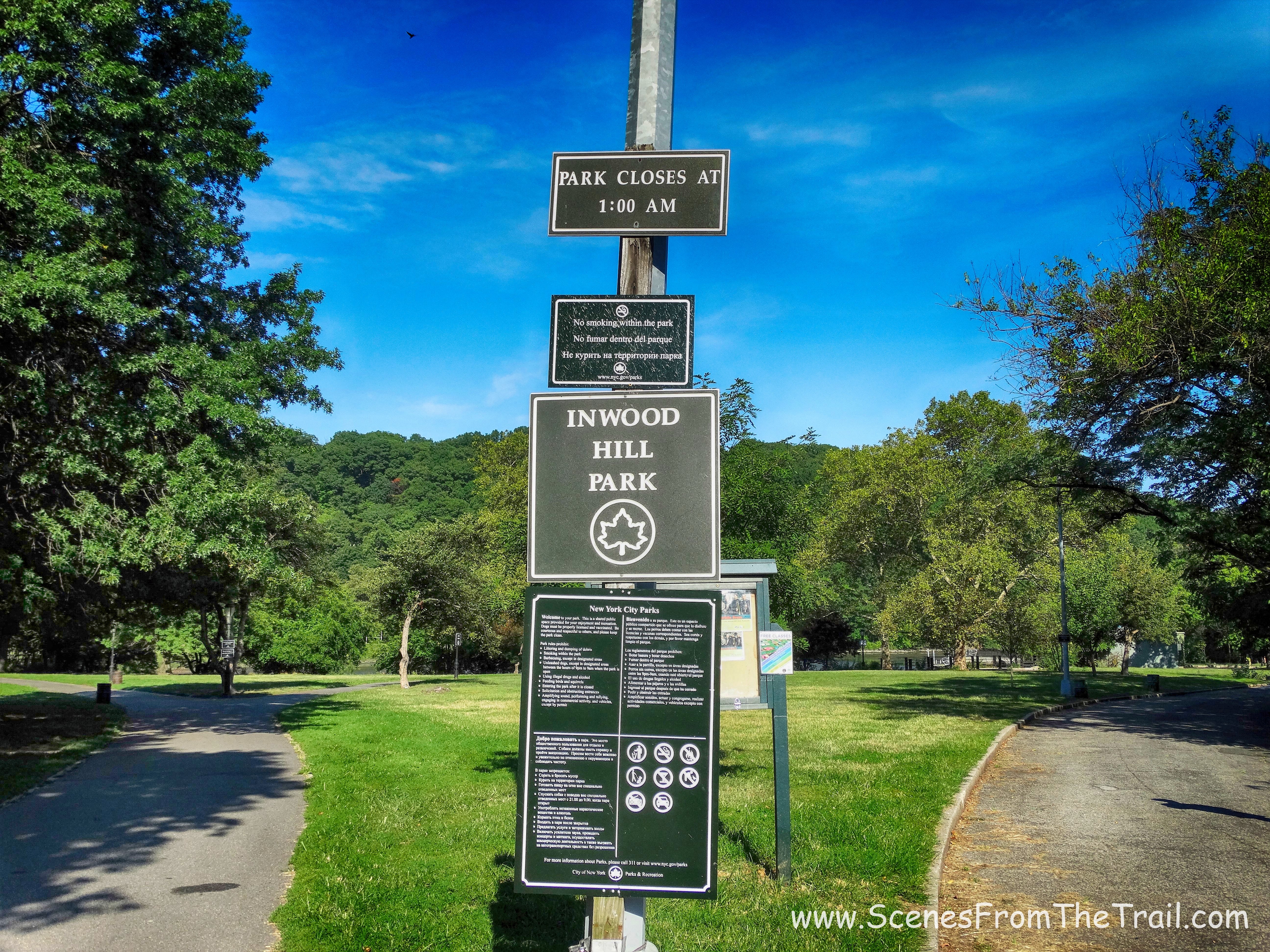
Inwood Hill Park
The park covers 196.4 acres and sits on the banks of the Hudson River on the west and the Spuyten Duyvil Creek to the north. A number of foot paths criss-cross the park. Some of these trails are former roads leading to what were once summer estates. Inwood Hill Park is more than just a tranquil forest with great views of the Hudson River. Inwood was the site of a Native American village (Shorakapkok) and was at one time believed to be the place where, in 1626, according to legend, Peter Minuit “purchased” Manhattan Island from the Indians in exchange for objects then valued at 60 guilders (24 dollars).
We arrived before 9:00 am on a Saturday morning and after driving around the block several times found a parking spot on 218th Street. We wanted to begin at the northern end of the park figuring that finding a spot would be easier and it was. The park entrance is at the corner of 218th Street and Indian Road right by the Columbia University football field. Indian Road is the only street in Manhattan that ends with “Road.”
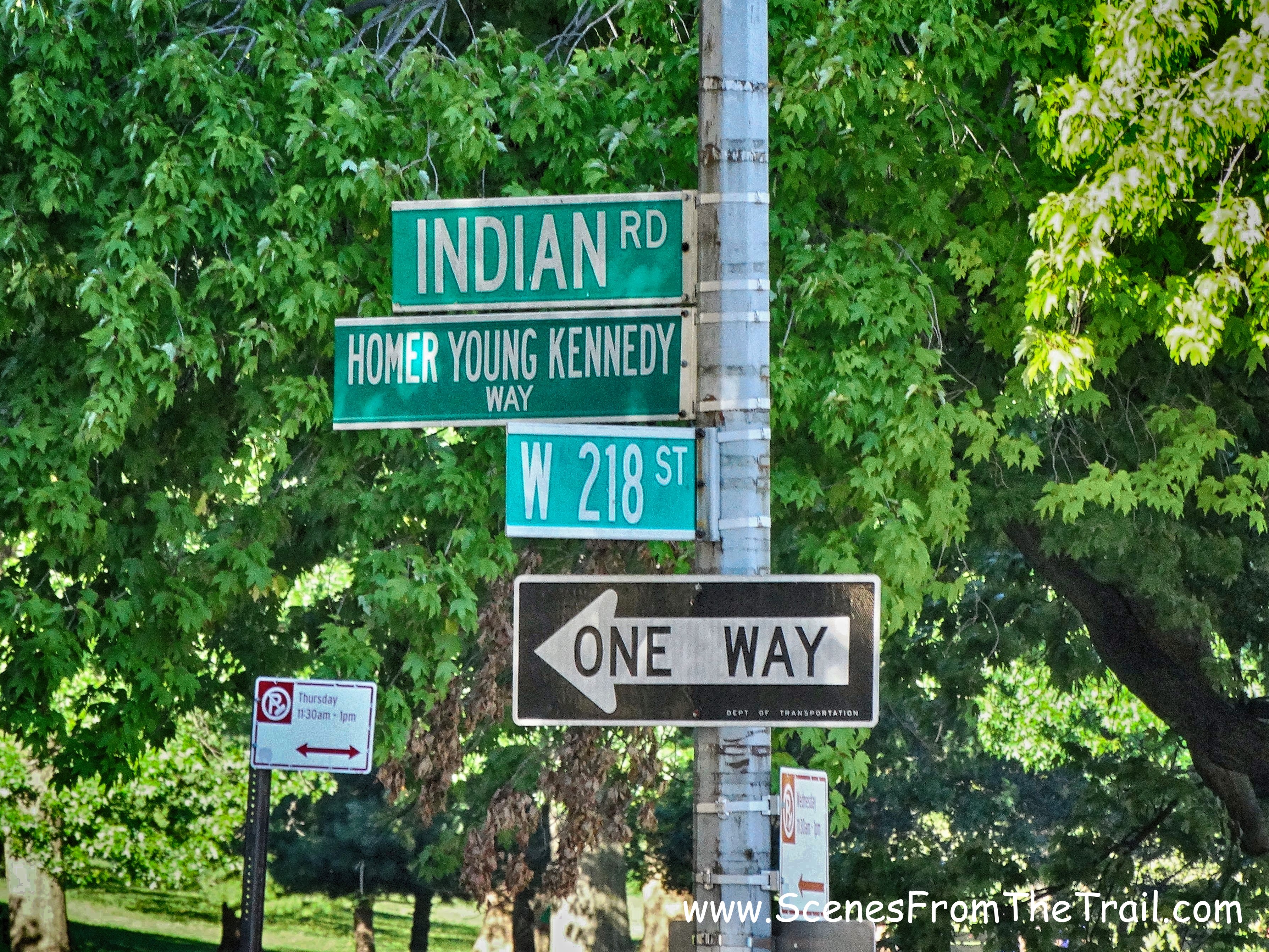
218th Street and Indian Road
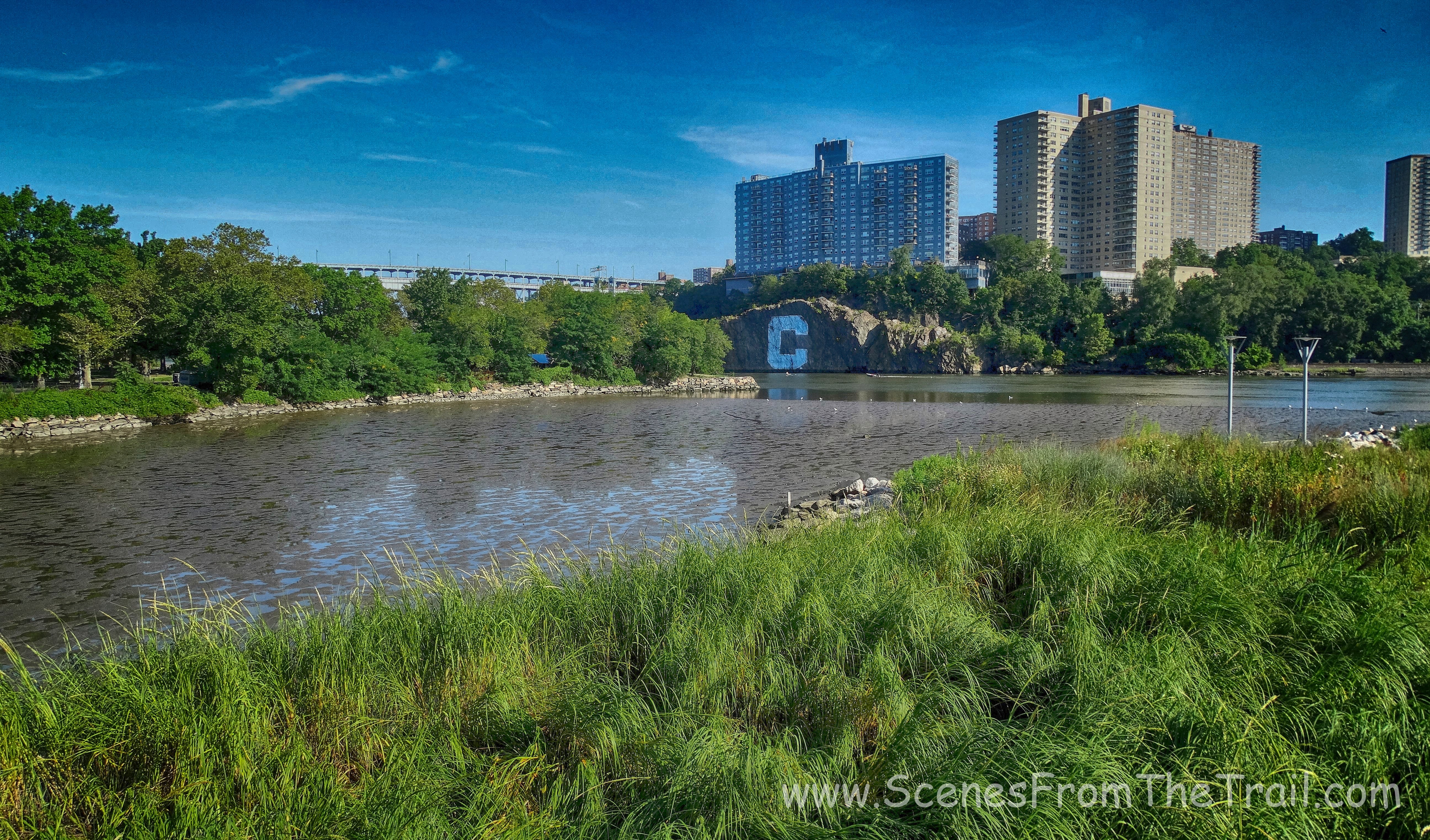
Upon entering the park we decided to check out Muscota Marsh which is adjacent to Inwwod Hill Park. Muscota Marsh is a one acre public park on the shore of Spuyten Duyvil Creek, a section of the Harlem River.

Muscota Marsh
Muscota Marsh
As soon as I started walking down the boardwalk I encountered this little fellow that just stood and stared at me.
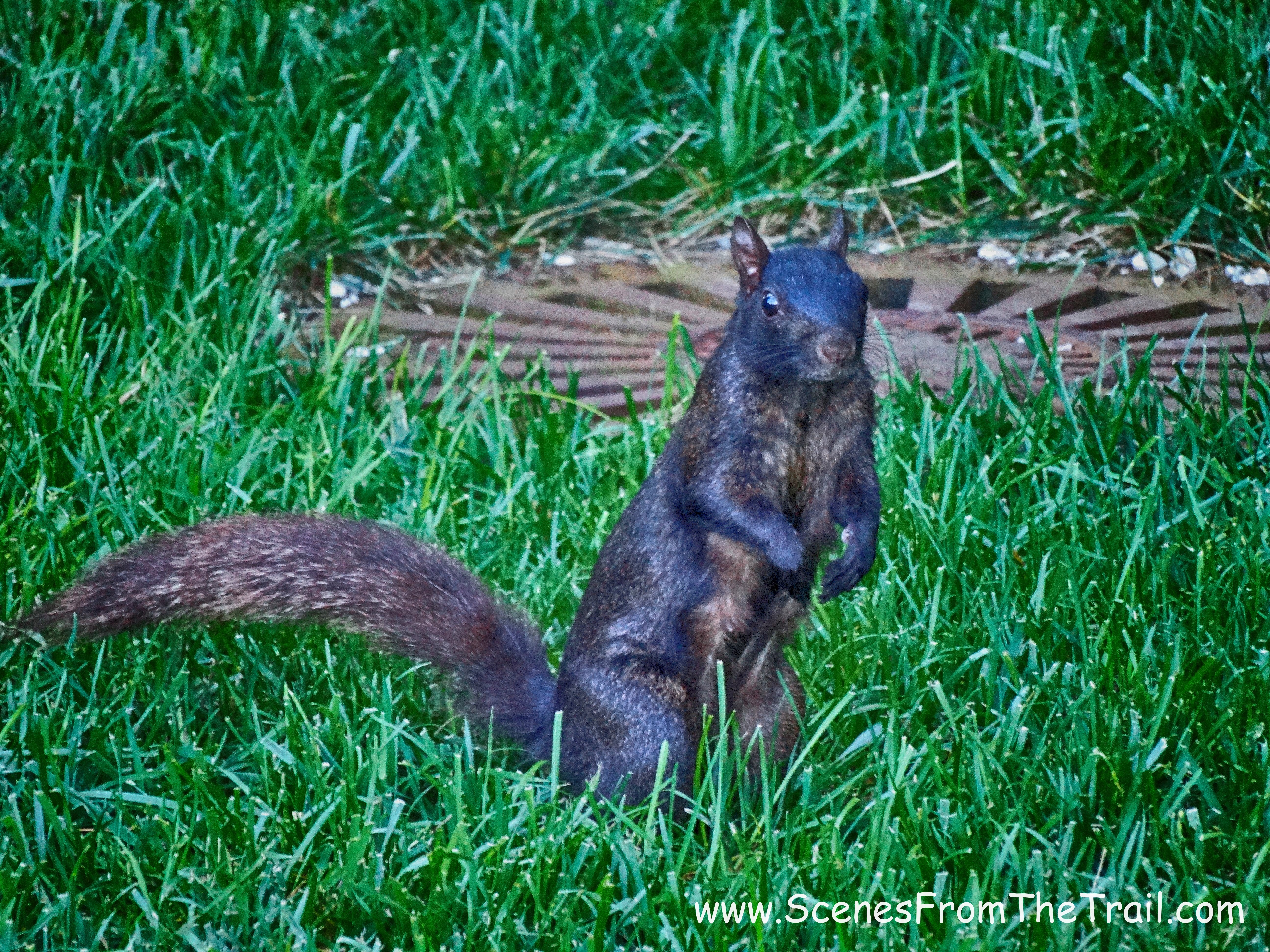
Squirrel
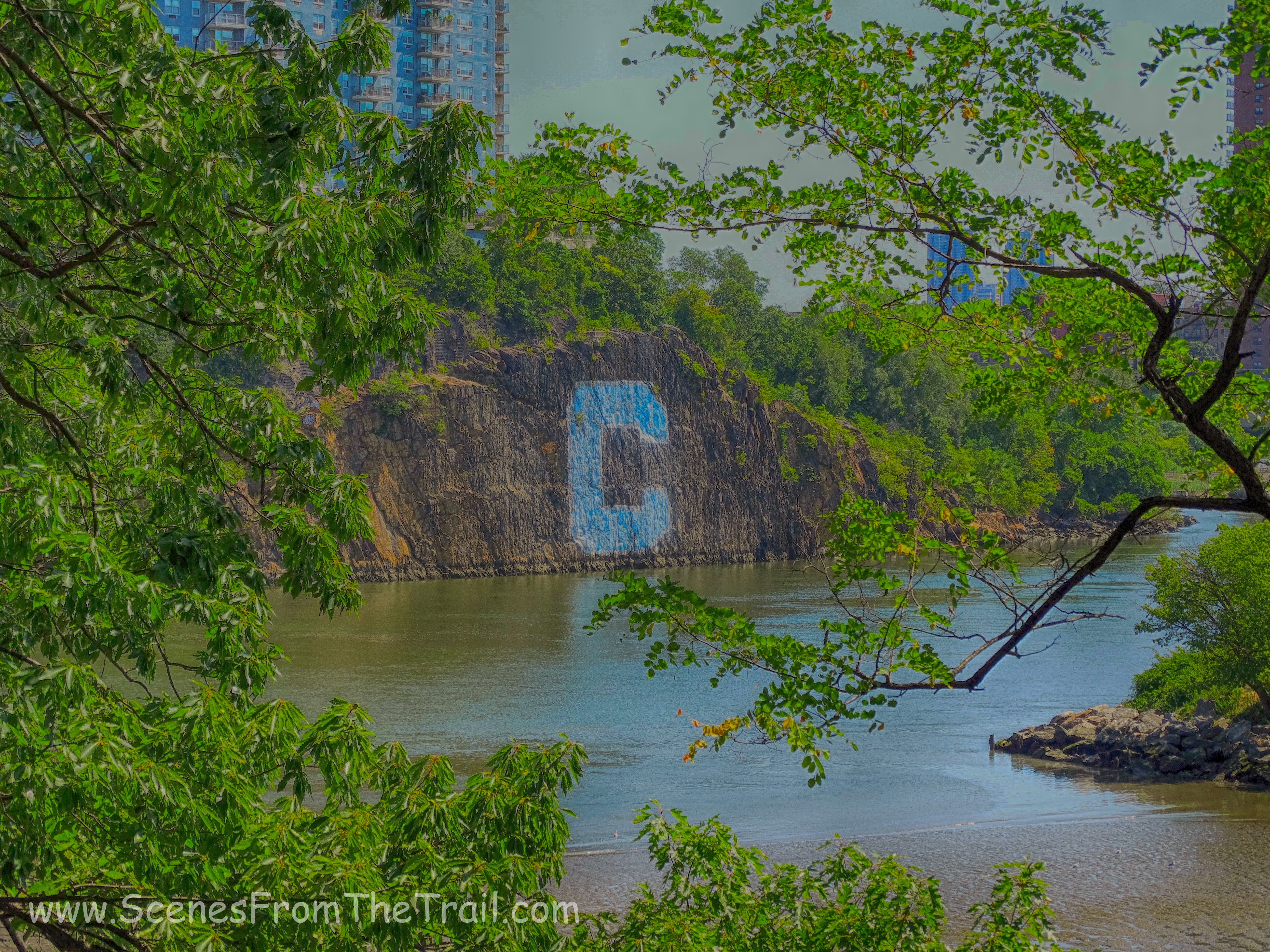
The blue and white 60-foot by 60-foot Columbia University “C” has been painted and repainted on the gneiss rock facing the Harlem River in Spuyten Duyvil, Bronx, since 1952. Originally conceived by Robert Prendergast, a medical student of Columbia University and coxswain on the heavyweight rowing crew team, Prendergast approached the New York Central Railroad for permission (which was given) to have this sign painted on the 100-foot-high wall of Fordham Gneiss, which was completed in the fall of 1952 by the rowers of the crew team, which continues to maintain it.
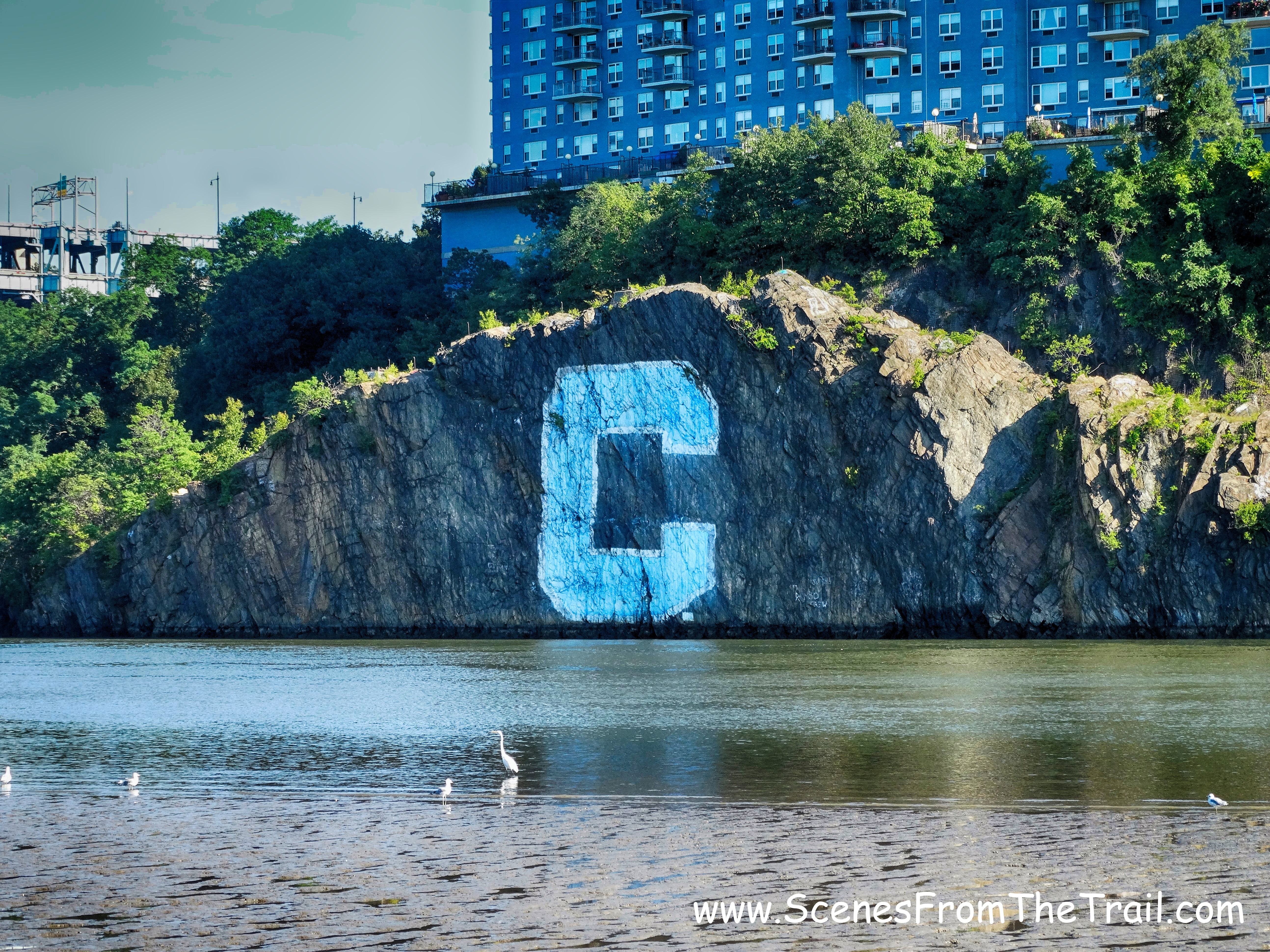
C-Rock
There was an Egret hanging out in the salt marsh and we snapped some shots.
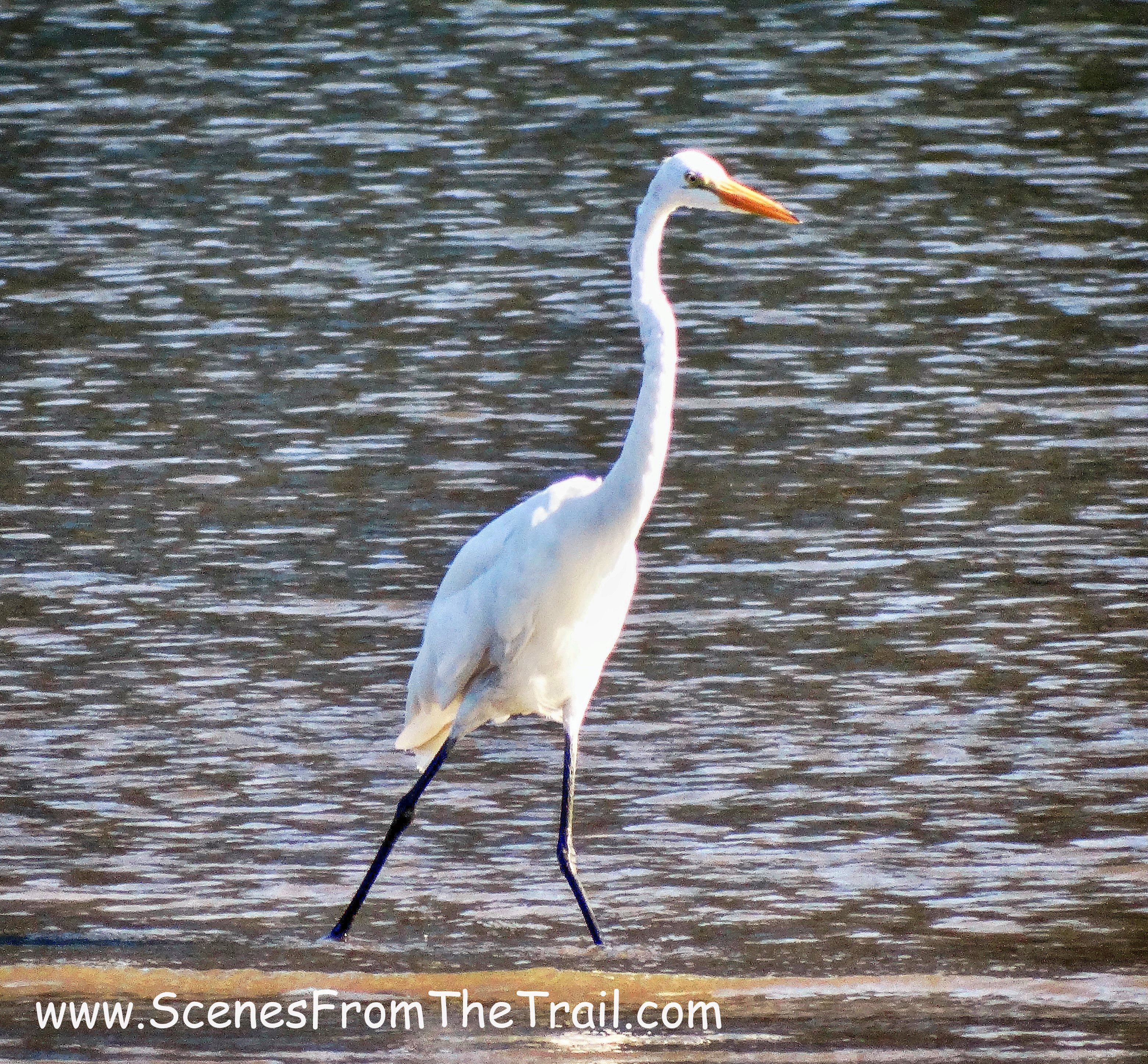
Egret
Muscota Marsh is a quaint little park that offers a nice view of the Palisades and the Hudson River just beyond the Henry Hudson Bridge.
Muscota Marsh
It was time to get hiking, so off we went. I had a map of the park that outlined two blazed trails. The blue trail travels the high ground for much of its entirety and the green blazed trail hugs the river. I always like to hike the more strenuous sections first, so we started following the blue blazes. On the map it shows the blue trail as Bolton Road. The blue trail is a paved road which is sparsely blazed, but I was in a wandering mood and didn’t mind exploring the park with no real direction.
blue blaze trail
Our first stop was The Shorakkopoch Rock which marks the site of the tulip tree under which Peter Minuit, allegedly “purchased” Manhattan from a band of Native Americans in 1626 for beads and trinkets worth 60 guilders which was the equivalent of about $24.00 back then.
Shorakkopoch Rock
Shorakkopoch Rock
After our history lesson we looked around and no blue blazes. This would happen all throughout this hike. I happened to see green blazes, so I knew that the blue trail was on higher ground. So we proceeded up the hill.
blue trail
Walking up the road I saw a footpath off to the right which led through the woods. It went west, which was the direction we wanted to go, so we took it.
footpath
I was glad we took this route because this was better than walking a paved road. We were hiking in the woods in Manhattan. How cool is that? We came to some stairs in the woods which we climbed.
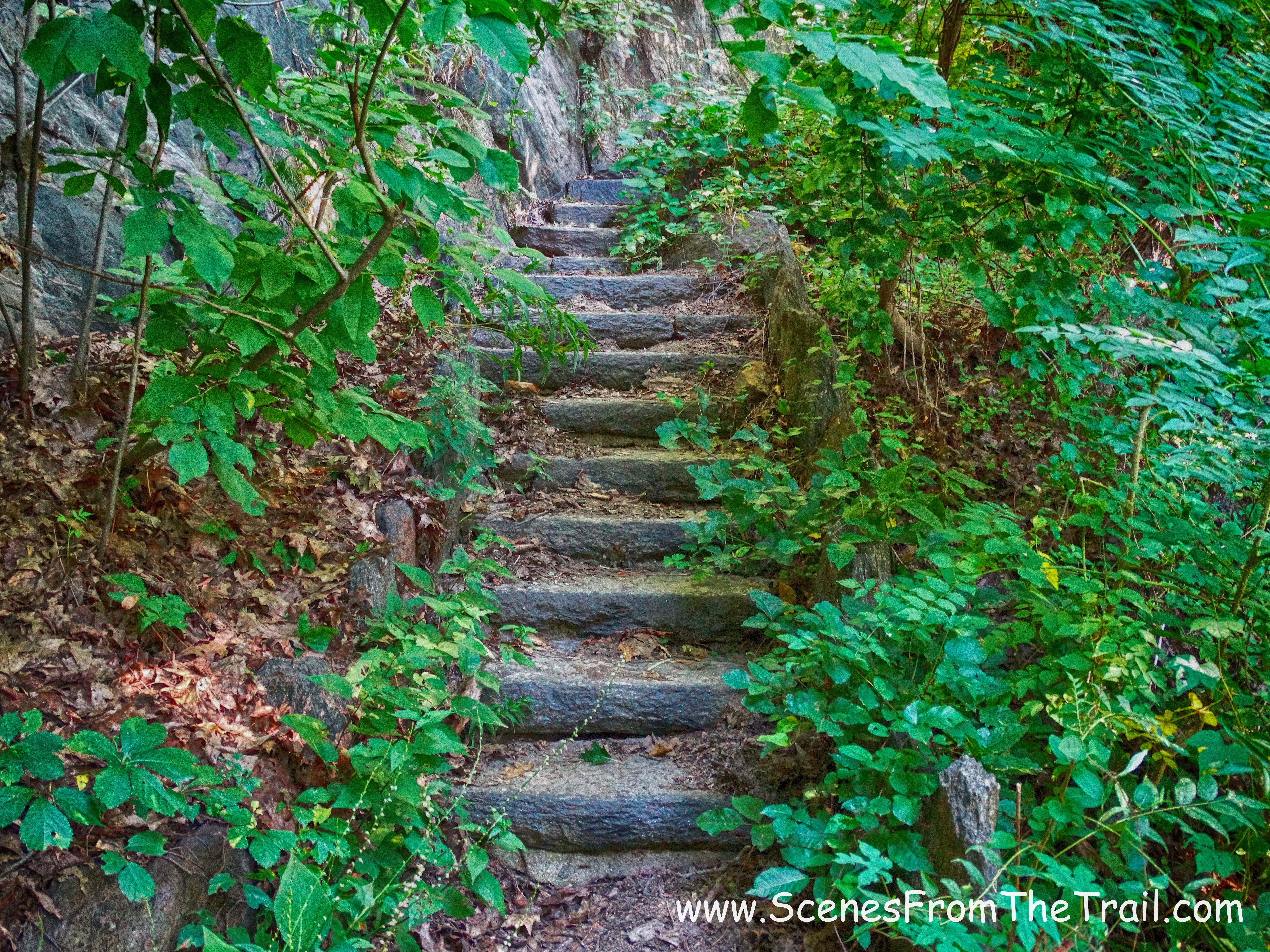
stairs
Then we passed several blowdowns on this section of the trail. The image below shows a huge tree across the trail with a smaller tree just beyond.
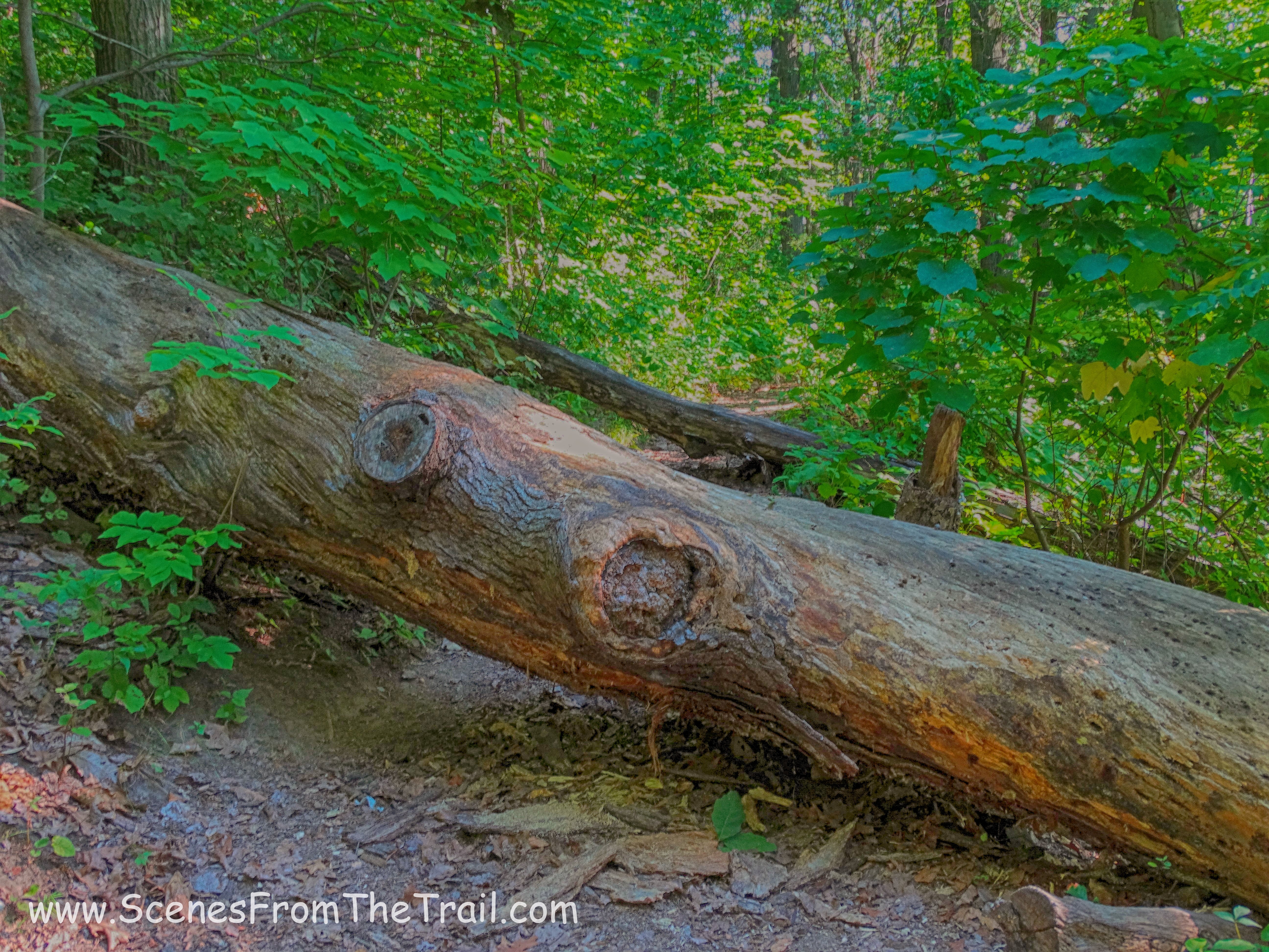
blowdown
After a short while the footpath ended at the paved road and we turned right and continued to follow it west.
paved road
In a moment we passed underneath the Henry Hudson Bridge and came to a clearing where the Hudson River and the Palisades were visible to our right.
Hudson River and the Palisades
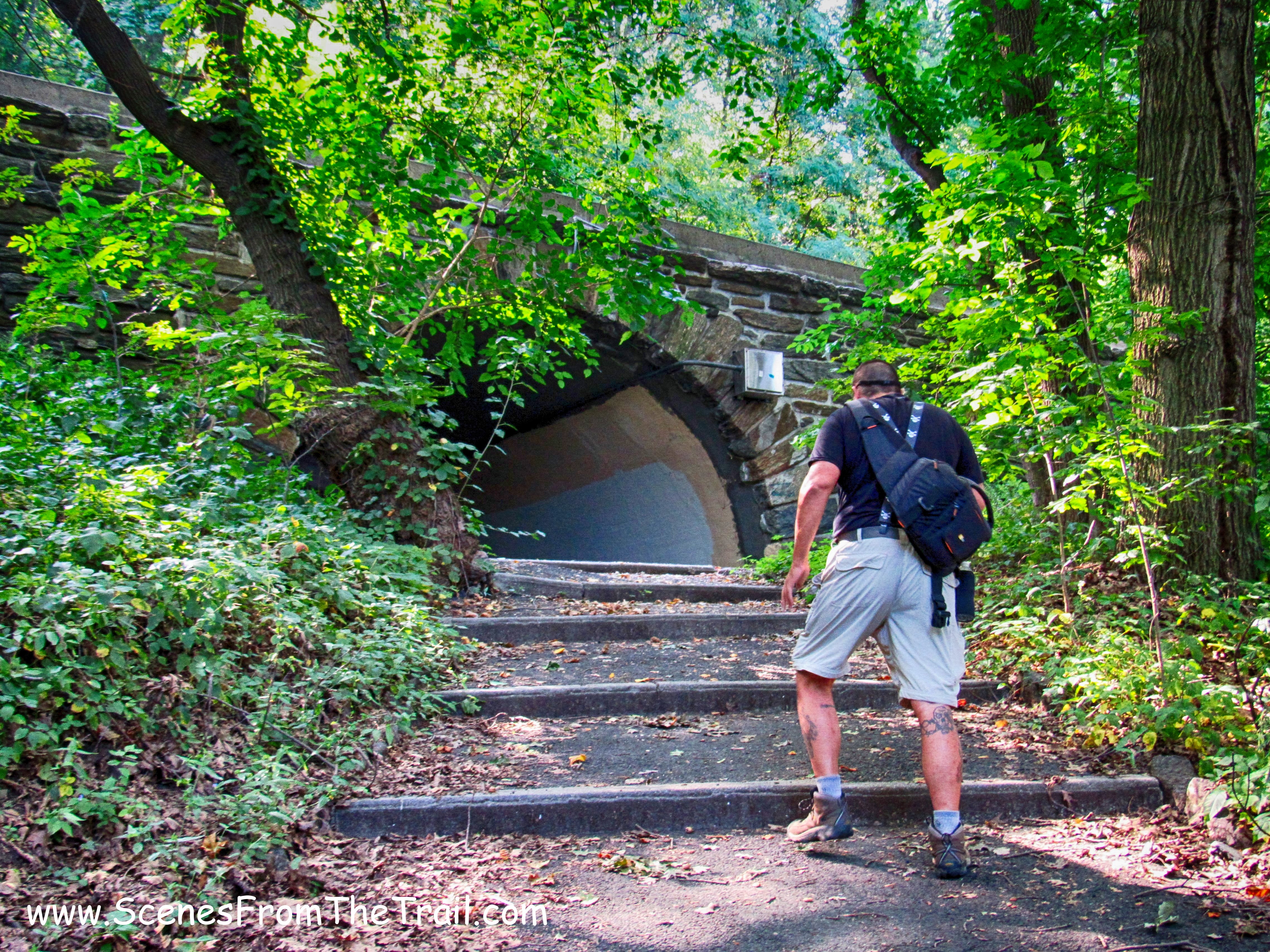
As we walked along the paved road we came to a junction. Left went to a tunnel that crosses under the southbound lanes of the Henry Hudson Parkway. Straight was the green trail. We decided to go left which was probably the blue trail.
tunnel that crosses under the southbound lanes of the Henry Hudson Parkway
Below are some more images of the southbound tunnel crossing. Click on the ensuing images to enlarge.


After passing underneath the southbound lanes of the Henry Hudson Parkway, We paralleled the parkway as we headed uphill.
alongside the northbound Henry Hudson
The trail veered away from the parkway as we headed uphill. We saw quite a few old light posts on our hike and none of them looked like they worked.
light post on trail
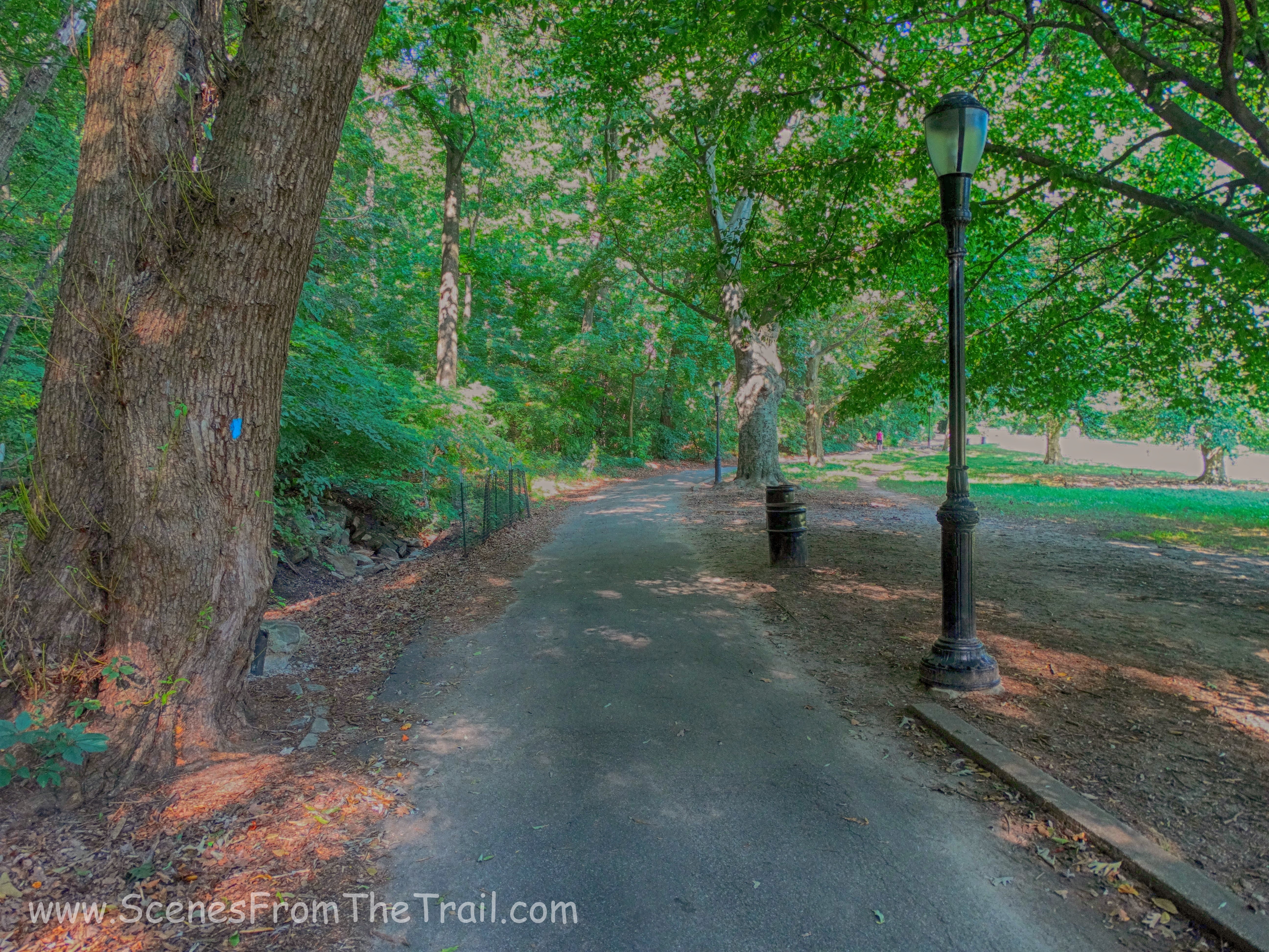
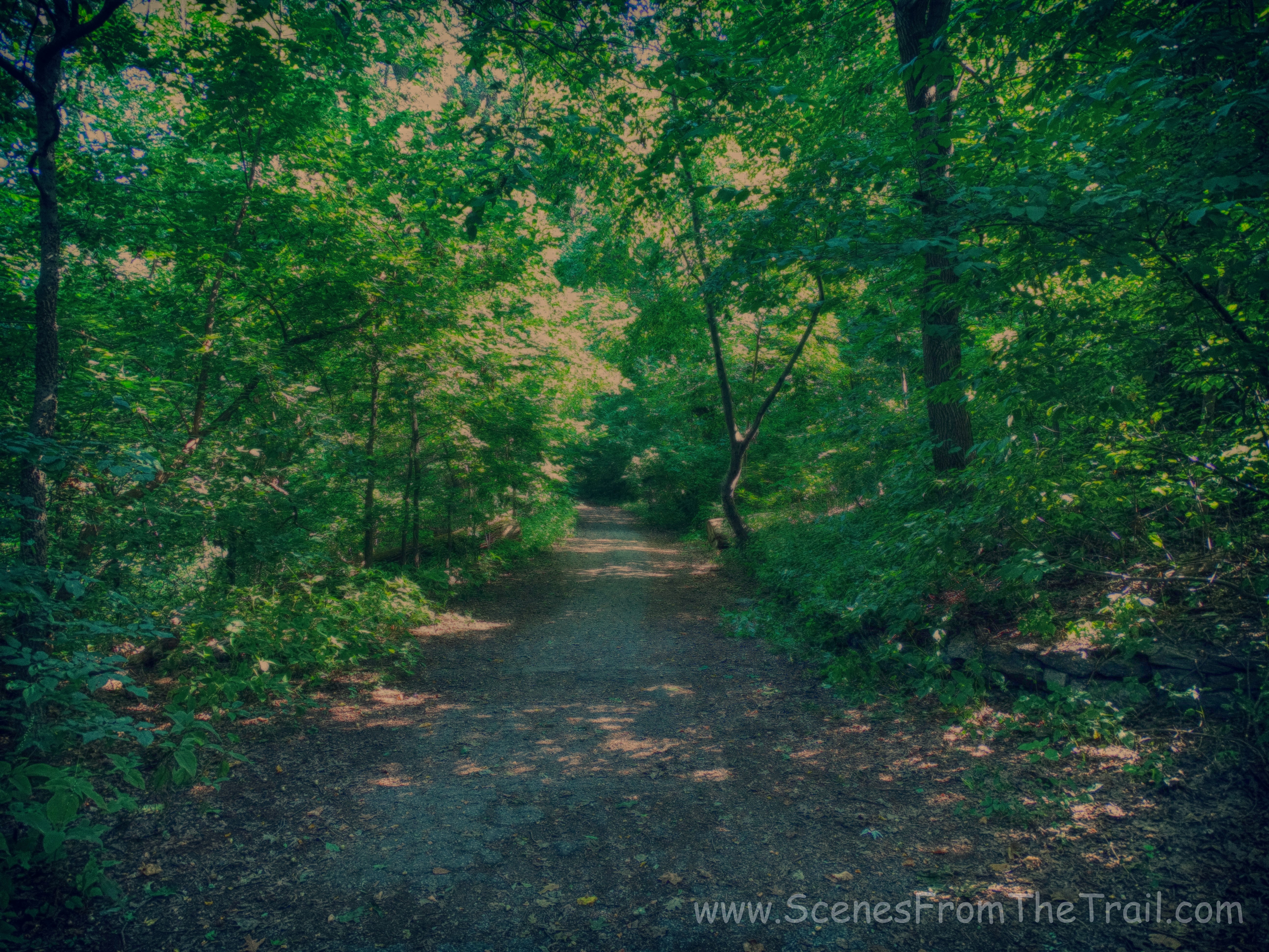
A very scenic hike this turned out to be. It was hard to believe that we were in Manhattan. The only reminder that we were in the city was the sound of cars when we were close to the parkway and the sound of helicopters up above.
scenic trail
As we continued through the woods, we came to the tunnel that crossed beneath the northbound lanes of the Henry Hudson Parkway.

tunnel that crosses beneath the northbound lanes of the Henry Hudson Parkway
Below are some more images of the northbound tunnel crossing. Click on the ensuing images to enlarge.


This hike turned out to be quite interesting. At almost every turn there seemed to be something that you don’t usually see while hiking in the woods.
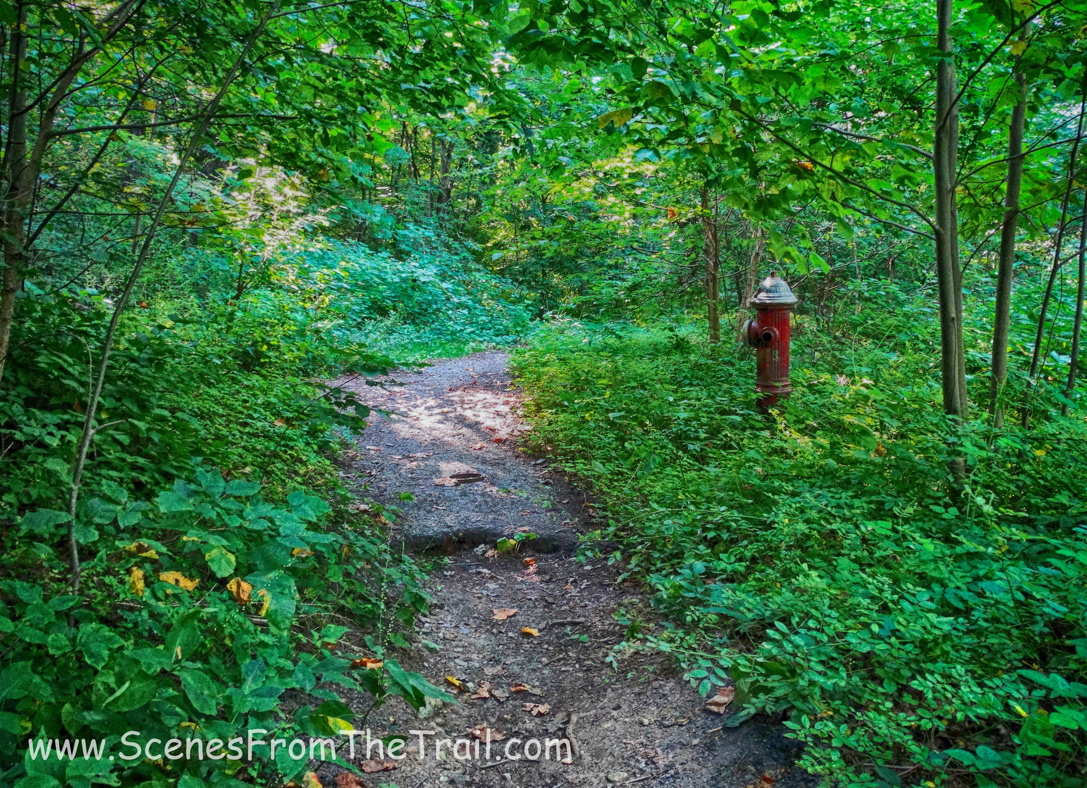
fire hydrant
We continued on the trail frequently consulting the map which was helpful at times. It outlined points of interest and also stairs which helped pinpoint where we were. The map didn’t help much when we came to the numerous forks in the trail which had no markings to point out the correct direction. Somehow we managed to always end up going the right way. It must have been my great navigational skills. The trail opened up once again to a paved road.
paved road
At one time these roads led to estates and there were numerous forks and triangles. They even had stone valley gutters to divert water away from the roads.
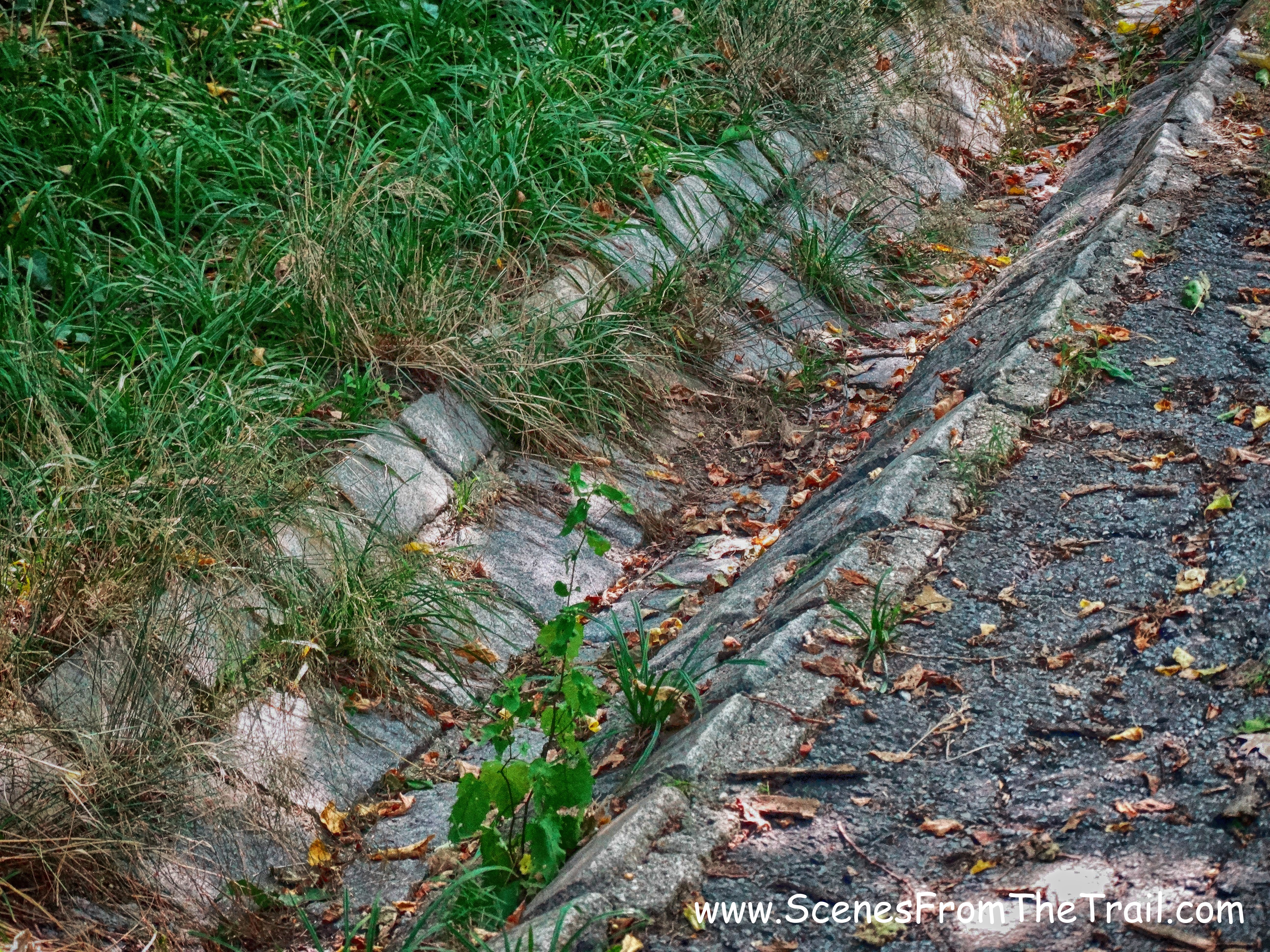
valley gutter
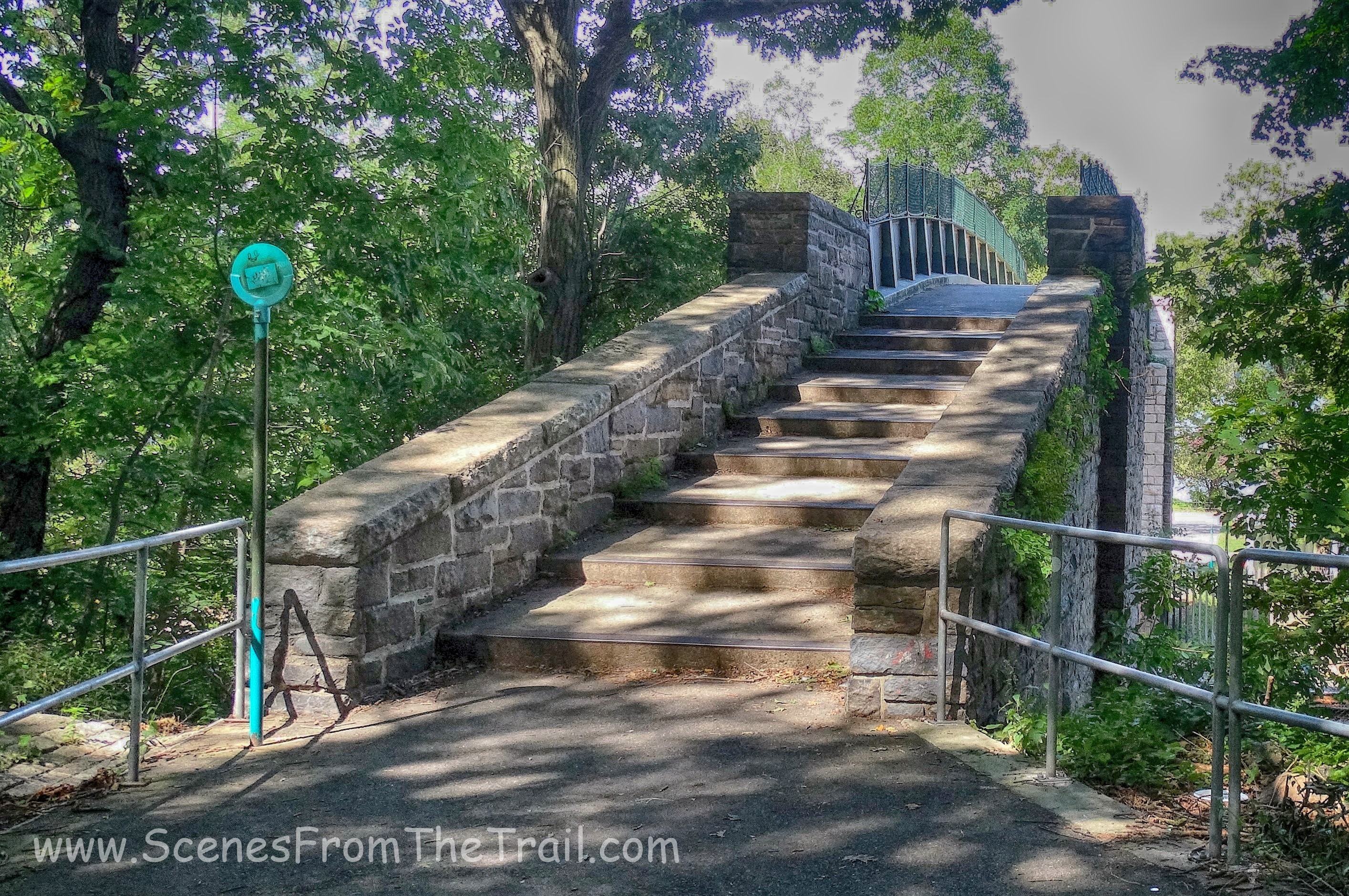
According to the map we were to climb the upcoming stairs to continue on the blue trail.
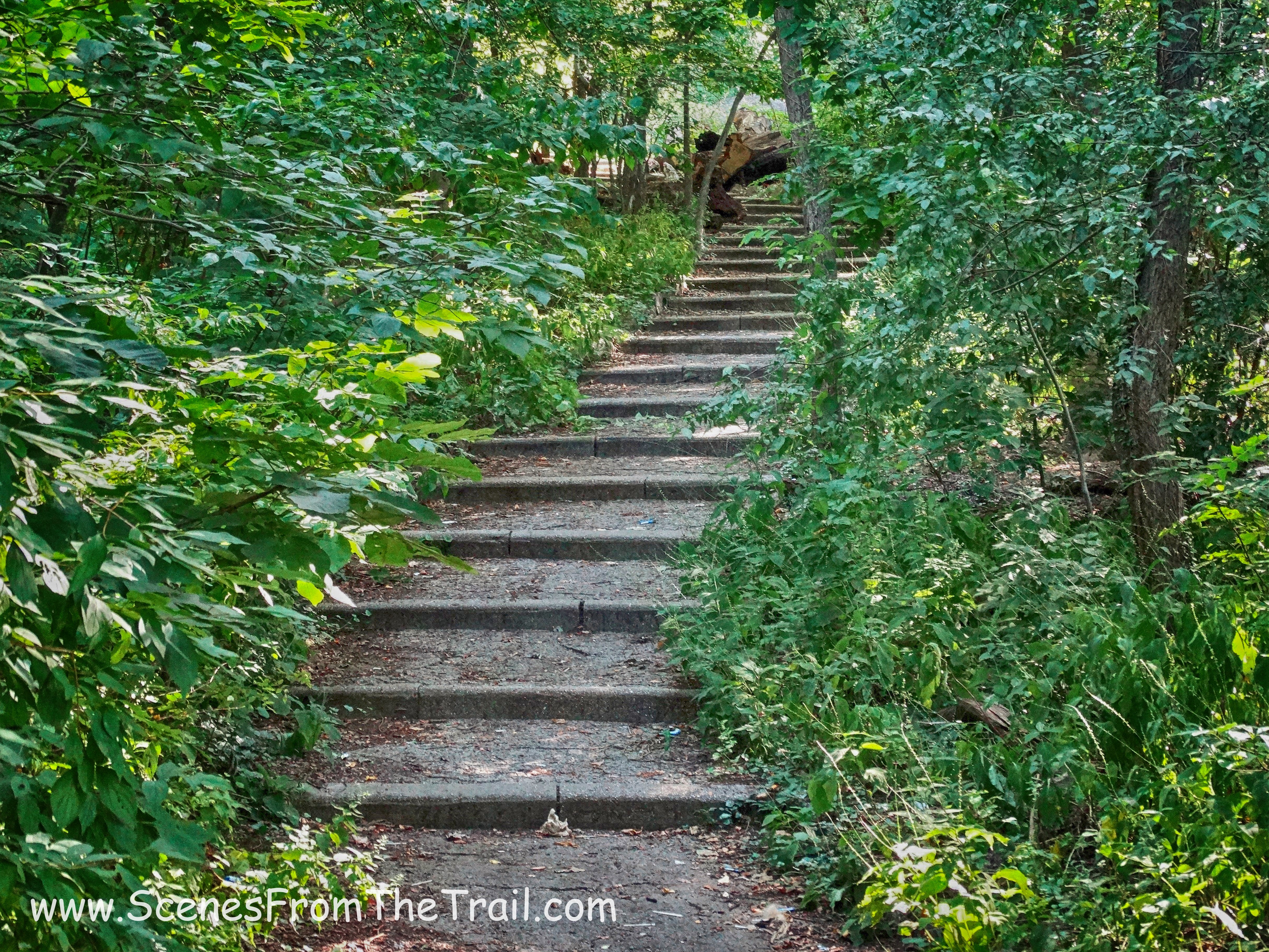
stairs on the blue trail
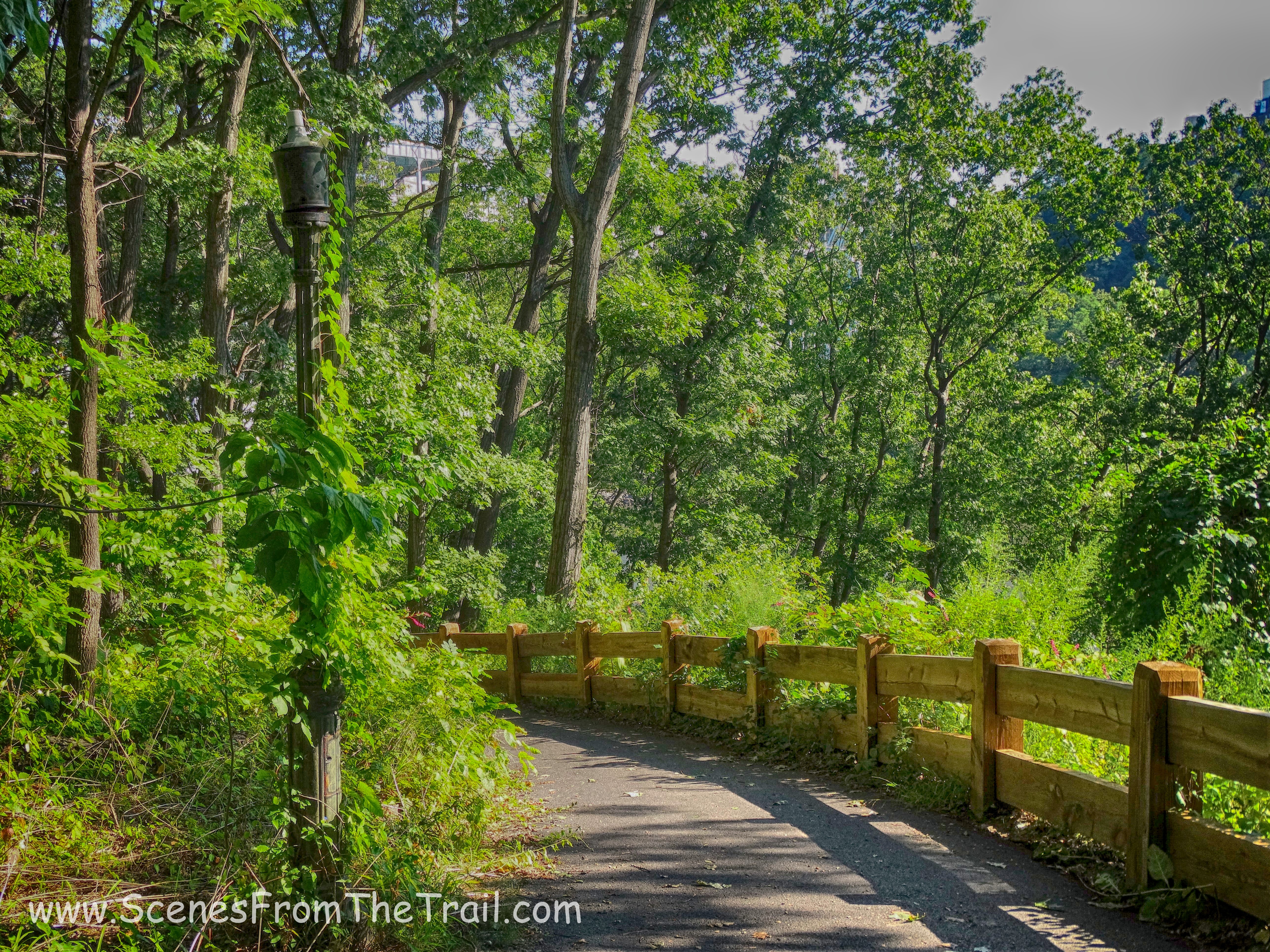
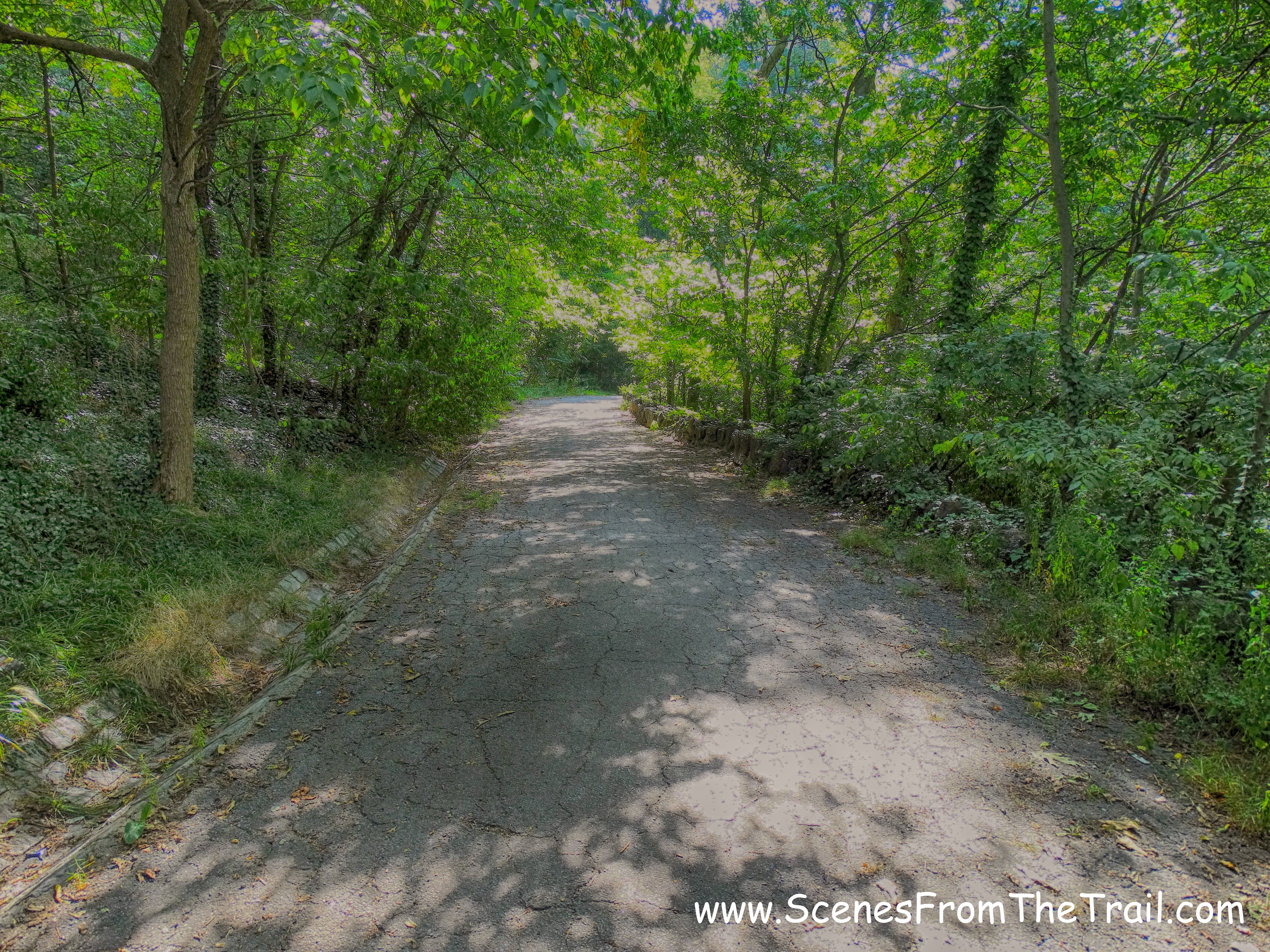
After climbing the stairs we continued on the paved road, which at this time had grown on me. I was starting to dig walking on this old road. At times it was a little spooky, but I dug that too. Hardly a soul was seen, but a jogger every now and then. We were hiking in Manhattan along some secluded roads that at one time led to some grand estates, but were now overgrown and deserted.
secluded road
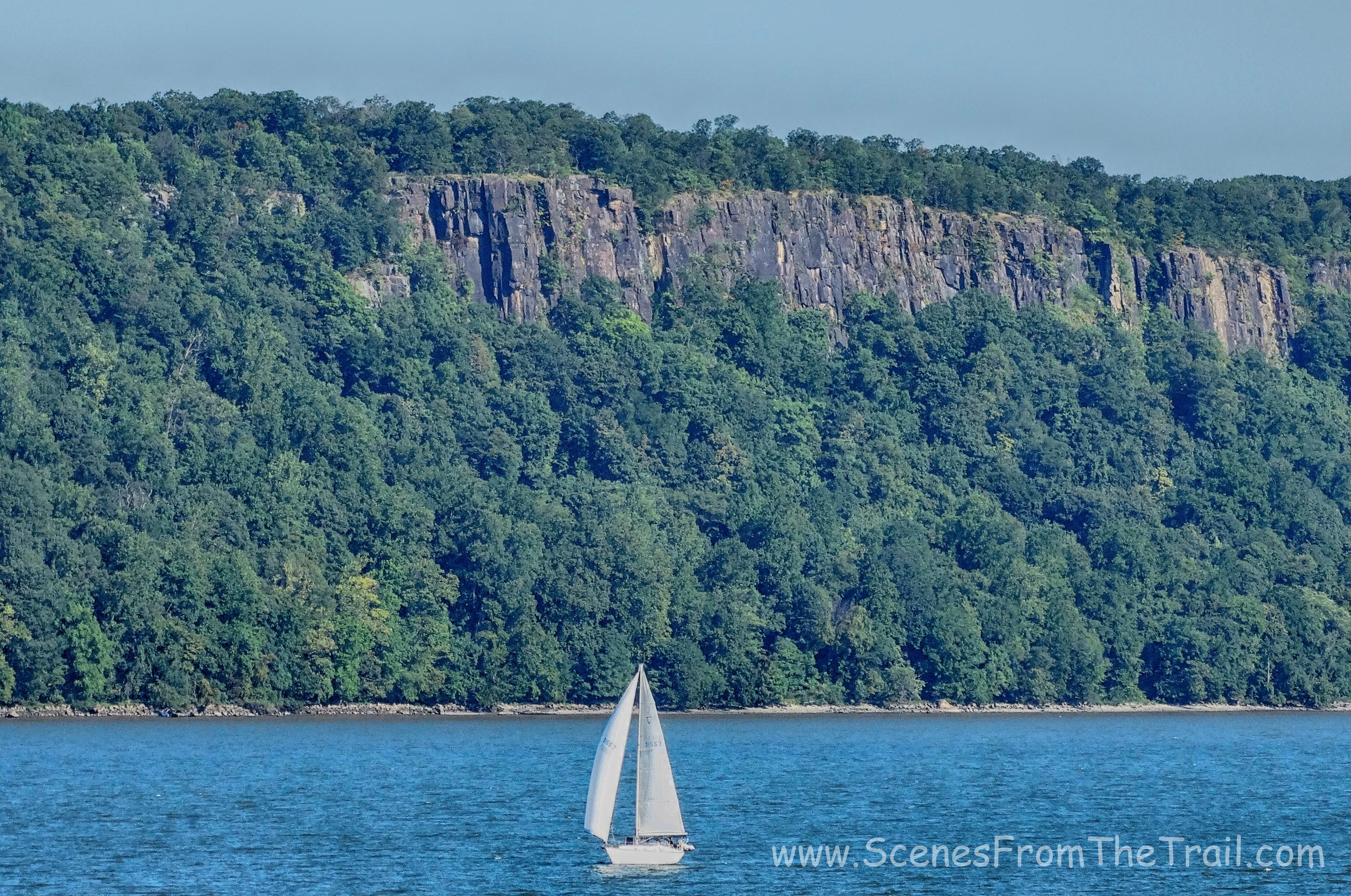
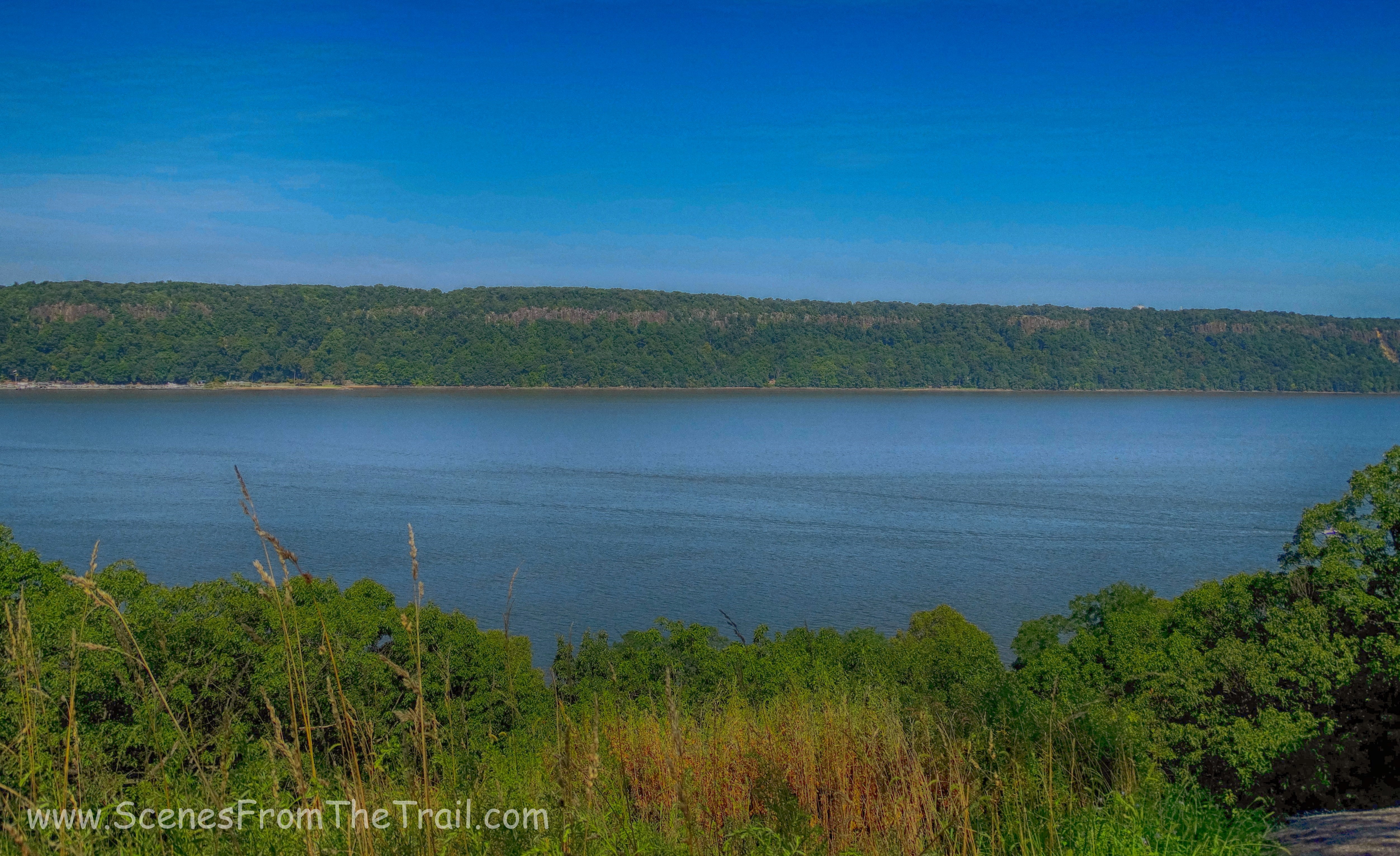
As we gained some elevation, the view started to open up. I could see the Palisades across the Hudson River through the trees. Then all of a sudden it was wide open and a fantastic view appeared.
Overlook Meadow
According to the map this spot was called Overlook Meadow. It had nice views west and north of the Hudson Valley.
Overlook Meadow
We stopped here for a little while and captured some images of a great view on such a beautiful day.
Overlook Meadow
After taking in the view we continued on the blue trail and came upon another point of interest which was Whale Back Rock, an outcrop of Manhattan schist.
Whale Back Rock
As we continued on the blue trail I was imagining what it must have been like so long ago when these roads were built. They had built curbs in places and the amount of paving materials that were used for the network of roads must have cost a hefty sum.
curbed road
As we descended on the blue trail we came to one of the most unique spots in the park, the Indian Caves. The caves were created by the tumbling of rocks during a glacial retreat more than 30 thousand years ago forming overhangs of natural rock shelters. These cave shelters were once used as a seasonal camp by the Lenape people who lived in the region before the arrival of Henry Hudson in 1609.
Indian Caves
We stopped and explored the shallow caves and hung out and relaxed for a while. I had read that homeless people use these caves as shelter so I approached them with caution.
Indian Cave
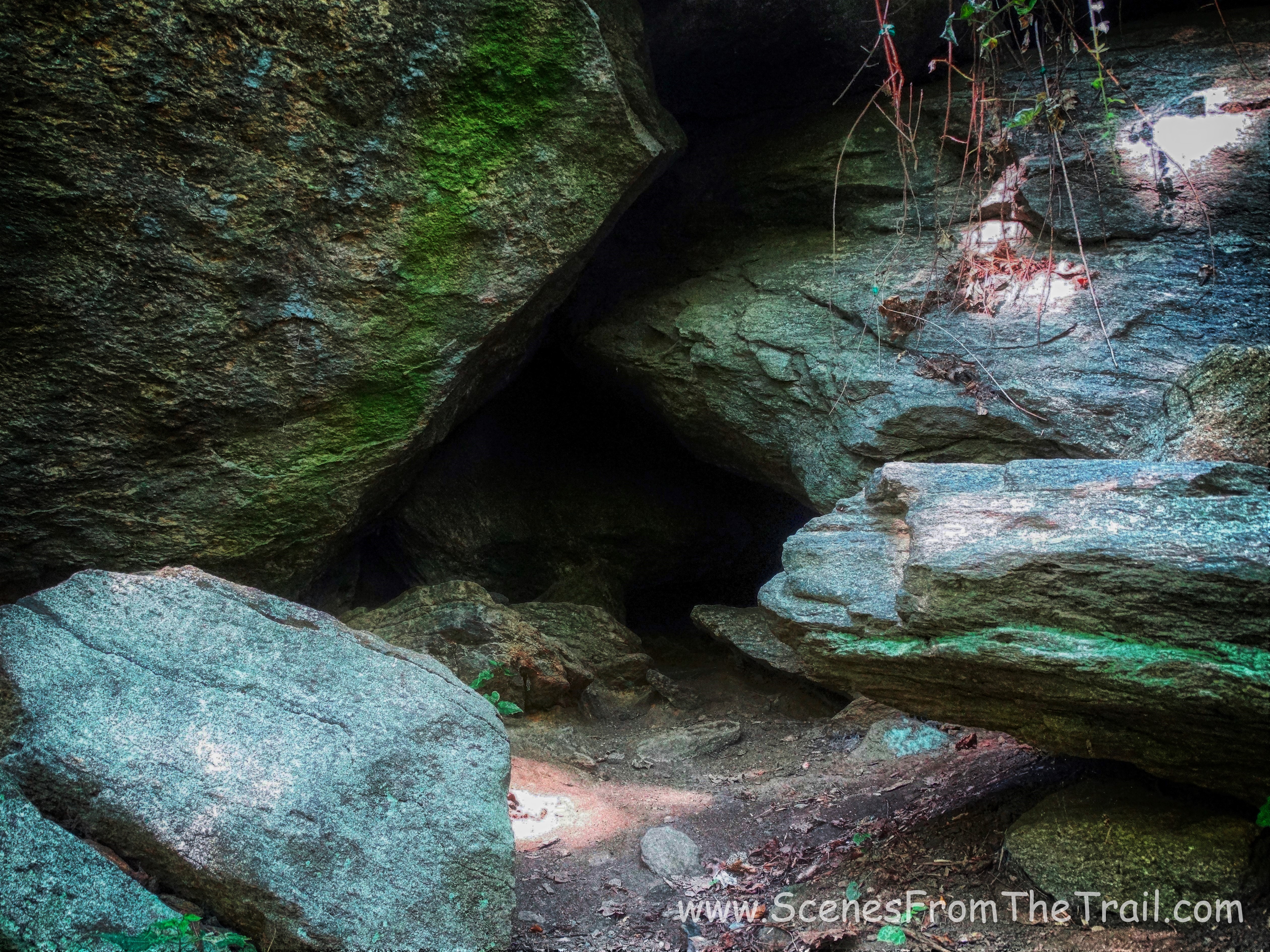
Indian Cave
There were several shallow caves that were more like rock shelters than actual caves. From what I read they used to interconnect via tunnels that were sealed up by the parks department long ago. Nevertheless they were one of the highlights of a hike that had many.
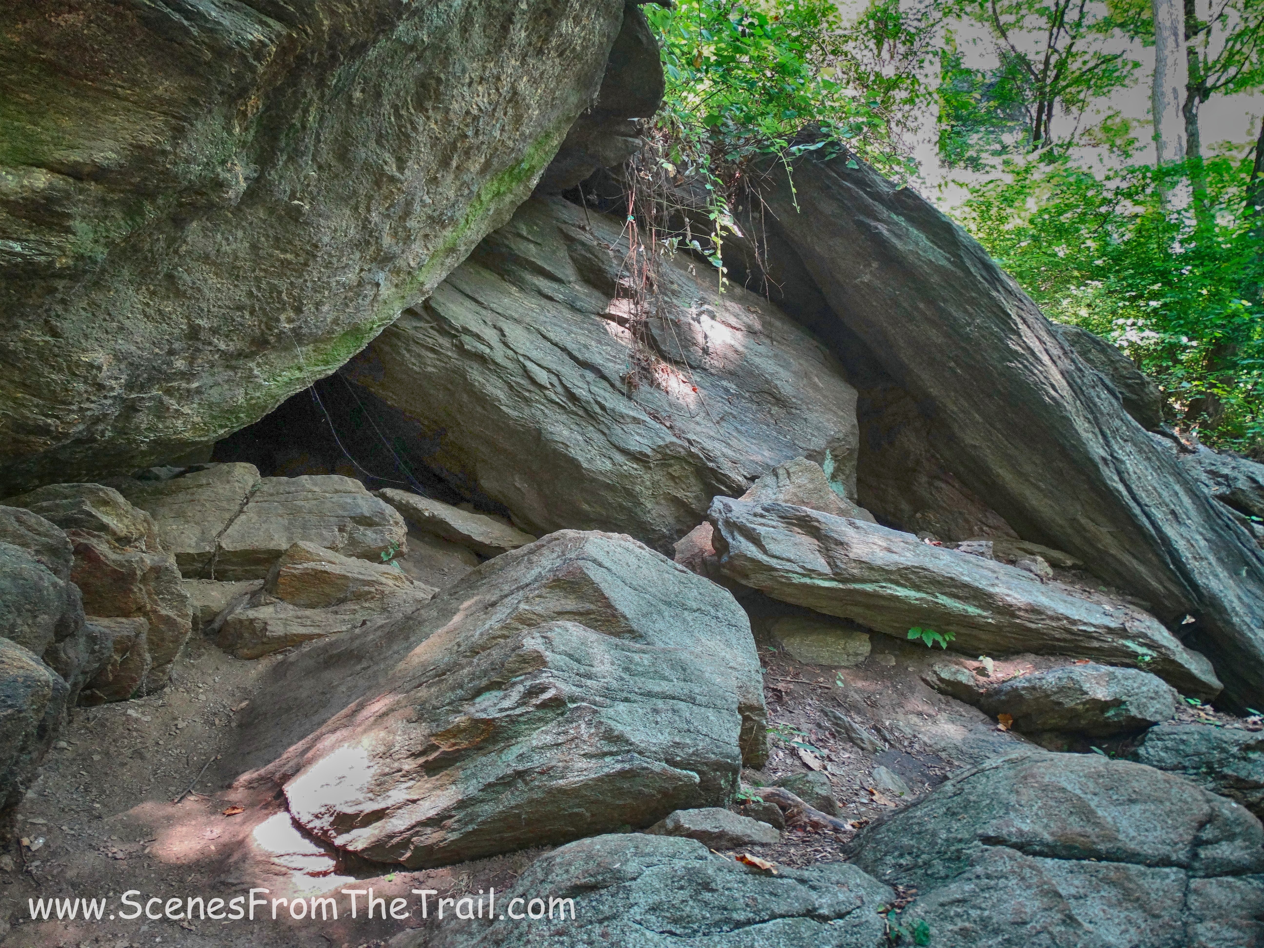
Indian Cave
Even the trees had caves.
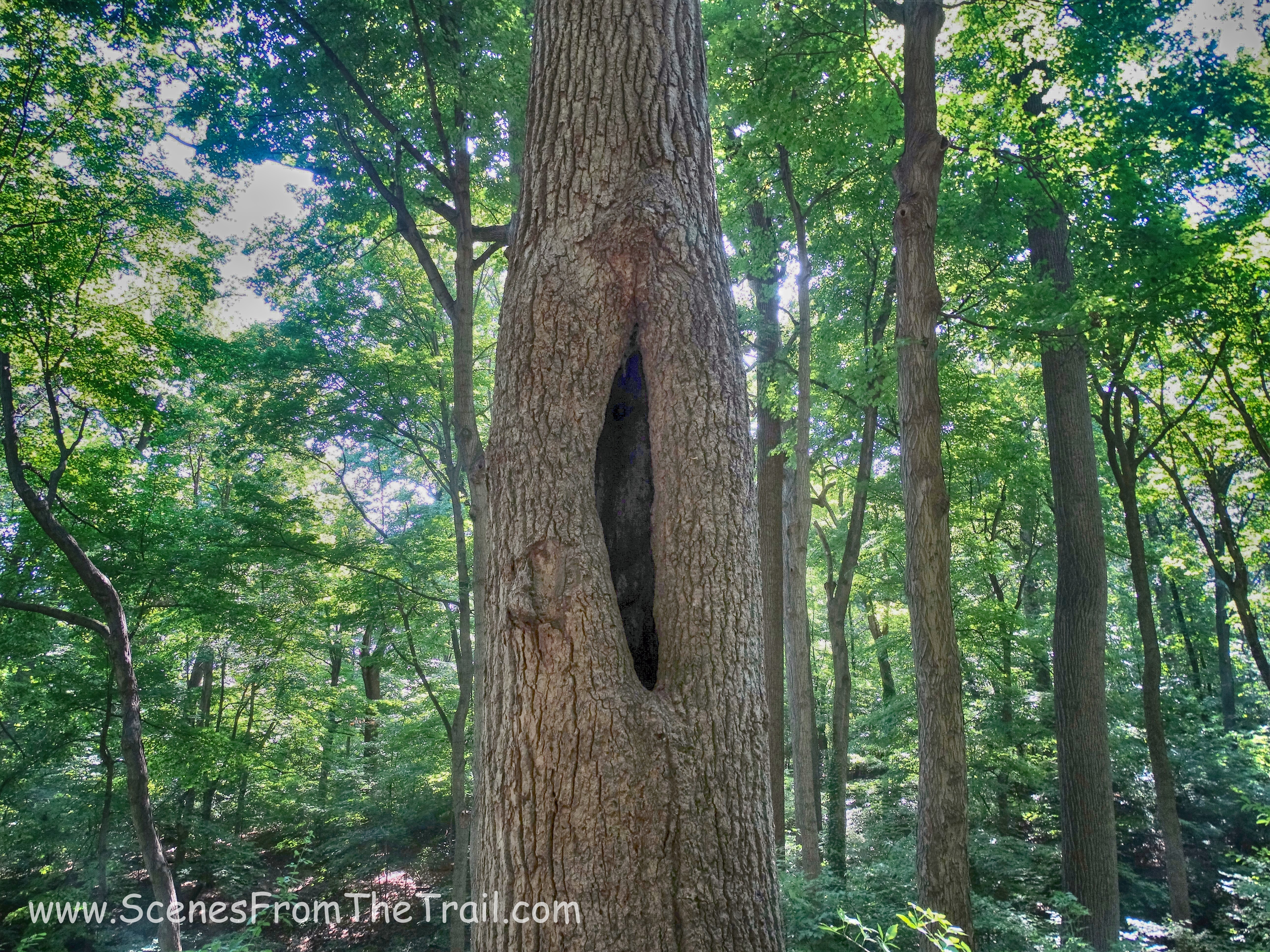
tree cave
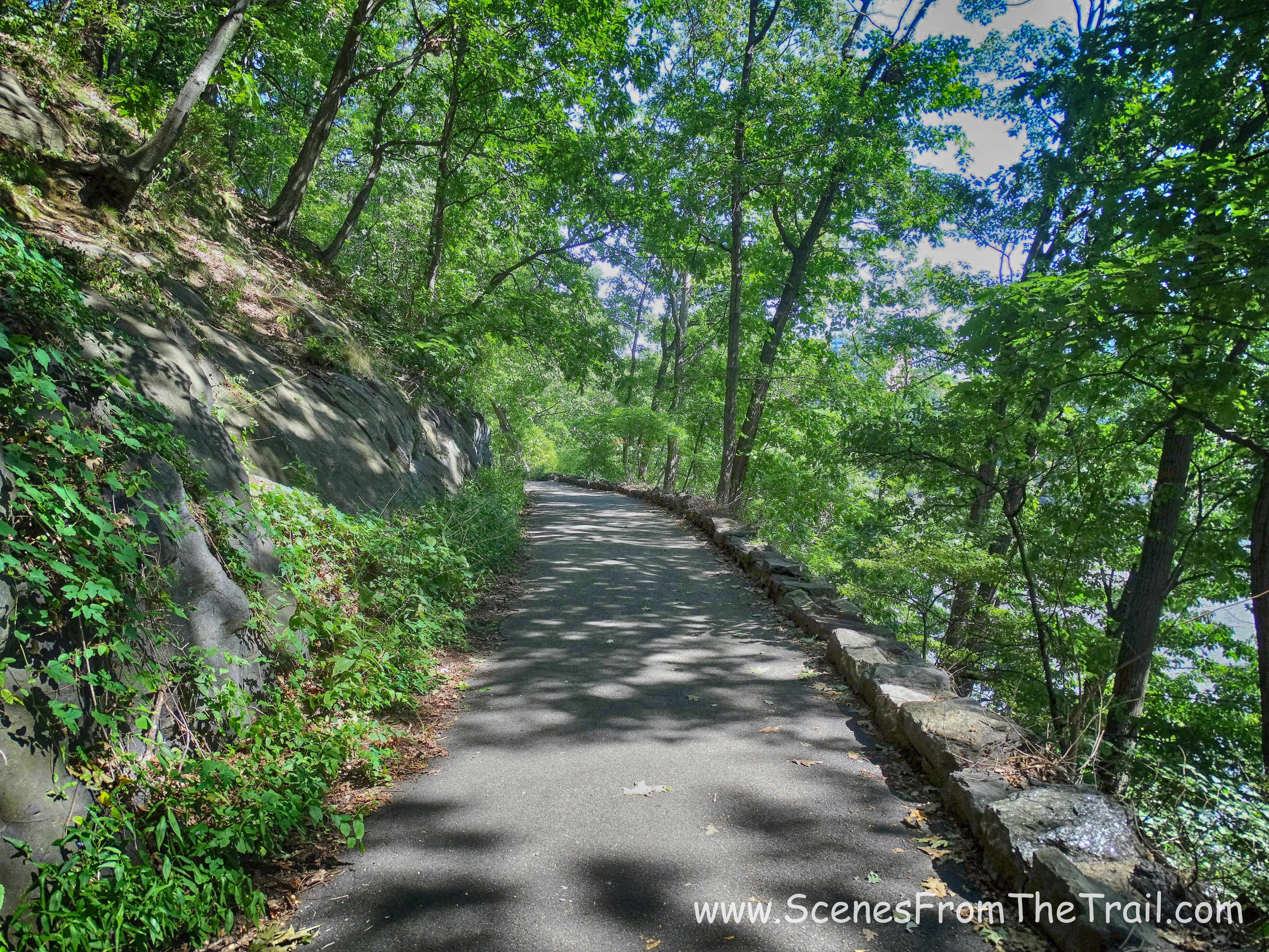
After leaving the caves we arrived back at The Shorakkopoch Rock. That was the conclusion of the blue trail. At the rock we turned left and began following the green blazes. This trail was better blazed and much easier to follow as it ran along the lower section of the park. This one also followed a paved road, which the map lists as Spuyten Duyvil Road. Heading west on the green trail, it was bordered by a rock face to the left and a steep drop off into the ravine on the right. The road/trail had stone borders on the edge to prevent vehicles/carriages from going over the side way back when…..
green trail
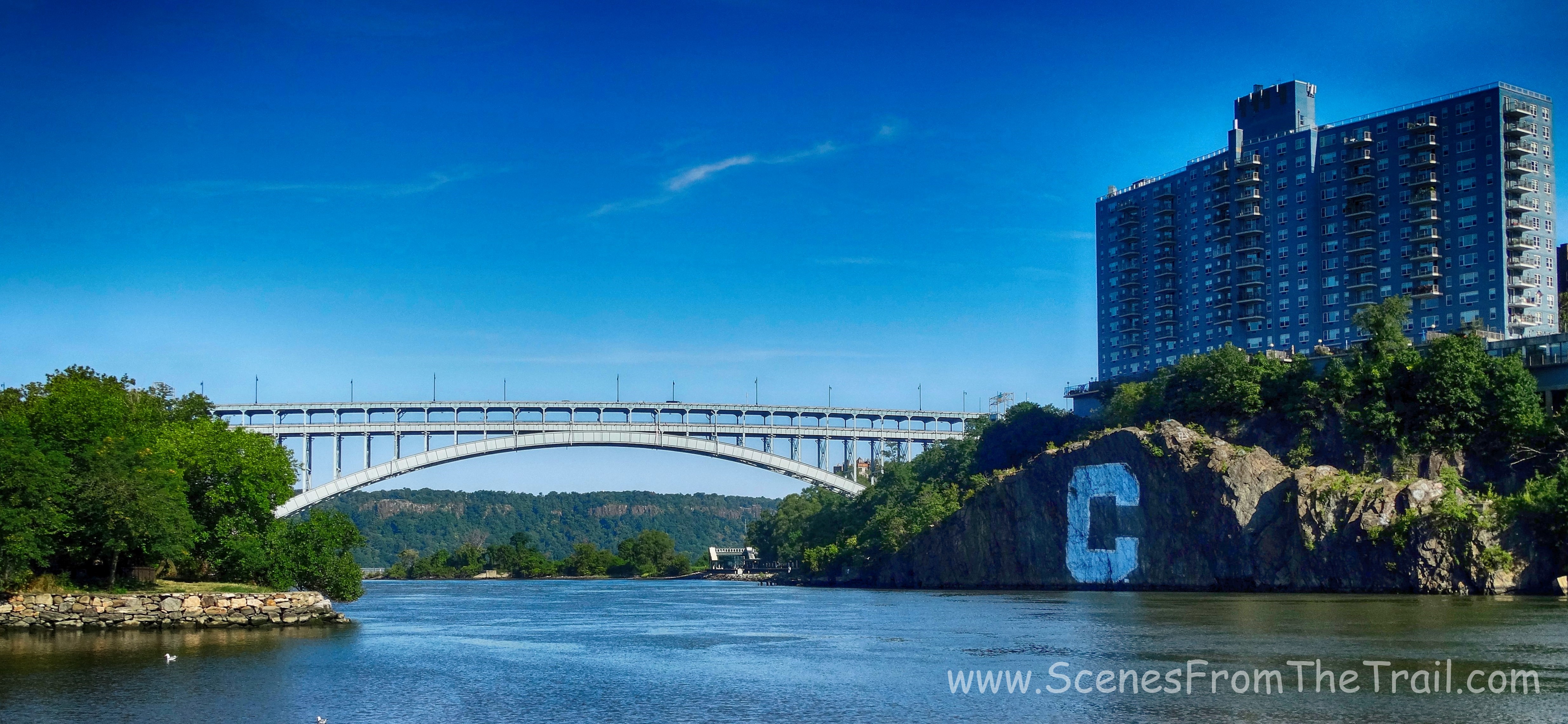
Spuyten Duyvil Creek and C-Rock was visible to our right through the trees as we walked up hill along the trail.
C-Rock
We continued underneath the Henry Hudson Bridge, where we came to the junction that we earlier had turned left to pass through the first tunnel beneath the parkway. This time we veered right and continued to follow the green blazes. Some parts of the green trail run together with the Hudson River Valley Greenway bike trail. Caution is needed during these sections. I almost walked into the path of a cyclist coming quickly behind me. He didn’t ring a bell or shout. I came real close to getting run down. There are green signs on posts indicating the aforementioned sections like the one in the image below. We came to a footbridge that stretched over the tracks and crossed over.
footbridge
After crossing over the tracks we walked towards the Hudson River and turned right.

Hudson River
This section of the park has many playing fields. Most of the baseball fields are to the south, closer to Dyckman Street. We walked north along the river and took in the beauty of our surroundings while avoiding the crowds. This area was more heavily populated than any other section of the hike, but for NYC it felt almost desolate. We sat on a bench facing the river and had some sandwiches that we normally bring along on hikes. The breeze was really strong and it felt good! It was such a gorgeous day and we were content just basking in all its glory. I got up to capture some images and was greeted with the Circle Line that was hooking a left onto the Hudson from Spuyten Duyvil Creek/Harlem River.
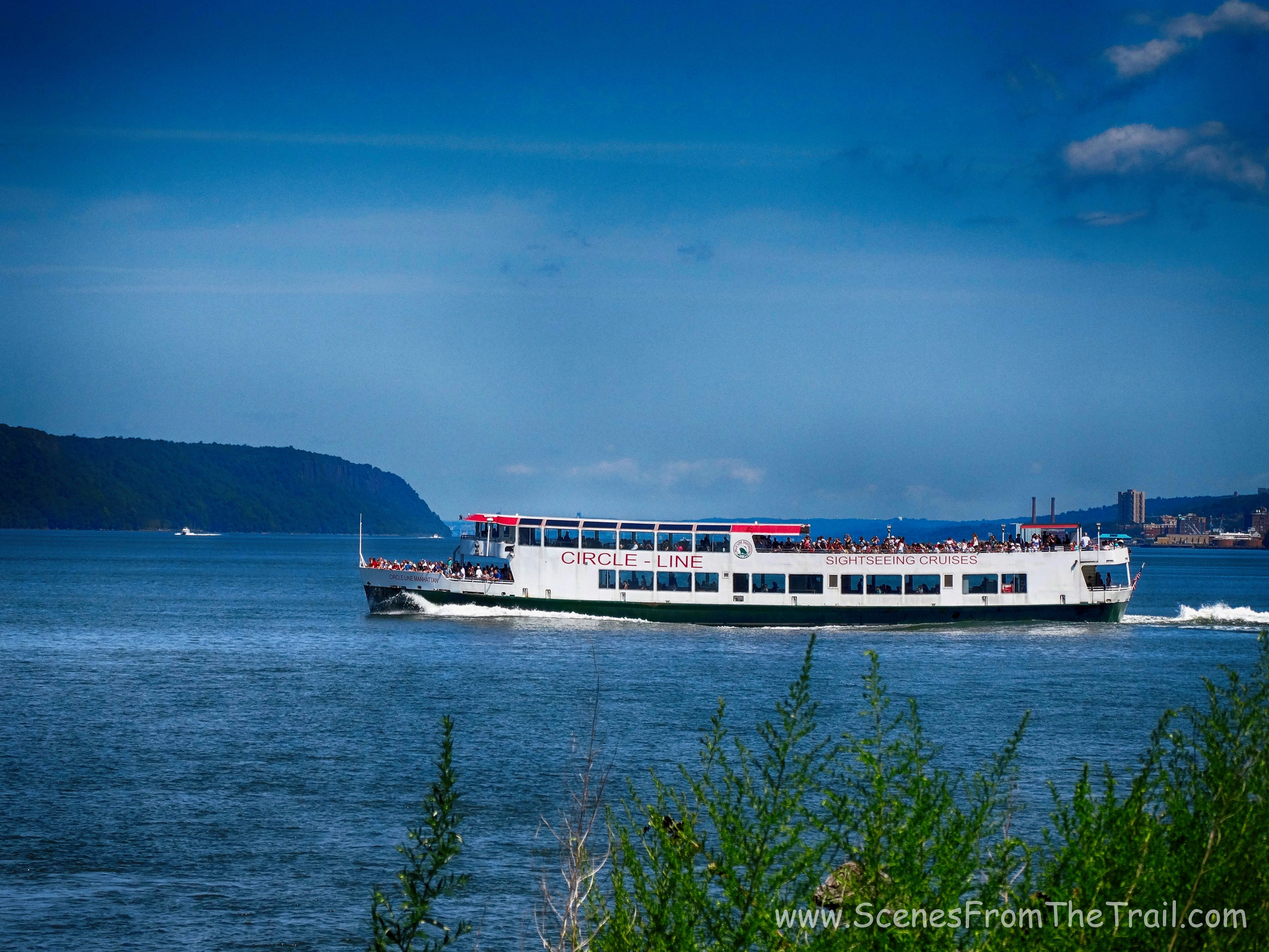
Circle Line
I grew up across from the cliffs of the Palisades so I have always enjoyed gazing at them. The view from here was exceptional.
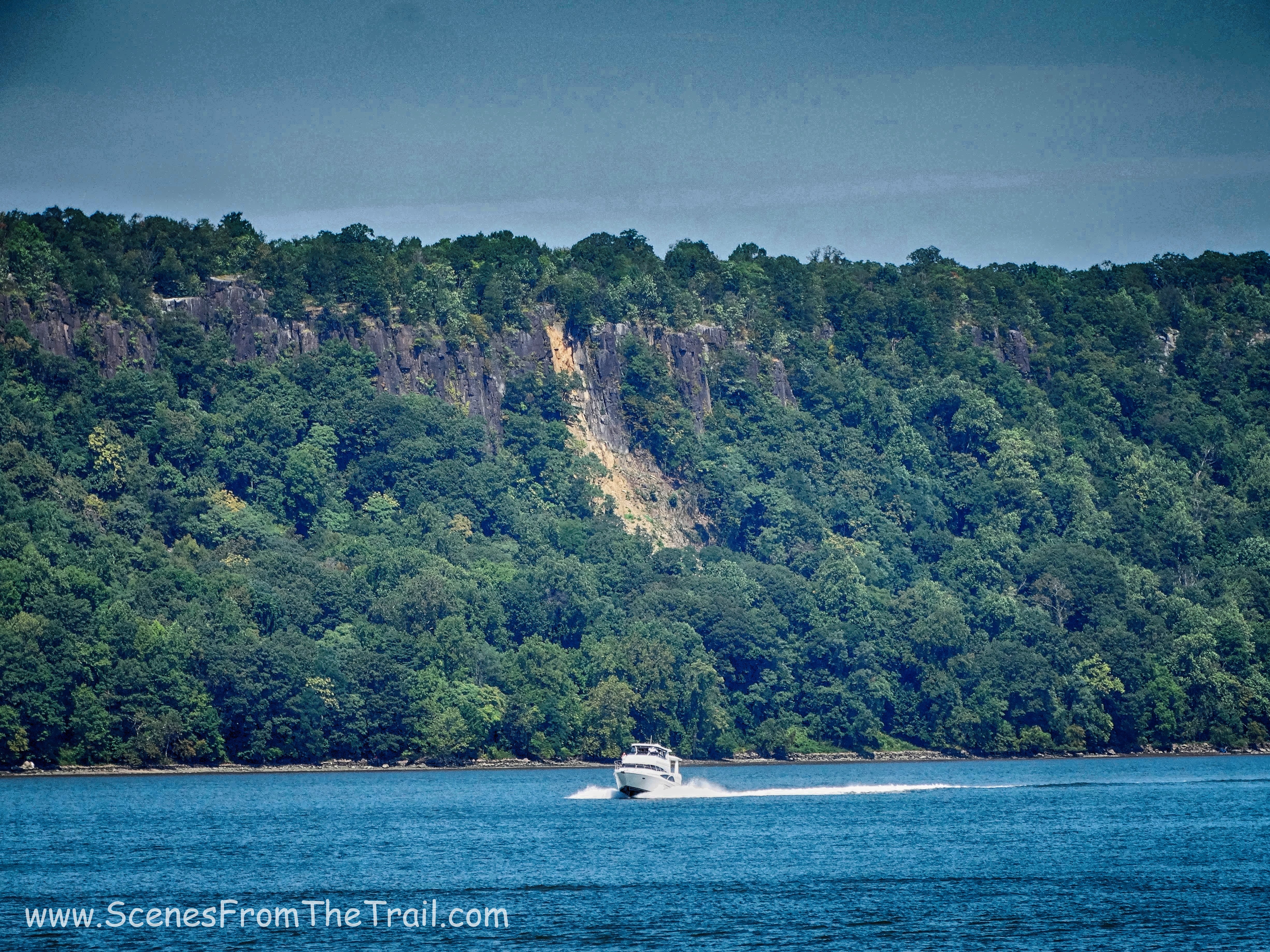
Palisades
Looking north I could see all the way to the Tappan Zee Bridge.
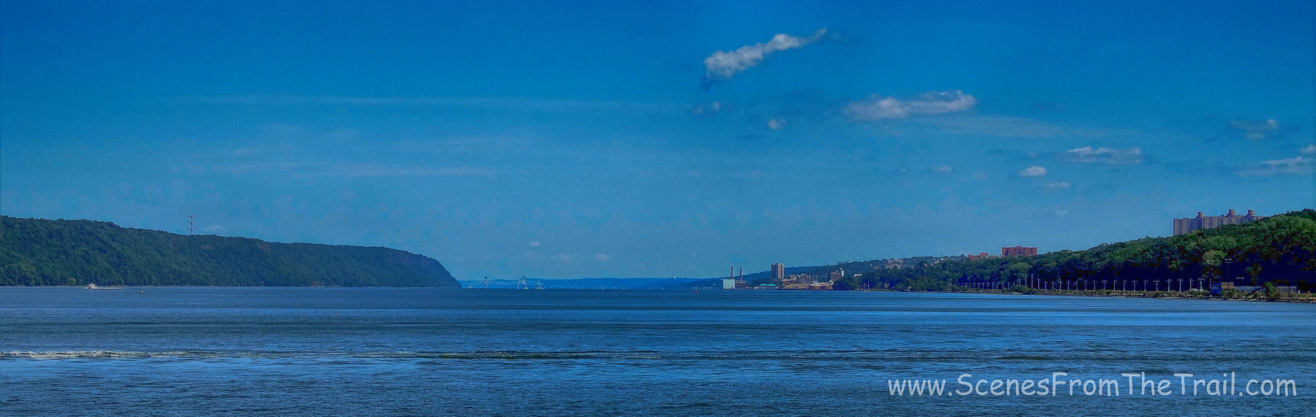
view north
Once we were well fed and well rested, we decided it was time to get going. I could have spent a lot more time at this spot, but we still had some hiking to do. We retraced our steps, crossing over the tracks and followed the green trail back the way we came. As we approached the end of our hike I saw a Heron in the distance hanging out in the salt marsh.
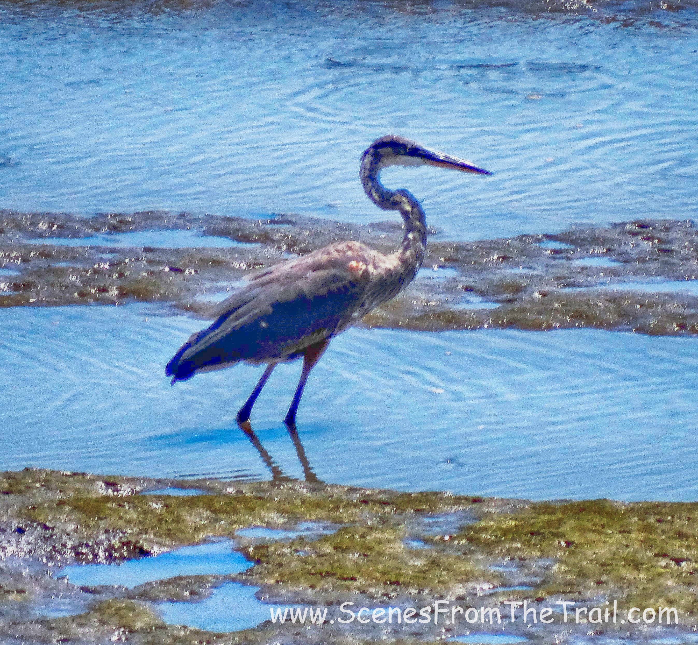
Heron
A short while later we heard some hawks making a racket and looked up to see three Red Tailed Hawks soaring high above us. We rested on a shady bench alongside Spuyten Duyvil Creek and watched the hawks. This hike exceeded my expectations. I figured it would be a walk through some thin woods and having to walk through hordes of people. I was wrong and I’m glad I was. Even on a beautiful August day this park offered a little solitude along with one of the more photo worthy hikes I have done. I hope that you enjoyed today’s hike. Until next time, keep on trekking…..
keep on trekking
