October 5, 2016 – Voorheesville, NY
Difficulty: easy
Length: approximately 7.5 miles
Route type: circuit
Thacher State Park is located 15 miles southwest of Albany on State Route 157. Located mostly atop the Helderberg Escarpment, the park has over 25 miles of hiking trails that offer panoramic views of the Green Mountains in Vermont and the Taconic Mountains of the Hudson Valley.
For this hike I followed the Cliff Edge Overlook and Indian Ladder via the Long Path and Escarpment Trails as detailed on the NY/NJ Trail Conference website. The highlights of this hike were the views along the escarpment trail and of course the Indian Ladder Trail. We started off at a parking area along Beaver Dam Road which provides access to the Long Path and the Blue Trail which is where we began our hike. We walked into the woods on the same side of the road where we parked (south side), the Long Path goes left, but we went right, following the Blue blazes which parallels Beaver Dam Road.
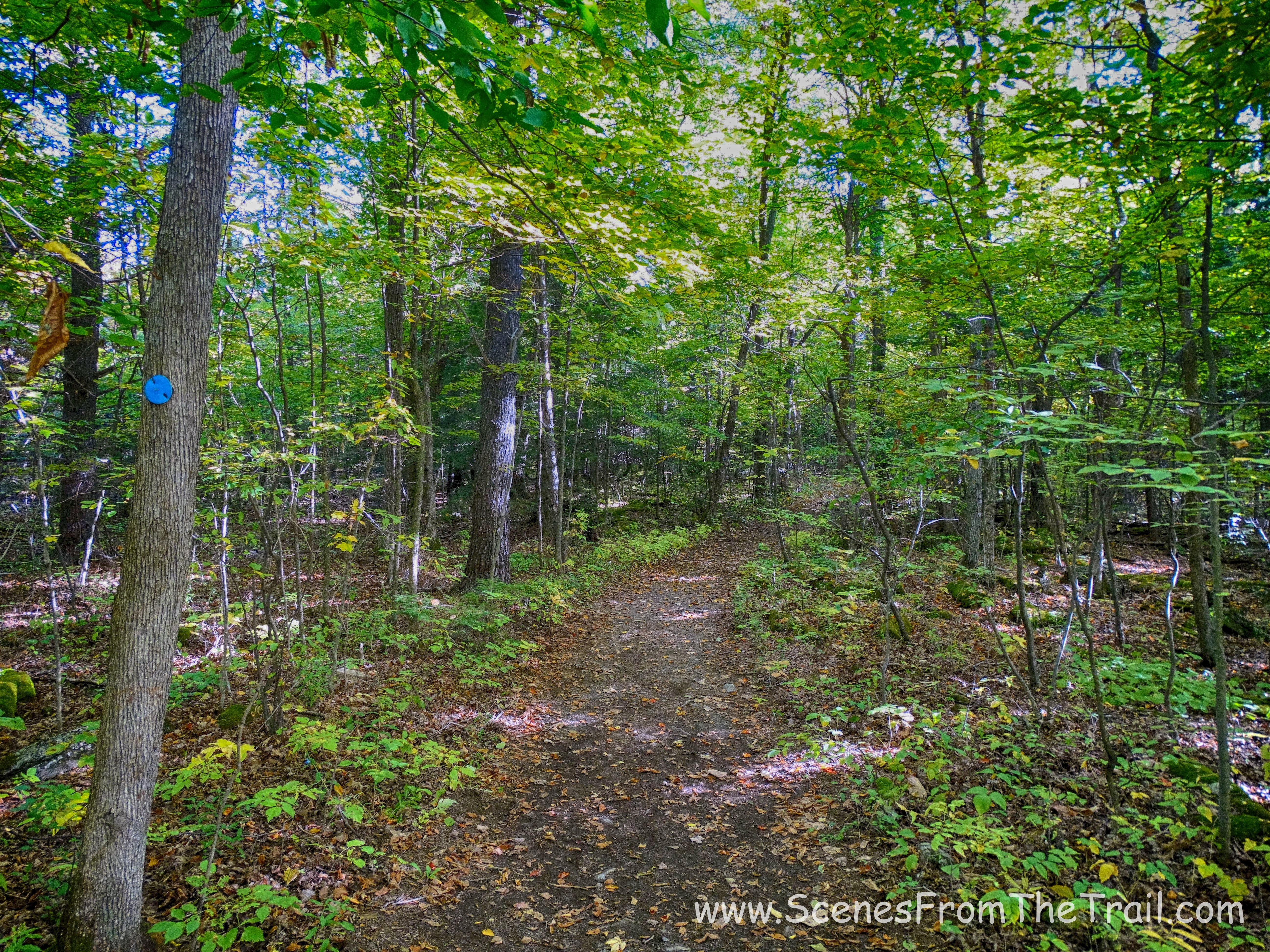
Blue Trail
In about .35 miles, we turned left at an intersection onto the white blazed connector trail. It is supposed to be marked as W-6, but I did not see any such markings. The White Connector trail heads away from the road and into the woods.

W-6 White Connector trail
We followed the white connector trail to the blue blazed trail, bearing left downhill, then right on yellow and left on orange. We came out to a clearing with some maintenance buildings on the right. We crossed the field and walked across a small footbridge and immediately turned right onto a woods road. We continued straight and followed the direction of the Overlook Sign, which was also the Long Path.
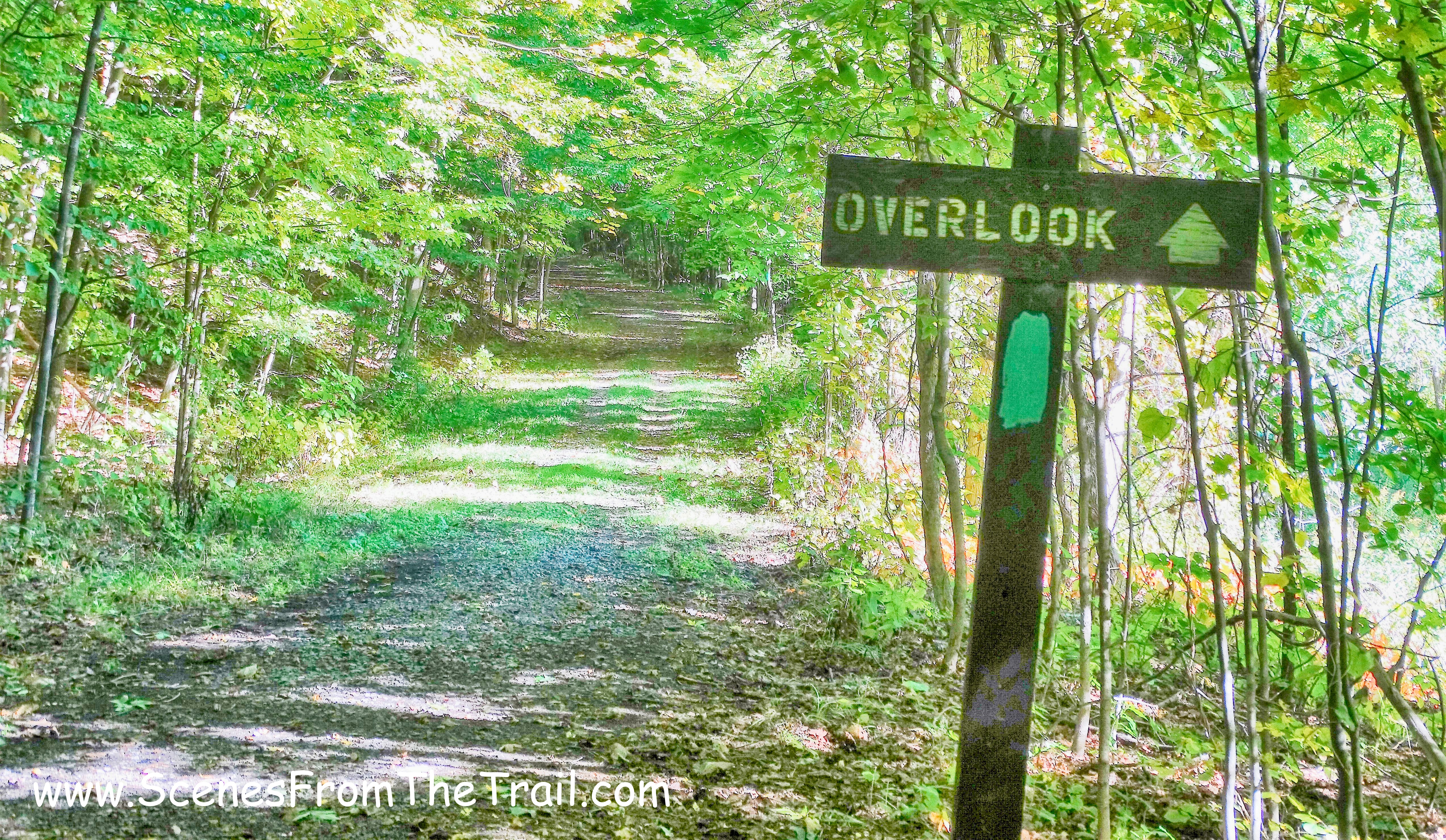
Overlook Sign
We were now following the teal blazes of the Long Path as it crossed Thacher Road and into the Cliff Edge Overlook area. We stopped there for a while to enjoy the impressive view.
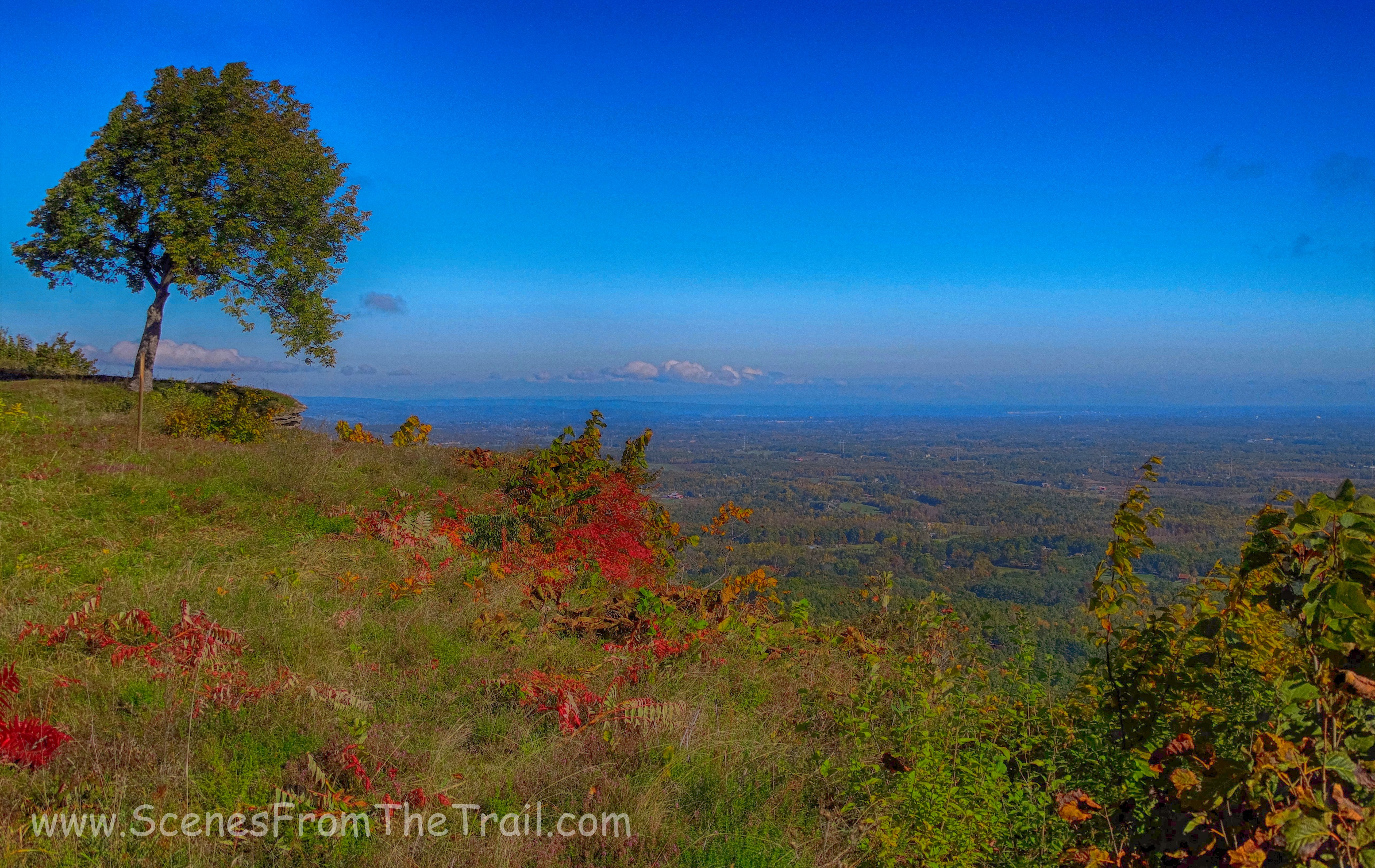
Cliff Edge Overlook
Cliff Edge Overlook
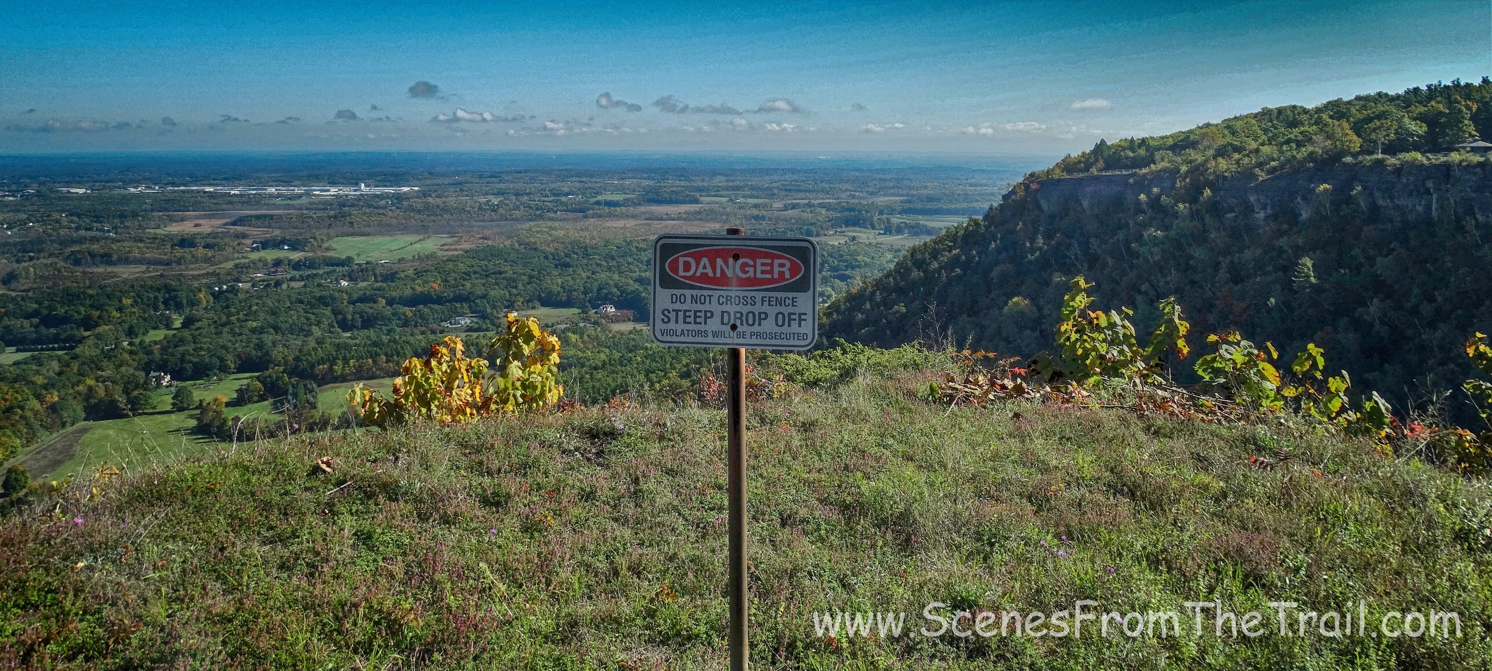
From here we walked to the far end of the Overlook and continued to follow the Long Path which was now joined by the escarpment trail and bordered by a wooden fence.
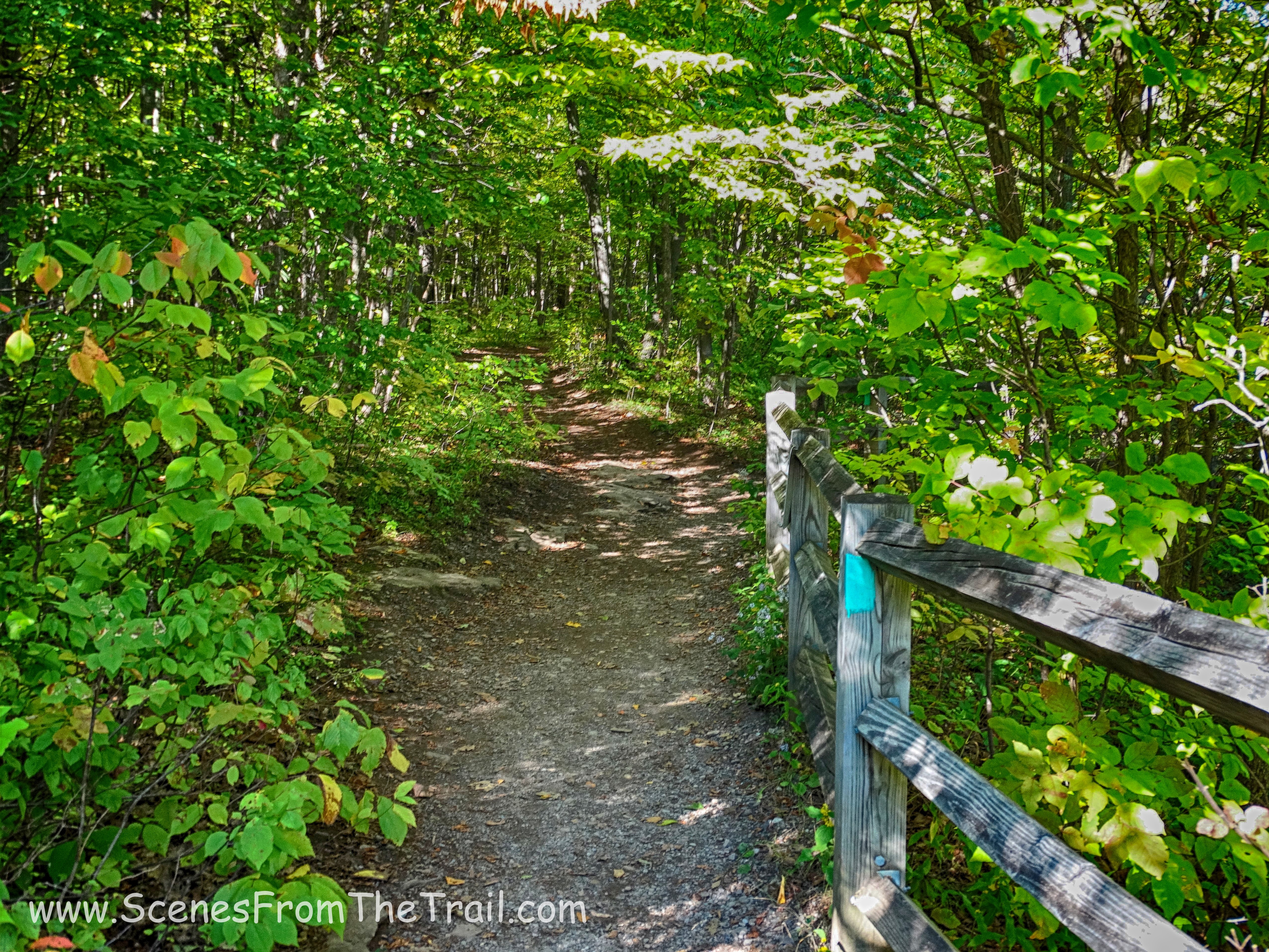
Long Path/escarpment trail
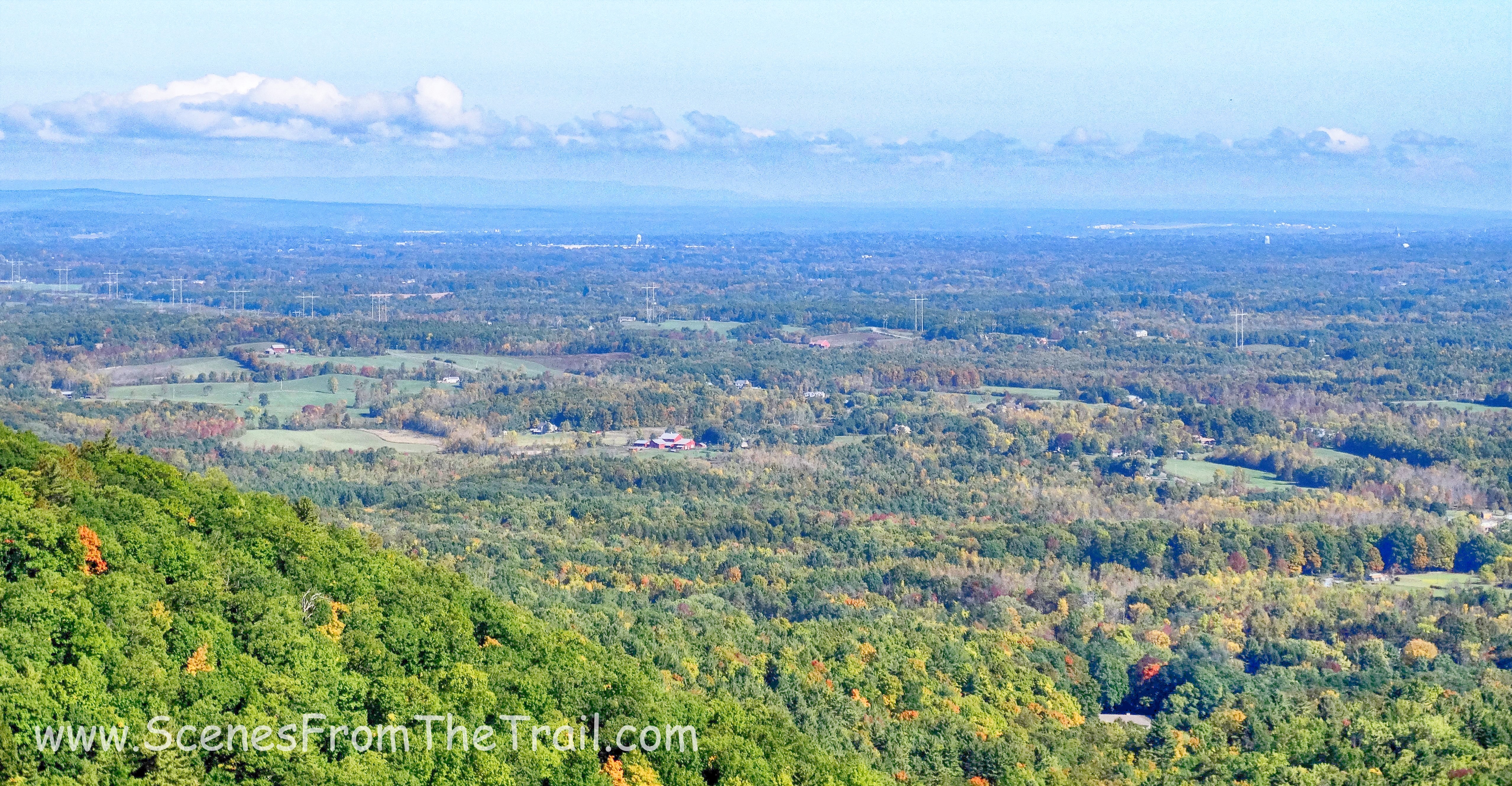
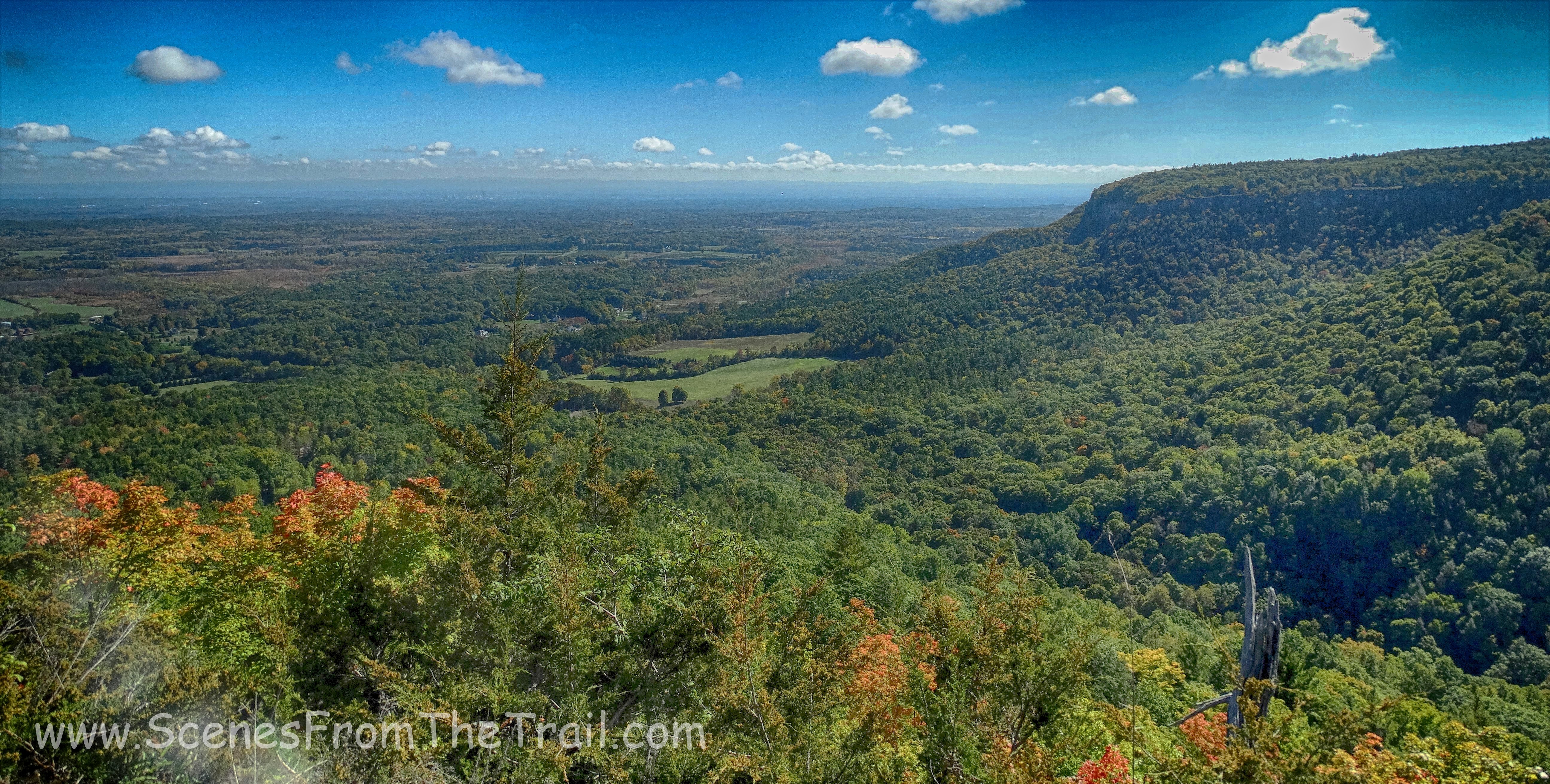
Walking along the Helderberg escarpment was quite picturesque and at times the view opened up and it felt like we could see forever and beyond.
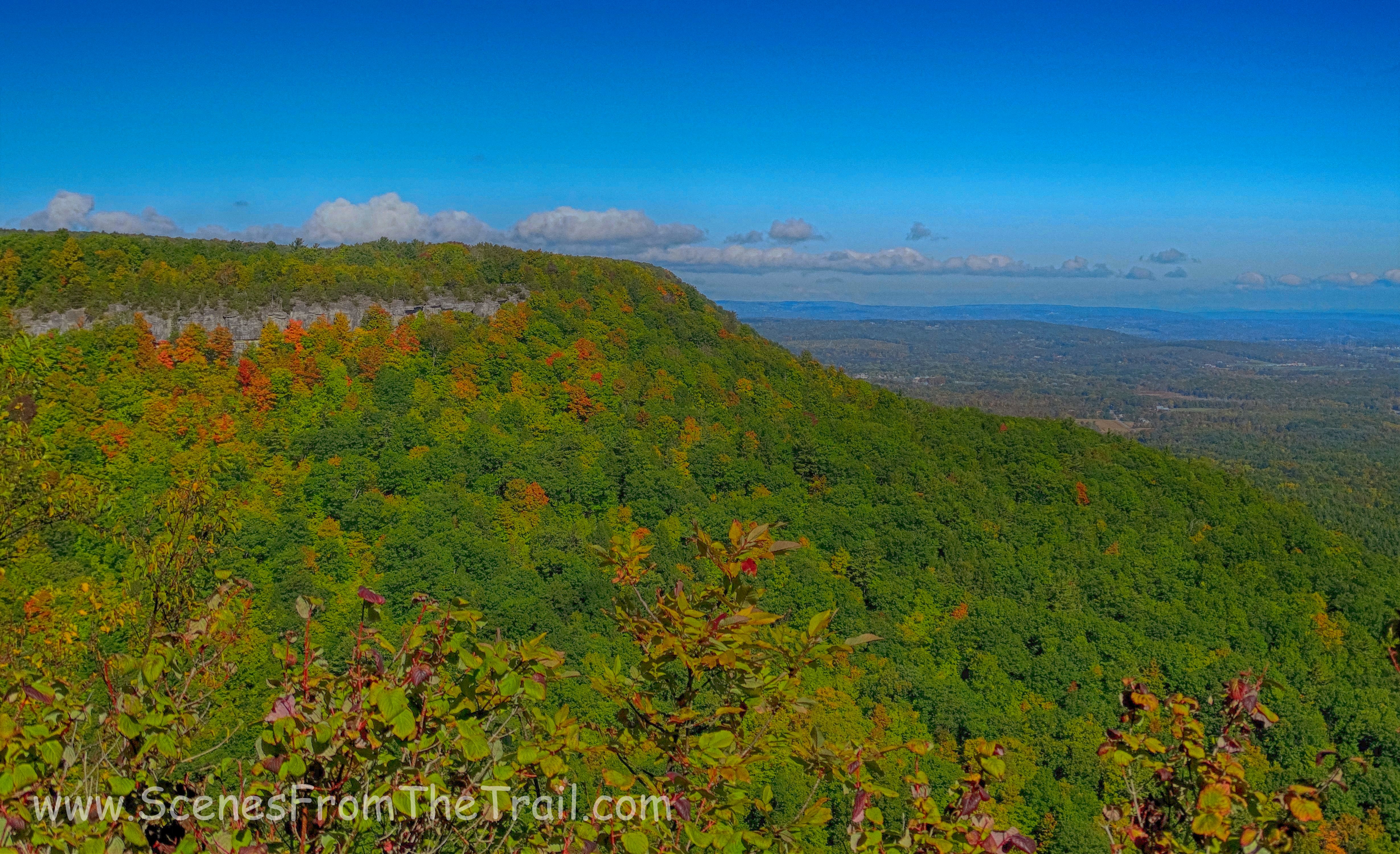
Helderberg escarpment
view from Helderberg escarpment
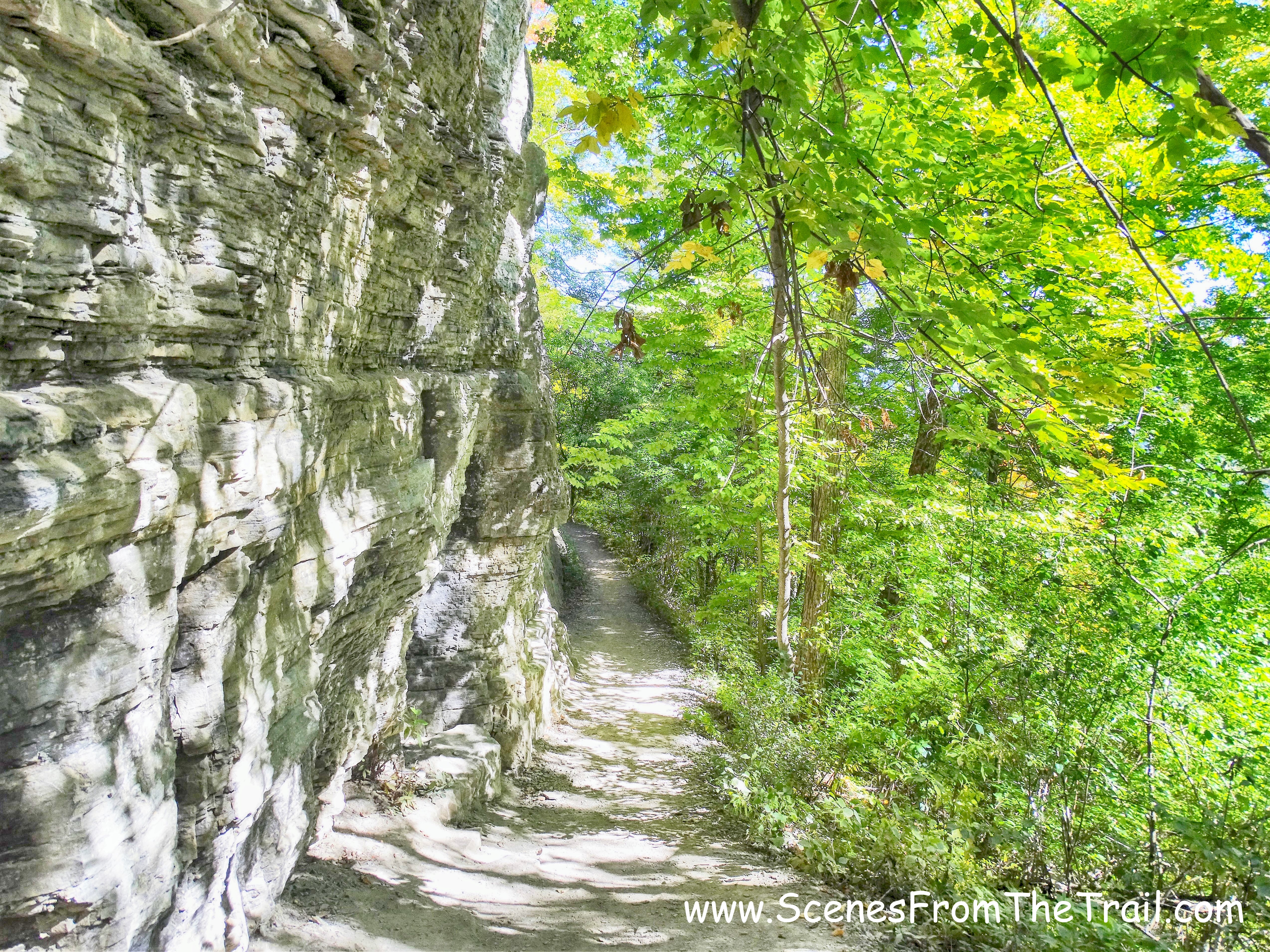
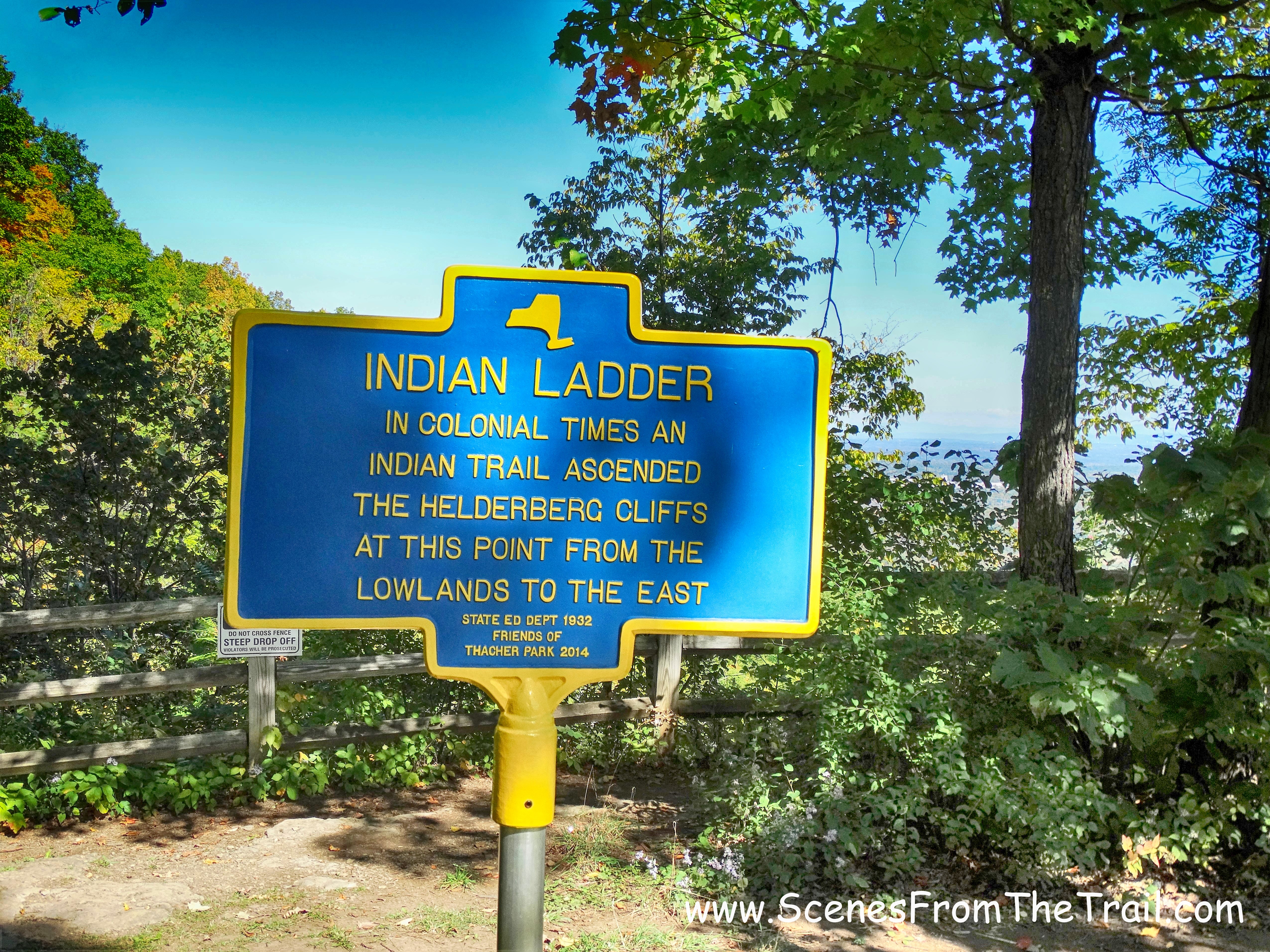
We reached some wooden steps where the Long Path veered left, but we walked down the steps to venture onto the Indian Ladder Trail.
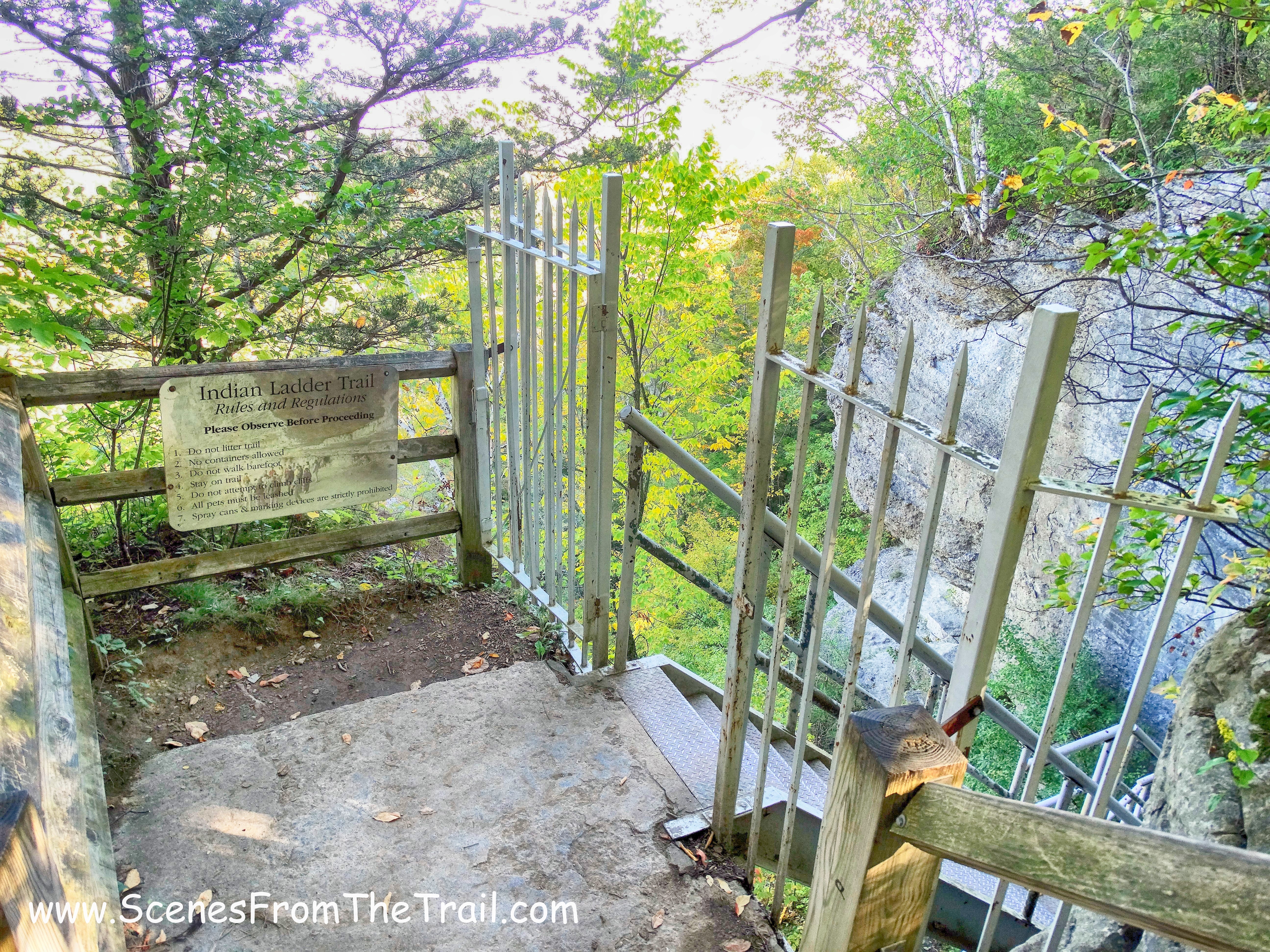
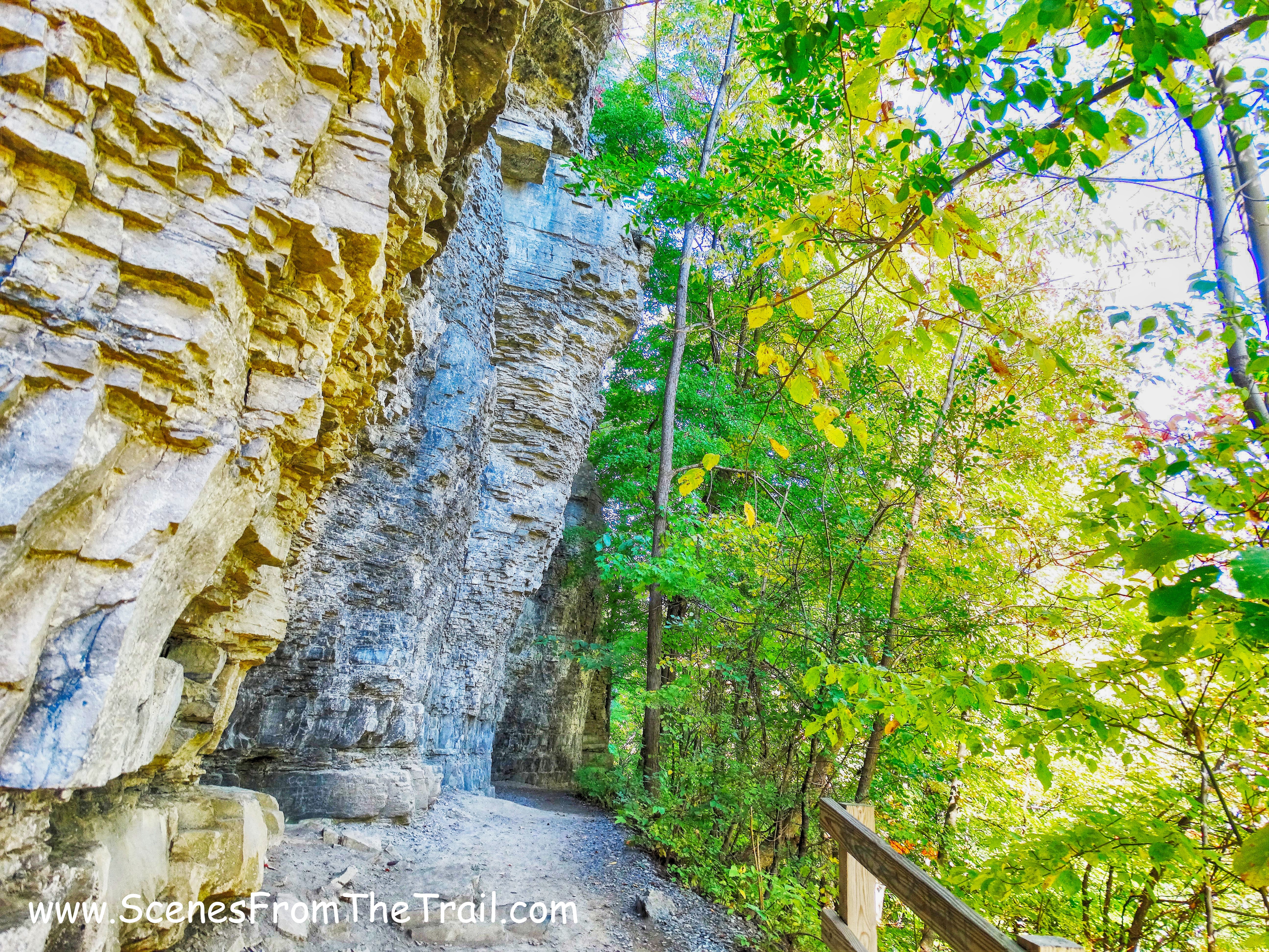
Indian Ladder Trail
The Indian Ladder Trail is open from May 1 to November 15, weather permitting. We walked down the metal staircase which led down 60 feet to the base of the escarpment.
Indian Ladder Trail
Once at the base of the escarpment we had to duck to pass beneath the rock overhang.
Indian Ladder Trail
Indian Ladder Trail
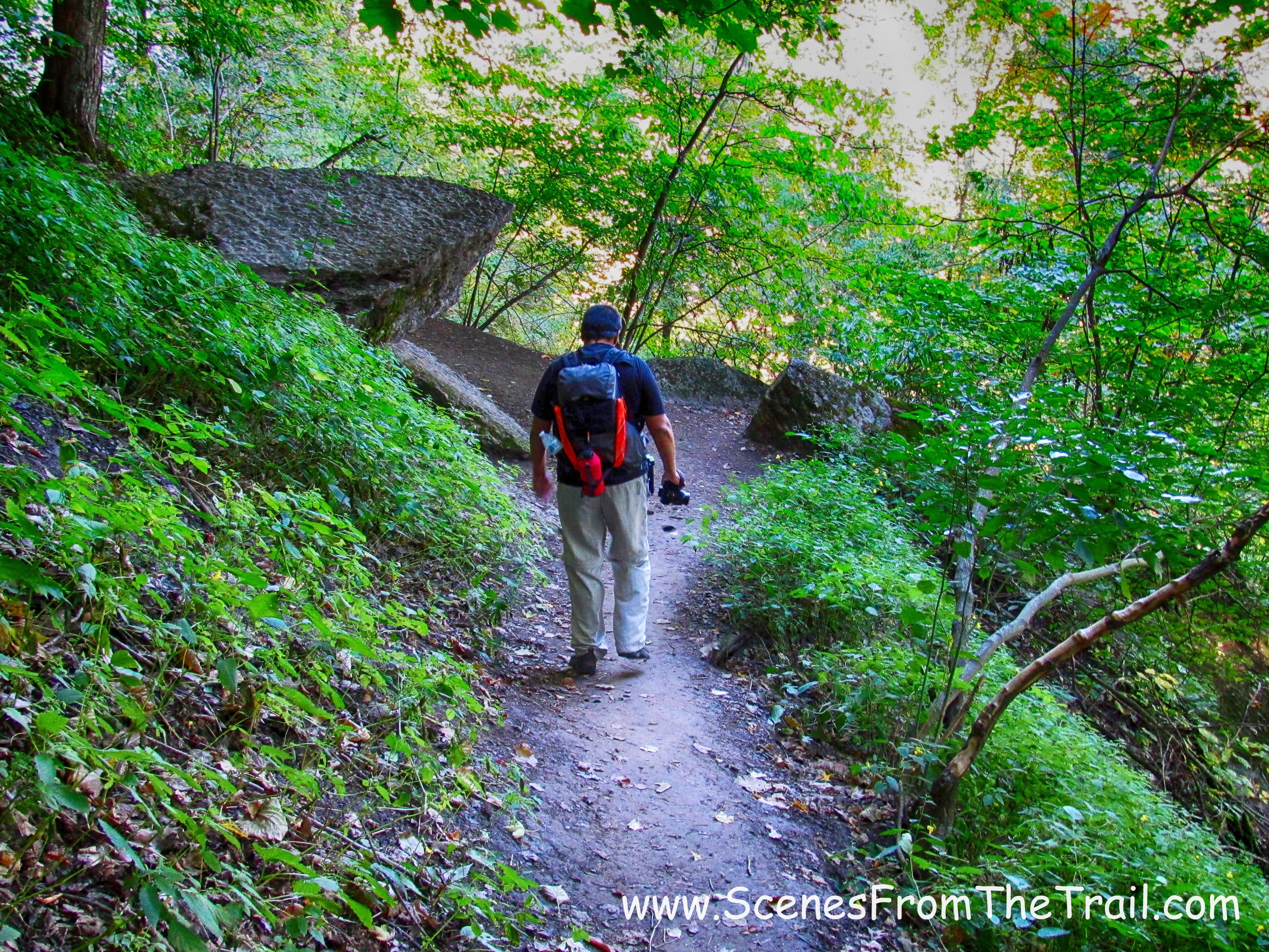
This trail is listed at .4 miles long, but seemed longer. It was definitely my favorite part of the hike.
Indian Ladder Trail
Indian Ladder Trail
The only drawback was that Minelot Falls was bone dry. It is supposed to flow over the cliff overhang, making it possible to walk behind it on the trail.
Minelot Falls
Even with no water feature to speak of, it was still a very cool trail that can be hiked on it’s own. if you’re not a hiker or have small kids, this is a nice place to visit.
Indian Ladder Trail
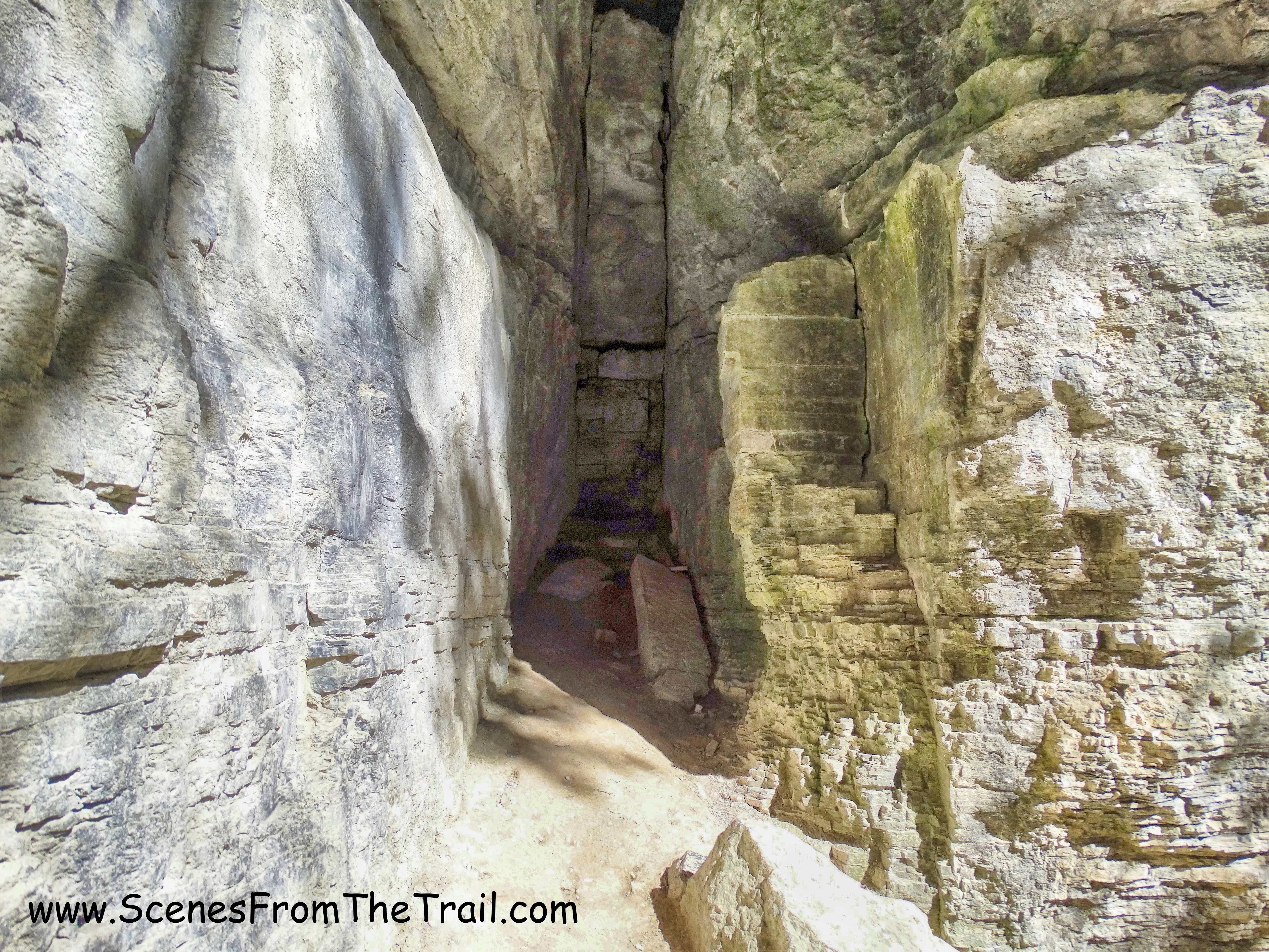
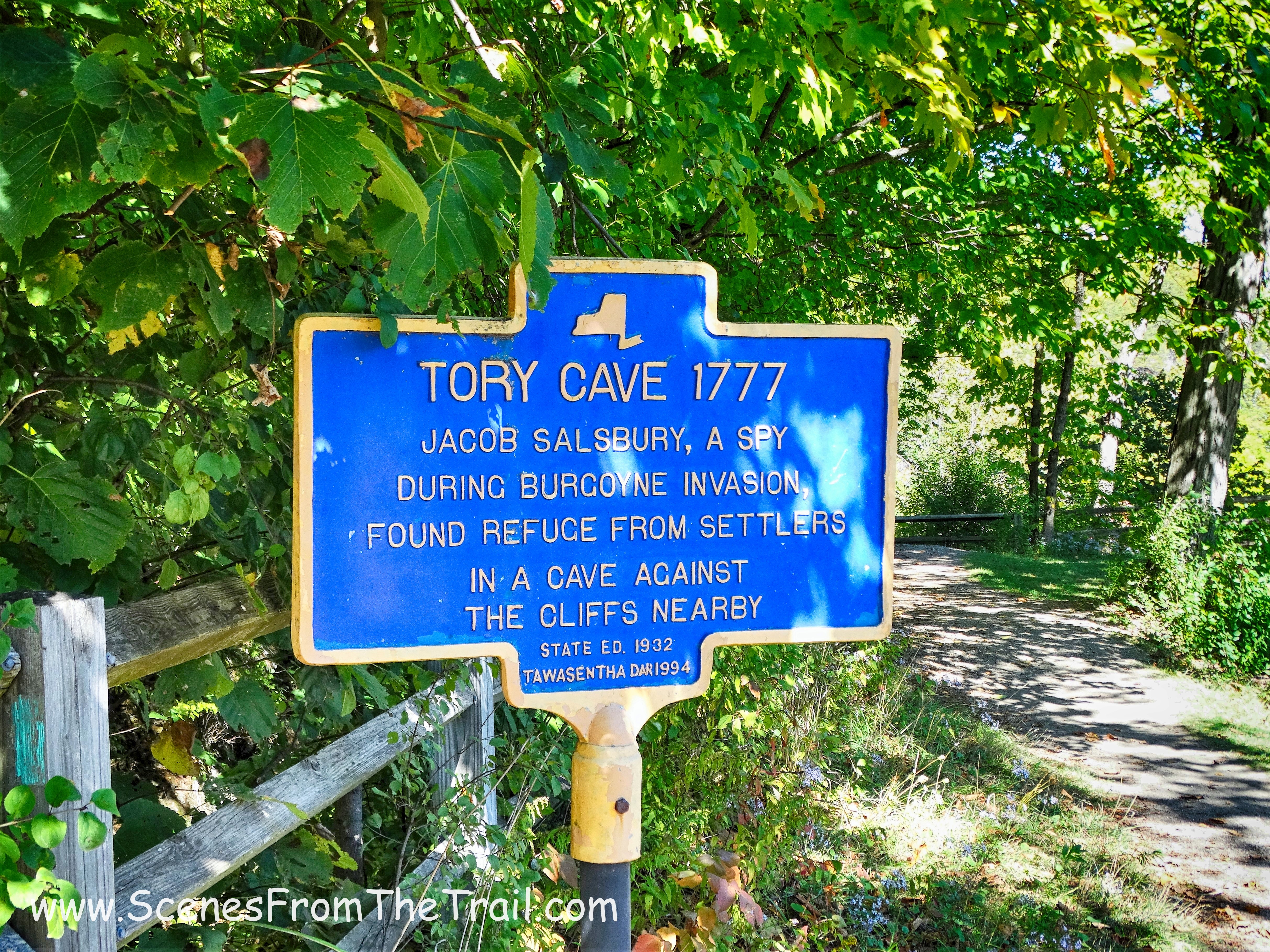
There were also small caves that dotted the side of the cliffs.
small cave
Although this trail is short, it is long on allure.
Indian Ladder Trail
Then we came to a pair of caves that were opposite each other. One was a tight squeeze with my backpack on.
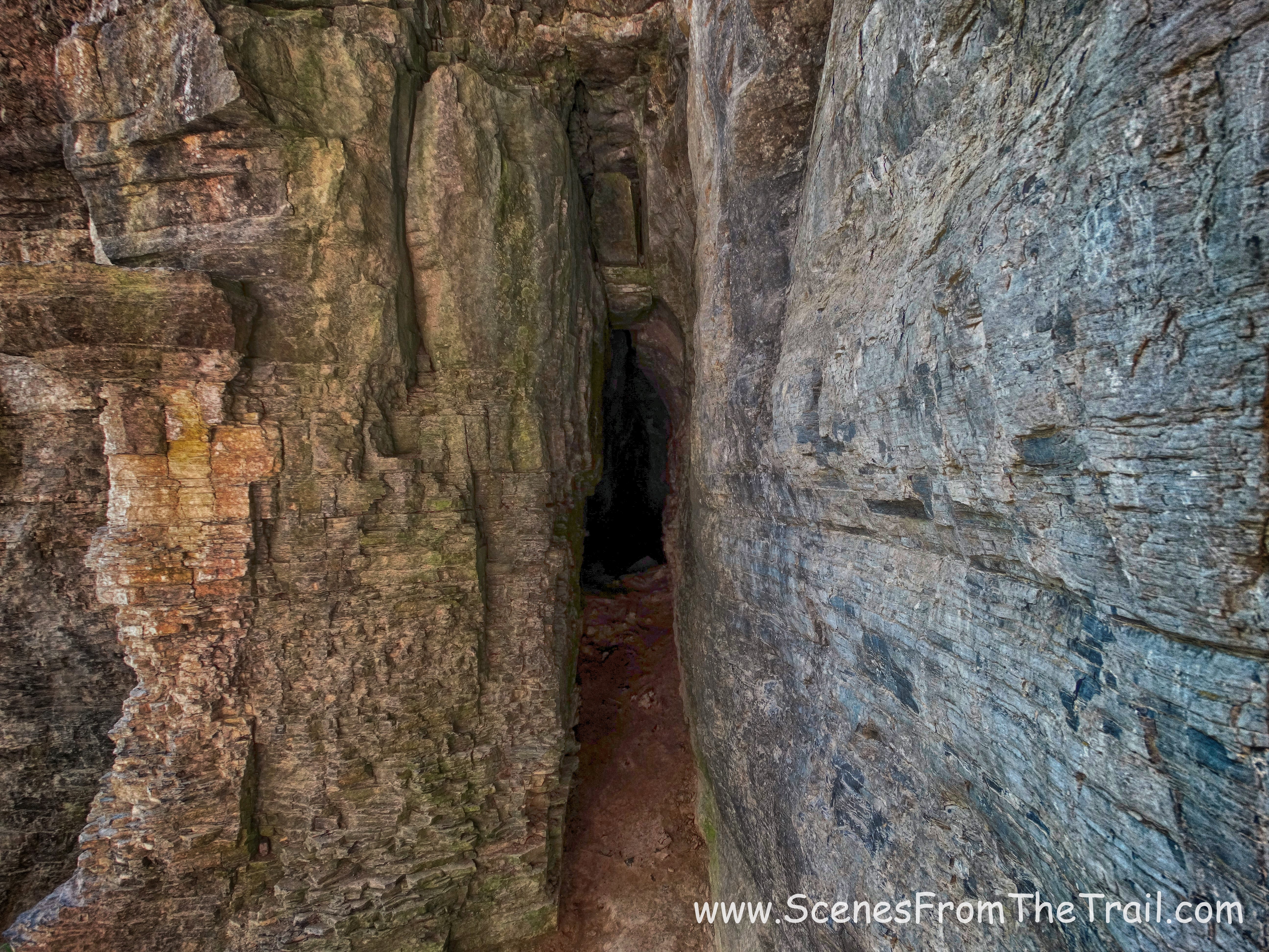
Indian Ladder Trail cave
Indian Ladder Trail cave
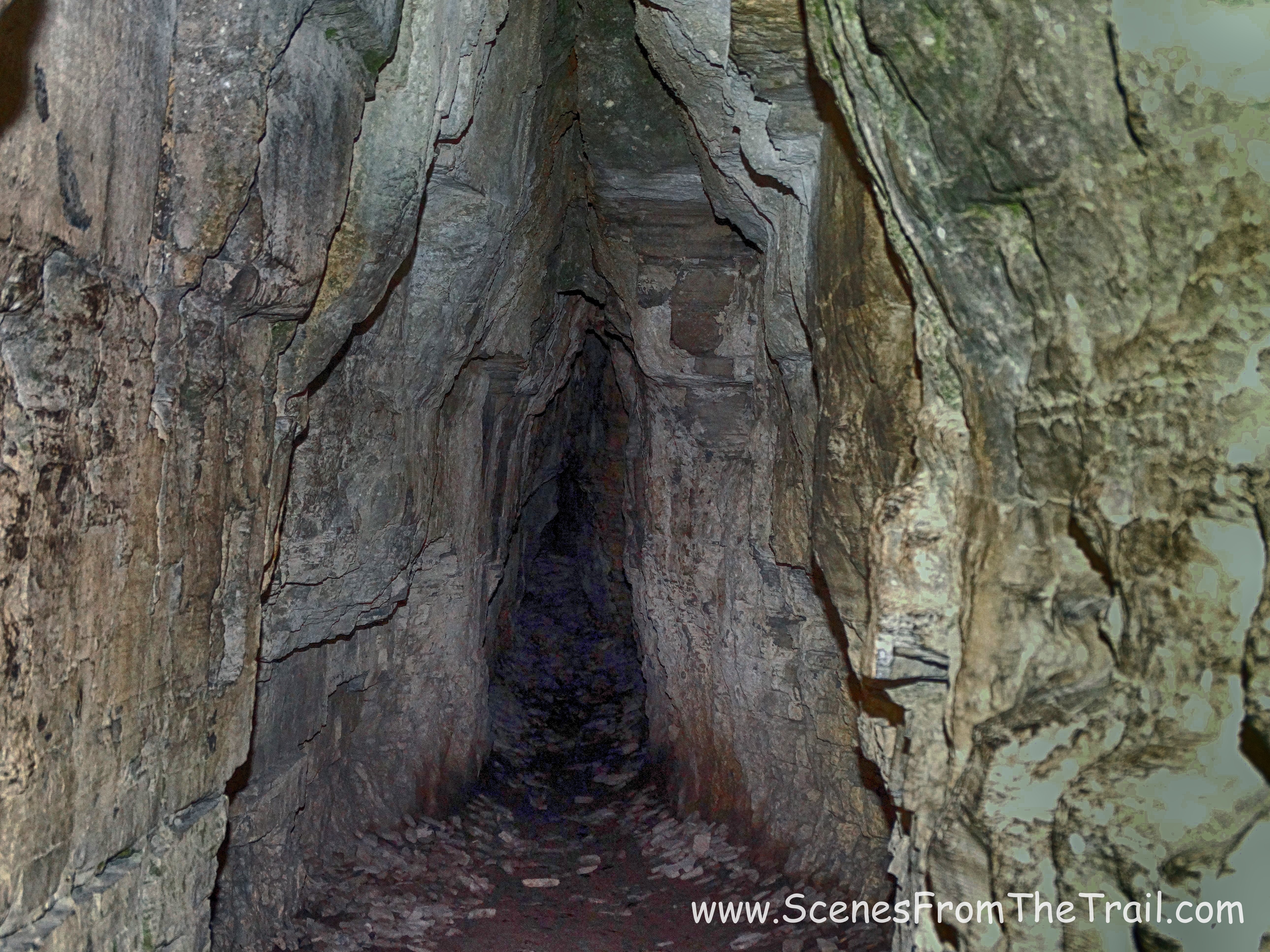
The other cave was a little larger, but not quite as deep.
Indian Ladder Trail cave
There were numerous crevices and caves that were only accessible by scrambling up the side of the cliff. We continued on along this scenic trail….
Indian Ladder Trail
and then we climbed the metal staircase at the end of the trail and back up to the escarpment trail. The escarpment trail is not blazed, but it is easy to follow. It travels alongside the edge of the cliffs which is bordered by a wooden fence.
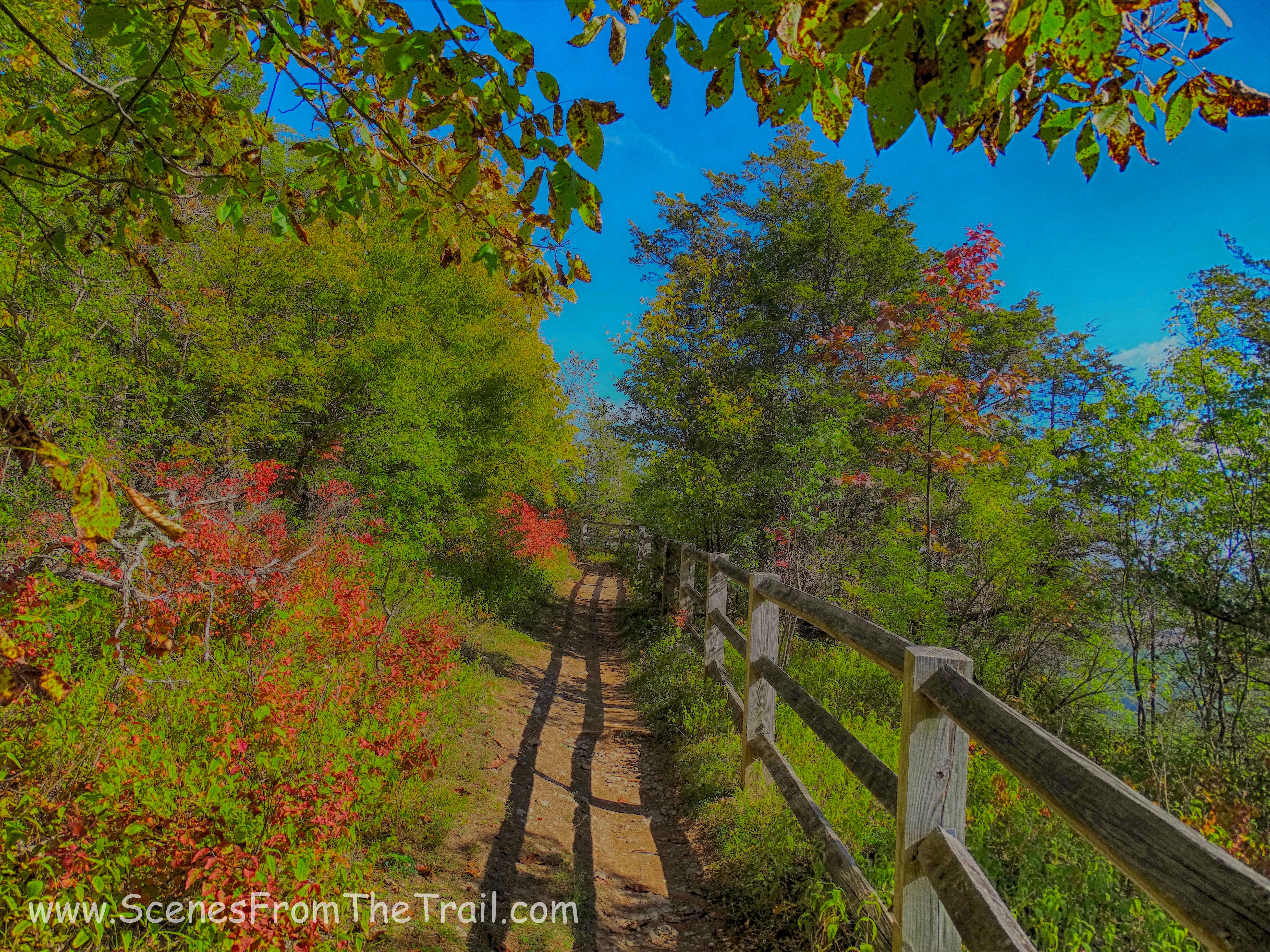
escarpment trail
Walking along the cliff was my second favorite part of the hike. Continuous views and a cool Autumn breeze. You can’t beat that with a baseball bat.
escarpment trail
We saw a hawk flying high above us, which is always cool.

hawk
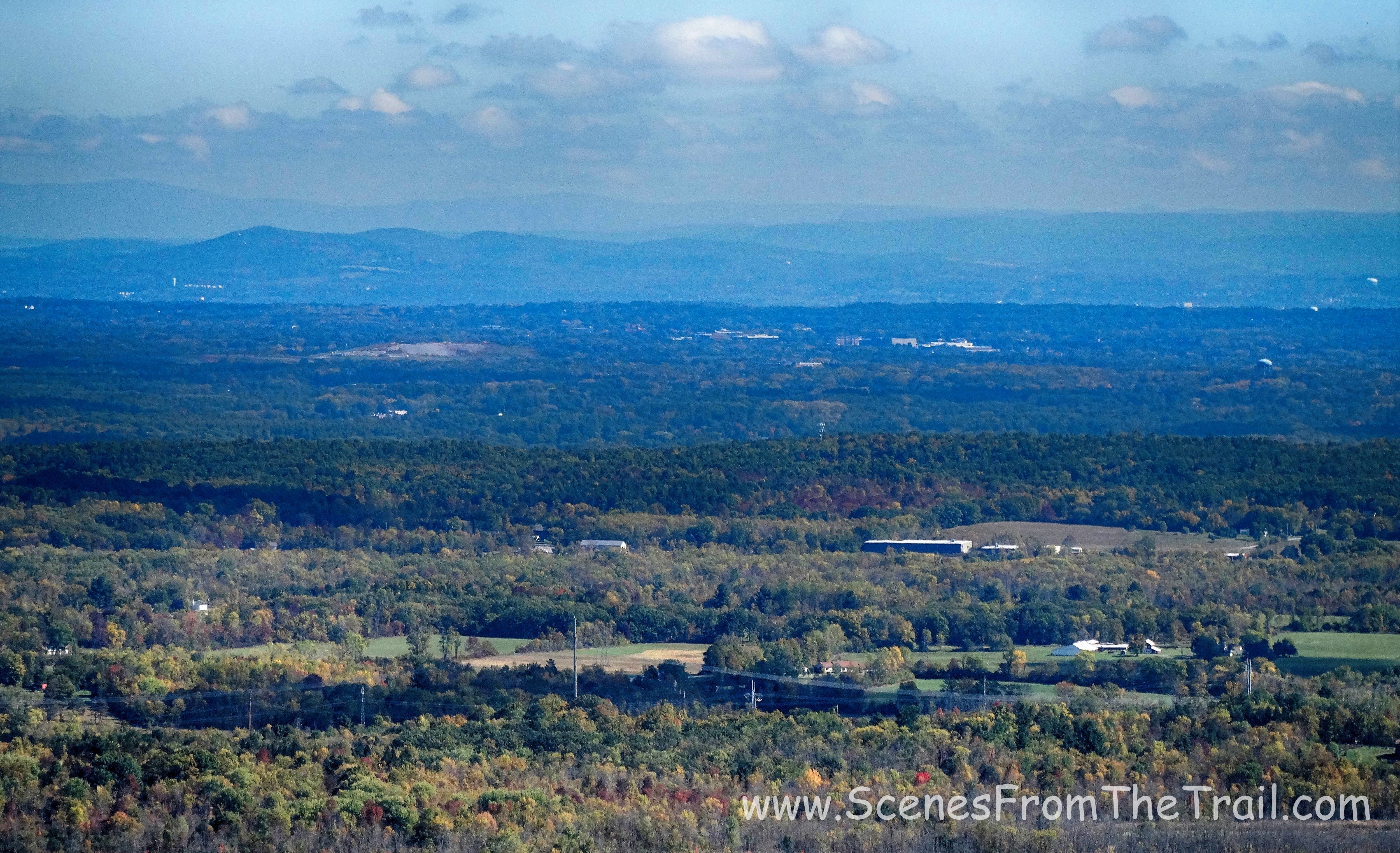
The Helderberg Escarpment is horseshoe shaped and from this angle we could see where we started from. It looked farther away than it felt.
Helderberg Escarpment
When we reached the end of the escarpment trail, we once again jumped on the Long Path which was a nice pleasant walk through the woods. Once we exited the woods, we were on the joint Long Path/escarpment trail, which was now on the cliffs just above the Indian Ladder Trail.
joint Long Path/escarpment trail
joint Long Path/escarpment trail
We crossed over two footbridges and then got off the Long Path onto a paved path then an unmarked trail. This is where we went wrong. From the unmarked trail we were to follow the Long Path once again, but the wording on the directions was murky. The Long Path was U shaped here and I went the wrong way. By the time I realized we were off track, we had hiked quite a bit. We ended up where we first joined the Long Path at the beginning of the hike. At this point I felt the best thing to do was to continue back the way we started the hike because even though it was longer, I was sure that it was the way back to Beaver Dam Road. So what was supposed to be a 5.7 mile hike ended up being 7.5 miles. I had a new pair of boots that I had only used several times and my feet were paying the price. We found our way back to the vehicle after having hiked for 6+ hours. Nevertheless it was a great hike and I enjoyed my day up in the Albany area. Until next time folks, keep on trekking……
keep on trekking
