July 2, 2016 – Wappingers Falls, NY
Difficulty: moderate
Length: approximately 5 miles
Route type: circuit
Map: Wappinger Greenway Trail Map
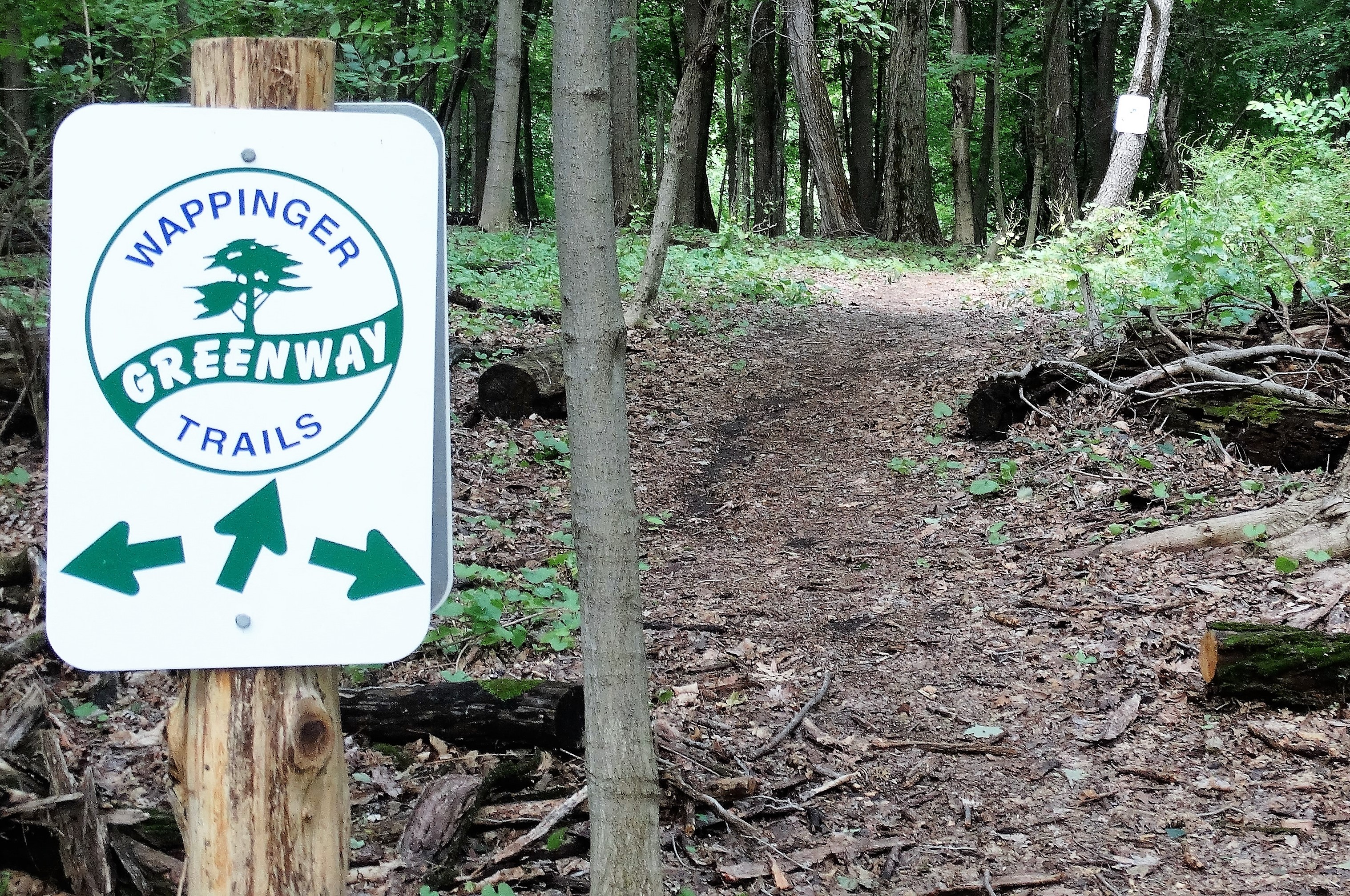
The Wappinger Greenway Trail consists of an 11-mile figure-eight loop hike of on and off-road trails, encircling lower Wappinger Creek and Wappinger Lake. With that being said, I wasn’t going to do the whole loop. So I Incorporated Bowdoin Park to make it a shorter loop hike. I parked at the New Hamburg Metro North Station which allows free parking on weekends. So armed with a Wappinger Greenway Northern trail map, I set off on my hike. I started up Main St. and turned right on New Hamburg Road. On the left side of the road just past the mailboxes marked 29-31 was a gated dirt road with a white Wappinger Greenway logo blaze.
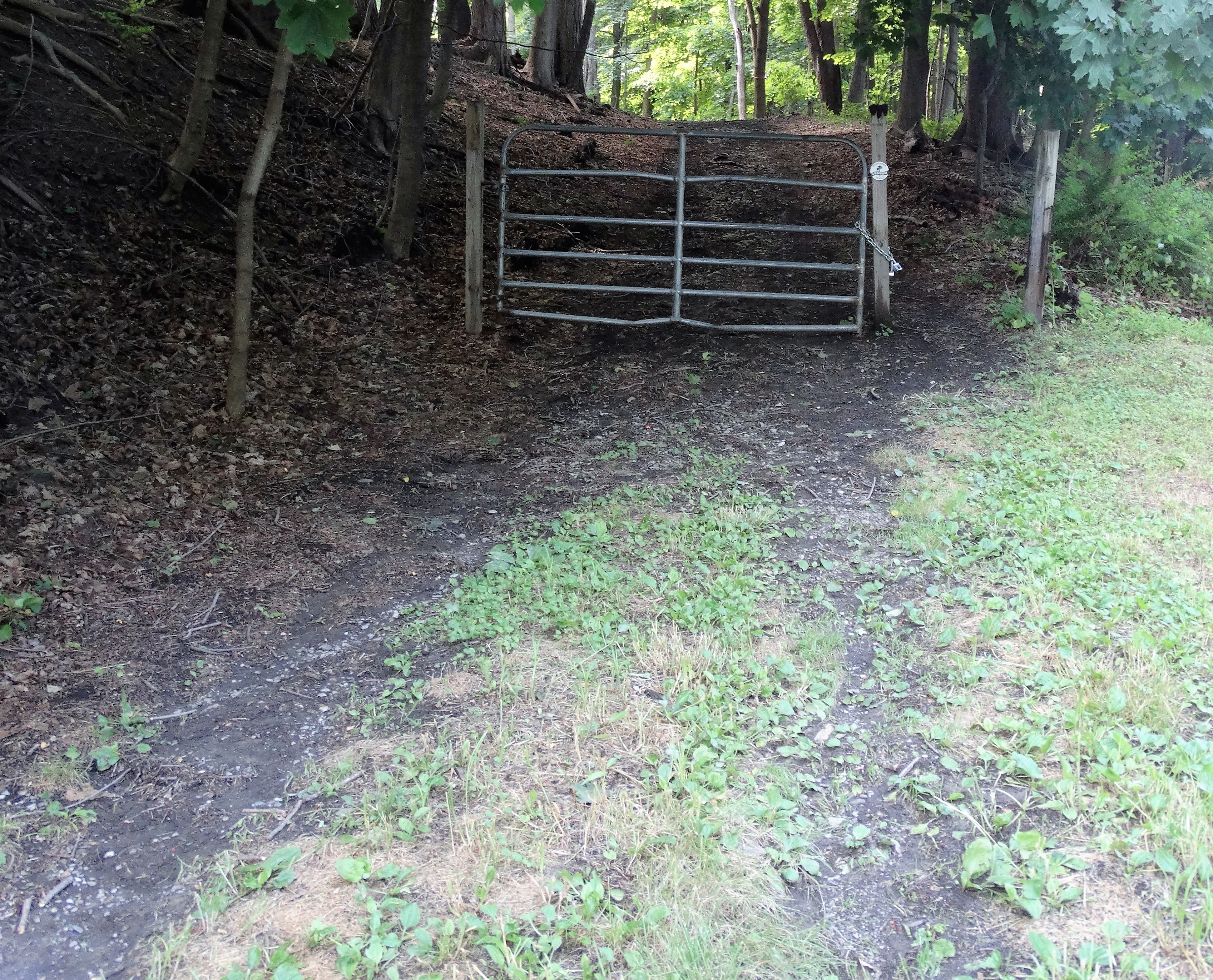
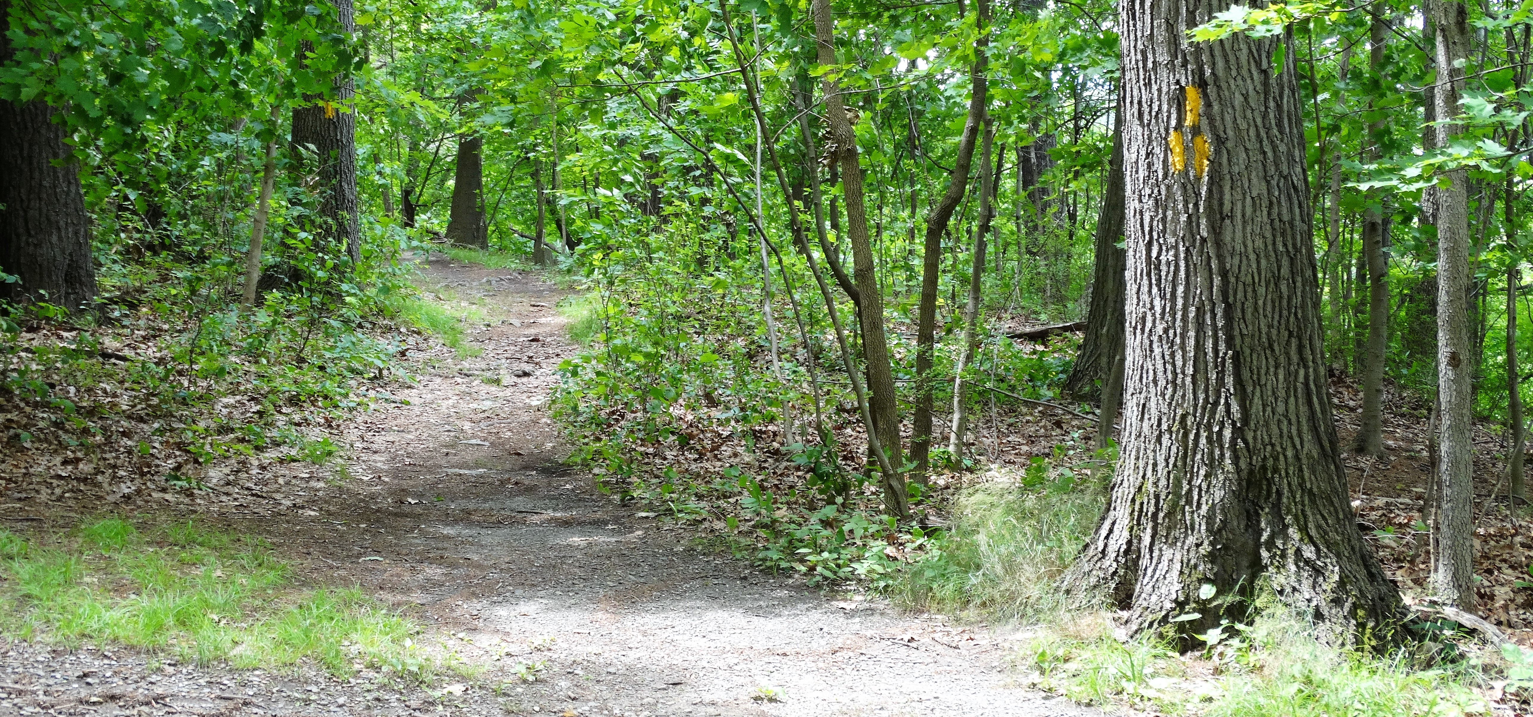
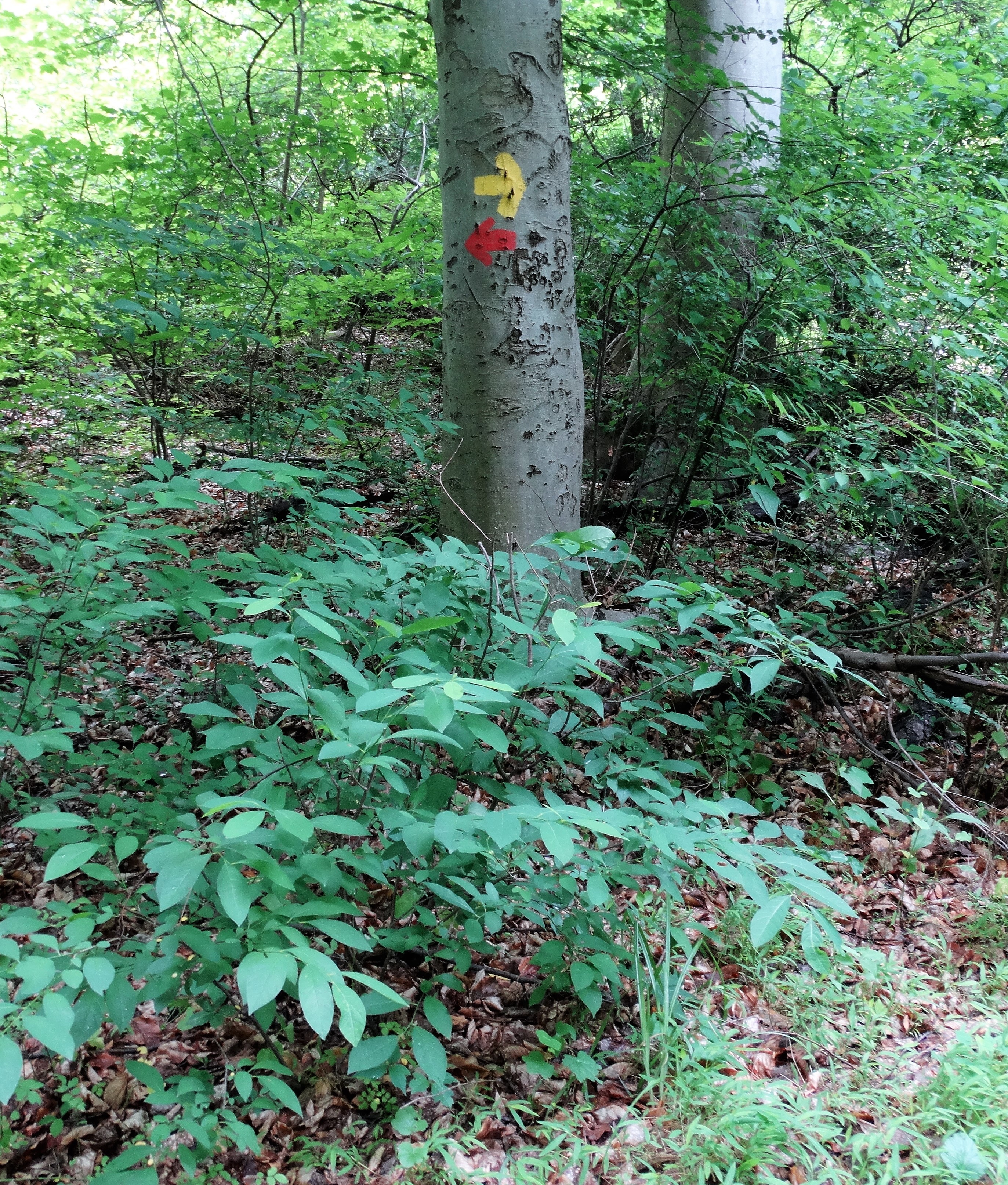
This is where I begin following the white blazes of the Wappinger Greenway Trail.
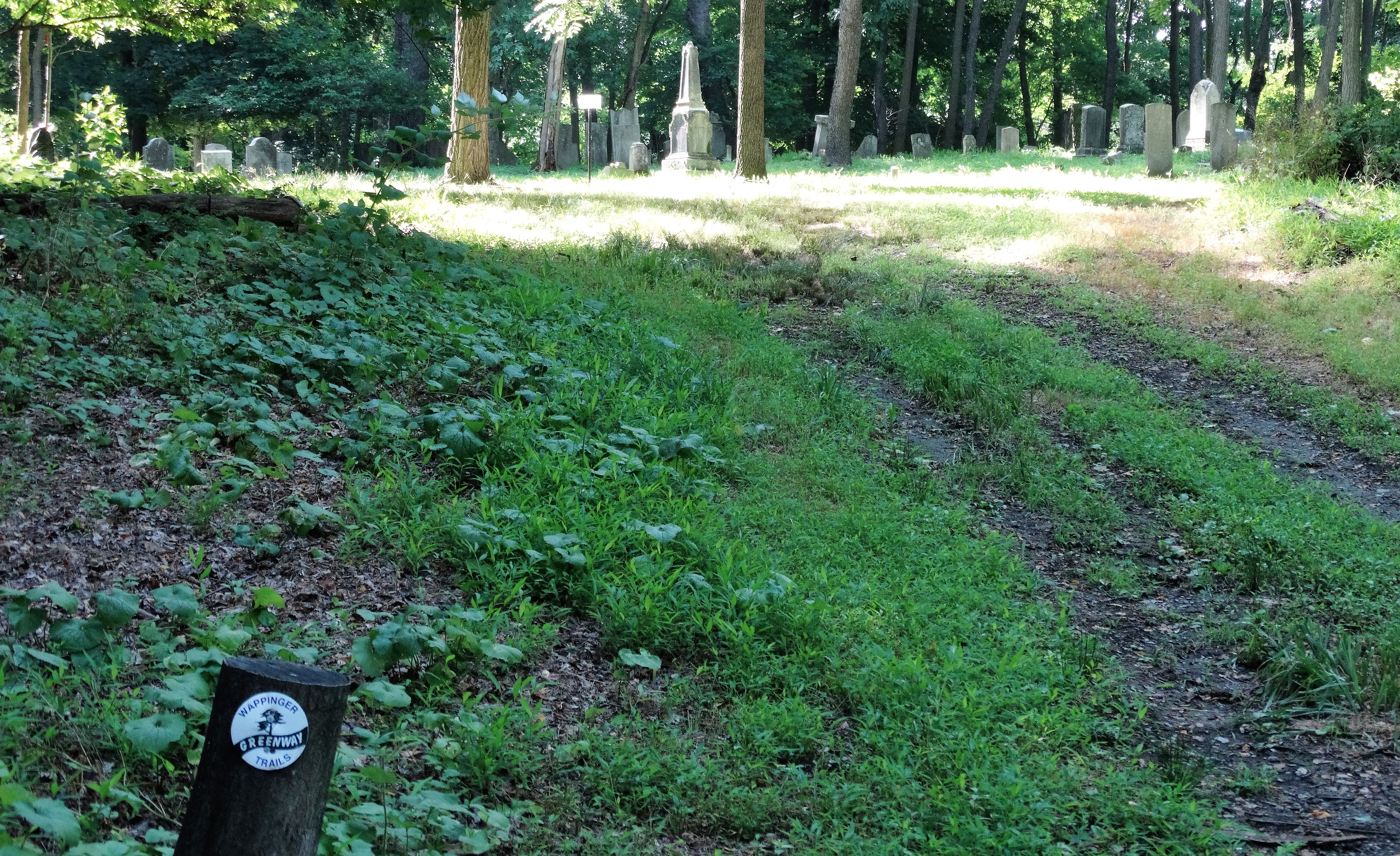
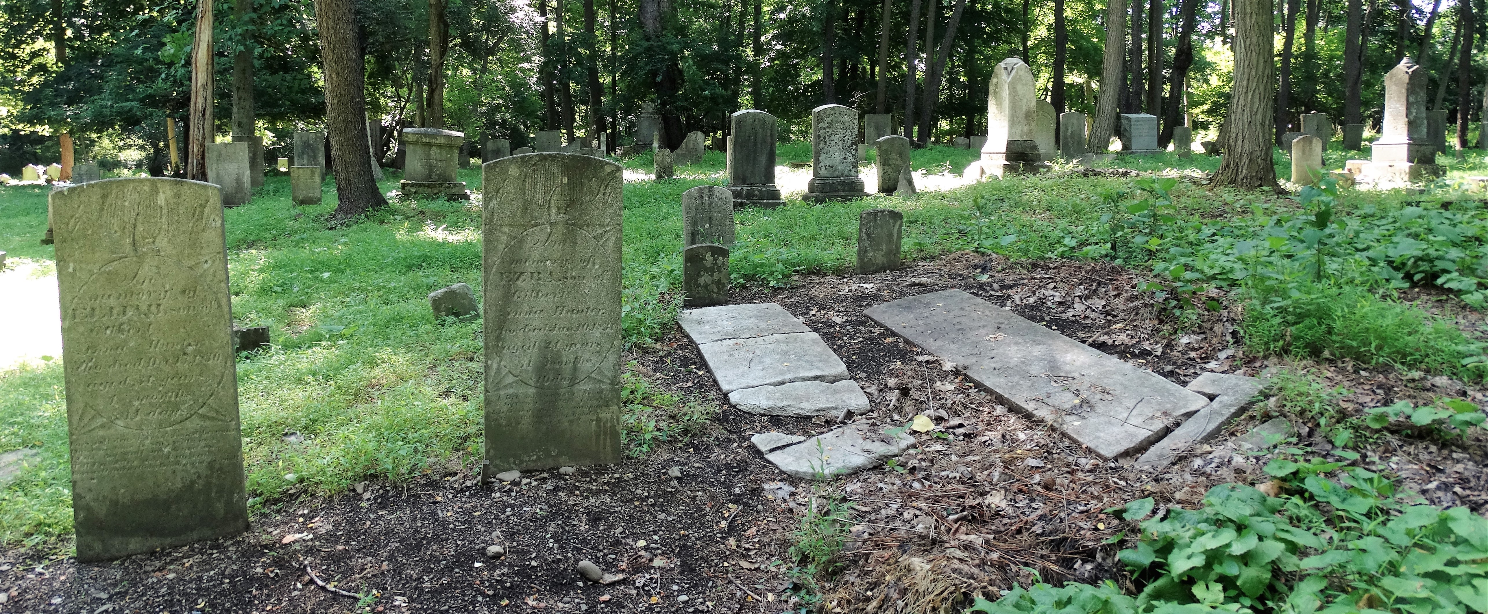
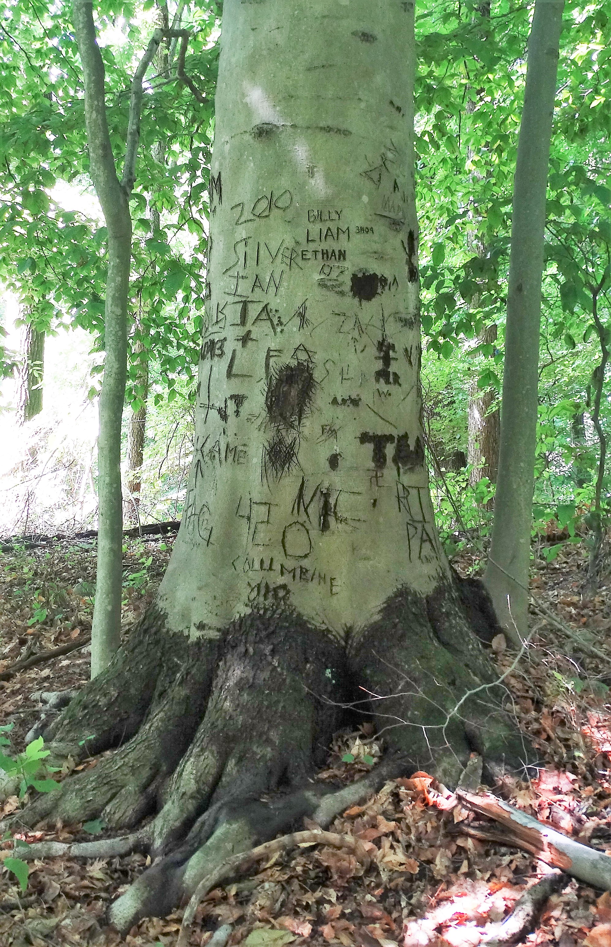
Almost immediately I came upon Reese Sanctuary Cemetery which predates the Civil War.
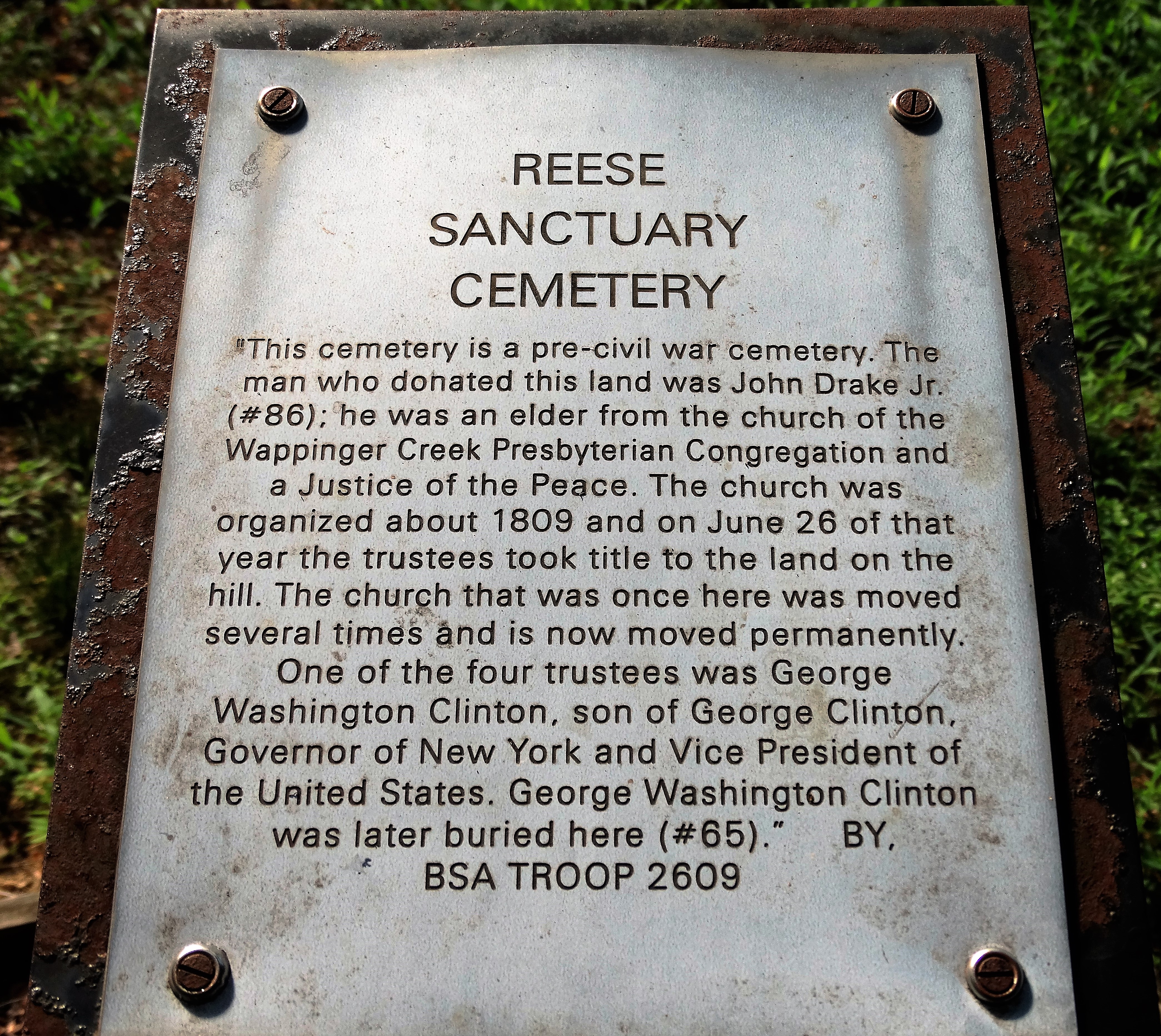
It’s a shame that this cemetery seems to be forgotten as there are numerous tombstones that have fallen over or have been knocked down.
I walked towards the right of the cemetery where there was a bench with a view. Considering I didn’t even break a sweat yet, it was a nice payoff.

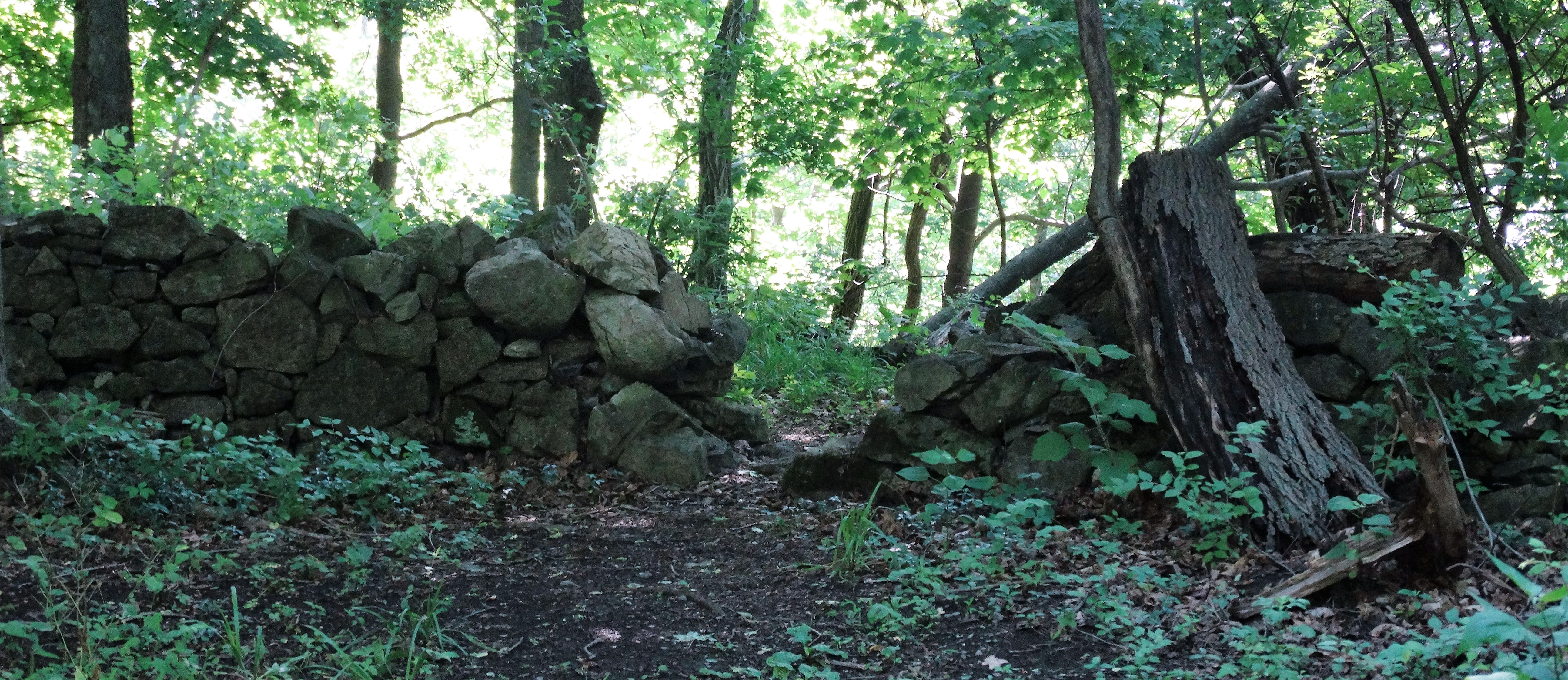
After taking in the view, I proceeded through the gap in a stone wall.
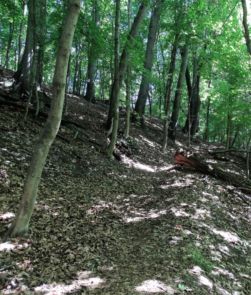
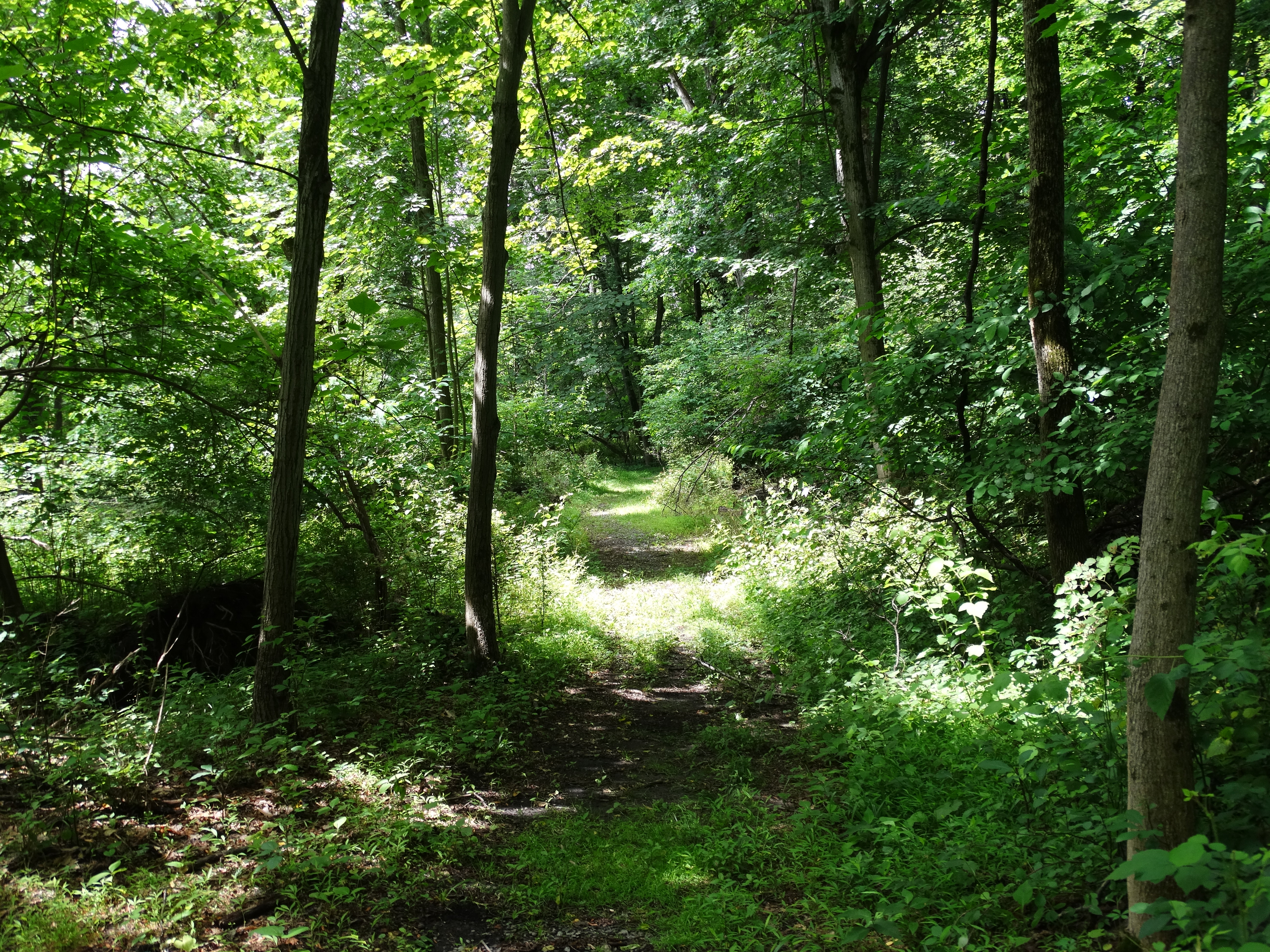
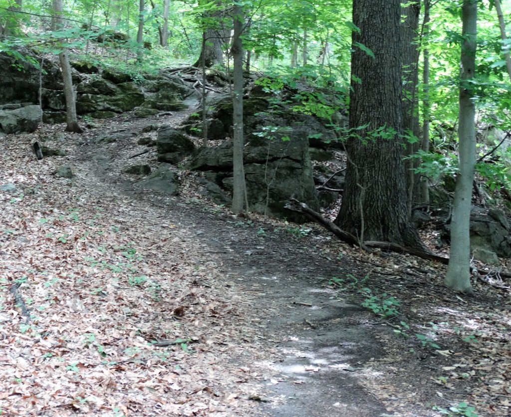
The trail continued high alongside Wappinger Creek through some shaded woods. It was sunny and in the 80’s, so the shaded woods walk was cool.
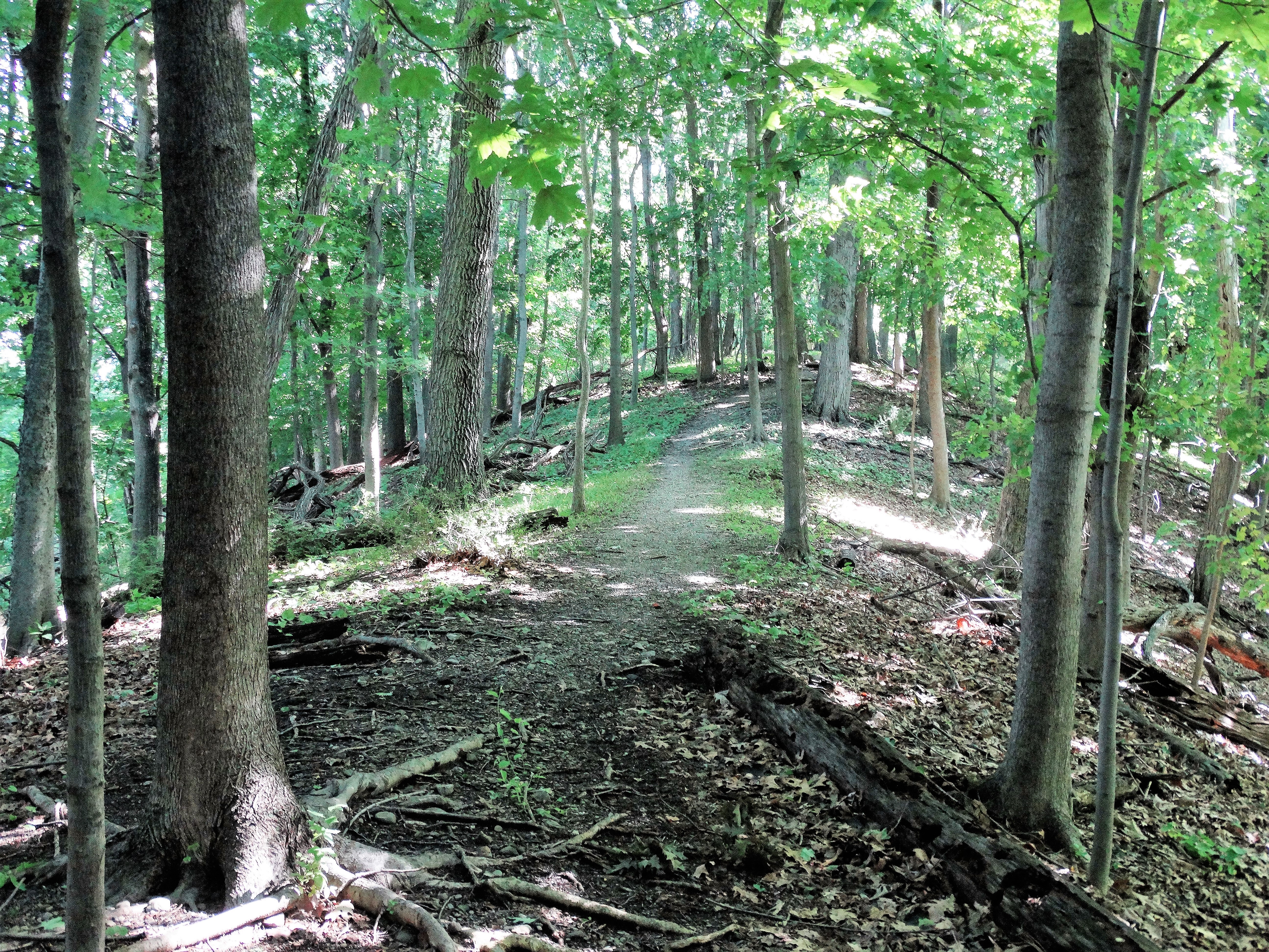
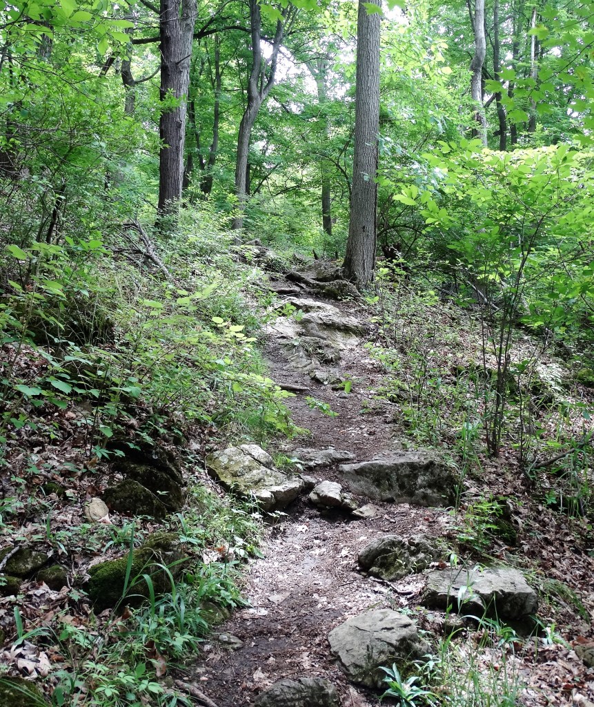
There were plenty of ups and downs on this hike with partially obstructed views.

The woods were relatively quiet during this hike. I saw 3 hikers all day going the opposite way. That works for me.
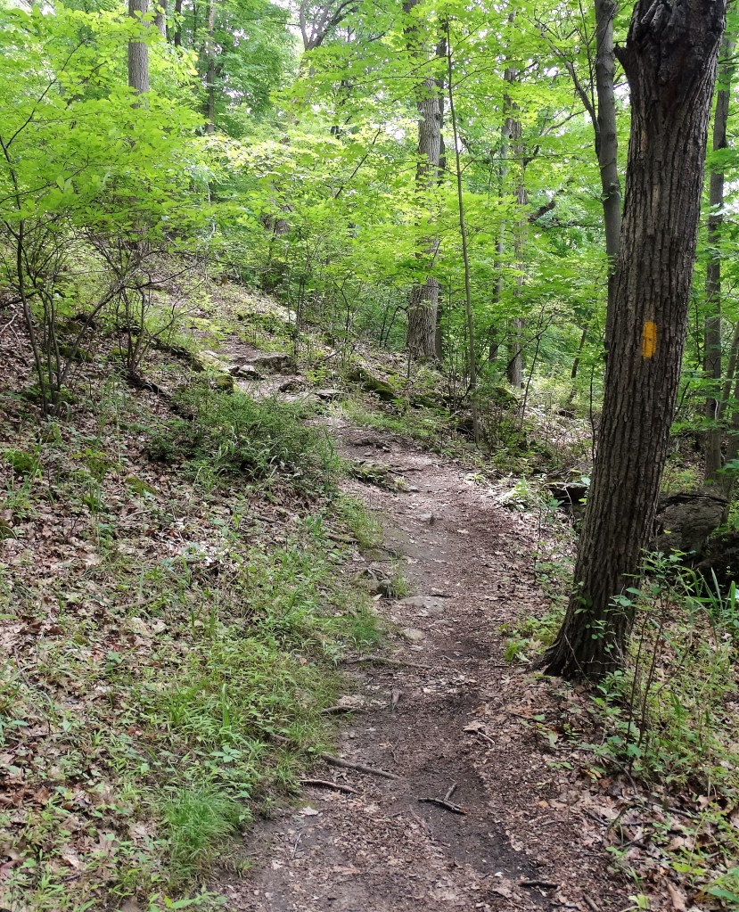
The trail steepened somewhat as we continued up on switchbacks. That was the biggest ascent of the day.
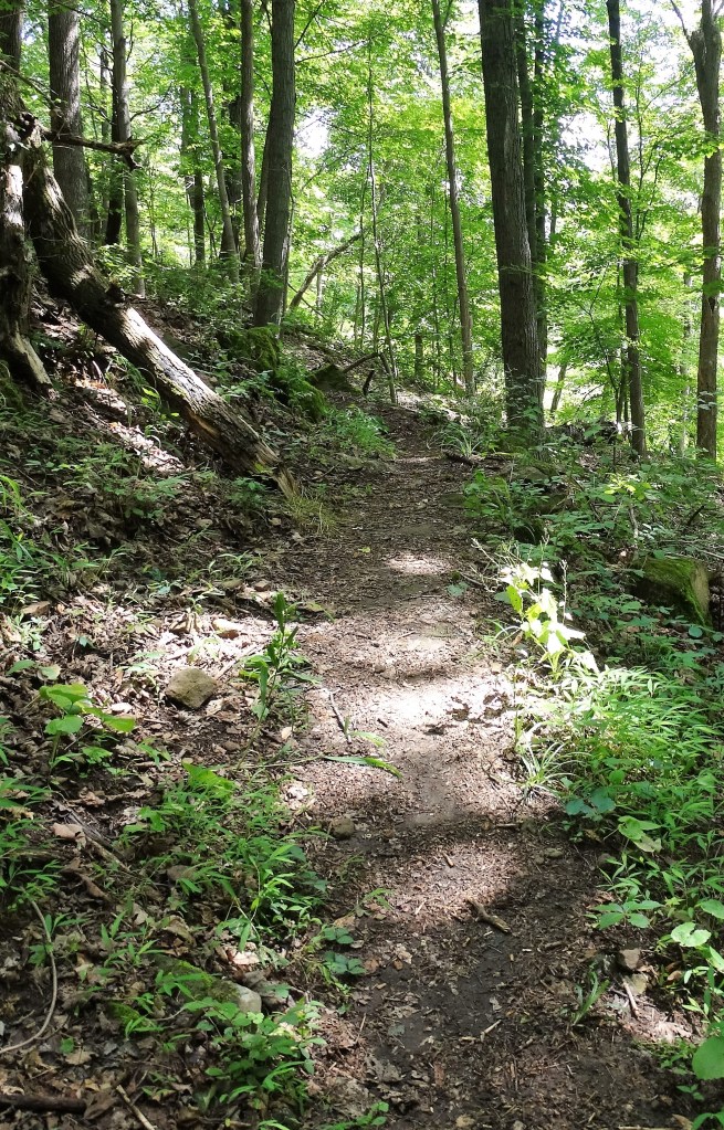
Once the trail leveled off I took a breather and consulted my map. I had walked past the left I had to make and doubled back to get on the correct path. Luckily it was only a few hundred feet before I decided to recheck the map. My turn was at the Wappinger Greenway logo sign.
After getting my bearings, I kept moving along mostly with camera in hand to capture anything interesting along the way.
Then I came to Channingville Road which I crossed.
After crossing the road the white blazed Wappinger Greenway Trail goes right, but I went left, now following the purple blazes. I was now in Bowdoin Park.

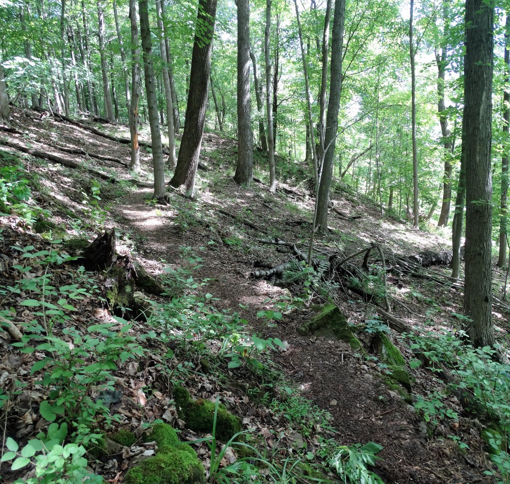
I walked on the purple trail for a while. It was overgrown in some sections, but overall it was a pleasant stroll through the woods.
Then I crossed the road again to check out an old fence with columns.


After walking on the purple trail for a little while longer, I made a left onto a short trail marked with red & blue blazes. This trail led to a t-intersection where the yellow trail began.
The yellow trail began to climb as I continued along.
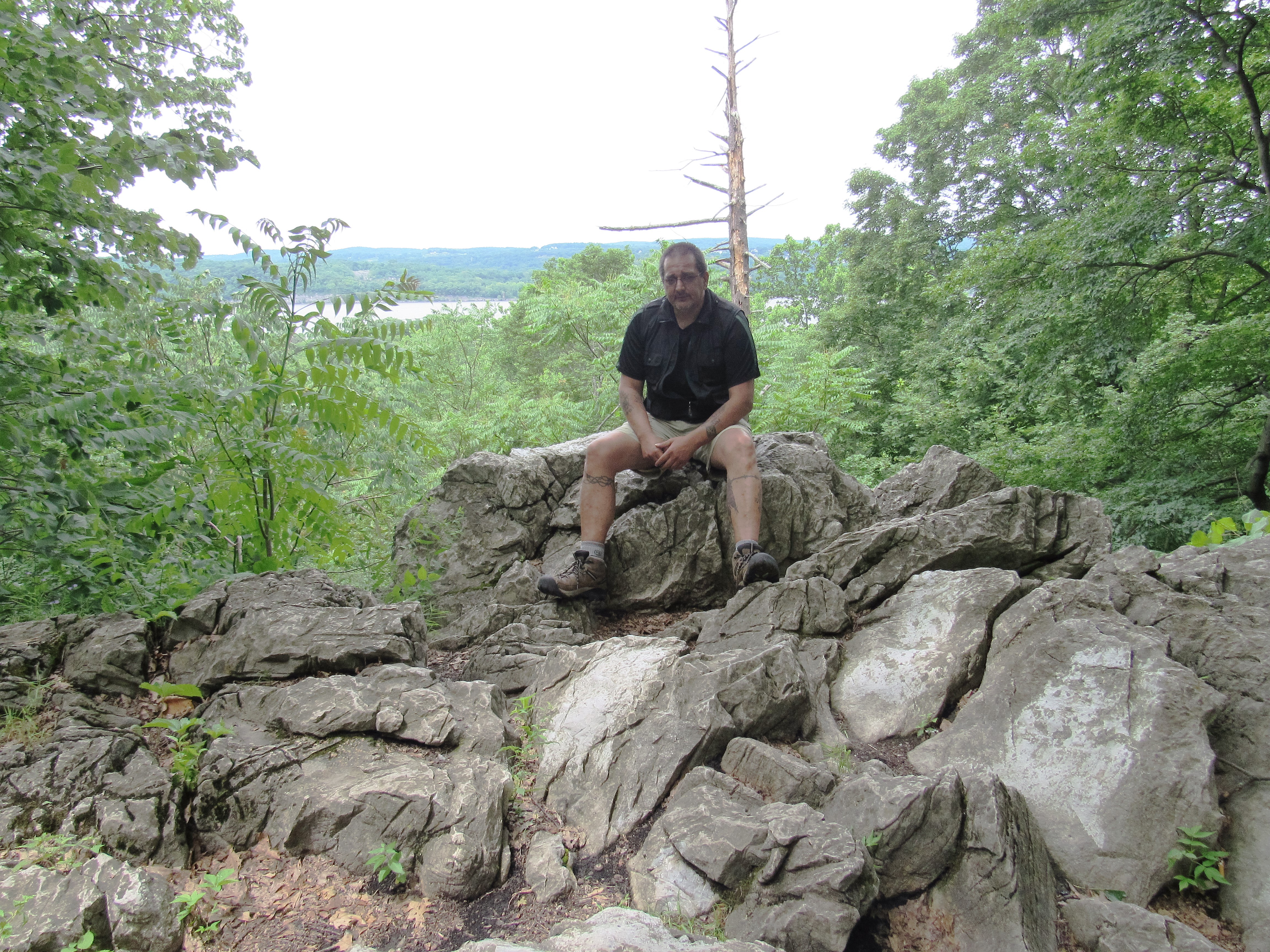
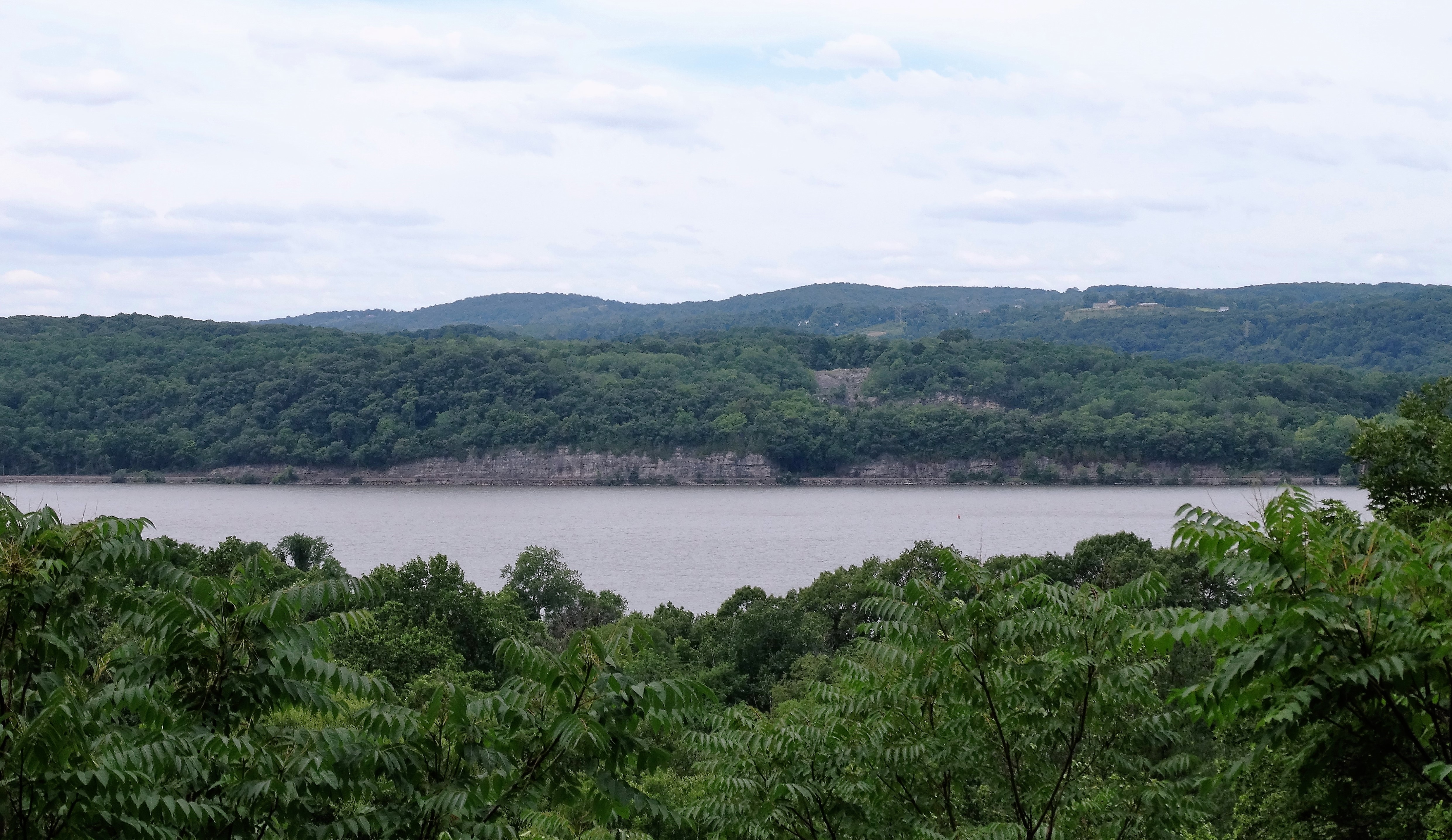
Then just off to the right was a rock outcrop…..

that had a nice view of the Hudson River.
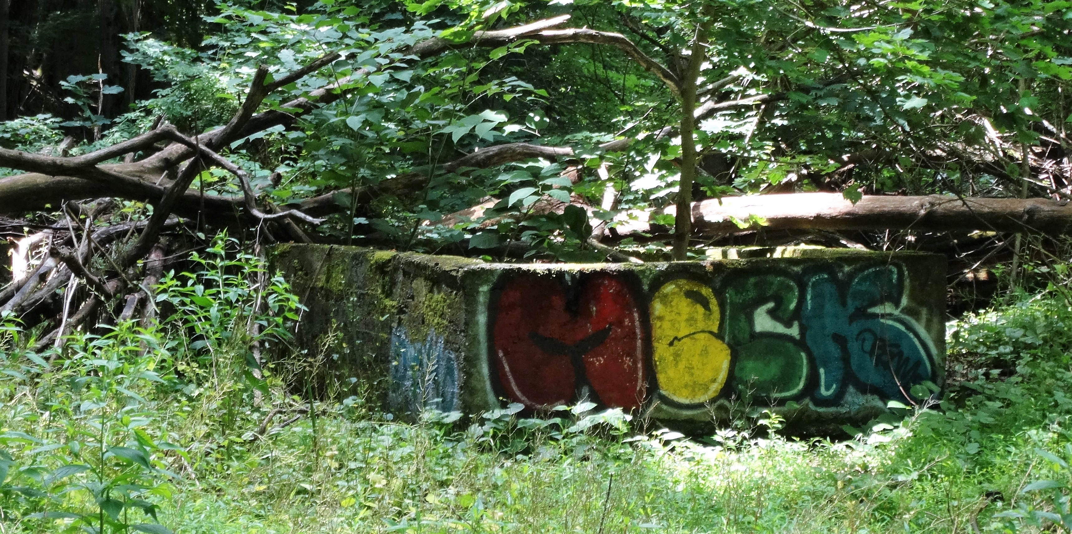
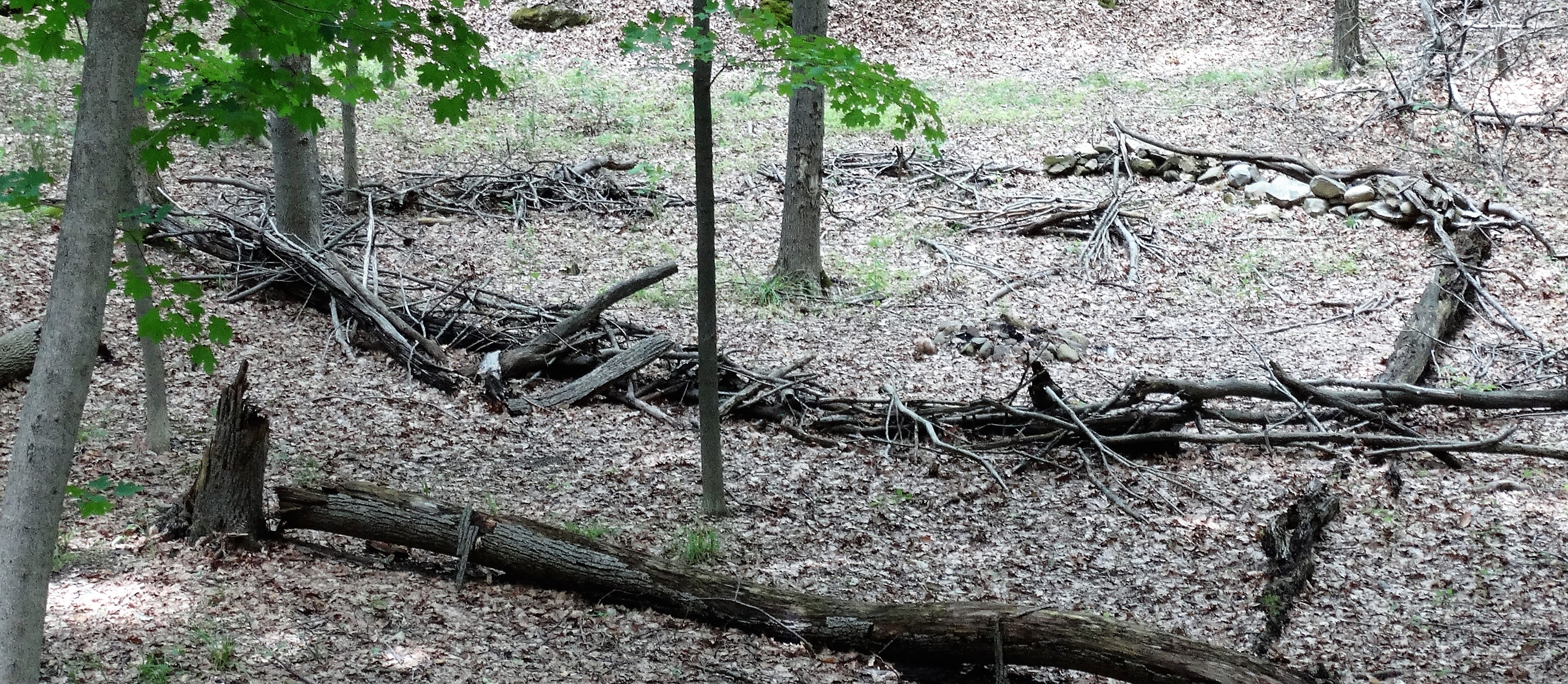
After continuing along the yellow trail I came across a very unusual sight. Something that appeared to be in the shape of a heart. I’m guessing the Boy Scouts had some time to kill.
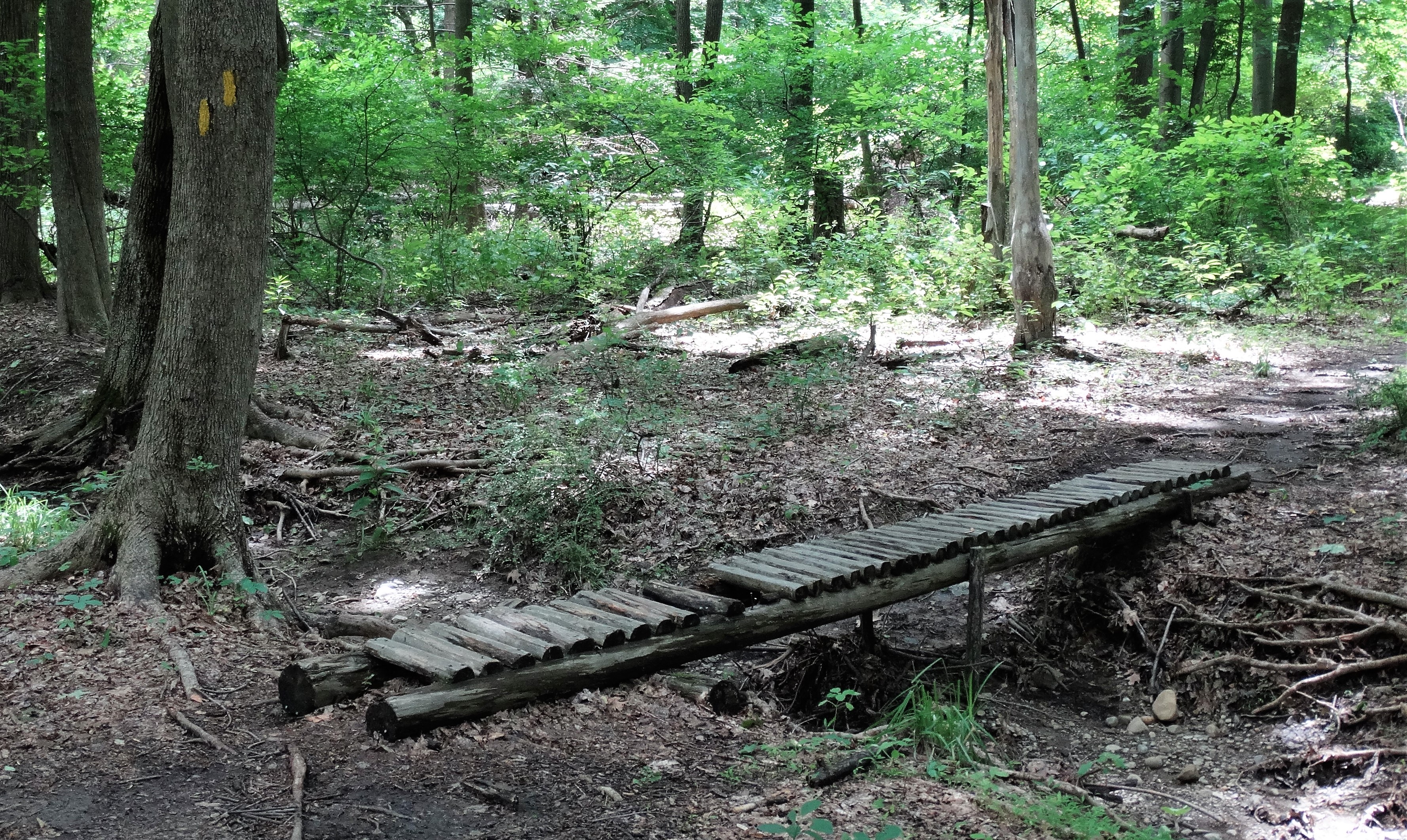
There were a few rustic stream crossings along the yellow trail. This one being the high tech of the bunch.
After coming to a t-intersection I continued to follow the yellow trail.
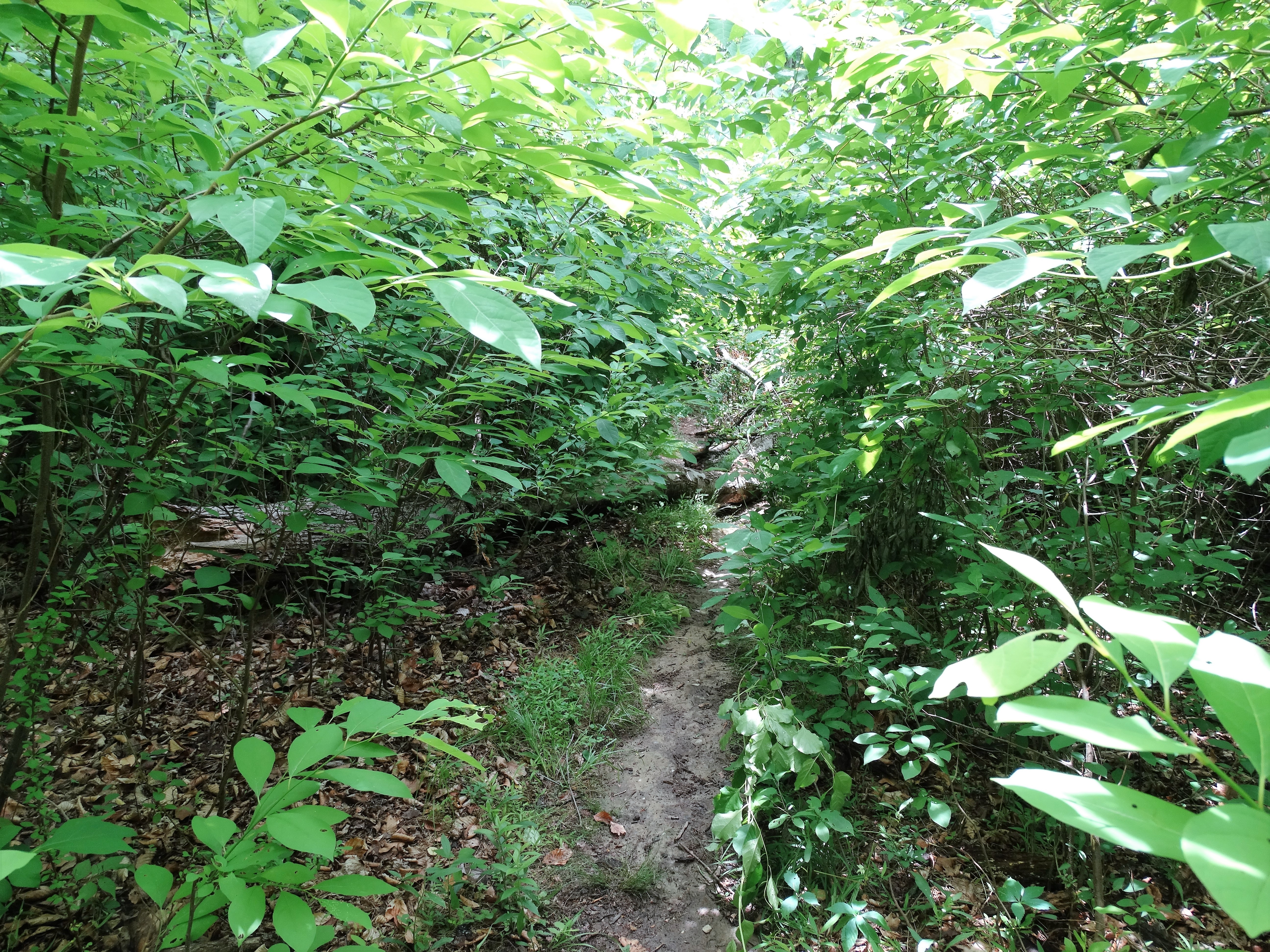
The trail became quite overgrown and narrow. I’m not a big fan of branches and leaves rubbing against me, but I kept it moving.
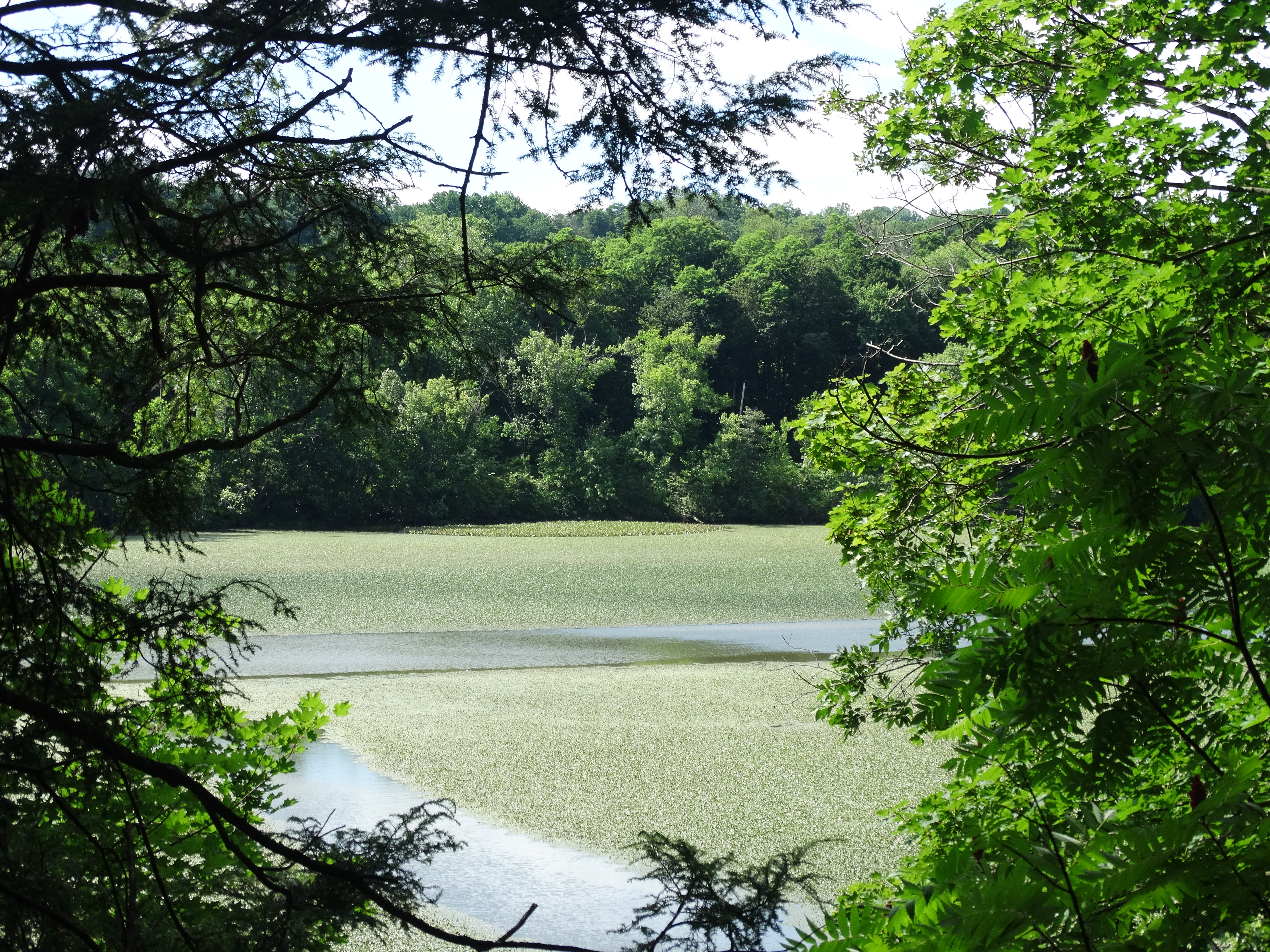
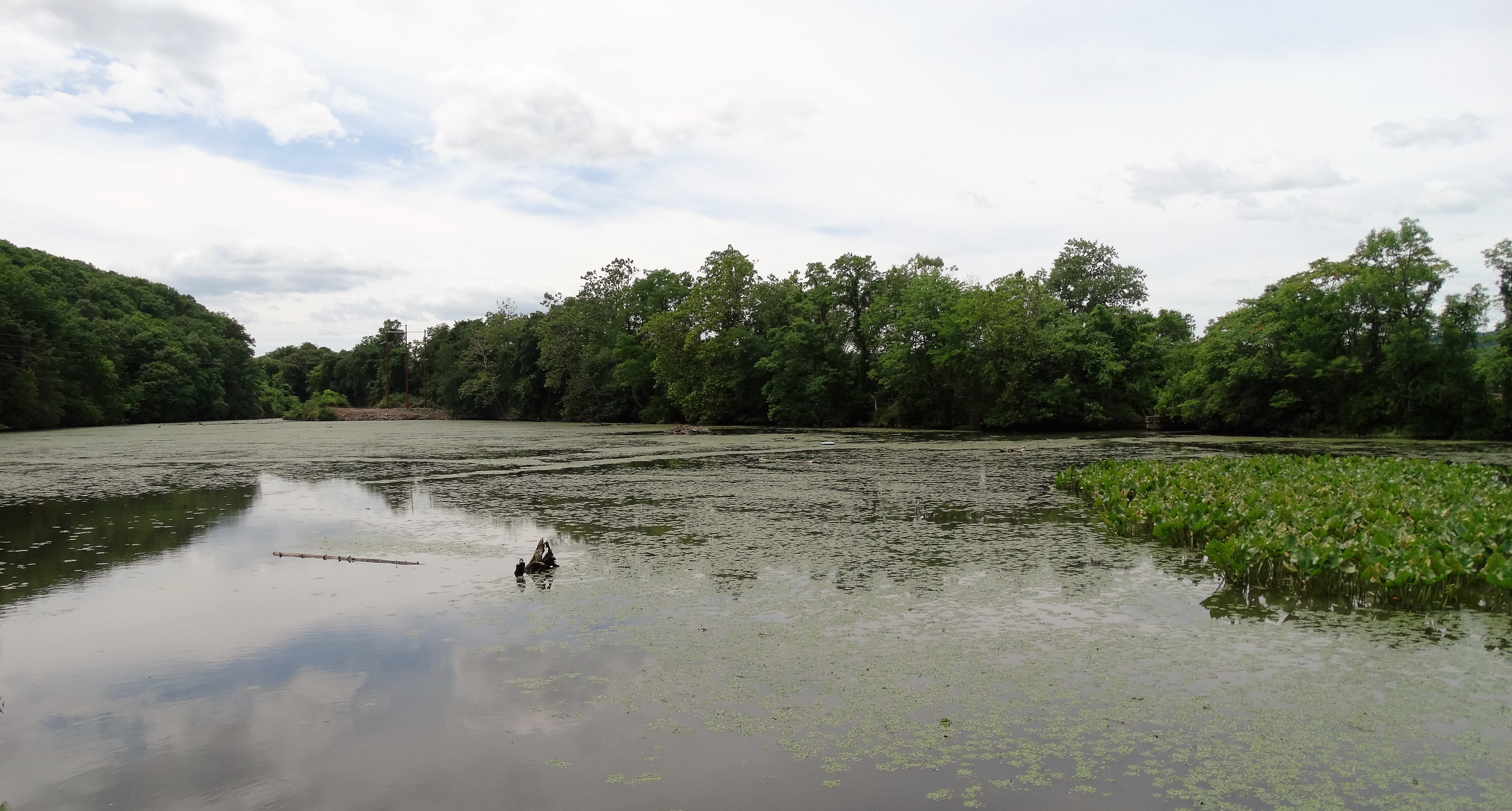
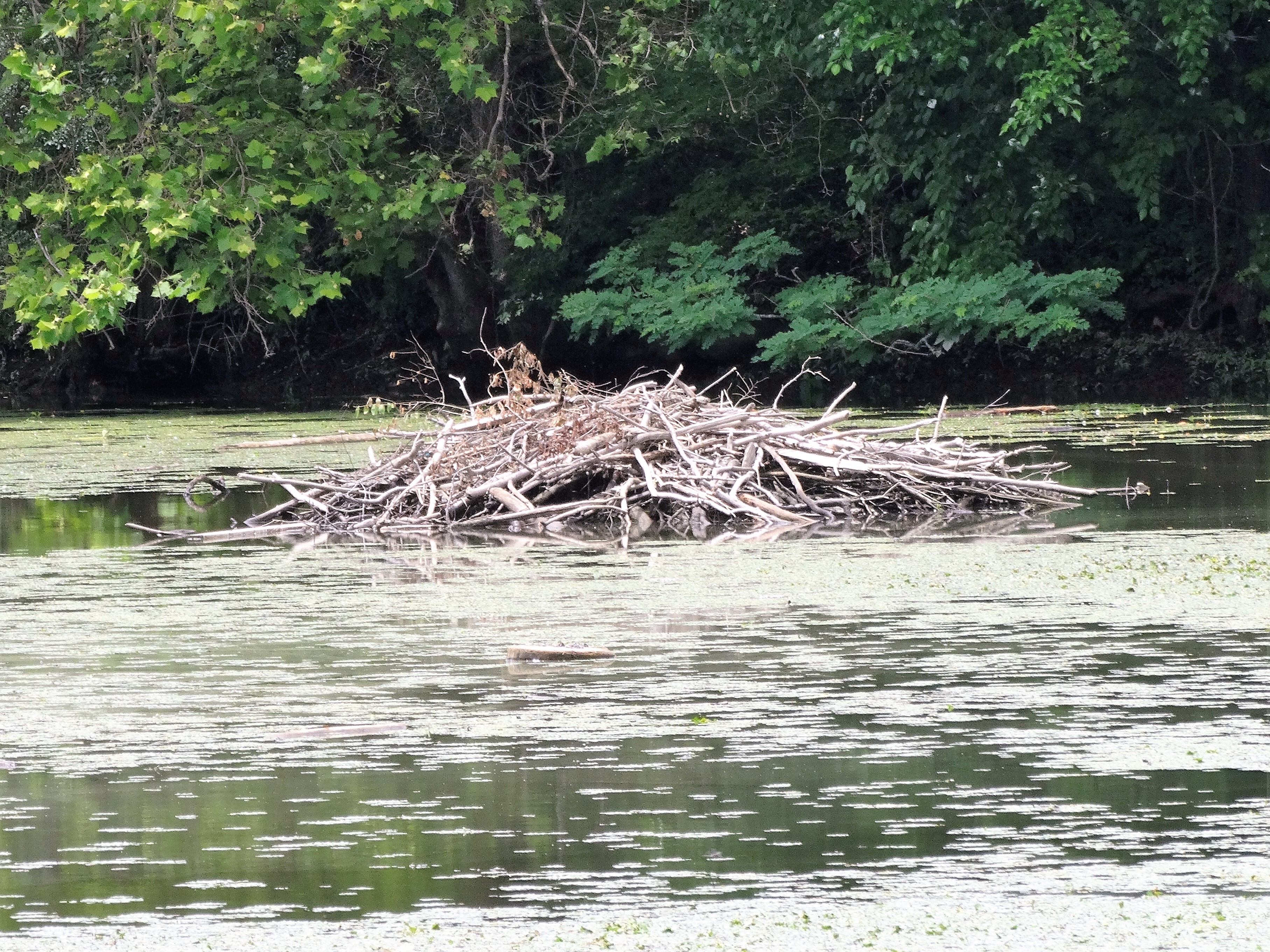
The yellow trail ends near the Hudson River along the banks of a bay that was created when Metro North filled in it’s right of way. It has a wildlife viewing platform, a decent view and a beaver lodge.

From here I made a left up a hill where I saw the white blazes of the Wappinger Greenway Trail and turned right which led me to some stone steps right behind the firehouse. I stepped out onto Channingville Road and walked down the hill to the New Hamburg Metro North station where I began my hike.
This was a pretty decent hike that had some interesting things to see and photograph. If I lived in the area I would probably explore more of it, But I live in Westchester County so this was one and done for me. I hope you enjoyed the hike. Until next time, happy trails………