November 25, 2016 – Tuxedo, NY
Difficulty: strenuous
Length: approximately 8.2 miles
Route type: circuit
Map: Harriman-Bear Mountain Trails
The Lemon Squeezer is a rock formation that is one of the more interesting features in Harriman State Park. The Appalachian Trail runs right through it. It is a very narrow passage between the rocks and then goes up a steep rock face, where you need to use both your hands and your feet in order to pull yourself up. This is one of those hikes that an avid hiker wants on his résumé. It is one of the more popular hikes in Harriman and it was time that I gave it a shot.
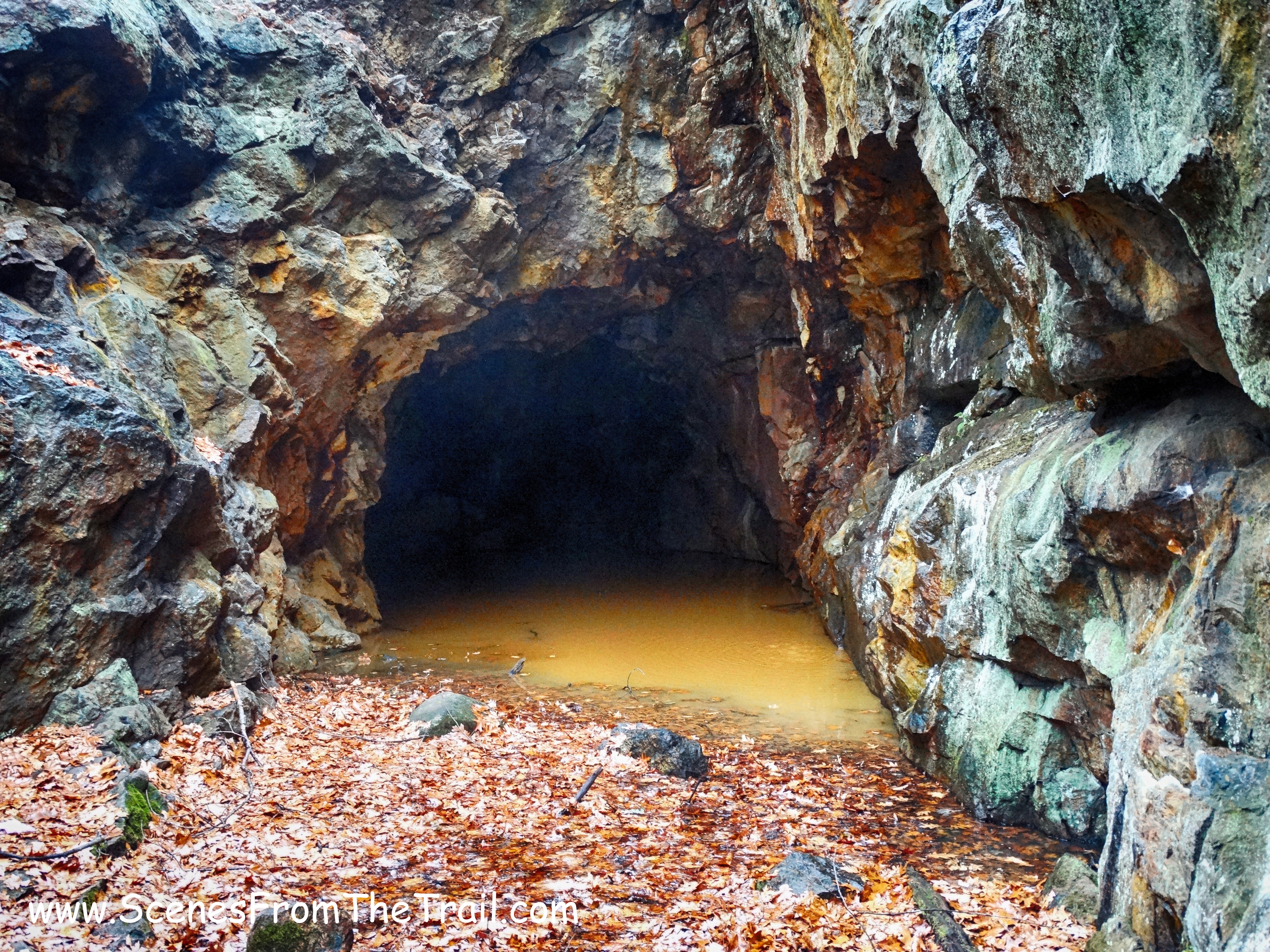
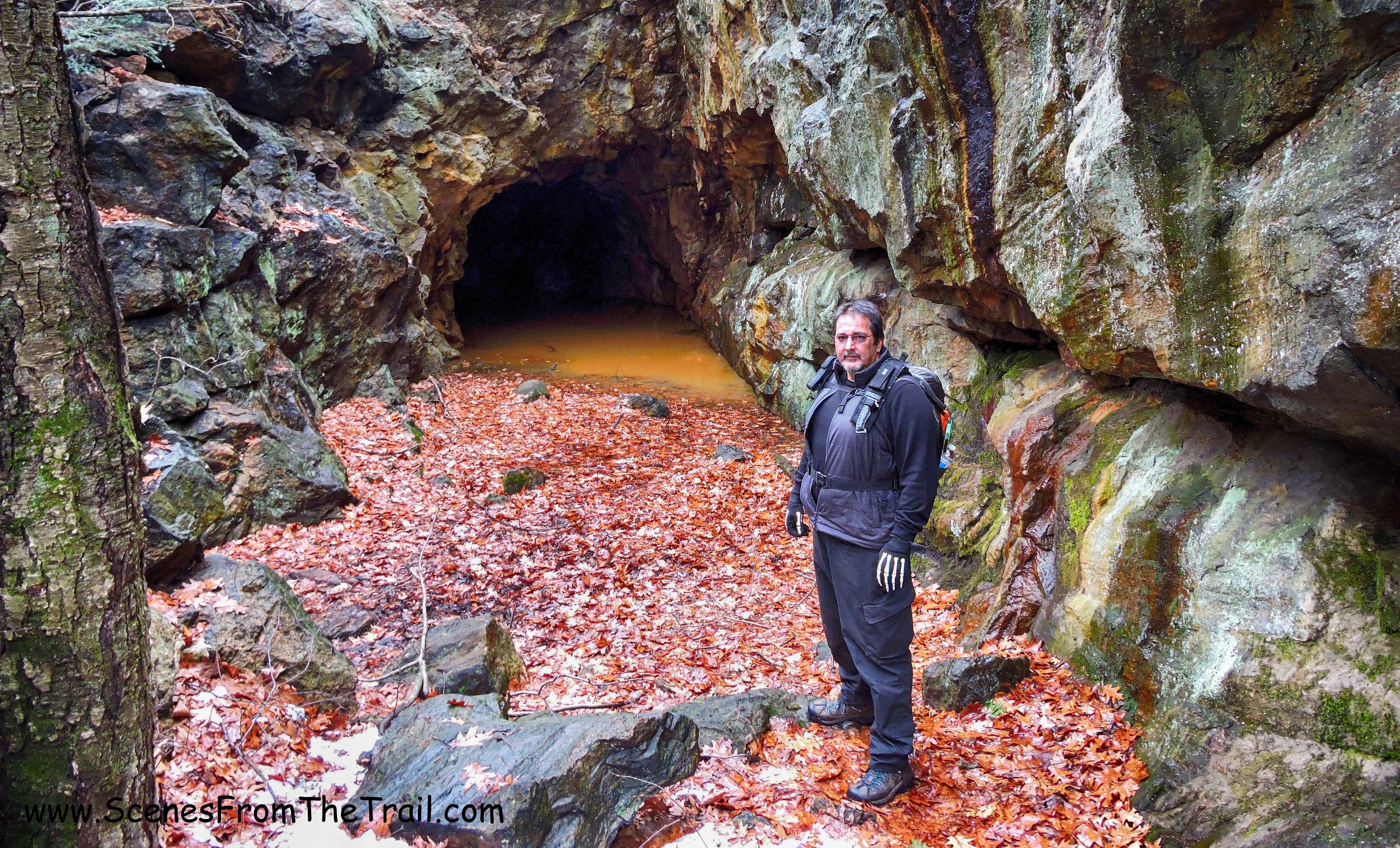
The Boston Mine is an old iron mine along the yellow blazed Dunning Trail. It is a large open cut into the hillside, partially filled with water, was last worked around 1880.
I figured that after gourmandizing on Thanksgiving, this was the perfect hike to rid myself of some calories while checking out some interesting features along the way. I used the Lemon Squeezer / Island Pond Loop hike, found on the NY/NJ Trail Conference website as a reference. Originally I intended to follow it to the letter, but a missed turn forced me to improvise. Although we may have missed some areas of interest, we got to explore some of the less seldom hiked areas of the park. The downside was that we also added mileage to a hike that was already going to be 7.5 miles.
The weather for our Black Friday hike was to be in the 40’s with no rain expected until around 4 pm. I figured that as long as we started by 9 am, we would be done before it began to rain. That didn’t work out as planned, as we got rained on for most of the last half of the hike.
We began our hike at the Elk Pen parking area. From what I have read, this lot fills up rather quickly, as do most popular hiking spots in Harriman. We arrived just before 9 am and there were about a half dozen cars in the lot. When we got back, just prior to 4 pm, the lot was mostly filled. On a nicer day, I could see it being hard to find a spot to park. We began our hike by crossing the meadow on the Appalachian Trail, which happens to traverse the parking lot. The first 2.5 miles of the hike, we would be hiking on the AT.
Appalachian Trail from Elk Pen
We followed the vertical white bar blazes of the AT as it curved around to the left and came to a junction with a sign, where we turned left still following the AT.
Appalachian Trail
We weren’t even warmed up yet and the trail began to climb steadily, then more steeply on our way up to Green Pond Mountain.
Appalachian Trail
The trail conditions on this day were not optimal. It was wet, rocky and full of leaves, which made it harder to get traction. This made us have to focus on every step we took or risk a fall. We reached the summit of Green Pond Mountain, at an elevation of about 950 feet, it had no views to speak of. We descended the eastern slope of the mountain on switchbacks, where the AT turned left onto Island Pond Road, a dirt road built by Edward Harriman about 1905.
Appalachian Trail – Island Pond Road
The trail descended and we crossed over an outlet of Island Pond on a small wooden bridge.
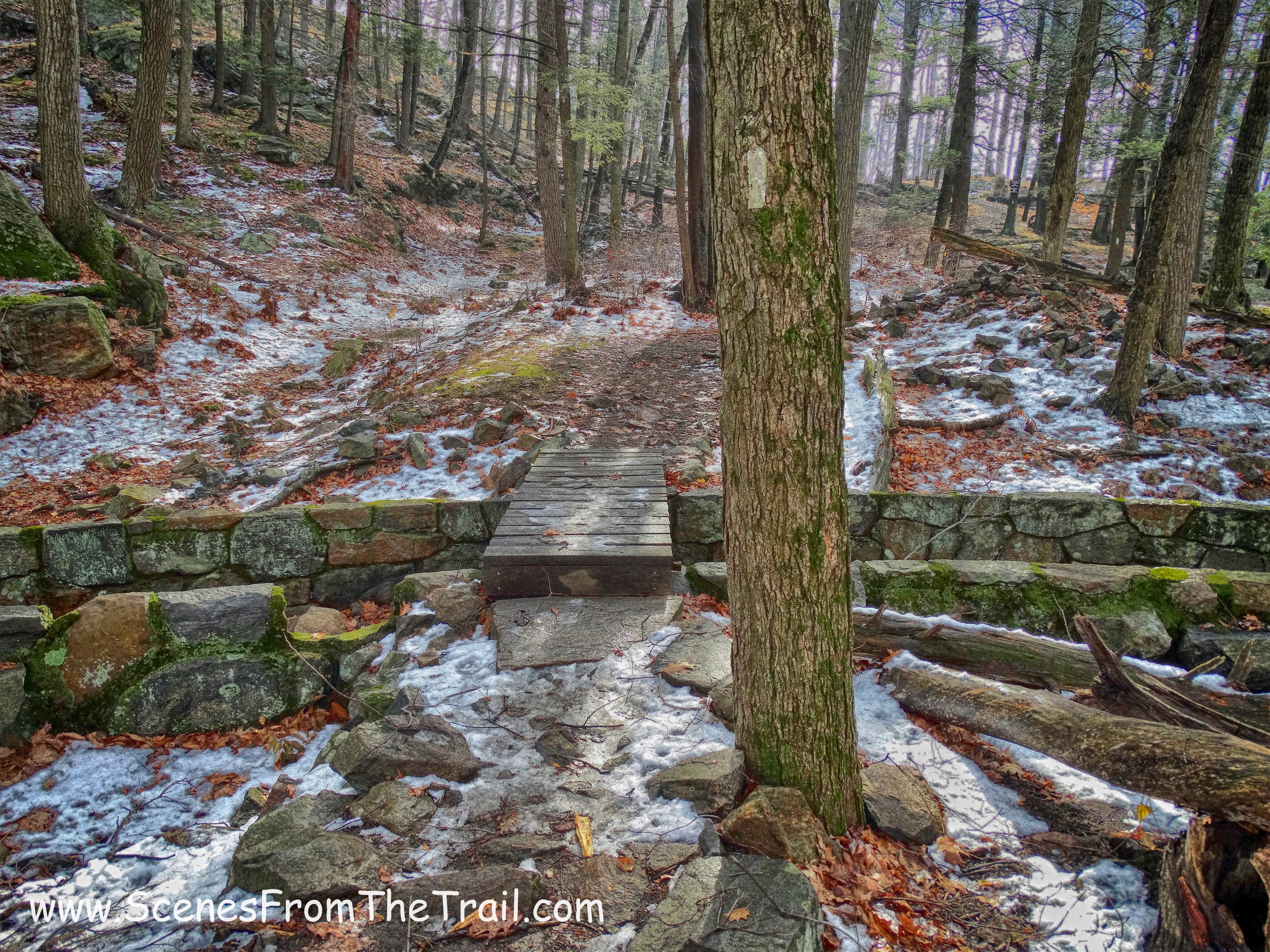
small wooden bridge
This stone spillway was built by the Civilian Conservation Corps workers in the mid 1930’s as part of a plan to increase the size of Island Pond by damming it. The work was never completed.
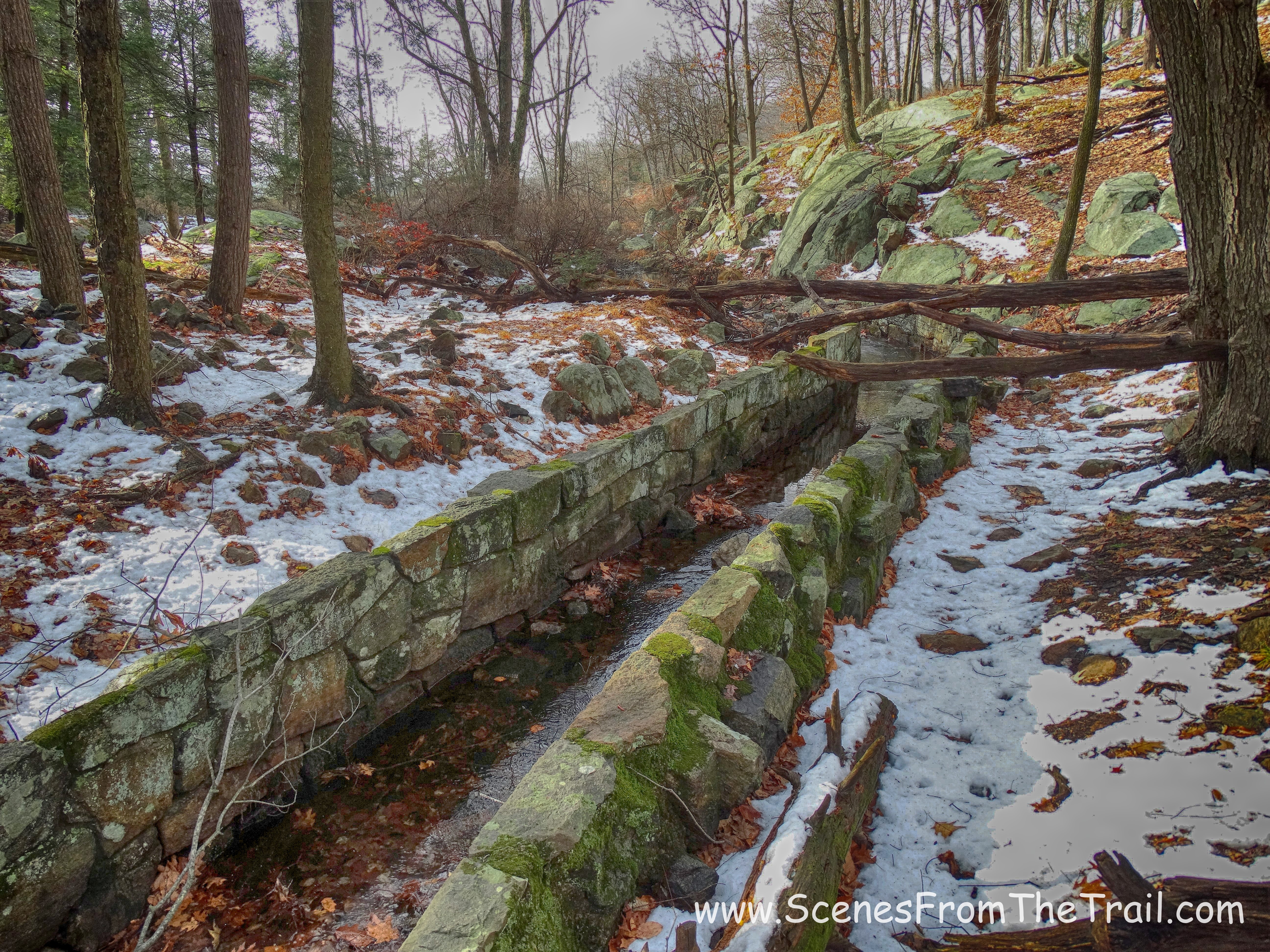
stone spillway
We continued on the AT, passing alongside Island Pond on our right.
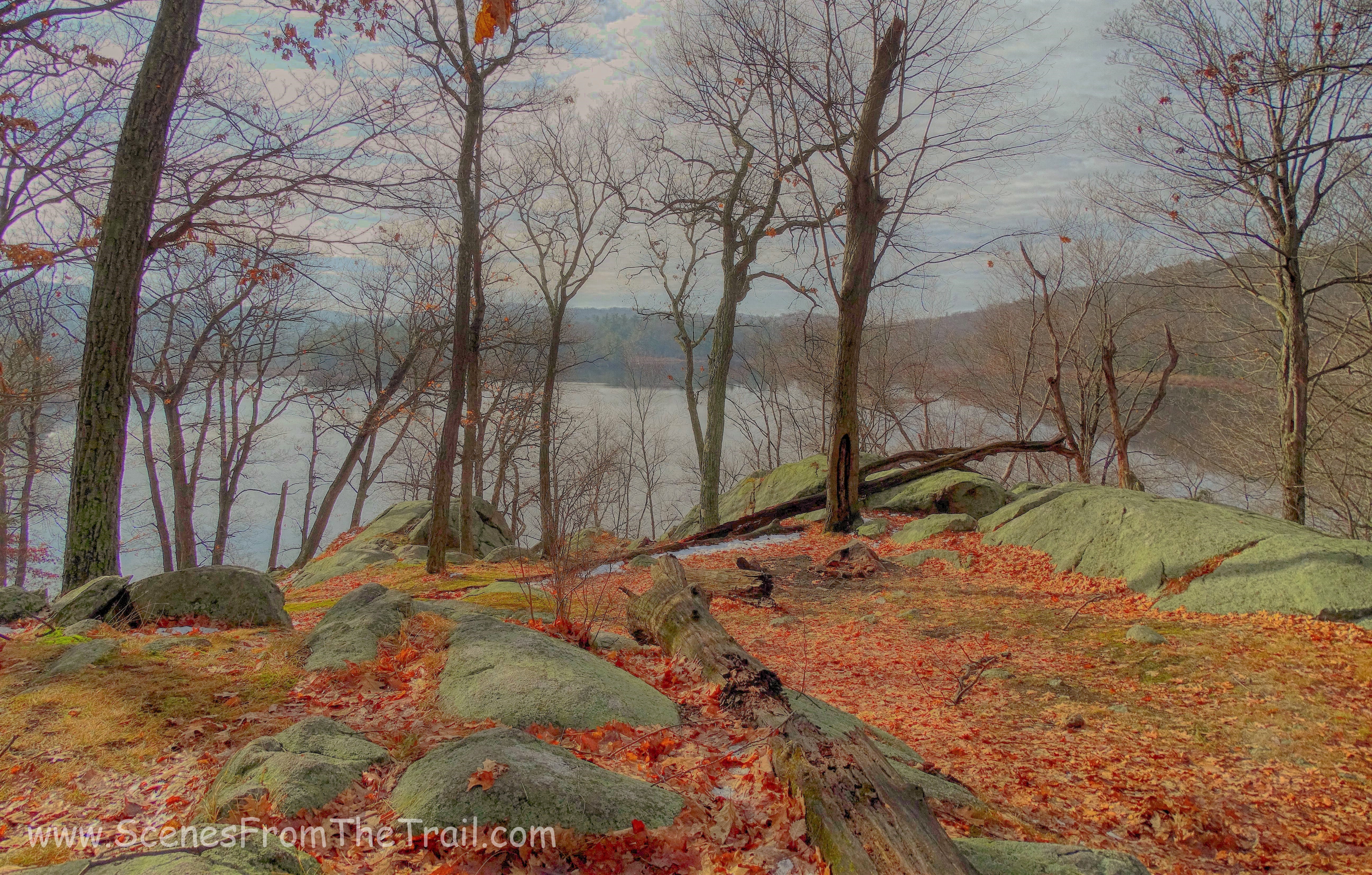
Island Pond
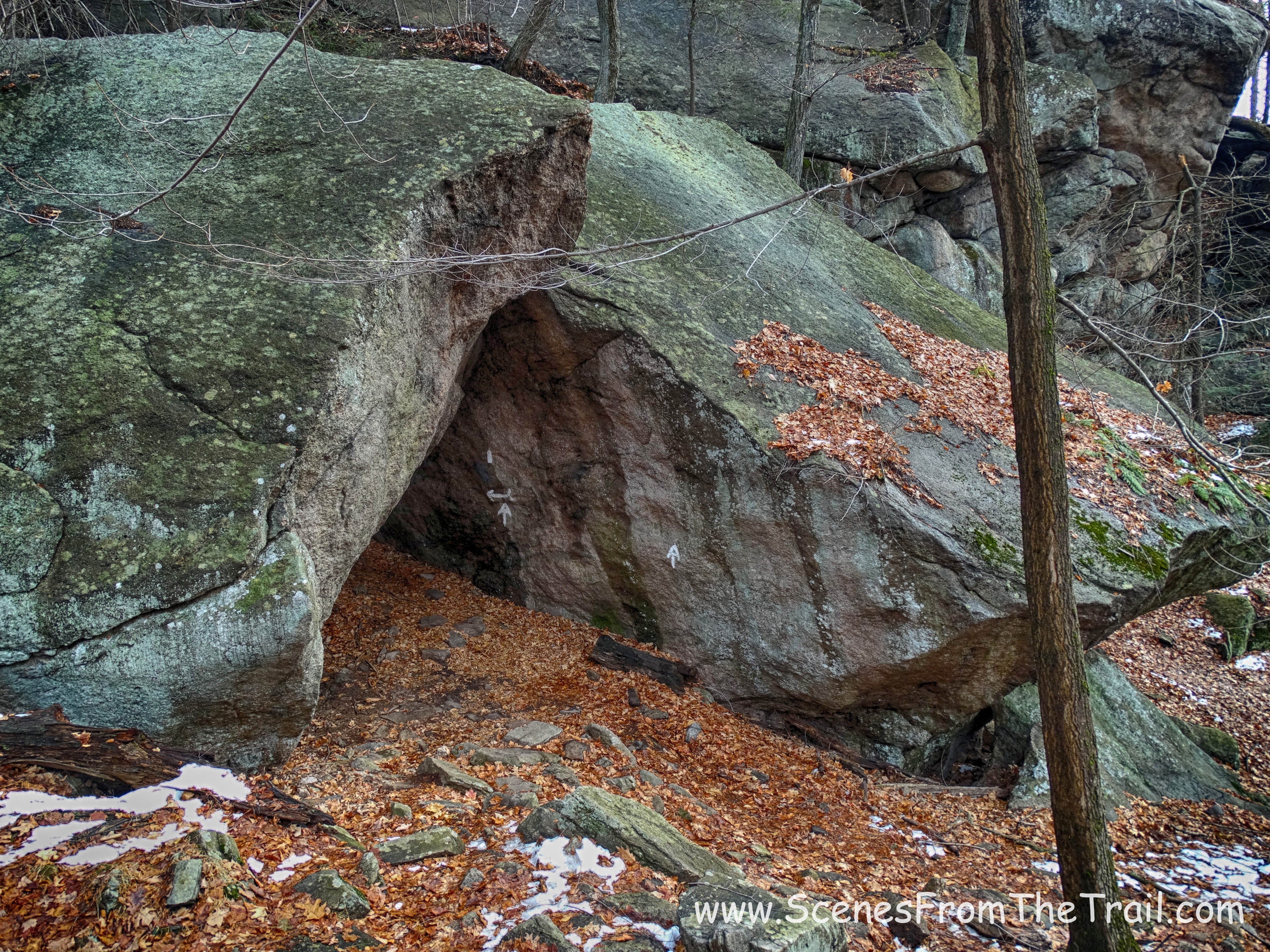
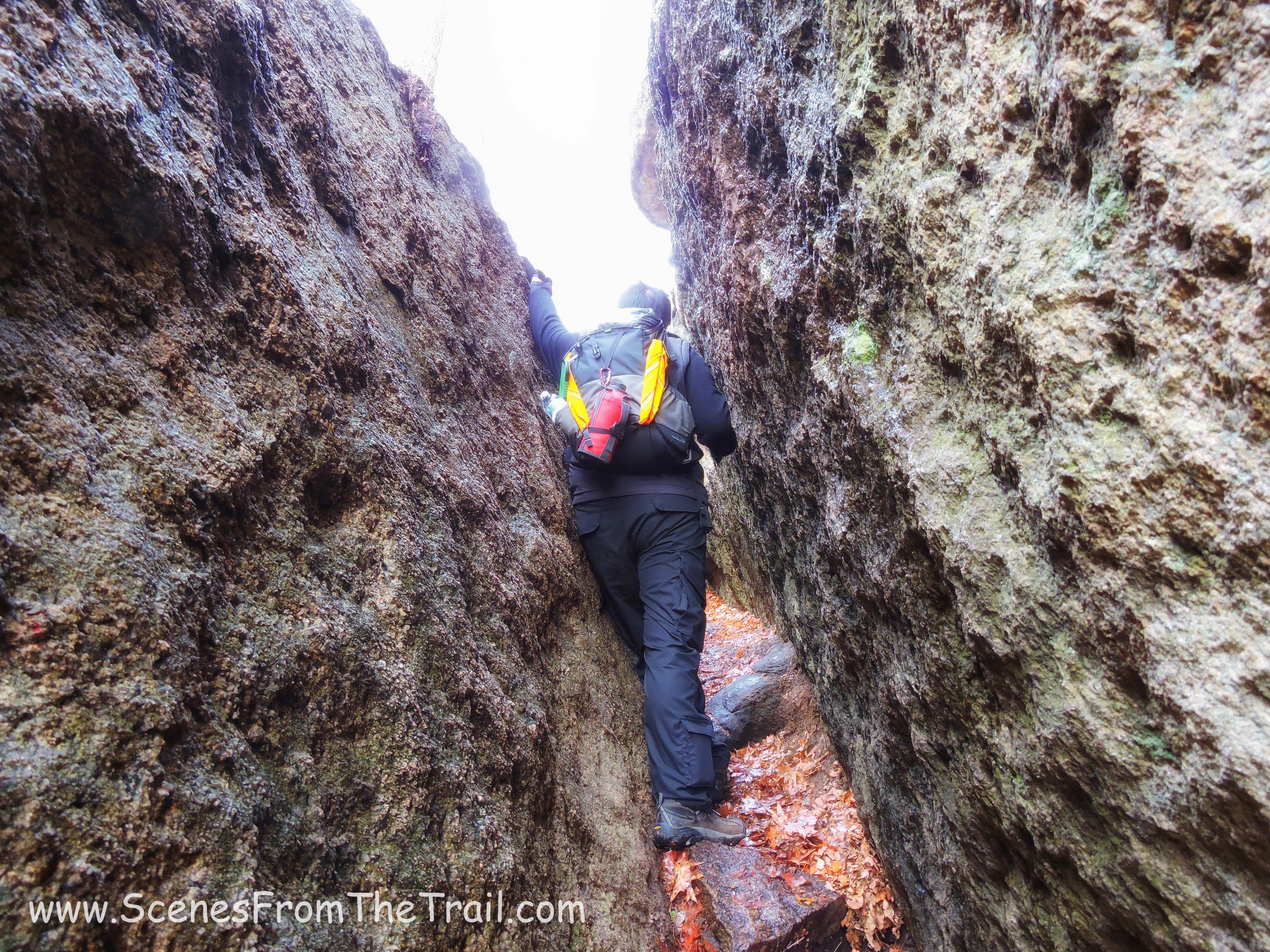
A short while later, we arrived at the Lemon Squeezer. It was a lot larger than I envisioned. The entrance was a massive rock formation, and the AT traveled right through it.
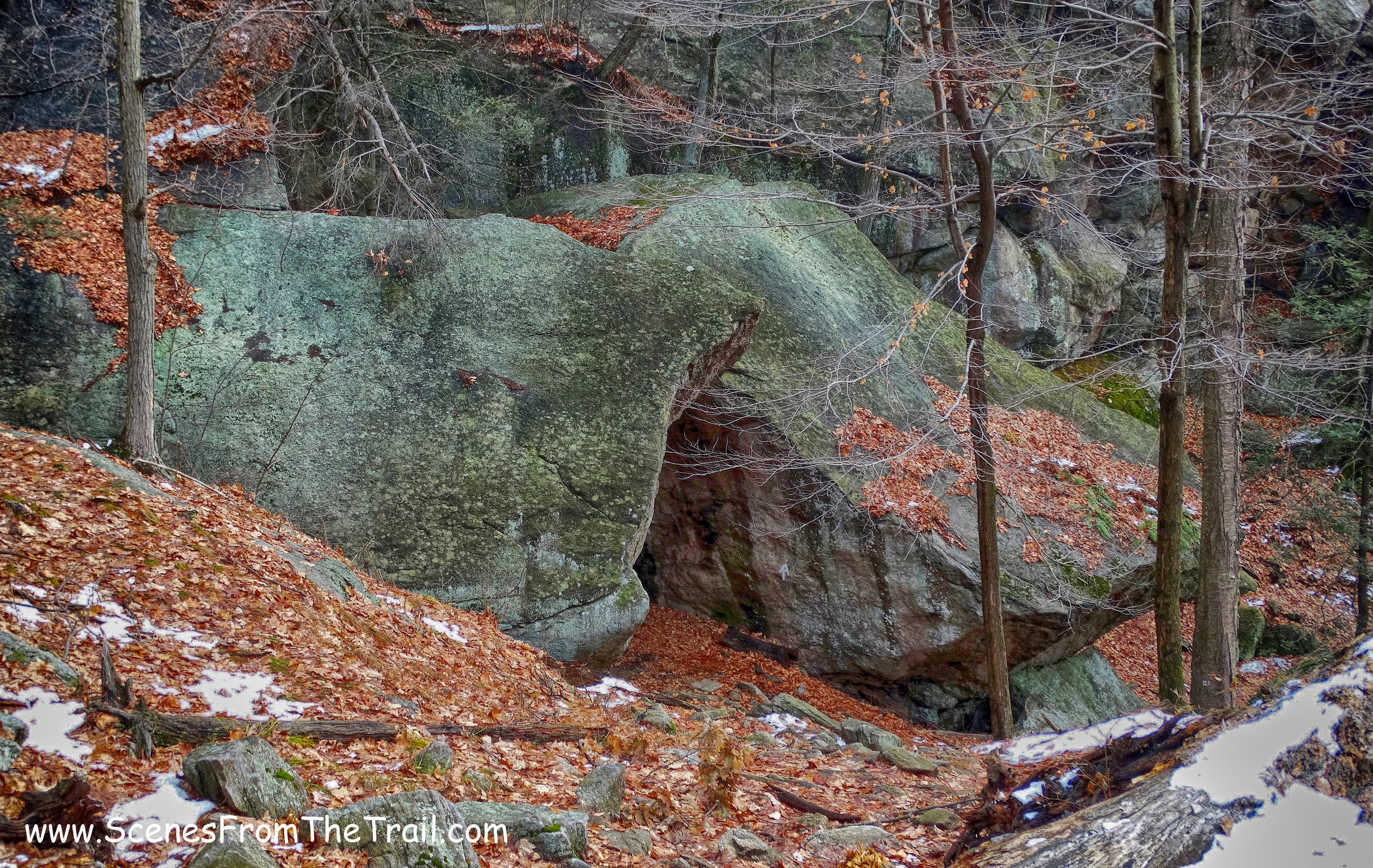
Lemon Squeezer entrance
Lemon Squeezer entrance
Lemon Squeezer entrance
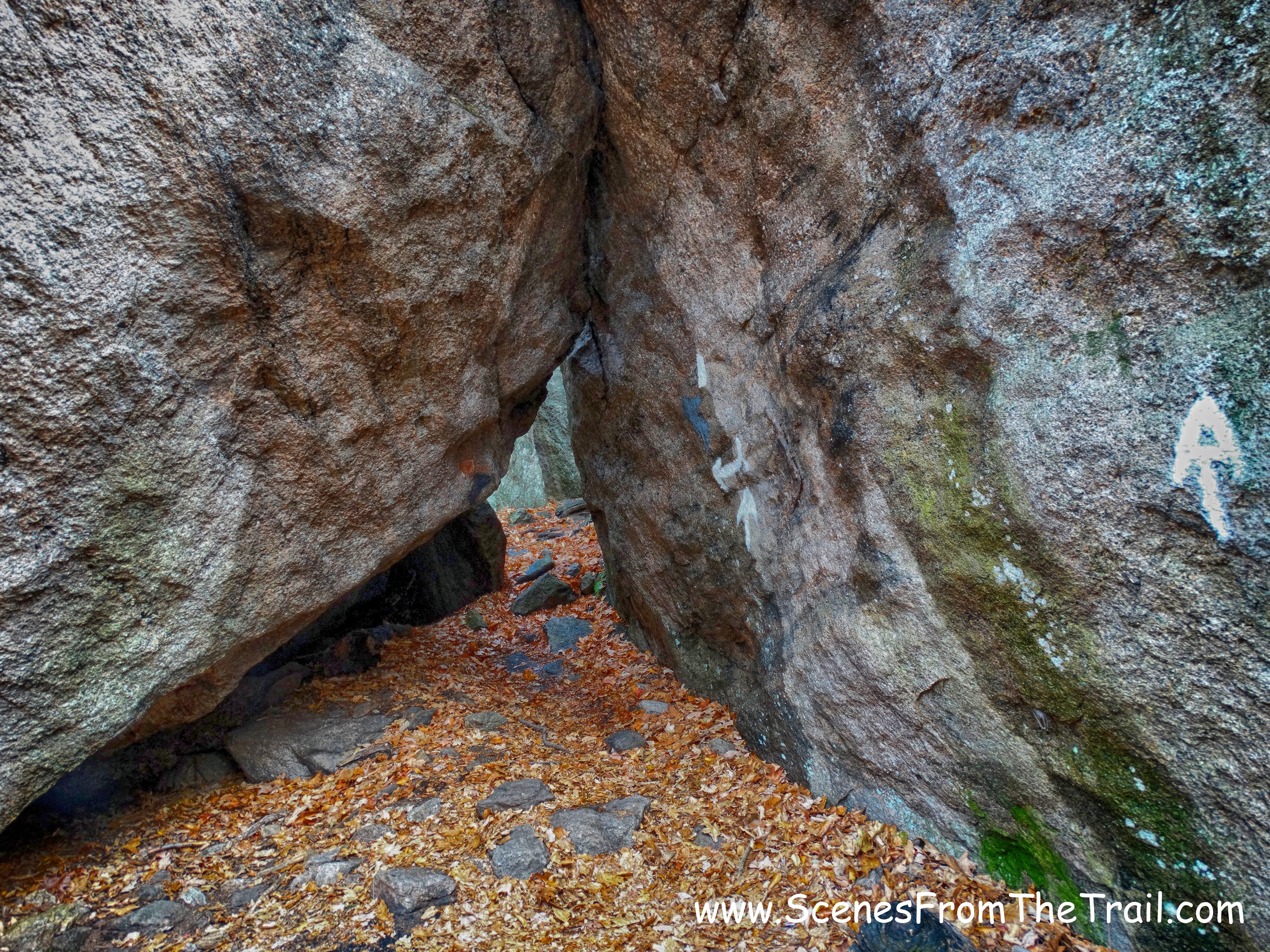
I had to duck as I made my way through the entrance of the Lemon Squeezer.
Lemon Squeezer entrance
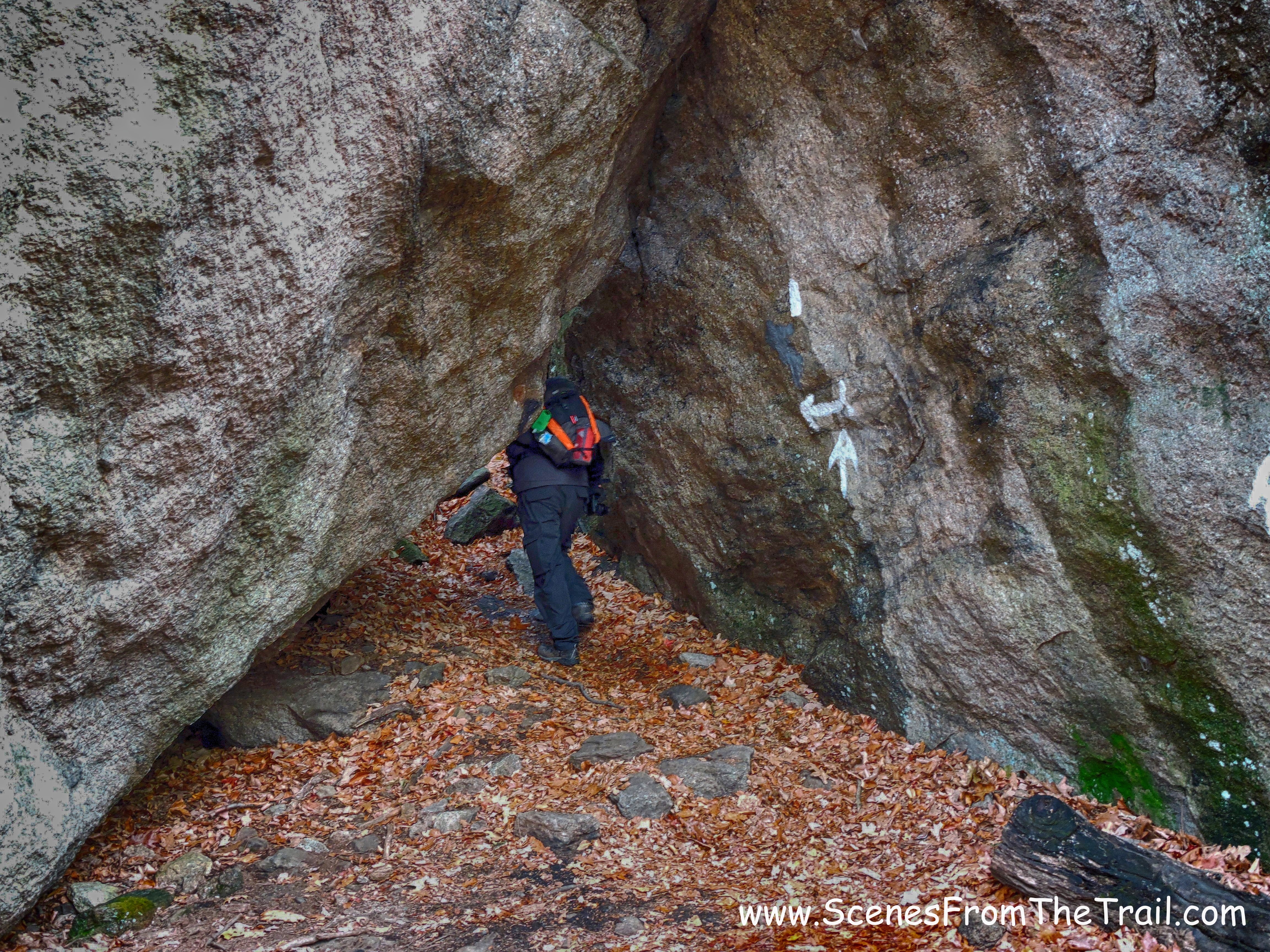
Then we had to squeeze between the crevasse of the rock formation.
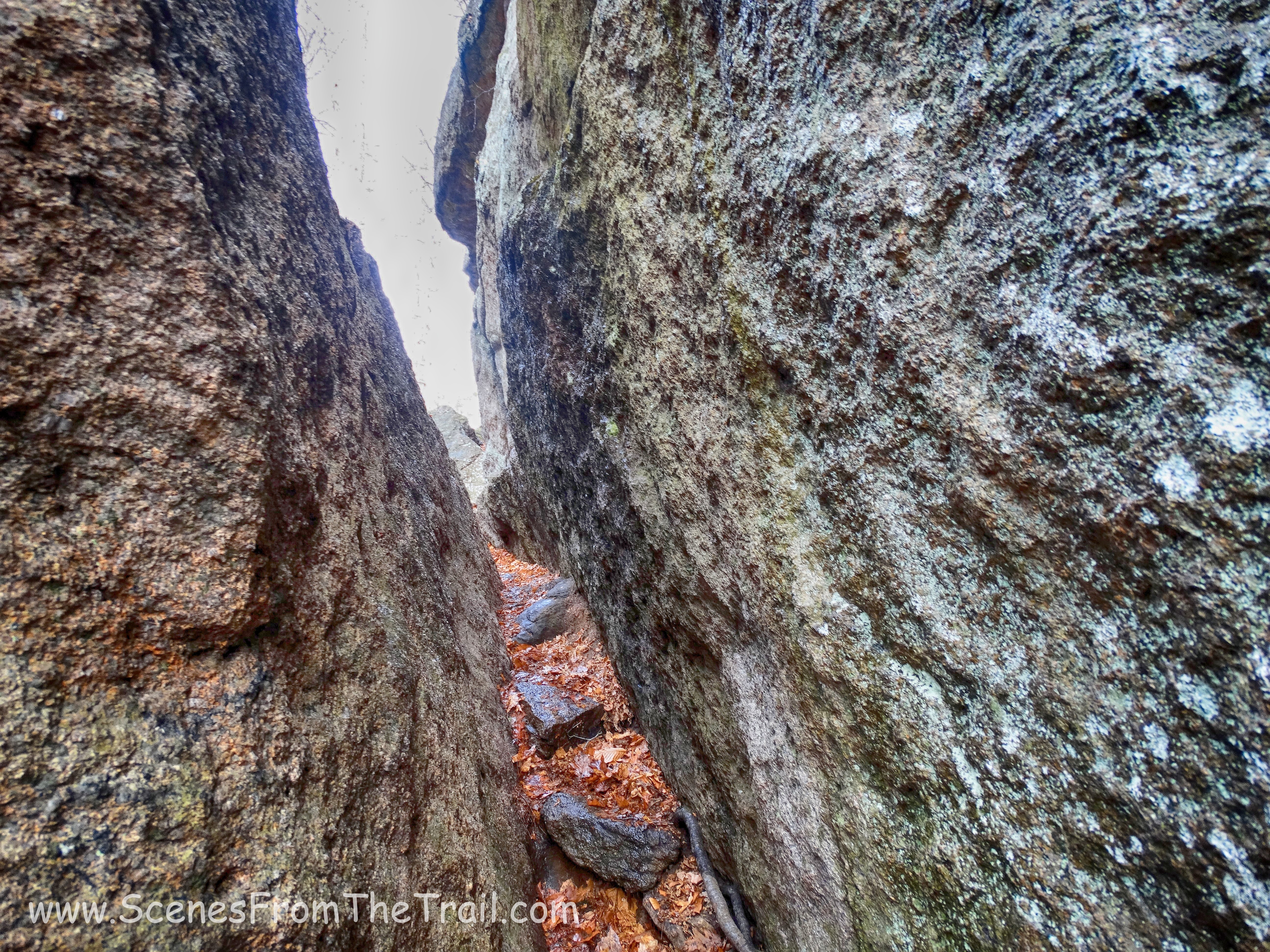
Lemon Squeezer
Lemon Squeezer
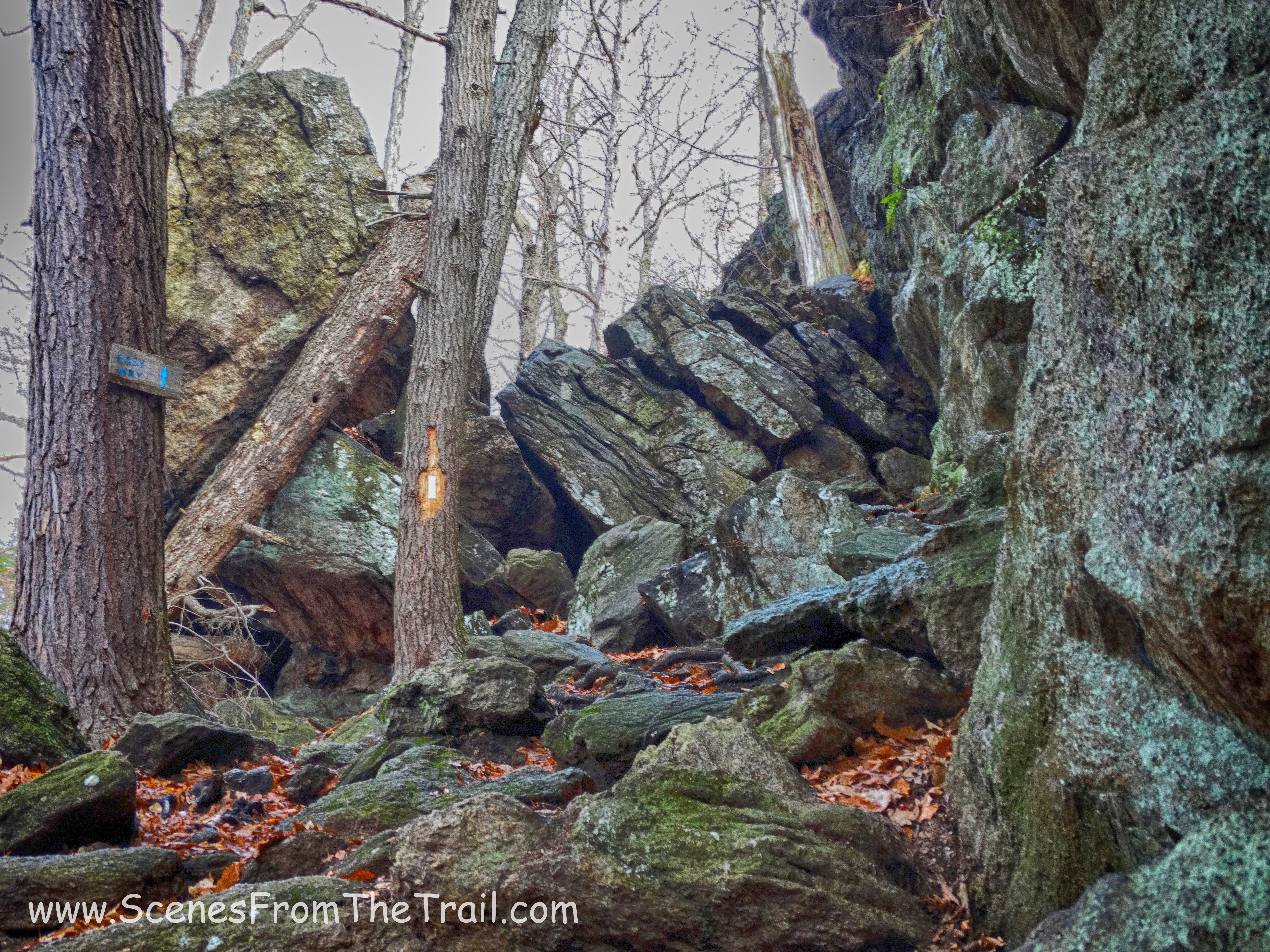
Then we came to the steep rock face, which is more difficult than it seems. Everything was soaked at this point, which made it even more difficult. You have to pull your weight up in order to scale this section. It proved to be an arduous task as my hands kept slipping on the wet rock. I tried to lunge up, but my feet kept slipping and there was no way to get any traction. After several futile attempts we decided to take the easy way, which is just to the left, indicated by a sign on a tree.
Lemon Squeezer steep rock face
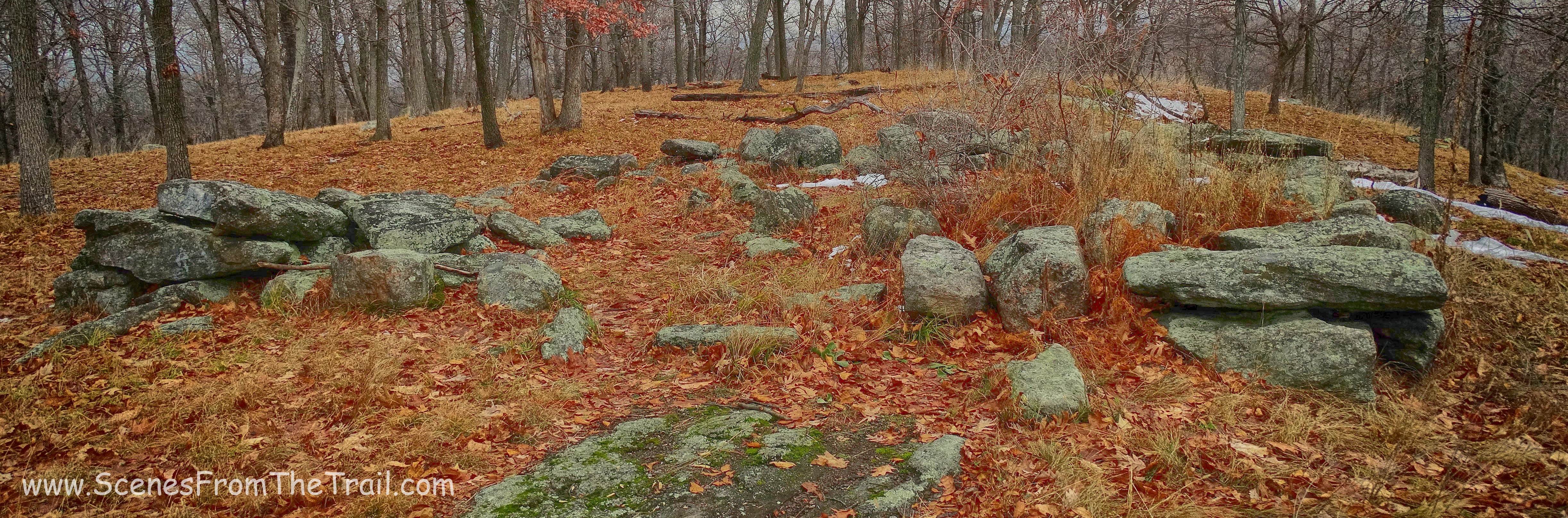
I was disappointed that I couldn’t tackle this climb, but life goes on, as did this hike. Once atop of the rock formation, we took a little break before we headed out on the trail again. The AT continued to the summit of Island Pond Mountain, an elevation of 1,302 feet. Just north of the summit were the stone ruins of a cabin built by Edward Harriman.
stone ruins
We descended the mountain and reached a junction with a sign. Here we turned right, leaving the AT behind and began following the Aqua blazed Long Path. We walked along the edge of Dismal Swamp, then the trail passes an area filled with tree roots. This made the going just a little slower as the roots were slippery and always a tripping hazard. When we reached another junction, we turned left onto the White Bar Trail. We followed the white blazes until it was joined by the yellow blazed Dunning Trail. When the Dunning Trail veered right, away from the White Bar Trail, We stayed on the Dunning Trail. We stayed on the yellow blazed Dunning Trail until we arrived at the Boston Mine. The adit is not visible from the trail, but a large open cut into the hillside is. We walked into the rock cut, taking great care where we placed our feet. Since I knew that this area was filled with water, I wanted to make sure the leaves I was stepping on were on terra firma and not floating on the surface of the iron rich water.
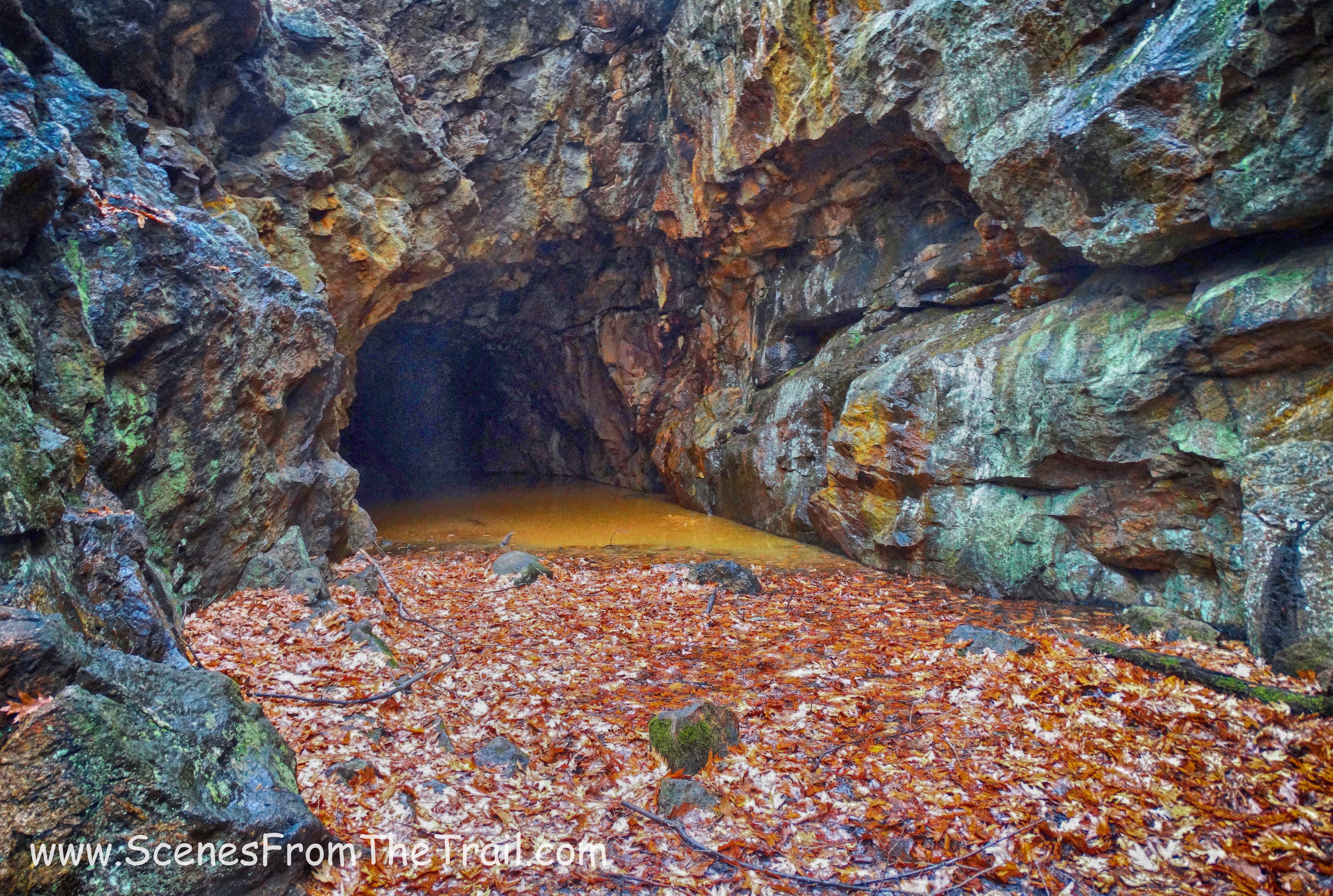
Boston Mine
Just to the right of the rock cut is a short trail which leads you directly across from the opening, but we like to live dangerously and took the ill advised route to the mine.
Boston Mine
At this point, the occasional drizzle turned into a constant drizzle. We were supposed to turn right onto Island Pond Road (an old unmarked woods road). Instead we kept going on the Dunning Trail. By the time I had realized my mistake, we were about 3/4 mile past that turn. Not wanting to double back, I made an executive decision to continue ahead and take an alternate route back to the Elk Pen parking area. We stopped briefly at Green Pond to check the map and catch our breath.
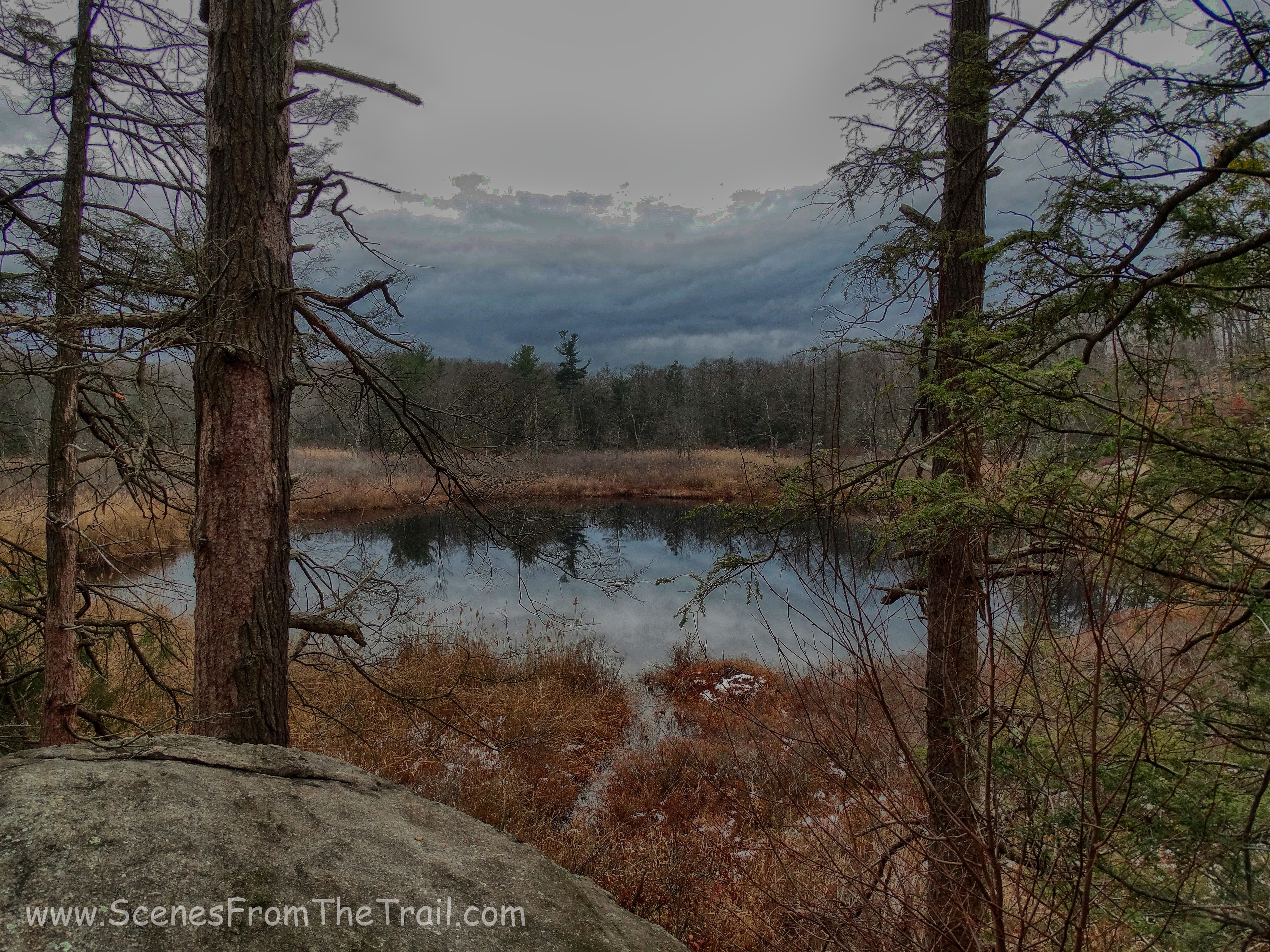
Green Pond
While on the Dunning Trail, we passed through areas that required some “almost” scrambling. We walked under a large rock ledge that hung over the trail.
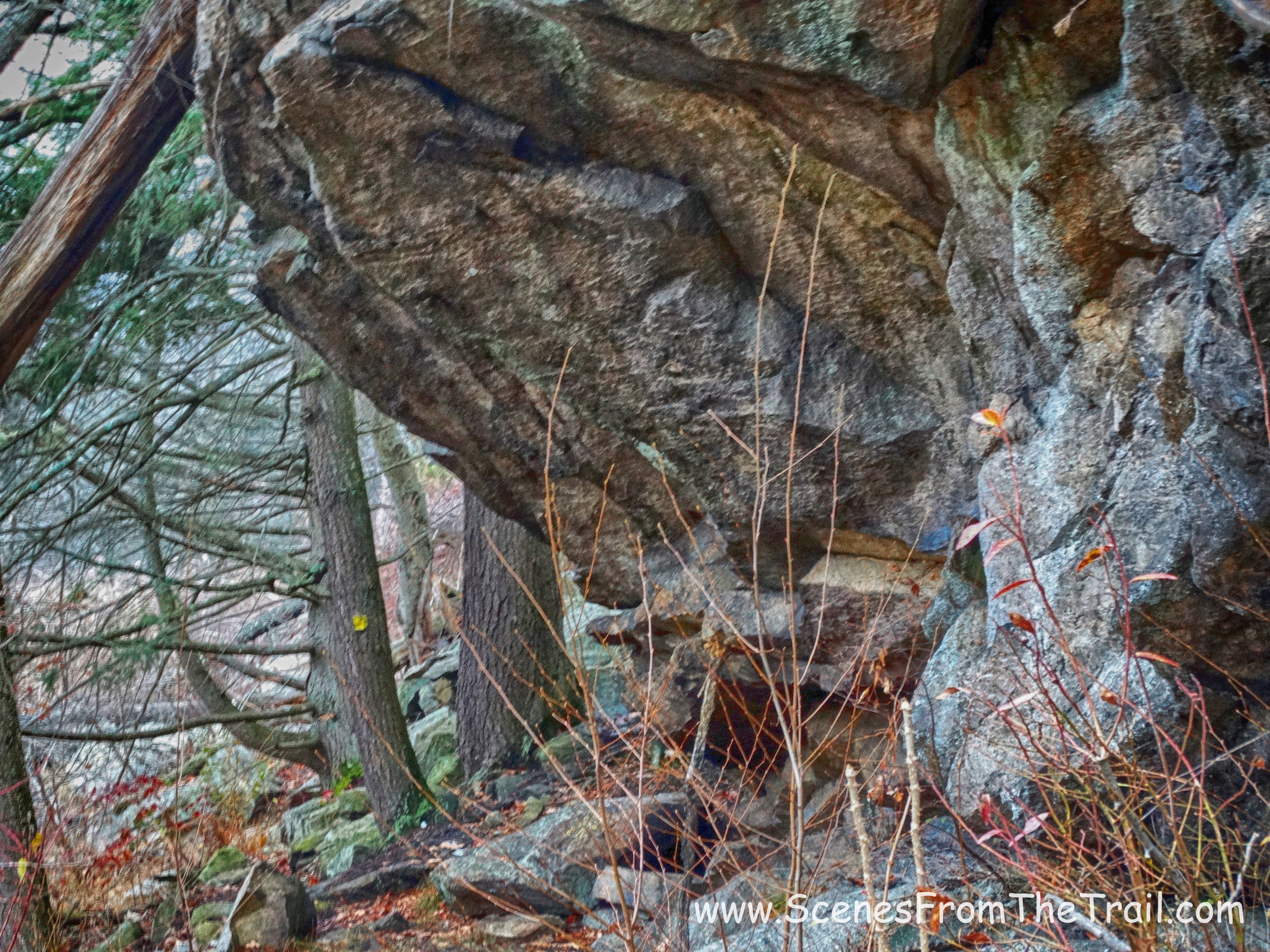
Dunning Trail
We hiked the Dunning Trail to its terminus, where we then jumped on the white blazed Nurian Trail. These sections of the Dunning Trail and Nurian Trail were very scenic although quite rugged. It was also a very desolated section of the park. We only encountered one other hiker in this area and it was some guy dressed in camouflage. The Nurian Trail passed through the Valley of Boulders and along the edge of a brook with some attractive cascades. The rain was coming down steadily and I had my camera safely stashed away in my pack. I also reinjured my ankle (from a previous hike) and wanted to make haste before it swelled up. It was getting late in the day and we did not want to walk these unfamiliar trails in the dark. We weaved through the woods as fast as our worn down bodies would let us and turned right onto the red bar on white blazed Stahahe Trail and walked alongside Stahahe Brook and its numerous cascades. From there we caught the Arden-Surebridge (A-SB) Trail which took us to the Appalachian Trail and back to the parking area where we began our hike.
Even though this started as a planned out hike, it didn’t turn out that way. That is why carrying a compass and a map of the area you are hiking is paramount. The directions help, but at times can be confusing as you pass by numerous similar areas that fit the description in the written directions. At times blazes are missing, trails rerouted or you take a wrong turn. Stay smart out there and always allow time for things that can go wrong, because more times than not, they do. I hope that you enjoyed today’s hike and don’t forget to follow my blog to stay informed of some really cool hikes. Until next time folks, now get out there and take a hike!
Take a hike!
